Trails in Czech Republic
4,056 hiking trails, each with its route, climb, walking time and grade.
All trails, page 39 of 85
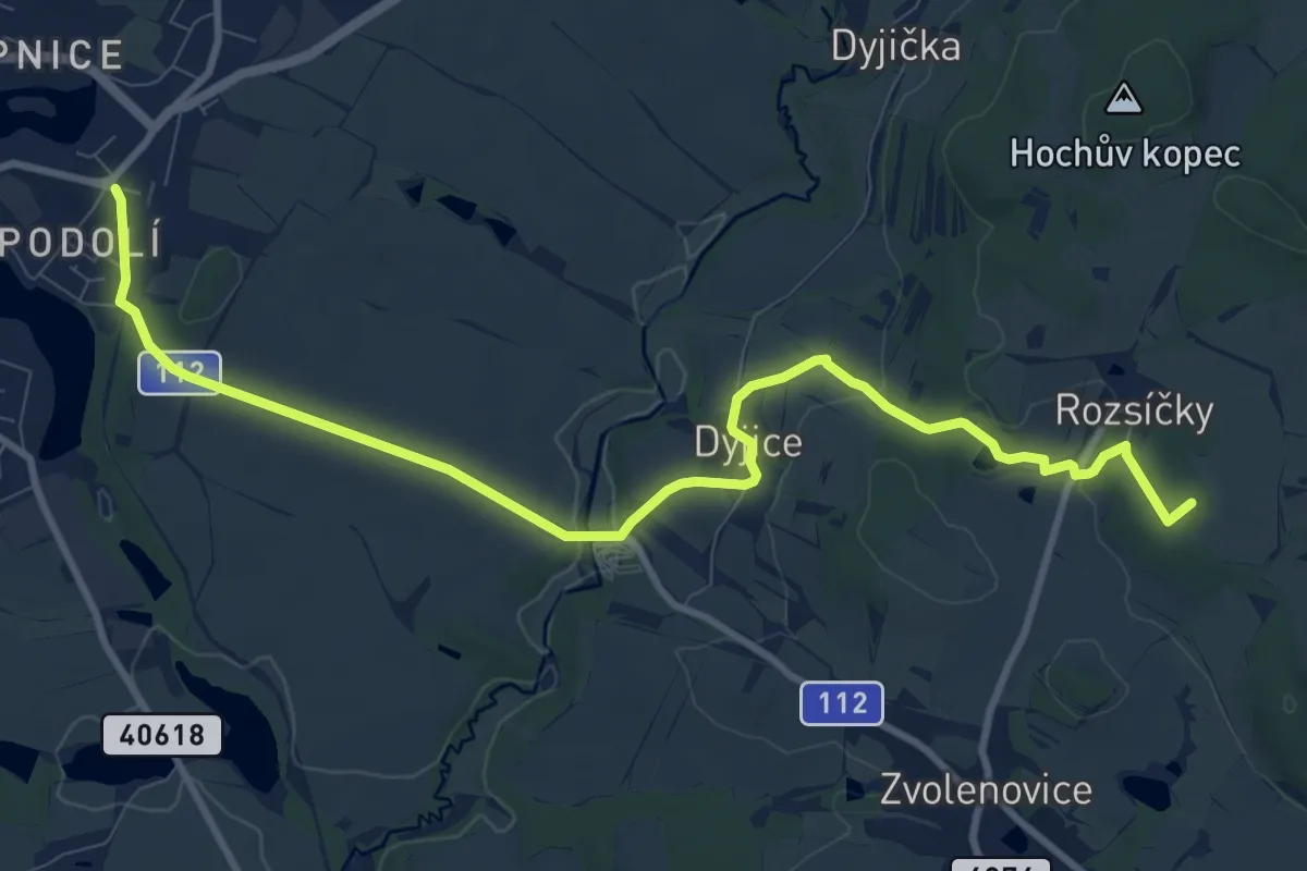
Medium · Summit
NS Otokara Březiny
10.9 km · ↑ 202 m · 3 h 1 min
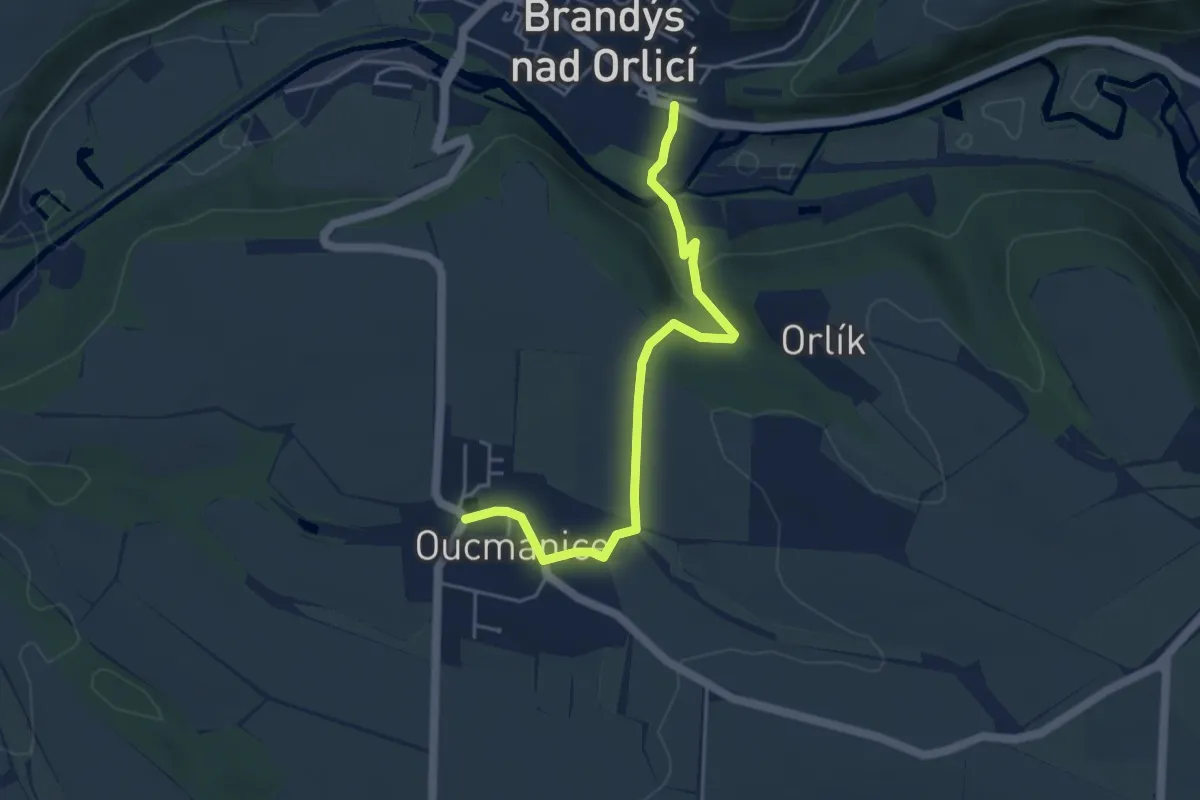
Easy · Trail
NS Oucmanice
4.4 km · ↑ 130 m · 1 h 19 min
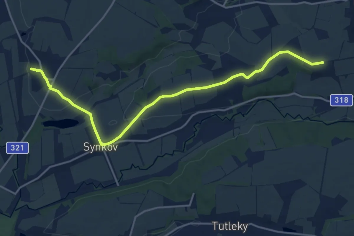
Medium · Trail
NS Ovocná stezka
11.1 km · ↑ 133 m · 2 h 54 min
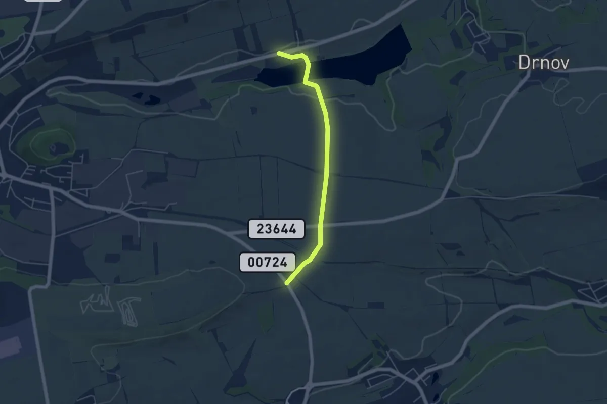
Easy · Trail
NS Ovocná stezka 2
4.2 km · ↑ 58 m · 1 h 7 min
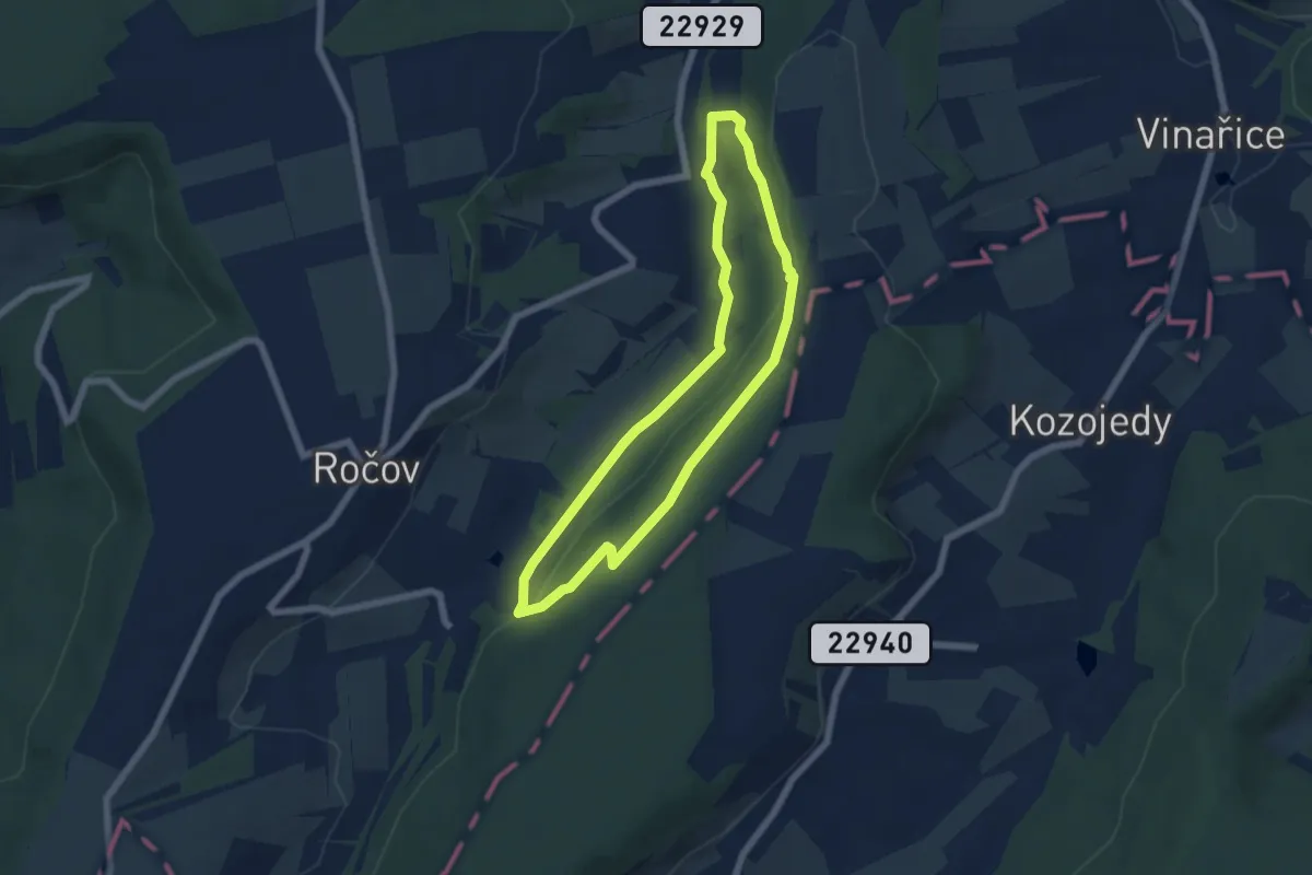
Easy · Trail
NS Panny Marie Področovské
5.2 km · ↑ 111 m · 1 h 32 min
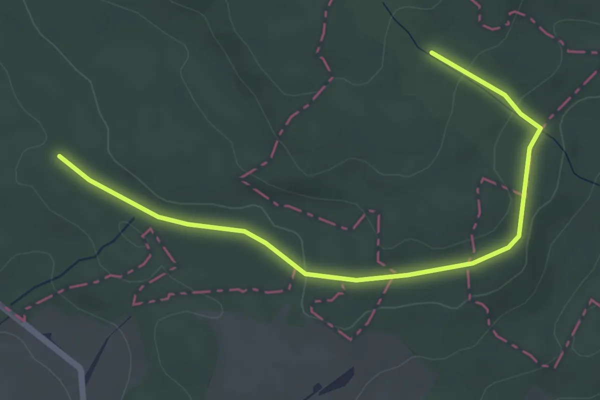
Easy · Trail
NS Panské louky
4.5 km · ↑ 65 m · 1 h 12 min
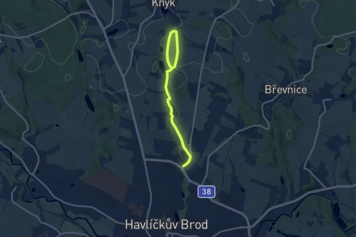
Easy · Trail
NS Park Budoucnost - Vlkovsko
7.7 km · ↑ 107 m · 2 h 4 min
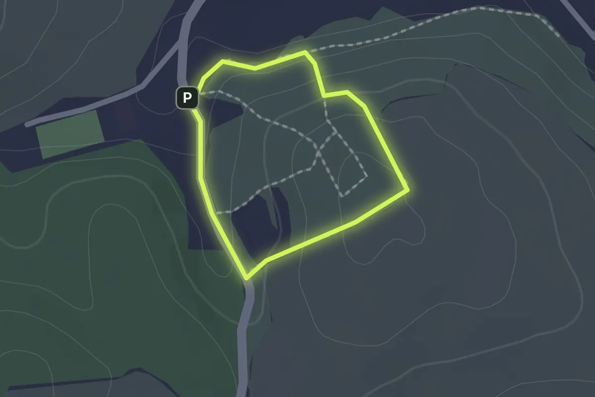
Easy · Summit
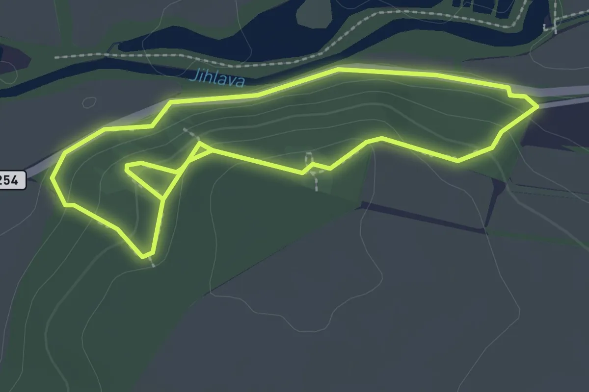
NS Paseky
1.1 km · ↑ 50 m · 23 min
Easy · Trail
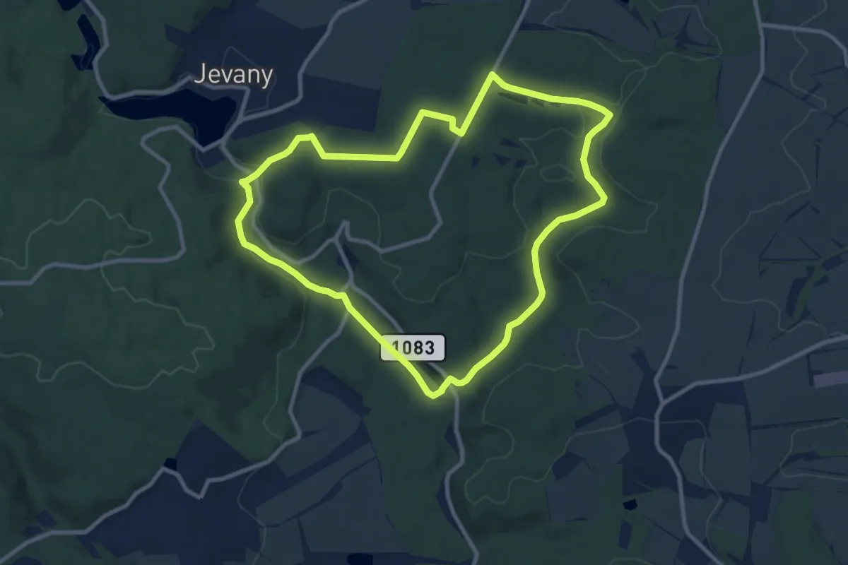
NS Pekárka
2.3 km · ↑ 79 m · 45 min
Medium · Trail
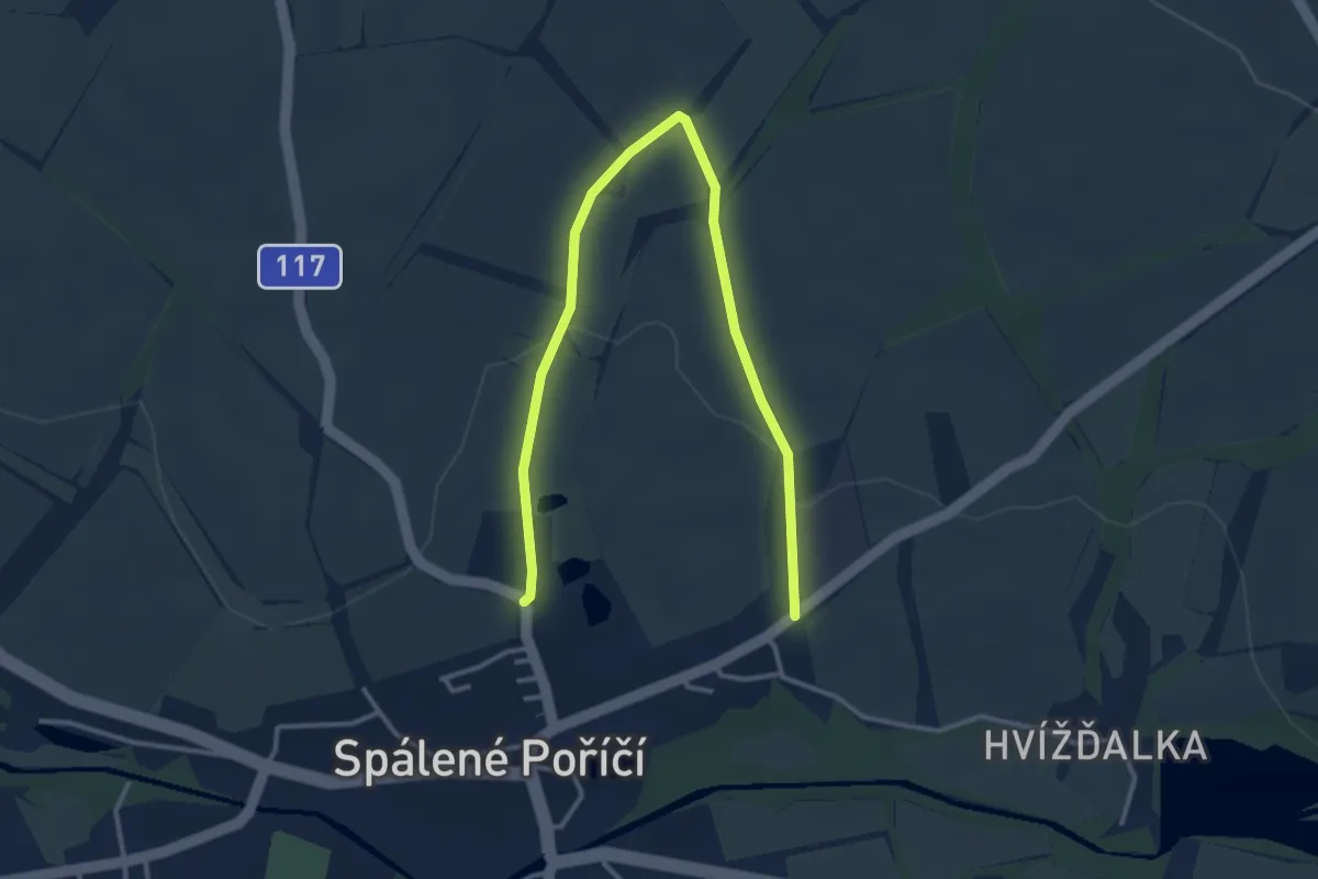
NS Pěnčický okruh
8.4 km · ↑ 117 m · 2 h 21 min
Easy · Trail
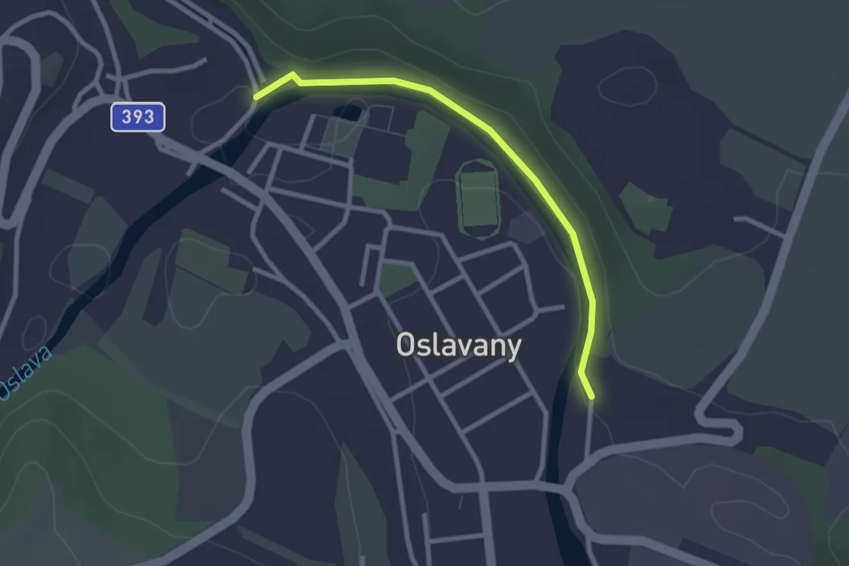
NS Perličky víly Terezky
4.0 km · ↑ 53 m · 1 h 4 min
Easy · Trail
NS Permokarbonem Boskovické brázdy
2.2 km · ↑ 25 m · 35 min
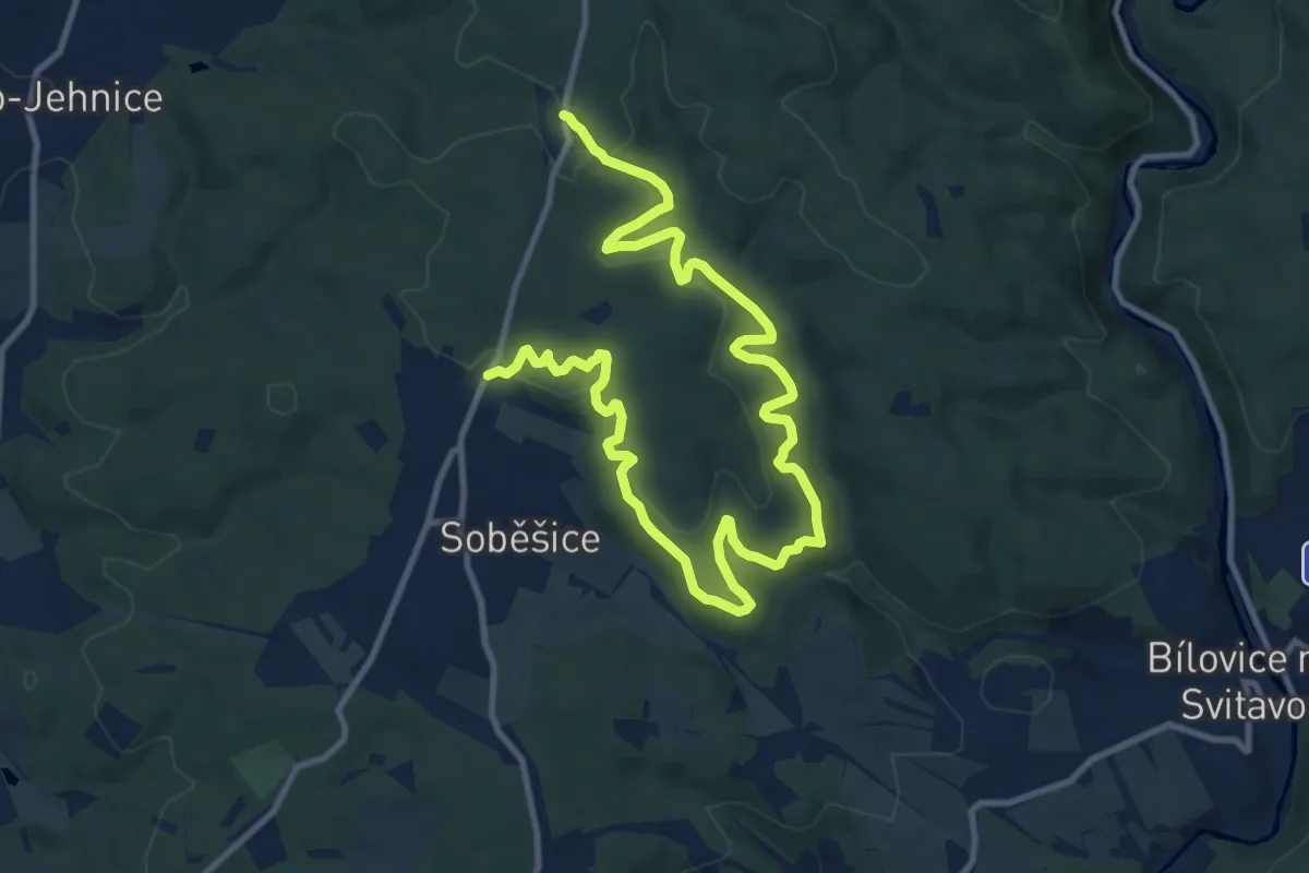
Medium · Trail
NS Pěšina Karla Morávka
14.6 km · ↑ 559 m · 4 h 40 min
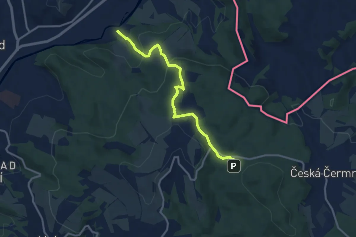
Easy · Trail
NS Pevnost Dobrošov
7.2 km · ↑ 273 m · 2 h 17 min
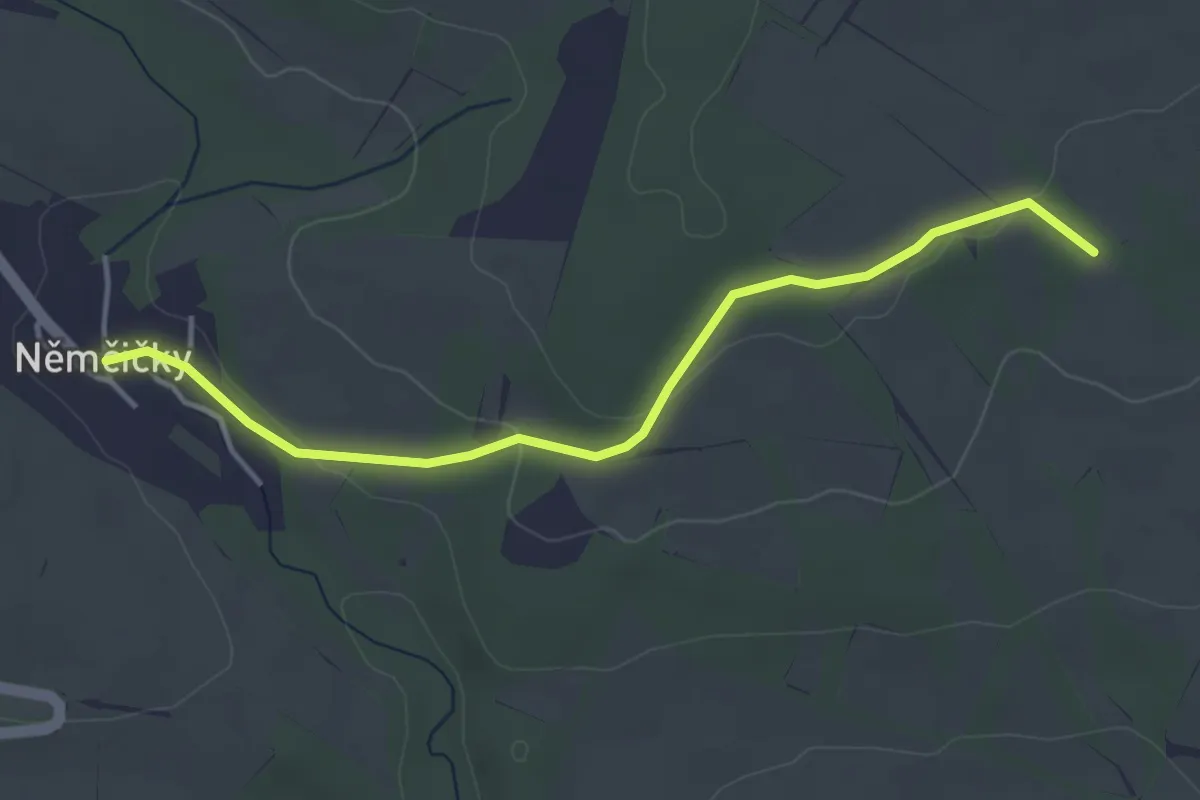
Easy · Trail
NS Pilotů II. světové války
3.9 km · ↑ 79 m · 1 h 5 min
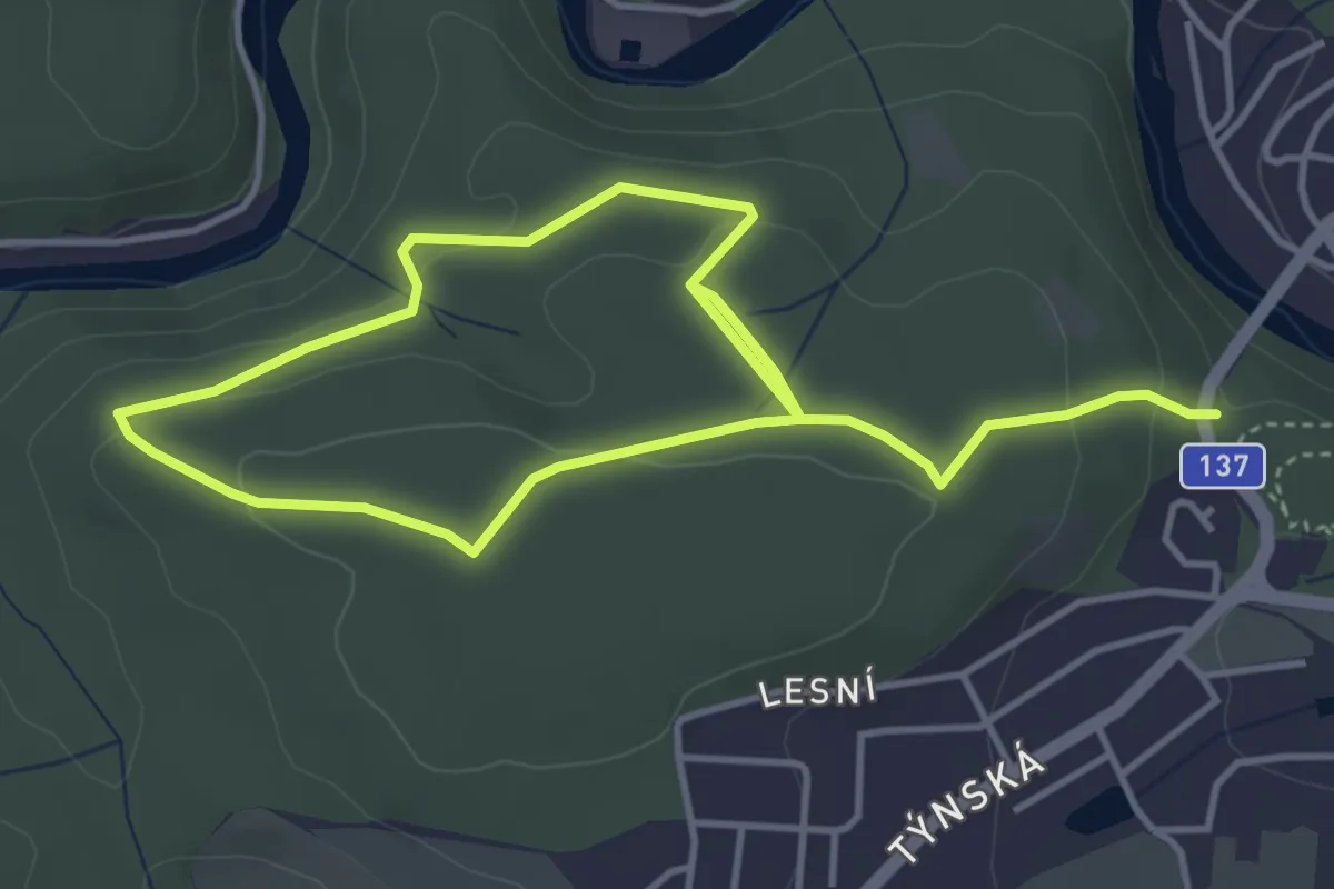
Easy · Trail
NS Pintovka
6.4 km · ↑ 183 m · 1 h 54 min
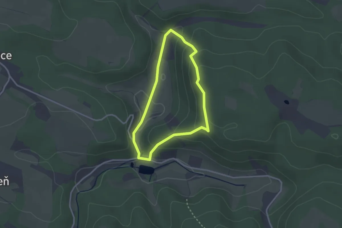
Easy · Trail
NS Pískovcová pohádka
2.1 km · ↑ 85 m · 42 min
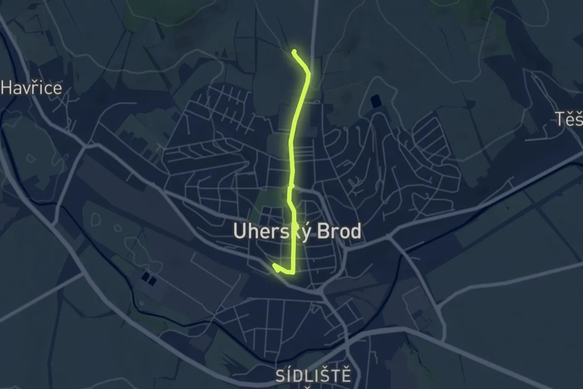
Easy · Trail
NS Planetarni
4.0 km · ↑ 91 m · 1 h 9 min
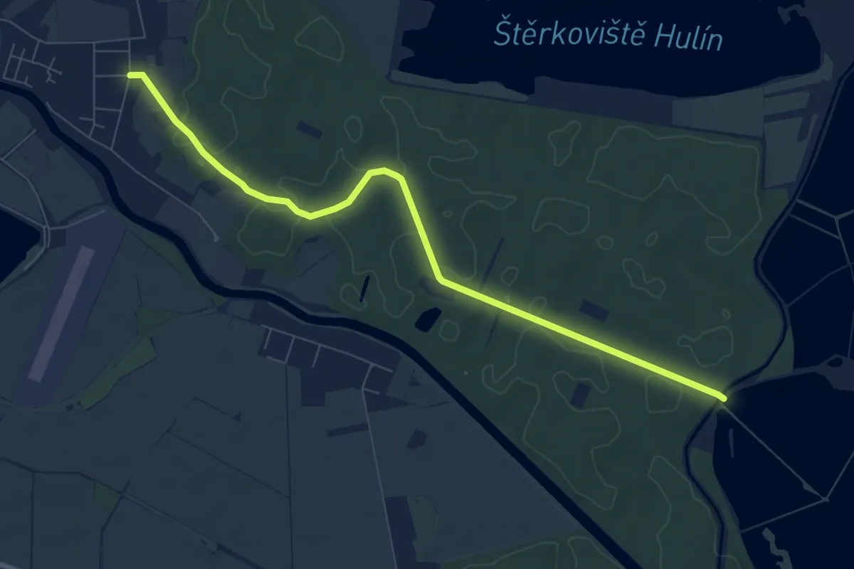
Medium · Trail
NS Planorbis
8.2 km · ↑ 62 m · 2 h 5 min
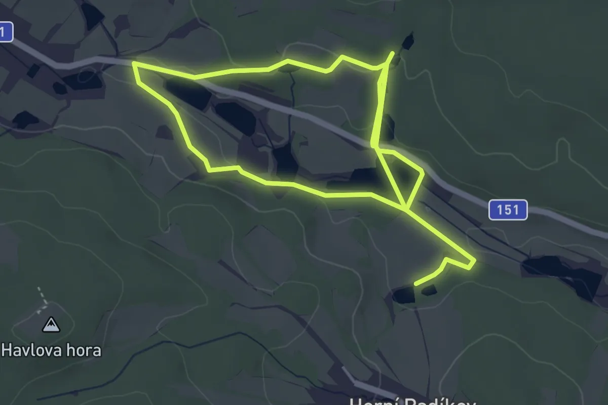
Easy · Trail
NS Podél kaskád rybníků
7.2 km · ↑ 141 m · 2 h
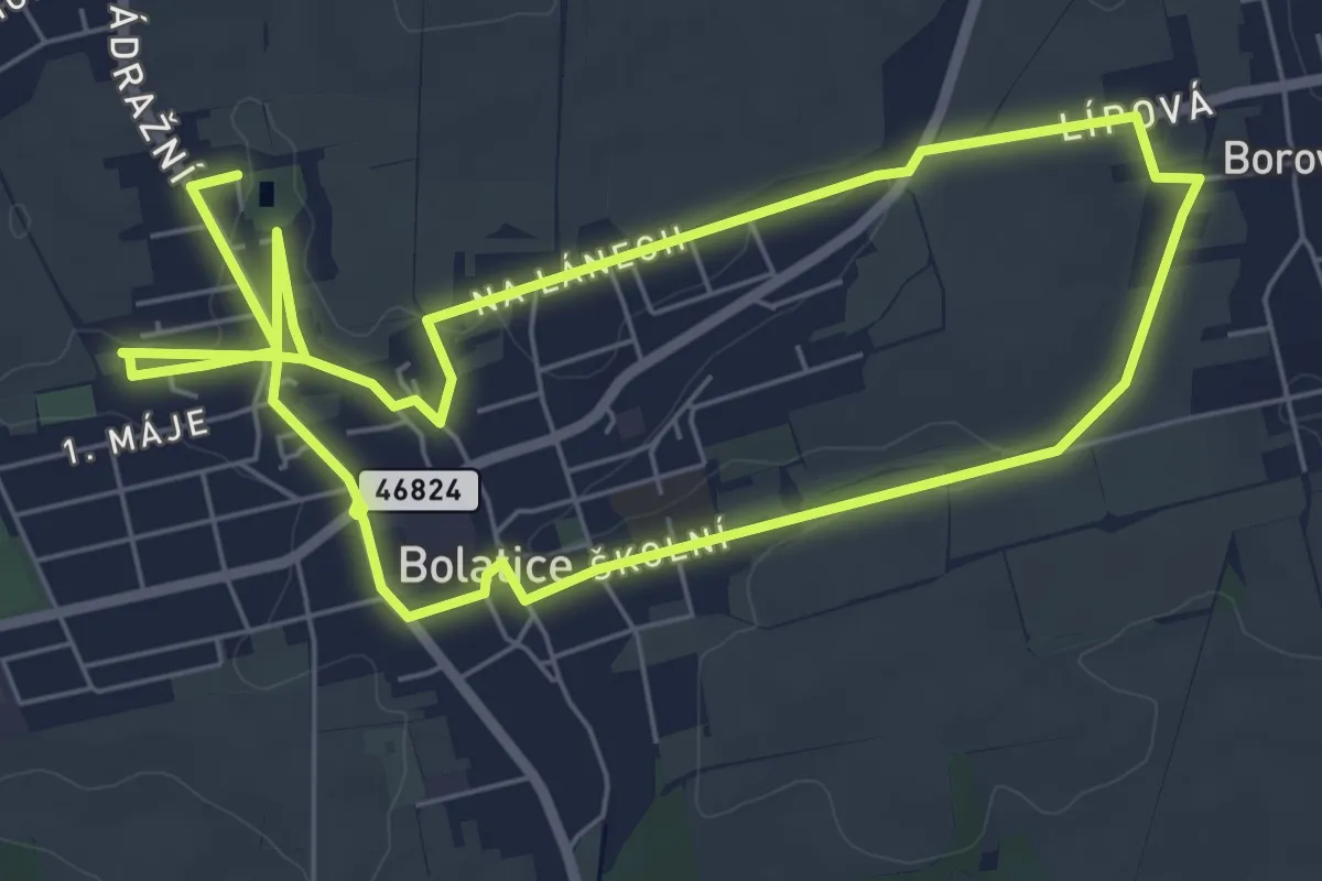
Medium · Trail
NS po devíti suchých poldrech v Bolaticích
12.2 km · ↑ 73 m · 3 h 2 min
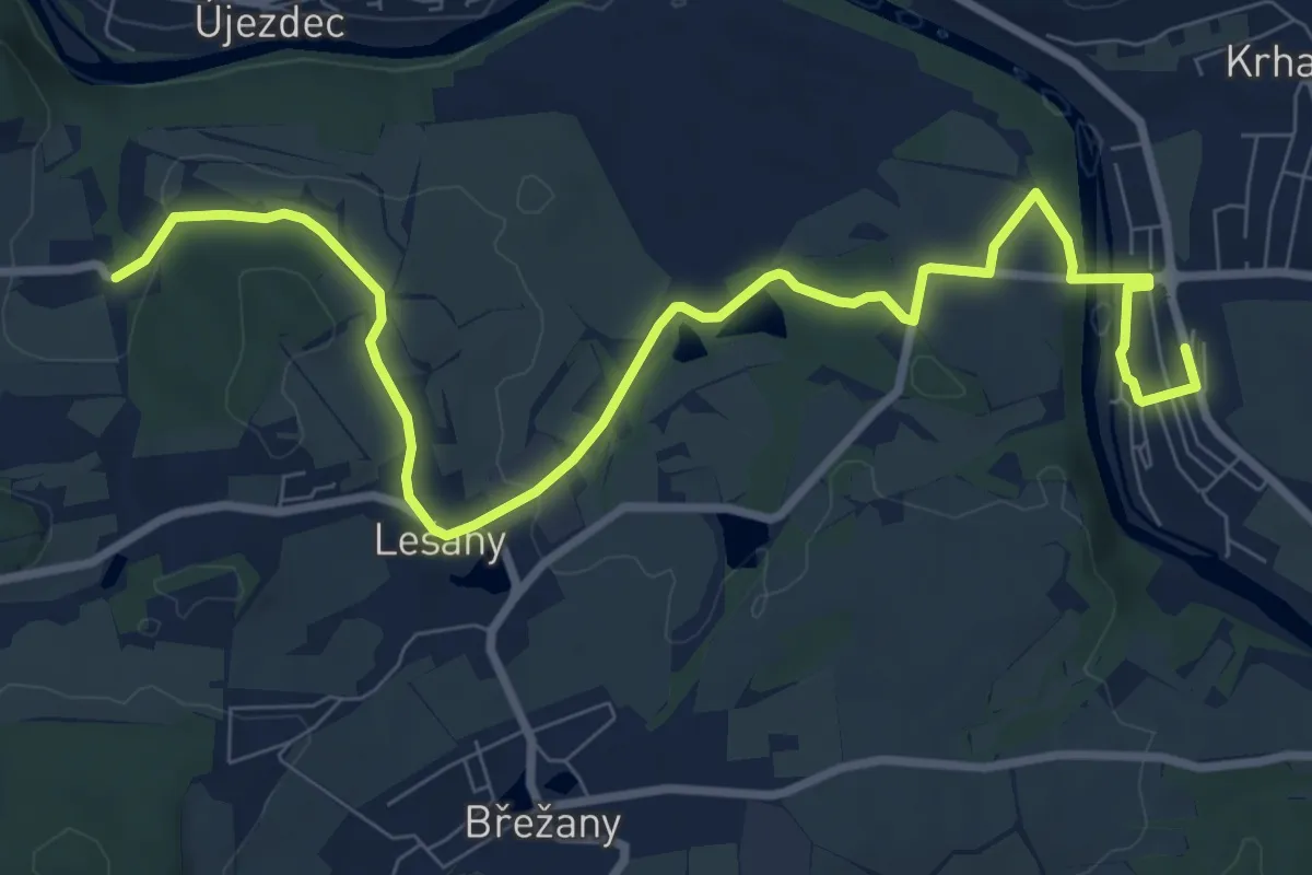
Medium · Trail
NS Podlešanský mlýn
9.9 km · ↑ 168 m · 2 h 42 min
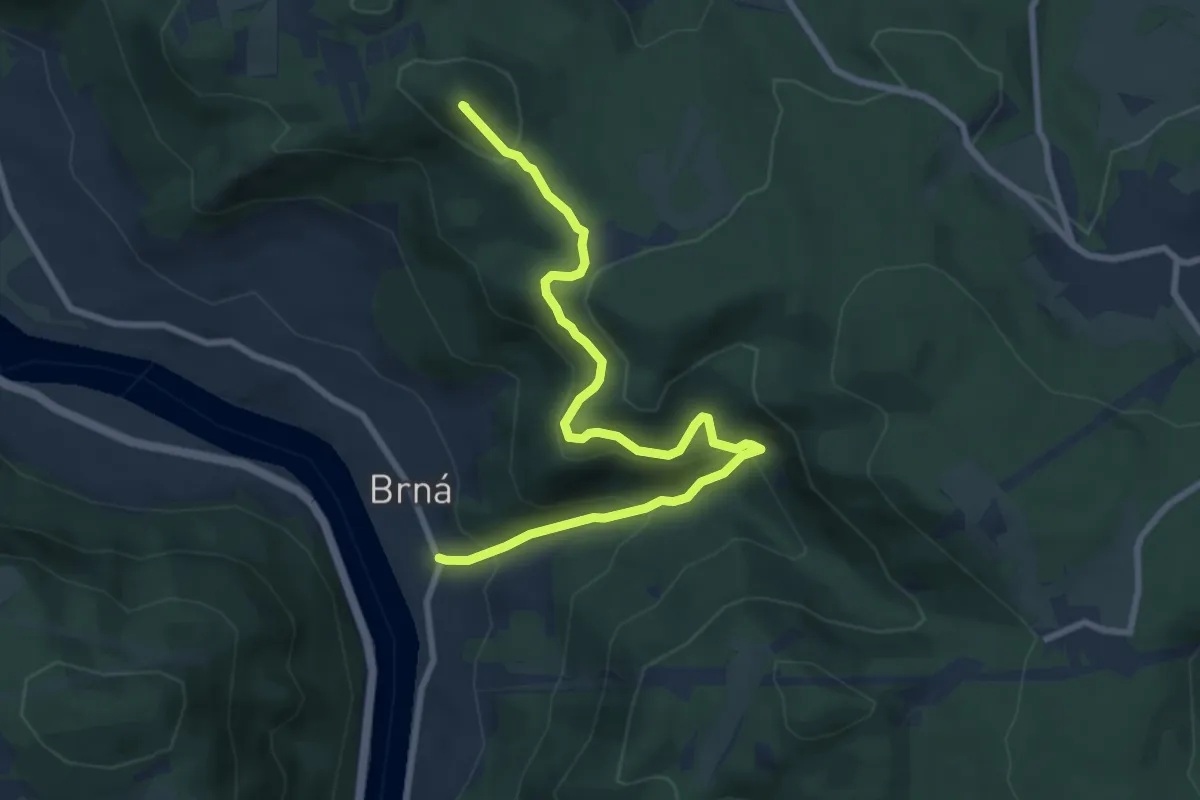
Medium · Summit
NS Pod Vysokým Ostrým
8.5 km · ↑ 531 m · 3 h 9 min
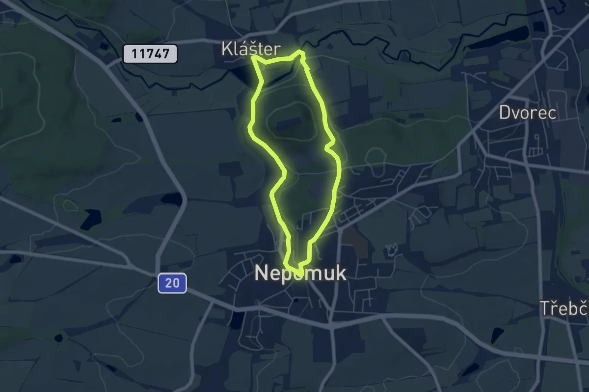
Easy · Trail
NS Pod Zelenou Horou
4.4 km · ↑ 80 m · 1 h 17 min
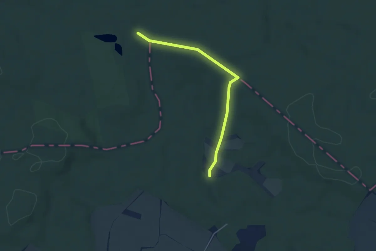
Easy · Trail
NS Pohádková stezka
3.4 km · ↑ 50 m · 55 min
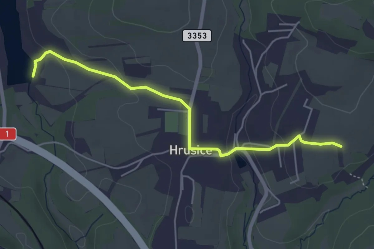
Easy · Trail
NS Pohádkové Hrusice
4.1 km · ↑ 89 m · 1 h 10 min
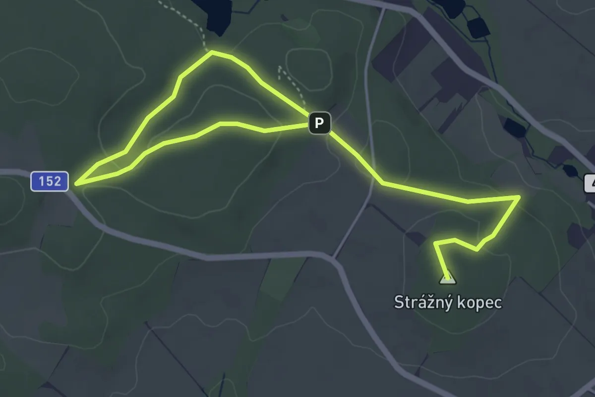
Easy · Summit
NS Pohádkovým lesem
6.3 km · ↑ 156 m · 1 h 50 min
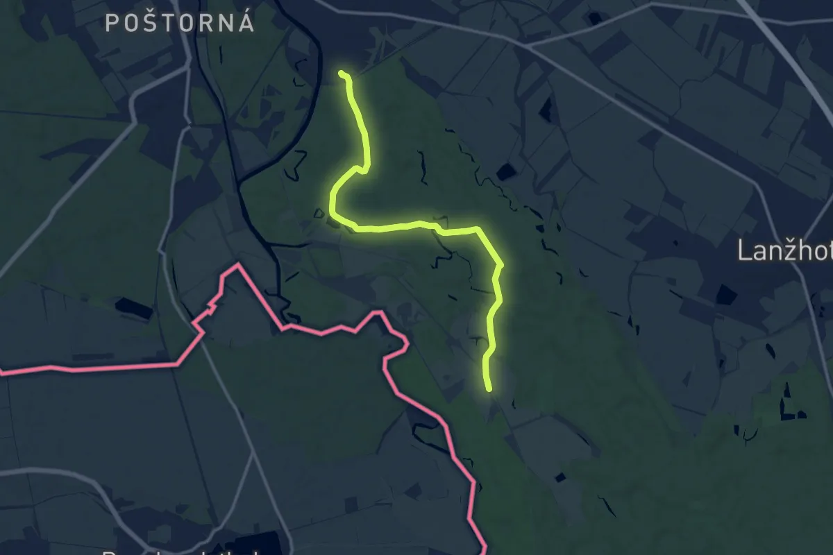
Medium · Trail
NS Pohansko
11.7 km · ↑ 50 m · 2 h 52 min
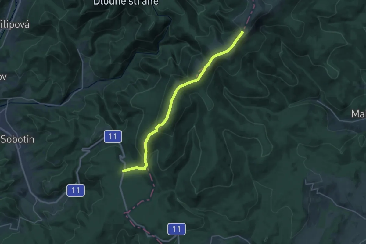
Medium · Summit
NS Po hřebenech světem horských luk
17.8 km · ↑ 643 m · 5 h 36 min
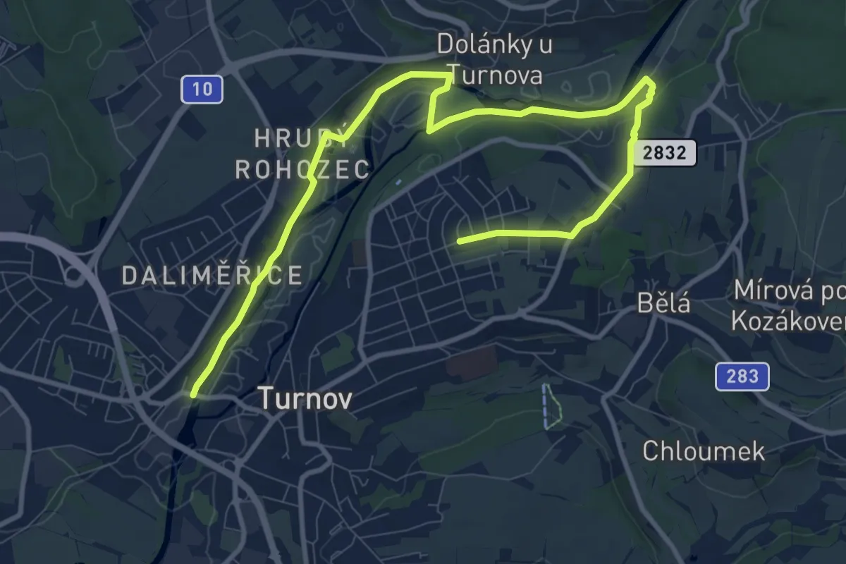
Medium · Trail
NS Pojďme za vodou
11.2 km · ↑ 193 m · 3 h 3 min
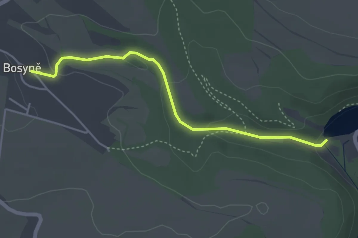
Easy · Trail
NS Poklady Bosyně
3.4 km · ↑ 77 m · 58 min
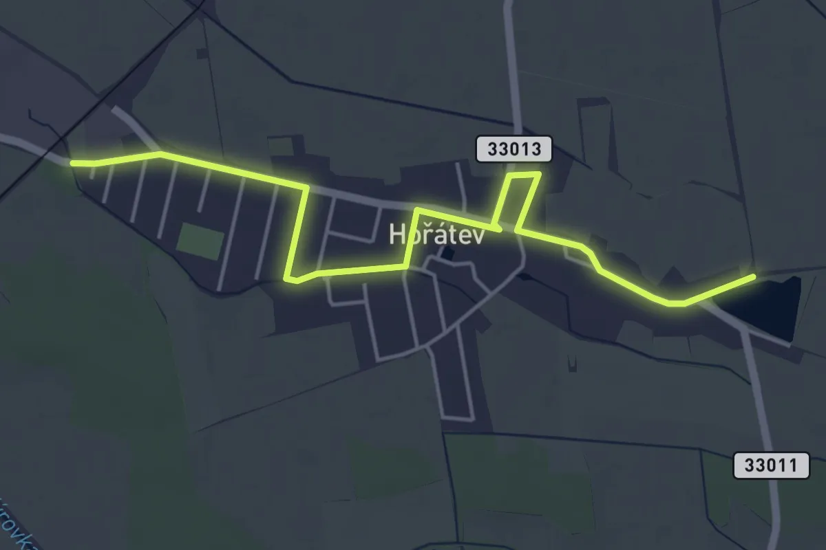
Easy · Trail
NS Po památných stromech obce Hořátev
4.9 km · ↑ 0 m · 1 h 10 min
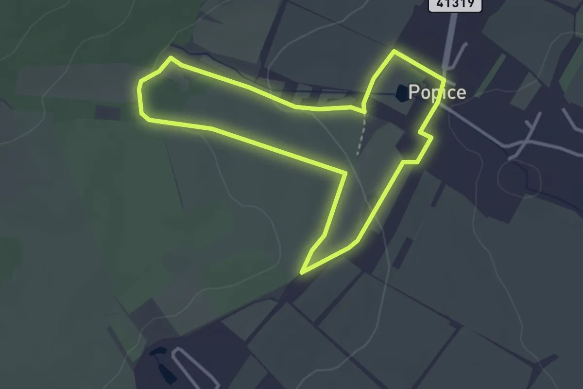
Easy · Trail
NS Popice [Z] (místní okruh)
2.9 km · ↑ 52 m · 50 min
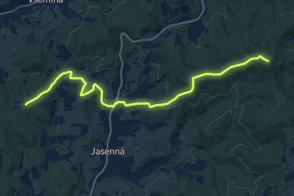
Medium · Summit
NS Portášská
13.4 km · ↑ 534 m · 4 h 19 min
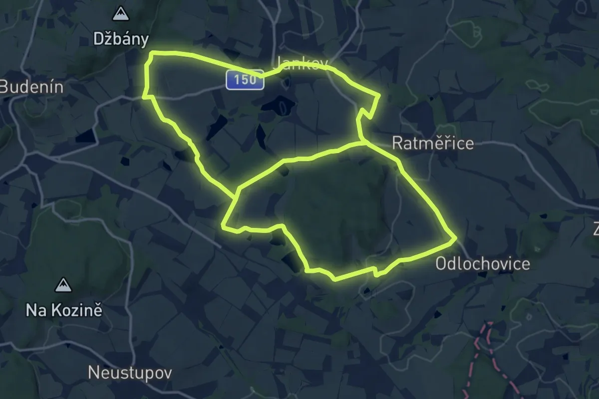
Medium · Trail
NS Po stopách bitvy u Jankova
15.1 km · ↑ 255 m · 4 h 19 min
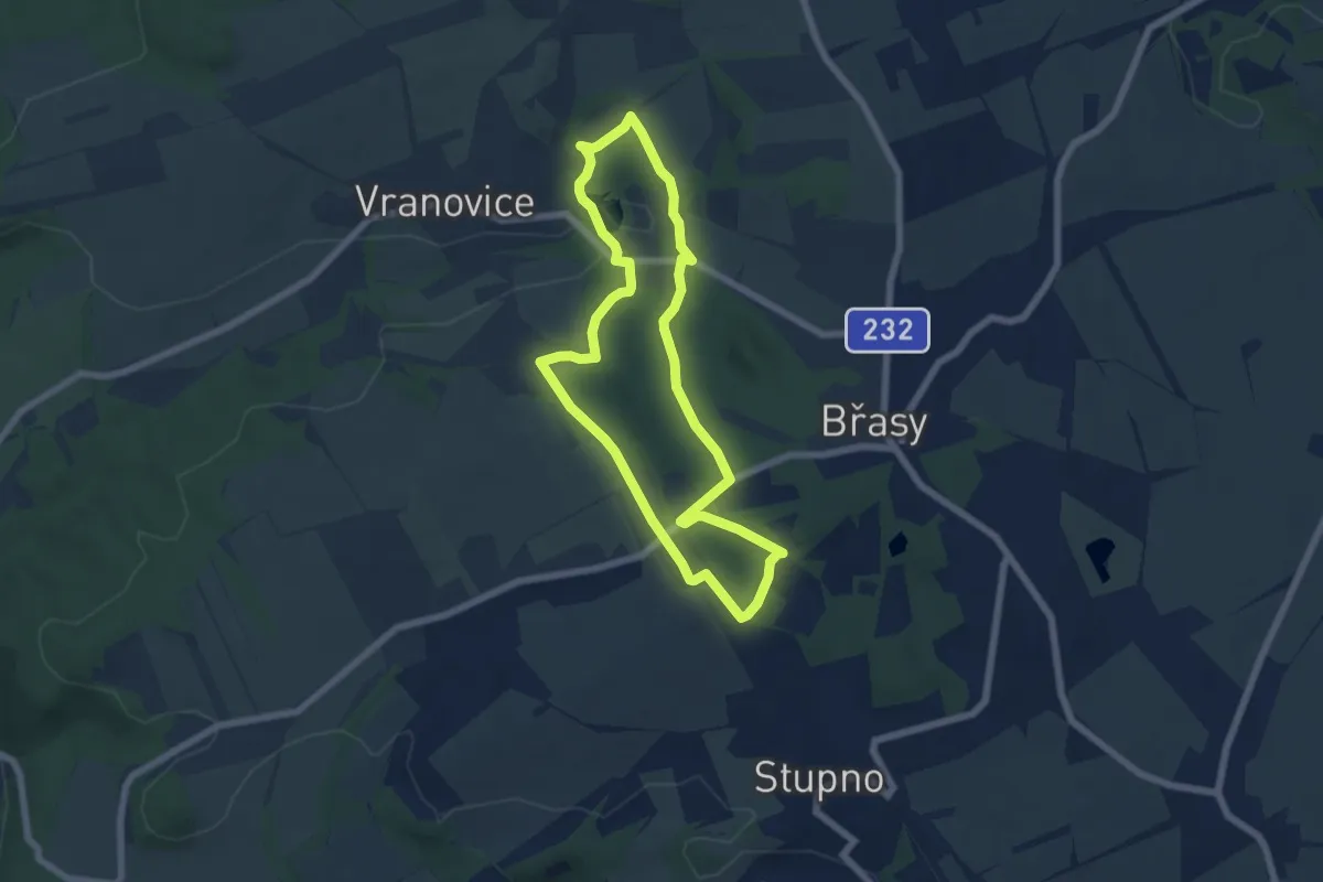
Easy · Trail
NS Po stopách důlní činnosti na Břasku
5.5 km · ↑ 90 m · 1 h 34 min
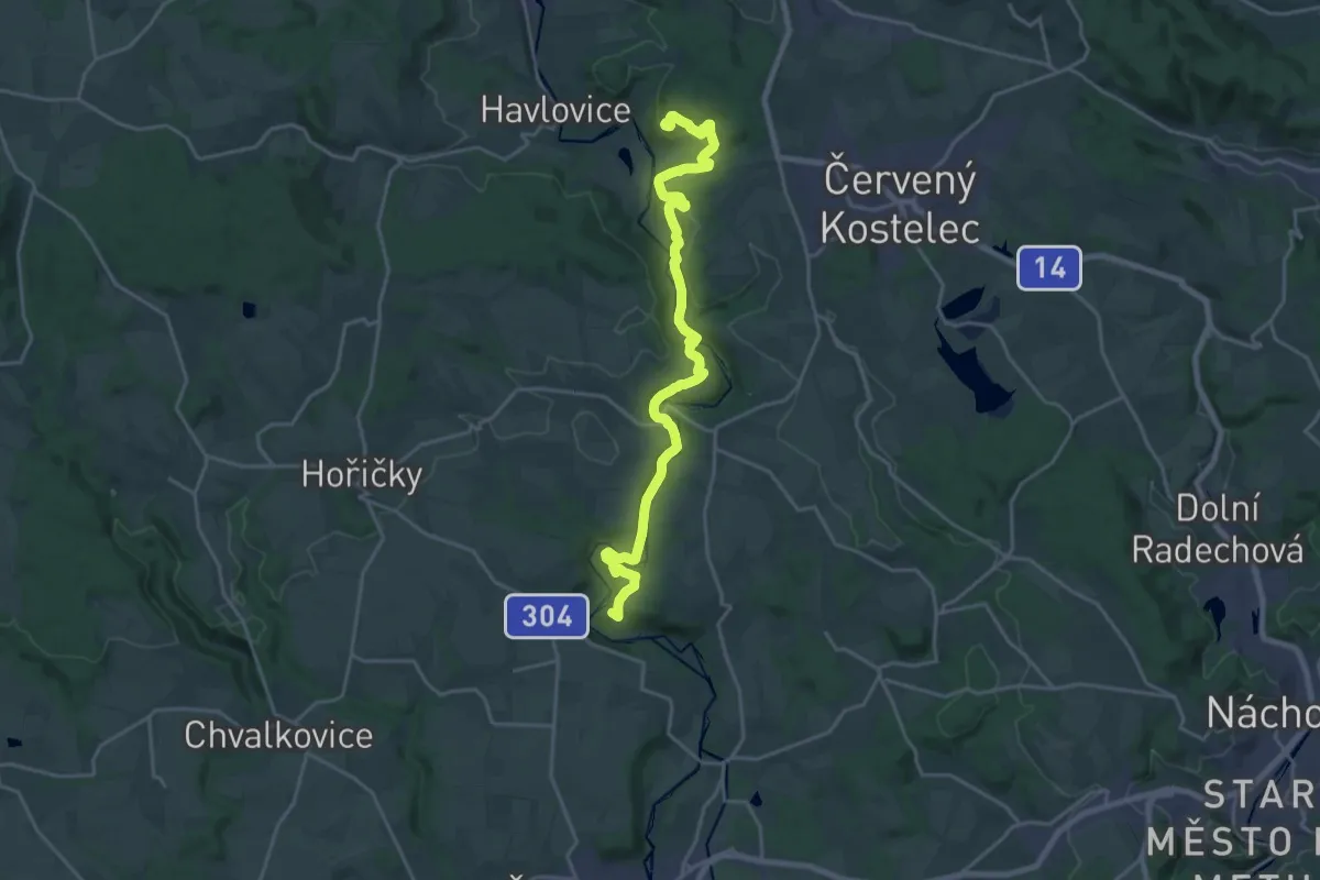
Demanding · Summit
NS Po stopách erbu zlatého třmene
21.2 km · ↑ 629 m · 6 h 21 min
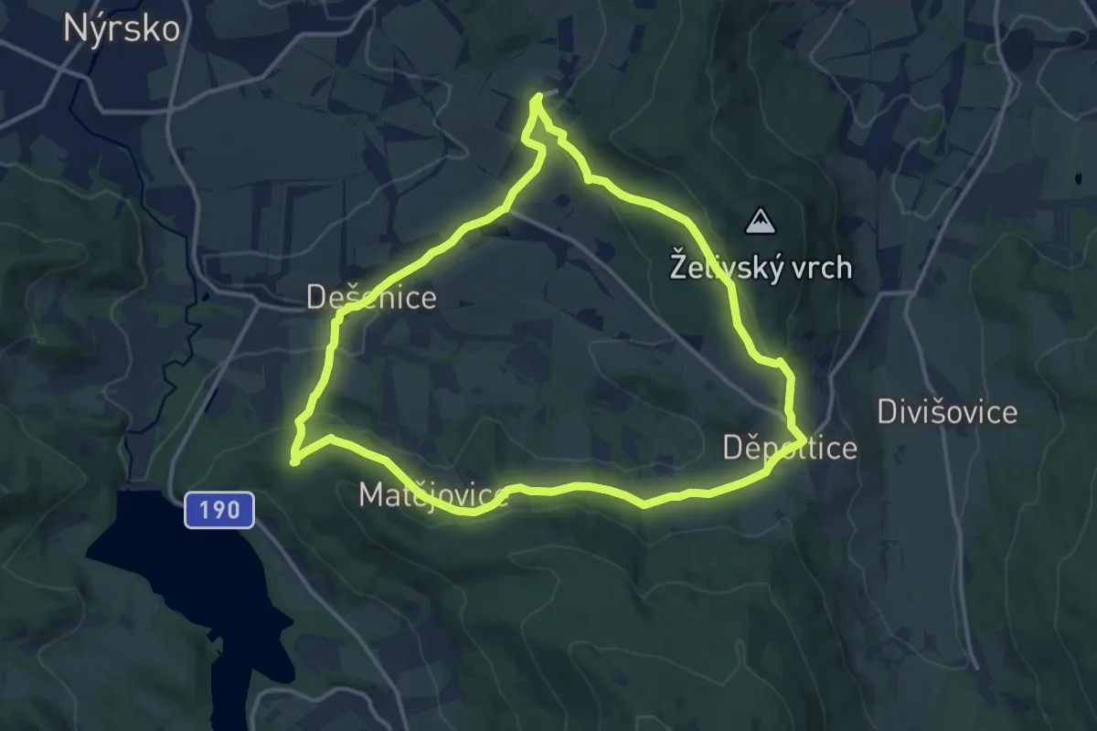
Medium · Trail
NS Po stopách formanů
12.4 km · ↑ 335 m · 3 h 50 min
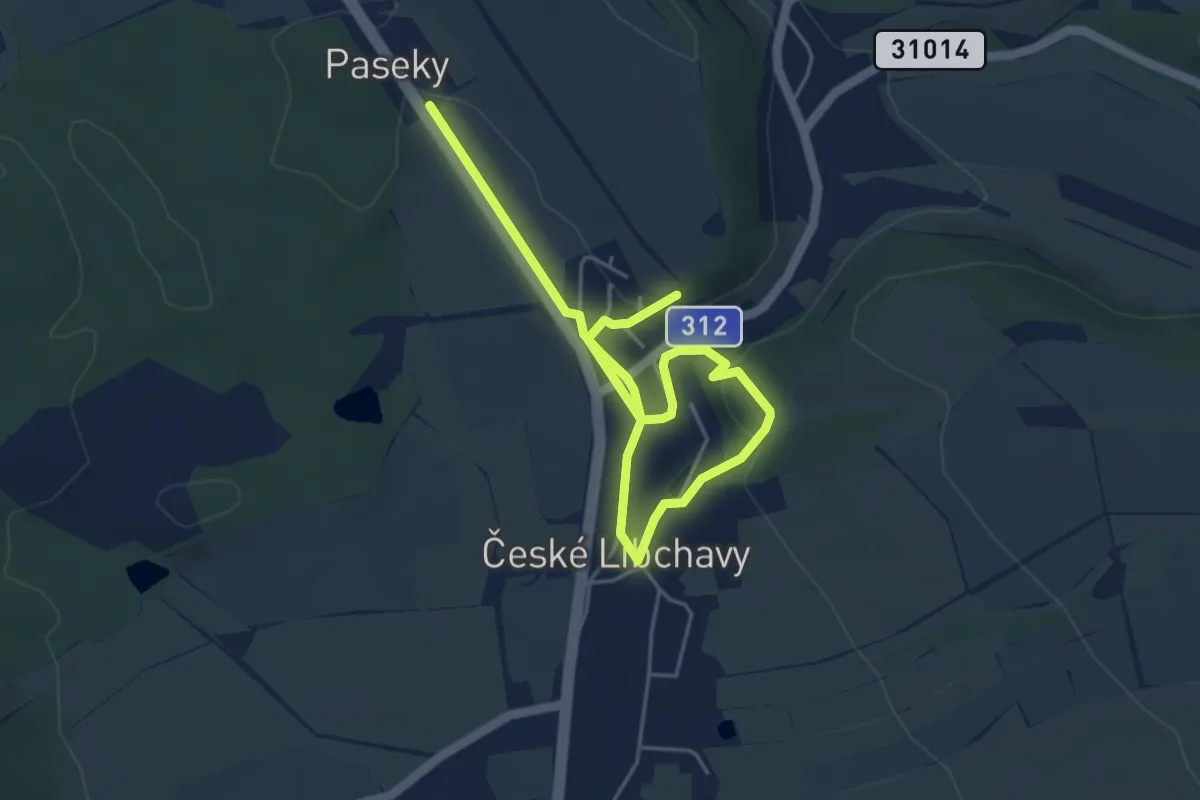
Easy · Trail
NS Po stopách historie v Českých Libchavách
5.9 km · ↑ 87 m · 1 h 35 min
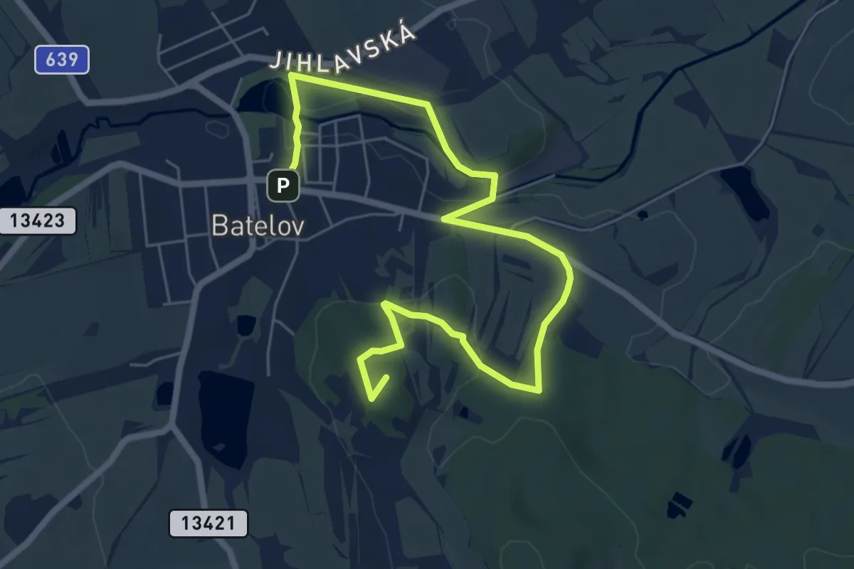
Easy · Summit
NS Po stopách K H Borovského
7.5 km · ↑ 120 m · 2 h 2 min
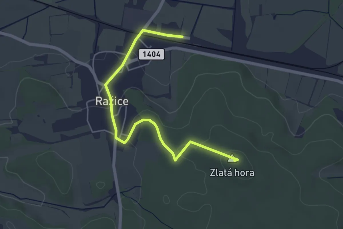
Easy · Summit
NS Po stopách permoníků ze Zlaté hory
4.4 km · ↑ 93 m · 1 h 15 min
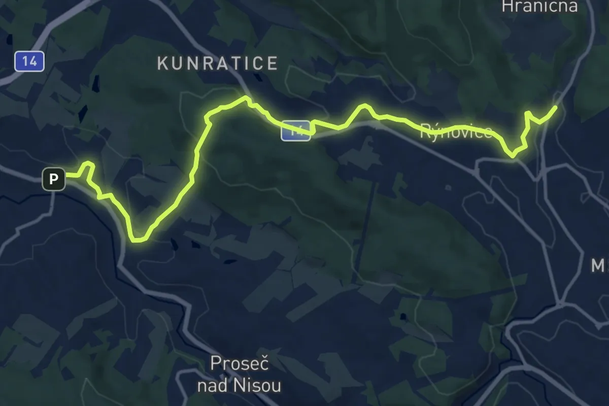
Medium · Trail
NS Po stopách polních opevnění z války o bavorské dědictví (1778–79)
13.1 km · ↑ 343 m · 3 h 51 min
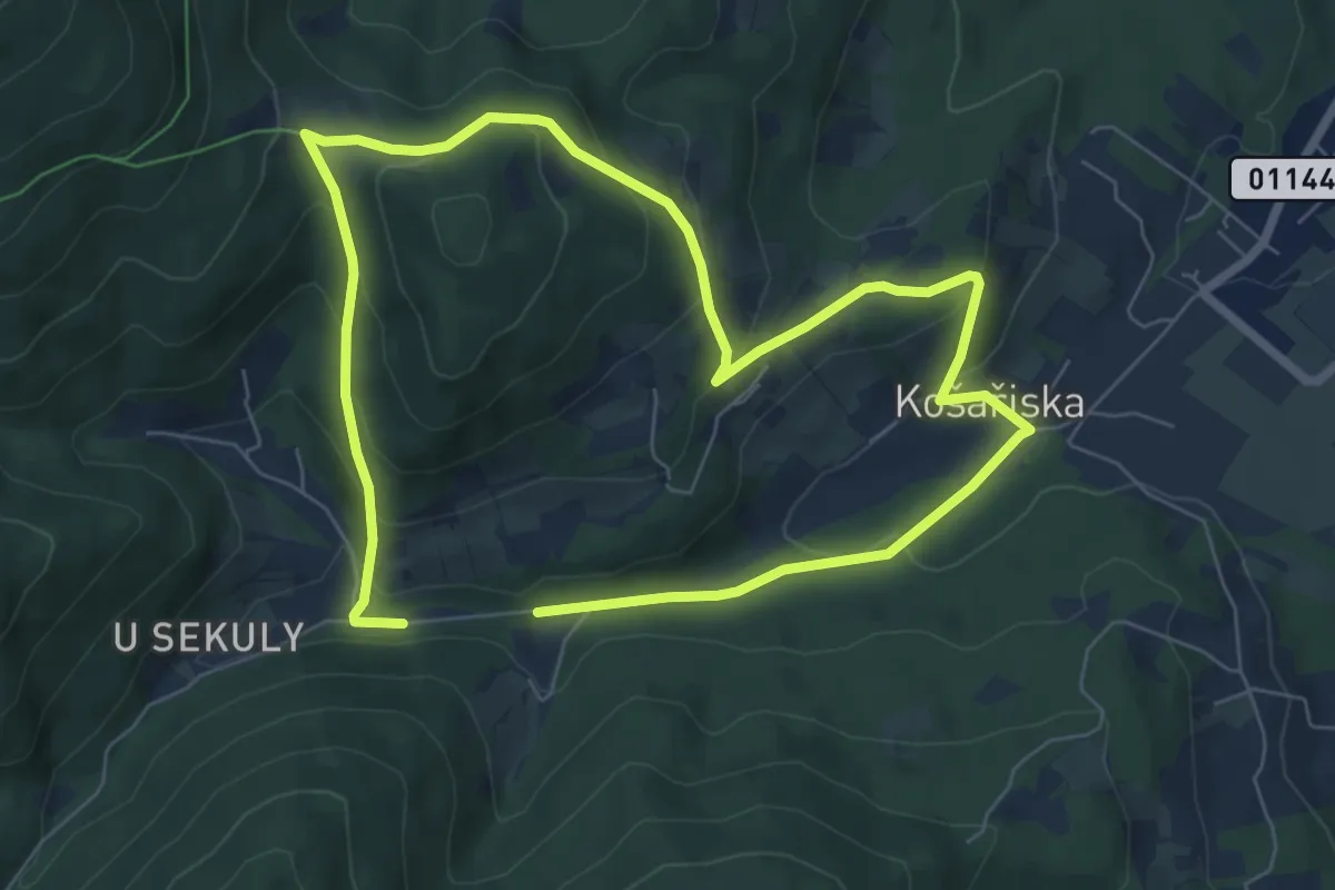
Medium · Trail
NS Po stopách salašnictví
11.5 km · ↑ 550 m · 3 h 54 min
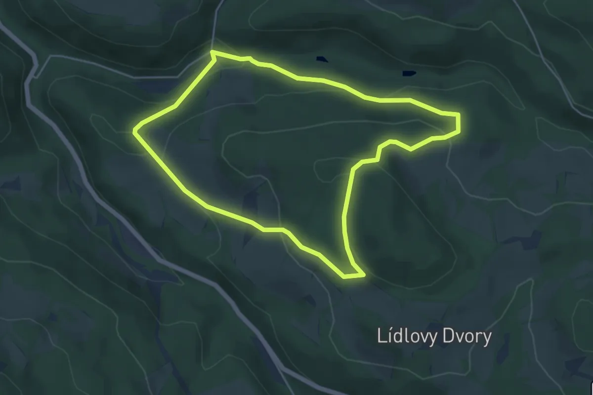
Easy · Trail
NS Po stopách savců Kašperskohorska
4.3 km · ↑ 156 m · 1 h 25 min
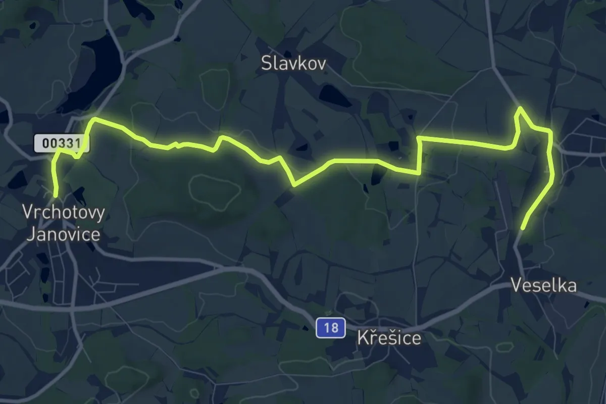
Medium · Trail
NS Po stopách Sidonie Nádherné
11.7 km · ↑ 165 m · 3 h 7 min
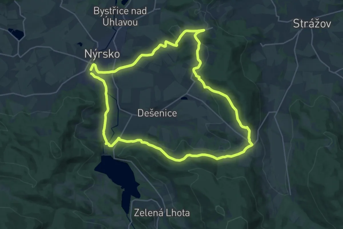
Demanding · Trail
NS Po stopách starých formanů
19.9 km · ↑ 434 m · 5 h 55 min
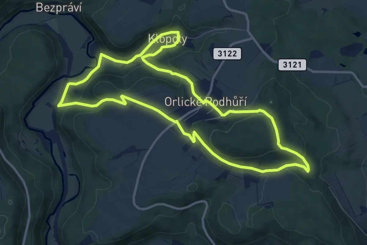
Medium · Trail
NS po stopách živé vody
8.1 km · ↑ 293 m · 2 h 40 min
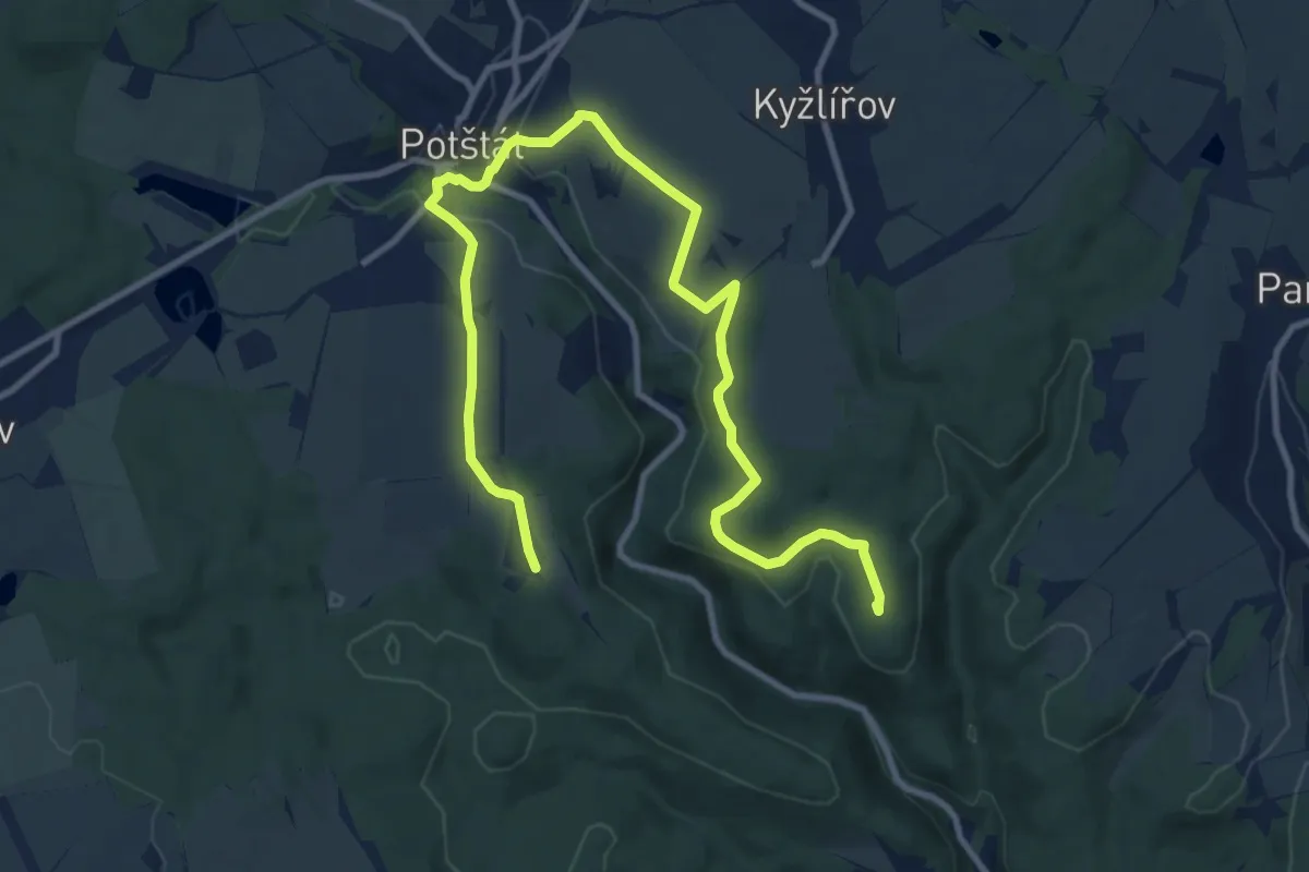
Medium · Summit
NS Potštátské skalní město
13.3 km · ↑ 269 m · 3 h 43 min