Trails in Czech Republic
4,056 hiking trails, each with its route, climb, walking time and grade.
All trails, page 40 of 85
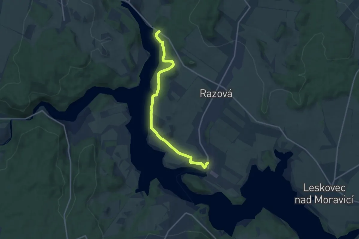
Medium · Trail
NS Po vulkanitech
11.2 km · ↑ 192 m · 3 h 4 min
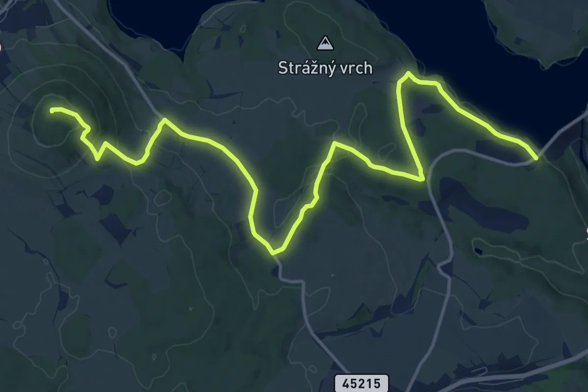
Medium · Summit
NS Po vulkanitech - Velký Roudný
14.6 km · ↑ 356 m · 4 h 13 min
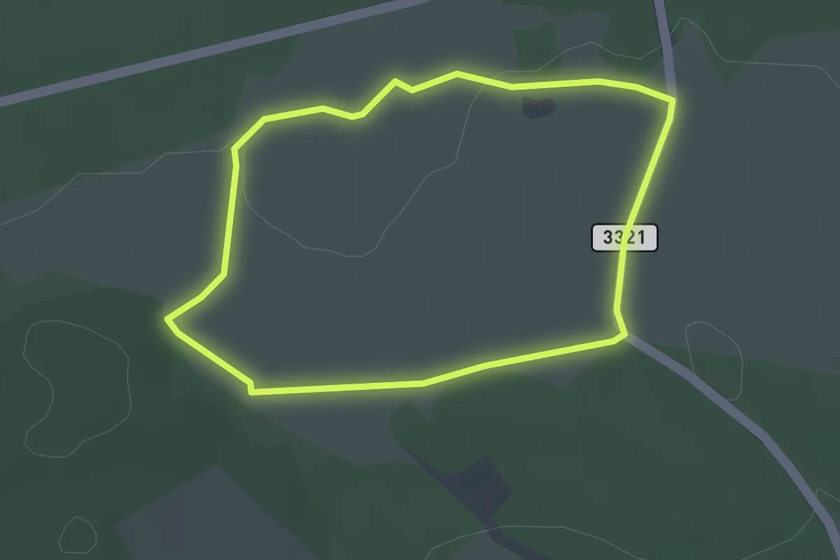
Easy · Trail
NS Pozorovatelna
2.5 km · ↑ 17 m · 40 min
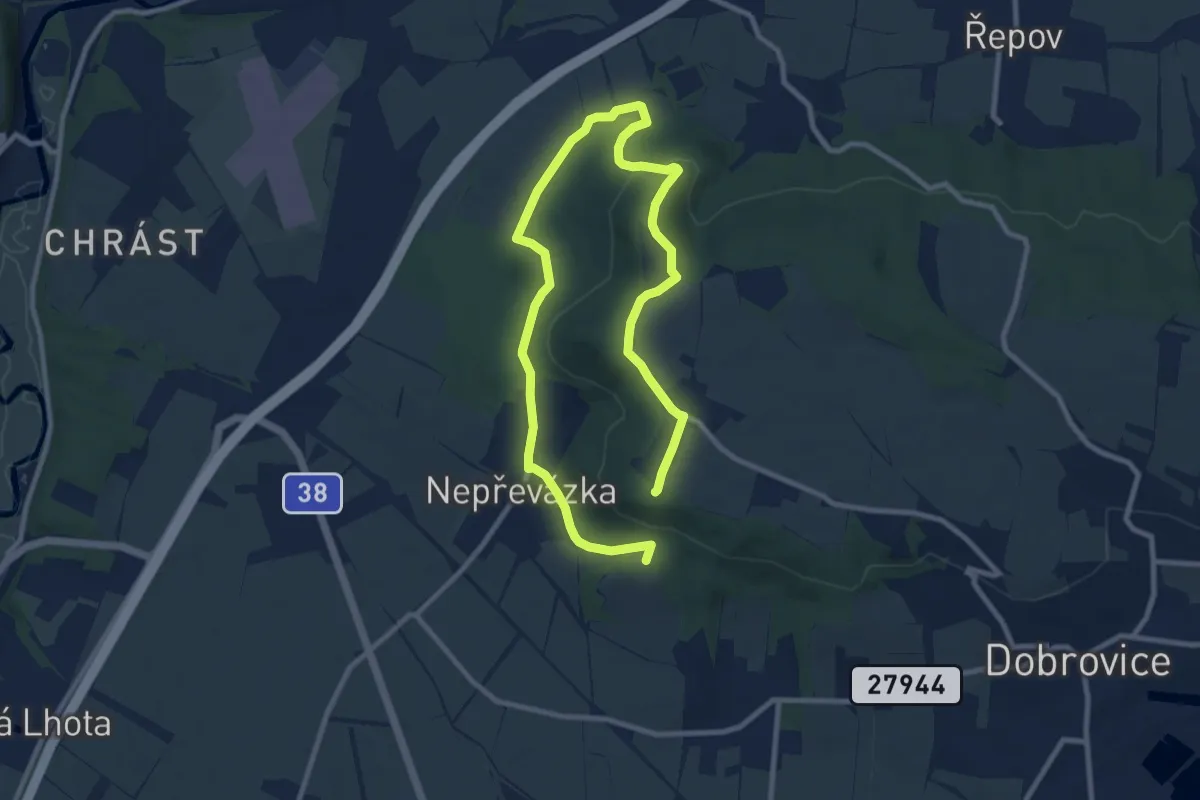
Medium · Summit
NS PP Chlum
13.6 km · ↑ 292 m · 3 h 51 min
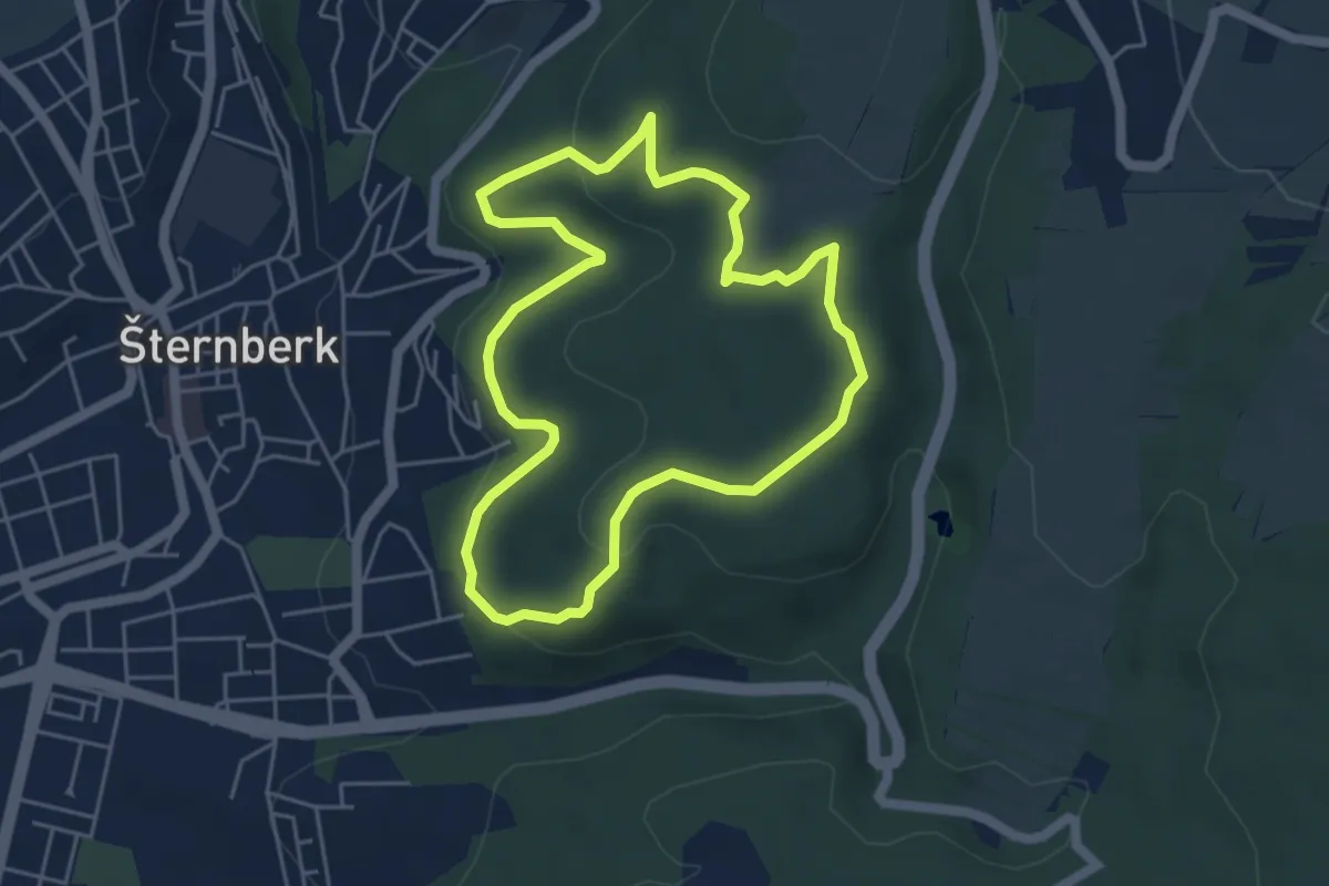
Easy · Trail
NS Prababa
4.4 km · ↑ 133 m · 1 h 24 min
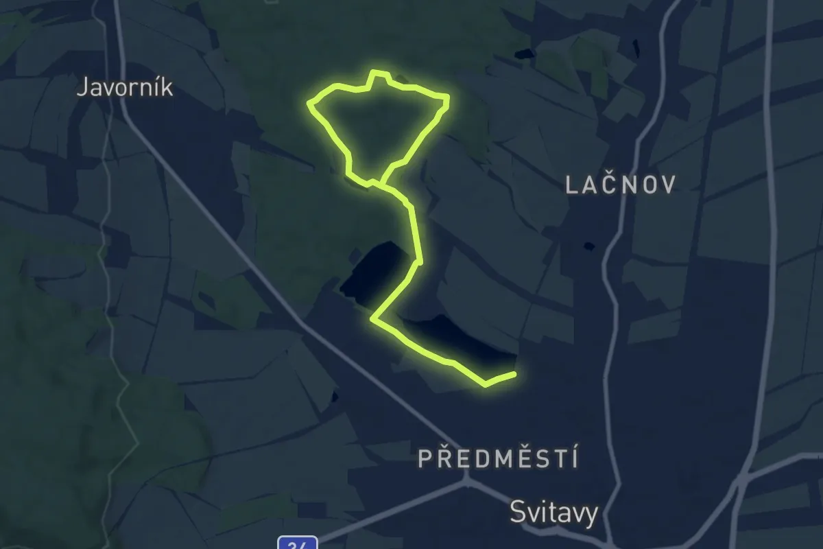
Medium · Trail
NS Prameny Svitavy
10.3 km · ↑ 85 m · 2 h 36 min
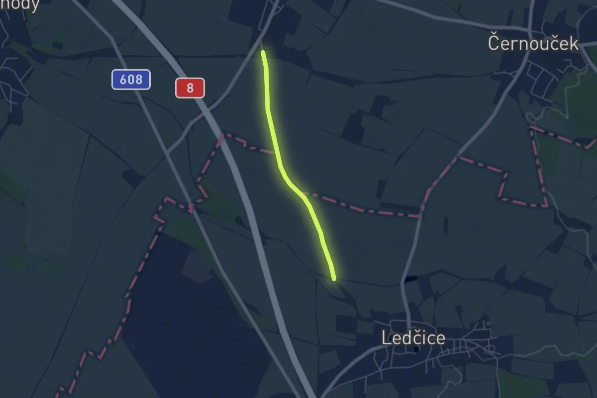
Easy · Trail
NS Praotce Čecha - Mnetěšská alej
3.6 km · ↑ 12 m · 53 min
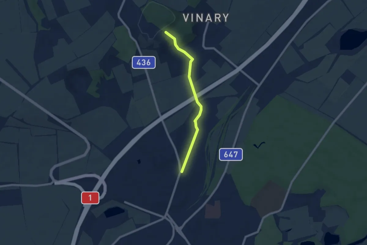
Easy · Trail
NS Předmostím až do Pravěku
4.4 km · ↑ 85 m · 1 h 13 min
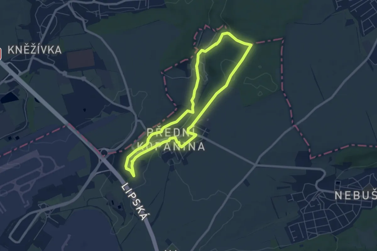
Easy · Trail
NS Přední Kopaninou a okolím
5.5 km · ↑ 75 m · 1 h 33 min
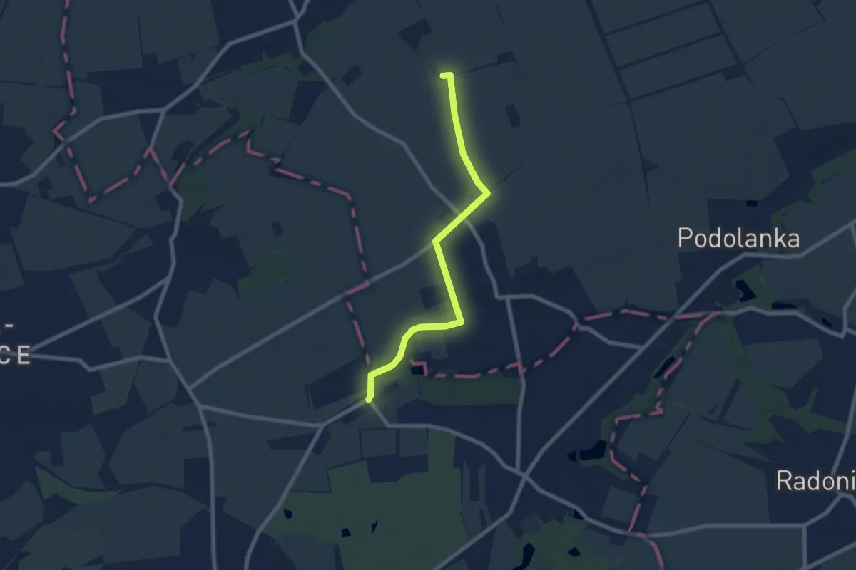
Easy · Summit
NS Přezletice na nejposvátnější české cestě
6.3 km · ↑ 21 m · 1 h 32 min
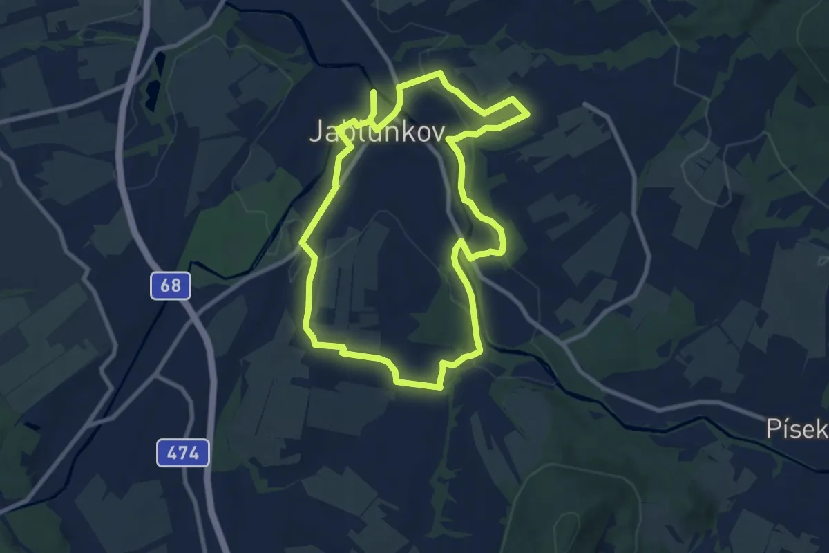
Medium · Trail
NS Příroda Jablunkovska
14.6 km · ↑ 292 m · 4 h 5 min
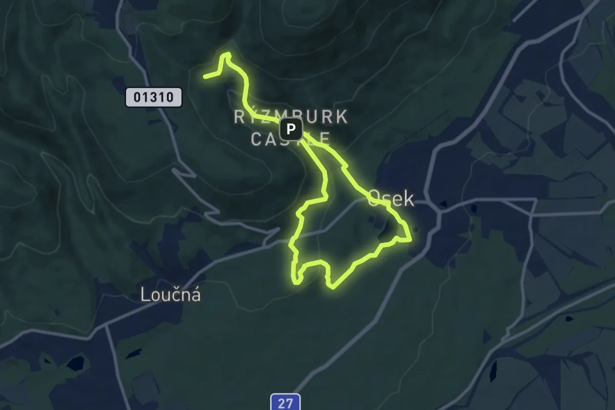
Medium · Trail
NS Přírodou a dějinami Oseka
13.2 km · ↑ 470 m · 4 h 8 min
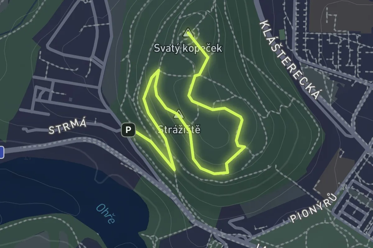
Easy · Summit
NS Přírodou Svatého vrchu
2.9 km · ↑ 79 m · 52 min
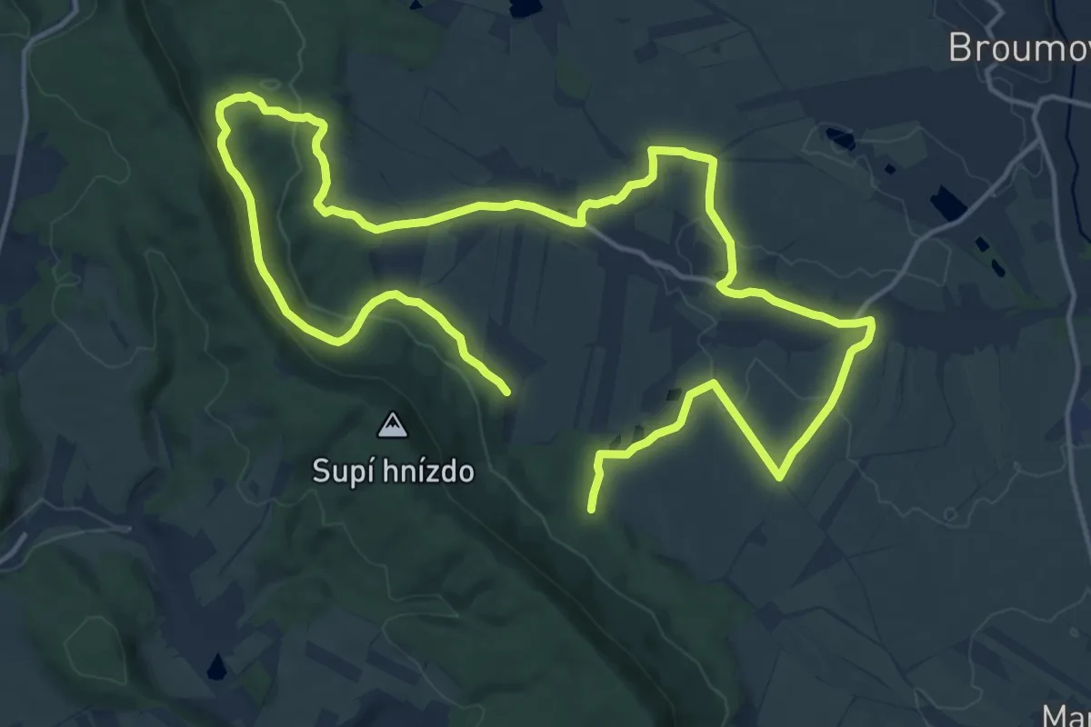
Demanding · Trail
NS Proč chodit daleko
25.0 km · ↑ 411 m · 6 h 48 min
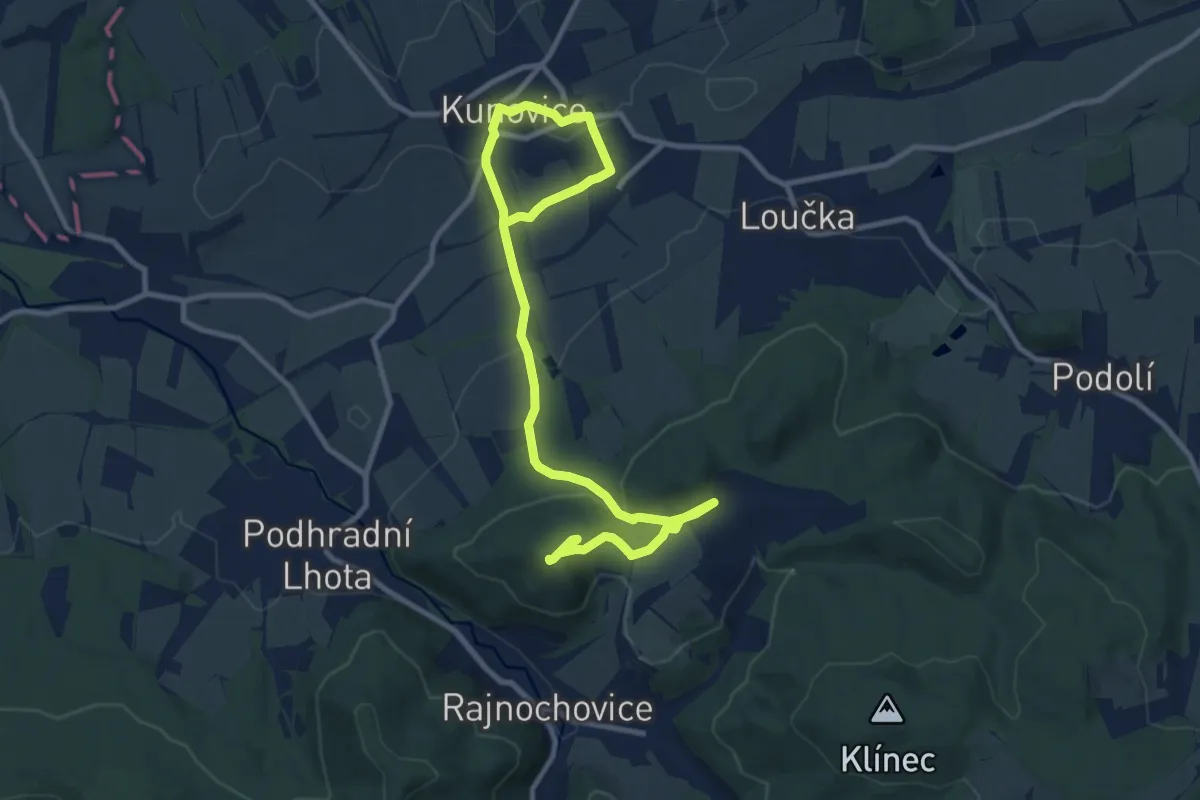
Medium · Summit
NS prof. Rudolfa Hasi
12.8 km · ↑ 396 m · 3 h 53 min
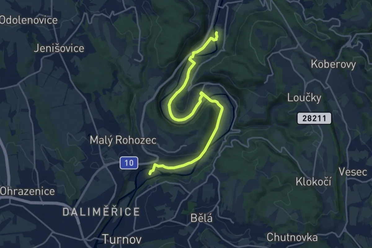
Medium · Trail
NS Průlom Jizery
14.3 km · ↑ 132 m · 3 h 39 min
Easy · Trail
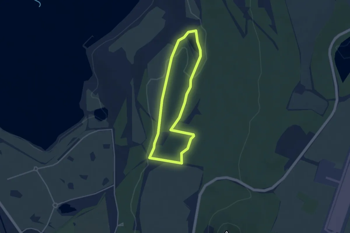
NS Ptačí park Střimická výsypka
2.9 km · ↑ 25 m · 47 min
Demanding · Trail
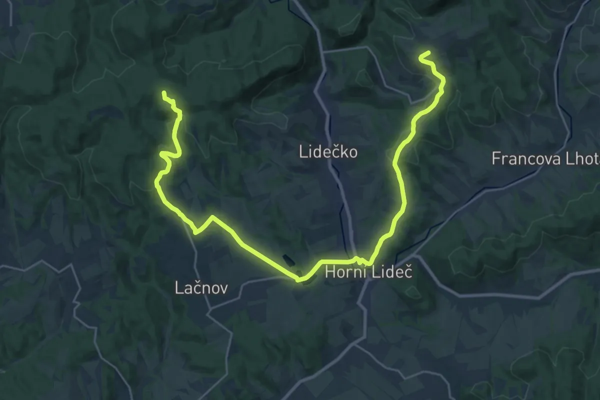
NS Pulčínská cesta
26.8 km · ↑ 699 m · 7 h 50 min
Easy · Trail
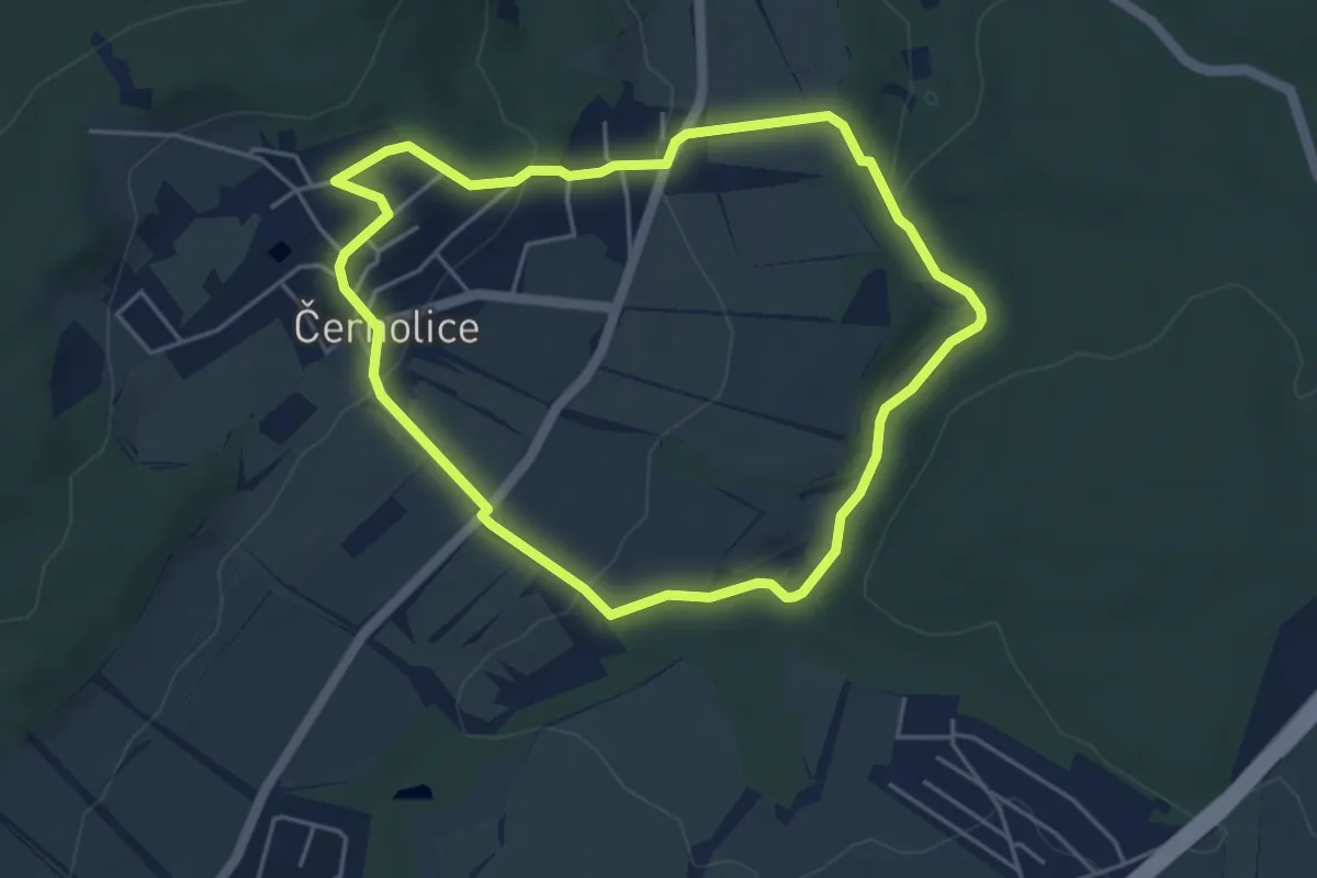
NS Putování Černolickem
4.2 km · ↑ 118 m · 1 h 18 min
Easy · Trail
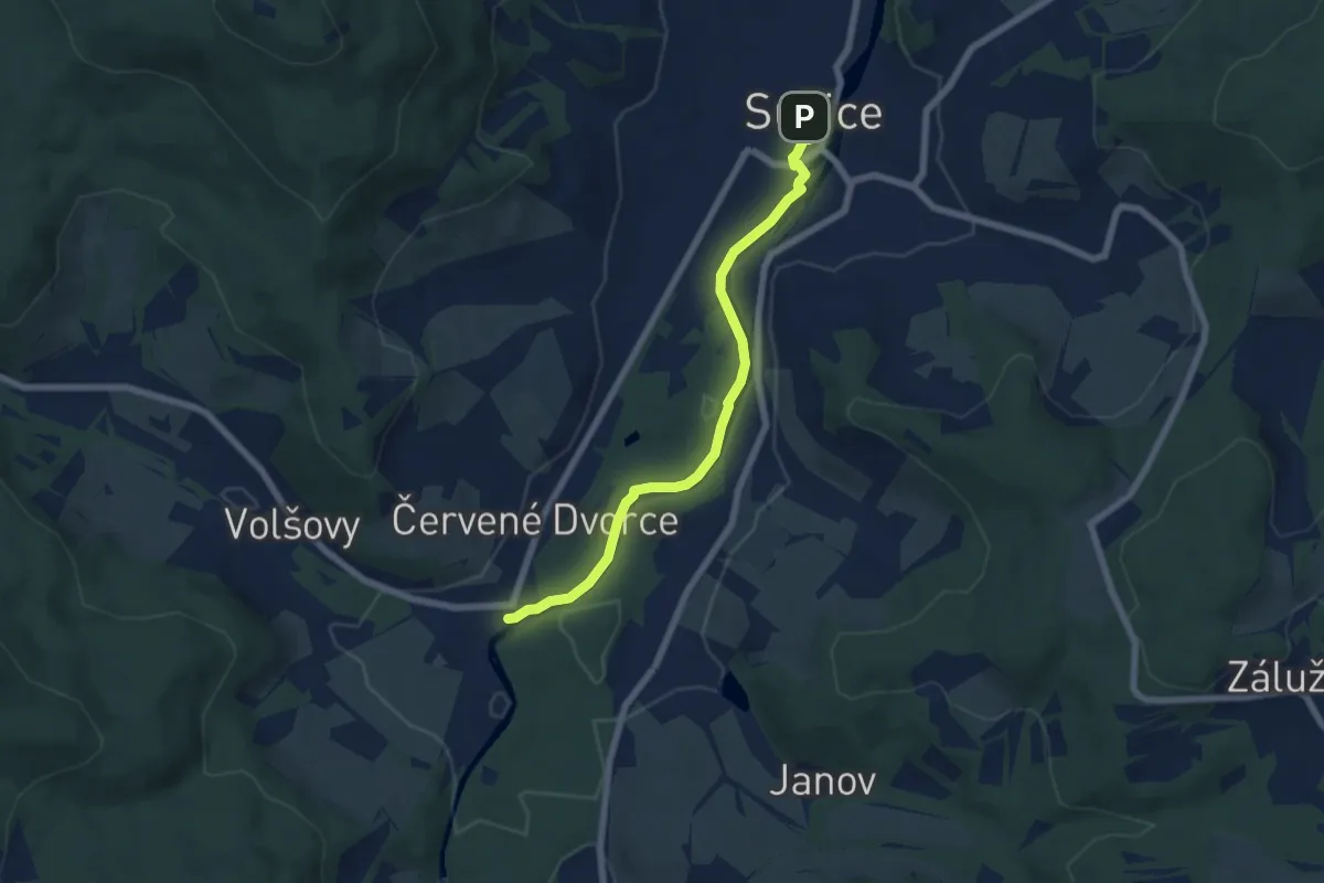
NS Putování podél řeky Otavy
6.0 km · ↑ 35 m · 1 h 30 min
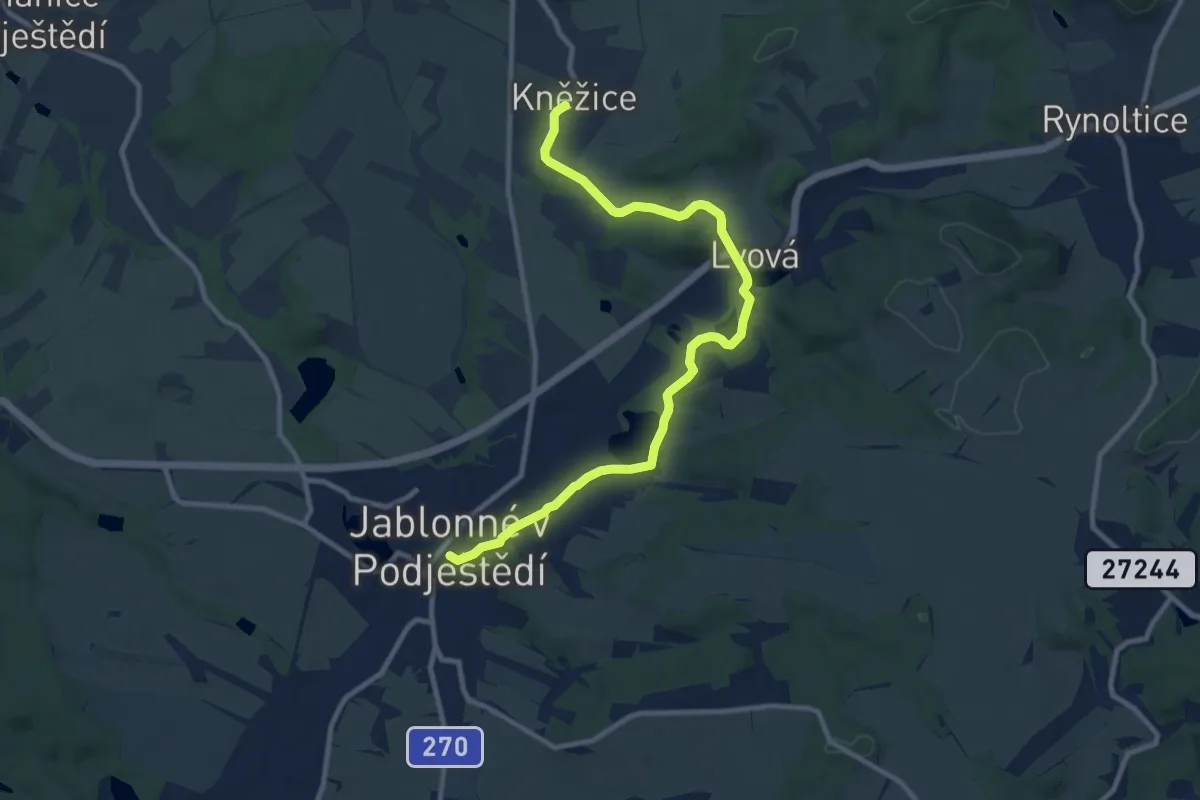
Medium · Trail
NS Putování skřítka Javorníčka za Hochwaldským mužíčkem
10.0 km · ↑ 127 m · 2 h 38 min
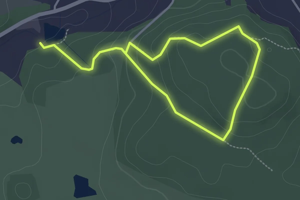
Easy · Trail
NS Pyšely
4.2 km · ↑ 173 m · 1 h 22 min
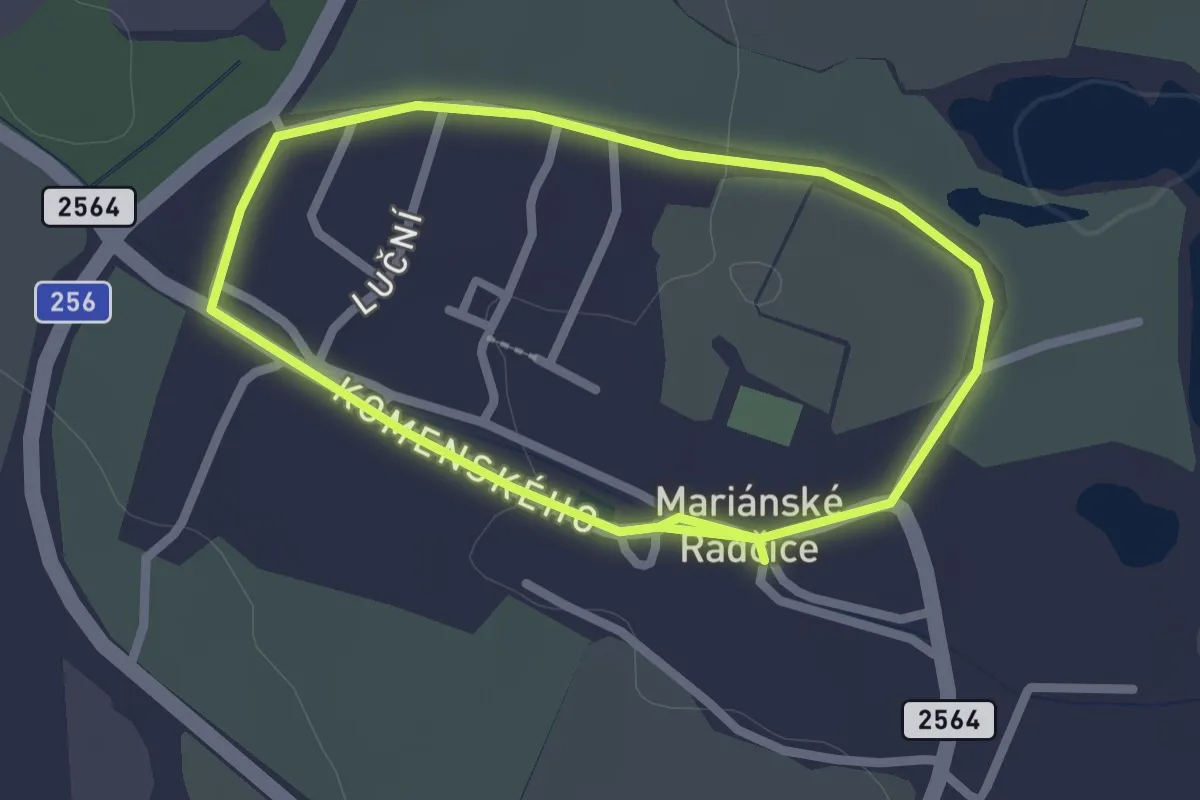
Easy · Trail
NS Radčický okruh
1.9 km · ↑ 9 m · 30 min
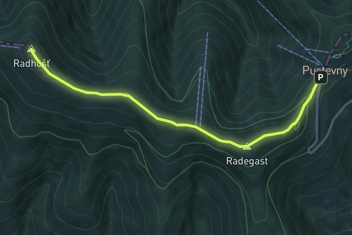
Easy · Summit
NS Radegast
7.4 km · ↑ 220 m · 2 h 13 min
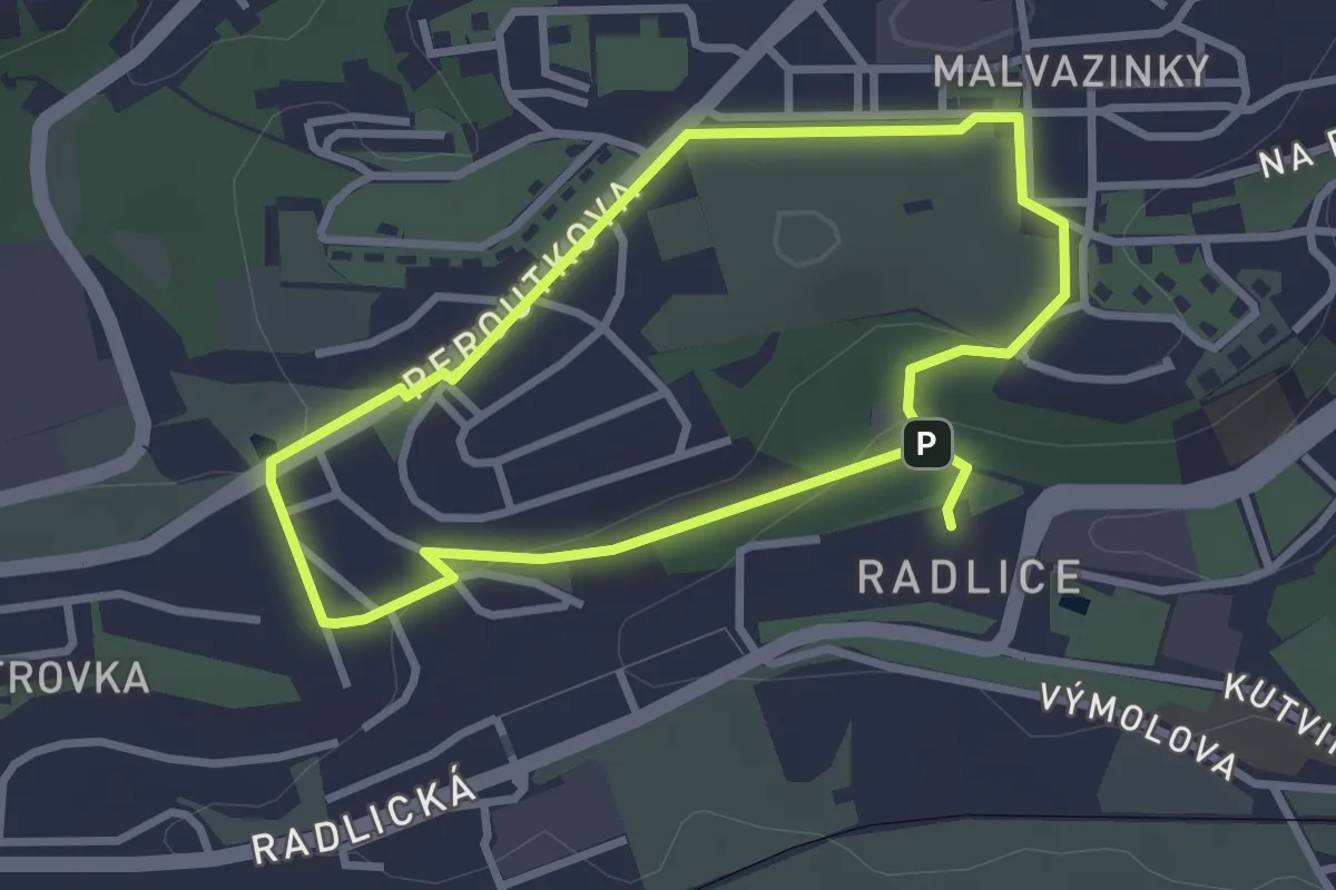
Easy · Trail
NS Radlice - Farkáň - Malvazinka
2.5 km · ↑ 39 m · 43 min
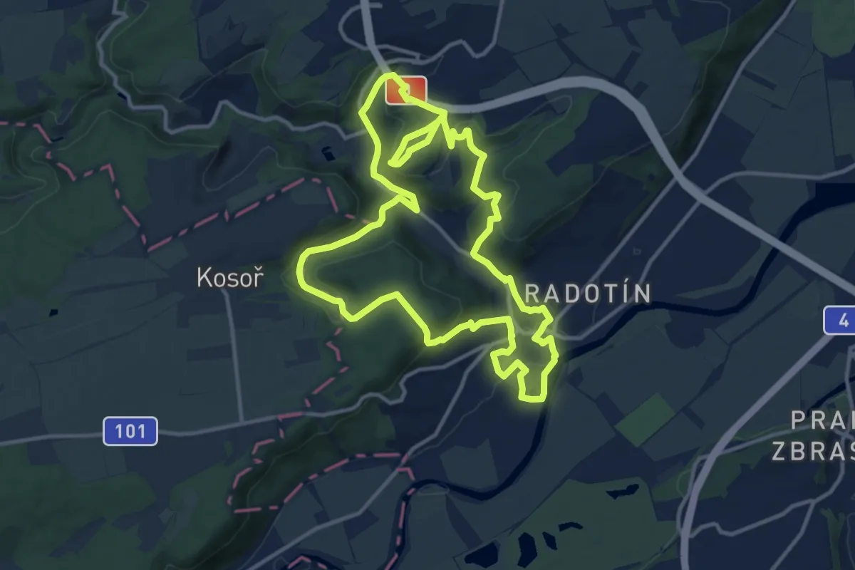
Medium · Trail
NS Radotín
11.2 km · ↑ 331 m · 3 h 31 min
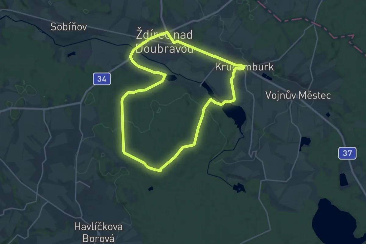
Medium · Trail
NS Ranské polesí
17.0 km · ↑ 183 m · 4 h 38 min
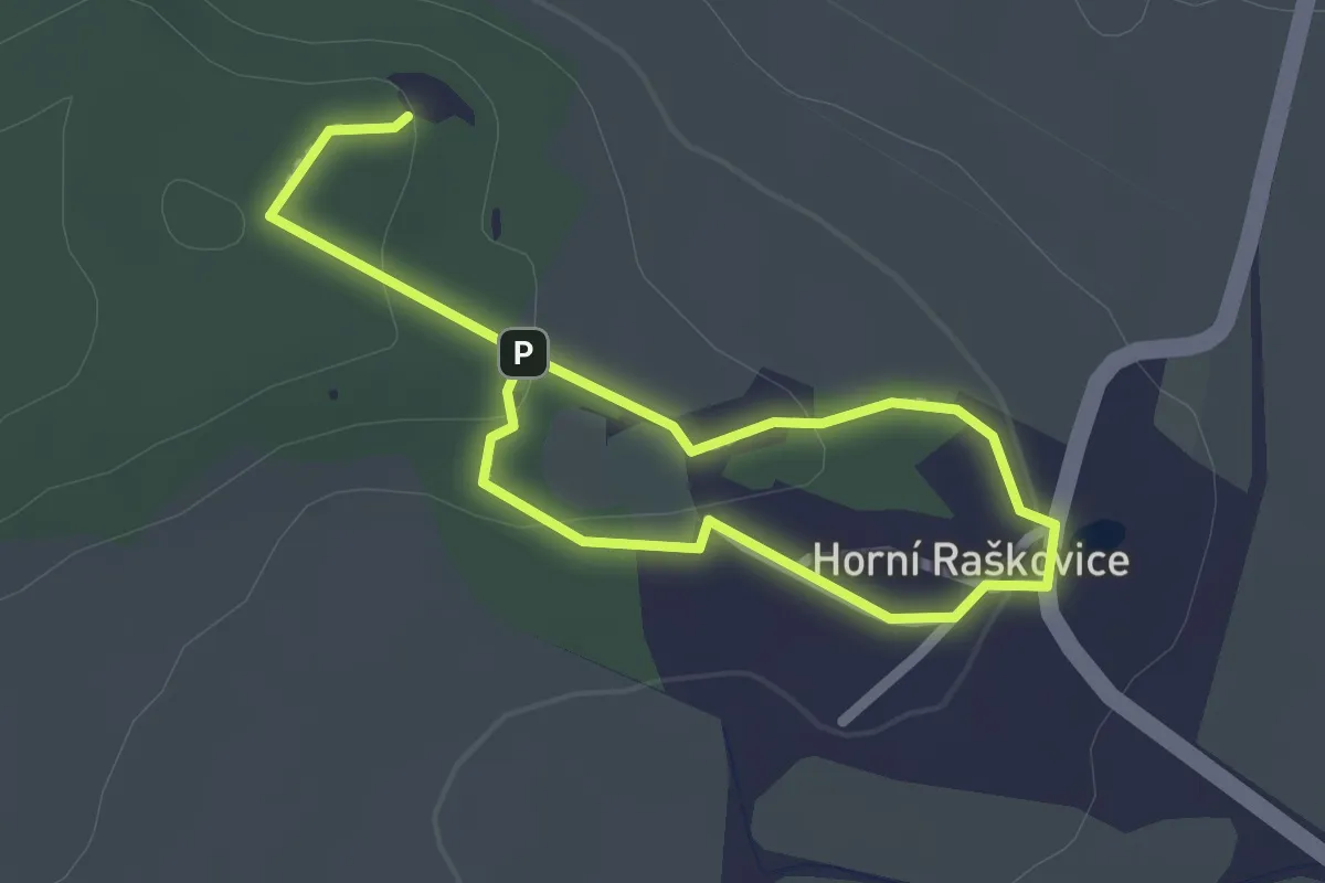
Easy · Trail
NS Raškovickými lomy
3.1 km · ↑ 52 m · 51 min
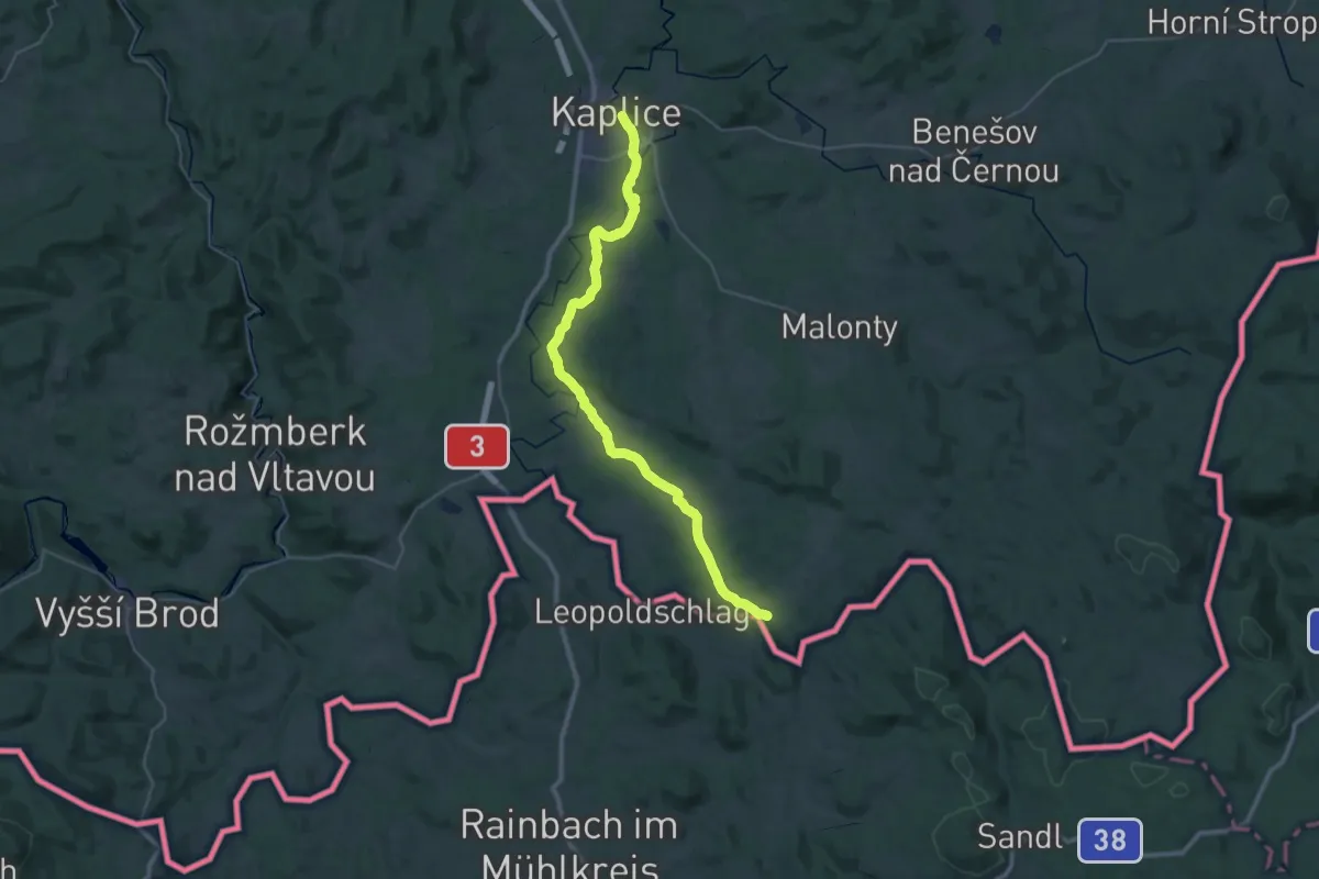
Demanding · Trail
NS Řemeslo na řece
18.6 km · ↑ 232 m · 5 h 13 min
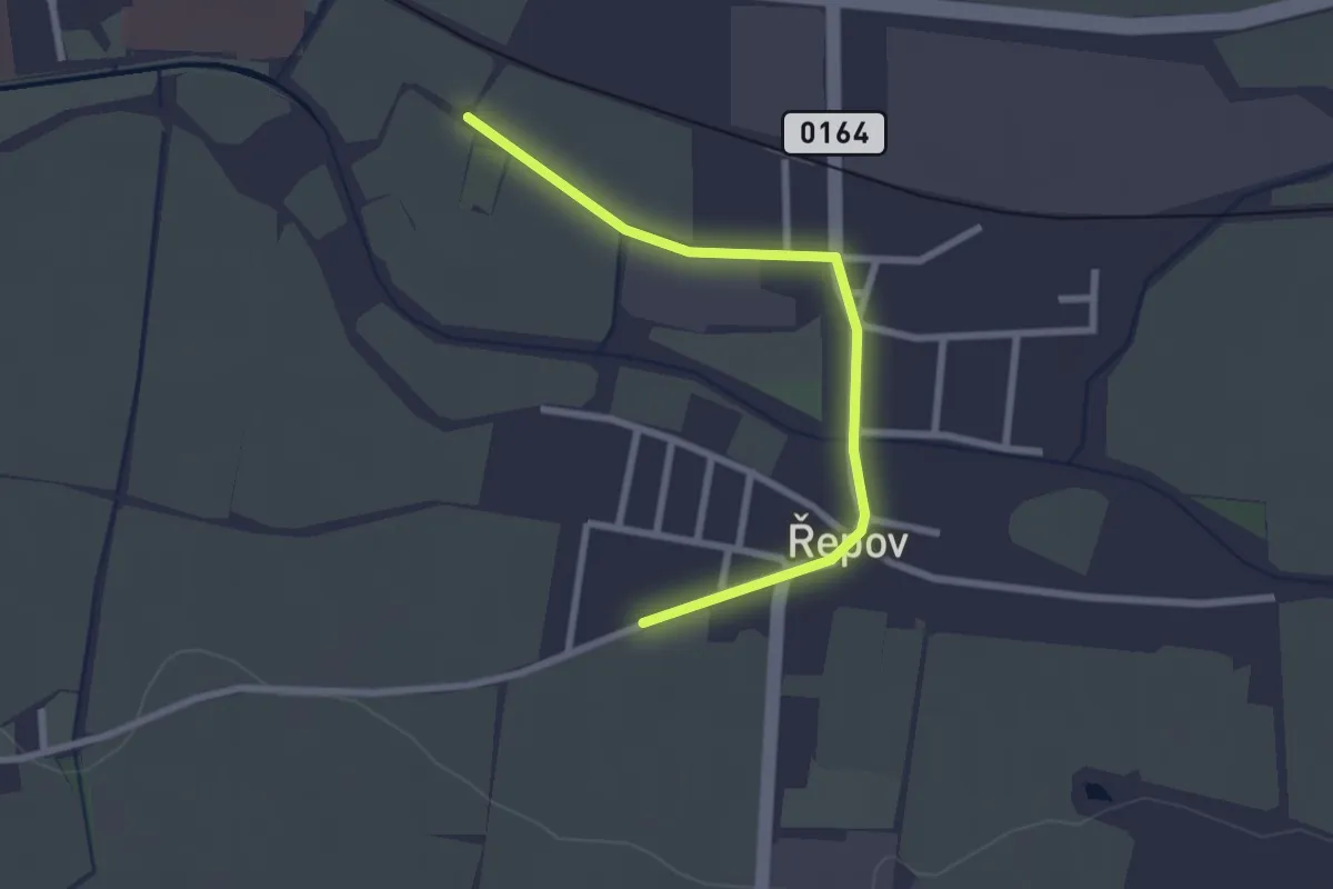
Easy · Trail
NS Řepovem a okolím
2.4 km · ↑ 0 m · 34 min
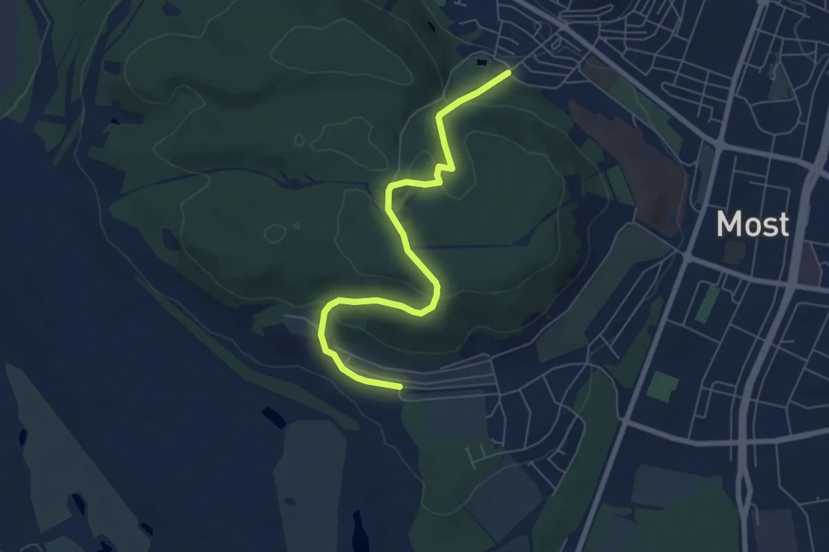
Easy · Trail
NS Ressl
5.9 km · ↑ 211 m · 1 h 50 min
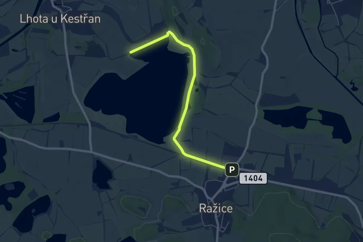
Easy · Trail
NS Řežabinec
5.5 km · ↑ 9 m · 1 h 19 min
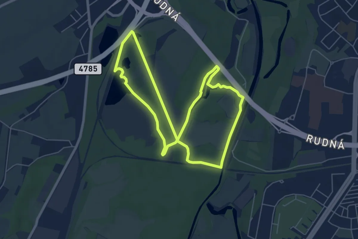
Easy · Trail
NS Rezavka
5.4 km · ↑ 27 m · 1 h 24 min
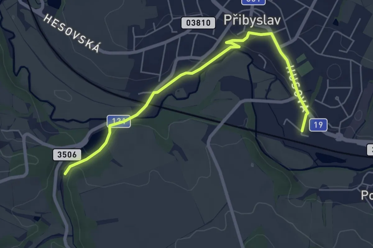
Easy · Trail
NS Romana Podrázského
5.1 km · ↑ 86 m · 1 h 24 min
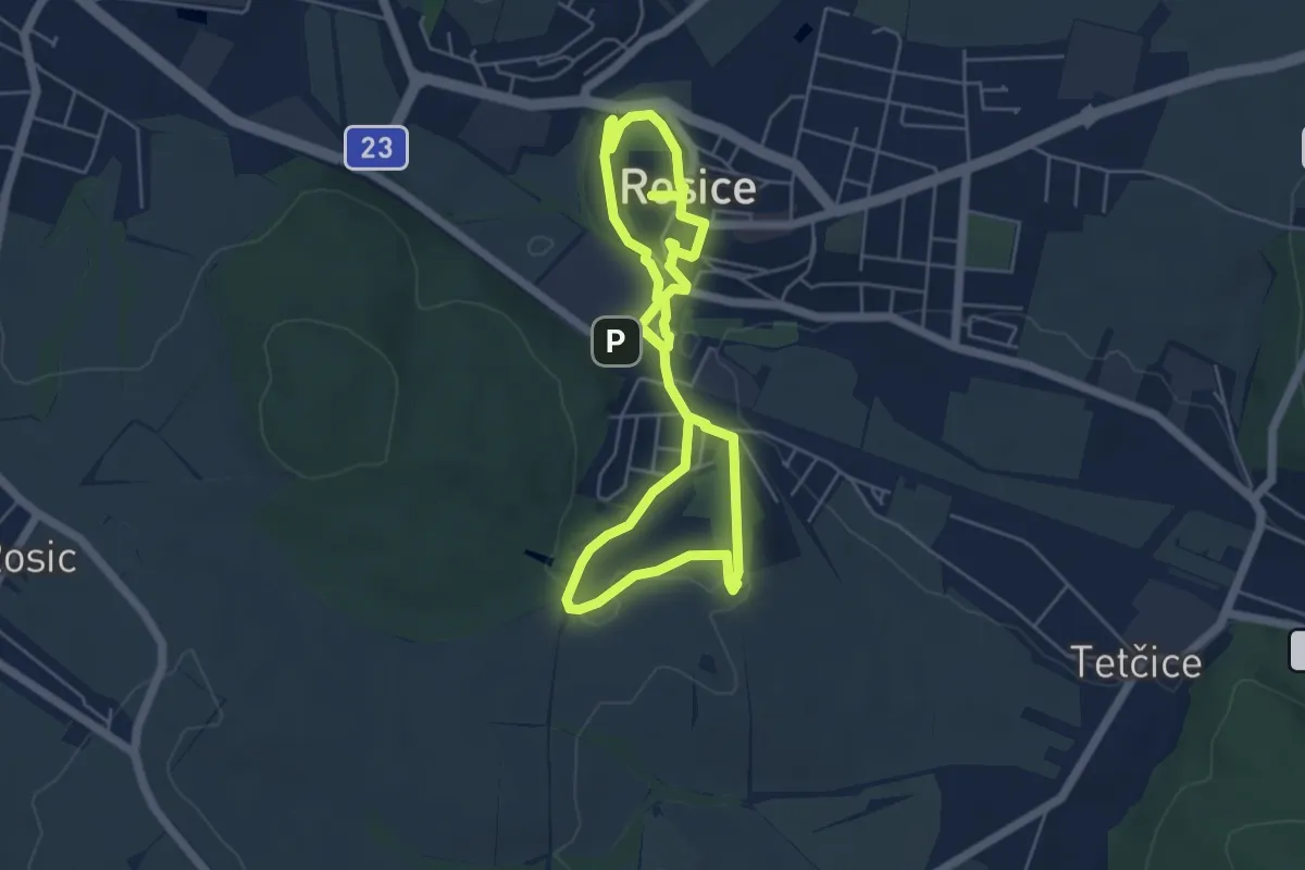
Medium · Trail
NS Rosickou historií
9.0 km · ↑ 170 m · 2 h 30 min
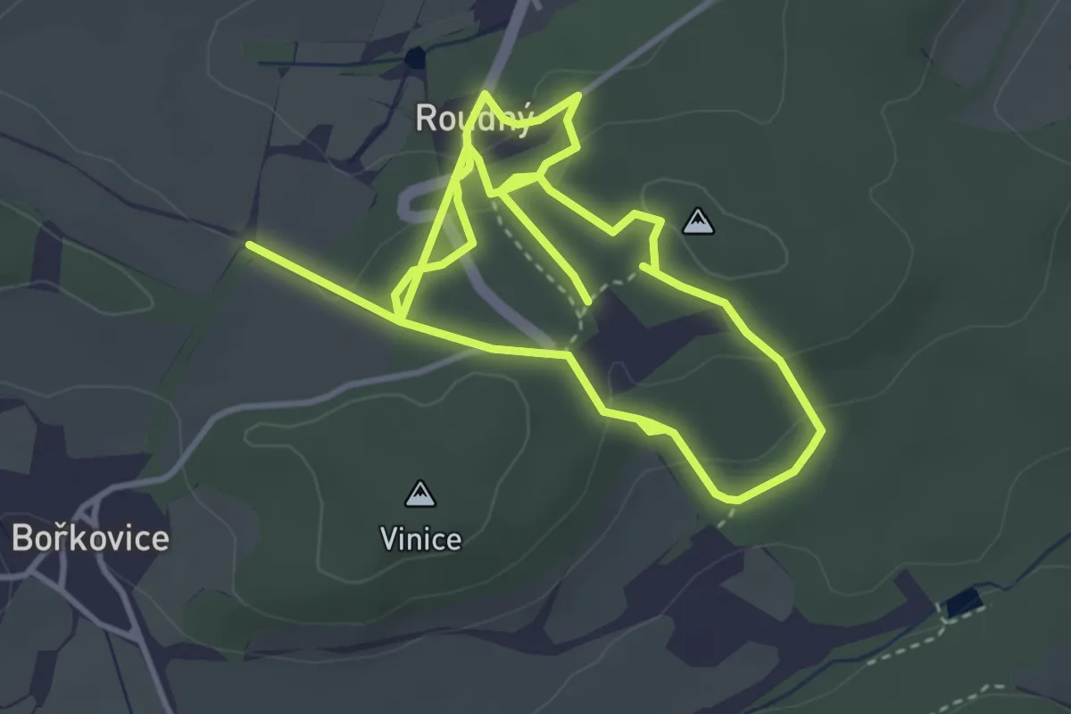
Easy · Trail
NS Roudný
6.7 km · ↑ 227 m · 2 h 4 min
Medium · Summit
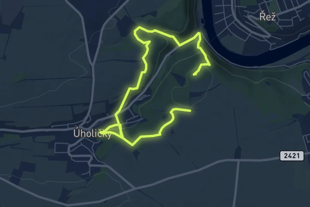
NS Rozhlédni se člověče
9.0 km · ↑ 327 m · 2 h 50 min
Medium · Summit
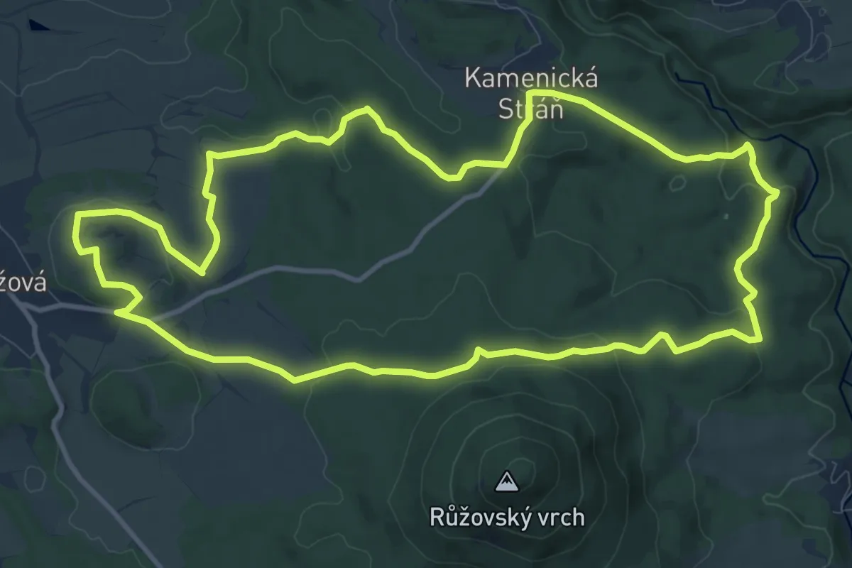
NS Růžová
10.4 km · ↑ 240 m · 3 h 7 min
Easy · Summit
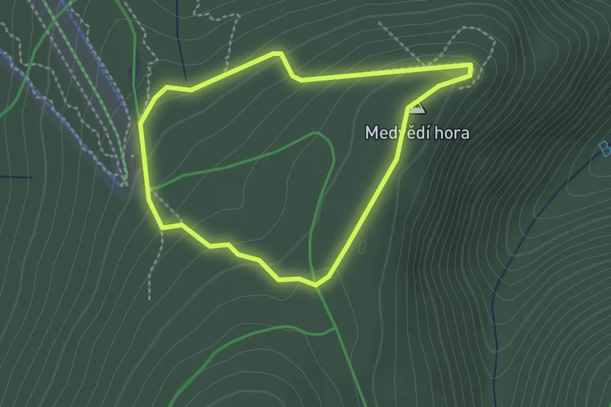
NS Rysi skala
1.8 km · ↑ 65 m · 36 min
Easy · Trail
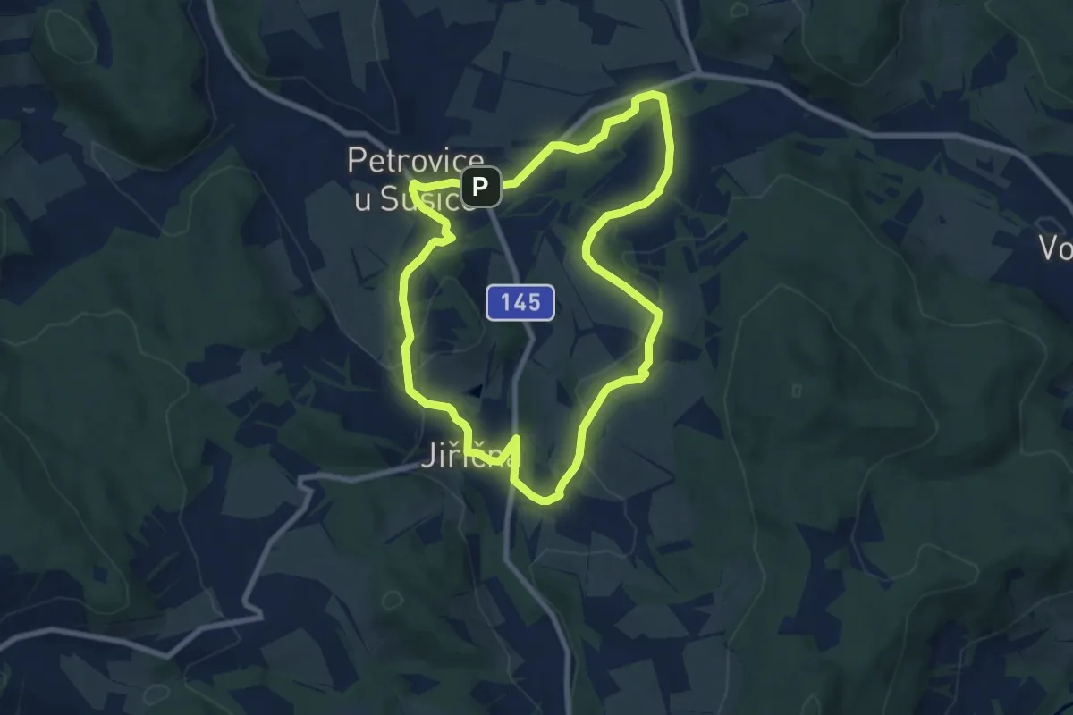
NS Rýžování zlata a putování po Petrovicku u Sušice a Regenu
7.0 km · ↑ 166 m · 2 h 6 min
Easy · Trail
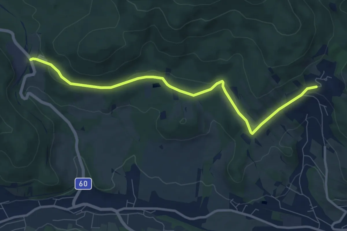
NS Schroth Priessnitz
7.7 km · ↑ 129 m · 2 h 6 min
Easy · Summit
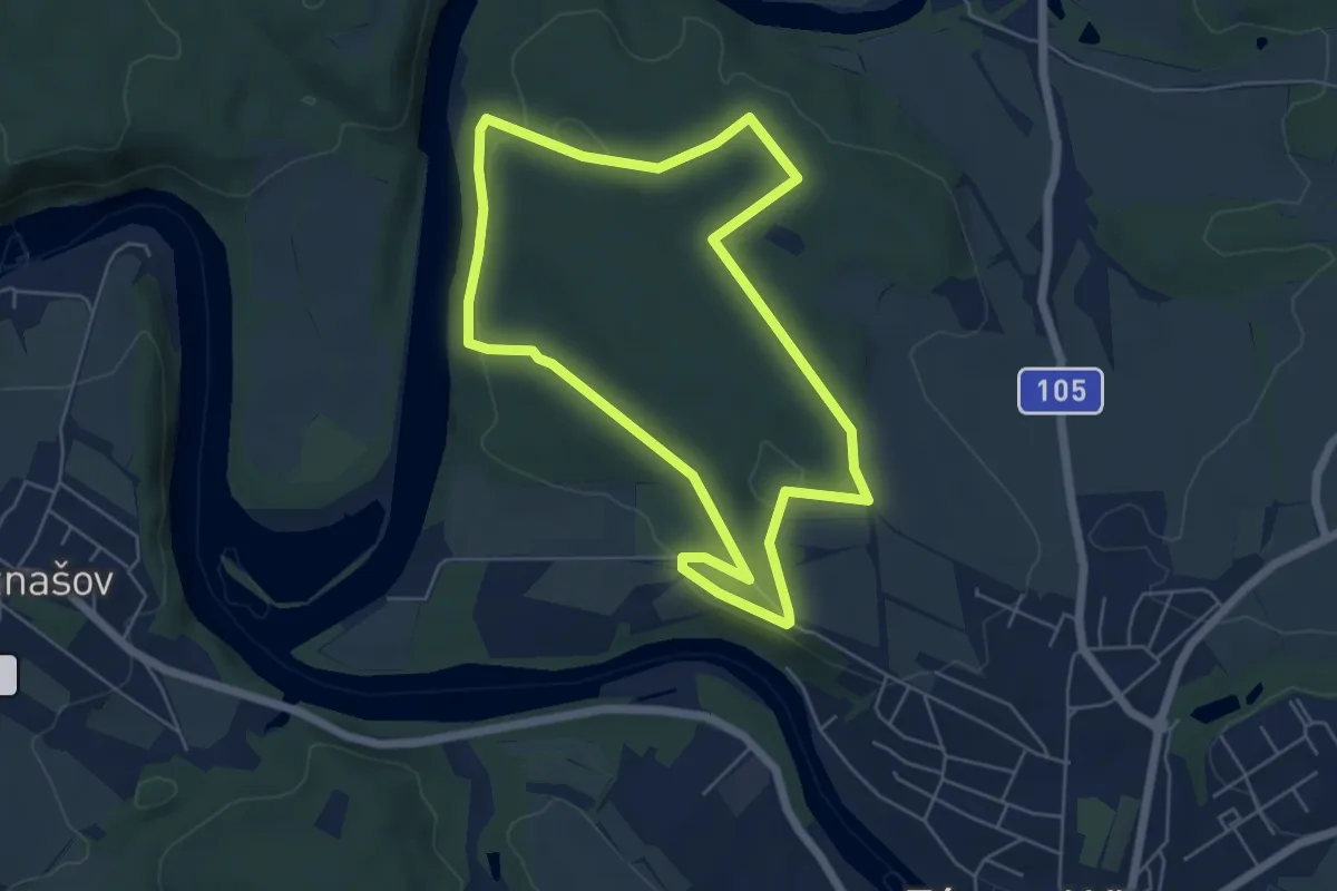
NS Semenec
5.2 km · ↑ 122 m · 1 h 34 min
Easy · Trail
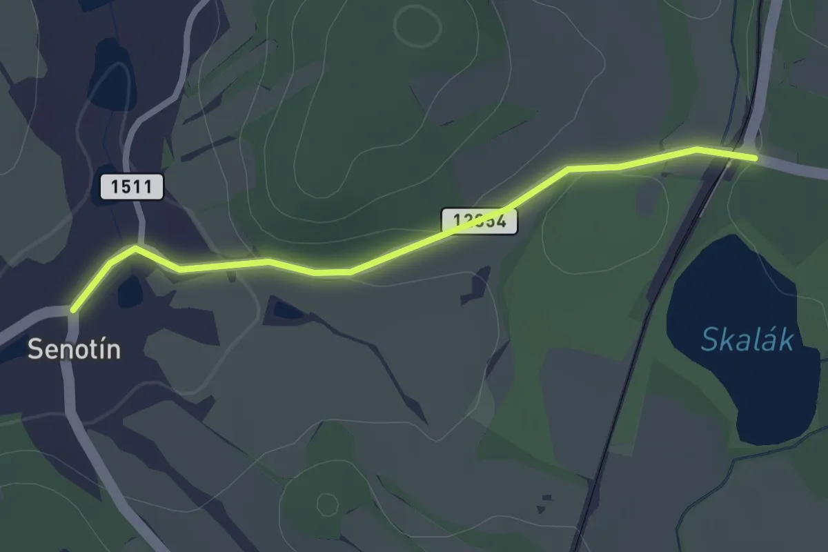
NS Senotín
2.1 km · ↑ 26 m · 33 min
Easy · Summit
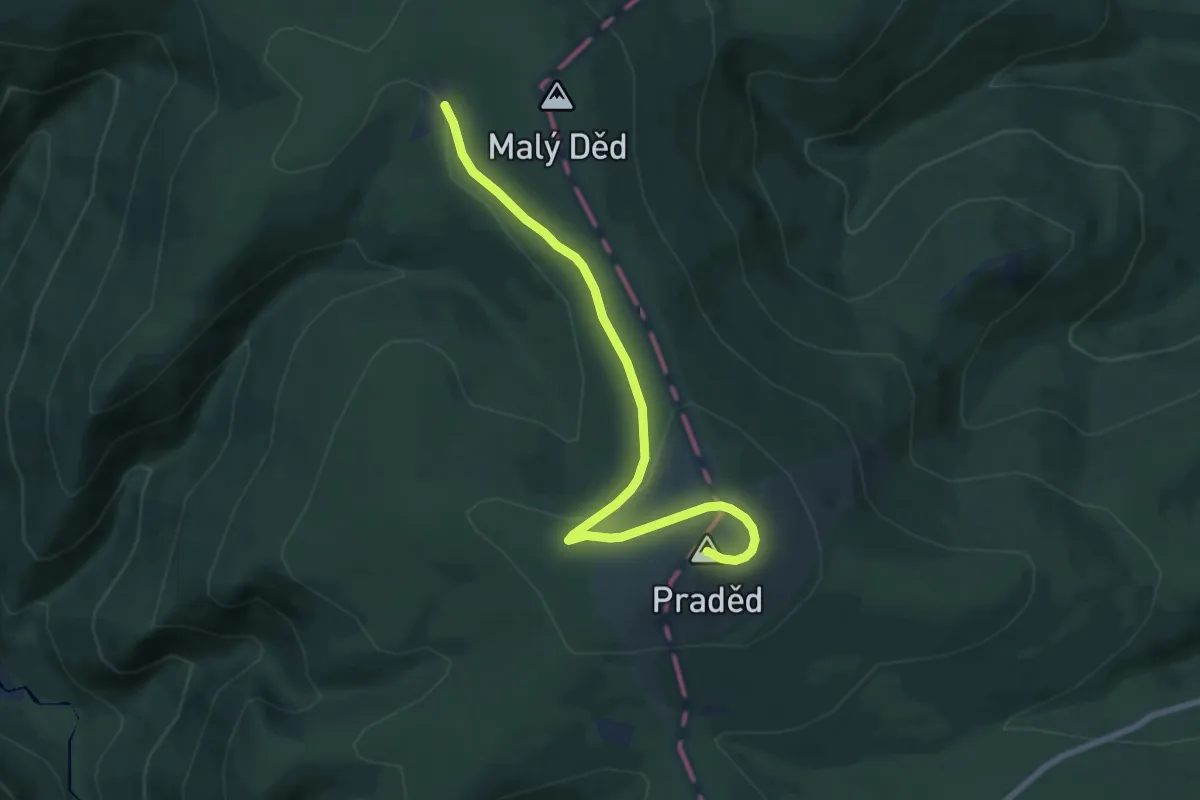
NS Se Skřítkem okolím Pradědu
7.3 km · ↑ 178 m · 2 h 7 min
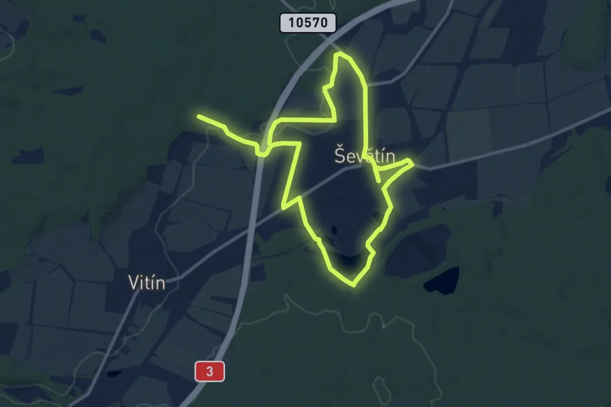
Medium · Trail
NS Ševětínsko
14.9 km · ↑ 125 m · 3 h 48 min
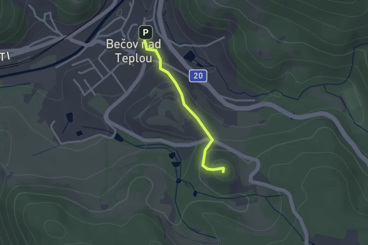
Easy · Summit
NS Šibeniční vrch
1.9 km · ↑ 87 m · 38 min
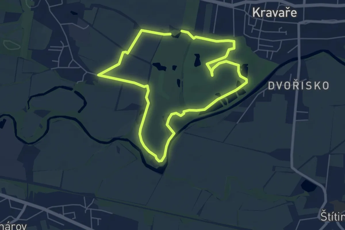
Easy · Trail
NS Silesia Golf Resort Kravaře
5.1 km · ↑ 9 m · 1 h 17 min
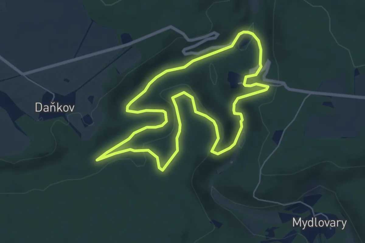
Easy · Summit
NS Šipín
5.3 km · ↑ 110 m · 1 h 34 min