Trails in Czech Republic
4,056 hiking trails, each with its route, climb, walking time and grade.
All trails, page 45 of 85
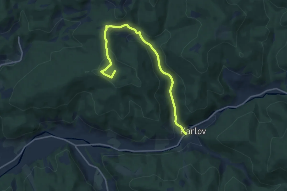
Medium · Summit
Okruh Galik - Horal
8.3 km · ↑ 377 m · 2 h 46 min
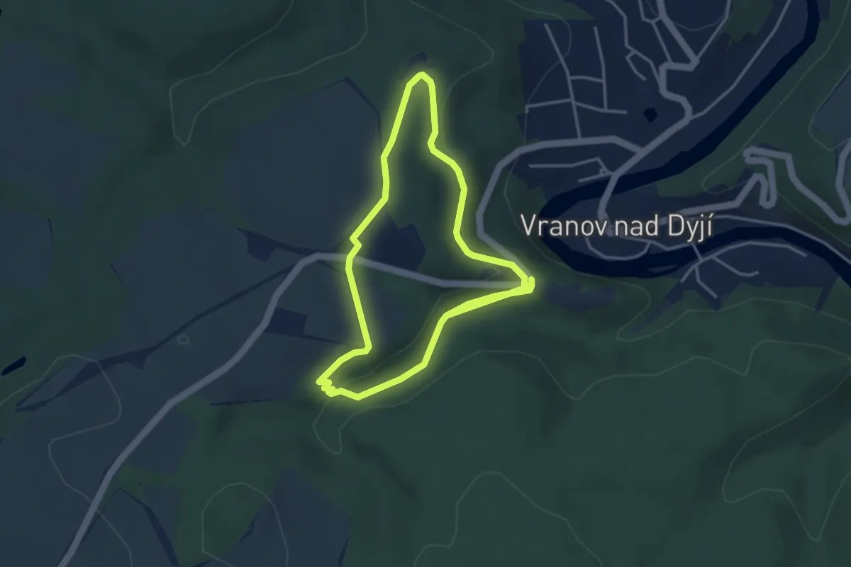
Easy · Trail
Okruh Heleny Mniszkové
6.5 km · ↑ 108 m · 1 h 46 min
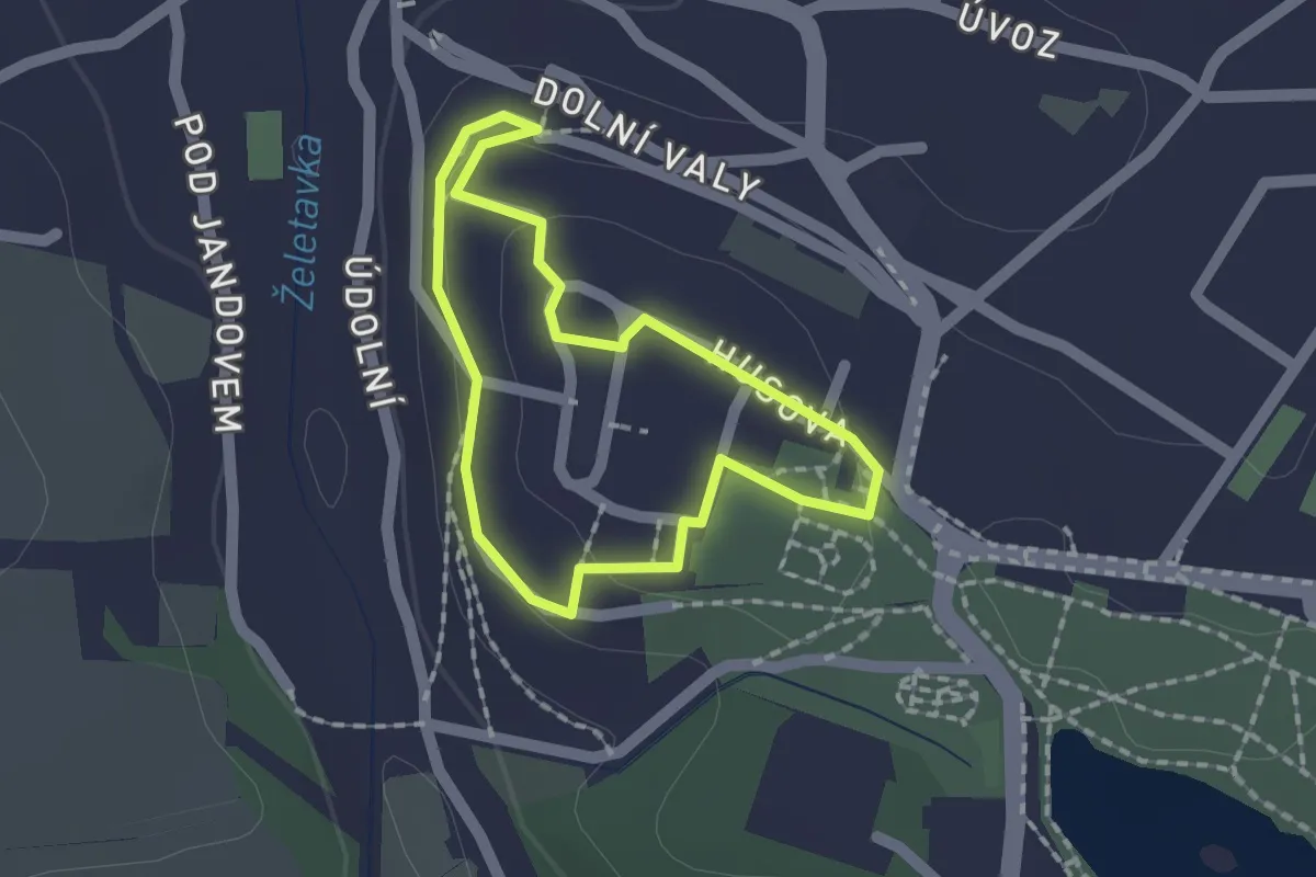
Easy · Trail
Okruh Královny Elišky
1.3 km · ↑ 32 m · 24 min
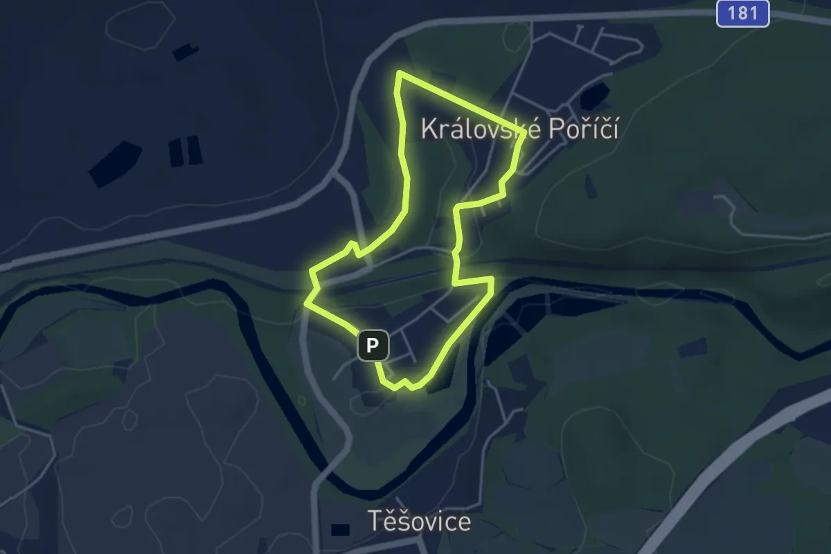
Easy · Trail
Okruh Královským Poříčím
3.3 km · ↑ 22 m · 52 min
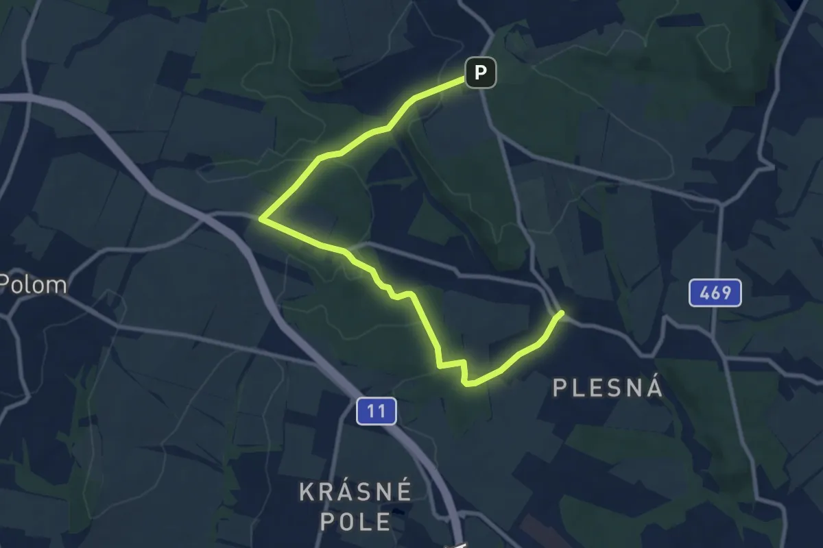
Medium · Trail
Okruh Plesnou
9.6 km · ↑ 203 m · 2 h 43 min
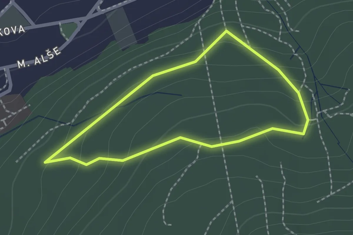
Easy · Trail
Okruh Podhořím
1.6 km · ↑ 73 m · 33 min
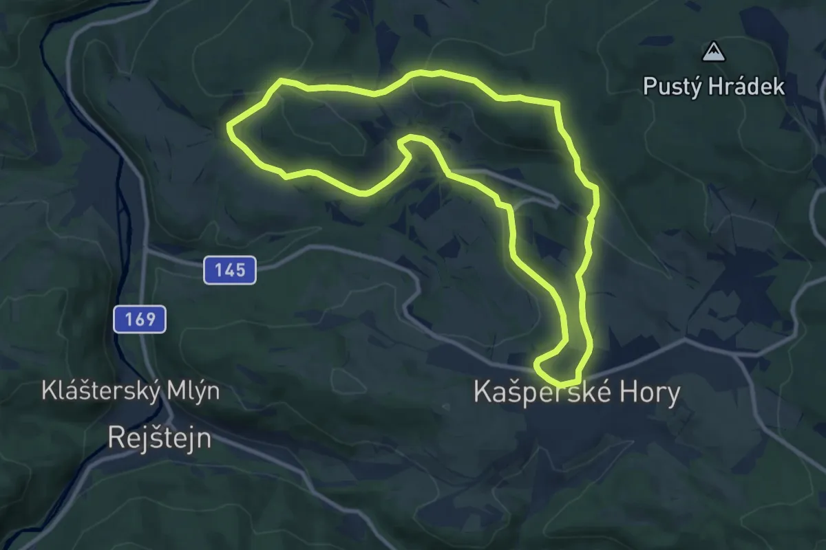
Medium · Summit
Okruh šumavskými vesnicemi
9.2 km · ↑ 237 m · 2 h 49 min
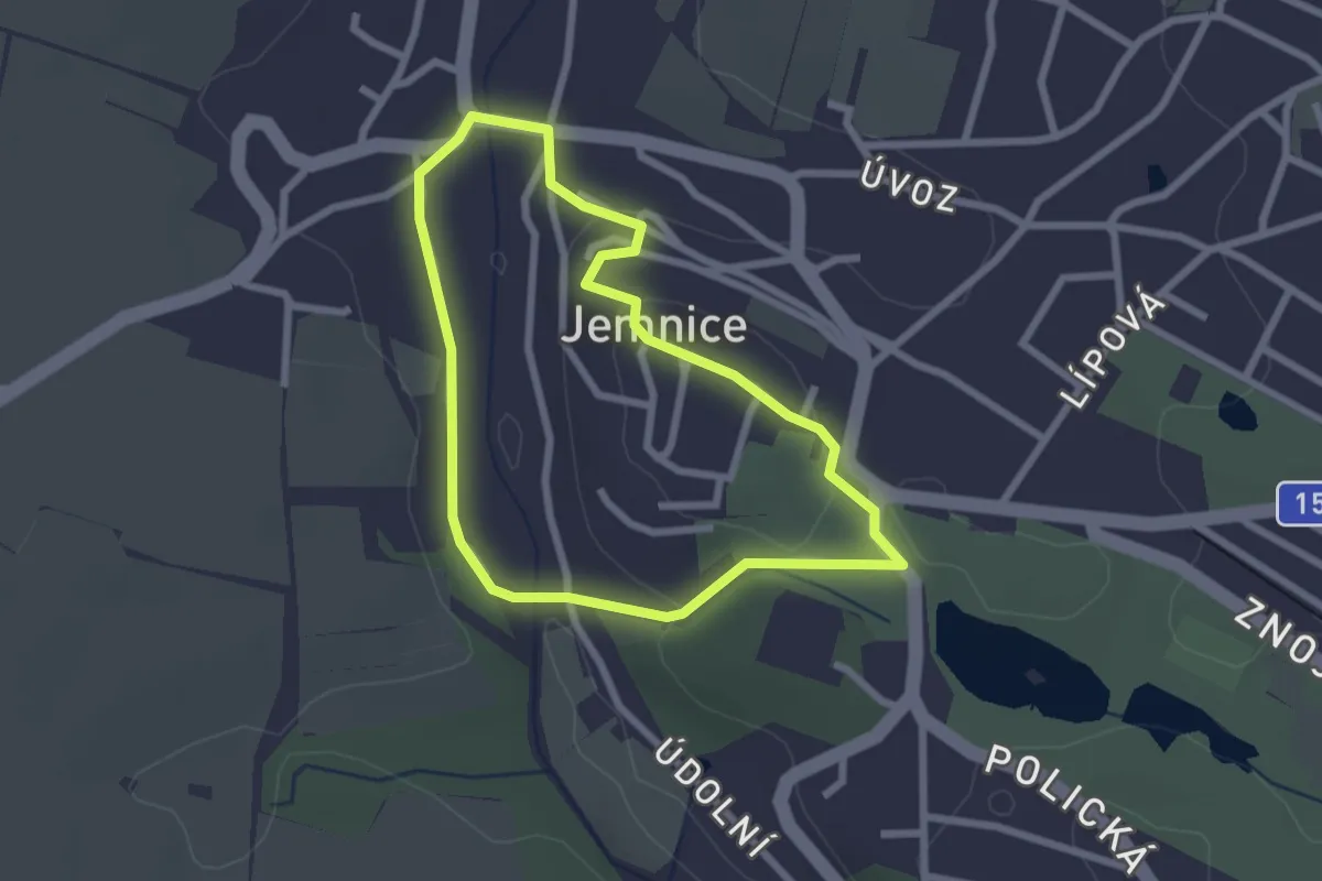
Easy · Trail
Okruh sv. Jakuba
2.1 km · ↑ 51 m · 39 min
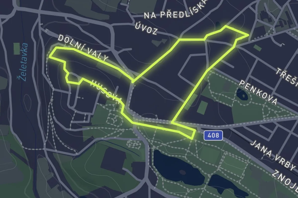
Easy · Trail
Okruh sv. Víta
2.4 km · ↑ 48 m · 43 min
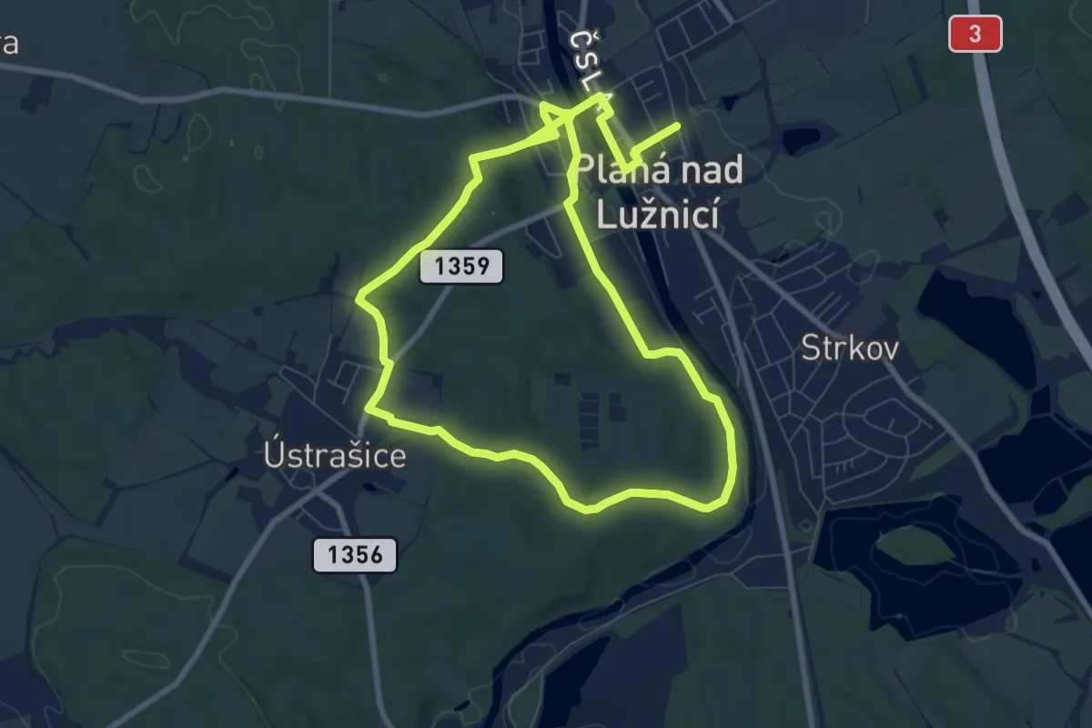
Medium · Trail
Okružní
14.5 km · ↑ 197 m · 3 h 51 min
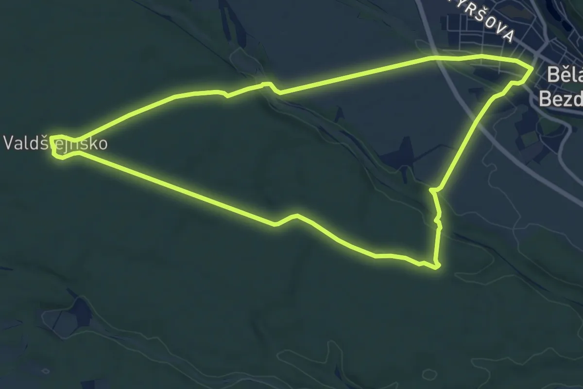
Medium · Trail
Okružní Bělá p. B. - Valdštejnsko
8.8 km · ↑ 72 m · 2 h 22 min
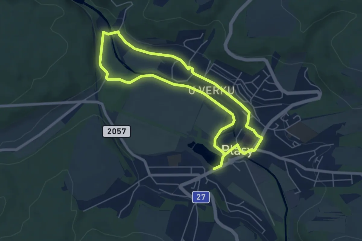
Medium · Trail
Okružní NS Plasy
8.9 km · ↑ 45 m · 2 h 12 min
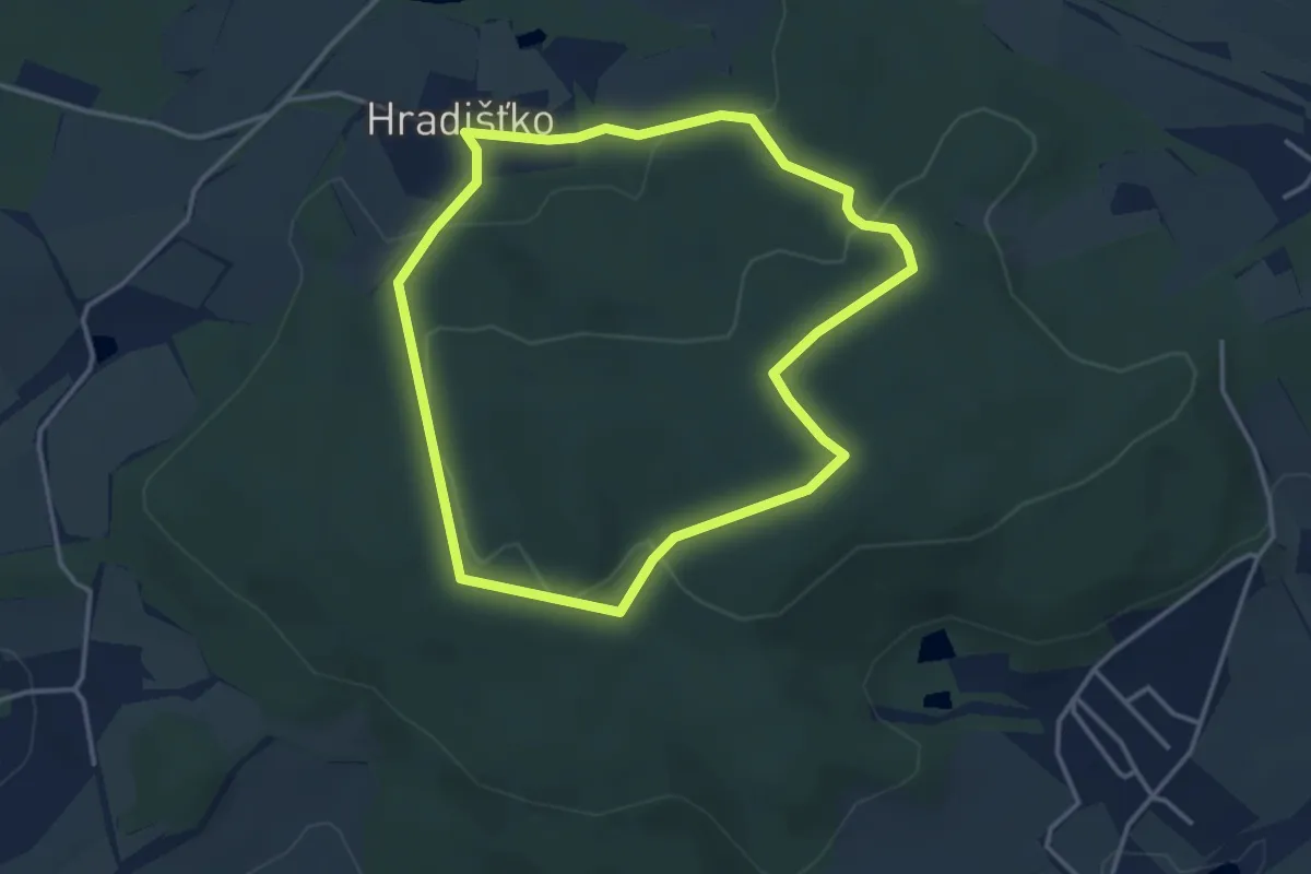
Easy · Trail
Okružní Okolo Hradišťka
3.3 km · ↑ 88 m · 1 h 1 min
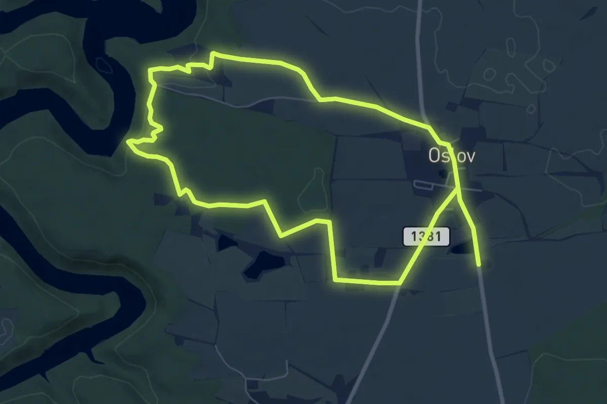
Medium · Trail
Okružní partyzánská stezka
13.2 km · ↑ 220 m · 3 h 35 min
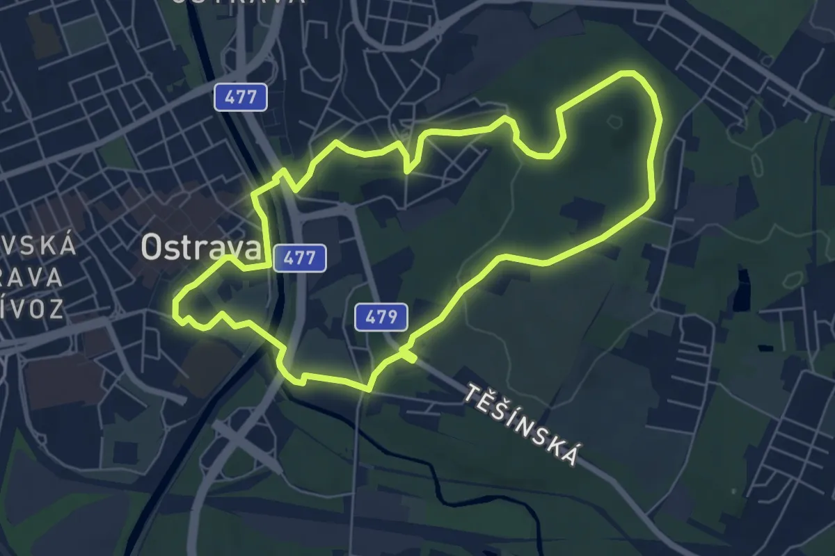
Easy · Trail
Okružní trasa A Podroužka
5.9 km · ↑ 76 m · 1 h 38 min
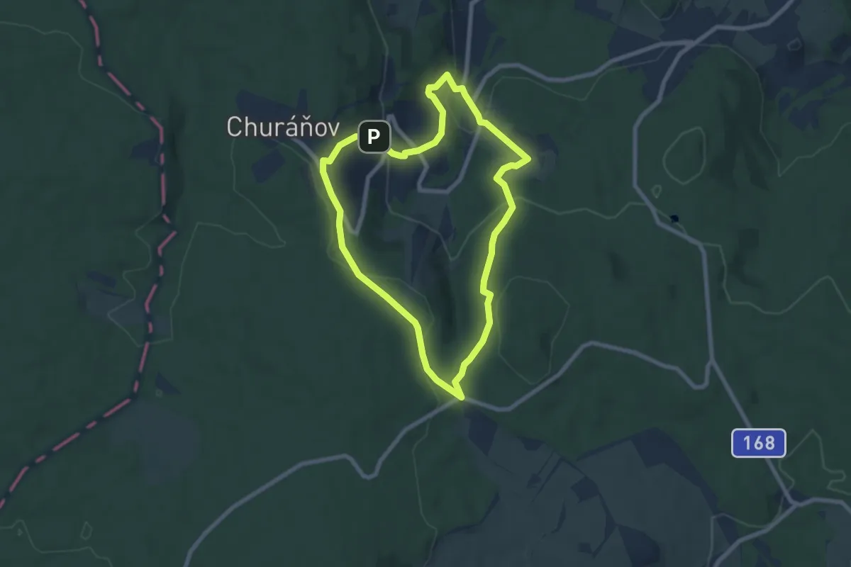
Easy · Trail
Okružní trasa Churáňov
6.2 km · ↑ 236 m · 2 h 3 min
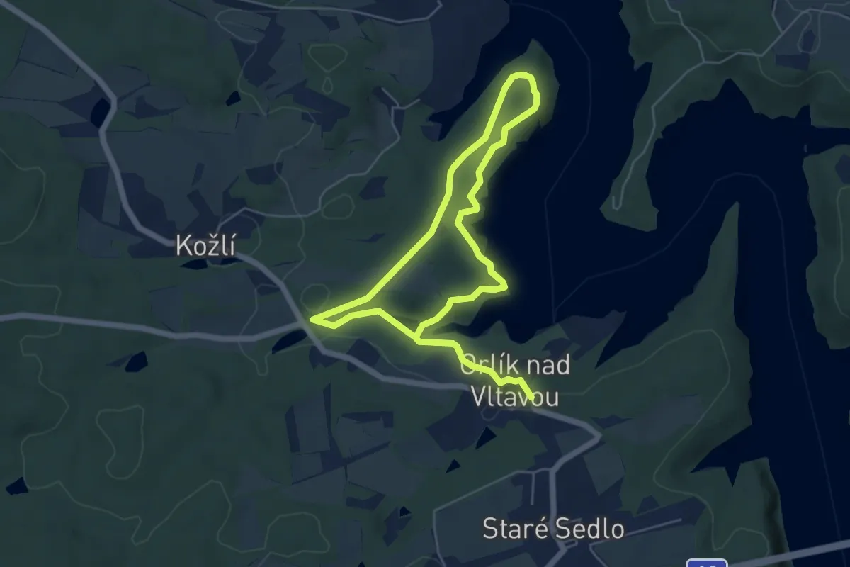
Medium · Trail
Okružní trasa - park
8.4 km · ↑ 184 m · 2 h 23 min
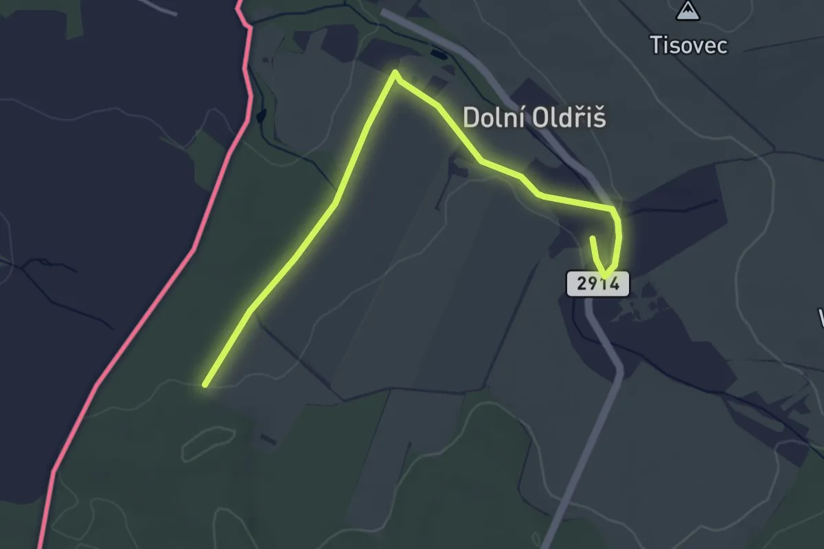
Easy · Trail
Oldřišská pěší trasa
4.0 km · ↑ 27 m · 1 h
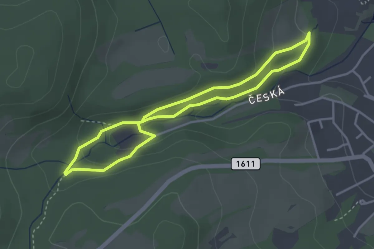
Easy · Trail
Opatská stezka I
2.7 km · ↑ 87 m · 52 min
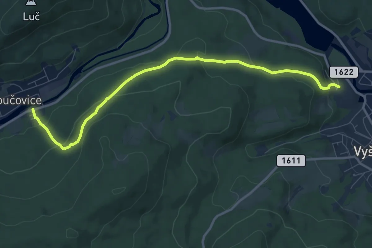
Medium · Trail
Opatská stezka II
8.3 km · ↑ 350 m · 2 h 42 min
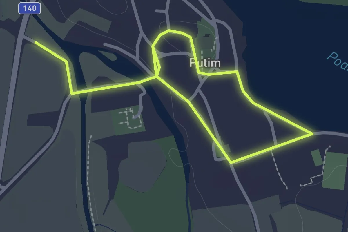
Easy · Trail
Osm zastavení na cestě Putimí
3.6 km · ↑ 27 m · 54 min
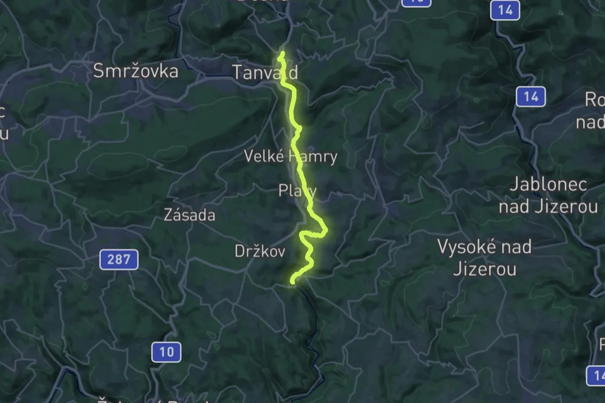
Demanding · Trail
Palackého stezka
18.9 km · ↑ 407 m · 5 h 20 min
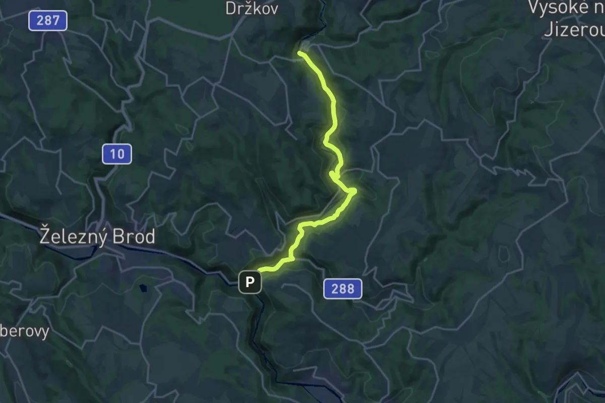
Medium · Trail
Palackého stezka
15.4 km · ↑ 403 m · 4 h 30 min
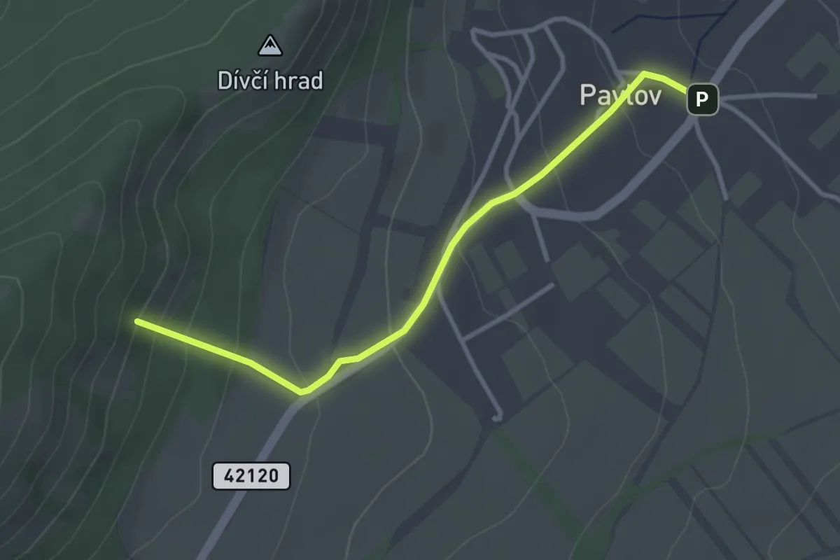
Easy · Trail
Pálavou se skřítkem Pěšinkou
3.0 km · ↑ 183 m · 1 h 6 min
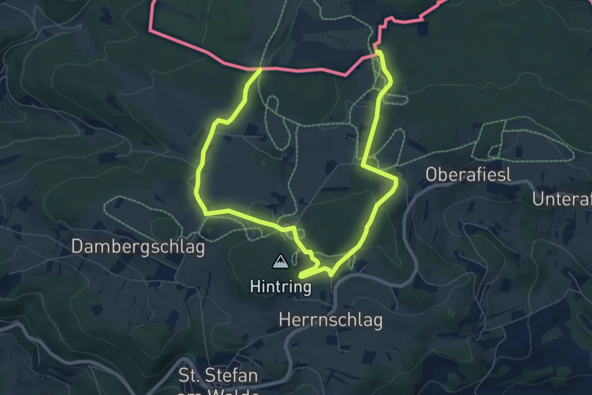
Medium · Trail
Panoramaroute
9.9 km · ↑ 203 m · 2 h 47 min
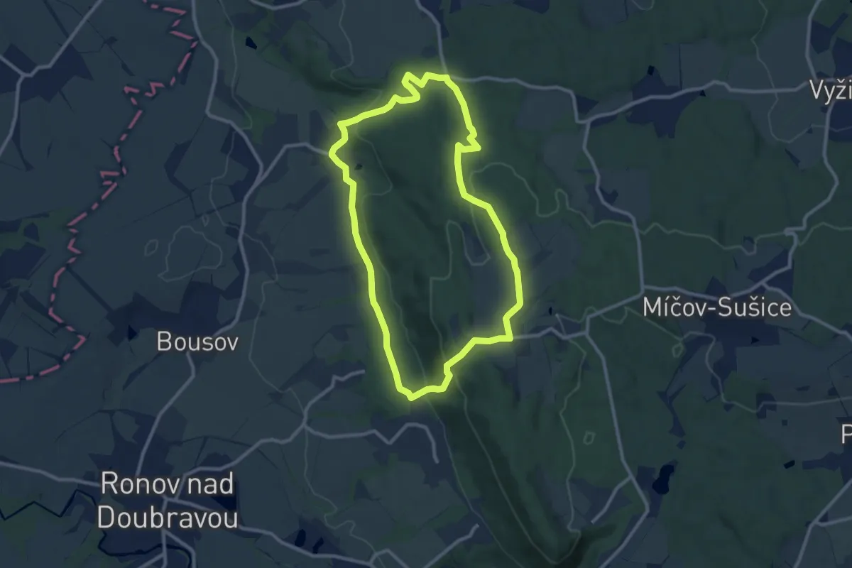
Medium · Trail
Partyzánská stezka
8.8 km · ↑ 219 m · 2 h 40 min
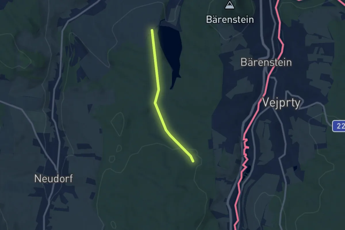
Easy · Trail
Pascherweg-Torfstrasse
5.3 km · ↑ 118 m · 1 h 30 min
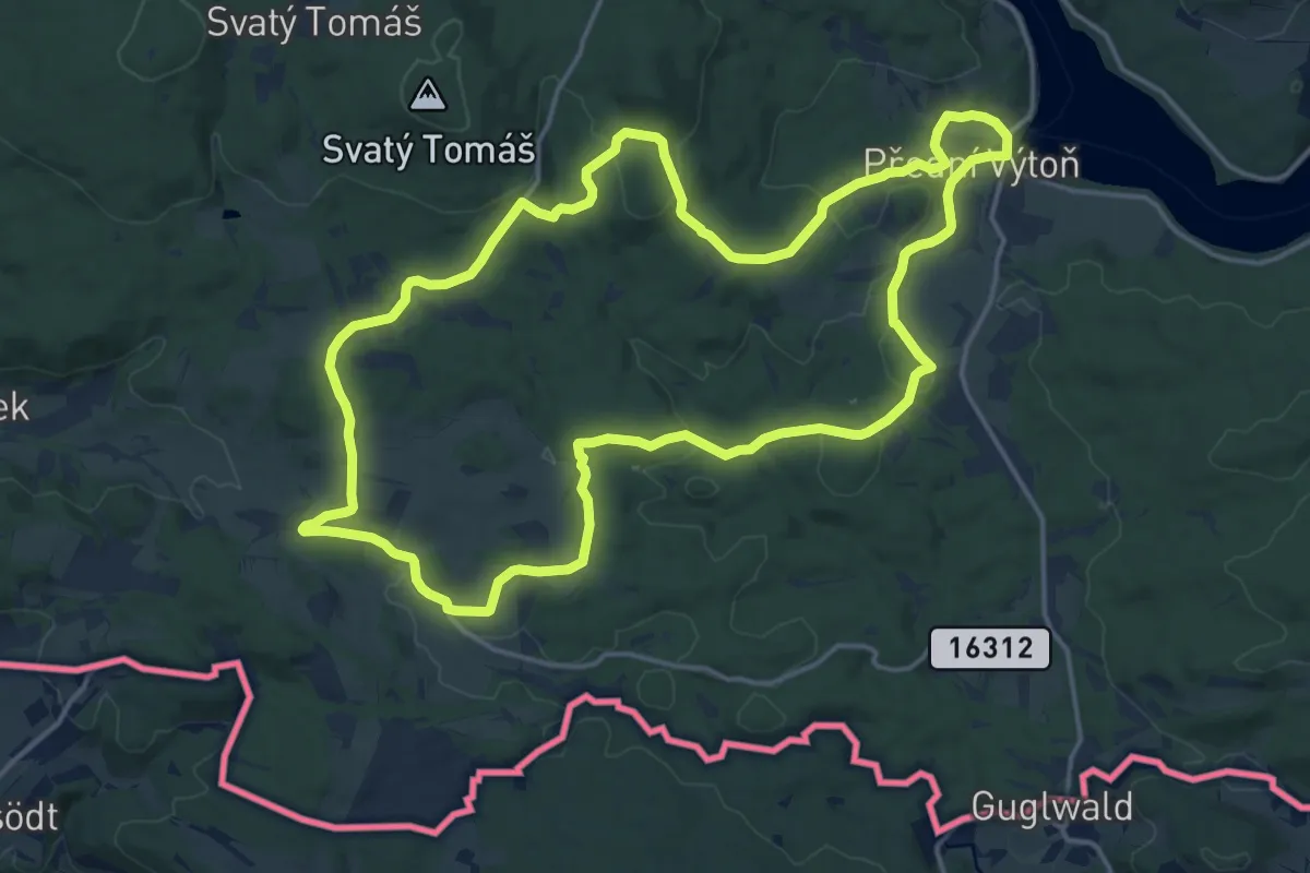
Medium · Summit
Pasečná - Přední Výtoň
16.7 km · ↑ 391 m · 5 h 2 min
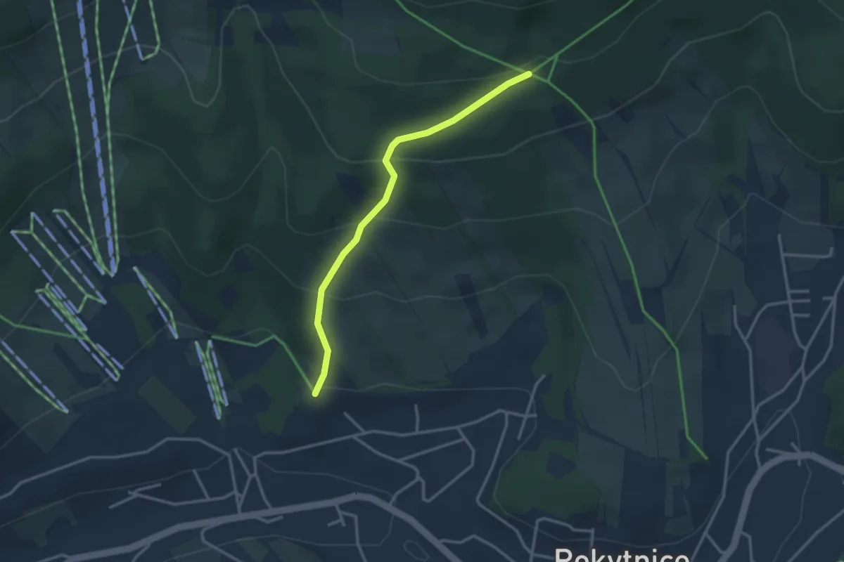
Easy · Trail
Pašerácká stezka
2.6 km · ↑ 202 m · 1 h 3 min
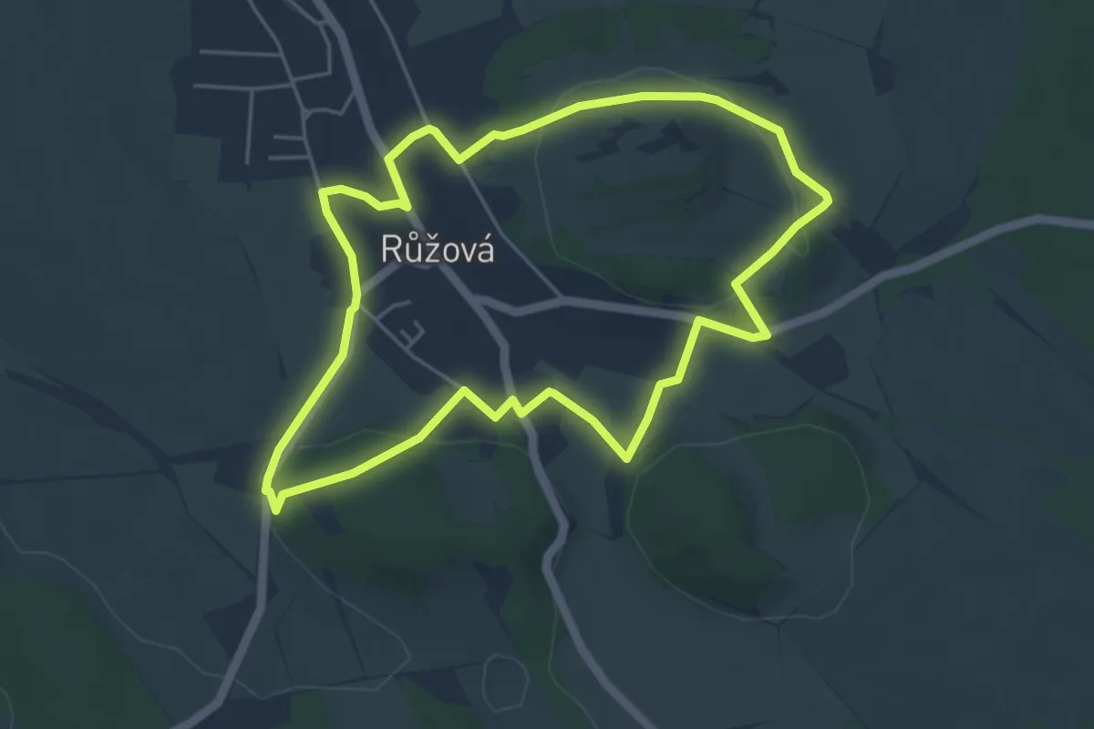
Easy · Summit
Pastevní-Petřínská-Ovocná stezka
4.4 km · ↑ 73 m · 1 h 15 min
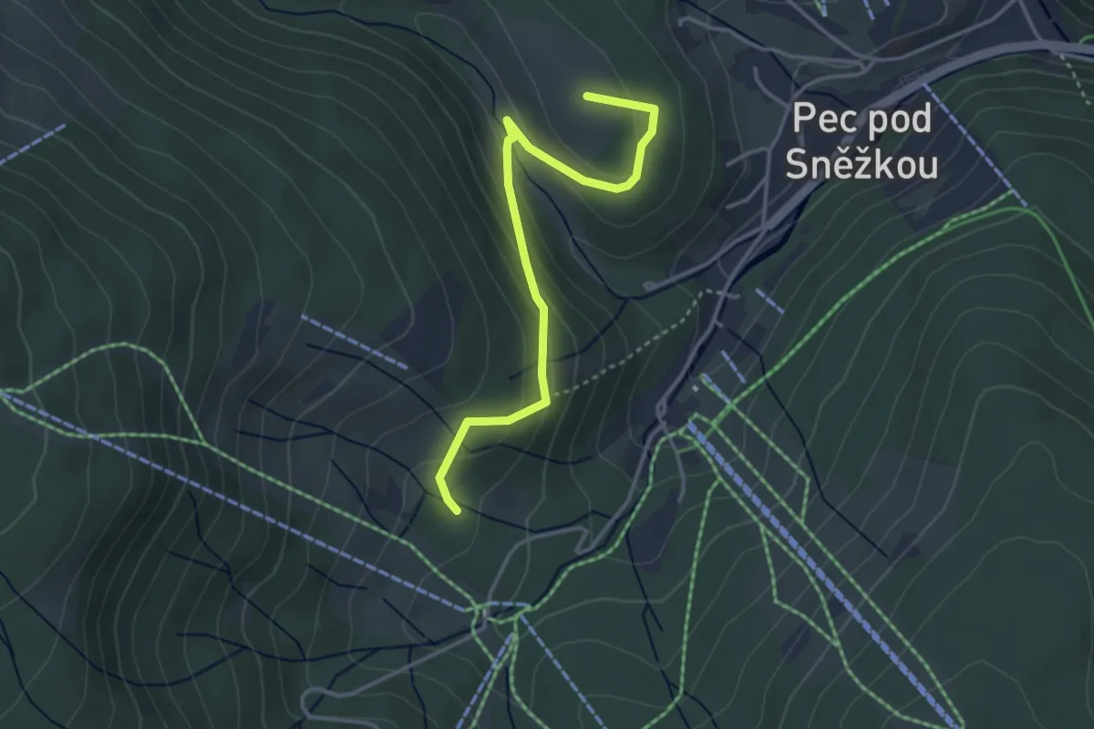
Easy · Summit
Pec pod Sněžkou
3.4 km · ↑ 178 m · 1 h 11 min
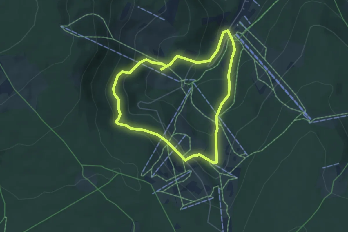
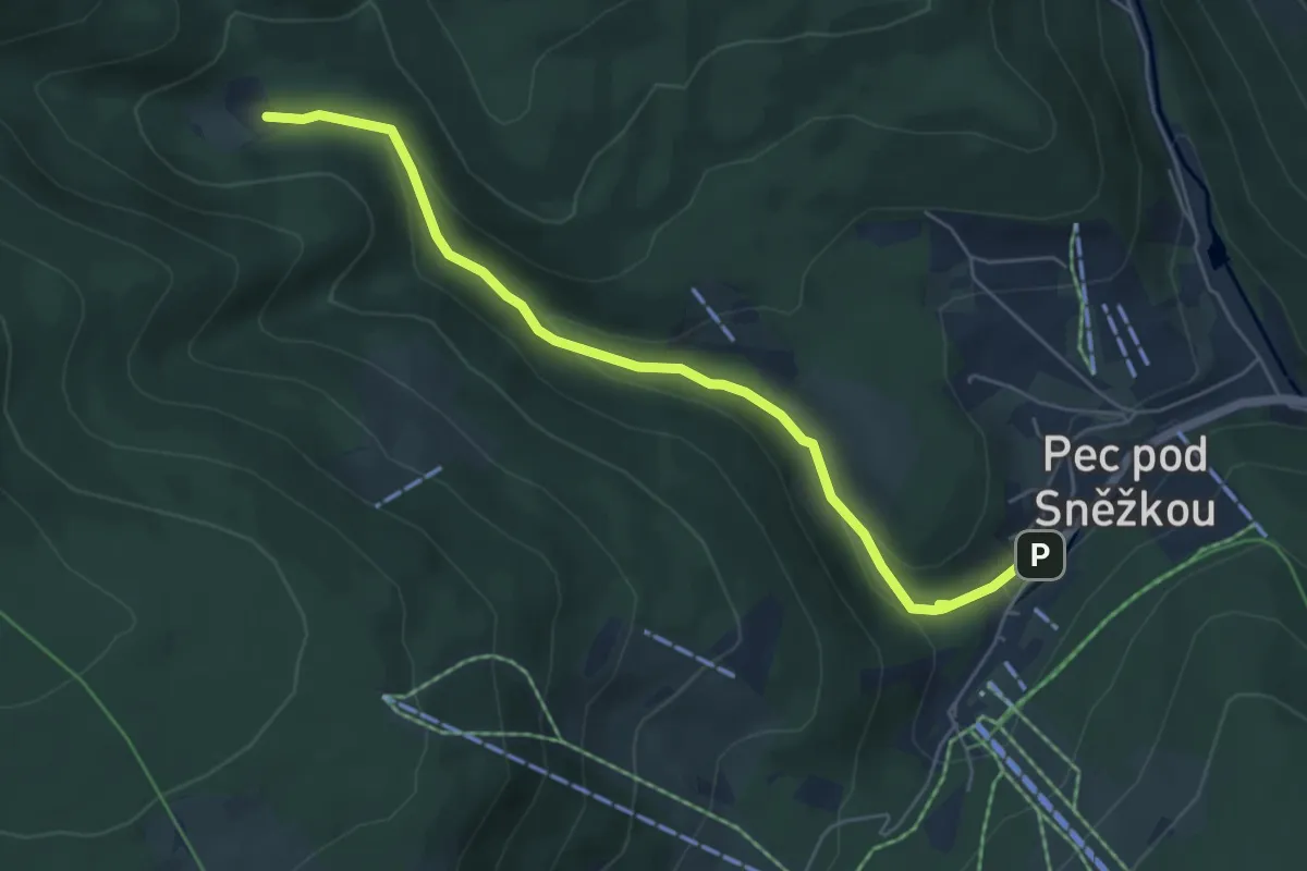
Easy · Cabin
Pec pod Sněžkou
3.9 km · ↑ 214 m · 1 h 26 min
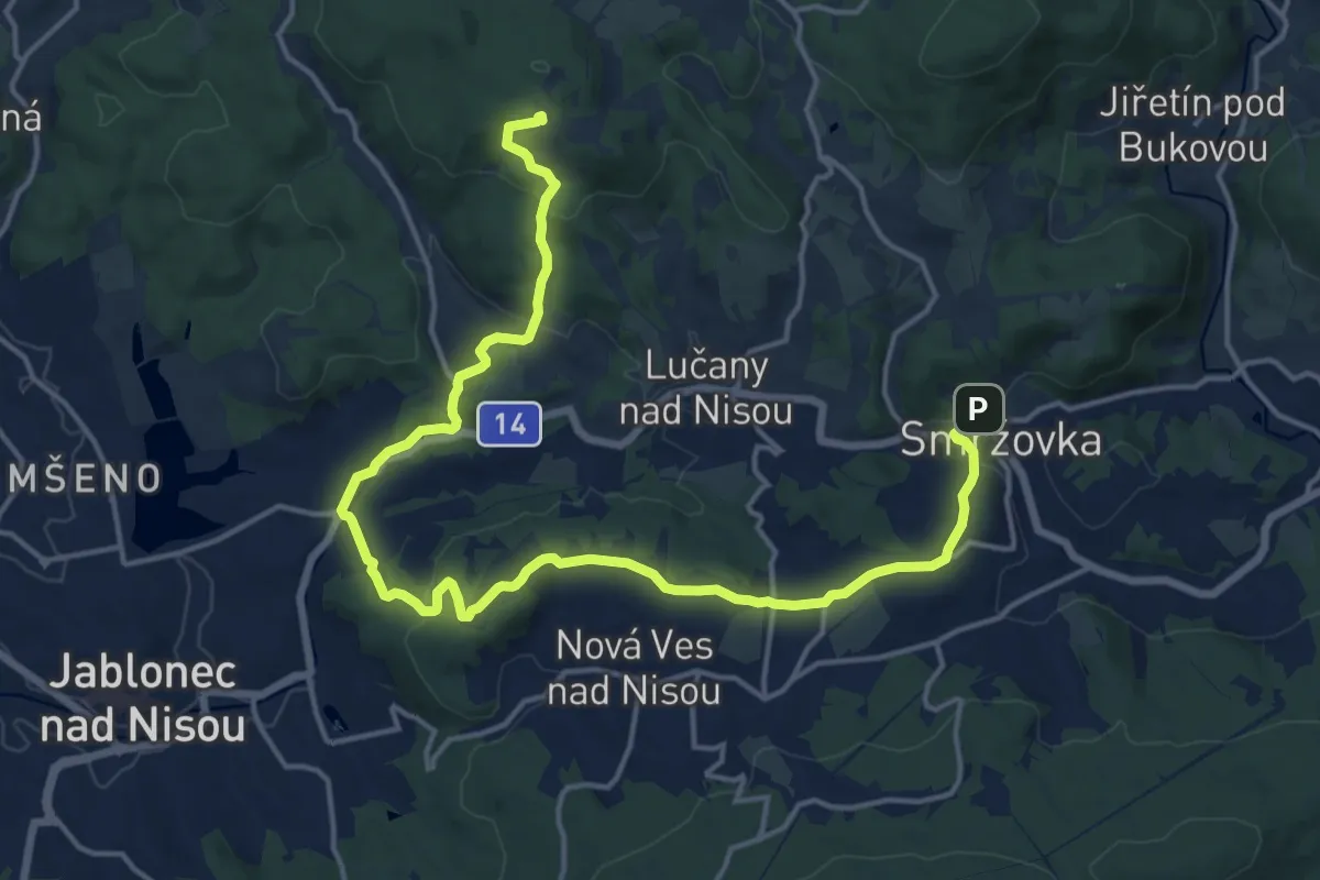
Easy · Cabin
Pec pod Sněžkou - Zelený důl - Jelení louky
5.3 km · ↑ 236 m · 1 h 46 min
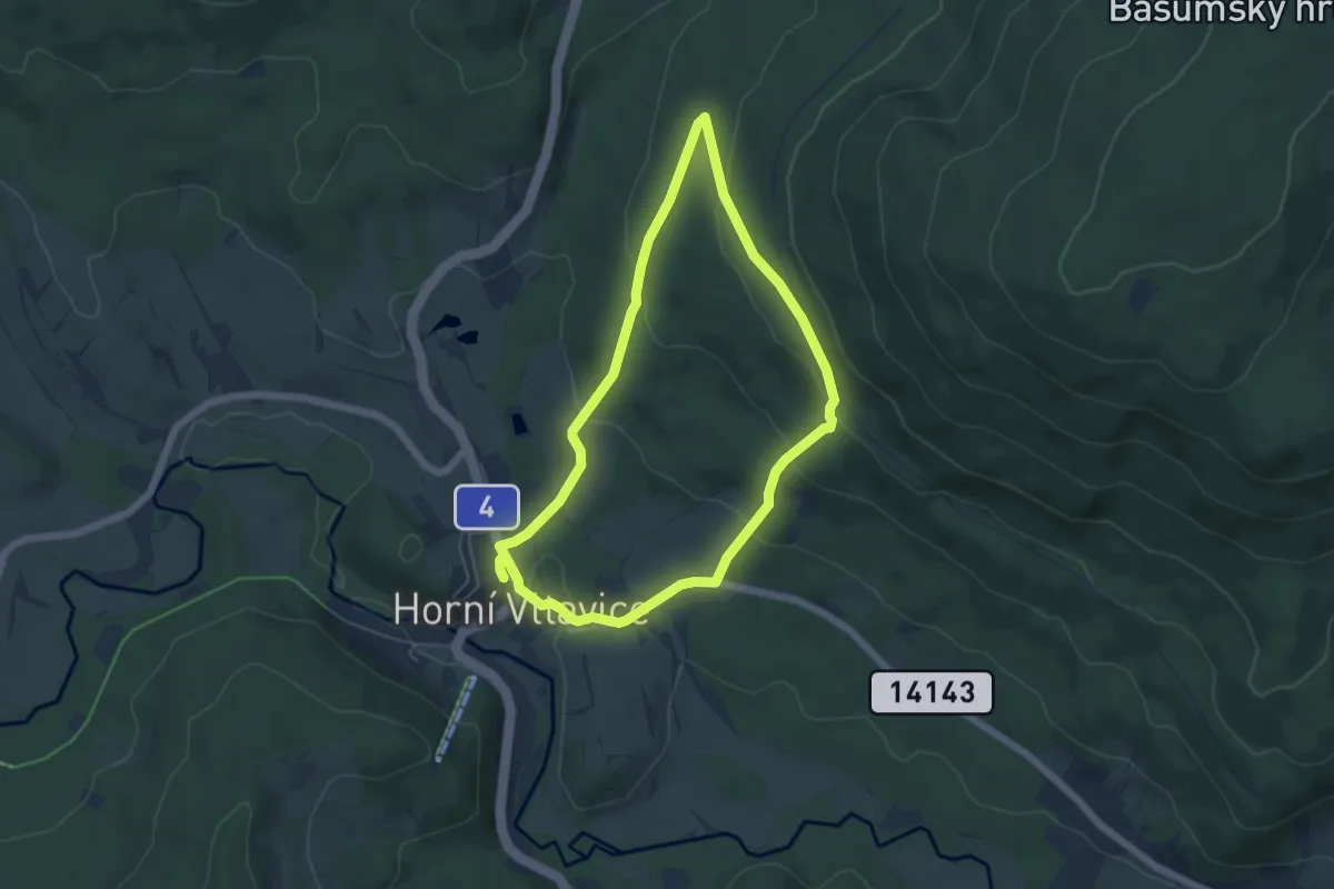
Demanding · Summit
Peklo - Smržovka
19.0 km · ↑ 558 m · 5 h 42 min
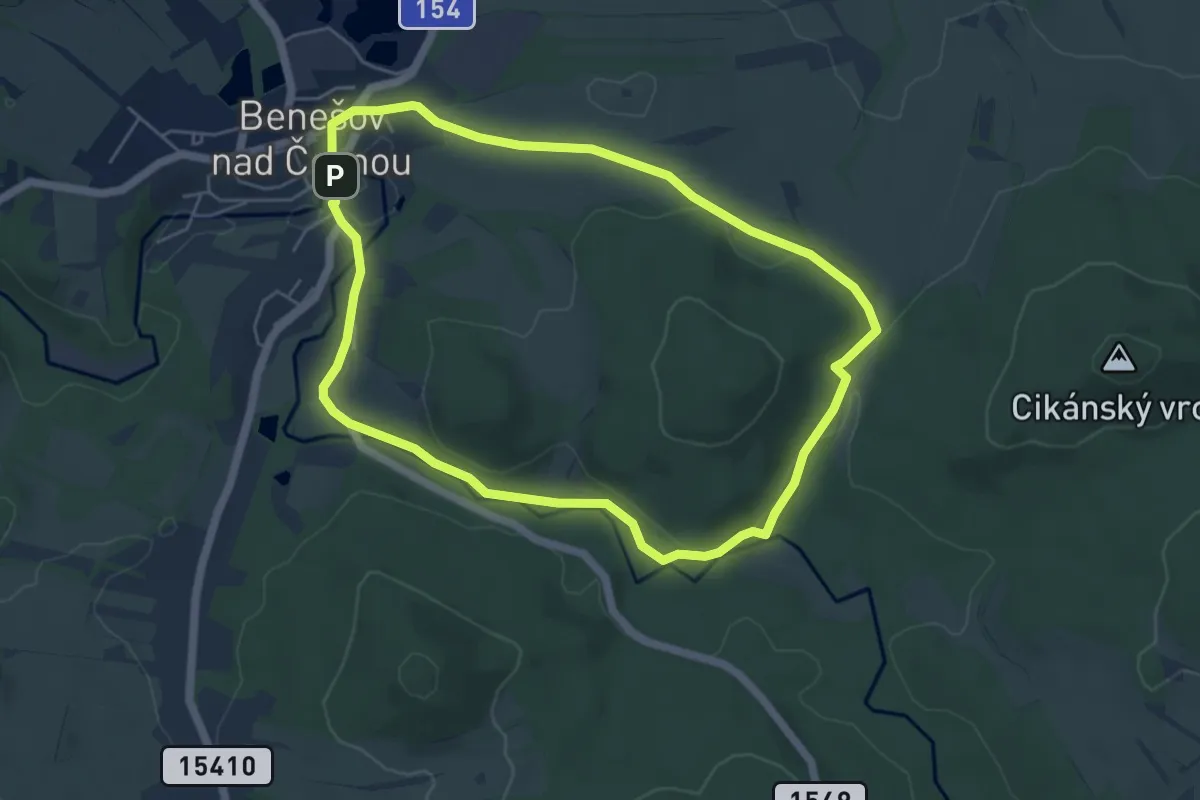
Easy · Trail
Pěšky po stopách válečné historie obce Horní Vltavice
4.8 km · ↑ 182 m · 1 h 35 min
Easy · Trail
Pěšky za poznáním Novohradska
4.9 km · ↑ 95 m · 1 h 26 min
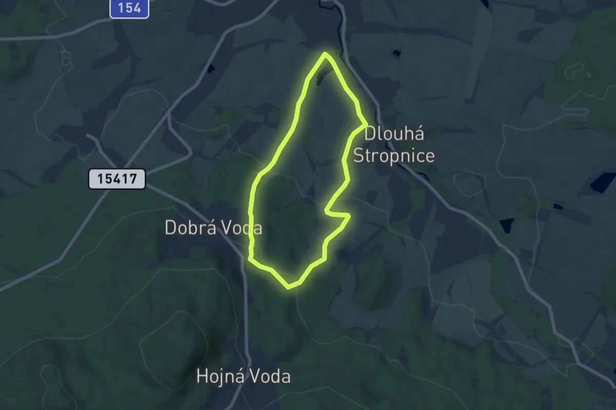
Easy · Trail
Pěšky za poznáním Novohradska
5.4 km · ↑ 160 m · 1 h 41 min
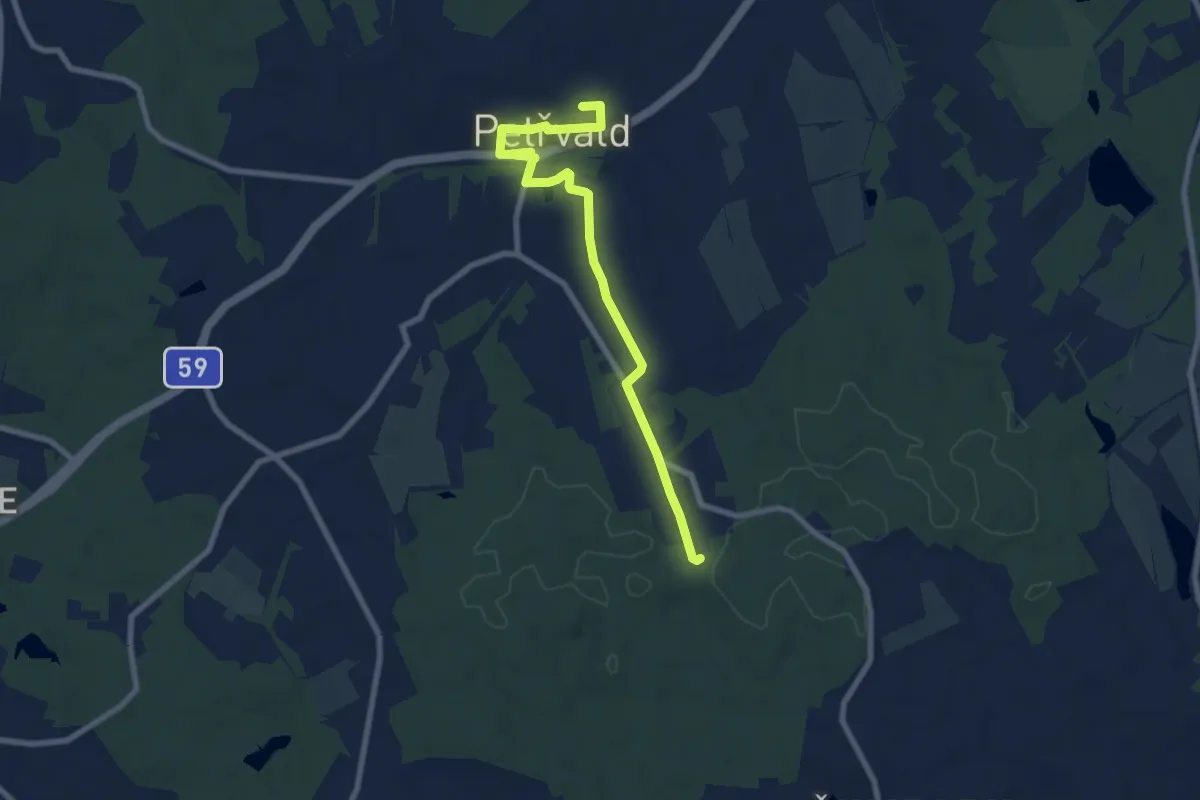
Easy · Trail
petřvald_modra
7.8 km · ↑ 73 m · 2 h 1 min
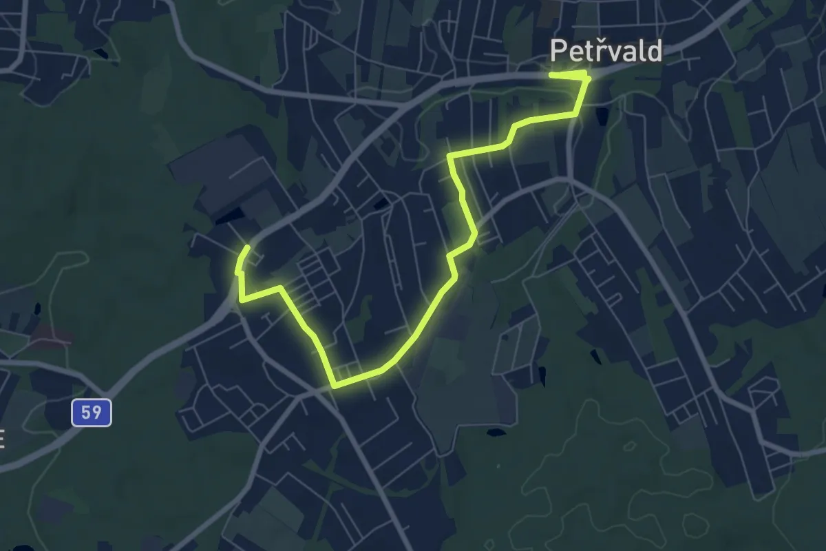
Easy · Trail
petřvald_zelena
7.7 km · ↑ 48 m · 1 h 55 min
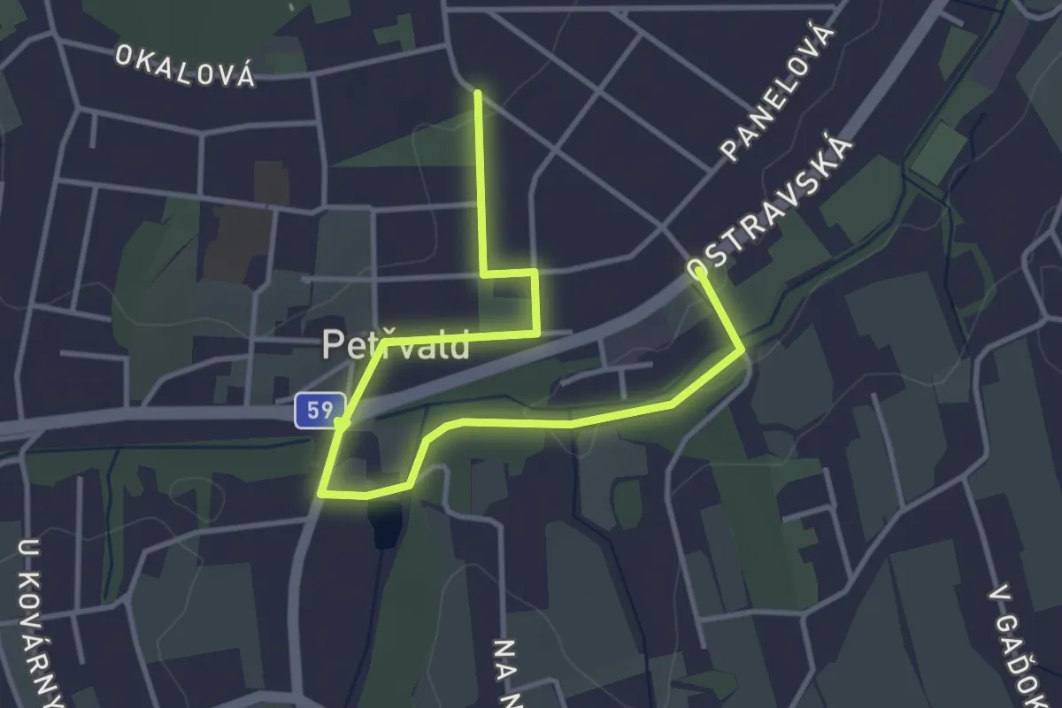
Easy · Trail
petřvald_žlutá
4.3 km · ↑ 33 m · 1 h 5 min
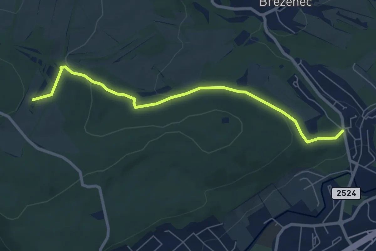
Easy · Trail
Pevnostní linie "Kočičák - Chomutov"
5.5 km · ↑ 140 m · 1 h 36 min
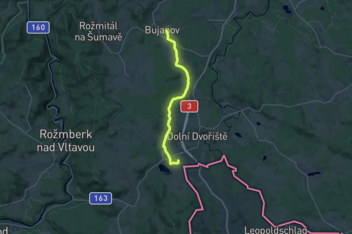
Medium · Summit
Pferdeeisenbahnwanderweg CZ
16.3 km · ↑ 181 m · 4 h 15 min
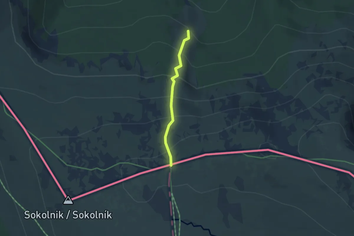
Easy · Cabin
Piechowice - Pod Wielkim Szyszakiem
2.2 km · ↑ 247 m · 1 h 4 min
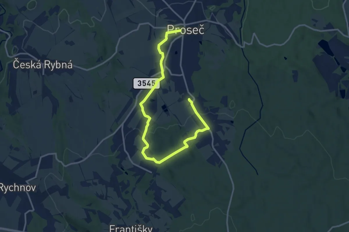
Medium · Trail
Planetární stezka
11.9 km · ↑ 203 m · 3 h 15 min
Demanding · Trail
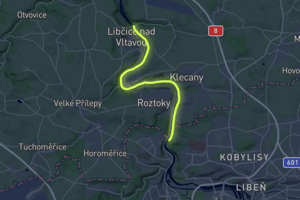
Planetární stezka údolím Vltavy
24.8 km · ↑ 96 m · 6 h 4 min
Medium · Summit
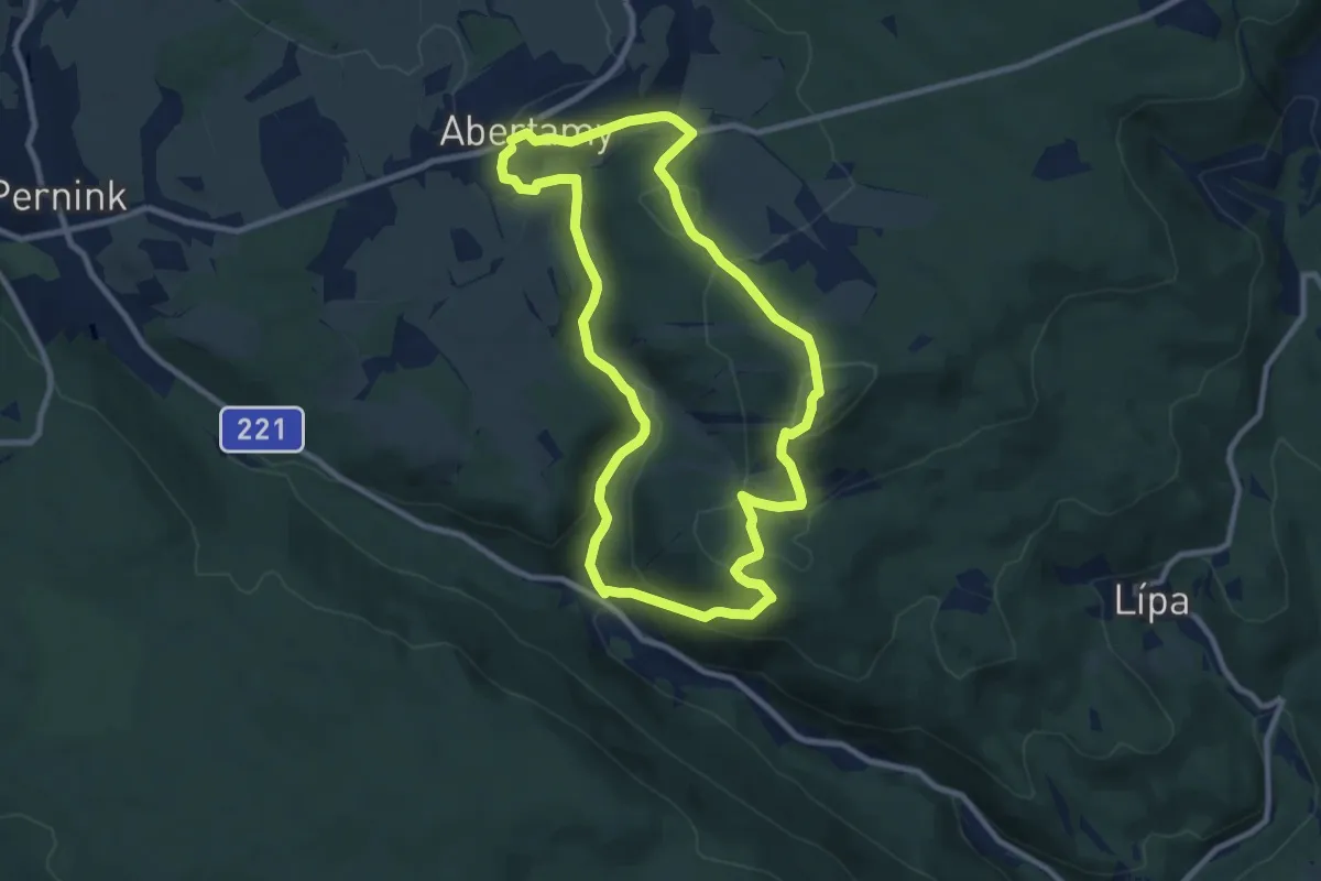
Plešivecká NS
8.5 km · ↑ 347 m · 2 h 53 min
Demanding · Trail
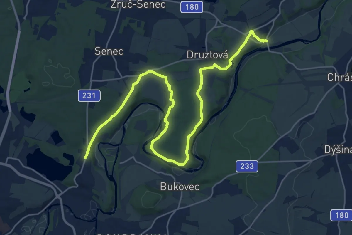
Plzeň-Bílá Hora - Dolanský most
21.1 km · ↑ 373 m · 5 h 48 min
Easy · Summit
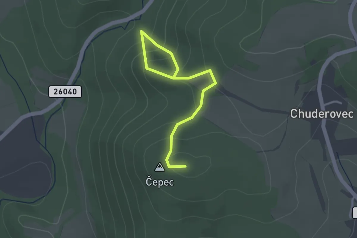
Pod Čepcem - Niesebahnské trojpramenní
2.8 km · ↑ 202 m · 1 h 5 min