Trails in Czech Republic
4,056 hiking trails, each with its route, climb, walking time and grade.
All trails, page 46 of 85
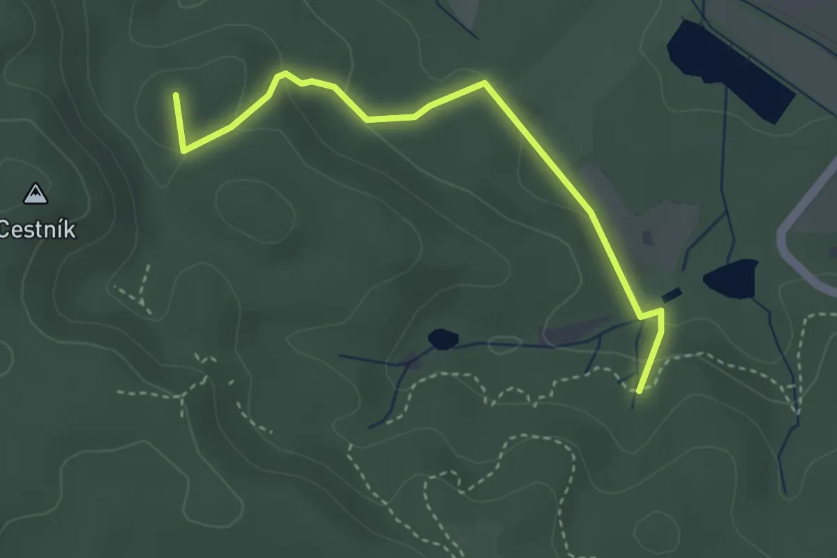
Easy · Summit
Pod Čertovou rukou - Antonínův pramen
3.2 km · ↑ 115 m · 1 h
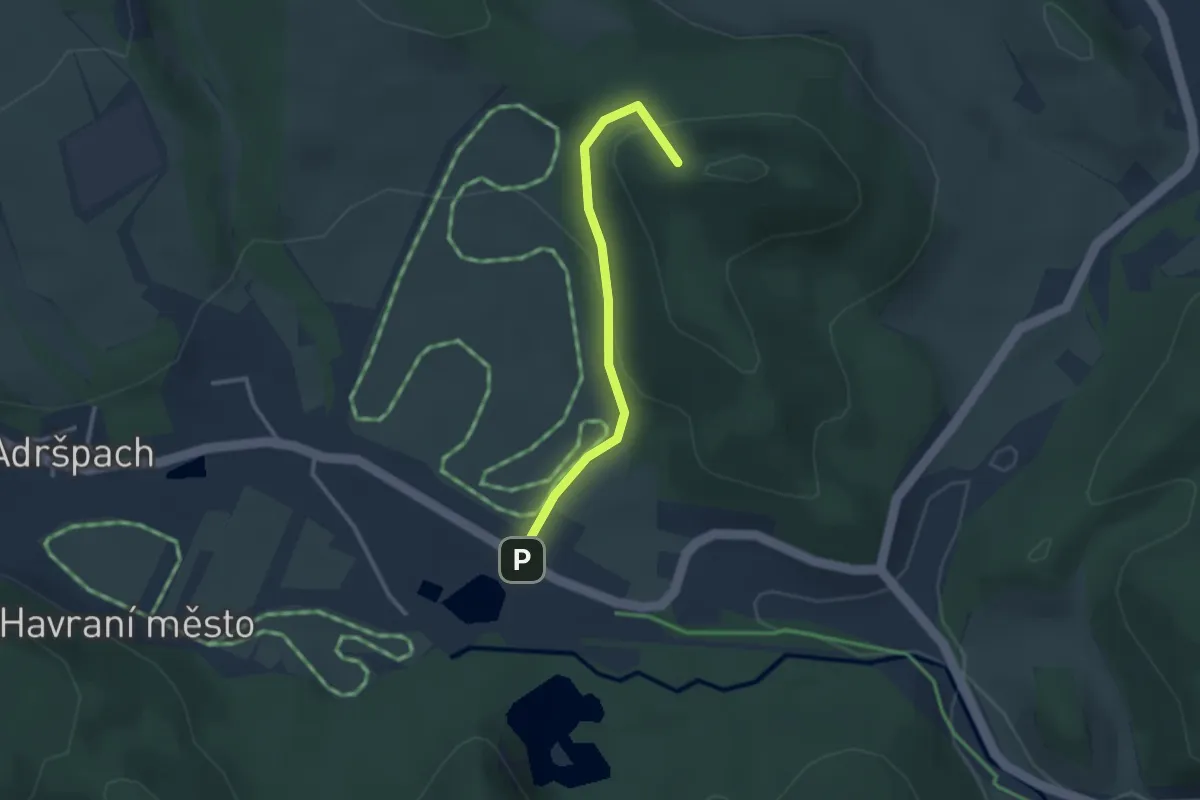
Easy · Summit
Pod Křížovým vrchem
2.5 km · ↑ 110 m · 49 min
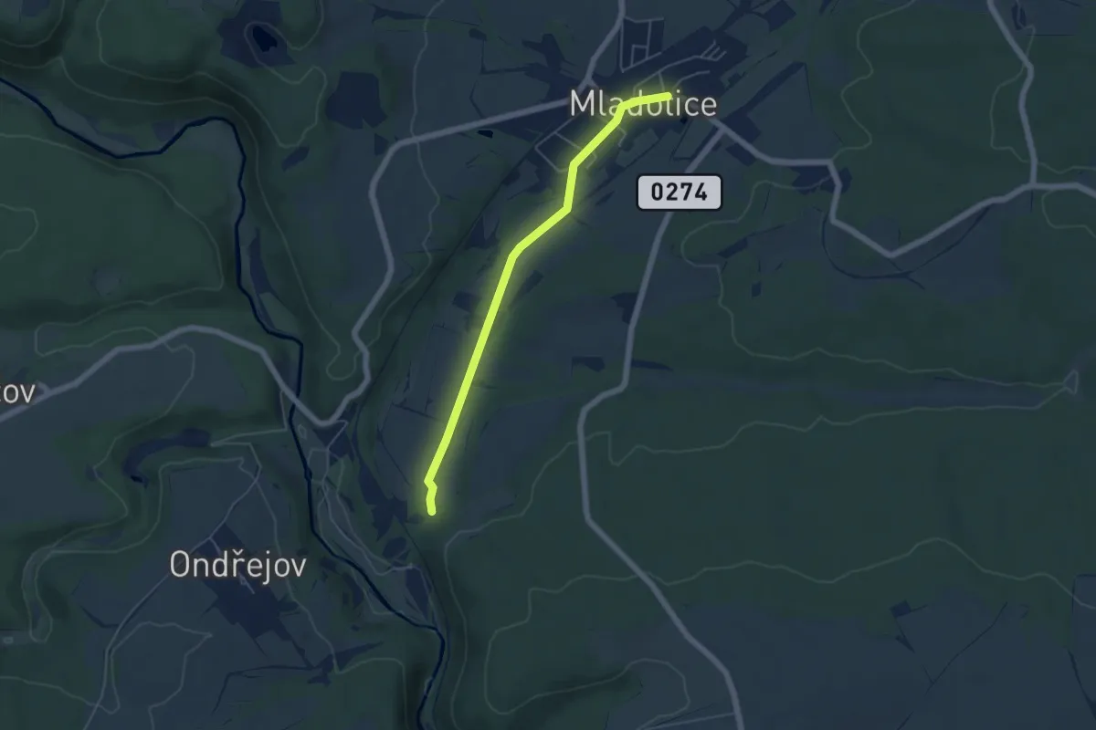
Easy · Trail
Po dně Mladotického rybníka
4.6 km · ↑ 12 m · 1 h 7 min
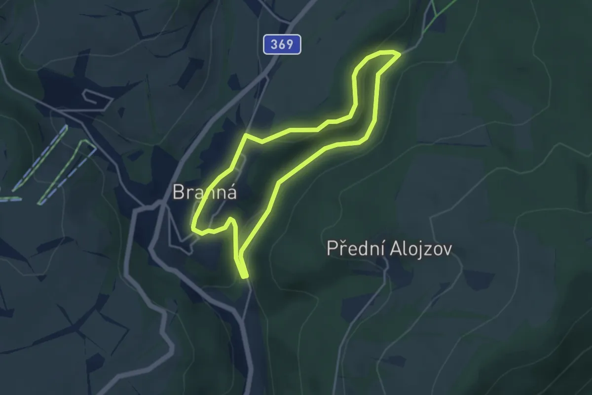
Easy · Trail
Pod ptačí planinou
3.1 km · ↑ 75 m · 56 min
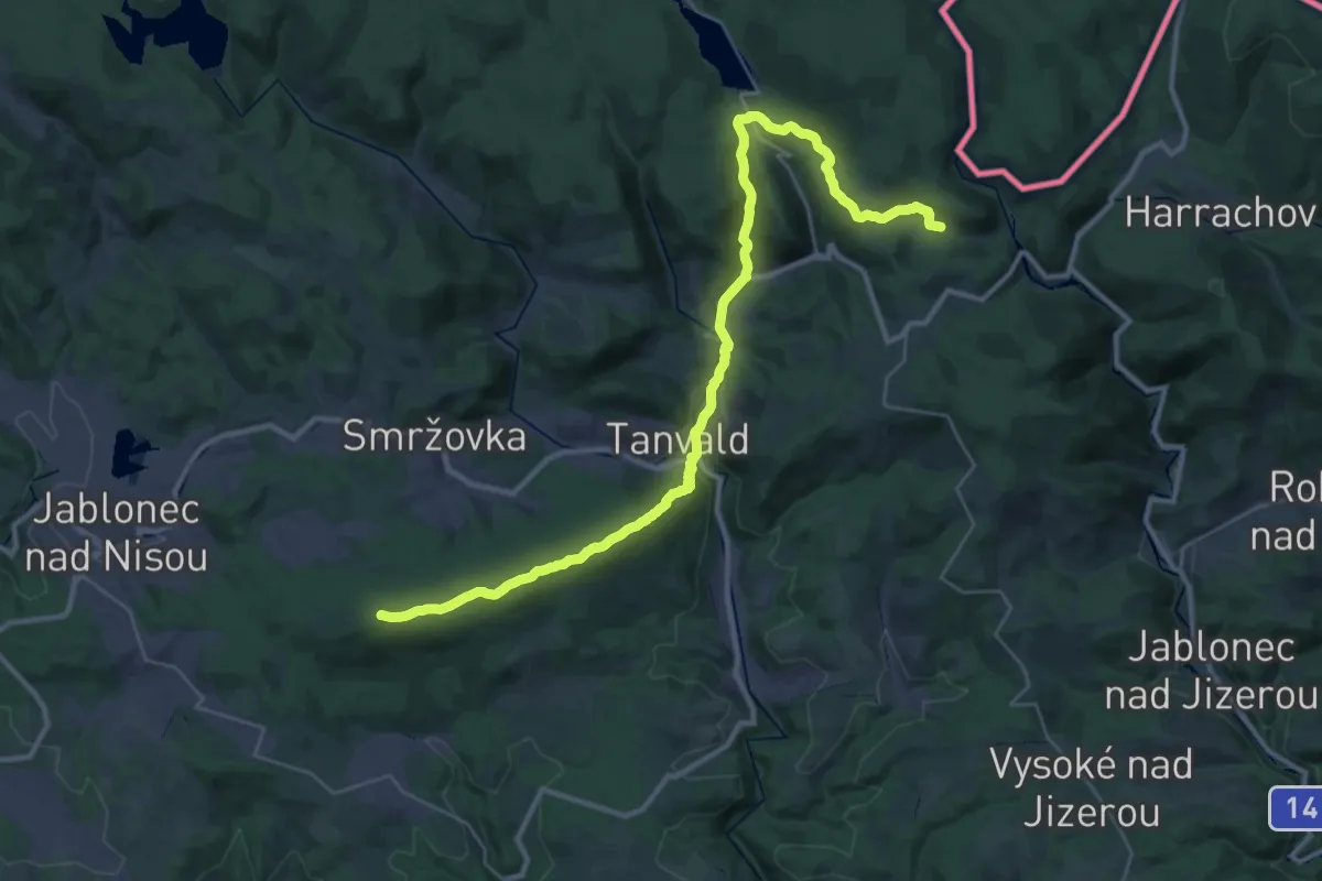
Demanding · Summit
Pod Slovankou - Kořenov žst.
35.2 km · ↑ 1028 m · 10 h 33 min
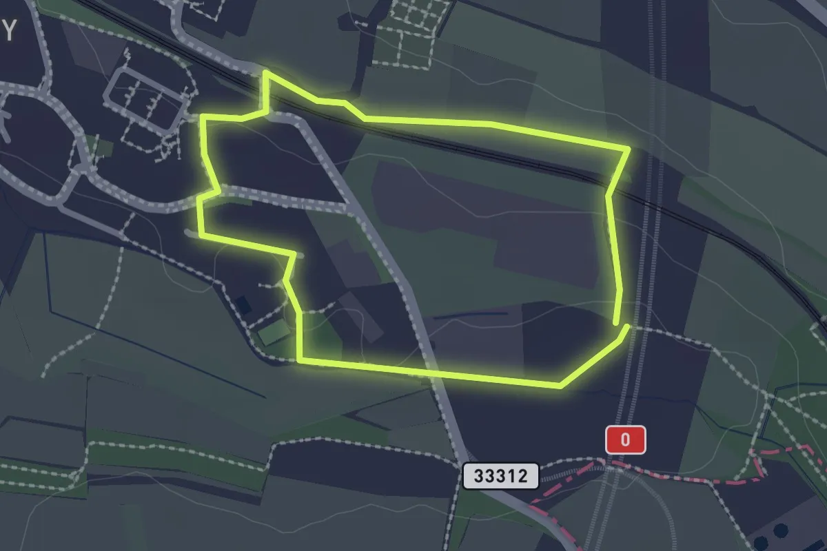
Easy · Trail
Pod Vysokou
1.9 km · ↑ 18 m · 31 min
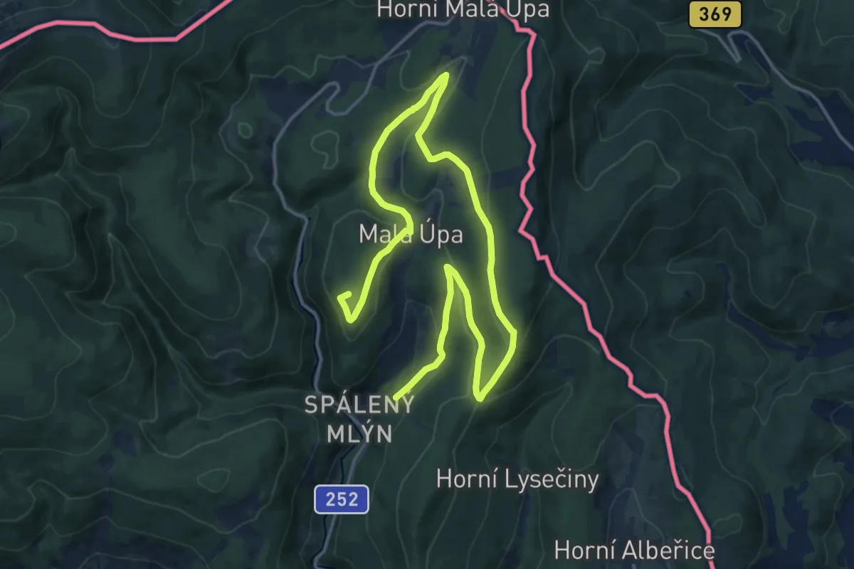
Demanding · Summit
Pohádková NS
21.6 km · ↑ 688 m · 6 h 35 min
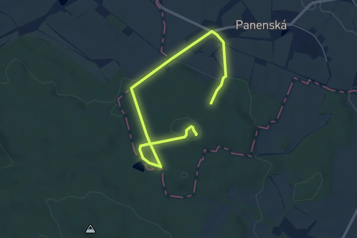
Easy · Summit
Pohádková stezka
6.4 km · ↑ 139 m · 1 h 48 min
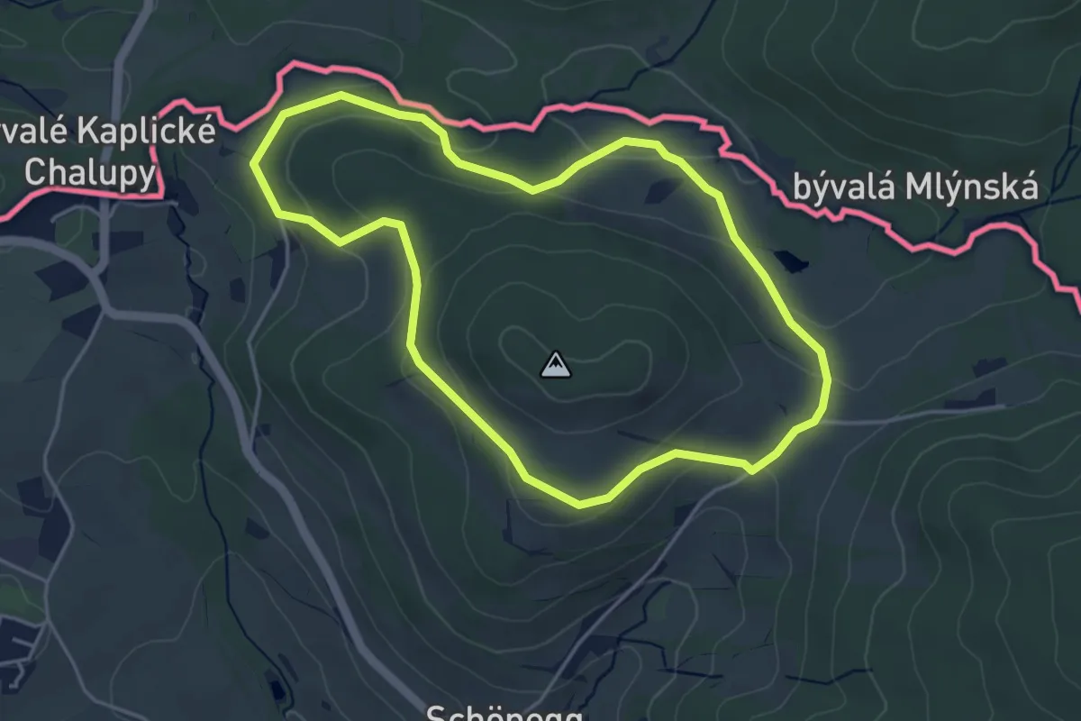
Easy · Trail
Poimer Panorama Weg
3.8 km · ↑ 123 m · 1 h 14 min
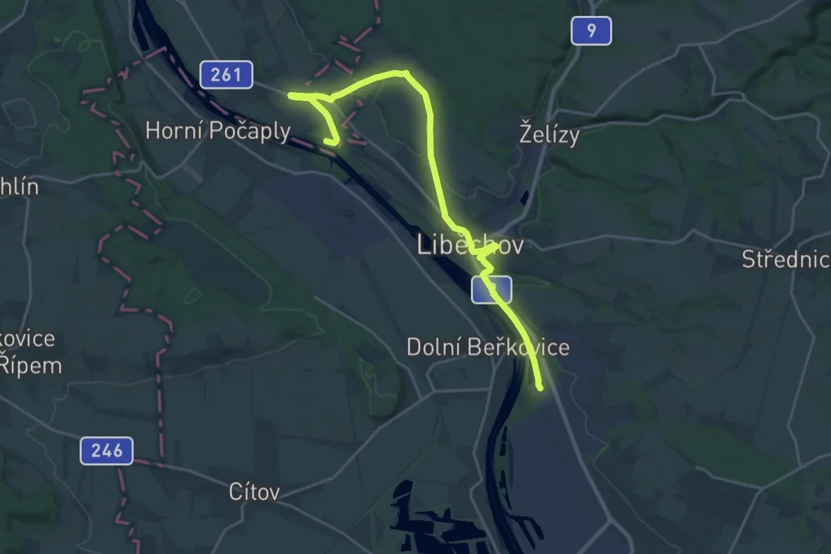
Demanding · Trail
Polabské NS Za vínem a poznáním
19.5 km · ↑ 208 m · 5 h 4 min
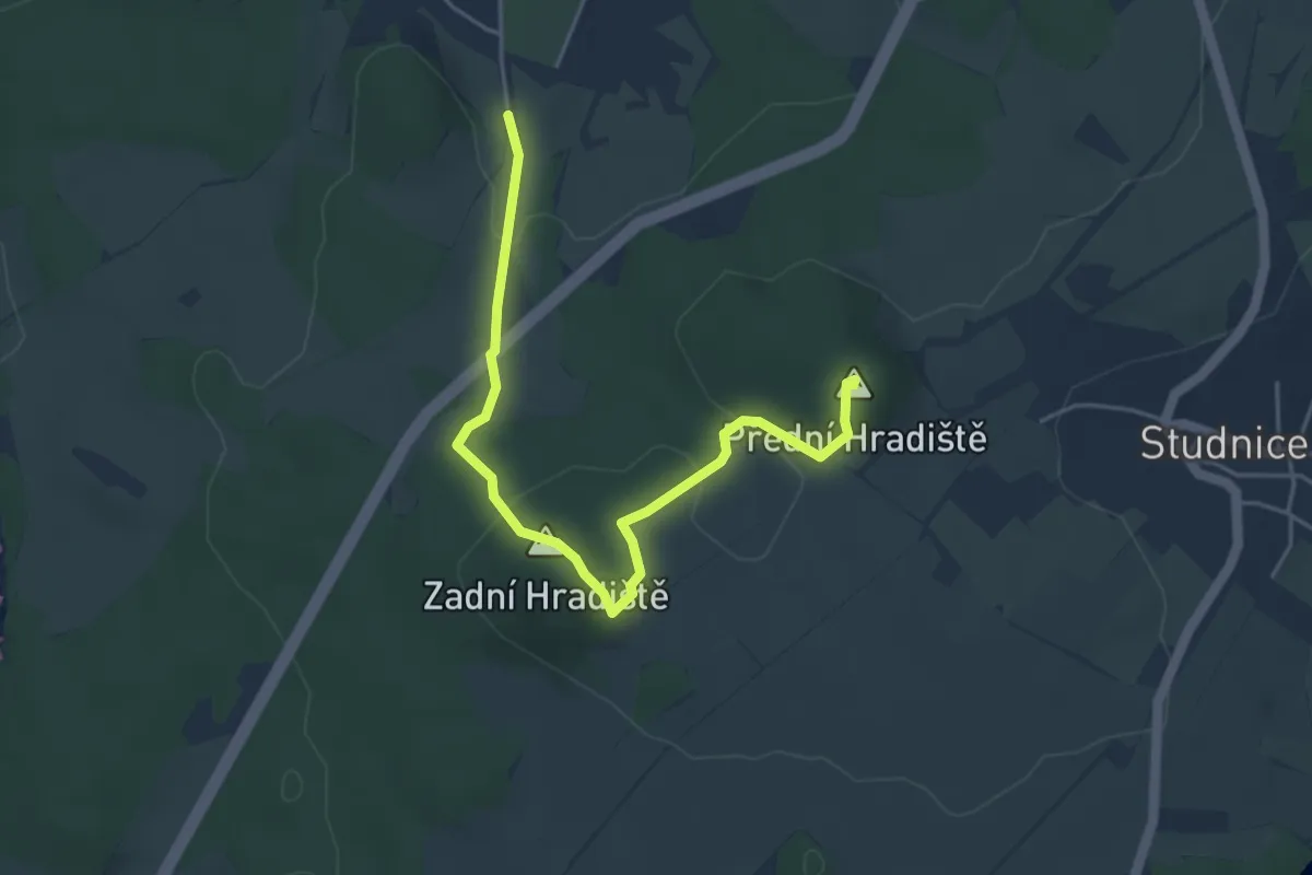
Easy · Summit
Po Martinových stopách
4.6 km · ↑ 152 m · 1 h 25 min
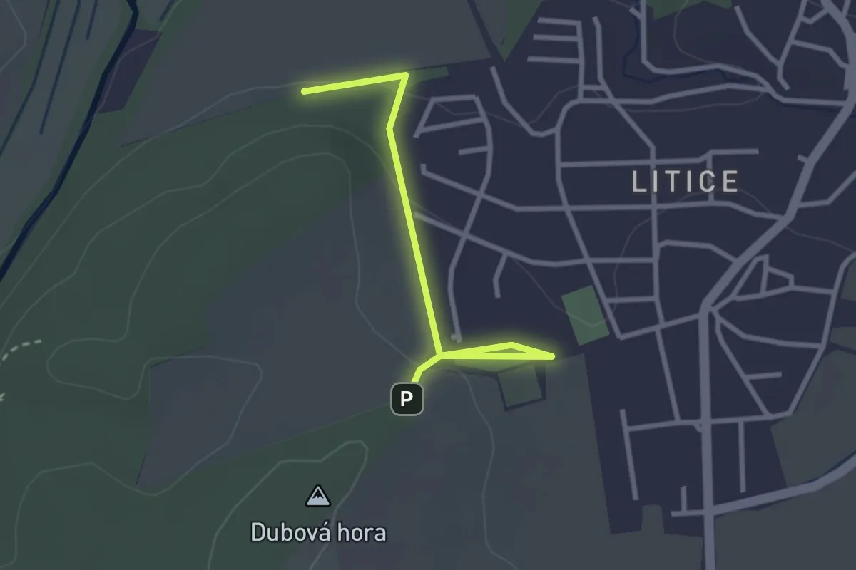
Easy · Trail
Pomologická stezka
2.5 km · ↑ 72 m · 45 min
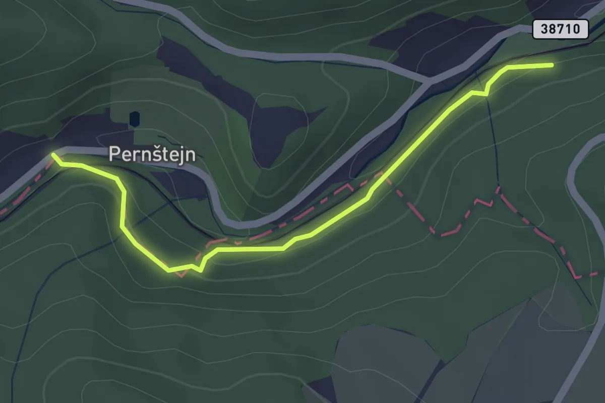
Easy · Trail
Po naučných stezkách na hrad Pernštejn I. etapa
3.0 km · ↑ 123 m · 59 min
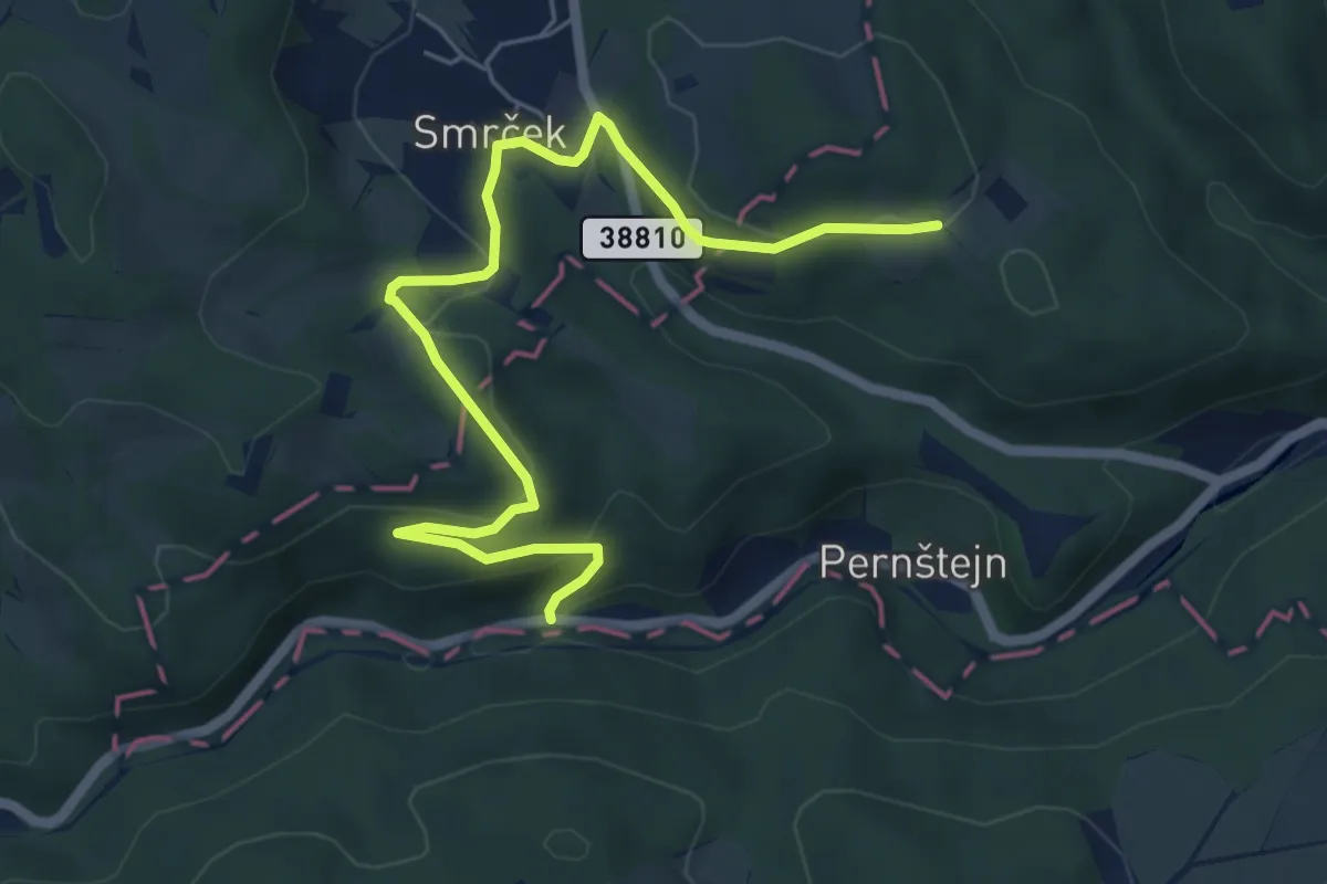
Easy · Trail
Po naučných stezkách na hrad Pernštejn II. etapa
6.2 km · ↑ 252 m · 2 h
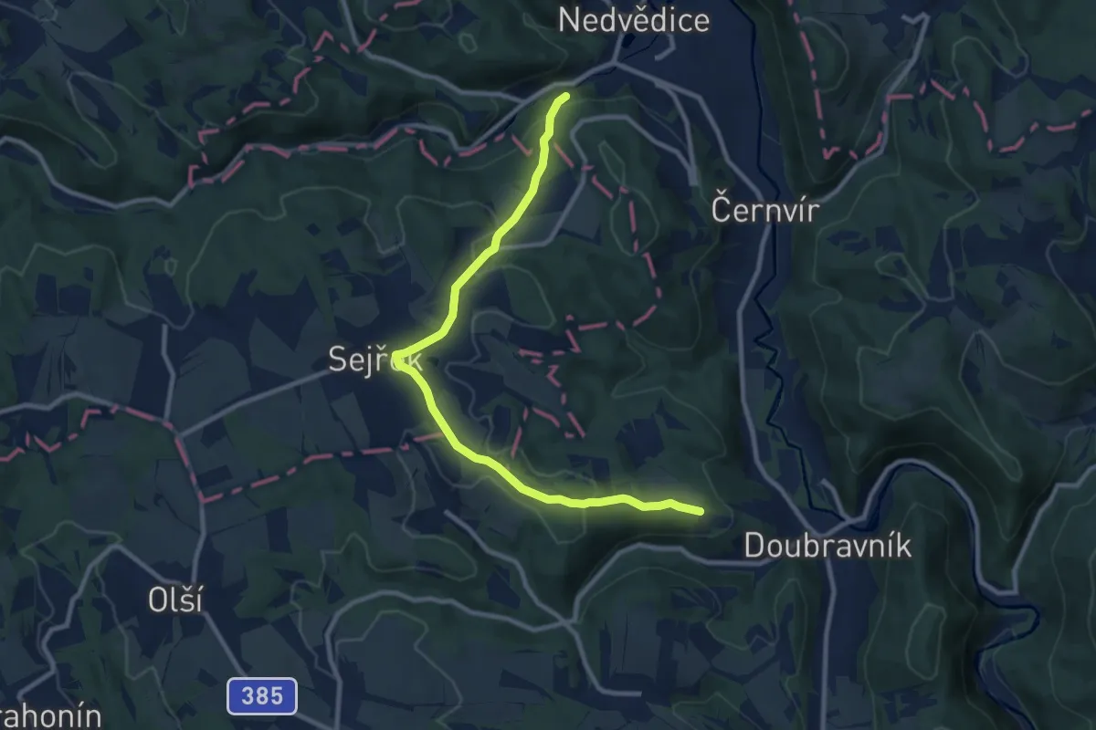
Medium · Trail
Po naučných stezkách na hrad Pernštejn III. etapa
9.7 km · ↑ 261 m · 2 h 51 min
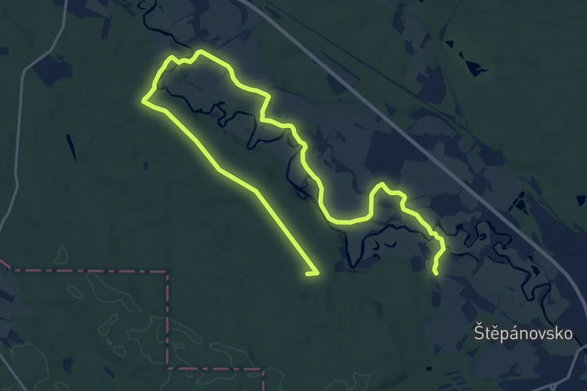
Demanding · Summit
Poorlická NS
20.7 km · ↑ 67 m · 5 h 2 min
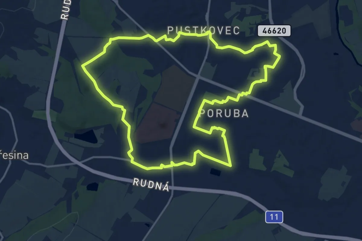
Medium · Trail
Porubou a Pustkovcem
11.2 km · ↑ 82 m · 2 h 59 min
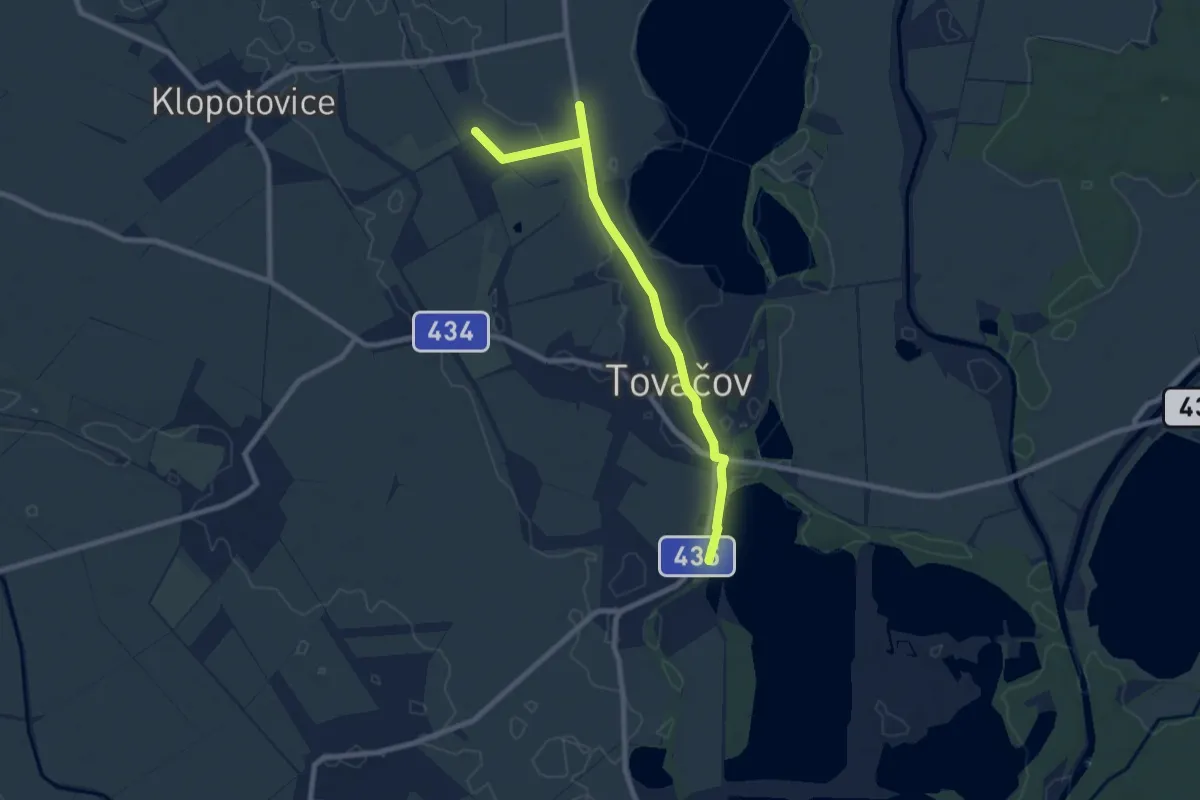
Medium · Trail
Po stopáchbitvy u Tovačova
8.2 km · ↑ 13 m · 1 h 58 min
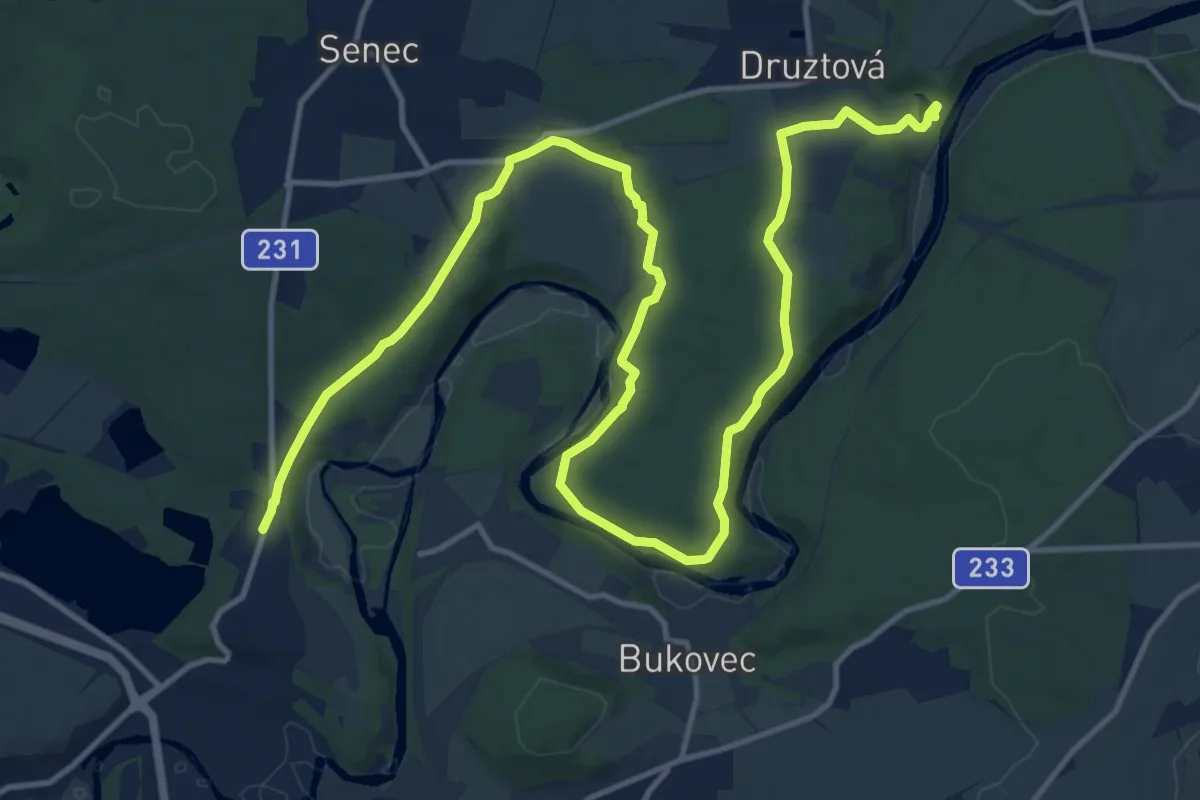
Demanding · Trail
Po stopách Františka Malocha
18.7 km · ↑ 319 m · 5 h 6 min
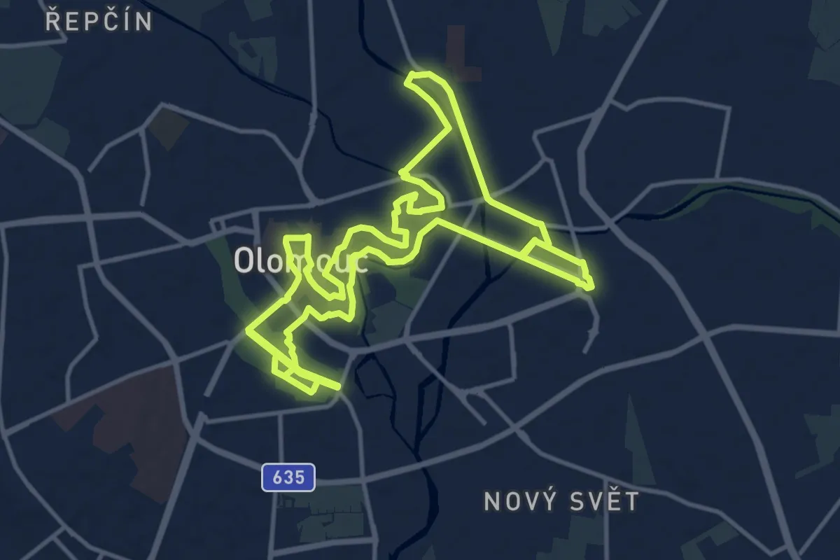
Demanding · Trail
Po stopách historie města Olomouce
24.9 km · ↑ 122 m · 6 h 8 min
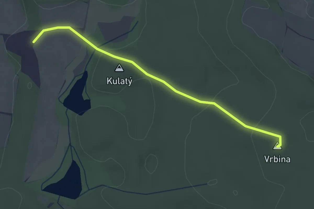
Easy · Summit
Po stopách K.J. Erbena II
3.2 km · ↑ 51 m · 52 min
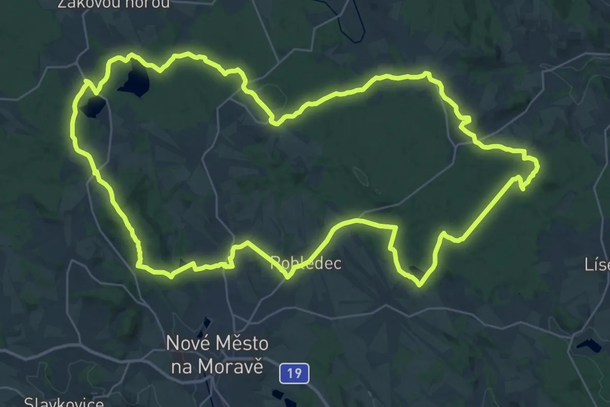
Demanding · Summit
Po stopách posledního vlka Vysočiny
30.7 km · ↑ 675 m · 9 h 9 min
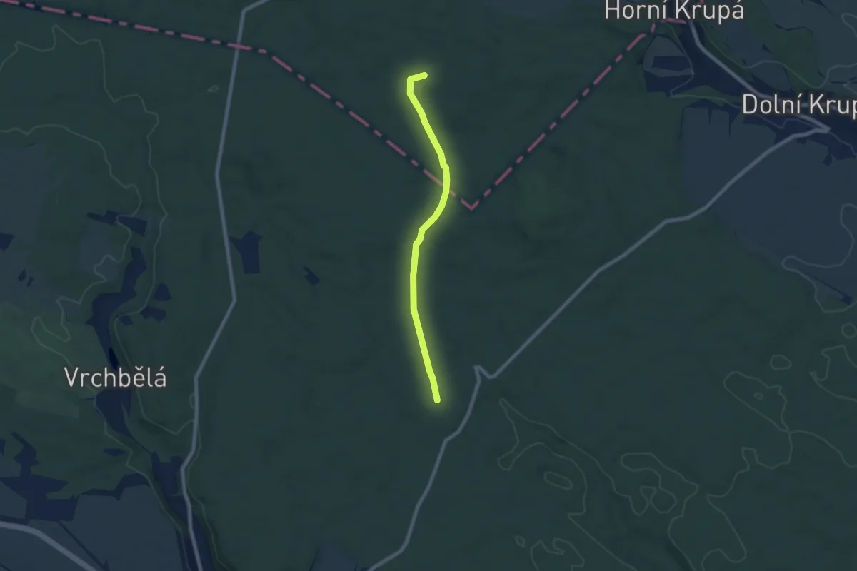
Easy · Summit
Poštovská cesta
6.0 km · ↑ 38 m · 1 h 30 min
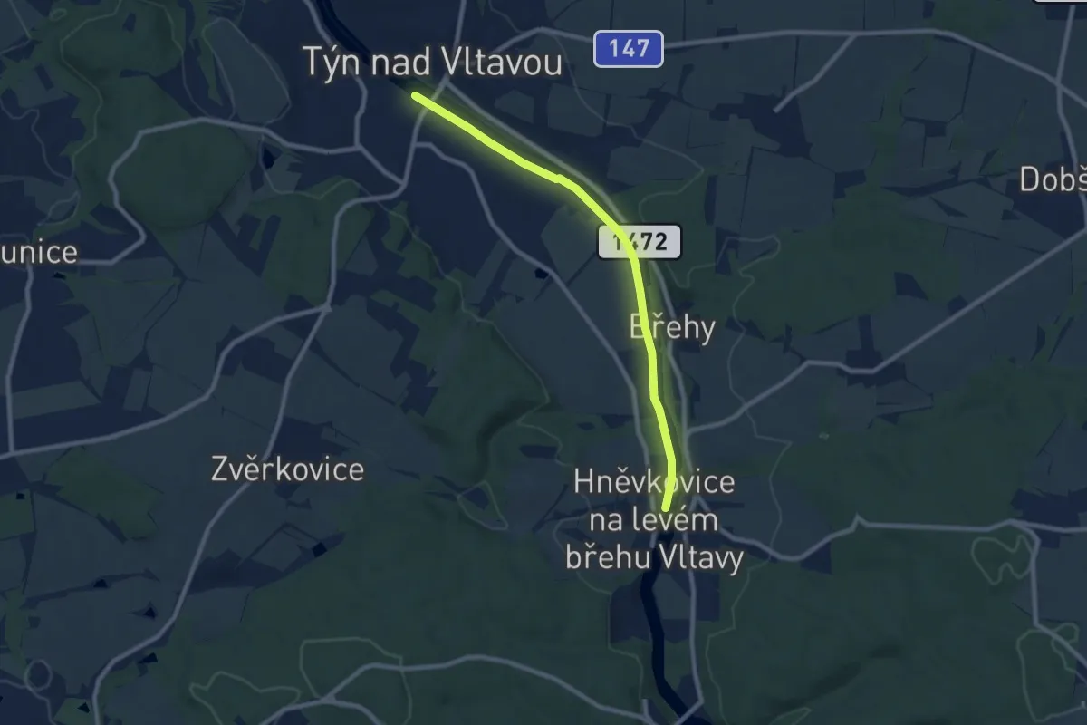
Easy · Trail
Potahová naučná stezka
7.6 km · ↑ 0 m · 1 h 47 min
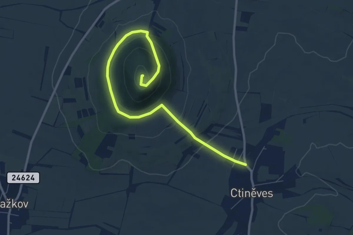
Demanding · Summit
Pouť Českého Anděla
3.8 km · ↑ 237 m · 1 h 21 min
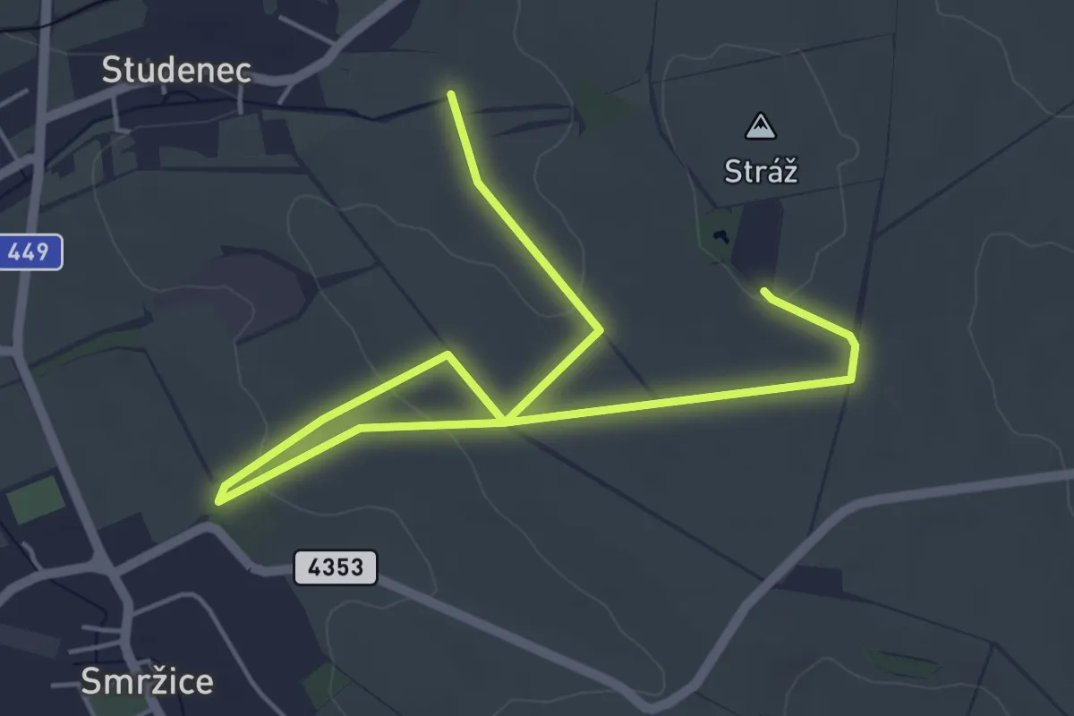
Easy · Trail
Poutní a NS Na Stráž
6.5 km · ↑ 98 m · 1 h 45 min
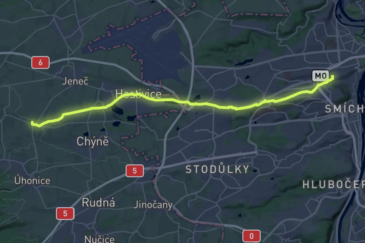
Medium · Pilgrim path
Poutní cesta Loreta – Hájek
16.2 km · ↑ 52 m · 4 h 13 min
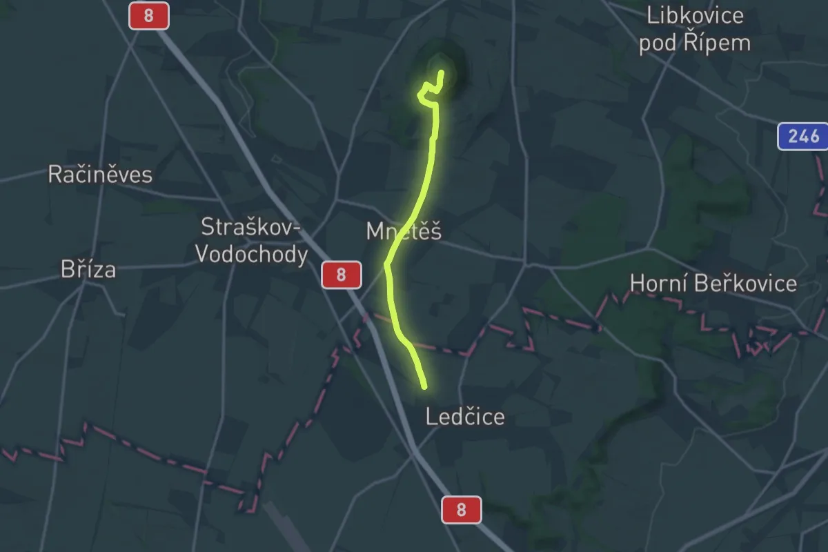
Medium · Summit
Poutní cesta Říp - Blaník
5.4 km · ↑ 238 m · 1 h 45 min
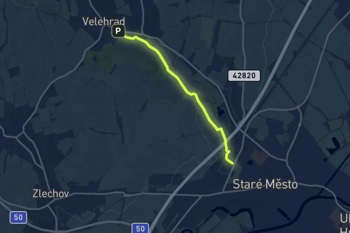
Easy · Trail
Poutní cesta růžence
8.0 km · ↑ 45 m · 1 h 59 min
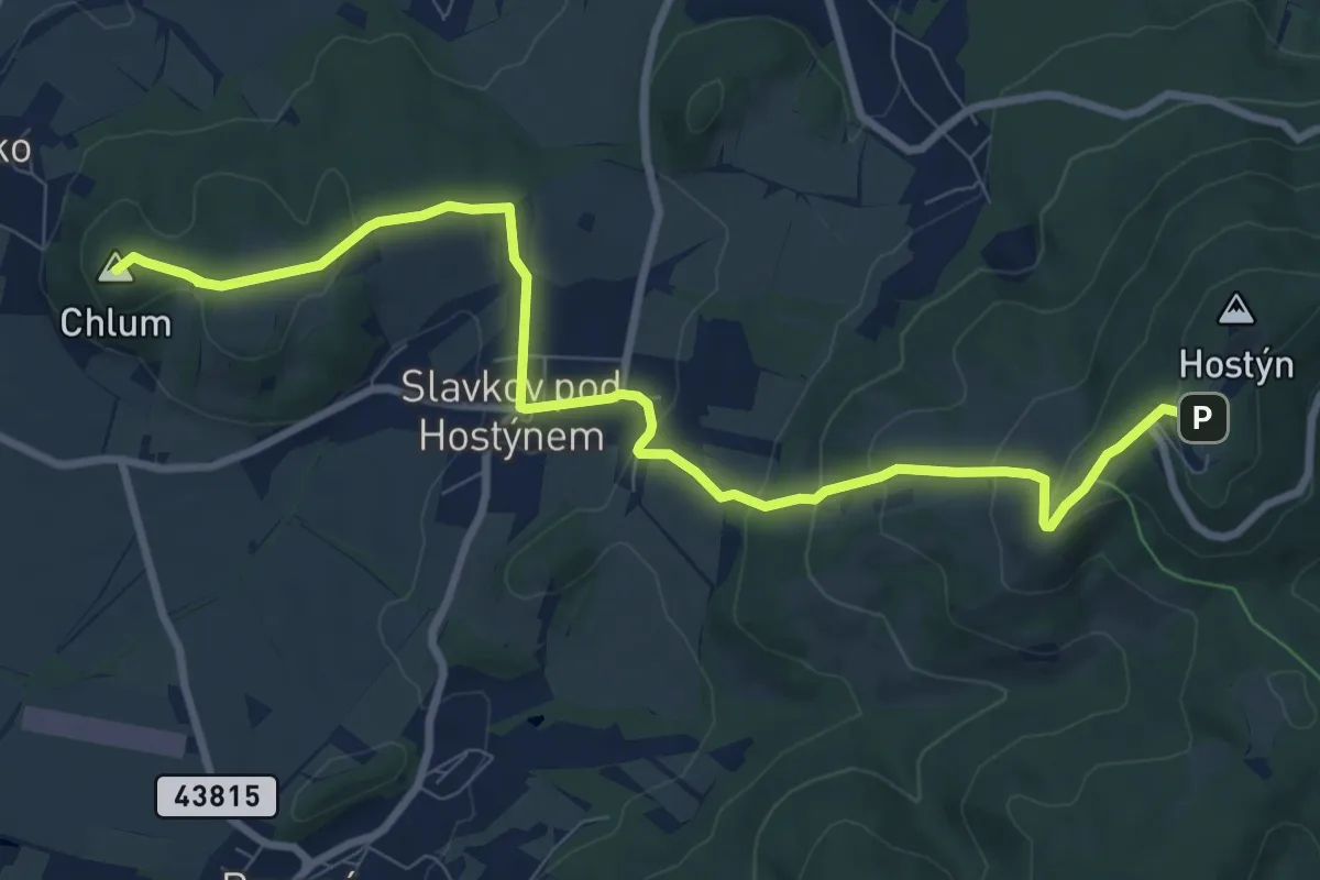
Medium · Summit
poutní cesta sv. Kopeček - sv. Hostýn
9.5 km · ↑ 457 m · 3 h 14 min
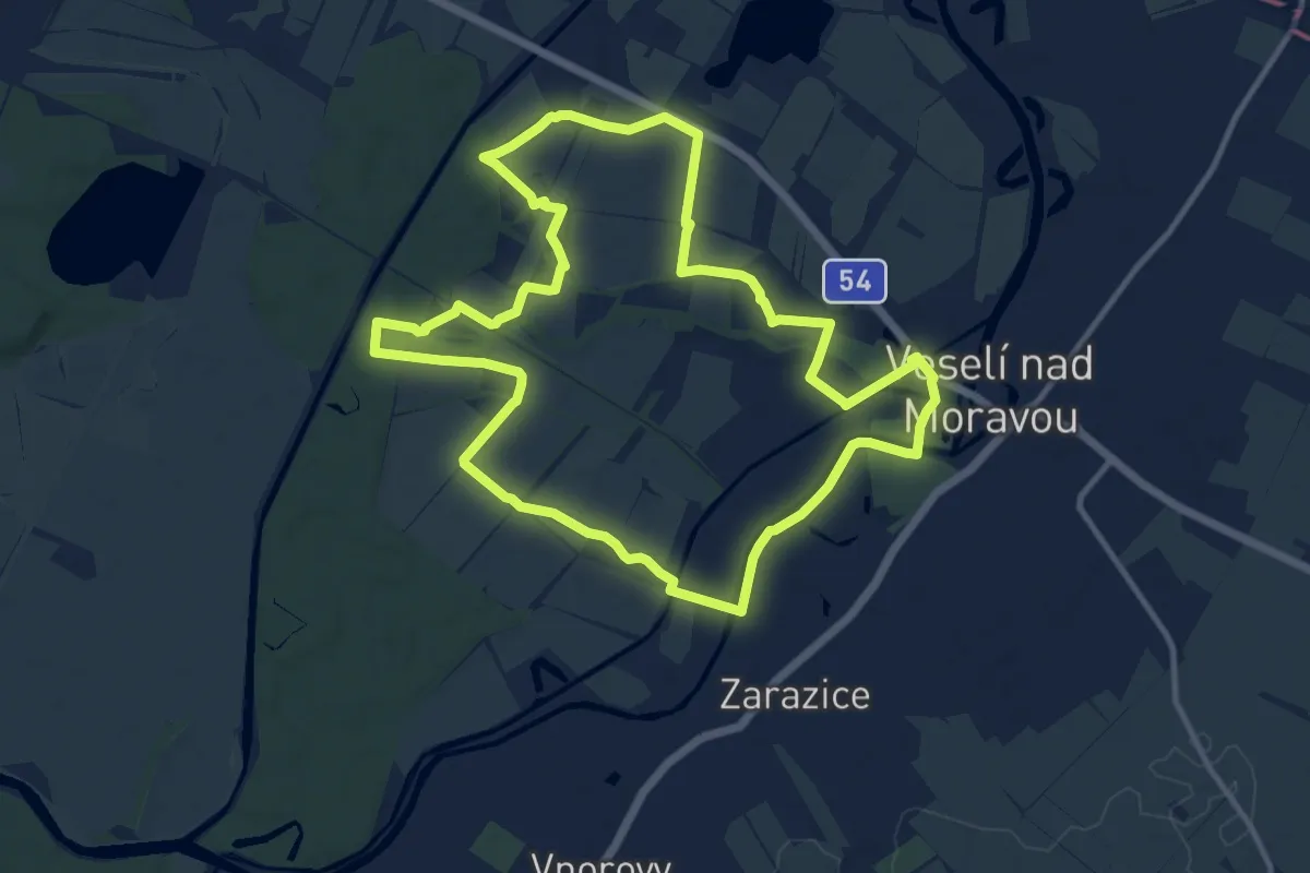
Medium · Trail
Po zapomenutých stezkách
11.7 km · ↑ 29 m · 2 h 59 min
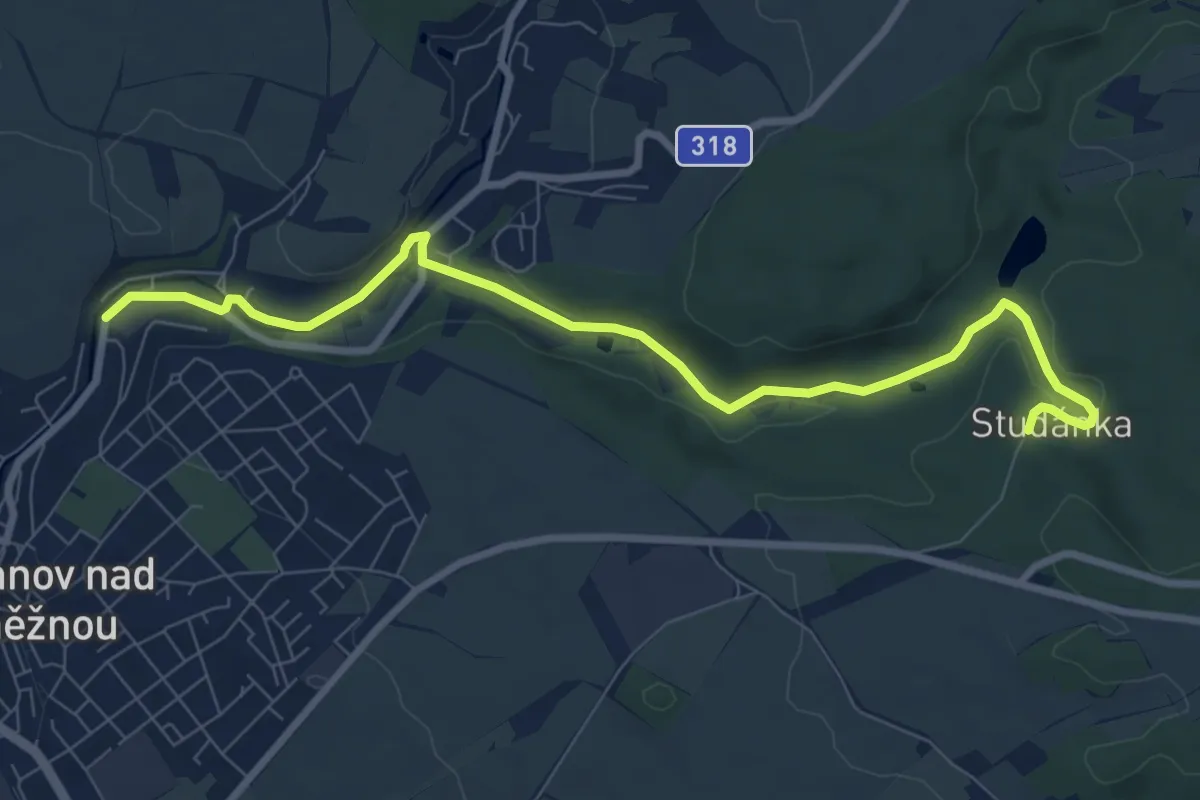
Medium · Trail
PPP Stezka
8.5 km · ↑ 94 m · 2 h 13 min
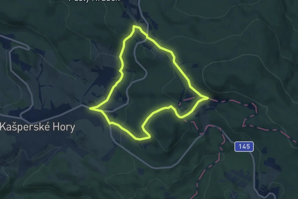
Easy · Trail
Přes Nebe a Peklo na Ždánov
6.6 km · ↑ 235 m · 2 h 10 min
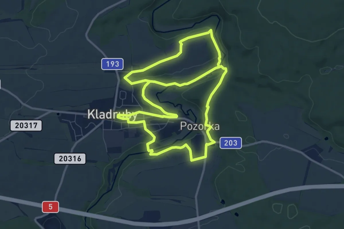
Medium · Trail
Příroda a ekosystémy v okolí Kladrub
16.4 km · ↑ 271 m · 4 h 28 min
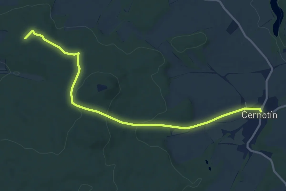
Easy · Summit
Příroda a lidé - naučná stezka na Křížový vrch
7.5 km · ↑ 168 m · 2 h 8 min
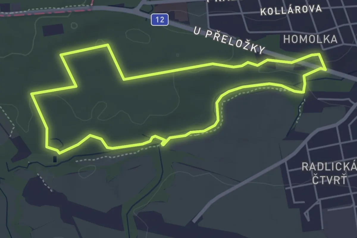
Medium · Trail
Přírodní park Škvorecká obora – Králičina
4.4 km · ↑ 32 m · 1 h 10 min
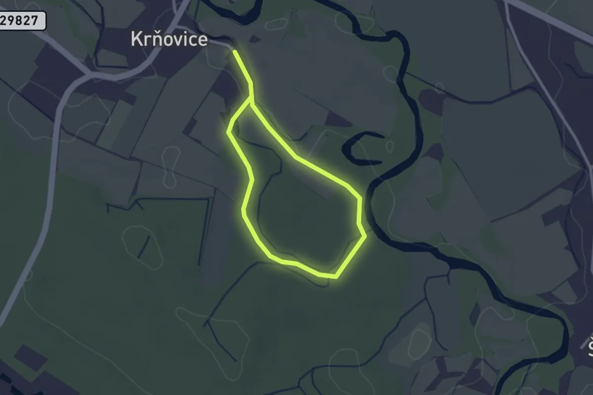
Easy · Trail
Přírodou v okolí Podorlického skanzenu v Krňovicích
3.4 km · ↑ 27 m · 52 min
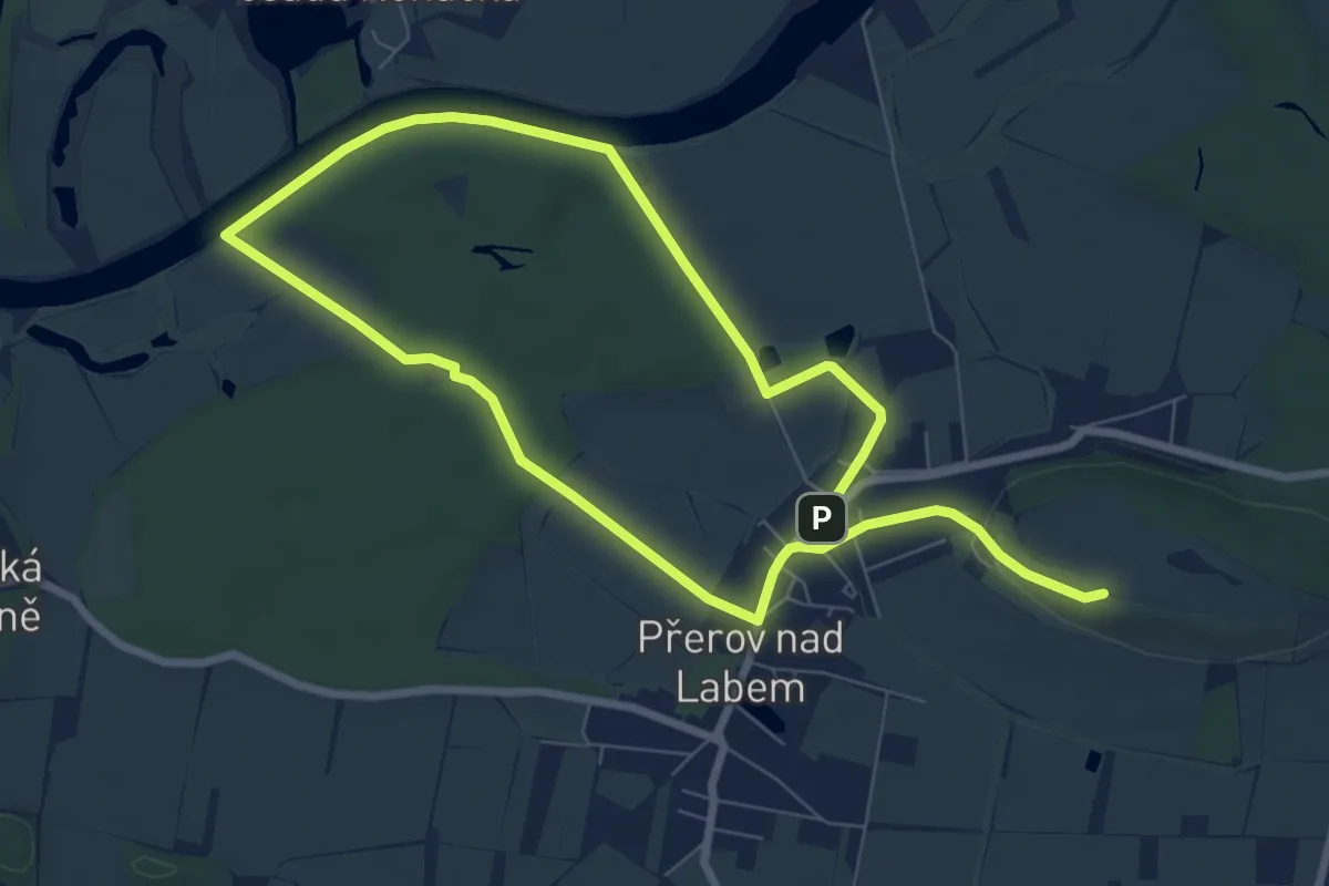
Medium · Summit
Přírodovědná NS Přerov n. L.
12.9 km · ↑ 106 m · 3 h 17 min
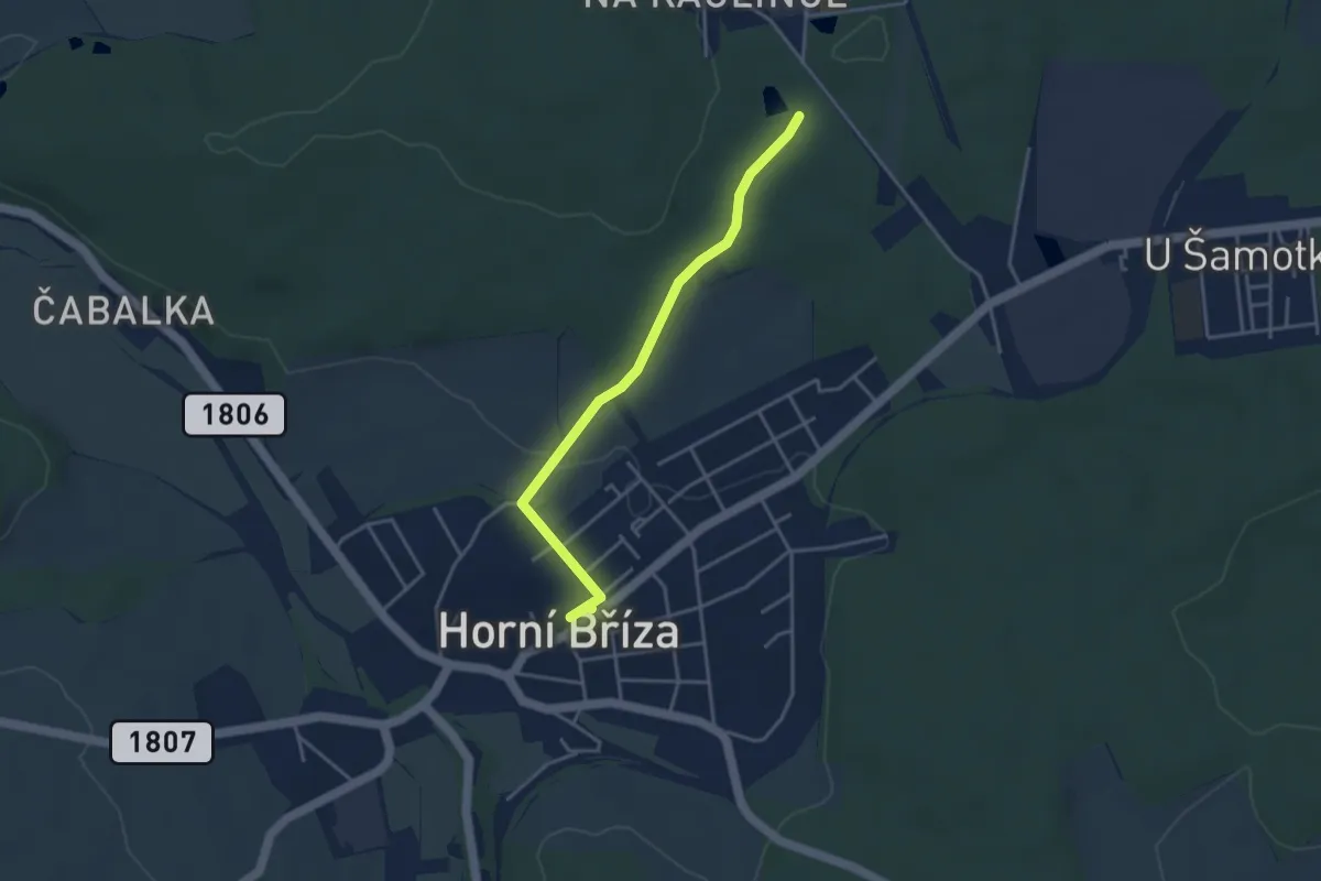
Easy · Trail
Přírodovědná stezka Horní Bříza
3.5 km · ↑ 46 m · 56 min
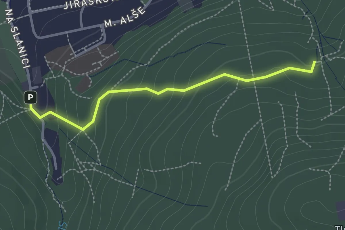
Easy · Trail
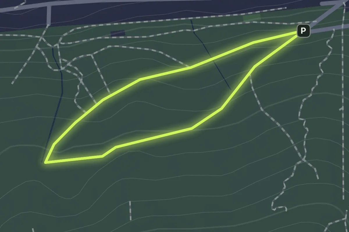
přístupová trasa A
2.4 km · ↑ 123 m · 50 min
Easy · Trail
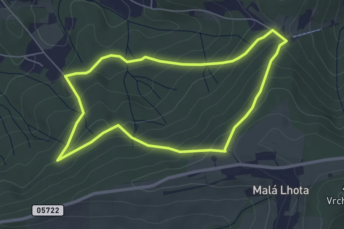
přístupová trasa C
1.2 km · ↑ 50 m · 24 min
Easy · Trail
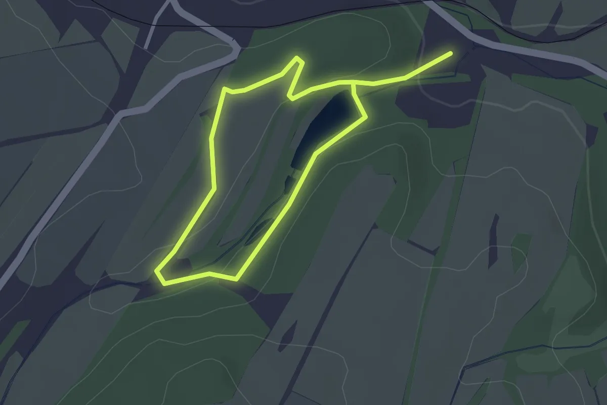
Procházka historií městských lesů
4.3 km · ↑ 202 m · 1 h 30 min
Easy · Trail
Procházka parkem za ATC Budišov
4.1 km · ↑ 68 m · 1 h 7 min
Easy · Trail
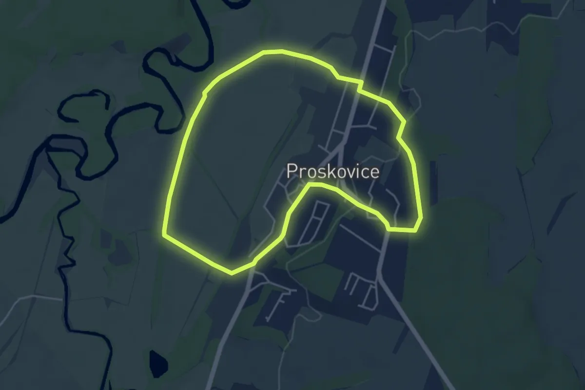
Proskovický okruh
3.9 km · ↑ 47 m · 1 h 5 min
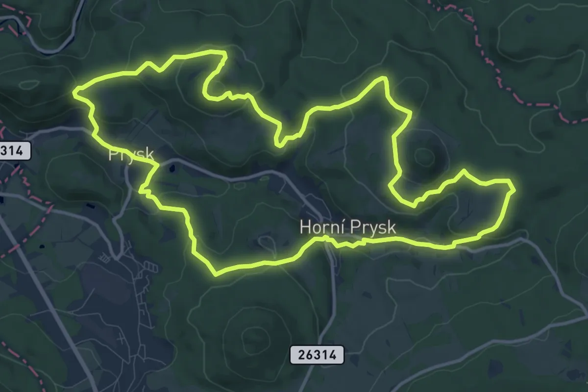
Medium · Summit
Pryskovský okruh
11.2 km · ↑ 369 m · 3 h 36 min
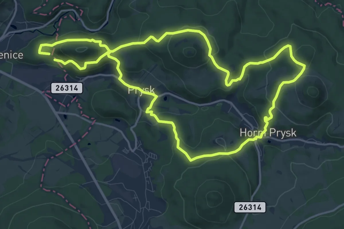
Medium · Summit
Pryskovský okruh
10.8 km · ↑ 448 m · 3 h 39 min
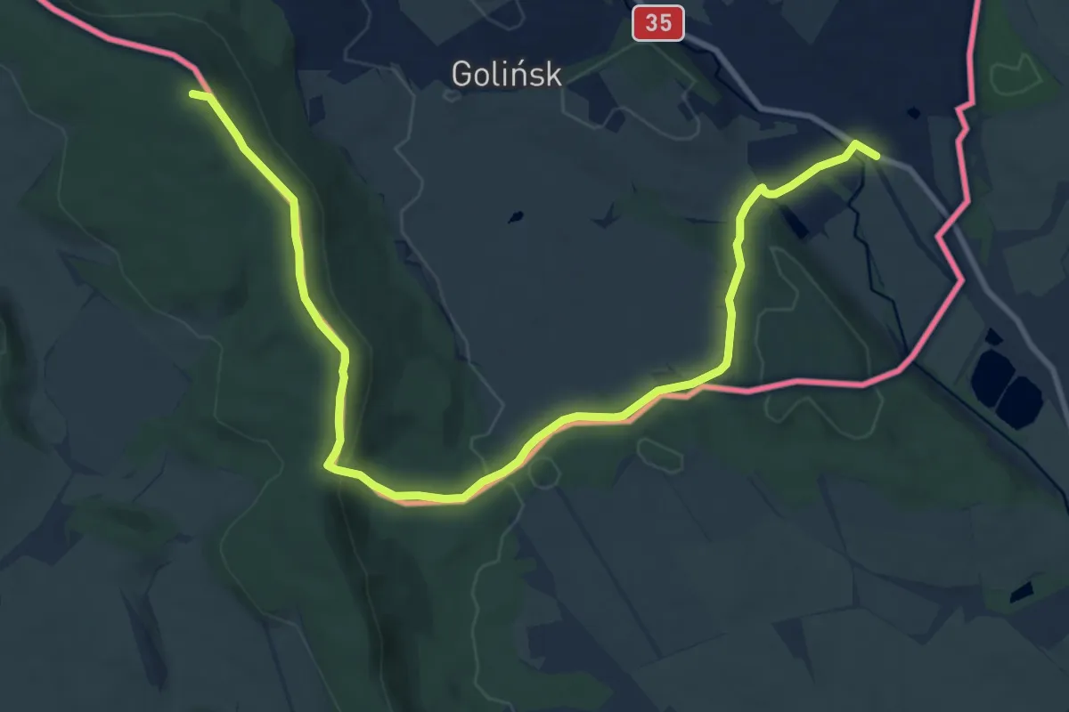
Medium · Summit
Przejście graniczne Zdoňov – Golińsk
11.2 km · ↑ 243 m · 3 h 10 min
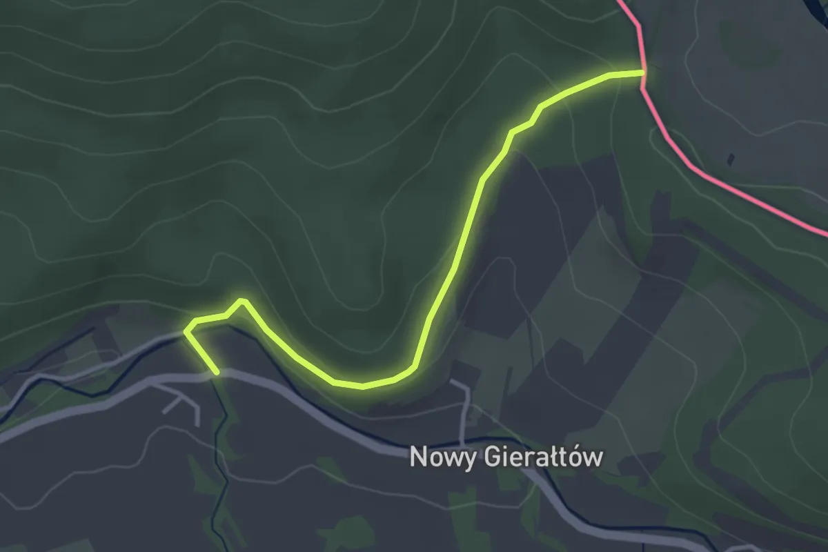
Easy · Trail
Przełęcz Sucha - Przełęcz Gierałtowska
3.1 km · ↑ 99 m · 57 min