Trails in Czech Republic
4,056 hiking trails, each with its route, climb, walking time and grade.
All trails, page 47 of 85
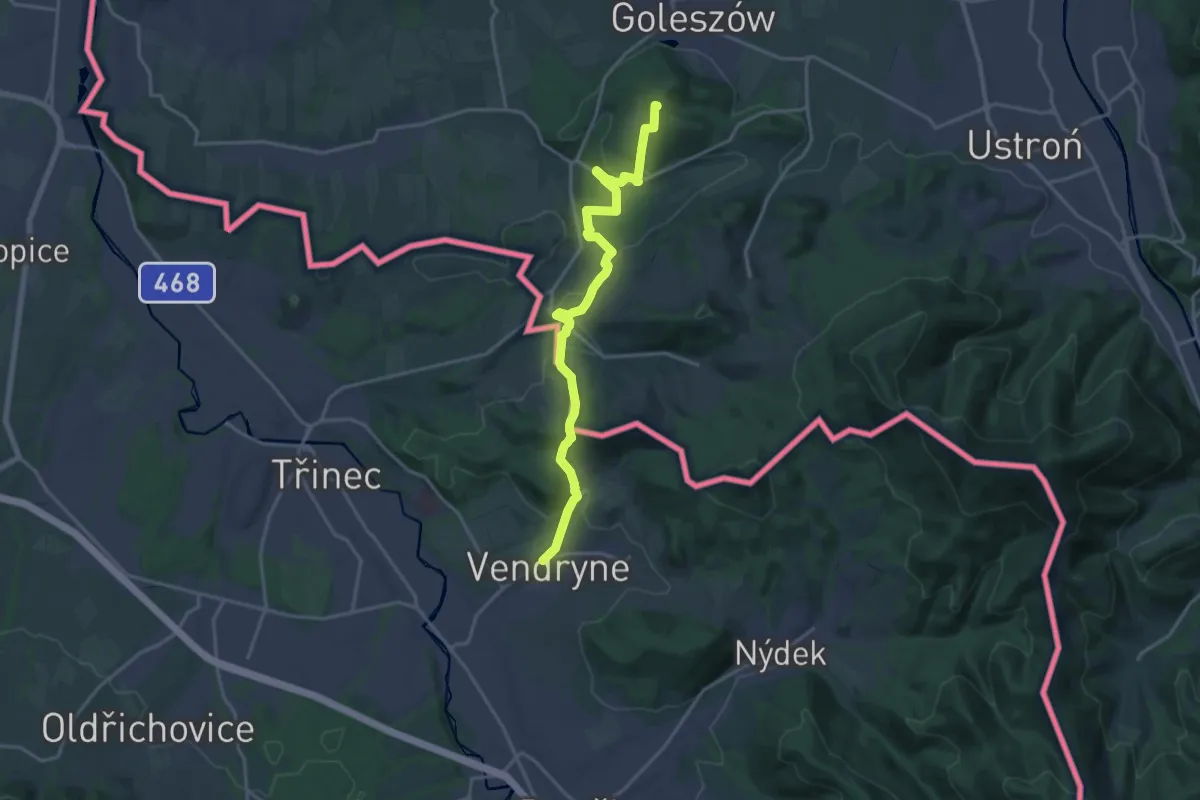
Medium · Summit
Przyroda nie zna granic / Přiroda nezná hranic
17.9 km · ↑ 576 m · 5 h 28 min
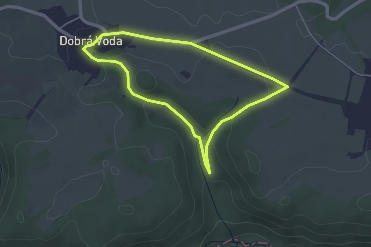
Easy · Trail
Ptačí NS
3.1 km · ↑ 64 m · 55 min
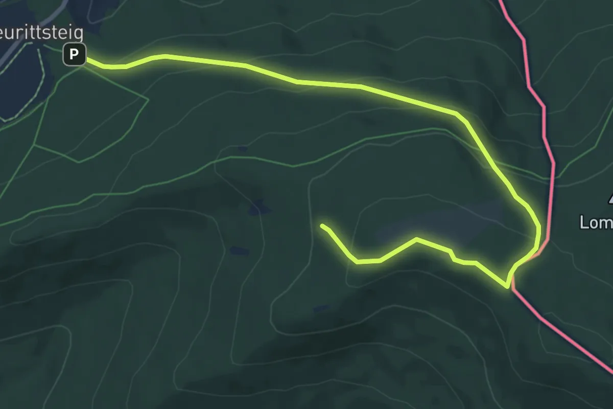
Easy · Trail
R 4 »Wasserscheidenweg«
4.3 km · ↑ 296 m · 1 h 36 min
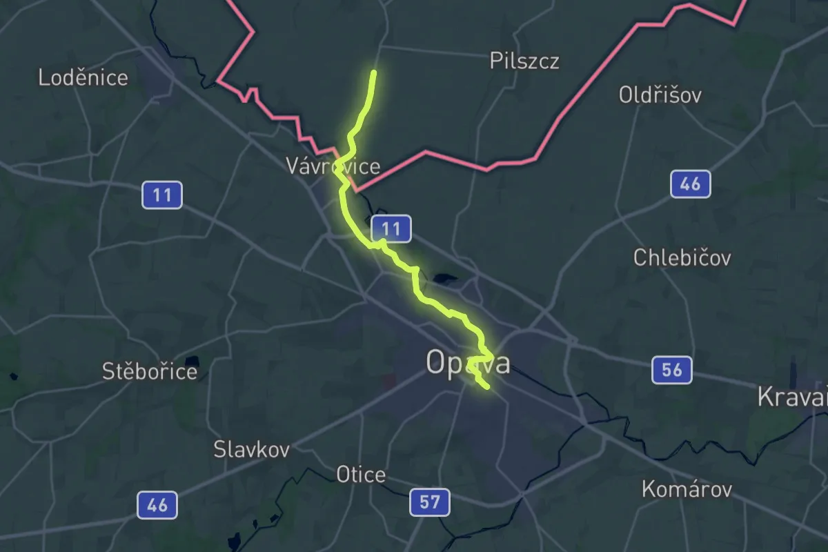
Medium · Pilgrim path
Raciborska Droga św. Jakuba
10.0 km · ↑ 40 m · 2 h 34 min
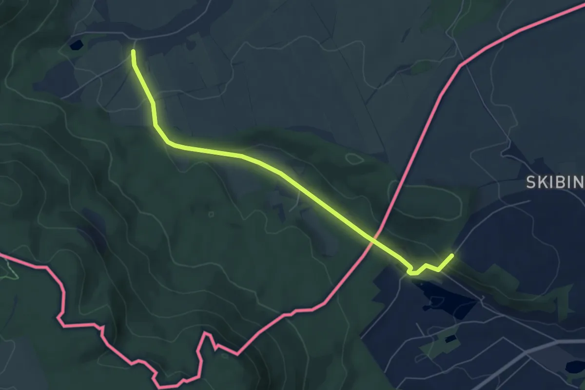
Easy · Summit
Radków - Božanov
6.2 km · ↑ 135 m · 1 h 45 min
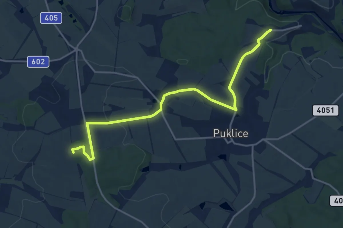
Medium · Summit
Rancířov - Puklice - Nad Petrovicemi
10.9 km · ↑ 197 m · 3 h
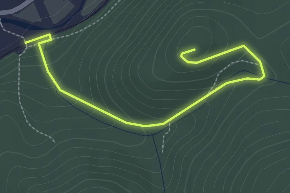
Easy · Trail
Raskow- Novy Hrad_yellow
2.6 km · ↑ 137 m · 55 min
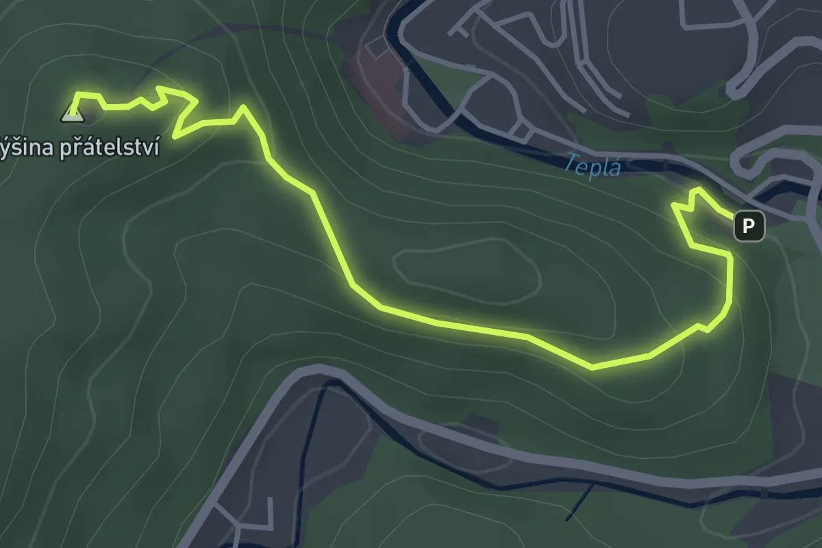
Easy · Summit
Red Square 17
4.0 km · ↑ 156 m · 1 h 17 min
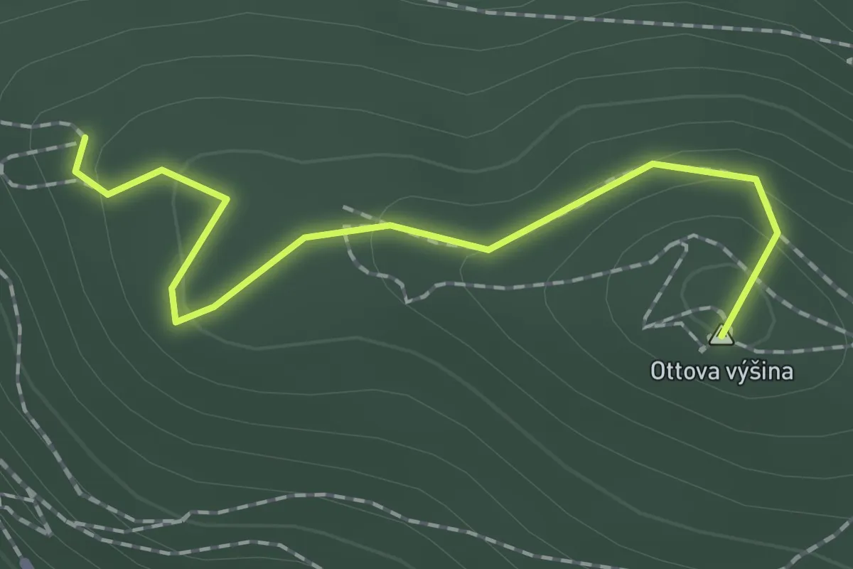
Easy · Summit
Red Square C2
1.7 km · ↑ 72 m · 33 min
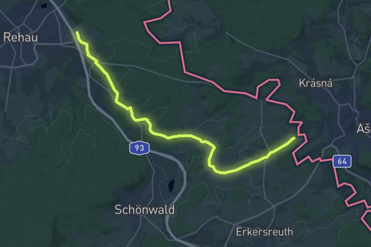
Demanding · Trail
Rehau - Prexhäuser
21.2 km · ↑ 414 m · 5 h 54 min
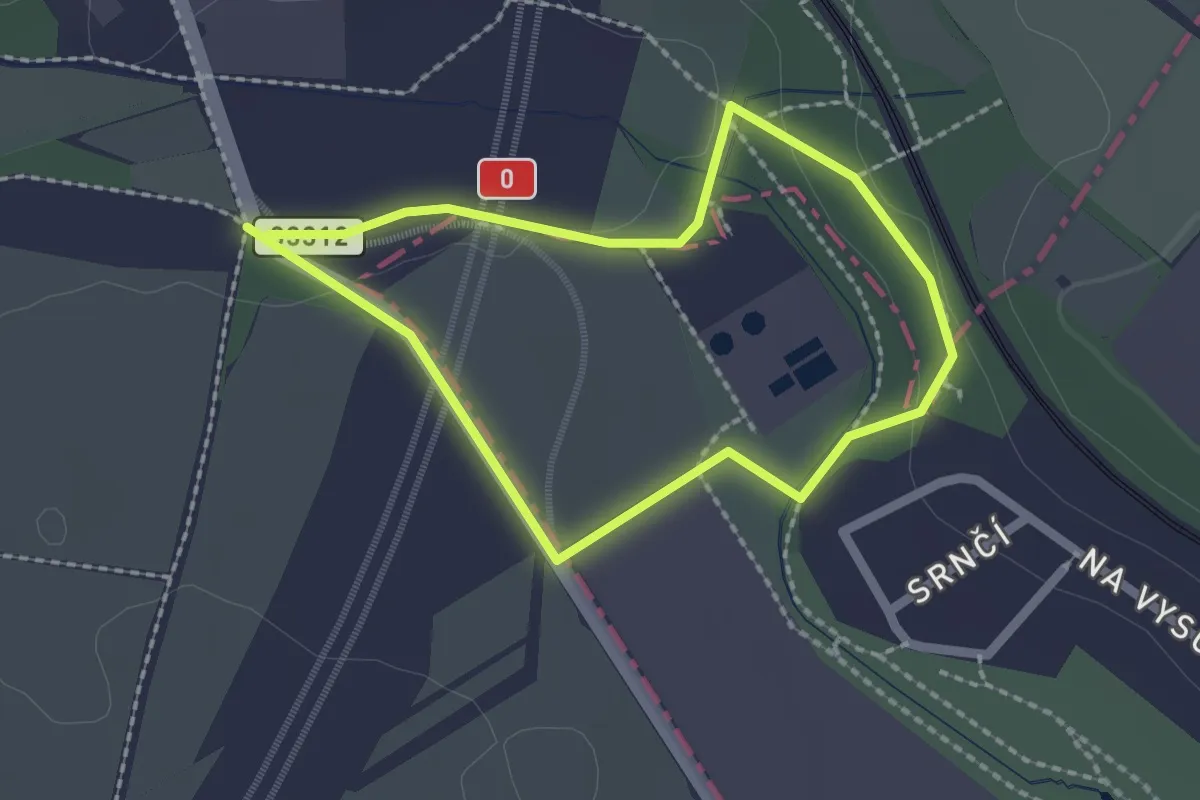
Easy · Trail
Říčanský okruh
1.7 km · ↑ 19 m · 28 min
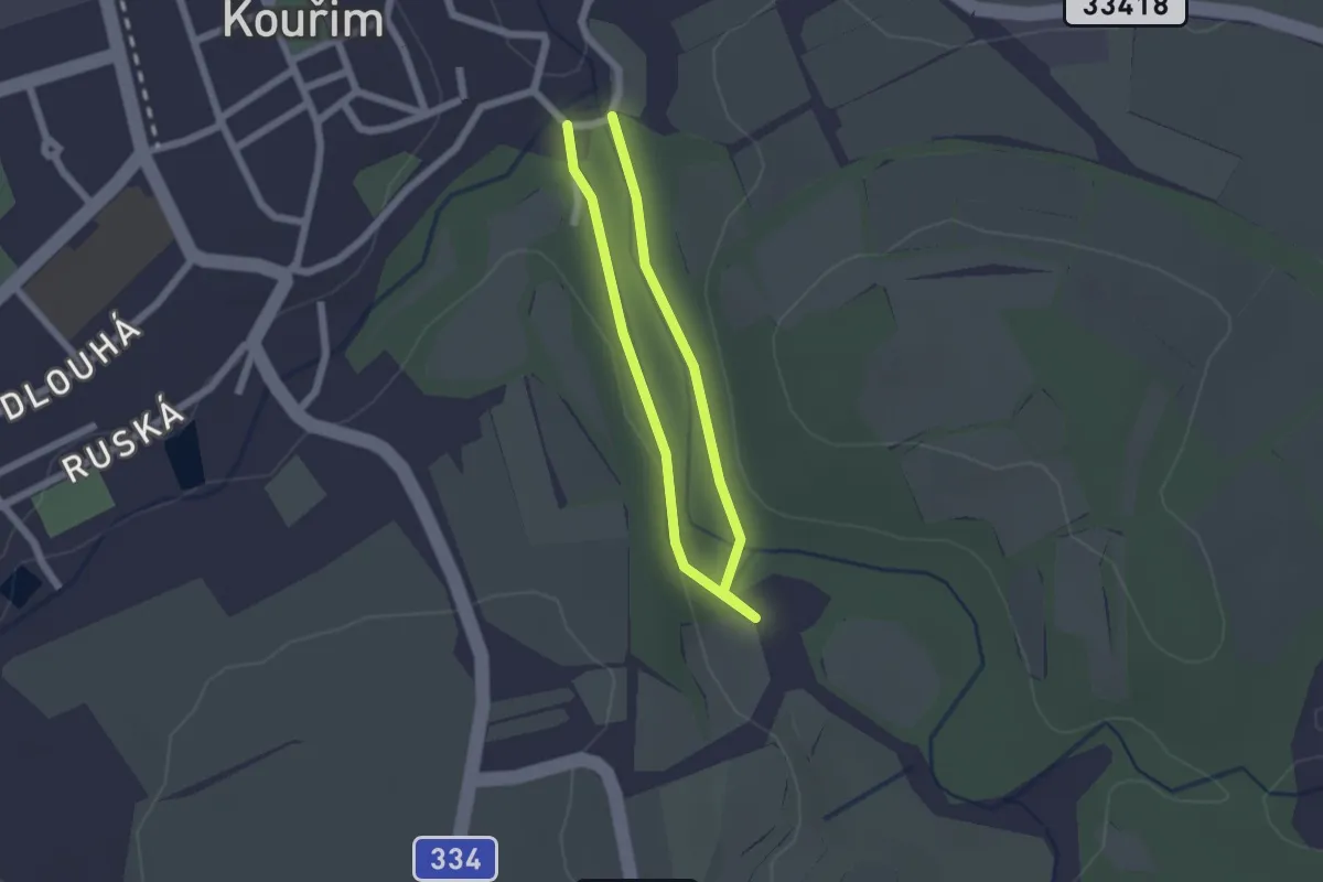
Easy · Trail
Rodinný okruh
1.4 km · ↑ 17 m · 23 min
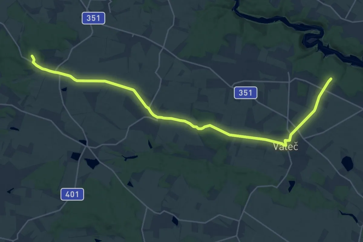
Demanding · Summit
Rodištěm Jana Kubiše
23.6 km · ↑ 265 m · 6 h 9 min
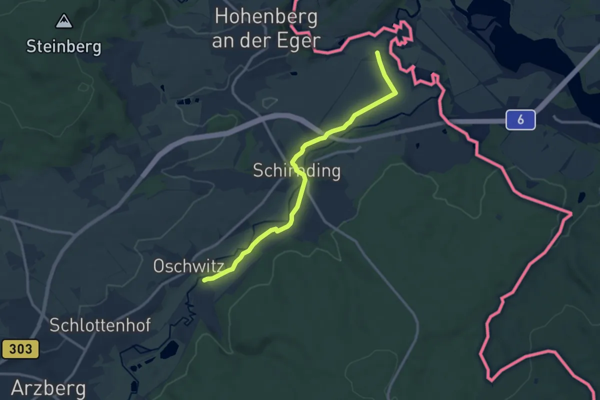
Medium · Trail
Röslauweg
8.6 km · ↑ 56 m · 2 h 10 min
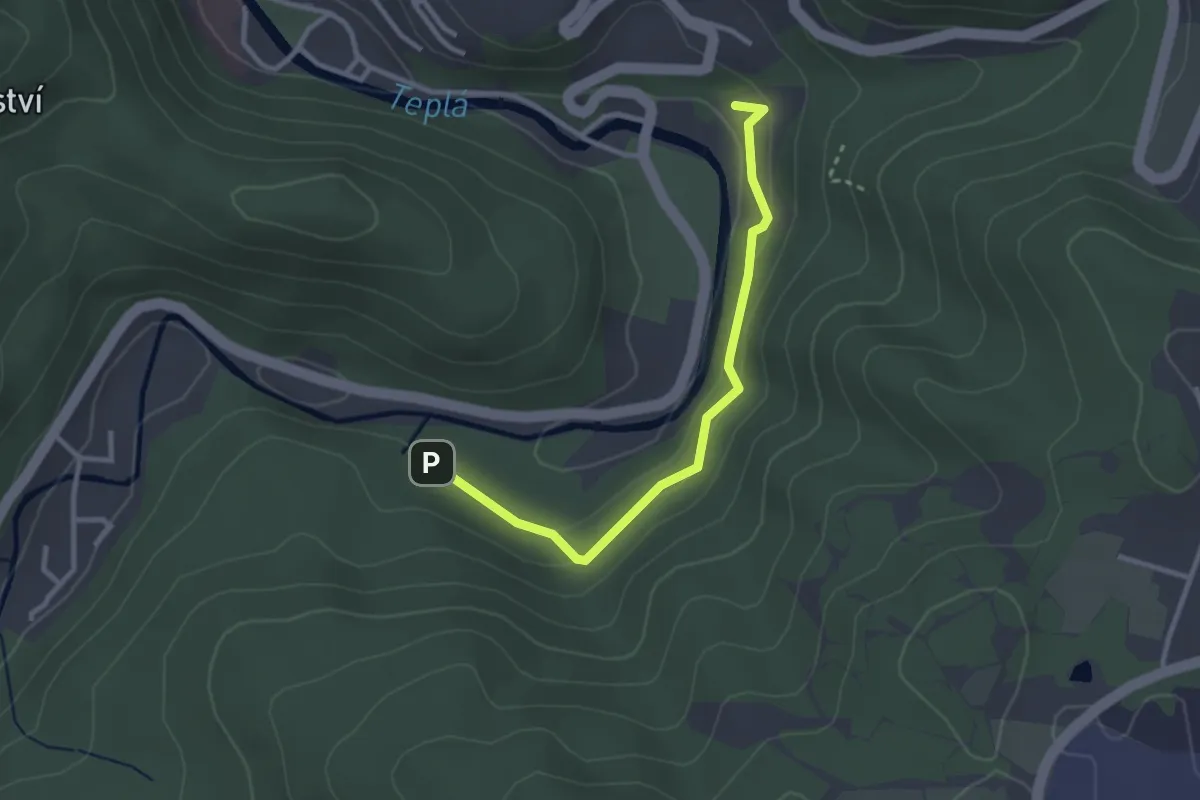
Easy · Trail
Round green 1
2.6 km · ↑ 108 m · 51 min
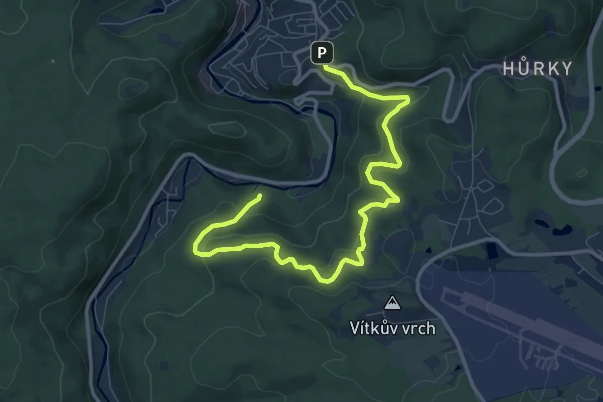
Medium · Trail
Round Red 15
9.0 km · ↑ 399 m · 3 h
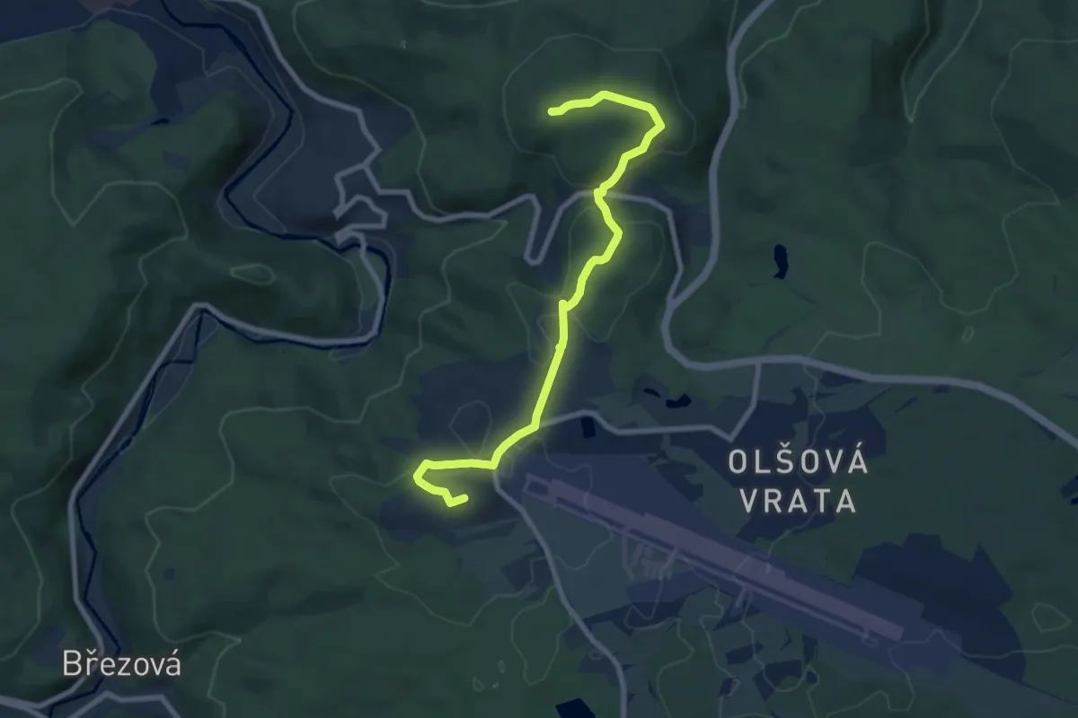
Easy · Summit
Round Red 18
7.4 km · ↑ 157 m · 2 h 5 min
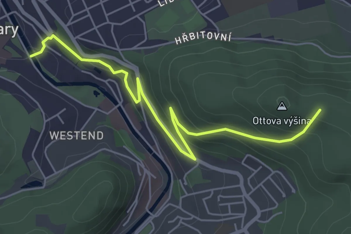
Easy · Summit
Round Red 19
5.2 km · ↑ 248 m · 1 h 46 min
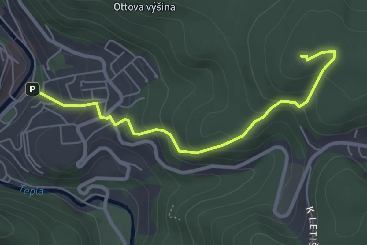
Easy · Trail
Round Red 19
4.4 km · ↑ 250 m · 1 h 35 min
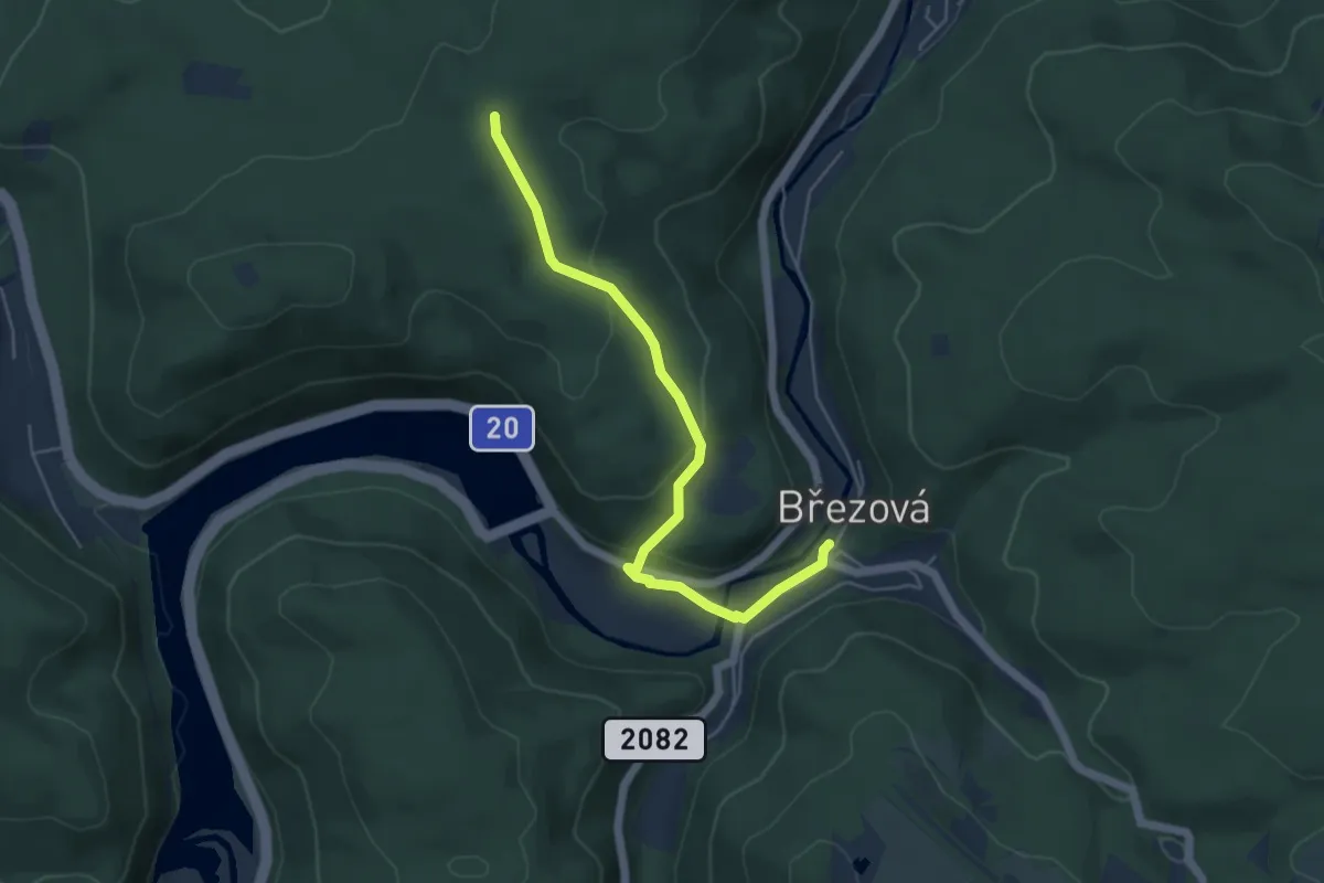
Easy · Trail
Round Red 20
4.8 km · ↑ 156 m · 1 h 28 min
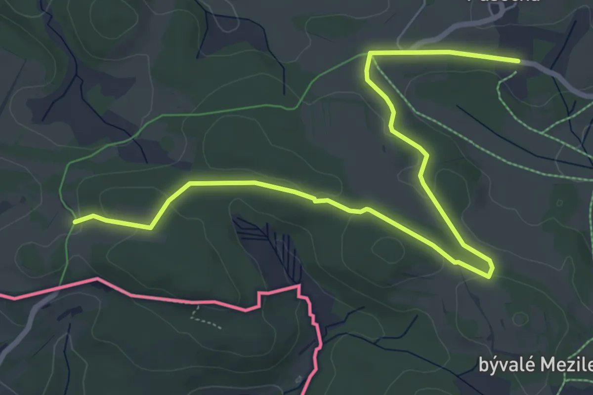
Easy · Trail
Rožnov - Pasečná
7.1 km · ↑ 203 m · 2 h 7 min
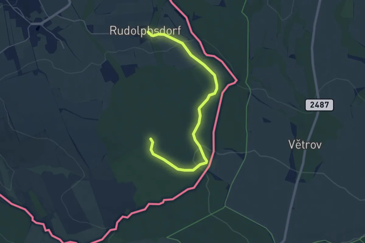
Easy · Trail
Rudolfsdorfer Rundweg
2.6 km · ↑ 13 m · 43 min
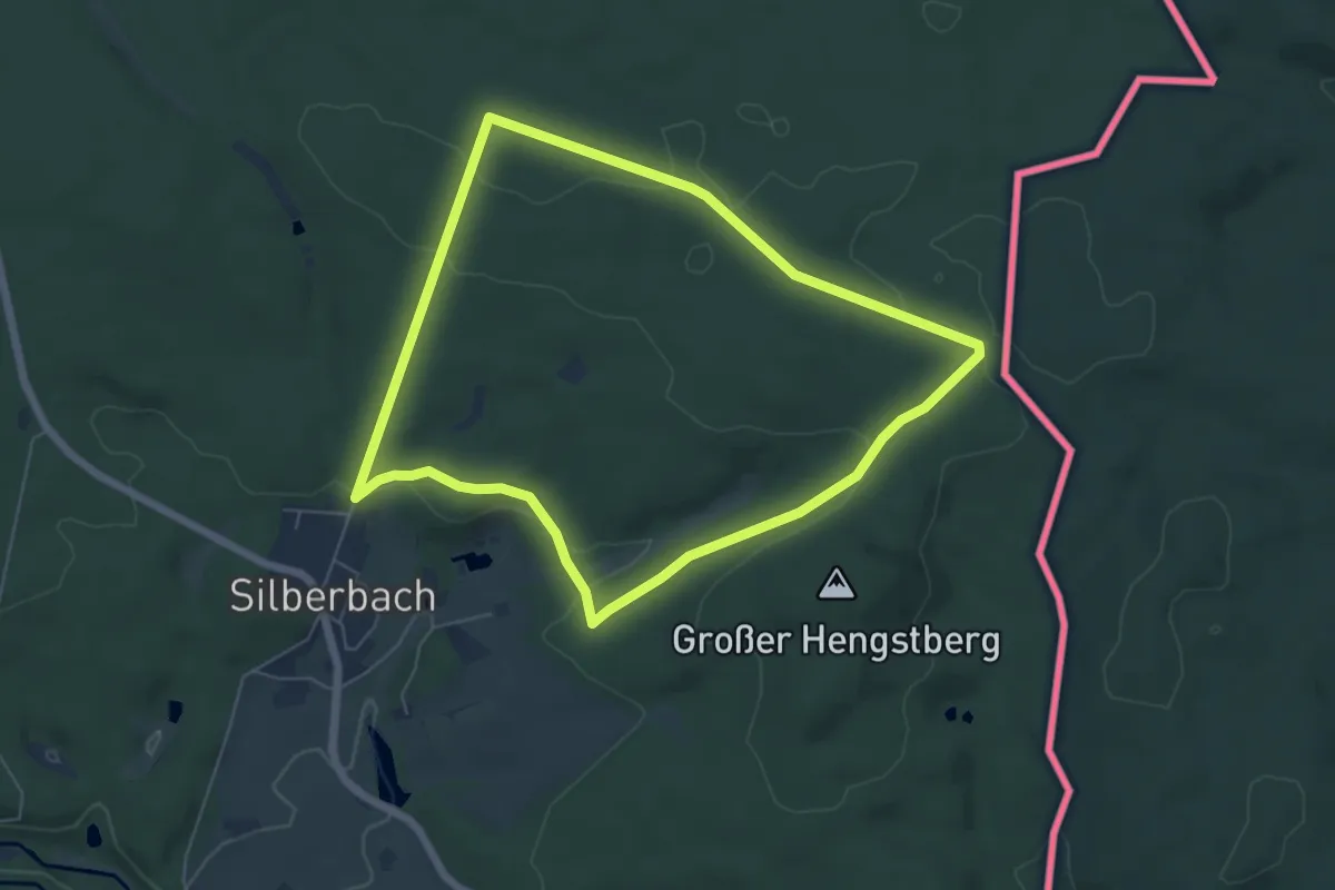
Easy · Trail
Rundwanderweg
5.4 km · ↑ 89 m · 1 h 33 min
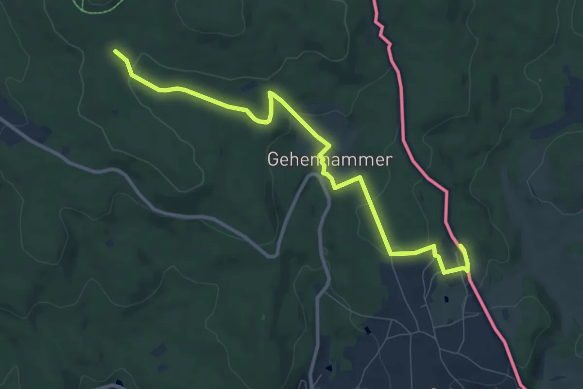
Medium · Trail
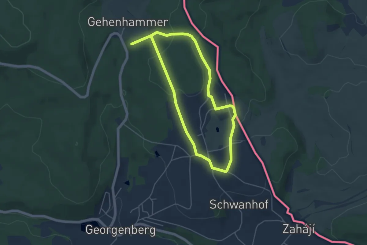
Rundwanderweg 1 - Teilabschnitt auf deutscher Seite: Neudorf - Havran
8.1 km · ↑ 225 m · 2 h 24 min
Easy · Trail
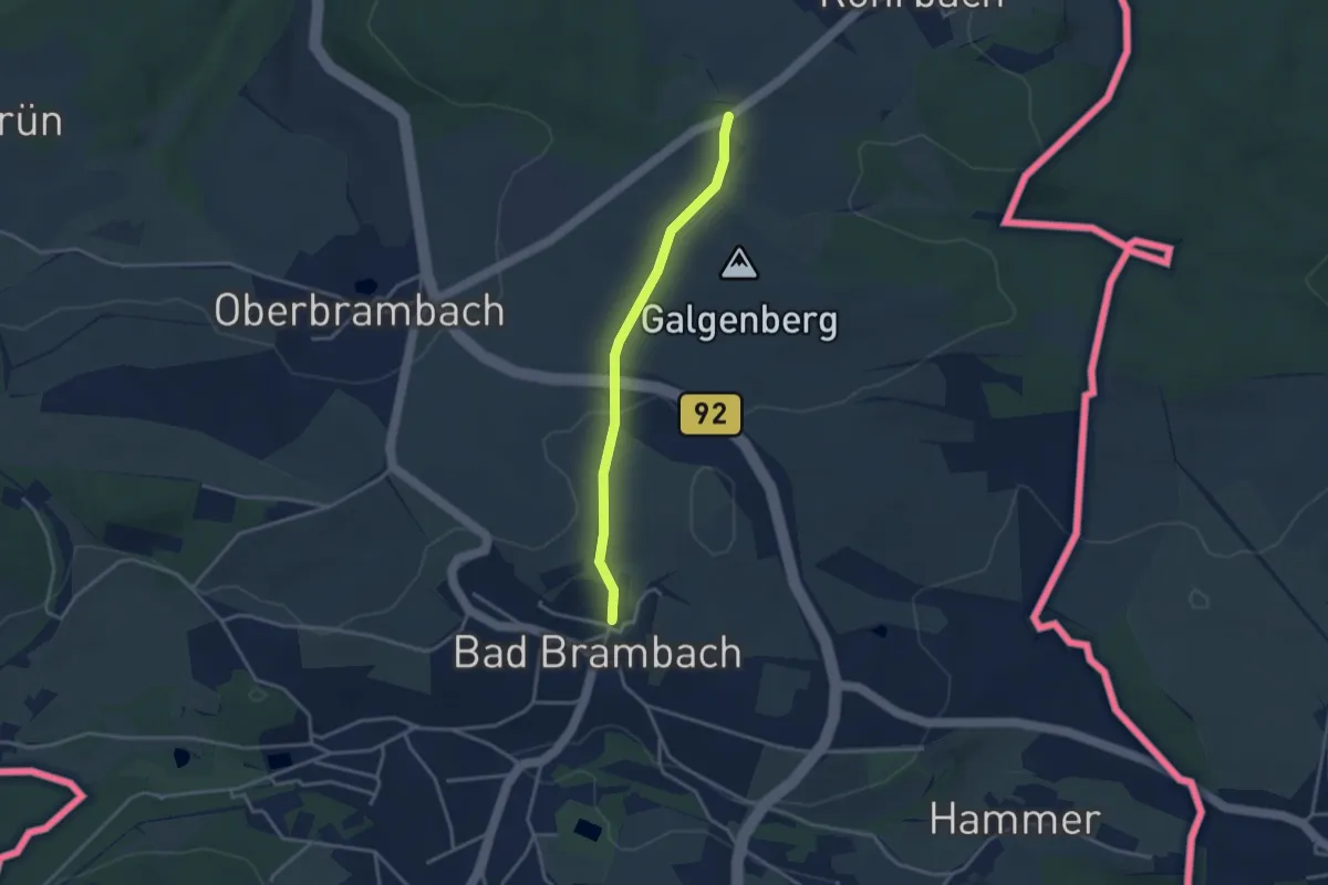
Rundwanderweg 6
3.6 km · ↑ 94 m · 1 h 5 min
Easy · Trail
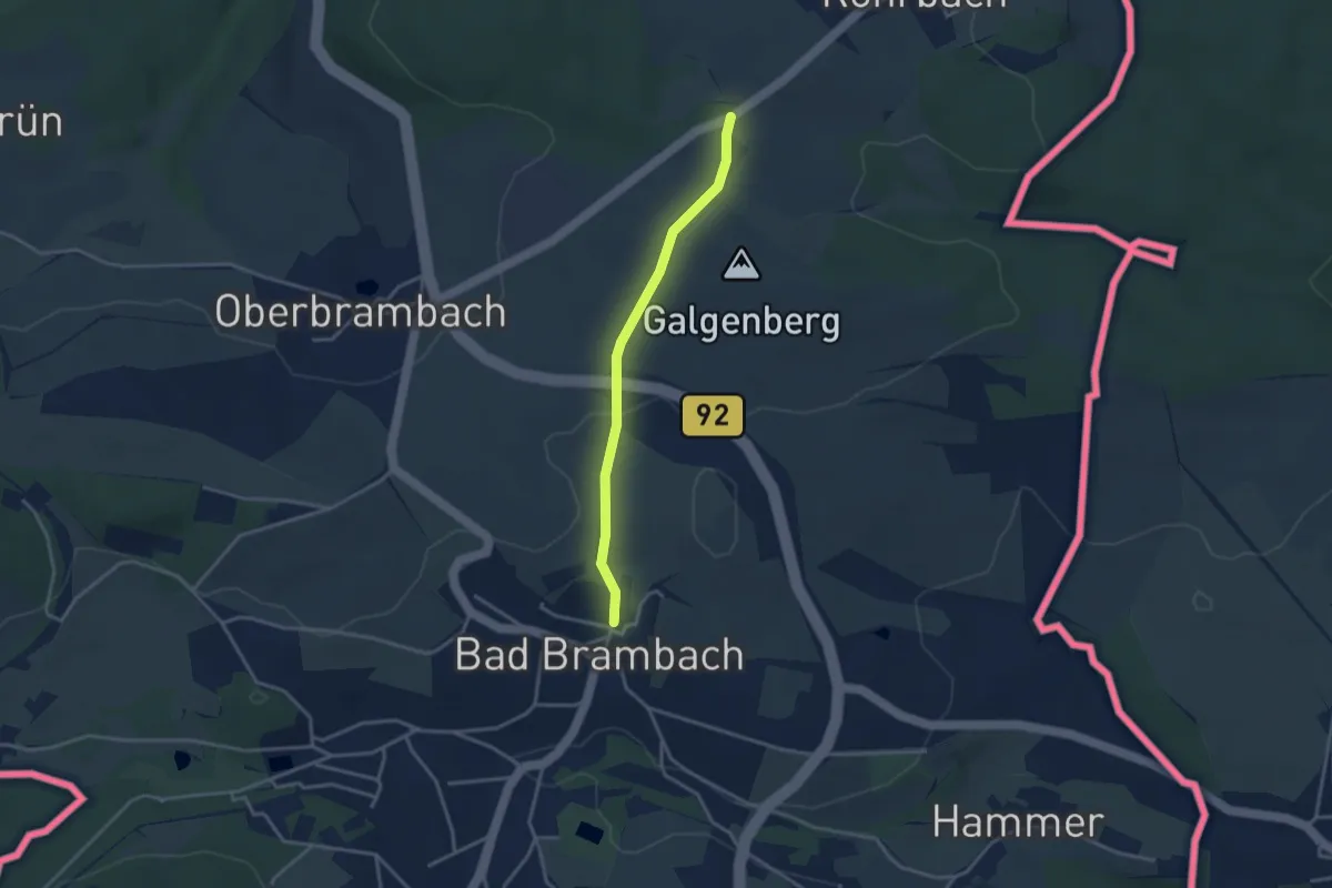
Rundwanderweg Bad Brambach 1
2.9 km · ↑ 55 m · 48 min
Easy · Trail
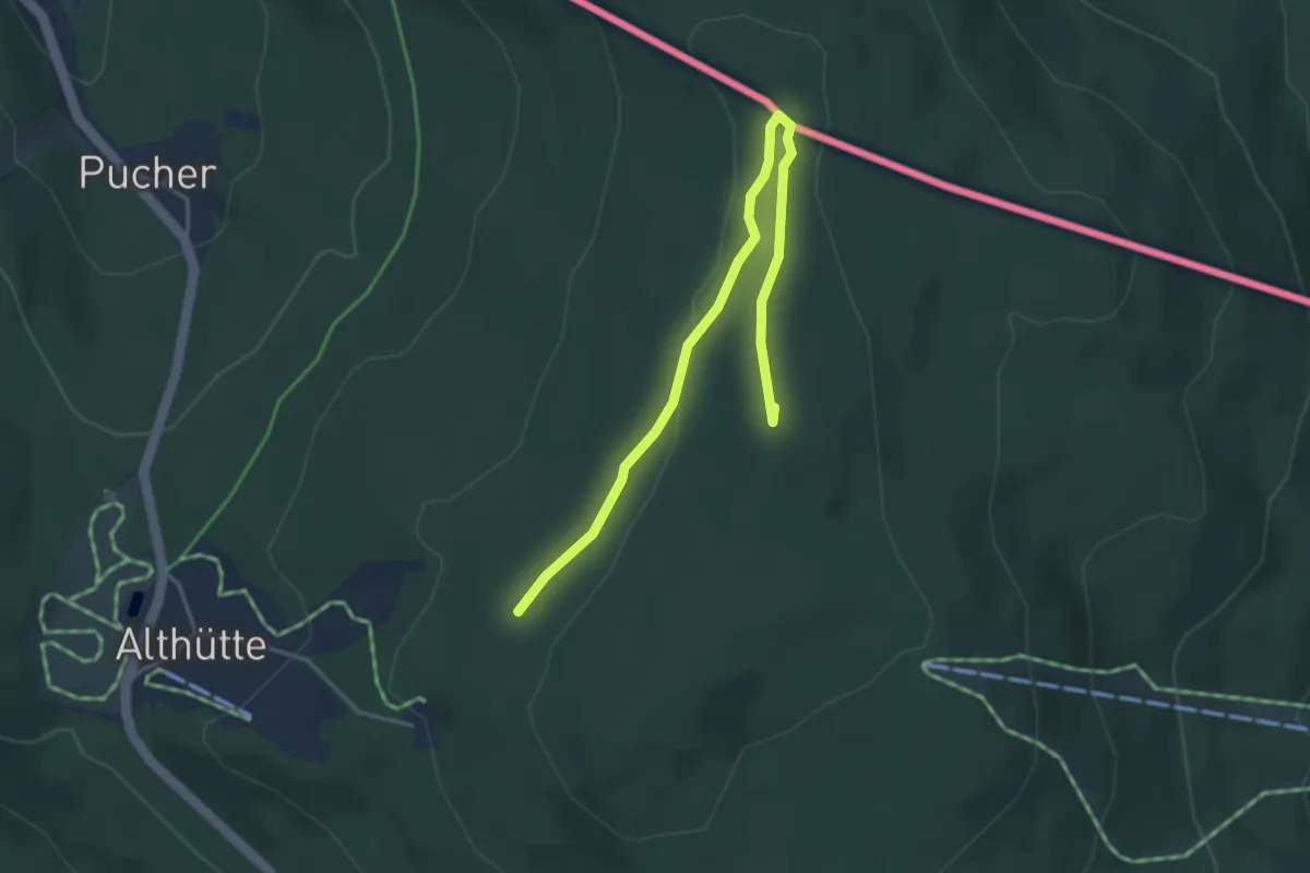
Rundwanderweg Bad Brambach 2
2.9 km · ↑ 55 m · 48 min
Medium · Summit
Rundwanderweg Gibacht
4.1 km · ↑ 71 m · 1 h 7 min
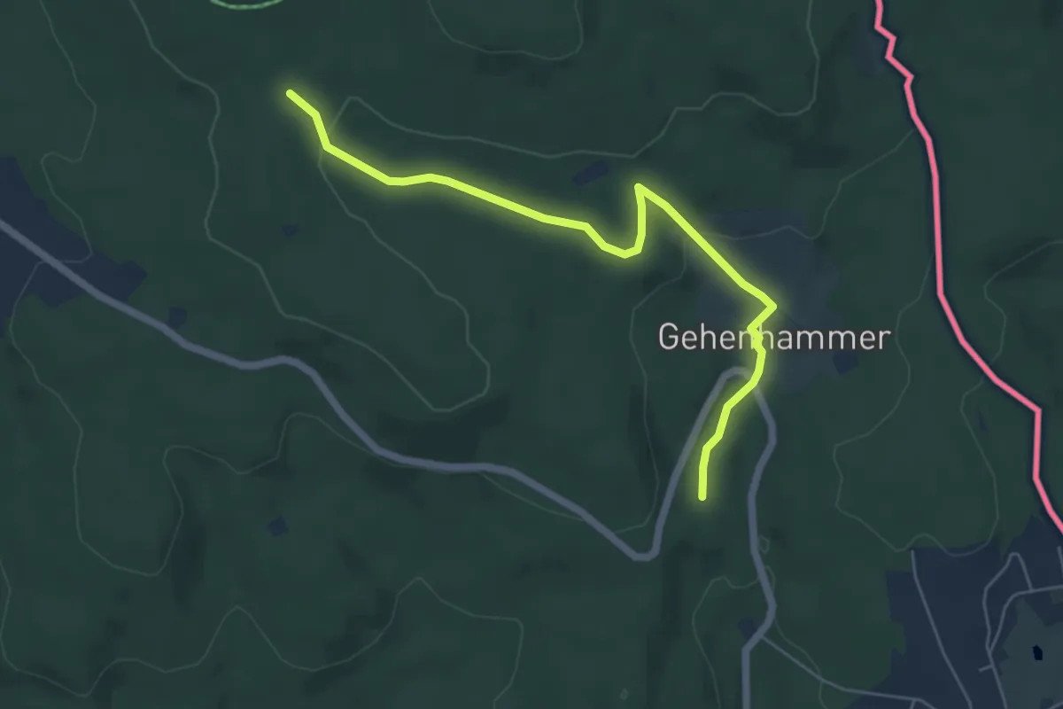
Easy · Trail
Rundwanderweg Mühle
2.7 km · ↑ 33 m · 47 min
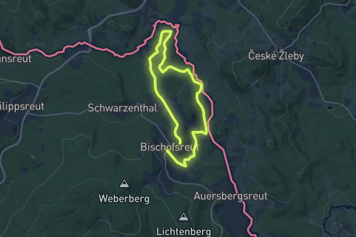
Medium · Trail
Rundweg 2 Bischofsreut-Marchhäuser-Schnellenzipf
10.1 km · ↑ 252 m · 3 h 4 min
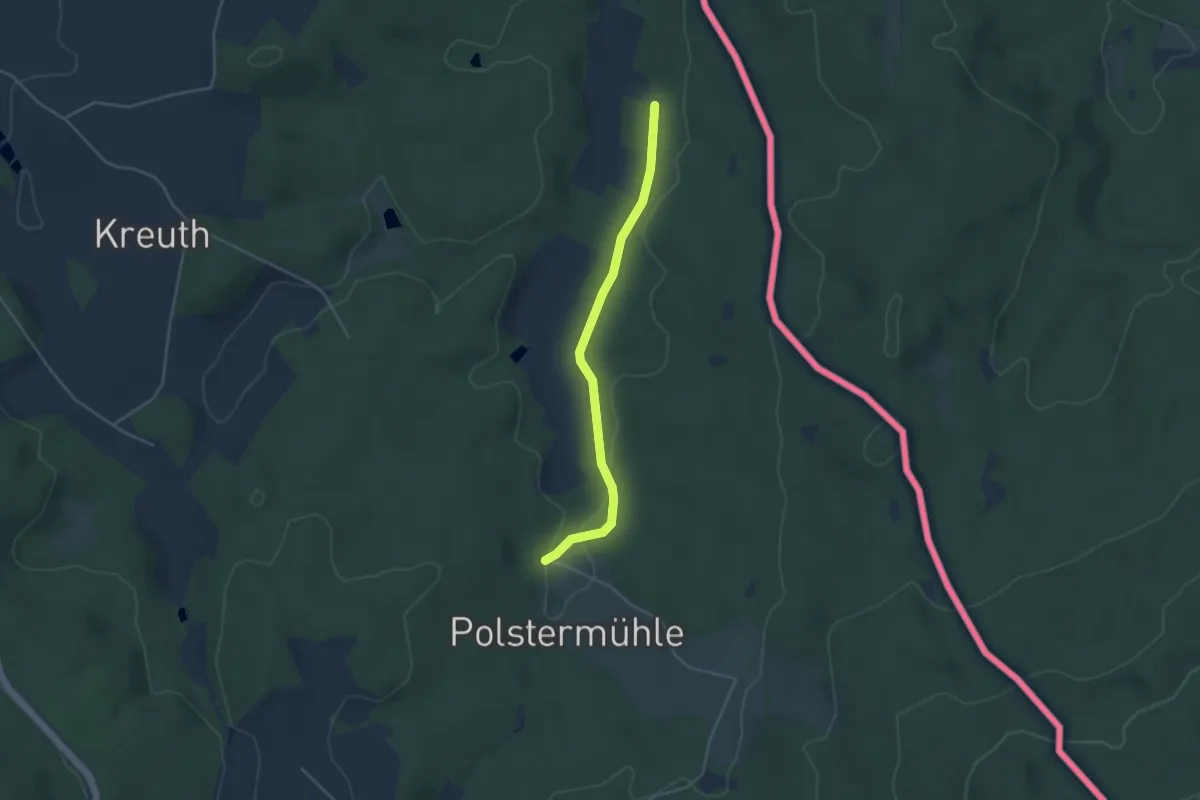
Easy · Trail
RWW 22: Lindnerbrunnenweg
1.8 km · ↑ 5 m · 28 min
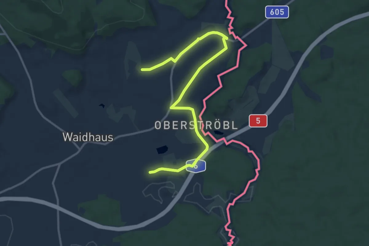
Easy · Trail
RW: Waidhaus – Frankenreuth – Grenzübergang – Waidhaus
4.6 km · ↑ 23 m · 1 h 13 min
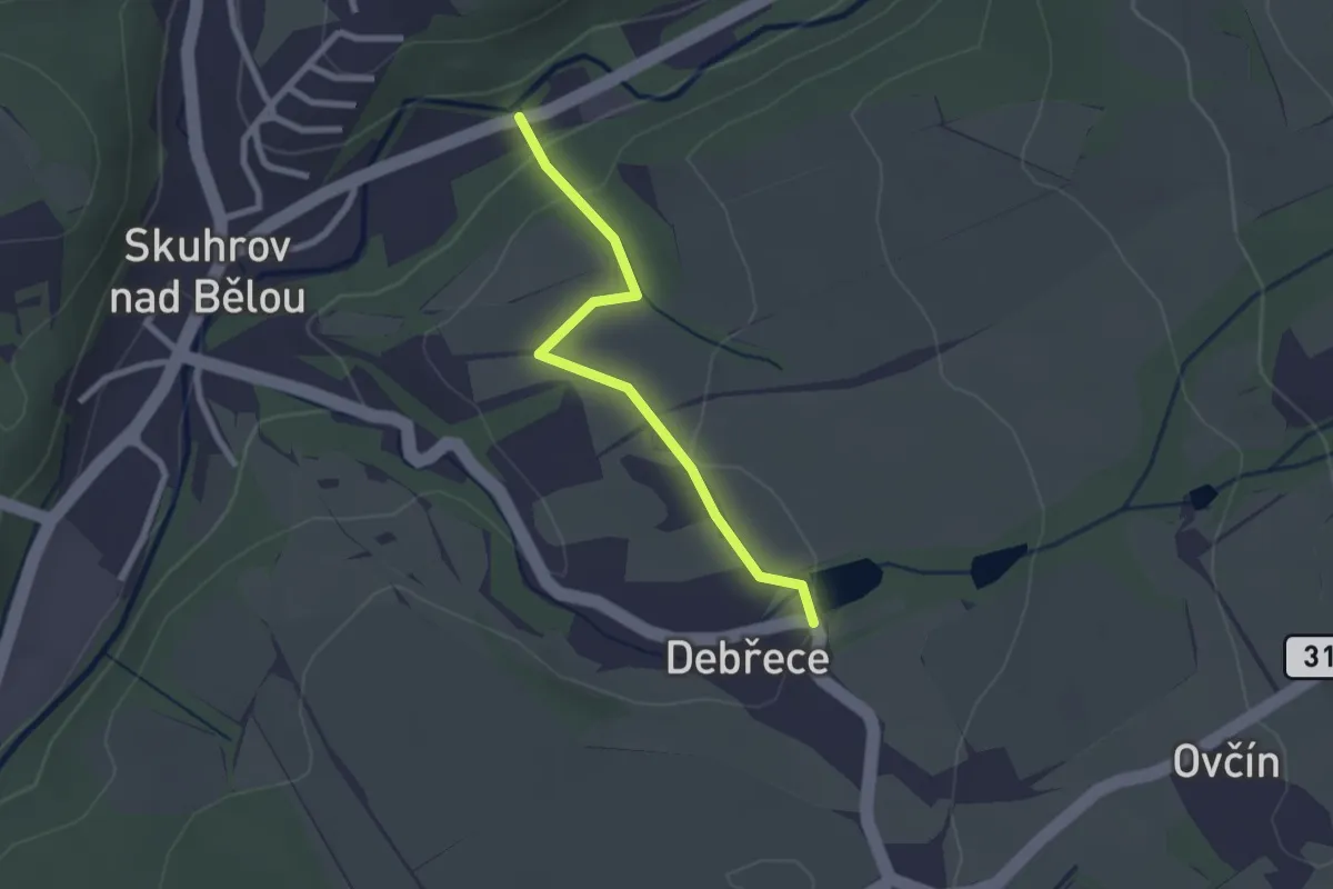
Easy · Trail
Rybářská českofinská NS
2.1 km · ↑ 51 m · 37 min
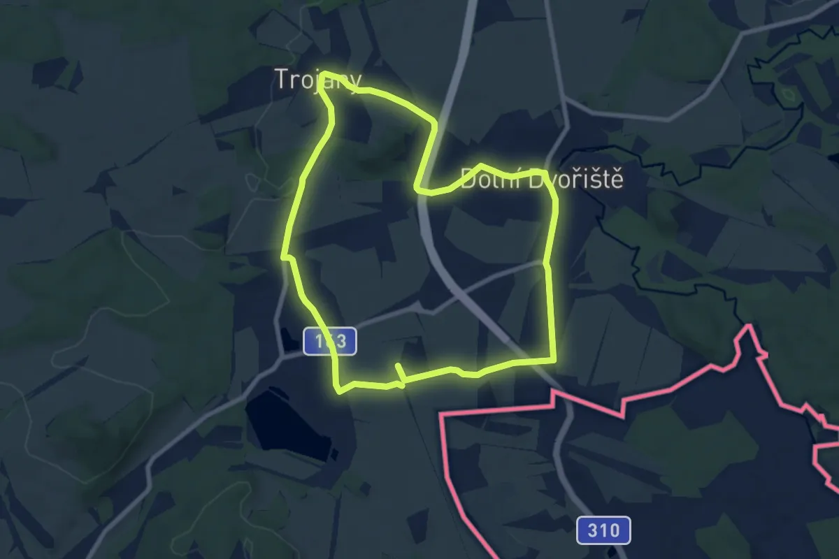
Medium · Summit
Rybnický okruh
13.8 km · ↑ 204 m · 3 h 42 min
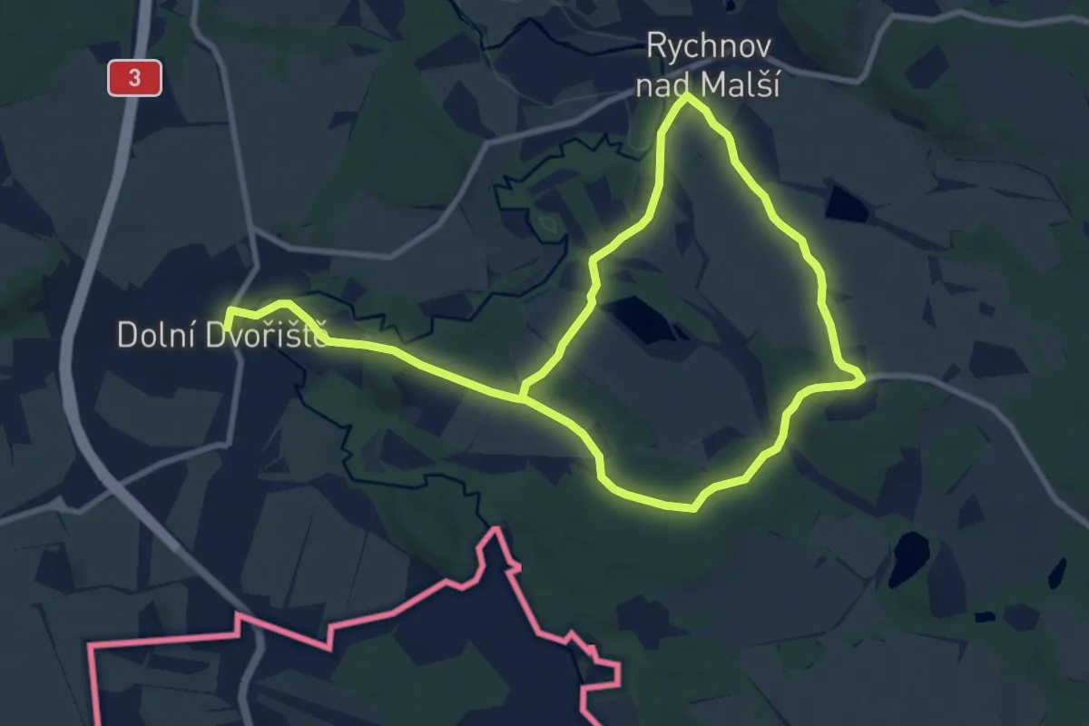
Medium · Trail
Rychnovský okruh
14.3 km · ↑ 156 m · 3 h 42 min
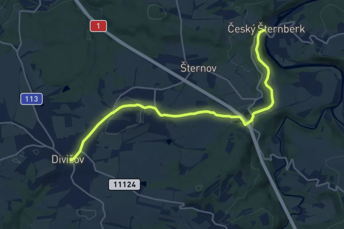
Medium · Trail
Rytíře Kryštofa Jana Šice
12.6 km · ↑ 278 m · 3 h 34 min
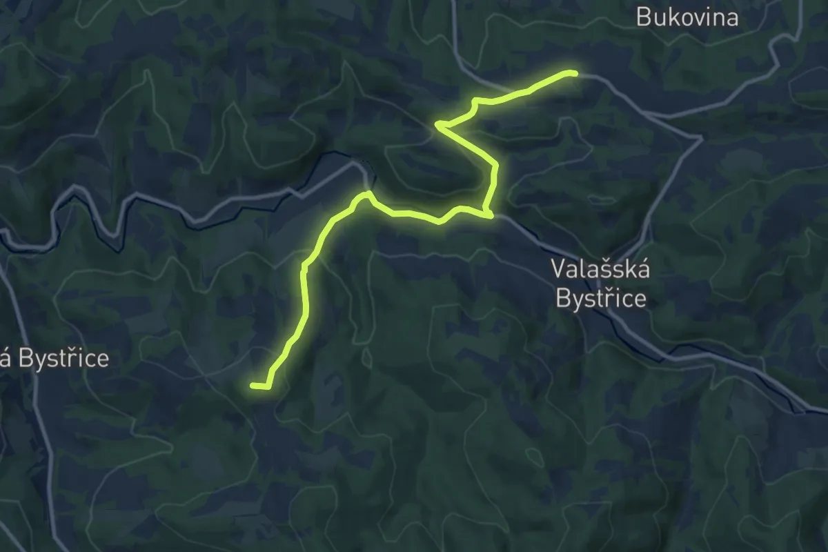
Medium · Summit
Santov - Na horách
10.5 km · ↑ 358 m · 3 h 15 min
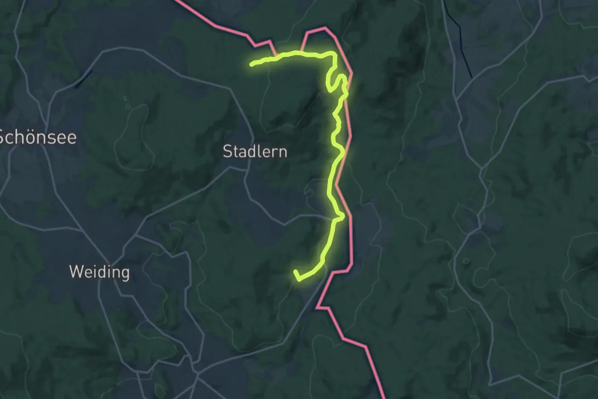
Medium · Trail
Sautreiberweg
17.8 km · ↑ 548 m · 5 h 24 min
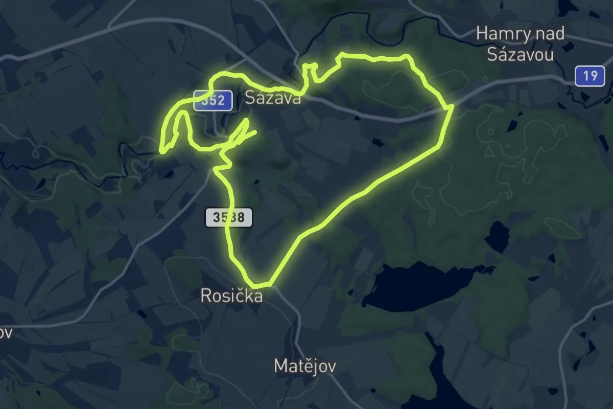
Demanding · Trail
Sázavský vycházkový okruh
28.6 km · ↑ 456 m · 7 h 44 min
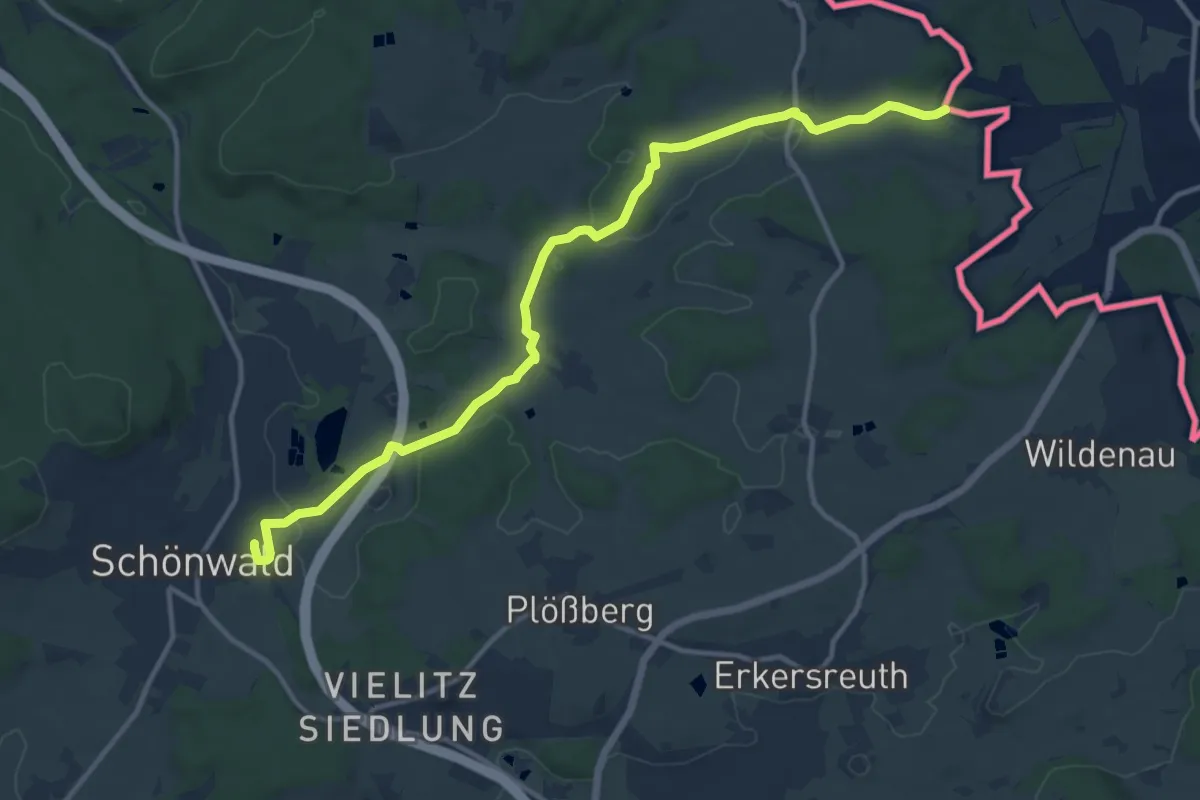
Medium · Trail
Schönwald-Neuhausen
12.6 km · ↑ 117 m · 3 h 14 min
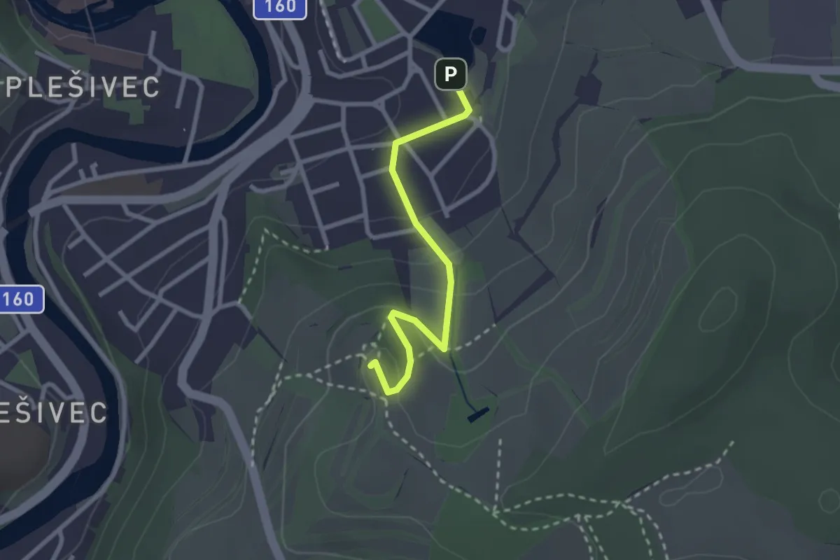
Easy · Summit
Schwarzenberská
2.3 km · ↑ 112 m · 47 min
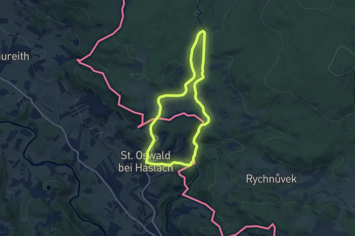
Medium · Trail
Schwemmkanalweg
8.1 km · ↑ 219 m · 2 h 30 min
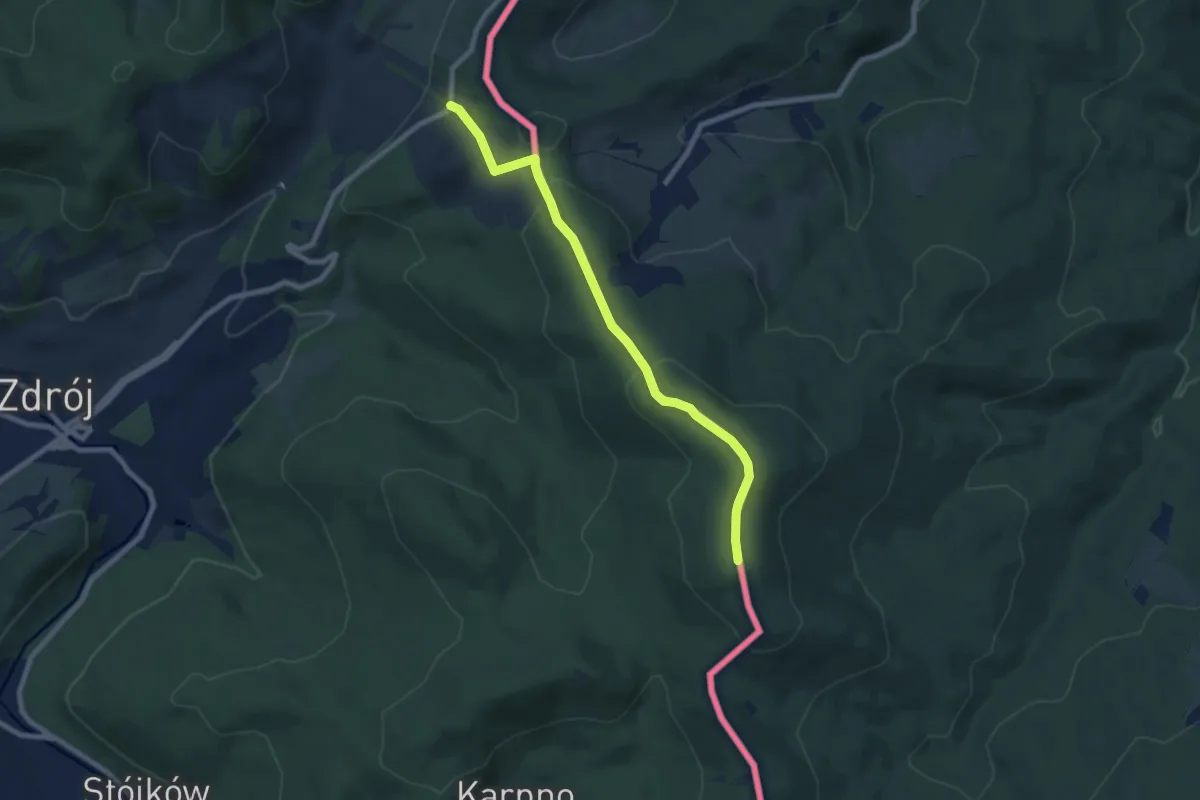
Easy · Summit
Ścieżka spacerowa czerwona
7.3 km · ↑ 253 m · 2 h 17 min
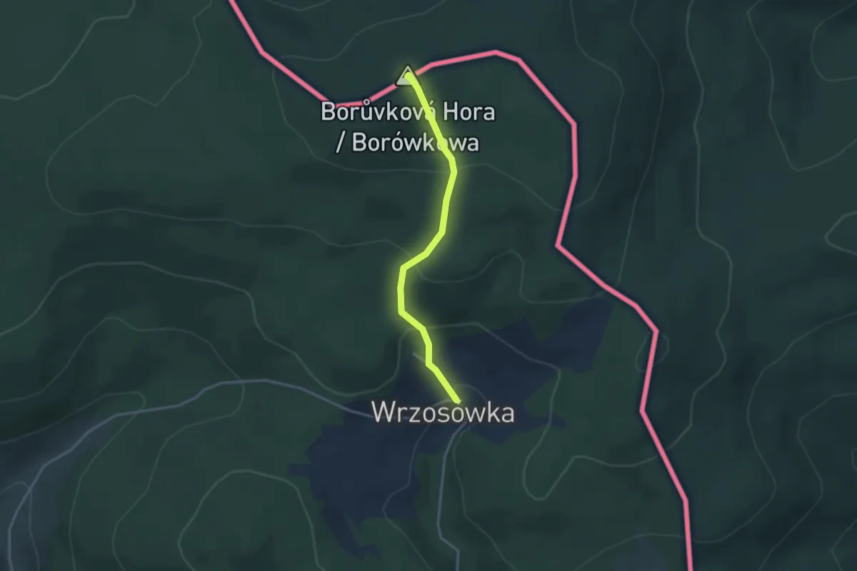
Easy · Summit
Ścieżka spacerowa żółta
2.7 km · ↑ 188 m · 1 h 2 min
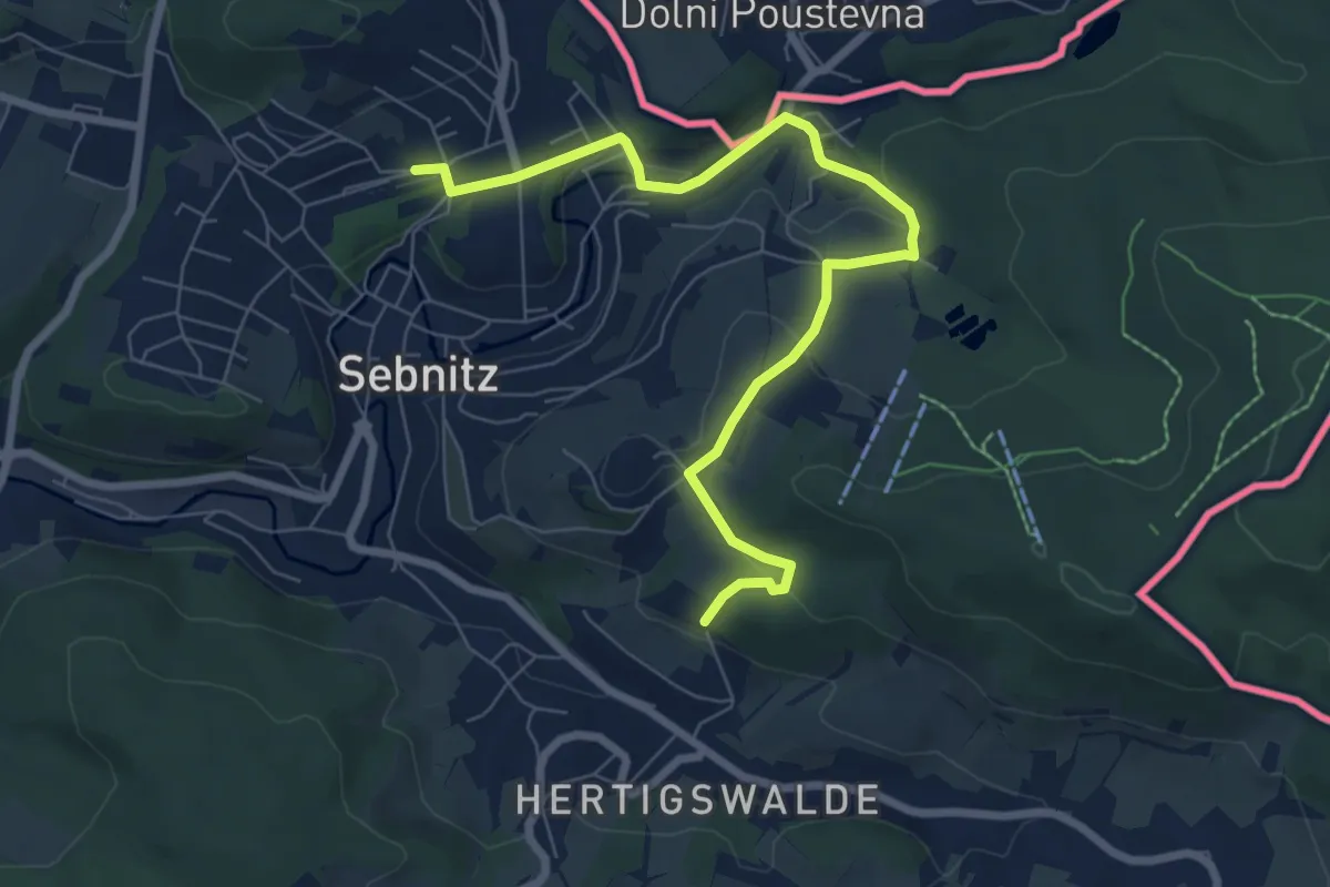
Easy · Trail
Sebnitz Bahnhof-Hertigswalde Gelber Punkt
7.4 km · ↑ 200 m · 2 h 11 min
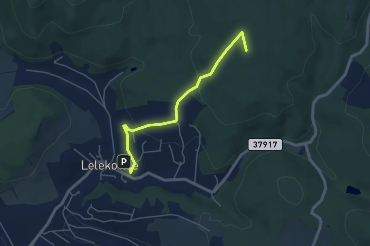
Easy · Summit
Sedmiradostná poutní cesta
1.9 km · ↑ 125 m · 40 min
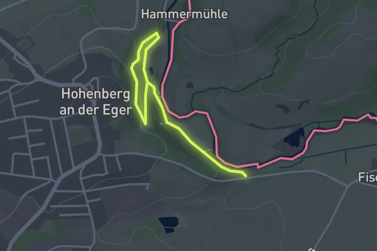
Easy · Trail
Seelensteig
3.2 km · ↑ 103 m · 59 min
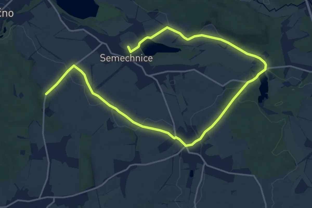
Medium · Summit
Semechnický okruh
17.0 km · ↑ 174 m · 4 h 24 min