Trails in Denmark
1,383 hiking trails, each with its route, climb, walking time and grade.
All trails, page 21 of 29
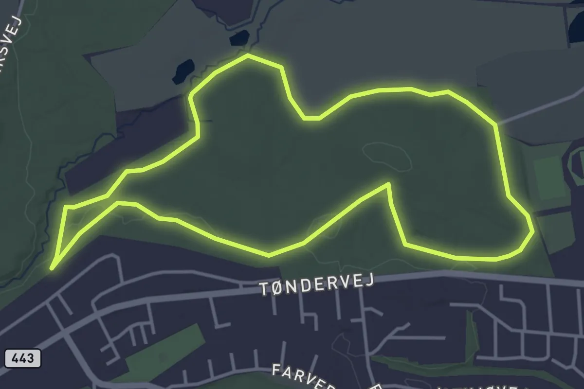
Easy · Trail
Rød motionsrute
3.4 km · ↑ 18 m · 53 min
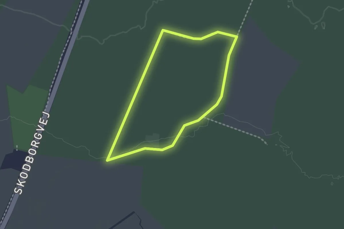
Easy · Trail
Rød natursti
1.3 km · ↑ 4 m · 20 min
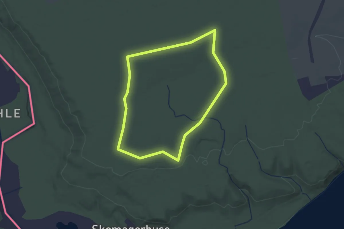
Easy · Trail
Rød rute
1.6 km · ↑ 8 m · 26 min
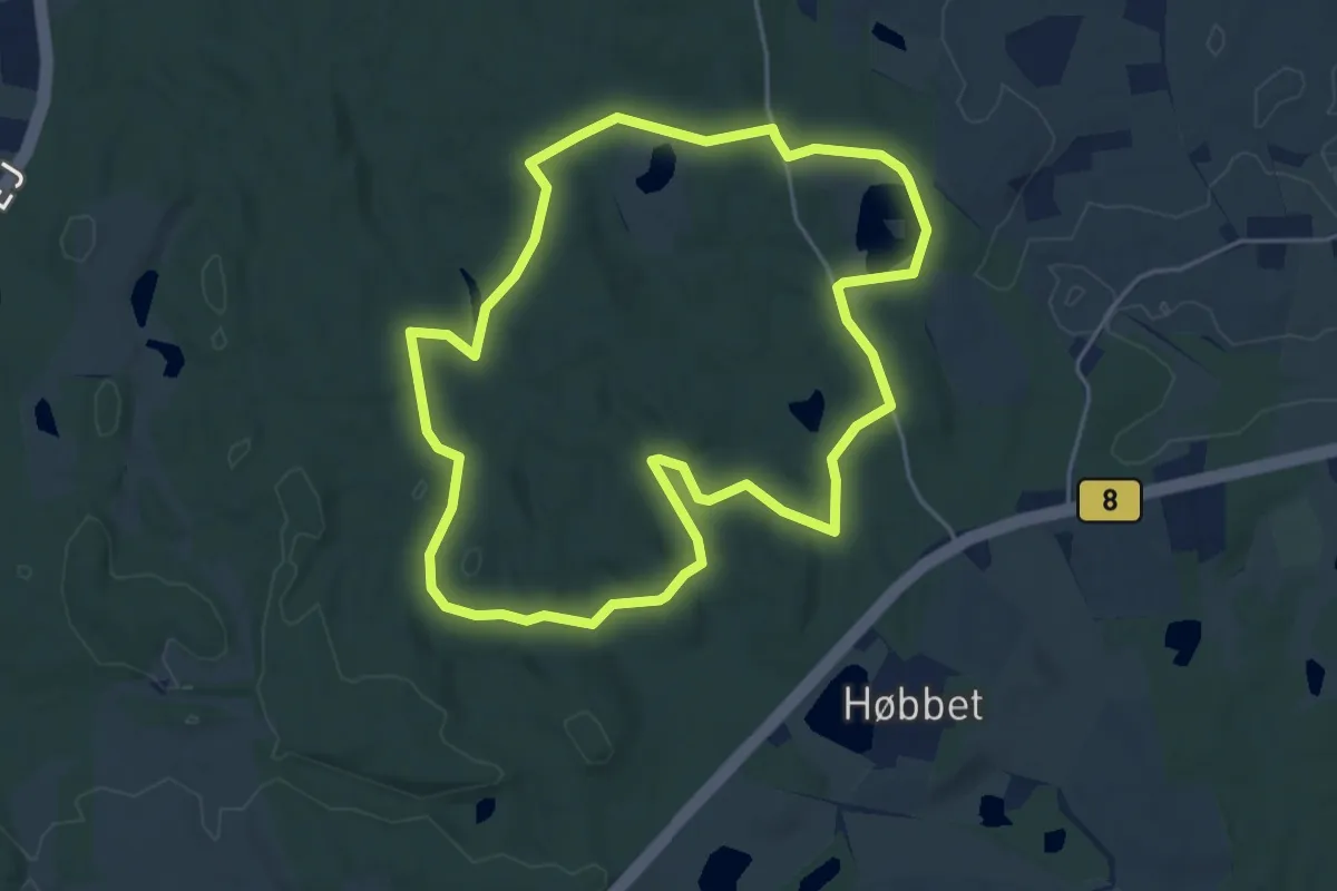
Easy · Trail
Rød rute
4.0 km · ↑ 42 m · 1 h 5 min
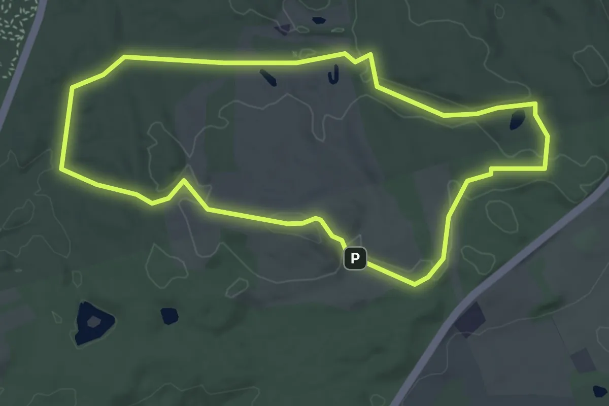
Easy · Summit
Rød rute
3.3 km · ↑ 41 m · 56 min
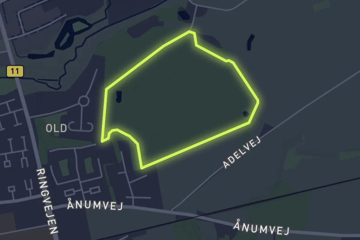
Easy · Trail
Rød rute
2.6 km · ↑ 4 m · 39 min
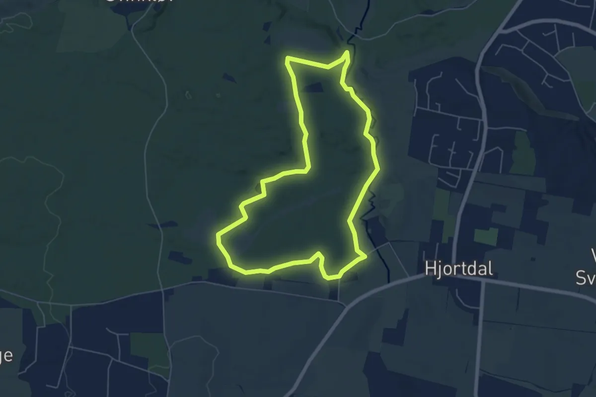
Easy · Trail
Rød rute
4.4 km · ↑ 27 m · 1 h 9 min
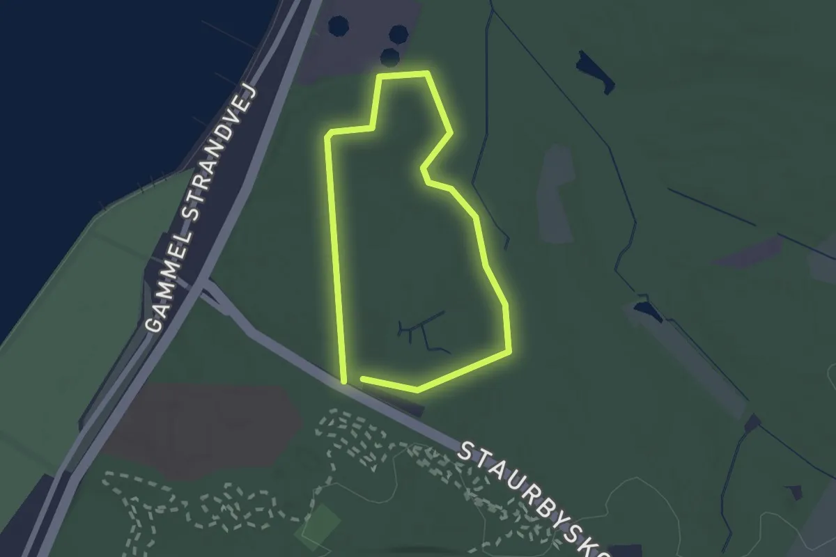
Easy · Trail
Rød Rute
1.2 km · ↑ 9 m · 19 min
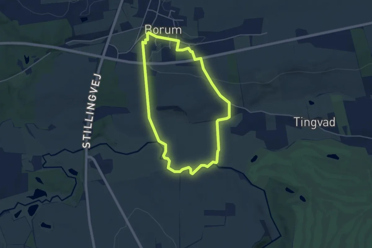
Easy · Trail
Rød Rute
3.3 km · ↑ 30 m · 53 min
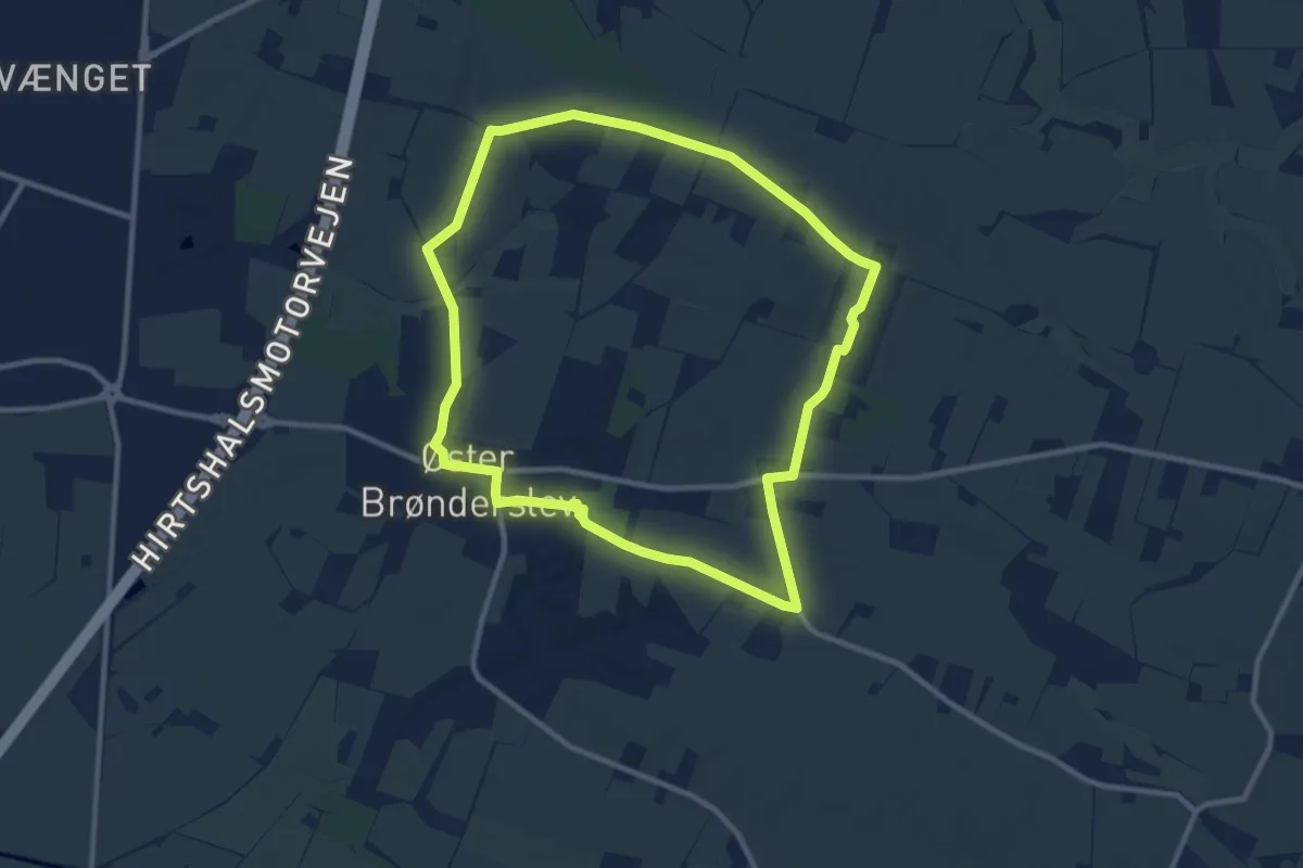
Easy · Trail
Rød Rute
8.0 km · ↑ 38 m · 2 h 5 min
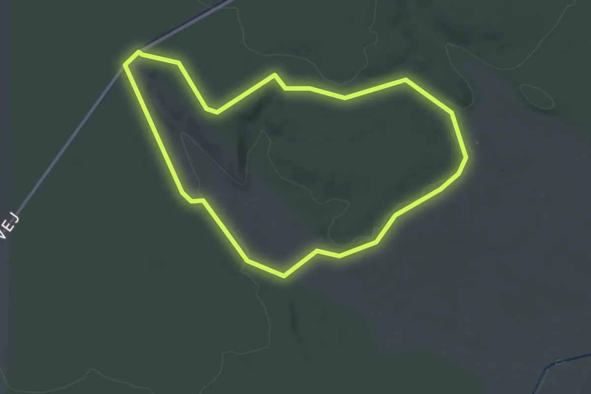
Easy · Trail
Rød Rute, Bjørslev Plantage
2.4 km · ↑ 32 m · 41 min
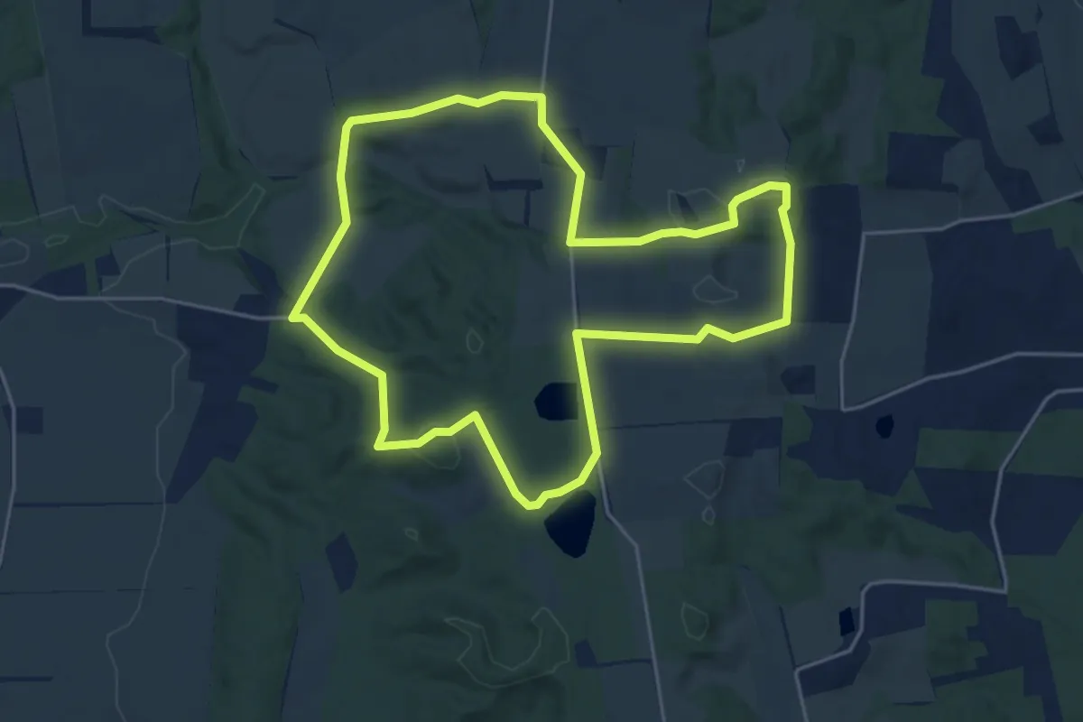
Easy · Trail
Rød rute Grevsmosen og Slettingen
3.6 km · ↑ 40 m · 1 h
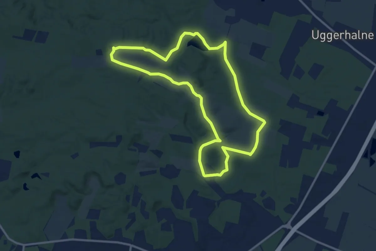
Easy · Trail
Rød Rute Hammer Bakker
6.2 km · ↑ 77 m · 1 h 44 min
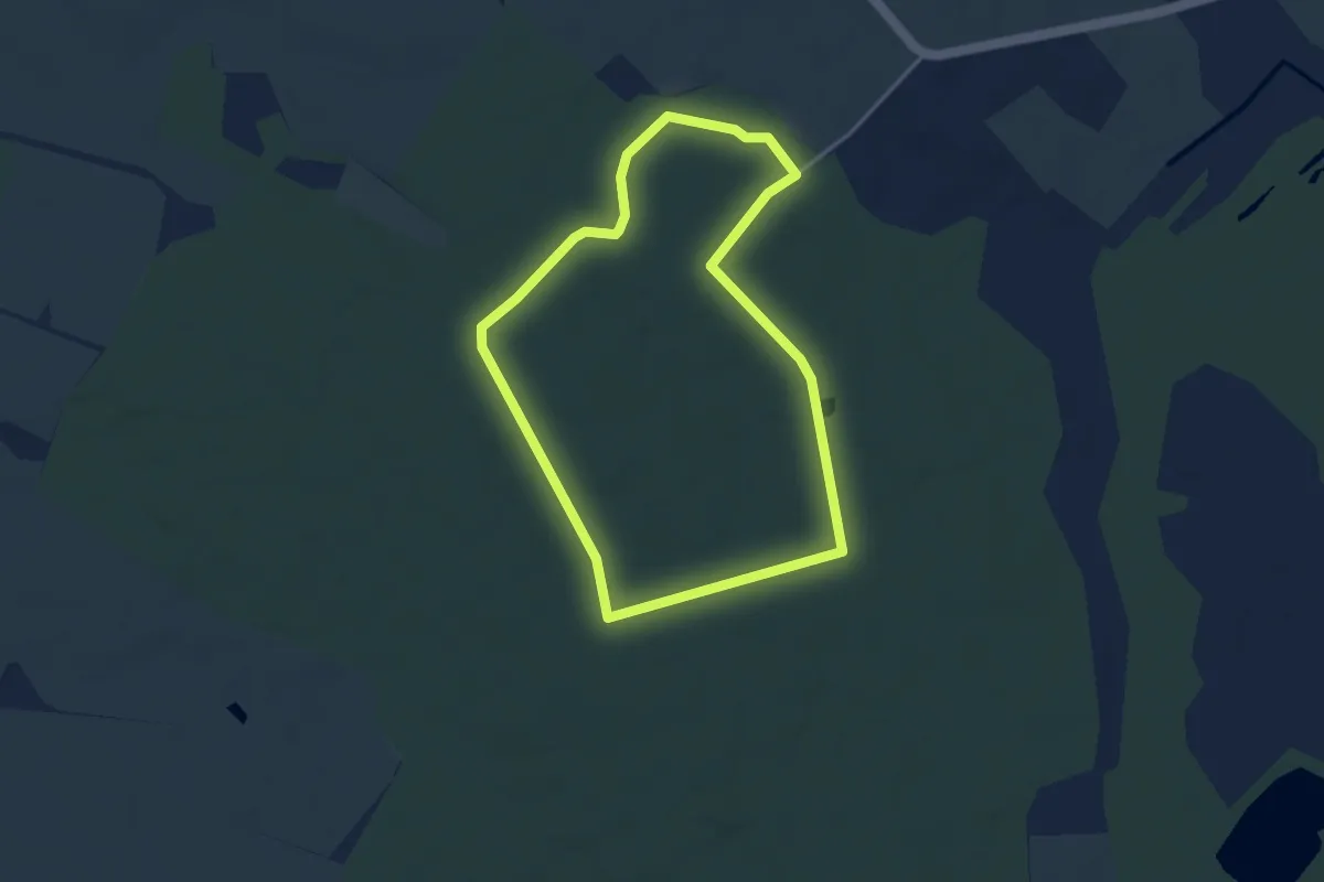
Easy · Trail
Rød rute i Fovslet skov
2.9 km · ↑ 18 m · 46 min
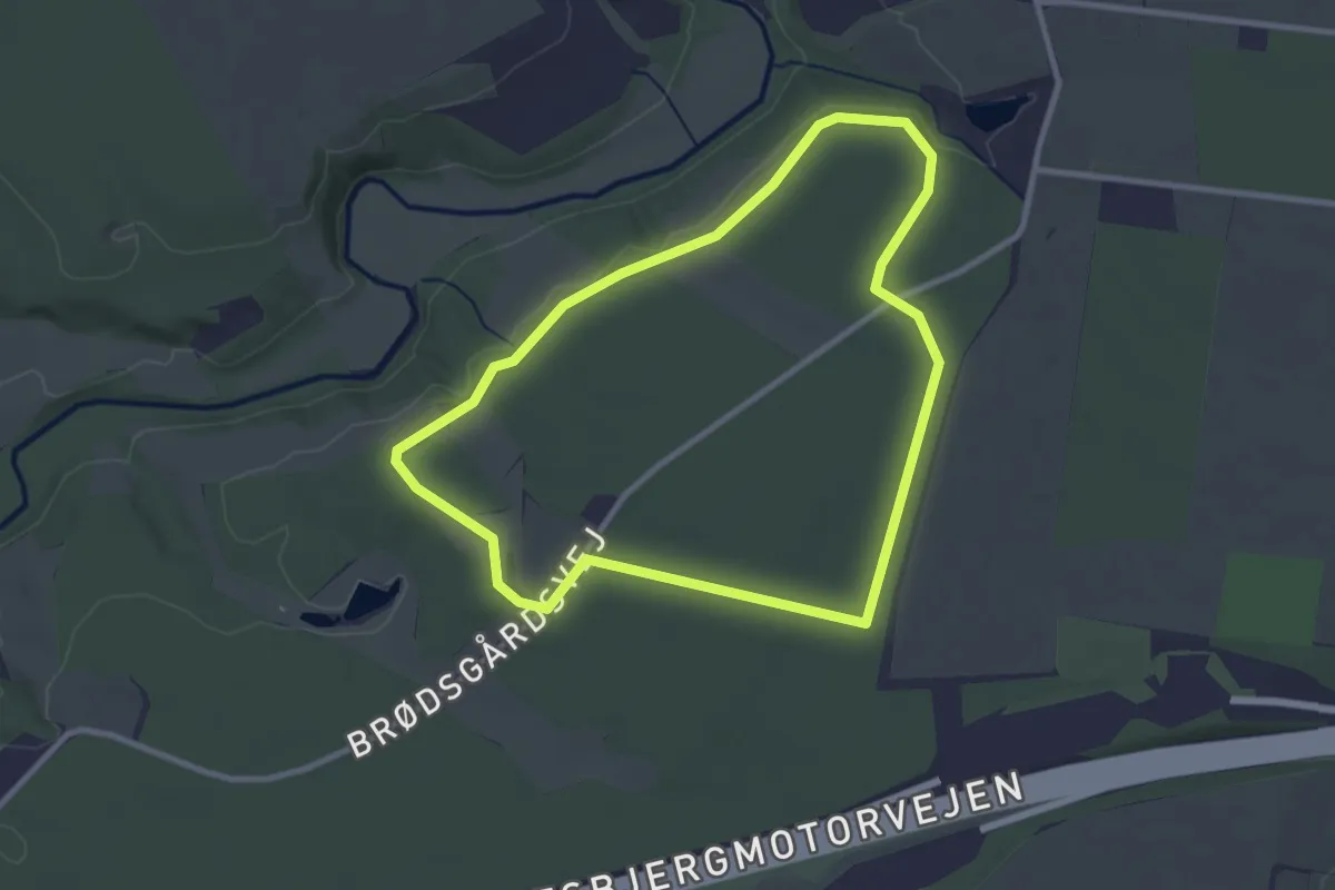
Easy · Trail
Rød rute i Harte Skov
2.3 km · ↑ 9 m · 36 min
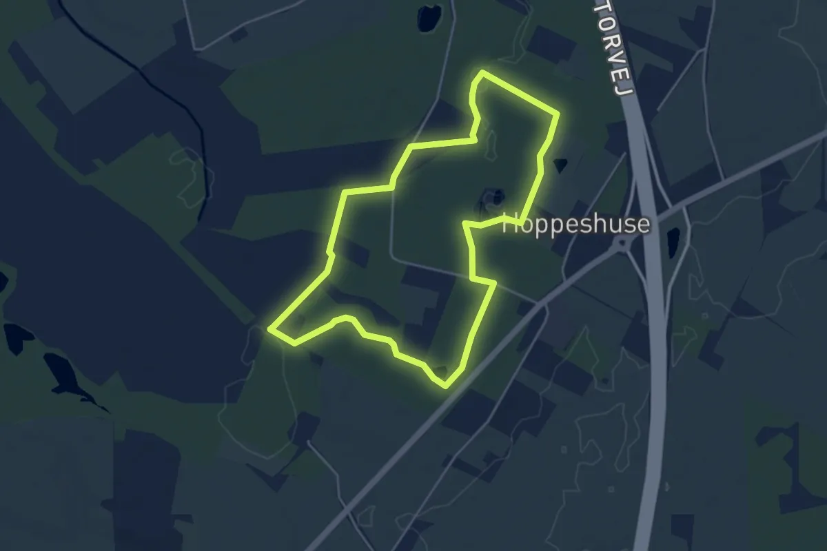
Easy · Trail
Rød rute i Hoppeshuse
3.4 km · ↑ 4 m · 52 min
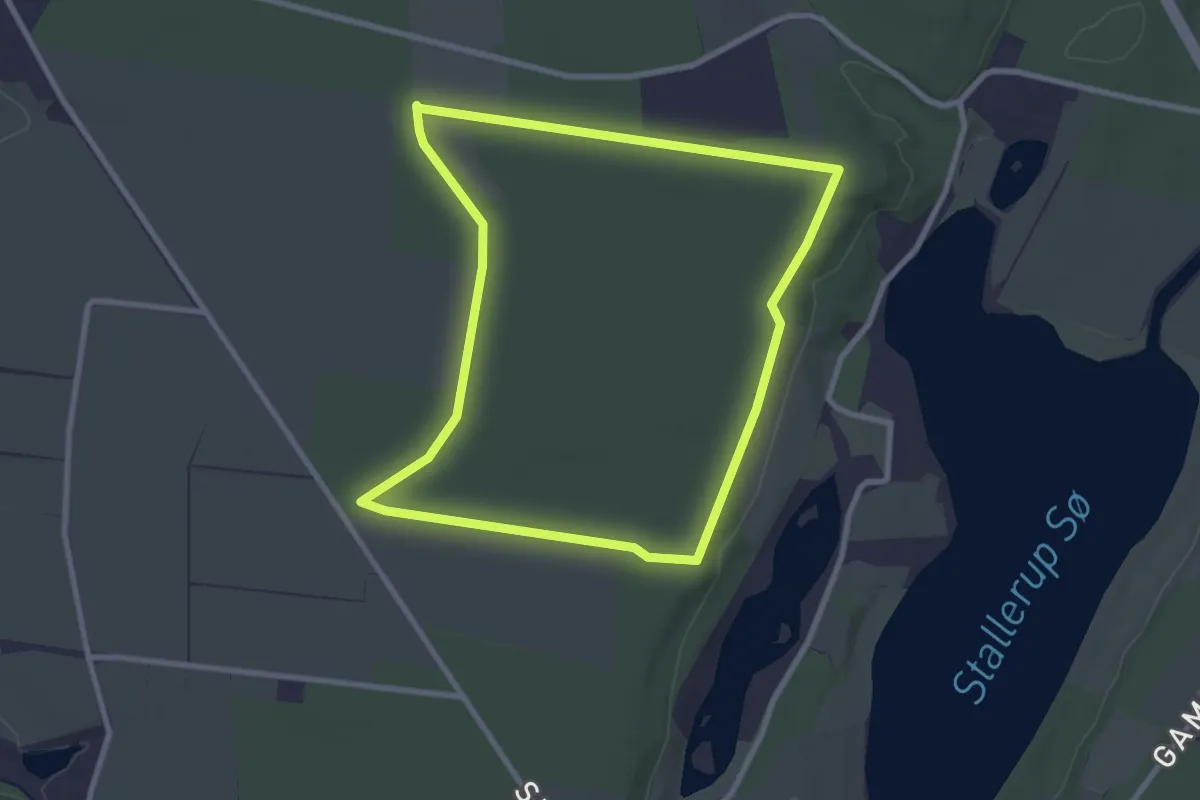
Easy · Trail
Rød rute i Klintenborg Plantage
2.3 km · ↑ 0 m · 34 min
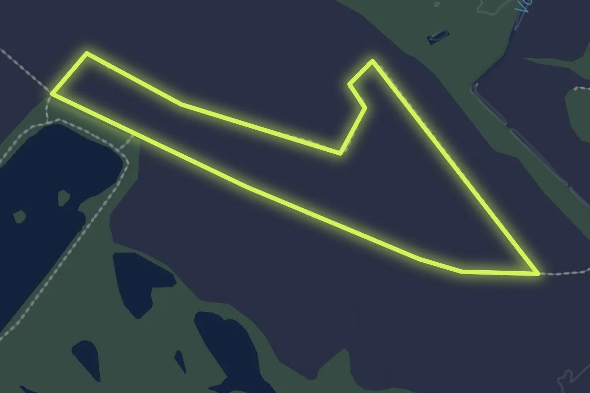
Easy · Trail
Rød rute i Svanemosen
2.0 km · ↑ 4 m · 30 min
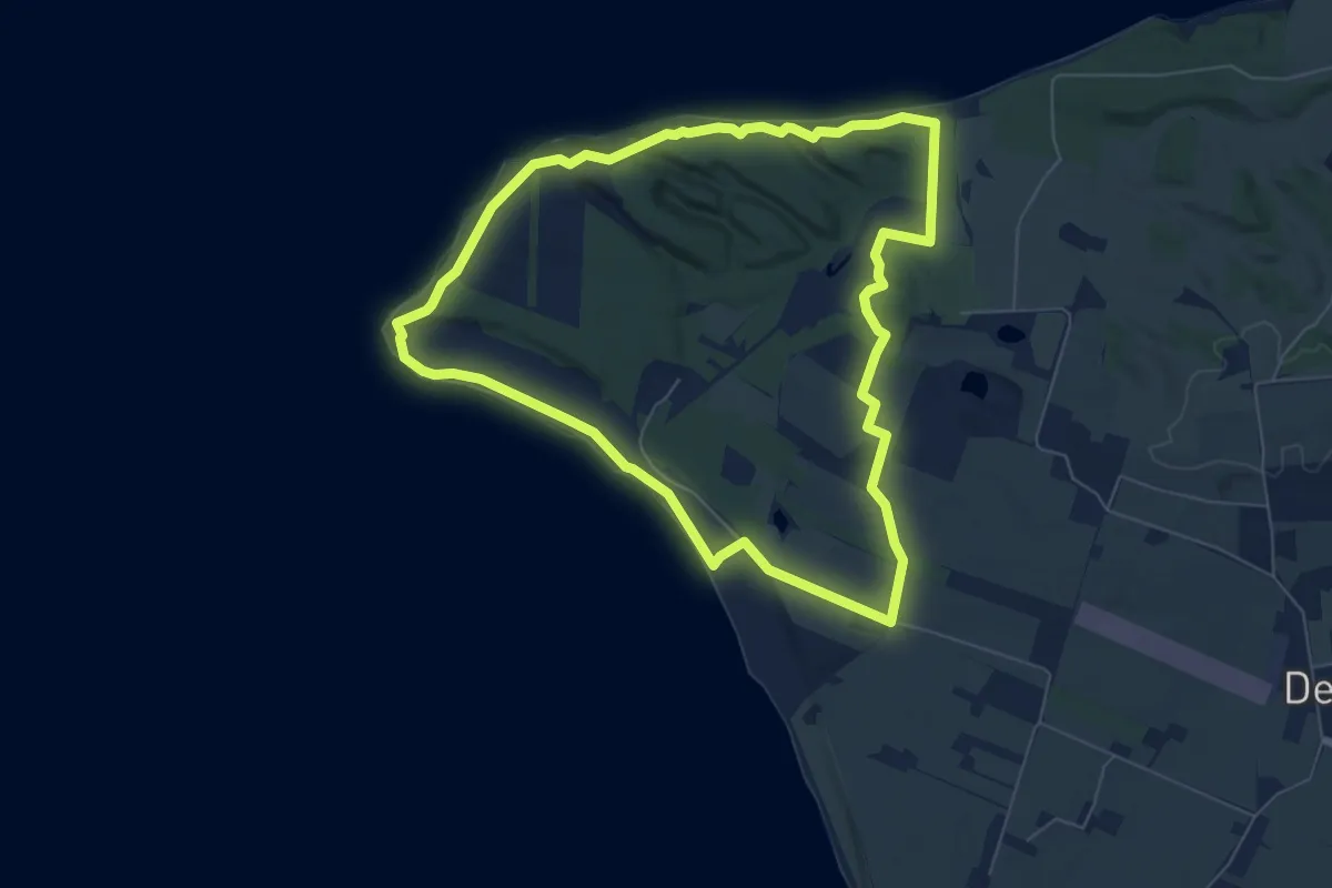
Easy · Trail
Rød Rute - Knudeklinterne
5.3 km · ↑ 48 m · 1 h 25 min
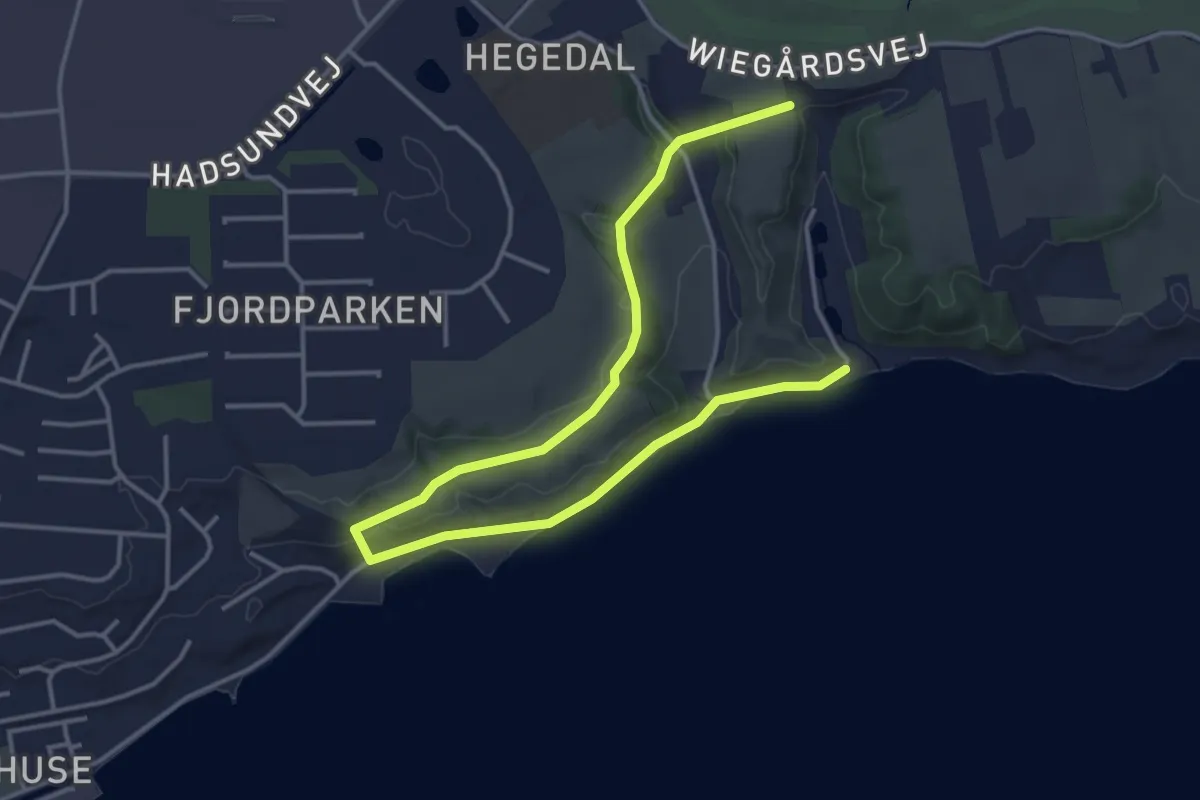
Easy · Trail
Rød rute kort
4.2 km · ↑ 38 m · 1 h 5 min
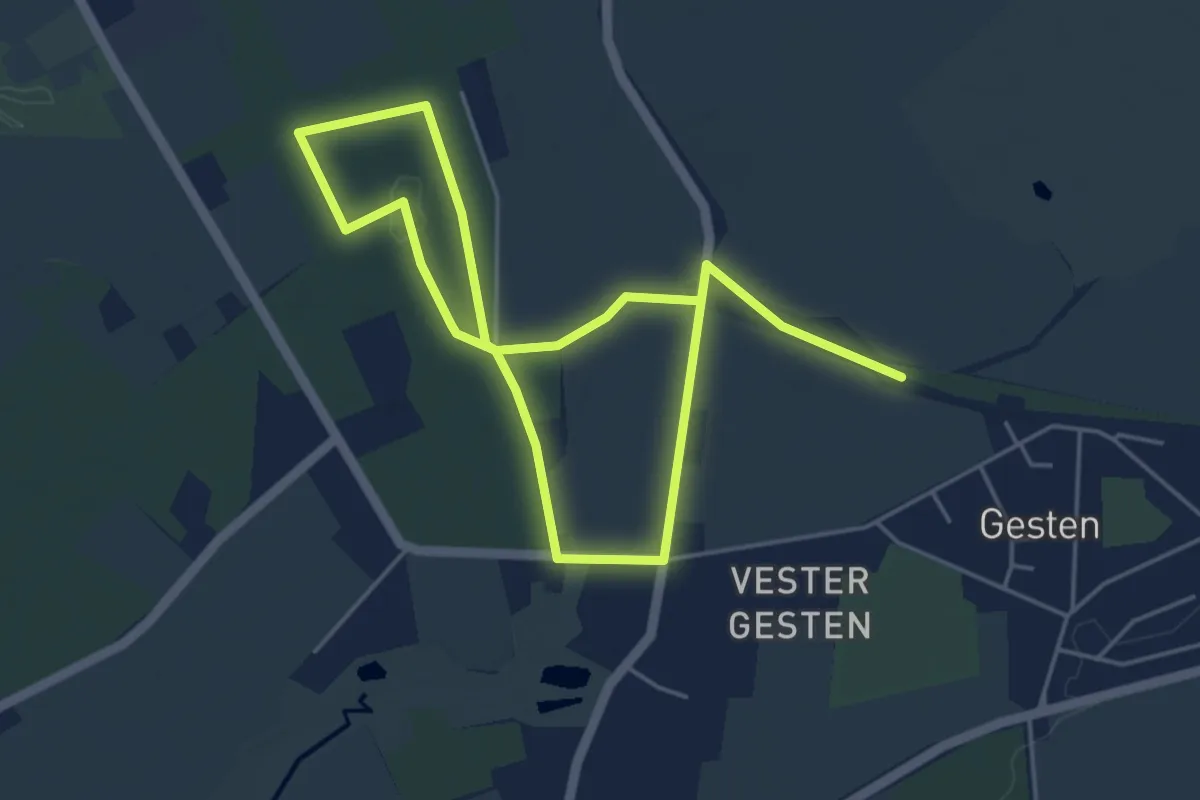
Easy · Trail
Rød rute – Langebjerg Plantage
6.7 km · ↑ 8 m · 1 h 36 min
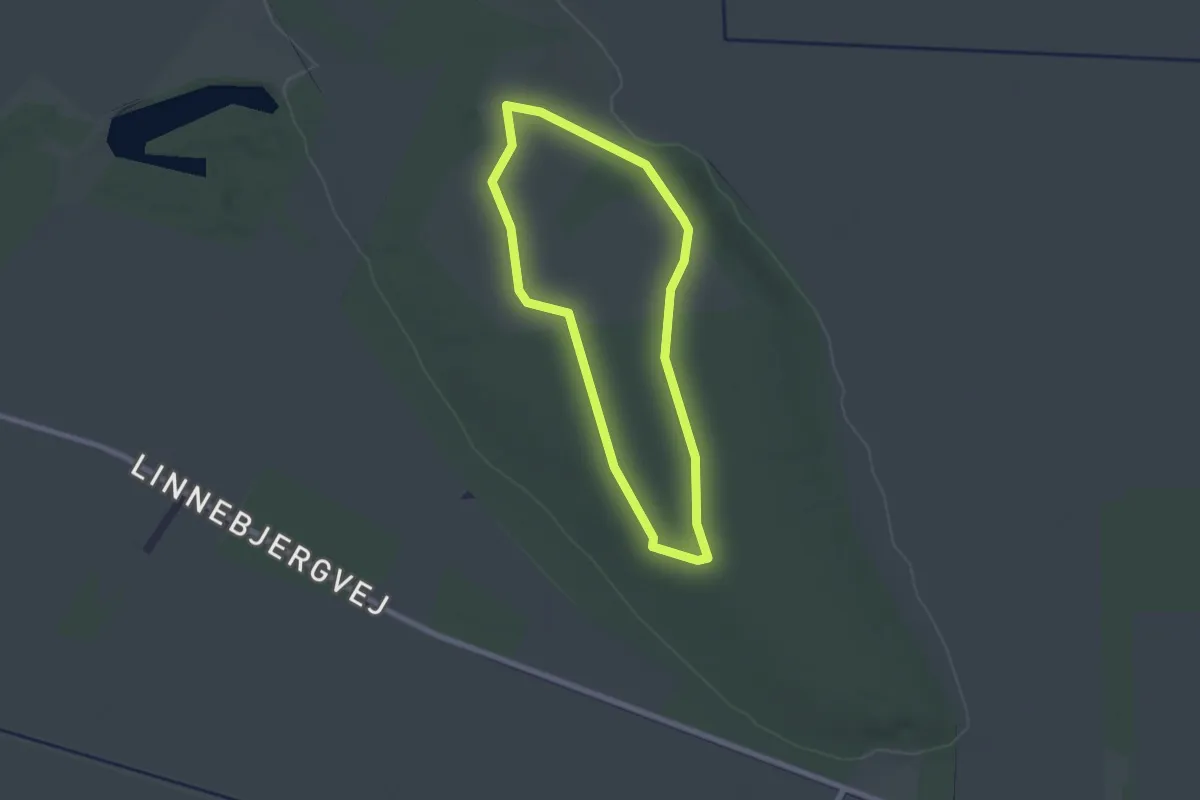
Easy · Summit
Rød Rute, Linnebjerg Bakke
1.5 km · ↑ 12 m · 25 min
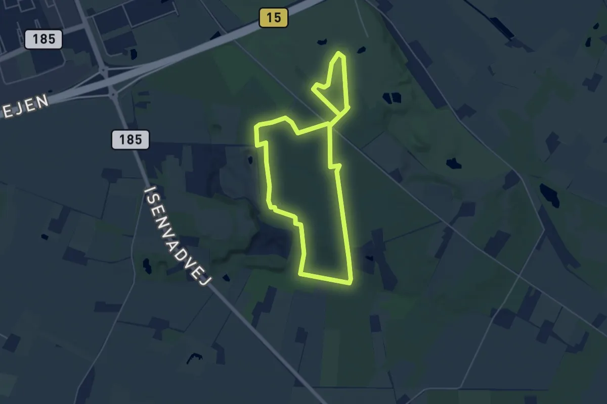
Easy · Summit
Rød Rute, Skelhøj Plantage
4.1 km · ↑ 38 m · 1 h 6 min
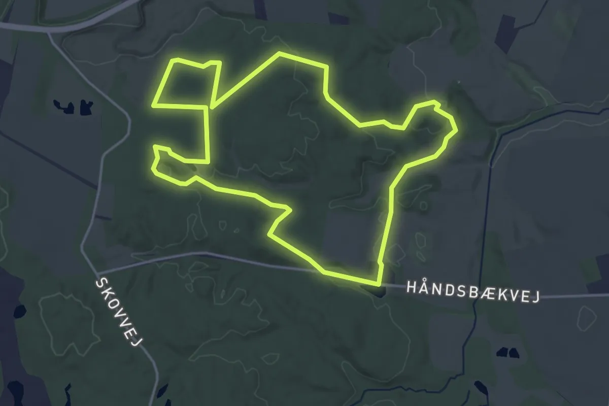
Easy · Trail
Rød Rute Søheden Skov
3.5 km · ↑ 42 m · 58 min
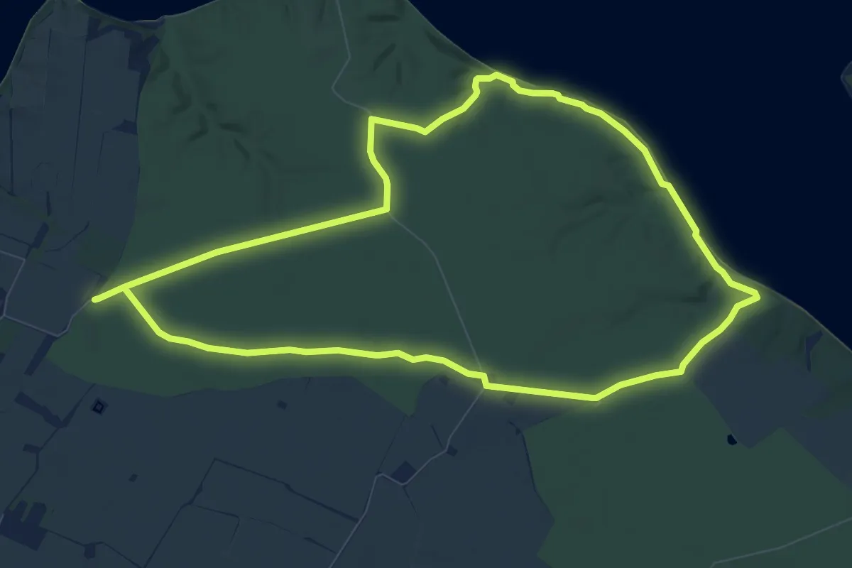
Easy · Trail
Rød rute - Stenderupskovene
7.3 km · ↑ 52 m · 1 h 57 min
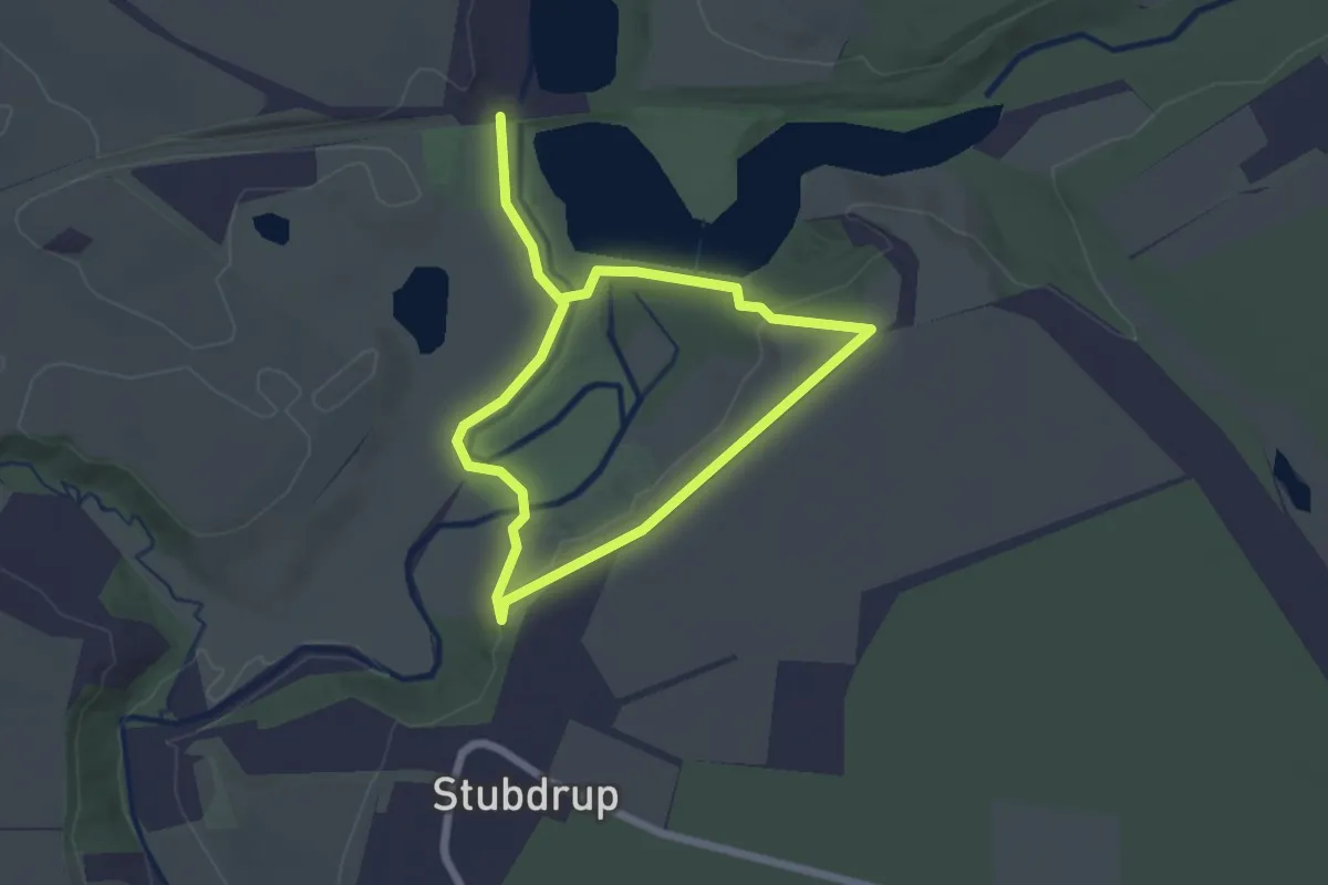
Easy · Trail
Rød rute ved Ferupstryget
2.9 km · ↑ 34 m · 46 min
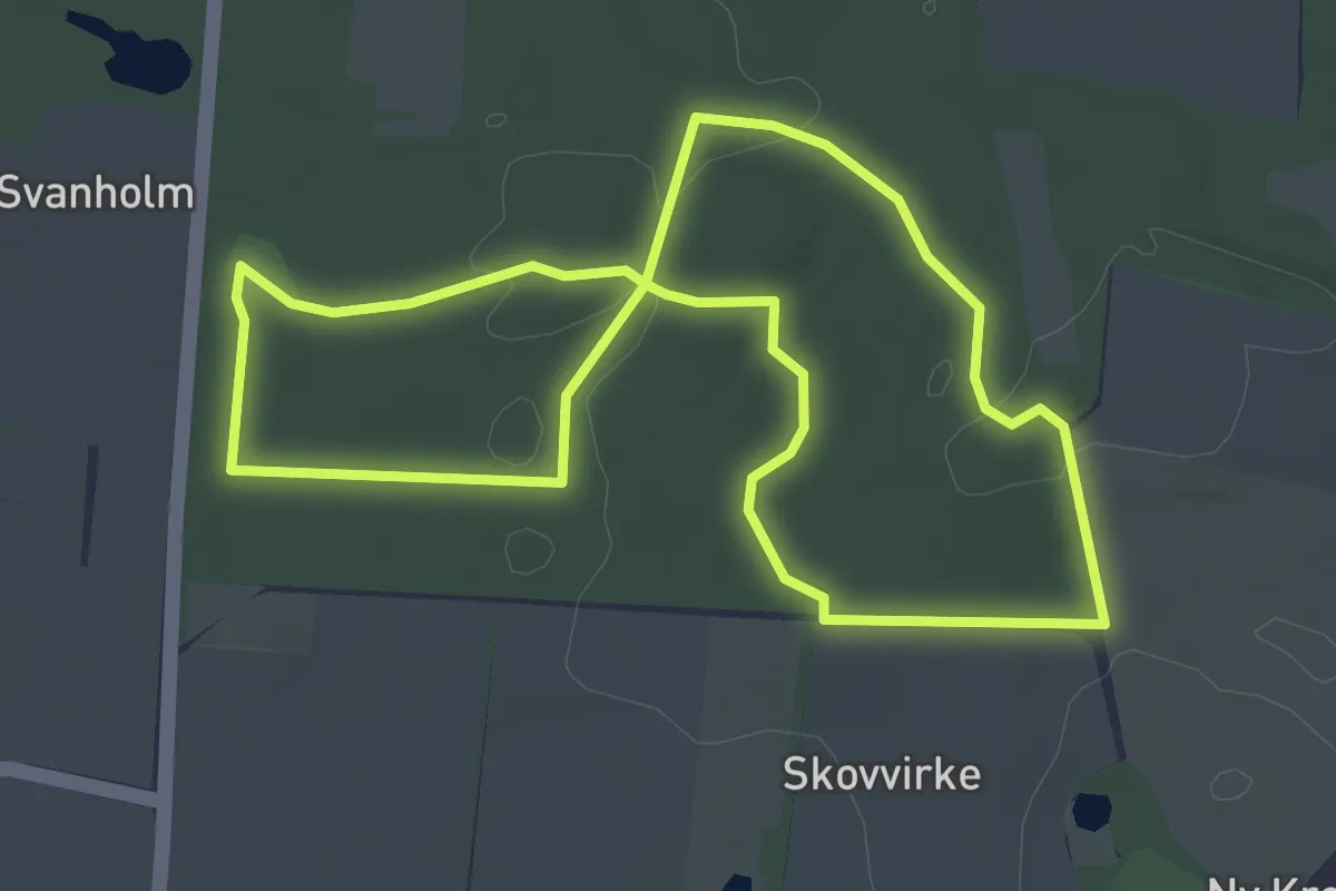
Easy · Trail
Rød sti
2.9 km · ↑ 52 m · 50 min
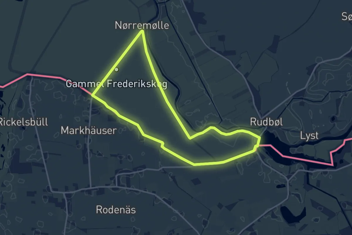
Medium · Trail
Rød stisløjfe, Gl. Frederikskog
11.0 km · ↑ 0 m · 2 h 44 min
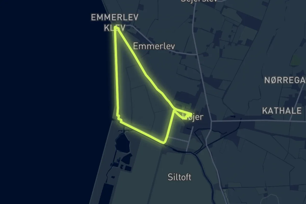
Medium · Trail
Rød stisløjfe, Højer, Emmerlev Klev, Vidåslusen
9.3 km · ↑ 4 m · 2 h 20 min
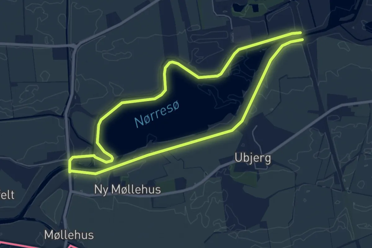
Easy · Trail
Rød stisløjfe, Tønder, Nørresø
5.2 km · ↑ 0 m · 1 h 18 min
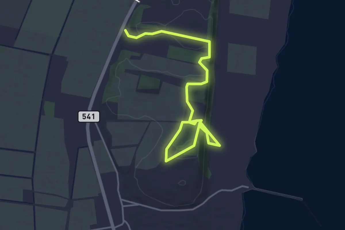
Easy · Trail
Rødt
3.9 km · ↑ 59 m · 1 h 3 min
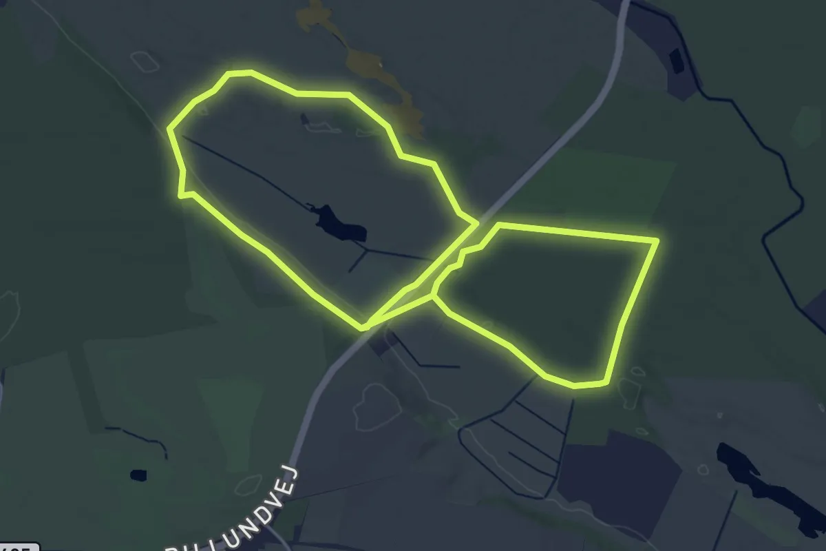
Easy · Trail
Rød tur
7.7 km · ↑ 32 m · 1 h 53 min
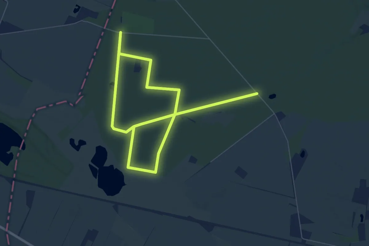
Medium · Trail
Rød tur
9.3 km · ↑ 21 m · 2 h 14 min
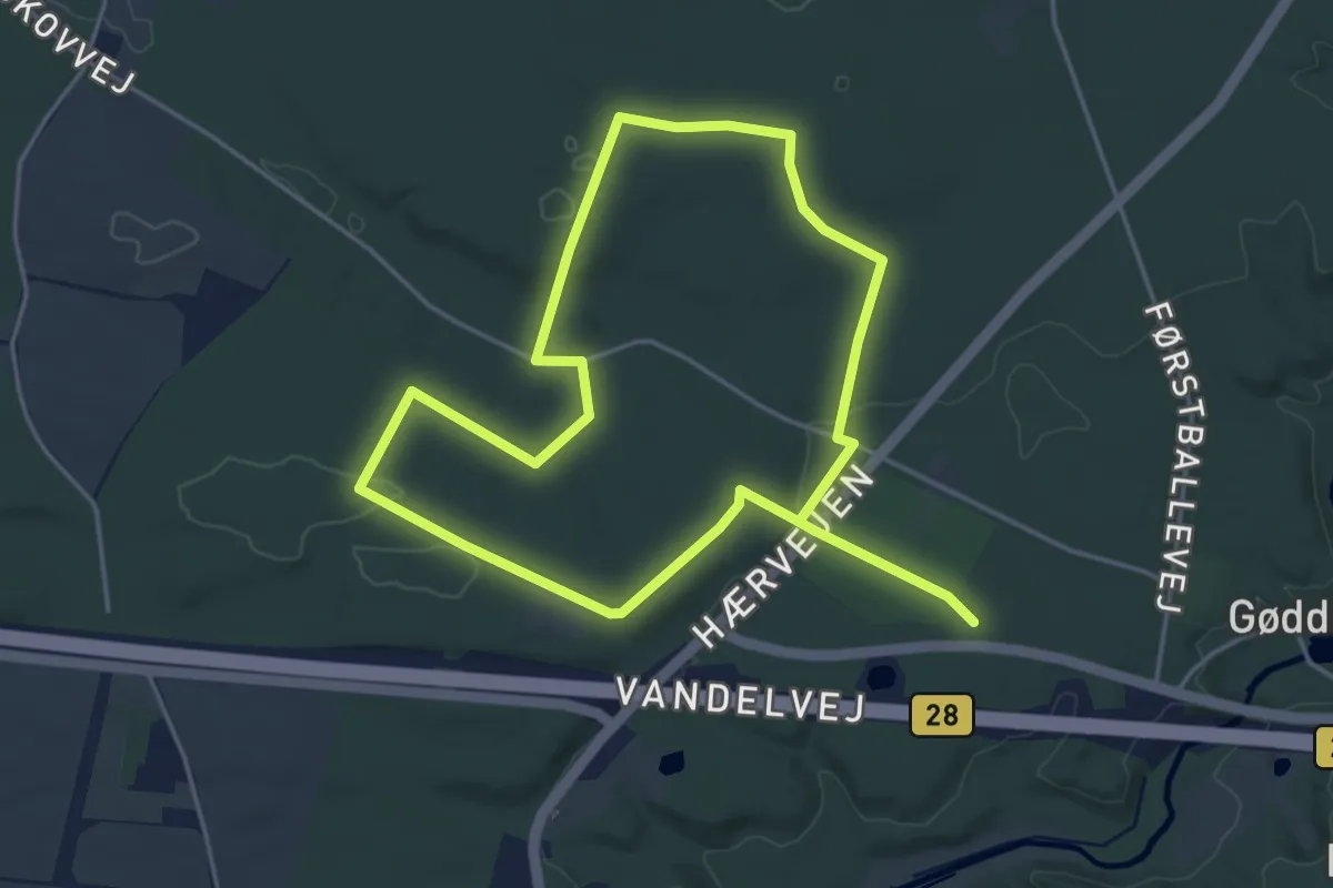
Easy · Trail
Rød tur - Kongsdalen - Gødding Skov, syd
6.6 km · ↑ 58 m · 1 h 41 min
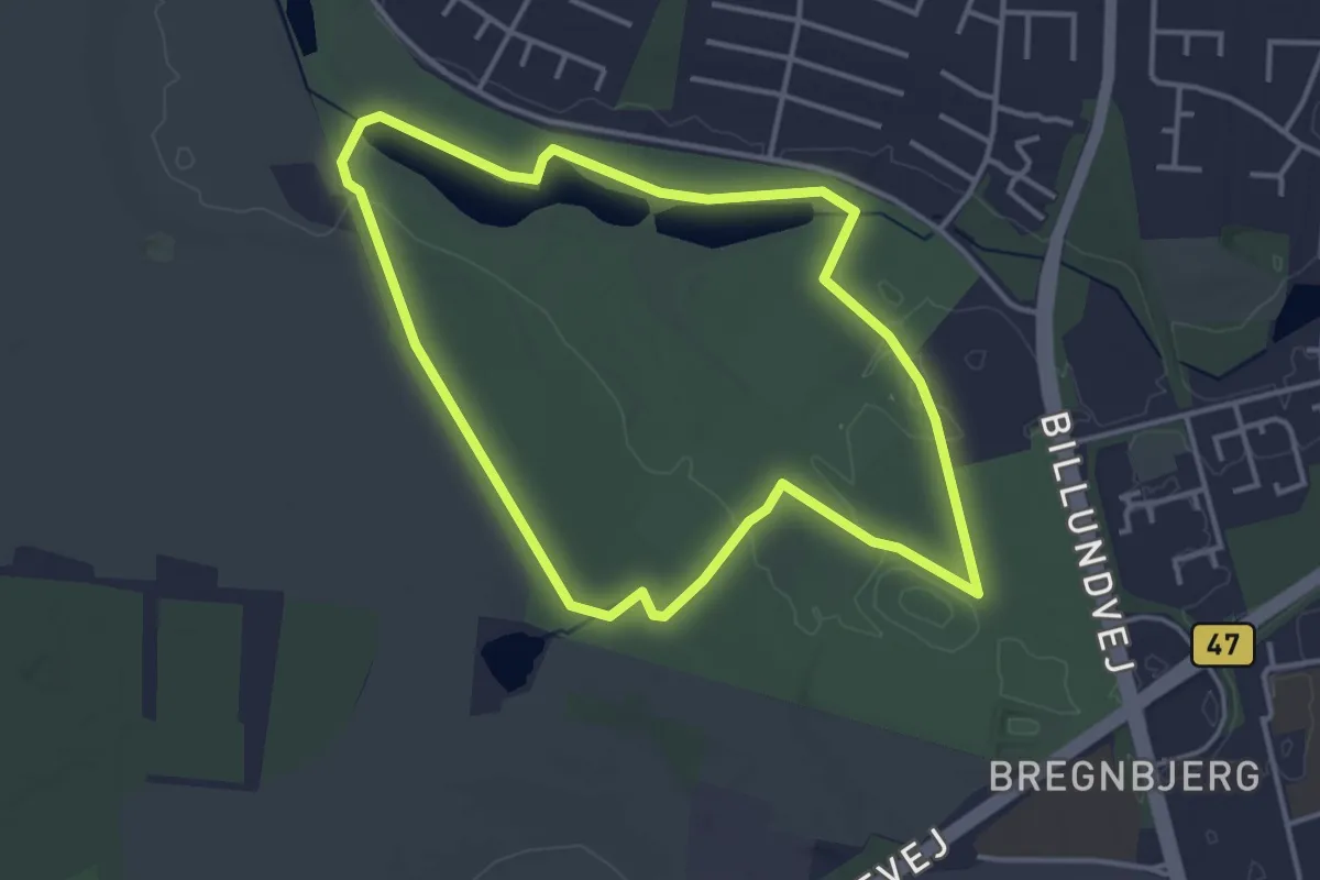
Easy · Trail
Rød vandresti ved Vojens Fritidscenter
3.1 km · ↑ 8 m · 48 min
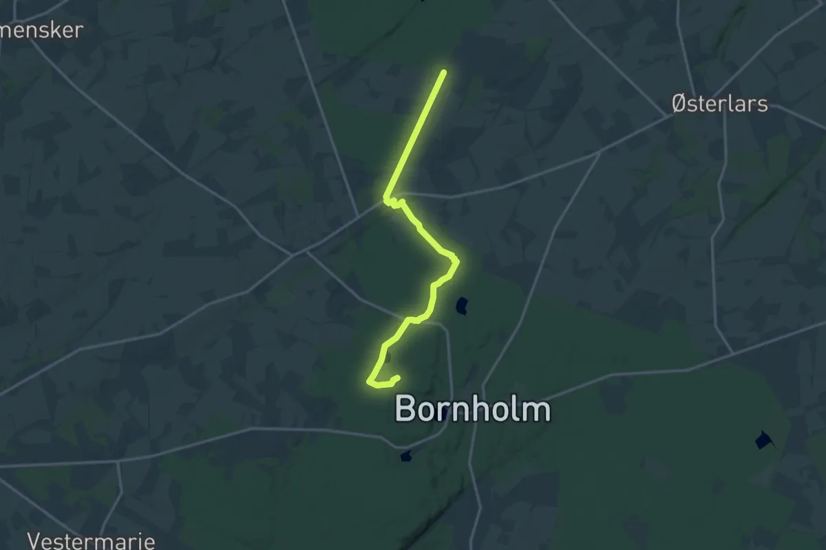
Medium · Trail
Rø Plantage - Almindingen Nord
13.0 km · ↑ 85 m · 3 h 14 min
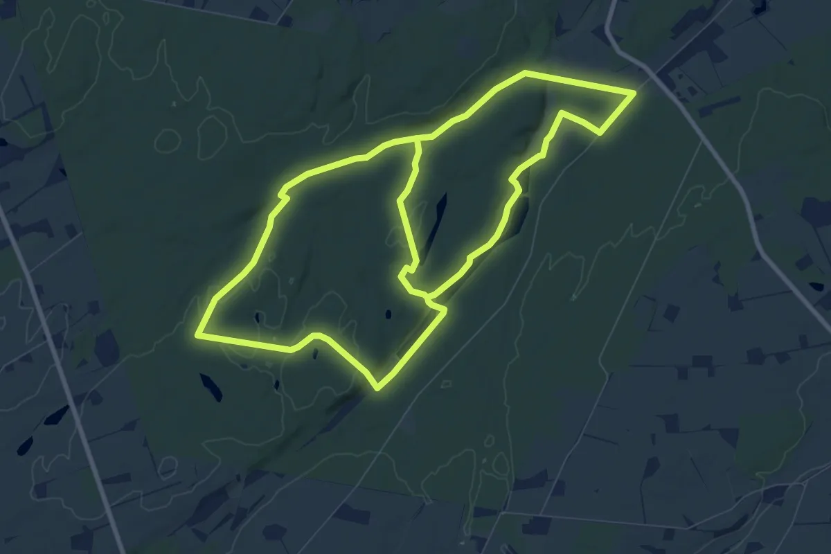
Medium · Trail
Rø Plantage Bornholm
14.5 km · ↑ 130 m · 3 h 42 min
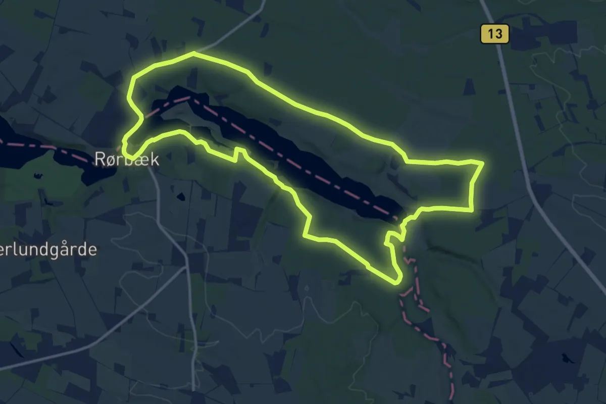
Medium · Trail
Rørbæk Sø Rundt
11.3 km · ↑ 120 m · 3 h 5 min
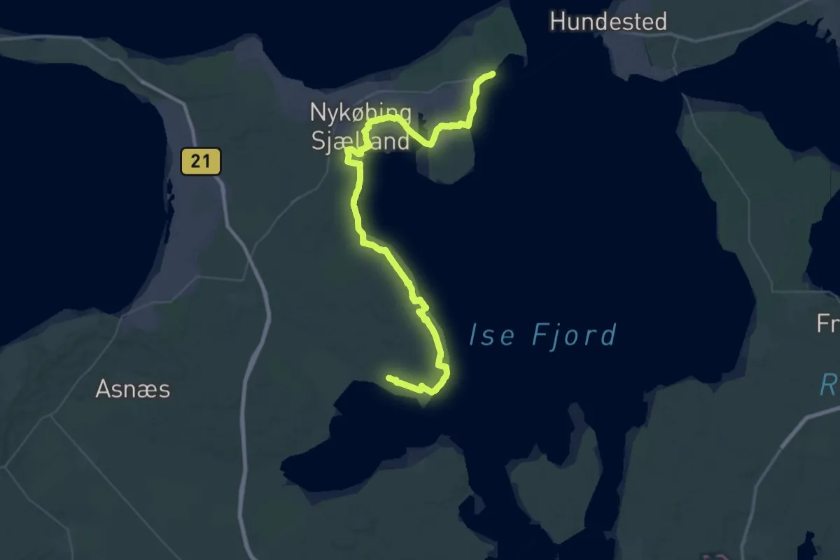
Demanding · Summit
Rørvig til Gundestrup
57.1 km · ↑ 290 m · 14 h 6 min
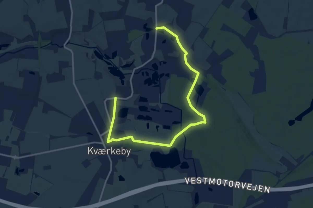
Easy · Trail
Rosengaardstien
4.4 km · ↑ 24 m · 1 h 9 min
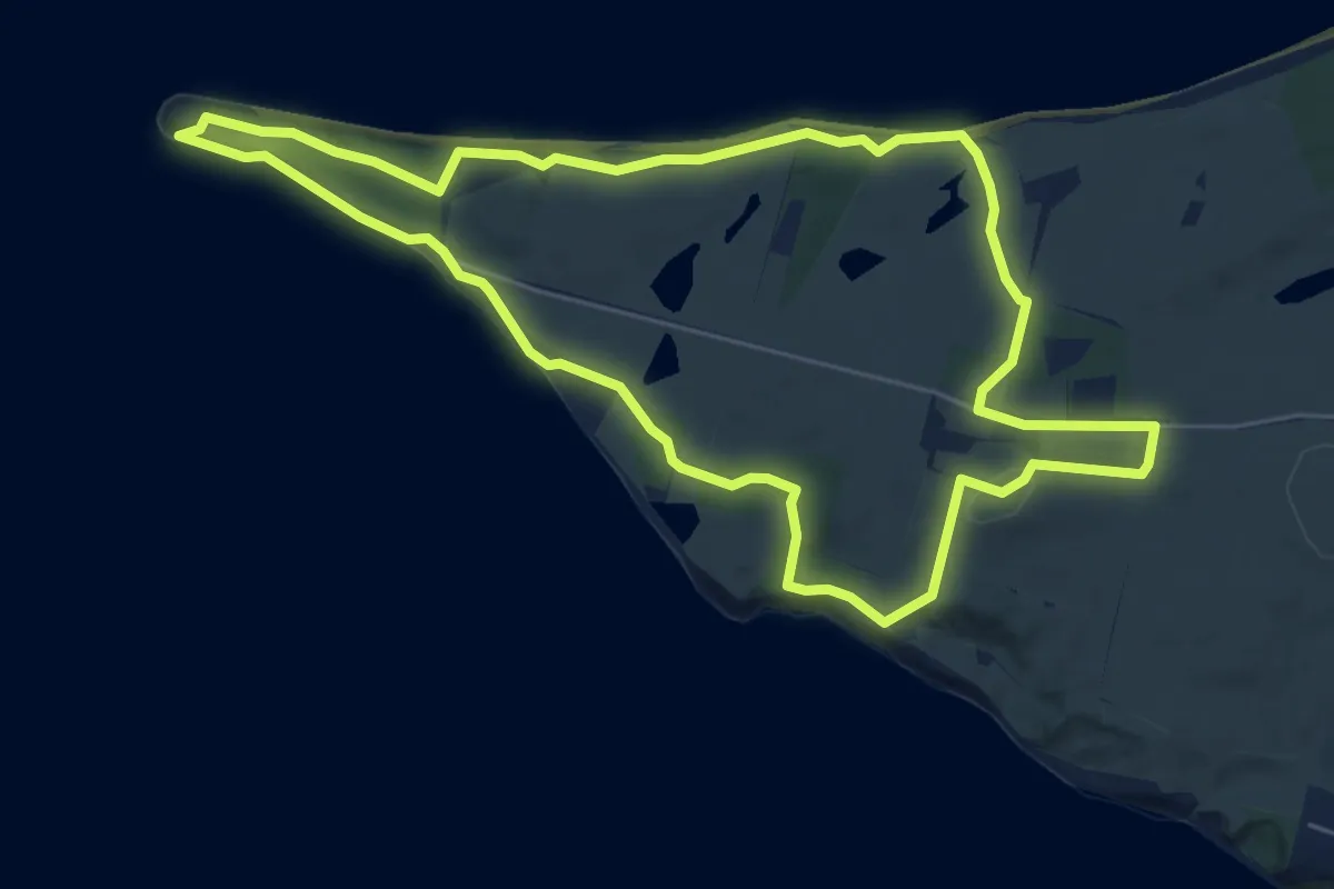
Easy · Trail
Røsnæs
5.1 km · ↑ 61 m · 1 h 24 min
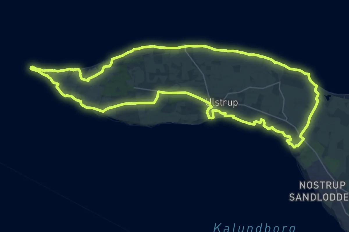
Demanding · Trail
Røsnæs Rundt
23.8 km · ↑ 231 m · 6 h 27 min
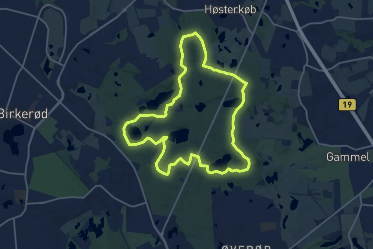
Medium · Summit
Rude Skov
9.0 km · ↑ 88 m · 2 h 26 min
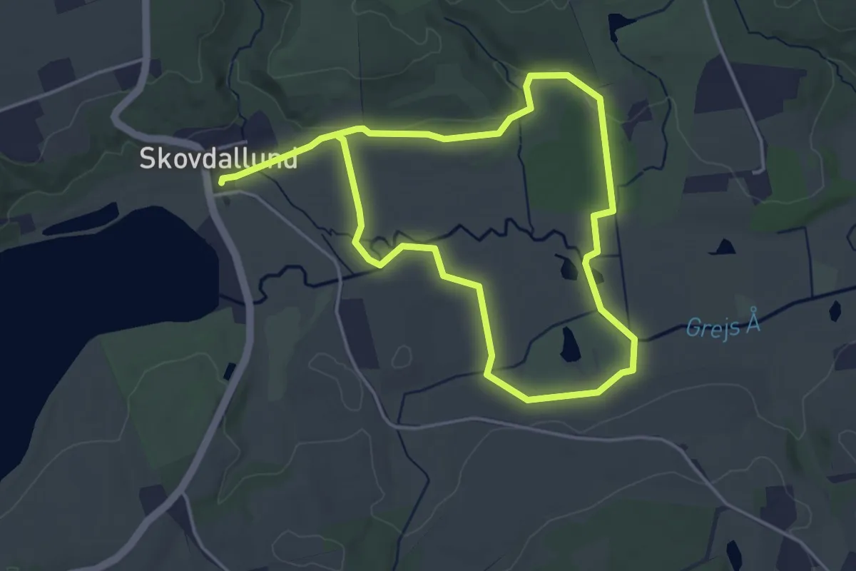
Easy · Trail
Rugballe Mose
6.0 km · ↑ 57 m · 1 h 32 min
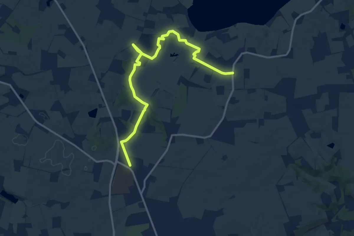
Medium · Trail
Rundt om Fårup Sø
8.7 km · ↑ 137 m · 2 h 21 min
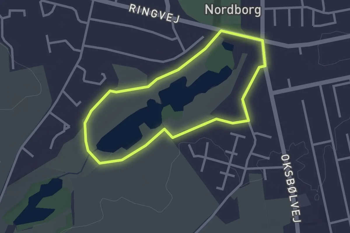
Easy · Trail
Rundt om Gammeldam
1.8 km · ↑ 4 m · 27 min
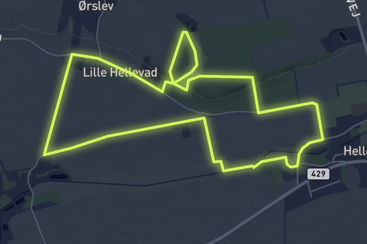
Easy · Trail
Rundt om Hellevad, blå rute
5.3 km · ↑ 14 m · 1 h 21 min
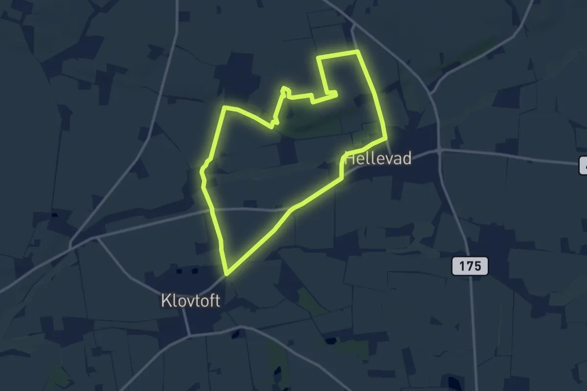
Medium · Trail
Rundt om Hellevad, grøn rute
8.1 km · ↑ 26 m · 2 h 5 min