Trails in Denmark
1,383 hiking trails, each with its route, climb, walking time and grade.
All trails, page 22 of 29
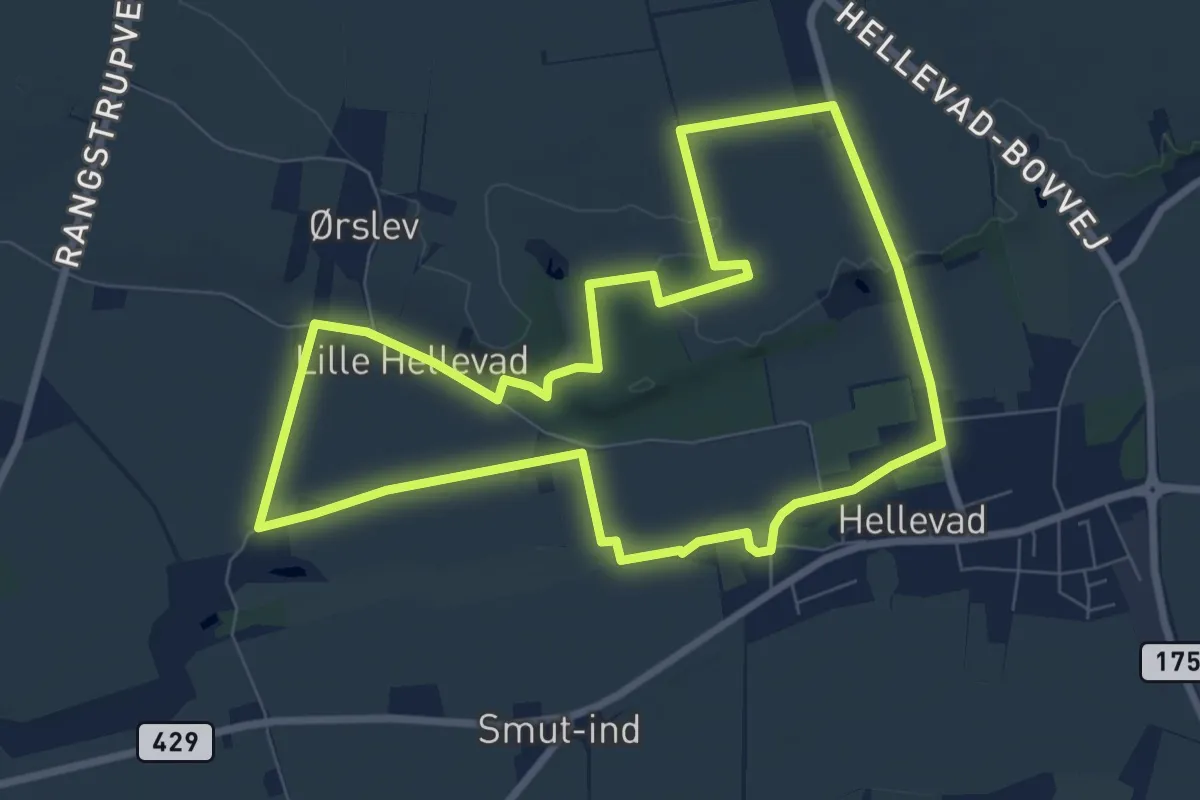
Easy · Trail
Rundt om Hellevad, gul rute
6.7 km · ↑ 22 m · 1 h 43 min
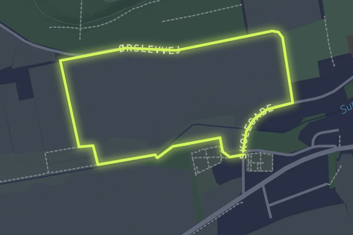
Easy · Trail
Rundt om Hellevad, rød rute
1.9 km · ↑ 0 m · 29 min
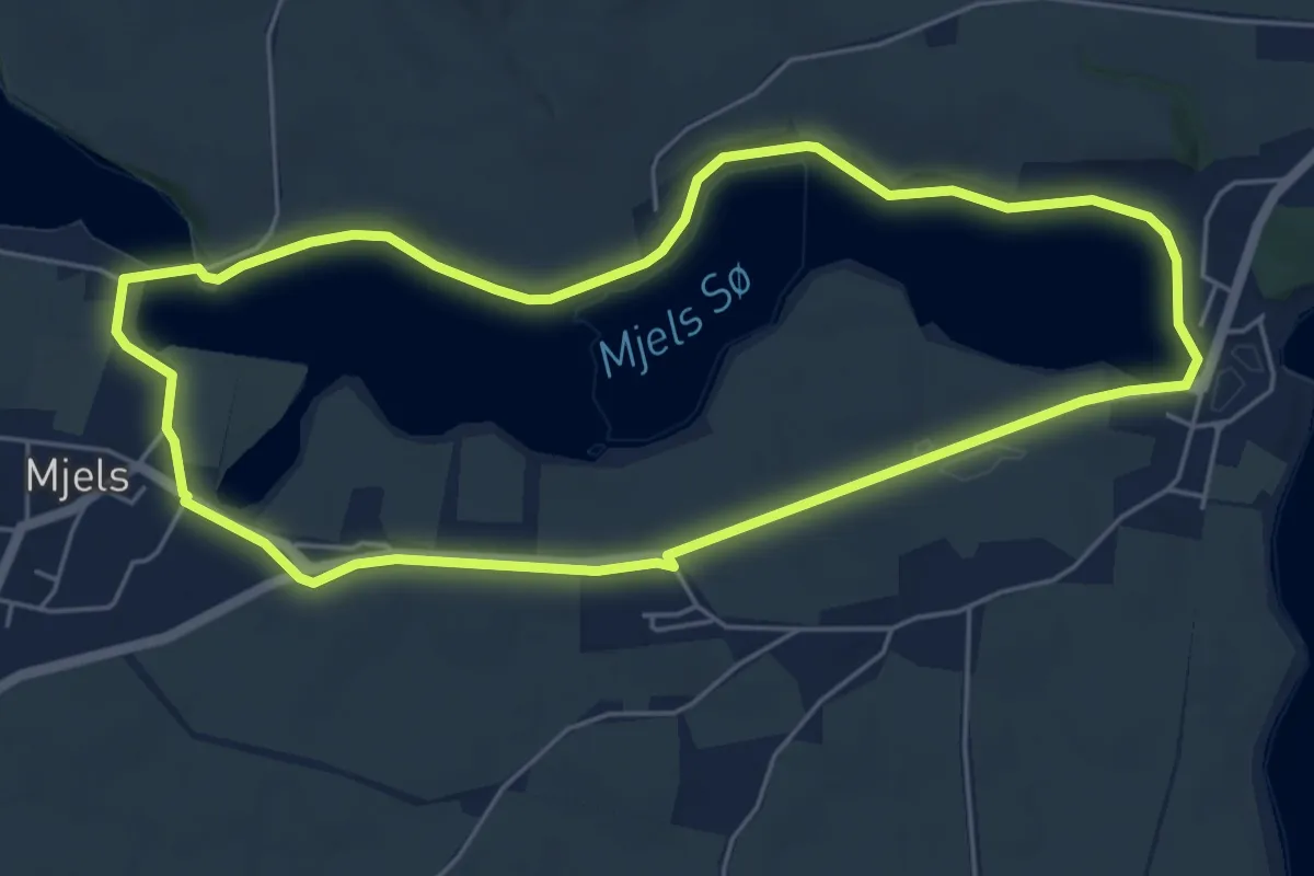
Easy · Trail
Rundt om Mjels Sø
4.7 km · ↑ 23 m · 1 h 13 min
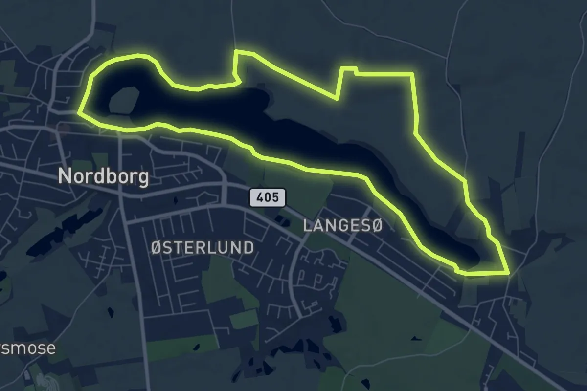
Easy · Trail
Rundt om Nordborg Sø
7.2 km · ↑ 27 m · 1 h 51 min
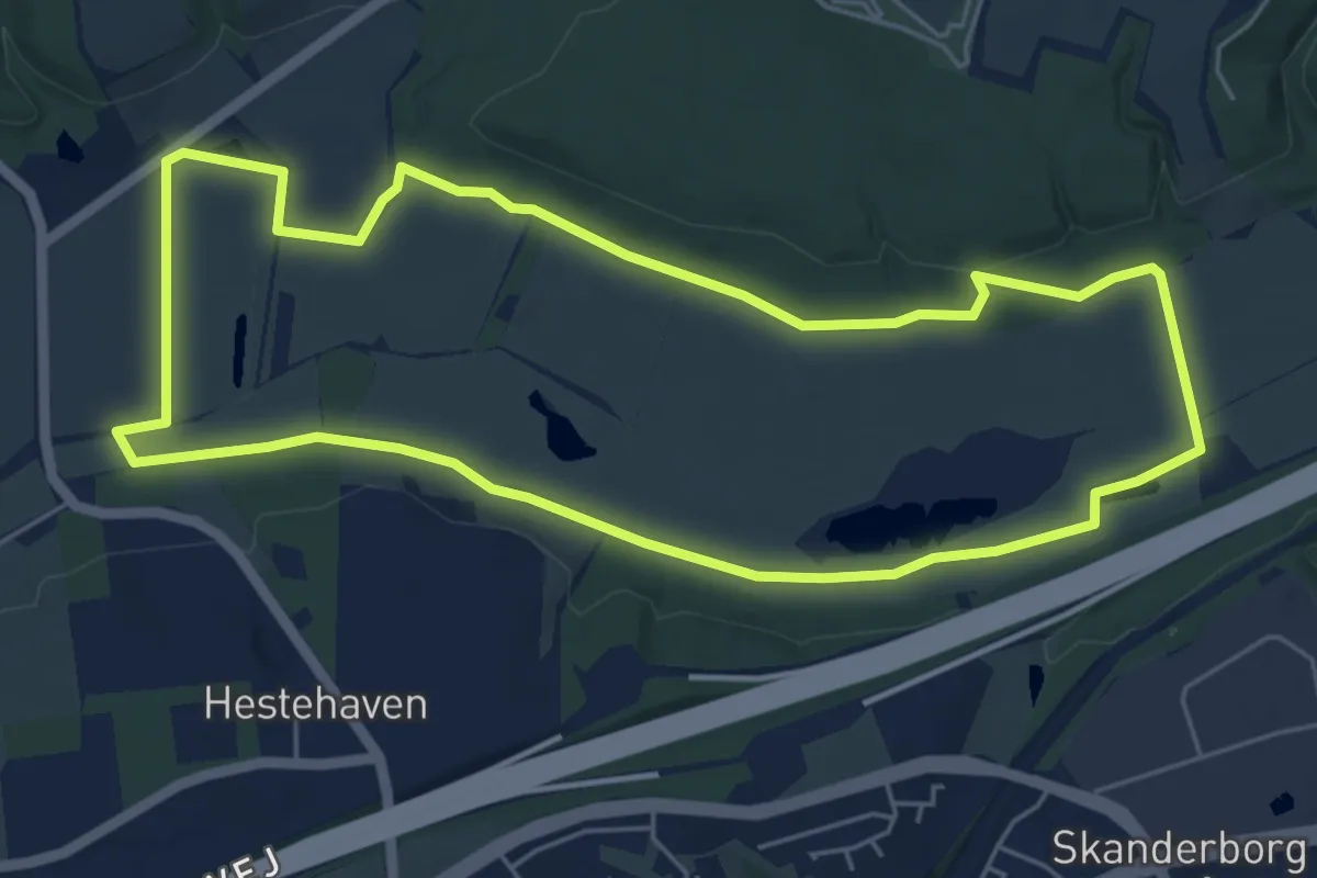
Easy · Trail
Rundt om Offermosen
4.7 km · ↑ 41 m · 1 h 16 min
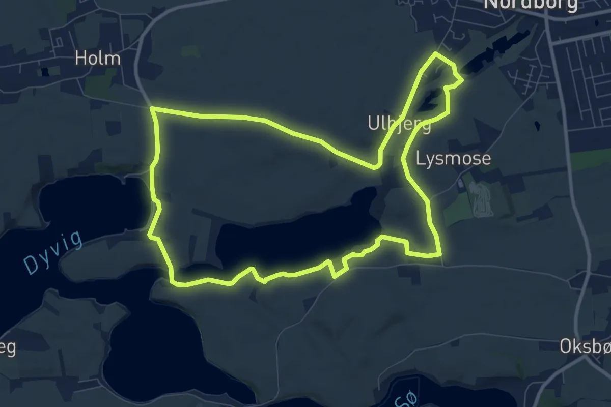
Easy · Trail
Rundt om Oldenor
7.6 km · ↑ 66 m · 2 h 2 min
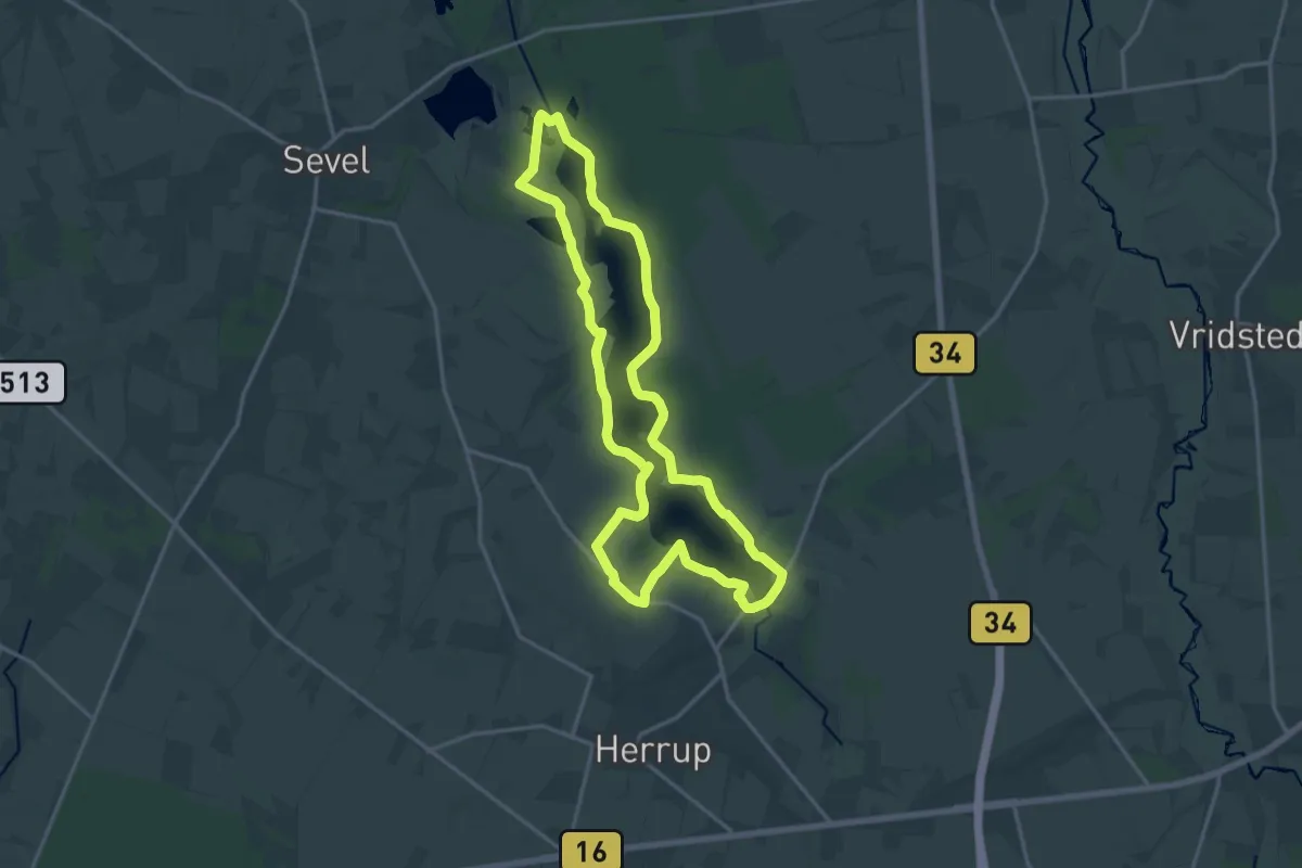
Medium · Trail
Rundt om Stubbergård Sø
13.6 km · ↑ 41 m · 3 h 29 min
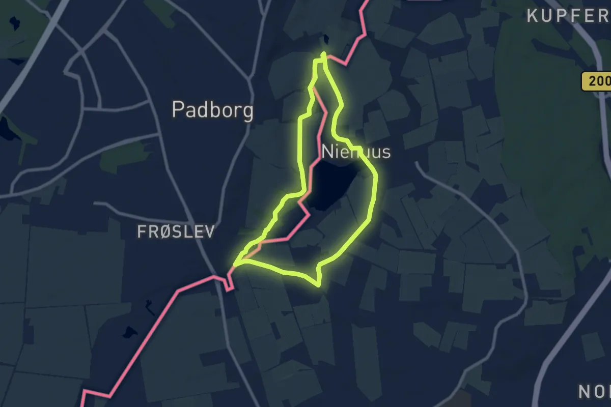
Easy · Trail
Rundwanderweg 4: Niehuuser See
5.6 km · ↑ 47 m · 1 h 30 min
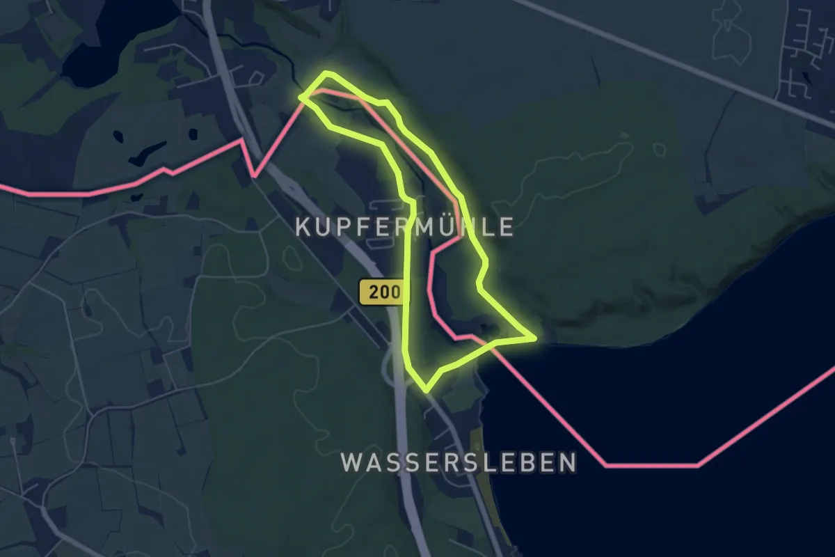
Easy · Trail
Rundwanderweg 5: Kupfermühle
4.0 km · ↑ 50 m · 1 h 7 min
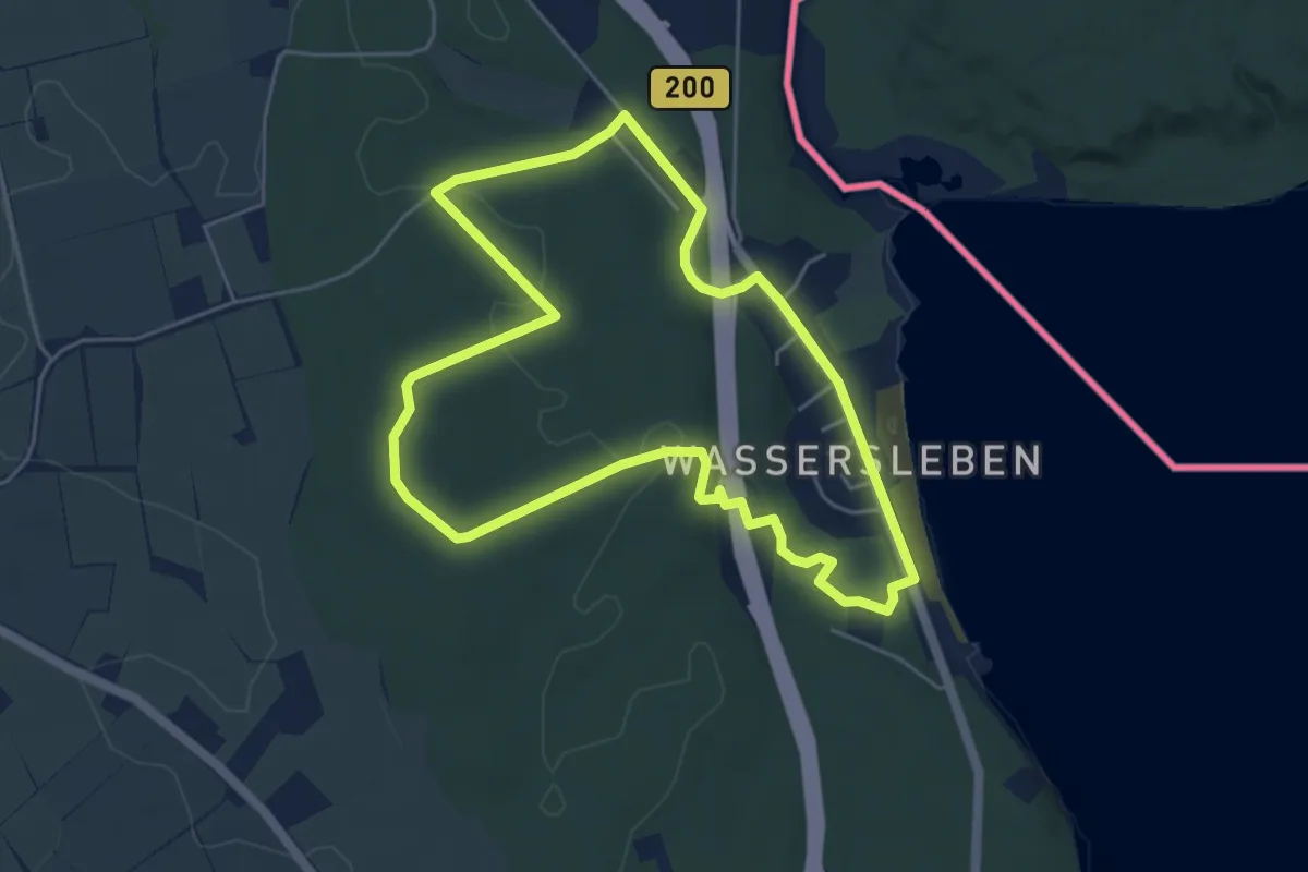
Easy · Trail
Rundwanderweg 6: Wassersleben/Klueser Wald
4.2 km · ↑ 58 m · 1 h 10 min
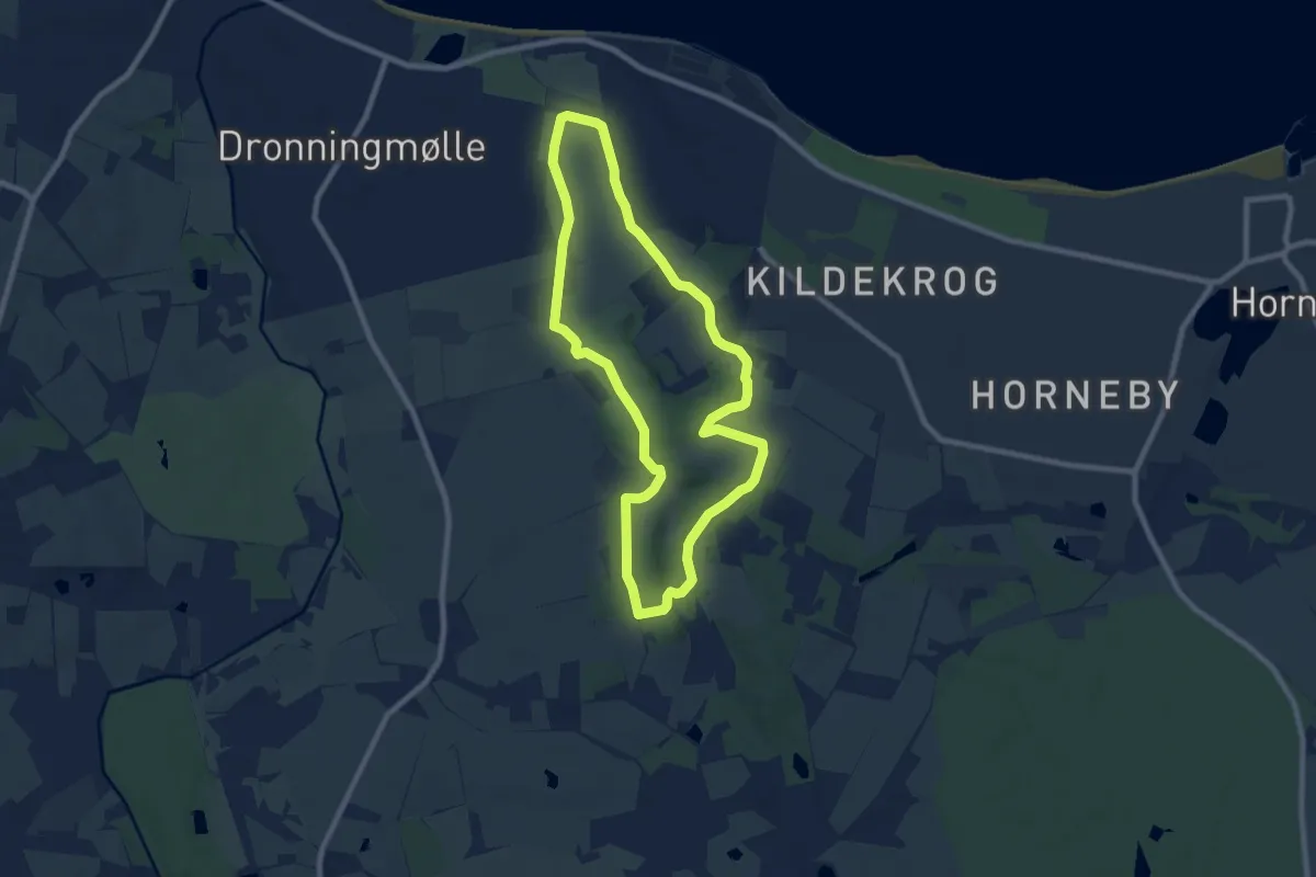
Easy · Trail
Rusland/Rudolph Tegner
6.4 km · ↑ 33 m · 1 h 41 min
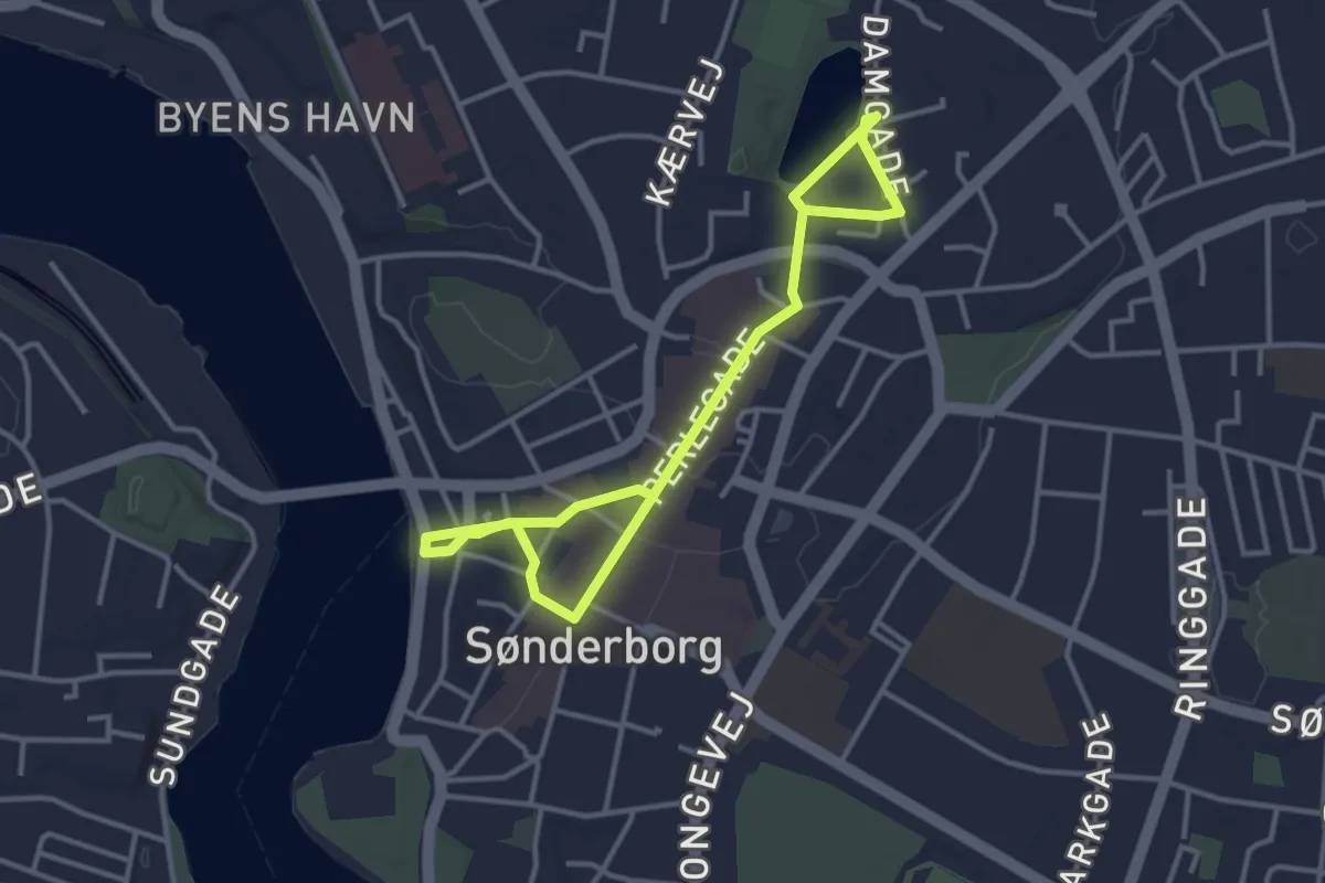
Easy · Trail
Rute for Sønderborg Natløb - gårute
4.0 km · ↑ 37 m · 1 h 1 min
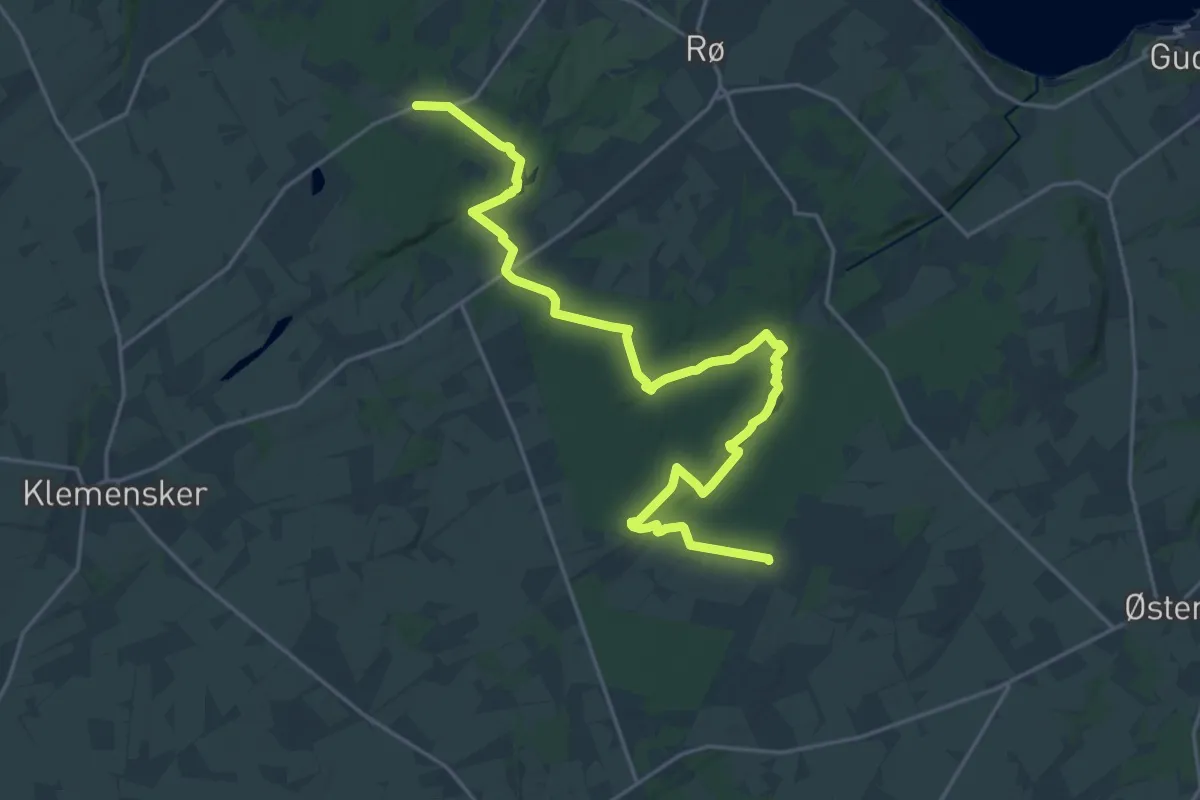
Demanding · Trail
Rutsker Højlyng - Rø Plantage
21.4 km · ↑ 175 m · 5 h 27 min
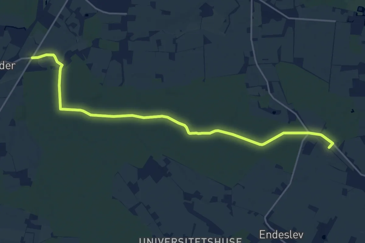
Medium · Trail
Sædder til Grubberholm
13.6 km · ↑ 26 m · 3 h 16 min
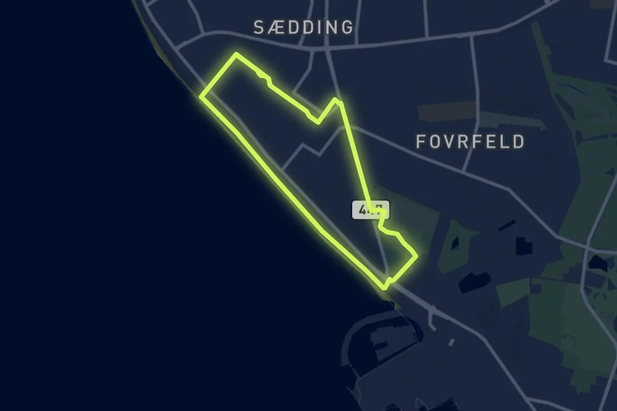
Medium · Trail
Sædding - Blå Energist
13.0 km · ↑ 21 m · 3 h 6 min
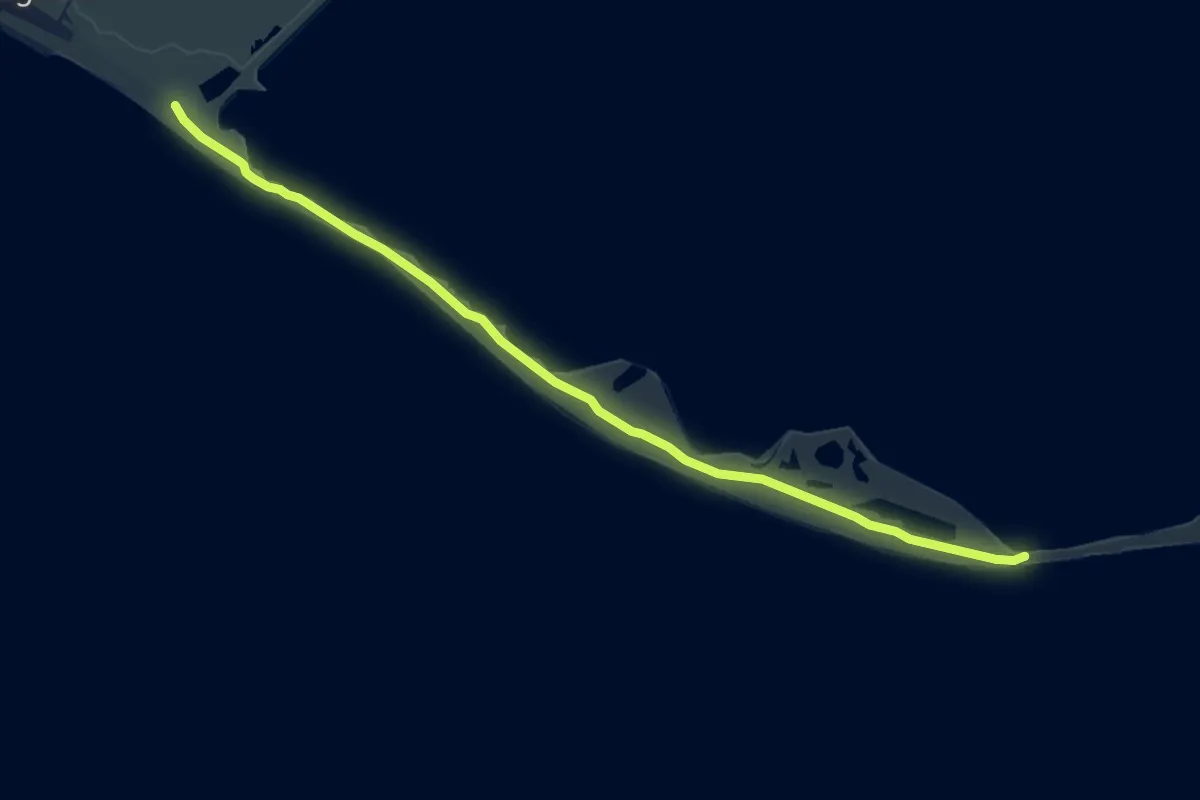
Medium · Trail
Saksfjed-Hyllekrog
8.3 km · ↑ 0 m · 1 h 57 min
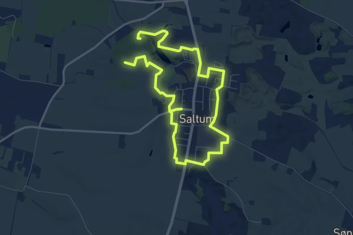
Easy · Trail
Saltumstien
5.4 km · ↑ 18 m · 1 h 24 min
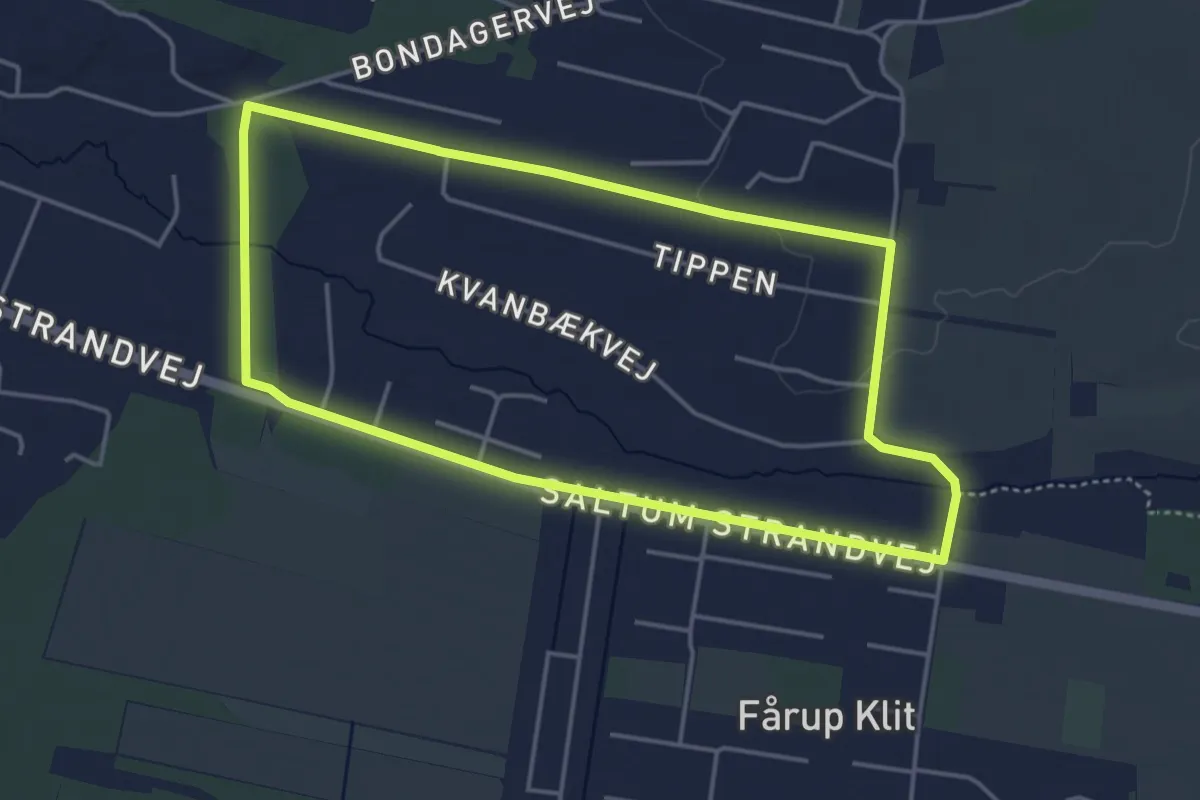
Easy · Trail
Saltum Strand Camping Hjertesti
3.4 km · ↑ 13 m · 53 min
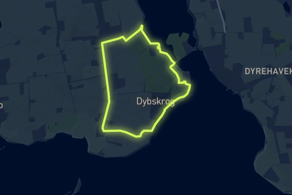
Easy · Summit
Sanatorieskoven
5.4 km · ↑ 22 m · 1 h 23 min
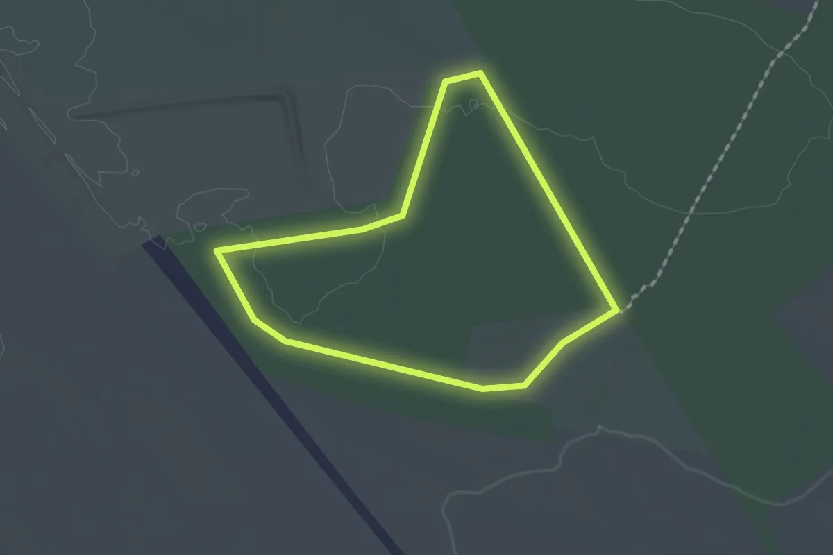
Easy · Trail
Sandfeldgård Plantage
1.2 km · ↑ 4 m · 18 min
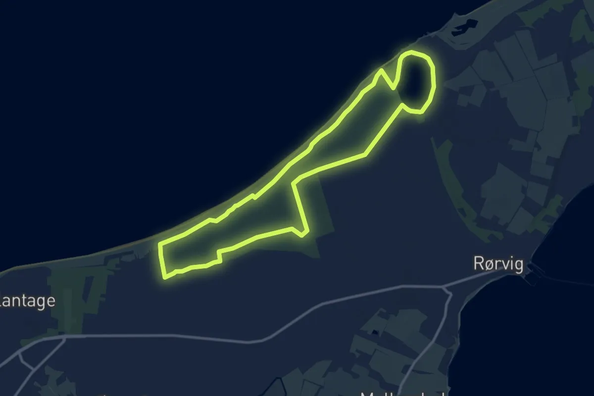
Medium · Trail
Sandflugtsplantagen
9.4 km · ↑ 14 m · 2 h 22 min
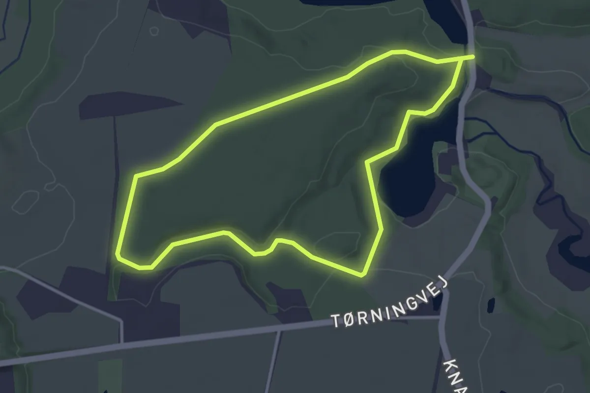
Easy · Trail
Sandkule Skov - rød rute
2.7 km · ↑ 34 m · 45 min
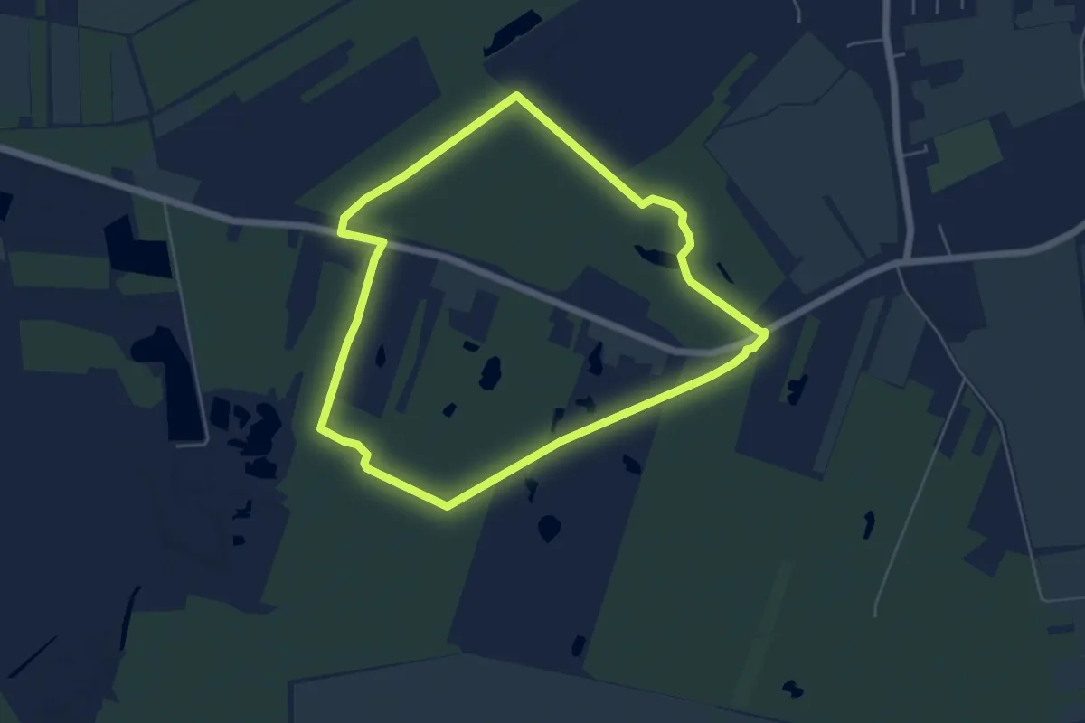
Easy · Trail
Sandmosen Sti 1
4.2 km · ↑ 4 m · 1 h 3 min
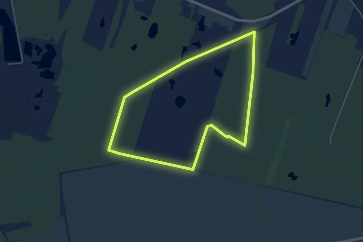
Easy · Trail
Sandmosen Sti 2
3.2 km · ↑ 9 m · 50 min
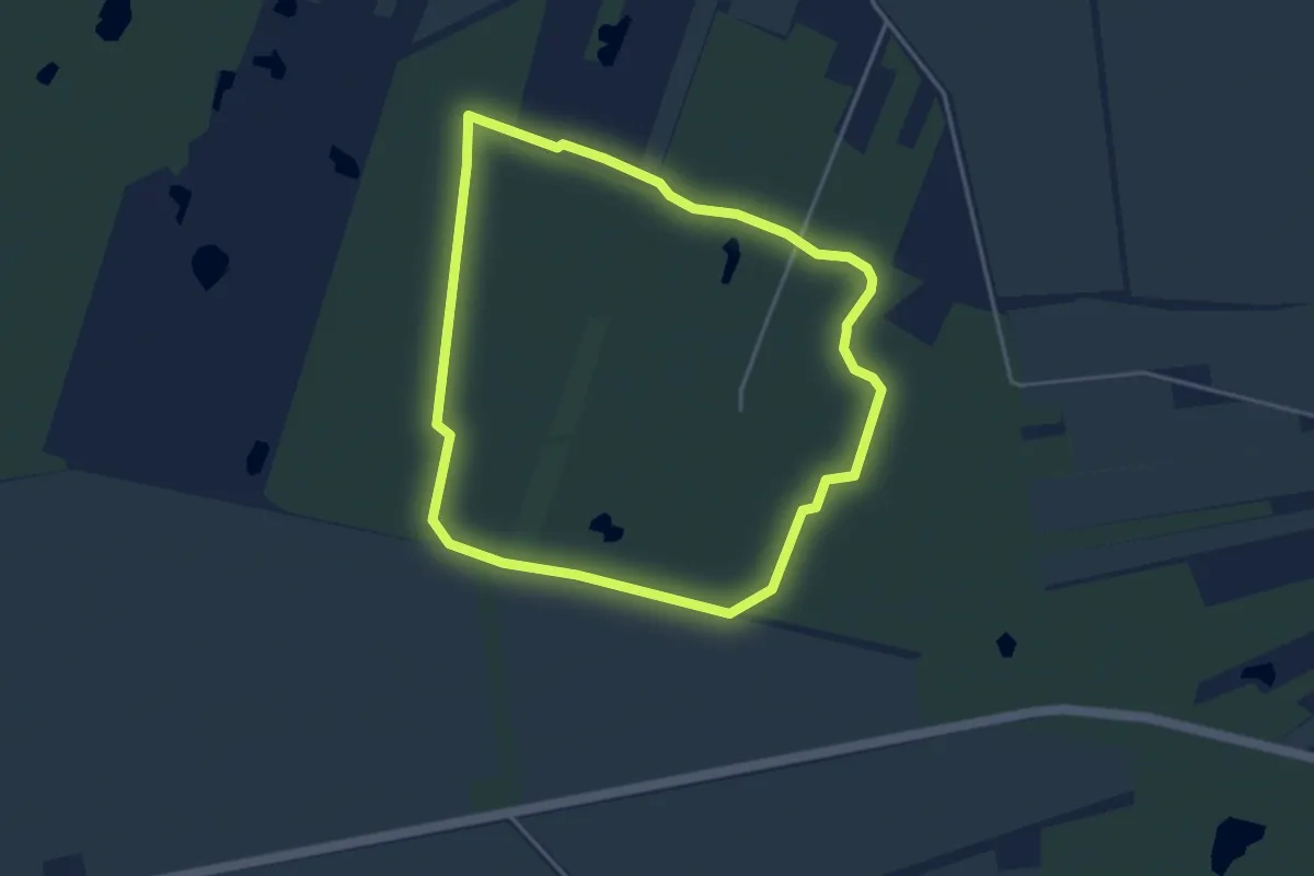
Easy · Trail
Sandmosen Sti 3
3.0 km · ↑ 0 m · 45 min
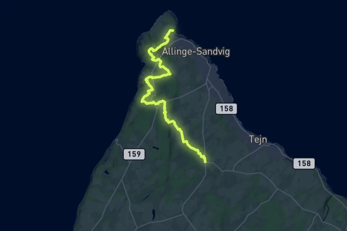
Demanding · Trail
Sandvig - Olsker
22.6 km · ↑ 334 m · 6 h 4 min
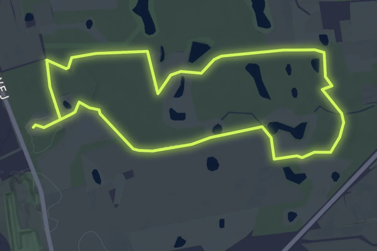
Easy · Trail
Sebberup Skov - Rød sti
3.2 km · ↑ 9 m · 50 min
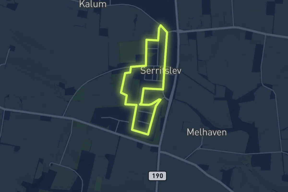
Easy · Trail
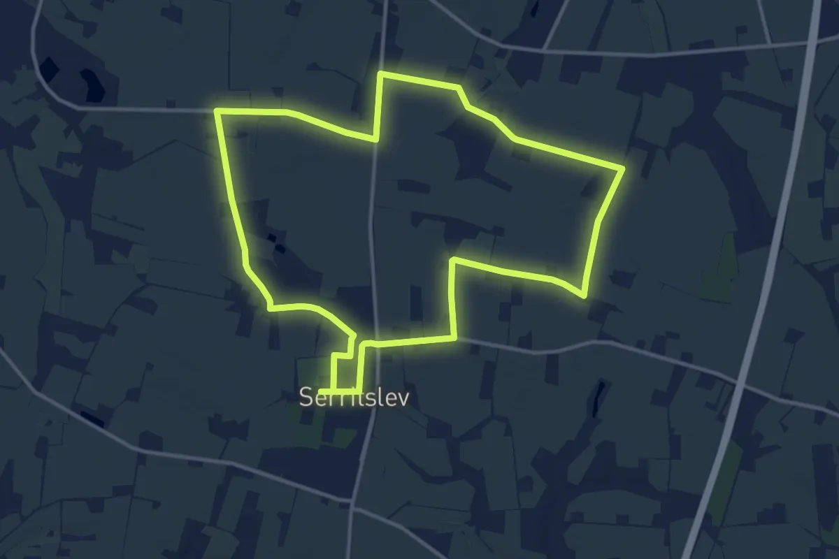
Serritslev kort hjertesti
3.2 km · ↑ 4 m · 48 min
Medium · Trail
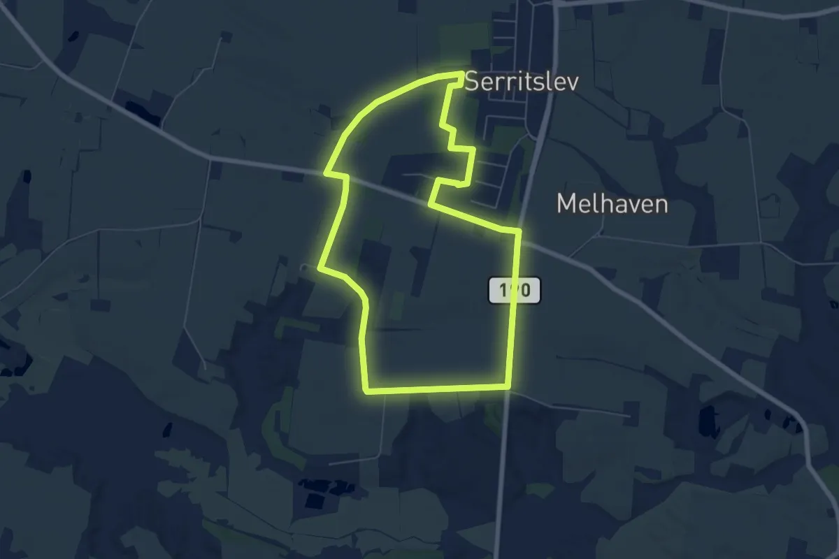
Serritslev lang Hjertesti
9.7 km · ↑ 25 m · 2 h 29 min
Easy · Trail
Serritslev mellem hjertesti
5.0 km · ↑ 13 m · 1 h 17 min
Medium · Trail
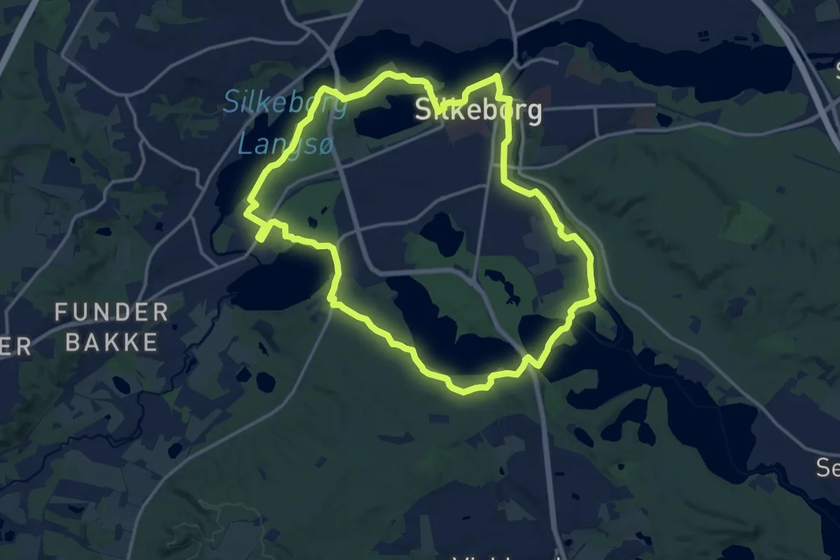
Silkeruten
11.7 km · ↑ 77 m · 3 h 6 min
Demanding · Trail
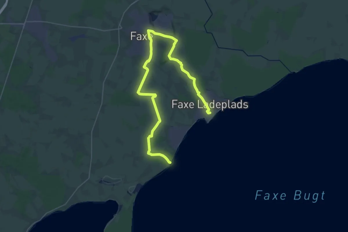
Sjællandsleden - Faxe alternativ
31.4 km · ↑ 165 m · 7 h 47 min
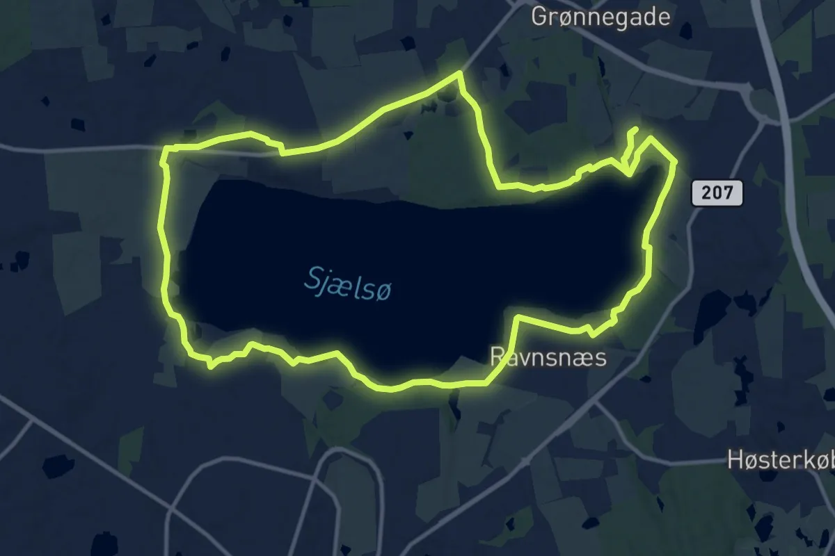
Medium · Trail
Sjælsø Rundtur
11.1 km · ↑ 91 m · 2 h 58 min
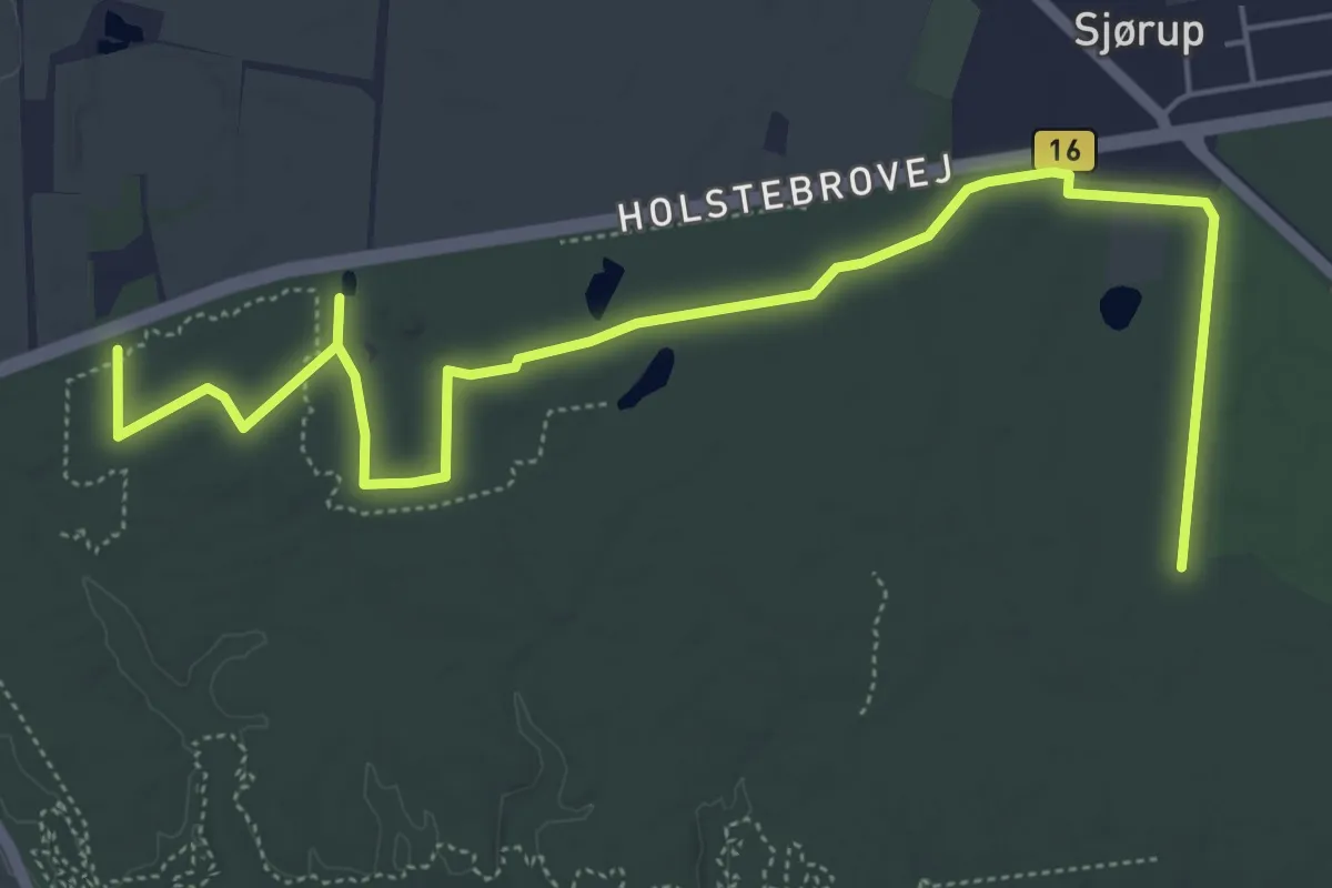
Easy · Trail
Sjørup rød rute
5.9 km · ↑ 48 m · 1 h 29 min
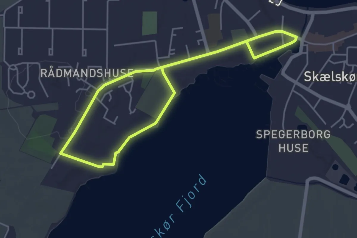
Easy · Trail
Skælskør Inderfjord
5.5 km · ↑ 39 m · 1 h 23 min
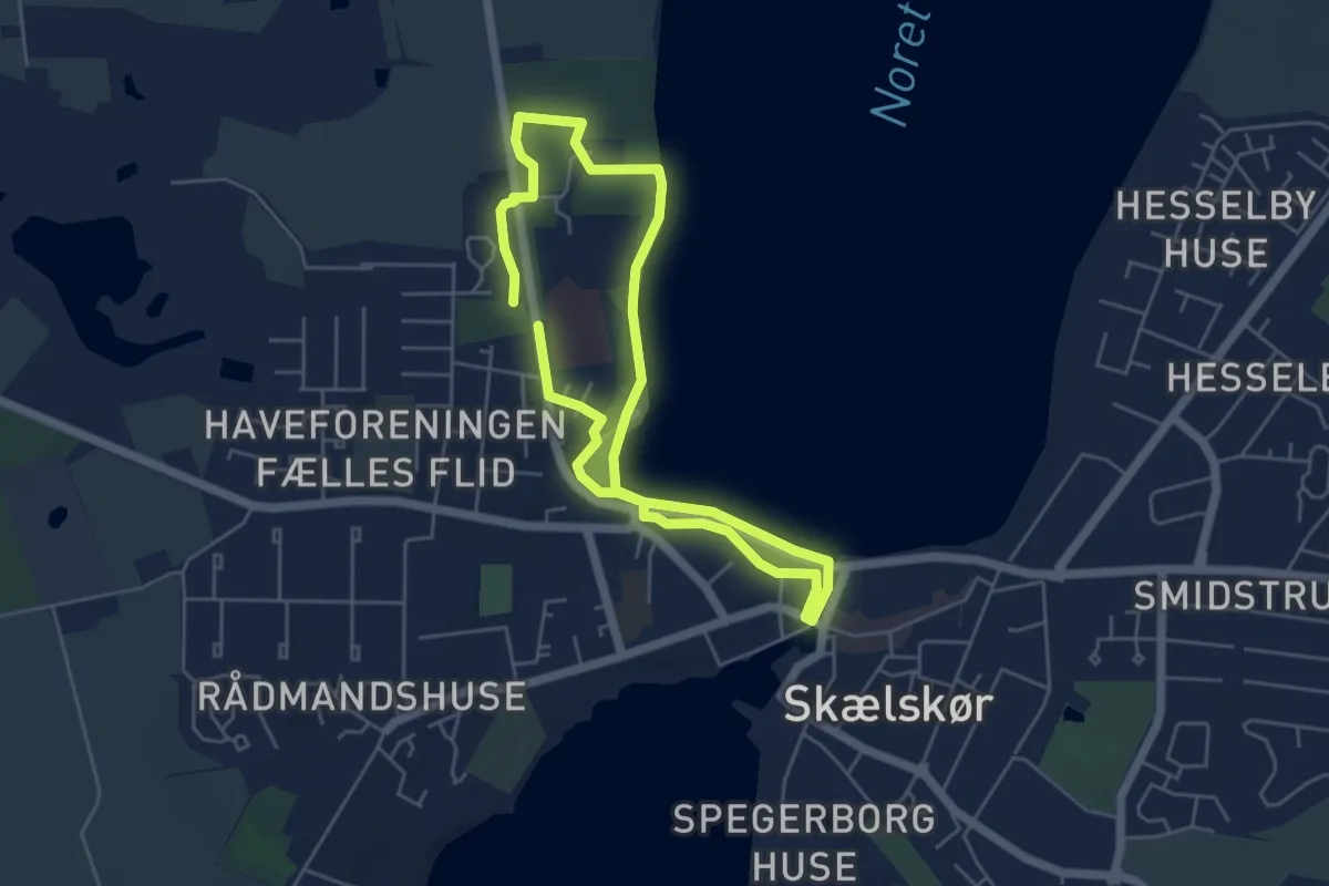
Easy · Trail
Skælskør Lystskov
3.7 km · ↑ 19 m · 58 min
Easy · Trail
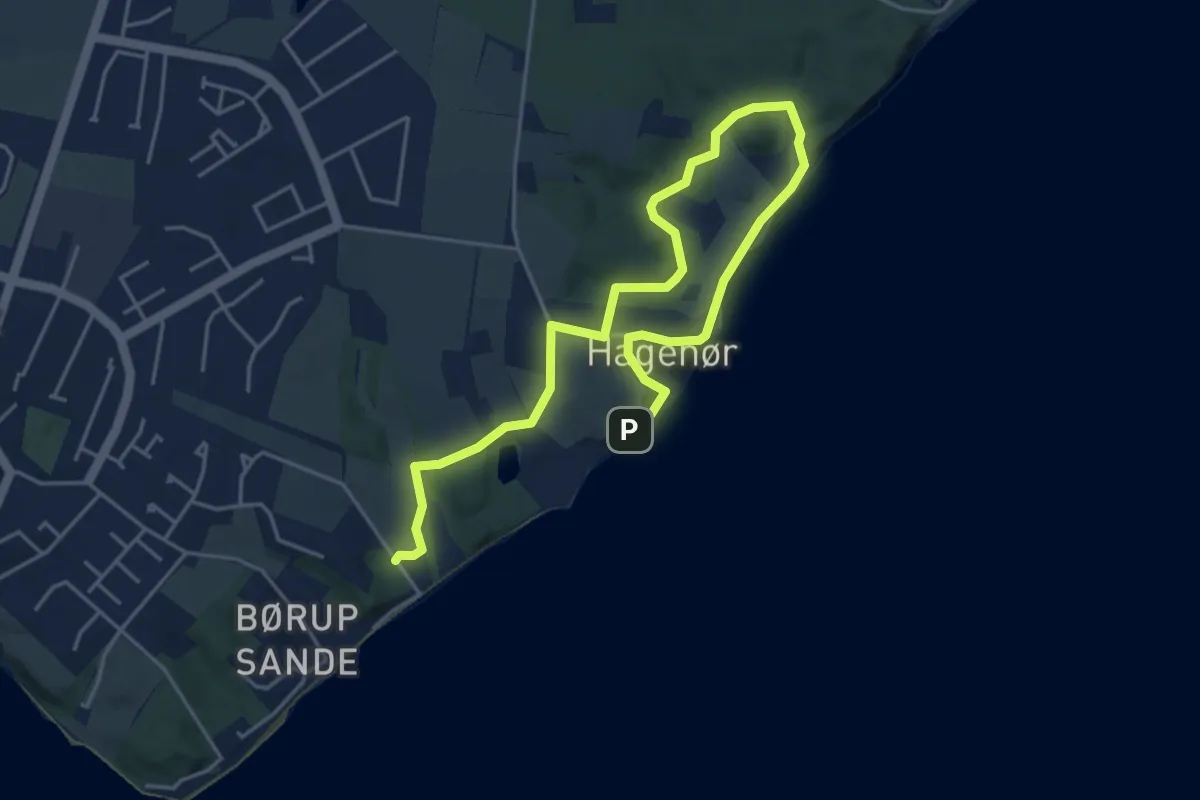
Skærbæk Trampesti
5.3 km · ↑ 69 m · 1 h 23 min
Easy · Trail
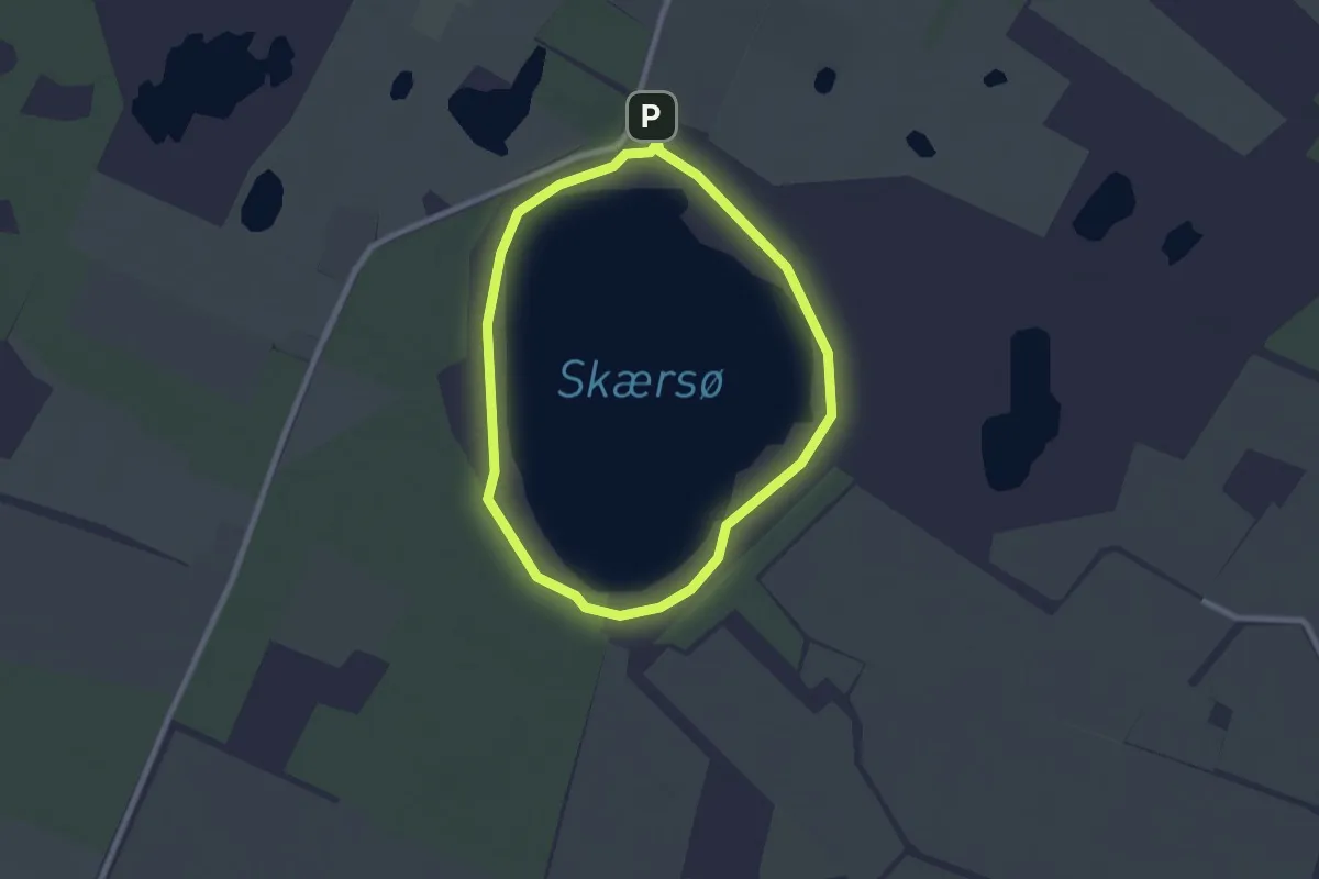
Skærsø Rundt
1.8 km · ↑ 0 m · 26 min
Easy · Trail
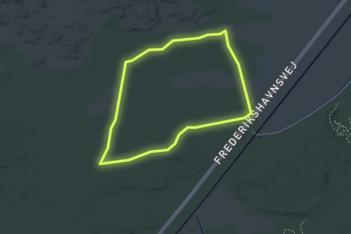
Skagen Klitplantage Grøn rute
2.4 km · ↑ 0 m · 36 min
Easy · Trail
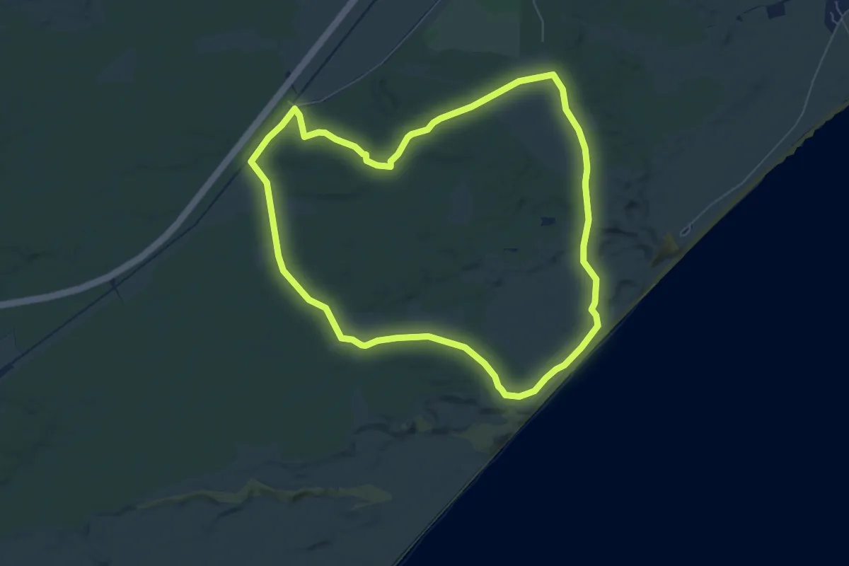
Skagen Klitplantage Gul rute
5.2 km · ↑ 9 m · 1 h 20 min
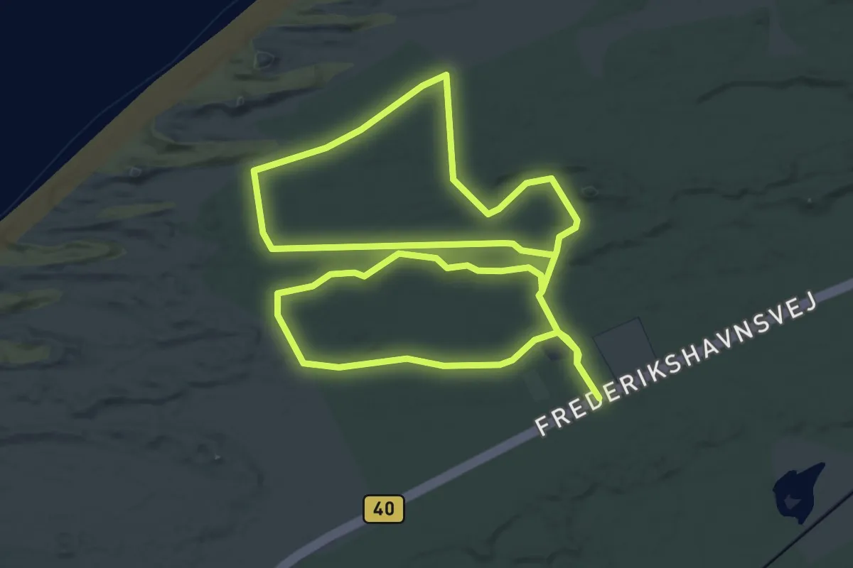
Easy · Trail
Skagen Klitplantage Orange rute
3.9 km · ↑ 8 m · 59 min
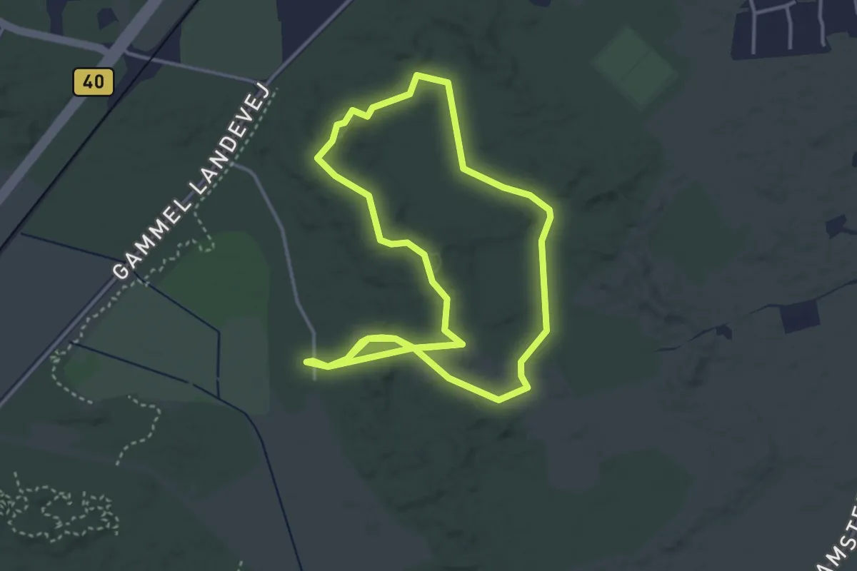
Easy · Trail
Skagen Klitplantage Rød rute
2.9 km · ↑ 4 m · 45 min
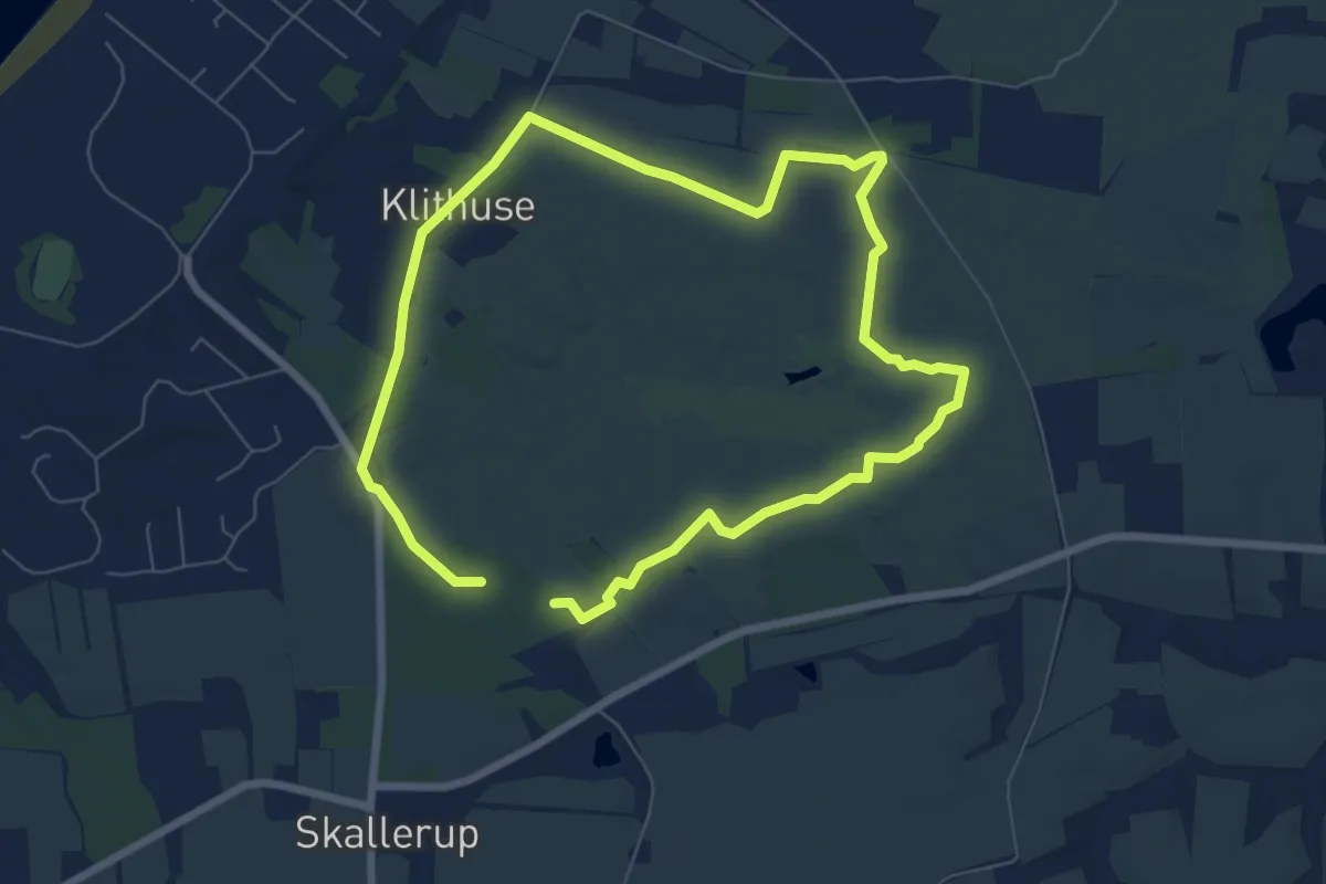
Easy · Trail
Skallerup Indlandsklit
4.9 km · ↑ 12 m · 1 h 16 min
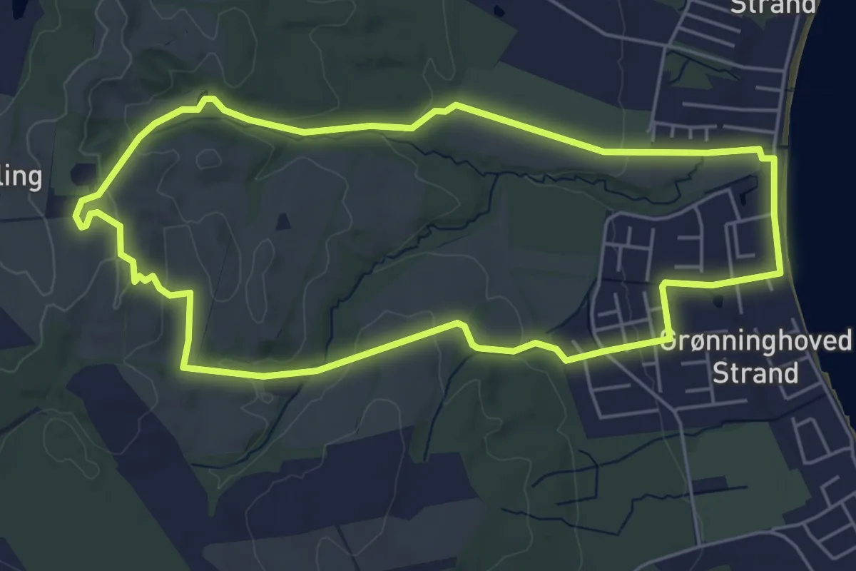
Easy · Summit
Skamlingsbankestien
4.5 km · ↑ 98 m · 1 h 20 min
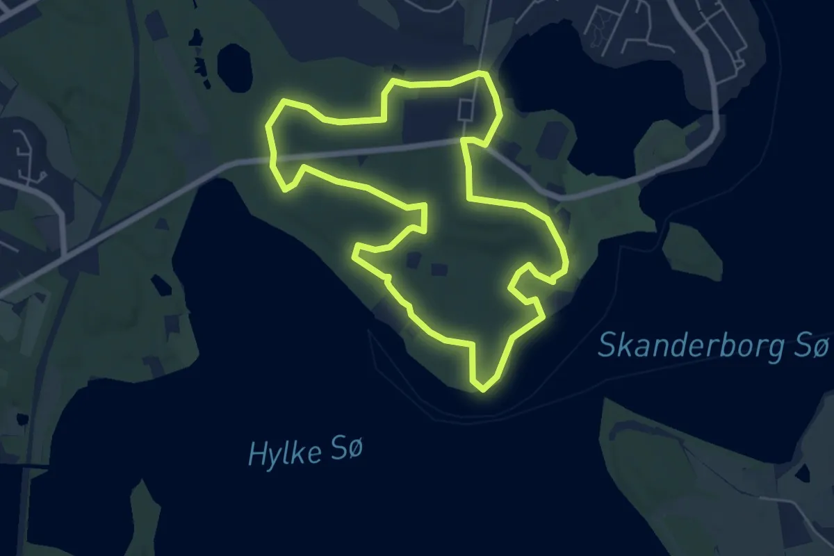
Easy · Trail
Skanderborg Dyrehave - Rød Rute
4.8 km · ↑ 55 m · 1 h 20 min
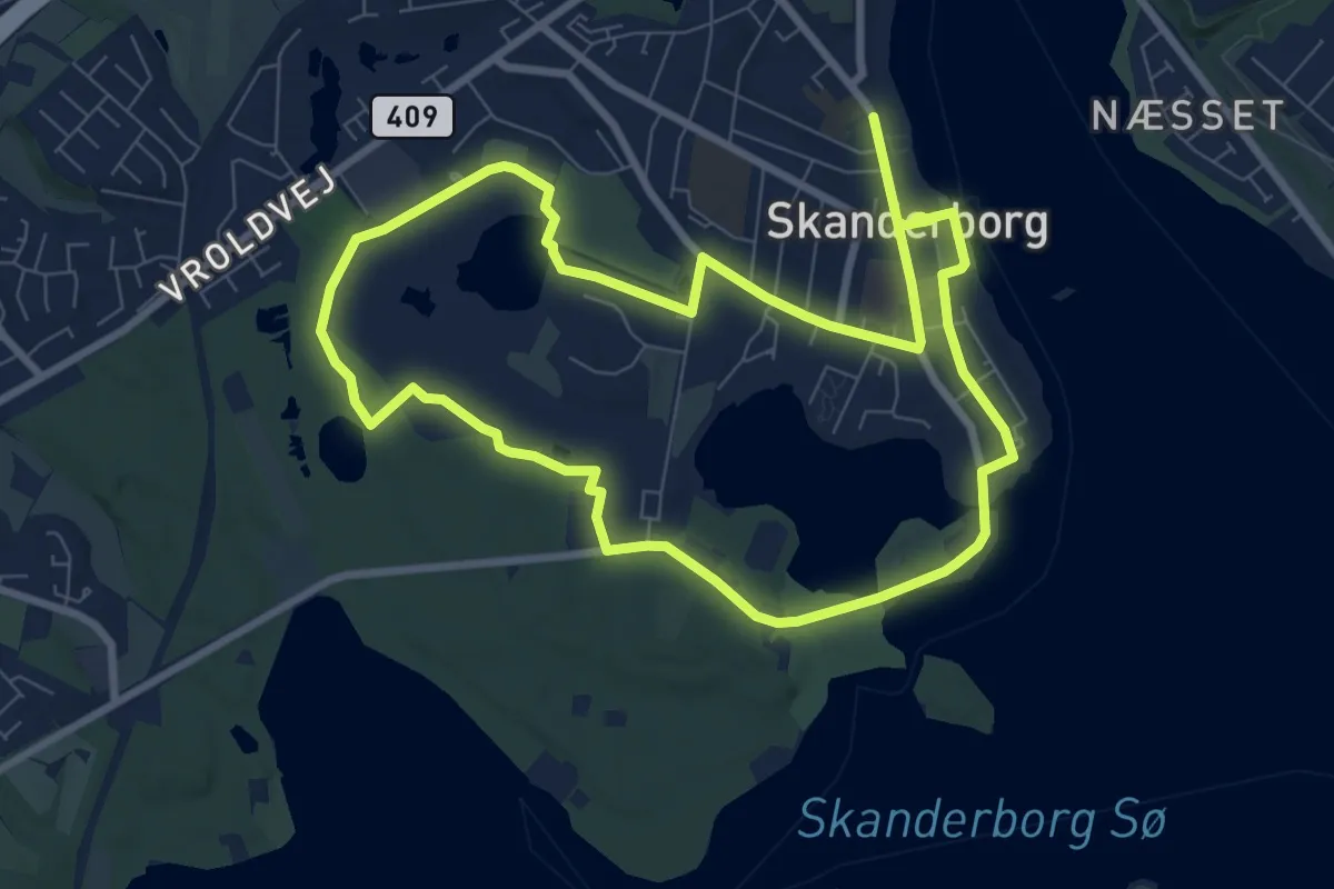
Medium · Trail
Skanderborg Smuk-ruten
13.2 km · ↑ 96 m · 3 h 20 min
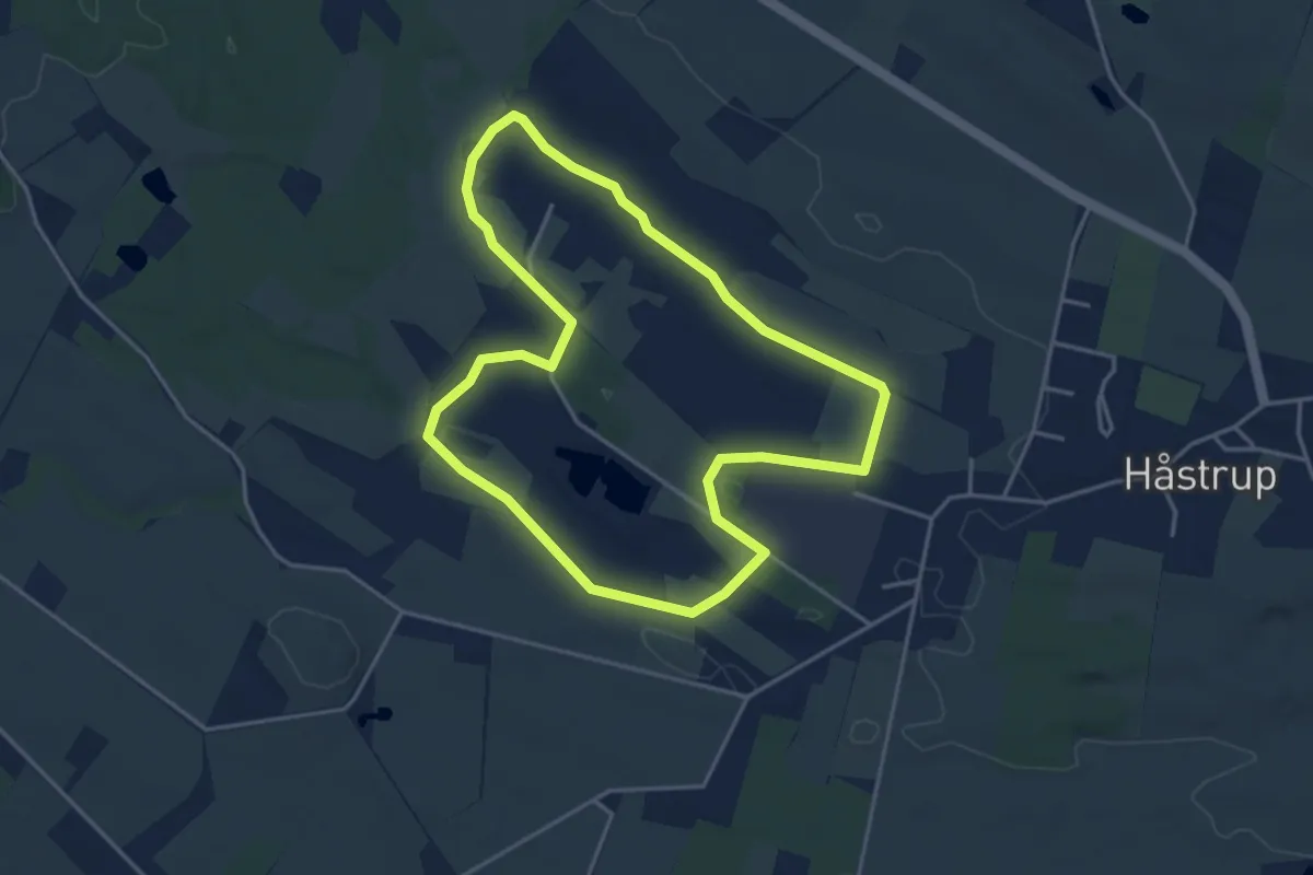
Easy · Trail
Skånemose Hovedrute
3.3 km · ↑ 4 m · 50 min
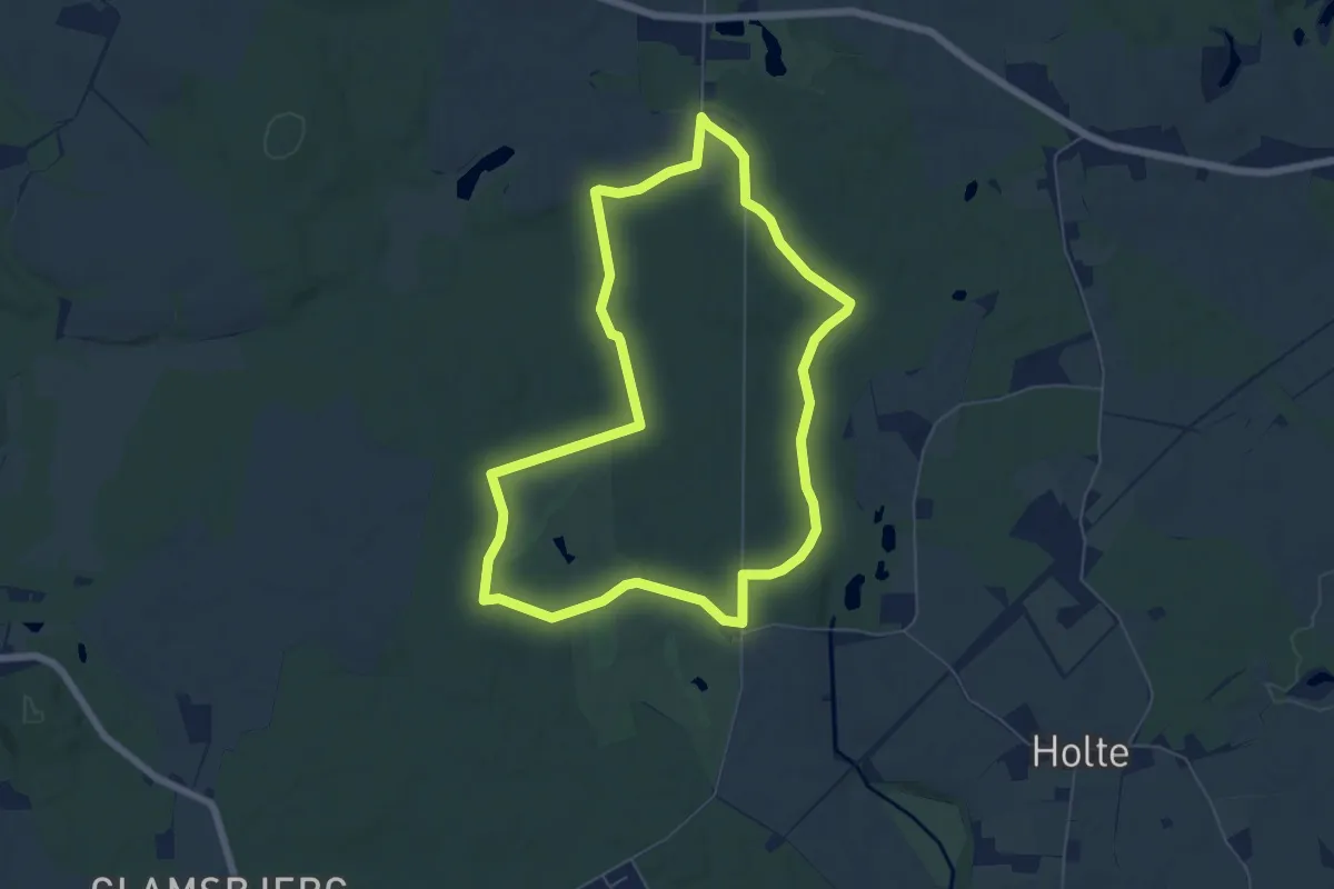
Easy · Trail
Skanneshave-Rulleskov turene
5.2 km · ↑ 18 m · 1 h 20 min