Trails in Denmark
1,383 hiking trails, each with its route, climb, walking time and grade.
All trails, page 24 of 29
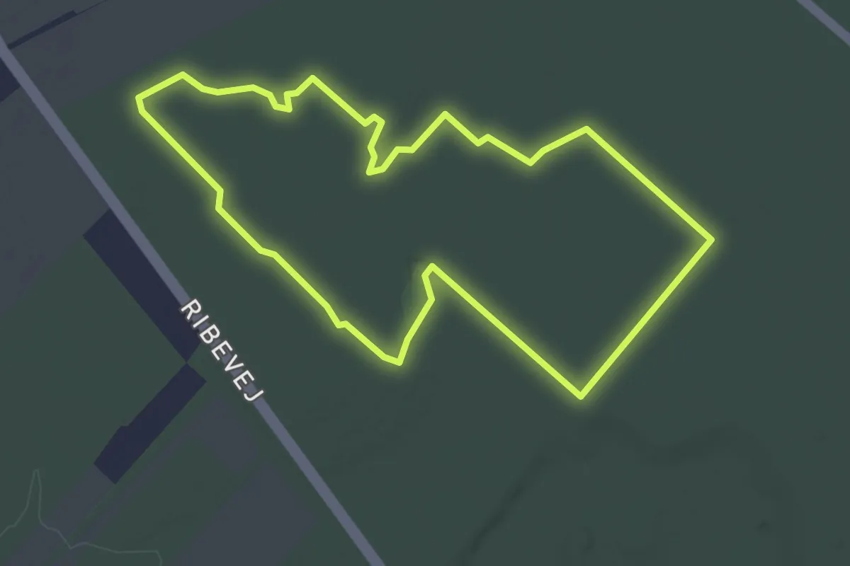
Easy · Trail
Søndre plantage Gul vandrerute
2.8 km · ↑ 4 m · 42 min
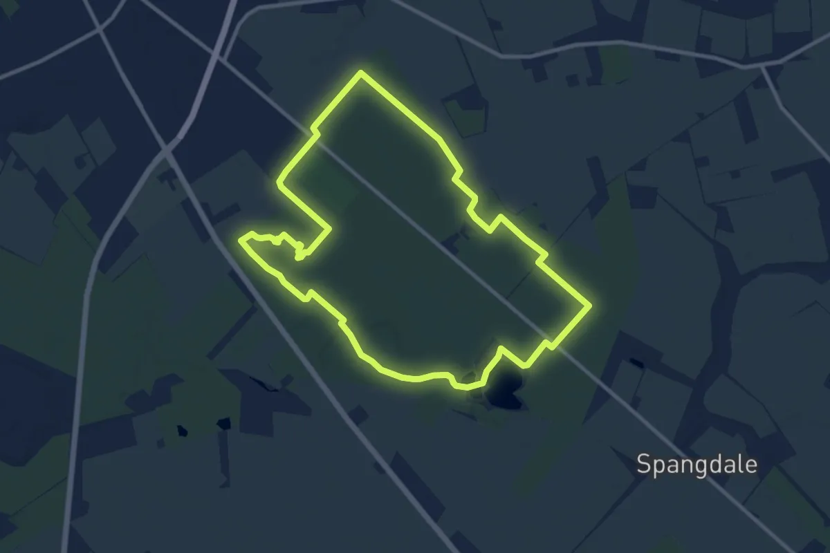
Medium · Trail
Søndre Plantage - Løberute
8.0 km · ↑ 18 m · 2 h 2 min
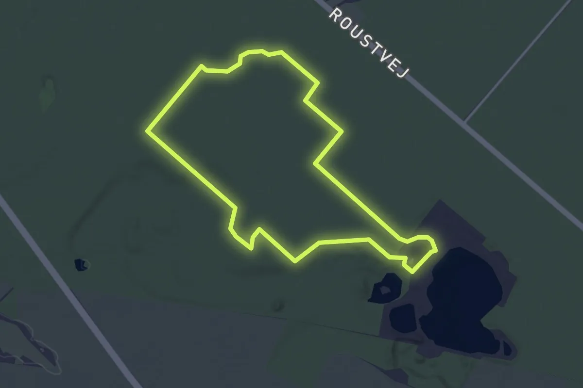
Easy · Trail
Søndre plantage Rød vandrerute
2.8 km · ↑ 4 m · 43 min
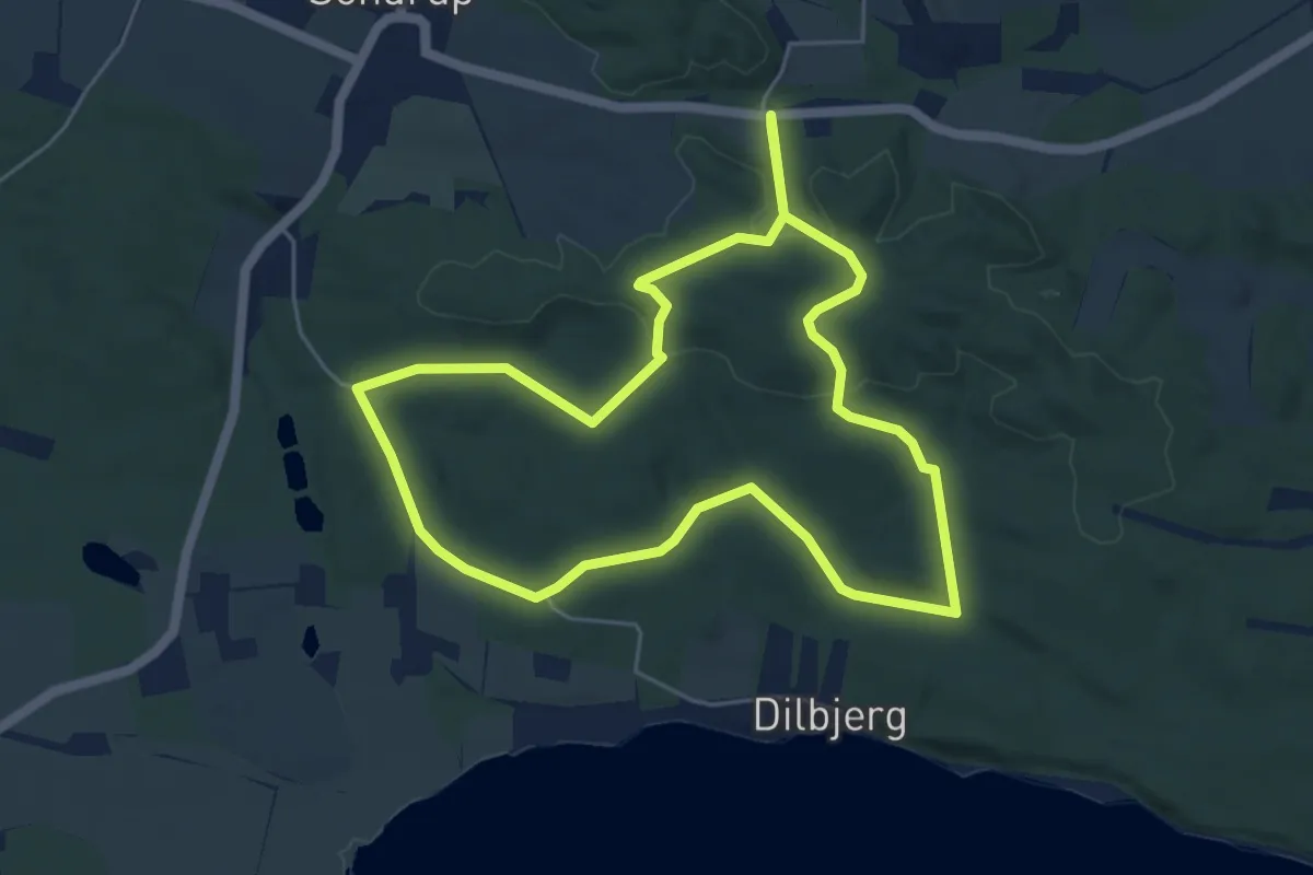
Easy · Trail
Sondrup Plantage Rundtur
4.2 km · ↑ 66 m · 1 h 12 min
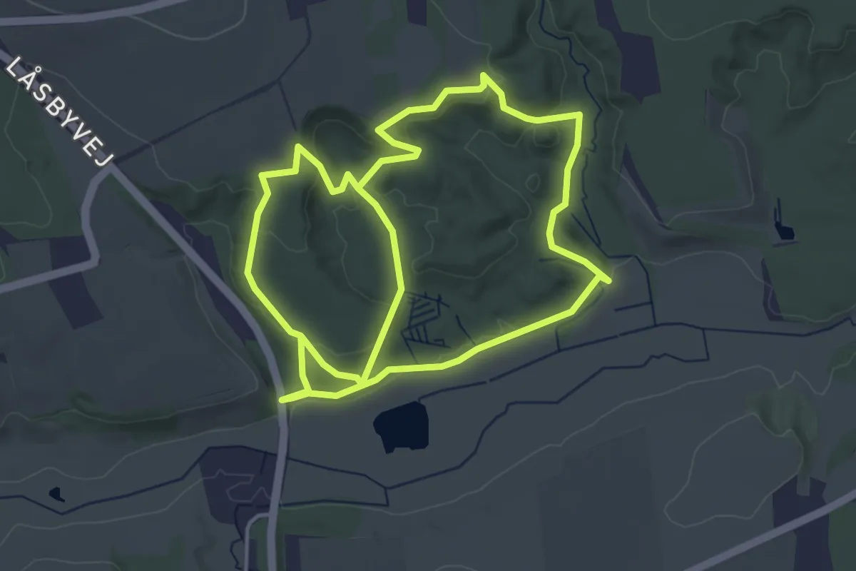
Easy · Trail
Sørring Sønderskov
7.0 km · ↑ 145 m · 1 h 58 min
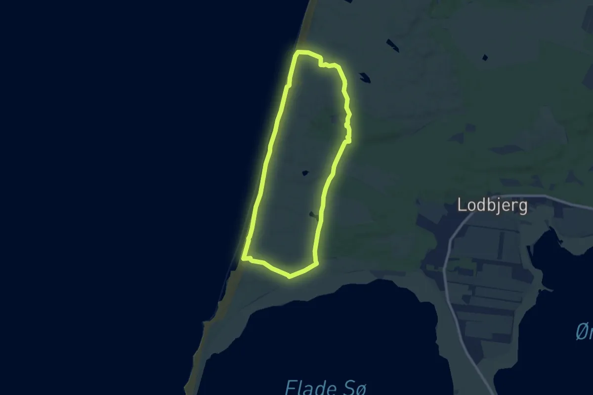
Easy · Trail
Sorte næse rute
6.1 km · ↑ 21 m · 1 h 35 min
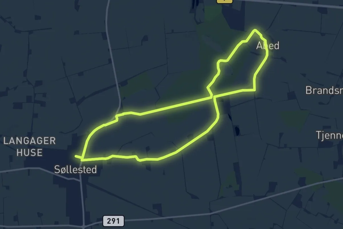
Medium · Trail
Sort Kløversti
10.4 km · ↑ 30 m · 2 h 40 min
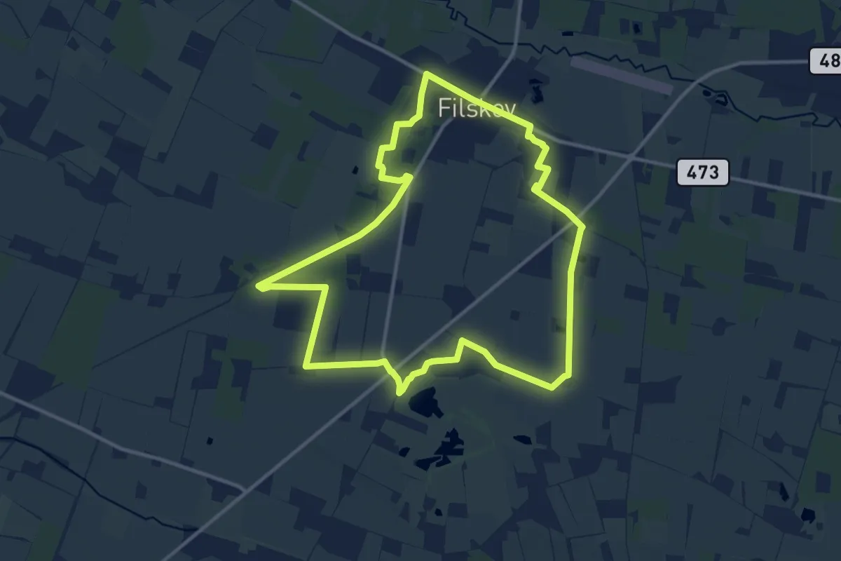
Medium · Trail
Sort Kløversti
9.8 km · ↑ 12 m · 2 h 29 min
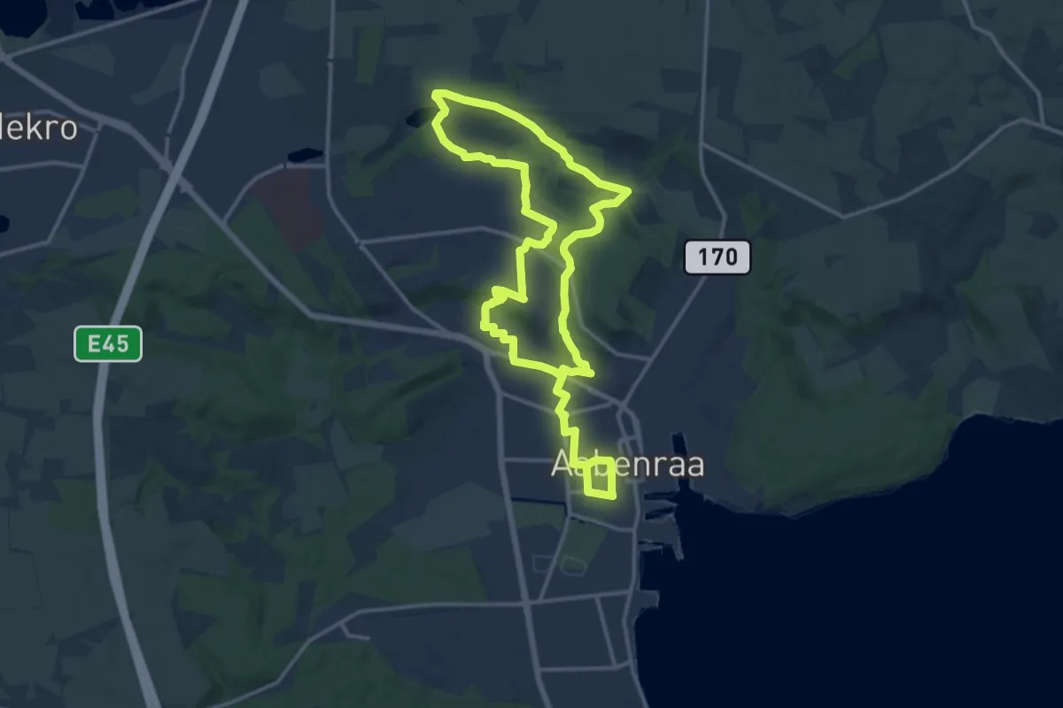
Demanding · Trail
Sort Kløversti, Aabenraa
21.1 km · ↑ 202 m · 5 h 25 min
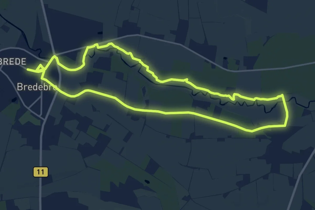
Medium · Trail
Sort Kløversti, Bredebro
12.5 km · ↑ 4 m · 3 h 8 min
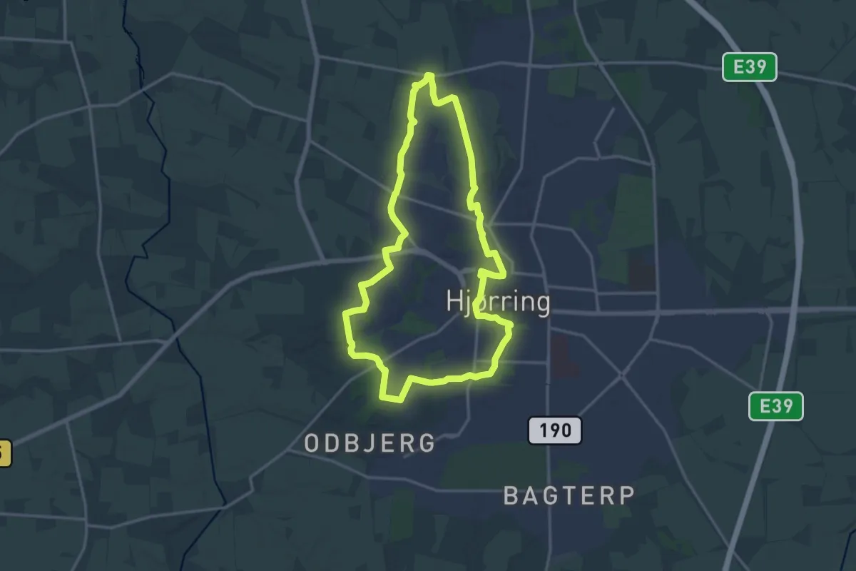
Medium · Trail
Sort Kløversti, Hjørring
11.6 km · ↑ 66 m · 3 h 2 min
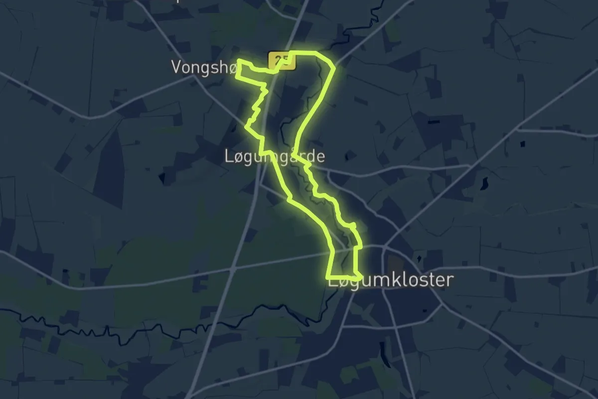
Medium · Trail
Sort Kløversti, Løgumkloster
10.3 km · ↑ 42 m · 2 h 40 min
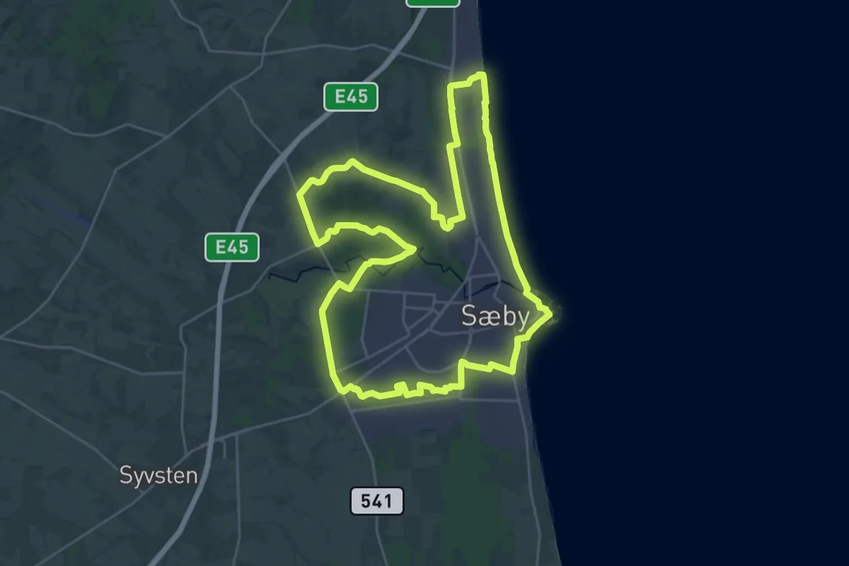
Demanding · Trail
Sort Kløversti, Sæby
20.9 km · ↑ 110 m · 5 h 28 min
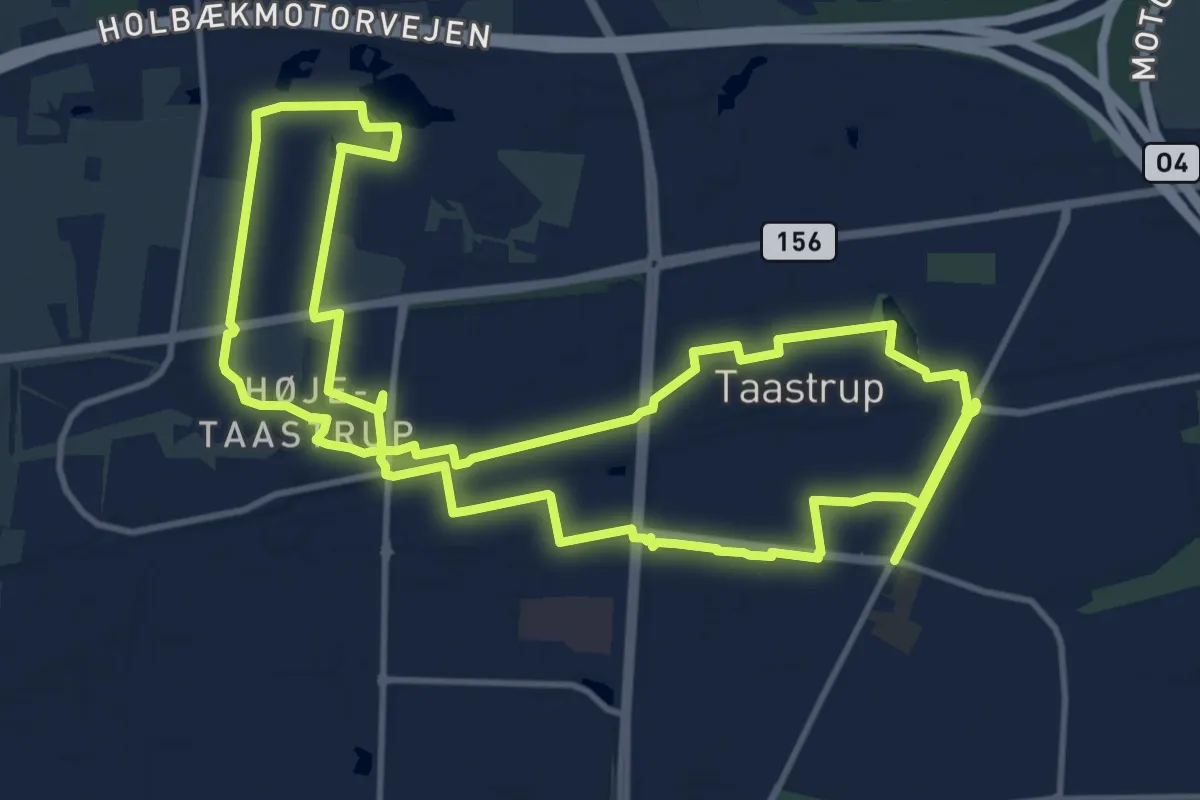
Demanding · Trail
Sort Kløversti, Tåstrup
23.2 km · ↑ 47 m · 5 h 35 min
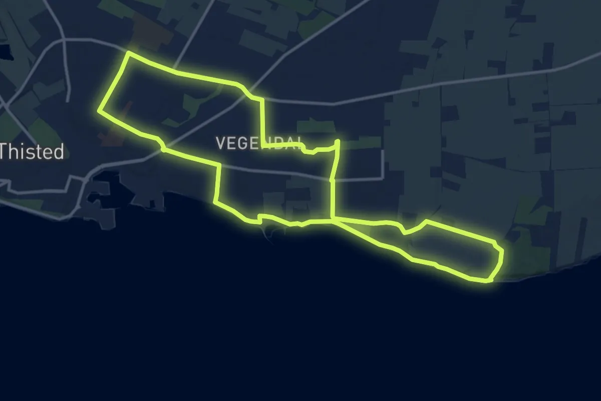
Medium · Trail
Sort Kløversti, Thisted - Strandstien
10.0 km · ↑ 50 m · 2 h 37 min
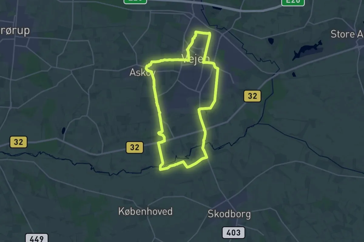
Medium · Trail
Sort Kløversti, Vejen
16.6 km · ↑ 55 m · 4 h 16 min
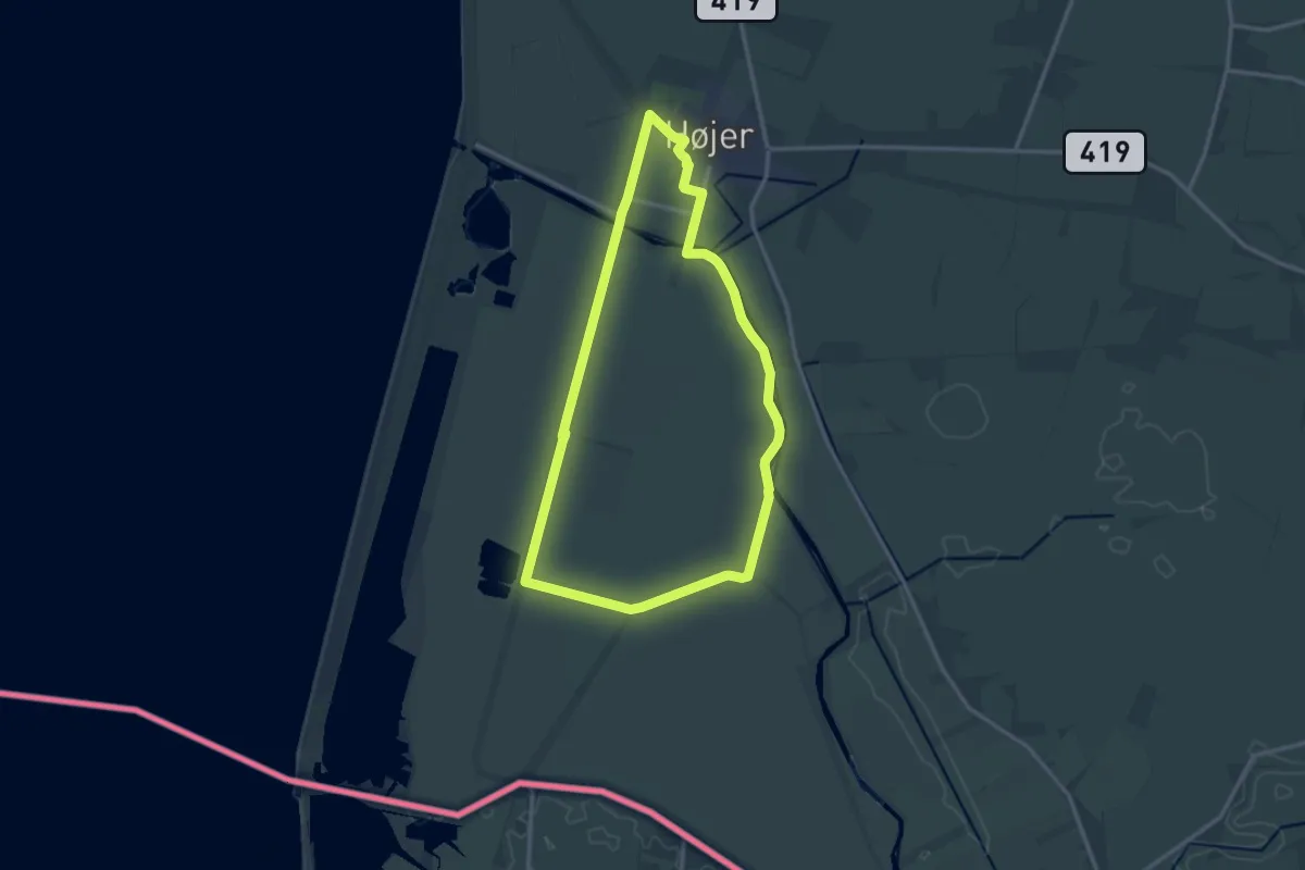
Medium · Trail
Sort stisløjfe, Højer, Klæggravene, Vidå
11.5 km · ↑ 4 m · 2 h 53 min
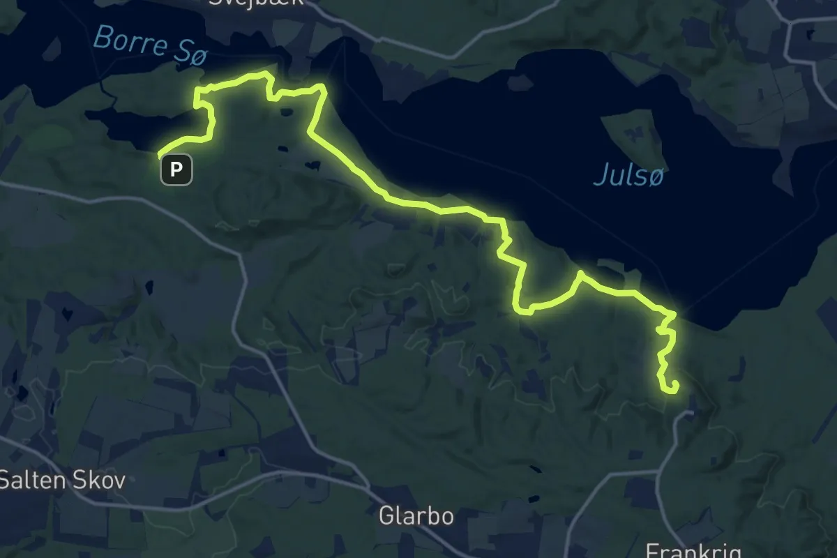
Medium · Summit
Søruten
15.5 km · ↑ 272 m · 4 h 15 min
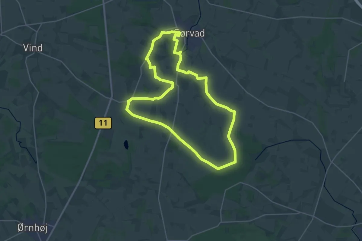
Medium · Trail
Sørvad Syd-ruten
16.9 km · ↑ 104 m · 4 h 27 min
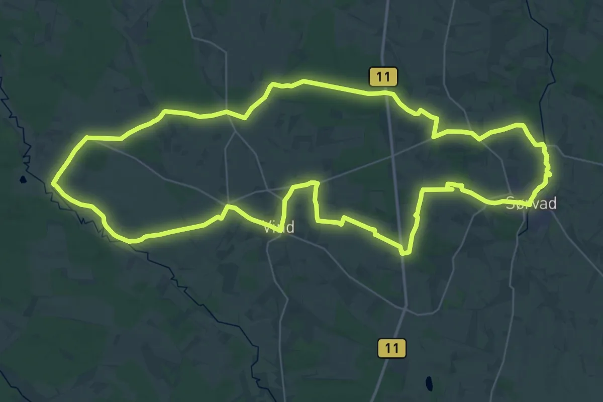
Demanding · Summit
Sørvad Vest-ruten
29.8 km · ↑ 177 m · 7 h 50 min
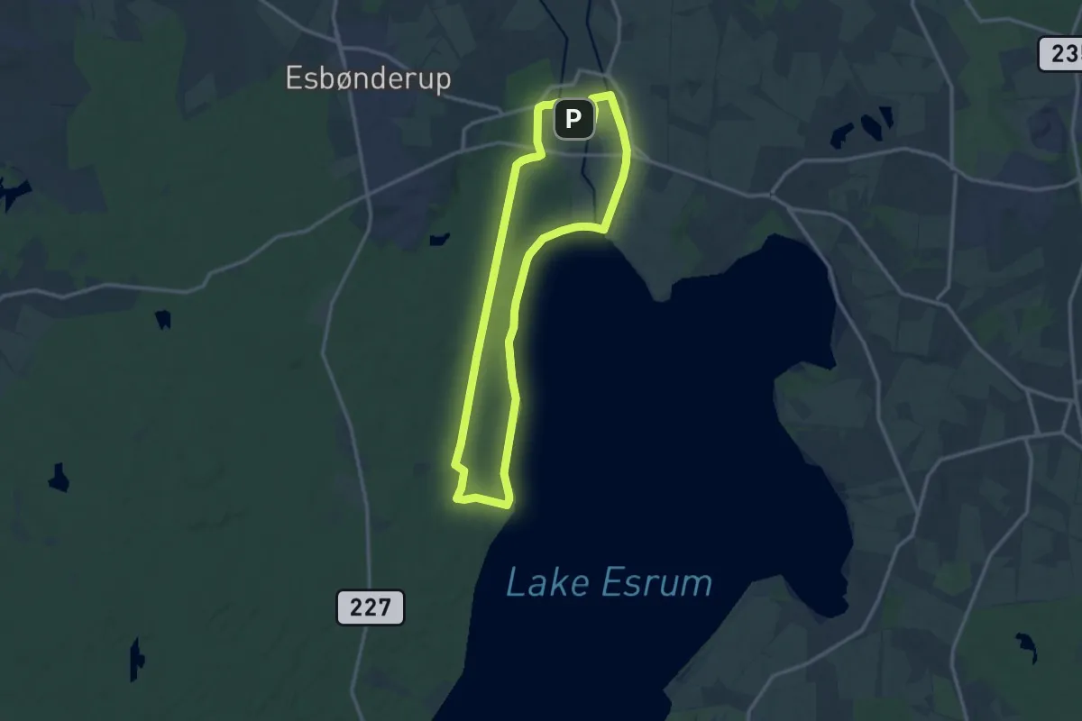
Medium · Trail
Søskoven og Esrum Møllegård og Kanal
10.5 km · ↑ 42 m · 2 h 42 min
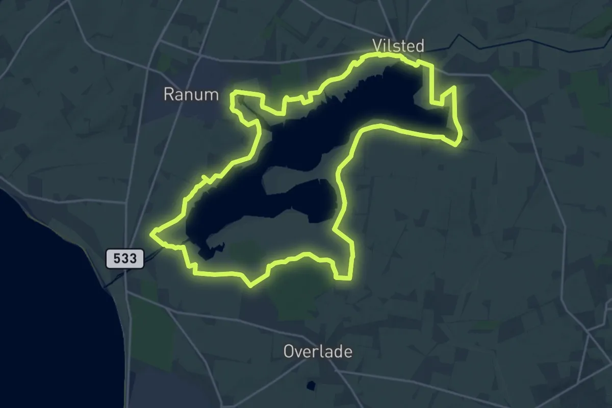
Demanding · Trail
Søstien
19.1 km · ↑ 9 m · 4 h 48 min
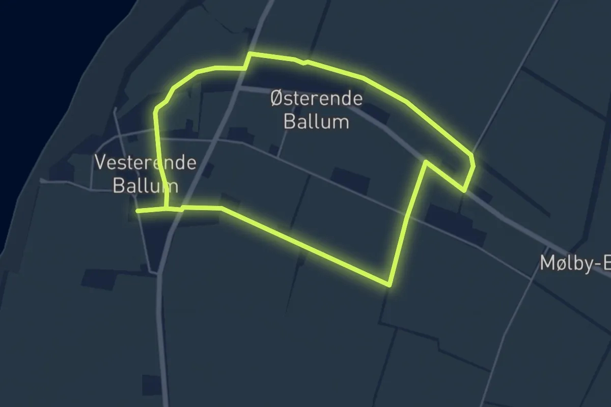
Easy · Trail
Sporene i Ballum, gul rute
3.6 km · ↑ 8 m · 55 min
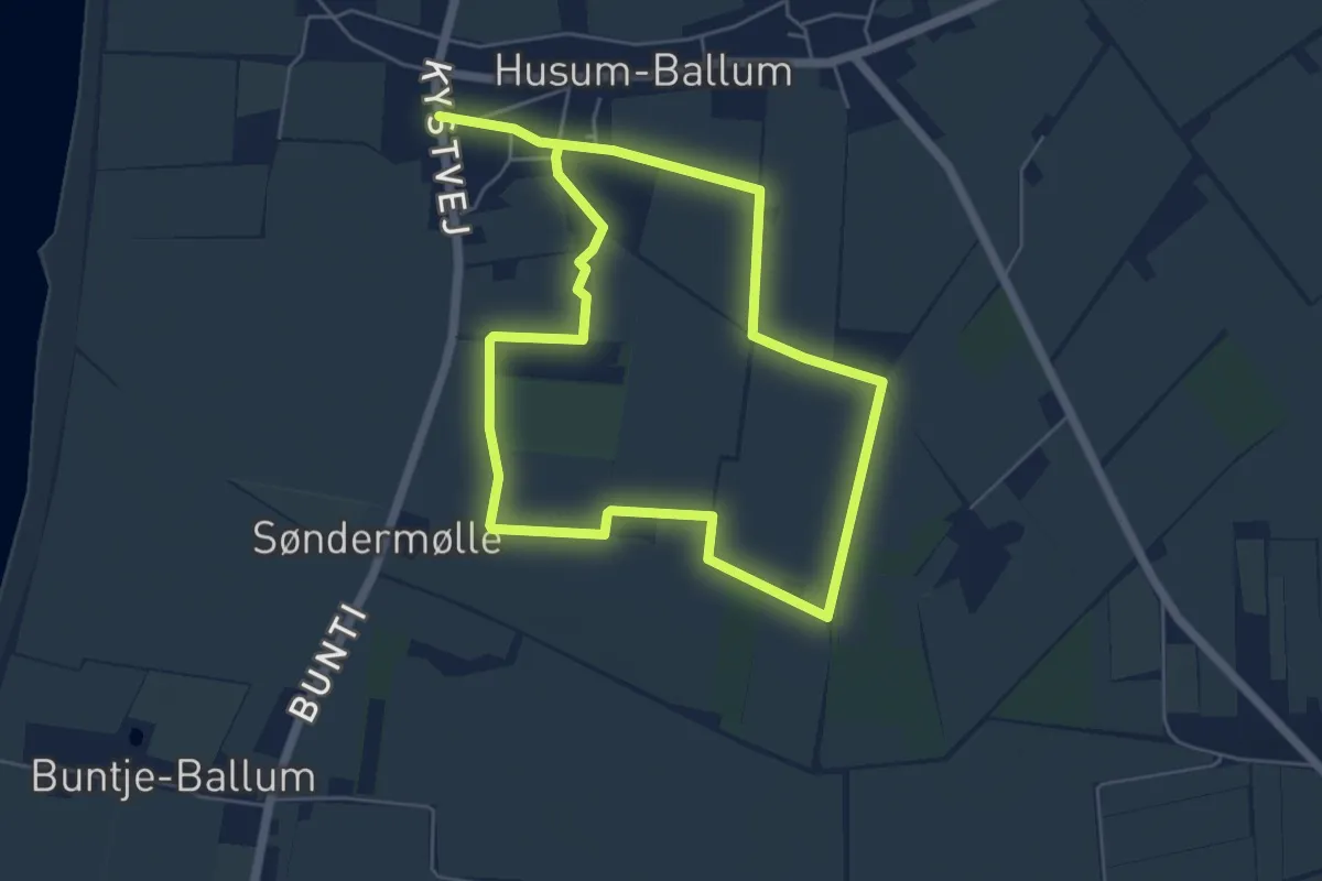
Medium · Trail
Sporene i Ballum, rød rute
8.5 km · ↑ 9 m · 2 h 1 min
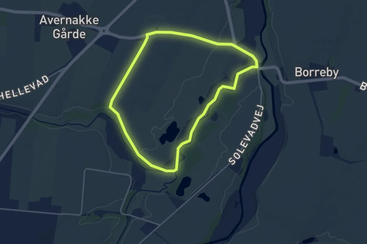
Easy · Trail
Sporene ved Borreby - Gul rute
2.7 km · ↑ 8 m · 41 min
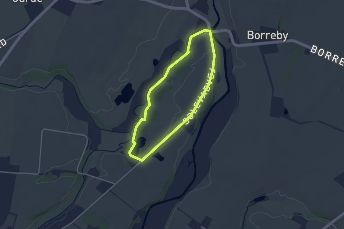
Easy · Trail
Sporene ved Borreby - Rød rute
2.1 km · ↑ 4 m · 31 min
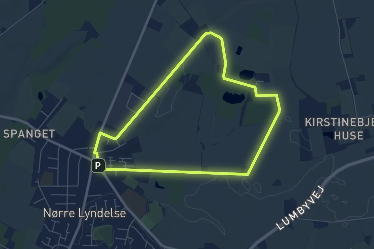
Easy · Trail
Sporene ved Nr. Lyndelse - Gul rute
4.6 km · ↑ 4 m · 1 h 10 min
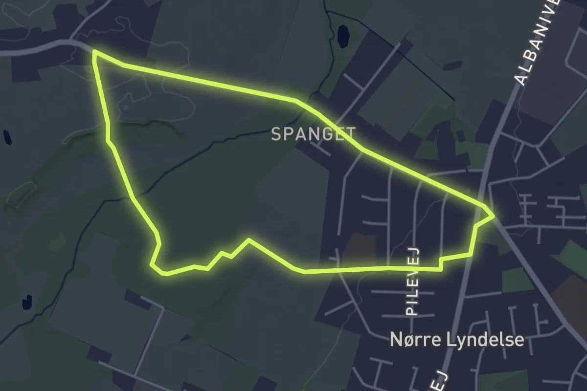
Easy · Trail
Sporene ved Nr. Lyndelse - Rød rute
3.5 km · ↑ 17 m · 54 min
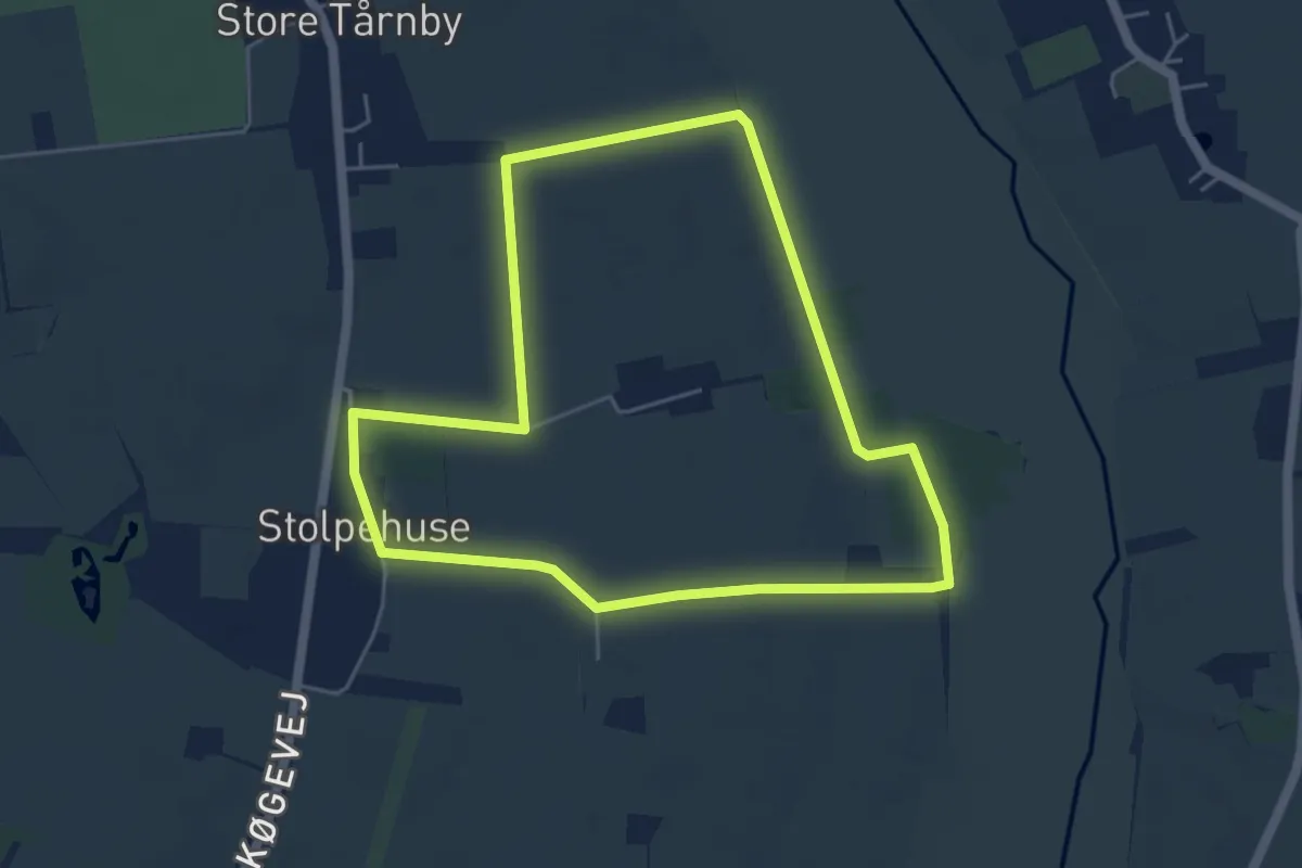
Easy · Trail
Sporene ved Store Tårnby
4.1 km · ↑ 17 m · 1 h 3 min
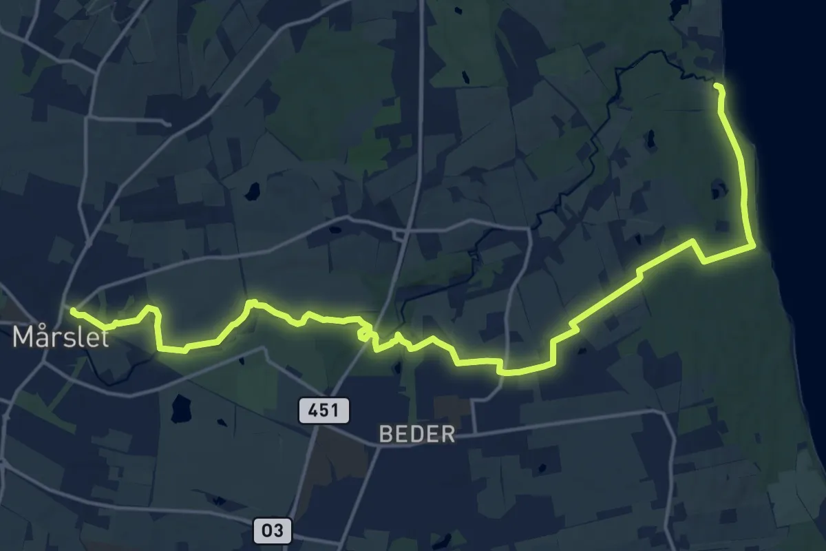
Medium · Trail
Sporet fra Mårslet til Moesgaard
17.9 km · ↑ 94 m · 4 h 26 min
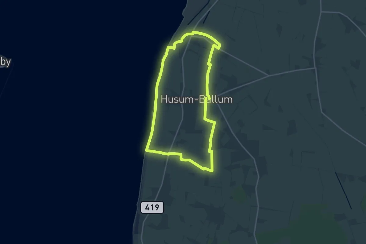
Medium · Trail
Sporet i Ballum, grøn rute
12.5 km · ↑ 9 m · 3 h 9 min
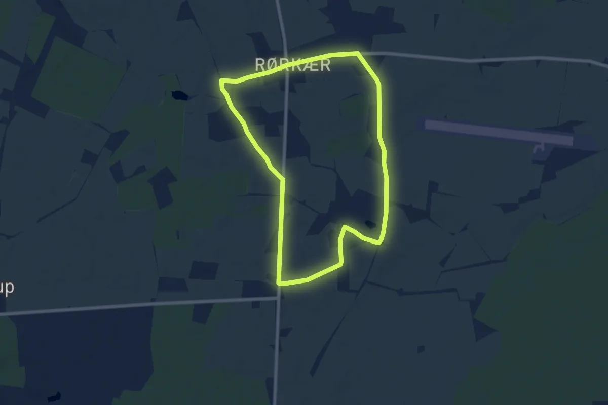
Easy · Trail
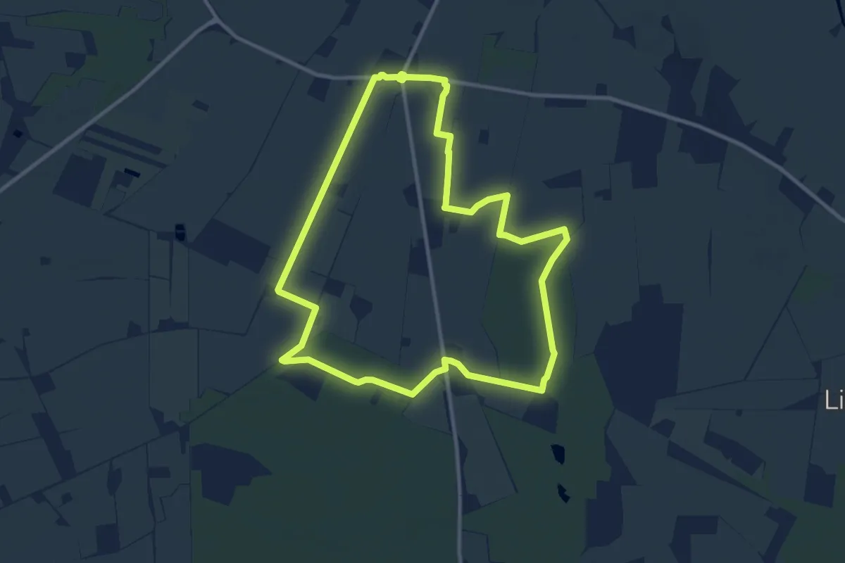
Sporet i Bjerning Sogn
5.2 km · ↑ 12 m · 1 h 20 min
Medium · Trail
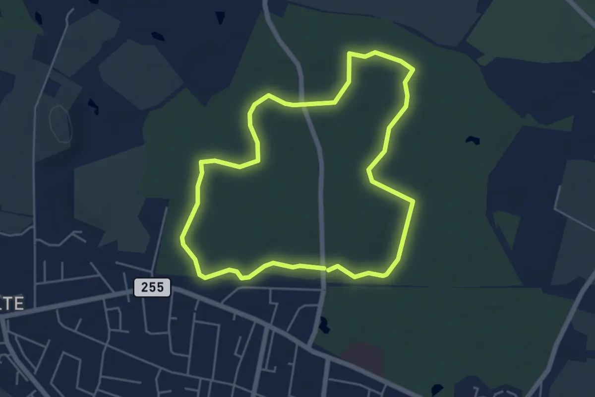
Sporet i Præstemosen
8.5 km · ↑ 17 m · 2 h 9 min
Easy · Trail
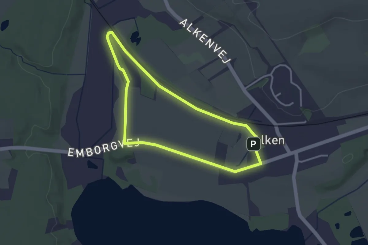
Sporet i Tersløse Skov
3.5 km · ↑ 8 m · 53 min
Easy · Summit
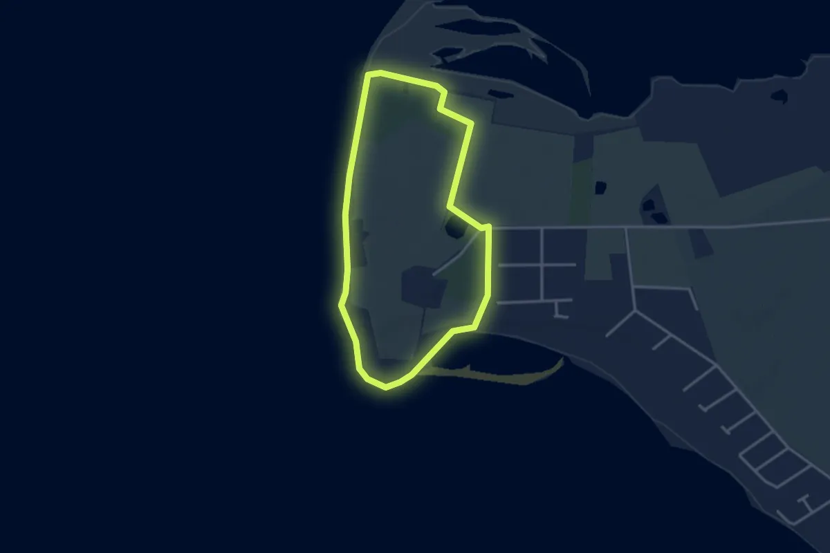
Sporet over Enggården
2.2 km · ↑ 0 m · 33 min
Easy · Trail
Sporet på Skødshoved
2.4 km · ↑ 27 m · 39 min
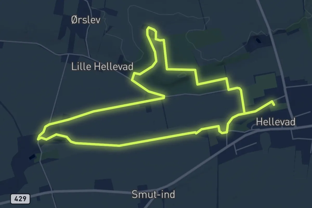
Medium · Trail
Sporet rundt om Hellevad
11.2 km · ↑ 24 m · 2 h 42 min
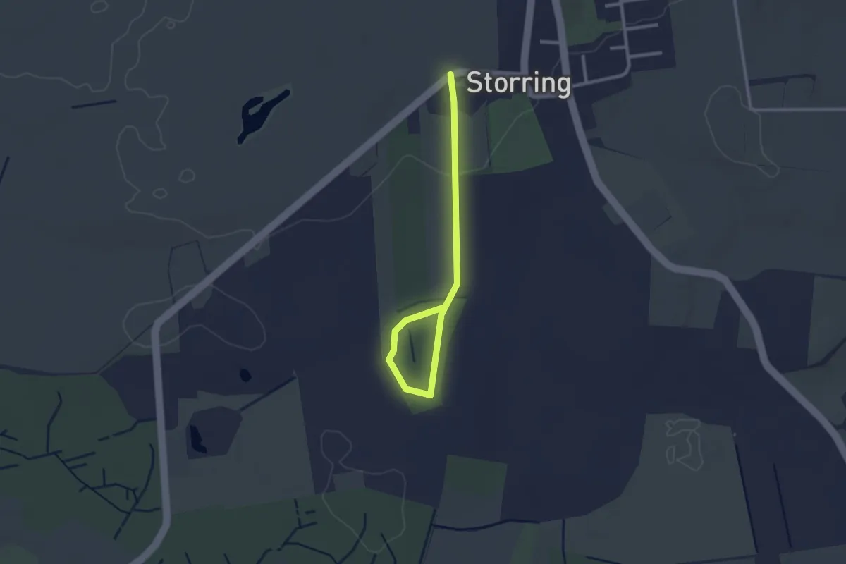
Easy · Trail
Sporet Storring Stjær Søballe
2.2 km · ↑ 27 m · 35 min
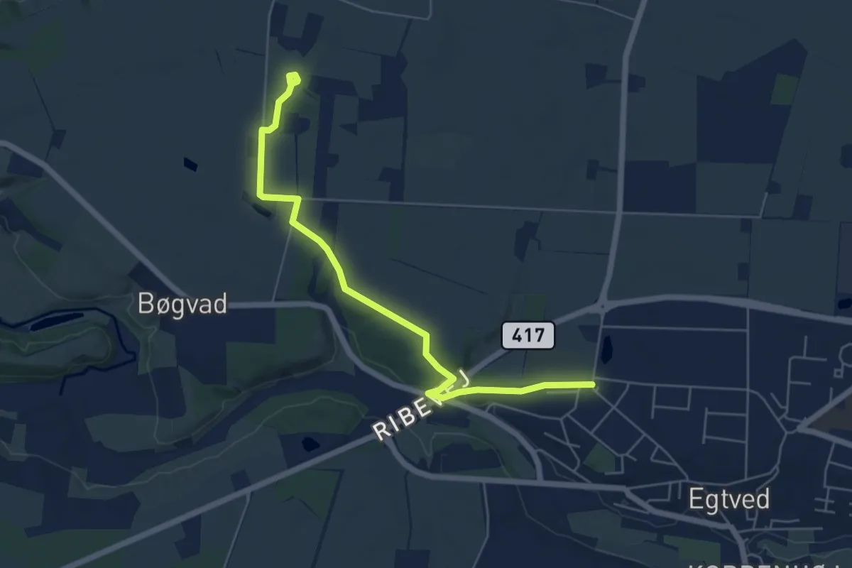
Easy · Trail
Sporet til Egtvedpigens Grav
4.8 km · ↑ 31 m · 1 h 12 min
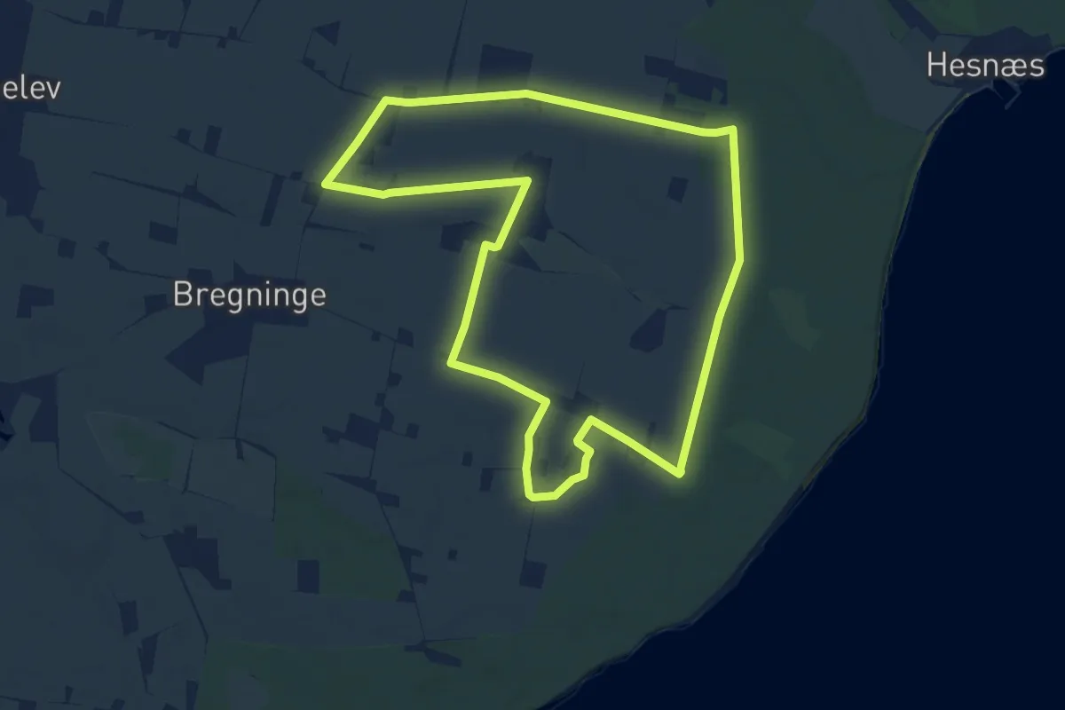
Medium · Trail
Sporet ved Bønnet Slotsruin
8.5 km · ↑ 33 m · 2 h 12 min
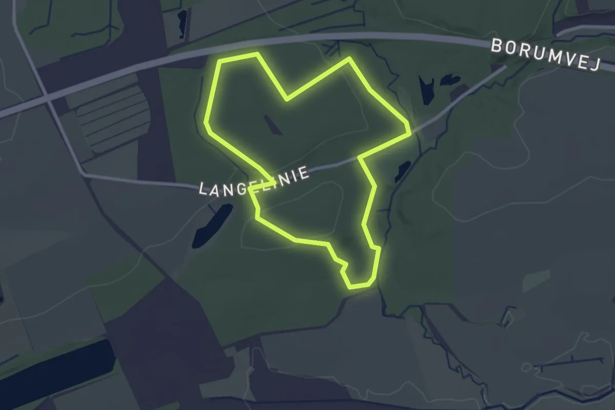
Easy · Trail
Sporet ved Borum Mølle
2.0 km · ↑ 32 m · 34 min
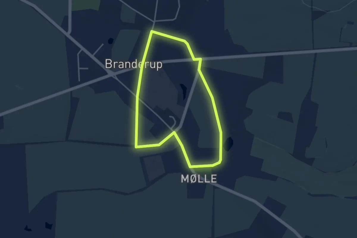
Easy · Trail
Sporet ved Branderup Mølle, grøn rute
2.5 km · ↑ 9 m · 39 min
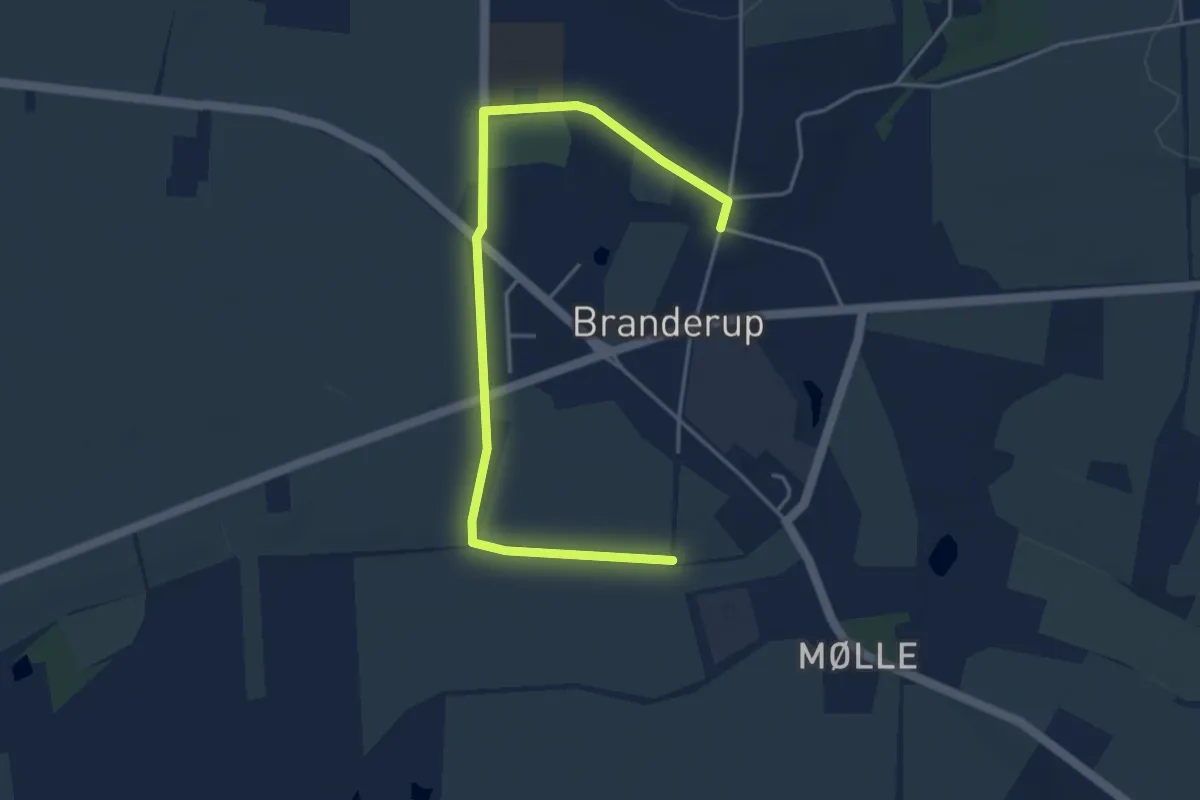
Easy · Trail
Sporet ved Branderup Mølle, gul rute
4.1 km · ↑ 13 m · 59 min
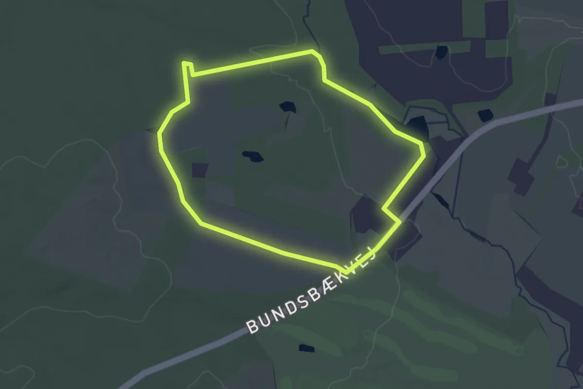
Easy · Trail
Sporet ved Bundsbæk Mølle
2.0 km · ↑ 13 m · 32 min
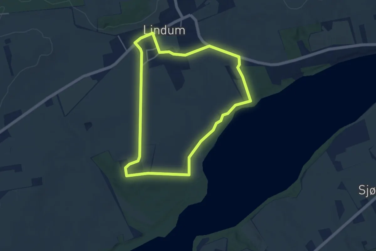
Easy · Trail
Sporet ved Dybdal
3.3 km · ↑ 25 m · 52 min
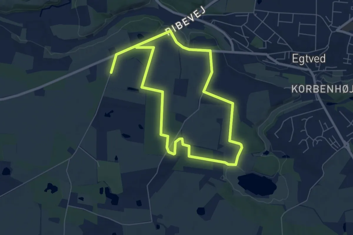
Medium · Trail
Sporet ved Egtvedgård
9.4 km · ↑ 55 m · 2 h 20 min
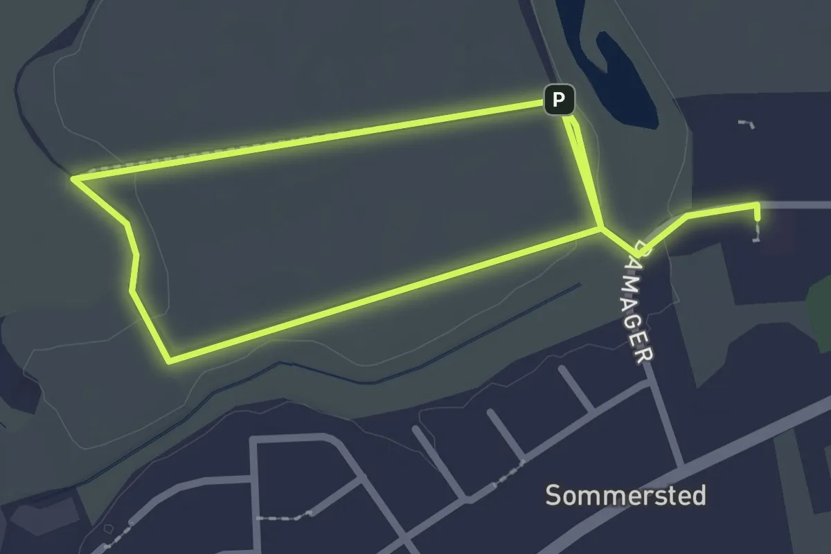
Easy · Trail
Sporet ved Elmegården, gul rute
3.2 km · ↑ 0 m · 46 min
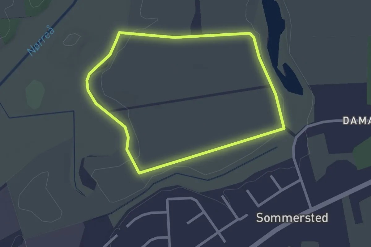
Easy · Trail
Sporet ved Elmegården, hvid rute
1.6 km · ↑ 4 m · 25 min