Trails in Denmark
1,383 hiking trails, each with its route, climb, walking time and grade.
All trails, page 25 of 29
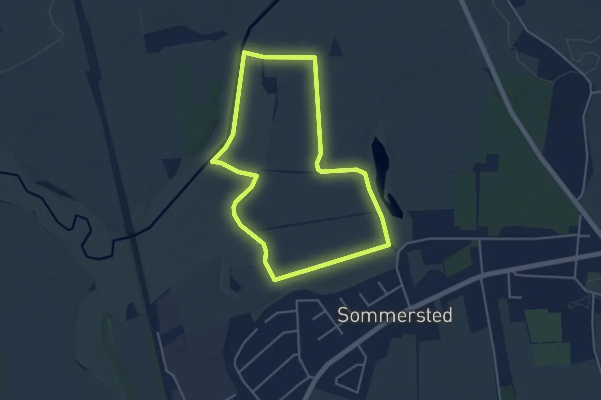
Easy · Trail
Sporet ved Elmegården, rød rute
2.7 km · ↑ 4 m · 41 min
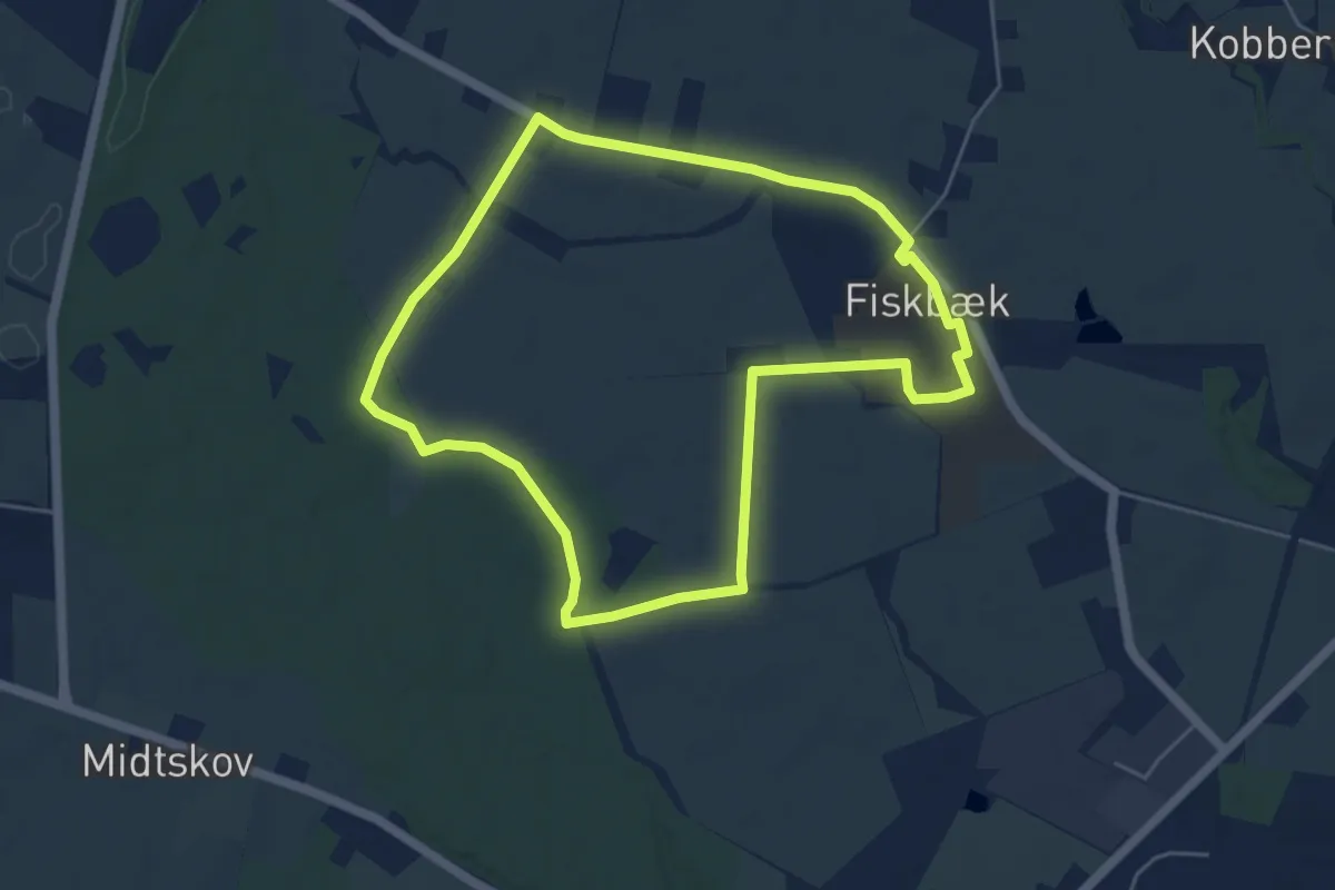
Easy · Trail
Sporet ved Fiskbæk - Gul rute
4.2 km · ↑ 17 m · 1 h 5 min
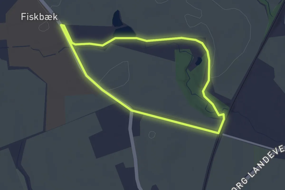
Easy · Trail
Sporet ved Fiskbæk, rød rute
2.1 km · ↑ 4 m · 31 min
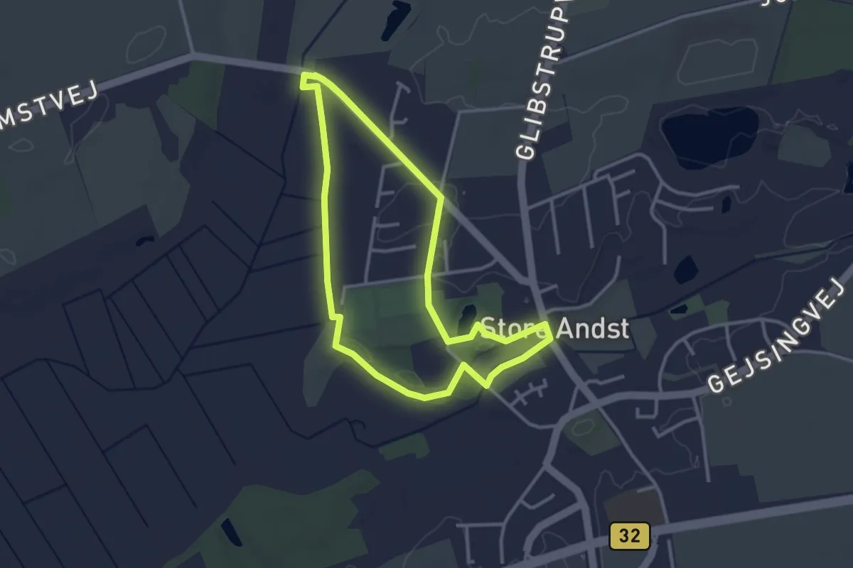
Easy · Trail
Sporet ved Gamst Søeng - Blå rute
2.4 km · ↑ 8 m · 38 min
Easy · Trail
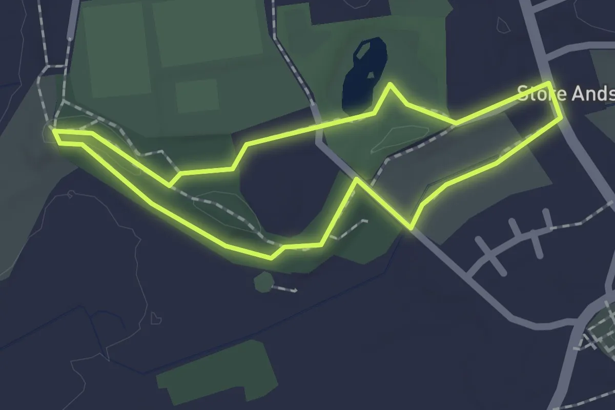
Sporet ved Gamst Søeng - Grøn rute
1.3 km · ↑ 4 m · 19 min
Easy · Trail
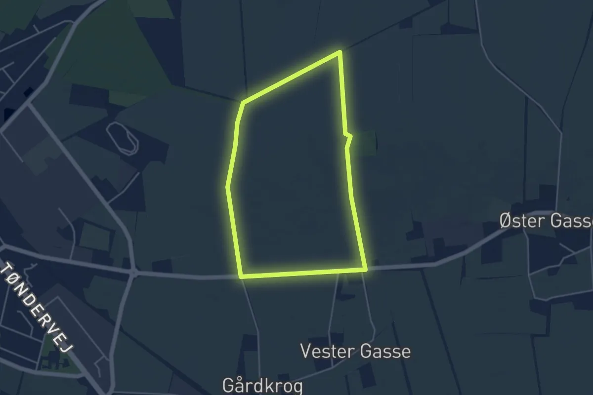
Sporet ved Gasse Høje, gul rute
3.2 km · ↑ 19 m · 50 min
Easy · Trail
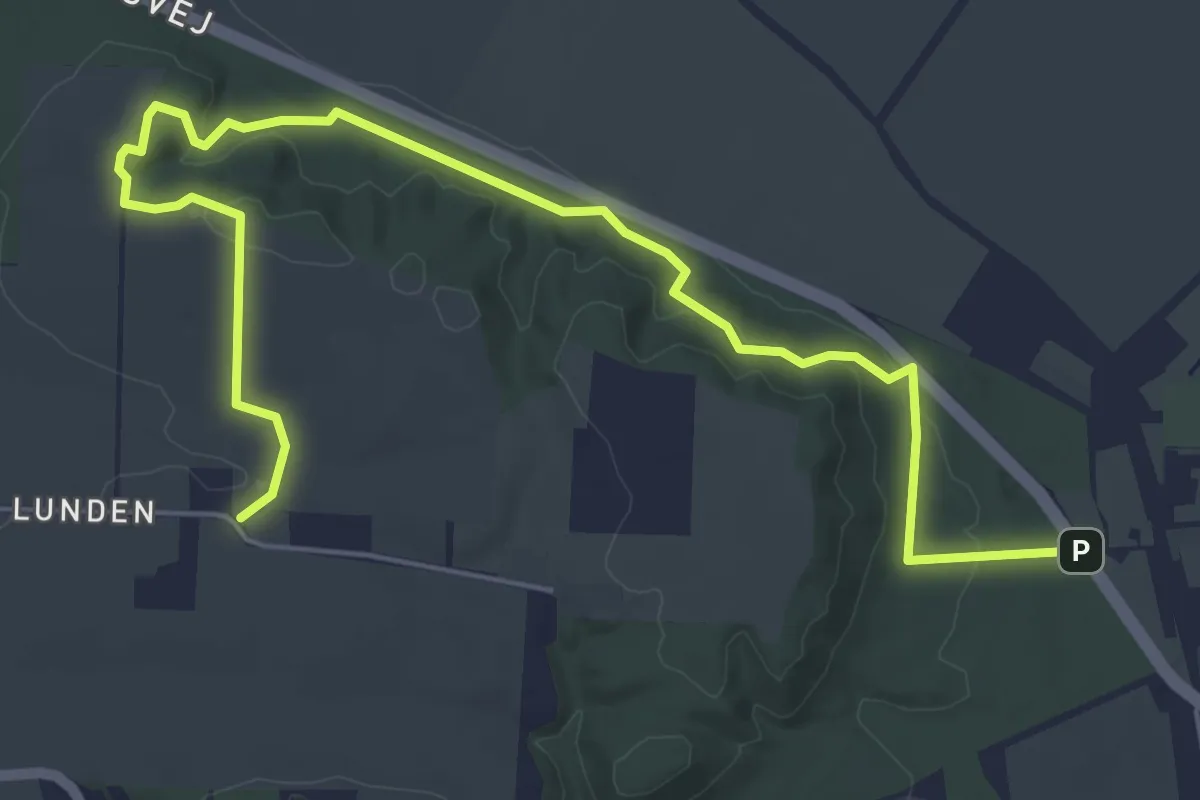
Sporet ved Gl. Estrup
5.9 km · ↑ 119 m · 1 h 39 min
Easy · Trail
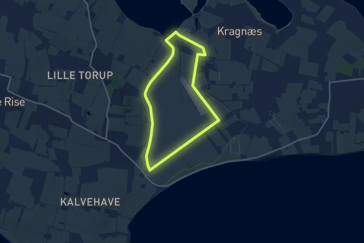
Sporet ved Gråsten Nor
7.1 km · ↑ 5 m · 1 h 47 min
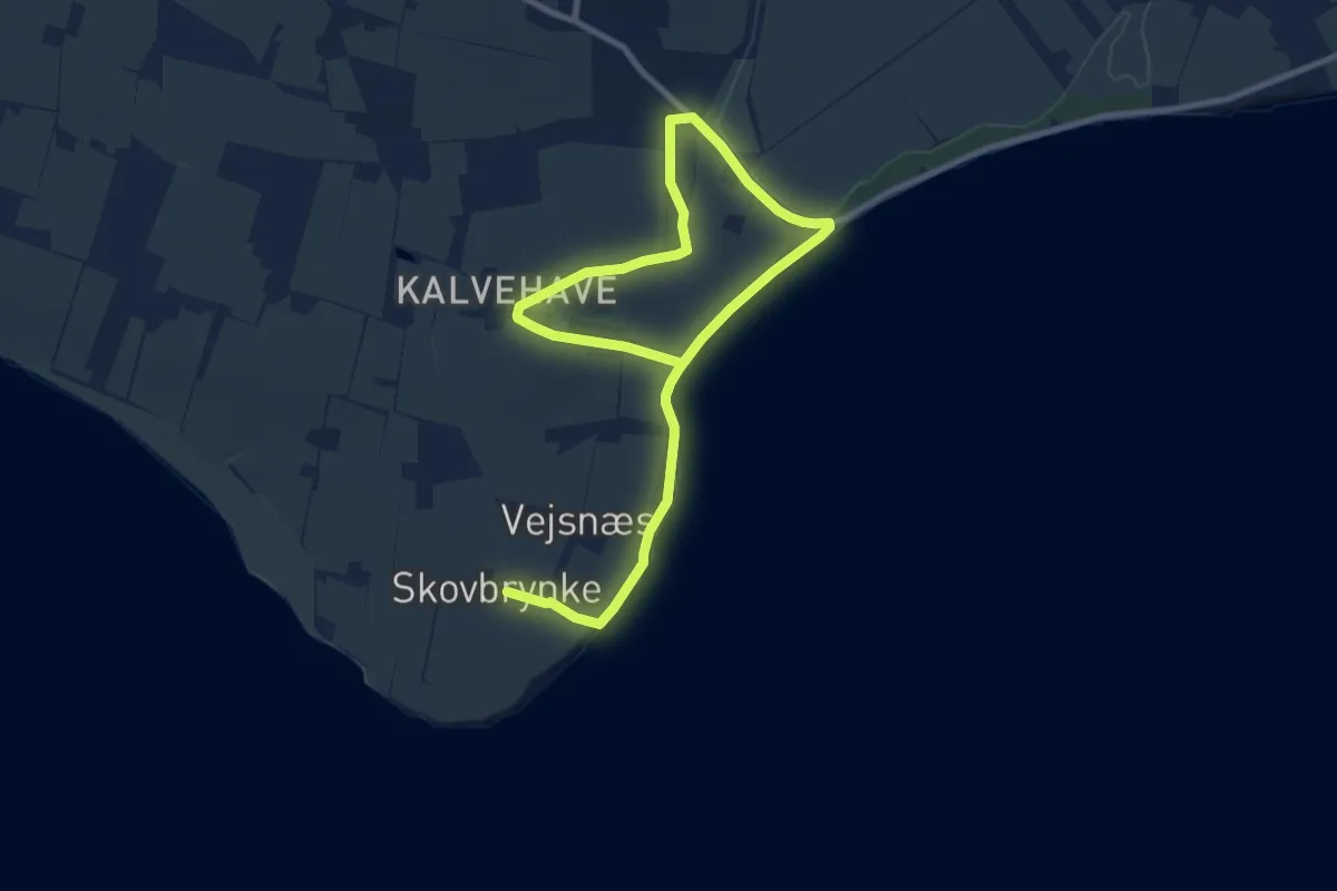
Medium · Trail
Sporet ved Gravendal
11.7 km · ↑ 81 m · 2 h 56 min
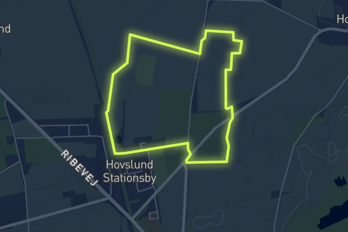
Easy · Trail
Sporet ved Hærulf
3.8 km · ↑ 4 m · 58 min
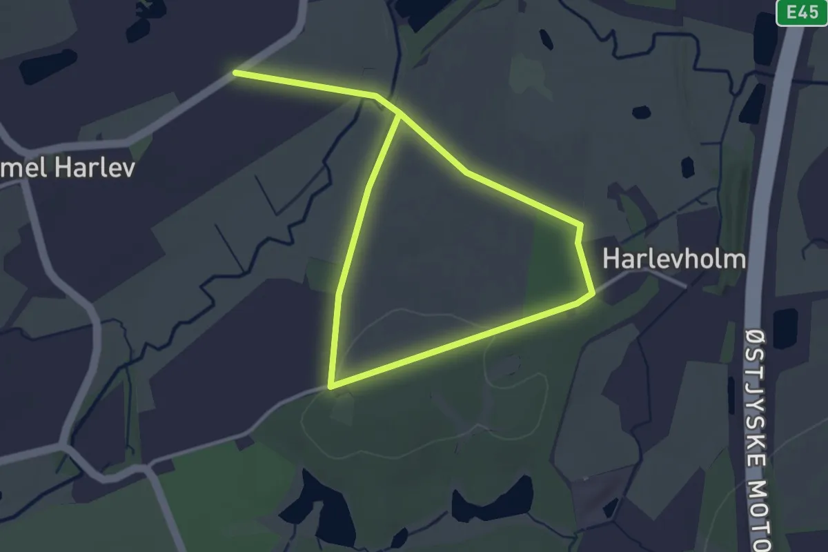
Easy · Trail
Sporet ved Harlevholm
4.3 km · ↑ 22 m · 1 h 3 min
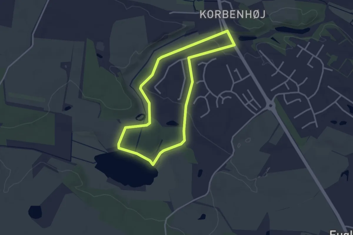
Easy · Trail
Sporet ved Hejlskov Sø
2.4 km · ↑ 17 m · 38 min
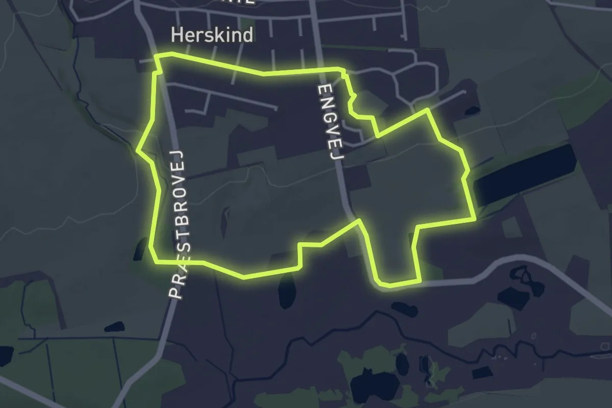
Easy · Trail
Sporet ved Herskind
3.2 km · ↑ 31 m · 52 min
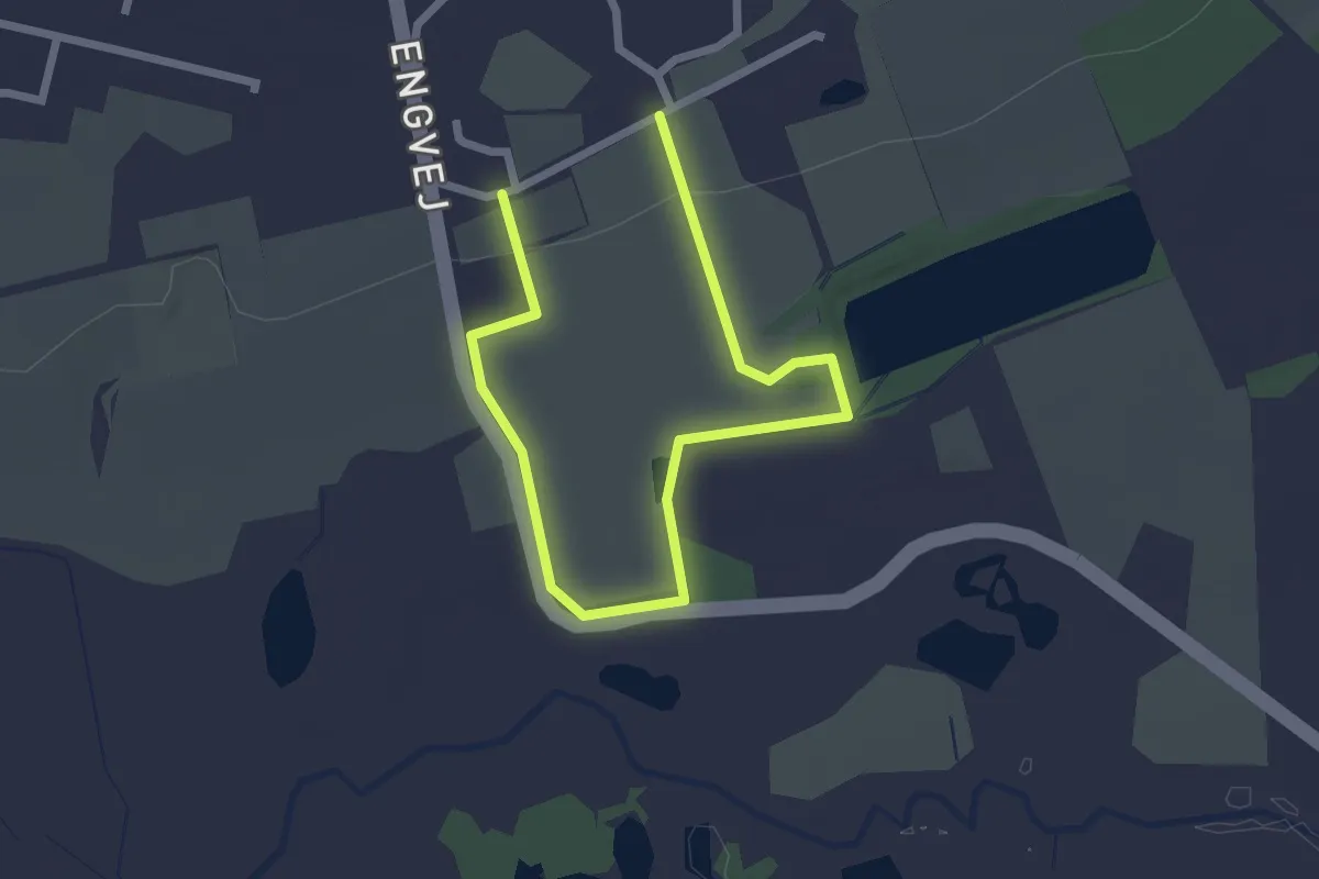
Easy · Trail
Sporet ved Hertha
2.6 km · ↑ 42 m · 42 min
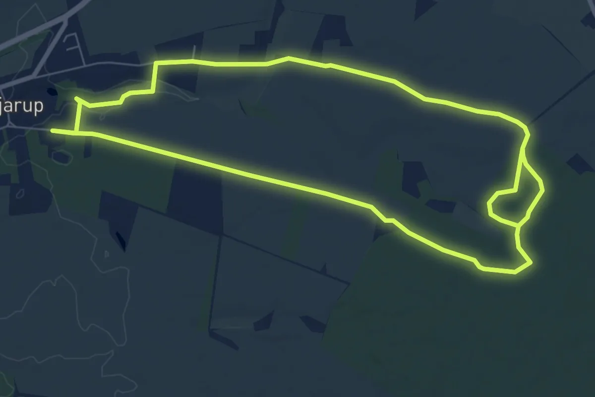
Medium · Trail
Sporet ved Hjarup Øst
12.0 km · ↑ 50 m · 2 h 56 min
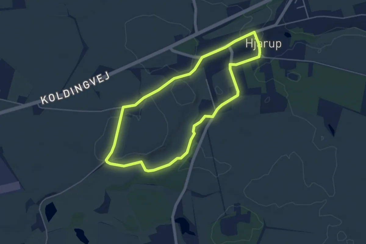
Easy · Trail
Sporet ved Hjarup Vådområde
3.4 km · ↑ 8 m · 52 min
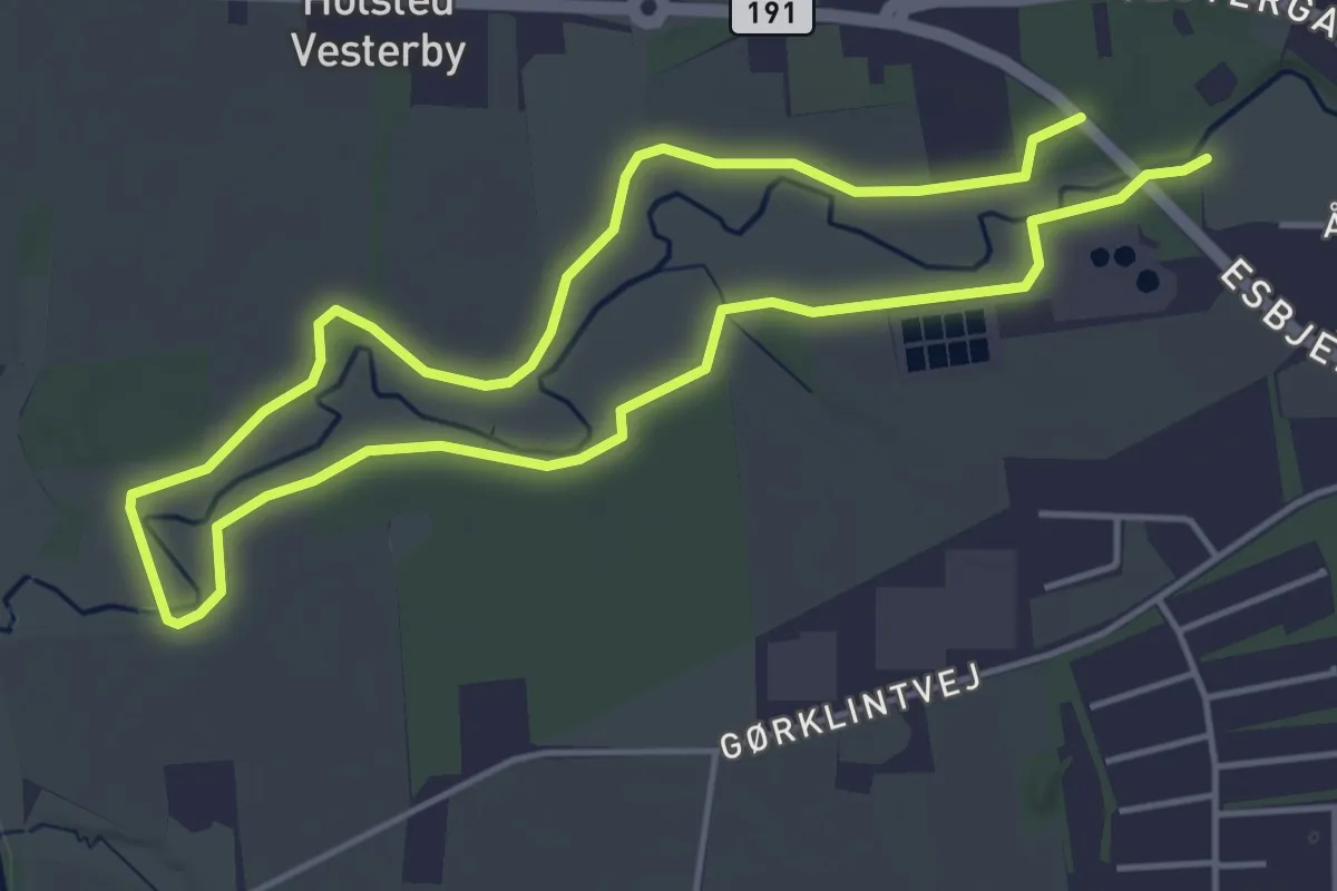
Easy · Trail
Sporet ved Holsted Å
3.5 km · ↑ 0 m · 53 min
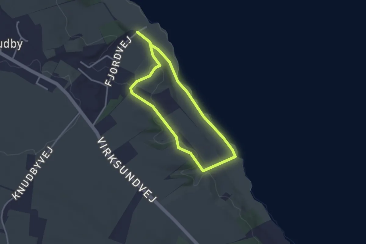
Easy · Trail
Sporet ved Knudby landingsplads
1.9 km · ↑ 24 m · 32 min
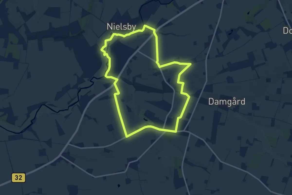
Medium · Trail
Sporet ved Lintrup
8.5 km · ↑ 40 m · 2 h 12 min
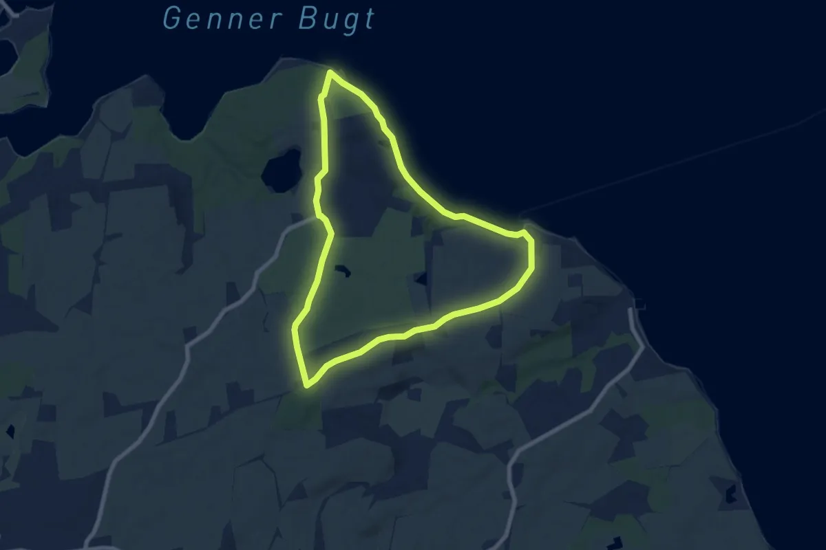
Easy · Trail
Sporet ved Løjt Land
5.6 km · ↑ 46 m · 1 h 30 min
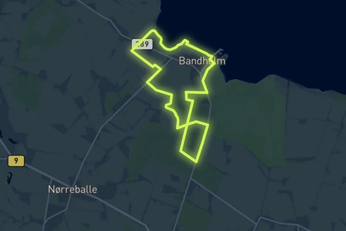
Medium · Trail
Sporet ved Merret Skov
11.9 km · ↑ 39 m · 3 h 4 min
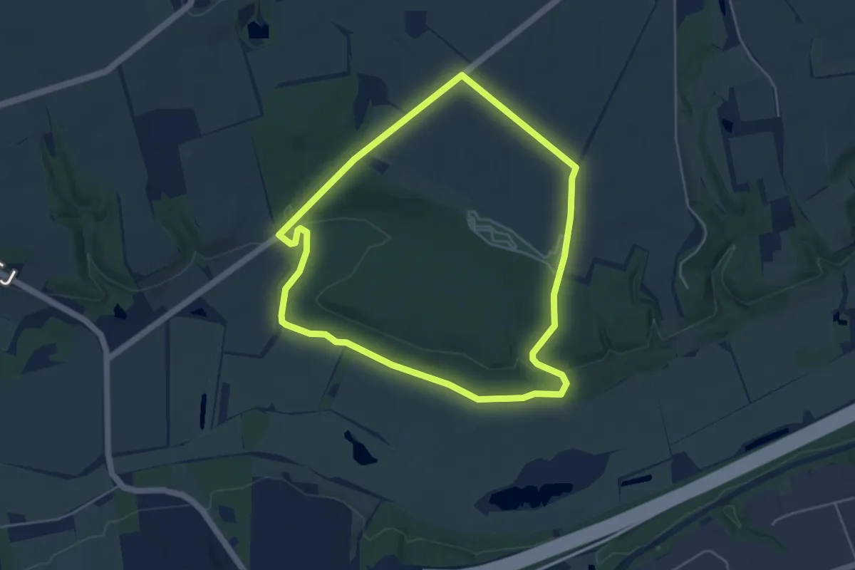
Easy · Trail
Sporet ved Mesing Sønderskov
3.7 km · ↑ 47 m · 1 h 1 min
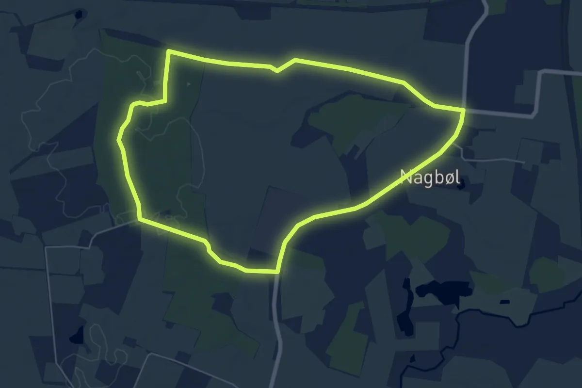
Easy · Trail
Sporet Ved Nagbøl
4.9 km · ↑ 27 m · 1 h 17 min
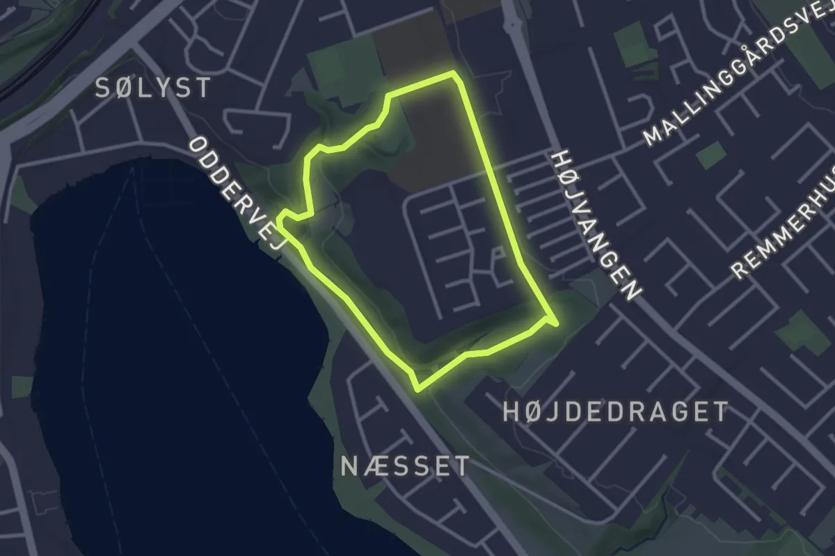
Easy · Trail
Sporet ved Niels Ebbesen Skolen
2.0 km · ↑ 26 m · 34 min
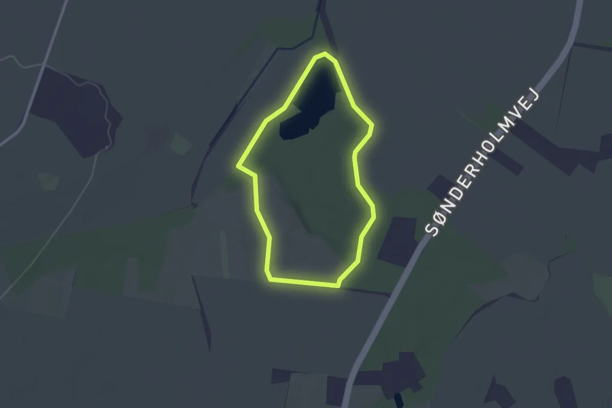
Easy · Trail
Sporet ved Sønderholm
1.6 km · ↑ 4 m · 24 min
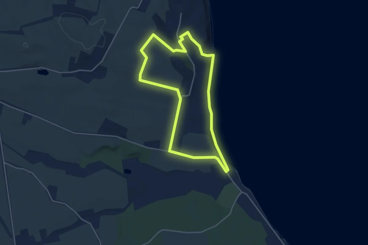
Easy · Trail
Sporet ved Stensigmose
3.0 km · ↑ 42 m · 51 min
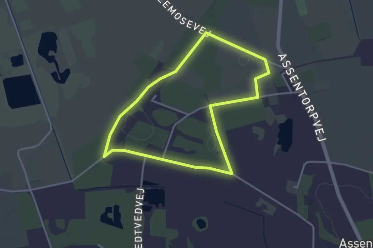
Easy · Trail
Sporet ved Store Åmose (Gul)
2.4 km · ↑ 4 m · 37 min
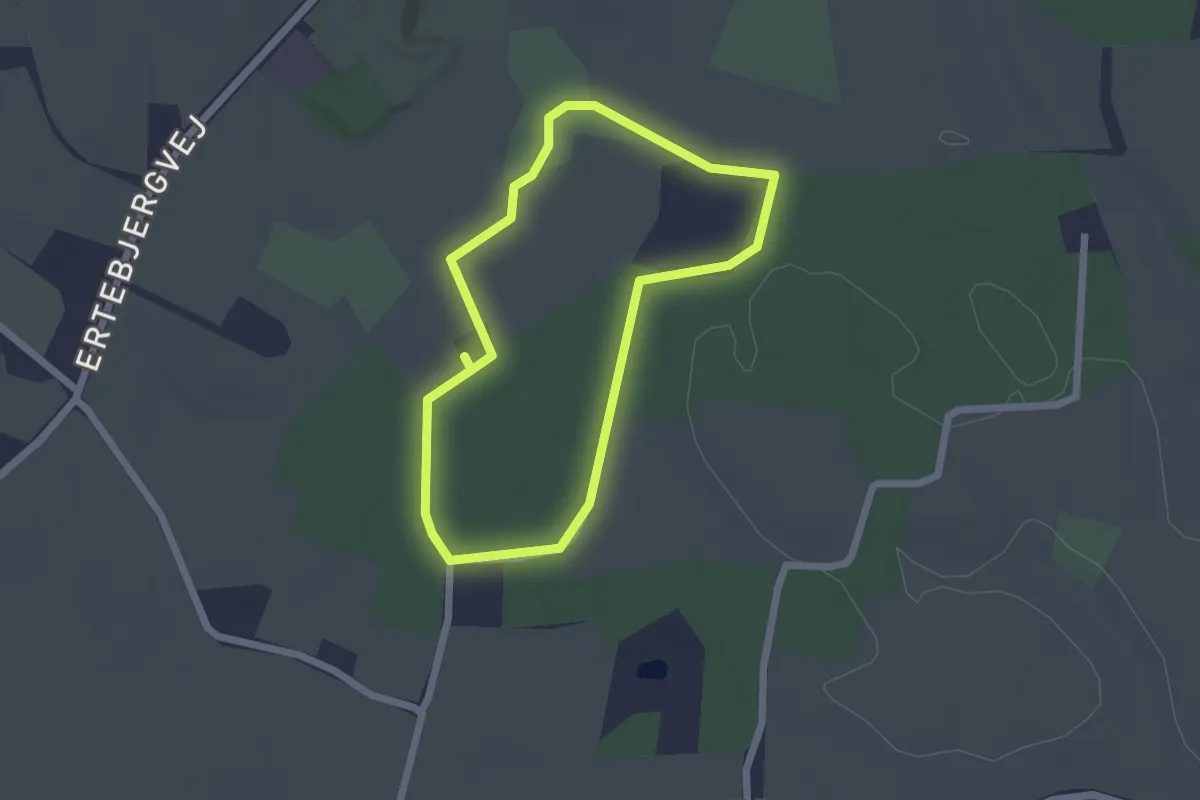
Easy · Trail
Sporet ved Tandslet, gul rute
1.5 km · ↑ 9 m · 24 min
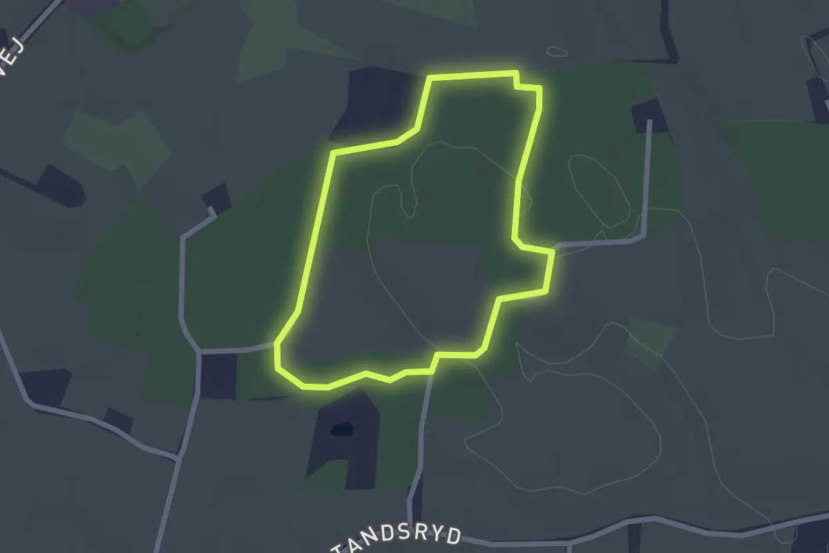
Easy · Trail
Sporet ved Tandslet, rød rute
1.6 km · ↑ 5 m · 25 min
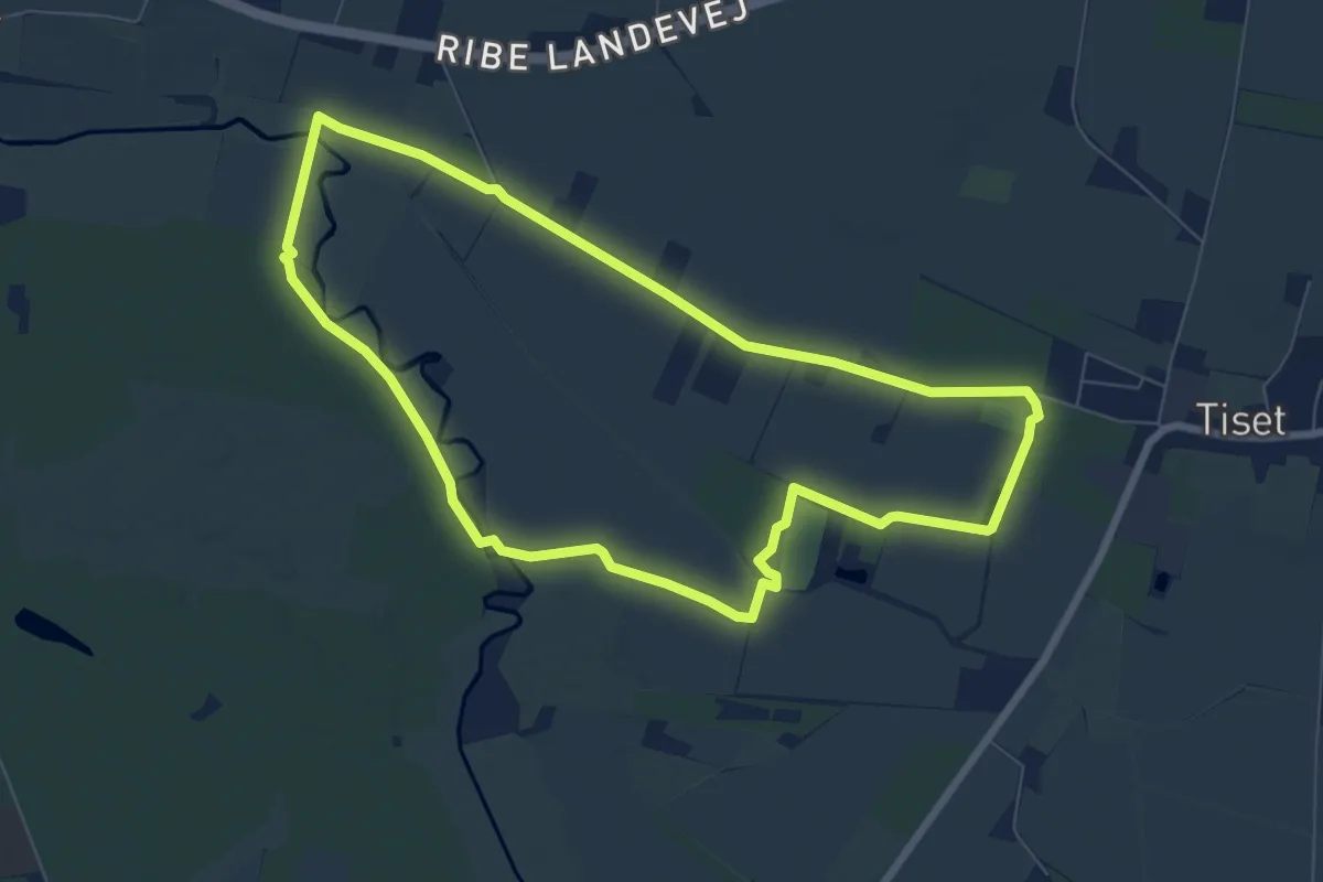
Easy · Trail
Sporet ved Tiset
6.1 km · ↑ 4 m · 1 h 32 min
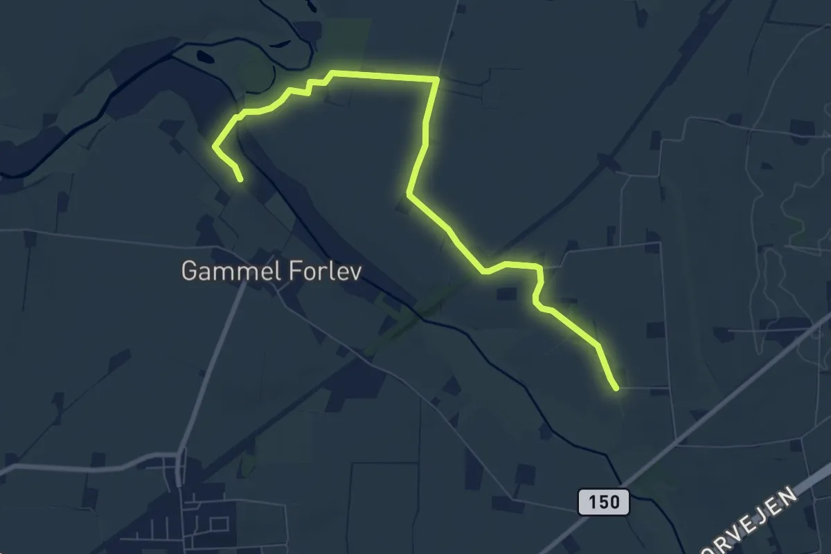
Easy · Trail
Sporet ved Vårby Ådal, blå
7.4 km · ↑ 13 m · 1 h 46 min
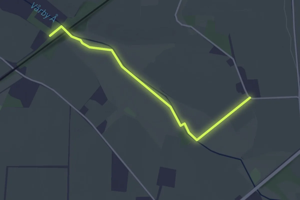
Easy · Trail
Sporet ved Vårby Ådal, grøn
2.9 km · ↑ 8 m · 42 min
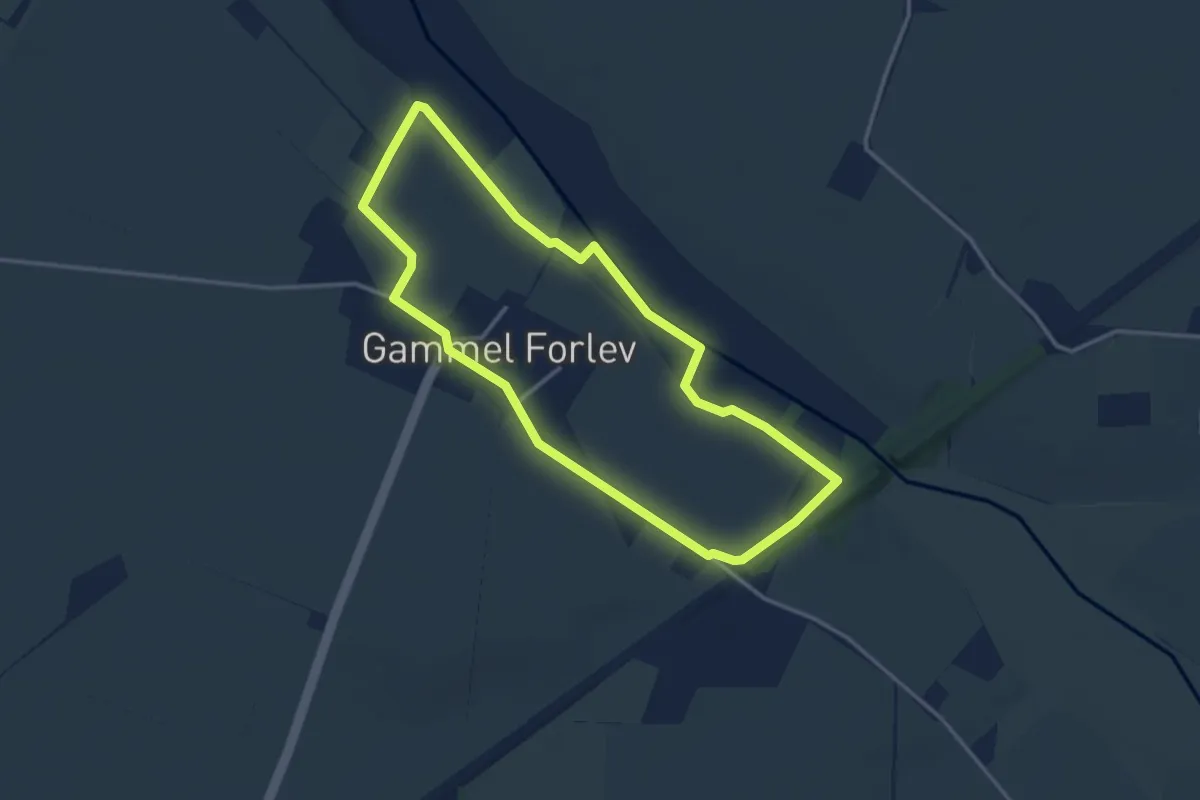
Easy · Trail
Sporet ved Vårby Ådal, rød
2.7 km · ↑ 9 m · 41 min
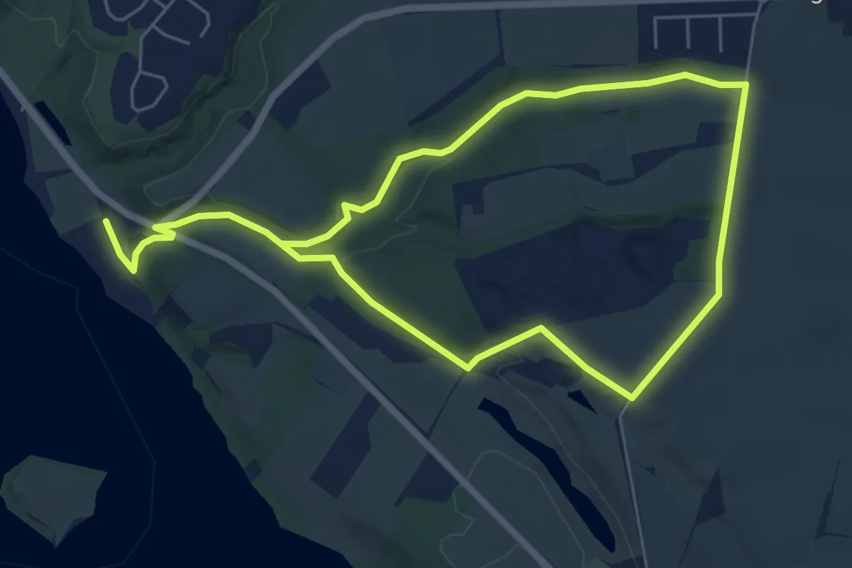
Medium · Trail
Sporet ved Vestermølle
8.1 km · ↑ 125 m · 2 h 11 min
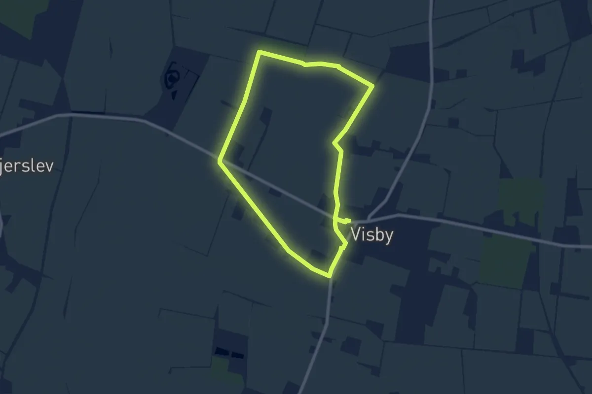
Easy · Trail
Sporet ved Visby
5.3 km · ↑ 13 m · 1 h 21 min
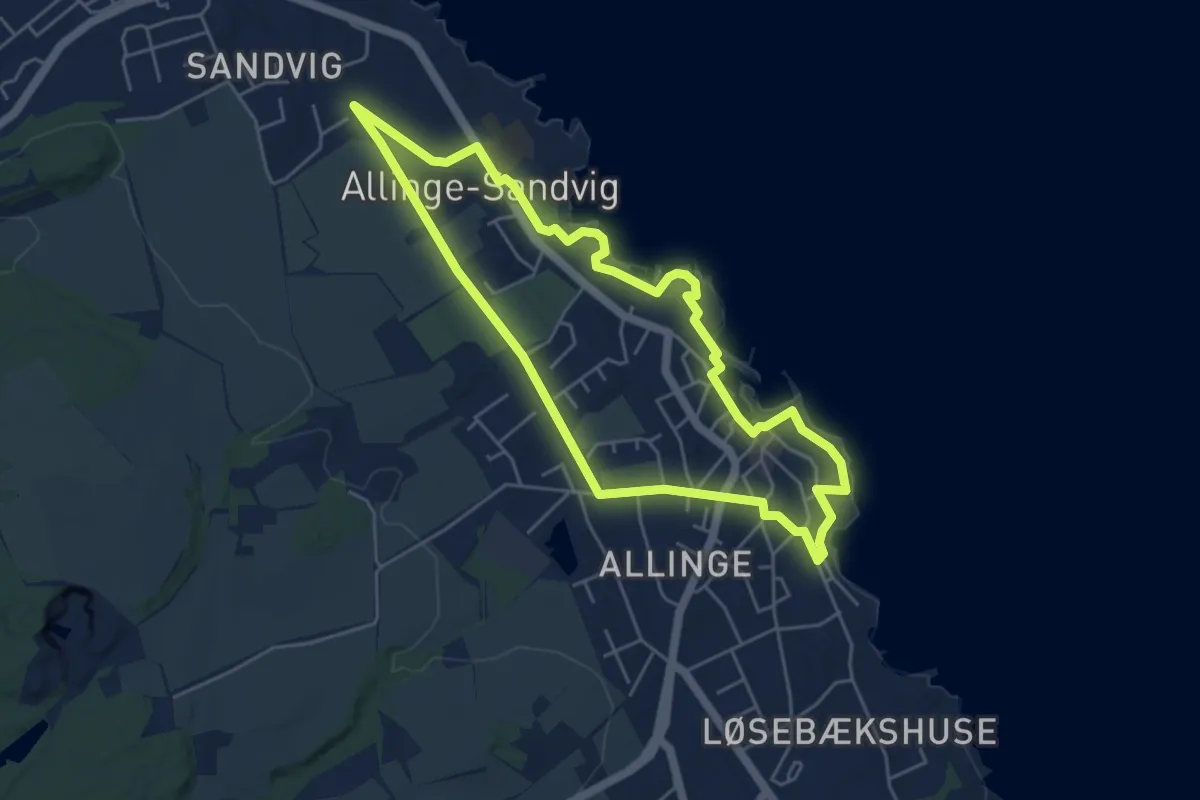
Easy · Trail
SPOR - Folkemødet
4.1 km · ↑ 34 m · 1 h 5 min
Easy · Trail
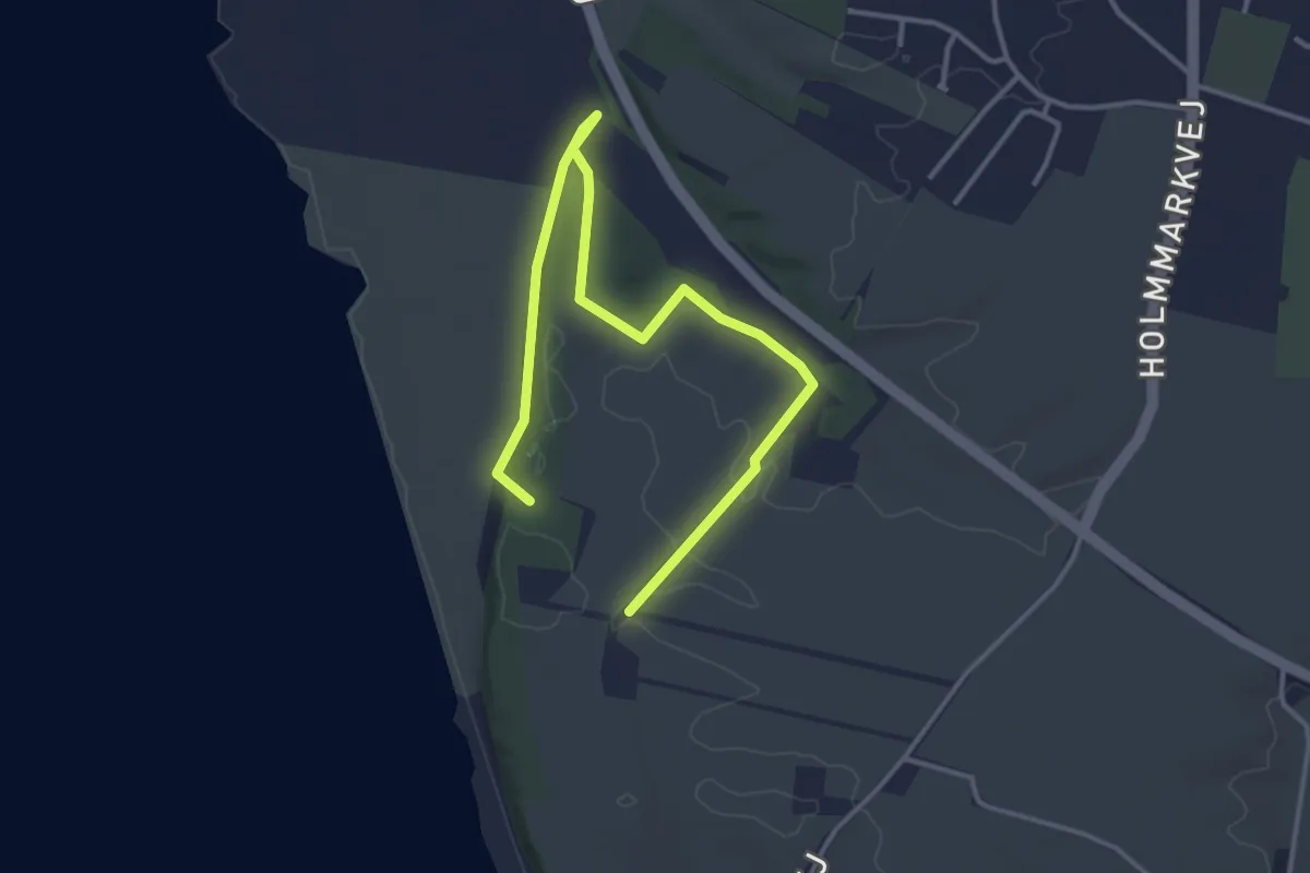
Spor i Landskabet - Louns Halvøen Rundt
1.8 km · ↑ 5 m · 28 min
Easy · Trail
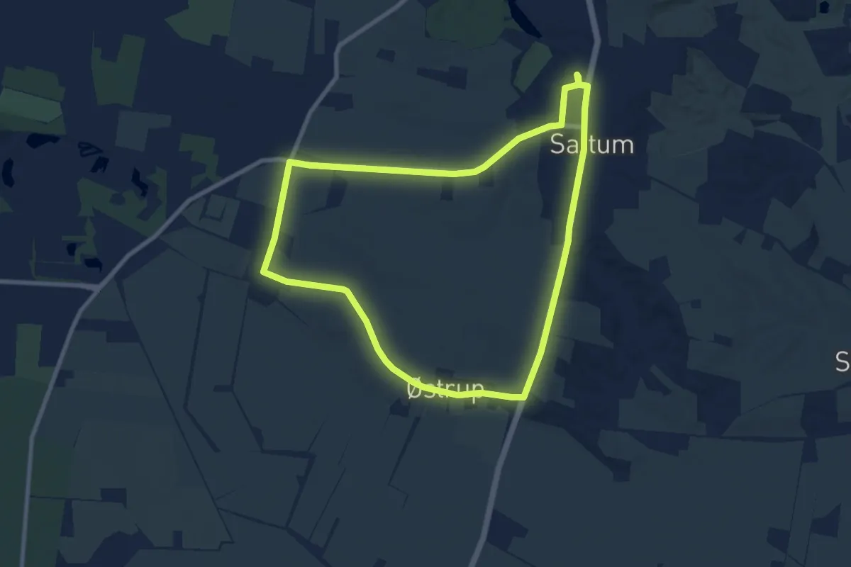
Spor Saltum - Blå Rute
6.2 km · ↑ 29 m · 1 h 36 min
Easy · Trail
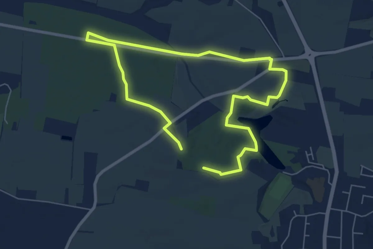
Spor Saltum - Gul Rute
3.8 km · ↑ 12 m · 58 min
Easy · Trail
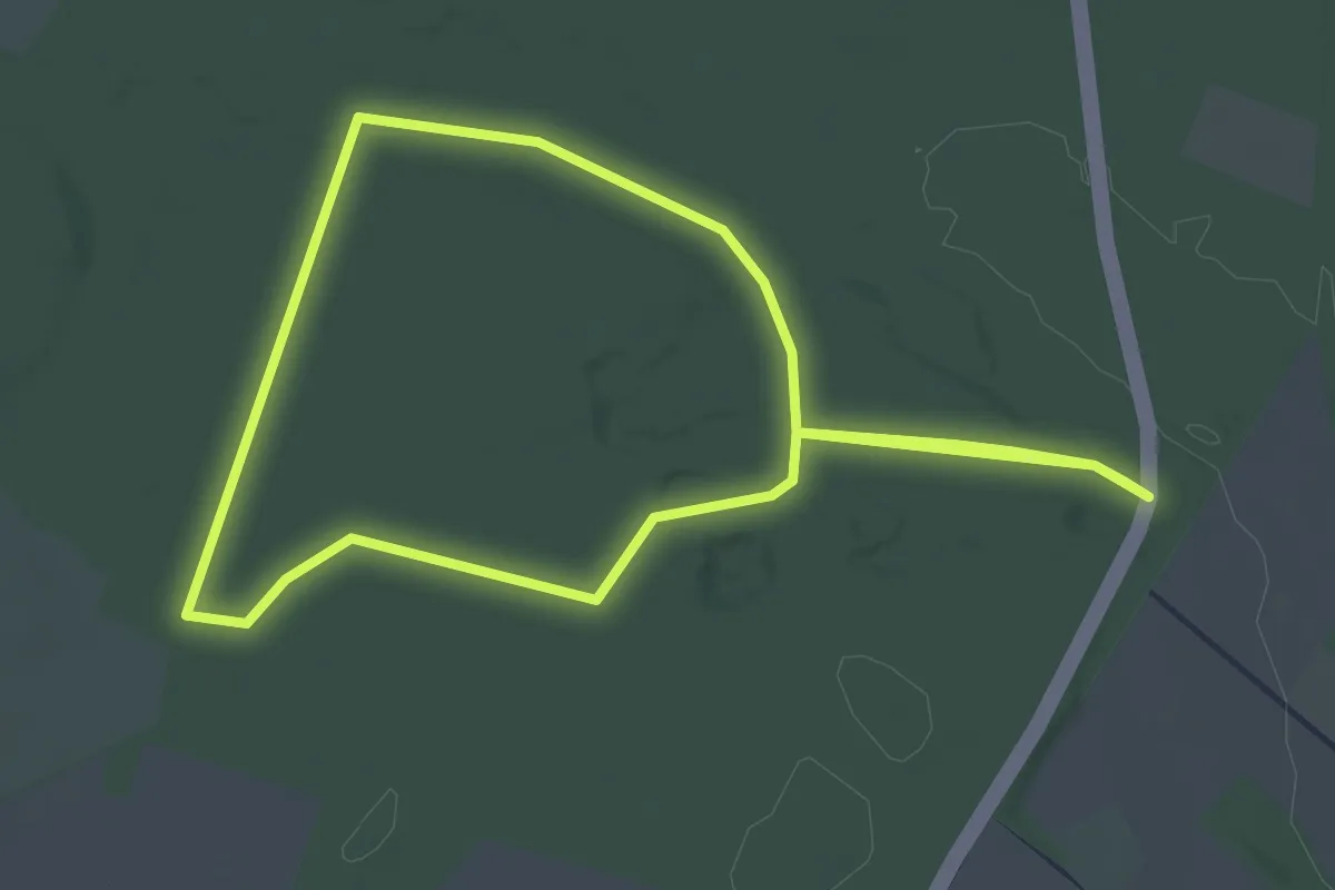
Springbjerg Plantage - Rød rute
2.1 km · ↑ 18 m · 34 min
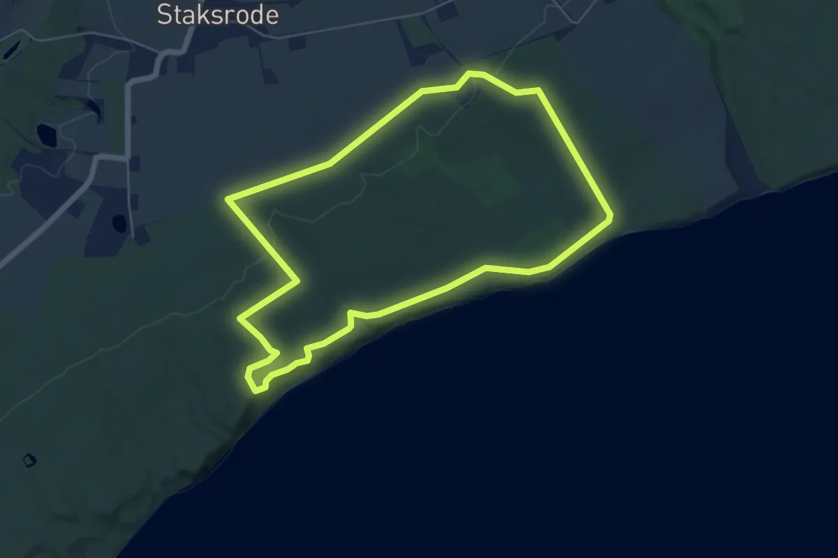
Easy · Trail
Staksrode Skov - Blå rute
4.5 km · ↑ 65 m · 1 h 16 min
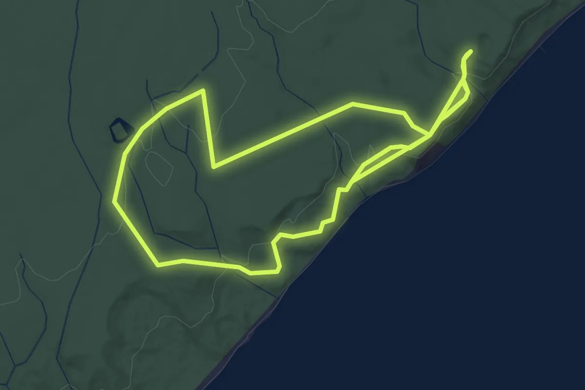
Easy · Trail
Staksrode Skov - Gule rute
2.6 km · ↑ 50 m · 46 min
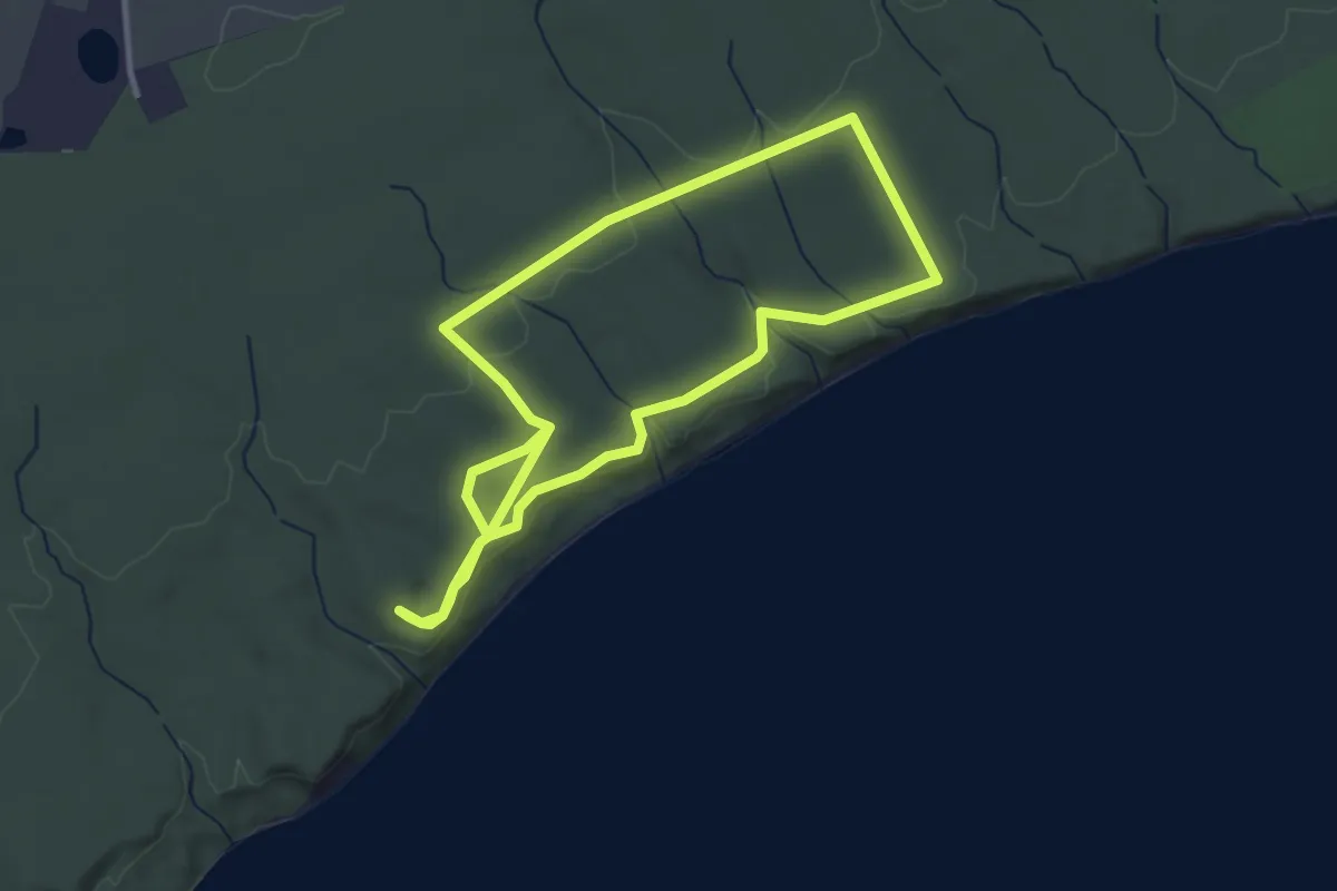
Easy · Trail
Staksrode Skov - Rød rute
2.5 km · ↑ 63 m · 46 min
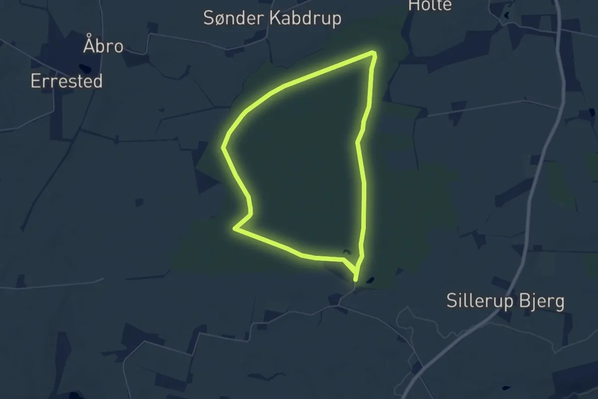
Medium · Trail
Stendetgårdturen - gul rute
9.2 km · ↑ 44 m · 2 h 16 min
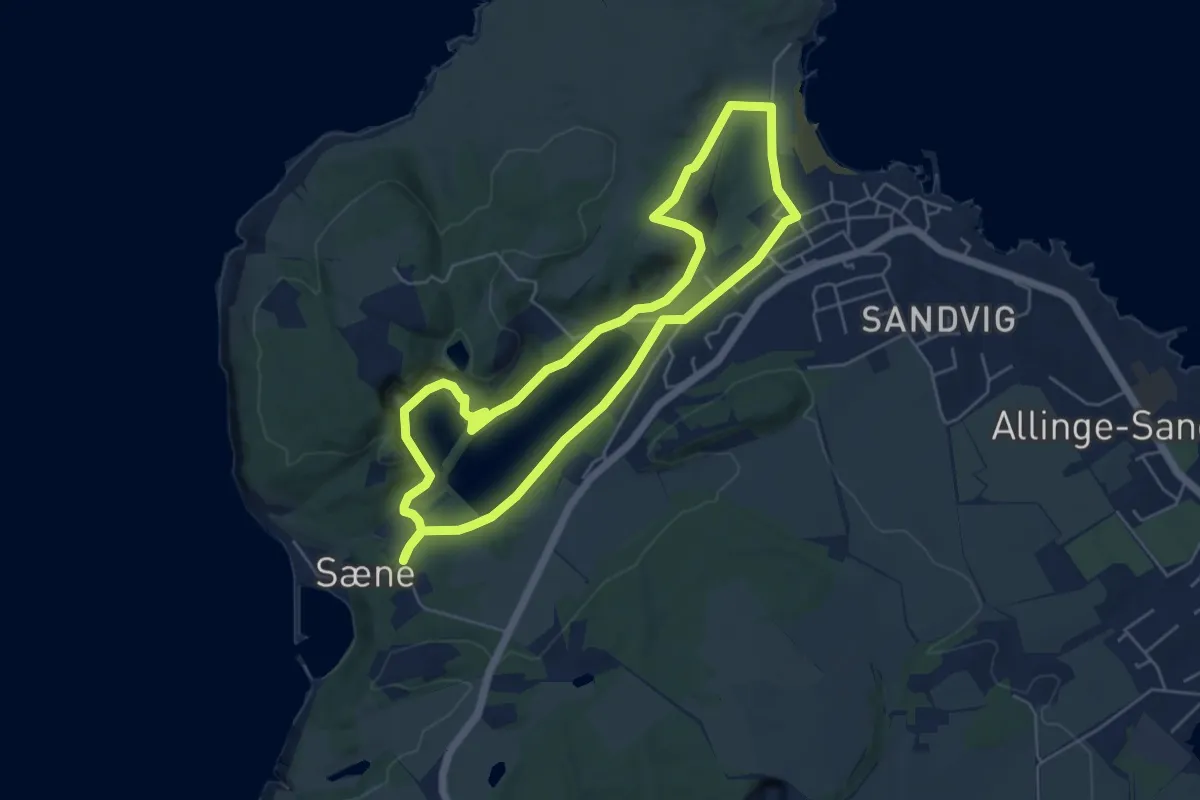
Medium · Trail
Stenhuggerstien
4.2 km · ↑ 51 m · 1 h 10 min
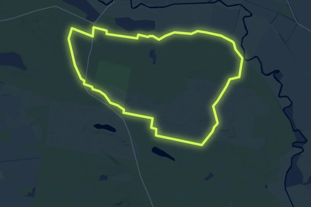
Easy · Trail
Stensbæk Plantage - grøn vandrerute
5.0 km · ↑ 4 m · 1 h 16 min
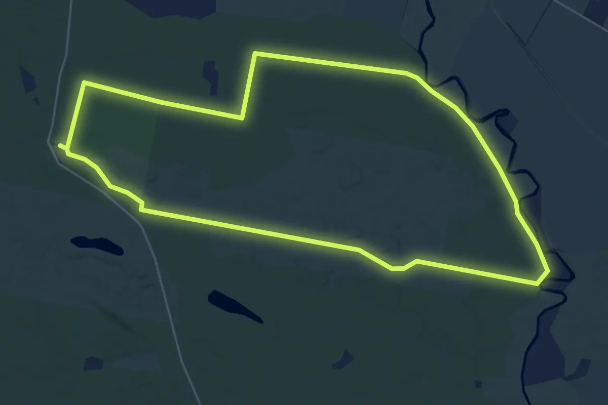
Easy · Trail
Stensbæk Plantage - gul vandrerute
5.0 km · ↑ 4 m · 1 h 16 min
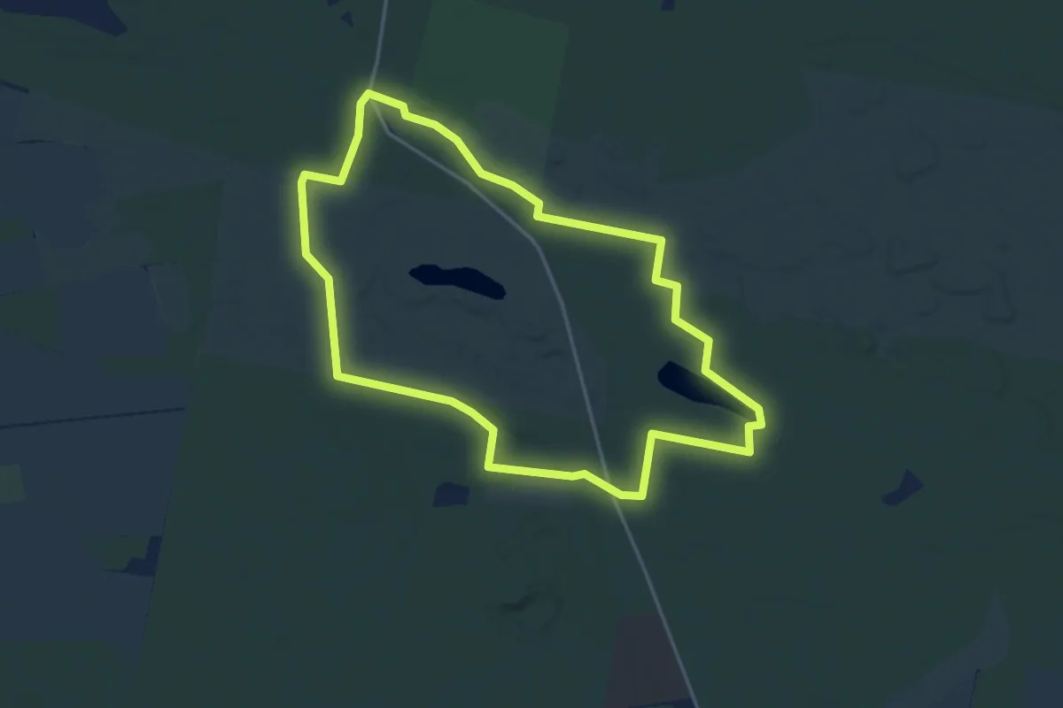
Easy · Trail
Stensbæk Plantage - rød vandrerute
3.4 km · ↑ 8 m · 52 min