Trails in Denmark
1,383 hiking trails, each with its route, climb, walking time and grade.
All trails, page 26 of 29
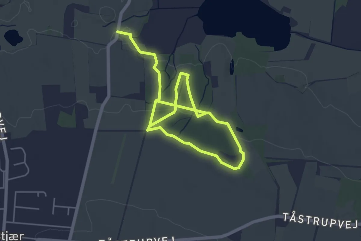
Easy · Trail
Stenskovruten
5.8 km · ↑ 118 m · 1 h 38 min
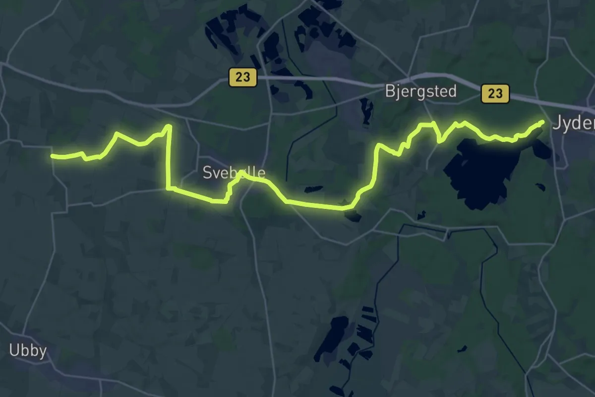
Demanding · Trail
Stenstien
31.3 km · ↑ 221 m · 7 h 53 min
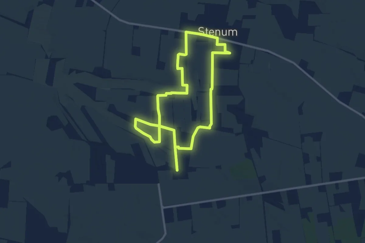
Medium · Trail
Stenum Hjertesti
11.8 km · ↑ 17 m · 2 h 50 min
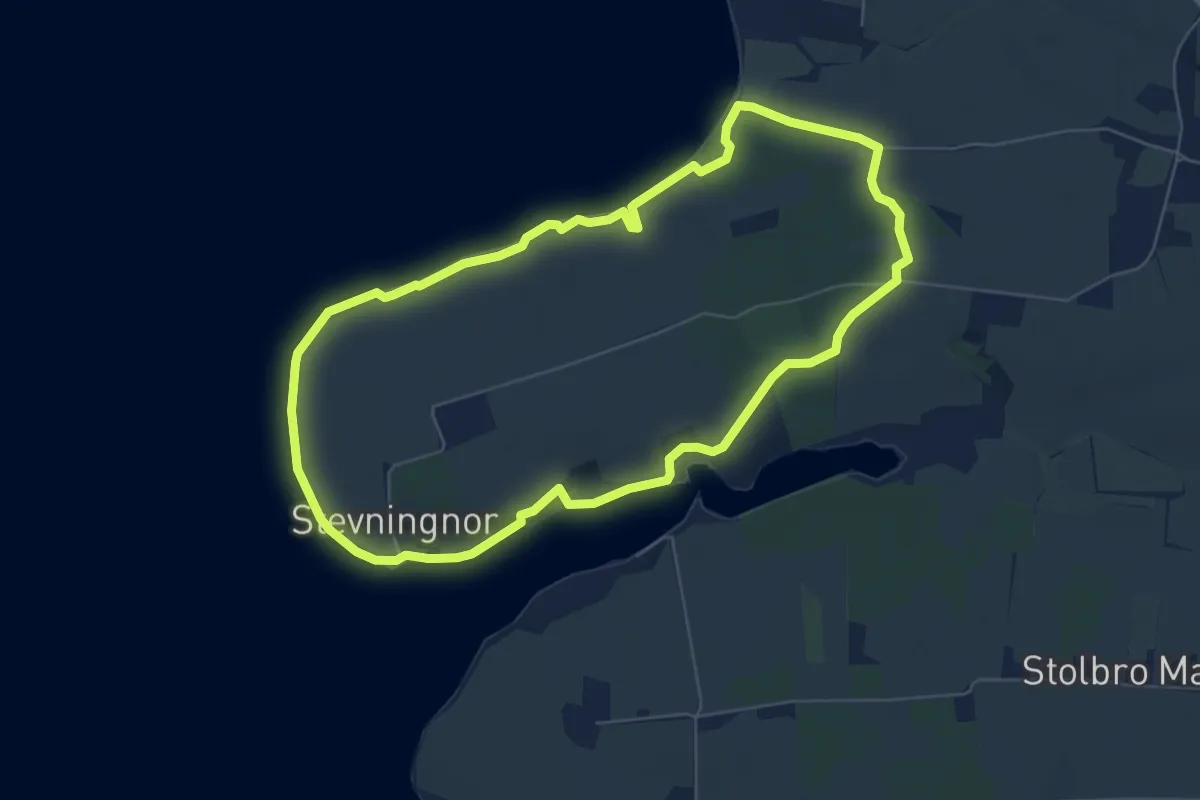
Easy · Trail
Stevning Nor stien
5.2 km · ↑ 50 m · 1 h 25 min
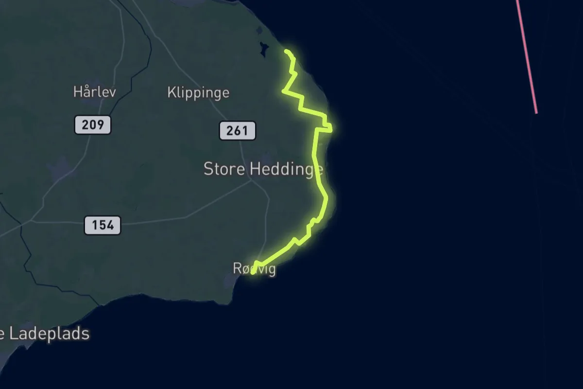
Demanding · Trail
Stevns Klintstien
19.7 km · ↑ 33 m · 5 h 1 min
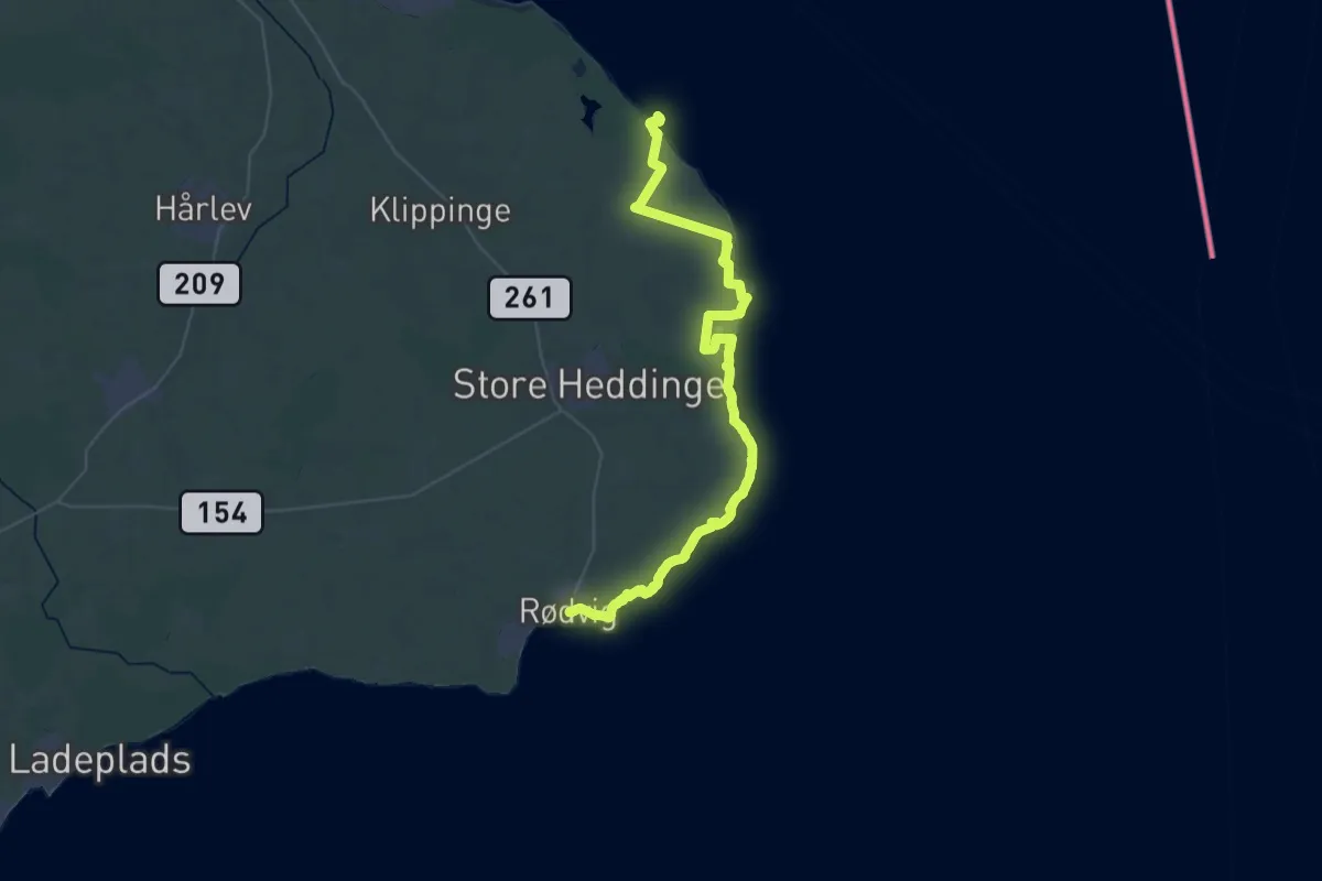
Demanding · Trail
Stevns Klint Trampesti
21.9 km · ↑ 94 m · 5 h 41 min
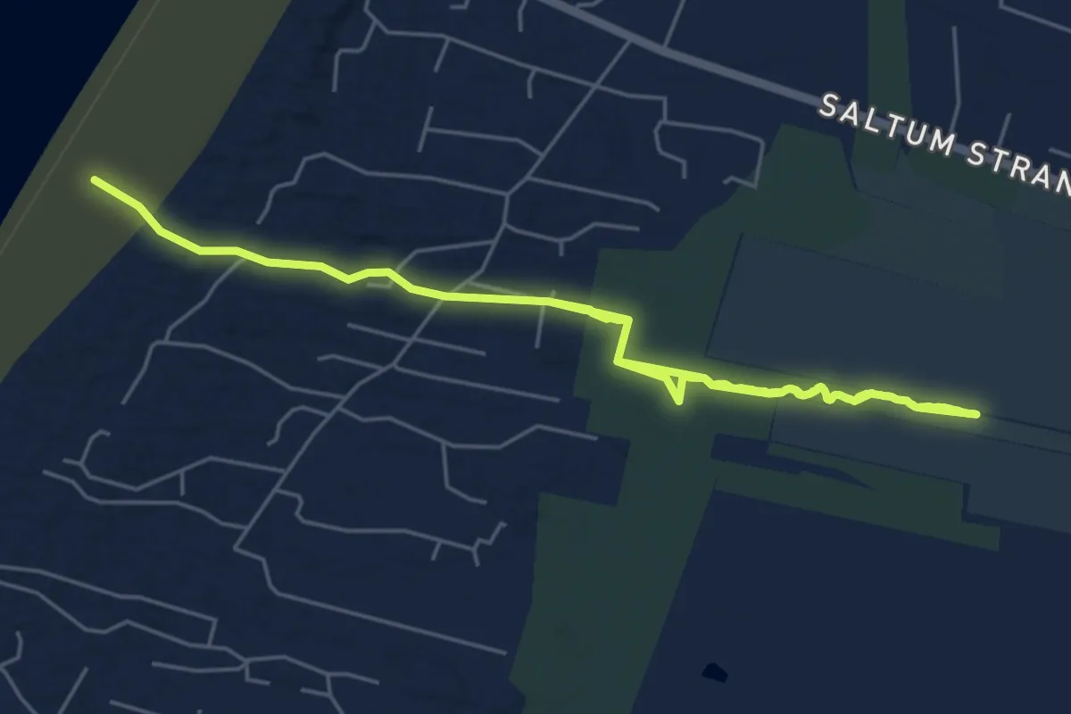
Medium · Trail
Sti 24
9.0 km · ↑ 31 m · 2 h 12 min
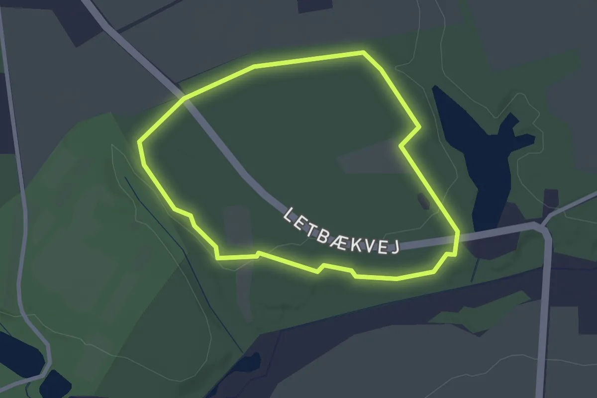
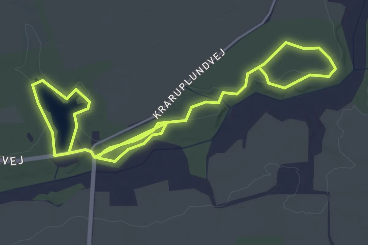
Easy · Trail
Sti 2: Natur stien
1.7 km · ↑ 4 m · 26 min
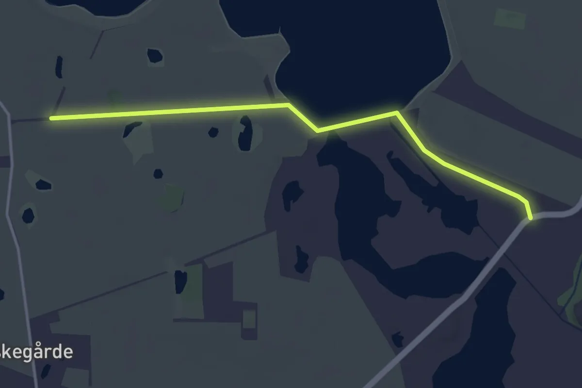
Easy · Trail
Sti 3: Historisk sti
6.0 km · ↑ 12 m · 1 h 27 min
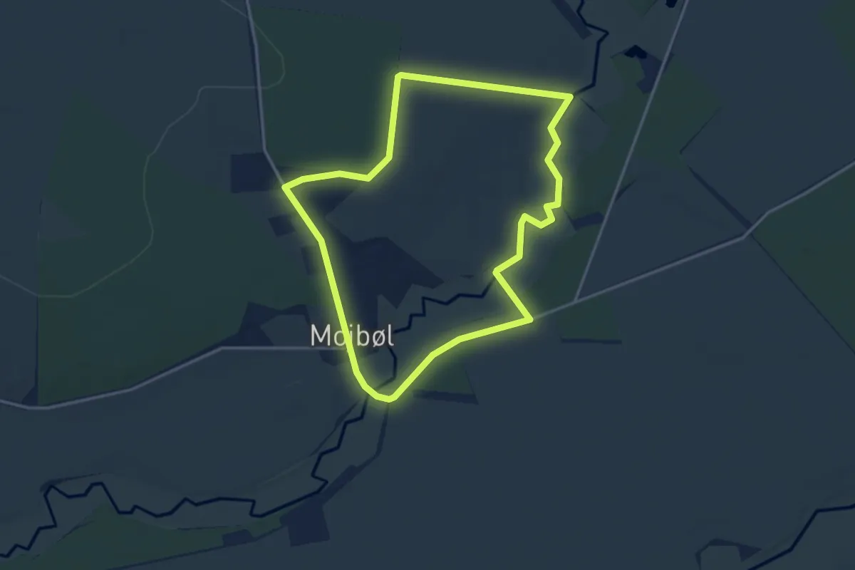
Easy · Trail
Stien ved Borreby Mose
3.0 km · ↑ 0 m · 43 min
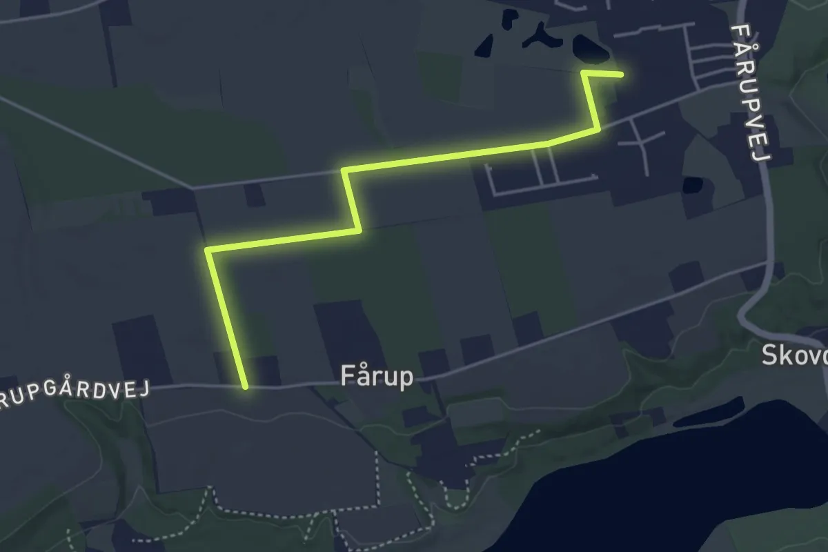
Easy · Trail
Stien ved Mojbøl
2.8 km · ↑ 14 m · 44 min
Easy · Trail
Sti fra Jelling
3.5 km · ↑ 4 m · 50 min
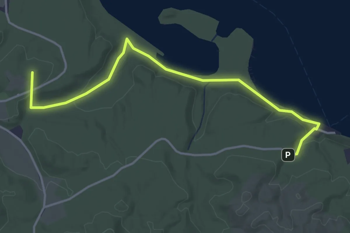
Easy · Summit
Stigballeturen
3.3 km · ↑ 62 m · 54 min
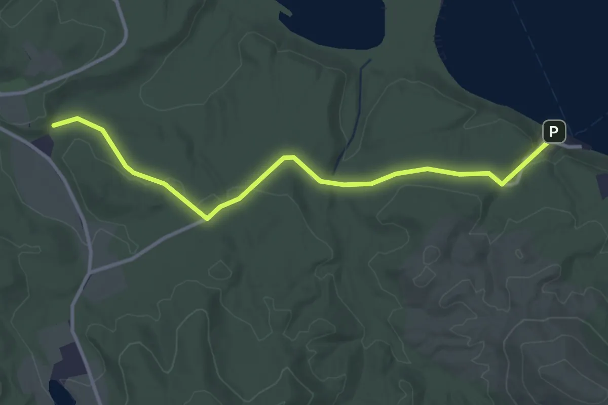
Easy · Trail
Stigballeturen
2.7 km · ↑ 53 m · 45 min
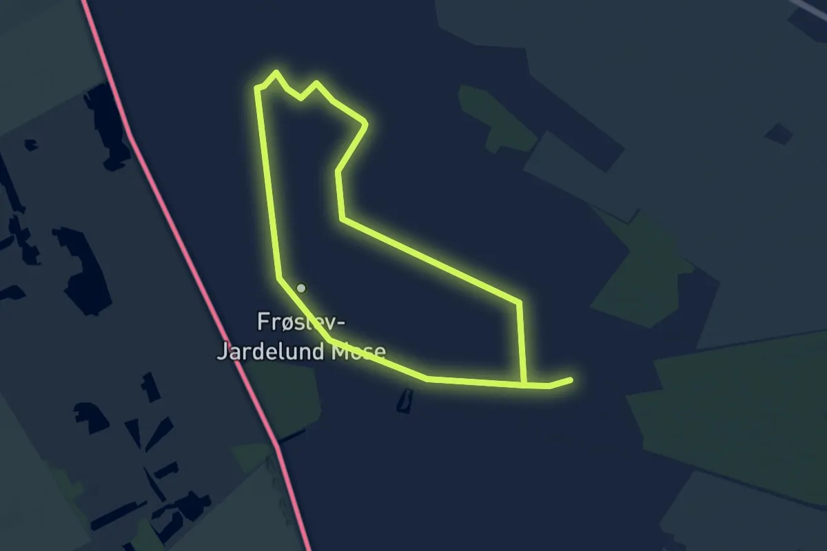
Easy · Trail
Sti i Frøslev Mose
7.1 km · ↑ 0 m · 1 h 40 min
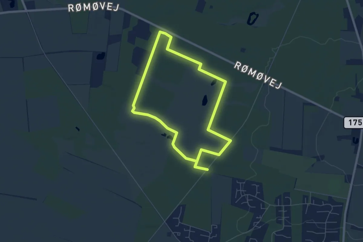
Easy · Trail
Sti i Helm Polde
4.6 km · ↑ 13 m · 1 h 10 min
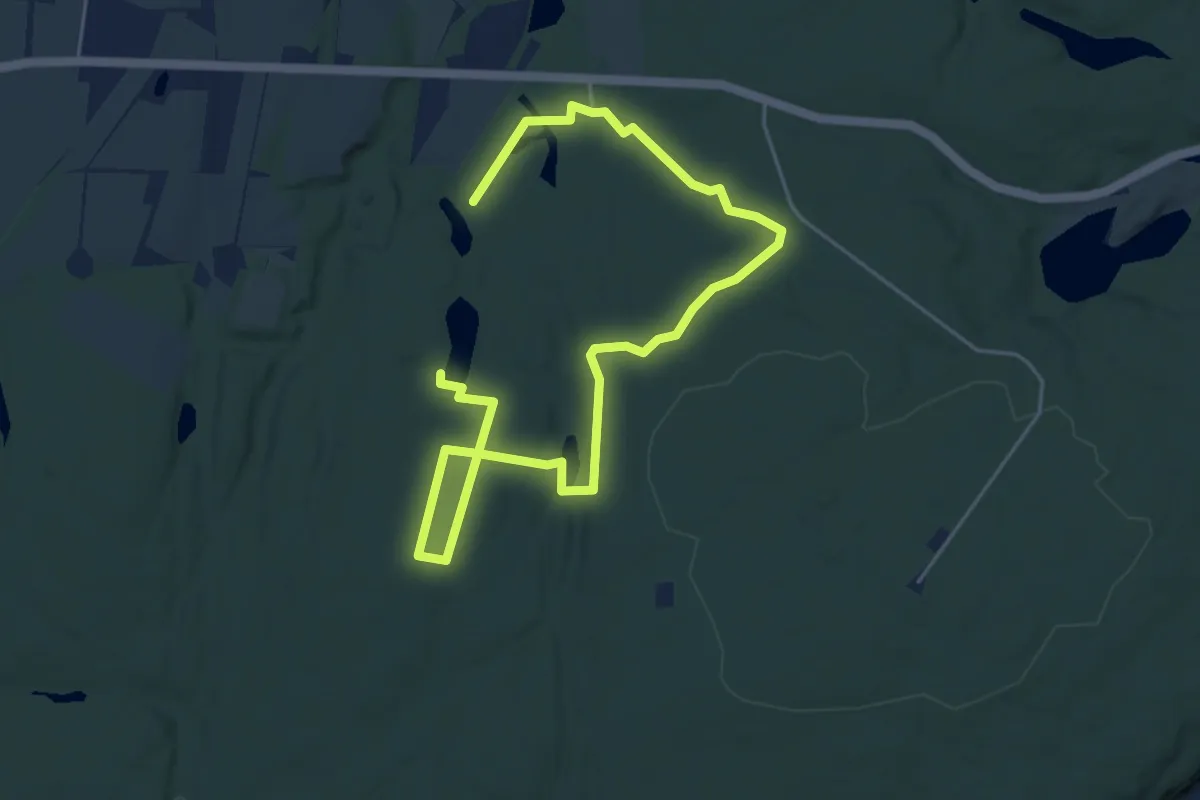
Easy · Trail
Stillesøen
2.9 km · ↑ 17 m · 46 min
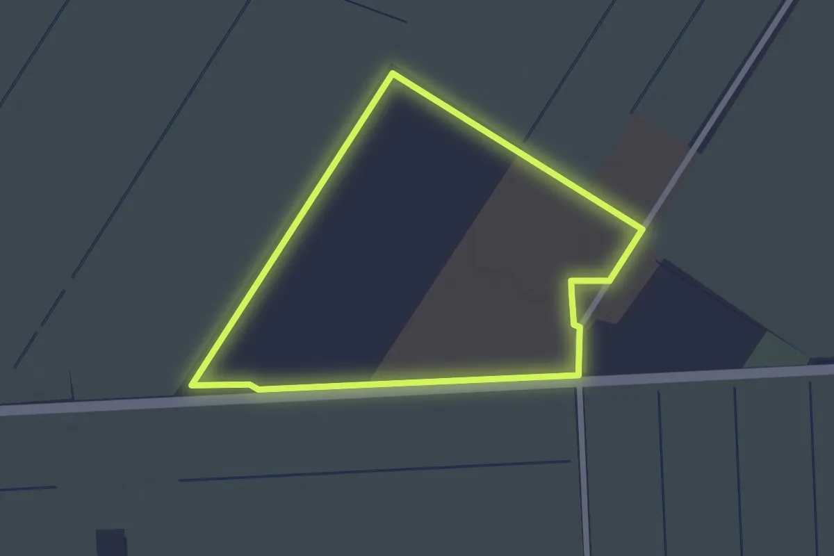
Easy · Trail
Sti omkring Centralgården
1.7 km · ↑ 4 m · 25 min
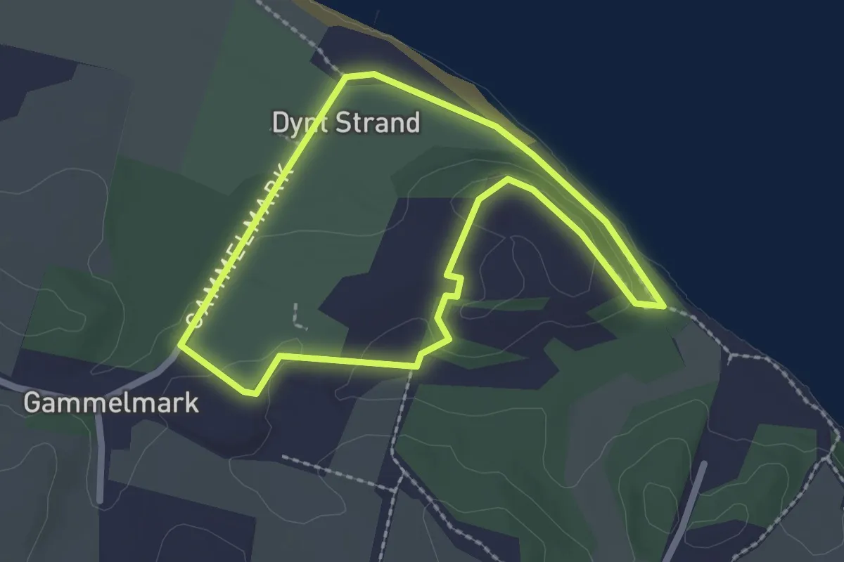
Easy · Trail
Sti til Broager Dæk
1.7 km · ↑ 17 m · 27 min
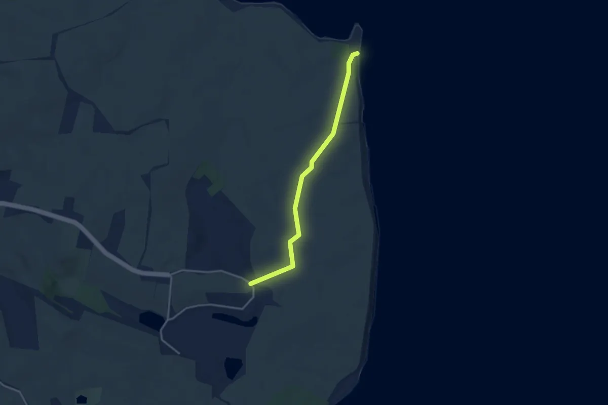
Easy · Trail
Sti til Knudshoved
2.5 km · ↑ 4 m · 36 min
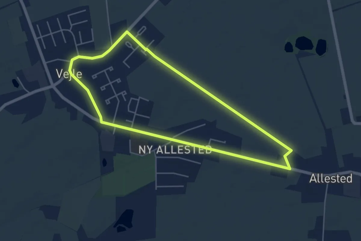
Easy · Trail
Stjernesporet - Main
3.6 km · ↑ 0 m · 54 min
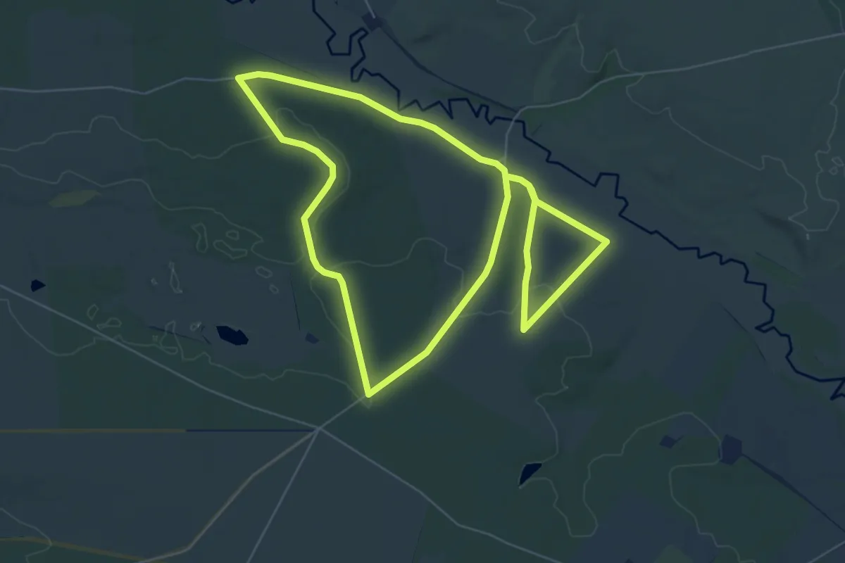
Easy · Trail
Stolbjergturen rød rute
5.2 km · ↑ 61 m · 1 h 26 min
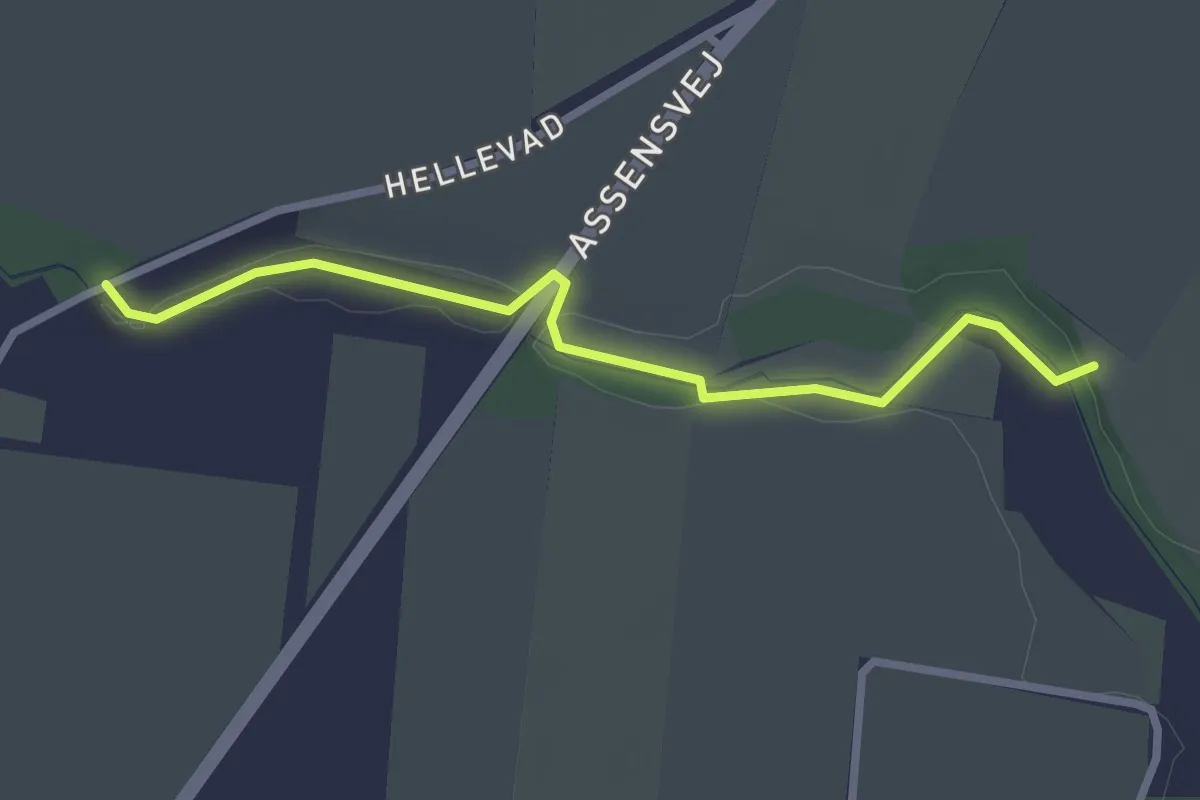
Easy · Trail
Store Dannesbo og Avernakgaard - Blå rute
2.2 km · ↑ 4 m · 32 min
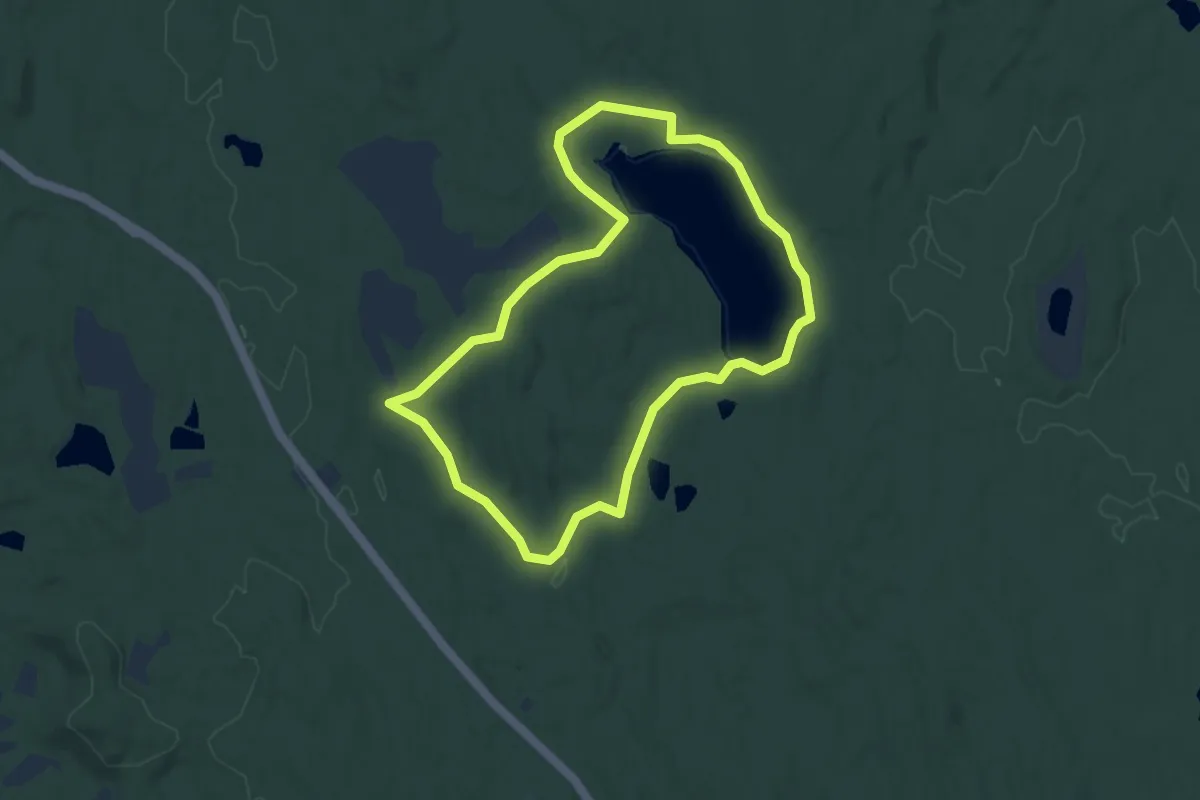
Easy · Trail
Store Gribsø
3.2 km · ↑ 22 m · 51 min
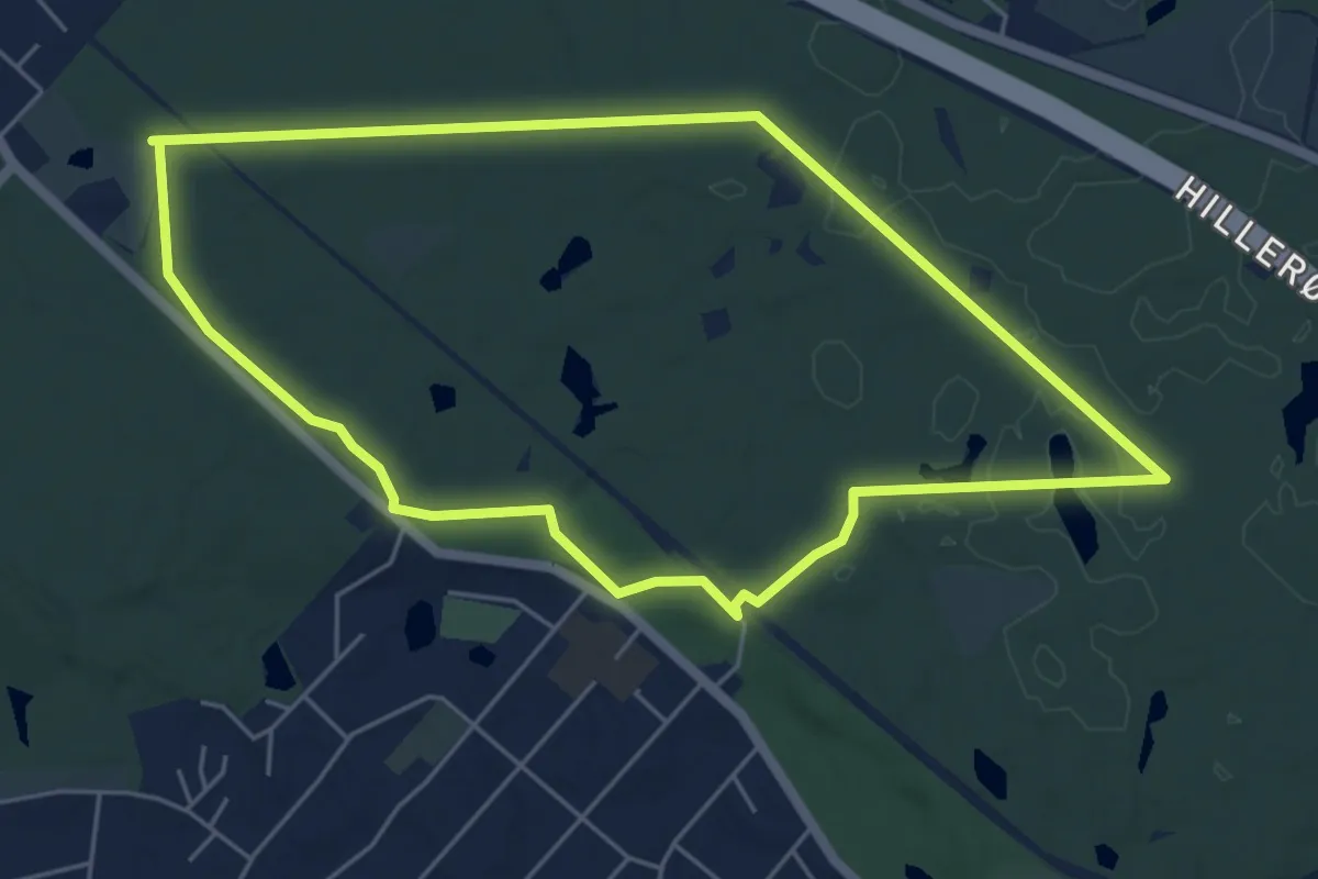
Easy · Trail
Store Hareskov rundtur
4.4 km · ↑ 23 m · 1 h 10 min
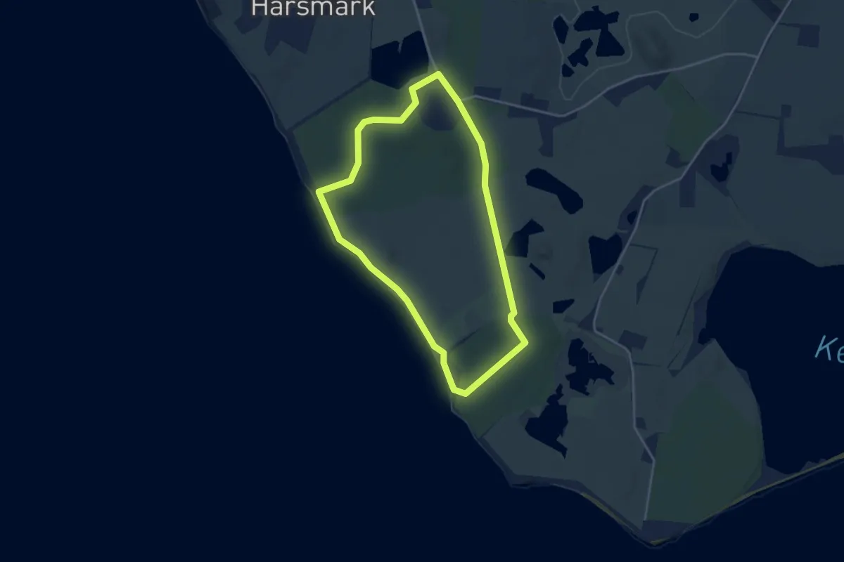
Easy · Trail
Store hestetur
2.9 km · ↑ 4 m · 44 min
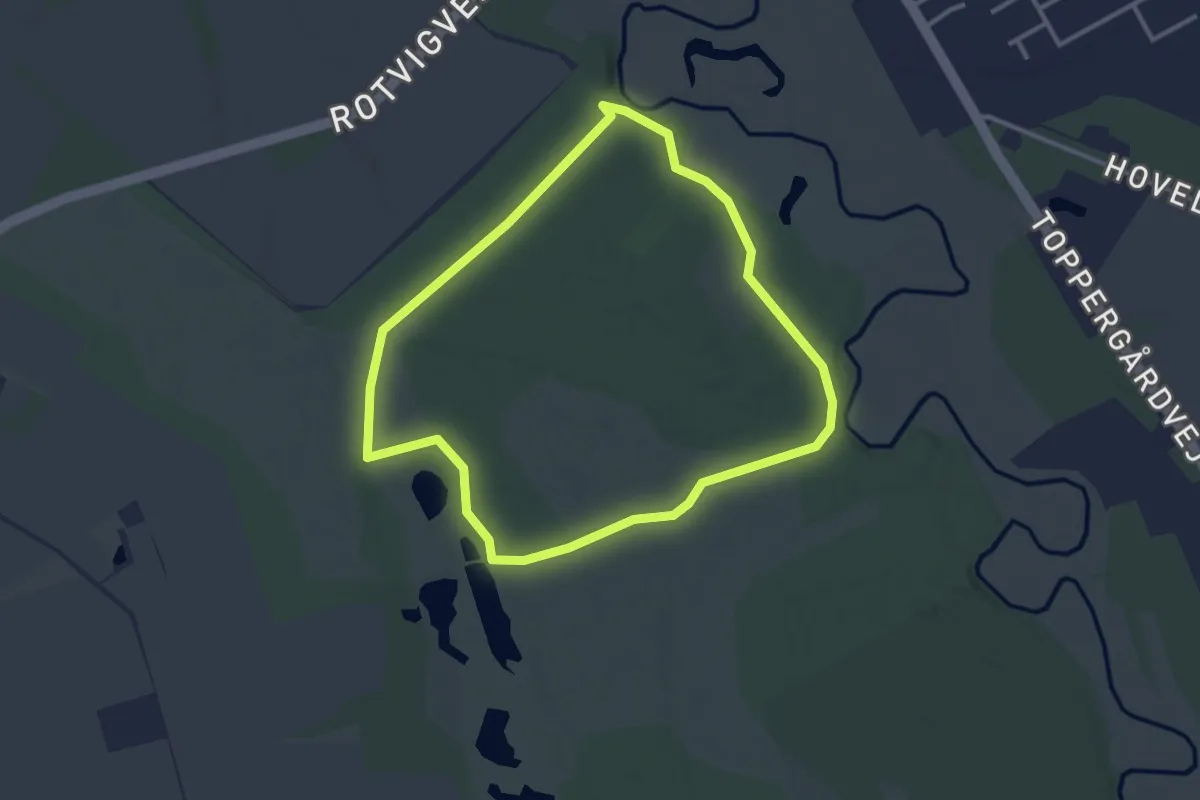
Easy · Trail
Stoubæk Krat, blå rute
2.5 km · ↑ 9 m · 38 min
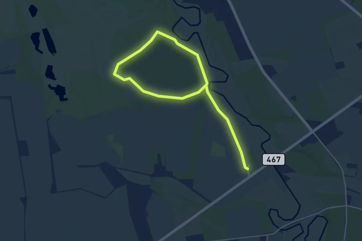
Easy · Trail
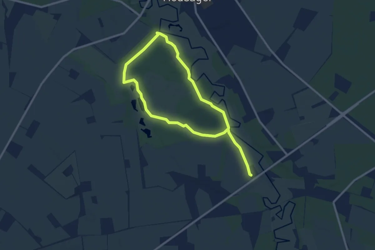
Stoubæk Krat, gul rute
4.5 km · ↑ 8 m · 1 h 5 min
Medium · Trail
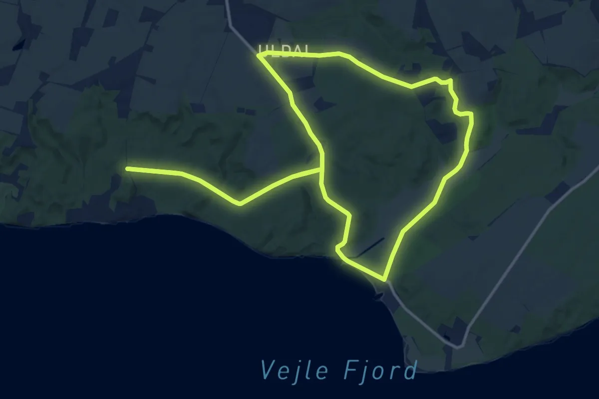
Stoubæk Krat, rød rute
9.1 km · ↑ 26 m · 2 h 13 min
Medium · Trail
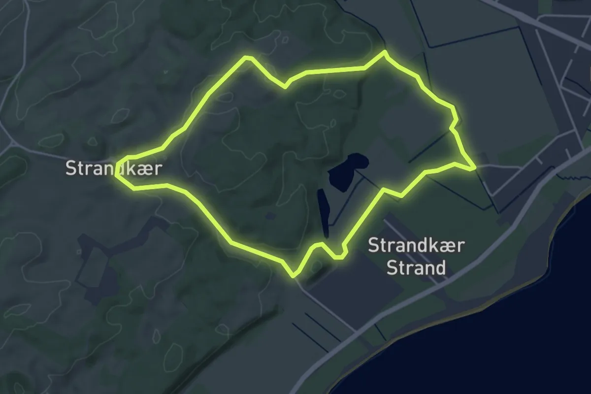
Stouby Skov ruten
10.3 km · ↑ 143 m · 2 h 53 min
Easy · Trail
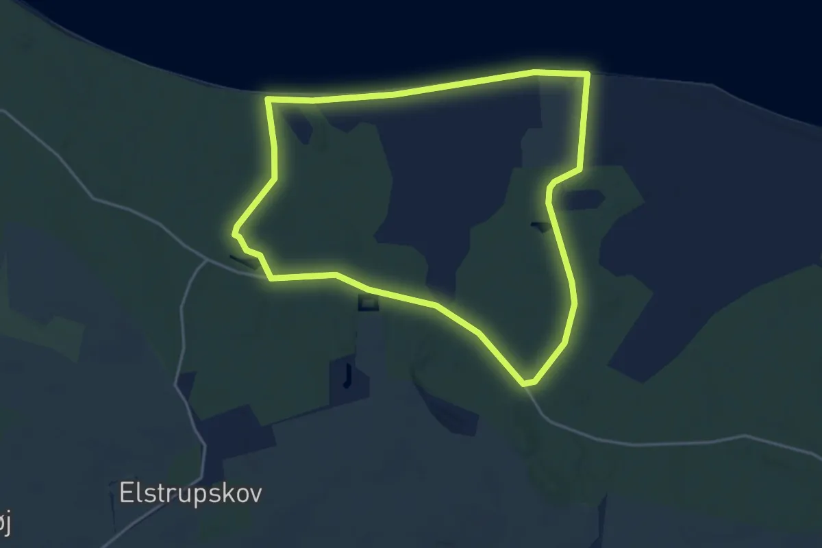
Strandkærstien
3.4 km · ↑ 45 m · 57 min
Easy · Trail
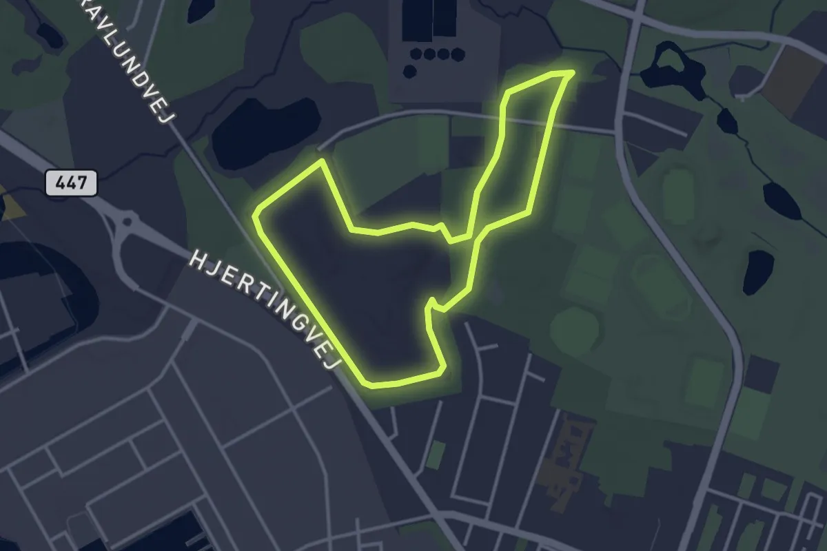
Strandruten, Nørreskoven Als
3.3 km · ↑ 18 m · 53 min
Easy · Trail
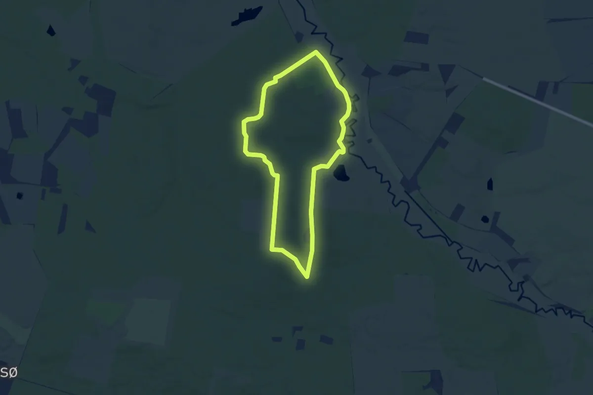
Strandskoven - Blå Energisti
2.7 km · ↑ 0 m · 41 min
Easy · Trail
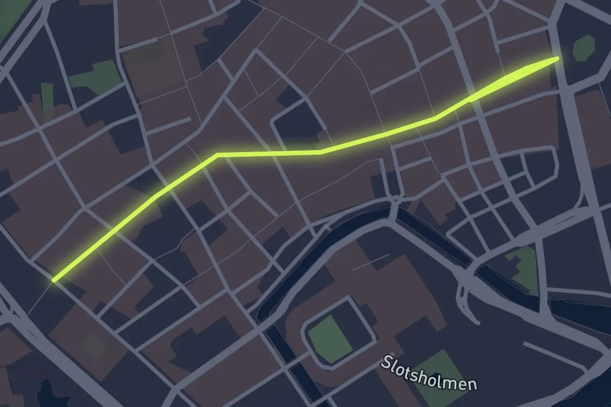
Stråsø Plantage rød rute
5.6 km · ↑ 46 m · 1 h 30 min
Easy · Trail
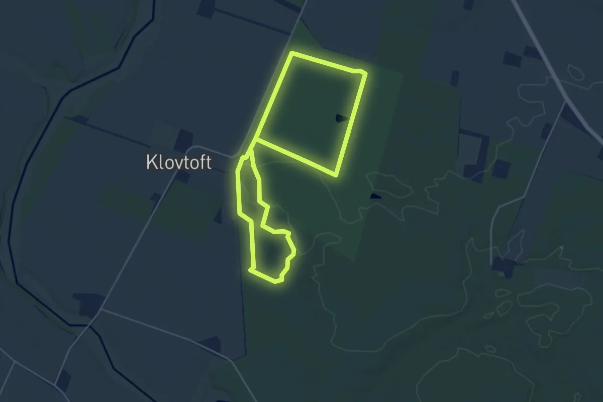
Strøget
3.0 km · ↑ 0 m · 42 min
Easy · Trail
Stursbøl Plantage - blå tur
7.6 km · ↑ 18 m · 1 h 50 min
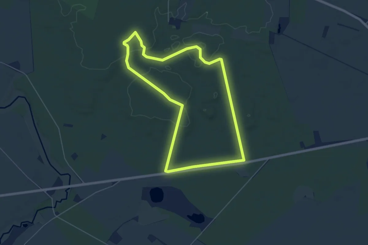
Easy · Trail
Stursbøl Plantage - gul tur
4.3 km · ↑ 19 m · 1 h 7 min
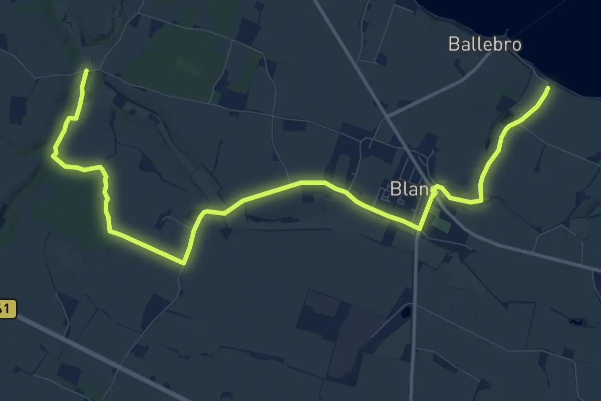
Medium · Trail
Sundevedstien
11.4 km · ↑ 44 m · 2 h 48 min
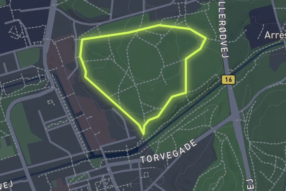
Easy · Trail
Sundhedsspor Arresødal Skov
1.4 km · ↑ 21 m · 23 min
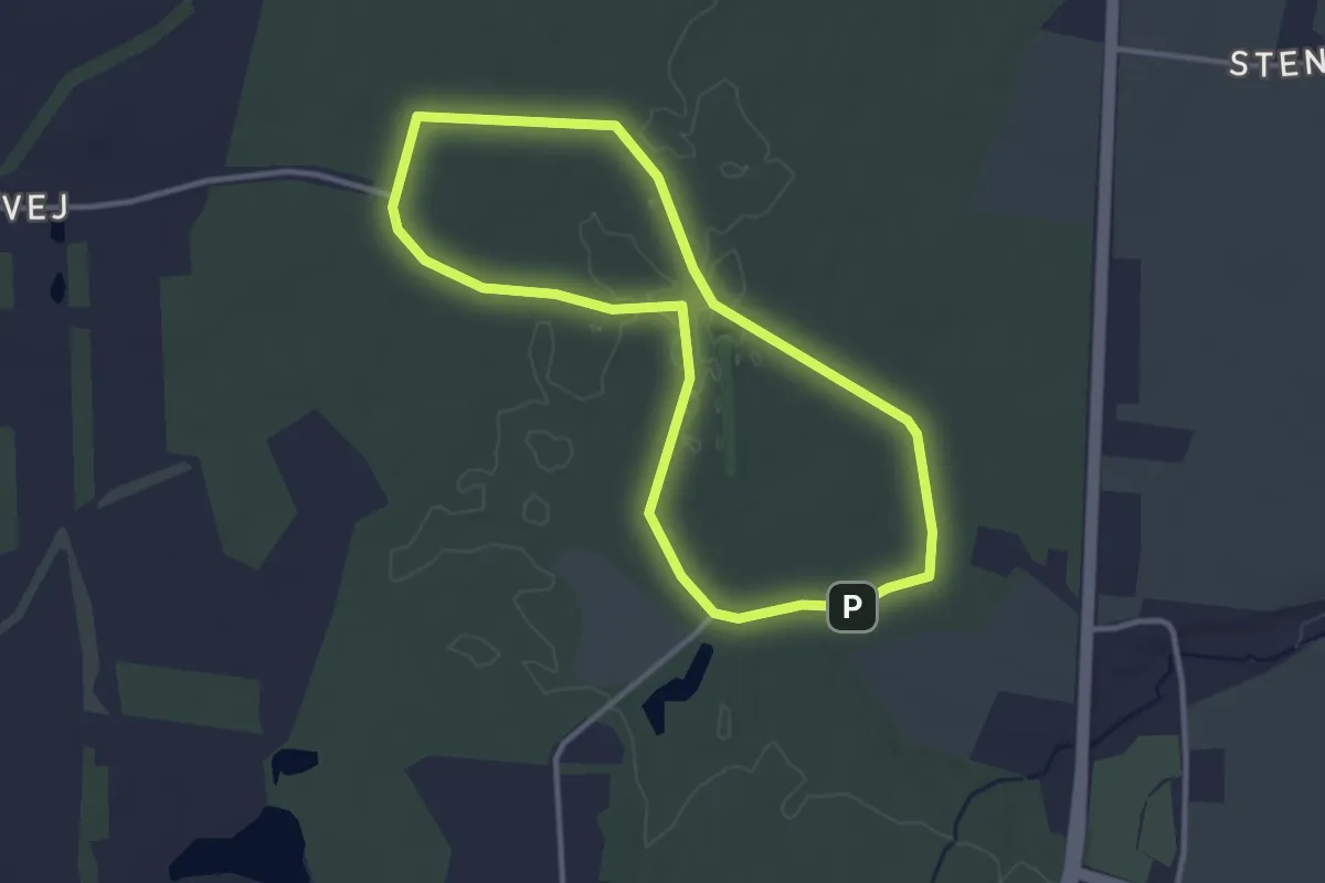
Easy · Trail
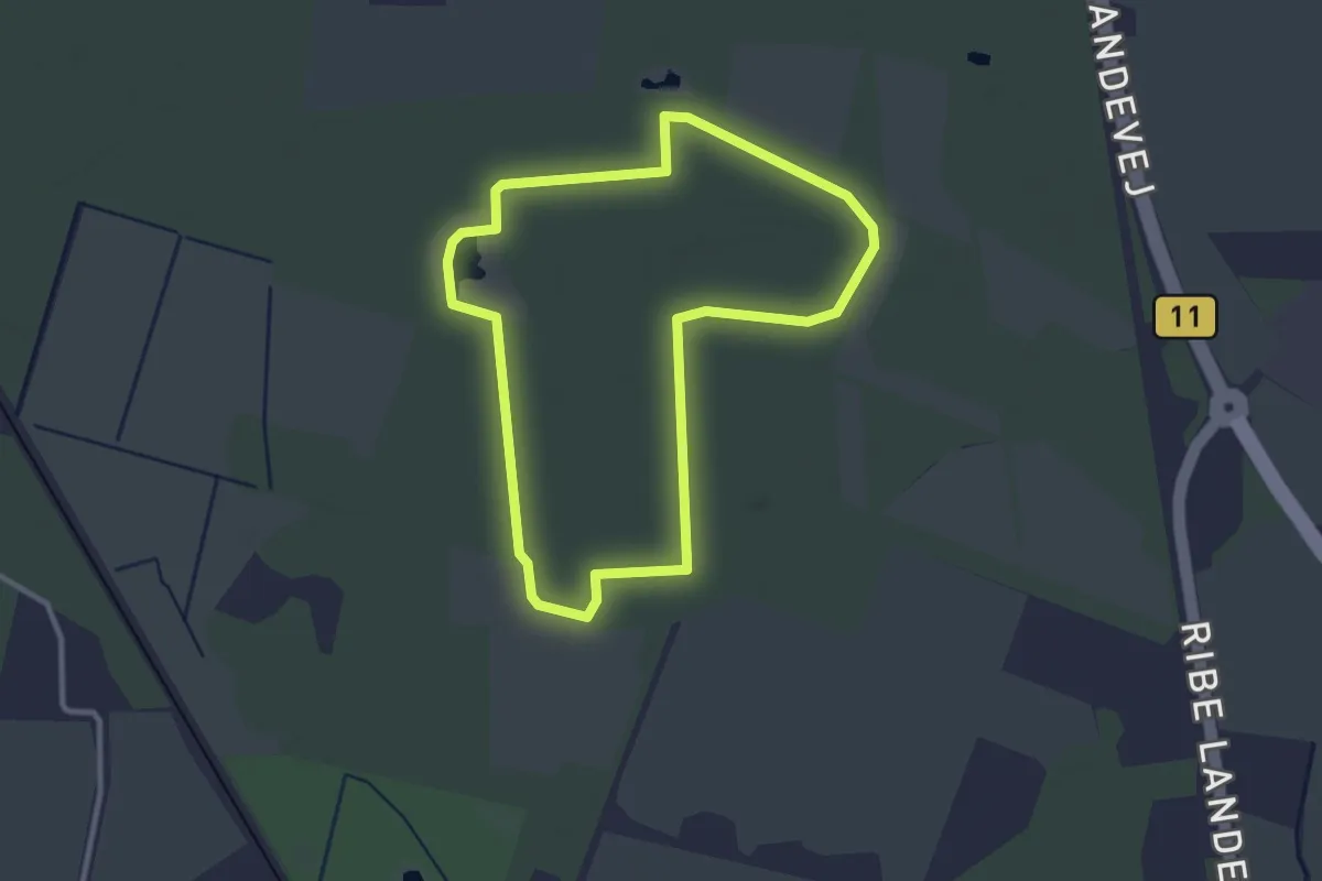
Sundhedssporet i Haderslev Vesterskov
2.6 km · ↑ 9 m · 40 min
Easy · Trail
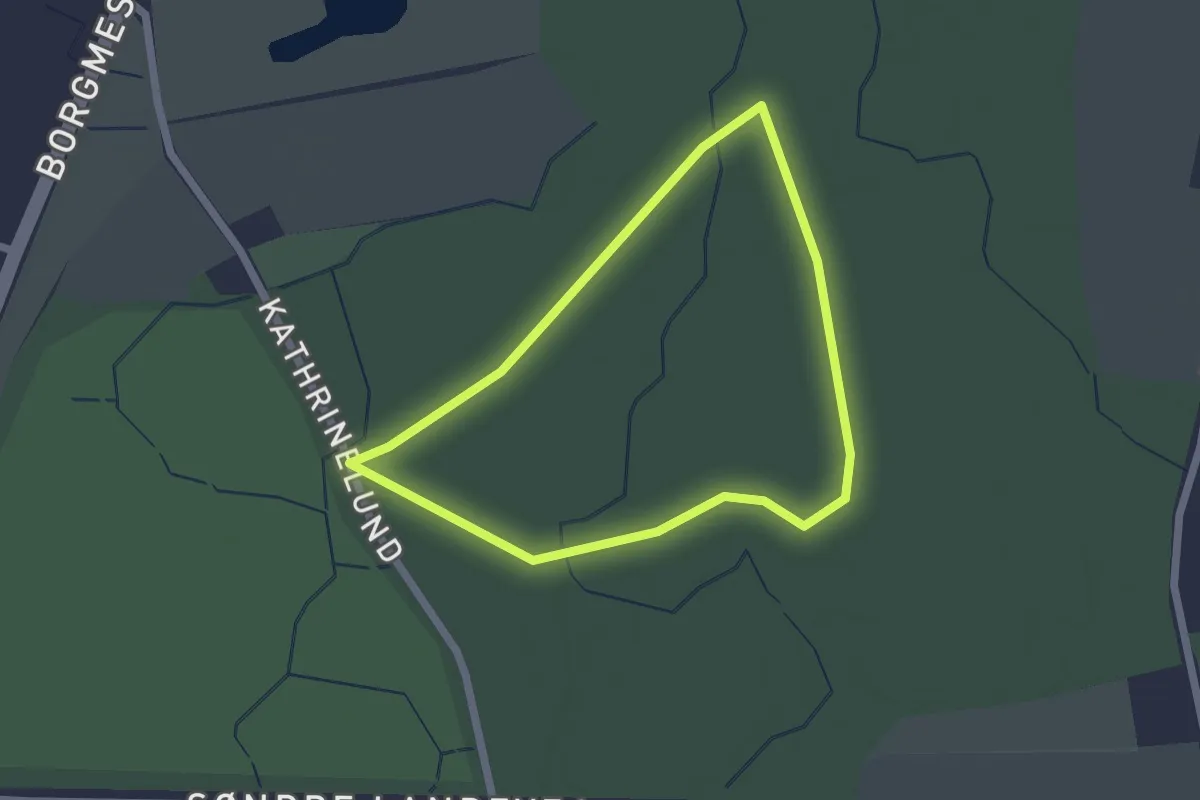
Sundhedssporet i Soldaterskoven
2.4 km · ↑ 0 m · 36 min
Easy · Trail
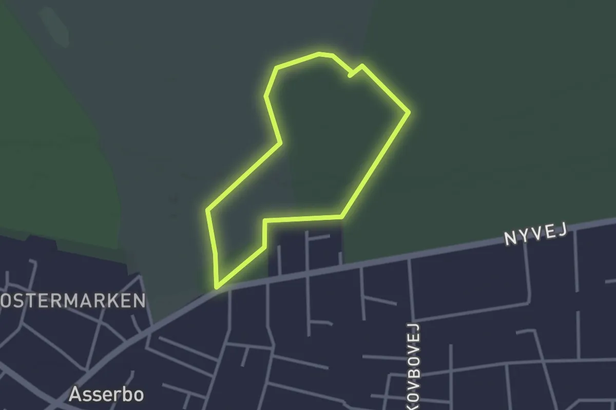
Sundhedssporet i Sønderskoven
1.5 km · ↑ 9 m · 24 min
Easy · Trail
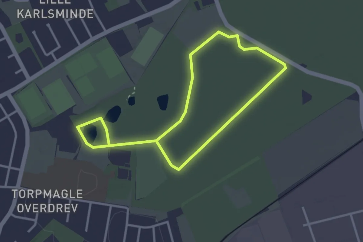
Sundhedsspor Melby Overdrev
1.9 km · ↑ 8 m · 29 min
Easy · Trail
Sundhedsspor Ullerup Skov
4.0 km · ↑ 17 m · 59 min
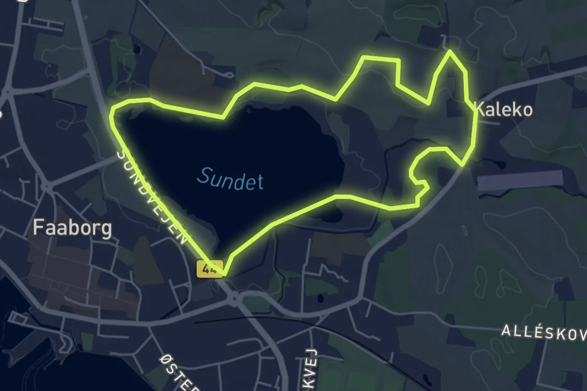
Easy · Trail
Sundsøen Kaleko motionsrute
4.1 km · ↑ 49 m · 1 h 8 min
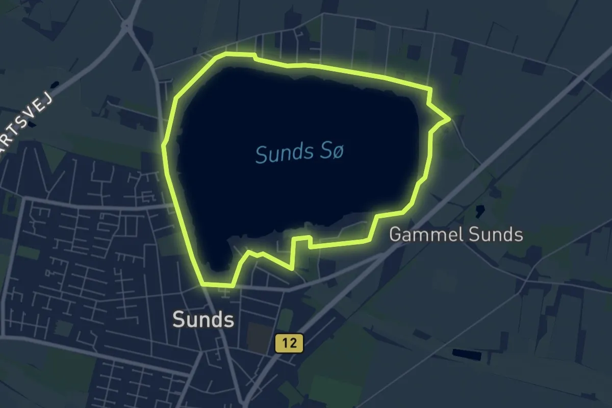
Easy · Trail
Sunds Sø hvid rute
5.4 km · ↑ 4 m · 1 h 21 min
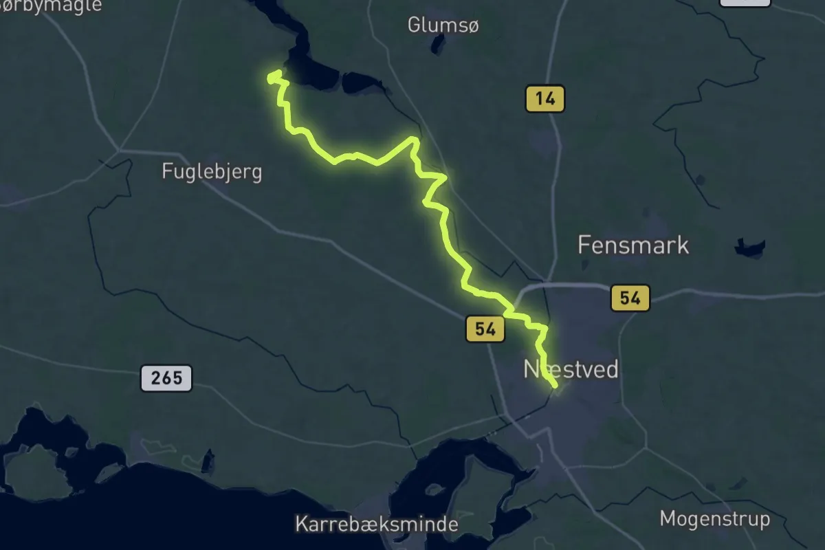
Demanding · Summit
Susåleden
48.8 km · ↑ 216 m · 12 h
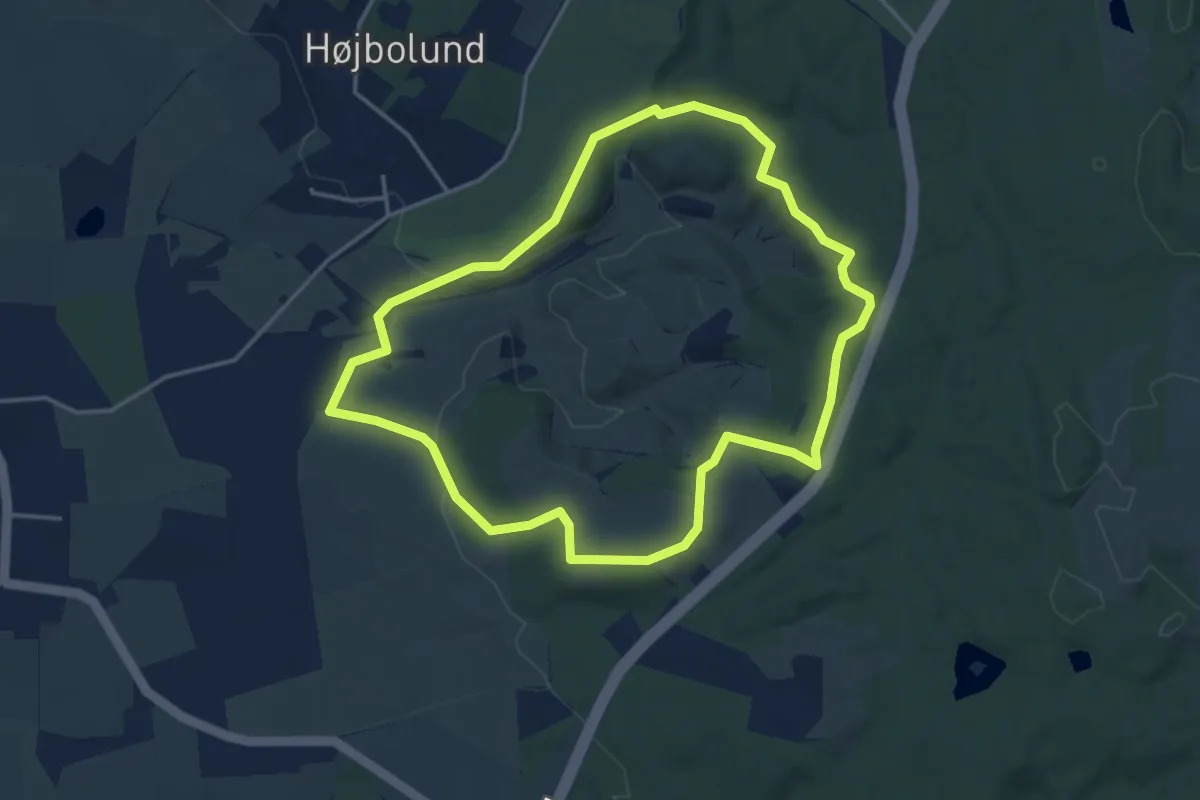
Easy · Summit
Svanninge Bakker - Gul rute
3.3 km · ↑ 63 m · 58 min