Trails in Denmark
1,383 hiking trails, each with its route, climb, walking time and grade.
All trails, page 27 of 29
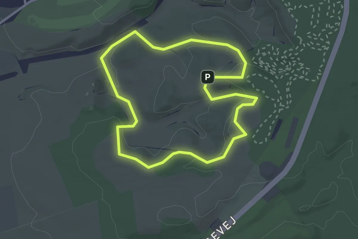
Easy · Trail
Svanninge Bakker - Rød rute loop
2.0 km · ↑ 44 m · 35 min
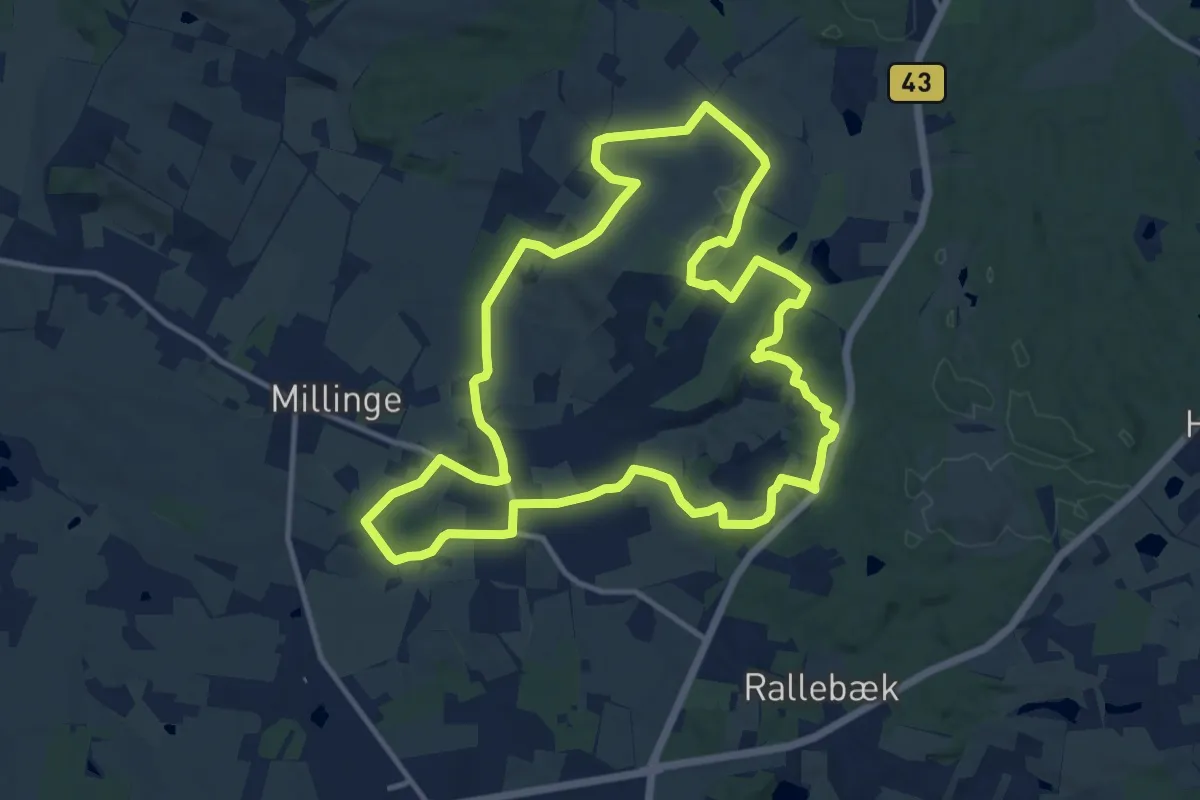
Medium · Summit
Svanninge Bakker-ruten
10.7 km · ↑ 104 m · 2 h 54 min
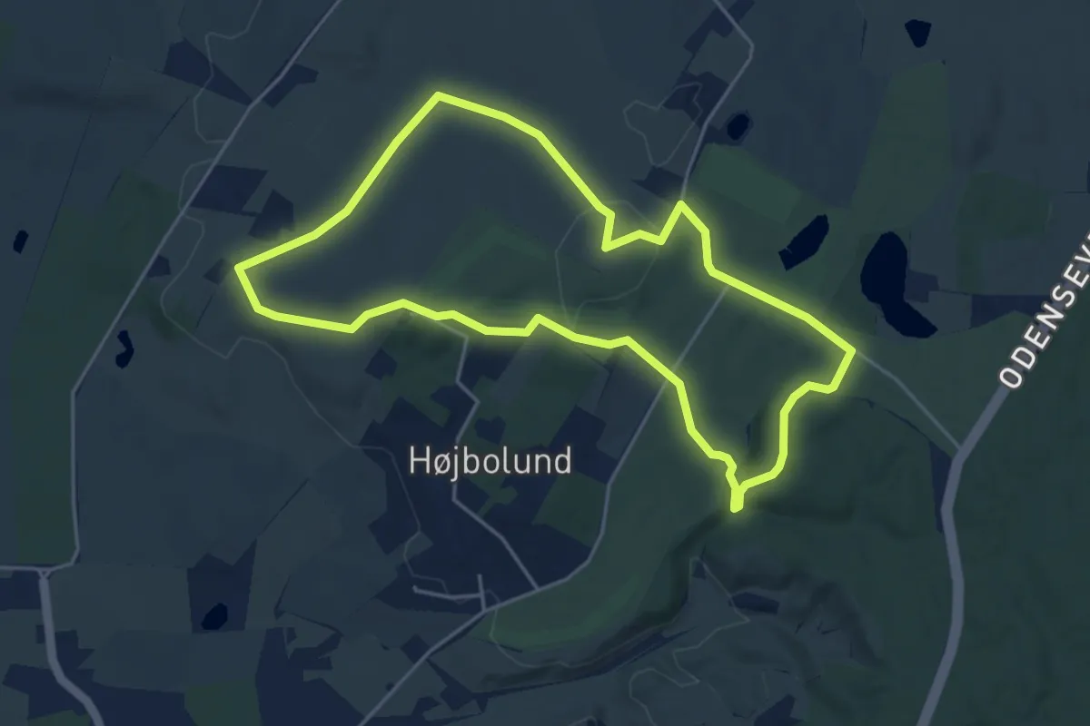
Easy · Summit
Svanninge Nørremark - Hovedrute
3.8 km · ↑ 55 m · 1 h 4 min
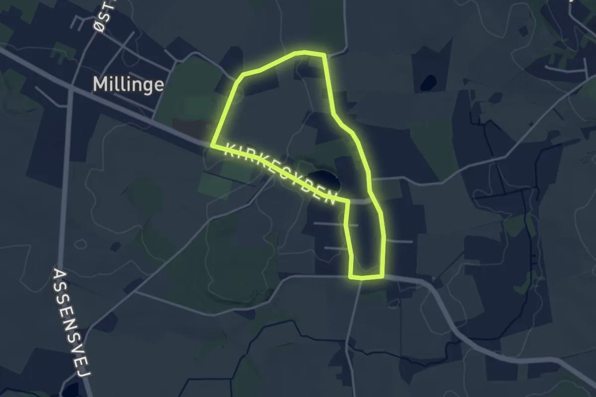
Easy · Trail
Svanningeruten
2.4 km · ↑ 13 m · 37 min
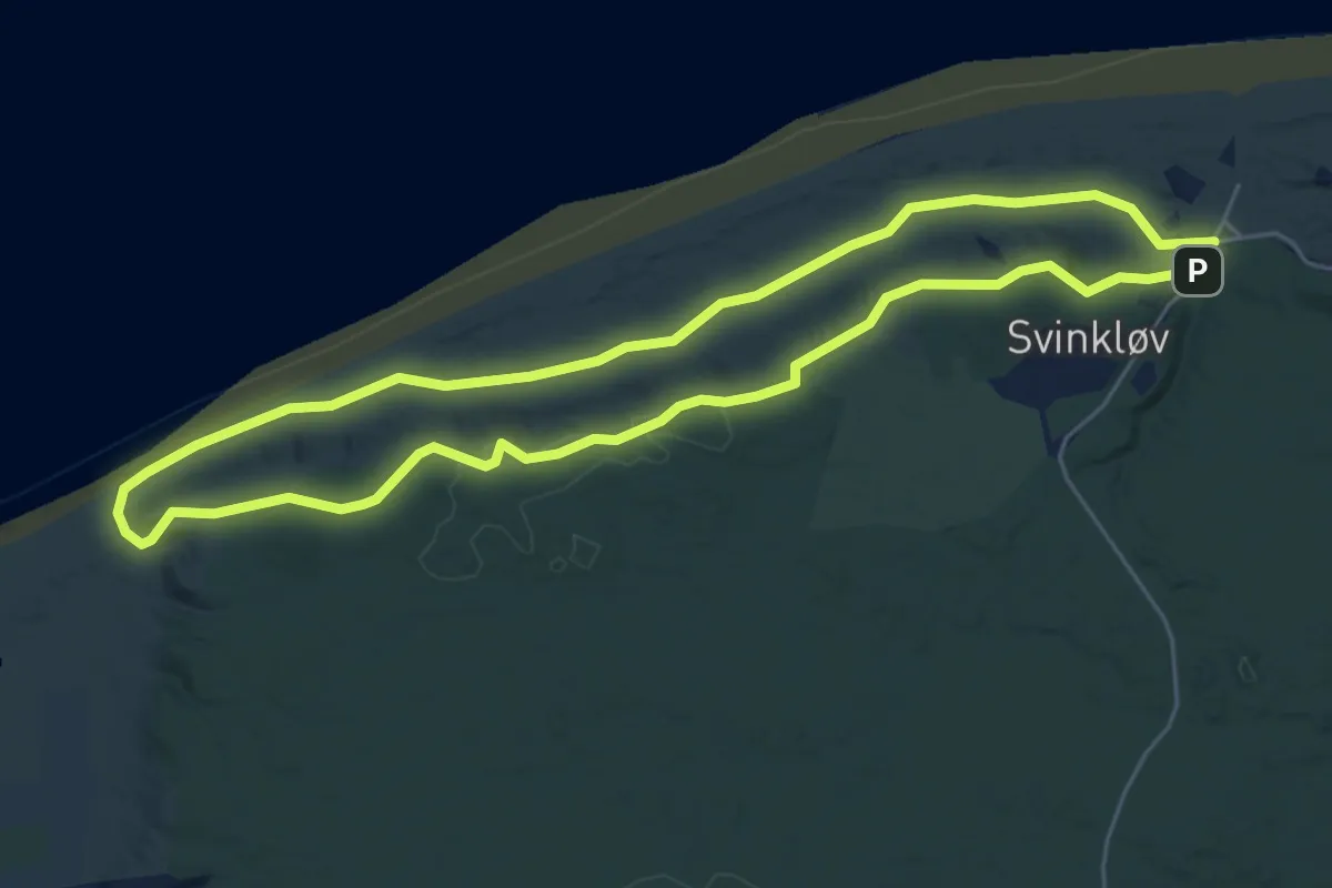
Easy · Summit
Svinkløv Hjertesti, Rød rute
4.4 km · ↑ 39 m · 1 h 11 min
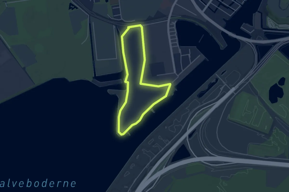
Easy · Trail
Sydhavnstippen
3.1 km · ↑ 0 m · 47 min
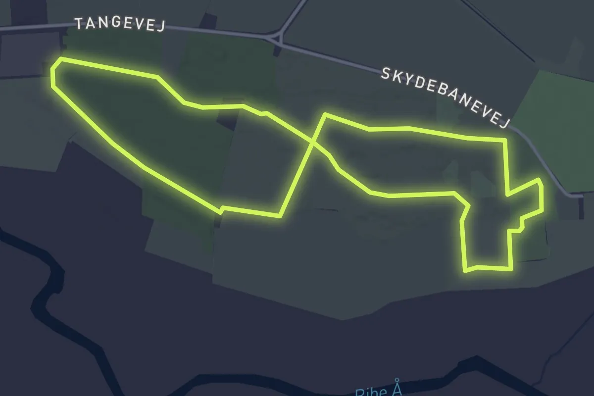
Easy · Trail
Tange Bakker
3.5 km · ↑ 4 m · 53 min
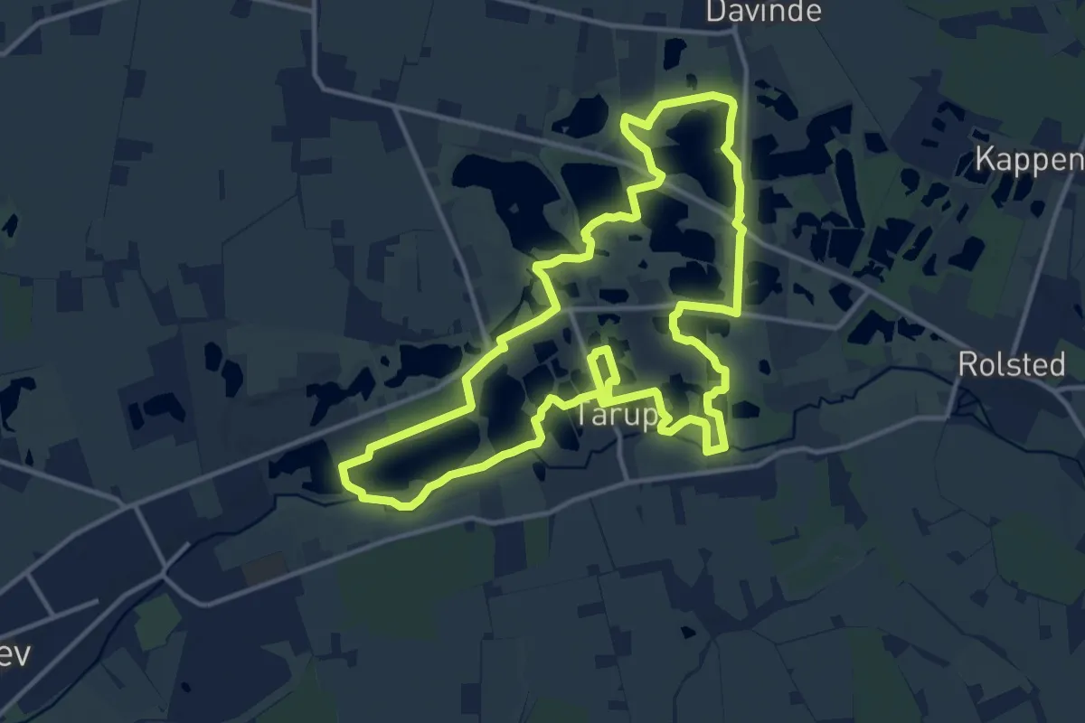
Medium · Summit
Tarup-Davinde
11.3 km · ↑ 22 m · 2 h 53 min
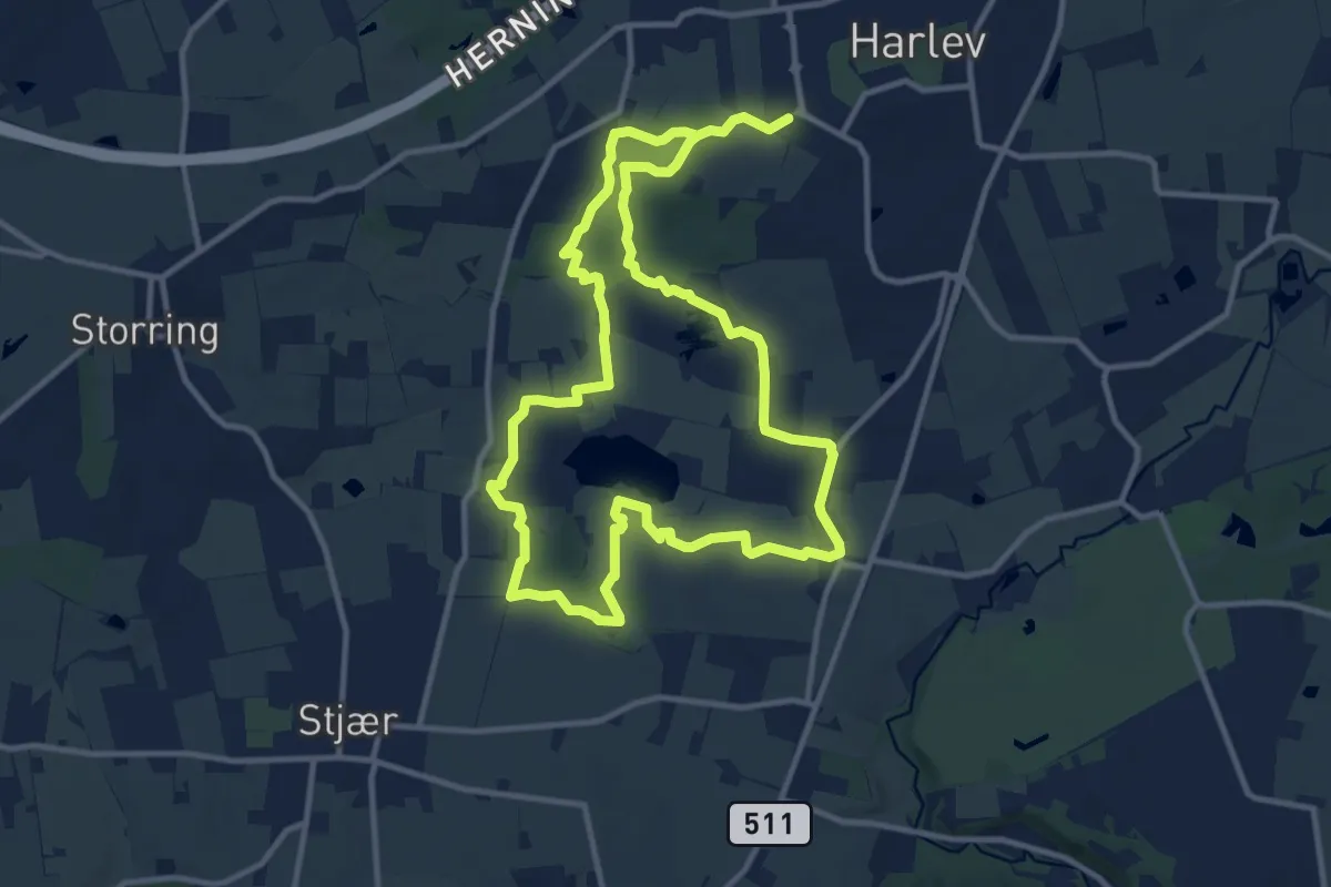
Demanding · Trail
Tåstruplandet Rundt
18.6 km · ↑ 185 m · 4 h 47 min
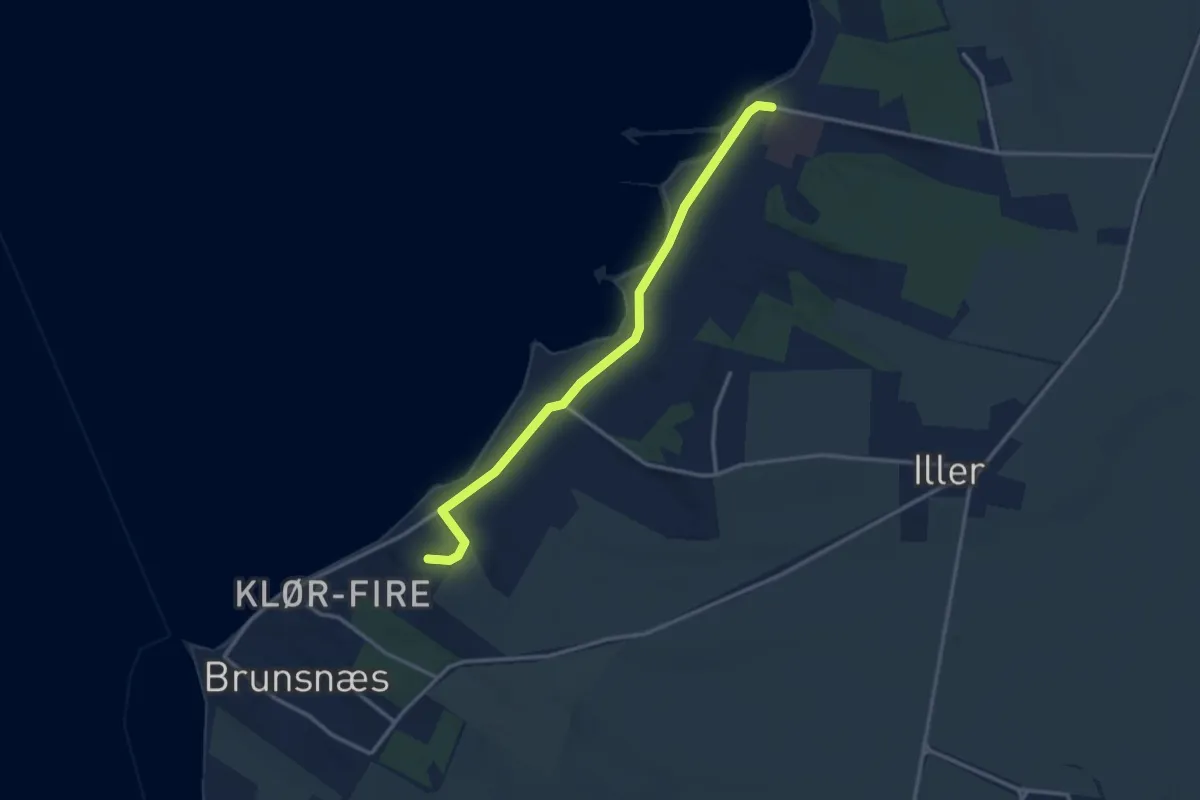
Easy · Trail
Teglværksstien
2.6 km · ↑ 37 m · 42 min
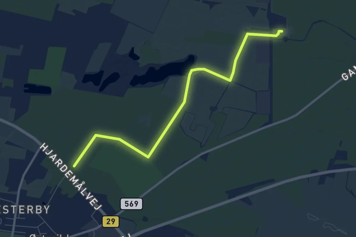
Easy · Trail
Testcenterruten
6.3 km · ↑ 0 m · 1 h 29 min
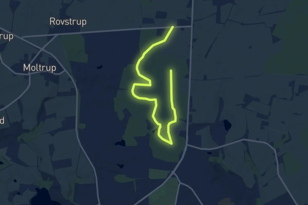
Medium · Trail
Thomashusturen - gul rute
9.6 km · ↑ 48 m · 2 h 22 min
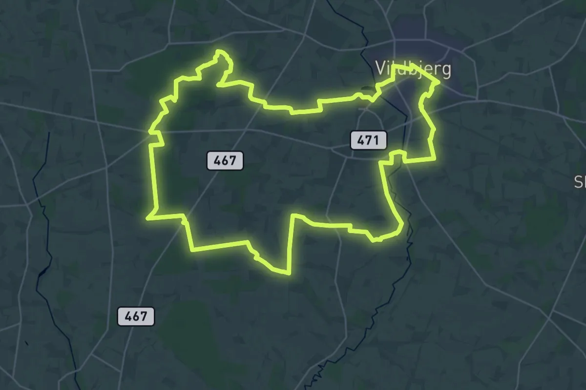
Demanding · Trail
Timring-ruten
29.1 km · ↑ 136 m · 7 h 34 min
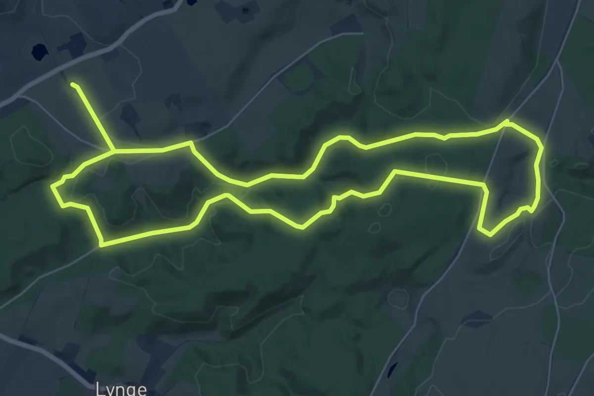
Easy · Trail
Tinghulestien
5.5 km · ↑ 96 m · 1 h 34 min
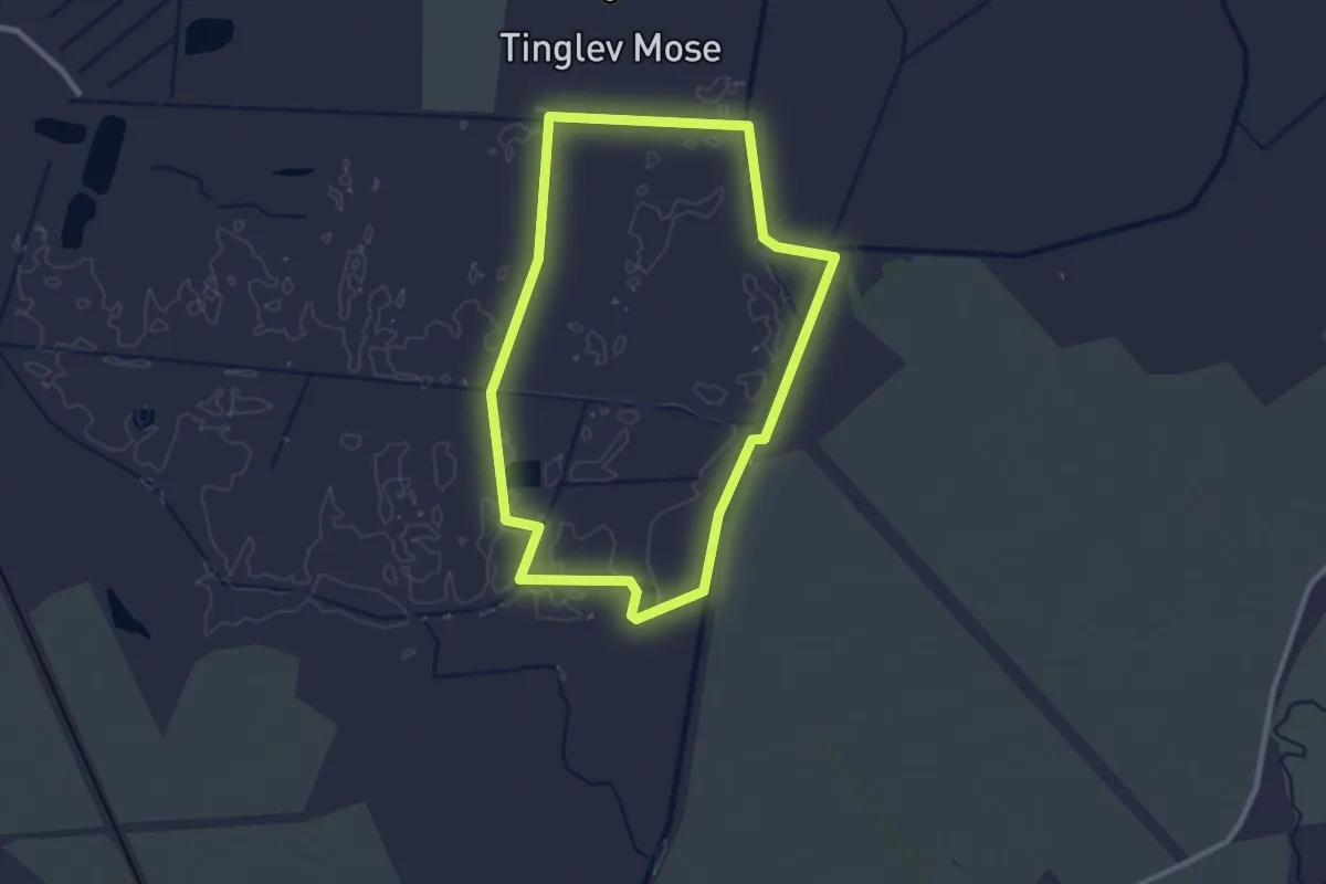
Easy · Trail
Tinglev Mose
2.1 km · ↑ 4 m · 32 min
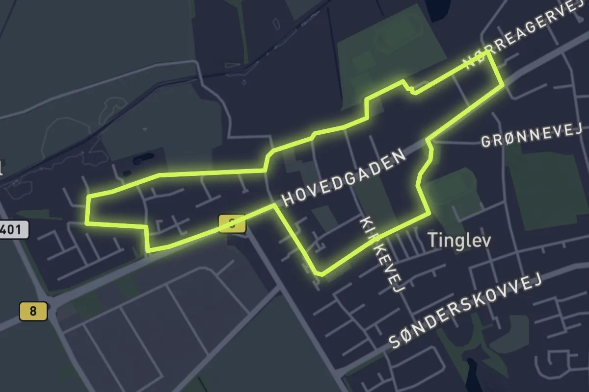
Easy · Trail
Tinglev Vest-Ruten
3.6 km · ↑ 0 m · 54 min
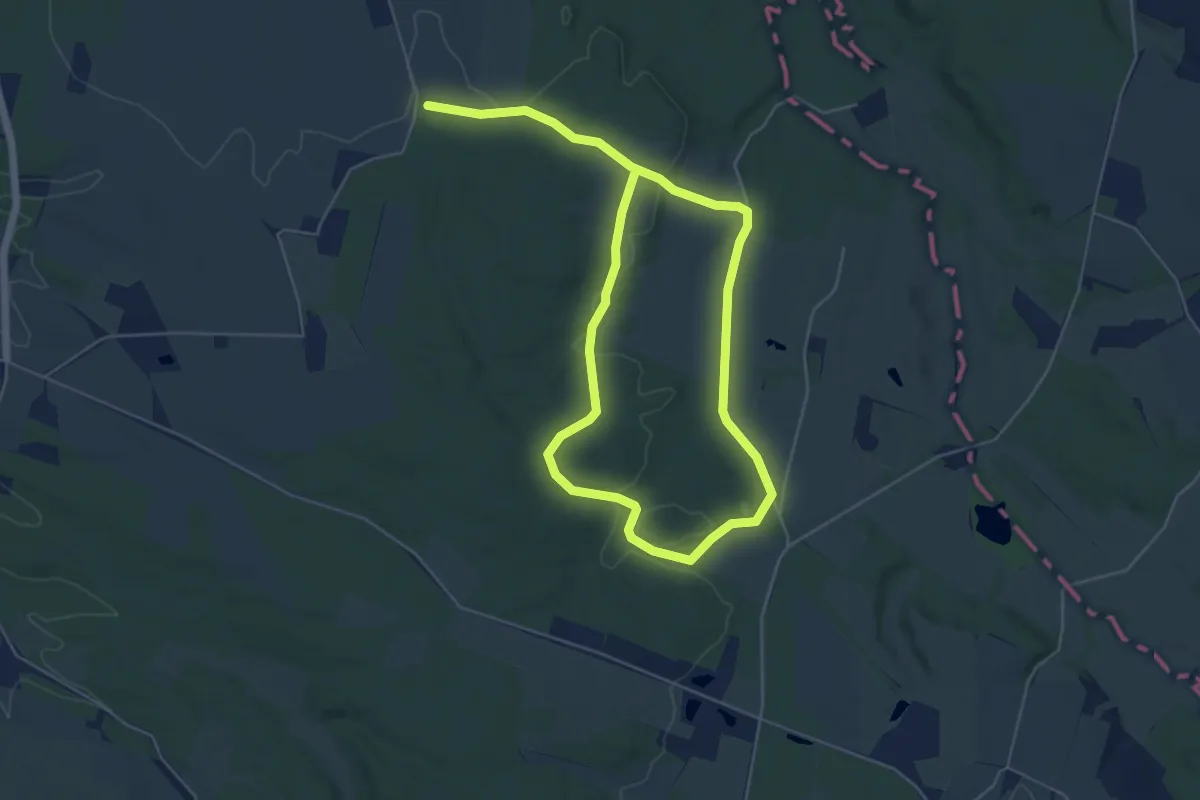
Easy · Trail
Tinnet Krat
7.4 km · ↑ 88 m · 1 h 57 min
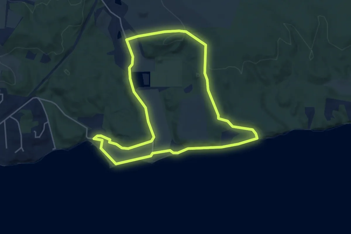
Easy · Trail
Tirsbæk strand
3.8 km · ↑ 59 m · 1 h 5 min
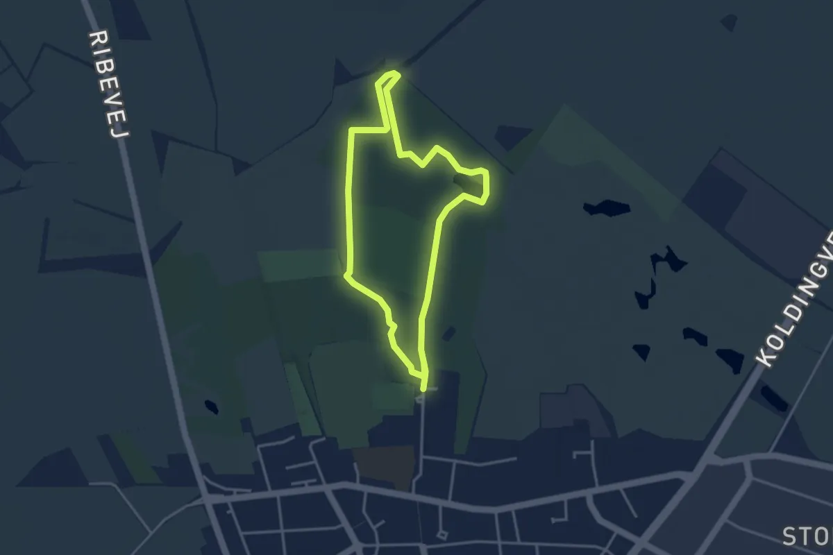
Easy · Trail
Toftlund Skov, gul rute
2.6 km · ↑ 9 m · 40 min
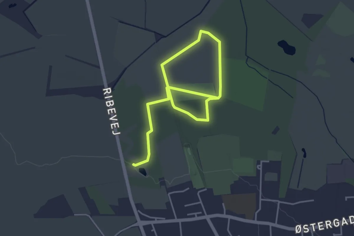
Easy · Trail
Toftlund Skov, rød rute
4.4 km · ↑ 26 m · 1 h 5 min
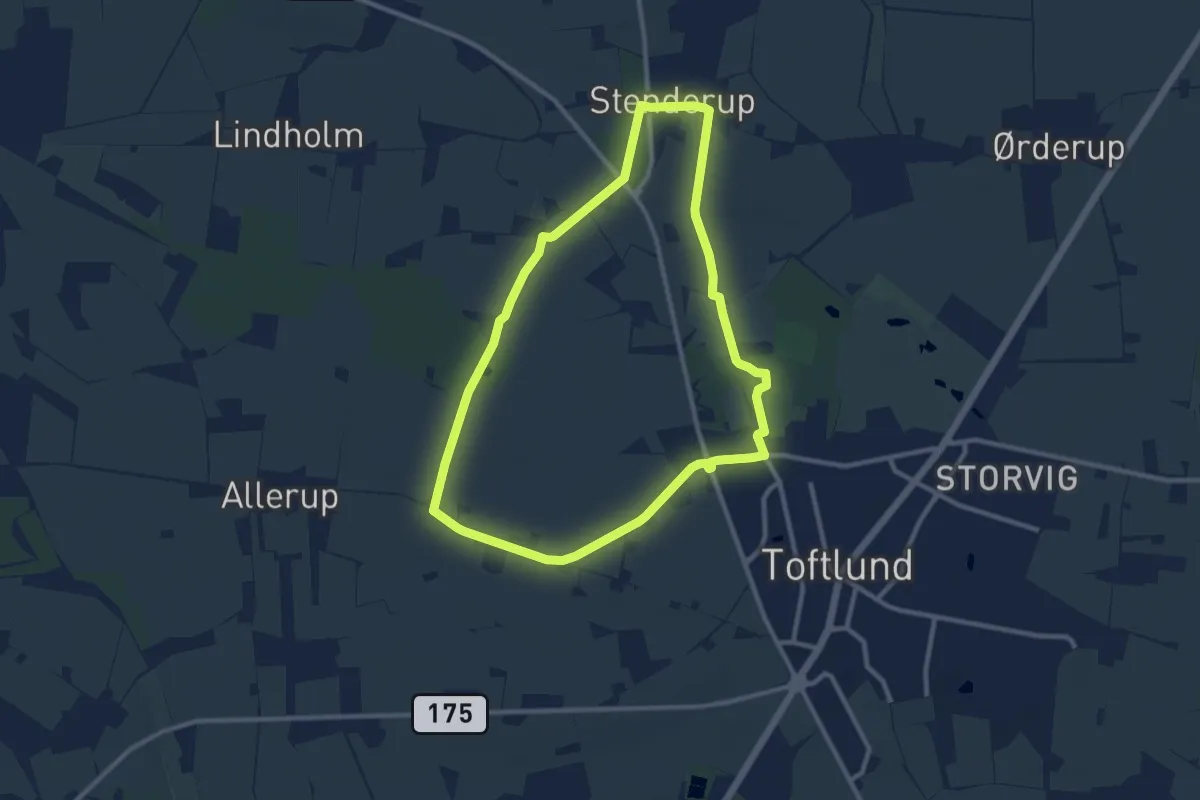
Medium · Trail
Toftlundstier - Allerup-Stenderup-rute
8.3 km · ↑ 26 m · 2 h 8 min
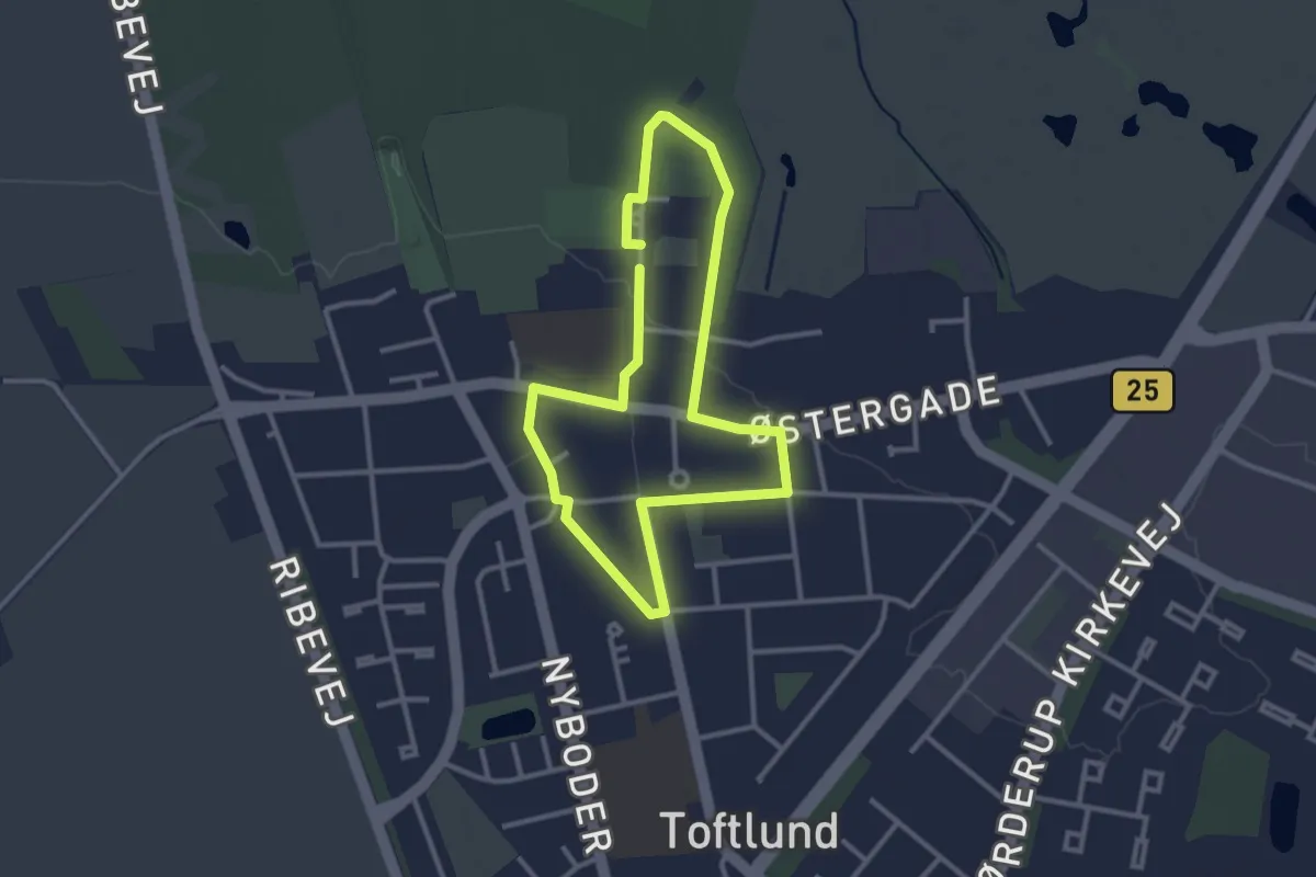
Easy · Trail
Toftlundstier - Byrute
2.3 km · ↑ 4 m · 34 min
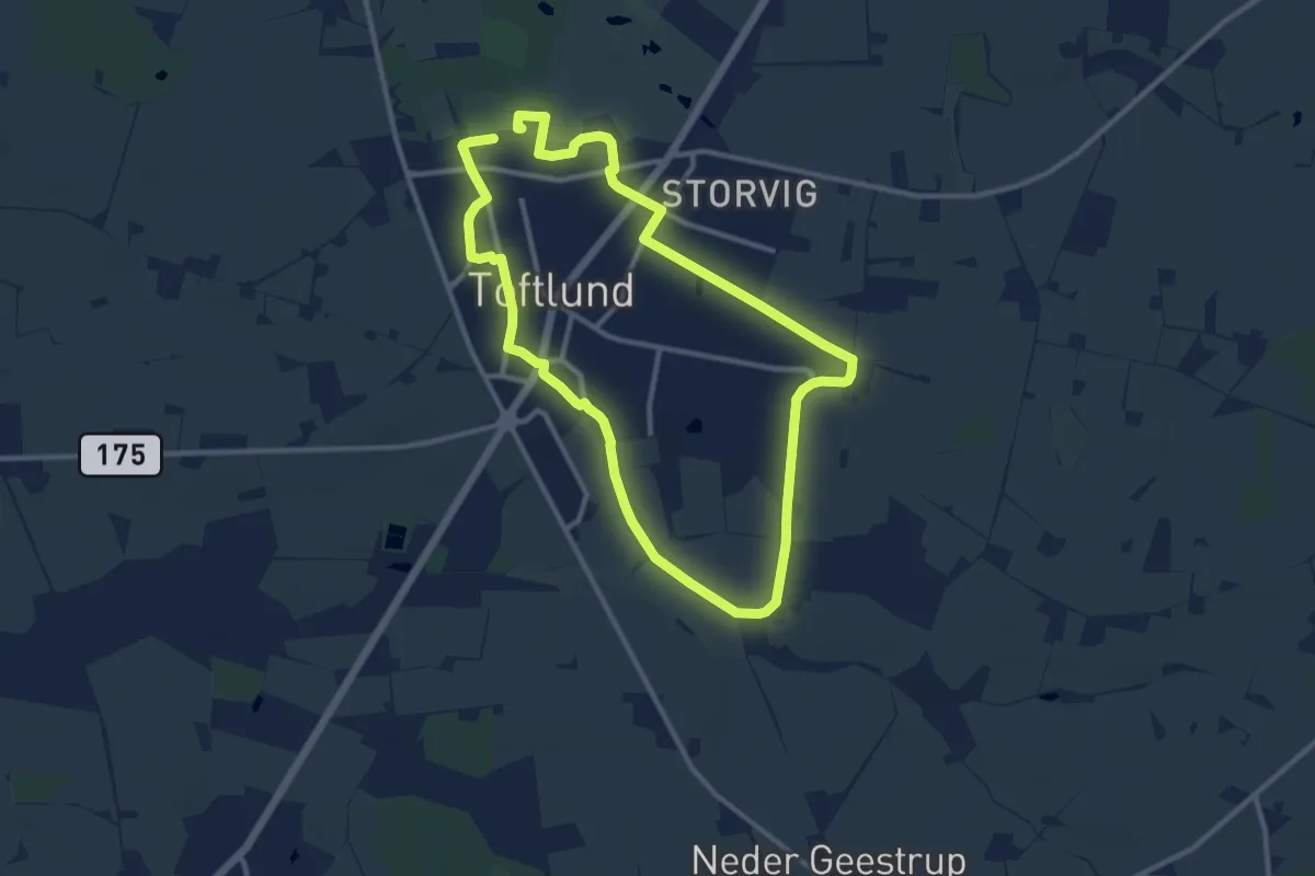
Medium · Trail
Toftlundstier - Lebeck-rute
17.4 km · ↑ 93 m · 4 h 18 min
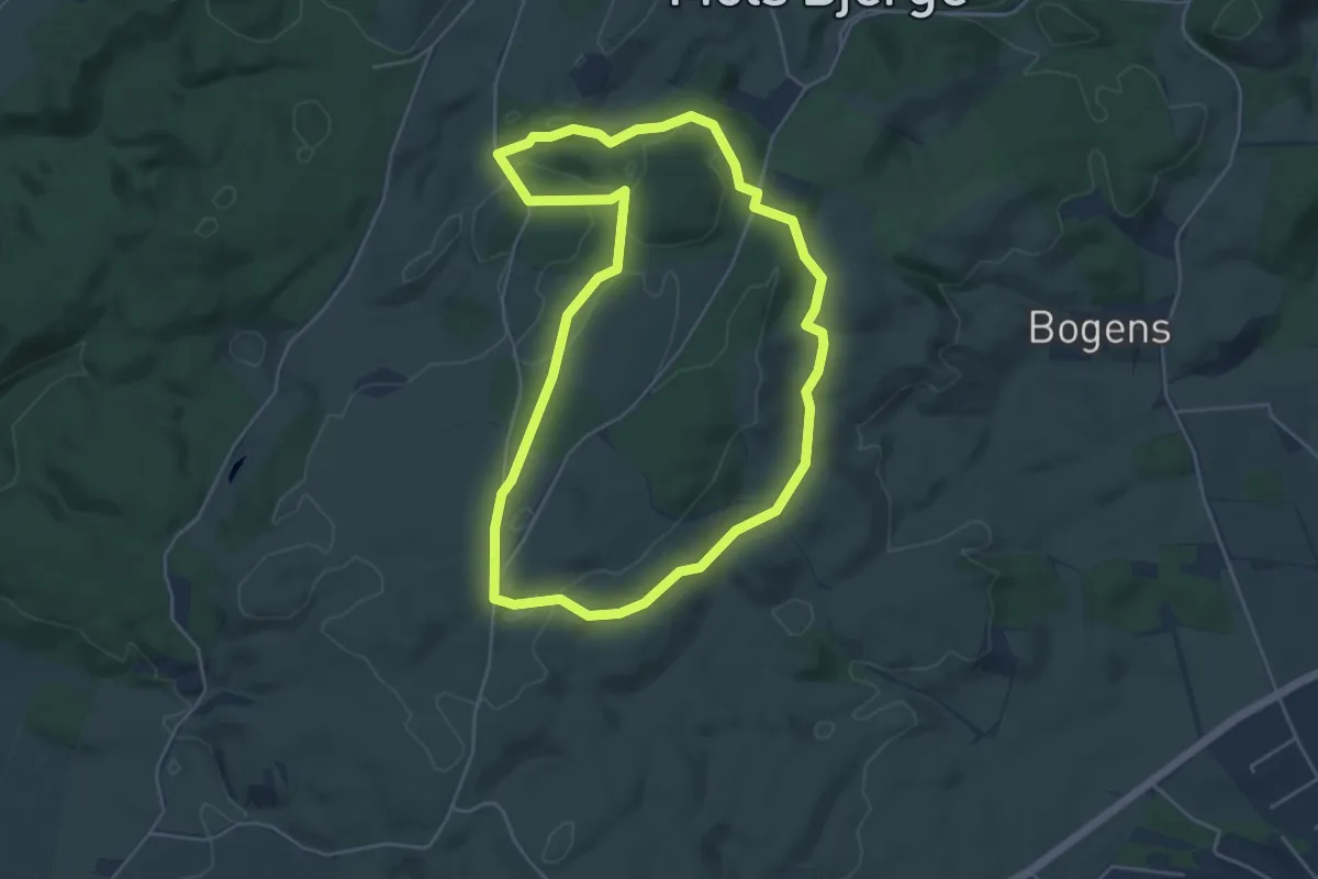
Easy · Trail
Toggerbo-stien
3.9 km · ↑ 44 m · 1 h 4 min
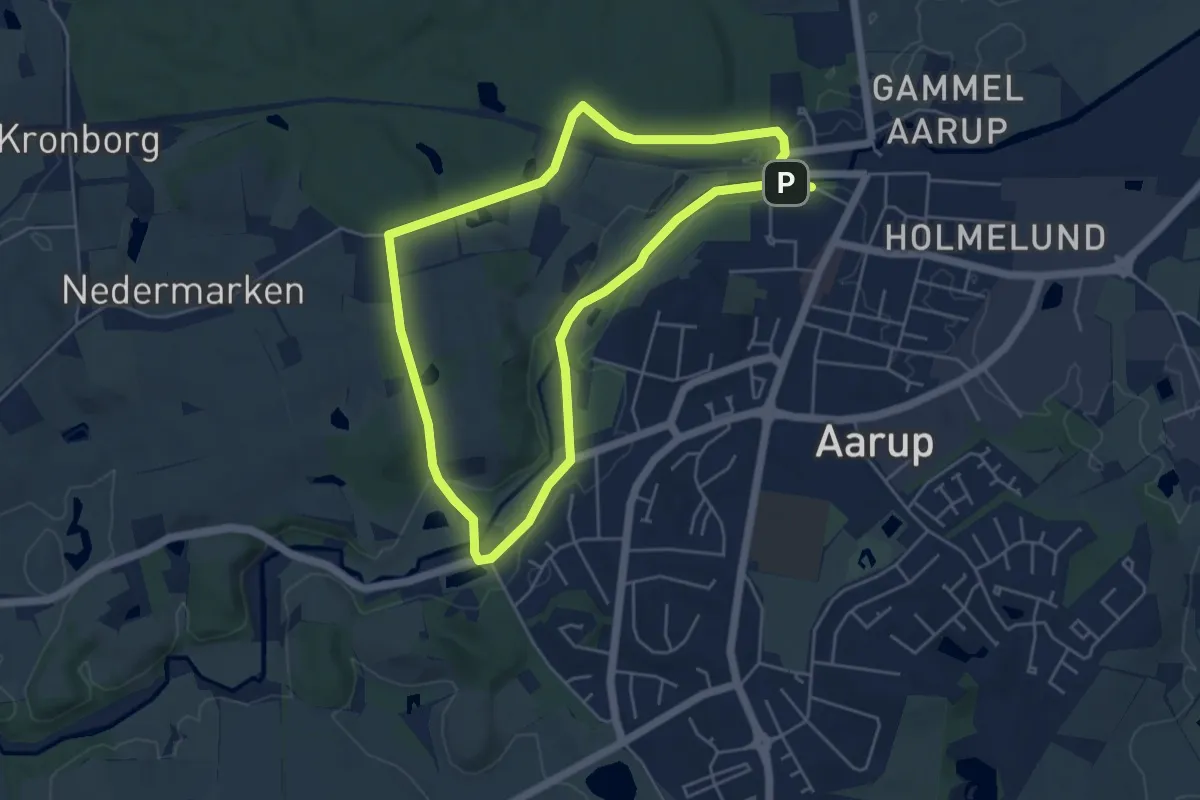
Easy · Trail
Tokeskovstien
3.9 km · ↑ 38 m · 1 h 3 min
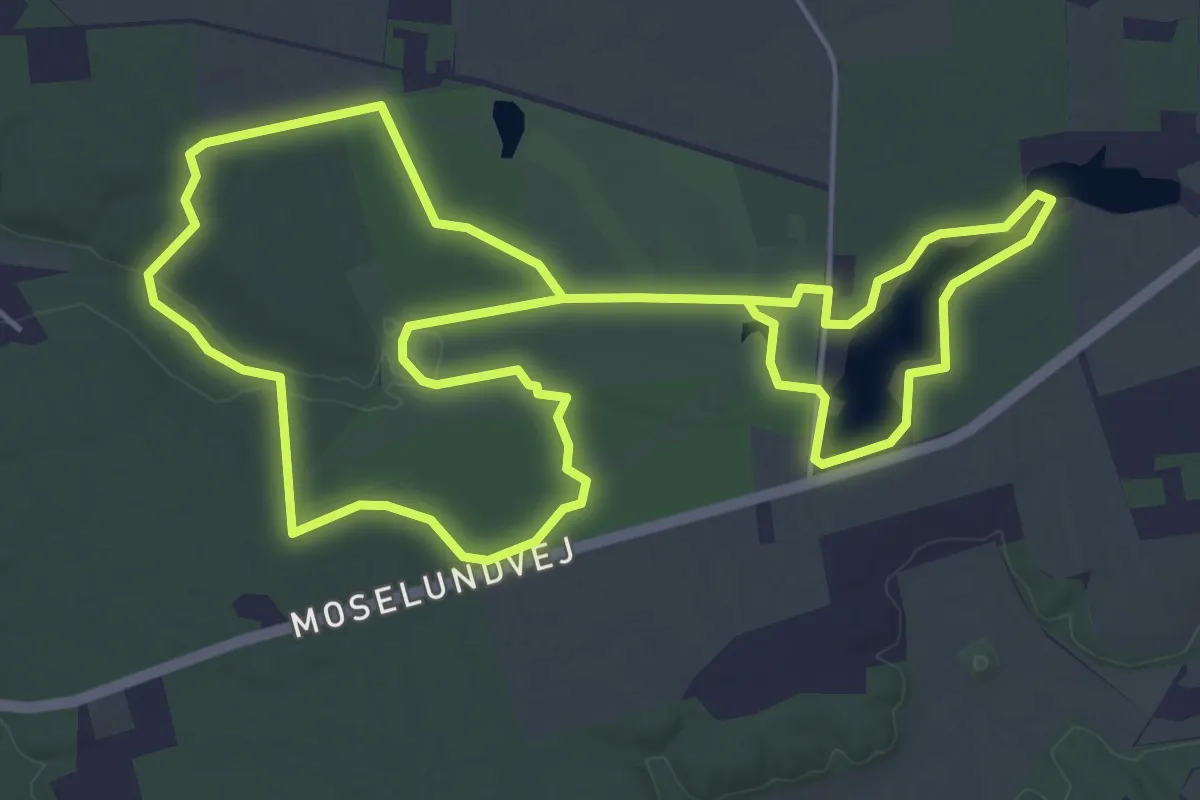
Easy · Trail
Tollundgaard Park Trail
4.5 km · ↑ 9 m · 1 h 9 min
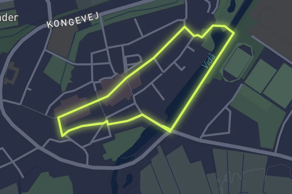
Easy · Trail
Tønderstier: Blå sti, By-sti 1
1.9 km · ↑ 0 m · 28 min
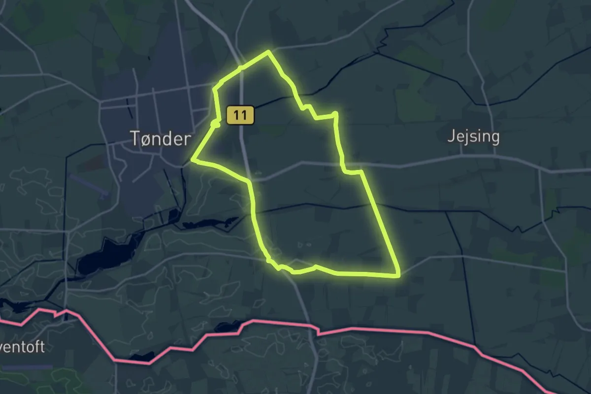
Medium · Trail
Tønderstier: Brun sti, Korntved-Rørkærstien
14.9 km · ↑ 4 m · 3 h 45 min
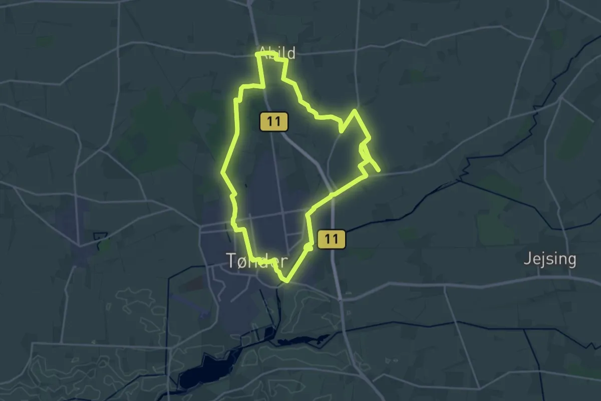
Demanding · Trail
Tønderstier: Grå sti, Abild-Tvedstien
32.2 km · ↑ 37 m · 7 h 41 min
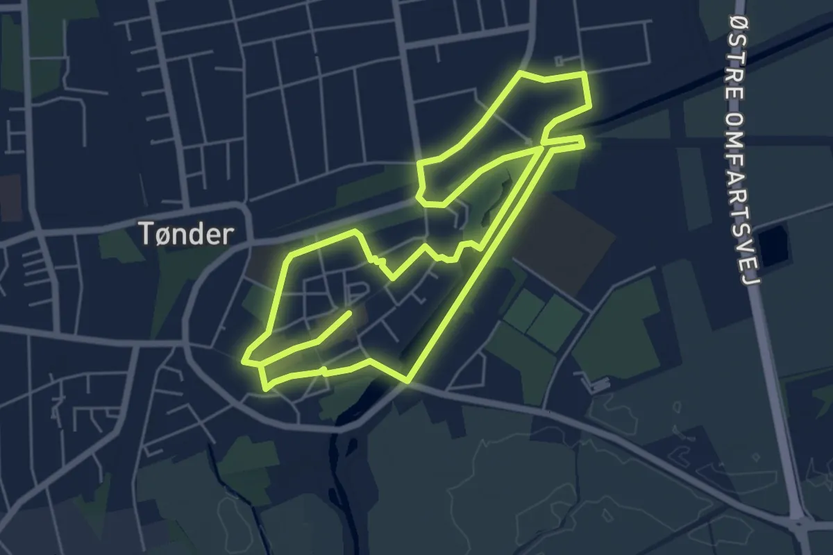
Medium · Trail
Tønderstier: Grøn sti, By-sti 2
9.6 km · ↑ 4 m · 2 h 17 min
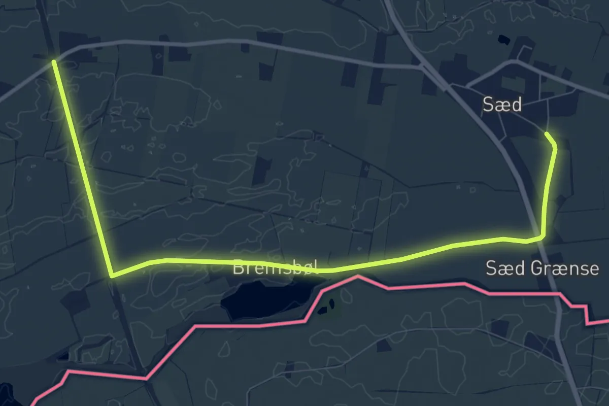
Medium · Trail
Tønderstier: Gul sti, Bremsbøl-Sædstien
8.9 km · ↑ 0 m · 2 h 6 min
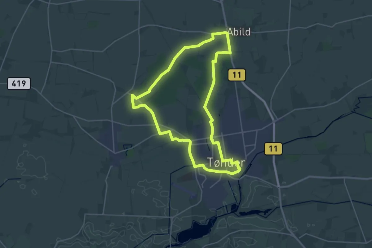
Medium · Trail
Tønderstier: Lilla sti, Skovstien
16.5 km · ↑ 21 m · 4 h 11 min
Medium · Trail
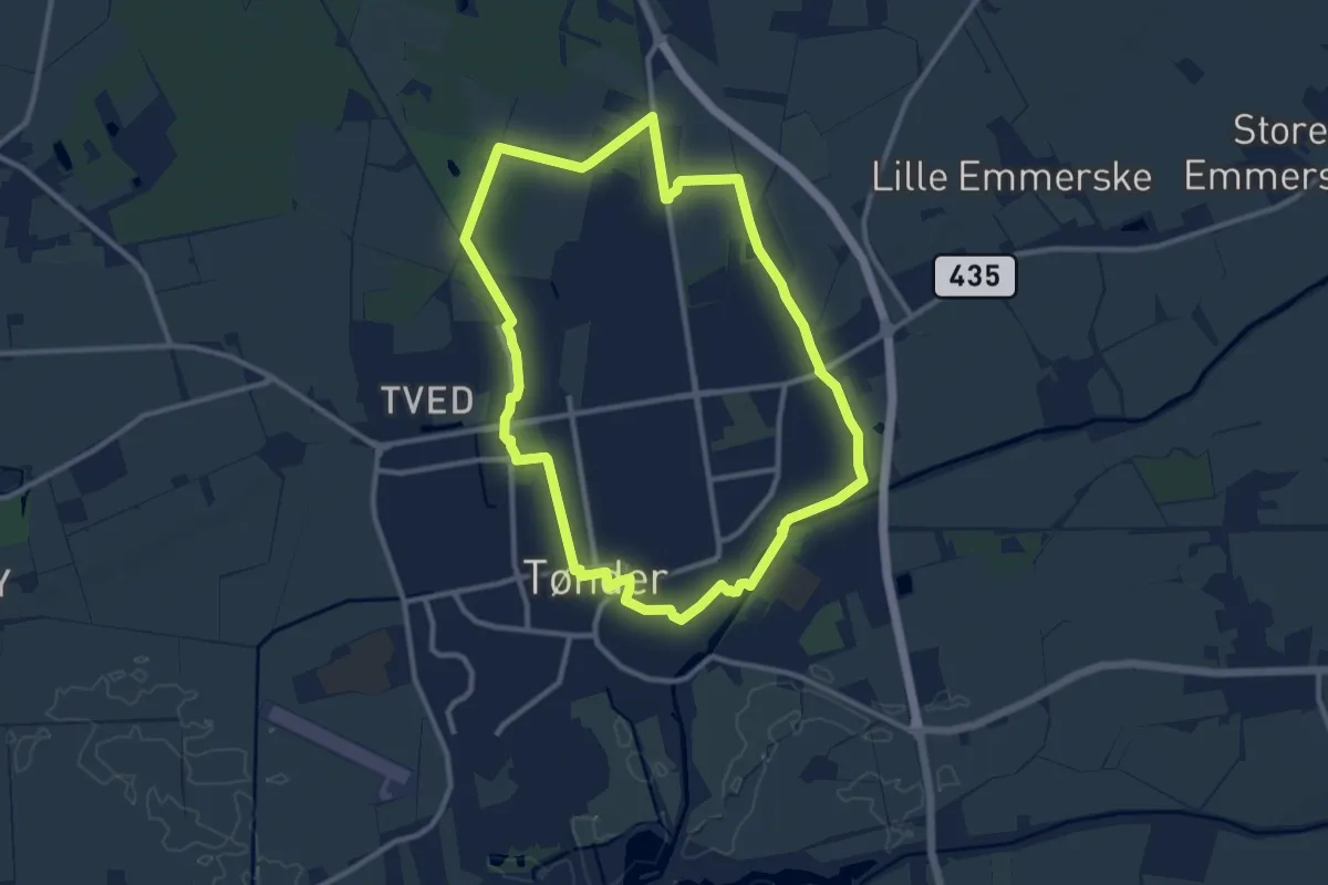
Tønderstier: Orange sti, Digestien
9.6 km · ↑ 0 m · 2 h 16 min
Medium · Trail
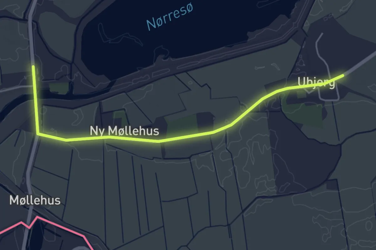
Tønderstier: Pink sti, Galgestrømstien
8.9 km · ↑ 13 m · 2 h 16 min
Easy · Trail
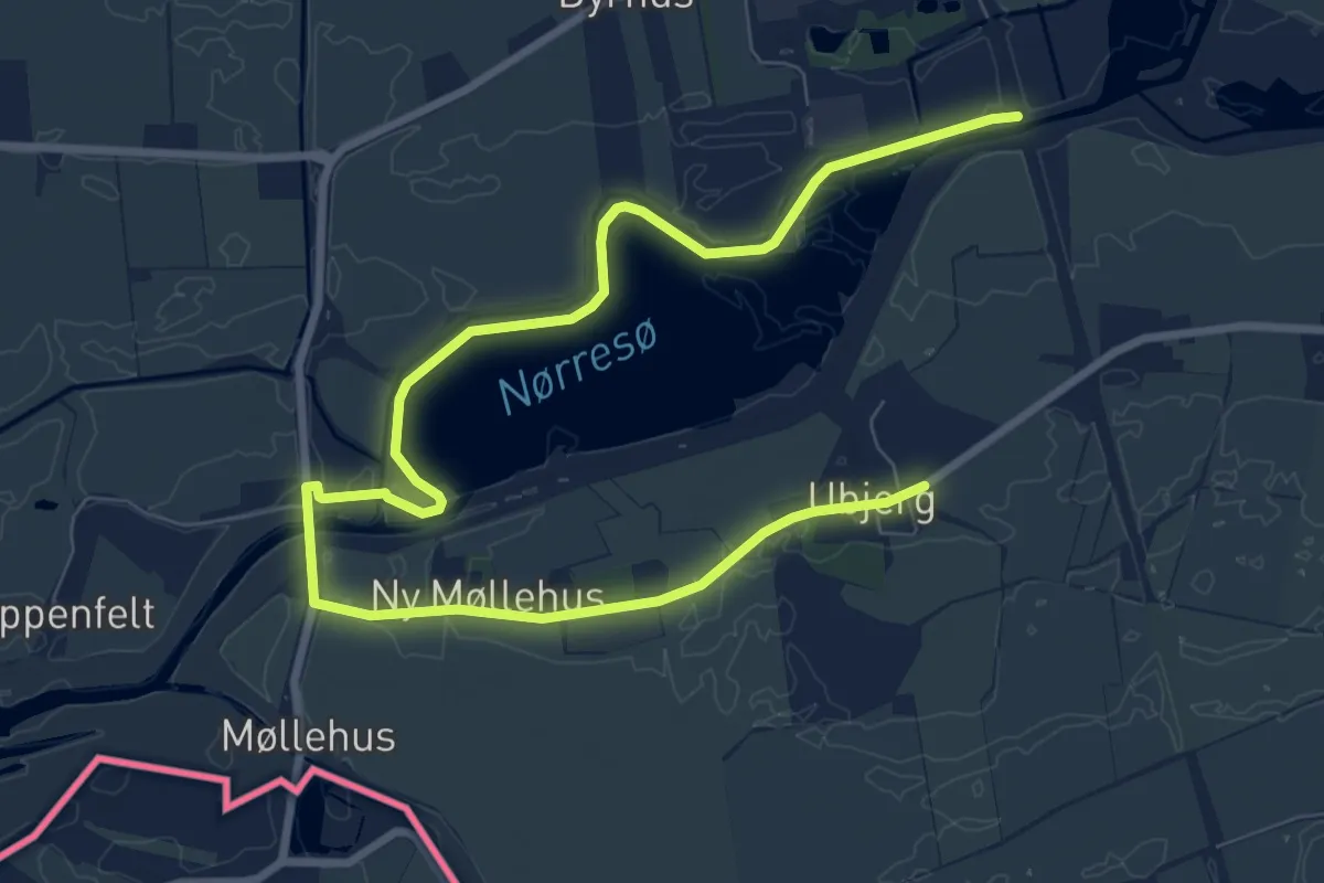
Tønderstier: Rød sti, Dyrhus-Ubjergstien
4.1 km · ↑ 4 m · 58 min
Medium · Trail
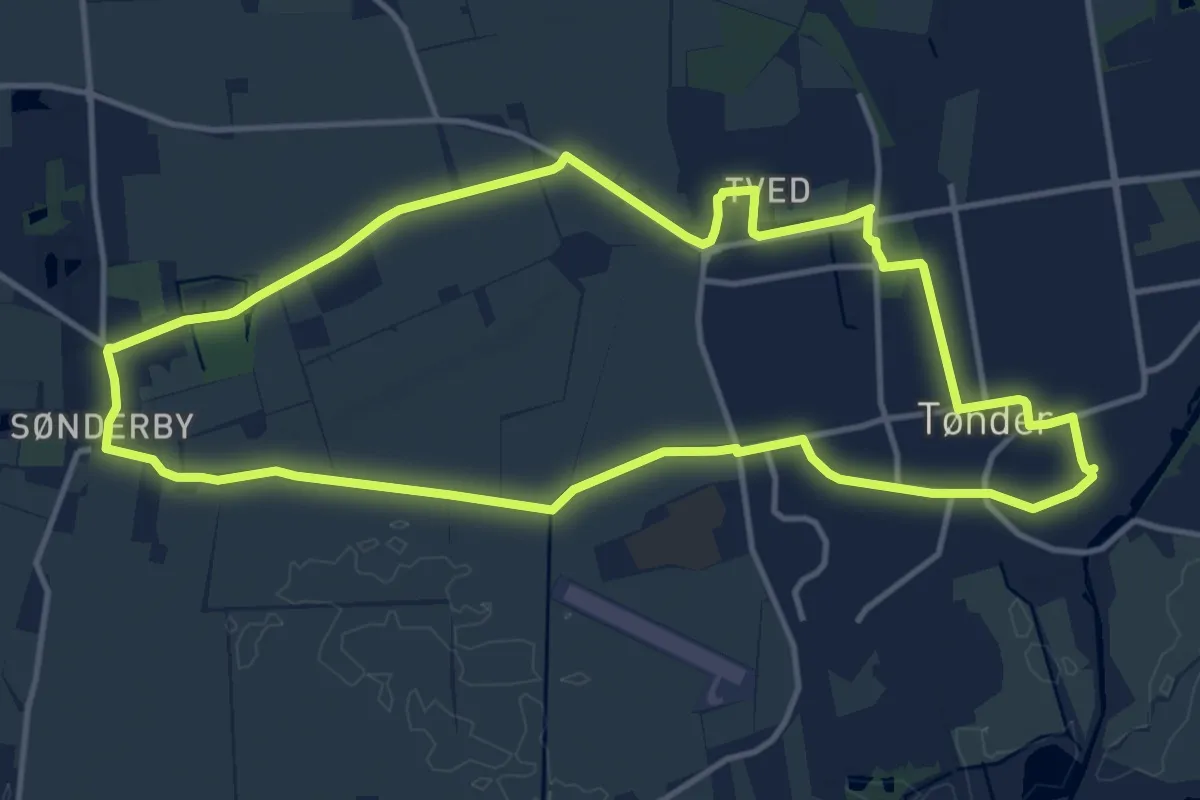
Tønderstier: Sort sti, Møgeltønderstien
11.1 km · ↑ 16 m · 2 h 49 min
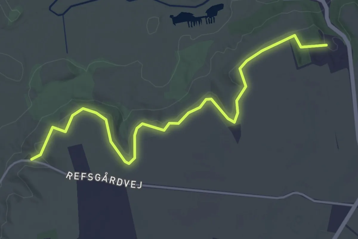
Easy · Trail
Tørskind
3.8 km · ↑ 148 m · 1 h 12 min
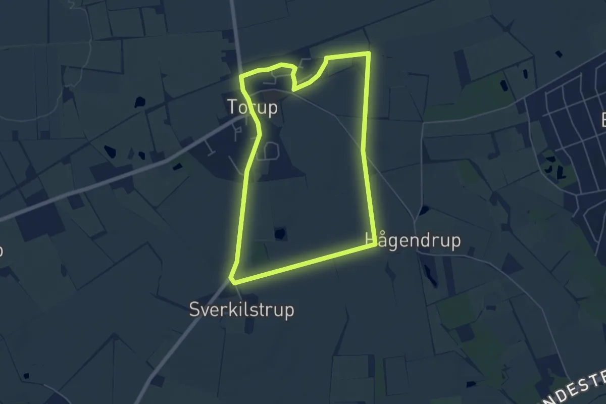
Easy · Trail
Torupsporet
4.2 km · ↑ 9 m · 1 h 5 min
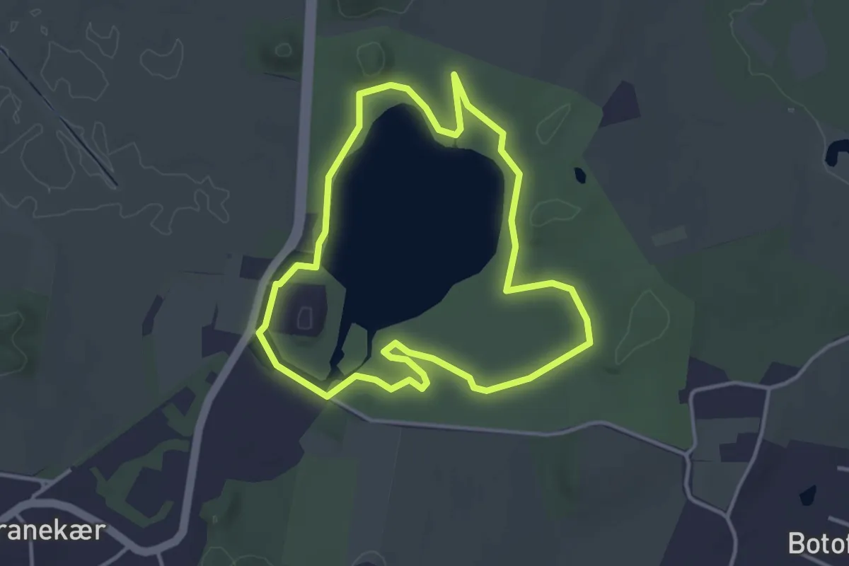
Easy · Trail
Tranekær Slotspark Rundtur
2.9 km · ↑ 14 m · 45 min
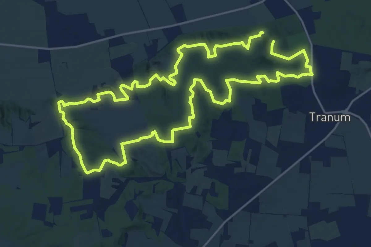
Medium · Trail
Tranum-Fosdal
10.5 km · ↑ 189 m · 3 h 2 min
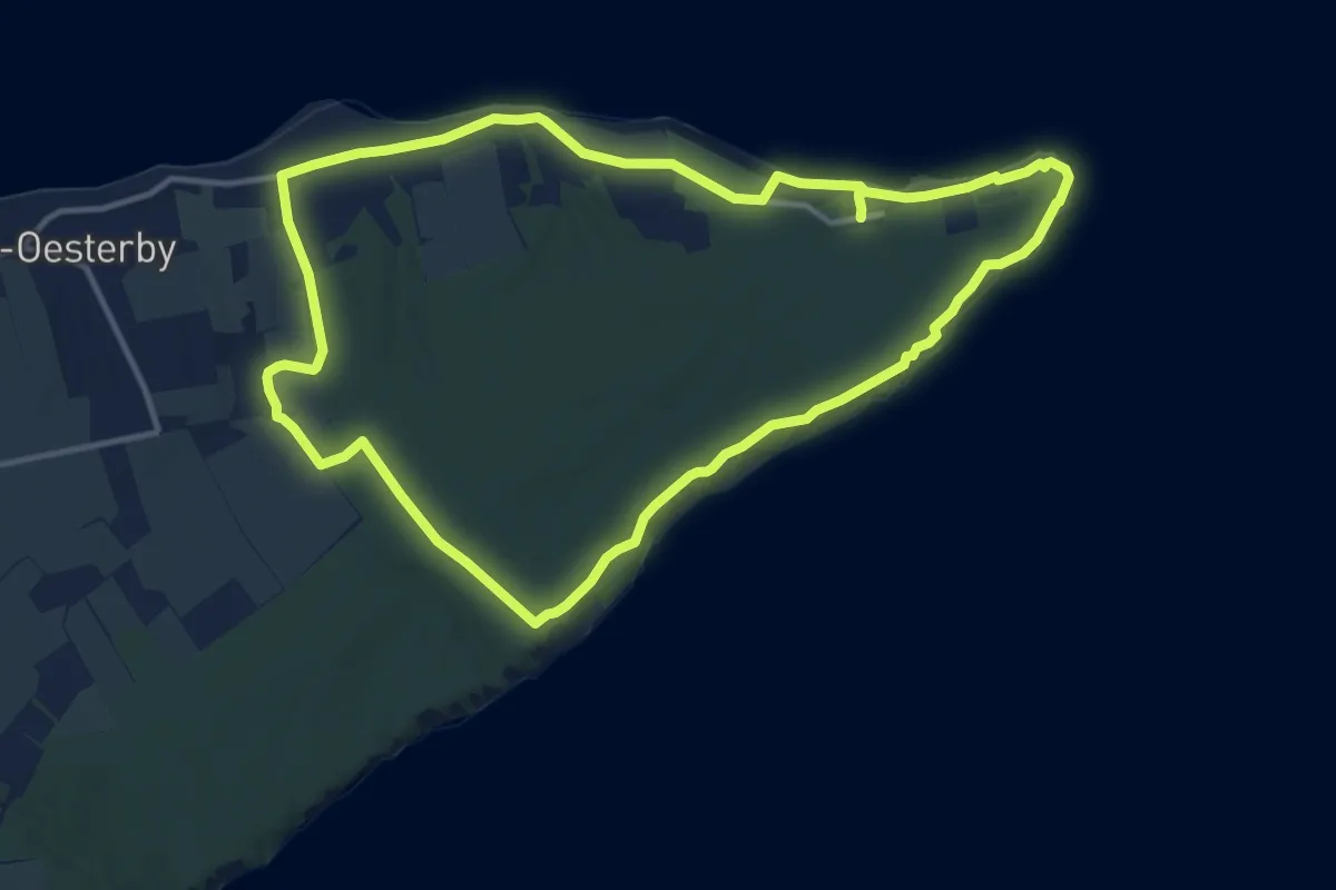
Medium · Trail
Trelde Næs Rundtur
10.6 km · ↑ 77 m · 2 h 49 min
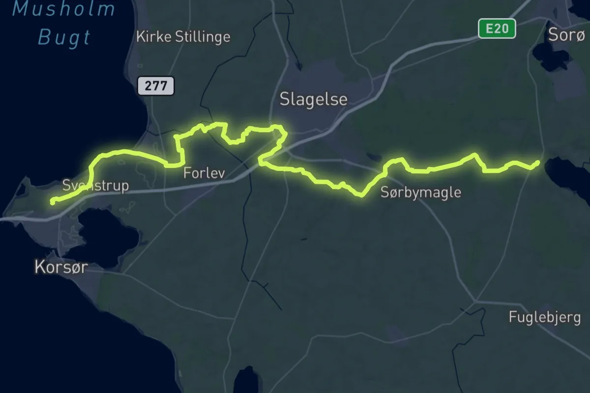
Demanding · Trail
Trelleborgleden
39.7 km · ↑ 175 m · 10 h 18 min
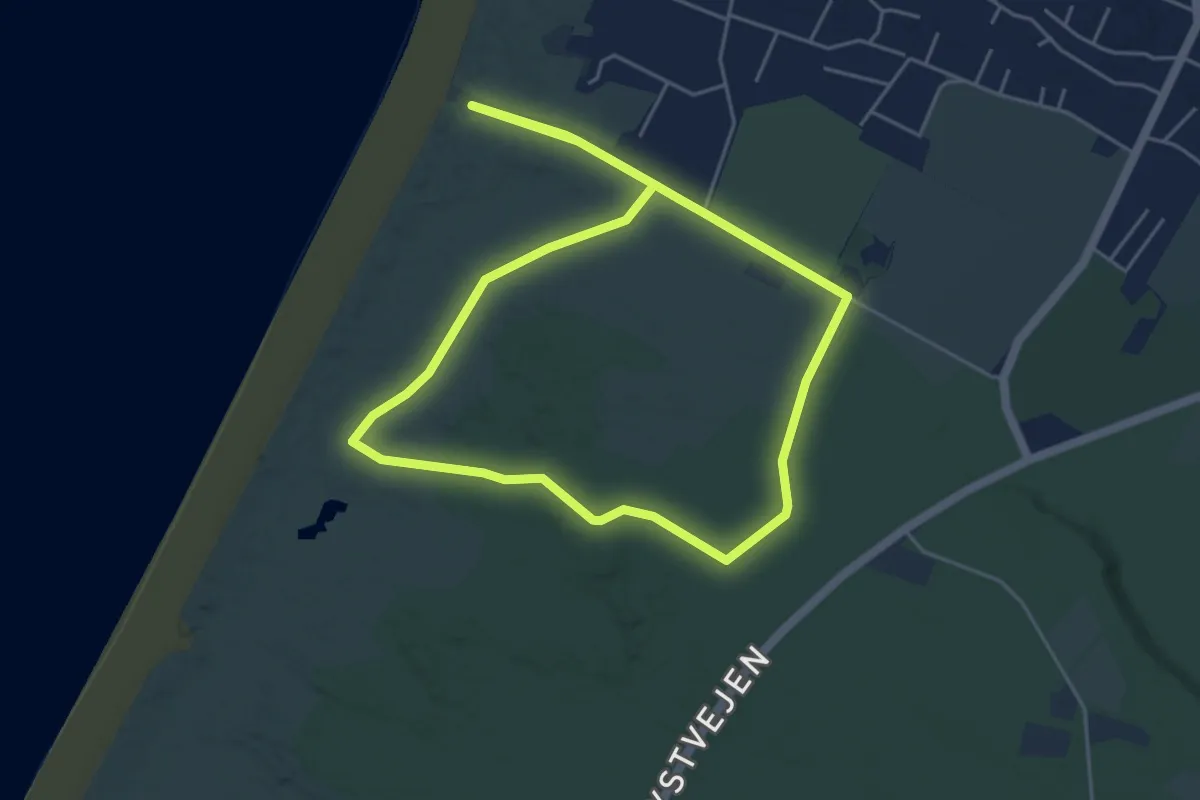
Easy · Trail
Trøjborgruten
3.7 km · ↑ 4 m · 56 min
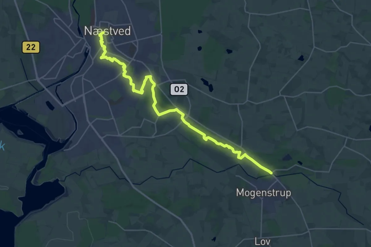
Demanding · Trail
Trolderuten
23.9 km · ↑ 238 m · 6 h 10 min
Medium · Trail
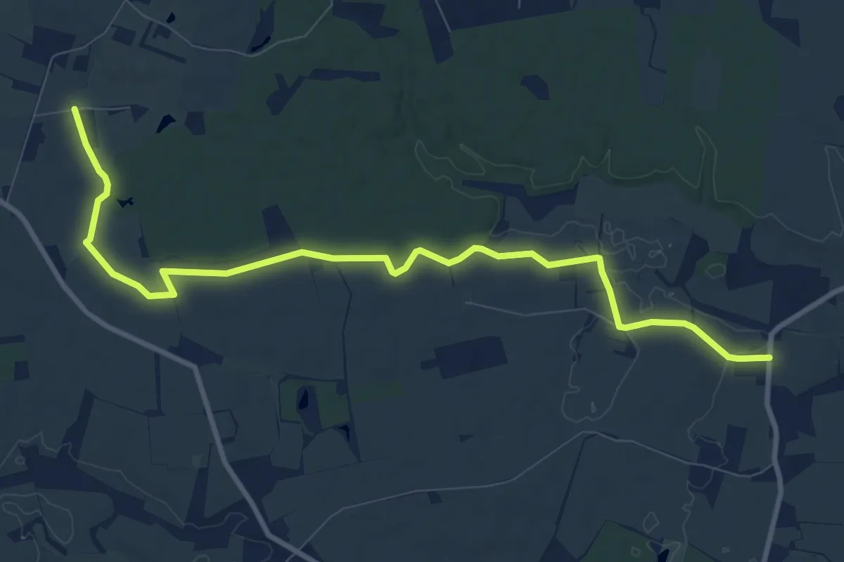
Troldhedebanestien
8.5 km · ↑ 22 m · 2 h 3 min
Easy · Trail
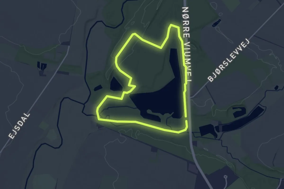
Troldhede Brunkulsleje, rute 1
2.8 km · ↑ 9 m · 43 min
Easy · Trail
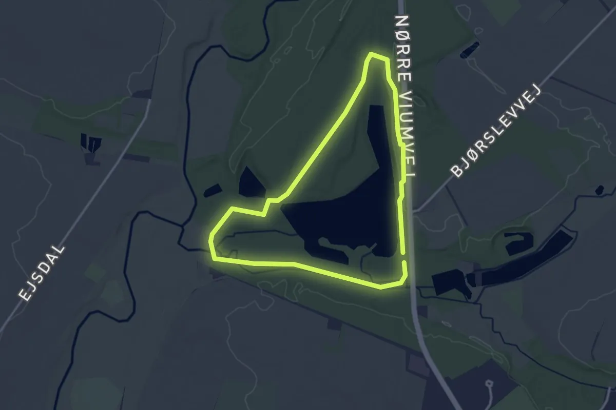
Troldhede Brunkulsleje, rute 2
2.4 km · ↑ 9 m · 37 min
Easy · Trail
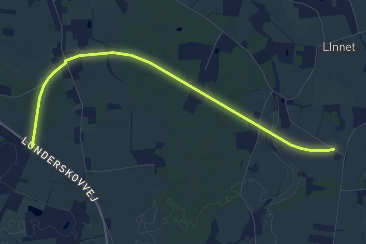
Troldhedestien Ravnholt-Hundsholt
7.8 km · ↑ 40 m · 1 h 55 min