Trails in Denmark
1,383 hiking trails, each with its route, climb, walking time and grade.
All trails, page 28 of 29
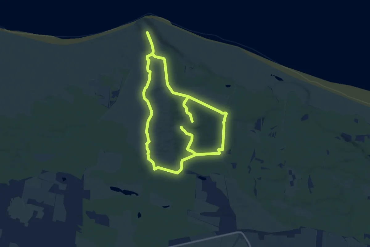
Medium · Trail
Troldsting ruten / Bulbjerg
9.0 km · ↑ 54 m · 2 h 22 min
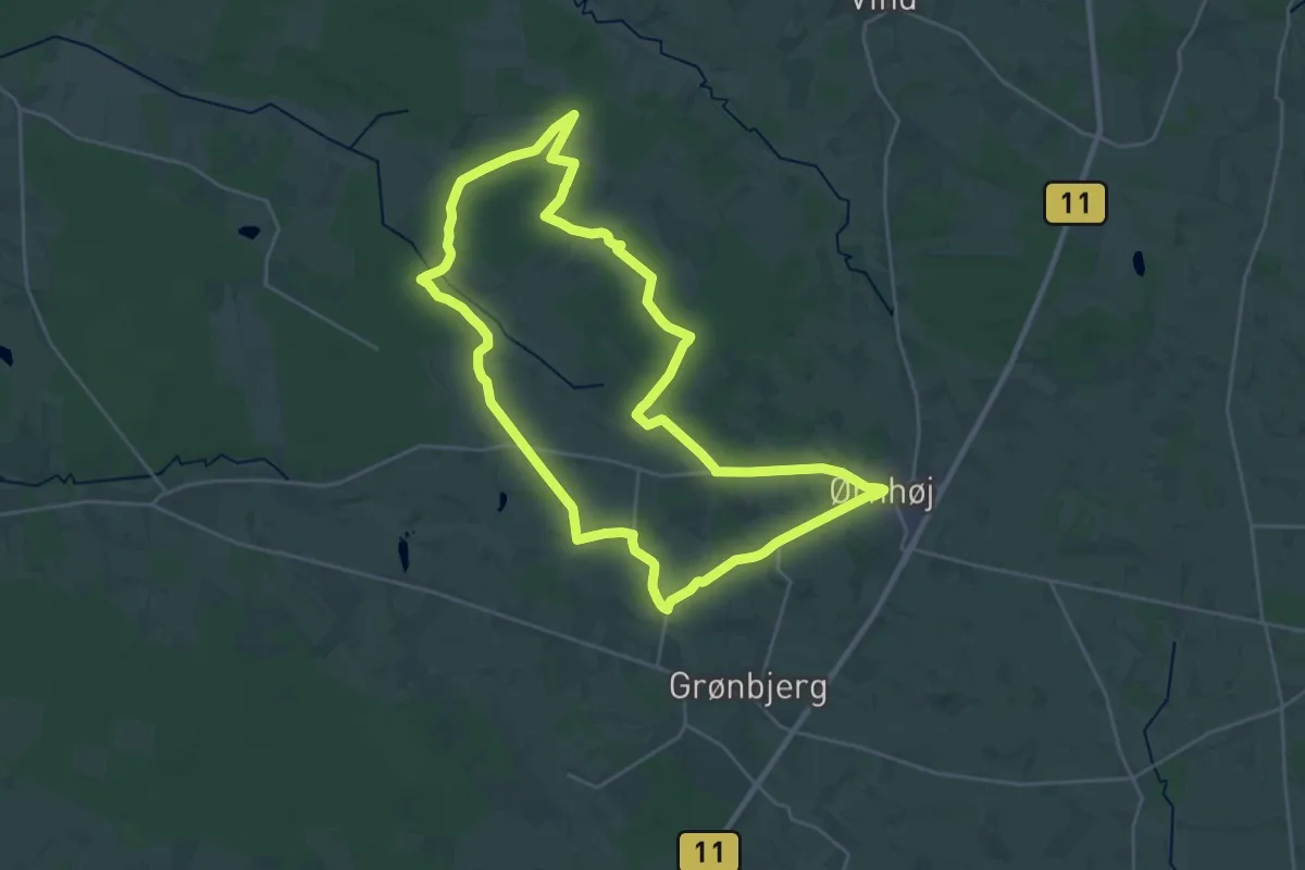
Demanding · Trail
Troldtoft-ruten
22.2 km · ↑ 96 m · 5 h 45 min
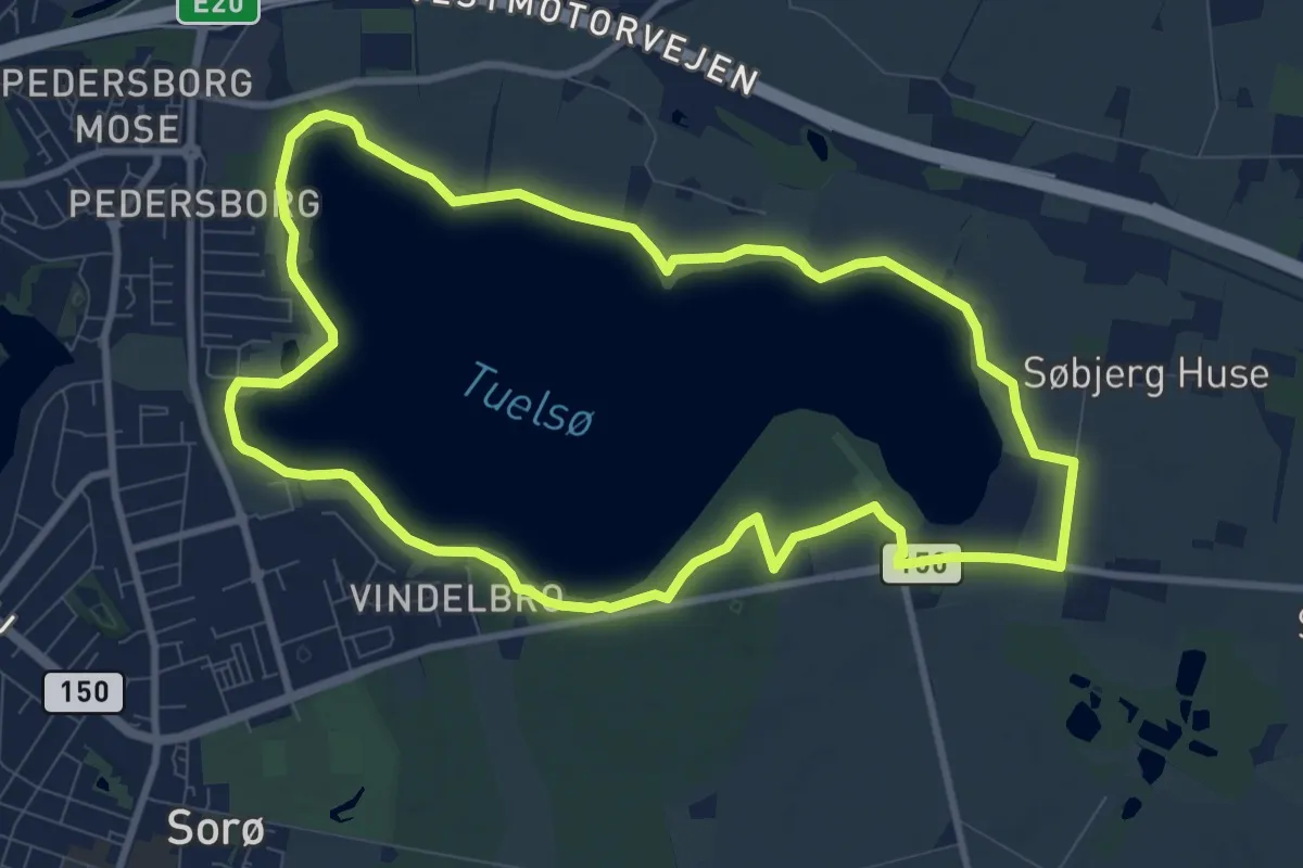
Easy · Trail
Tuelsø Hjertesti
8.0 km · ↑ 18 m · 2 h 2 min
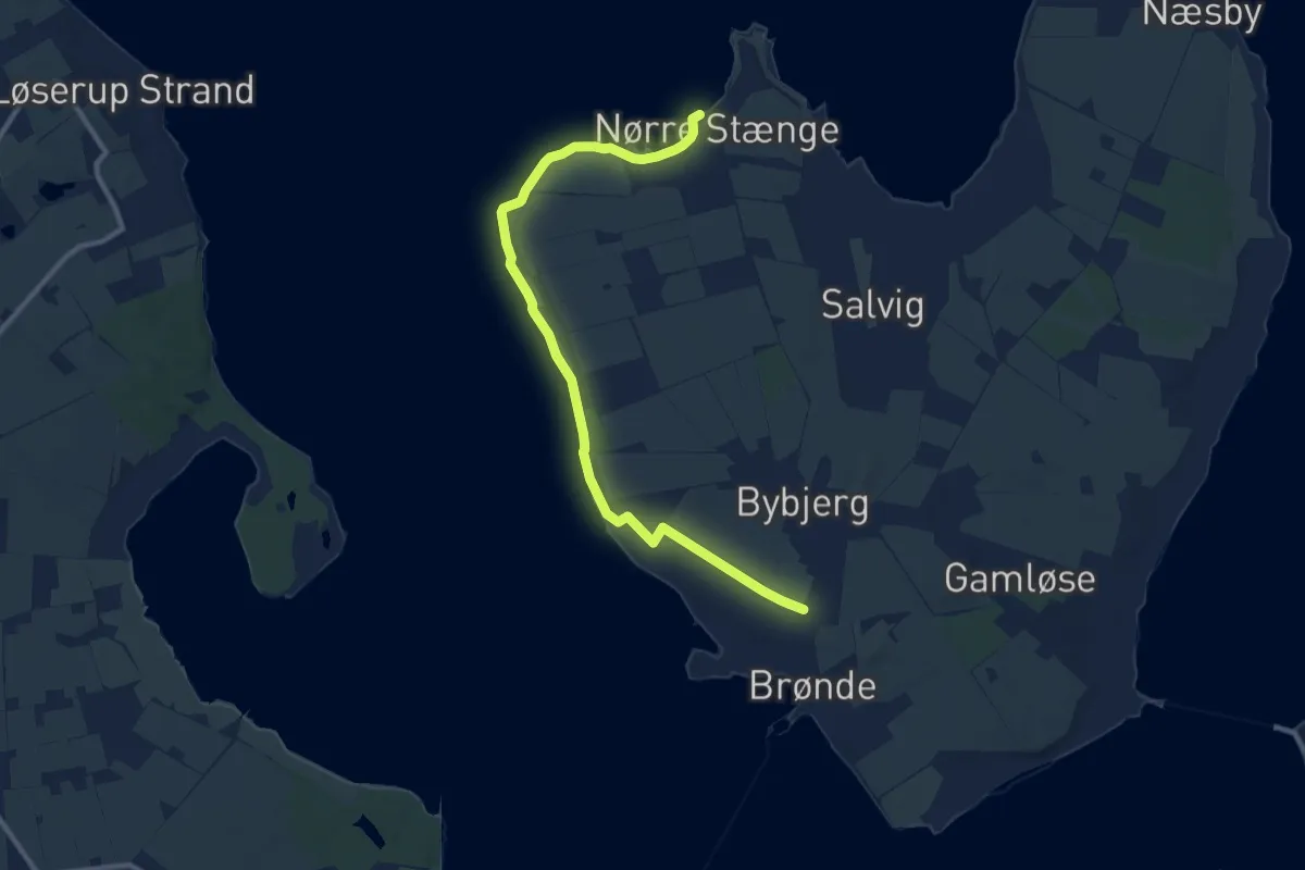
Medium · Trail
Tur 1
9.5 km · ↑ 5 m · 2 h 15 min
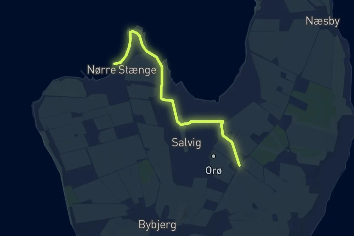
Easy · Trail
Tur 2
7.0 km · ↑ 9 m · 1 h 41 min
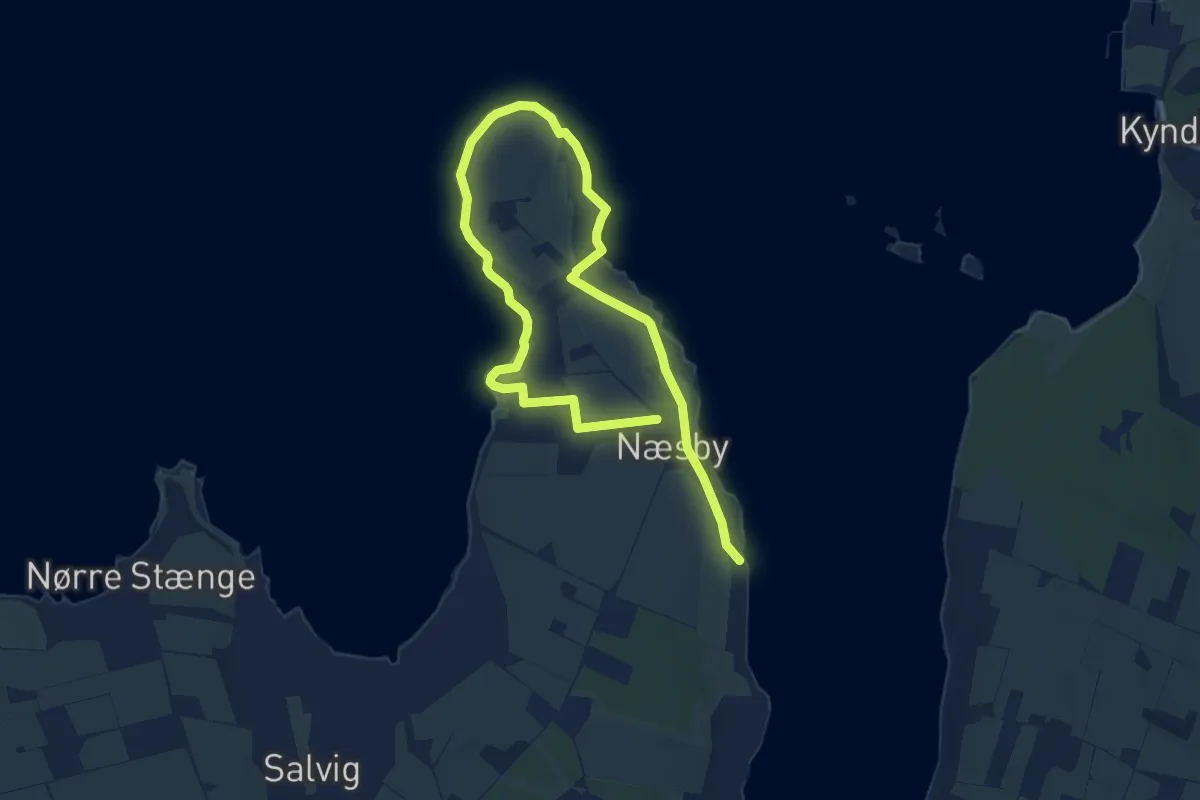
Medium · Trail
Tur 3
12.0 km · ↑ 106 m · 3 h 4 min
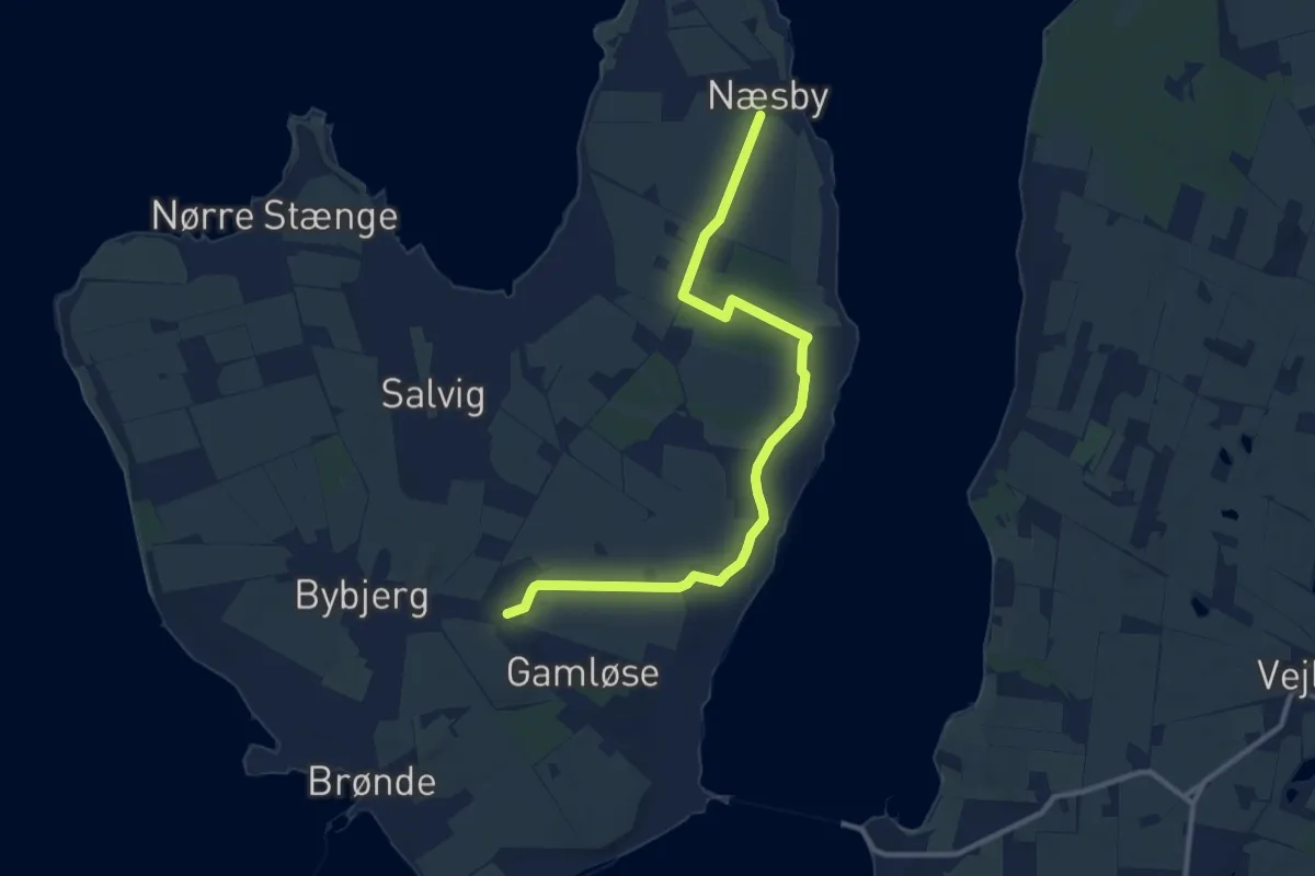
Medium · Trail
Tur 4
9.7 km · ↑ 39 m · 2 h 23 min
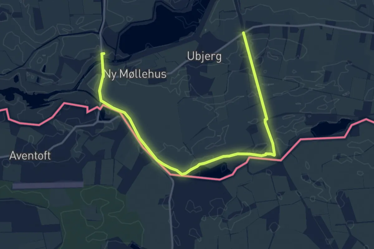
Medium · Trail
Tur på Papegøjestien
11.2 km · ↑ 0 m · 2 h 39 min
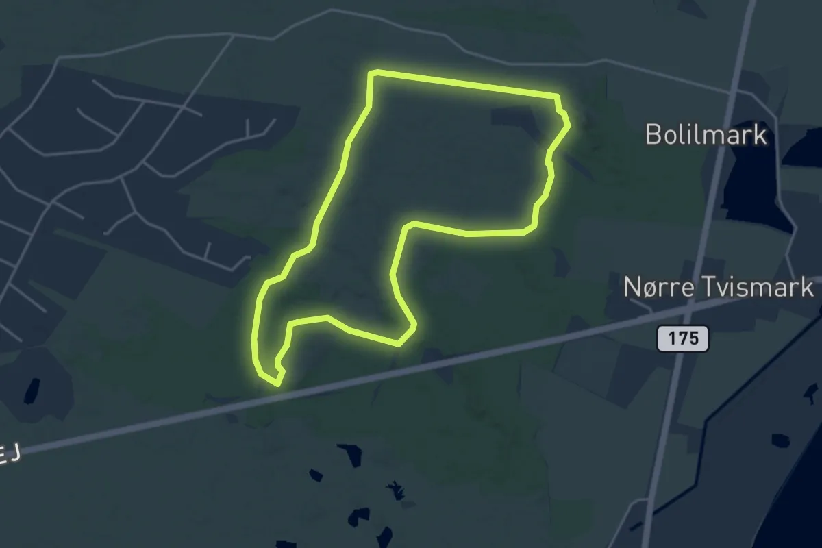
Easy · Trail
Tvismark Plantage - gul rute
3.4 km · ↑ 0 m · 51 min
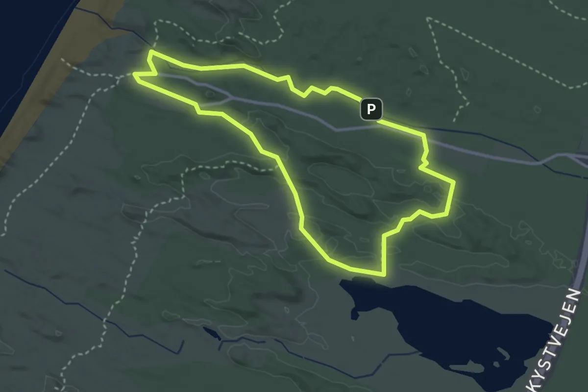
Easy · Trail
Tvorup Klitplantage Blå rute
2.4 km · ↑ 8 m · 37 min
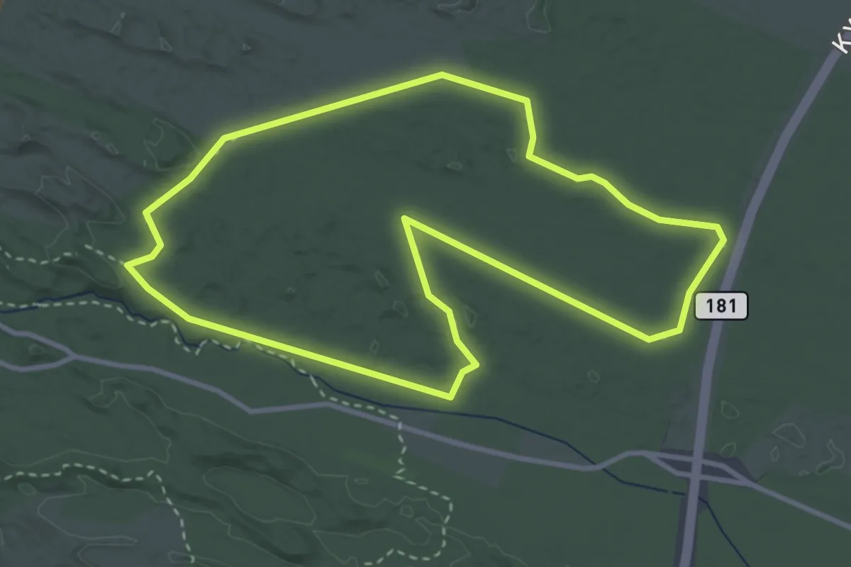
Easy · Trail
Tvorup Klitplantage Gul rute
2.7 km · ↑ 0 m · 41 min
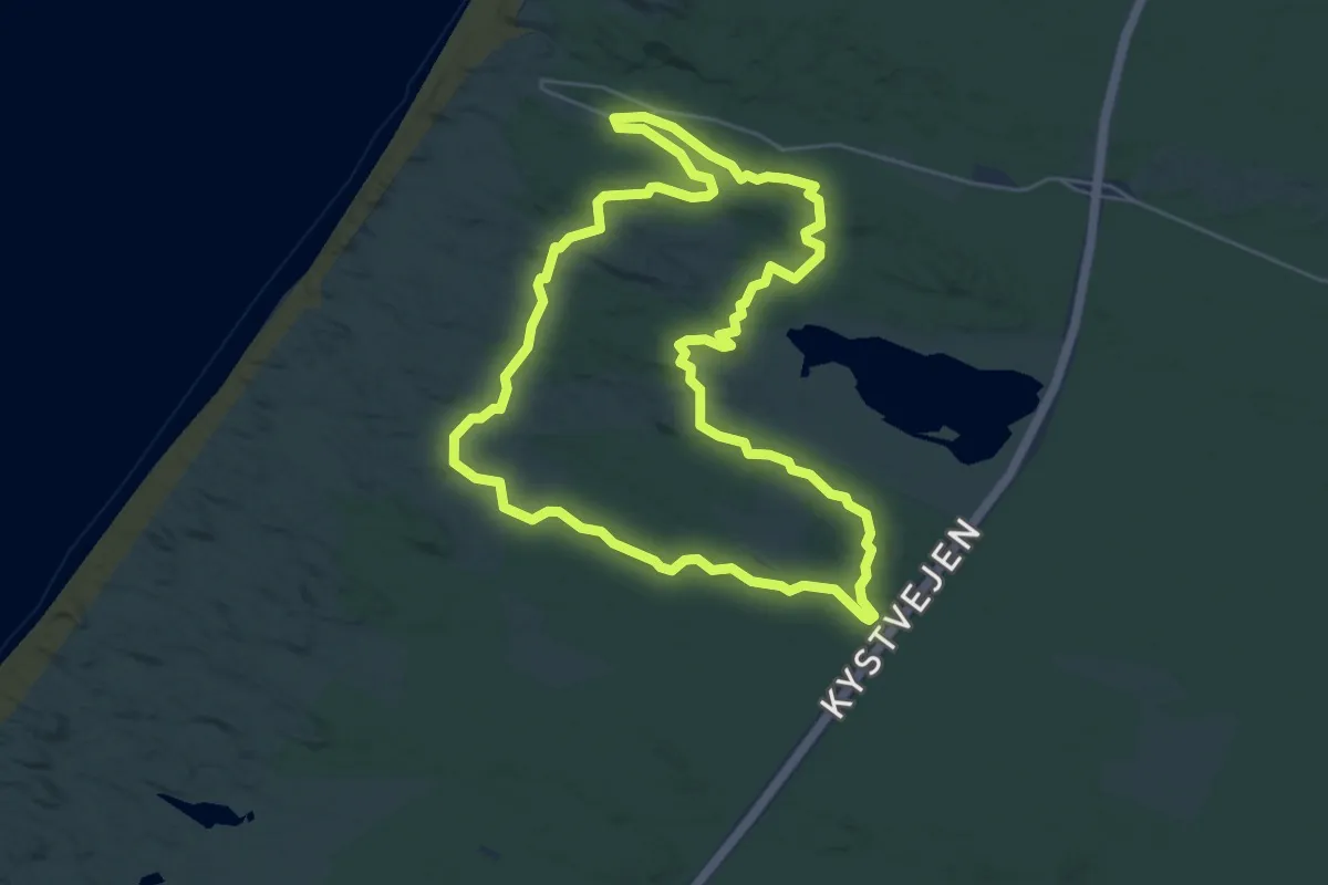
Easy · Summit
Tvorup Klitplantage Rød rute
4.5 km · ↑ 13 m · 1 h 9 min
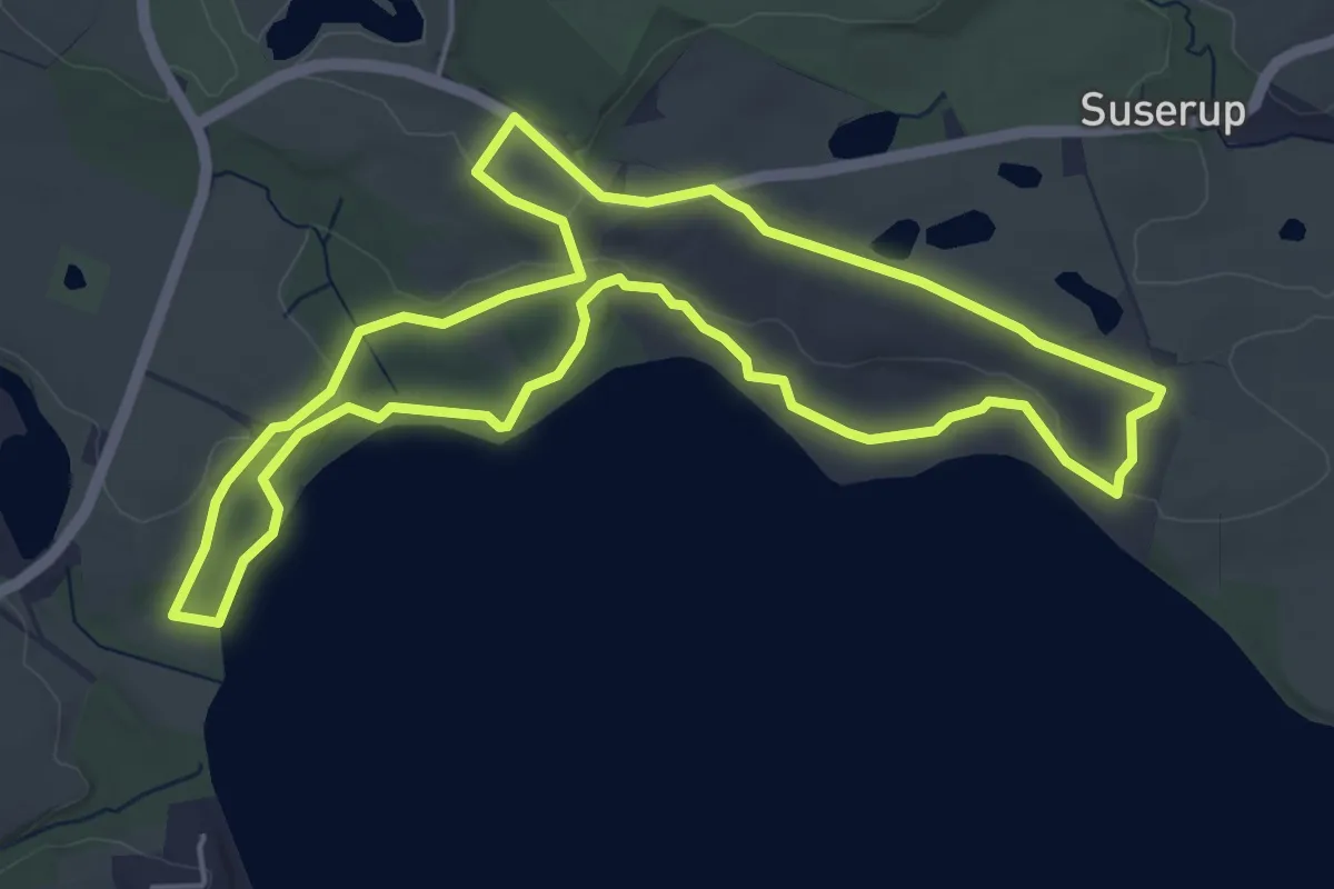
Easy · Trail
Tystrup Sø Nord
4.5 km · ↑ 55 m · 1 h 14 min
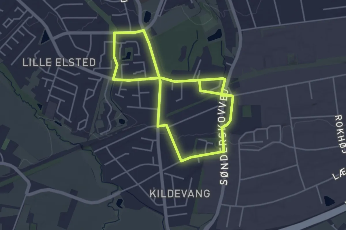
Easy · Trail
Udforsk Lystrup Stationsby
5.5 km · ↑ 35 m · 1 h 22 min
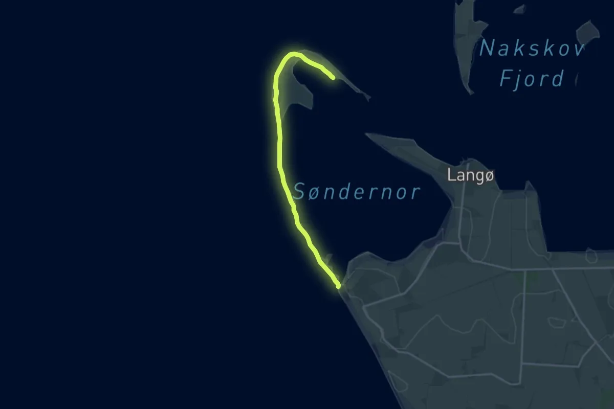
Medium · Trail
Ud på Albuen
12.7 km · ↑ 0 m · 3 h
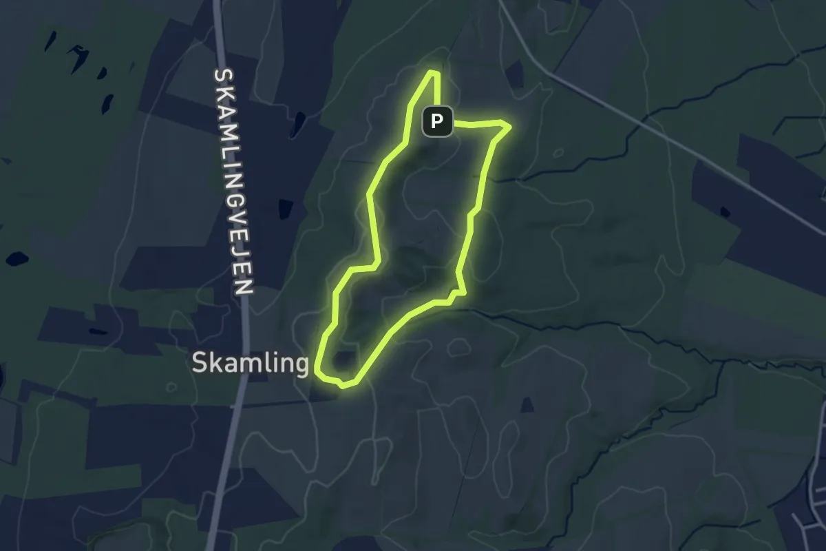
Easy · Summit
Udsigtsruten
2.2 km · ↑ 32 m · 37 min
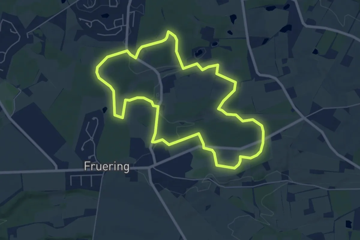
Easy · Summit
Udsigtsruten, blå rute
4.9 km · ↑ 41 m · 1 h 19 min
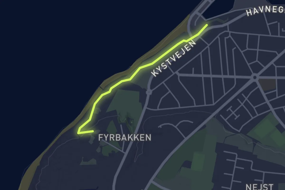
Easy · Trail
Udsigtsstien
2.5 km · ↑ 9 m · 36 min
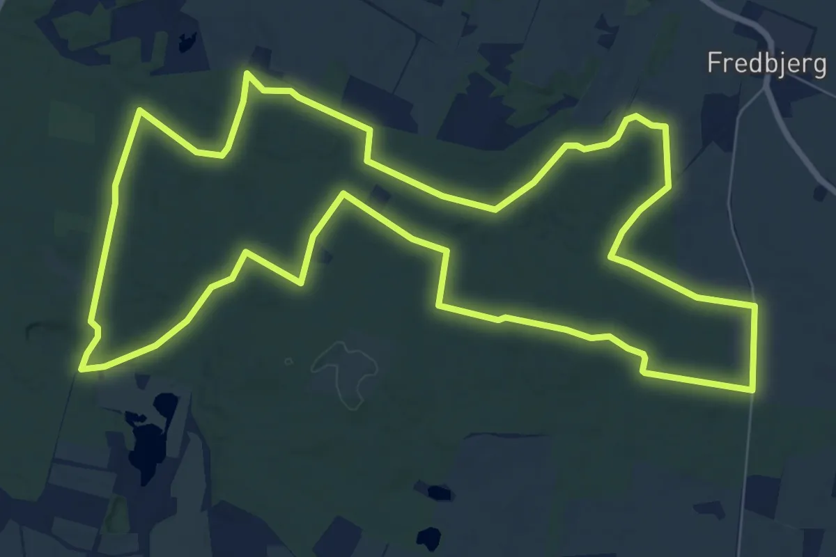
Easy · Trail
Uhrehøje Plantage - Rød rute
7.6 km · ↑ 53 m · 2 h
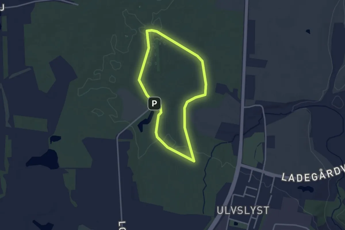
Easy · Trail
Ulfslystturen - rød rute
2.1 km · ↑ 9 m · 32 min
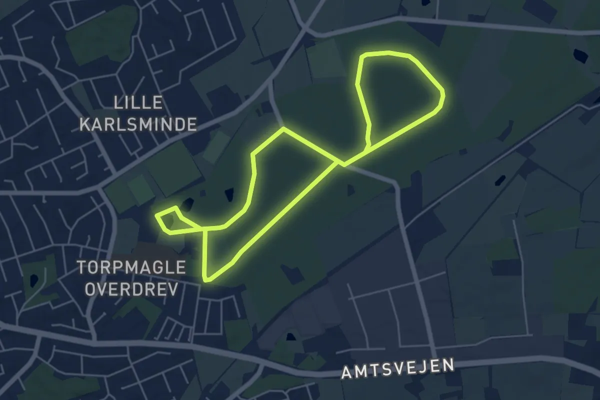
Easy · Trail
Ullerup Skov Hjertesti
3.8 km · ↑ 22 m · 1 h
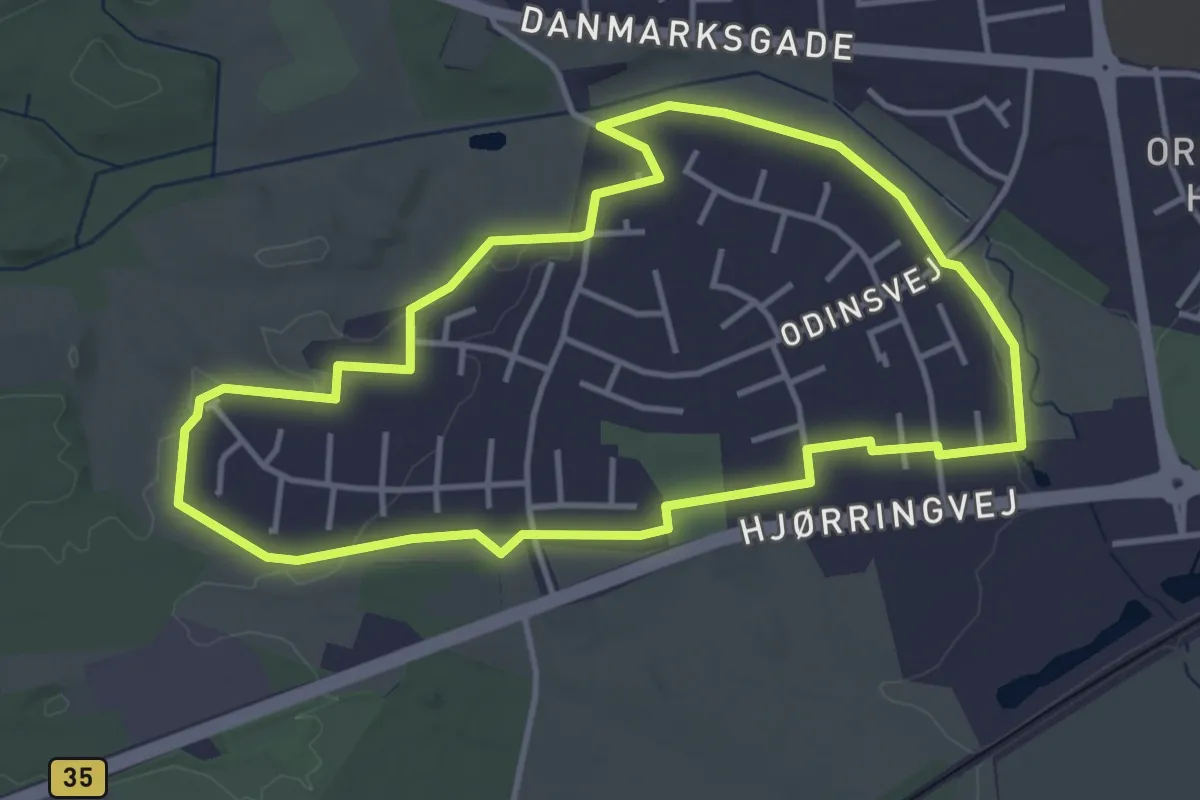
Easy · Trail
Ulstedbostien
3.2 km · ↑ 21 m · 50 min
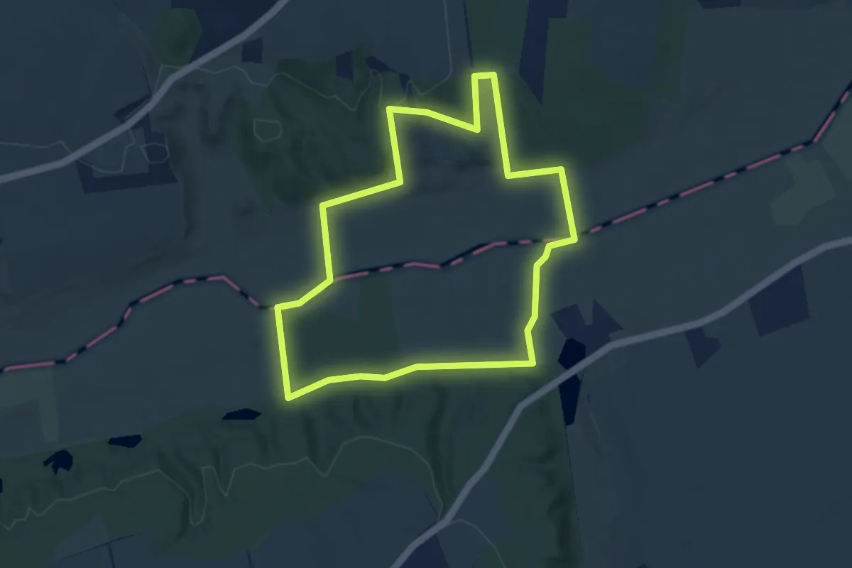
Easy · Trail
Ulvholmruten
3.1 km · ↑ 60 m · 54 min
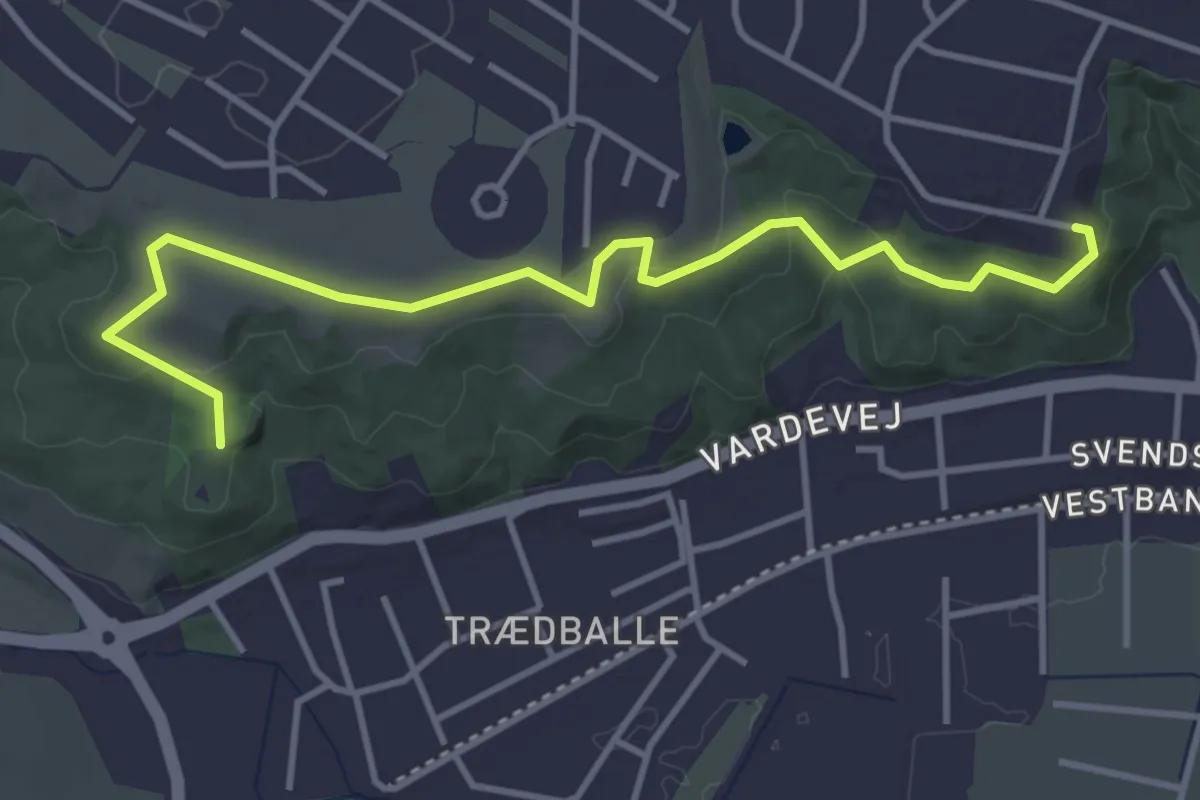
Easy · Trail
Urhøj
3.6 km · ↑ 57 m · 58 min
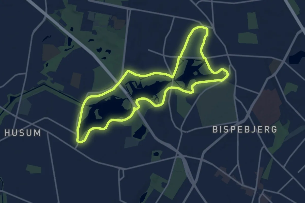
Medium · Trail
Utterslev Mose rundt
8.9 km · ↑ 4 m · 2 h 14 min
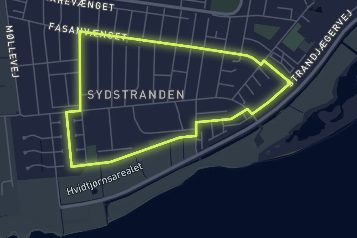
Easy · Trail
Vænge Kvarters Rute
3.6 km · ↑ 0 m · 55 min
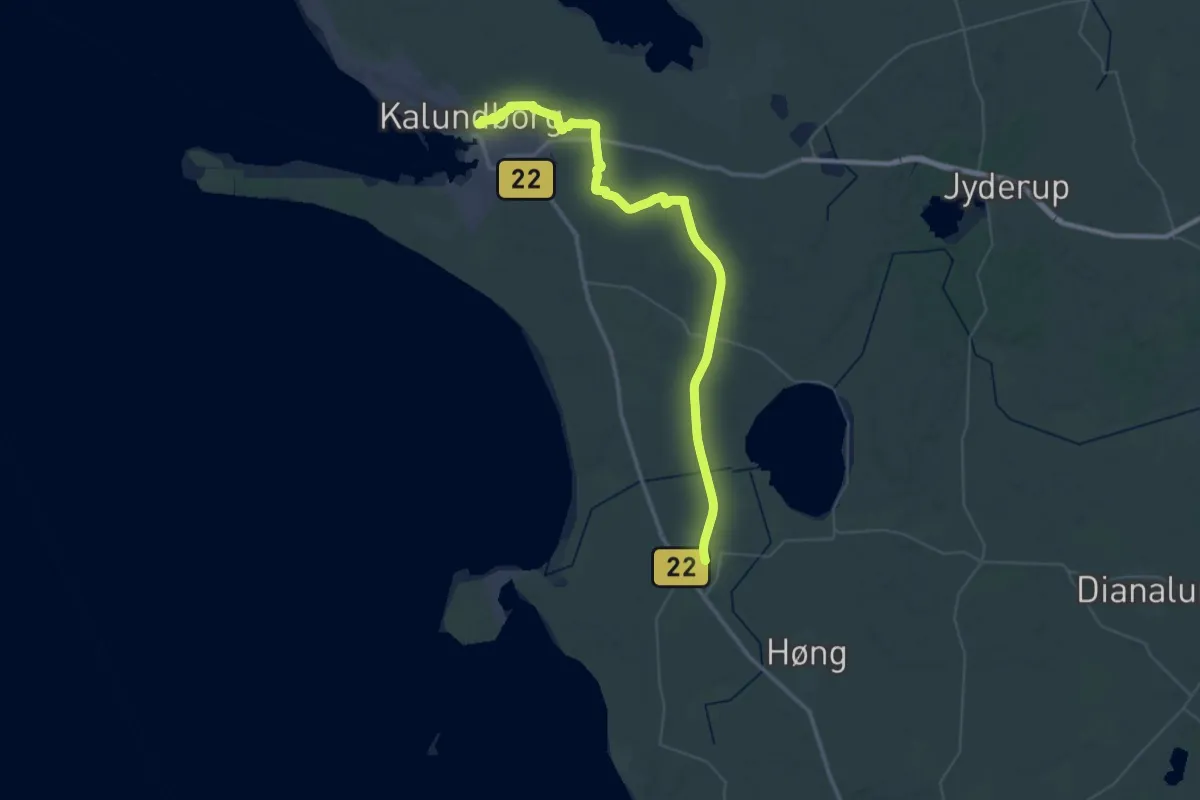
Demanding · Trail
Værslevstien
25.5 km · ↑ 57 m · 6 h 30 min
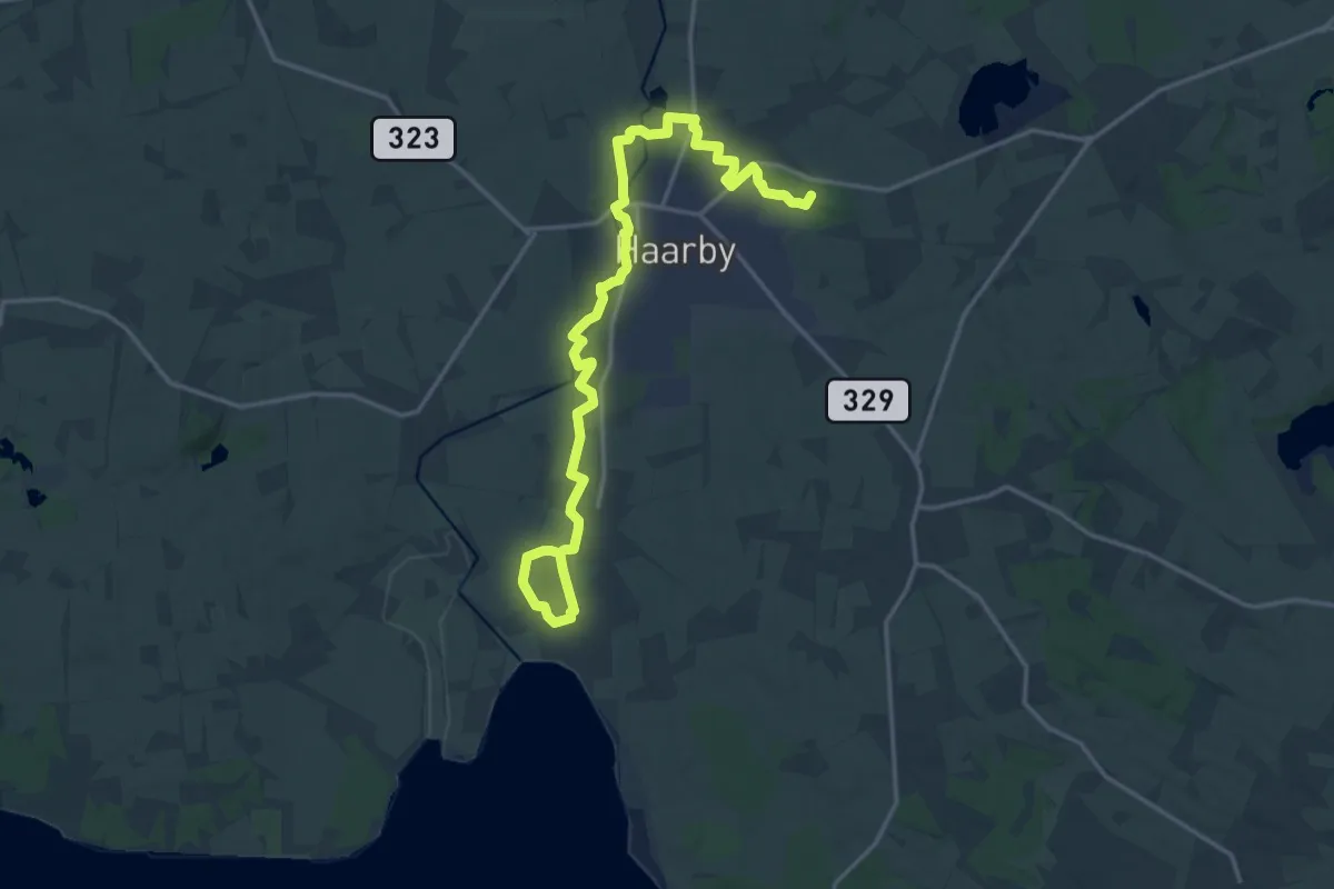
Medium · Summit
Valkyriestien
17.2 km · ↑ 30 m · 4 h 7 min
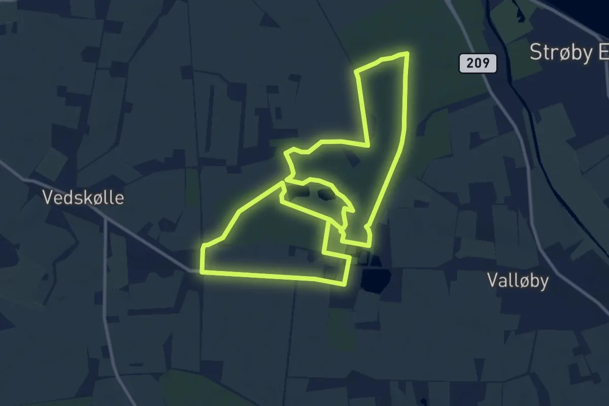
Medium · Trail
Vallø Slotspark
8.4 km · ↑ 25 m · 2 h 9 min
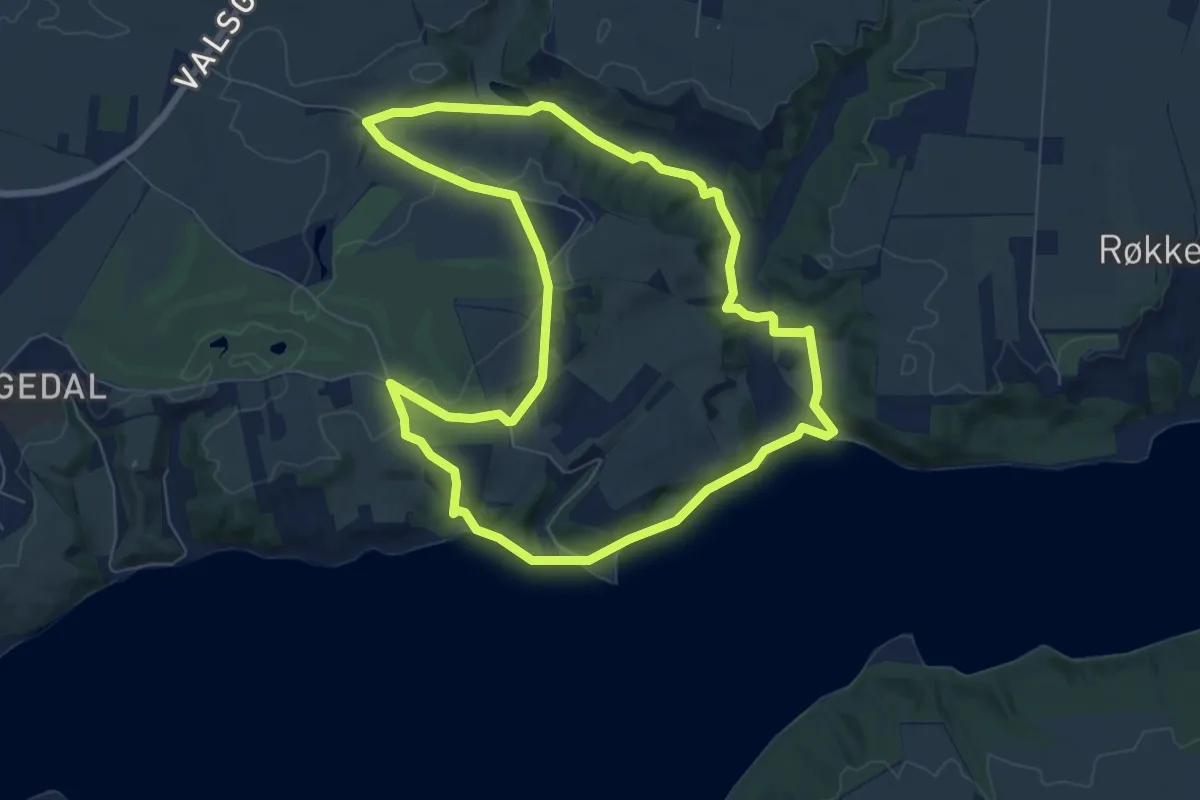
Easy · Trail
Valsgaard Blå rute
5.8 km · ↑ 62 m · 1 h 35 min
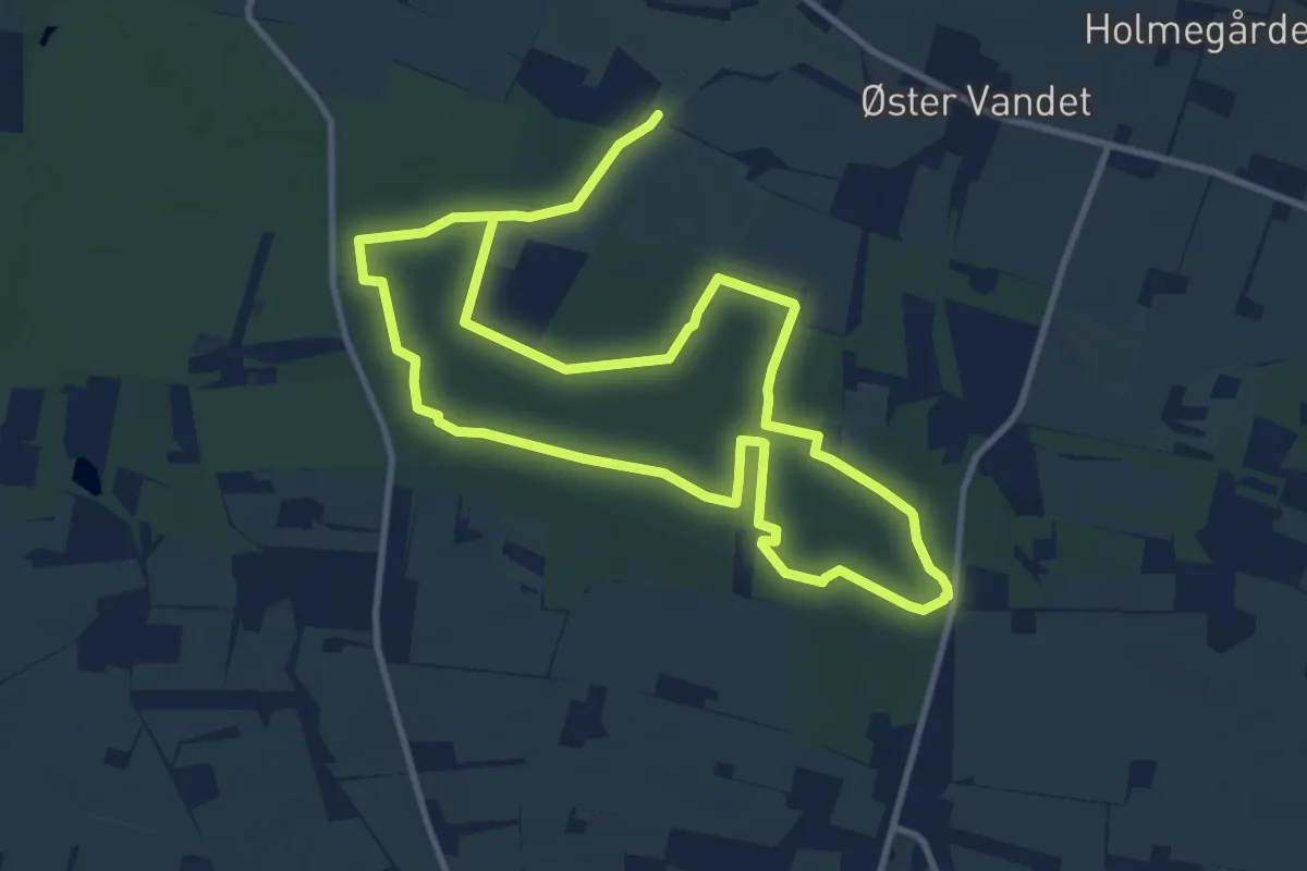
Medium · Trail
Vandetruten
8.0 km · ↑ 80 m · 2 h 10 min
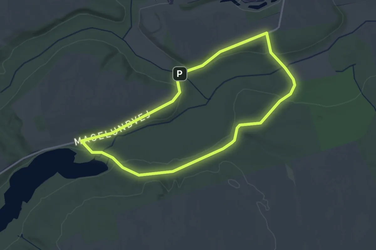
Easy · Trail
Vandmøllerne
2.7 km · ↑ 19 m · 42 min
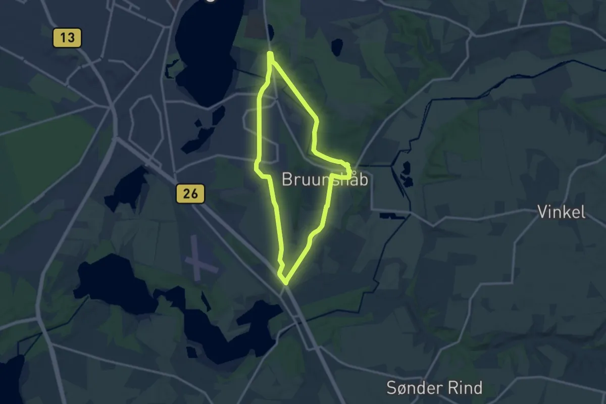
Medium · Trail
Vandmølleruten
8.2 km · ↑ 59 m · 2 h 11 min
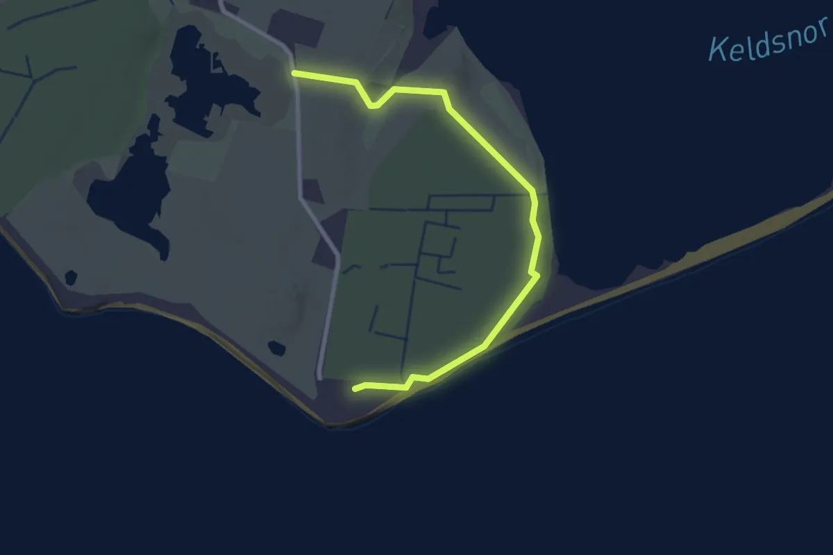
Easy · Trail
Vandrerute
2.3 km · ↑ 0 m · 32 min
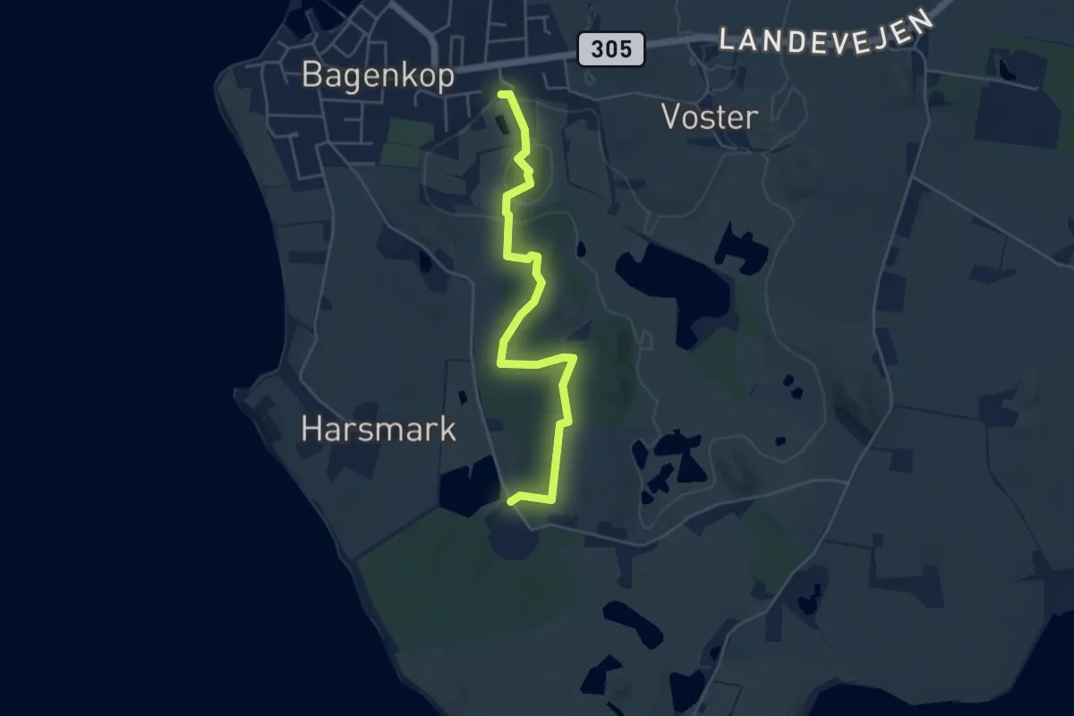
Easy · Trail
Vandrerute
4.1 km · ↑ 14 m · 1 h
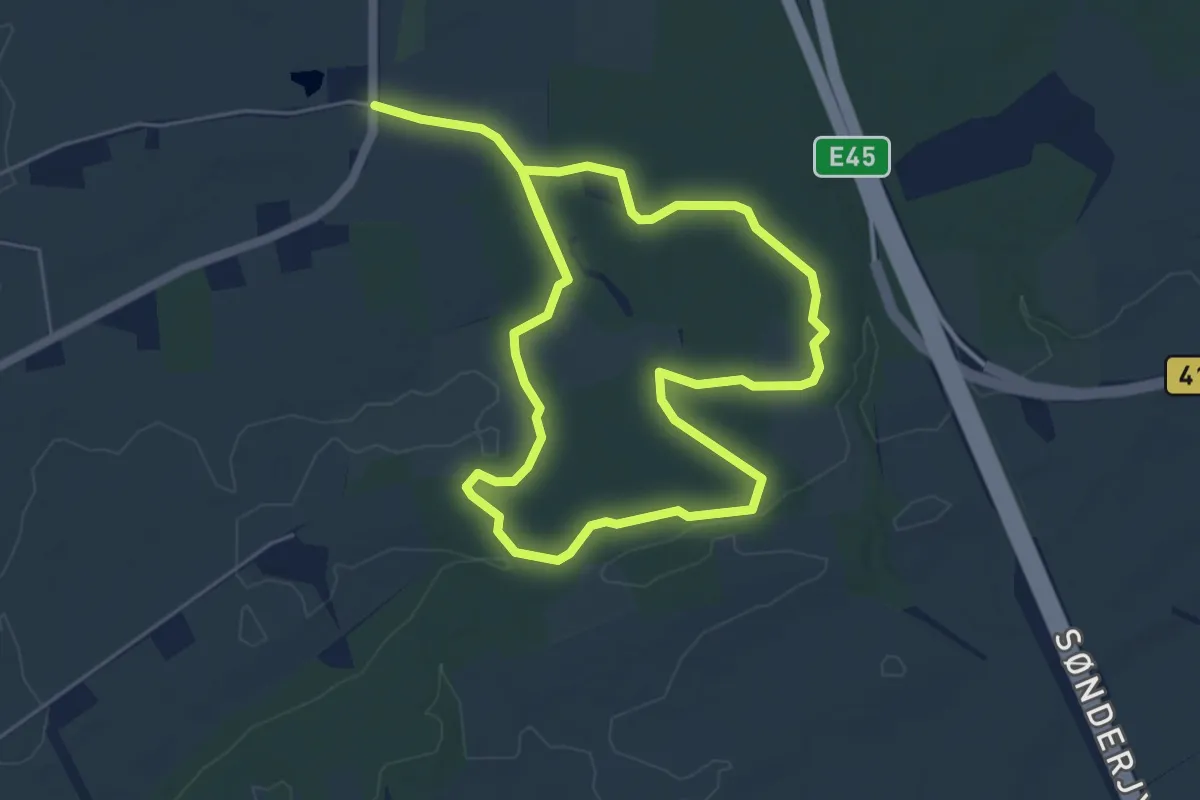
Medium · Trail
Vandrerute i Bolderslev Skov
8.3 km · ↑ 47 m · 2 h 4 min
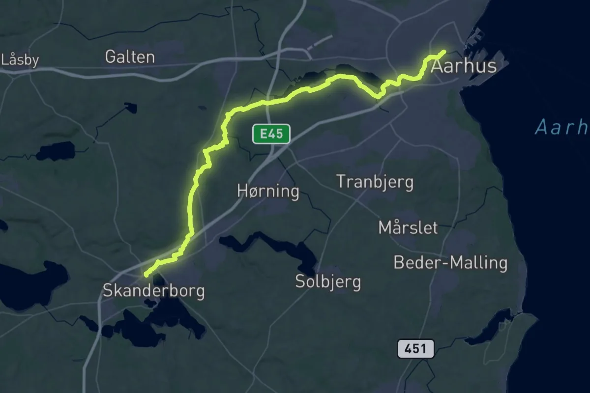
Demanding · Trail
Vandreruten Aarhus-Silkeborg
28.9 km · ↑ 211 m · 7 h 40 min
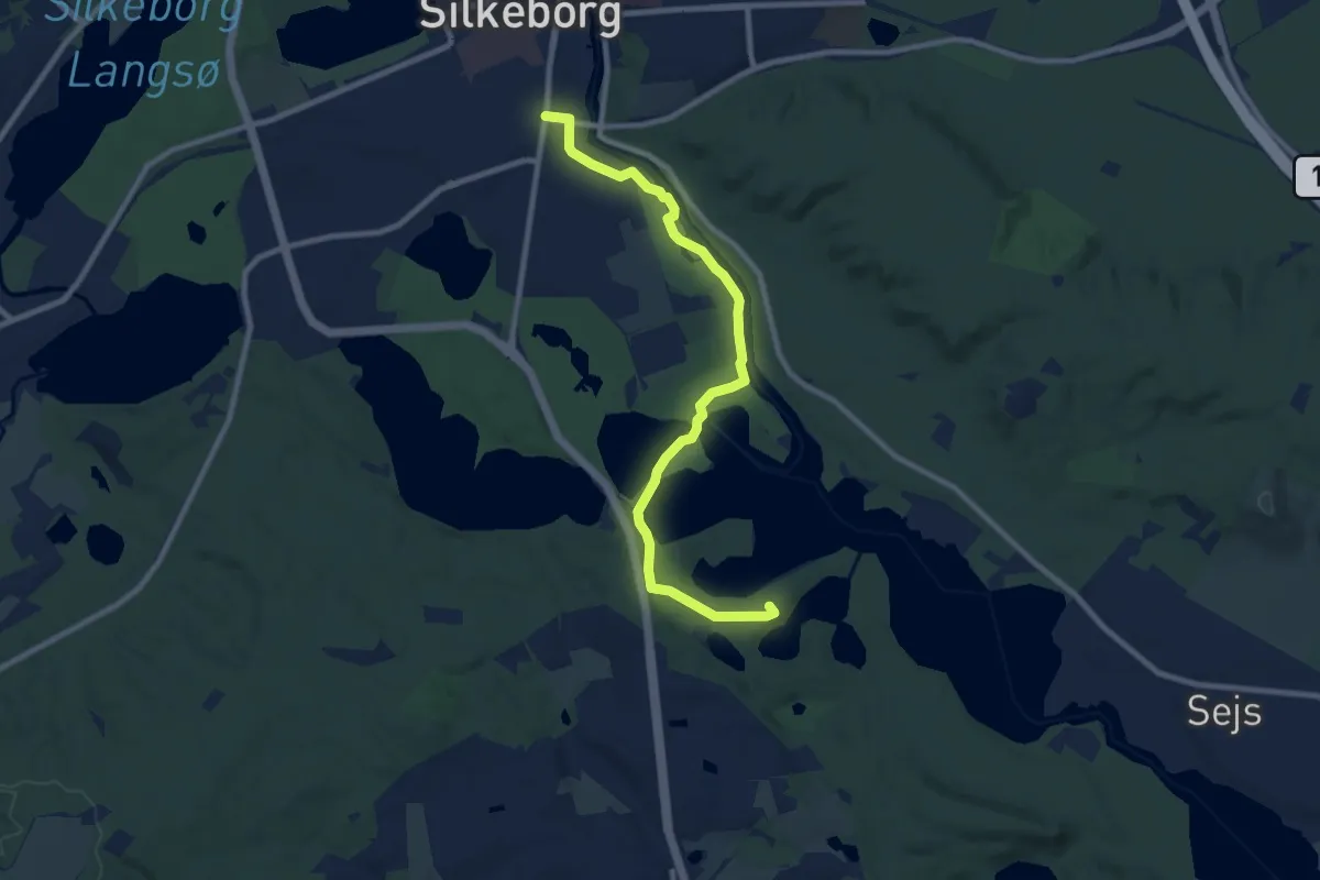
Easy · Summit
Vandreruten Aarhus-Silkeborg
7.7 km · ↑ 70 m · 1 h 59 min
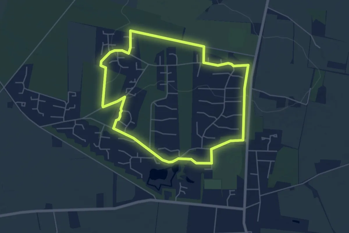
Easy · Trail
Vandreruter i Arrild Ferieby, blå
4.2 km · ↑ 17 m · 1 h 6 min
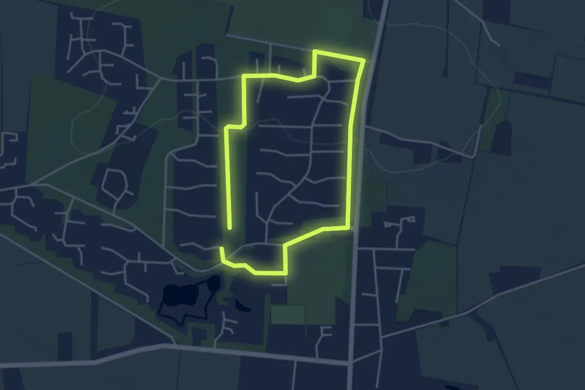
Easy · Trail
Vandreruter i Arrild Ferieby, grøn
2.6 km · ↑ 17 m · 42 min
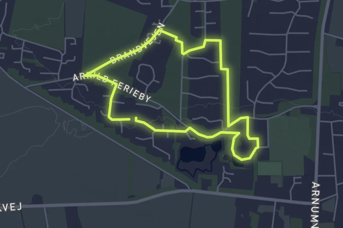
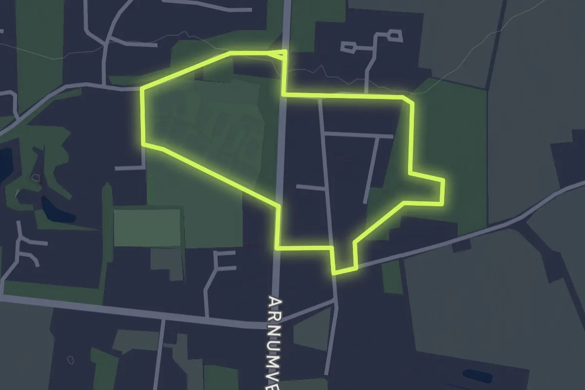
Easy · Trail
Vandreruter i Arrild Ferieby, gul
3.3 km · ↑ 12 m · 51 min
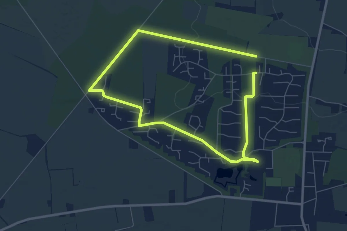
Easy · Trail
Vandreruter i Arrild Ferieby, lilla
1.9 km · ↑ 8 m · 30 min
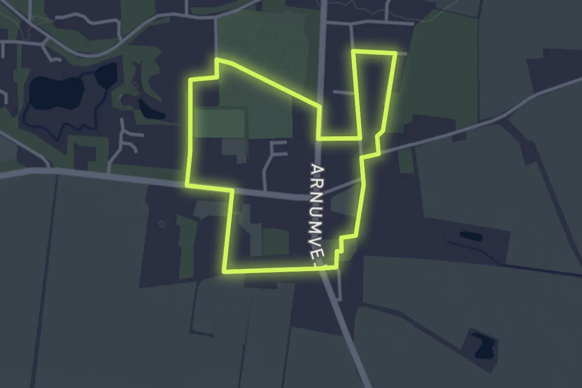
Easy · Trail
Vandreruter i Arrild Ferieby, orange
4.5 km · ↑ 17 m · 1 h 10 min
Easy · Trail
Vandreruter i Arrild Ferieby, rød
2.5 km · ↑ 4 m · 38 min
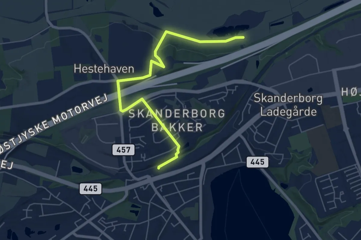
Easy · Trail
Vandrerute til Illerup ådal og Offermosen
5.1 km · ↑ 58 m · 1 h 20 min
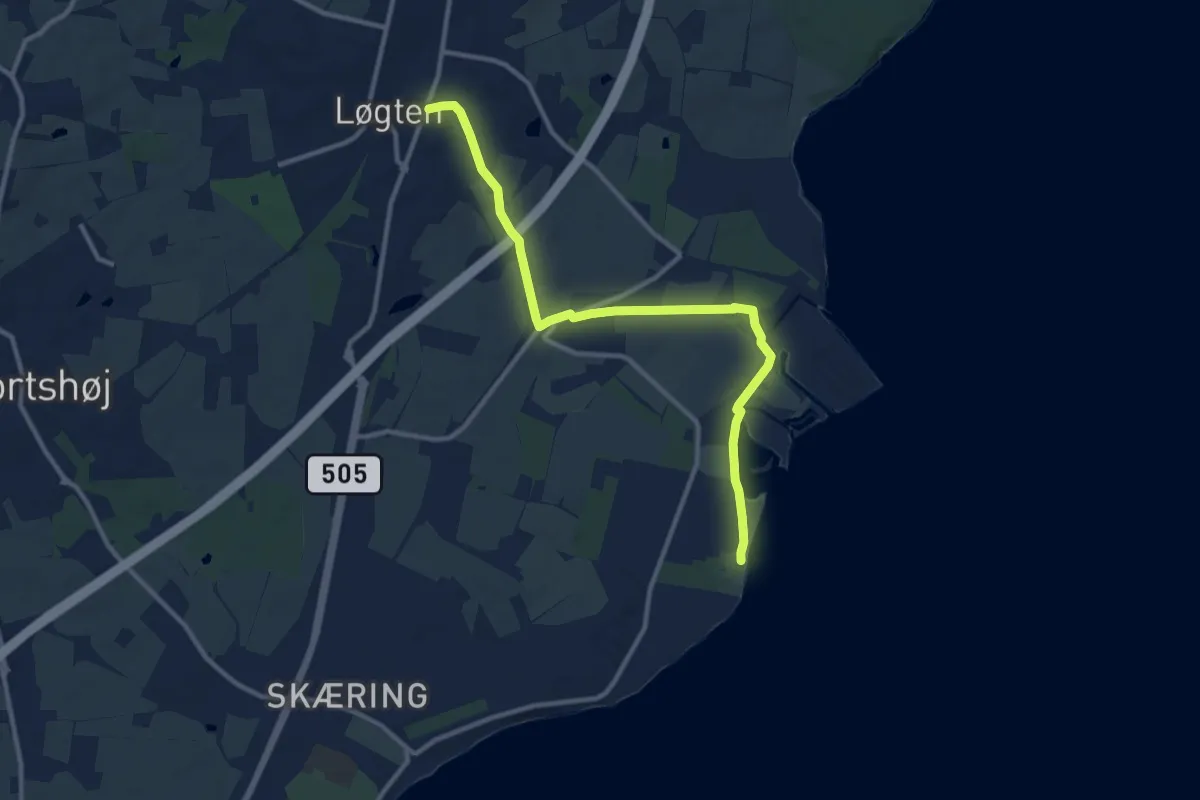
Medium · Trail
Vandretur i Skødstrup
9.3 km · ↑ 45 m · 2 h 18 min
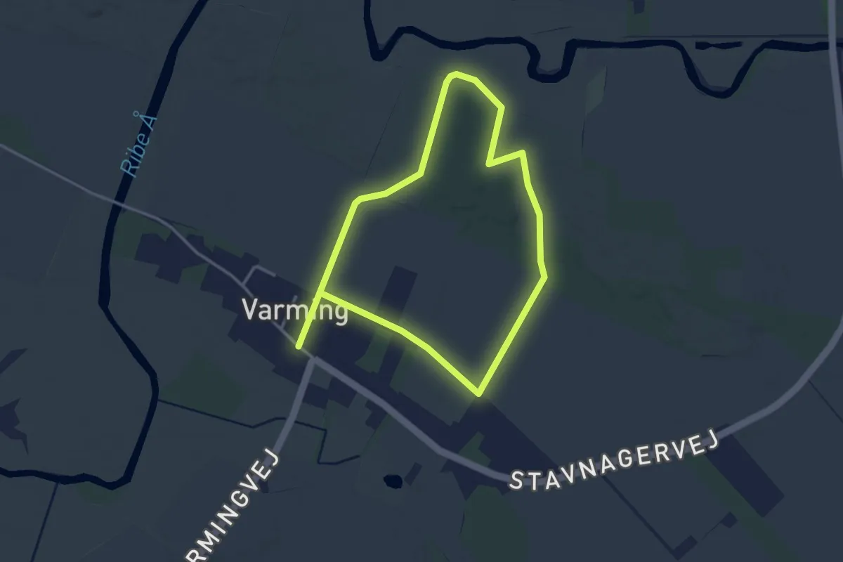
Easy · Trail
Varming Nørhede
2.4 km · ↑ 0 m · 36 min
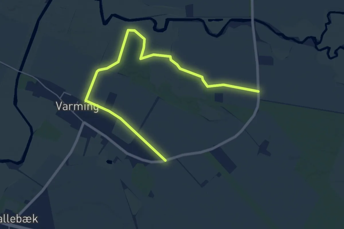
Easy · Trail
Varming Nørhede
5.7 km · ↑ 0 m · 1 h 20 min