Trails in Denmark
1,383 hiking trails, each with its route, climb, walking time and grade.
All trails, page 29 of 29
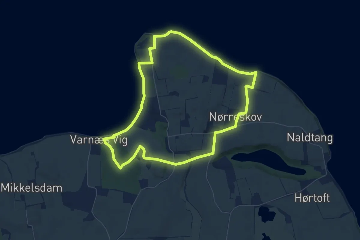
Easy · Trail
Varnæs Hoved stien
5.9 km · ↑ 69 m · 1 h 37 min
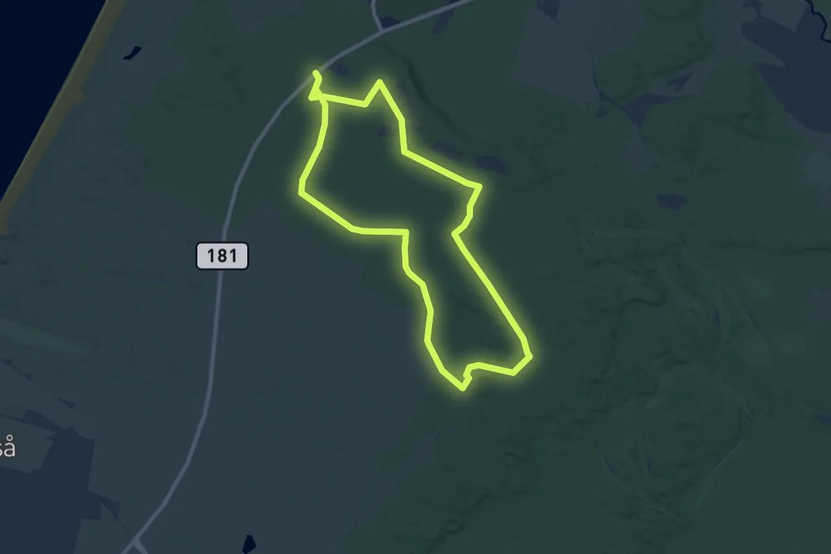
Easy · Trail
Vegebjergruten
5.8 km · ↑ 18 m · 1 h 30 min
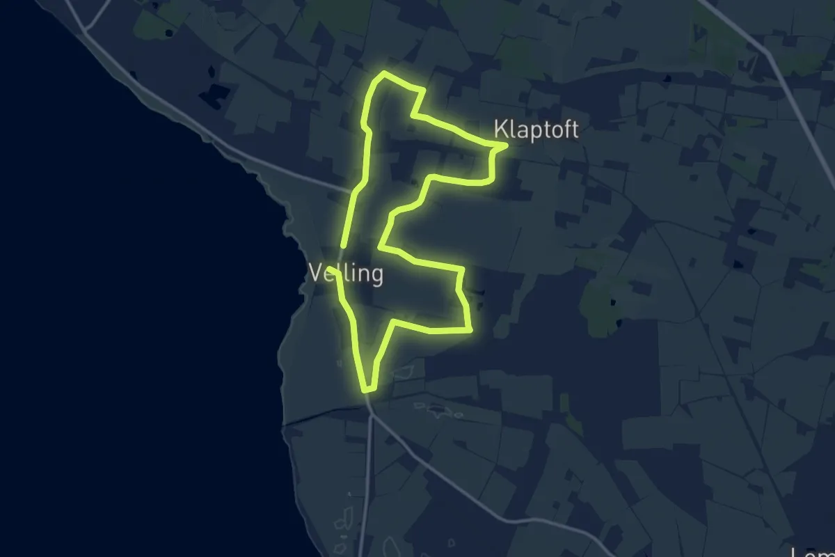
Medium · Trail
Velling
9.5 km · ↑ 25 m · 2 h 26 min
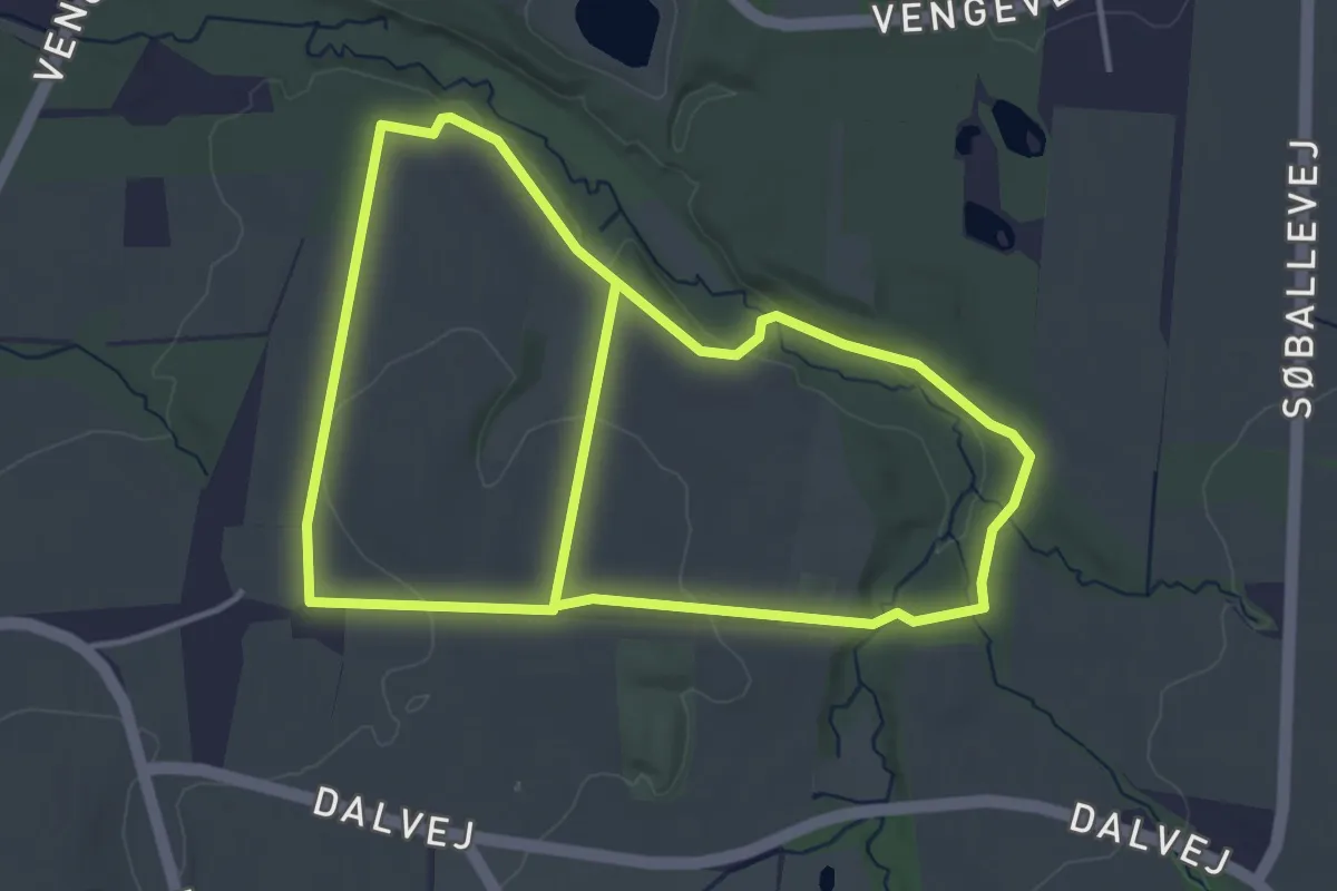
Easy · Trail
Vengelund
6.7 km · ↑ 53 m · 1 h 42 min
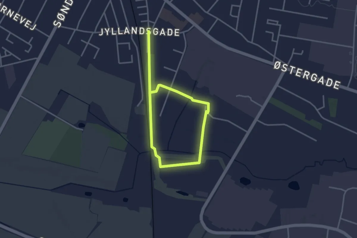
Easy · Trail
Verdens Ende
3.4 km · ↑ 8 m · 49 min
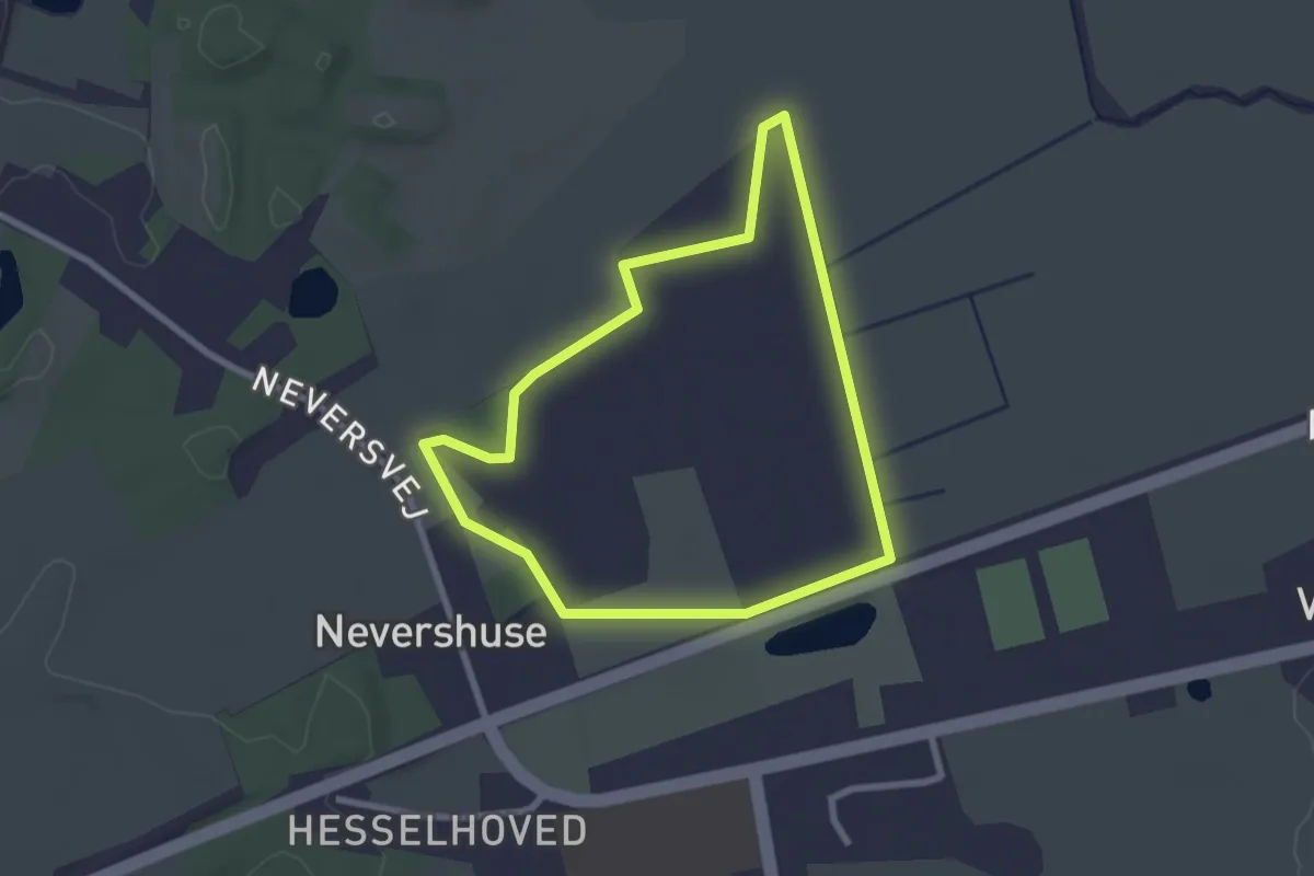
Easy · Trail
Verninge Mose
2.0 km · ↑ 4 m · 30 min
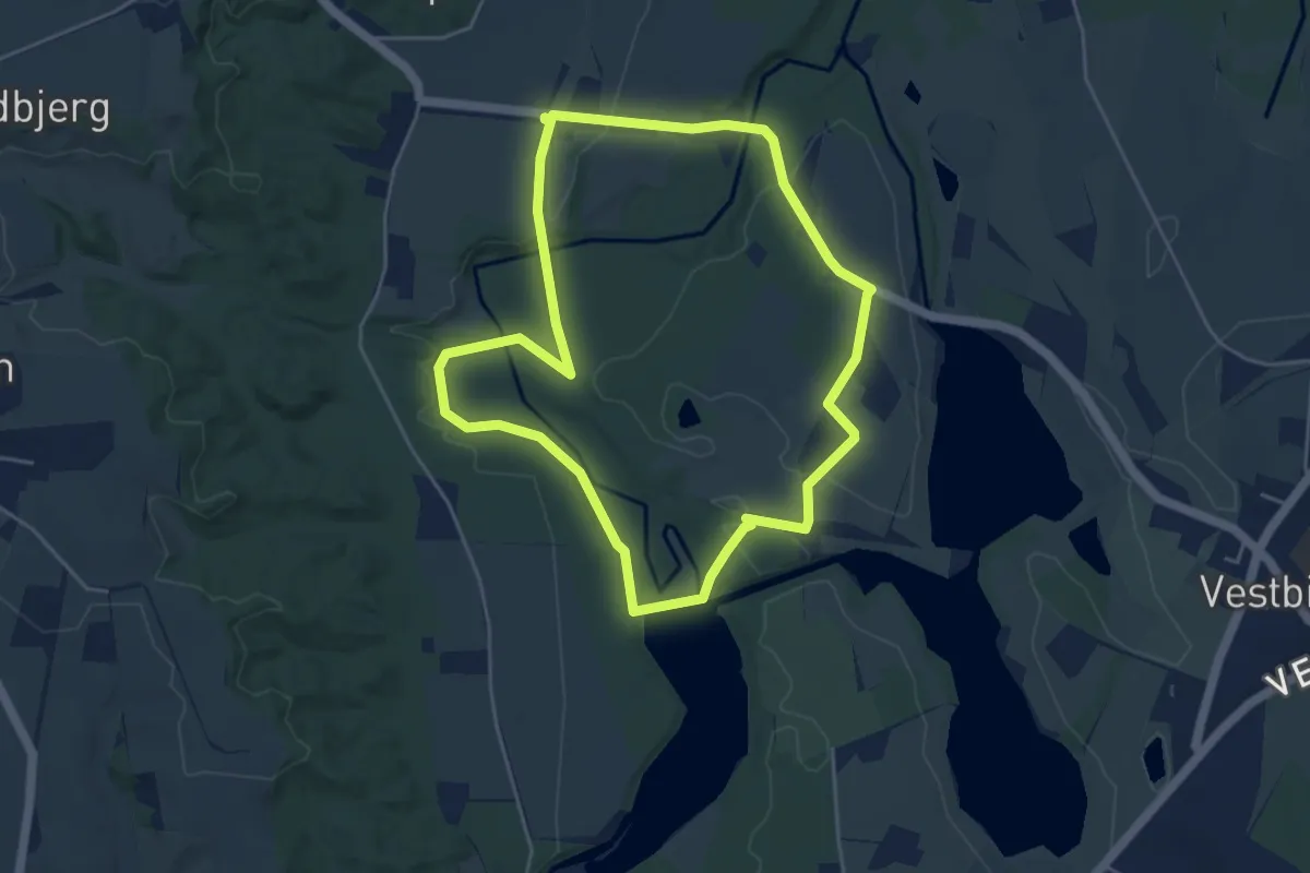
Easy · Trail
Vestbirk Vandkraftværk
3.7 km · ↑ 22 m · 59 min
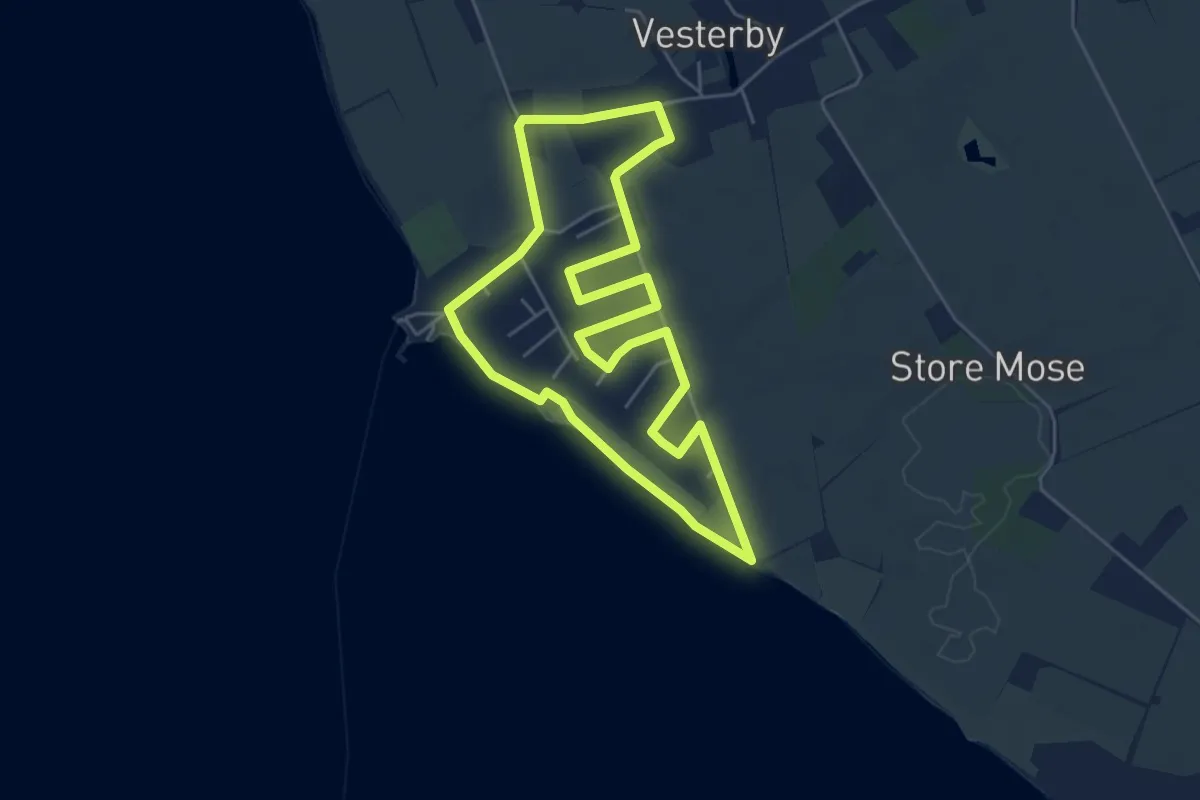
Easy · Trail
Vesterby Havn-ruten
4.2 km · ↑ 8 m · 1 h 5 min
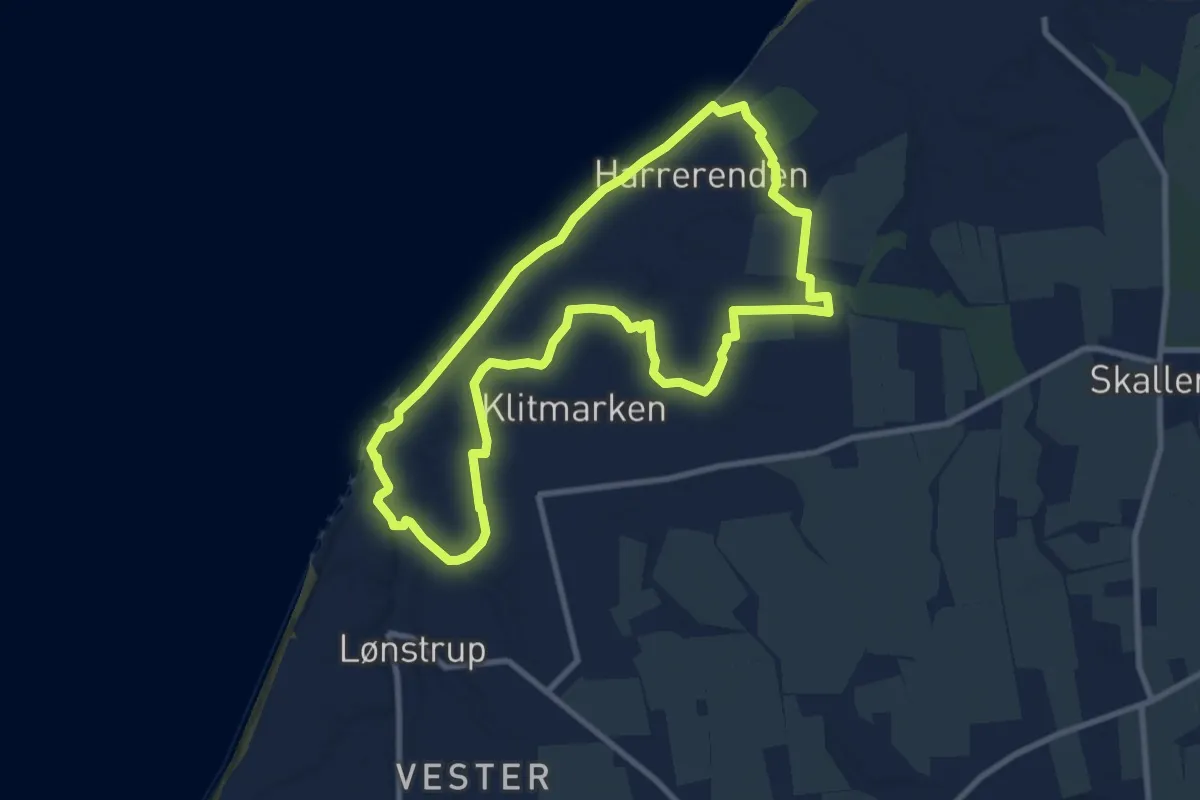
Easy · Trail
Vesterhavet - Rød Kløversti Lønstrup
7.2 km · ↑ 32 m · 1 h 52 min
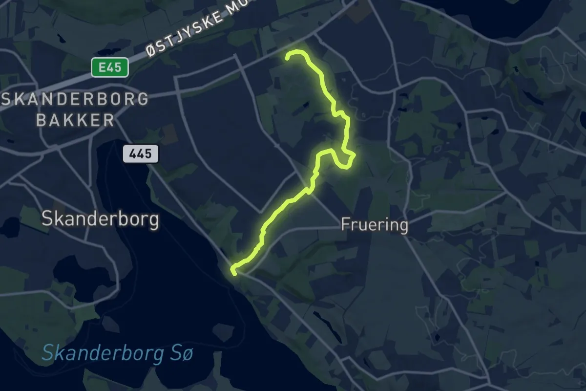
Medium · Trail
Vestermøllestien
9.0 km · ↑ 80 m · 2 h 18 min
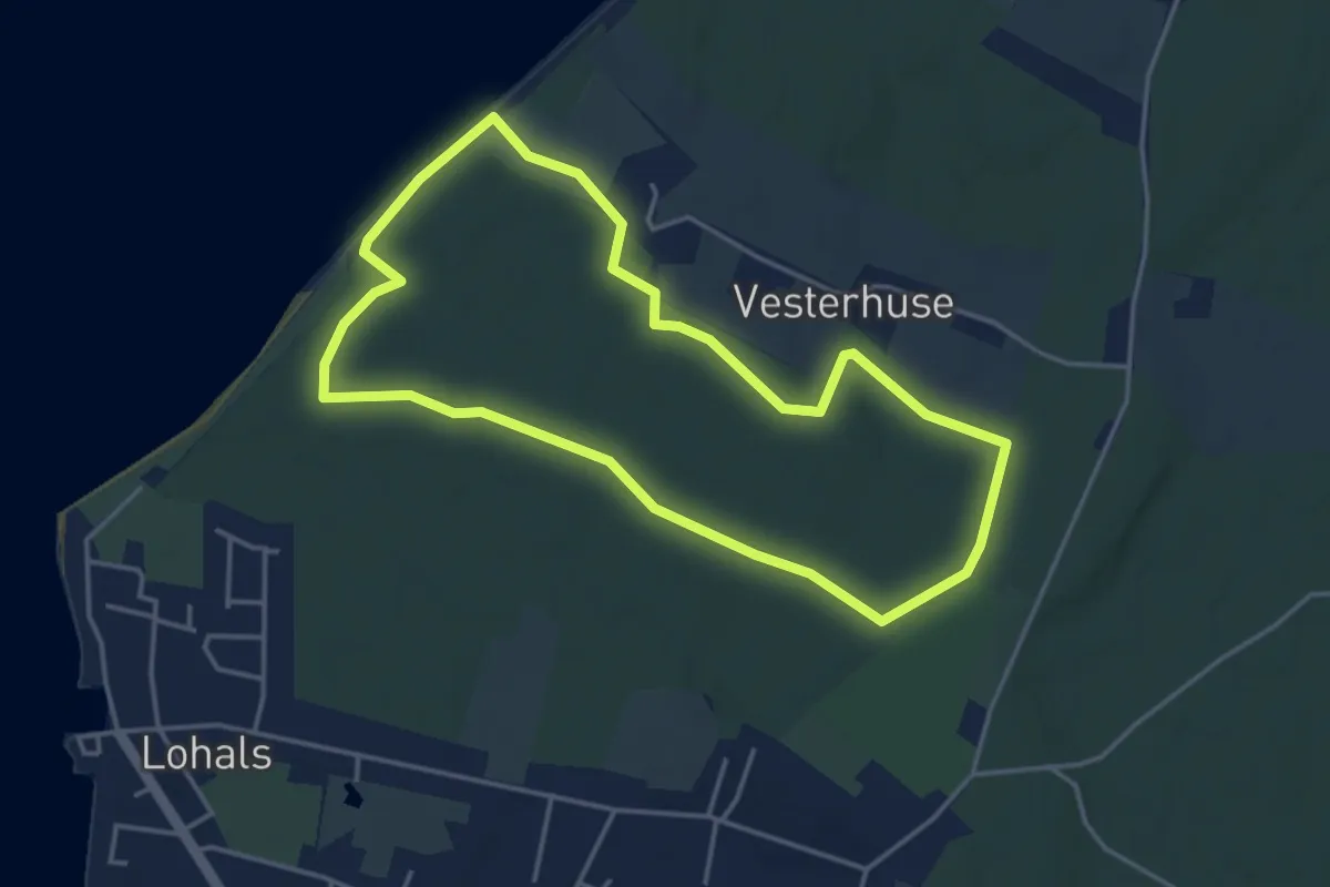
Easy · Trail
Vestre Stigtehave Rundtur
3.3 km · ↑ 26 m · 53 min
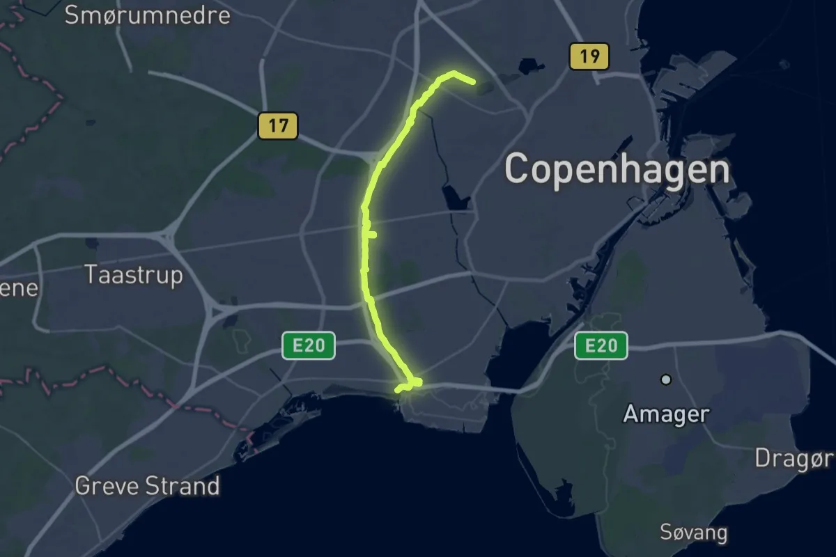
Demanding · Trail
Vestvolden
32.8 km · ↑ 46 m · 7 h 50 min
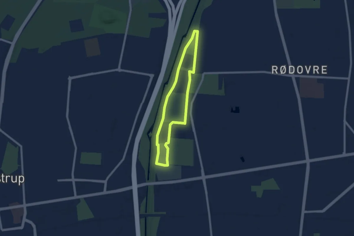
Easy · Trail
Vestvolden Rødovre Hjertesti
3.9 km · ↑ 4 m · 58 min
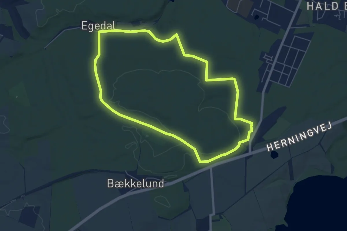
Easy · Trail
Viborg Plantage rundtur
4.6 km · ↑ 53 m · 1 h 16 min
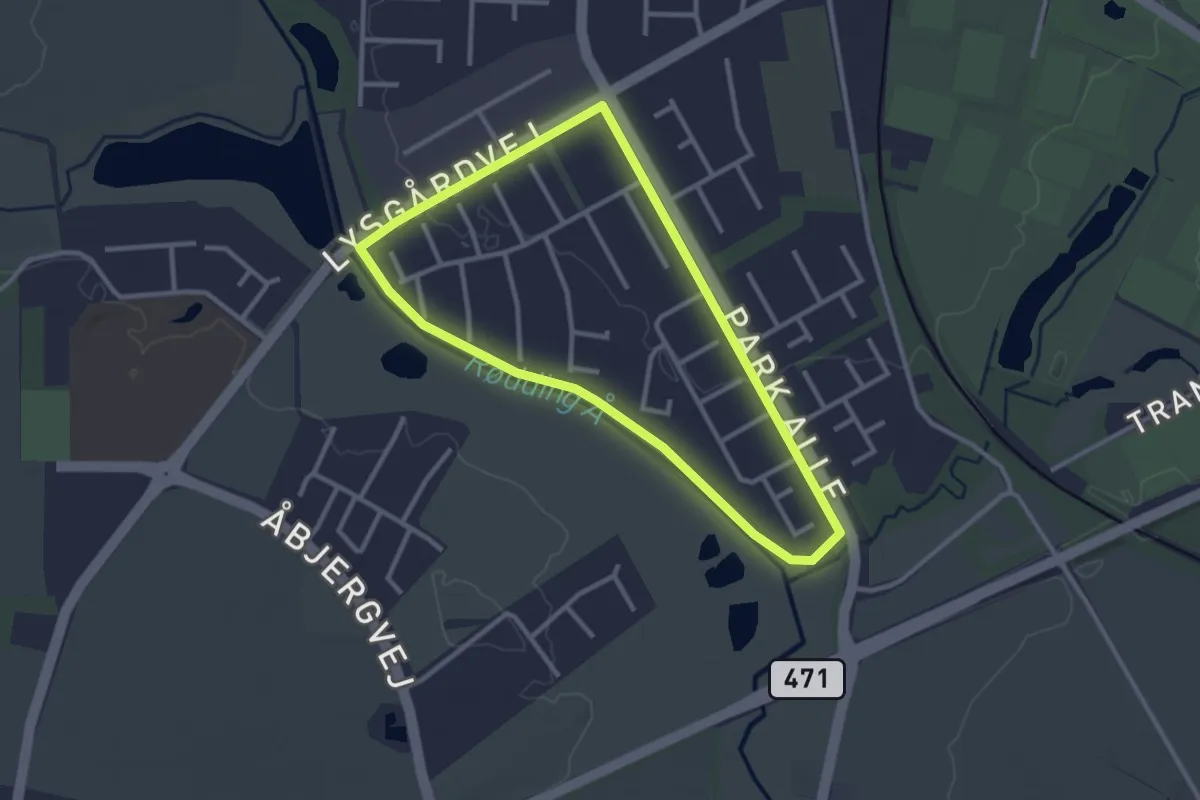
Easy · Trail
Vildbjerg Hjertesti - kort
2.2 km · ↑ 4 m · 34 min
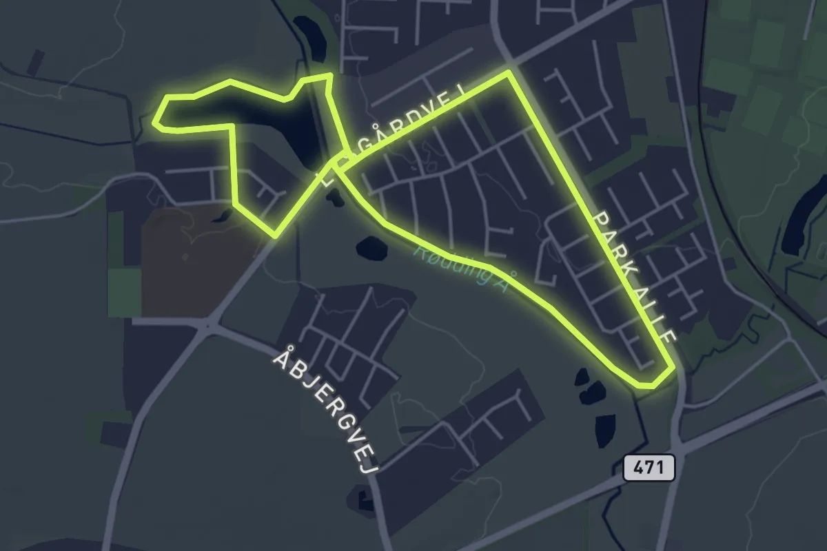
Easy · Trail
Vildbjerg Hjertesti - lang
3.7 km · ↑ 4 m · 57 min
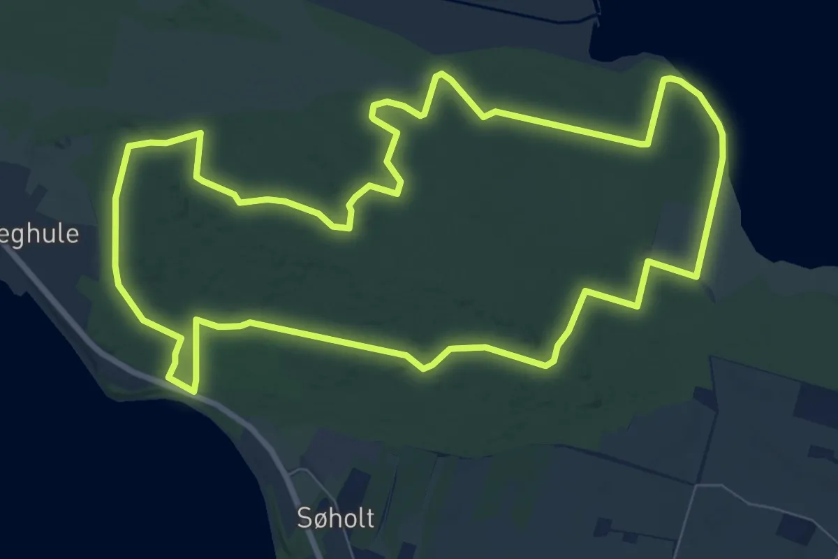
Easy · Trail
Vilsbølruten
7.0 km · ↑ 59 m · 1 h 53 min
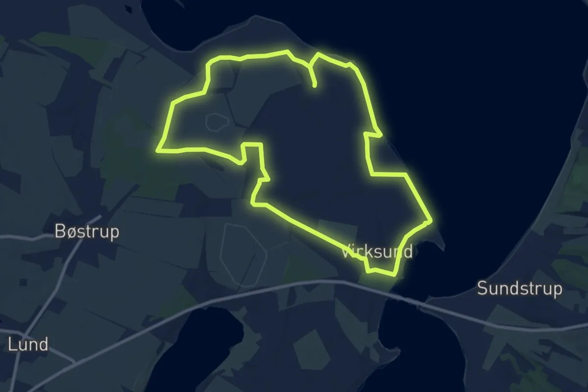
Easy · Trail
Virksund - Blå rute
7.1 km · ↑ 14 m · 1 h 49 min
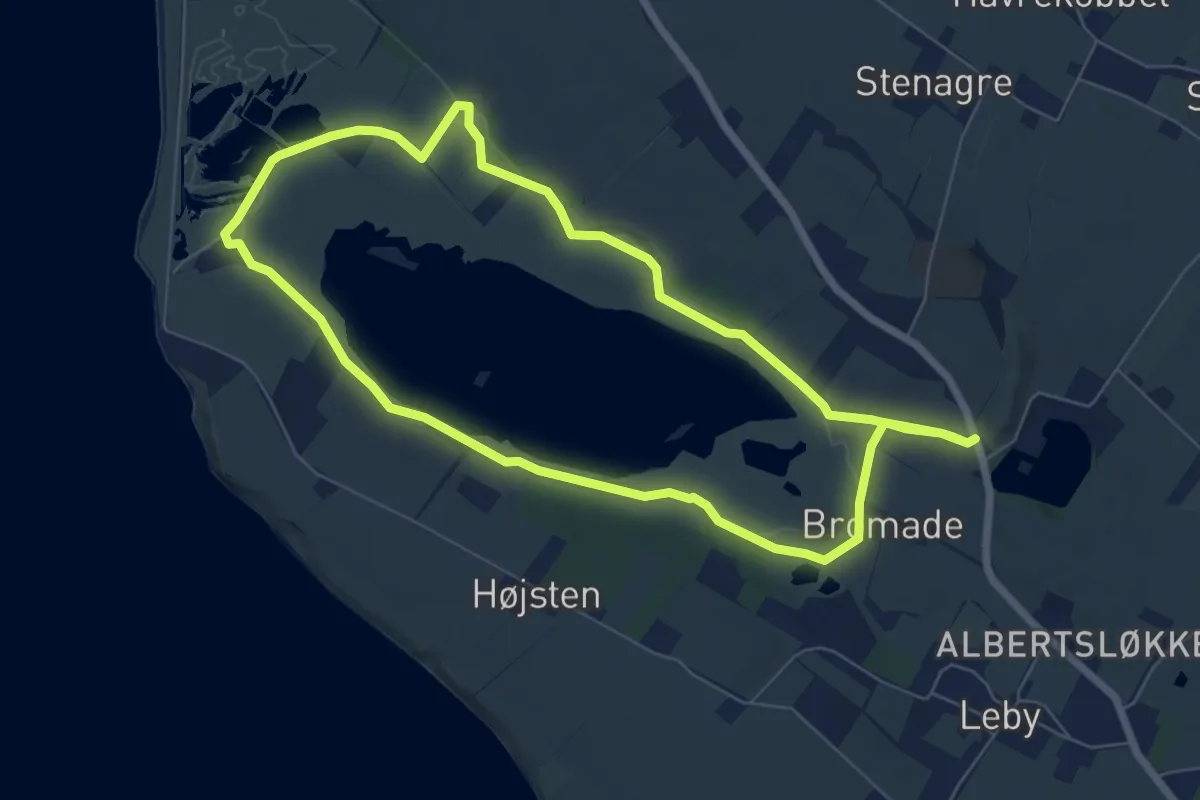
Easy · Trail
Vitsø rundtur
5.6 km · ↑ 14 m · 1 h 25 min
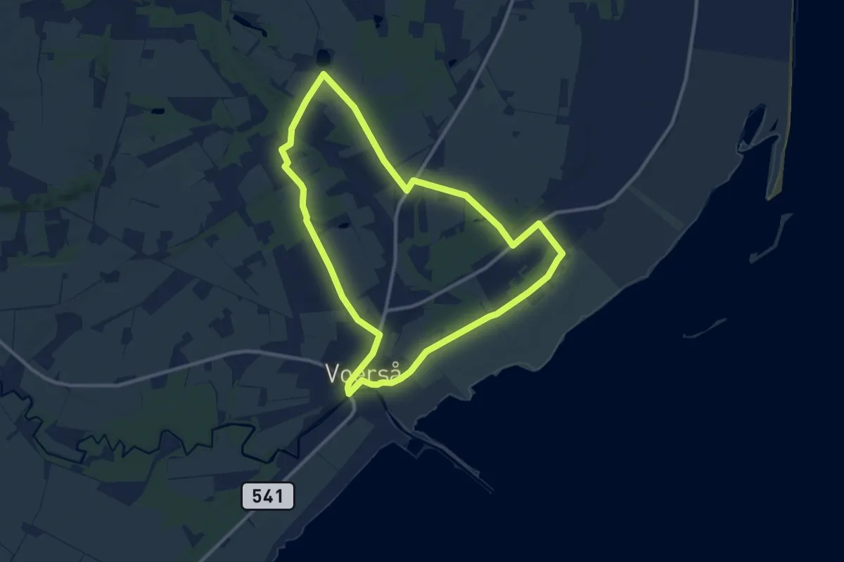
Medium · Trail
Voerså - Stensnæsruten
8.3 km · ↑ 26 m · 2 h 8 min
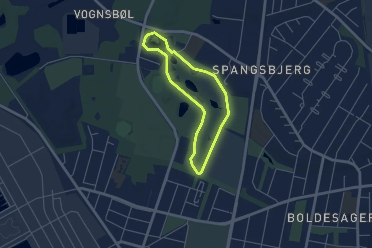
Easy · Trail
Vognsbøl - Grøn Energisti
2.6 km · ↑ 9 m · 41 min
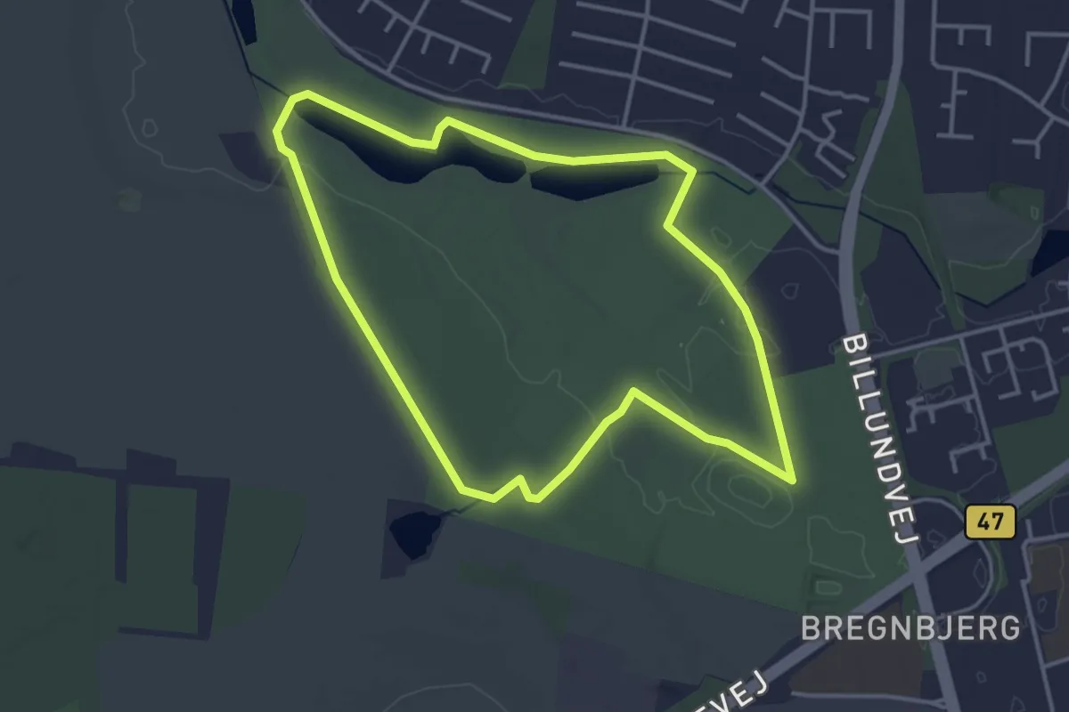
Easy · Trail
Vojens Hjertesti
3.1 km · ↑ 8 m · 48 min
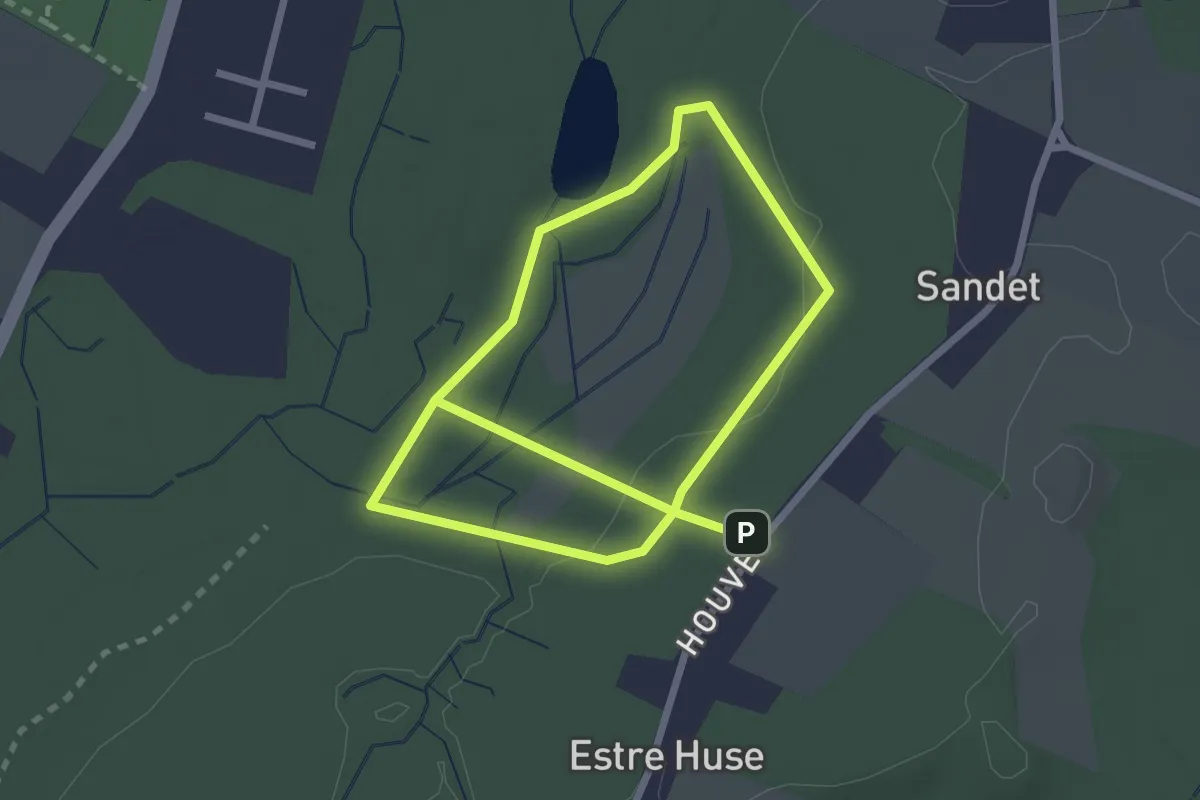
Easy · Summit
Vøjremosen rundtur
1.9 km · ↑ 9 m · 30 min
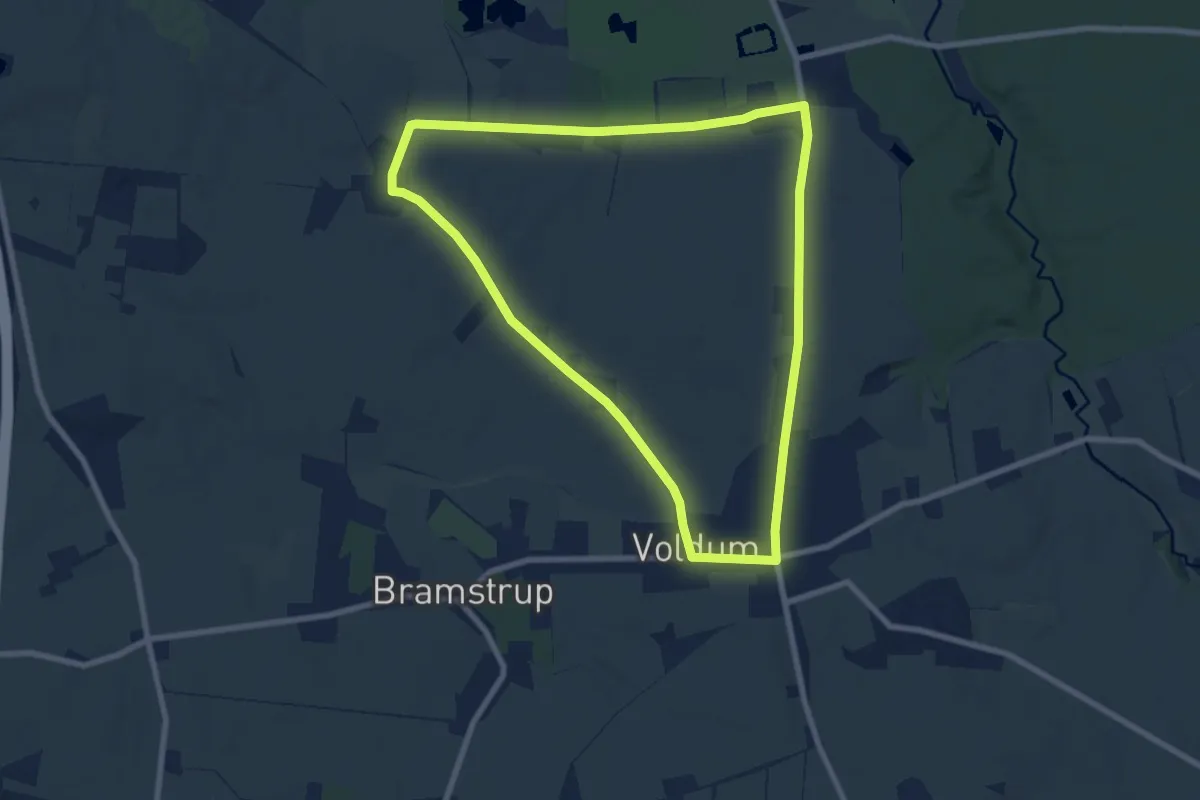
Easy · Trail
Voldum Gul rute
6.4 km · ↑ 30 m · 1 h 40 min
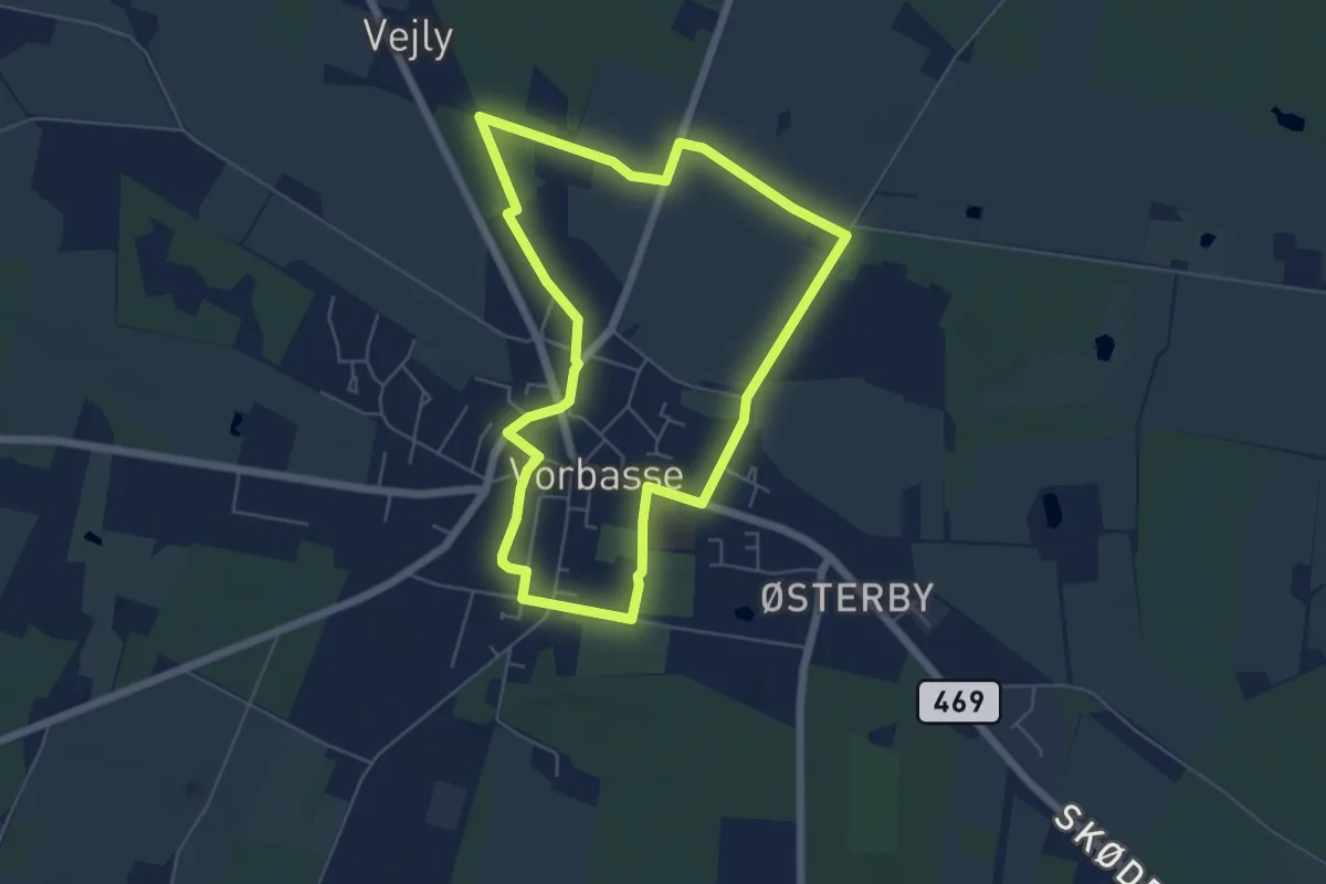
Easy · Trail
Vorbasse Hjertesti - Blå
4.5 km · ↑ 8 m · 1 h 9 min
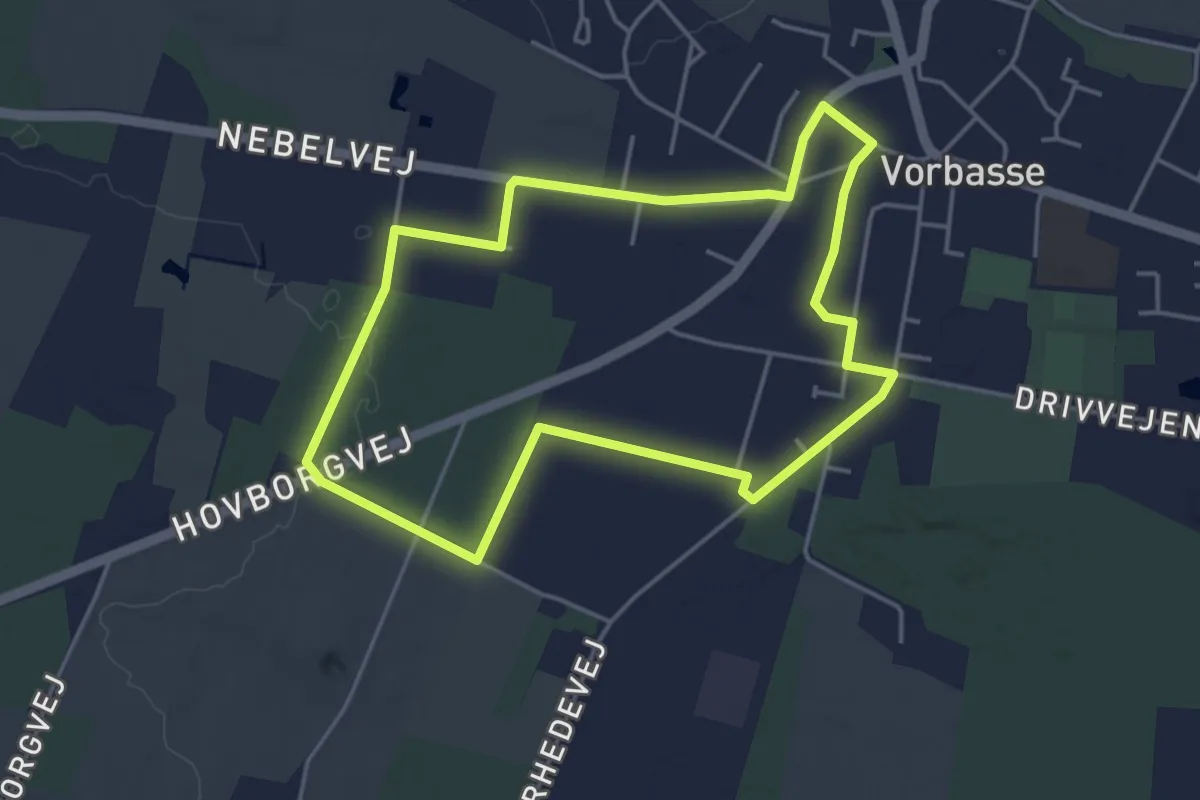
Easy · Trail
Vorbasse Hjertesti - Gul
3.4 km · ↑ 13 m · 53 min
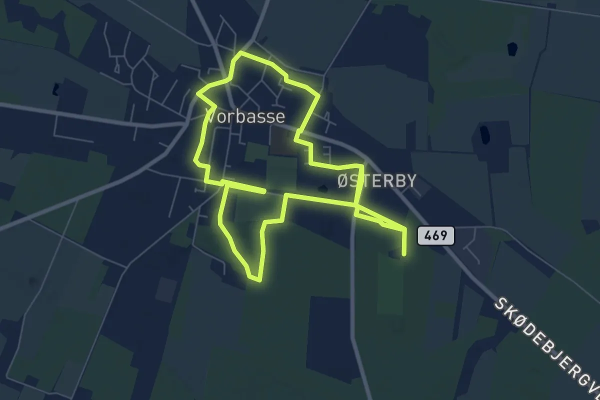
Medium · Trail
Vorbasse Hjertesti - Rød
11.5 km · ↑ 17 m · 2 h 44 min
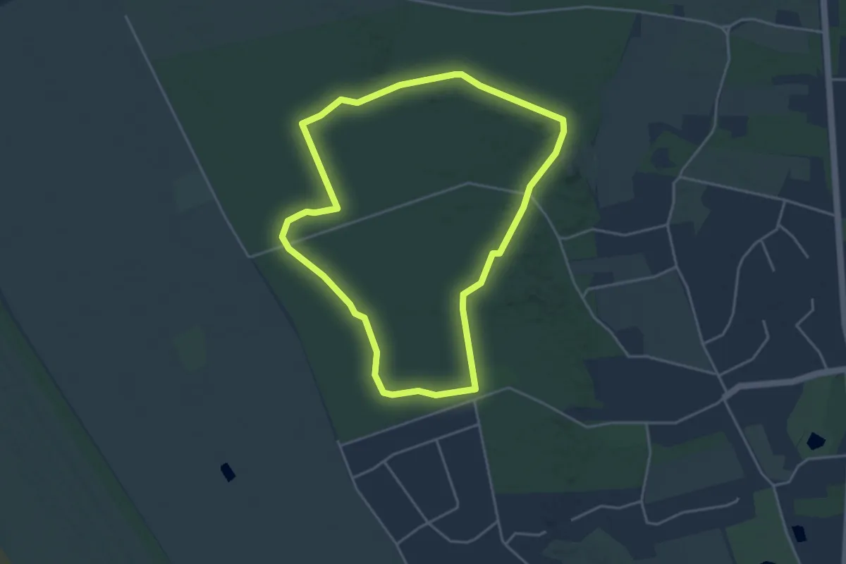
Easy · Summit
Vråby Plantage - gul rute
3.3 km · ↑ 0 m · 49 min
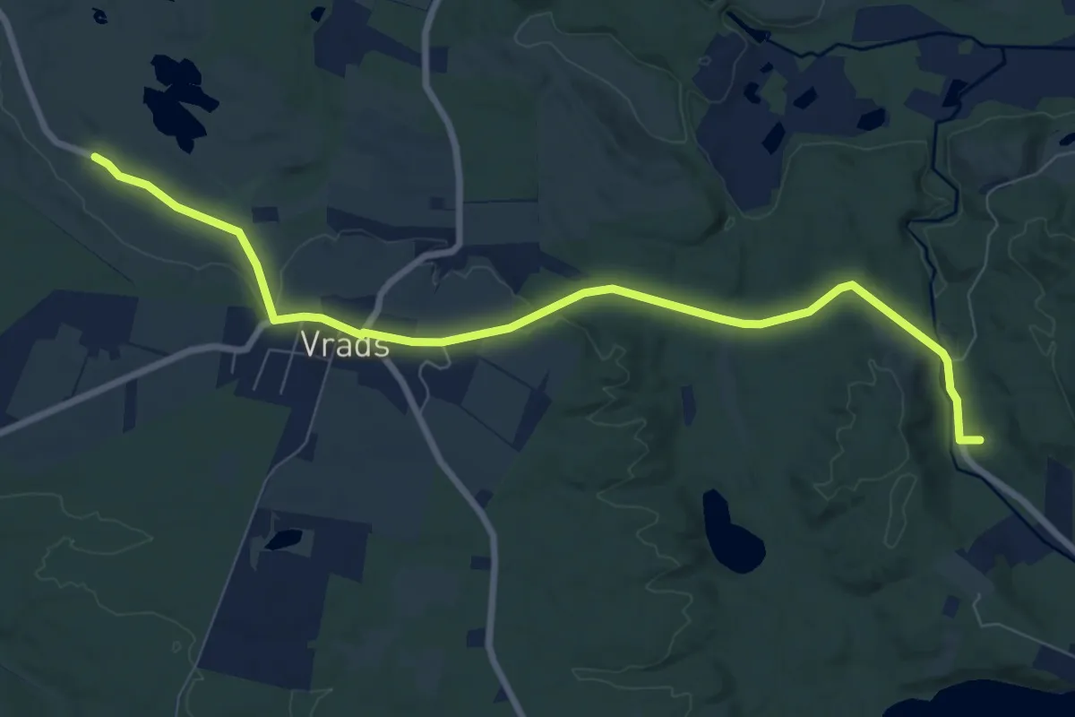
Easy · Trail
Vrads Sande til Lystrupminde
7.1 km · ↑ 114 m · 1 h 56 min
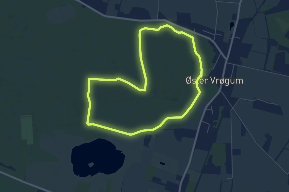
Easy · Trail
Vrøgum Ballon Park Hjertesti
4.7 km · ↑ 8 m · 1 h 12 min
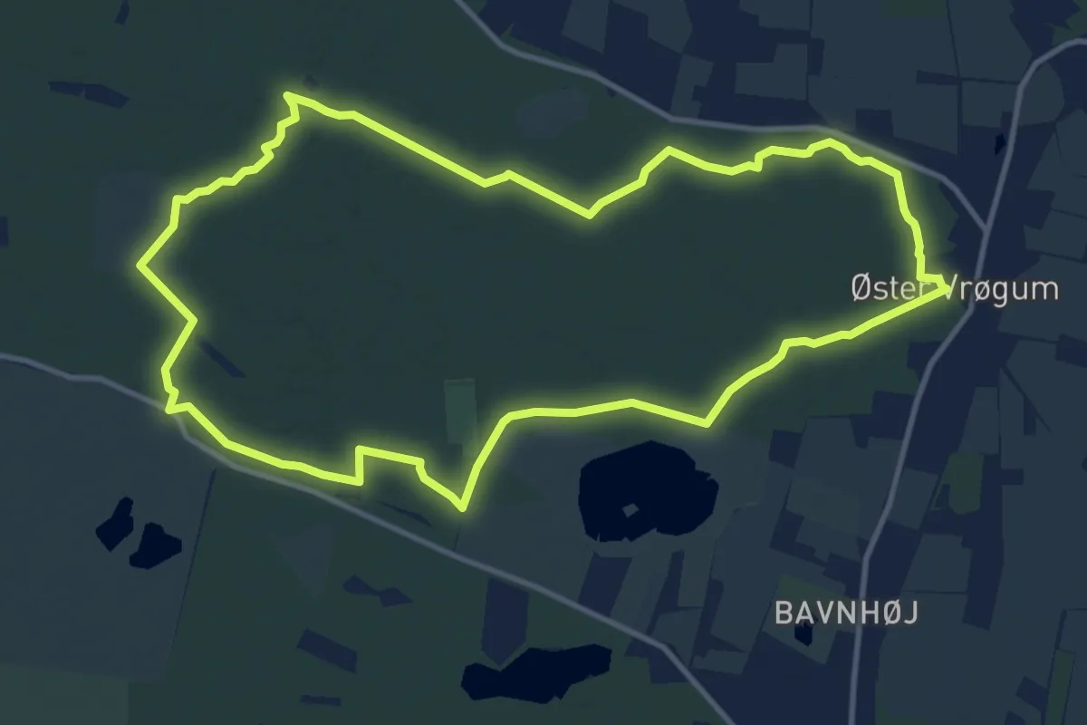
Medium · Trail
Vrøgum Klitplantage - Gul rute
9.8 km · ↑ 25 m · 2 h 30 min
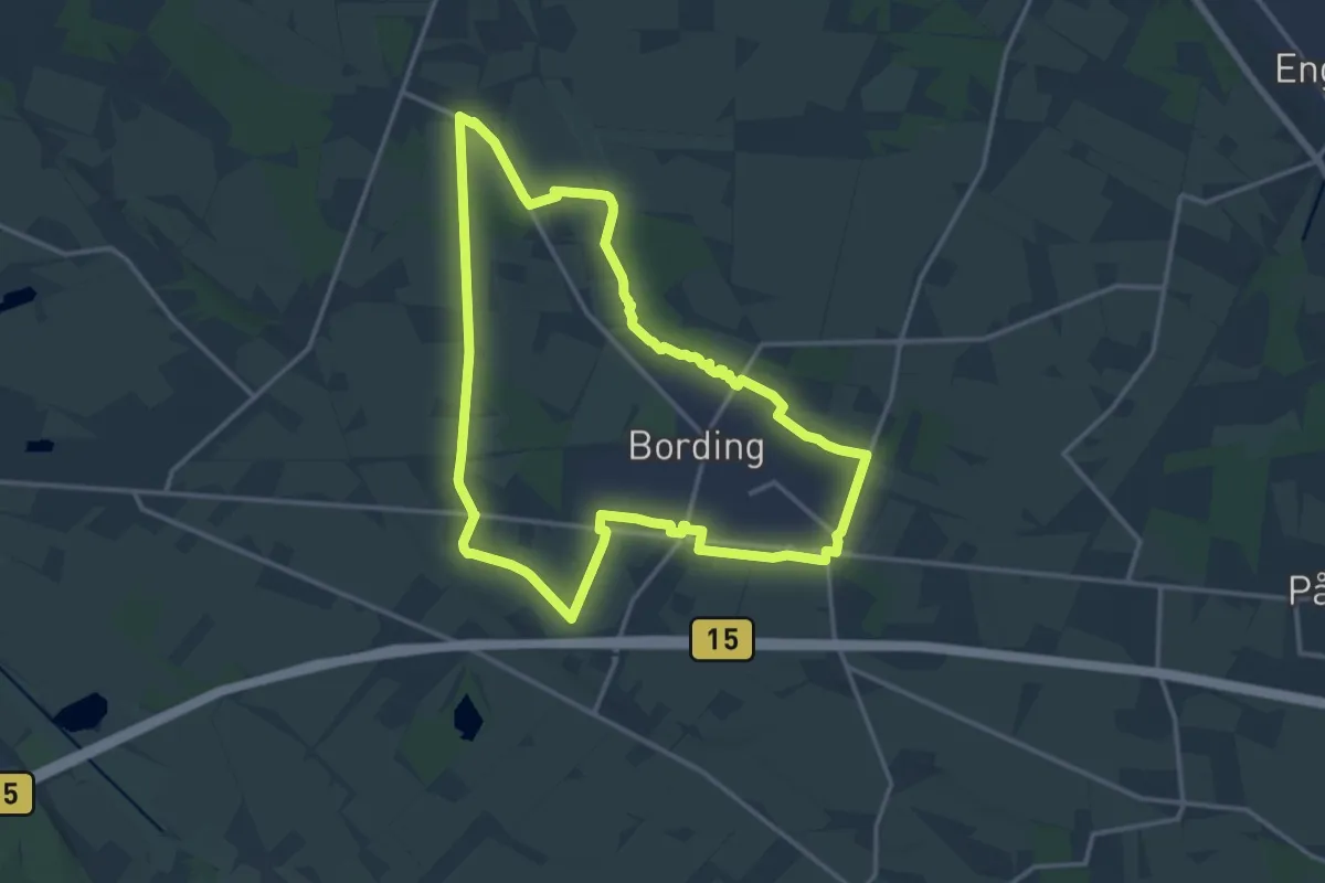
Medium · Trail
Ydre Sti Bording
12.2 km · ↑ 39 m · 3 h 7 min
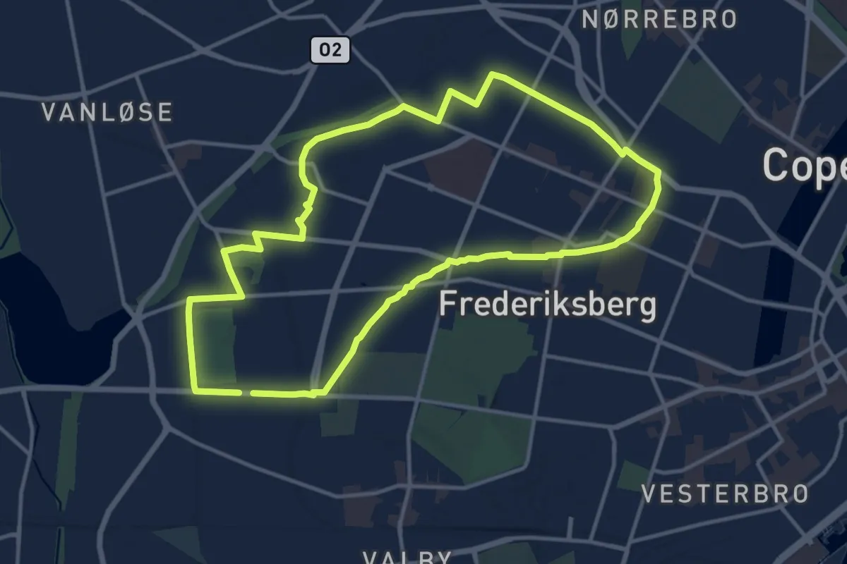
Medium · Trail
10'eren
9.9 km · ↑ 12 m · 2 h 30 min
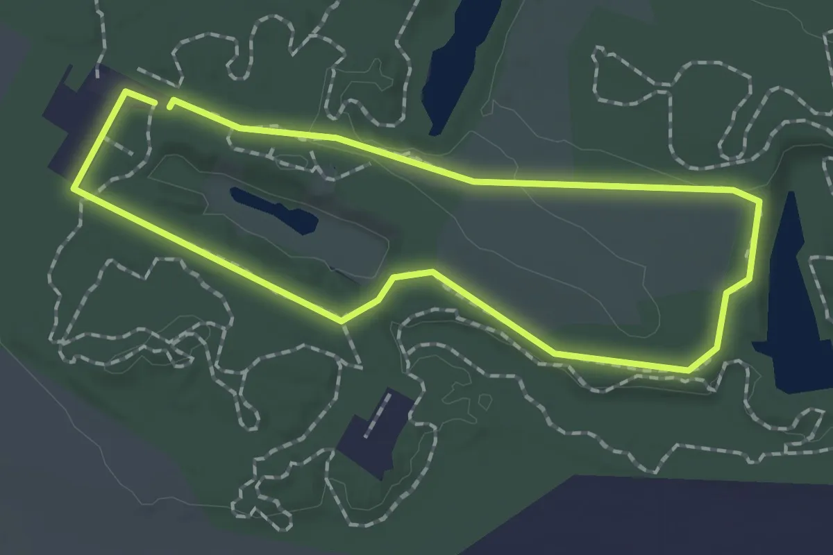
Easy · Trail
1,3 km kørestolsrute
1.3 km · ↑ 4 m · 20 min
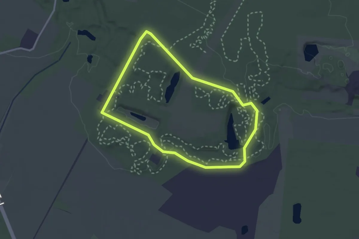
Easy · Trail
2 km rute
2.0 km · ↑ 20 m · 32 min
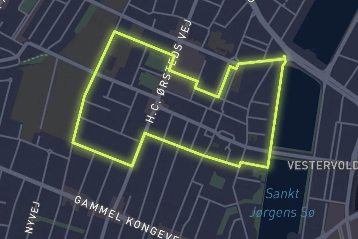
Easy · Trail
3'eren
3.1 km · ↑ 0 m · 47 min
Easy · Trail
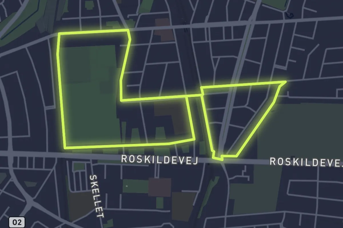
5'eren
4.1 km · ↑ 4 m · 1 h 3 min
Easy · Trail
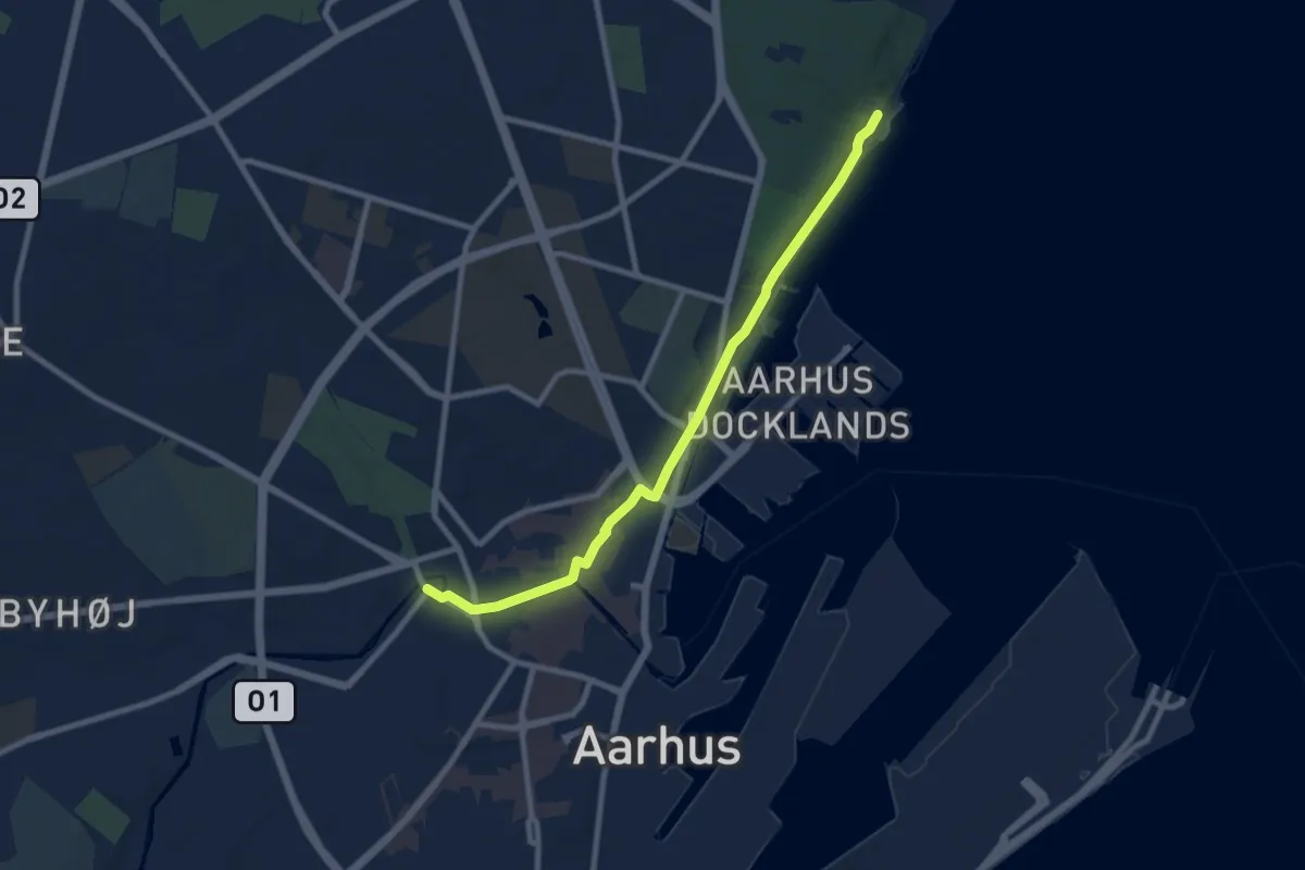
Molsruten – Vandreruten Aarhus-Silkeborg
7.1 km · ↑ 27 m · 1 h 44 min
Demanding · Trail
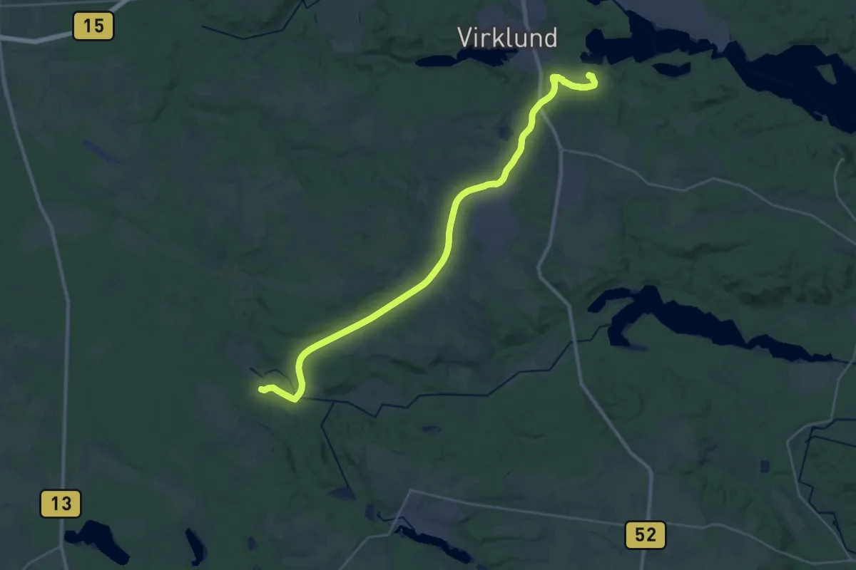
Vandreruten Aarhus-Silkeborg – Hærvejen
27.2 km · ↑ 227 m · 6 h 54 min