Trails near Aubenas
423 hikes starting within 15 km, nearest first.
Nearest first, page 2 of 9
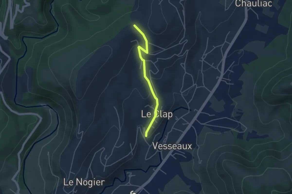
Easy · Trail
Les Reyniers - Lachamp
3.5 km · ↑ 136 m · 1 h 7 min · 5 km away
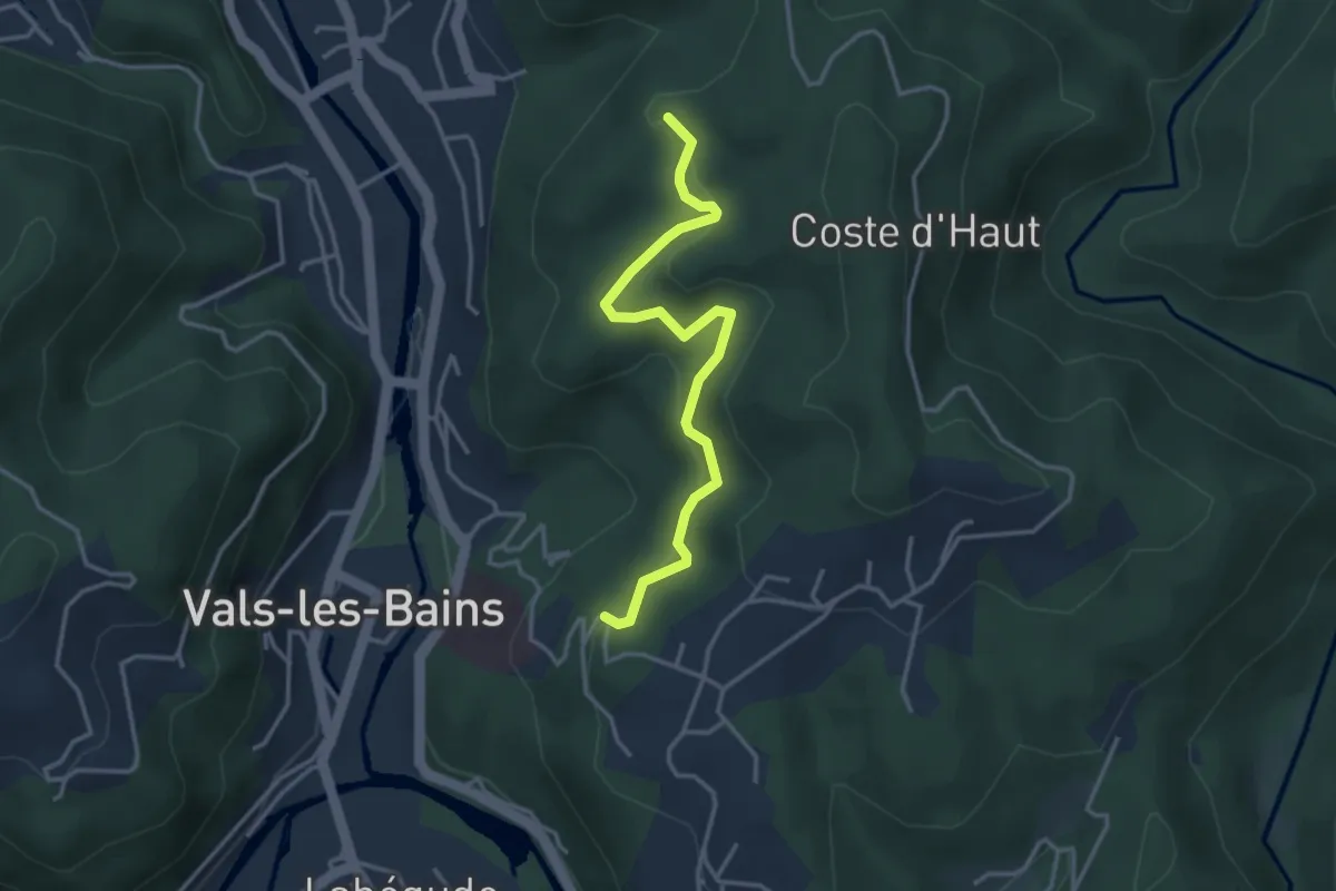
Easy · Trail
Bois Vert - Le Bosc
3.6 km · ↑ 150 m · 1 h 11 min · 5 km away
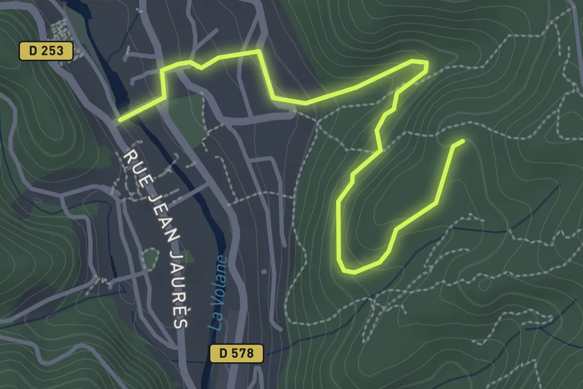
Easy · Trail
Vals les Bains - Le Bosc
3.8 km · ↑ 187 m · 1 h 18 min · 5 km away
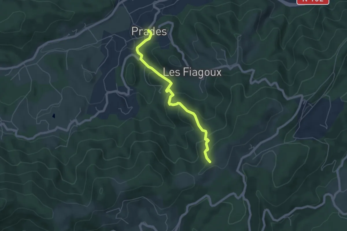
Easy · Trail
Prades - Montferou
5.0 km · ↑ 267 m · 1 h 45 min · 5 km away
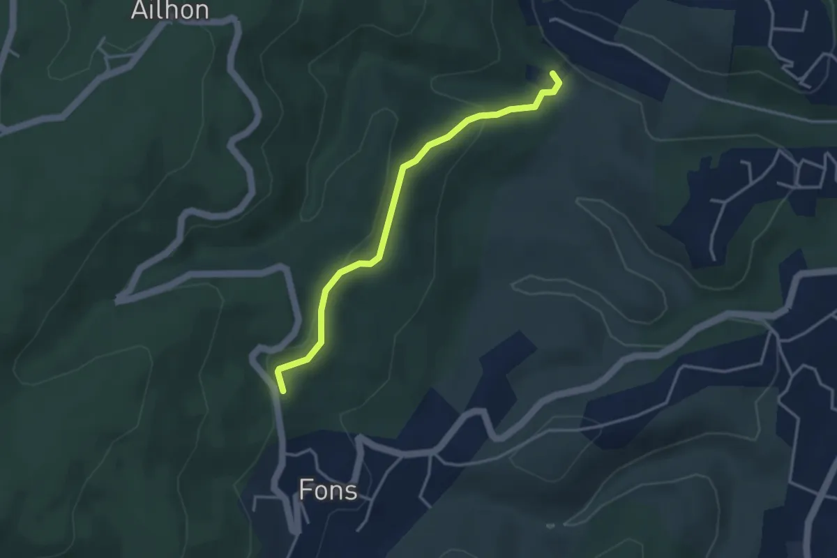
Easy · Trail
Gaude Haut - Le Bouchet
3.4 km · ↑ 123 m · 1 h 3 min · 5 km away
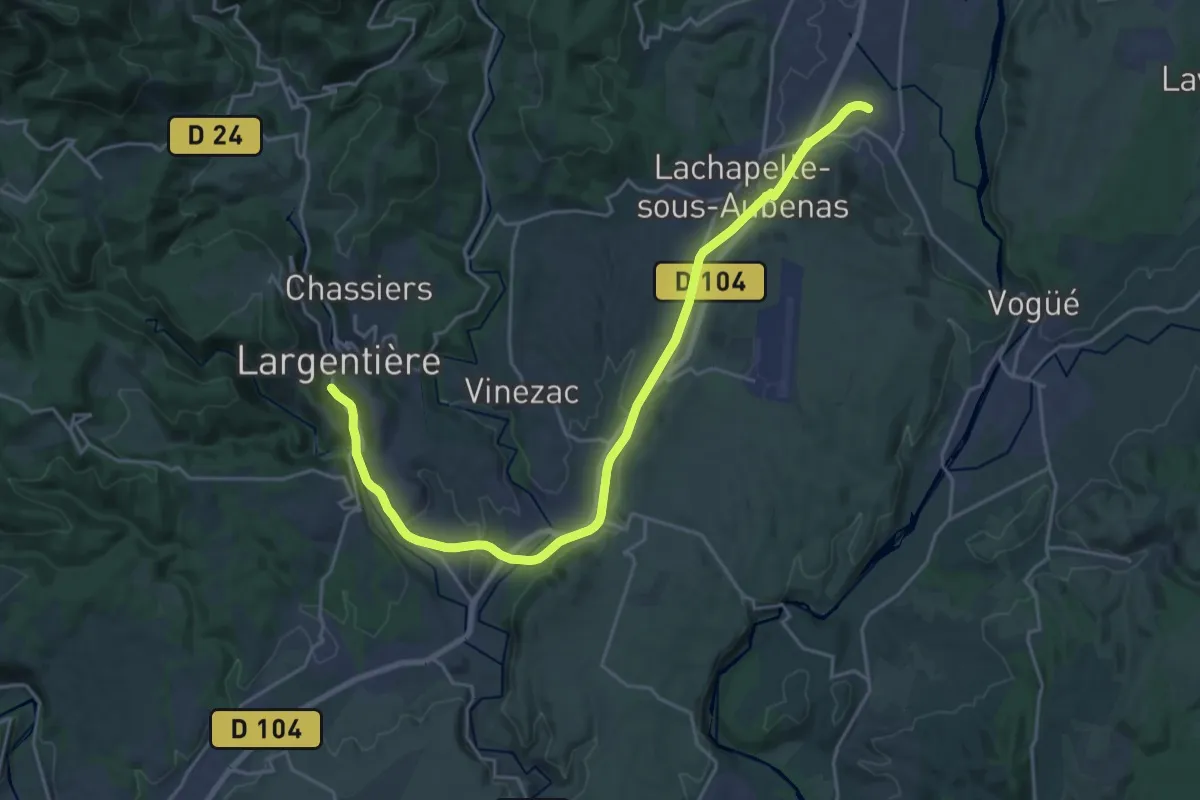
Demanding · Trail
Voie Verte de L'Argentière à Saint-Sernin
25.5 km · ↑ 323 m · 6 h 43 min · 5 km away
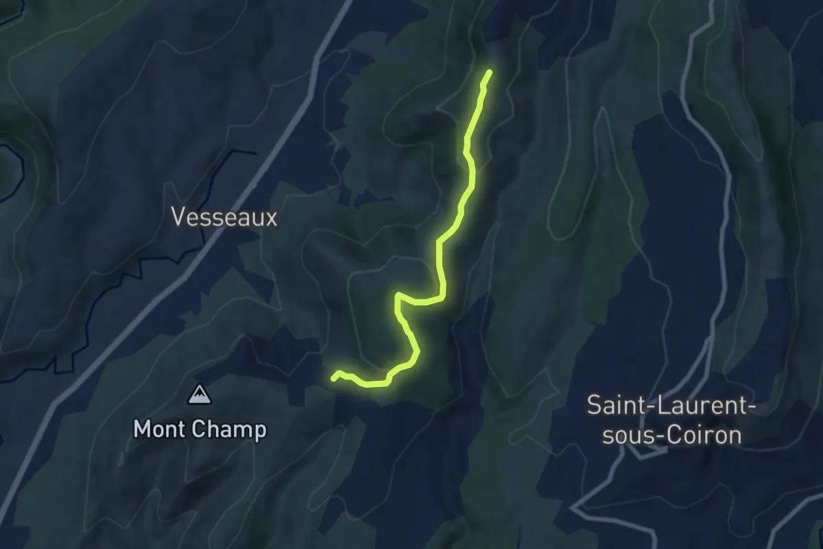
Easy · Trail
Croix de l'Houme - La Chéoune
6.6 km · ↑ 199 m · 1 h 59 min · 5 km away
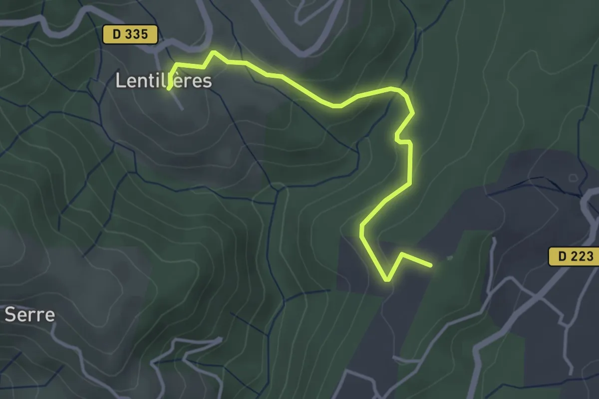
Easy · Trail
Daüs - L'École
3.7 km · ↑ 117 m · 1 h 7 min · 5 km away
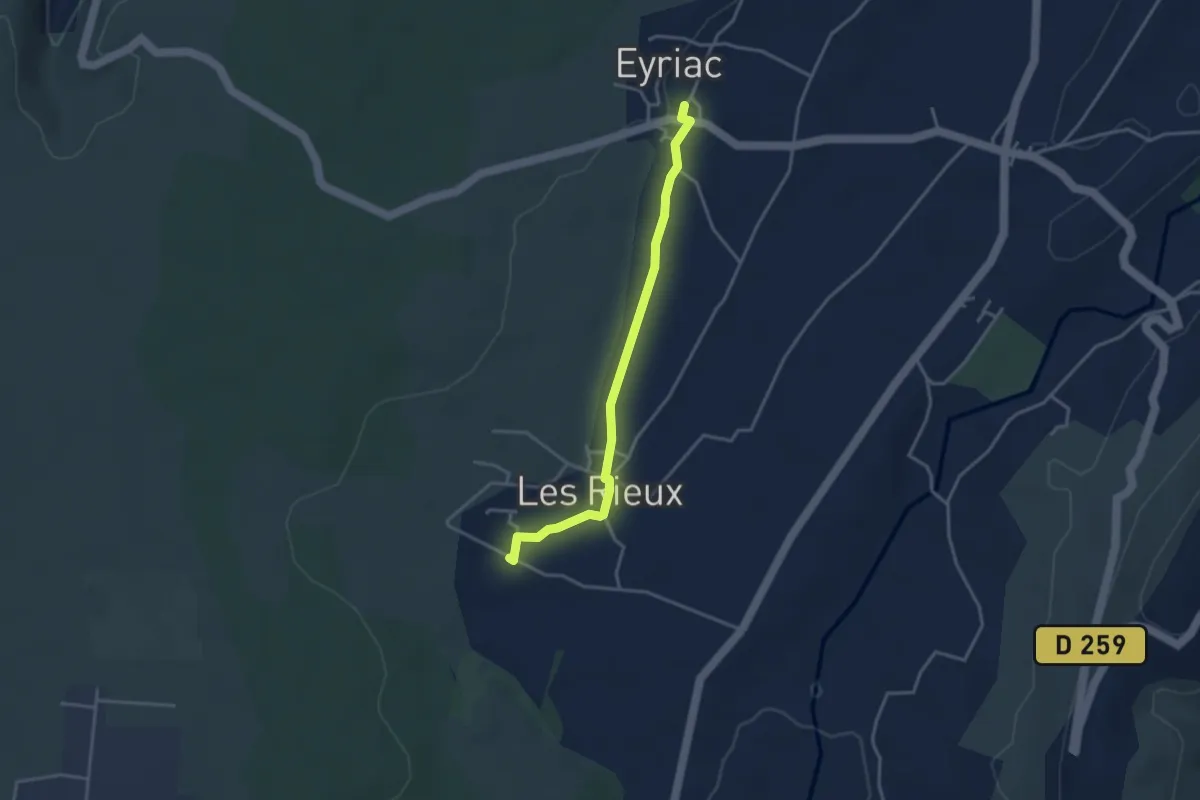
Easy · Trail
Mias - Eyriac
3.5 km · ↑ 35 m · 54 min · 5 km away
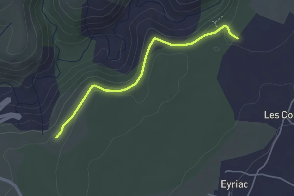
Easy · Trail
Bois Gardette - Issard de Madame
3.3 km · ↑ 146 m · 1 h 6 min · 6 km away
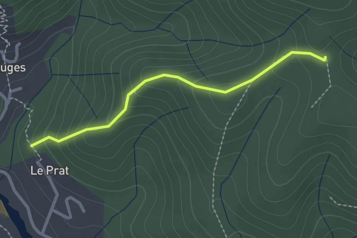
Easy · Trail
Le Pra Haut - Coulet de Tesseaux
2.0 km · ↑ 131 m · 46 min · 6 km away
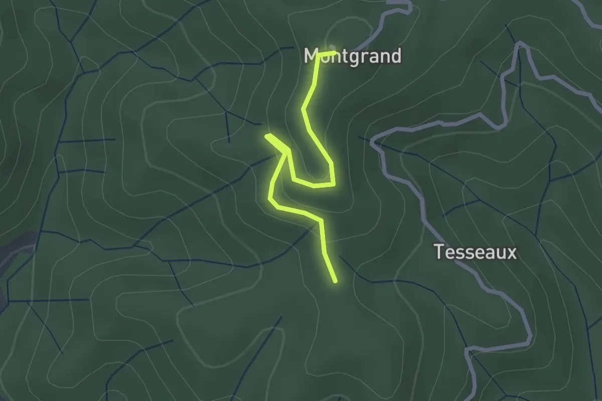
Easy · Trail
Coulet de Tesseaux - Montgrand
2.2 km · ↑ 86 m · 42 min · 6 km away
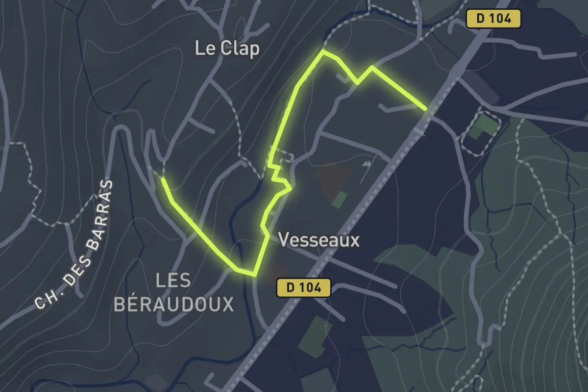
Easy · Trail
Vesseaux - Les Reyniers
2.3 km · ↑ 41 m · 38 min · 6 km away
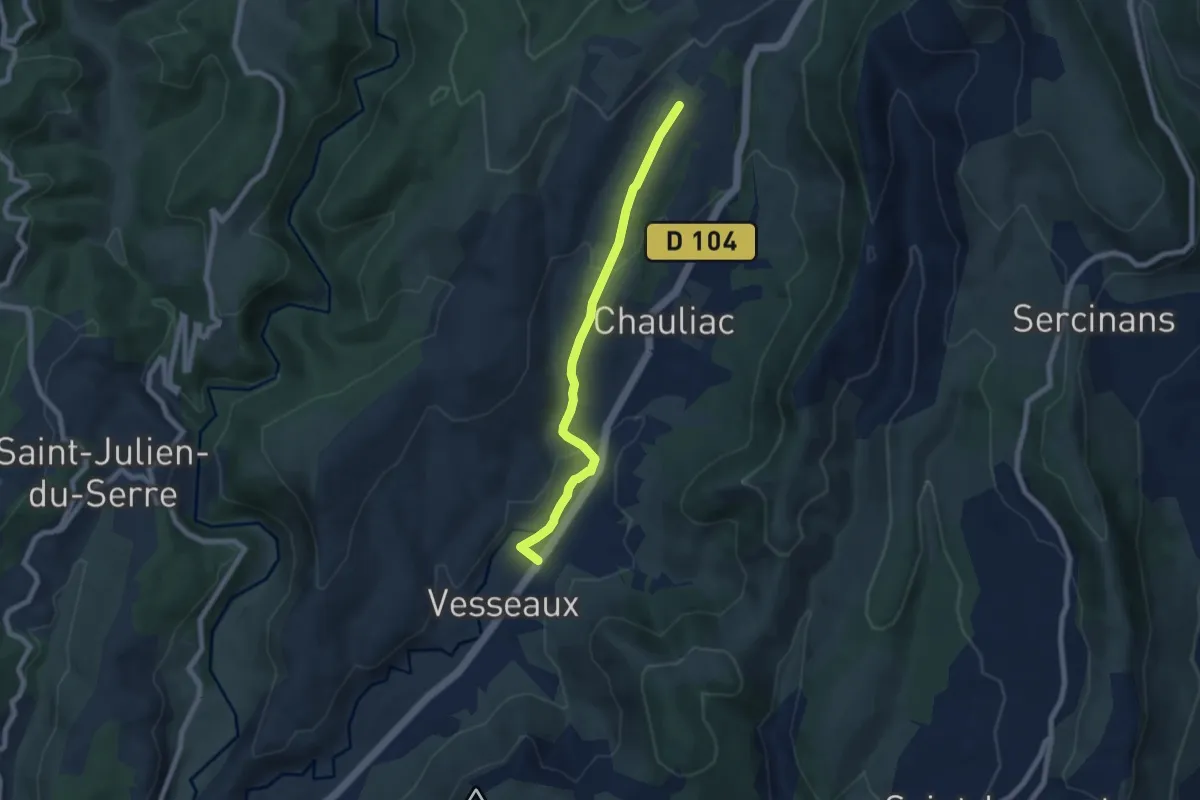
Easy · Trail
Vesseaux - Le Fauger
6.9 km · ↑ 195 m · 2 h 3 min · 6 km away
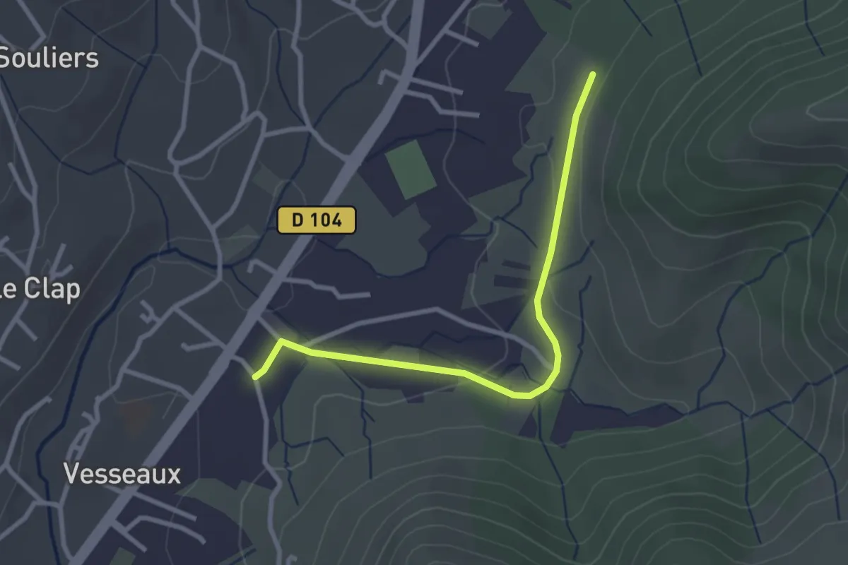
Easy · Trail
Le Peyrou - Les Planchettes
2.8 km · ↑ 44 m · 46 min · 6 km away
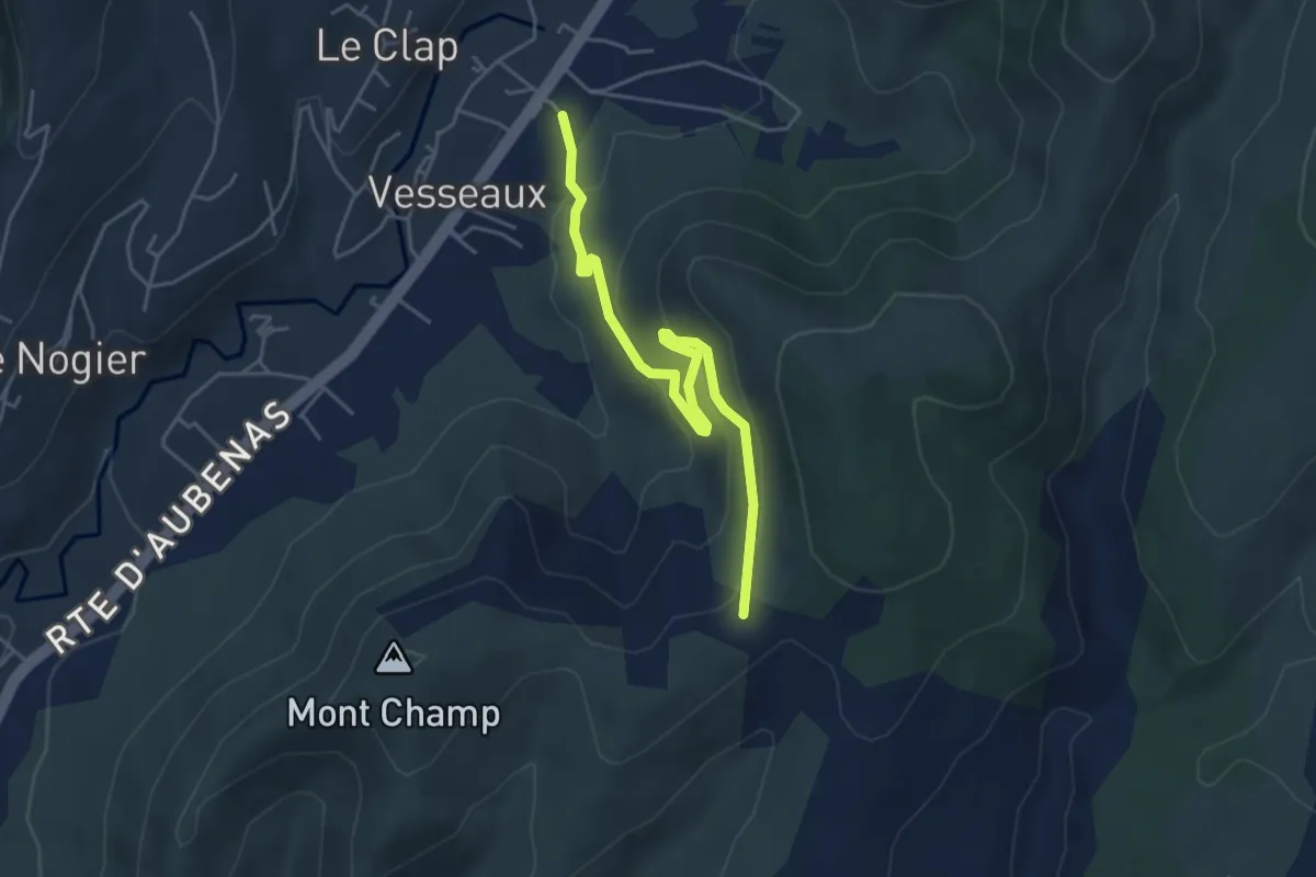
Easy · Trail
Le Peyrou - Croix de l'Houme
4.8 km · ↑ 238 m · 1 h 39 min · 6 km away
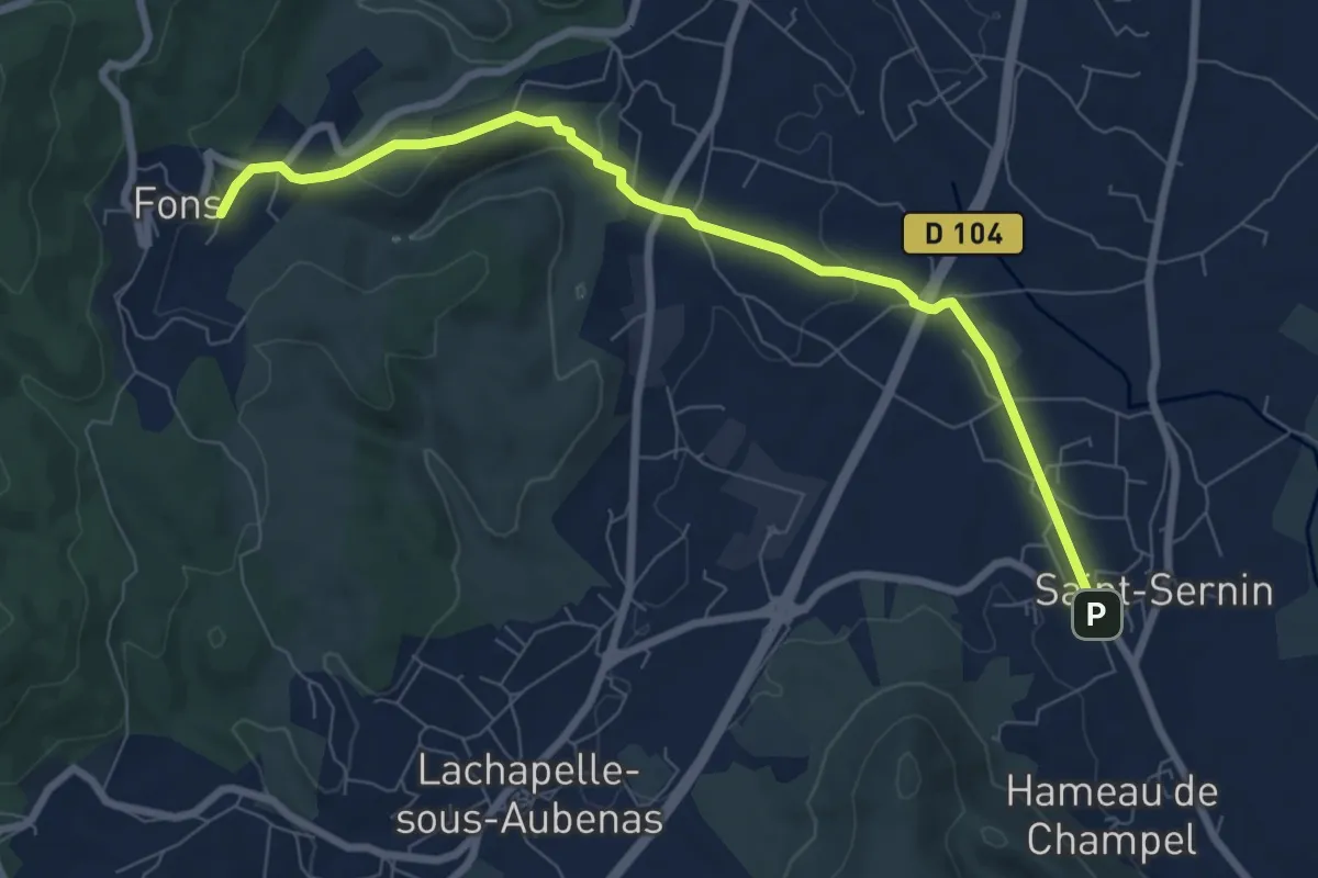
Medium · Trail
Saint-Sernin - Croix du Trible
8.4 km · ↑ 166 m · 2 h 20 min · 6 km away
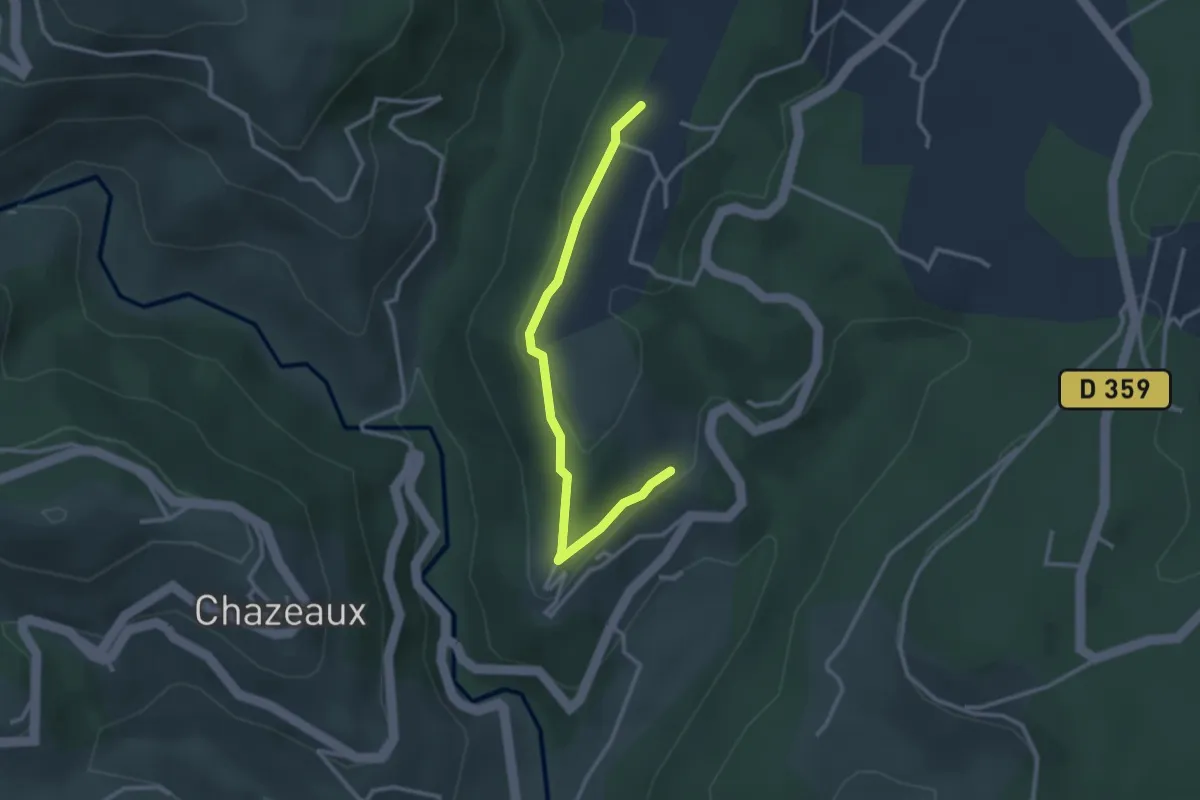
Easy · Trail
Le Meygris - Le Plantier
3.0 km · ↑ 97 m · 55 min · 6 km away
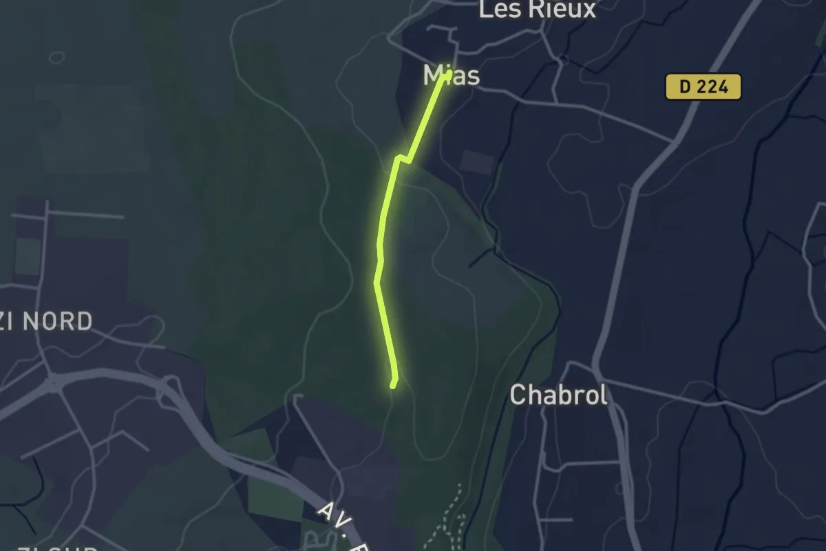
Easy · Trail
Mias - Les Taillades
2.2 km · ↑ 33 m · 36 min · 6 km away
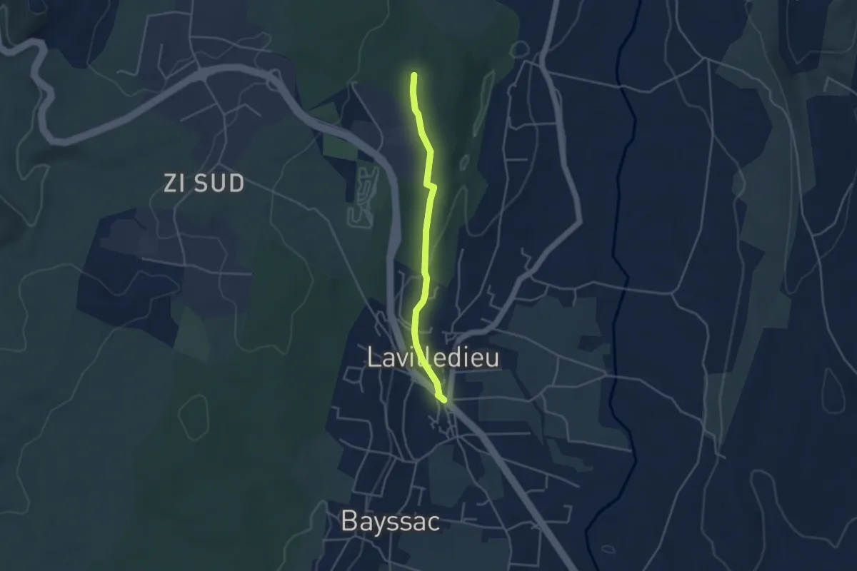
Easy · Trail
Lavilledieu (Le Feu) - Les Taillades
3.6 km · ↑ 50 m · 57 min · 6 km away
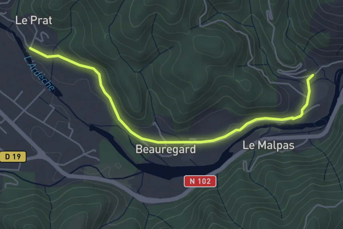
Easy · Trail
Arlix - Le Pra
4.9 km · ↑ 61 m · 1 h 18 min · 6 km away
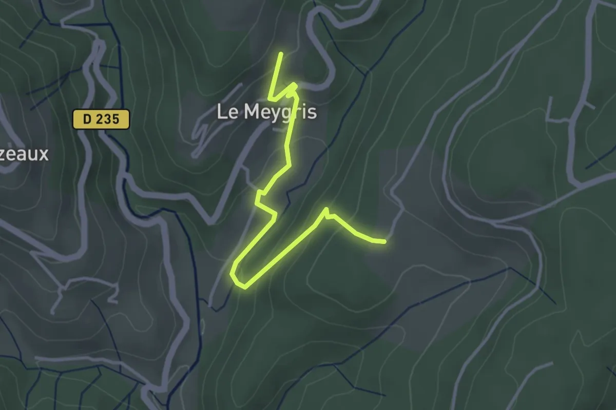
Easy · Trail
Le Meygris - Les Granges de Védignac
3.4 km · ↑ 190 m · 1 h 14 min · 6 km away
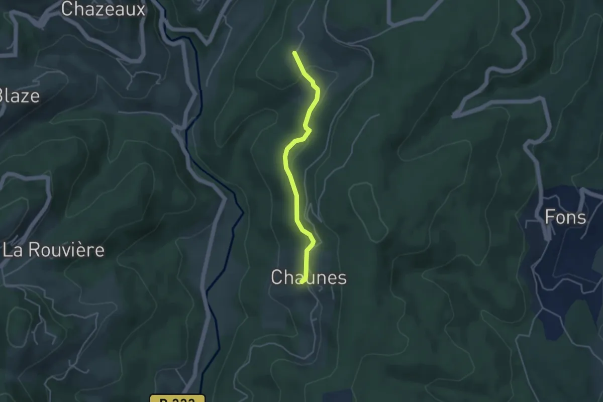
Easy · Trail
Chaunes - Les Granges de Védignac
3.4 km · ↑ 86 m · 1 h · 6 km away
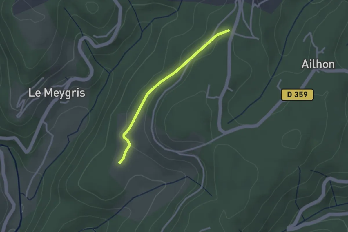
Easy · Trail
Les Granges de Védignac - Vidal Guerin
2.2 km · ↑ 43 m · 37 min · 6 km away
Easy · Trail
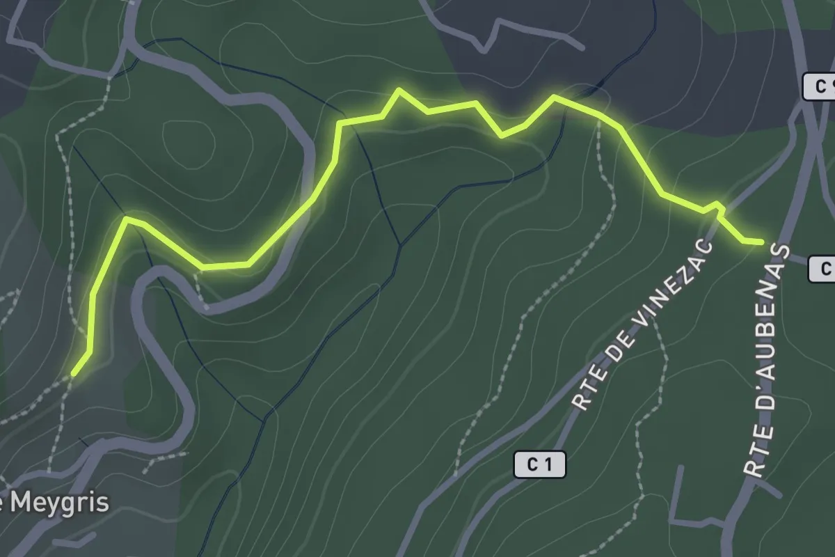
Le Meygris - Vidal Guerin
3.0 km · ↑ 84 m · 53 min · 6 km away
Easy · Trail
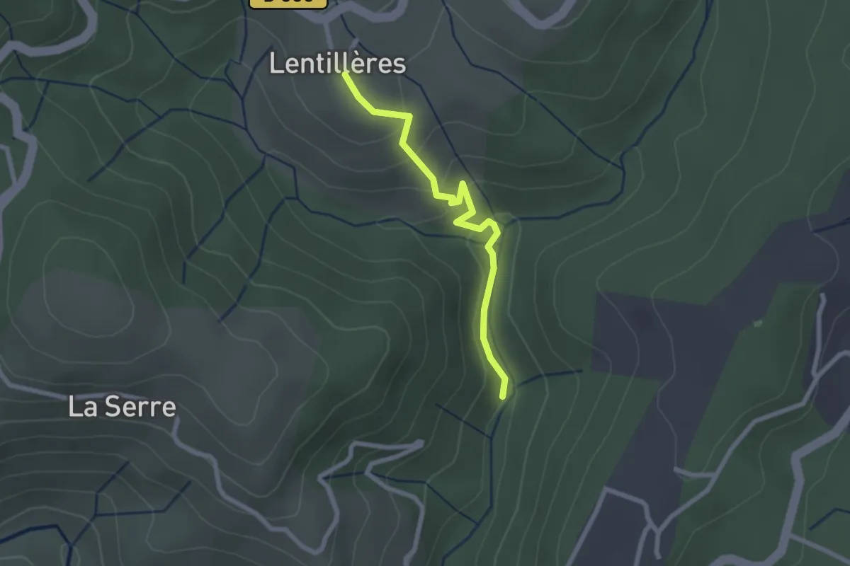
Pont d'Aigueneyre - L'École
2.2 km · ↑ 118 m · 46 min · 6 km away
Easy · Trail
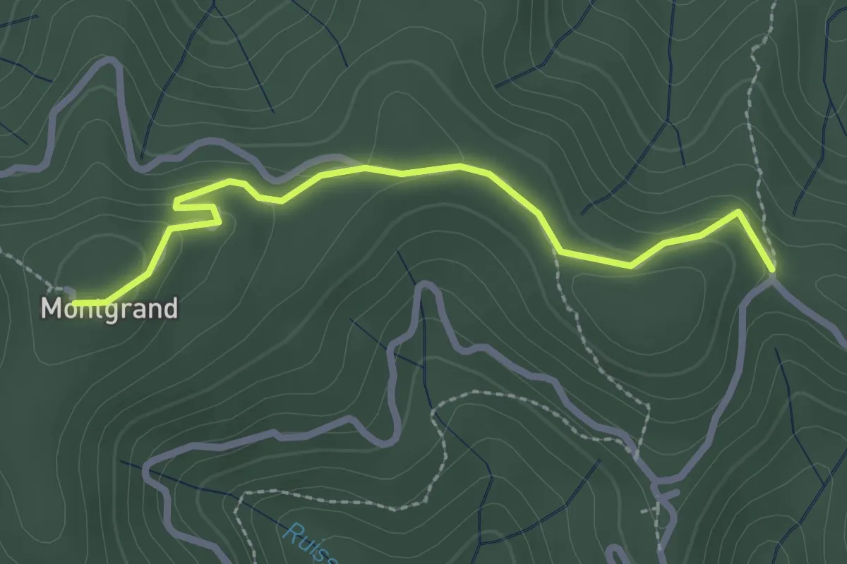
Col de Longe Serre - Montgrand
2.5 km · ↑ 69 m · 44 min · 6 km away
Easy · Trail
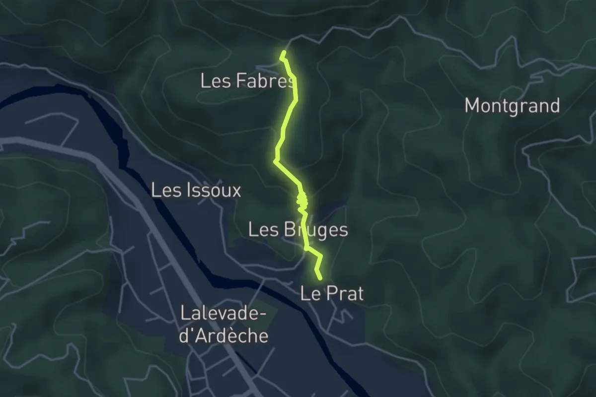
Le Pra Haut - Col de la Loube
2.8 km · ↑ 147 m · 58 min · 6 km away
Easy · Trail
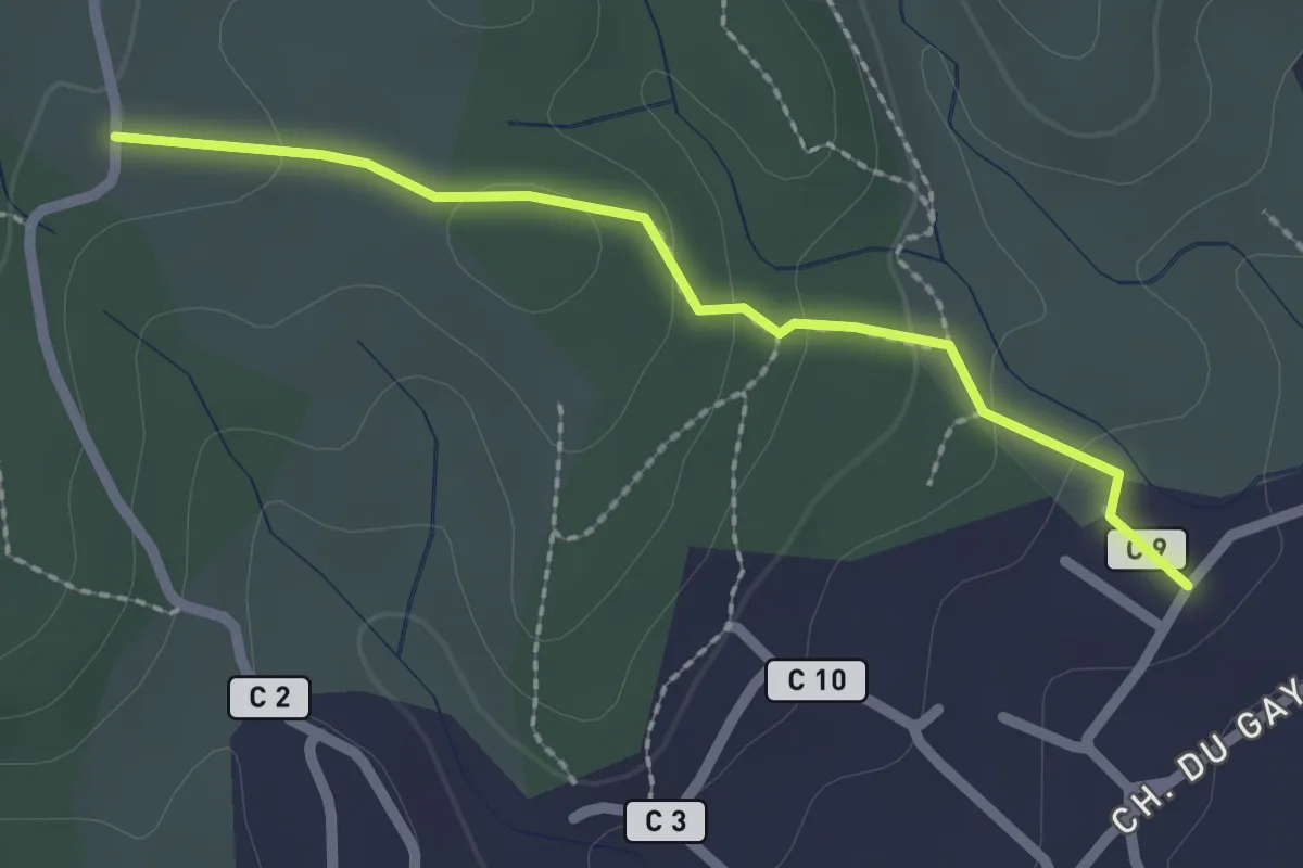
Les Faysses - Les Plantades
2.2 km · ↑ 74 m · 41 min · 6 km away
Easy · Trail
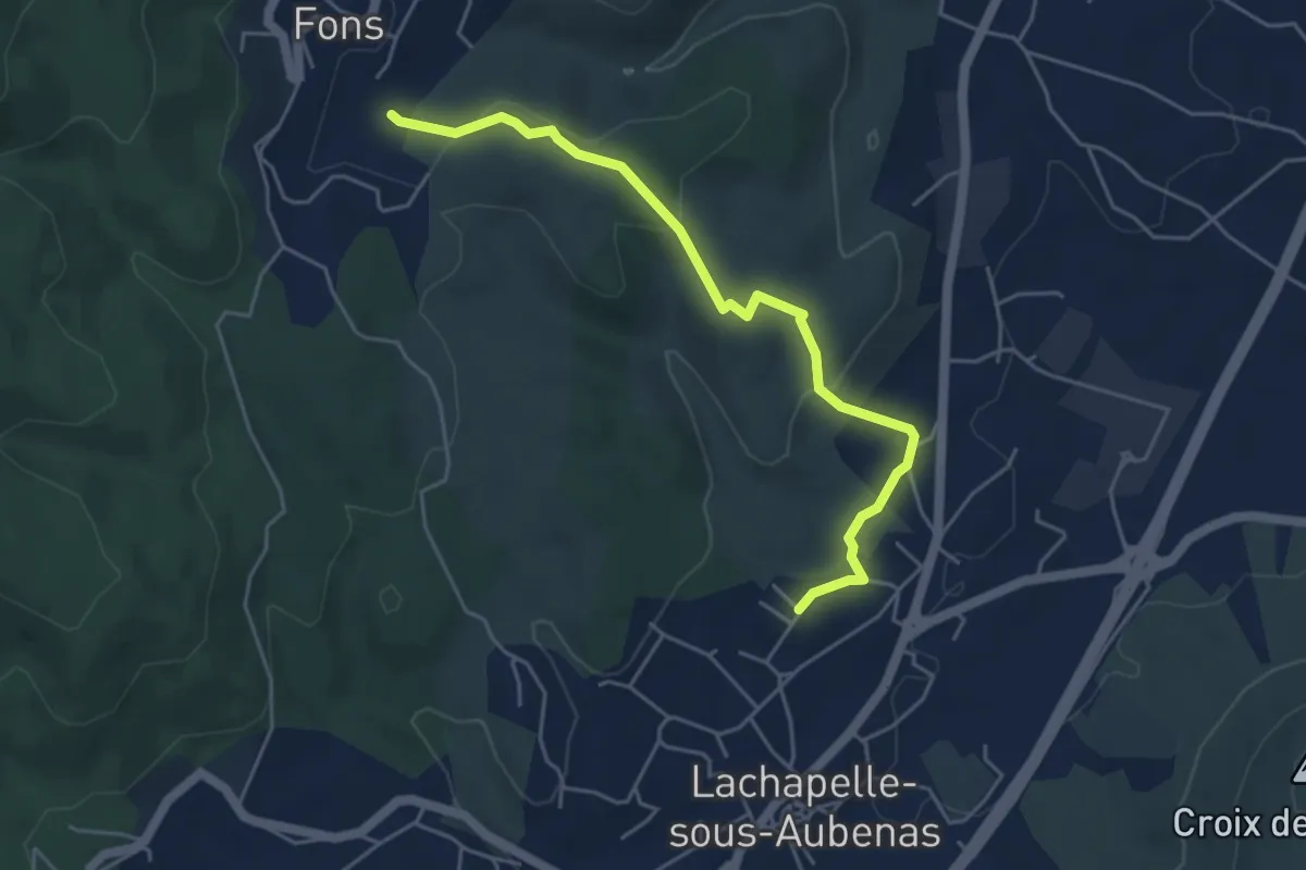
Les Faysses - Le Plantier
5.1 km · ↑ 133 m · 1 h 30 min · 6 km away
Easy · Trail
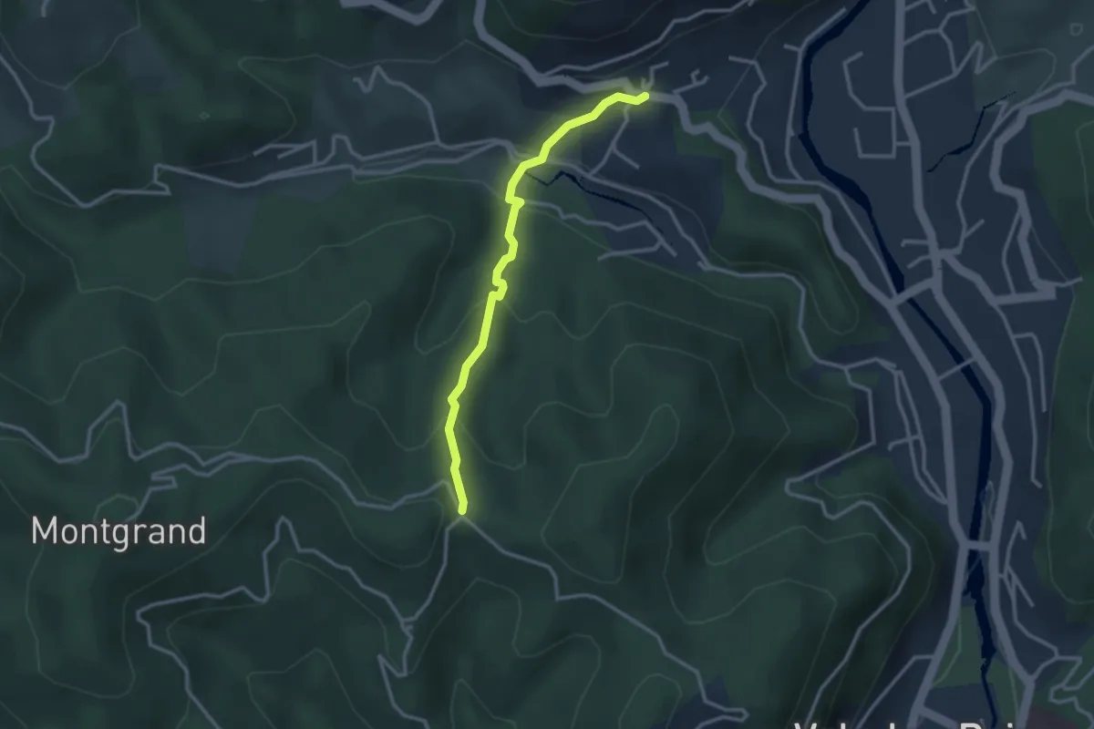
Col d'Autuche - Col de Longe Serre
2.8 km · ↑ 182 m · 1 h 3 min · 6 km away
Easy · Trail
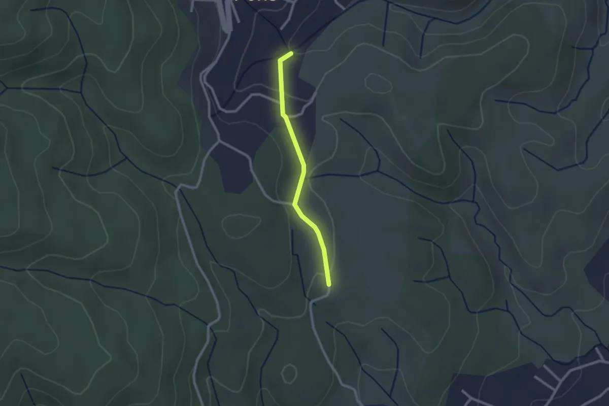
Le Plantier - Les Plantades
2.0 km · ↑ 39 m · 34 min · 6 km away
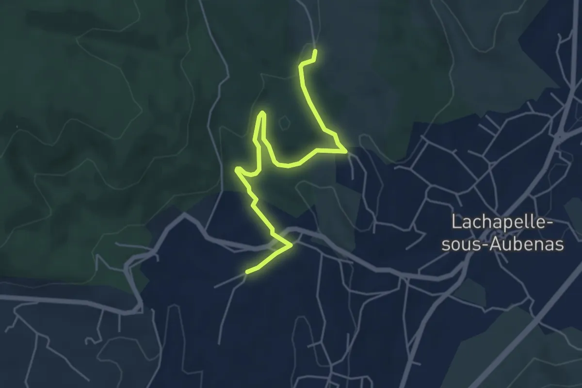
Easy · Trail
Soudournas - Les Plantades
4.9 km · ↑ 141 m · 1 h 28 min · 6 km away
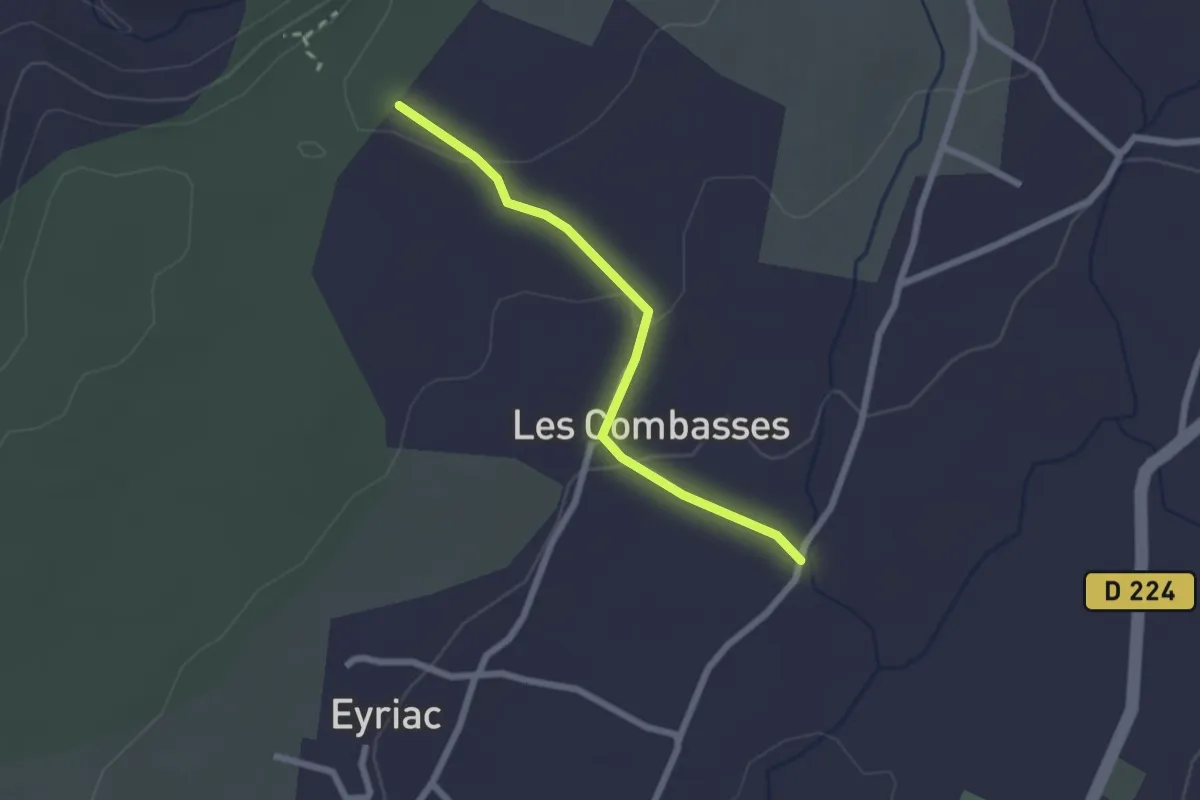
Easy · Trail
Les Combasses - Issard de Madame
2.2 km · ↑ 50 m · 37 min · 6 km away
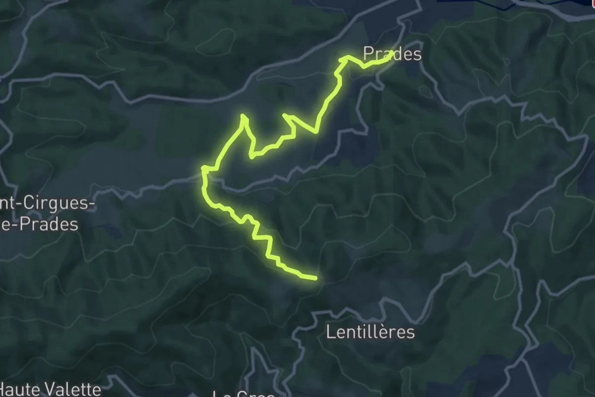
Medium · Trail
Prades - Les Perringues
11.7 km · ↑ 527 m · 3 h 54 min · 6 km away
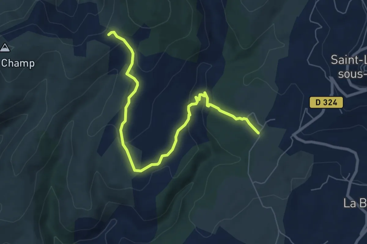
Easy · Trail
Séveniers - Croix de l'Houme
6.9 km · ↑ 218 m · 2 h 7 min · 6 km away
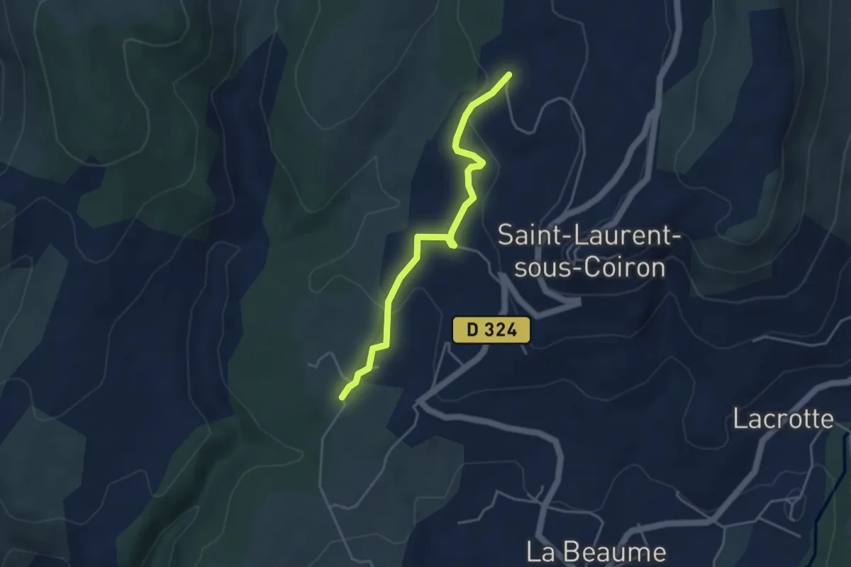
Easy · Trail
Séveniers - Perret
3.9 km · ↑ 90 m · 1 h 7 min · 6 km away
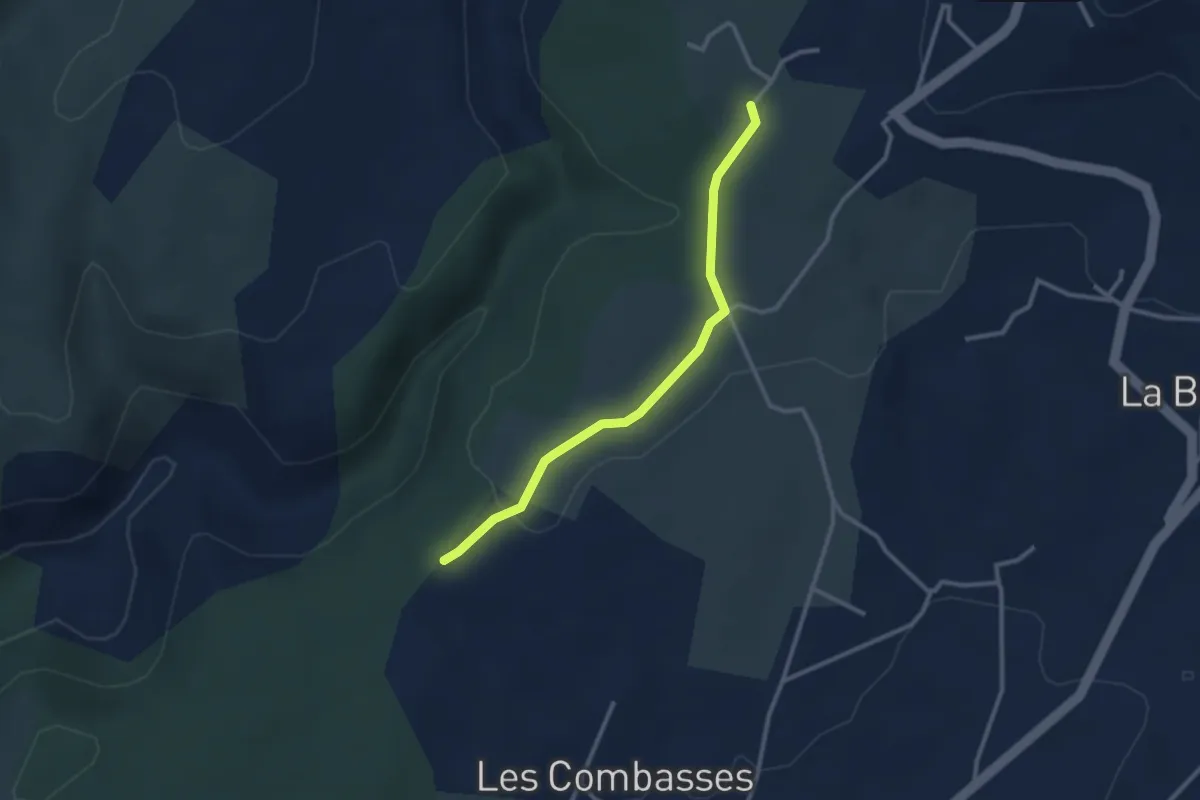
Easy · Trail
Issard de Madame - Séveniers
2.8 km · ↑ 32 m · 44 min · 6 km away
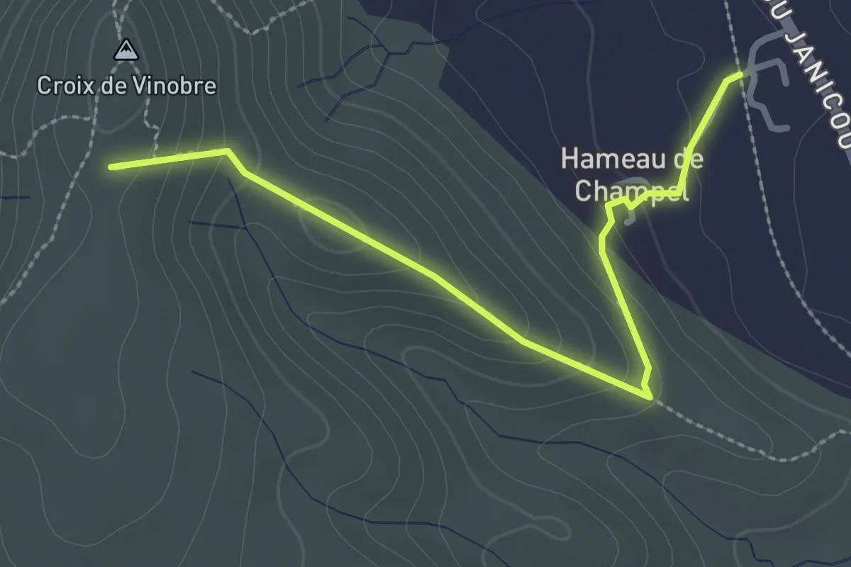
Easy · Trail
Champel - Vinobre
2.9 km · ↑ 191 m · 1 h 6 min · 6 km away
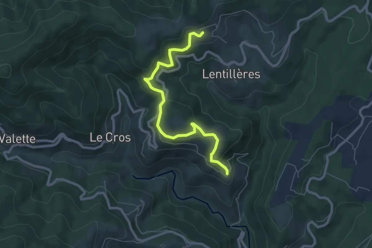
Easy · Trail
Fabrias - Le Village
6.1 km · ↑ 283 m · 2 h 3 min · 6 km away
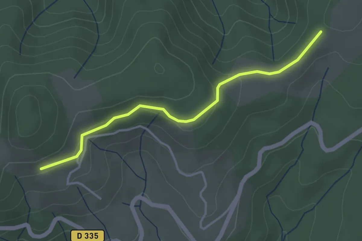
Easy · Trail
Montferou - Le Village Haut
3.3 km · ↑ 93 m · 59 min · 6 km away
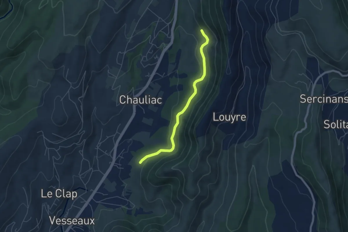
Easy · Trail
Les Planchettes - Les Grands Champs
5.2 km · ↑ 135 m · 1 h 32 min · 7 km away
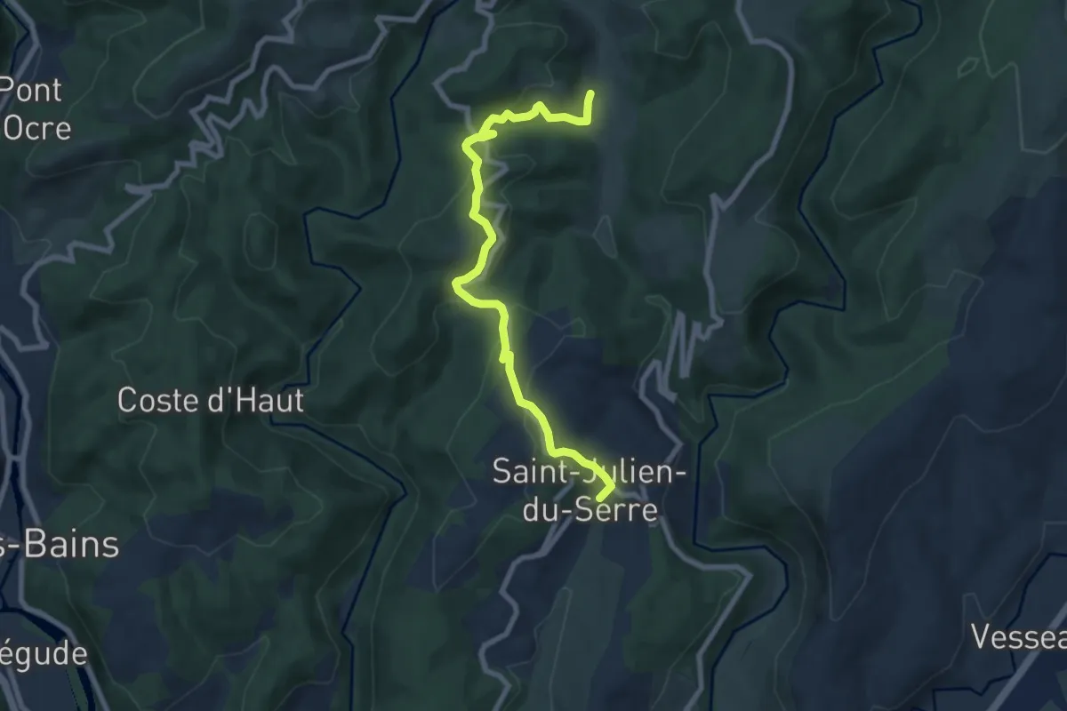
Easy · Trail
Le Moulin des Prés - Le Patio
7.9 km · ↑ 293 m · 2 h 30 min · 7 km away
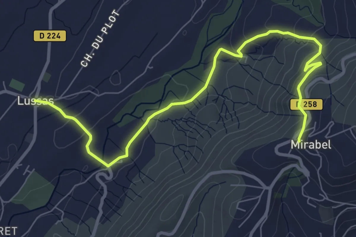
Easy · Trail
Lussas - Mirabel
7.9 km · ↑ 245 m · 2 h 23 min · 7 km away
Easy · Trail
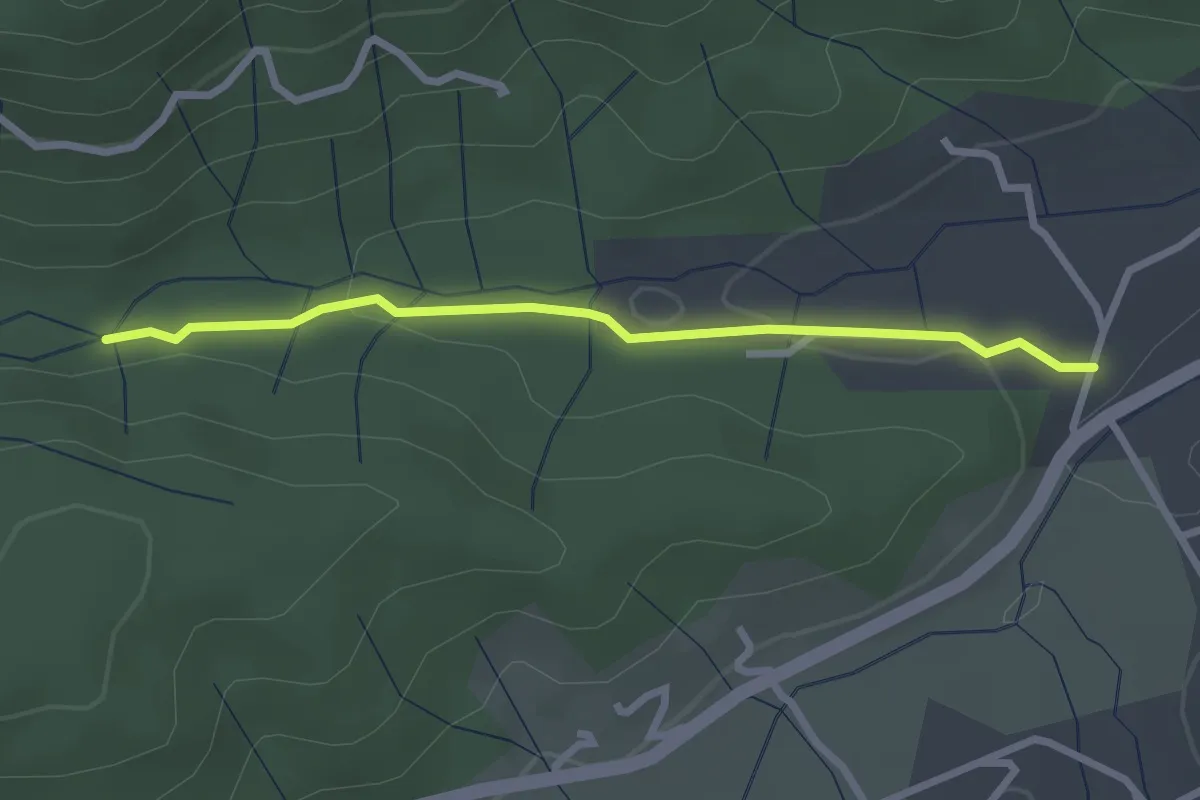
Le Pont de Prades - Le Chambon
2.6 km · ↑ 42 m · 43 min · 7 km away
Easy · Trail
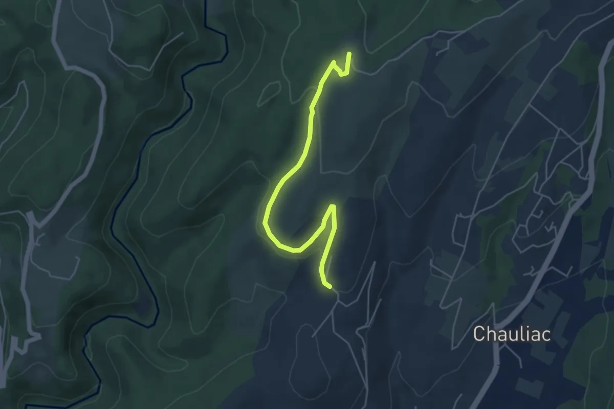
Berlandier - Le Taillé
4.9 km · ↑ 101 m · 1 h 23 min · 7 km away
Easy · Trail
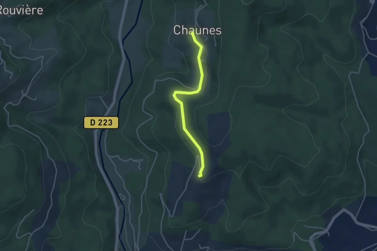
Chaunes - Merzelet Ouest
3.2 km · ↑ 67 m · 54 min · 7 km away
Easy · Trail
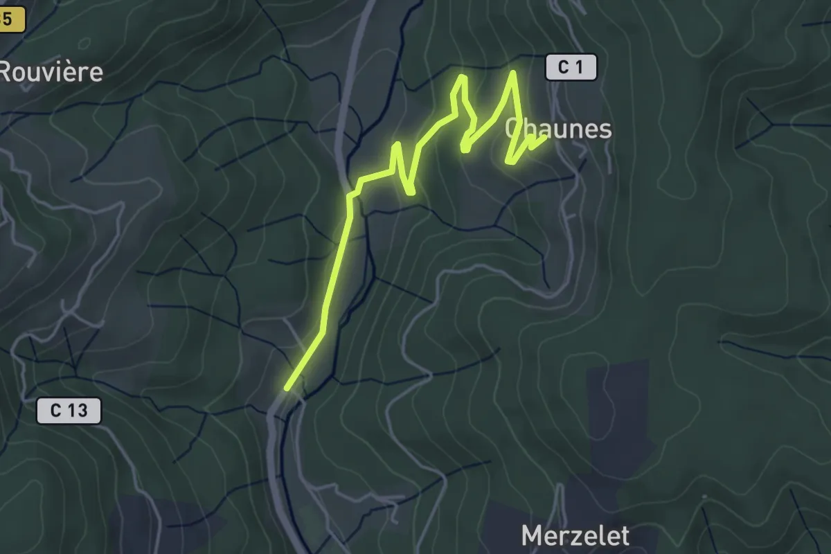
Moulin de Landes - Chaunes
5.1 km · ↑ 139 m · 1 h 30 min · 7 km away