Trails near Aubenas
423 hikes starting within 15 km, nearest first.
Nearest first, page 3 of 9
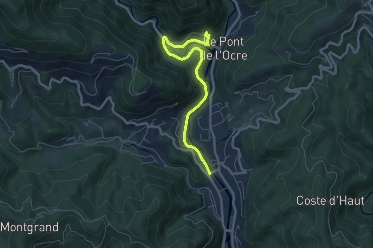
Easy · Trail
Vals les Bains - Les Granges
6.0 km · ↑ 214 m · 1 h 52 min · 7 km away
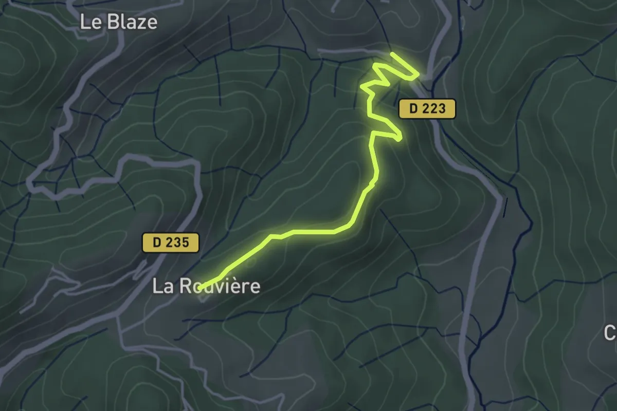
Easy · Trail
Pont de Charbonnier - La Rouvière
3.8 km · ↑ 132 m · 1 h 11 min · 7 km away
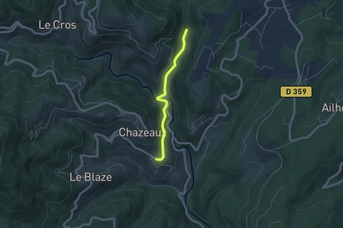
Easy · Trail
Pont d'Aigueneyre - La Coste
3.9 km · ↑ 116 m · 1 h 11 min · 7 km away
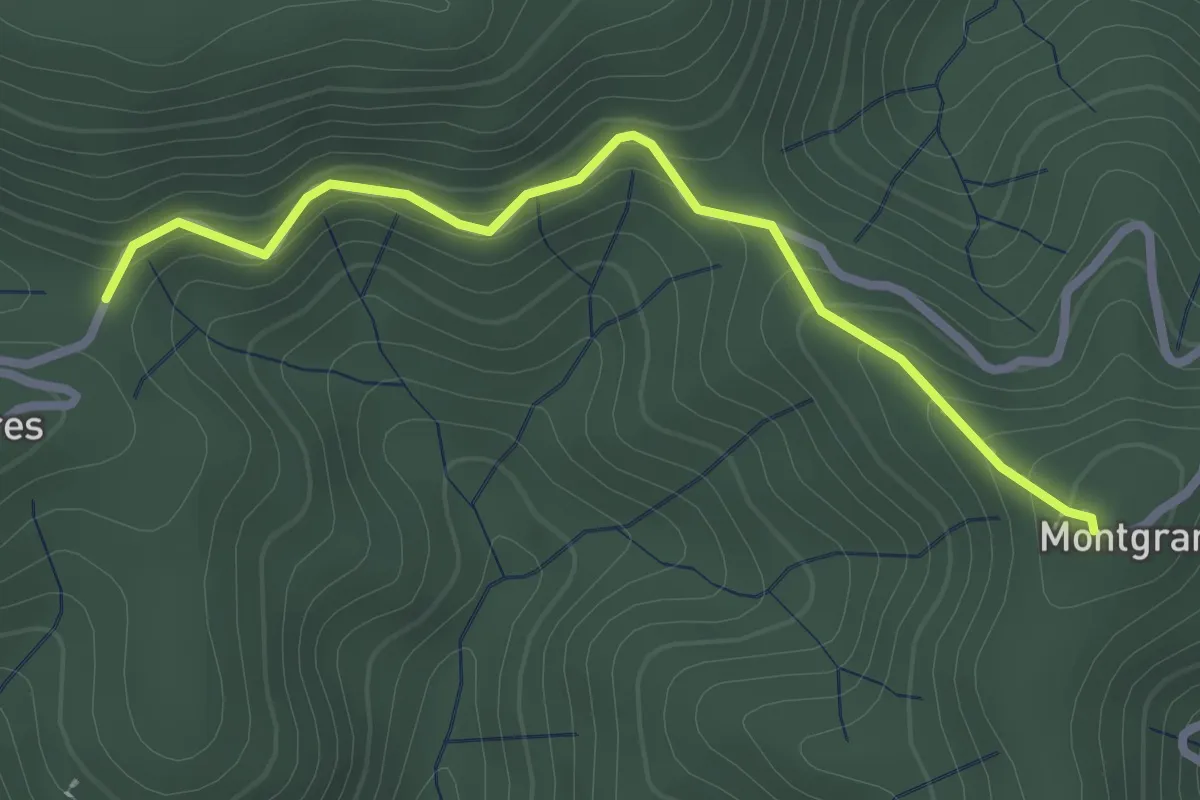
Easy · Trail
Col de la Loube - Montgrand
2.7 km · ↑ 168 m · 1 h · 7 km away
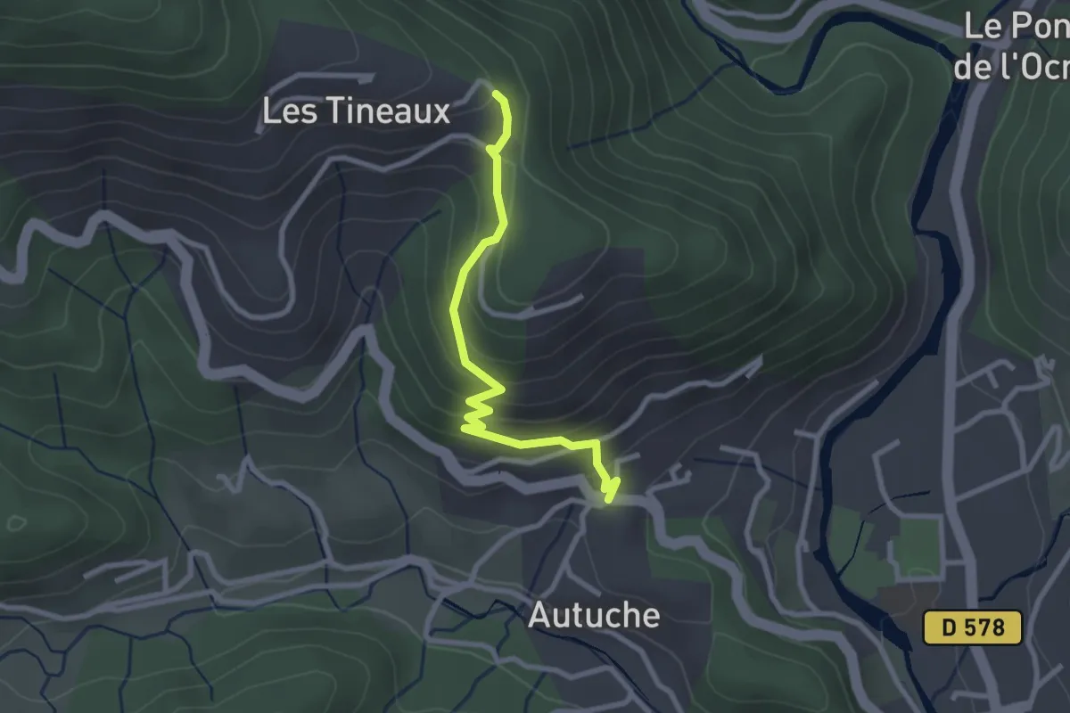
Easy · Trail
Col d'Autuche - Sous les Eaux
2.6 km · ↑ 194 m · 1 h 2 min · 7 km away
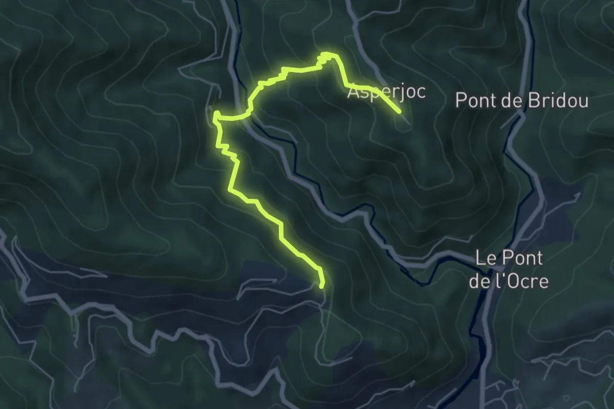
Medium · Trail
Sous les Eaux - Thieure
5.9 km · ↑ 430 m · 2 h 19 min · 7 km away
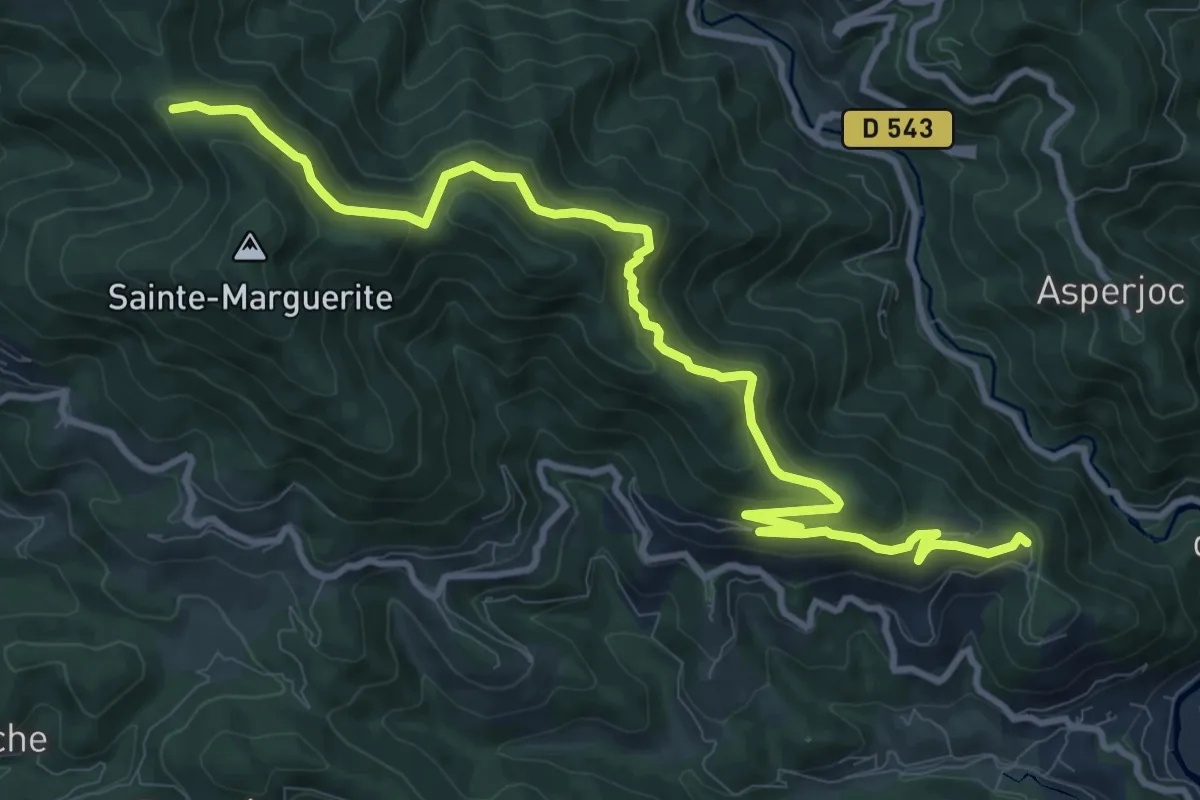
Medium · Trail
Sous les Eaux - Font Rognon
12.8 km · ↑ 607 m · 4 h 20 min · 7 km away
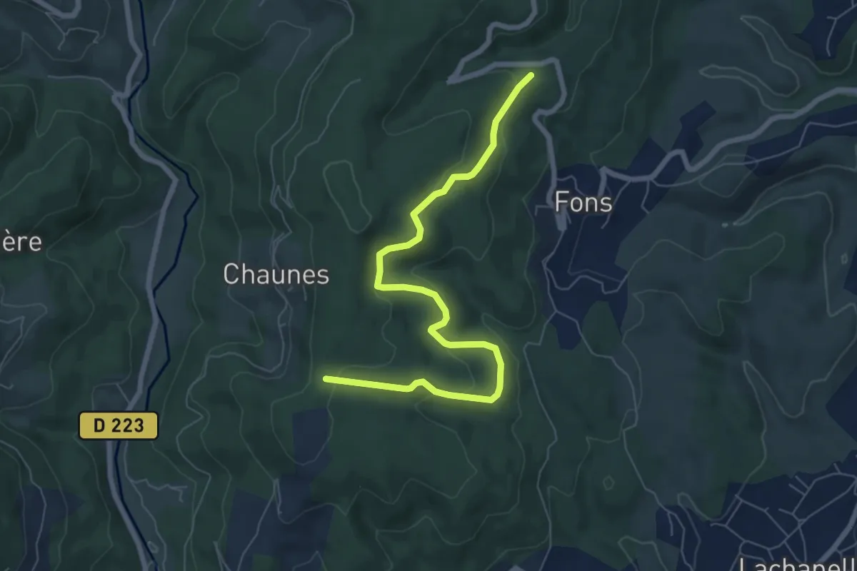
Easy · Trail
Chardes - Bois de Vogüé
7.6 km · ↑ 300 m · 2 h 26 min · 7 km away
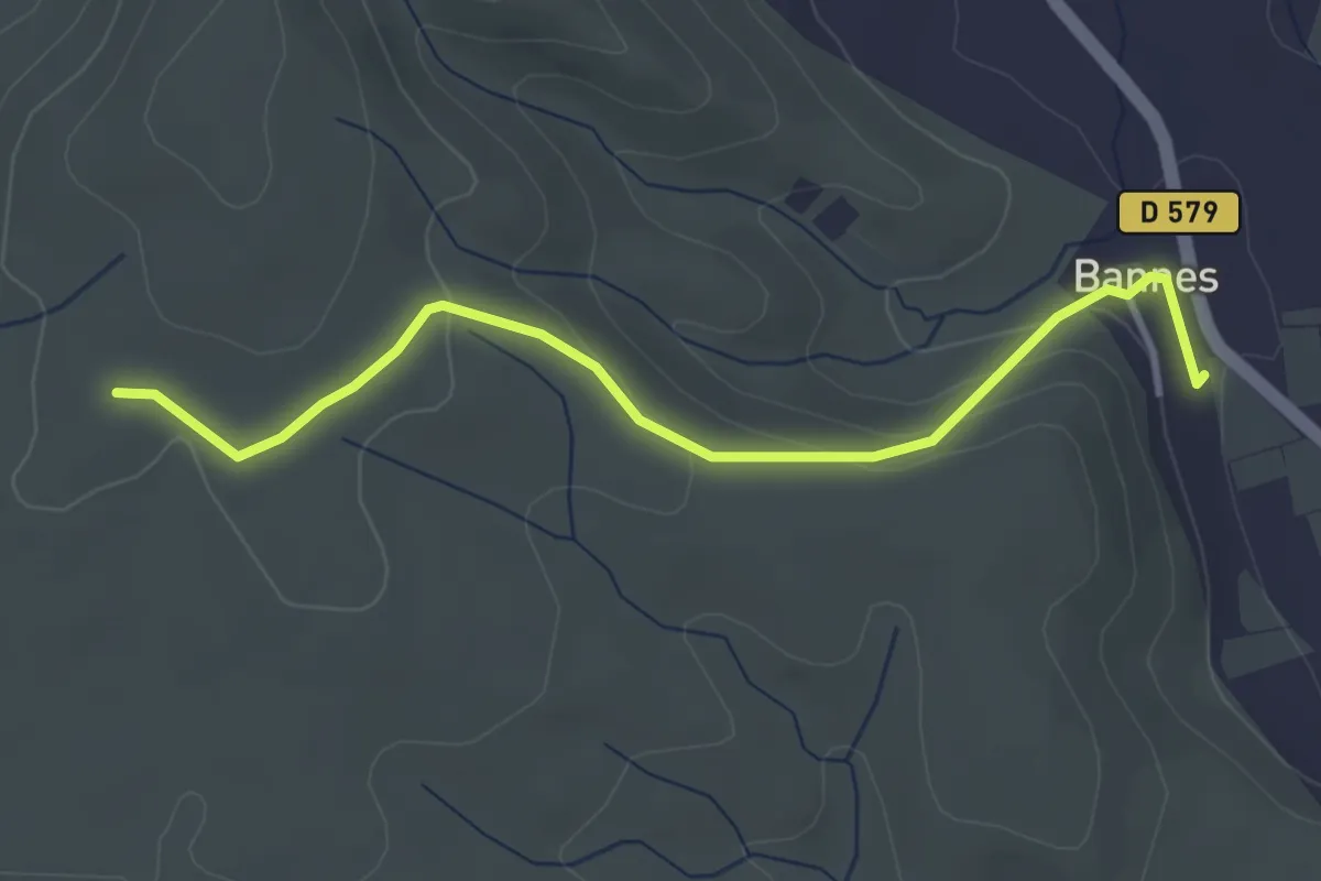
Easy · Trail
Bannes - Serre de Vinobre
3.8 km · ↑ 145 m · 1 h 12 min · 7 km away
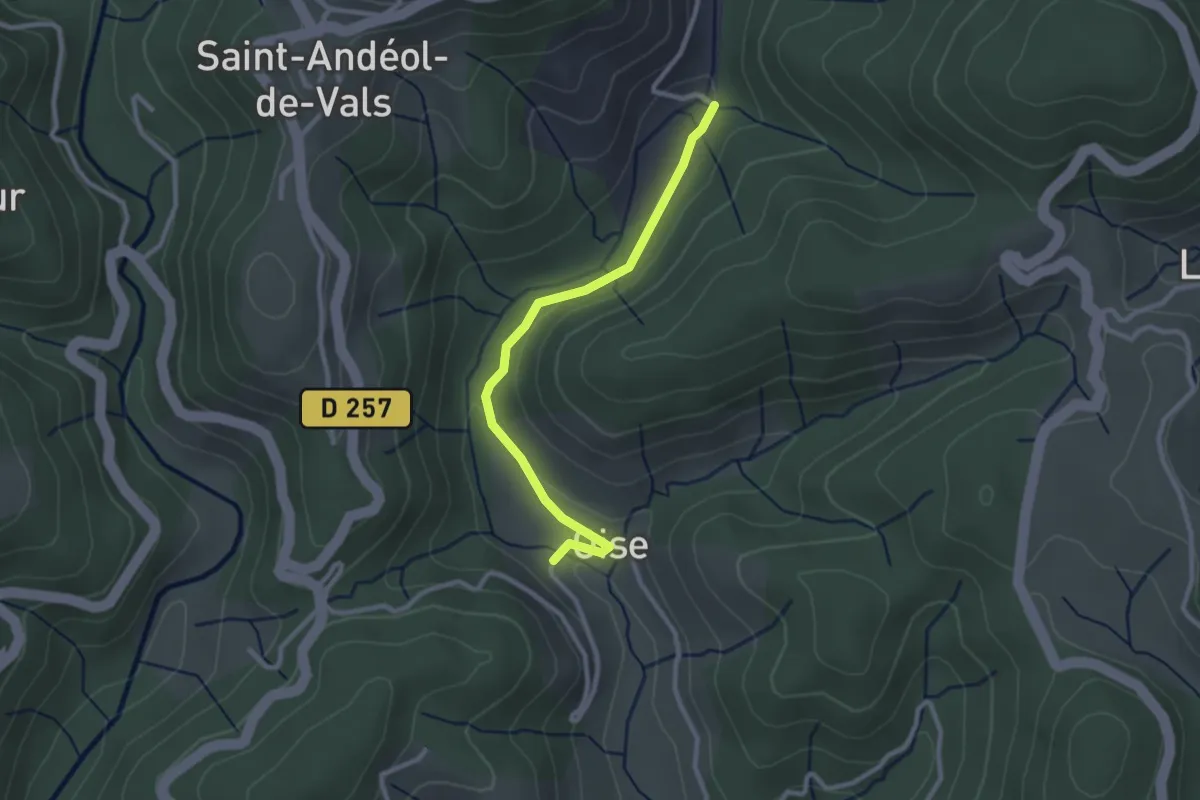
Easy · Trail
Oise - Pont du Devès
2.7 km · ↑ 34 m · 42 min · 7 km away
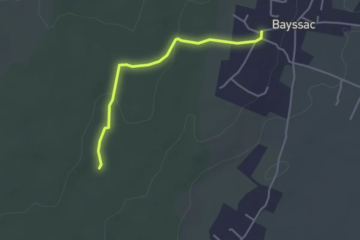
Easy · Trail
Bayssac - Baume du Bois
3.0 km · ↑ 32 m · 46 min · 7 km away
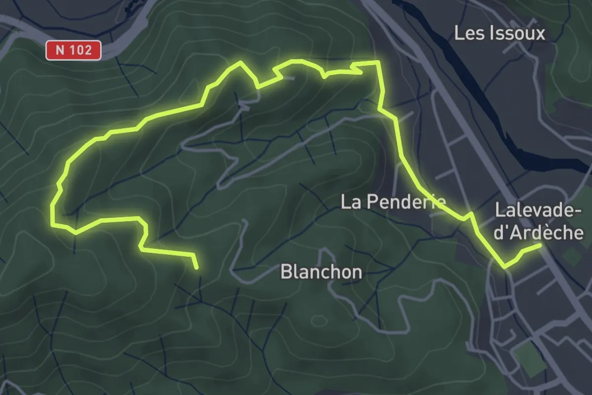
Easy · Trail
Lalevade-d'Ardèche - Martinesche
6.6 km · ↑ 308 m · 2 h 13 min · 7 km away
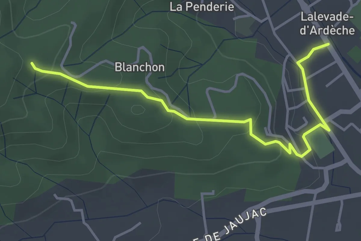
Easy · Trail
Lalevade-d'Ardèche - Martinesche
3.9 km · ↑ 146 m · 1 h 14 min · 7 km away
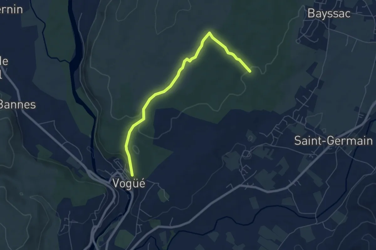
Easy · Trail
Baume du Bois - Vogüé
6.4 km · ↑ 102 m · 1 h 44 min · 7 km away
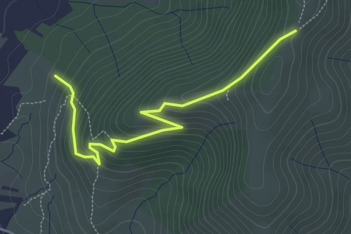
Easy · Trail
Les Planchettes - La Chéoune
3.5 km · ↑ 238 m · 1 h 20 min · 7 km away
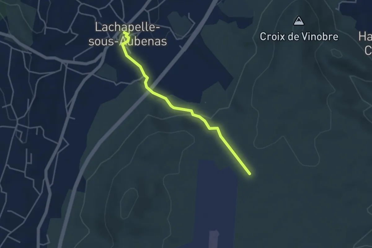
Easy · Trail
La Chapelle sous Aubenas - Les Gras
3.4 km · ↑ 87 m · 59 min · 7 km away
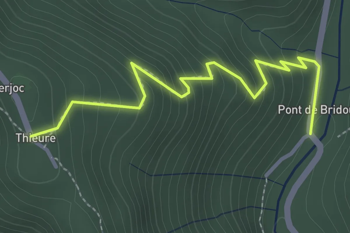
Easy · Trail
Pont de Bridou - Thieure
2.7 km · ↑ 243 m · 1 h 10 min · 7 km away
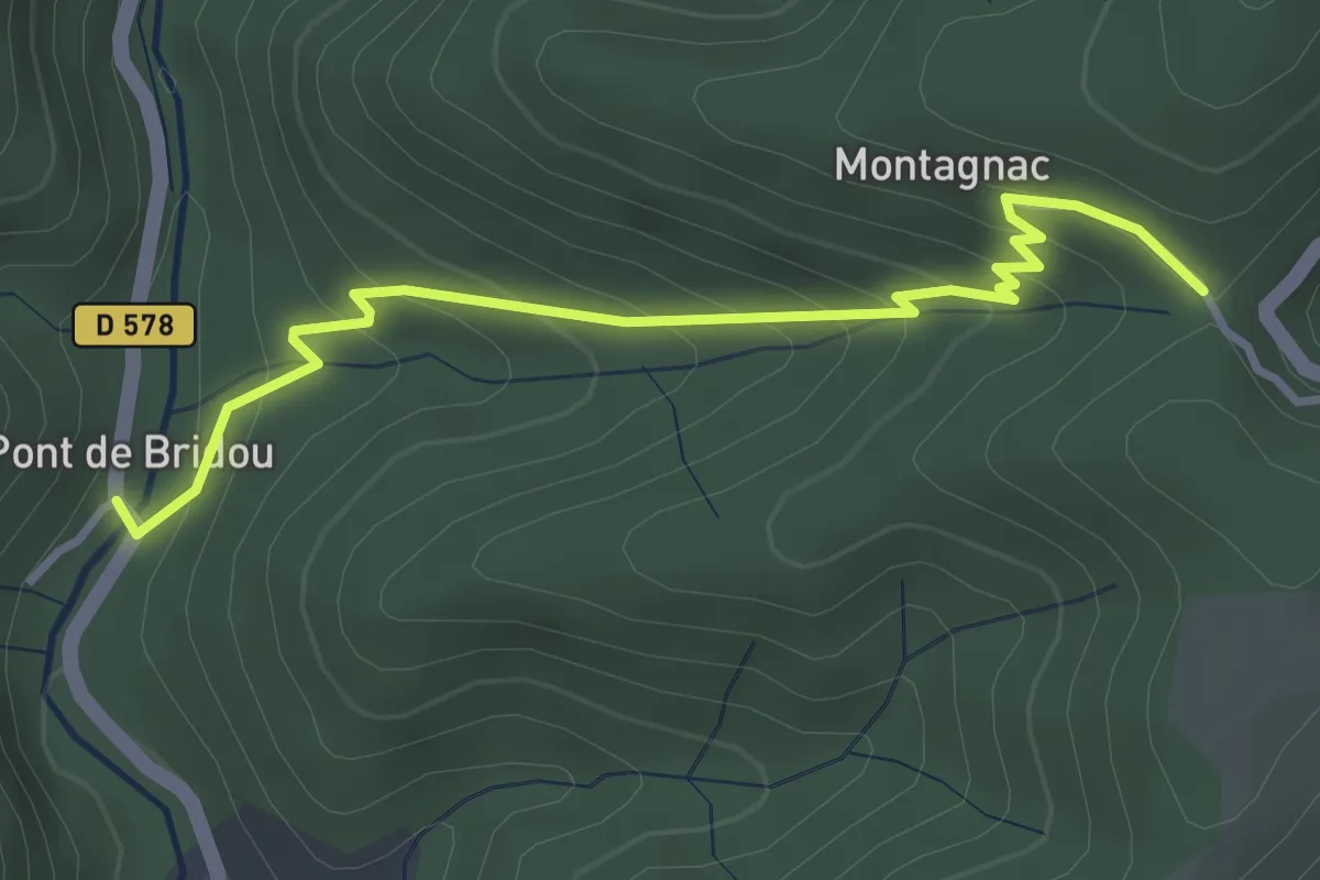
Easy · Trail
Pont de Bridou - Col de Montagnac
3.7 km · ↑ 256 m · 1 h 26 min · 7 km away
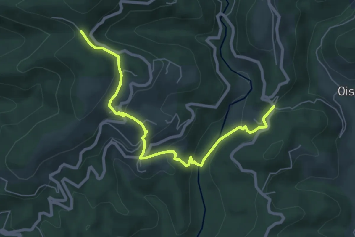
Easy · Trail
Pont Sans Eau - Col de Montagnac
5.9 km · ↑ 315 m · 2 h 4 min · 7 km away
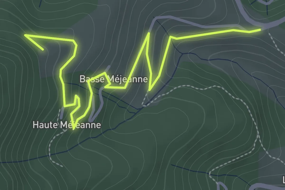
Easy · Trail
La Combe - Les Fourches
4.0 km · ↑ 159 m · 1 h 18 min · 7 km away
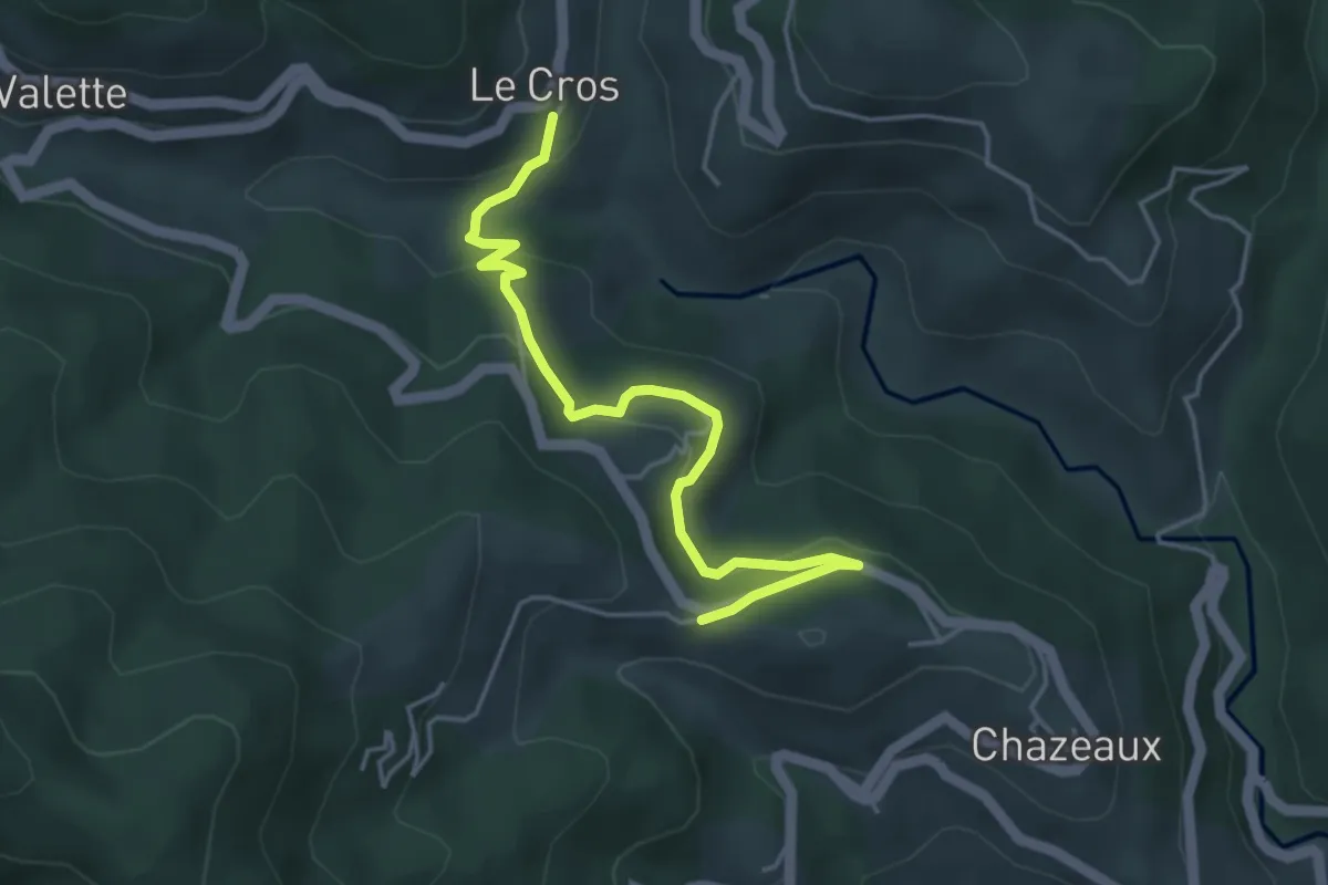
Easy · Trail
Le Cros - La Combe
4.7 km · ↑ 192 m · 1 h 31 min · 7 km away
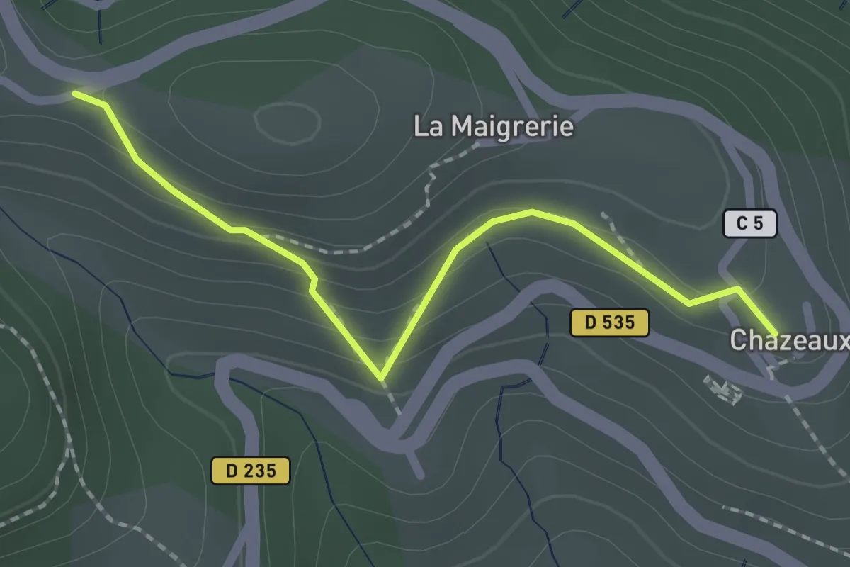
Easy · Trail
Chazeaux - La Combe
2.0 km · ↑ 111 m · 43 min · 7 km away
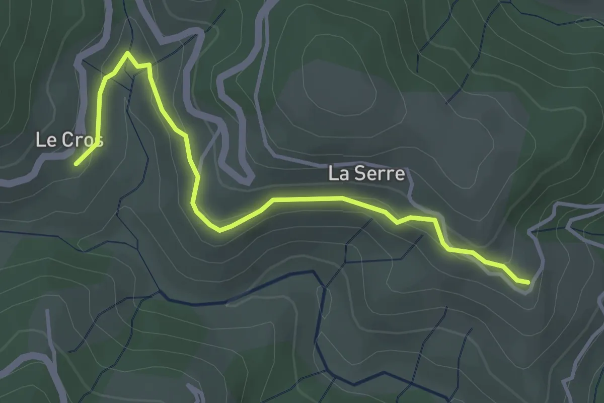
Easy · Trail
Le Cros - Fabrias
3.7 km · ↑ 108 m · 1 h 7 min · 7 km away
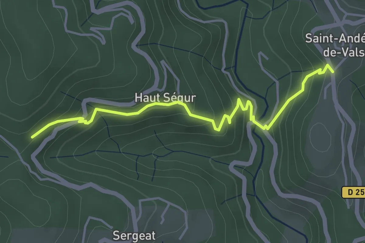
Easy · Trail
Mas Lapierre - Pra Neuf
4.1 km · ↑ 309 m · 1 h 38 min · 8 km away
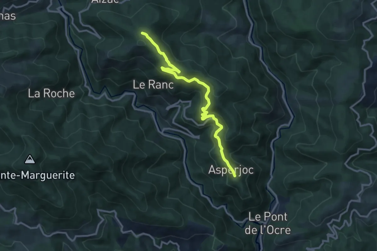
Medium · Trail
Thieure - Fontalazon
9.3 km · ↑ 393 m · 3 h 3 min · 8 km away
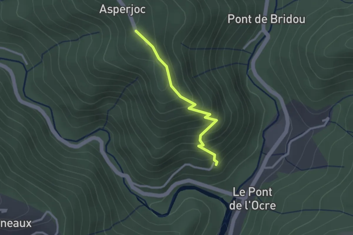
Easy · Trail
Les Granges - Thieure
2.1 km · ↑ 205 m · 57 min · 8 km away
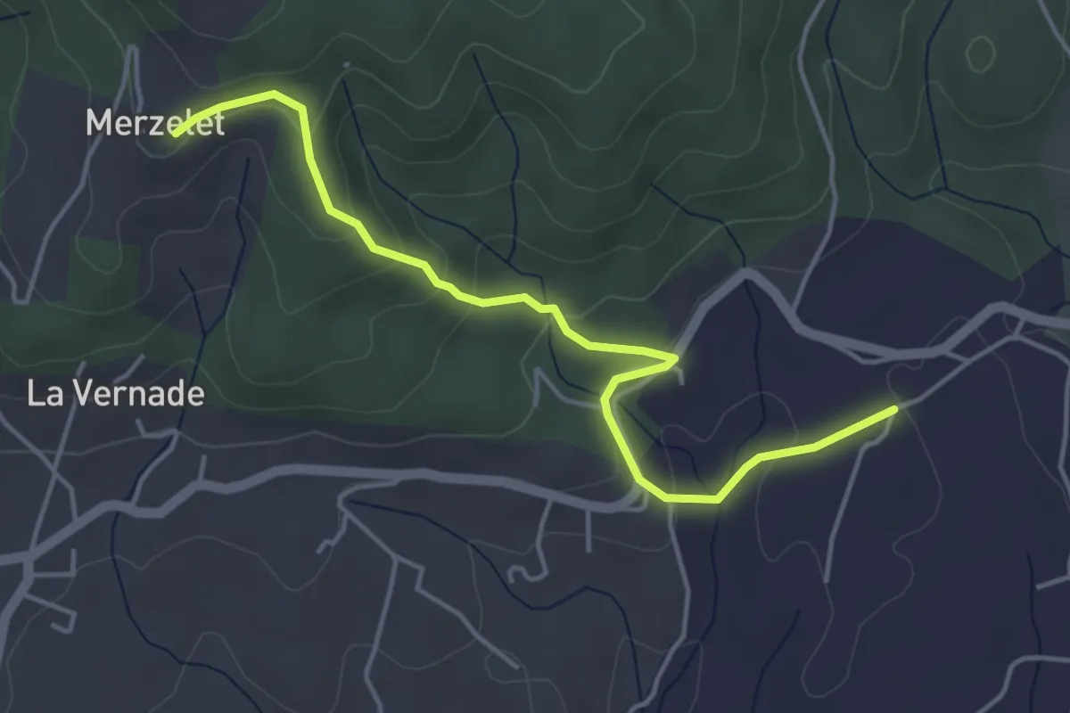
Easy · Trail
Soudournas - Merzelet
4.7 km · ↑ 178 m · 1 h 29 min · 8 km away
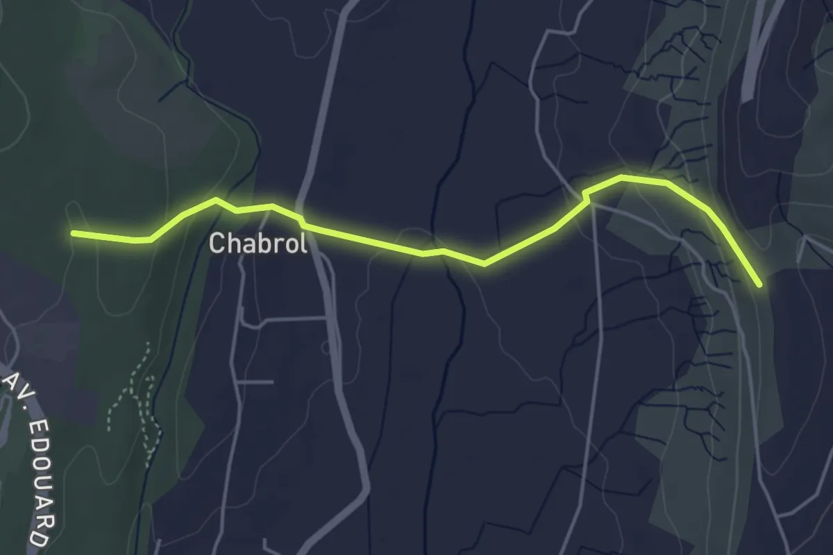
Easy · Trail
Les Taillades - Le Chade
4.6 km · ↑ 144 m · 1 h 24 min · 8 km away
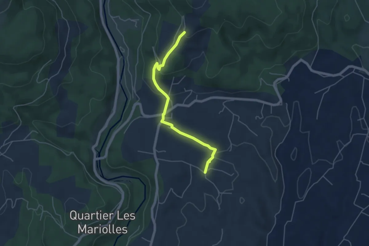
Easy · Trail
Les Crozes - Merzelet Ouest
4.6 km · ↑ 158 m · 1 h 25 min · 8 km away
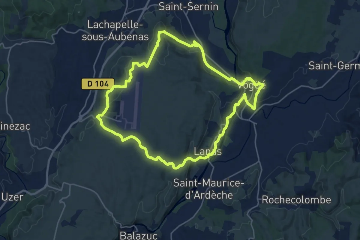
Medium · Trail
Vogue Lanas Vinobre
16.7 km · ↑ 388 m · 5 h · 8 km away
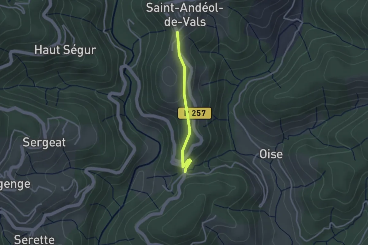
Easy · Trail
Pont Sans Eau - Mas Lapierre
2.2 km · ↑ 79 m · 41 min · 8 km away
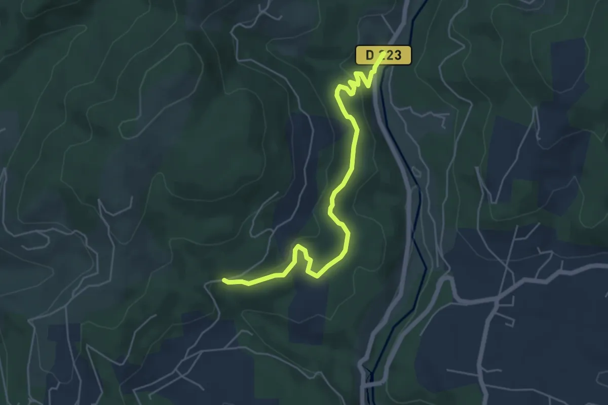
Easy · Trail
Moulin de Landes - Les Valadiers
5.3 km · ↑ 155 m · 1 h 35 min · 8 km away
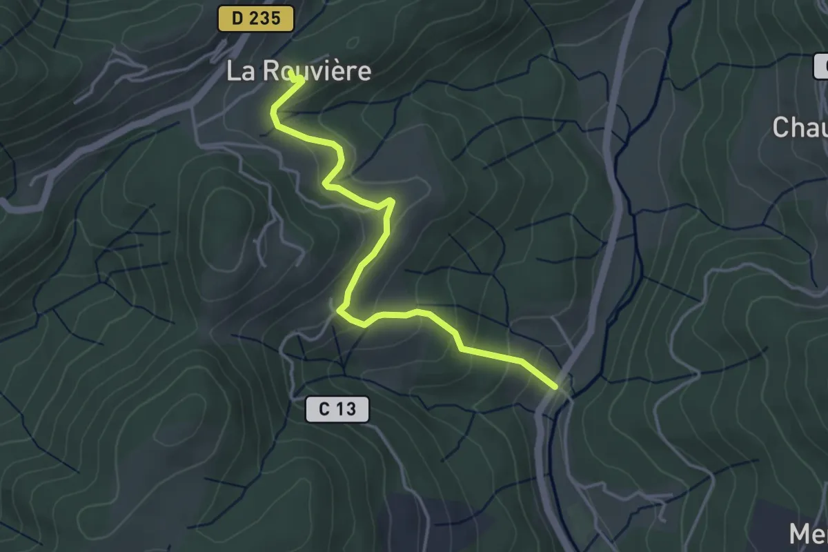
Easy · Trail
Moulin de Landes - La Rouvière
4.0 km · ↑ 214 m · 1 h 24 min · 8 km away
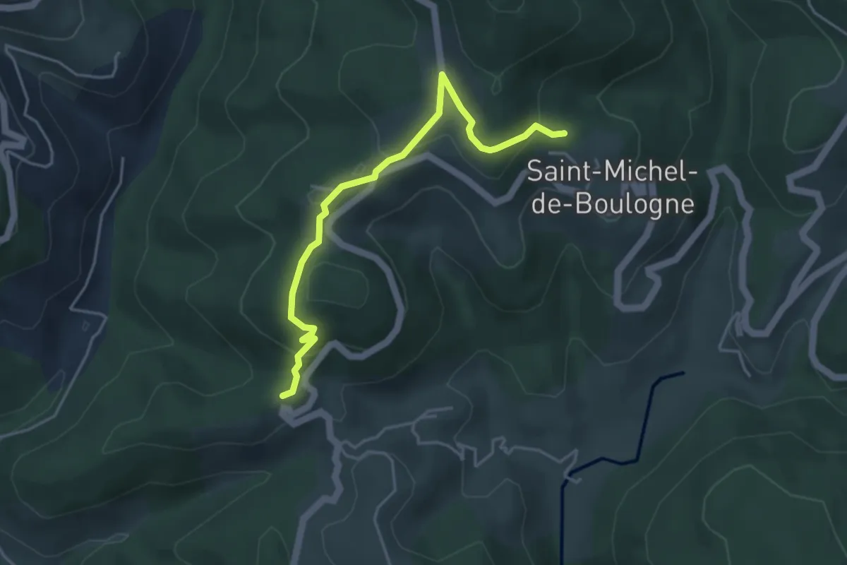
Easy · Trail
Pourchary - La Chapelle
4.2 km · ↑ 144 m · 1 h 18 min · 8 km away
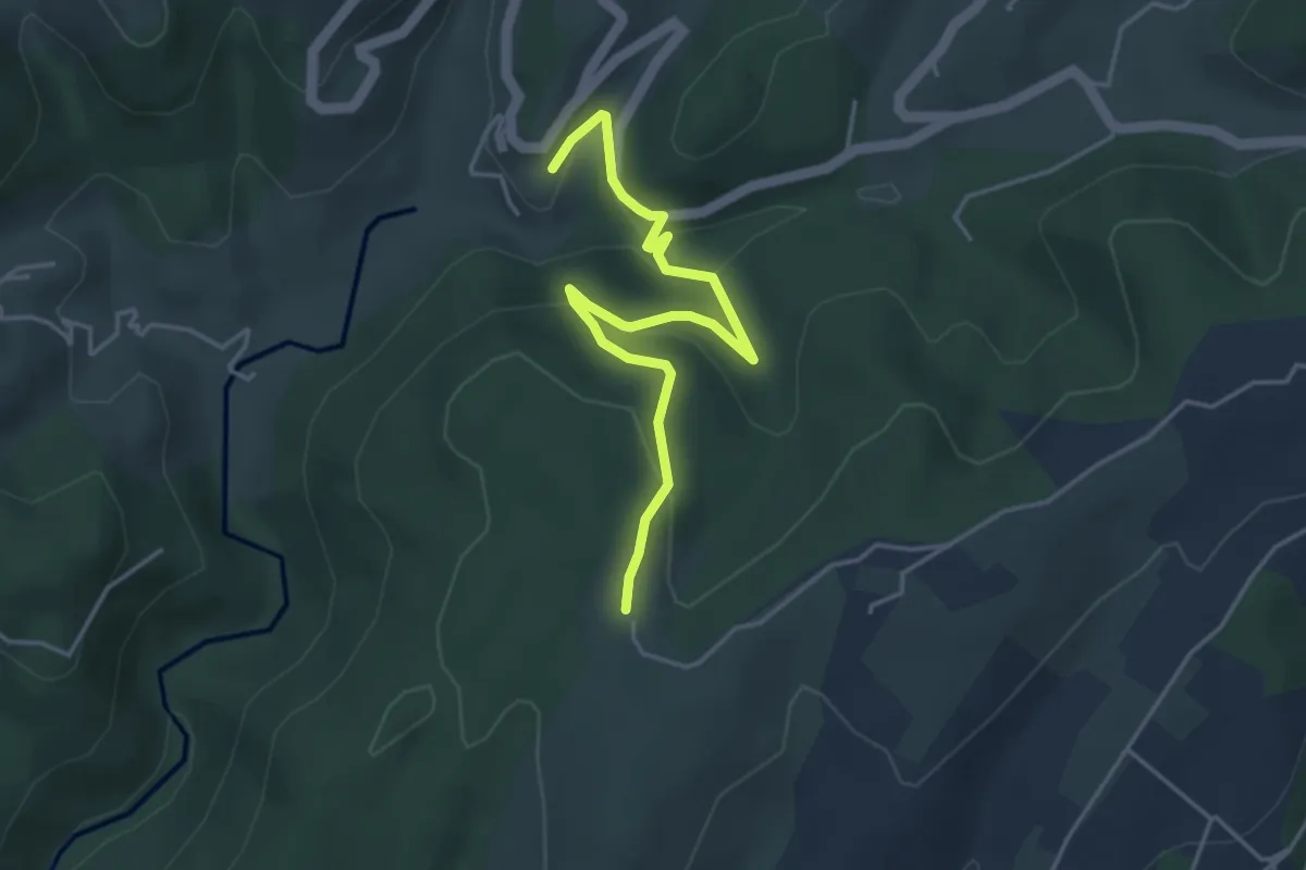
Easy · Trail
Le Château Est - Le Taillé
4.5 km · ↑ 170 m · 1 h 26 min · 8 km away
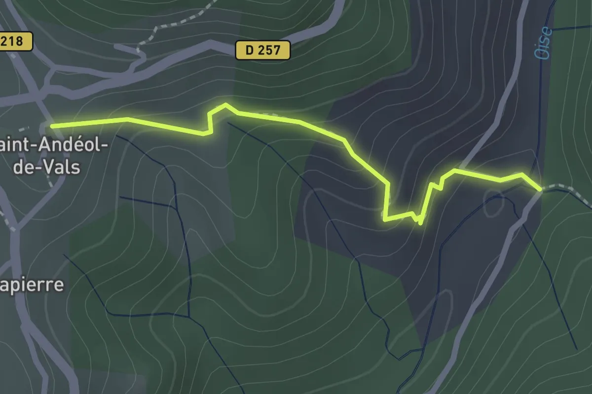
Easy · Trail
Pont du Devès - Village
2.0 km · ↑ 142 m · 47 min · 8 km away
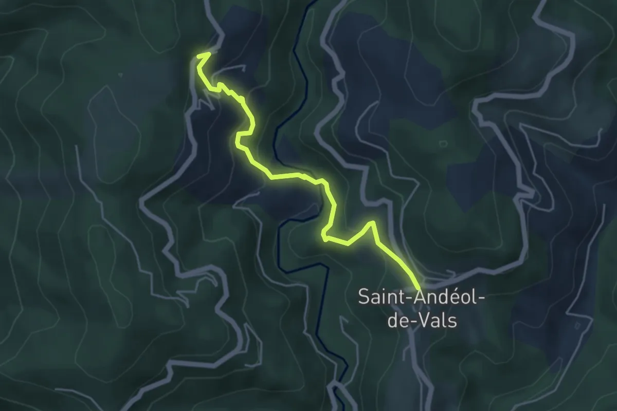
Easy · Trail
Saint-Andeol Nord - Fontbonne
4.3 km · ↑ 314 m · 1 h 42 min · 8 km away
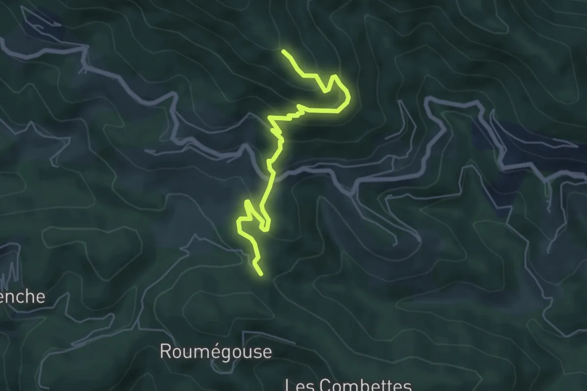
Medium · Trail
Les Thérondes - Les Traverses
5.6 km · ↑ 361 m · 2 h 7 min · 8 km away
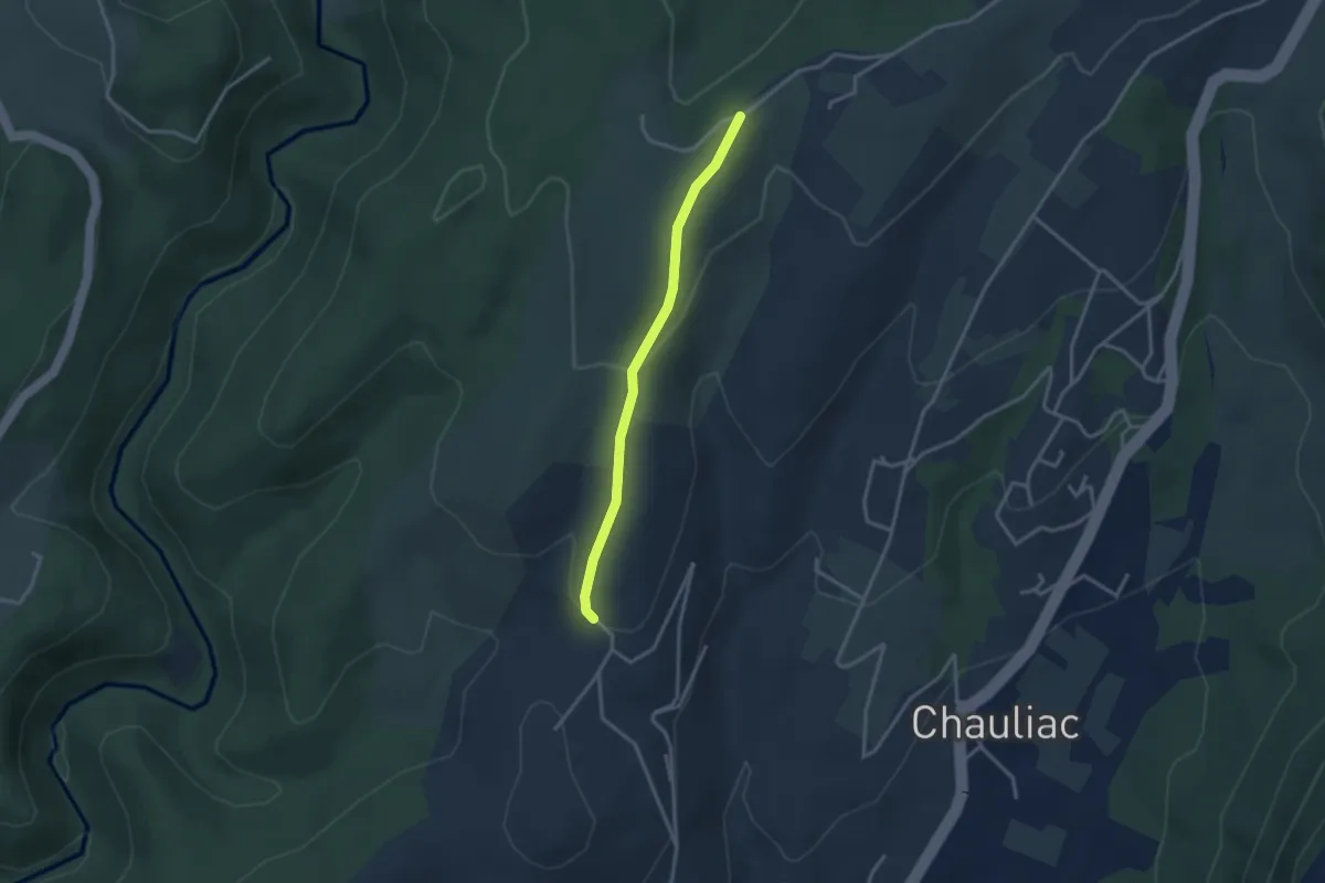
Easy · Trail
Berlandier - Les Blachères
2.9 km · ↑ 84 m · 53 min · 8 km away
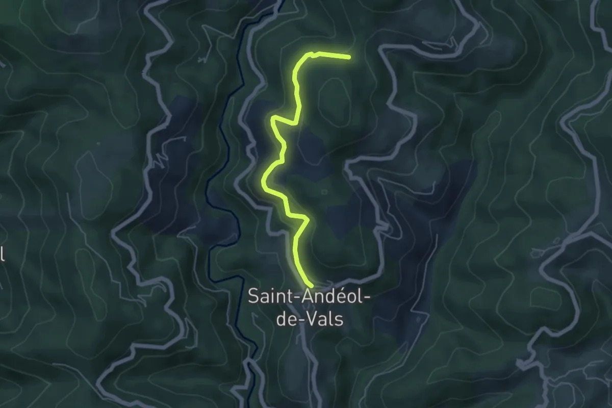
Easy · Trail
Mas de Nevissac - Col de Grange
4.7 km · ↑ 183 m · 1 h 31 min · 8 km away
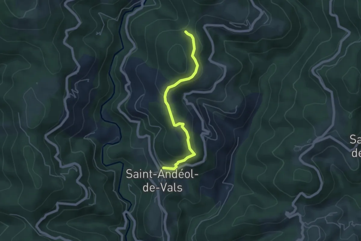
Easy · Trail
Mas de Nevissac - Col de Grange
4.5 km · ↑ 181 m · 1 h 27 min · 8 km away
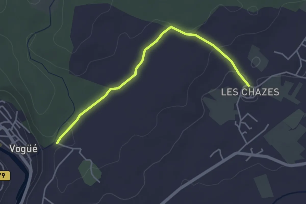
Easy · Trail
Les Chazes - Saint-Cerice
3.8 km · ↑ 62 m · 1 h 1 min · 8 km away
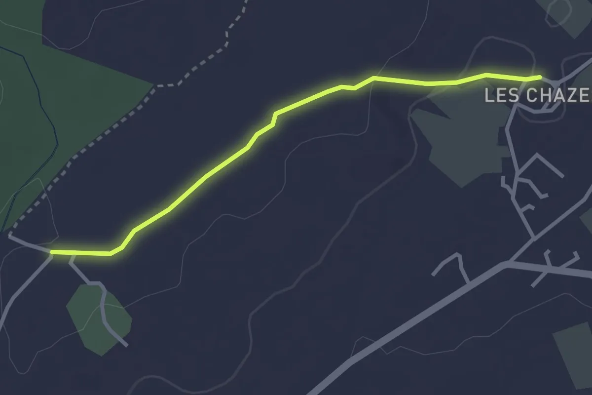
Easy · Trail
Les Chazes - Château d'eau
2.8 km · ↑ 32 m · 44 min · 8 km away
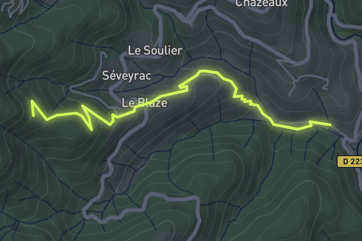
Easy · Trail
Pont de Charbonnier - L'Hubac
5.1 km · ↑ 256 m · 1 h 45 min · 8 km away
Easy · Trail
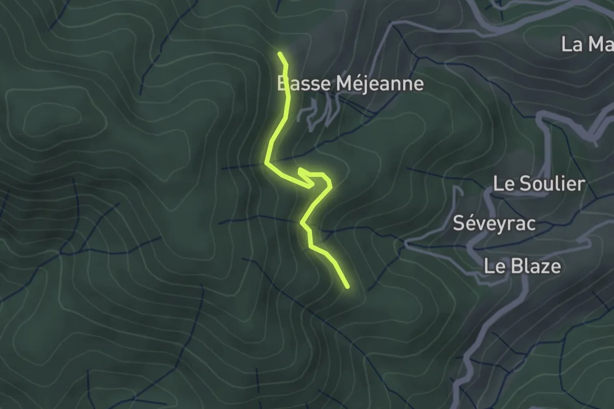
L'Hubac - Les Fourches
2.5 km · ↑ 112 m · 50 min · 8 km away
Easy · Trail
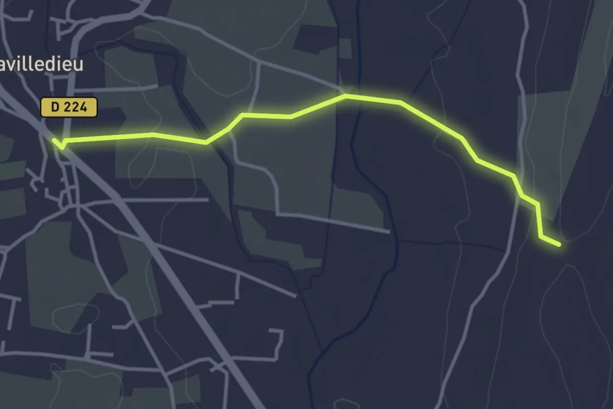
Lavilledieu (Le Feu) - Coudoulas
3.4 km · ↑ 57 m · 56 min · 8 km away
Easy · Trail
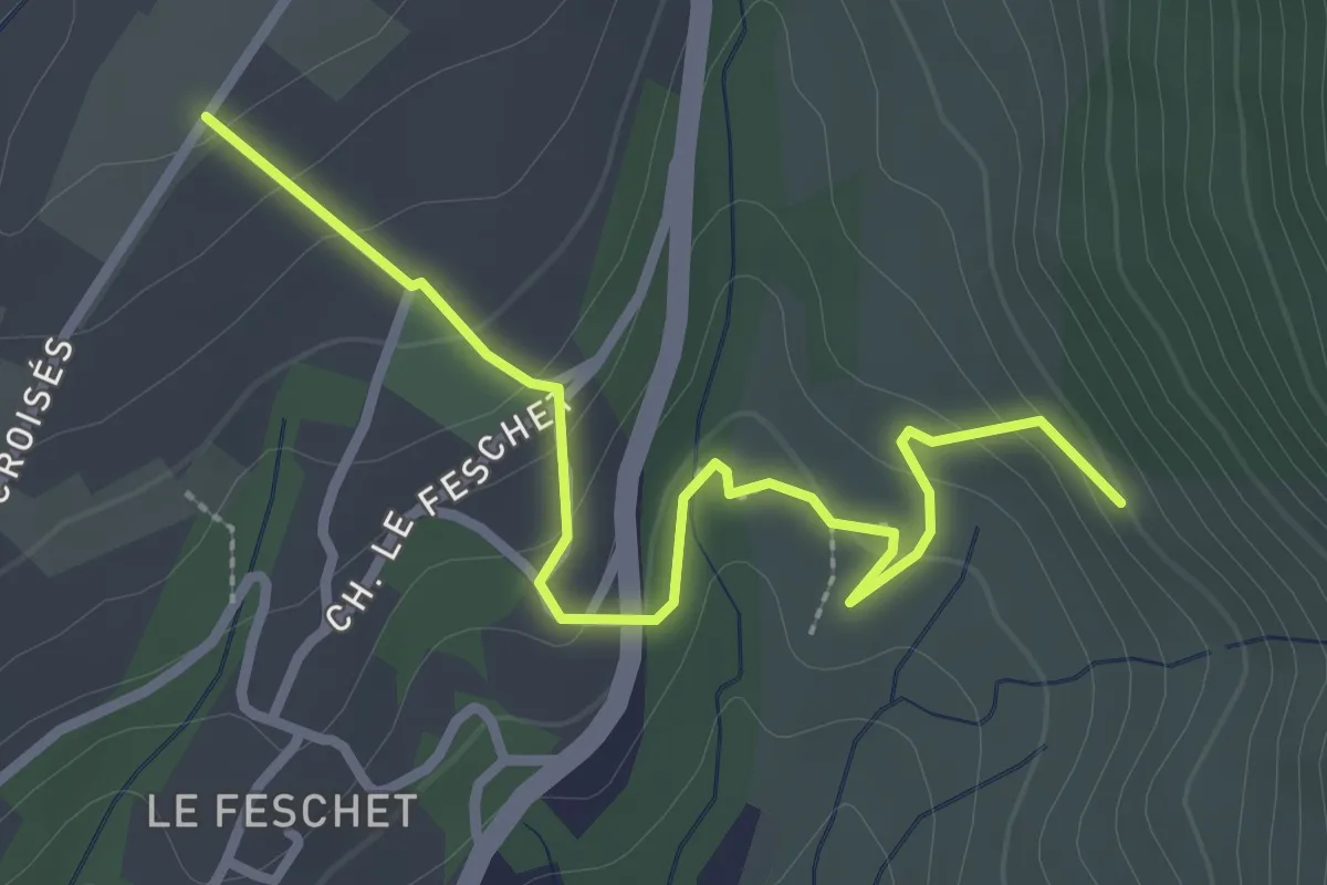
Les Grands Champs - Le Fauger
3.1 km · ↑ 149 m · 1 h 4 min · 8 km away
Easy · Trail
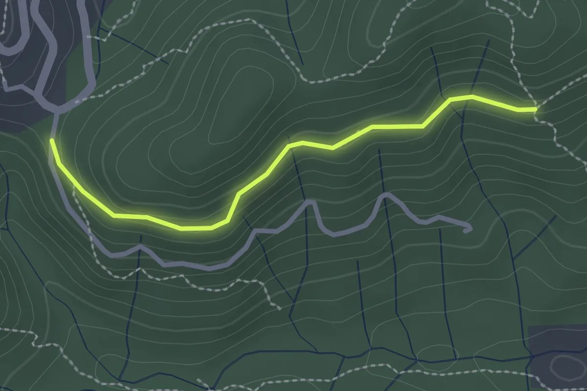
La Coste - Le Puy de Prades
2.3 km · ↑ 84 m · 43 min · 8 km away