Trails near Aubenas
423 hikes starting within 15 km, nearest first.
Nearest first, page 4 of 9
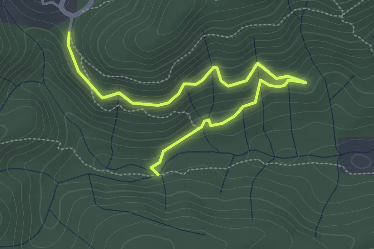
Easy · Trail
Le Chambon - La Coste
3.8 km · ↑ 206 m · 1 h 20 min · 8 km away
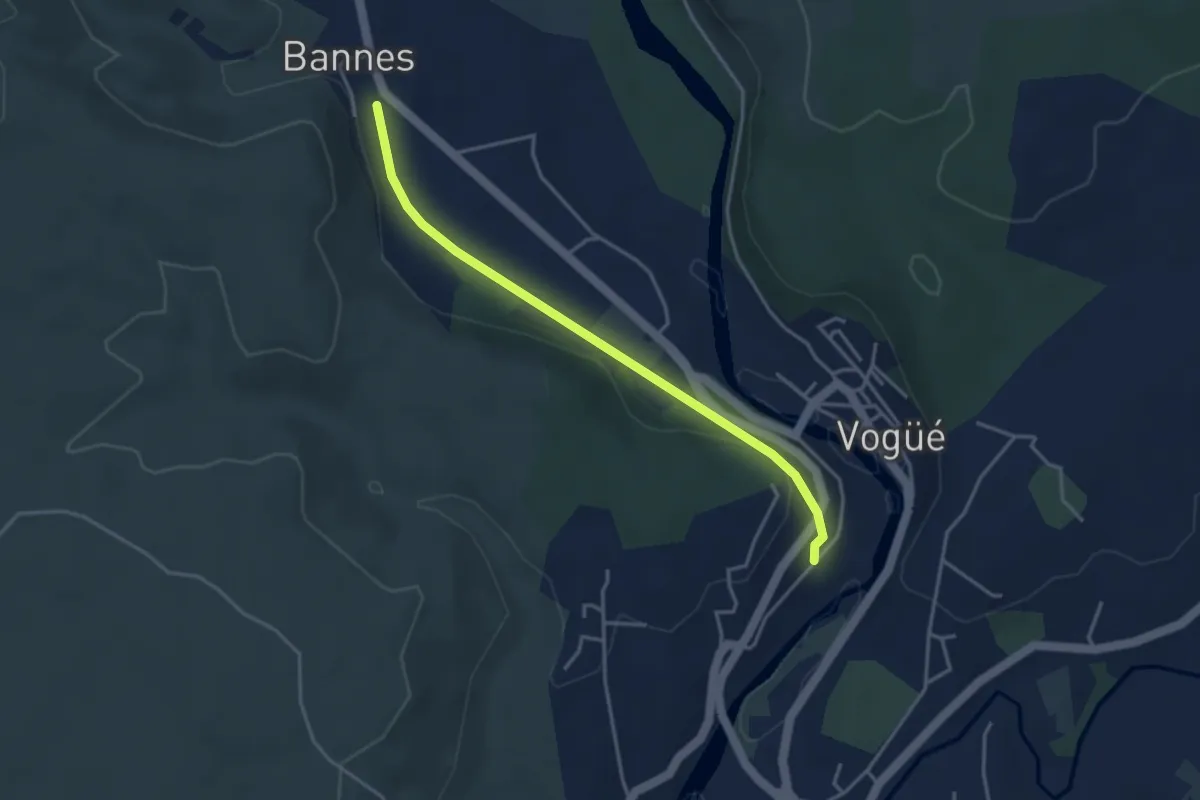
Easy · Trail
Le Tunnel - Bannes
3.8 km · ↑ 43 m · 59 min · 8 km away
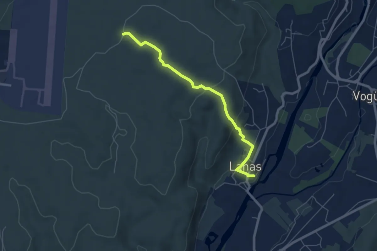
Easy · Trail
Lanas Centre - Barsac
5.3 km · ↑ 138 m · 1 h 34 min · 8 km away
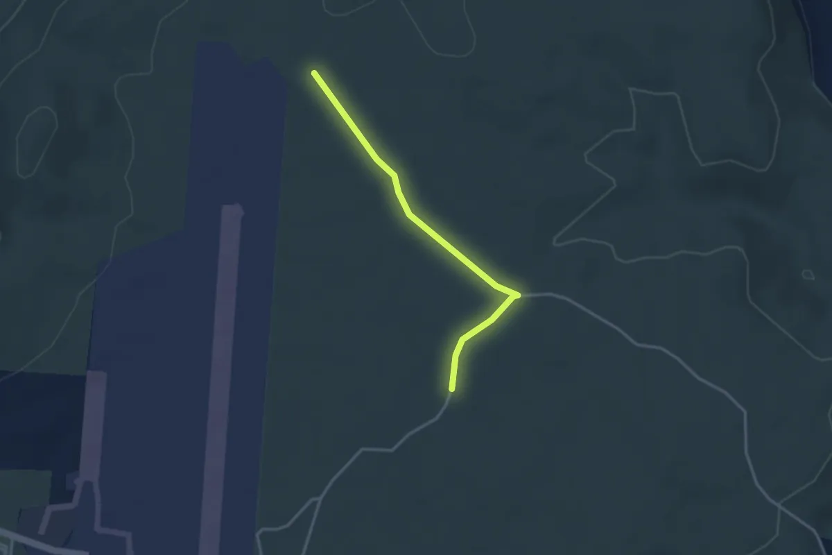
Easy · Trail
Barsac - Les Gras
2.9 km · ↑ 9 m · 43 min · 8 km away
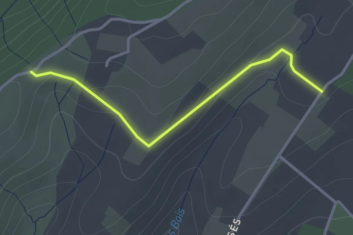
Easy · Trail
Les Aulagniers - Les Blachères
2.4 km · ↑ 31 m · 38 min · 9 km away
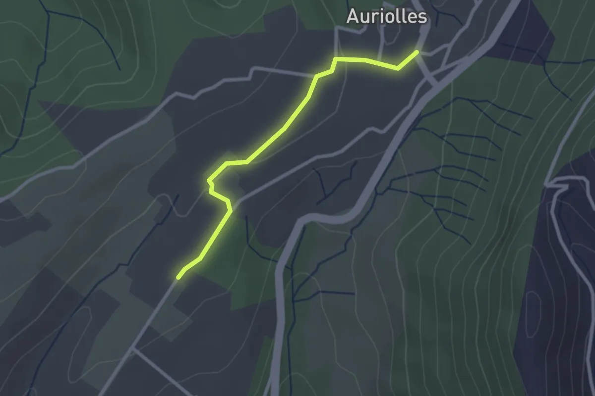
Easy · Trail
Les Aulagniers - Auriolles
2.4 km · ↑ 23 m · 36 min · 9 km away
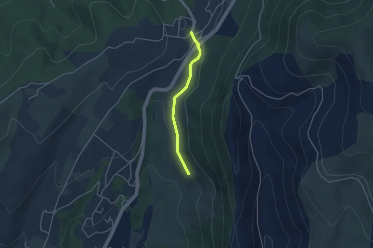
Easy · Trail
Les Grands Champs - Auriolles
2.7 km · ↑ 49 m · 45 min · 9 km away
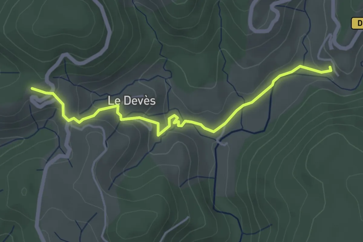
Easy · Trail
Boulogne - Pourchary
4.2 km · ↑ 122 m · 1 h 15 min · 9 km away
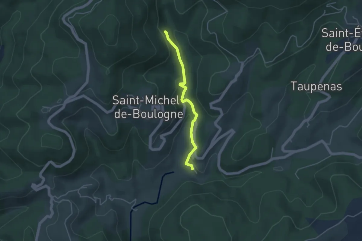
Easy · Trail
Boulogne - Combemale
3.3 km · ↑ 113 m · 1 h 1 min · 9 km away
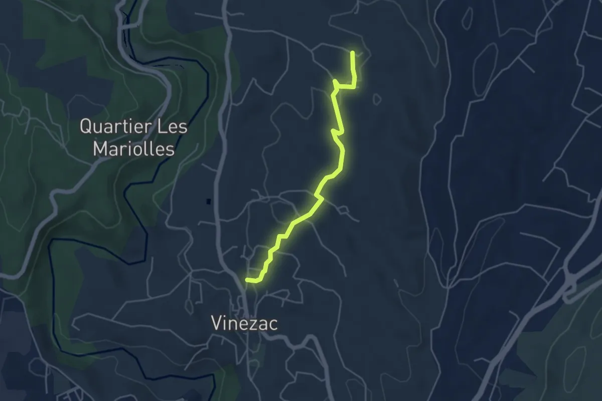
Easy · Trail
Le Fez - Le Tinal
4.1 km · ↑ 81 m · 1 h 9 min · 9 km away
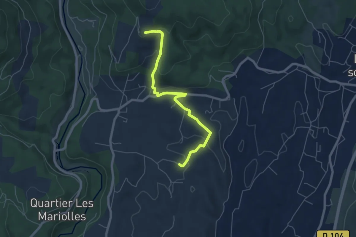
Easy · Trail
Le Tinal - Merzelet
5.4 km · ↑ 175 m · 1 h 40 min · 9 km away
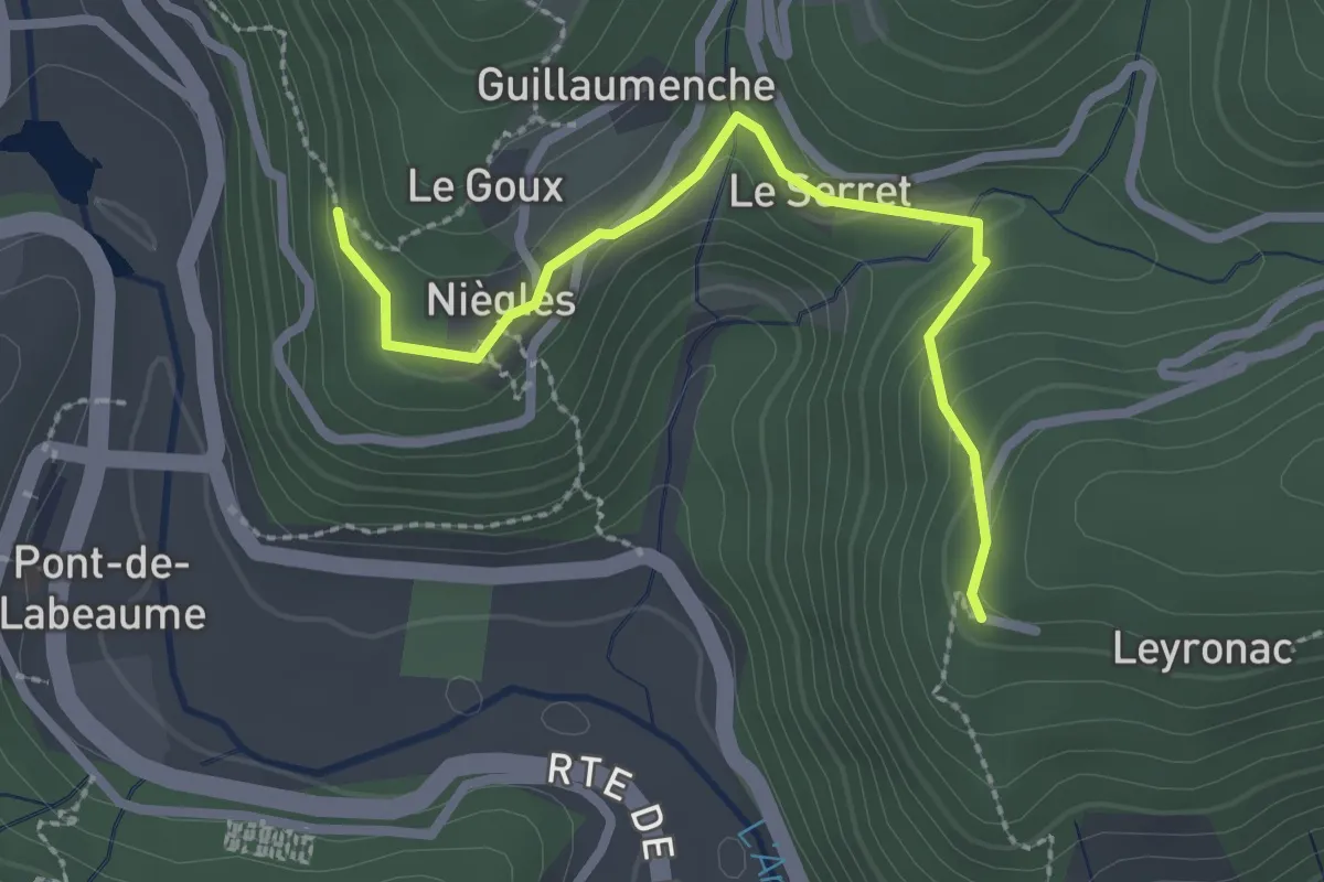
Easy · Trail
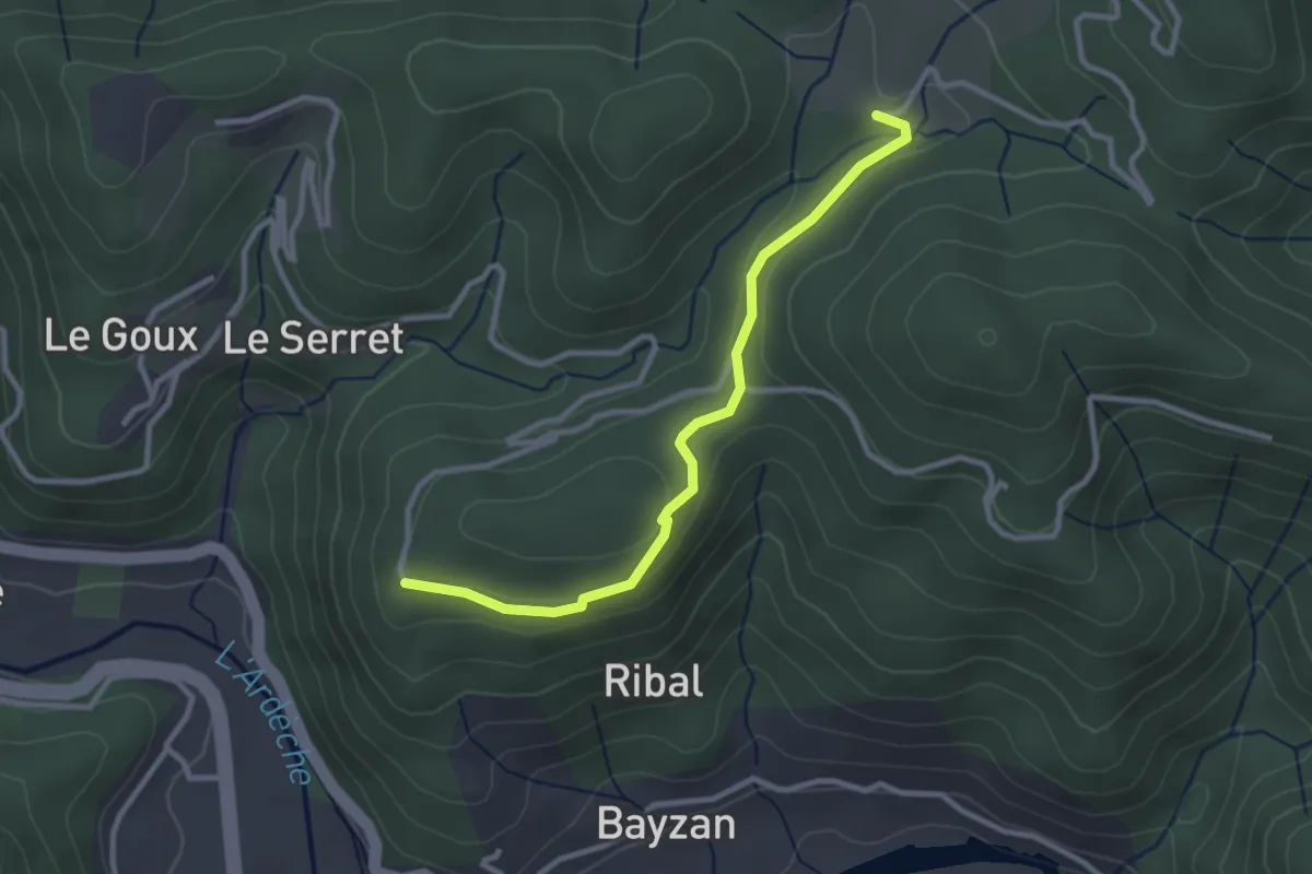
Le Goux - Leyronac
2.6 km · ↑ 124 m · 53 min · 9 km away
Easy · Trail
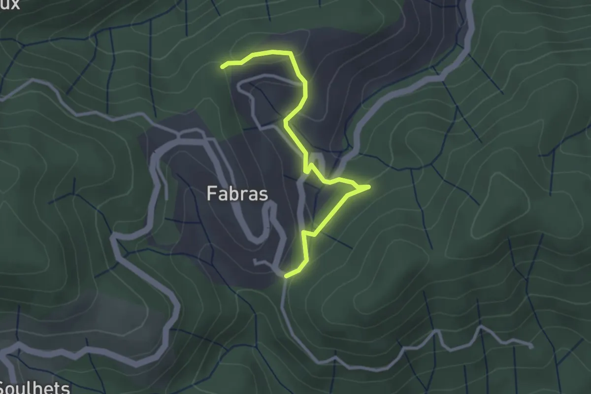
Leyronac - Sétias
3.0 km · ↑ 56 m · 49 min · 9 km away
Easy · Trail
La Chabanne - Nougeyrolles
2.8 km · ↑ 99 m · 52 min · 9 km away
Easy · Trail
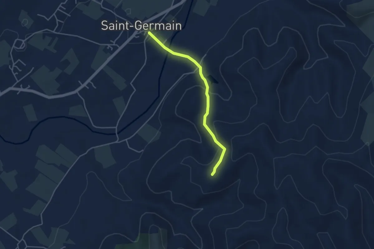
Saint-Germain - Blache de Gros
3.5 km · ↑ 154 m · 1 h 10 min · 9 km away
Easy · Trail
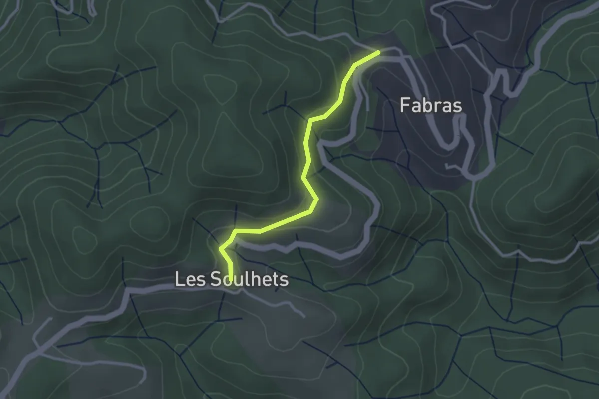
Fabras - Les Soulhets
2.5 km · ↑ 97 m · 48 min · 9 km away
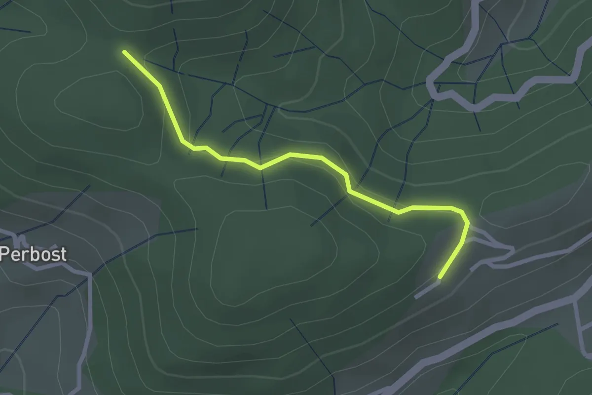
Easy · Trail
Joux - Ranc Courbier
2.3 km · ↑ 94 m · 45 min · 9 km away
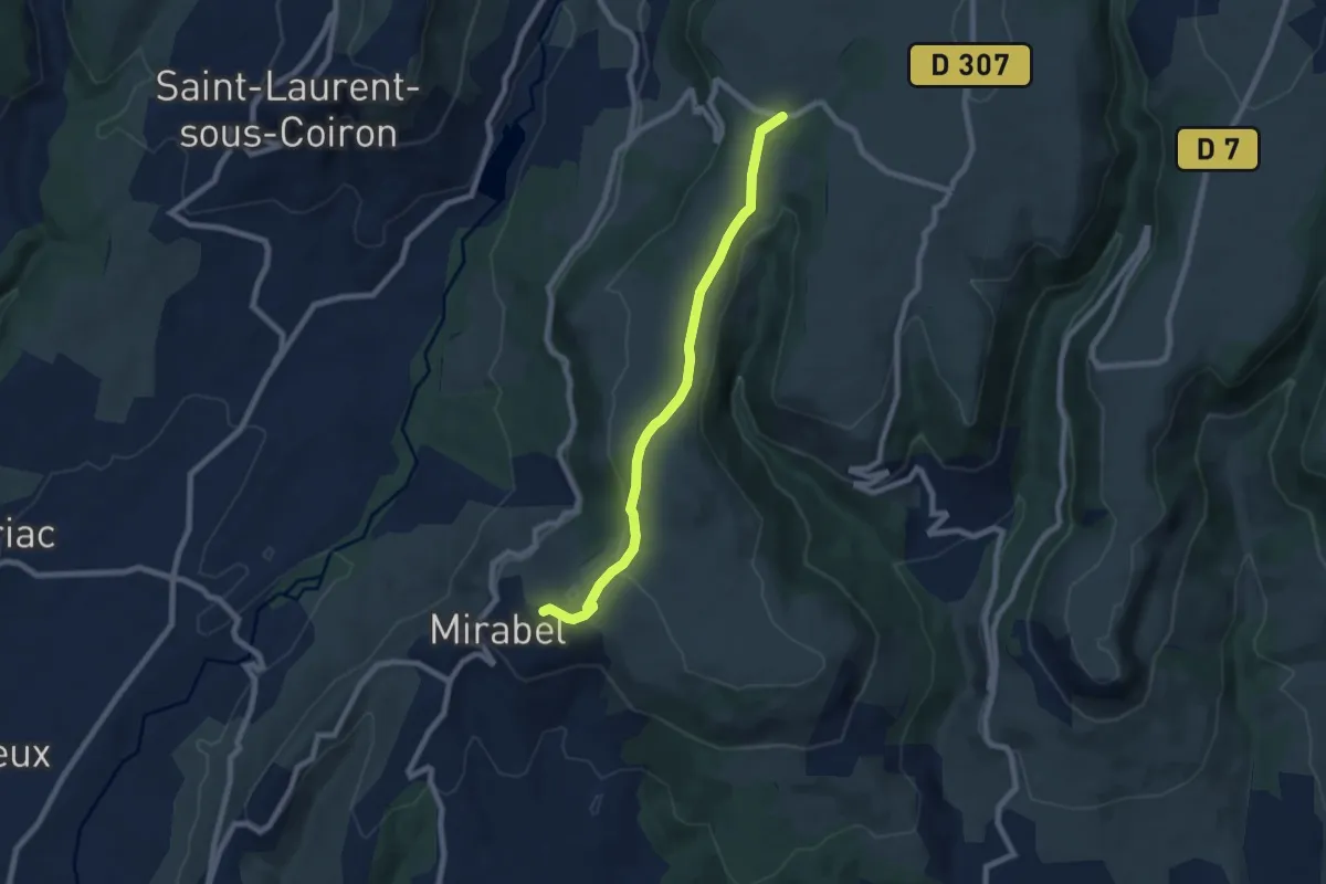
Easy · Trail
Le Thérond - Pas de Vendrias
7.6 km · ↑ 106 m · 2 h 2 min · 9 km away
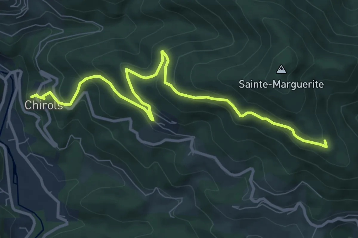
Medium · Trail
Le Village - Les Traverses
8.8 km · ↑ 489 m · 3 h 8 min · 9 km away
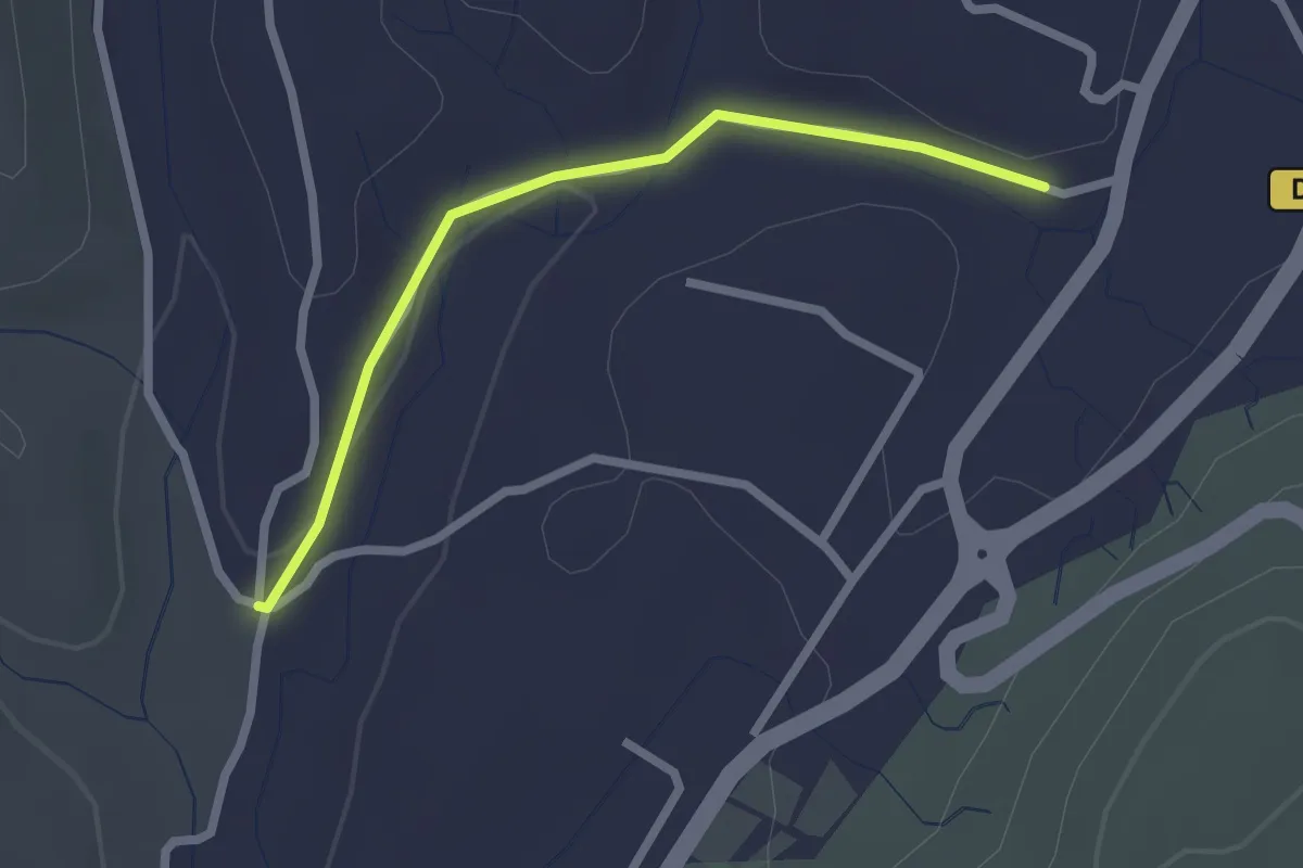
Easy · Trail
Les Alobres - Voie verte
2.3 km · ↑ 28 m · 36 min · 9 km away
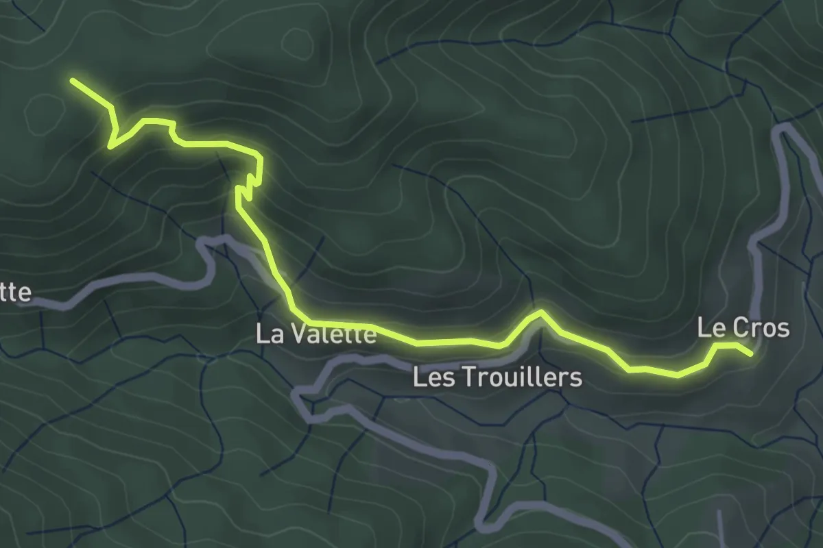
Easy · Trail
Le Cros - Chez Ceysson
4.9 km · ↑ 317 m · 1 h 50 min · 9 km away
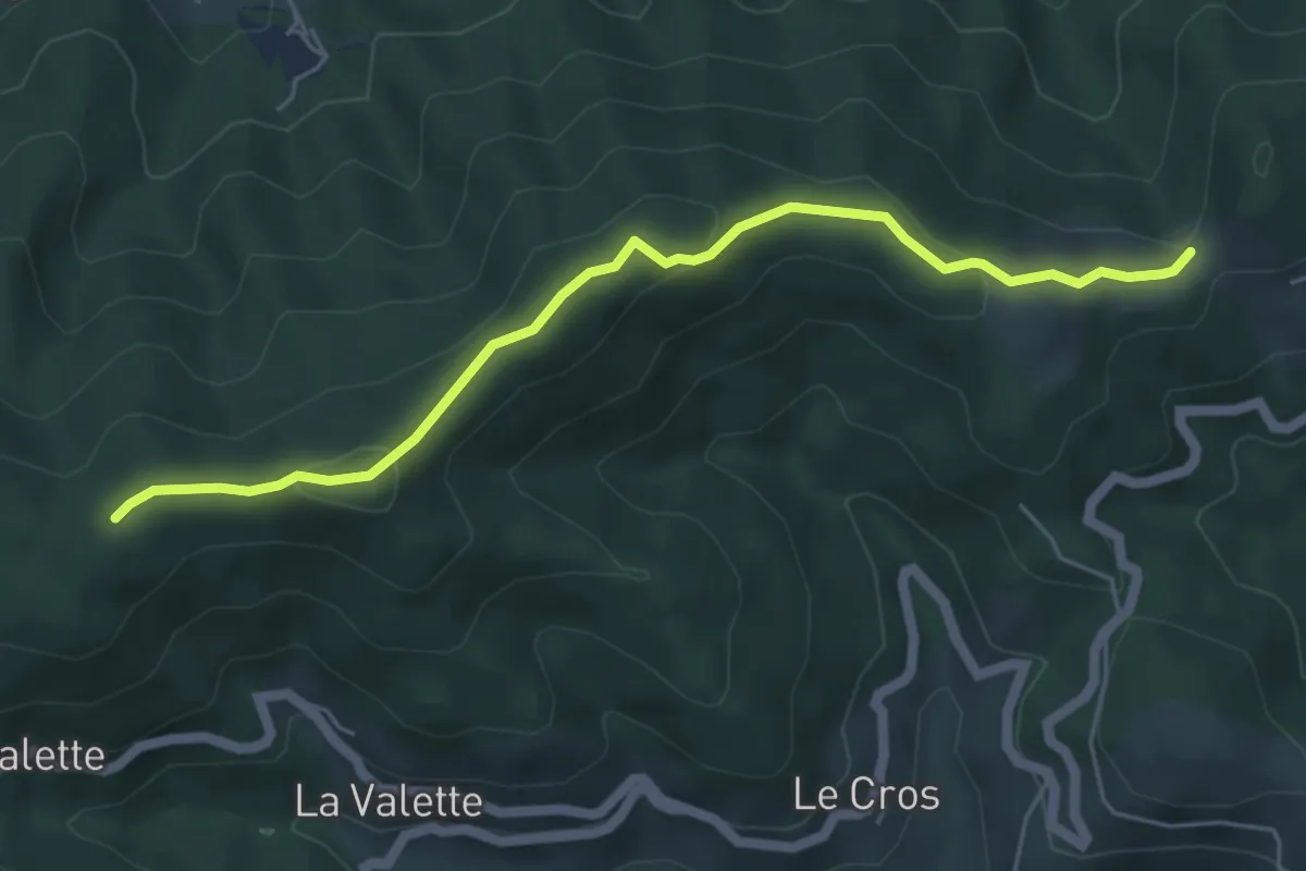
Easy · Trail
Les Perringues - Chez Ceysson
5.5 km · ↑ 210 m · 1 h 45 min · 9 km away
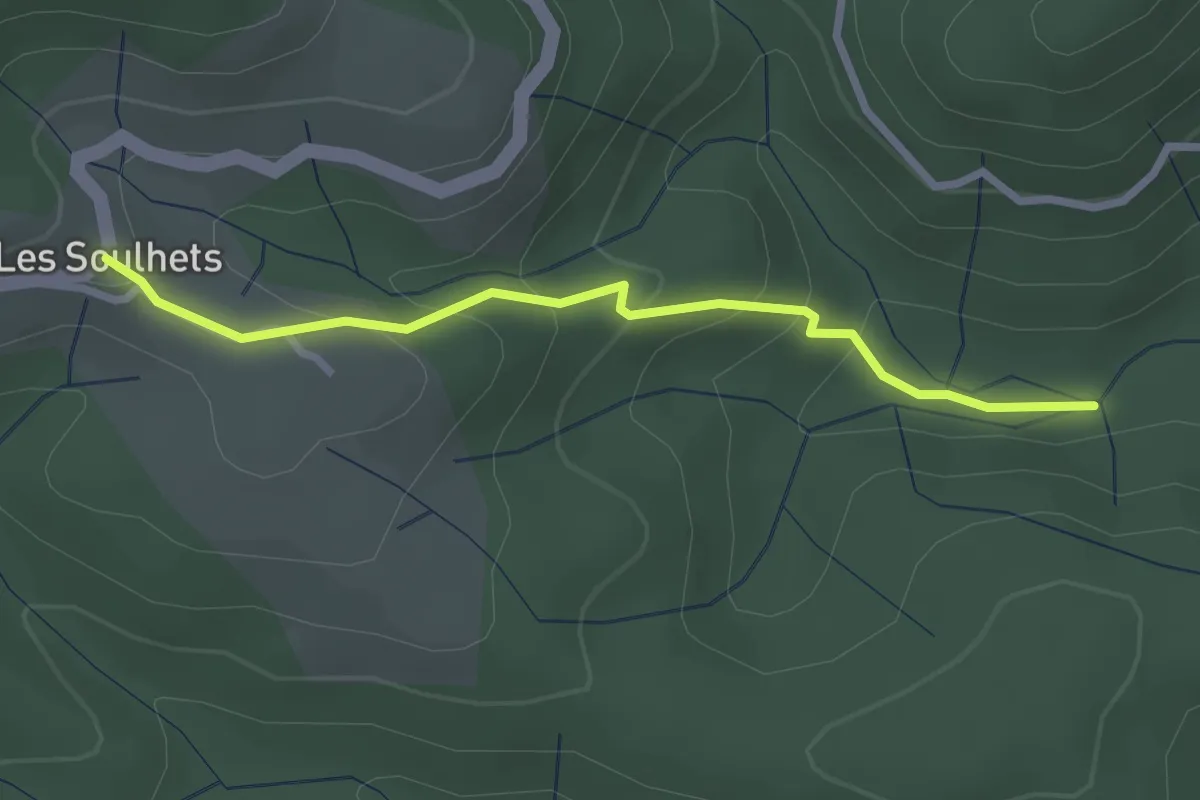
Easy · Trail
Le Chambon - Les Soulhets
2.7 km · ↑ 156 m · 58 min · 9 km away
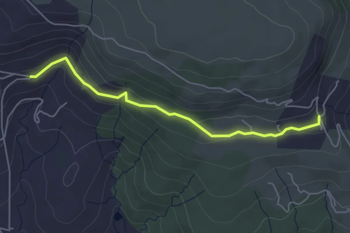
Easy · Trail
L'Église - Jarnias
4.3 km · ↑ 141 m · 1 h 19 min · 9 km away
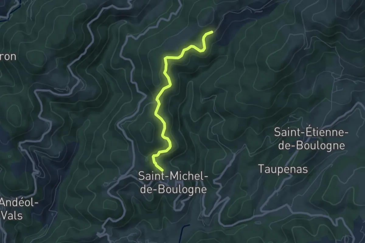
Easy · Trail
La Chapelle - Le Coulet
6.2 km · ↑ 282 m · 2 h 4 min · 9 km away
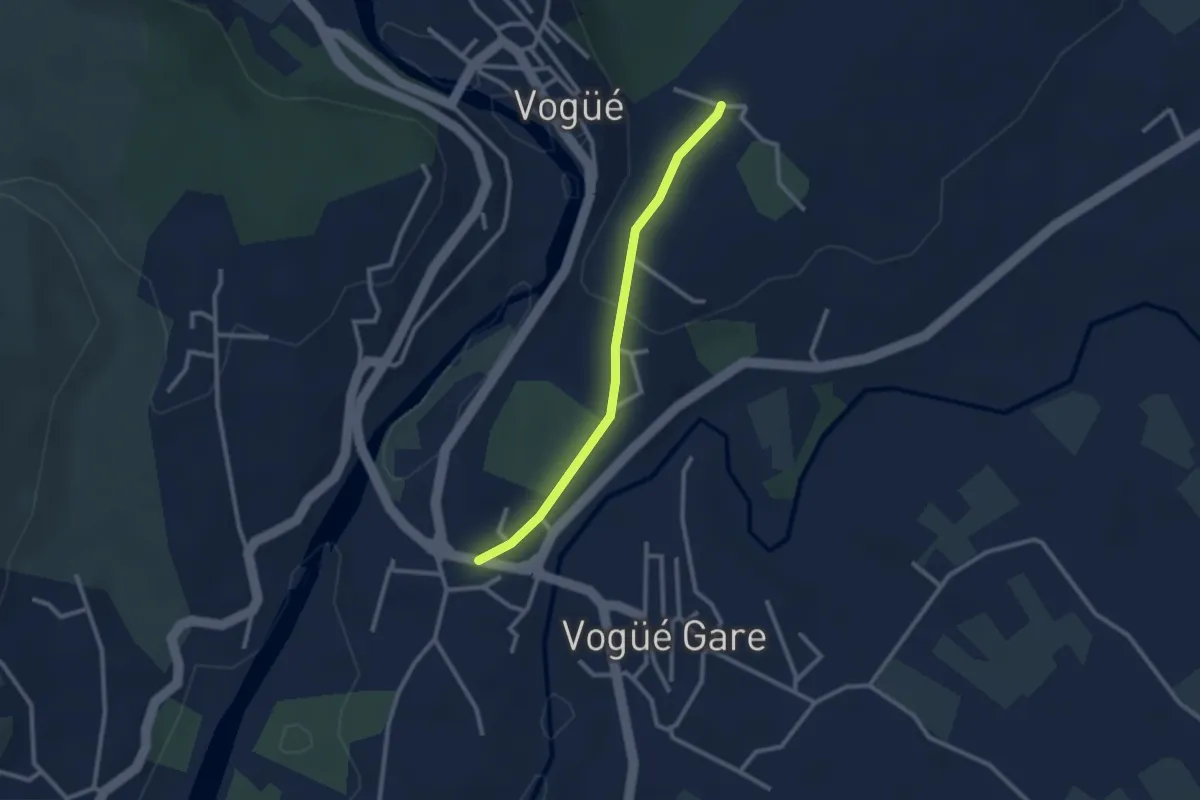
Easy · Trail
Bausson - Château d'eau
2.5 km · ↑ 65 m · 43 min · 9 km away
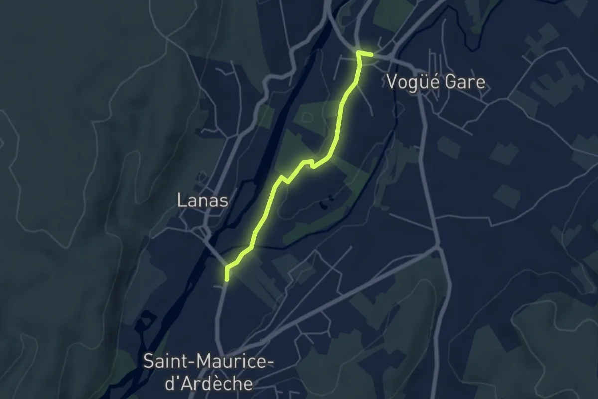
Easy · Trail
Le Moulin - Bausson
4.1 km · ↑ 22 m · 1 h · 9 km away
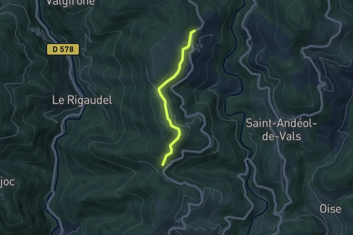
Easy · Trail
Pra Neuf - Fontbonne
3.9 km · ↑ 110 m · 1 h 9 min · 9 km away
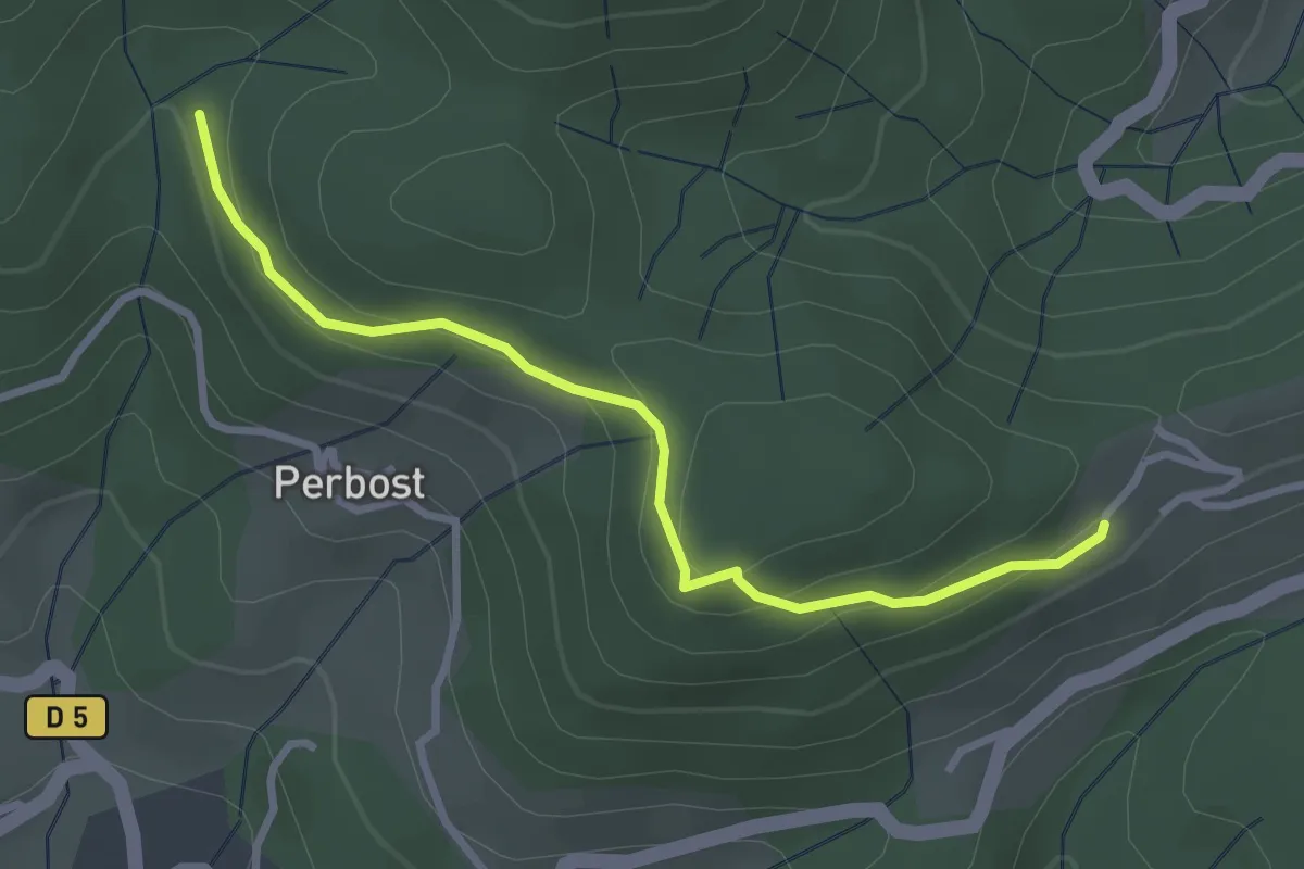
Easy · Trail
Le Vaure - Joux
3.1 km · ↑ 147 m · 1 h 3 min · 9 km away
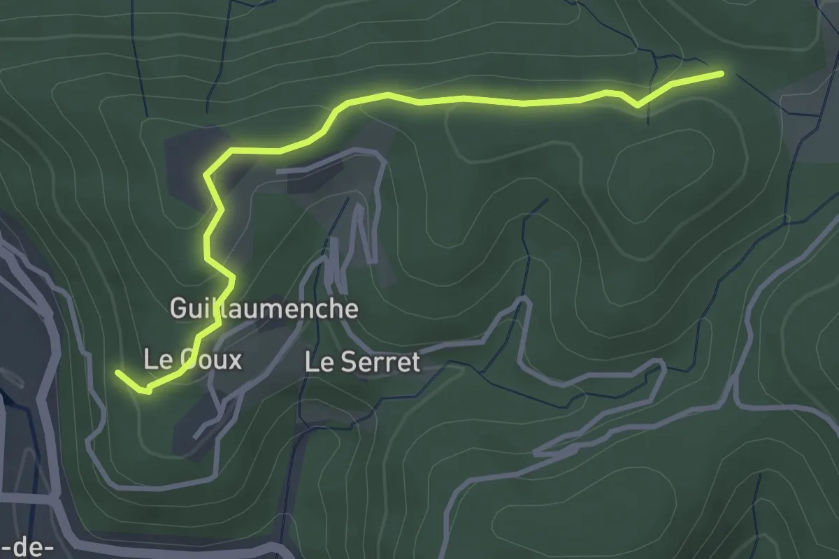
Easy · Trail
Le Goux - Col de Sétias
3.4 km · ↑ 150 m · 1 h 7 min · 9 km away
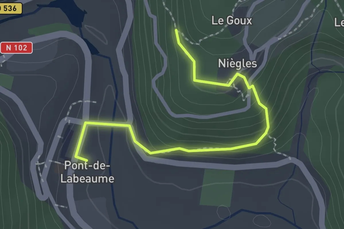
Easy · Trail
Pont de Labeaume - Le Goux
2.2 km · ↑ 137 m · 49 min · 9 km away
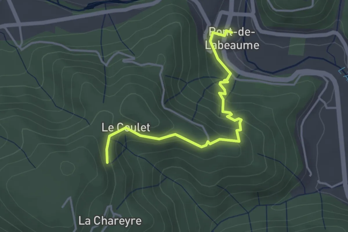
Easy · Trail
Pont de Labeaume - Les Traverses
3.7 km · ↑ 251 m · 1 h 25 min · 9 km away
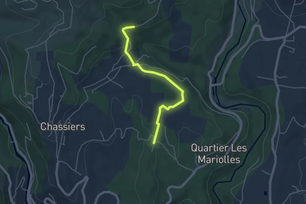
Easy · Trail
Les Juliennes - Les Valadiers
3.8 km · ↑ 67 m · 1 h 2 min · 9 km away
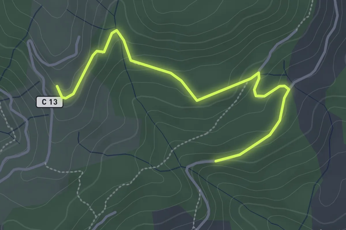
Easy · Trail
Les Valadiers - Les Combes
3.5 km · ↑ 104 m · 1 h 3 min · 9 km away
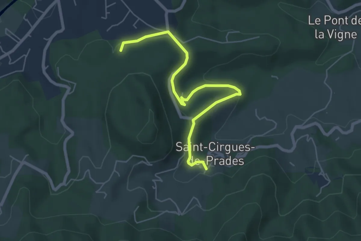
Easy · Trail
Le Rieu - Le Peschier
5.4 km · ↑ 163 m · 1 h 37 min · 10 km away
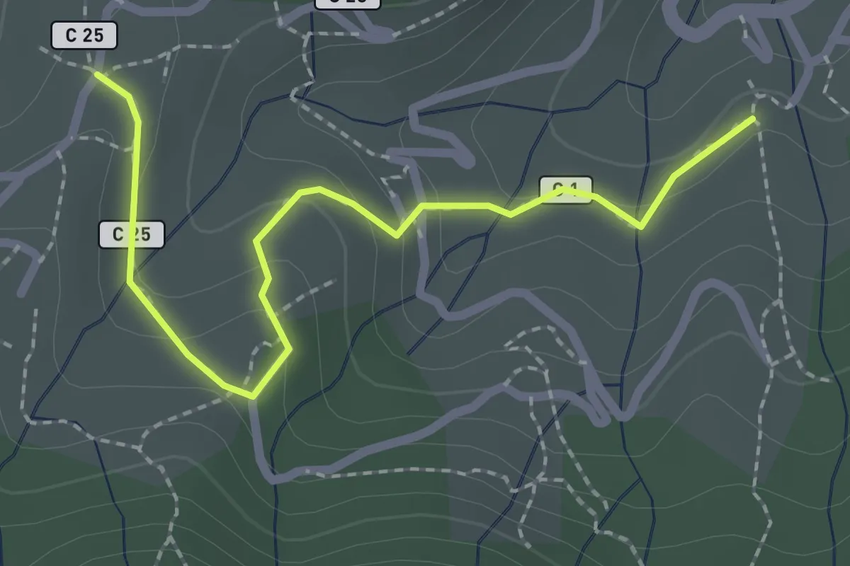
Easy · Trail
Lafont - Les Hugoux
2.4 km · ↑ 88 m · 45 min · 10 km away
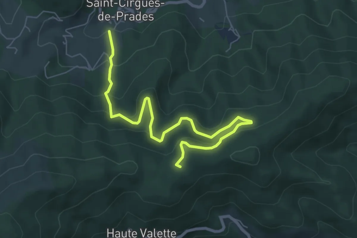
Medium · Trail
Lafont - Chez Ceysson
6.7 km · ↑ 399 m · 2 h 27 min · 10 km away
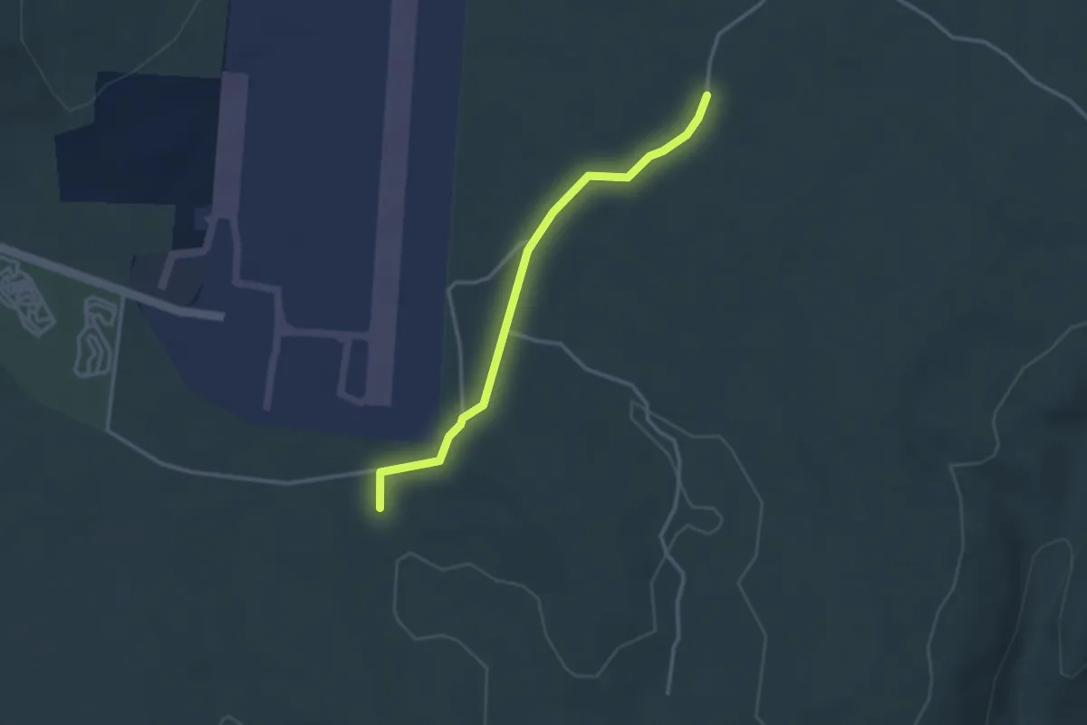
Easy · Trail
La Mare - Barsac
3.0 km · ↑ 56 m · 50 min · 10 km away
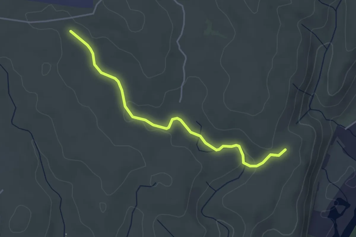
Easy · Trail
Le Clauzel - La Mare
4.1 km · ↑ 44 m · 1 h 4 min · 10 km away
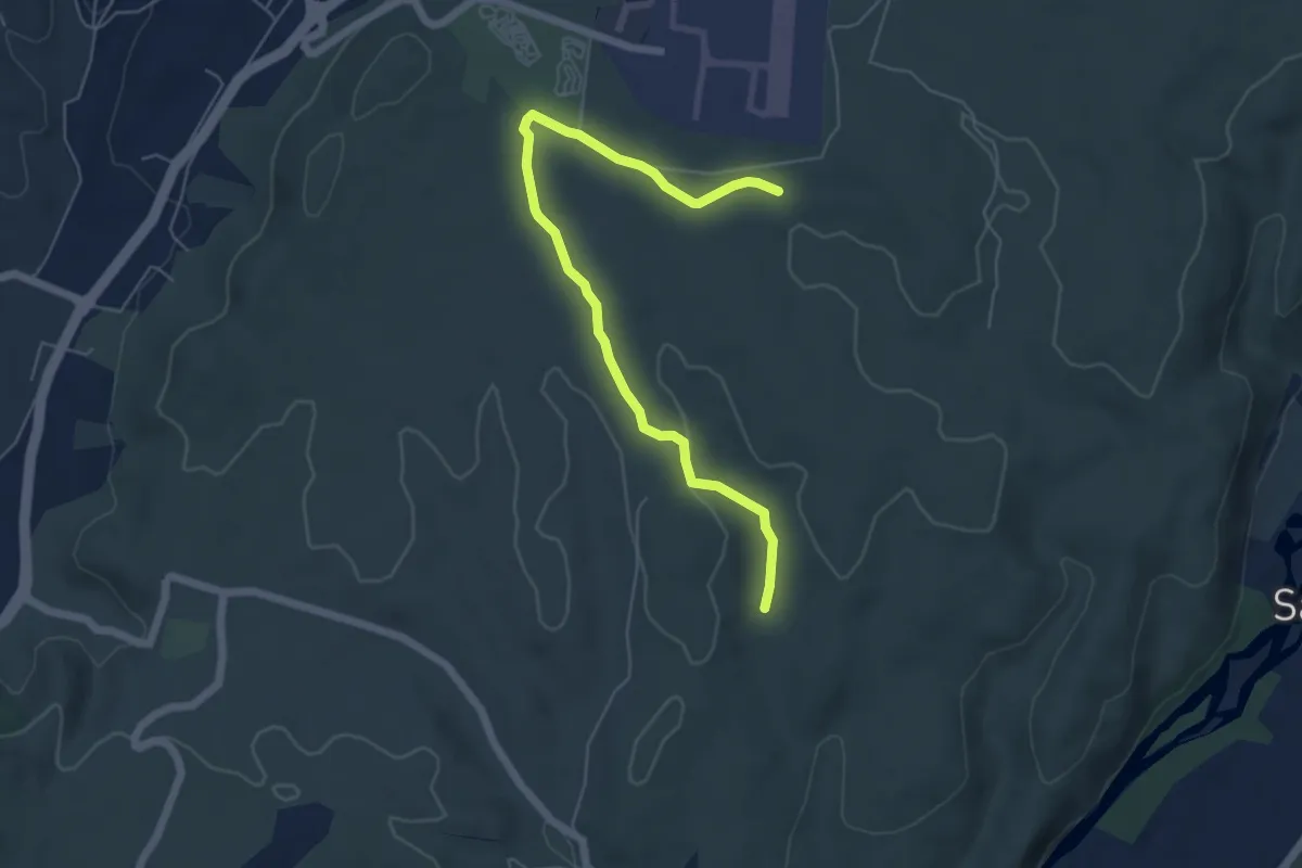
Easy · Trail
Chazette - La Mare
6.2 km · ↑ 71 m · 1 h 37 min · 10 km away
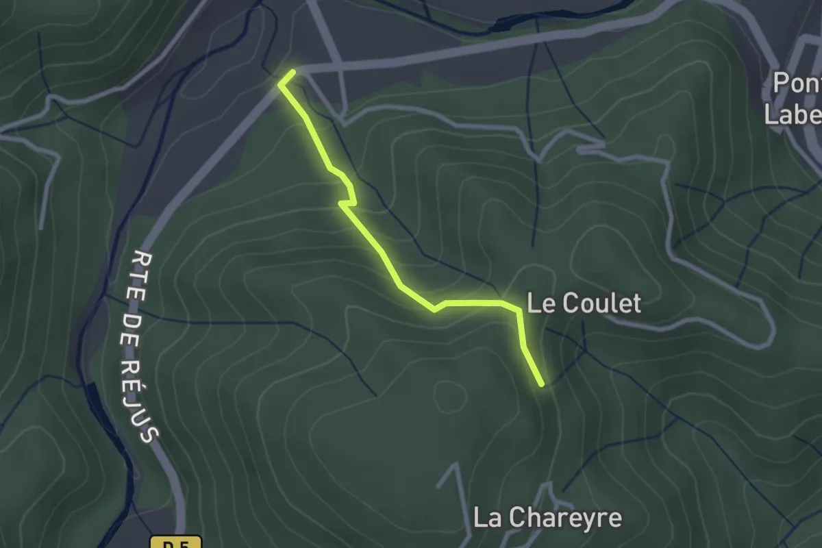
Easy · Trail
La Croisée de Réjus - Les Traverses
2.2 km · ↑ 178 m · 54 min · 10 km away
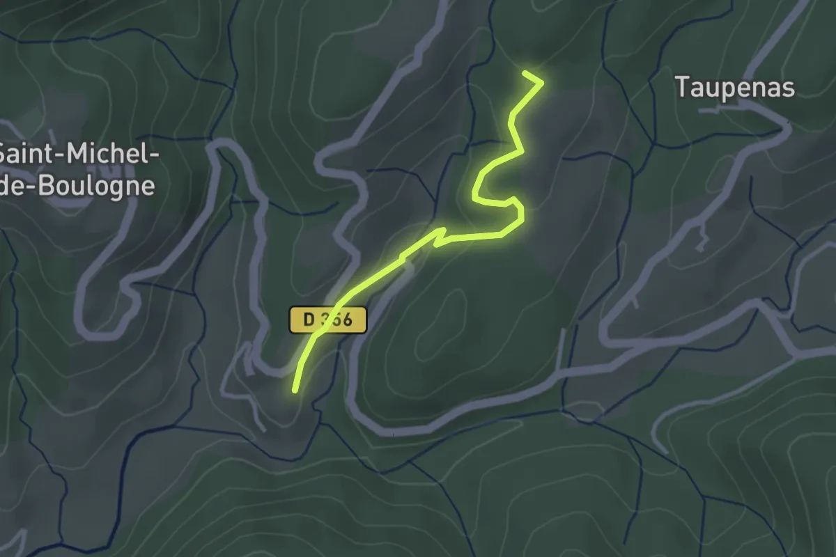
Easy · Trail
Le Château Est - Les Mortiers
2.8 km · ↑ 87 m · 50 min · 10 km away
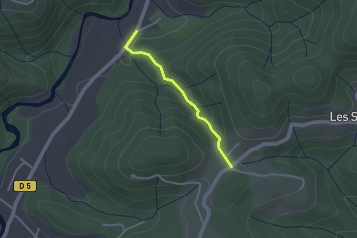
Easy · Trail
Bonneval - Larmande
2.0 km · ↑ 89 m · 41 min · 10 km away
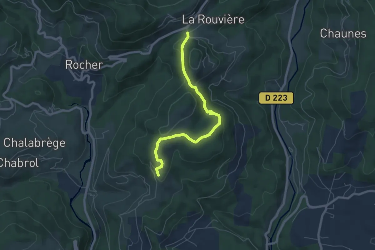
Easy · Trail
N.D. de Bonne Rencontre - Les Combes
5.8 km · ↑ 145 m · 1 h 41 min · 10 km away
Easy · Trail
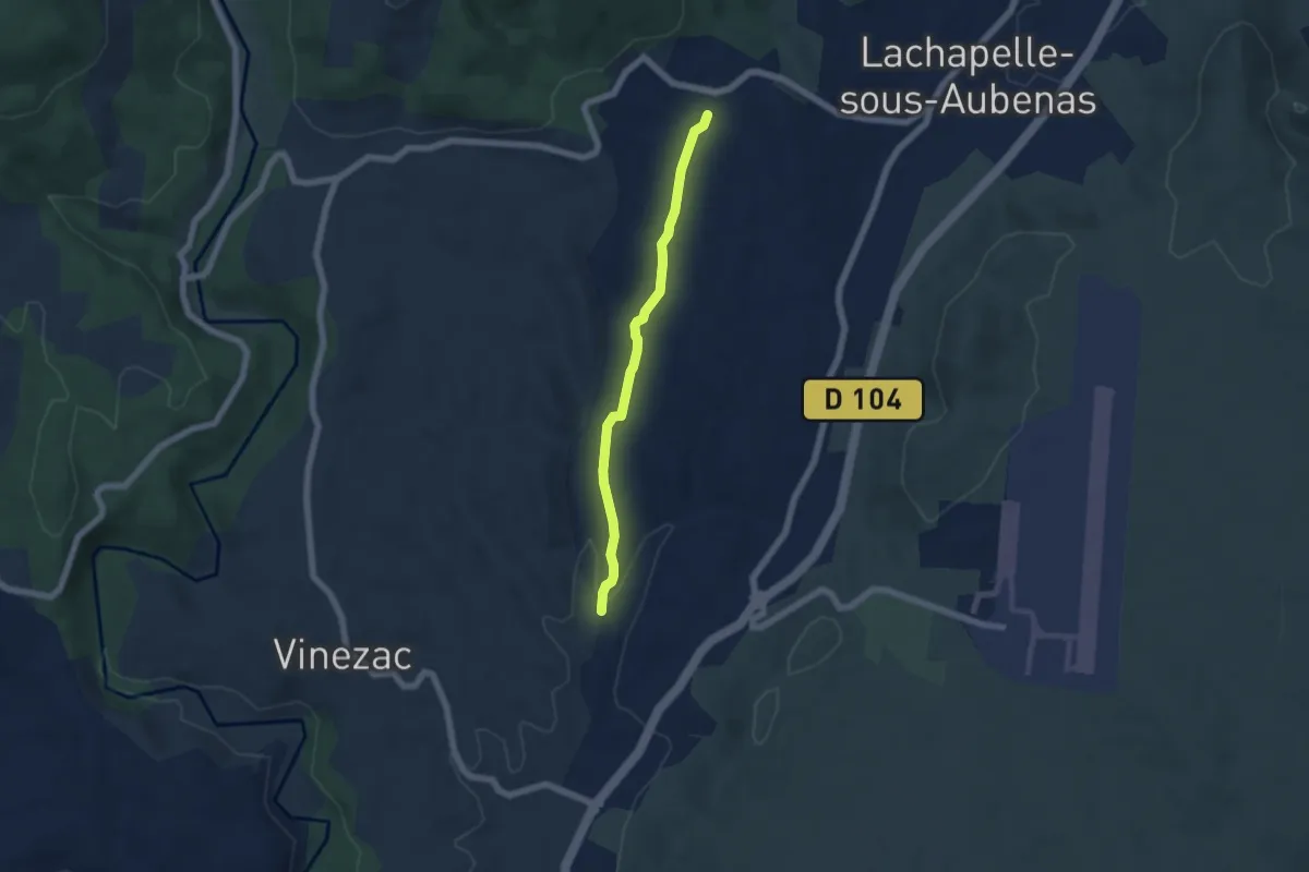
Les Alobres - Soudournas
5.3 km · ↑ 68 m · 1 h 24 min · 10 km away
Easy · Trail
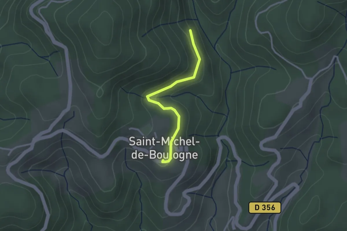
Combemale - Saint-Michel de Boulogne
2.4 km · ↑ 85 m · 45 min · 10 km away
Easy · Trail
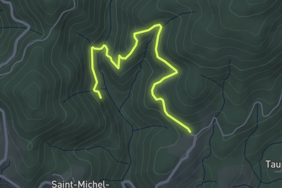
Combemale - Fougeyrolles
5.1 km · ↑ 278 m · 1 h 48 min · 10 km away
Easy · Trail
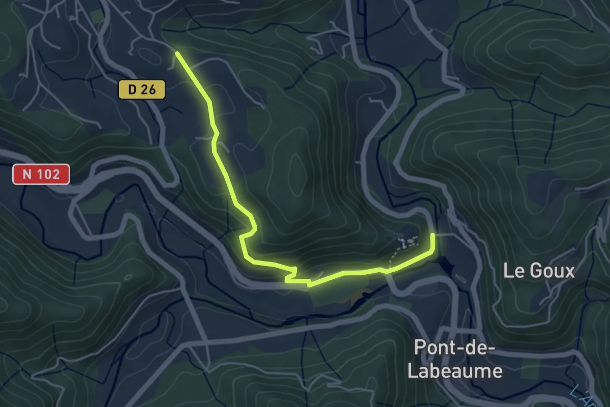
Ventadour - Champ Guérin
4.2 km · ↑ 177 m · 1 h 23 min · 10 km away