Trails near Aubenas
423 hikes starting within 15 km, nearest first.
Nearest first, page 5 of 9
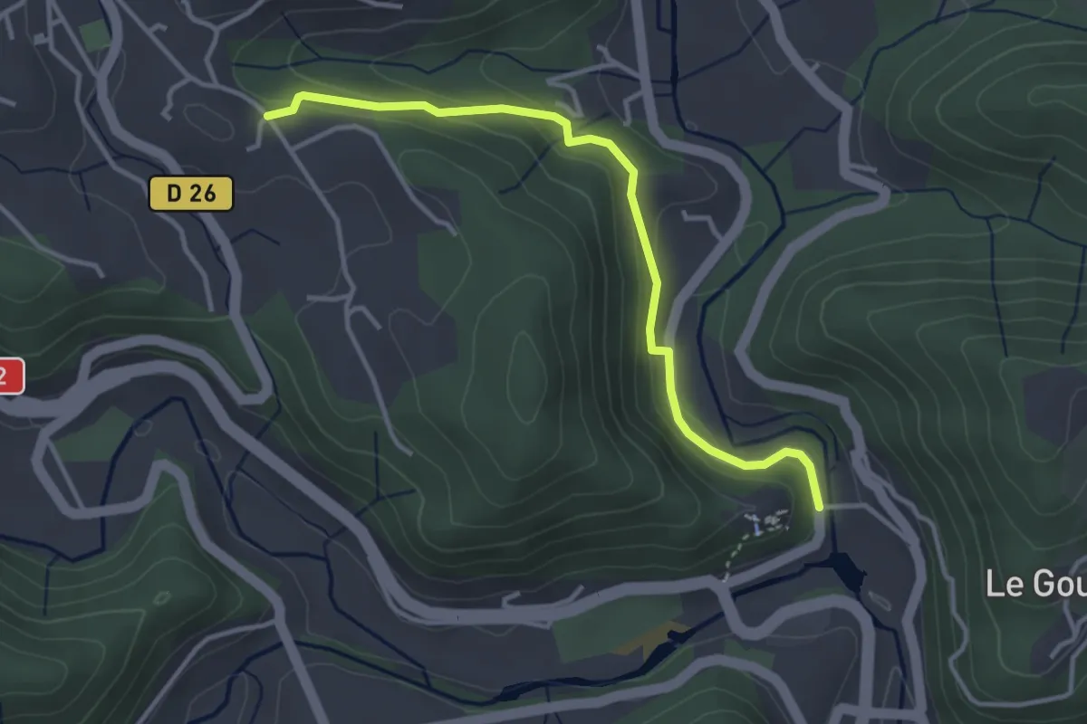
Easy · Trail
Ventadour - Champ Guérin
3.6 km · ↑ 153 m · 1 h 11 min · 10 km away
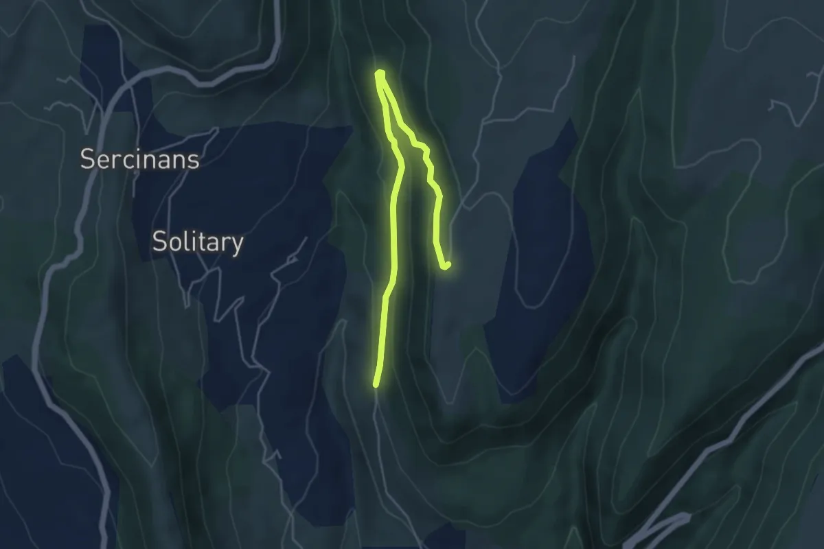
Easy · Trail
Le Pont Canadien - La Grangette
5.1 km · ↑ 193 m · 1 h 37 min · 10 km away
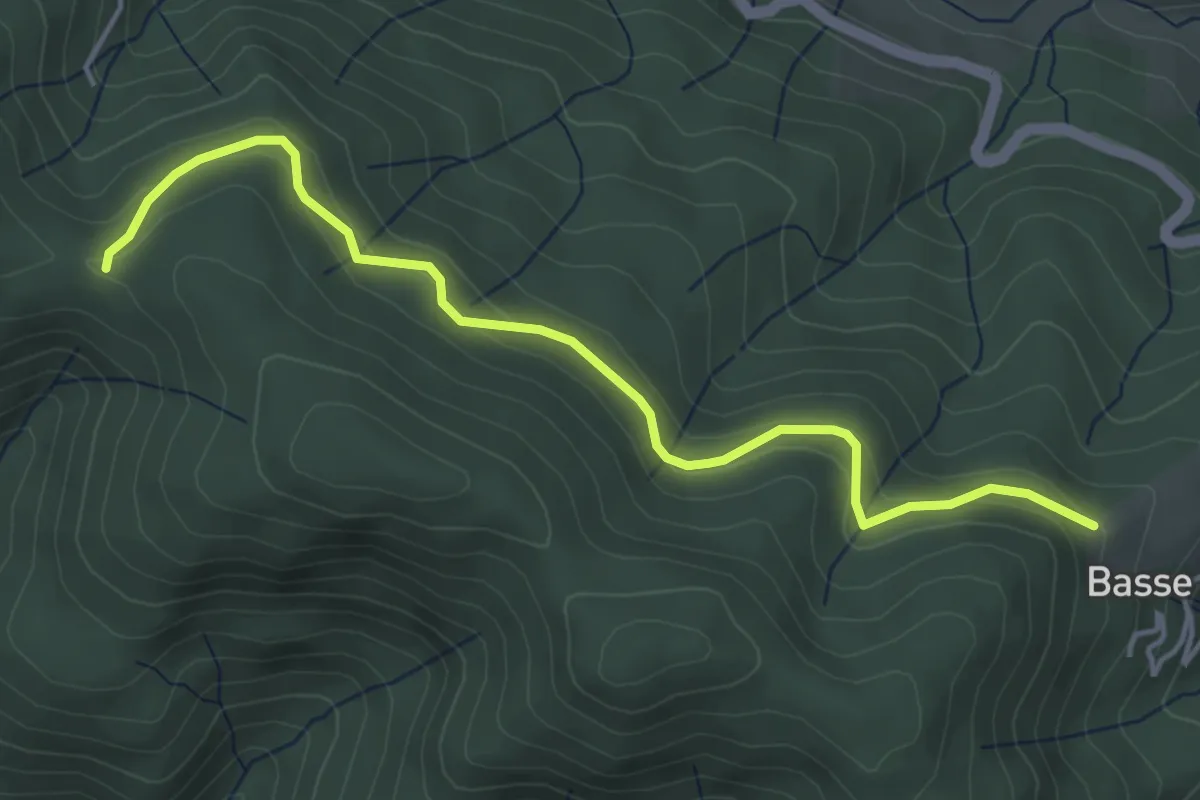
Easy · Trail
Les Fourches - Chapelle Sainte-Philomène
4.8 km · ↑ 211 m · 1 h 36 min · 10 km away
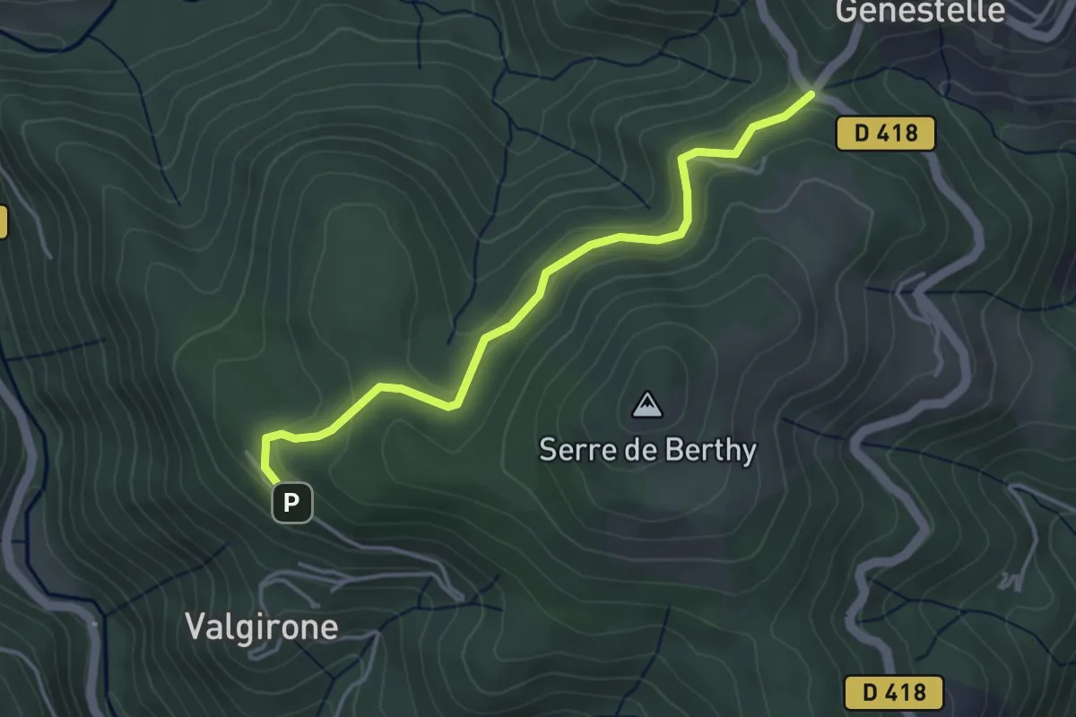
Easy · Trail
Le Rouge - Col de Genestelle
4.0 km · ↑ 162 m · 1 h 17 min · 10 km away
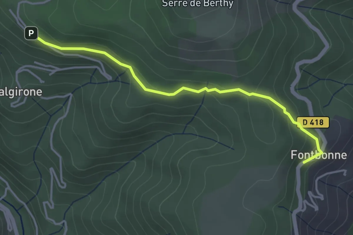
Easy · Trail
Fontbonne - Le Rouge
3.7 km · ↑ 134 m · 1 h 10 min · 10 km away
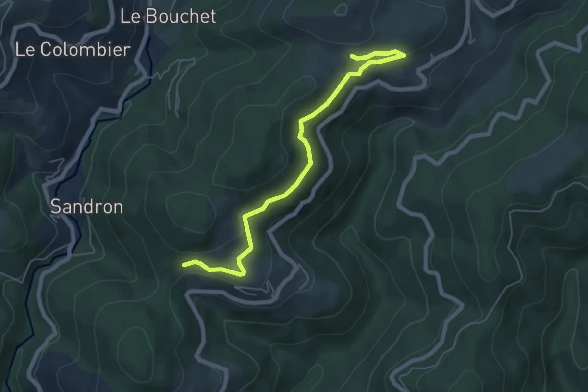
Easy · Trail
Grange - Coulet du Vernadel
5.3 km · ↑ 149 m · 1 h 34 min · 10 km away
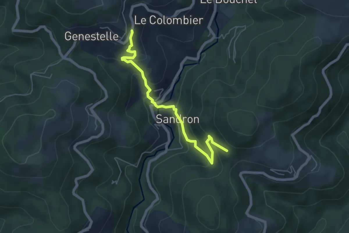
Medium · Trail
Christianet - Bois de Roumanou
4.9 km · ↑ 346 m · 1 h 55 min · 10 km away
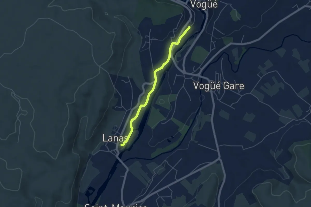
Easy · Trail
Lanas Centre - Le Tunnel
4.4 km · ↑ 46 m · 1 h 8 min · 10 km away
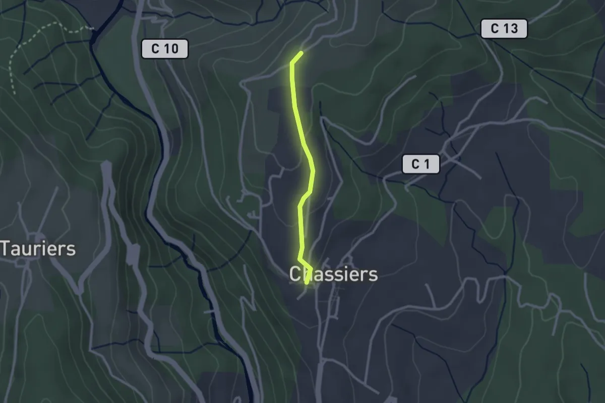
Easy · Trail
Chassiers - Chapelle Saint-Joseph
2.0 km · ↑ 52 m · 35 min · 10 km away
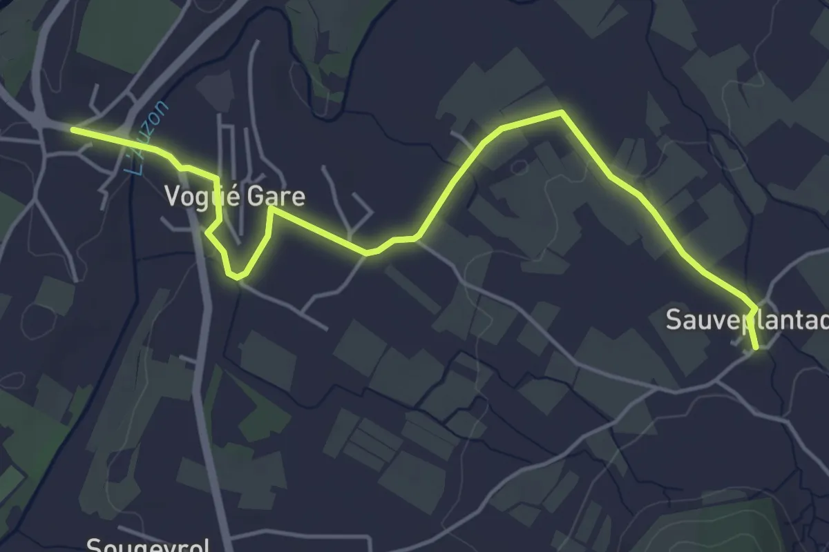
Easy · Trail
Bausson - Sauveplantade
5.4 km · ↑ 38 m · 1 h 21 min · 10 km away
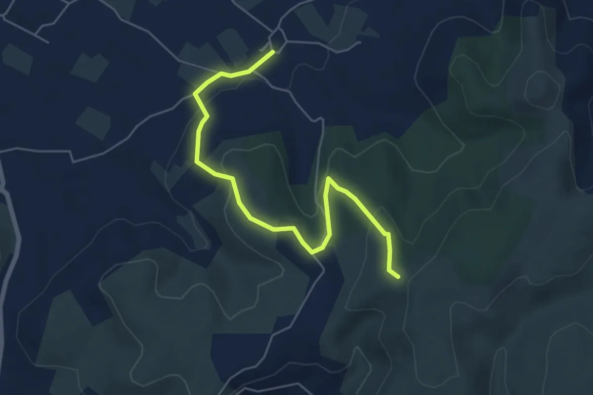
Easy · Trail
Sauveplantade - Léauze
5.4 km · ↑ 172 m · 1 h 39 min · 10 km away
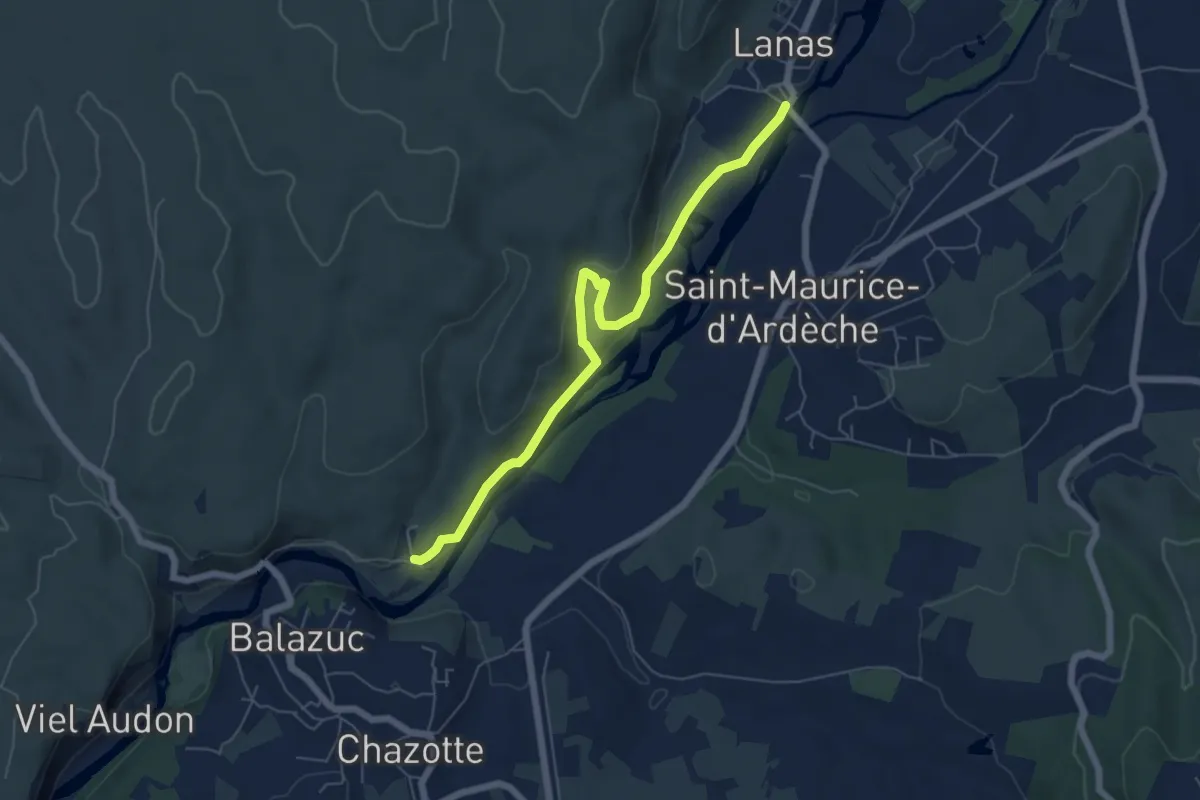
Medium · Trail
Lanas - Servières
6.4 km · ↑ 188 m · 1 h 55 min · 10 km away
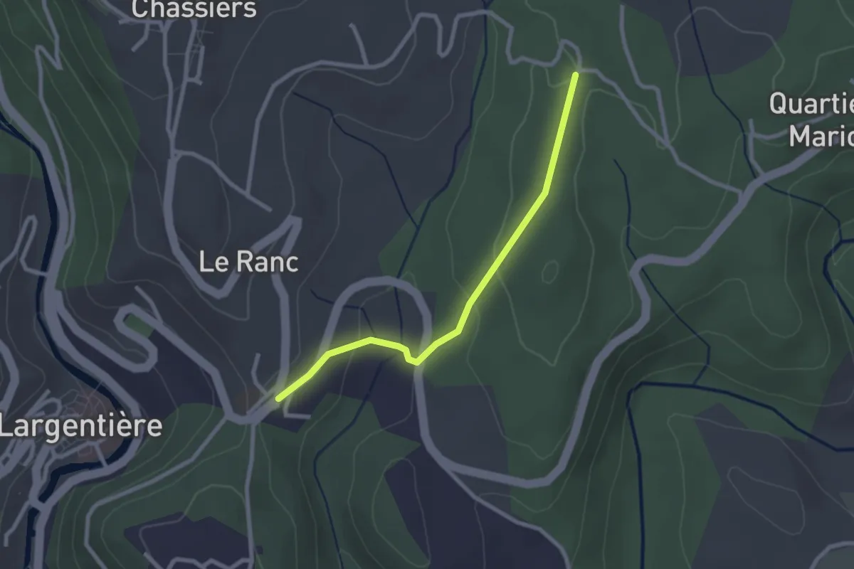
Easy · Trail
Sainte-Foy - Les Juliennes
2.4 km · ↑ 75 m · 44 min · 10 km away
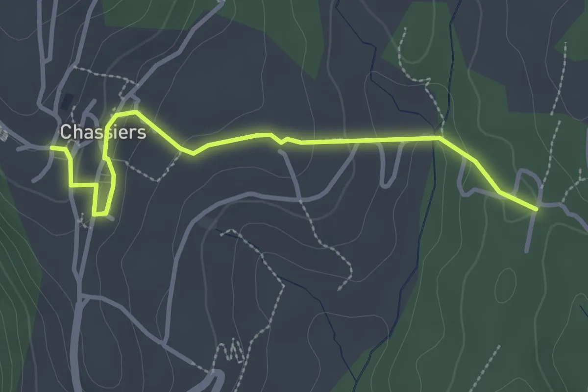
Easy · Trail
Les Juliennes - Chassiers
3.0 km · ↑ 99 m · 55 min · 10 km away
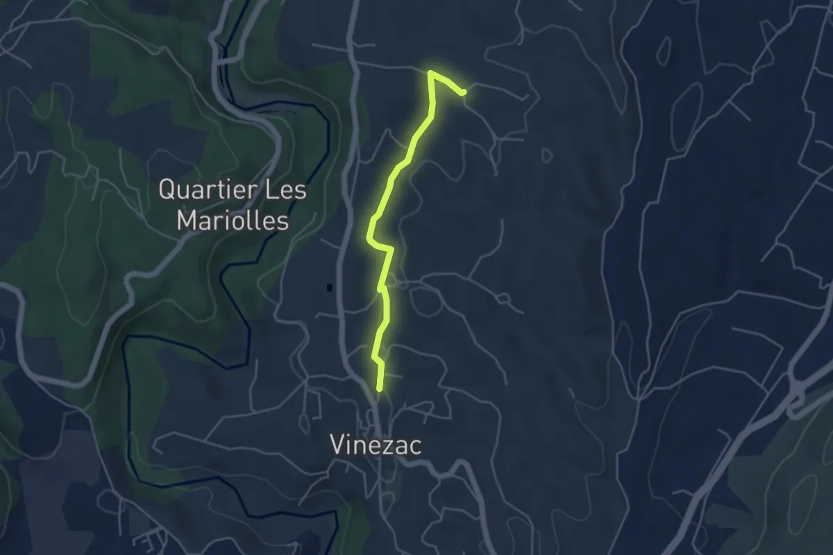
Easy · Trail
Le Fez - Les Crozes
3.9 km · ↑ 47 m · 1 h 1 min · 10 km away
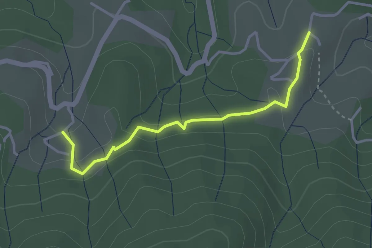
Easy · Trail
Les Hugoux - Fougeyrolles
2.8 km · ↑ 97 m · 52 min · 10 km away
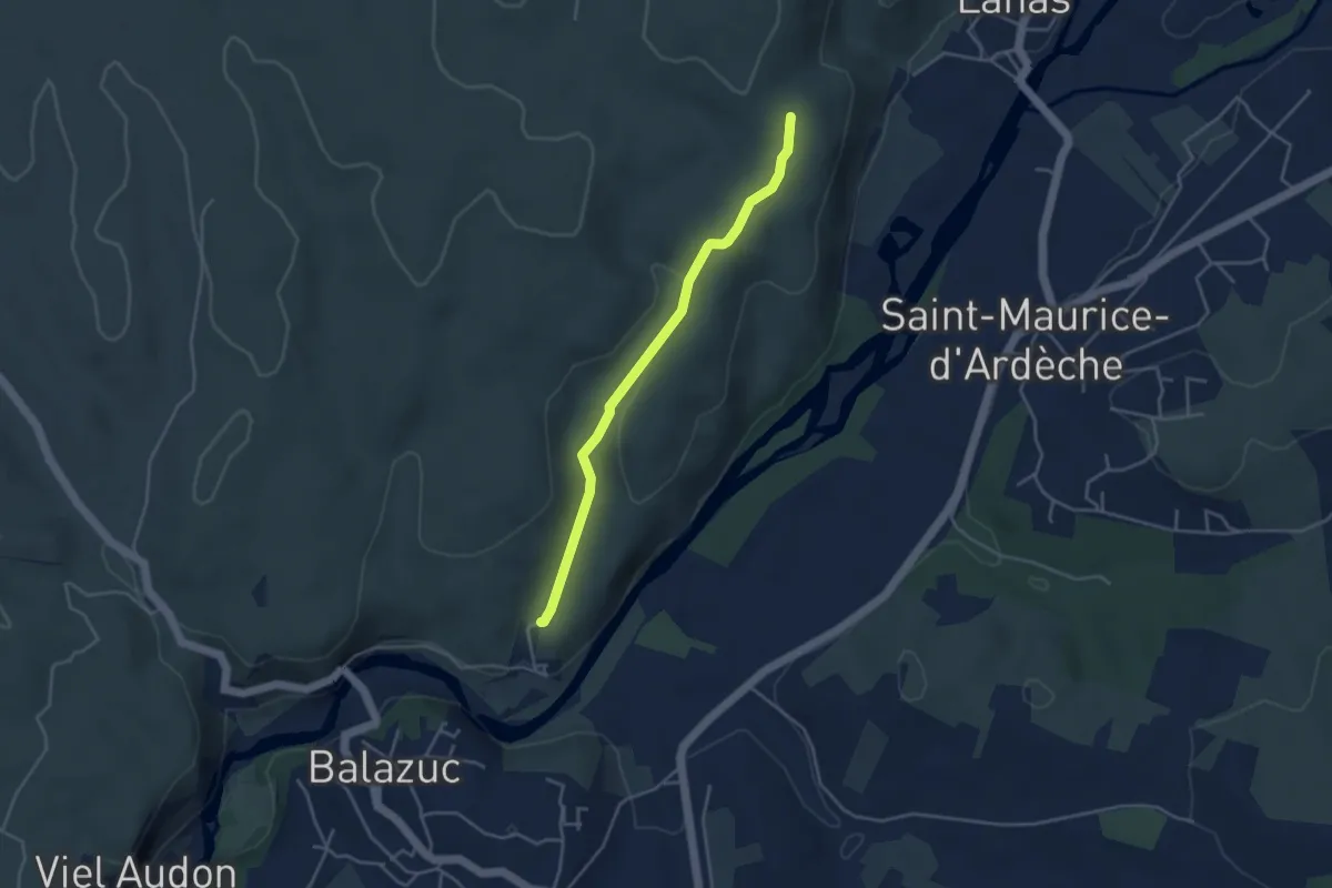
Easy · Trail
Les Chabasses - Le Clauzel
3.9 km · ↑ 78 m · 1 h 6 min · 10 km away
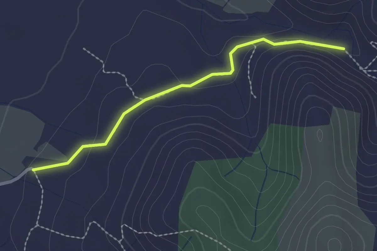
Easy · Trail
Pradet - Le Rieusset
2.2 km · ↑ 37 m · 36 min · 10 km away
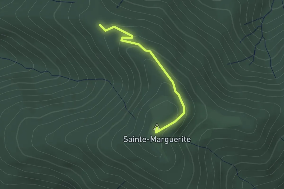
Easy · Summit
Font Rognon - Sainte-Marguerite
2.2 km · ↑ 142 m · 49 min · 10 km away
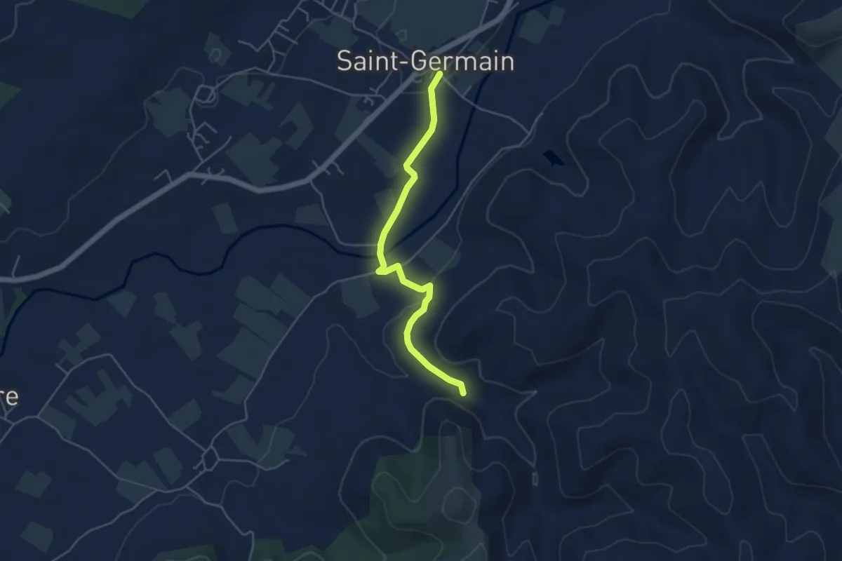
Easy · Trail
Saint-Germain - Le Rieusset
4.6 km · ↑ 71 m · 1 h 14 min · 10 km away
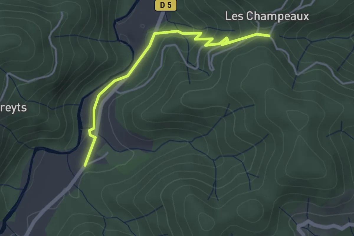
Easy · Trail
Bonneval - La croix de Chareyre
3.6 km · ↑ 153 m · 1 h 11 min · 10 km away
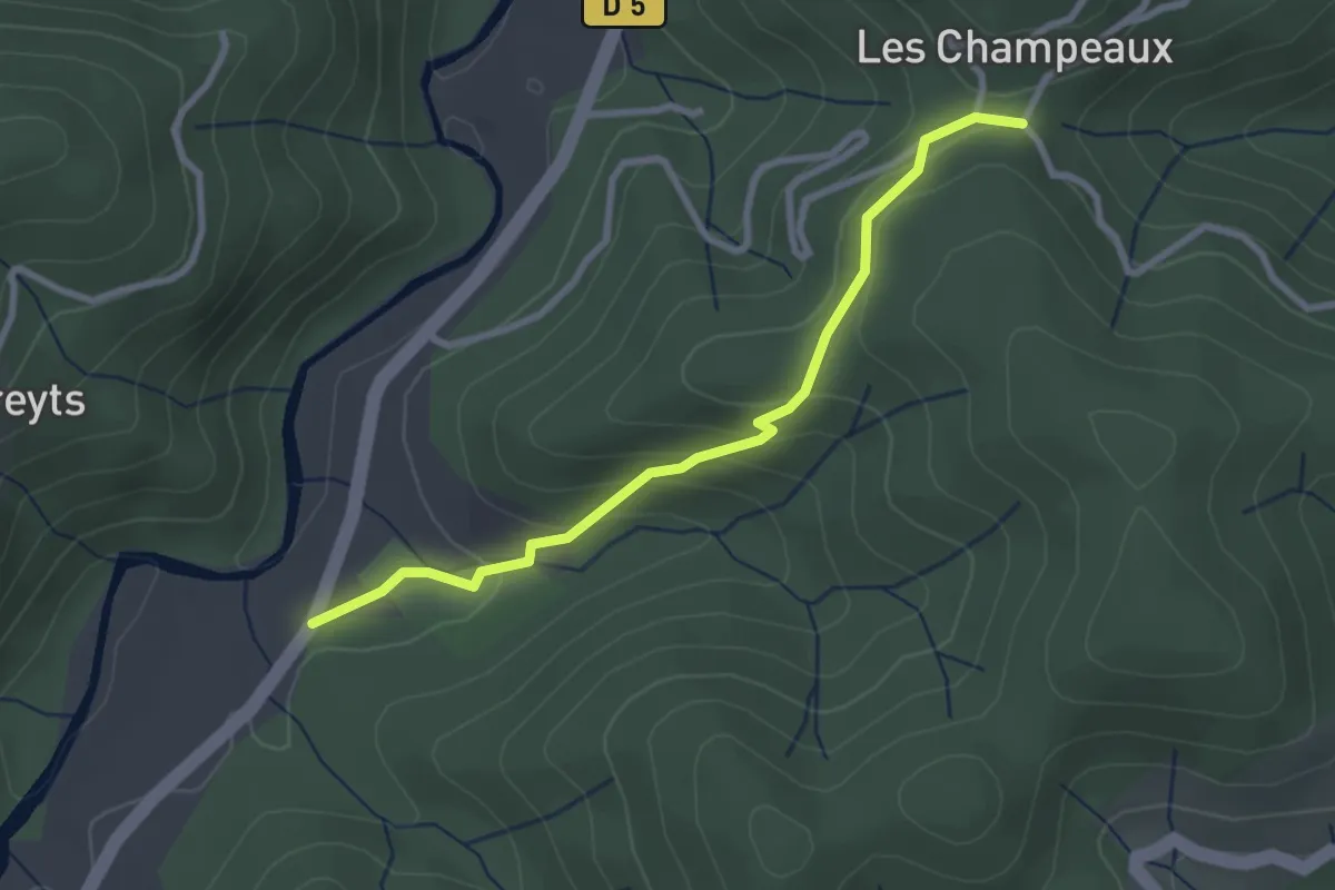
Easy · Trail
Bonneval - La croix de Chareyre
2.8 km · ↑ 137 m · 58 min · 10 km away
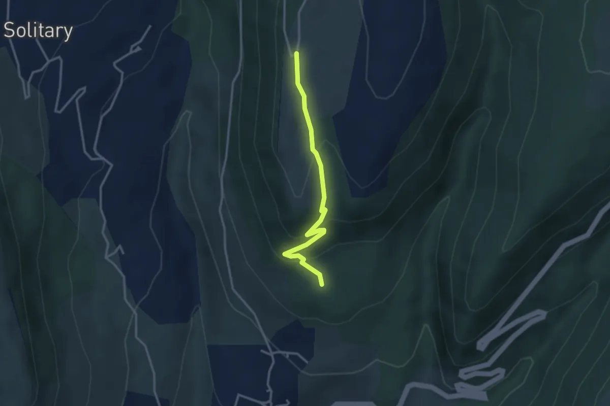
Easy · Trail
Les Angladures - La Grangette
2.9 km · ↑ 146 m · 1 h · 10 km away
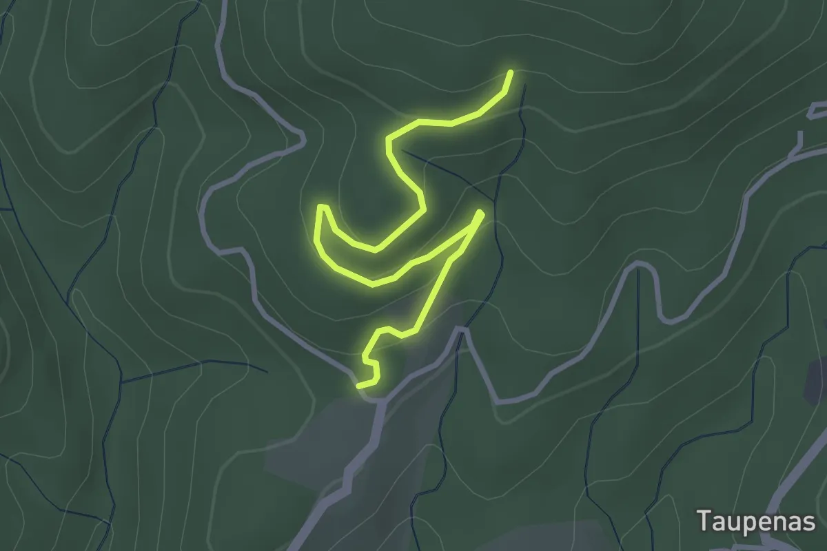
Easy · Trail
Fougeyrolles - Les Molières
3.3 km · ↑ 128 m · 1 h 3 min · 10 km away
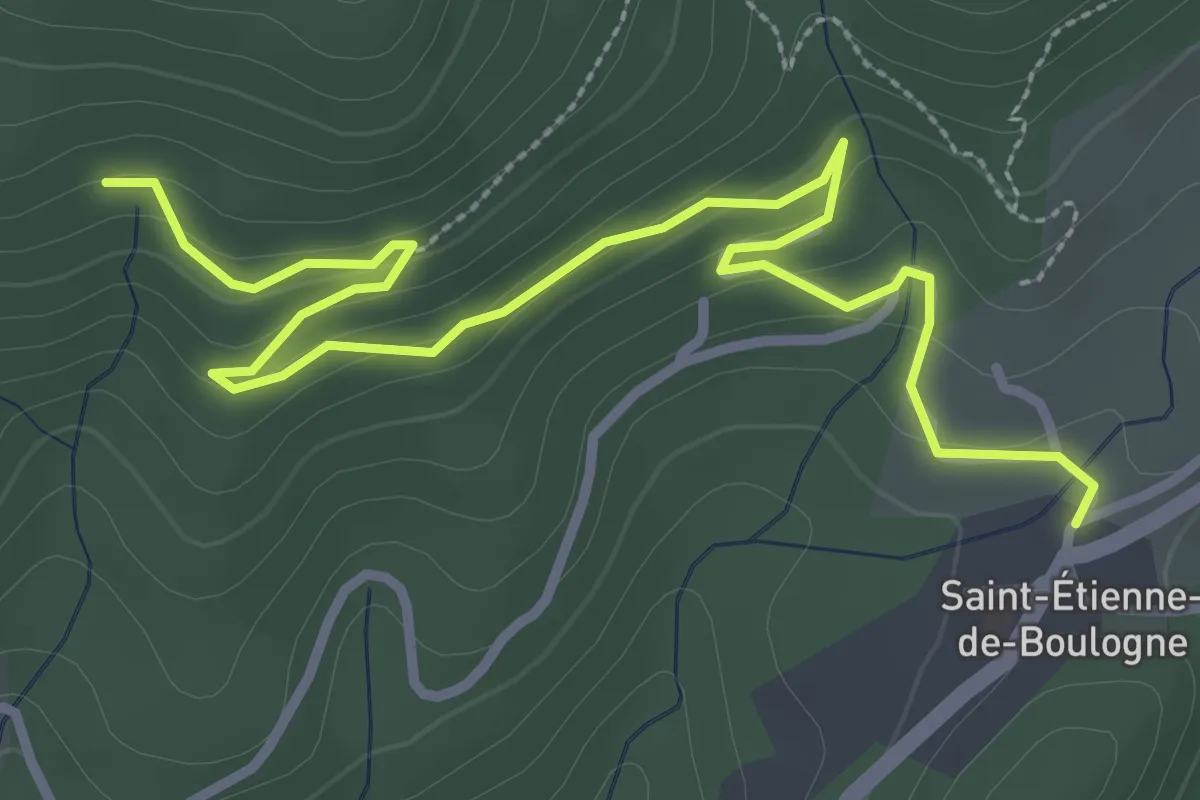
Easy · Trail
Saint-Etienne Nord - Les Molières
4.0 km · ↑ 140 m · 1 h 14 min · 10 km away
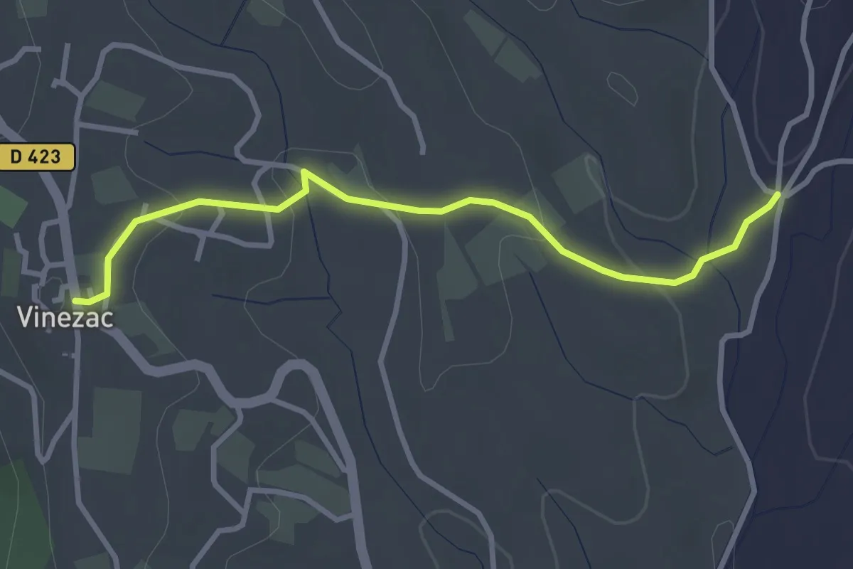
Easy · Trail
Les Alobres - Le Village
3.1 km · ↑ 70 m · 53 min · 10 km away
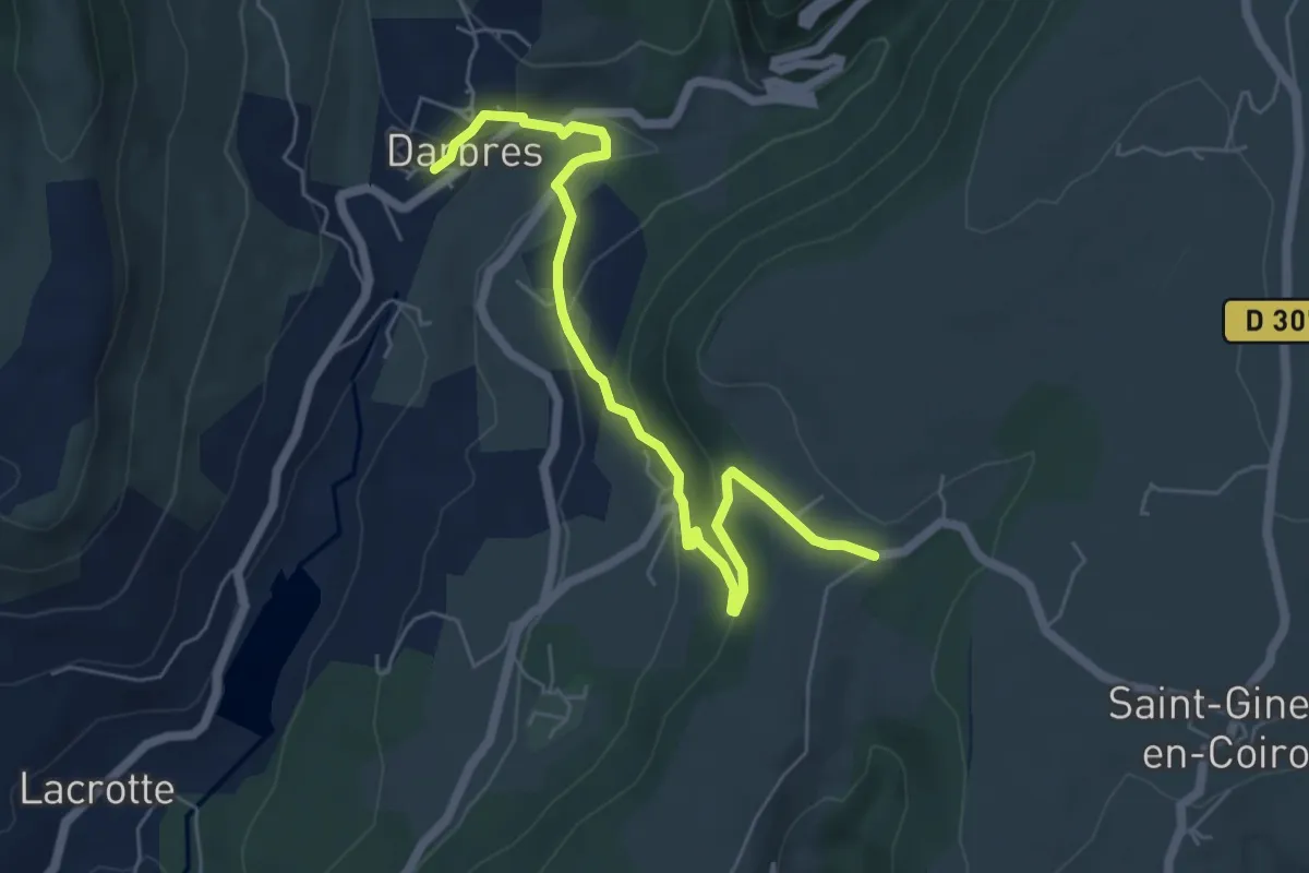
Easy · Trail
Darbres - Pas de Vendrias
6.5 km · ↑ 271 m · 2 h 7 min · 10 km away
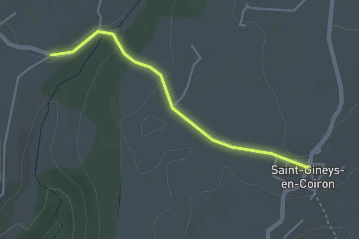
Easy · Trail
Pas de Vendrias - Saint-Gineys-en-Coiron
2.6 km · ↑ 31 m · 41 min · 10 km away
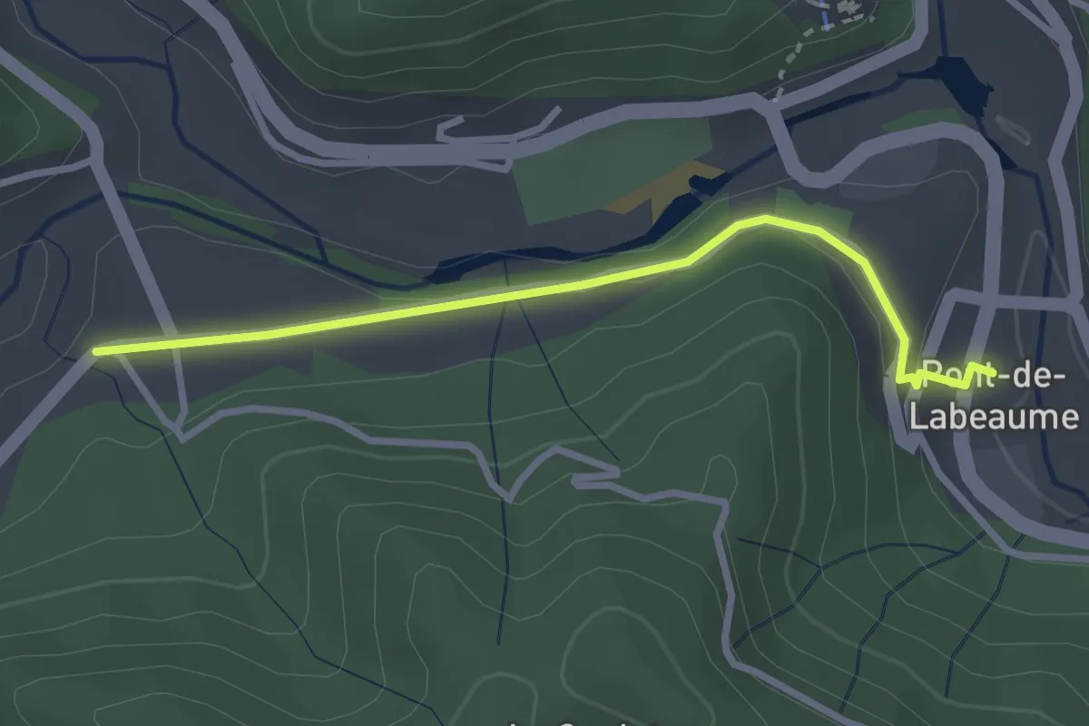
Easy · Trail
Pont de Labeaume - La Croisée de Réjus
2.8 km · ↑ 79 m · 50 min · 10 km away
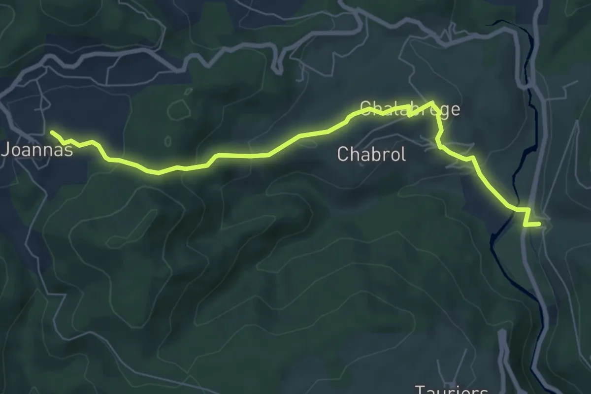
Easy · Trail
Bastide - La Sauzède
7.0 km · ↑ 276 m · 2 h 15 min · 10 km away
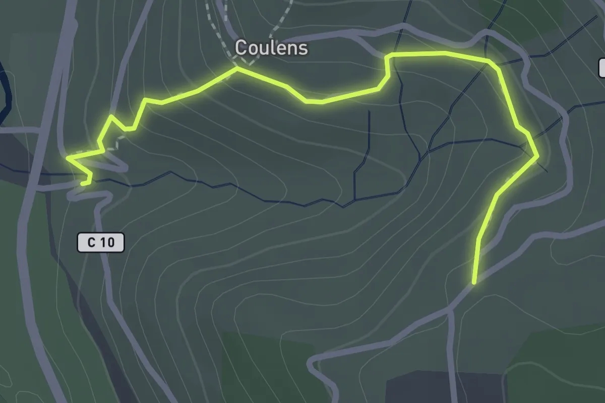
Easy · Trail
Bastide - Chapelle Saint-Joseph
2.5 km · ↑ 133 m · 53 min · 10 km away
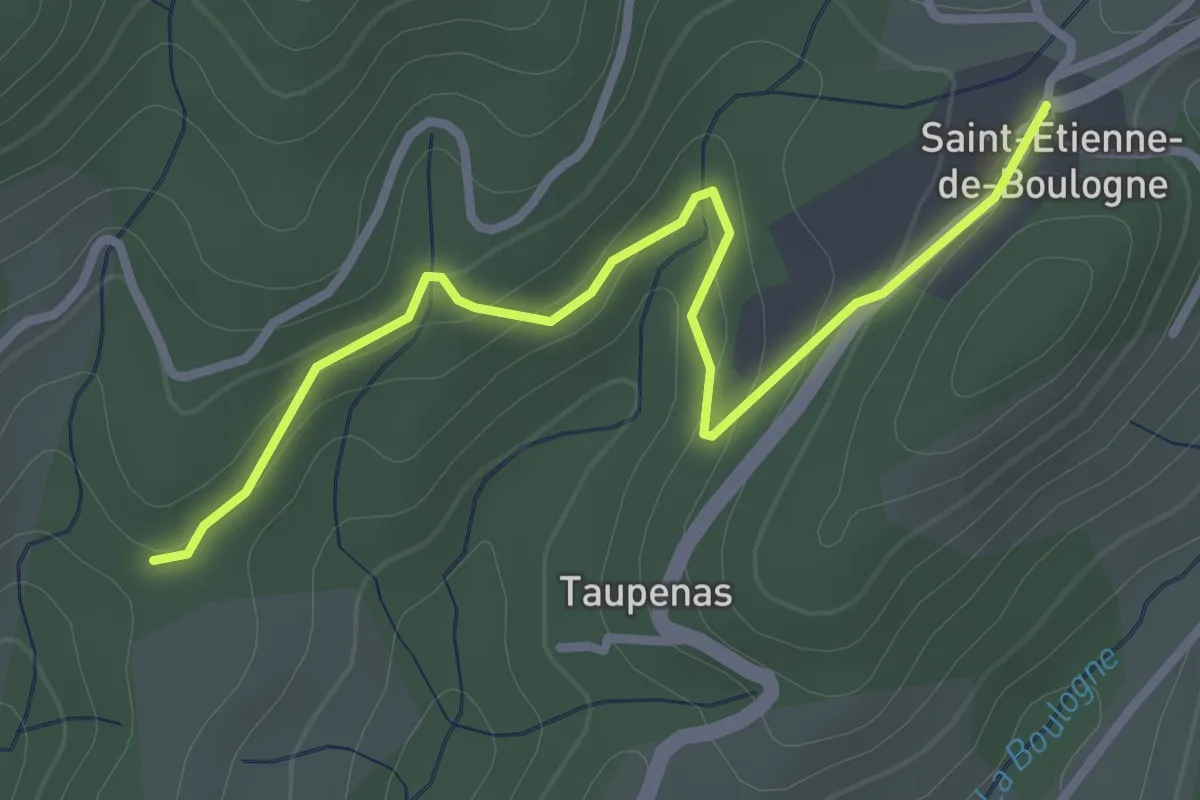
Easy · Trail
Les Mortiers - Saint-Etienne de Boulogne
3.1 km · ↑ 110 m · 58 min · 11 km away
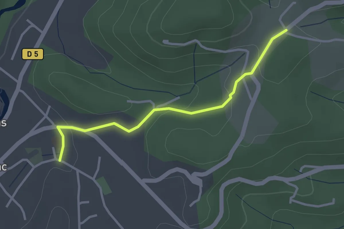
Easy · Trail
Castrevielle -Larmande
2.7 km · ↑ 69 m · 48 min · 11 km away
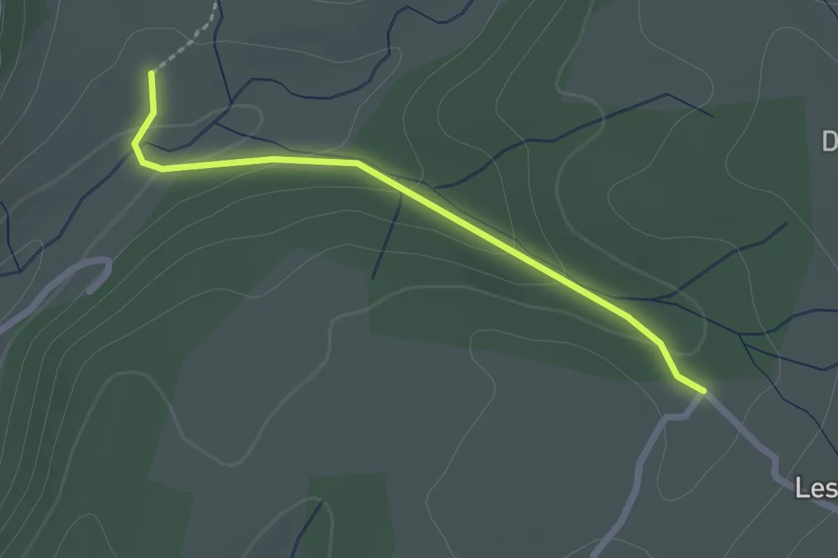
Easy · Trail
Concise - Chemin du Seigneur
2.0 km · ↑ 57 m · 36 min · 11 km away
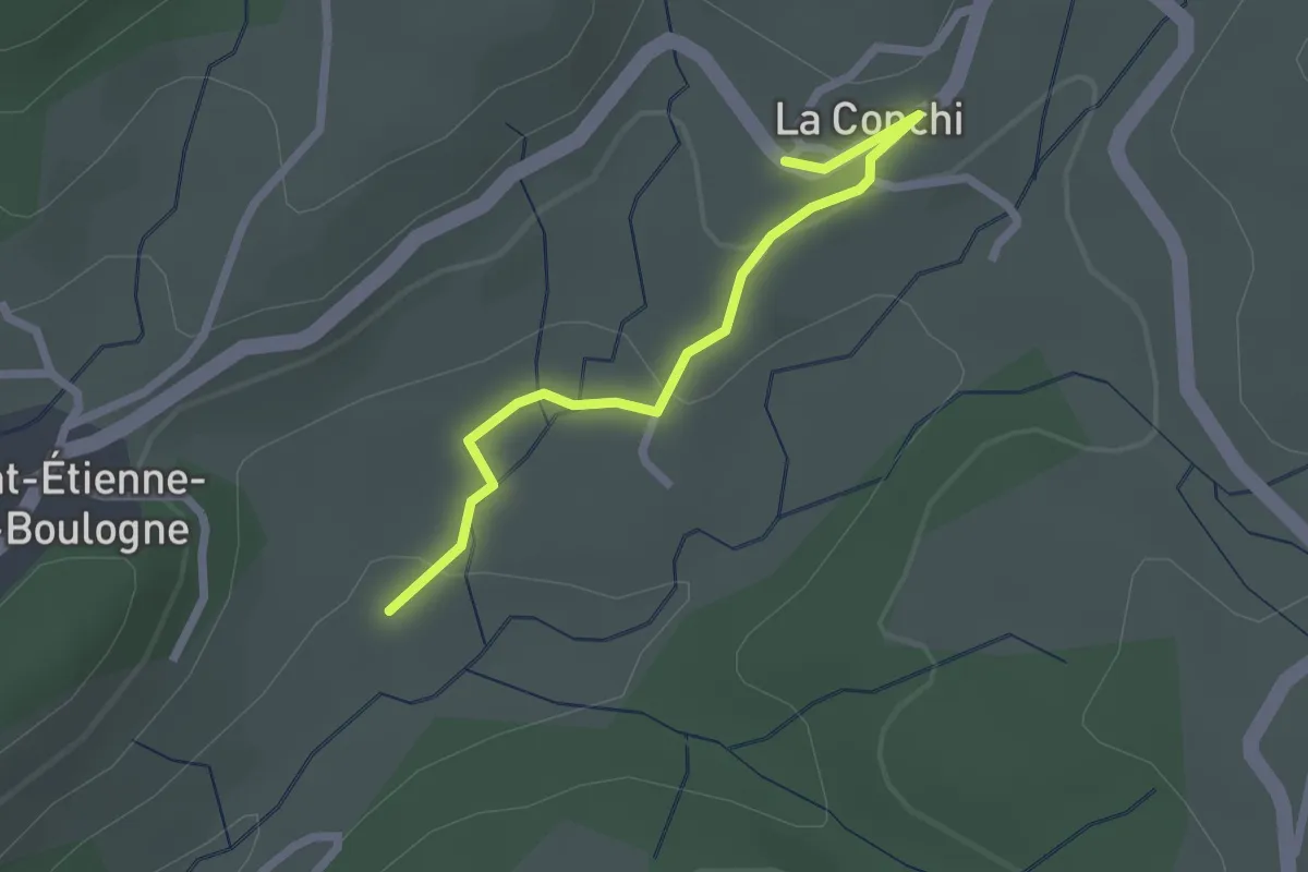
Easy · Trail
Concise - La Conchy
2.2 km · ↑ 53 m · 39 min · 11 km away
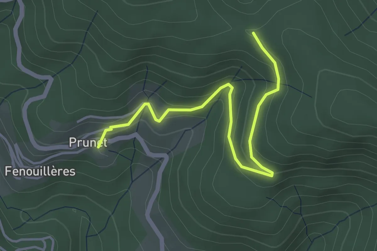
Easy · Trail
Prunet - Chapelle Sainte-Philomène
4.1 km · ↑ 245 m · 1 h 30 min · 11 km away
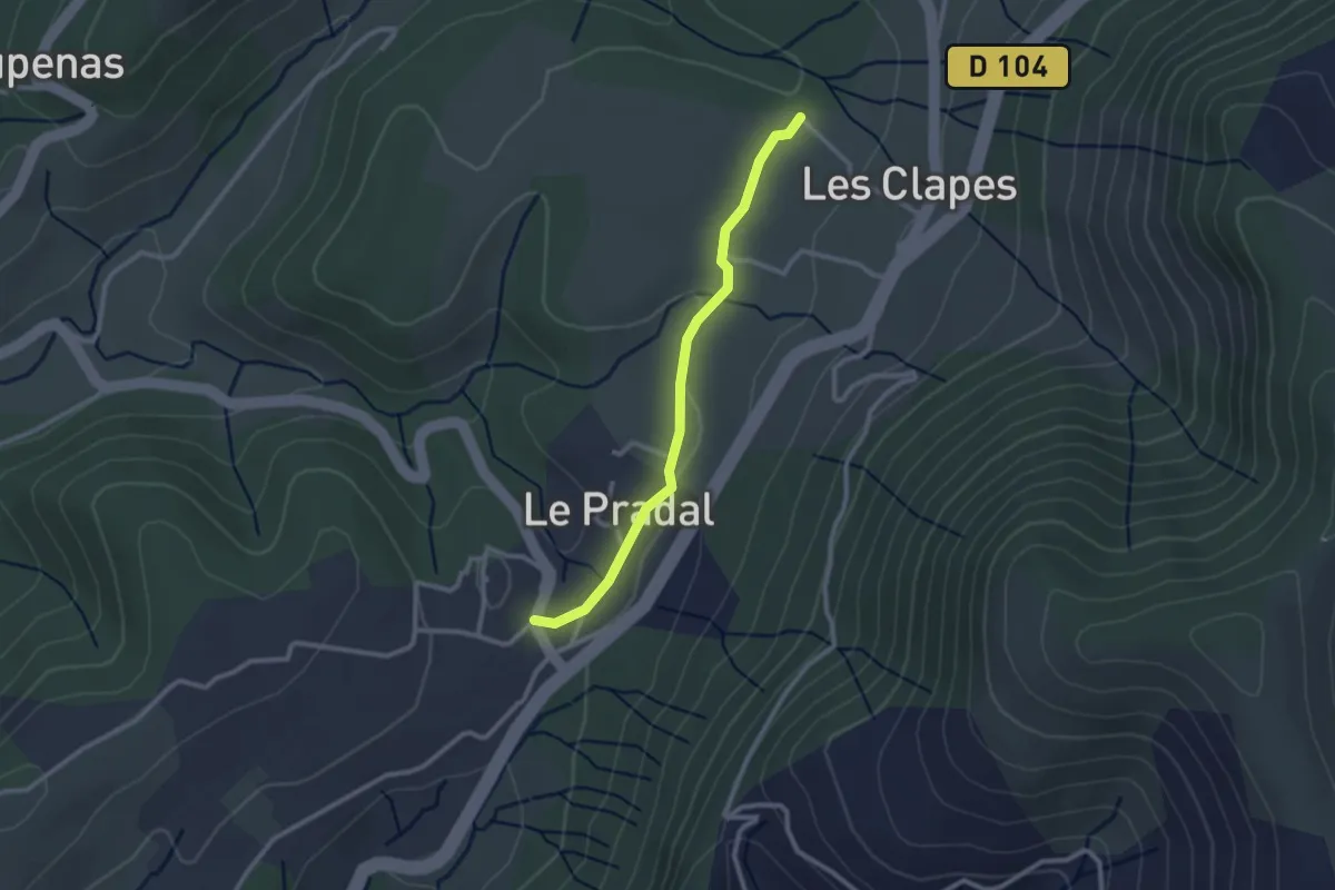
Easy · Trail
Auriolles - Chemin du Seigneur
2.5 km · ↑ 30 m · 39 min · 11 km away
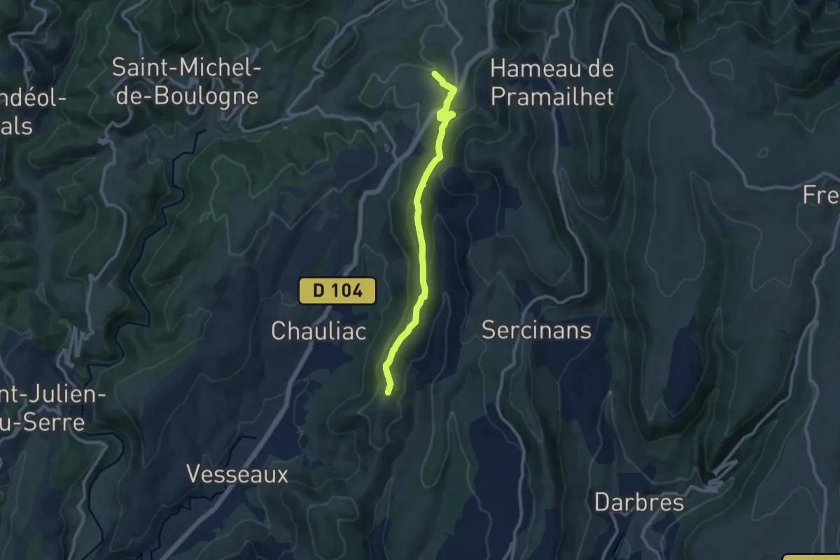
Medium · Trail
Chemin du Seigneur - La Chéoune
9.6 km · ↑ 363 m · 3 h 4 min · 11 km away
Easy · Trail
Terme Noir - Serre Donde
2.5 km · ↑ 49 m · 42 min · 11 km away
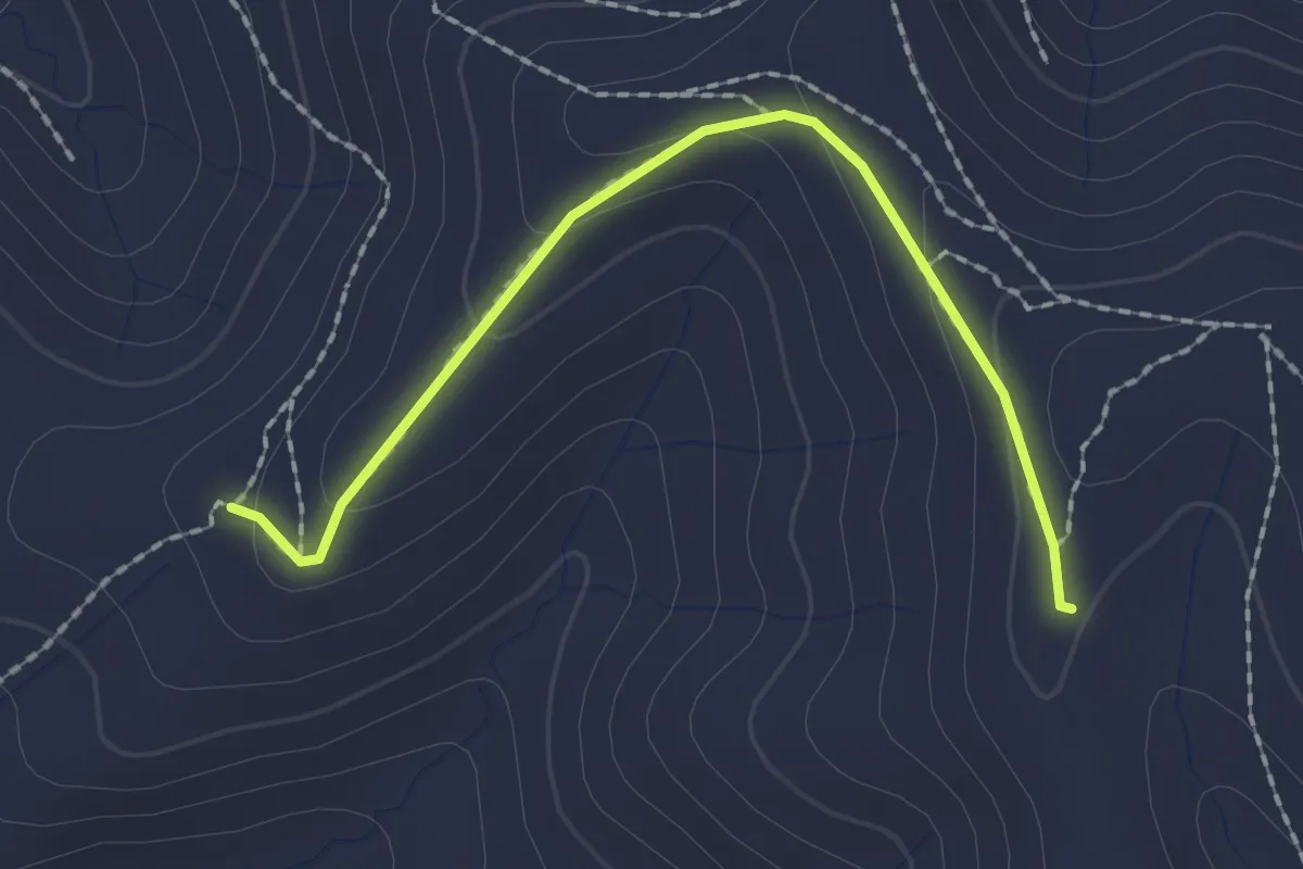
Easy · Trail
Blache de Gros - Terme Noir
2.1 km · ↑ 72 m · 39 min · 11 km away
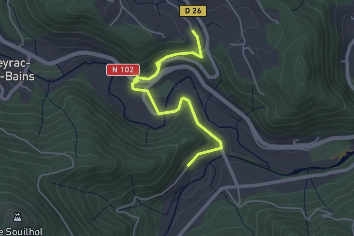
Easy · Trail
La Taillade - La Montée
4.0 km · ↑ 151 m · 1 h 16 min · 11 km away
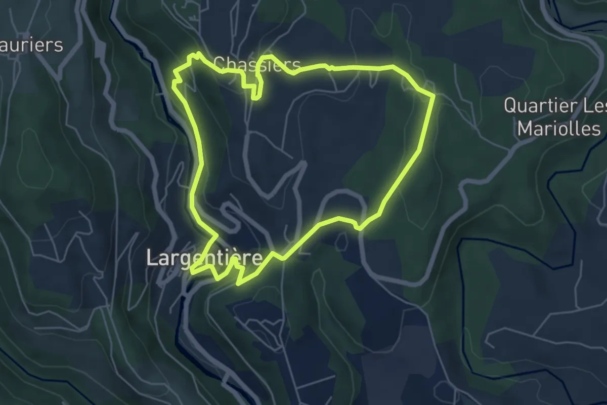
Easy · Trail
Les Fouloirs Rupestres
5.3 km · ↑ 190 m · 1 h 44 min · 11 km away
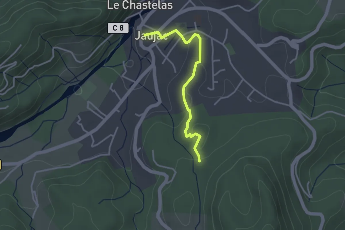
Easy · Trail
Jaujac - Gonthier
2.8 km · ↑ 52 m · 46 min · 11 km away
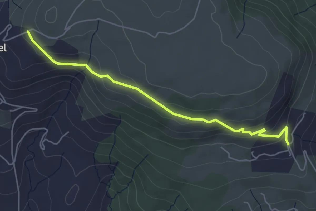
Easy · Trail
Jarnias - Le Thérond
4.8 km · ↑ 147 m · 1 h 27 min · 11 km away
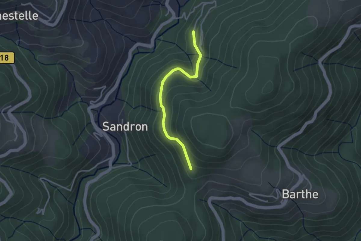
Easy · Trail
Le Peyron - Christianet
2.6 km · ↑ 158 m · 58 min · 11 km away
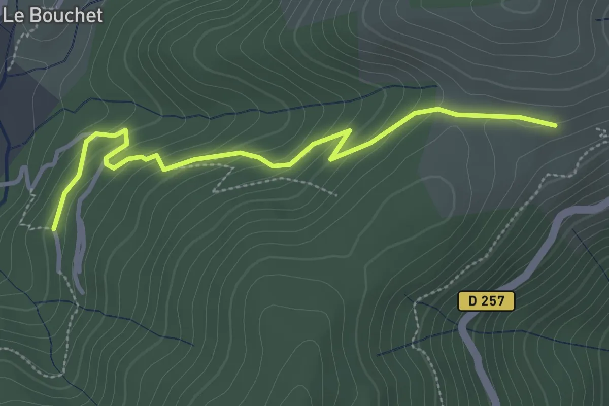
Easy · Trail
Le Peyron - Coulet du Vernadel
3.2 km · ↑ 161 m · 1 h 6 min · 11 km away
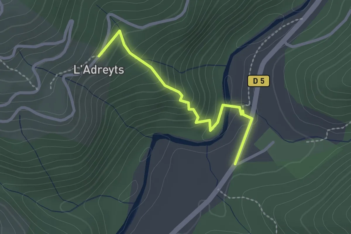
Easy · Trail
Bonneval - La Brousse
2.1 km · ↑ 133 m · 47 min · 11 km away
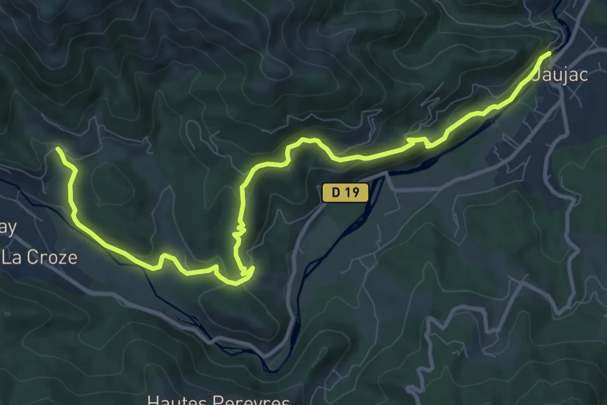
Medium · Trail
Le Chastelas - La Lioure
11.6 km · ↑ 431 m · 3 h 40 min · 11 km away