Trails near Aubenas
423 hikes starting within 15 km, nearest first.
Nearest first, page 6 of 9
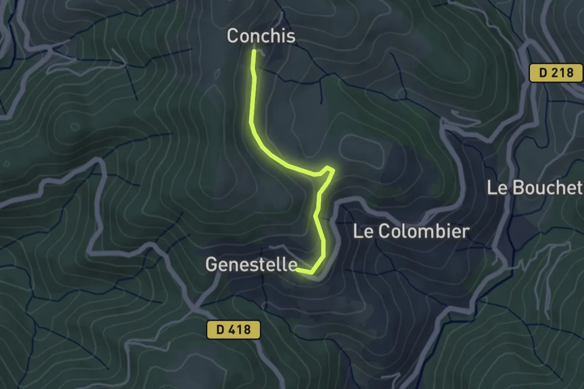
Easy · Trail
Genestelle - Conchis
2.8 km · ↑ 100 m · 52 min · 11 km away
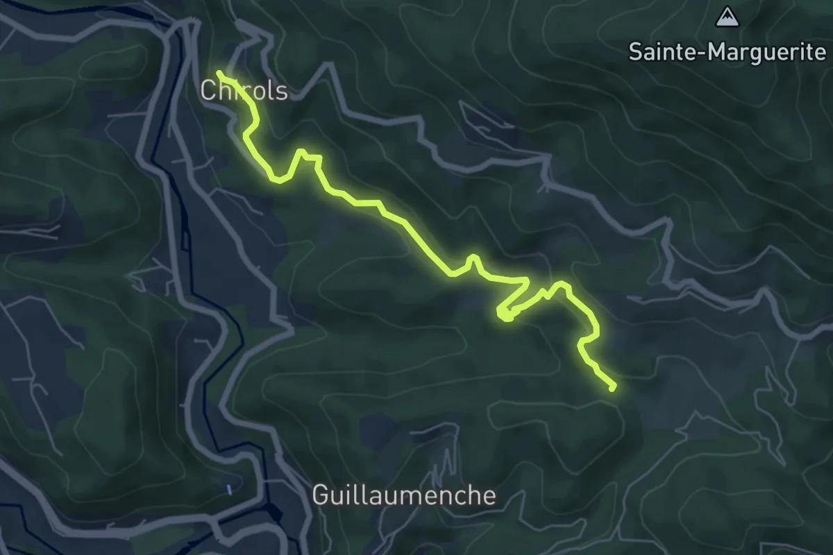
Medium · Trail
Le Village - Col de Sétias
6.7 km · ↑ 425 m · 2 h 30 min · 11 km away
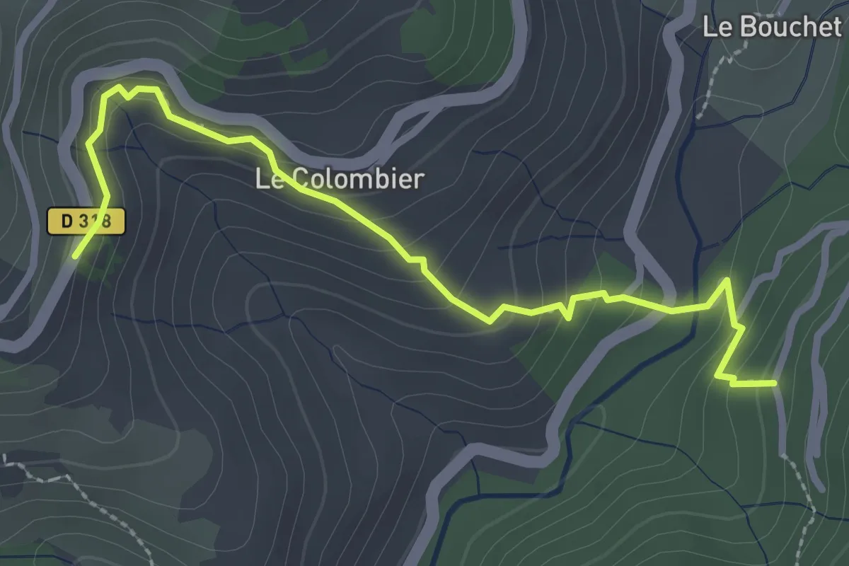
Easy · Trail
Le Peyron - Bois de Roumanou
2.9 km · ↑ 192 m · 1 h 6 min · 11 km away
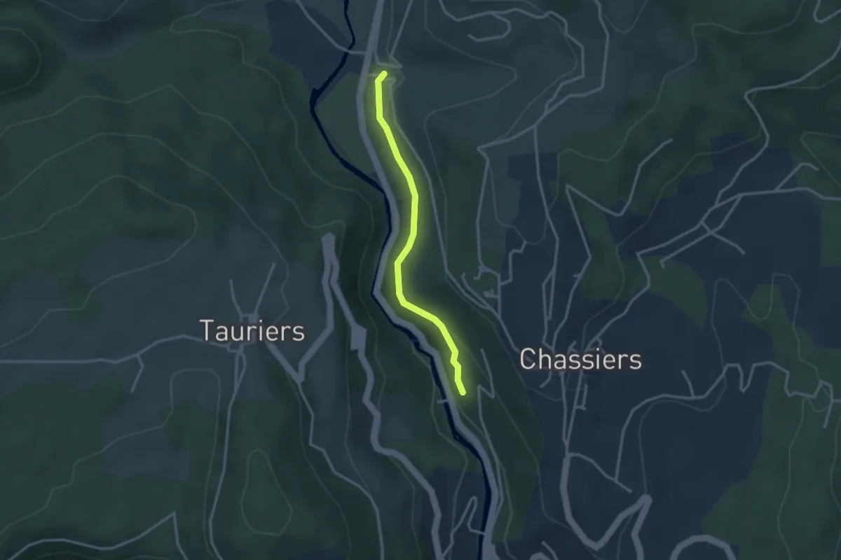
Easy · Trail
Bastide - Les Fourniols
2.7 km · ↑ 80 m · 49 min · 11 km away
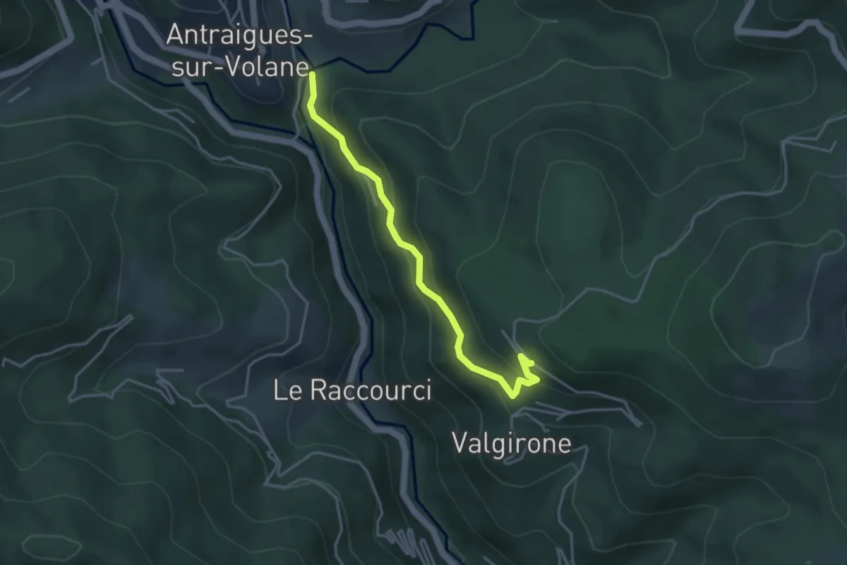
Easy · Trail
Pont de Gamond - Le Rouge
3.7 km · ↑ 255 m · 1 h 25 min · 11 km away
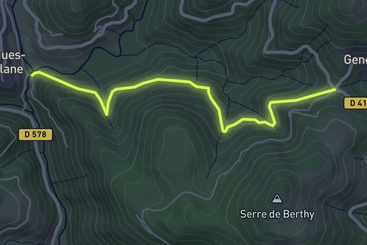
Medium · Trail
Pont de Gamond - Col de Genestelle
5.6 km · ↑ 371 m · 2 h 7 min · 11 km away
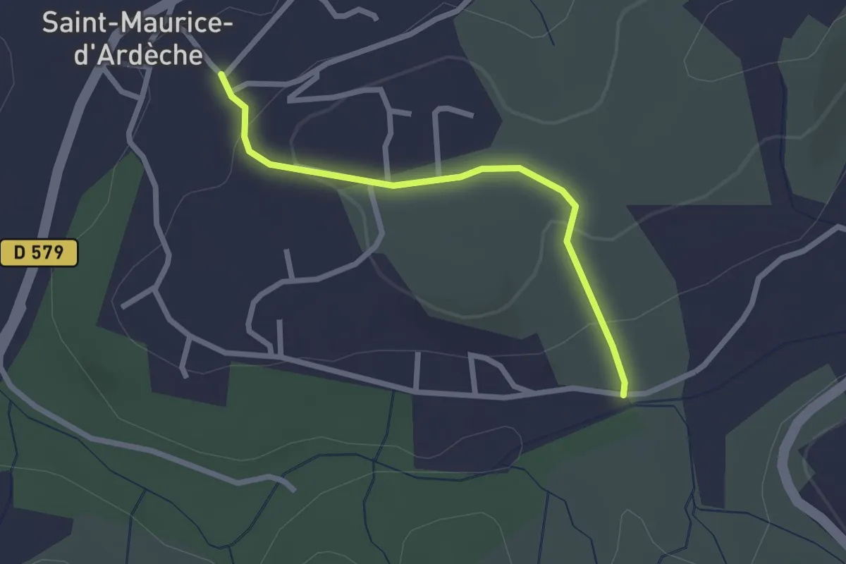
Easy · Trail
La Planche - Saint-Maurice d'Ardèche
2.3 km · ↑ 75 m · 42 min · 11 km away
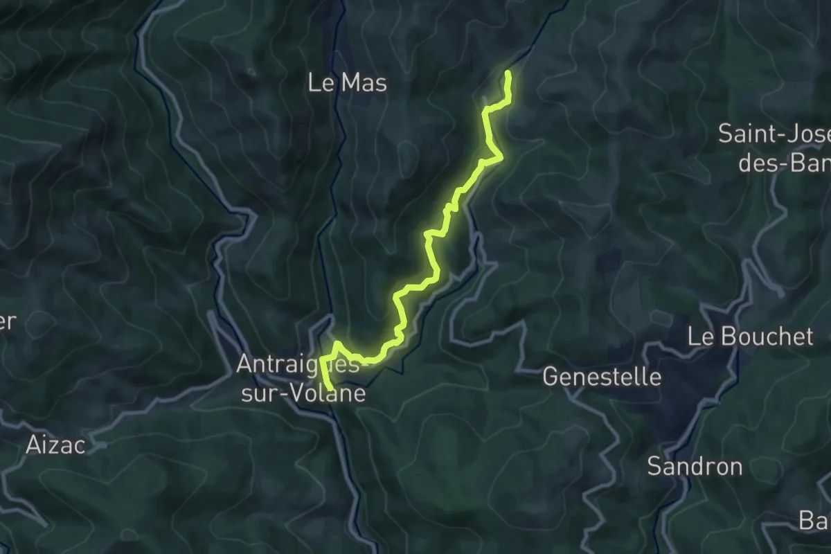
Medium · Trail
Gamond - Bise
9.0 km · ↑ 449 m · 3 h 6 min · 11 km away
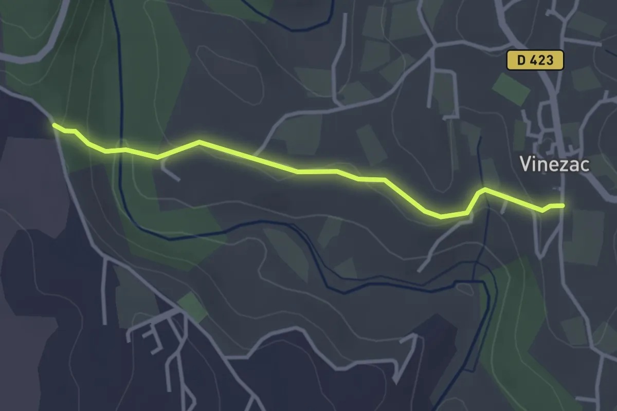
Easy · Trail
Montredon - La Coop
3.1 km · ↑ 85 m · 55 min · 11 km away
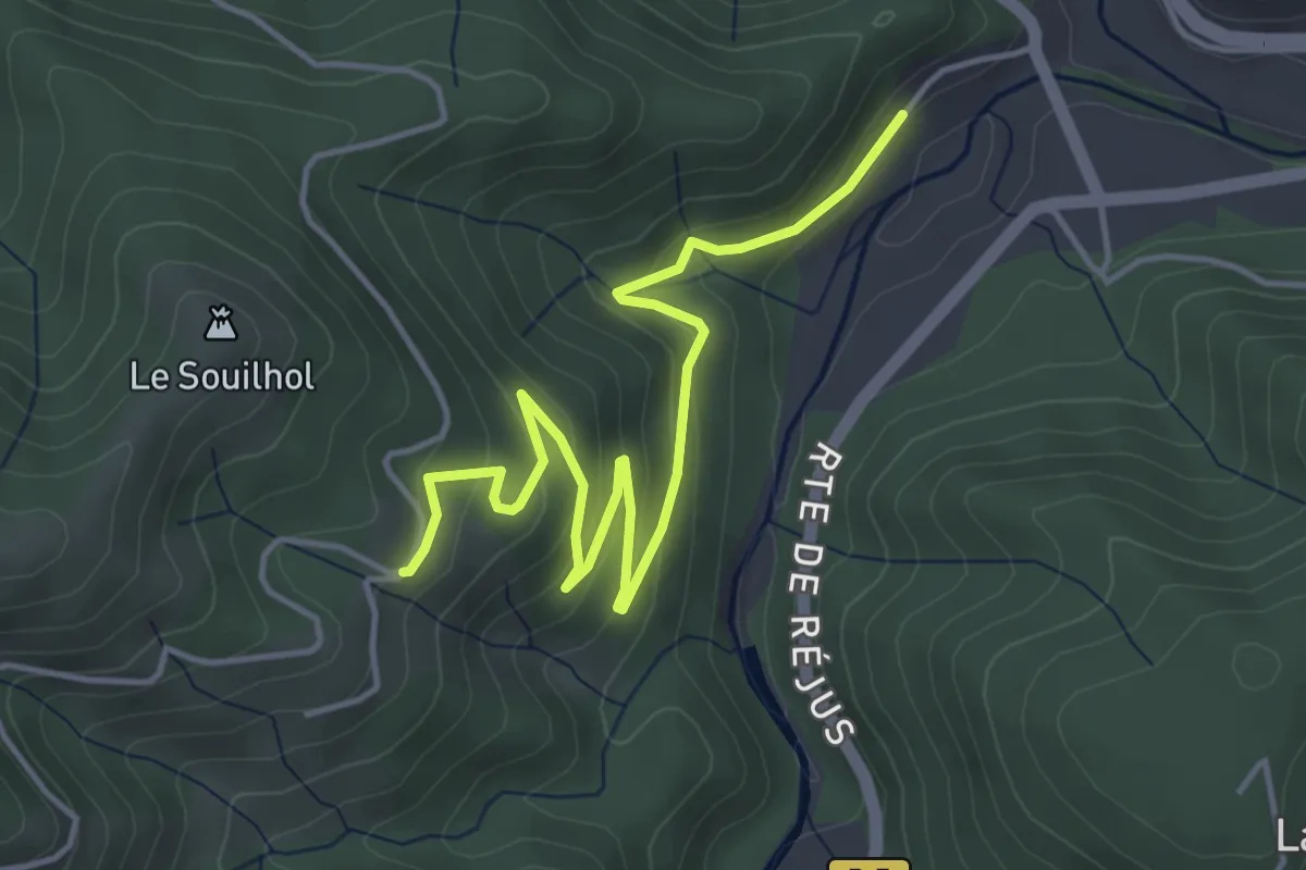
Easy · Trail
La Taillade - Le Câble
5.3 km · ↑ 246 m · 1 h 47 min · 11 km away
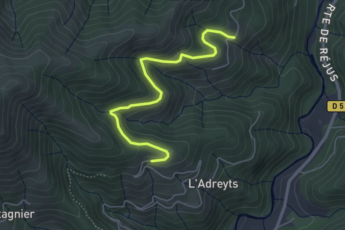
Easy · Trail
Le Câble - Serangelier
4.9 km · ↑ 229 m · 1 h 39 min · 11 km away
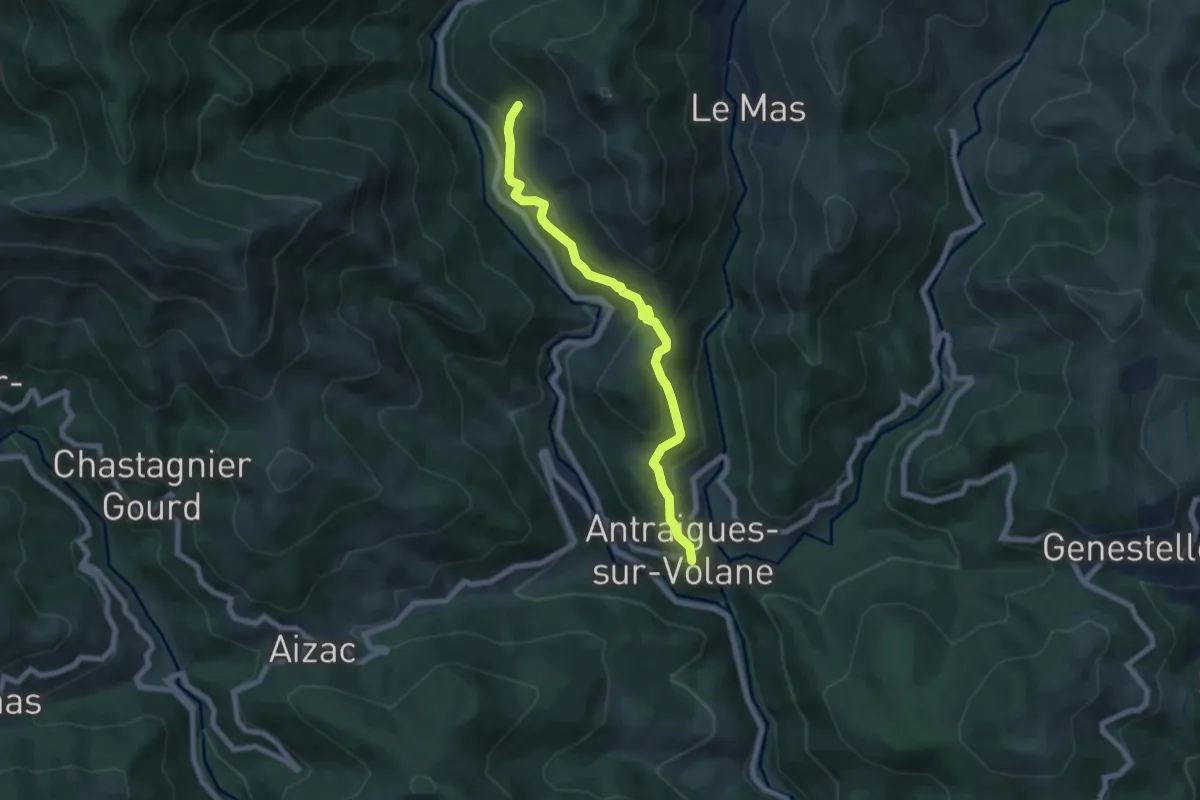
Medium · Trail
La Lermuse - Le Saint-Vincent
7.0 km · ↑ 462 m · 2 h 39 min · 11 km away
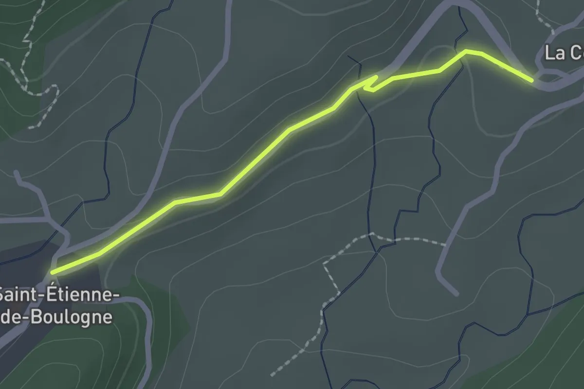
Easy · Trail
Saint-Etienne de Boulogne - La Conchy
2.0 km · ↑ 31 m · 32 min · 11 km away
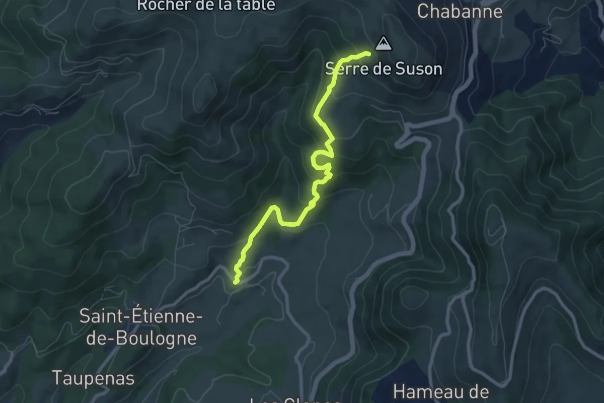
Medium · Trail
La Conchy - Serre de Suzon
7.0 km · ↑ 419 m · 2 h 33 min · 11 km away
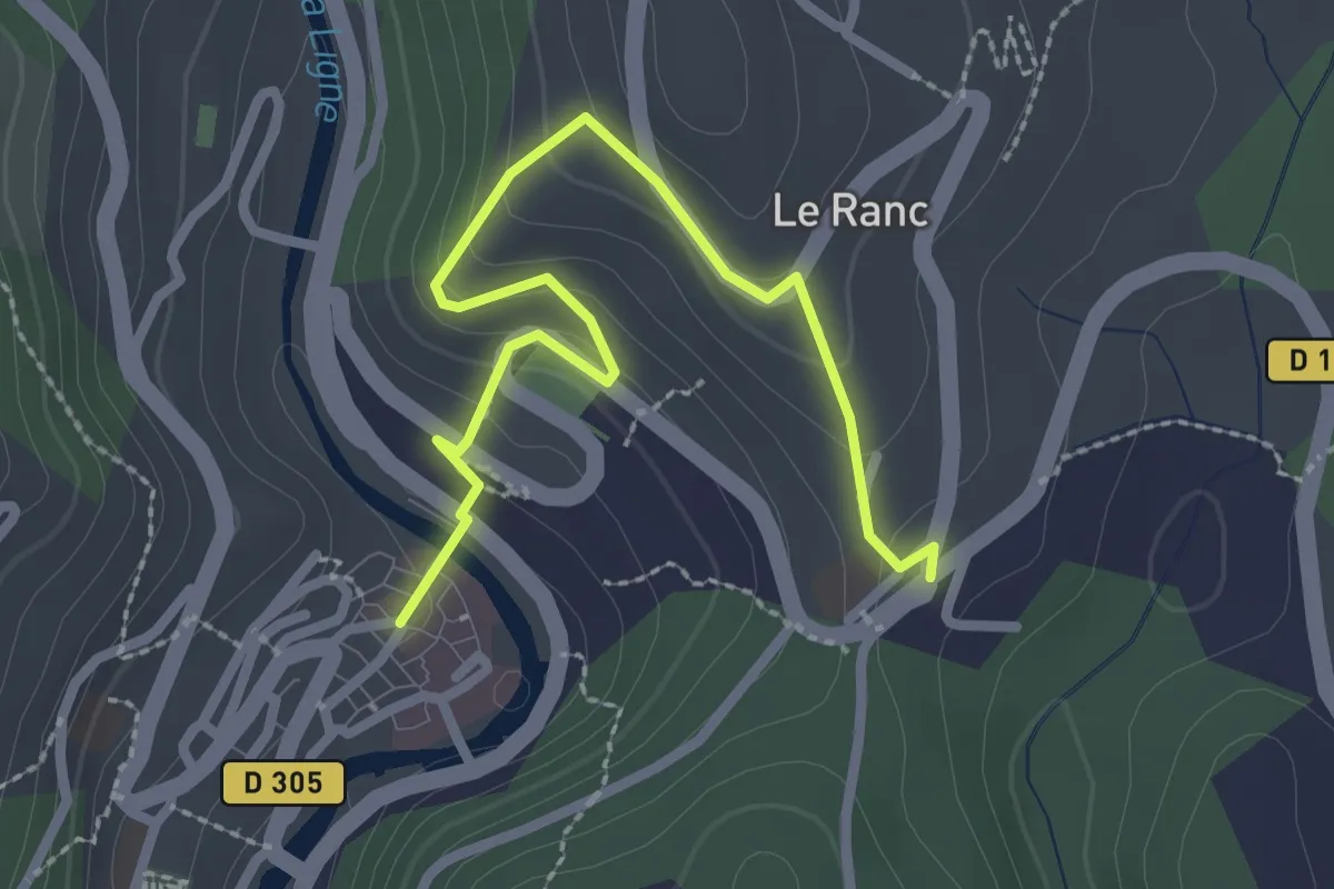
Easy · Trail
Place de la Ligne - Sainte-Foy
3.0 km · ↑ 187 m · 1 h 7 min · 11 km away
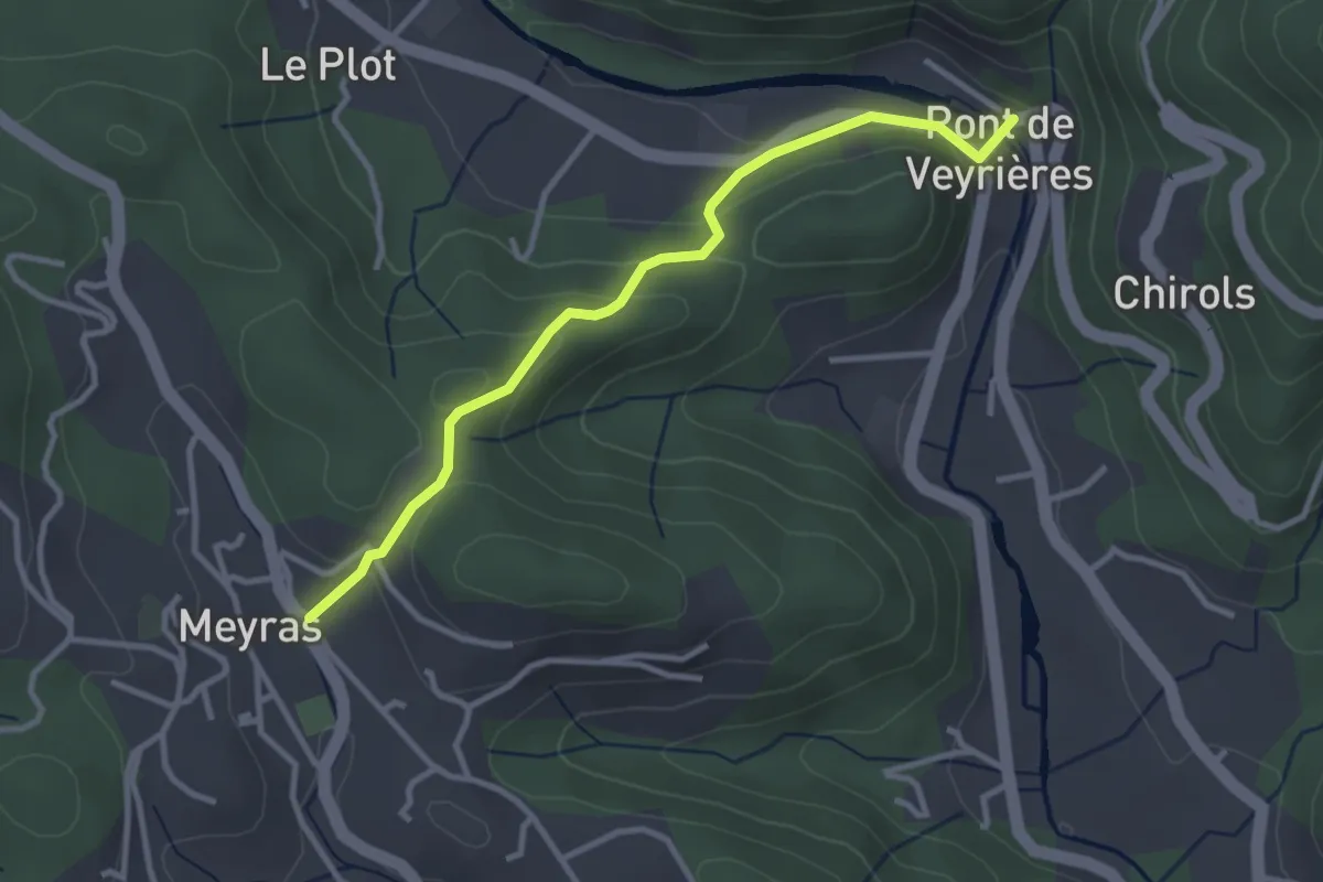
Easy · Trail
Pont de Veyrières - Le Champ
3.3 km · ↑ 140 m · 1 h 4 min · 11 km away
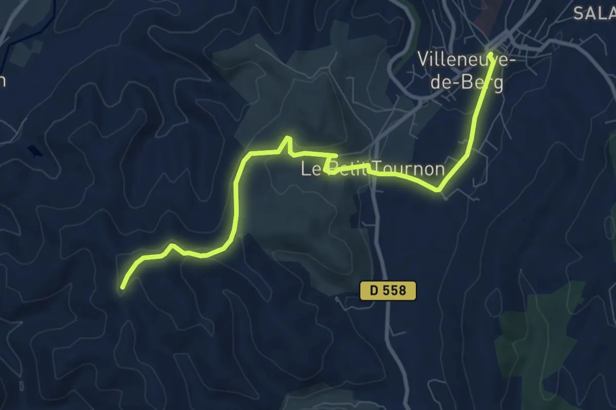
Medium · Trail
Place de l'Obélisque - Terme Noir
9.2 km · ↑ 181 m · 2 h 34 min · 11 km away
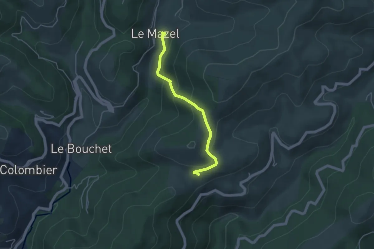
Easy · Trail
Le Mazel - Coulet du Vernadel
3.6 km · ↑ 195 m · 1 h 17 min · 11 km away
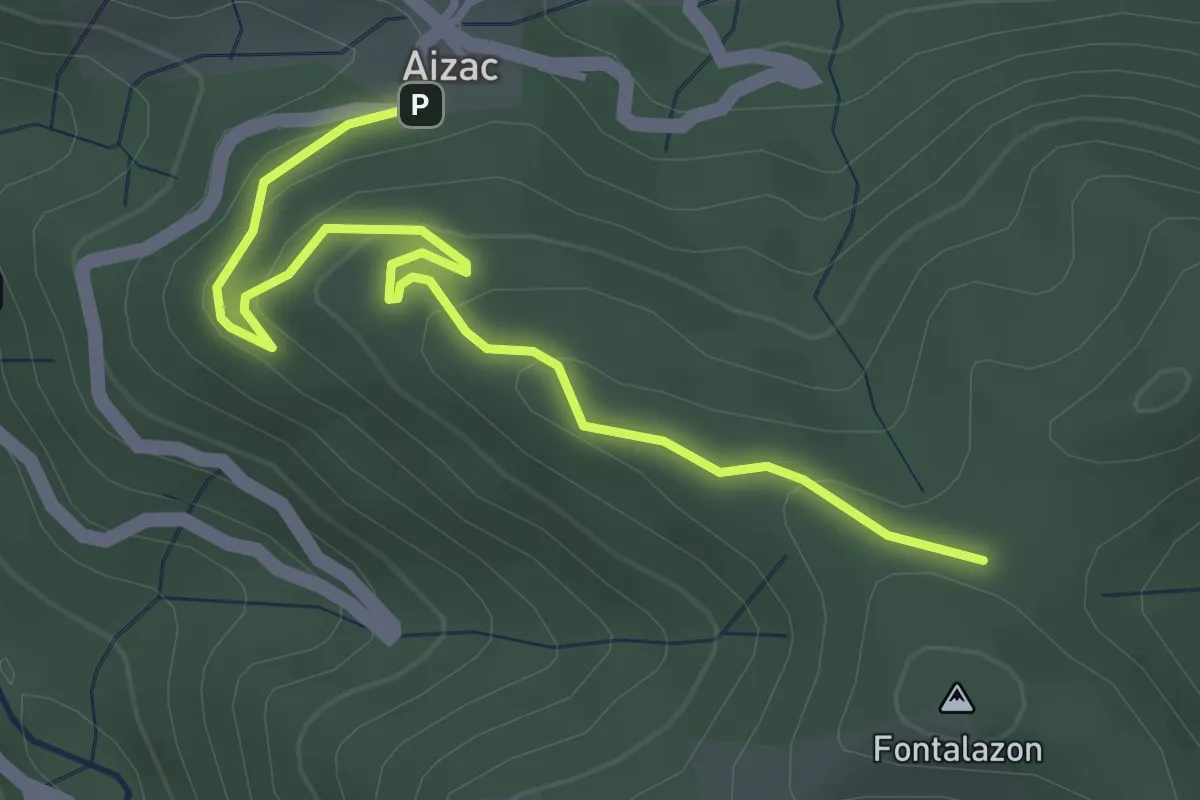
Easy · Trail
Mille Soles - Fontalazon
3.8 km · ↑ 146 m · 1 h 13 min · 11 km away
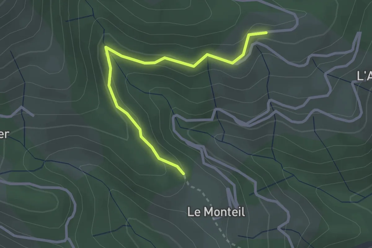
Medium · Trail
Le Monteil - Serangelier
2.6 km · ↑ 137 m · 55 min · 11 km away
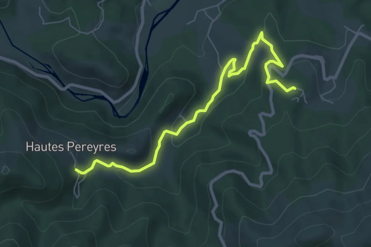
Easy · Trail
Le Serre - Les Péreyres
6.3 km · ↑ 252 m · 2 h 2 min · 11 km away
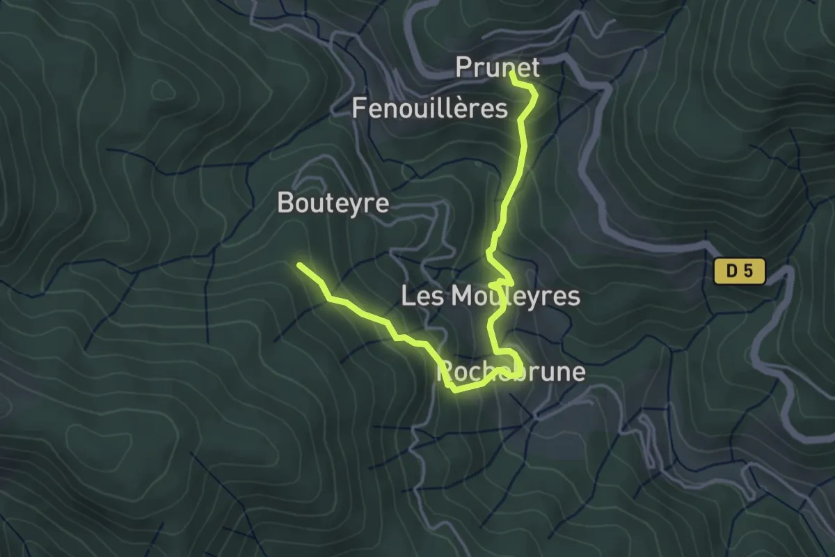
Easy · Trail
Prunet - Bouteyre
4.2 km · ↑ 307 m · 1 h 39 min · 11 km away
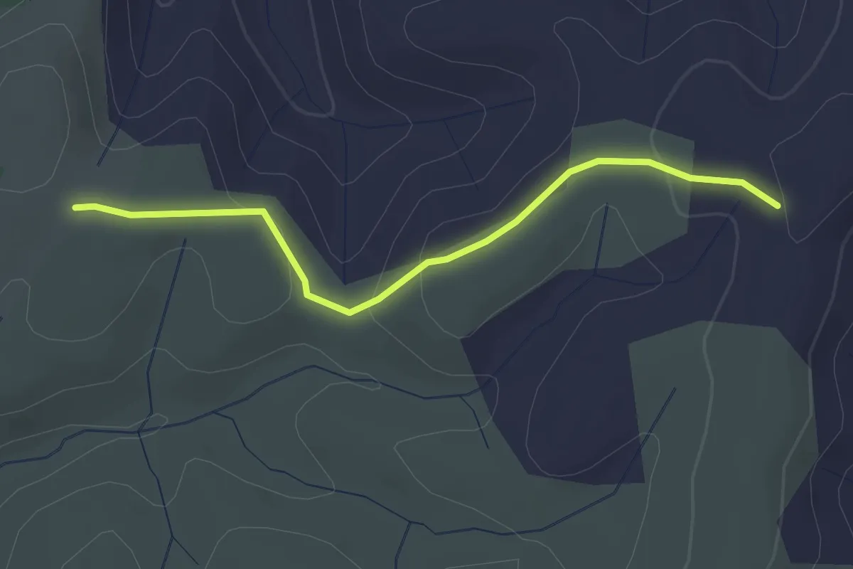
Easy · Trail
Le Palas - Clos de Vernet
3.0 km · ↑ 89 m · 53 min · 11 km away
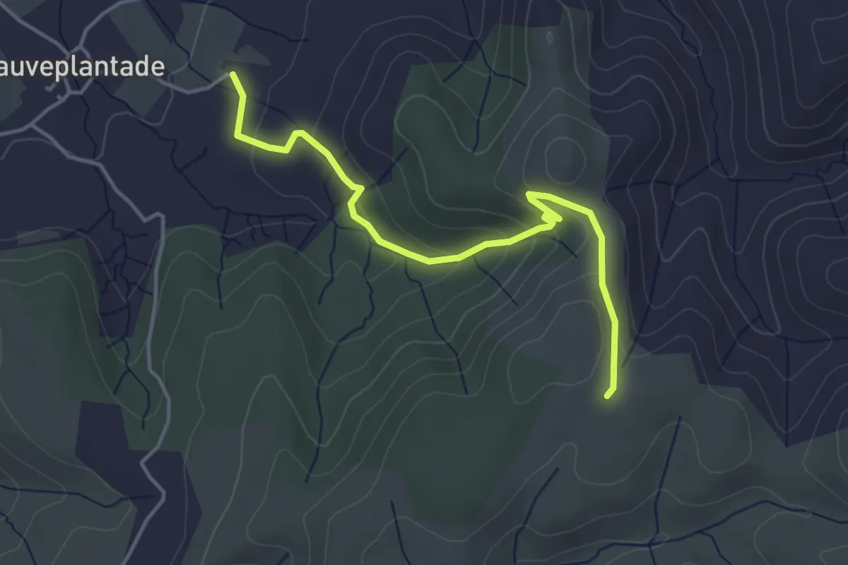
Easy · Trail
Pradet - Le Palas
4.3 km · ↑ 195 m · 1 h 27 min · 11 km away
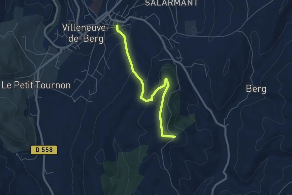
Easy · Trail
Basse Rue - Fournery
5.3 km · ↑ 186 m · 1 h 39 min · 11 km away
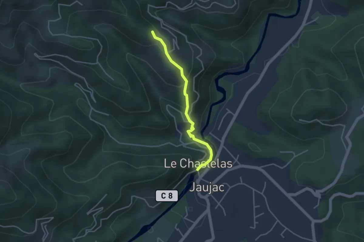
Medium · Trail
Le Chastelas - Le Monteil
3.0 km · ↑ 153 m · 1 h 2 min · 12 km away
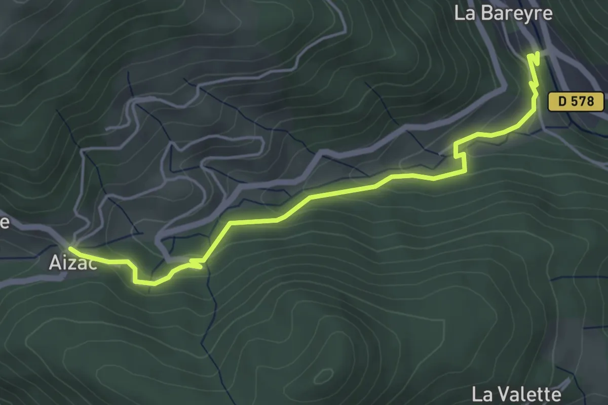
Easy · Trail
Pont de l'Huile - Col d'Aizac
4.8 km · ↑ 220 m · 1 h 37 min · 12 km away
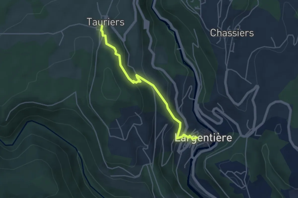
Easy · Trail
Largentière OT - Tauriers
3.8 km · ↑ 210 m · 1 h 21 min · 12 km away
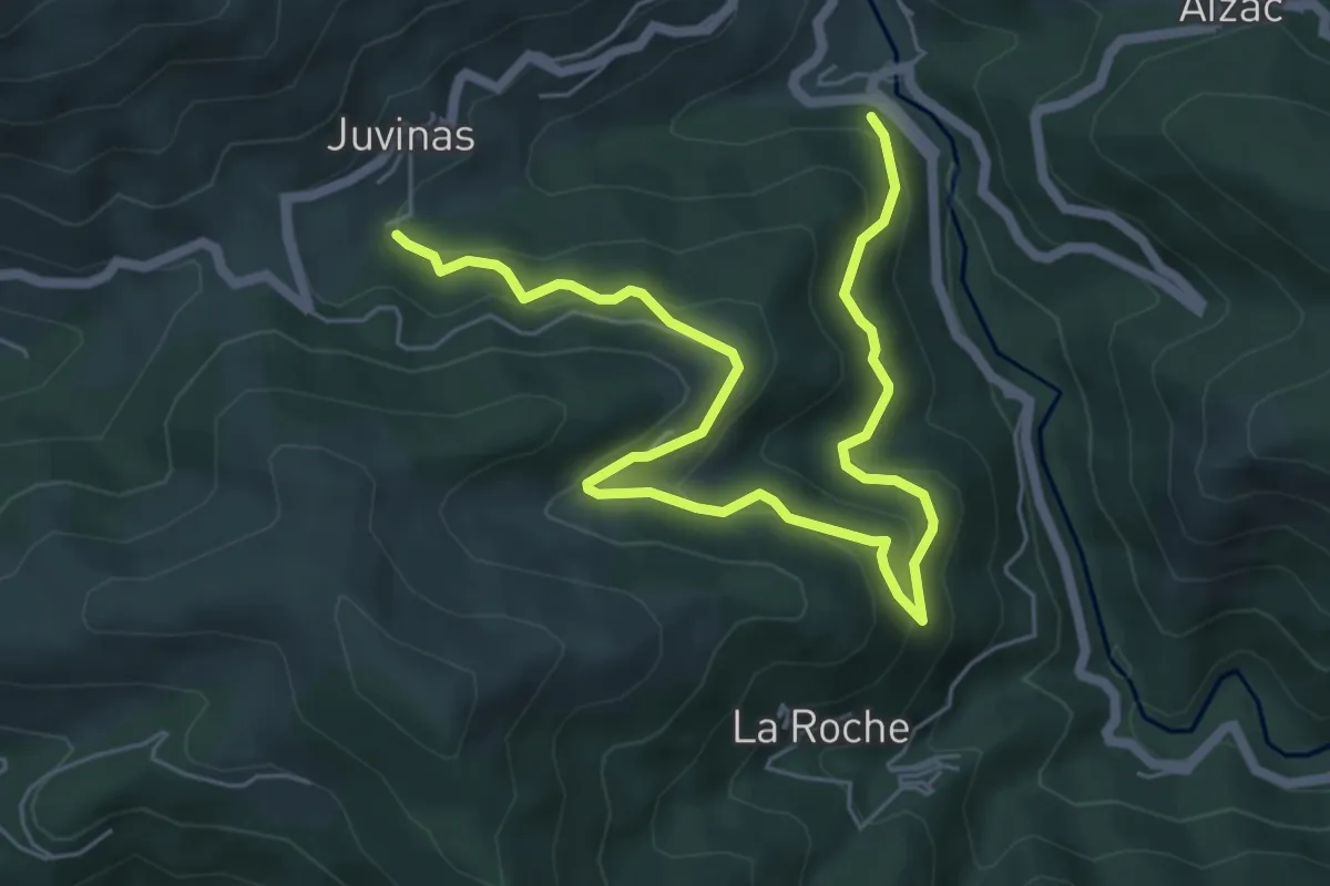
Medium · Trail
La Joie - Sous Juvinas
7.7 km · ↑ 460 m · 2 h 49 min · 12 km away
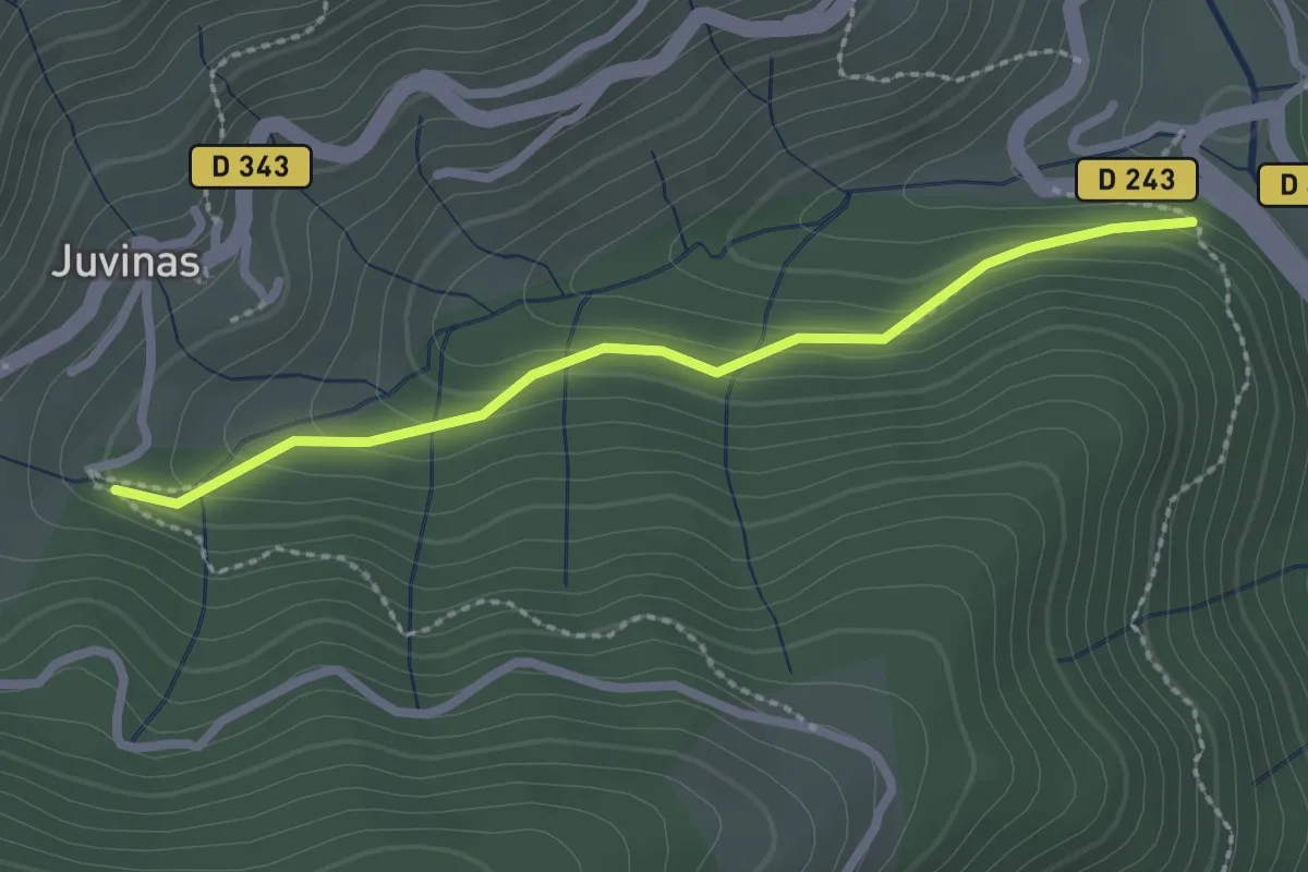
Easy · Trail
La Joie - Sous Juvinas
2.4 km · ↑ 134 m · 51 min · 12 km away
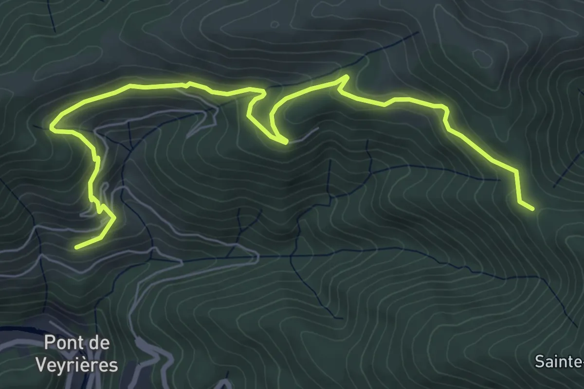
Medium · Trail
La Gonthier - Font Rognon
8.1 km · ↑ 400 m · 2 h 46 min · 12 km away
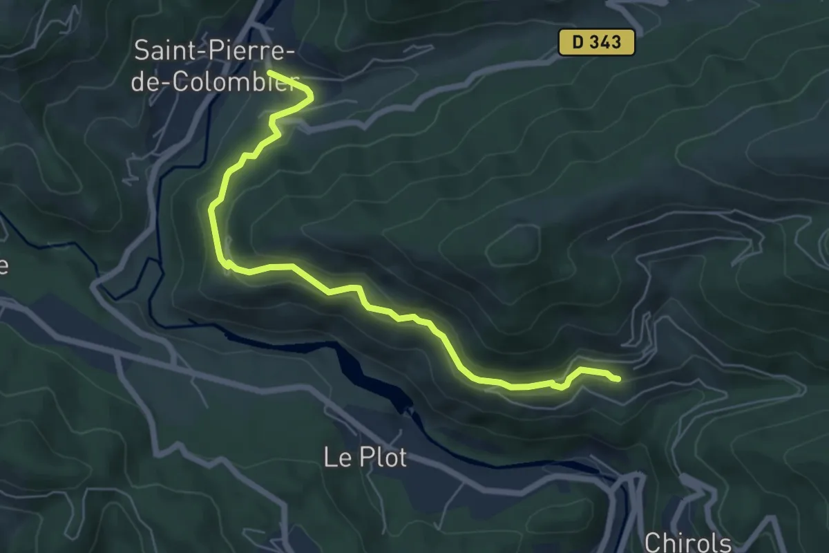
Medium · Trail
Le Courtiol - La Gonthier
6.5 km · ↑ 328 m · 2 h 14 min · 12 km away
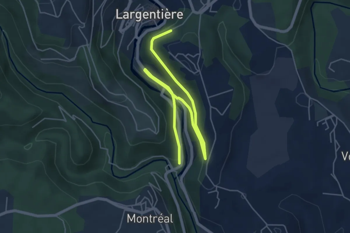
Easy · Trail
Baille - Le Bédéret
6.3 km · ↑ 133 m · 1 h 46 min · 12 km away
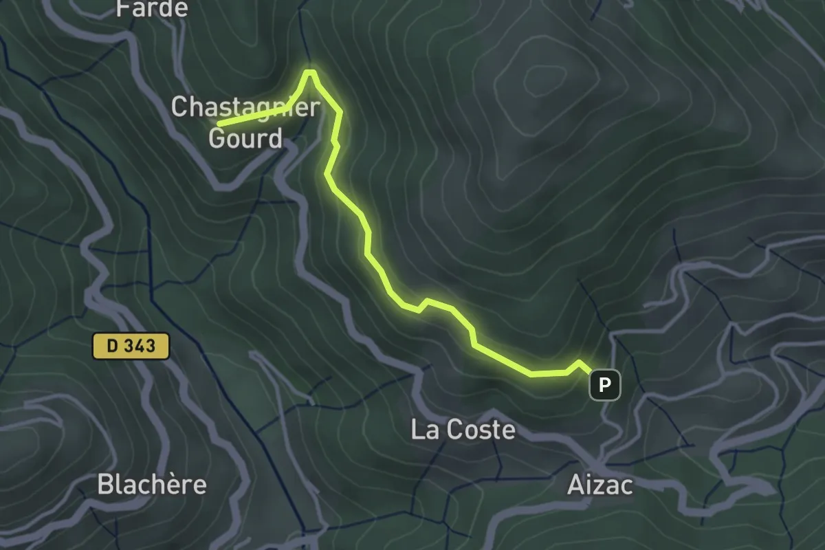
Easy · Trail
Le Coulet - Chastagnier Gourd
3.3 km · ↑ 182 m · 1 h 11 min · 12 km away
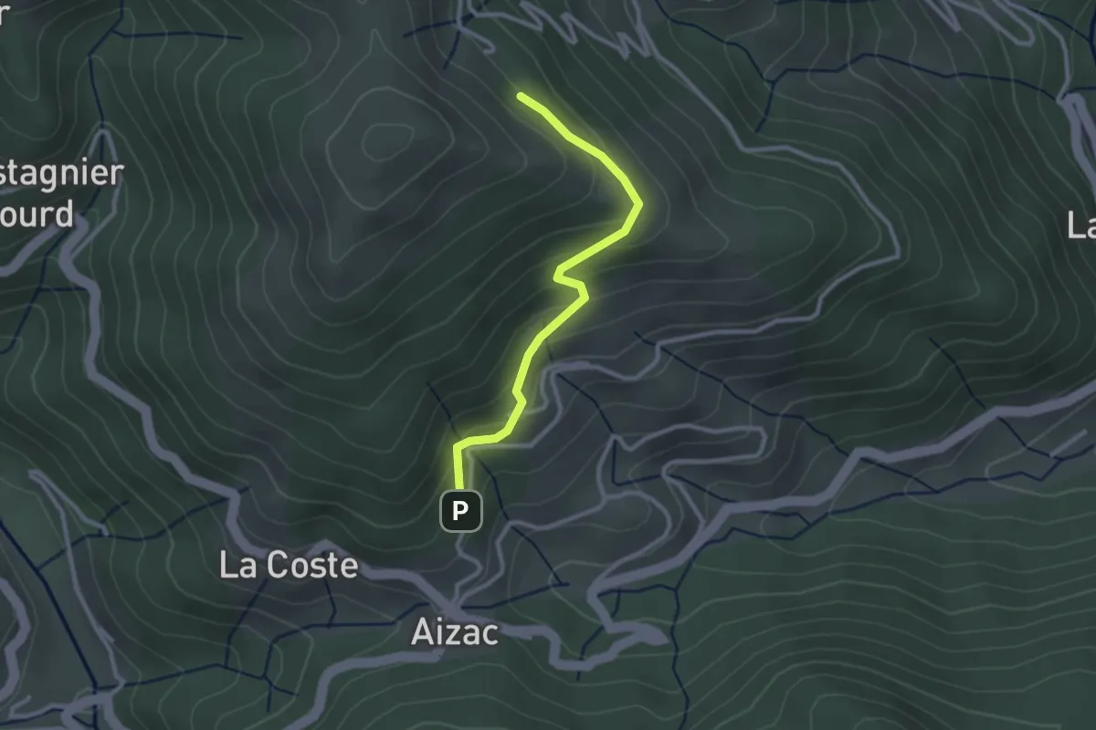
Easy · Trail
Le Coulet - l'Huguenot
2.6 km · ↑ 158 m · 57 min · 12 km away
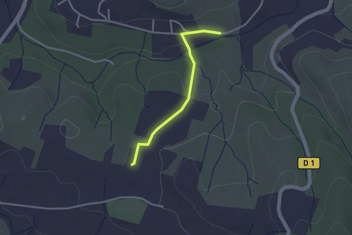
Easy · Trail
La Planche - Chaussy
2.2 km · ↑ 42 m · 37 min · 12 km away
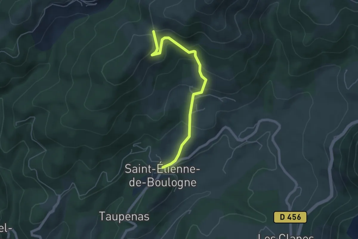
Easy · Trail
Saint-Etienne Nord - Le Col d'Auzon
4.9 km · ↑ 248 m · 1 h 41 min · 12 km away
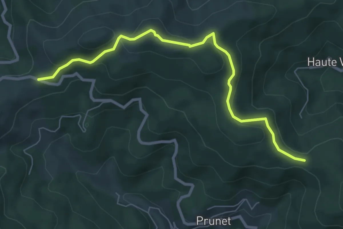
Easy · Trail
Chapelle Sainte-Philomène - Col de la Croix de Millet
6.3 km · ↑ 263 m · 2 h 4 min · 12 km away
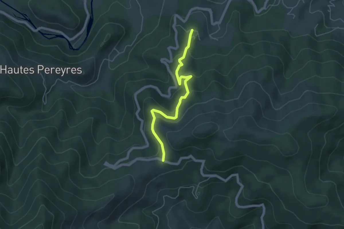
Easy · Trail
Le Serre - Col de la Croix de Millet
4.5 km · ↑ 224 m · 1 h 33 min · 12 km away
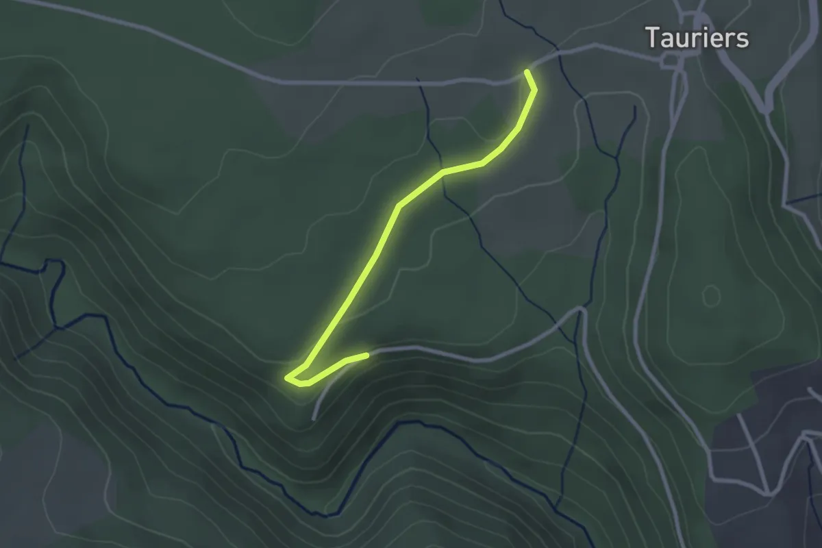
Easy · Trail
Les Vers - Les Lauzières
2.5 km · ↑ 40 m · 41 min · 12 km away
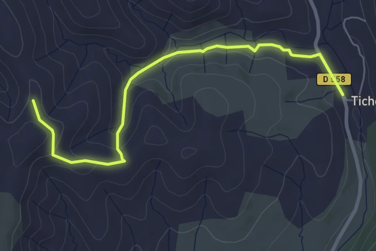
Easy · Trail
Faucon - Serre Donde
5.6 km · ↑ 147 m · 1 h 39 min · 12 km away
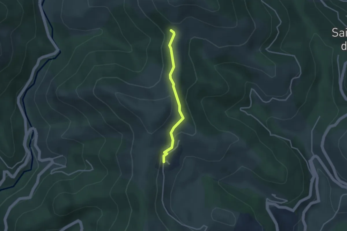
Easy · Trail
Conchis - Col des Fraysses
2.5 km · ↑ 103 m · 49 min · 12 km away
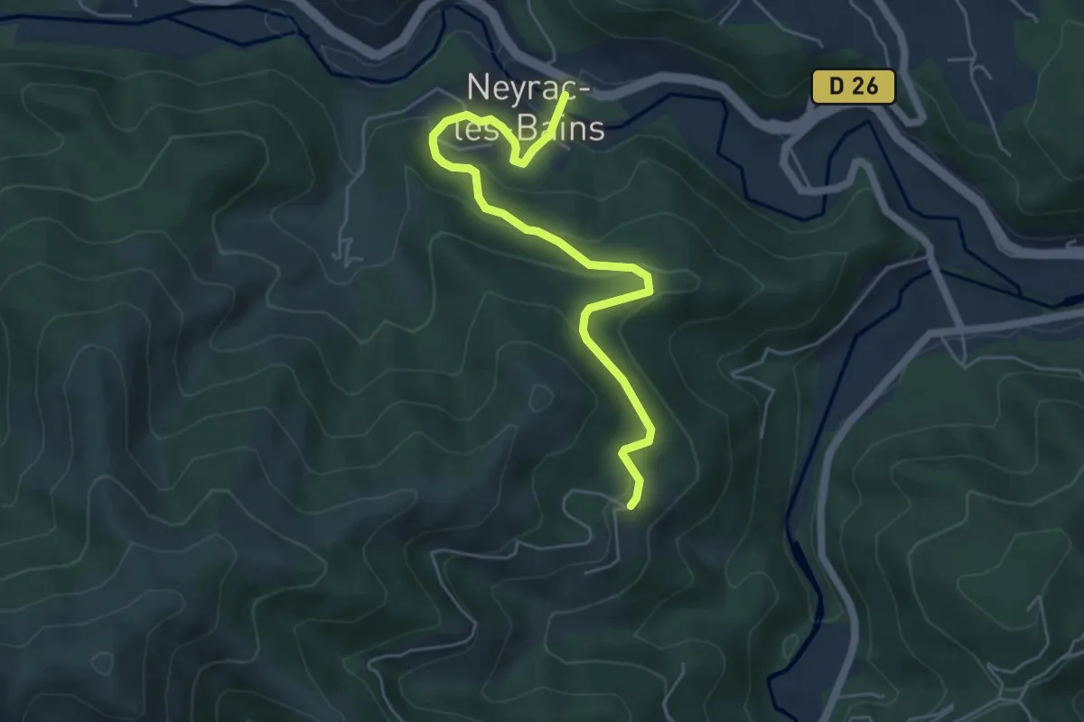
Easy · Trail
Neyrac-les-Bains - Le Câble
5.5 km · ↑ 260 m · 1 h 52 min · 12 km away
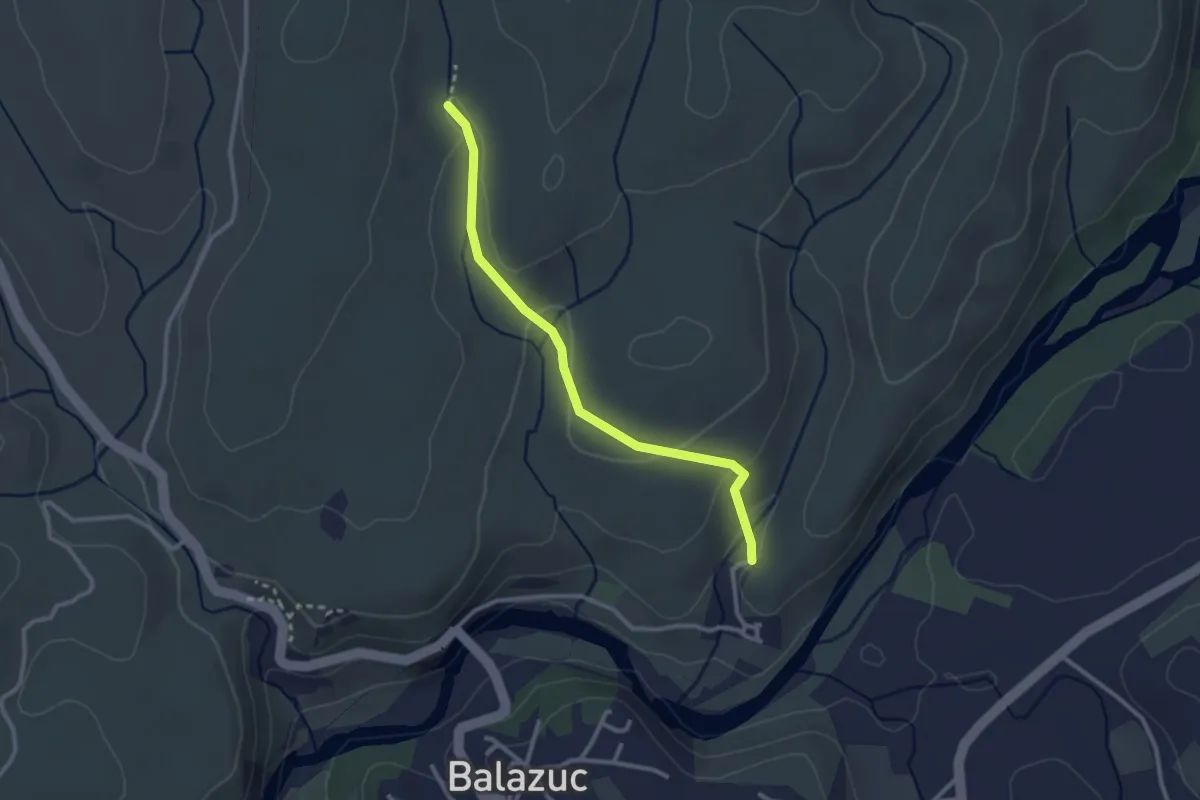
Easy · Trail
Les Chabasses - Chazette
2.8 km · ↑ 83 m · 50 min · 12 km away
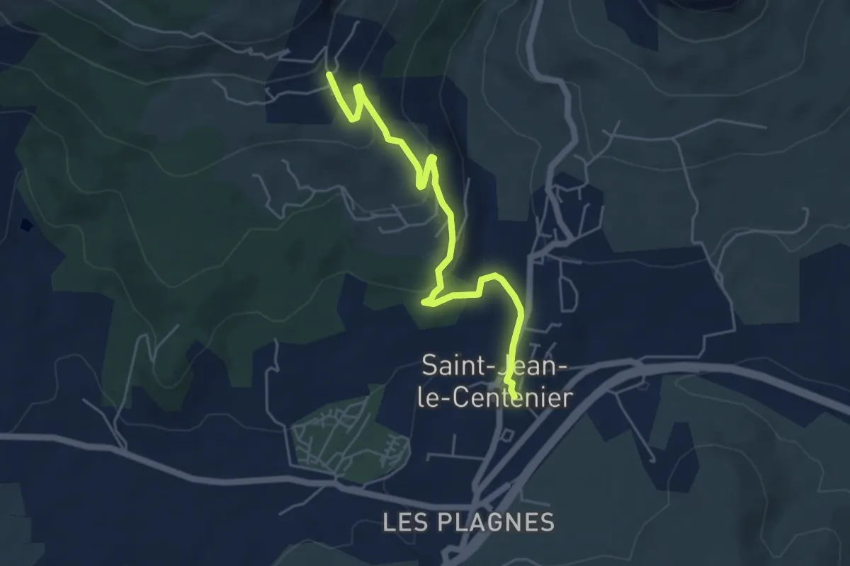
Easy · Trail
Saint-Jean-le-Centenier - Jarnias
5.3 km · ↑ 195 m · 1 h 40 min · 12 km away
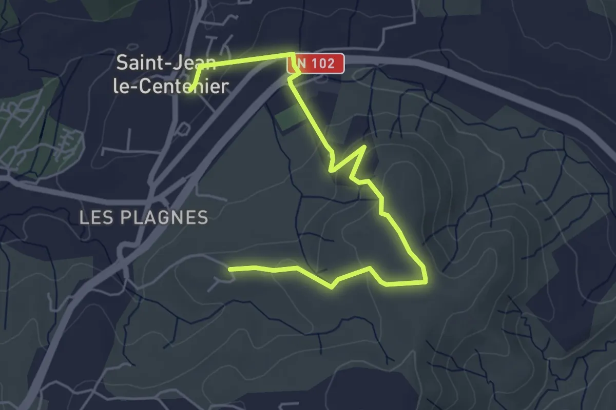
Easy · Trail
Saint-Jean-le-Centenier - Font Nègre
5.6 km · ↑ 162 m · 1 h 40 min · 12 km away
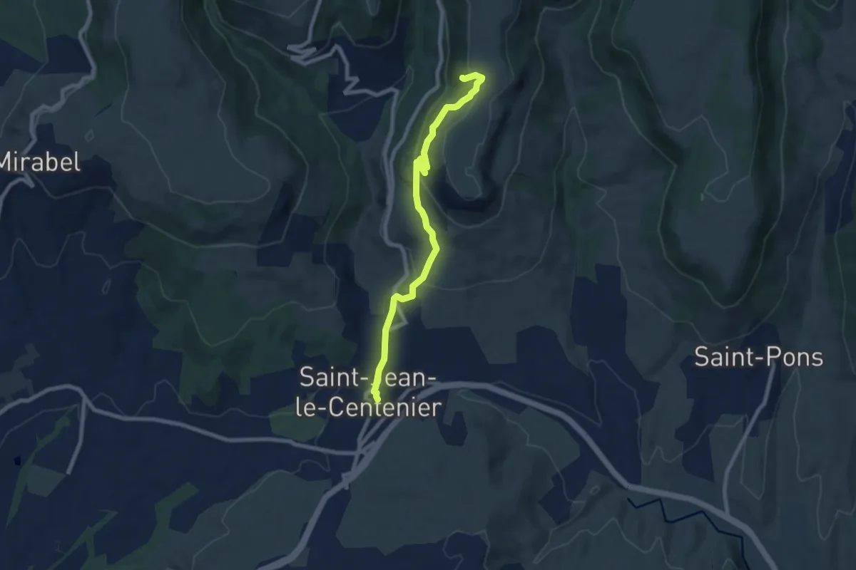
Medium · Trail
Saint-Jean-le-Centenier - Balmes de Montbrun
7.7 km · ↑ 339 m · 2 h 34 min · 12 km away
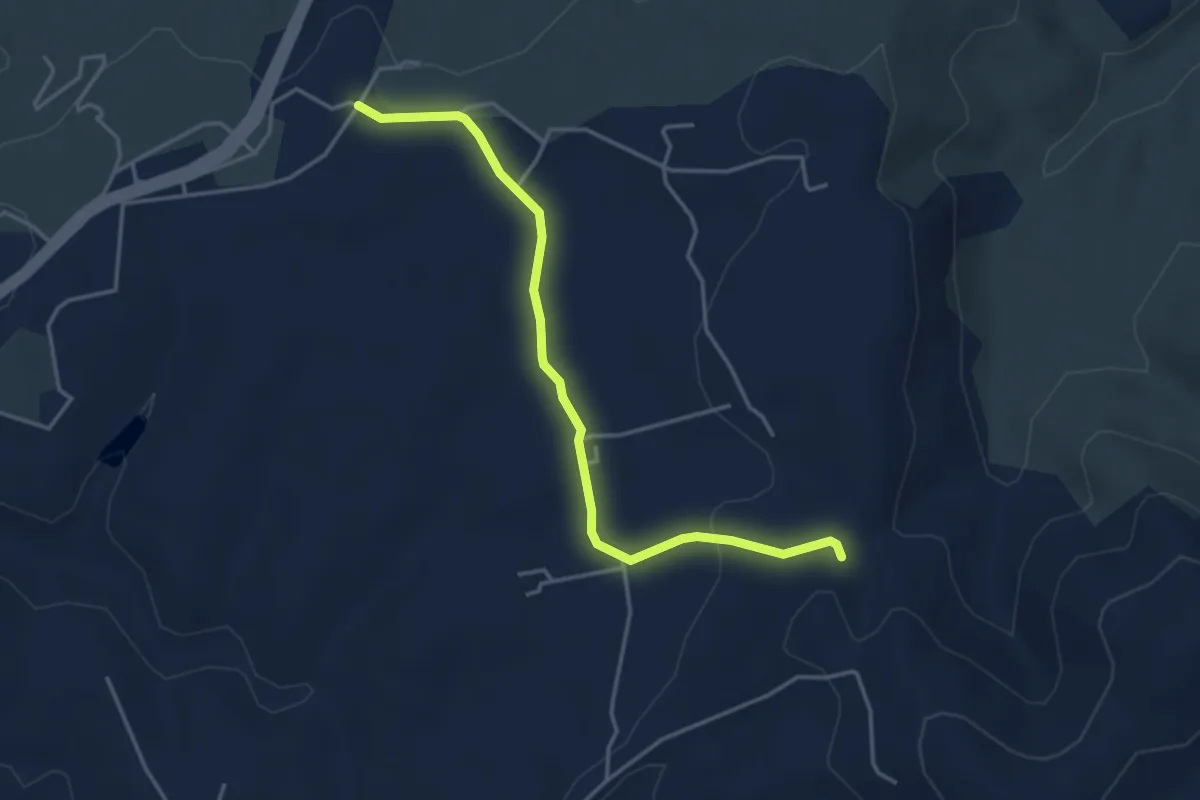
Easy · Trail
Argence - Bourboulet
4.2 km · ↑ 69 m · 1 h 9 min · 12 km away