Trails near Aubenas
423 hikes starting within 15 km, nearest first.
Nearest first, page 7 of 9
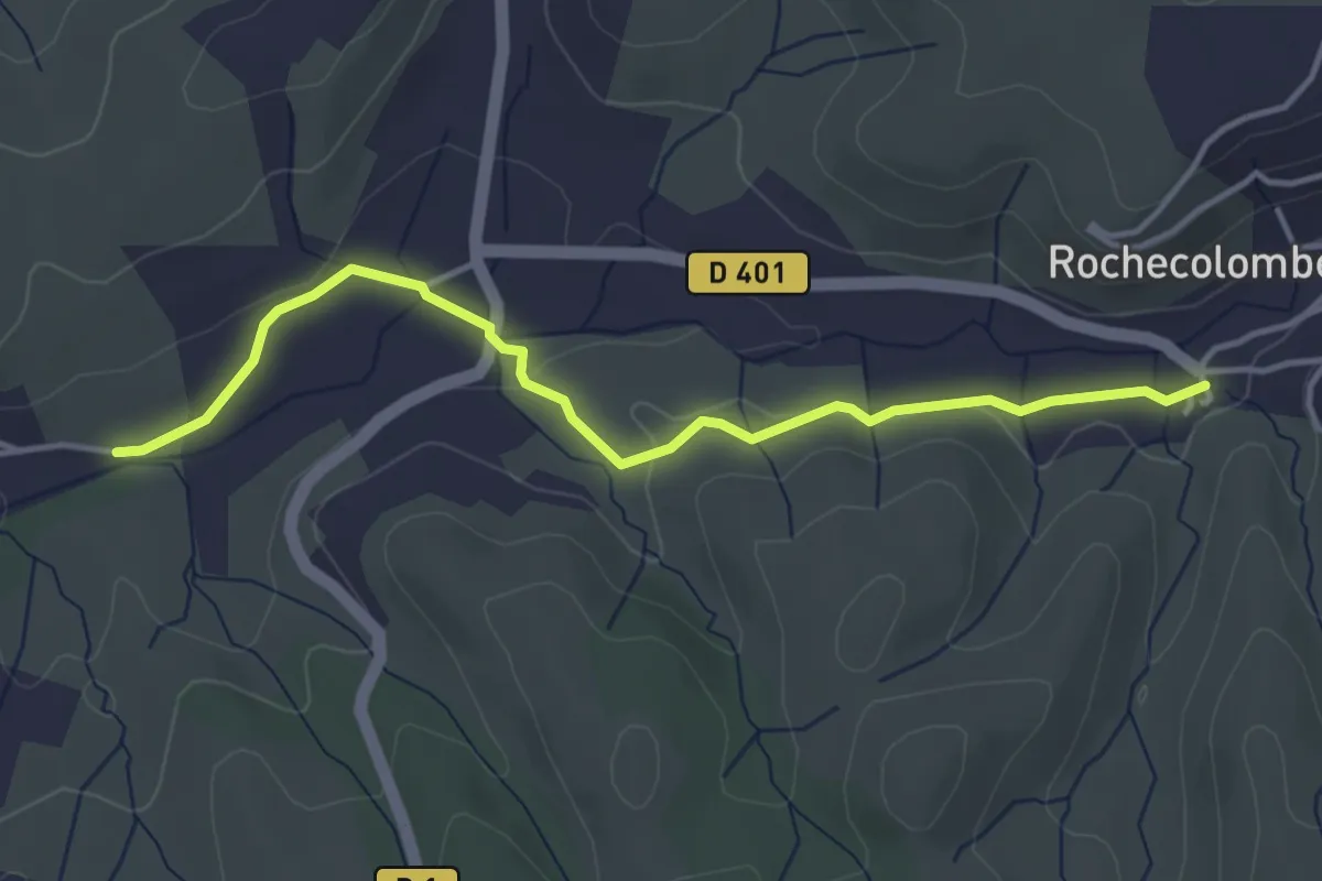
Easy · Trail
La Planche - Rochecolombe
4.2 km · ↑ 64 m · 1 h 8 min · 12 km away
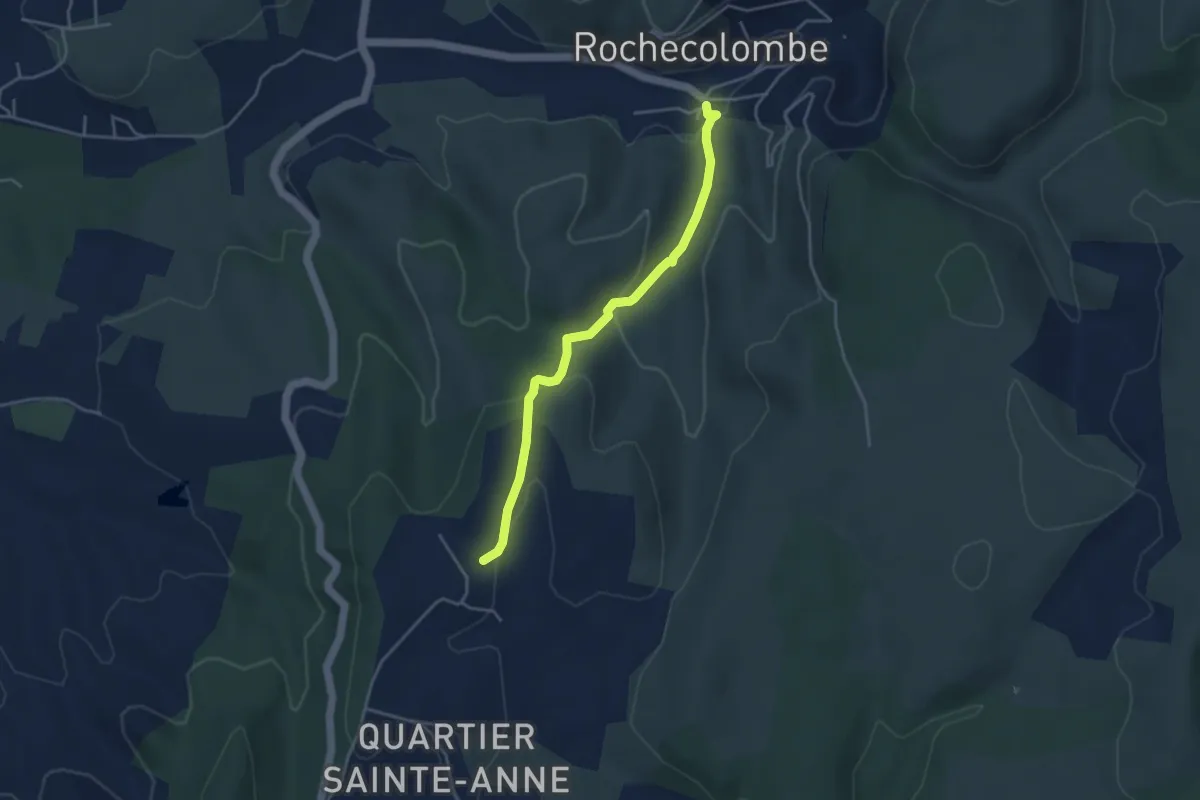
Easy · Trail
Rochecolombe - Les Clos
4.0 km · ↑ 133 m · 1 h 14 min · 12 km away
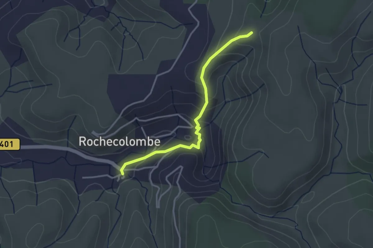
Easy · Trail
Rochecolombe - Lauzière
3.0 km · ↑ 145 m · 1 h 2 min · 12 km away
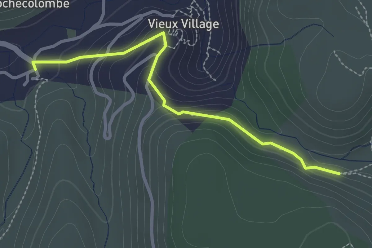
Easy · Trail
Rochecolombe - Ron Chamorel
2.6 km · ↑ 154 m · 57 min · 12 km away
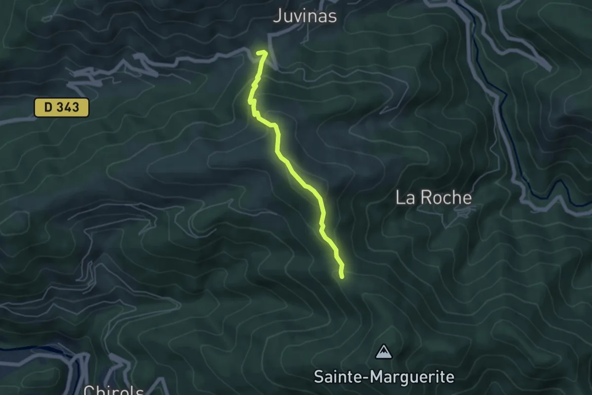
Easy · Trail
La Faysse - Font Rognon
4.4 km · ↑ 277 m · 1 h 38 min · 12 km away
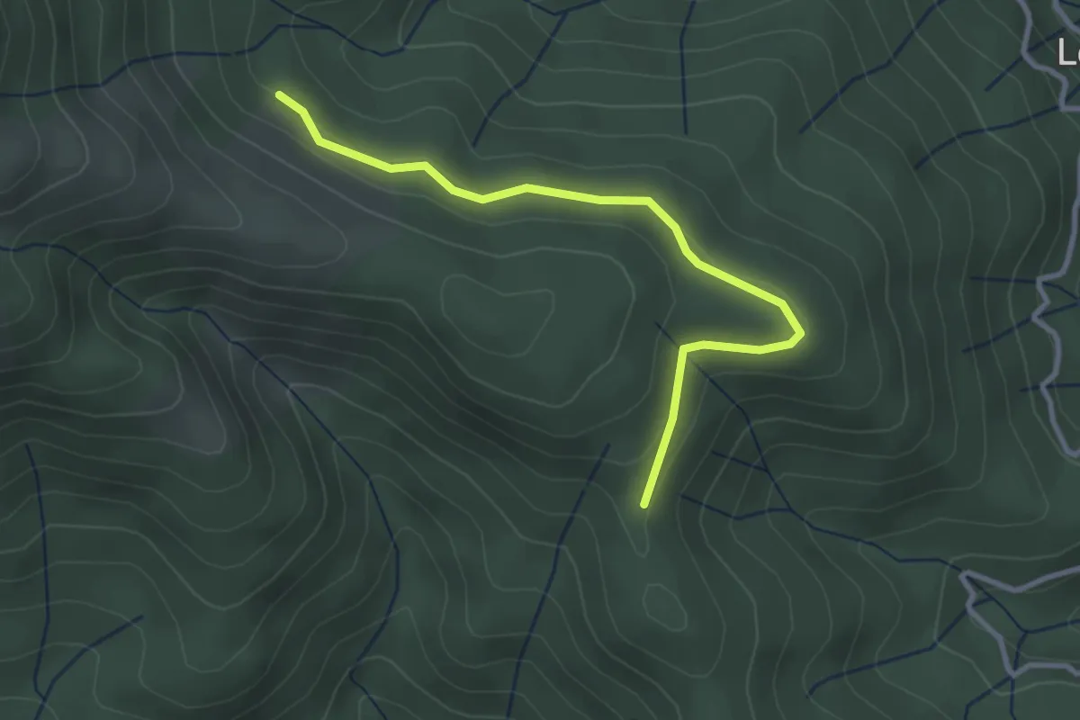
Easy · Trail
Ranc de Bal - Rabié
3.2 km · ↑ 79 m · 56 min · 12 km away
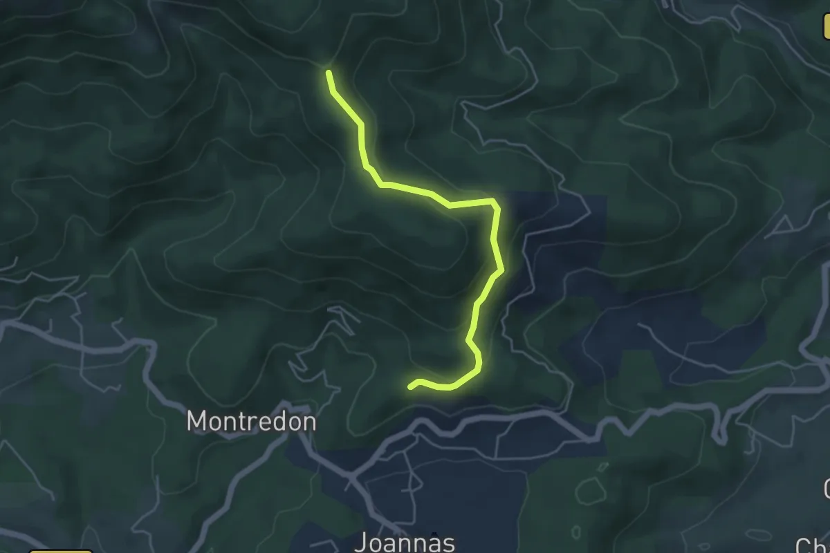
Easy · Trail
Logères - Ranc de Bal
4.3 km · ↑ 233 m · 1 h 32 min · 12 km away
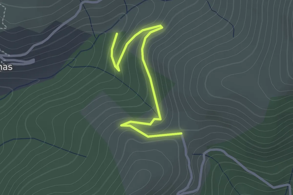
Easy · Trail
Chambonnet - Le Col d'Auzon
2.7 km · ↑ 119 m · 53 min · 12 km away
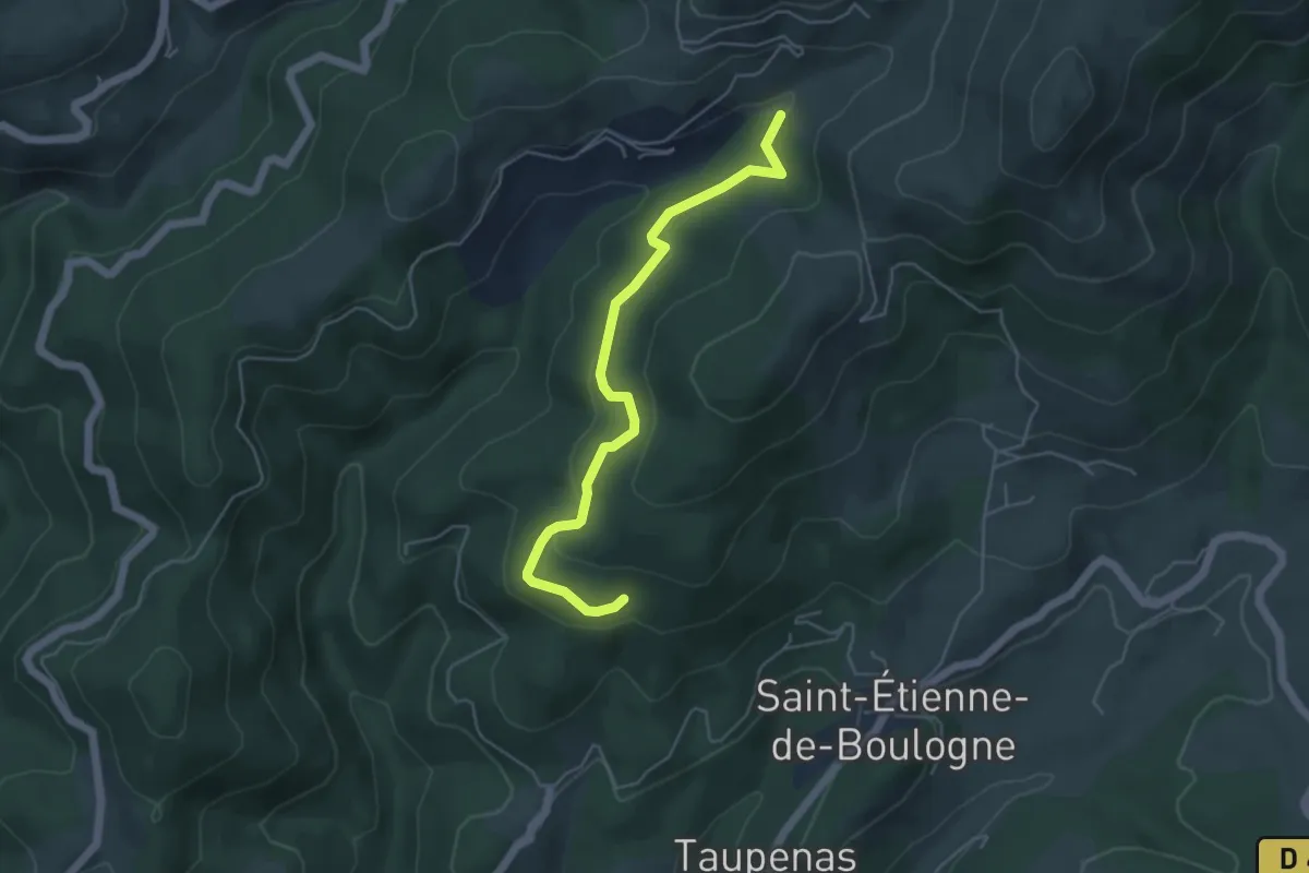
Easy · Trail
Les Molières - Chambonnet
5.0 km · ↑ 179 m · 1 h 35 min · 12 km away
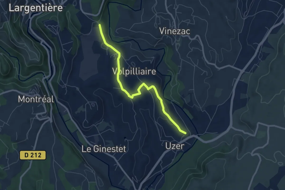
Easy · Trail
Les Auches - Montredon
6.7 km · ↑ 135 m · 1 h 52 min · 12 km away
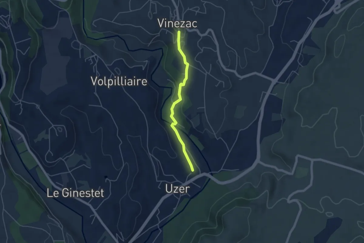
Easy · Trail
Les Auches - La Coop
4.1 km · ↑ 74 m · 1 h 8 min · 12 km away
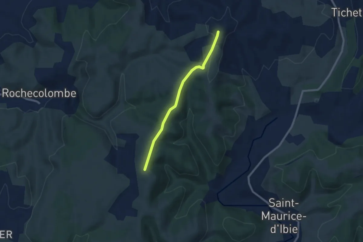
Easy · Trail
Tête de Crespi - Clos de Vernet
5.4 km · ↑ 110 m · 1 h 31 min · 12 km away
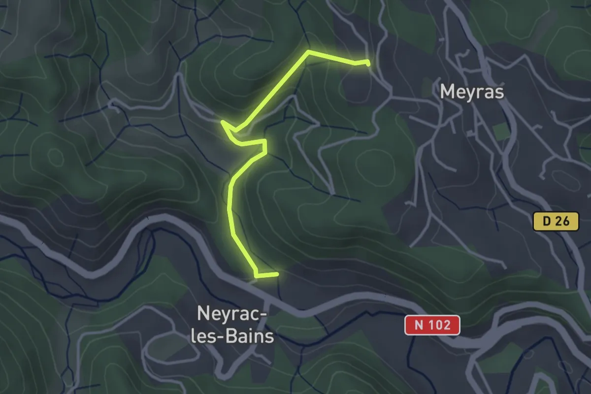
Easy · Trail
La Coste - Le Maillet
3.0 km · ↑ 126 m · 59 min · 12 km away
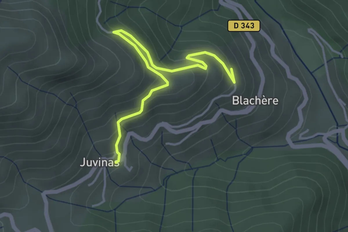
Easy · Trail
La Haute Blachère - Juvinas
3.9 km · ↑ 215 m · 1 h 23 min · 12 km away
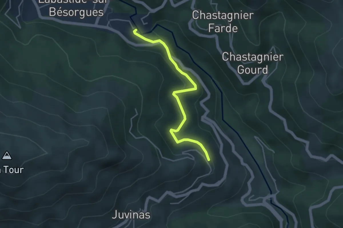
Easy · Trail
L'Abro - La Haute Blachère
3.6 km · ↑ 185 m · 1 h 16 min · 12 km away
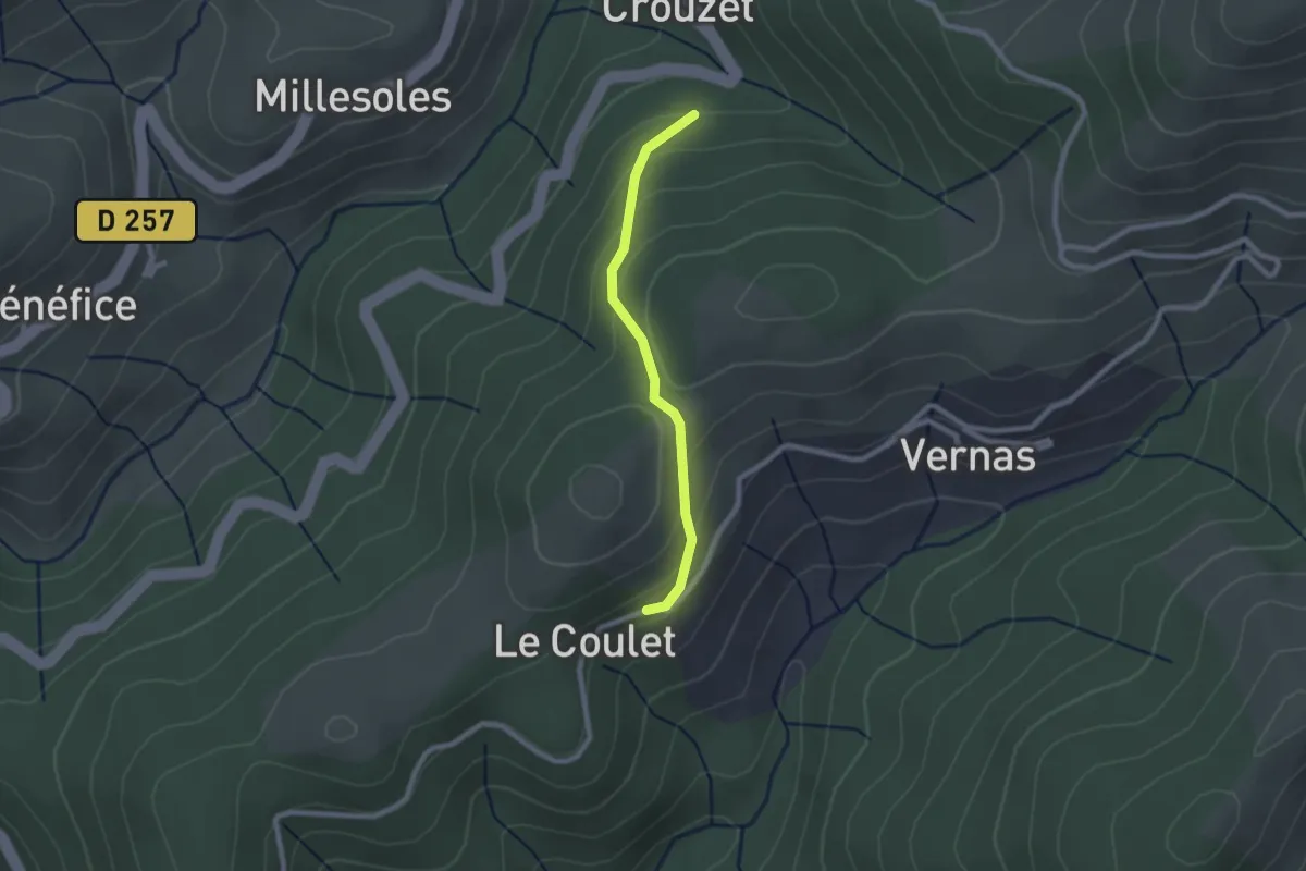
Easy · Trail
Devessous - Le Coulet
2.1 km · ↑ 120 m · 45 min · 12 km away
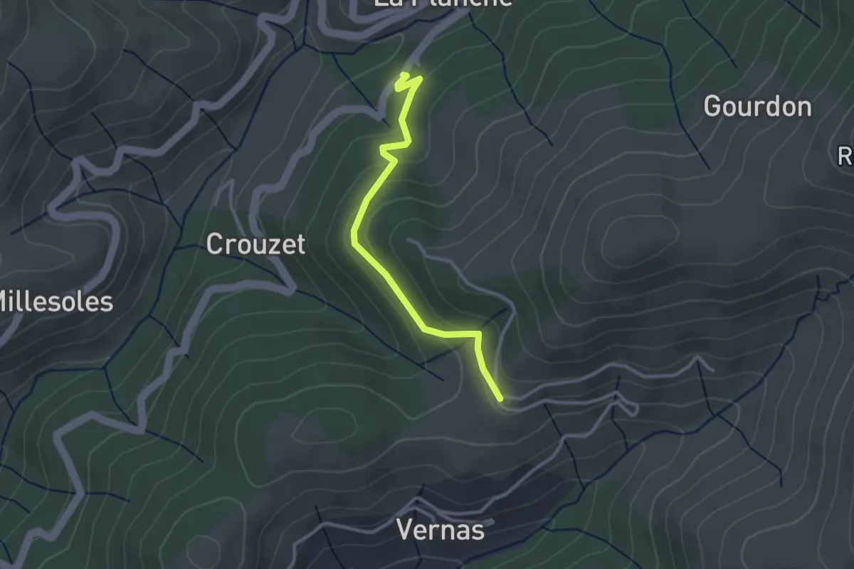
Easy · Trail
Jarniac - La Geneste
2.8 km · ↑ 131 m · 57 min · 12 km away
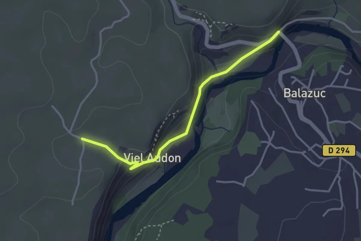
Easy · Trail
Le Pont - Audon
3.1 km · ↑ 118 m · 59 min · 12 km away
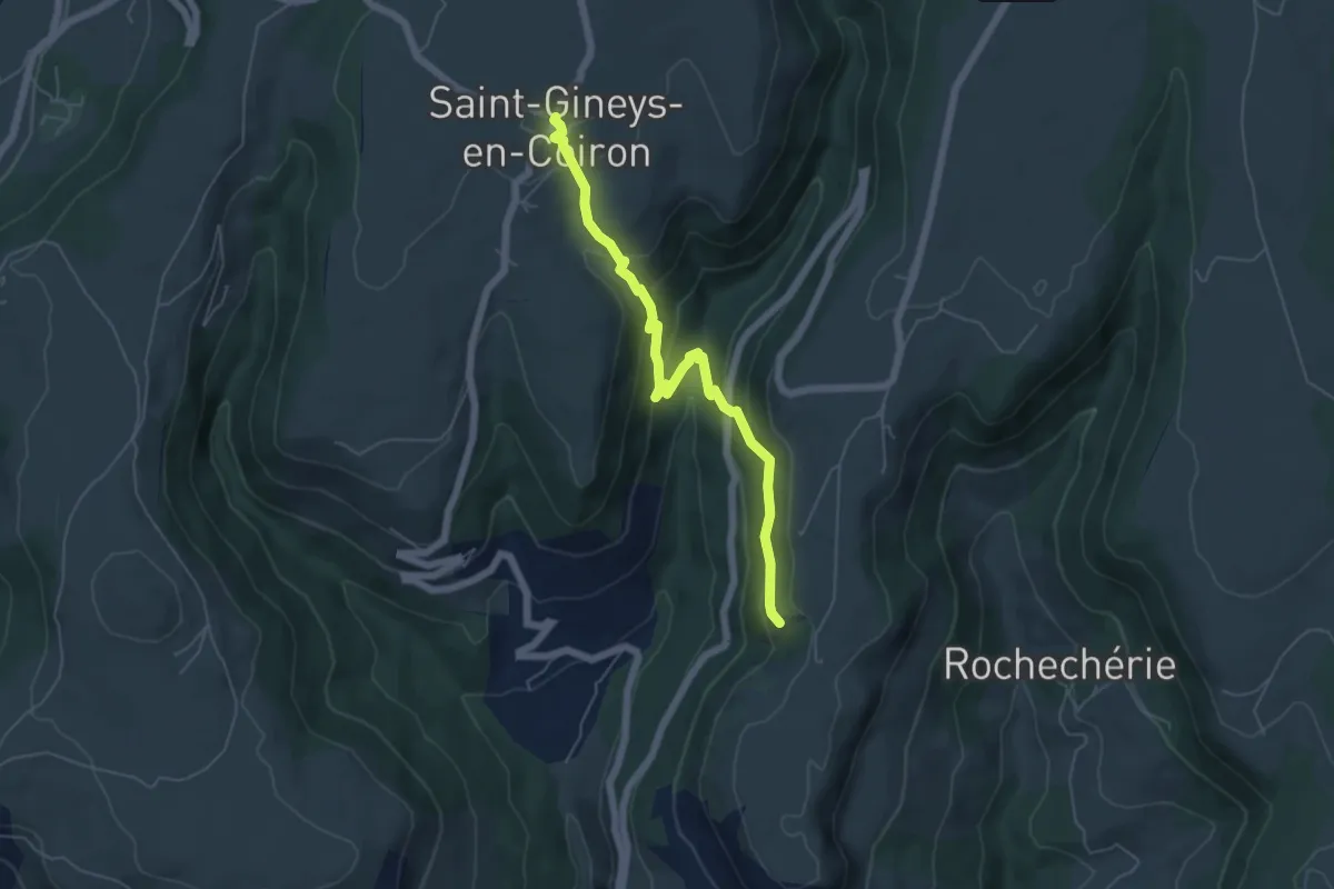
Medium · Trail
Balmes de Montbrun - Saint-Gineys-en-Coiron
5.8 km · ↑ 366 m · 2 h 10 min · 12 km away
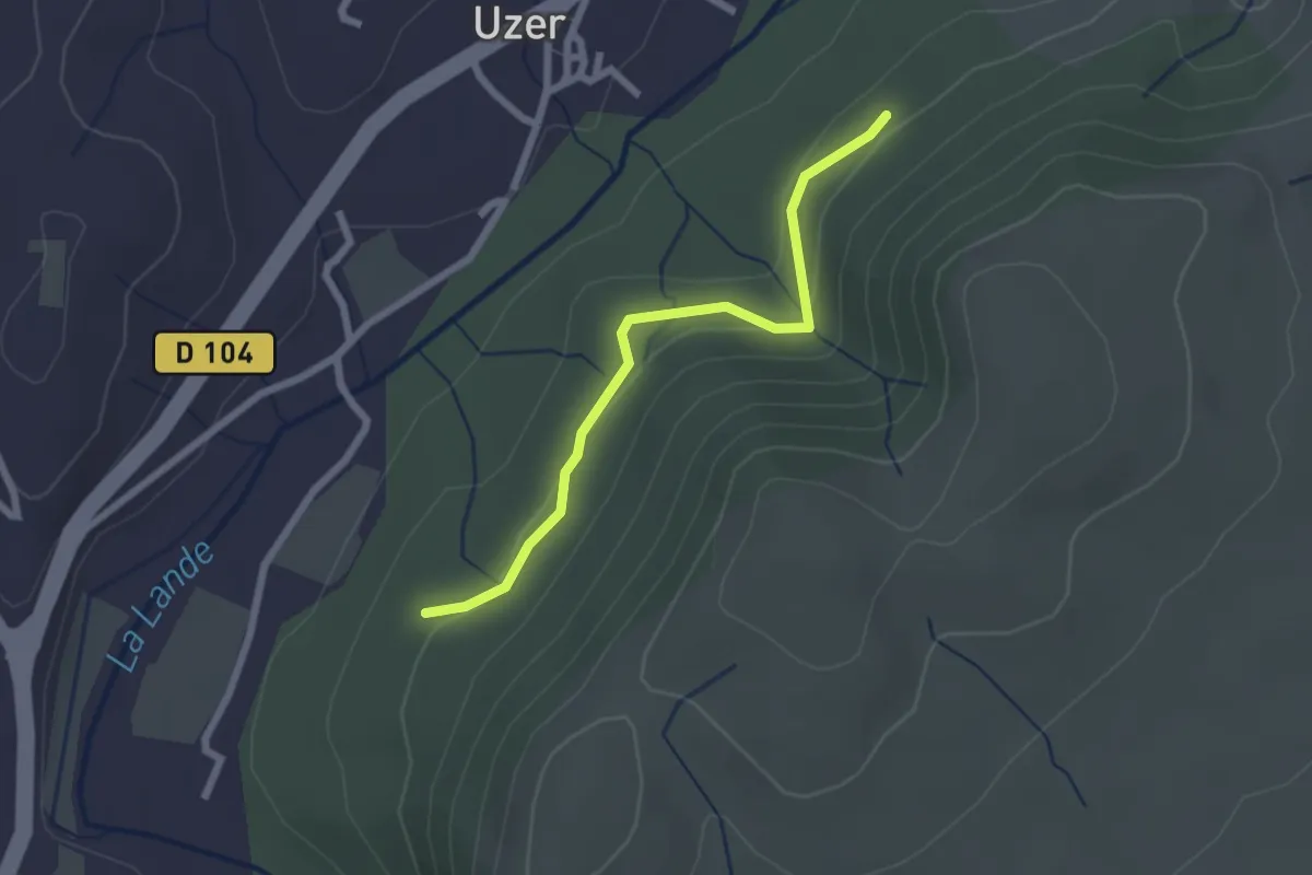
Easy · Trail
Les Blaches Hautes - La Prade Haute
2.3 km · ↑ 71 m · 42 min · 12 km away
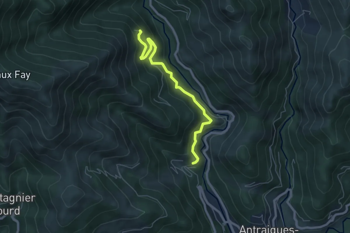
Medium · Trail
Le Bouchet - Aubert
5.5 km · ↑ 428 m · 2 h 14 min · 12 km away
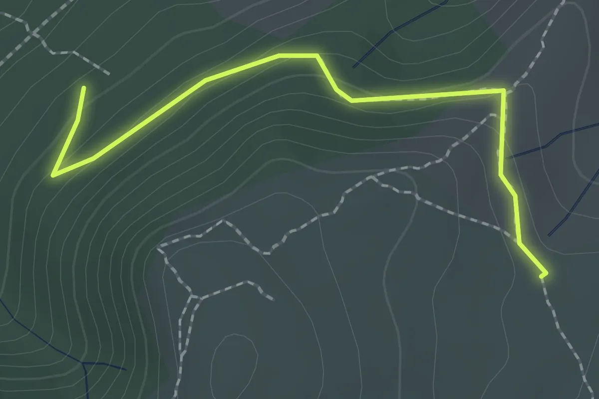
Easy · Trail
Les Blaches Hautes - La Drayette
2.1 km · ↑ 103 m · 43 min · 12 km away
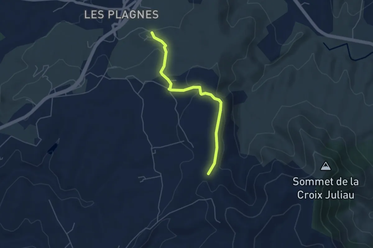
Easy · Trail
Font Nègre - Bourboulet
4.7 km · ↑ 98 m · 1 h 20 min · 12 km away
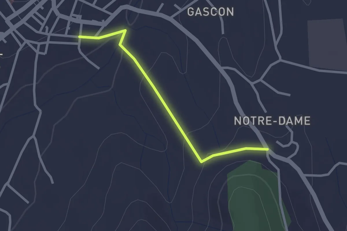
Easy · Trail
Basse Rue - Route de Saint-Andeol
2.2 km · ↑ 65 m · 40 min · 12 km away
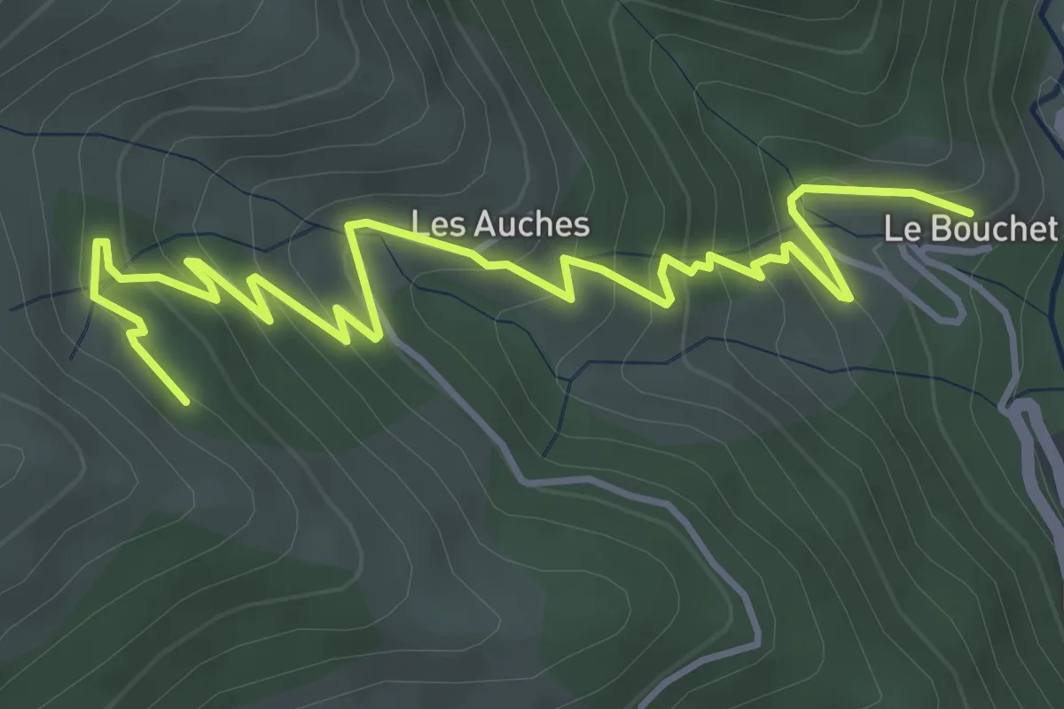
Medium · Trail
Le Bouchet - l'Huguenot
5.4 km · ↑ 373 m · 2 h 6 min · 12 km away
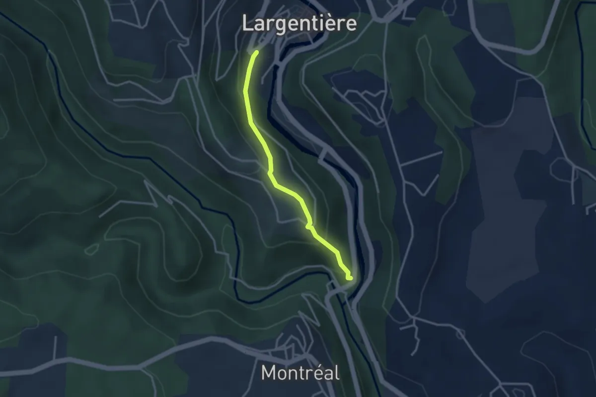
Easy · Trail
Baille - Place de l'église
2.6 km · ↑ 163 m · 58 min · 12 km away
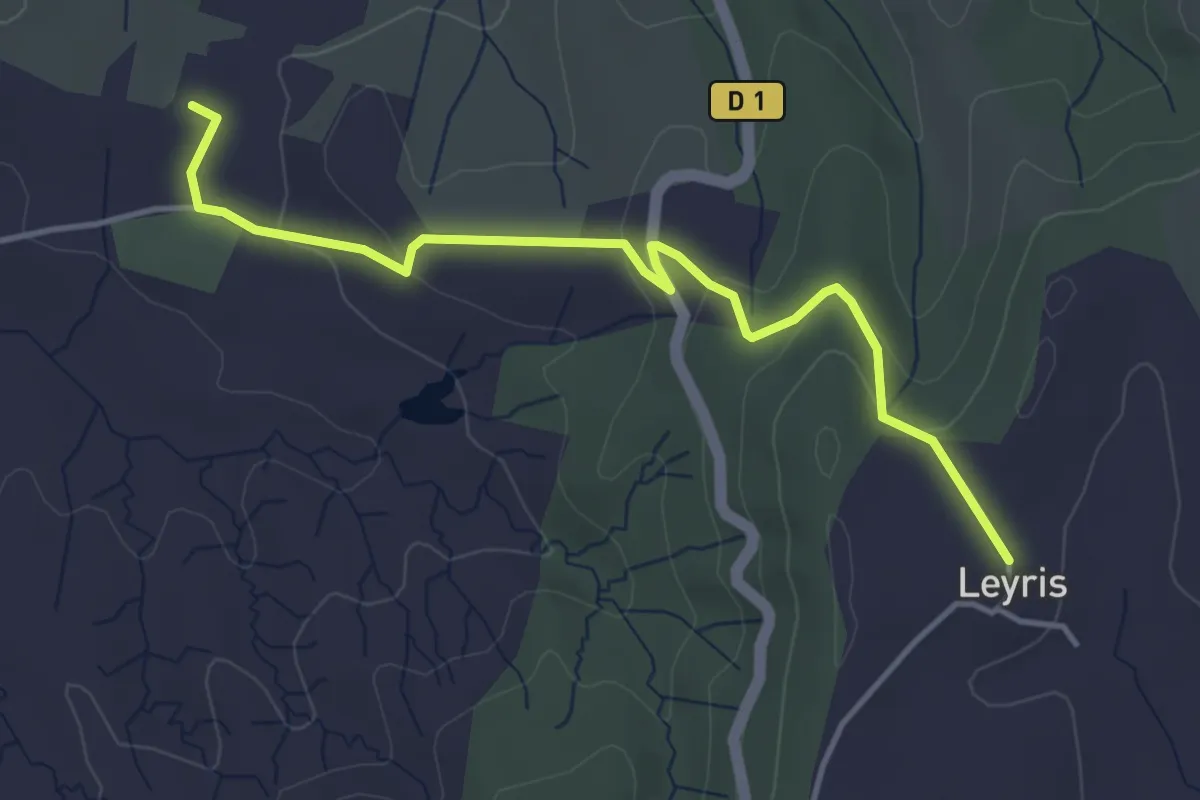
Easy · Trail
Chaussy - Hameau de Leyris
4.5 km · ↑ 121 m · 1 h 20 min · 12 km away
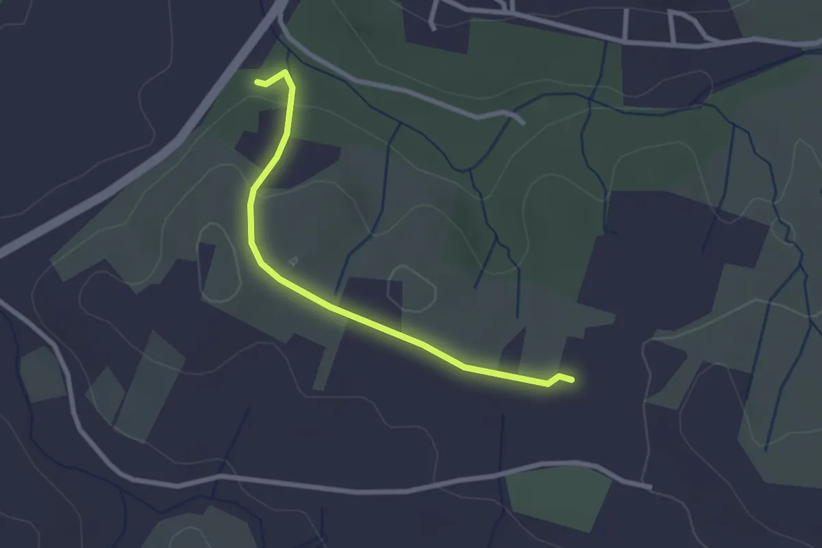
Easy · Trail
Chalouzet - Chaussy
2.5 km · ↑ 55 m · 42 min · 12 km away
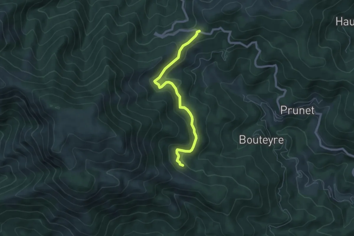
Easy · Trail
Rabié - Col de la Croix de Millet
5.8 km · ↑ 216 m · 1 h 51 min · 12 km away
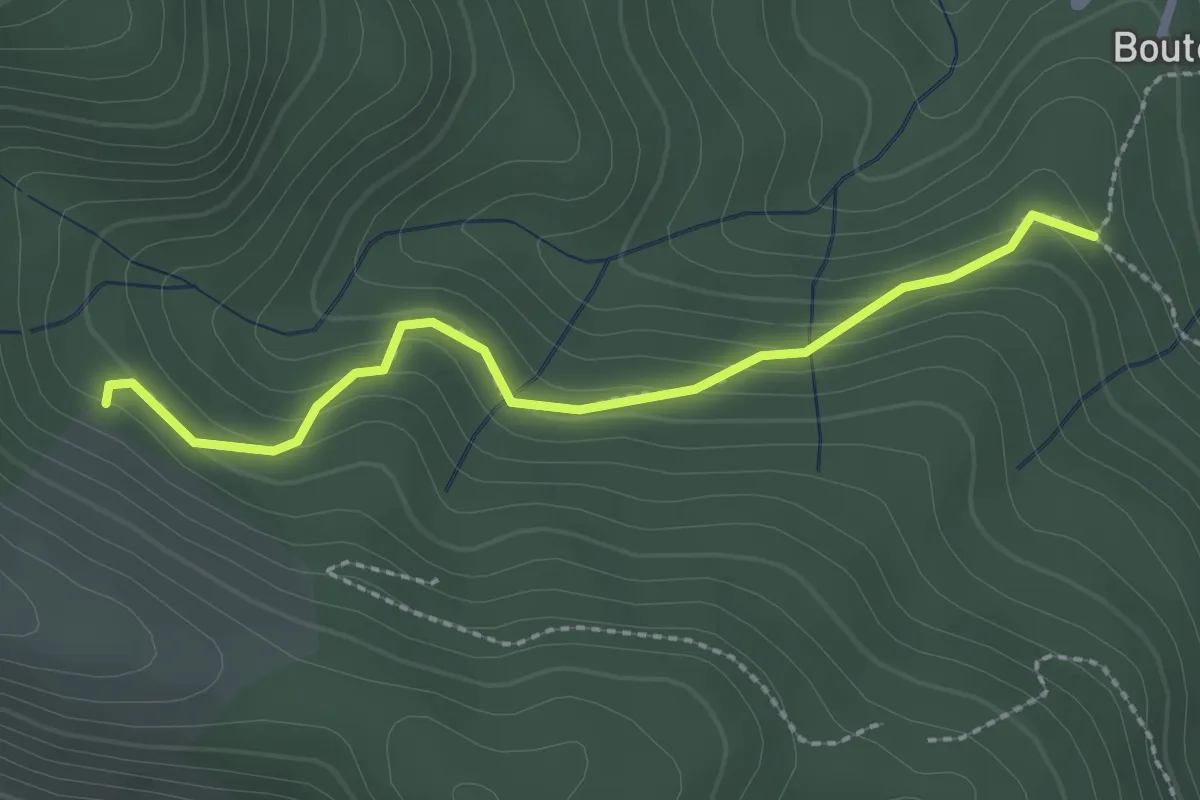
Easy · Trail
Bouteyre - Rabié
2.4 km · ↑ 152 m · 54 min · 12 km away
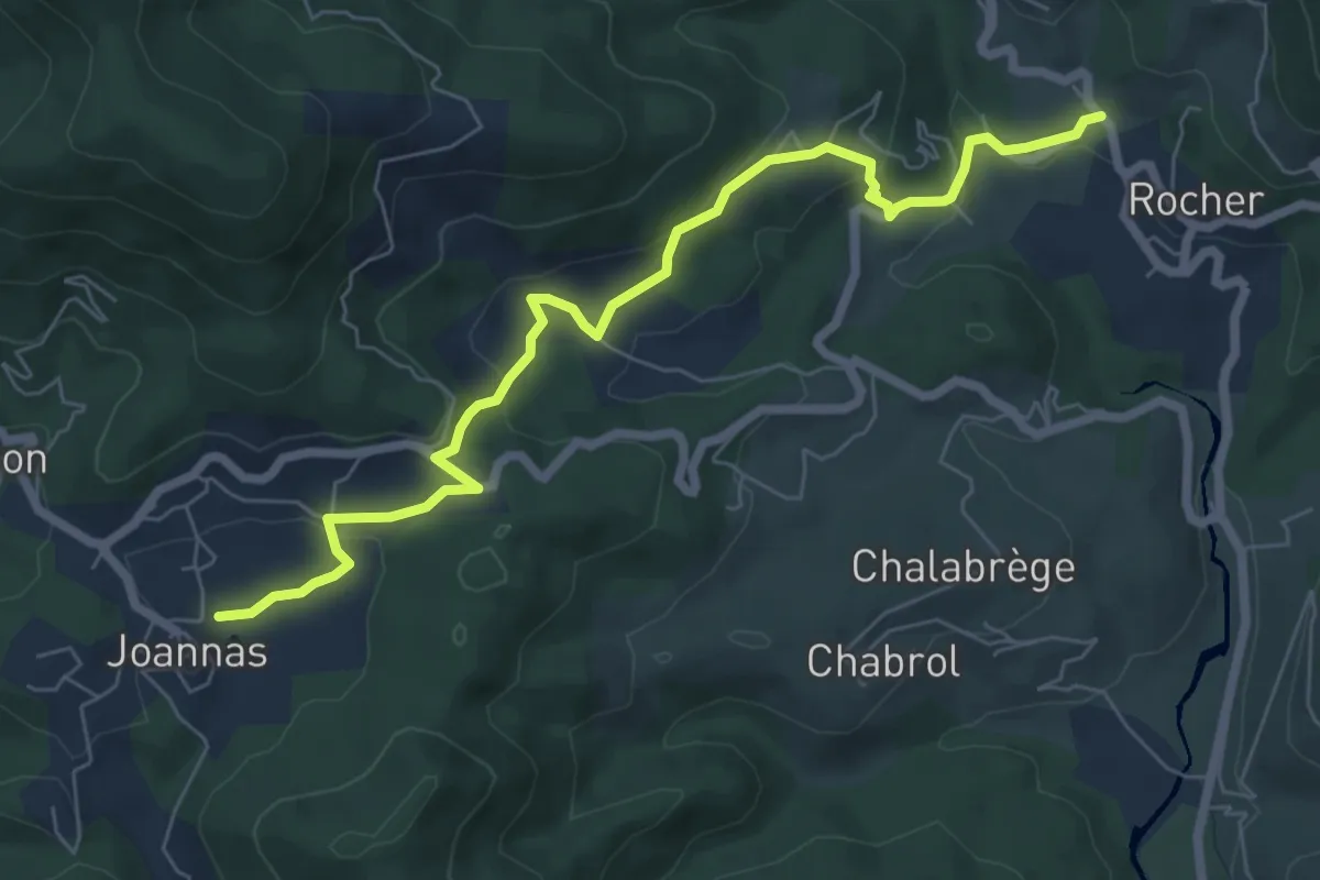
Easy · Trail
Le Pontet - La Sauzède
7.7 km · ↑ 282 m · 2 h 25 min · 12 km away
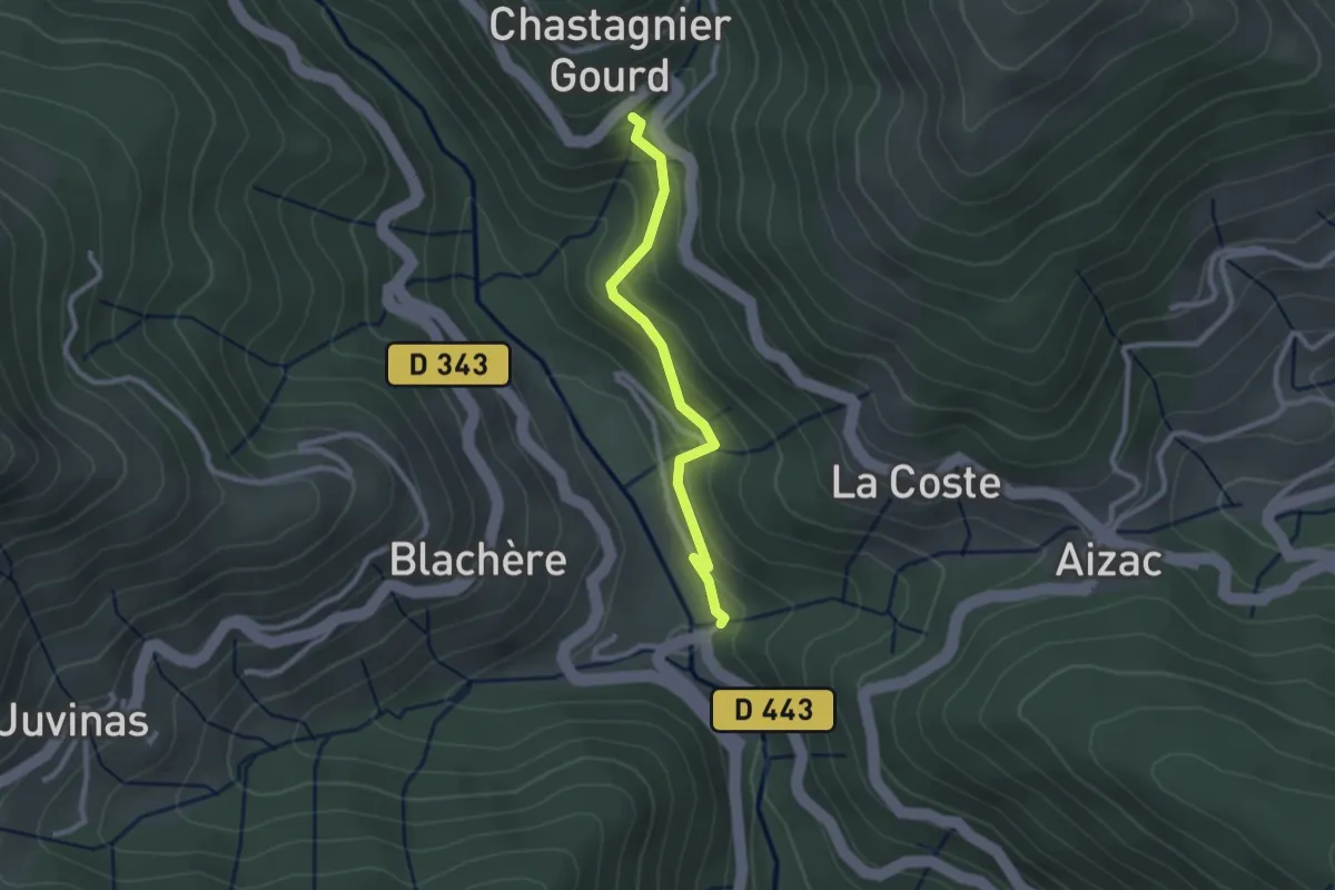
Easy · Trail
Ruisseau de la Pauze - Pont de Gamarnes
2.4 km · ↑ 166 m · 55 min · 13 km away
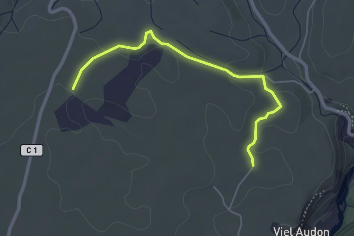
Easy · Trail
Vigiers - Combe Veyras
4.3 km · ↑ 65 m · 1 h 9 min · 13 km away
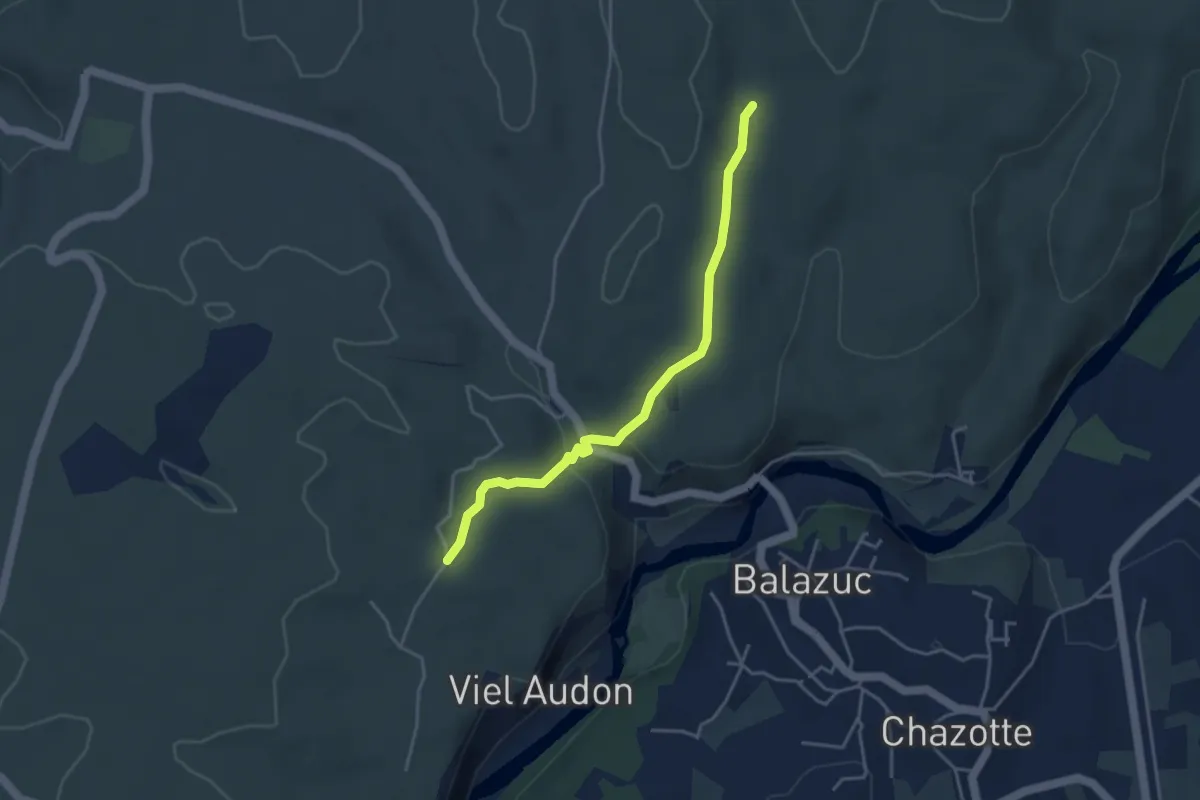
Easy · Trail
Vigiers - Chazette
4.0 km · ↑ 63 m · 1 h 5 min · 13 km away
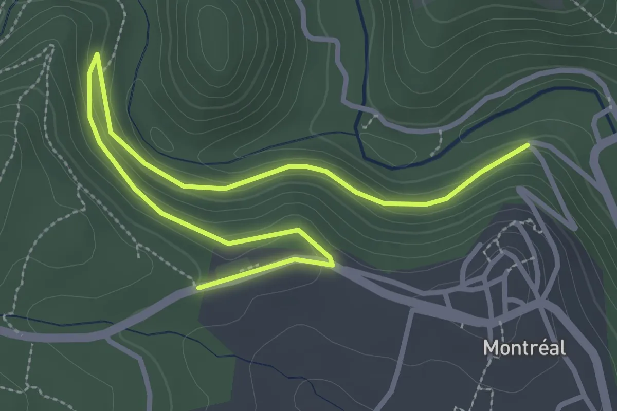
Easy · Trail
Les Côtes - Croix de la Mission
4.0 km · ↑ 156 m · 1 h 16 min · 13 km away
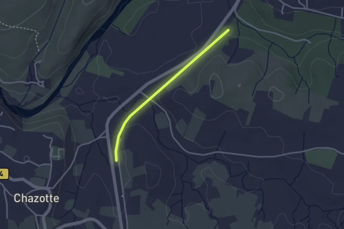
Easy · Trail
Mourre Frais - Chalouzet
2.5 km · ↑ 33 m · 39 min · 13 km away
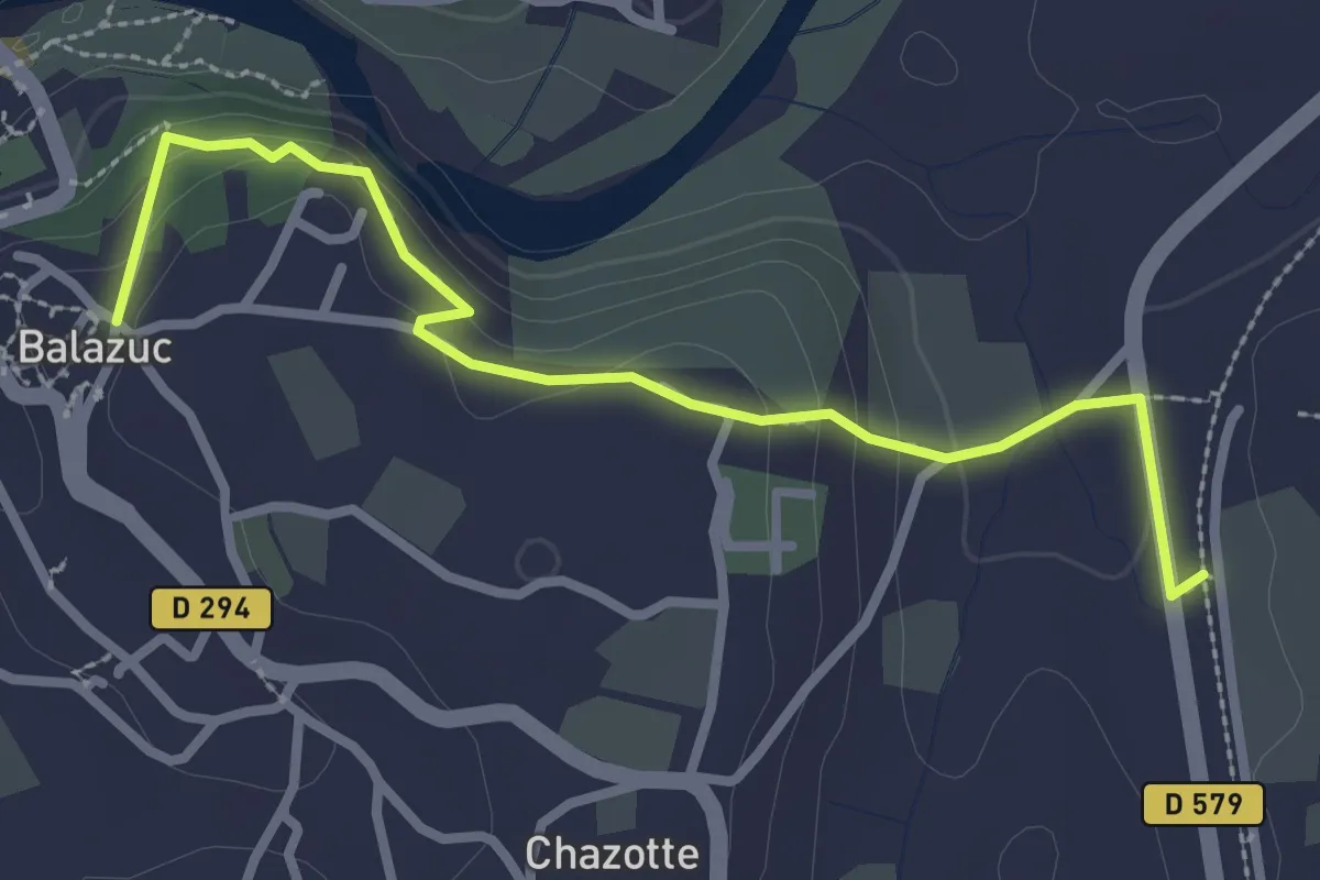
Easy · Trail
Mourre Frais - Portalas
3.1 km · ↑ 114 m · 59 min · 13 km away
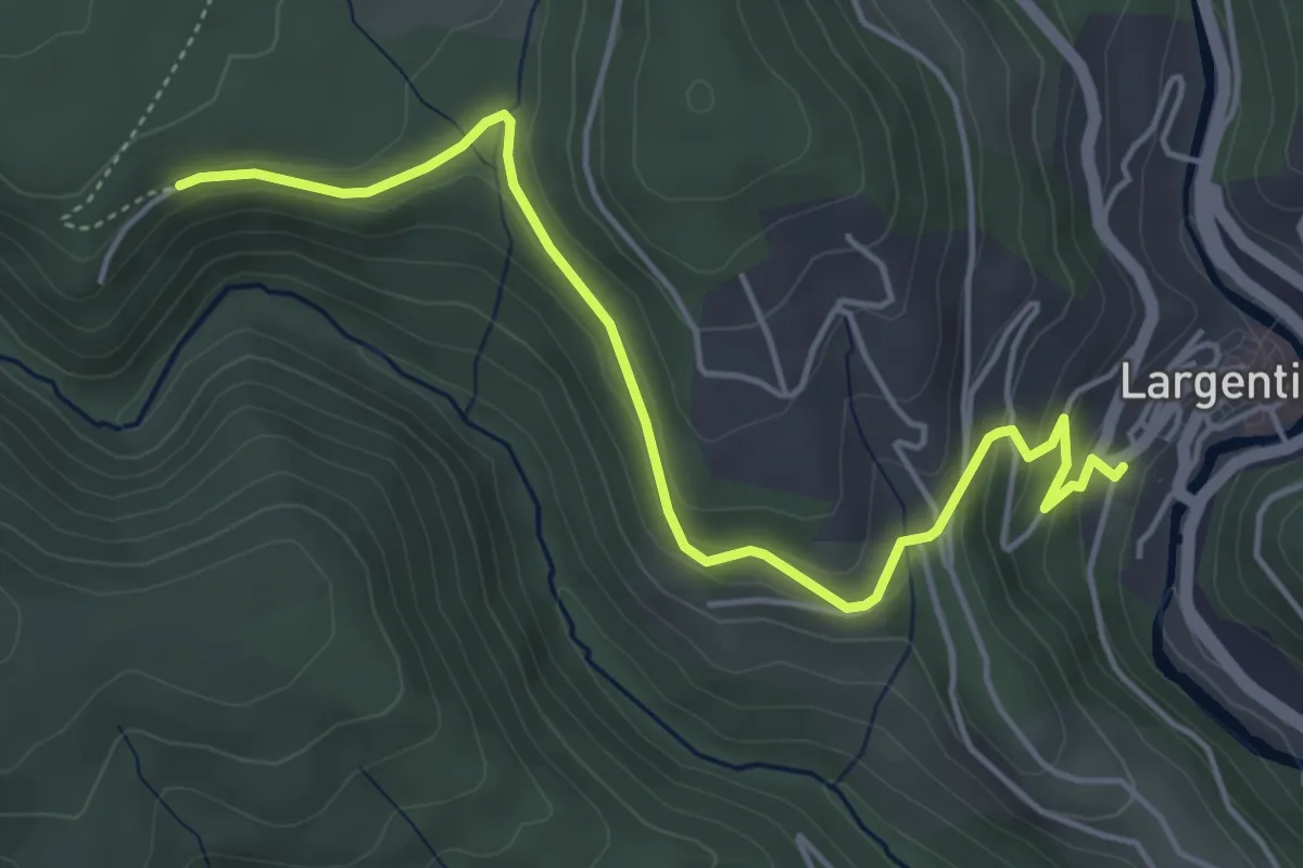
Easy · Trail
Place de l'église - Les Vers
5.2 km · ↑ 209 m · 1 h 41 min · 13 km away
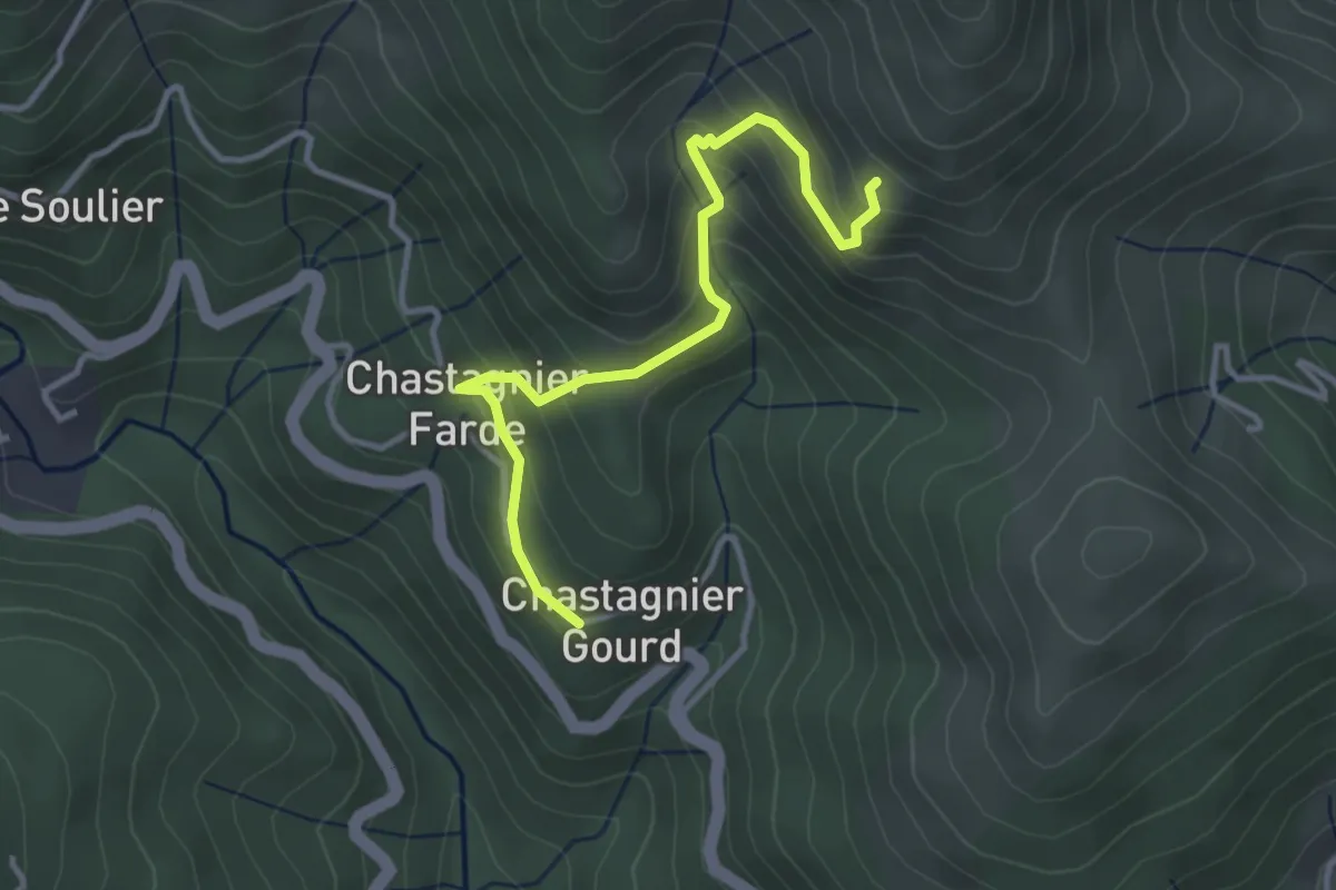
Easy · Trail
Chastagnier Gourd - Les Pargeades
3.6 km · ↑ 299 m · 1 h 29 min · 13 km away
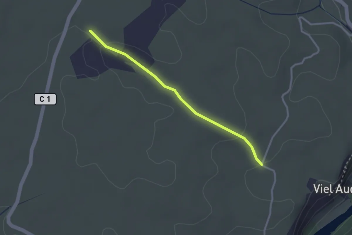
Easy · Trail
Lubac - Combe Veyras
2.5 km · ↑ 46 m · 41 min · 13 km away
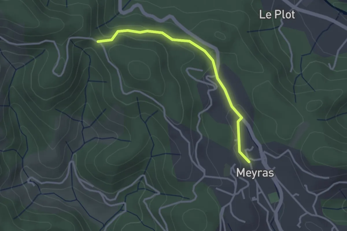
Easy · Trail
Meyras - Les Quatres Chemins
2.8 km · ↑ 67 m · 49 min · 13 km away
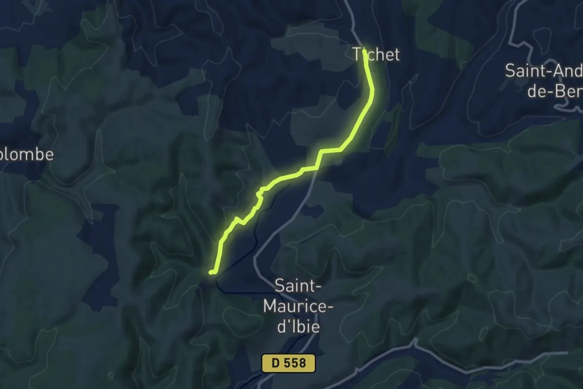
Medium · Trail
Les Ausses - Faucon
8.6 km · ↑ 164 m · 2 h 23 min · 13 km away
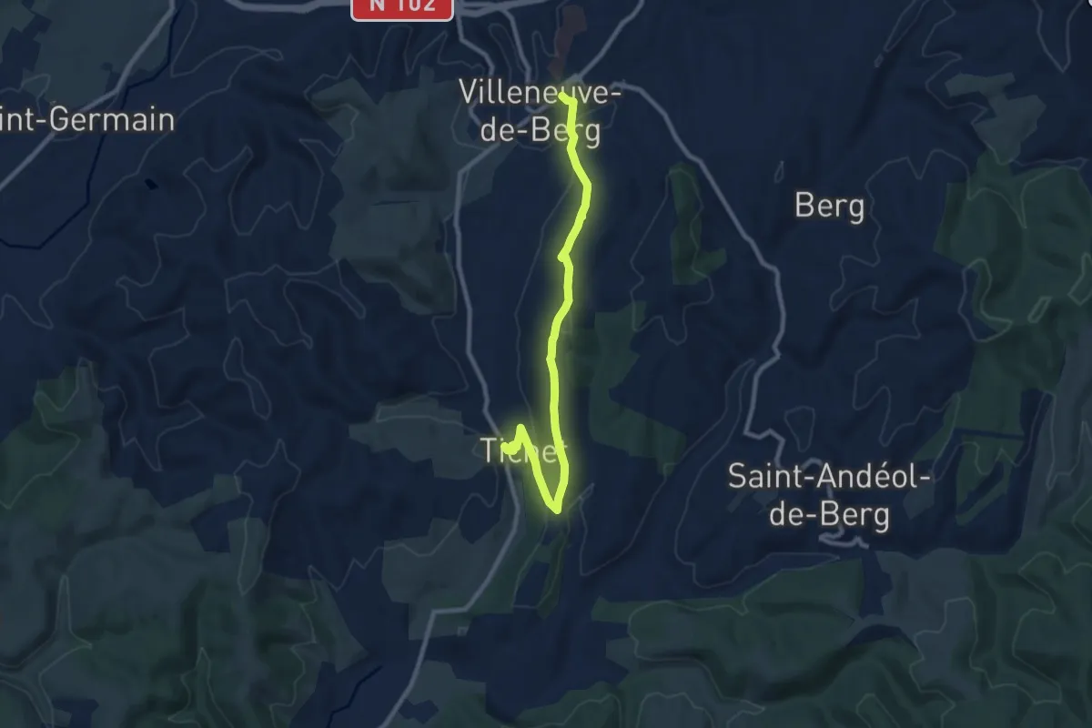
Medium · Trail
Faucon - Place de l'Obélisque
9.4 km · ↑ 269 m · 2 h 48 min · 13 km away
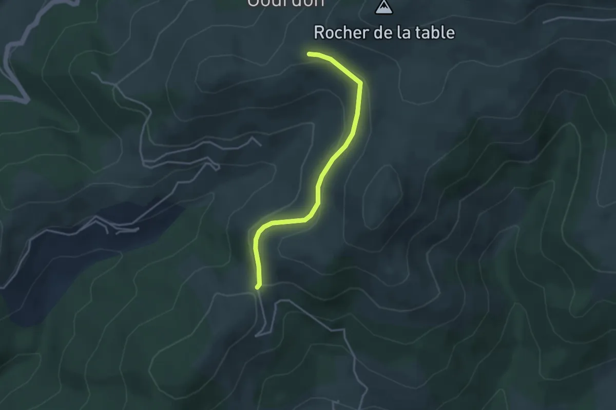
Easy · Trail
Le Col d'Auzon - L'Auriol
3.3 km · ↑ 113 m · 1 h 2 min · 13 km away
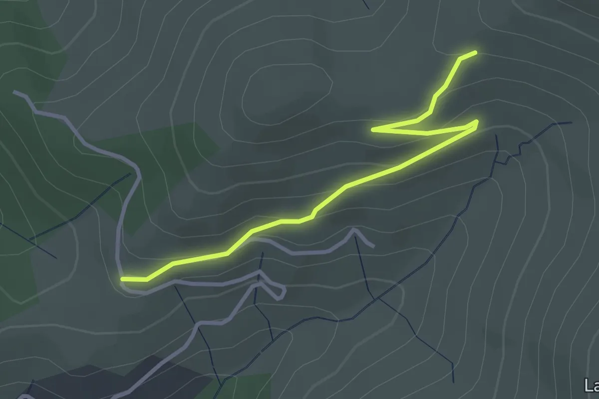
Easy · Trail
La Geneste - L'Auriol
3.2 km · ↑ 133 m · 1 h 2 min · 13 km away
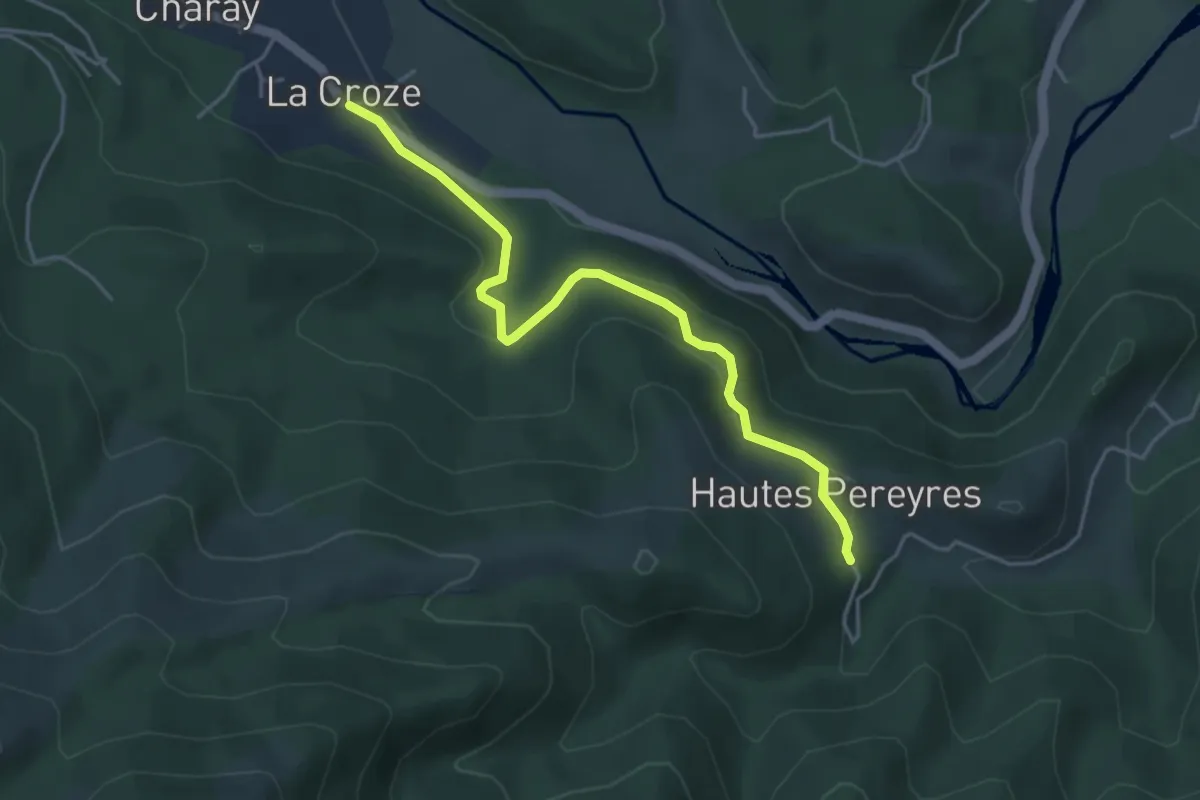
Easy · Trail
La Croze - Les Péreyres
4.5 km · ↑ 171 m · 1 h 26 min · 13 km away
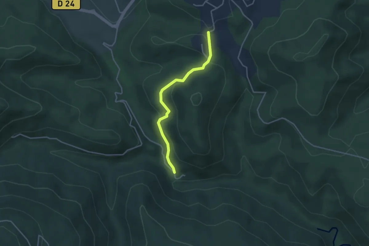
Medium · Trail
Le Plançon Haut - Chassagnoles
3.0 km · ↑ 94 m · 55 min · 13 km away
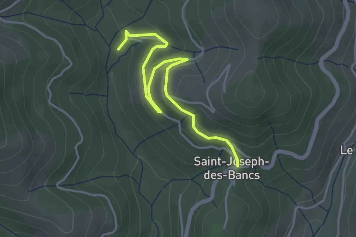
Easy · Trail
La Croze - Saint-Joseph des Bancs
3.9 km · ↑ 180 m · 1 h 18 min · 13 km away