Trails near Aubenas
423 hikes starting within 15 km, nearest first.
Nearest first, page 8 of 9
Easy · Trail
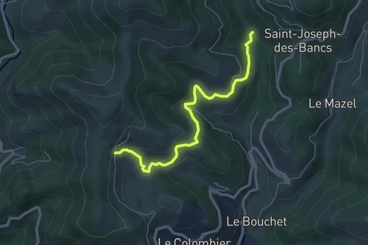
La Planche - Conchis
5.5 km · ↑ 286 m · 1 h 56 min · 13 km away
Easy · Trail
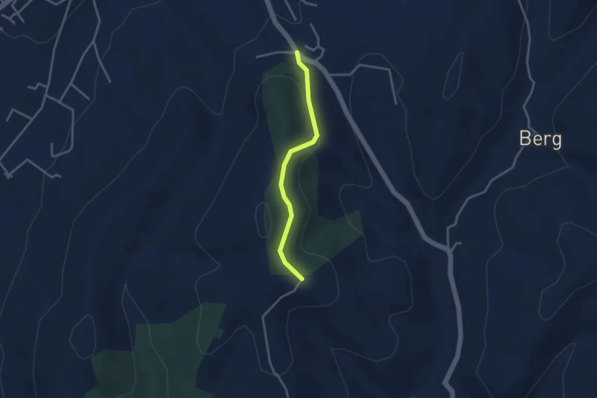
Route de Saint-Andeol - Fournery
2.4 km · ↑ 84 m · 46 min · 13 km away
Easy · Trail
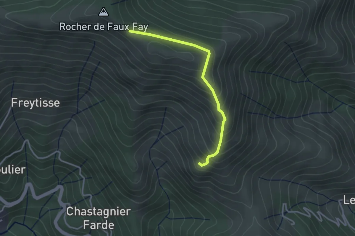
Les Pargeades - Faux Fay
2.8 km · ↑ 209 m · 1 h 7 min · 13 km away
Easy · Trail
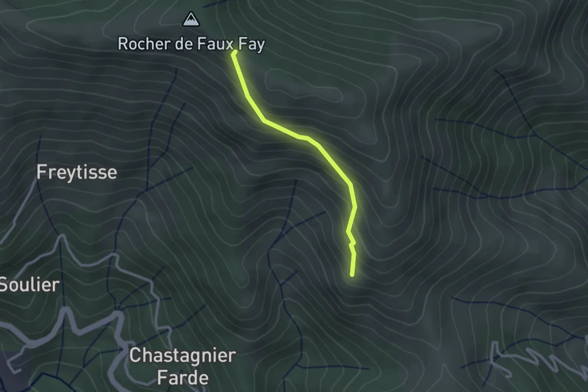
Les Pargeades - Faux Fay
2.2 km · ↑ 208 m · 58 min · 13 km away
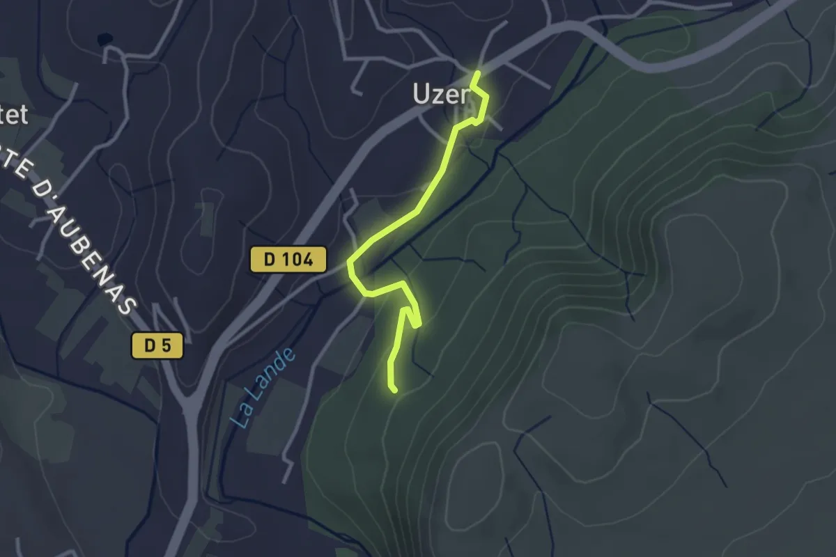
Easy · Trail
Uzer - La Prade Haute
2.7 km · ↑ 82 m · 48 min · 13 km away
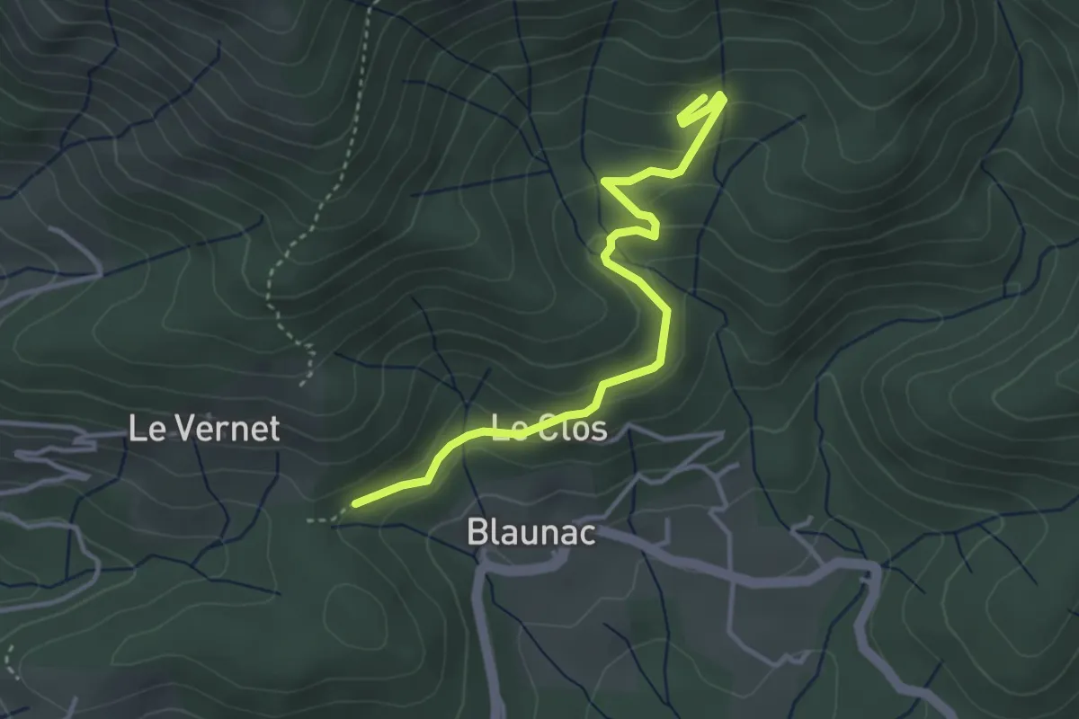
Easy · Trail
La Grange du Vinçou - Le Cros
3.8 km · ↑ 194 m · 1 h 19 min · 13 km away
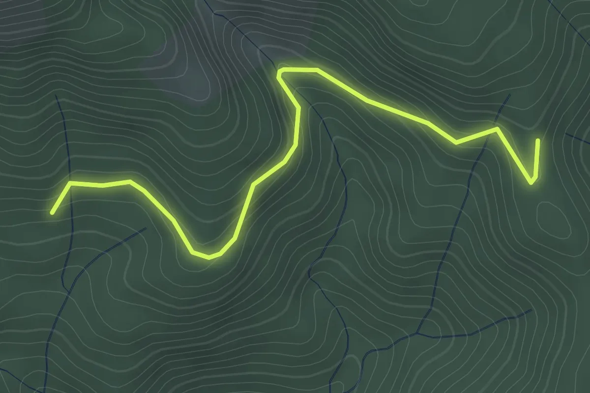
Easy · Trail
Le Cros - Ranc de Bal
3.6 km · ↑ 154 m · 1 h 11 min · 13 km away
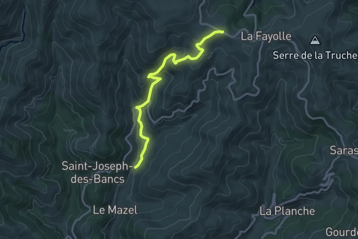
Medium · Trail
Le Pont - La Paille
7.4 km · ↑ 342 m · 2 h 29 min · 13 km away
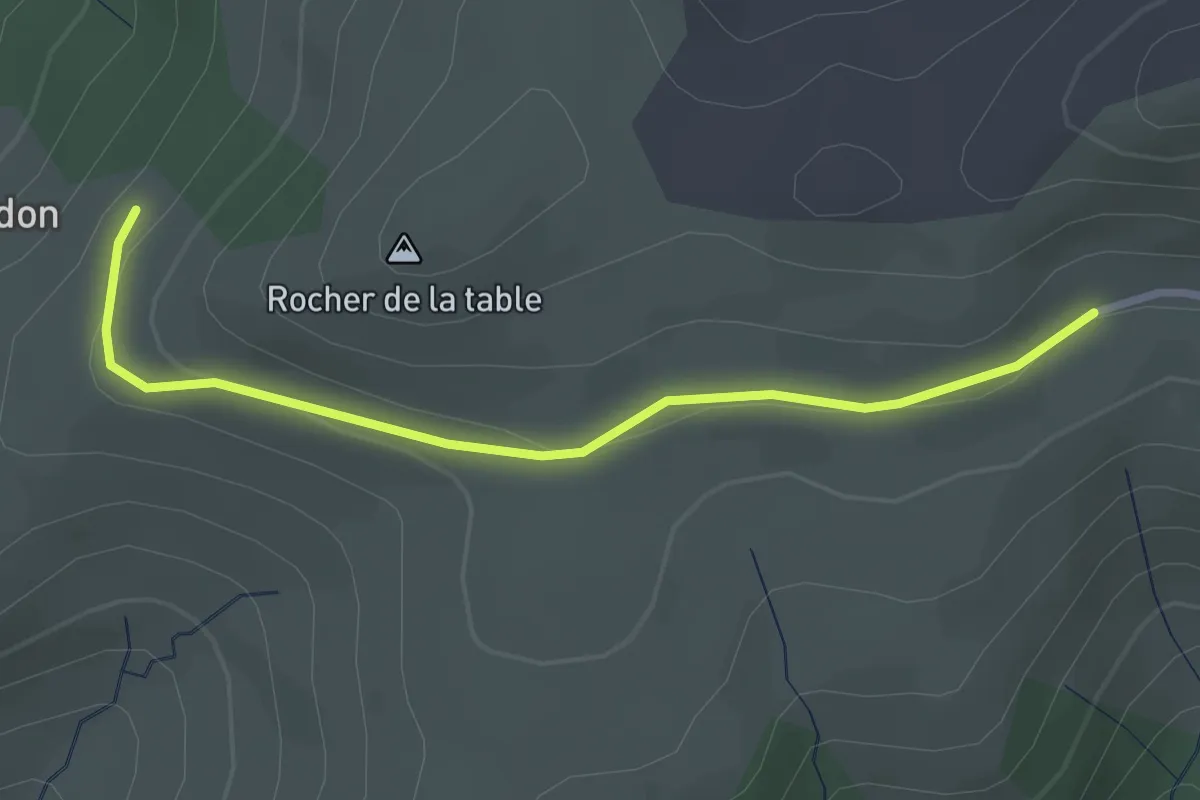
Easy · Trail
Signal Bosc - Gourdon
2.9 km · ↑ 69 m · 50 min · 13 km away
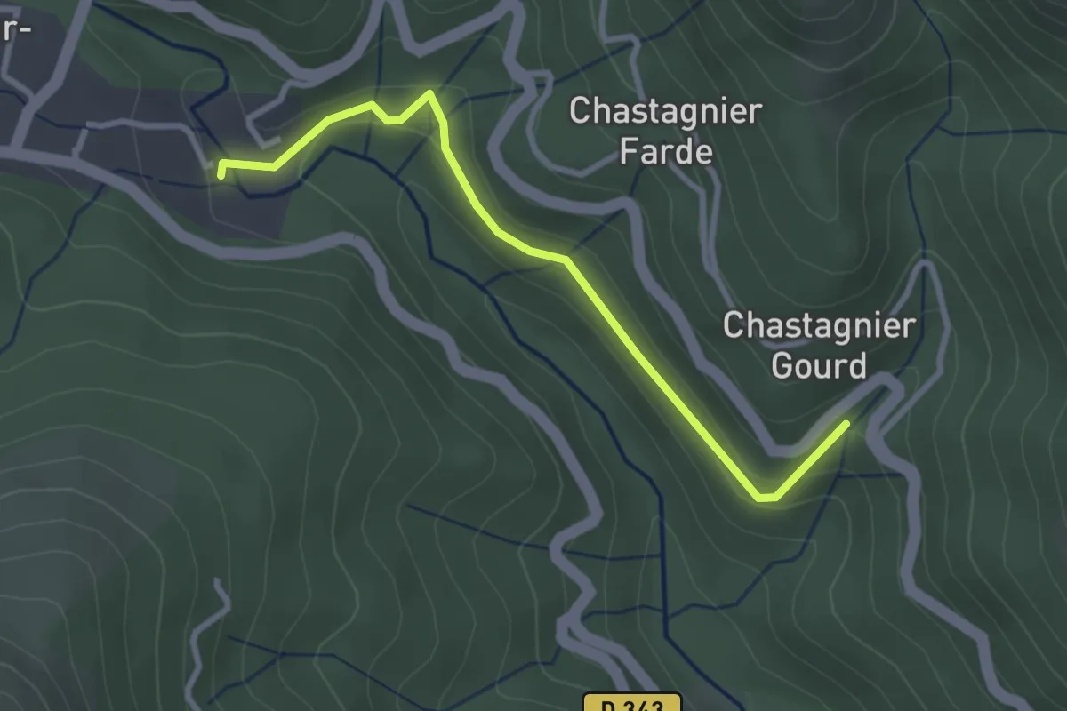
Easy · Trail
L'Abro - Pont de Gamarnes
2.9 km · ↑ 117 m · 57 min · 13 km away
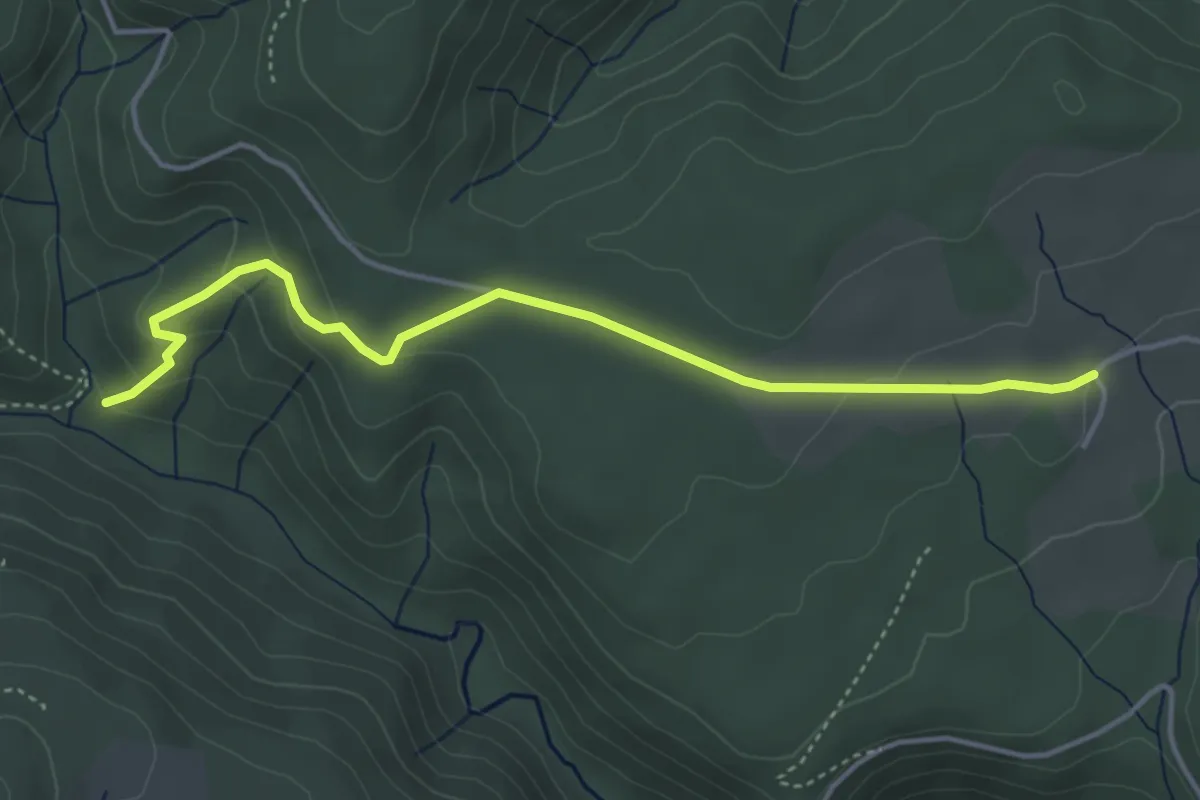
Easy · Trail
Berty - Les Lauzières
4.5 km · ↑ 141 m · 1 h 22 min · 13 km away
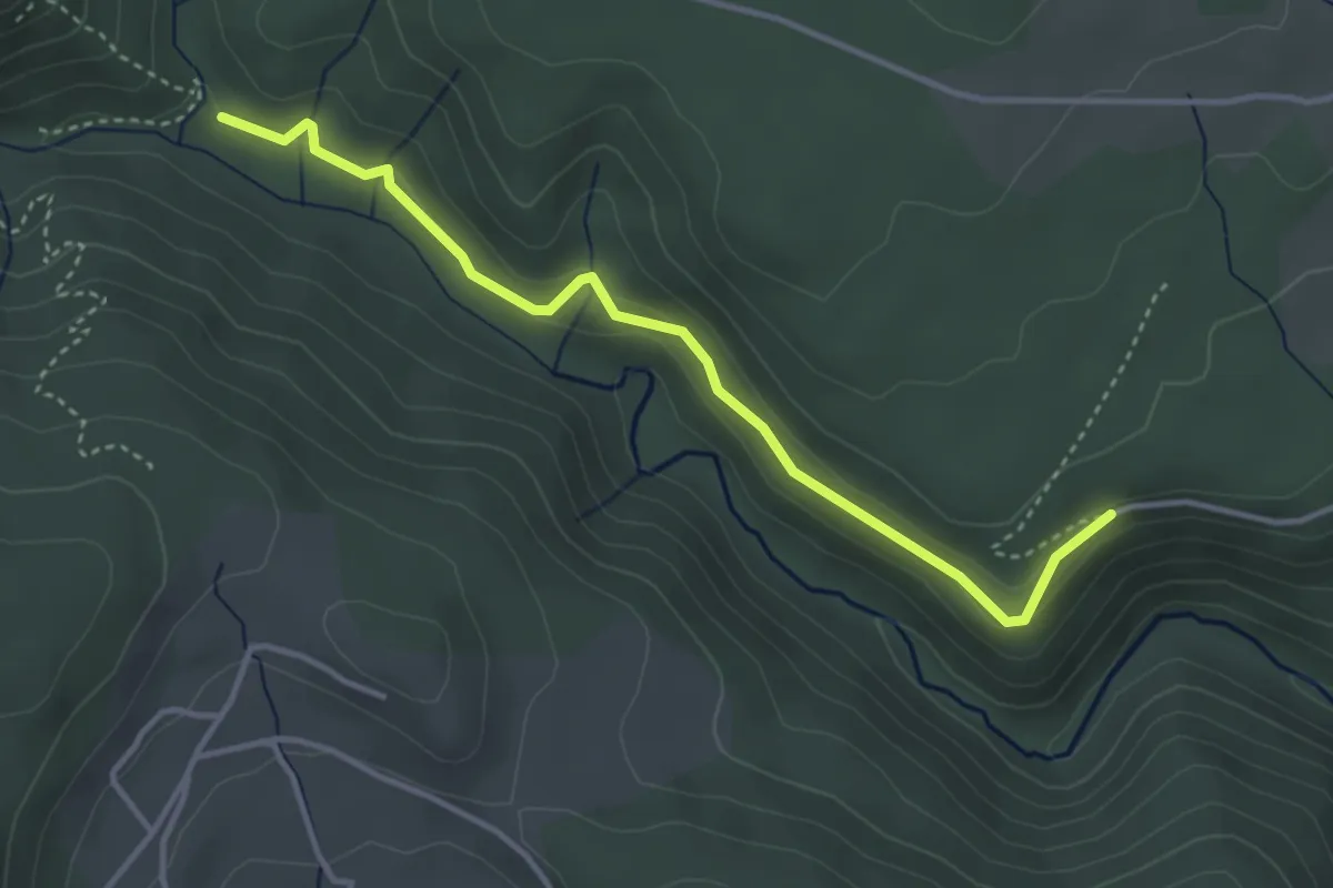
Easy · Trail
Berty - Les Vers
4.0 km · ↑ 82 m · 1 h 7 min · 13 km away
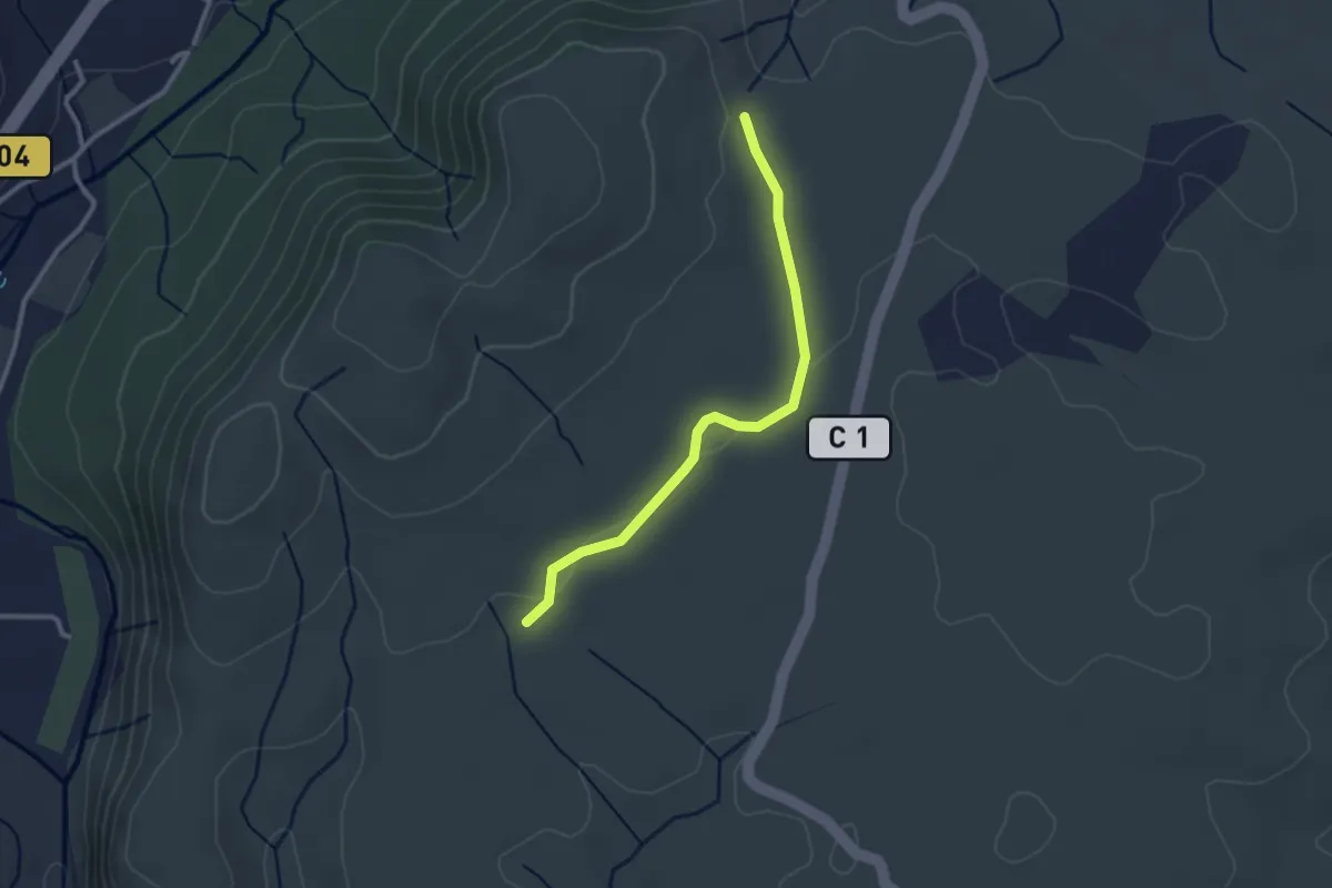
Easy · Trail
Le Gras - La Drayette
2.8 km · ↑ 19 m · 41 min · 13 km away
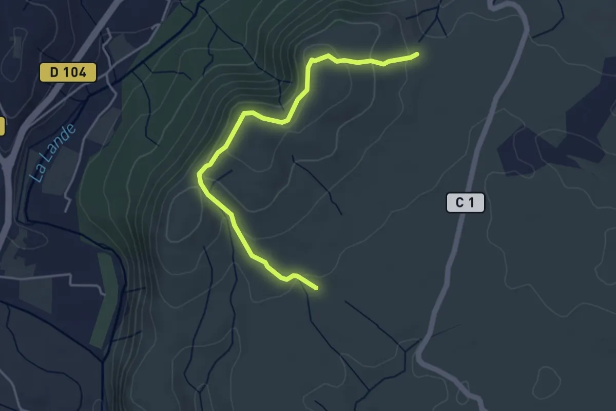
Easy · Trail
Le Gras - La Drayette
4.2 km · ↑ 172 m · 1 h 21 min · 13 km away
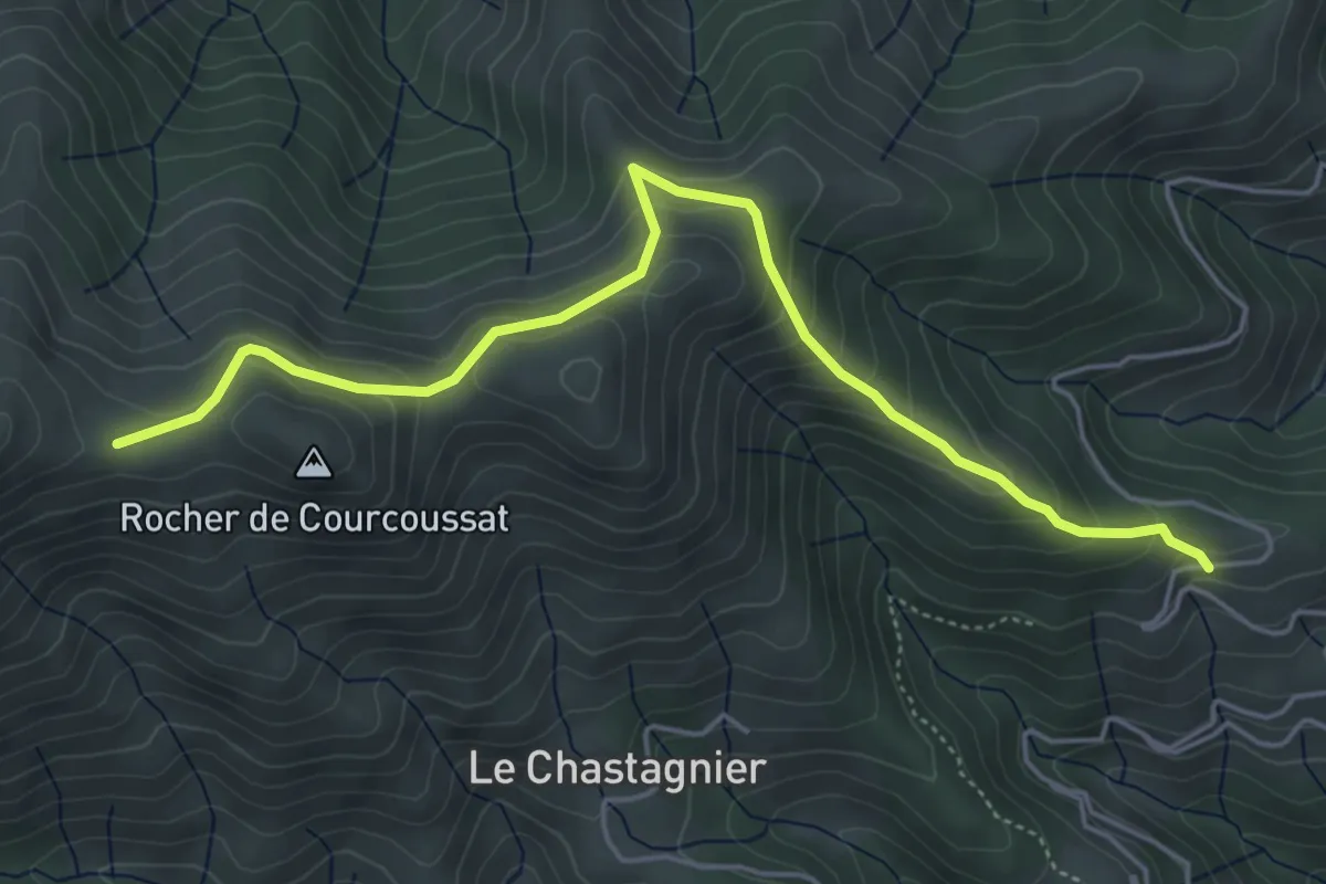
Medium · Trail
Serangelier - Courcoussat
5.6 km · ↑ 402 m · 2 h 12 min · 13 km away
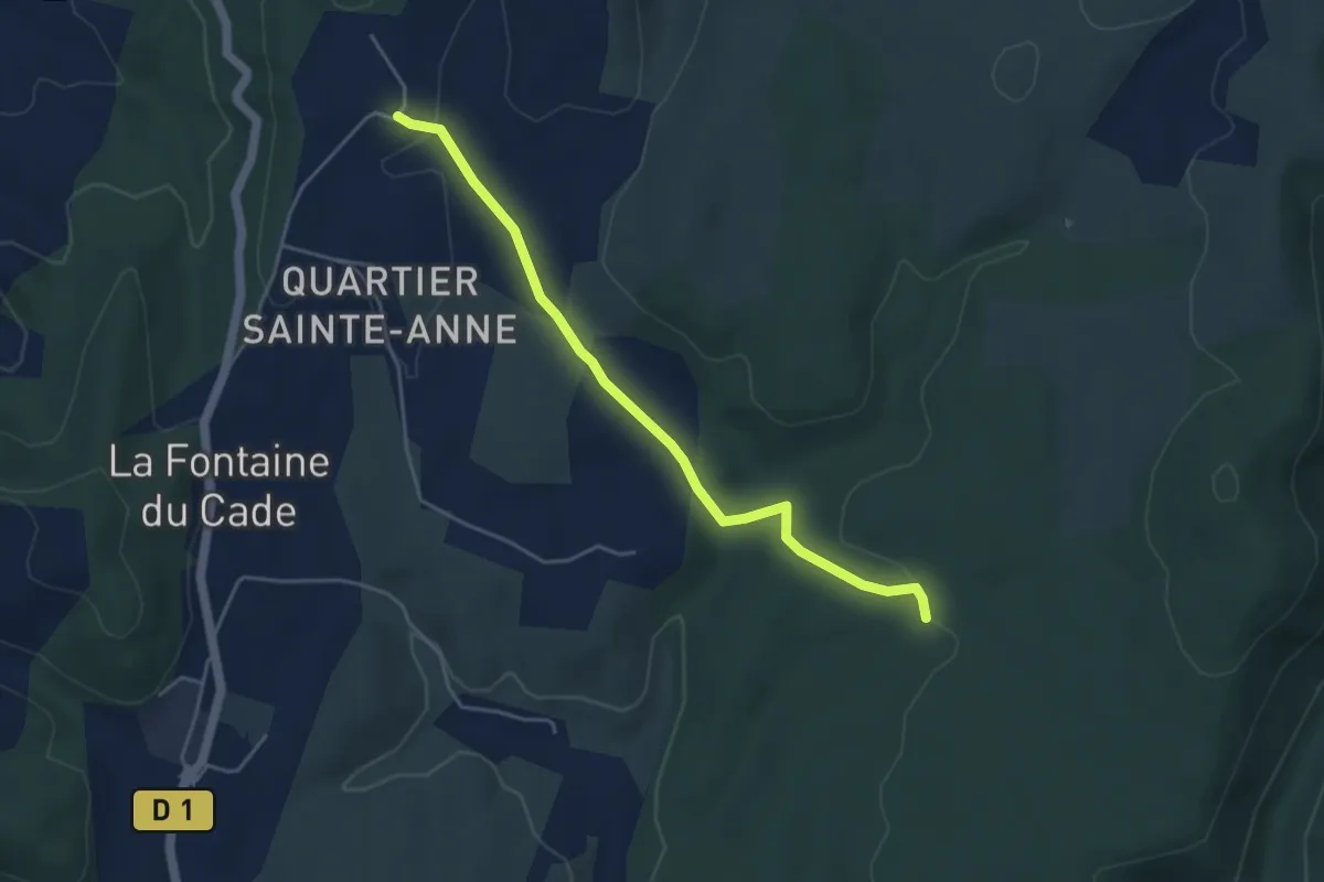
Easy · Trail
Gras de la Fauvette - Leyris
4.6 km · ↑ 78 m · 1 h 15 min · 13 km away
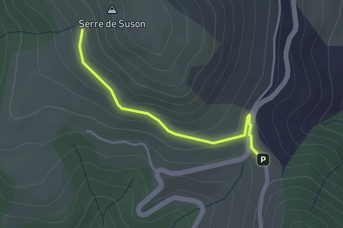
Easy · Trail
Col de l'Escrinet - Serre de Suzon
2.6 km · ↑ 97 m · 49 min · 14 km away
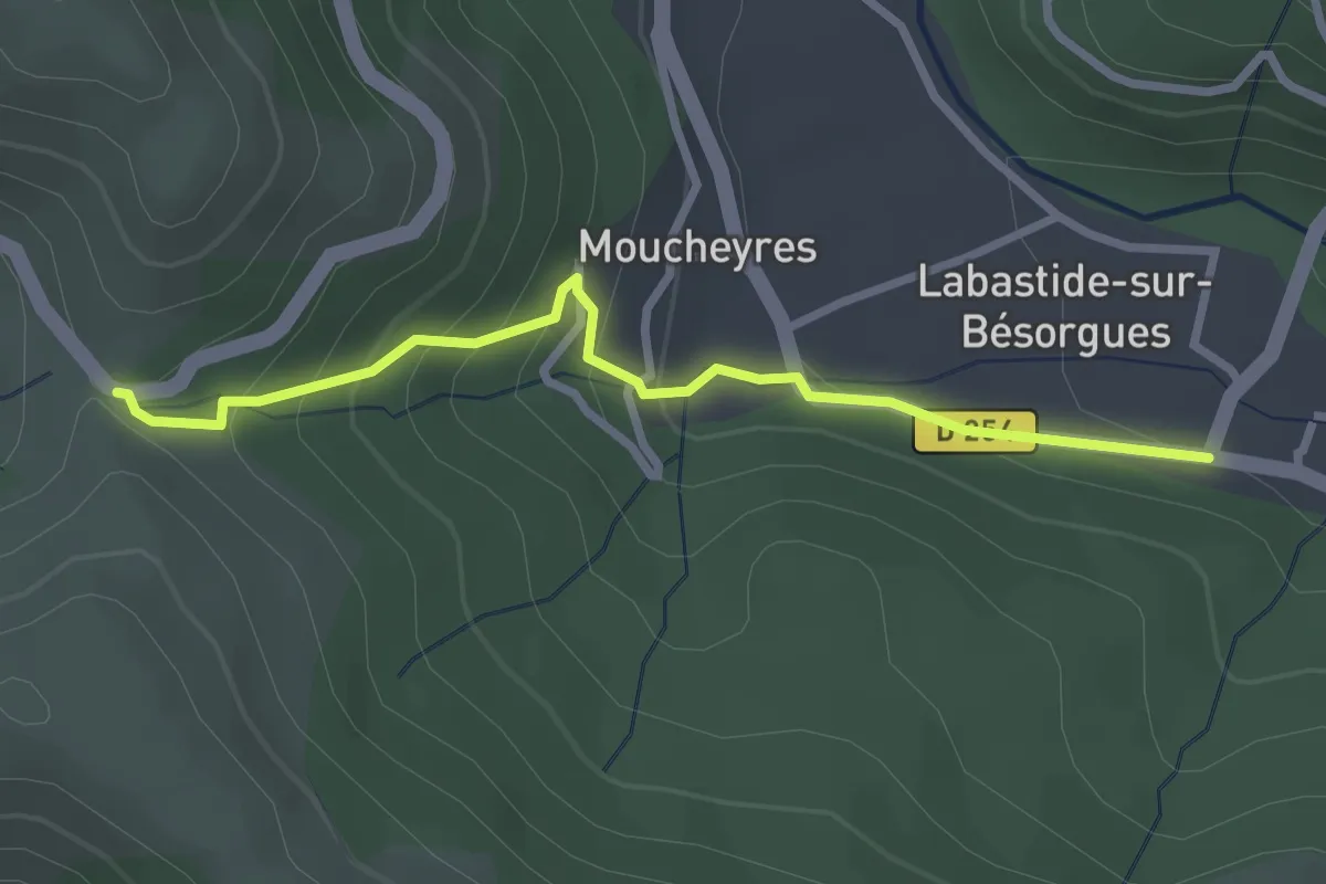
Easy · Trail
Labastide - Col de Moucheyres
2.9 km · ↑ 198 m · 1 h 7 min · 14 km away
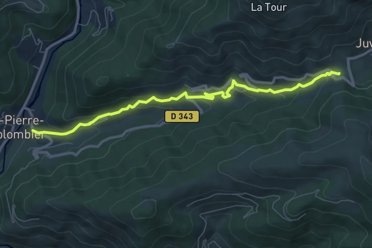
Medium · Trail
Le Courtiol - La Faysse
7.2 km · ↑ 391 m · 2 h 33 min · 14 km away
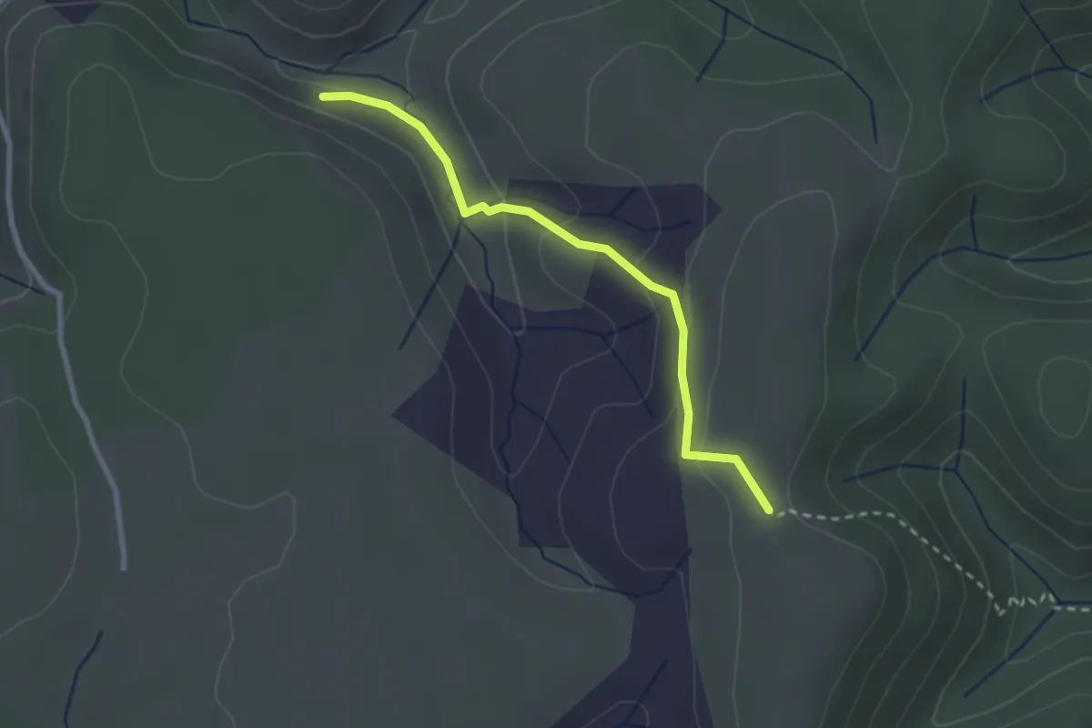
Easy · Trail
Ron Chamorel - Tête de Crespi
2.6 km · ↑ 97 m · 49 min · 14 km away
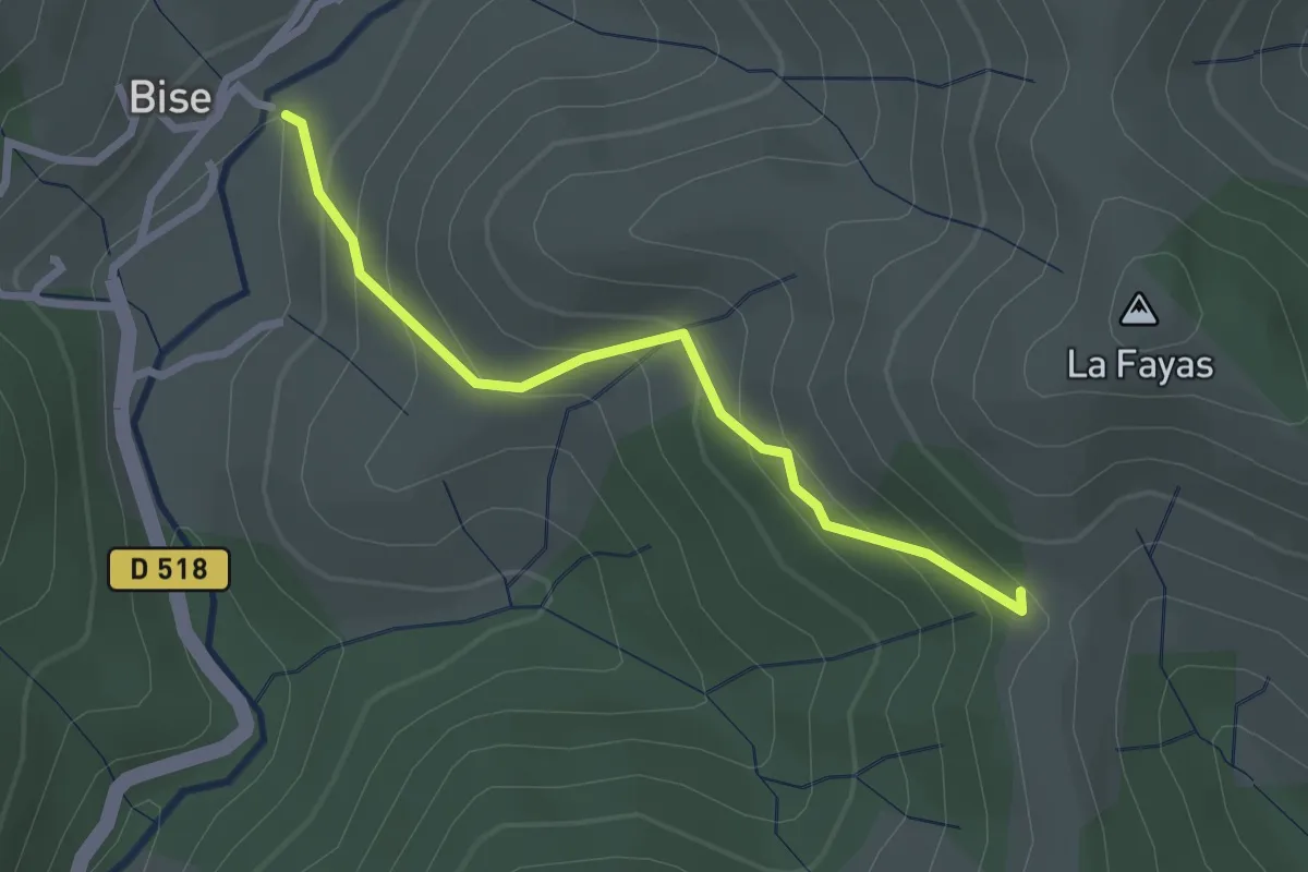
Easy · Trail
Bise - Col des Fraysses
2.5 km · ↑ 209 m · 1 h 3 min · 14 km away
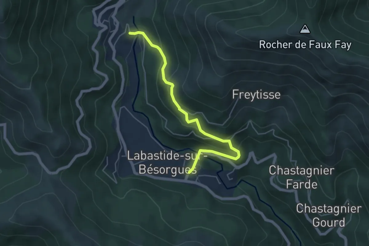
Easy · Trail
La Courbine - La Berlie
4.7 km · ↑ 305 m · 1 h 46 min · 14 km away
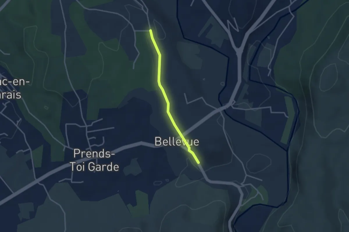
Easy · Trail
Le Mont Montredon - Chadeyron
2.5 km · ↑ 32 m · 40 min · 14 km away
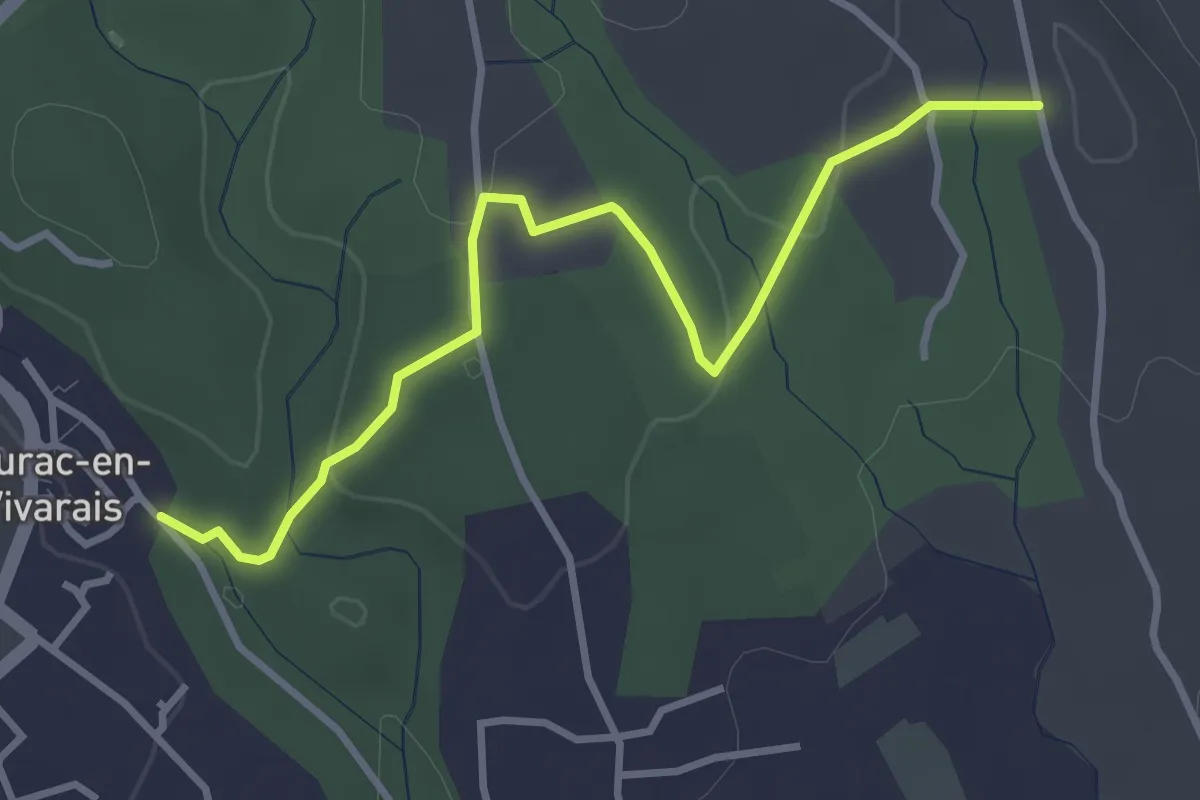
Easy · Trail
Les Piles - Chadeyron
3.7 km · ↑ 55 m · 59 min · 14 km away
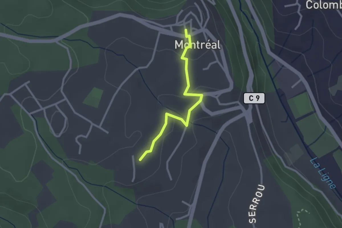
Easy · Trail
Mas Gauthier - Montréal
2.3 km · ↑ 64 m · 41 min · 14 km away
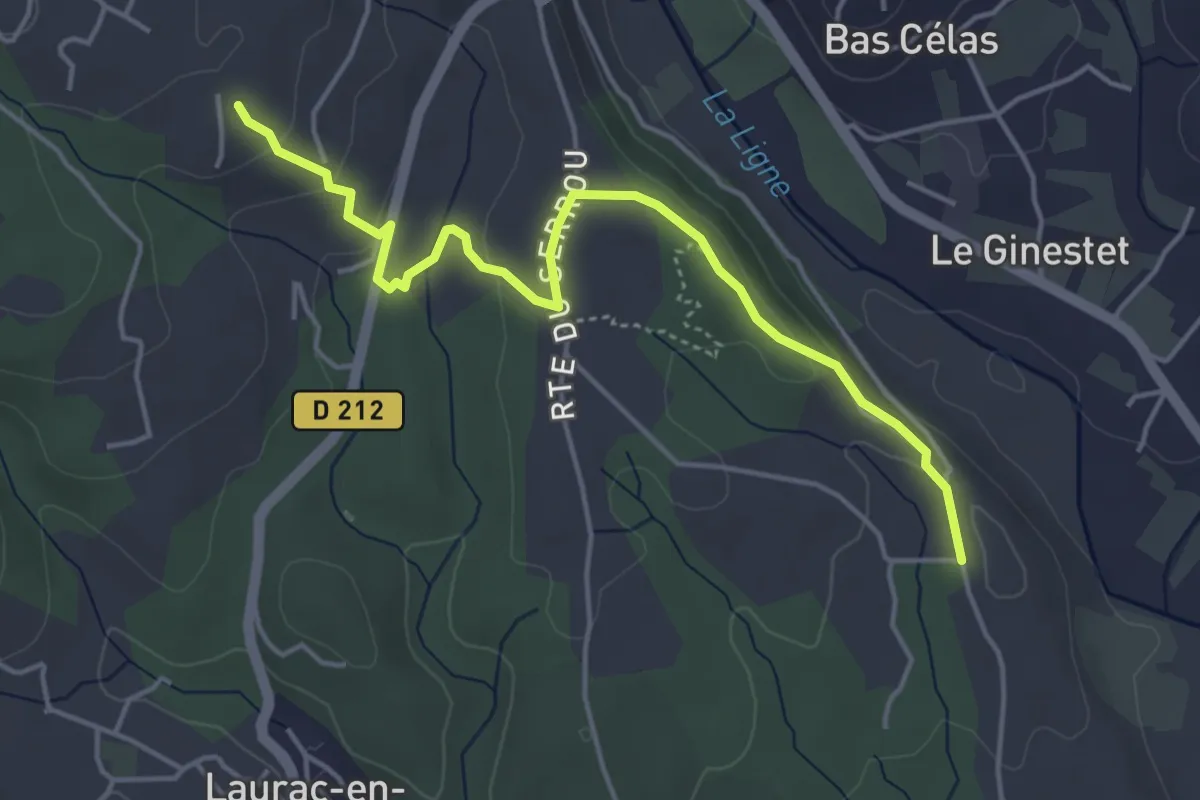
Easy · Trail
Chadeyron - Mas Gauthier
4.9 km · ↑ 152 m · 1 h 29 min · 14 km away
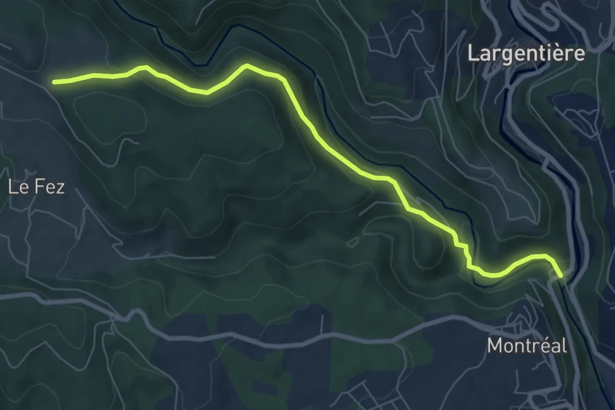
Easy · Trail
Roubreau - Haut Laval
7.4 km · ↑ 297 m · 2 h 23 min · 14 km away
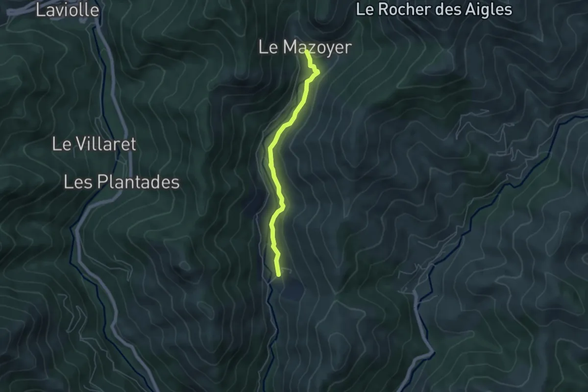
Easy · Trail
Le Mas - Le Mazoyer Bas
4.5 km · ↑ 171 m · 1 h 26 min · 14 km away
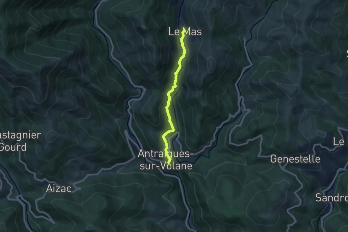
Easy · Trail
La Lermuse - Le Mas
6.1 km · ↑ 240 m · 1 h 58 min · 14 km away
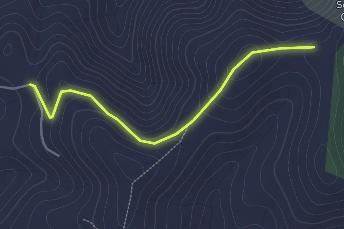
Easy · Trail
Chantuzas - Juliau
3.0 km · ↑ 91 m · 54 min · 14 km away
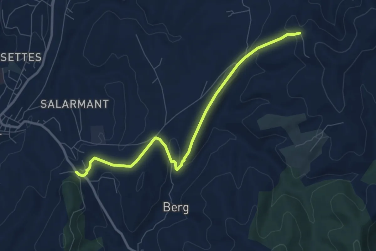
Easy · Trail
Route de Saint-Andeol - Chantuzas
7.8 km · ↑ 167 m · 2 h 13 min · 14 km away
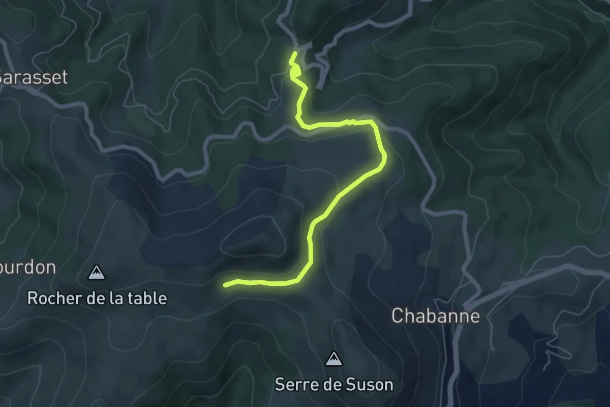
Easy · Trail
Ajoux Pierre de Faux - Gourdon
5.8 km · ↑ 186 m · 1 h 46 min · 14 km away
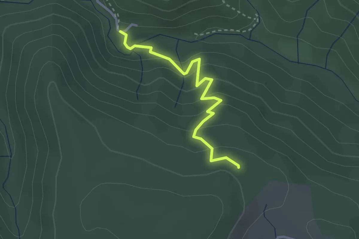
Medium · Trail
Le Plançon - Pouchonnet
2.7 km · ↑ 216 m · 1 h 6 min · 14 km away
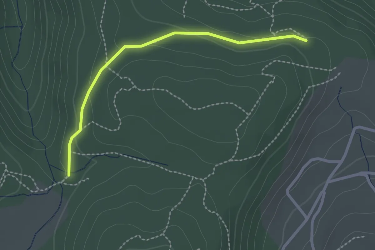
Easy · Trail
Pouchonnet - Pissevieille
2.2 km · ↑ 52 m · 38 min · 14 km away
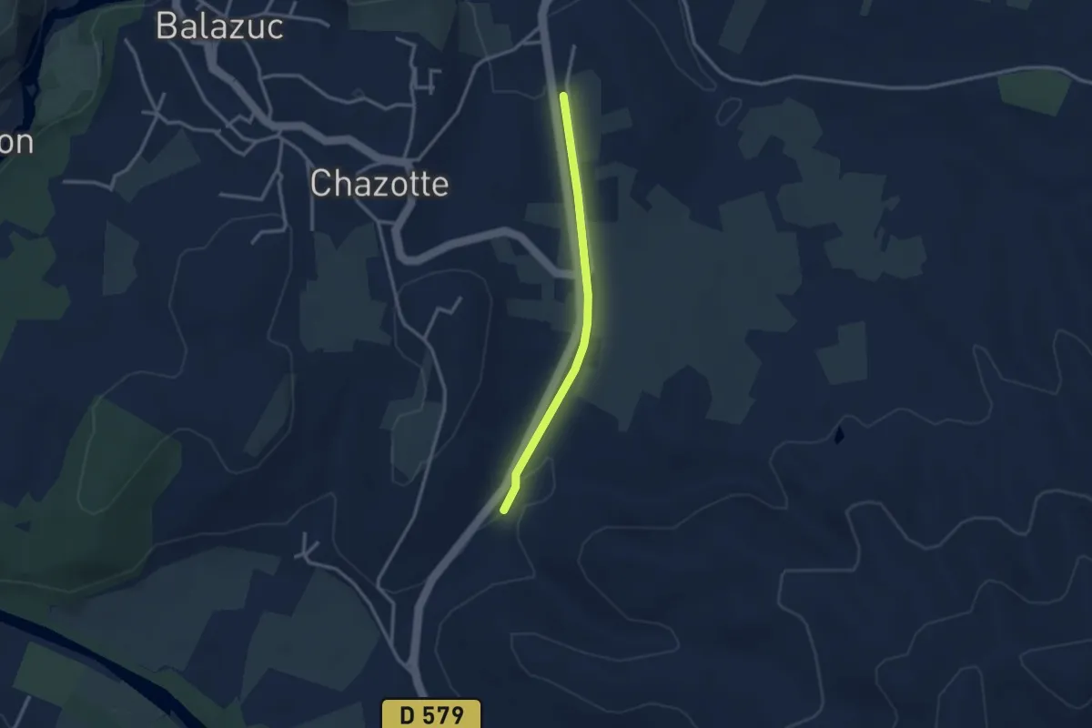
Easy · Trail
Serre Bouchet - Mourre Frais
2.6 km · ↑ 22 m · 40 min · 14 km away
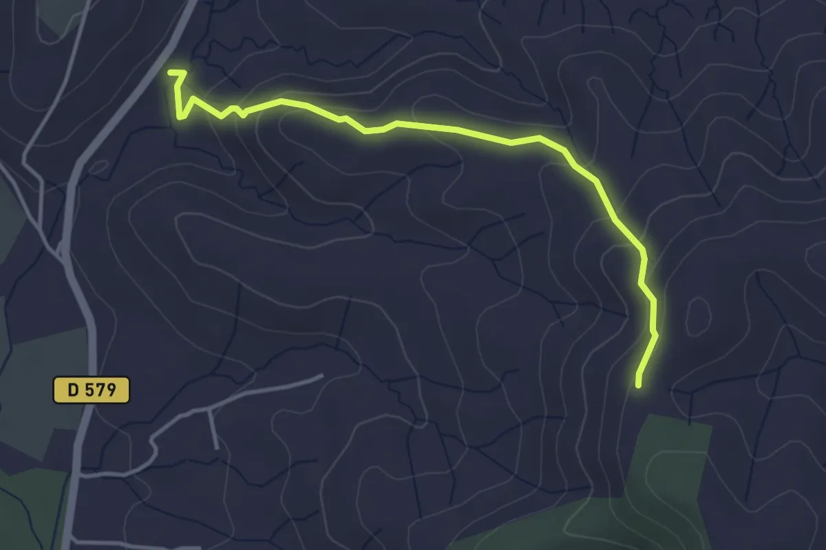
Easy · Trail
Serre Bouchet - Serre de Rimbaud
3.9 km · ↑ 200 m · 1 h 22 min · 14 km away
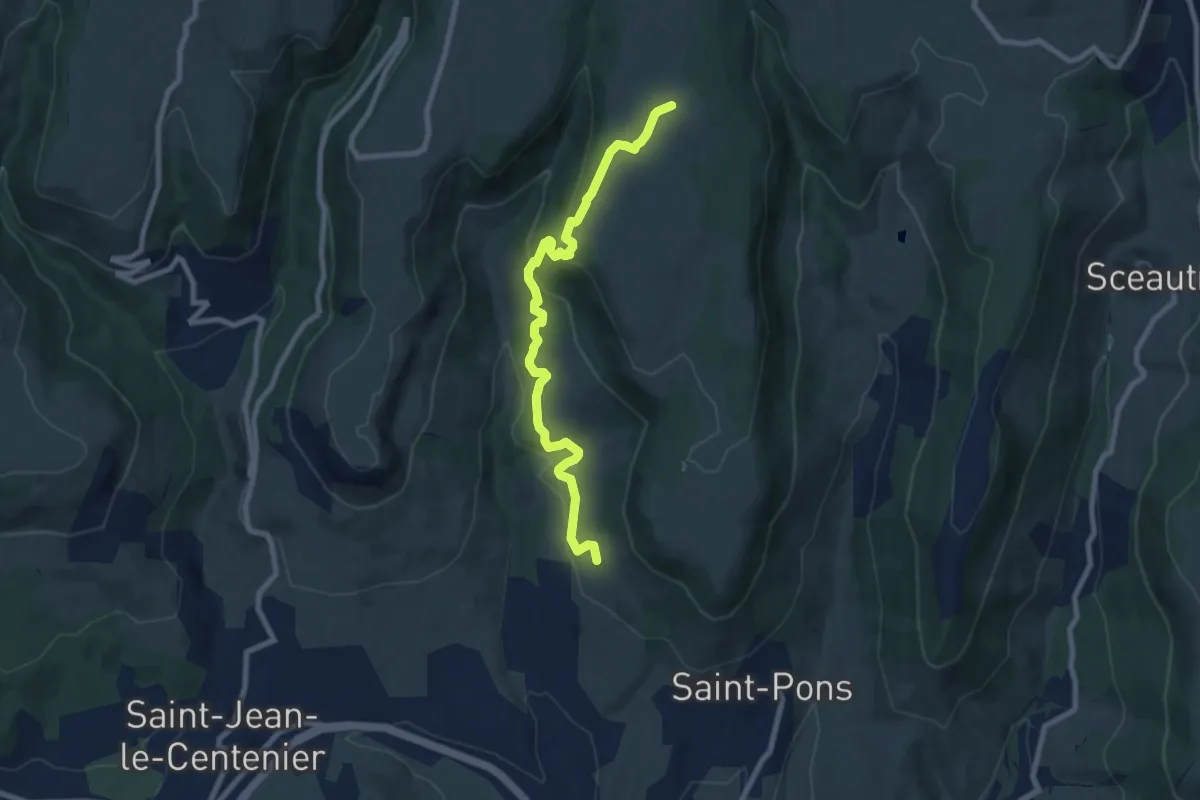
Medium · Trail
La Peyre Haut - Faugère
8.6 km · ↑ 376 m · 2 h 51 min · 14 km away
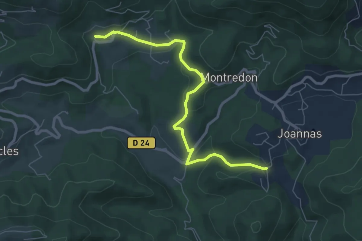
Easy · Trail
Chassagnoles - Blaunac
6.4 km · ↑ 177 m · 1 h 54 min · 14 km away
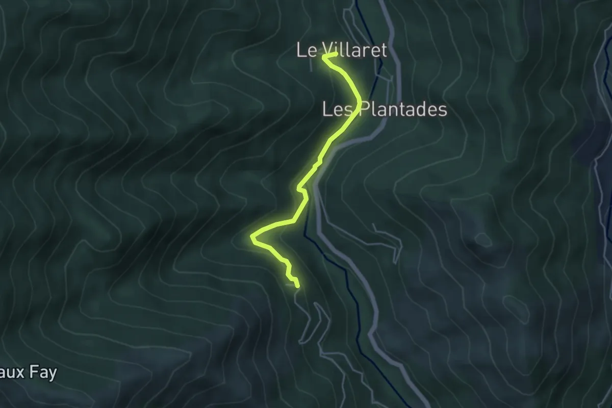
Easy · Trail
Le Villaret Bas - Aubert
3.8 km · ↑ 180 m · 1 h 18 min · 14 km away
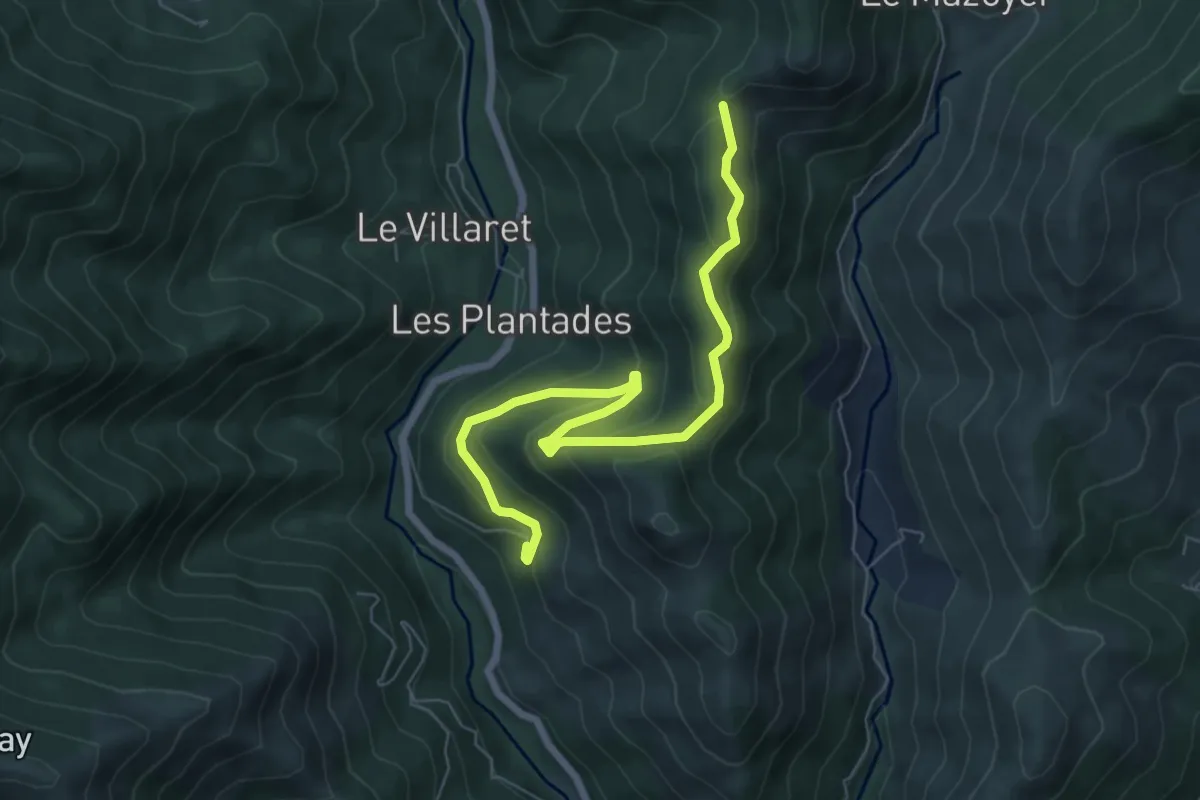
Medium · Trail
Le Saint-Vincent - Rocher de la Clé
7.5 km · ↑ 360 m · 2 h 33 min · 14 km away
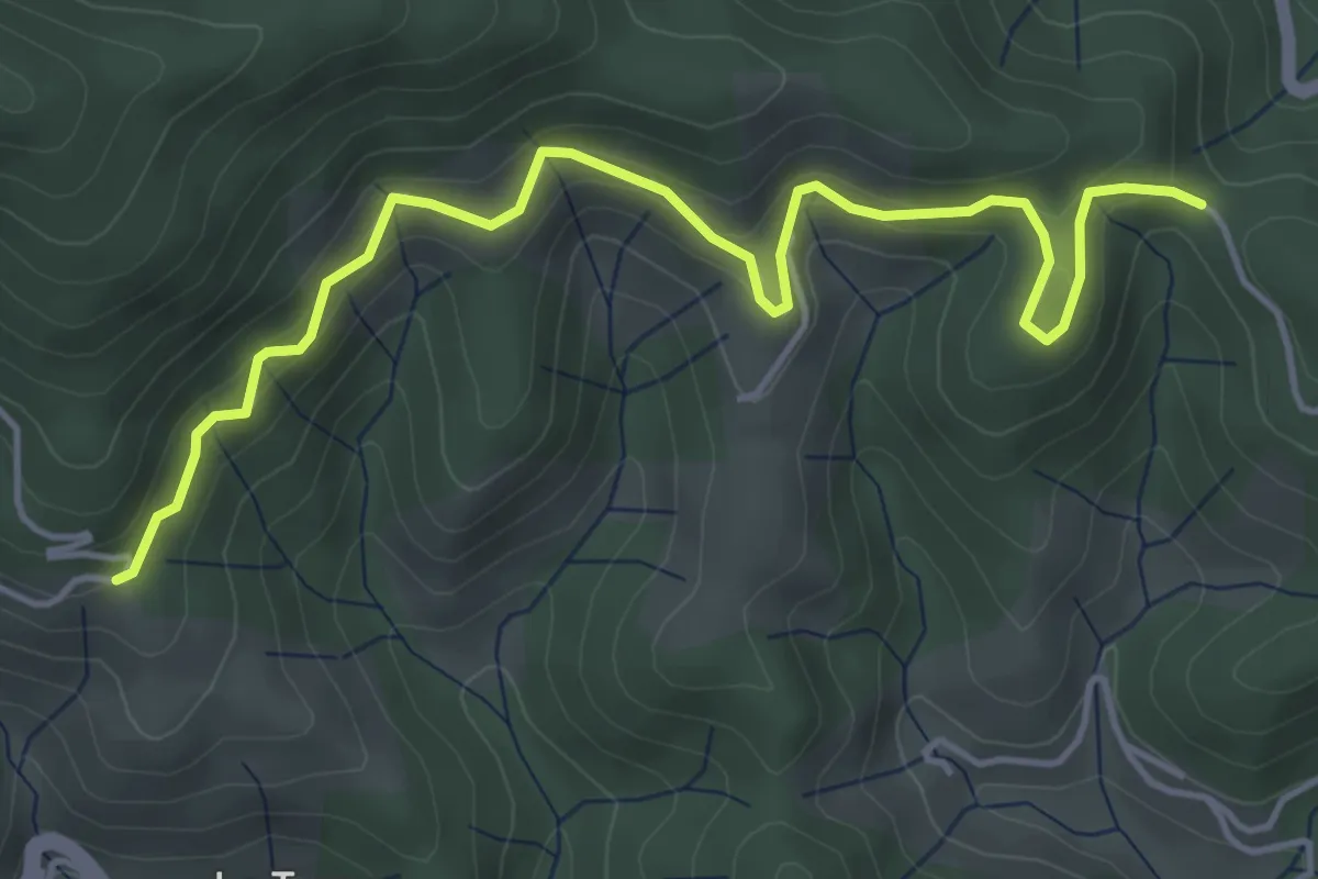
Medium · Trail
Les Quatres Chemins - Peyraud
5.4 km · ↑ 331 m · 1 h 59 min · 14 km away
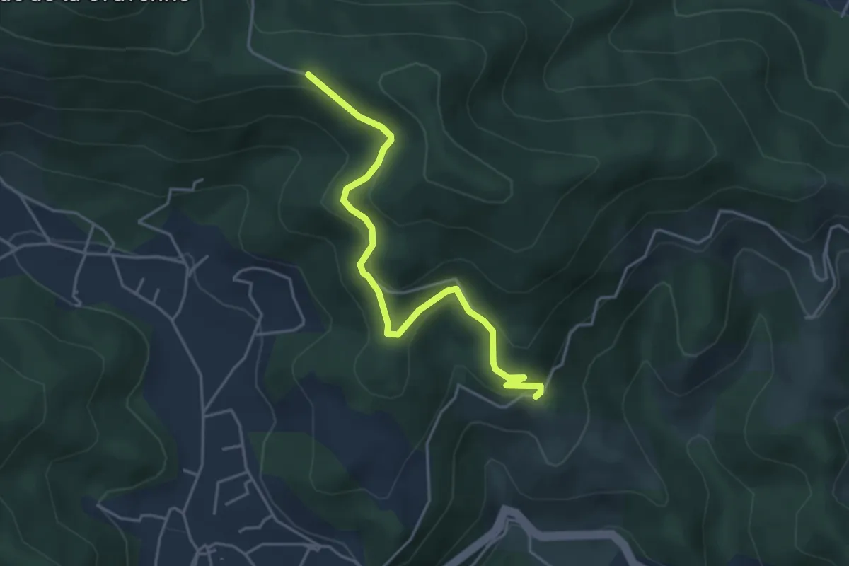
Easy · Trail
Peyraud - La Croix Blanche
4.2 km · ↑ 203 m · 1 h 27 min · 14 km away
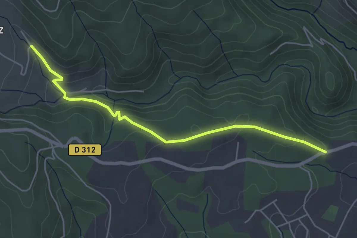
Easy · Trail
Croix de la Mission - Chéron
4.8 km · ↑ 150 m · 1 h 27 min · 14 km away
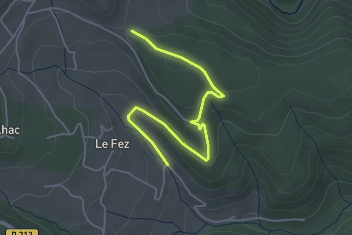
Easy · Trail
Chéron - Haut Laval
4.2 km · ↑ 135 m · 1 h 17 min · 14 km away
Easy · Trail
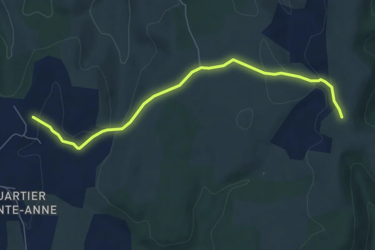
Les Clos - Montagu
6.1 km · ↑ 108 m · 1 h 40 min · 14 km away
Easy · Trail
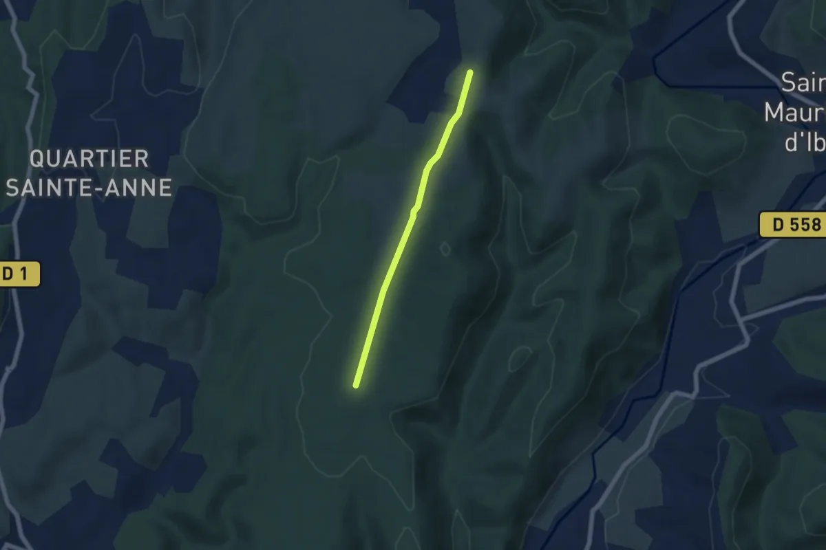
Le Charnier - Montagu
4.6 km · ↑ 67 m · 1 h 13 min · 14 km away
Easy · Trail
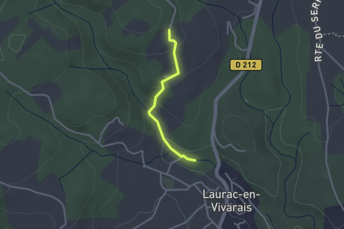
La Calade - Le Monteil
2.0 km · ↑ 72 m · 38 min · 14 km away
Easy · Trail
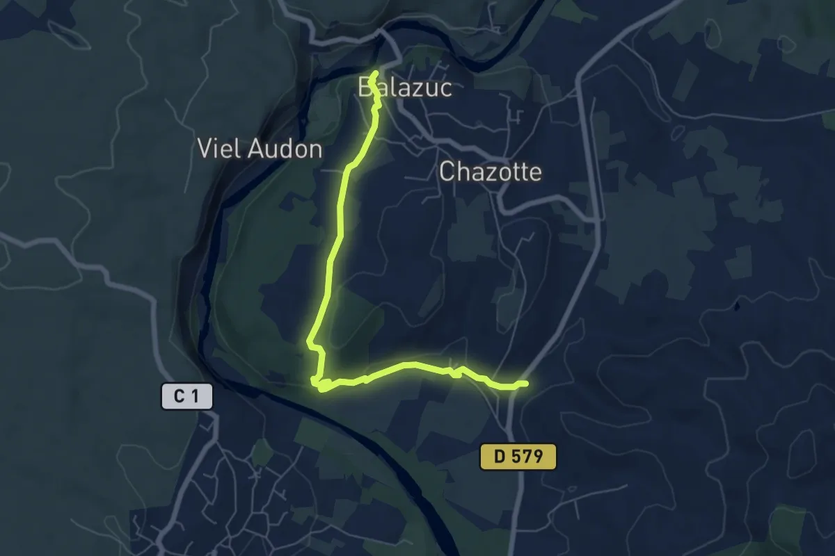
Viaduc - Église Romane
6.8 km · ↑ 123 m · 1 h 52 min · 14 km away