Trails near Aubenas
423 hikes starting within 15 km, nearest first.
Nearest first, page 9 of 9
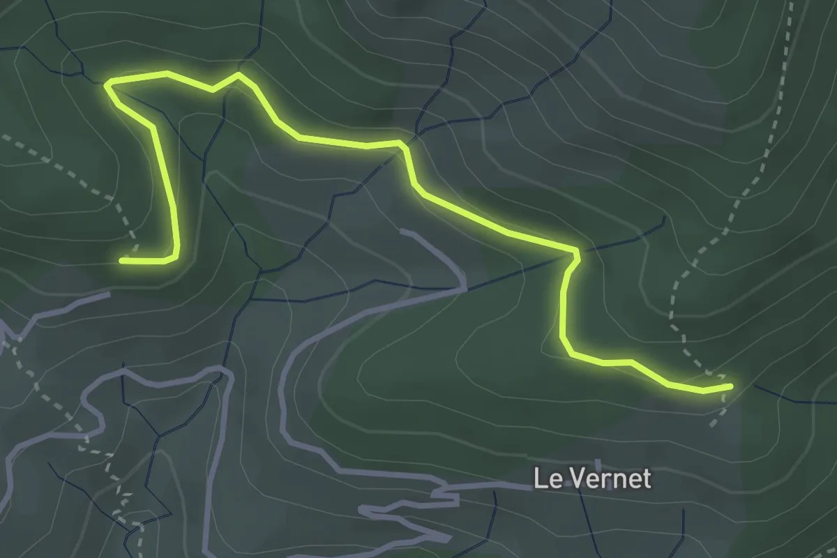
Easy · Trail
Bouteillac - La Draille du Vernet
3.7 km · ↑ 166 m · 1 h 14 min · 14 km away
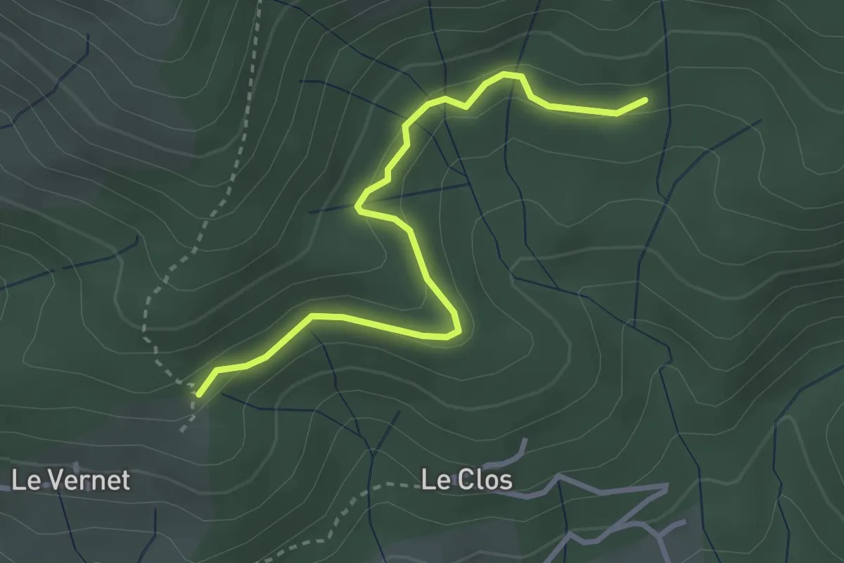
Easy · Trail
La Draille du Vernet - Le Cros
3.1 km · ↑ 110 m · 59 min · 14 km away
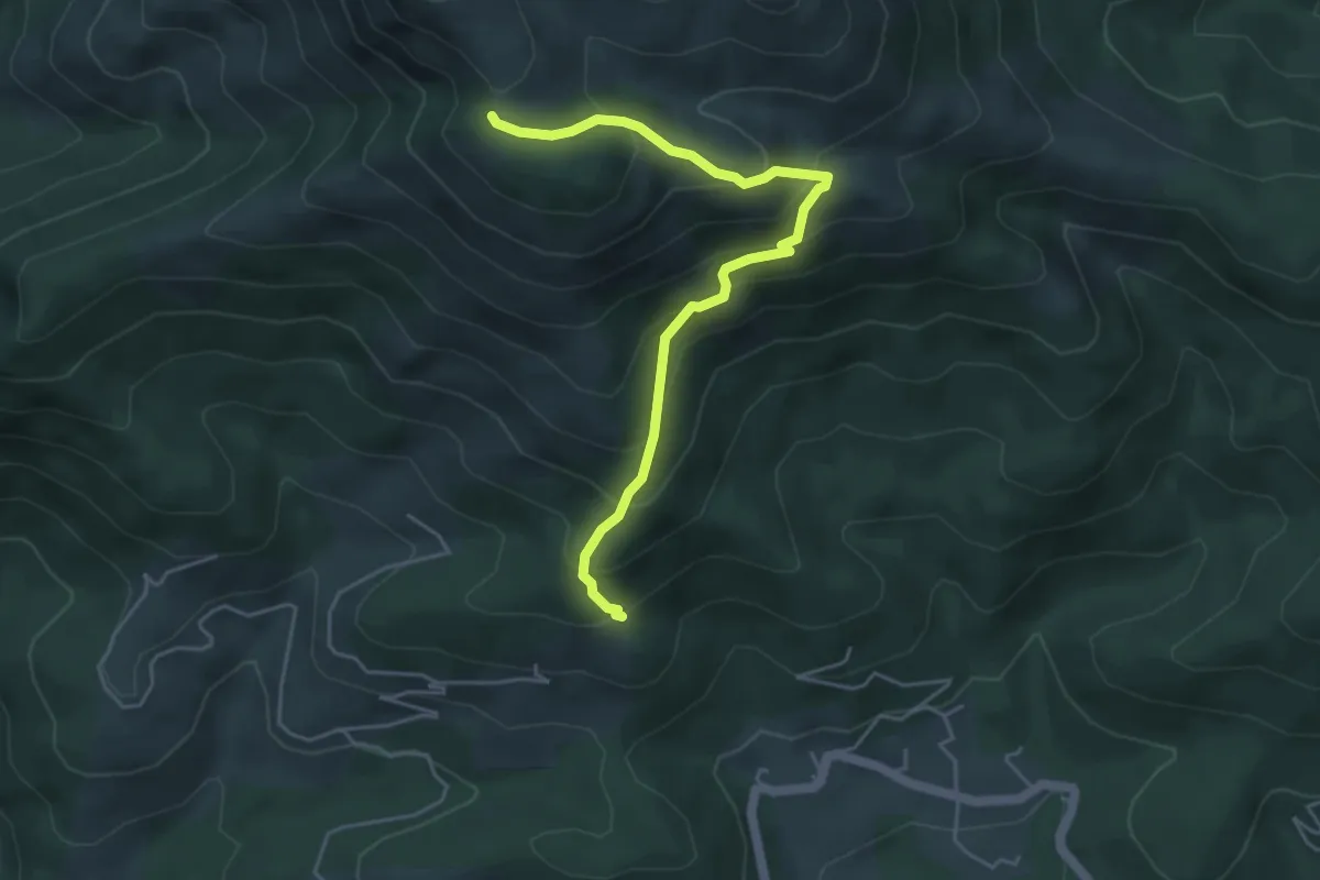
Medium · Trail
La Draille du Vernet - Le Pissas
5.1 km · ↑ 447 m · 2 h 10 min · 14 km away
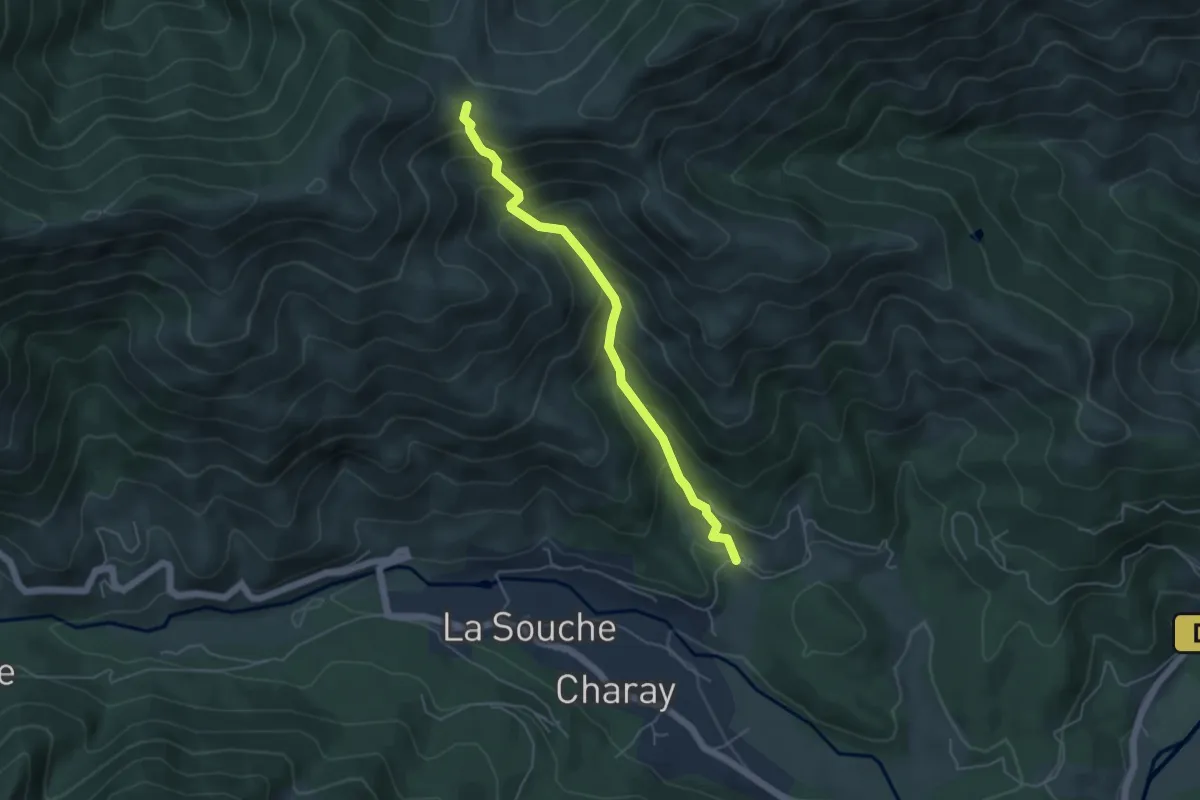
Medium · Trail
La Lioure - Fontfreyde
4.9 km · ↑ 473 m · 2 h 11 min · 14 km away
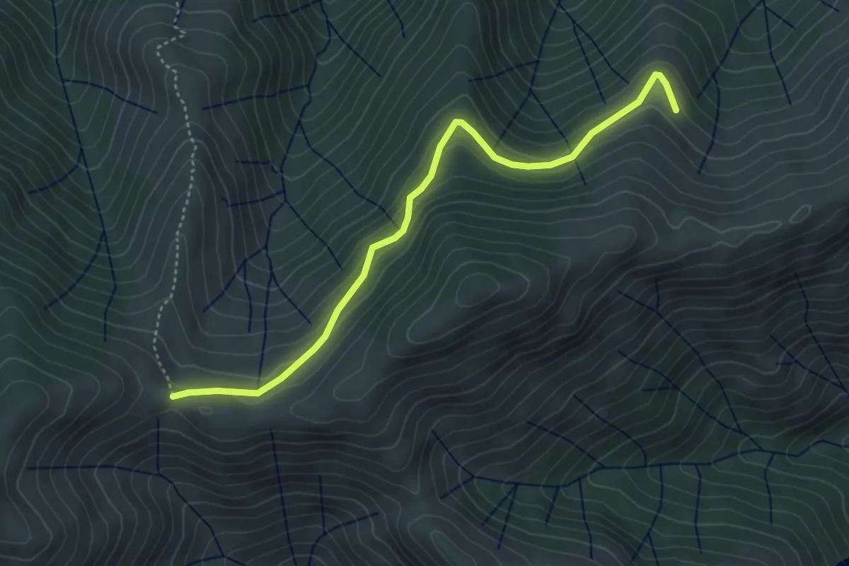
Easy · Trail
Les Plaines - Fontfreyde
4.6 km · ↑ 230 m · 1 h 35 min · 14 km away
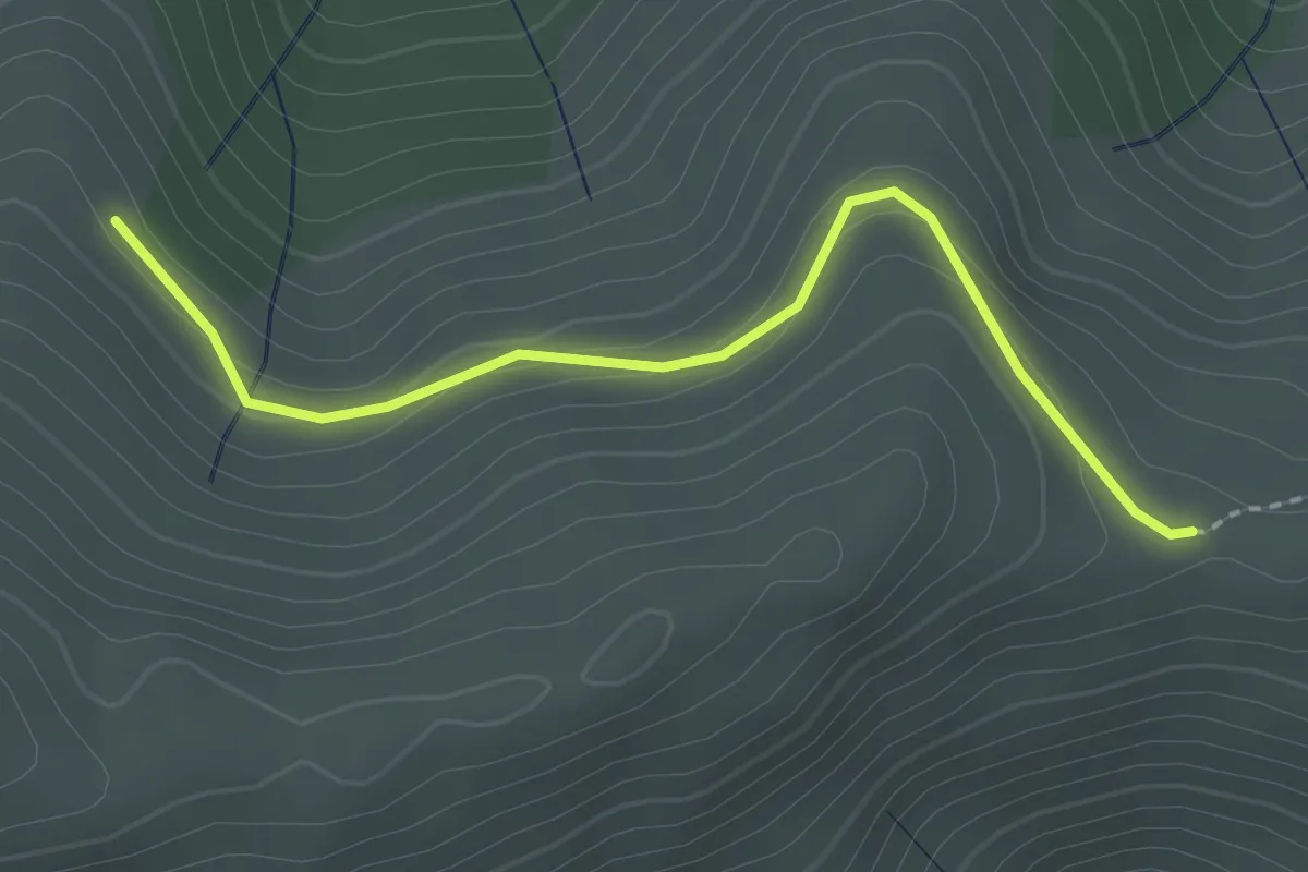
Easy · Trail
Les Plaines - Courcoussat
2.2 km · ↑ 88 m · 42 min · 14 km away
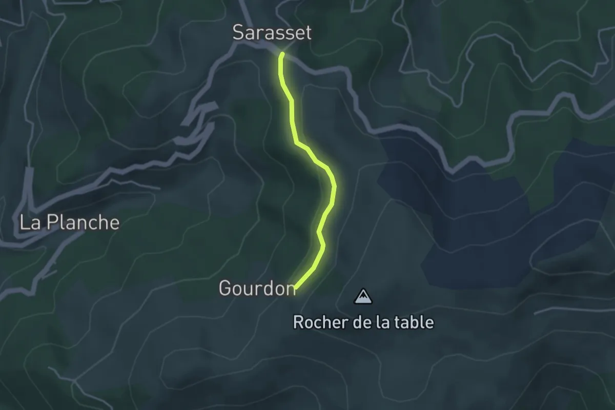
Easy · Trail
Sarasset - Signal Bosc
2.6 km · ↑ 87 m · 48 min · 14 km away
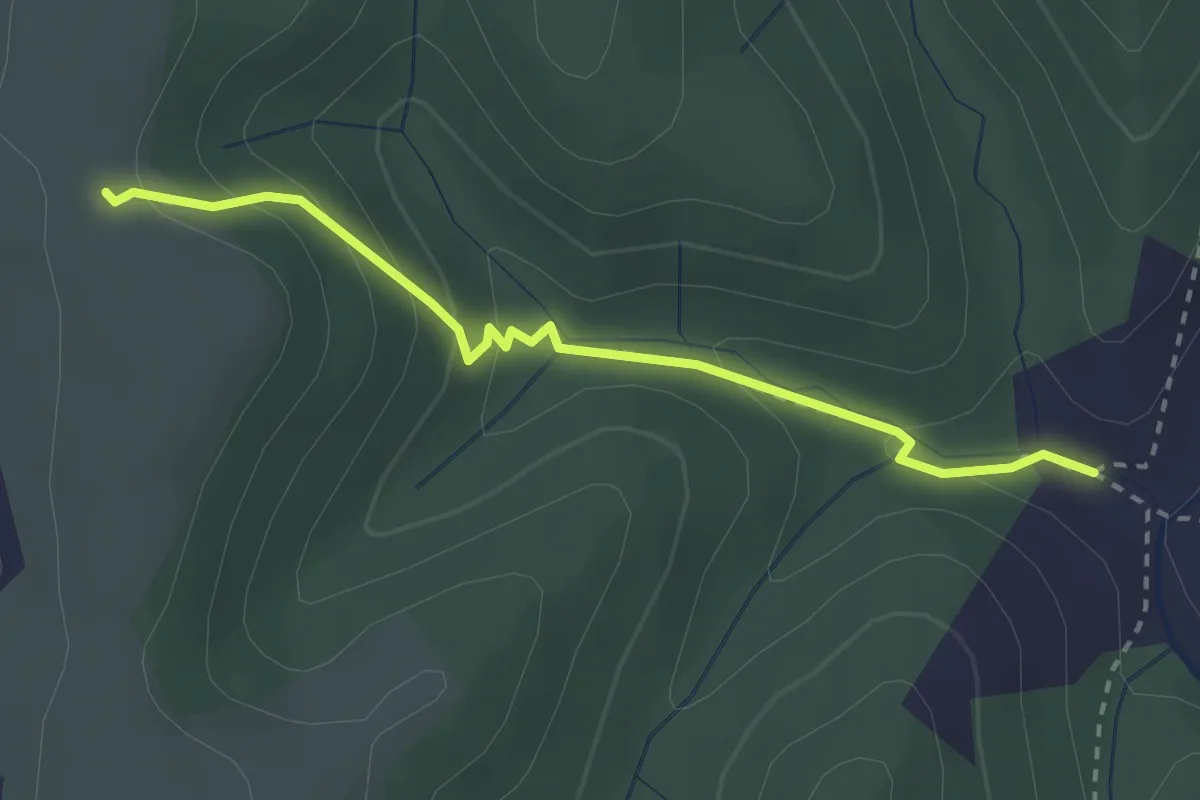
Easy · Trail
Les Ausses - Tête de Crespi
2.7 km · ↑ 161 m · 59 min · 14 km away
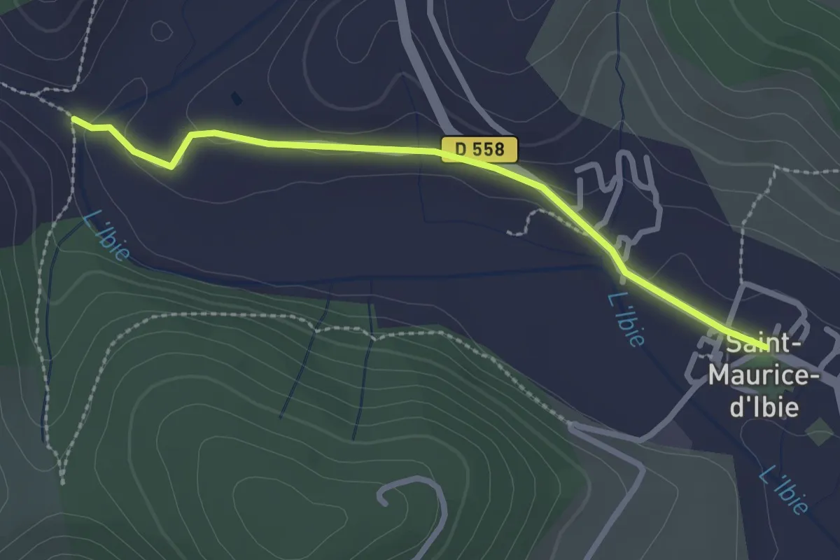
Easy · Trail
Saint-Maurice d'Ibie - L'Ibie
2.5 km · ↑ 30 m · 40 min · 14 km away
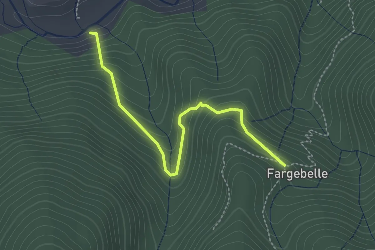
Easy · Trail
Le Coustet des Vernèdes - Fargebelle
2.5 km · ↑ 244 m · 1 h 7 min · 14 km away
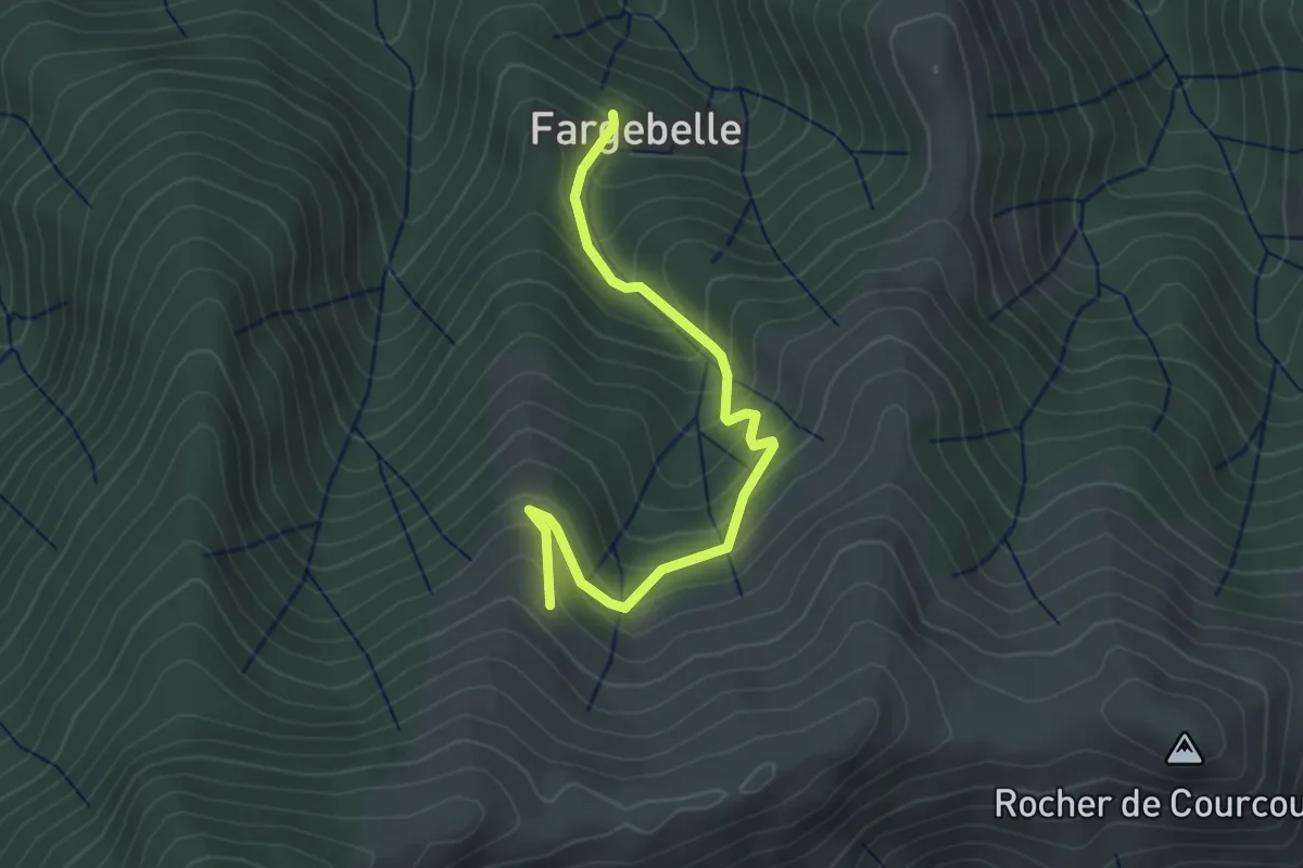
Easy · Trail
Fargebelle - Les Plaines
3.6 km · ↑ 309 m · 1 h 31 min · 14 km away
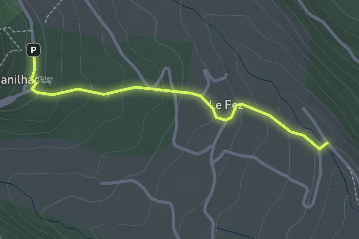
Easy · Trail
Chéron - Sanilhac Info Rando
2.2 km · ↑ 105 m · 45 min · 14 km away
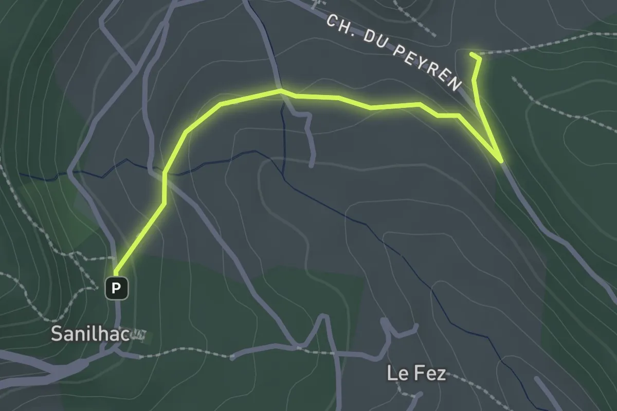
Easy · Trail
Haut Laval - Sanilhac Info Rando
2.4 km · ↑ 58 m · 42 min · 14 km away
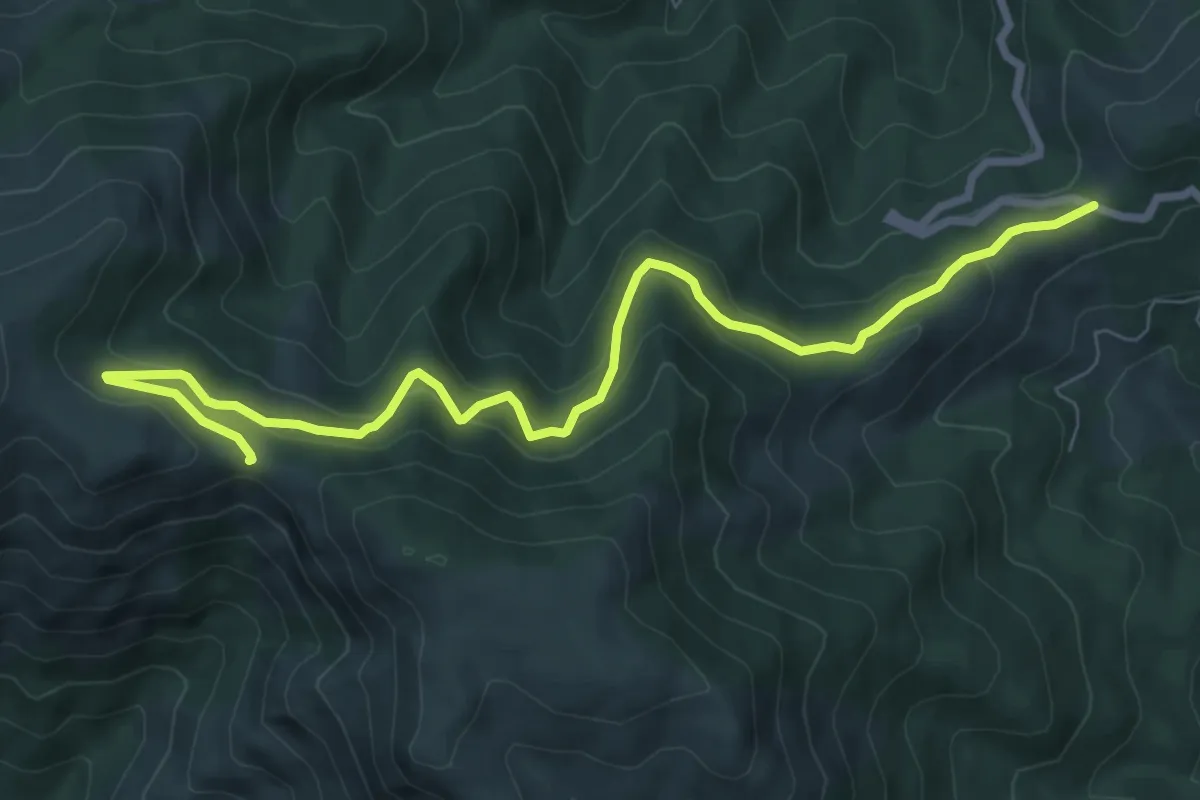
Medium · Trail
Col de la Croix de Millet - Col du Merle
9.0 km · ↑ 472 m · 3 h 9 min · 14 km away
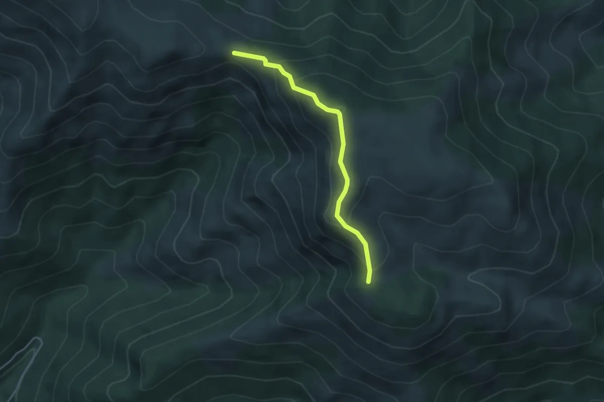
Medium · Trail
Col du Merle - Le Pissas
3.5 km · ↑ 243 m · 1 h 21 min · 14 km away
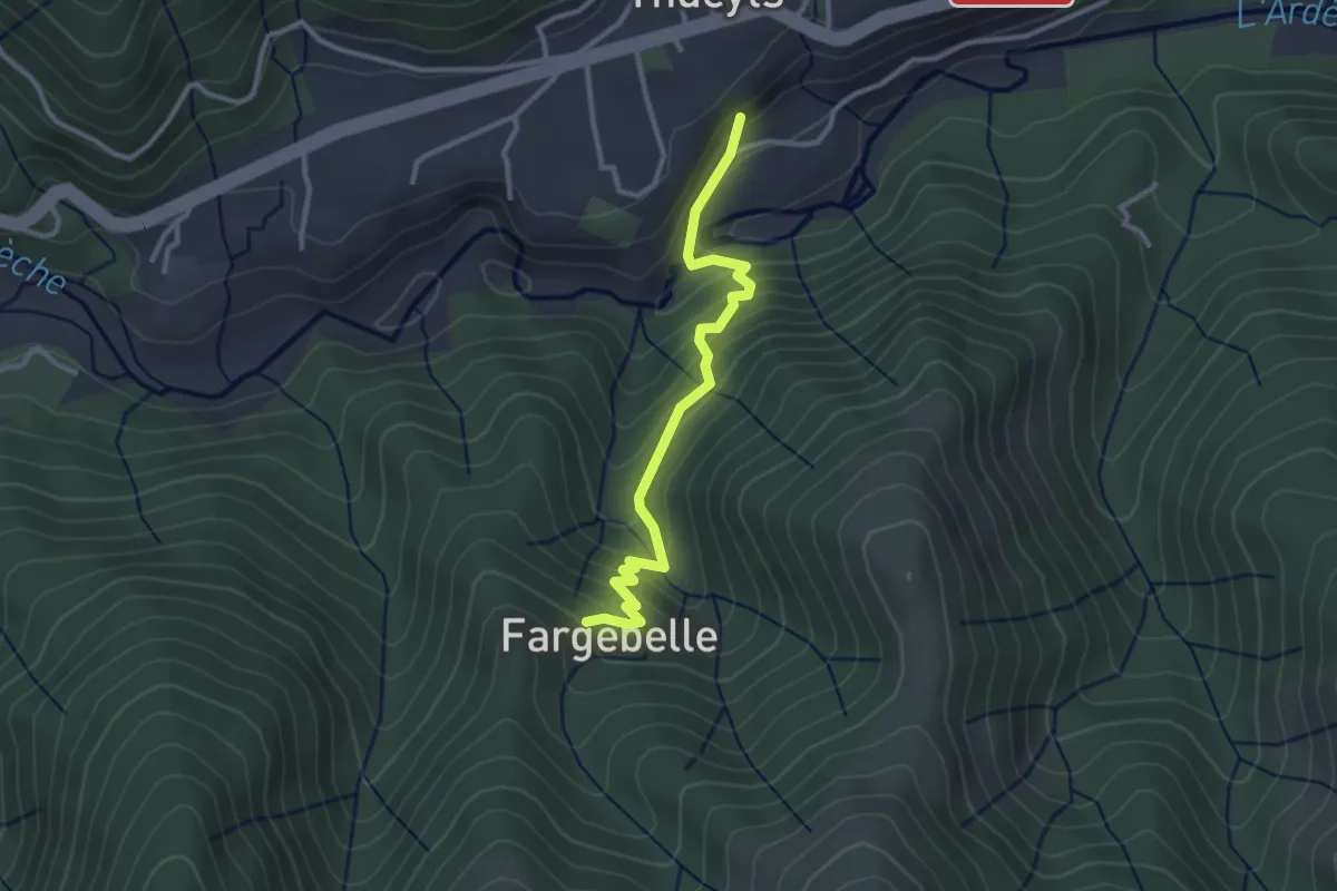
Easy · Trail
La Roche - Fargebelle
3.0 km · ↑ 255 m · 1 h 16 min · 15 km away
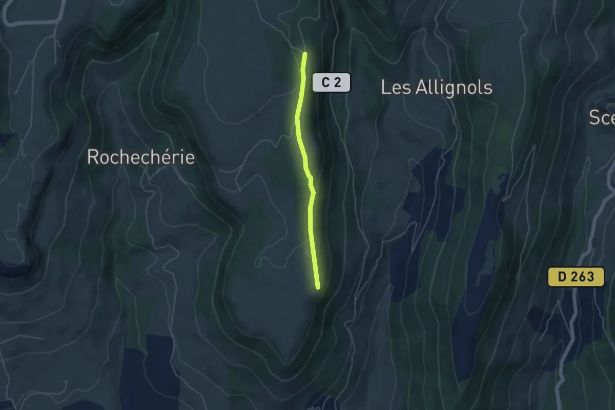
Easy · Trail
Plaine du Regard - Brasse Nègre
3.8 km · ↑ 71 m · 1 h 3 min · 15 km away
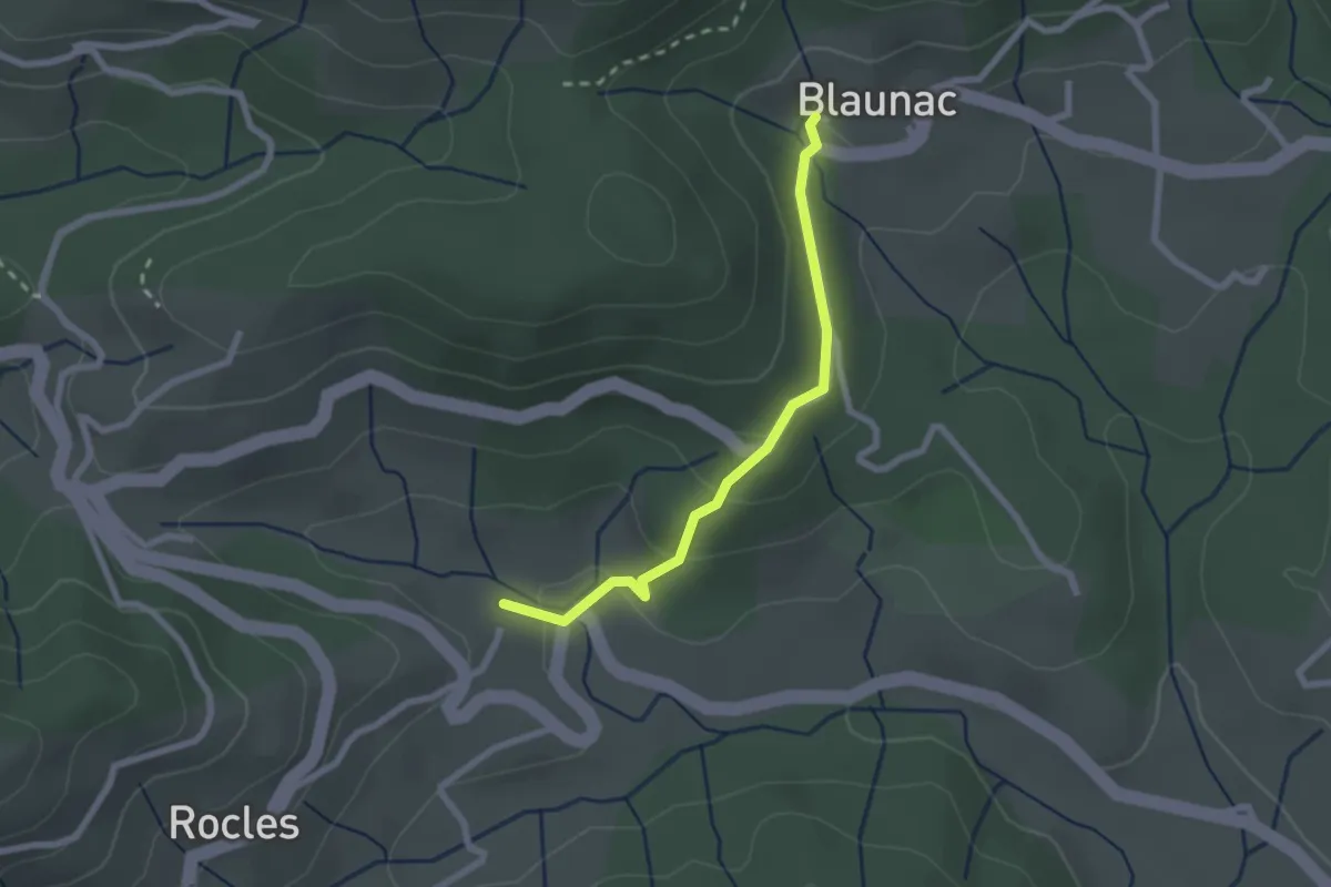
Easy · Trail
Pont de Charles - Blaunac
2.2 km · ↑ 67 m · 40 min · 15 km away
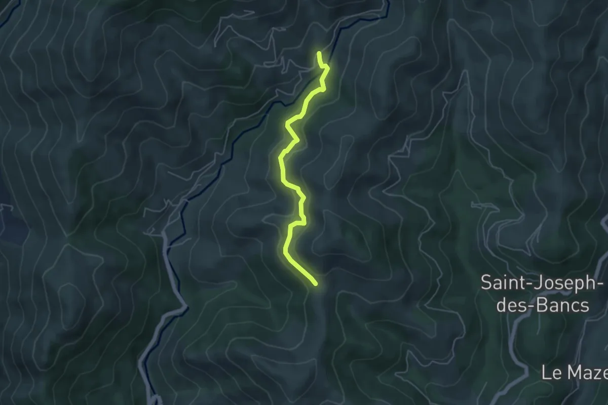
Easy · Trail
Gamondès - Col des Fraysses
4.4 km · ↑ 230 m · 1 h 32 min · 15 km away
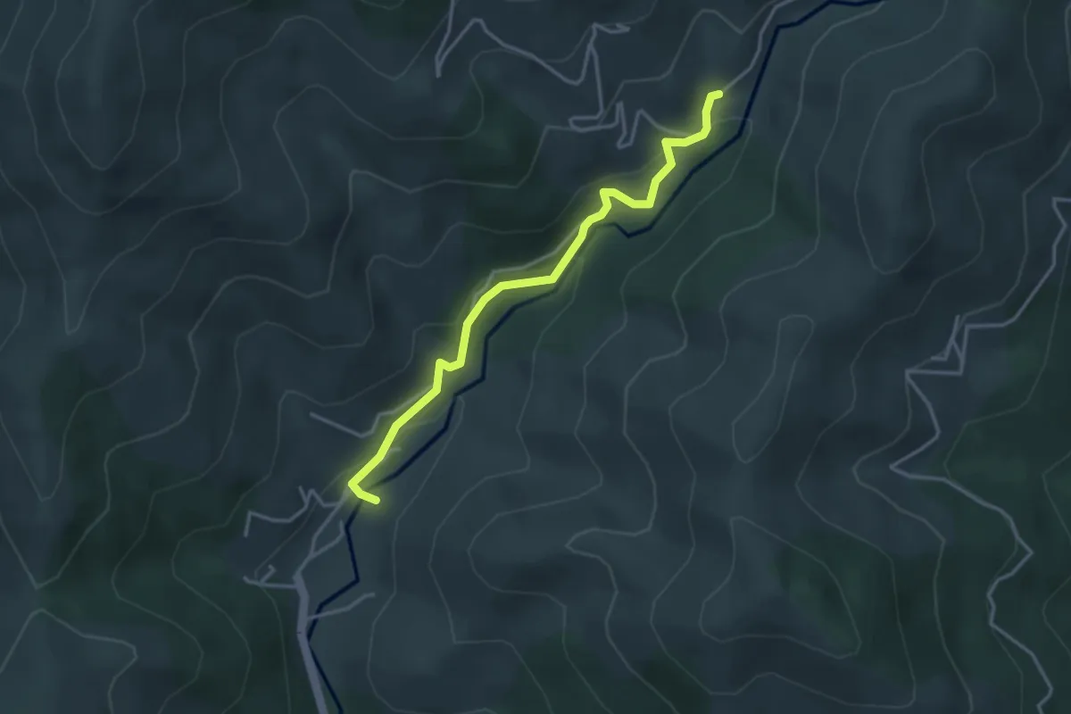
Easy · Trail
Bise - Gamondès
3.5 km · ↑ 186 m · 1 h 14 min · 15 km away
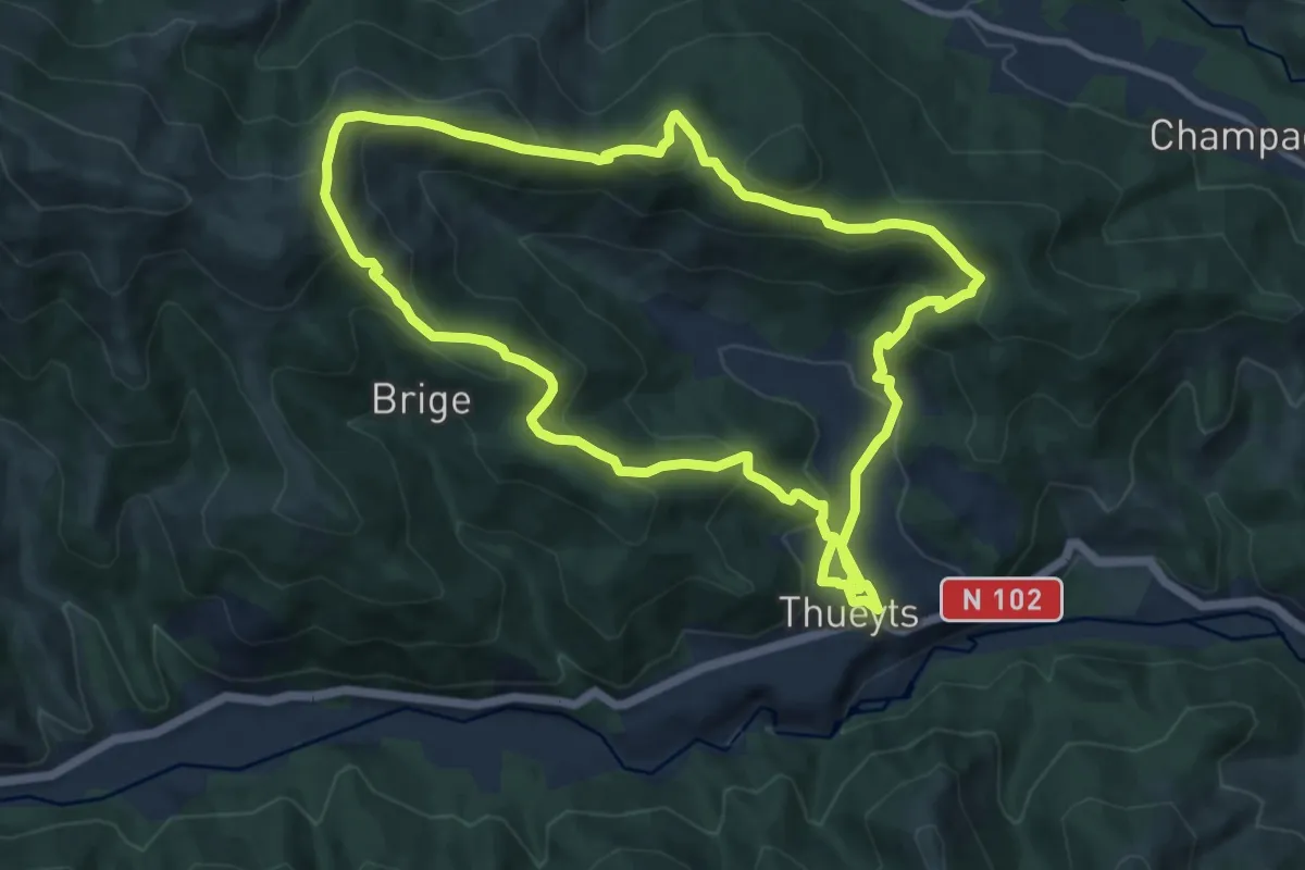
Medium · Summit
La Gravenne
10.6 km · ↑ 506 m · 3 h 45 min · 15 km away
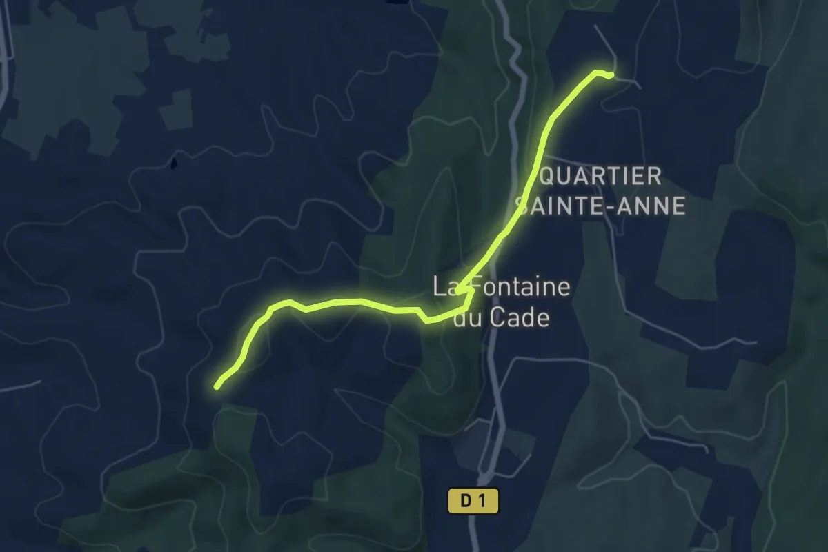
Easy · Trail
Leyris - Serre de Rimbaud
5.7 km · ↑ 165 m · 1 h 43 min · 15 km away
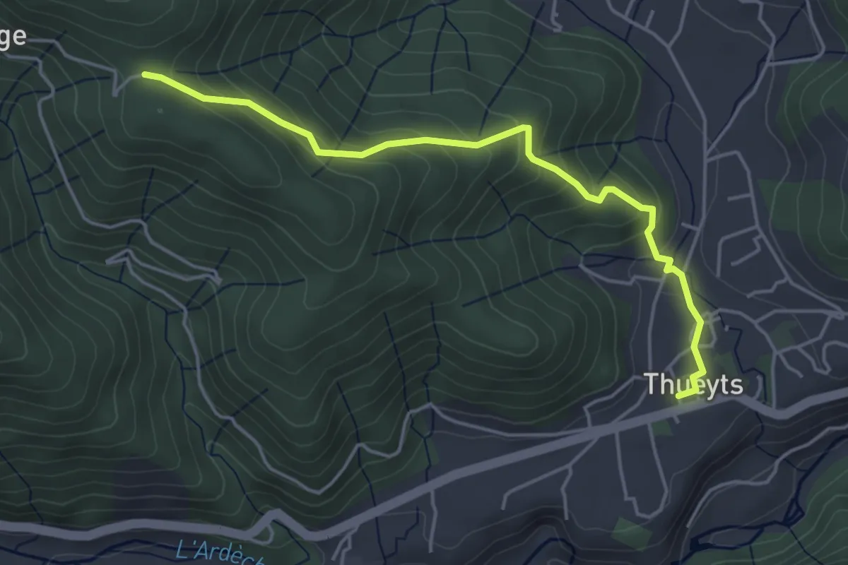
Easy · Trail
Thueyts - La Croix de Briges
4.8 km · ↑ 293 m · 1 h 46 min · 15 km away
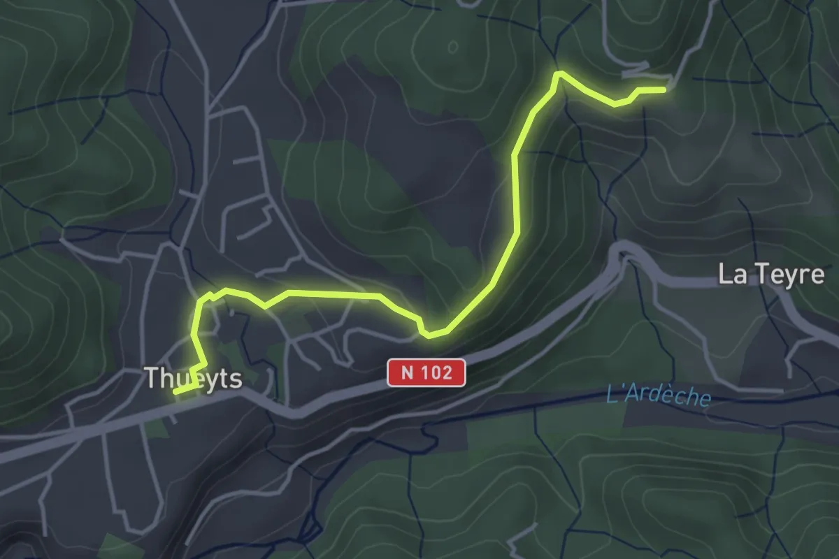
Easy · Trail
Thueyts - Peyraud
4.0 km · ↑ 97 m · 1 h 9 min · 15 km away
Easy · Trail
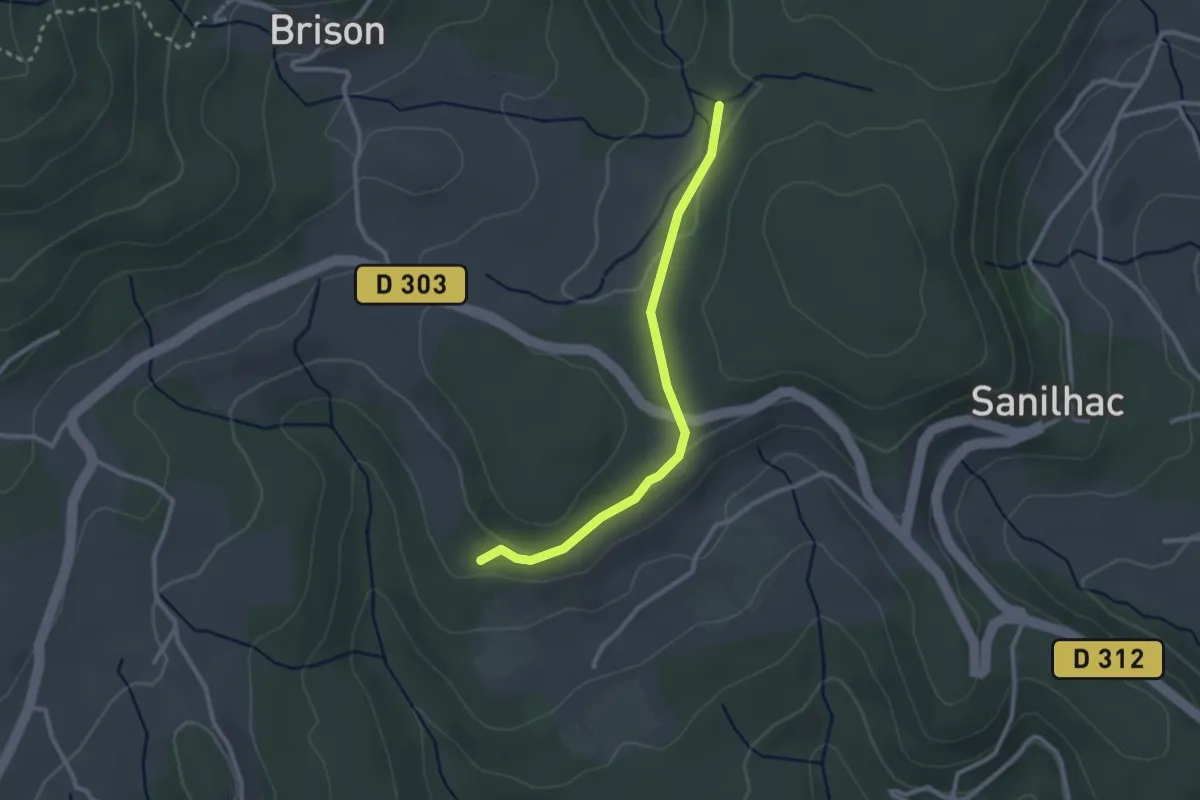
Les Colombières - Pissevieille
2.6 km · ↑ 38 m · 42 min · 15 km away
Easy · Trail
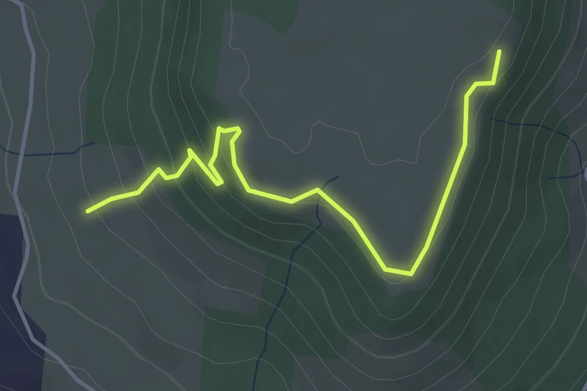
La Peyre Haut - Plaine du Regard
3.9 km · ↑ 191 m · 1 h 20 min · 15 km away
Easy · Trail
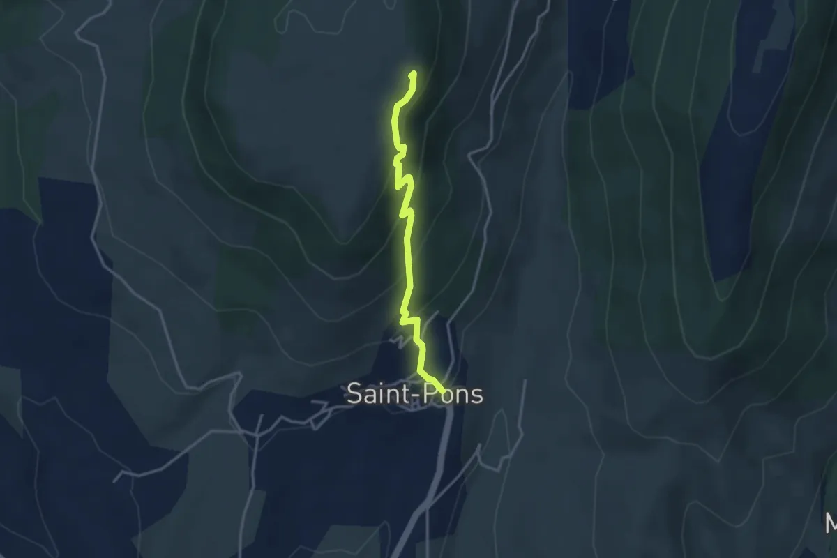
Saint-Pons - Plaine du Regard
3.1 km · ↑ 229 m · 1 h 13 min · 15 km away
Easy · Trail
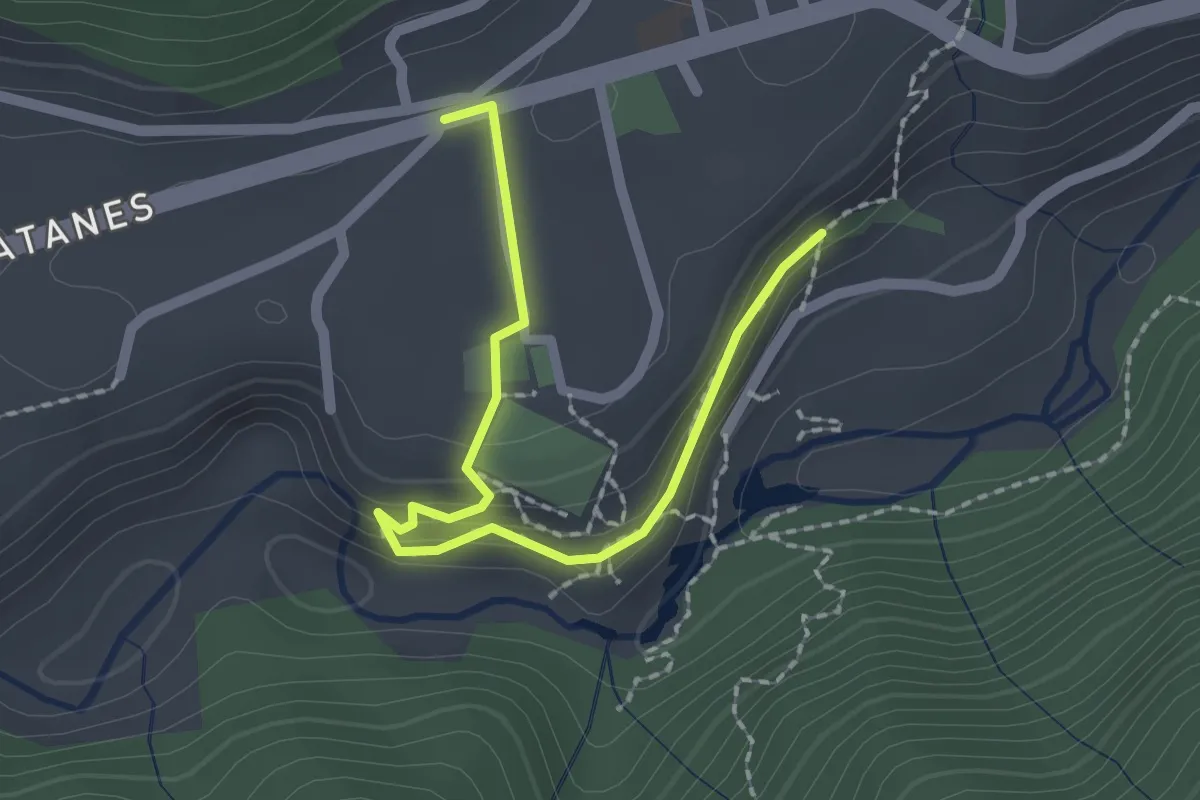
La Roche - Le Tramontel
2.3 km · ↑ 82 m · 43 min · 15 km away
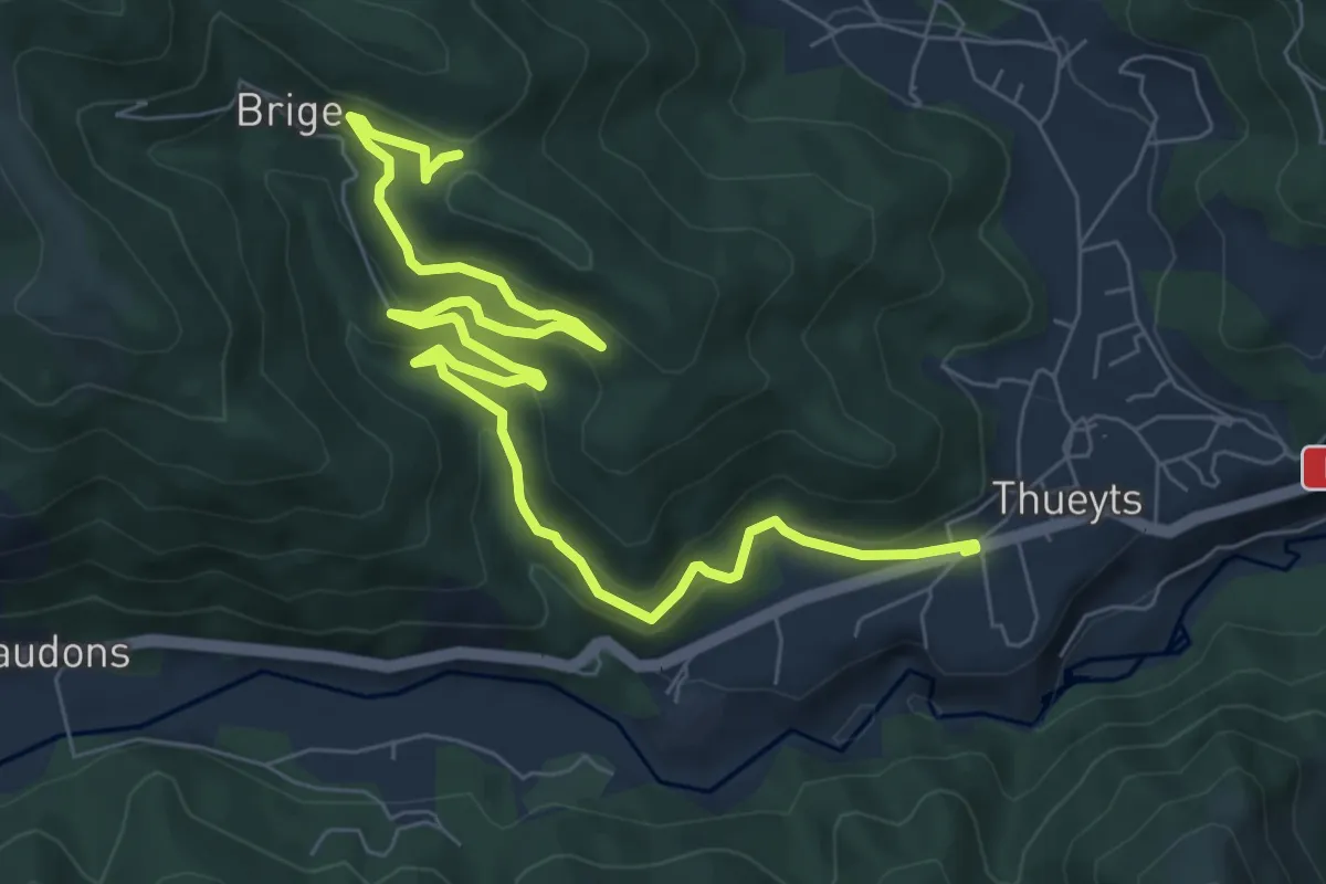
Medium · Trail
Le Tramontel - La Croix de Briges
9.9 km · ↑ 496 m · 3 h 25 min · 15 km away
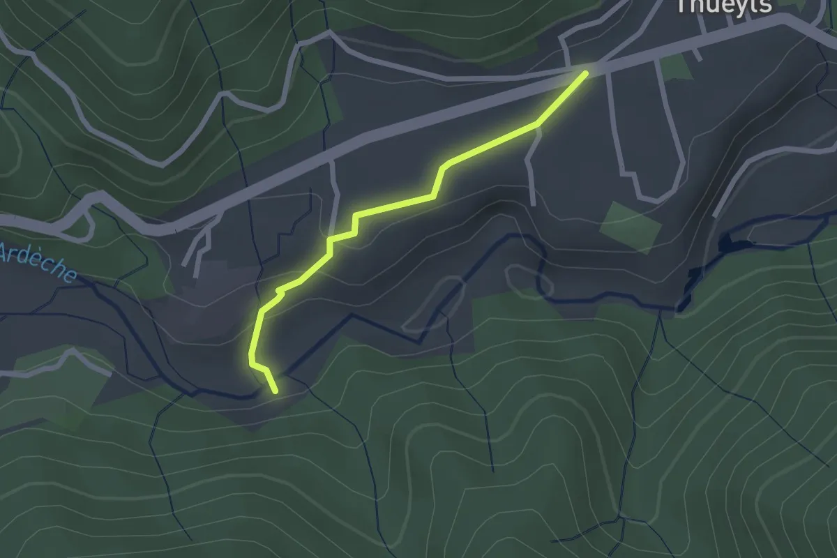
Easy · Trail
Le Coustet des Vernèdes - Le Tramontel
2.0 km · ↑ 57 m · 36 min · 15 km away
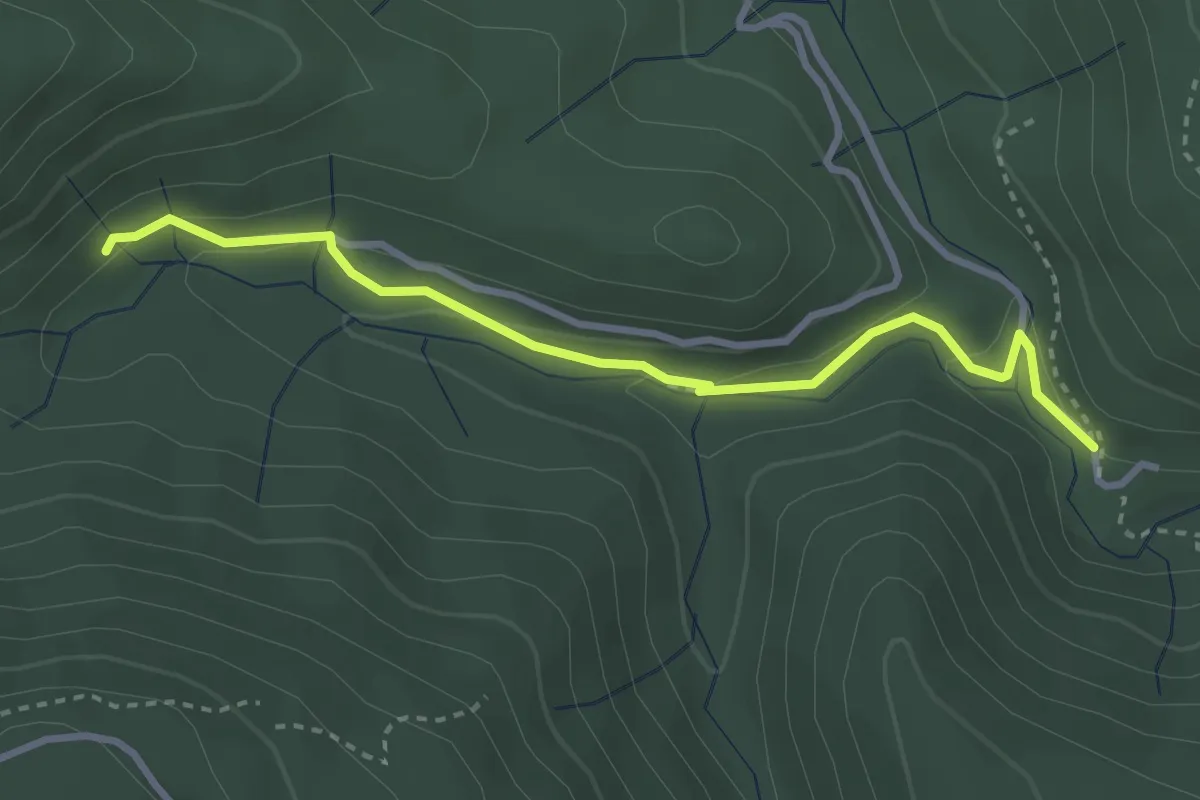
Medium · Trail
Le Plançon Haut - Leyval
3.3 km · ↑ 95 m · 1 h · 15 km away
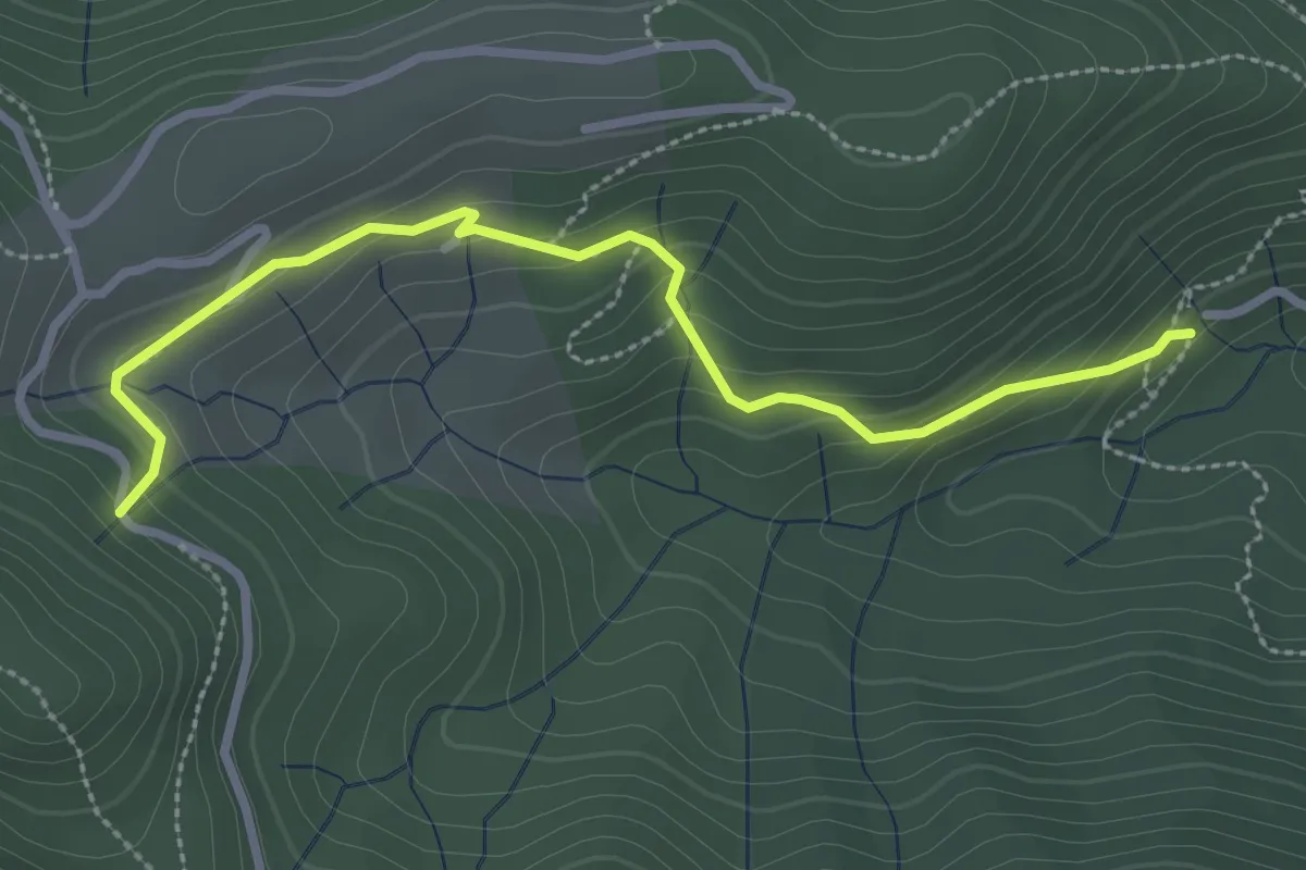
Easy · Trail
Leyval - Loup du Perrier
3.1 km · ↑ 175 m · 1 h 7 min · 15 km away
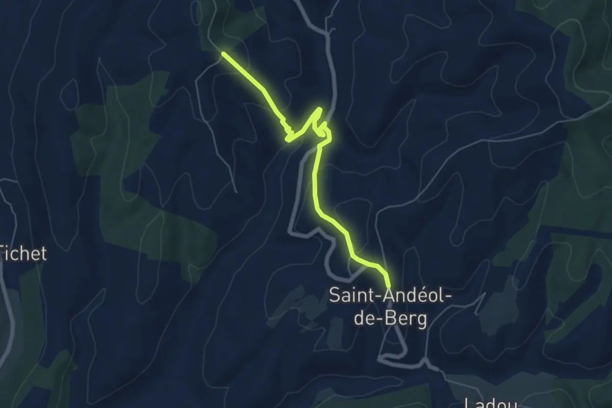
Easy · Trail
Saint-Andéol de Berg - Fournery
5.6 km · ↑ 236 m · 1 h 50 min · 15 km away
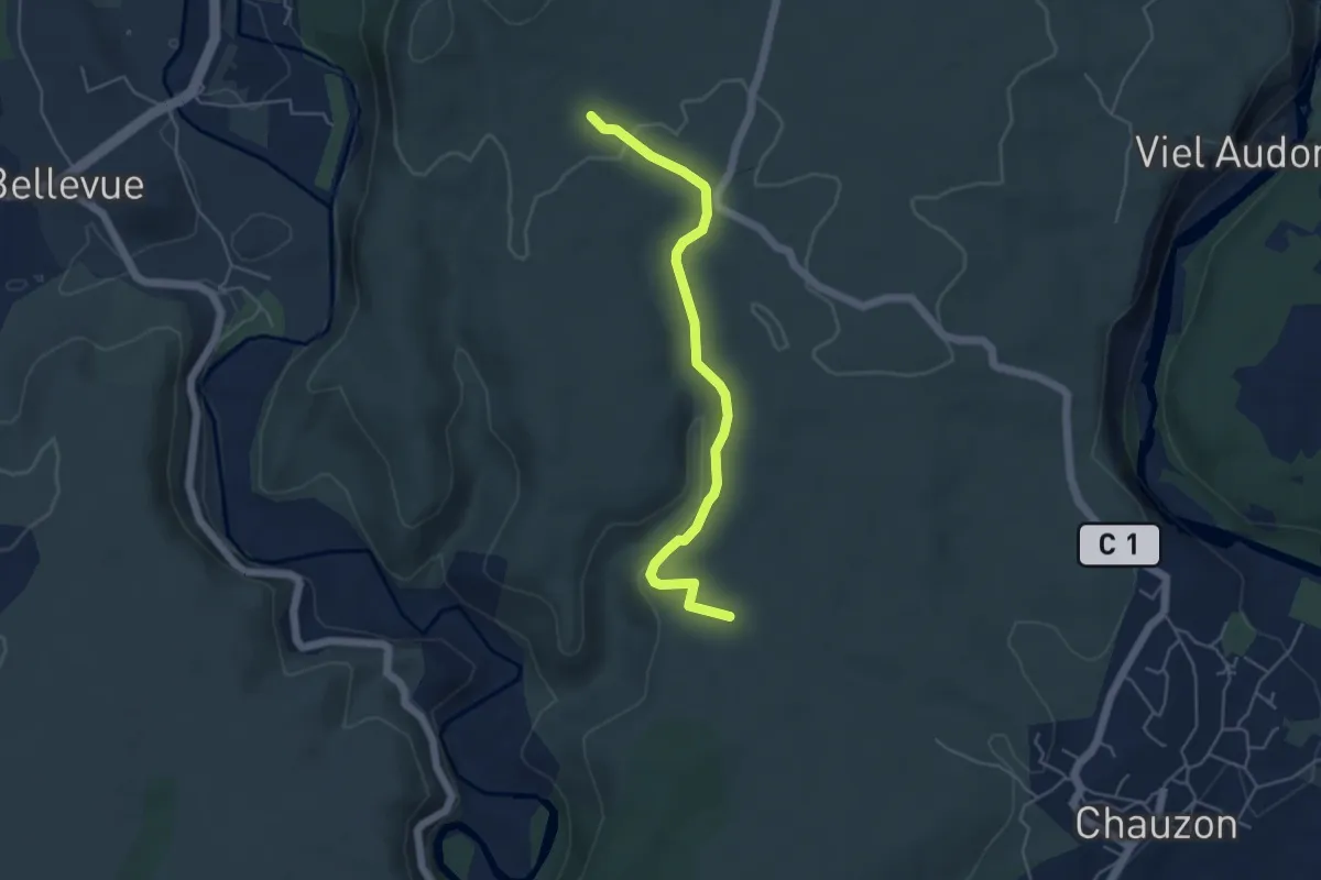
Easy · Trail
La Hâle - Le Gras
5.0 km · ↑ 109 m · 1 h 24 min · 15 km away
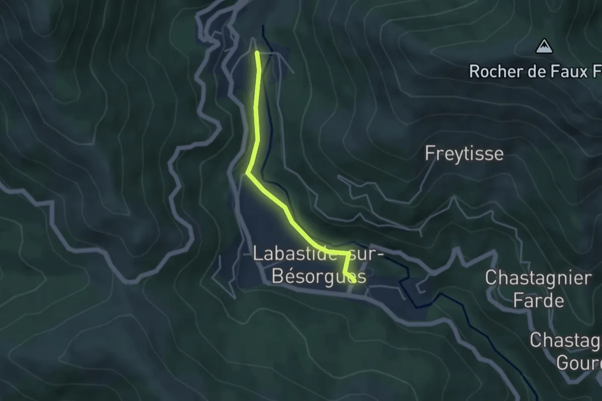
Easy · Trail
La Courbine - La Berlie
3.2 km · ↑ 62 m · 53 min · 15 km away
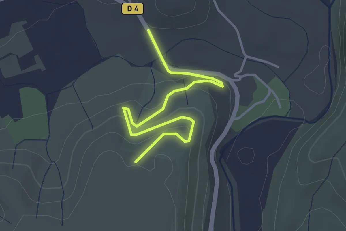
Easy · Trail
Le Mont Montredon - Les Granges de Mirabelle
3.5 km · ↑ 189 m · 1 h 15 min · 15 km away
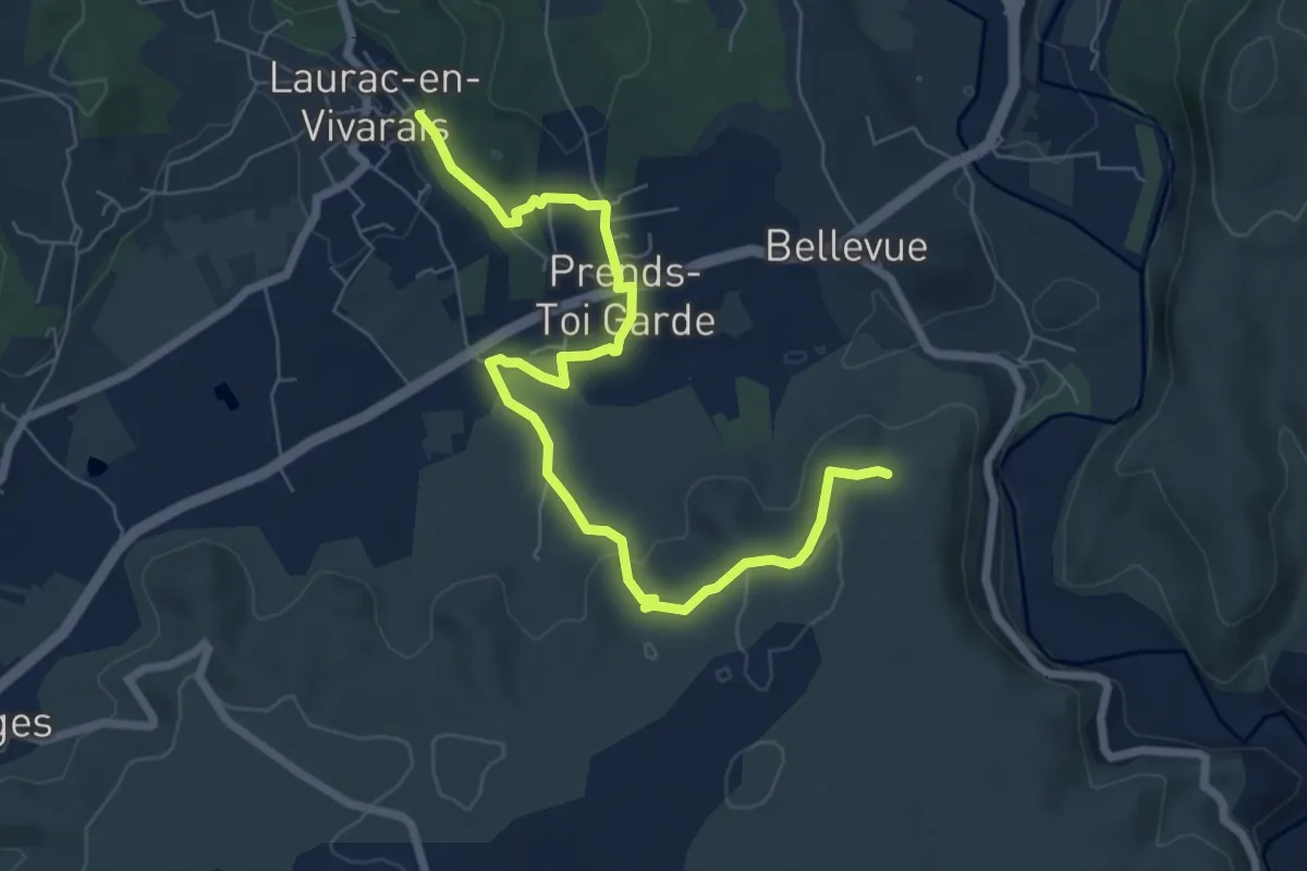
Medium · Trail
Les Piles - Les Granges de Mirabelle
8.1 km · ↑ 168 m · 2 h 17 min · 15 km away
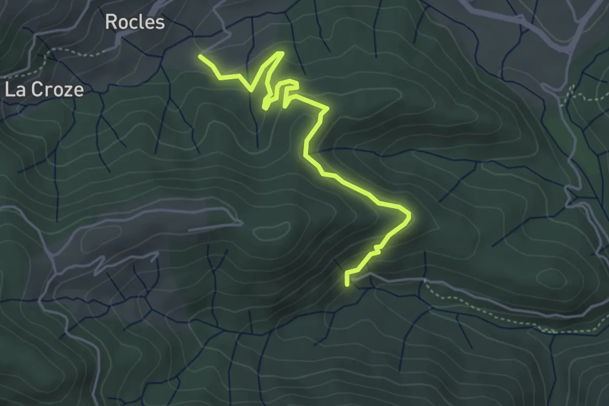
Easy · Trail
Les Pradettes - Leyval
4.7 km · ↑ 196 m · 1 h 32 min · 15 km away
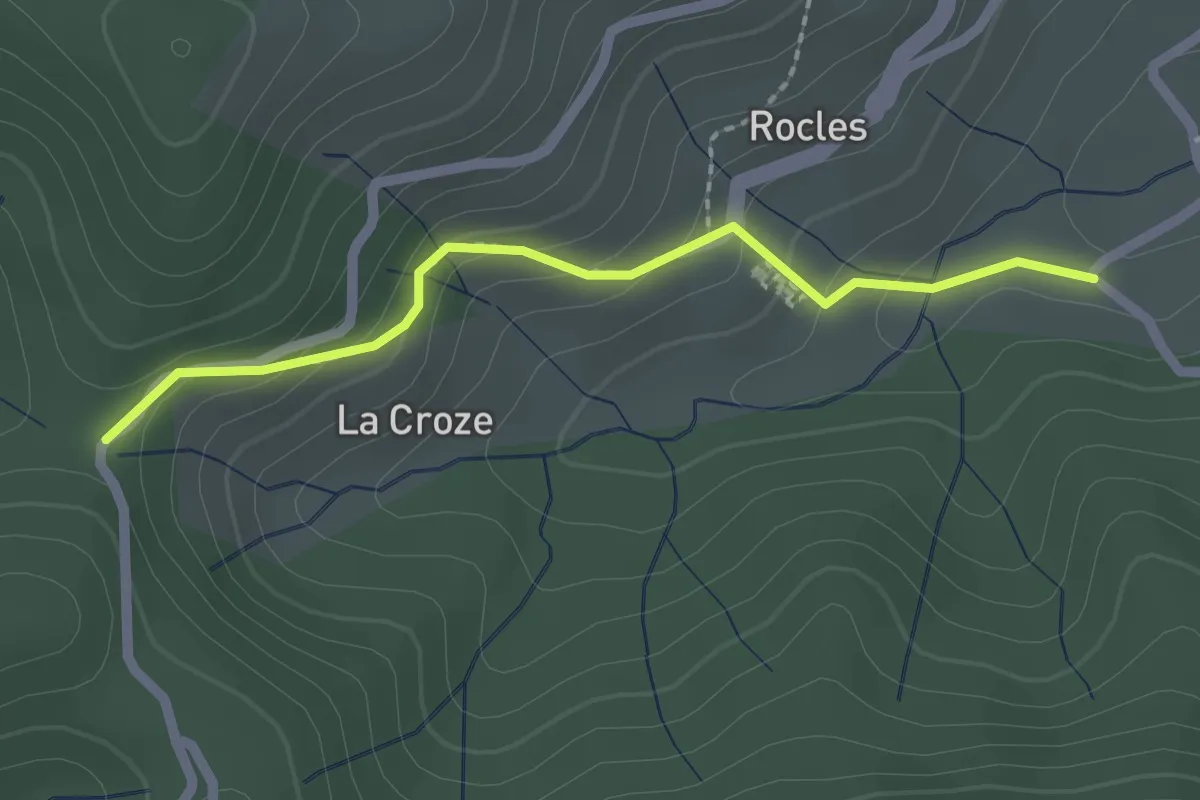
Easy · Trail
Les Pradettes - Croix de la Marre
2.1 km · ↑ 118 m · 45 min · 15 km away