Trails near Briançon
172 hikes starting within 15 km, nearest first.
Nearest first, page 2 of 4
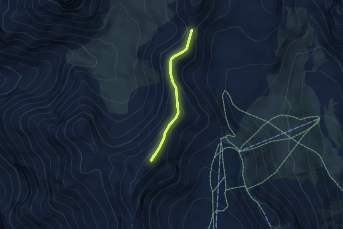
Medium · Summit
Col de la Lauze - Tête des Fournéous
3.0 km · ↑ 285 m · 1 h 20 min · 10 km away
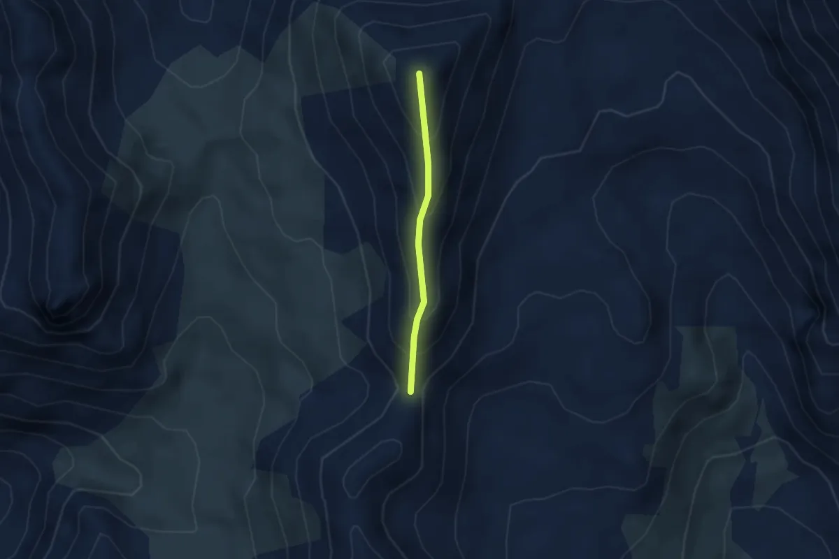
Medium · Summit
Col de la Lauze - Pic de Lauzin
2.2 km · ↑ 257 m · 1 h 5 min · 10 km away
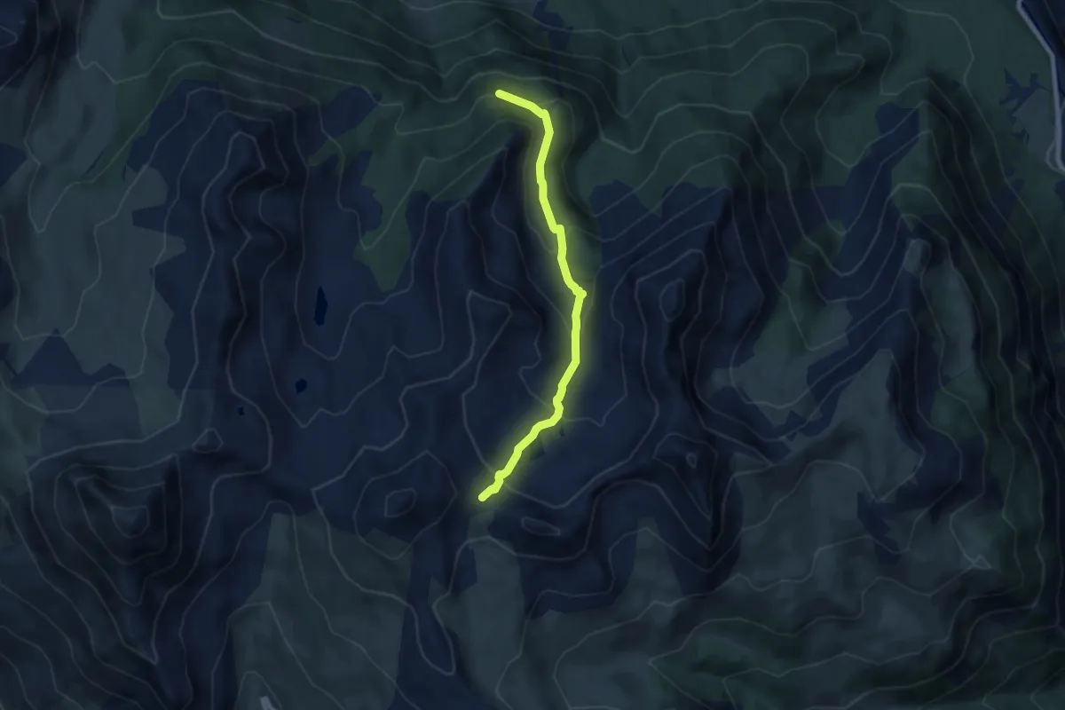
Medium · Trail
Col de l'Oule - Point Côte
7.4 km · ↑ 477 m · 2 h 47 min · 10 km away
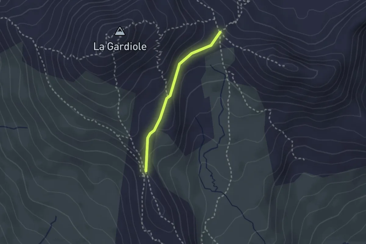
Medium · Trail
Col de l'Oule - Col des Cibières
2.0 km · ↑ 85 m · 39 min · 10 km away
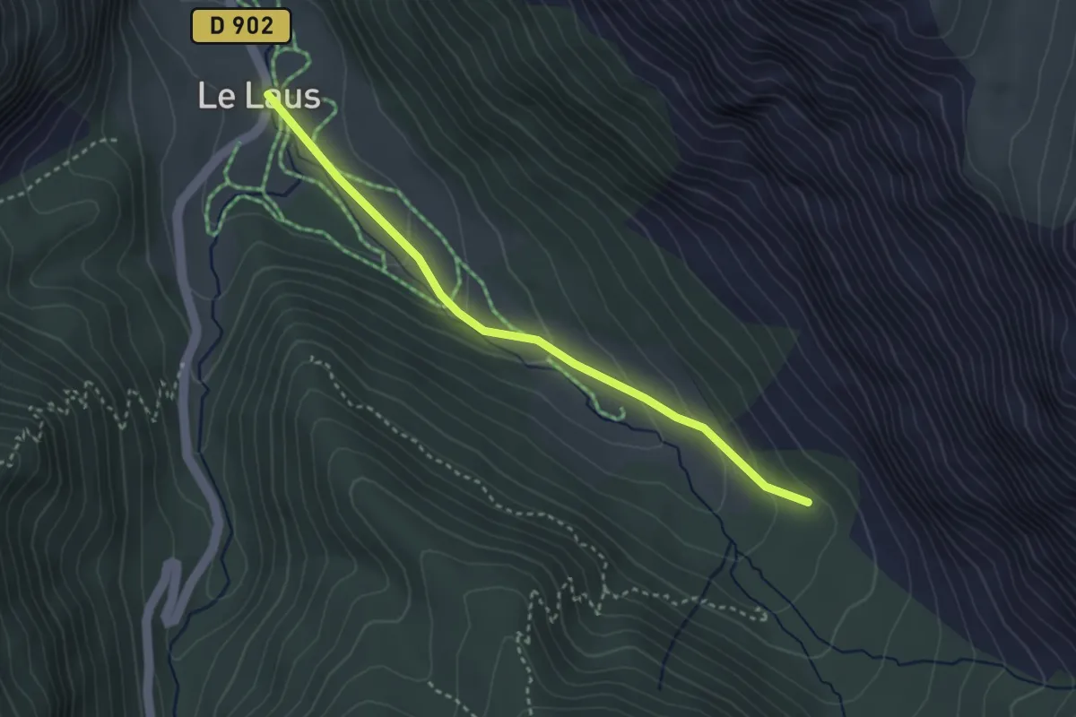
Easy · Trail
Le Laus - ?
3.2 km · ↑ 117 m · 1 h 1 min · 10 km away
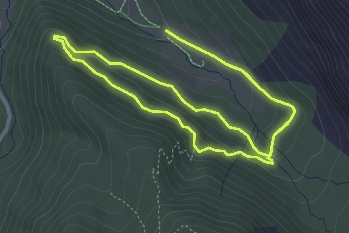
Medium · Trail
Sentier Botanique de Cervières
4.7 km · ↑ 220 m · 1 h 39 min · 10 km away
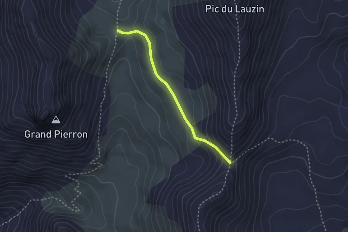
Medium · Trail
Col de Dormillouse - Col de la Lauze
2.5 km · ↑ 68 m · 44 min · 10 km away
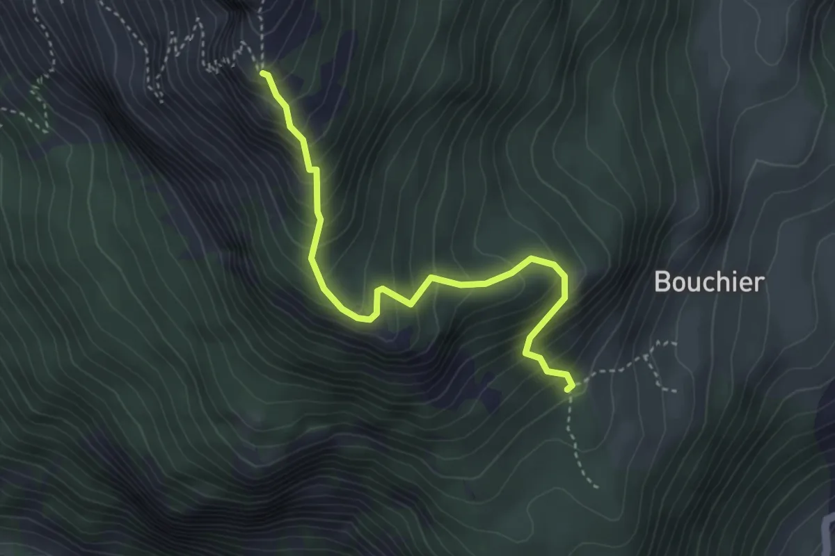
Medium · Trail
Serre des Hières - ?
3.8 km · ↑ 447 m · 1 h 52 min · 10 km away
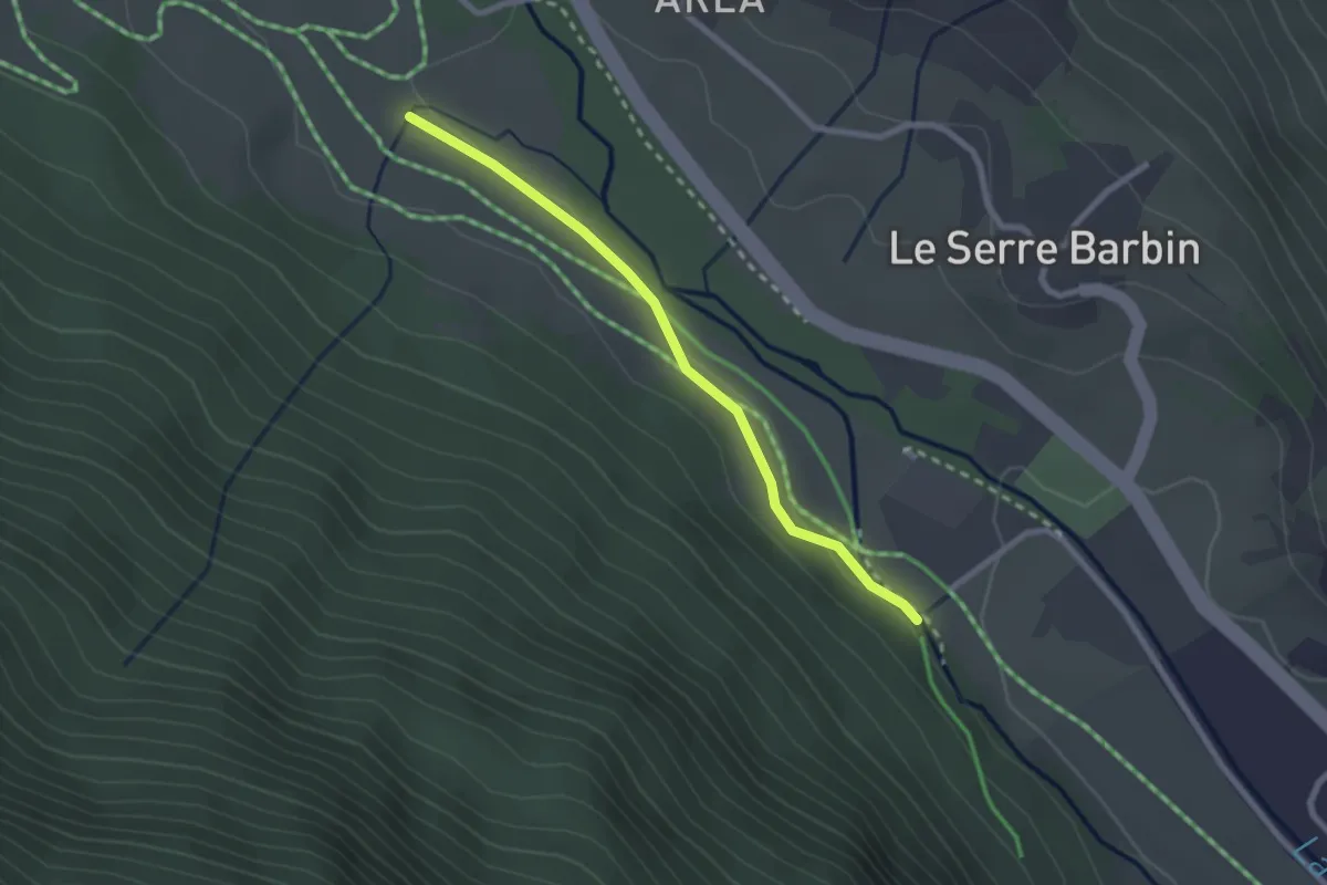
Easy · Trail
Mandoulines - Villard du Bez
2.4 km · ↑ 36 m · 38 min · 10 km away
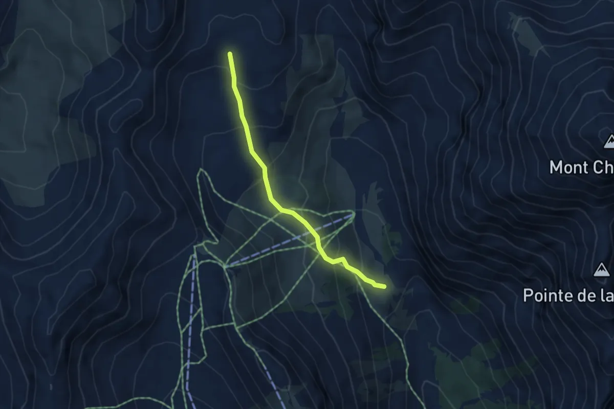
Medium · Trail
Clot des Fonds - Plateau des Baïsses
3.7 km · ↑ 290 m · 1 h 31 min · 10 km away
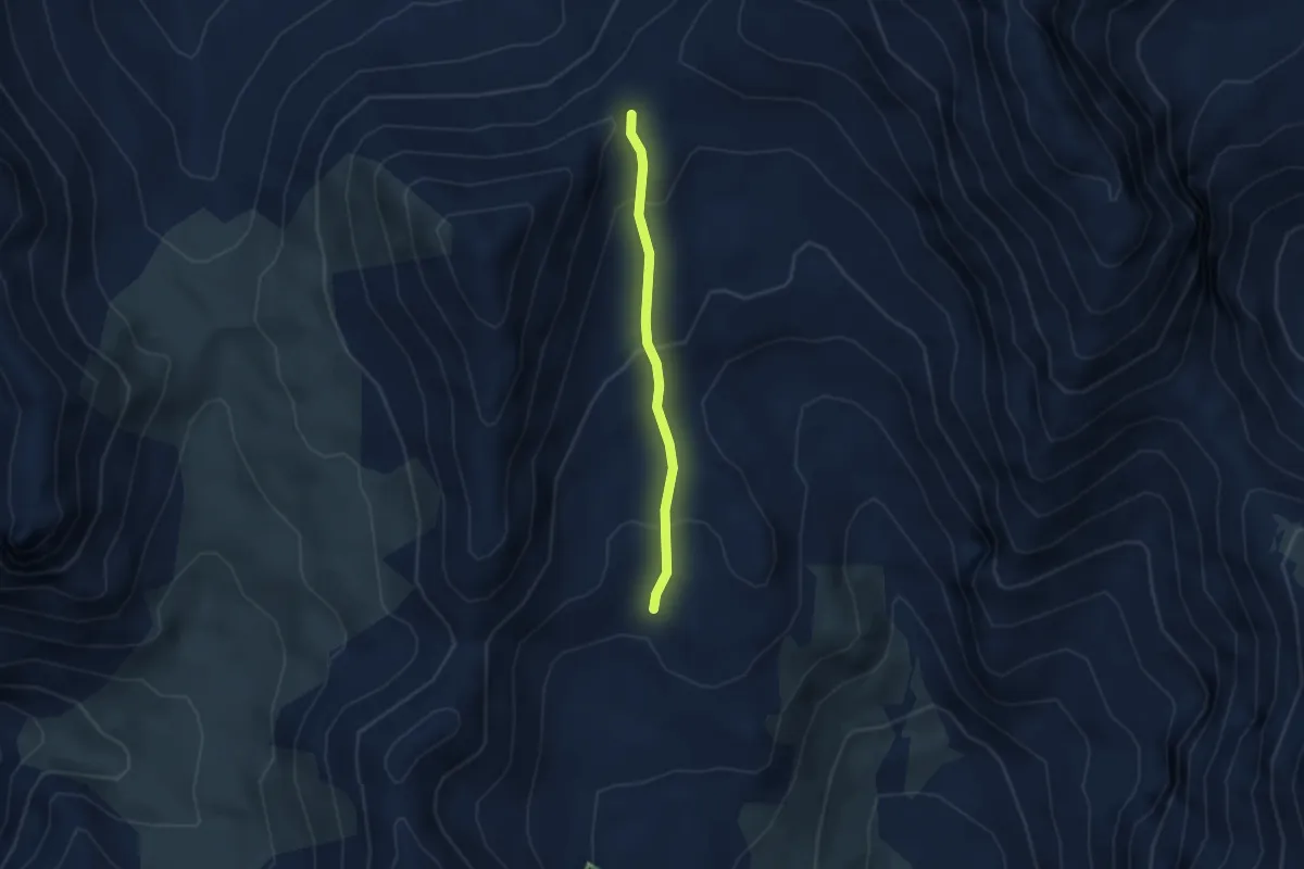
Easy · Trail
Clot des Fonds - Col des 3 Frères Mineurs
2.8 km · ↑ 155 m · 59 min · 10 km away
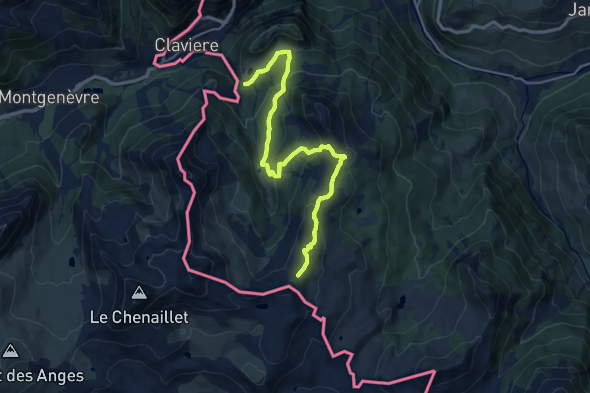
Medium · Trail
Claviere, Pian del Sole, Grange la Coche, bivio TOS629-TOS633 – Cesana Torinese, Col Saurel est, bivio TOS629-TOS633
14.6 km · ↑ 611 m · 4 h 46 min · 10 km away
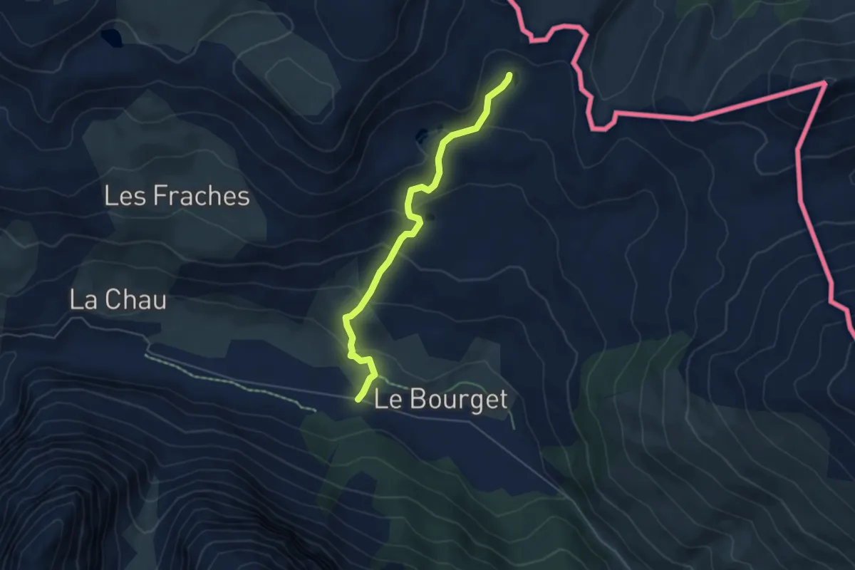
Medium · Trail
Plaine du Bourget - Lac sous Bousson sud
5.0 km · ↑ 259 m · 1 h 45 min · 10 km away
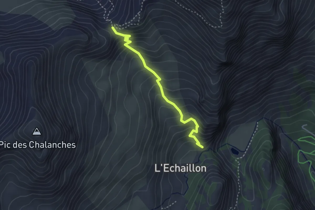
Medium · Trail
Col des Ayes - L'Eychaillon
3.2 km · ↑ 358 m · 1 h 32 min · 10 km away
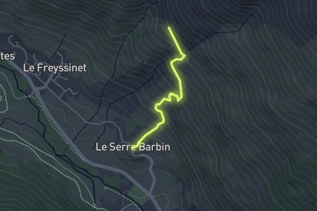
Easy · Trail
Le Serre Barbin - Pierre Grosse
3.0 km · ↑ 291 m · 1 h 20 min · 10 km away
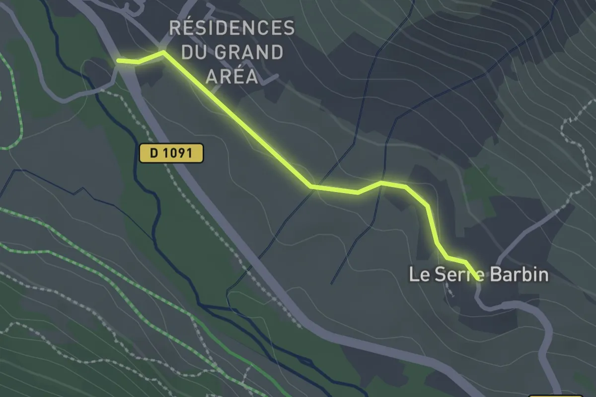
Easy · Trail
Le Freyssinet - Le Serre Barbin
2.0 km · ↑ 15 m · 31 min · 10 km away
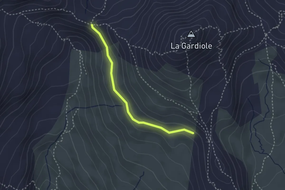
Medium · Trail
Porte de Cristol - ?
2.7 km · ↑ 56 m · 46 min · 10 km away
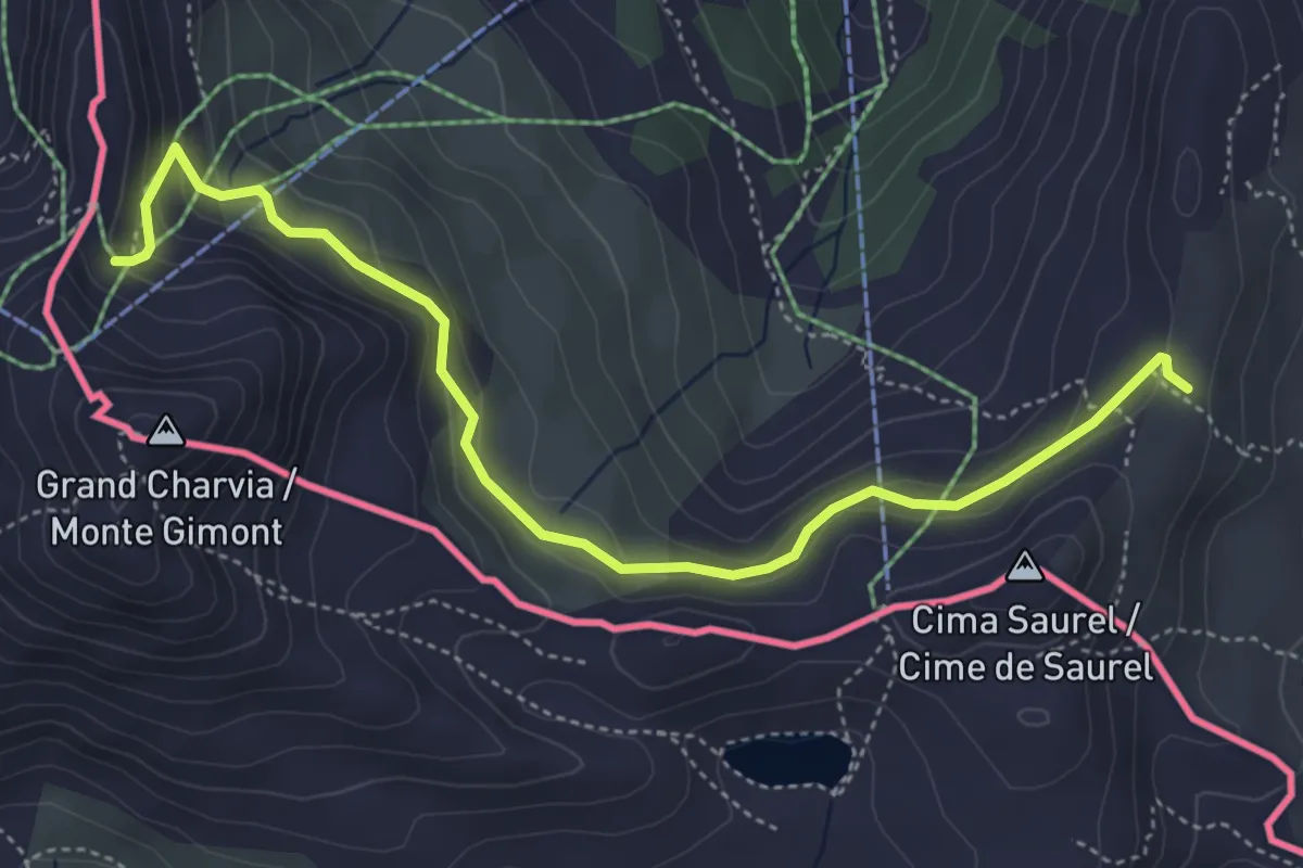
Easy · Trail
Bivio 633-633A – Colletto Verde
5.2 km · ↑ 243 m · 1 h 45 min · 10 km away
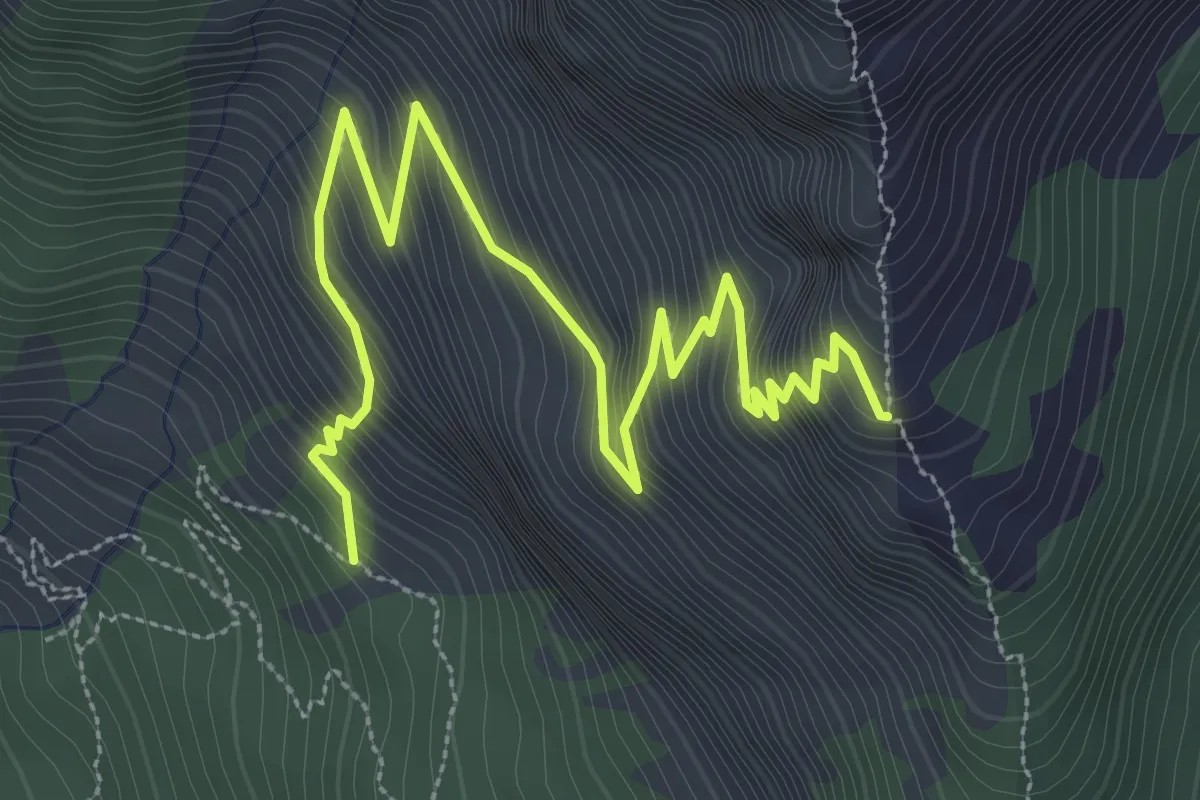
Medium · Trail
Rocher des Rouilles - Serre des Hières
4.7 km · ↑ 527 m · 2 h 15 min · 11 km away
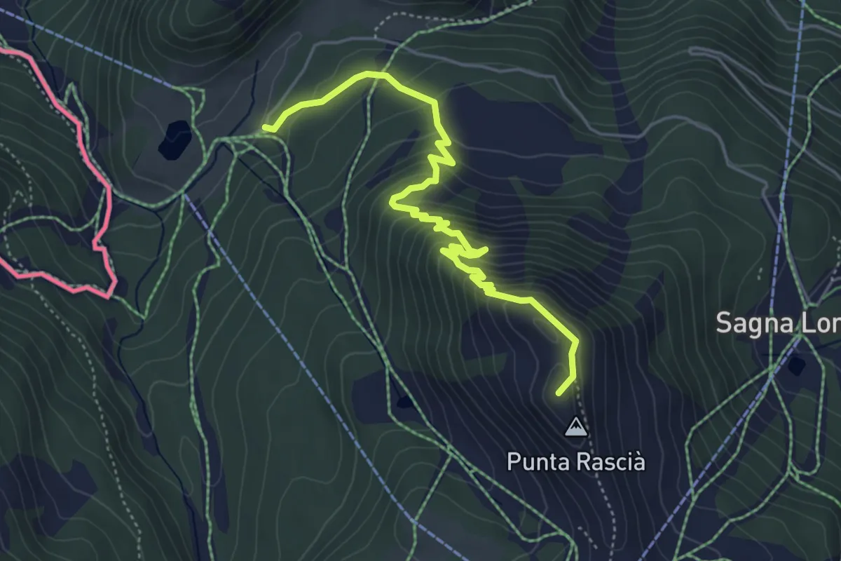
Medium · Summit
Sentiero degli Alpini
5.3 km · ↑ 474 m · 2 h 17 min · 11 km away
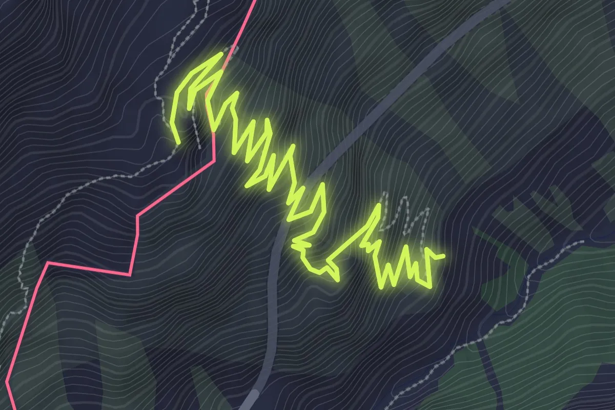
Medium · Trail
Cesana Torinese, SS24 (km 94) – Batteria alta del Petit Vallon
6.4 km · ↑ 717 m · 3 h 4 min · 11 km away
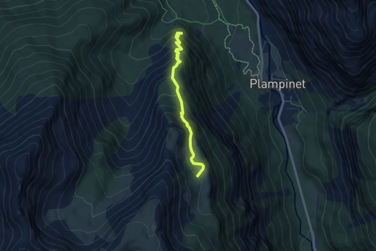
Medium · Trail
Route militaire - Les Savoyes
4.7 km · ↑ 488 m · 2 h 10 min · 11 km away
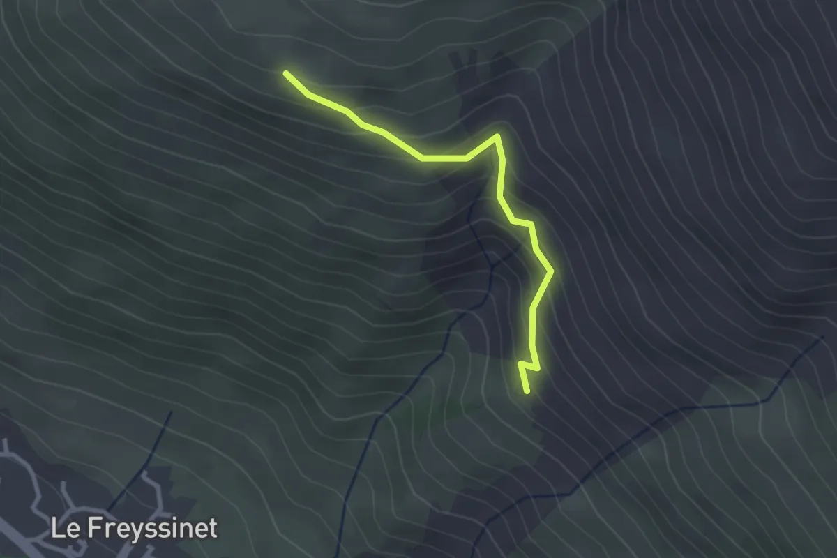
Easy · Trail
Pierre Grosse - Puy Freyssinet
2.5 km · ↑ 253 m · 1 h 9 min · 11 km away
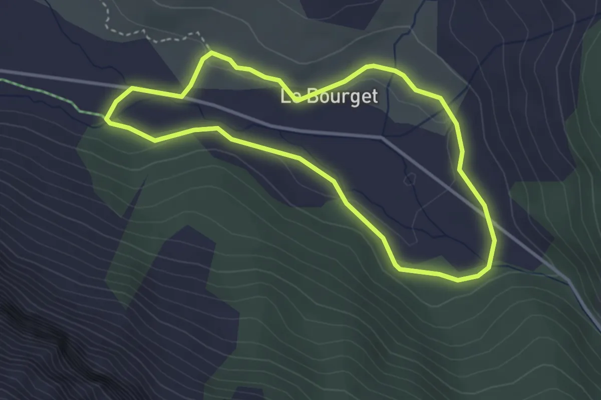
Easy · Trail
Boucle du Bourget
3.3 km · ↑ 38 m · 54 min · 11 km away
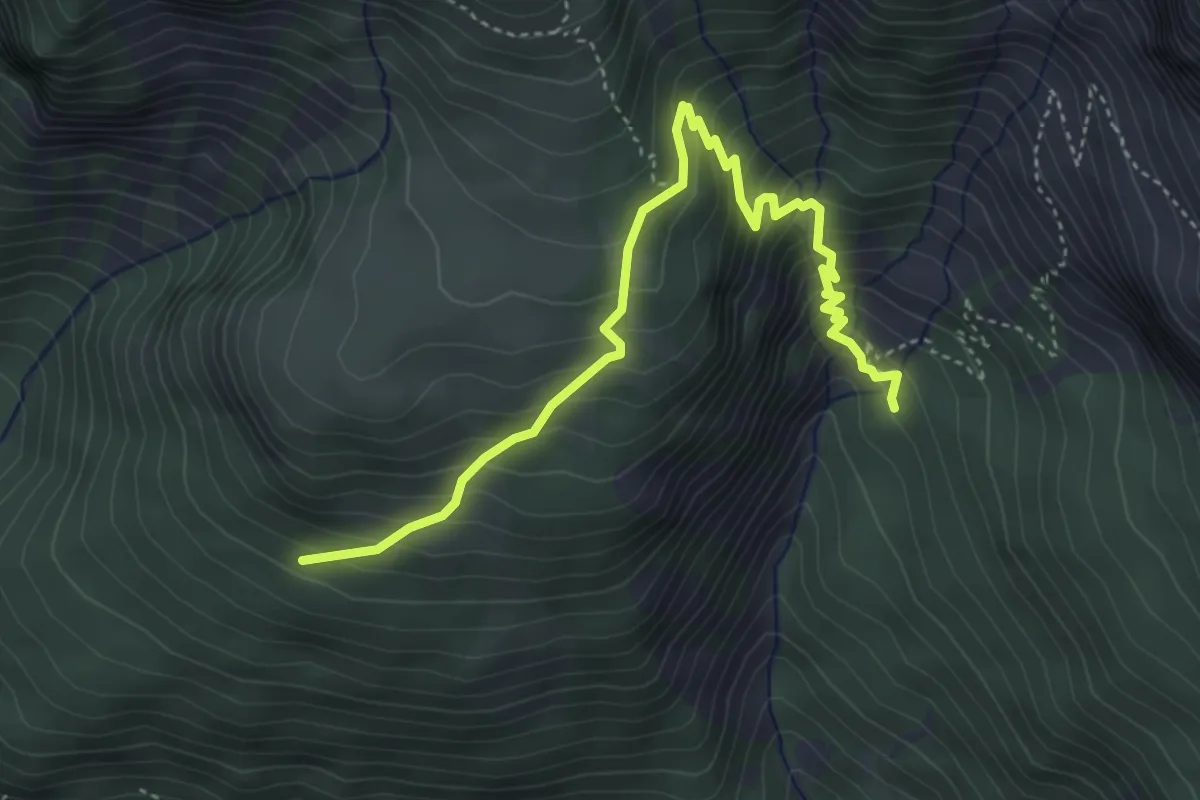
Medium · Trail
Bois de Parapin - ?
4.9 km · ↑ 529 m · 2 h 18 min · 11 km away
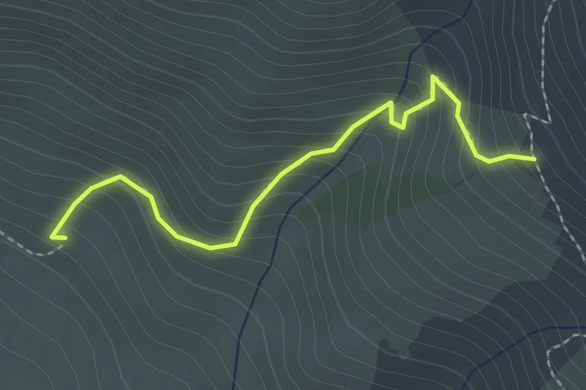
Easy · Trail
Pierre Grosse - ?
2.1 km · ↑ 227 m · 59 min · 11 km away
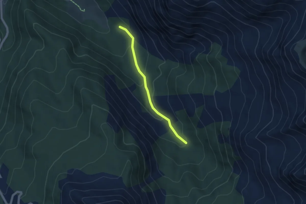
Easy · Trail
Ravin des Oules - ?
3.5 km · ↑ 206 m · 1 h 16 min · 11 km away
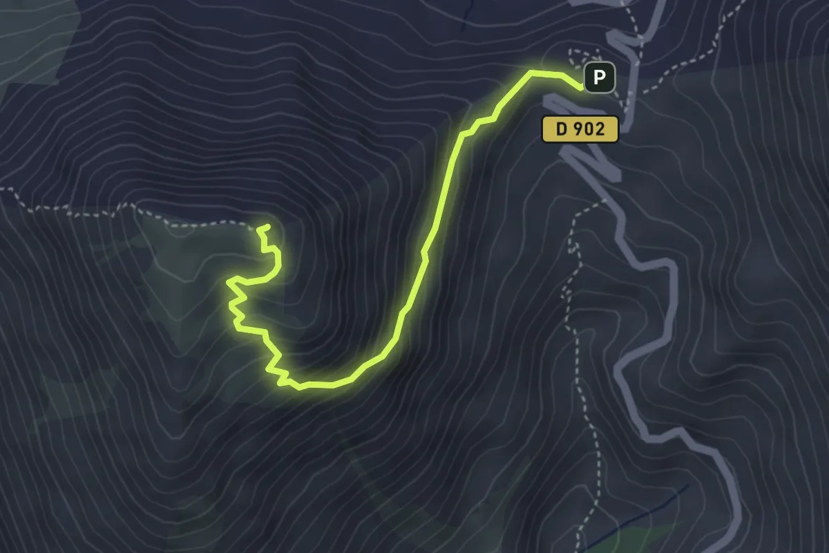
Medium · Summit
Col de l'Izoard - Clot la Cîme
4.2 km · ↑ 351 m · 1 h 46 min · 11 km away
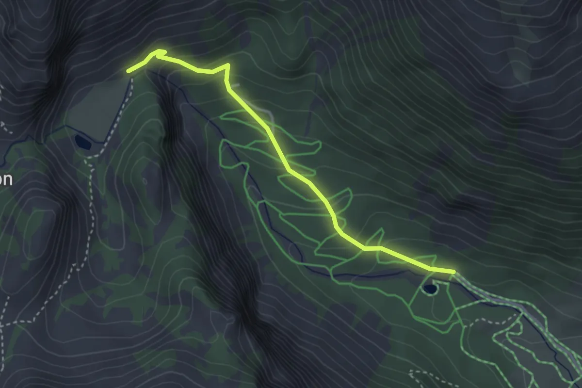
Medium · Trail
Le Planet - Pra Premier
3.3 km · ↑ 231 m · 1 h 17 min · 11 km away
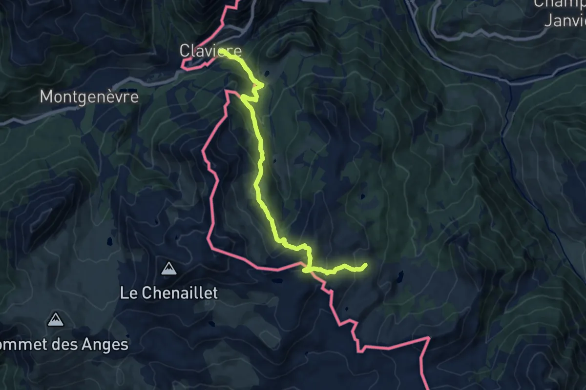
Demanding · Trail
Bivio 629-630, Claviere – Bivio 628-629, Capanna Mautino
14.3 km · ↑ 901 m · 5 h 20 min · 11 km away
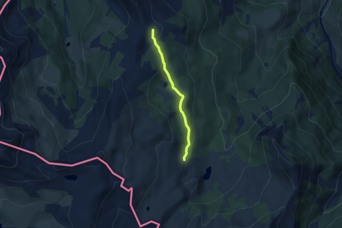
Medium · Cabin
Cesana Torinese, Capanna Mautino, bivio TOS631-TOS628 – Cesana Torinese, bivio TOS633-TOS631 presso Colle Bercia
4.8 km · ↑ 130 m · 1 h 25 min · 11 km away
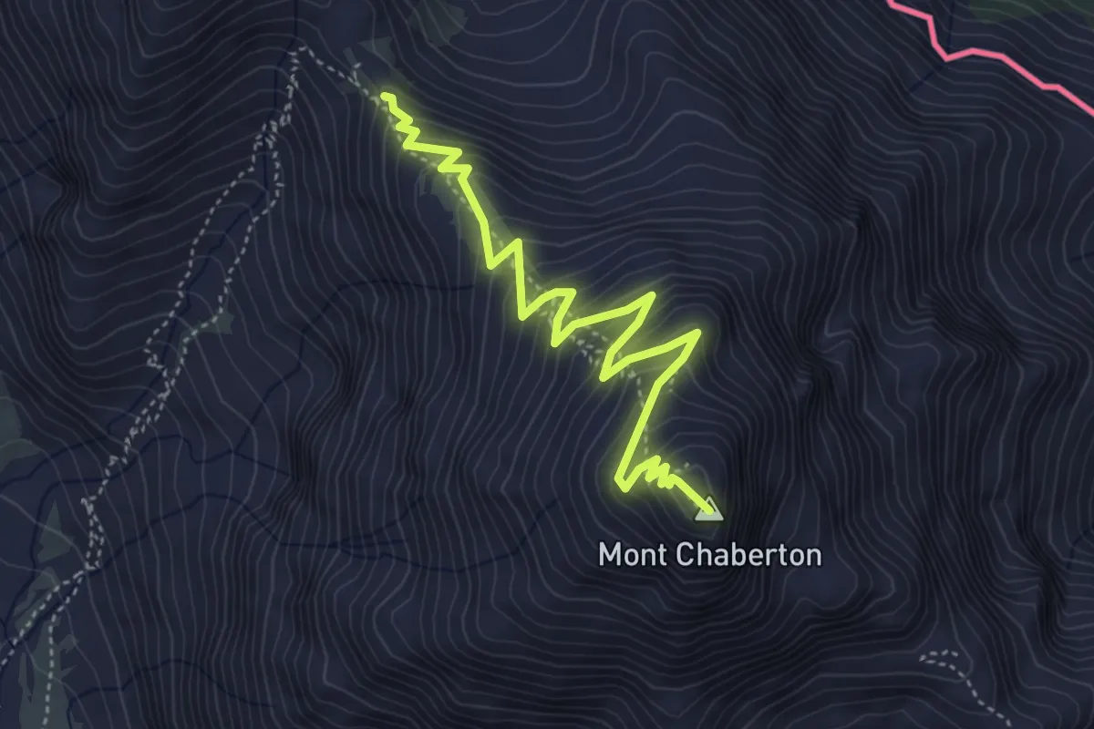
Medium · Summit
Col du Chaberton - Mont Chaberton
5.2 km · ↑ 466 m · 2 h 14 min · 11 km away
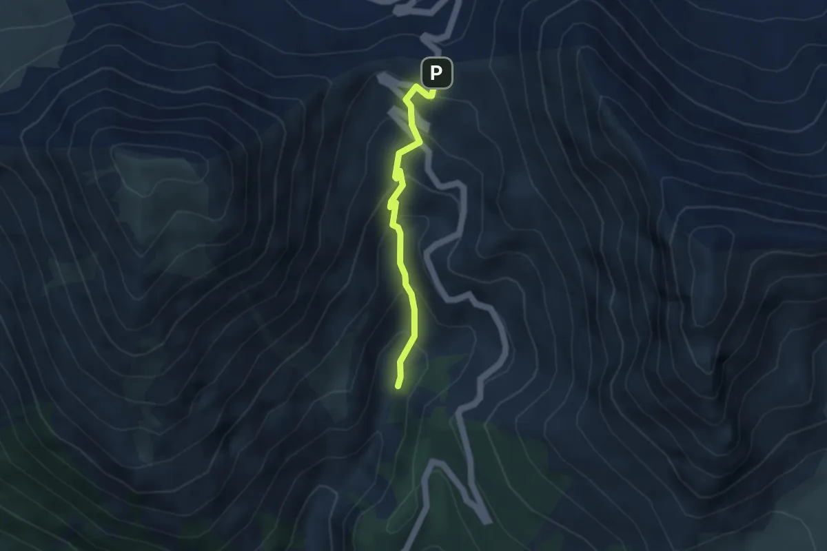
Medium · Trail
Sentier du Col d'Izoard - Torrent de l'Izoard
3.2 km · ↑ 269 m · 1 h 21 min · 11 km away
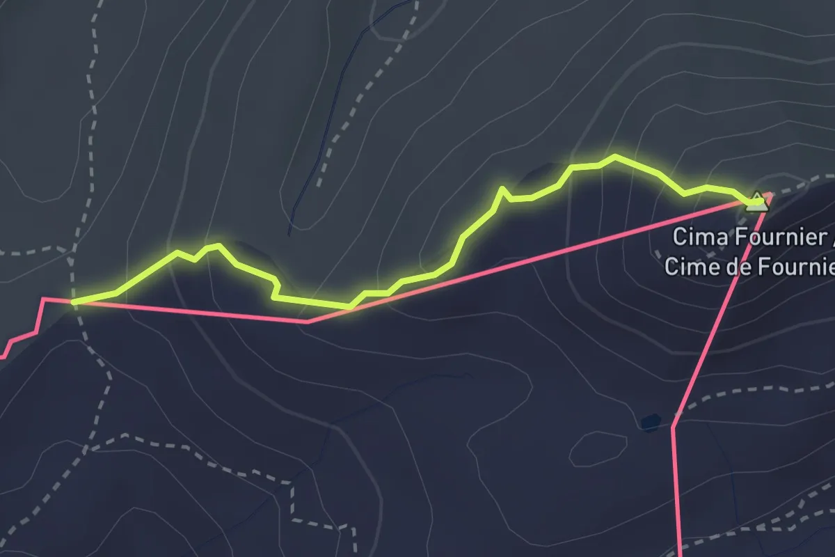
Easy · Summit
Cima Fourmier, bivio TOS625A-TOS625B – Col Bourget, bivio 625B-6288
2.7 km · ↑ 231 m · 1 h 8 min · 11 km away
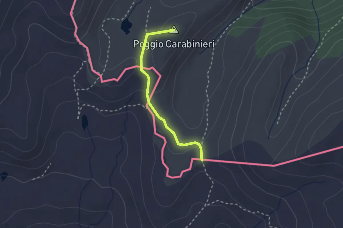
Medium · Summit
Bousson – Col Bourget, bivio 625A-628
2.0 km · ↑ 46 m · 34 min · 11 km away
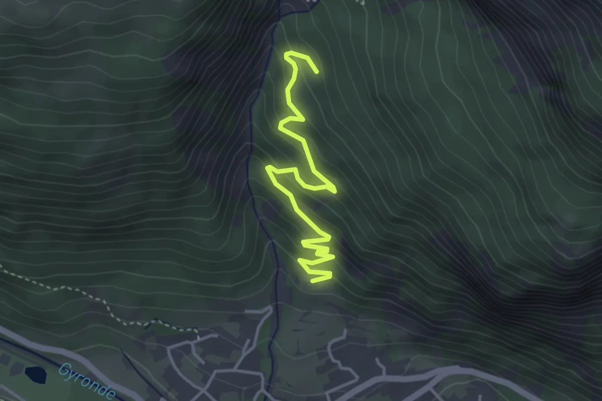
Easy · Trail
Barthalay - ?
3.9 km · ↑ 273 m · 1 h 31 min · 11 km away
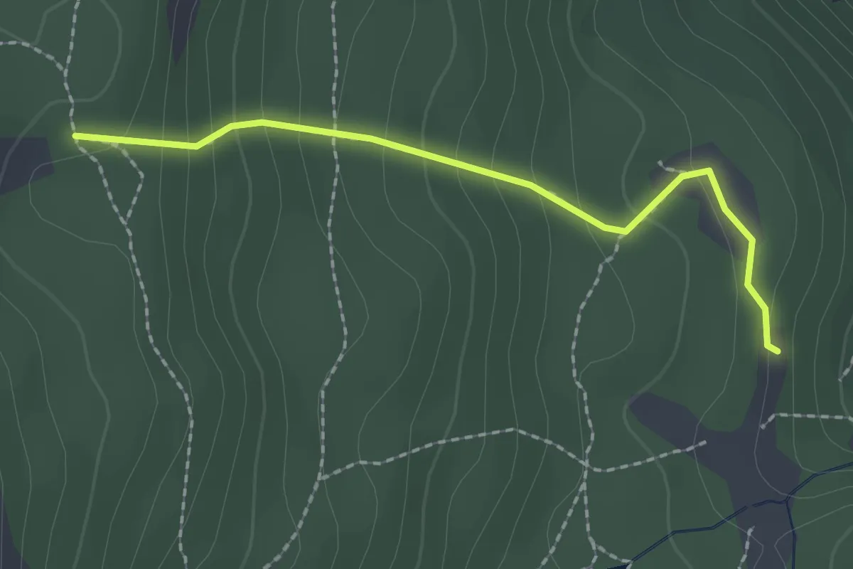
Easy · Trail
Cesana Torinese, bivio TOS628-TOS628B presso Fonte Tana – Cesana Torinese, bivio TOS631-TOS628B presso Serra Brusa
2.0 km · ↑ 172 m · 51 min · 12 km away
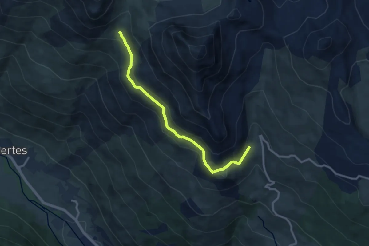
Easy · Trail
Le Sachet - Petit Col
7.4 km · ↑ 275 m · 2 h 20 min · 12 km away
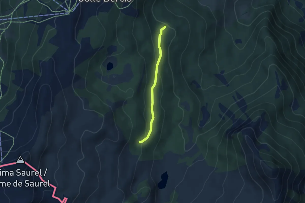
Medium · Trail
Cesana Torinese, bivio TOS631-TOS631B presso Capanna Mautino – Cesana Torinese, bivio Strada Sagnalonga
3.3 km · ↑ 132 m · 1 h 3 min · 12 km away
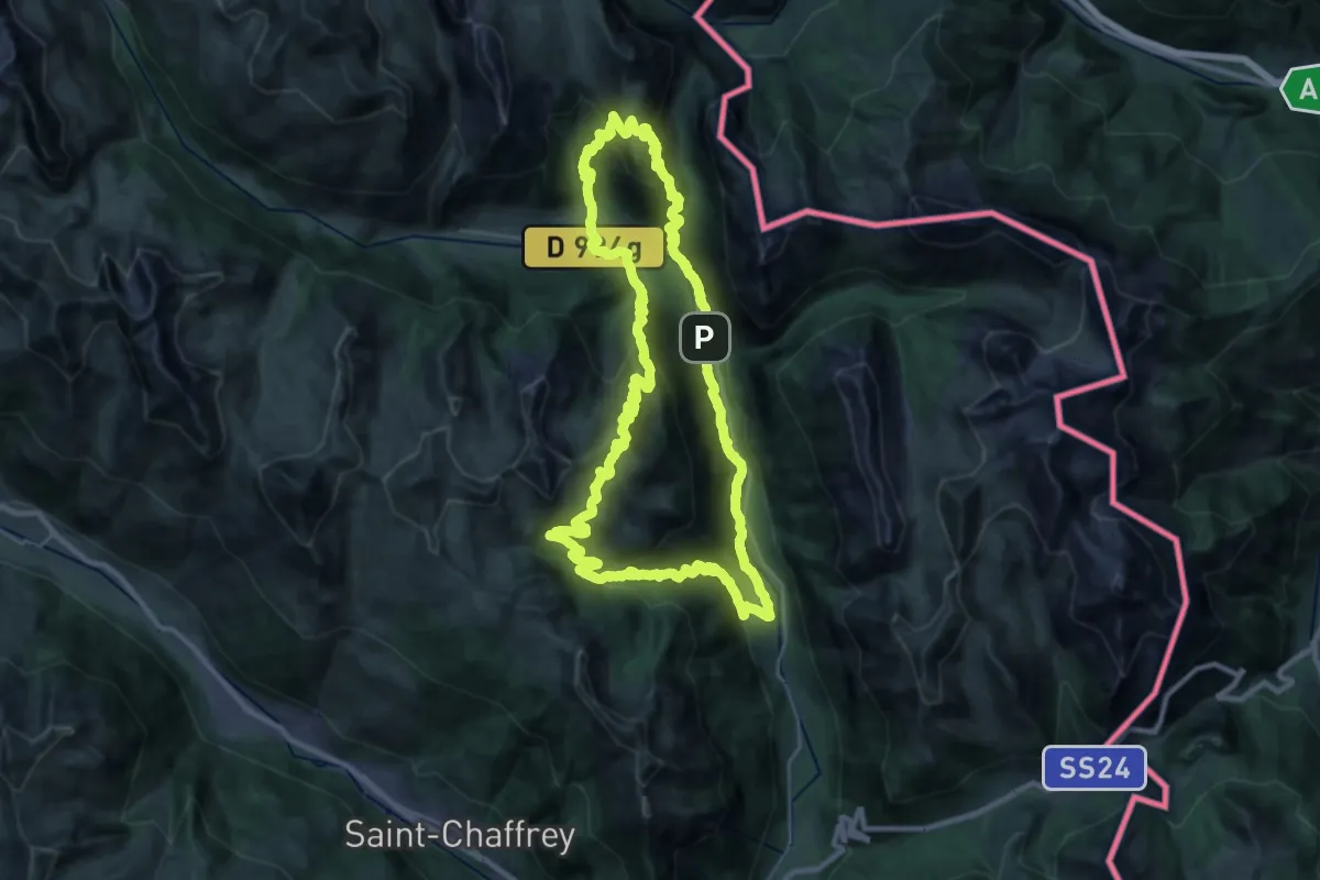
Demanding · Cabin
La grande boucle de la Clarée
30.7 km · ↑ 2005 m · 12 h 1 min · 12 km away
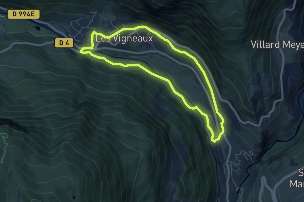
Easy · Trail
Tour des Vigneaux
5.7 km · ↑ 142 m · 1 h 44 min · 12 km away
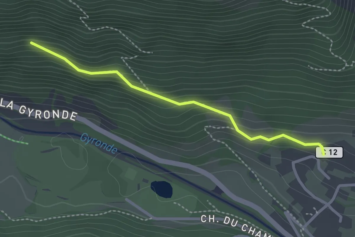
Medium · Trail
Rif Cros - ?
2.3 km · ↑ 141 m · 50 min · 12 km away
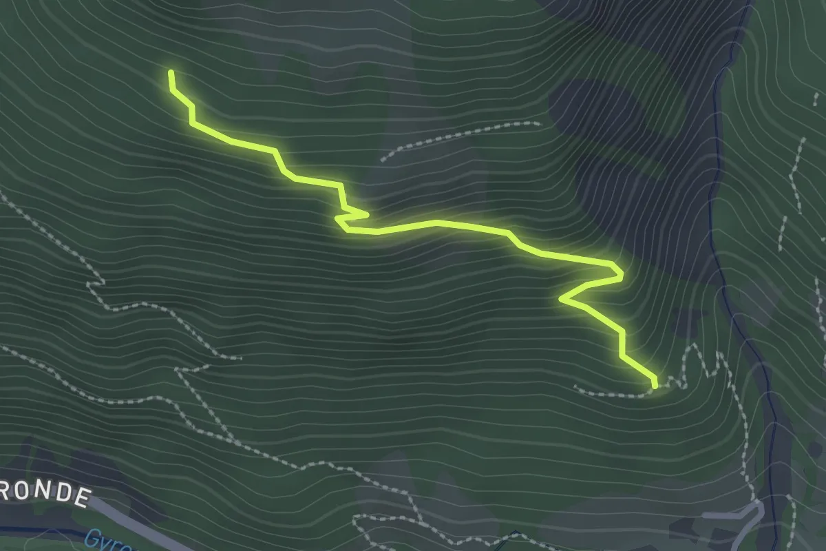
Easy · Trail
Bois de Parapin - ?
2.6 km · ↑ 288 m · 1 h 14 min · 12 km away
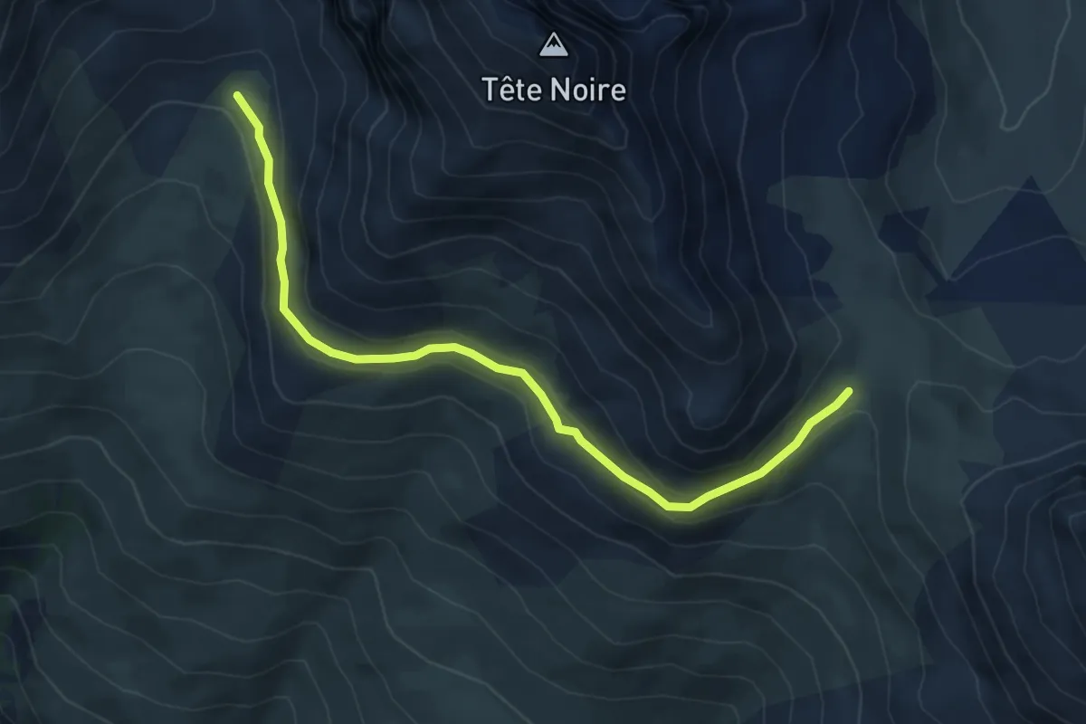
Medium · Trail
Sente des Grimpeurs - Vallon de la Moulette
6.0 km · ↑ 203 m · 1 h 52 min · 12 km away
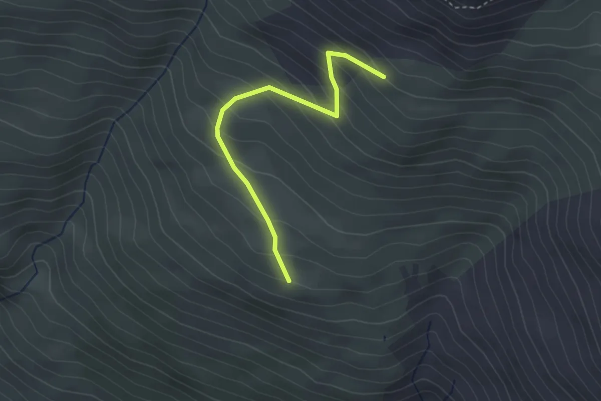
Easy · Trail
La Côta Bella - Puy Freyssinet
3.0 km · ↑ 257 m · 1 h 16 min · 12 km away
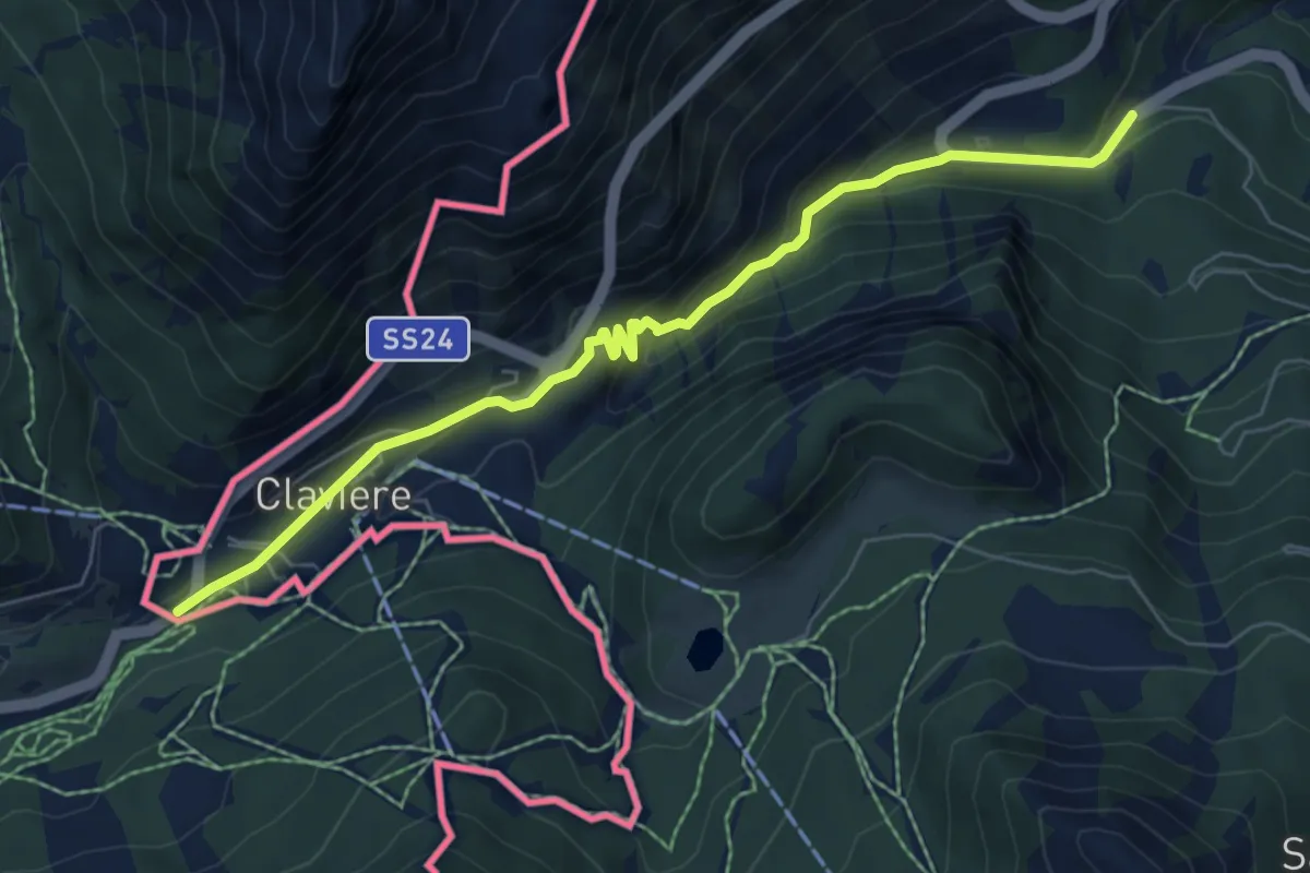
Medium · Pilgrim path
Via Francigena - Variante Monginevro
3.5 km · ↑ 313 m · 1 h 25 min · 12 km away
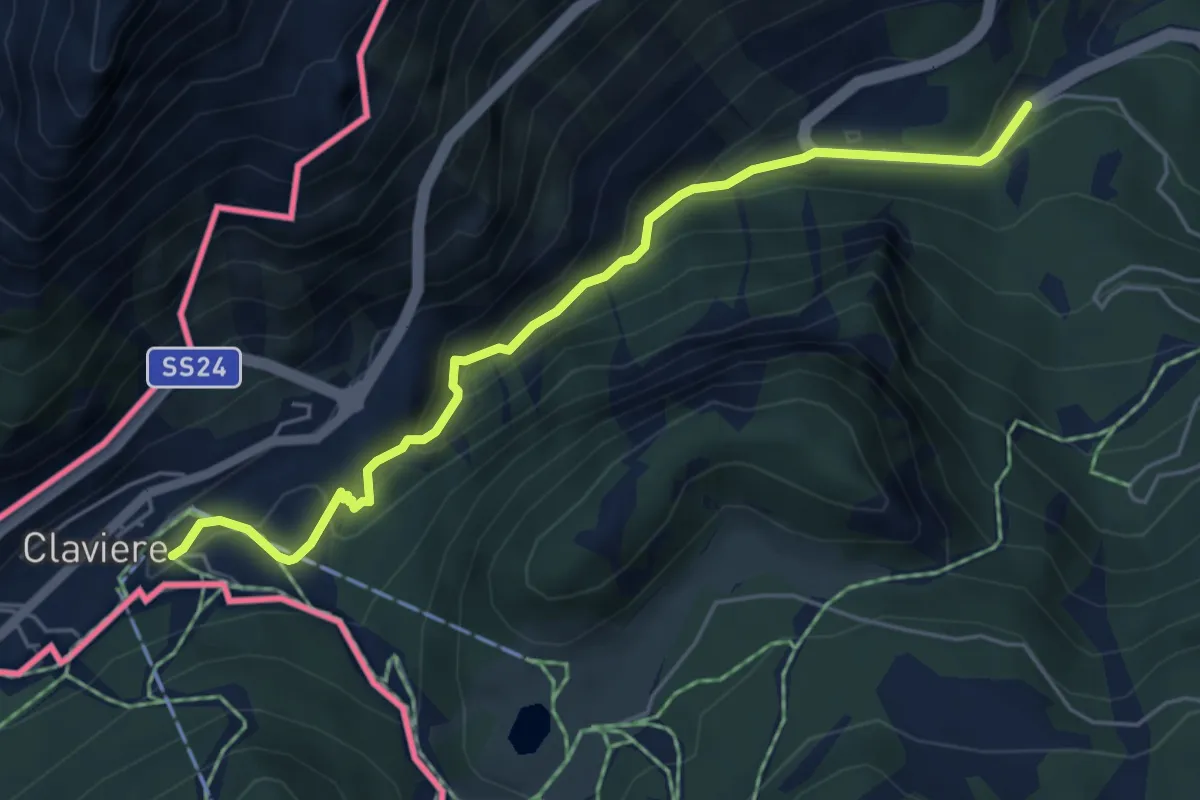
Easy · Trail
Bivio 601-630, Cesana – Bivio 629-630, Grangia Coche
5.5 km · ↑ 311 m · 1 h 59 min · 12 km away
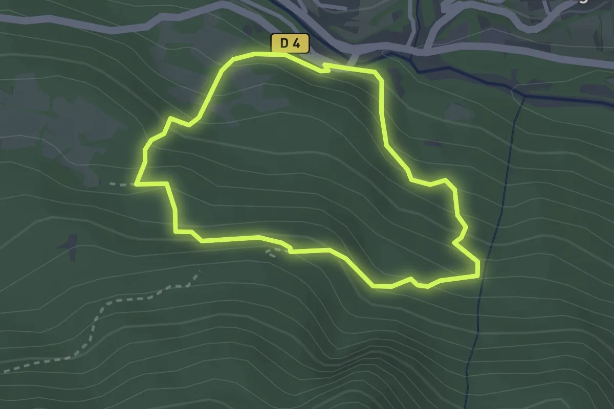
Medium · Trail
Le sentier des Cloutas
2.5 km · ↑ 217 m · 1 h 6 min · 12 km away