Trails near Briançon
172 hikes starting within 15 km, nearest first.
Nearest first, page 3 of 4
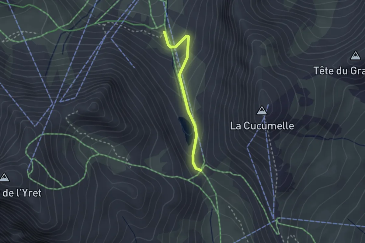
Easy · Trail
Col de l'Eychauda - ?
2.1 km · ↑ 151 m · 50 min · 12 km away
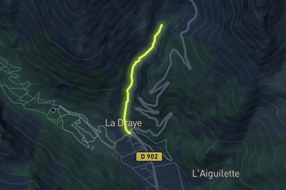
Easy · Trail
La Draye - Torrent de l'Izoard
3.1 km · ↑ 262 m · 1 h 18 min · 12 km away
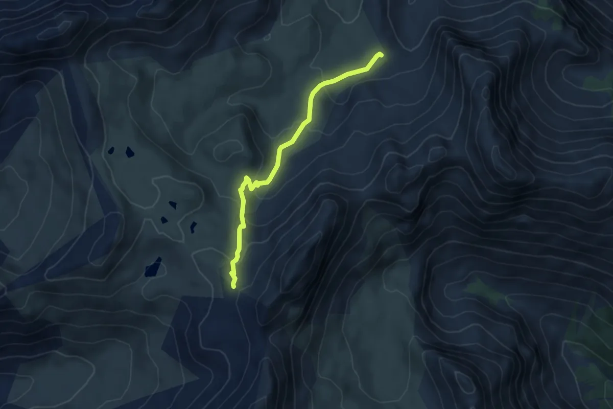
Medium · Trail
Collet du Roseyt - Crêtes des Eaux Pendantes
4.6 km · ↑ 262 m · 1 h 40 min · 12 km away
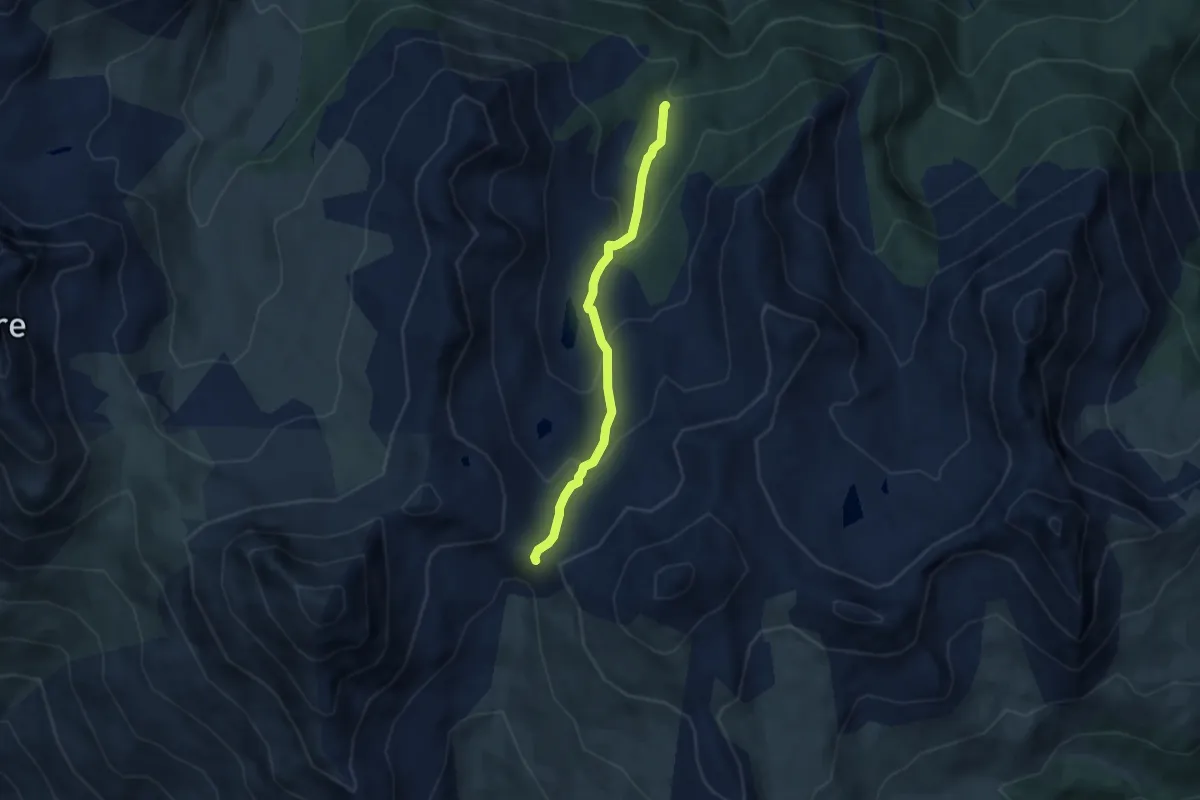
Medium · Trail
Passerelle de Cristol - Porte de Cristol
5.8 km · ↑ 364 m · 2 h 10 min · 12 km away
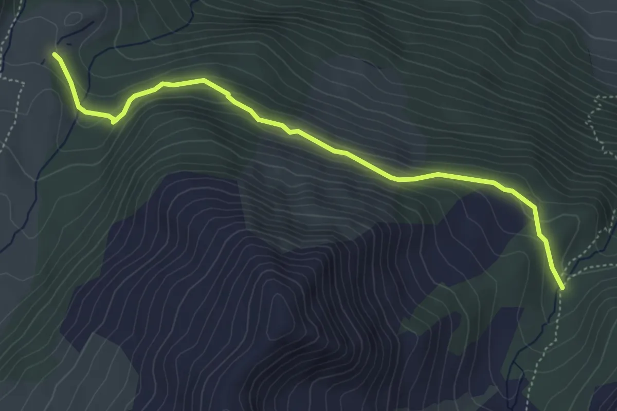
Medium · Cabin
Passerelle de Cristol - Chalets de Buffère
5.2 km · ↑ 247 m · 1 h 46 min · 12 km away
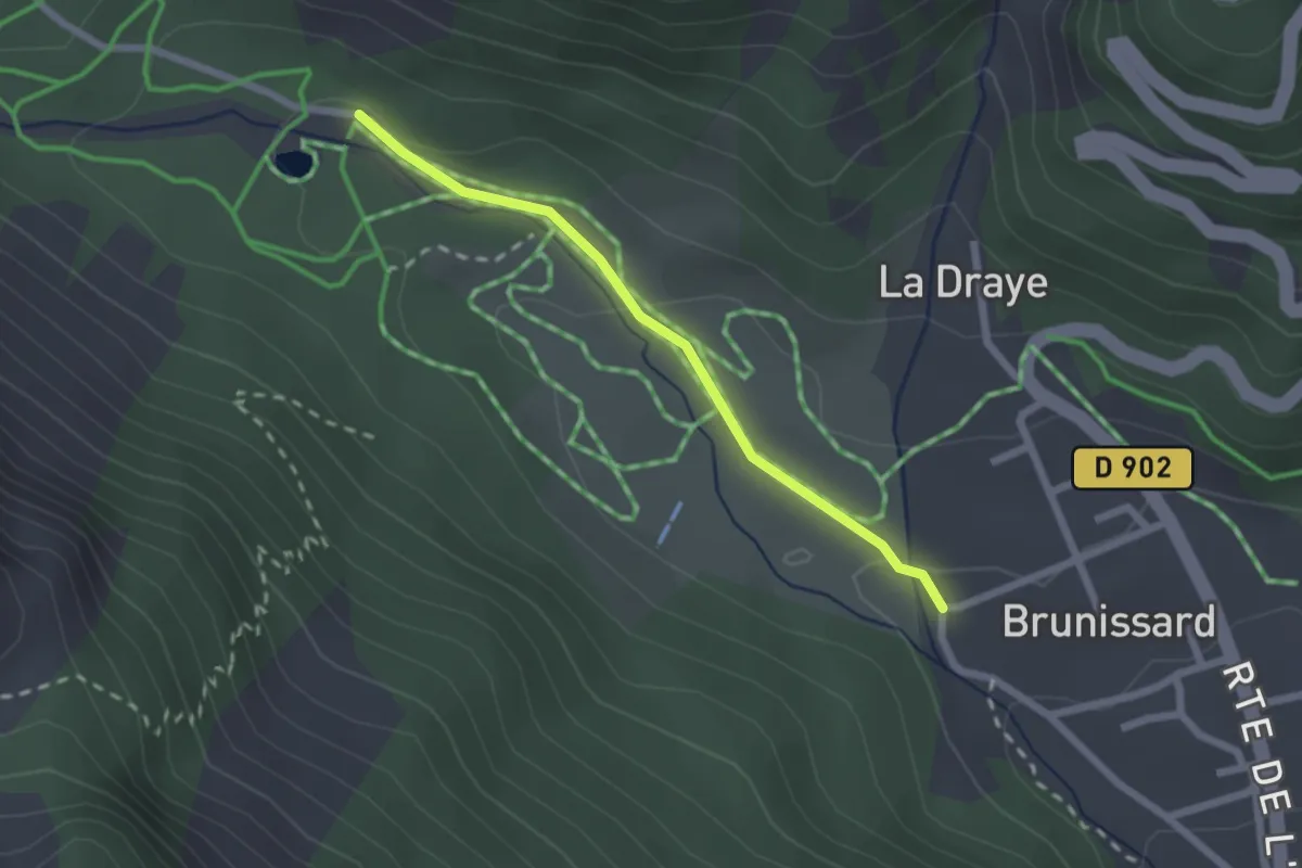
Easy · Trail
Le Planet - Brunissard Les Eyssirousses
2.0 km · ↑ 36 m · 34 min · 12 km away
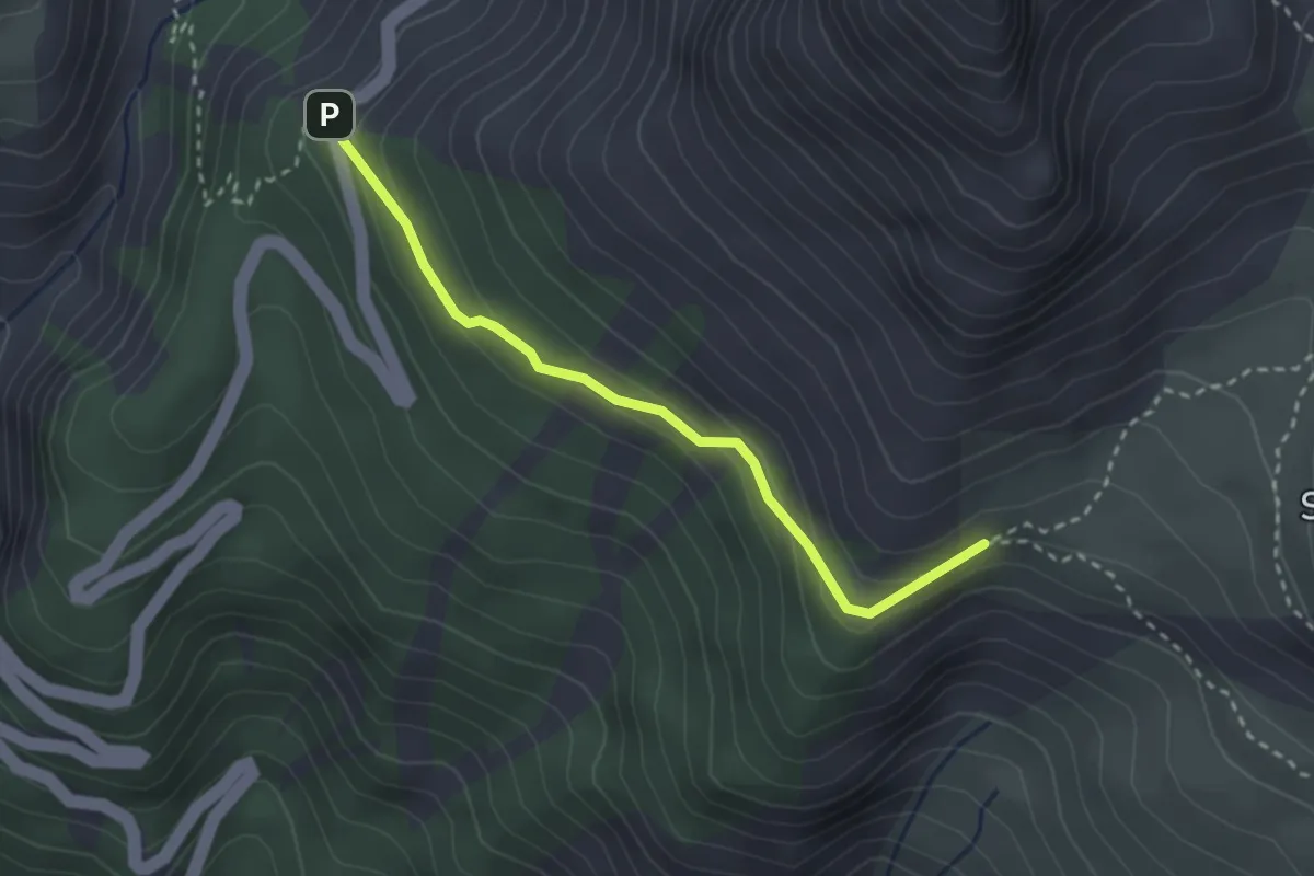
Medium · Trail
Col de la Platrière - Le Vallon
2.8 km · ↑ 136 m · 57 min · 12 km away
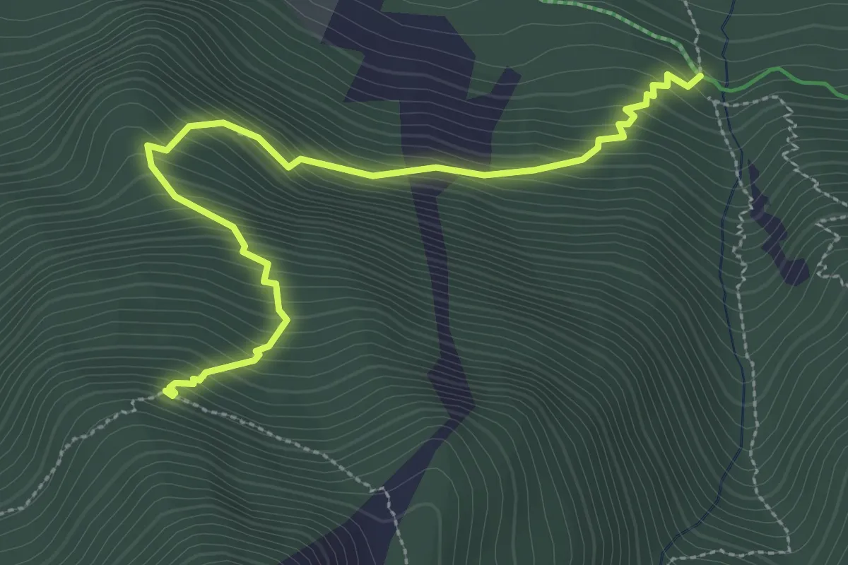
Medium · Trail
Point Côte - Ravin du Longet
3.5 km · ↑ 432 m · 1 h 46 min · 13 km away
Medium · Trail
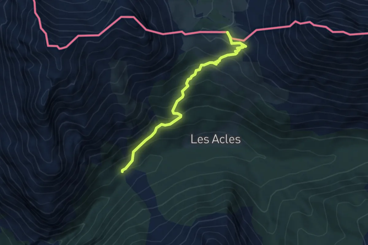
Col des Acles - Oratoire St-Roch
5.1 km · ↑ 426 m · 2 h 8 min · 13 km away
Medium · Cabin
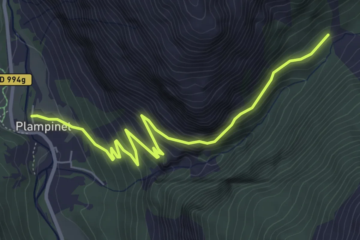
La Cleida - Oratoire St-Roch
6.6 km · ↑ 450 m · 2 h 32 min · 13 km away
Medium · Trail
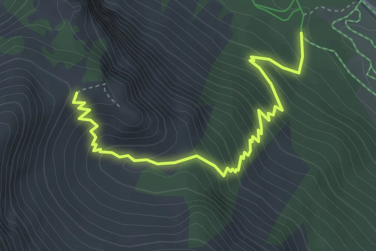
Bois du Planet - Col du Cros
4.4 km · ↑ 453 m · 2 h 1 min · 13 km away
Demanding · Trail
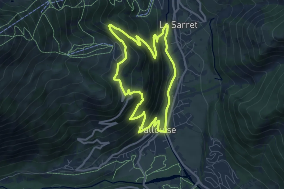
Boucle vers Puy Aillaud
6.5 km · ↑ 435 m · 2 h 35 min · 13 km away
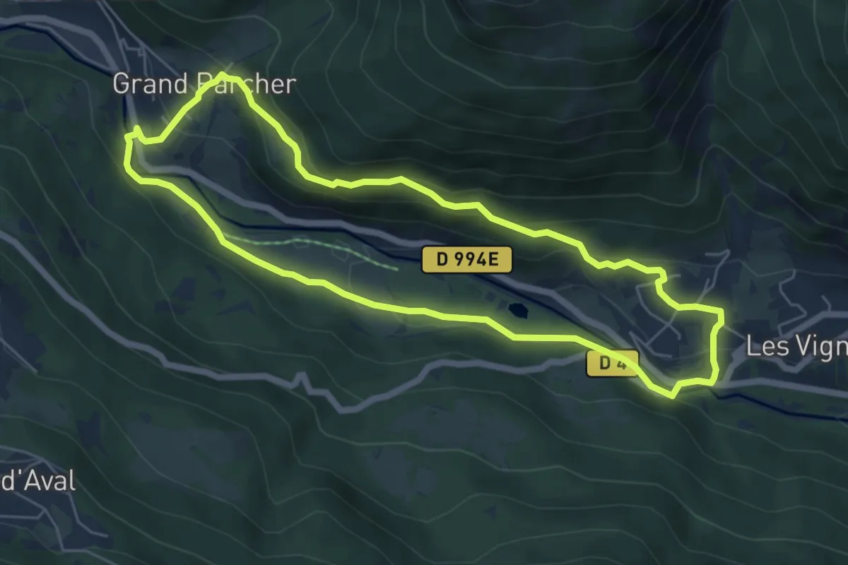
Medium · Trail
Entre Parapin et Gyronde
5.8 km · ↑ 226 m · 1 h 56 min · 13 km away
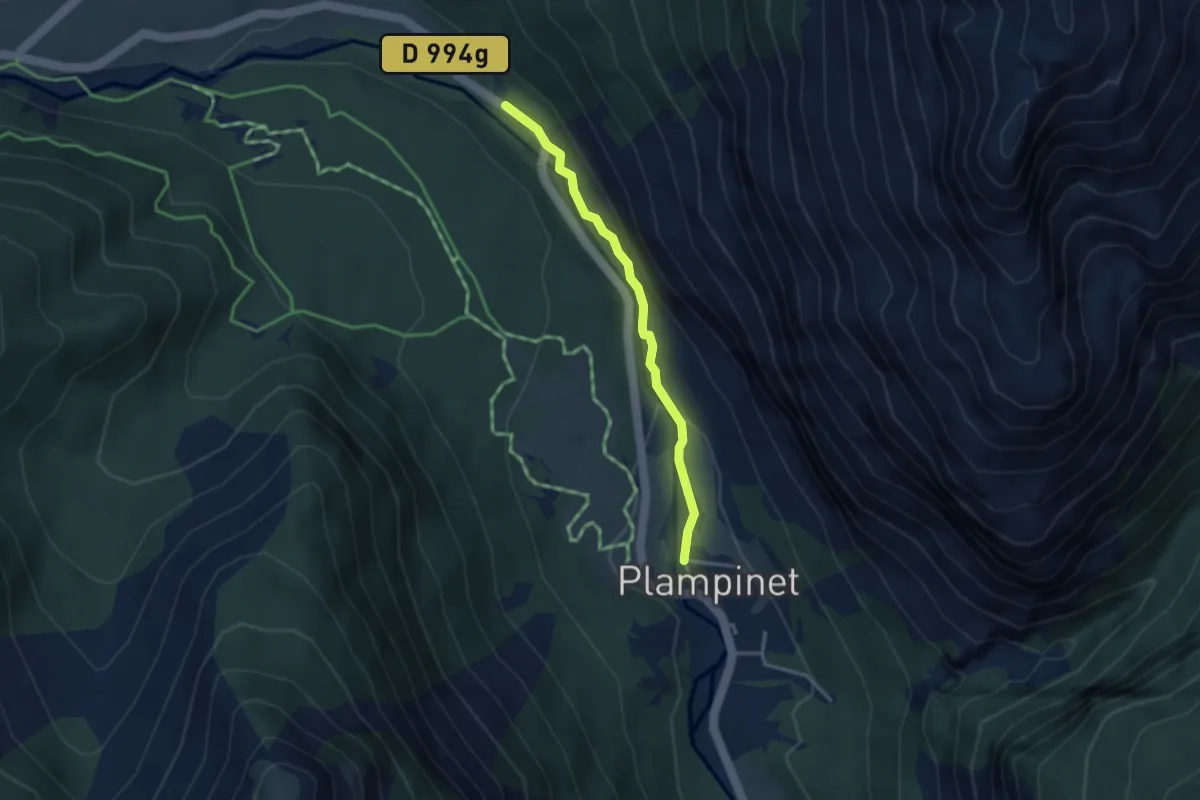
Easy · Cabin
La Cleida - ?
3.1 km · ↑ 93 m · 56 min · 13 km away
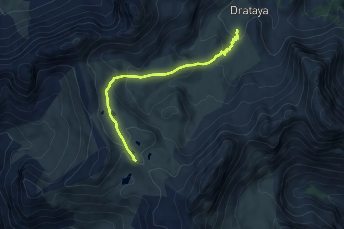
Medium · Trail
Clapeyto - Lacs Marion
6.0 km · ↑ 266 m · 1 h 59 min · 13 km away
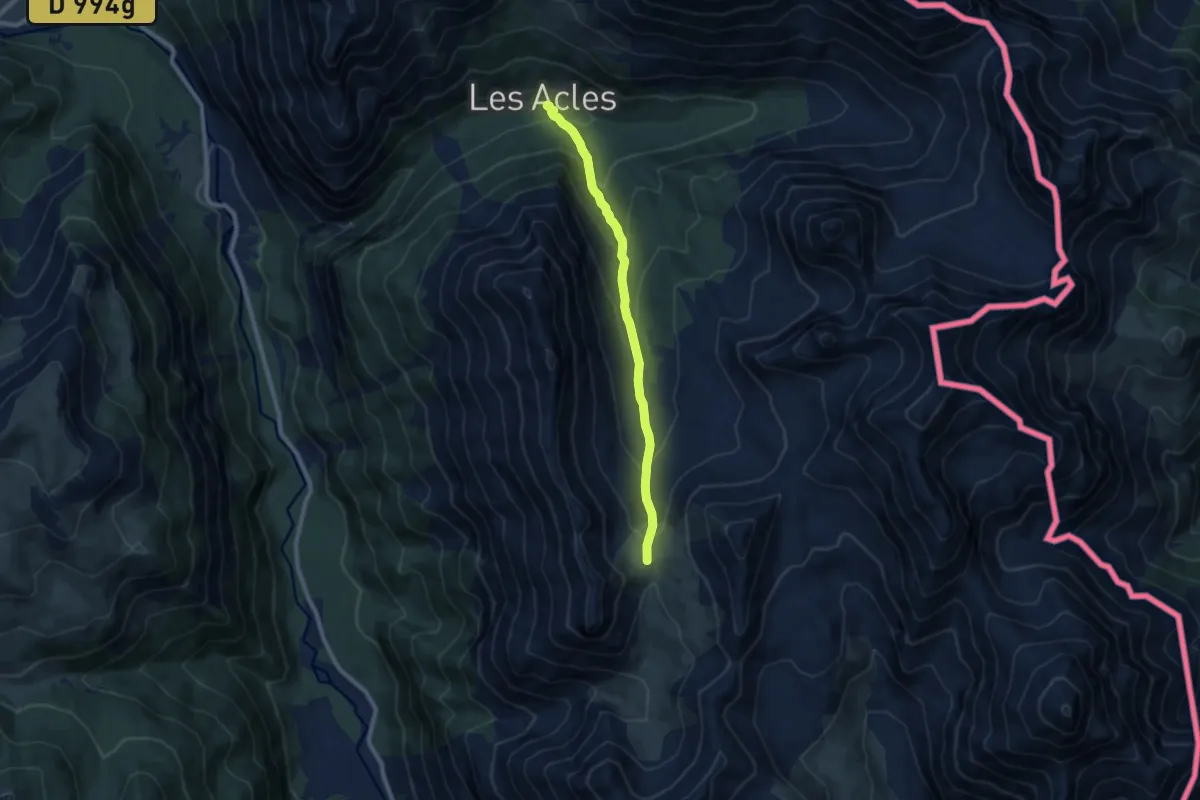
Medium · Trail
Col de Dormillouse - Chalet des Acles
8.3 km · ↑ 571 m · 3 h 11 min · 13 km away
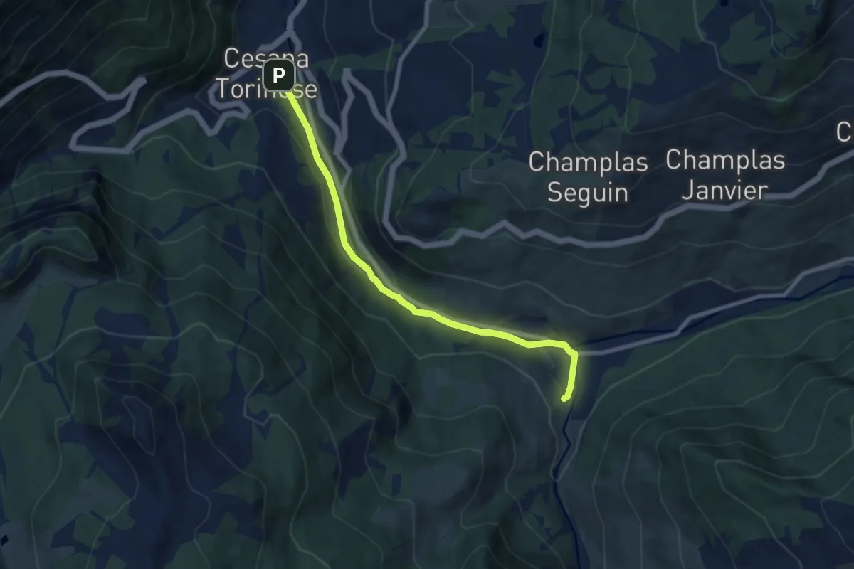
Easy · Trail
Cesana Torinese, bivio TOS606-TOS630 – Bousson di Cesana, bivio TOS606-TOS628 strada del Lago Nero
7.6 km · ↑ 153 m · 2 h 8 min · 13 km away
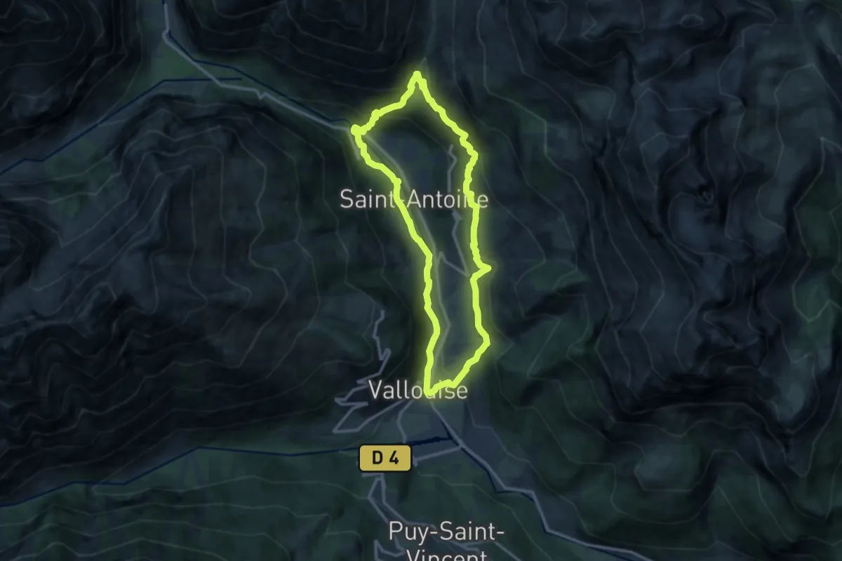
Medium · Trail
Boucle de Pelvoux
11.0 km · ↑ 590 m · 4 h 2 min · 13 km away
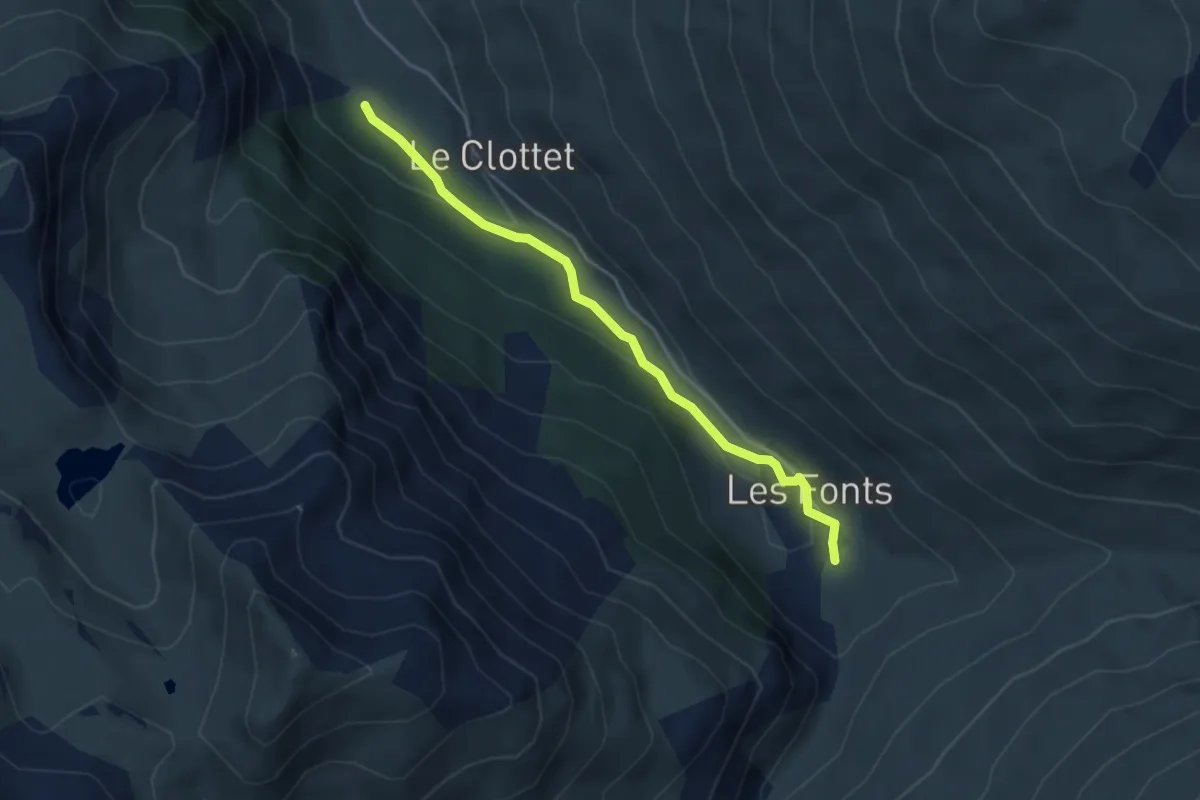
Easy · Trail
Torrent de Pierre-Rouge - Le Bourgea
4.1 km · ↑ 98 m · 1 h 11 min · 13 km away
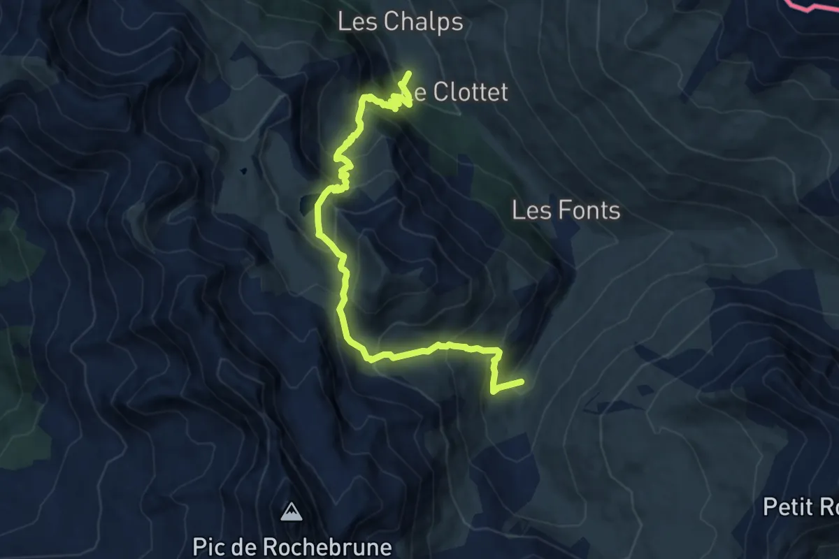
Expert · Trail
Ravin des Chalmettes - Le Bourgea
11.4 km · ↑ 1075 m · 5 h 2 min · 13 km away
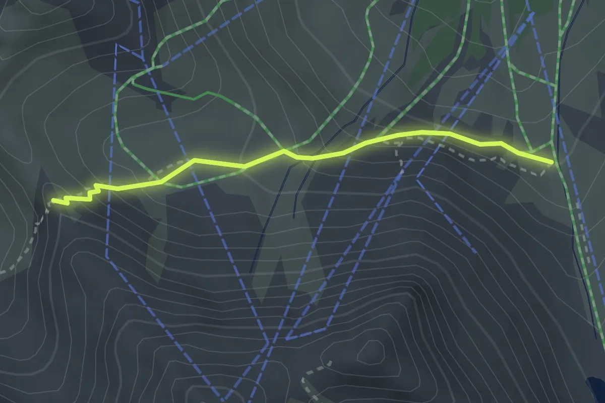
Medium · Trail
Pas de l'Âne - ?
2.5 km · ↑ 183 m · 59 min · 13 km away
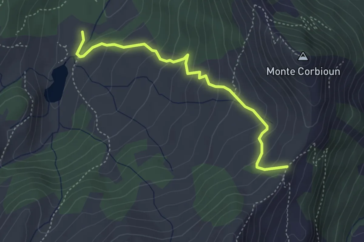
Easy · Cabin
Bivio 628A-629, Cappella Madonna del Lago Nero – Bivio 625A-628A, Colle Begino
4.1 km · ↑ 271 m · 1 h 33 min · 13 km away
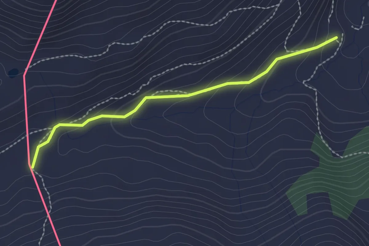
Medium · Trail
Bivio 620-625, Borgata Rhuilles – Bivio 625-628A, Colle Begino
2.3 km · ↑ 90 m · 45 min · 13 km away
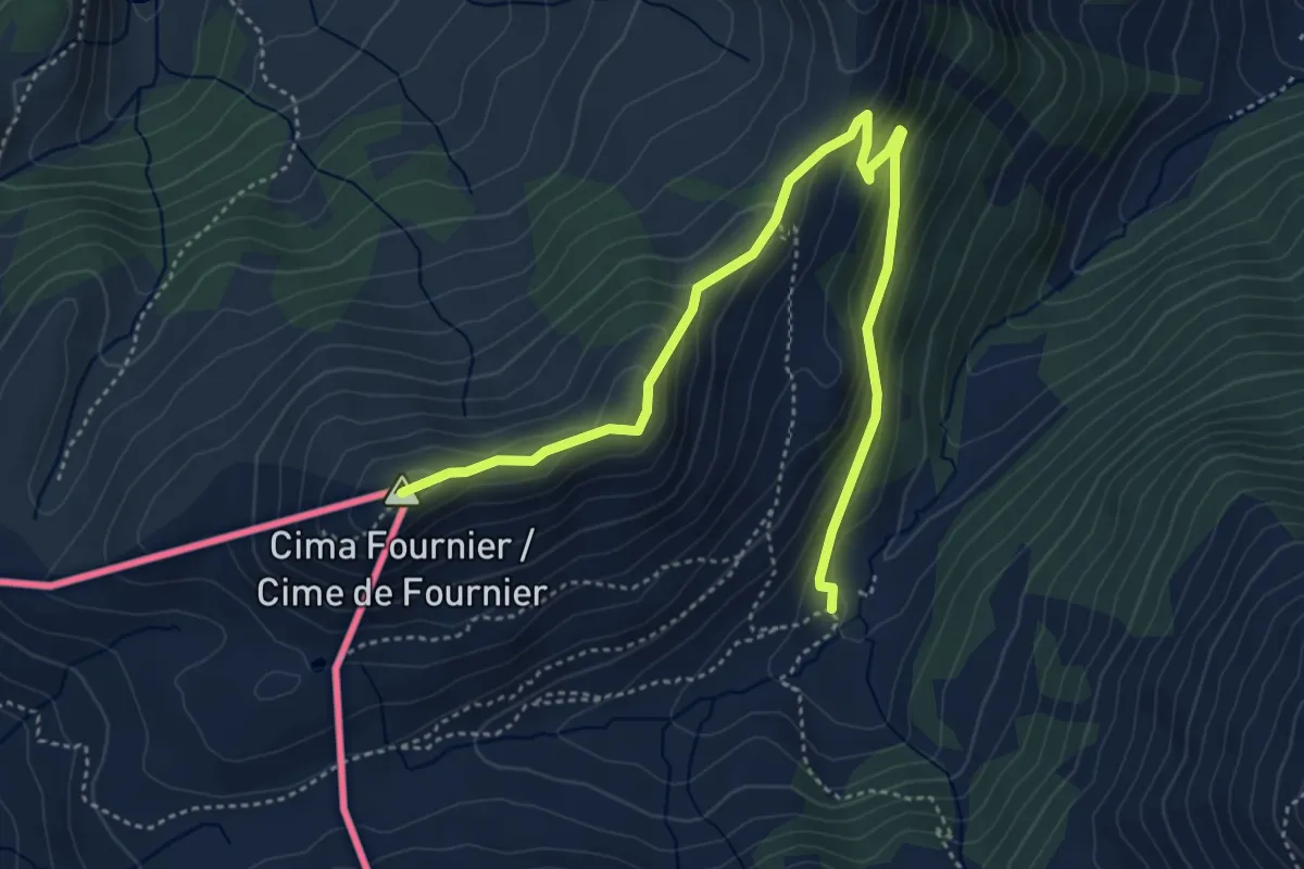
Medium · Summit
Bivio 625-625A, Rio Chabaud – Cima Fournier
5.4 km · ↑ 264 m · 1 h 50 min · 13 km away
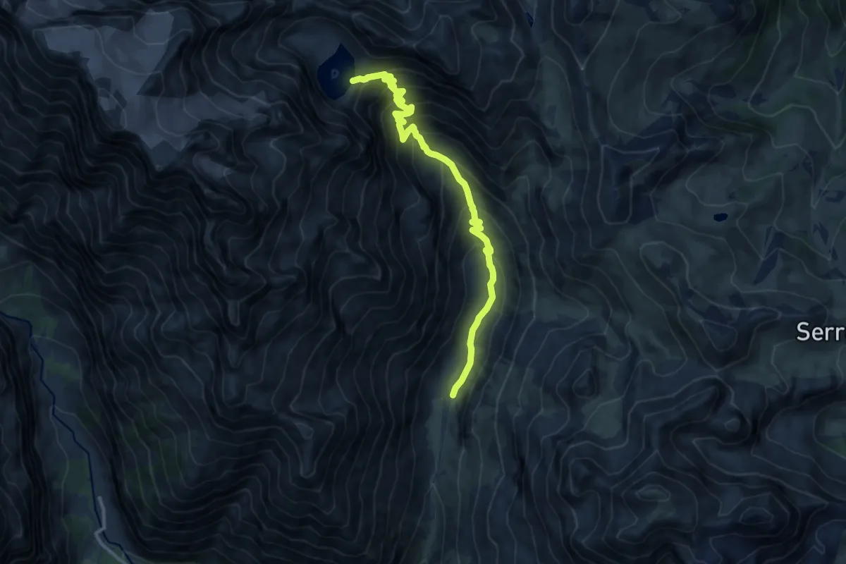
Demanding · Trail
Le lac de l'Eychauda
11.5 km · ↑ 825 m · 4 h 30 min · 13 km away
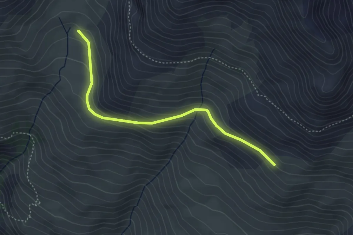
Easy · Trail
Source de la Moulette - La Côta Bella
4.2 km · ↑ 174 m · 1 h 22 min · 13 km away
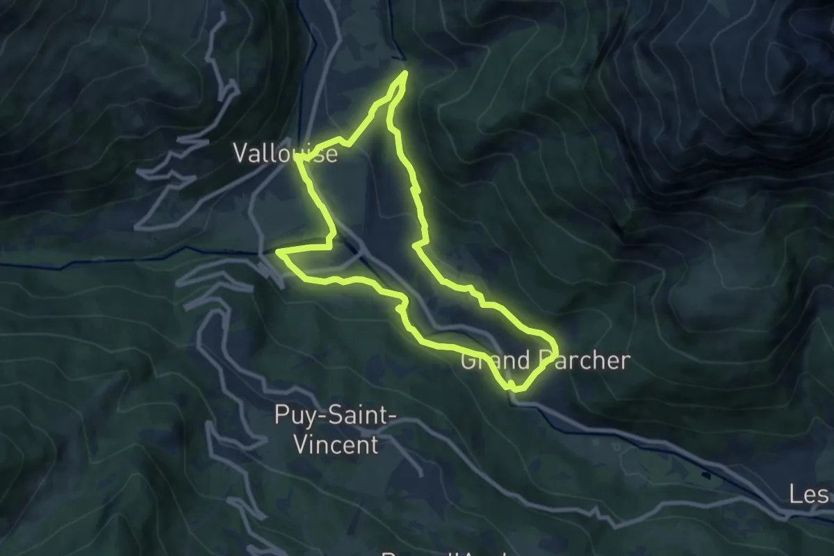
Medium · Trail
Boucle de Vallouise
8.0 km · ↑ 280 m · 2 h 36 min · 14 km away
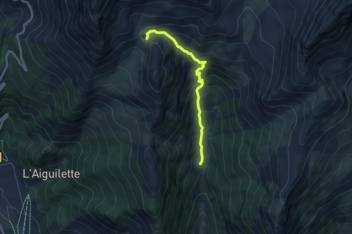
Medium · Trail
Lac de Souliers - Ravin des Tegneytes
5.1 km · ↑ 427 m · 2 h 7 min · 14 km away
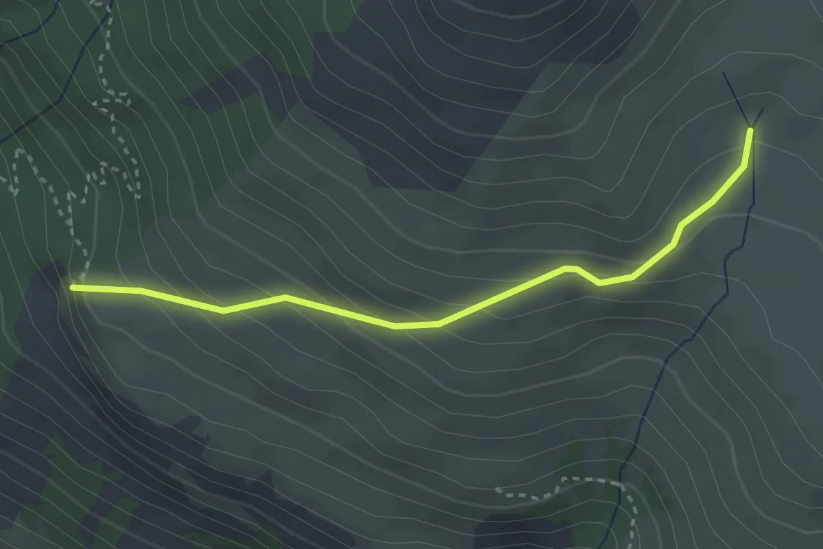
Easy · Trail
Le Rocher des Chiens - Près du Vallon
3.1 km · ↑ 267 m · 1 h 19 min · 14 km away
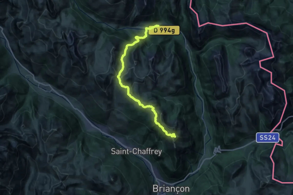
Demanding · Summit
GR 5c
32.6 km · ↑ 1811 m · 11 h 37 min · 14 km away
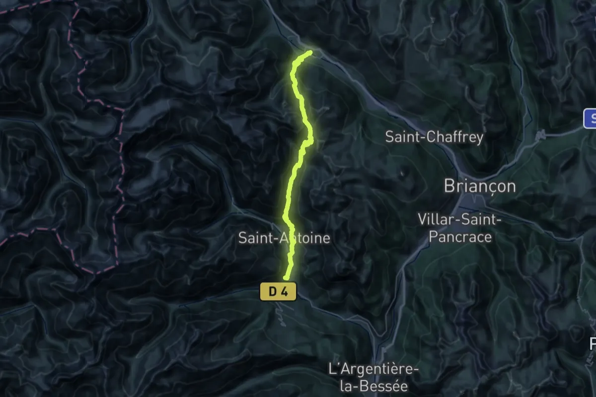
Demanding · Trail
Via Alpina Red R128
19.6 km · ↑ 1351 m · 7 h 40 min · 14 km away
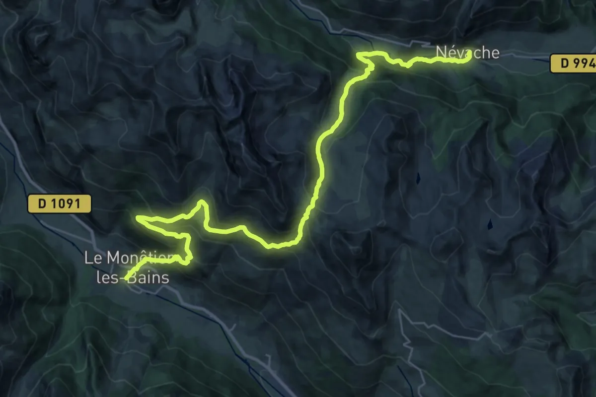
Demanding · Trail
Via Alpina Red R127
16.4 km · ↑ 1118 m · 6 h 27 min · 14 km away
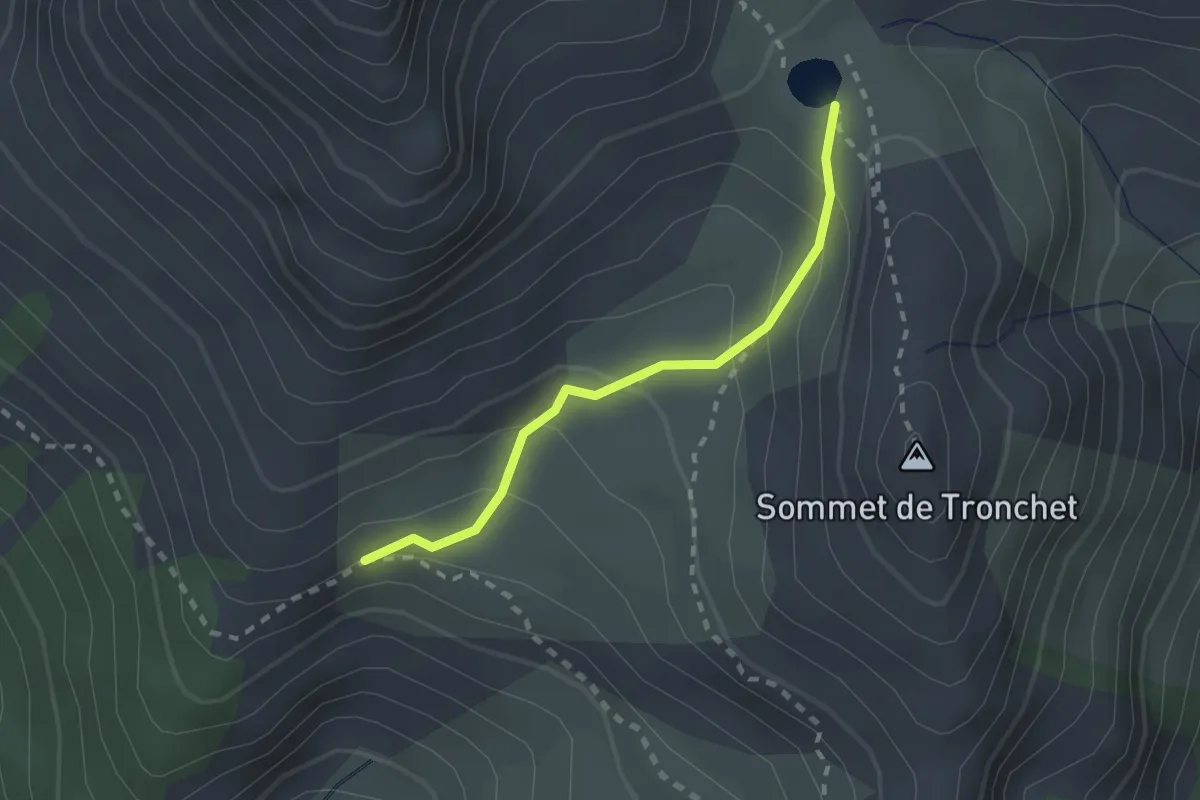
Medium · Trail
Le Vallon - Lac de Souliers
2.0 km · ↑ 157 m · 49 min · 14 km away
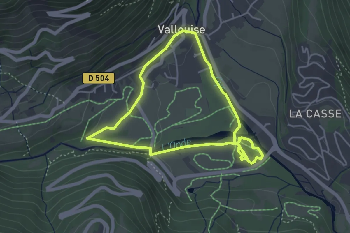
Easy · Trail
Vallouise - Balade cosmique et naturelle
3.4 km · ↑ 51 m · 58 min · 14 km away
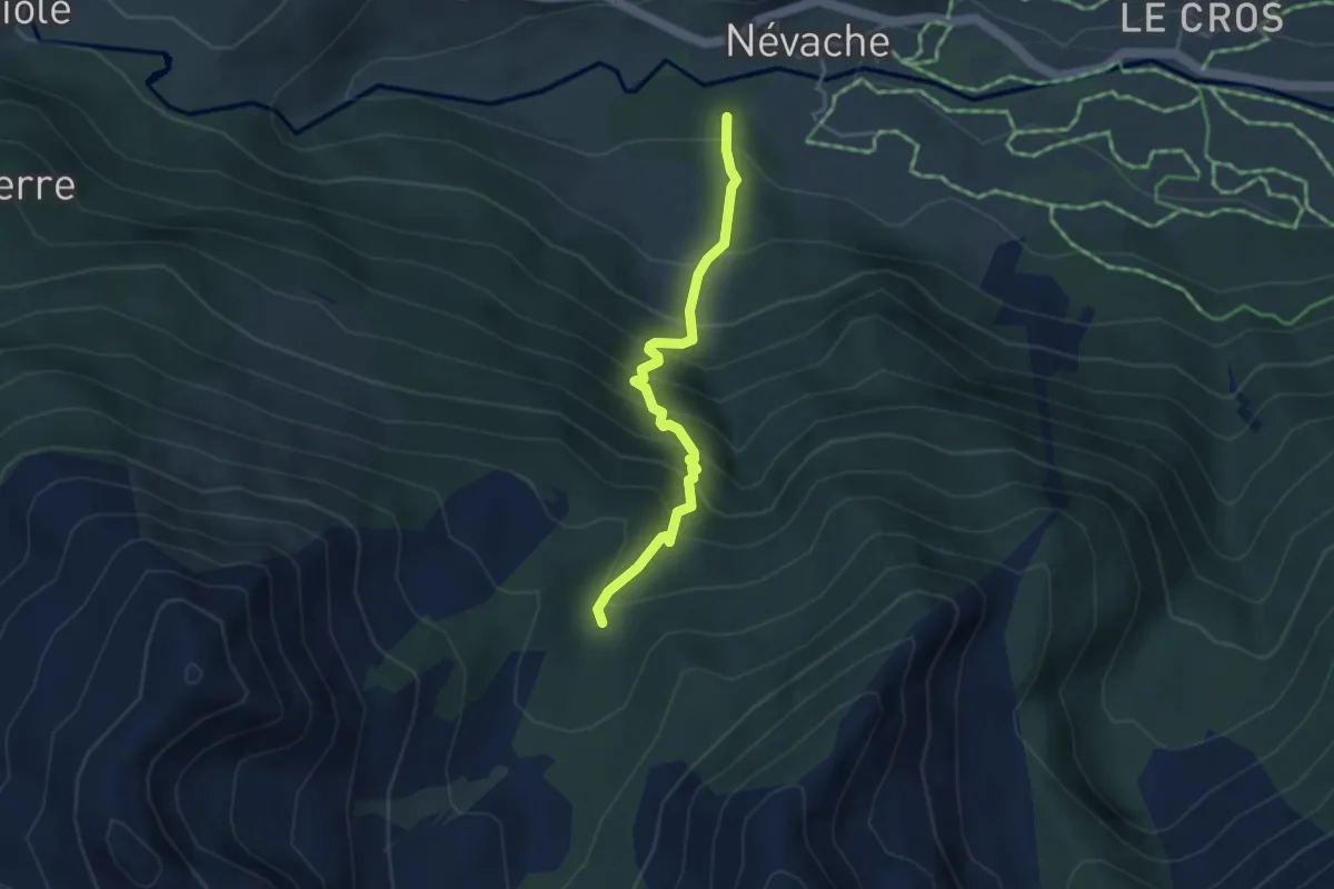
Medium · Trail
Passerelle de Cristol - Chirouzes
3.7 km · ↑ 485 m · 1 h 55 min · 14 km away
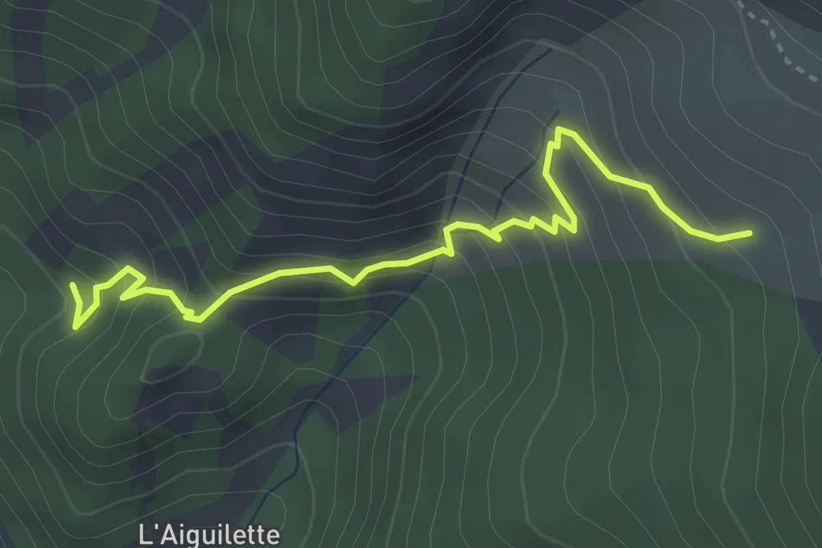
Medium · Trail
Le Partus Site Escalade - Le Pouït
3.7 km · ↑ 357 m · 1 h 39 min · 14 km away
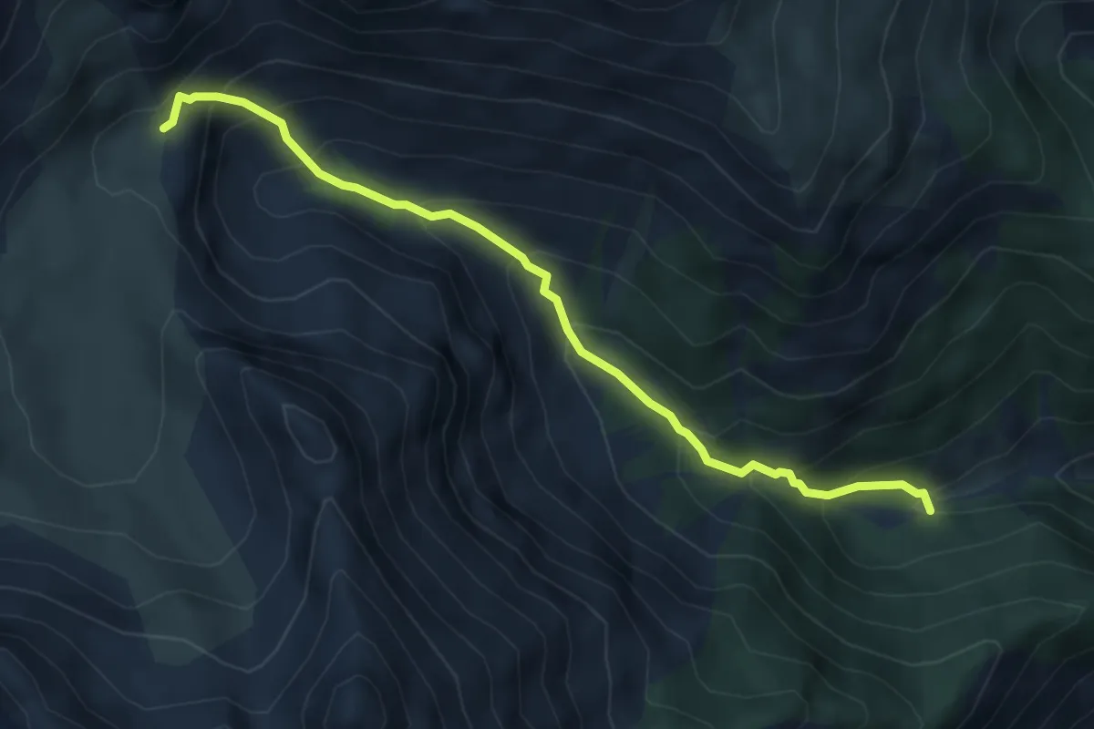
Medium · Trail
Lac du Lauzon - Vallon de Combe Bonne
5.0 km · ↑ 482 m · 2 h 14 min · 14 km away
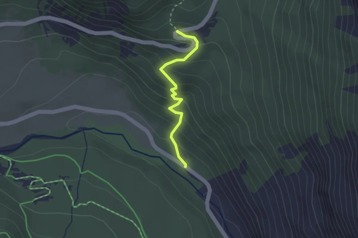
Easy · Trail
? - ?
2.1 km · ↑ 199 m · 55 min · 14 km away
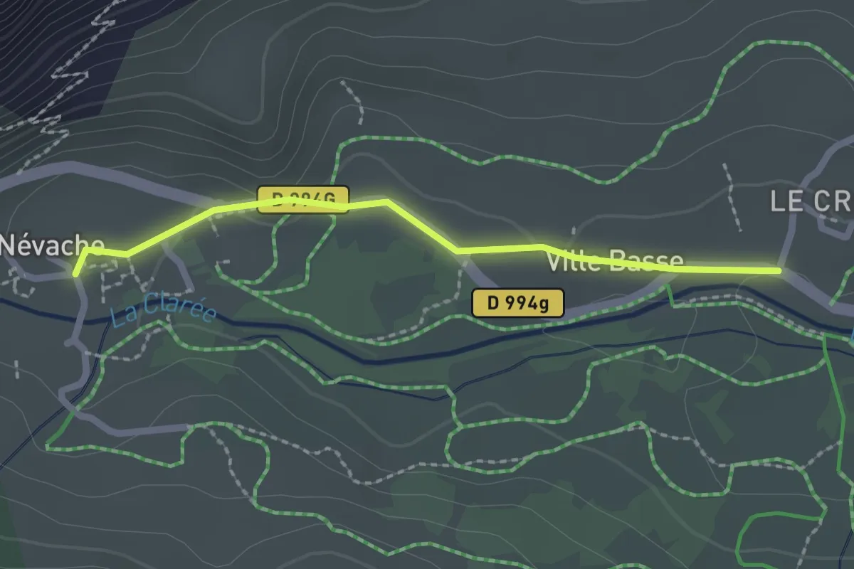
Easy · Trail
Névache - ?
2.0 km · ↑ 9 m · 30 min · 14 km away
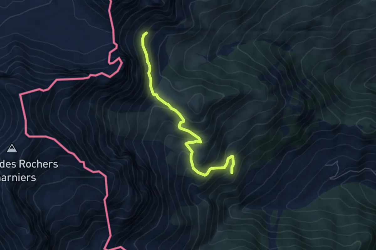
Medium · Trail
Cesana Torinese, bivio TOS602-TOS602A – Cesana Torinese, presso Col Desertes, bivio TOS601B-TOS602A
5.8 km · ↑ 431 m · 2 h 19 min · 14 km away
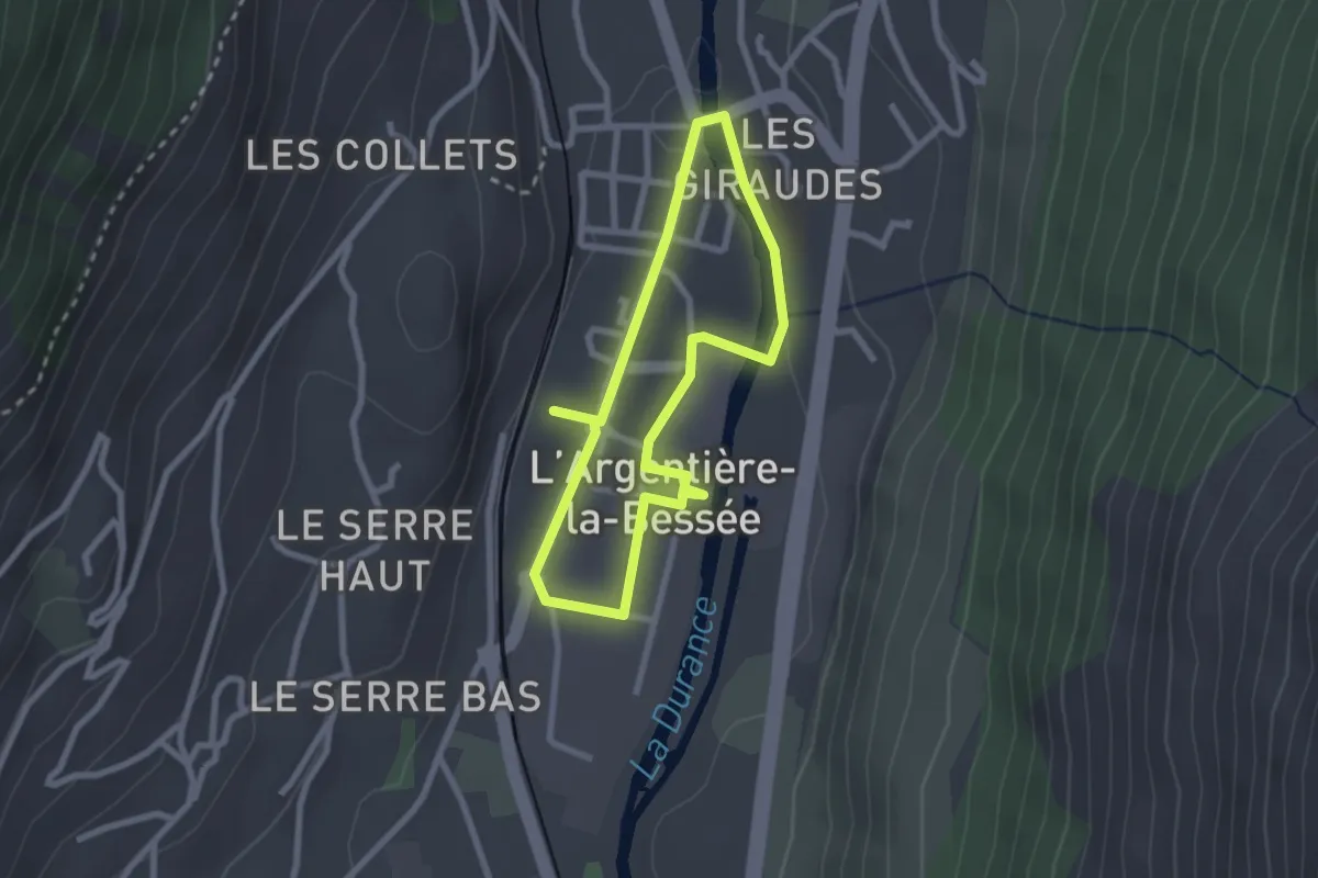
Easy · Trail
Balade du circuit industriel
2.2 km · ↑ 0 m · 33 min · 14 km away
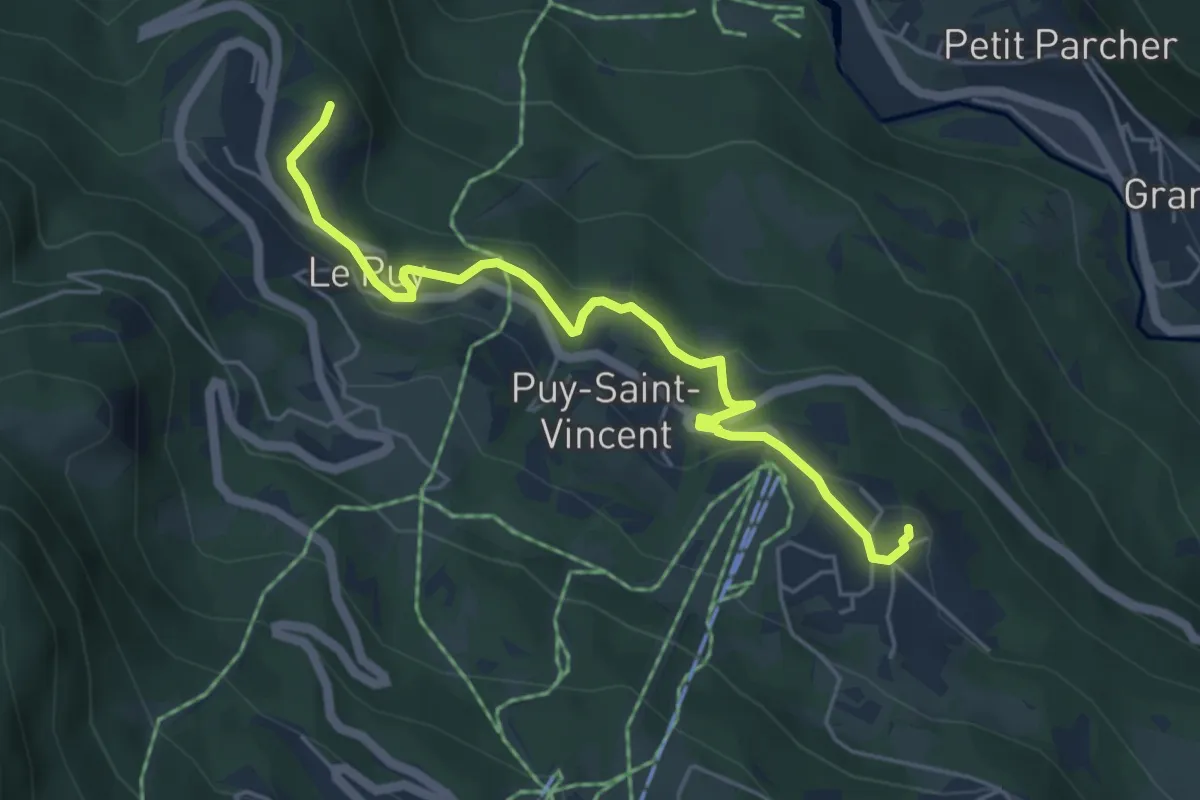
Easy · Trail
Sentier du Patrimoine
5.3 km · ↑ 129 m · 1 h 32 min · 14 km away
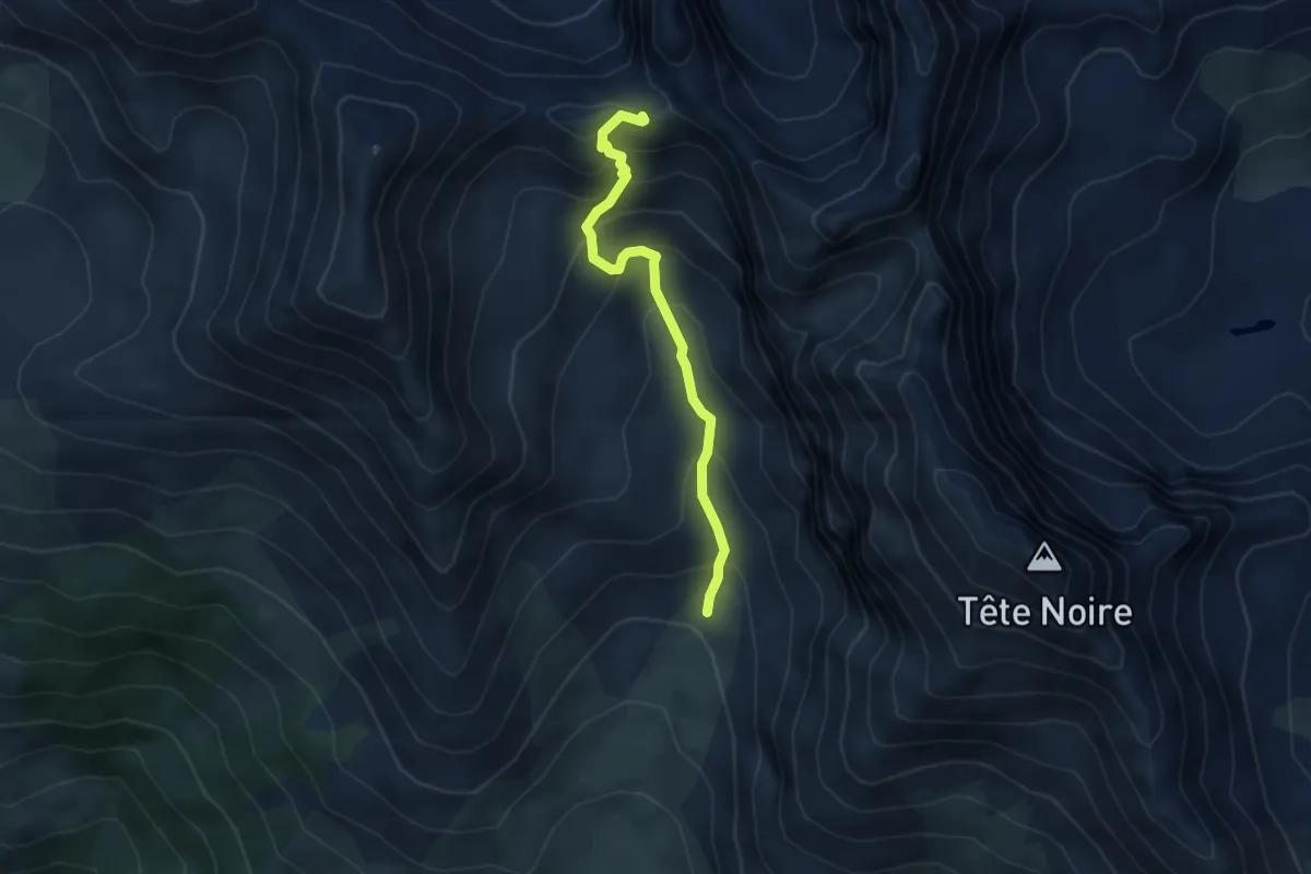
Medium · Trail
Col de Roche Noire - Vallon de la Moulette
4.2 km · ↑ 391 m · 1 h 50 min · 14 km away
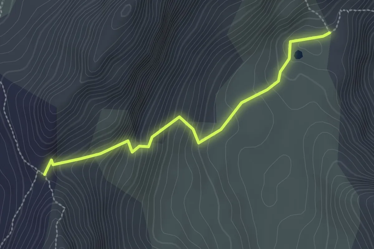
Medium · Trail
Lac du Lauzon - Col du Lauzon
2.8 km · ↑ 262 m · 1 h 13 min · 14 km away
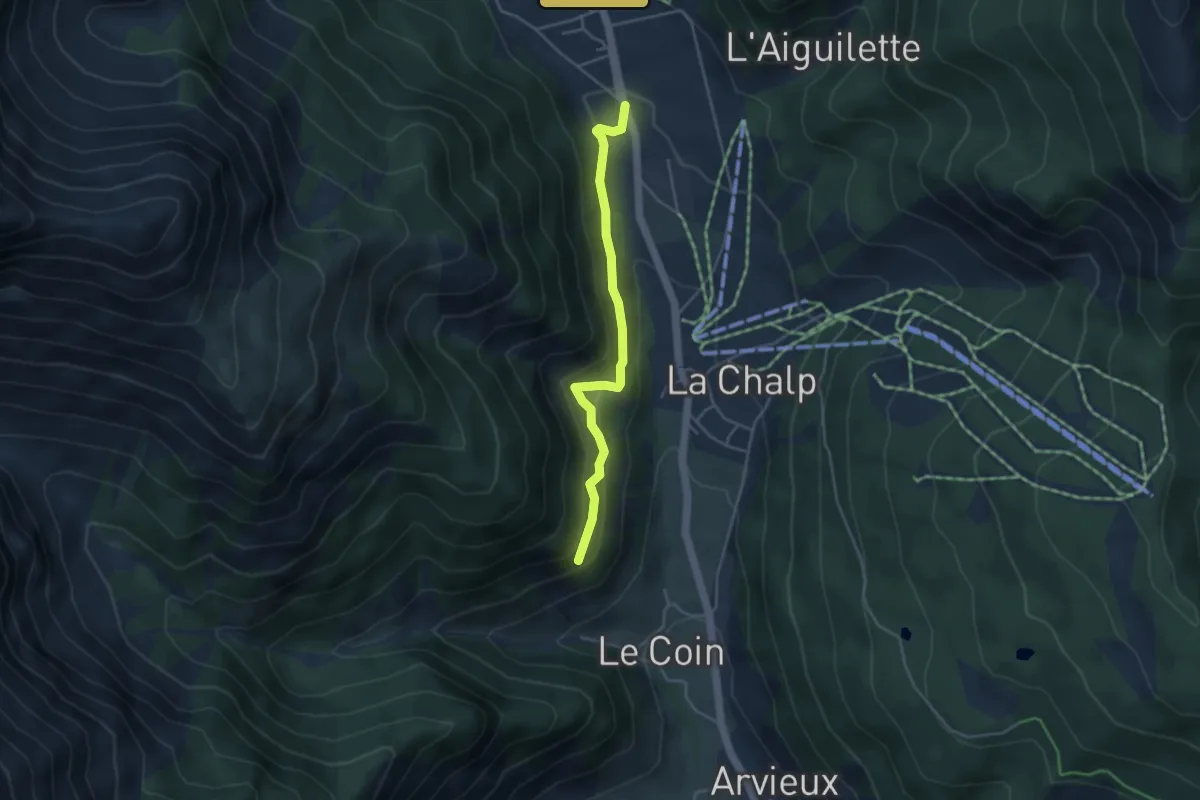
Easy · Trail
Belvédère du Coin - Brunissard L'Ardouine
3.9 km · ↑ 203 m · 1 h 22 min · 14 km away
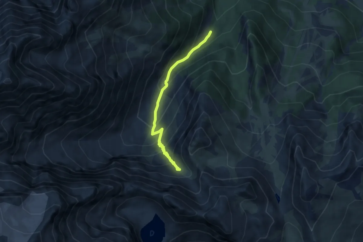
Medium · Trail
? - ?
6.6 km · ↑ 614 m · 2 h 53 min · 14 km away
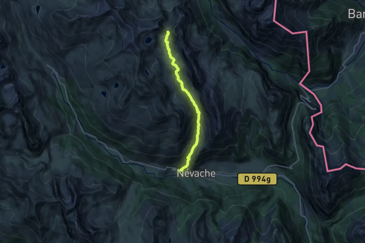
Demanding · Trail
Col du Vallon - Saint Benoît
14.0 km · ↑ 967 m · 5 h 23 min · 14 km away
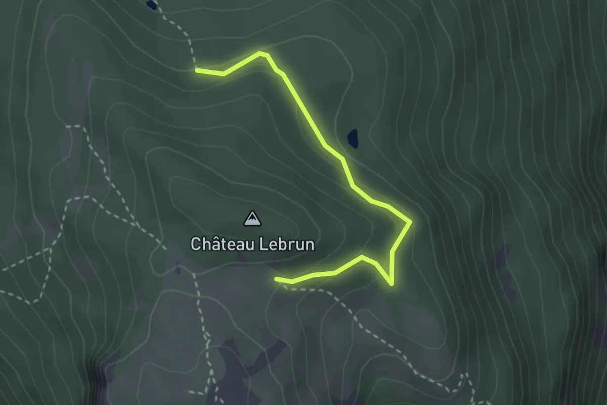
Easy · Trail
? - ?
2.8 km · ↑ 145 m · 59 min · 14 km away