Trails near Briançon
172 hikes starting within 15 km, nearest first.
Nearest first, page 4 of 4
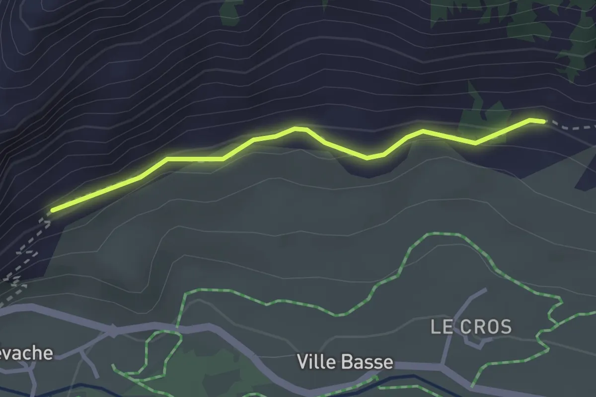
Medium · Trail
? - ?
2.5 km · ↑ 146 m · 54 min · 14 km away
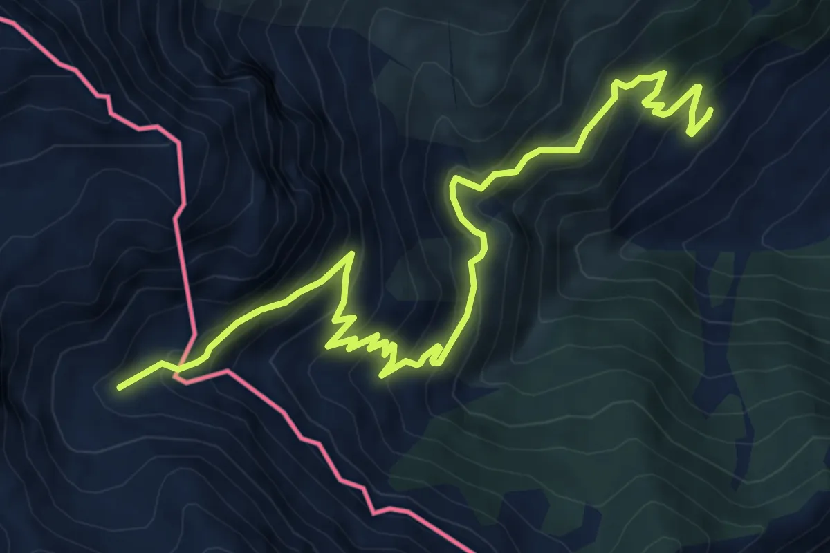
Demanding · Trail
Bivo 601-602, Fenils – Pian dei Morti
9.6 km · ↑ 825 m · 4 h 3 min · 14 km away
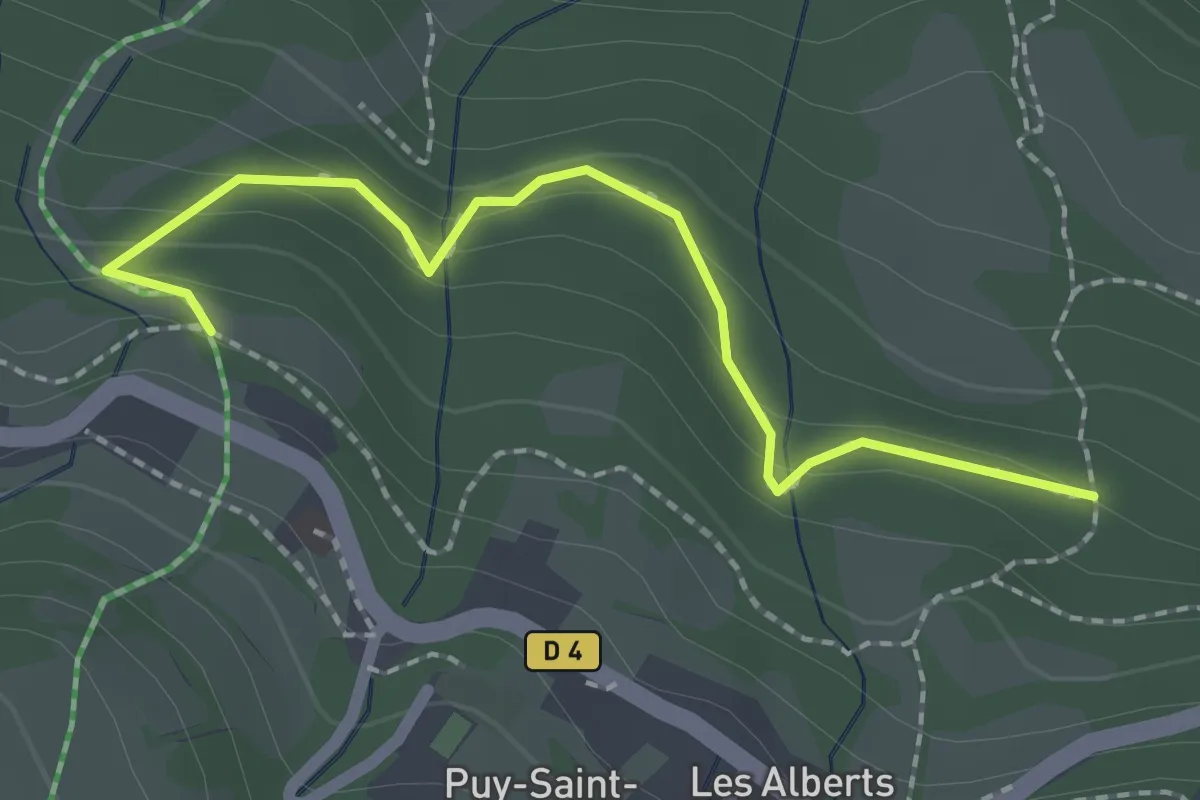
Easy · Trail
Sentier des Trolls
1.1 km · ↑ 39 m · 23 min · 14 km away
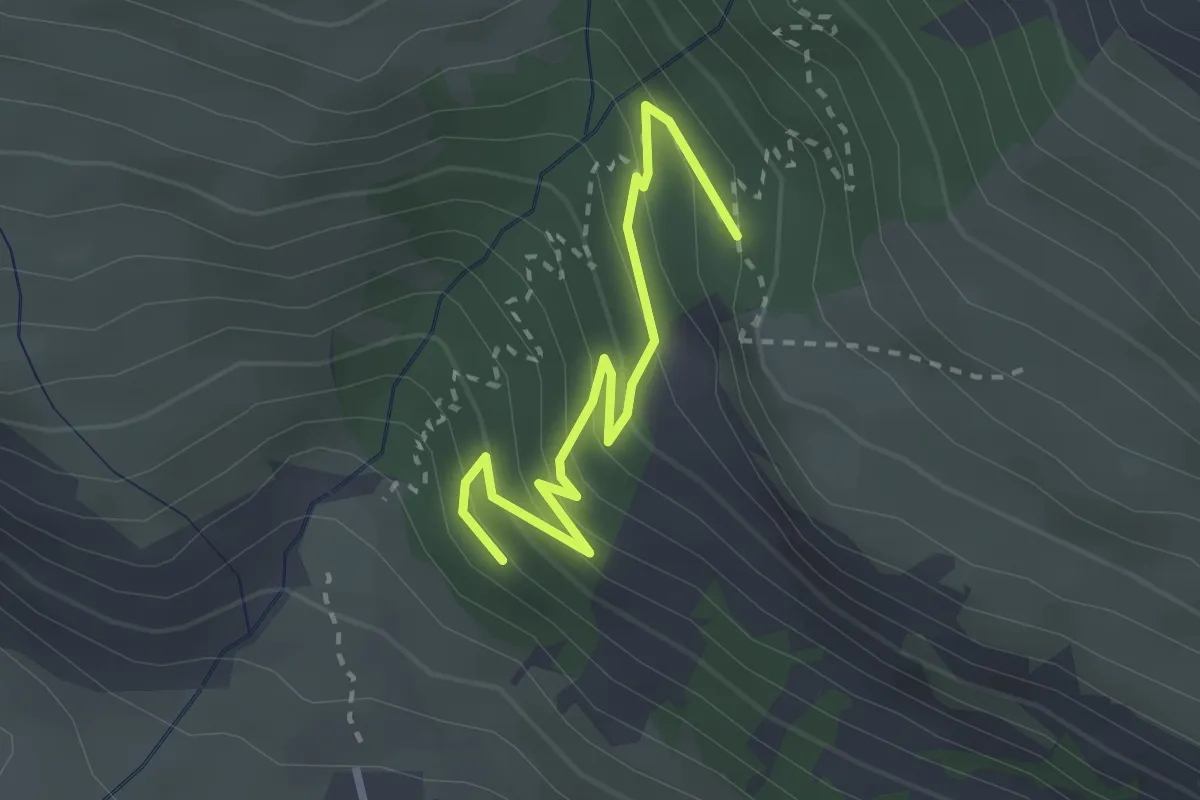
Easy · Trail
Côte Cibert - ?
2.8 km · ↑ 215 m · 1 h 8 min · 14 km away
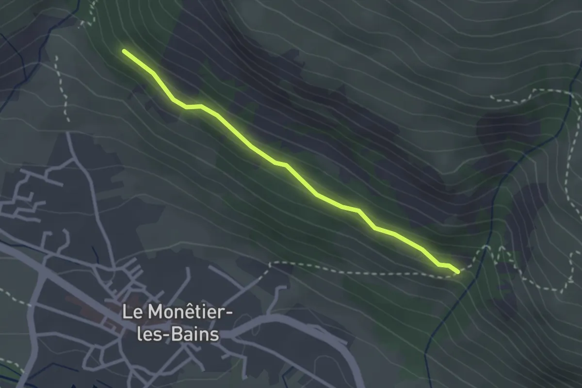
Easy · Trail
Champ Bacoup - Côte Cibert
2.5 km · ↑ 101 m · 49 min · 14 km away
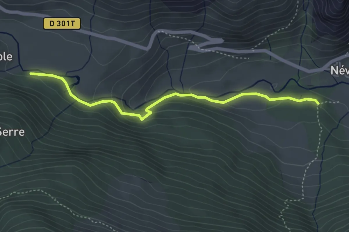
Medium · Trail
Chirouzes - Pont du Rately
4.2 km · ↑ 158 m · 1 h 20 min · 14 km away
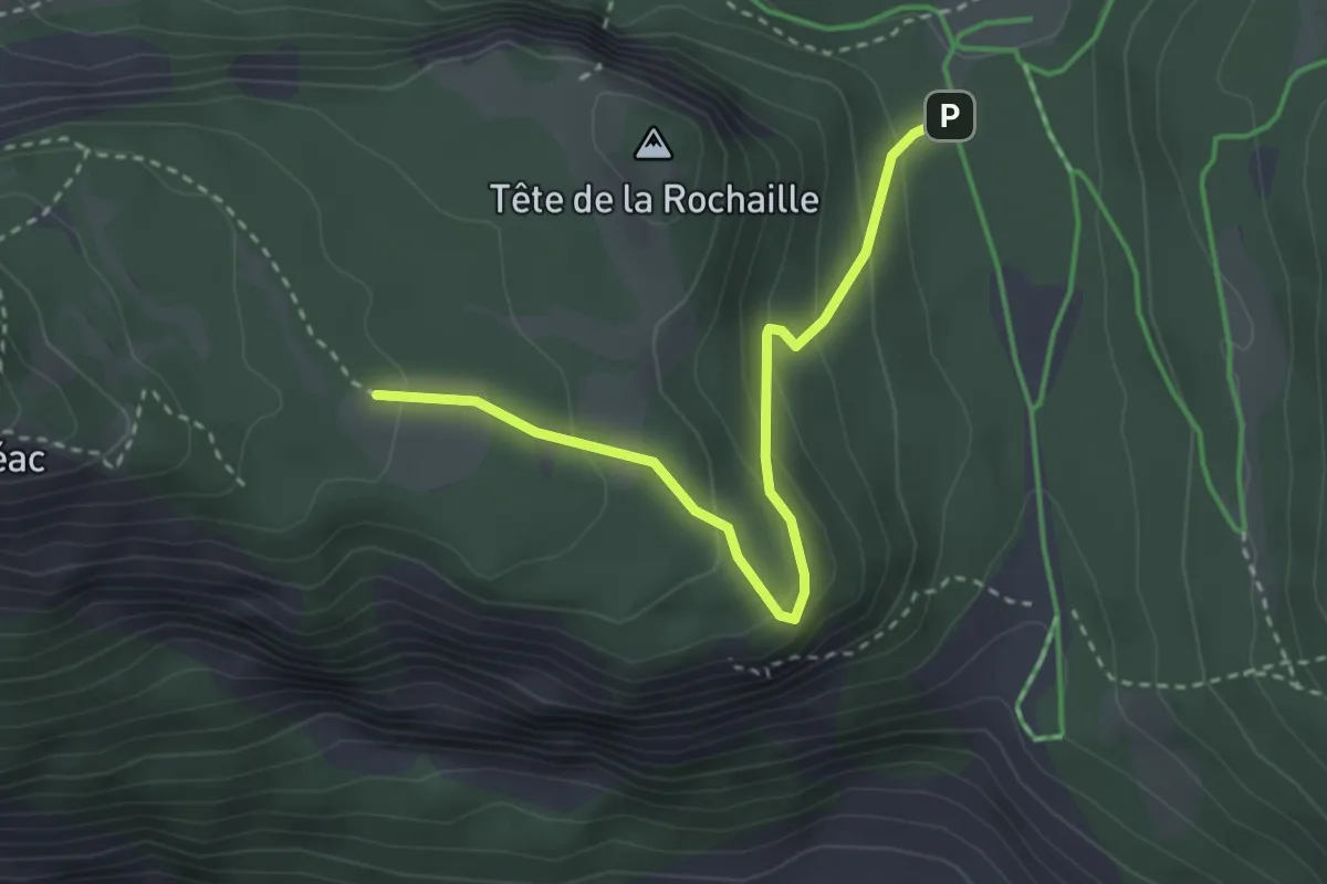
Easy · Trail
Col de la Pousterle - ?
3.2 km · ↑ 175 m · 1 h 8 min · 14 km away
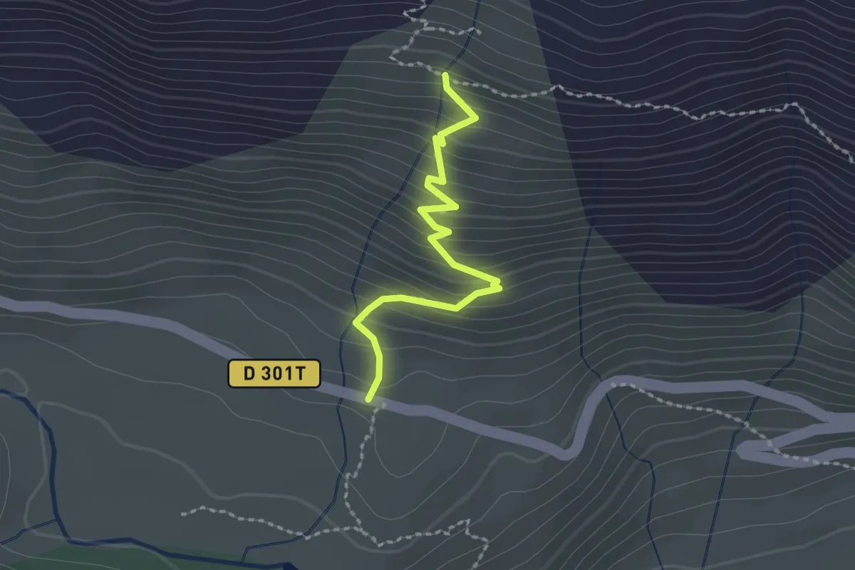
Easy · Trail
Chalets de Biaune - Chapelle Ste Barbe
2.0 km · ↑ 220 m · 57 min · 14 km away
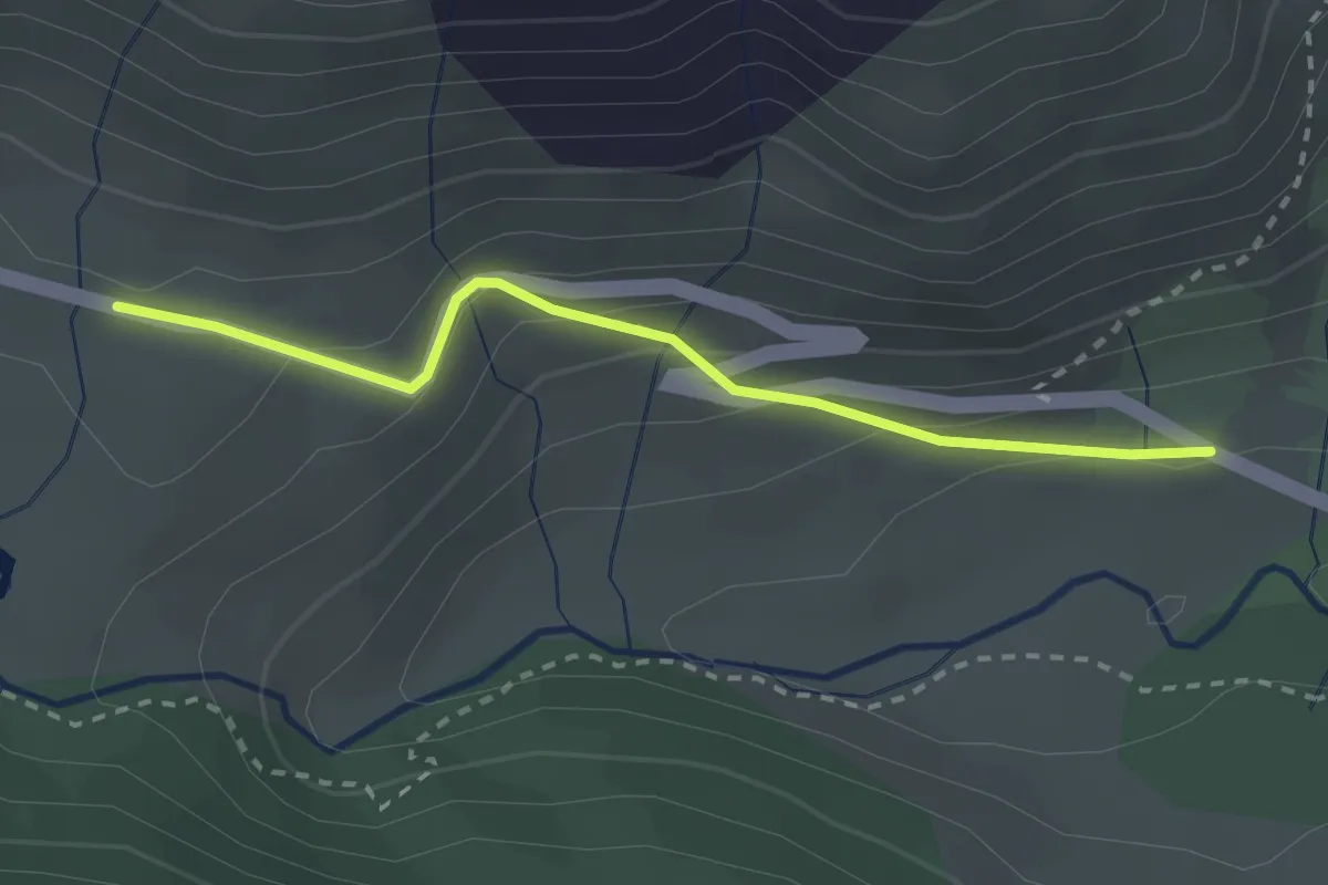
Easy · Trail
Chapelle Ste Barbe - ?
2.5 km · ↑ 144 m · 55 min · 14 km away
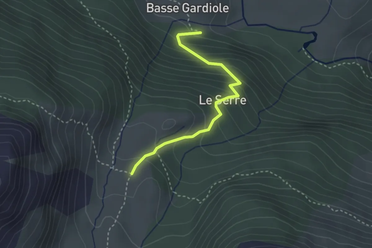
Easy · Cabin
Chalets de Buffère - La Gardiole
2.9 km · ↑ 270 m · 1 h 16 min · 14 km away
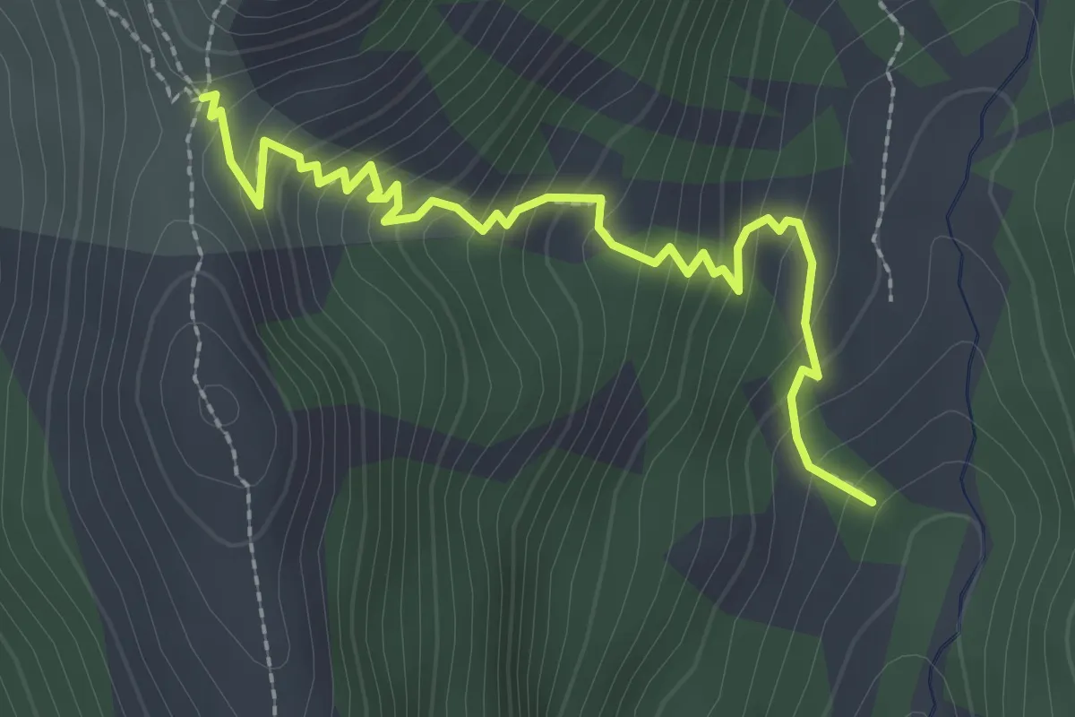
Medium · Trail
Col du Tronchet - Ravin des Tegneytes
2.8 km · ↑ 277 m · 1 h 16 min · 14 km away
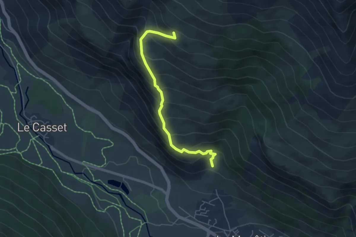
Medium · Trail
Cîme des Conchiers - ?
4.7 km · ↑ 520 m · 2 h 14 min · 14 km away
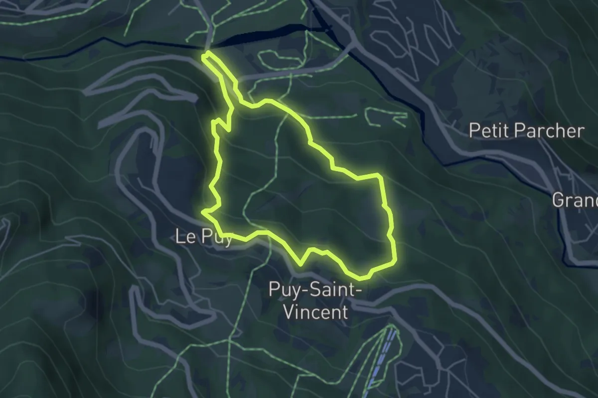
Medium · Trail
Sentier des Lutins
4.1 km · ↑ 228 m · 1 h 31 min · 14 km away
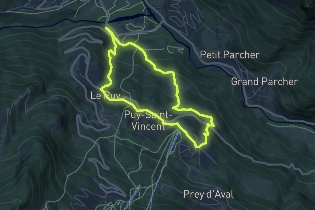
Medium · Trail
Puy-Saint-Vincent - Les Chapelles
5.8 km · ↑ 286 m · 2 h 4 min · 15 km away
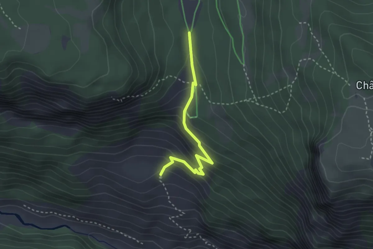
Easy · Trail
Les Clausas - ?
2.8 km · ↑ 200 m · 1 h 5 min · 15 km away
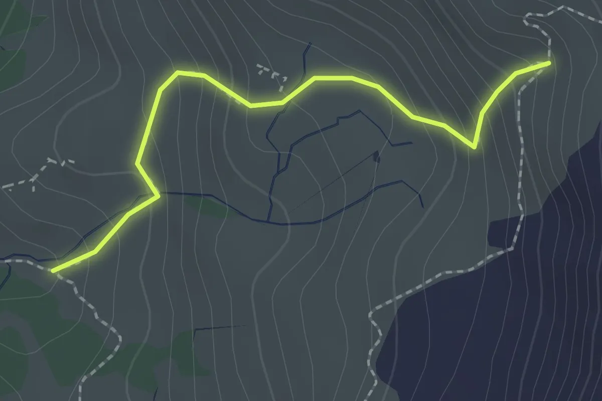
Medium · Trail
Bivio TOS710-TOS710A, quota: 2170 – Bivio TOS710-TOS710A , quota:2365
2.0 km · ↑ 199 m · 55 min · 15 km away
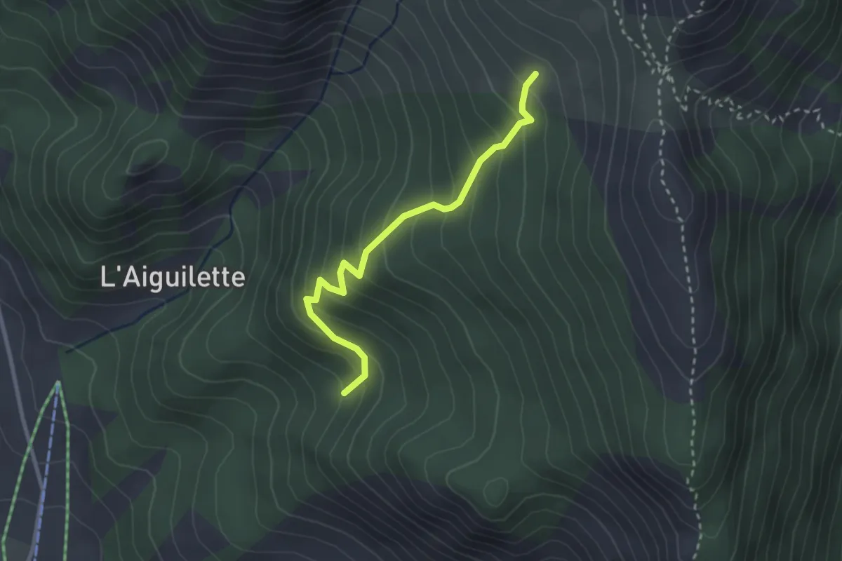
Easy · Trail
Combe du Loup - Le Pouït
2.7 km · ↑ 268 m · 1 h 13 min · 15 km away
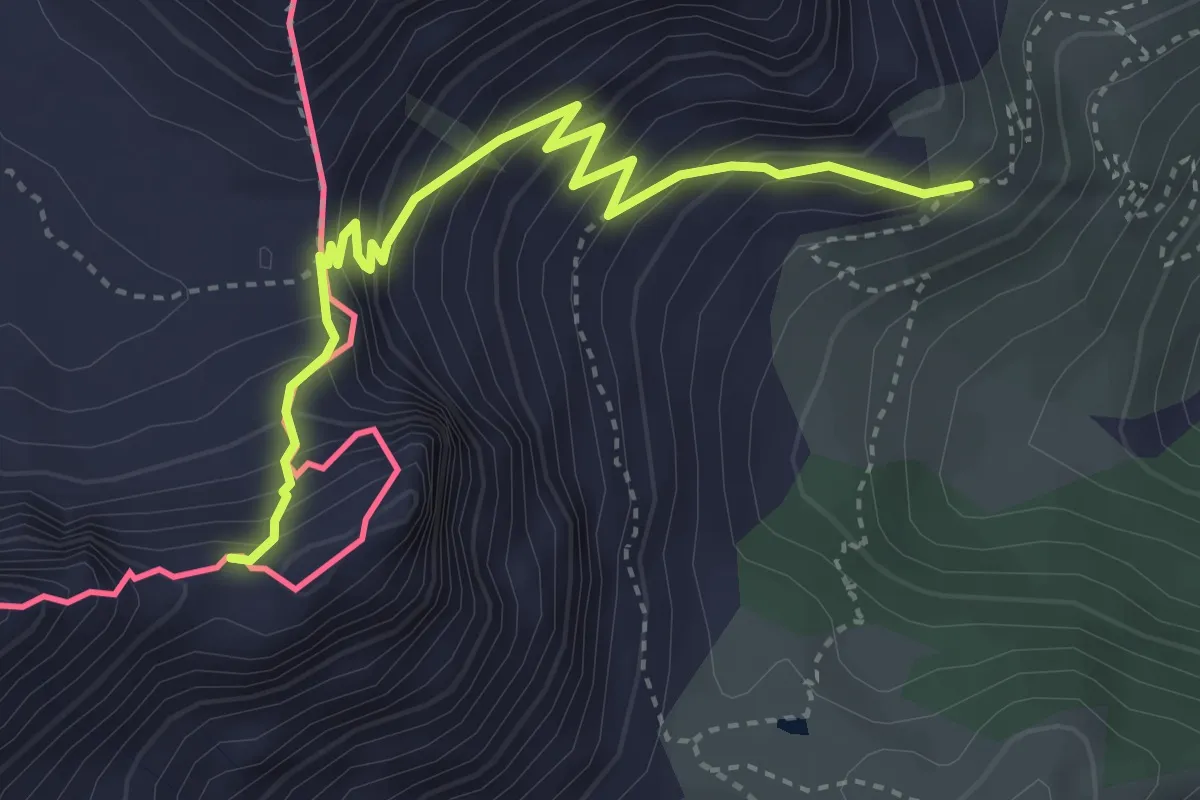
Demanding · Trail
Bivio 713-716, Colletto Pourachet – Rocca del Lago
4.0 km · ↑ 445 m · 1 h 55 min · 15 km away
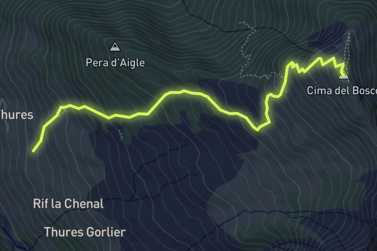
Medium · Summit
Cesana Torinese, Borgata Thures, bivio TOS620-TOS621 – Sauze di Cesana, Cima del Bosco
6.6 km · ↑ 637 m · 2 h 56 min · 15 km away
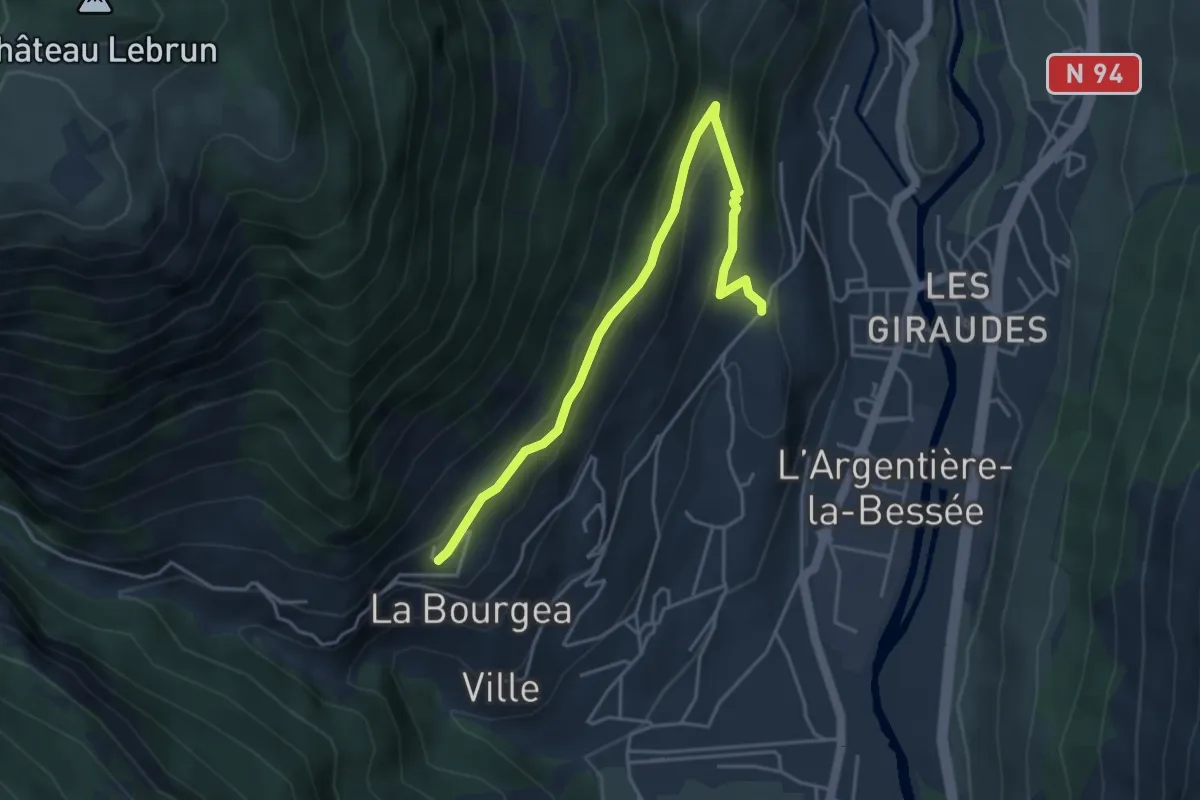
Easy · Trail
Les Collets - La Blachière
4.7 km · ↑ 210 m · 1 h 33 min · 15 km away
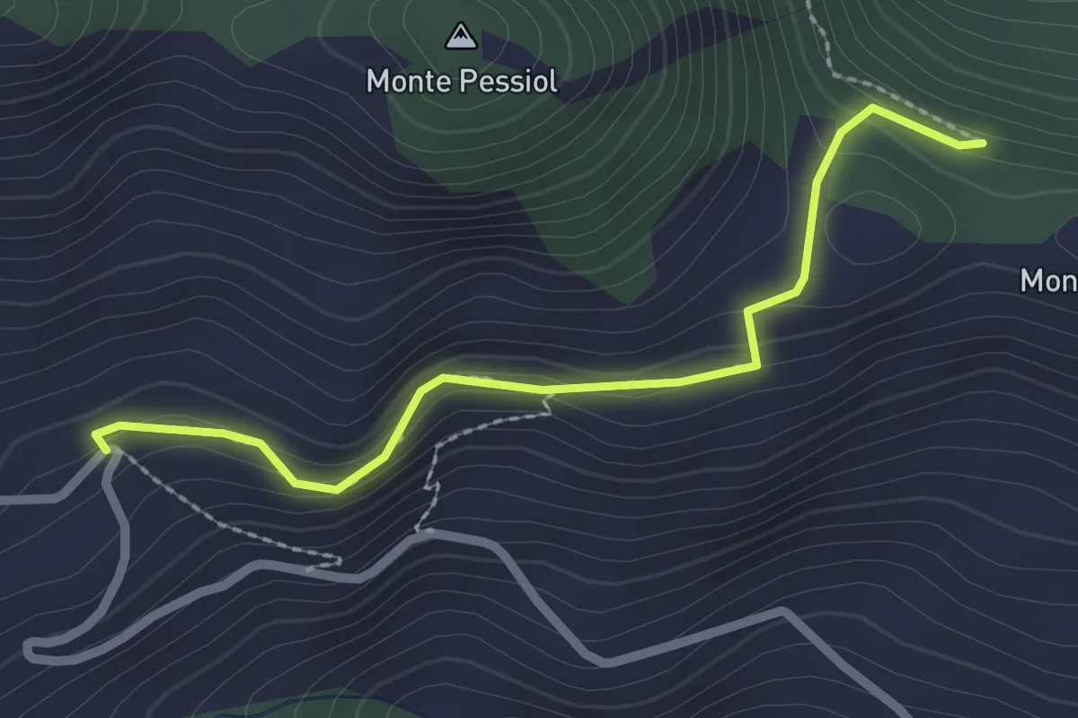
Easy · Trail
Bivio TOS602-TOS602B, Rifugio Chaberton (Pra Cloud) – Bivio TOS601-TOS602B, Colletto Grigio
2.4 km · ↑ 117 m · 49 min · 15 km away
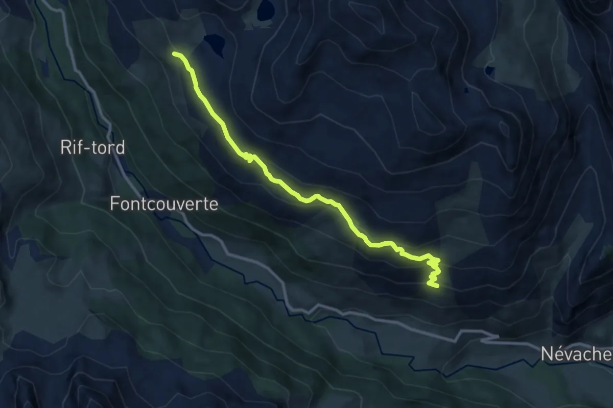
Medium · Trail
Chalets de Biaune - La Replate
9.5 km · ↑ 482 m · 3 h 18 min · 15 km away
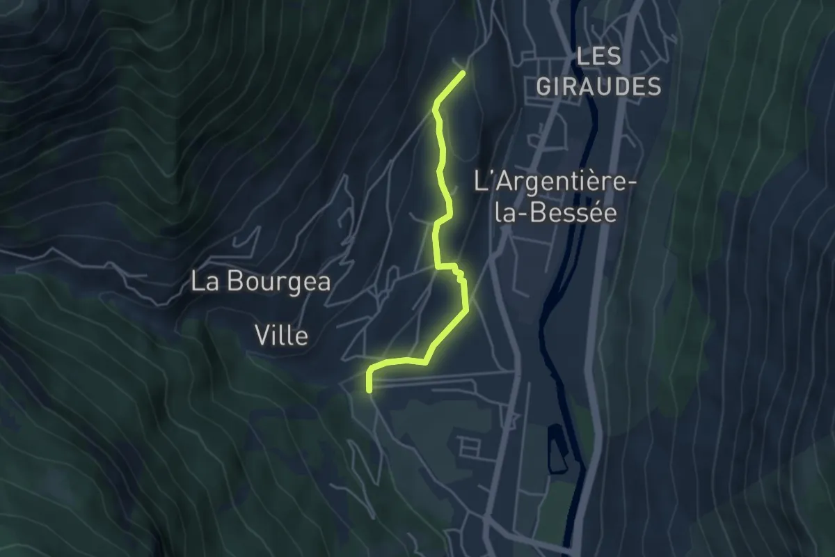
Easy · Trail
Les Collets - Pont de la Magdeleine
3.5 km · ↑ 107 m · 1 h 3 min · 15 km away
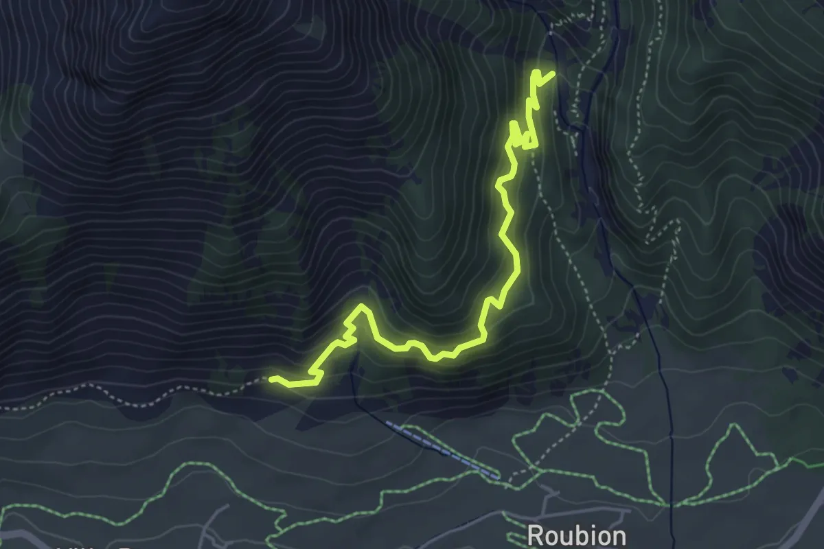
Medium · Trail
? - ?
4.9 km · ↑ 437 m · 2 h 6 min · 15 km away
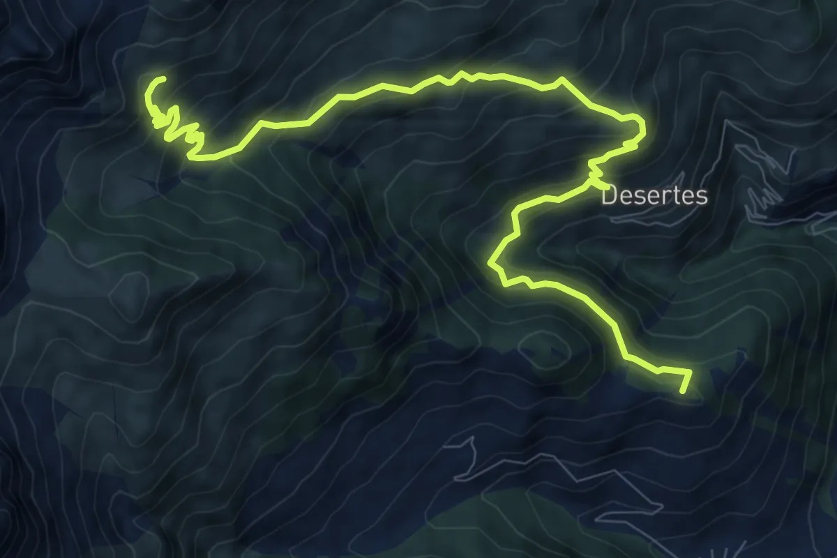
Demanding · Summit
Bivio 601-630, Cesana Torinese – Bivio 601-601B
12.5 km · ↑ 915 m · 4 h 56 min · 15 km away
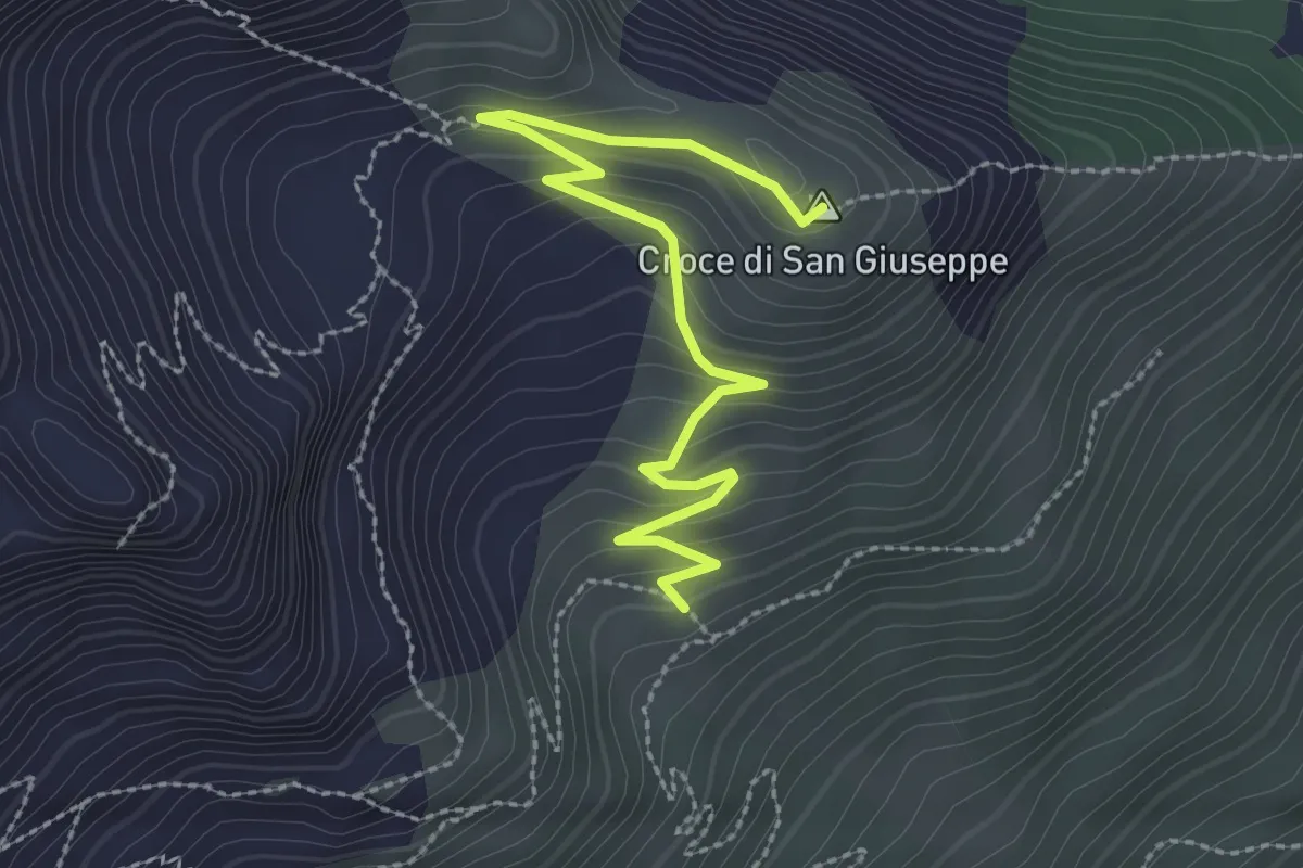
Easy · Summit
Cesana Torinese, bivio TOS601B-TOS601D – Cesana Torinese, Croce San Giuseppe
3.0 km · ↑ 170 m · 1 h 5 min · 15 km away
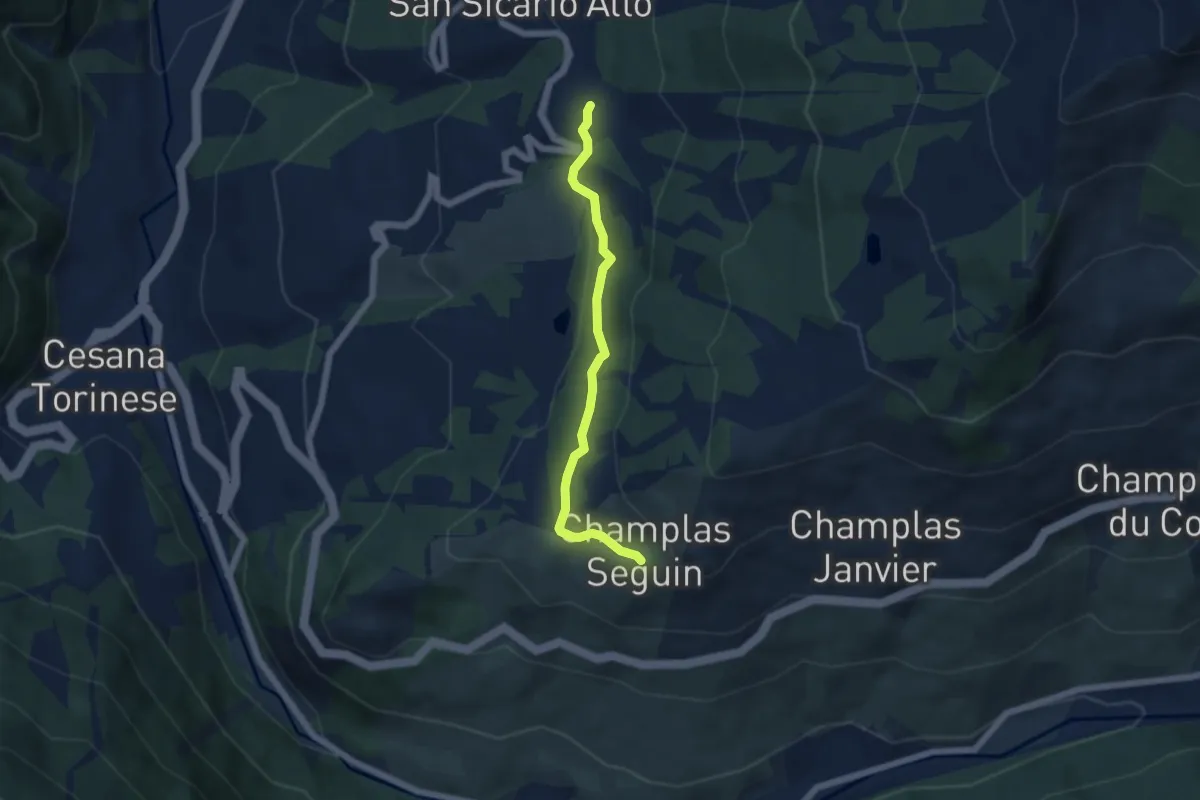
Easy · Trail
Cesana Torinese, presso San Sicario, bivio TOS619-TOS619B – Cesana Torinese, Champlas Seguin, bivio TOS619A-TOS619B
5.1 km · ↑ 144 m · 1 h 31 min · 15 km away
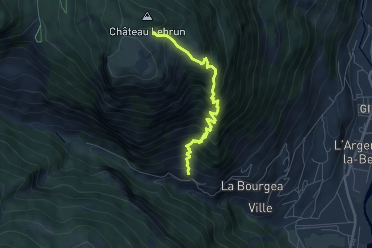
Medium · Trail
? - ?
5.6 km · ↑ 742 m · 2 h 56 min · 15 km away