Trails near Digne-les-Bains
67 hikes starting within 15 km, nearest first.
Nearest first, page 1 of 2
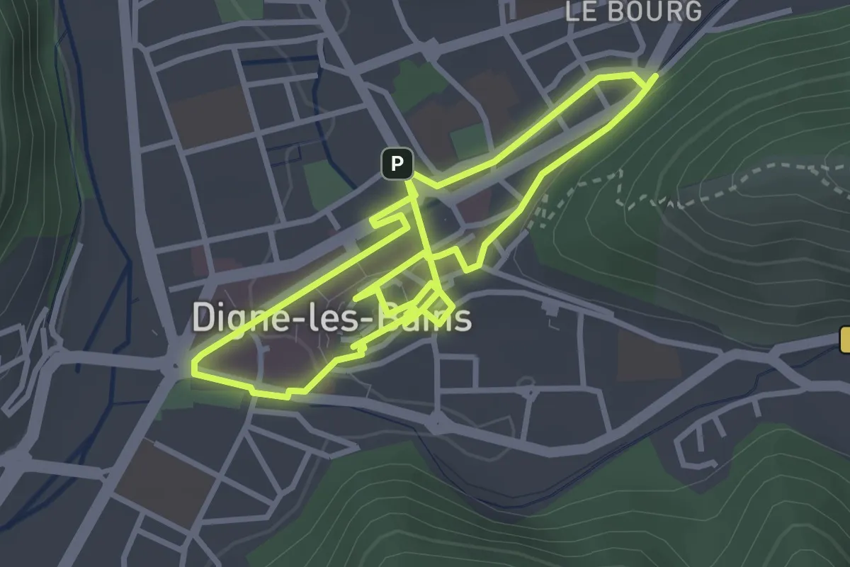
Easy · Trail
Parcours de l'Eau
6.1 km · ↑ 61 m · 1 h 34 min · under 1 km away
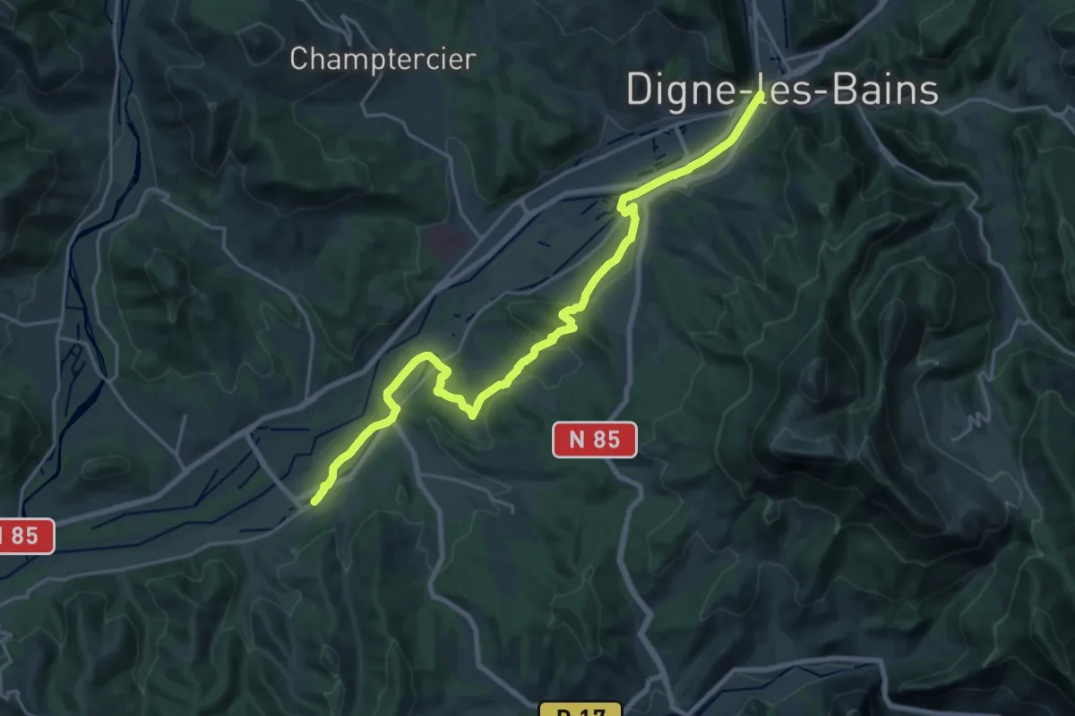
Demanding · Trail
Le Chaffaut – Digne-les-Bains
23.9 km · ↑ 334 m · 6 h 22 min · under 1 km away
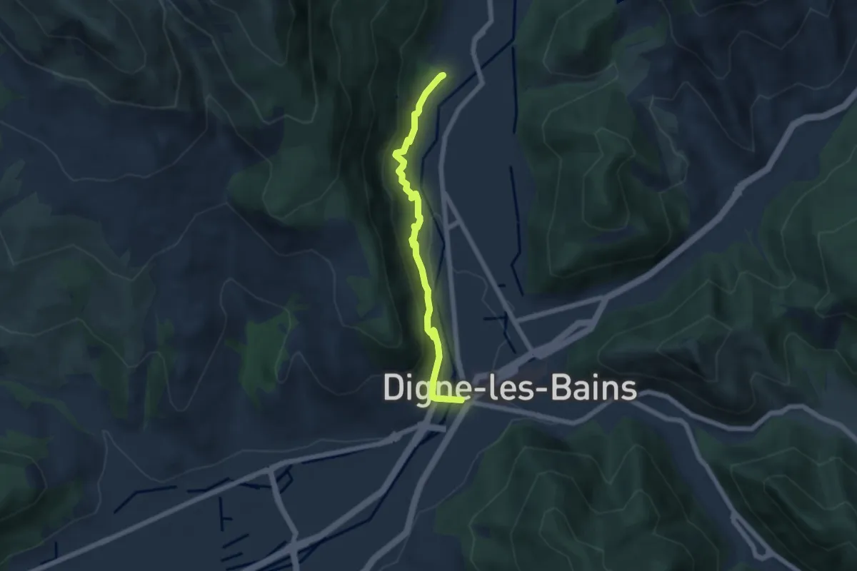
Easy · Trail
Sentier découverte de Caguerenard
2.8 km · ↑ 173 m · 1 h 3 min · under 1 km away
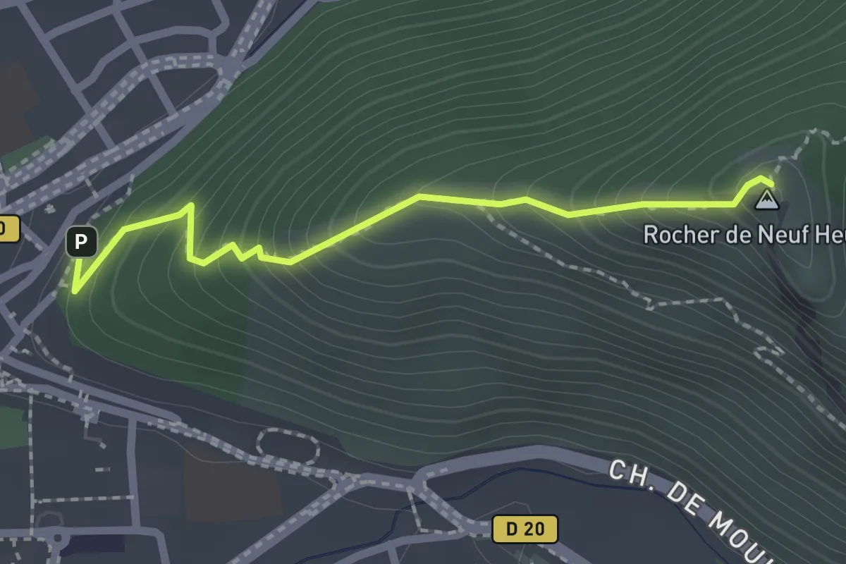
Medium · Summit
Rocher de Neuf Heures
1.0 km · ↑ 223 m · 38 min · under 1 km away
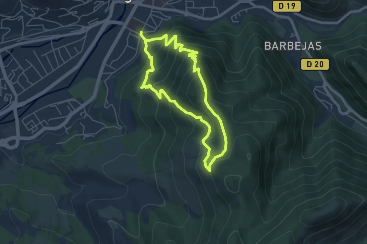
Medium · Trail
Chemins de Caramantran et des Oreilles d'âne
4.3 km · ↑ 358 m · 1 h 52 min · under 1 km away
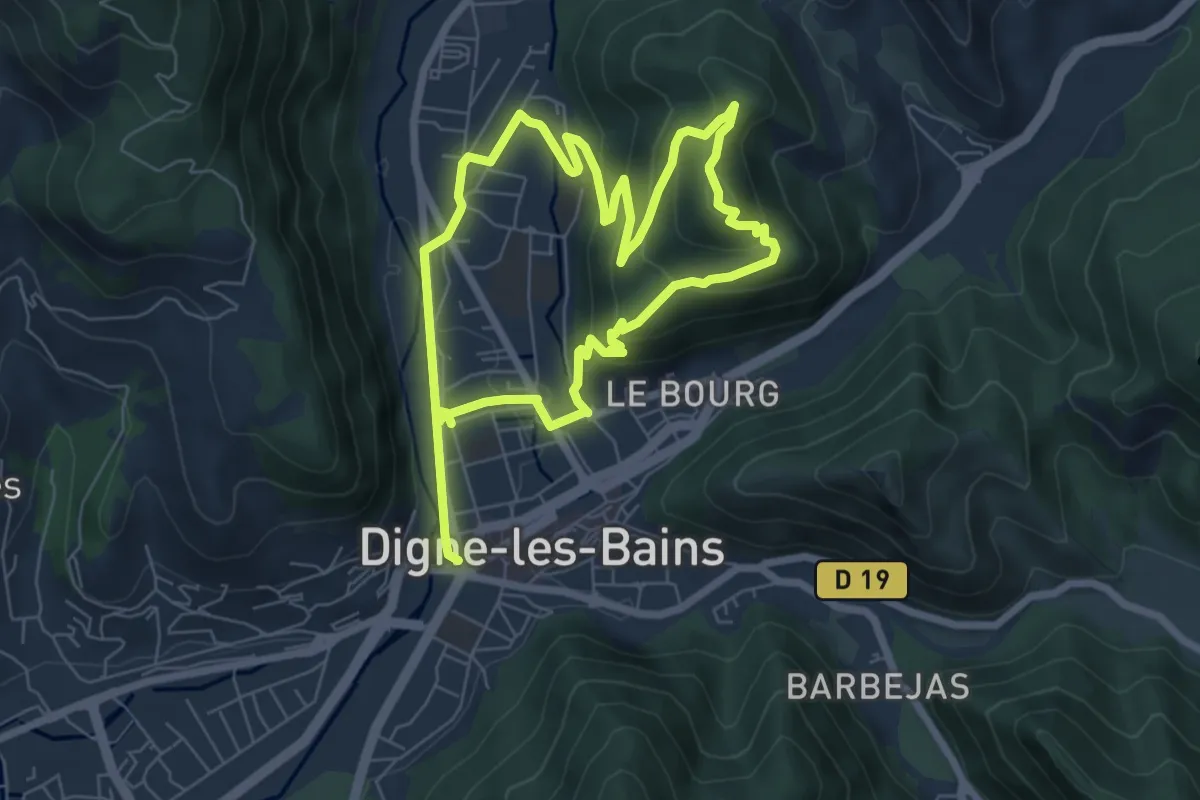
Medium · Trail
Rando Trail 1 Les Trois Chapelles
12.9 km · ↑ 509 m · 4 h 9 min · 1 km away
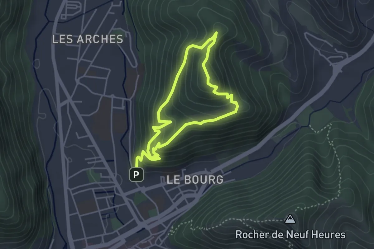
Easy · Trail
Trois chapelles
3.2 km · ↑ 265 m · 1 h 21 min · 1 km away
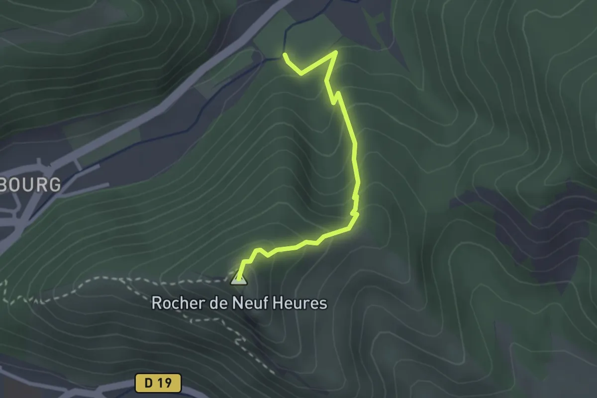
Easy · Summit
KMV Race
2.4 km · ↑ 222 m · 1 h 3 min · 2 km away
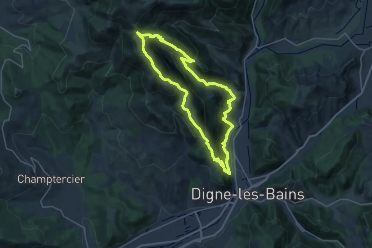
Demanding · Summit
Rando Trail 2 Caguerenard, Le Dareau, Martinon
14.2 km · ↑ 1065 m · 5 h 52 min · 2 km away
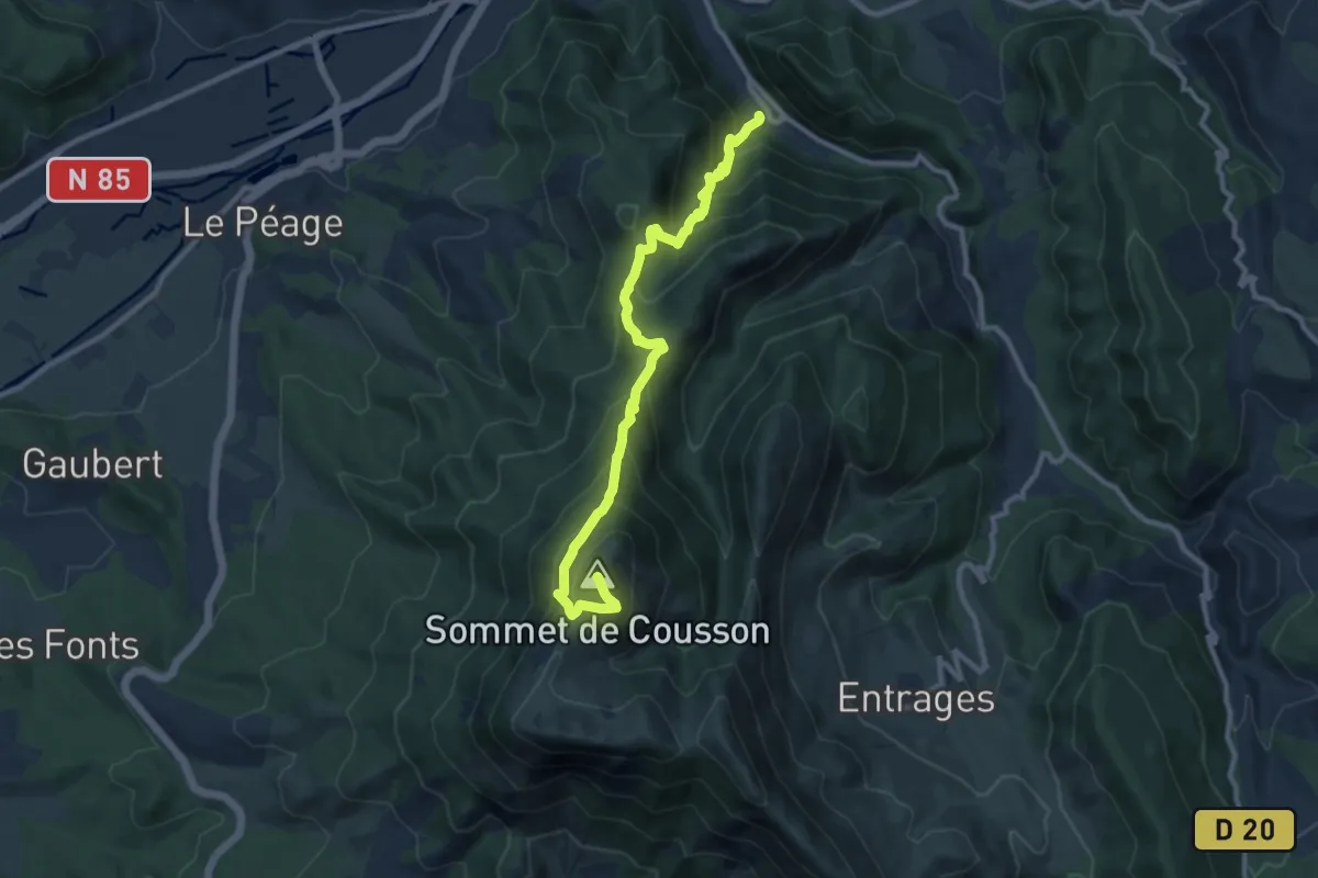
Demanding · Summit
Stade de trail KMV Le Cousson
11.0 km · ↑ 946 m · 4 h 39 min · 2 km away
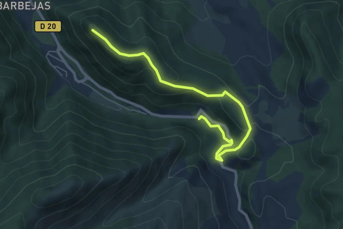
Easy · Trail
Chapelle Saint-Pancrace
2.8 km · ↑ 35 m · 51 min · 2 km away
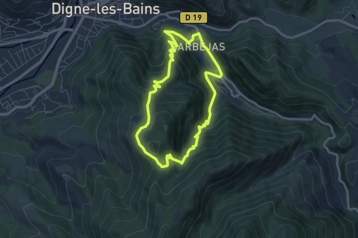
Medium · Trail
Chapelle Saint-Jean
6.0 km · ↑ 411 m · 2 h 24 min · 2 km away
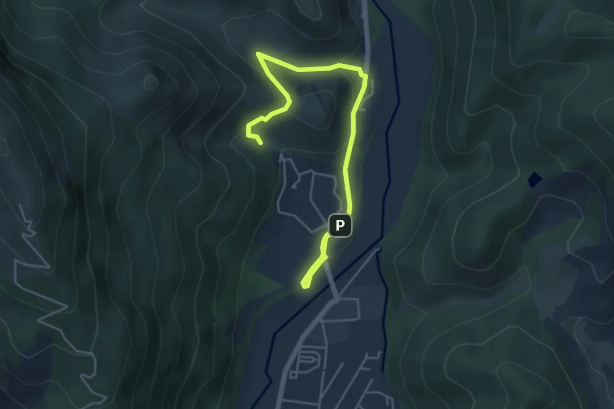
Easy · Trail
Boucle de découverte de la dalle aux ammonites
2.5 km · ↑ 119 m · 51 min · 2 km away
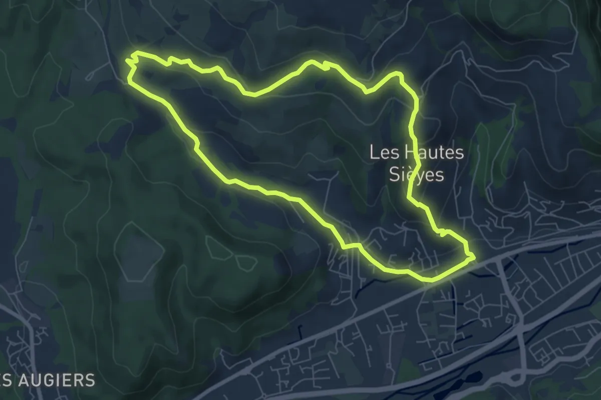
Easy · Trail
Champtercier et la balade du Rouveiret
7.3 km · ↑ 212 m · 2 h 17 min · 3 km away
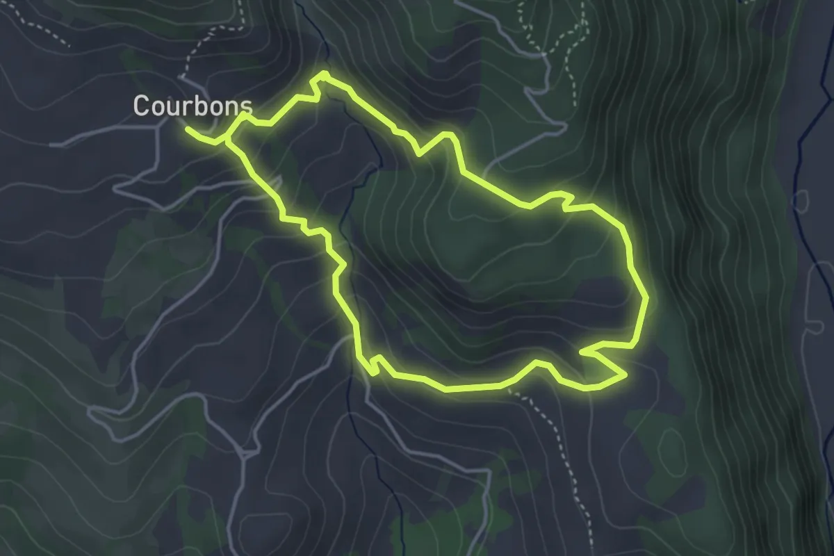
Easy · Trail
Courbons et le Saumon
4.1 km · ↑ 267 m · 1 h 36 min · 3 km away
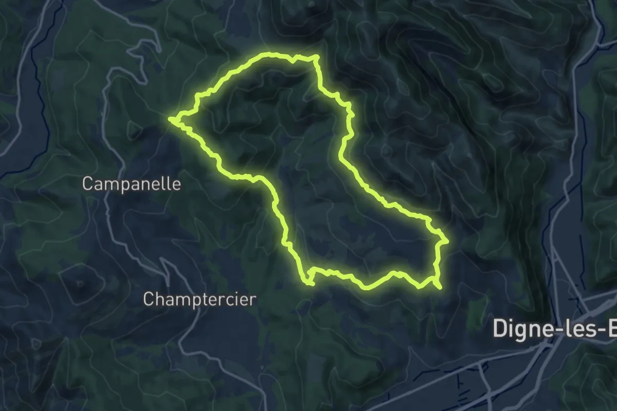
Medium · Trail
Sources du Rouveiret
15.1 km · ↑ 685 m · 5 h 15 min · 3 km away
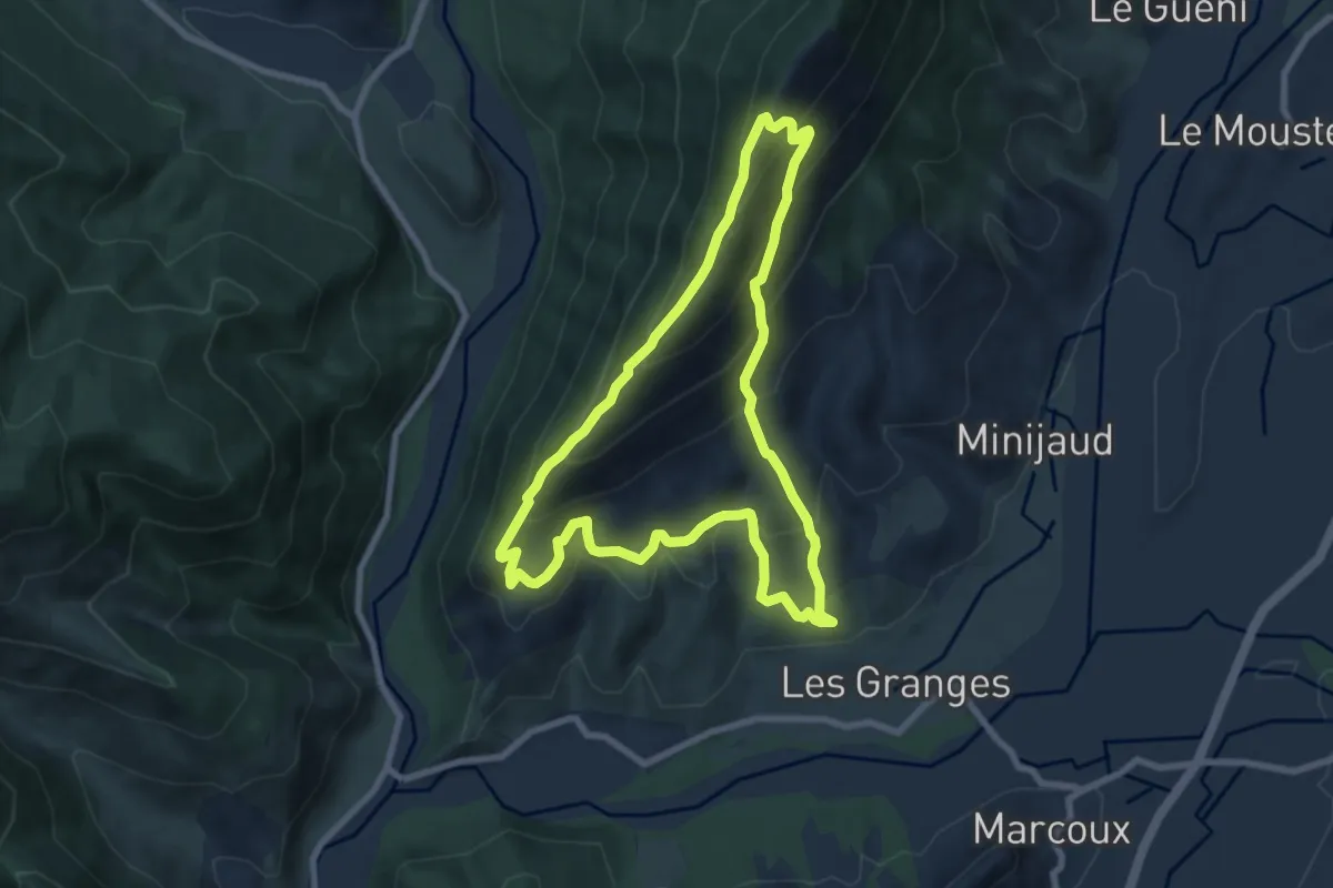
Medium · Trail
Crête de Limans
8.0 km · ↑ 575 m · 3 h 14 min · 5 km away
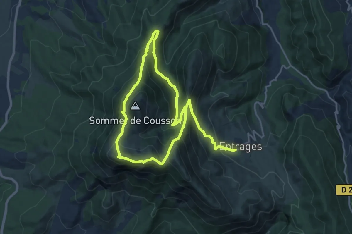
Medium · Summit
Sommet du Cousson (1 512 m)
9.9 km · ↑ 737 m · 3 h 58 min · 6 km away
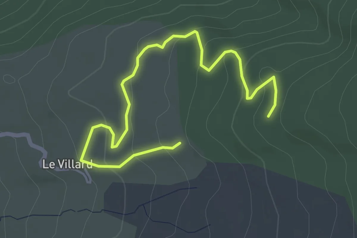
Easy · Trail
Sommet des Philosophes
2.6 km · ↑ 148 m · 55 min · 7 km away
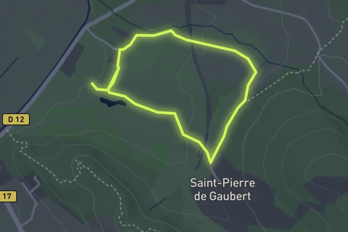
Easy · Trail
Découverte du golf des lavandes
2.4 km · ↑ 49 m · 42 min · 7 km away
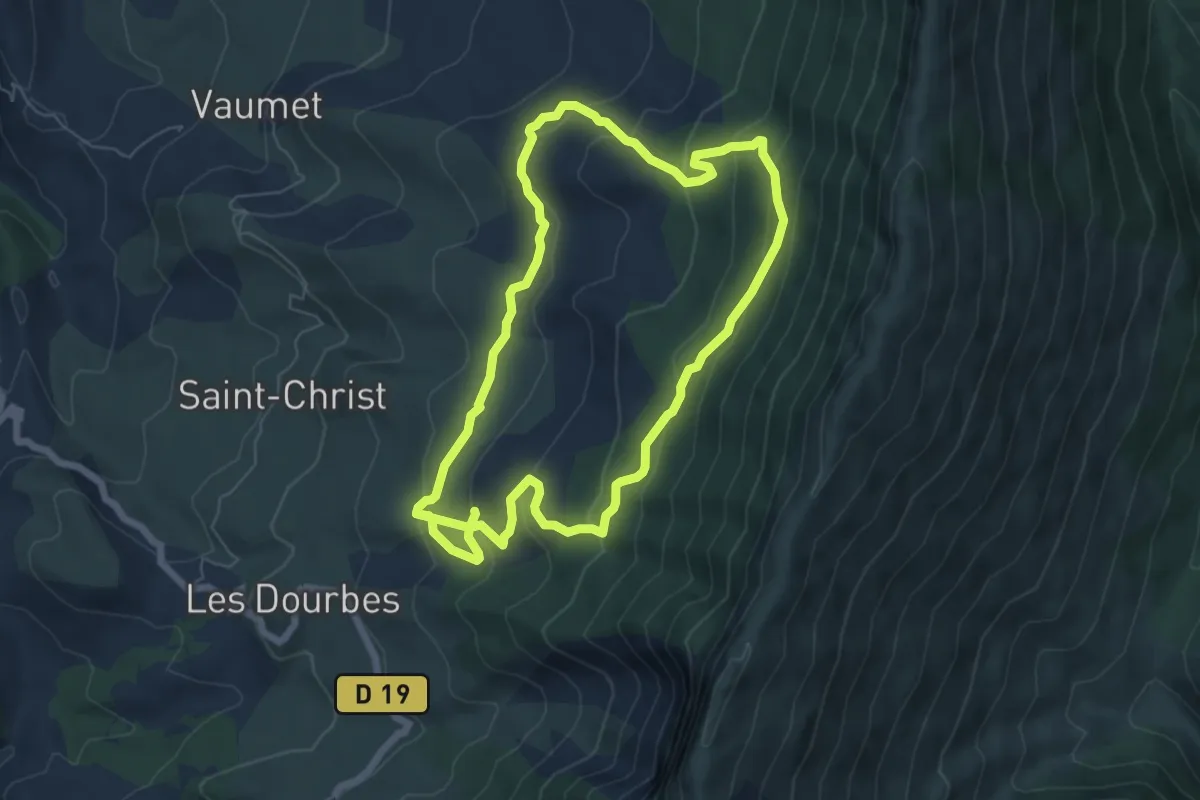
Medium · Trail
Pierre Saint-Martin
6.5 km · ↑ 371 m · 2 h 24 min · 7 km away
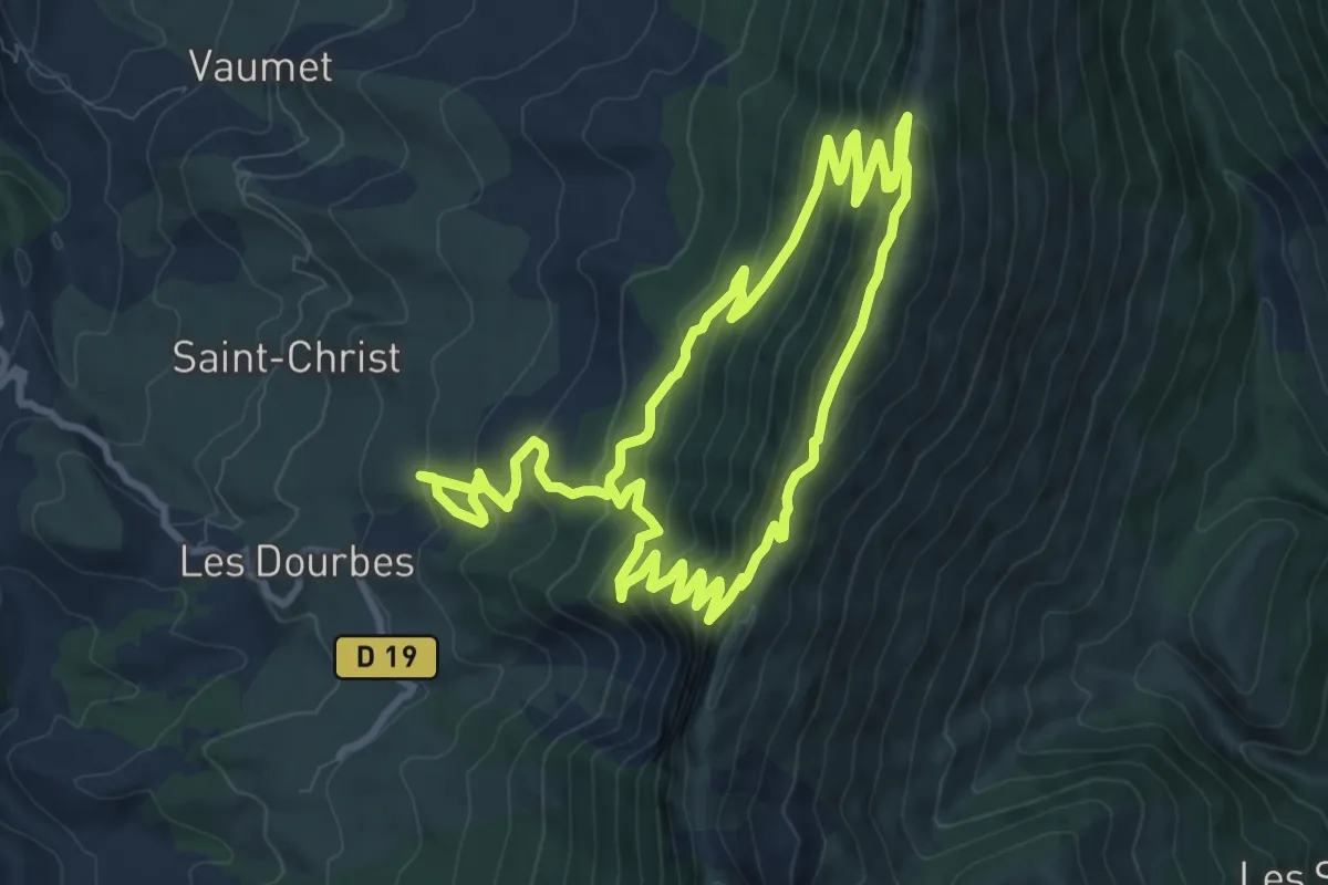
Demanding · Trail
Barre des Dourbes
9.6 km · ↑ 677 m · 3 h 49 min · 7 km away
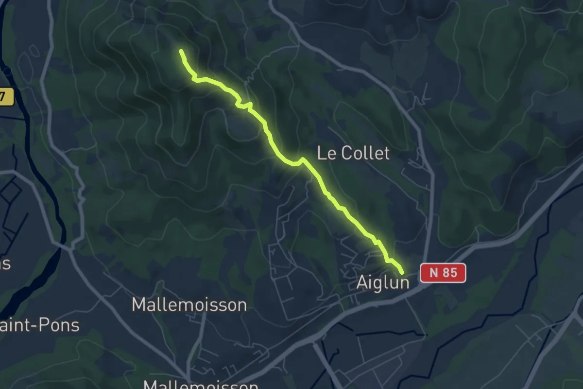
Medium · Summit
Pic du Puy - le Vieil Aiglun
2.9 km · ↑ 351 m · 1 h 19 min · 8 km away
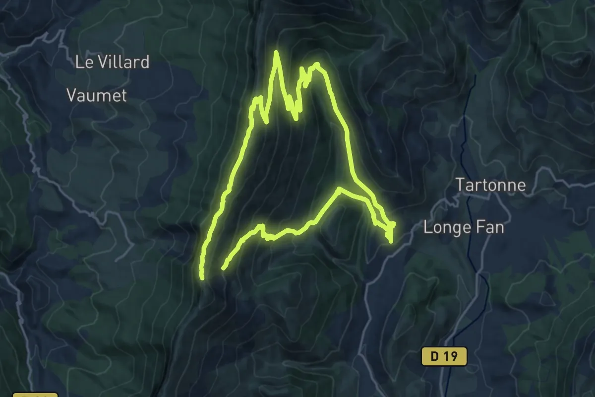
Demanding · Trail
Barre des Dourbes (Par Tartonne)
16.4 km · ↑ 816 m · 5 h 54 min · 9 km away
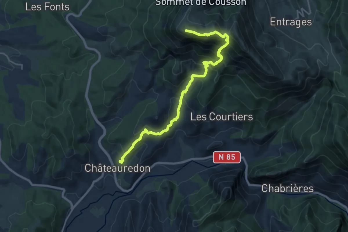
Demanding · Summit
Sommet du Cousson (1 512 m) depuis Châteauredon
6.6 km · ↑ 900 m · 3 h 11 min · 9 km away
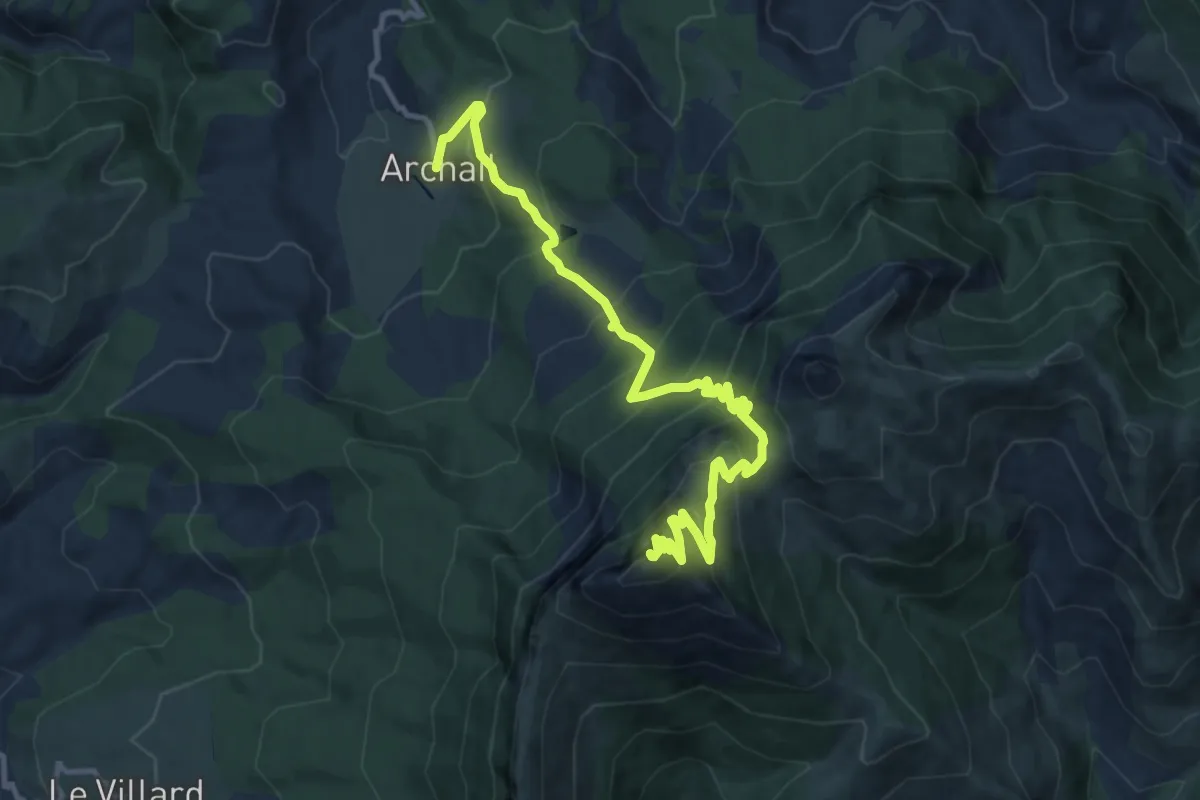
Demanding · Summit
Sommet de Couar
13.6 km · ↑ 1246 m · 5 h 55 min · 9 km away
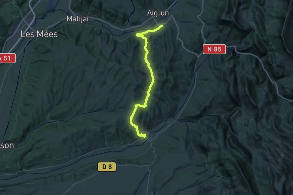
Demanding · Trail
Bras d’Asse – Le Chaffaut
20.4 km · ↑ 615 m · 6 h 26 min · 9 km away
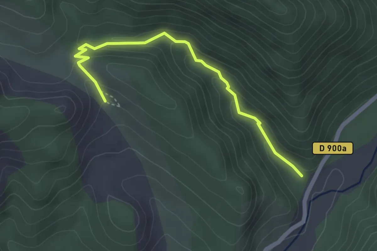
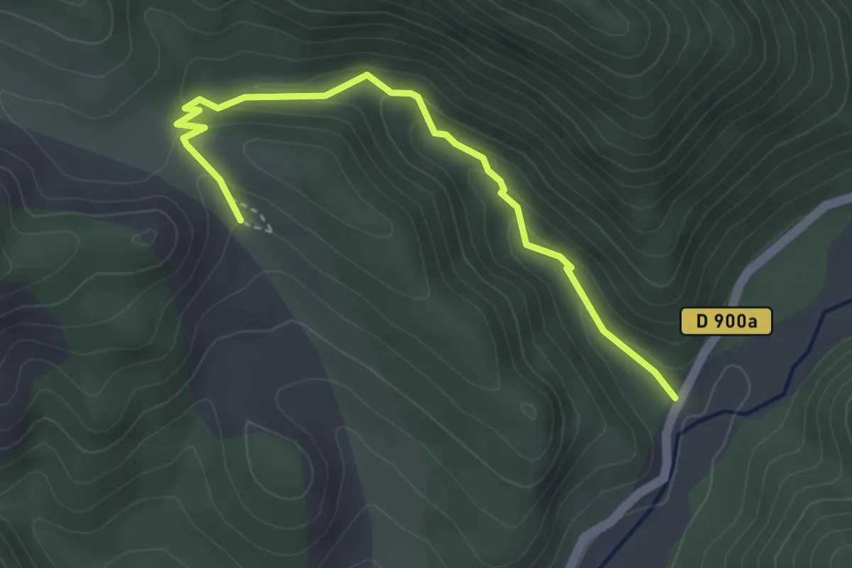
Easy · Trail
Site de l'ichtyosaure (reptile marin fossile)
1.9 km · ↑ 21 m · 36 min · 9 km away
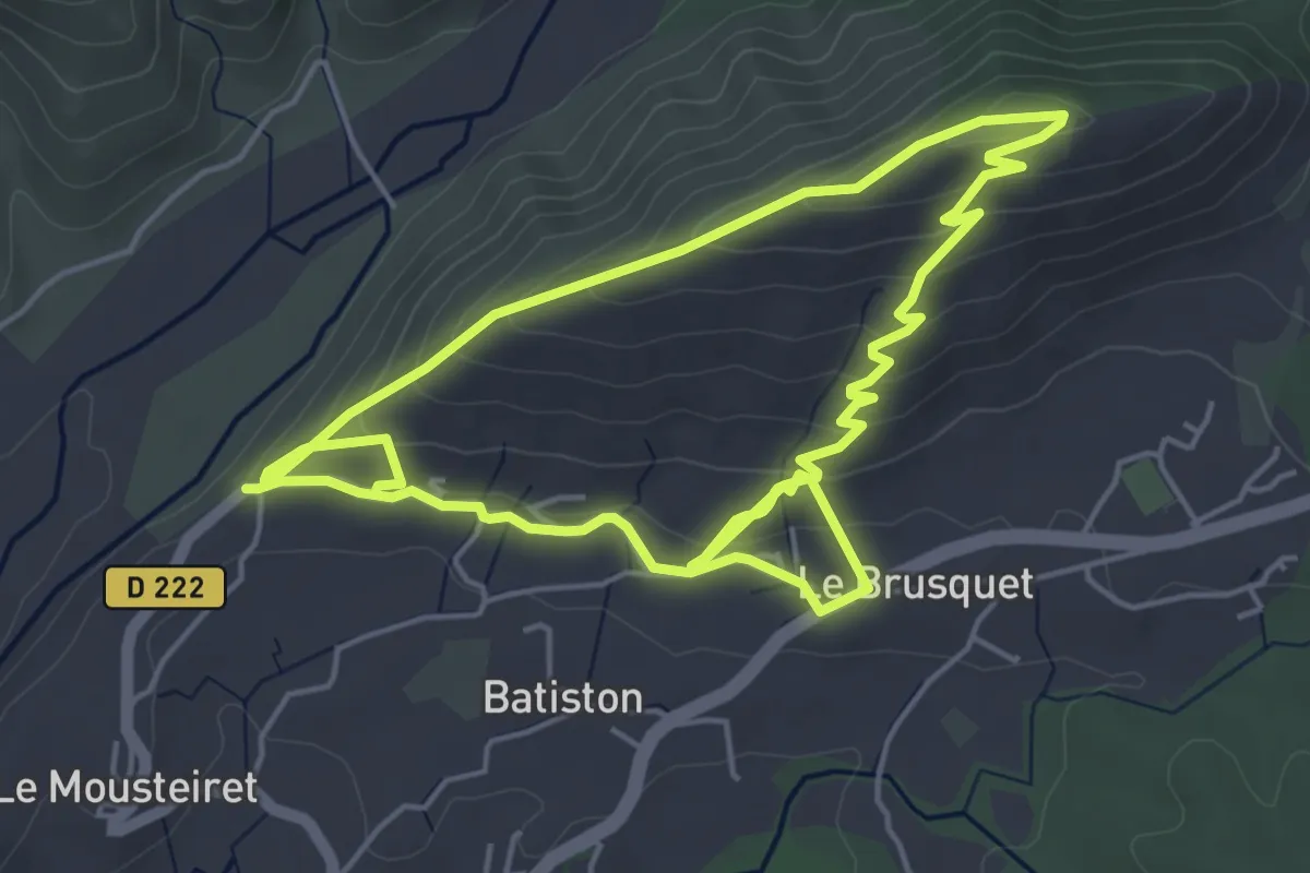
Easy · Trail
Sentier de l'Ichtyosaure
3.9 km · ↑ 189 m · 1 h 20 min · 9 km away
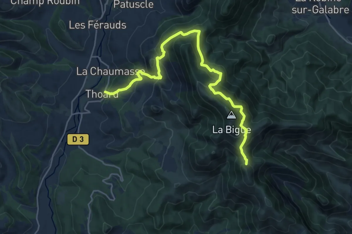
Easy · Trail
Notre-Dame de Lauzière
5.3 km · ↑ 228 m · 1 h 50 min · 9 km away
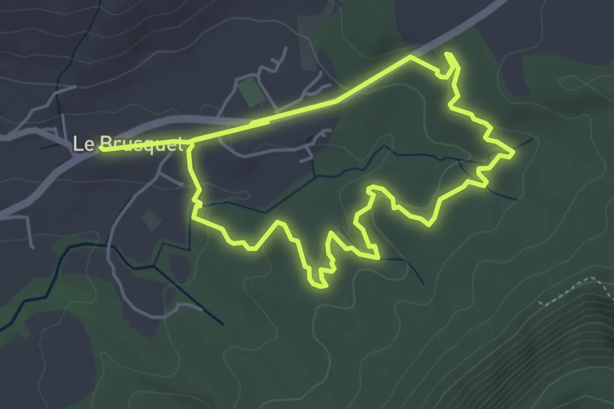
Demanding · Summit
Thoard – Digne-les-Bains
17.6 km · ↑ 1092 m · 6 h 31 min · 9 km away
Easy · Trail
Parcours forestier
4.5 km · ↑ 96 m · 1 h 20 min · 10 km away
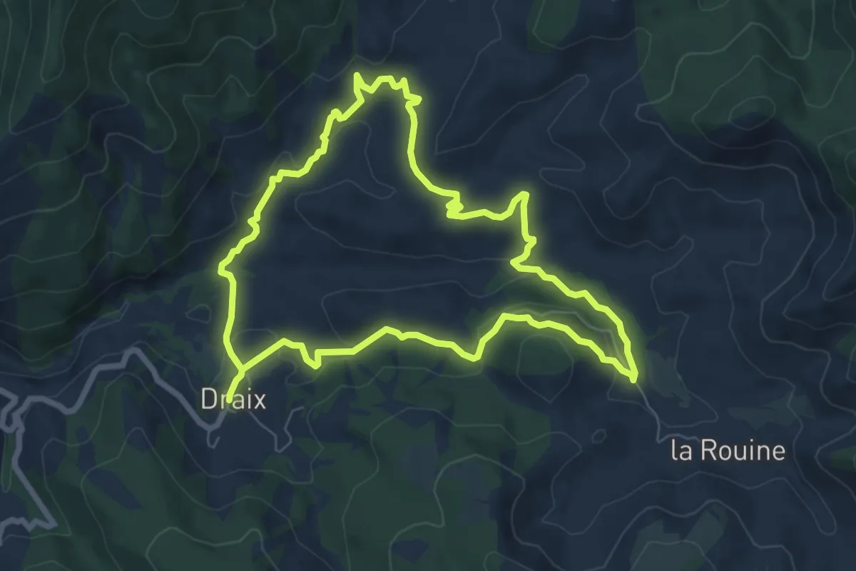
Easy · Trail
Terres Noires
7.0 km · ↑ 250 m · 2 h 18 min · 10 km away
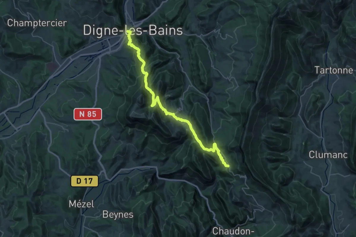
Medium · Trail
Digne-les-Bains – La Clappe
14.5 km · ↑ 454 m · 4 h 49 min · 10 km away
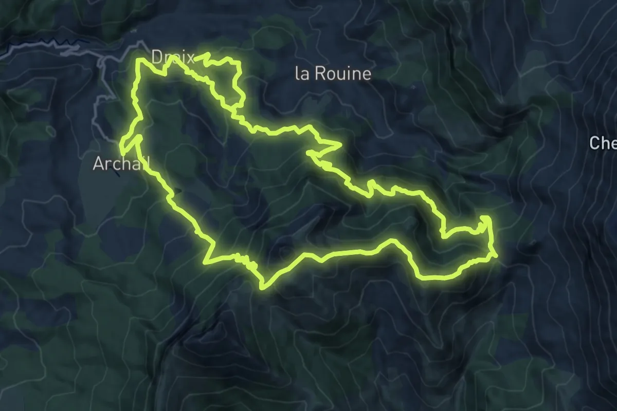
Demanding · Summit
Crête du pré de l'Evêque
20.8 km · ↑ 1432 m · 8 h 15 min · 10 km away
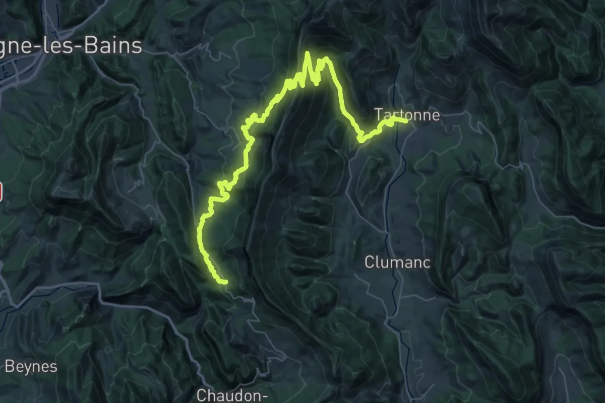
Demanding · Trail
La Clappe – Tartonne
24.5 km · ↑ 985 m · 8 h 18 min · 10 km away
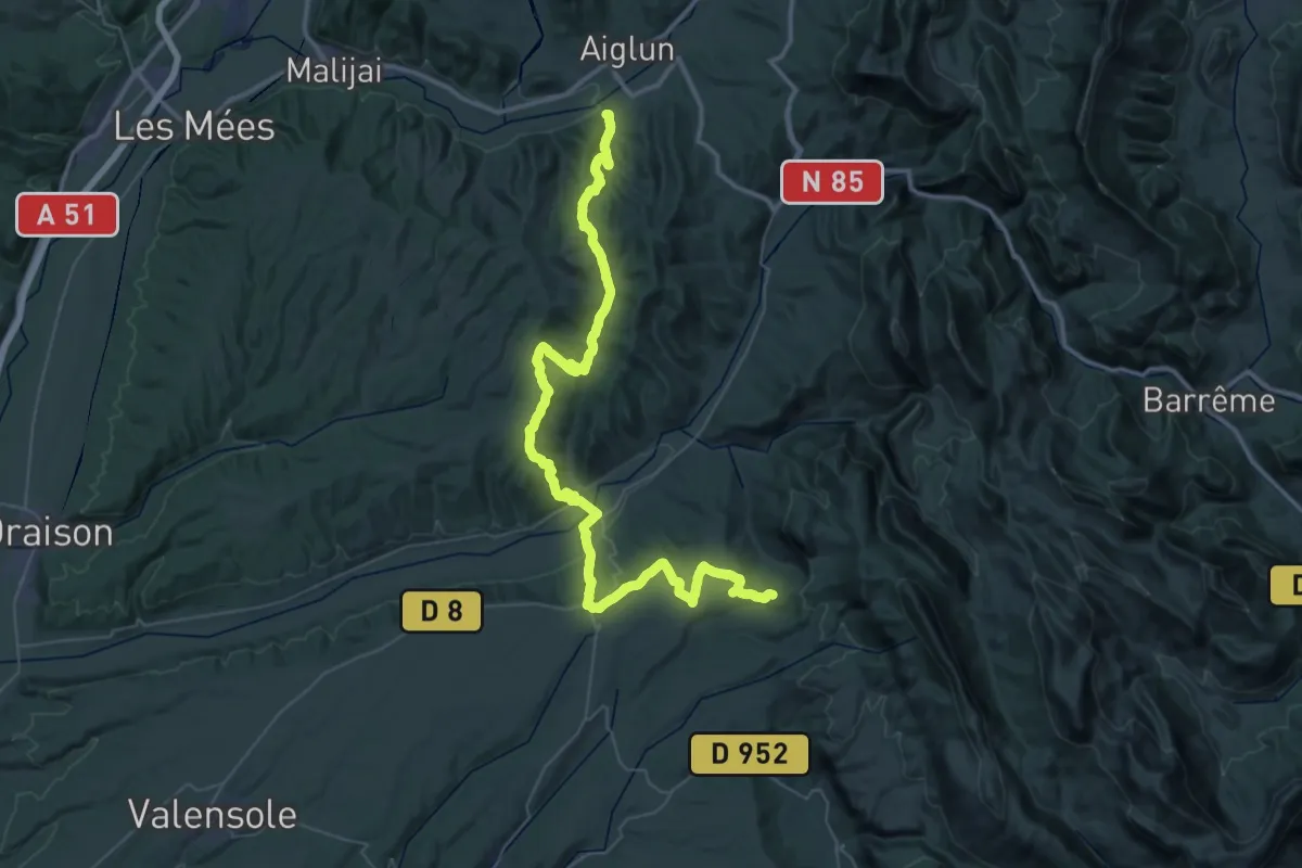
Demanding · Trail
Chemin pastoral de Saint-Jurs à Le Chaffaut-Saint-Jurson
31.4 km · ↑ 1088 m · 10 h 1 min · 10 km away
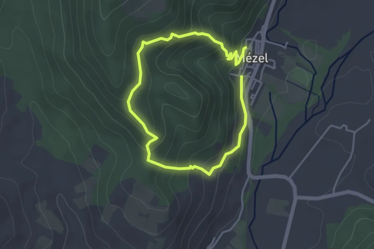
Easy · Trail
Chapelle Notre-Dame
2.7 km · ↑ 166 m · 1 h 3 min · 11 km away
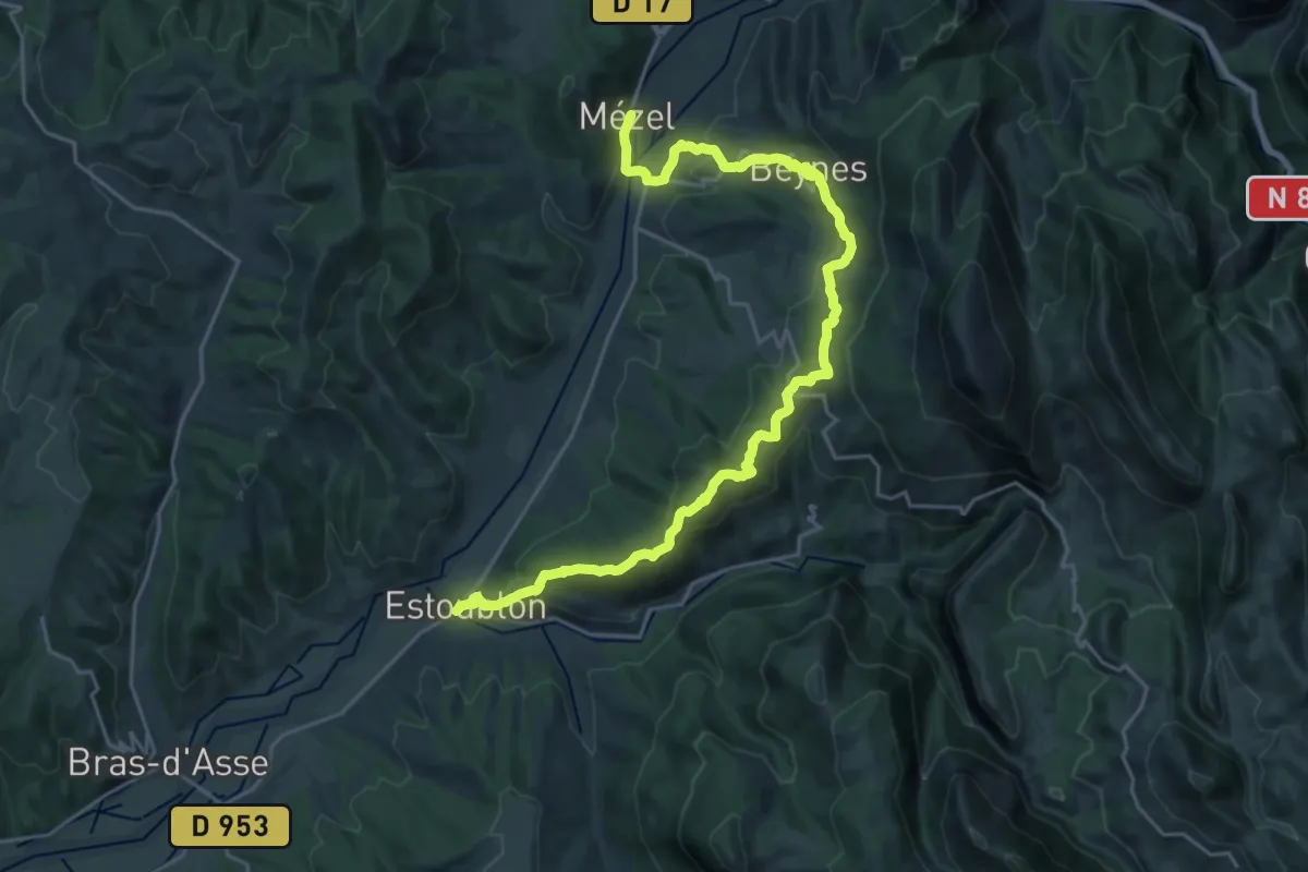
Medium · Trail
Balcons de l'Asse
13.7 km · ↑ 507 m · 4 h 34 min · 11 km away
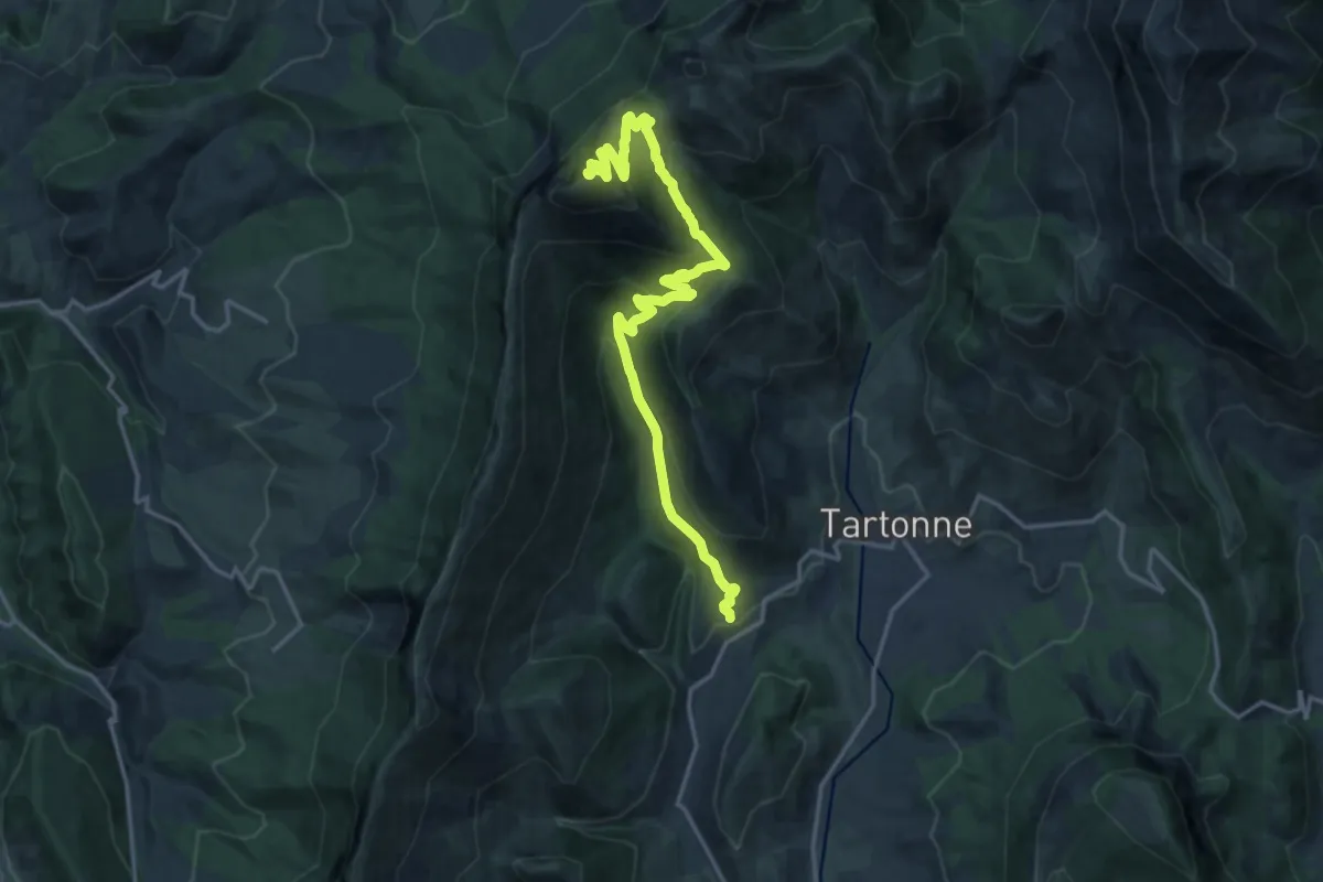
Demanding · Summit
Le Sommet de Couar (1 989 m, par Tartonne)
9.8 km · ↑ 1081 m · 4 h 20 min · 11 km away
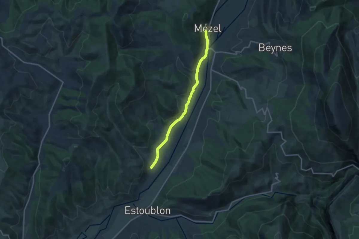
Easy · Trail
Rive de l'Asse depuis Mézel
5.1 km · ↑ 24 m · 1 h 22 min · 11 km away
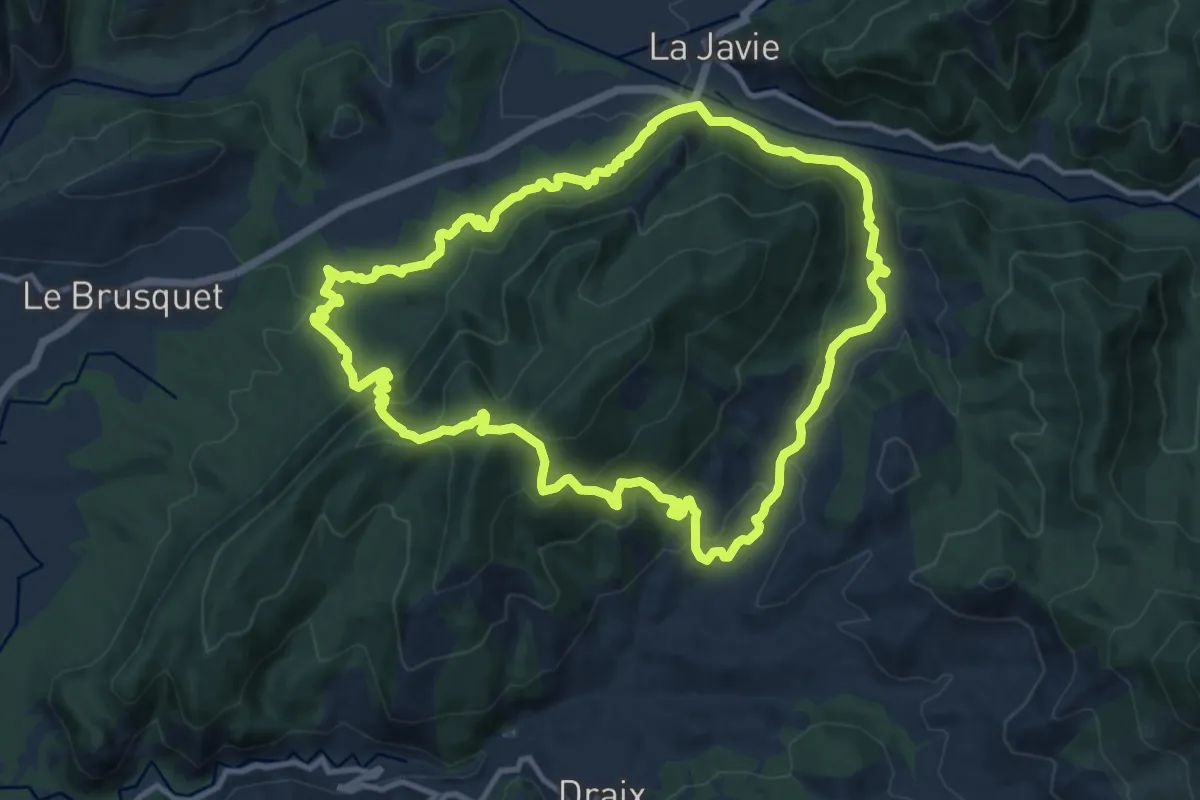
Medium · Trail
Tour des Blaches
12.1 km · ↑ 600 m · 4 h 20 min · 11 km away
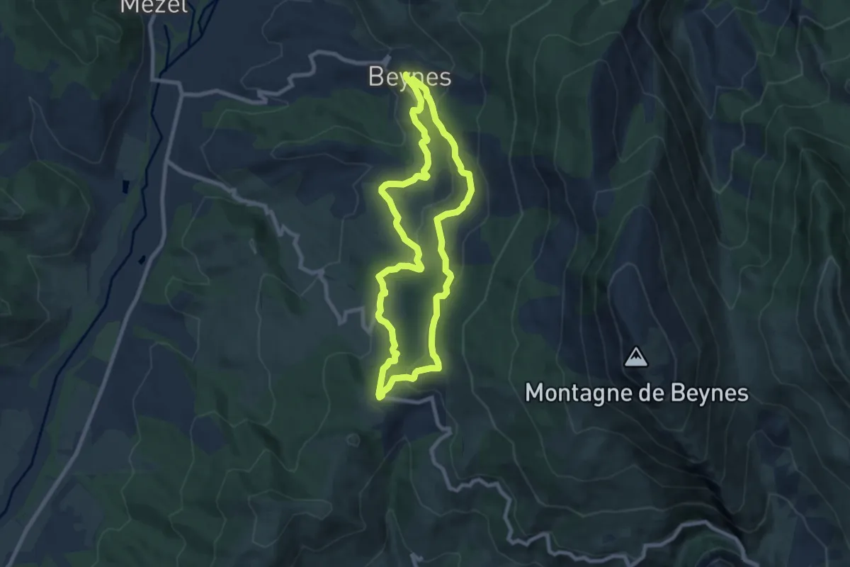
Easy · Trail
Boucle de Palus
7.6 km · ↑ 264 m · 2 h 28 min · 11 km away
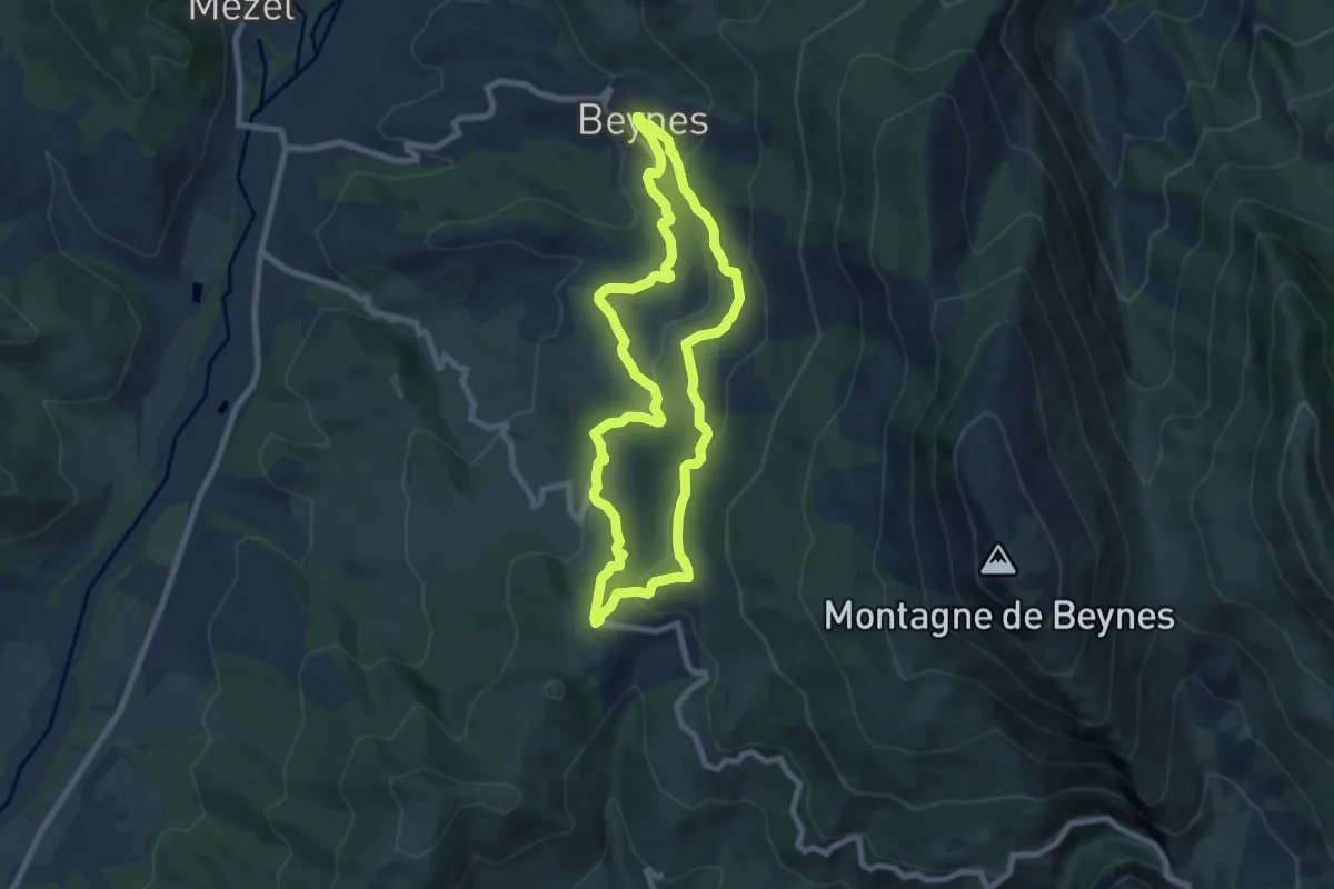
Easy · Trail
Les Hameaux de Beynes et de Palus
7.7 km · ↑ 275 m · 2 h 31 min · 11 km away
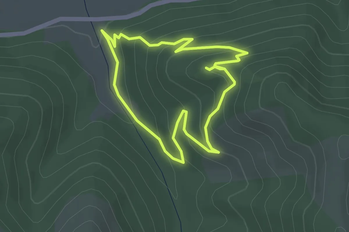
Easy · Trail
Panorama de Lagremuse
2.9 km · ↑ 153 m · 1 h 3 min · 12 km away
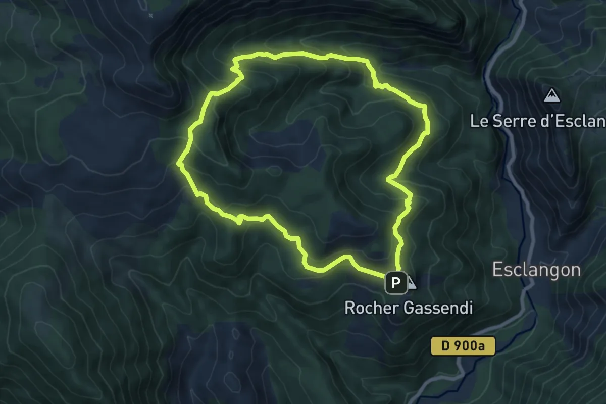
Medium · Summit
Lame de Facibelle
7.1 km · ↑ 485 m · 2 h 49 min · 12 km away
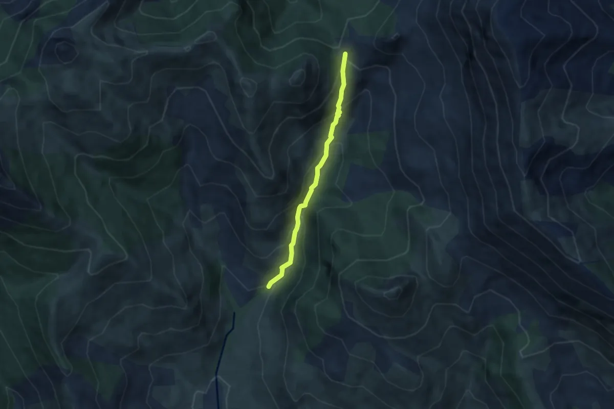
Medium · Trail
Col de la Cine
2.7 km · ↑ 410 m · 1 h 22 min · 12 km away
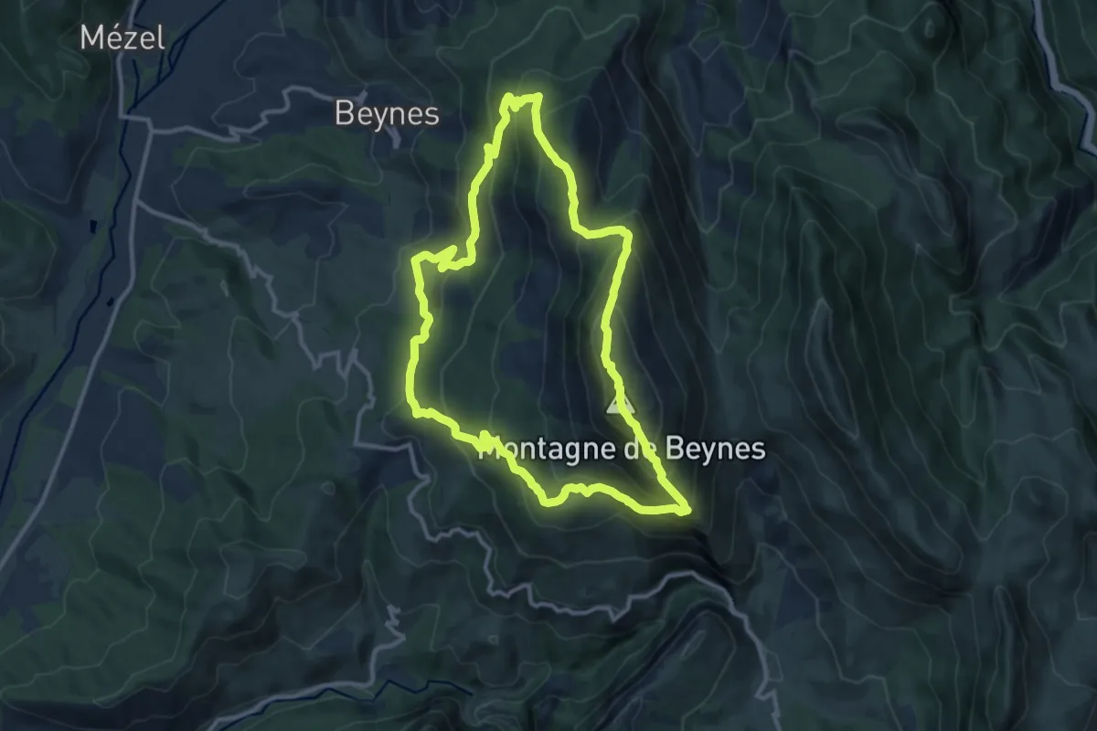
Medium · Summit
Montagne de Beynes
11.6 km · ↑ 784 m · 4 h 36 min · 12 km away