Trails near Digne-les-Bains
67 hikes starting within 15 km, nearest first.
Nearest first, page 2 of 2
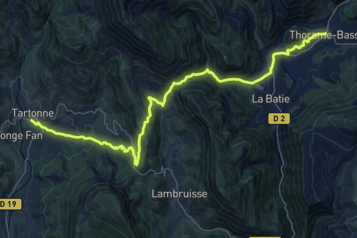
Medium · Trail
Tartonne – Thorame-Basse
14.1 km · ↑ 738 m · 5 h 2 min · 12 km away
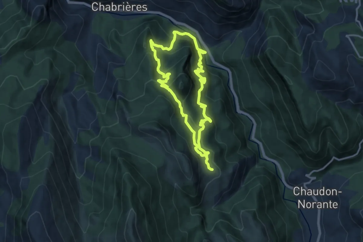
Medium · Trail
Hameau de Creisset
8.7 km · ↑ 558 m · 3 h 23 min · 13 km away
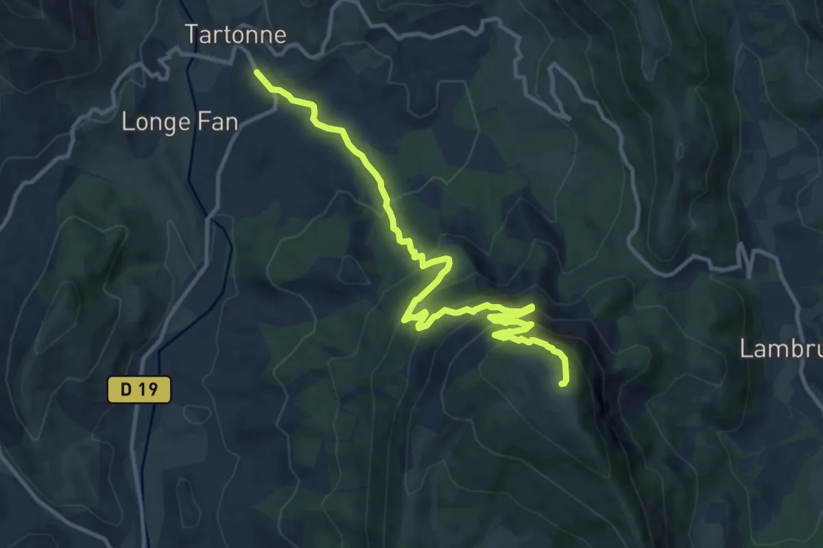
Demanding · Summit
Le Sommet de la Sapée (1 701 m)
6.3 km · ↑ 854 m · 3 h 3 min · 13 km away
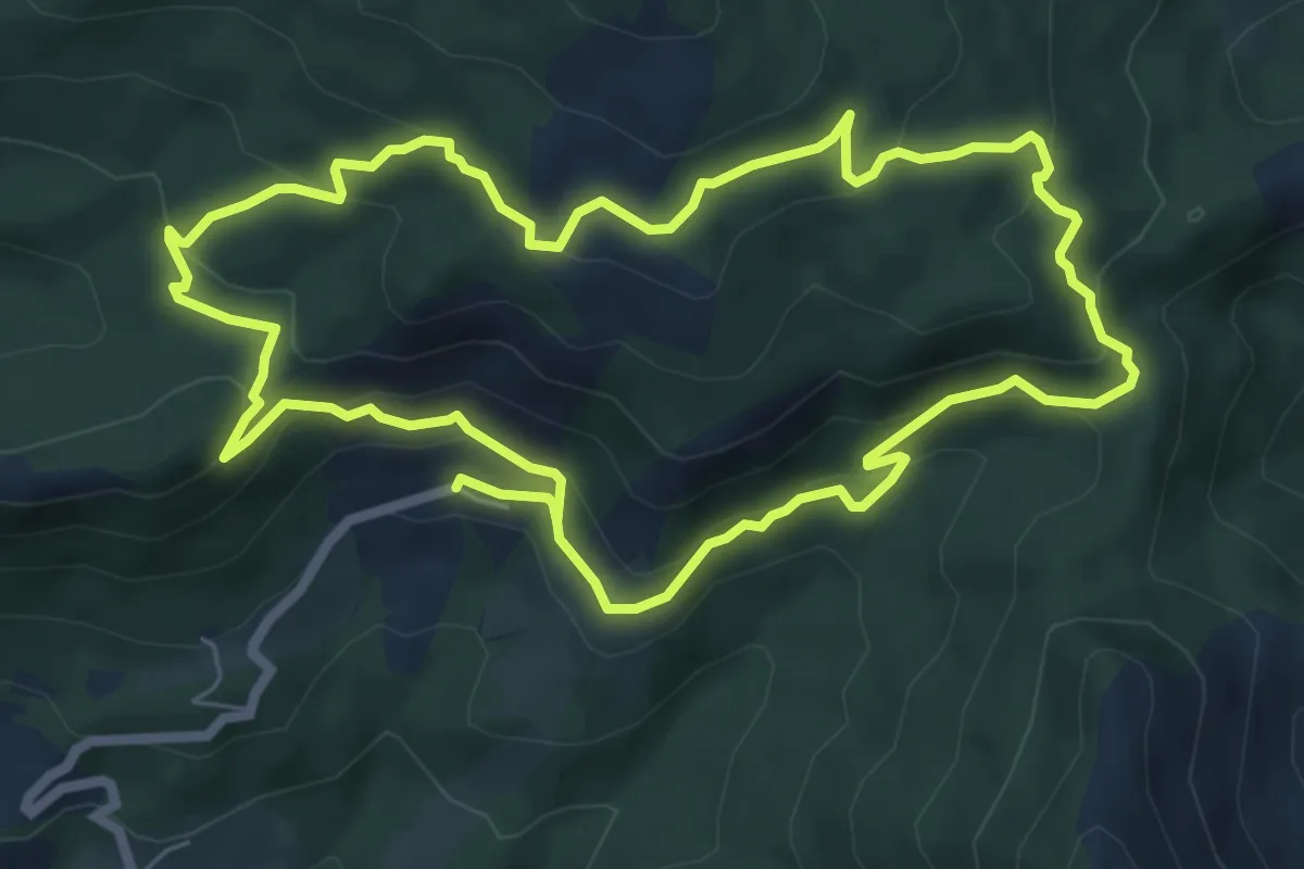
Medium · Trail
Circuit des Cols
6.9 km · ↑ 341 m · 2 h 29 min · 13 km away
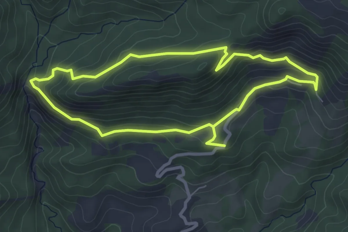
Easy · Trail
Tour de la Roche des Brigands
5.5 km · ↑ 244 m · 1 h 54 min · 13 km away
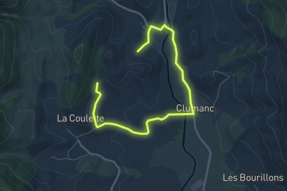
Easy · Trail
Circuit de la Coulette
4.0 km · ↑ 61 m · 1 h 8 min · 13 km away
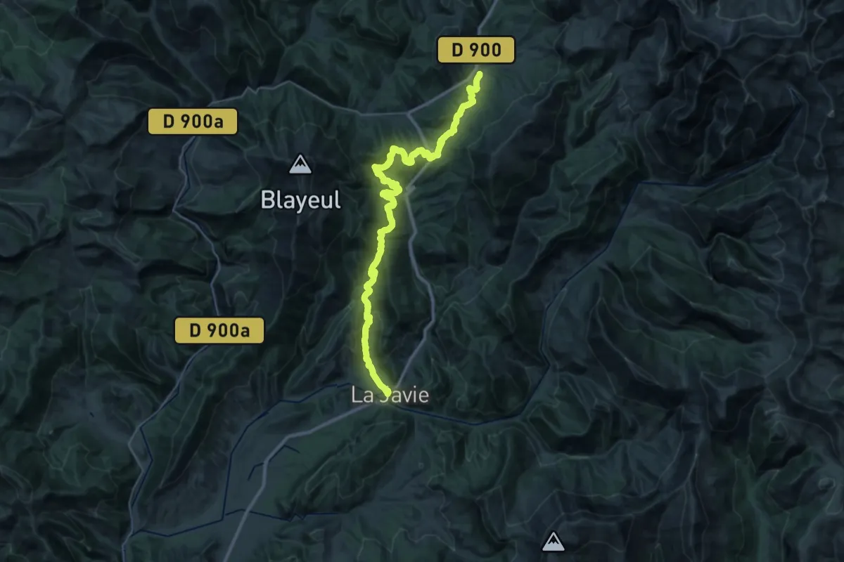
Demanding · Trail
Chemin pastoral de La Javie à Le Vernet
19.2 km · ↑ 963 m · 6 h 42 min · 13 km away
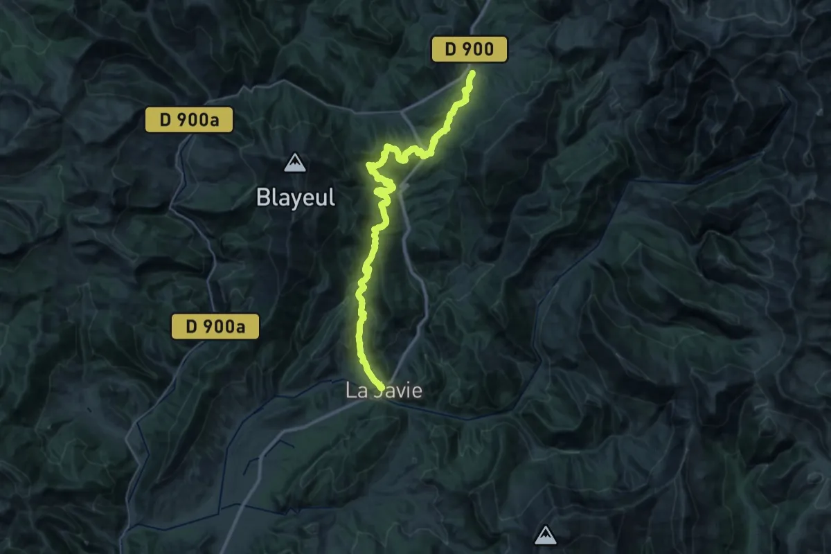
Demanding · Trail
La Javie – Le Vernet
19.0 km · ↑ 943 m · 6 h 35 min · 13 km away
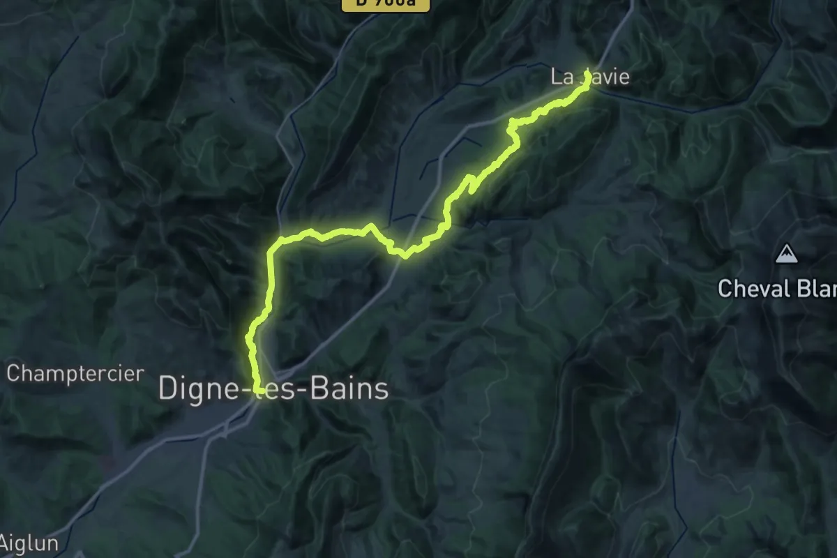
Demanding · Trail
Digne-les-Bains – La Javie
20.9 km · ↑ 529 m · 6 h 29 min · 13 km away
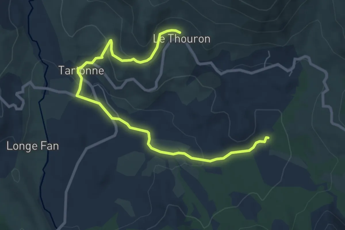
Easy · Trail
Circuit de la Salaou
3.7 km · ↑ 85 m · 1 h 9 min · 13 km away
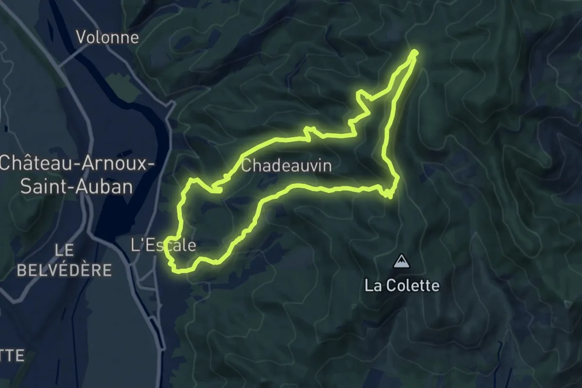
Medium · Summit
La Rouerie
12.8 km · ↑ 702 m · 4 h 43 min · 14 km away
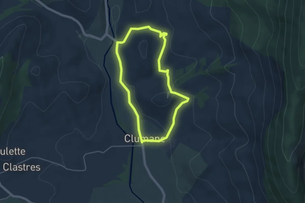
Easy · Trail
Circuit du Château
3.4 km · ↑ 91 m · 1 h 3 min · 14 km away
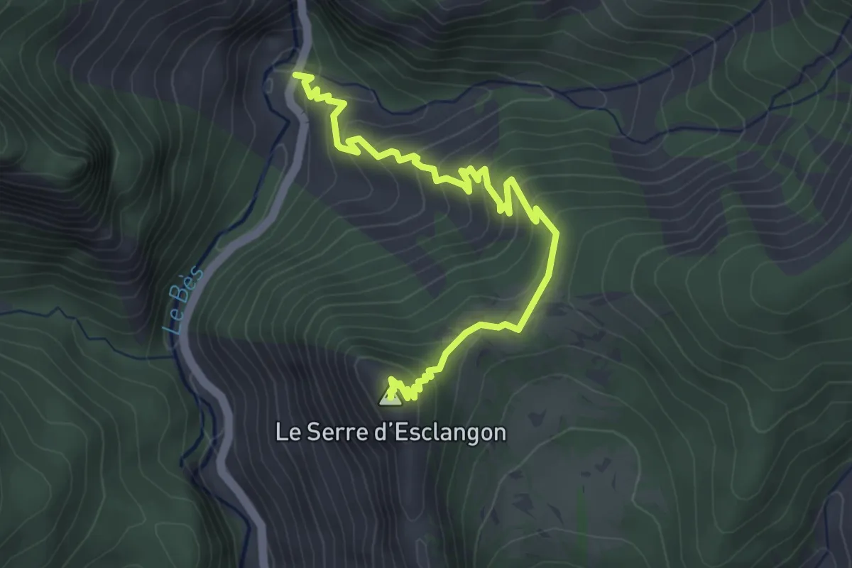
Medium · Summit
Le Serre d'Esclangon
4.5 km · ↑ 336 m · 1 h 47 min · 14 km away
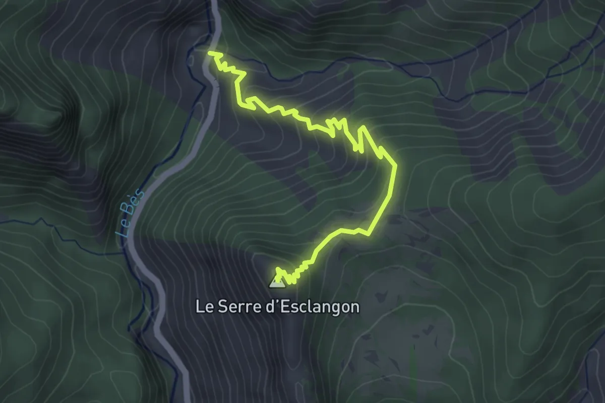
Easy · Summit
Panorama du Vélodrome
2.2 km · ↑ 318 m · 1 h 6 min · 14 km away
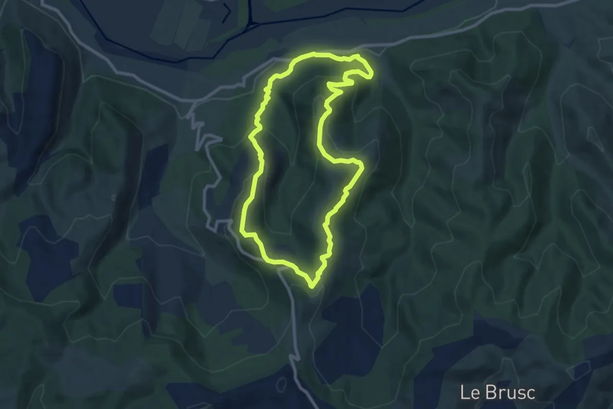
Easy · Trail
Le Hameau d'Espinouse
7.7 km · ↑ 317 m · 2 h 36 min · 14 km away
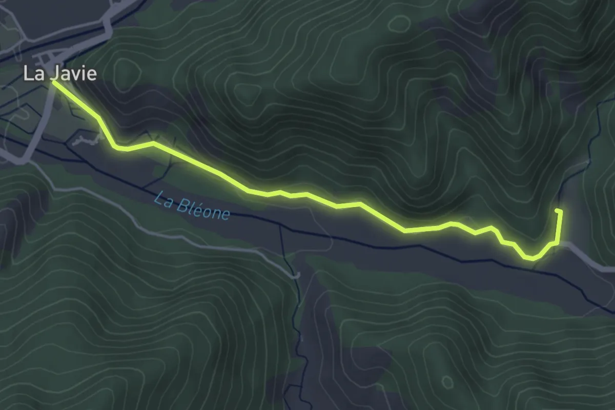
Expert · Trail
Traversée La Javie - Saint-Pierre - Prads Haute Bléone
4.6 km · ↑ 98 m · 1 h 19 min · 14 km away
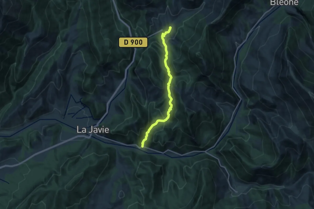
Medium · Trail
Hameau de la Cériège
5.9 km · ↑ 400 m · 2 h 18 min · 14 km away
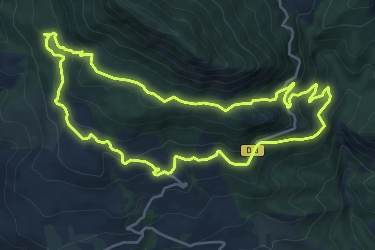
Medium · Trail
Vieux Mélan
8.9 km · ↑ 402 m · 3 h 6 min · 14 km away
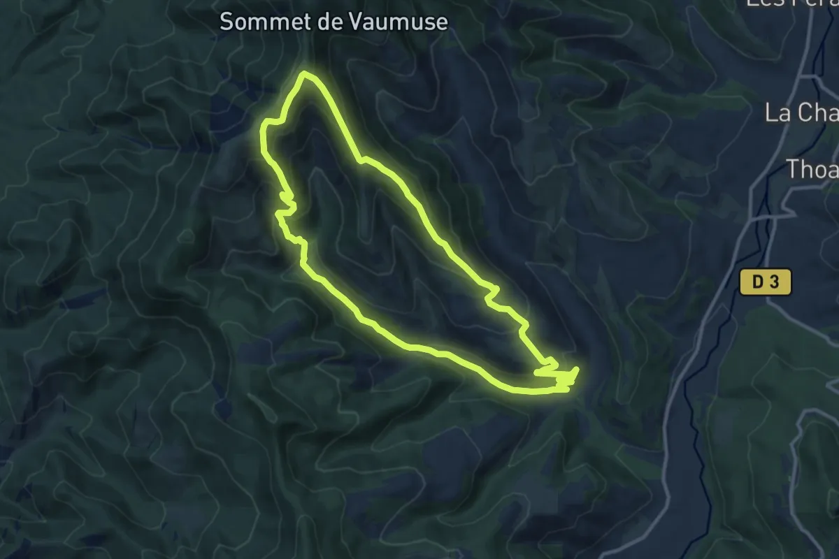
Medium · Trail
La Chapelle Saint-Joseph par Thoard
11.4 km · ↑ 615 m · 4 h 12 min · 14 km away