Trails near Fuveau
71 hikes starting within 15 km, nearest first.
Nearest first, page 1 of 2
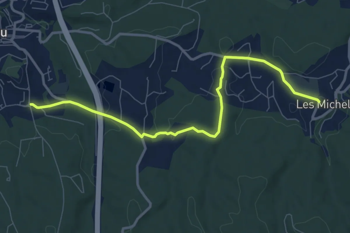
Medium · Trail
Des Michels au poteau ET 37
8.0 km · ↑ 135 m · 2 h 11 min · 1 km away
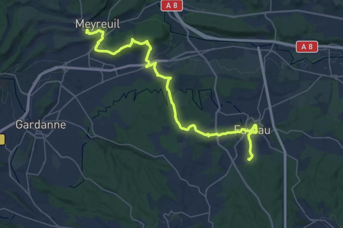
Demanding · Trail
Du poteau ET 36 à Meyreuil
25.1 km · ↑ 504 m · 7 h 1 min · 1 km away
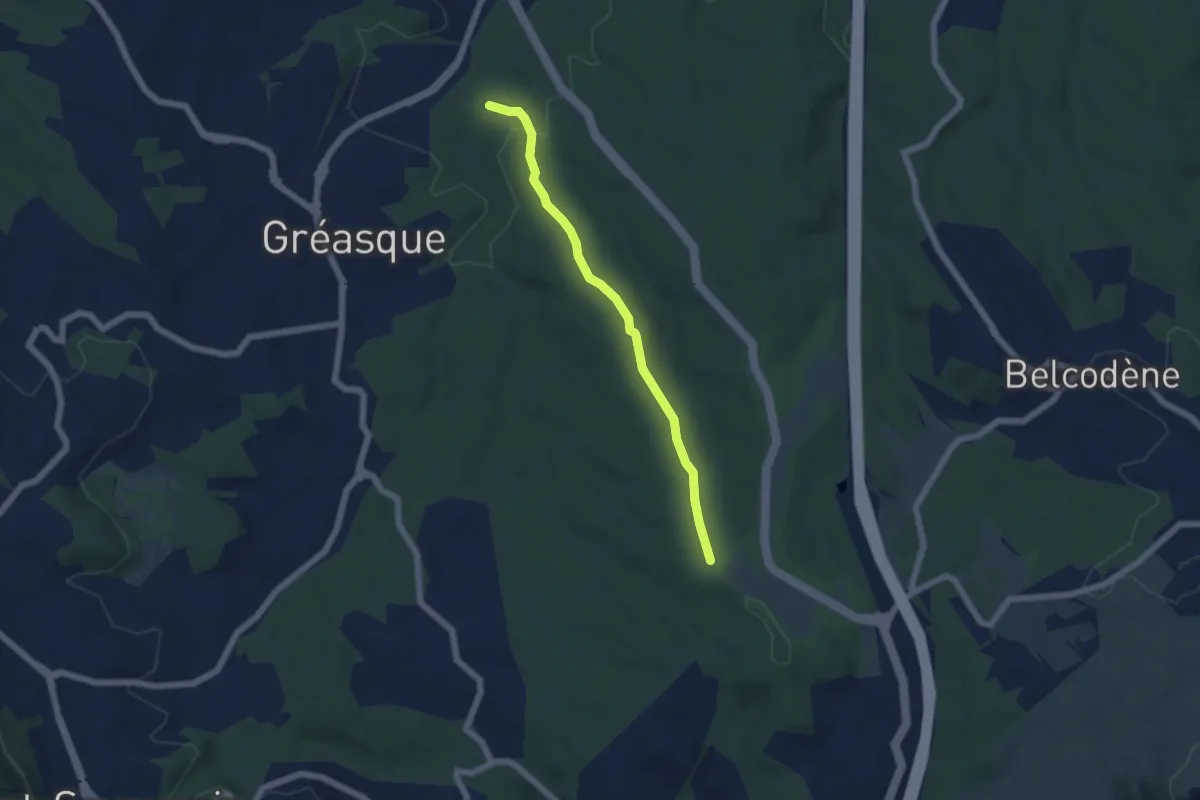
Easy · Trail
Du poteau ET 32 au poteau ET 33
5.4 km · ↑ 117 m · 1 h 32 min · 2 km away
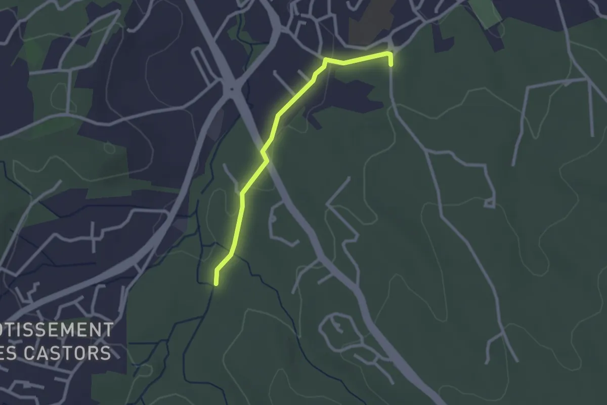
Easy · Trail
Du poteau ET 32 au poteau ET-36
2.3 km · ↑ 27 m · 36 min · 2 km away
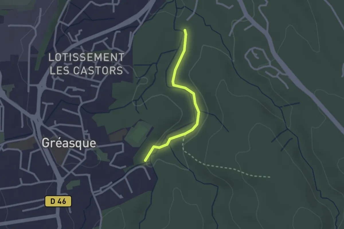
Easy · Trail
Du poteau ET 31 au poteau ET 32
2.1 km · ↑ 22 m · 33 min · 3 km away
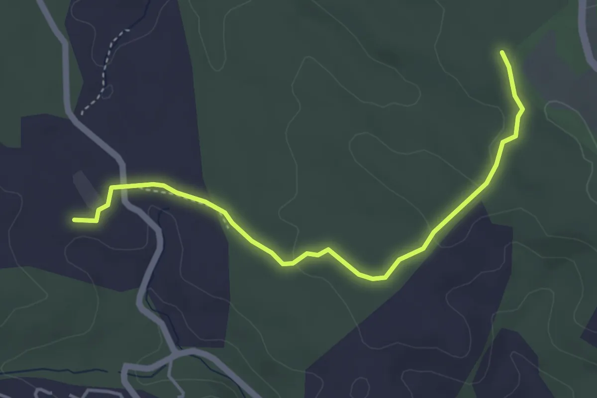
Easy · Trail
Du poteau ET 30 au poteau ET 33
4.5 km · ↑ 56 m · 1 h 11 min · 4 km away
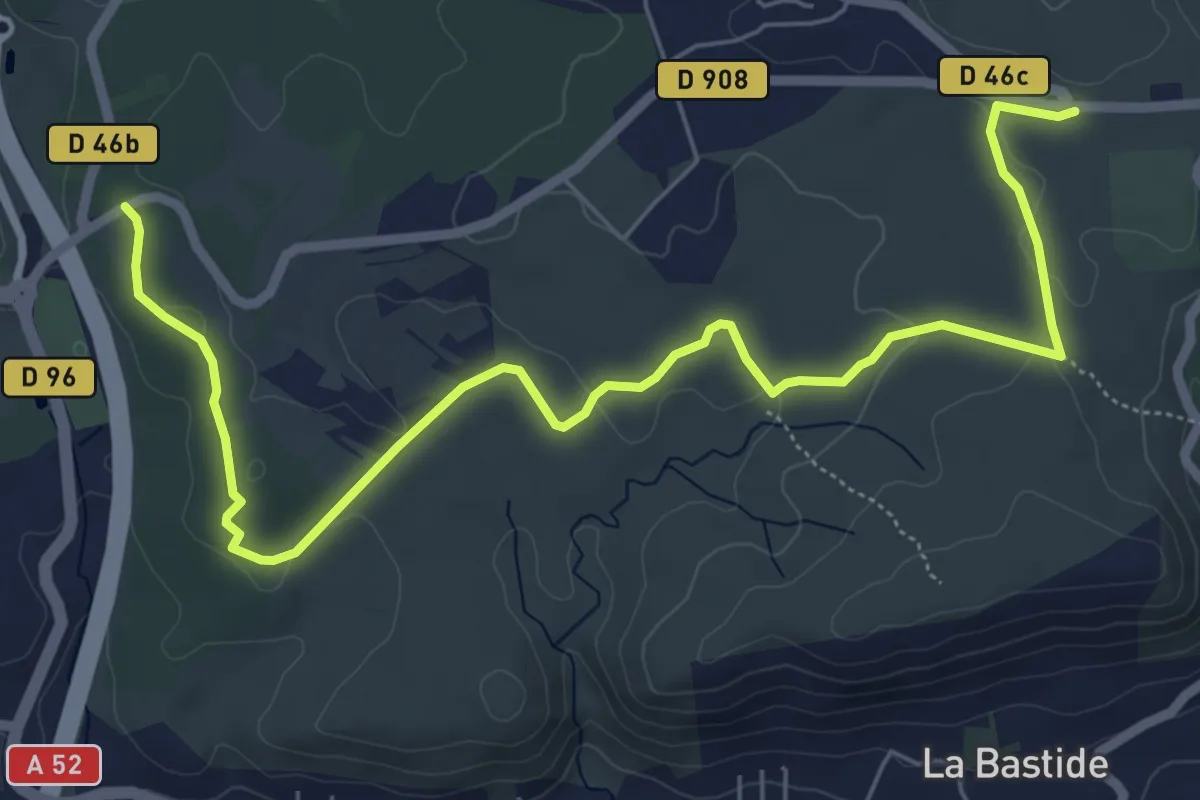
Medium · Trail
Du poteau RE ?? à Belcodéne
8.2 km · ↑ 93 m · 2 h 8 min · 4 km away
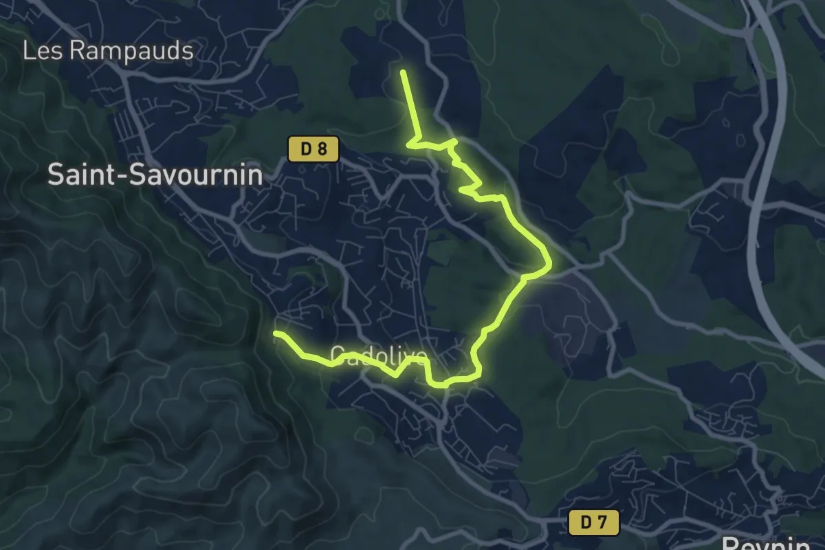
Medium · Trail
Du poteau ET 02 au poteau ET 30
9.9 km · ↑ 281 m · 2 h 56 min · 5 km away
Easy · Trail
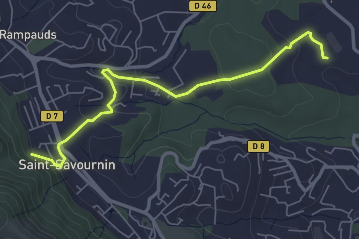
Du poteau ET 07 au poteau ET 30
5.6 km · ↑ 139 m · 1 h 38 min · 5 km away
Easy · Trail
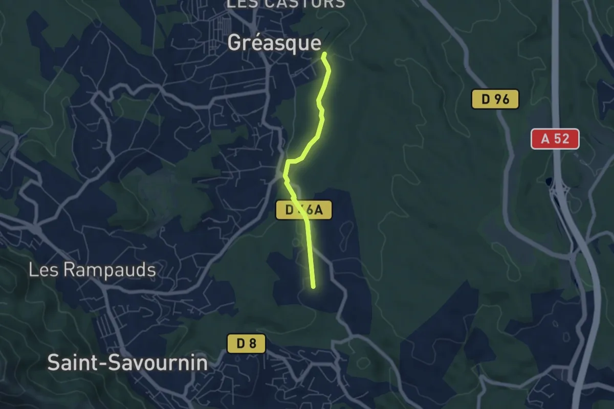
Du poteau ET 30 au poteau ET 31
4.7 km · ↑ 39 m · 1 h 12 min · 5 km away
Easy · Trail
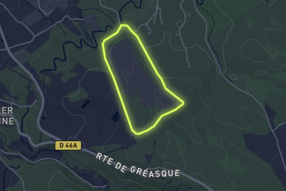
Chemin des énergies
2.5 km · ↑ 60 m · 46 min · 5 km away
Medium · Trail
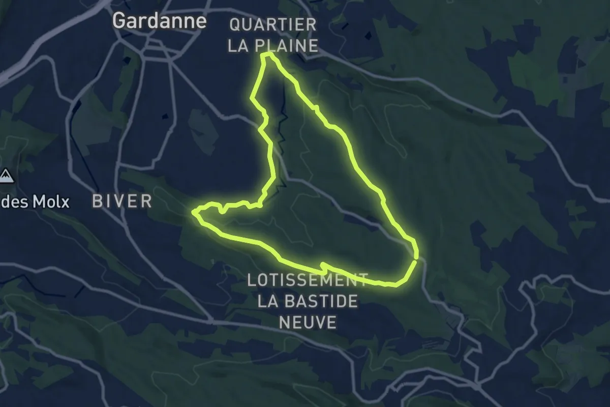
Circuit des Crêtes
9.2 km · ↑ 165 m · 2 h 40 min · 5 km away
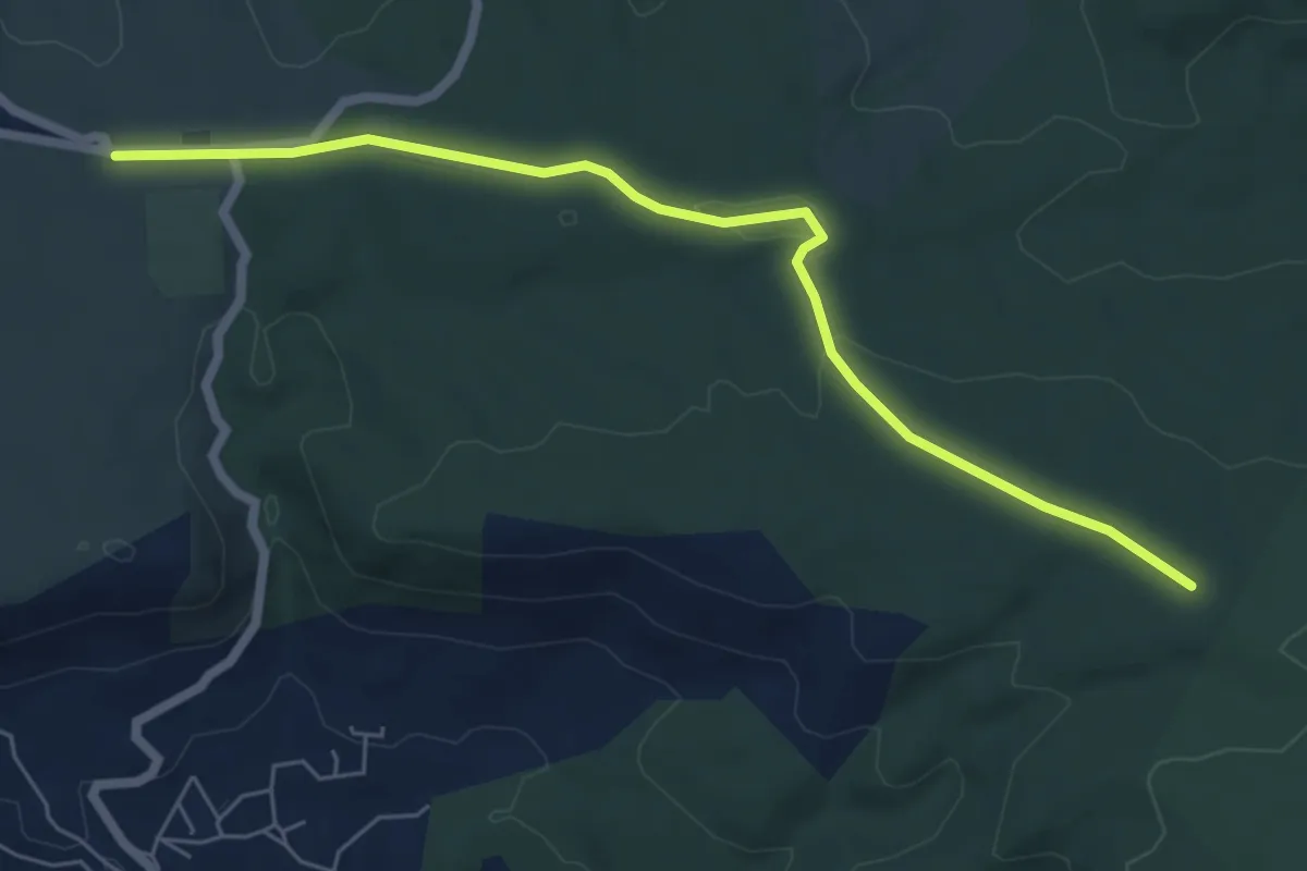
Easy · Trail
De Belcodène au poteau RE 09
6.8 km · ↑ 68 m · 1 h 45 min · 5 km away
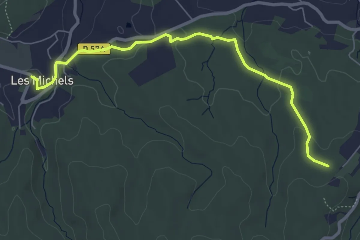
Easy · Trail
Du poteau RE 02 aux Michels
6.0 km · ↑ 96 m · 1 h 38 min · 6 km away
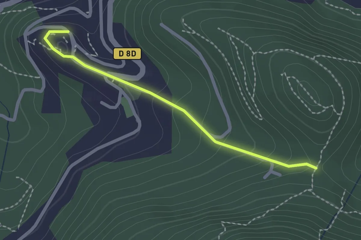
Easy · Trail
Du poteau ET 08 à Mimet
2.0 km · ↑ 102 m · 42 min · 6 km away
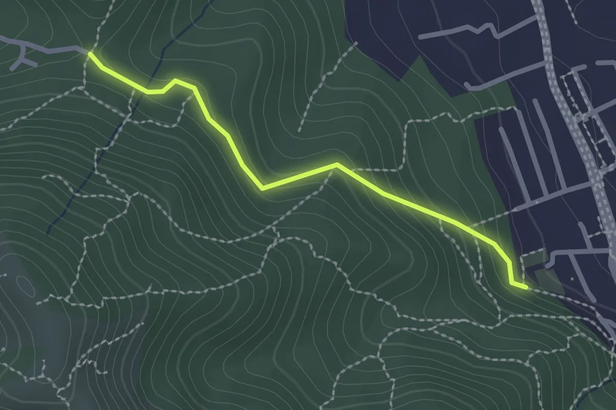
Easy · Trail
Du Poteau ET 07 au poteau ET 08
2.2 km · ↑ 130 m · 48 min · 6 km away
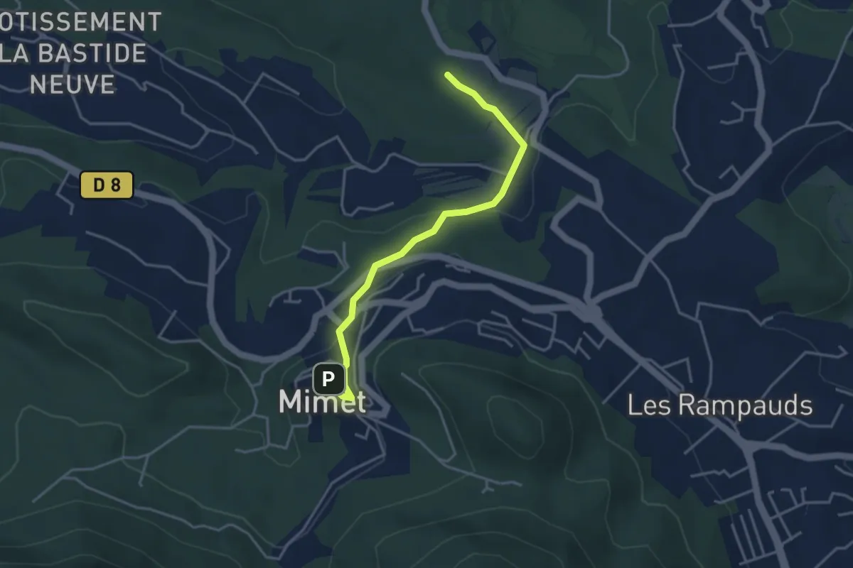
Easy · Trail
De Mimet au poteau ET 39
3.8 km · ↑ 133 m · 1 h 11 min · 6 km away
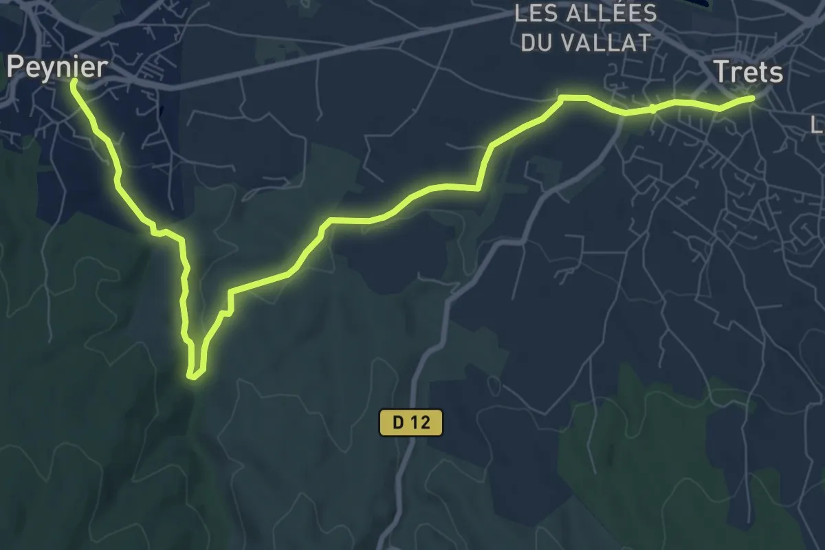
Medium · Trail
Trets à Peynier
11.4 km · ↑ 135 m · 2 h 59 min · 7 km away
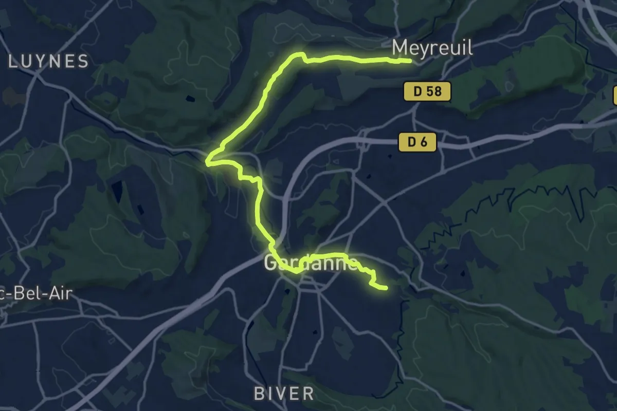
Demanding · Trail
De Meyreuil à Gardanne
18.7 km · ↑ 193 m · 4 h 49 min · 7 km away
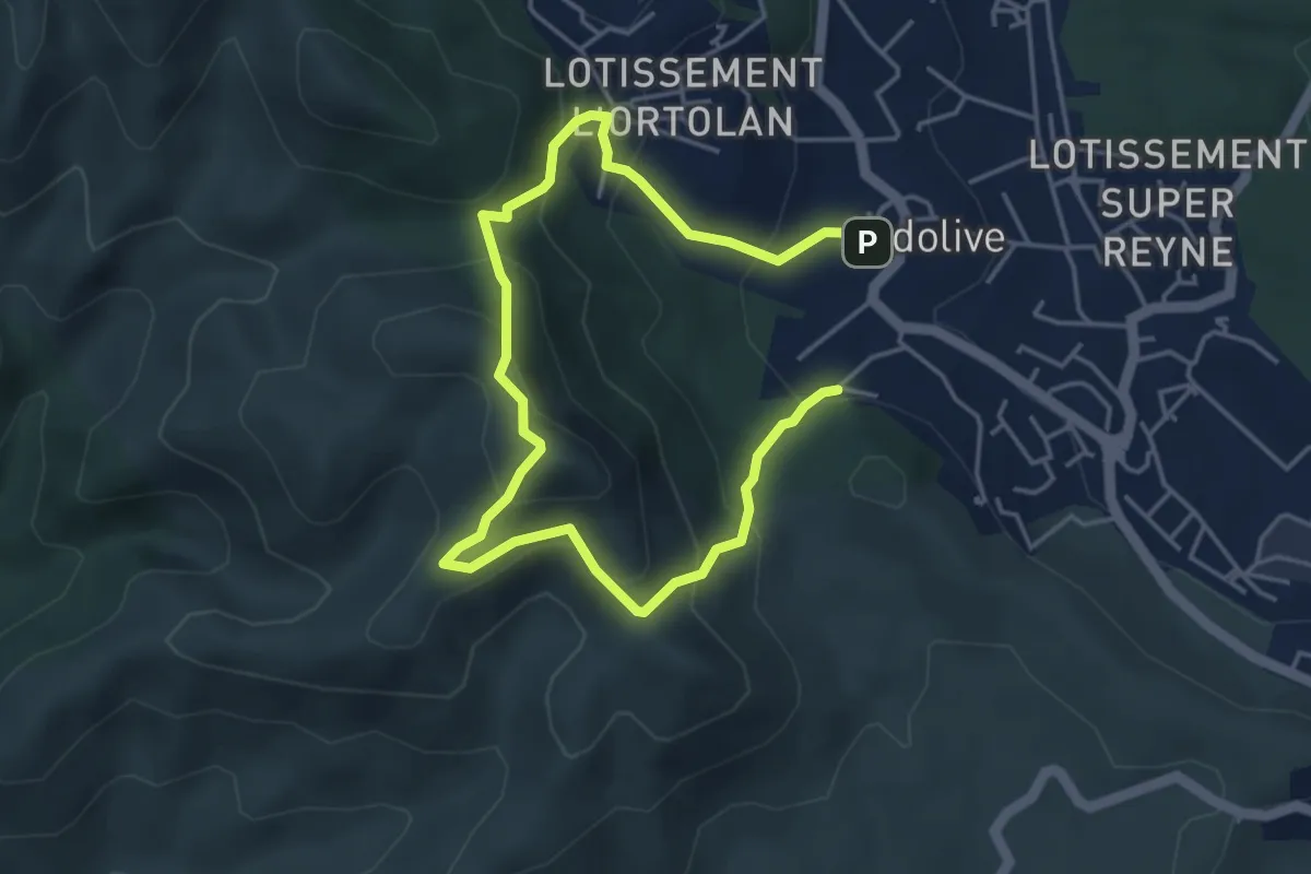
Easy · Summit
Le mont Julien
3.3 km · ↑ 250 m · 1 h 22 min · 7 km away
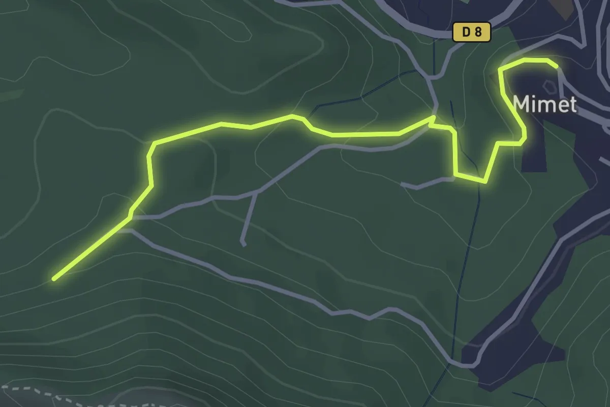
Easy · Trail
Du parking du Col Saint-Anne à Mimet
3.6 km · ↑ 146 m · 1 h 10 min · 7 km away
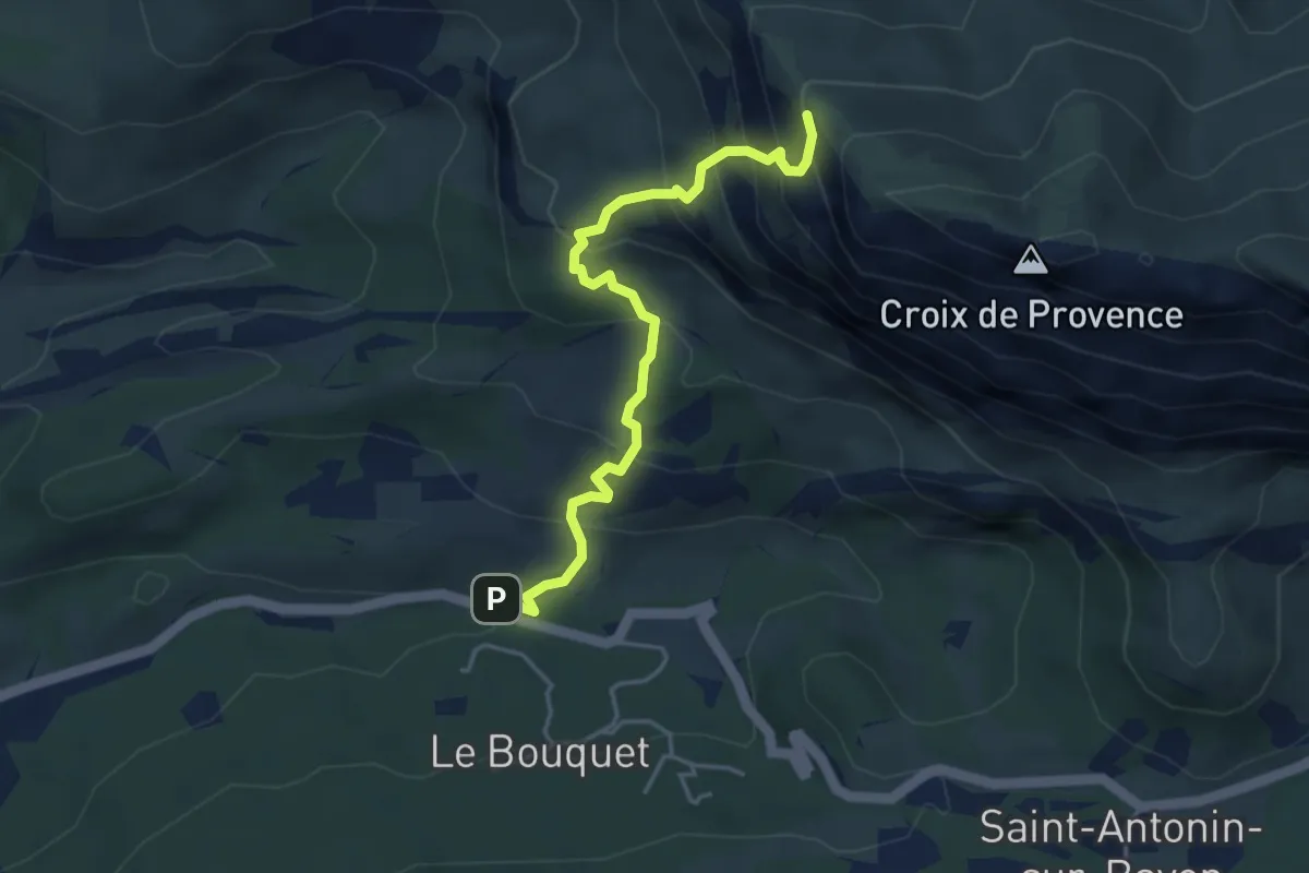
Expert · Trail
Sentier du pas du moine
4.4 km · ↑ 441 m · 2 h · 8 km away
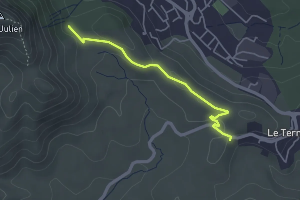
Easy · Trail
Du poteau GB-73 au Poteau ET 03
3.4 km · ↑ 40 m · 54 min · 8 km away
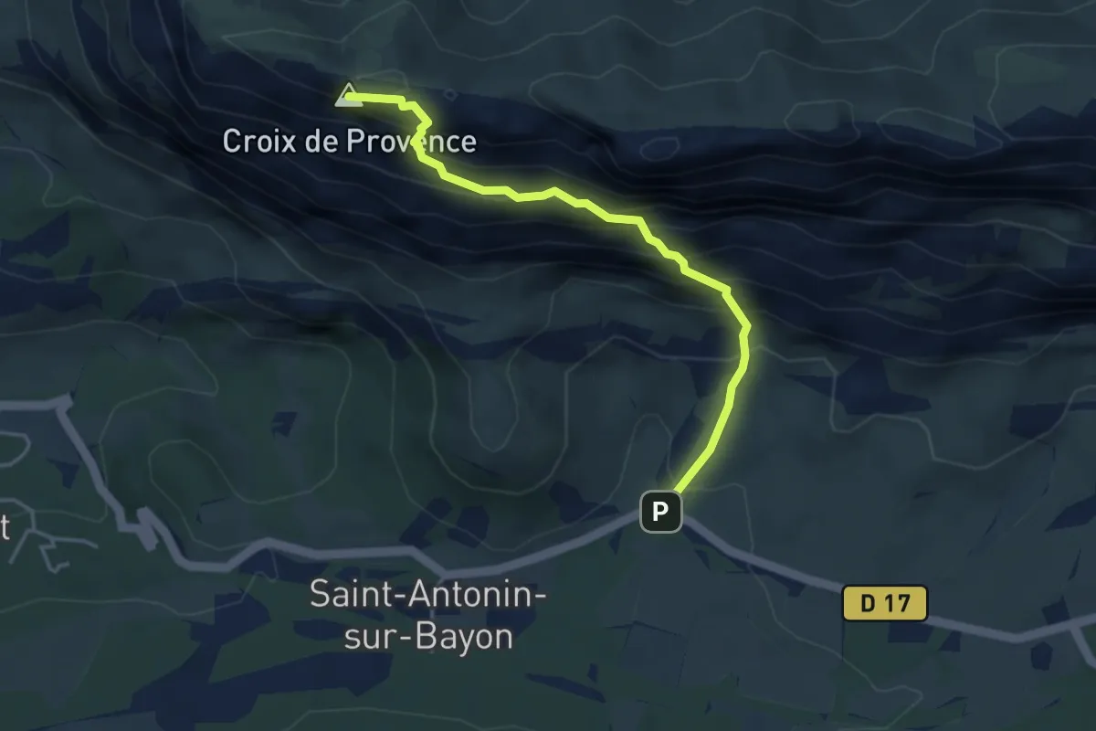
Expert · Summit
Sentier des deux aiguilles
4.0 km · ↑ 533 m · 2 h 5 min · 8 km away
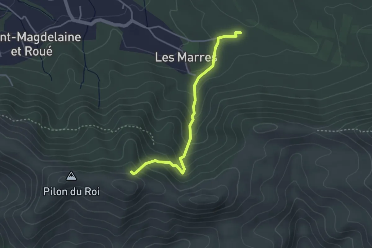
Easy · Trail
ETx2 - Les Marres
3.2 km · ↑ 249 m · 1 h 18 min · 8 km away
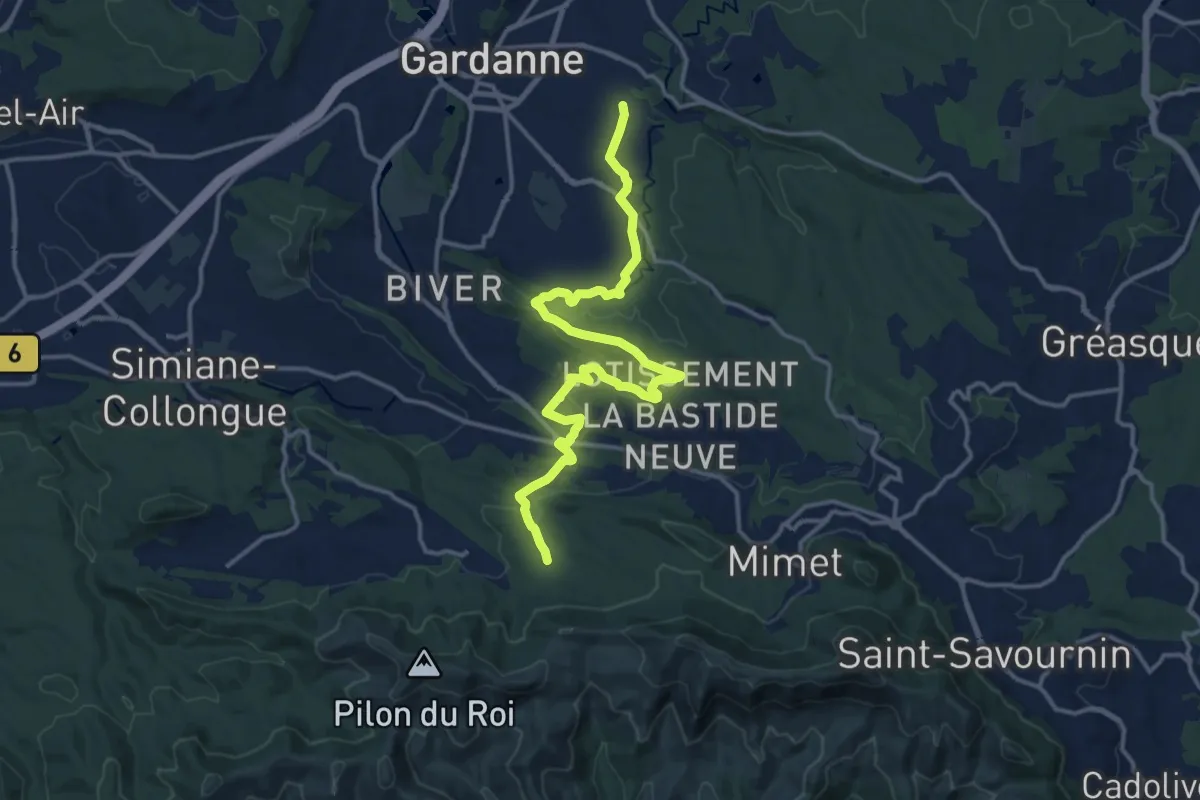
Medium · Trail
De Gardanne aux Marres
17.1 km · ↑ 302 m · 4 h 42 min · 8 km away
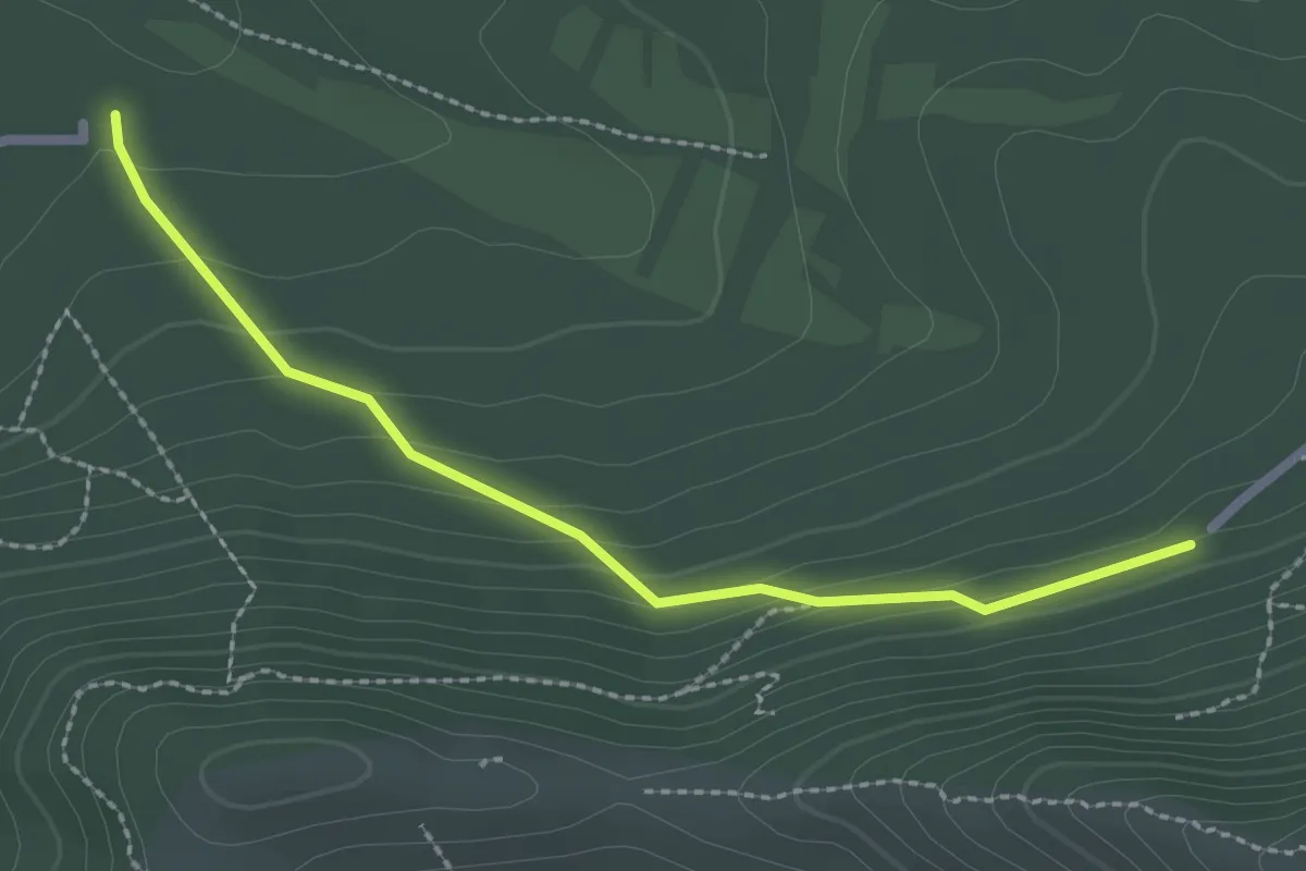
Easy · Trail
Du Parking du col Sainte-Anne aux Marres
2.5 km · ↑ 124 m · 52 min · 8 km away
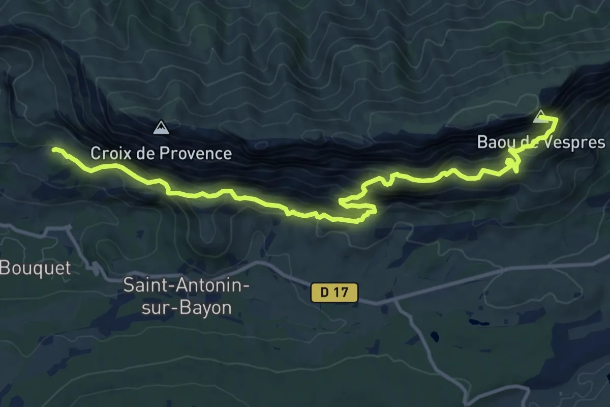
Demanding · Summit
(Sentier marron)
12.0 km · ↑ 978 m · 4 h 58 min · 8 km away
Expert · Cabin
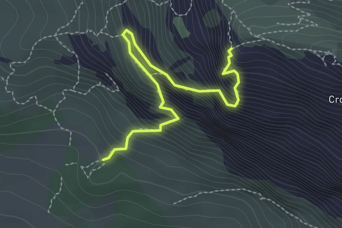
Sentier du pas de la Savonette
2.6 km · ↑ 451 m · 1 h 35 min · 9 km away
Easy · Trail
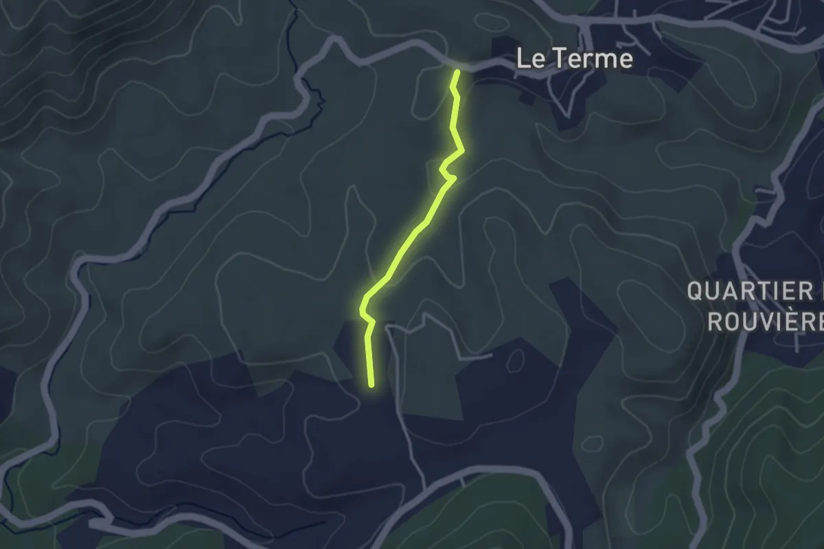
Du poteau GB 72 au poteau GB 73
2.4 km · ↑ 48 m · 41 min · 9 km away
Easy · Trail
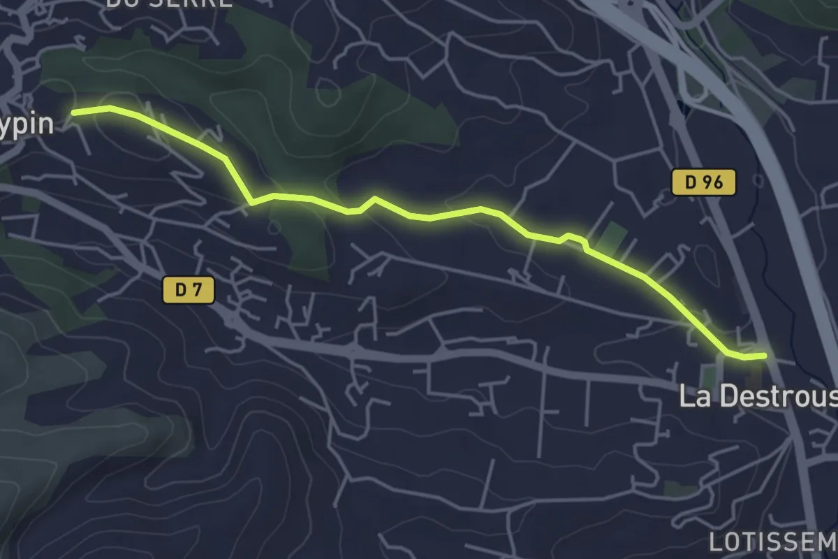
La Destrousse - Mont du Marseillais
4.7 km · ↑ 103 m · 1 h 19 min · 9 km away
Medium · Trail
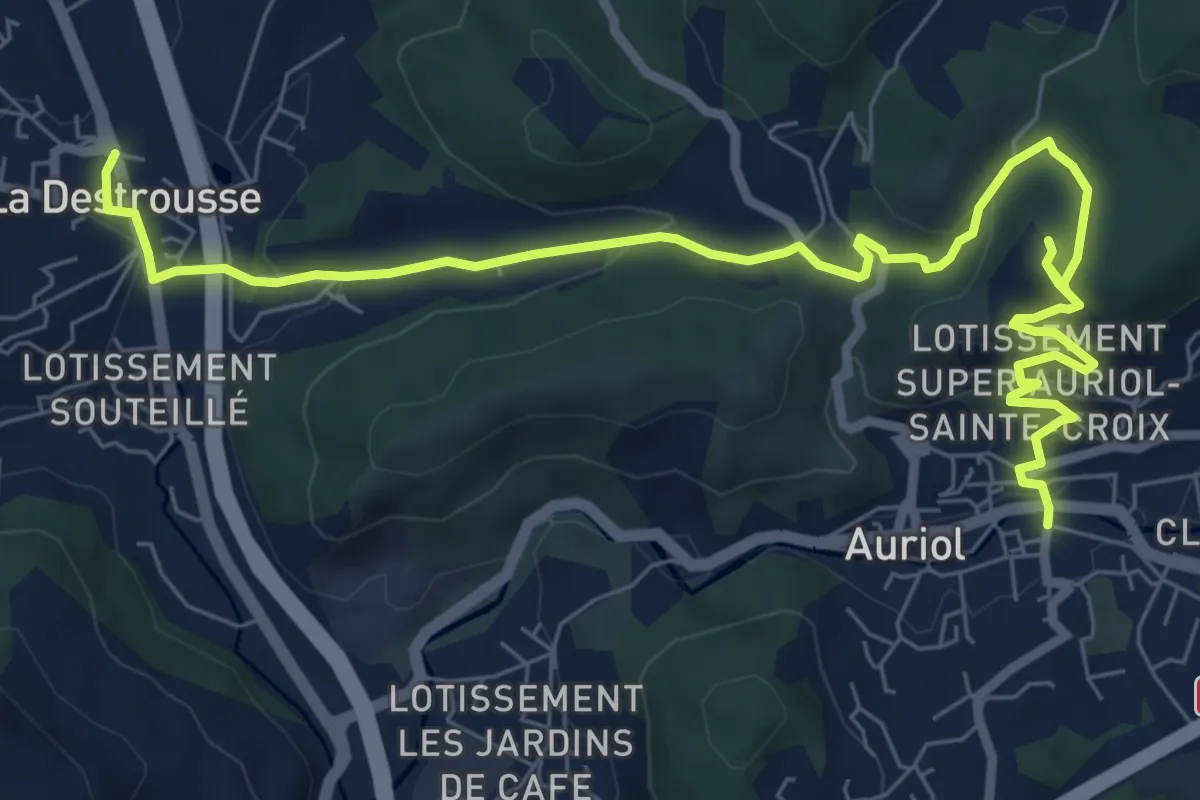
De Auriol à La Destrousse
10.2 km · ↑ 361 m · 3 h 12 min · 9 km away
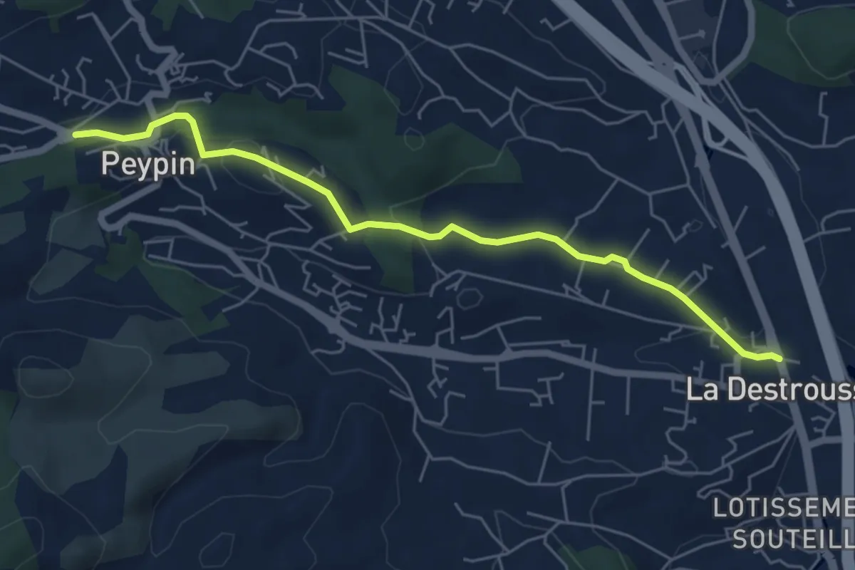
Easy · Trail
De La Destrousse à Peypin
5.9 km · ↑ 131 m · 1 h 40 min · 9 km away
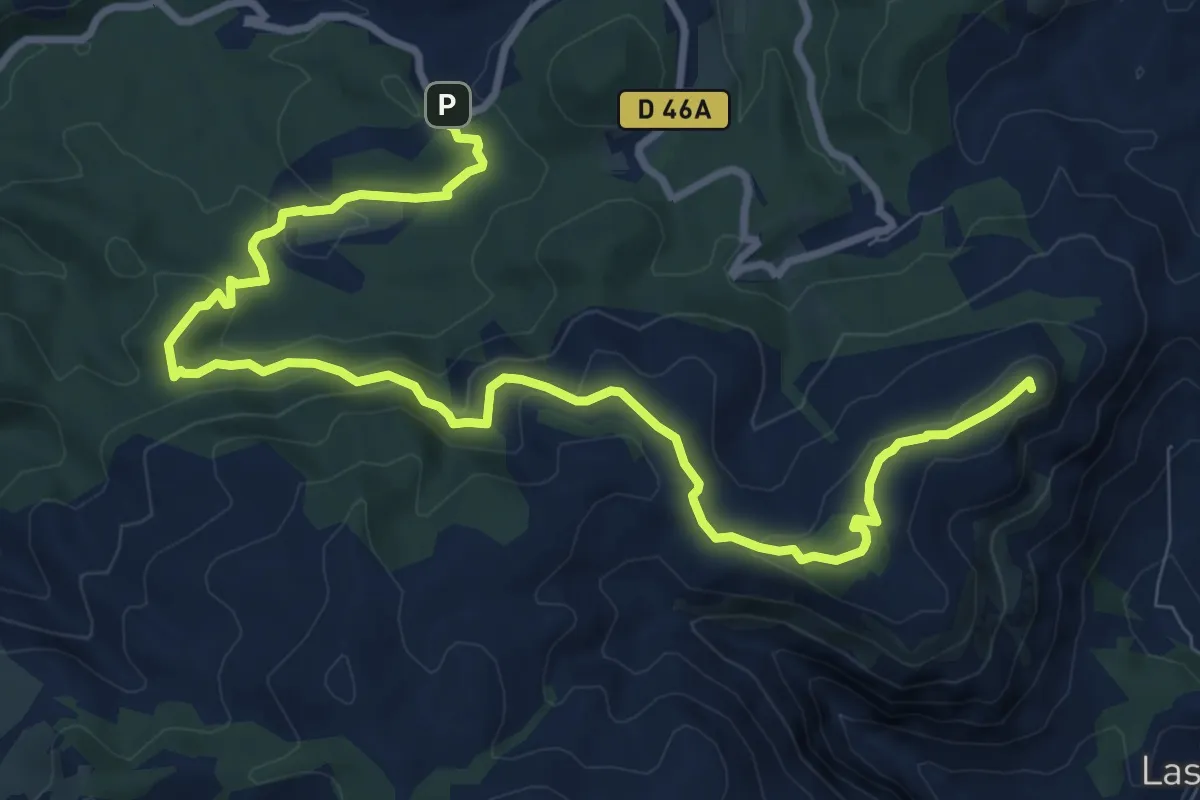
Medium · Summit
Du Mont du Marseillais au poteau GB-71
12.7 km · ↑ 425 m · 3 h 55 min · 10 km away
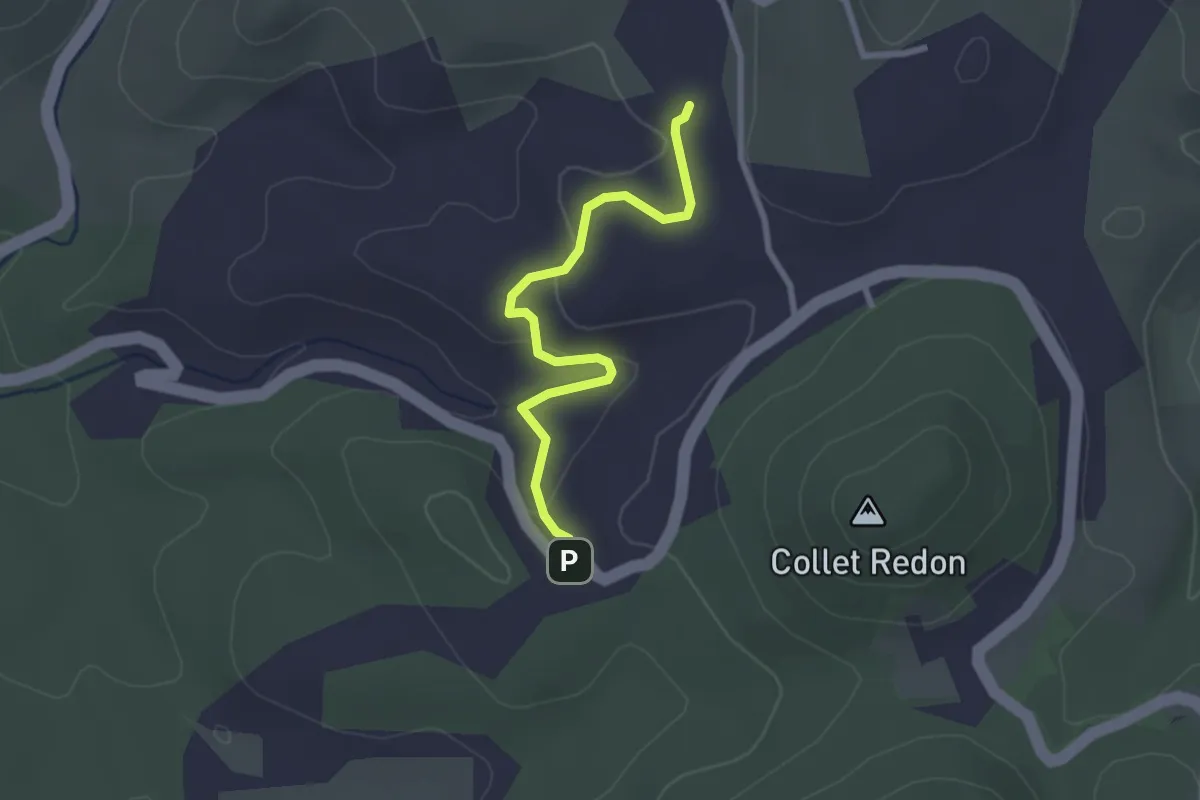
Easy · Trail
Du poteau GB 71 au poteau GB 72
2.7 km · ↑ 69 m · 47 min · 10 km away
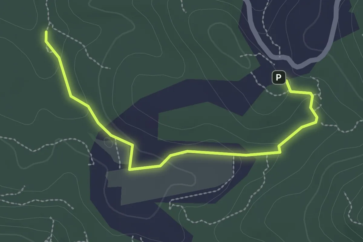
Easy · Trail
Boucle des Bergers
3.1 km · ↑ 68 m · 53 min · 10 km away
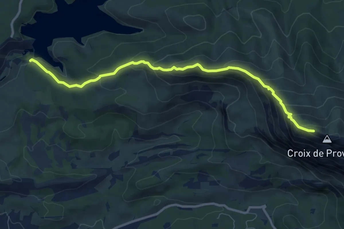
Medium · Cabin
Sentier Imoucha
8.3 km · ↑ 573 m · 3 h 12 min · 10 km away
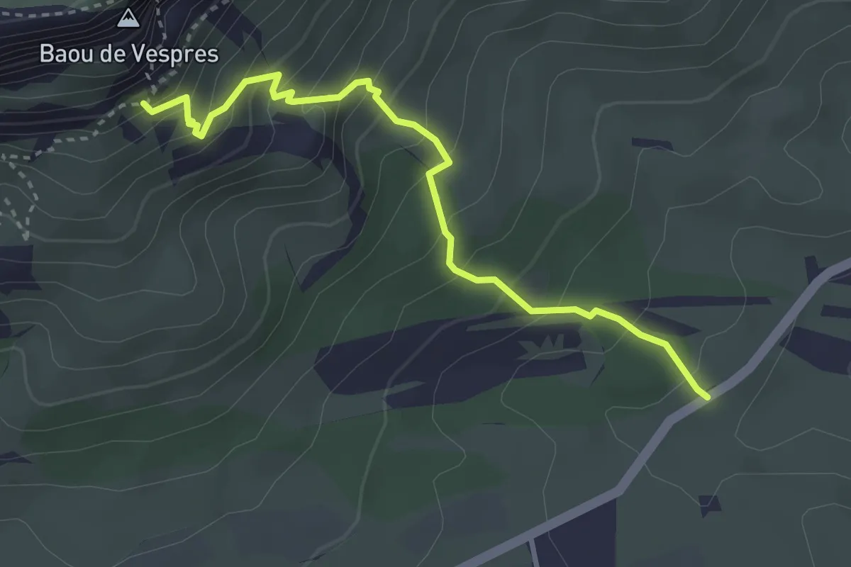
Medium · Cabin
Sentier Baudino
3.6 km · ↑ 394 m · 1 h 42 min · 10 km away
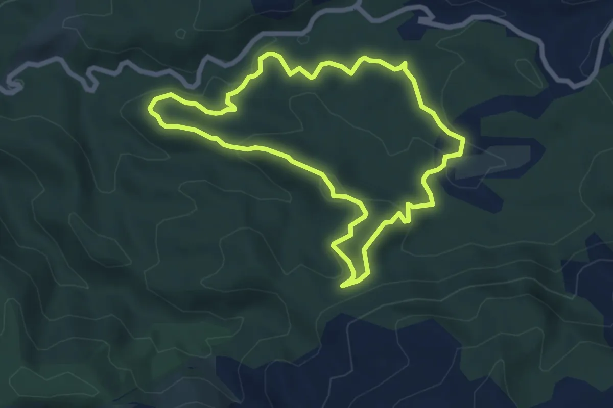
Medium · Trail
Boucle du Château de Ners
5.4 km · ↑ 155 m · 1 h 42 min · 10 km away
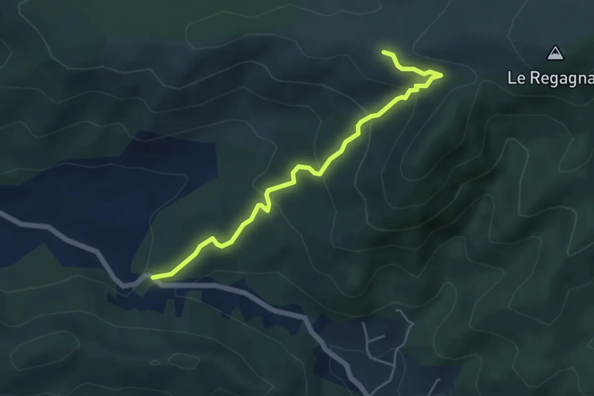
Easy · Trail
Du poteau RE 10 au poteau RE 24
4.6 km · ↑ 236 m · 1 h 36 min · 10 km away
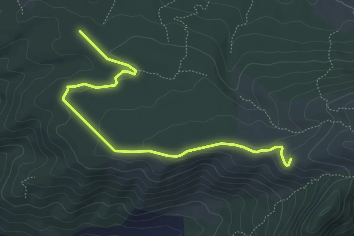
Easy · Trail
Du poteau RE 09 au poteau RE 10
6.5 km · ↑ 101 m · 1 h 46 min · 10 km away
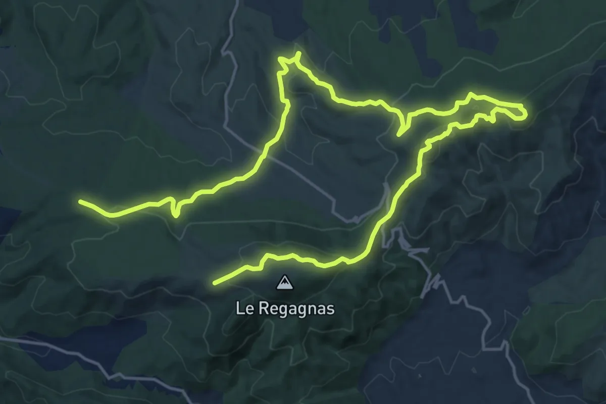
Medium · Trail
Entre Aurélien et Regagnas
13.3 km · ↑ 428 m · 4 h 17 min · 10 km away
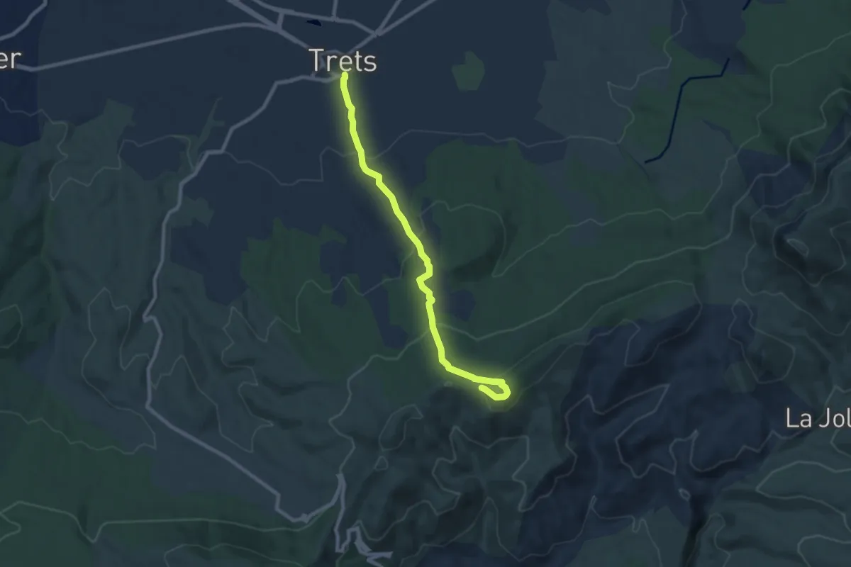
Medium · Trail
Poteau RE-22 – Trets
8.6 km · ↑ 403 m · 2 h 54 min · 10 km away
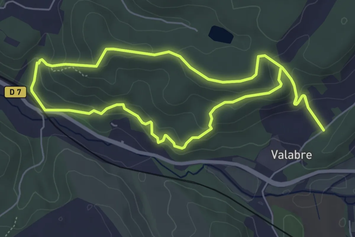
Easy · Trail
Ecomusée de la Forêt – Ecomusée de la Forêt
5.5 km · ↑ 215 m · 1 h 51 min · 10 km away
Easy · Trail
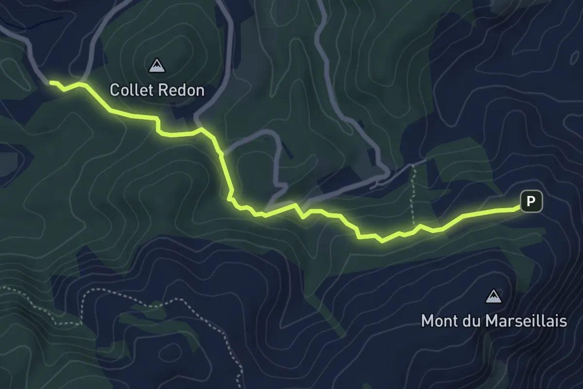
Variante GRP évitant le Mont du Marseillais
5.7 km · ↑ 194 m · 1 h 47 min · 10 km away
Easy · Summit
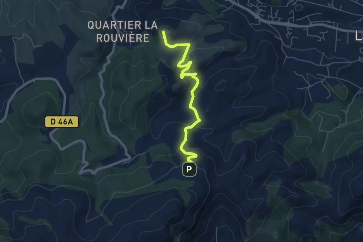
De Peypin au poteau GB-57
5.6 km · ↑ 316 m · 2 h 1 min · 10 km away
Easy · Summit
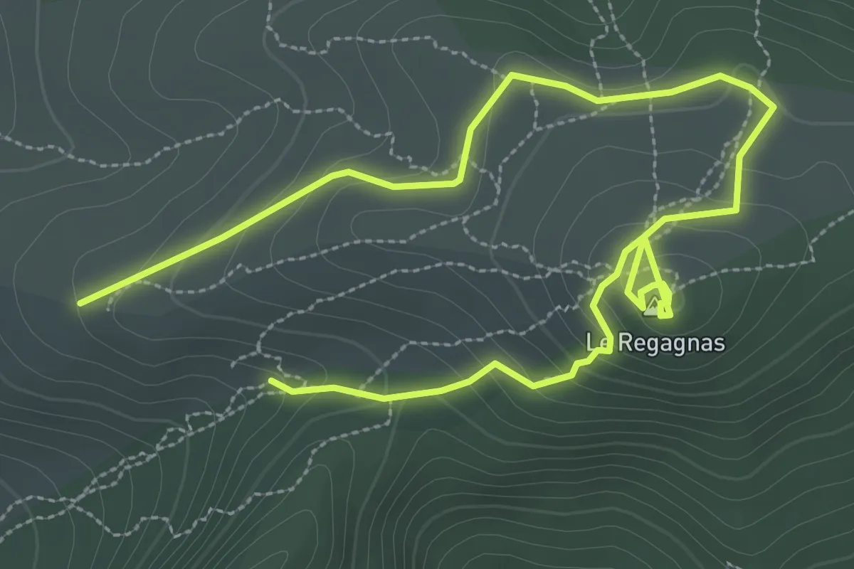
Le Regagnas
2.5 km · ↑ 116 m · 53 min · 10 km away
Medium · Summit
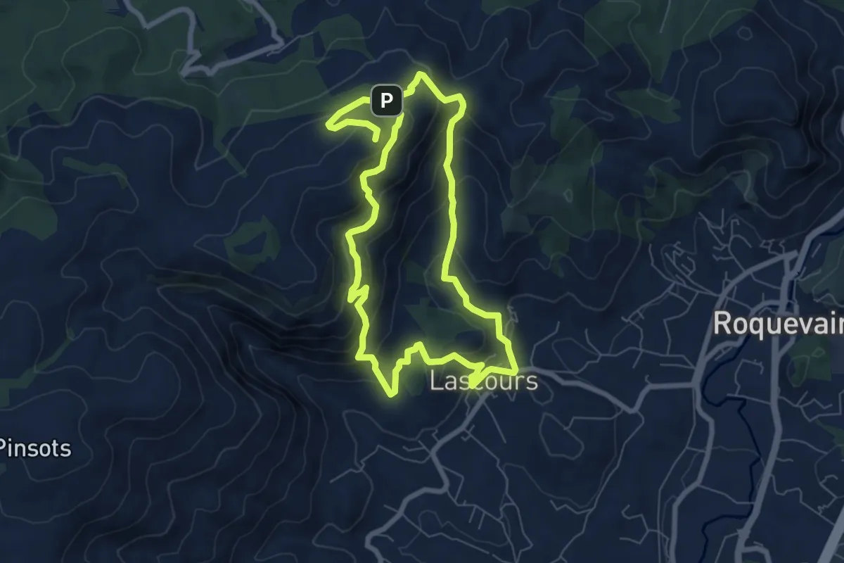
Le mont du Marseillais
6.9 km · ↑ 477 m · 2 h 43 min · 10 km away