Trails near Fuveau
71 hikes starting within 15 km, nearest first.
Nearest first, page 2 of 2
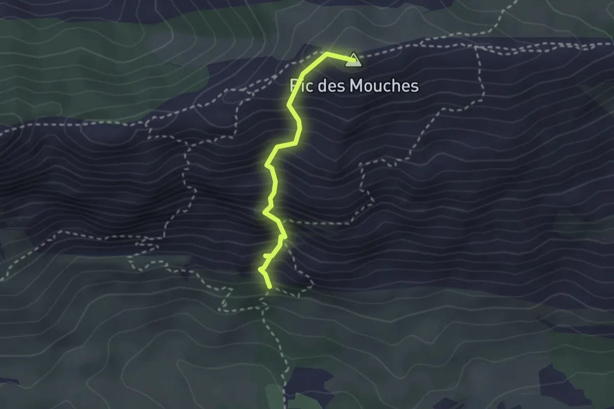
Expert · Summit
Sentier du vallon de la Tine
2.2 km · ↑ 458 m · 1 h 31 min · 11 km away
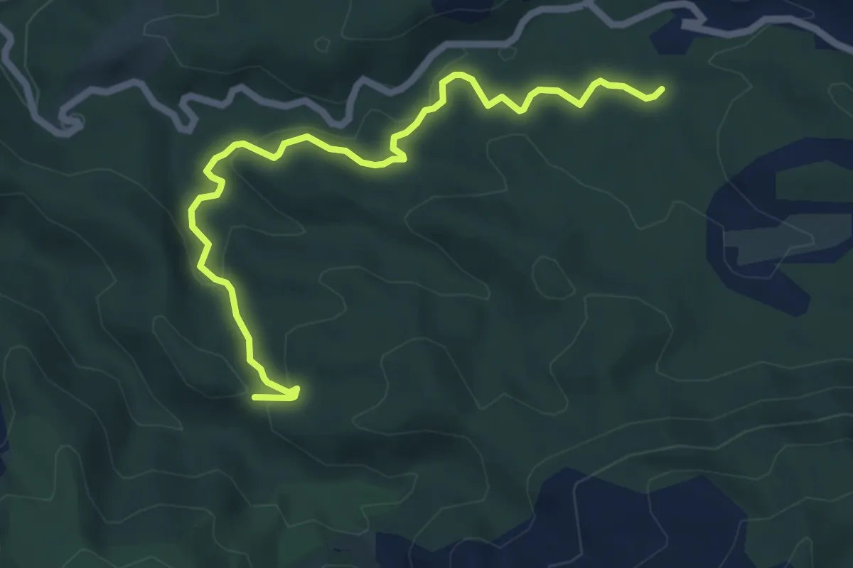
Medium · Trail
jaune
6.5 km · ↑ 207 m · 1 h 59 min · 11 km away
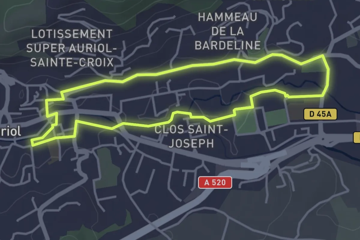
Easy · Trail
Les moulins
3.6 km · ↑ 34 m · 59 min · 11 km away
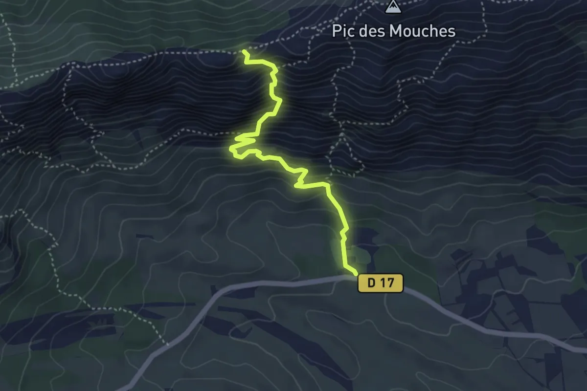
Expert · Trail
Sentier de Saint-Ser
4.0 km · ↑ 531 m · 2 h 6 min · 11 km away
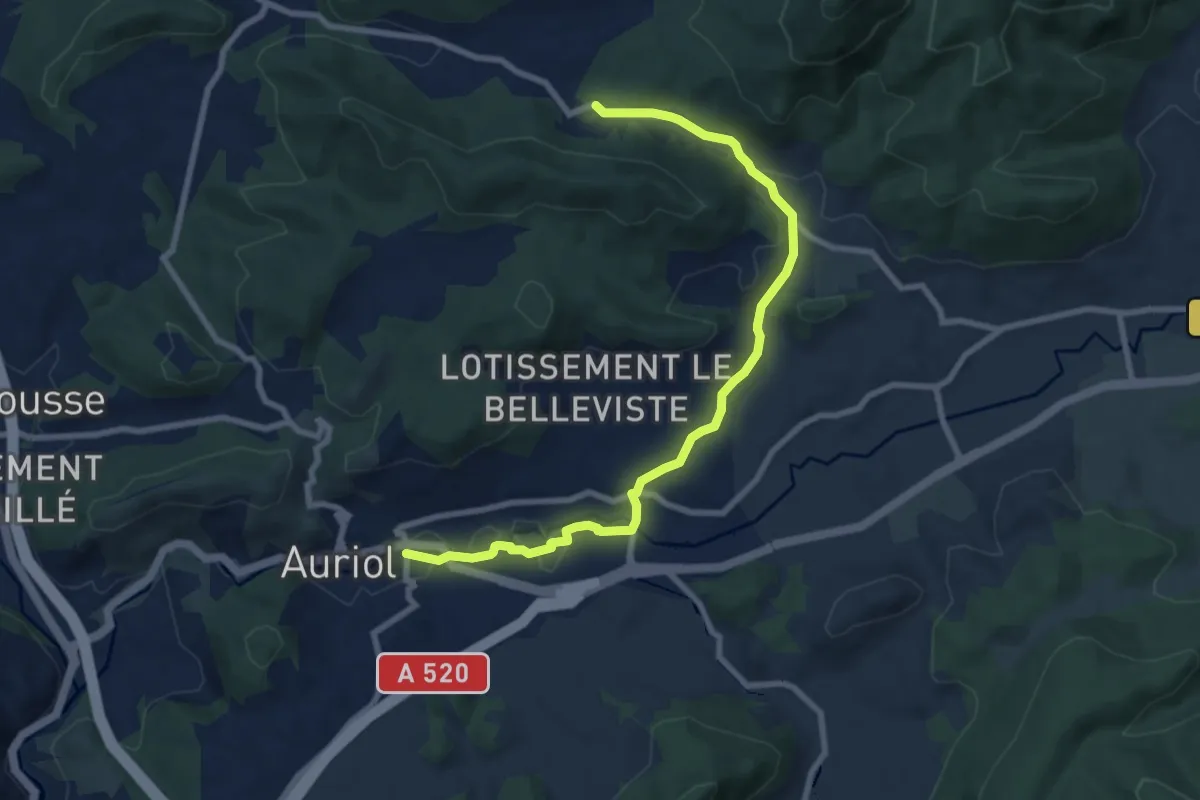
Medium · Trail
Du poteau RE 24 à Auriol
9.4 km · ↑ 156 m · 2 h 33 min · 11 km away
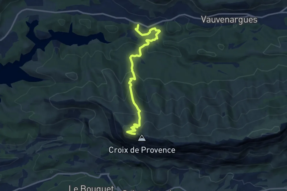
Medium · Cabin
Chemin des Venturiers
9.5 km · ↑ 576 m · 3 h 29 min · 11 km away
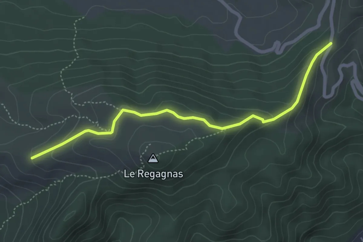
Easy · Trail
Du poteau RE 10 au poteau RE 12
5.1 km · ↑ 176 m · 1 h 35 min · 11 km away
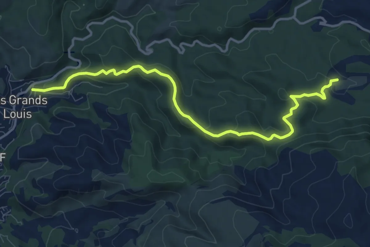
Medium · Trail
yellow
10.5 km · ↑ 351 m · 3 h 14 min · 11 km away
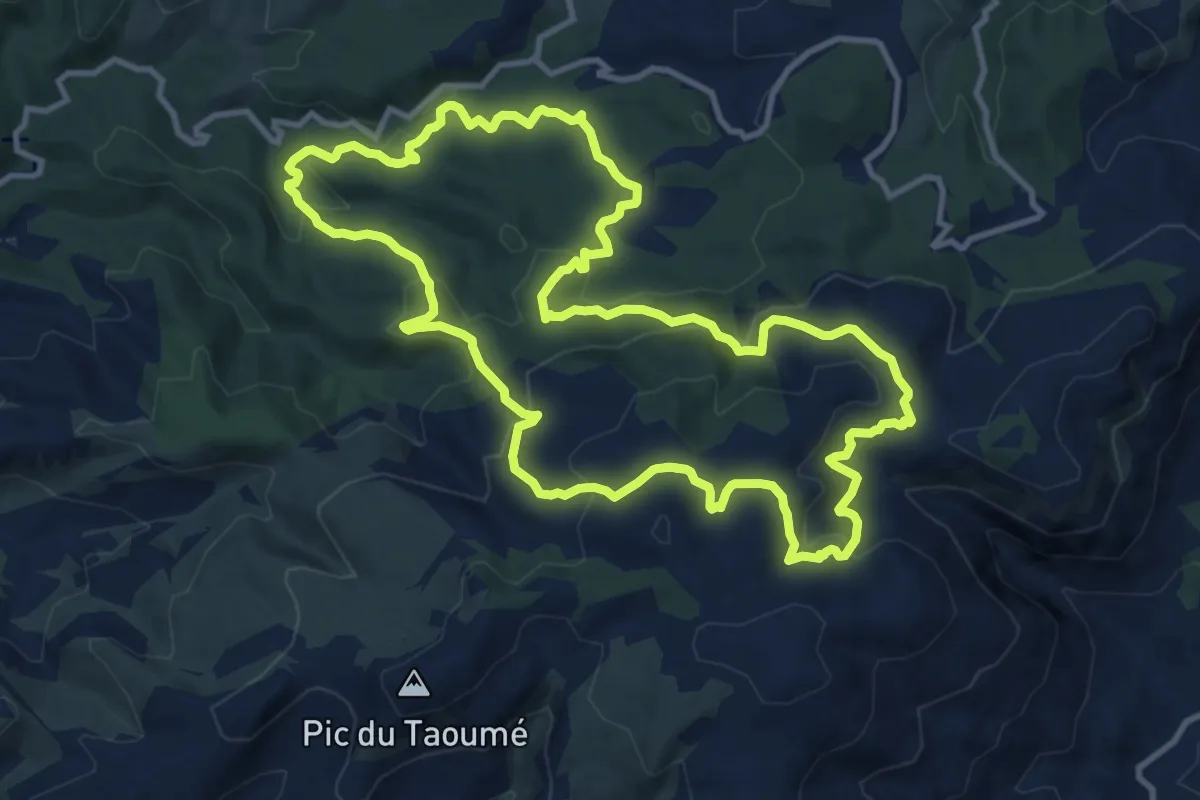
Medium · Trail
Boucle des Grands Ubacs
12.9 km · ↑ 511 m · 4 h 20 min · 11 km away
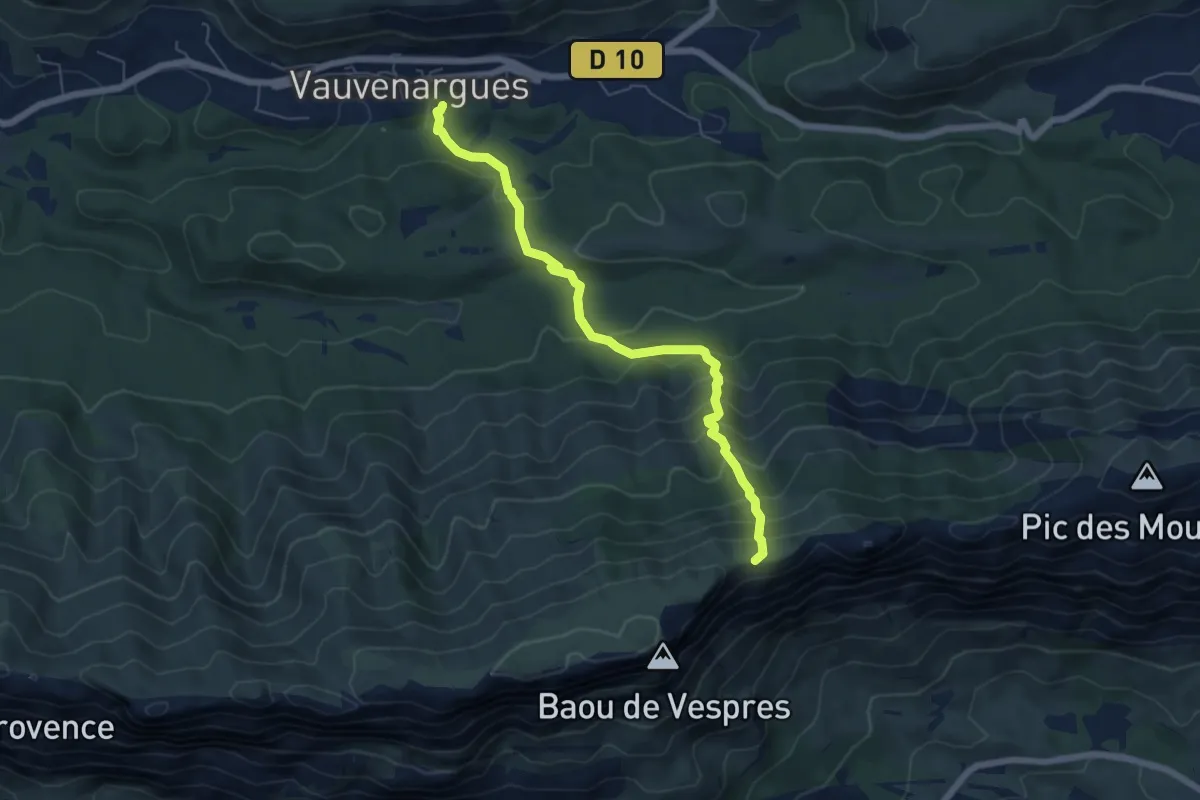
Medium · Trail
Sentier des Plaideurs
6.3 km · ↑ 580 m · 2 h 45 min · 12 km away
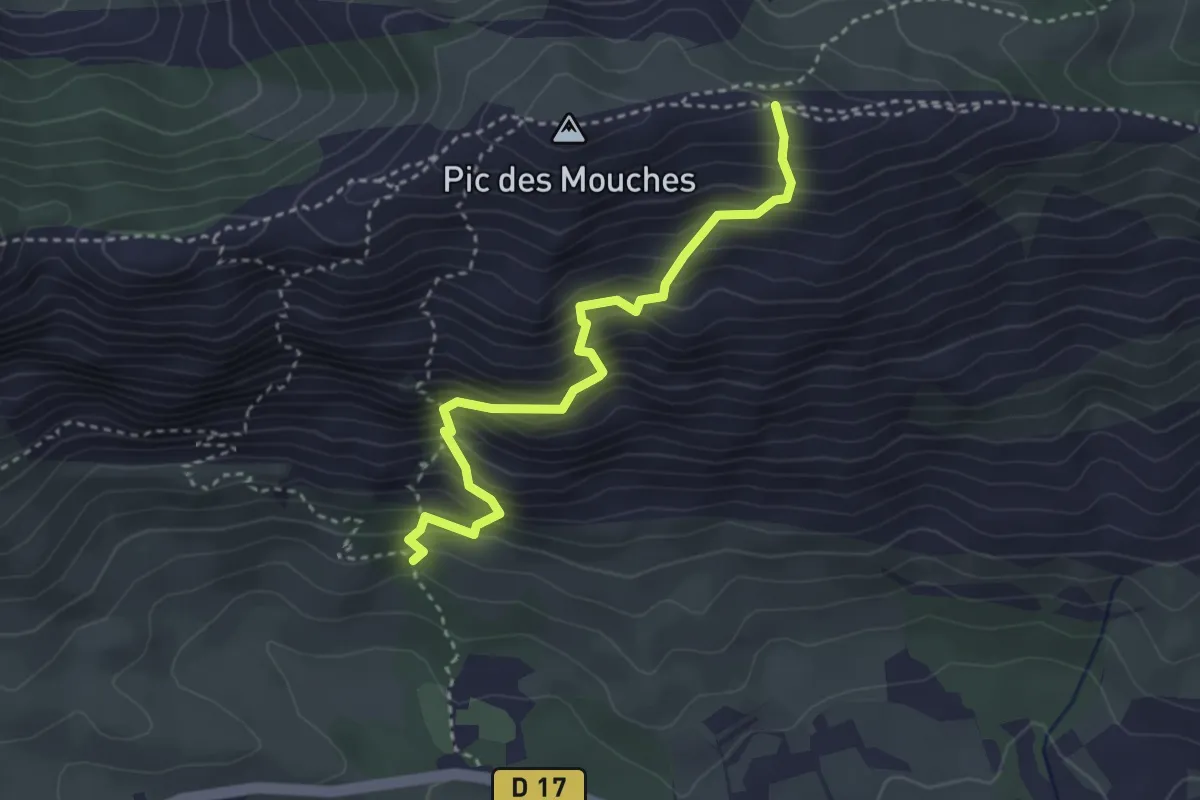
Demanding · Trail
Sentier de Bramefan
3.5 km · ↑ 523 m · 1 h 58 min · 12 km away
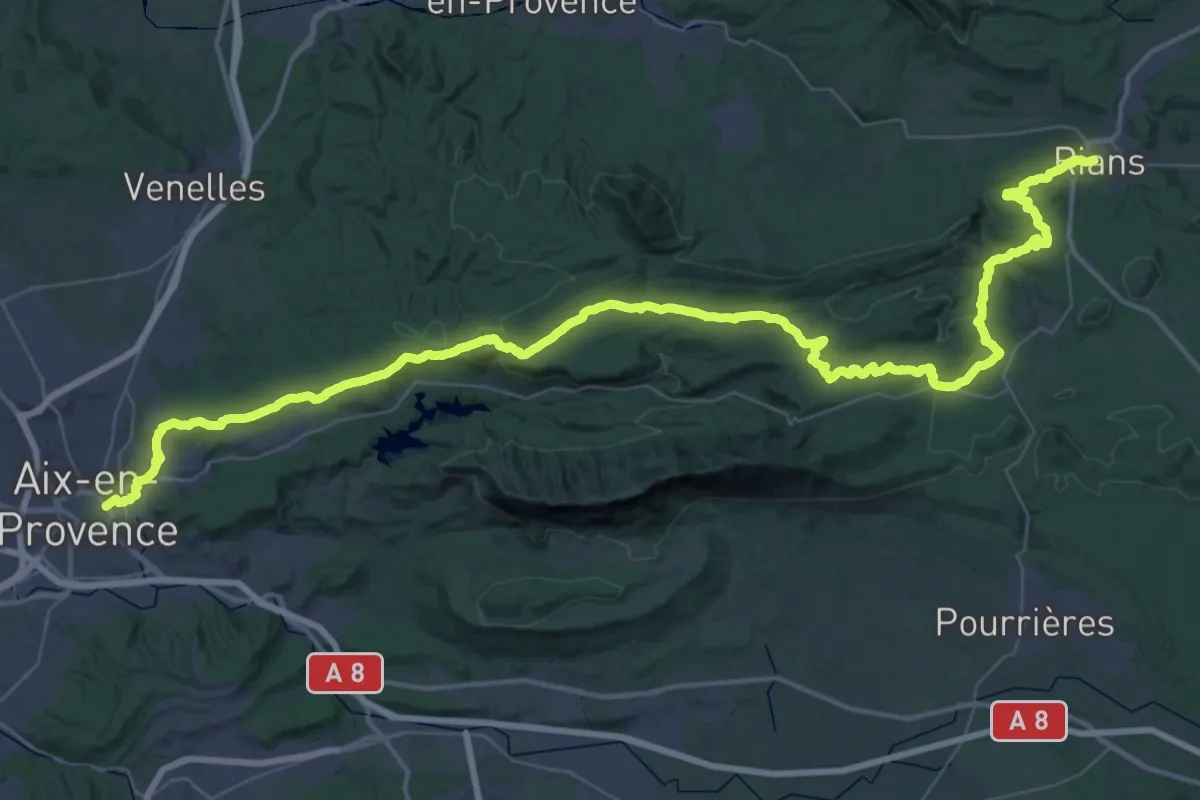
Demanding · Trail
Chemin pastoral de Aix-en-Provence à Rians
37.6 km · ↑ 842 m · 11 h 8 min · 12 km away
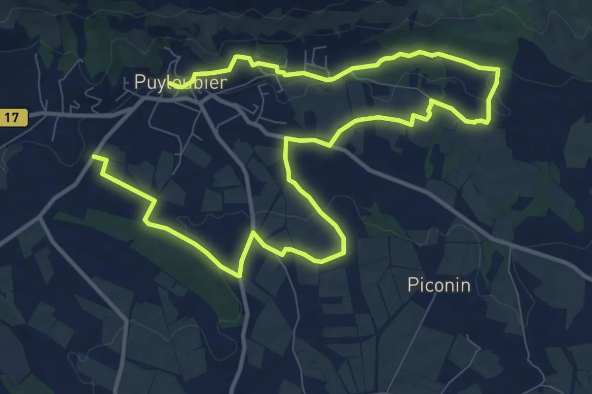
Medium · Trail
Sentier des Vignerons
14.9 km · ↑ 226 m · 4 h 1 min · 12 km away
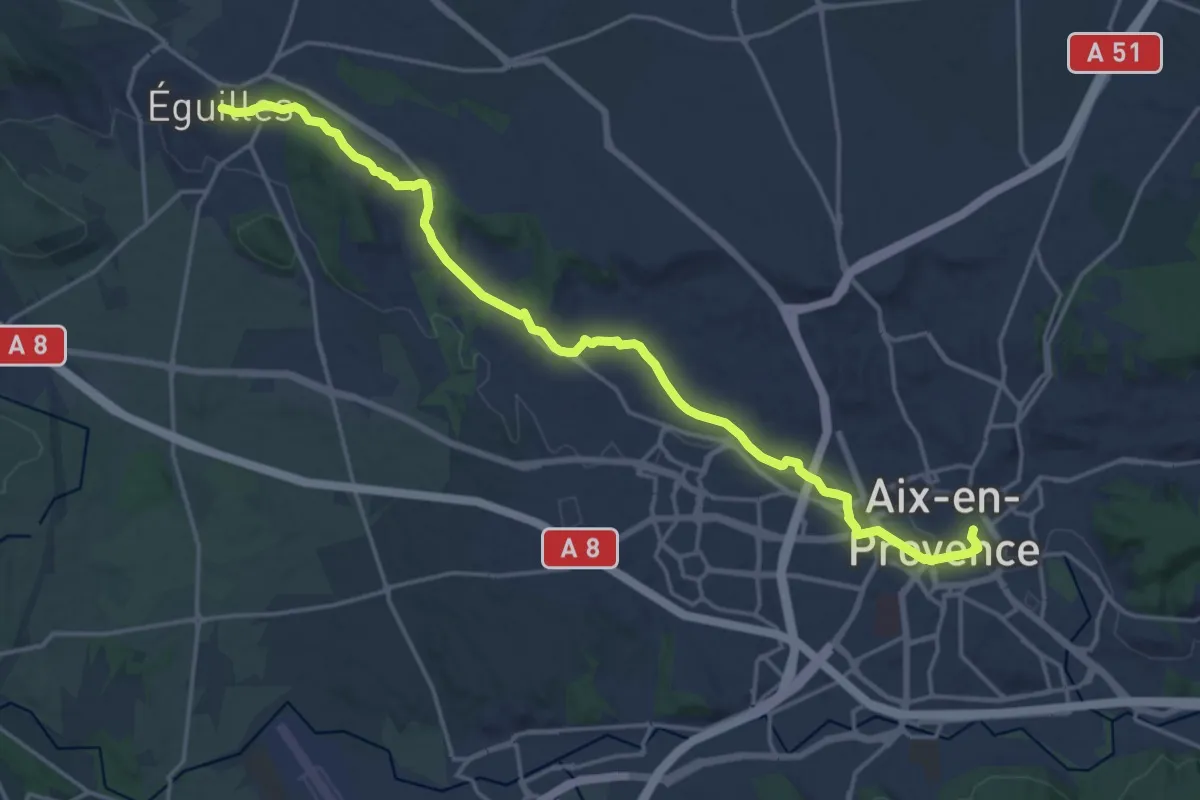
Demanding · Trail
Éguilles – Aix-en-Provence
21.6 km · ↑ 267 m · 5 h 40 min · 12 km away
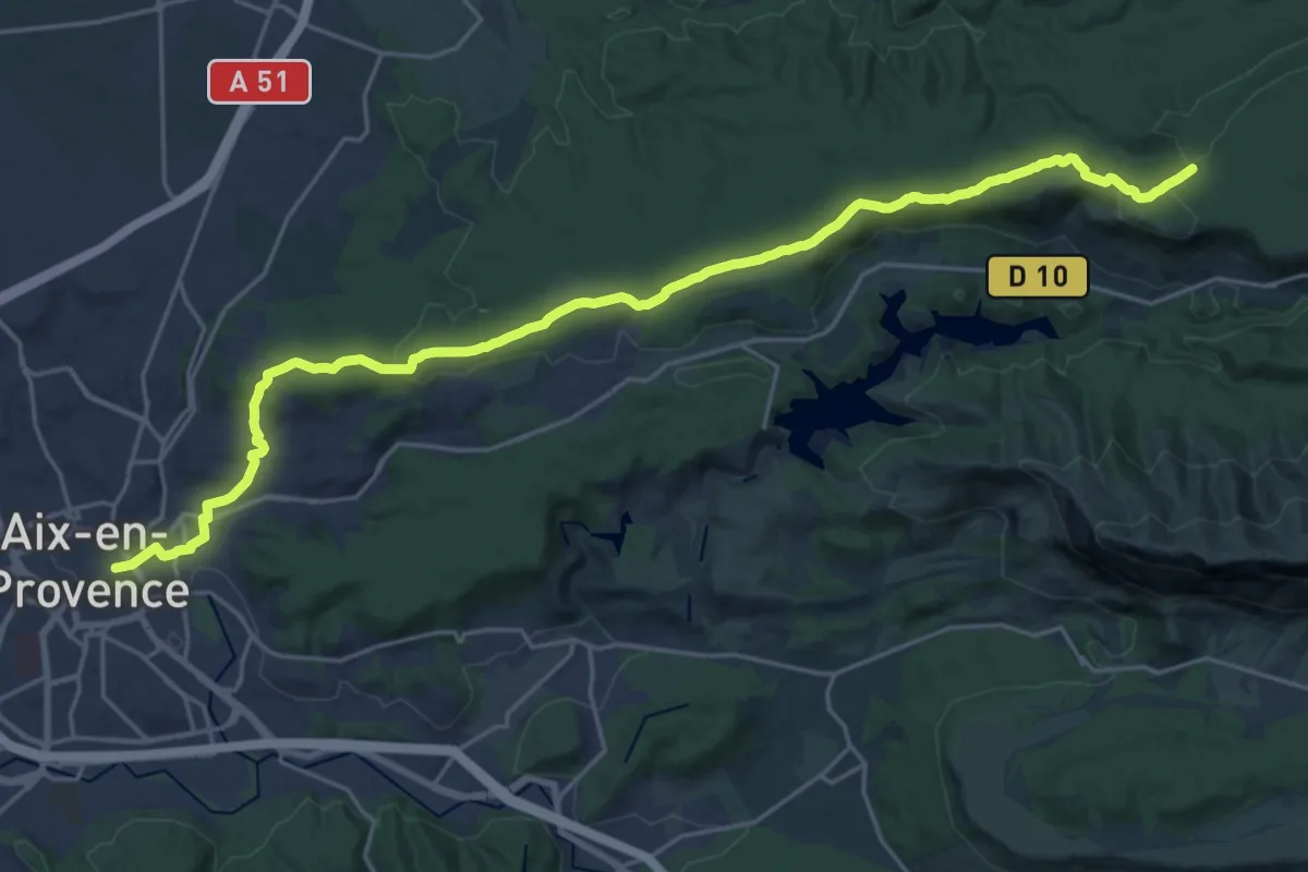
Demanding · Trail
Aix-en-Provence – Vauvenargues
27.5 km · ↑ 504 m · 7 h 36 min · 12 km away
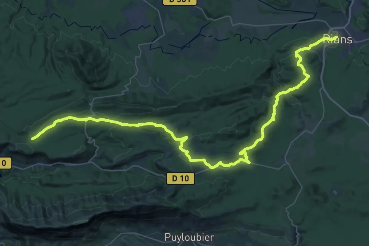
Demanding · Trail
Vauvenargues – Rians
22.3 km · ↑ 353 m · 6 h 26 min · 13 km away
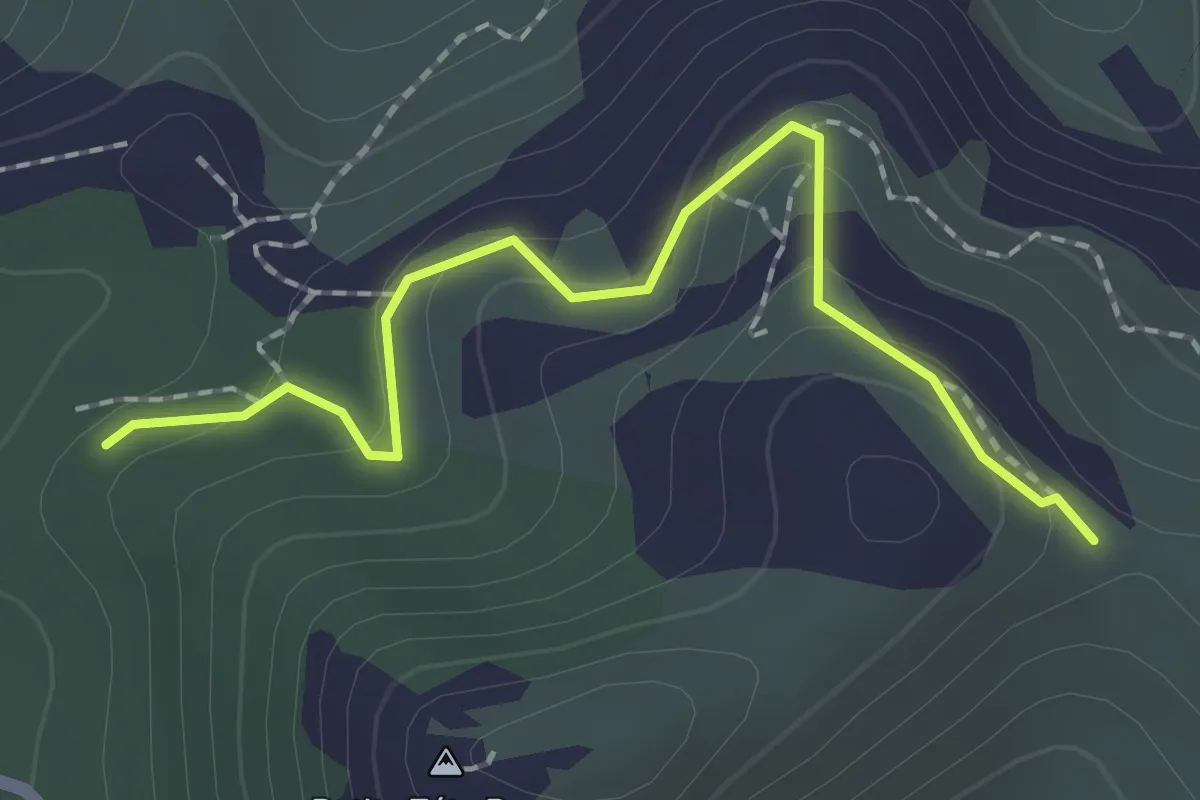
Easy · Trail
Rando
2.1 km · ↑ 96 m · 42 min · 14 km away
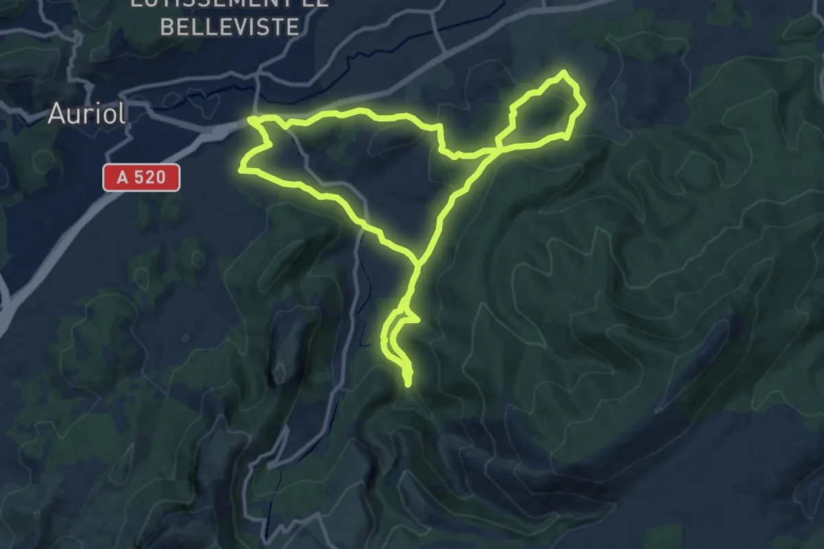
Medium · Trail
Circuit des Encanaux de 15 Km
11.7 km · ↑ 363 m · 3 h 43 min · 14 km away
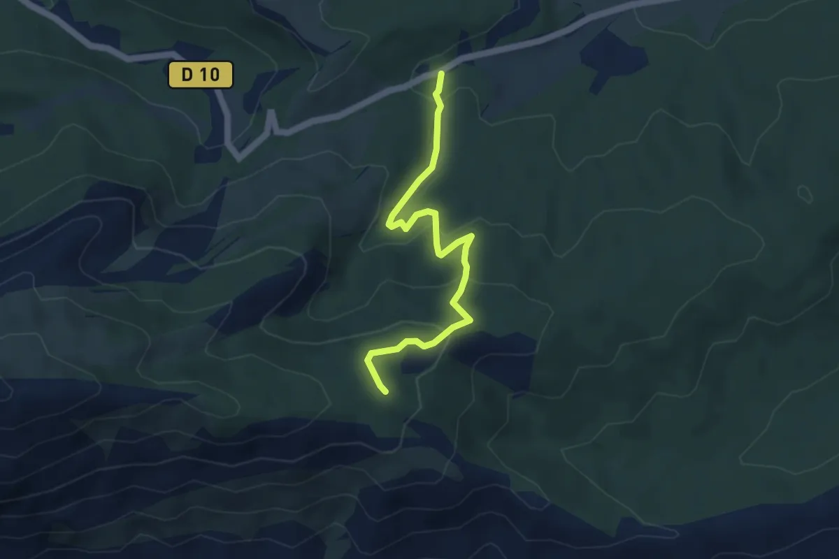
Easy · Trail
Oratoire de Malivert
4.4 km · ↑ 197 m · 1 h 28 min · 14 km away
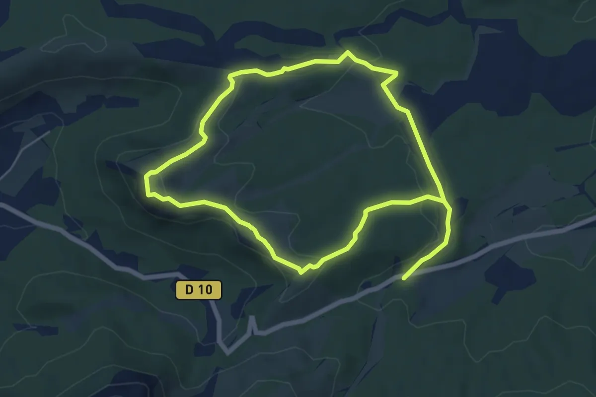
Easy · Summit
La citadelle de Vauvenargues
5.0 km · ↑ 140 m · 1 h 33 min · 14 km away
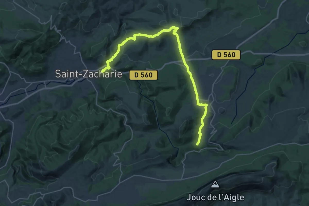
Demanding · Trail
Sentier de grande randonnée 9A
25.5 km · ↑ 668 m · 7 h 28 min · 15 km away
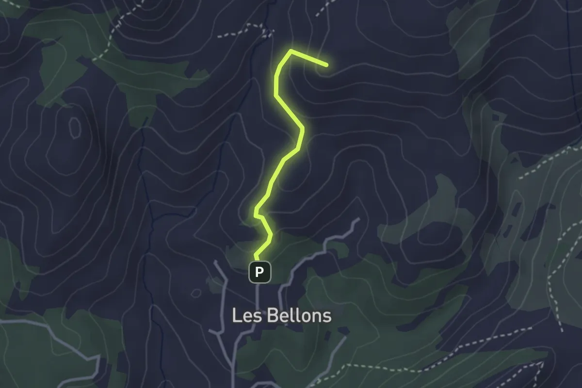
Medium · Summit
La Bastide neuve - Tête ronde - Pas du loup
2.2 km · ↑ 134 m · 48 min · 15 km away
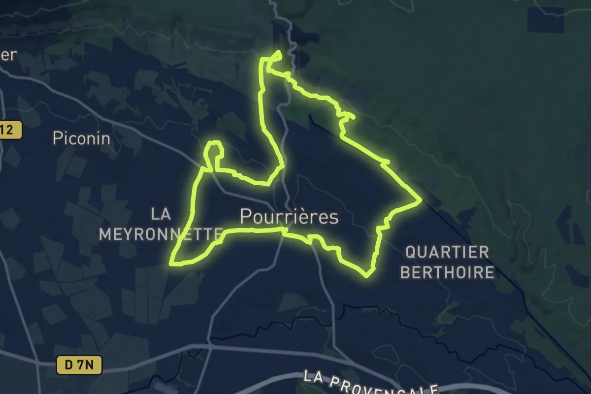
Medium · Trail
Sentier des vignerons de Pourrières - Belvedères
16.3 km · ↑ 288 m · 4 h 42 min · 15 km away