Trails near Largentière
425 hikes starting within 15 km, nearest first.
Nearest first, page 1 of 9
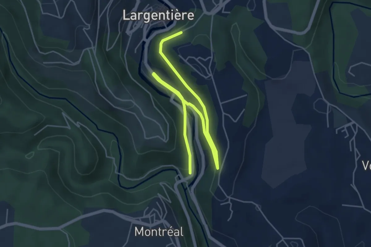
Easy · Trail
Baille - Le Bédéret
6.3 km · ↑ 133 m · 1 h 46 min · under 1 km away
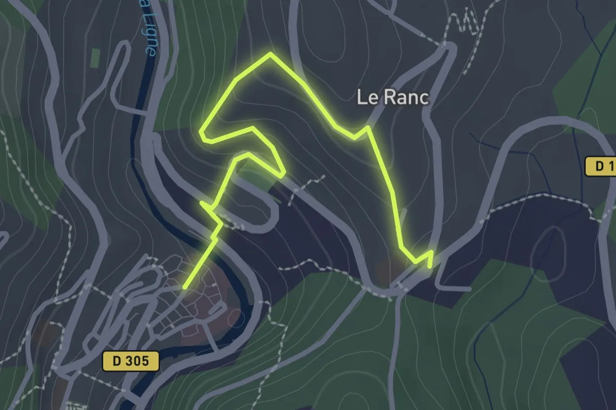
Easy · Trail
Place de la Ligne - Sainte-Foy
3.0 km · ↑ 187 m · 1 h 7 min · under 1 km away
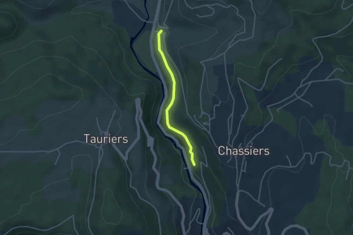
Easy · Trail
Bastide - Les Fourniols
2.7 km · ↑ 80 m · 49 min · 1 km away
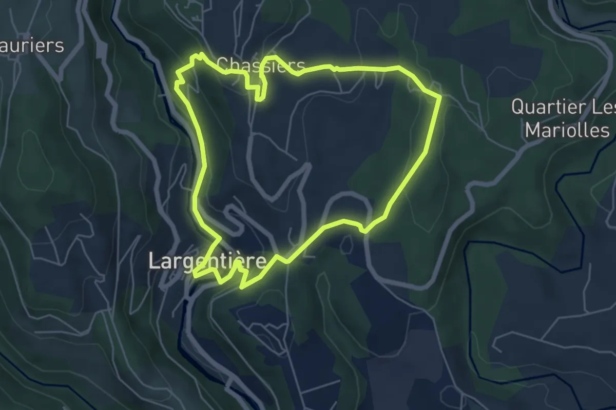
Easy · Trail
Les Fouloirs Rupestres
5.3 km · ↑ 190 m · 1 h 44 min · 1 km away
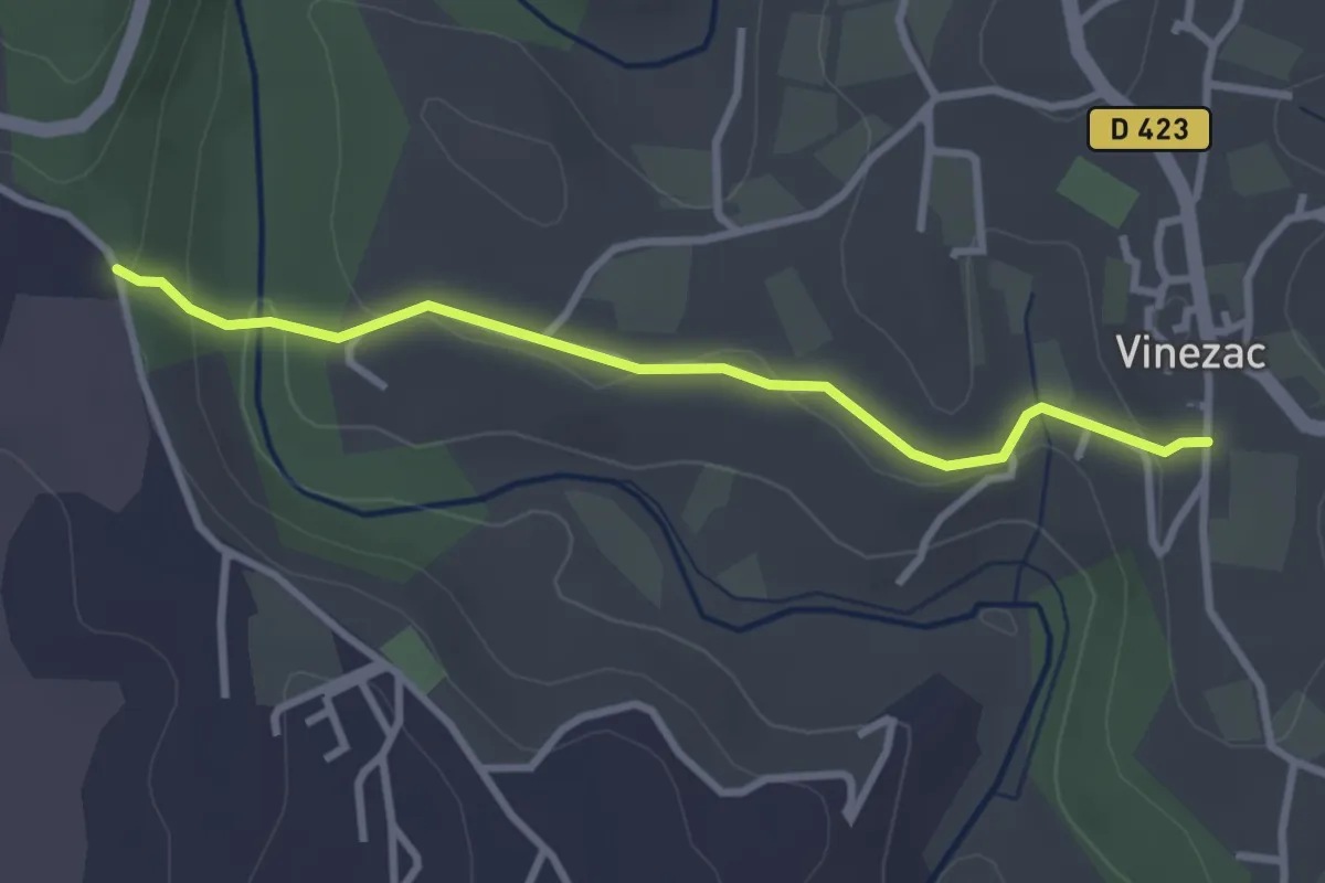
Easy · Trail
Montredon - La Coop
3.1 km · ↑ 85 m · 55 min · 1 km away
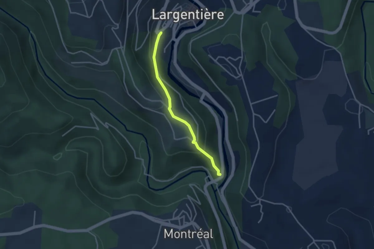
Easy · Trail
Baille - Place de l'église
2.6 km · ↑ 163 m · 58 min · 1 km away
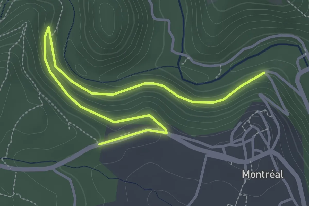
Easy · Trail
Les Côtes - Croix de la Mission
4.0 km · ↑ 156 m · 1 h 16 min · 1 km away
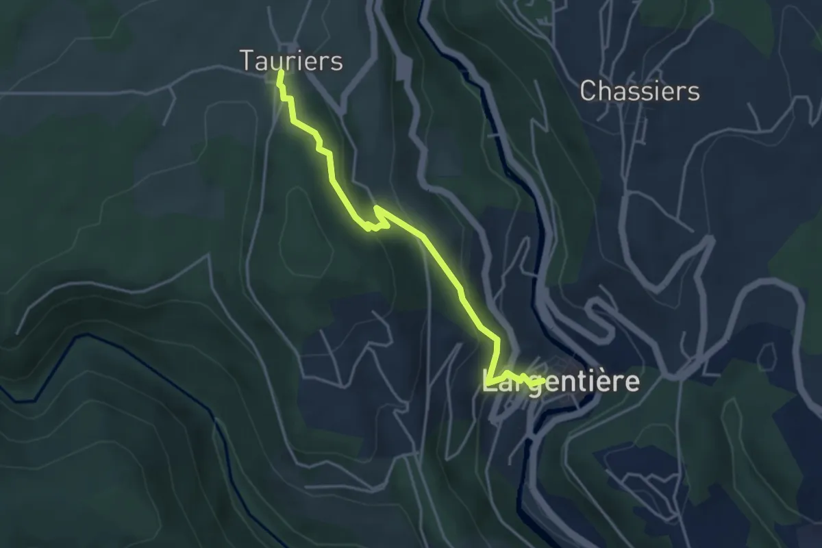
Easy · Trail
Largentière OT - Tauriers
3.8 km · ↑ 210 m · 1 h 21 min · 1 km away
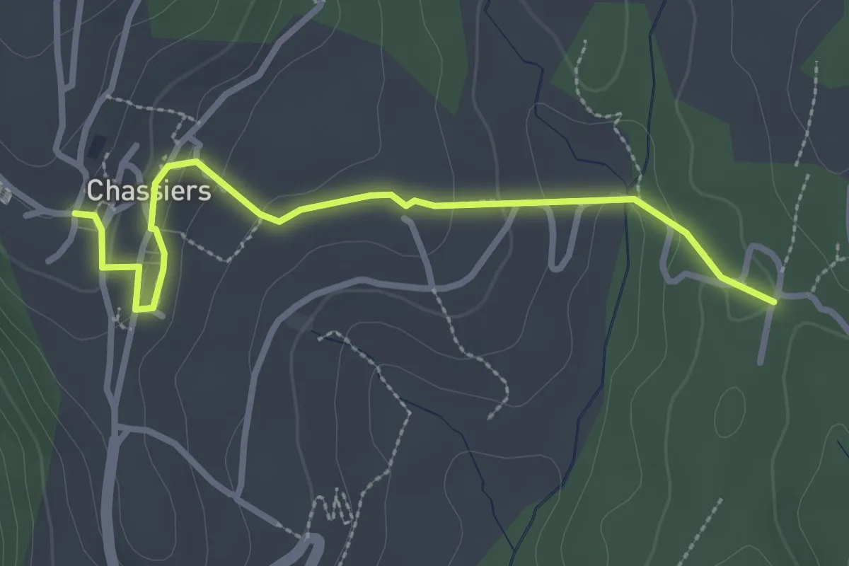
Easy · Trail
Les Juliennes - Chassiers
3.0 km · ↑ 99 m · 55 min · 1 km away
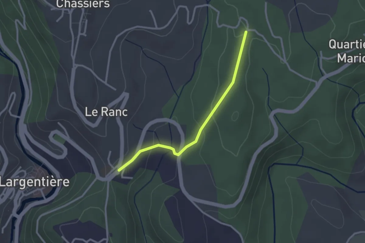
Easy · Trail
Sainte-Foy - Les Juliennes
2.4 km · ↑ 75 m · 44 min · 1 km away
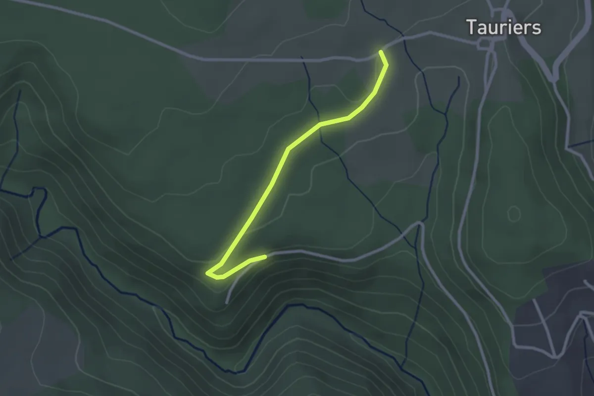
Easy · Trail
Les Vers - Les Lauzières
2.5 km · ↑ 40 m · 41 min · 2 km away
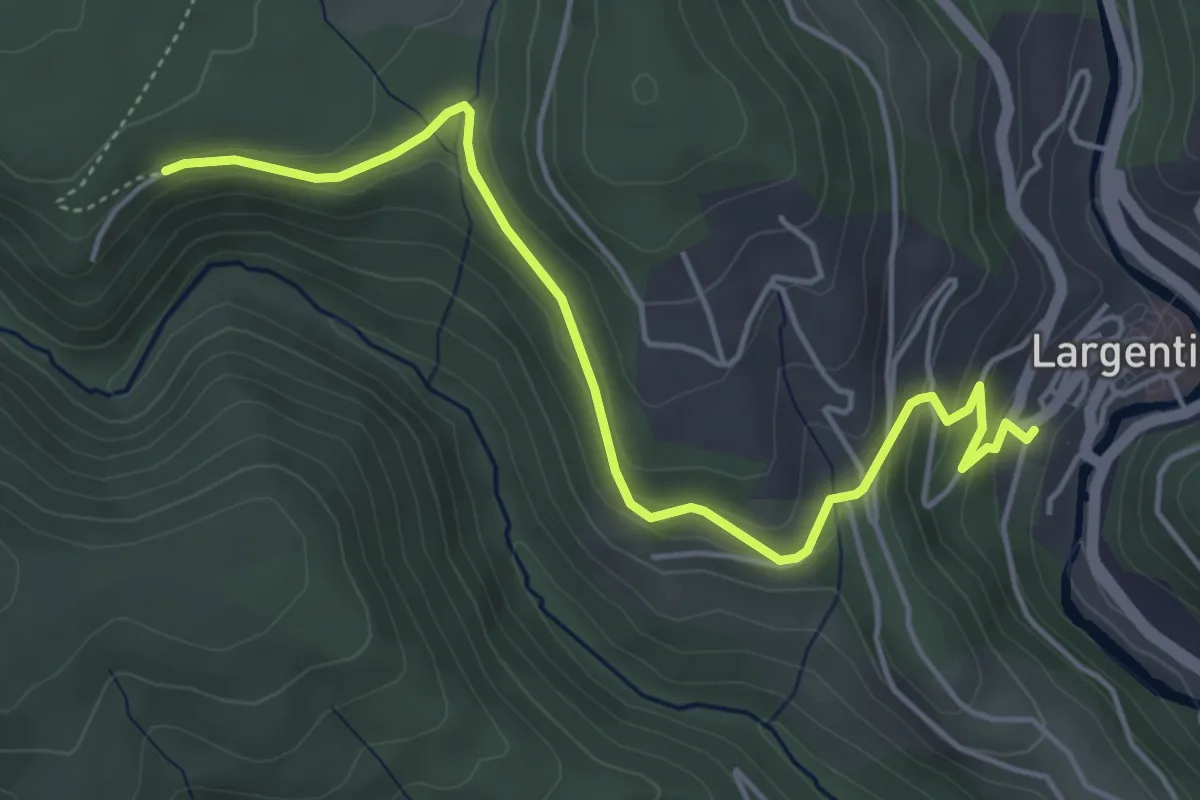
Easy · Trail
Place de l'église - Les Vers
5.2 km · ↑ 209 m · 1 h 41 min · 2 km away
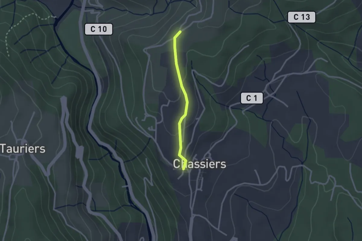
Easy · Trail
Chassiers - Chapelle Saint-Joseph
2.0 km · ↑ 52 m · 35 min · 2 km away
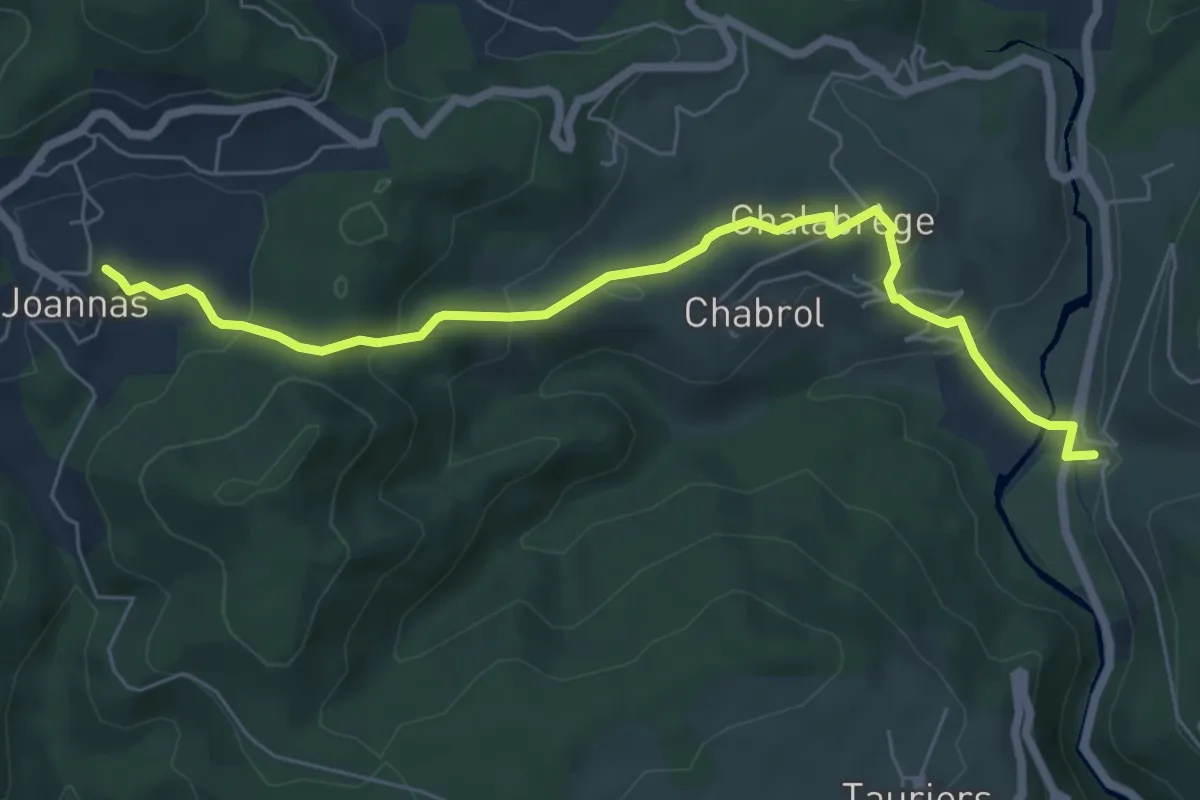
Easy · Trail
Bastide - La Sauzède
7.0 km · ↑ 276 m · 2 h 15 min · 2 km away
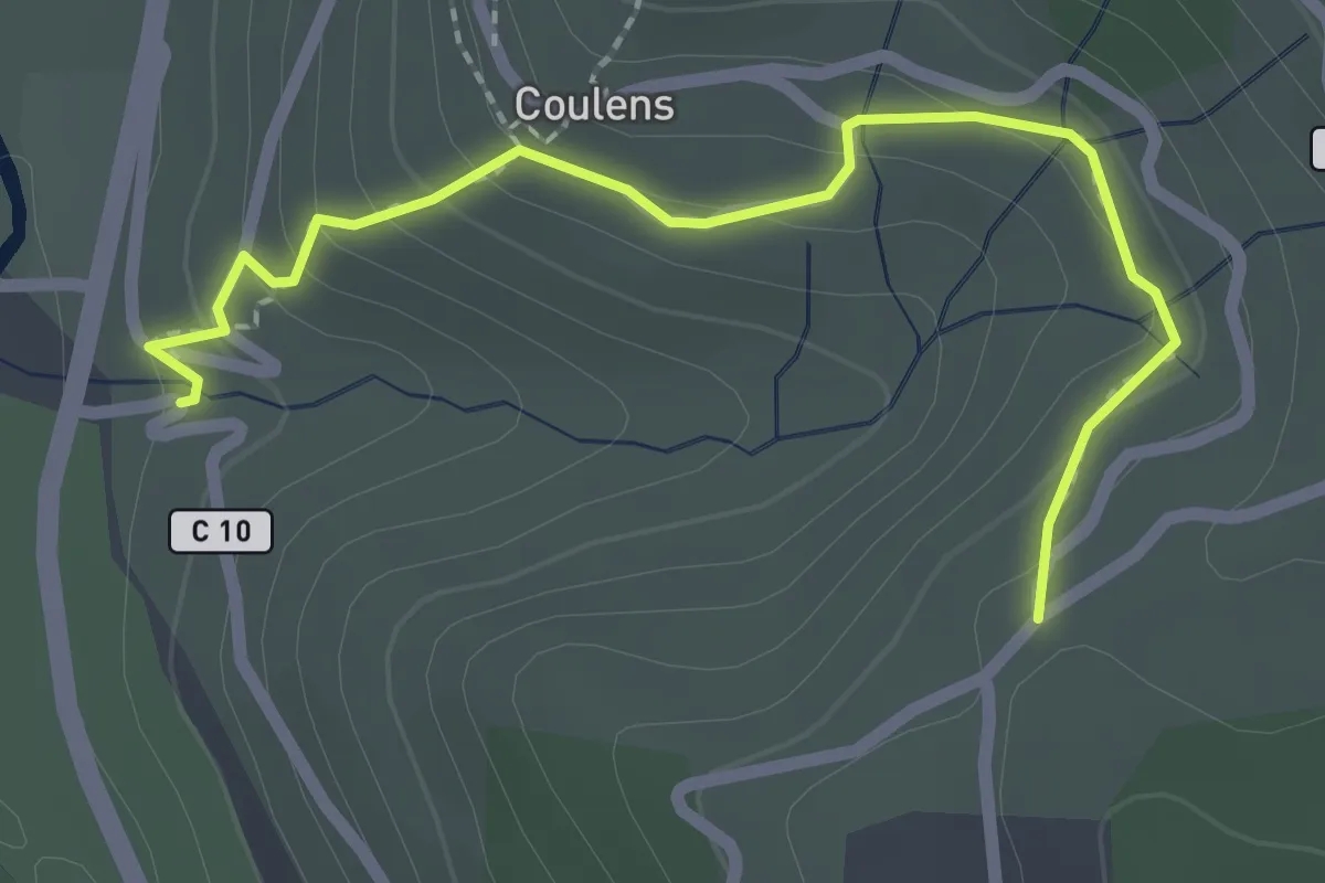
Easy · Trail
Bastide - Chapelle Saint-Joseph
2.5 km · ↑ 133 m · 53 min · 2 km away
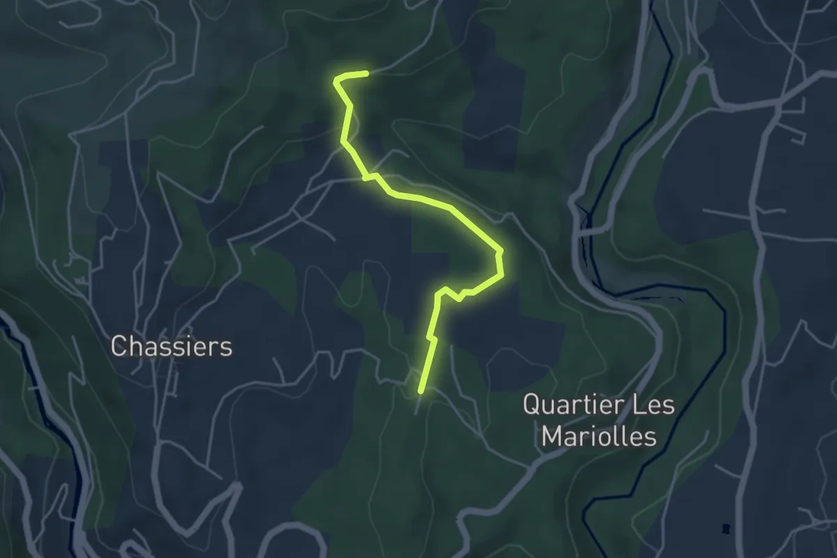
Easy · Trail
Les Juliennes - Les Valadiers
3.8 km · ↑ 67 m · 1 h 2 min · 2 km away
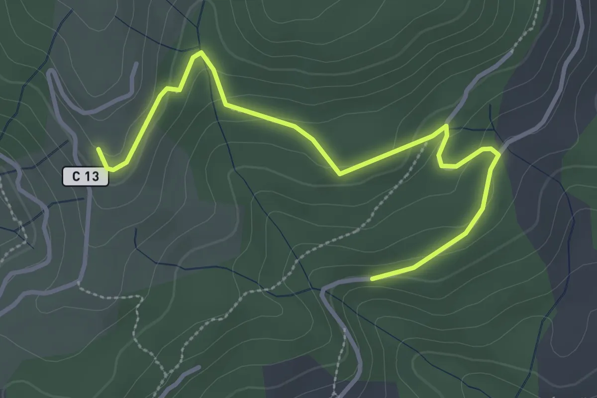
Easy · Trail
Les Valadiers - Les Combes
3.5 km · ↑ 104 m · 1 h 3 min · 2 km away
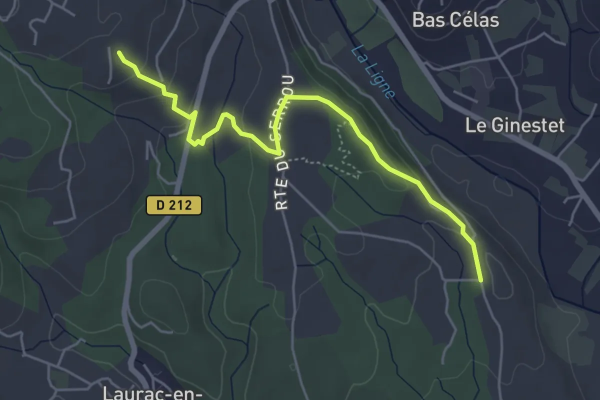
Easy · Trail
Chadeyron - Mas Gauthier
4.9 km · ↑ 152 m · 1 h 29 min · 2 km away
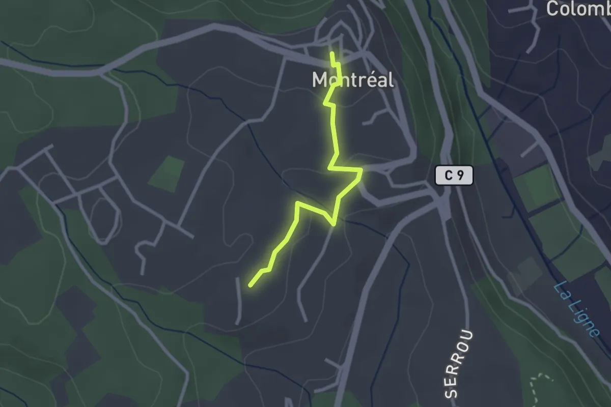
Easy · Trail
Mas Gauthier - Montréal
2.3 km · ↑ 64 m · 41 min · 2 km away
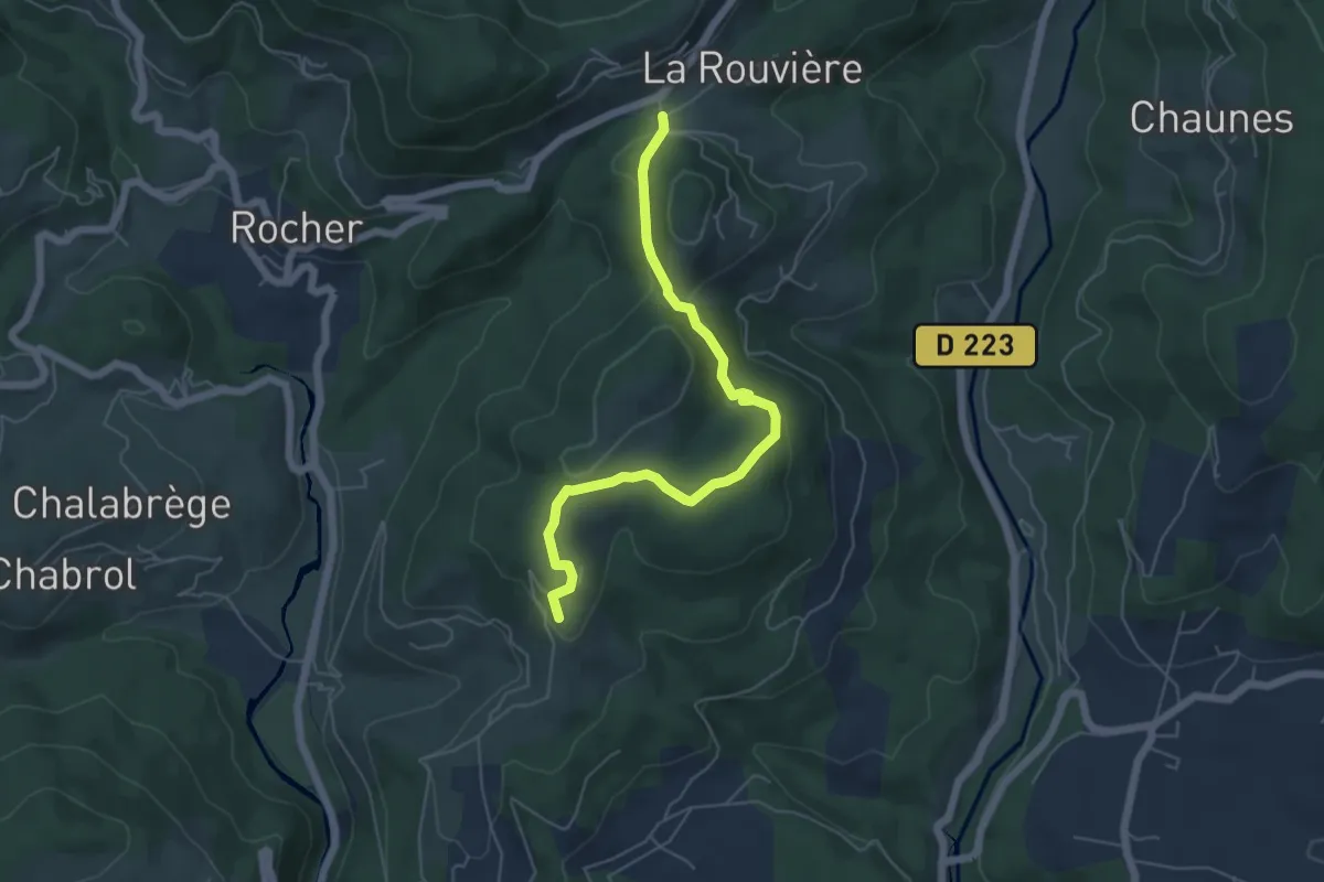
Easy · Trail
N.D. de Bonne Rencontre - Les Combes
5.8 km · ↑ 145 m · 1 h 41 min · 2 km away
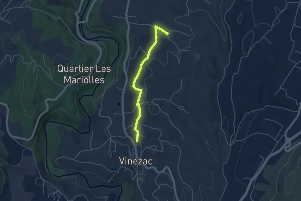
Easy · Trail
Le Fez - Les Crozes
3.9 km · ↑ 47 m · 1 h 1 min · 3 km away
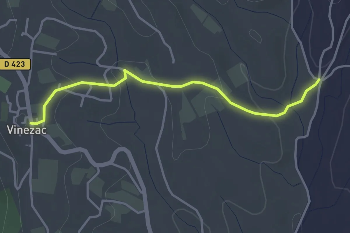
Easy · Trail
Les Alobres - Le Village
3.1 km · ↑ 70 m · 53 min · 3 km away
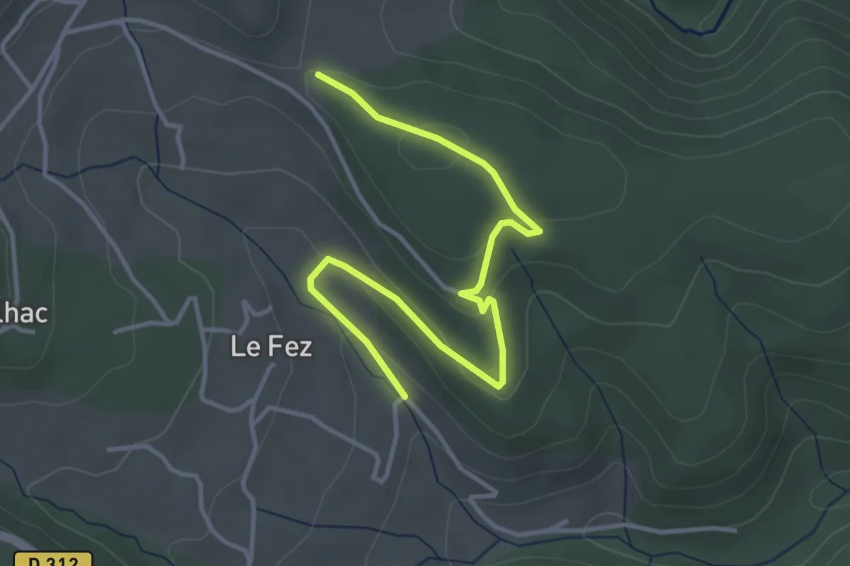
Easy · Trail
Chéron - Haut Laval
4.2 km · ↑ 135 m · 1 h 17 min · 3 km away
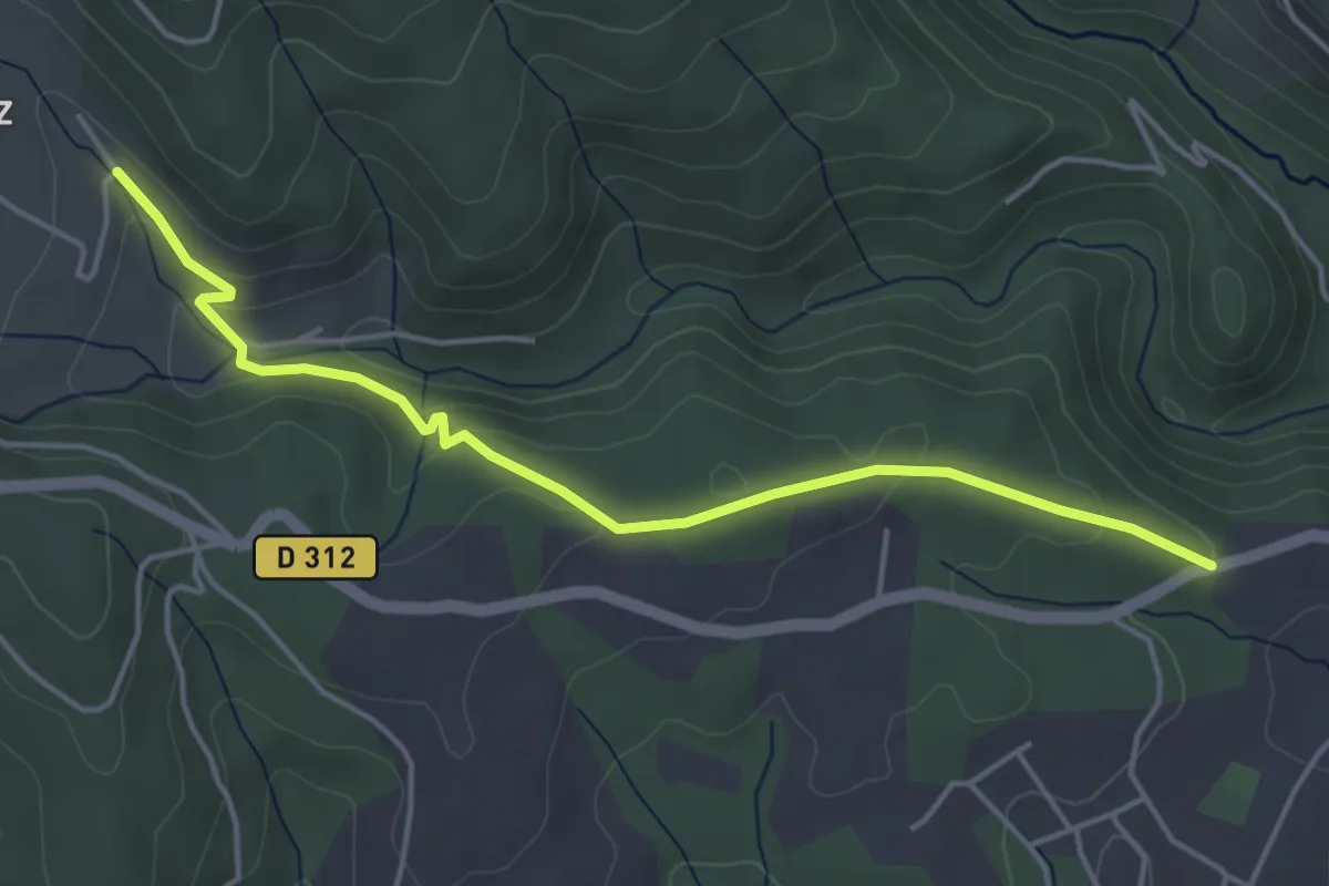
Easy · Trail
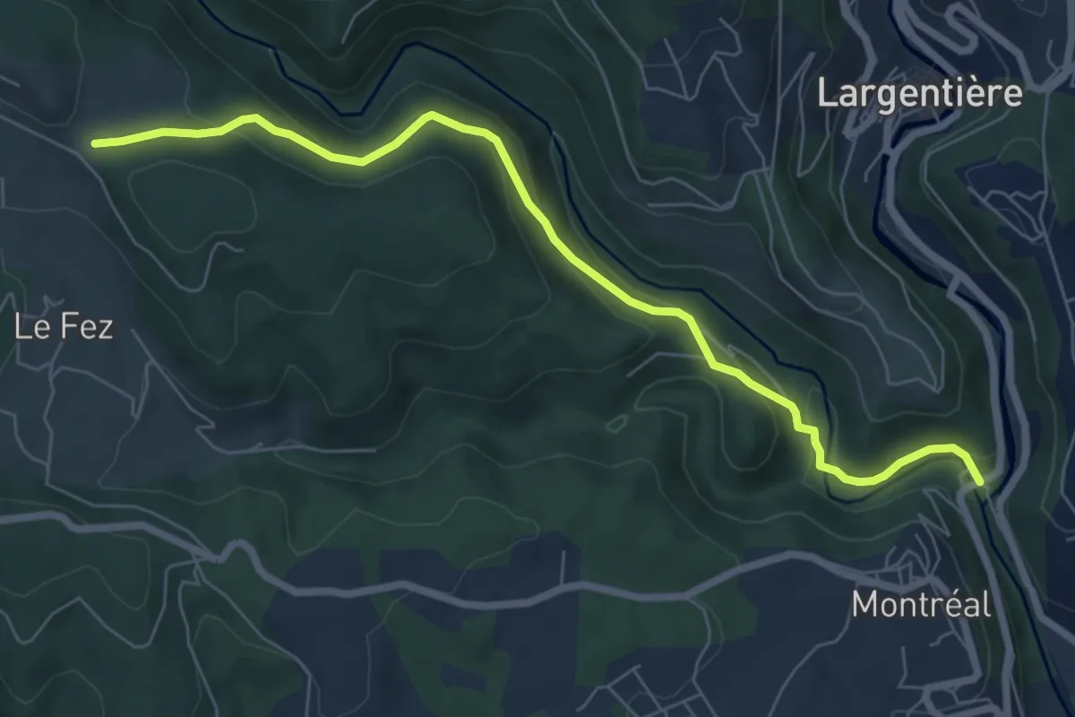
Croix de la Mission - Chéron
4.8 km · ↑ 150 m · 1 h 27 min · 3 km away
Easy · Trail
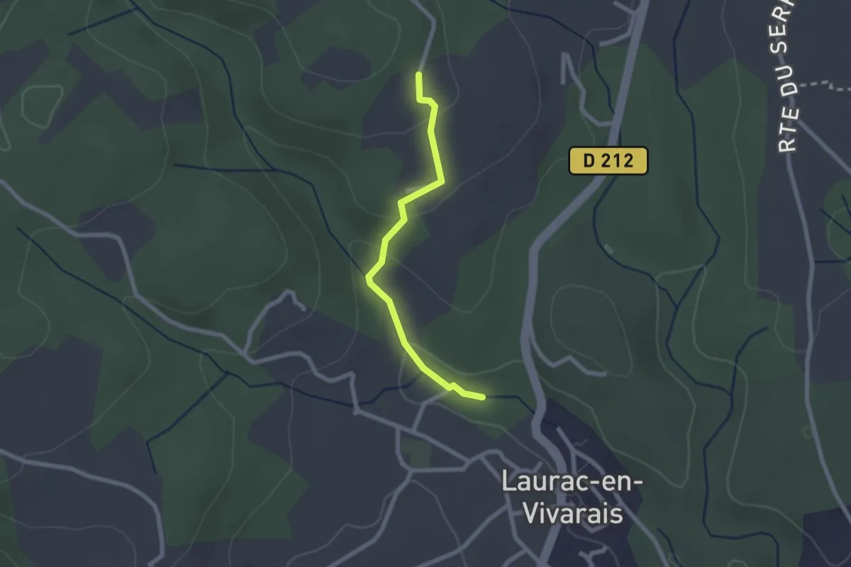
Roubreau - Haut Laval
7.4 km · ↑ 297 m · 2 h 23 min · 3 km away
Easy · Trail
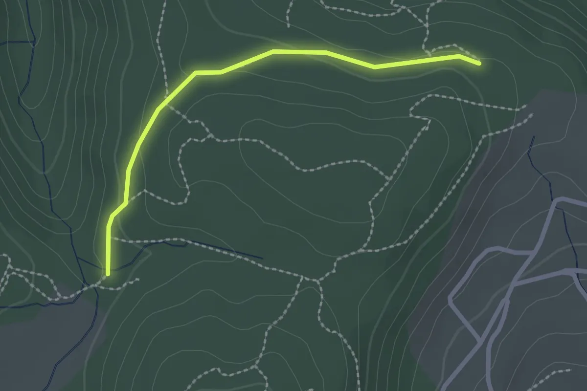
La Calade - Le Monteil
2.0 km · ↑ 72 m · 38 min · 3 km away
Easy · Trail
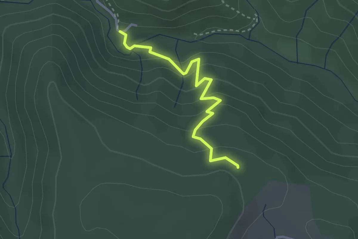
Pouchonnet - Pissevieille
2.2 km · ↑ 52 m · 38 min · 3 km away
Medium · Trail
Le Plançon - Pouchonnet
2.7 km · ↑ 216 m · 1 h 6 min · 3 km away
Easy · Trail
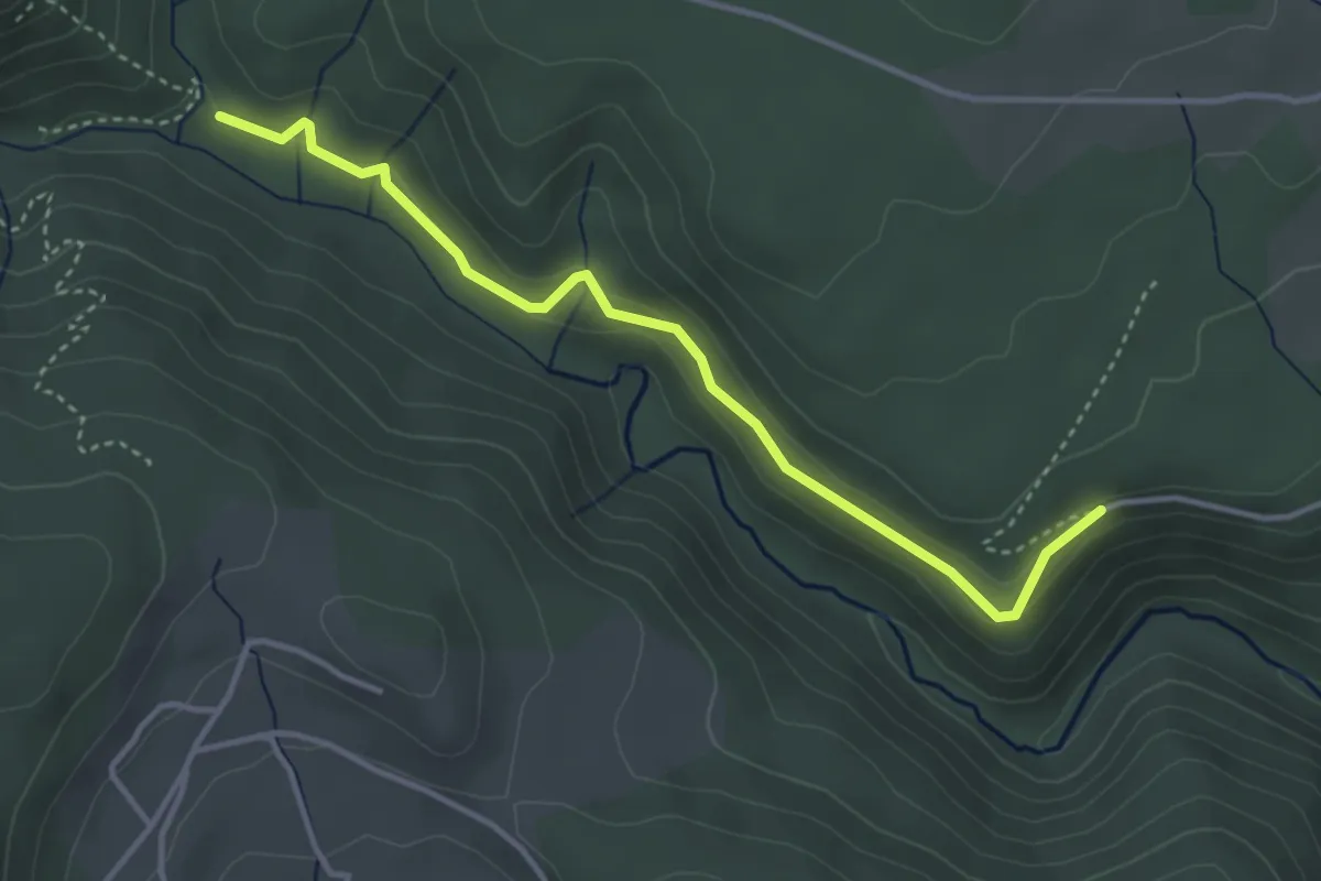
Berty - Les Vers
4.0 km · ↑ 82 m · 1 h 7 min · 3 km away
Easy · Trail
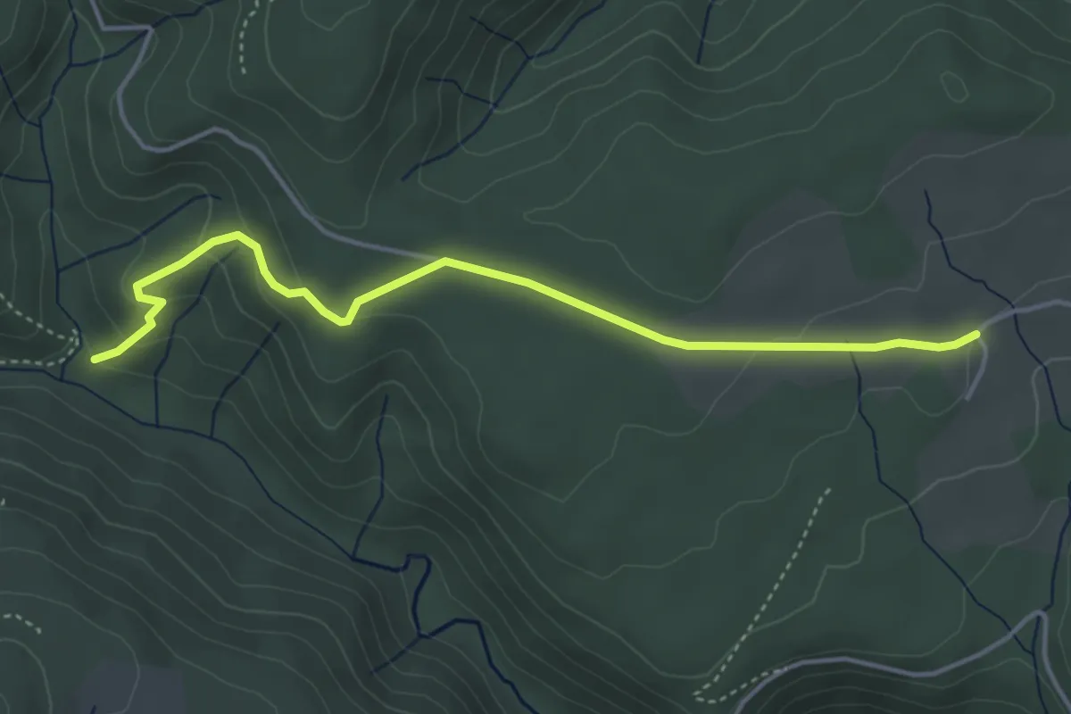
Berty - Les Lauzières
4.5 km · ↑ 141 m · 1 h 22 min · 3 km away
Easy · Trail
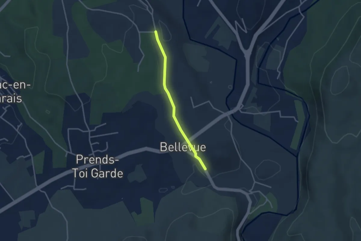
Le Mont Montredon - Chadeyron
2.5 km · ↑ 32 m · 40 min · 3 km away
Easy · Trail
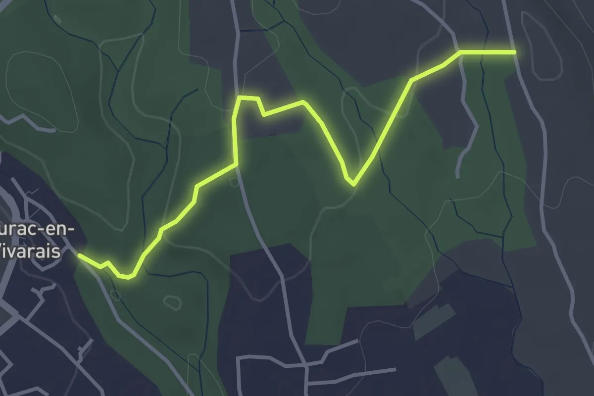
Les Piles - Chadeyron
3.7 km · ↑ 55 m · 59 min · 3 km away
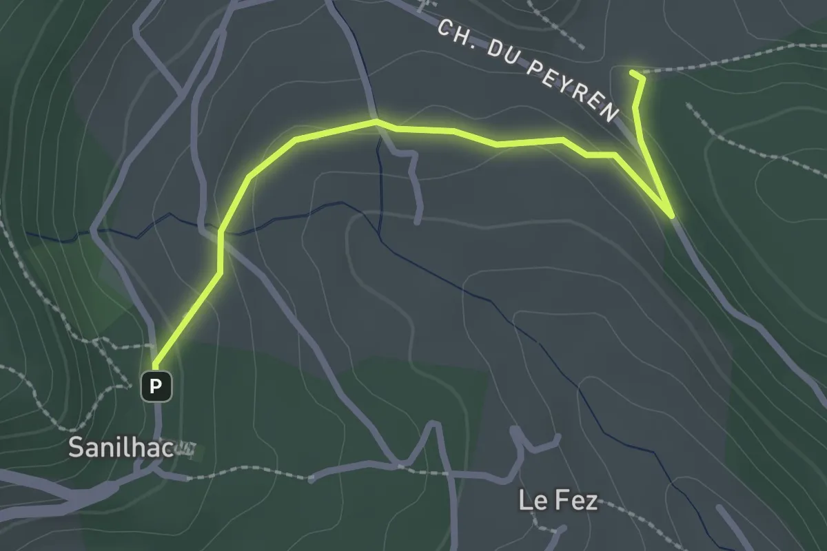
Easy · Trail
Haut Laval - Sanilhac Info Rando
2.4 km · ↑ 58 m · 42 min · 3 km away
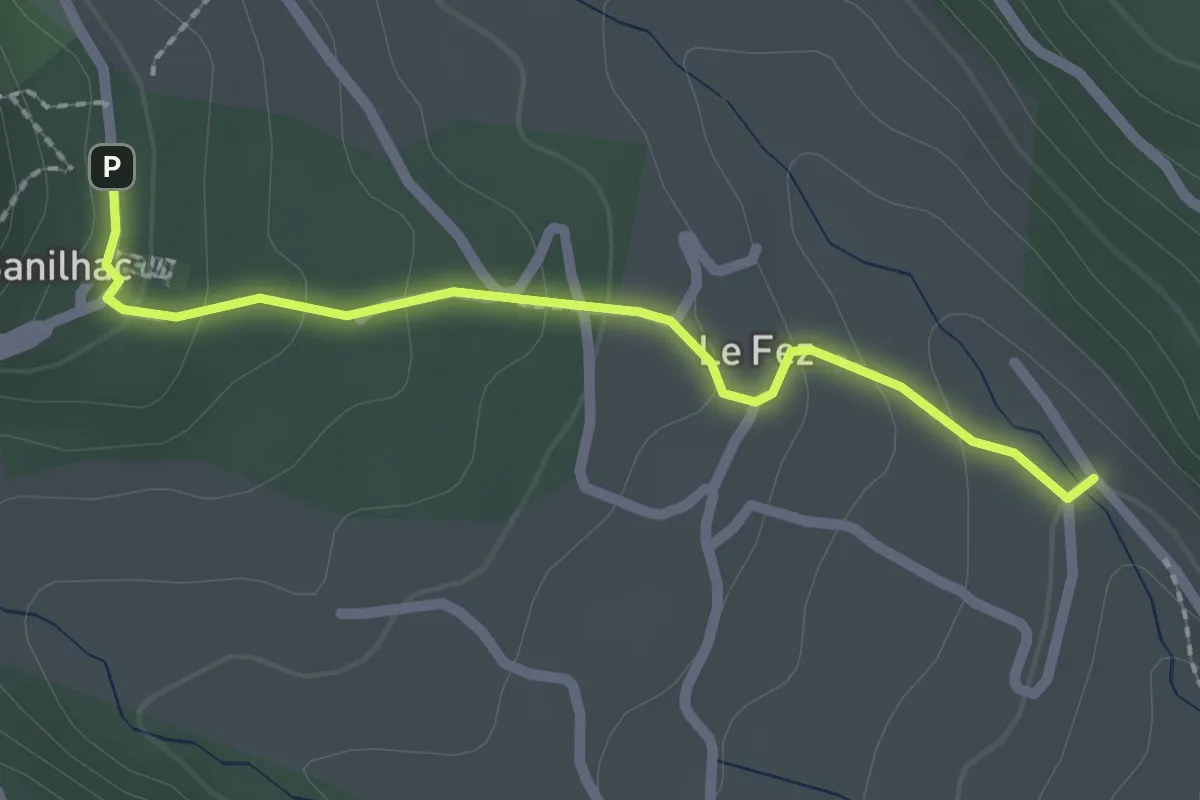
Easy · Trail
Chéron - Sanilhac Info Rando
2.2 km · ↑ 105 m · 45 min · 3 km away
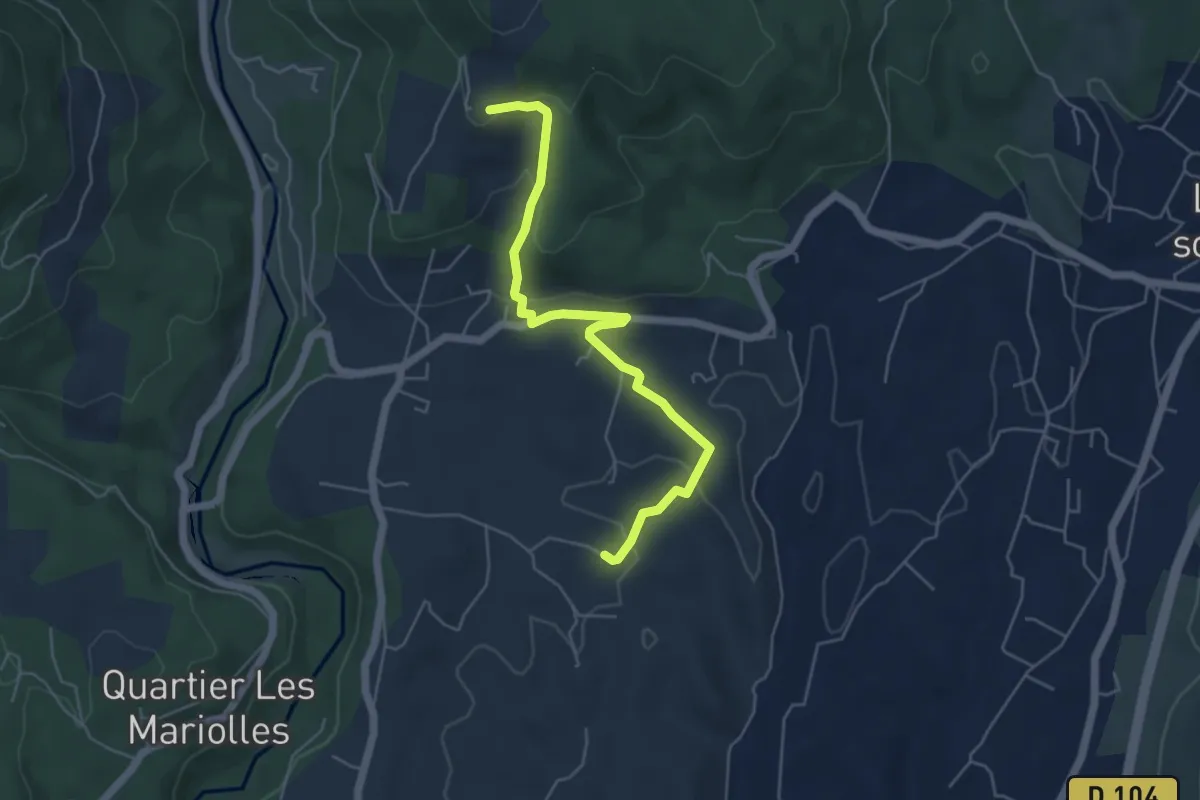
Easy · Trail
Le Tinal - Merzelet
5.4 km · ↑ 175 m · 1 h 40 min · 3 km away
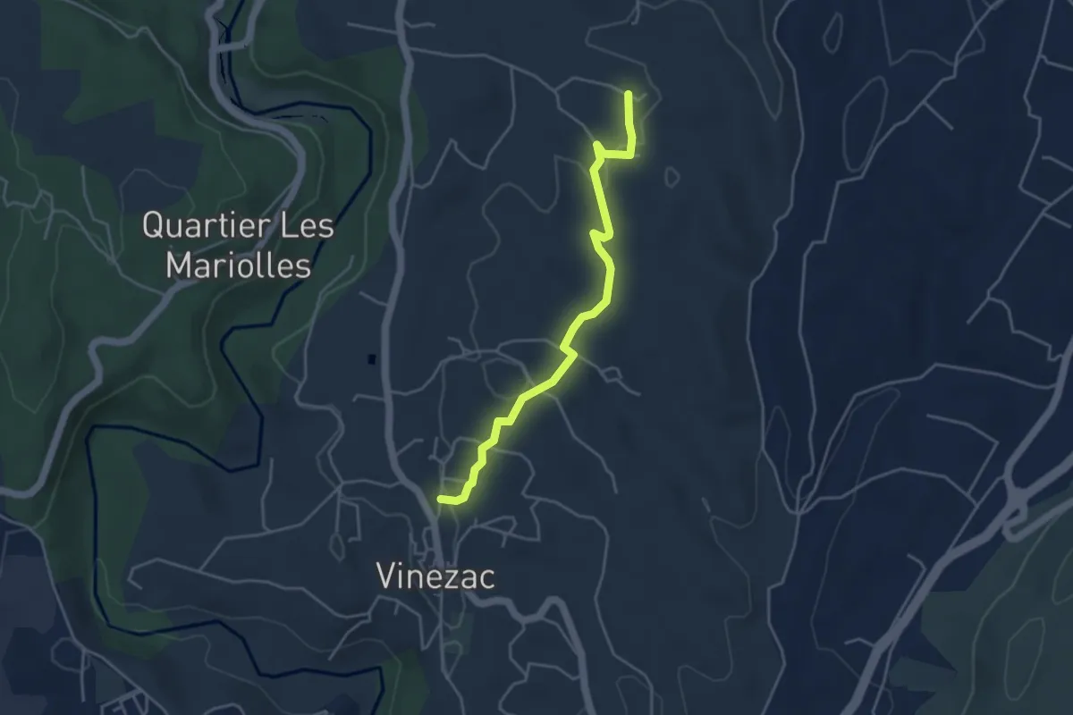
Easy · Trail
Le Fez - Le Tinal
4.1 km · ↑ 81 m · 1 h 9 min · 3 km away
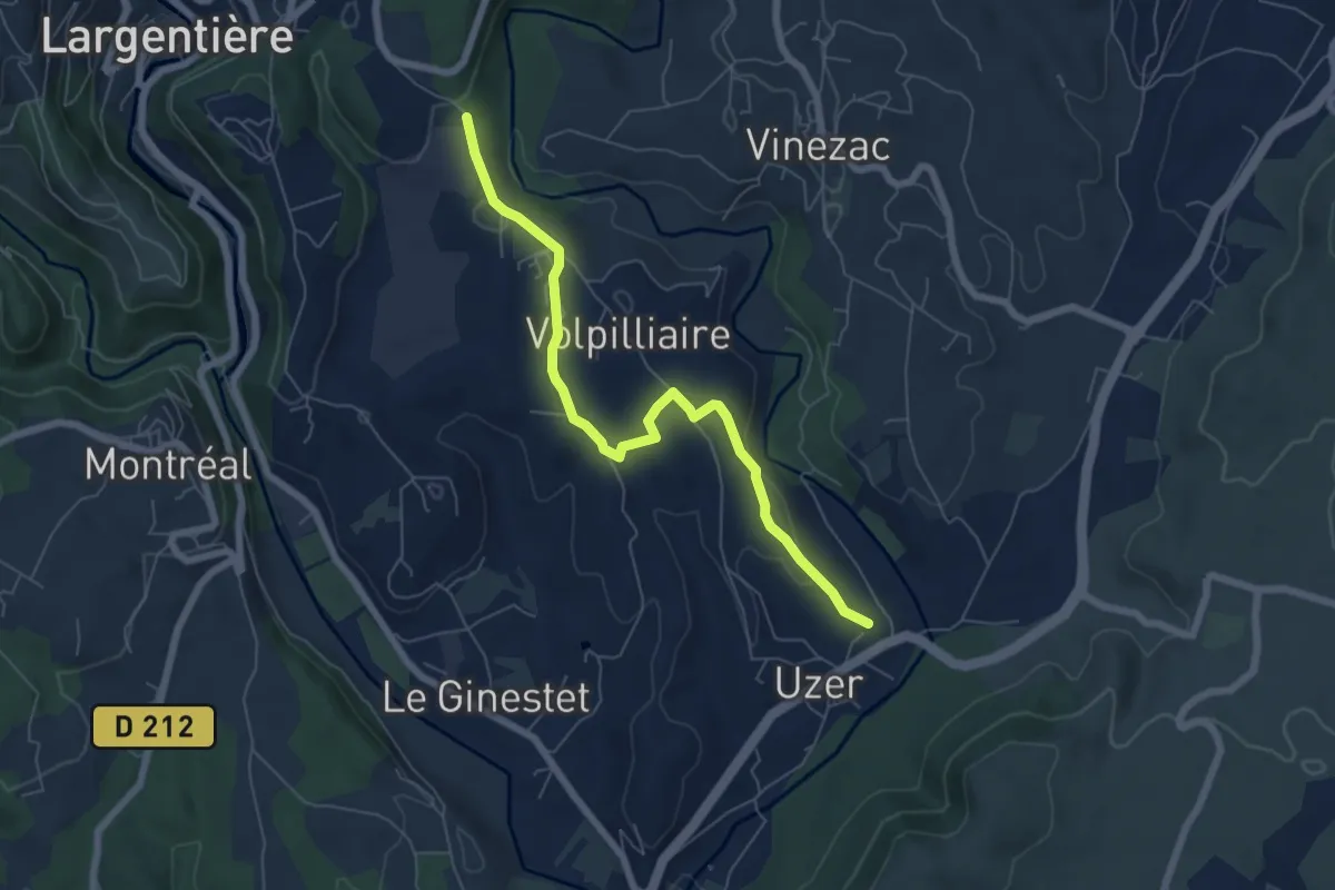
Easy · Trail
Les Auches - Montredon
6.7 km · ↑ 135 m · 1 h 52 min · 4 km away
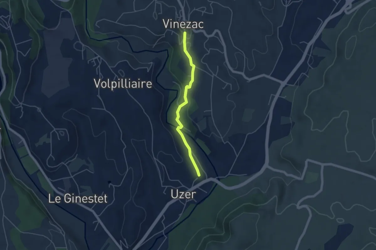
Easy · Trail
Les Auches - La Coop
4.1 km · ↑ 74 m · 1 h 8 min · 4 km away
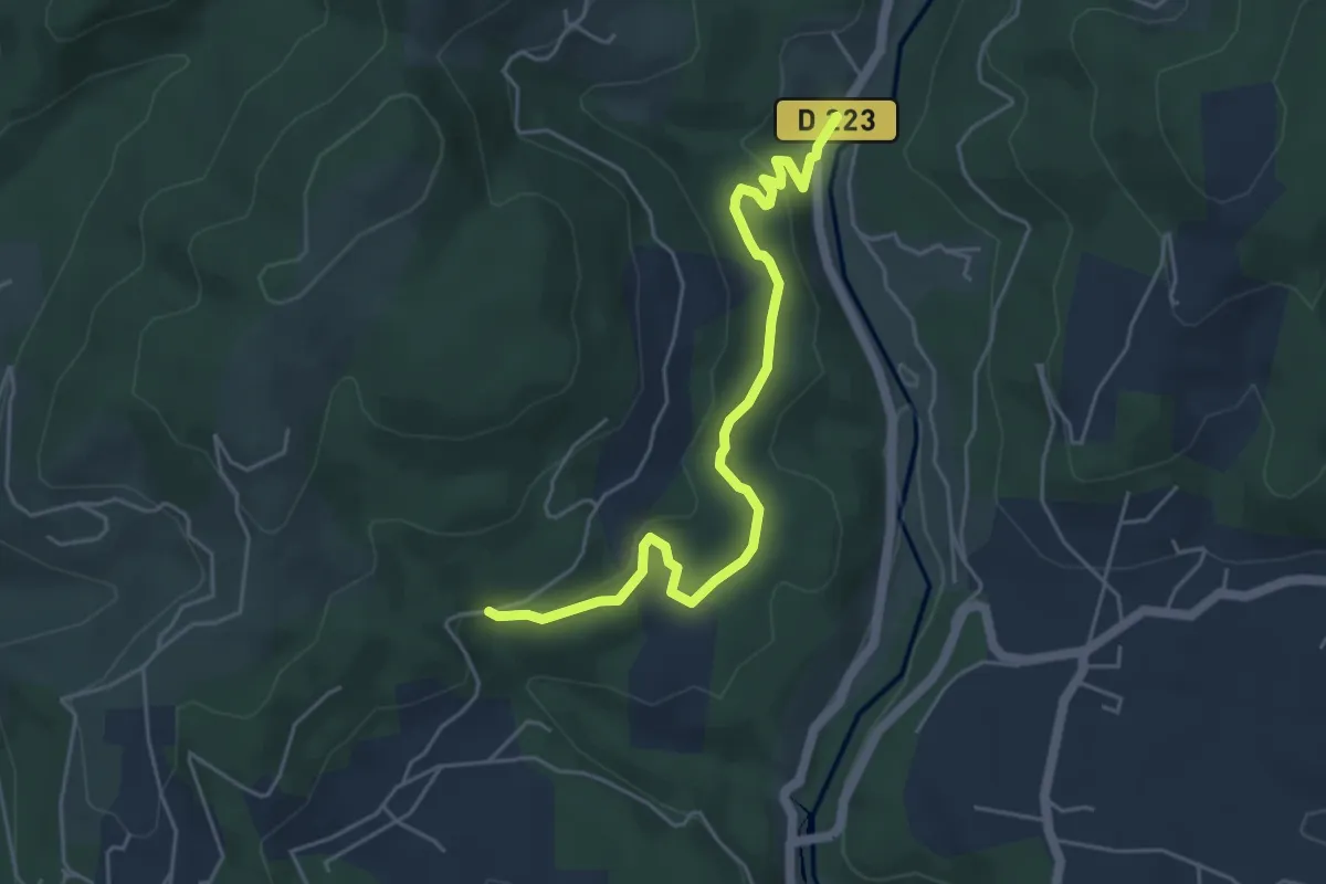
Easy · Trail
Moulin de Landes - Les Valadiers
5.3 km · ↑ 155 m · 1 h 35 min · 4 km away
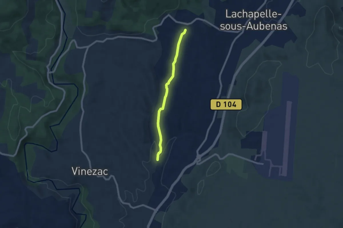
Easy · Trail
Les Alobres - Soudournas
5.3 km · ↑ 68 m · 1 h 24 min · 4 km away
Easy · Trail
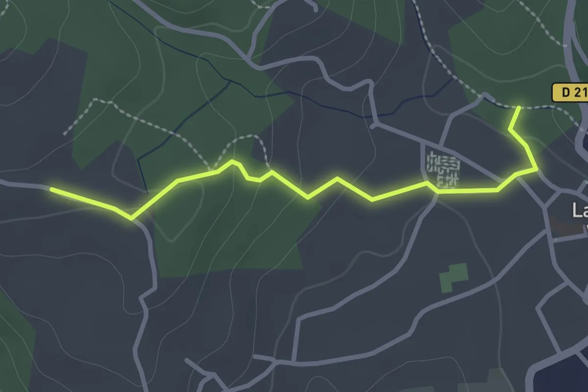
La Calade - Les Blancards
2.6 km · ↑ 55 m · 44 min · 4 km away
Easy · Trail
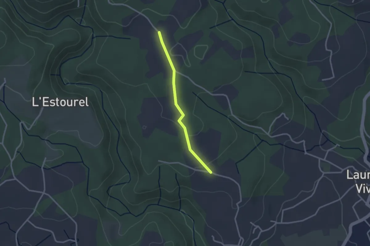
Les Blancards - Delbara
2.2 km · ↑ 38 m · 37 min · 4 km away
Easy · Trail
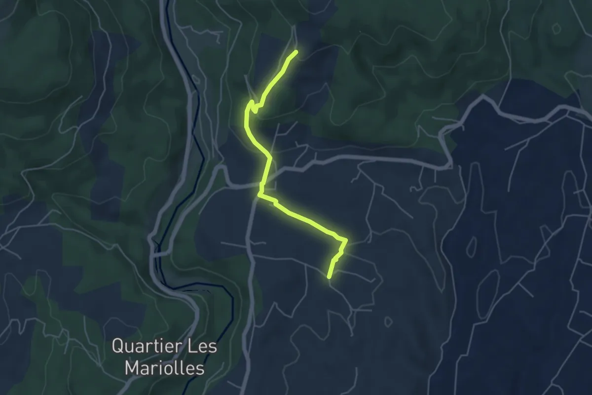
Les Crozes - Merzelet Ouest
4.6 km · ↑ 158 m · 1 h 25 min · 4 km away
Easy · Trail
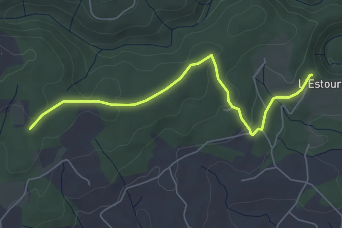
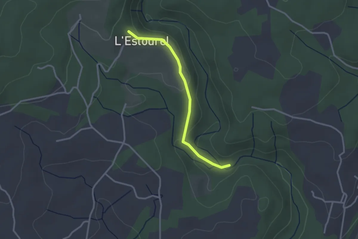
L'Estourels - Les Hautes Salelles
5.2 km · ↑ 108 m · 1 h 28 min · 4 km away
Easy · Trail
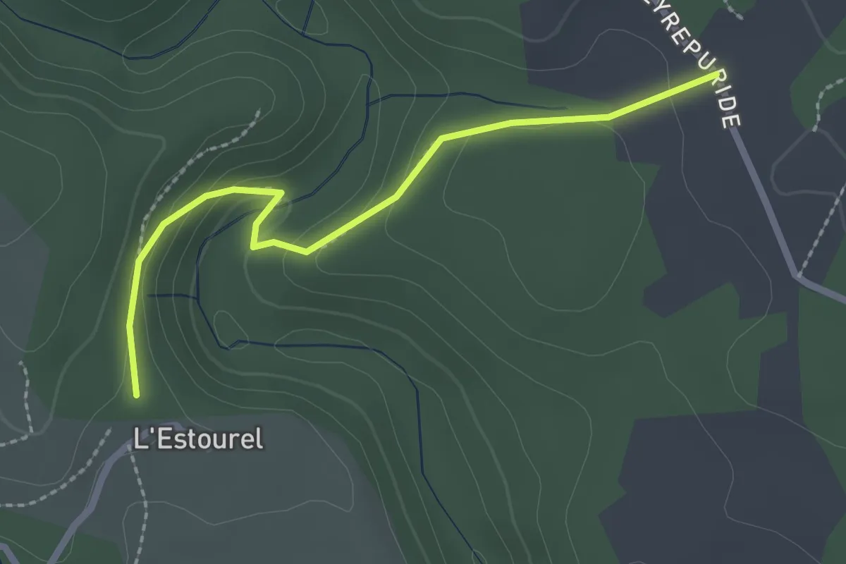
Le Boyer - L'Estourels
2.5 km · ↑ 67 m · 45 min · 4 km away
Easy · Trail
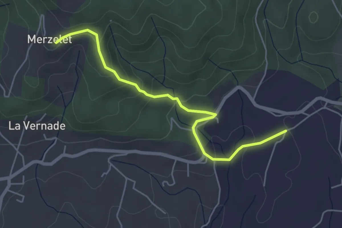
L'Estourels - Delbara
2.4 km · ↑ 113 m · 49 min · 4 km away
Easy · Trail
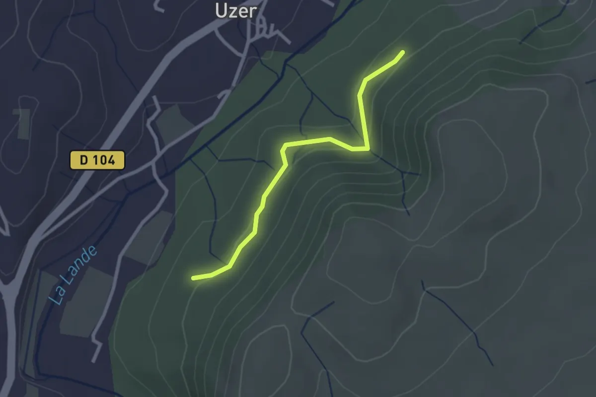
Soudournas - Merzelet
4.7 km · ↑ 178 m · 1 h 29 min · 4 km away
Easy · Trail
Les Blaches Hautes - La Prade Haute
2.3 km · ↑ 71 m · 42 min · 4 km away