Trails near Largentière
425 hikes starting within 15 km, nearest first.
Nearest first, page 2 of 9
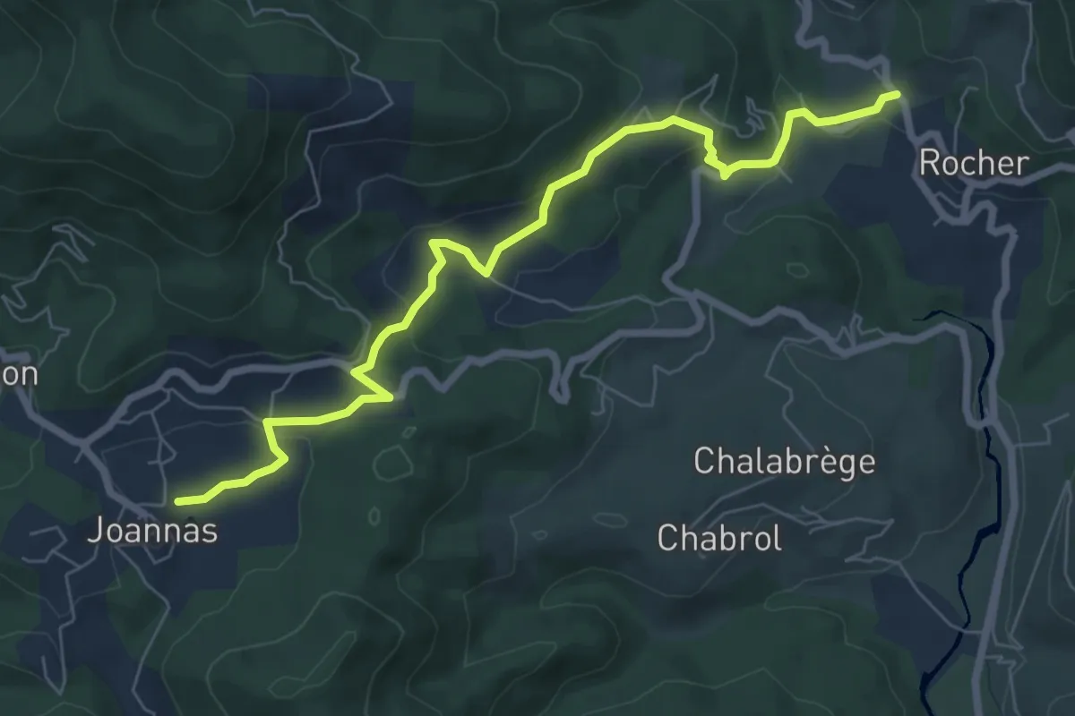
Easy · Trail
Le Pontet - La Sauzède
7.7 km · ↑ 282 m · 2 h 25 min · 4 km away
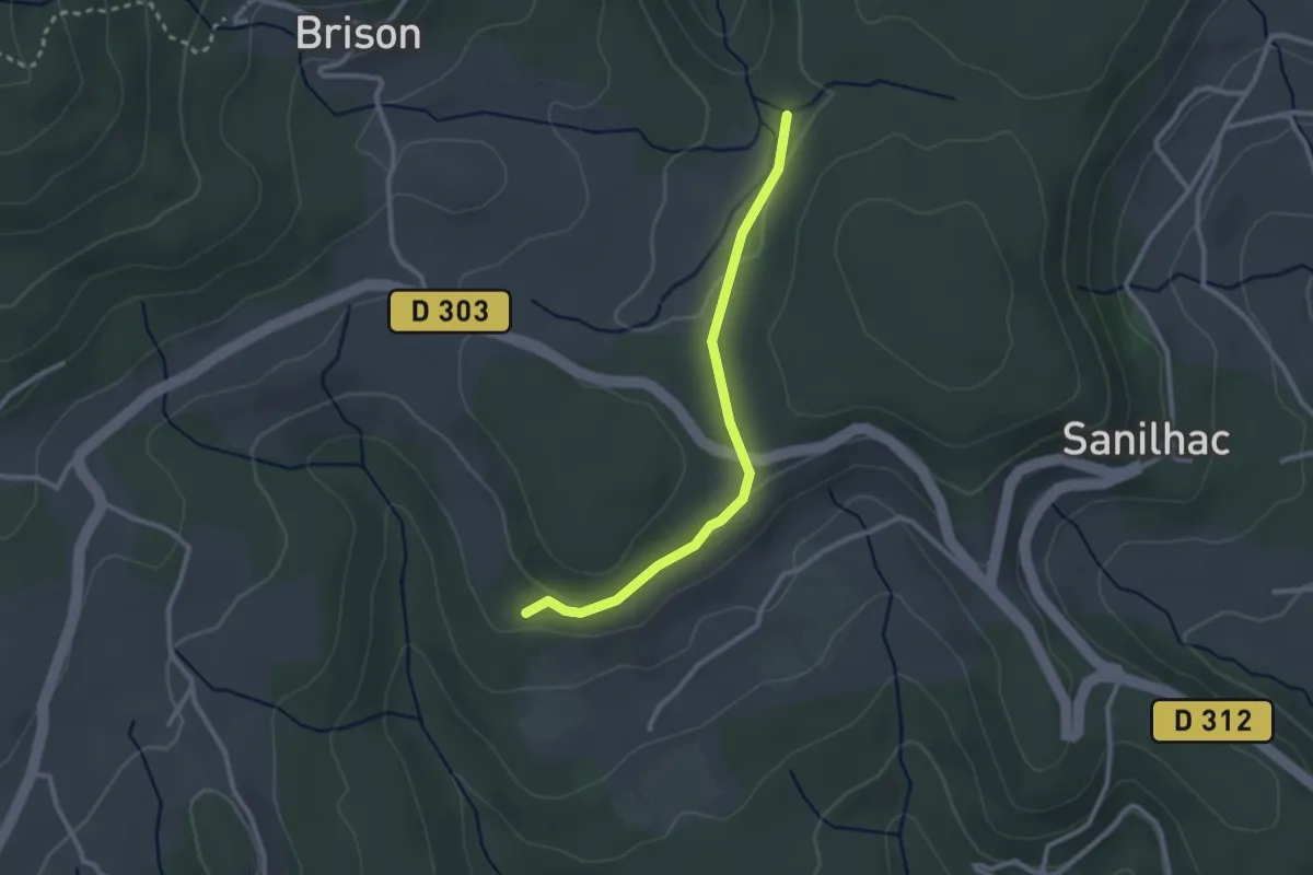
Easy · Trail
Les Colombières - Pissevieille
2.6 km · ↑ 38 m · 42 min · 4 km away
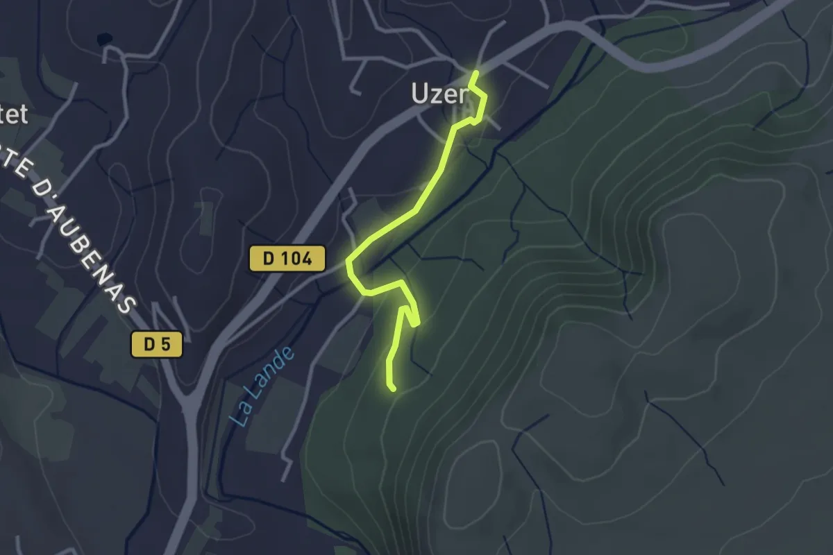
Easy · Trail
Uzer - La Prade Haute
2.7 km · ↑ 82 m · 48 min · 4 km away
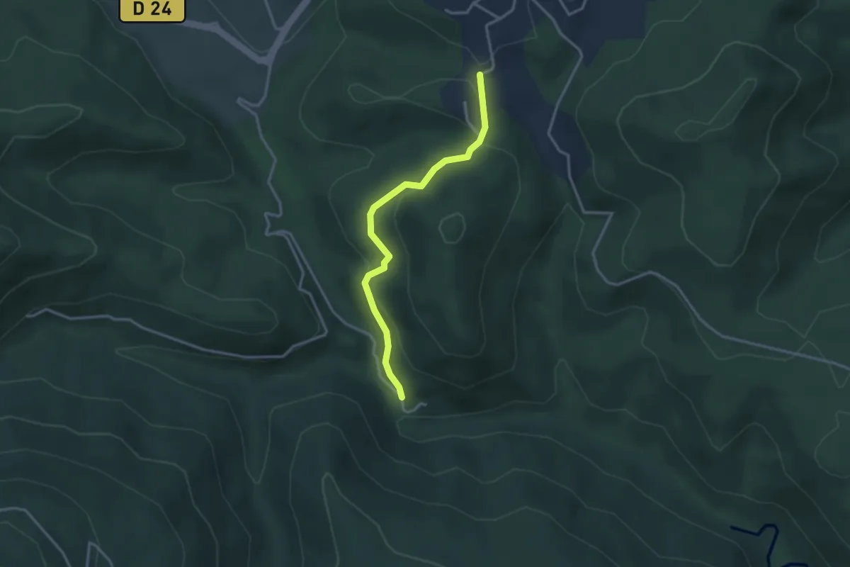
Medium · Trail
Le Plançon Haut - Chassagnoles
3.0 km · ↑ 94 m · 55 min · 4 km away
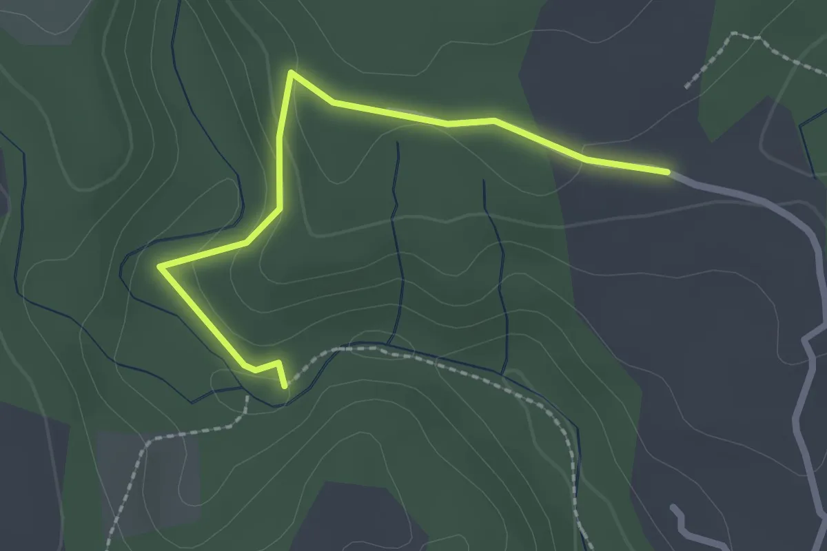
Easy · Trail
Le Boyer - Les Blancards
2.3 km · ↑ 55 m · 40 min · 4 km away
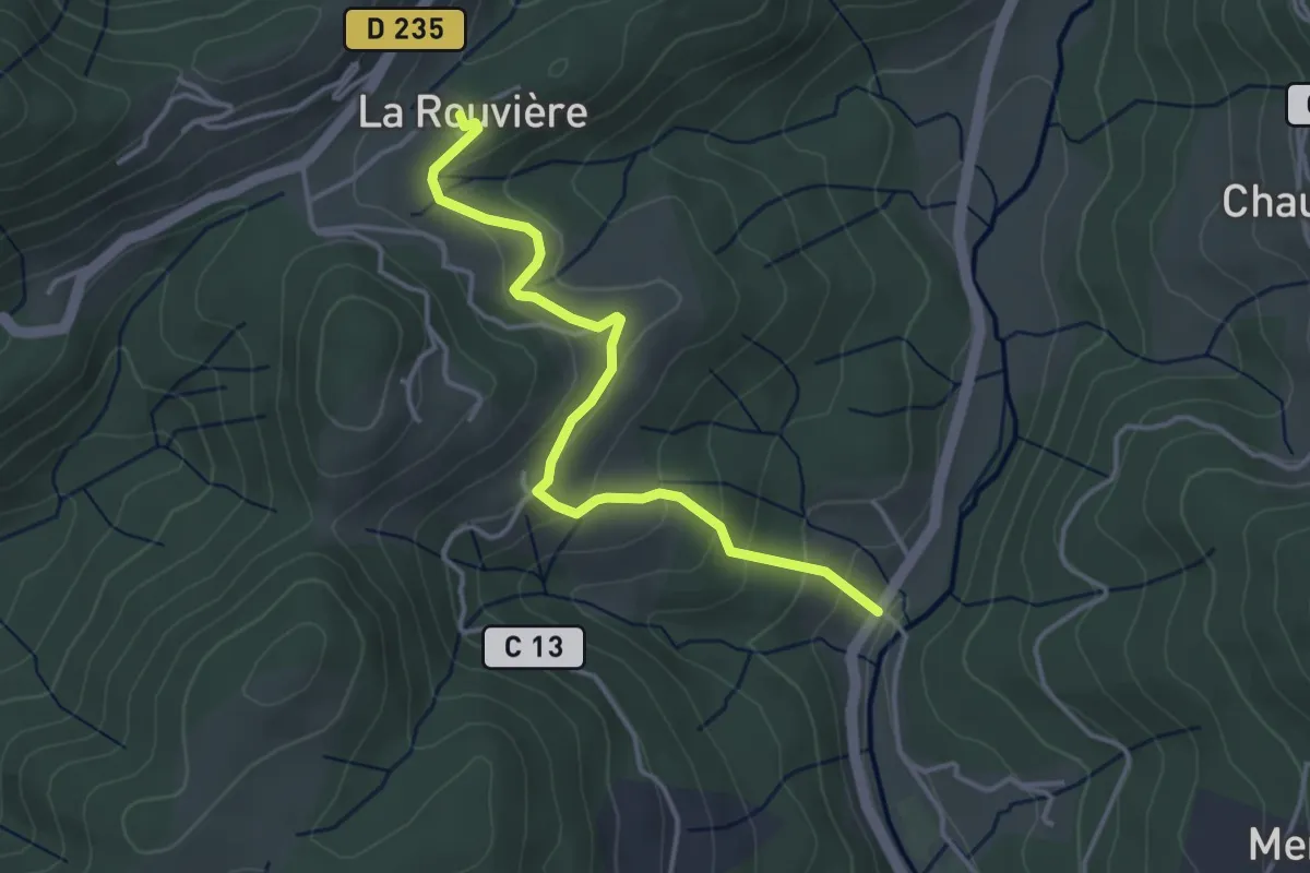
Easy · Trail
Moulin de Landes - La Rouvière
4.0 km · ↑ 214 m · 1 h 24 min · 4 km away
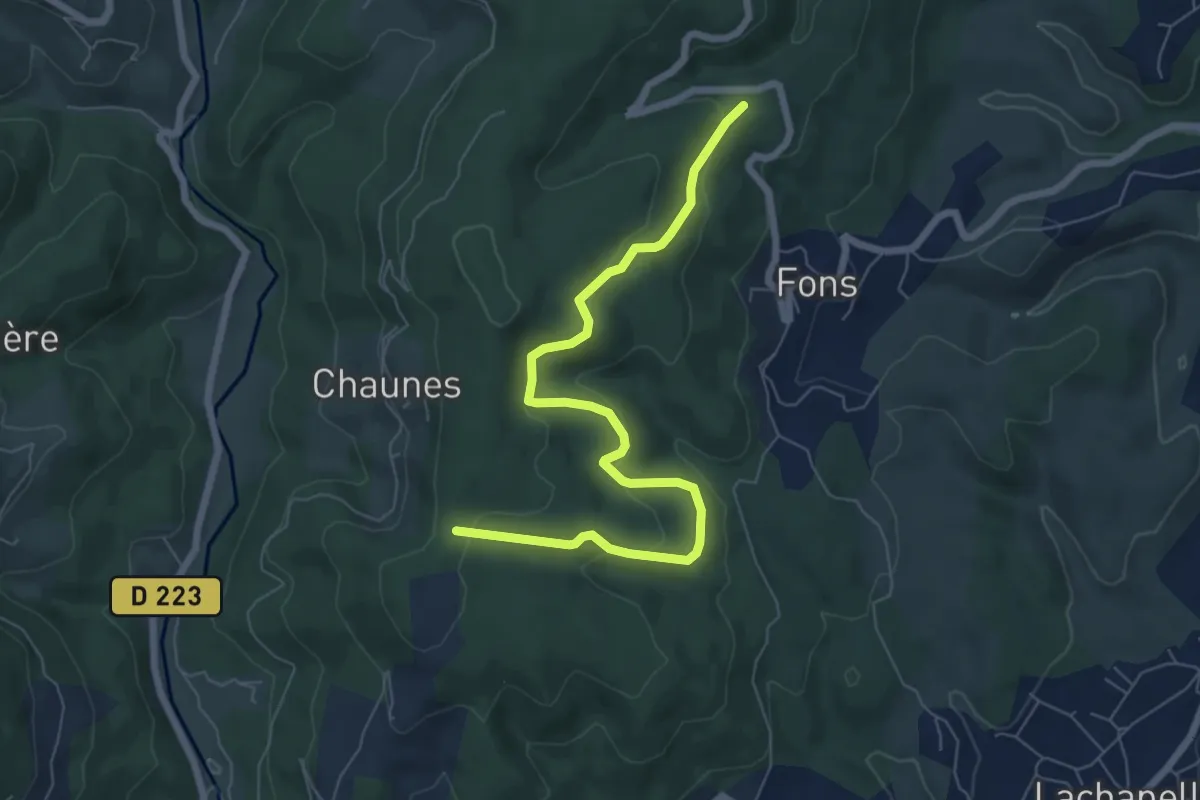
Easy · Trail
Chardes - Bois de Vogüé
7.6 km · ↑ 300 m · 2 h 26 min · 5 km away
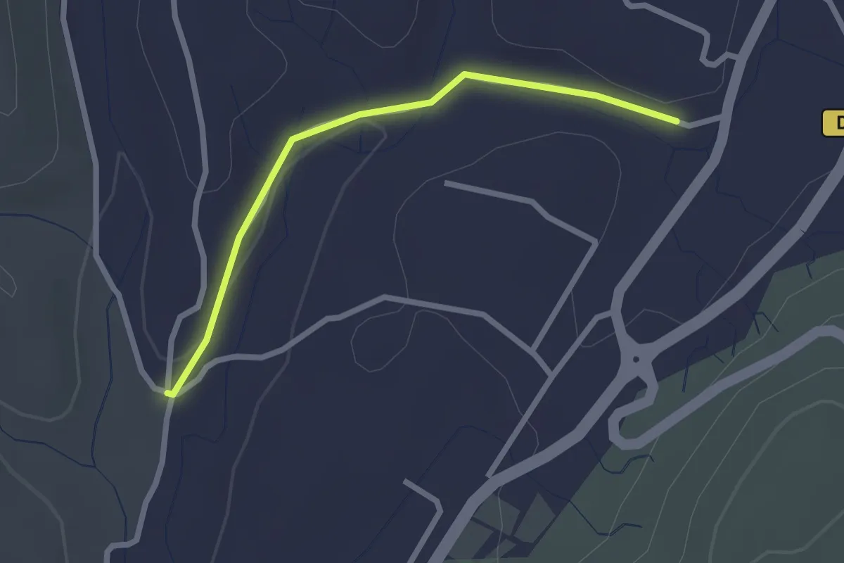
Easy · Trail
Les Alobres - Voie verte
2.3 km · ↑ 28 m · 36 min · 5 km away
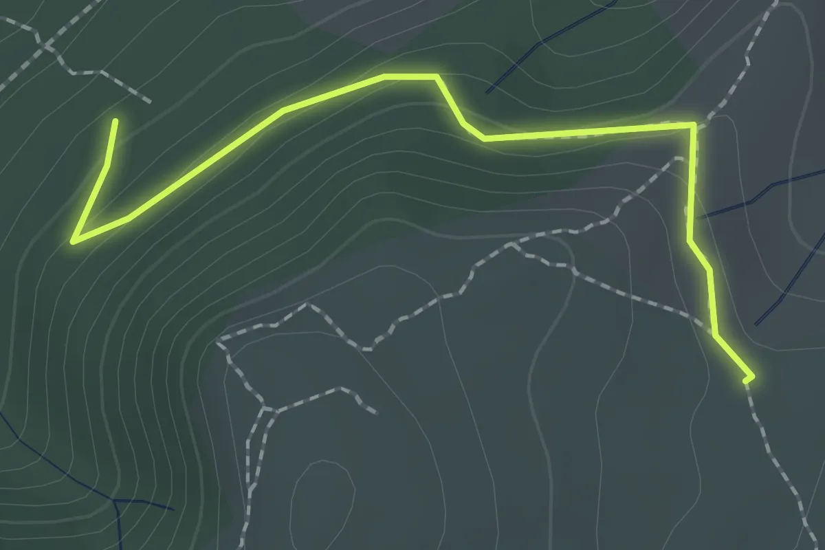
Easy · Trail
Les Blaches Hautes - La Drayette
2.1 km · ↑ 103 m · 43 min · 5 km away
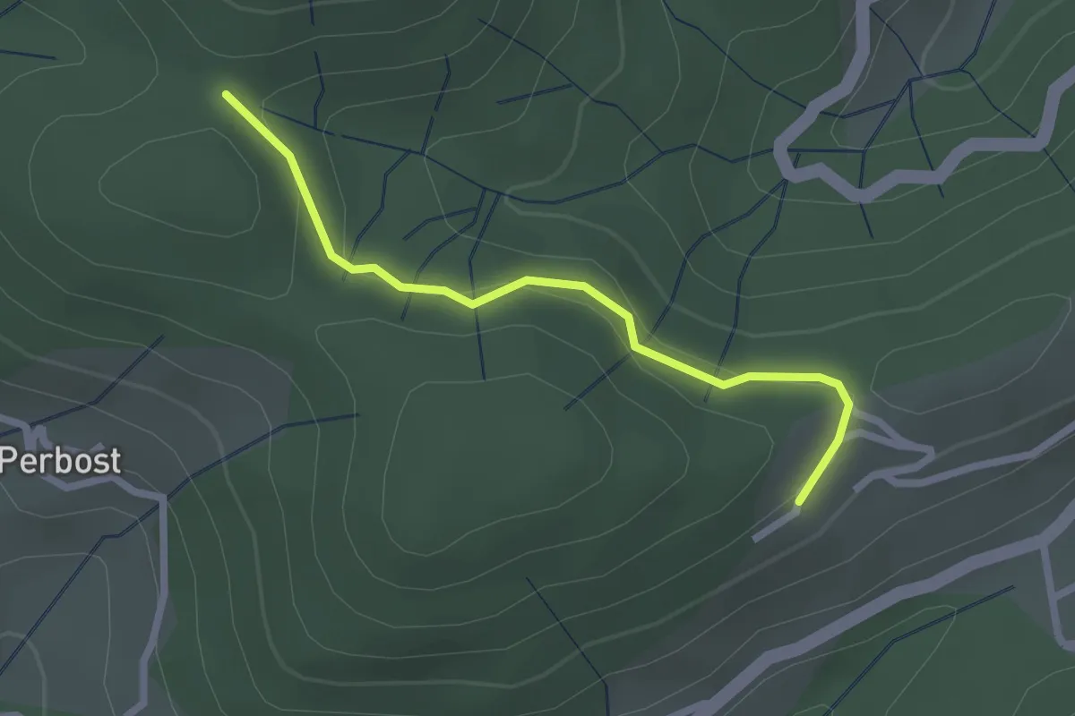
Easy · Trail
Joux - Ranc Courbier
2.3 km · ↑ 94 m · 45 min · 5 km away
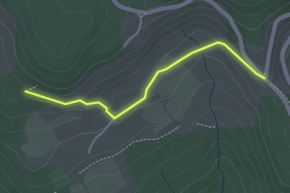
Easy · Trail
La Chapelette - Les Colombières
2.3 km · ↑ 40 m · 37 min · 5 km away
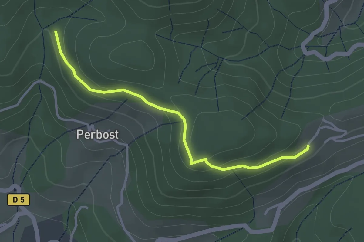
Easy · Trail
Le Vaure - Joux
3.1 km · ↑ 147 m · 1 h 3 min · 5 km away
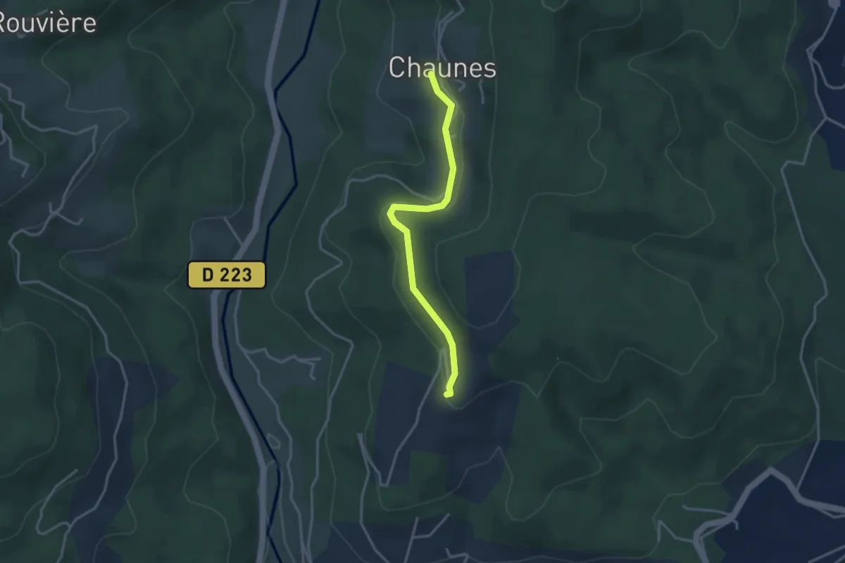
Easy · Trail
Chaunes - Merzelet Ouest
3.2 km · ↑ 67 m · 54 min · 5 km away
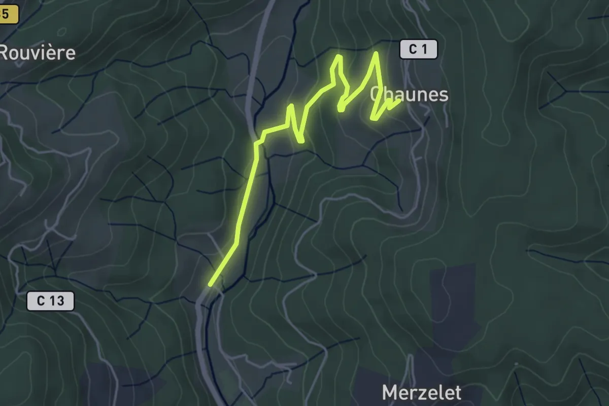
Easy · Trail
Moulin de Landes - Chaunes
5.1 km · ↑ 139 m · 1 h 30 min · 5 km away
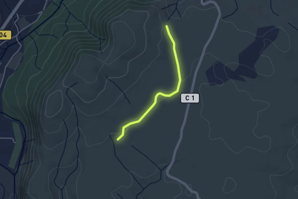
Easy · Trail
Le Gras - La Drayette
2.8 km · ↑ 19 m · 41 min · 5 km away
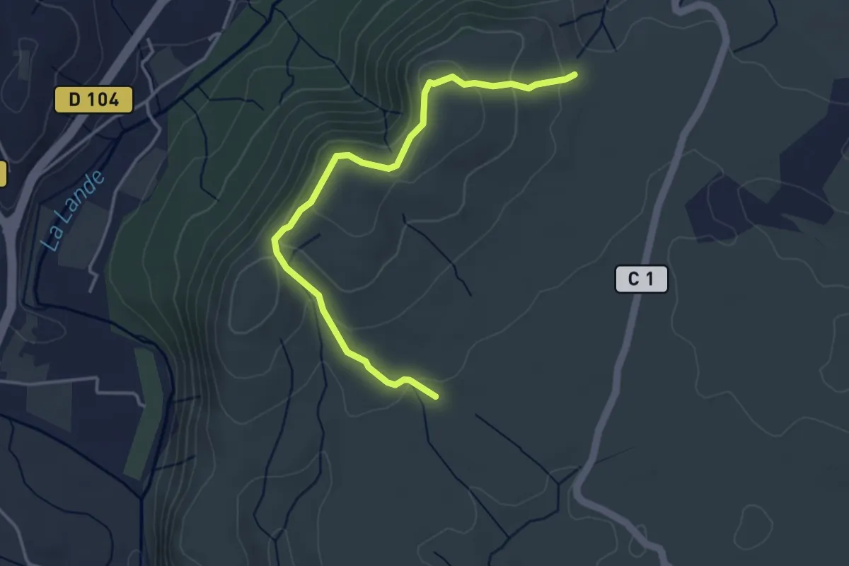
Easy · Trail
Le Gras - La Drayette
4.2 km · ↑ 172 m · 1 h 21 min · 5 km away
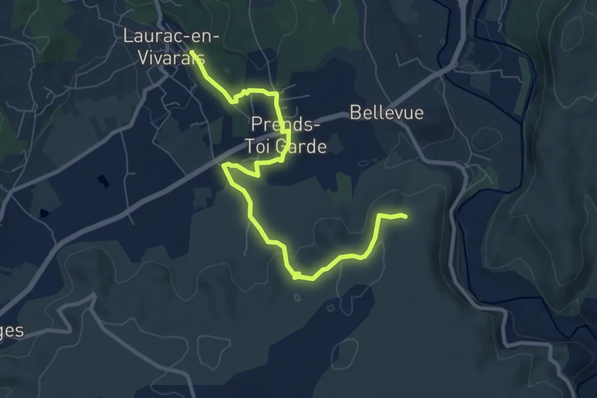
Medium · Trail
Les Piles - Les Granges de Mirabelle
8.1 km · ↑ 168 m · 2 h 17 min · 5 km away
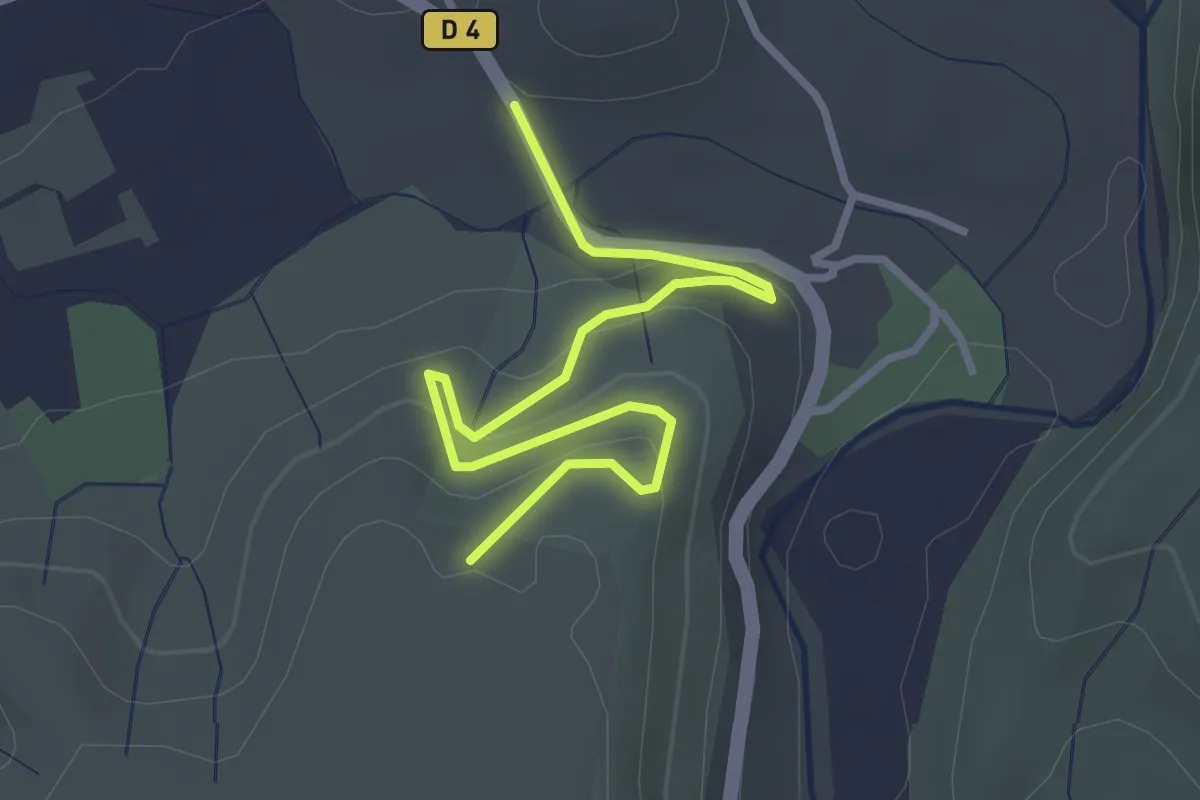
Easy · Trail
Le Mont Montredon - Les Granges de Mirabelle
3.5 km · ↑ 189 m · 1 h 15 min · 5 km away
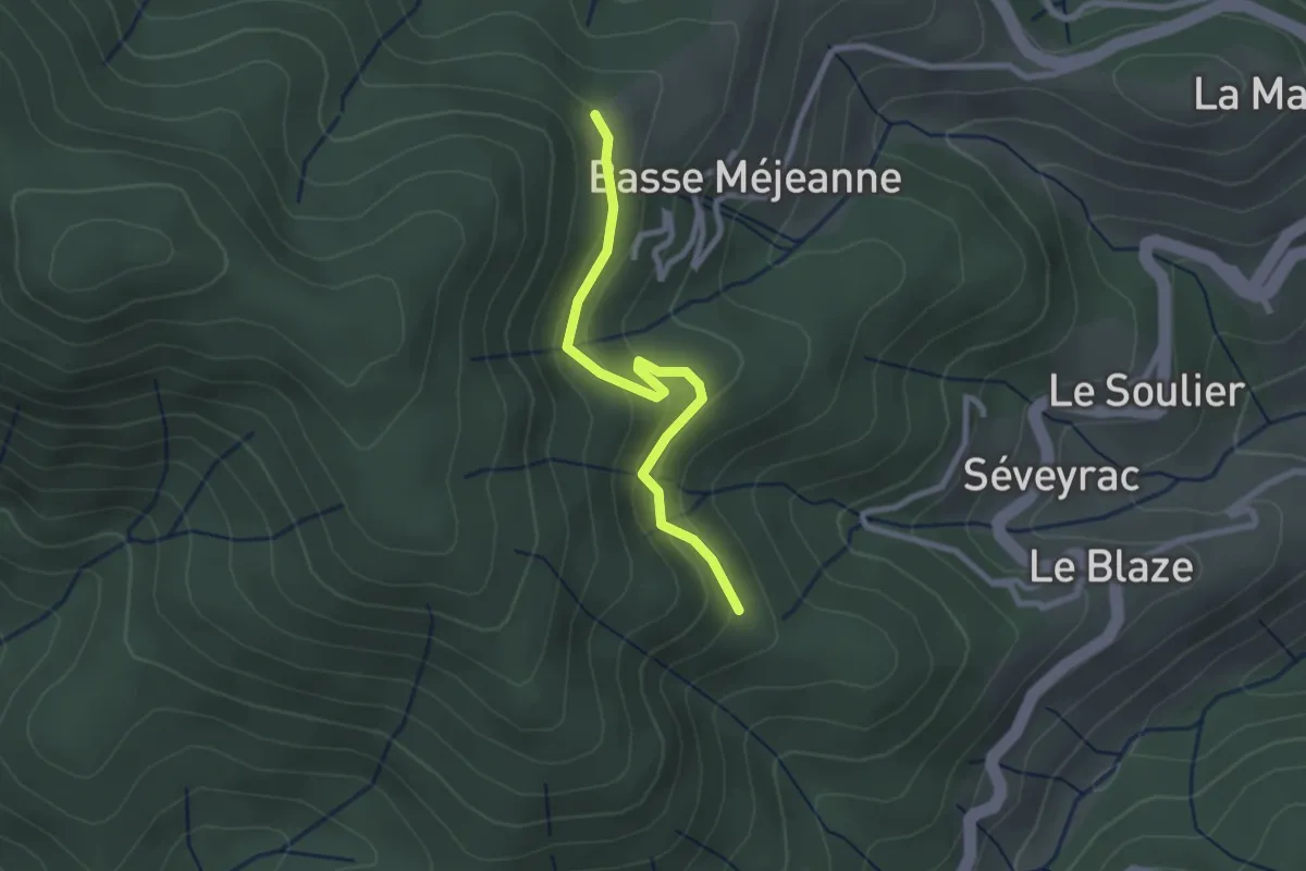
Easy · Trail
L'Hubac - Les Fourches
2.5 km · ↑ 112 m · 50 min · 5 km away
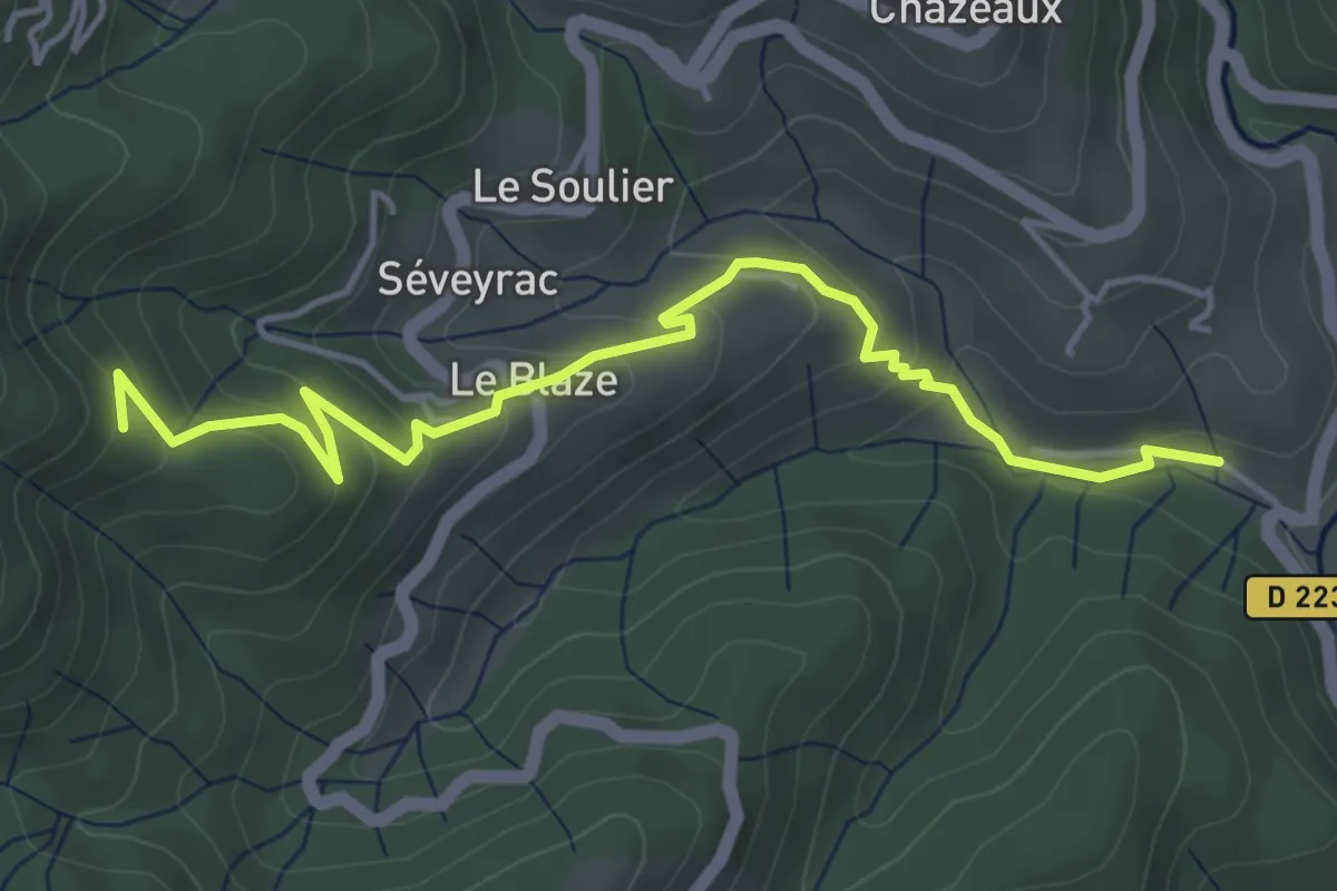
Easy · Trail
Pont de Charbonnier - L'Hubac
5.1 km · ↑ 256 m · 1 h 45 min · 5 km away
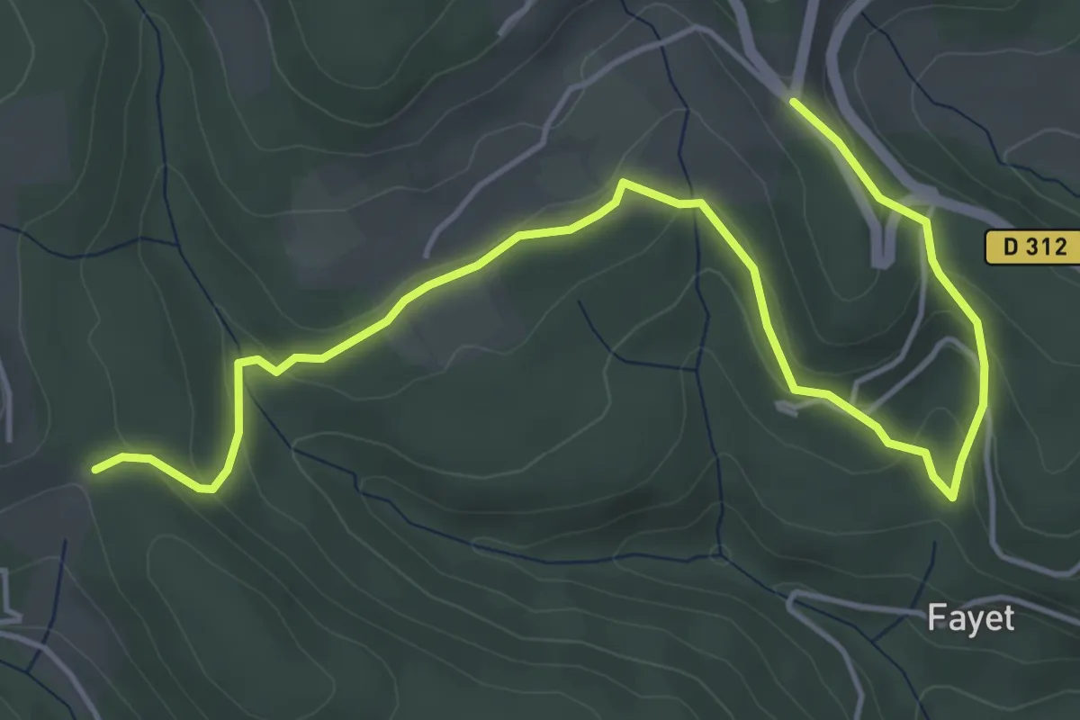
Easy · Trail
Croix de Pète l'Aoure - La Chapelette
6.2 km · ↑ 226 m · 1 h 57 min · 5 km away
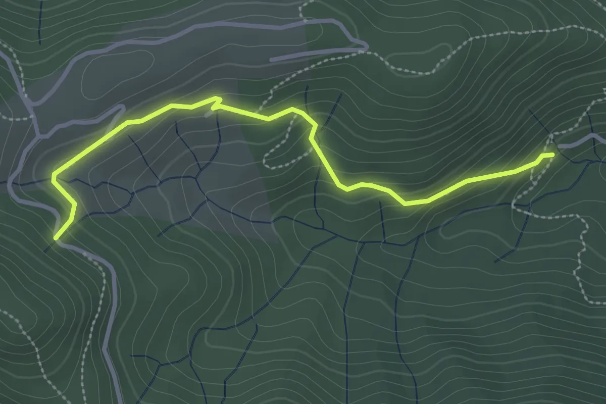
Easy · Trail
Leyval - Loup du Perrier
3.1 km · ↑ 175 m · 1 h 7 min · 5 km away
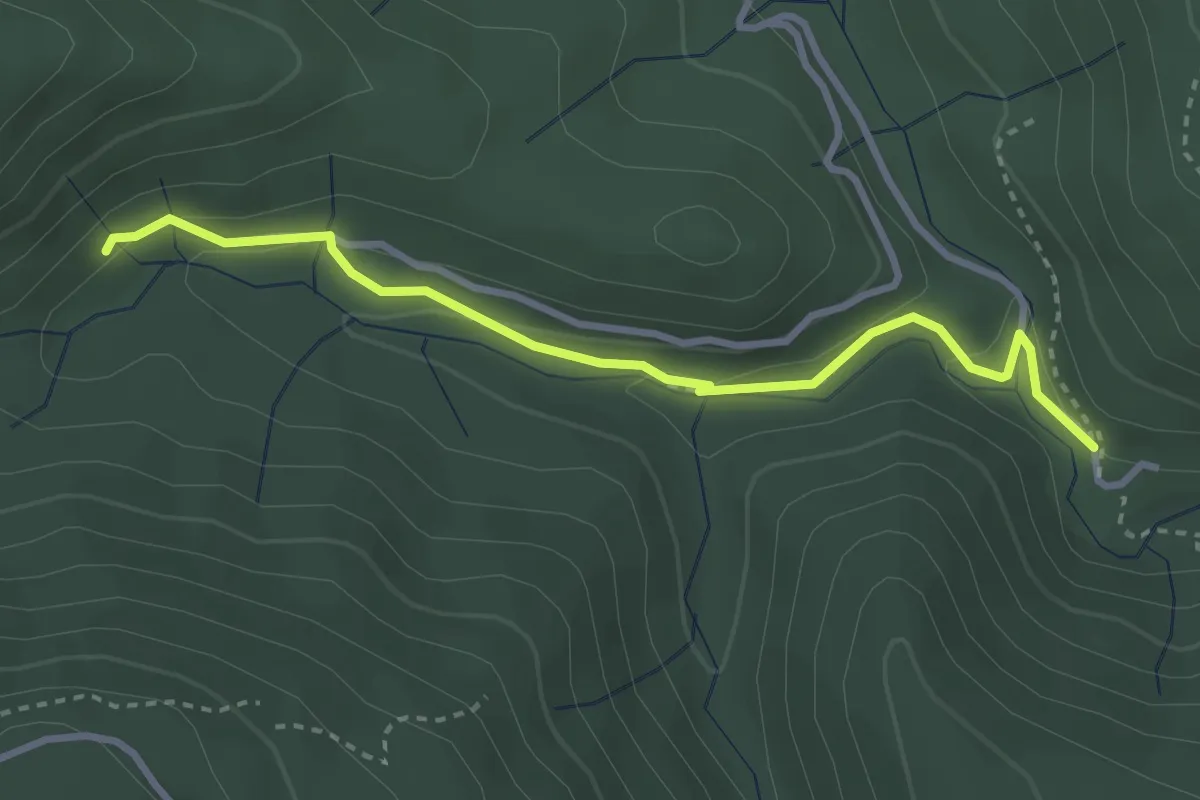
Medium · Trail
Le Plançon Haut - Leyval
3.3 km · ↑ 95 m · 1 h · 5 km away
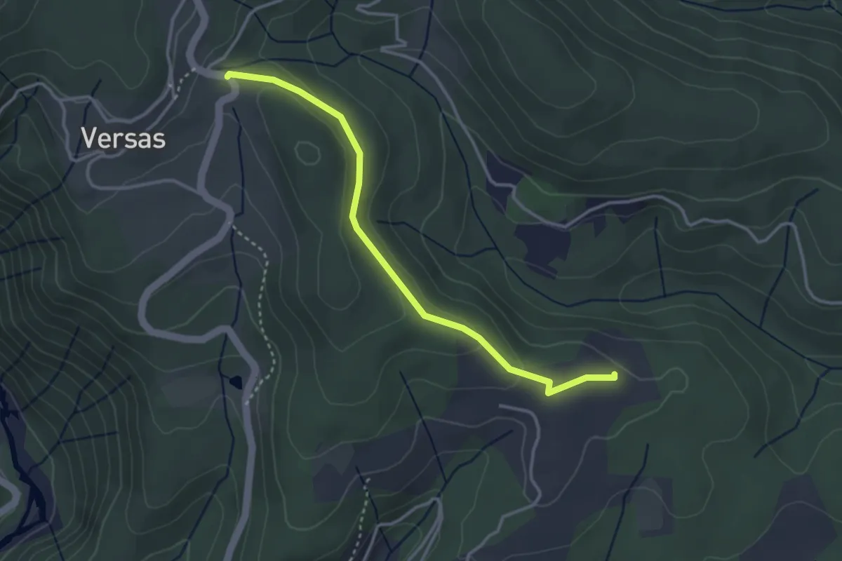
Easy · Trail
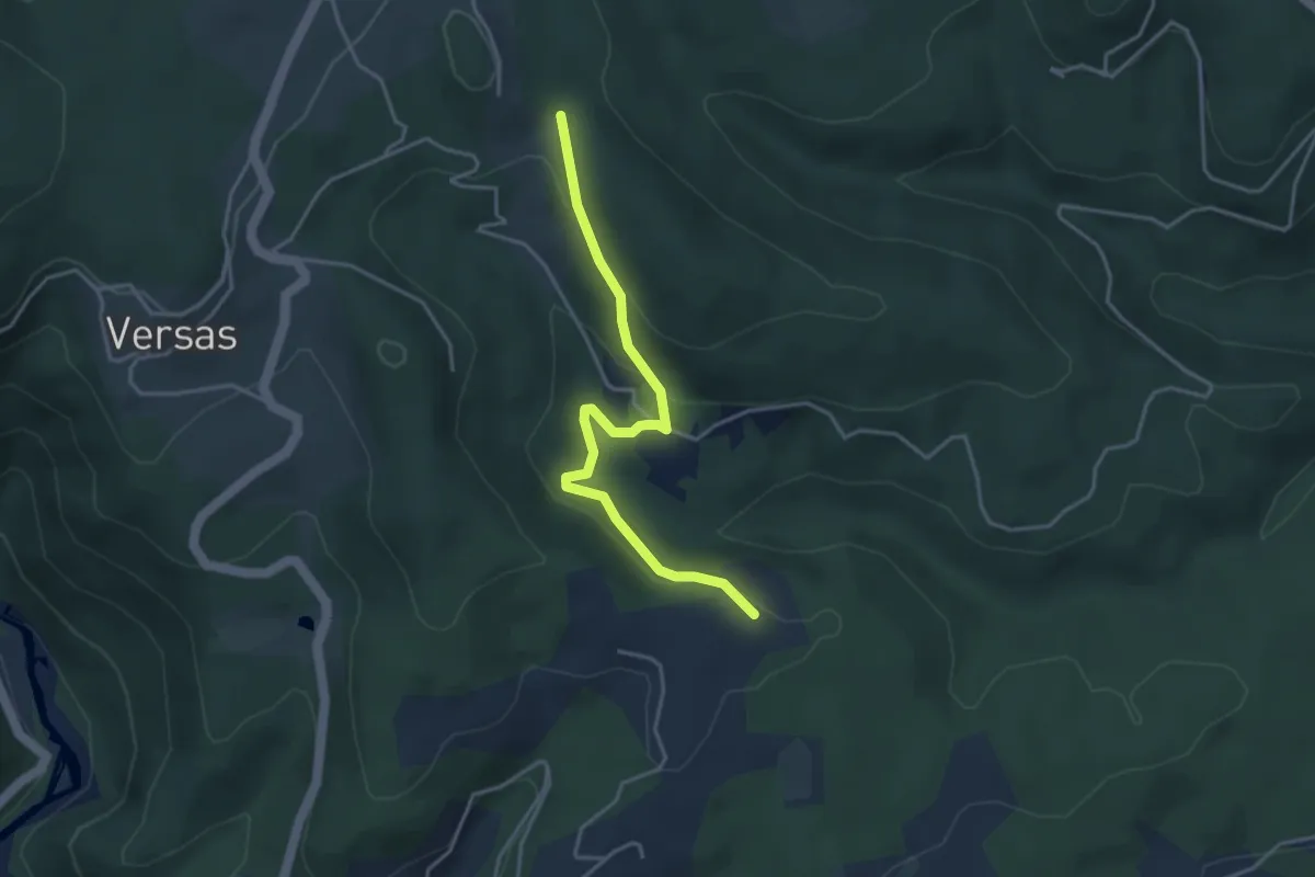
Le Conchis - Versas
3.5 km · ↑ 77 m · 1 h · 5 km away
Easy · Trail
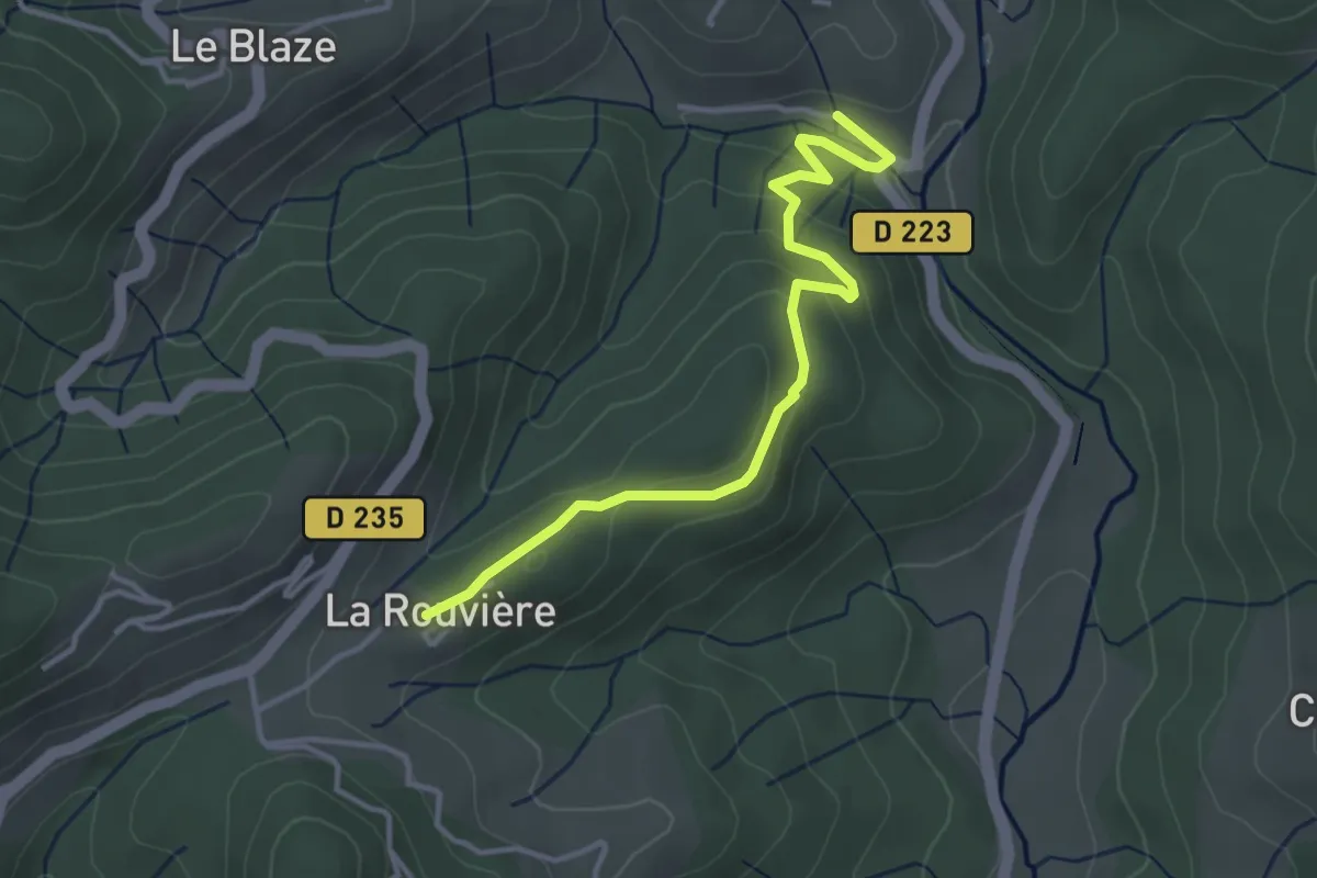
Le Conchis - Croix de Pète l'Aoure
3.9 km · ↑ 167 m · 1 h 18 min · 5 km away
Easy · Trail
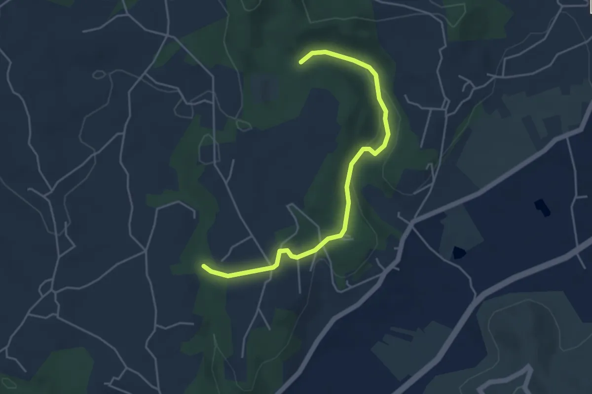
Pont de Charbonnier - La Rouvière
3.8 km · ↑ 132 m · 1 h 11 min · 5 km away
Easy · Trail
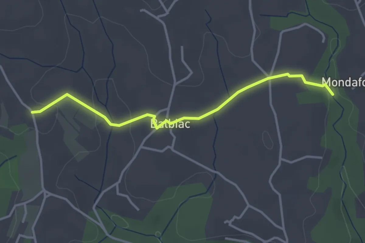
Le Boyer - Augnac
4.4 km · ↑ 73 m · 1 h 12 min · 5 km away
Easy · Trail
Augnac - Croix de Bonneton
3.3 km · ↑ 68 m · 55 min · 5 km away
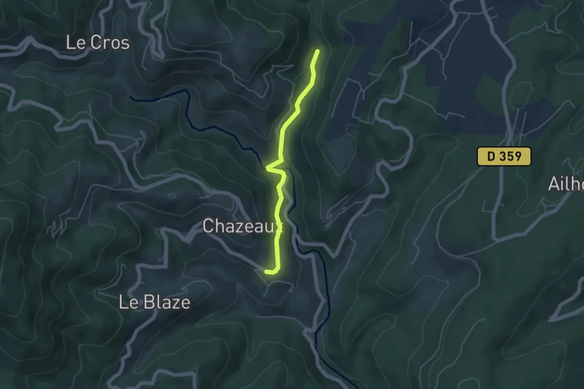
Easy · Trail
Pont d'Aigueneyre - La Coste
3.9 km · ↑ 116 m · 1 h 11 min · 6 km away
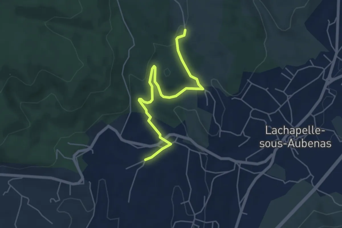
Easy · Trail
Soudournas - Les Plantades
4.9 km · ↑ 141 m · 1 h 28 min · 6 km away
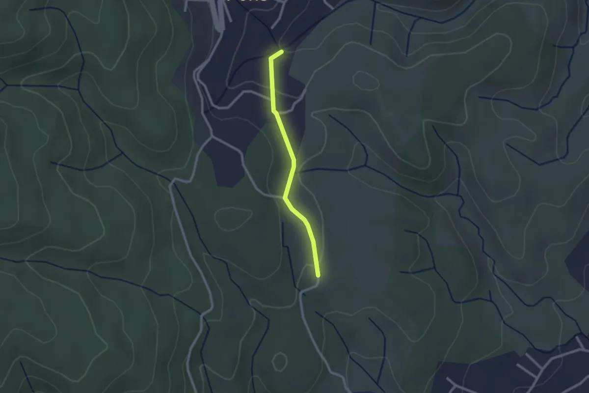
Easy · Trail
Le Plantier - Les Plantades
2.0 km · ↑ 39 m · 34 min · 6 km away
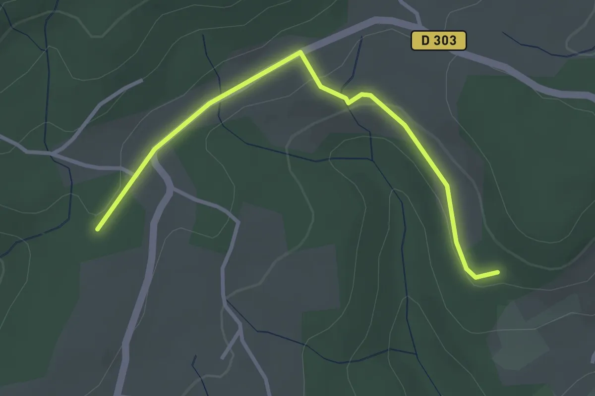
Easy · Trail
Les Colombières - Guillaume
3.2 km · ↑ 54 m · 52 min · 6 km away
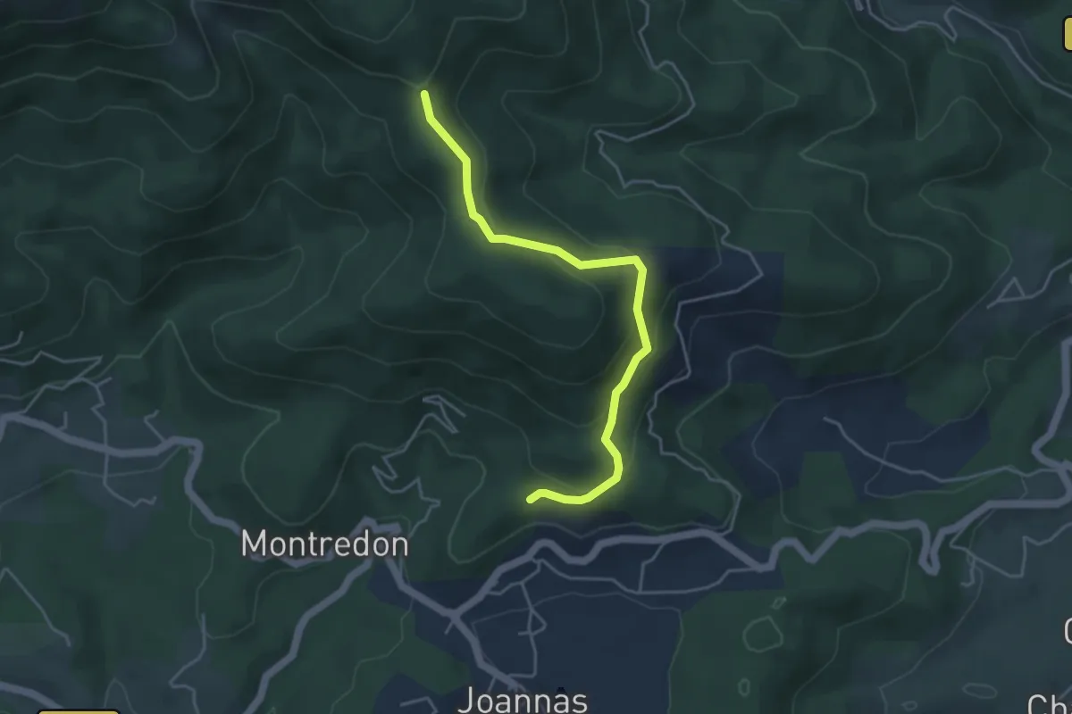
Easy · Trail
Logères - Ranc de Bal
4.3 km · ↑ 233 m · 1 h 32 min · 6 km away
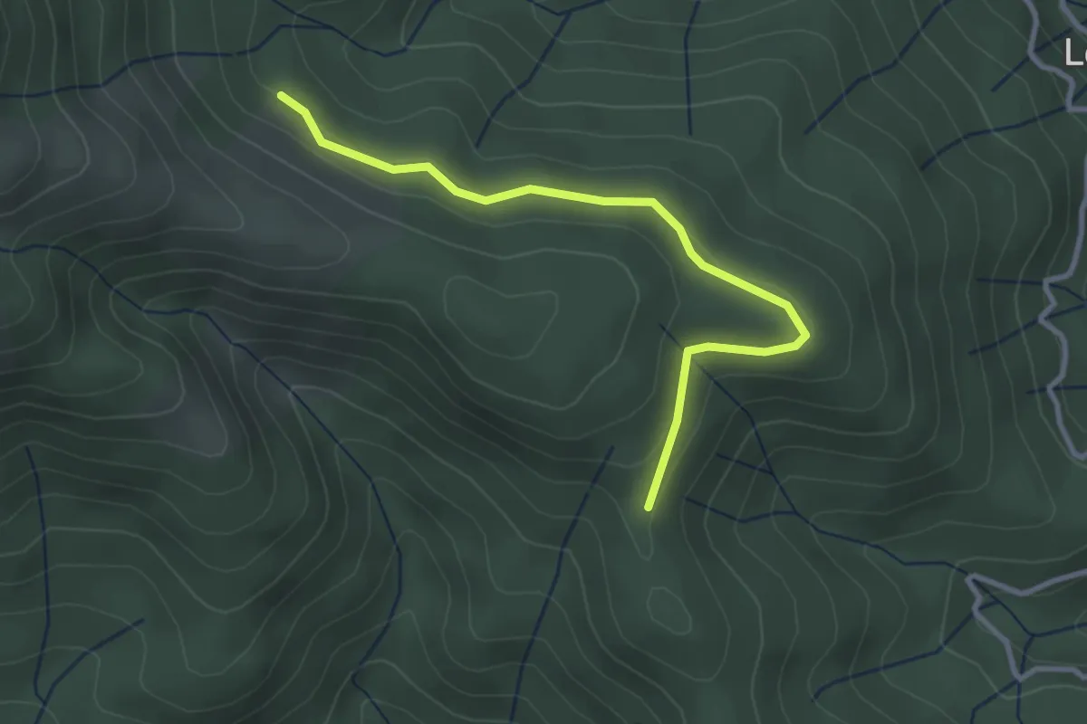
Easy · Trail
Ranc de Bal - Rabié
3.2 km · ↑ 79 m · 56 min · 6 km away
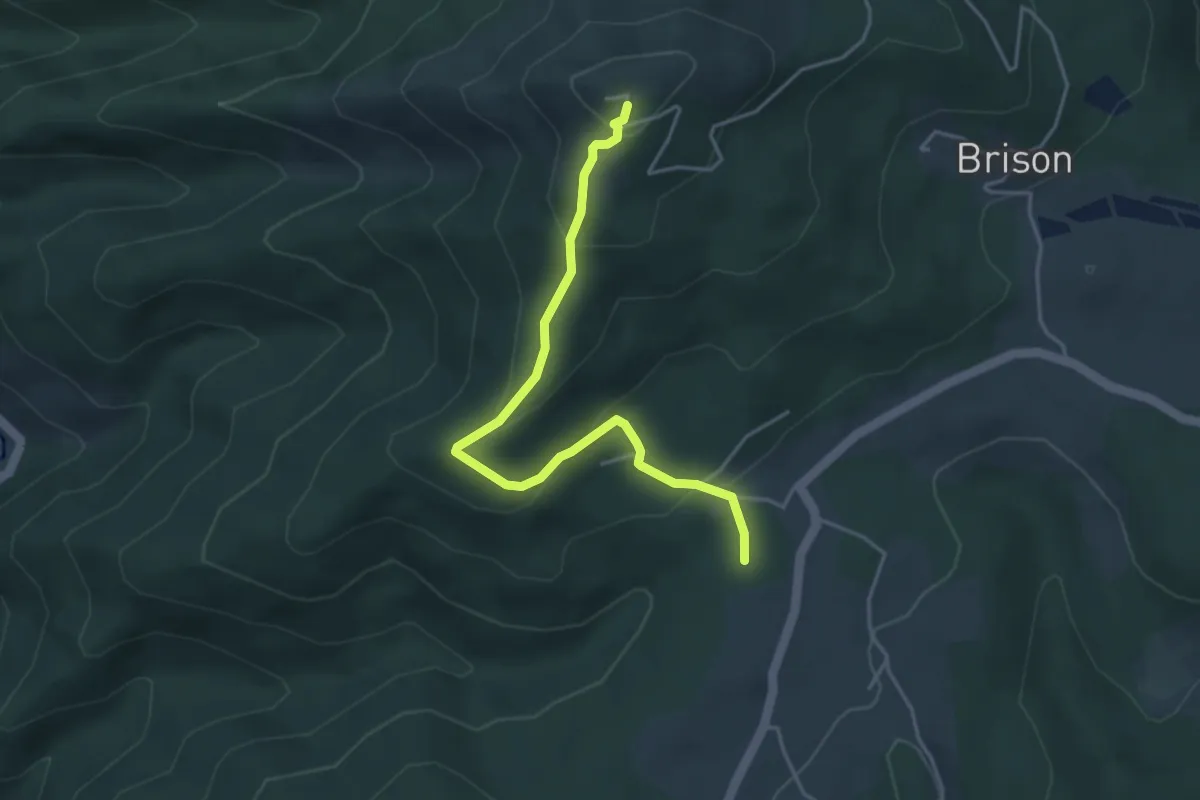
Easy · Trail
Guillaume - La Tour de Brison
4.3 km · ↑ 234 m · 1 h 32 min · 6 km away
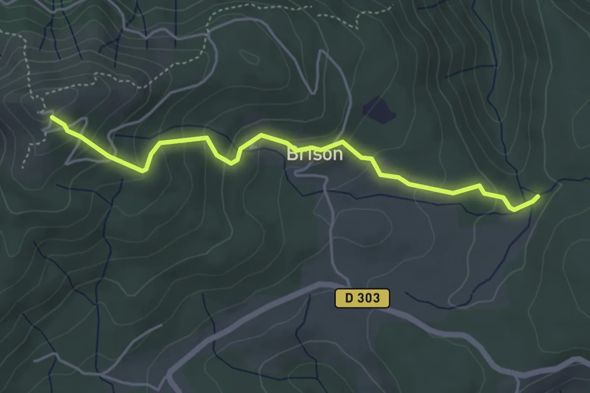
Medium · Trail
Pissevieille - La Tour de Brison
4.5 km · ↑ 266 m · 1 h 38 min · 6 km away
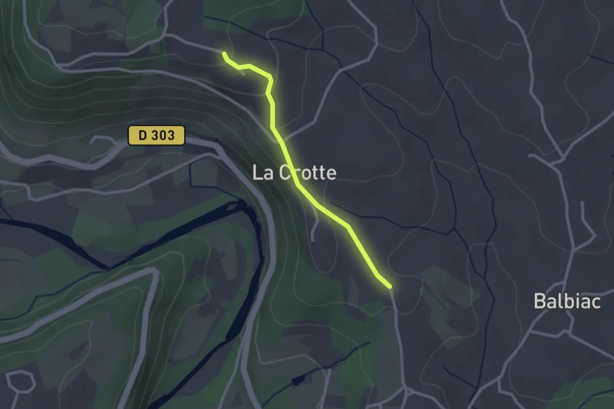
Easy · Trail
Croix de Bonneton - L'Escourby
2.2 km · ↑ 75 m · 41 min · 6 km away
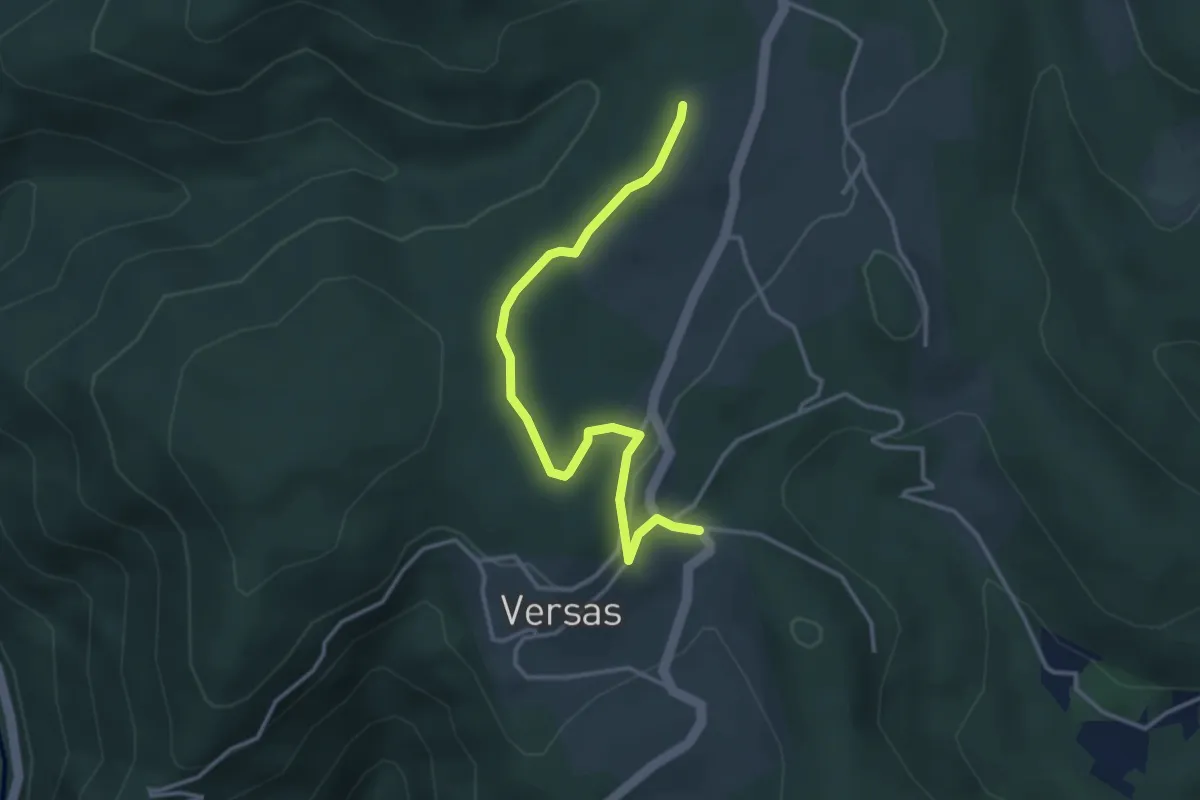
Easy · Trail
Versas - Les Pargues
3.7 km · ↑ 71 m · 1 h 2 min · 6 km away
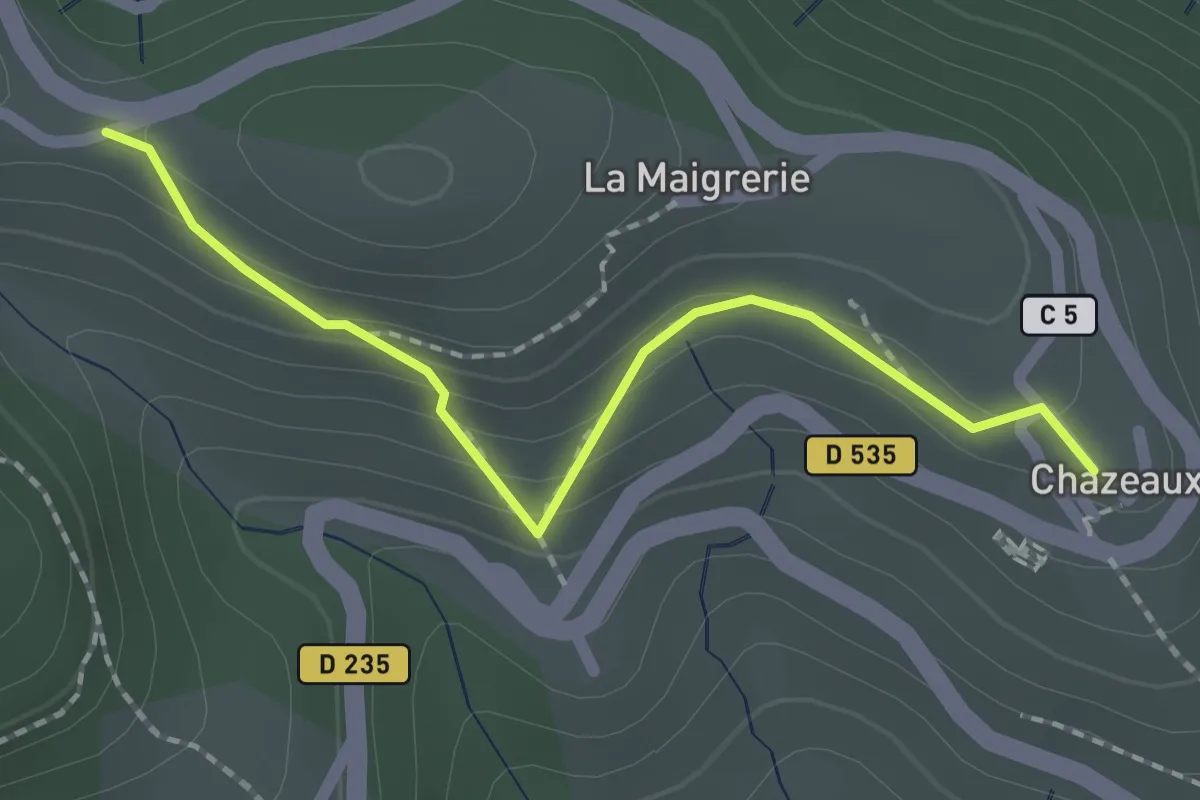
Easy · Trail
Chazeaux - La Combe
2.0 km · ↑ 111 m · 43 min · 6 km away
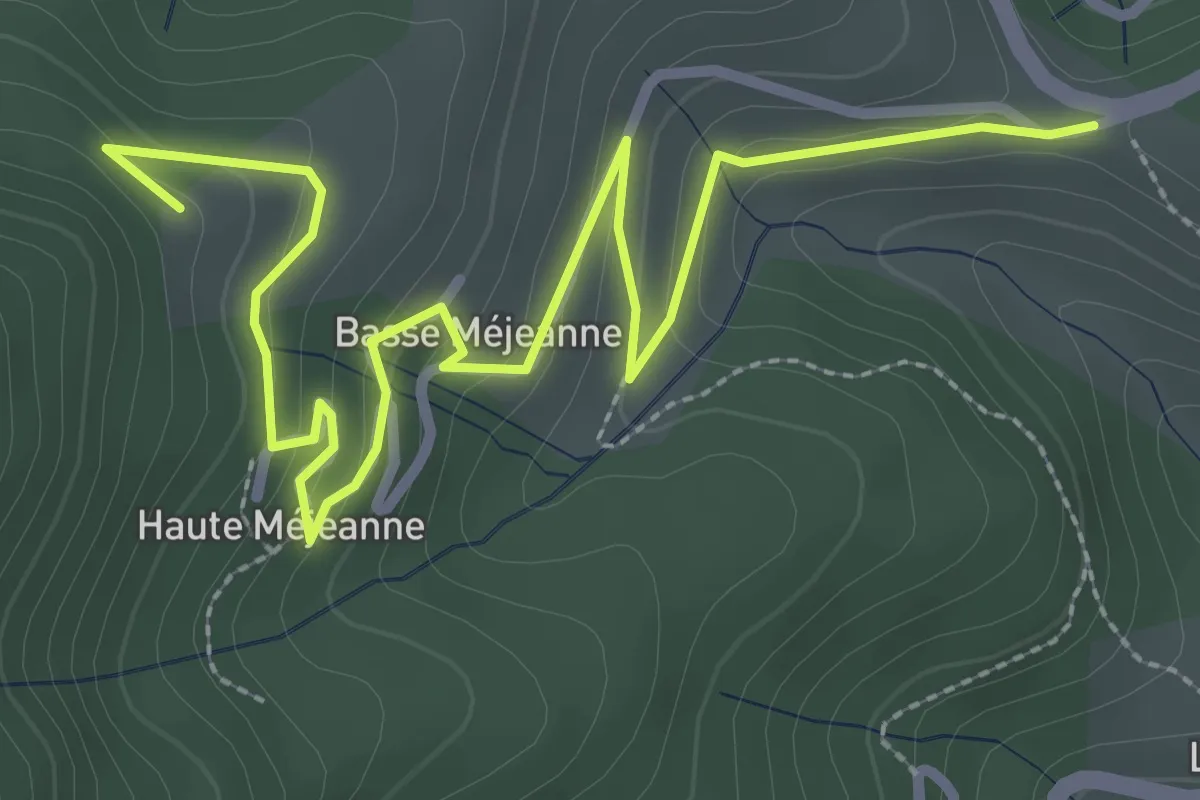
Easy · Trail
La Combe - Les Fourches
4.0 km · ↑ 159 m · 1 h 18 min · 6 km away
Easy · Trail
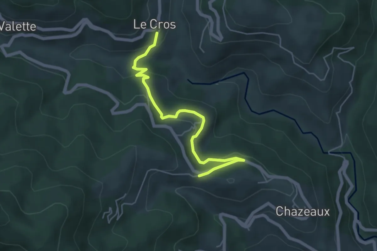
Le Cros - La Combe
4.7 km · ↑ 192 m · 1 h 31 min · 6 km away
Easy · Trail
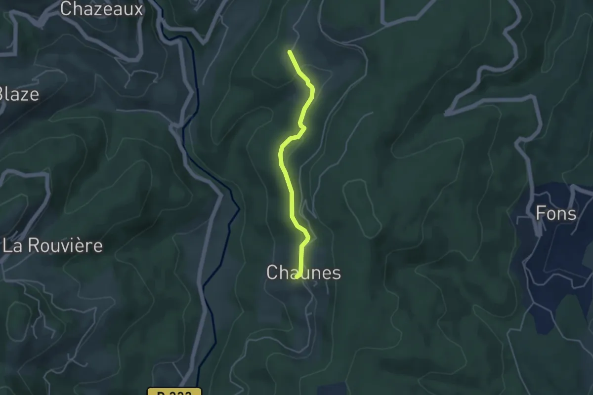
Chaunes - Les Granges de Védignac
3.4 km · ↑ 86 m · 1 h · 6 km away
Easy · Trail
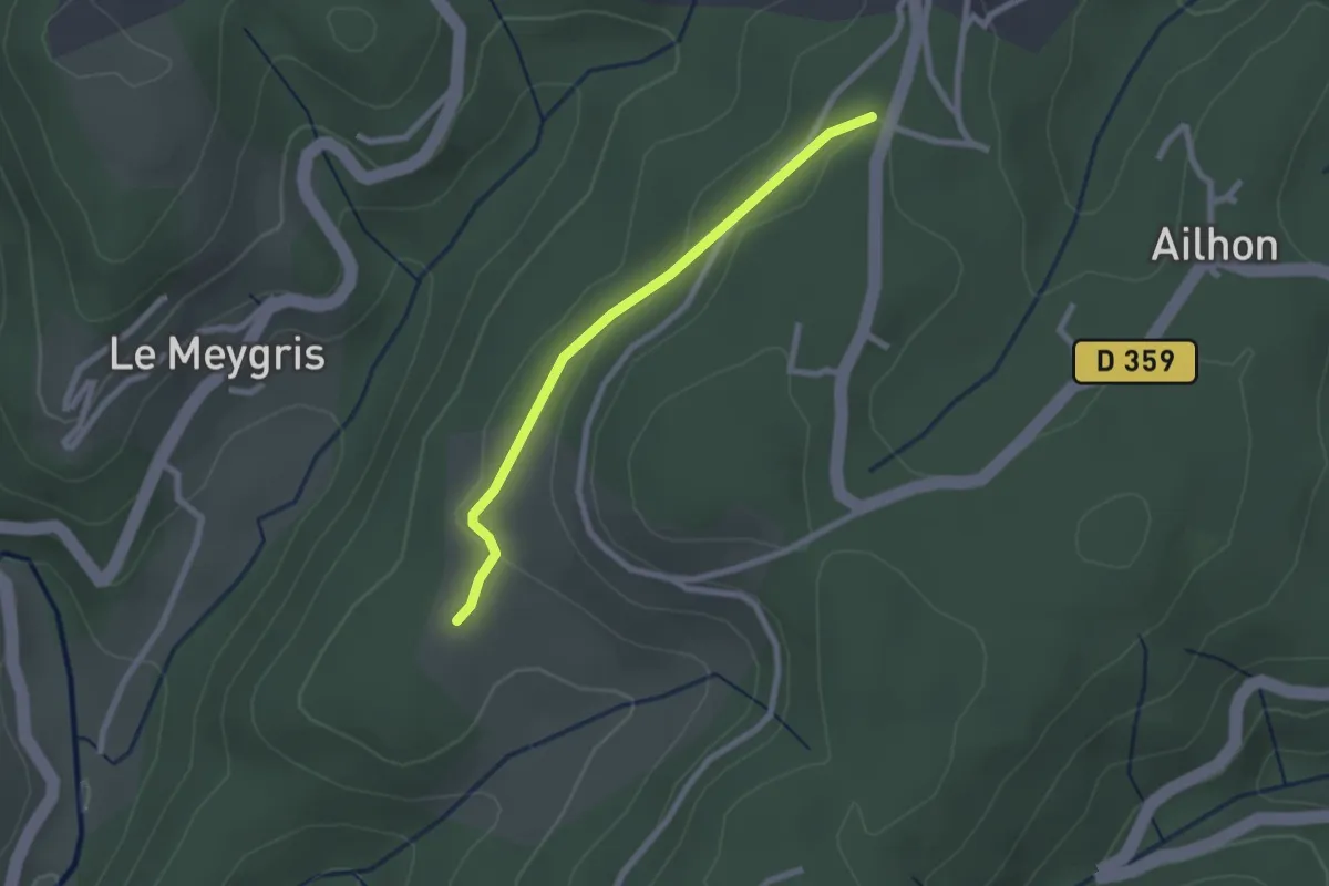
Les Granges de Védignac - Vidal Guerin
2.2 km · ↑ 43 m · 37 min · 6 km away
Easy · Trail
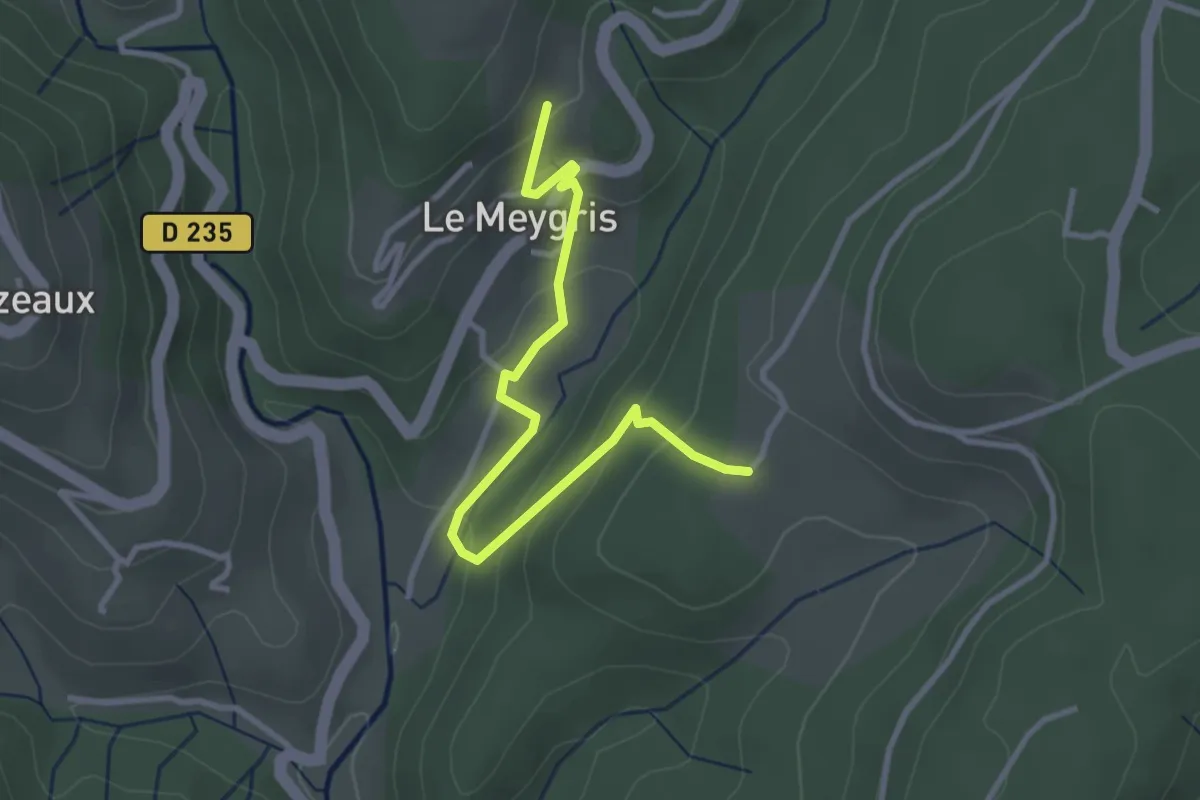
Le Meygris - Les Granges de Védignac
3.4 km · ↑ 190 m · 1 h 14 min · 6 km away
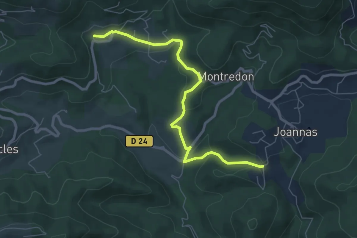
Easy · Trail
Chassagnoles - Blaunac
6.4 km · ↑ 177 m · 1 h 54 min · 6 km away
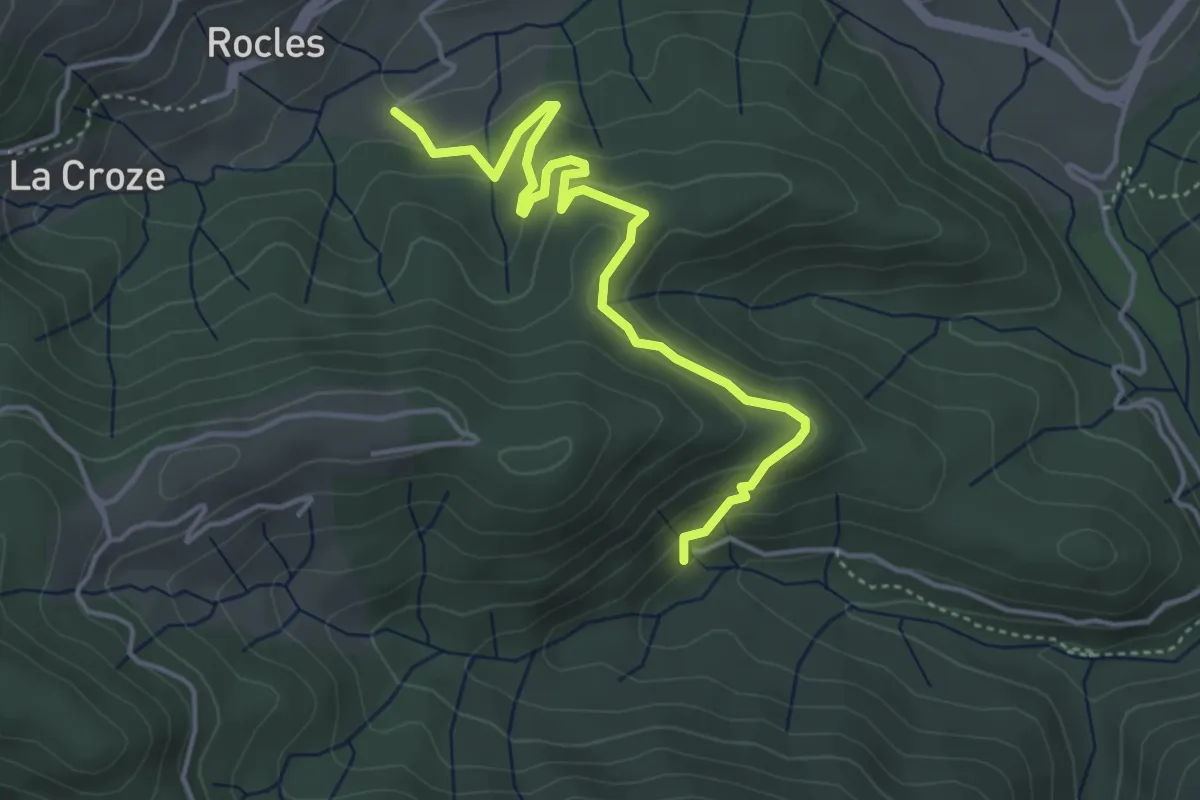
Easy · Trail
Les Pradettes - Leyval
4.7 km · ↑ 196 m · 1 h 32 min · 6 km away
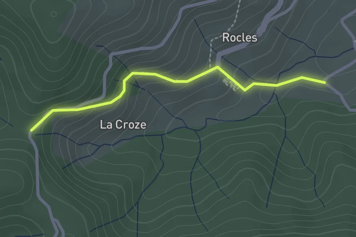
Easy · Trail
Les Pradettes - Croix de la Marre
2.1 km · ↑ 118 m · 45 min · 6 km away
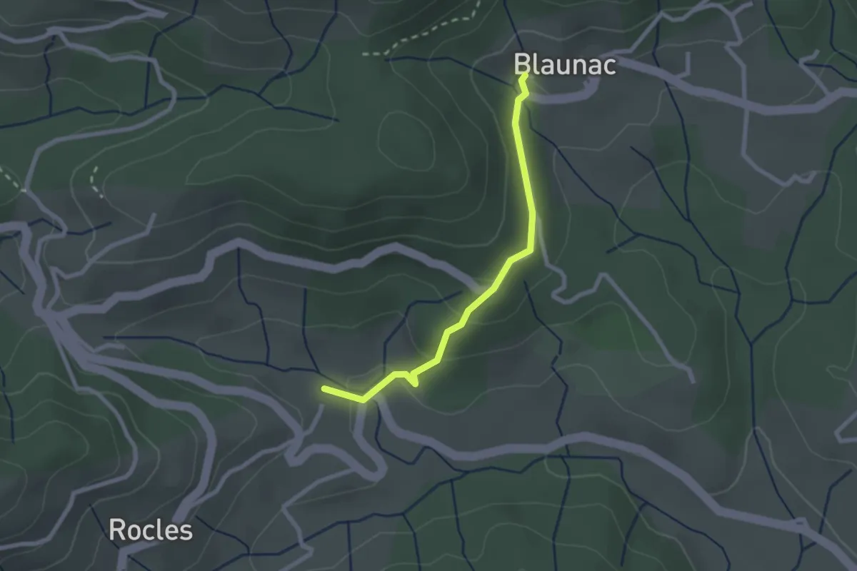
Easy · Trail
Pont de Charles - Blaunac
2.2 km · ↑ 67 m · 40 min · 6 km away