Trails near Largentière
425 hikes starting within 15 km, nearest first.
Nearest first, page 3 of 9
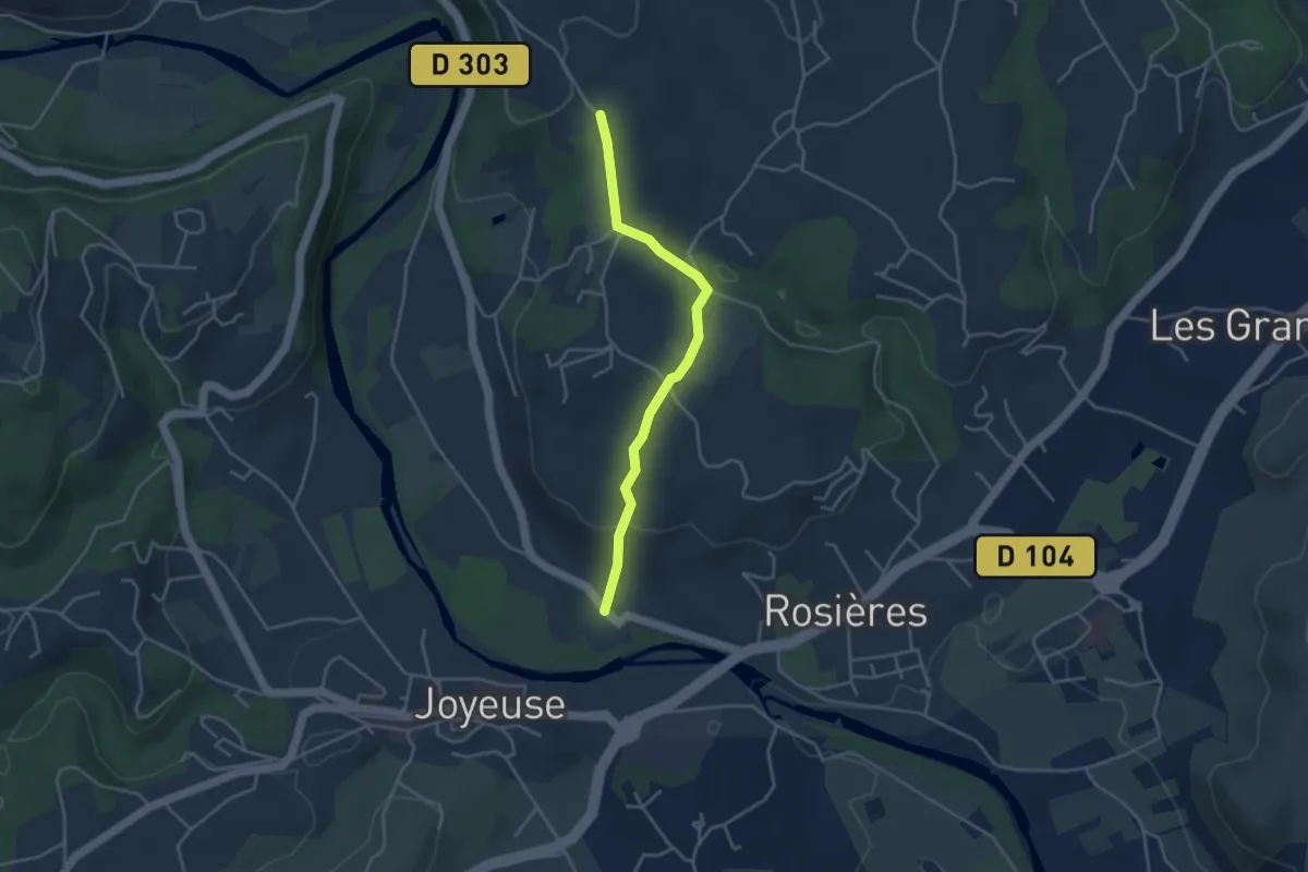
Easy · Trail
Le Pont - Croix de Bonneton
3.7 km · ↑ 115 m · 1 h 8 min · 6 km away
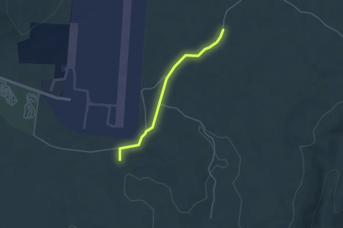
Easy · Trail
La Mare - Barsac
3.0 km · ↑ 56 m · 50 min · 6 km away
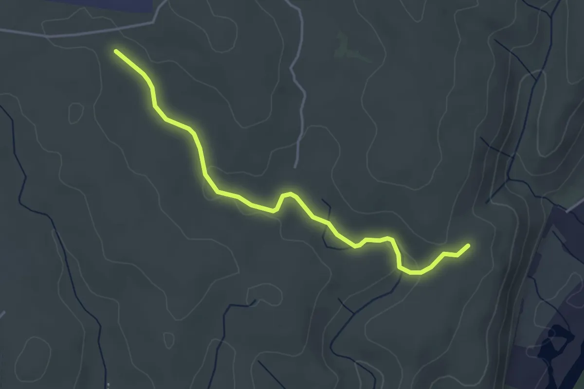
Easy · Trail
Le Clauzel - La Mare
4.1 km · ↑ 44 m · 1 h 4 min · 6 km away
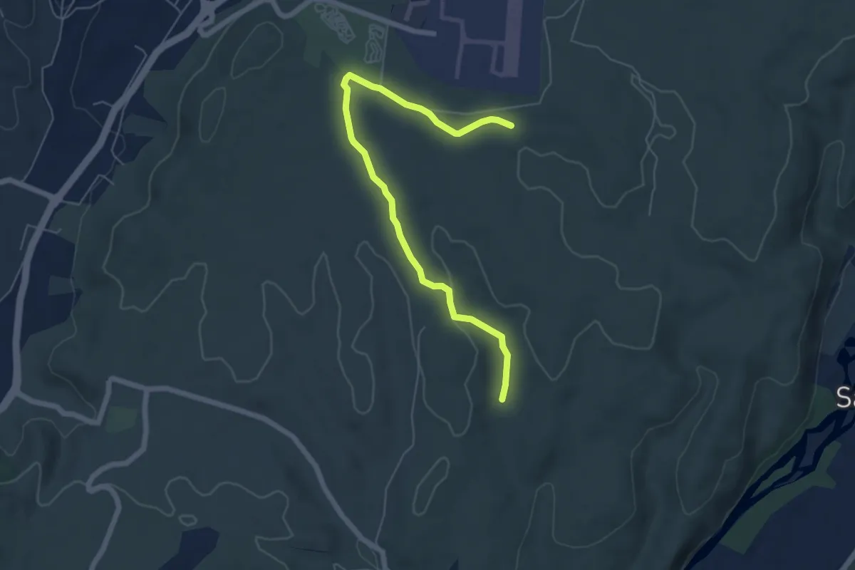
Easy · Trail
Chazette - La Mare
6.2 km · ↑ 71 m · 1 h 37 min · 6 km away
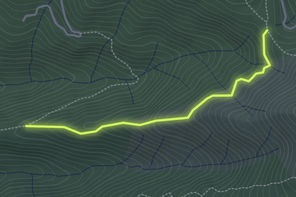
Medium · Trail
St Pierre de Malet - Collet de la Berle
2.7 km · ↑ 206 m · 1 h 6 min · 6 km away
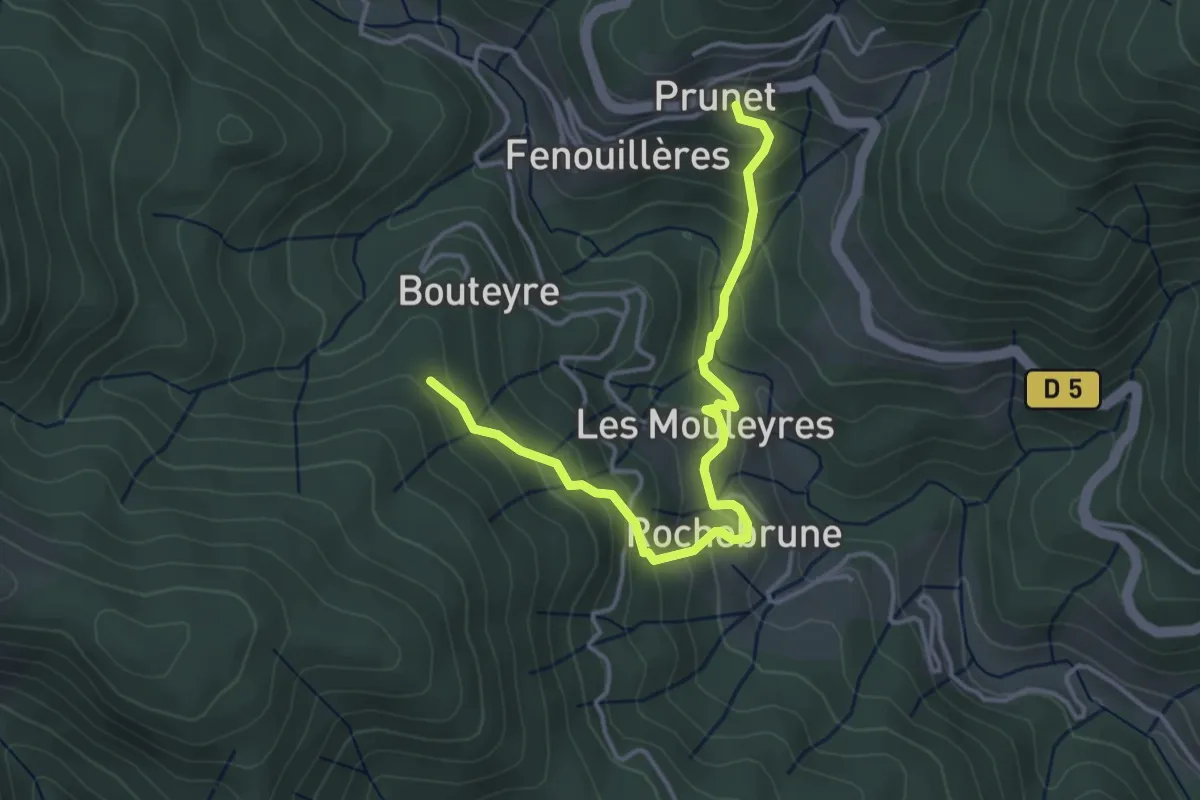
Easy · Trail
Prunet - Bouteyre
4.2 km · ↑ 307 m · 1 h 39 min · 6 km away
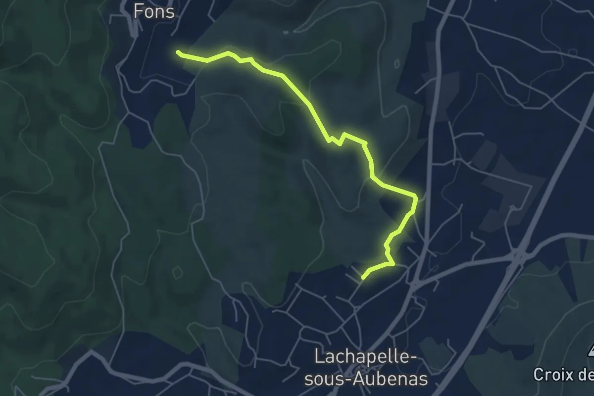
Easy · Trail
Les Faysses - Le Plantier
5.1 km · ↑ 133 m · 1 h 30 min · 6 km away
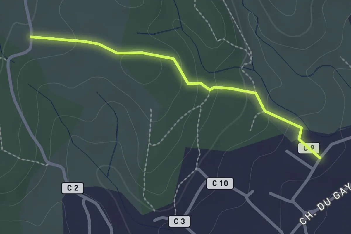
Easy · Trail
Les Faysses - Les Plantades
2.2 km · ↑ 74 m · 41 min · 6 km away
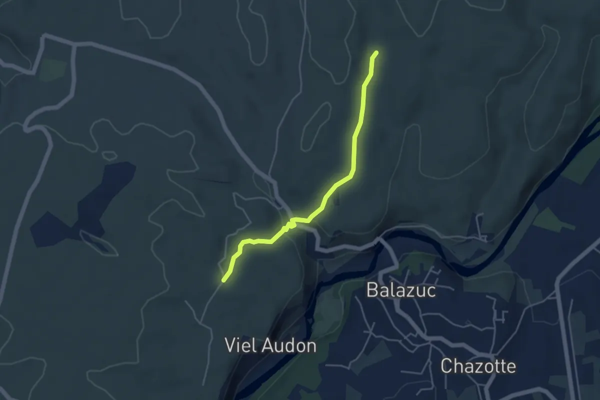
Easy · Trail
Vigiers - Chazette
4.0 km · ↑ 63 m · 1 h 5 min · 6 km away
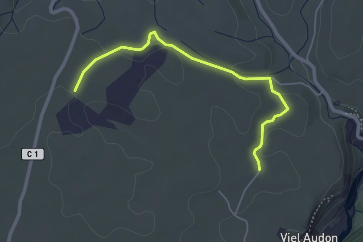
Easy · Trail
Vigiers - Combe Veyras
4.3 km · ↑ 65 m · 1 h 9 min · 6 km away
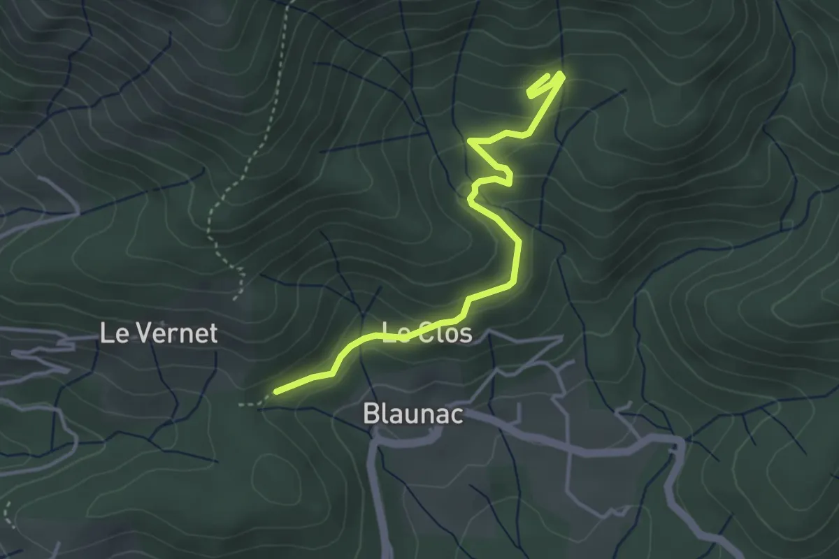
Easy · Trail
La Grange du Vinçou - Le Cros
3.8 km · ↑ 194 m · 1 h 19 min · 6 km away
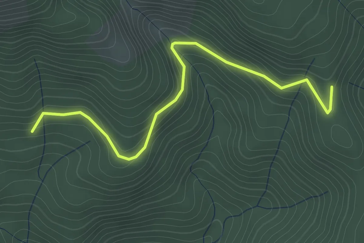
Easy · Trail
Le Cros - Ranc de Bal
3.6 km · ↑ 154 m · 1 h 11 min · 6 km away
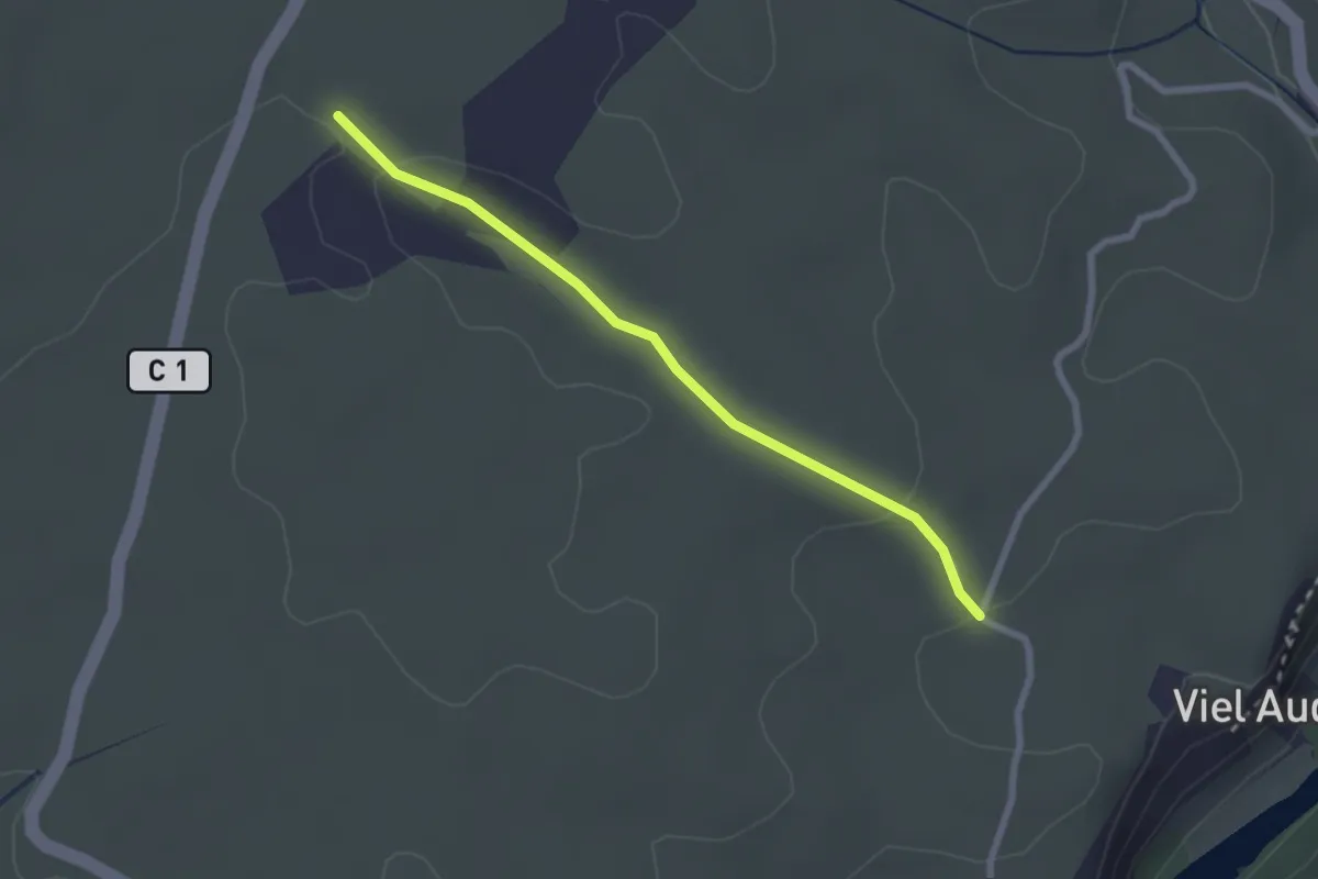
Easy · Trail
Lubac - Combe Veyras
2.5 km · ↑ 46 m · 41 min · 6 km away
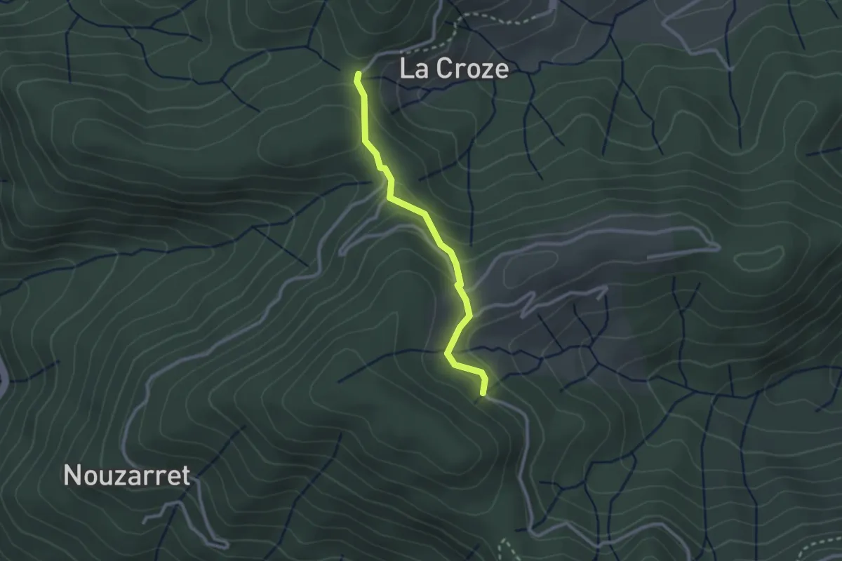
Easy · Trail
Croix de la Marre - Loup du Perrier
2.4 km · ↑ 131 m · 51 min · 6 km away
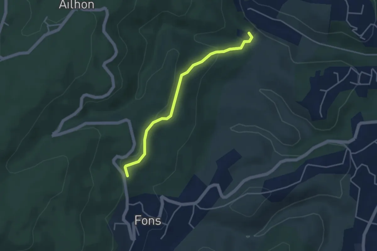
Easy · Trail
Gaude Haut - Le Bouchet
3.4 km · ↑ 123 m · 1 h 3 min · 6 km away
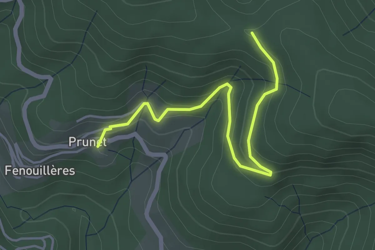
Easy · Trail
Prunet - Chapelle Sainte-Philomène
4.1 km · ↑ 245 m · 1 h 30 min · 7 km away
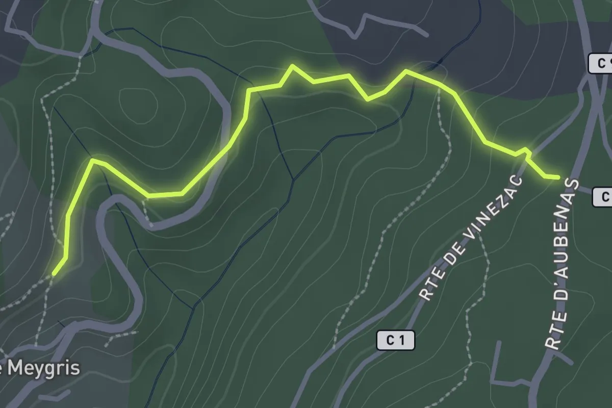
Easy · Trail
Le Meygris - Vidal Guerin
3.0 km · ↑ 84 m · 53 min · 7 km away
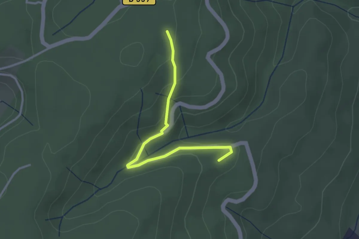
Easy · Trail
Chardes - Bonnes Eglises
2.8 km · ↑ 119 m · 55 min · 7 km away
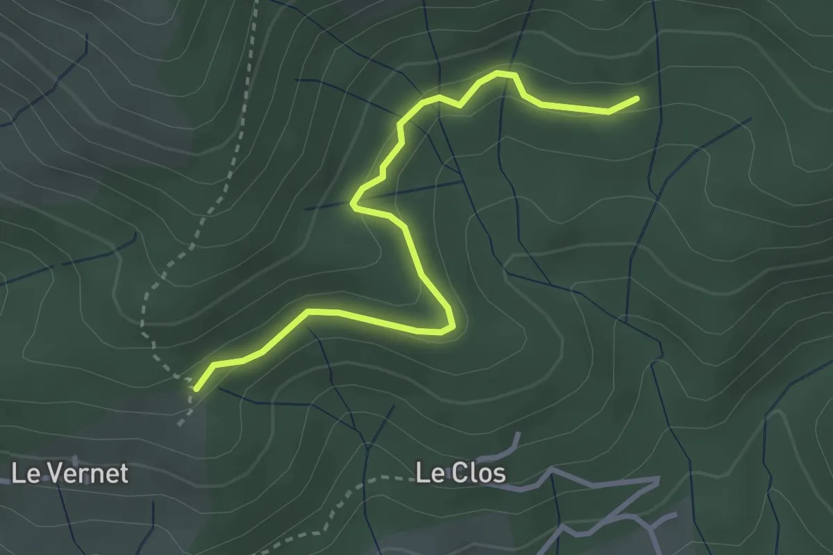
Easy · Trail
La Draille du Vernet - Le Cros
3.1 km · ↑ 110 m · 59 min · 7 km away
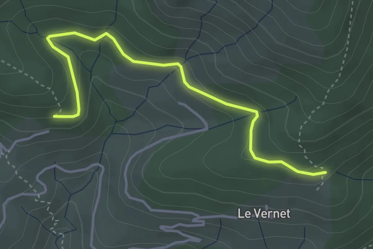
Easy · Trail
Bouteillac - La Draille du Vernet
3.7 km · ↑ 166 m · 1 h 14 min · 7 km away
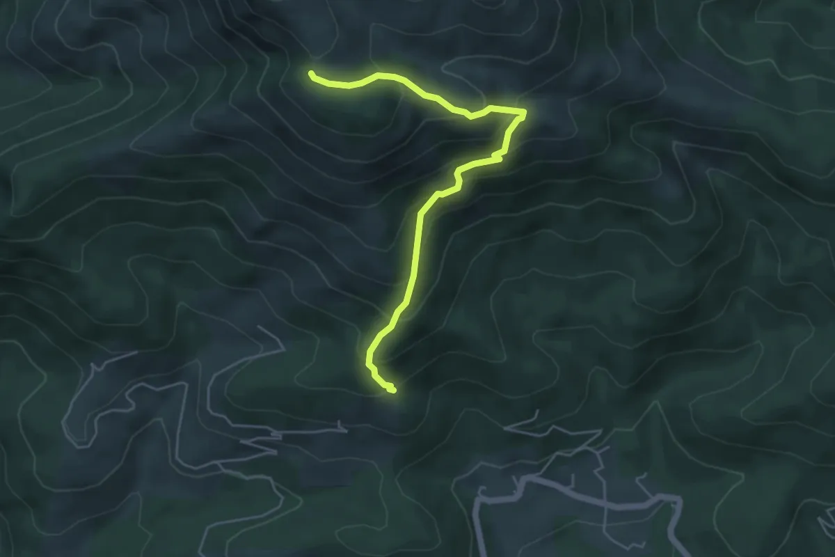
Medium · Trail
La Draille du Vernet - Le Pissas
5.1 km · ↑ 447 m · 2 h 10 min · 7 km away
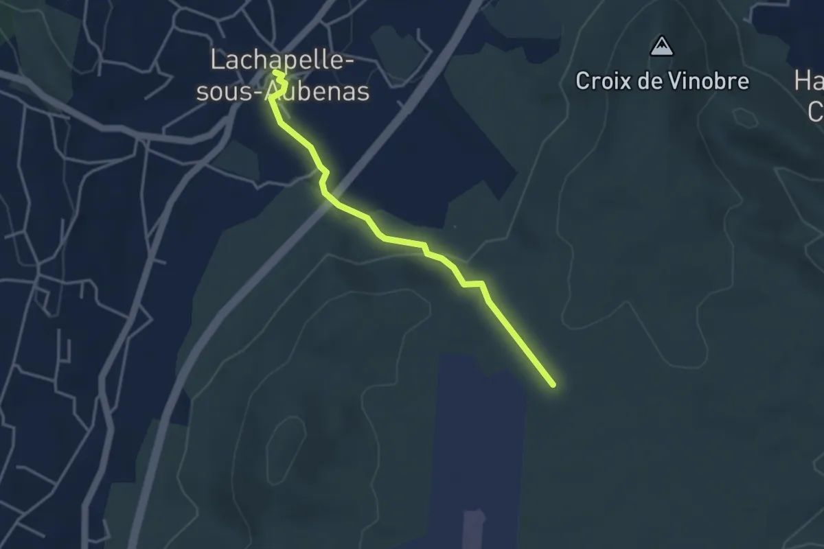
Easy · Trail
La Chapelle sous Aubenas - Les Gras
3.4 km · ↑ 87 m · 59 min · 7 km away
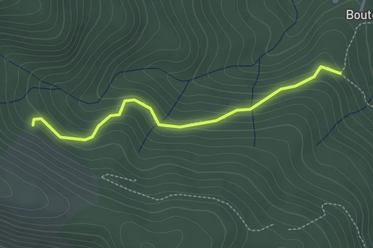
Easy · Trail
Bouteyre - Rabié
2.4 km · ↑ 152 m · 54 min · 7 km away
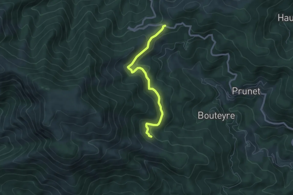
Easy · Trail
Rabié - Col de la Croix de Millet
5.8 km · ↑ 216 m · 1 h 51 min · 7 km away
Easy · Trail
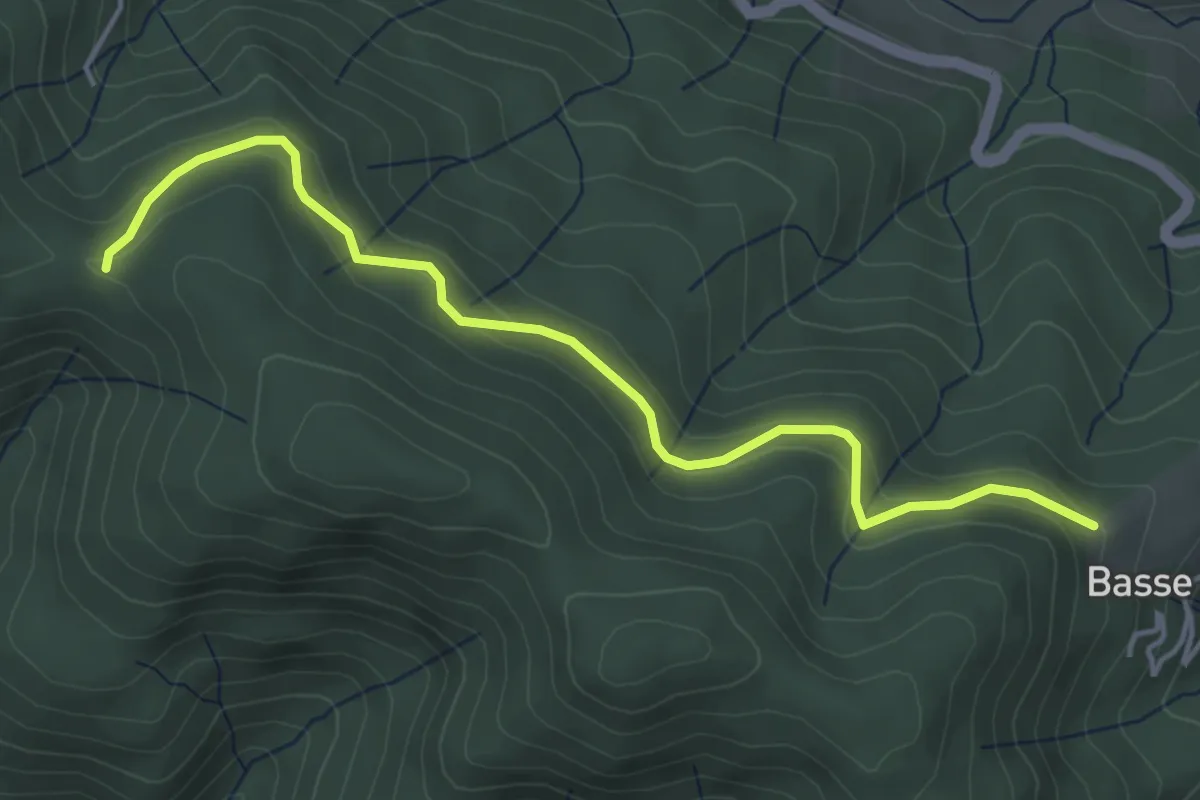
Les Fourches - Chapelle Sainte-Philomène
4.8 km · ↑ 211 m · 1 h 36 min · 7 km away
Easy · Trail
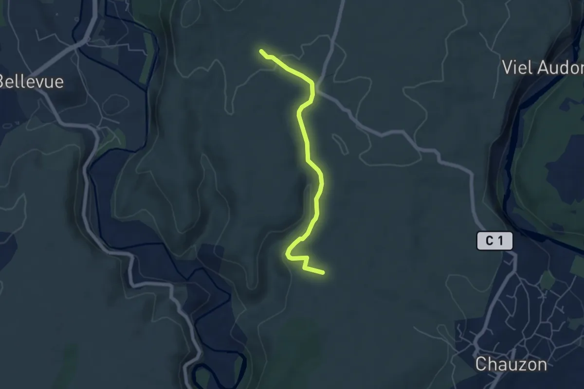
La Hâle - Le Gras
5.0 km · ↑ 109 m · 1 h 24 min · 7 km away
Easy · Trail
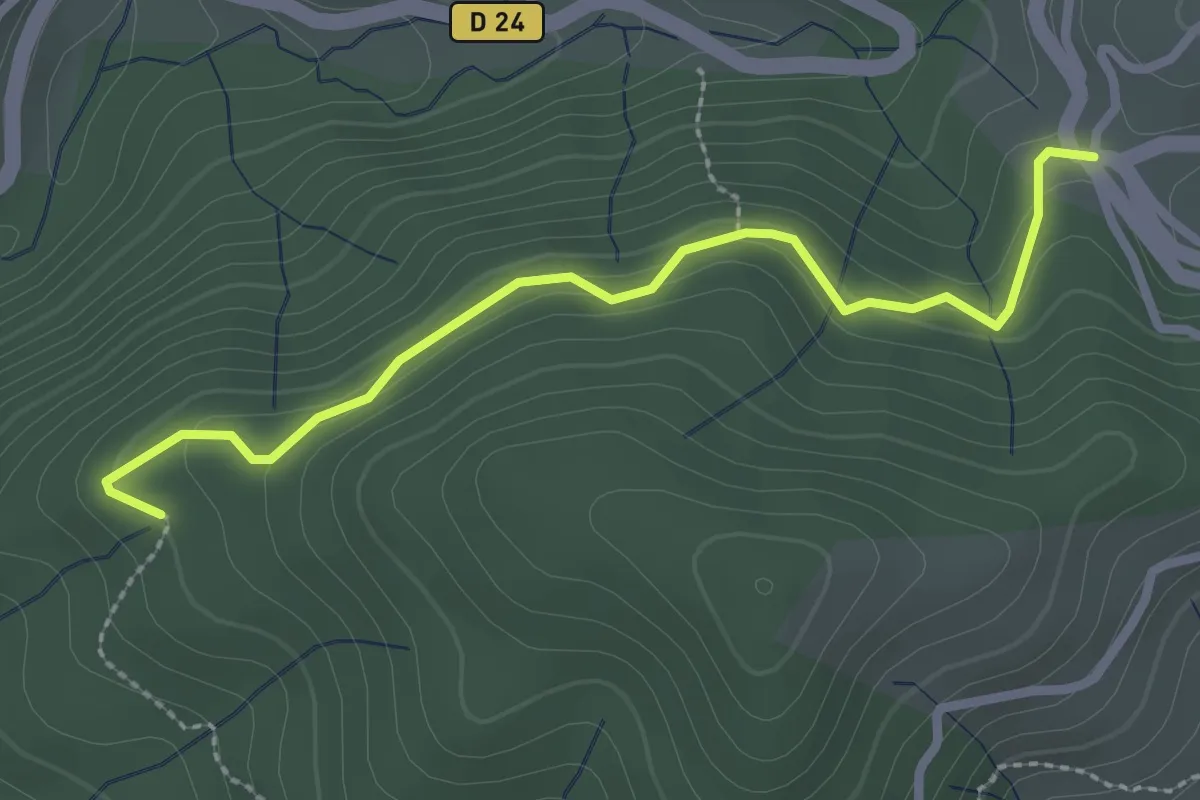
La Croix de Rocles - Sur le Sauze
2.7 km · ↑ 133 m · 56 min · 7 km away
Easy · Trail
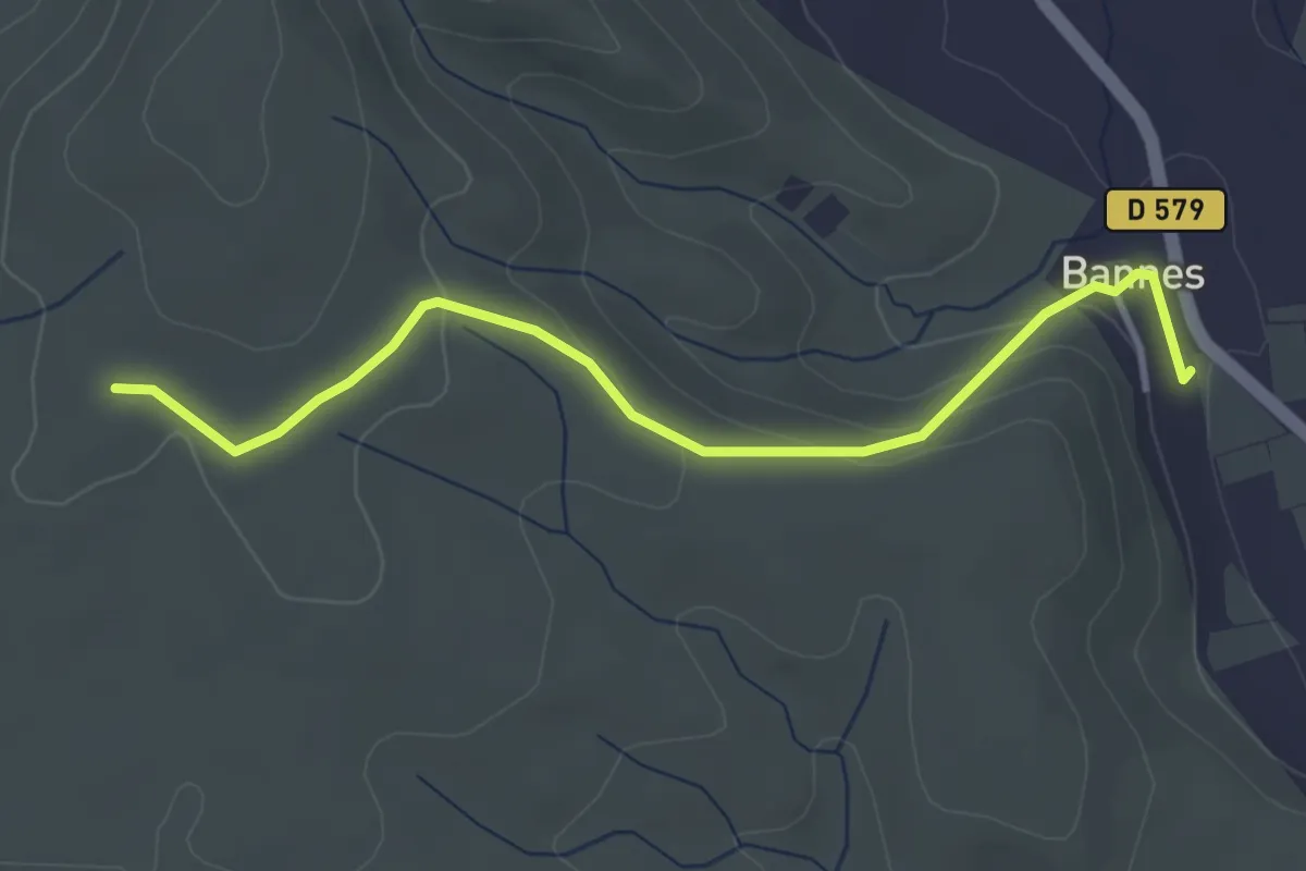
Bannes - Serre de Vinobre
3.8 km · ↑ 145 m · 1 h 12 min · 7 km away
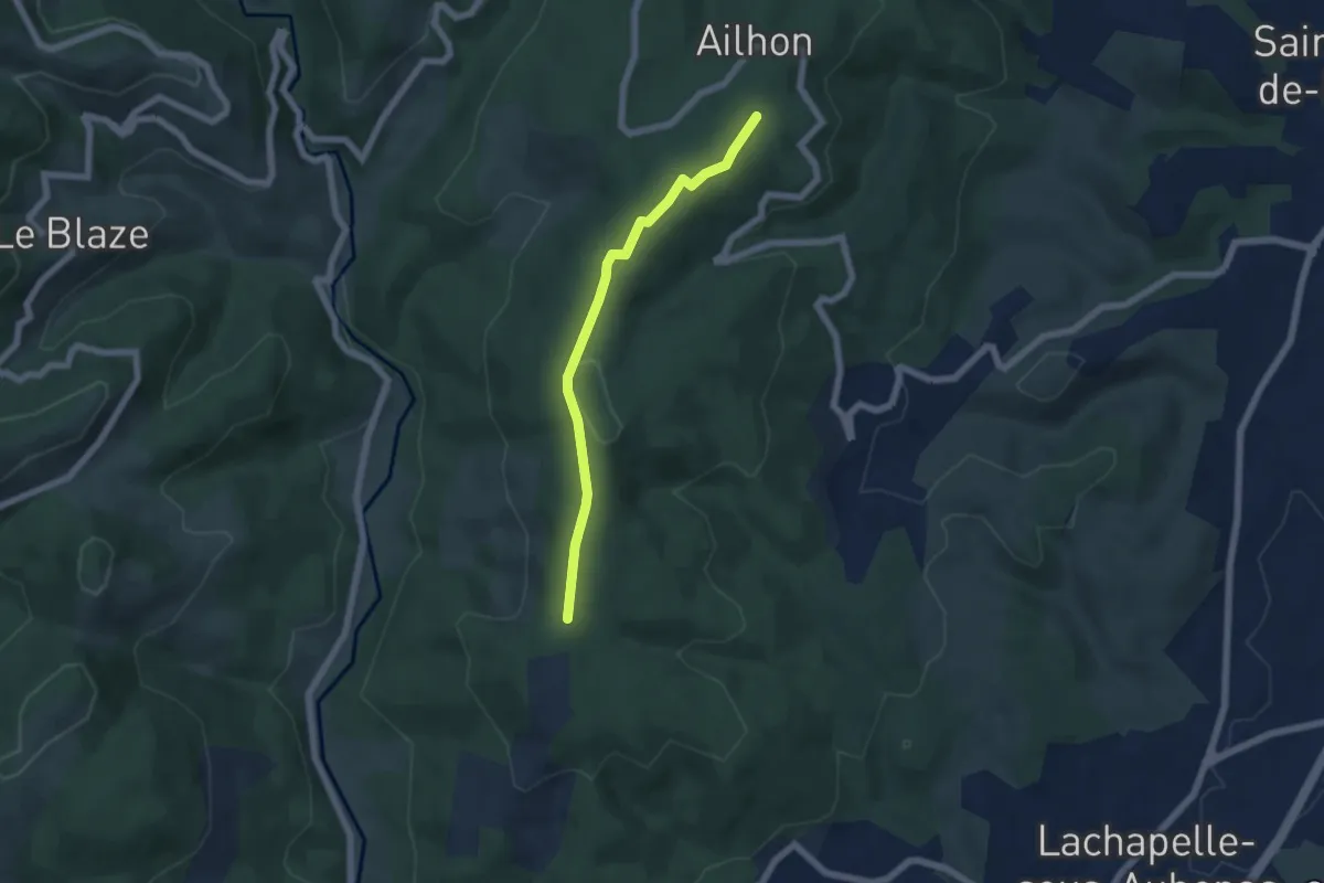
Easy · Trail
Bois de Vogüé - Bonnes Eglises
5.4 km · ↑ 72 m · 1 h 26 min · 7 km away
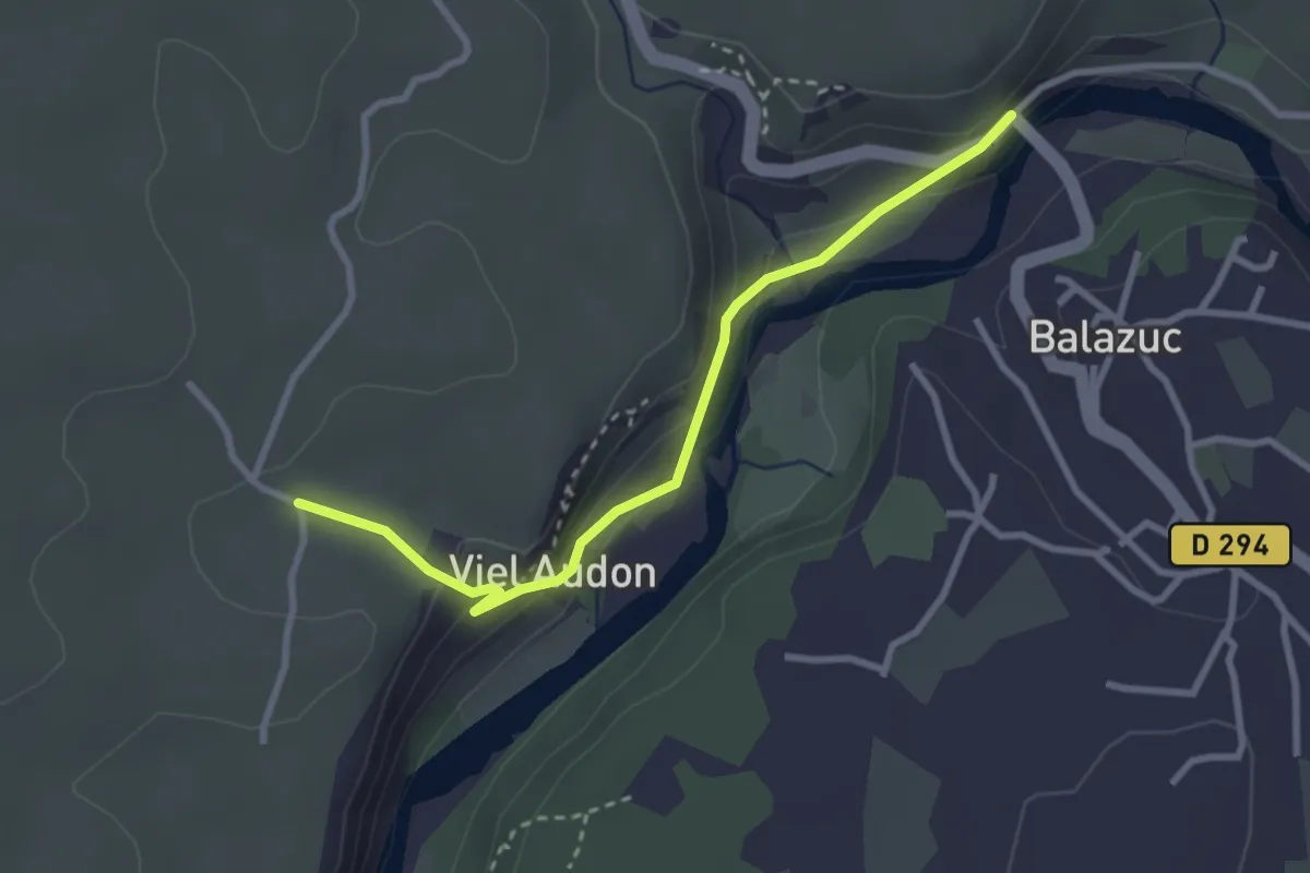
Easy · Trail
Le Pont - Audon
3.1 km · ↑ 118 m · 59 min · 7 km away
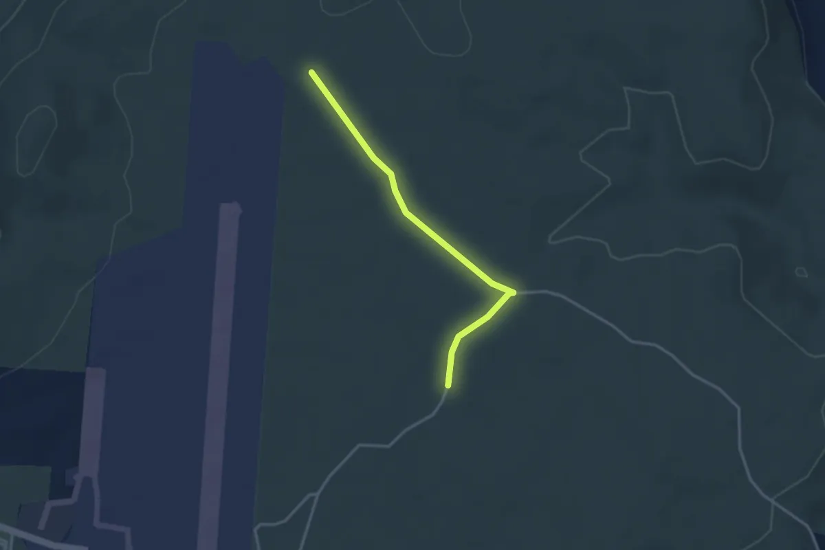
Easy · Trail
Barsac - Les Gras
2.9 km · ↑ 9 m · 43 min · 7 km away
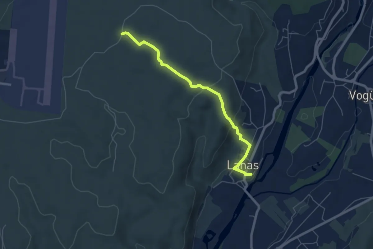
Easy · Trail
Lanas Centre - Barsac
5.3 km · ↑ 138 m · 1 h 34 min · 7 km away
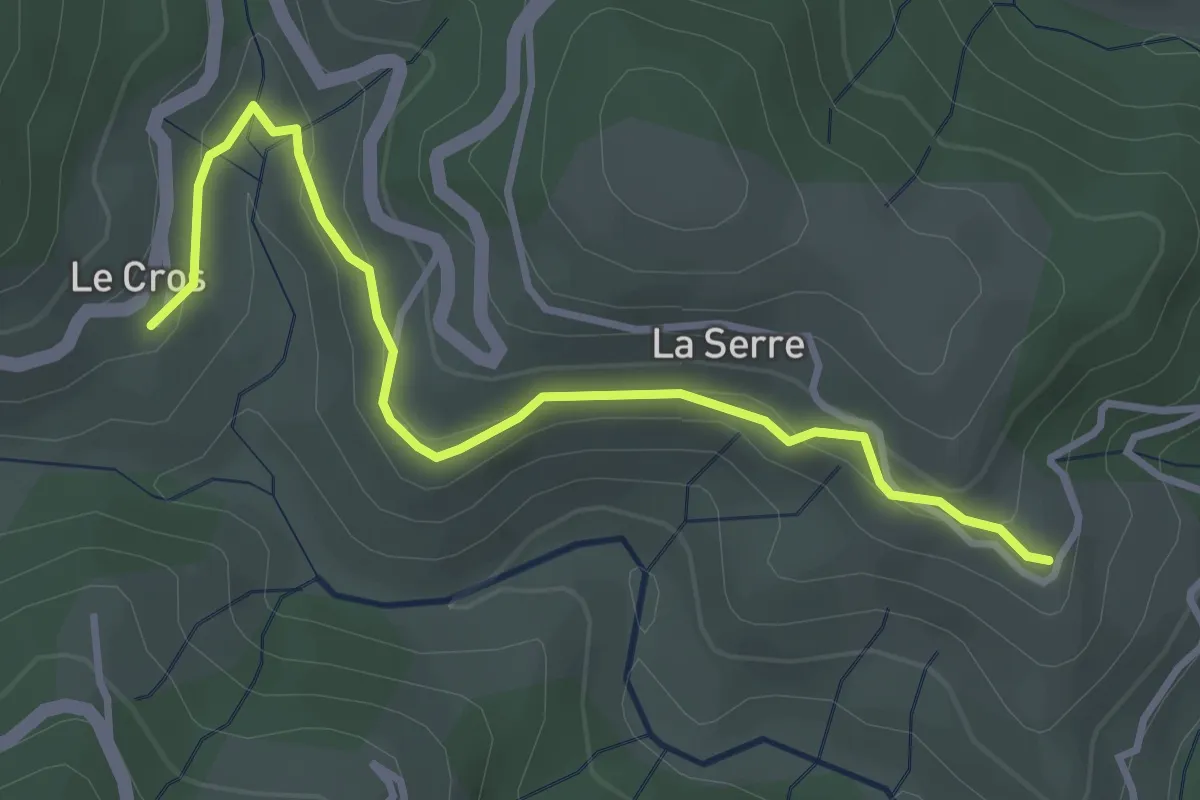
Easy · Trail
Le Cros - Fabrias
3.7 km · ↑ 108 m · 1 h 7 min · 7 km away
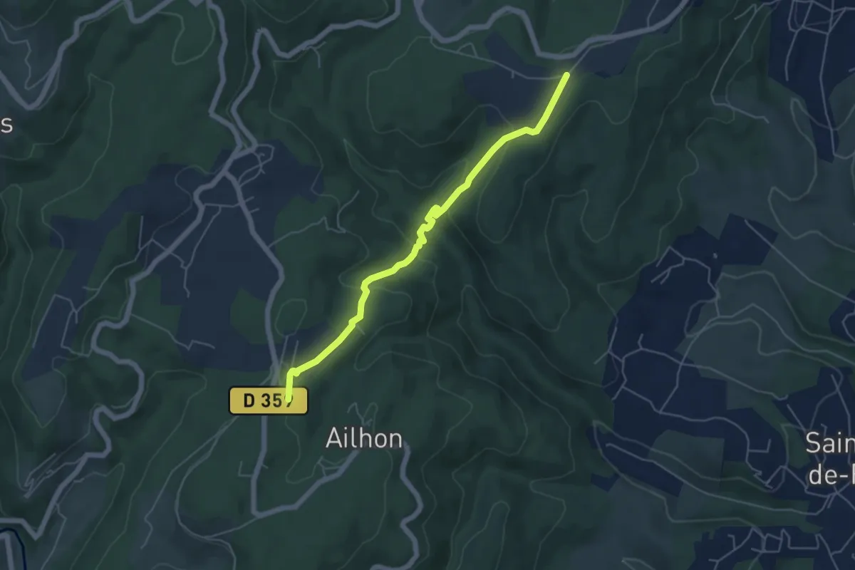
Easy · Trail
Plaine des Rompudes - Basse Lieure
5.3 km · ↑ 208 m · 1 h 43 min · 7 km away
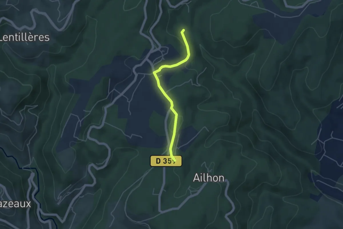
Easy · Trail
Rode - Basse Lieure
4.0 km · ↑ 88 m · 1 h 8 min · 7 km away
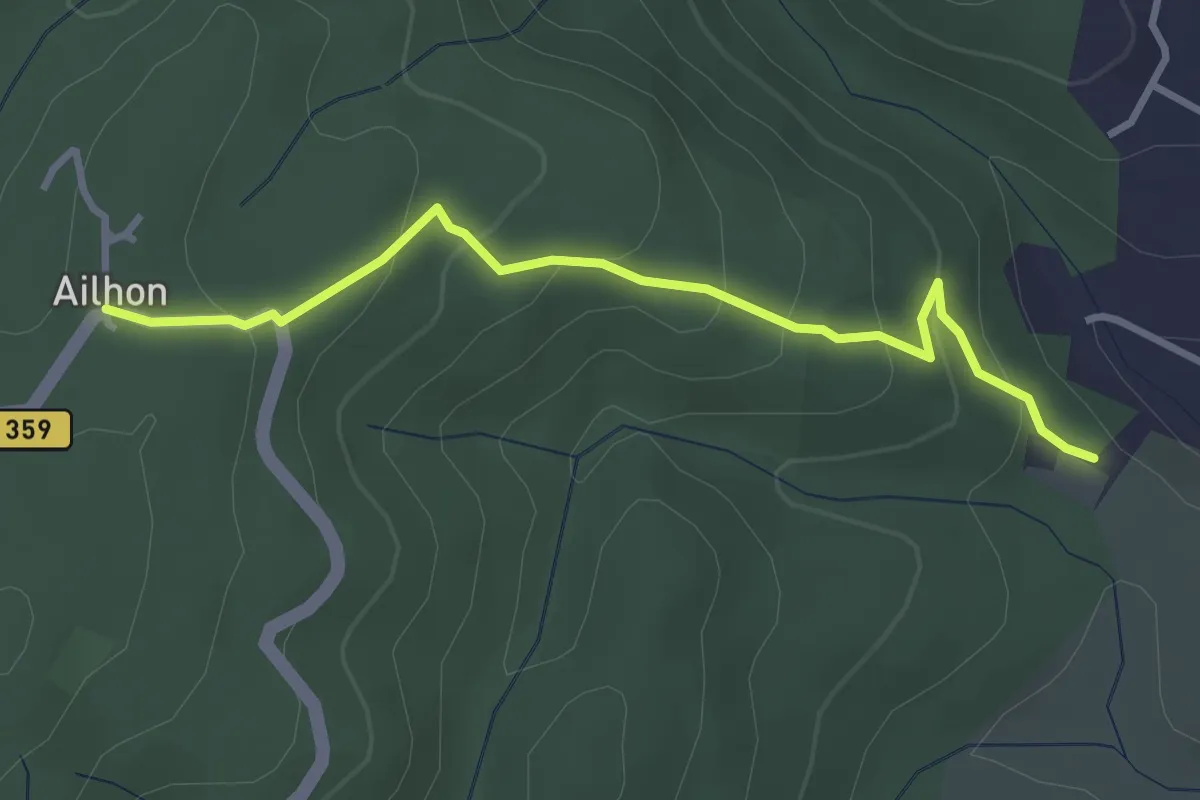
Easy · Trail
Gaude Haut - Ailhon Place
3.4 km · ↑ 193 m · 1 h 13 min · 7 km away
Easy · Trail
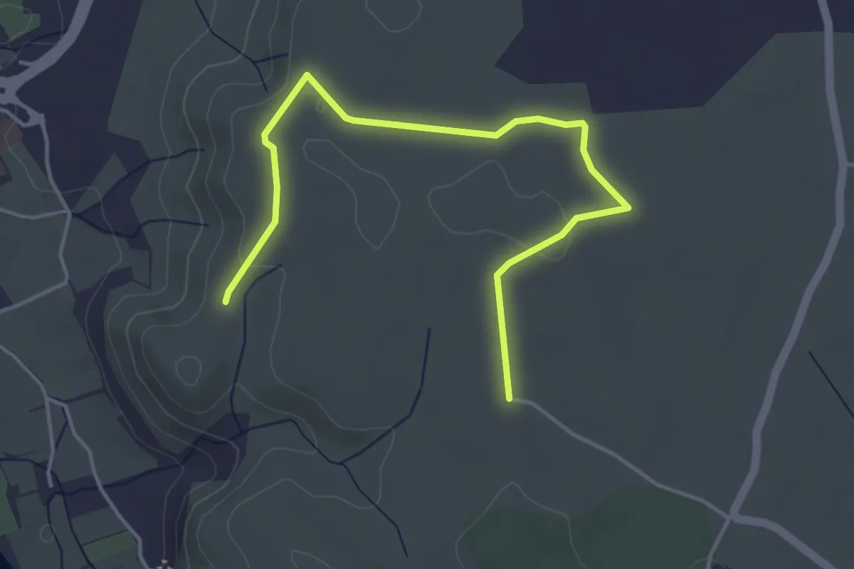
Rouseiret - Remène
4.9 km · ↑ 60 m · 1 h 17 min · 7 km away
Easy · Trail
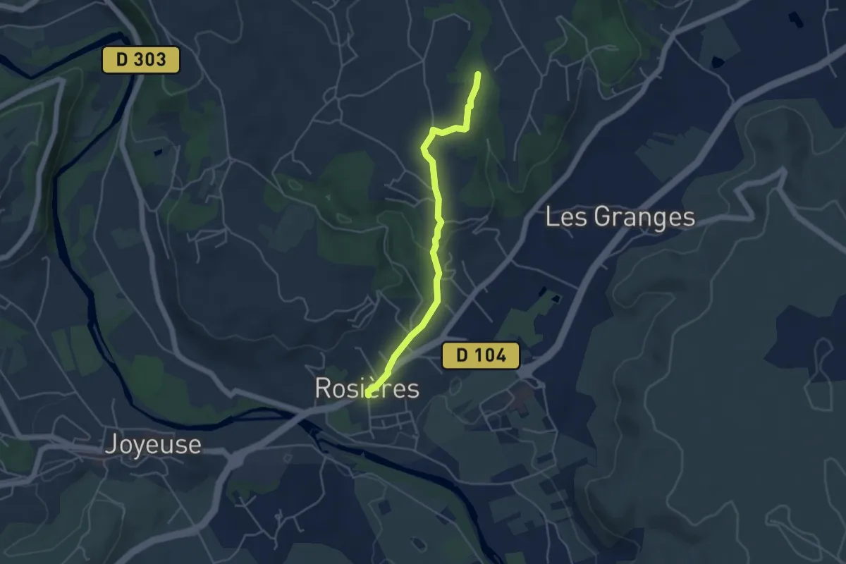
Rosières Info Rando - Augnac
4.2 km · ↑ 83 m · 1 h 11 min · 7 km away
Medium · Trail
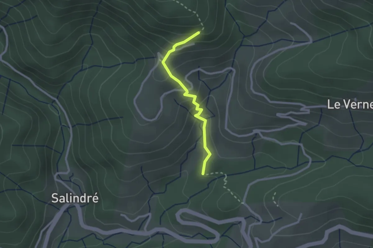
Sous les Combes - Bouteillac
2.1 km · ↑ 166 m · 51 min · 7 km away
Easy · Trail
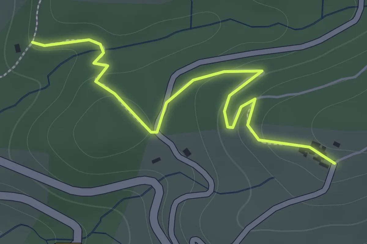
Sous les Combes - Le Jal
2.0 km · ↑ 70 m · 37 min · 7 km away
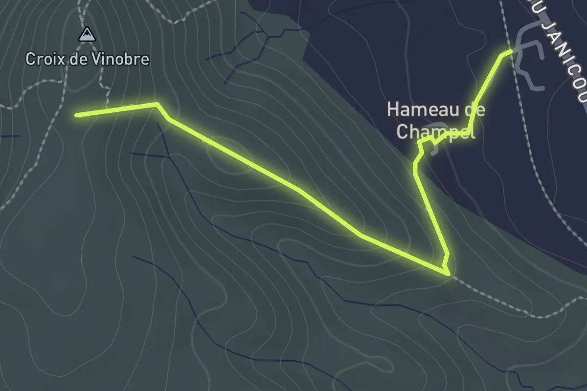
Easy · Trail
Champel - Vinobre
2.9 km · ↑ 191 m · 1 h 6 min · 7 km away
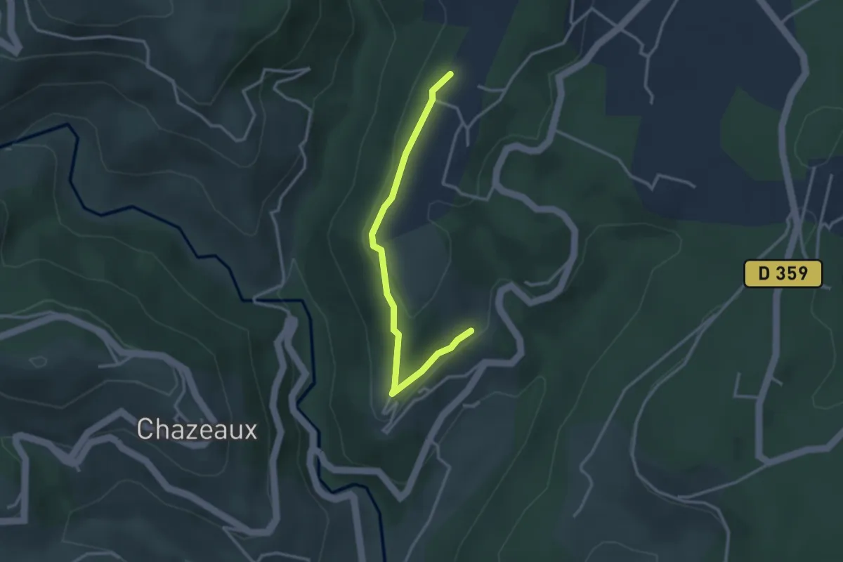
Easy · Trail
Le Meygris - Le Plantier
3.0 km · ↑ 97 m · 55 min · 7 km away
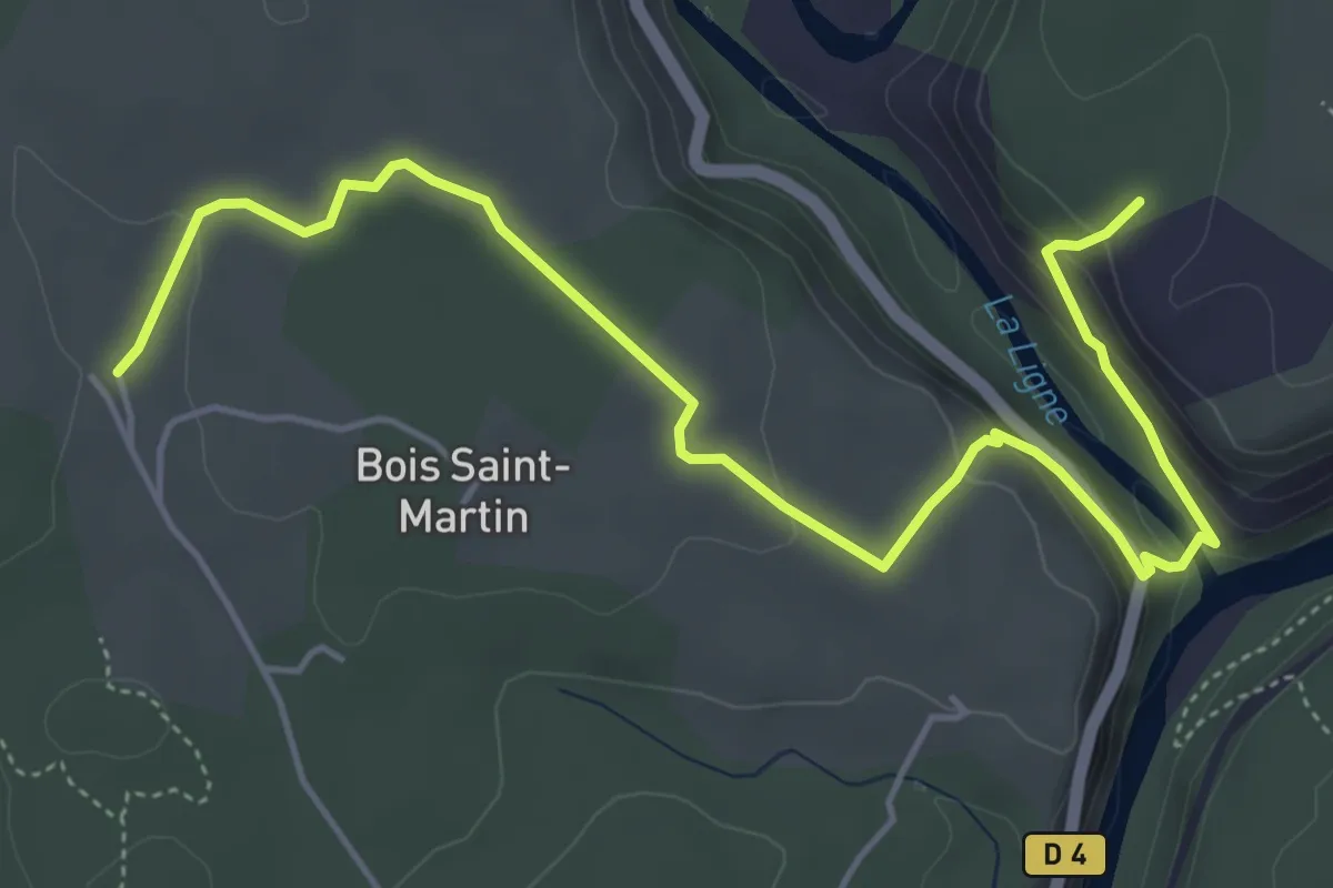
Easy · Trail
Faussimagne - L'Abeille
6.3 km · ↑ 194 m · 1 h 55 min · 7 km away
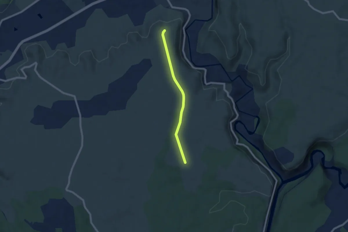
Easy · Trail
L'Abeille - Les Granges de Mirabelle
4.8 km · ↑ 31 m · 1 h 12 min · 7 km away
Easy · Trail
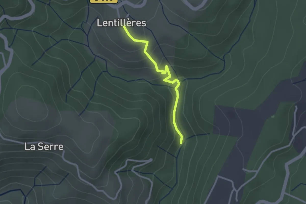
Pont d'Aigueneyre - L'École
2.2 km · ↑ 118 m · 46 min · 7 km away
Easy · Trail
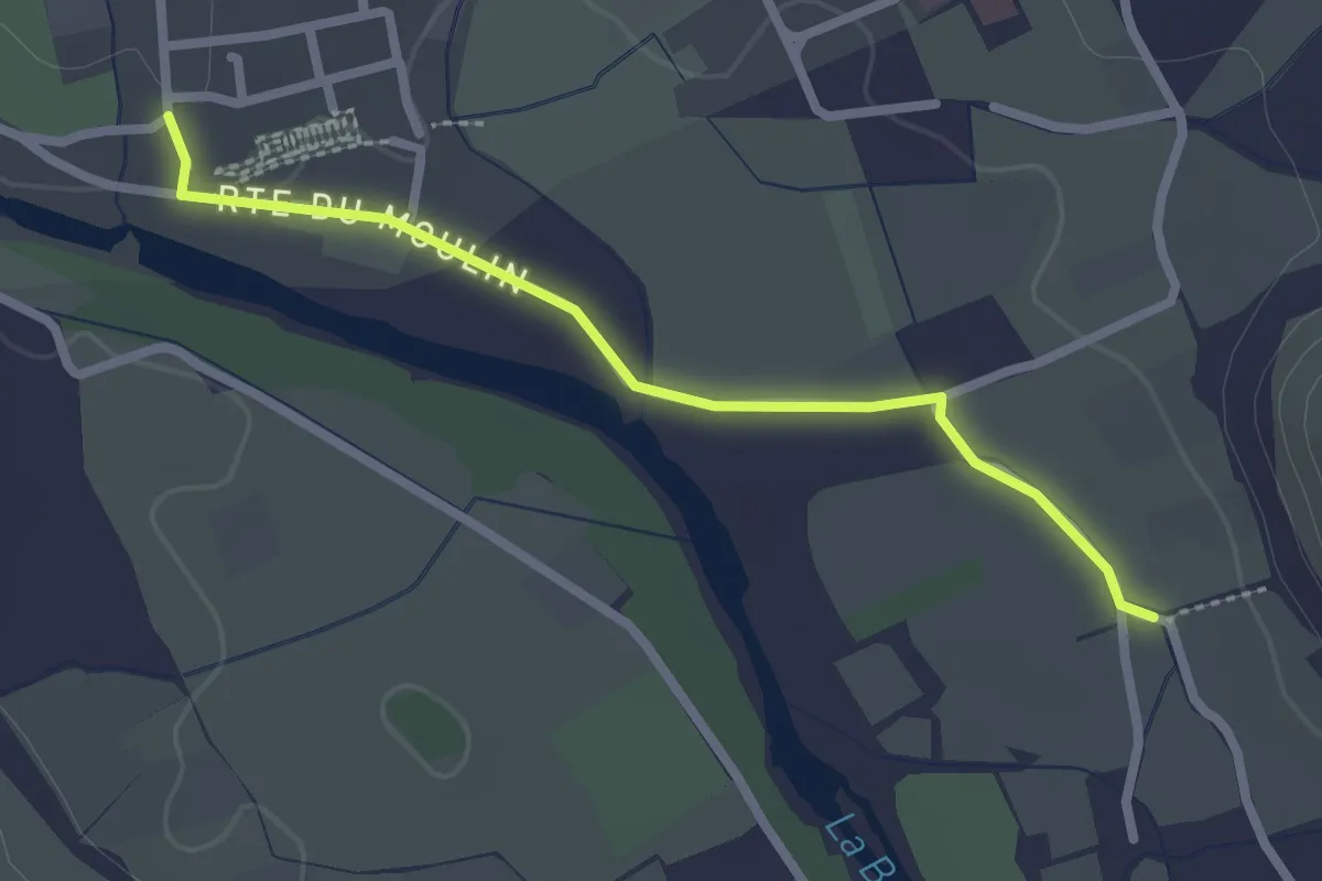
Les Vernades - L'Église
2.4 km · ↑ 12 m · 36 min · 7 km away
Easy · Trail
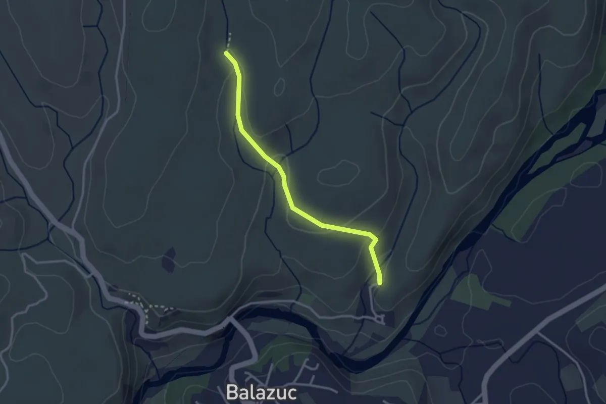
Les Chabasses - Chazette
2.8 km · ↑ 83 m · 50 min · 8 km away
Easy · Trail
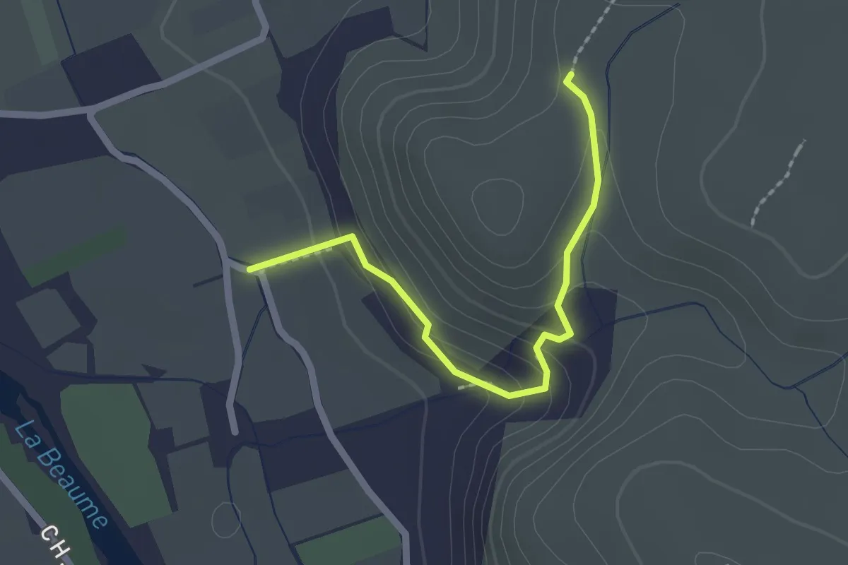
Les Vernades - Rouseiret
2.0 km · ↑ 111 m · 43 min · 8 km away