Trails near Largentière
425 hikes starting within 15 km, nearest first.
Nearest first, page 4 of 9
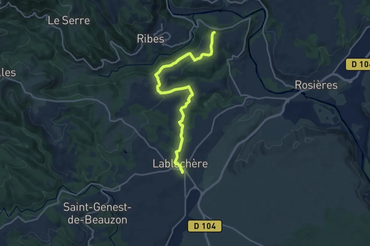
Medium · Trail
Lablachère - Croix de Vinchannes
12.3 km · ↑ 226 m · 3 h 23 min · 8 km away
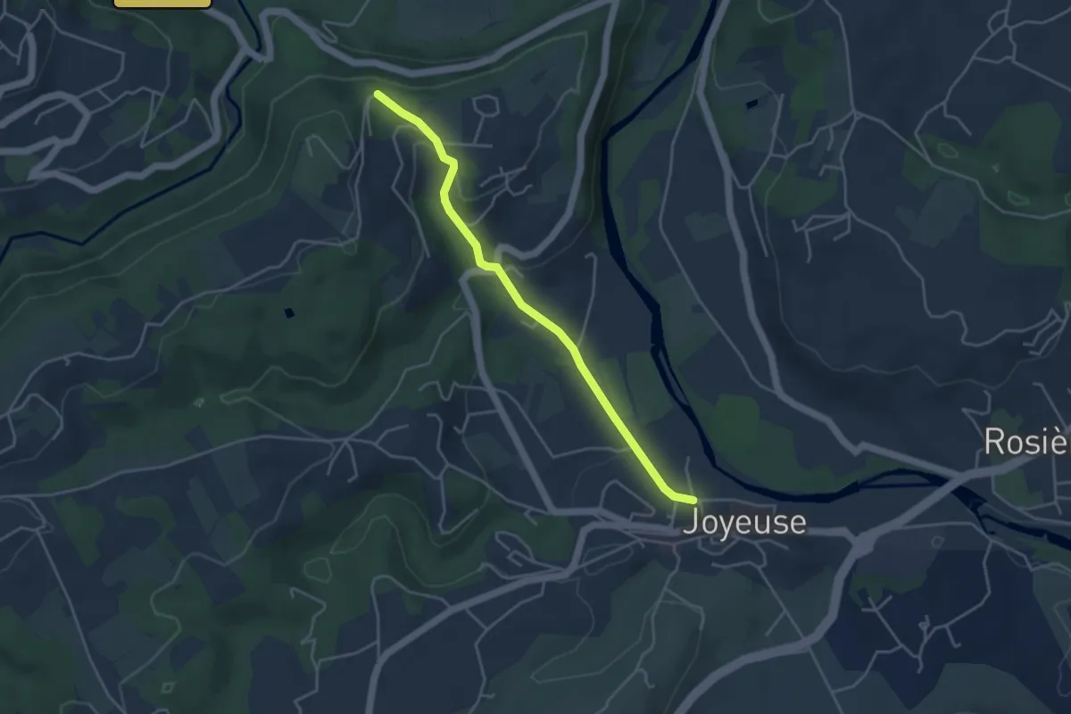
Easy · Trail
La Grand Font - Croix de Vinchannes
4.1 km · ↑ 107 m · 1 h 12 min · 8 km away
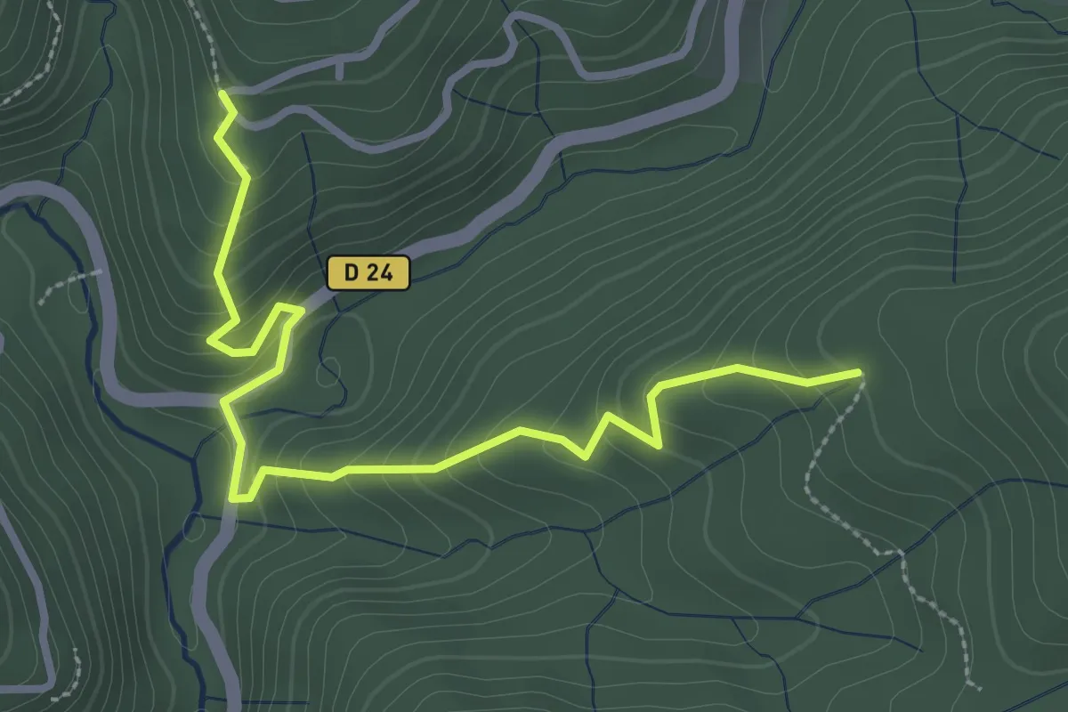
Easy · Trail
Entrée de Champussac - Sur le Sauze
3.3 km · ↑ 299 m · 1 h 26 min · 8 km away
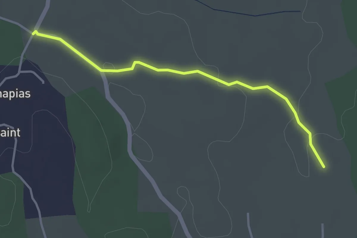
Easy · Trail
La Plaine - Chapias
3.3 km · ↑ 30 m · 50 min · 8 km away
Easy · Trail
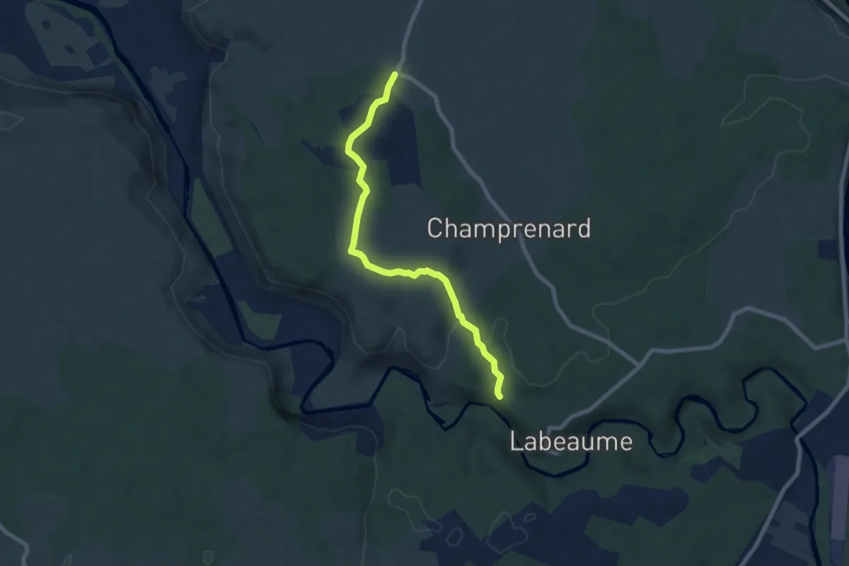
Récatadou - Chapias
6.9 km · ↑ 151 m · 1 h 57 min · 8 km away
Easy · Trail
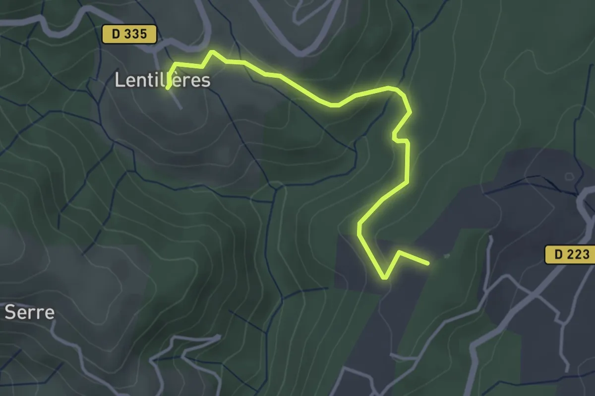
Daüs - L'École
3.7 km · ↑ 117 m · 1 h 7 min · 8 km away
Easy · Trail
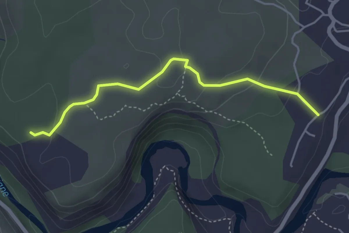
Les Traverses - Faussimagne
3.7 km · ↑ 100 m · 1 h 6 min · 8 km away
Easy · Trail
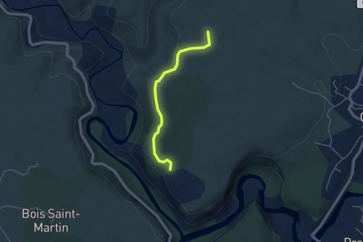
Faussimagne - La Hâle
3.3 km · ↑ 78 m · 57 min · 8 km away
Demanding · Trail
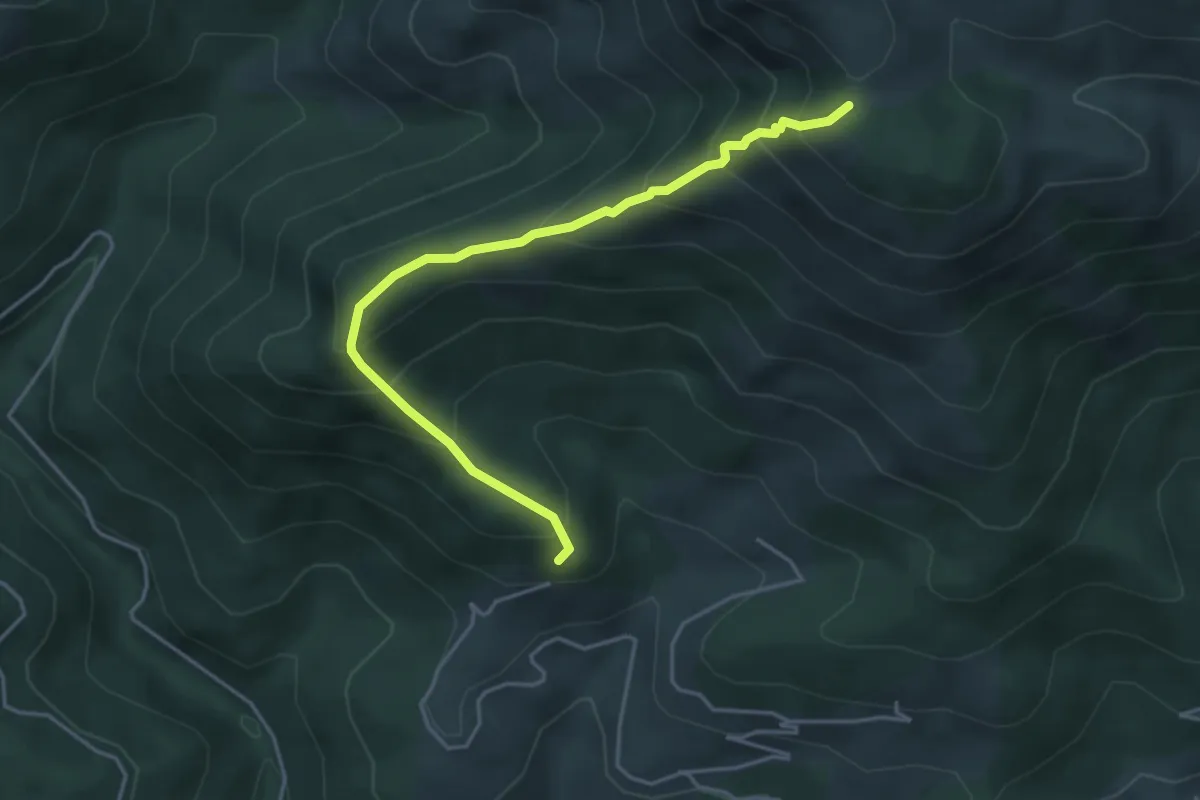
Bouteillac - Le Pissas
4.5 km · ↑ 470 m · 2 h 5 min · 8 km away
Medium · Trail
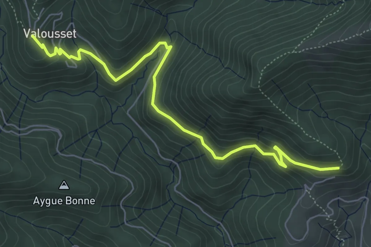
Valousset - Bouteillac
6.7 km · ↑ 258 m · 2 h 9 min · 8 km away
Easy · Trail
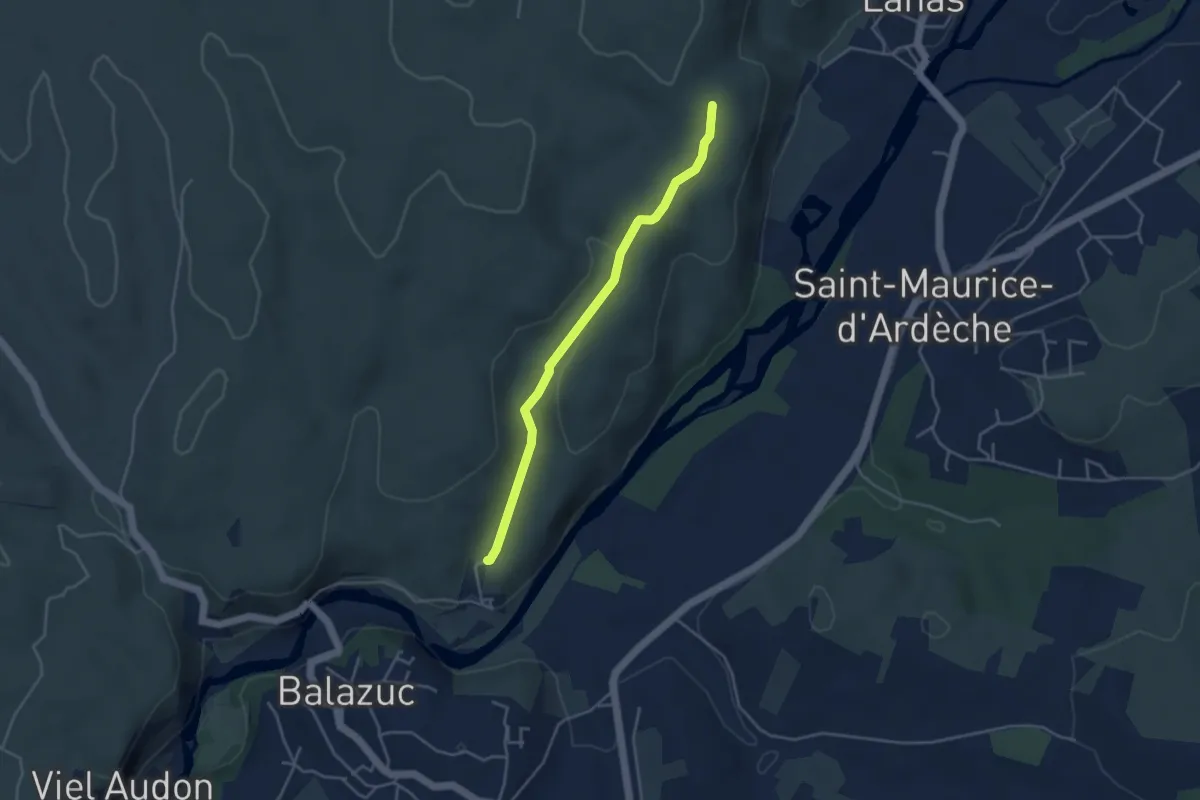
Les Chabasses - Le Clauzel
3.9 km · ↑ 78 m · 1 h 6 min · 8 km away
Easy · Trail
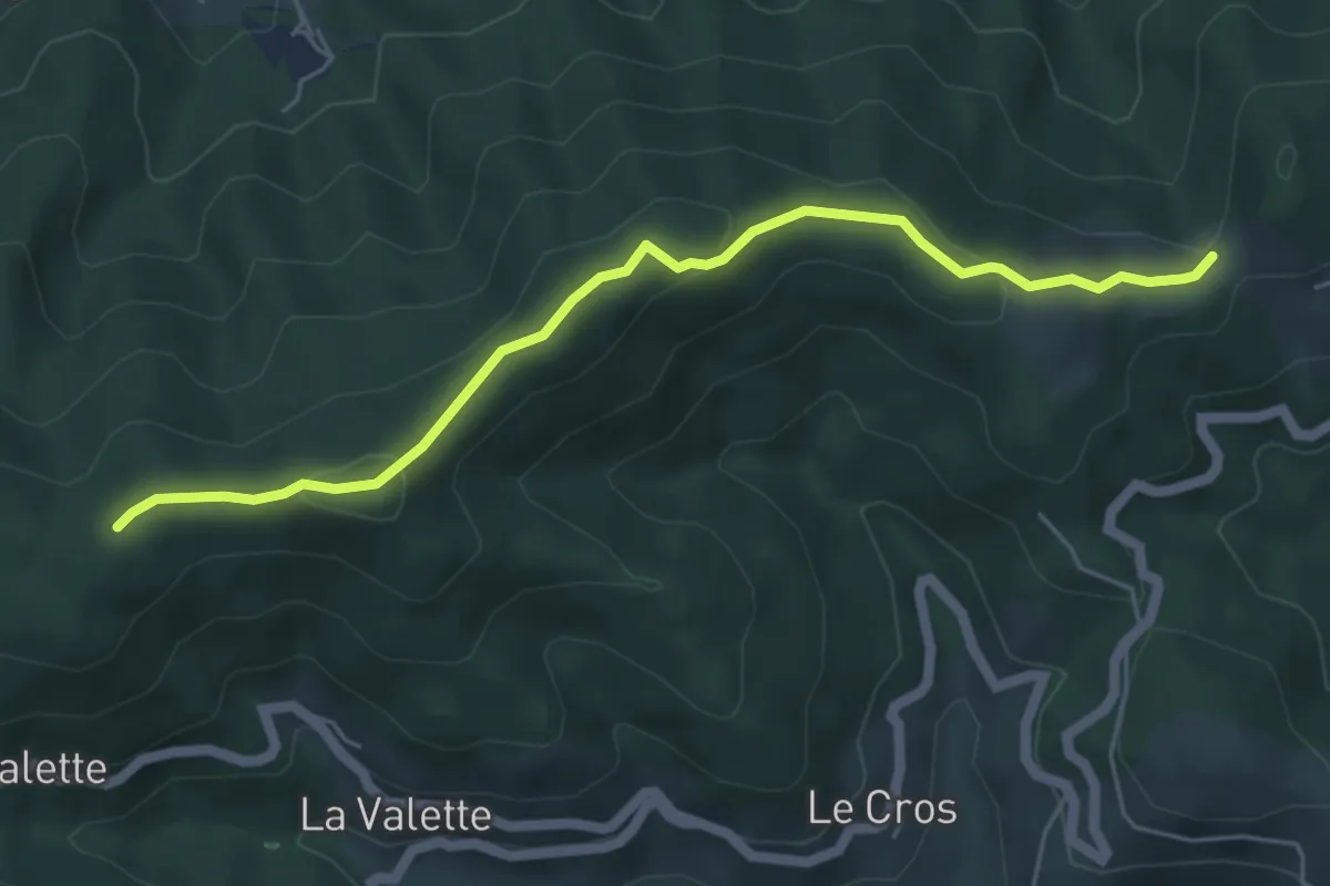
Les Perringues - Chez Ceysson
5.5 km · ↑ 210 m · 1 h 45 min · 8 km away
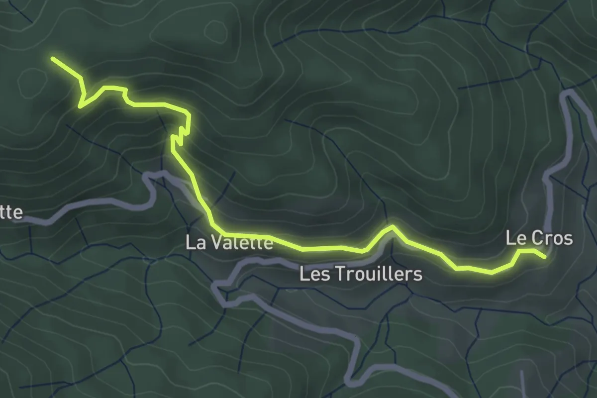
Easy · Trail
Le Cros - Chez Ceysson
4.9 km · ↑ 317 m · 1 h 50 min · 8 km away
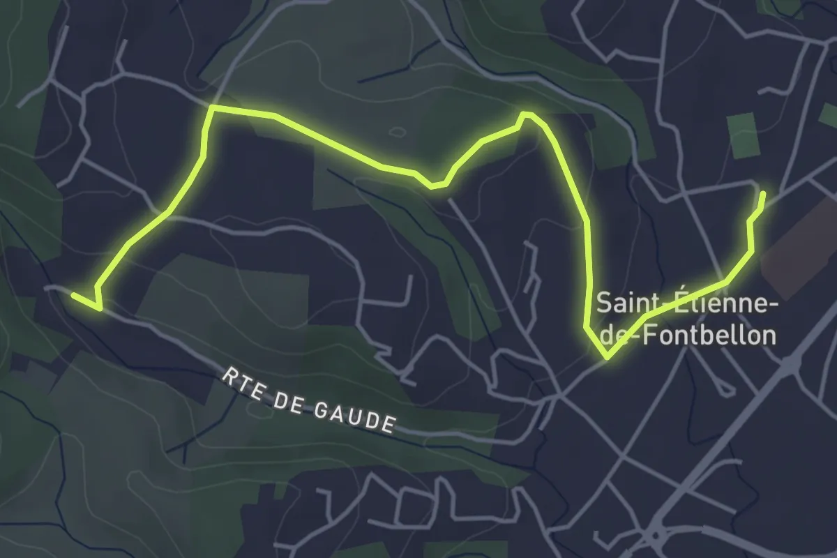
Easy · Trail
St-Etienne de Fontbellon Via Ardèche - Gaude
5.6 km · ↑ 92 m · 1 h 31 min · 8 km away
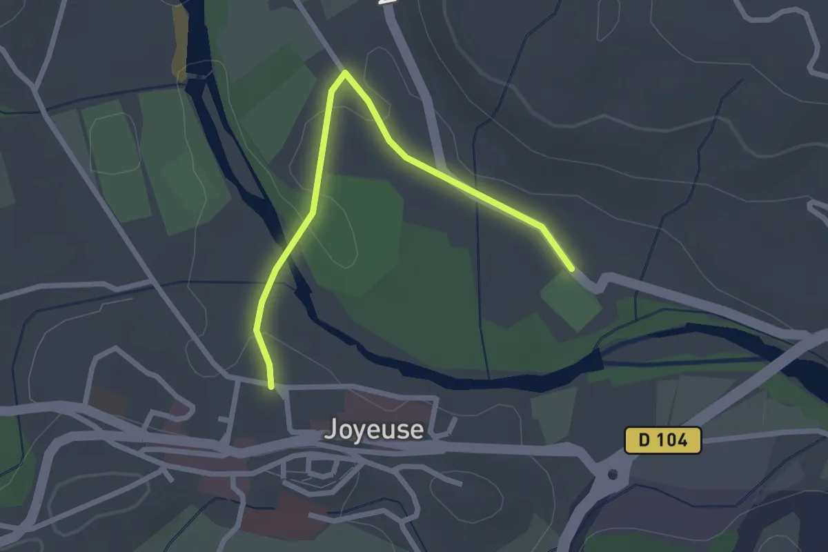
Easy · Trail
Le Pont - La Grand Font
2.4 km · ↑ 4 m · 35 min · 8 km away
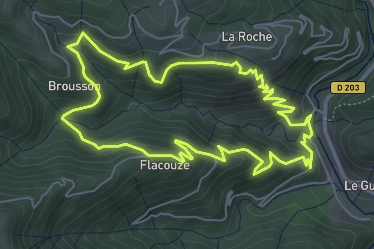
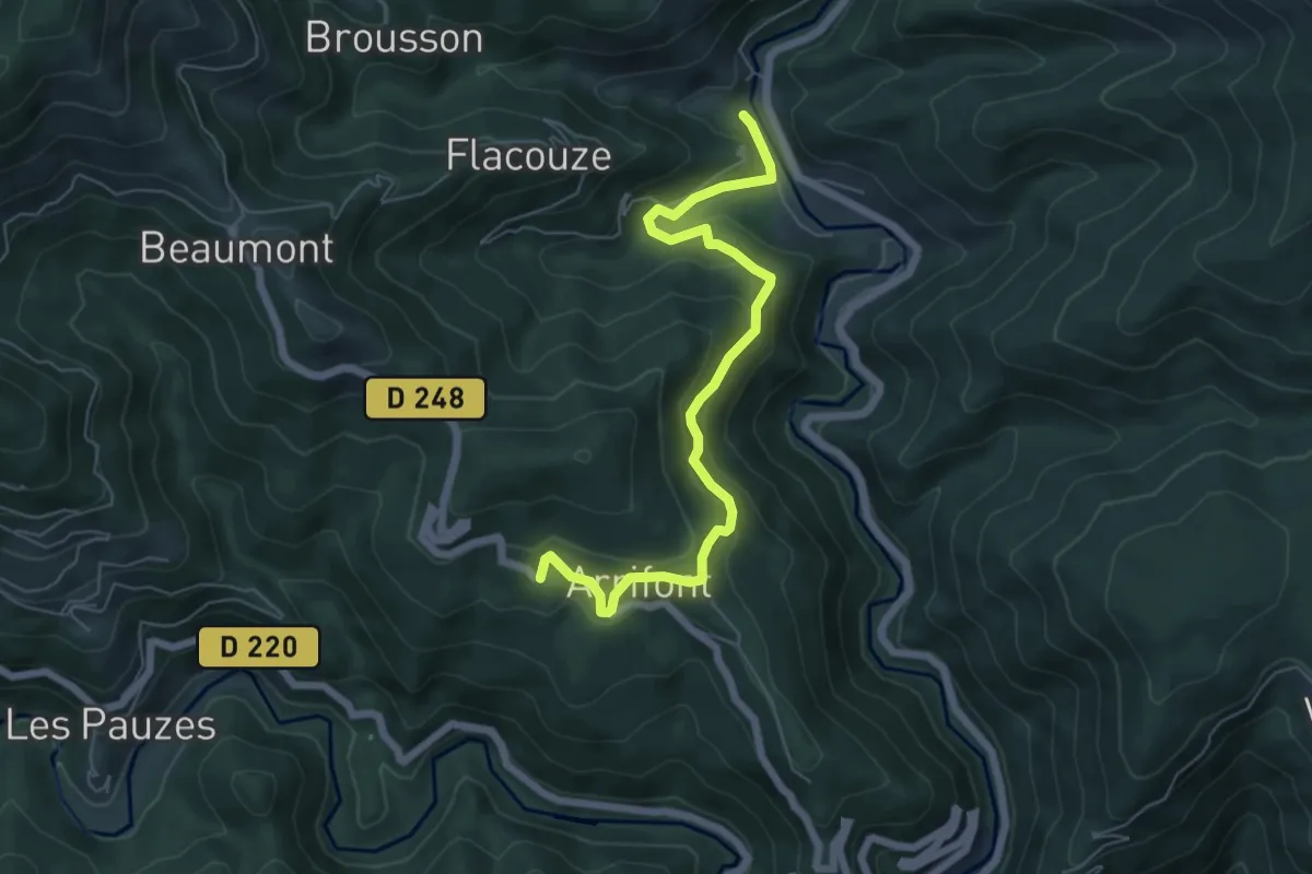
Medium · Trail
Sentier botanique de Beaumont
5.3 km · ↑ 364 m · 2 h 7 min · 8 km away
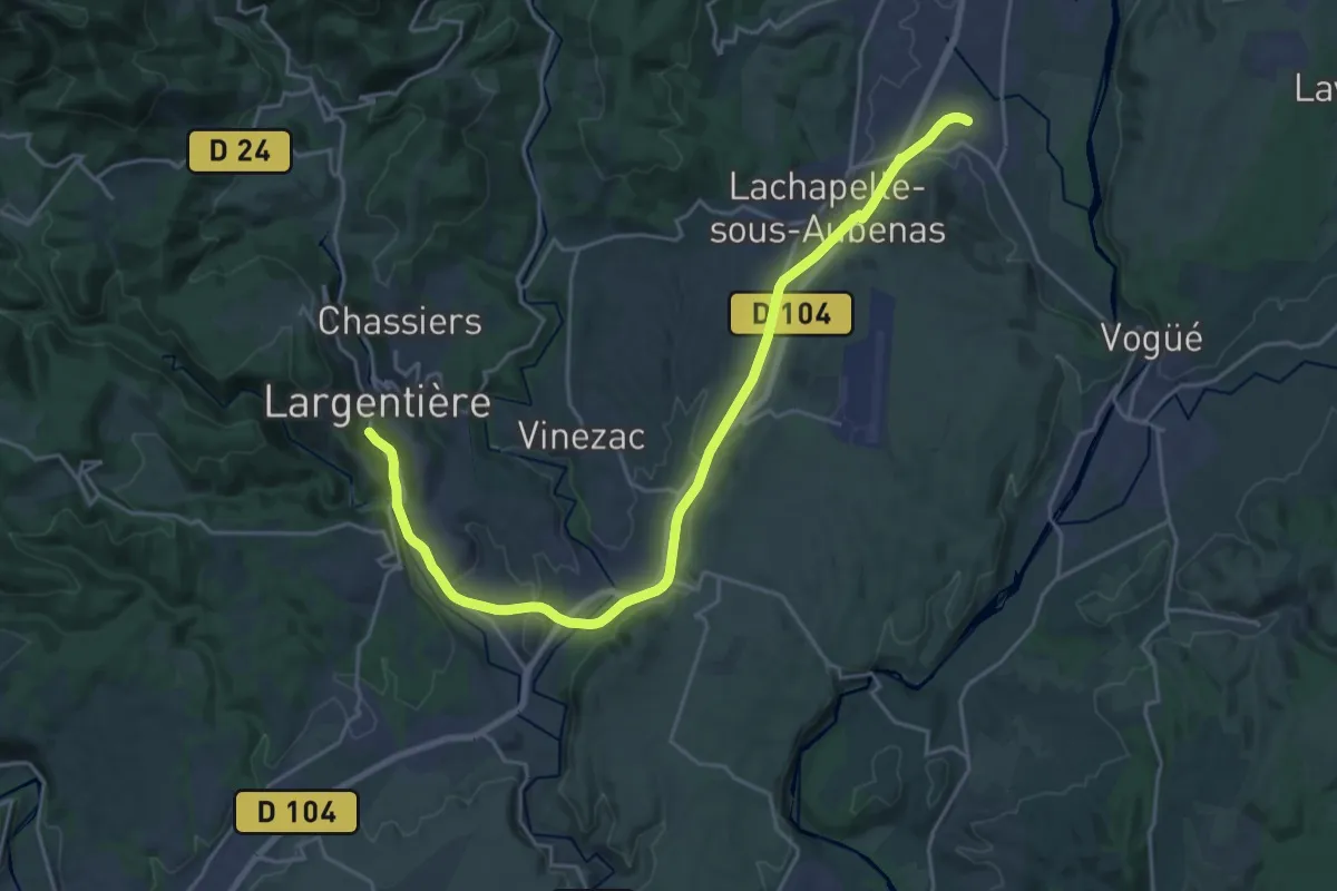
Medium · Trail
Bisourne - L'Abeurador
6.6 km · ↑ 358 m · 2 h 20 min · 8 km away
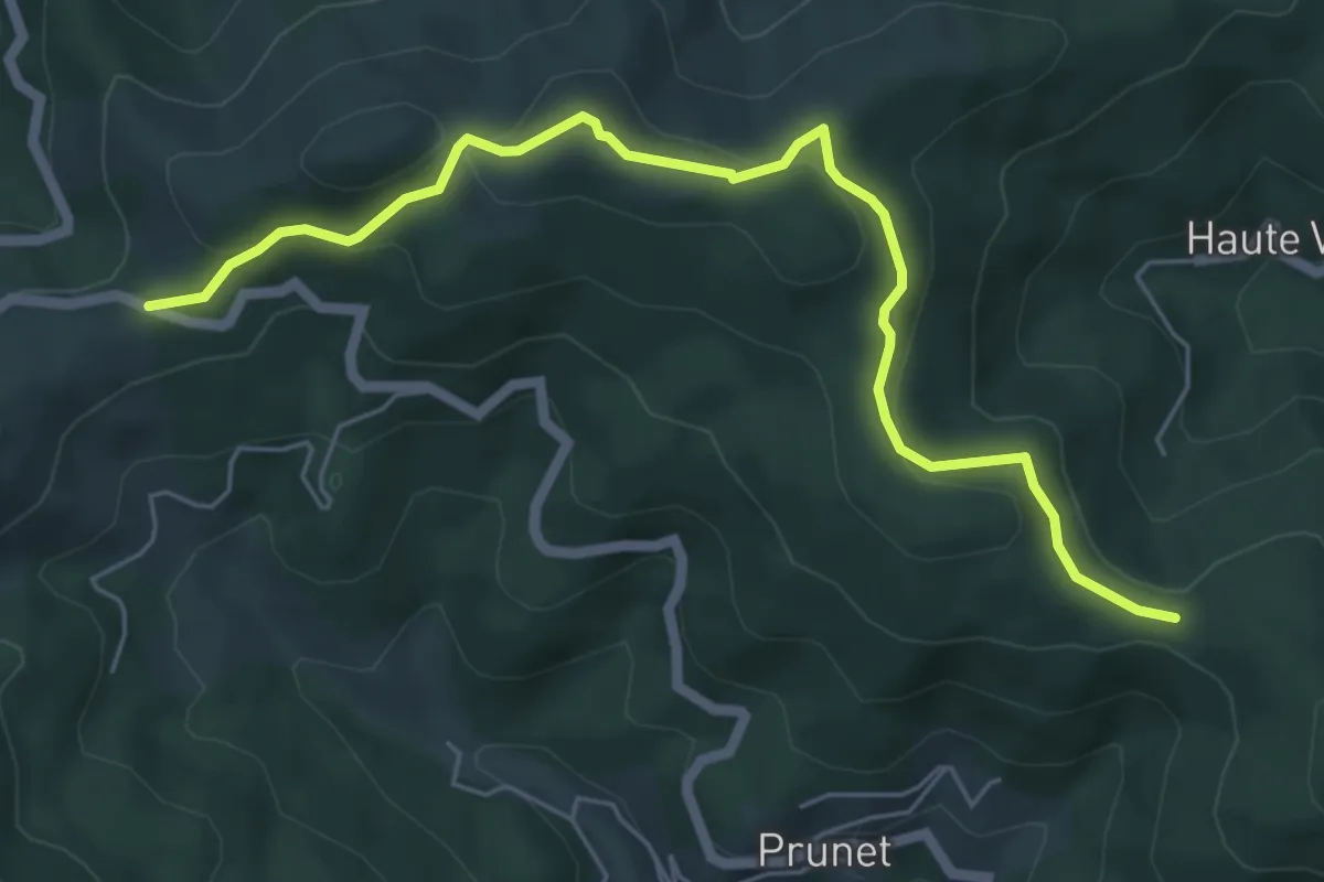
Demanding · Trail
Voie Verte de L'Argentière à Saint-Sernin
25.5 km · ↑ 323 m · 6 h 43 min · 8 km away
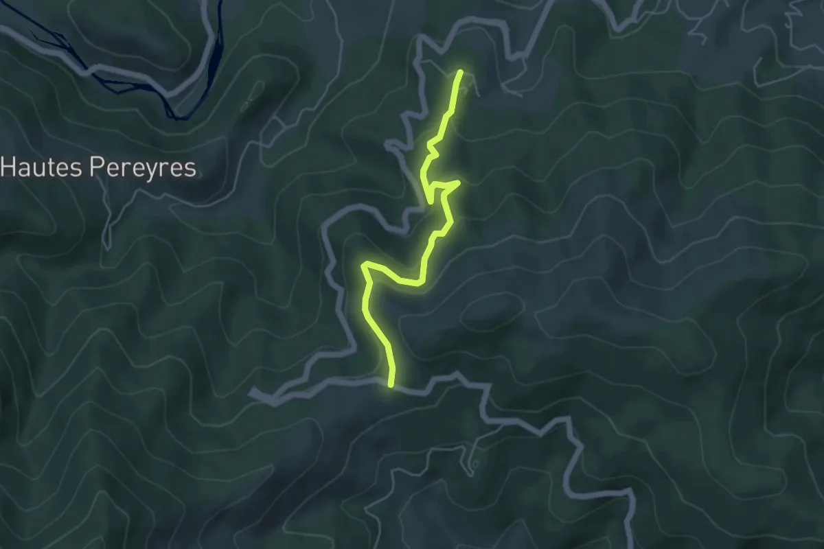
Easy · Trail
Chapelle Sainte-Philomène - Col de la Croix de Millet
6.3 km · ↑ 263 m · 2 h 4 min · 8 km away
Easy · Trail
Le Serre - Col de la Croix de Millet
4.5 km · ↑ 224 m · 1 h 33 min · 8 km away
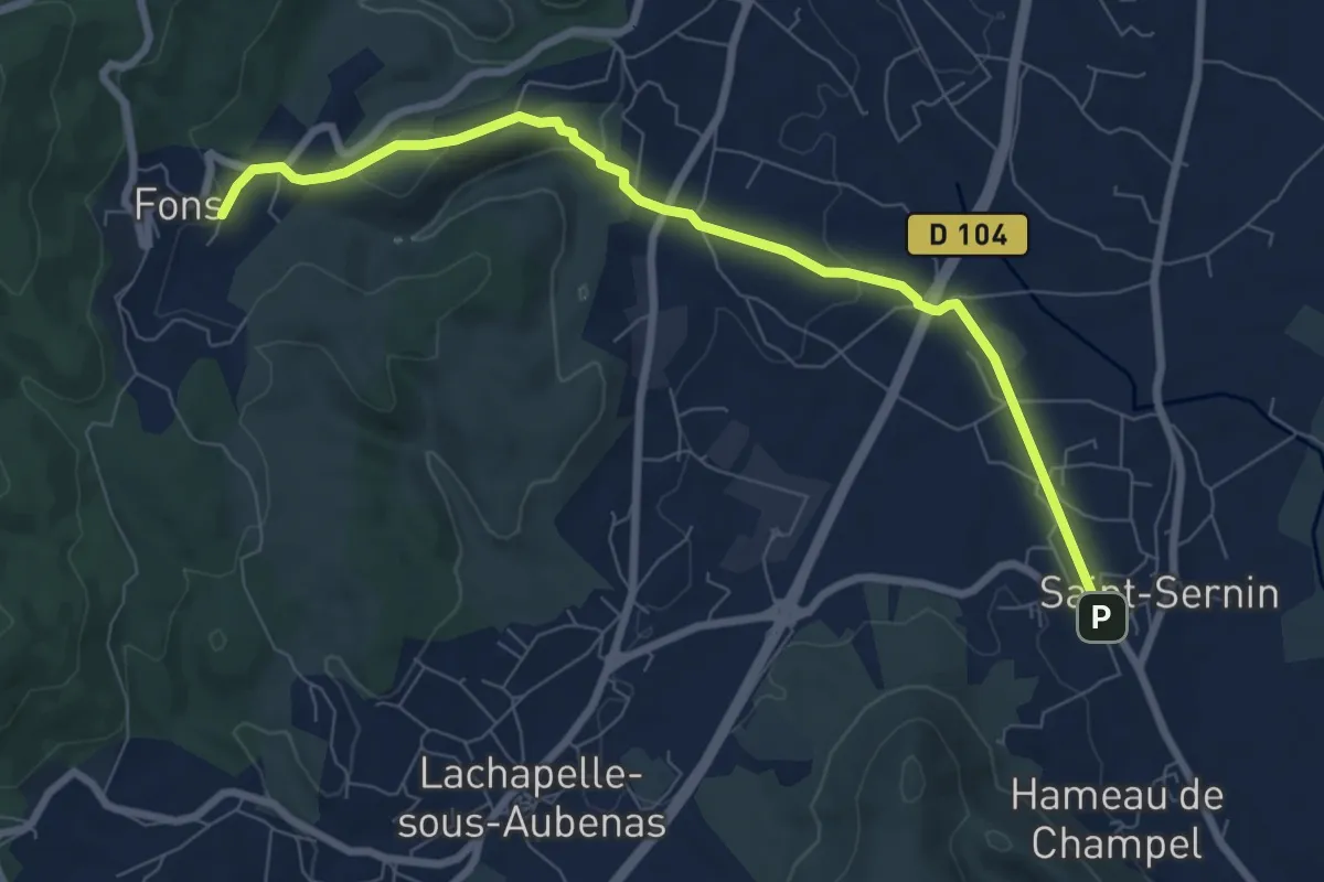
Medium · Trail
Saint-Sernin - Croix du Trible
8.4 km · ↑ 166 m · 2 h 20 min · 8 km away
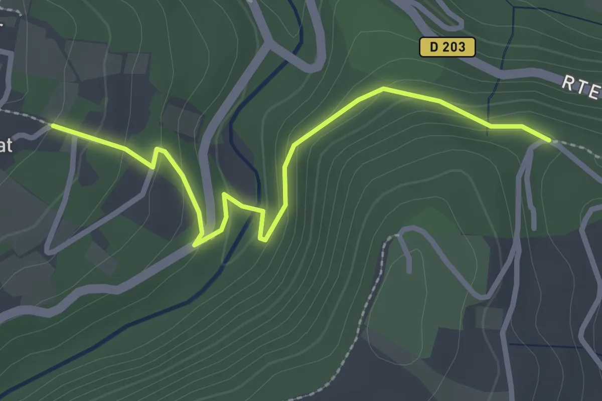
Easy · Trail
Le Prat - Croix de Vinchannes
2.7 km · ↑ 130 m · 55 min · 8 km away
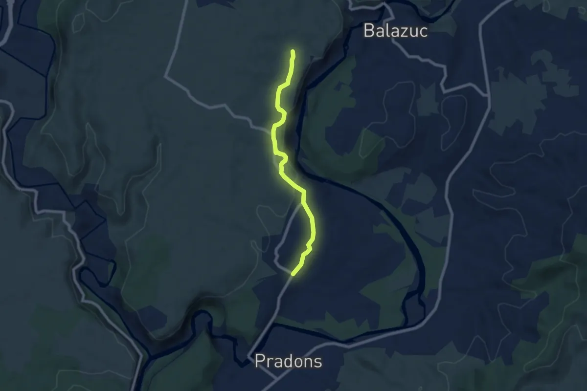
Easy · Trail
Chauzon - Audon
6.2 km · ↑ 136 m · 1 h 46 min · 8 km away
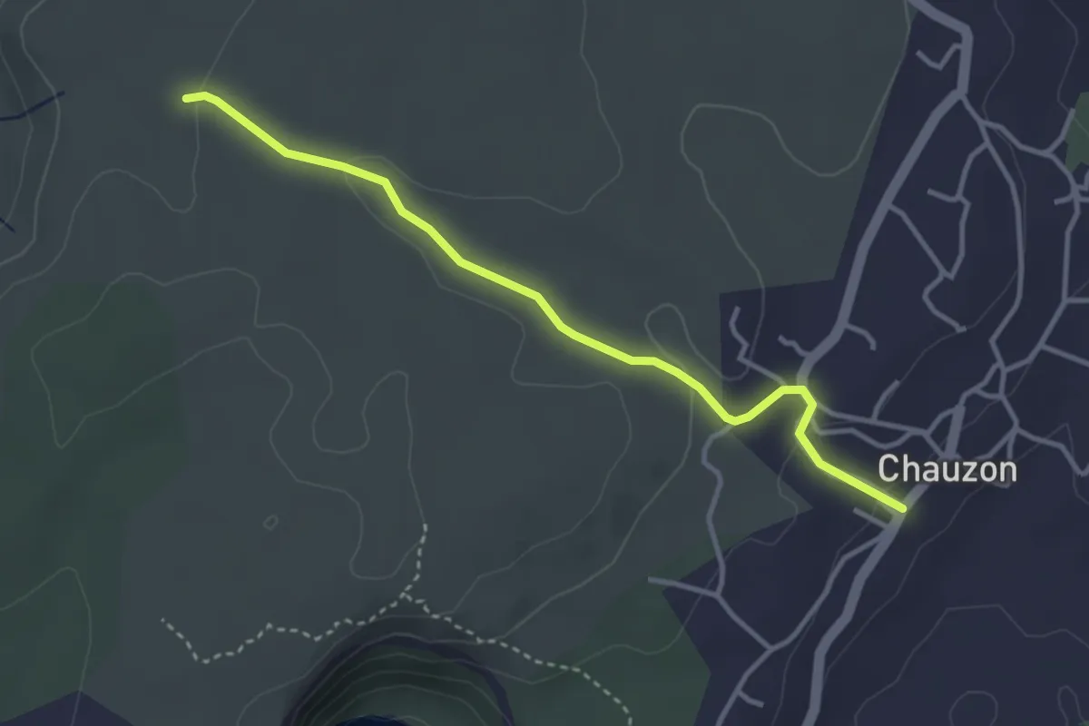
Easy · Trail
Chauzon - La Hâle
3.7 km · ↑ 82 m · 1 h 3 min · 8 km away
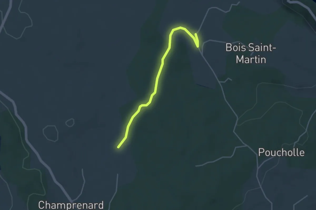
Easy · Trail
L'Abeille - La Plaine
3.5 km · ↑ 32 m · 54 min · 8 km away
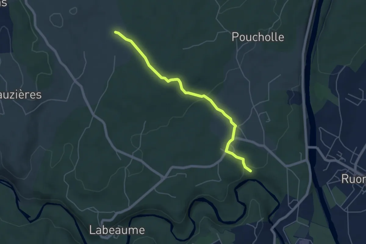
Medium · Trail
Champlautier - La Plaine
5.0 km · ↑ 100 m · 1 h 23 min · 8 km away
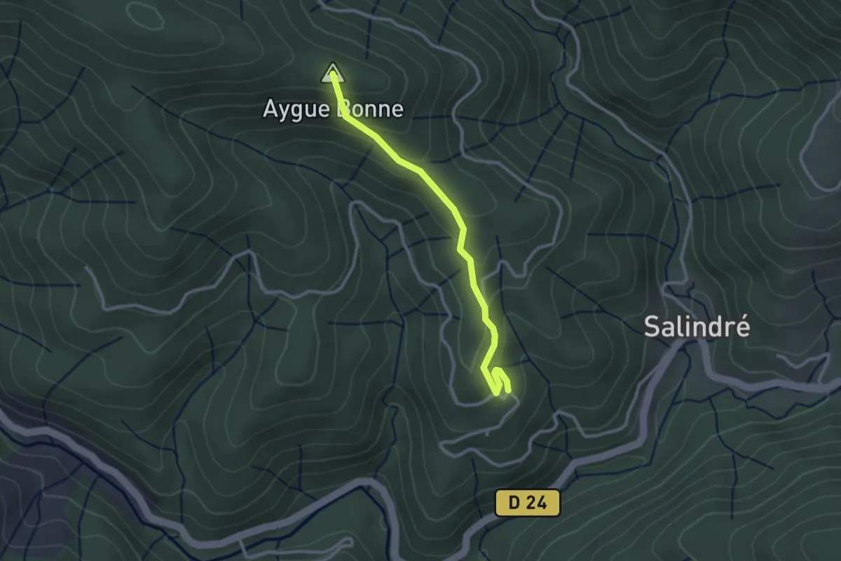
Easy · Summit
Champussac - Laboule
2.6 km · ↑ 166 m · 59 min · 8 km away
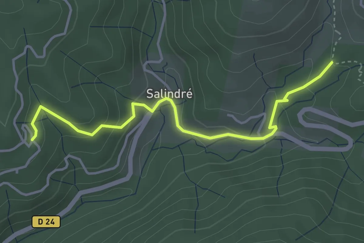
Easy · Trail
Sous les Combes - Champussac
3.7 km · ↑ 176 m · 1 h 15 min · 8 km away
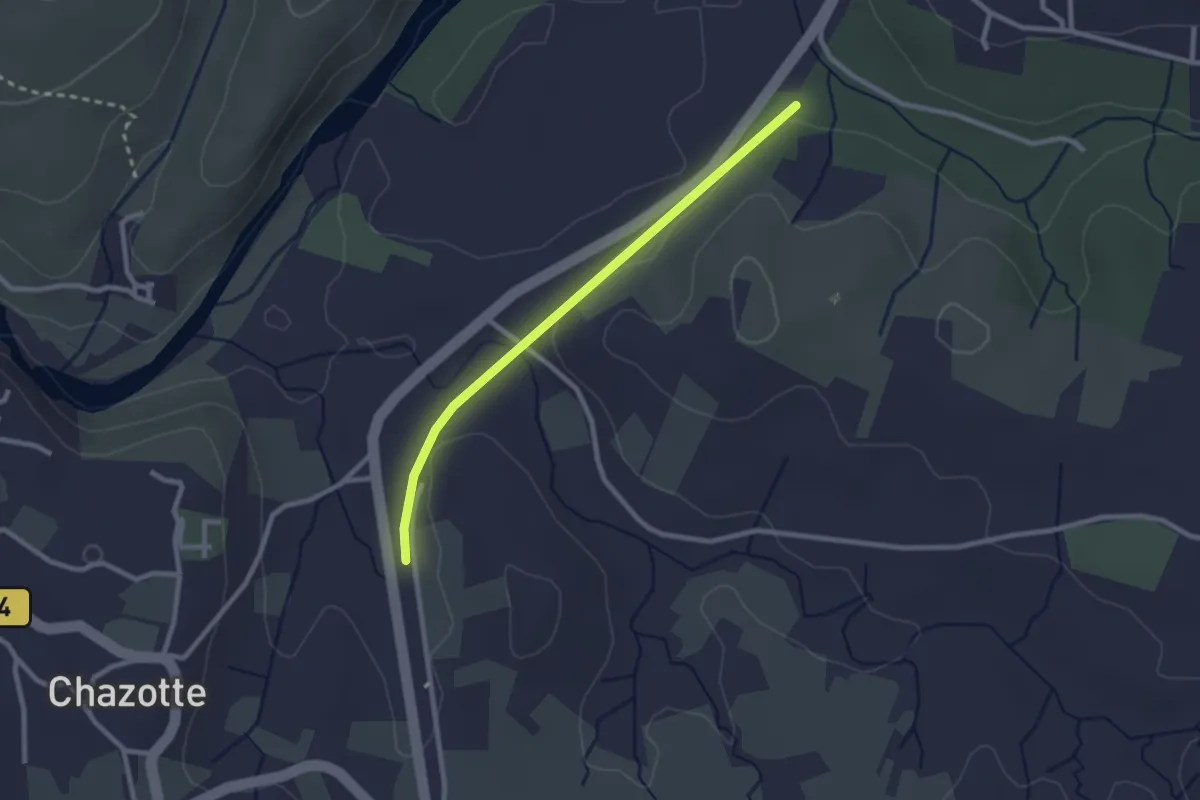
Easy · Trail
Mourre Frais - Chalouzet
2.5 km · ↑ 33 m · 39 min · 8 km away
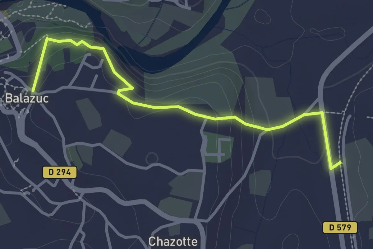
Easy · Trail
Mourre Frais - Portalas
3.1 km · ↑ 114 m · 59 min · 8 km away
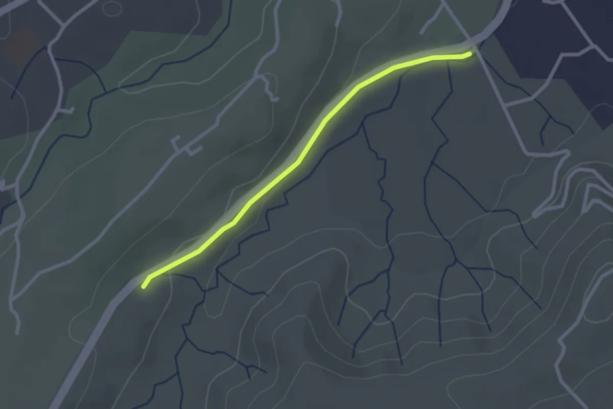
Easy · Trail
Freyssinet - Mas de Fontbonne
2.4 km · ↑ 39 m · 40 min · 8 km away
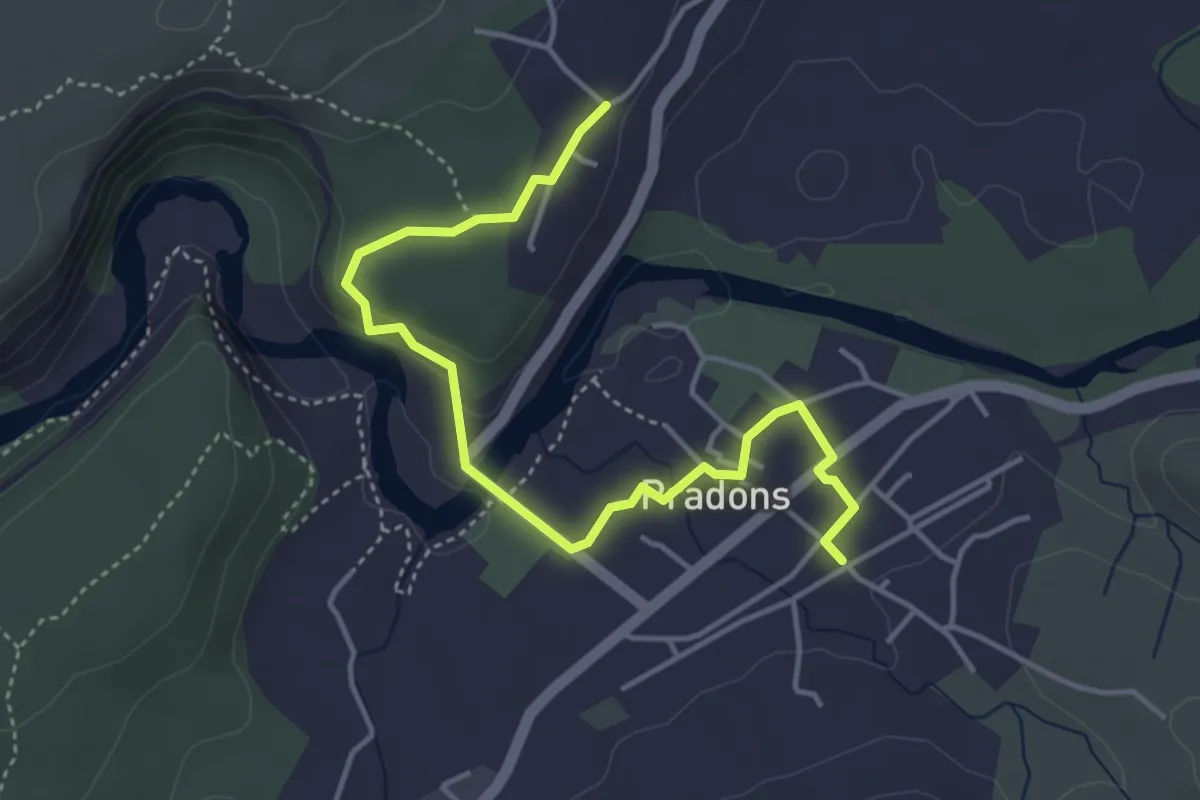
Easy · Trail
Voie Ferrée - Les Traverses
4.7 km · ↑ 126 m · 1 h 23 min · 8 km away
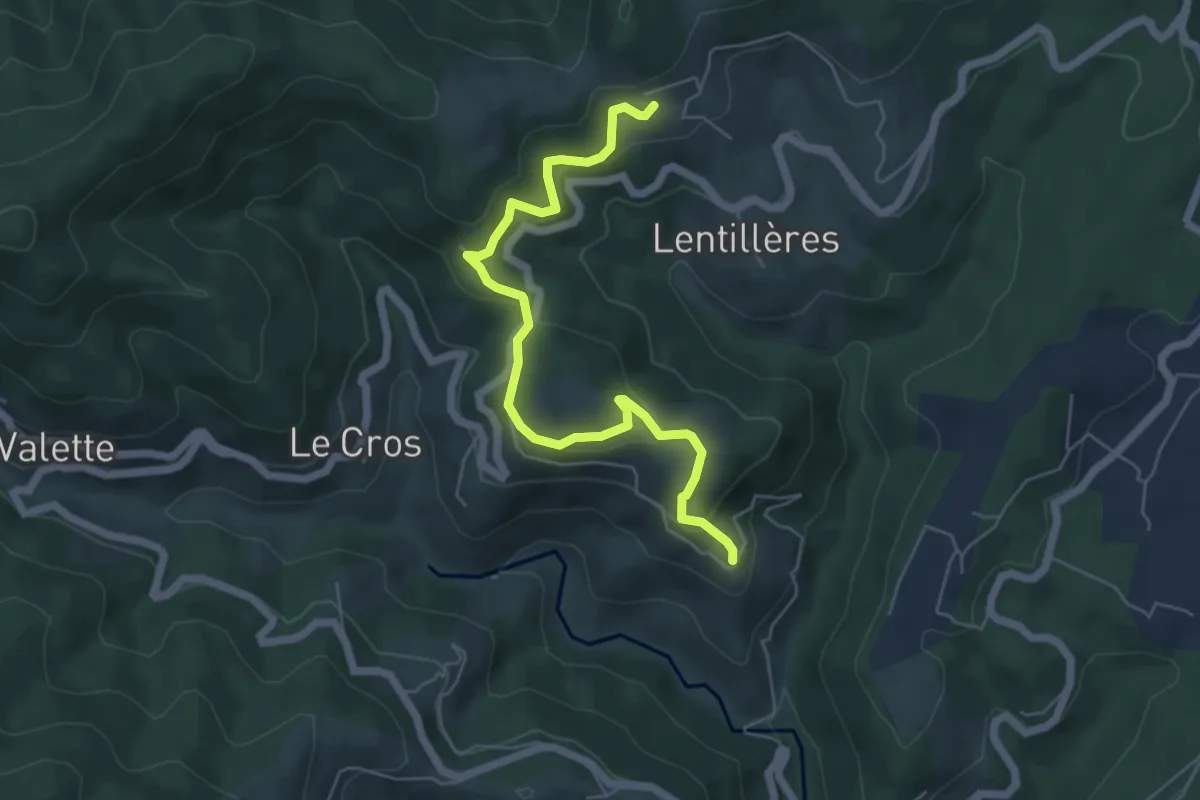
Easy · Trail
Fabrias - Le Village
6.1 km · ↑ 283 m · 2 h 3 min · 8 km away
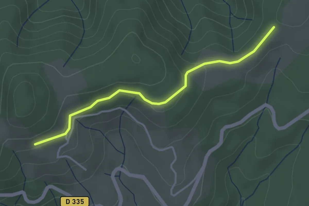
Easy · Trail
Montferou - Le Village Haut
3.3 km · ↑ 93 m · 59 min · 8 km away
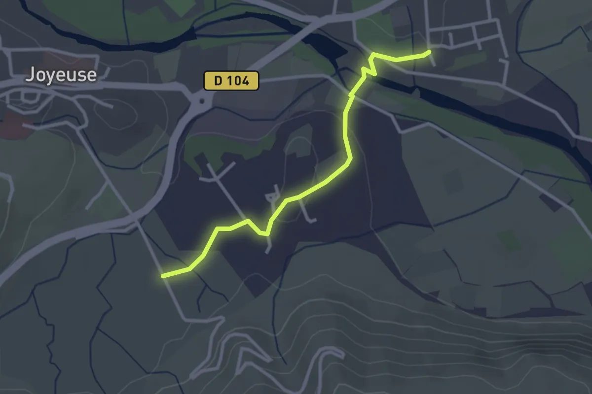
Easy · Trail
L'Église - Freyssinet Est
2.8 km · ↑ 41 m · 45 min · 8 km away
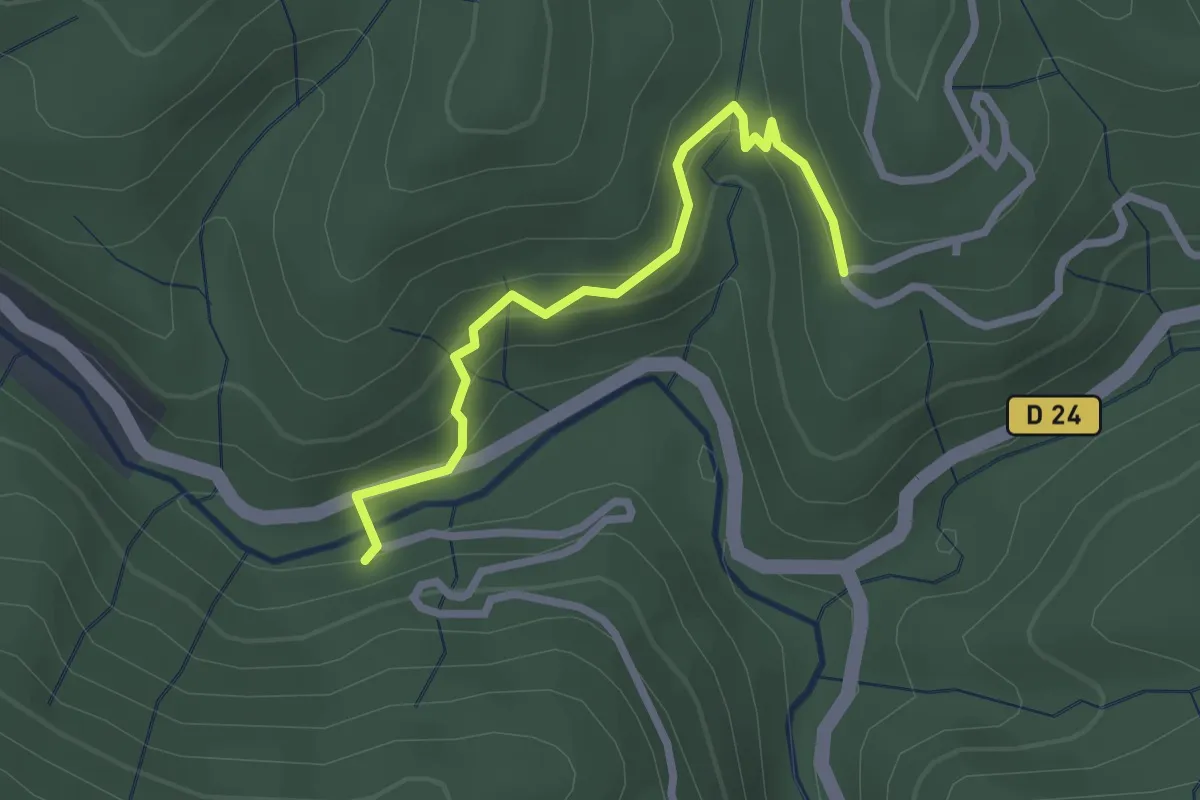
Easy · Trail
La Parot - Entrée de Champussac
2.5 km · ↑ 122 m · 52 min · 8 km away
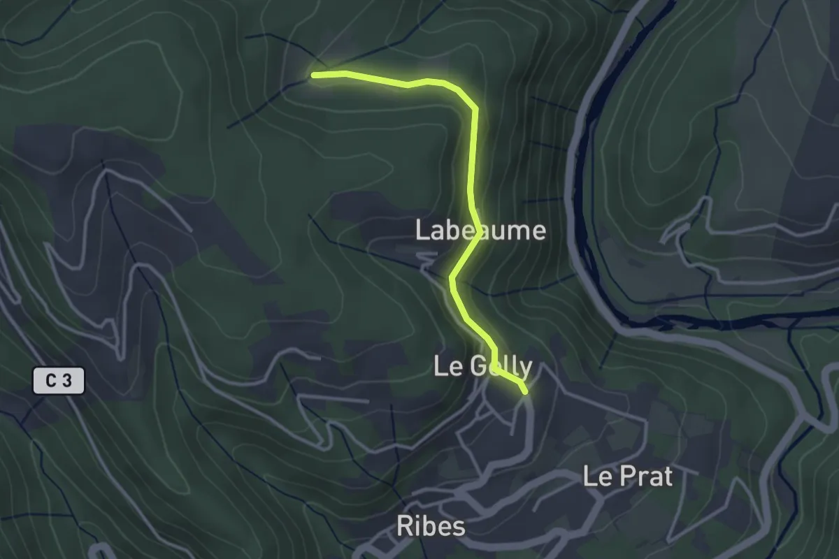
Easy · Trail
Le Gelly - Prades
2.9 km · ↑ 94 m · 53 min · 8 km away
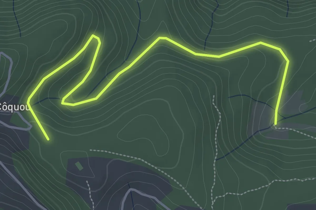
Easy · Trail
Prades - Stribes
4.6 km · ↑ 125 m · 1 h 22 min · 8 km away
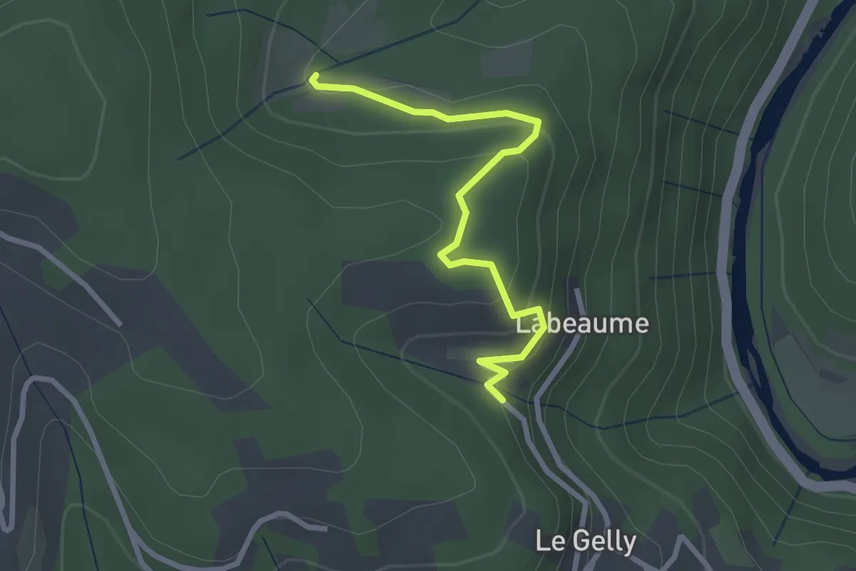
Easy · Trail
Le Serre - Prades
2.7 km · ↑ 148 m · 57 min · 9 km away
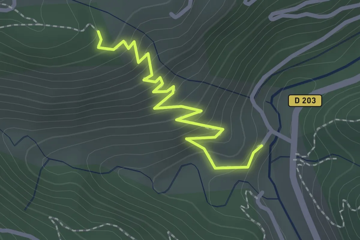
Easy · Trail
Colobrouze - La Roche
2.2 km · ↑ 217 m · 59 min · 9 km away
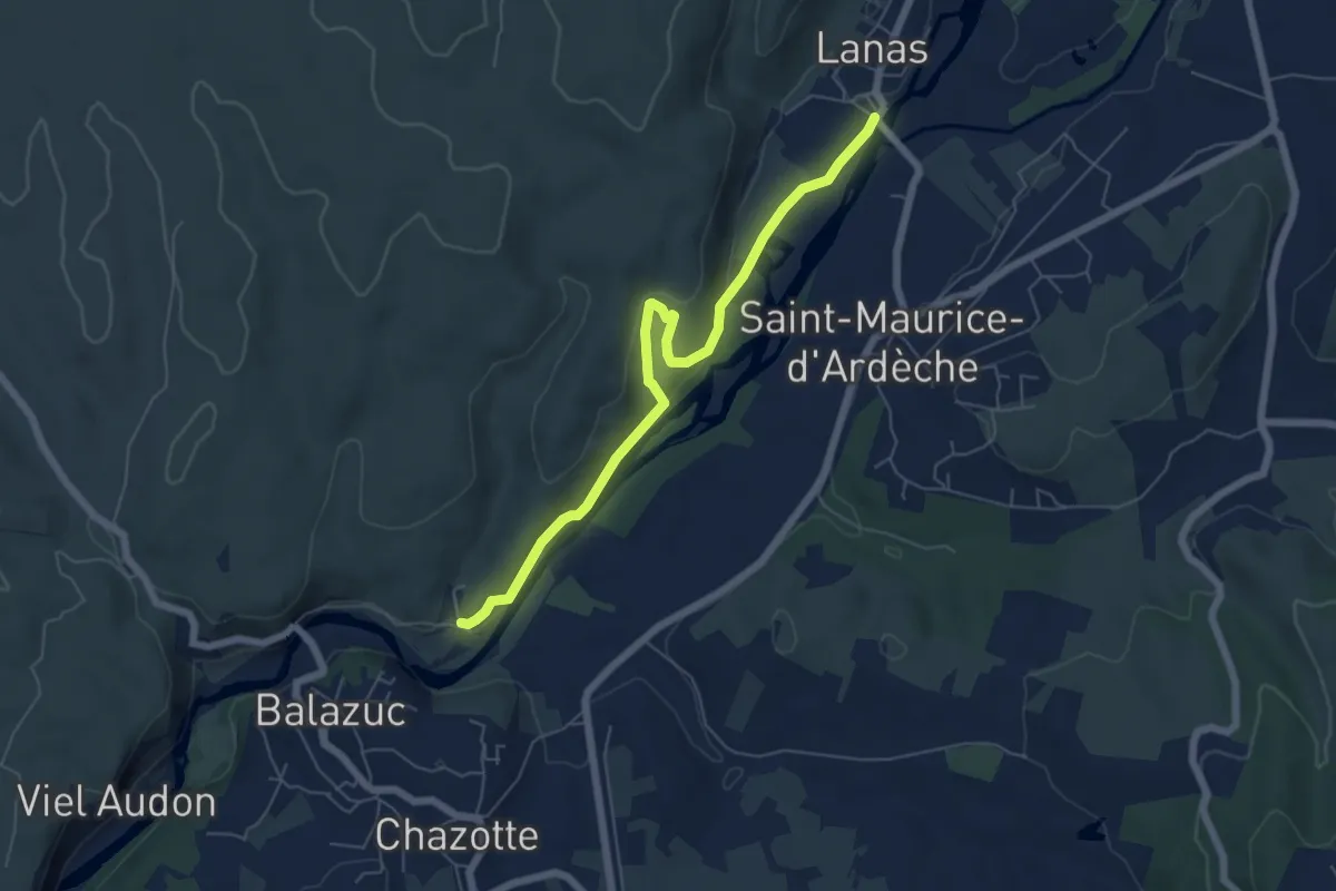
Medium · Trail
Lanas - Servières
6.4 km · ↑ 188 m · 1 h 55 min · 9 km away
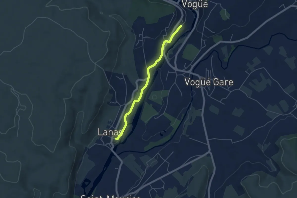
Easy · Trail
Lanas Centre - Le Tunnel
4.4 km · ↑ 46 m · 1 h 8 min · 9 km away
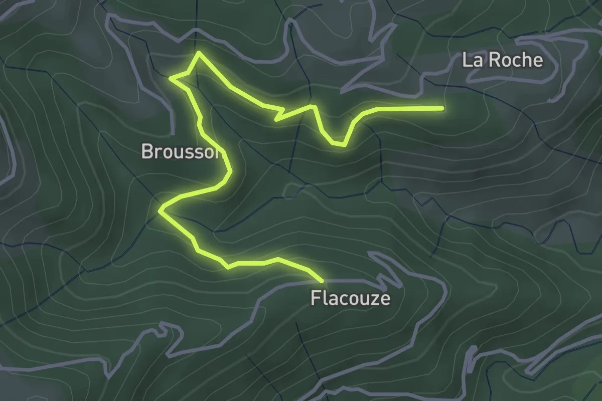
Easy · Trail
Clément - Flacouze
4.2 km · ↑ 254 m · 1 h 32 min · 9 km away
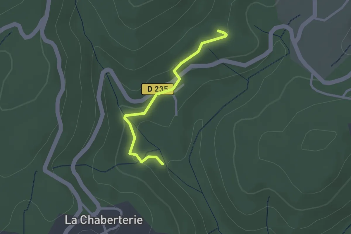
Easy · Trail
Rode - La Faugère
2.2 km · ↑ 73 m · 40 min · 9 km away
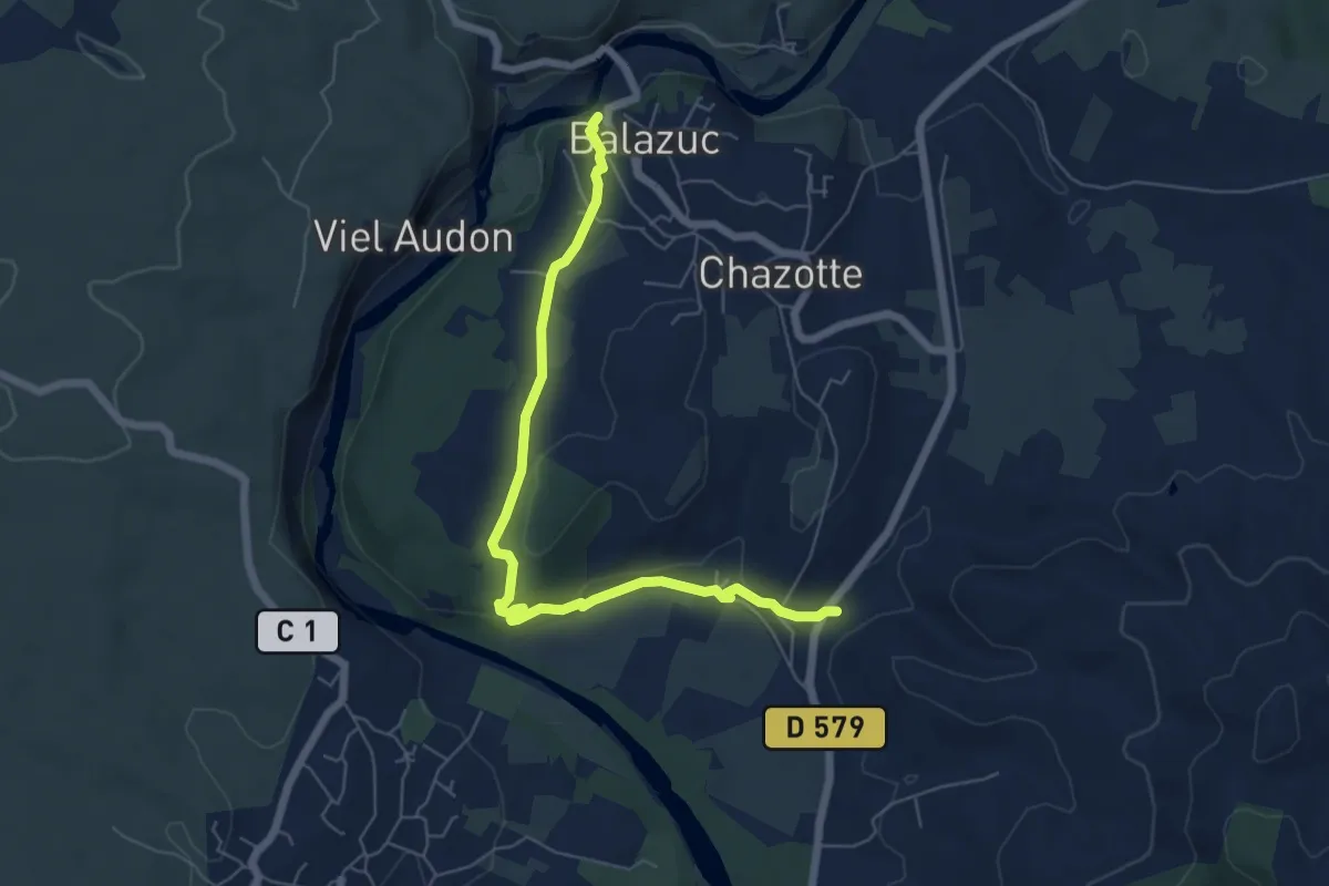
Easy · Trail
Viaduc - Église Romane
6.8 km · ↑ 123 m · 1 h 52 min · 9 km away
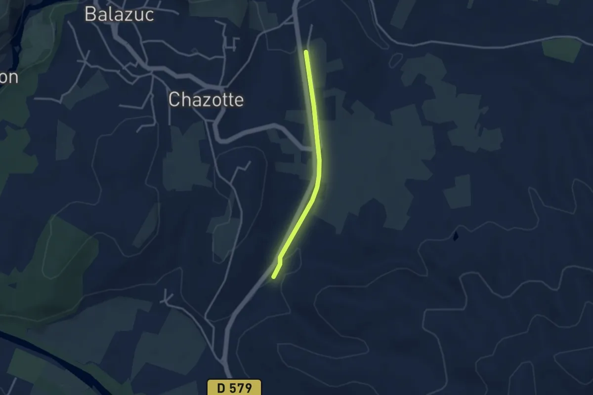
Easy · Trail
Serre Bouchet - Mourre Frais
2.6 km · ↑ 22 m · 40 min · 9 km away
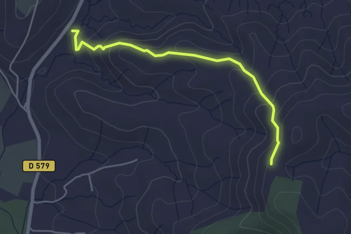
Easy · Trail
Serre Bouchet - Serre de Rimbaud
3.9 km · ↑ 200 m · 1 h 22 min · 9 km away
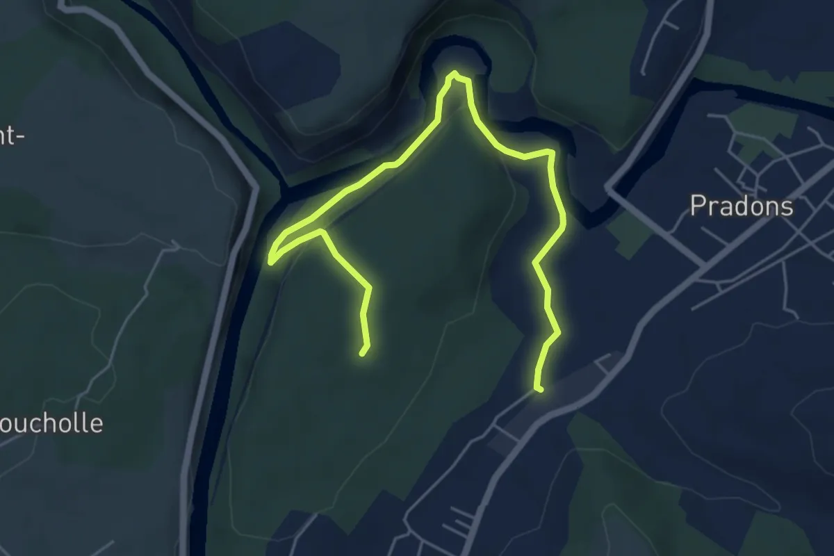
Demanding · Trail
Les Petites Pièces - Les Carrières
6.2 km · ↑ 165 m · 1 h 50 min · 9 km away