Trails near Largentière
425 hikes starting within 15 km, nearest first.
Nearest first, page 5 of 9
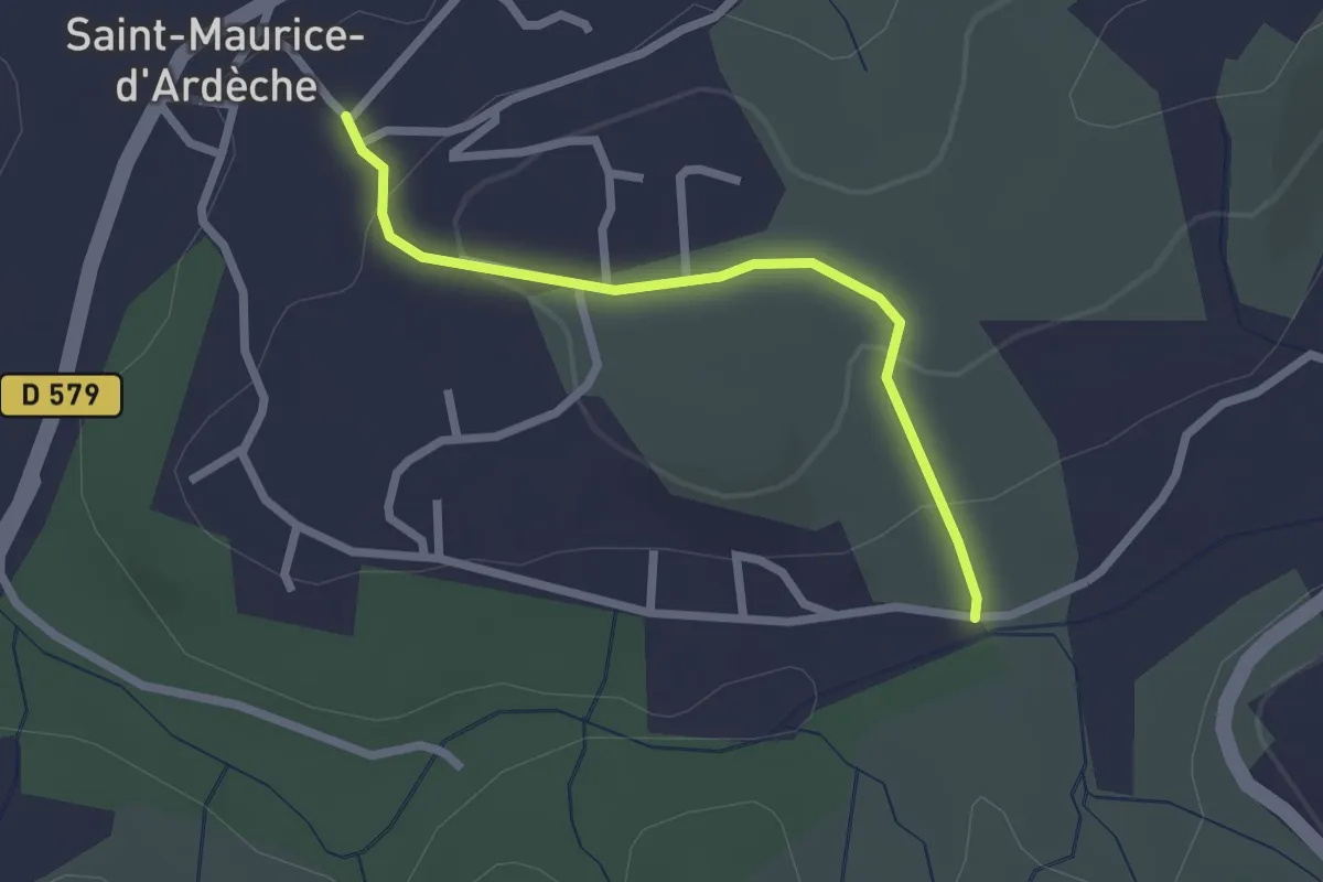
Easy · Trail
La Planche - Saint-Maurice d'Ardèche
2.3 km · ↑ 75 m · 42 min · 9 km away
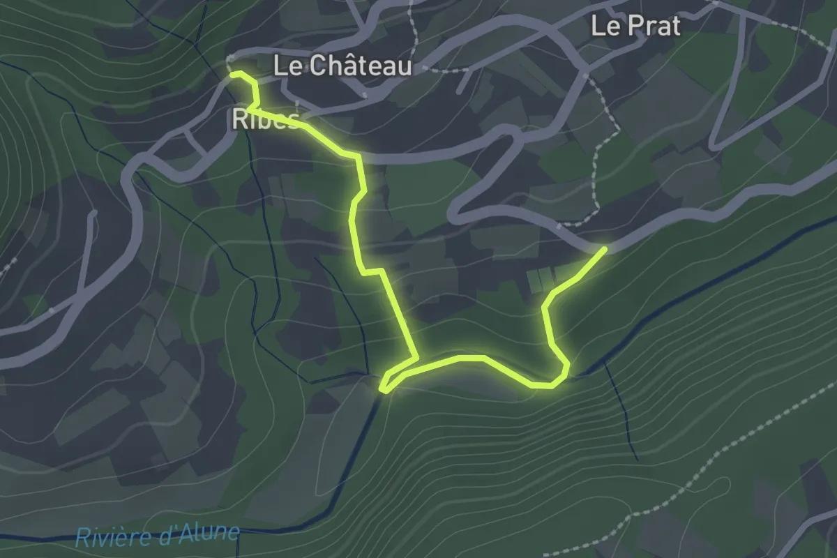
Easy · Trail
Ribes Info Rando - Mas de Laffont
2.6 km · ↑ 120 m · 52 min · 9 km away
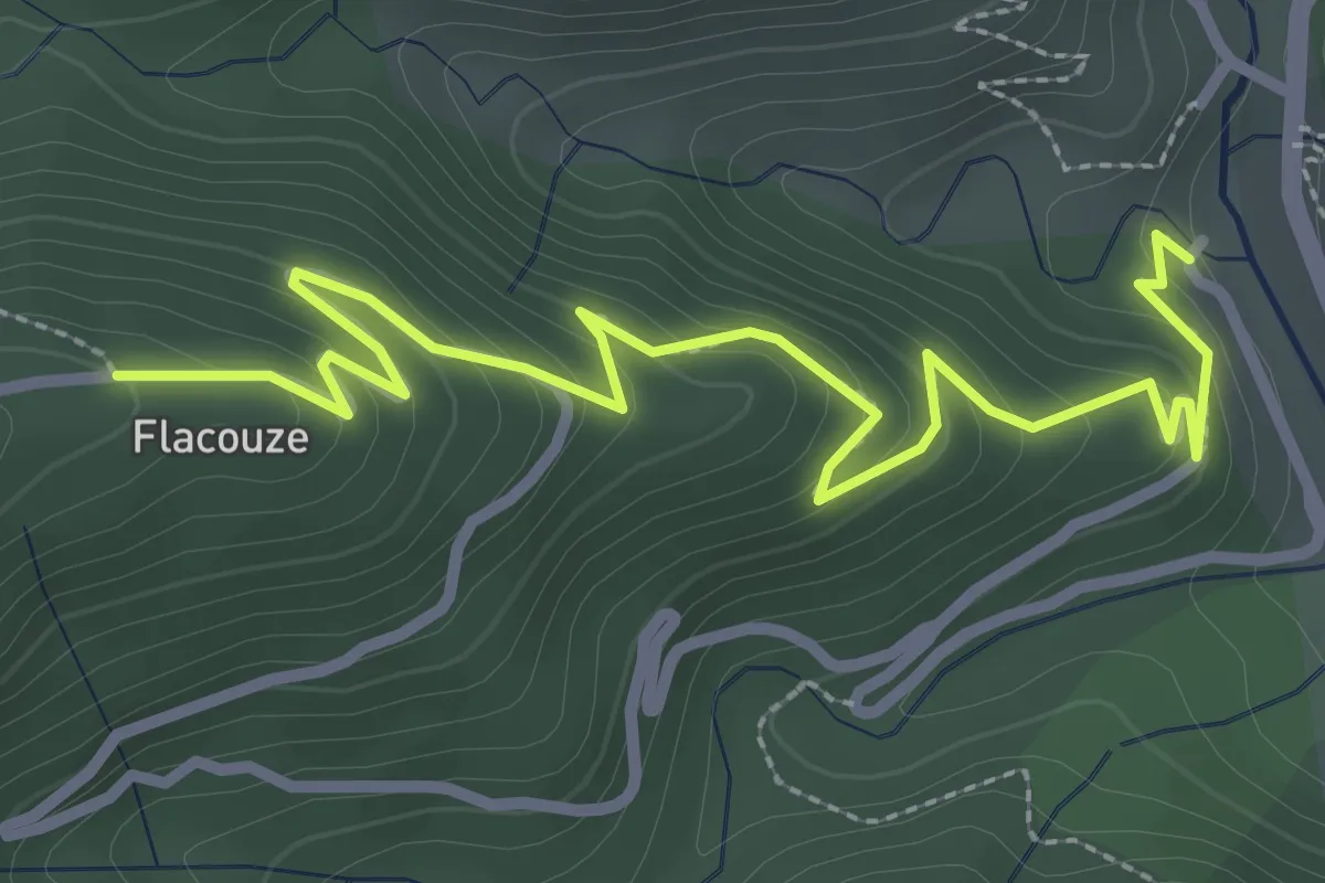
Easy · Trail
Bisourne - Flacouze
3.7 km · ↑ 234 m · 1 h 23 min · 9 km away
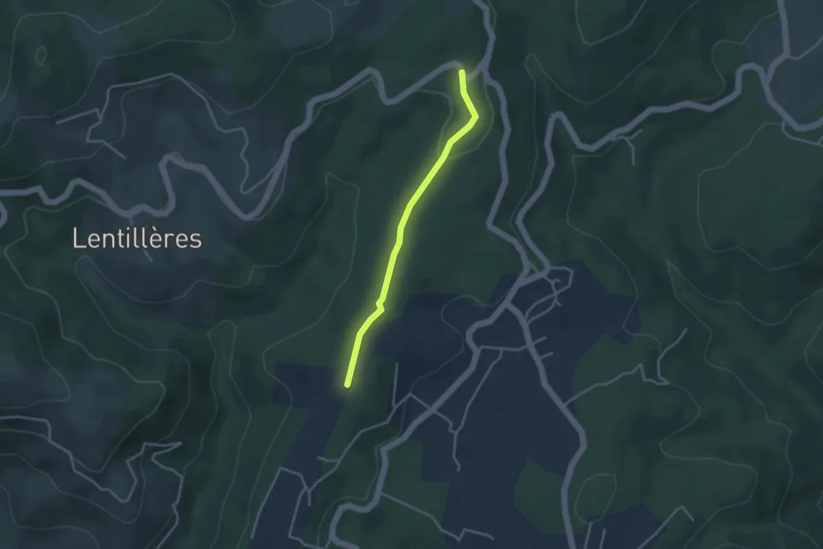
Easy · Trail
Daüs - Clos de la Bernarde
2.9 km · ↑ 44 m · 46 min · 9 km away
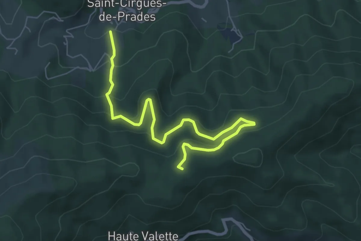
Medium · Trail
Lafont - Chez Ceysson
6.7 km · ↑ 399 m · 2 h 27 min · 9 km away
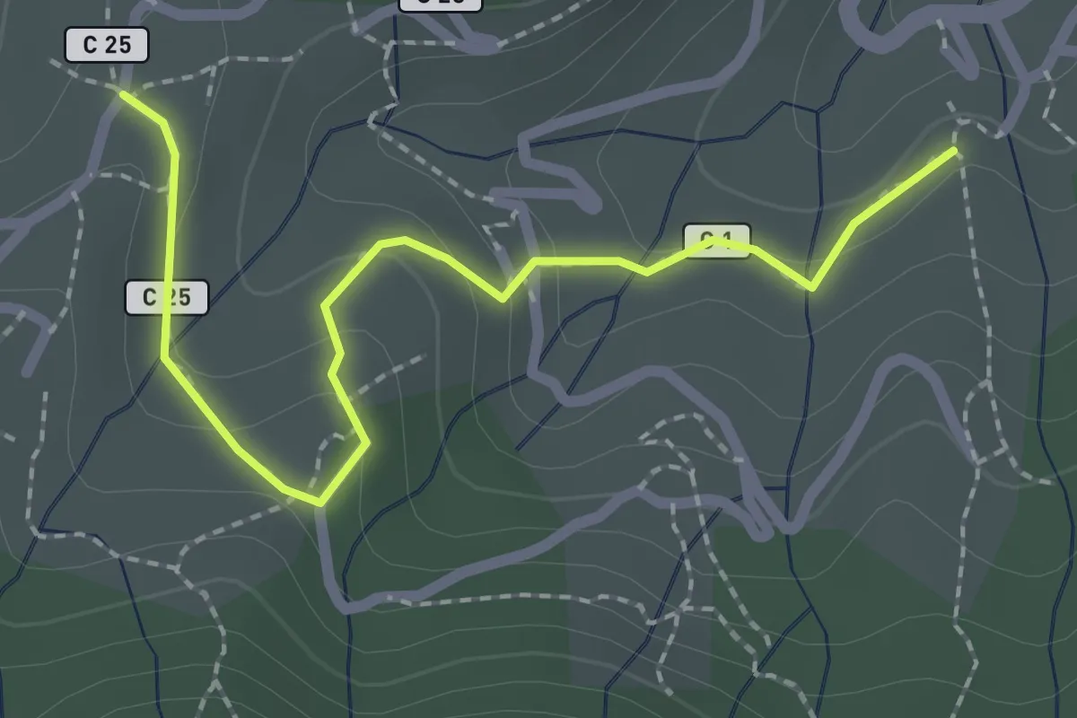
Easy · Trail
Lafont - Les Hugoux
2.4 km · ↑ 88 m · 45 min · 9 km away
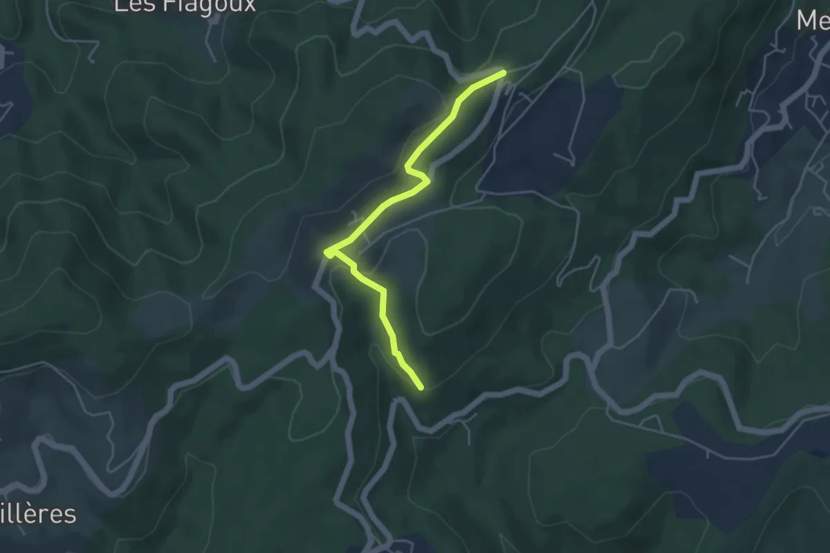
Easy · Trail
Saint Antoine - Col de Farges
4.2 km · ↑ 127 m · 1 h 16 min · 9 km away
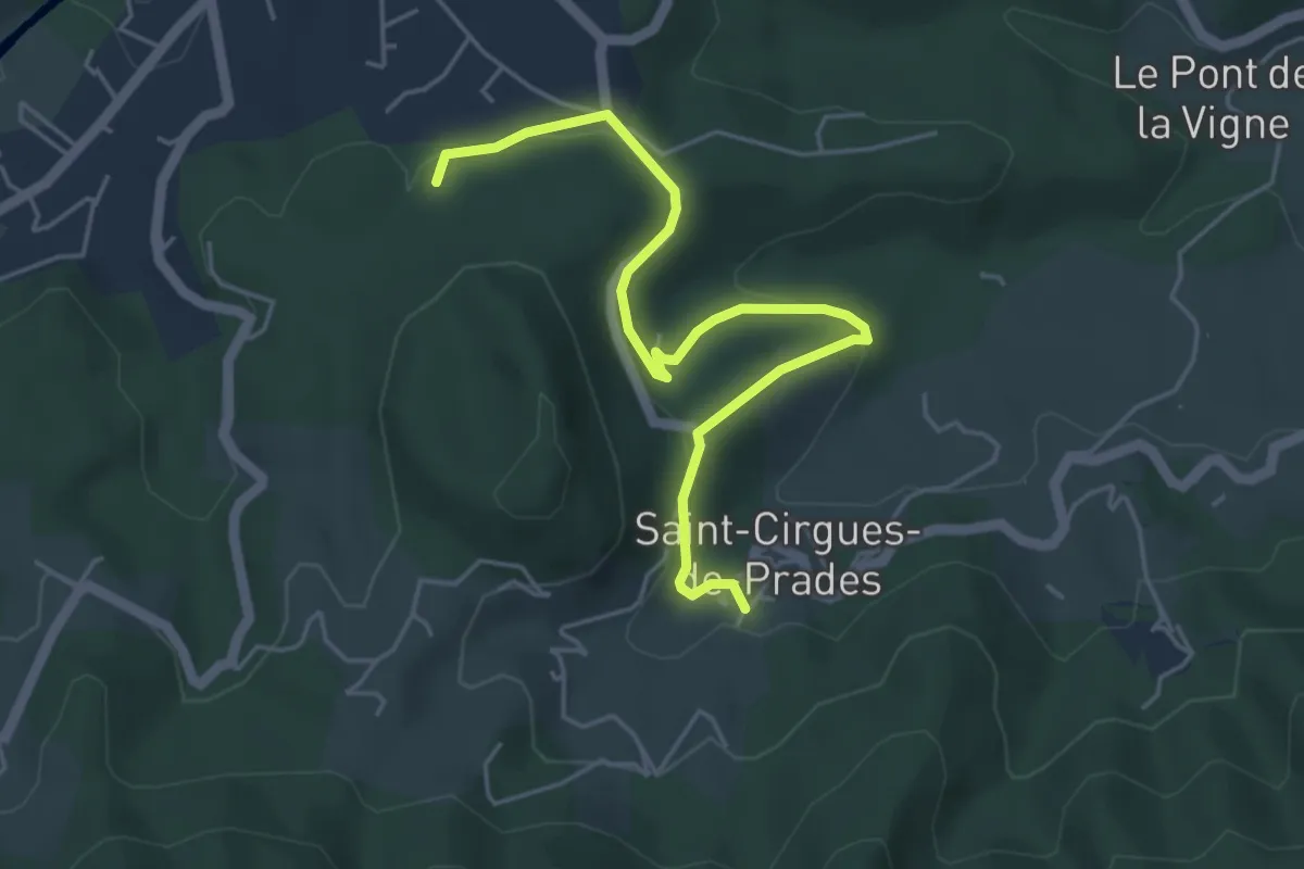
Easy · Trail
Le Rieu - Le Peschier
5.4 km · ↑ 163 m · 1 h 37 min · 9 km away
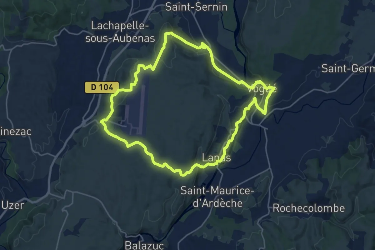
Medium · Trail
Vogue Lanas Vinobre
16.7 km · ↑ 388 m · 5 h · 9 km away
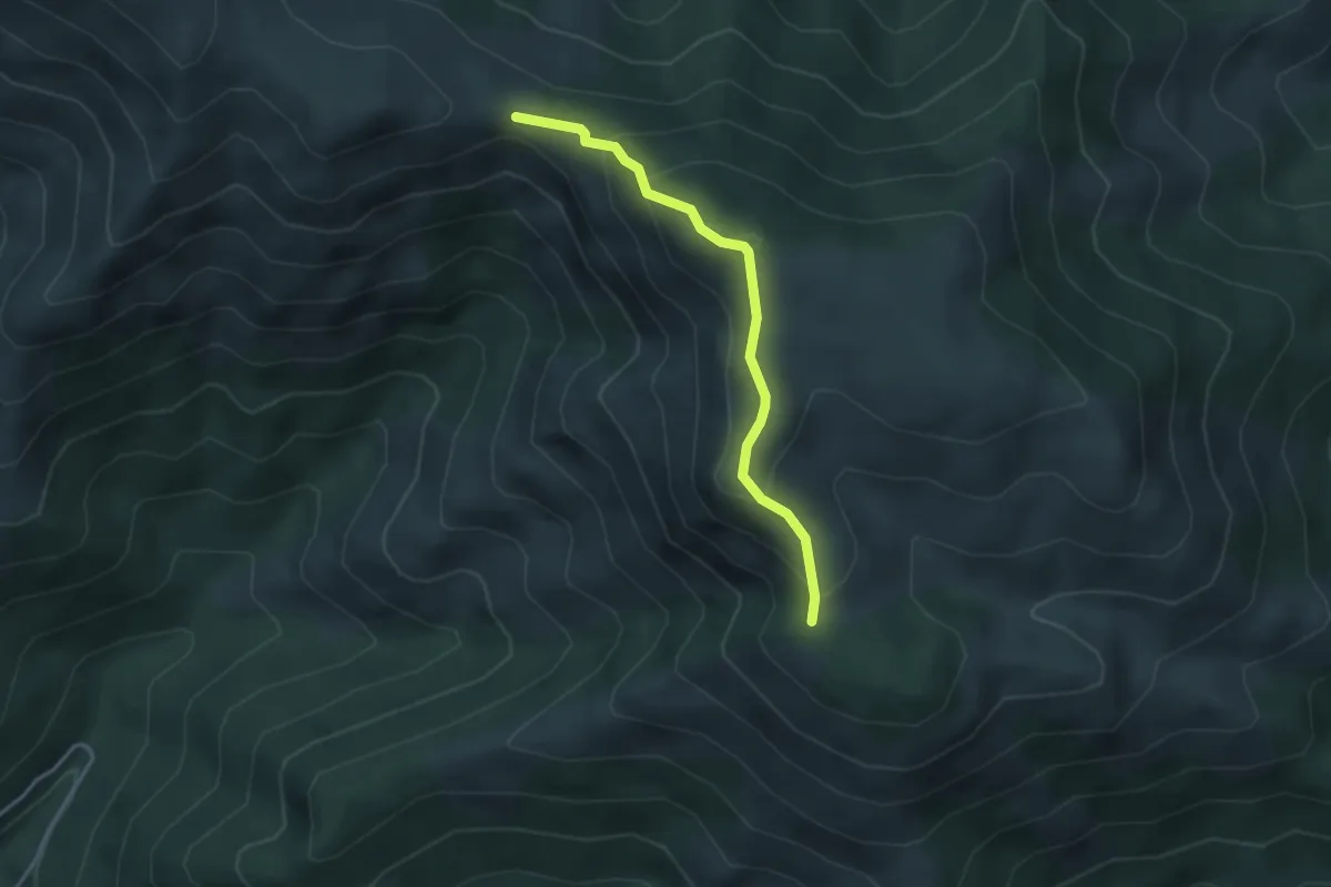
Medium · Trail
Col du Merle - Le Pissas
3.5 km · ↑ 243 m · 1 h 21 min · 9 km away
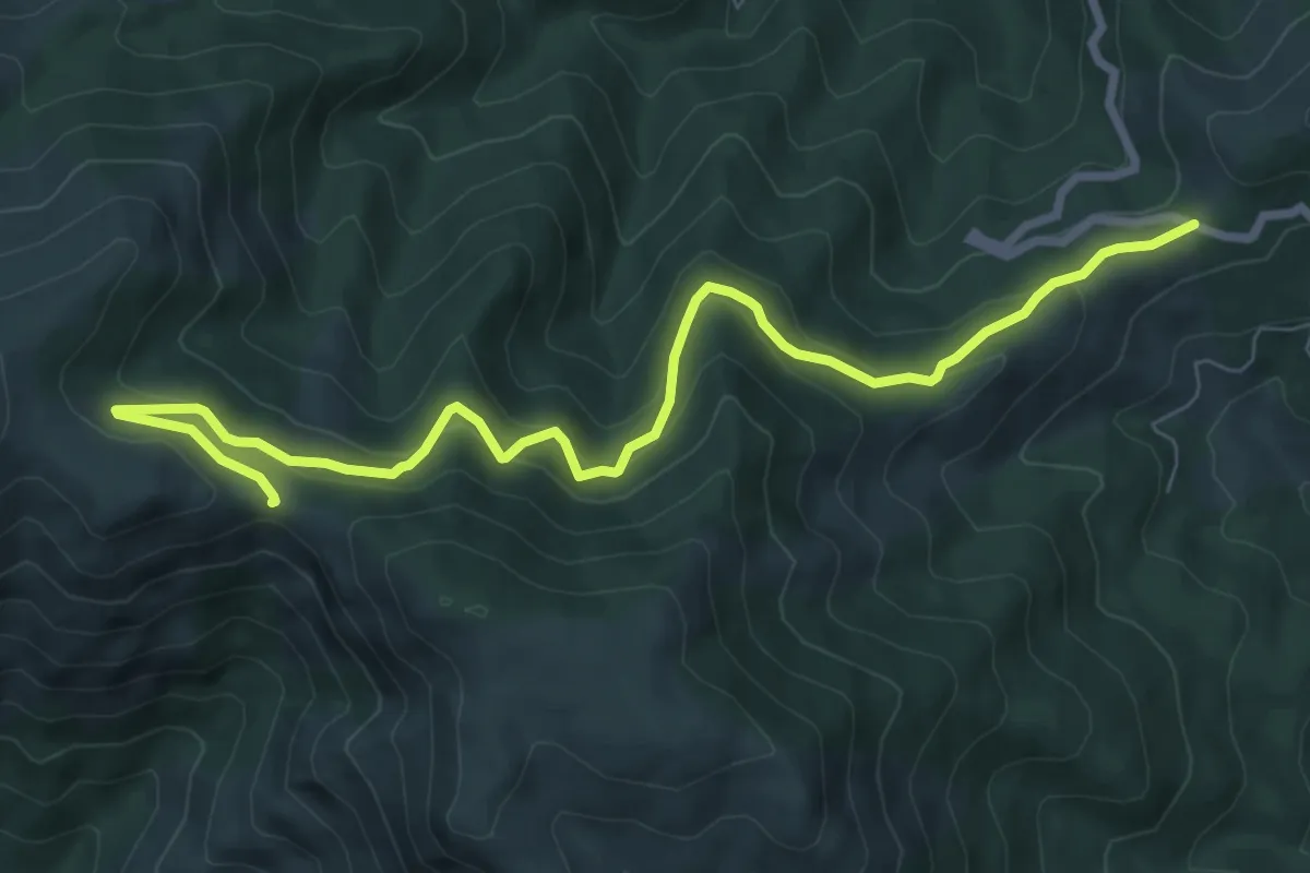
Medium · Trail
Col de la Croix de Millet - Col du Merle
9.0 km · ↑ 472 m · 3 h 9 min · 9 km away
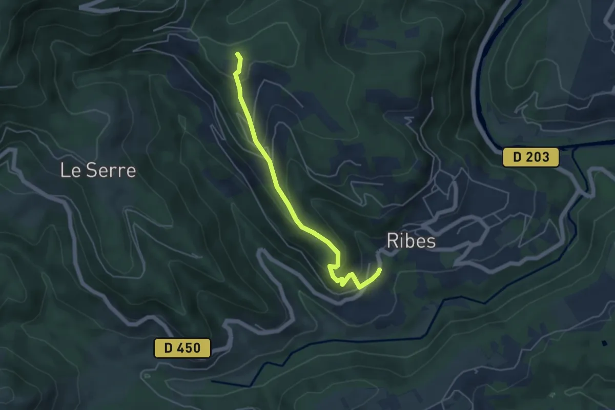
Easy · Trail
La Bastide - Croix de Sauris
4.4 km · ↑ 236 m · 1 h 33 min · 9 km away
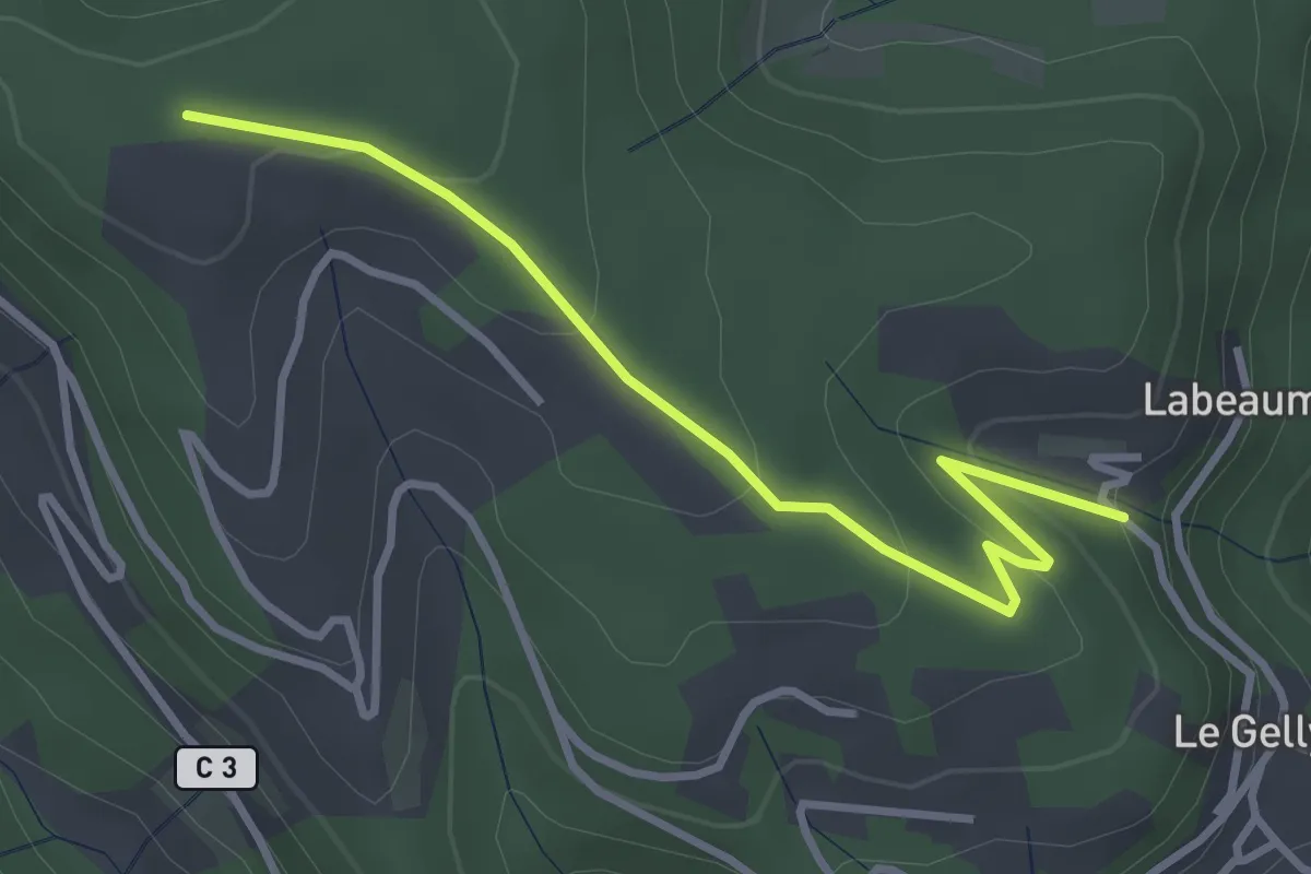
Easy · Trail
Le Serre - Croix de Sauris
3.5 km · ↑ 139 m · 1 h 8 min · 9 km away
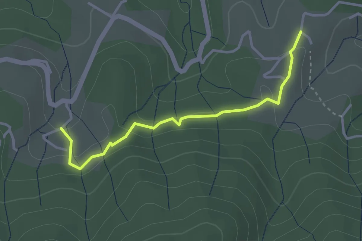
Easy · Trail
Les Hugoux - Fougeyrolles
2.8 km · ↑ 97 m · 52 min · 9 km away
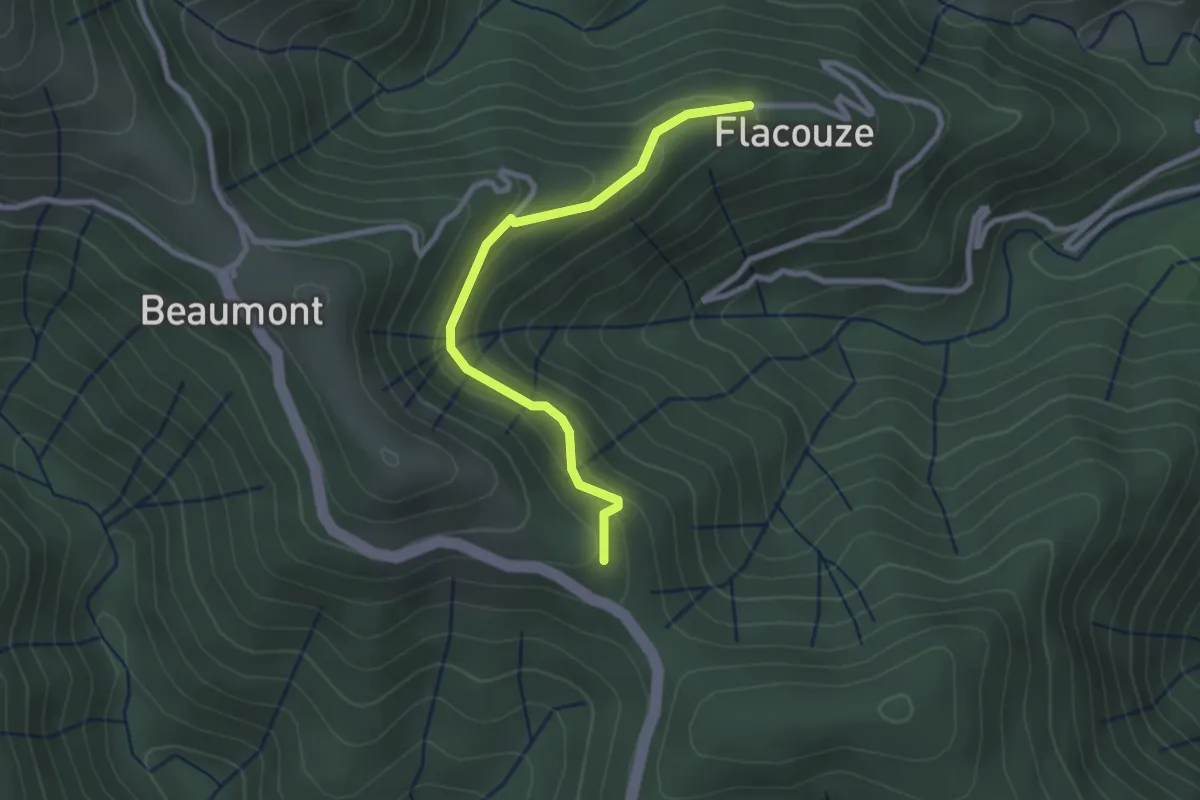
Easy · Trail
Flacouze - Colet du Ranc
2.7 km · ↑ 150 m · 57 min · 9 km away
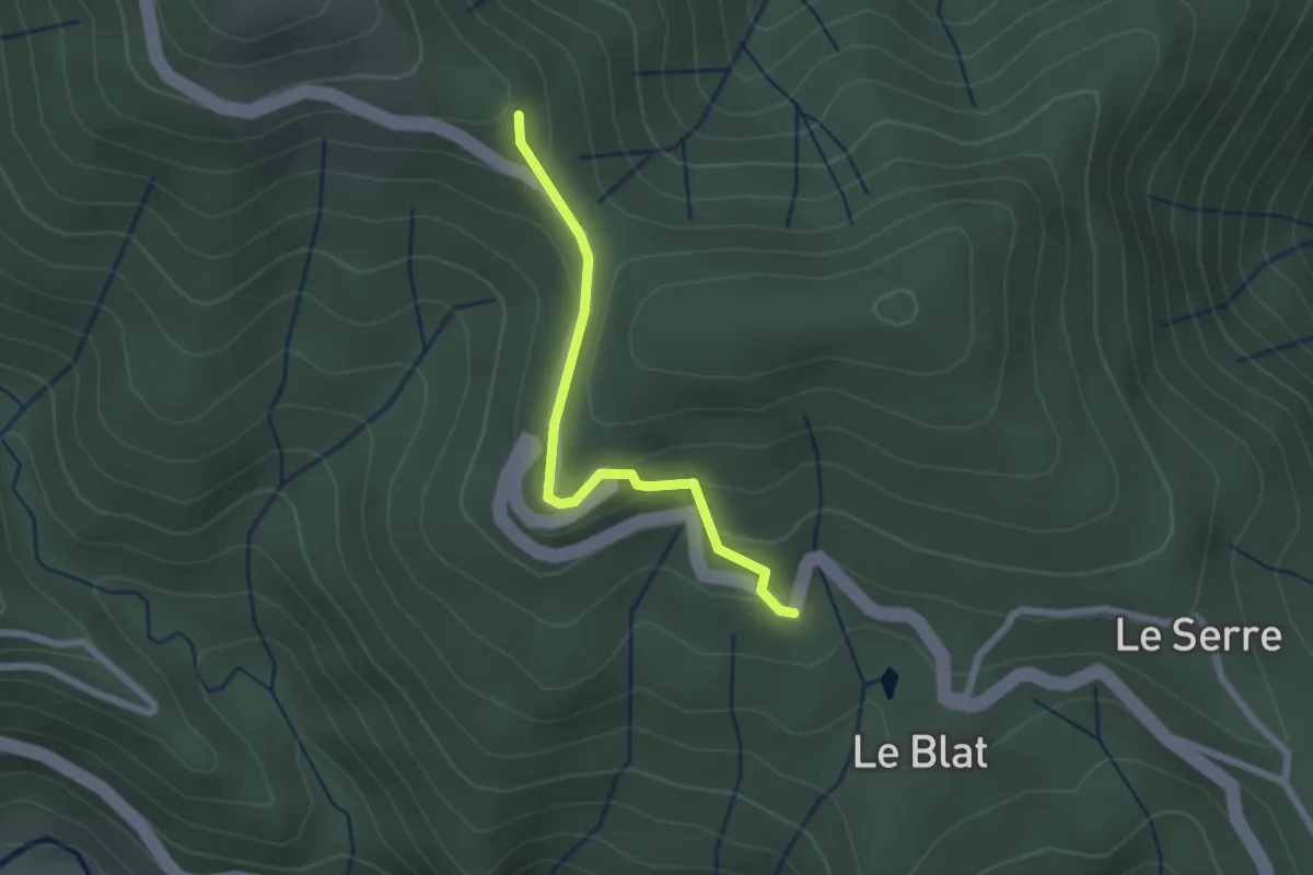
Easy · Trail
L'Abeurador - Colet du Ranc
2.1 km · ↑ 113 m · 44 min · 9 km away
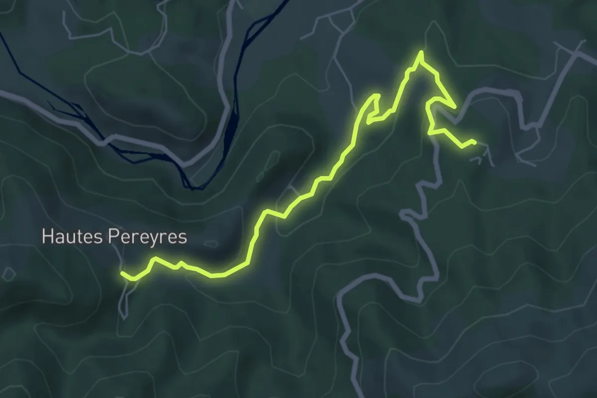
Easy · Trail
Le Serre - Les Péreyres
6.3 km · ↑ 252 m · 2 h 2 min · 9 km away
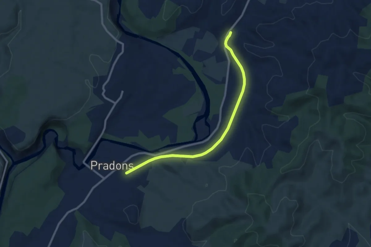
Easy · Trail
Voie Ferrée - Viaduc
7.2 km · ↑ 40 m · 1 h 48 min · 9 km away
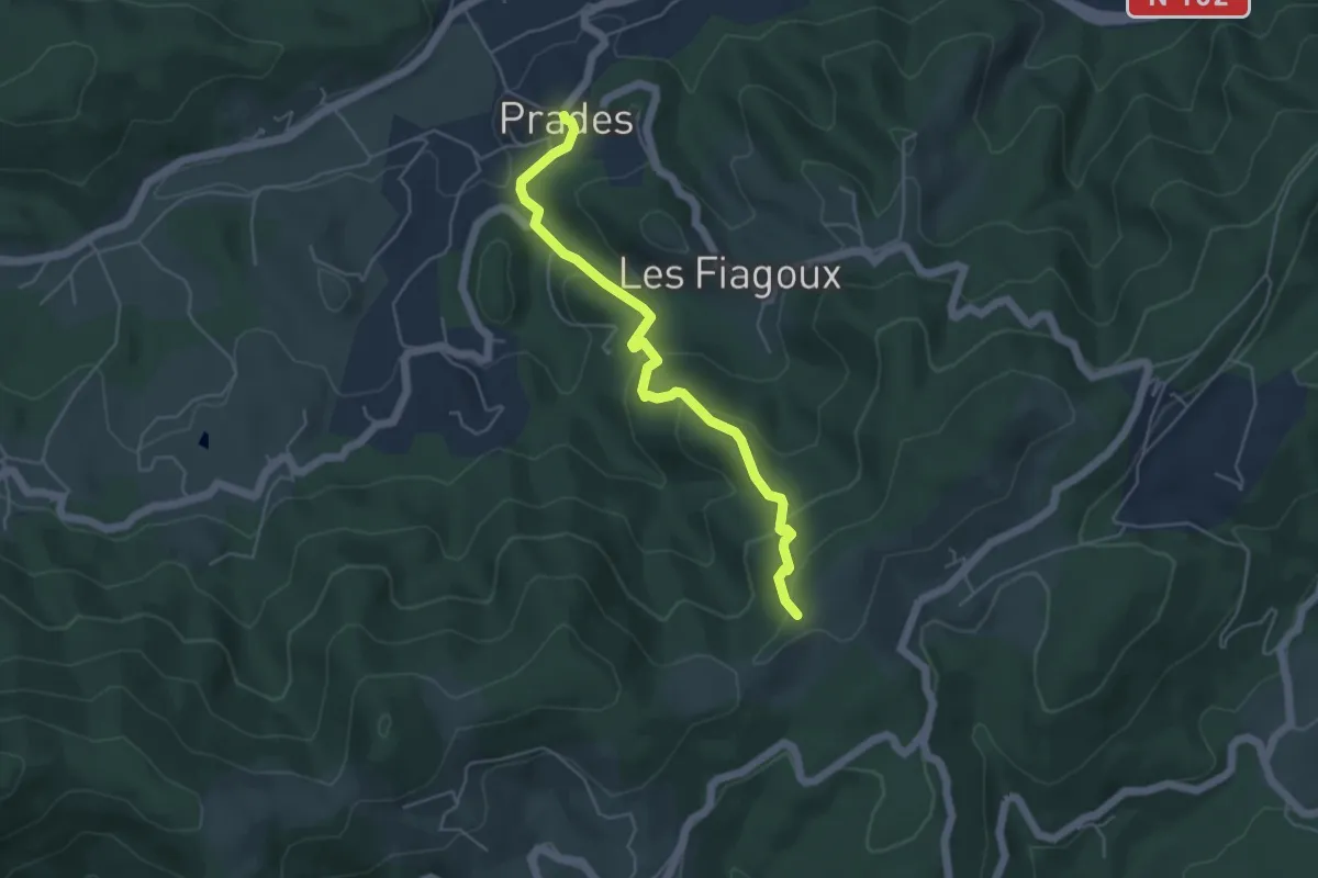
Easy · Trail
Prades - Montferou
5.0 km · ↑ 267 m · 1 h 45 min · 9 km away
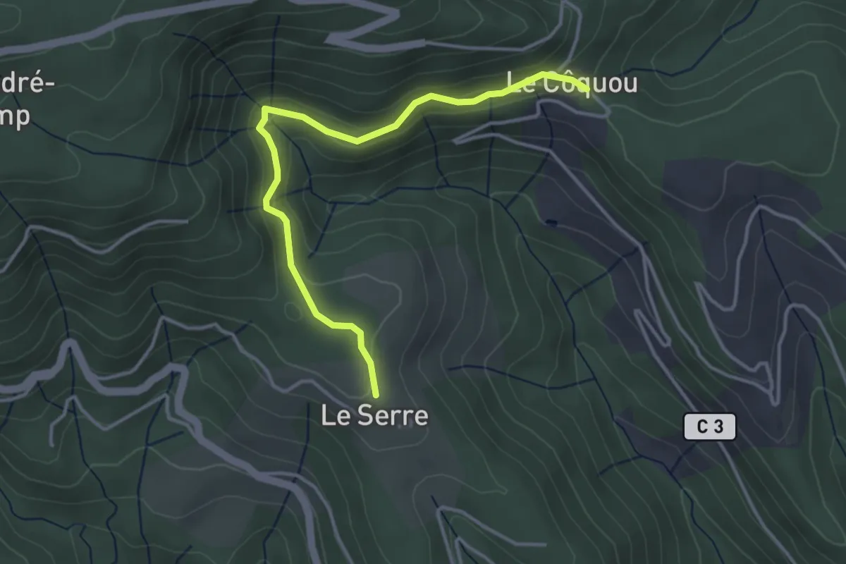
Easy · Trail
Le Serre - Côquou
3.9 km · ↑ 167 m · 1 h 17 min · 9 km away
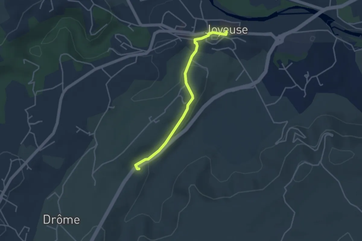
Easy · Trail
Joyeuse - Mas de Fontbonne
3.3 km · ↑ 55 m · 54 min · 9 km away
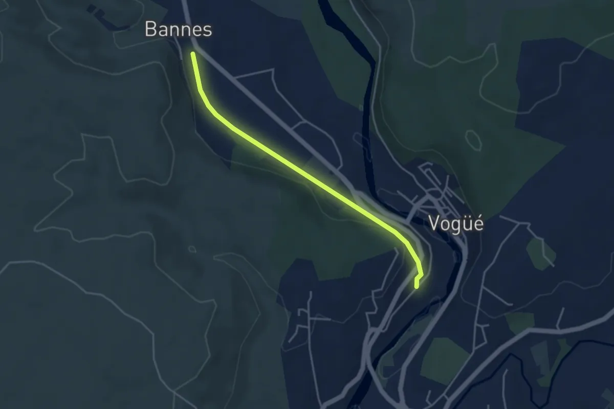
Easy · Trail
Le Tunnel - Bannes
3.8 km · ↑ 43 m · 59 min · 10 km away
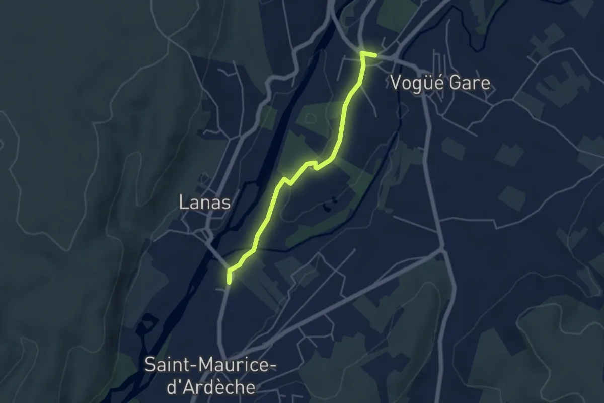
Easy · Trail
Le Moulin - Bausson
4.1 km · ↑ 22 m · 1 h · 10 km away
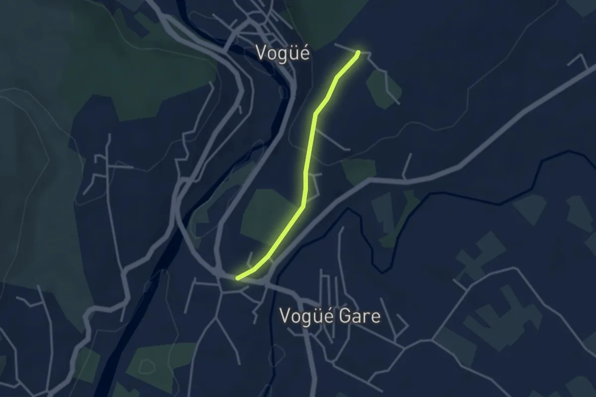
Easy · Trail
Bausson - Château d'eau
2.5 km · ↑ 65 m · 43 min · 10 km away
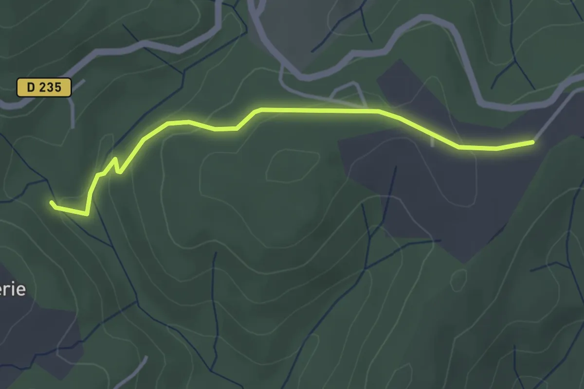
Easy · Trail
Rode - Plaine des Rompudes
3.3 km · ↑ 85 m · 58 min · 10 km away
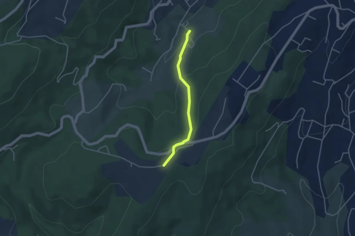
Easy · Trail
Louchon - Plaine des Rompudes
2.7 km · ↑ 118 m · 54 min · 10 km away
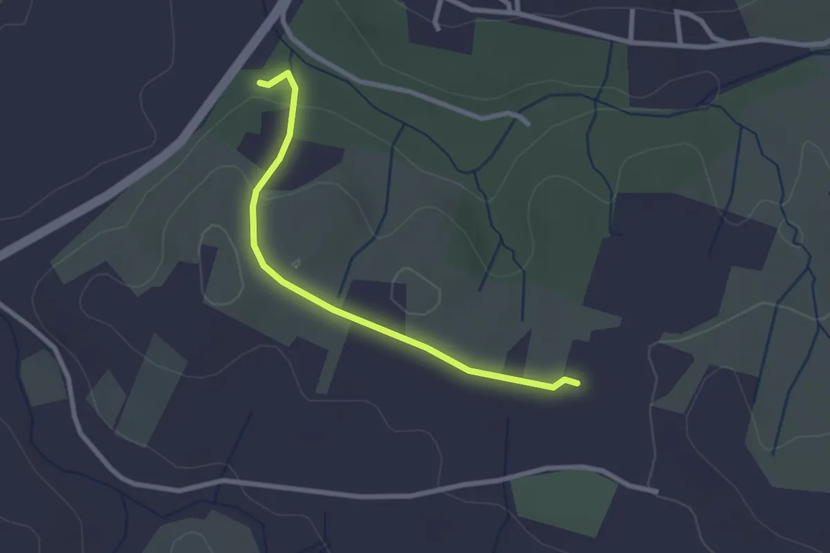
Easy · Trail
Chalouzet - Chaussy
2.5 km · ↑ 55 m · 42 min · 10 km away
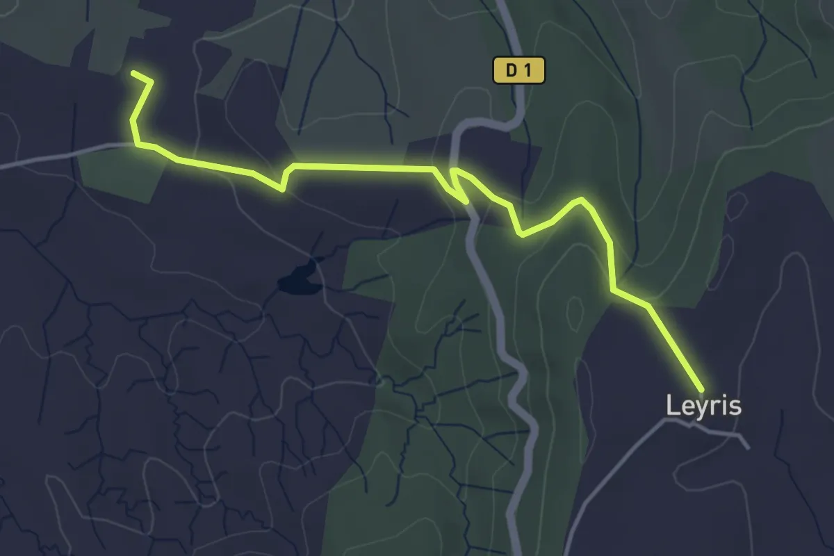
Easy · Trail
Chaussy - Hameau de Leyris
4.5 km · ↑ 121 m · 1 h 20 min · 10 km away
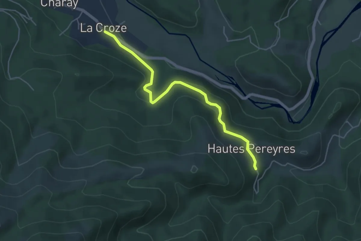
Easy · Trail
La Croze - Les Péreyres
4.5 km · ↑ 171 m · 1 h 26 min · 10 km away
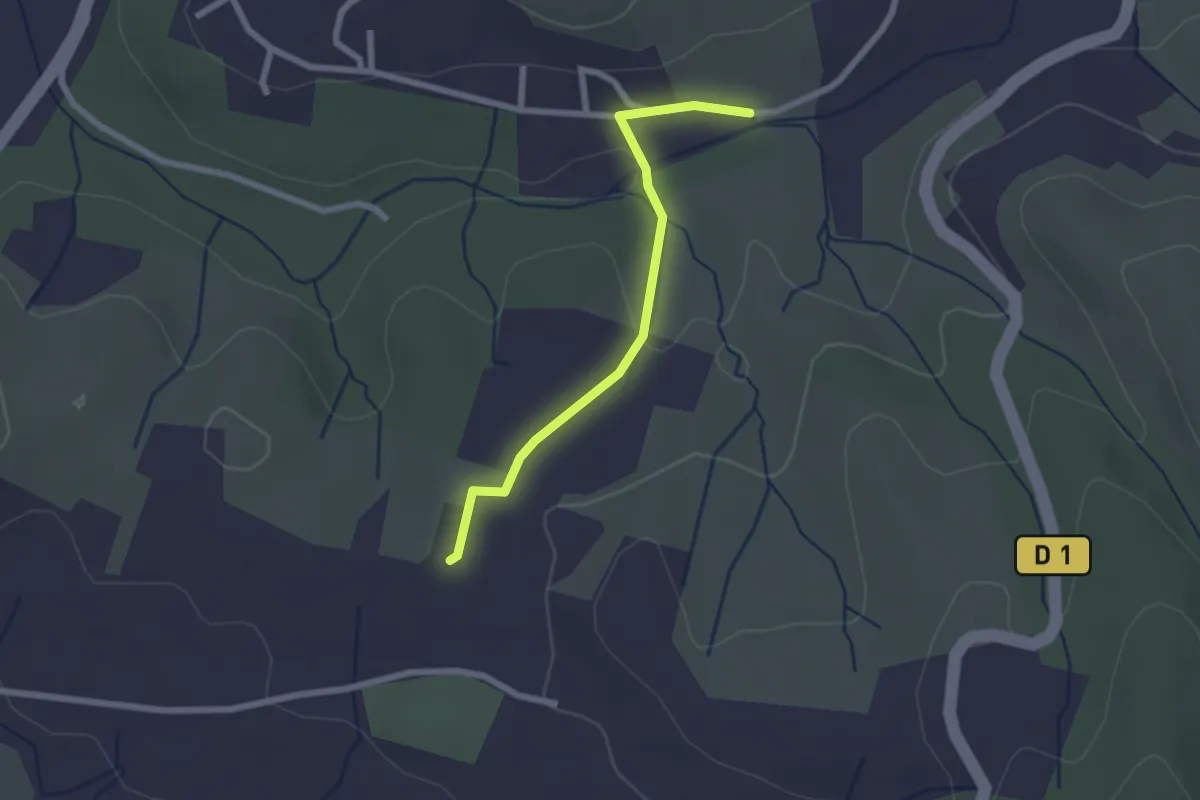
Easy · Trail
La Planche - Chaussy
2.2 km · ↑ 42 m · 37 min · 10 km away
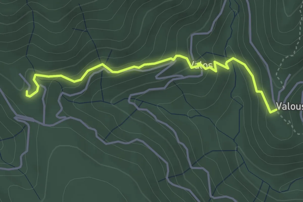
Medium · Trail
Valousset - Les Cebeyres
3.6 km · ↑ 187 m · 1 h 16 min · 10 km away
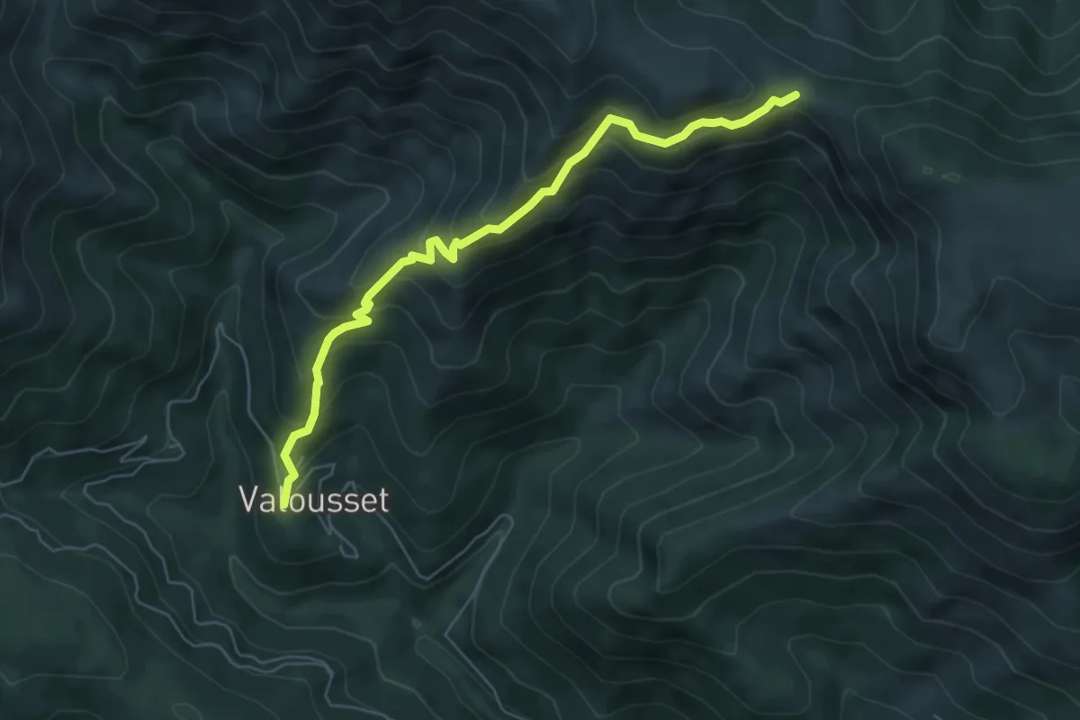
Medium · Trail
Valousset - Col du Merle
6.3 km · ↑ 546 m · 2 h 40 min · 10 km away
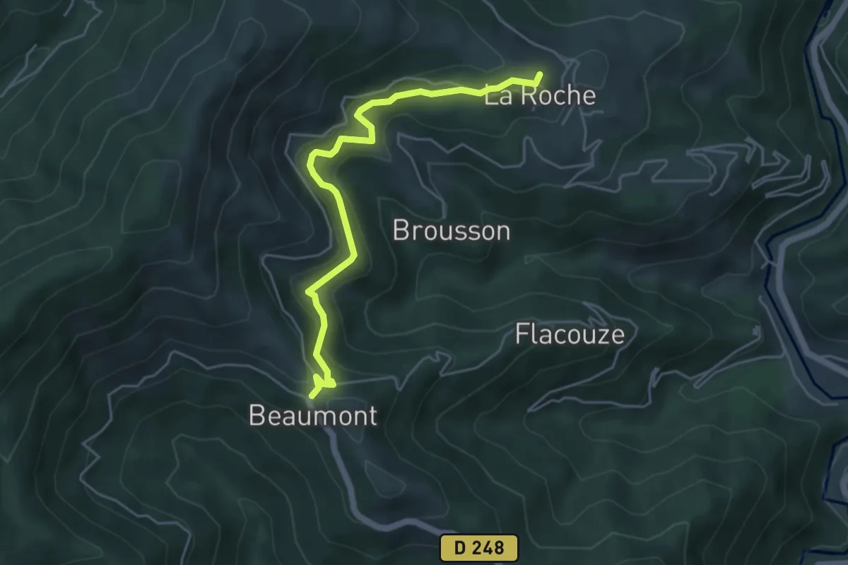
Easy · Trail
L'Ouste - Beaumont
4.9 km · ↑ 210 m · 1 h 37 min · 10 km away
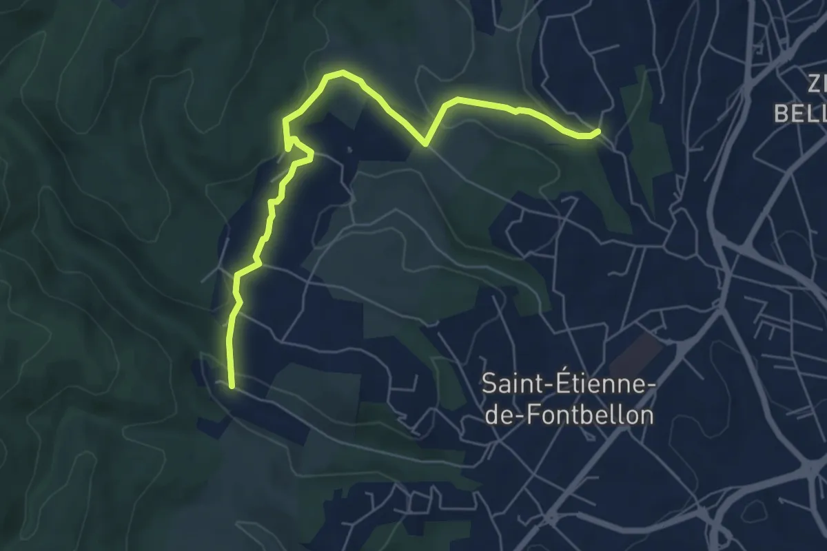
Easy · Trail
Gaude - Les Nuelles
6.5 km · ↑ 209 m · 1 h 59 min · 10 km away
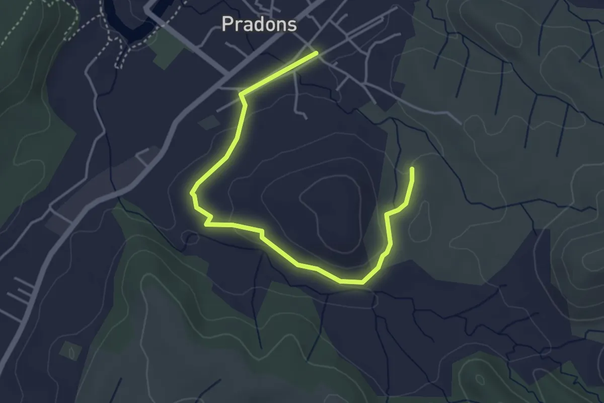
Easy · Trail
Voie Ferrée - Les Blaches
4.6 km · ↑ 74 m · 1 h 15 min · 10 km away
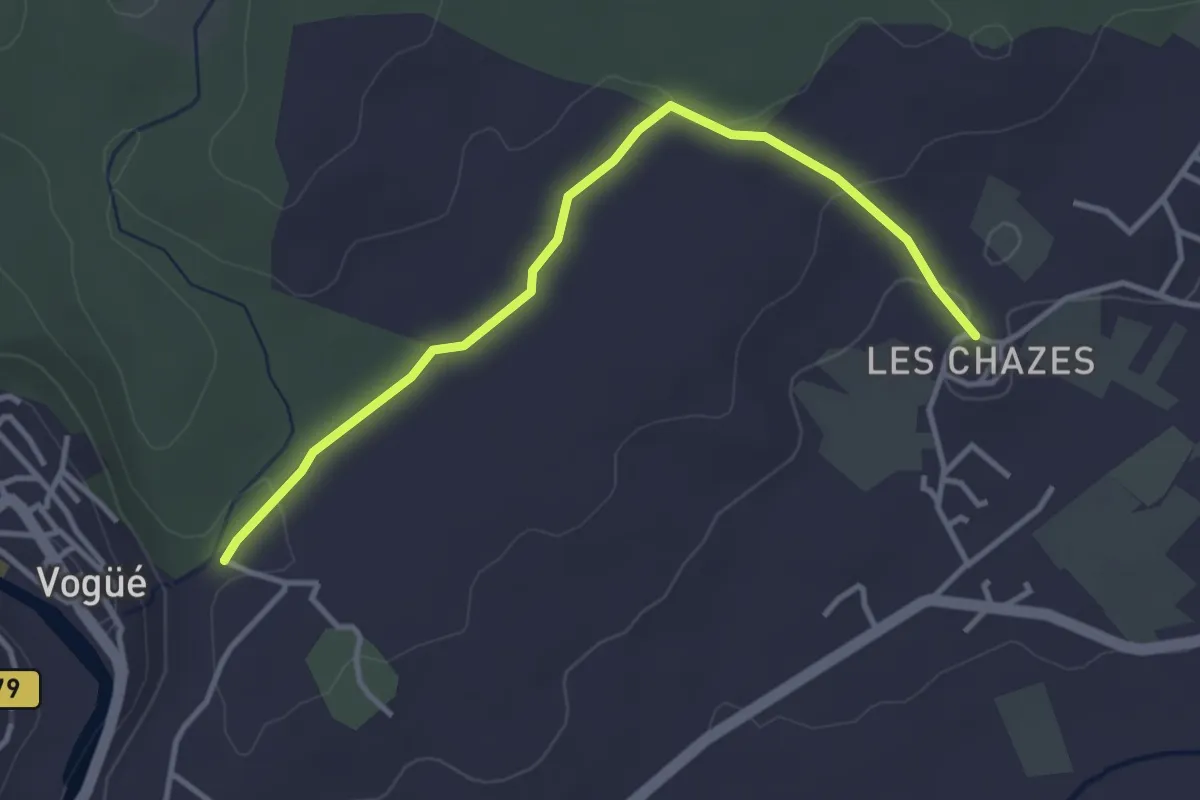
Easy · Trail
Les Chazes - Saint-Cerice
3.8 km · ↑ 62 m · 1 h 1 min · 10 km away
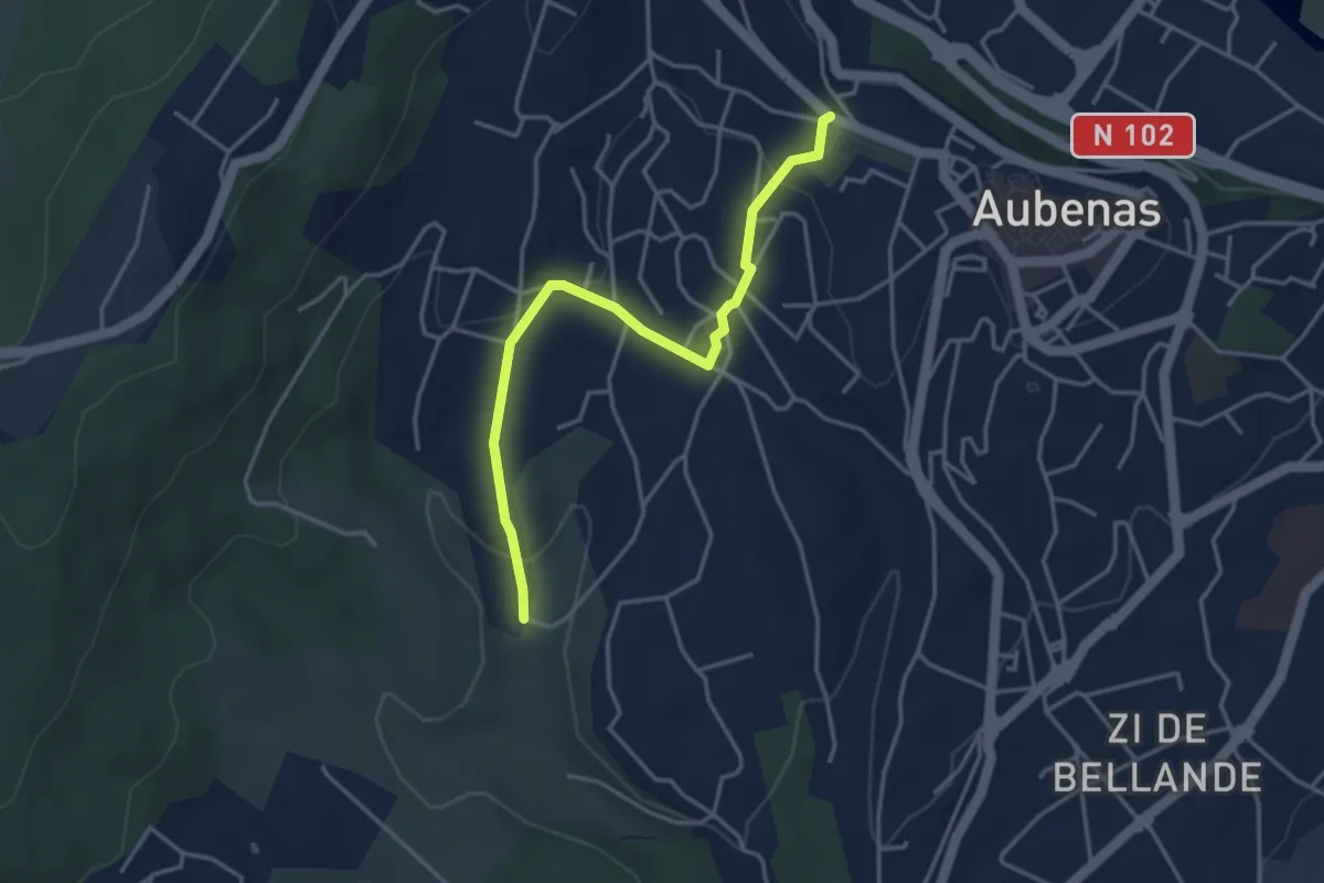
Easy · Trail
Chaudabri - Saint-Antoine
4.0 km · ↑ 139 m · 1 h 15 min · 10 km away
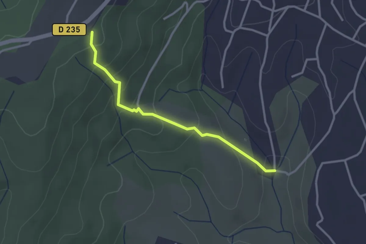
Easy · Trail
Chaudabri - Bois du Glaizal
2.6 km · ↑ 166 m · 58 min · 10 km away
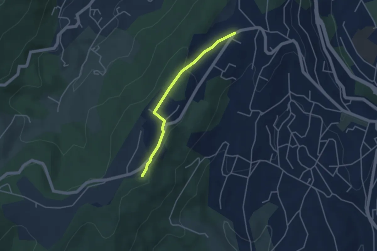
Easy · Trail
Lazuel Ouest - Bois du Glaizal
3.1 km · ↑ 58 m · 51 min · 10 km away
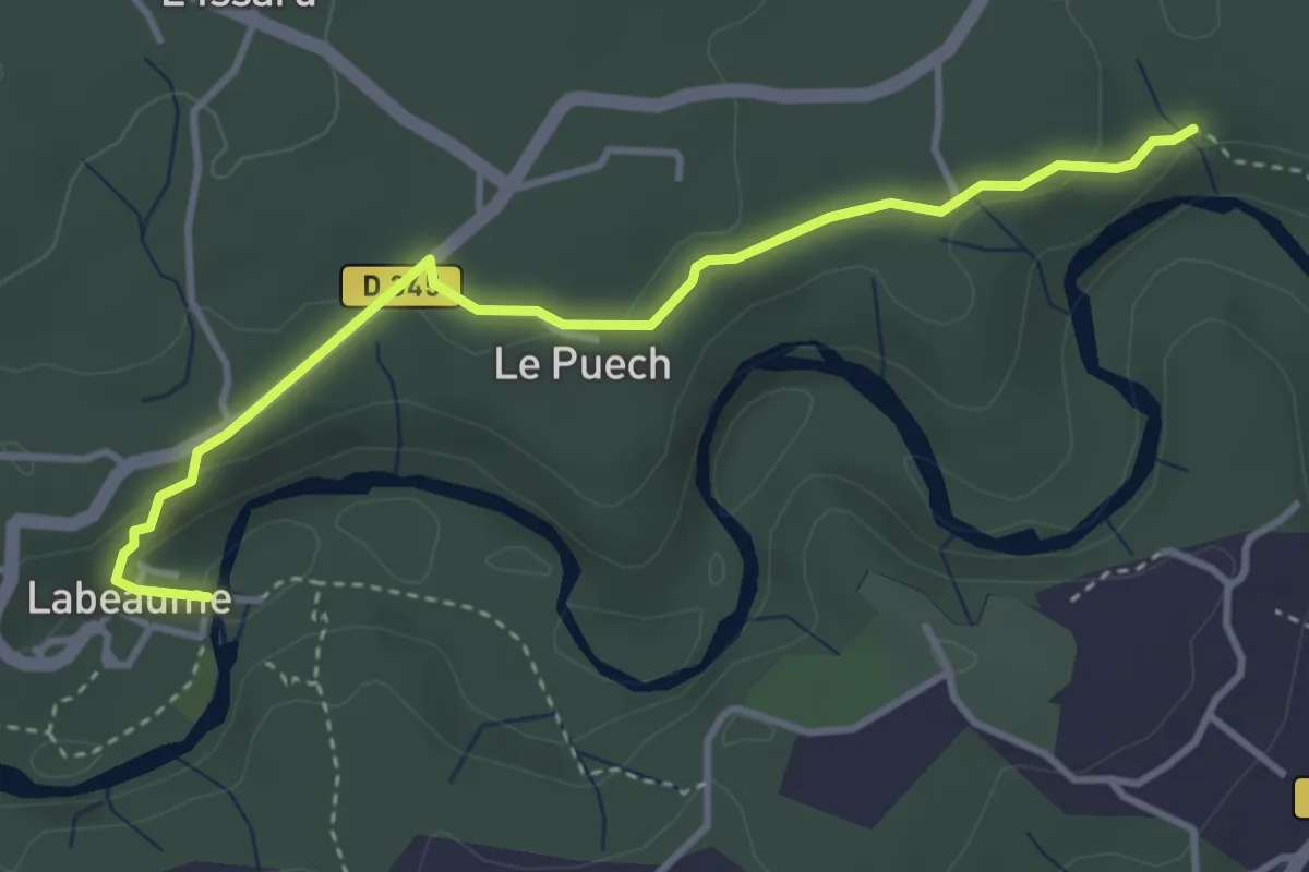
Easy · Trail
Le Sablas - Champlautier
3.9 km · ↑ 108 m · 1 h 10 min · 10 km away
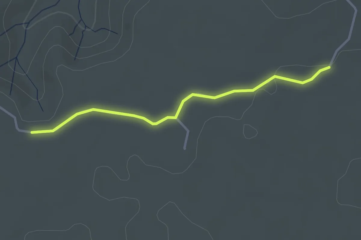
Easy · Trail
La Plaine des Mûres - Lauzette
2.8 km · ↑ 9 m · 41 min · 10 km away
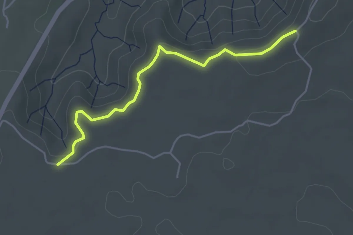
Easy · Trail
La Plaine des Mûres - Côte du Freyssinet
3.9 km · ↑ 118 m · 1 h 11 min · 10 km away
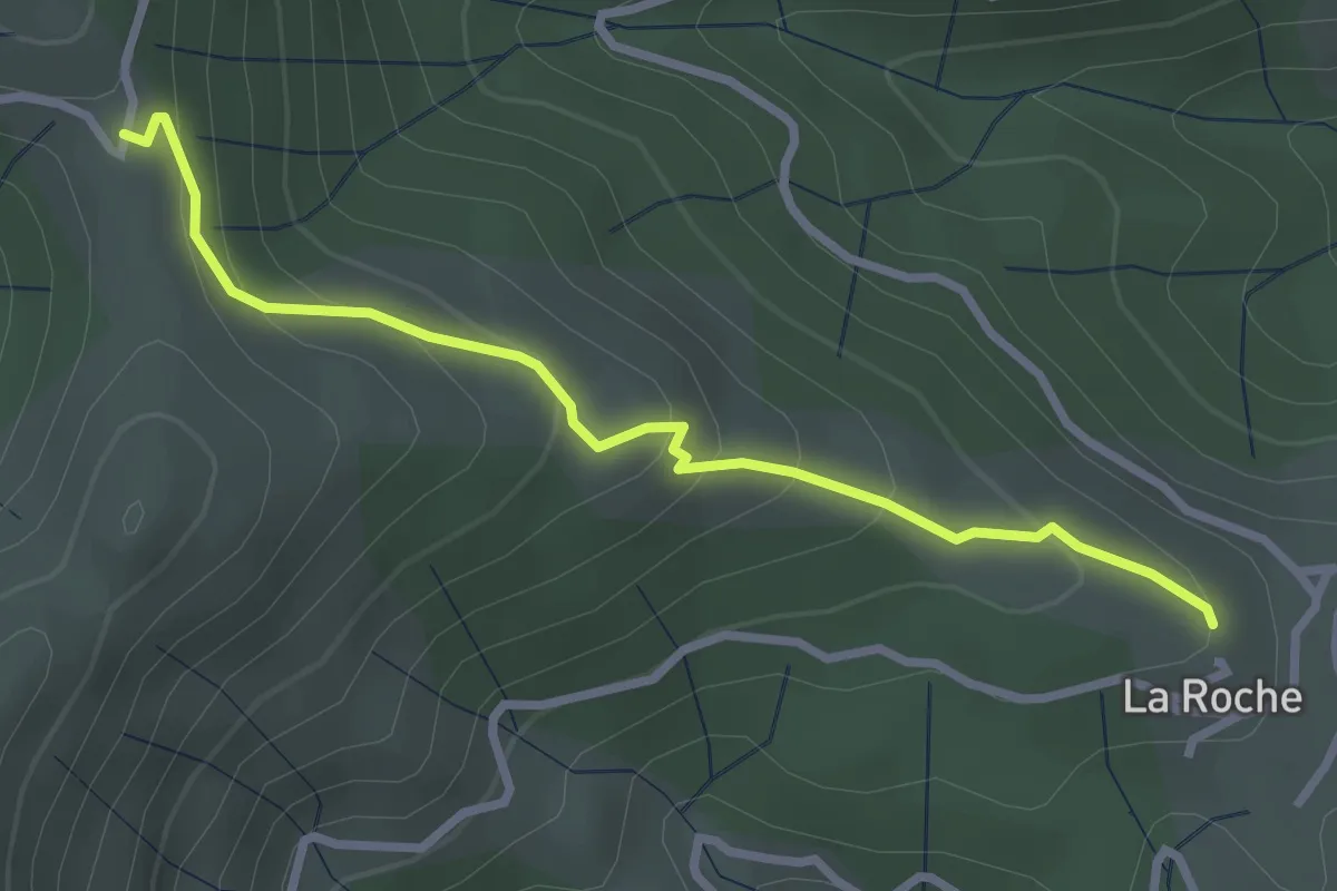
Easy · Trail
L'Ouste - Col des Caïras
3.0 km · ↑ 190 m · 1 h 7 min · 10 km away
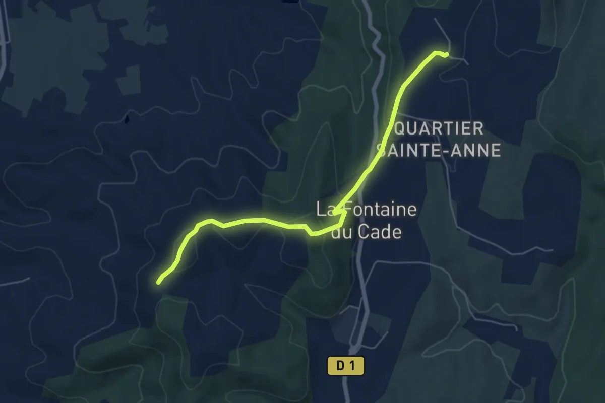
Easy · Trail
Leyris - Serre de Rimbaud
5.7 km · ↑ 165 m · 1 h 43 min · 10 km away
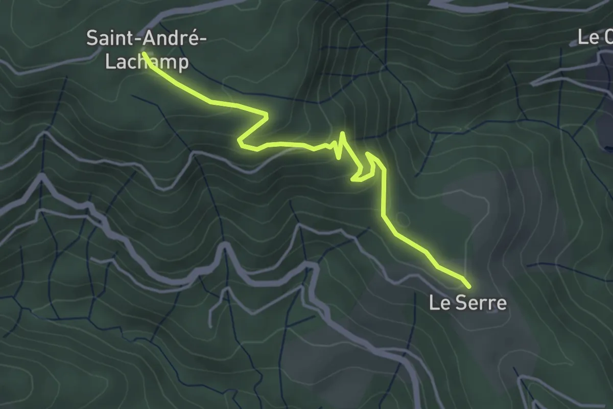
Easy · Trail
Le Serre - Saint-André Lachamp
4.2 km · ↑ 194 m · 1 h 25 min · 10 km away
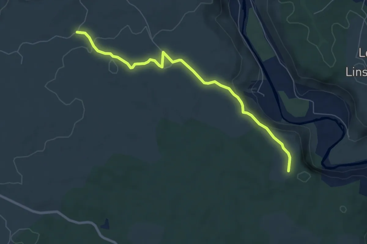
Easy · Trail
Falaise de Lunel - Lauzette
6.9 km · ↑ 115 m · 1 h 53 min · 10 km away
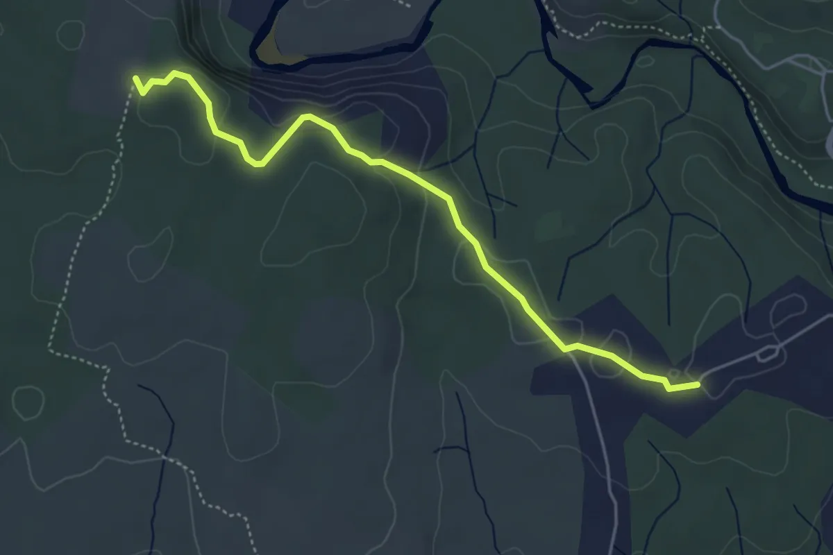
Easy · Trail
Robert - Falaise de Lunel
4.9 km · ↑ 118 m · 1 h 25 min · 10 km away
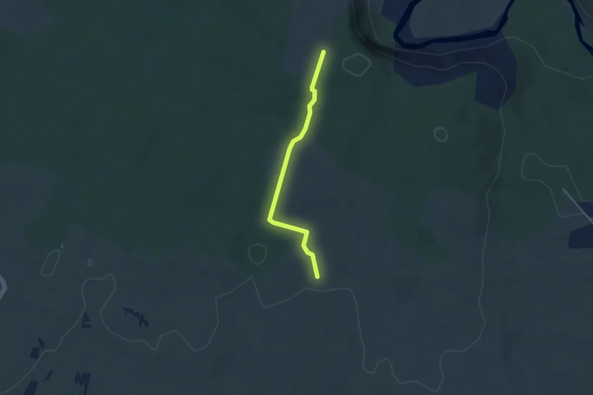
Medium · Trail
Ventalon - Falaise de Lunel
2.8 km · ↑ 35 m · 44 min · 10 km away