Trails near Largentière
425 hikes starting within 15 km, nearest first.
Nearest first, page 6 of 9
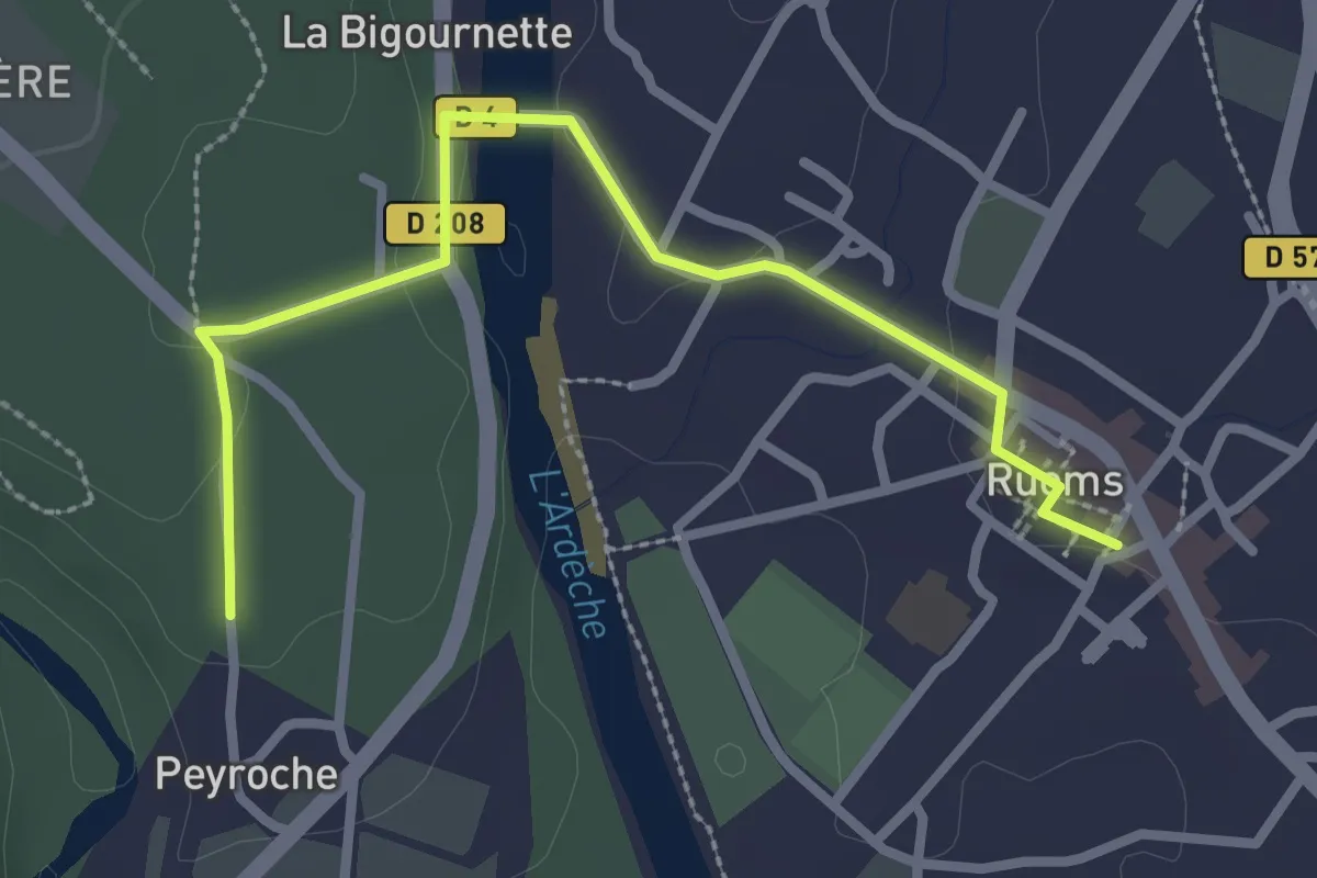
Easy · Trail
Ruoms - Peyroche
3.1 km · ↑ 49 m · 50 min · 10 km away
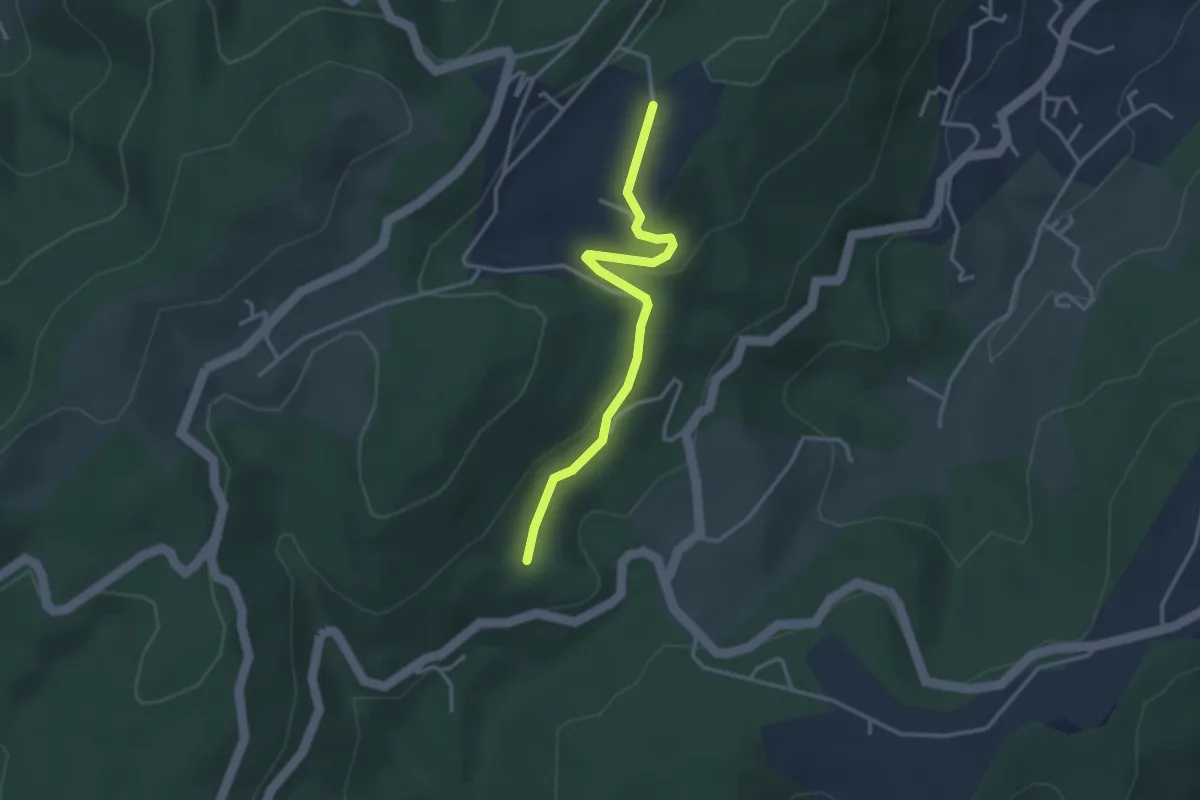
Easy · Trail
La Faugère - Turc
3.2 km · ↑ 75 m · 56 min · 11 km away
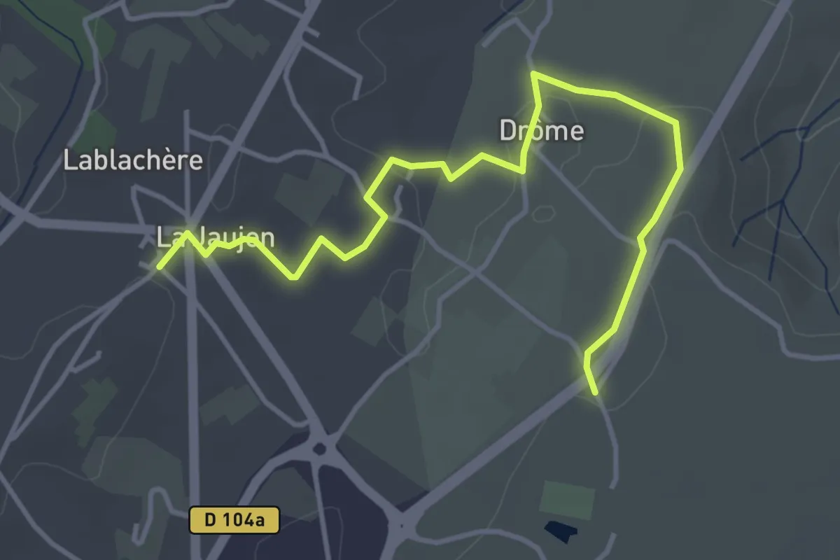
Easy · Trail
La Grangette - Lablachère
4.5 km · ↑ 56 m · 1 h 11 min · 11 km away
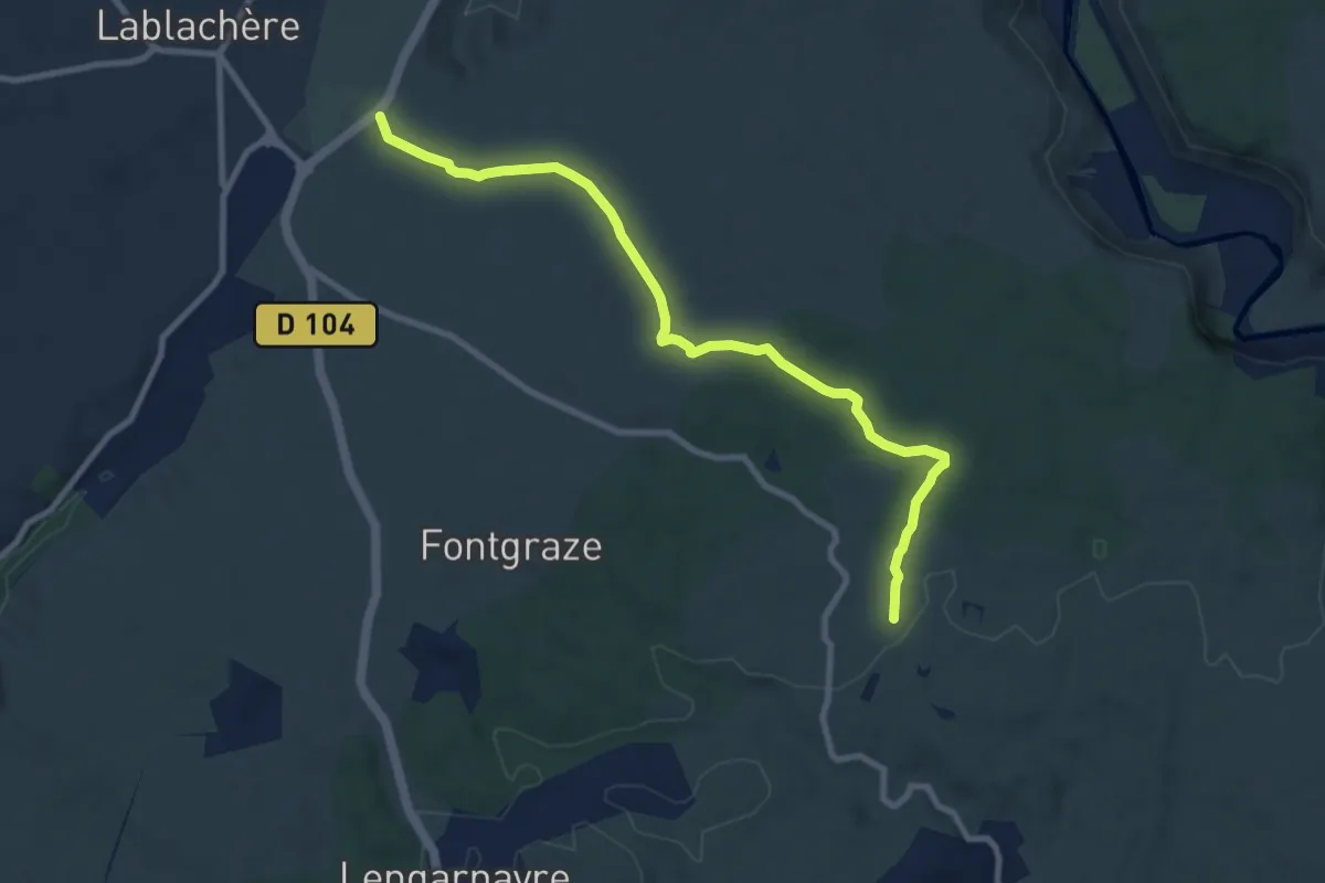
Medium · Trail
Le Réméjadou - La Grangette
9.8 km · ↑ 90 m · 2 h 30 min · 11 km away
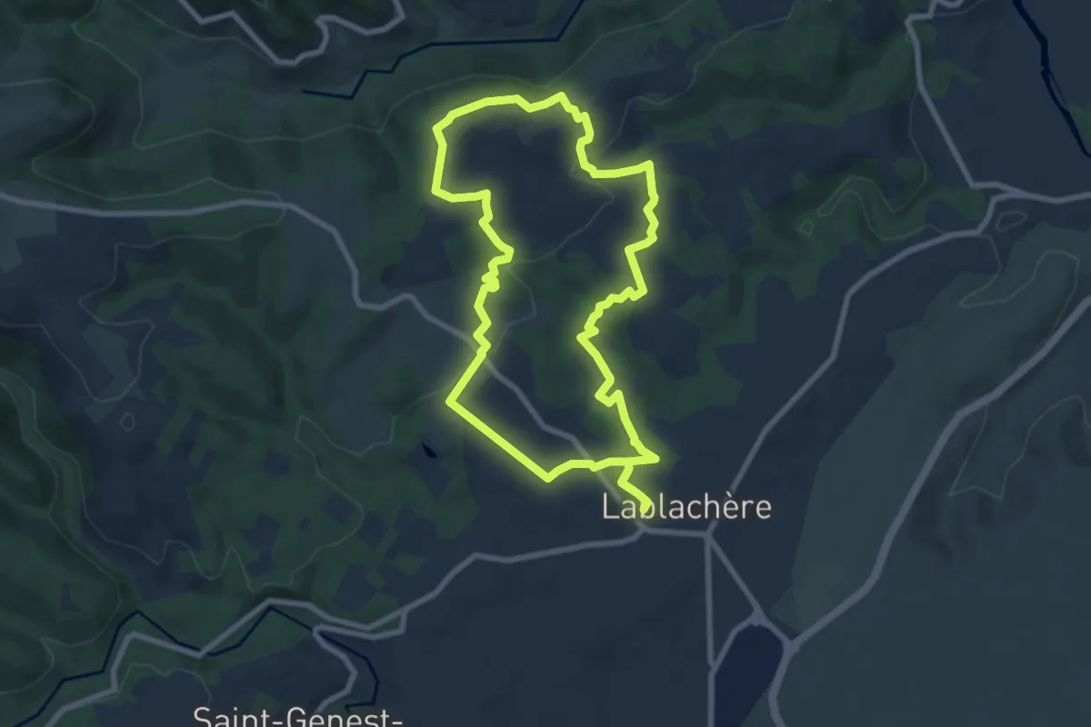
Easy · Trail
Sentier Vigneron
7.9 km · ↑ 154 m · 2 h 18 min · 11 km away
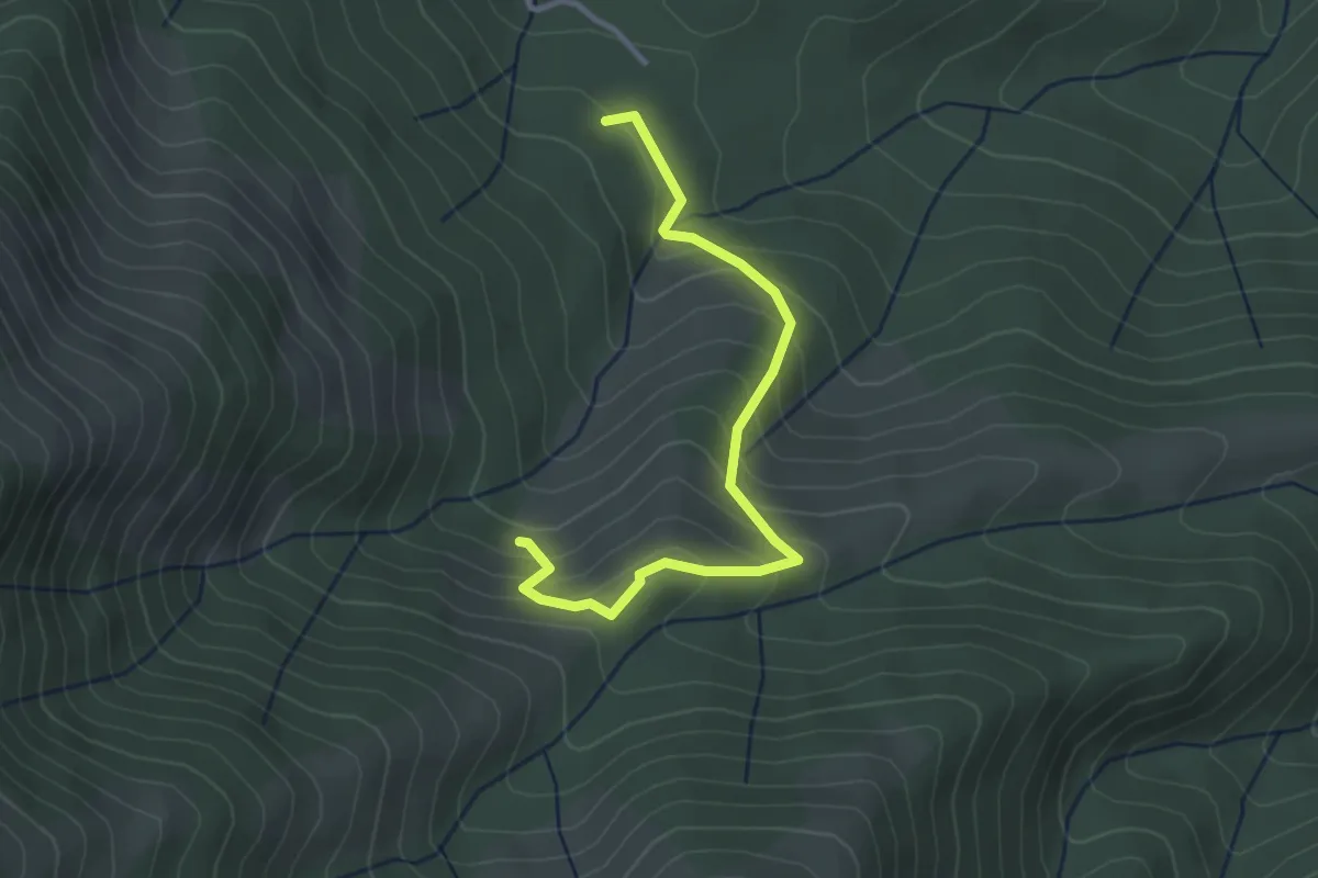
Easy · Trail
Les Plantades - La Grange
3.4 km · ↑ 238 m · 1 h 18 min · 11 km away
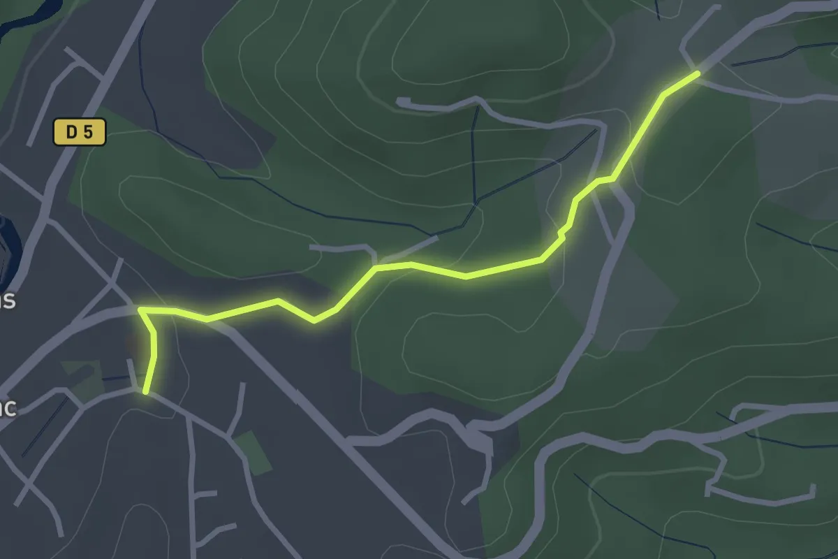
Easy · Trail
Castrevielle -Larmande
2.7 km · ↑ 69 m · 48 min · 11 km away
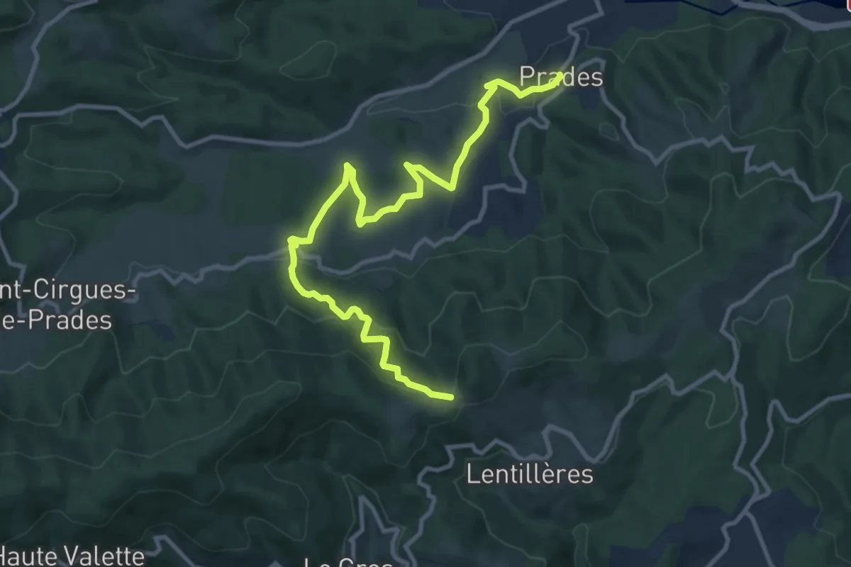
Medium · Trail
Prades - Les Perringues
11.7 km · ↑ 527 m · 3 h 54 min · 11 km away
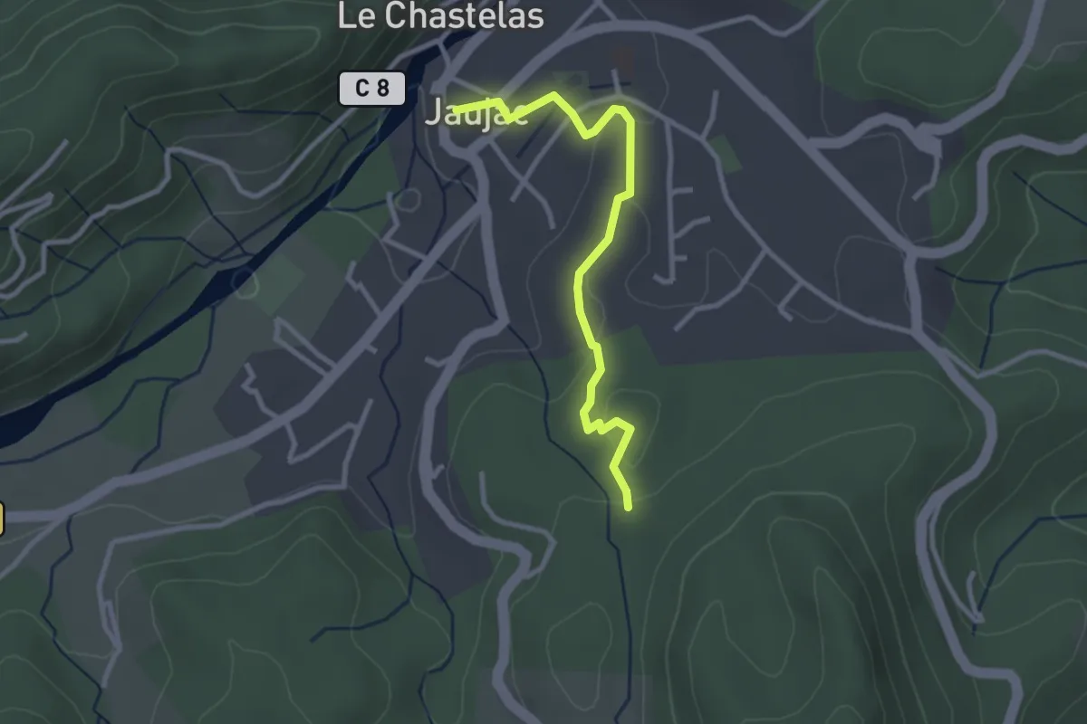
Easy · Trail
Jaujac - Gonthier
2.8 km · ↑ 52 m · 46 min · 11 km away
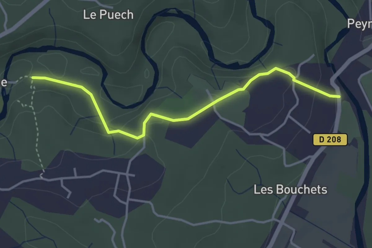
Medium · Trail
Le Vieux Pont - La Beaume
3.6 km · ↑ 186 m · 1 h 15 min · 11 km away
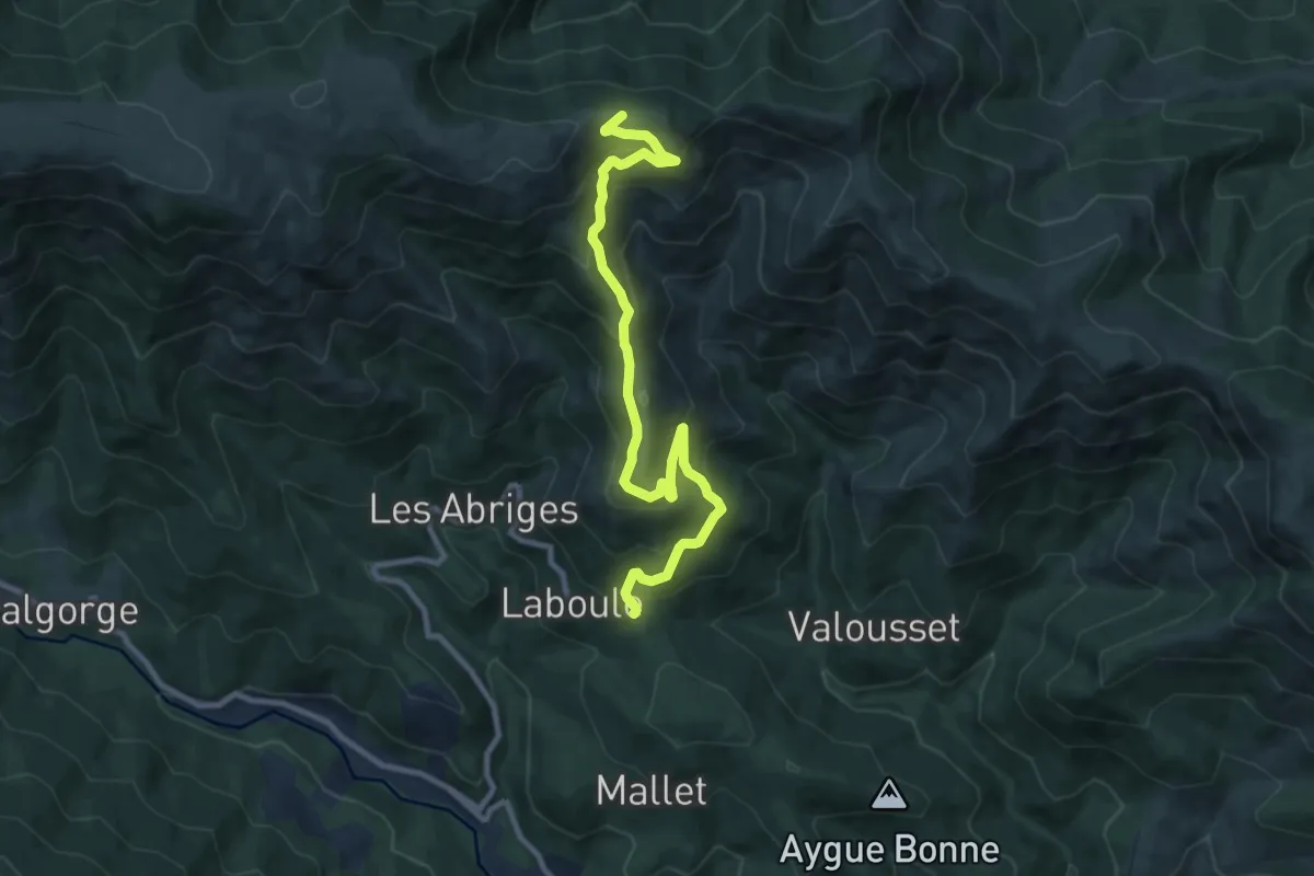
Medium · Trail
Les Cebeyres - Cros de l'Aygue
10.7 km · ↑ 687 m · 4 h 1 min · 11 km away
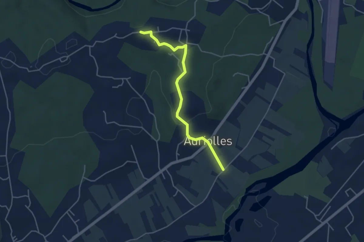
Easy · Trail
Le Béal - Champagnac
3.8 km · ↑ 74 m · 1 h 4 min · 11 km away
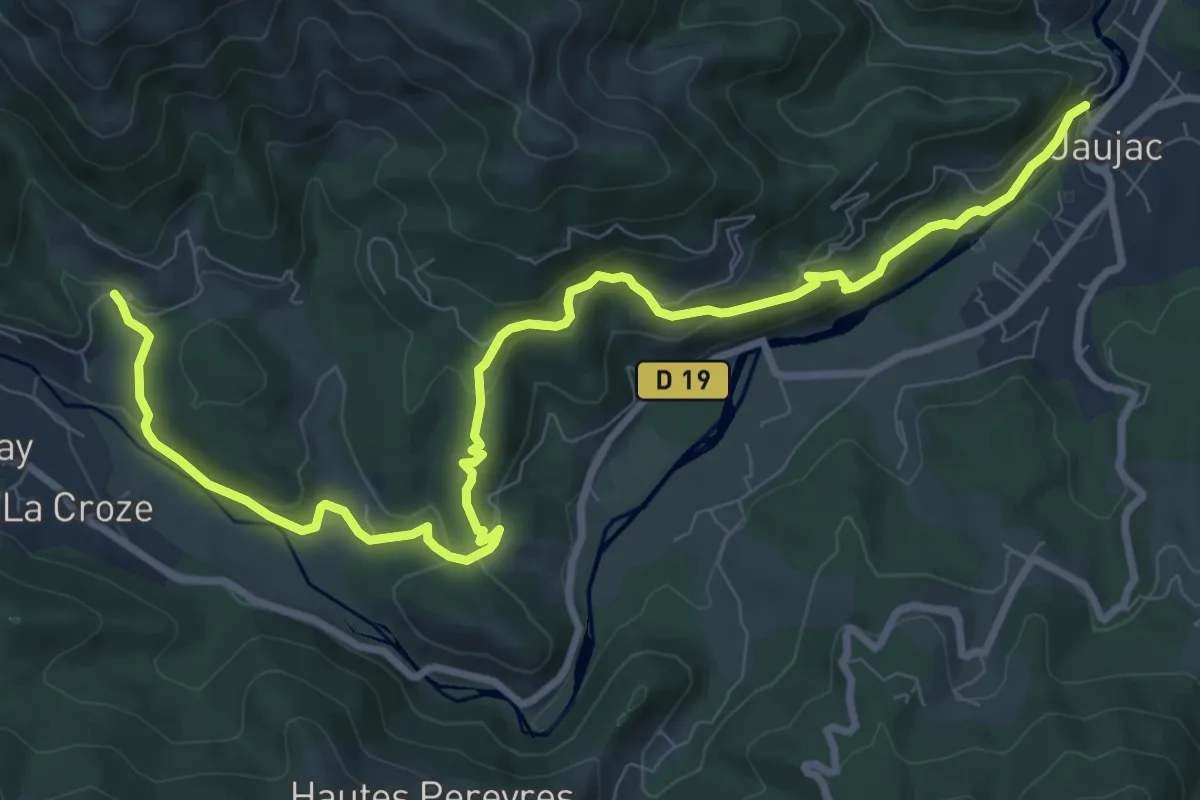
Medium · Trail
Le Chastelas - La Lioure
11.6 km · ↑ 431 m · 3 h 40 min · 11 km away
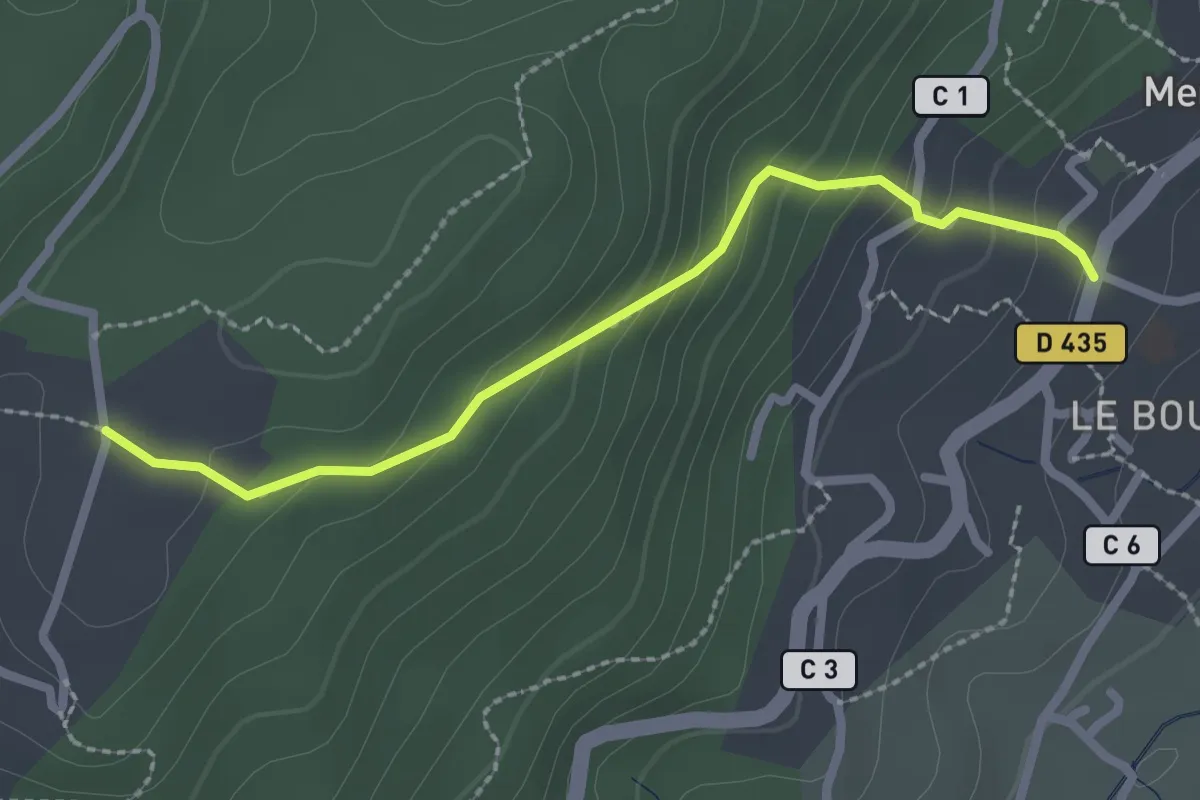
Easy · Trail
Mercuer - Turc
2.4 km · ↑ 170 m · 57 min · 11 km away
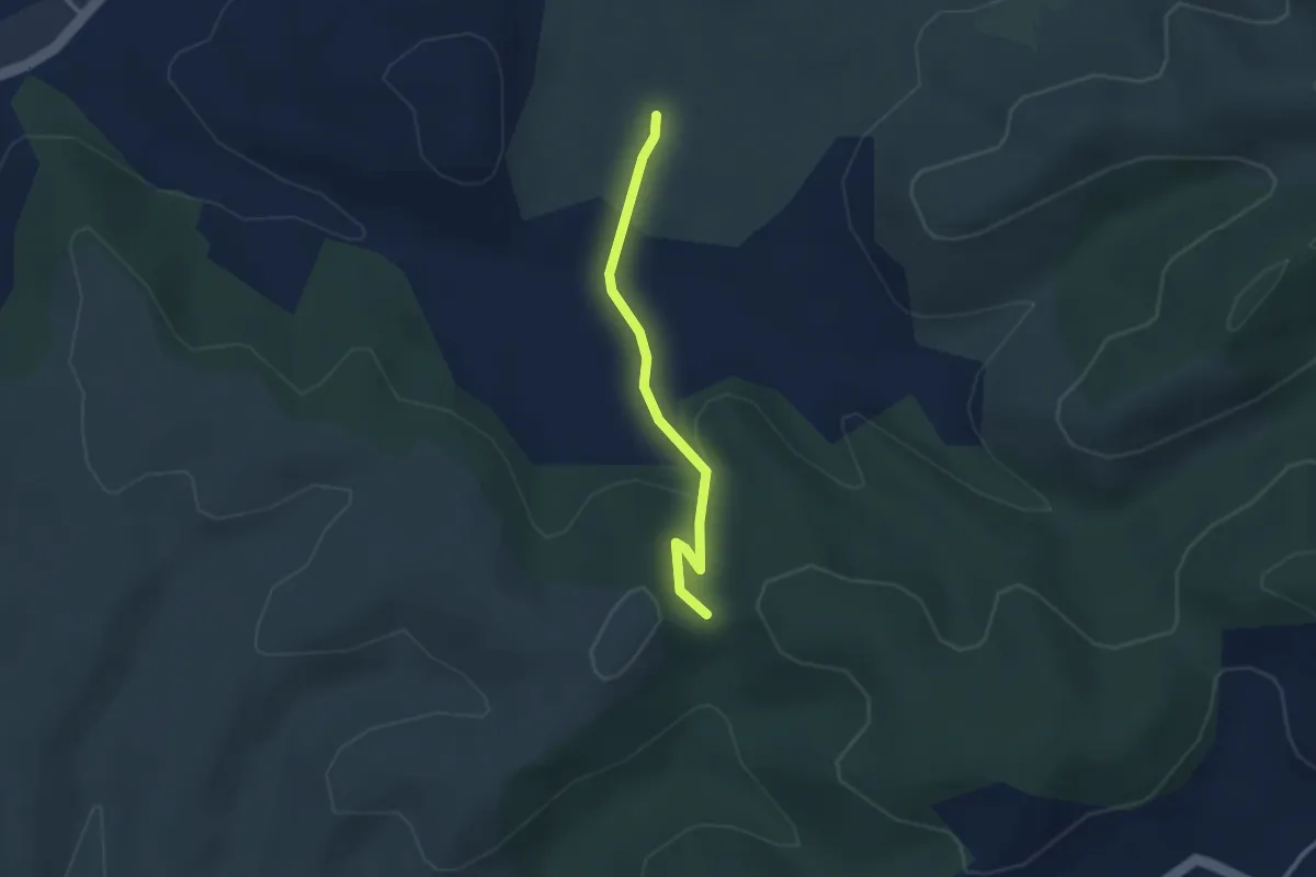
Easy · Trail
Le Planas - Trappe Loup
2.6 km · ↑ 86 m · 48 min · 11 km away
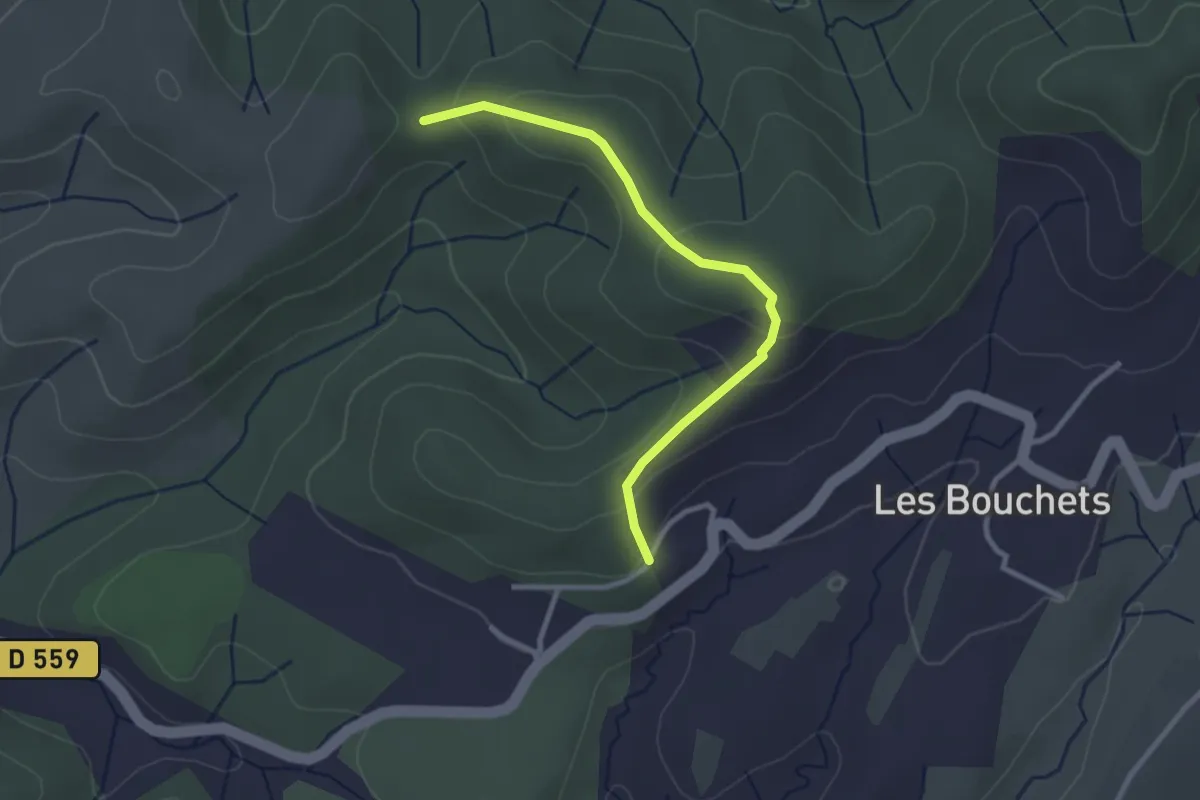
Easy · Trail
Petit Chaussy - Trappe Loup
2.9 km · ↑ 133 m · 58 min · 11 km away
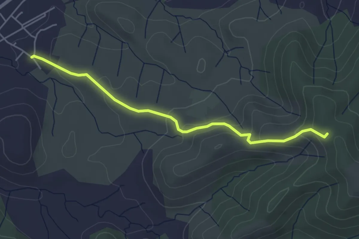
Easy · Trail
Les Granges - Serre Juillet
4.4 km · ↑ 181 m · 1 h 26 min · 11 km away
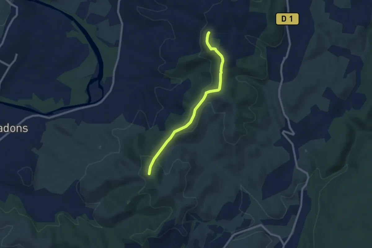
Easy · Trail
Serre Juillet - Serre de Rimbaud
5.9 km · ↑ 190 m · 1 h 49 min · 11 km away
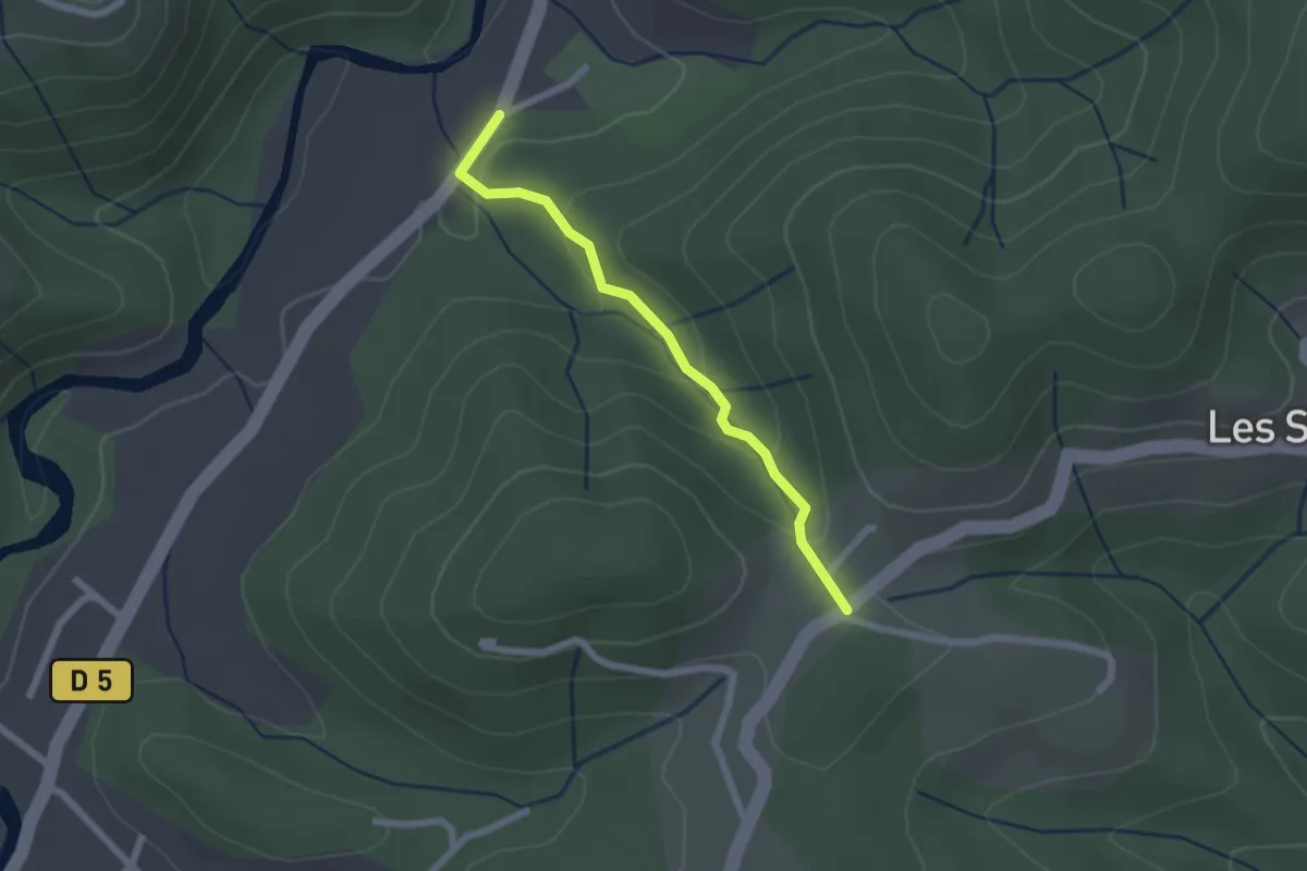
Easy · Trail
Bonneval - Larmande
2.0 km · ↑ 89 m · 41 min · 11 km away
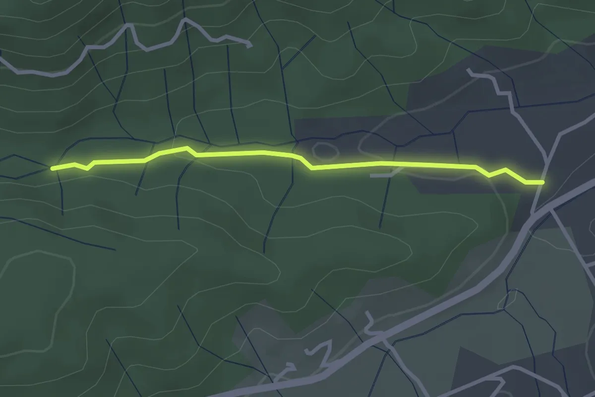
Easy · Trail
Le Pont de Prades - Le Chambon
2.6 km · ↑ 42 m · 43 min · 11 km away
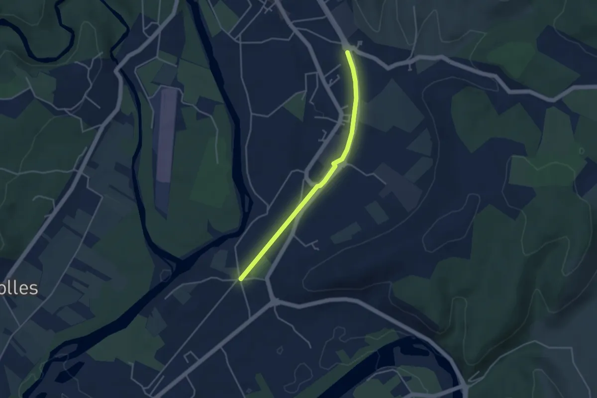
Easy · Trail
Saint-Michel - La Gare
3.6 km · ↑ 8 m · 52 min · 11 km away
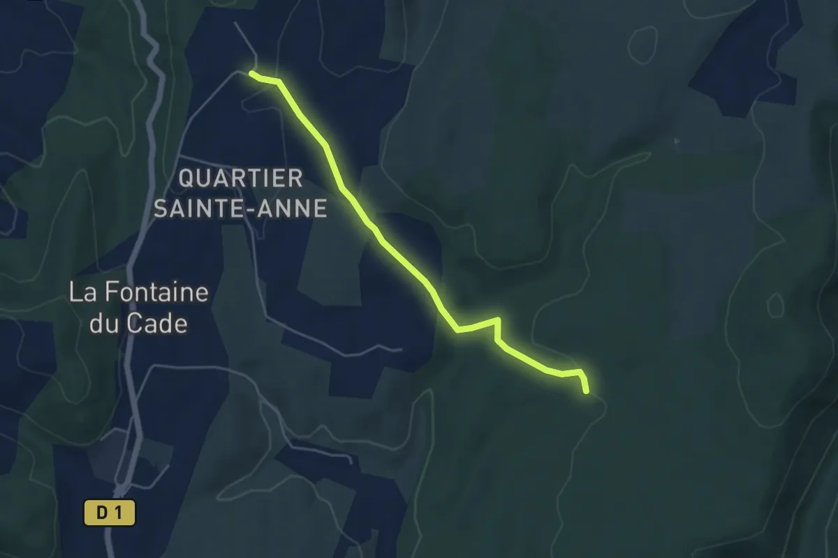
Easy · Trail
Gras de la Fauvette - Leyris
4.6 km · ↑ 78 m · 1 h 15 min · 11 km away
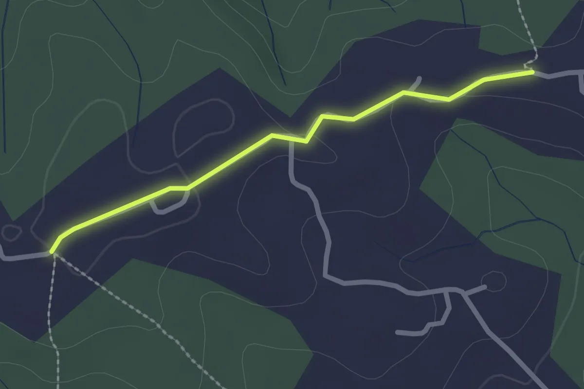
Easy · Trail
Champagnac - Robert
2.1 km · ↑ 28 m · 33 min · 11 km away
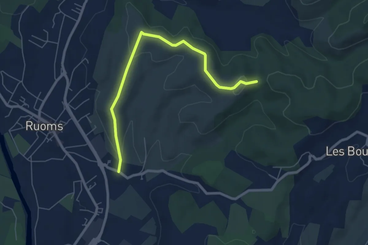
Easy · Trail
Les Faysses - Trappe Loup
6.1 km · ↑ 133 m · 1 h 44 min · 11 km away
Easy · Trail
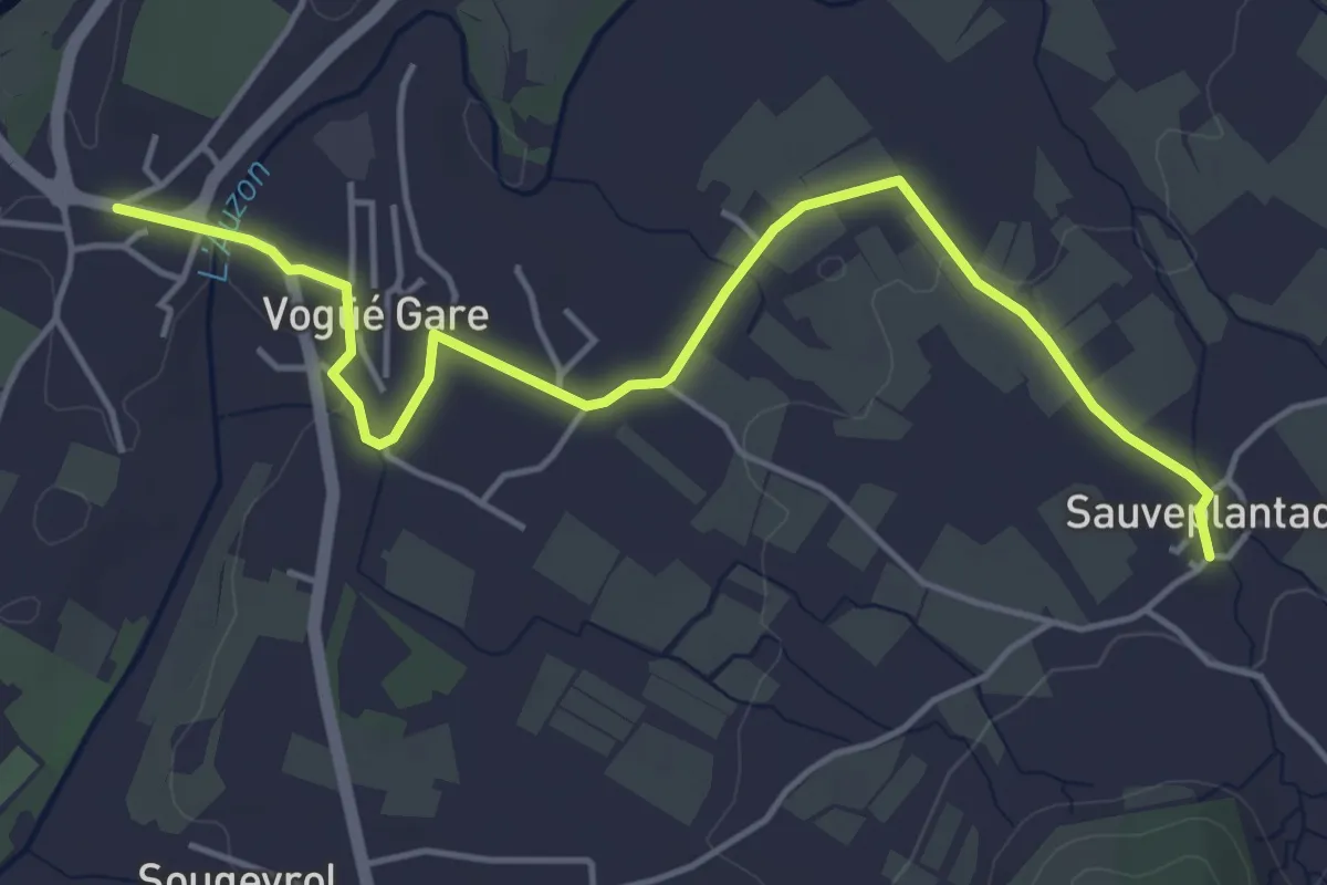
Bausson - Sauveplantade
5.4 km · ↑ 38 m · 1 h 21 min · 11 km away
Easy · Trail
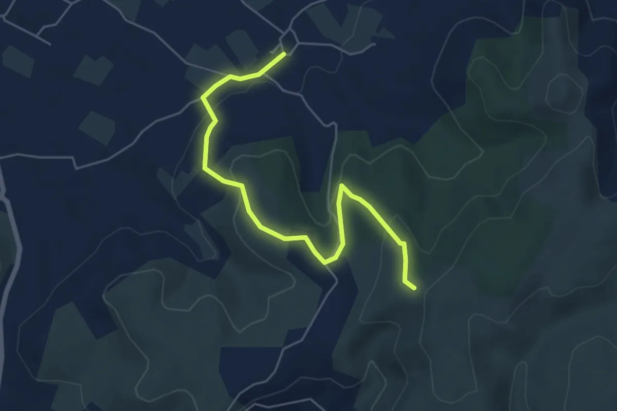
Sauveplantade - Léauze
5.4 km · ↑ 172 m · 1 h 39 min · 11 km away
Easy · Trail
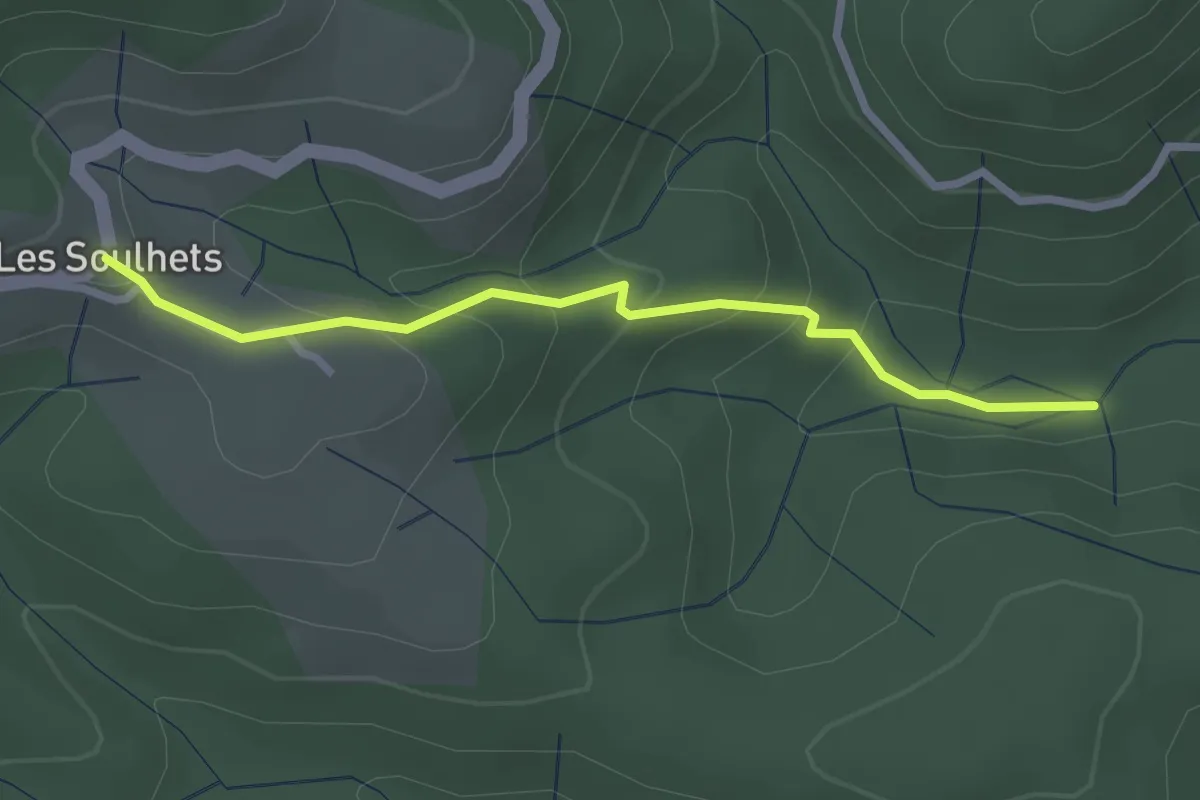
Le Chambon - Les Soulhets
2.7 km · ↑ 156 m · 58 min · 11 km away
Easy · Trail
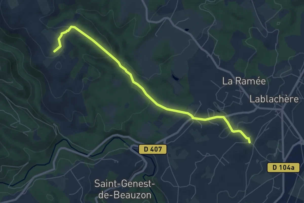
Le Péage - Le Grand Bois
7.2 km · ↑ 177 m · 2 h 5 min · 11 km away
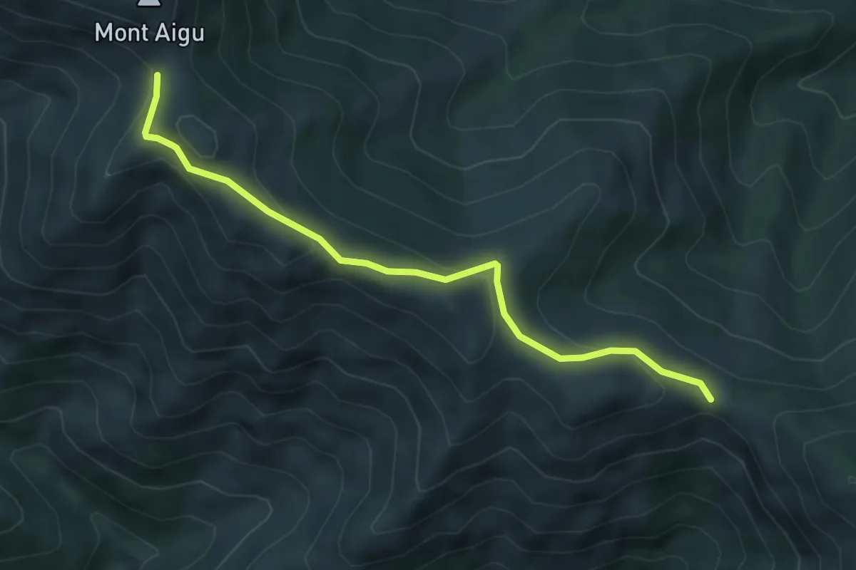
Easy · Trail
Col du Merle - Col de Sucheyre
5.2 km · ↑ 253 m · 1 h 46 min · 11 km away
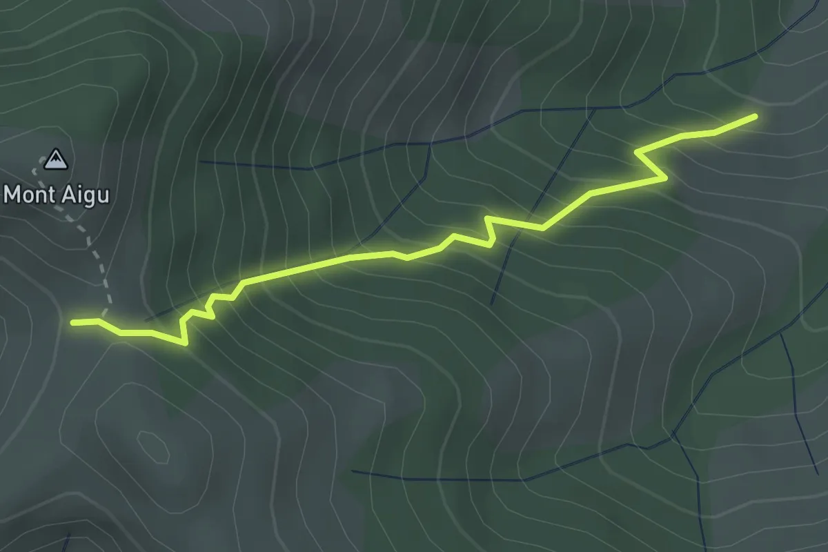
Medium · Trail
La Grange - Col de Sucheyre
2.9 km · ↑ 405 m · 1 h 33 min · 11 km away
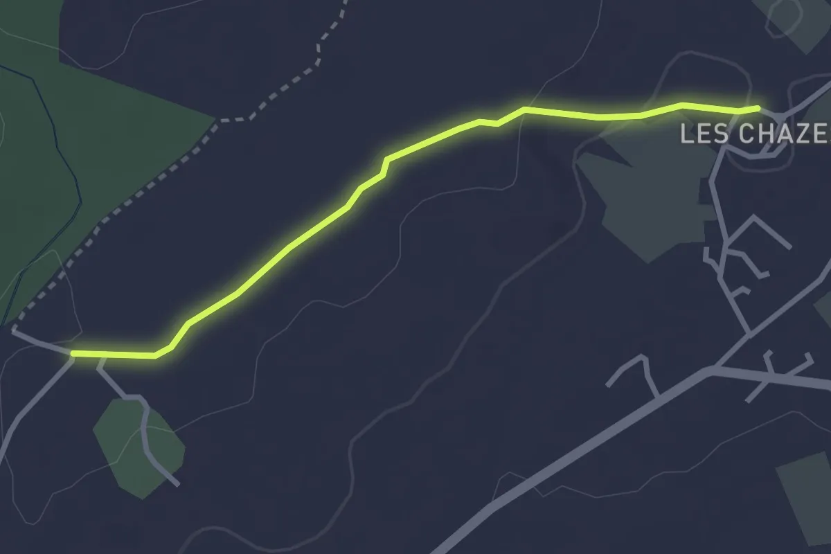
Easy · Trail
Les Chazes - Château d'eau
2.8 km · ↑ 32 m · 44 min · 11 km away
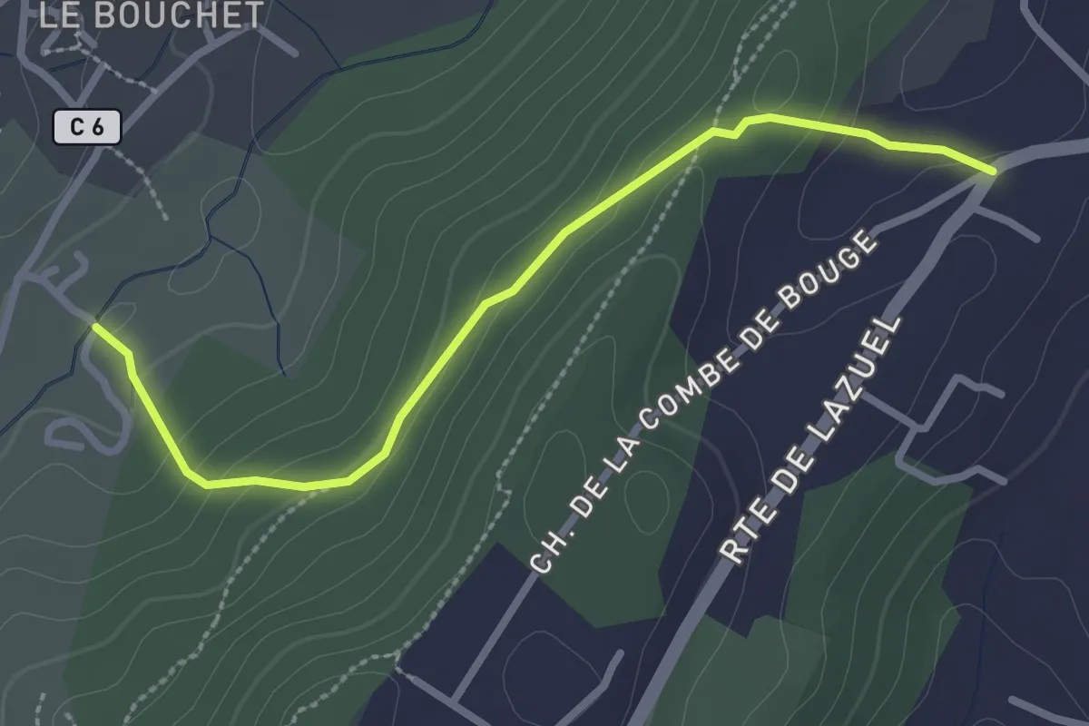
Easy · Trail
Louchon - Lazuel Ouest
2.8 km · ↑ 111 m · 54 min · 11 km away
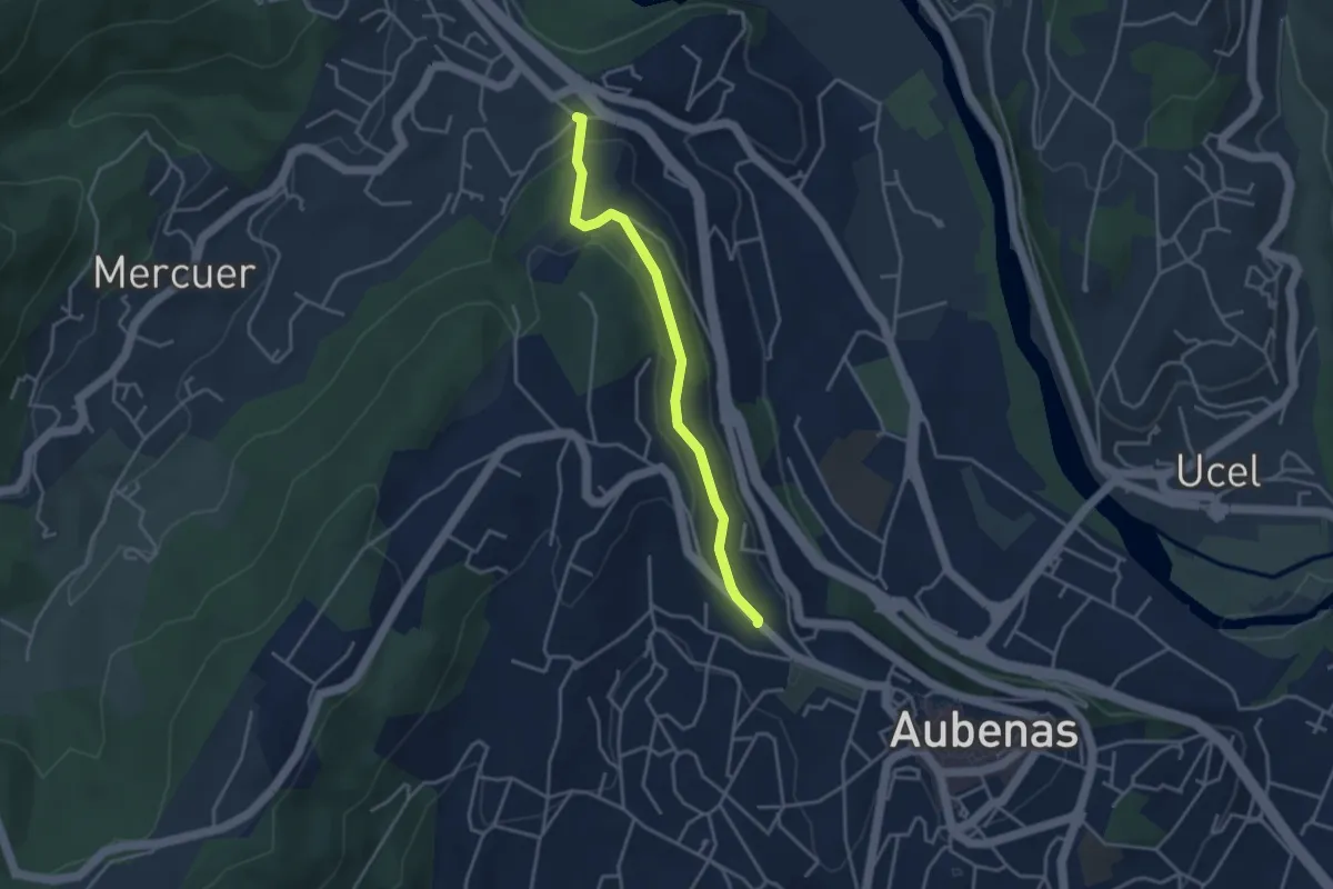
Easy · Trail
Les Gibaux - Constantine
3.6 km · ↑ 110 m · 1 h 5 min · 11 km away
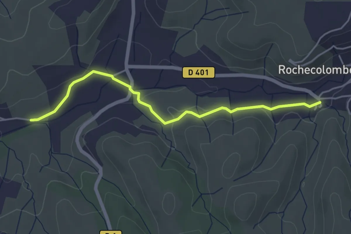
Easy · Trail
La Planche - Rochecolombe
4.2 km · ↑ 64 m · 1 h 8 min · 11 km away
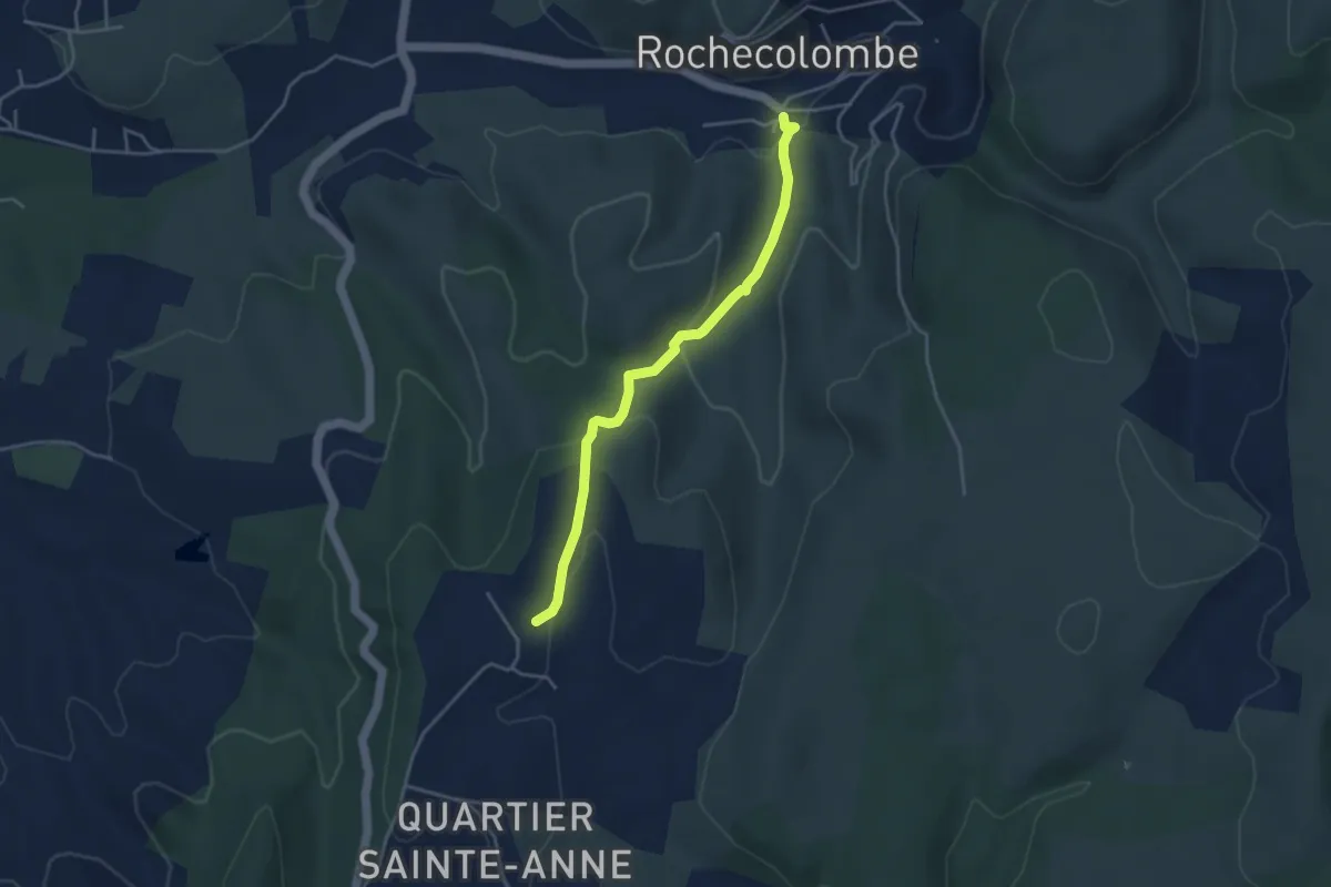
Easy · Trail
Rochecolombe - Les Clos
4.0 km · ↑ 133 m · 1 h 14 min · 11 km away
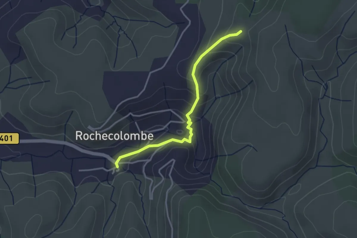
Easy · Trail
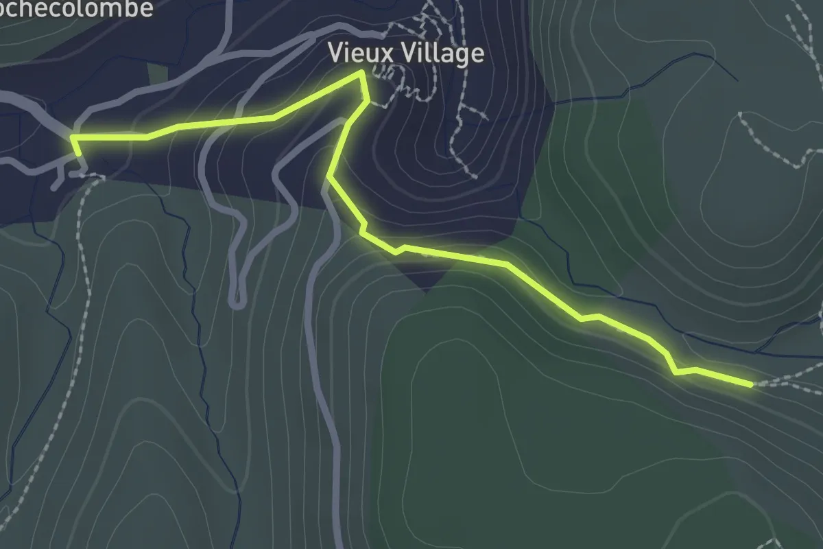
Rochecolombe - Lauzière
3.0 km · ↑ 145 m · 1 h 2 min · 11 km away
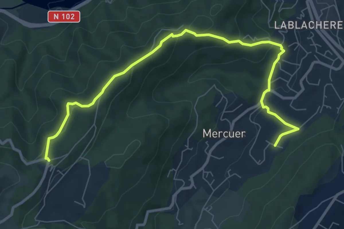
Easy · Trail
Rochecolombe - Ron Chamorel
2.6 km · ↑ 154 m · 57 min · 11 km away
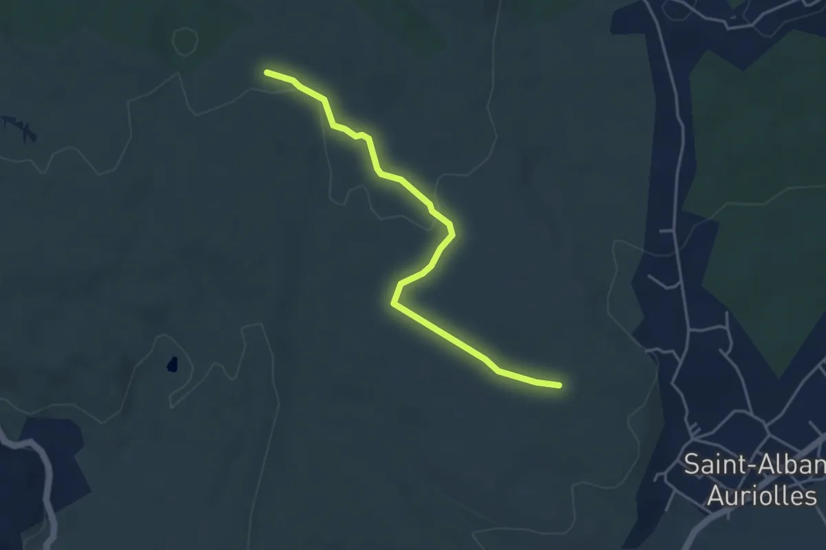
Medium · Trail
Lachamp - Col de Farges
8.0 km · ↑ 286 m · 2 h 31 min · 11 km away
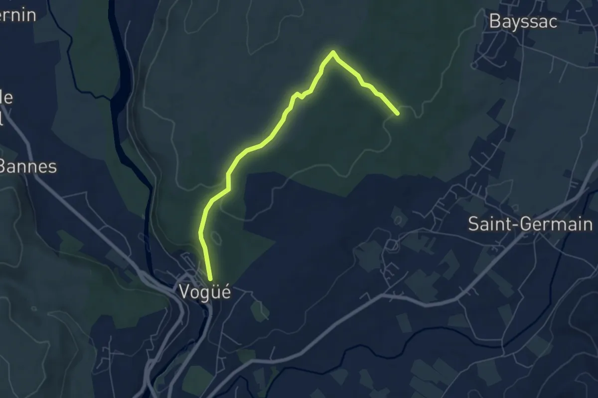
Medium · Trail
Le Dolmen - Ventalon
4.1 km · ↑ 49 m · 1 h 5 min · 11 km away
Easy · Trail
Baume du Bois - Vogüé
6.4 km · ↑ 102 m · 1 h 44 min · 12 km away
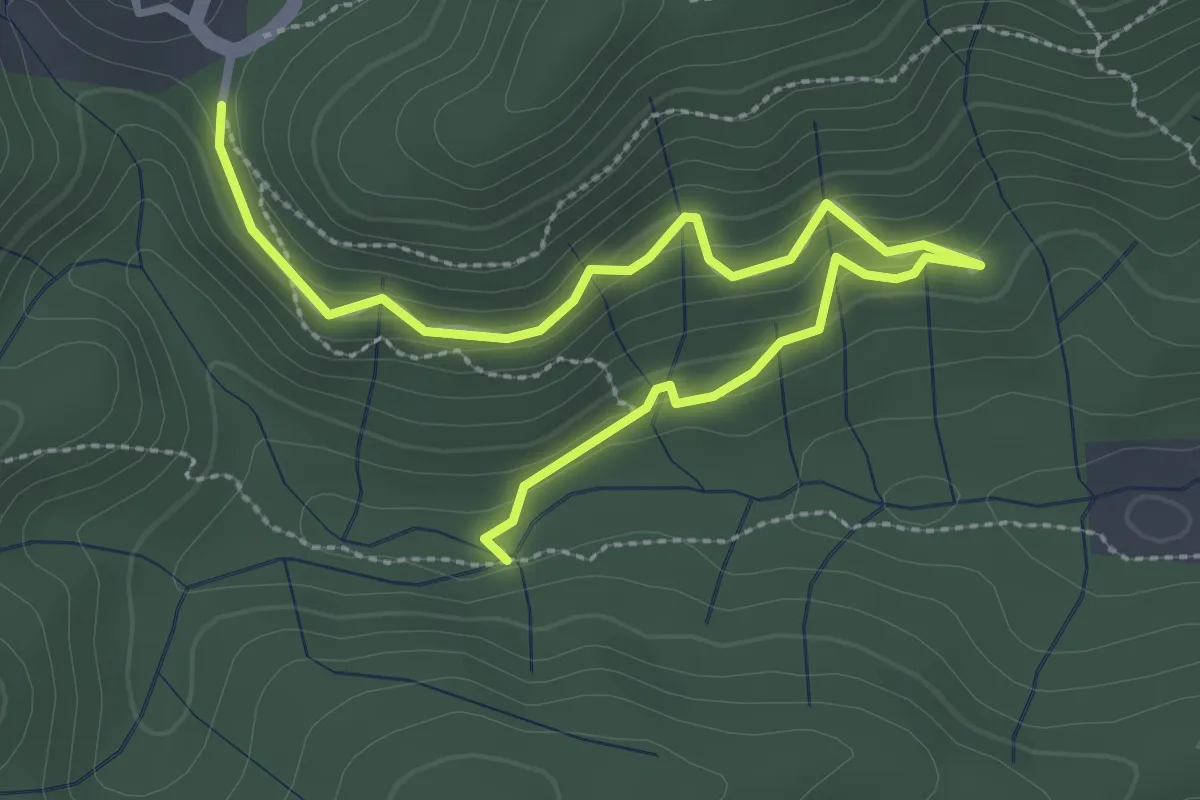
Easy · Trail
Le Chambon - La Coste
3.8 km · ↑ 206 m · 1 h 20 min · 12 km away
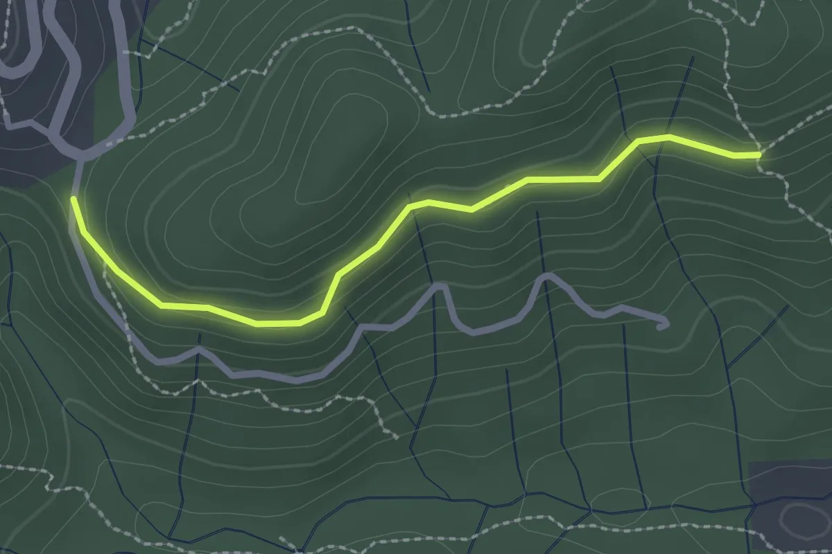
Easy · Trail
La Coste - Le Puy de Prades
2.3 km · ↑ 84 m · 43 min · 12 km away
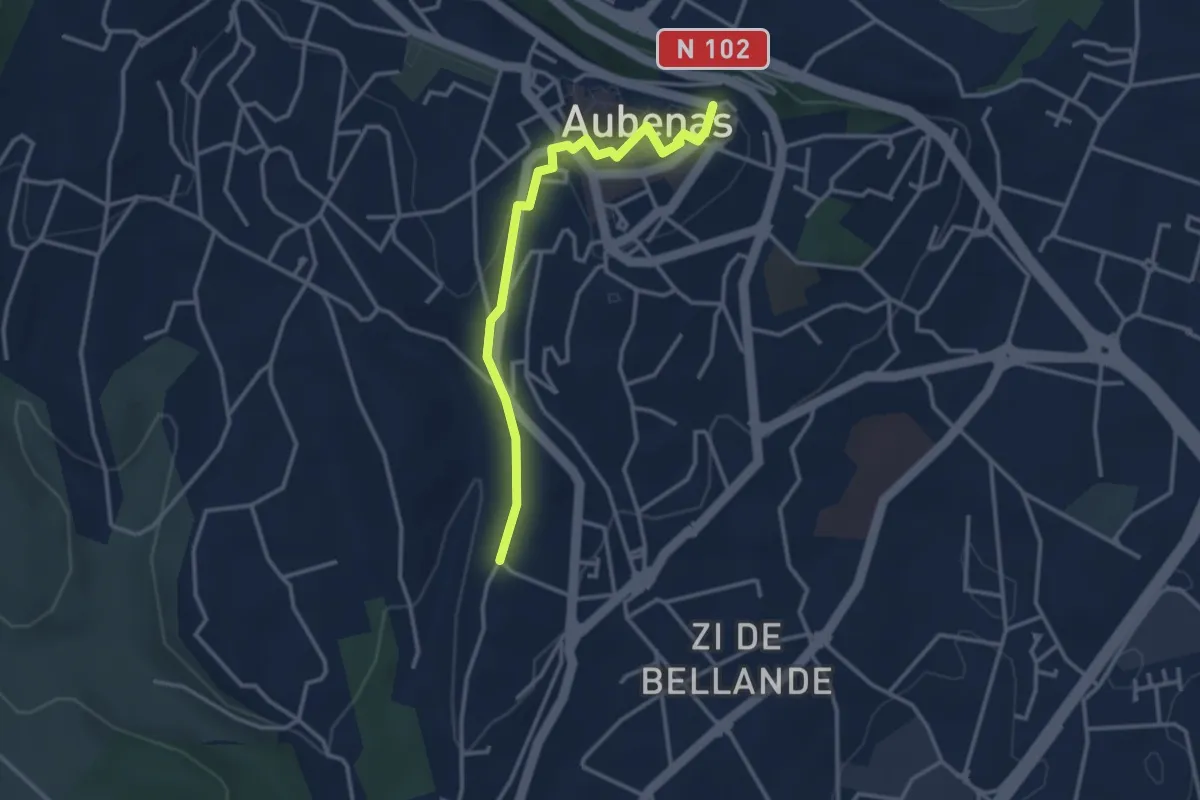
Easy · Trail
Chadarent - L'Airette
3.3 km · ↑ 76 m · 57 min · 12 km away
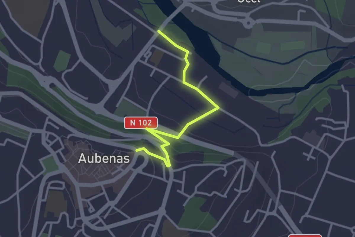
Easy · Trail
Pont d'Aubenas - L'Airette
2.8 km · ↑ 83 m · 50 min · 12 km away
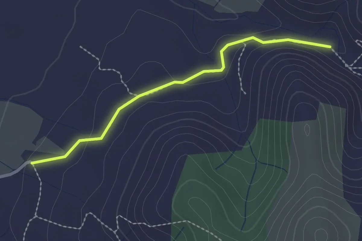
Easy · Trail
Pradet - Le Rieusset
2.2 km · ↑ 37 m · 36 min · 12 km away
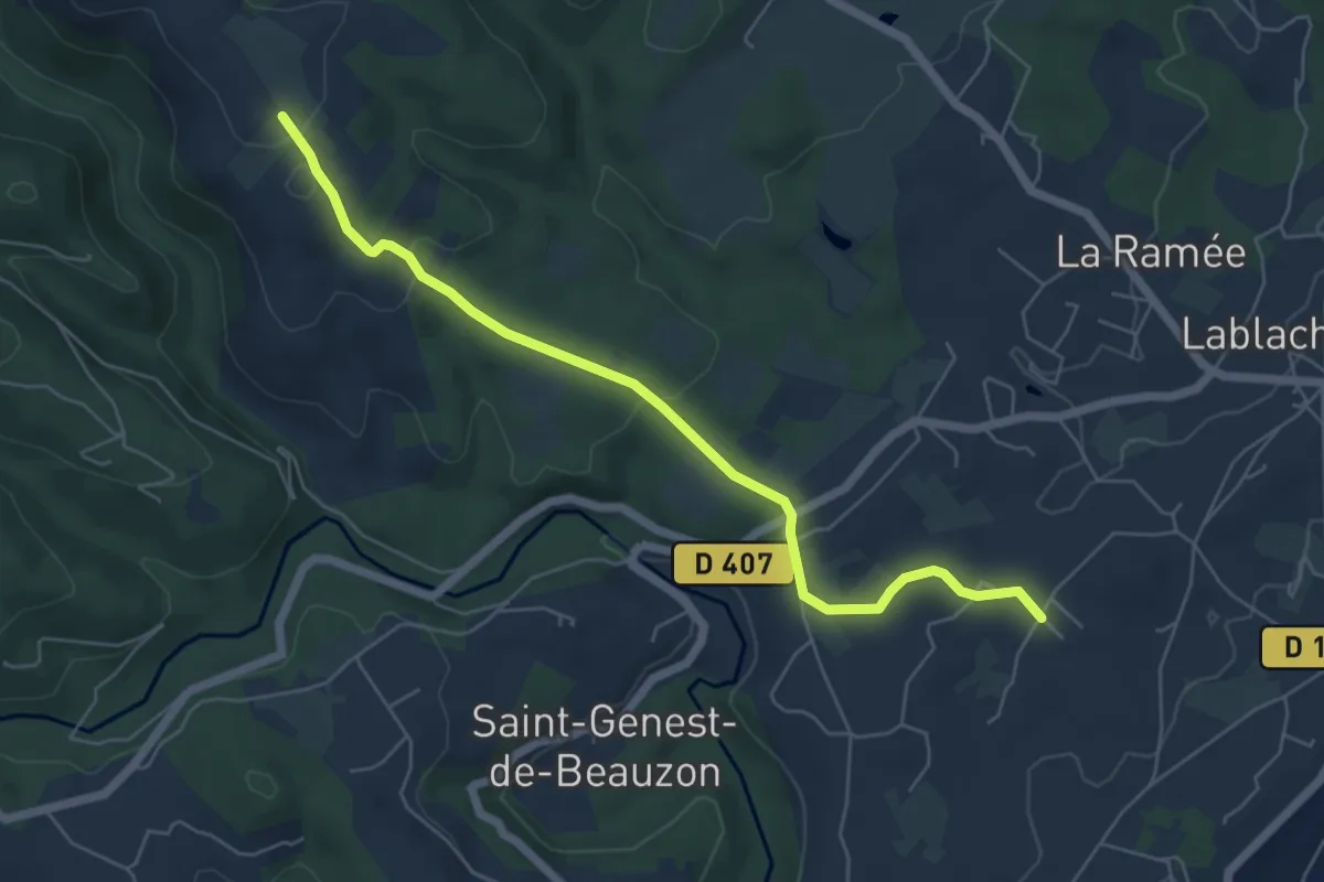
Easy · Trail
Bourdezac - Le Grand Bois
6.2 km · ↑ 143 m · 1 h 47 min · 12 km away
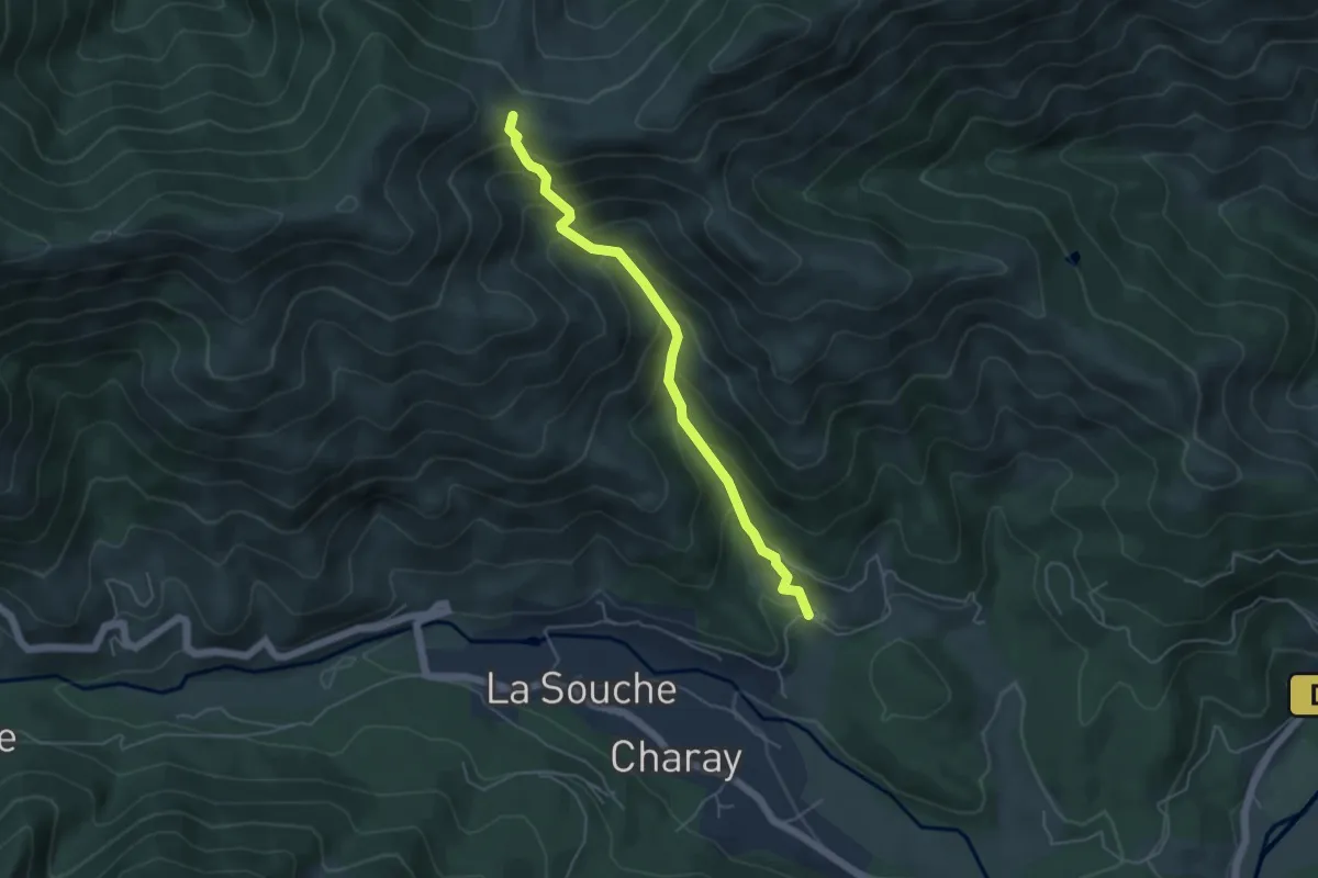
Medium · Trail
La Lioure - Fontfreyde
4.9 km · ↑ 473 m · 2 h 11 min · 12 km away
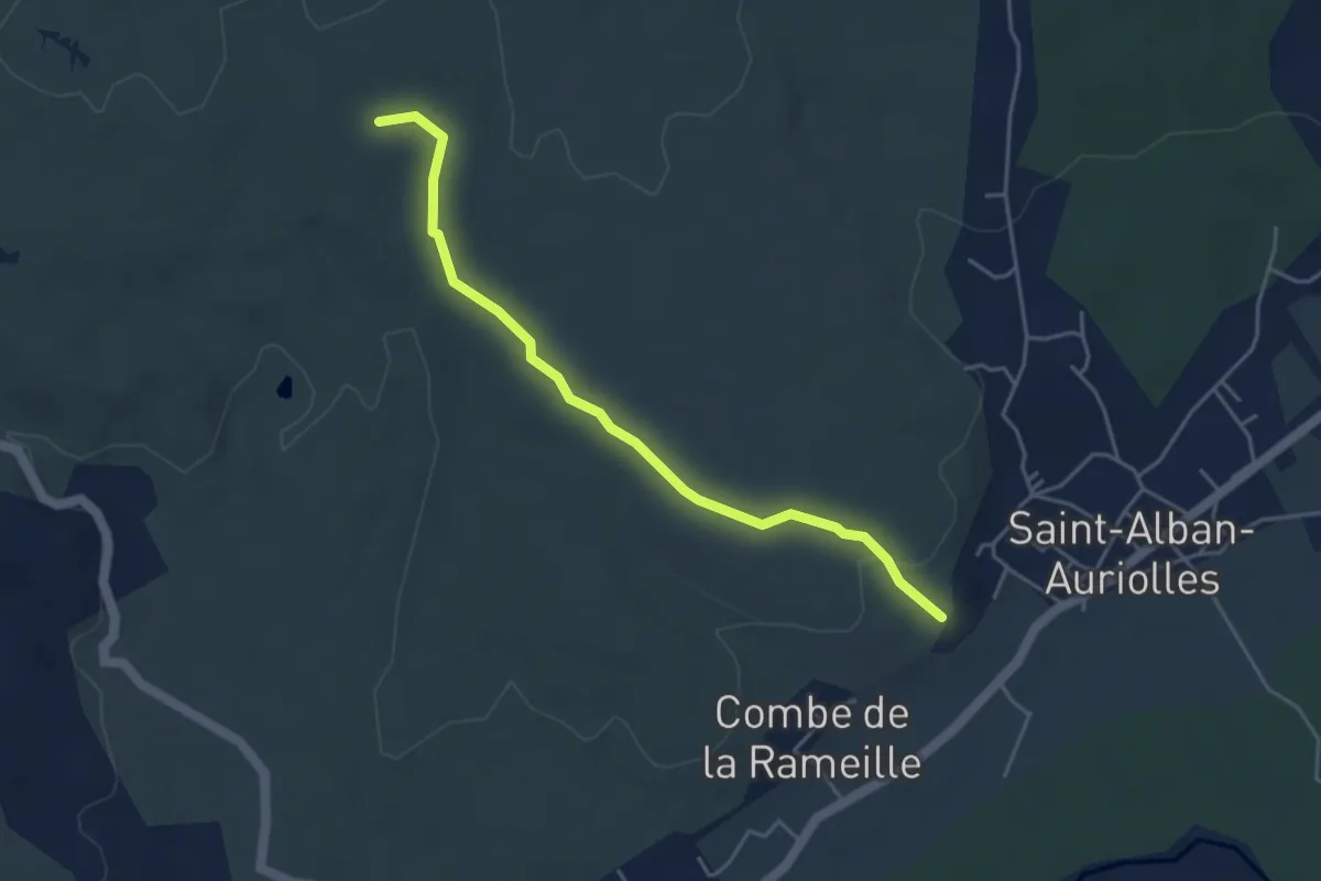
Easy · Trail
La Combe du Merle - Les Issarts
4.5 km · ↑ 95 m · 1 h 16 min · 12 km away