Trails near Largentière
425 hikes starting within 15 km, nearest first.
Nearest first, page 7 of 9
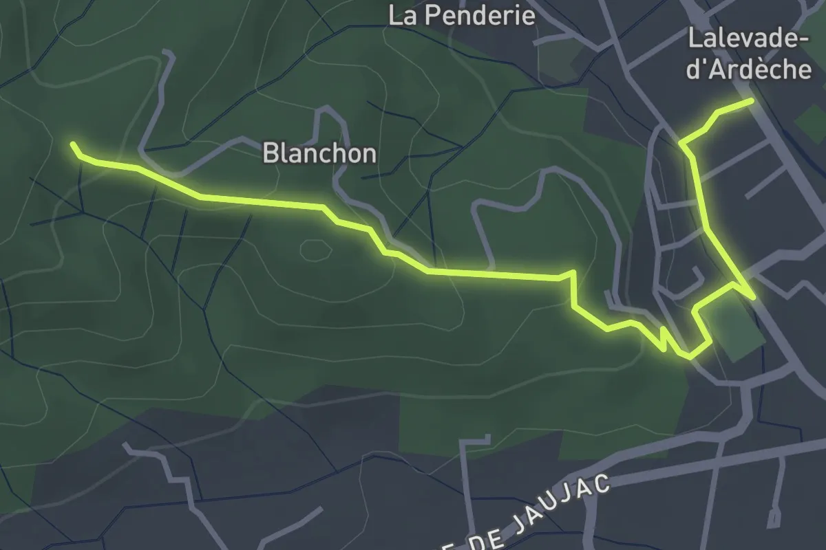
Easy · Trail
Lalevade-d'Ardèche - Martinesche
3.9 km · ↑ 146 m · 1 h 14 min · 12 km away
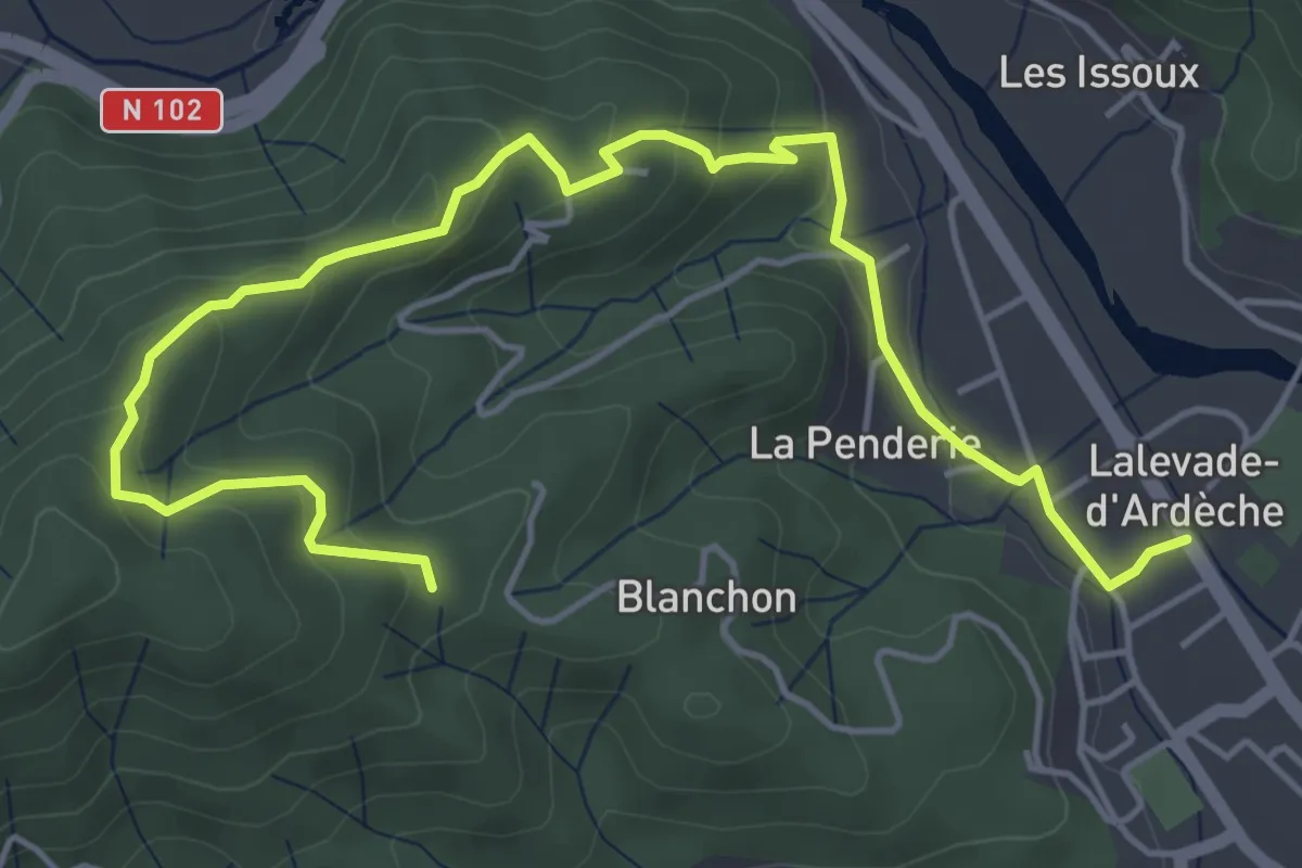
Easy · Trail
Lalevade-d'Ardèche - Martinesche
6.6 km · ↑ 308 m · 2 h 13 min · 12 km away
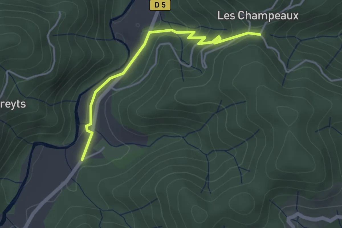
Easy · Trail
Bonneval - La croix de Chareyre
3.6 km · ↑ 153 m · 1 h 11 min · 12 km away
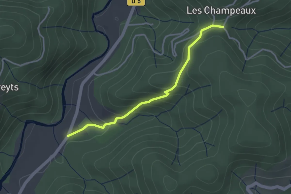
Easy · Trail
Bonneval - La croix de Chareyre
2.8 km · ↑ 137 m · 58 min · 12 km away
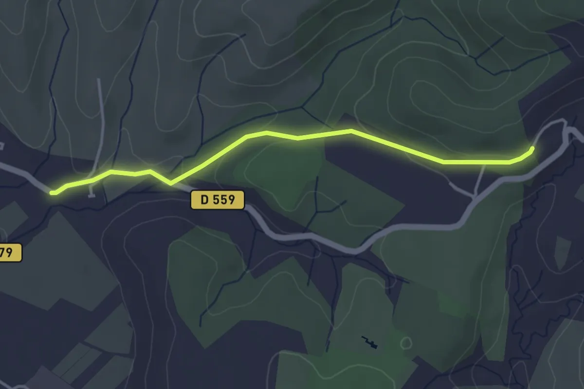
Easy · Trail
Serre de Nicard - Petit Chaussy
3.7 km · ↑ 88 m · 1 h 4 min · 12 km away
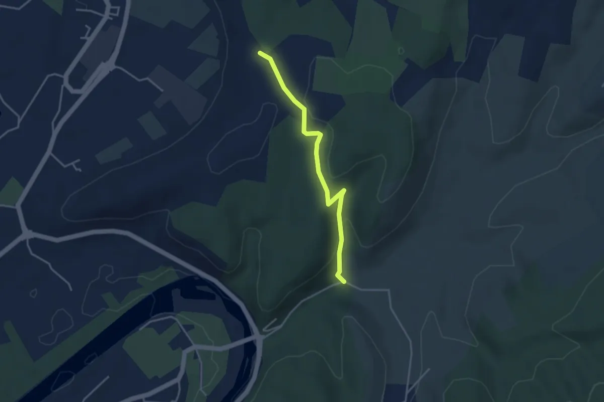
Easy · Trail
Deserte - Chaussy
3.3 km · ↑ 94 m · 1 h · 12 km away
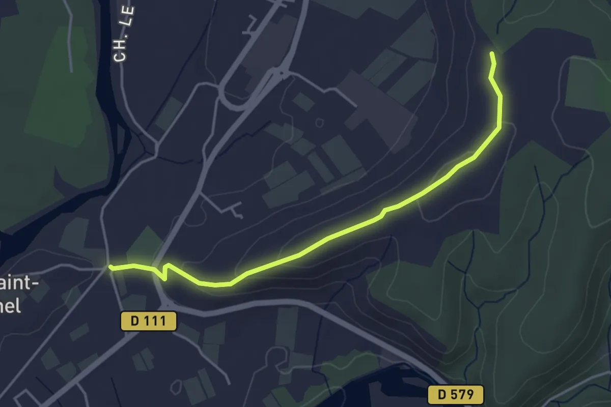
Easy · Trail
Saint-Michel - Chaussy
4.2 km · ↑ 115 m · 1 h 15 min · 12 km away
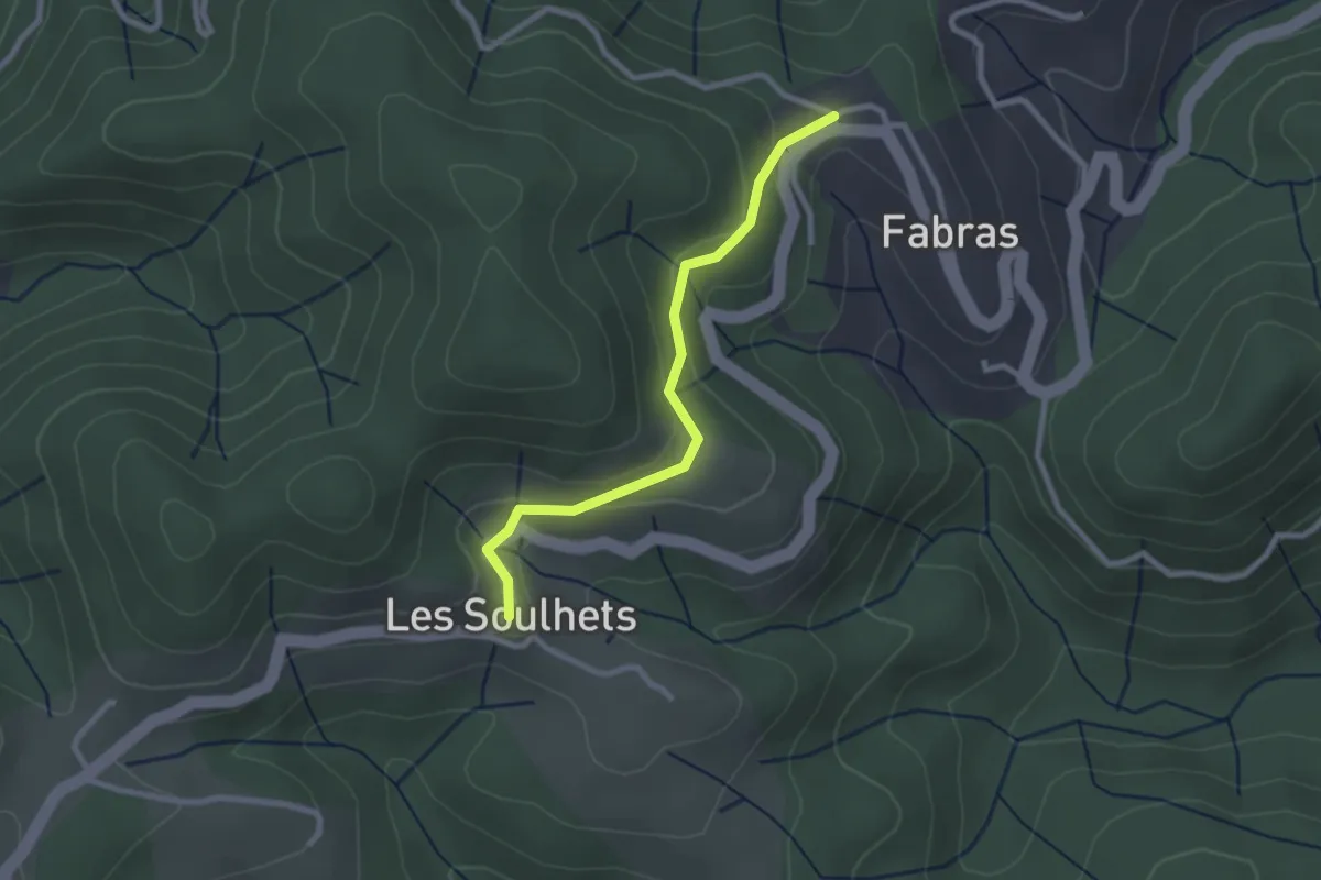
Easy · Trail
Fabras - Les Soulhets
2.5 km · ↑ 97 m · 48 min · 12 km away
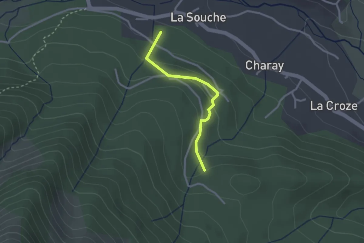
Easy · Trail
Parent - Les 4 Chemins
2.2 km · ↑ 94 m · 43 min · 12 km away
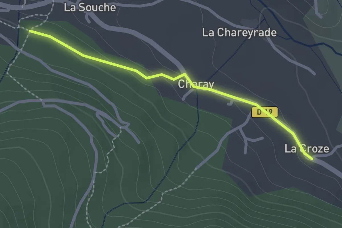
Easy · Trail
La Croze - Parent
2.2 km · ↑ 40 m · 36 min · 12 km away
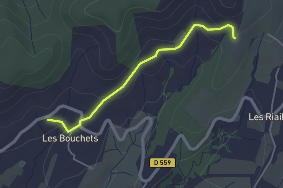
Easy · Trail
Les Bouchets - Les Mourades
3.1 km · ↑ 94 m · 56 min · 12 km away
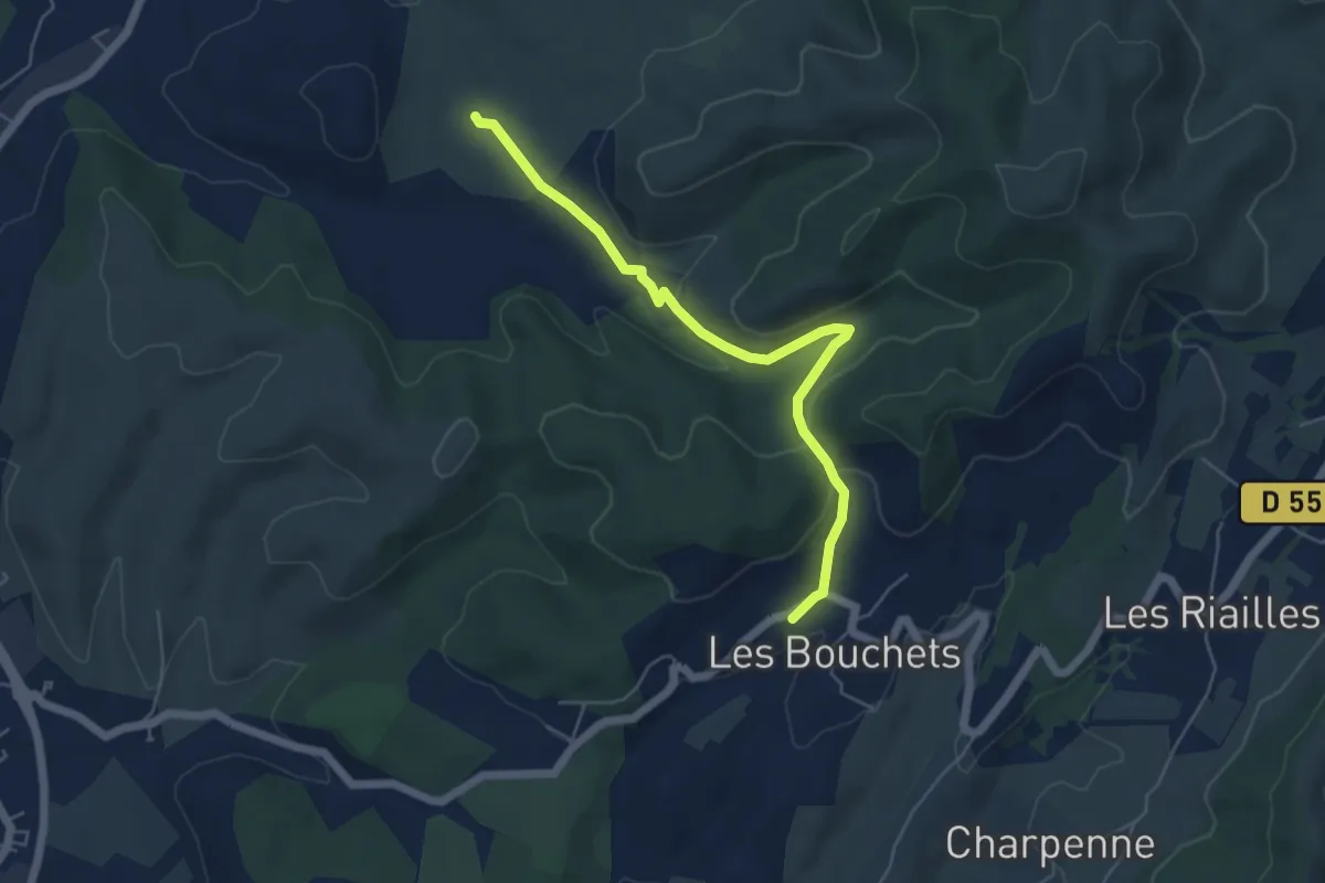
Easy · Trail
Le Planas - Les Bouchets
5.6 km · ↑ 145 m · 1 h 38 min · 12 km away
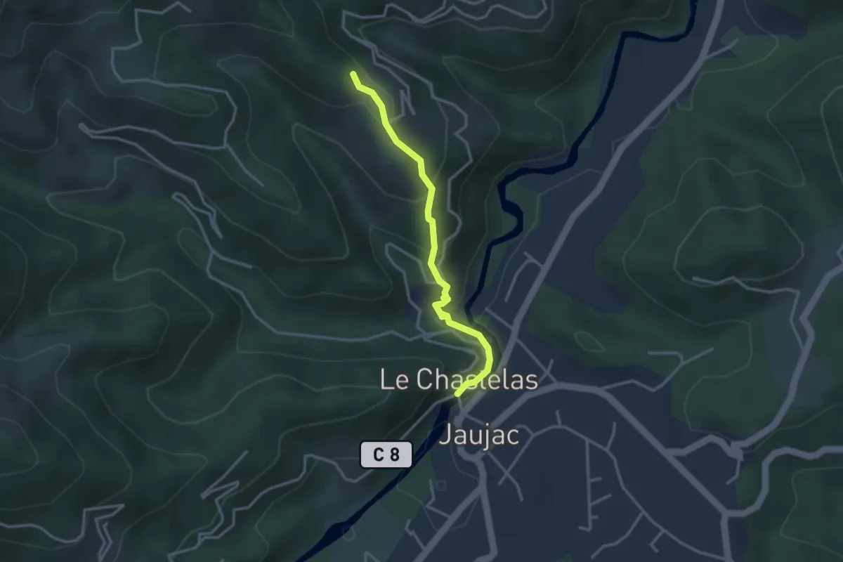
Medium · Trail
Le Chastelas - Le Monteil
3.0 km · ↑ 153 m · 1 h 2 min · 12 km away
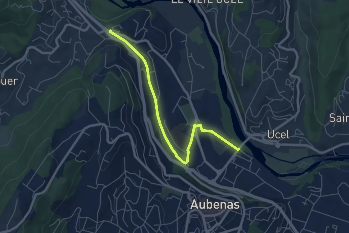
Easy · Trail
Pont d'Aubenas - La Temple
5.6 km · ↑ 62 m · 1 h 28 min · 12 km away
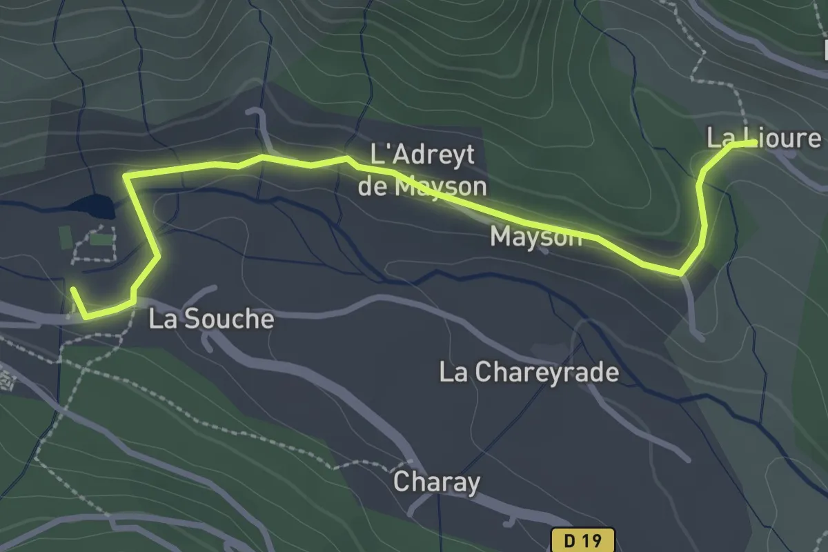
Easy · Trail
La Souche - La Lioure
3.1 km · ↑ 44 m · 49 min · 12 km away
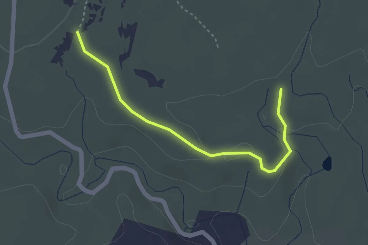
Easy · Trail
Bourbouillet - Flandrin
3.1 km · ↑ 54 m · 50 min · 12 km away
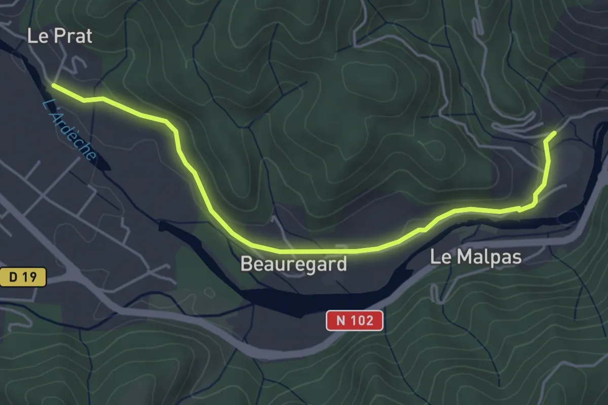
Easy · Trail
Arlix - Le Pra
4.9 km · ↑ 61 m · 1 h 18 min · 12 km away
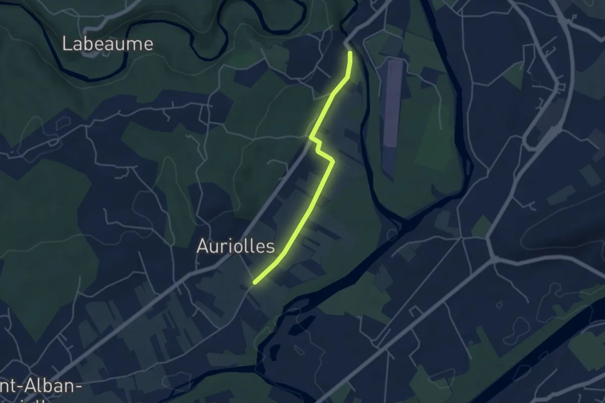
Easy · Trail
Le Béal - Le Vieux Pont
4.0 km · ↑ 19 m · 59 min · 12 km away
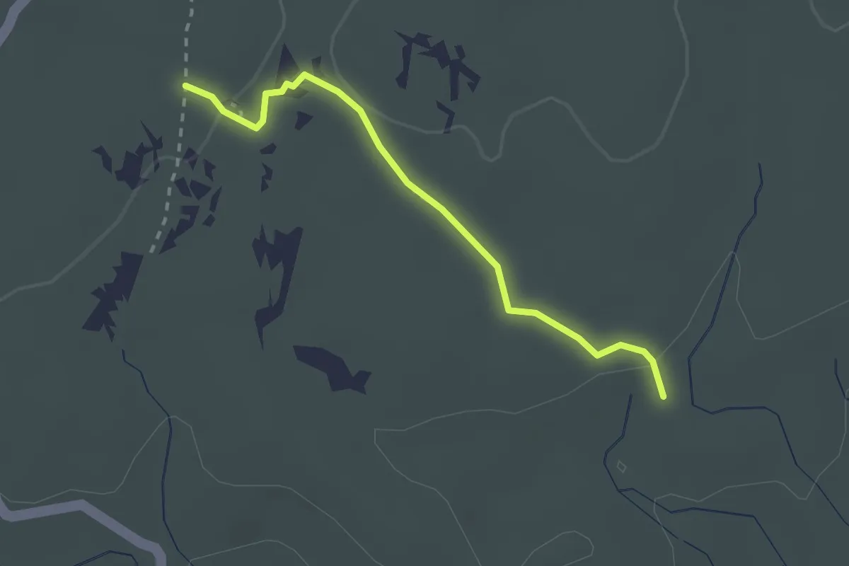
Medium · Trail
Bourbouillet - Le Réméjadou
2.4 km · ↑ 24 m · 37 min · 12 km away
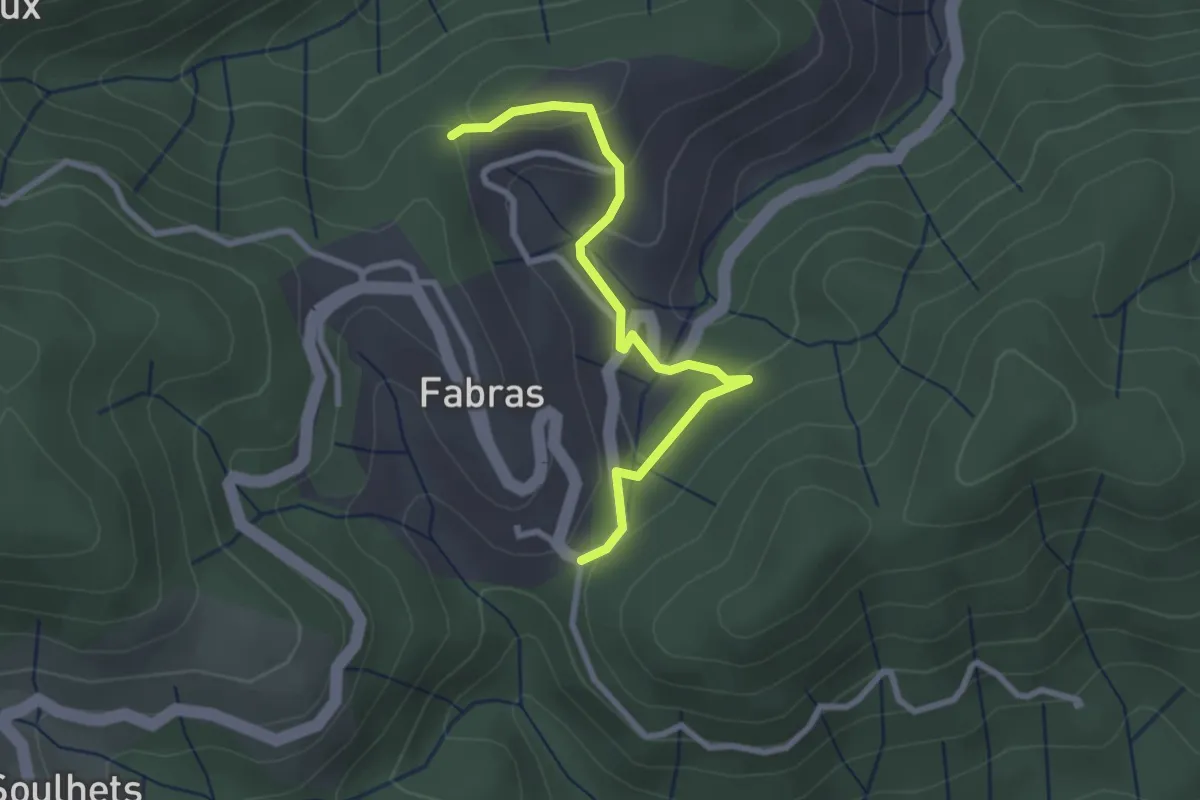
Easy · Trail
La Chabanne - Nougeyrolles
2.8 km · ↑ 99 m · 52 min · 12 km away
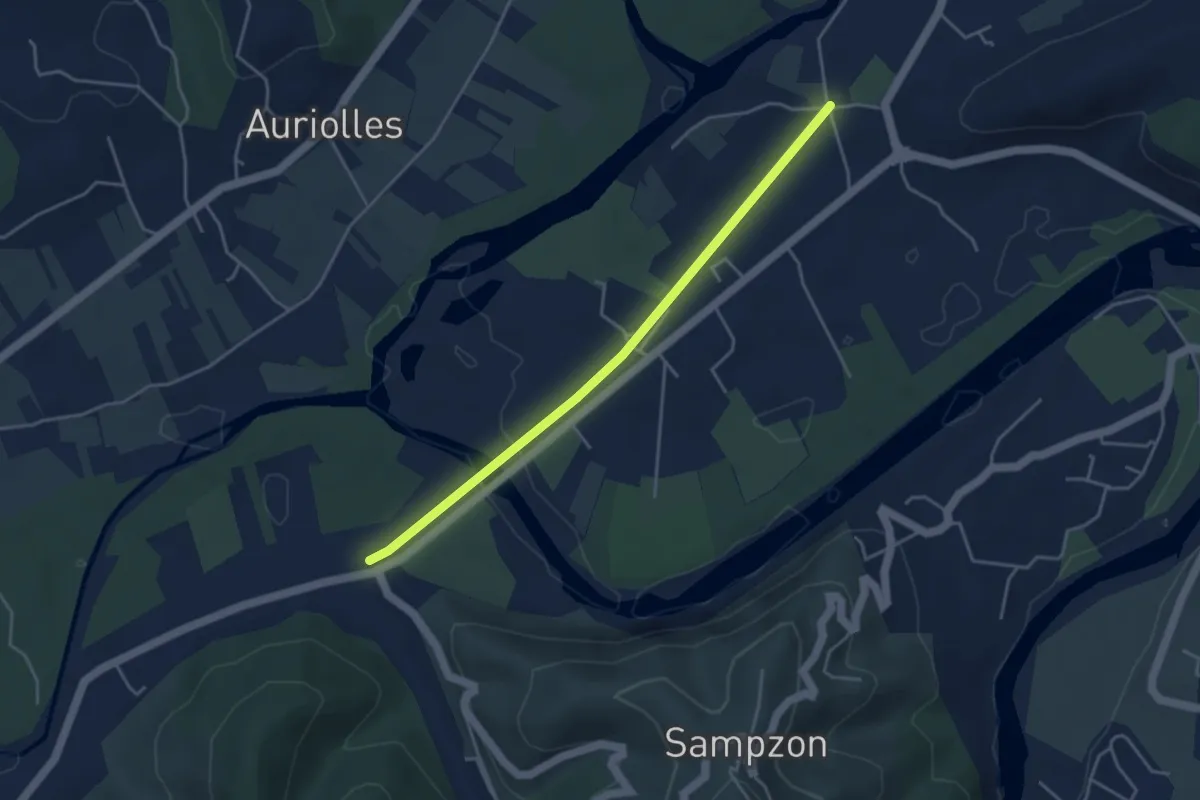
Easy · Trail
Vallier - Saint-Michel
4.2 km · ↑ 33 m · 1 h 3 min · 12 km away
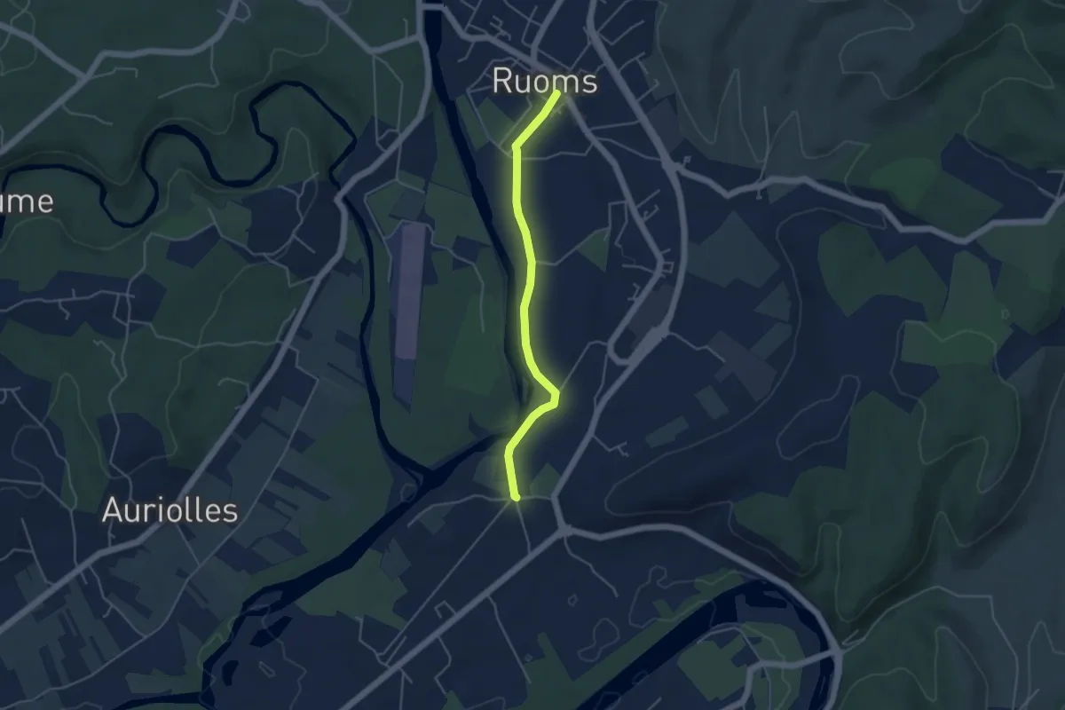
Easy · Trail
Saint-Michel - Ruoms
4.2 km · ↑ 33 m · 1 h 4 min · 12 km away
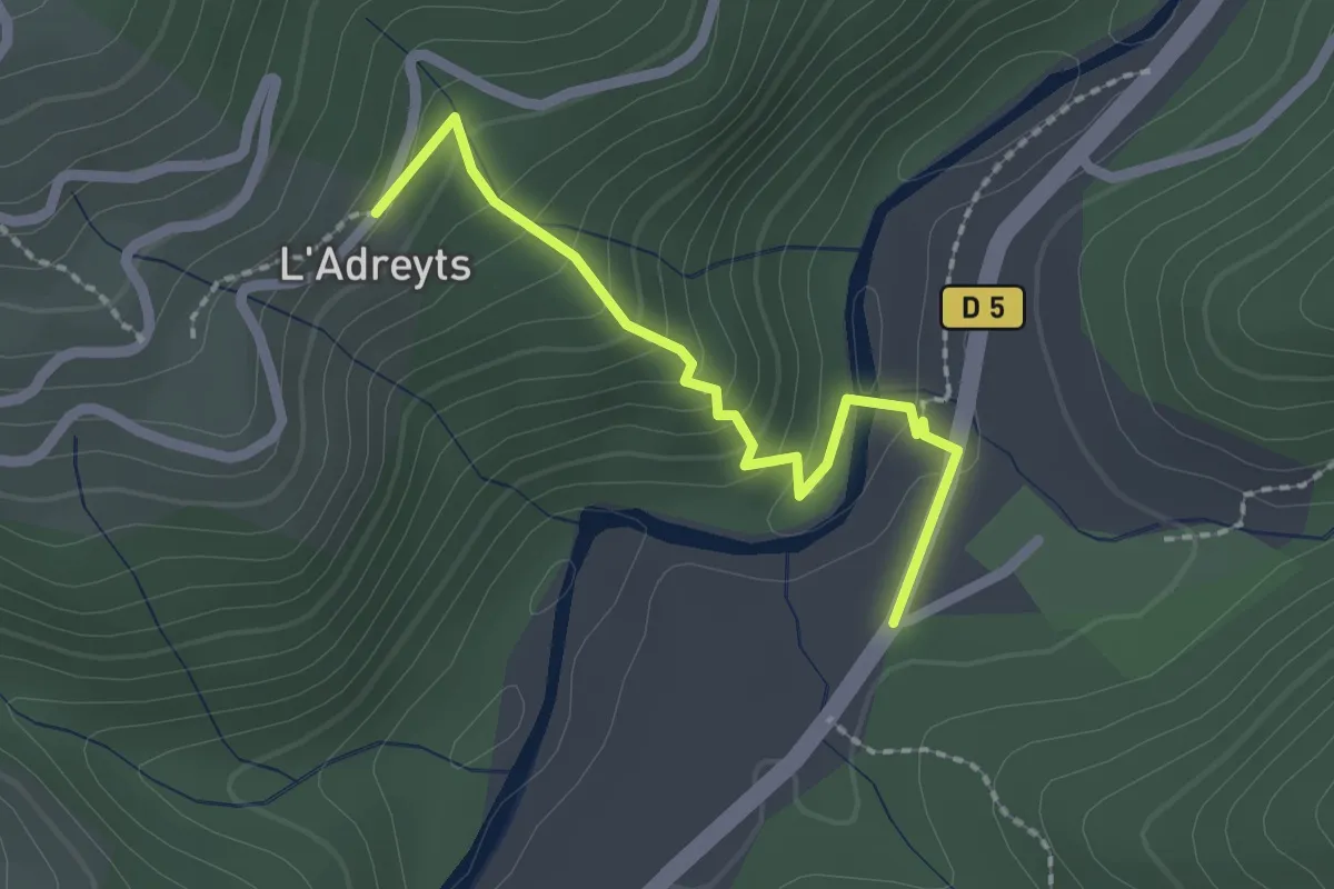
Easy · Trail
Bonneval - La Brousse
2.1 km · ↑ 133 m · 47 min · 12 km away
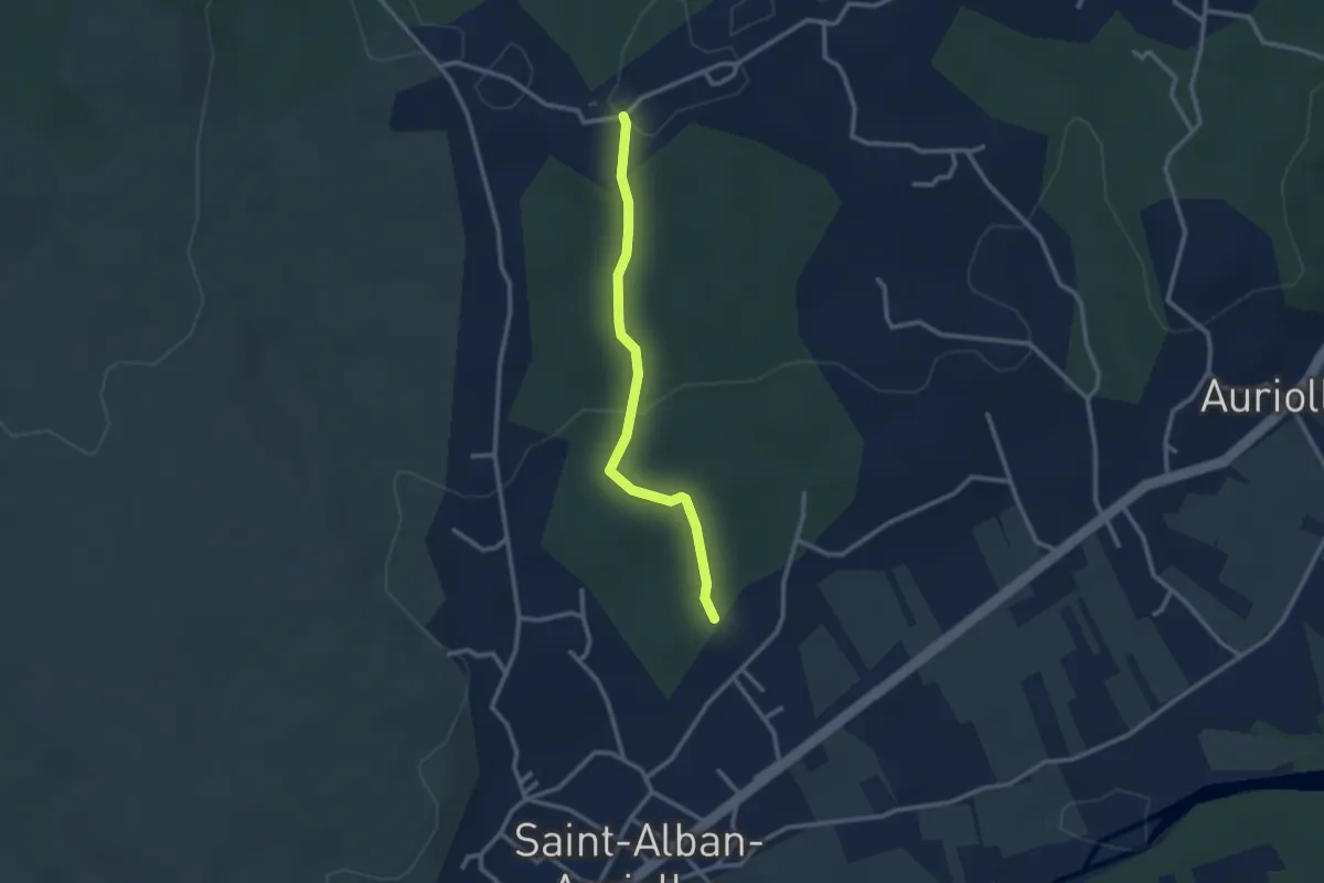
Easy · Trail
Le Bourdaric - Robert
2.7 km · ↑ 74 m · 47 min · 12 km away
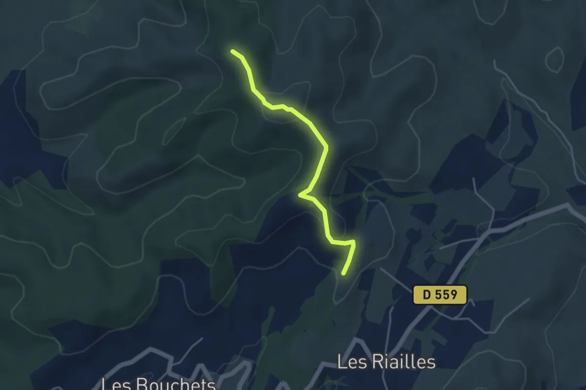
Easy · Trail
Les Mourades - Serre Juillet
3.5 km · ↑ 113 m · 1 h 4 min · 12 km away
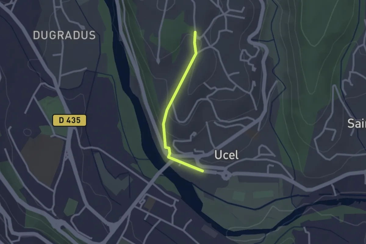
Easy · Trail
Pont d'Ucel - Villa Paradis
2.0 km · ↑ 74 m · 38 min · 12 km away
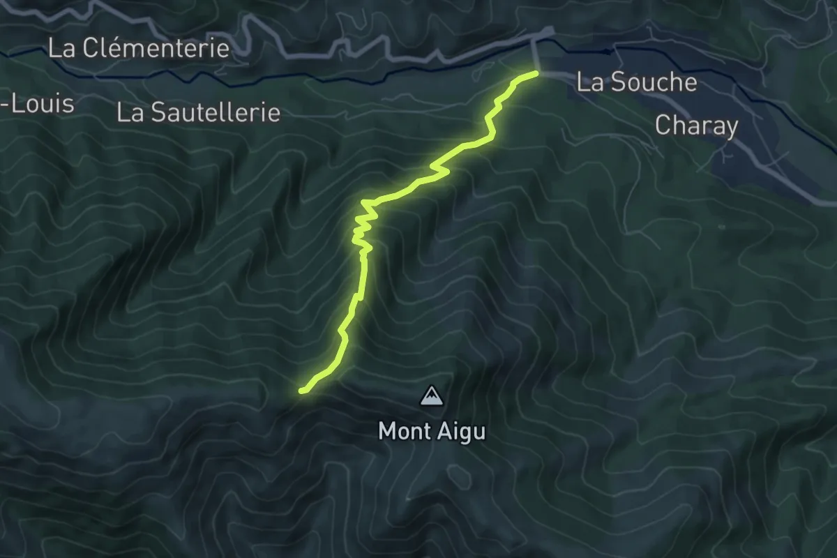
Medium · Trail
Le pont Morand - Col des Langoustines
6.4 km · ↑ 663 m · 2 h 57 min · 13 km away
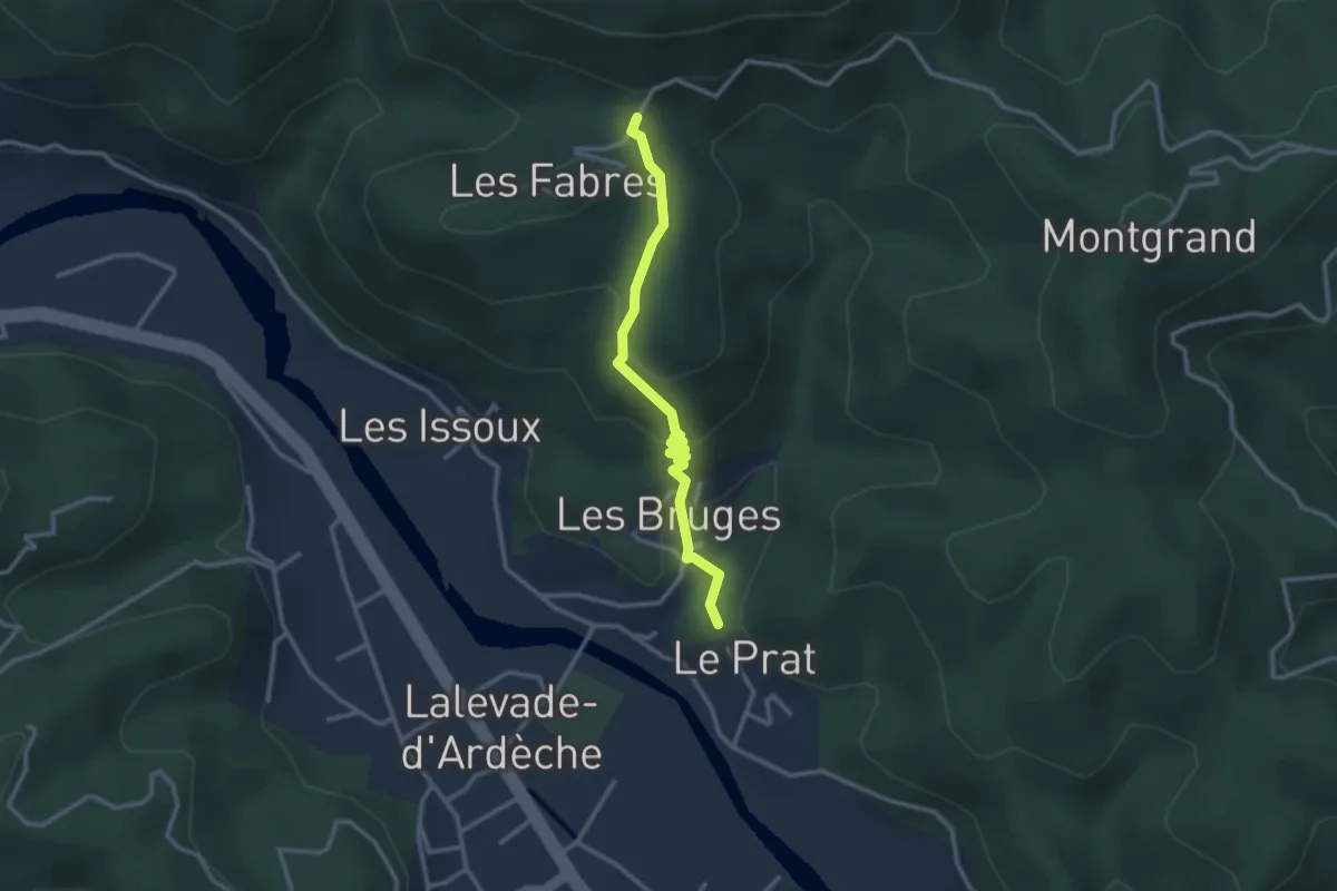
Easy · Trail
Le Pra Haut - Col de la Loube
2.8 km · ↑ 147 m · 58 min · 13 km away
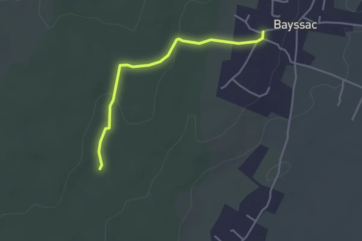
Easy · Trail
Bayssac - Baume du Bois
3.0 km · ↑ 32 m · 46 min · 13 km away
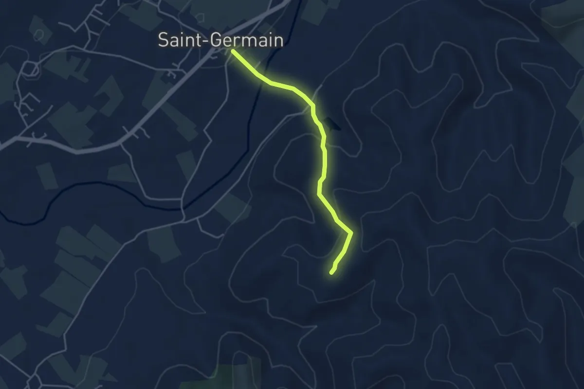
Easy · Trail
Saint-Germain - Blache de Gros
3.5 km · ↑ 154 m · 1 h 10 min · 13 km away
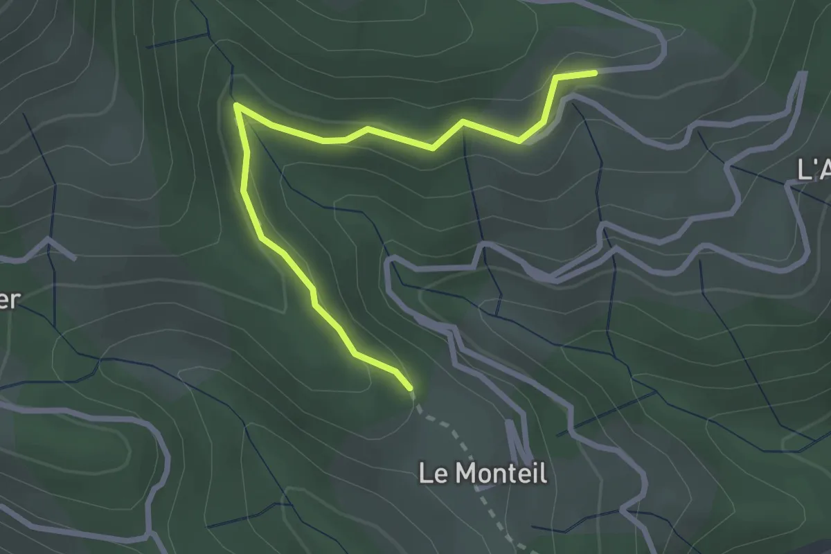
Medium · Trail
Le Monteil - Serangelier
2.6 km · ↑ 137 m · 55 min · 13 km away
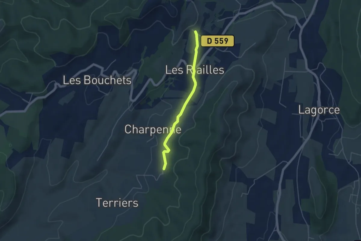
Easy · Trail
Pecoulas - Saint André
3.9 km · ↑ 36 m · 1 h · 13 km away
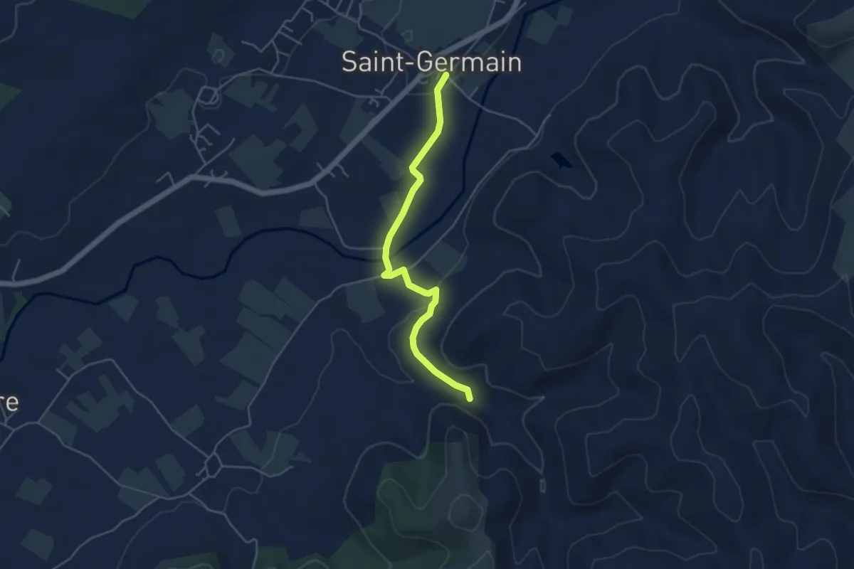
Easy · Trail
Saint-Germain - Le Rieusset
4.6 km · ↑ 71 m · 1 h 14 min · 13 km away
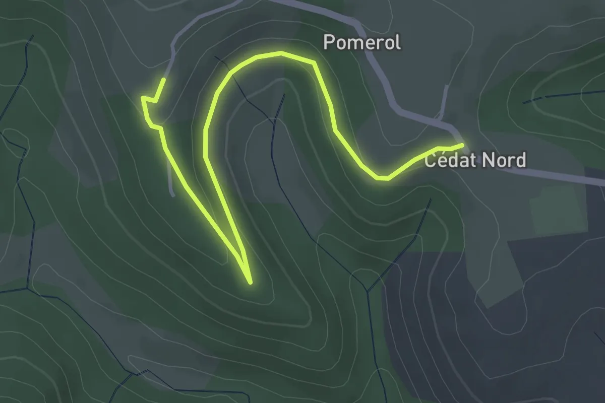
Easy · Trail
Cédat - Gibon
4.4 km · ↑ 109 m · 1 h 16 min · 13 km away
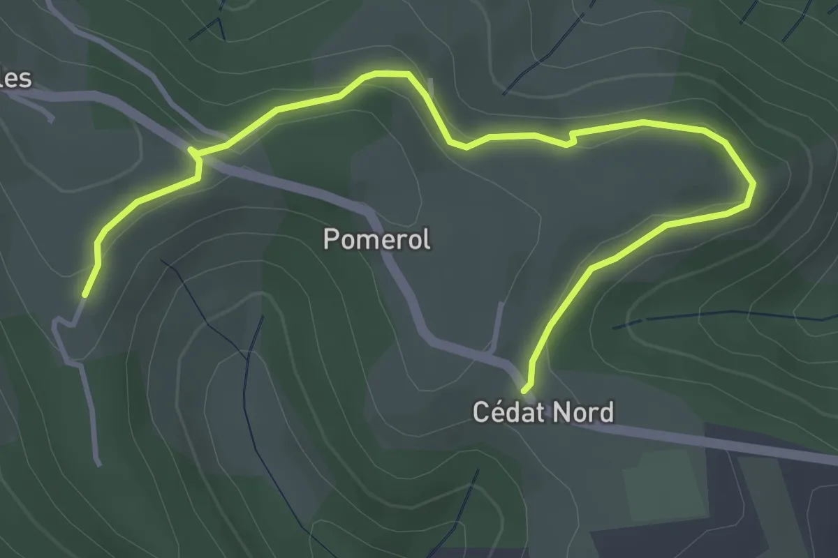
Easy · Trail
Cédat - Gibon
4.5 km · ↑ 116 m · 1 h 19 min · 13 km away
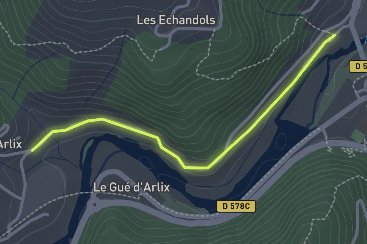
Easy · Trail
Le Bateau - Arlix
2.4 km · ↑ 48 m · 40 min · 13 km away
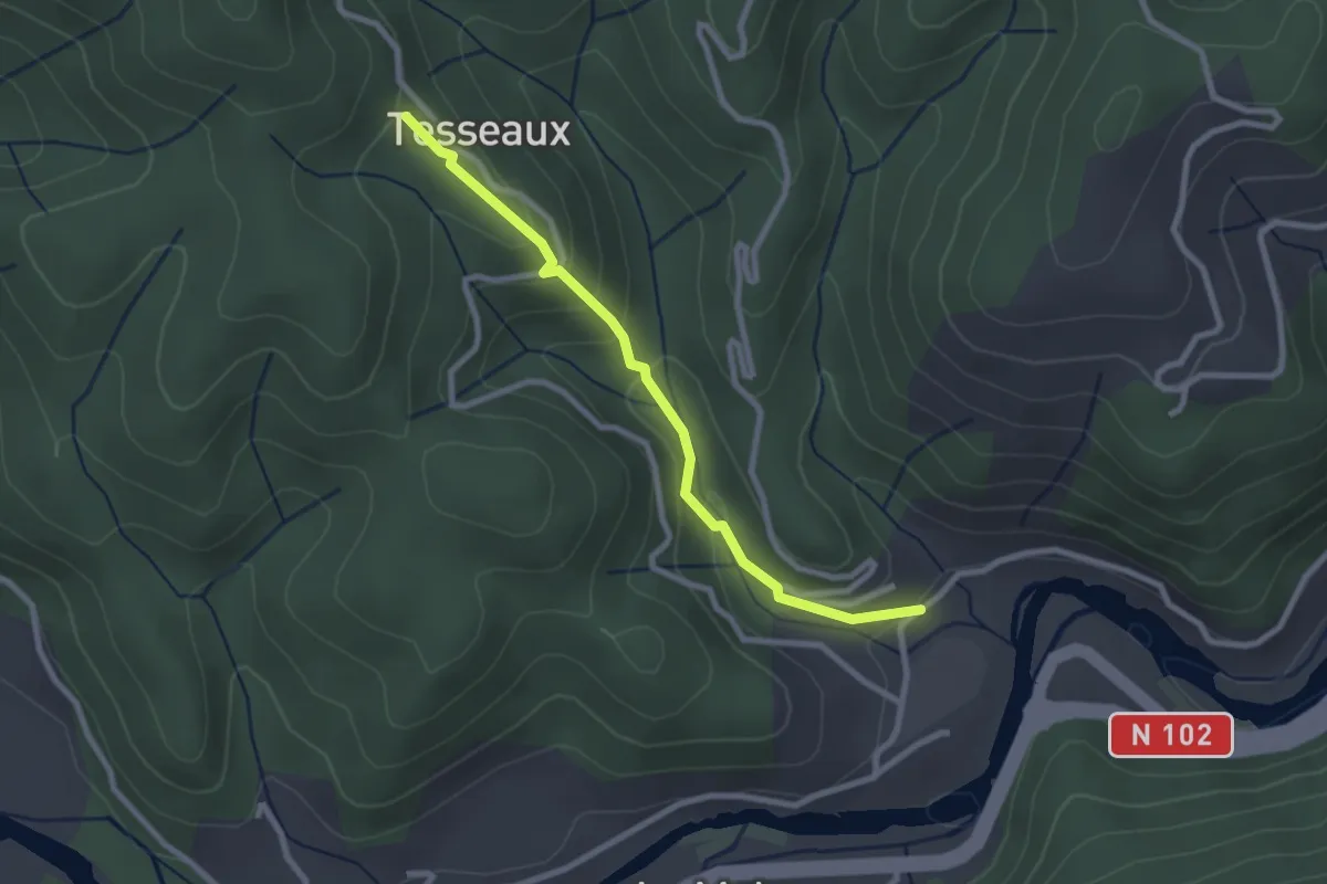
Easy · Trail
Arlix - Tesseaux
2.6 km · ↑ 146 m · 56 min · 13 km away
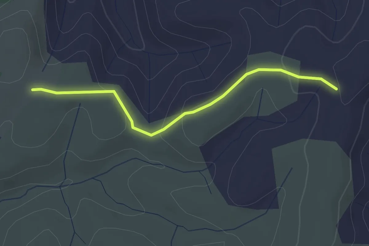
Easy · Trail
Le Palas - Clos de Vernet
3.0 km · ↑ 89 m · 53 min · 13 km away
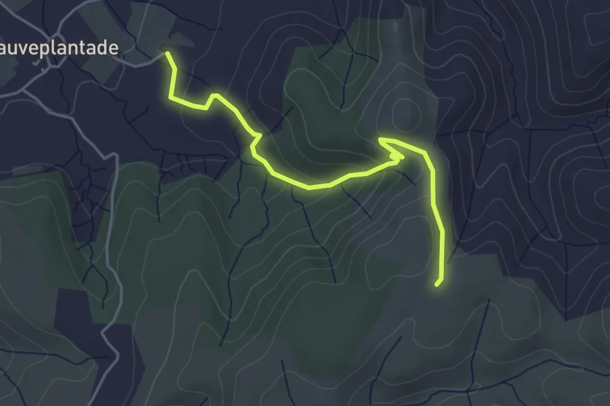
Easy · Trail
Pradet - Le Palas
4.3 km · ↑ 195 m · 1 h 27 min · 13 km away
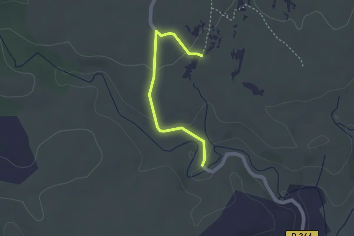
Easy · Trail
Font Méjanne - Flandrin
2.8 km · ↑ 47 m · 45 min · 13 km away
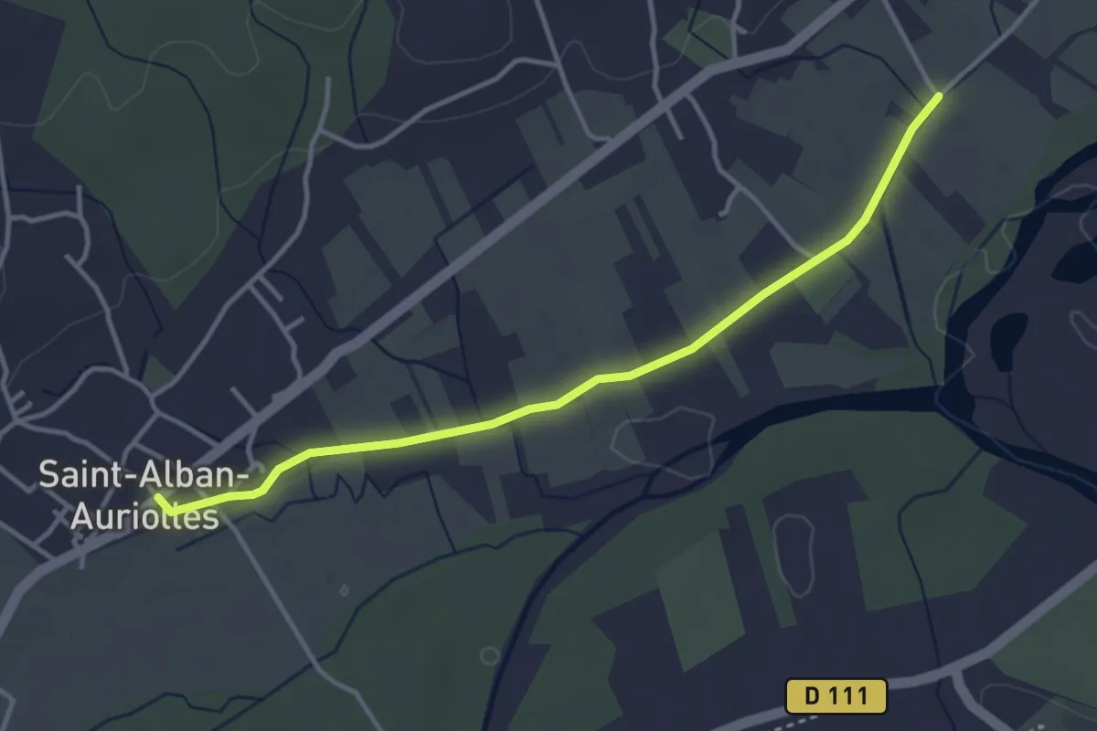
Easy · Trail
Le Béal - Saint Alban
3.8 km · ↑ 17 m · 57 min · 13 km away
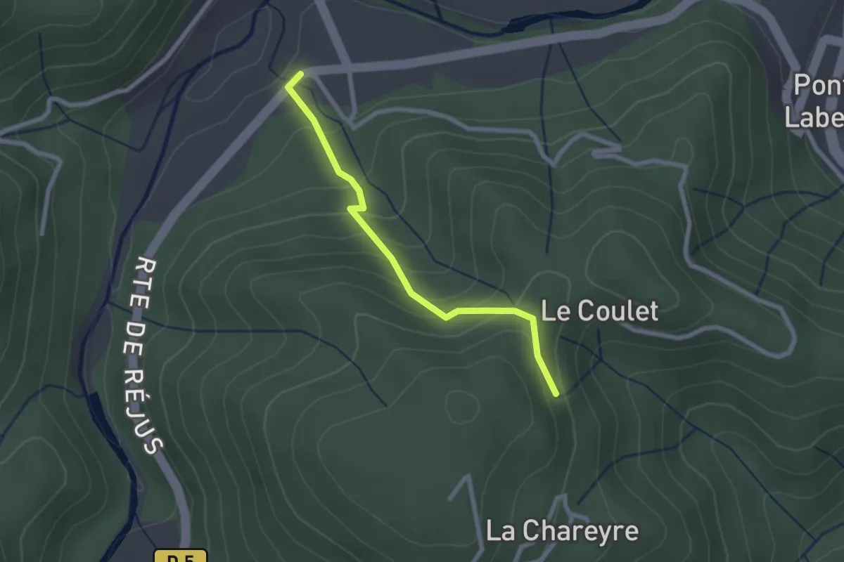
Easy · Trail
La Croisée de Réjus - Les Traverses
2.2 km · ↑ 178 m · 54 min · 13 km away
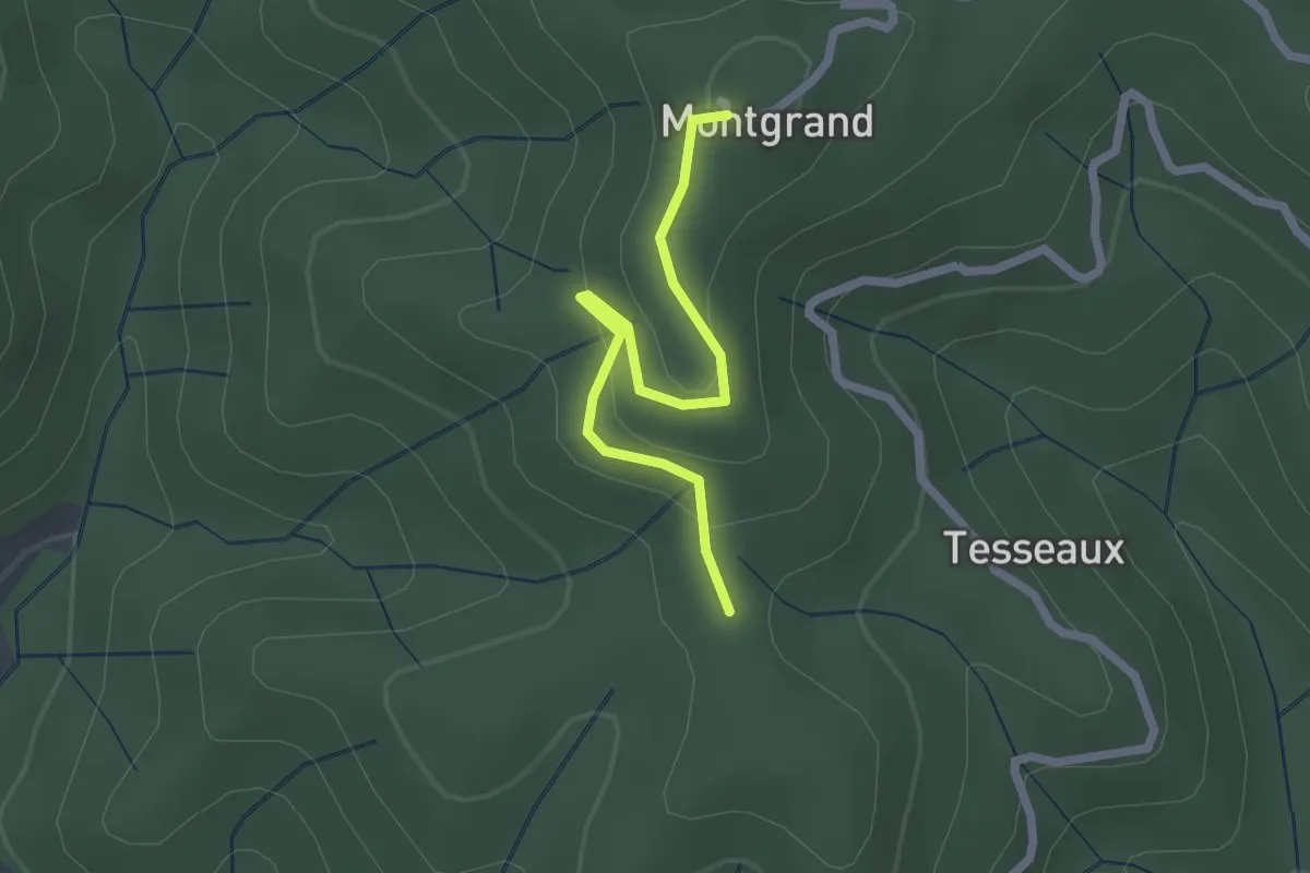
Easy · Trail
Coulet de Tesseaux - Montgrand
2.2 km · ↑ 86 m · 42 min · 13 km away
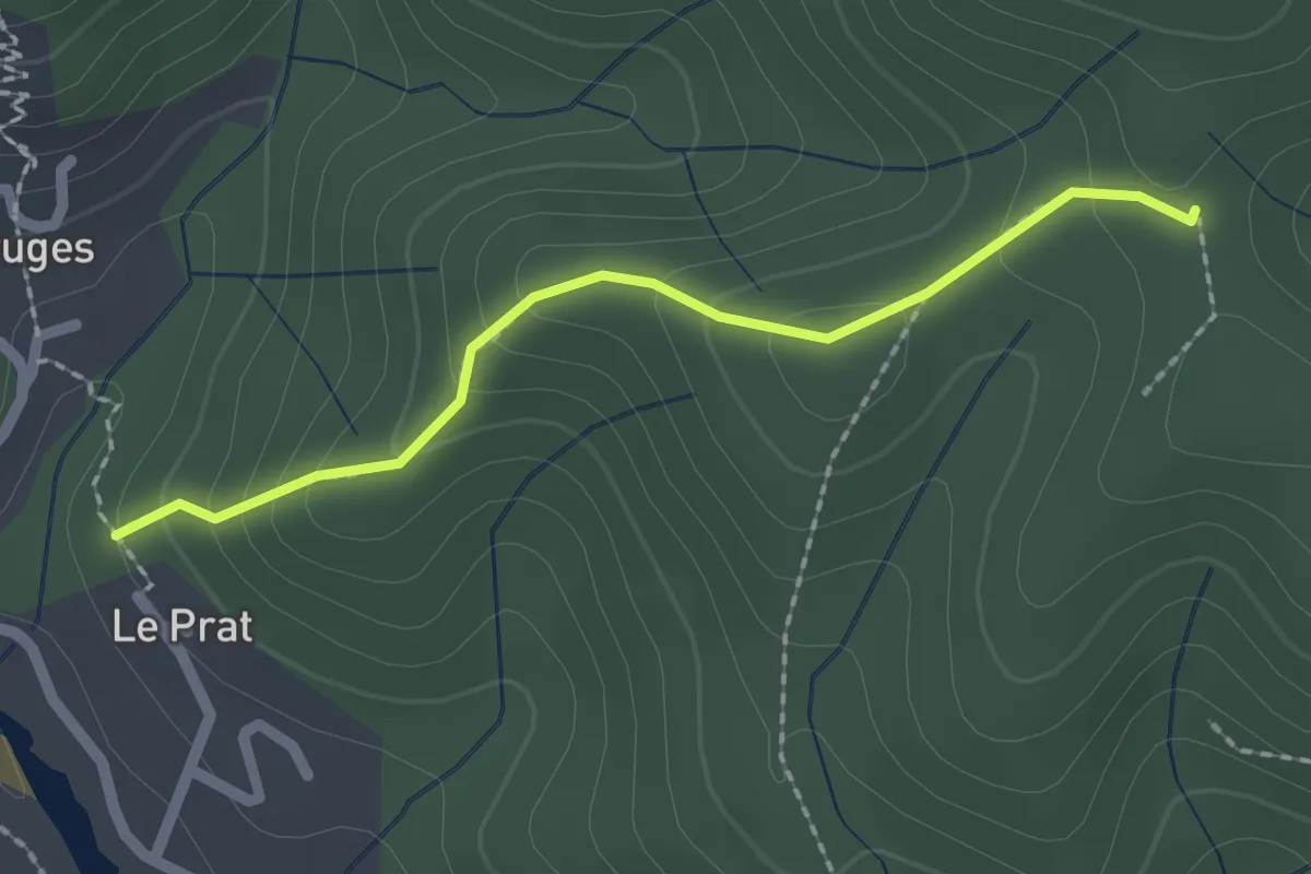
Easy · Trail
Le Pra Haut - Coulet de Tesseaux
2.0 km · ↑ 131 m · 46 min · 13 km away
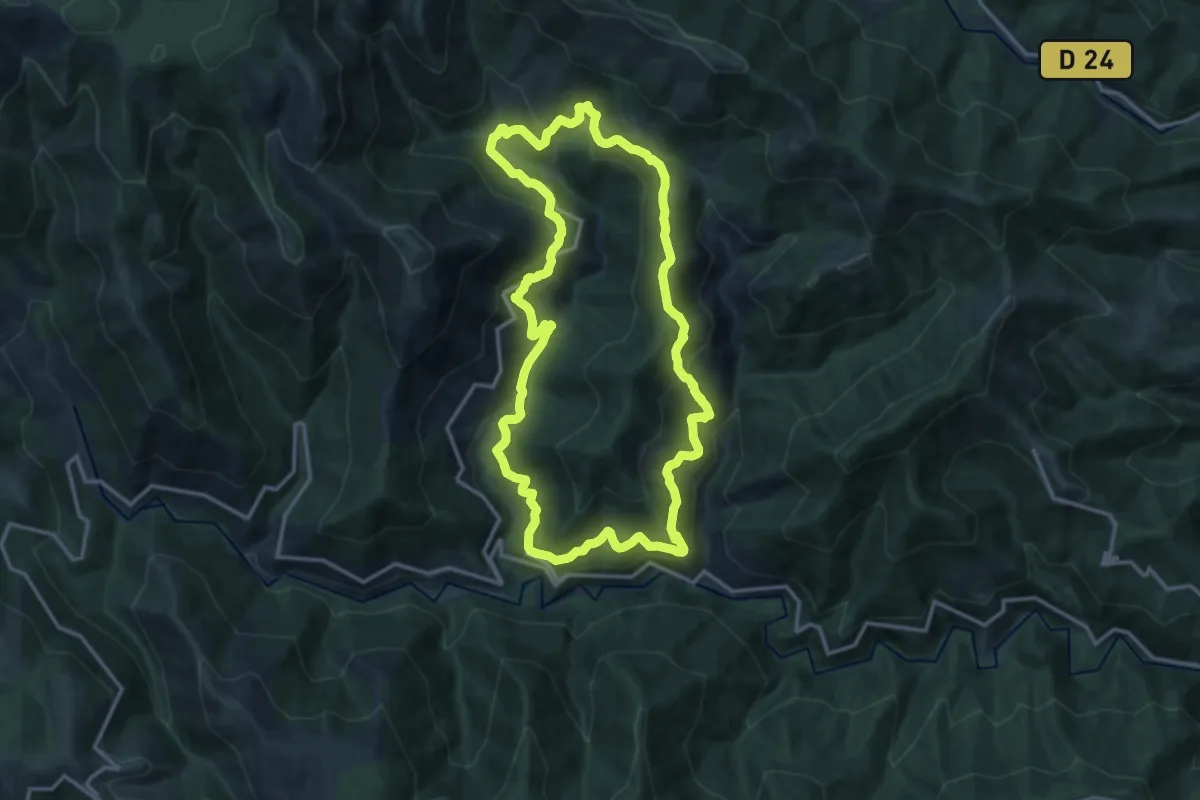
Medium · Trail
Le sentier des Lauzes
14.1 km · ↑ 714 m · 5 h 5 min · 13 km away
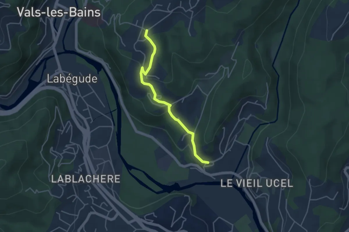
Easy · Trail
Ucel - Les Granges Crémades
3.6 km · ↑ 127 m · 1 h 7 min · 13 km away
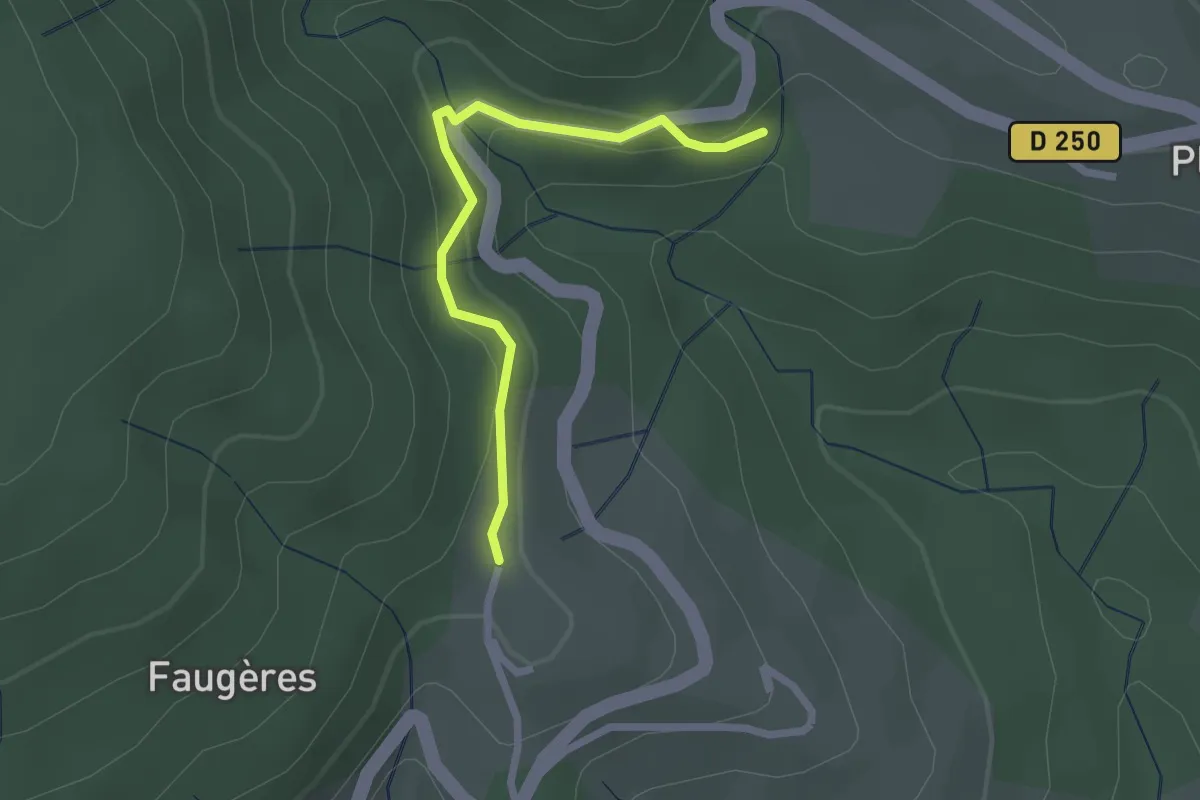
Easy · Trail
Le Pélissou - Le Puech
2.2 km · ↑ 93 m · 44 min · 13 km away
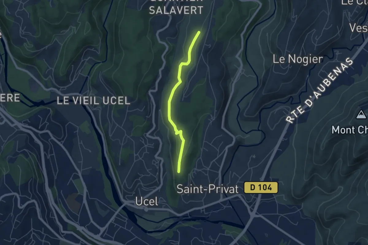
Easy · Trail
L'Houme - Le Suel
4.8 km · ↑ 157 m · 1 h 28 min · 13 km away