Trails near Largentière
425 hikes starting within 15 km, nearest first.
Nearest first, page 8 of 9
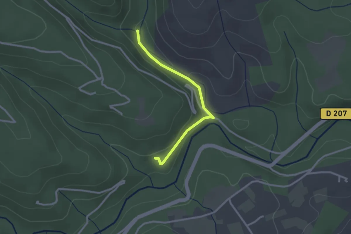
Easy · Trail
Source du Picou - La Passerelle
2.3 km · ↑ 90 m · 44 min · 13 km away
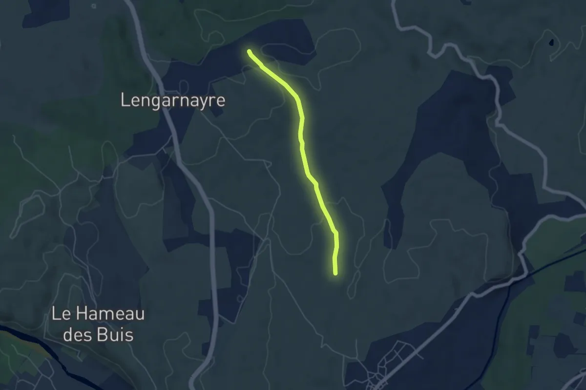
Easy · Trail
Cham de Rode - La Croix de Raoux
4.4 km · ↑ 63 m · 1 h 10 min · 13 km away
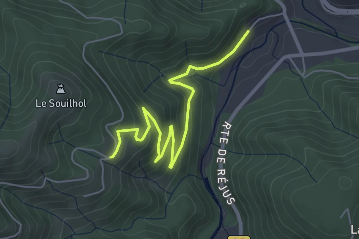
Easy · Trail
La Taillade - Le Câble
5.3 km · ↑ 246 m · 1 h 47 min · 13 km away
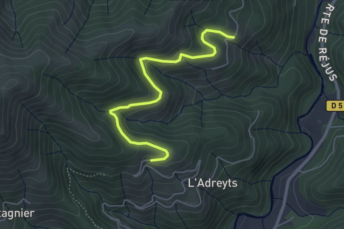
Easy · Trail
Le Câble - Serangelier
4.9 km · ↑ 229 m · 1 h 39 min · 13 km away
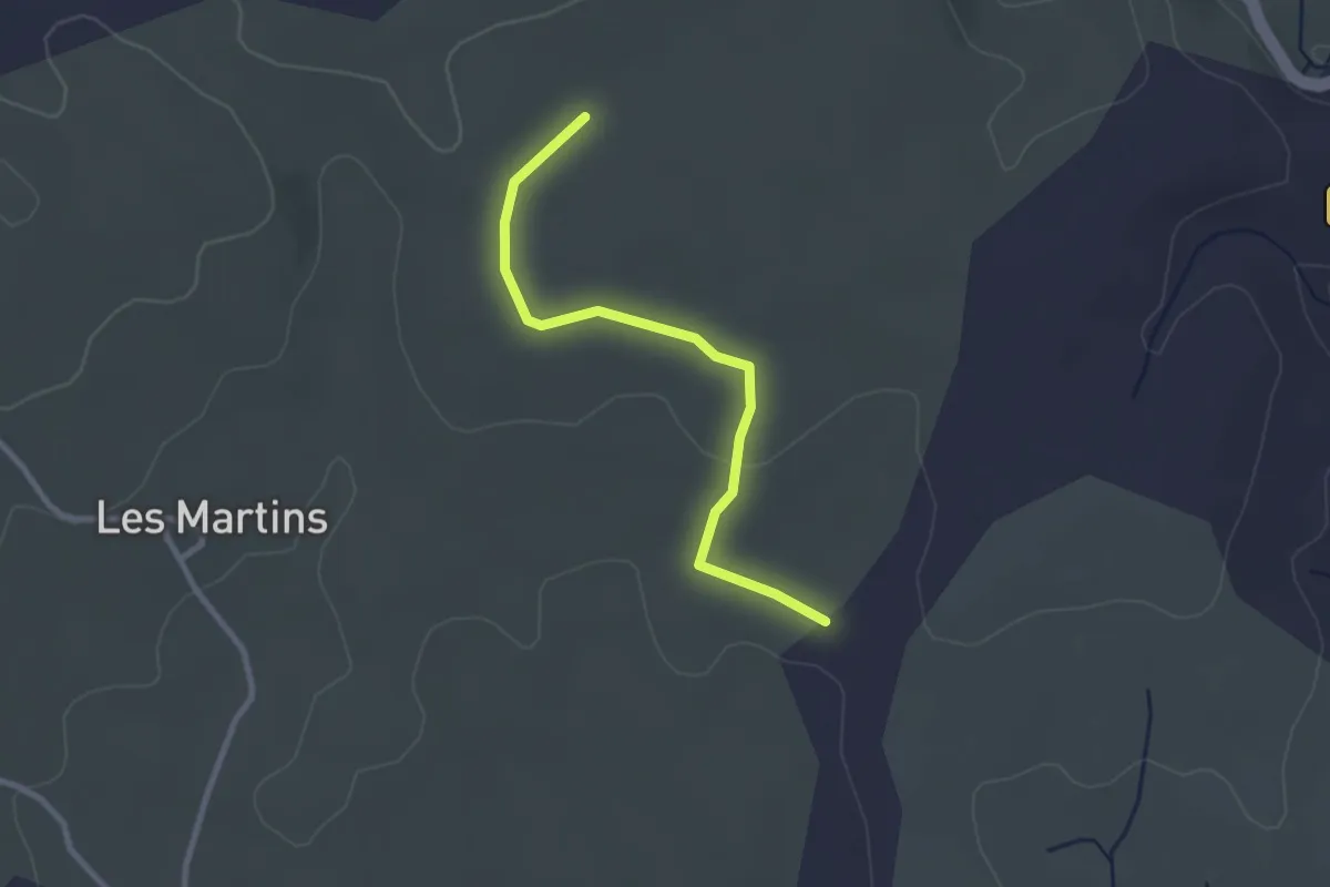
Easy · Trail
Le Blachas - Le Bois Chabanet
2.7 km · ↑ 34 m · 43 min · 13 km away
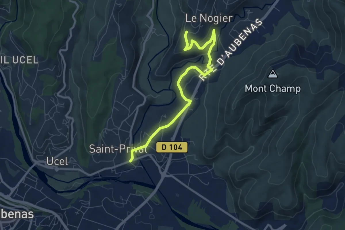
Medium · Trail
Saint-Privat - La Téoule
8.0 km · ↑ 144 m · 2 h 12 min · 13 km away
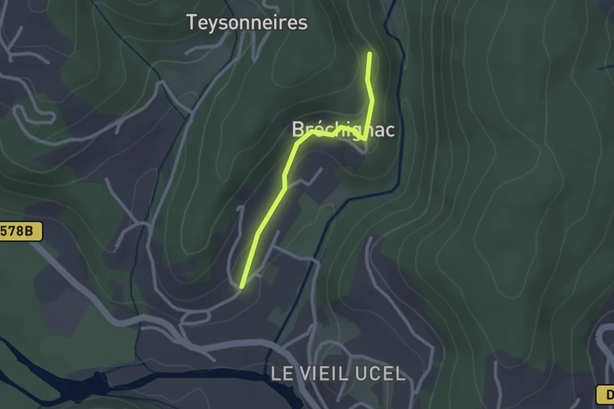
Easy · Trail
Ucel Village - Bréchignac
2.0 km · ↑ 59 m · 36 min · 13 km away
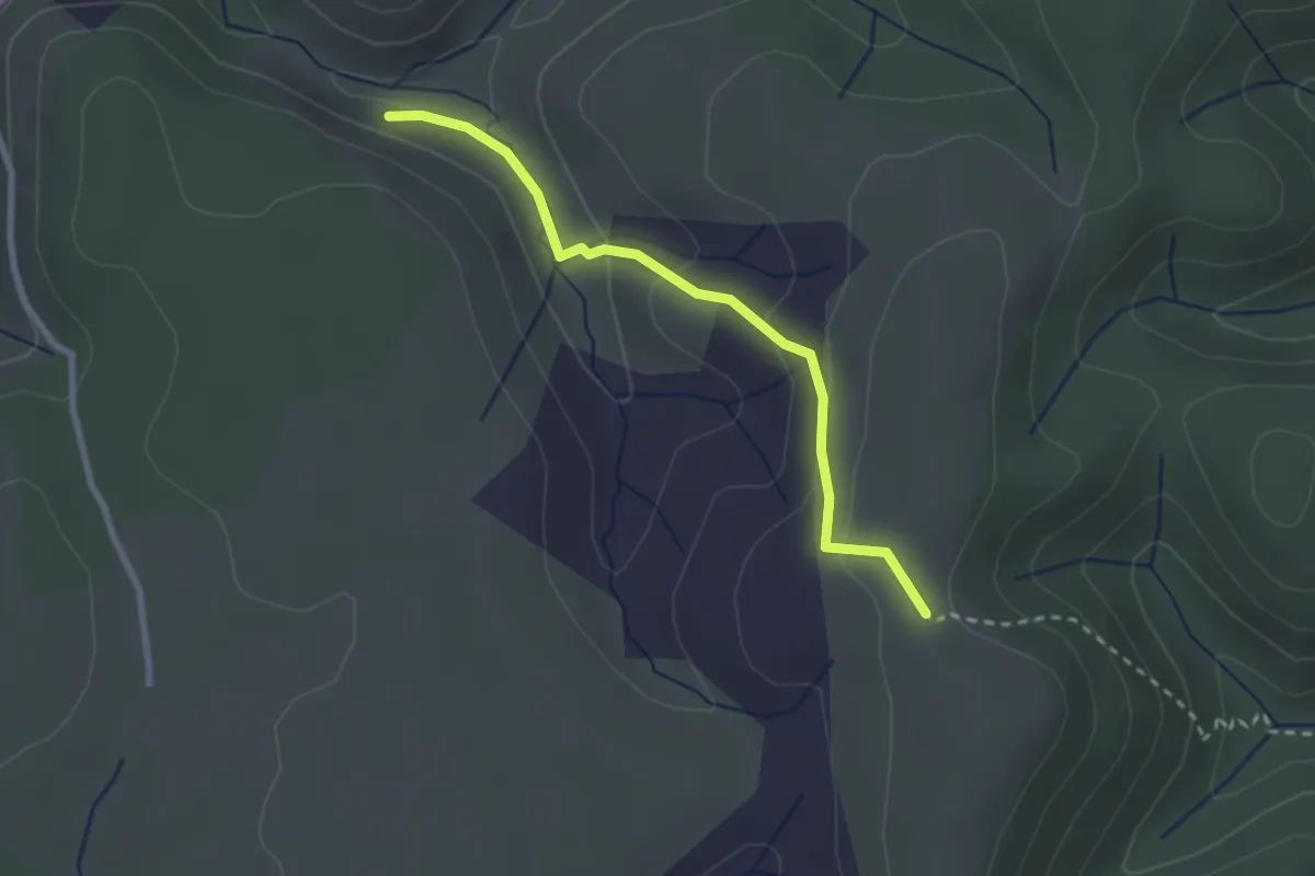
Easy · Trail
Ron Chamorel - Tête de Crespi
2.6 km · ↑ 97 m · 49 min · 13 km away
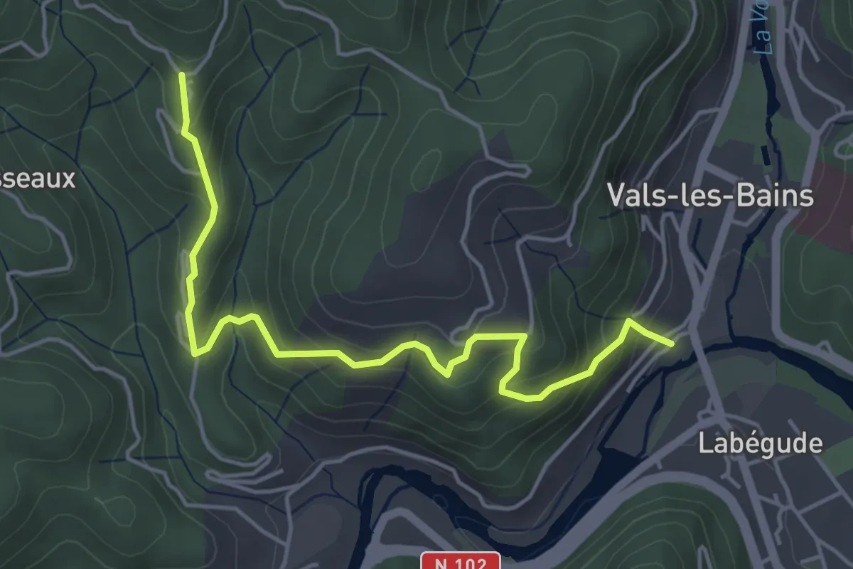
Medium · Trail
Le Bateau - Longe Serre
5.0 km · ↑ 350 m · 1 h 56 min · 13 km away
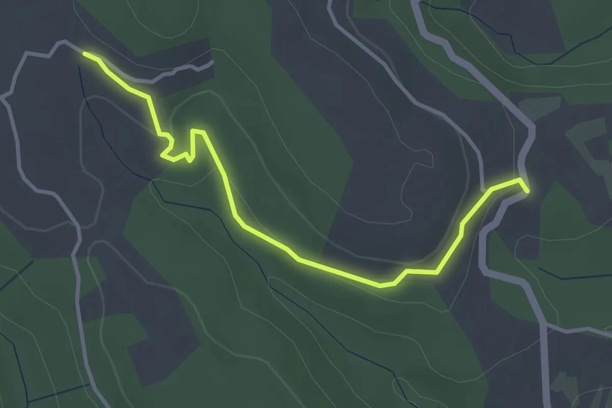
Easy · Trail
Les Salettes - L'Espic
3.4 km · ↑ 104 m · 1 h 2 min · 13 km away
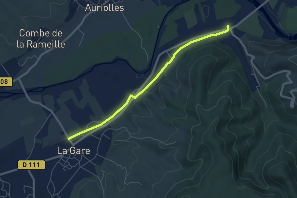
Easy · Trail
Vallier - Grospierres Gare
5.4 km · ↑ 22 m · 1 h 20 min · 13 km away
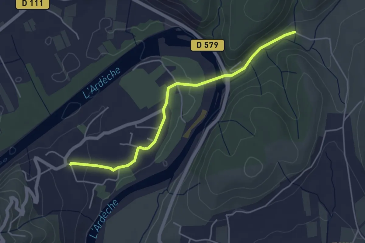
Easy · Trail
Deserte - Les Trouillères
4.2 km · ↑ 80 m · 1 h 10 min · 13 km away
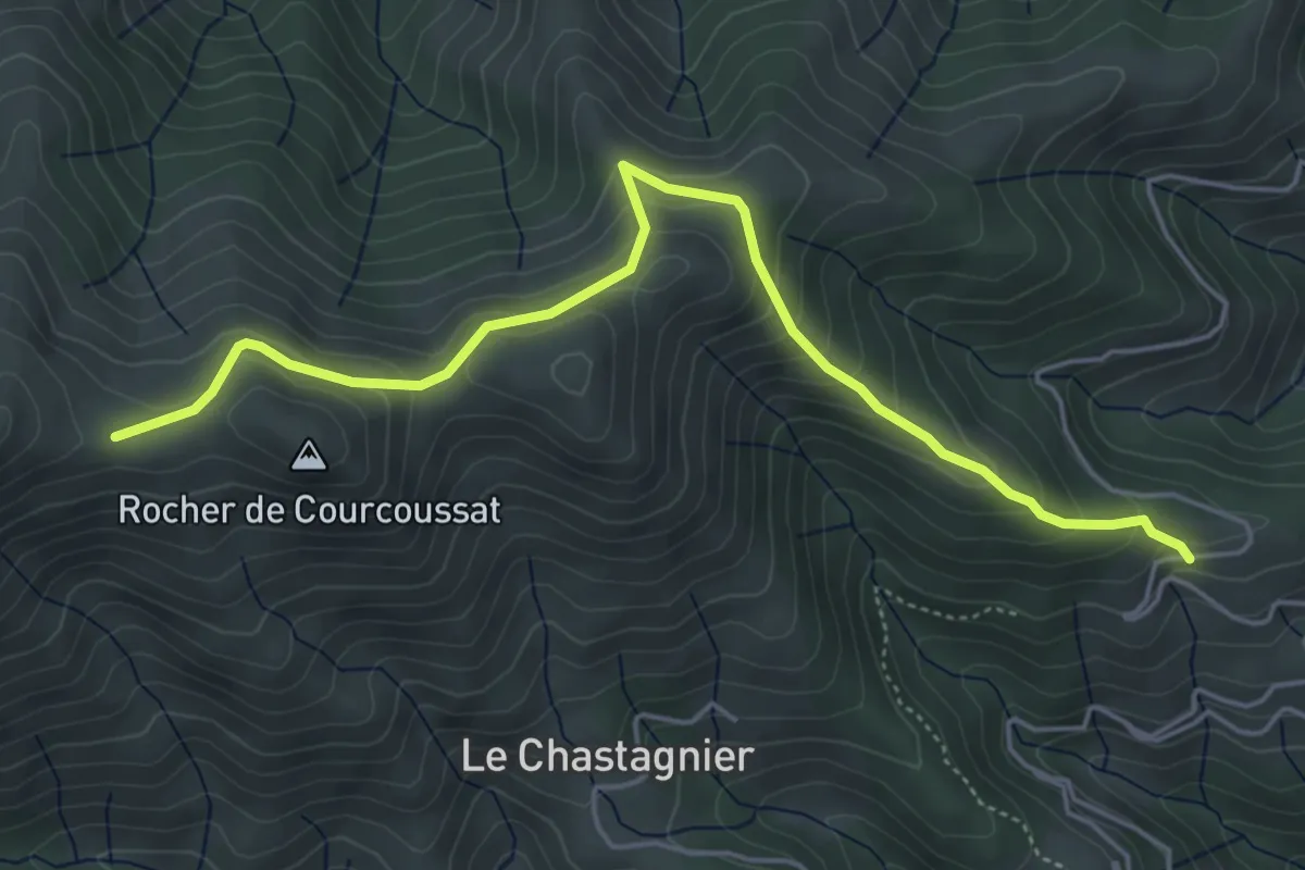
Medium · Trail
Serangelier - Courcoussat
5.6 km · ↑ 402 m · 2 h 12 min · 13 km away
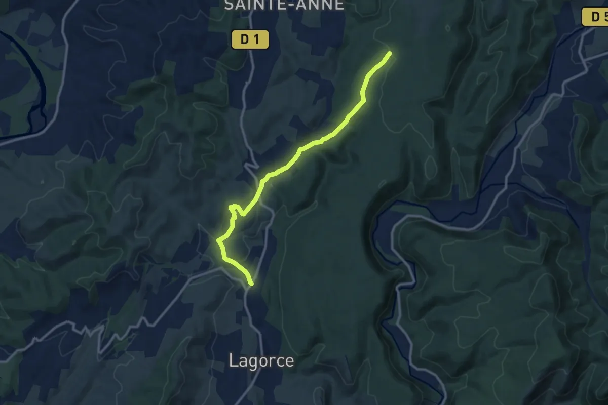
Medium · Trail
Le Bouchet - Gras de la Fauvette
10.3 km · ↑ 224 m · 2 h 55 min · 14 km away
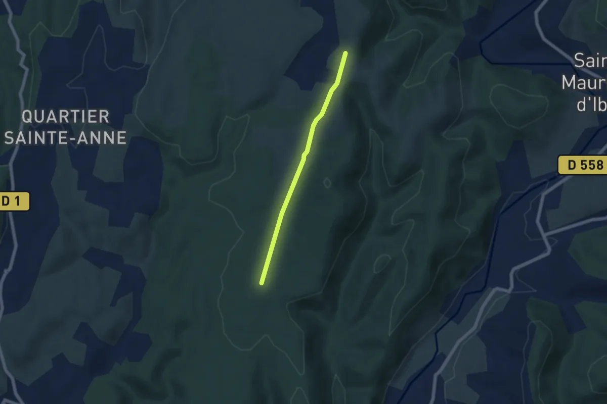
Easy · Trail
Le Charnier - Montagu
4.6 km · ↑ 67 m · 1 h 13 min · 14 km away
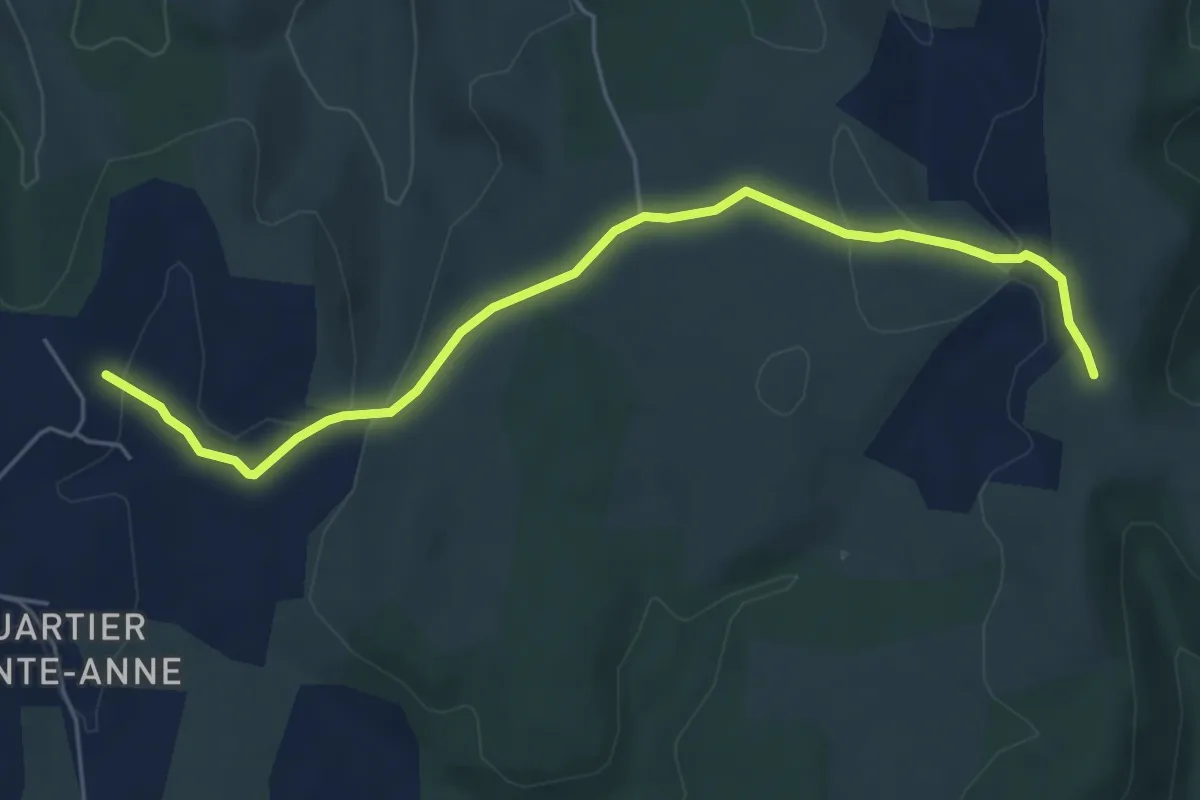
Easy · Trail
Les Clos - Montagu
6.1 km · ↑ 108 m · 1 h 40 min · 14 km away
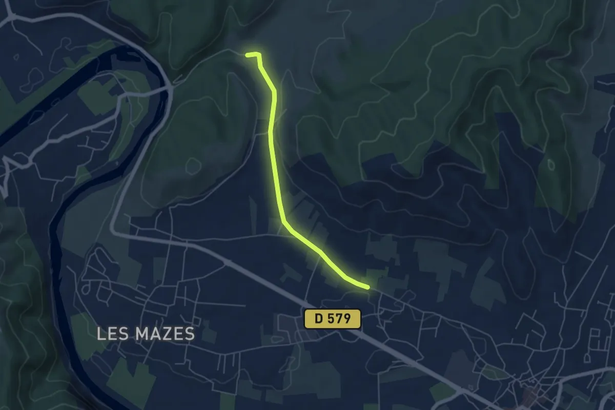
Easy · Trail
Saint-Martin - La Loubière
4.7 km · ↑ 76 m · 1 h 16 min · 14 km away
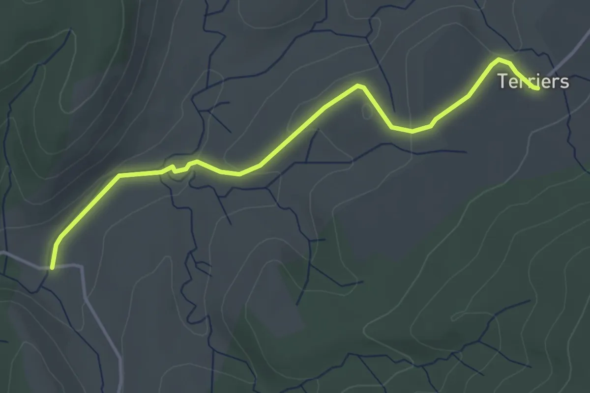
Easy · Trail
La Loubière - Les Terriers
4.0 km · ↑ 99 m · 1 h 10 min · 14 km away
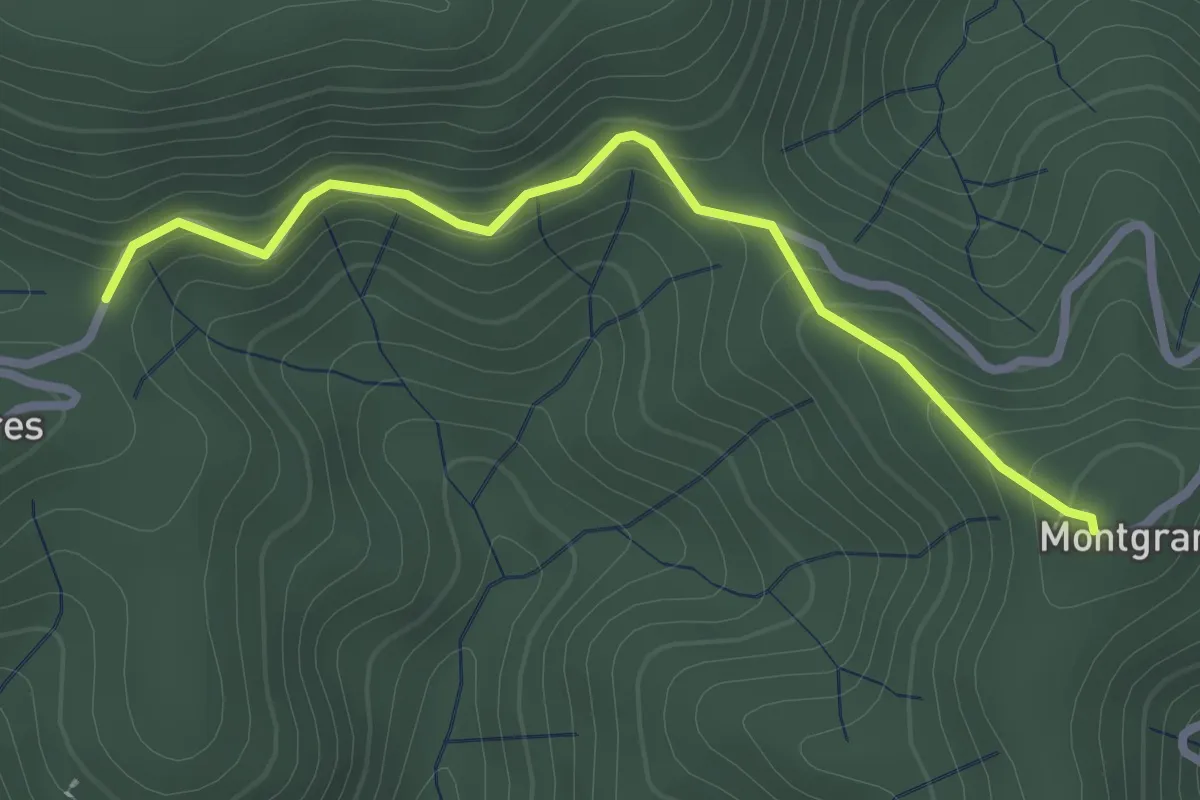
Easy · Trail
Col de la Loube - Montgrand
2.7 km · ↑ 168 m · 1 h · 14 km away
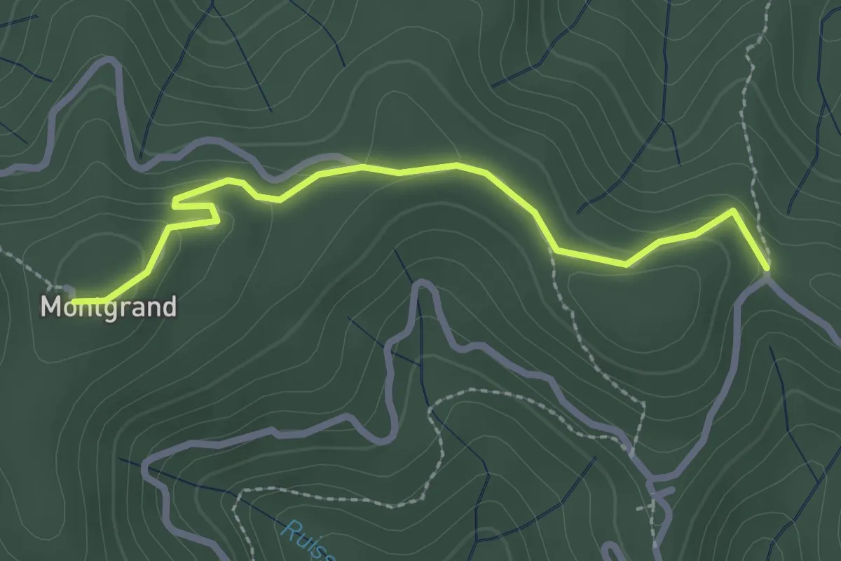
Easy · Trail
Col de Longe Serre - Montgrand
2.5 km · ↑ 69 m · 44 min · 14 km away
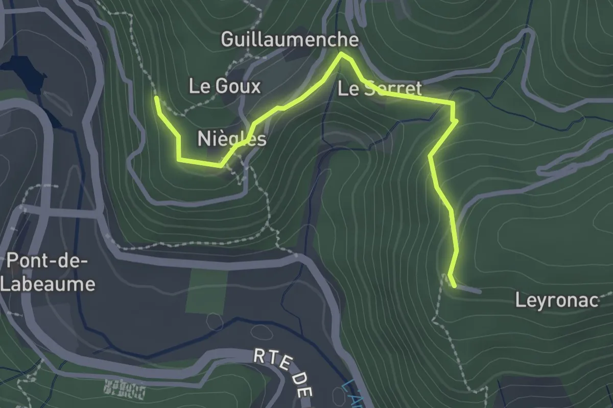
Easy · Trail
Le Goux - Leyronac
2.6 km · ↑ 124 m · 53 min · 14 km away
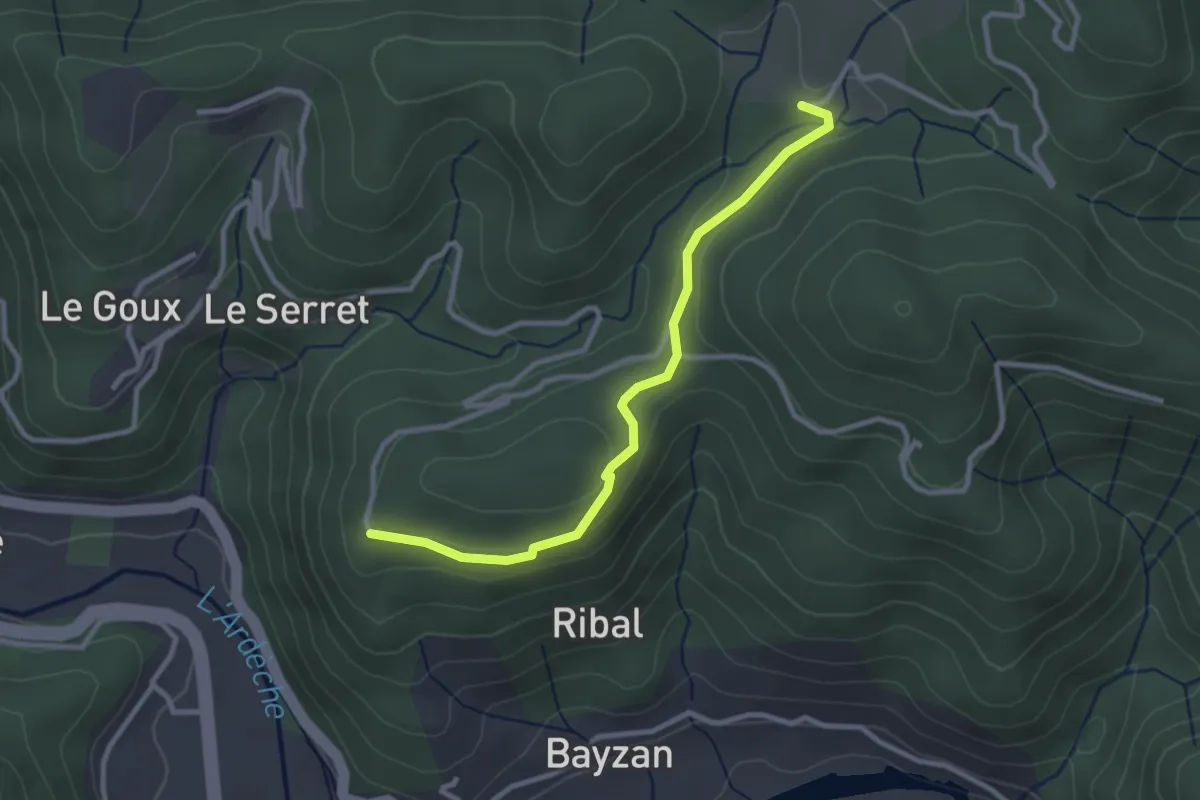
Easy · Trail
Leyronac - Sétias
3.0 km · ↑ 56 m · 49 min · 14 km away
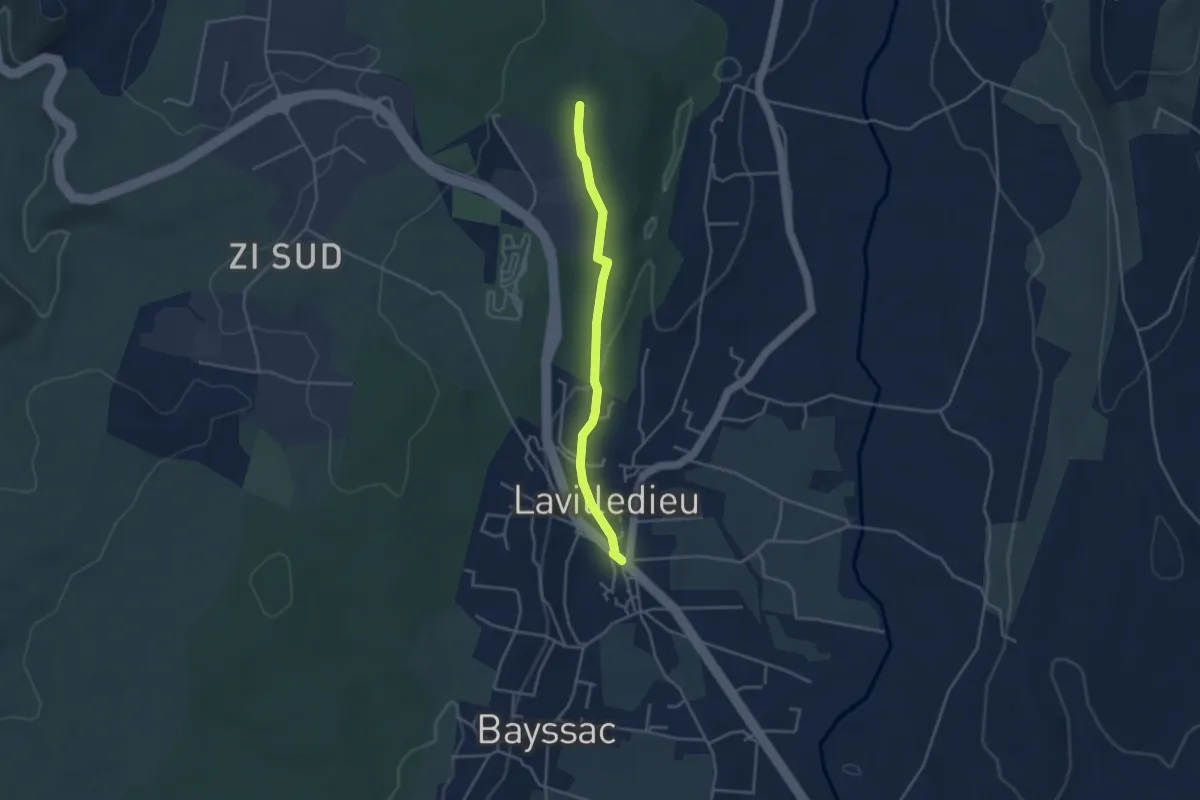
Easy · Trail
Lavilledieu (Le Feu) - Les Taillades
3.6 km · ↑ 50 m · 57 min · 14 km away
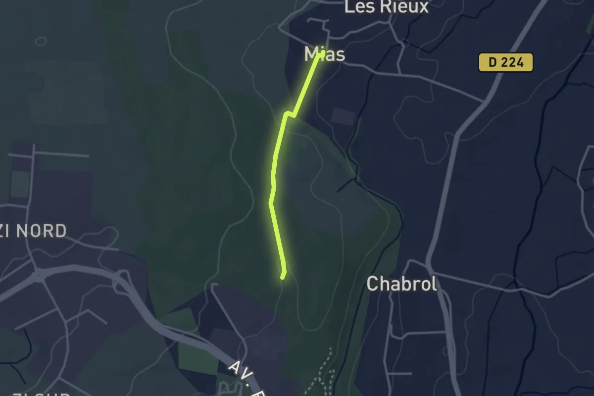
Easy · Trail
Mias - Les Taillades
2.2 km · ↑ 33 m · 36 min · 14 km away
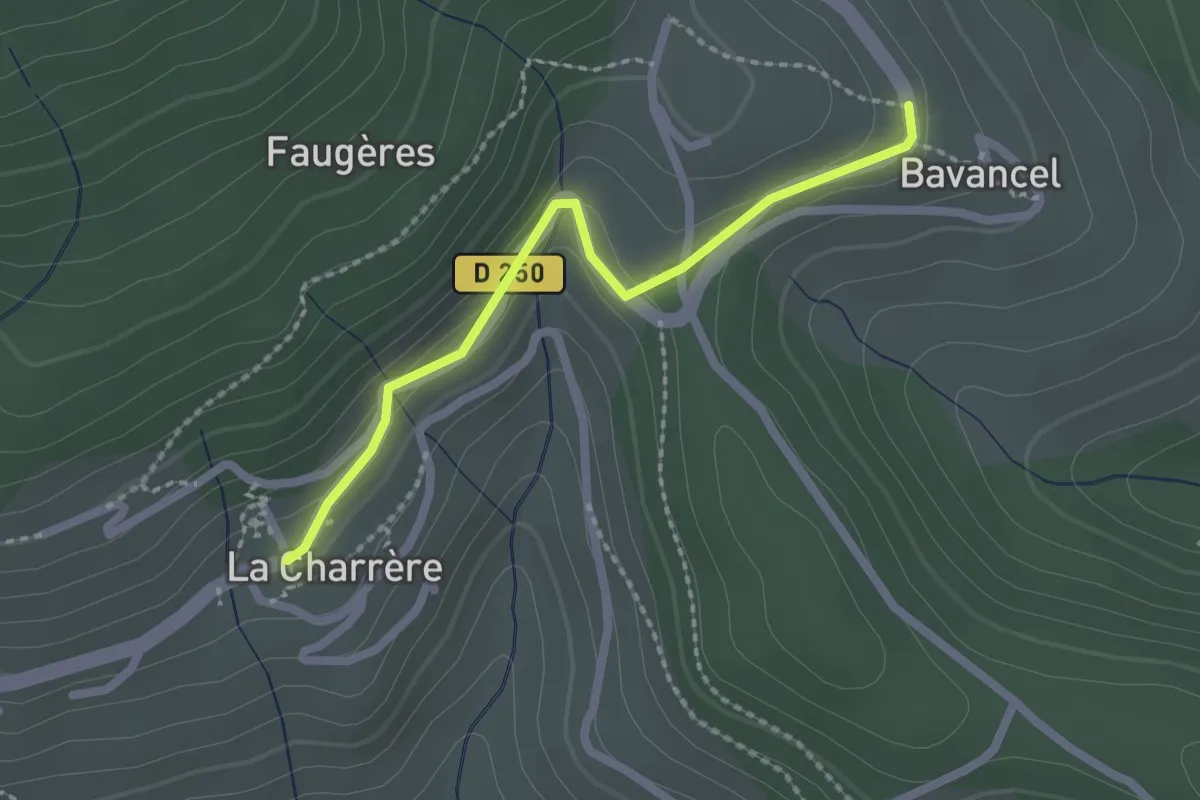
Easy · Trail
Le Clos - Bavancel
2.1 km · ↑ 68 m · 38 min · 14 km away
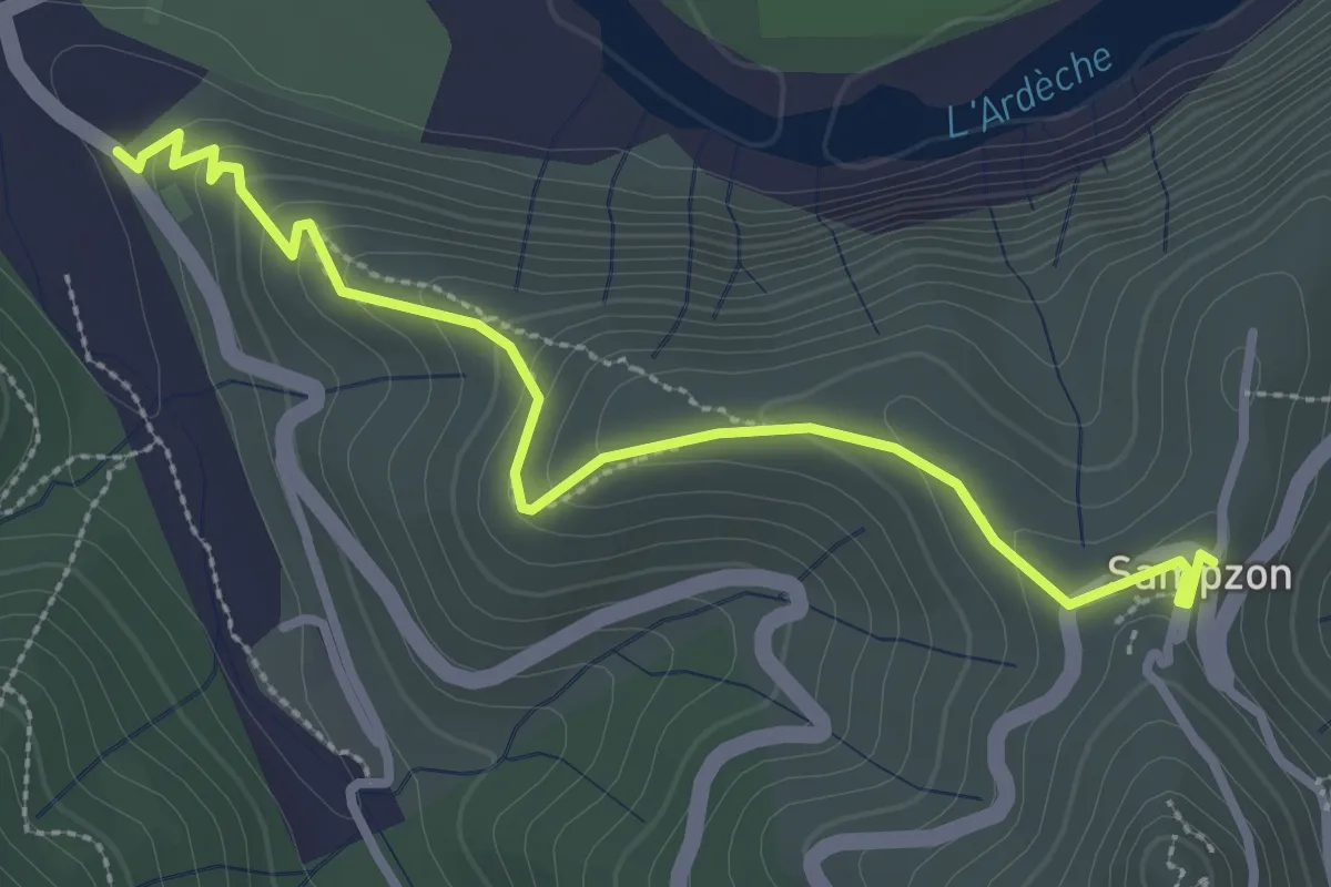
Easy · Trail
La Bastide - Sampzon
3.3 km · ↑ 173 m · 1 h 9 min · 14 km away
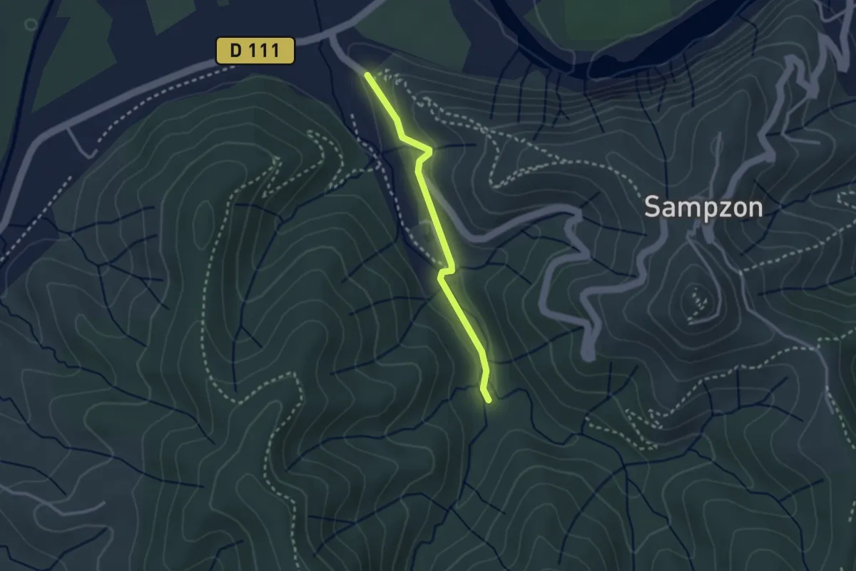
Easy · Trail
La Bastide - L'Aiguille
2.4 km · ↑ 54 m · 42 min · 14 km away
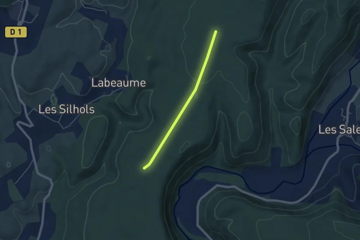
Easy · Trail
Pertus de Fabria - Le Charnier
3.7 km · ↑ 44 m · 59 min · 14 km away
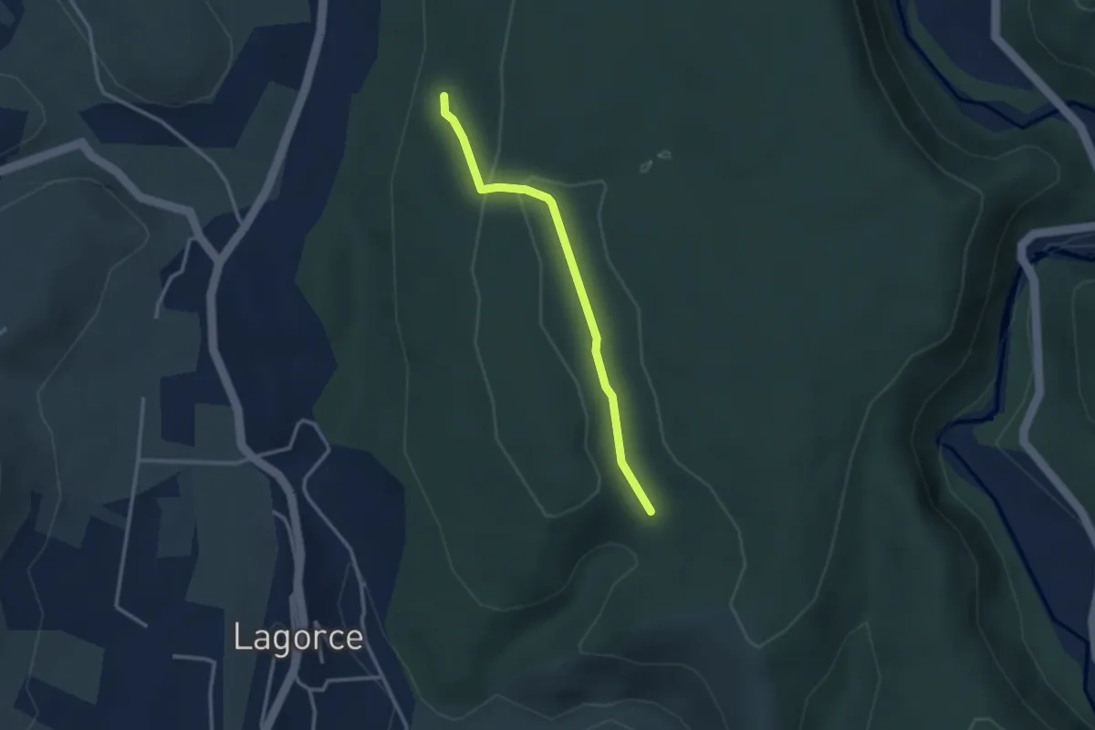
Easy · Trail
Notre Dame d'Ajude - Orbeire
2.8 km · ↑ 46 m · 46 min · 14 km away
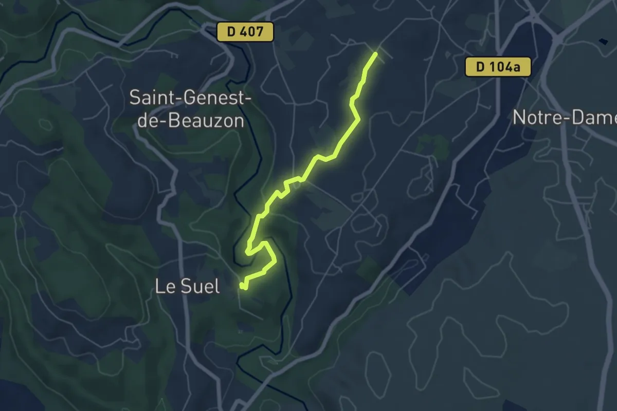
Easy · Trail
Les Crozes - Bourdezac
5.2 km · ↑ 137 m · 1 h 32 min · 14 km away
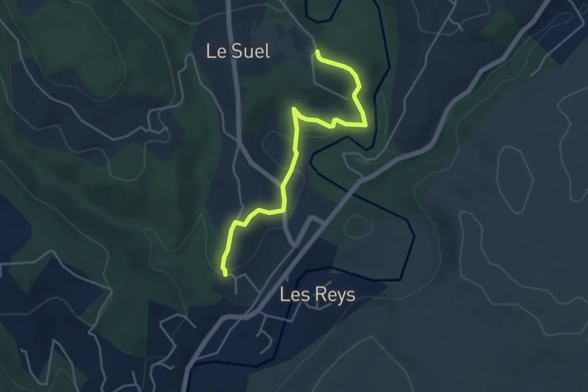
Easy · Trail
Le Raynal - Les Crozes
3.9 km · ↑ 106 m · 1 h 9 min · 14 km away
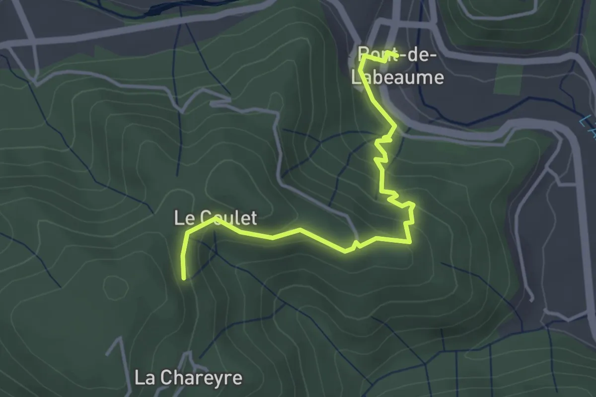
Easy · Trail
Pont de Labeaume - Les Traverses
3.7 km · ↑ 251 m · 1 h 25 min · 14 km away
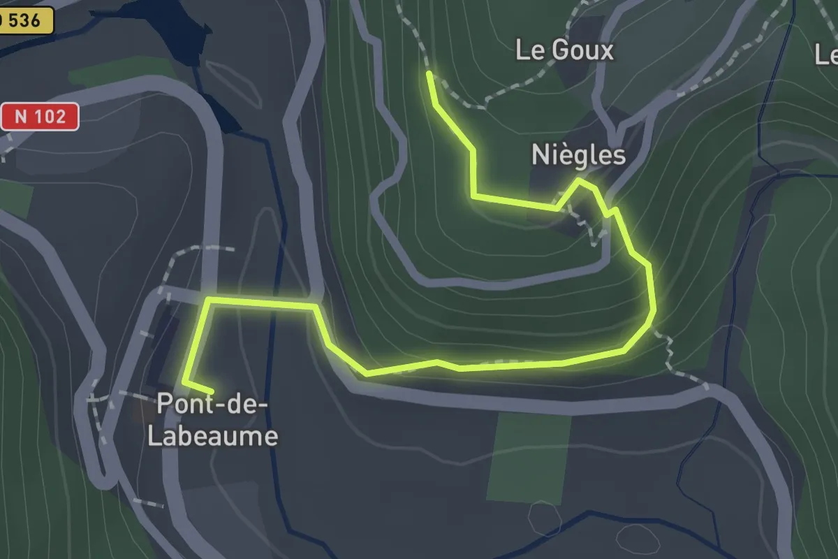
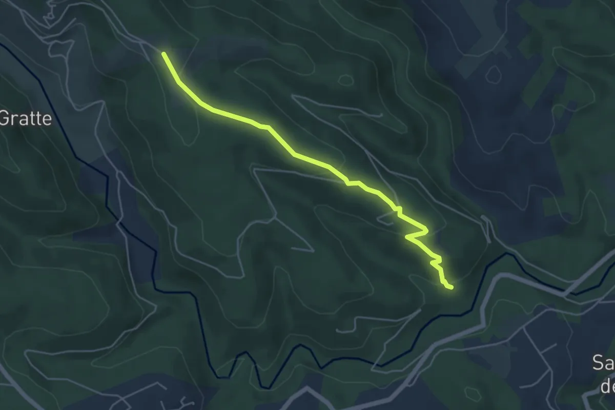
Easy · Trail
Pont de Labeaume - Le Goux
2.2 km · ↑ 137 m · 49 min · 14 km away
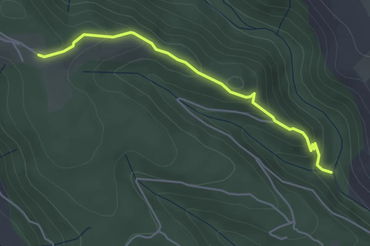
Easy · Trail
La Passerelle - La Pierre Plantée
4.9 km · ↑ 165 m · 1 h 31 min · 14 km away
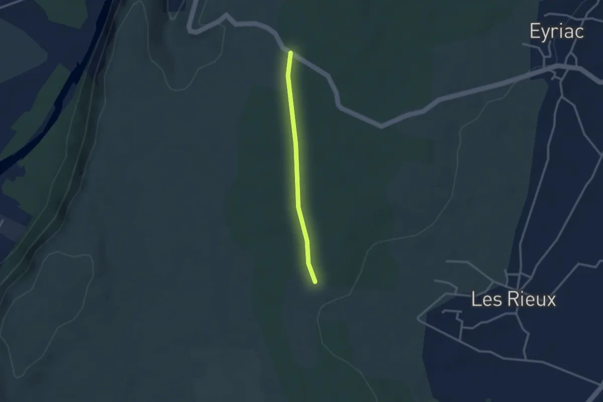
Easy · Trail
Source du Picou - La Pierre Plantée
4.1 km · ↑ 169 m · 1 h 20 min · 14 km away
Easy · Trail
Voie Romaine - Bois Vignasse
2.3 km · ↑ 17 m · 35 min · 14 km away
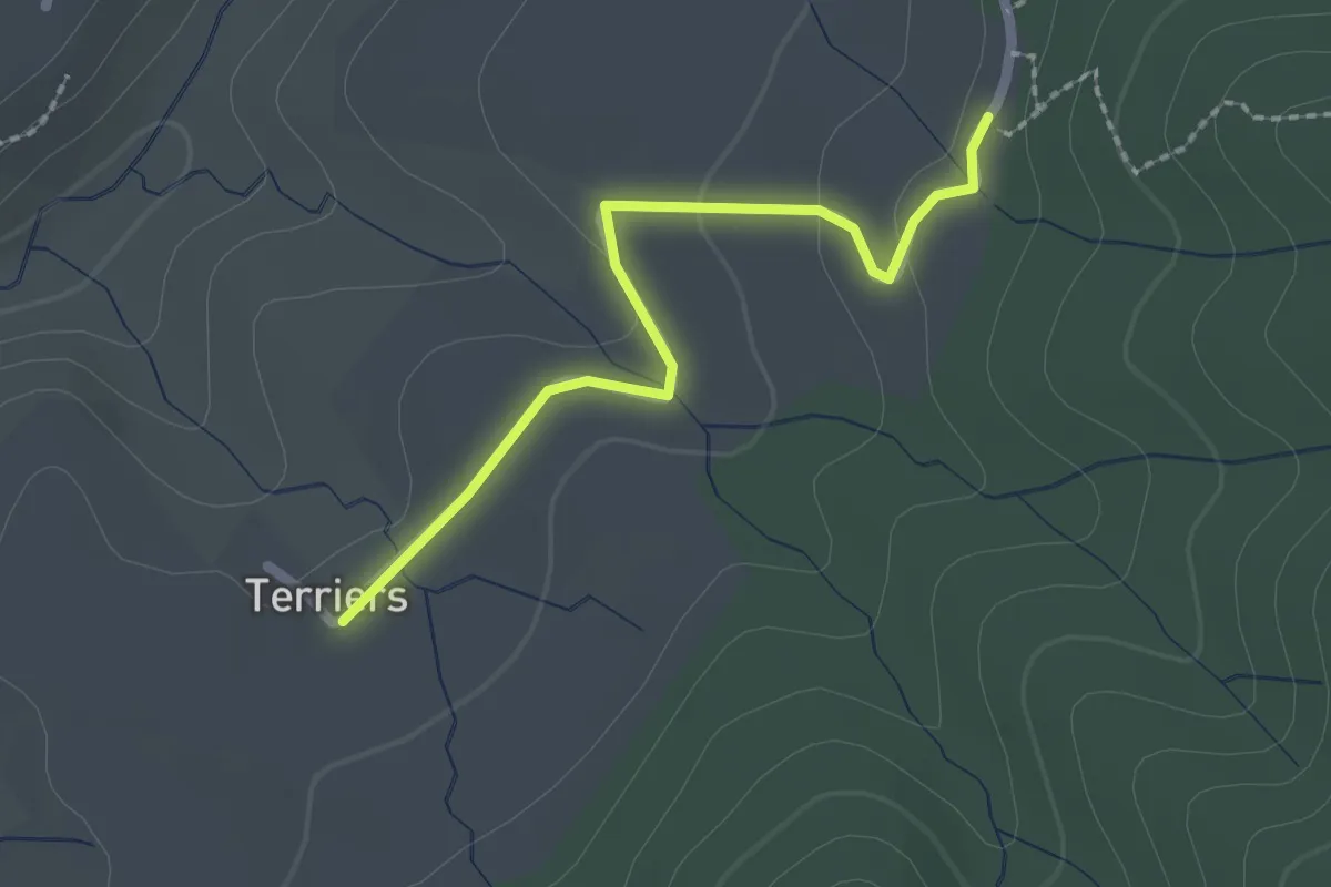
Easy · Trail
Les Terriers - Pecoulas
2.1 km · ↑ 27 m · 33 min · 14 km away
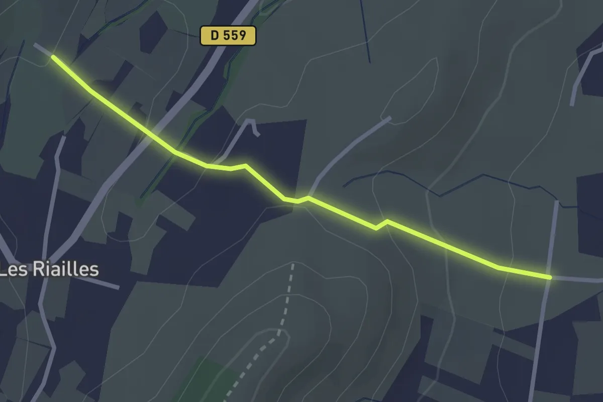
Easy · Trail
Auche d'Ozil - Saint André
2.6 km · ↑ 103 m · 50 min · 14 km away
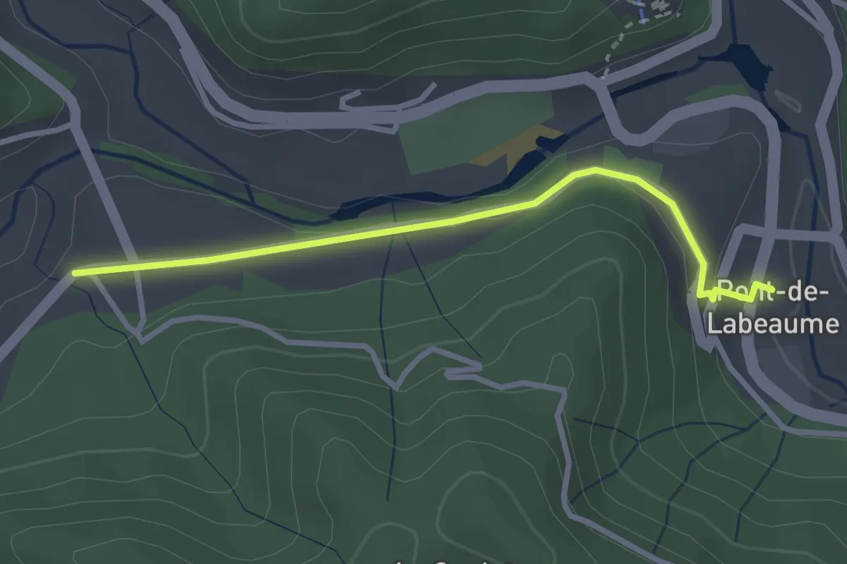
Easy · Trail
Pont de Labeaume - La Croisée de Réjus
2.8 km · ↑ 79 m · 50 min · 14 km away
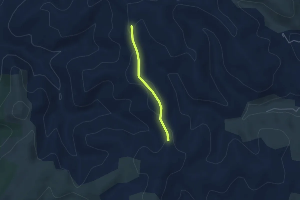
Easy · Trail
Terme Noir - Serre Donde
2.5 km · ↑ 49 m · 42 min · 14 km away
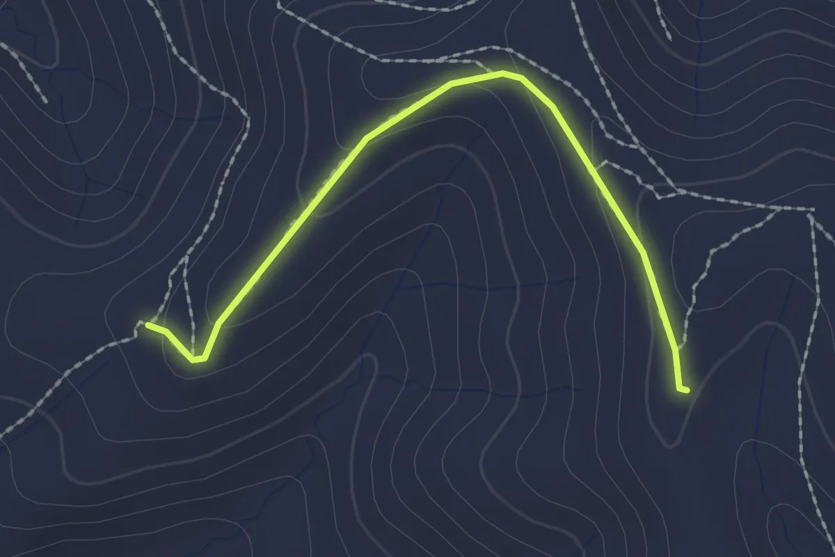
Easy · Trail
Blache de Gros - Terme Noir
2.1 km · ↑ 72 m · 39 min · 14 km away
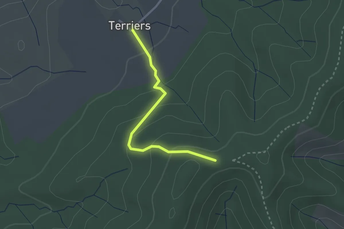
Easy · Trail
Les Terriers - Sommet de Sigaud
2.3 km · ↑ 111 m · 47 min · 14 km away
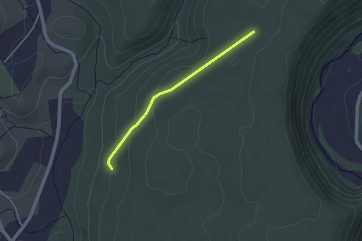
Easy · Trail
Orbeire - Pertus de Fabria
2.6 km · ↑ 57 m · 44 min · 14 km away
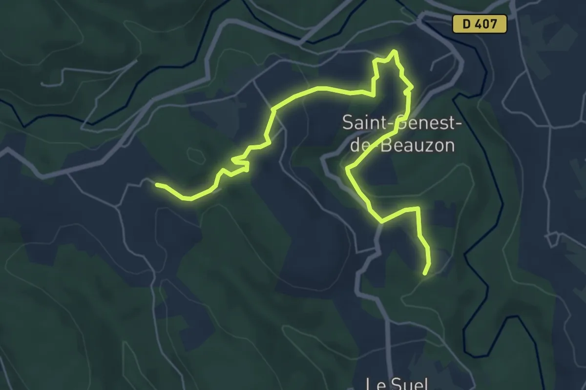
Easy · Trail
Le Salavert - L'Espic
7.1 km · ↑ 153 m · 2 h · 14 km away
Easy · Trail
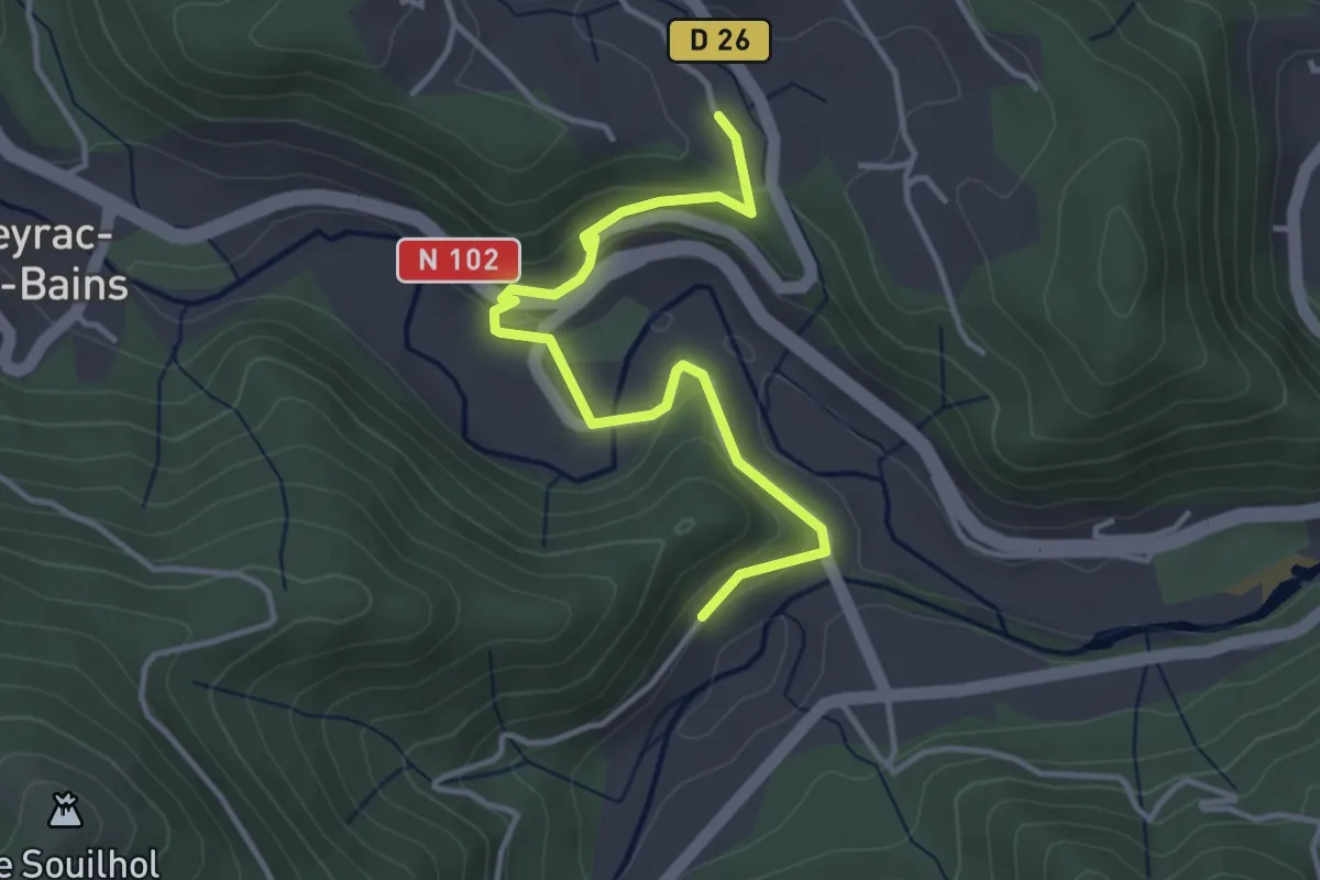
La Taillade - La Montée
4.0 km · ↑ 151 m · 1 h 16 min · 14 km away
Easy · Trail
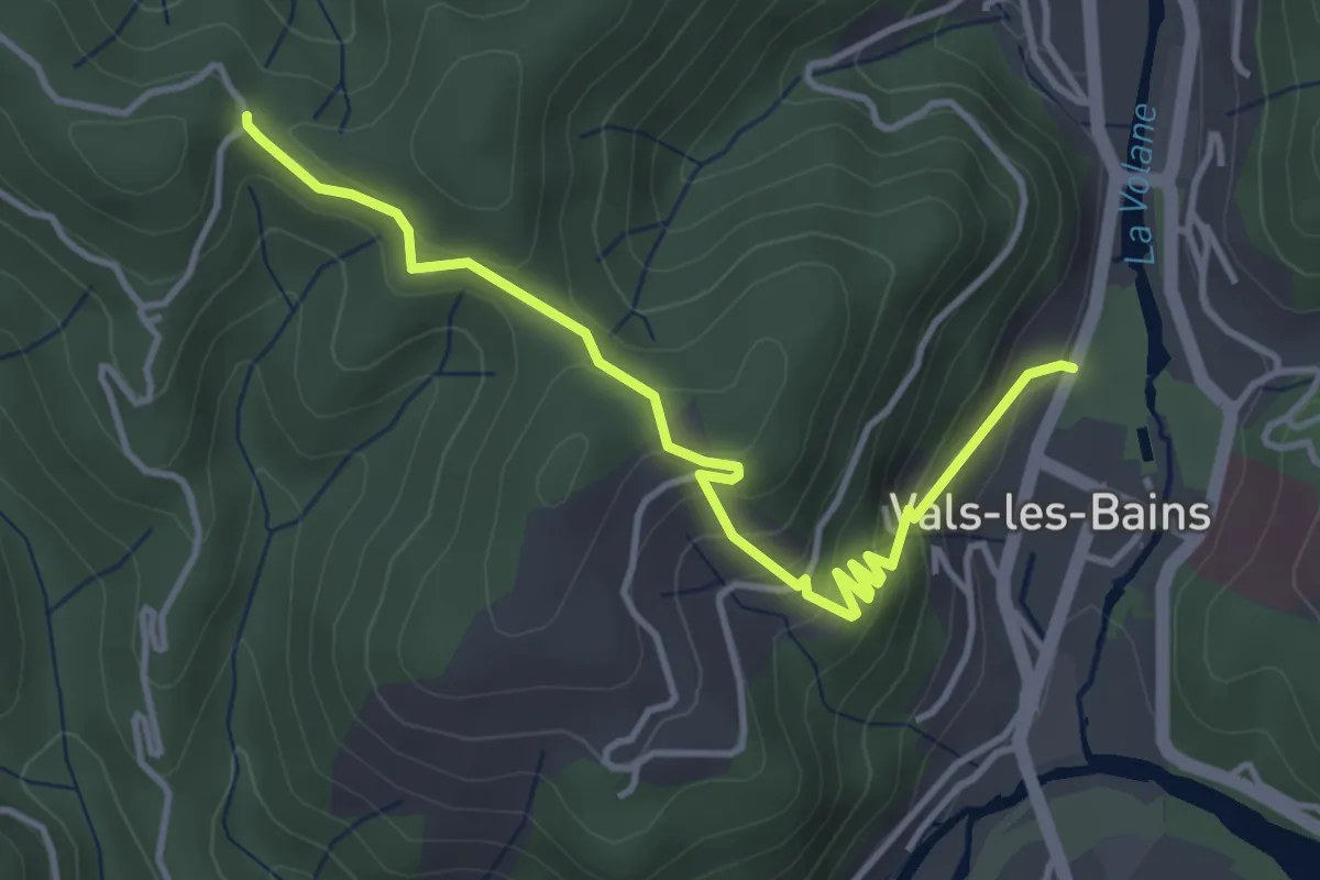
Le Parc - Col de Longe Serre
4.3 km · ↑ 303 m · 1 h 40 min · 14 km away
Easy · Trail
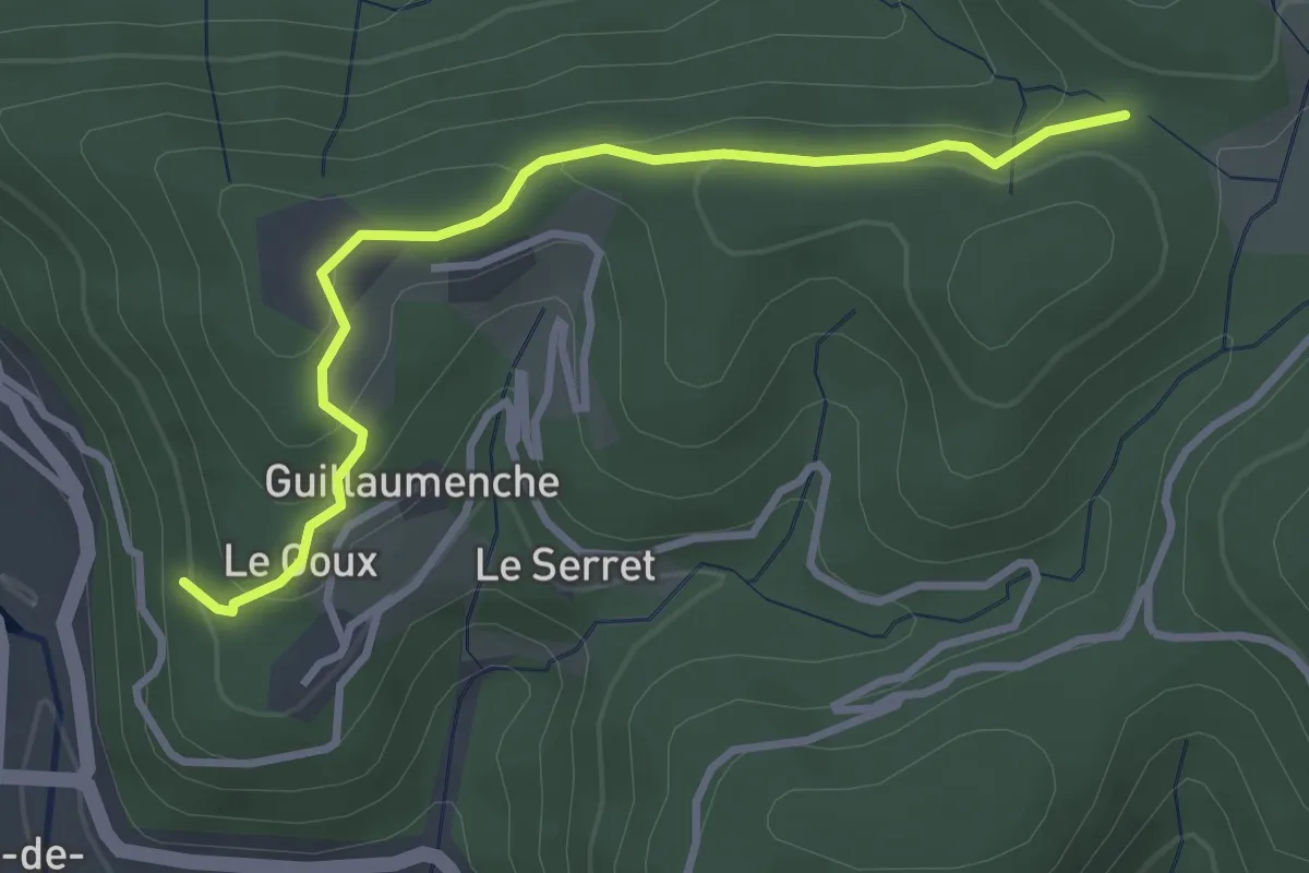
Le Goux - Col de Sétias
3.4 km · ↑ 150 m · 1 h 7 min · 14 km away
Medium · Trail
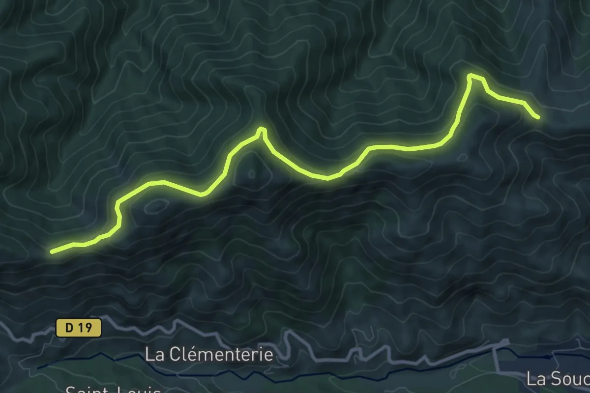
Fontfreyde - Col de Barbejo
10.8 km · ↑ 445 m · 3 h 31 min · 14 km away