Trails near Largentière
425 hikes starting within 15 km, nearest first.
Nearest first, page 9 of 9
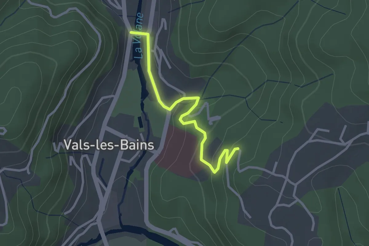
Easy · Trail
Pont des Deux Eaux - Bois Vert
2.6 km · ↑ 117 m · 53 min · 14 km away
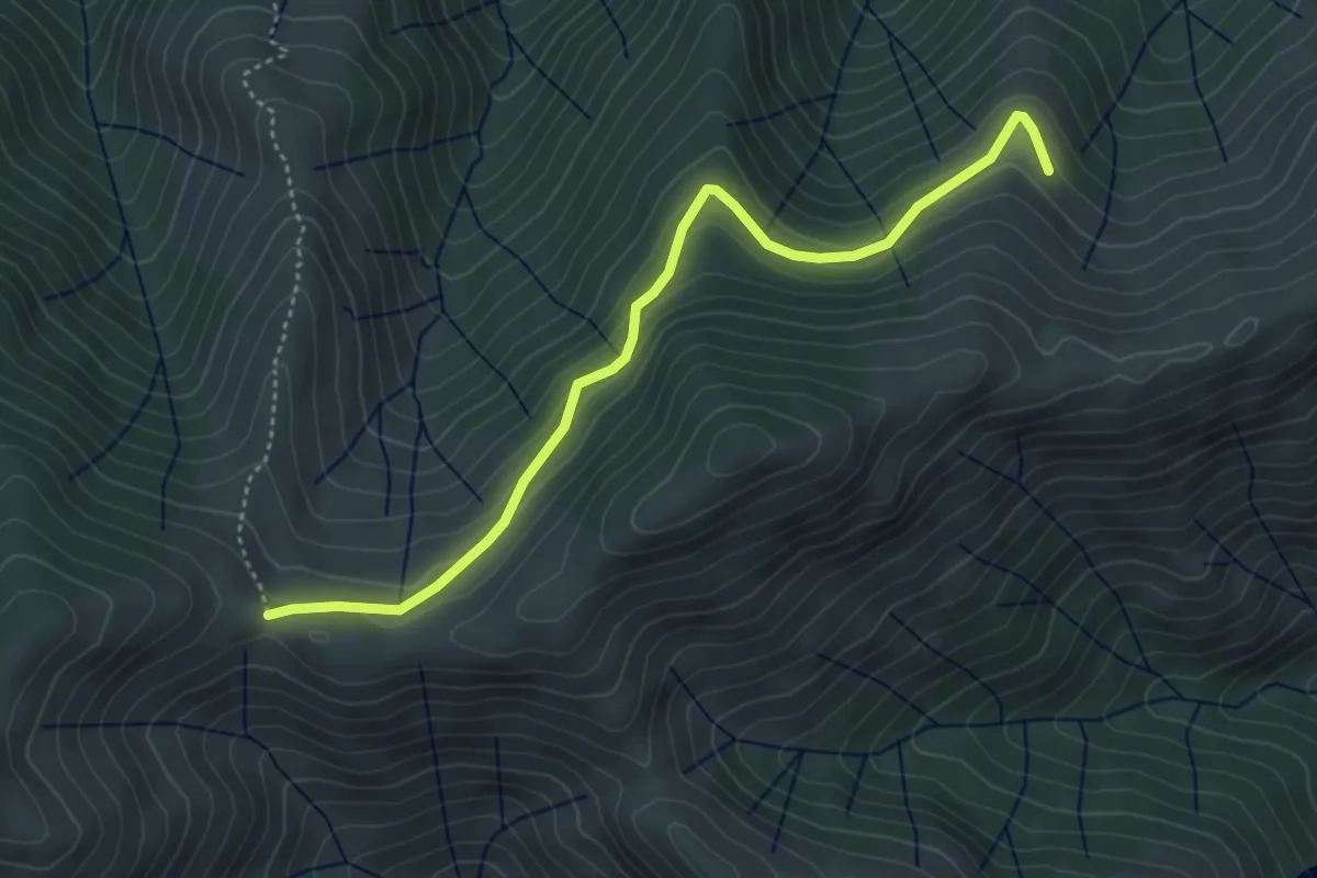
Easy · Trail
Les Plaines - Fontfreyde
4.6 km · ↑ 230 m · 1 h 35 min · 14 km away
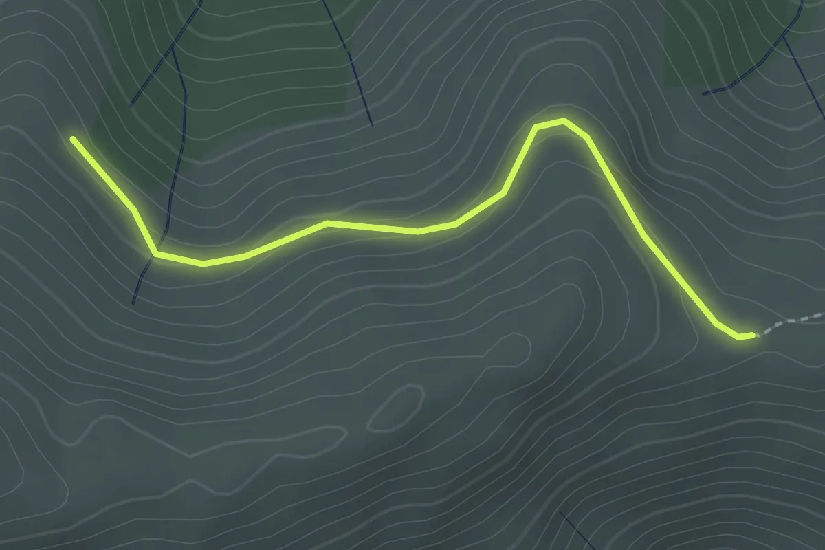
Easy · Trail
Les Plaines - Courcoussat
2.2 km · ↑ 88 m · 42 min · 14 km away
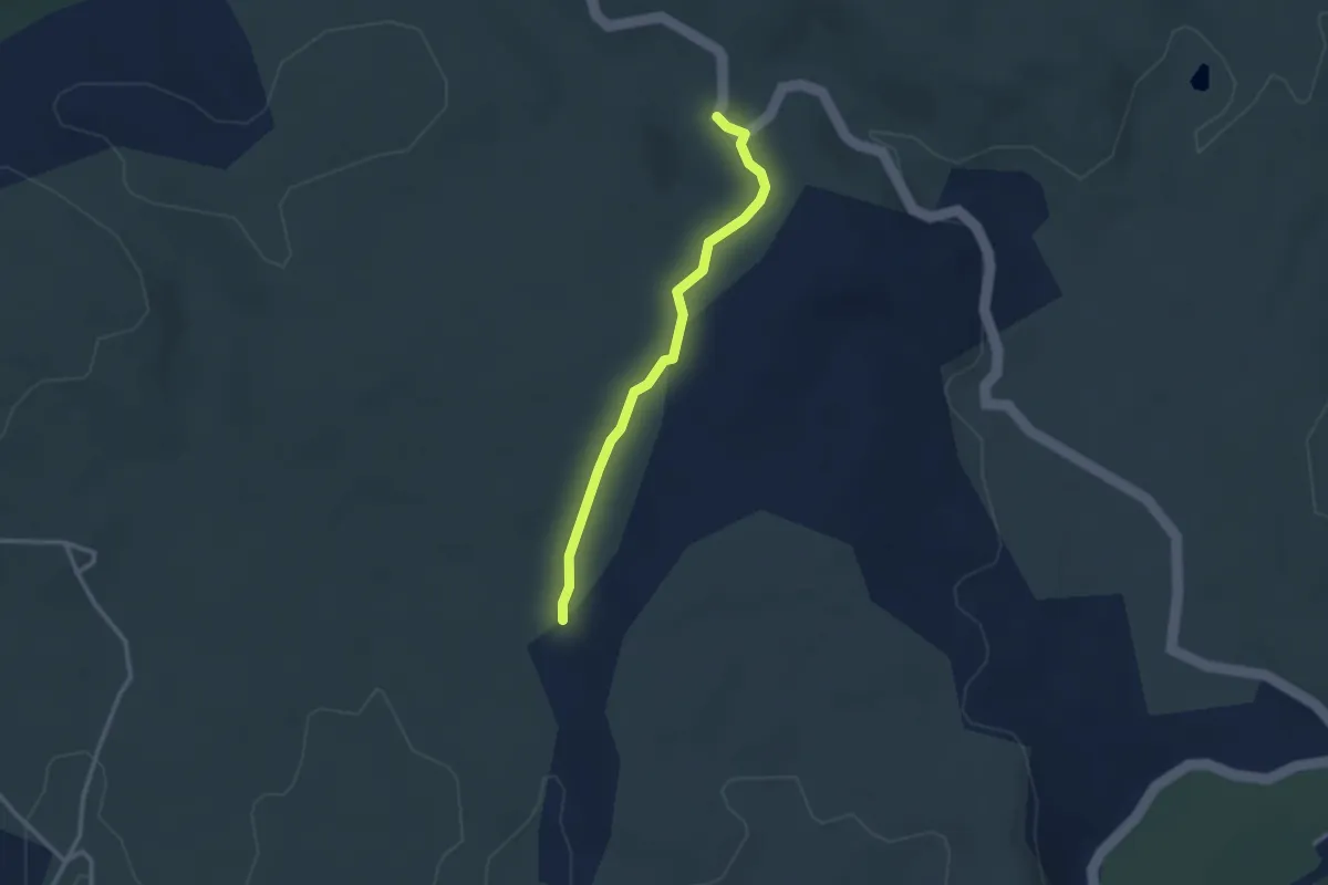
Easy · Trail
Font Méjanne - Le Blachas
2.7 km · ↑ 51 m · 44 min · 14 km away
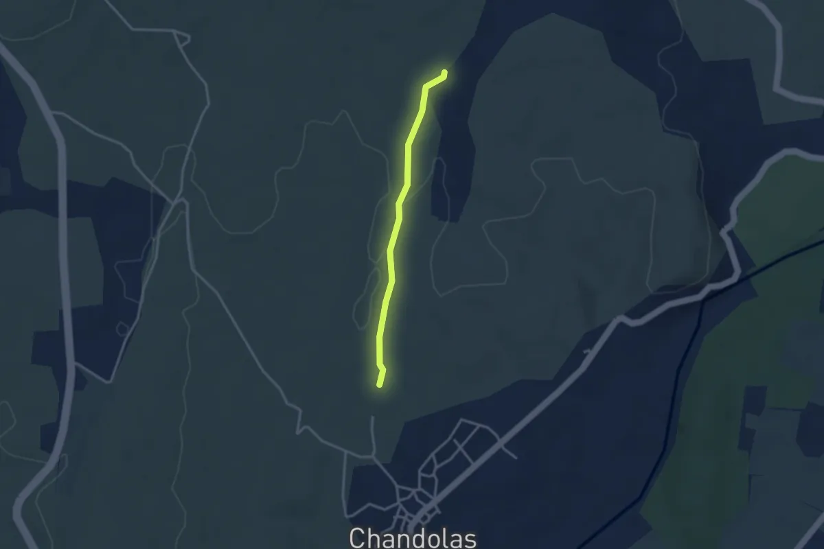
Easy · Trail
La Pause - Le Blachas
2.7 km · ↑ 22 m · 41 min · 14 km away
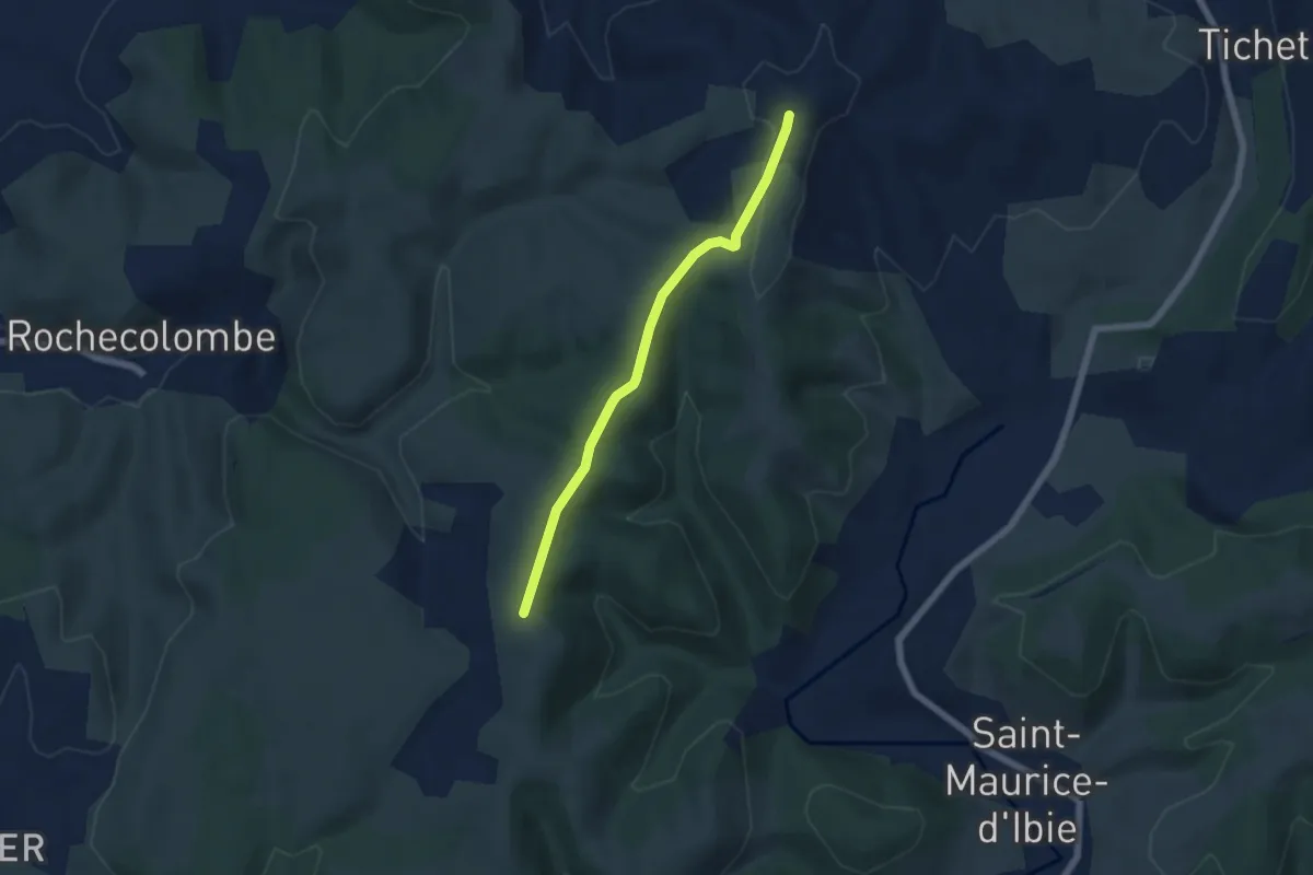
Easy · Trail
Tête de Crespi - Clos de Vernet
5.4 km · ↑ 110 m · 1 h 31 min · 14 km away
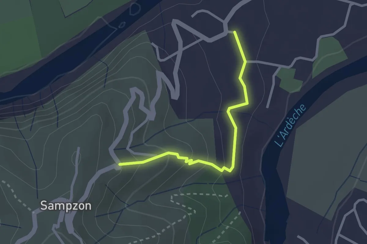
Easy · Trail
Les Trouillères - Le Bournas
2.3 km · ↑ 117 m · 48 min · 14 km away
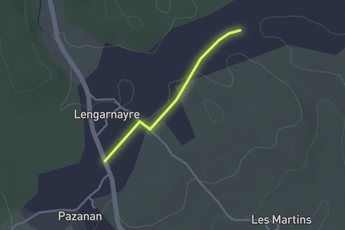
Easy · Trail
La Croix de Raoux - Lengarnayre
2.0 km · ↑ 9 m · 30 min · 14 km away
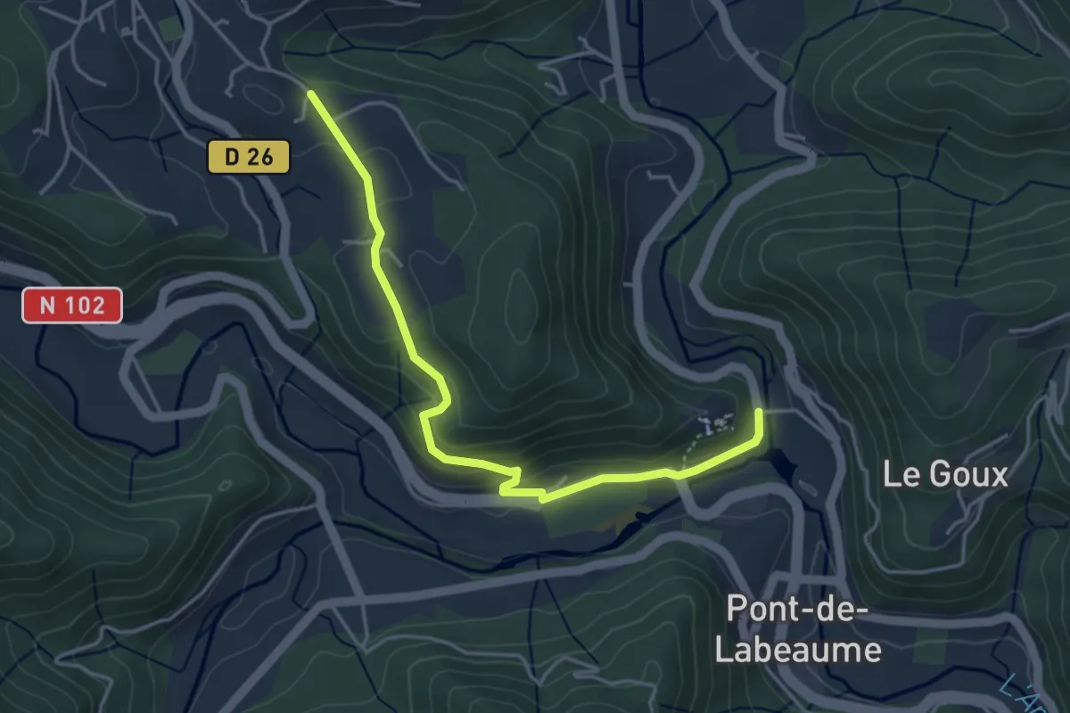
Easy · Trail
Ventadour - Champ Guérin
4.2 km · ↑ 177 m · 1 h 23 min · 14 km away
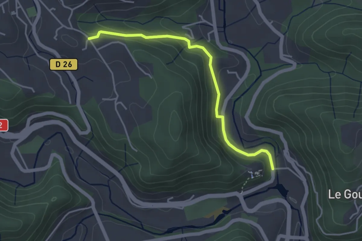
Easy · Trail
Ventadour - Champ Guérin
3.6 km · ↑ 153 m · 1 h 11 min · 14 km away
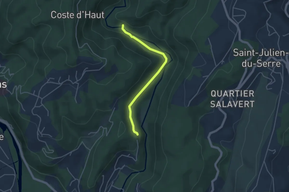
Easy · Trail
Pont Neuf - Bréchignac
3.5 km · ↑ 62 m · 58 min · 14 km away
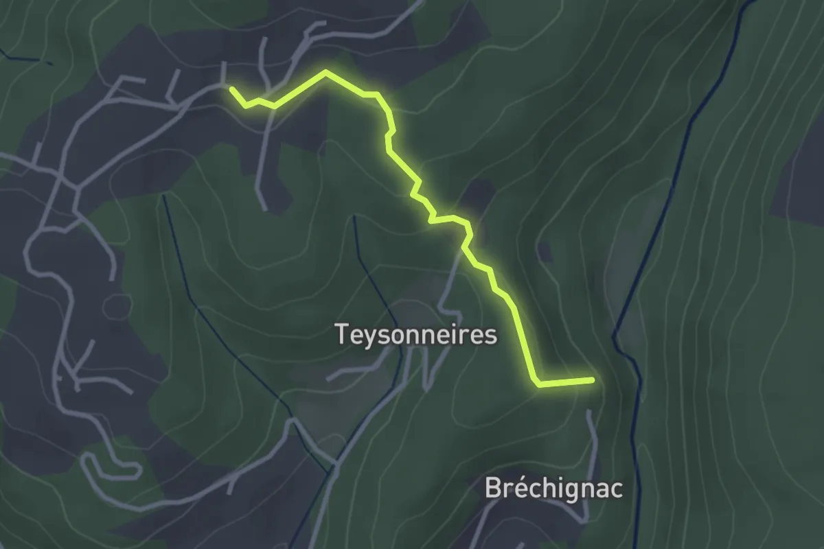
Easy · Trail
Bréchignac - Les Combes
2.7 km · ↑ 124 m · 54 min · 14 km away
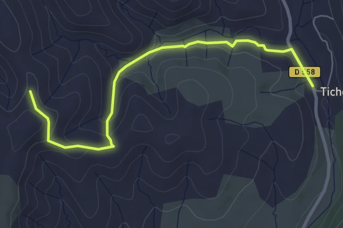
Easy · Trail
Faucon - Serre Donde
5.6 km · ↑ 147 m · 1 h 39 min · 14 km away
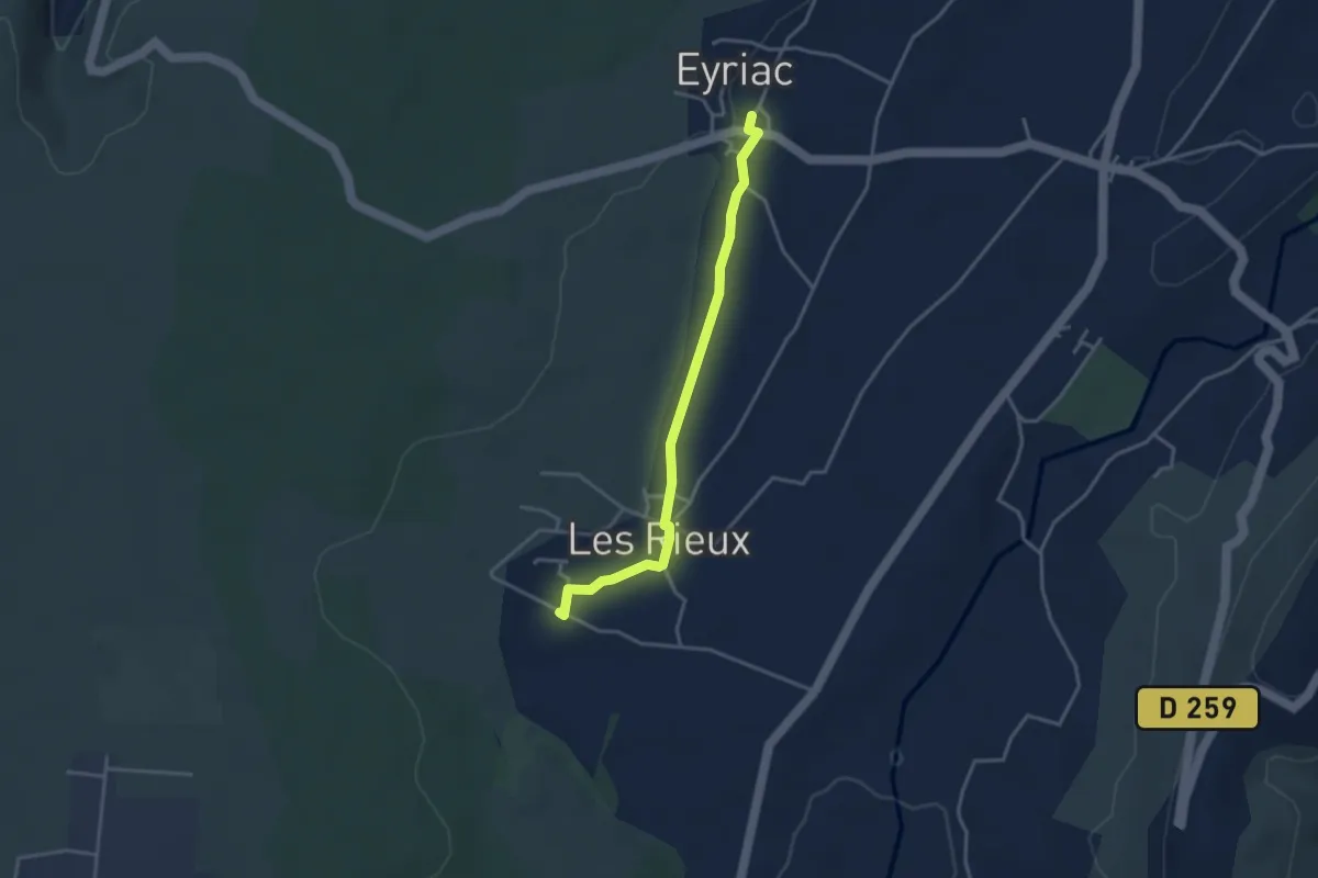
Easy · Trail
Mias - Eyriac
3.5 km · ↑ 35 m · 54 min · 14 km away
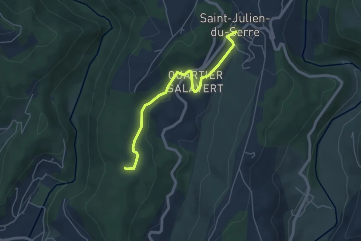
Easy · Trail
Le Buis - Les Taillades
4.2 km · ↑ 65 m · 1 h 8 min · 14 km away
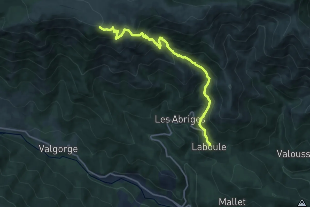
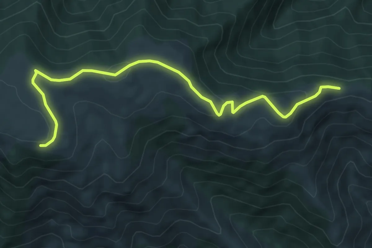
Demanding · Trail
Laboule - Rocher des Barres
10.0 km · ↑ 805 m · 4 h 6 min · 14 km away
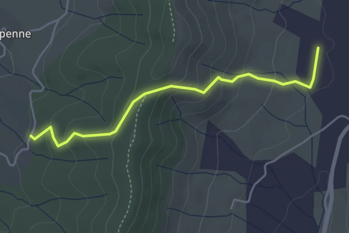
Easy · Trail
Cros de l'Aygue - Rocher des Barres
7.6 km · ↑ 207 m · 2 h 14 min · 14 km away
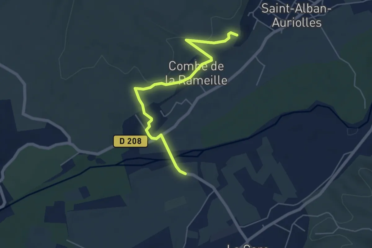
Easy · Trail
Charoussas - Pecoulas
3.7 km · ↑ 210 m · 1 h 20 min · 14 km away
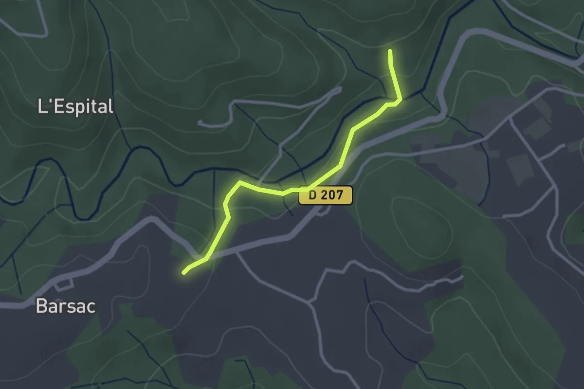
Easy · Trail
Le Moulin - La Combe du Merle
4.9 km · ↑ 105 m · 1 h 23 min · 14 km away
Easy · Trail
La Passerelle - Les Plantades
2.5 km · ↑ 77 m · 46 min · 14 km away
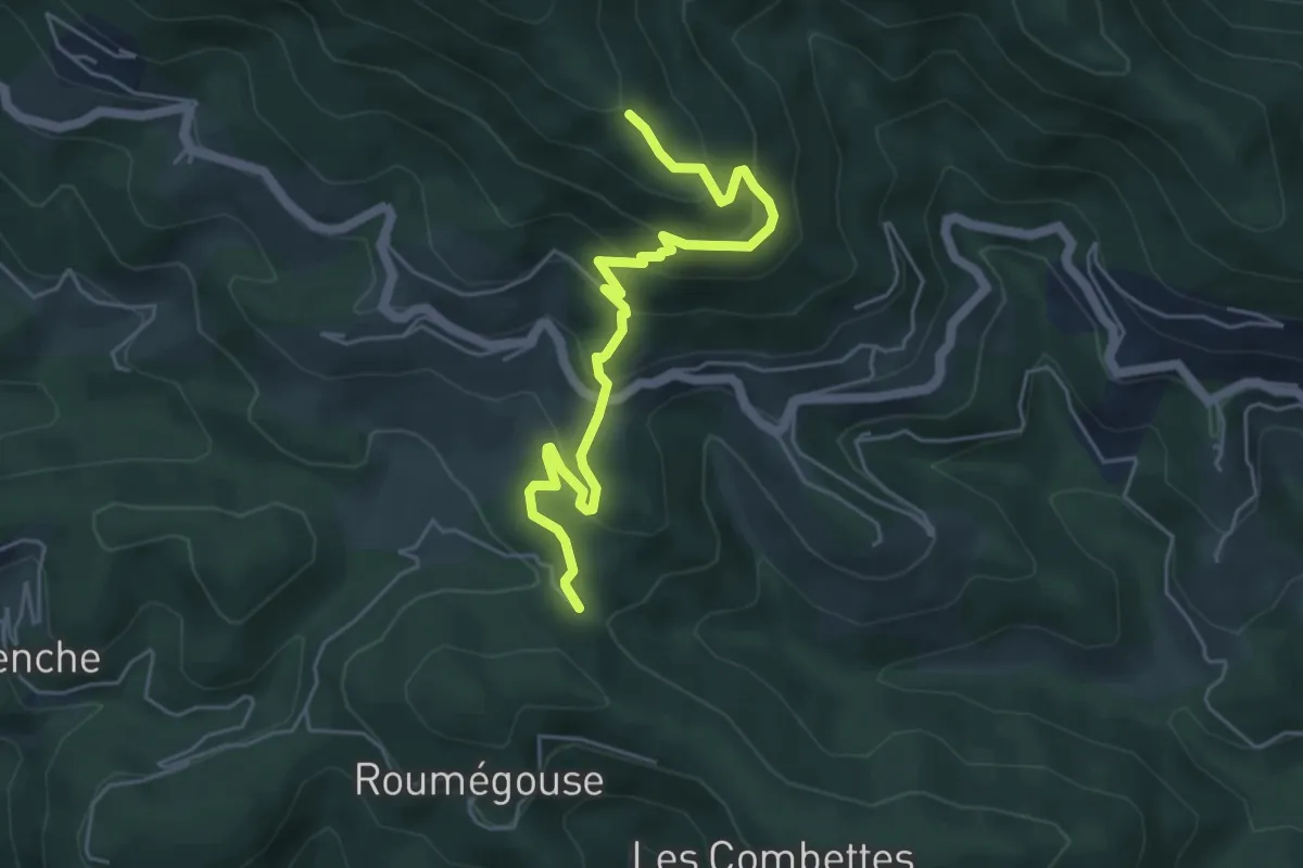
Medium · Trail
Les Thérondes - Les Traverses
5.6 km · ↑ 361 m · 2 h 7 min · 14 km away
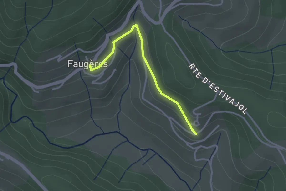
Easy · Trail
Chalvêche - Le Clos
2.5 km · ↑ 107 m · 49 min · 14 km away
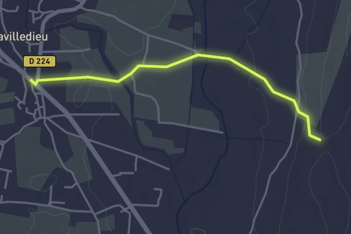
Easy · Trail
Lavilledieu (Le Feu) - Coudoulas
3.4 km · ↑ 57 m · 56 min · 15 km away
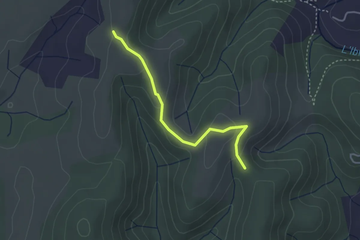
Easy · Trail
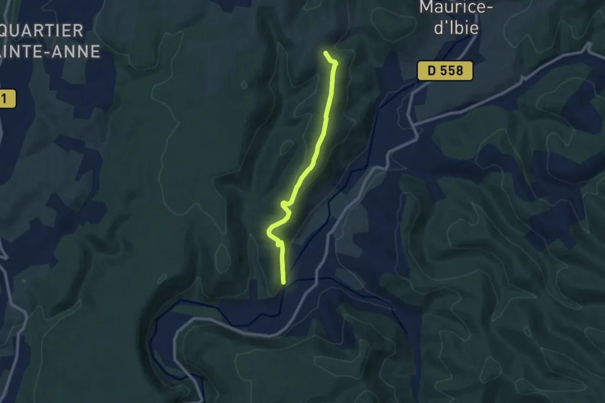
Valos - Montagu
3.1 km · ↑ 87 m · 56 min · 15 km away
Easy · Trail
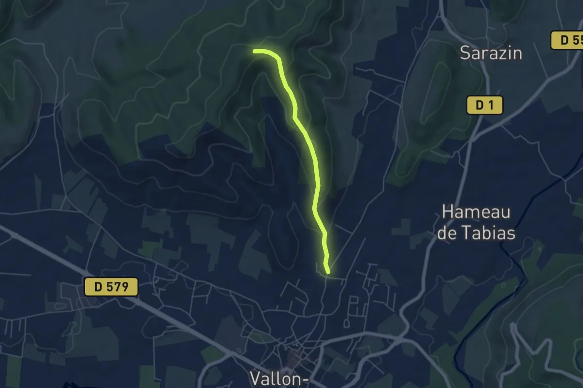
Chanebière - Valos
6.6 km · ↑ 187 m · 1 h 57 min · 15 km away
Medium · Trail
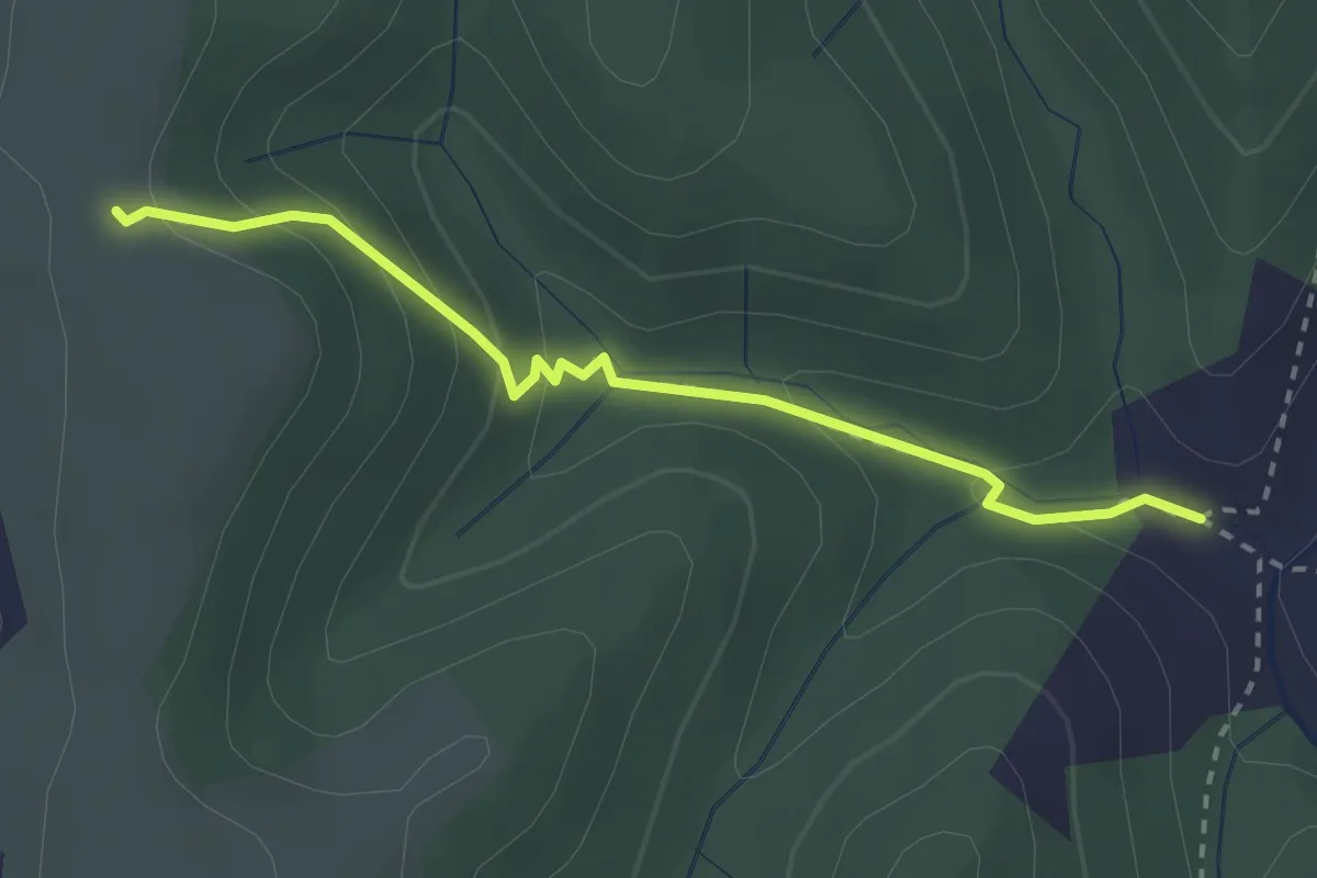
Mas de Boulle - Sommet de Sigaud
4.4 km · ↑ 195 m · 1 h 28 min · 15 km away
Easy · Trail
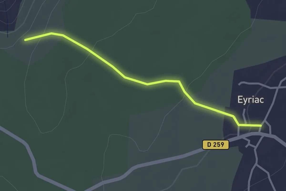
Les Ausses - Tête de Crespi
2.7 km · ↑ 161 m · 59 min · 15 km away
Easy · Trail
Eyriac - Bois Gardette
2.7 km · ↑ 83 m · 50 min · 15 km away
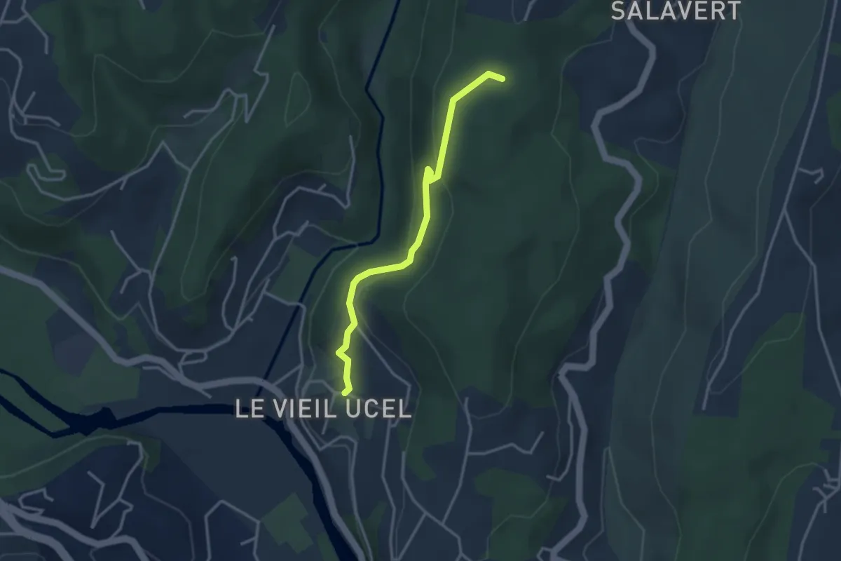
Easy · Trail
Le Grand Village - Les Clos
3.0 km · ↑ 166 m · 1 h 5 min · 15 km away
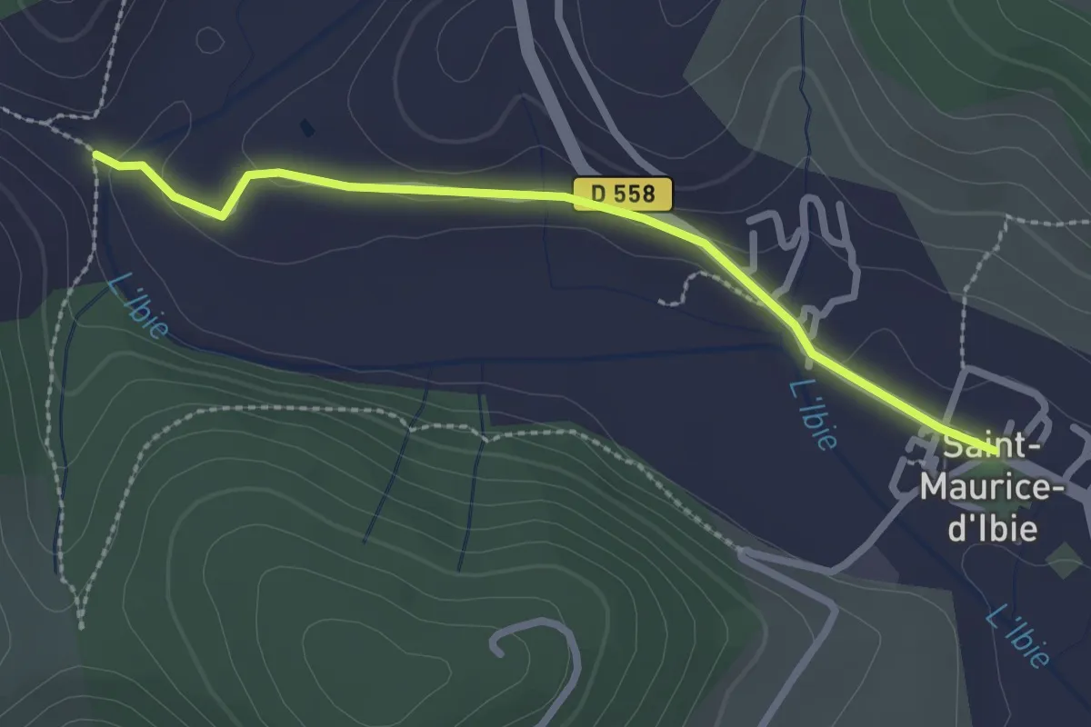
Easy · Trail
Saint-Maurice d'Ibie - L'Ibie
2.5 km · ↑ 30 m · 40 min · 15 km away
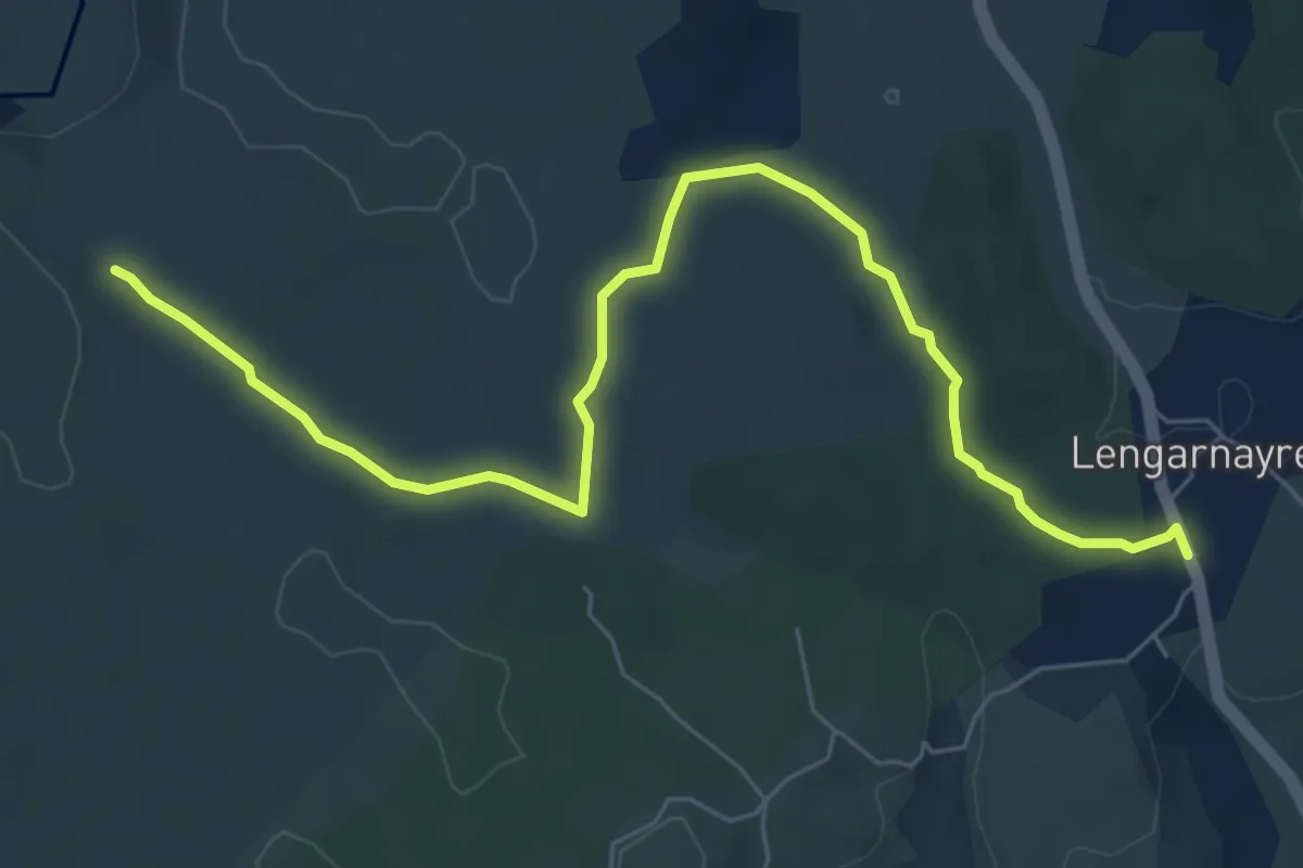
Easy · Trail
Lengarnayre - Les Treilles
7.7 km · ↑ 86 m · 2 h 1 min · 15 km away
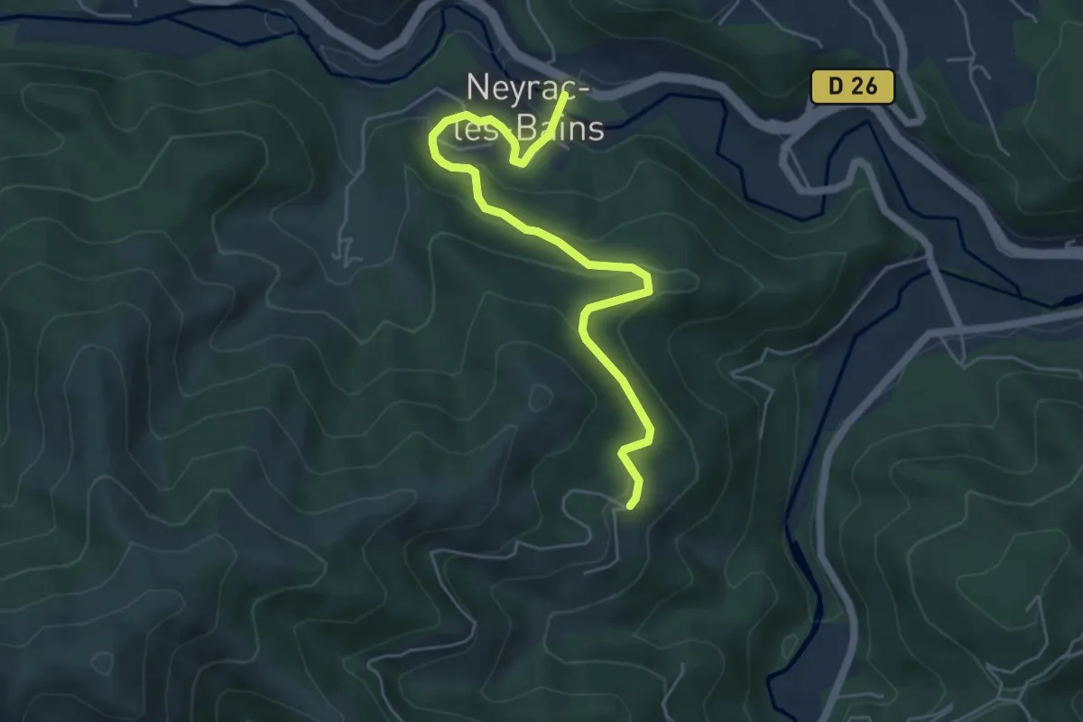
Easy · Trail
Neyrac-les-Bains - Le Câble
5.5 km · ↑ 260 m · 1 h 52 min · 15 km away
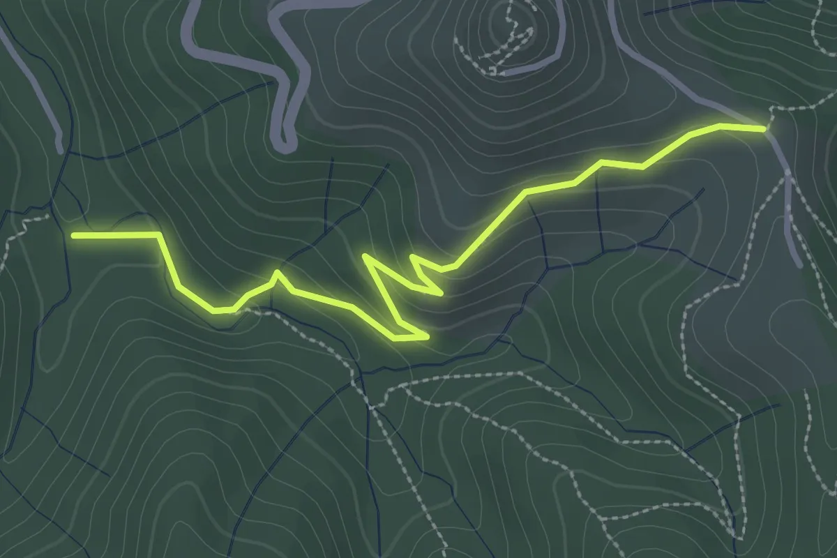
Easy · Trail
L'Aiguille - Richard
3.2 km · ↑ 130 m · 1 h 3 min · 15 km away
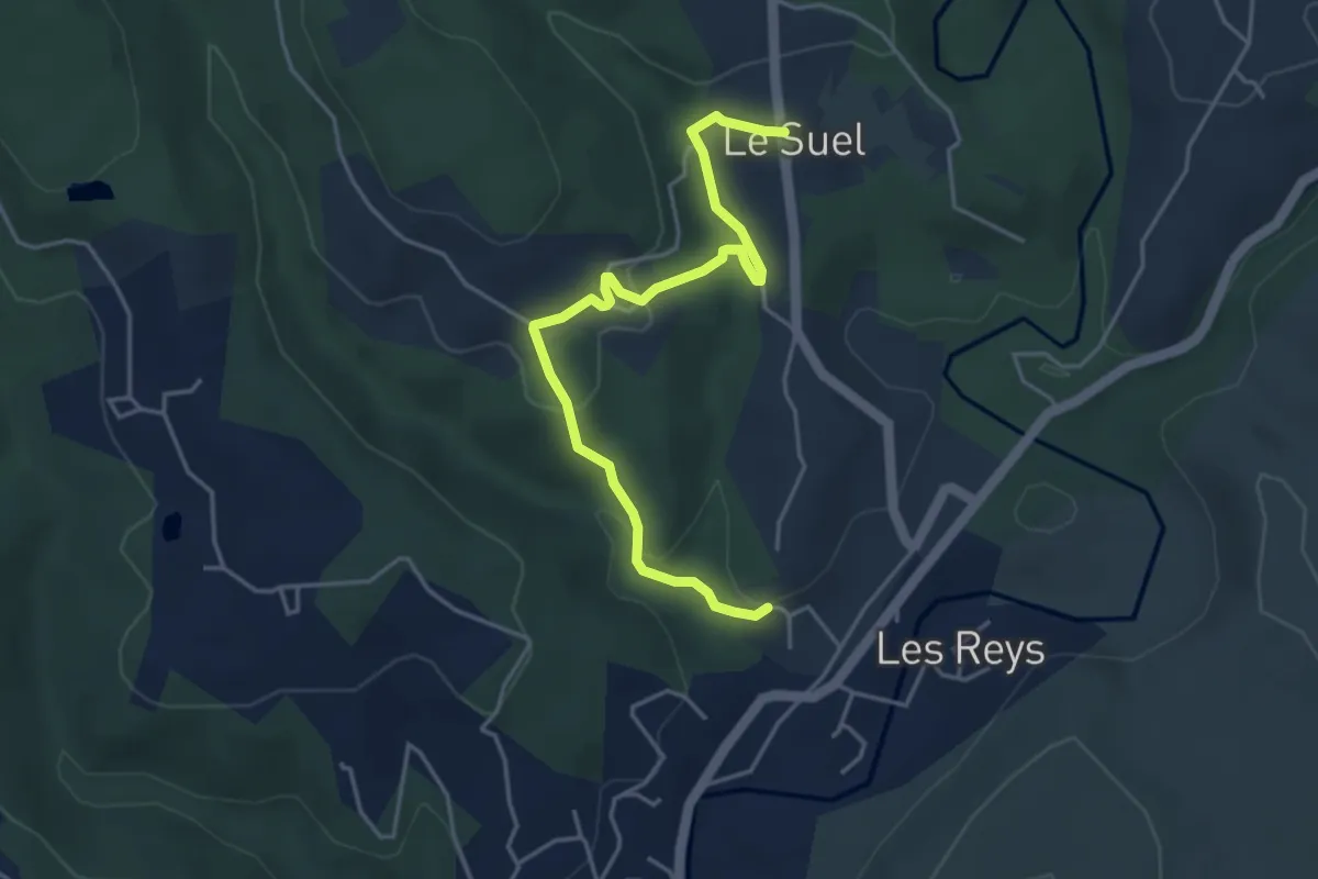
Easy · Trail
Le Raynal - Les Laurences
4.7 km · ↑ 135 m · 1 h 24 min · 15 km away
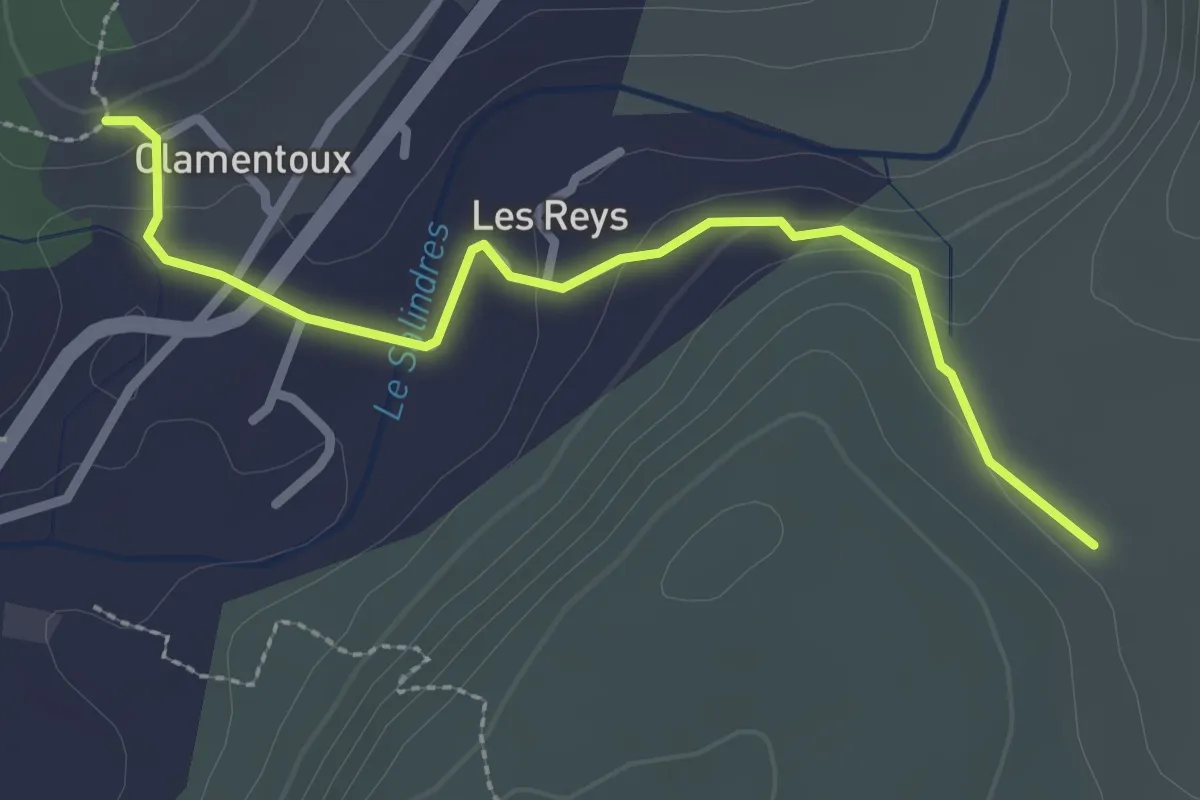
Easy · Trail
Le Raynal - Les Treilles
2.8 km · ↑ 83 m · 51 min · 15 km away
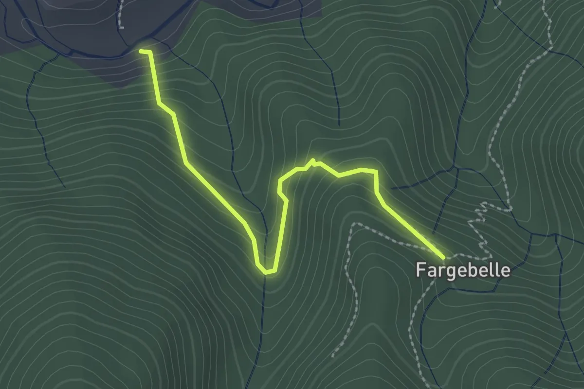
Easy · Trail
Le Coustet des Vernèdes - Fargebelle
2.5 km · ↑ 244 m · 1 h 7 min · 15 km away
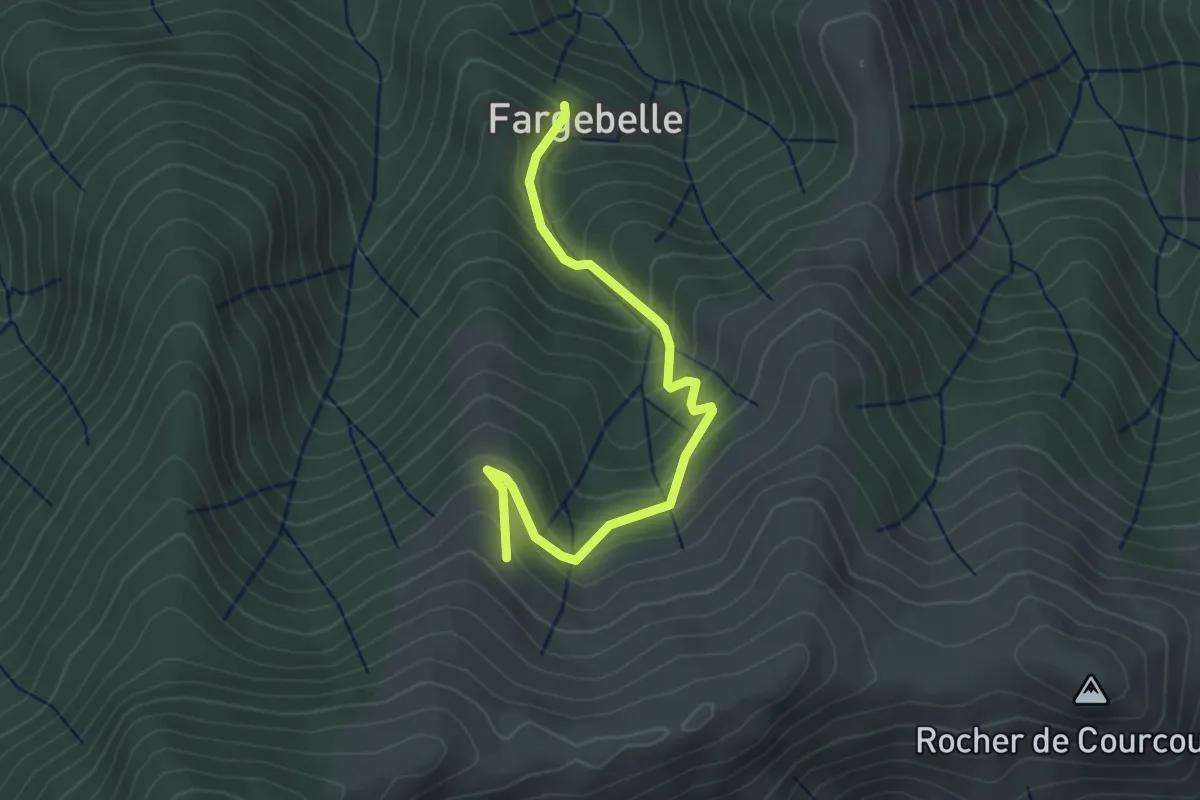
Easy · Trail
Fargebelle - Les Plaines
3.6 km · ↑ 309 m · 1 h 31 min · 15 km away
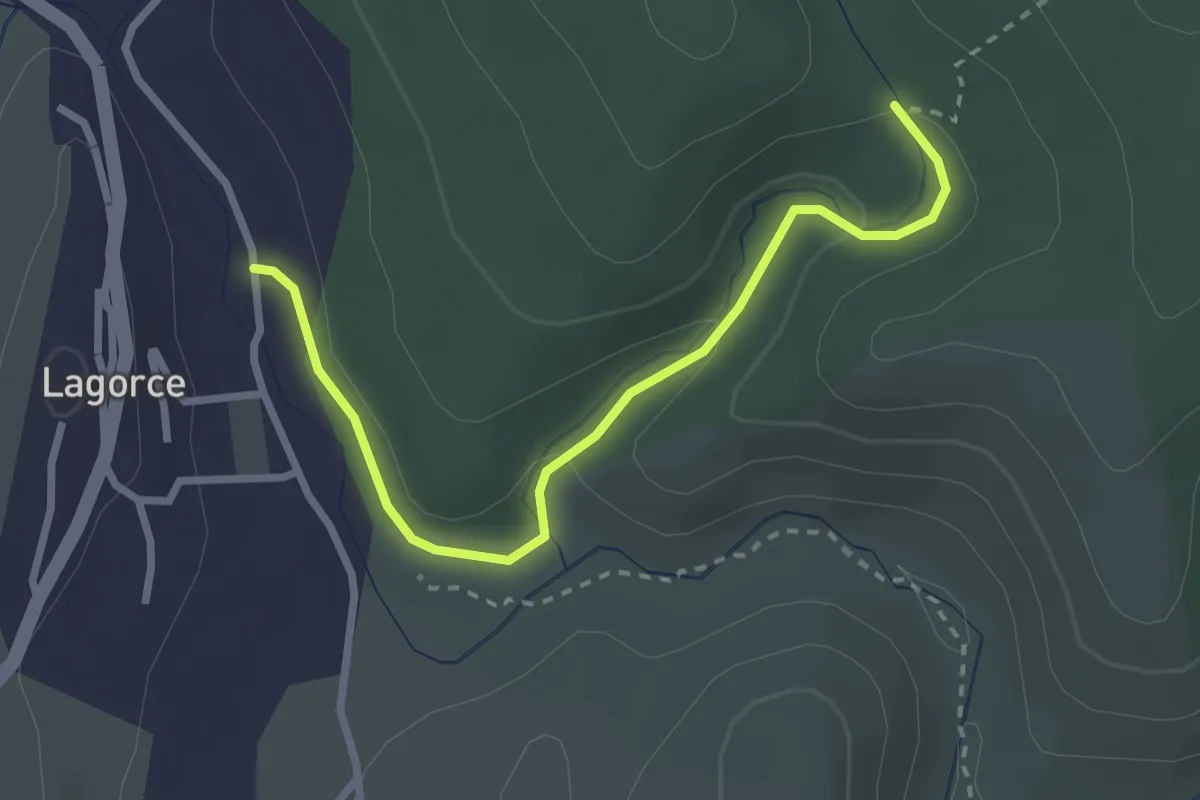
Easy · Trail
Salastre - Notre Dame d'Ajude
3.0 km · ↑ 94 m · 54 min · 15 km away
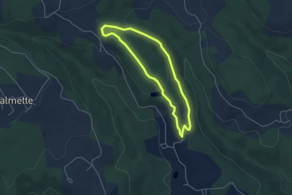
Easy · Trail
Chazalet - Chazalet
3.1 km · ↑ 61 m · 55 min · 15 km away
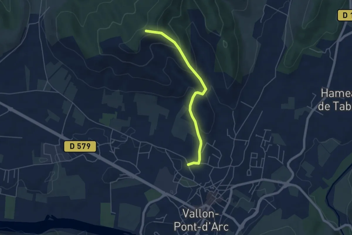
Easy · Trail
Coulette - Coucouru
4.5 km · ↑ 195 m · 1 h 29 min · 15 km away
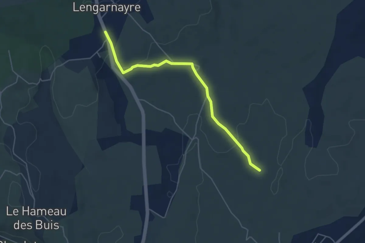
Easy · Trail
Cham de Rode - Lengarnayre
4.6 km · ↑ 88 m · 1 h 17 min · 15 km away