Trails near Montlouis-sur-Loire
87 hikes starting within 15 km, nearest first.
Nearest first, page 1 of 2
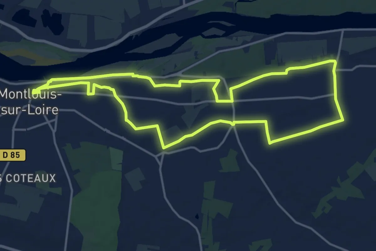
Medium · Trail
Entre Loire et vignes (variante) - Montlouis-sur-Loire
11.7 km · ↑ 103 m · 3 h 8 min · under 1 km away
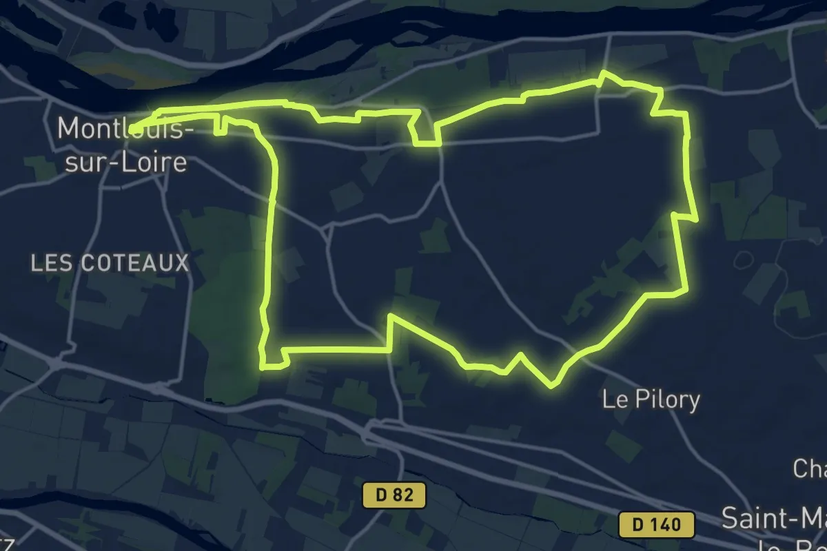
Medium · Trail
Entre Loire et vignes - Montlouis-sur-Loire
17.0 km · ↑ 145 m · 4 h 33 min · under 1 km away
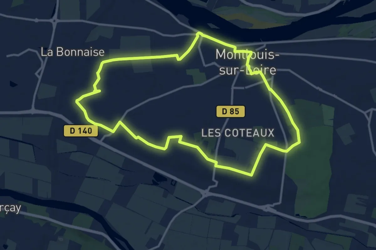
Medium · Trail
Escapade entre Hameaux et Paysages - Montlouis-sur-Loire
9.9 km · ↑ 52 m · 2 h 35 min · 1 km away
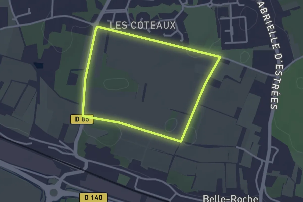
Easy · Trail
Entre Vignes et Bois - Montlouis-sur-Loire
2.3 km · ↑ 8 m · 35 min · 1 km away
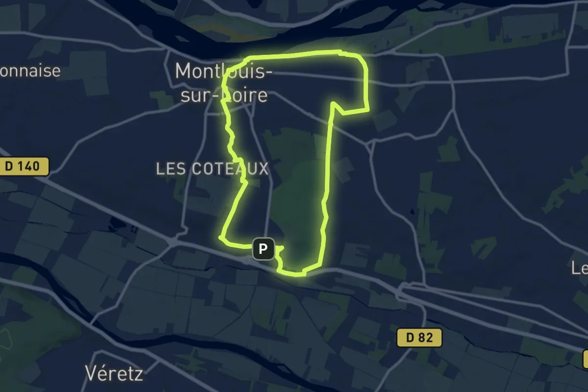
Medium · Trail
Sur les Pas de Gabrielle d'Estrées - Montlouis-sur-Loire
9.1 km · ↑ 83 m · 2 h 27 min · 2 km away
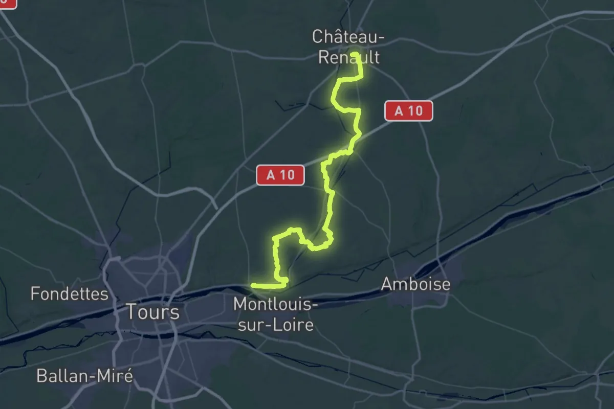
Demanding · Trail
Via Turonensis par Chartres, Château-Renault - Vouvray
38.7 km · ↑ 423 m · 10 h 33 min · 3 km away
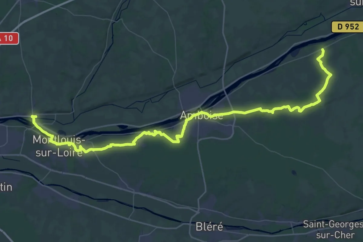
Demanding · Trail
Mosnes – Vouvray
38.0 km · ↑ 335 m · 10 h 14 min · 3 km away
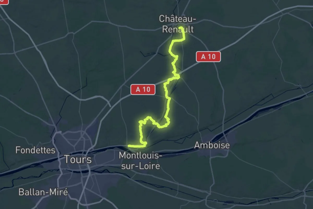
Demanding · Trail
Château-Renault – Vouvray
39.3 km · ↑ 479 m · 10 h 50 min · 3 km away
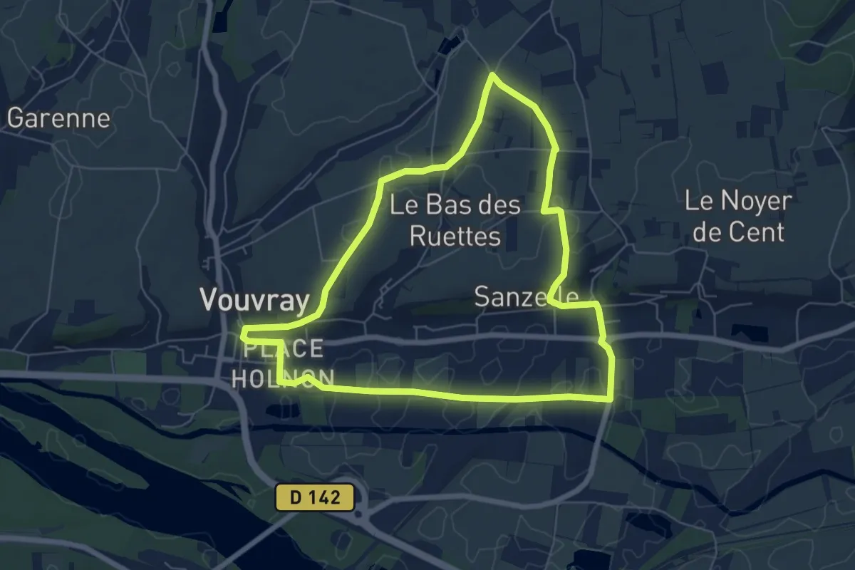
Easy · Trail
Circuit 1 - Vouvray
6.2 km · ↑ 51 m · 1 h 40 min · 3 km away
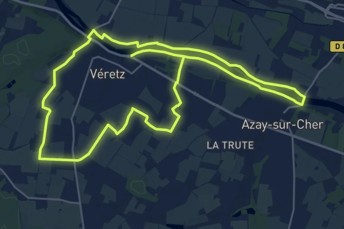
Medium · Trail
Sentier de Bacchus - Véretz
13.8 km · ↑ 45 m · 3 h 33 min · 3 km away
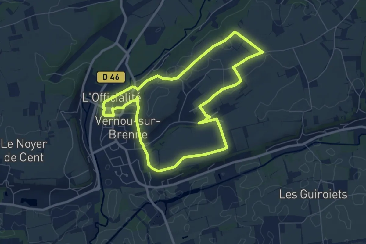
Easy · Trail
Vignes et Patrimoine - Vernou-sur-Brenne
6.6 km · ↑ 63 m · 1 h 47 min · 4 km away
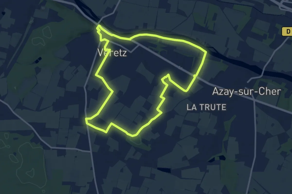
Medium · Trail
Sentier du Futreau - Véretz
9.9 km · ↑ 62 m · 2 h 36 min · 4 km away
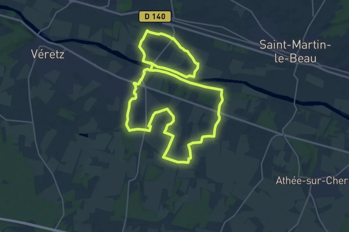
Medium · Trail
Le Grand Circuit d'Azay-sur-Cher
17.7 km · ↑ 70 m · 4 h 35 min · 4 km away
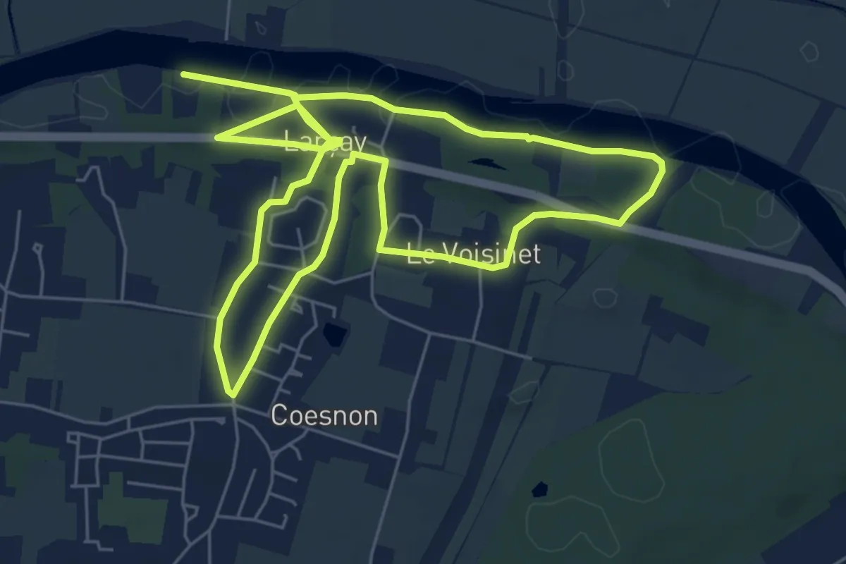
Easy · Trail
Sentier Patrimoine - Larçay
5.8 km · ↑ 80 m · 1 h 37 min · 5 km away
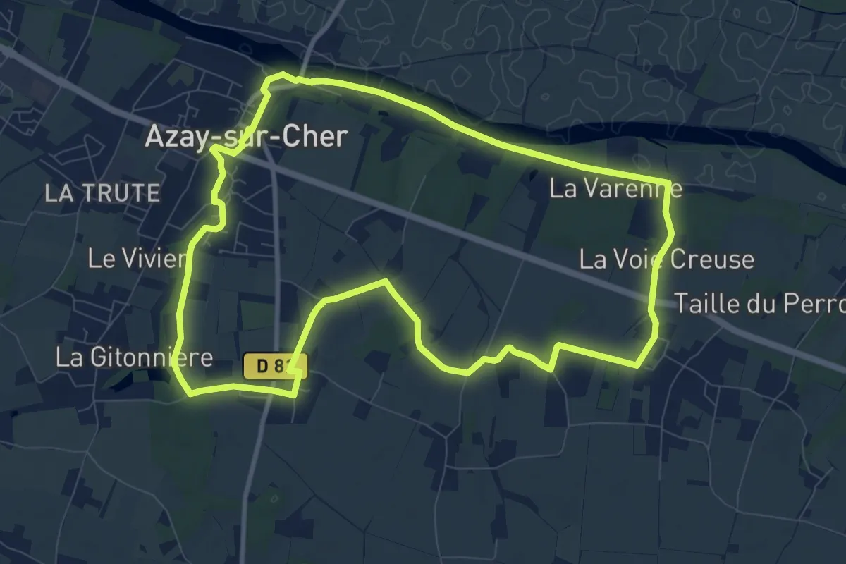
Medium · Trail
Le Petit Circuit d'Azay-sur-Cher
9.6 km · ↑ 71 m · 2 h 33 min · 5 km away
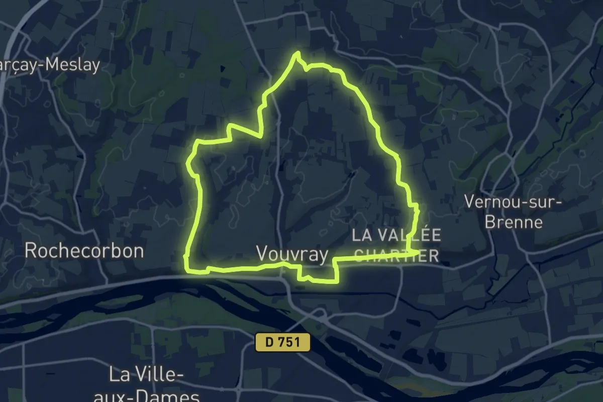
Medium · Trail
Circuit 2 - Vouvray
14.3 km · ↑ 77 m · 3 h 45 min · 6 km away
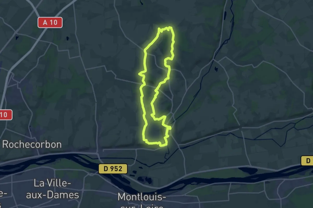
Medium · Trail
La Fontaine Bondrée
16.8 km · ↑ 165 m · 4 h 34 min · 6 km away
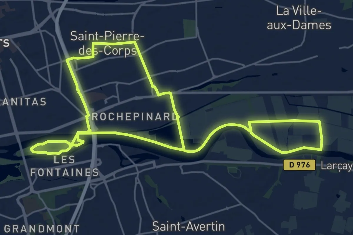
Medium · Trail
Sentier du Bord de Cher - Saint-Pierre-des-Corps
15.8 km · ↑ 14 m · 3 h 59 min · 6 km away
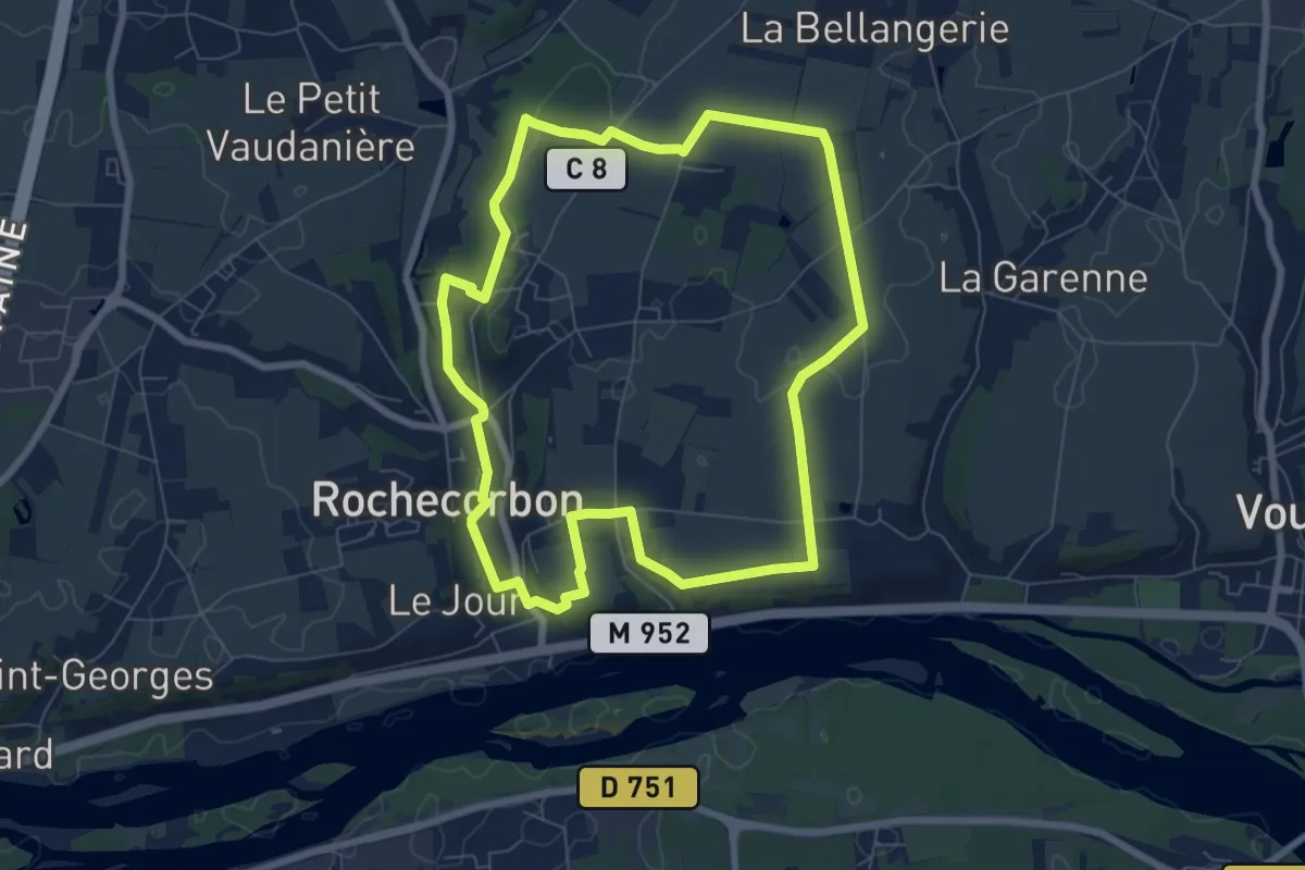
Easy · Trail
Sentier entre Loire et Vignes - Rochecorbon
7.2 km · ↑ 63 m · 1 h 57 min · 6 km away
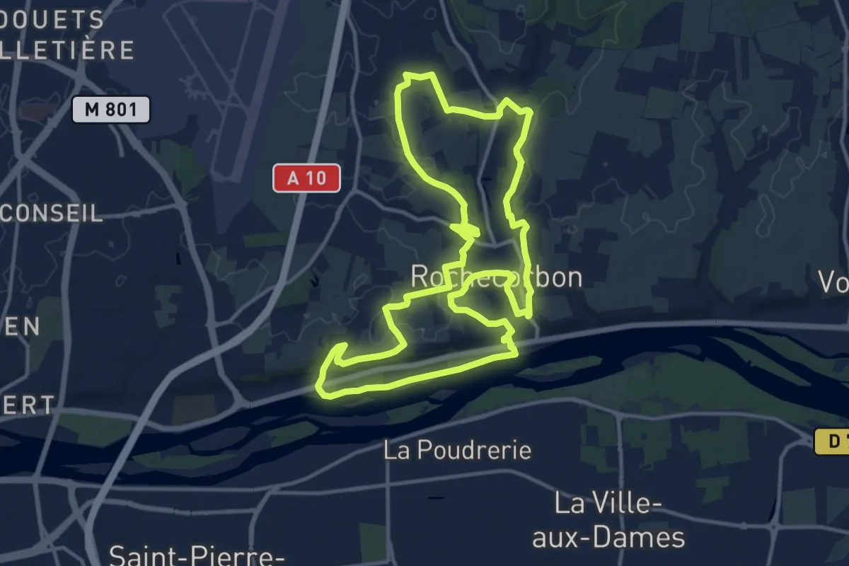
Medium · Trail
Sentier Saint Georges - Rochecorbon
12.9 km · ↑ 161 m · 3 h 35 min · 6 km away
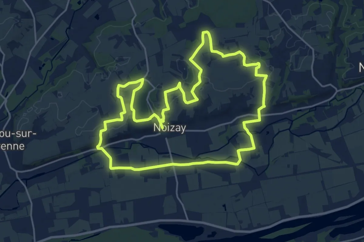
Medium · Trail
Plateau et Varenne
15.8 km · ↑ 131 m · 4 h 14 min · 6 km away
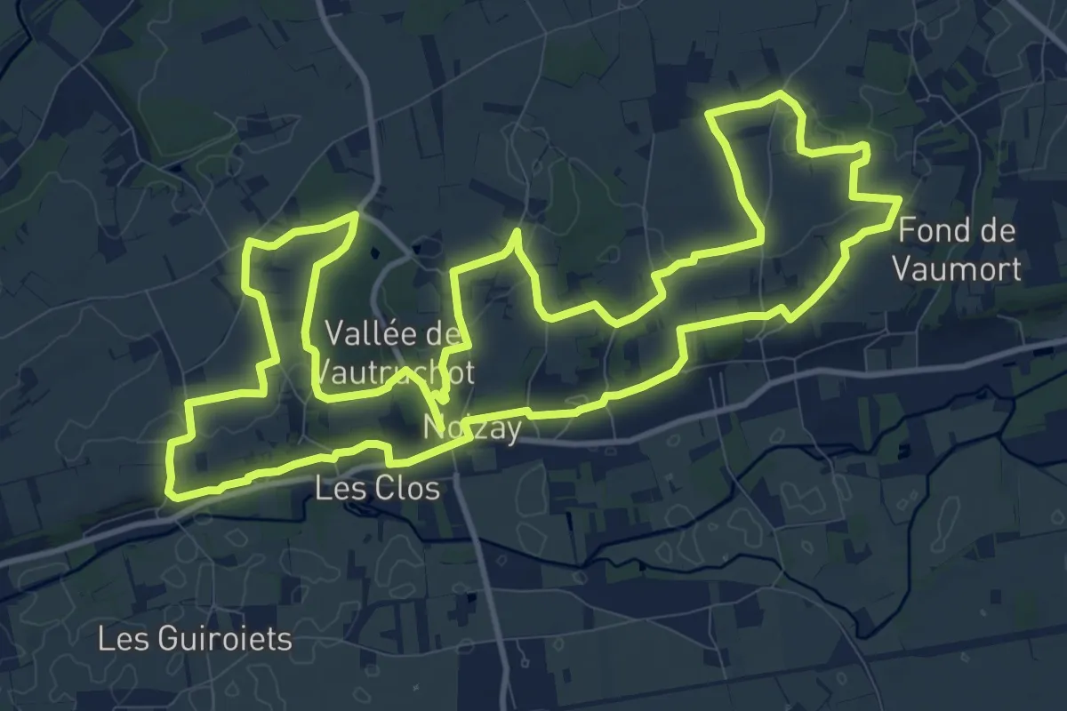
Demanding · Trail
Vignes et Coteaux
26.9 km · ↑ 294 m · 6 h 59 min · 6 km away
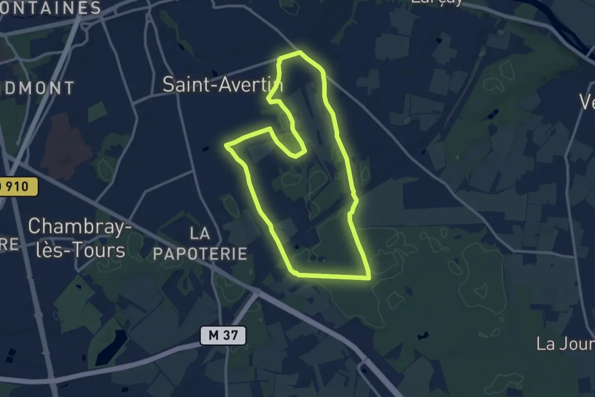
Medium · Trail
Sentier des Onze Arpents - Saint-Avertin
9.5 km · ↑ 31 m · 2 h 26 min · 7 km away
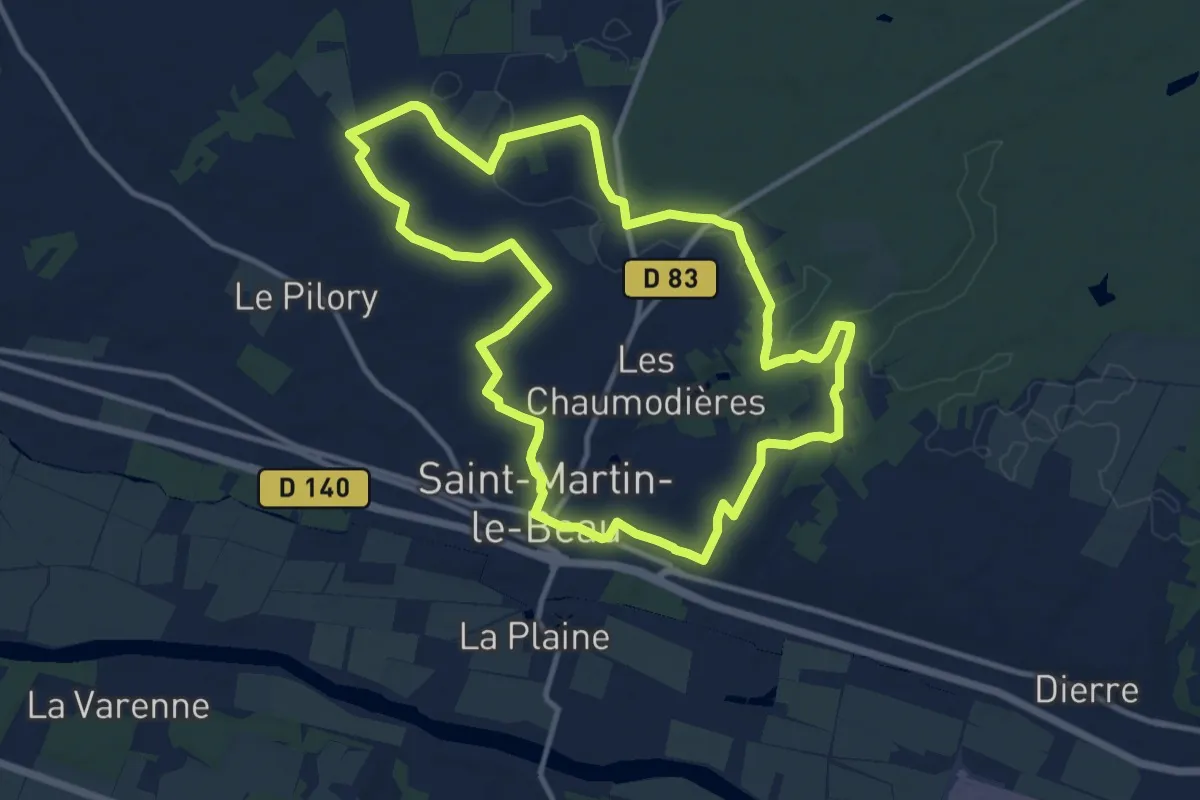
Medium · Trail
Entre Vignes et Forêts - Saint-Martin-le-Beau
11.5 km · ↑ 88 m · 3 h 5 min · 7 km away
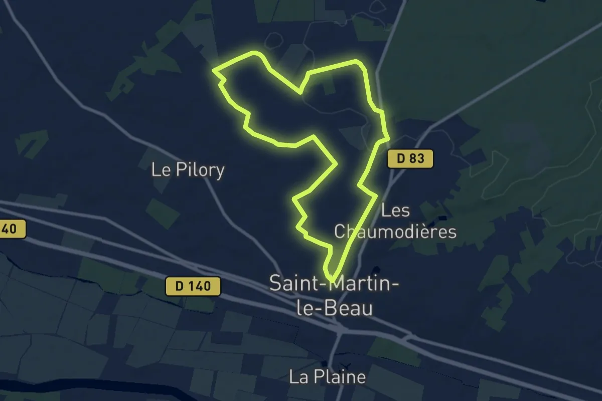
Easy · Trail
Entre Vignes et Forêts - Variante l'École Buissonnière - Saint-Martin-le-Beau
7.7 km · ↑ 44 m · 2 h 1 min · 7 km away
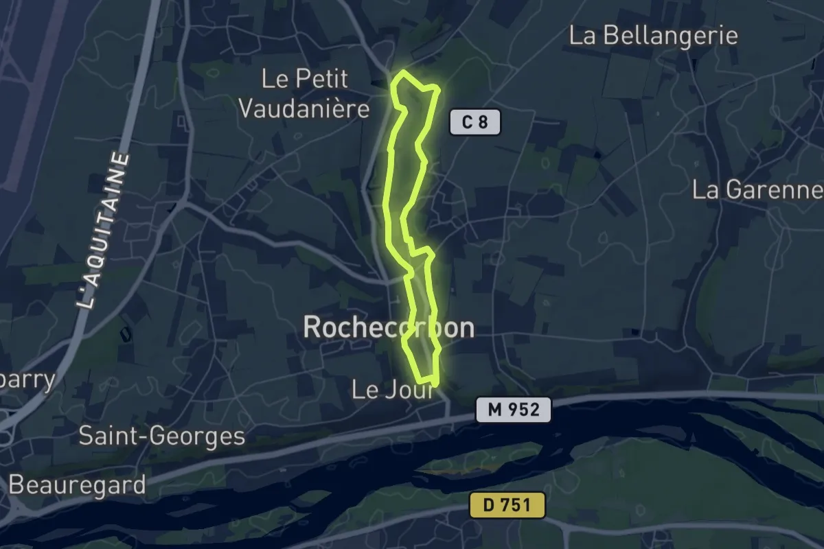
Easy · Trail
Sentier de la Bédoire - Rochecorbon
4.6 km · ↑ 49 m · 1 h 16 min · 7 km away
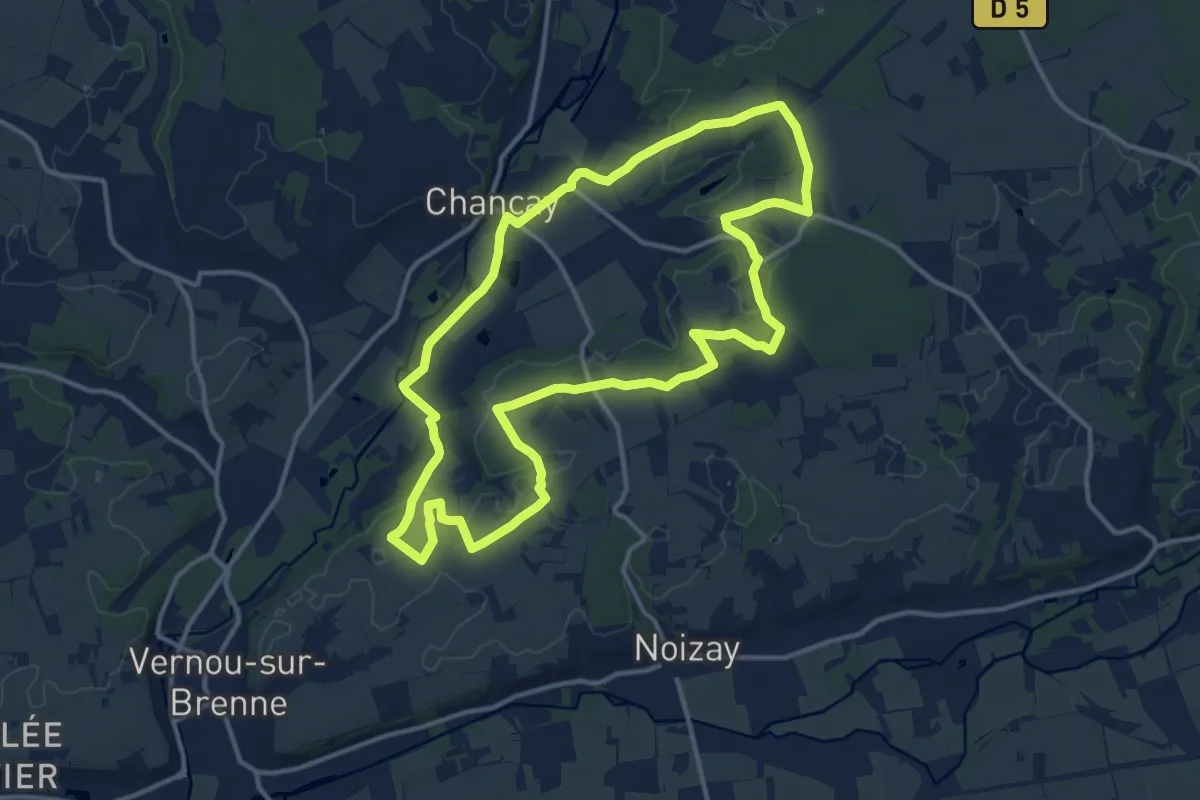
Medium · Trail
Circuit 2 - Chançay
13.4 km · ↑ 98 m · 3 h 34 min · 7 km away
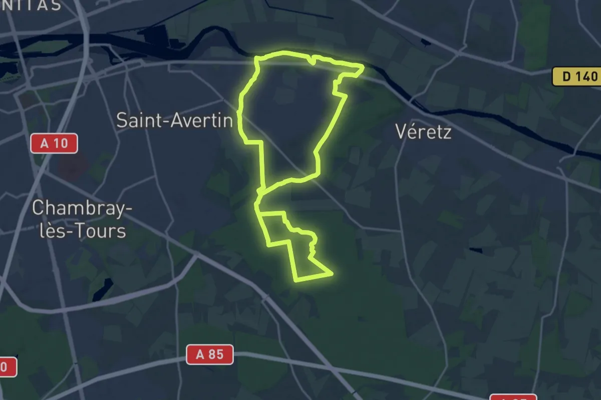
Medium · Trail
Circuit Nature - Larçay
15.9 km · ↑ 65 m · 4 h 7 min · 7 km away
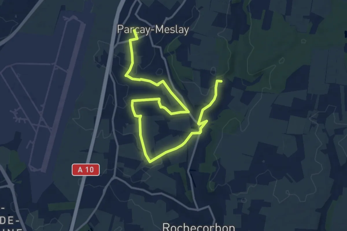
Medium · Trail
Sentier de La Parcillonne - Sud - Parçay-Meslay
12.4 km · ↑ 157 m · 3 h 15 min · 7 km away
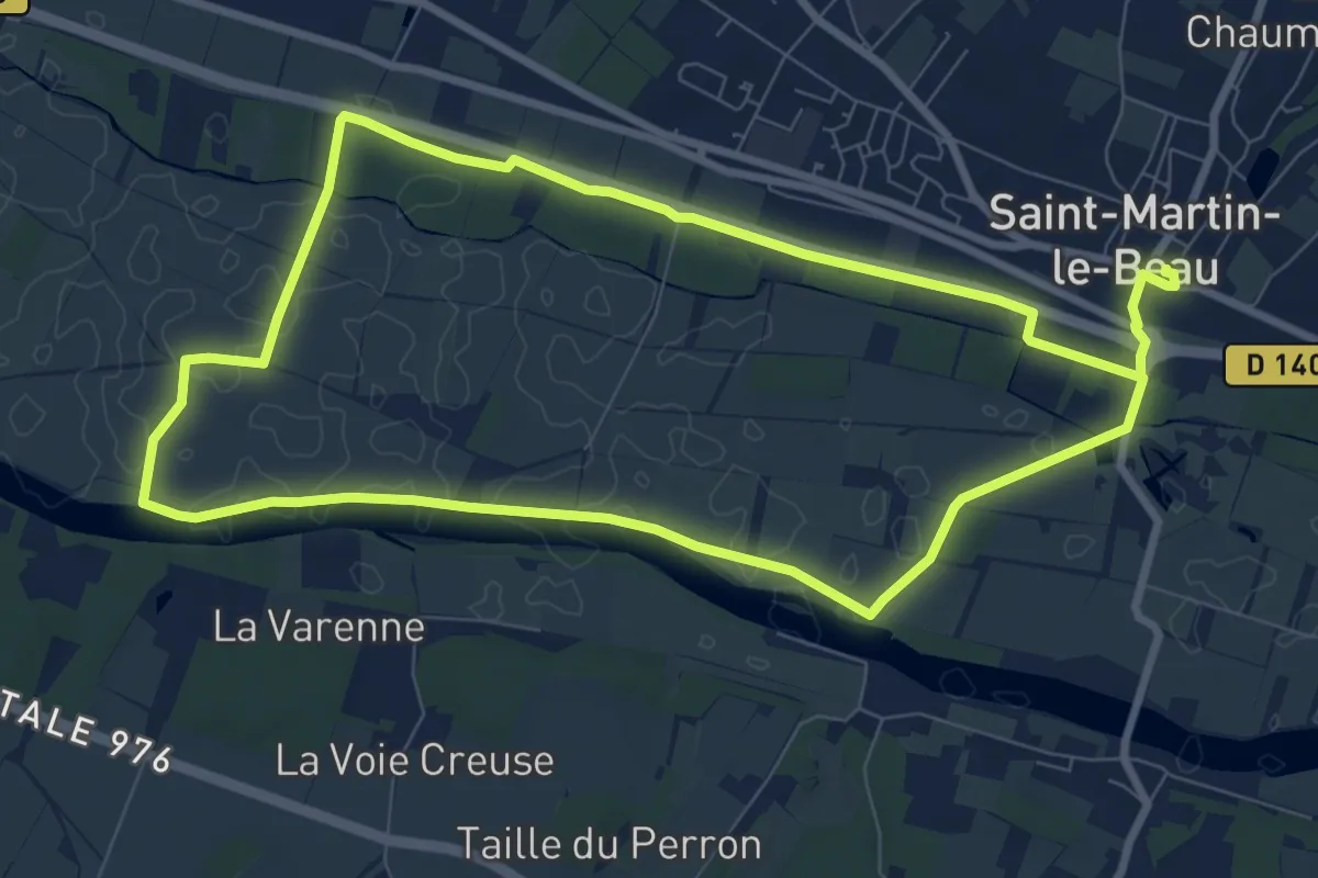
Medium · Trail
La Vallée du Cher - Saint-Martin-le-Beau
8.4 km · ↑ 4 m · 2 h 6 min · 7 km away
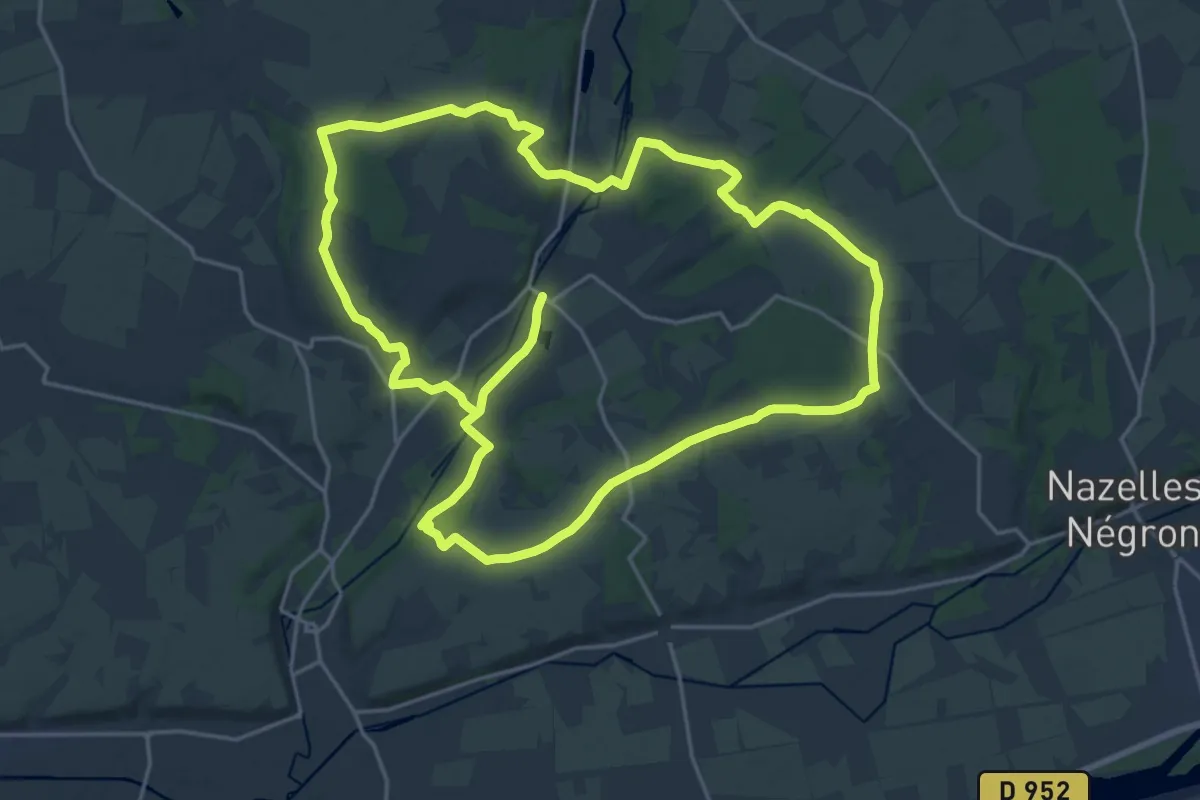
Demanding · Trail
Circuit 1 - Chançay
21.0 km · ↑ 137 m · 5 h 32 min · 8 km away
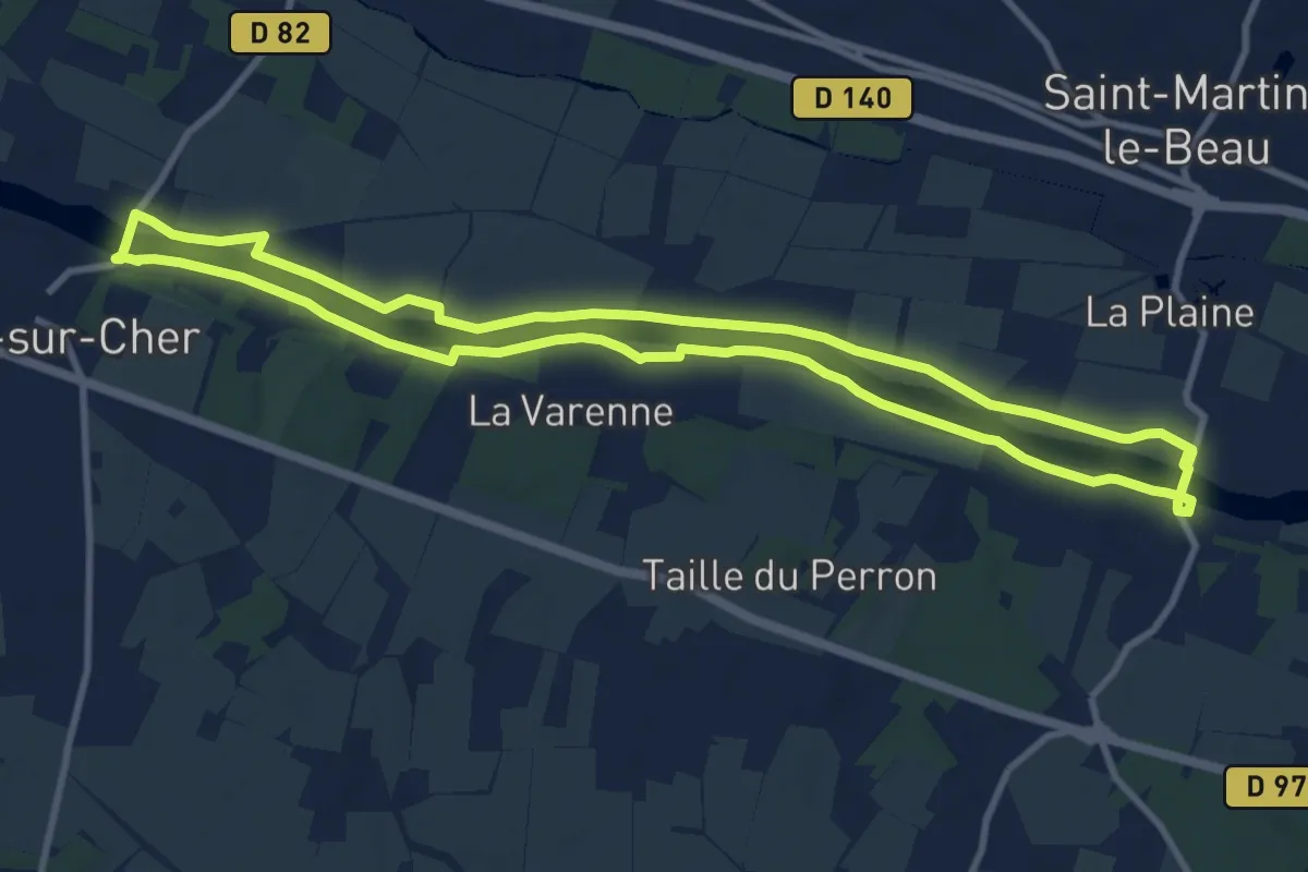
Medium · Trail
L'Eau au Fil des Siècles en Val de Cher - Azay-sur-Cher
10.2 km · ↑ 9 m · 2 h 34 min · 8 km away
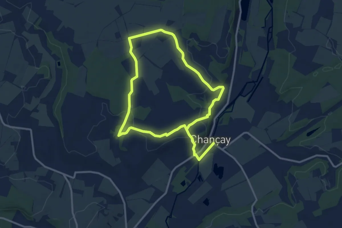
Easy · Trail
Circuit 3 - Chançay
7.0 km · ↑ 107 m · 1 h 57 min · 8 km away
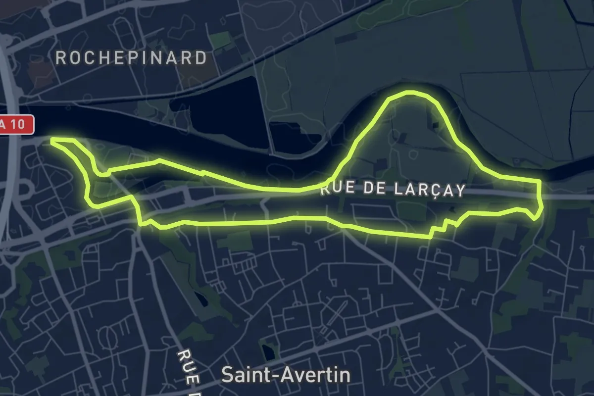
Medium · Trail
Sentier du vieux Cher, Cangé - Saint-Avertin
8.2 km · ↑ 65 m · 2 h 12 min · 8 km away
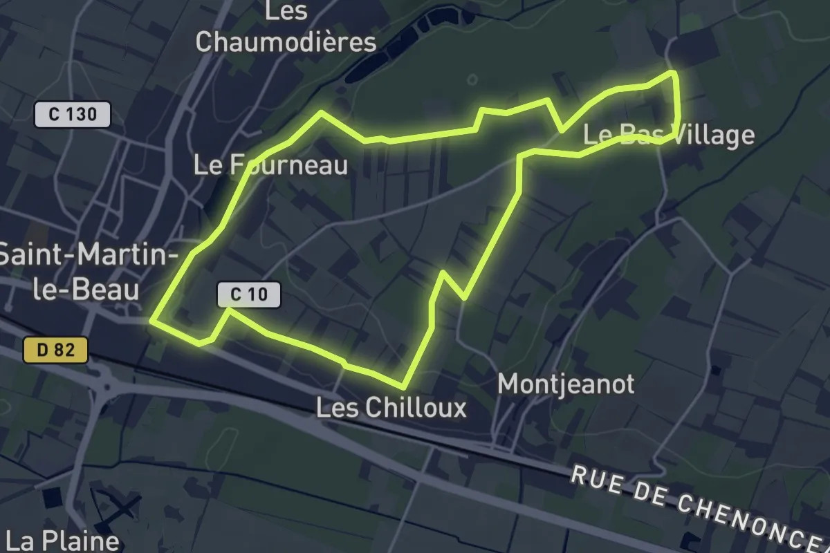
Easy · Trail
Le Battereau - Saint-Martin-le-Beau
4.5 km · ↑ 35 m · 1 h 12 min · 8 km away
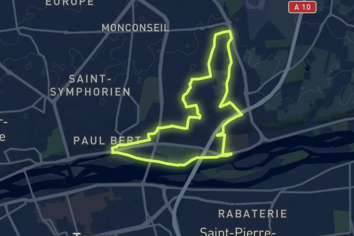
Medium · Trail
Tours Sentier Sainte Radegonde
8.5 km · ↑ 78 m · 2 h 18 min · 9 km away
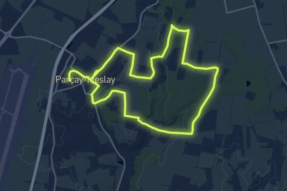
Medium · Trail
Sentier de La Parcillonne - Nord - Parçay-Meslay
9.7 km · ↑ 93 m · 2 h 37 min · 9 km away
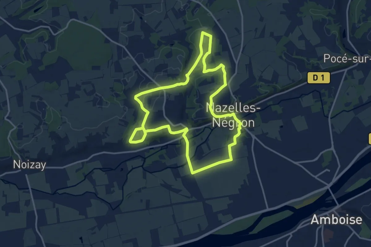
Medium · Trail
Circuit Val Vallées
11.9 km · ↑ 121 m · 3 h 13 min · 9 km away
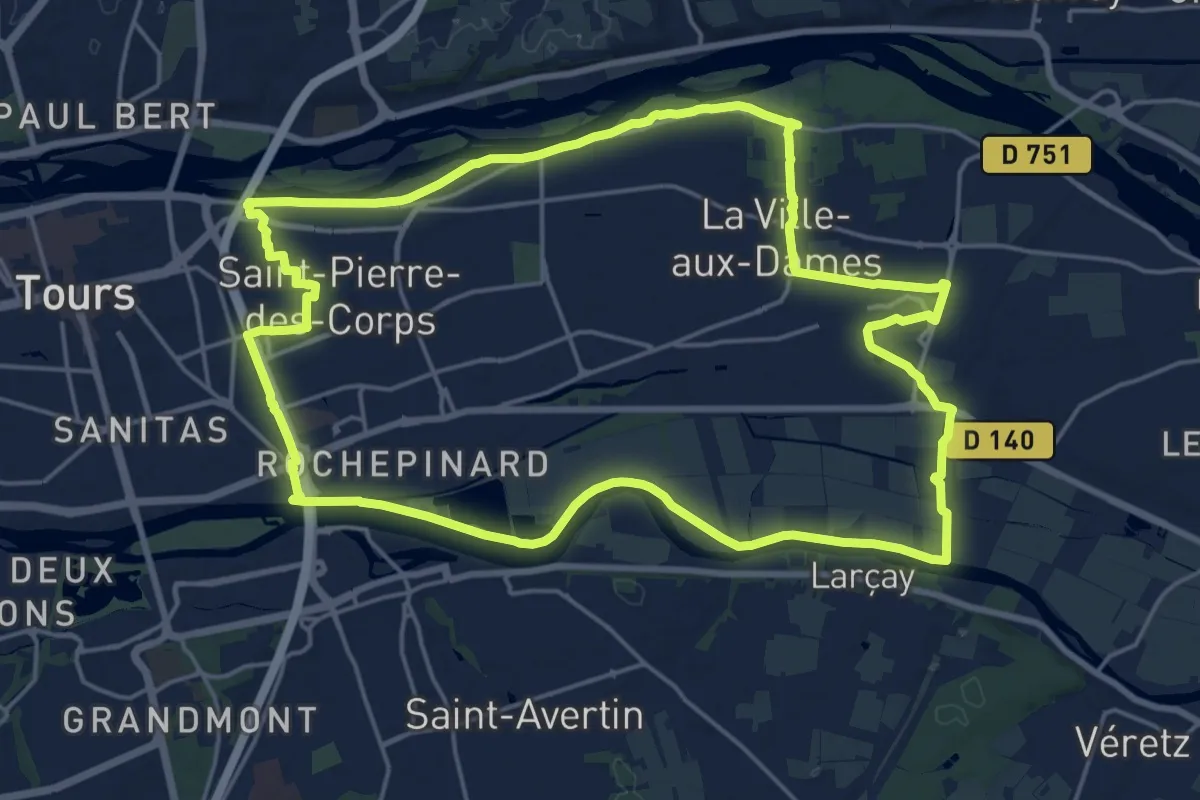
Demanding · Trail
Sentier entre Loire et Cher - Saint-Pierre-des-Corps
20.9 km · ↑ 17 m · 5 h 15 min · 9 km away
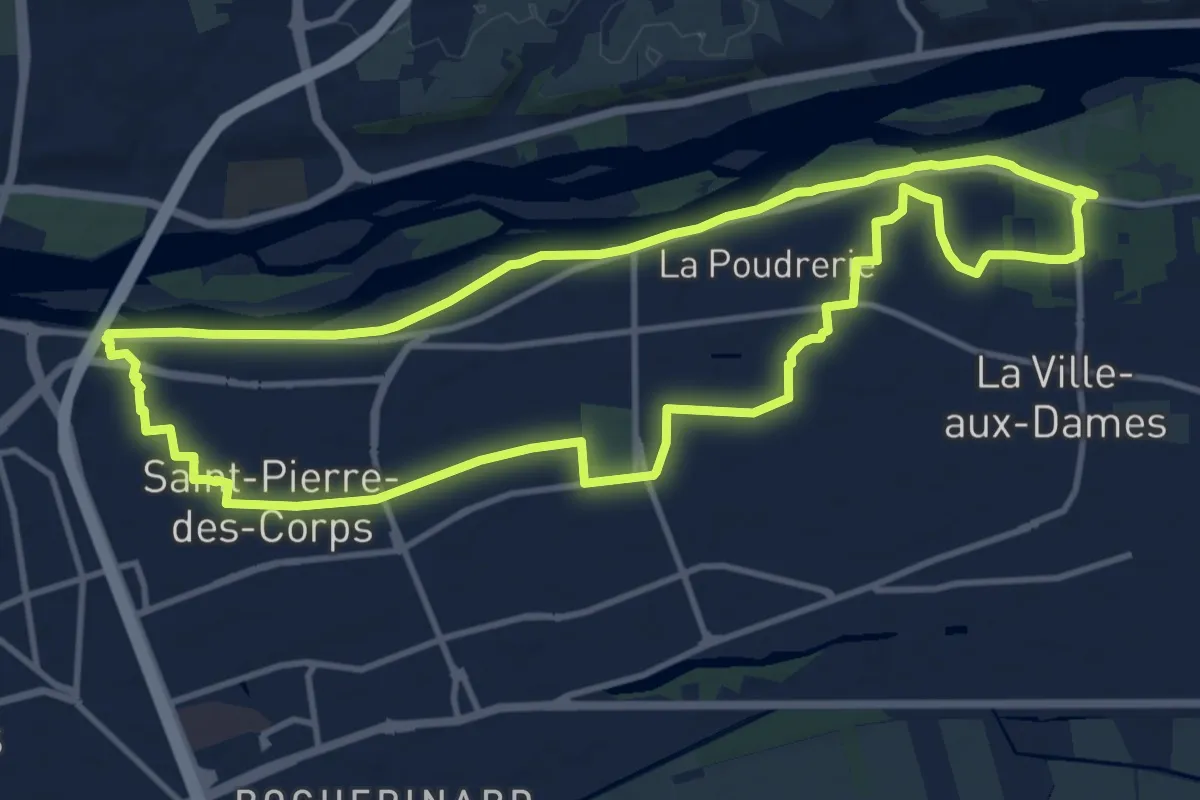
Medium · Trail
Sentier du bord de Loire - Saint-Pierre-des-Corps
12.4 km · ↑ 8 m · 3 h 7 min · 9 km away
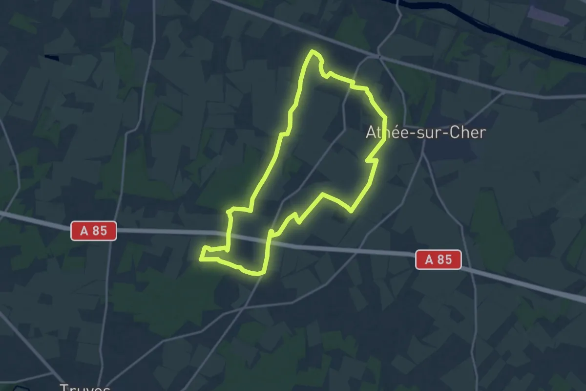
Medium · Trail
De la Tour au Château - Athée-sur-Cher
13.7 km · ↑ 54 m · 3 h 32 min · 10 km away
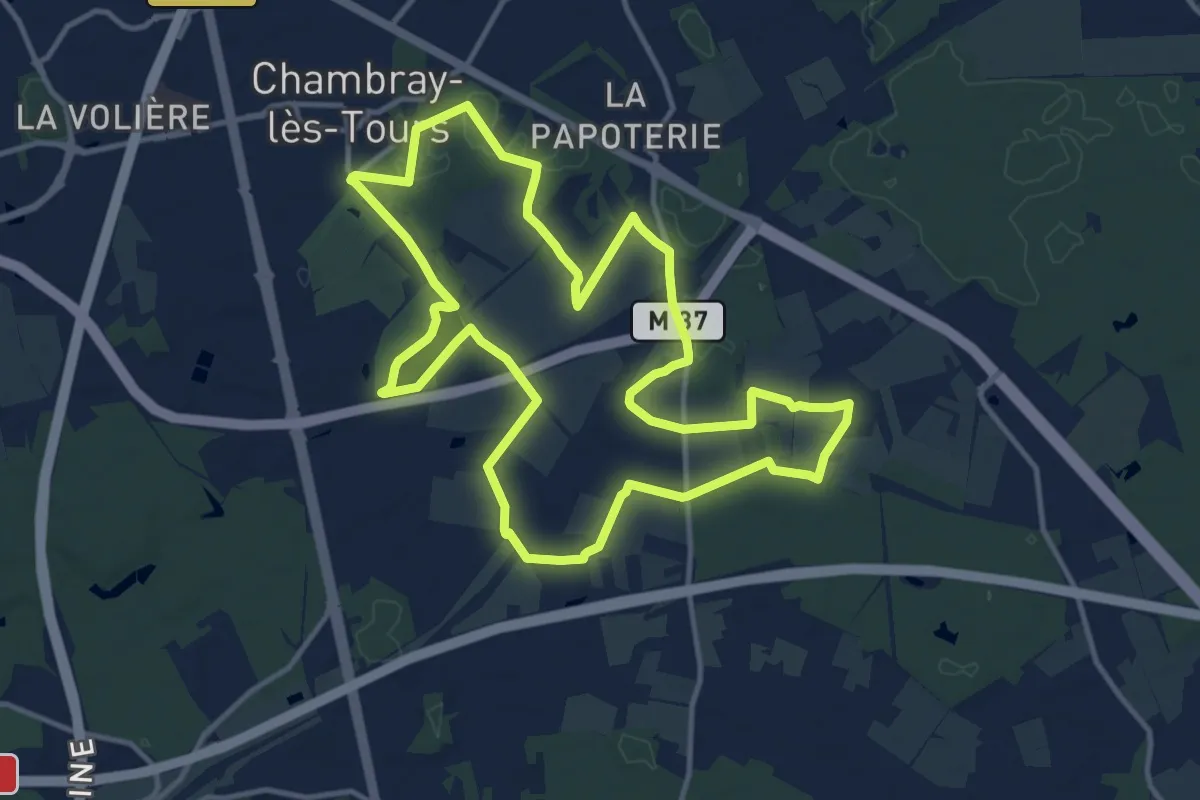
Medium · Trail
Sentier au travers des landes - Chambray-les-Tours
13.1 km · ↑ 42 m · 3 h 22 min · 10 km away
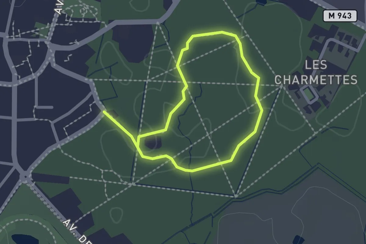
Easy · Trail
Sentier Découverte du Bois - Chambray-lès-Tours
1.5 km · ↑ 4 m · 23 min · 10 km away
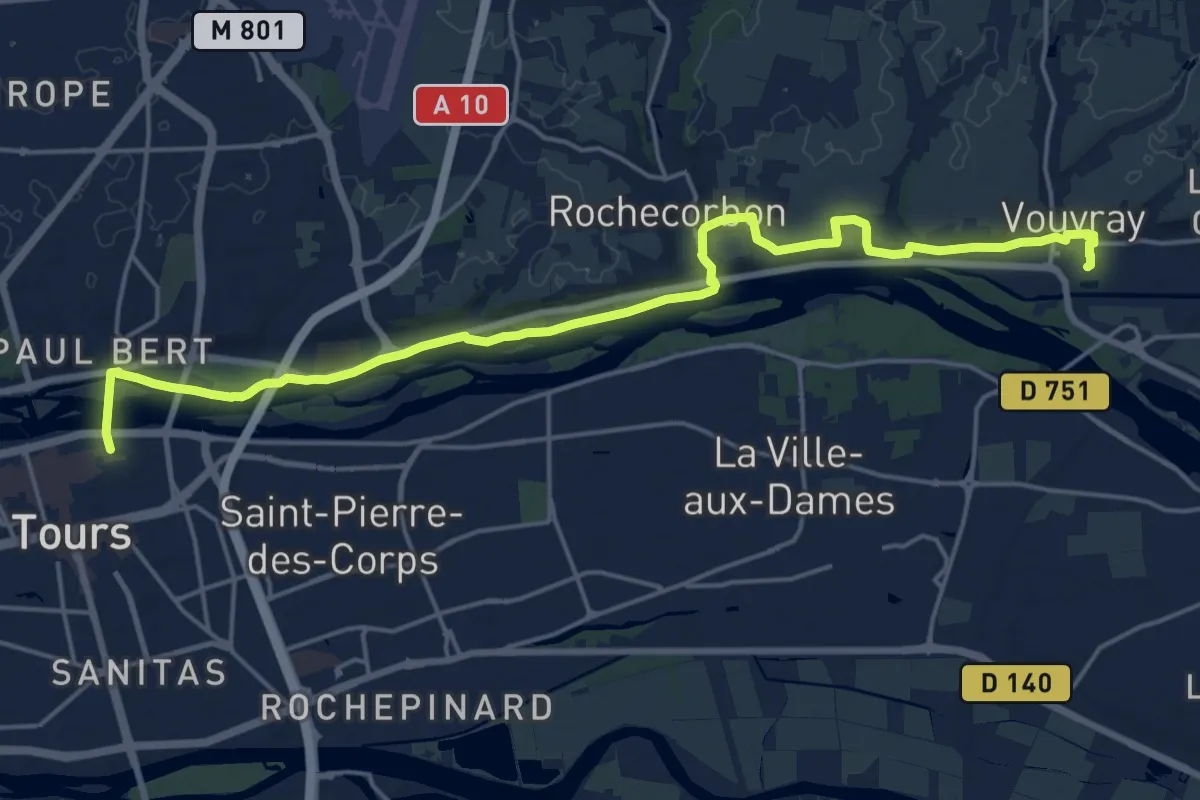
Demanding · Trail
Vouvray – Tours
21.5 km · ↑ 148 m · 5 h 25 min · 10 km away
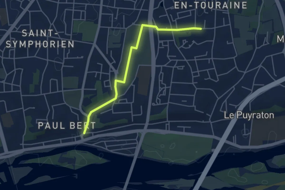
Easy · Trail
Tours Sentier Sainte Radegonde (variante cimetière)
3.9 km · ↑ 45 m · 1 h 2 min · 10 km away
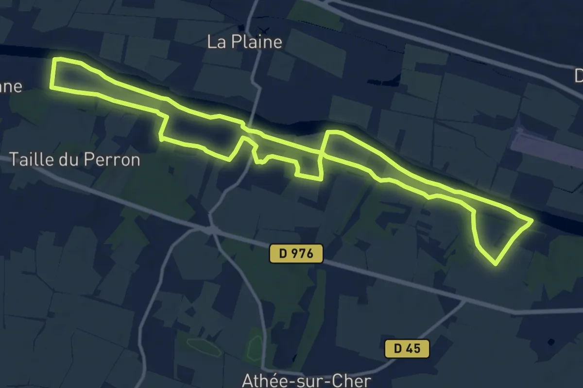
Medium · Trail
Écluse, Vignes et Château - Athée-sur-Cher
11.4 km · ↑ 84 m · 3 h 2 min · 10 km away
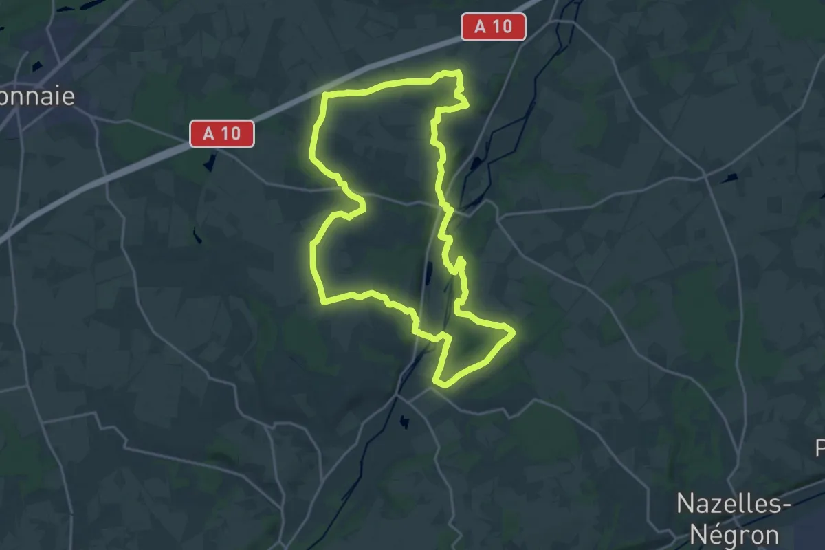
Demanding · Trail
Le Grand Chemin
19.8 km · ↑ 197 m · 5 h 23 min · 10 km away
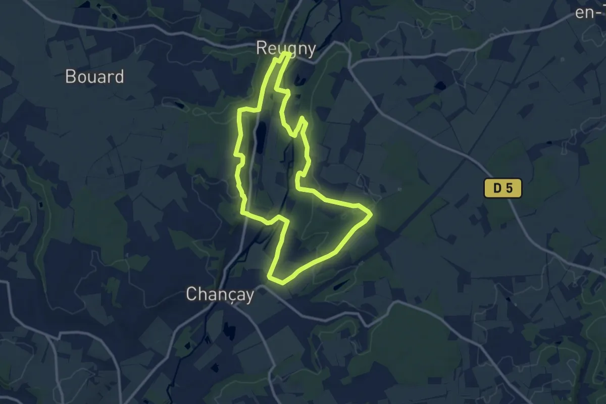
Medium · Trail
Vignes et Brenne
9.9 km · ↑ 136 m · 2 h 46 min · 10 km away