Trails near Montlouis-sur-Loire
87 hikes starting within 15 km, nearest first.
Nearest first, page 2 of 2
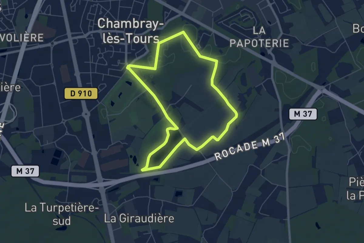
Easy · Trail
Sentier entre lac et bois - Chambray-lès-Tours
5.8 km · ↑ 36 m · 1 h 32 min · 10 km away
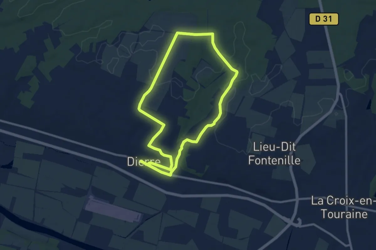
Easy · Trail
Entre Ciel et Terre - Dierre
6.7 km · ↑ 54 m · 1 h 48 min · 11 km away
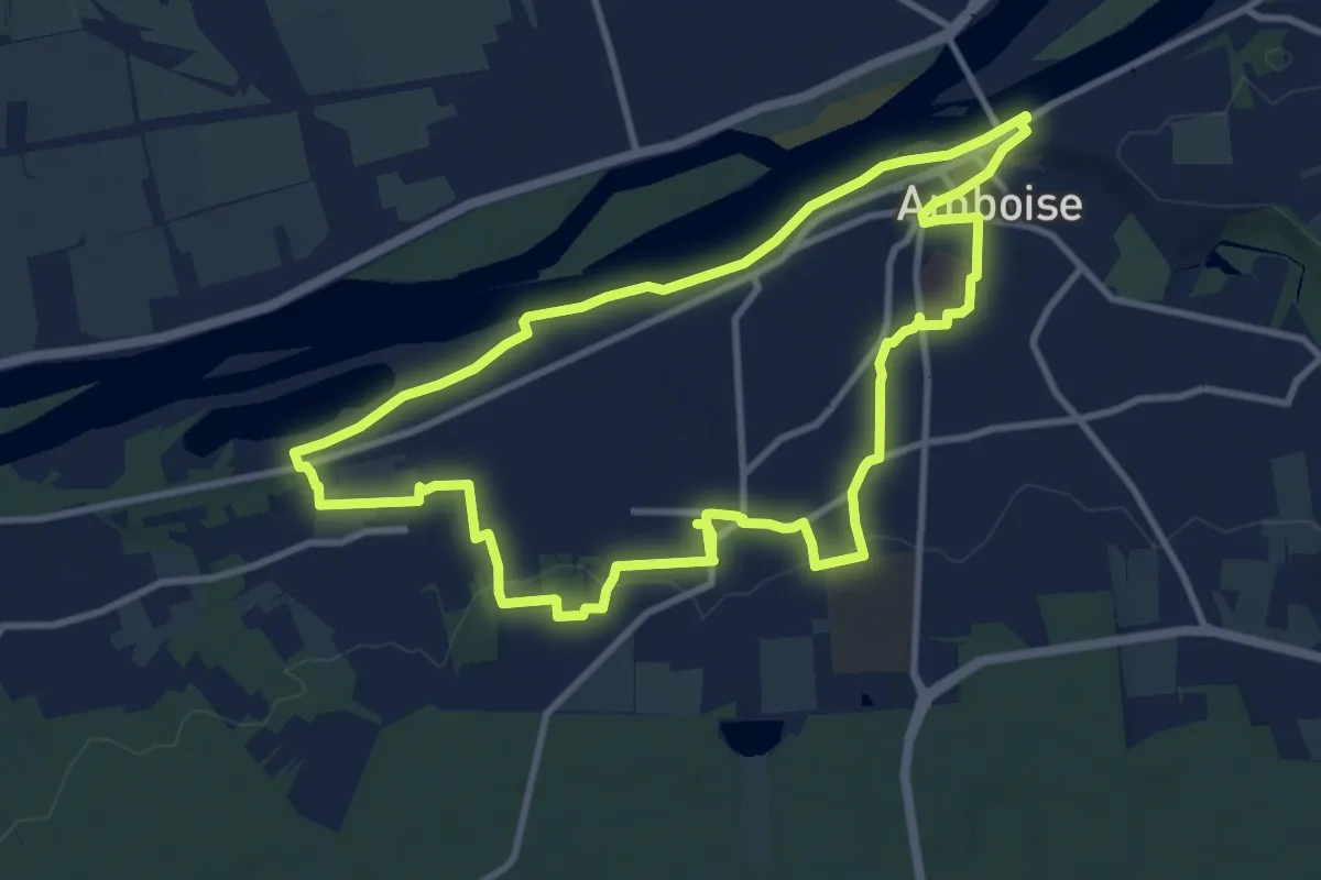
Medium · Trail
Hors des Sentiers Battus - Amboise
10.4 km · ↑ 82 m · 2 h 47 min · 11 km away
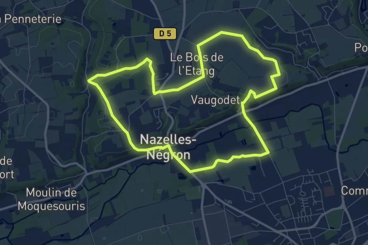
Medium · Trail
Circuit Val Plateau
8.2 km · ↑ 83 m · 2 h 14 min · 11 km away
Medium · Trail
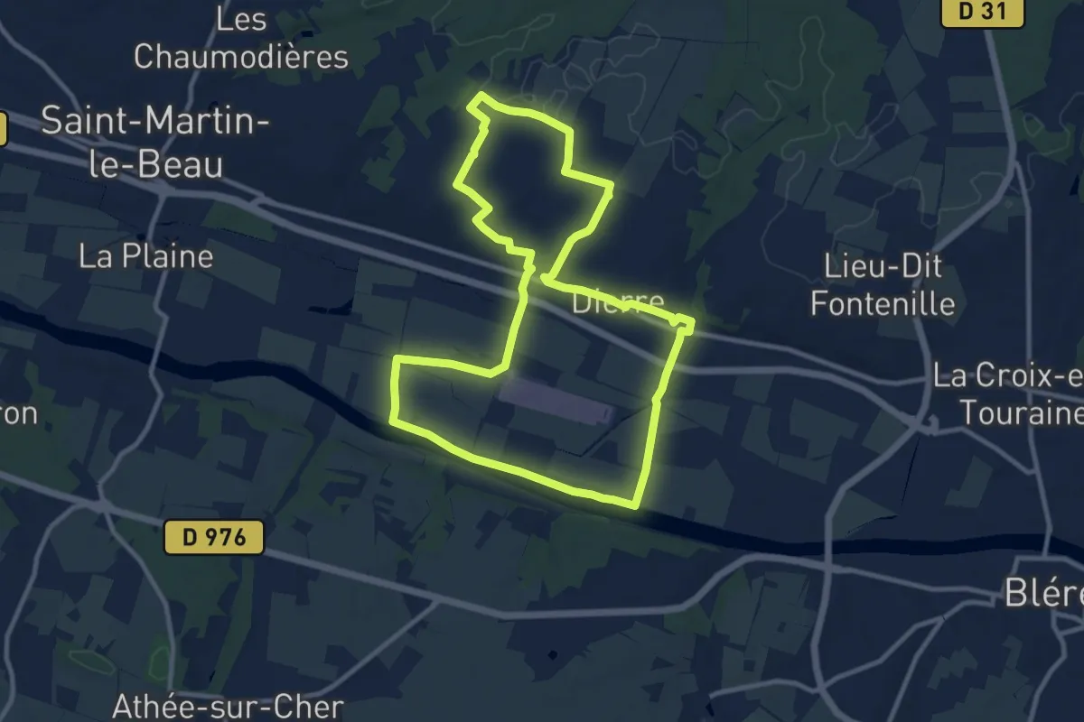
Fiefs d'Hier, Hameaux d'Aujourd'hui - Dierre
10.2 km · ↑ 50 m · 2 h 40 min · 11 km away
Medium · Trail
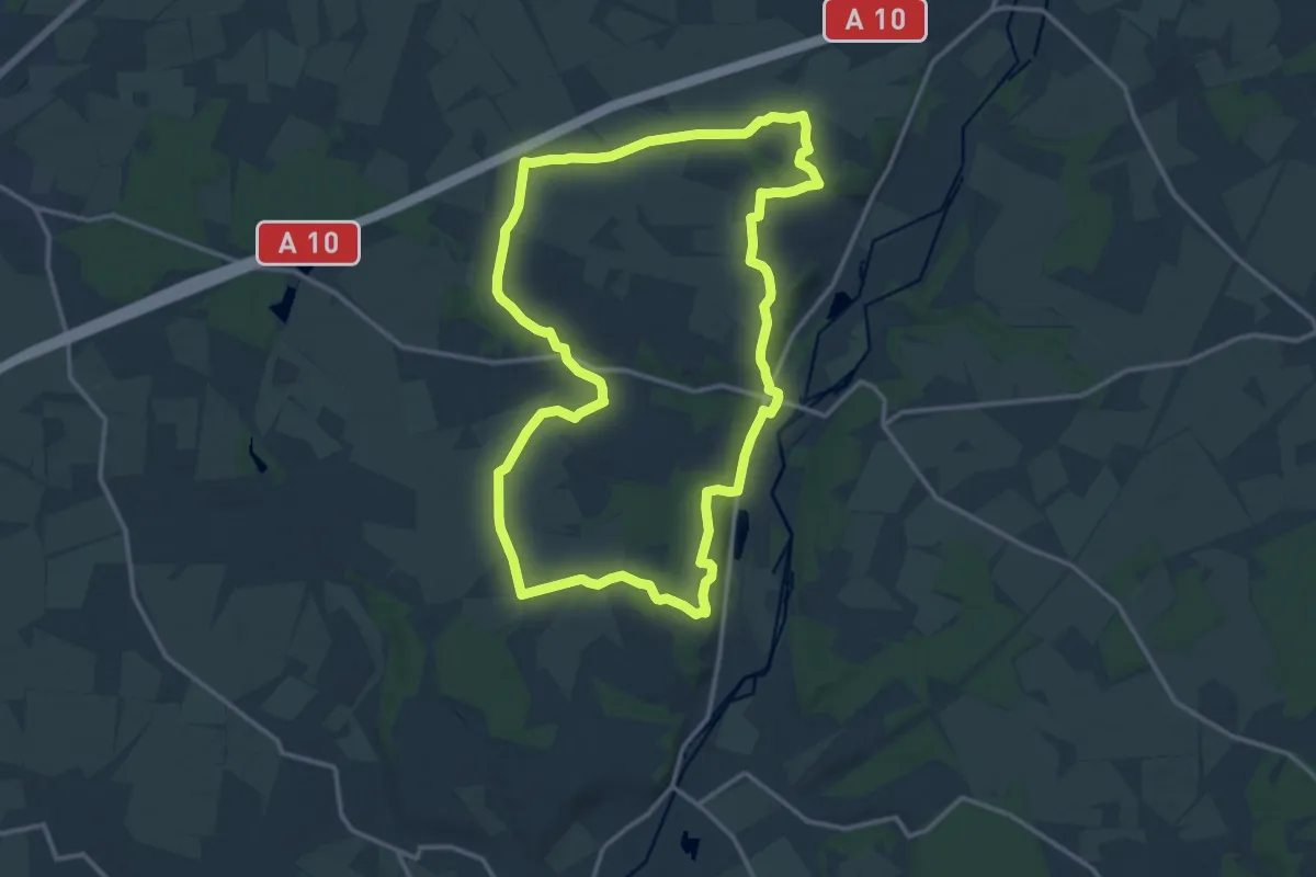
Le Chêne Vert
14.6 km · ↑ 118 m · 3 h 54 min · 11 km away
Easy · Trail
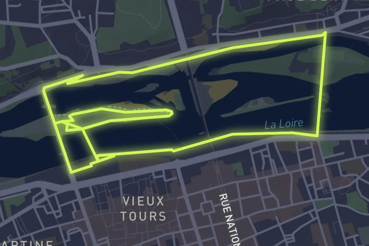
Tours Sentier Bord de Loire
5.3 km · ↑ 29 m · 1 h 23 min · 11 km away
Medium · Trail
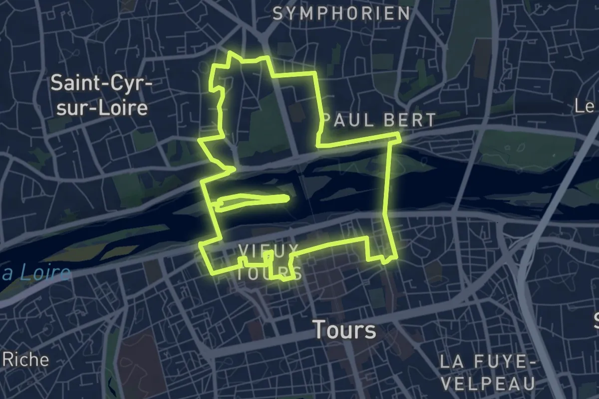
Tours Sentier Cœur de ville
8.6 km · ↑ 84 m · 2 h 20 min · 11 km away
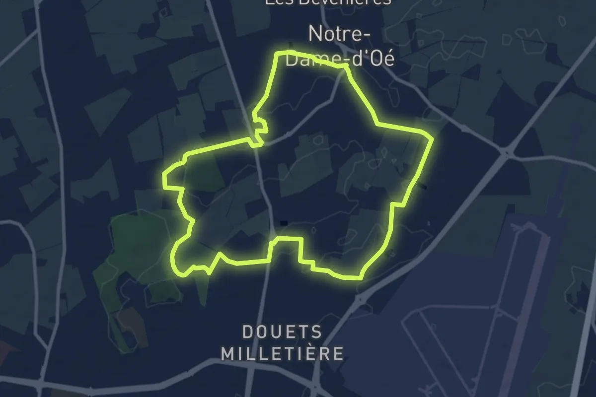
Medium · Trail
Notre Dame d'Oé Sentier découverte - Variante Sud
8.5 km · ↑ 25 m · 2 h 11 min · 12 km away
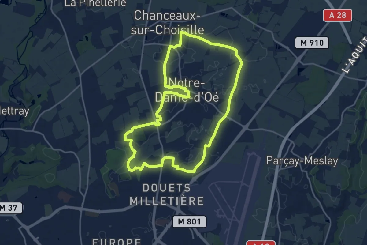
Medium · Trail
Notre-Dame-d'Oé Sentier Découverte
13.3 km · ↑ 38 m · 3 h 24 min · 12 km away
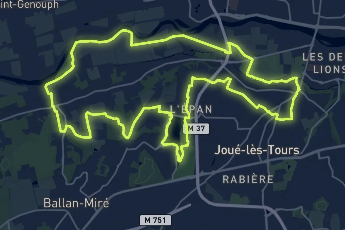
Demanding · Trail
Sentier du Lac et Val de Cher - Joué-les-Tours
19.1 km · ↑ 103 m · 5 h · 12 km away
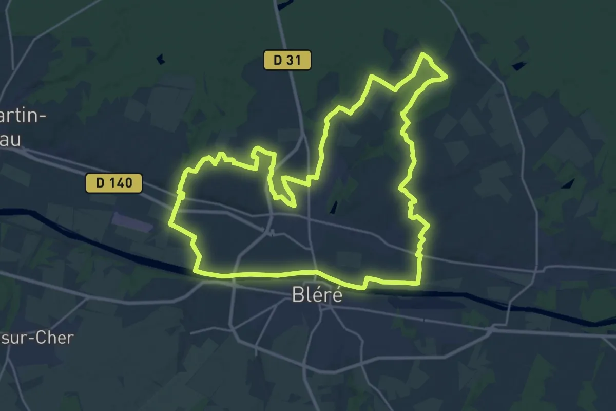
Demanding · Trail
Le Tour de La Croix - La-Croix-en-Touraine
21.7 km · ↑ 149 m · 5 h 45 min · 12 km away
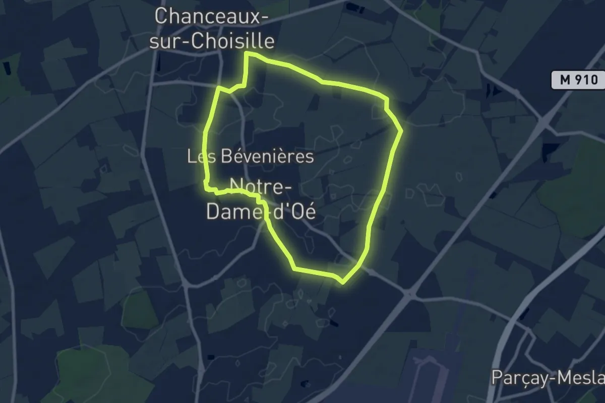
Easy · Trail
Notre Dame d'Oé Sentier découverte - Variante Nord
6.9 km · ↑ 21 m · 1 h 47 min · 12 km away
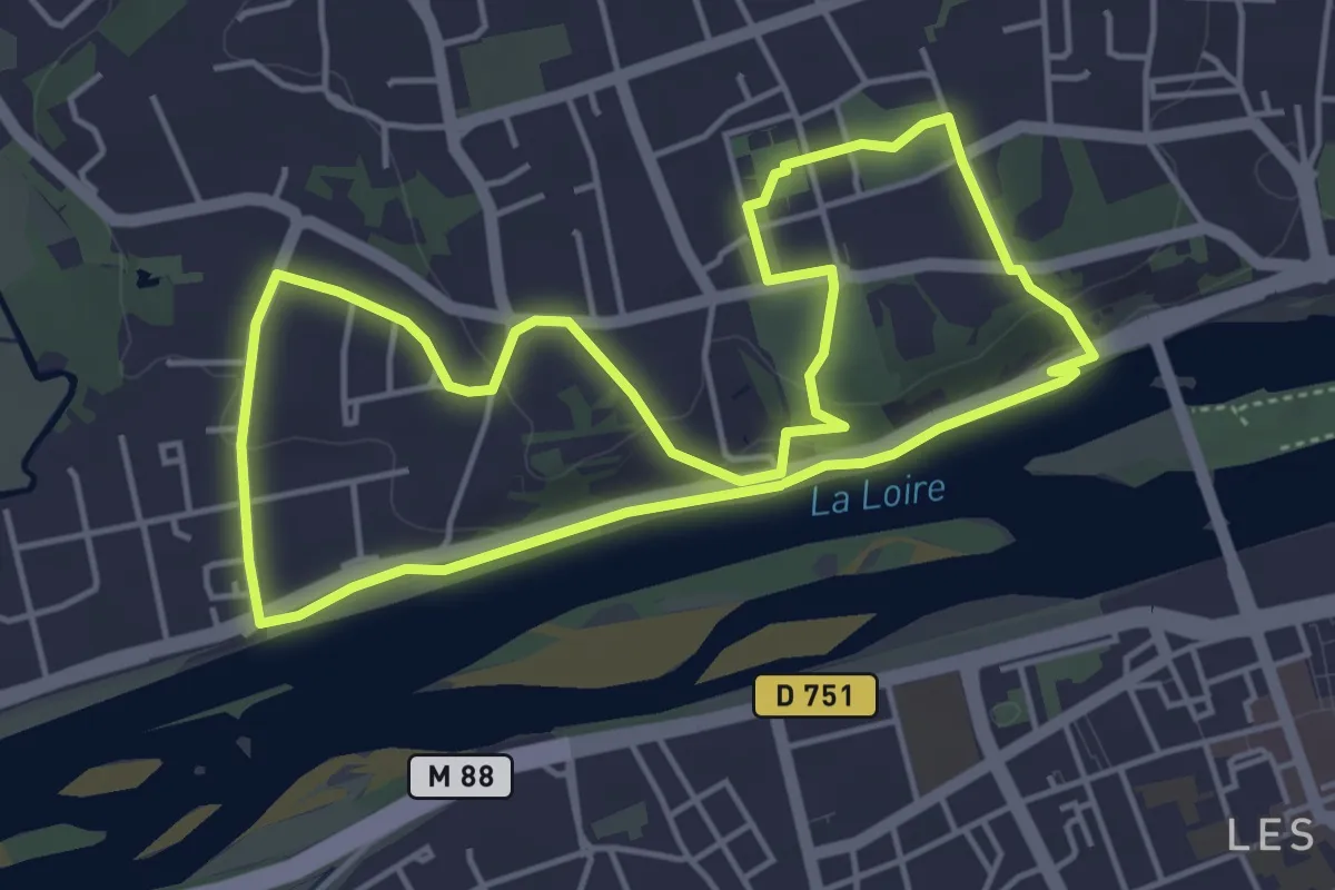
Easy · Trail
Saint-Cyr-sur-Loire Sentier découverte
4.6 km · ↑ 90 m · 1 h 21 min · 12 km away
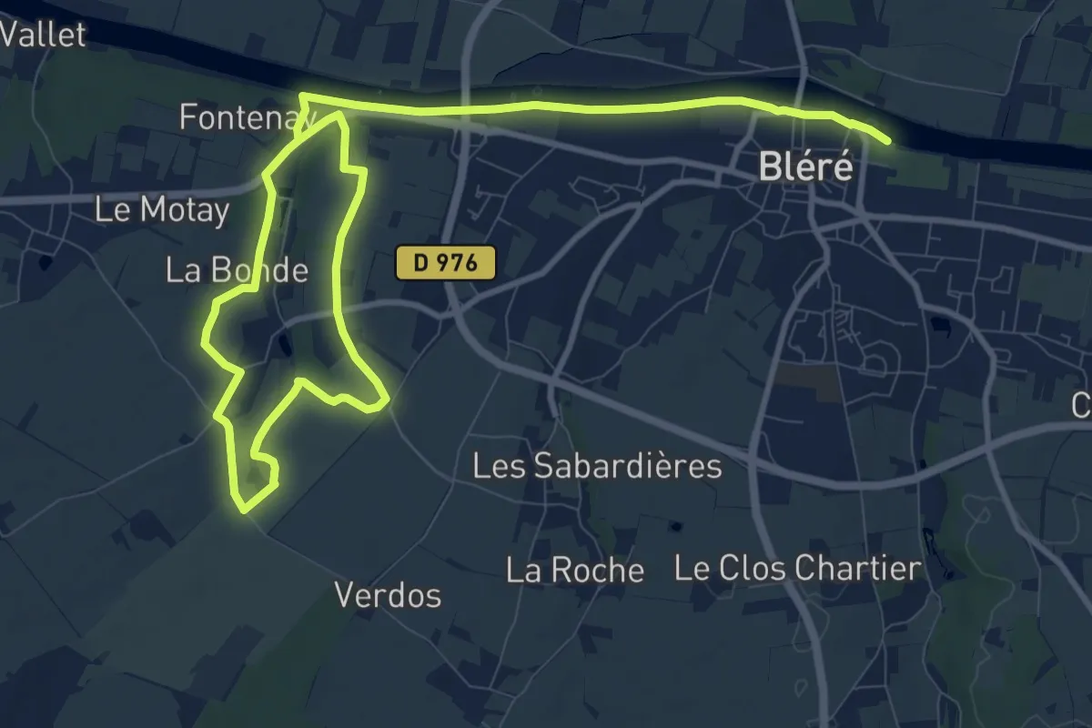
Medium · Trail
Les Grandes Fontaines
15.9 km · ↑ 92 m · 3 h 57 min · 12 km away
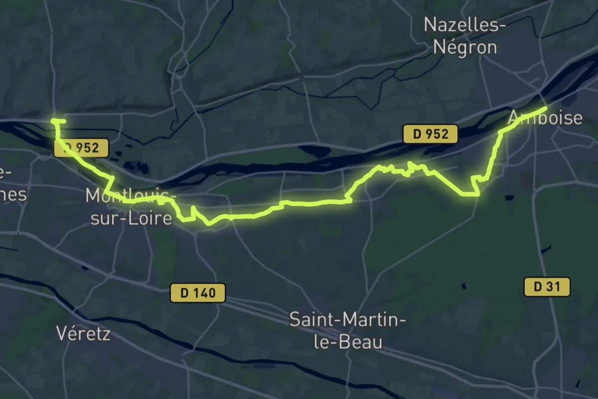
Demanding · Trail
Via Turonensis par Orléans, Amboise - Vouvray
21.3 km · ↑ 177 m · 5 h 43 min · 12 km away
Medium · Trail
Le Noble Joué
17.6 km · ↑ 69 m · 4 h 32 min · 12 km away
Easy · Trail
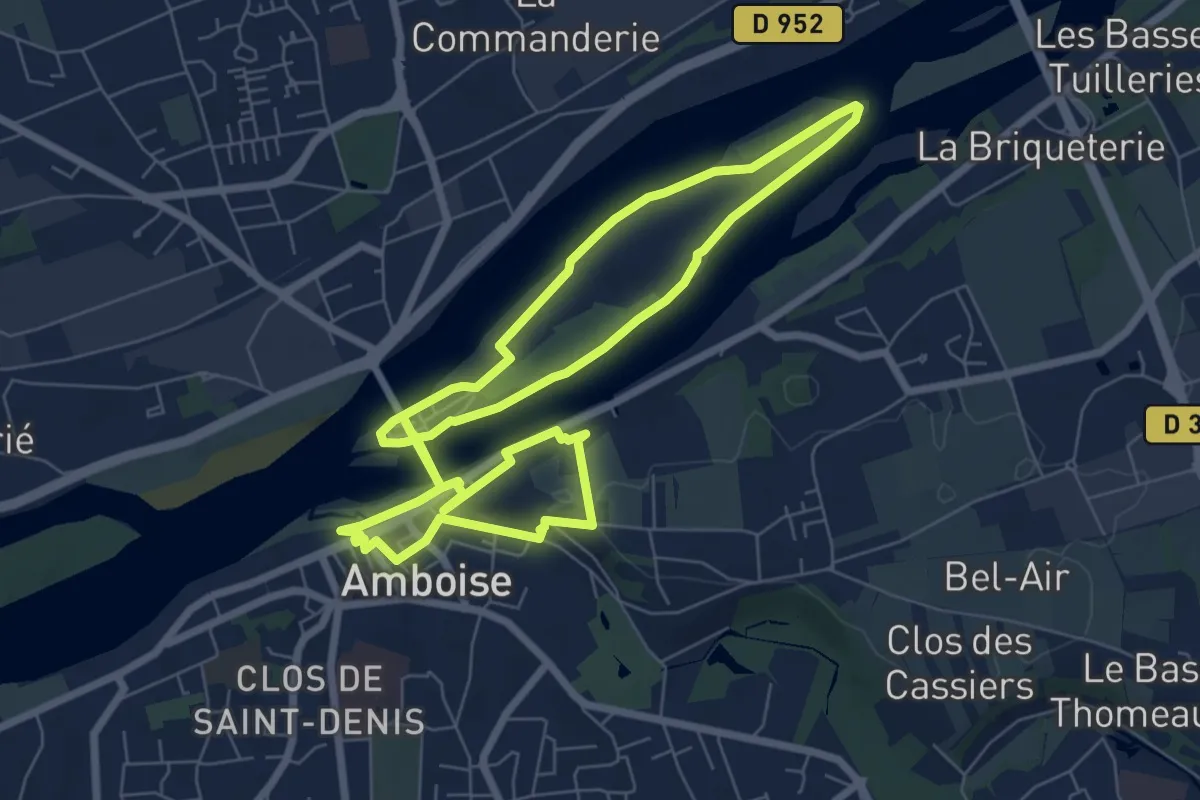
Amboise - Entre Terres Royales et Eaux Sauvages
7.3 km · ↑ 69 m · 1 h 59 min · 12 km away
Easy · Trail
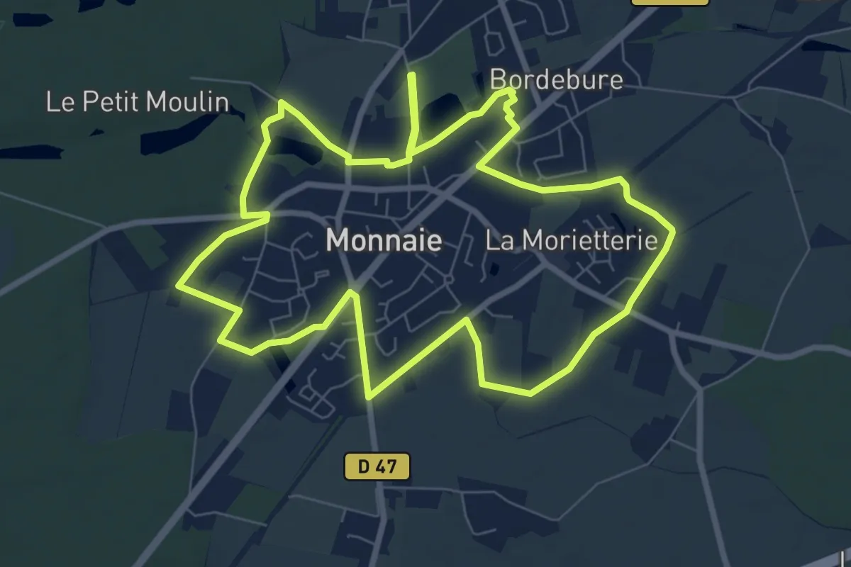
Monnaie - Circuit Ville et Nature
7.7 km · ↑ 24 m · 1 h 59 min · 12 km away
Medium · Trail
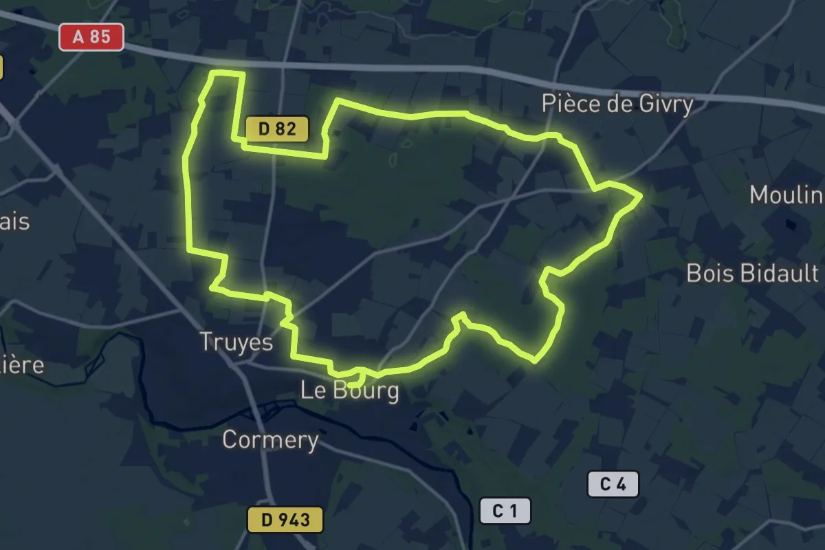
La Croix de l'Apothicaresse - Truyes
16.9 km · ↑ 27 m · 4 h 18 min · 13 km away
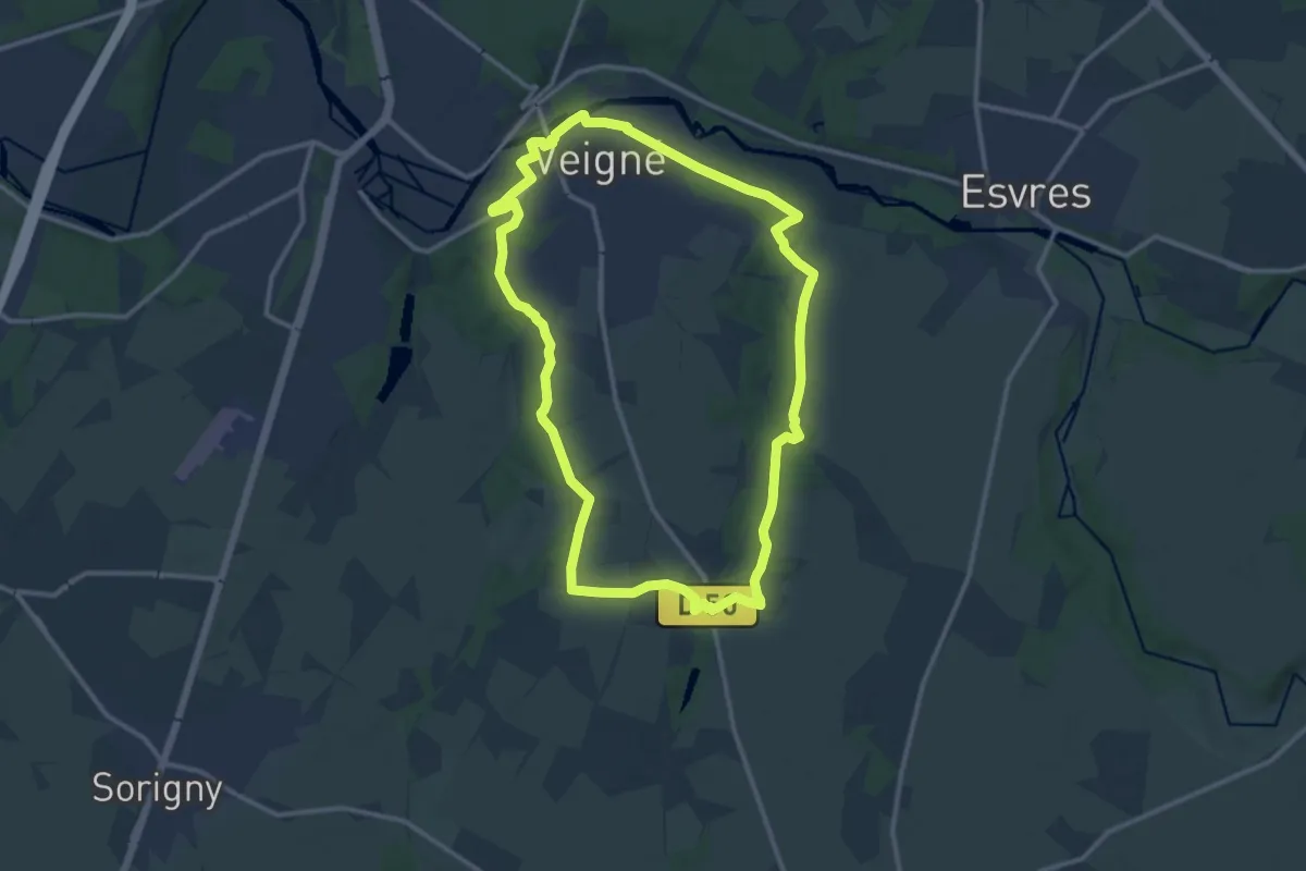
Medium · Trail
Les Jonchères - Veigné
12.4 km · ↑ 80 m · 3 h 16 min · 13 km away
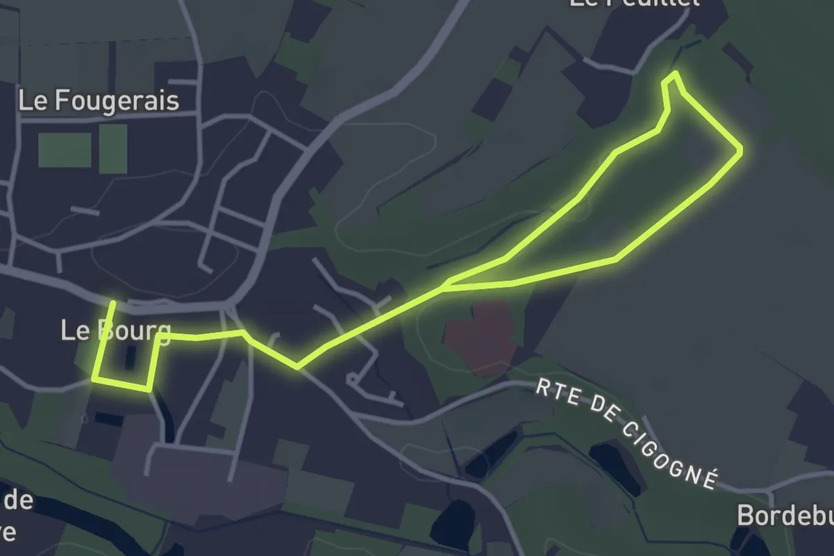
Easy · Trail
Circuit promenade
5.2 km · ↑ 48 m · 1 h 20 min · 13 km away
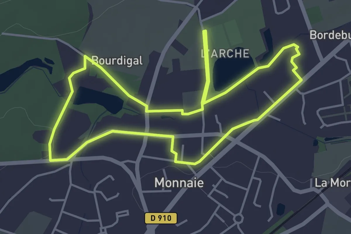
Easy · Trail
Monnaie - Le Circuit Patrimoine
4.0 km · ↑ 14 m · 1 h 2 min · 13 km away
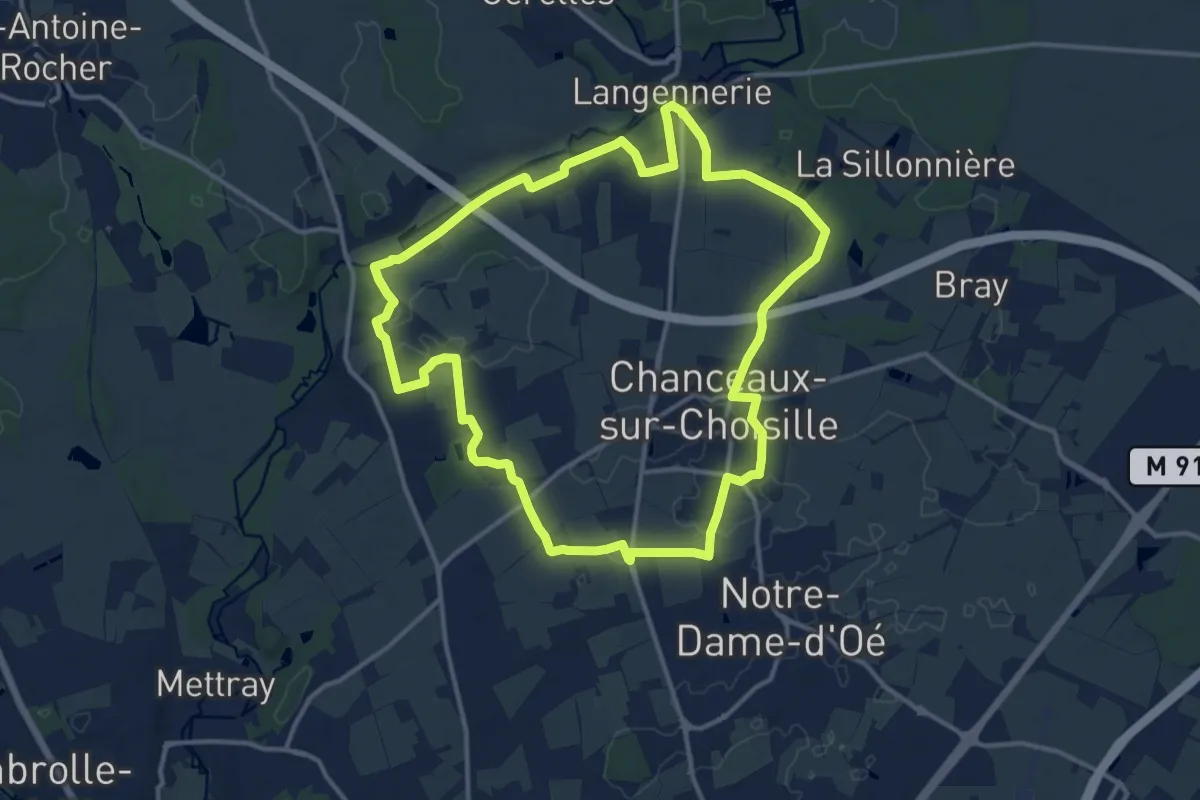
Medium · Trail
Sentier découverte - Chanceaux-sur-Choisille
13.3 km · ↑ 80 m · 3 h 29 min · 13 km away
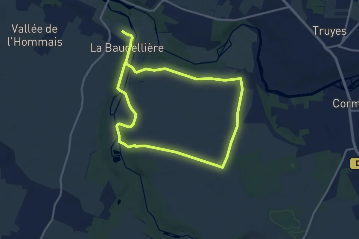
Medium · Trail
Boucle de l'Indre et de l'Échandron
13.5 km · ↑ 115 m · 3 h 26 min · 13 km away
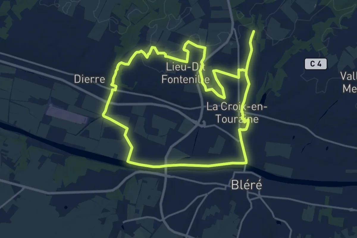
Demanding · Trail
Villefrault
25.7 km · ↑ 131 m · 6 h 21 min · 13 km away
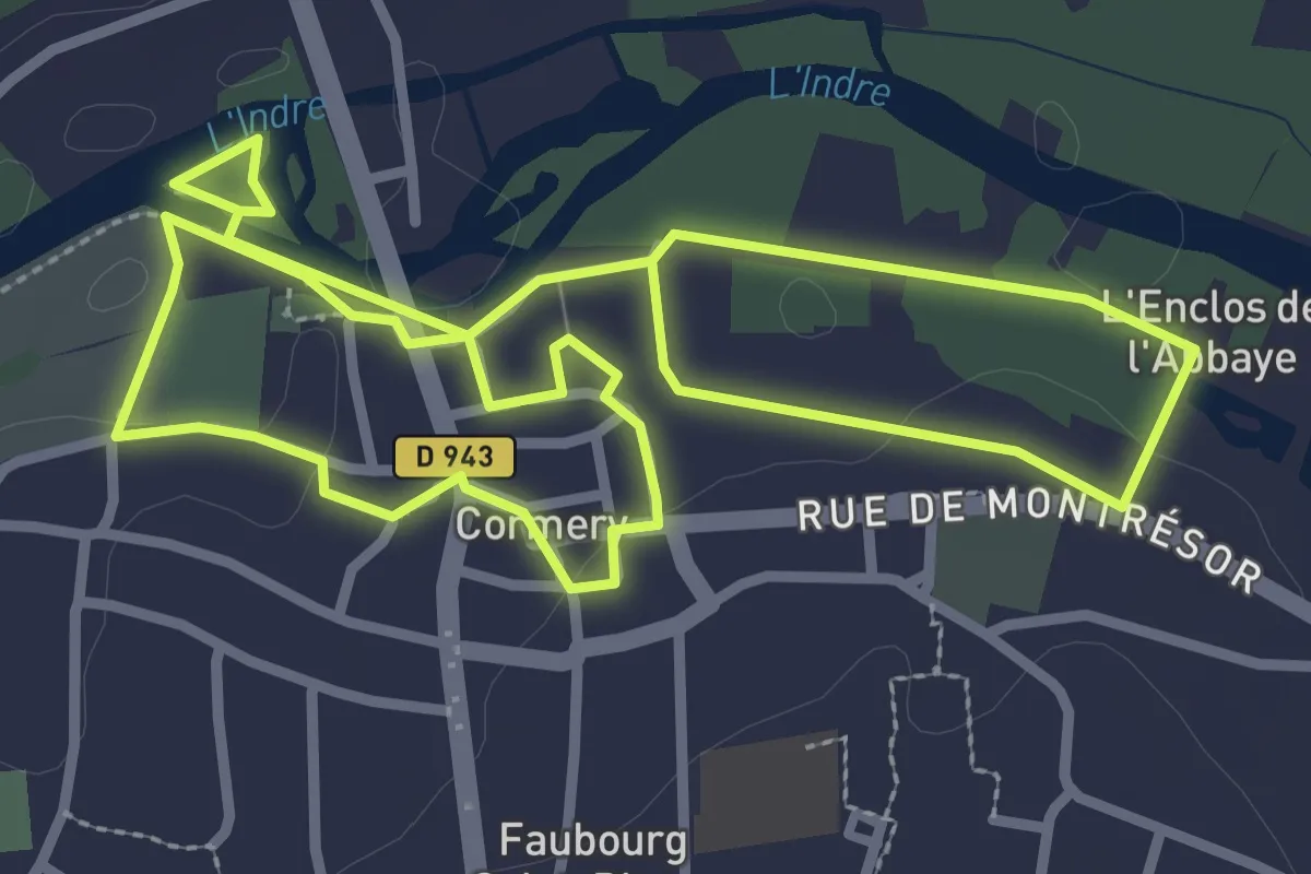
Easy · Trail
Balades autour de l'Abbaye - Cormery
3.1 km · ↑ 14 m · 49 min · 13 km away
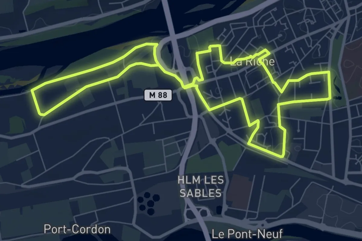
Easy · Trail
Sentier du Plessis au Prieuré - La Riche
7.7 km · ↑ 4 m · 1 h 57 min · 13 km away
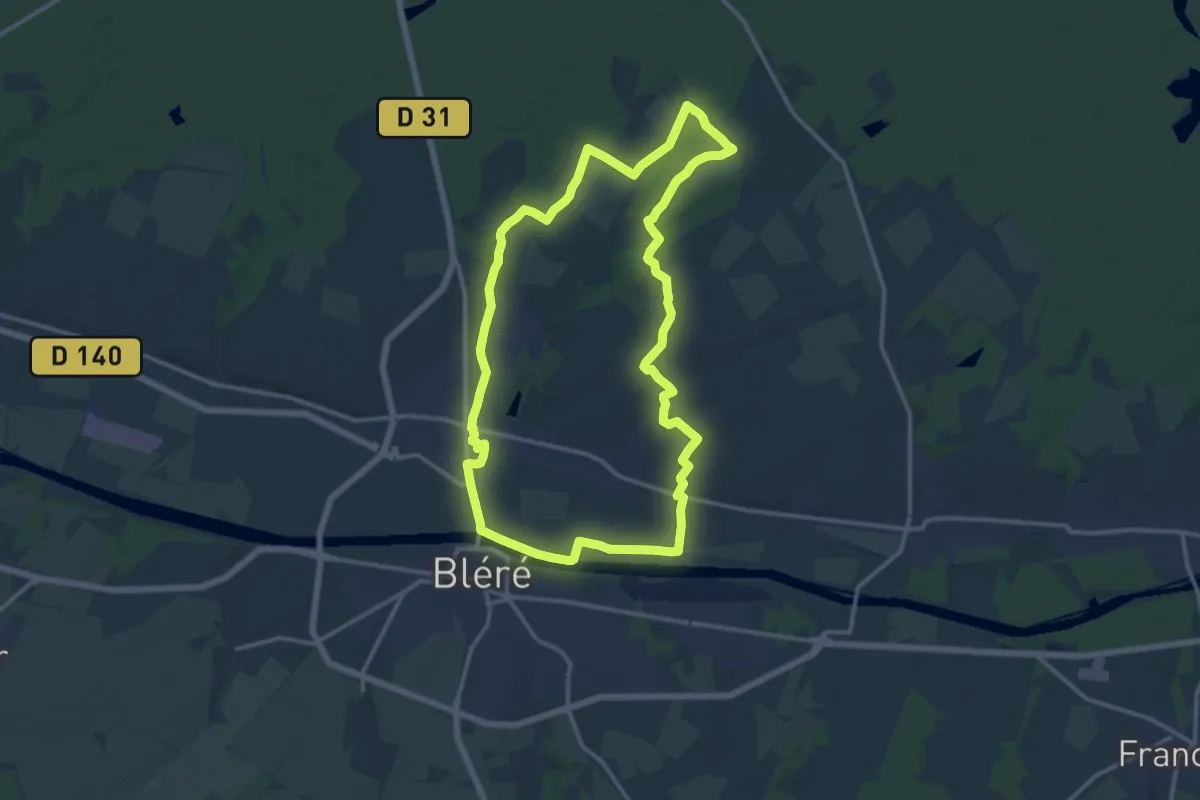
Medium · Trail
La Chauvinière - La-Croix-en-Touraine
14.0 km · ↑ 101 m · 3 h 42 min · 13 km away
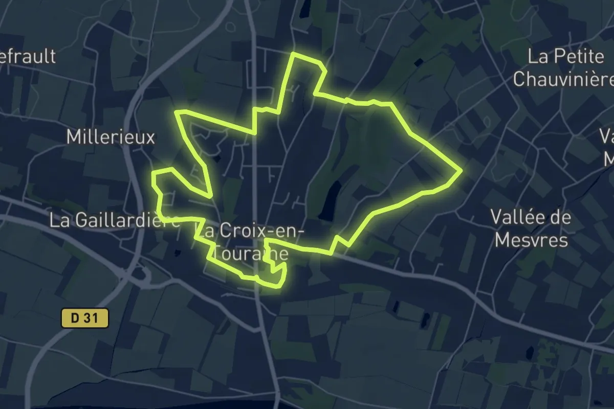
Easy · Trail
La Herserie - La-Croix-en-Touraine
7.0 km · ↑ 52 m · 1 h 51 min · 13 km away
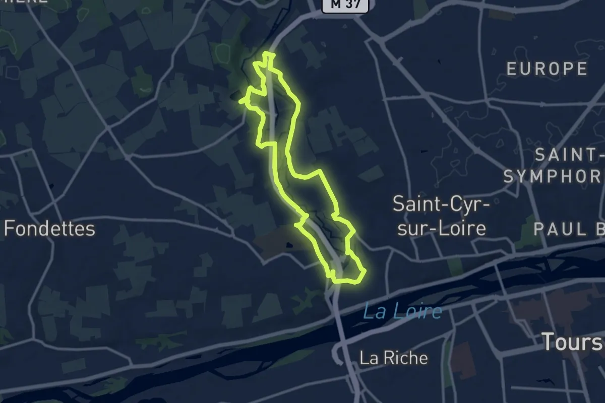
Medium · Trail
De la Rivière aux Coteaux du Val de Choisille
9.3 km · ↑ 91 m · 2 h 31 min · 14 km away
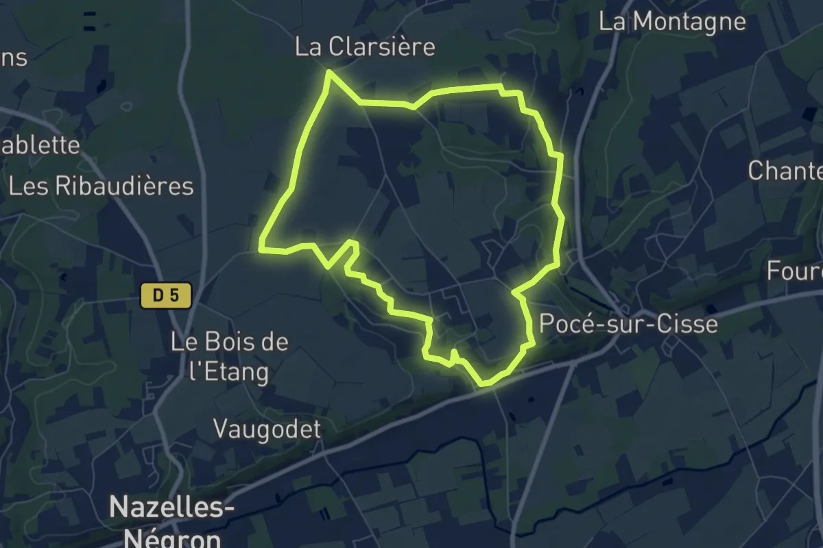
Easy · Trail
Sentier des Trois Vallées (ouest)
7.3 km · ↑ 90 m · 2 h 1 min · 14 km away
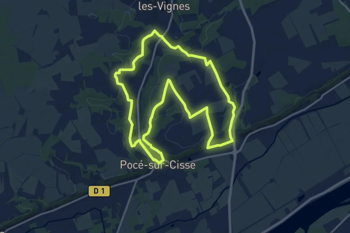
Medium · Trail
Sentier des Trois Vallées (est)
9.7 km · ↑ 167 m · 2 h 47 min · 14 km away
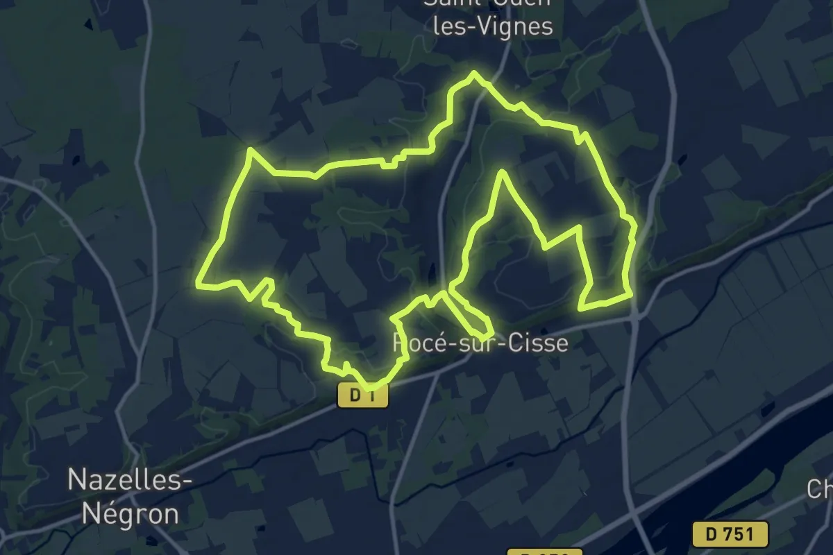
Medium · Trail
Sentier des Trois Vallées
14.5 km · ↑ 182 m · 4 h 1 min · 14 km away
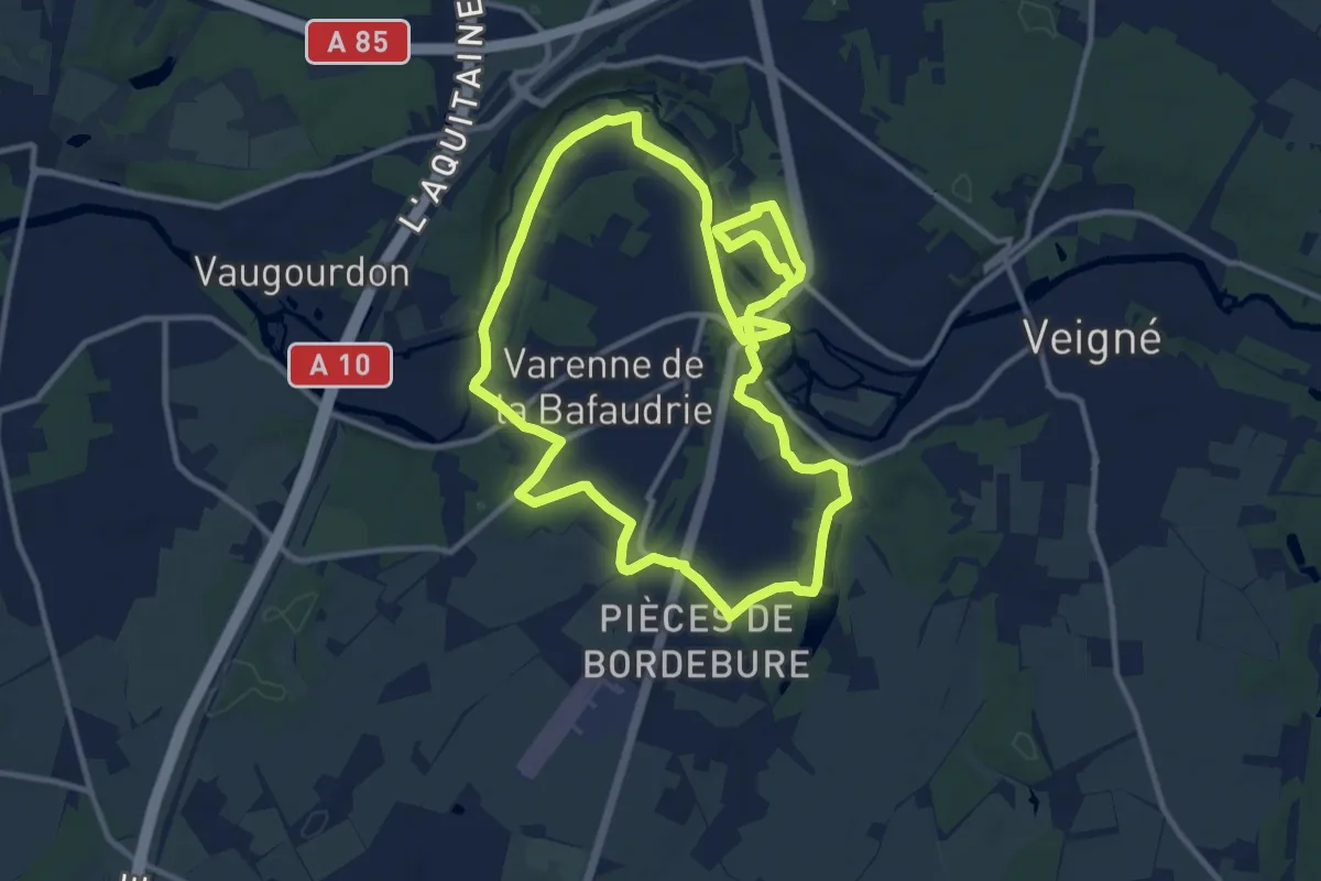
Medium · Trail
Les Chemins de Montbazon
11.9 km · ↑ 87 m · 3 h 10 min · 14 km away
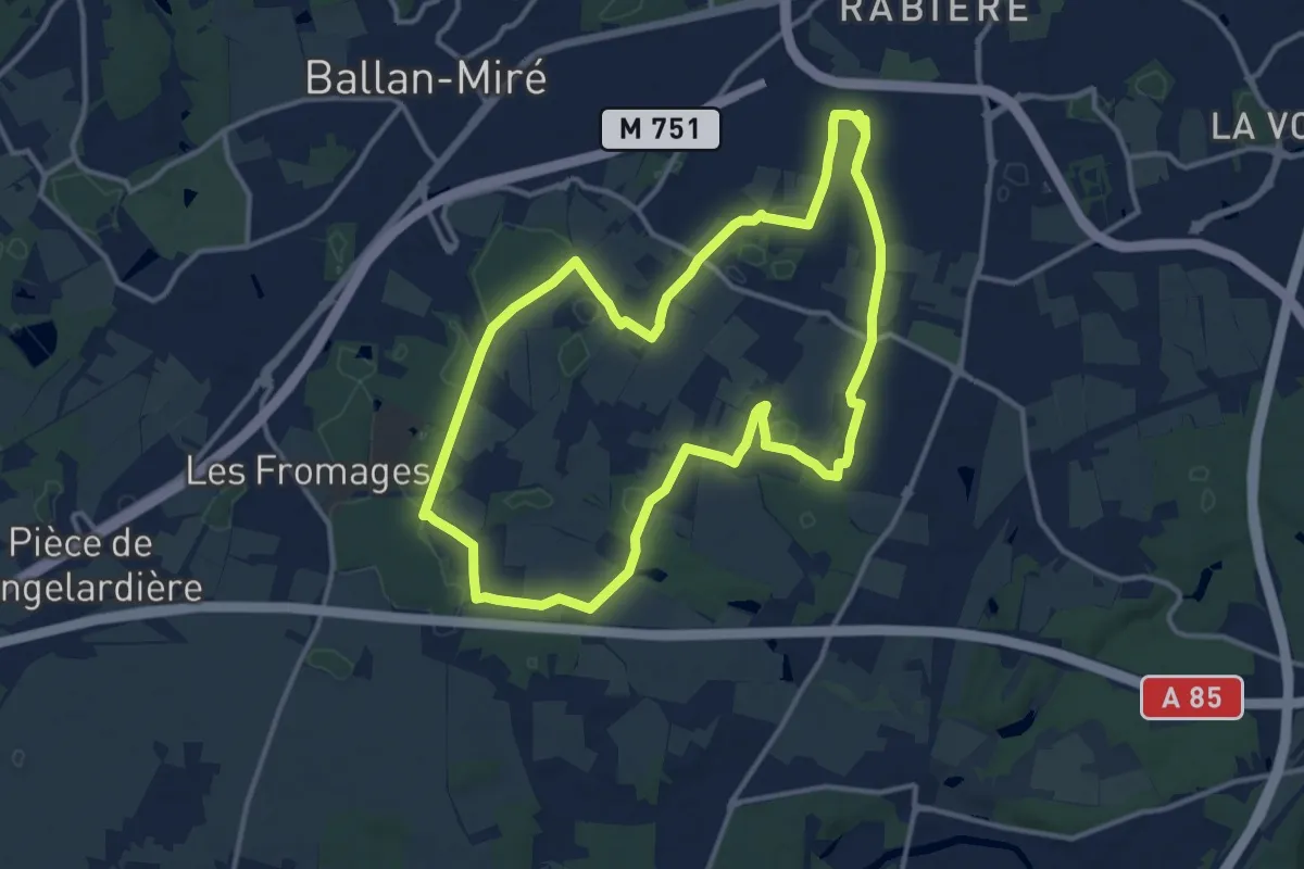
Medium · Trail
Sentier de l'Échappée verte - Joué-les-Tours
12.9 km · ↑ 37 m · 3 h 19 min · 14 km away
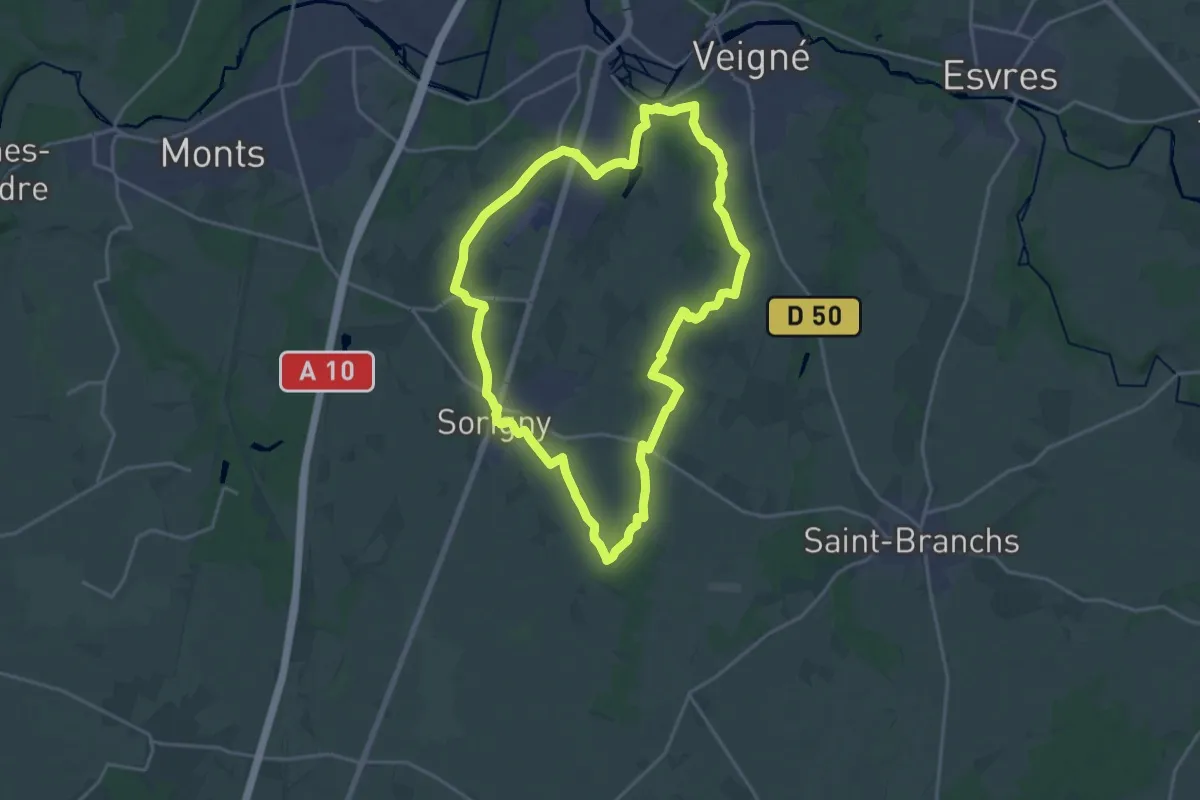
Demanding · Trail
Le Pont Gaultier - Sorigny
18.7 km · ↑ 56 m · 4 h 48 min · 14 km away
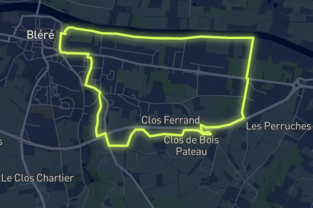
Medium · Trail
Le Bois Pataud
8.0 km · ↑ 44 m · 2 h 6 min · 15 km away
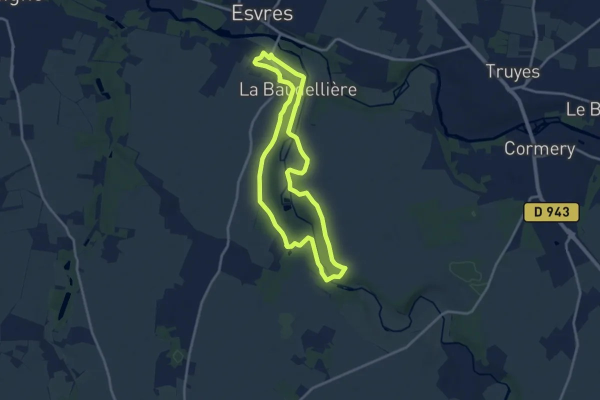
Medium · Trail
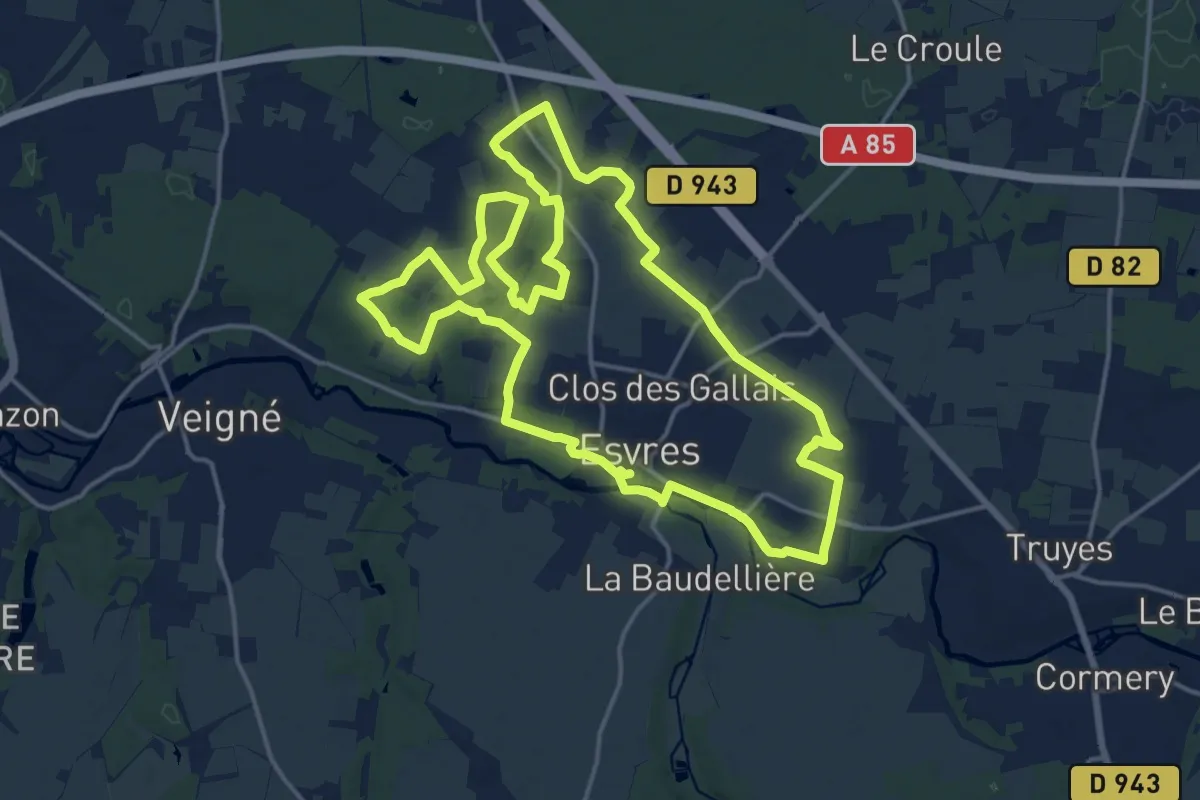
Entre Rivières, Châteaux et Moulins - Esvres
8.7 km · ↑ 101 m · 2 h 24 min · 15 km away