Trails near Pierrelatte
90 hikes starting within 15 km, nearest first.
Nearest first, page 1 of 2
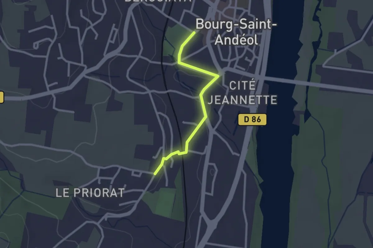
Easy · Trail
Pradelle - Seilloux
2.2 km · ↑ 35 m · 36 min · 4 km away
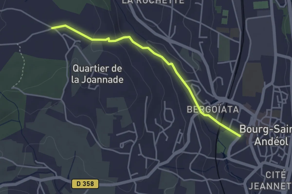
Easy · Trail
Pradelle - Darbousset
3.4 km · ↑ 97 m · 1 h · 4 km away
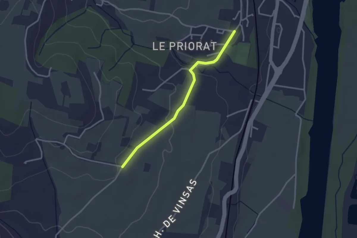
Easy · Trail
Seilloux - Coulange
2.6 km · ↑ 41 m · 42 min · 5 km away
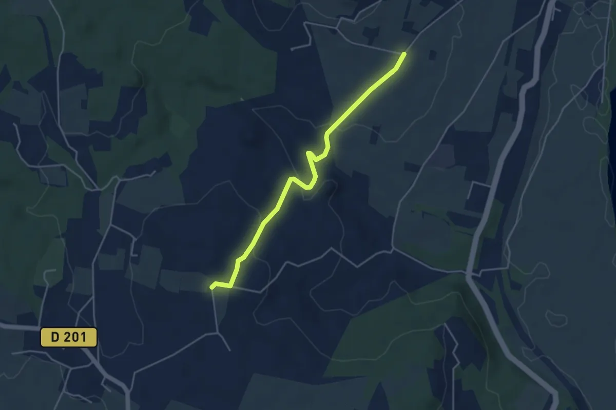
Easy · Trail
Coulange - Chapelle Saint-Julien
4.2 km · ↑ 121 m · 1 h 15 min · 6 km away
Easy · Trail
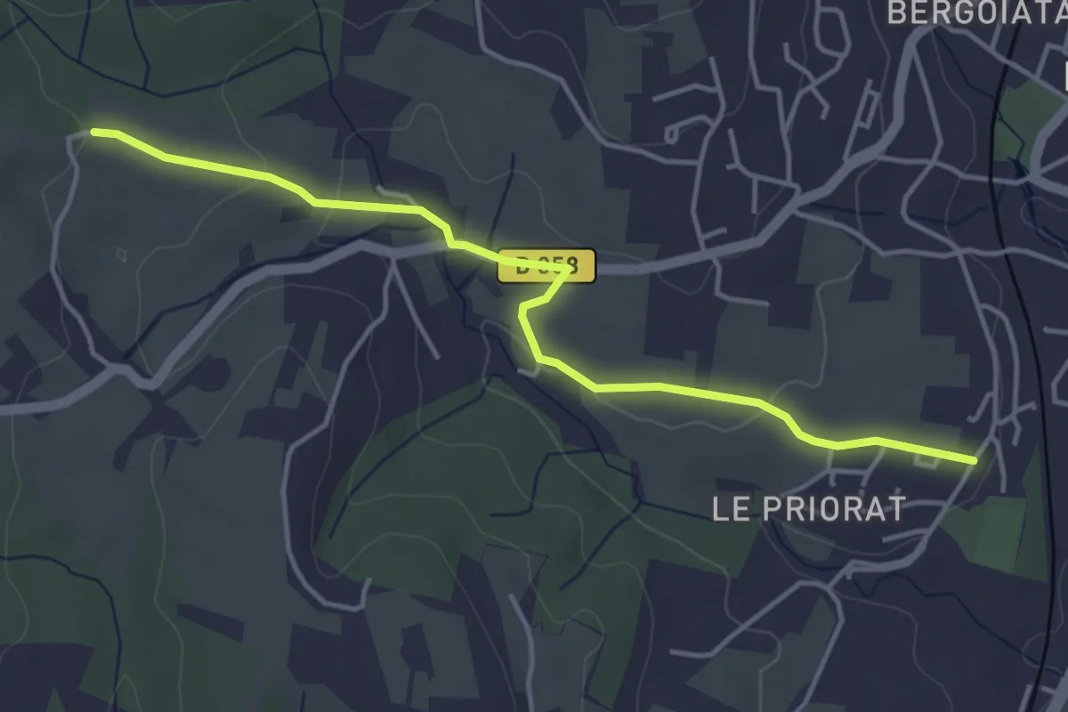
Seilloux - Croix de Romanet
4.5 km · ↑ 77 m · 1 h 14 min · 6 km away
Easy · Trail
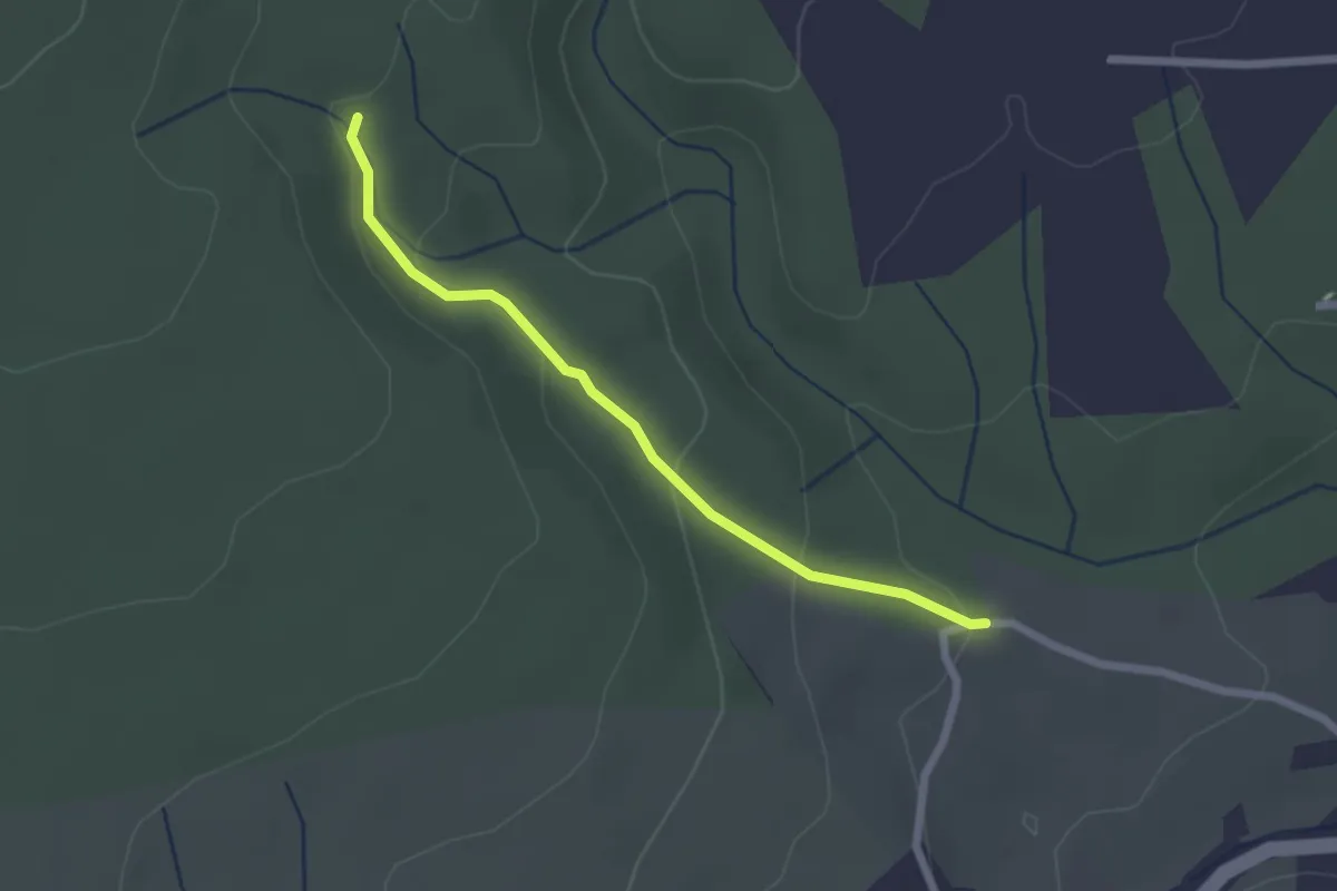
Croix de Romanet - Plaine de Mias
2.2 km · ↑ 79 m · 42 min · 6 km away
Easy · Trail
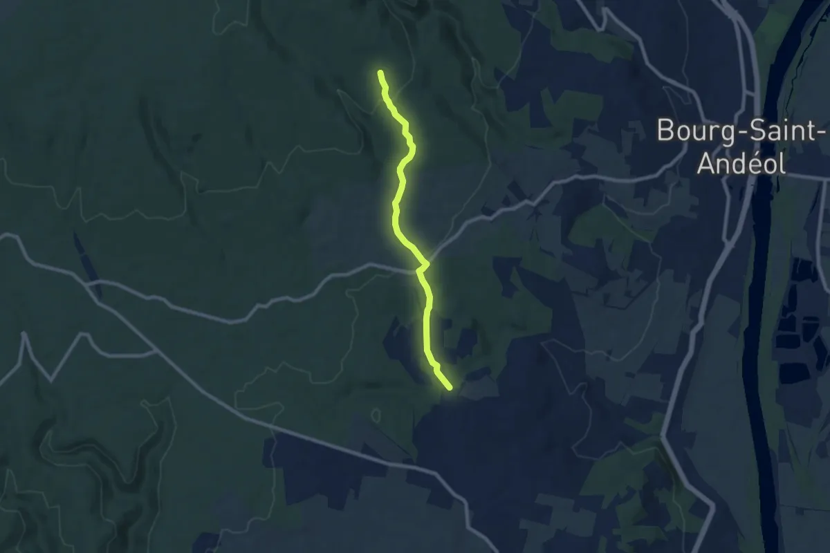
La Garoune - Bois du Sorbier
7.3 km · ↑ 184 m · 2 h 8 min · 8 km away
Easy · Trail
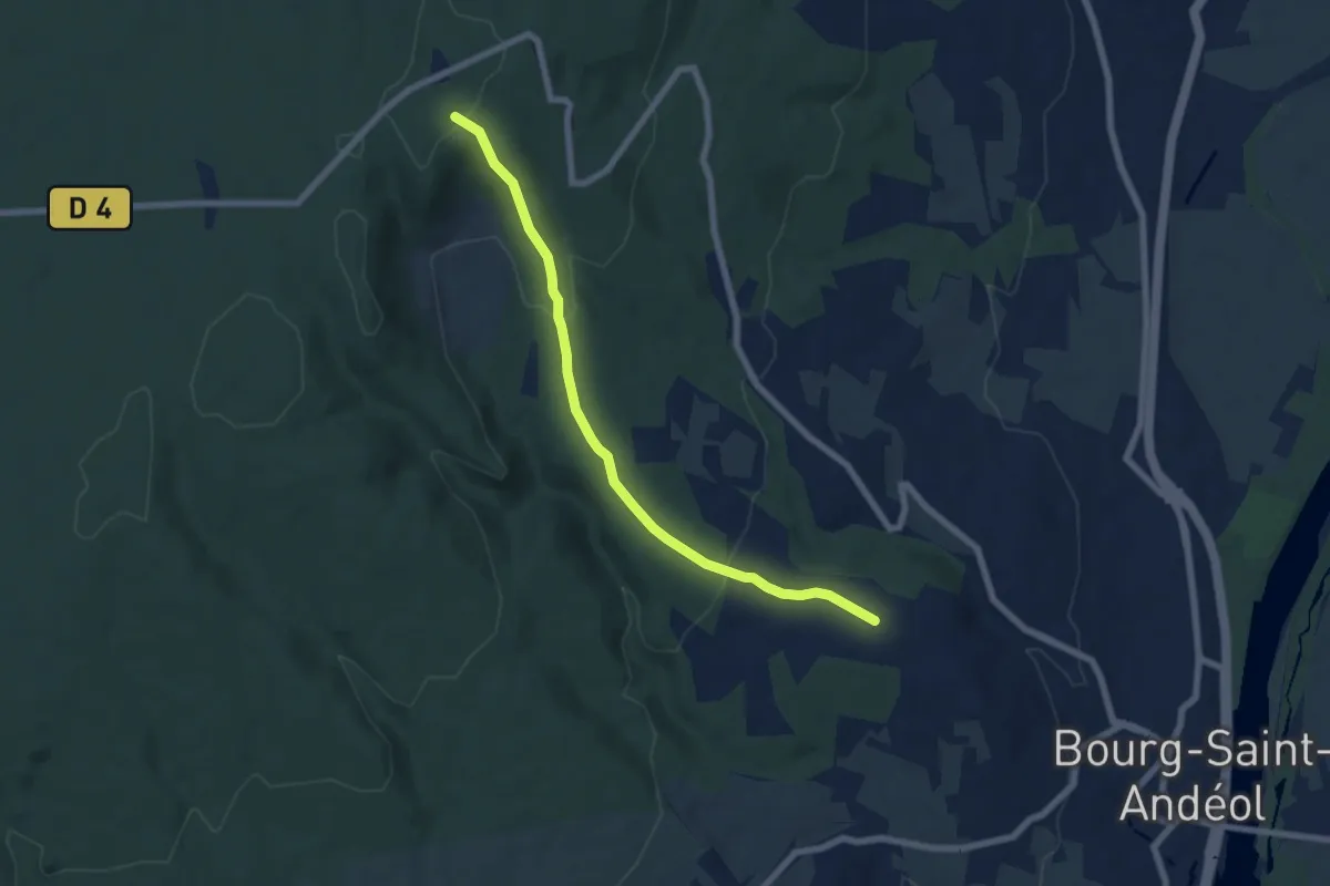
Darbousset - Combe Longe
7.0 km · ↑ 229 m · 2 h 8 min · 8 km away
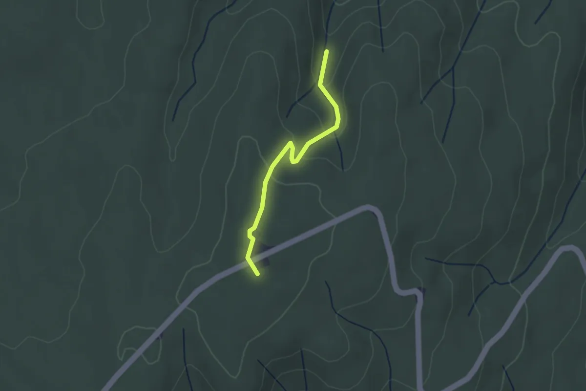
Easy · Trail
Les Estoupines - Le Relais
2.4 km · ↑ 81 m · 44 min · 8 km away
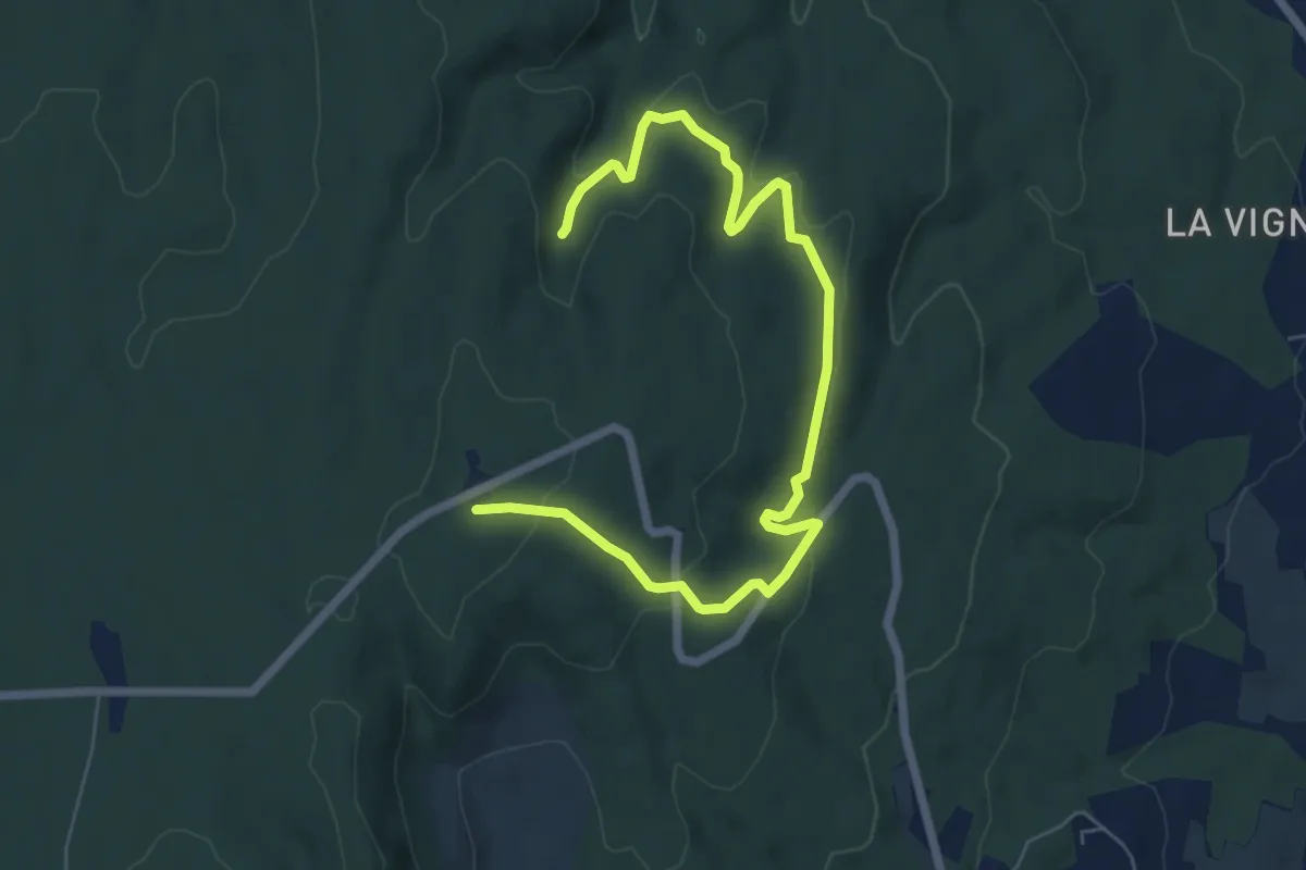
Medium · Trail
Les Estoupines - Le Relais
8.1 km · ↑ 238 m · 2 h 25 min · 8 km away
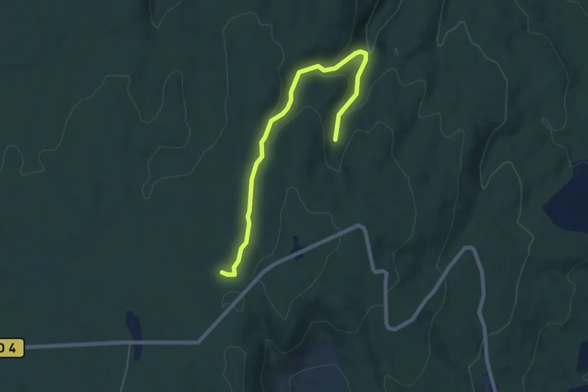
Easy · Trail
Les Estoupines - Combe Chabaud
5.6 km · ↑ 198 m · 1 h 46 min · 8 km away
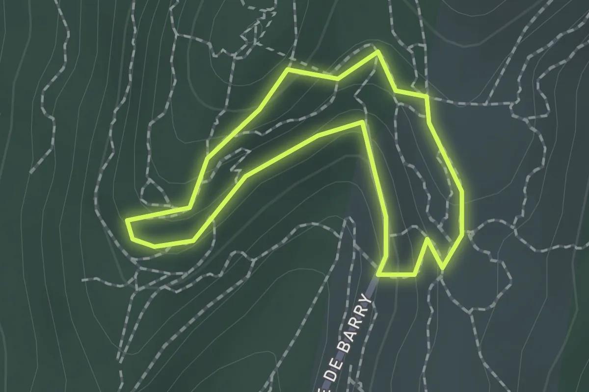
Easy · Trail
Le village troglodytique
1.5 km · ↑ 58 m · 30 min · 8 km away
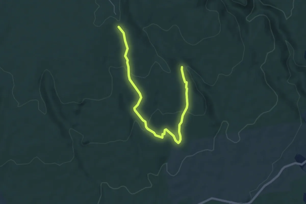
Easy · Trail
Moure de Trian - Chêne Rond
6.6 km · ↑ 200 m · 2 h · 8 km away
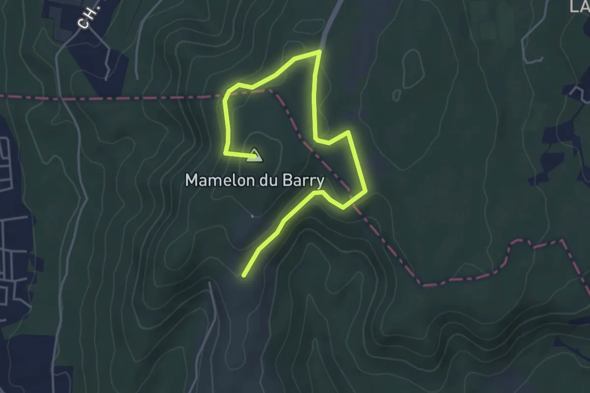
Easy · Summit
Le belvédère et le château de Chabrières
5.0 km · ↑ 120 m · 1 h 27 min · 8 km away
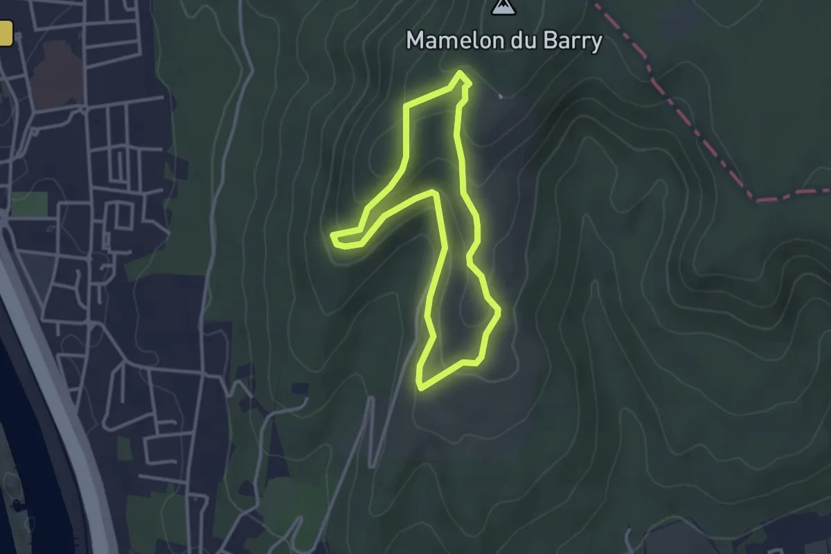
Easy · Trail
Le village troglodytique et l'oppidum
2.9 km · ↑ 114 m · 58 min · 9 km away
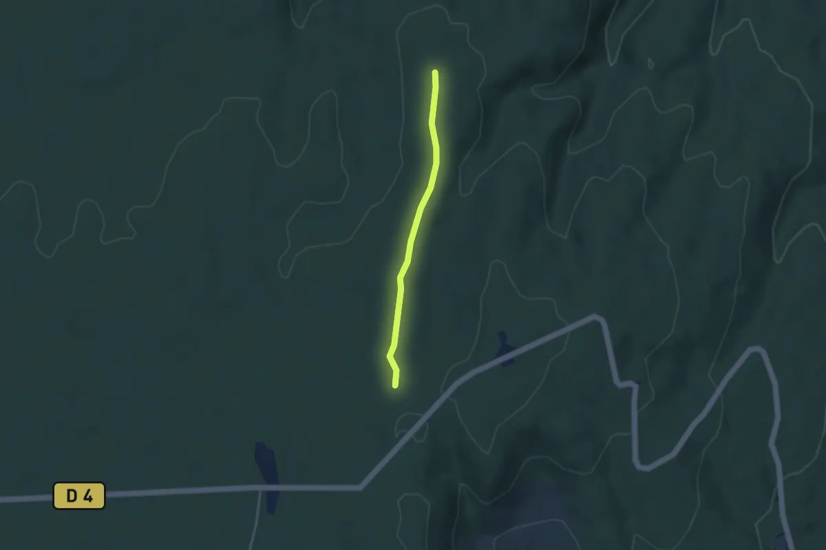
Easy · Trail
Aven des Aubes - Combe Chabaud
3.1 km · ↑ 23 m · 46 min · 9 km away
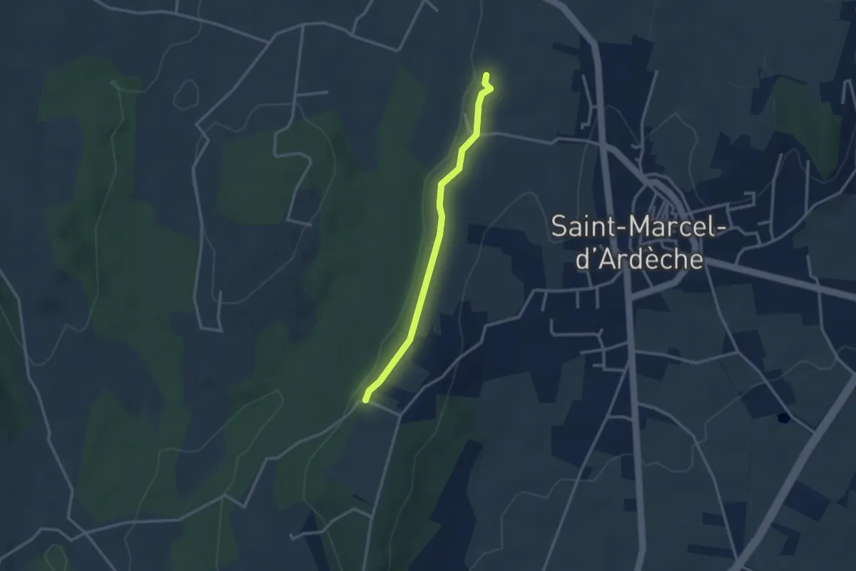
Easy · Trail
Peyrobe - Lafare
2.7 km · ↑ 27 m · 42 min · 9 km away
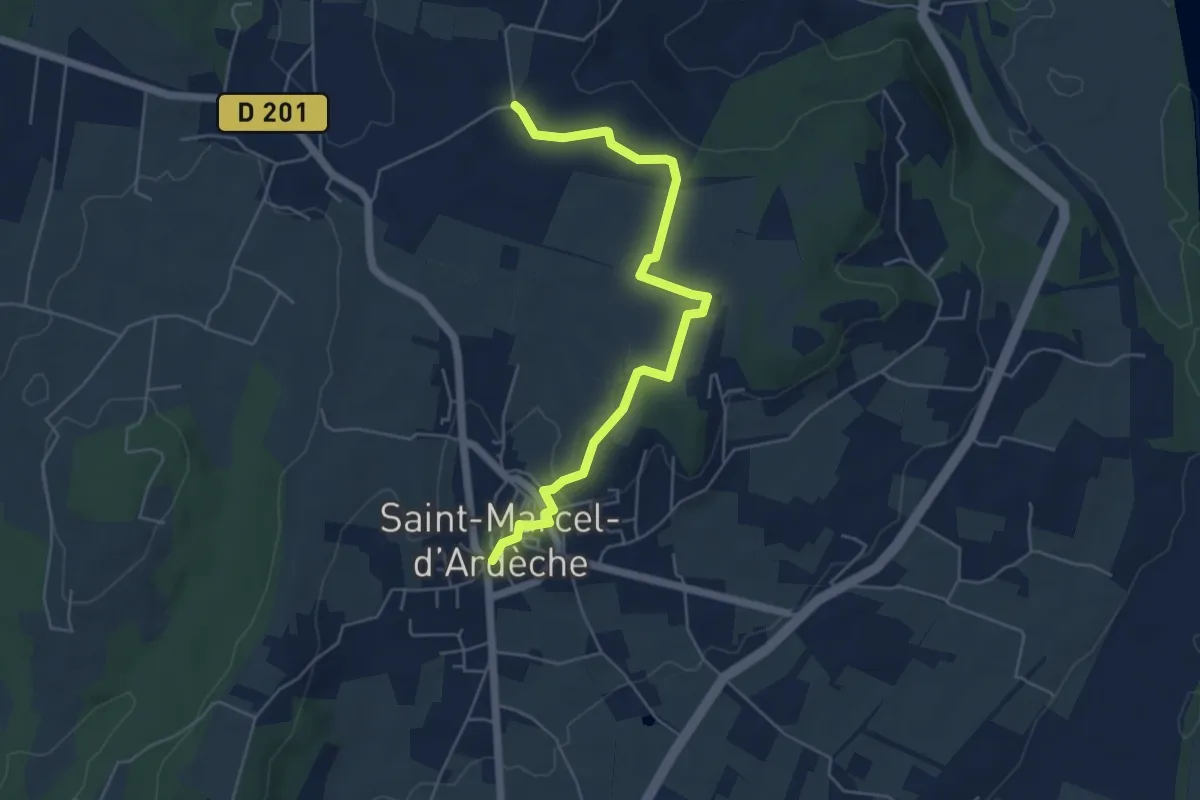
Easy · Trail
Saint-Marcel-d'Ardèche - Souchas
5.8 km · ↑ 70 m · 1 h 31 min · 9 km away
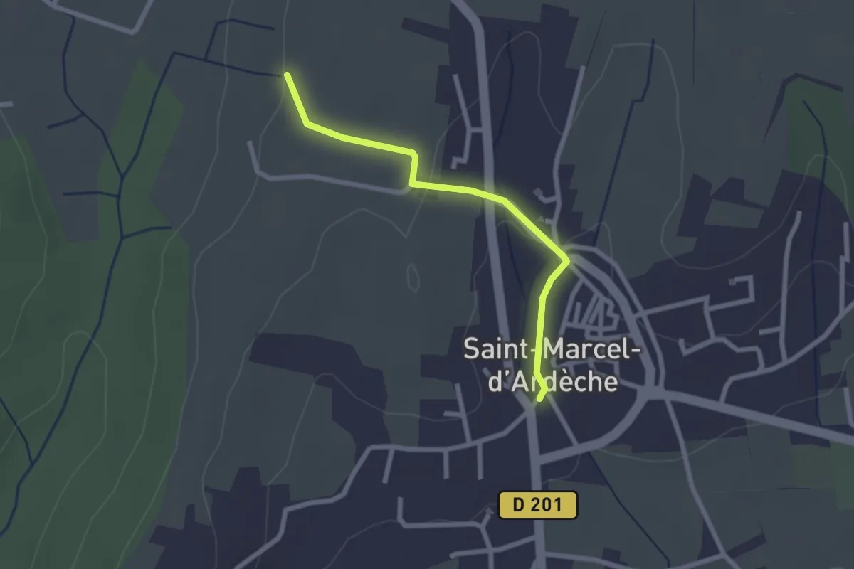
Easy · Trail
Saint-Marcel-d'Ardèche - Lafare
2.2 km · ↑ 52 m · 38 min · 9 km away
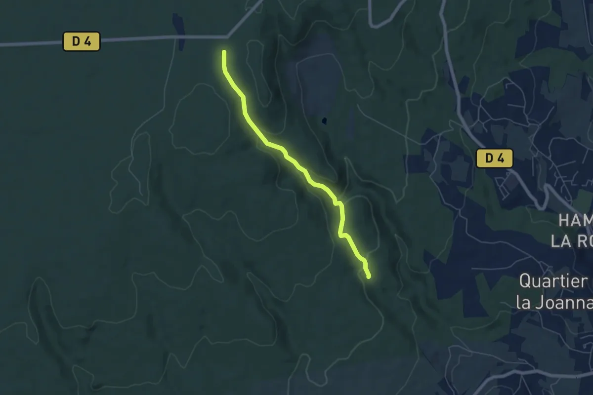
Easy · Trail
Plaine de Mias - Combe des Acacias
5.4 km · ↑ 225 m · 1 h 45 min · 9 km away
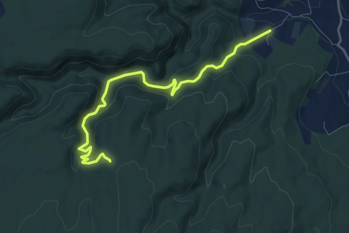
Medium · Trail
Soulière - Bardalène
8.7 km · ↑ 399 m · 2 h 55 min · 9 km away
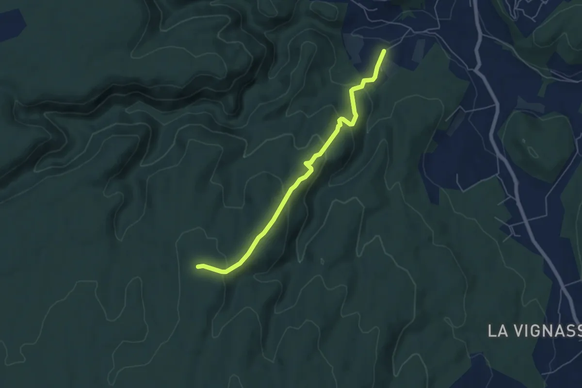
Easy · Trail
Soulière - Aven des Aubes
5.6 km · ↑ 254 m · 1 h 52 min · 9 km away
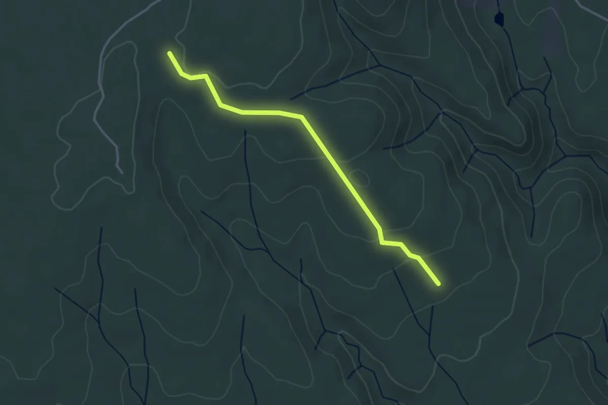
Easy · Trail
Combe du Renard - Chalon
3.4 km · ↑ 80 m · 59 min · 9 km away
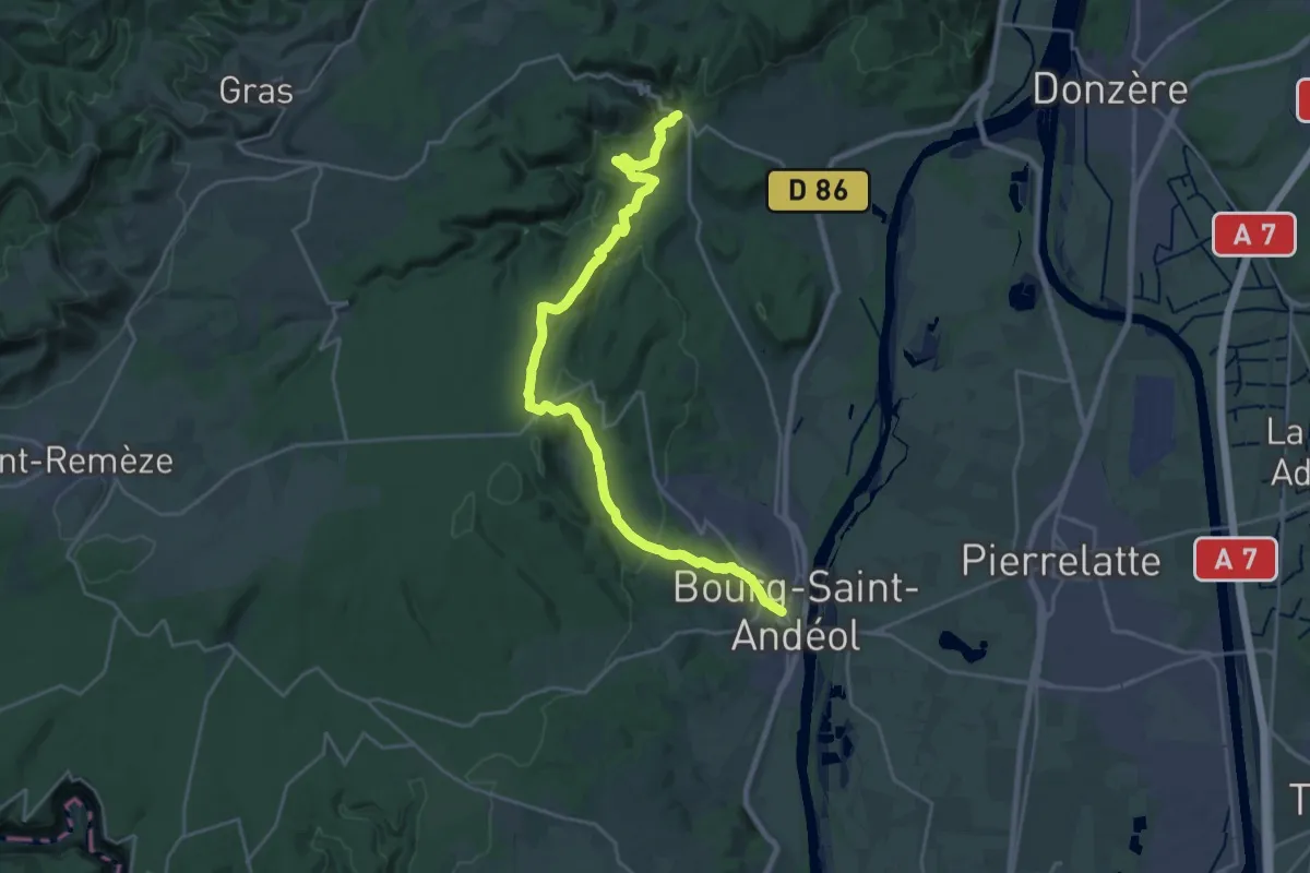
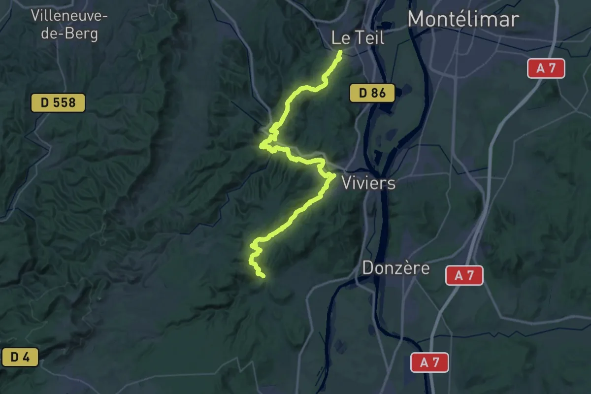
Demanding · Trail
SPHC, étape 15
25.7 km · ↑ 748 m · 7 h 41 min · 9 km away
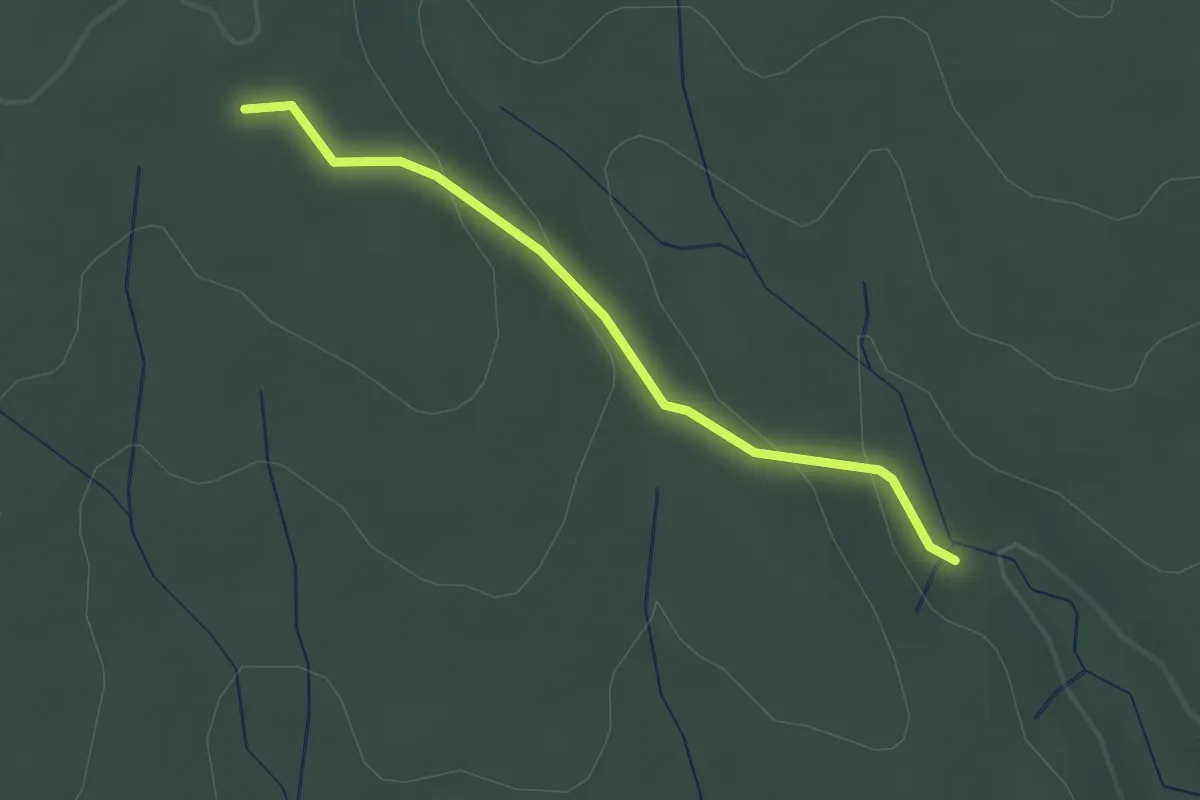
Demanding · Trail
SPHC, étape 16
23.1 km · ↑ 693 m · 7 h 18 min · 9 km away
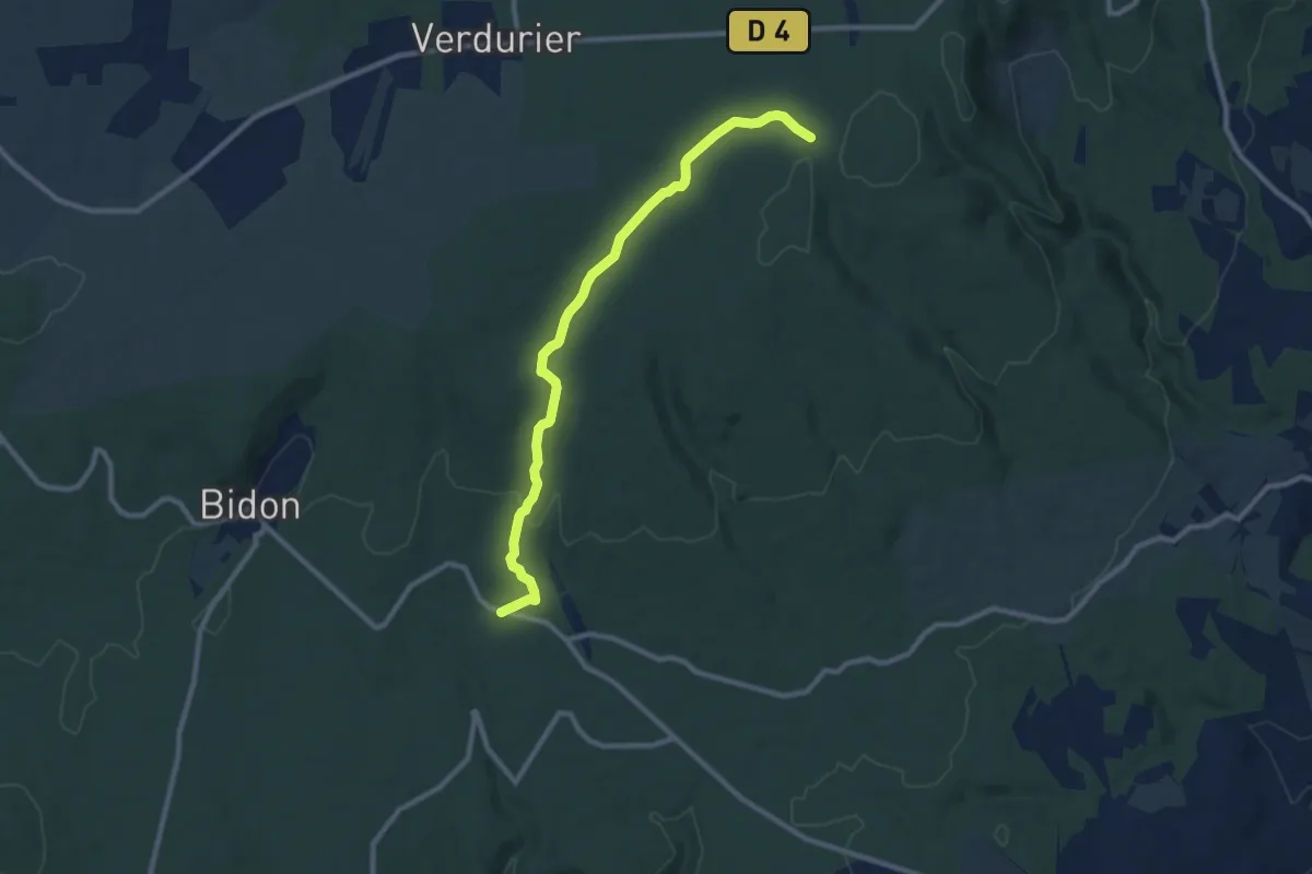
Easy · Trail
Moure de Trian - Chêne Rond
2.2 km · ↑ 80 m · 42 min · 9 km away
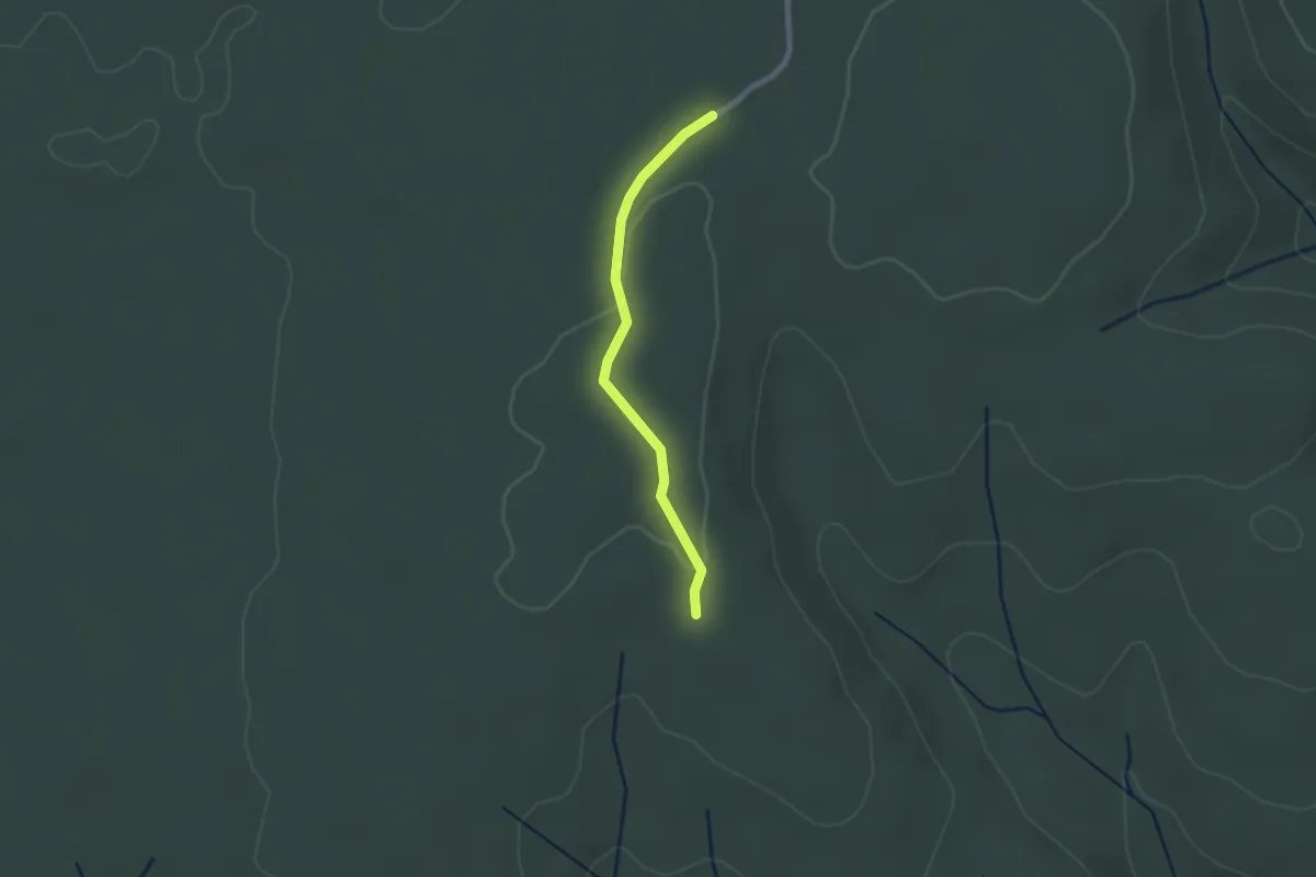
Medium · Trail
Champ Vermeil - Terre Longue
9.8 km · ↑ 143 m · 2 h 38 min · 9 km away
Easy · Trail
Terre Longue - Chêne Rond
2.0 km · ↑ 18 m · 31 min · 9 km away
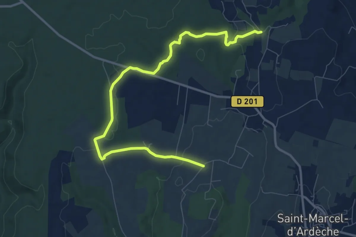
Medium · Trail
La Garoune - Champ de Grézas
10.0 km · ↑ 143 m · 2 h 41 min · 9 km away
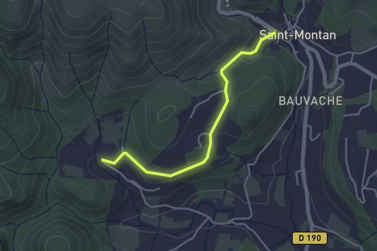
Easy · Trail
Saint-Montan - Valescure
3.2 km · ↑ 60 m · 53 min · 9 km away
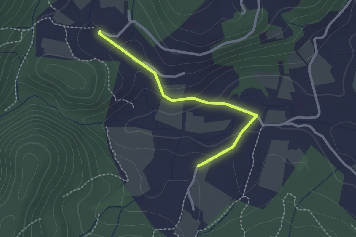
Easy · Trail
Soulière - Valescure
2.1 km · ↑ 61 m · 37 min · 9 km away
Easy · Trail
Bardalène - Pins de Saint-Montan
2.0 km · ↑ 43 m · 34 min · 9 km away
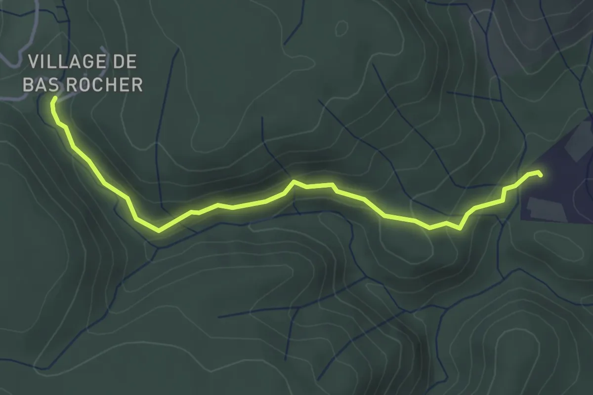
Easy · Trail
Champs Pique - Imbours Bas
3.8 km · ↑ 156 m · 1 h 14 min · 9 km away
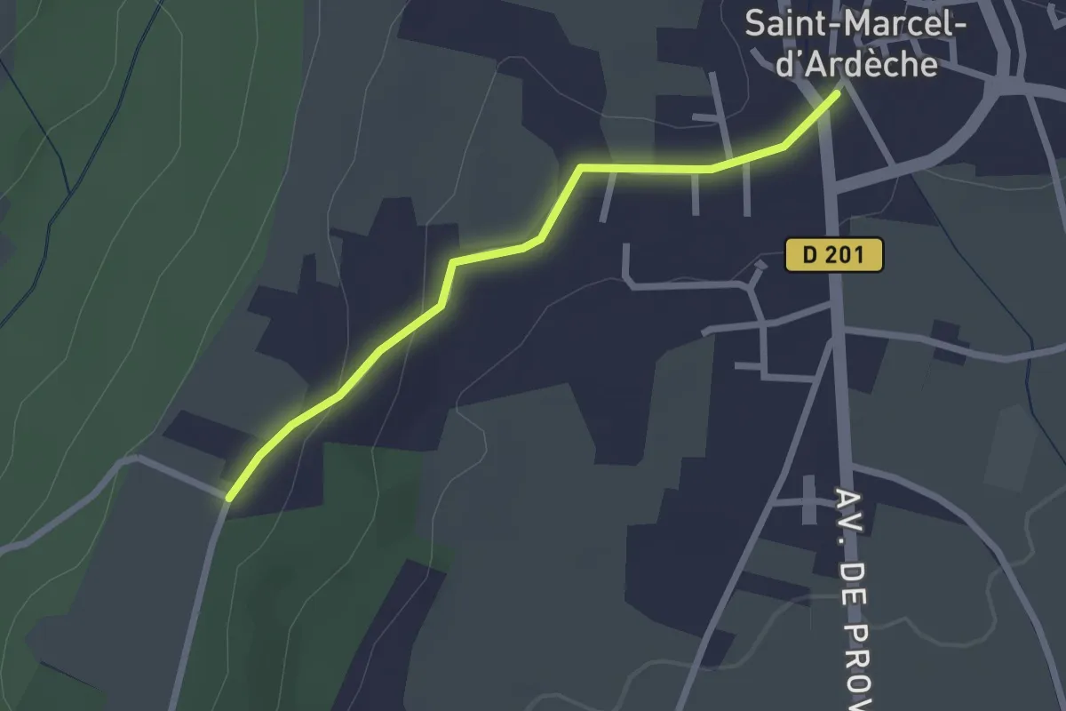
Easy · Trail
Saint-Marcel-d'Ardèche - Chaveyron
2.2 km · ↑ 41 m · 37 min · 10 km away
Easy · Trail
Pins de Saint-Montan - La Mourade
3.4 km · ↑ 57 m · 56 min · 10 km away
Easy · Trail
Pins de Saint-Montan - Terre des Moines
2.4 km · ↑ 9 m · 35 min · 10 km away
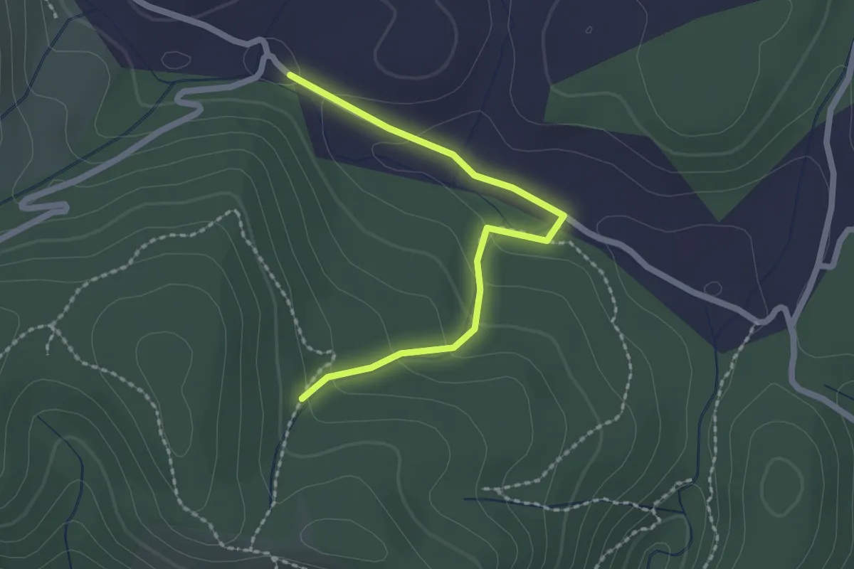
Easy · Trail
Ellieux - Bois de Deniéret
2.2 km · ↑ 85 m · 42 min · 10 km away
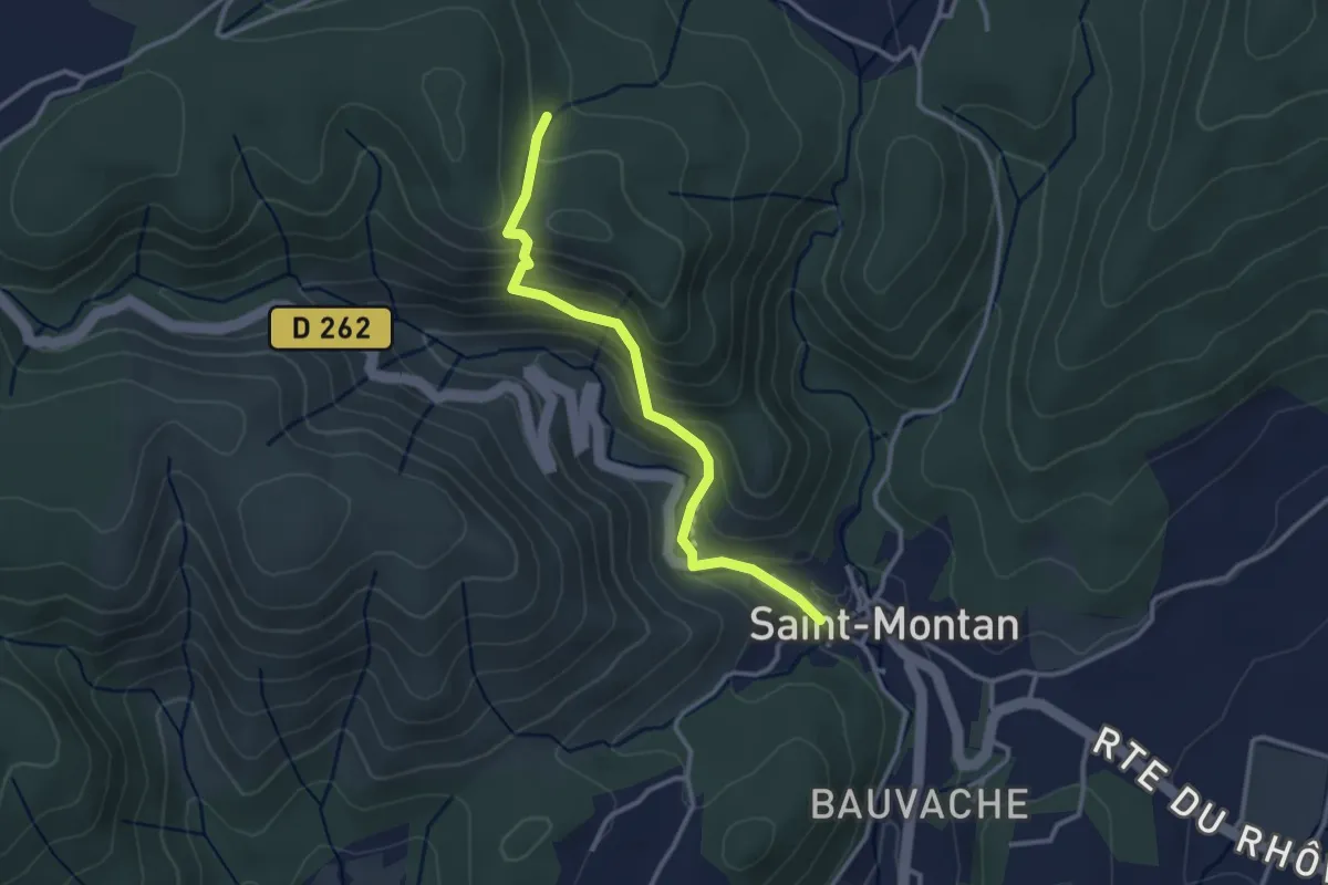
Easy · Trail
Saint-Montan - Bois de Deniéret
3.1 km · ↑ 220 m · 1 h 12 min · 10 km away
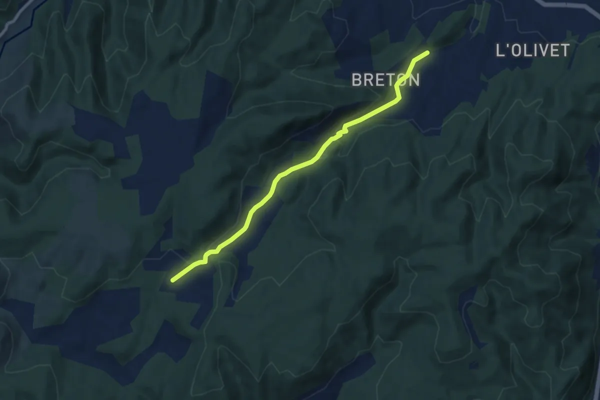
Easy · Trail
Saint-Ostian - Le Moure
7.6 km · ↑ 229 m · 2 h 17 min · 11 km away
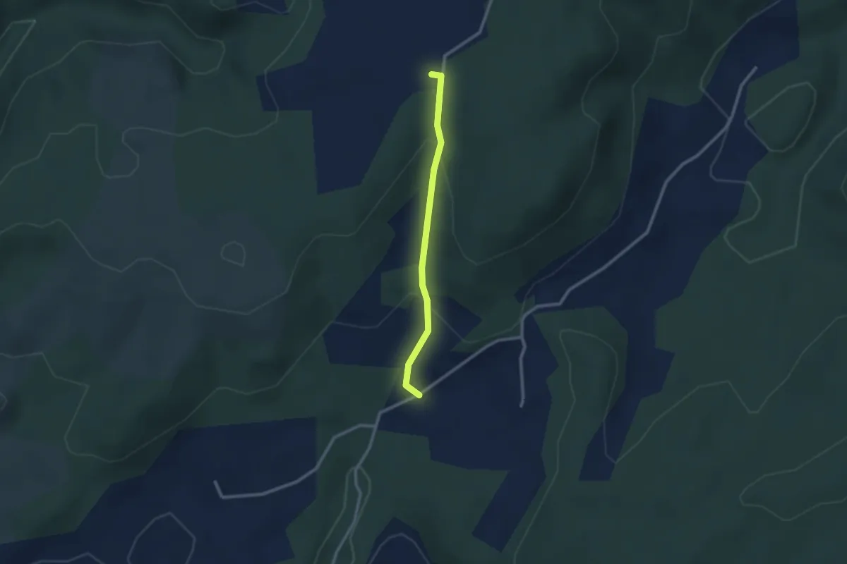
Easy · Trail
Le Moure - Bayne
2.2 km · ↑ 91 m · 44 min · 11 km away
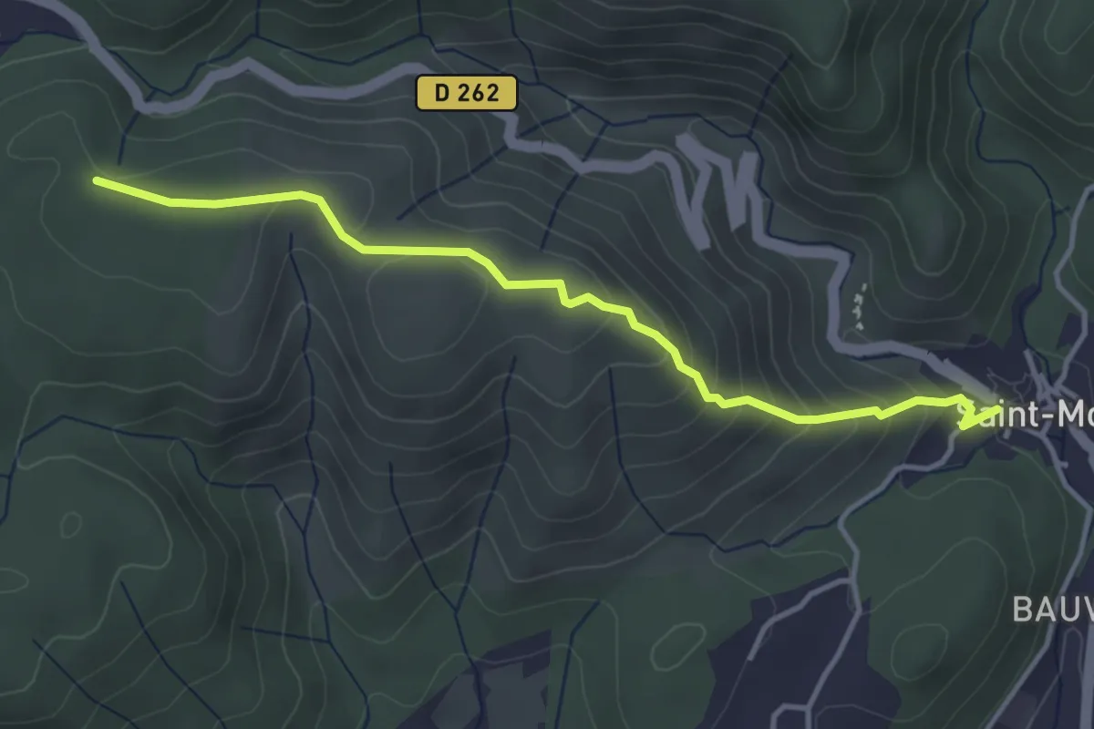
Easy · Trail
Saint-Montan - La Peyrière
4.0 km · ↑ 259 m · 1 h 30 min · 11 km away
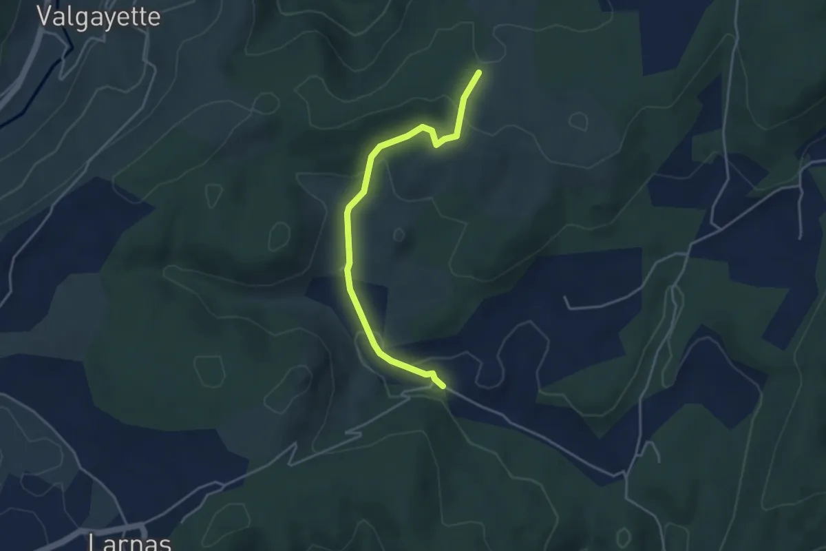
Easy · Trail
Ellieux - Gandaubert
3.9 km · ↑ 109 m · 1 h 10 min · 11 km away
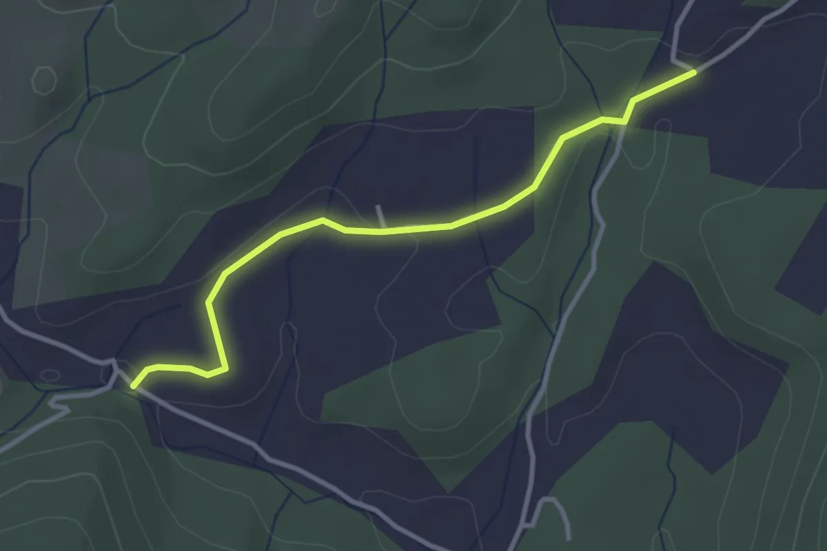
Easy · Trail
Ellieux - Le Moure
3.2 km · ↑ 38 m · 50 min · 11 km away
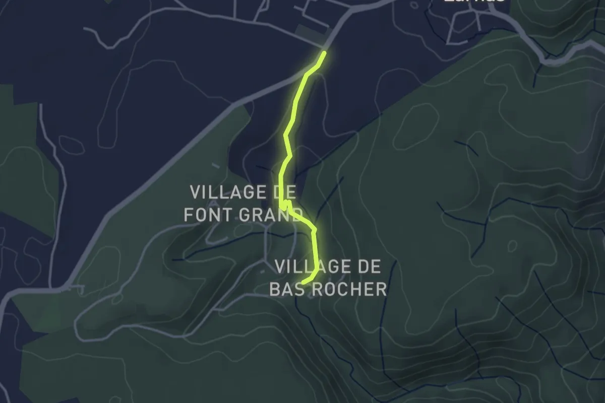
Easy · Trail
Imbours - Fontaine du Buis
2.4 km · ↑ 48 m · 40 min · 11 km away
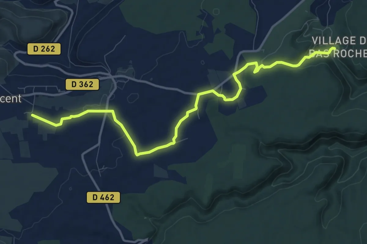
Medium · Trail
Imbours - Les Prés
11.6 km · ↑ 123 m · 3 h 1 min · 11 km away
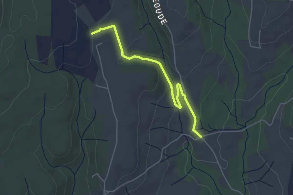
Easy · Trail
Malherte - Chapelle Saint-Sulpice
3.9 km · ↑ 89 m · 1 h 7 min · 11 km away
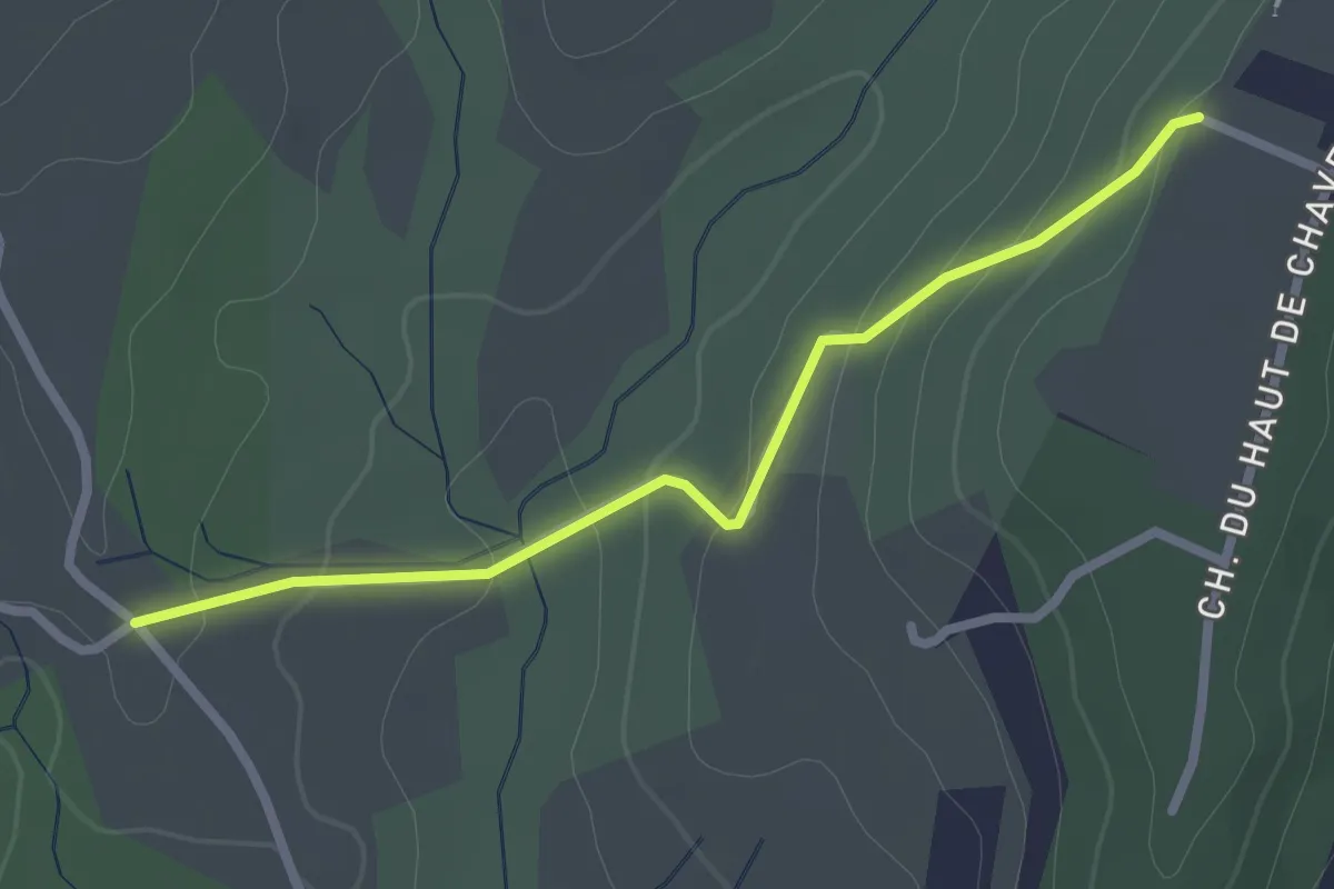
Easy · Trail
Malherte - Peyrobe
2.5 km · ↑ 85 m · 47 min · 11 km away
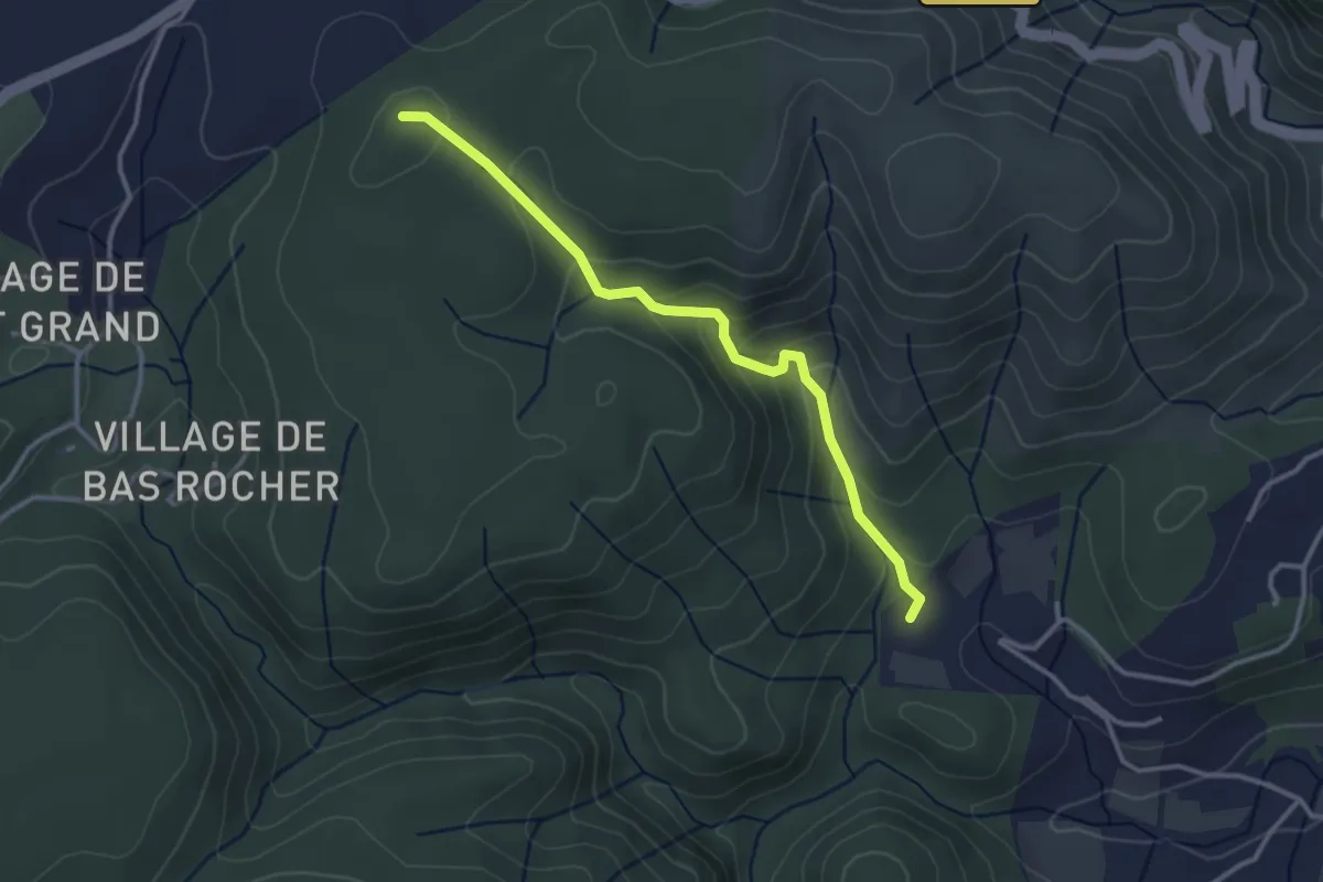
Easy · Trail
Champs Pique - Bas Rocher
3.3 km · ↑ 188 m · 1 h 11 min · 11 km away