Trails near Pierrelatte
90 hikes starting within 15 km, nearest first.
Nearest first, page 2 of 2
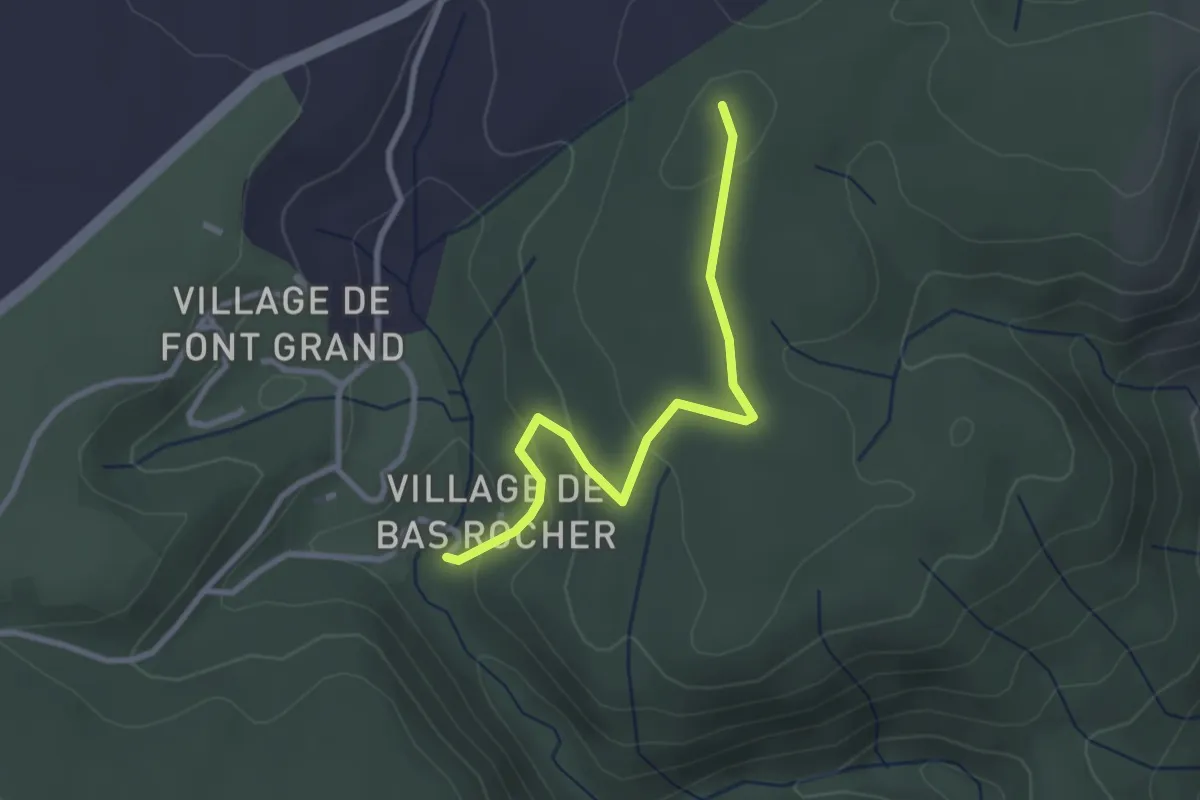
Easy · Trail
Imbours Bas - Bas Rocher
2.9 km · ↑ 90 m · 52 min · 11 km away
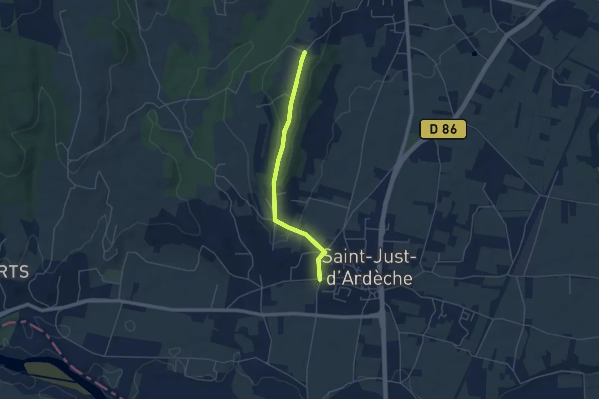
Easy · Trail
Chemin de la Croix Vieille - Chaveyron
4.4 km · ↑ 86 m · 1 h 14 min · 11 km away
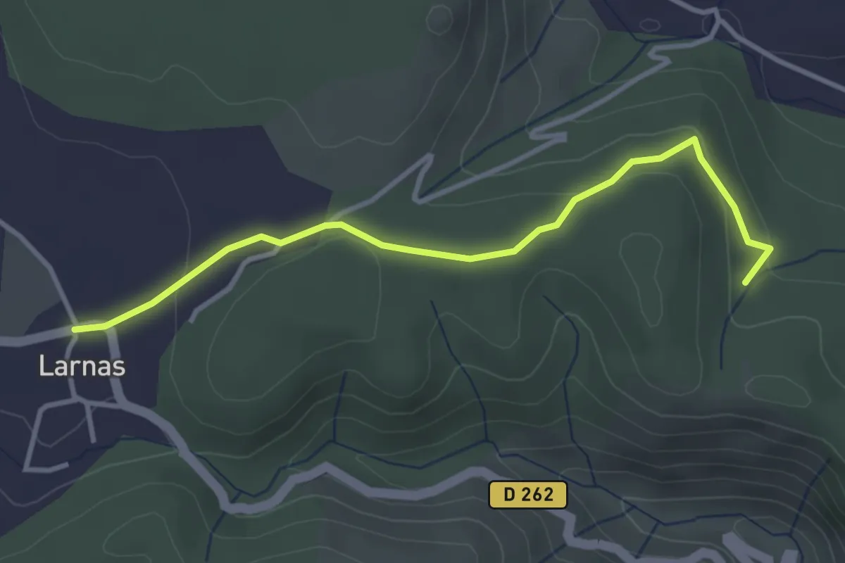
Easy · Trail
Bois de Deniéret - Larnas
3.6 km · ↑ 92 m · 1 h 2 min · 11 km away
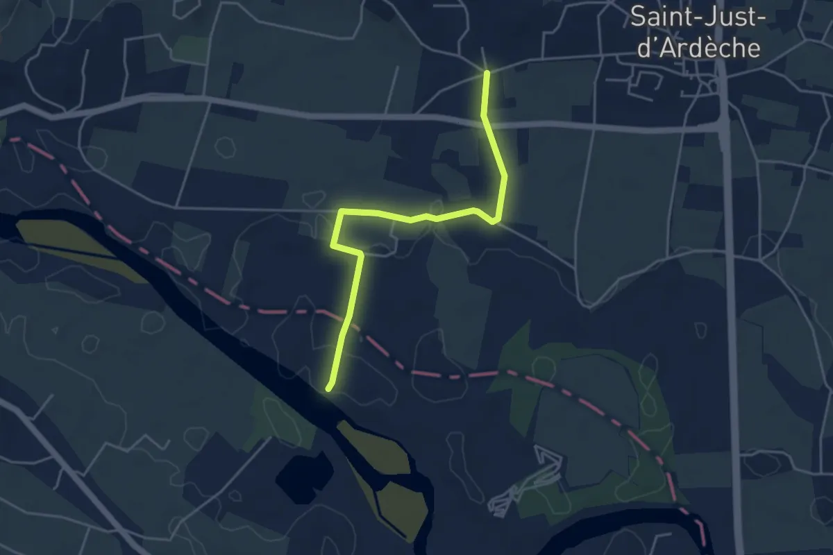
Easy · Trail
Les Broutières - Vachère
4.4 km · ↑ 21 m · 1 h 5 min · 11 km away
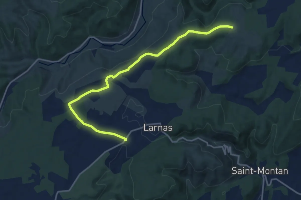
Medium · Trail
Fontaine du Buis - Gandaubert
10.8 km · ↑ 118 m · 2 h 48 min · 11 km away
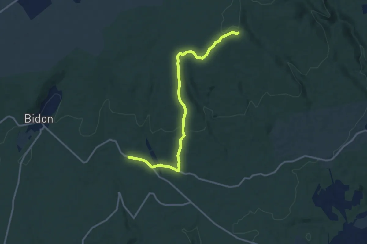
Medium · Trail
Champ Vermeil - Chêne Rond
9.6 km · ↑ 169 m · 2 h 38 min · 11 km away
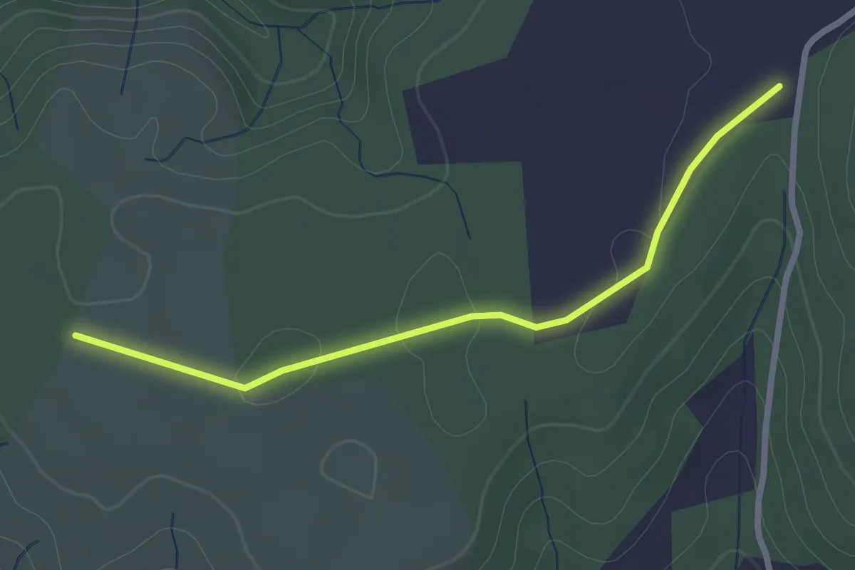
Easy · Trail
Gandaubert - Bayne
2.5 km · ↑ 13 m · 38 min · 12 km away
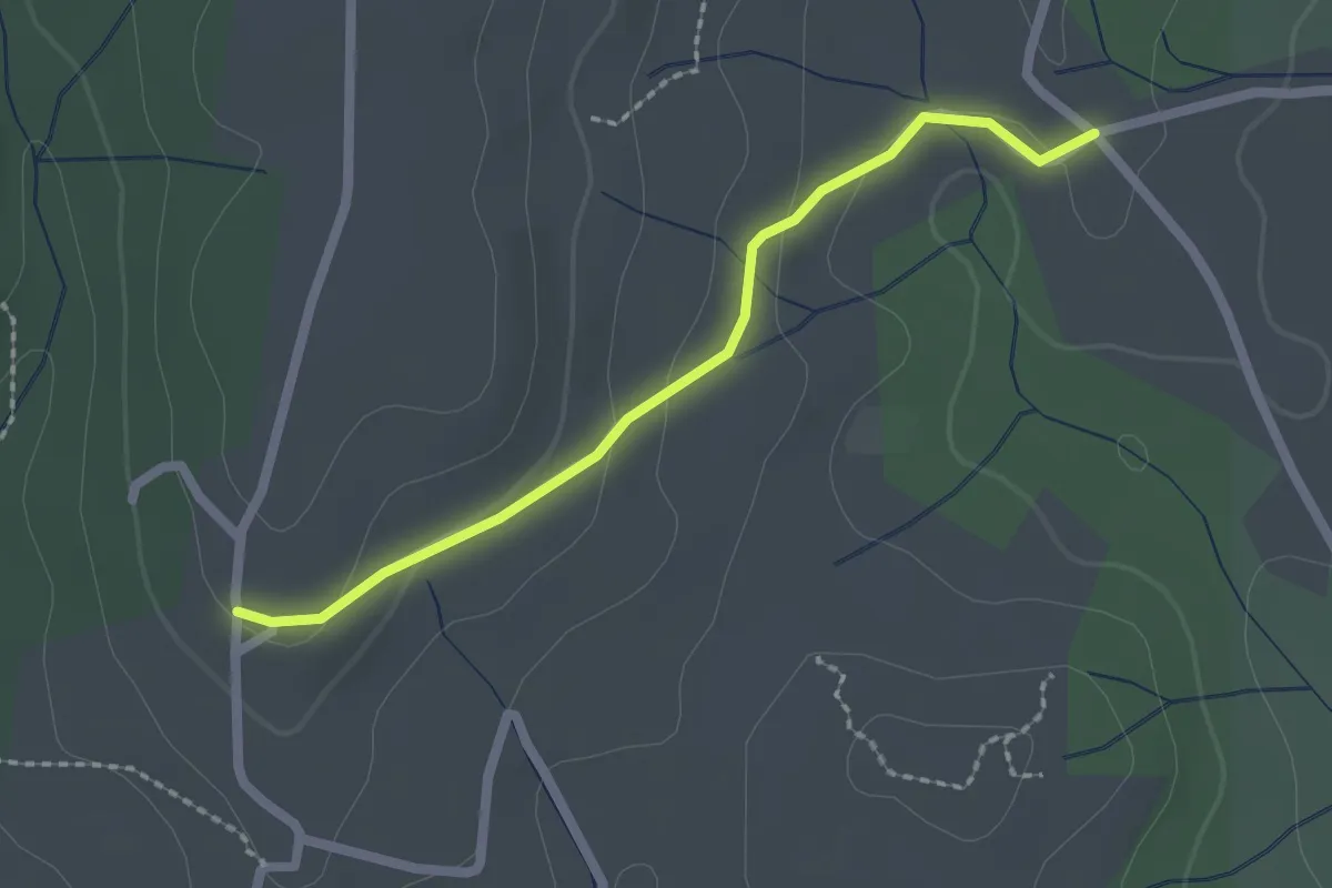
Easy · Trail
Malherte - Trignan Haut
2.1 km · ↑ 57 m · 37 min · 12 km away
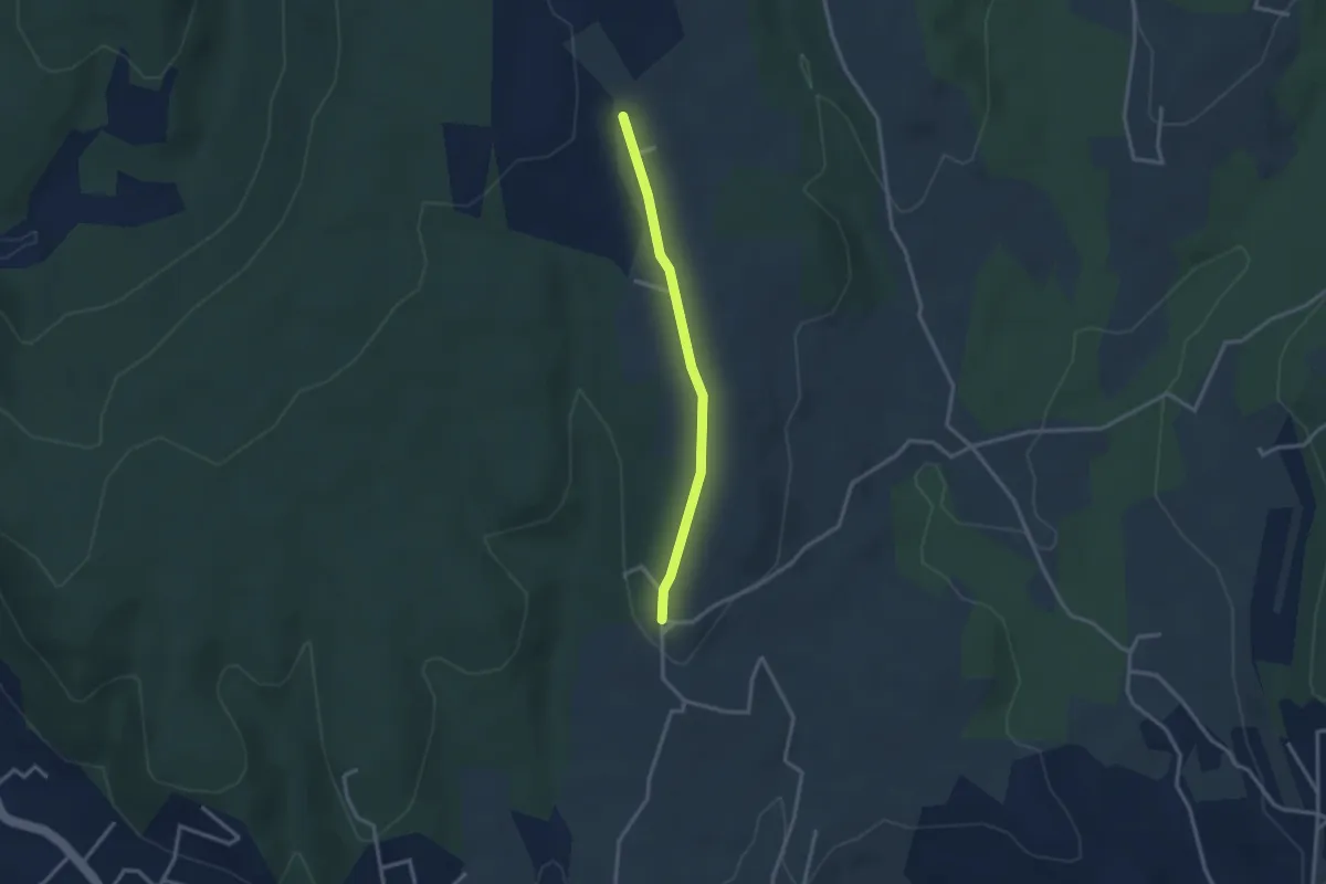
Easy · Trail
Trignan Haut - Chapelle Saint-Sulpice
2.8 km · ↑ 37 m · 44 min · 12 km away
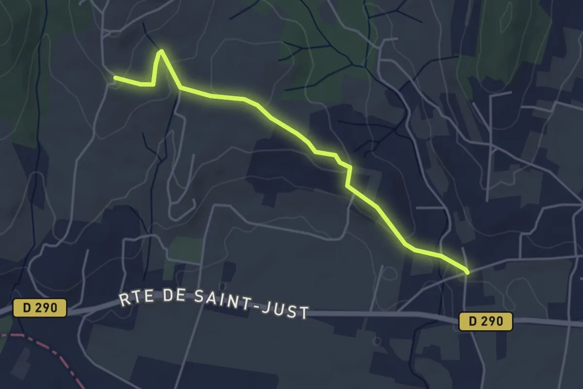
Easy · Trail
Vachère - Trignan Bas
4.3 km · ↑ 85 m · 1 h 12 min · 12 km away
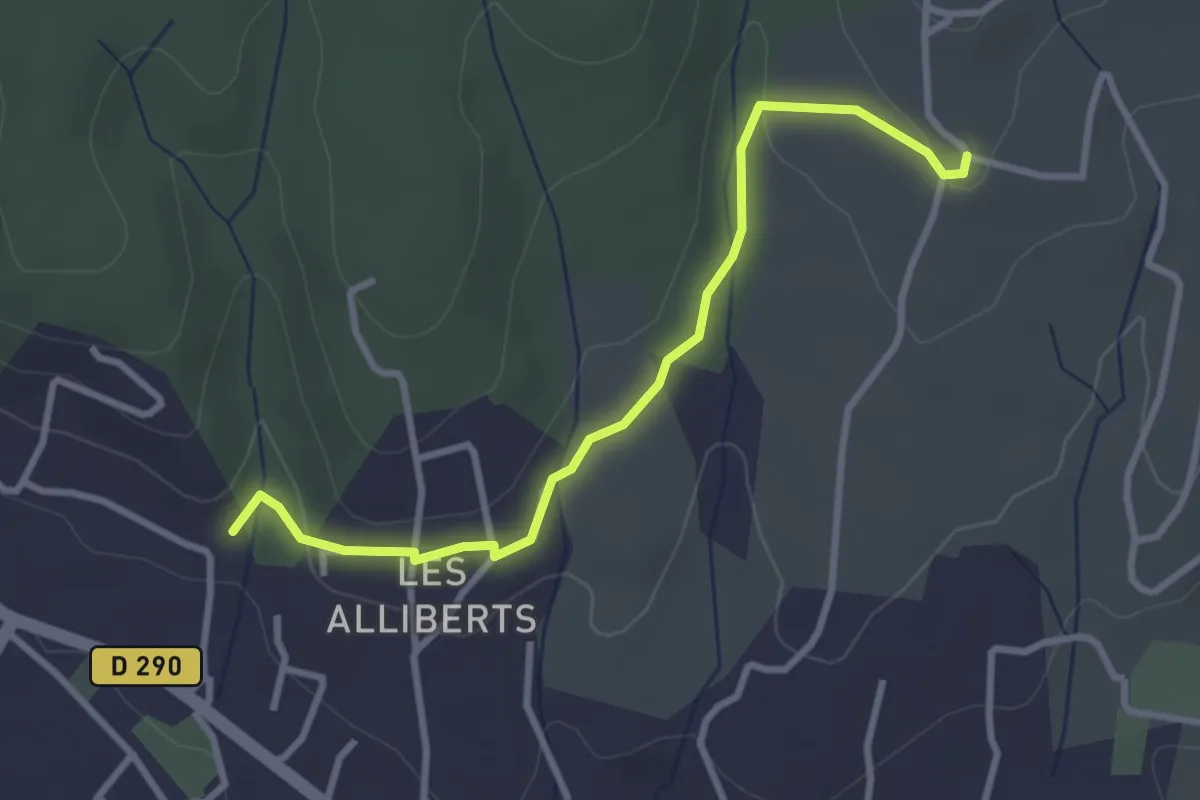
Easy · Trail
Les Alliberts - Trignan Bas
3.3 km · ↑ 56 m · 54 min · 12 km away
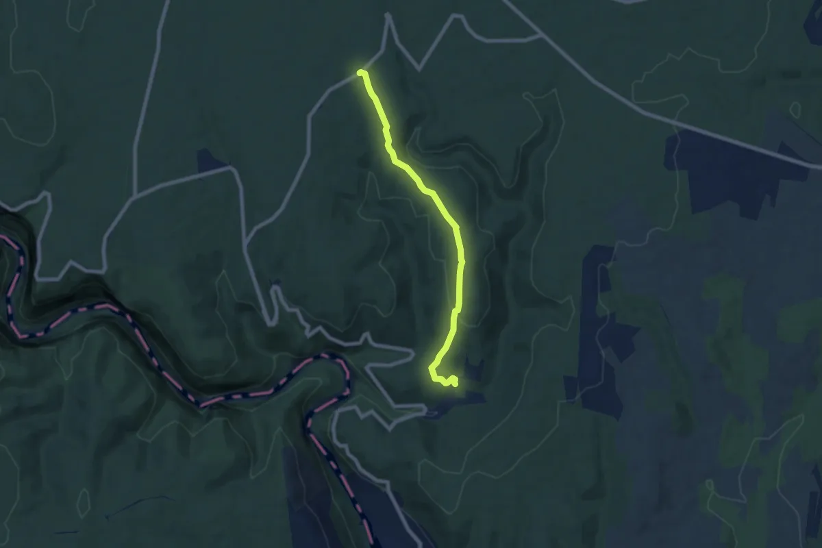
Easy · Trail
Les Truffières - Le Perrier
6.8 km · ↑ 156 m · 1 h 56 min · 12 km away
Easy · Trail
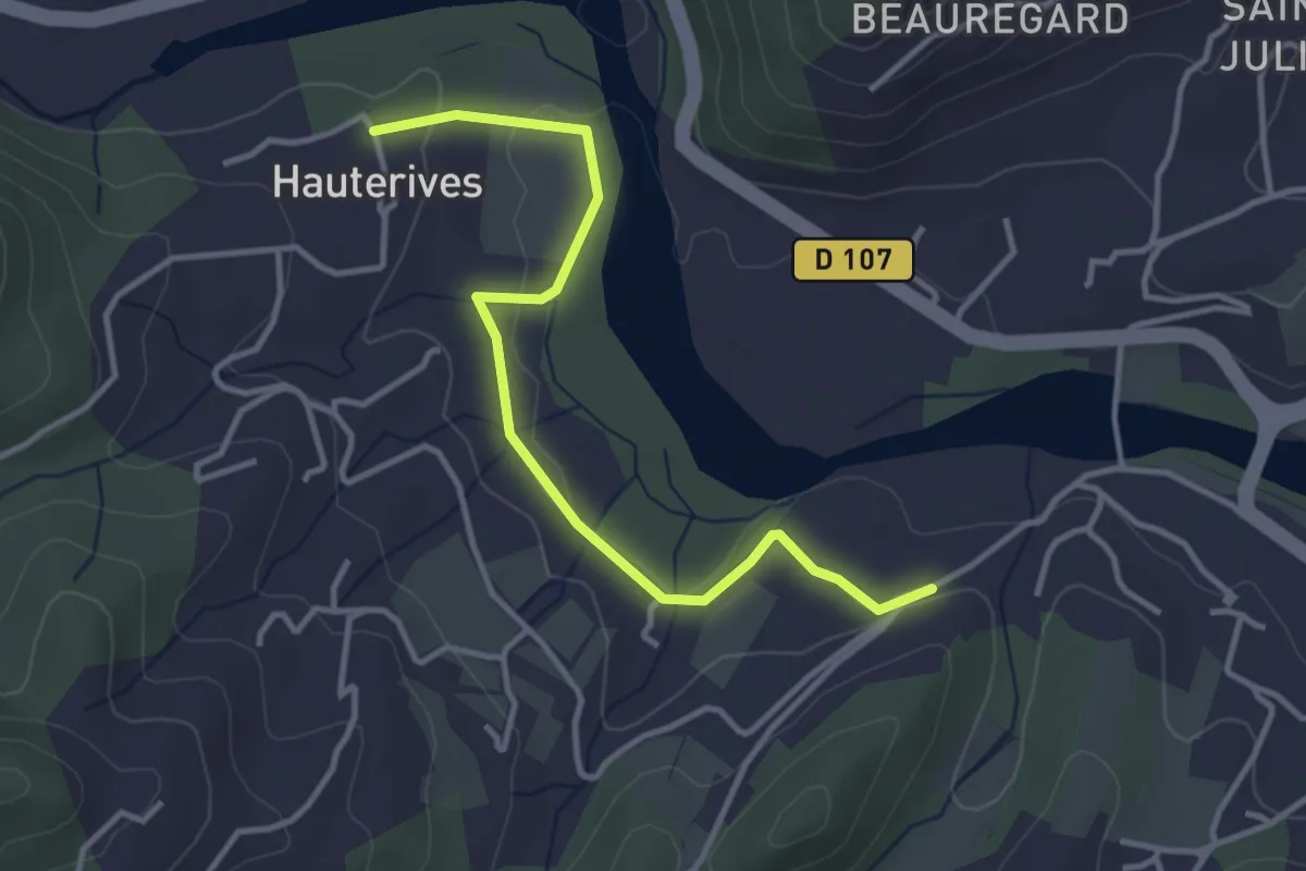
Les Pignes - Hautes Rives
3.9 km · ↑ 49 m · 1 h 1 min · 12 km away
Easy · Trail
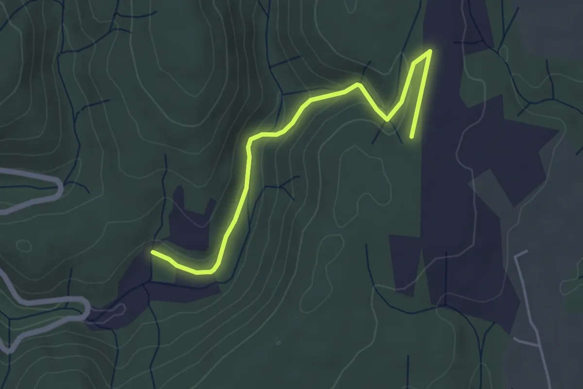
Les Truffières - Plaine des Catalans
4.4 km · ↑ 110 m · 1 h 17 min · 12 km away
Easy · Trail
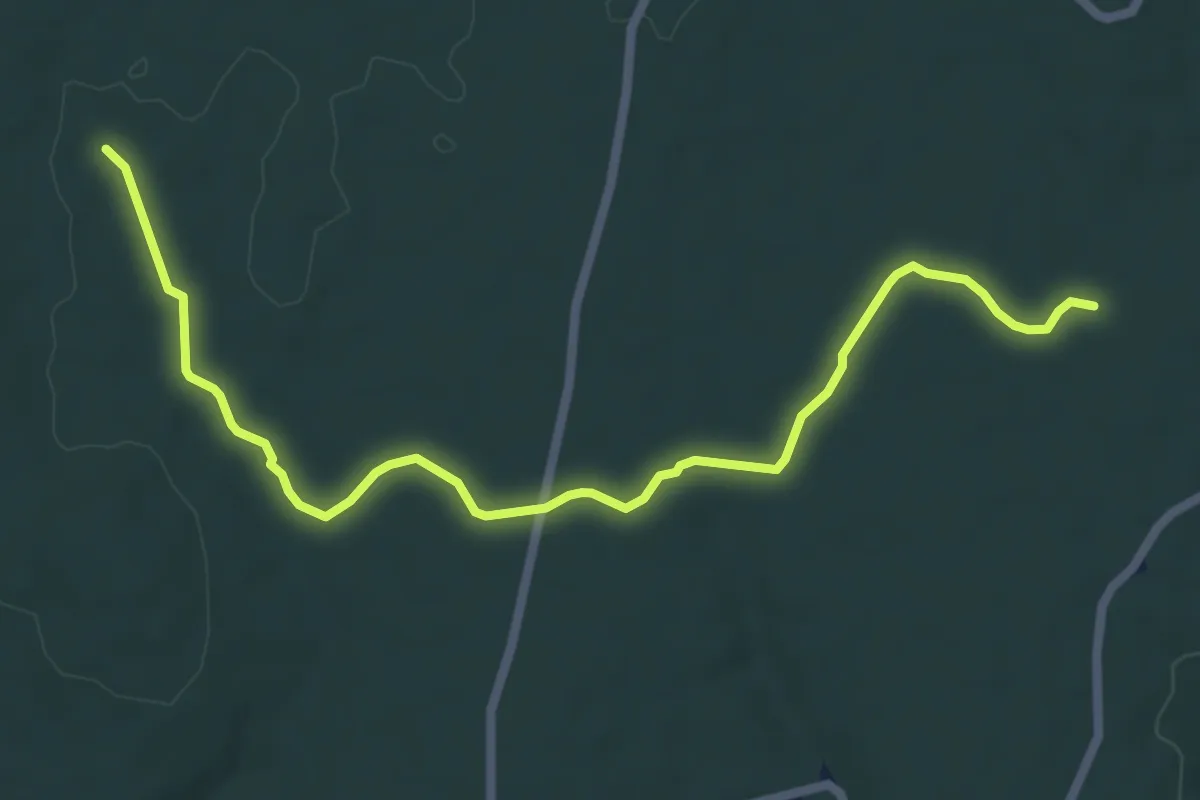
Plaine du Cayre - Claud de Goudaud
7.3 km · ↑ 49 m · 1 h 50 min · 12 km away
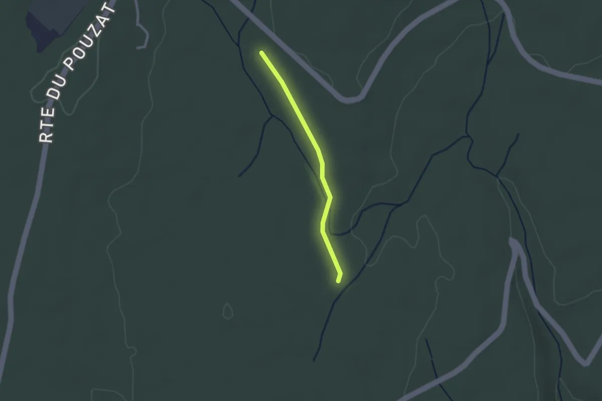
Easy · Trail
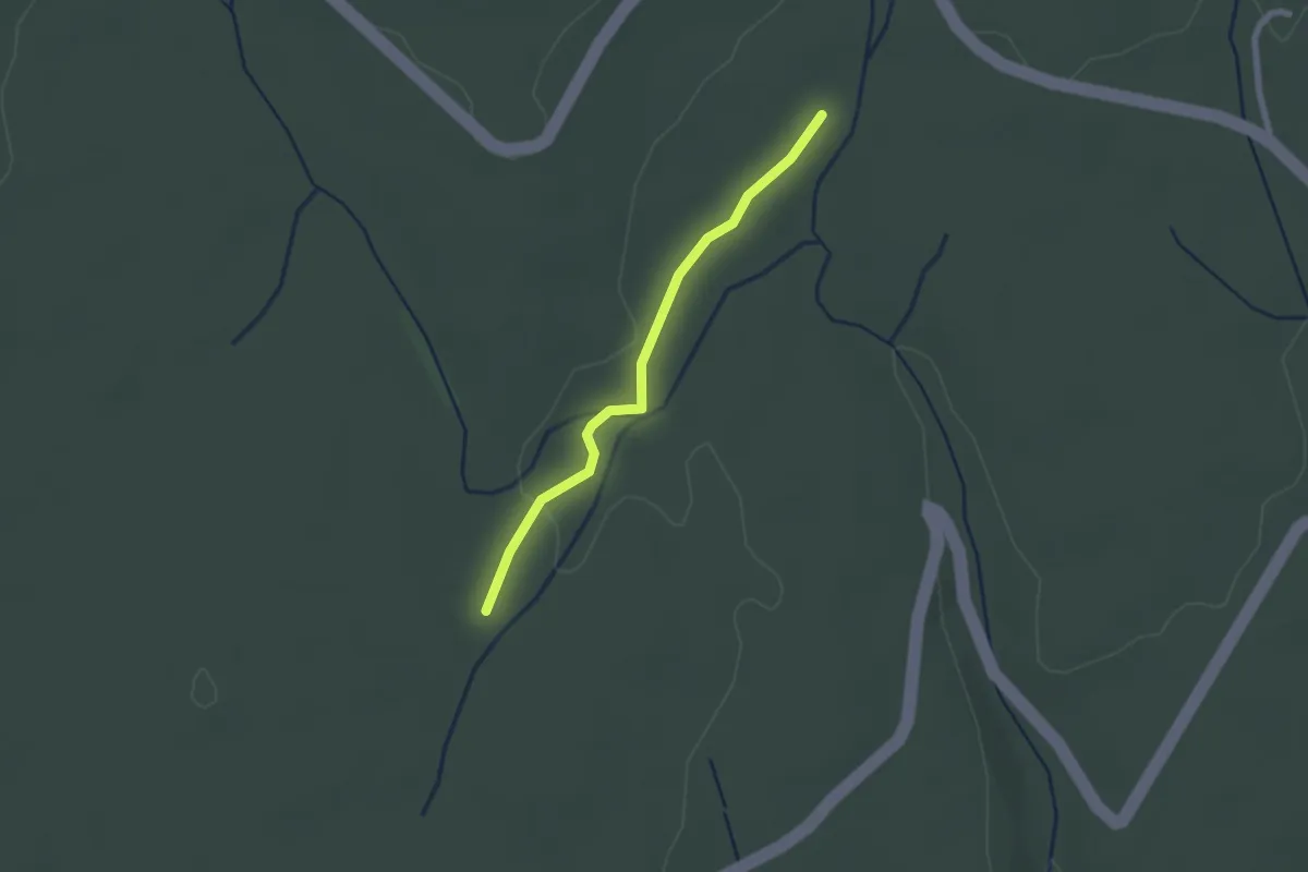
Aven de Fontanille - Plaine du Cayre
2.0 km · ↑ 9 m · 30 min · 12 km away
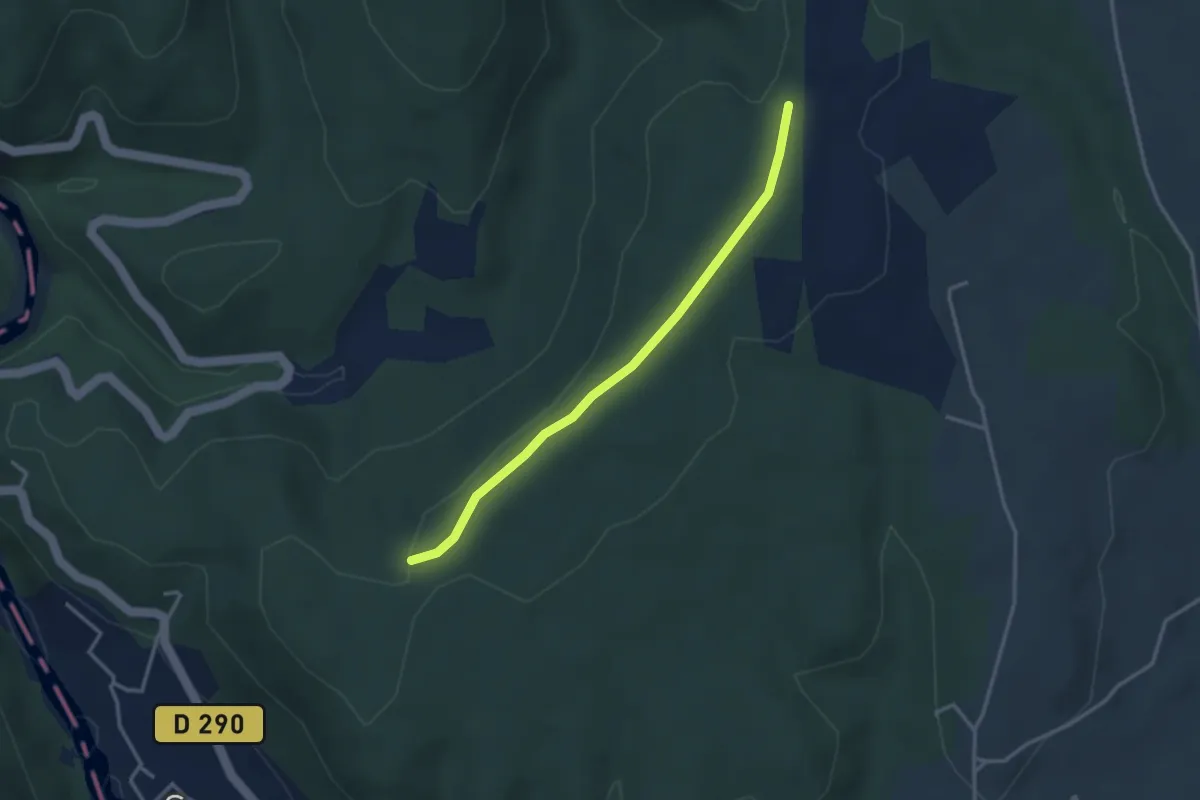
Easy · Trail
Plaine du Cayre - Grand Champ
2.0 km · ↑ 9 m · 30 min · 13 km away
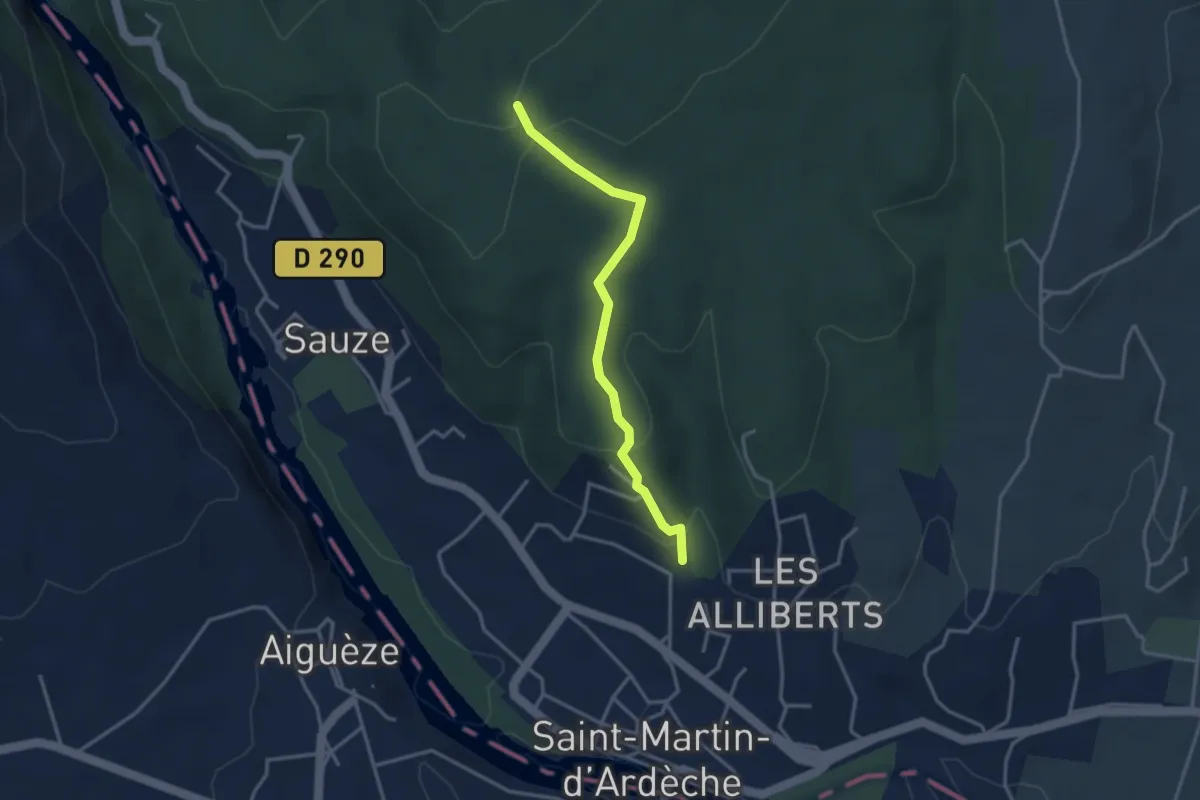
Easy · Trail
Plaine du Feuillet - Plaine des Catalans
3.2 km · ↑ 28 m · 49 min · 13 km away
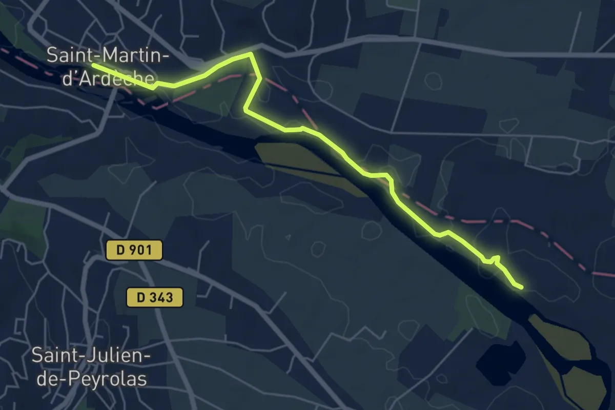
Easy · Trail
Les Alliberts - Plaine du Feuillet
3.3 km · ↑ 108 m · 1 h · 13 km away
Easy · Trail
Les Quais - Les Broutières
5.9 km · ↑ 36 m · 1 h 28 min · 13 km away
Easy · Trail
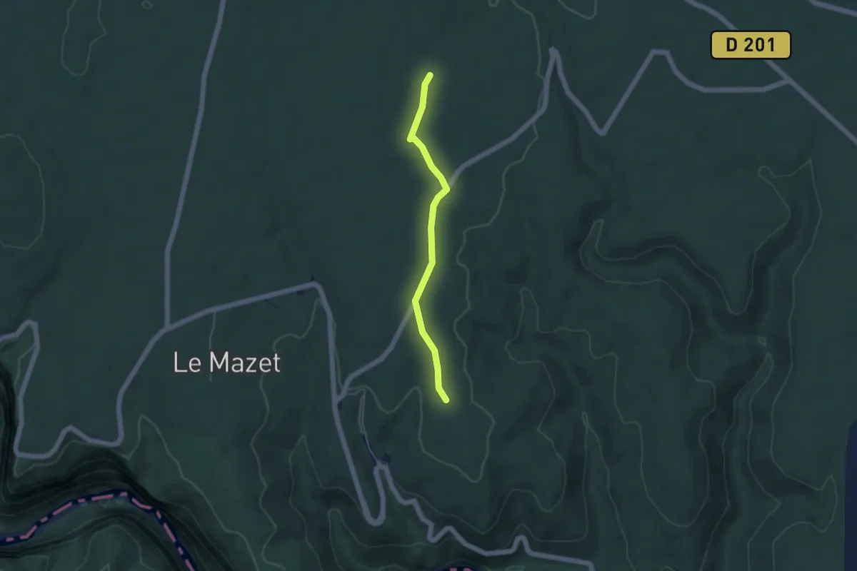
Plaine du Cayre - La Grosse Pierre
4.1 km · ↑ 14 m · 1 h 1 min · 13 km away
Demanding · Trail
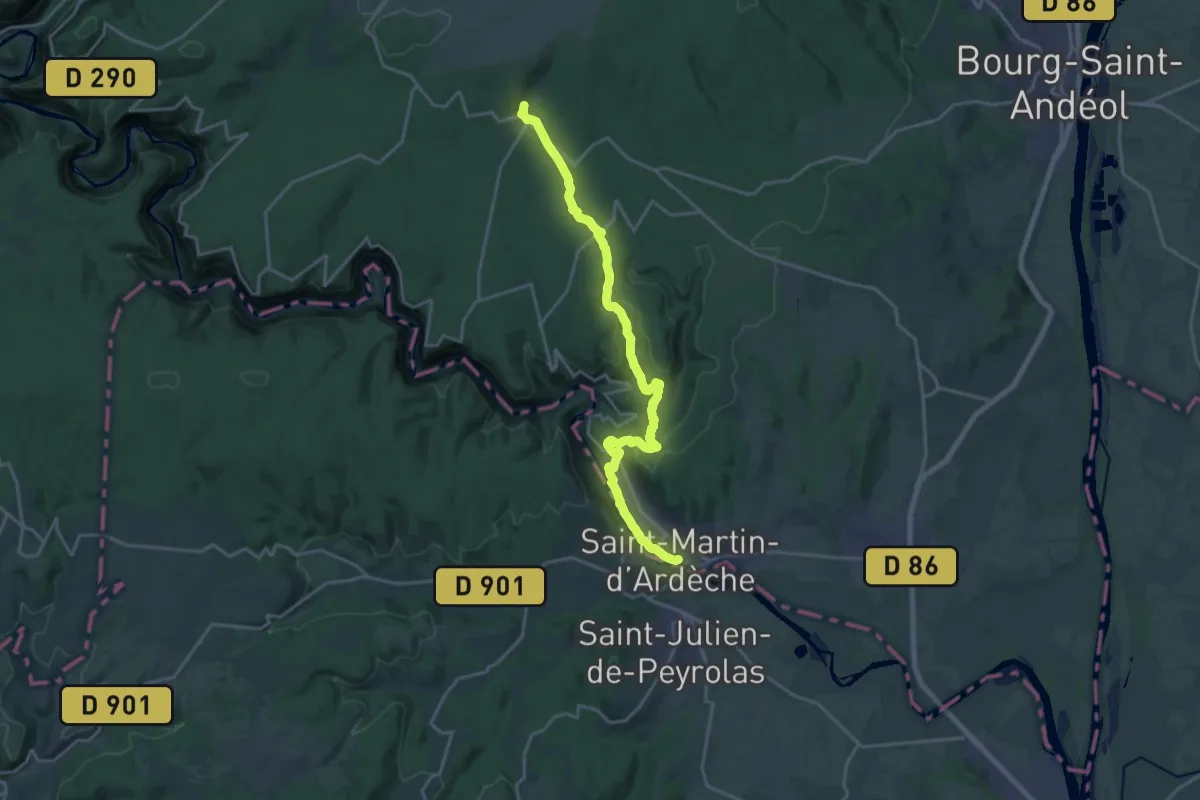
SPHC, étape 13
21.3 km · ↑ 503 m · 6 h 7 min · 13 km away
Easy · Trail
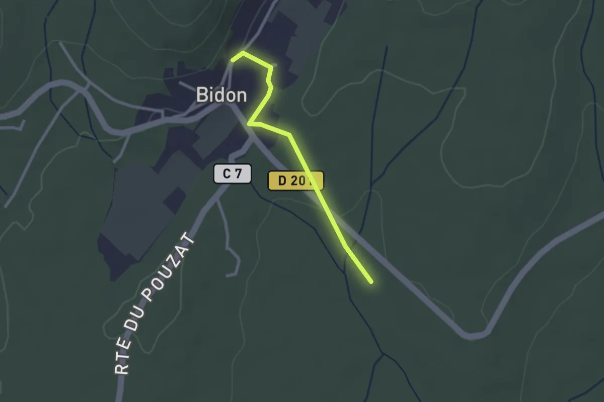
Grand Champ - Puits de la Vieille
2.2 km · ↑ 30 m · 35 min · 13 km away
Medium · Trail
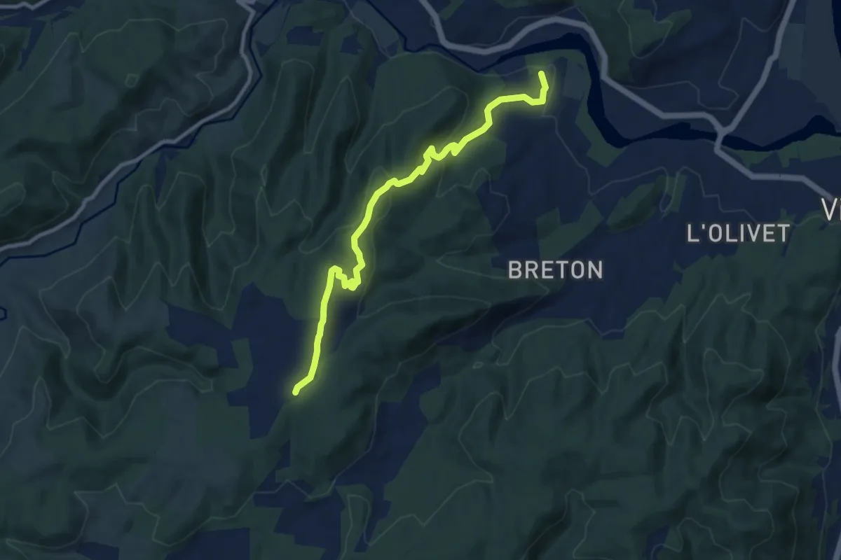
Hautes Rives - Bayne
9.2 km · ↑ 341 m · 2 h 55 min · 13 km away
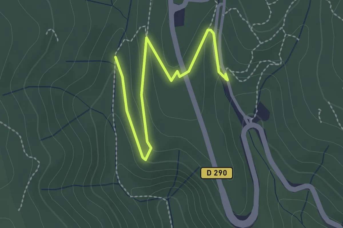
Easy · Trail
Combe du Pouzat - Grotte de Saint-Marcel
2.8 km · ↑ 85 m · 50 min · 13 km away
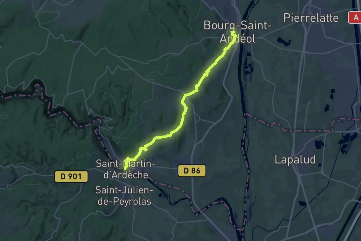
Demanding · Trail
SPHC, étape 14
25.0 km · ↑ 520 m · 7 h 1 min · 13 km away
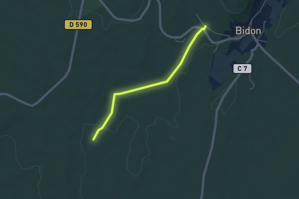
Easy · Trail
Claud de Goudaud - La Charette
3.7 km · ↑ 26 m · 56 min · 13 km away
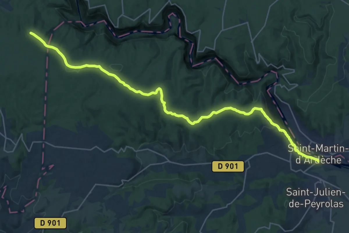
Expert · Trail
Les Vans – Saint-Martin-d'Ardèche
25.6 km · ↑ 437 m · 7 h · 14 km away
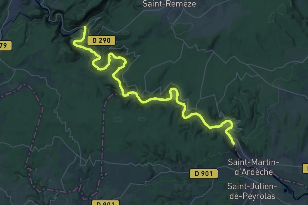
Demanding · Trail
Sentier amont des Gorges de l'Ardèche
21.7 km · ↑ 895 m · 7 h 20 min · 14 km away
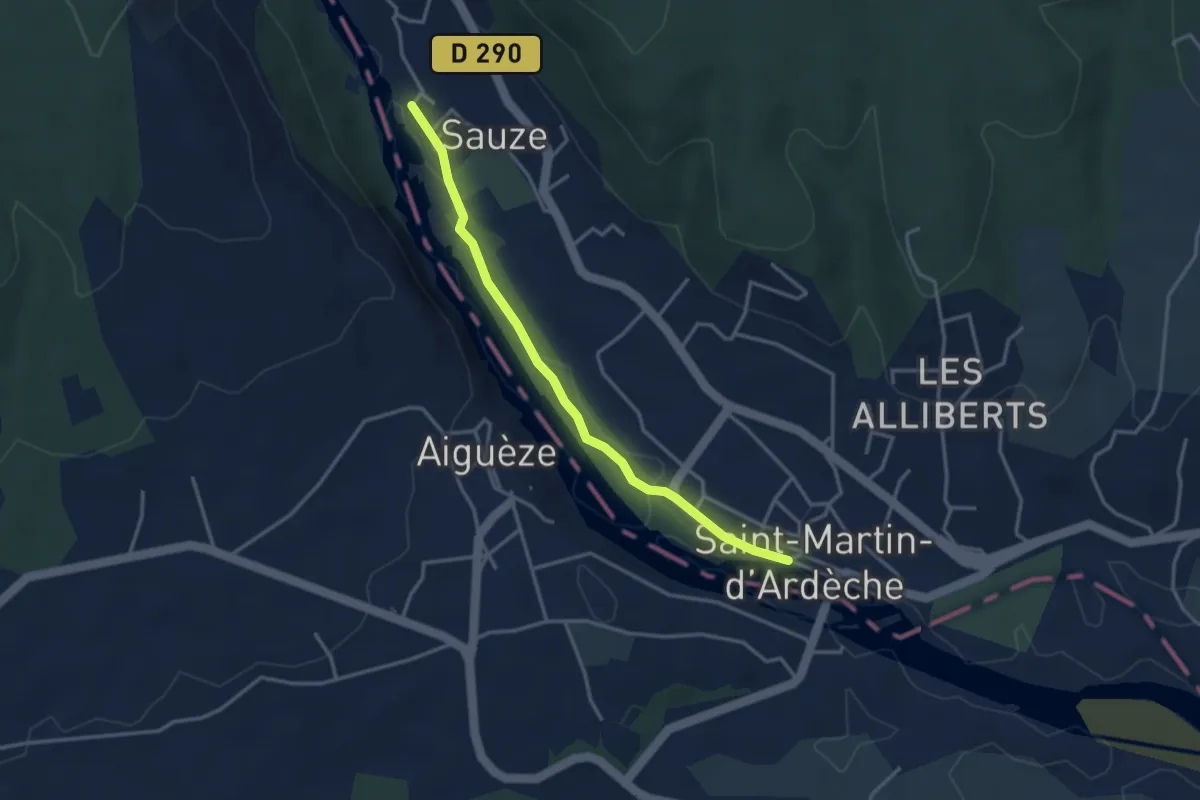
Easy · Trail
Les Quais - Sauze
3.5 km · ↑ 4 m · 50 min · 14 km away
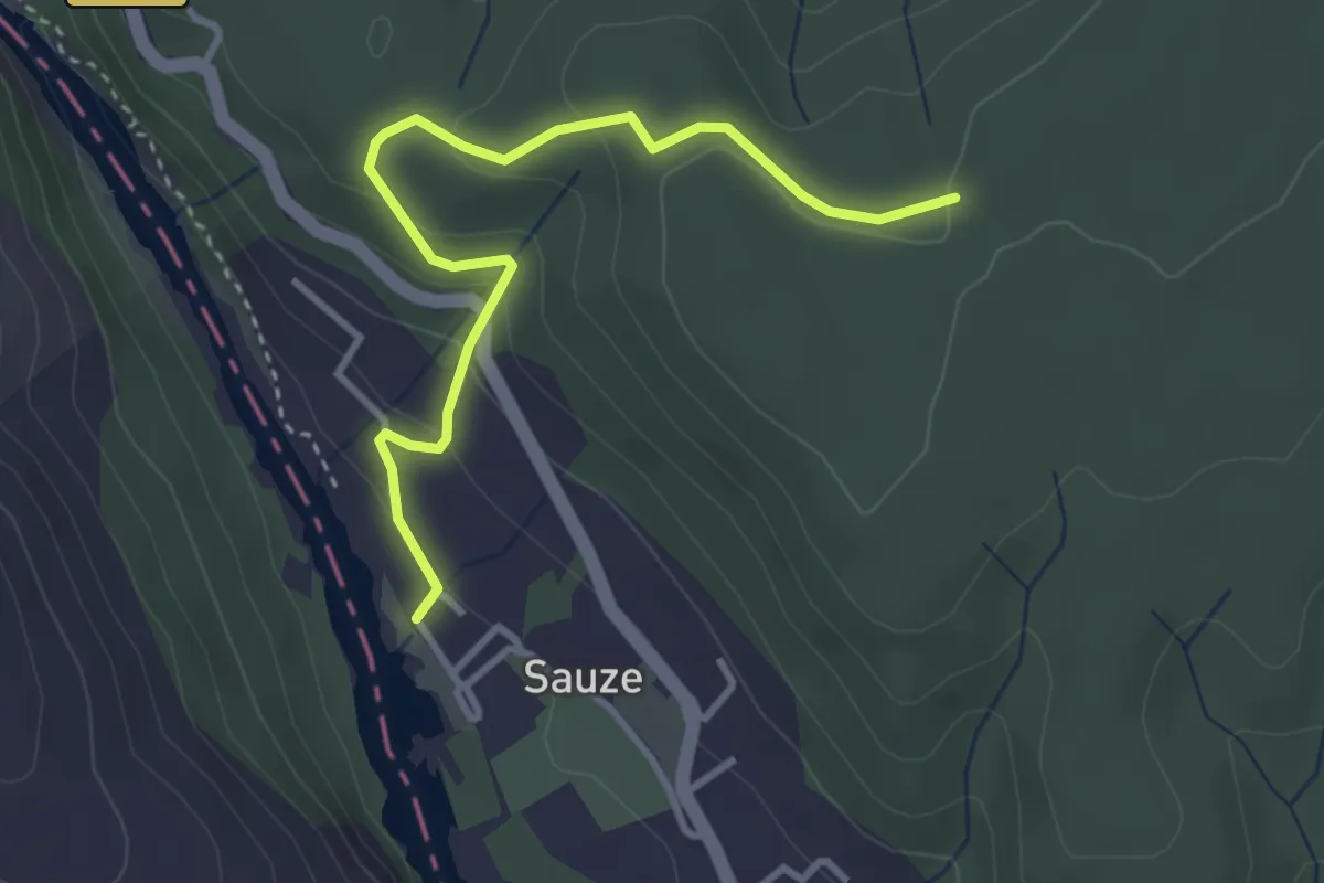
Easy · Trail
Sauze - Plaine du Feuillet
3.7 km · ↑ 165 m · 1 h 14 min · 14 km away
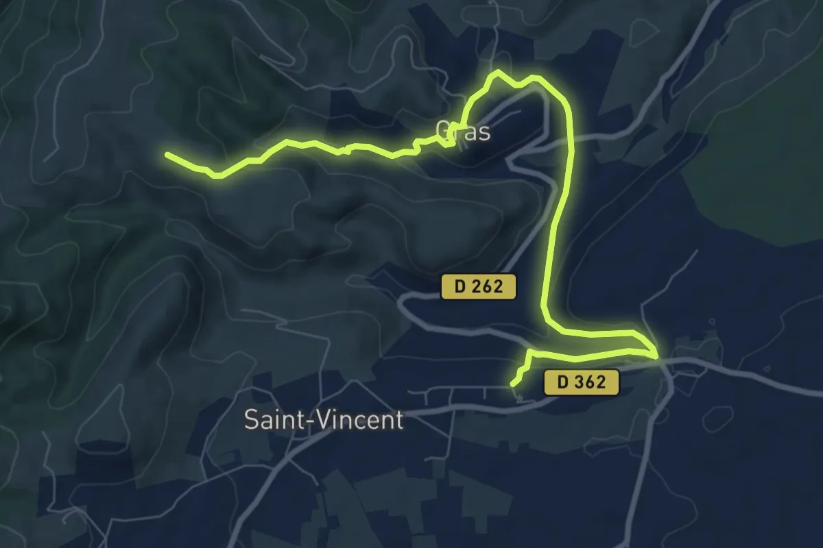
Medium · Trail
École - Serrelia
10.1 km · ↑ 398 m · 3 h 15 min · 14 km away
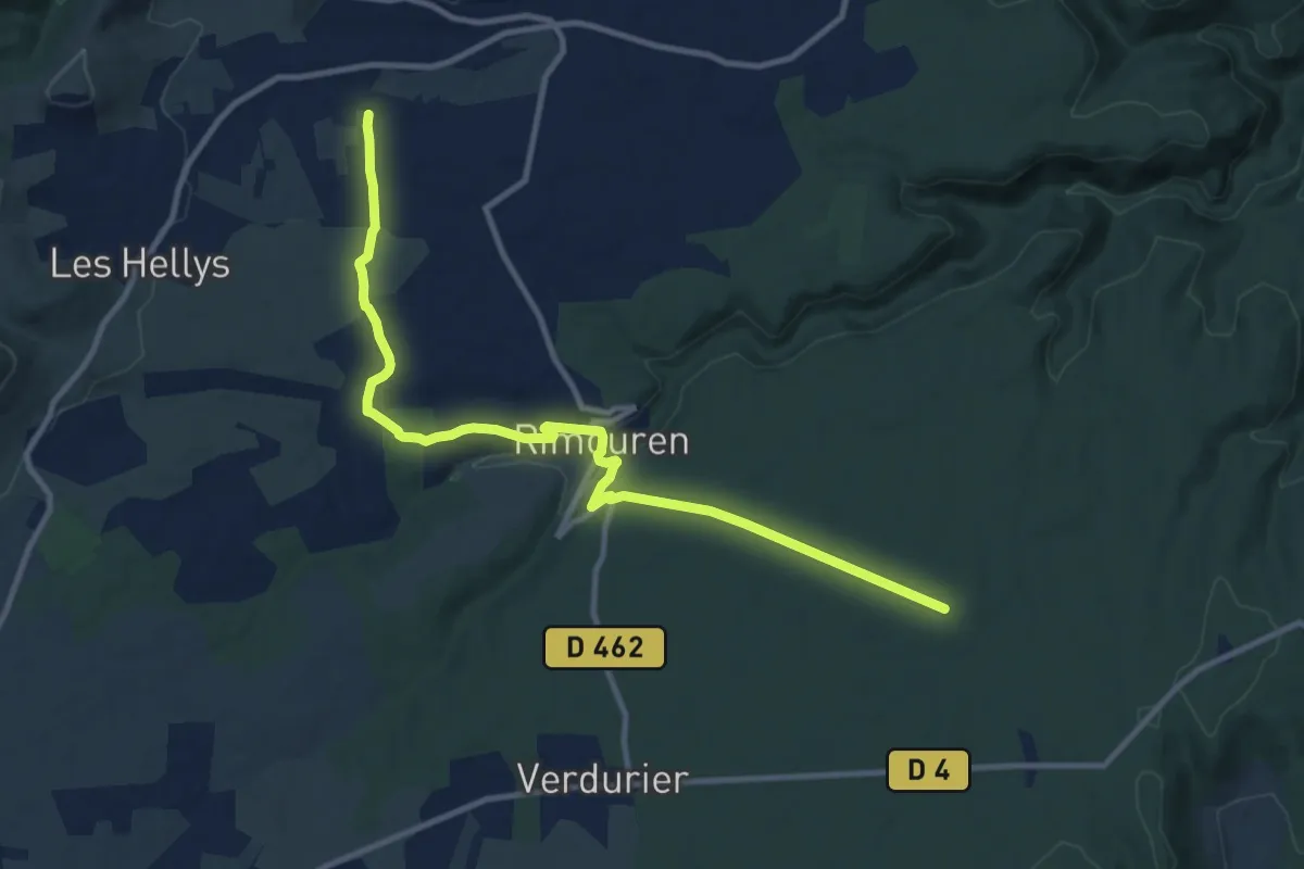
Medium · Trail
Les Prés - La Mourade
12.3 km · ↑ 168 m · 3 h 15 min · 14 km away
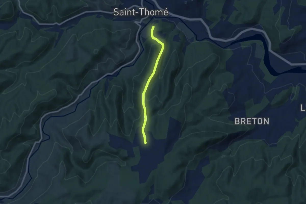
Easy · Trail
La Pignatelle - Brugette
5.7 km · ↑ 232 m · 1 h 51 min · 14 km away
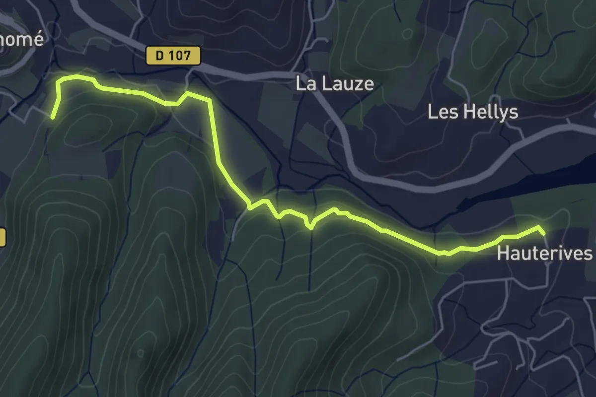
Easy · Trail
Hautes Rives - La Pignatelle
5.6 km · ↑ 129 m · 1 h 37 min · 14 km away
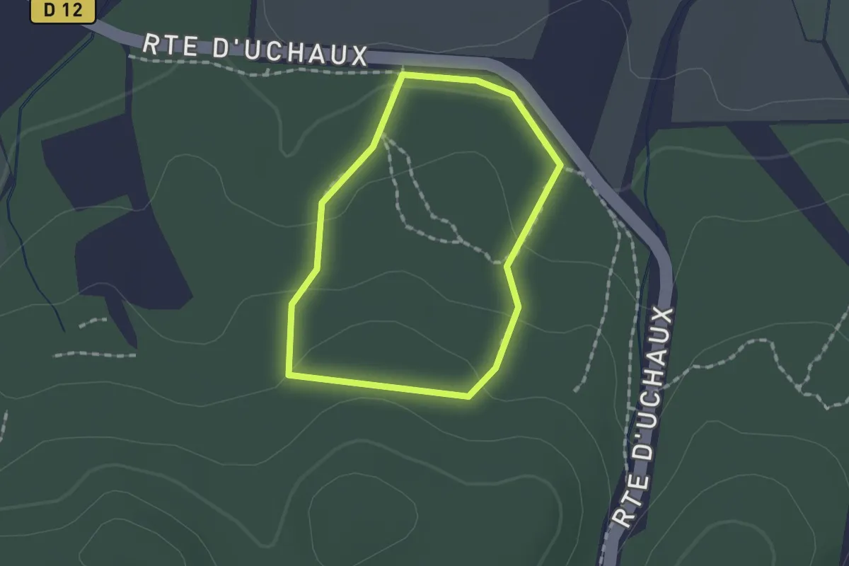
Easy · Trail
Sentier Botanique
1.3 km · ↑ 43 m · 24 min · 14 km away
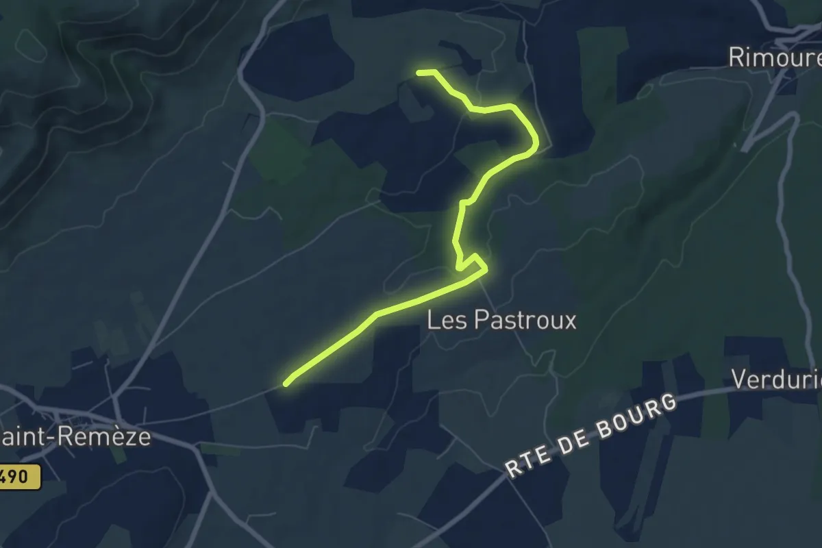
Easy · Trail
Fontaguillon - Les Buissières
7.1 km · ↑ 96 m · 1 h 53 min · 14 km away
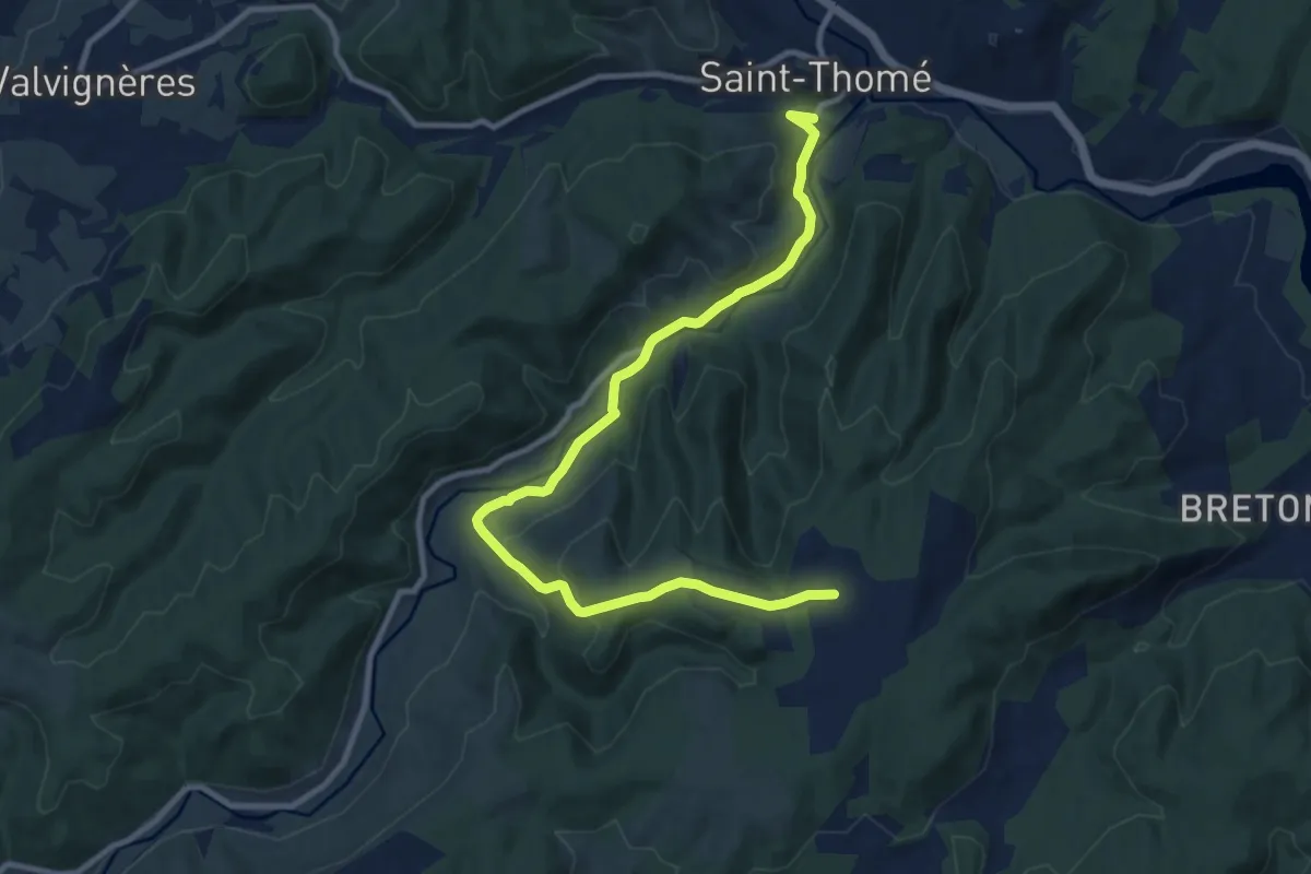
Medium · Trail
Bonnefoy - Brugette
11.9 km · ↑ 354 m · 3 h 34 min · 15 km away
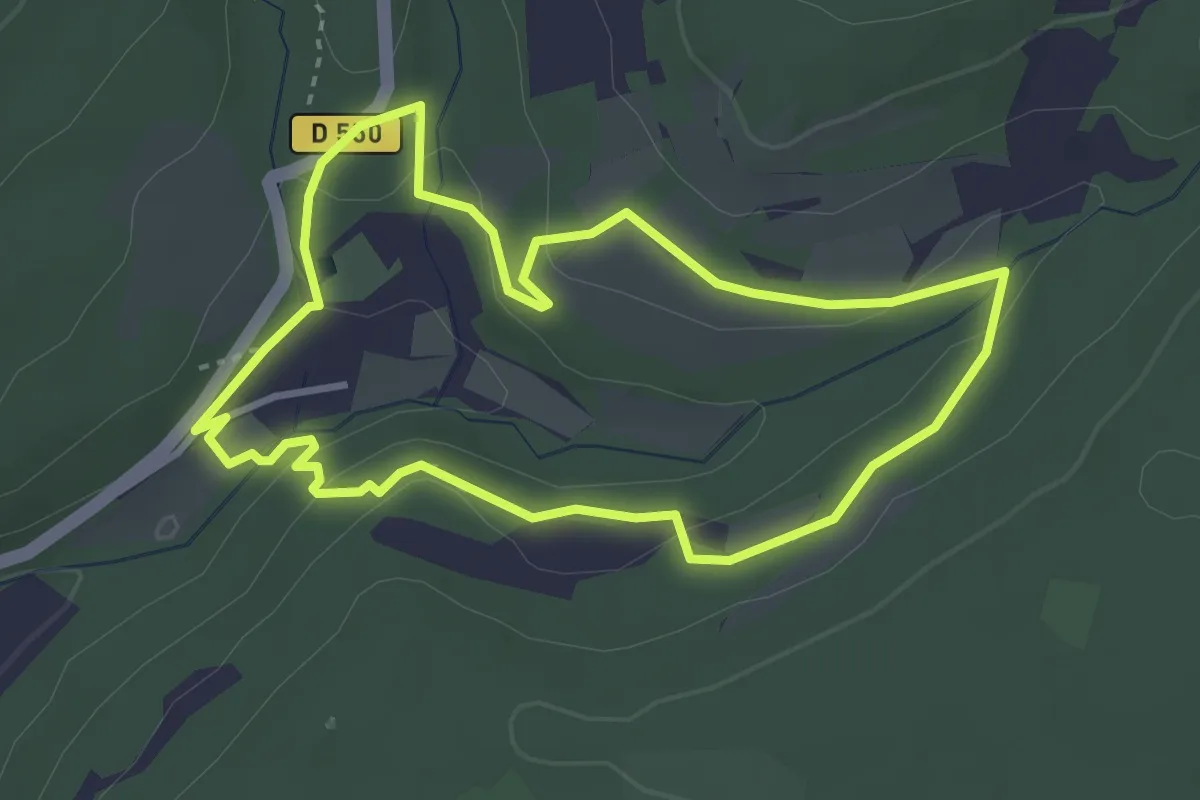
Medium · Trail
Tour de l’Abbaye
3.4 km · ↑ 93 m · 1 h 3 min · 15 km away
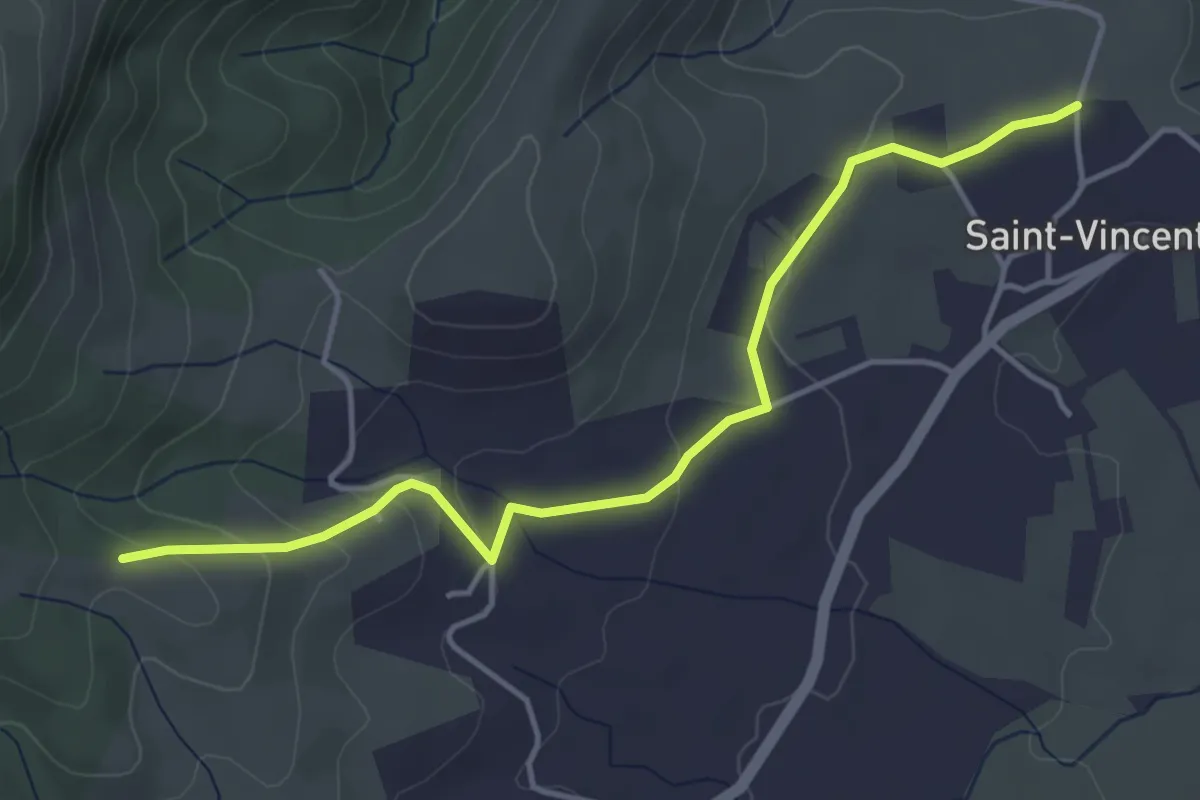
Easy · Trail
Bréchon - Gerles
4.7 km · ↑ 130 m · 1 h 23 min · 15 km away
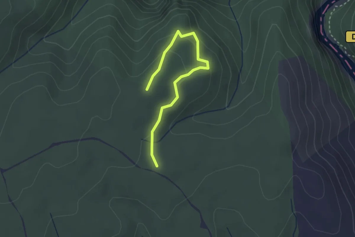
Easy · Trail
Le Rocher de Castelviel
1.5 km · ↑ 64 m · 30 min · 15 km away
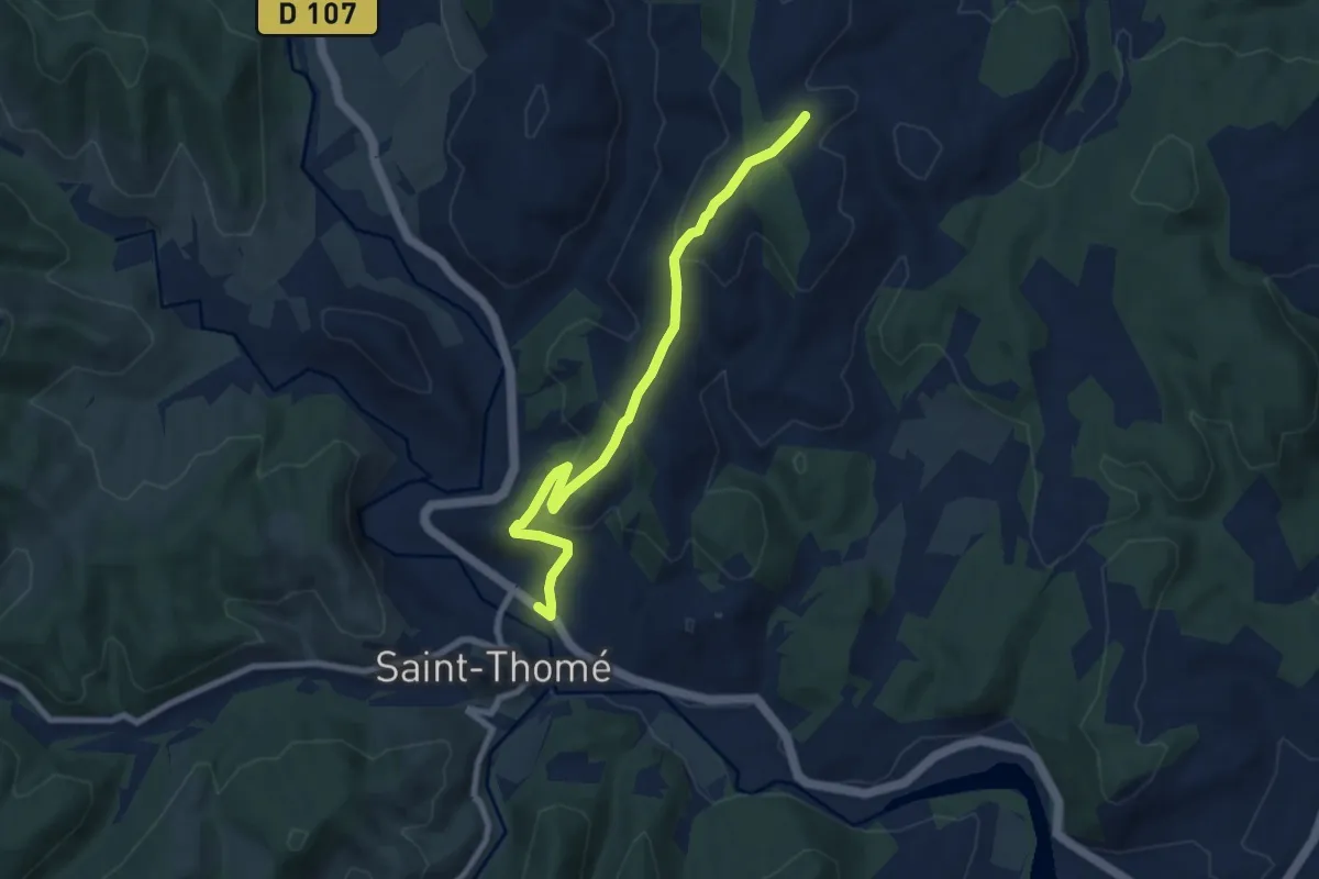
Easy · Trail
Saint-Thomé - Montfaucon
7.9 km · ↑ 288 m · 2 h 29 min · 15 km away