Trails near Saint-Astier
88 hikes starting within 15 km, nearest first.
Nearest first, page 1 of 2
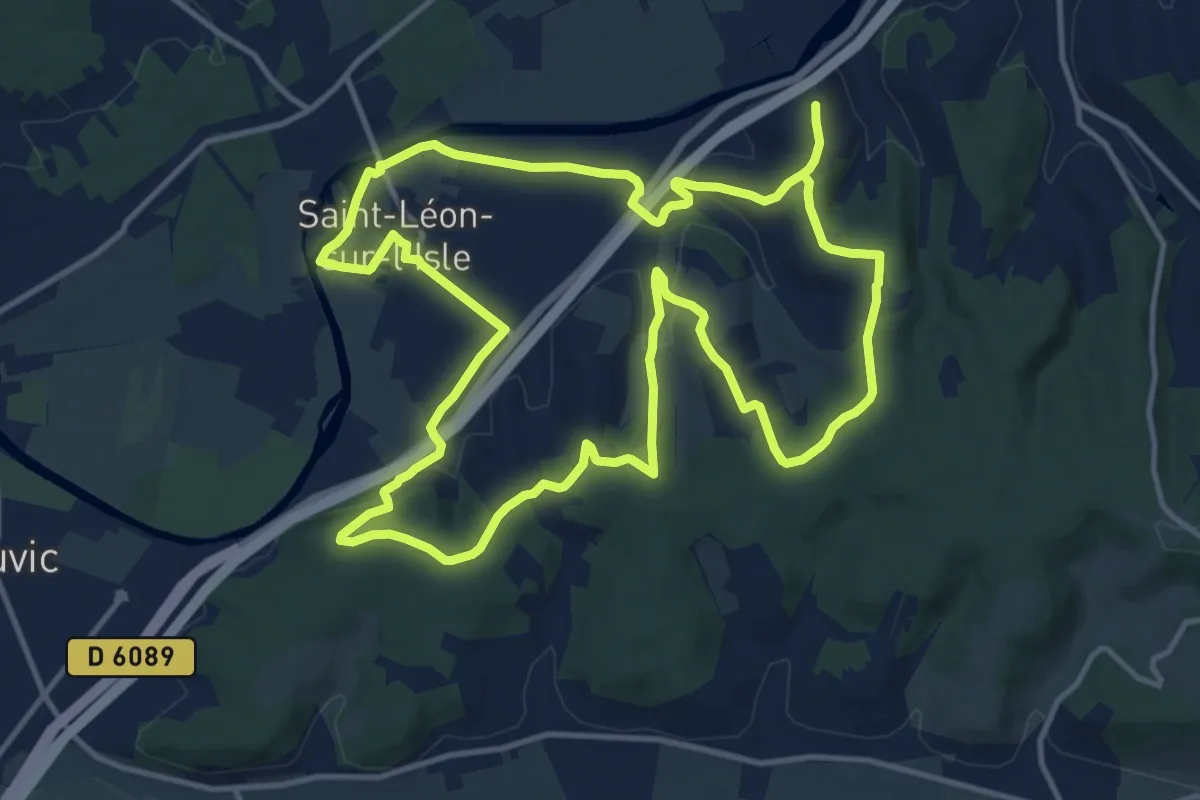
Demanding · Trail
Boucle des Coteaux Sud
28.4 km · ↑ 532 m · 7 h 51 min · 2 km away
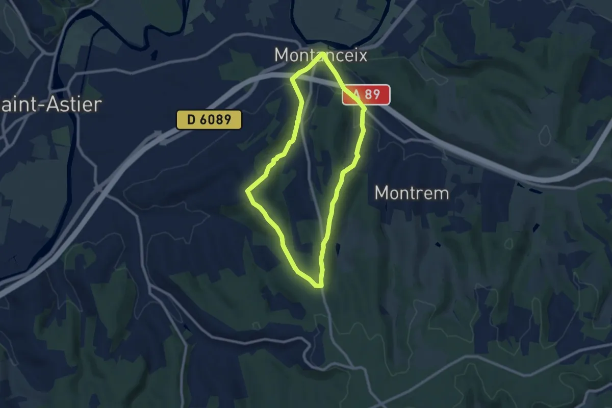
Easy · Trail
Boucle des Trufières
7.3 km · ↑ 129 m · 2 h 6 min · 3 km away
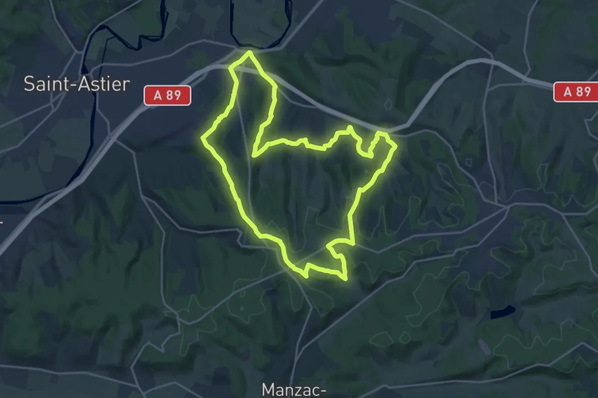
Demanding · Trail
Boucle des 5 Étangs
18.0 km · ↑ 426 m · 5 h 26 min · 5 km away
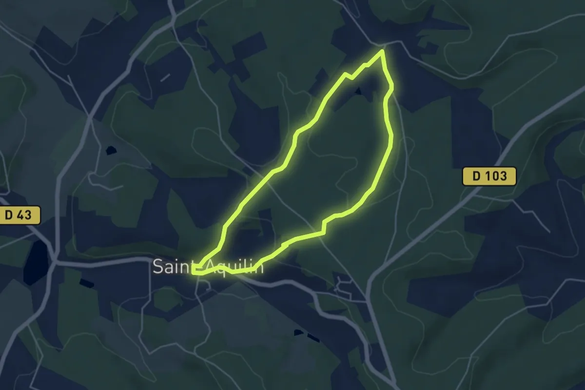
Easy · Trail
Promenade de Charroux
4.2 km · ↑ 120 m · 1 h 18 min · 5 km away
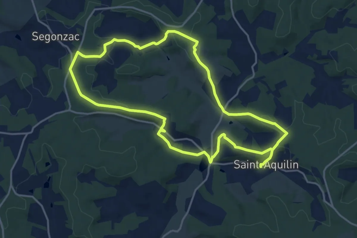
Demanding · Trail
Boucle des Châteaux
22.4 km · ↑ 566 m · 6 h 31 min · 5 km away
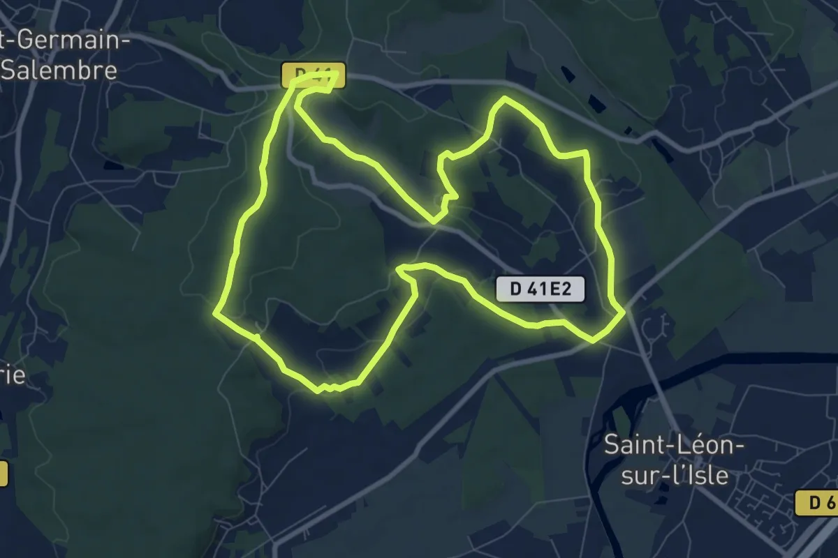
Medium · Trail
Boucle des Coteaux Nord
9.3 km · ↑ 146 m · 2 h 39 min · 5 km away
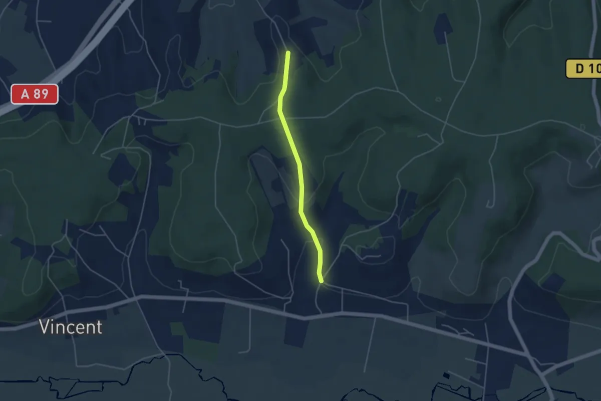
Easy · Trail
Liaison Grignols - St-Léon-sur-l'Isle
3.6 km · ↑ 112 m · 1 h 5 min · 6 km away
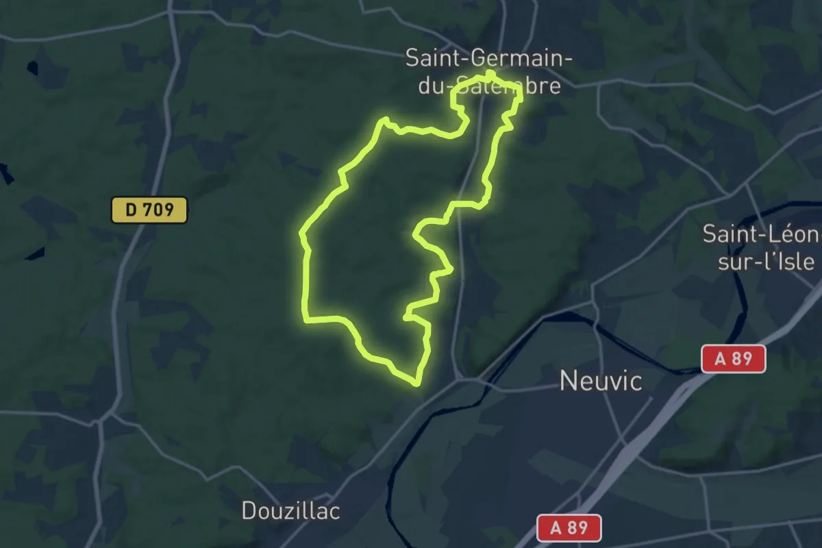
Medium · Trail
Balade de la Fontaine
14.3 km · ↑ 249 m · 4 h 7 min · 6 km away
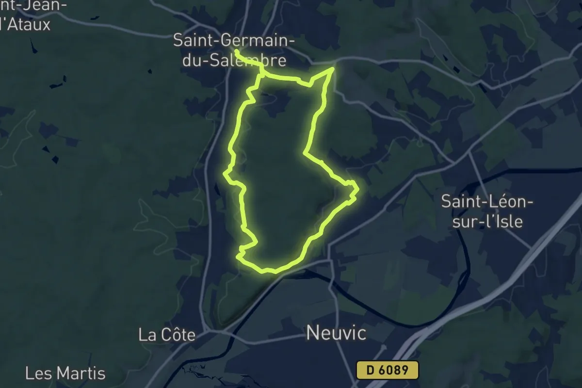
Demanding · Trail
Boucle de Mazille
20.7 km · ↑ 420 m · 5 h 47 min · 6 km away
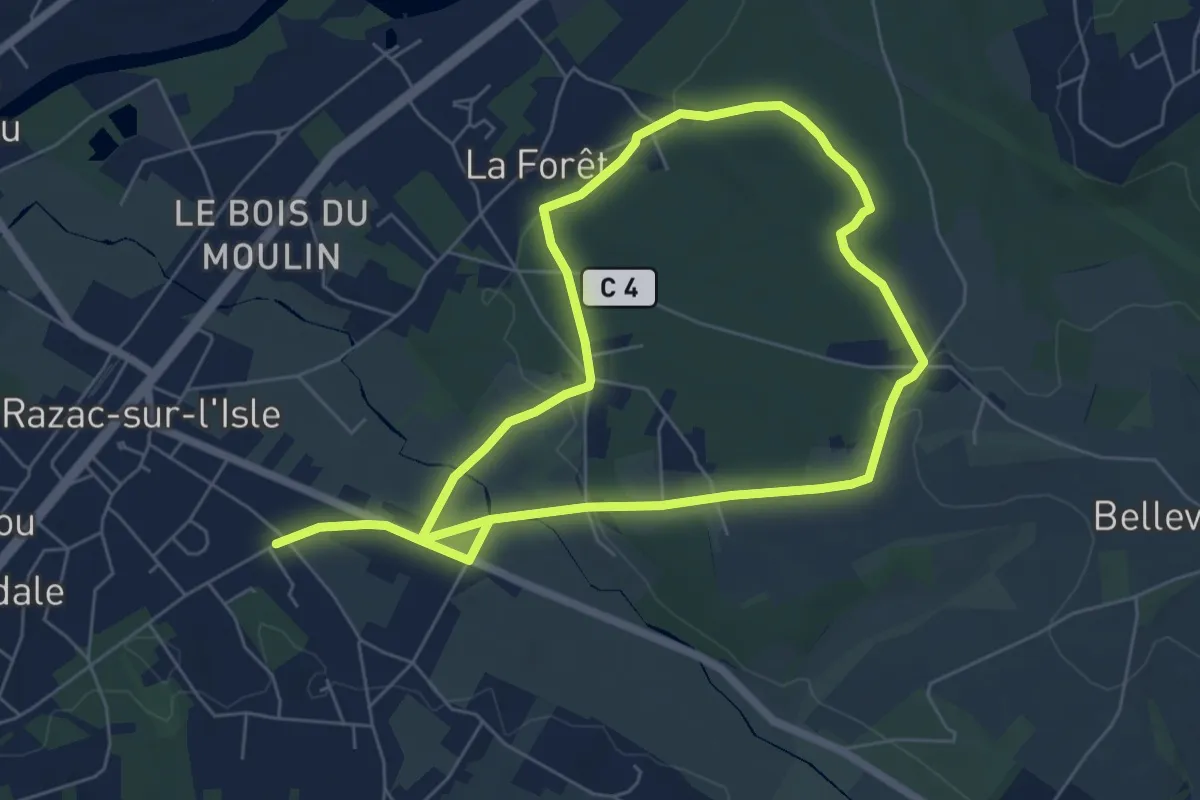
Medium · Trail
Boucle la Forêt
11.8 km · ↑ 175 m · 3 h 9 min · 6 km away
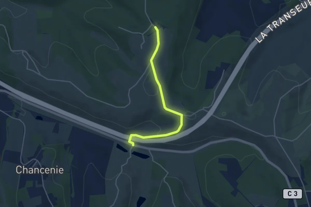
Easy · Trail
Liaison Montrem - Coursac - Razac
3.6 km · ↑ 81 m · 1 h 2 min · 7 km away
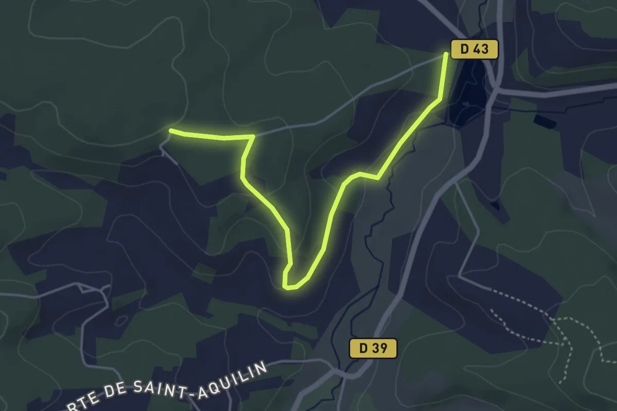
Easy · Trail
Liaison St-Aquilin - Chantérac
4.7 km · ↑ 117 m · 1 h 21 min · 7 km away
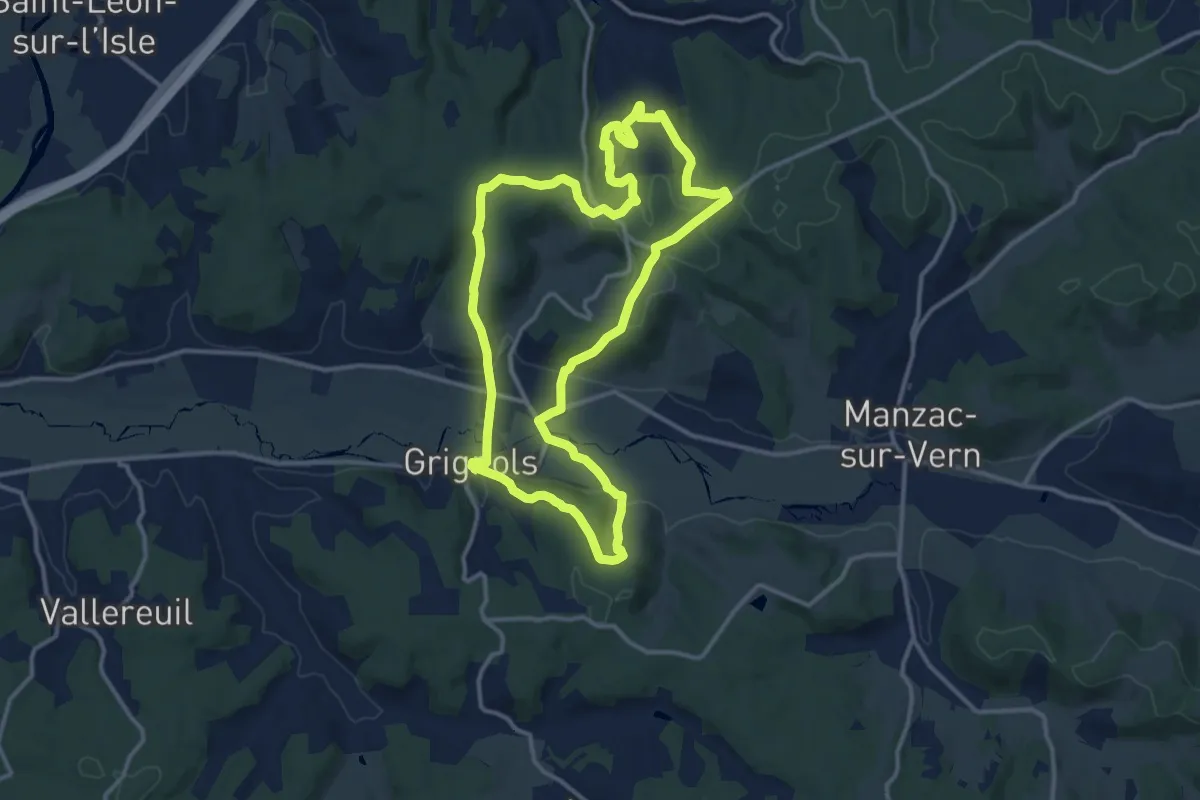
Medium · Trail
Boucle des Chaulnes
13.1 km · ↑ 333 m · 4 h · 7 km away
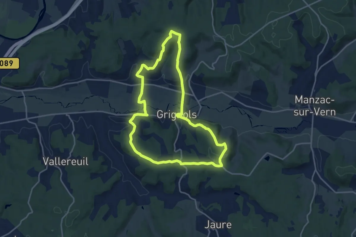
Medium · Trail
Sentier historique
12.2 km · ↑ 264 m · 3 h 38 min · 7 km away
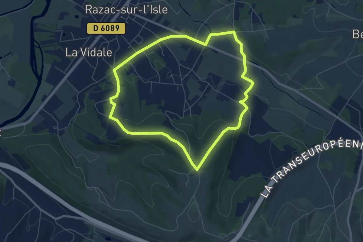
Easy · Trail
Boucle les Hauts de Razac
6.3 km · ↑ 128 m · 1 h 51 min · 7 km away
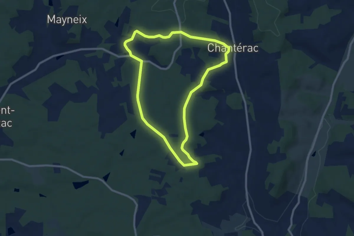
Easy · Trail
Boucle de la Lande, variante du Grand Boucara
6.5 km · ↑ 99 m · 1 h 51 min · 7 km away
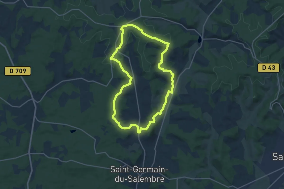
Medium · Trail
Boucle des Hameaux
13.4 km · ↑ 269 m · 3 h 55 min · 7 km away
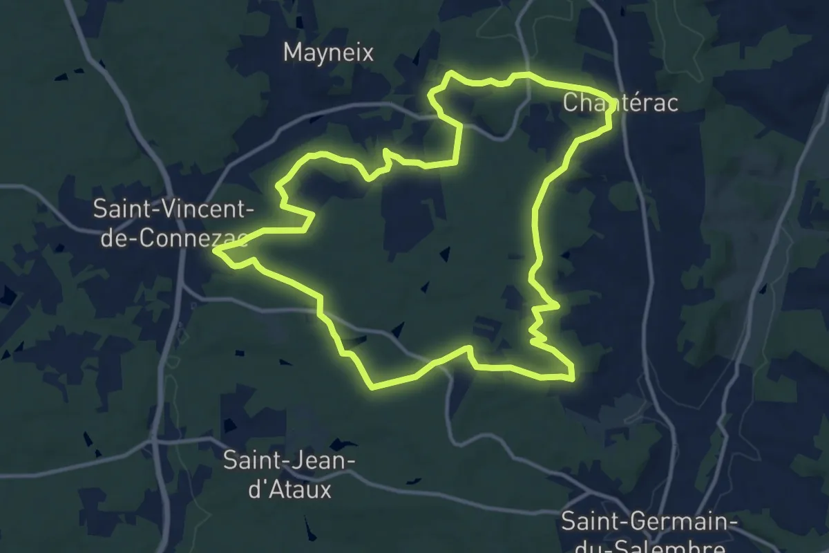
Medium · Trail
Boucle de la Lande
13.4 km · ↑ 215 m · 3 h 49 min · 7 km away
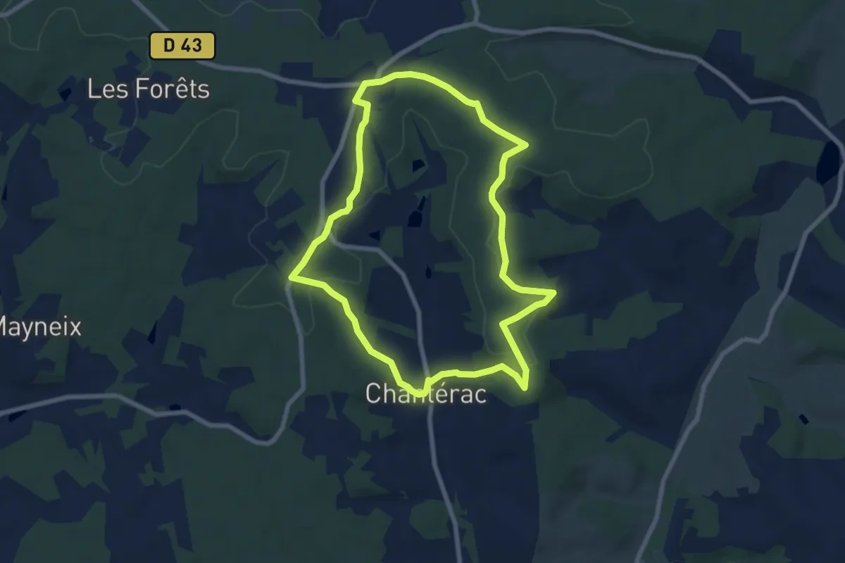
Easy · Trail
Boucle des Hameaux, variante des Plombières
7.0 km · ↑ 108 m · 1 h 59 min · 7 km away
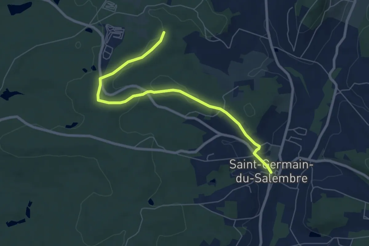
Easy · Trail
Liaison Saint-Germain-de-Salembre - Chantérac
6.7 km · ↑ 105 m · 1 h 48 min · 7 km away
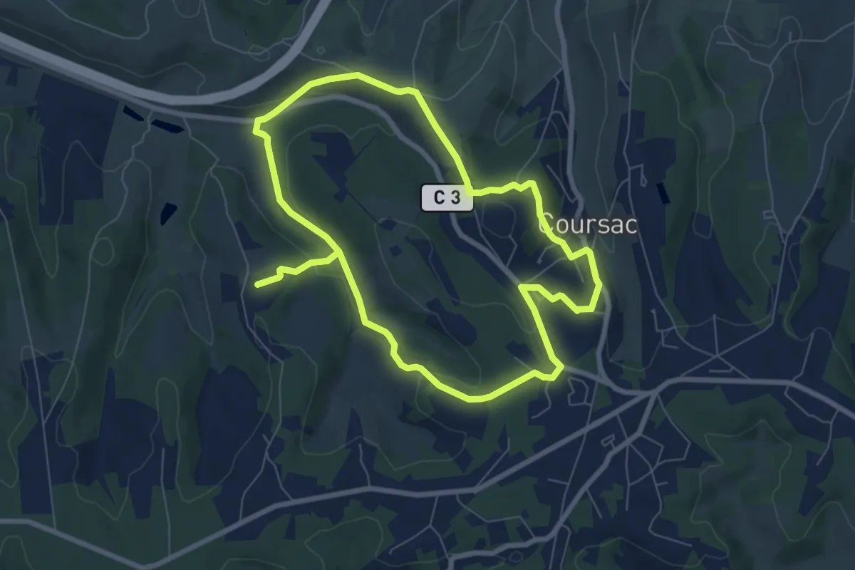
Medium · Trail
Ronde des Lavandières
13.9 km · ↑ 332 m · 4 h · 8 km away
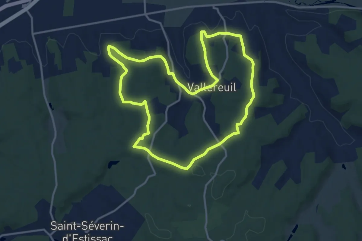
Medium · Trail
Boucle de Valareilh
9.6 km · ↑ 201 m · 2 h 51 min · 8 km away
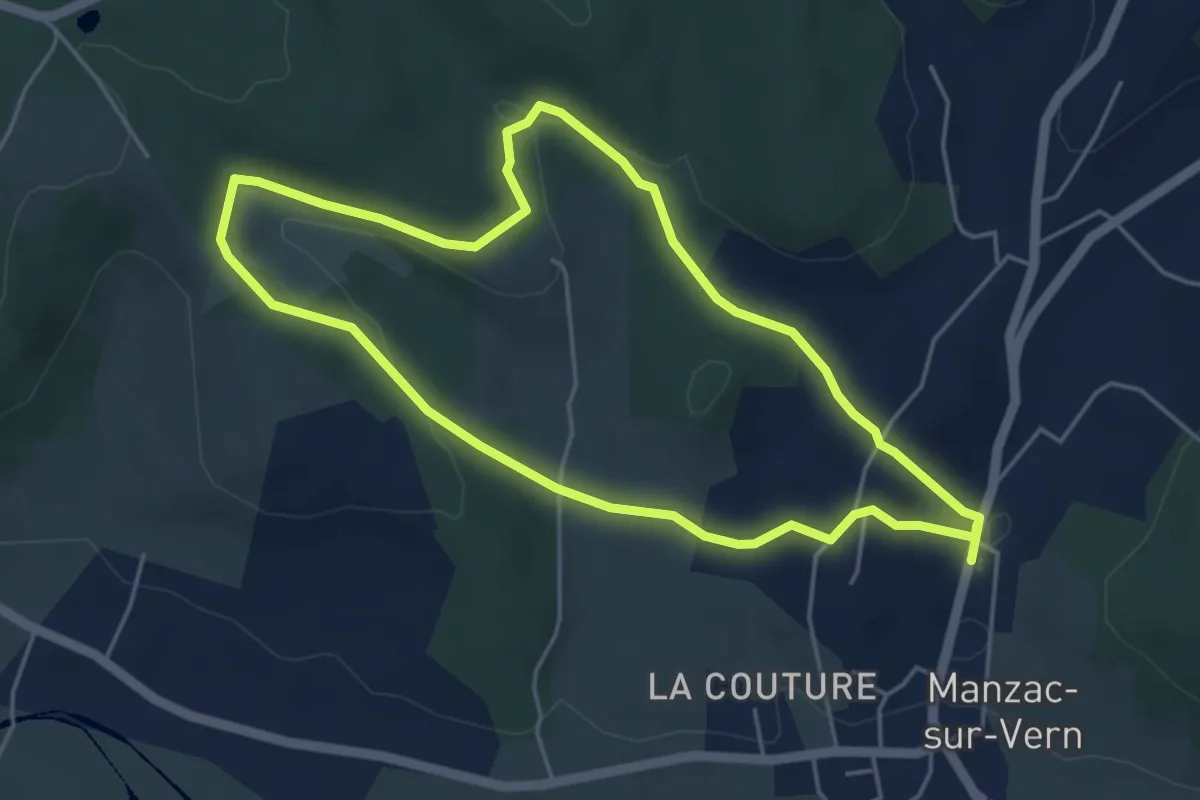
Easy · Trail
Boucle de Negrefont
4.7 km · ↑ 144 m · 1 h 30 min · 8 km away
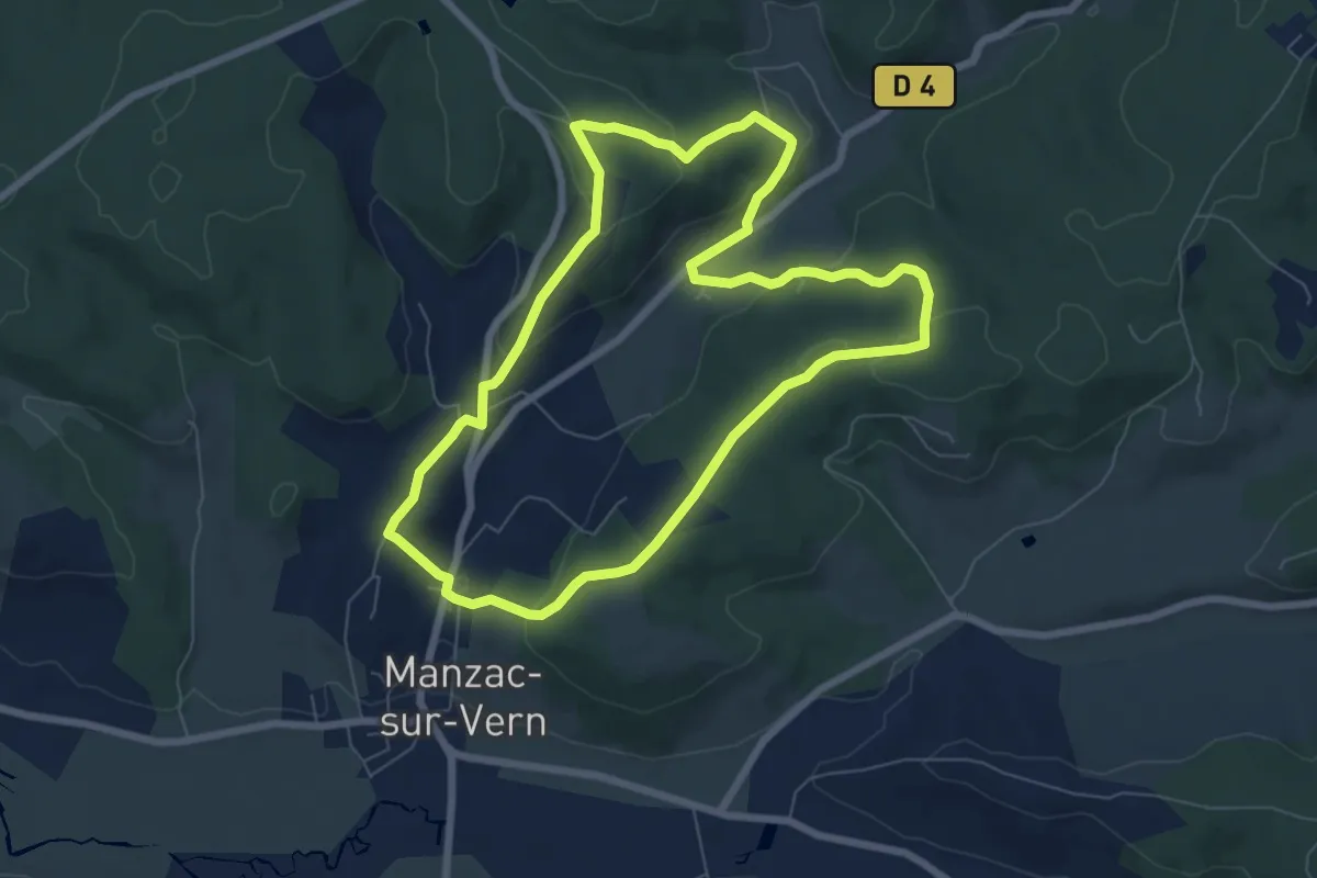
Easy · Trail
Boucle de Chabannes
7.2 km · ↑ 216 m · 2 h 16 min · 8 km away
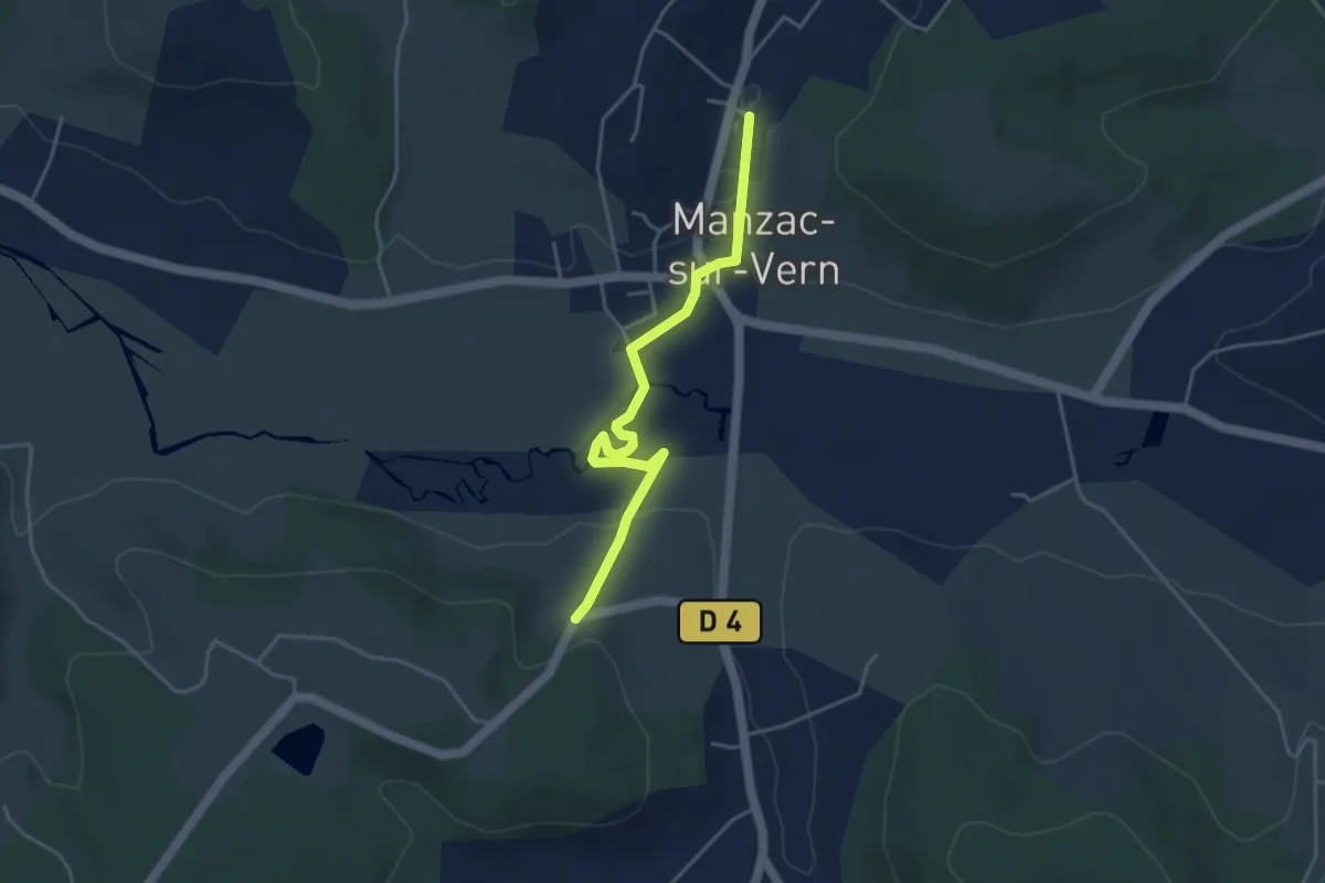
Easy · Trail
Liaison Manzac-sur-Vern - Tour du Freyrat
4.3 km · ↑ 51 m · 1 h 7 min · 8 km away
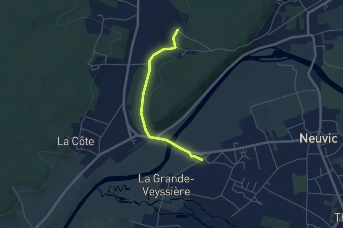
Easy · Trail
Liaison Neuvic - Saint-Germain-du-Salembre
3.9 km · ↑ 63 m · 1 h 3 min · 8 km away
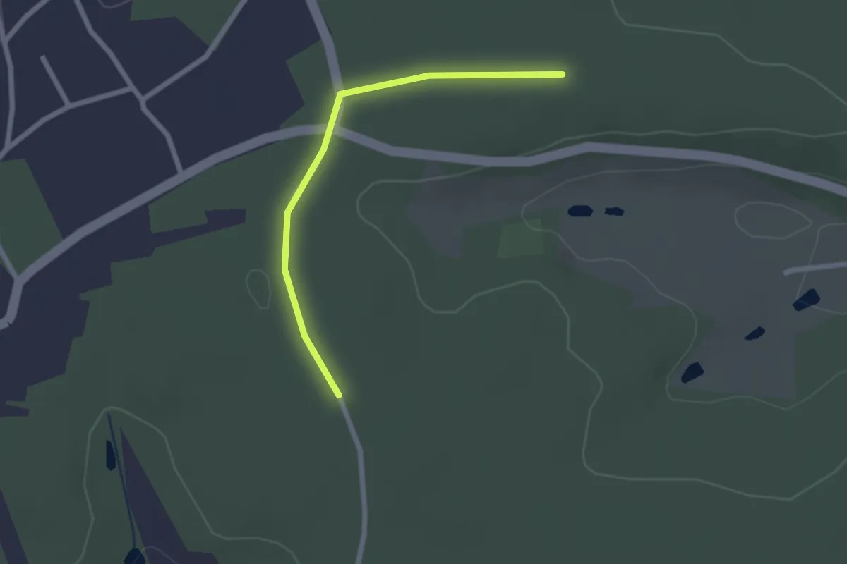
Easy · Trail
Liaison St-Aquilin - Chantérac
2.2 km · ↑ 4 m · 31 min · 8 km away
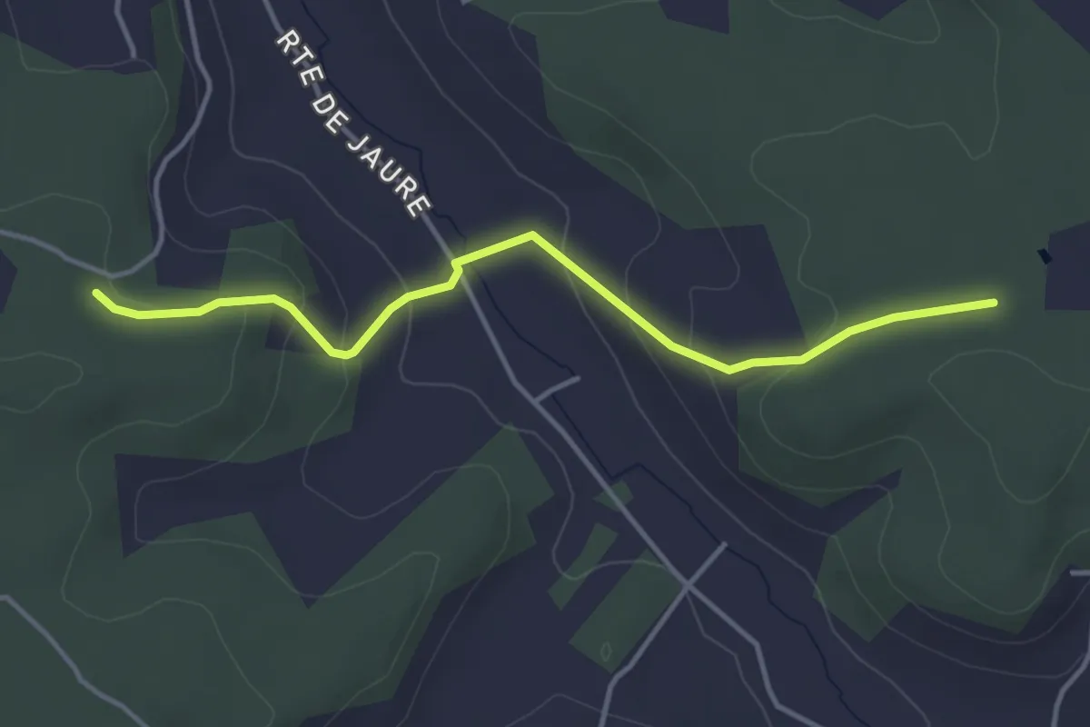
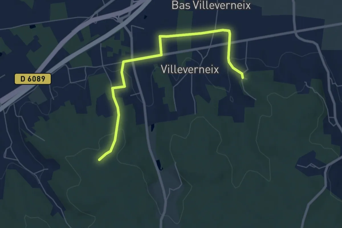
Easy · Trail
Liaison
4.0 km · ↑ 152 m · 1 h 17 min · 8 km away
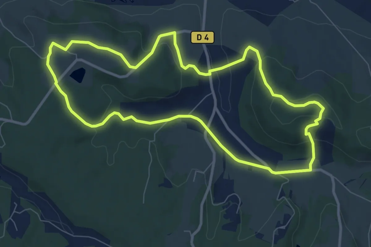
Easy · Trail
Liaison Frateau-Vallereuil-Neuvic
6.5 km · ↑ 130 m · 1 h 49 min · 8 km away
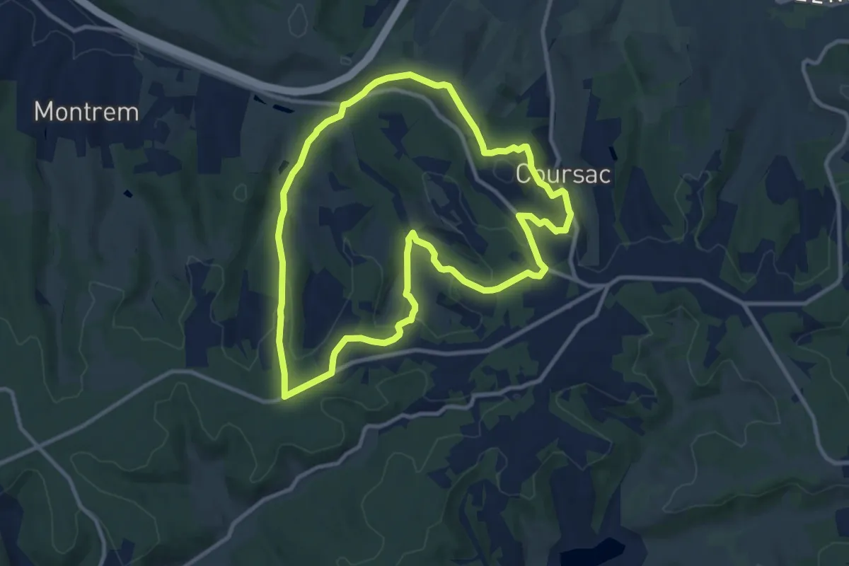
Easy · Trail
Tour du Freyrat
7.8 km · ↑ 204 m · 2 h 24 min · 9 km away
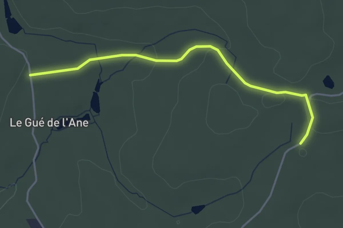
Medium · Trail
Boucle des Bordes d’Antan
9.9 km · ↑ 223 m · 2 h 57 min · 9 km away
Easy · Trail
Liaison Saint-Germain-de-Salembre - Saint-Jean-d'Ataux
3.9 km · ↑ 48 m · 1 h 1 min · 9 km away
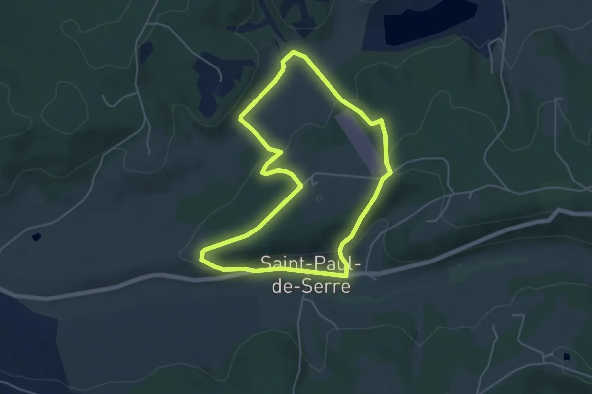
Easy · Trail
Boucle de Moncouche
4.5 km · ↑ 162 m · 1 h 28 min · 10 km away
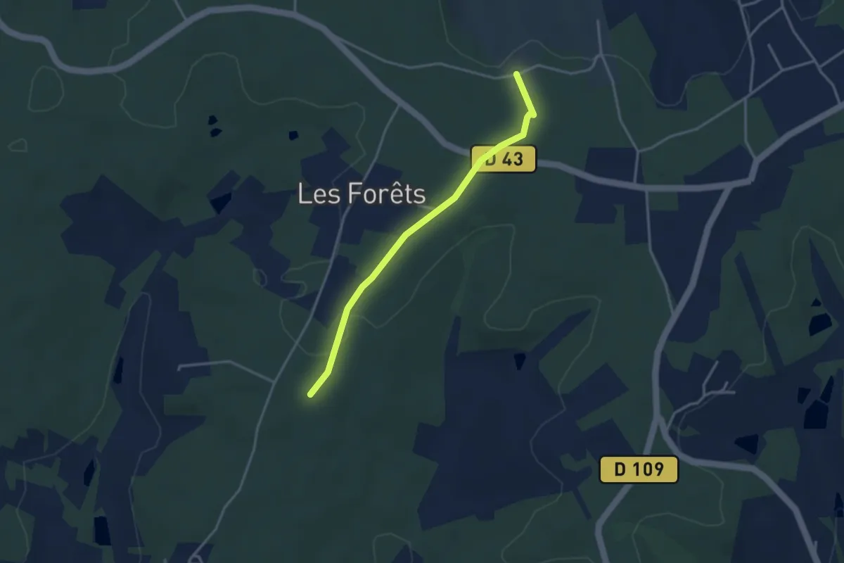
Easy · Trail
Liaison Saint-Vincent-de-Connezac - Ségonzac
3.2 km · ↑ 24 m · 48 min · 10 km away
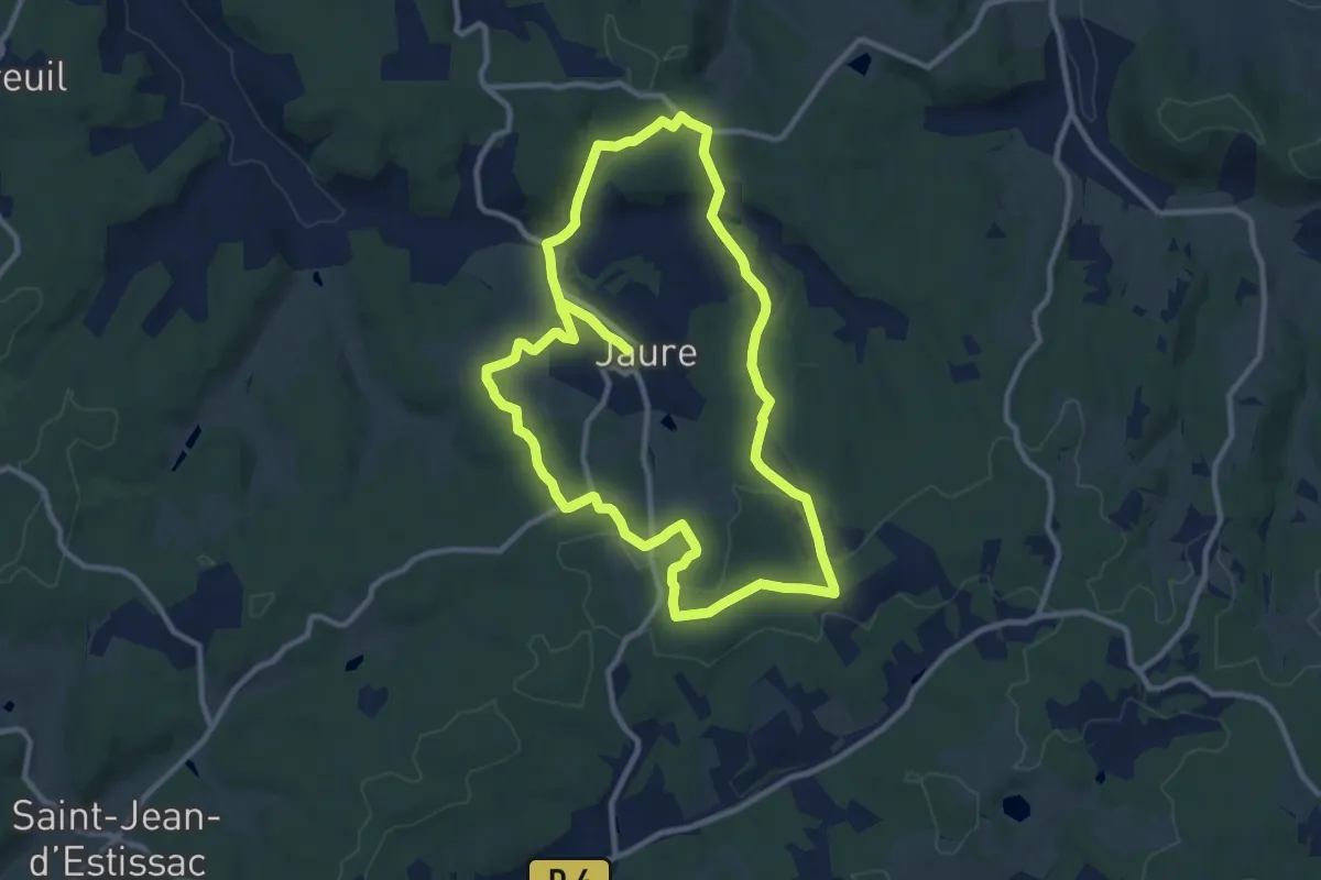
Demanding · Trail
Tour de Jaure
20.7 km · ↑ 313 m · 5 h 34 min · 10 km away
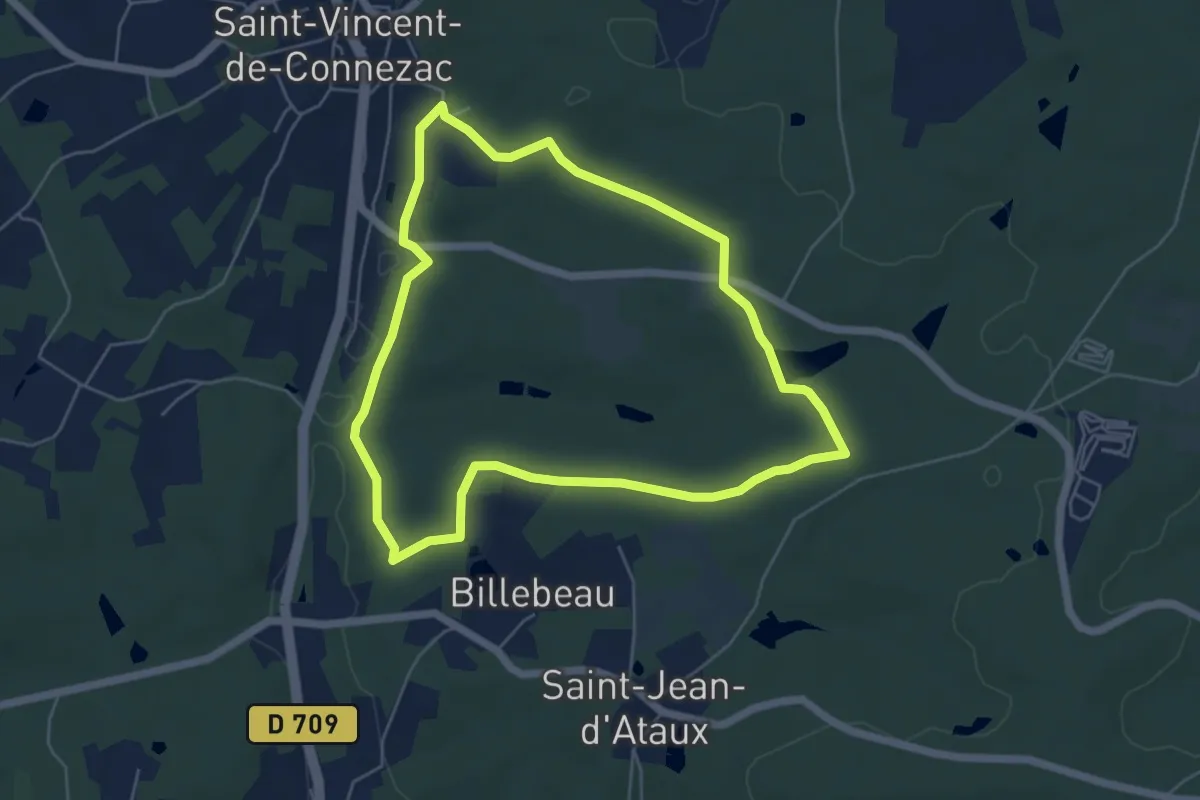
Easy · Trail
Boucle Moulin de la Grave
5.4 km · ↑ 80 m · 1 h 32 min · 10 km away
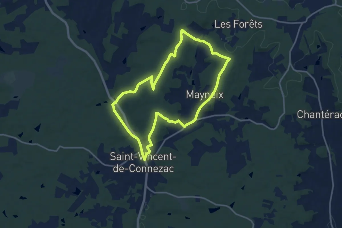
Medium · Trail
Boucle de Prapelou
9.6 km · ↑ 197 m · 2 h 50 min · 10 km away
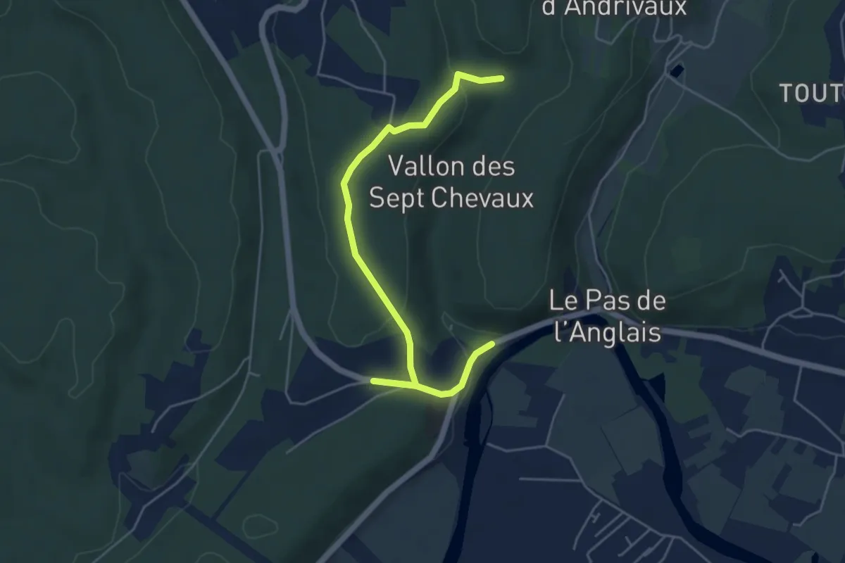
Easy · Trail
Liaison La-Chapelle-Gonaguet - Annesse-et-Beaulieu
5.4 km · ↑ 123 m · 1 h 33 min · 10 km away
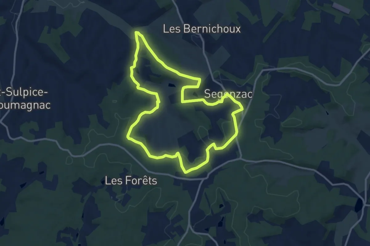
Medium · Trail
Boucle de Ségonzac
10.3 km · ↑ 204 m · 3 h · 10 km away
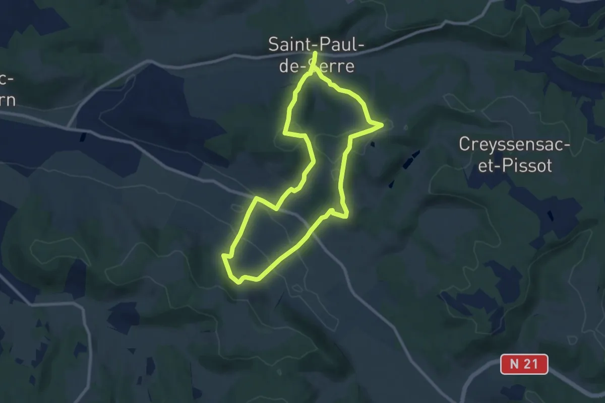
Medium · Trail
Boucle des Mangours
14.8 km · ↑ 484 m · 4 h 32 min · 10 km away
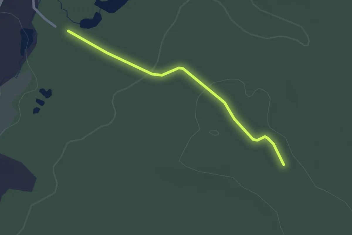
Easy · Trail
Liaison
2.2 km · ↑ 39 m · 36 min · 10 km away
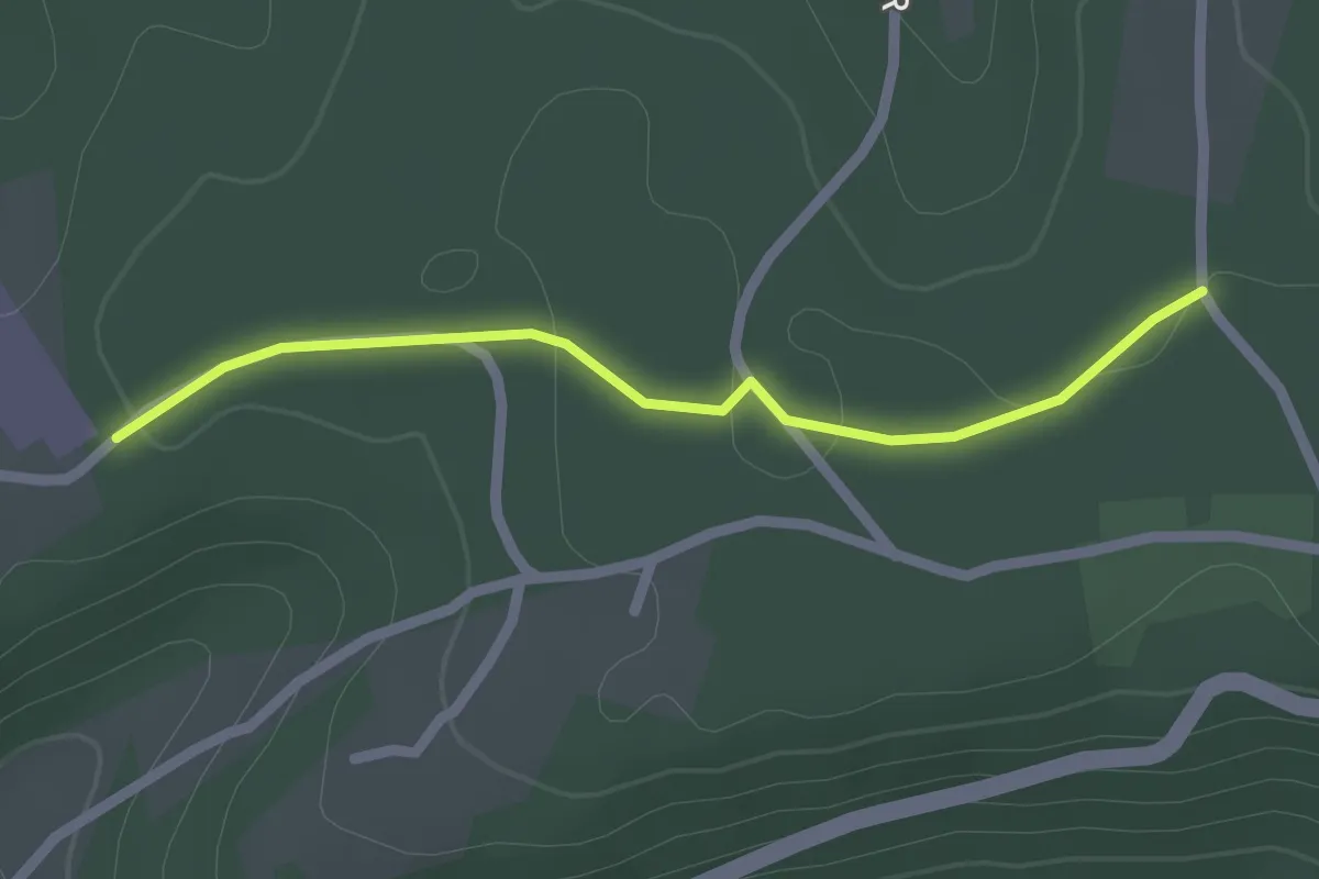
Easy · Trail
Liaison St-Paul-de-Serre - Chalagnac
2.1 km · ↑ 17 m · 32 min · 10 km away
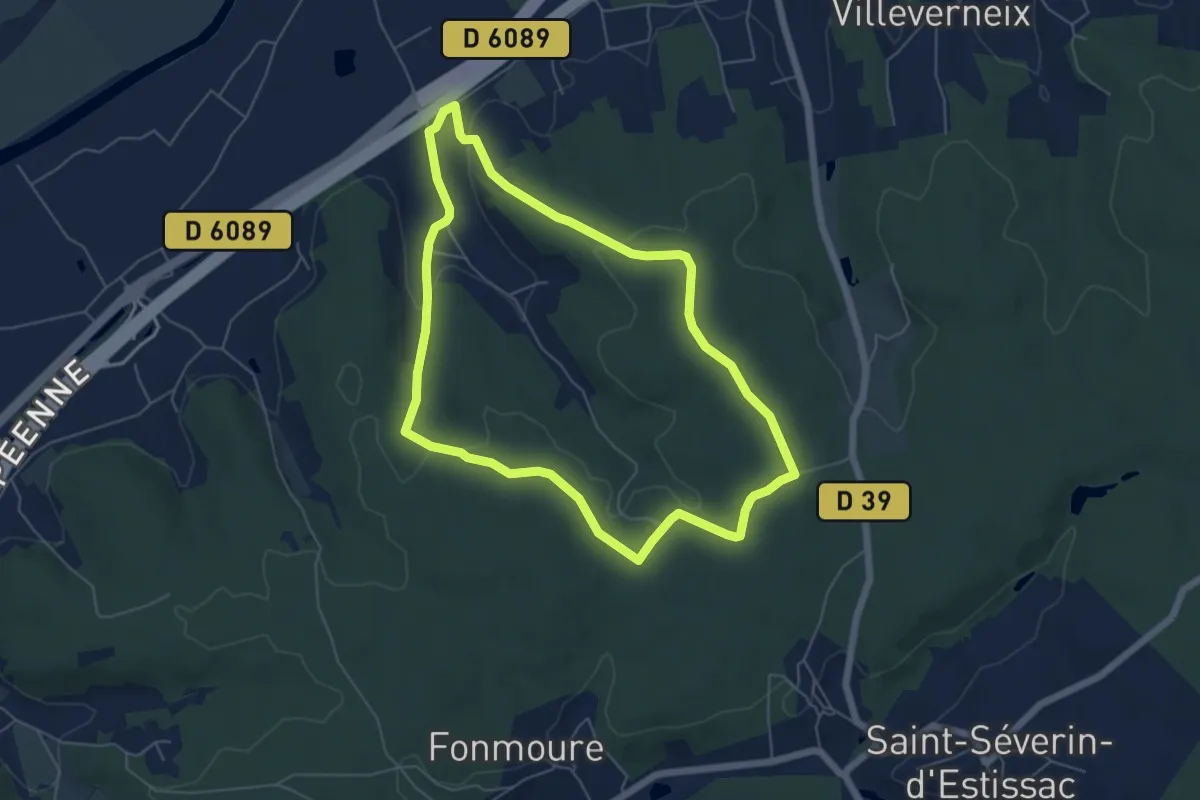
Easy · Trail
Boucle de Frateau
5.7 km · ↑ 112 m · 1 h 40 min · 10 km away
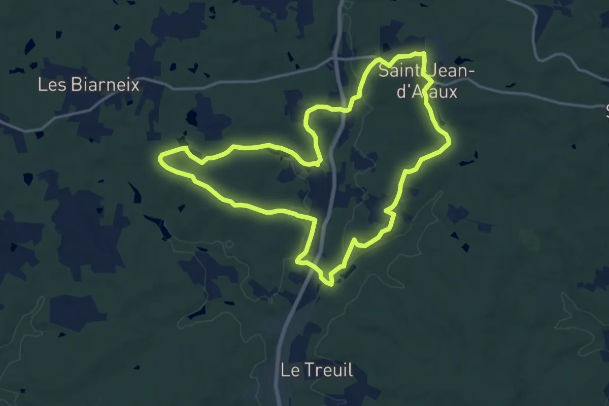
Medium · Trail
Rando d'Ataux
12.8 km · ↑ 137 m · 3 h 30 min · 10 km away
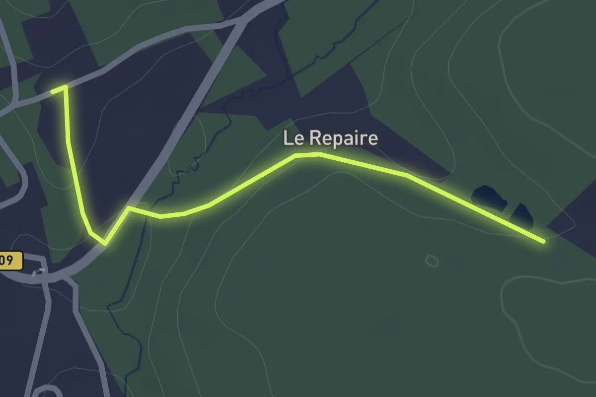
Easy · Trail
Liaison St-Vincent-de-Connezac - Chantérac
2.1 km · ↑ 35 m · 34 min · 11 km away
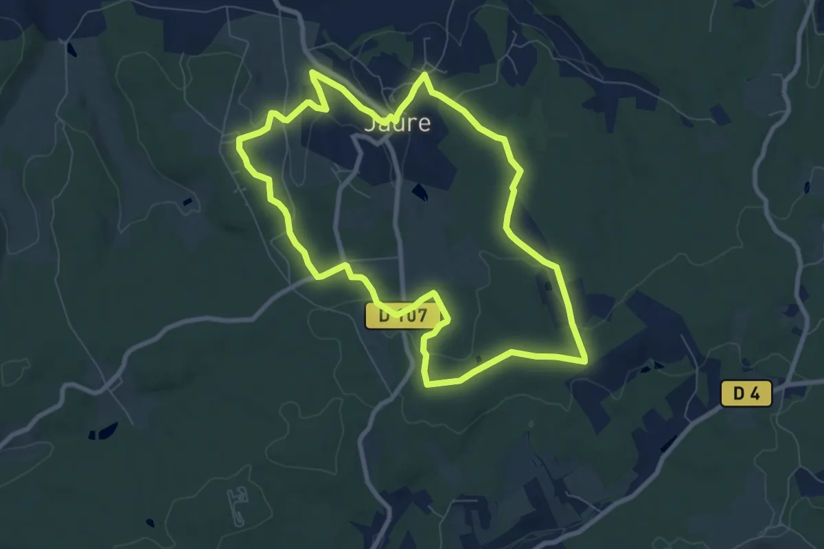
Easy · Trail
Tour de Jaure (Variante courte)
8.0 km · ↑ 99 m · 2 h 12 min · 11 km away
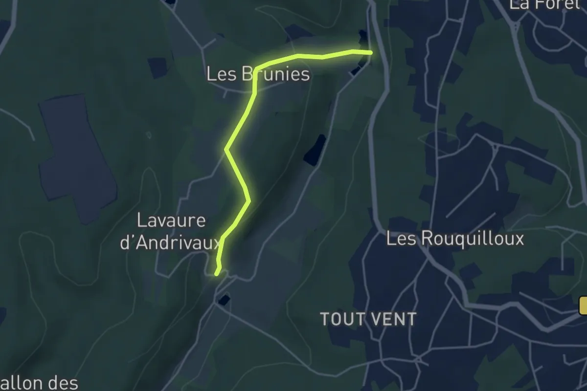
Easy · Trail
Boucle des Andrivaux
3.5 km · ↑ 112 m · 1 h 4 min · 11 km away
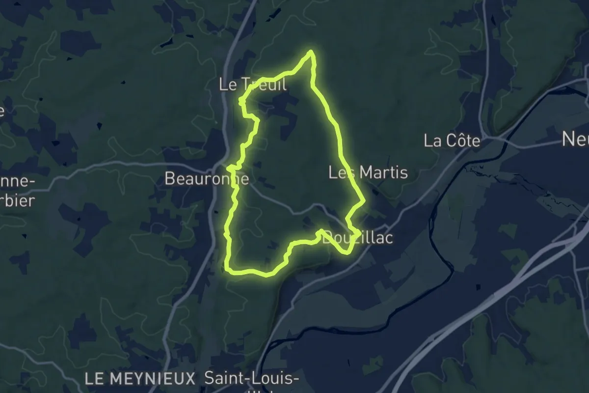
Medium · Trail
Boucle des Sources
12.7 km · ↑ 211 m · 3 h 38 min · 11 km away