Trails near Saint-Astier
88 hikes starting within 15 km, nearest first.
Nearest first, page 2 of 2
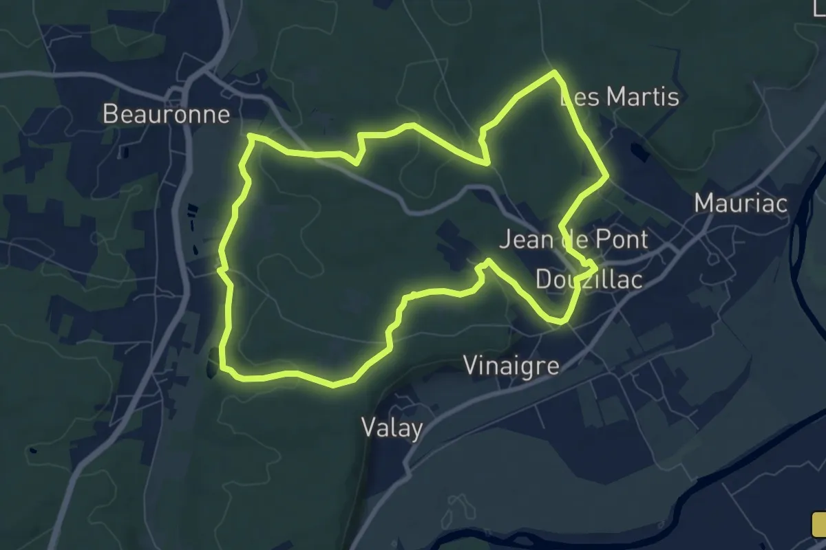
Medium · Trail
Boucle des Sources (Variante du Peyre Mérigeau)
9.2 km · ↑ 167 m · 2 h 39 min · 11 km away
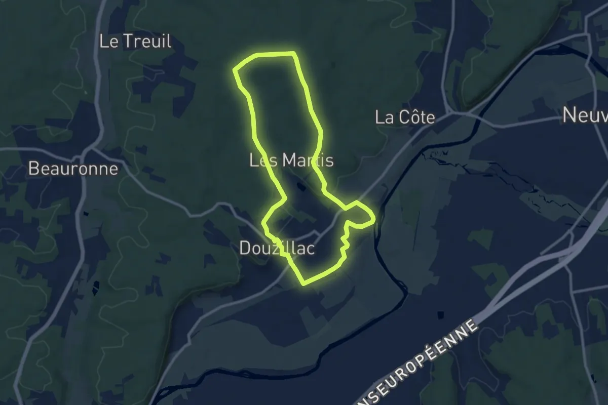
Medium · Trail
Boucle du château de Mauriac
8.7 km · ↑ 145 m · 2 h 29 min · 11 km away
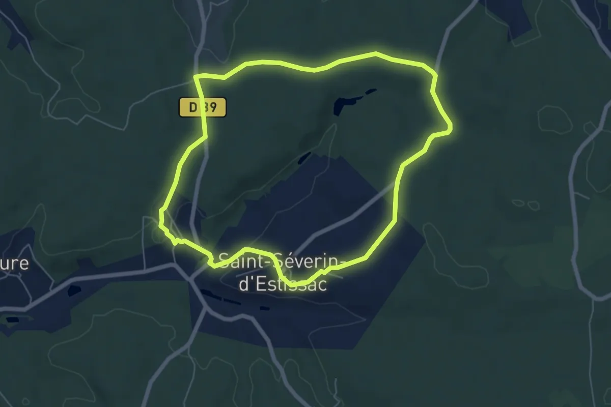
Easy · Trail
Promenade du Bost
5.8 km · ↑ 77 m · 1 h 37 min · 11 km away
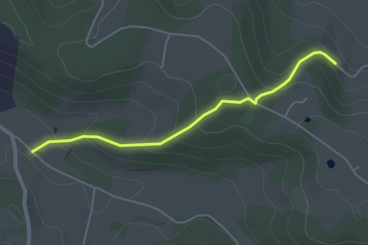
Easy · Trail
Liaison St-Paul-de-Serre - Bourrou
3.5 km · ↑ 164 m · 1 h 11 min · 11 km away
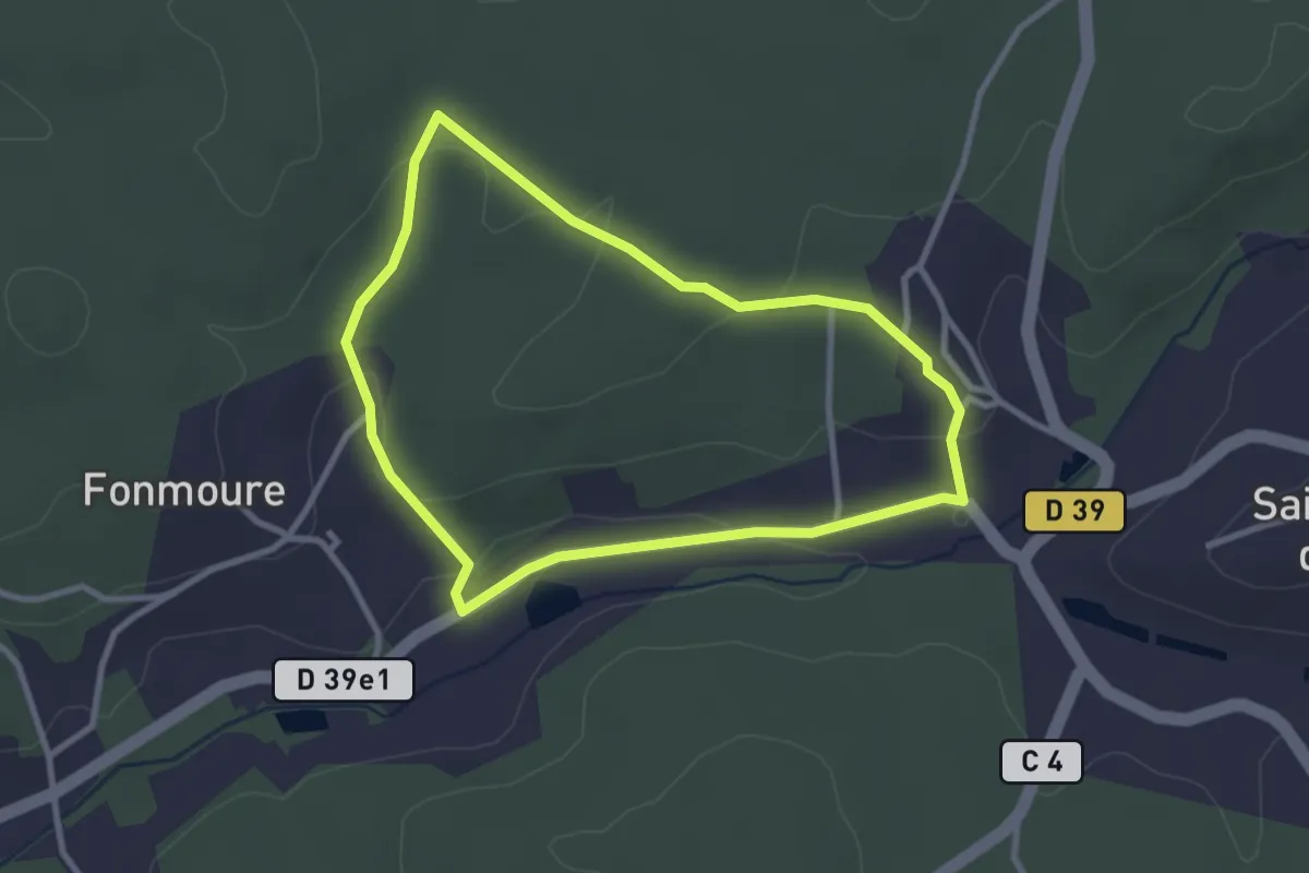
Easy · Trail
Boucle du Nègre aux Petis Clauds
2.9 km · ↑ 47 m · 49 min · 11 km away
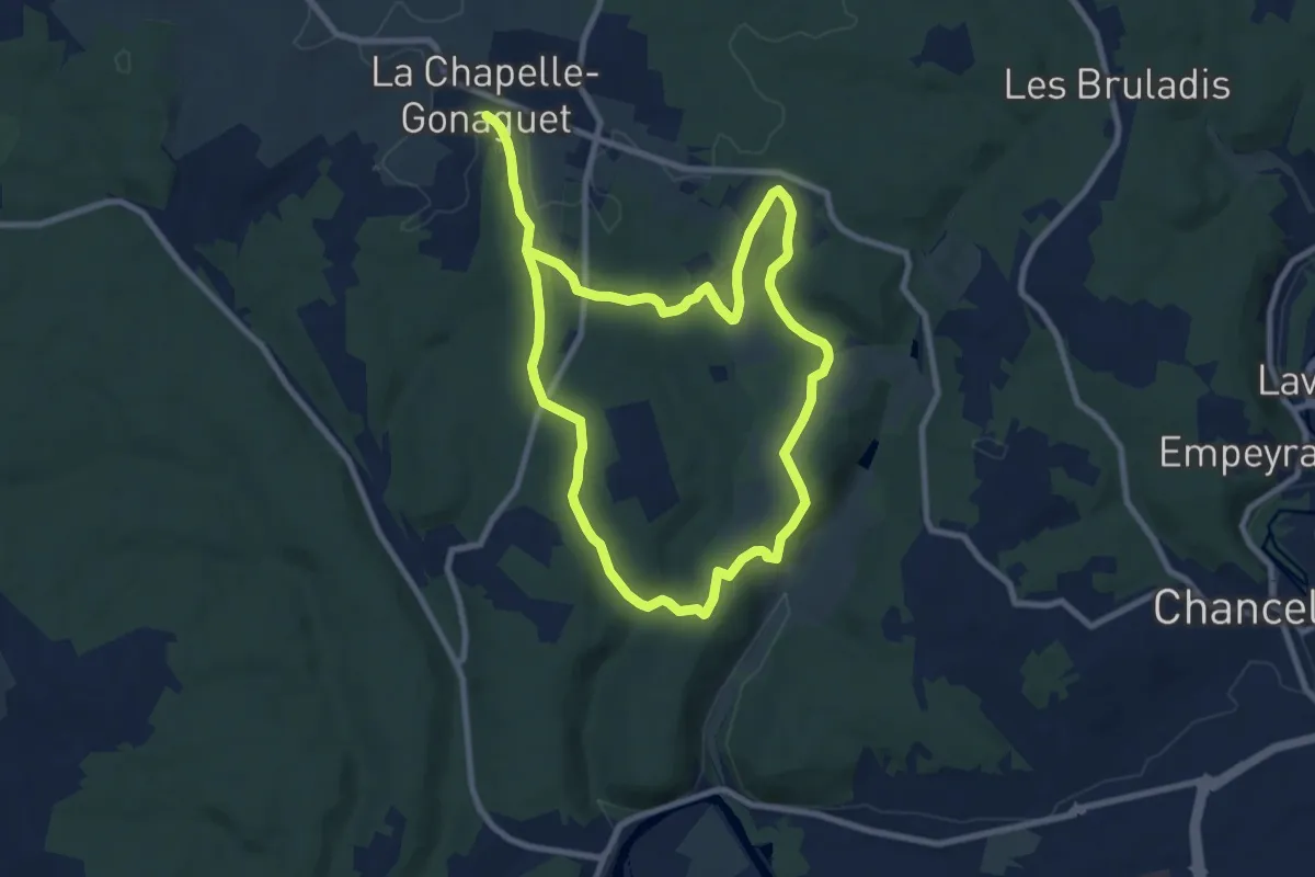
Medium · Trail
Boucle des Brunies
16.8 km · ↑ 272 m · 4 h 34 min · 12 km away
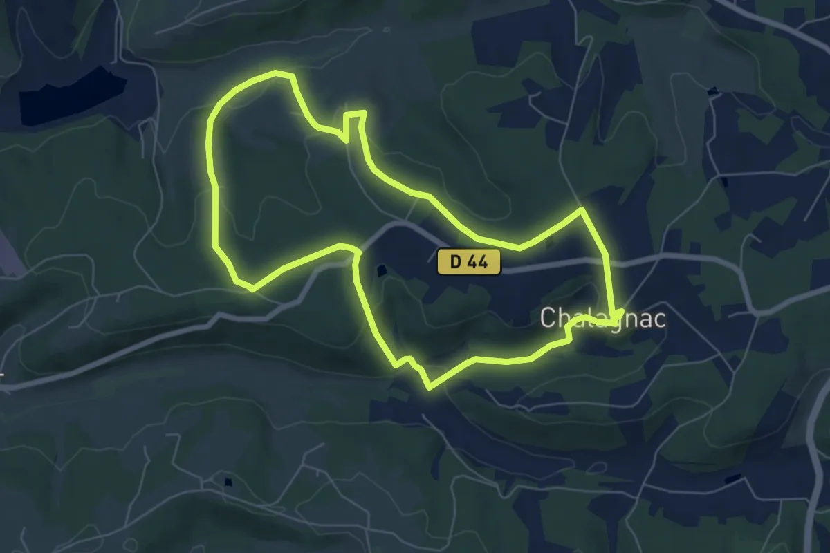
Easy · Trail
Boucle du Bas-Combin
6.8 km · ↑ 168 m · 2 h 4 min · 12 km away
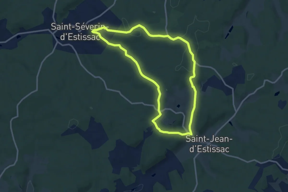
Medium · Trail
Boucle de Saint-Jean-d'Estissac
8.3 km · ↑ 133 m · 2 h 22 min · 12 km away
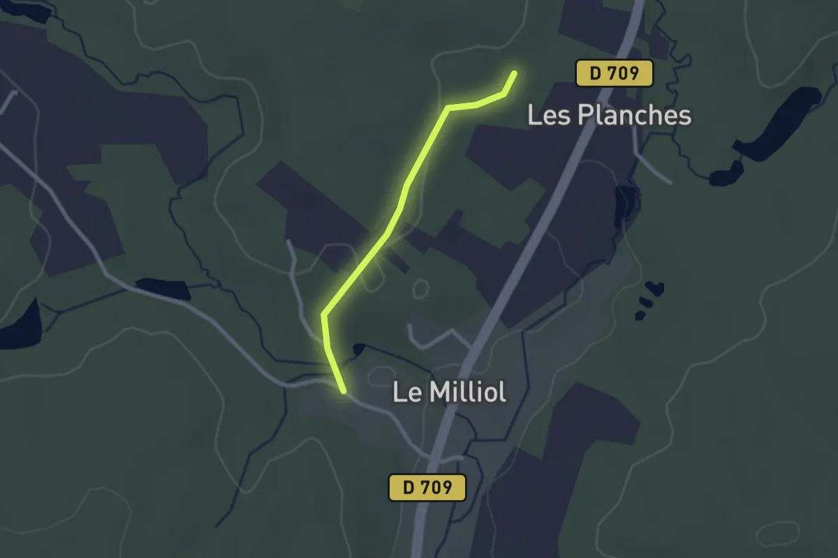
Easy · Trail
Liaison St-Jean-d'Ataux - Beauronne
2.0 km · ↑ 24 m · 32 min · 12 km away
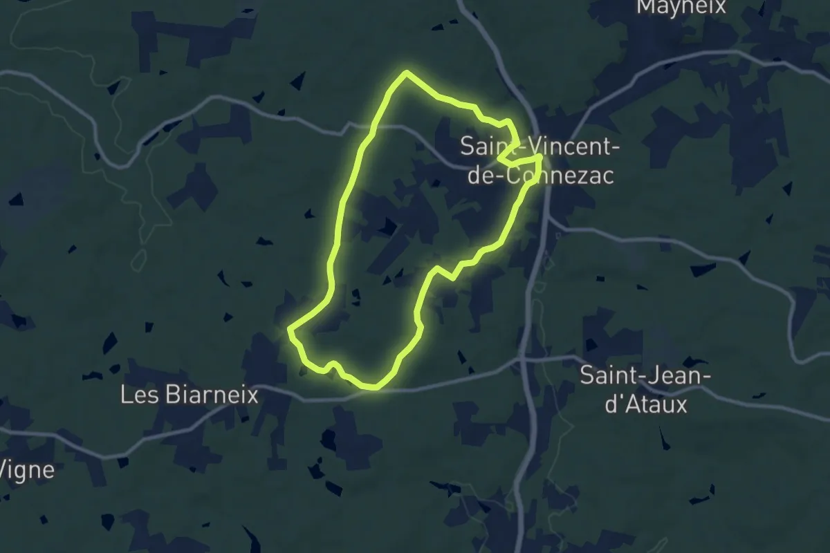
Medium · Trail
Boucle du Grand Claud
9.1 km · ↑ 93 m · 2 h 29 min · 12 km away
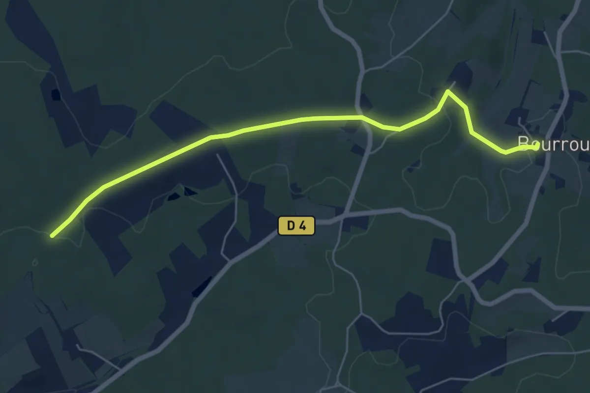
Easy · Trail
Liaison Villamblard - Bourrou
5.9 km · ↑ 79 m · 1 h 33 min · 12 km away
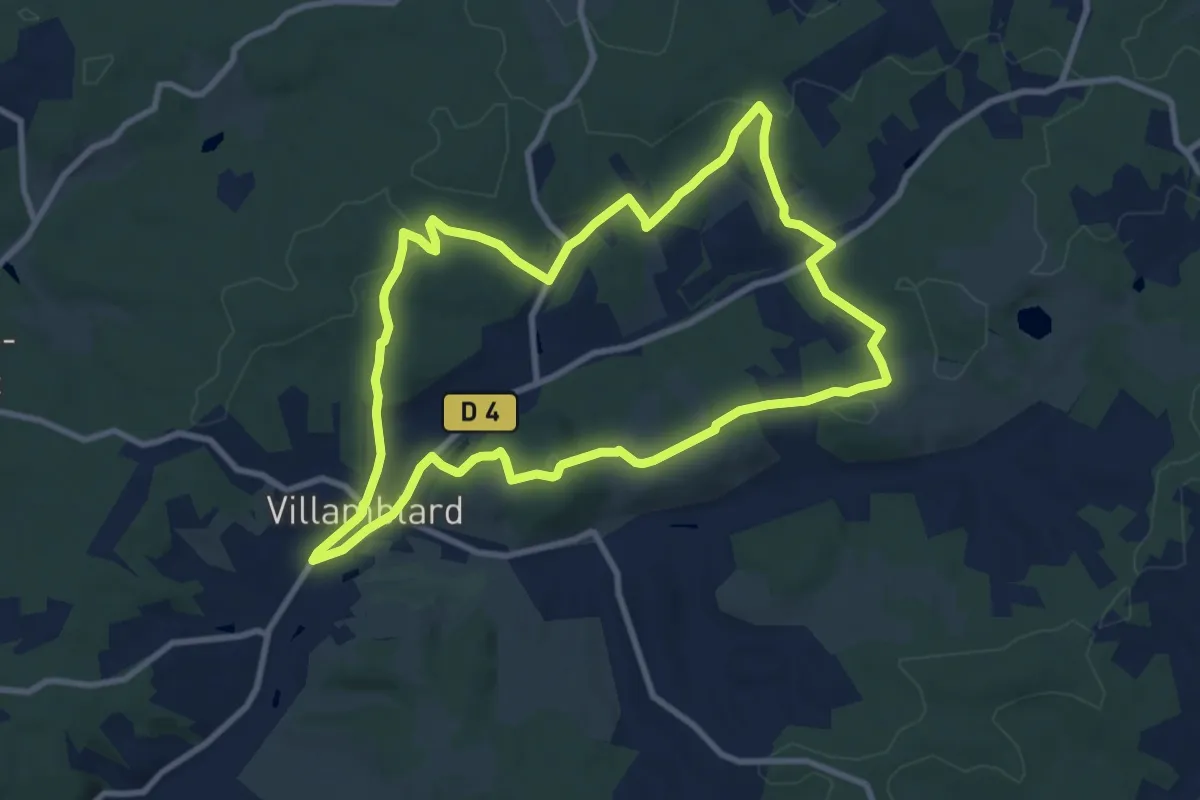
Medium · Trail
Boucle des crètes
9.7 km · ↑ 190 m · 2 h 50 min · 12 km away
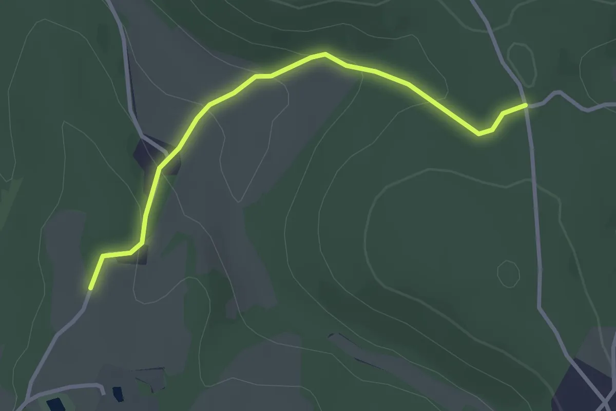
Easy · Trail
Liaison
2.9 km · ↑ 105 m · 55 min · 13 km away
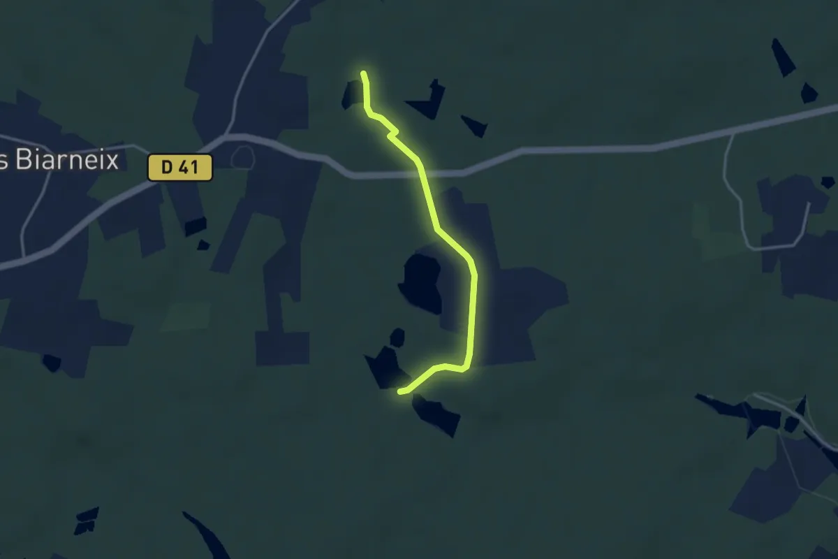
Easy · Trail
Liaison St-Vincent-de-Connezac - St-Jean-d'Ataux
2.9 km · ↑ 16 m · 44 min · 13 km away
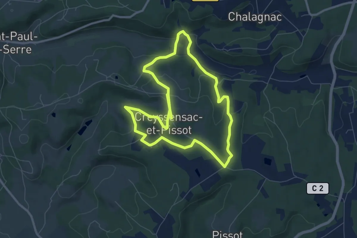
Medium · Trail
Boucle des écureuils
14.3 km · ↑ 312 m · 4 h 3 min · 13 km away
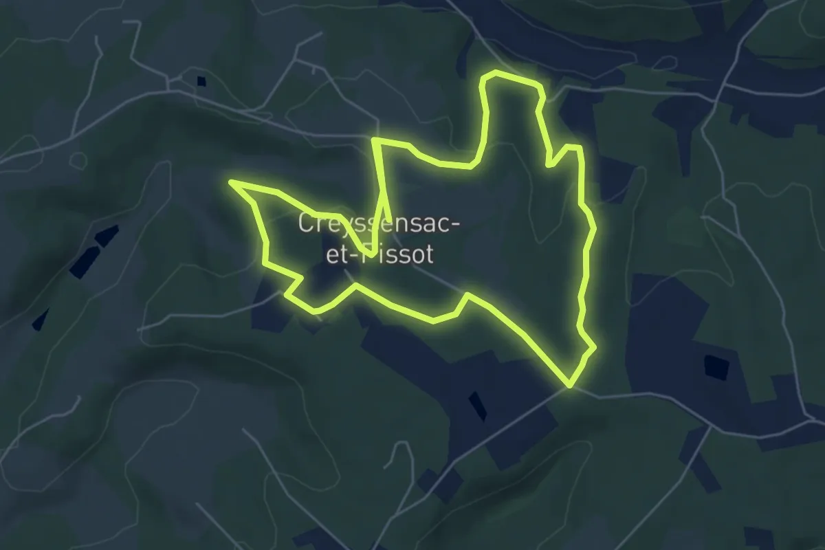
Medium · Trail
Boucle des écureuils (Variante)
11.9 km · ↑ 247 m · 3 h 20 min · 13 km away
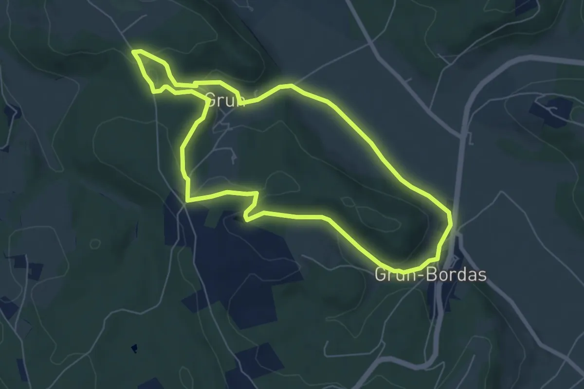
Easy · Trail
Boucle de Grun
6.3 km · ↑ 146 m · 1 h 53 min · 13 km away
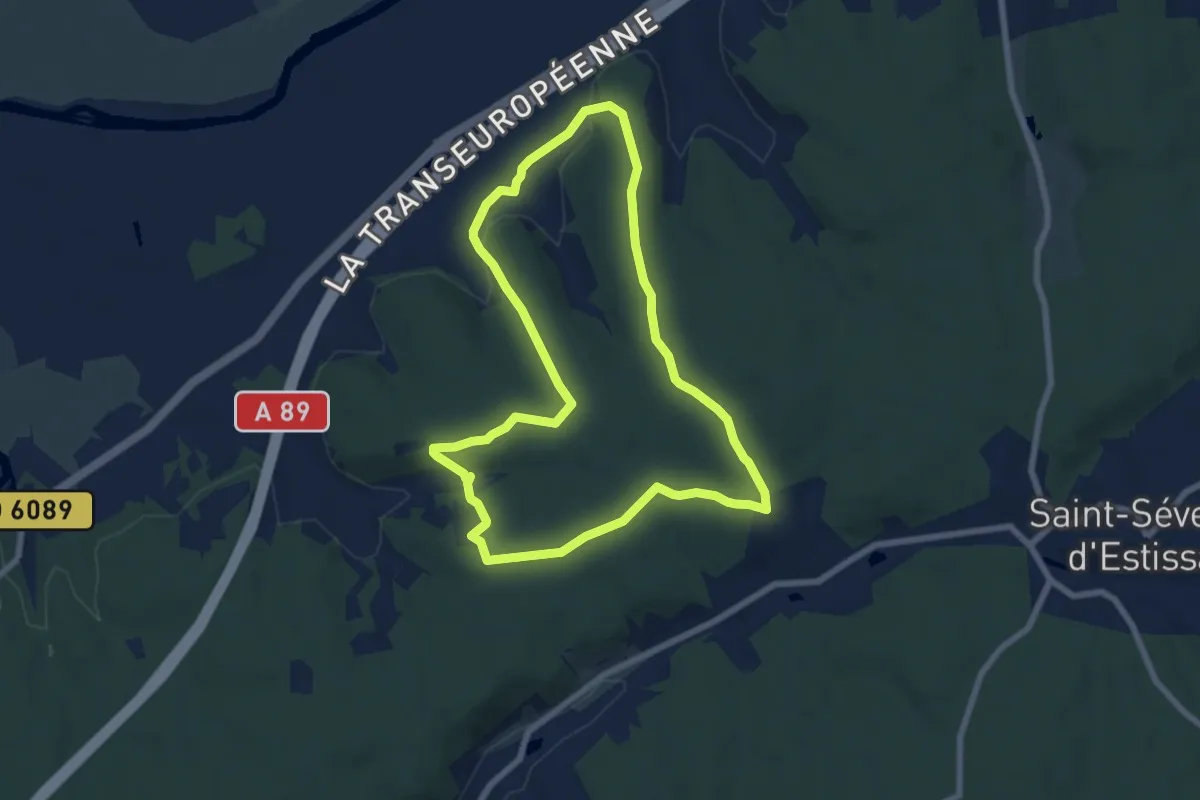
Easy · Trail
Boucle des 3 Fontaines
7.2 km · ↑ 129 m · 2 h 5 min · 13 km away
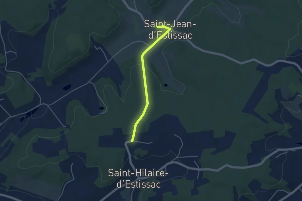
Easy · Trail
Liaison
3.3 km · ↑ 56 m · 54 min · 13 km away
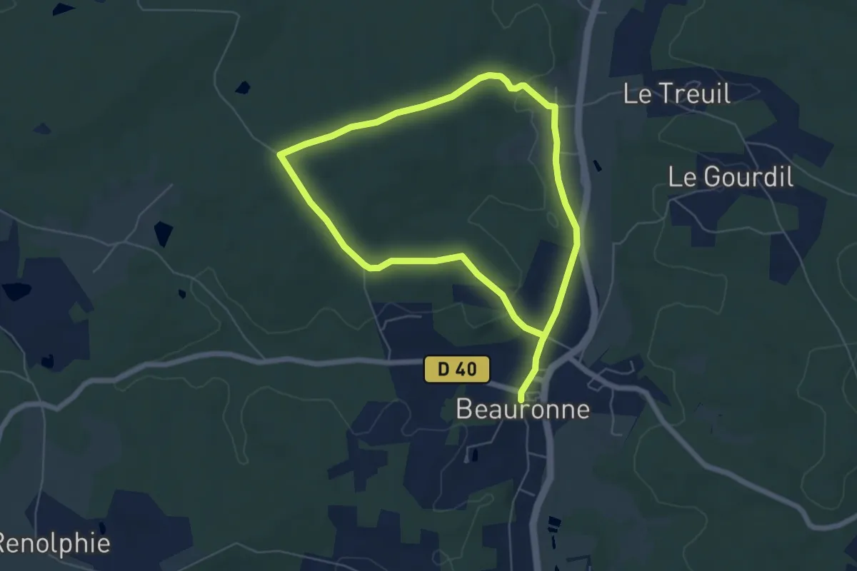
Medium · Trail
Boucle de Maine Moulin
10.4 km · ↑ 161 m · 2 h 49 min · 13 km away
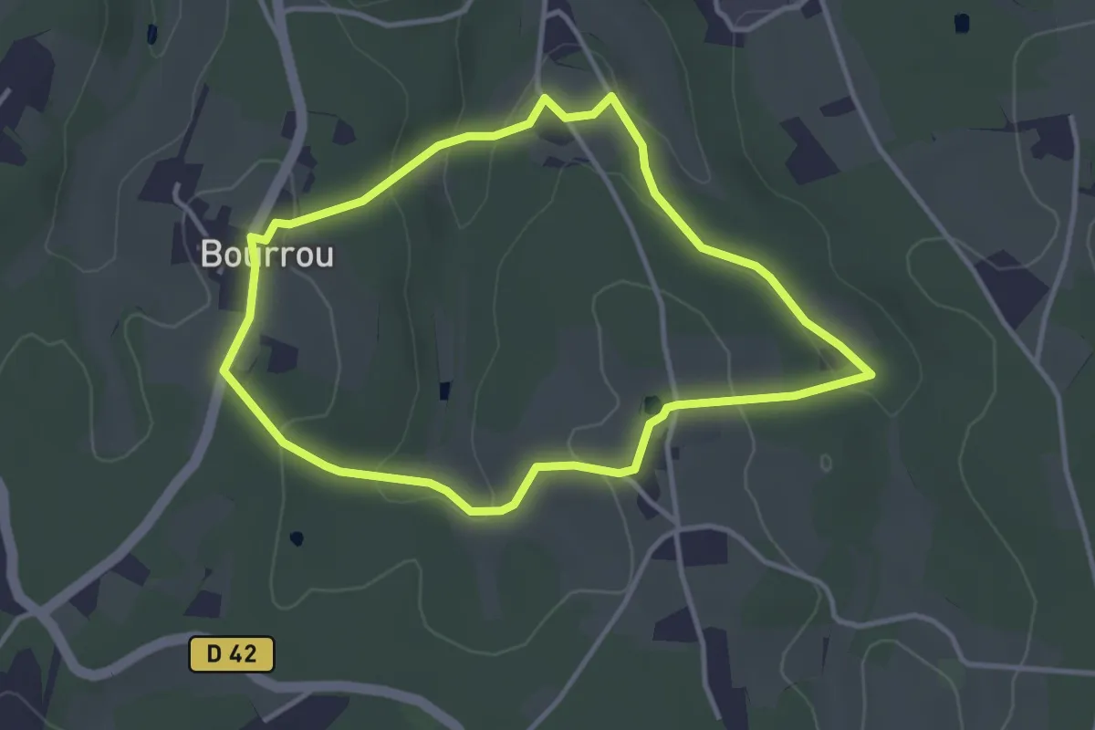
Easy · Trail
Boucle du Land'Art
3.4 km · ↑ 83 m · 1 h 2 min · 13 km away
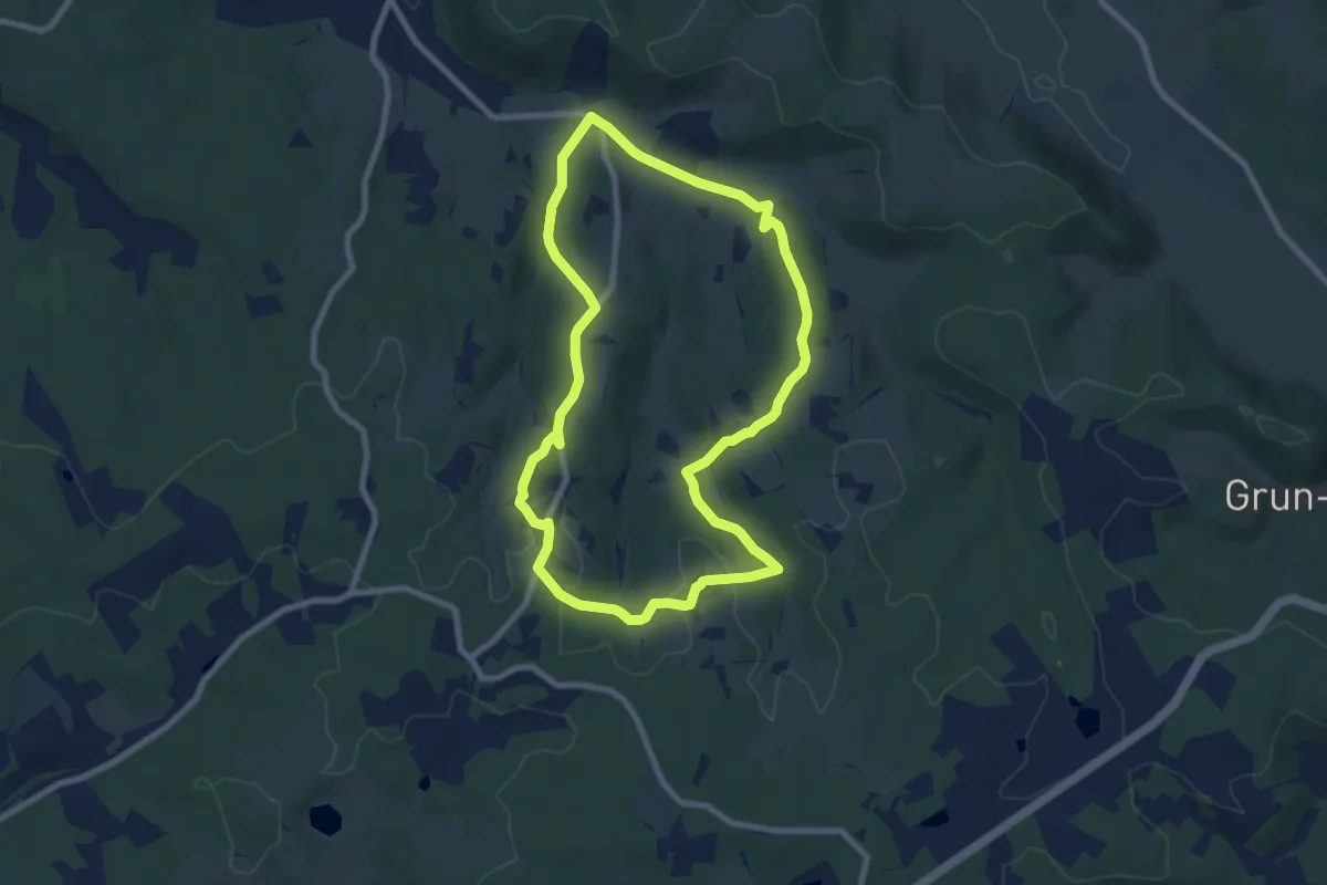
Medium · Trail
Boucle de Chante Coucou
8.0 km · ↑ 170 m · 2 h 22 min · 13 km away
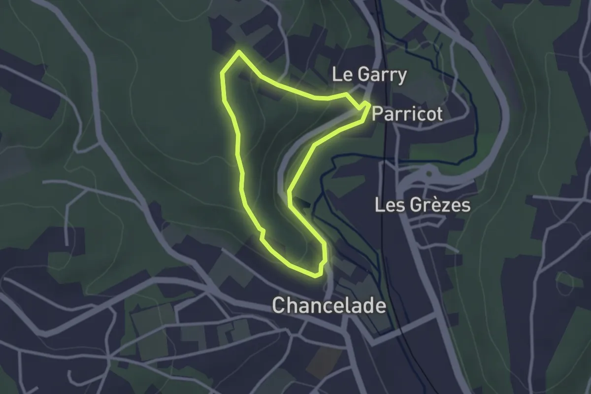
Easy · Trail
Boucle de l'Abbaye
2.2 km · ↑ 69 m · 42 min · 13 km away
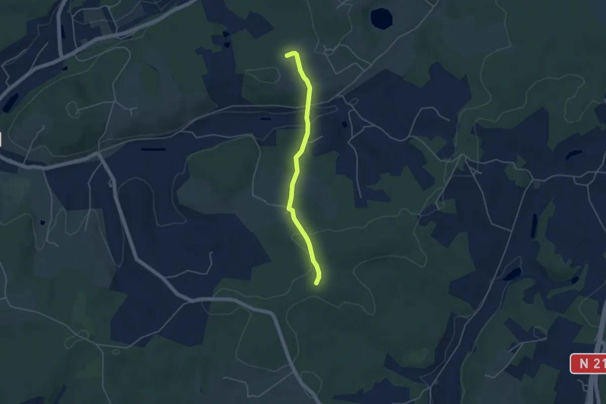
Easy · Trail
Liaison Douville - Villamblard
4.0 km · ↑ 97 m · 1 h 9 min · 13 km away
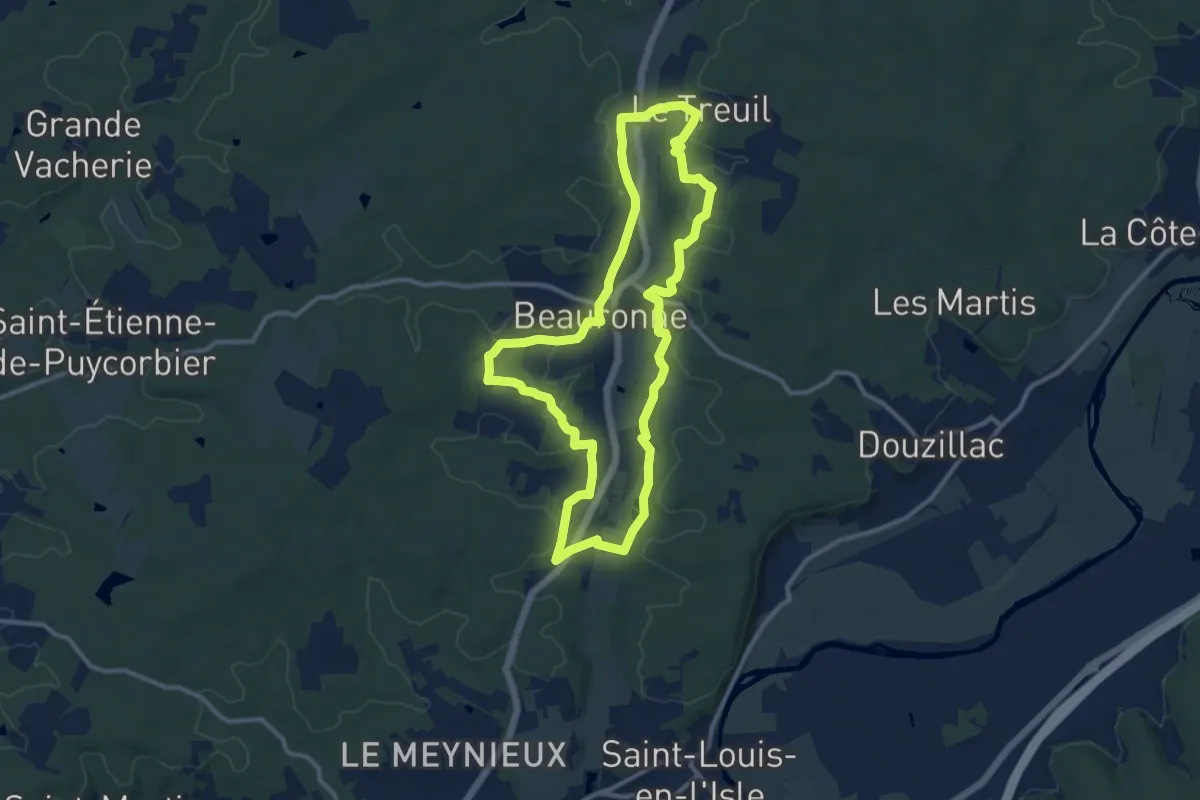
Medium · Trail
Boucle des potiers
11.2 km · ↑ 172 m · 3 h 10 min · 13 km away
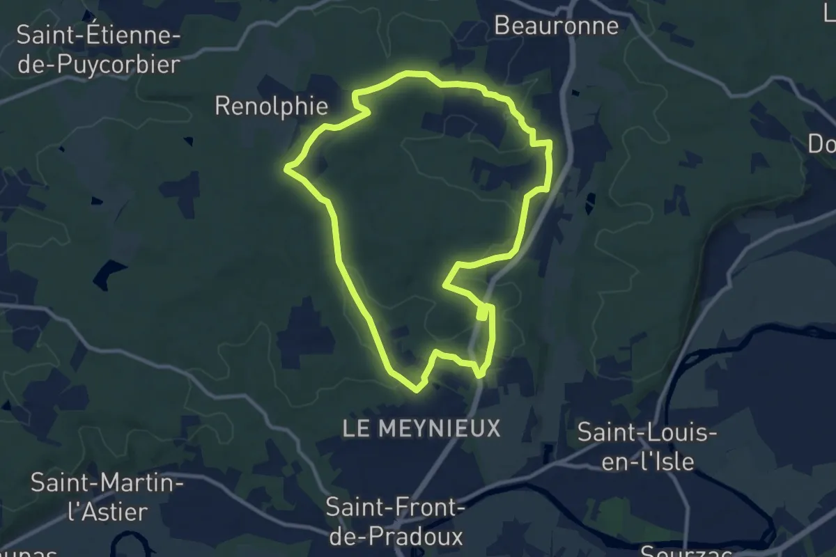
Medium · Trail
Boucle des Fontanelles
9.8 km · ↑ 127 m · 2 h 43 min · 13 km away
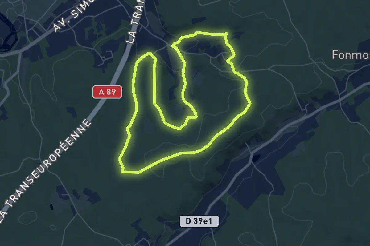
Easy · Trail
Boucle de la pate de chien
6.6 km · ↑ 134 m · 1 h 57 min · 14 km away
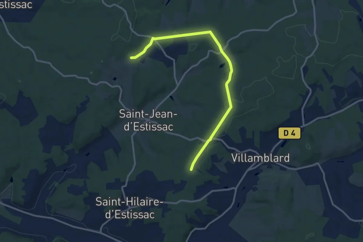
Medium · Trail
Liaison Villamblard-St-Jean-d'Estissac-St-Hilaire-d'Estissac
9.8 km · ↑ 153 m · 2 h 39 min · 14 km away
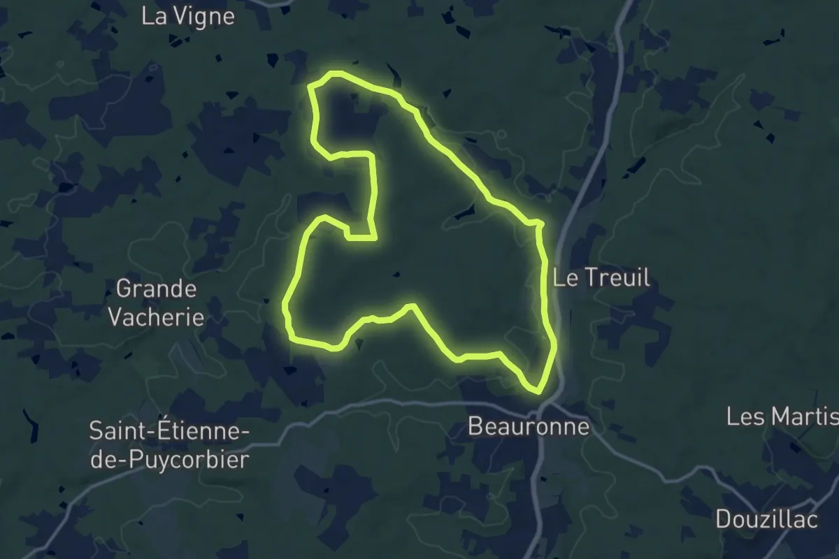
Medium · Trail
Boucle des Loubeaux
13.5 km · ↑ 137 m · 3 h 40 min · 14 km away
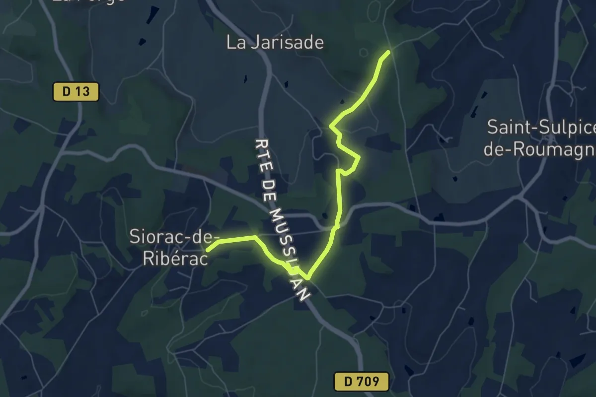
Easy · Trail
Liaison Siorac-de-Ribérac - Saint-Martin-de-Ribérac
6.5 km · ↑ 127 m · 1 h 49 min · 14 km away
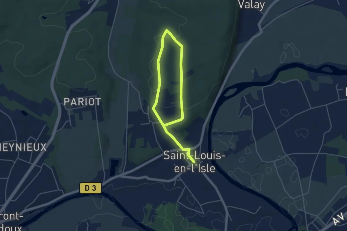
Easy · Trail
Boucle de la Caborne
6.0 km · ↑ 137 m · 1 h 42 min · 14 km away
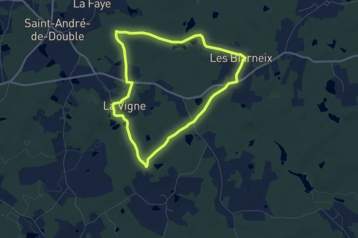
Easy · Trail
Boucle des étangs
7.0 km · ↑ 58 m · 1 h 52 min · 14 km away
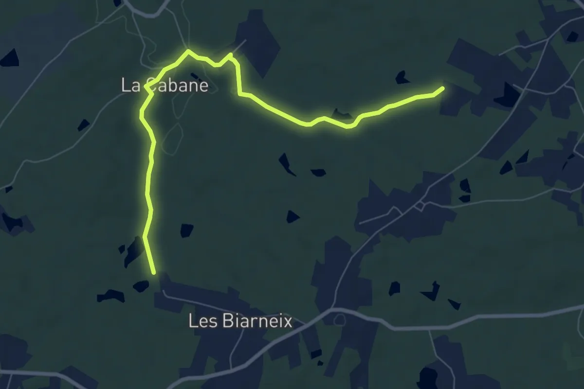
Medium · Trail
Liaison St-Vincent-de-Connezac - St-André-de-Double
8.2 km · ↑ 108 m · 2 h 10 min · 14 km away
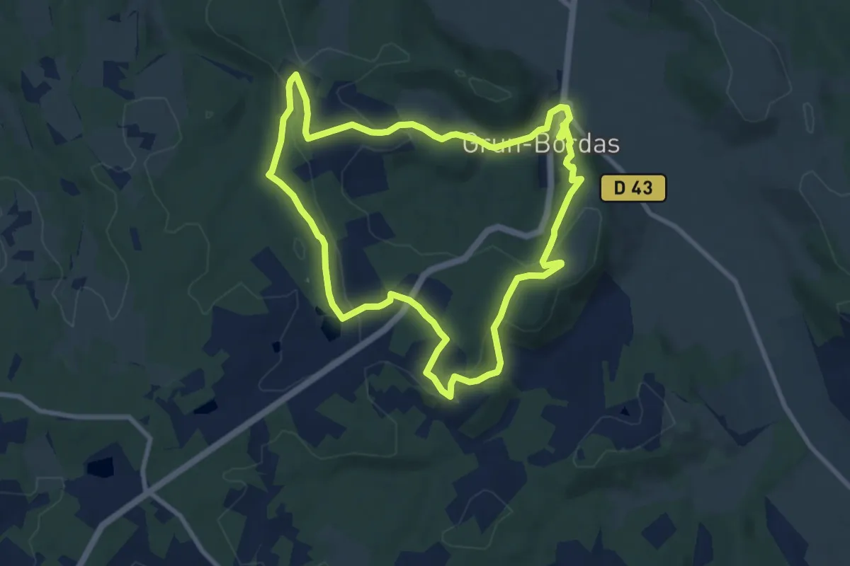
Medium · Trail
Boucle de Bordas
8.2 km · ↑ 186 m · 2 h 28 min · 14 km away
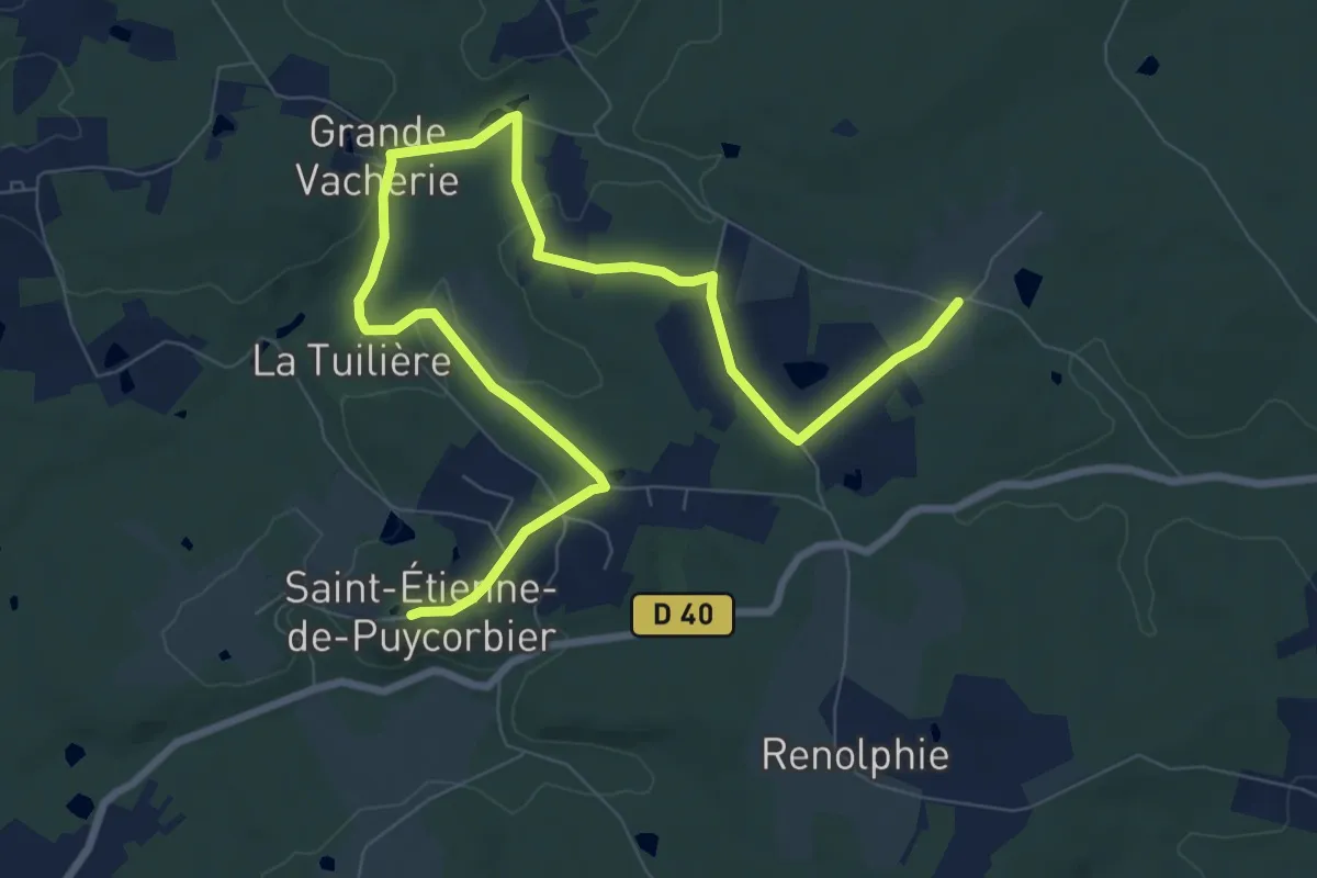
Medium · Trail
Liaison Beauronne - St-Etienne-de-Puycorbier
11.5 km · ↑ 135 m · 3 h · 15 km away
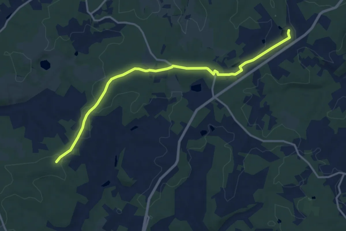
Medium · Trail
Liaison Grun-Bordas - Douville
10.5 km · ↑ 86 m · 2 h 40 min · 15 km away
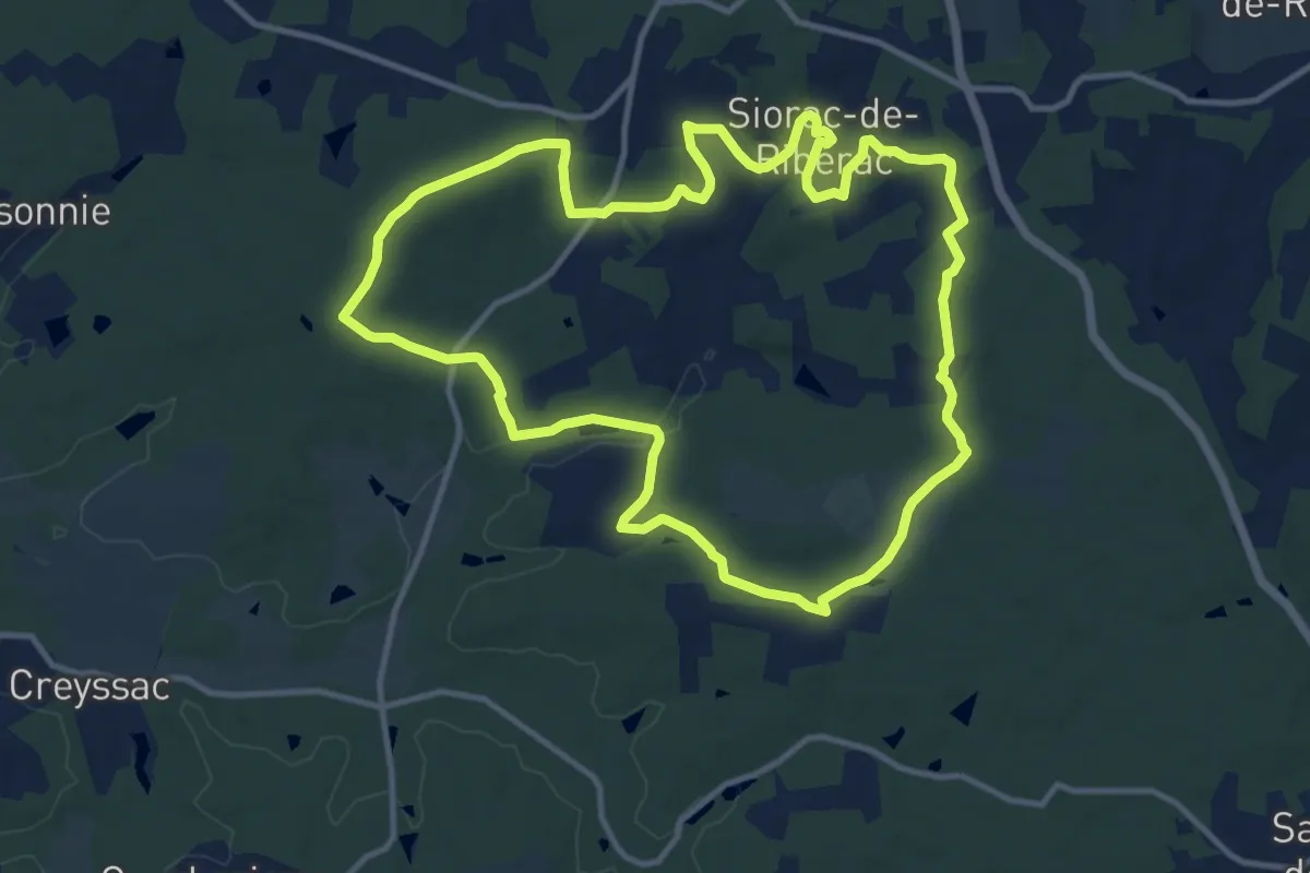
Medium · Trail
Boucle de Siorac
12.6 km · ↑ 237 m · 3 h 40 min · 15 km away
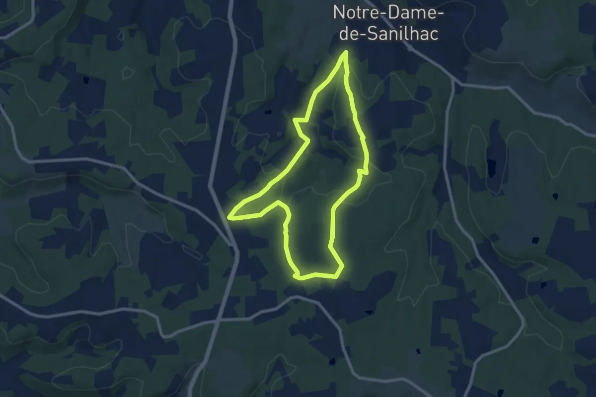
Easy · Trail
Circuit des Mottes
7.0 km · ↑ 137 m · 2 h 2 min · 15 km away
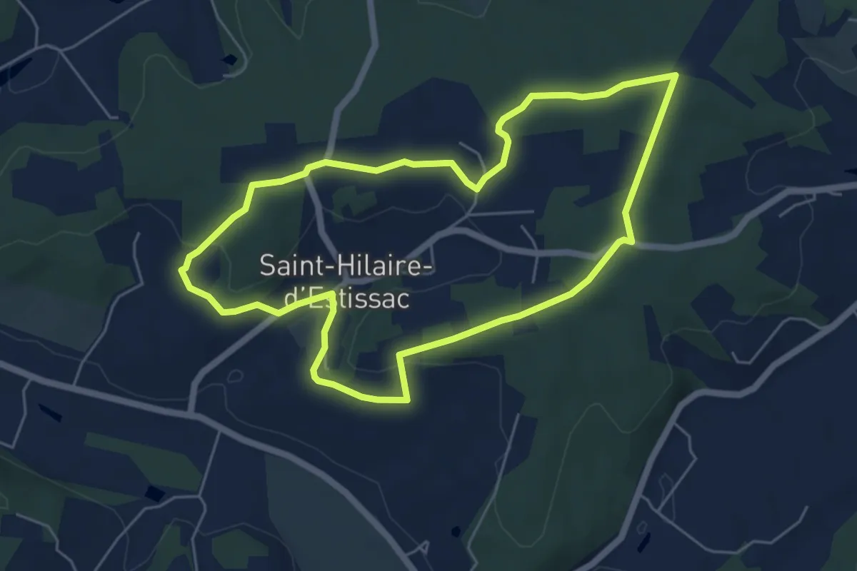
Easy · Trail
Boucle des Coteaux Crempsois
5.5 km · ↑ 84 m · 1 h 34 min · 15 km away
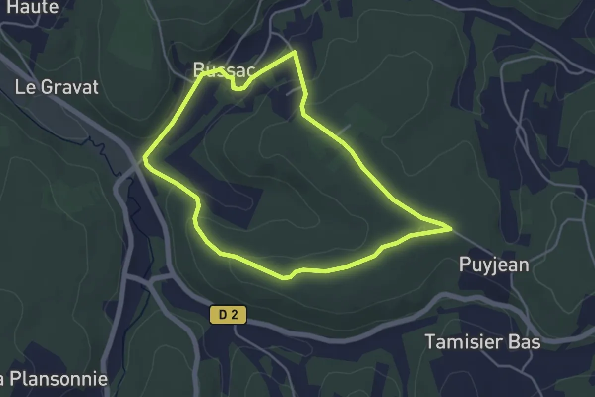
Easy · Trail
Boucle de Bussac
3.6 km · ↑ 82 m · 1 h 5 min · 15 km away