Trails near Saint-Jean-de-Maurienne
68 hikes starting within 15 km, nearest first.
Nearest first, page 1 of 2
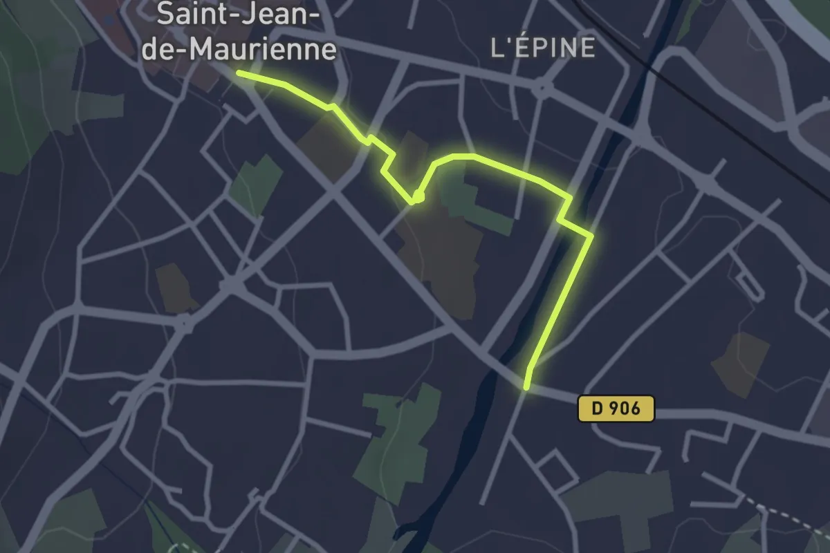
Easy · Trail
L05 - De l'OTi vers Villargondran
2.8 km · ↑ 33 m · 44 min · under 1 km away
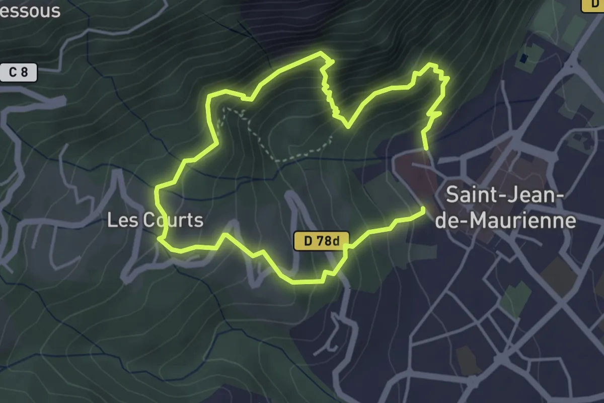
Demanding · Trail
EN03 - Les hauts de Saint-Jean-de-Maurienne
3.5 km · ↑ 345 m · 1 h 36 min · under 1 km away
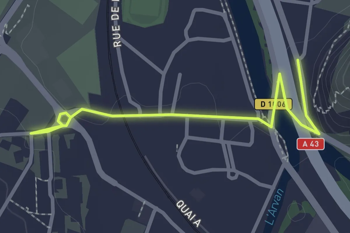
Easy · Trail
L04 - De l'OTi à l'Echaillon
2.5 km · ↑ 32 m · 40 min · 1 km away
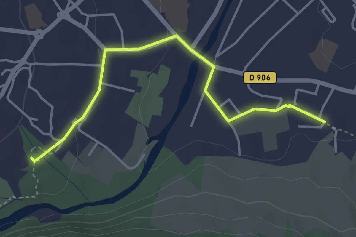
Easy · Trail
L06 - Boucle du Mont l'Évêque - Traversée de Saint-Jean-de-Maurienne
3.5 km · ↑ 39 m · 54 min · 1 km away
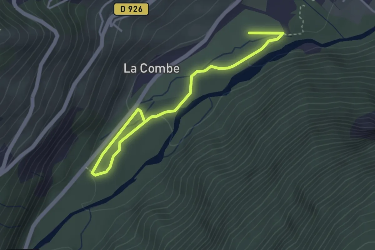
Easy · Trail
EN04 - Au fil de l'Arvan
2.0 km · ↑ 36 m · 34 min · 1 km away
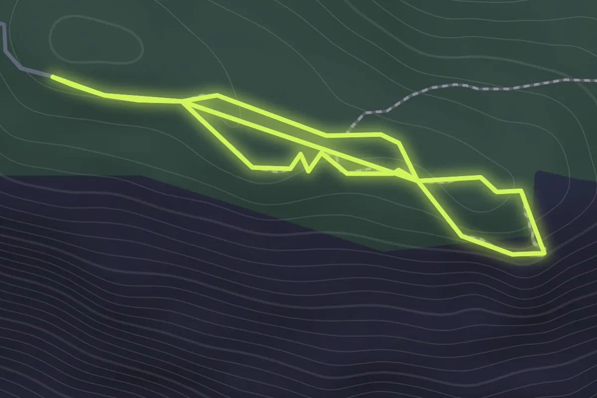
Easy · Trail
Sentier Botanique du Sapey
1.3 km · ↑ 49 m · 25 min · 2 km away
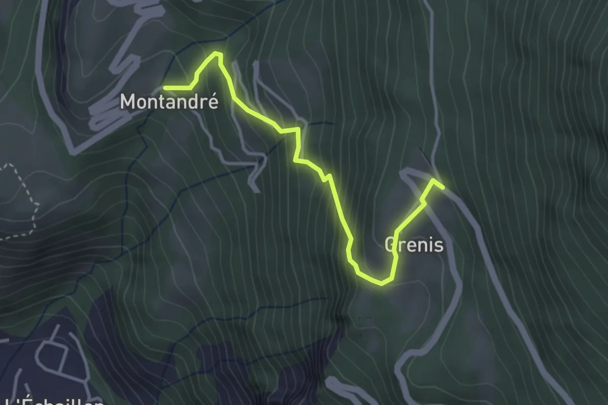
Medium · Trail
B08 - Le tour des hameaux de Montandré, Champessuit et Grenis
1.7 km · ↑ 364 m · 1 h 2 min · 2 km away
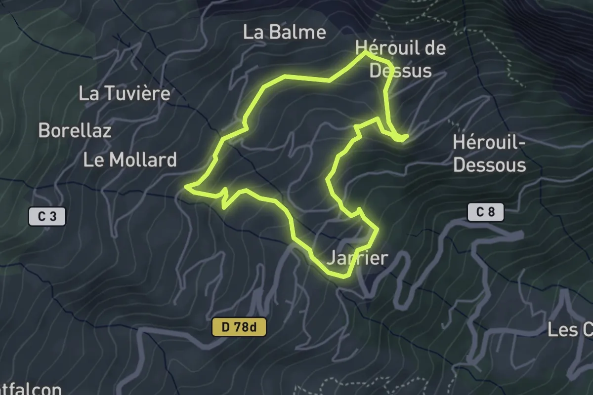
Medium · Trail
Sentier des Prairies Fleuries
3.8 km · ↑ 237 m · 1 h 27 min · 3 km away
Medium · Trail
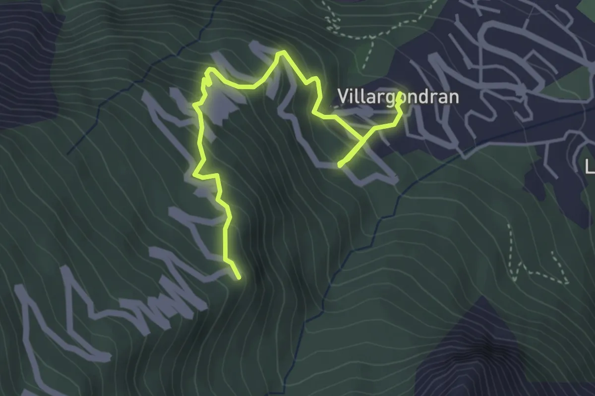
B13 - Malpasset
2.2 km · ↑ 363 m · 1 h 10 min · 3 km away
Medium · Trail
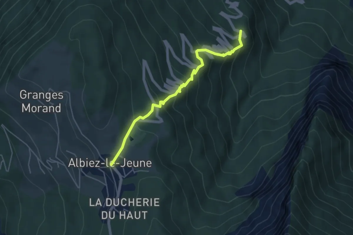
S17 - Boucle du Mont l'Évêque - De Villargondran vers Albiez-le-Jeune
4.5 km · ↑ 397 m · 1 h 55 min · 3 km away
Demanding · Trail
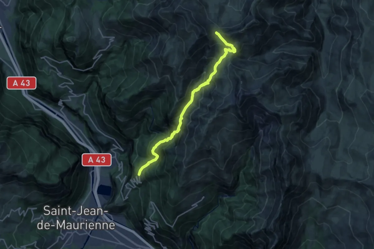
S09 - De Champessuit au Col du Châtelard
17.8 km · ↑ 1511 m · 7 h 28 min · 3 km away
Medium · Trail
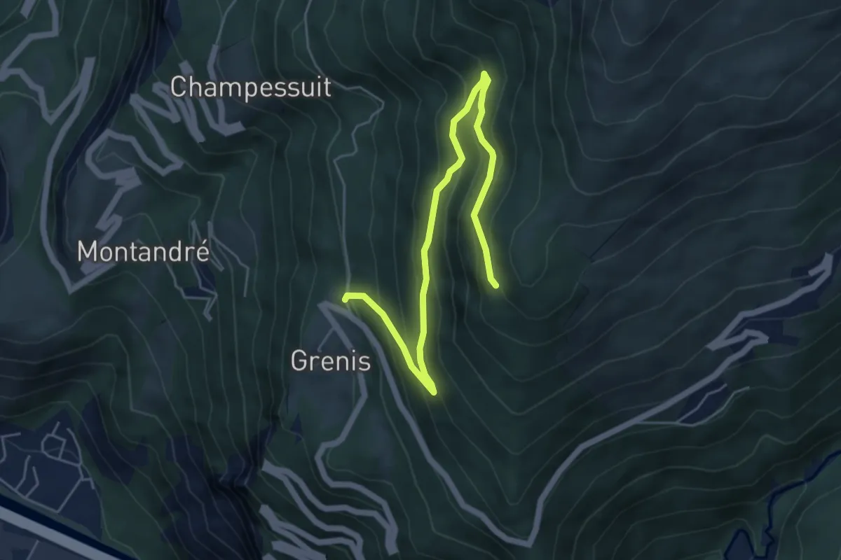
S12 - De Grenis à Montdenis
5.9 km · ↑ 479 m · 2 h 26 min · 3 km away
Medium · Trail
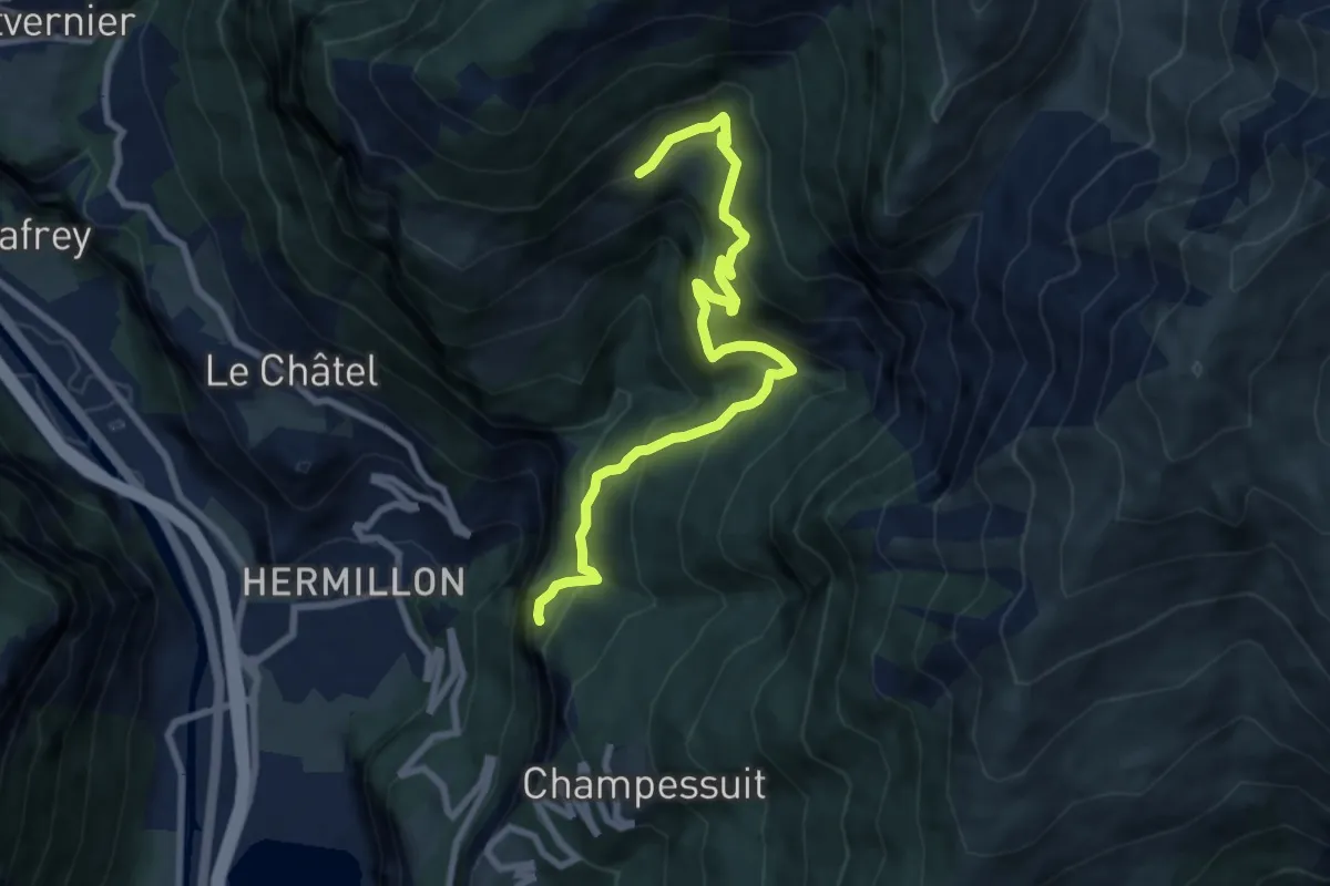
S07 - Des Grangettes à Saint-Jacques
8.9 km · ↑ 717 m · 3 h 39 min · 3 km away
Easy · Trail
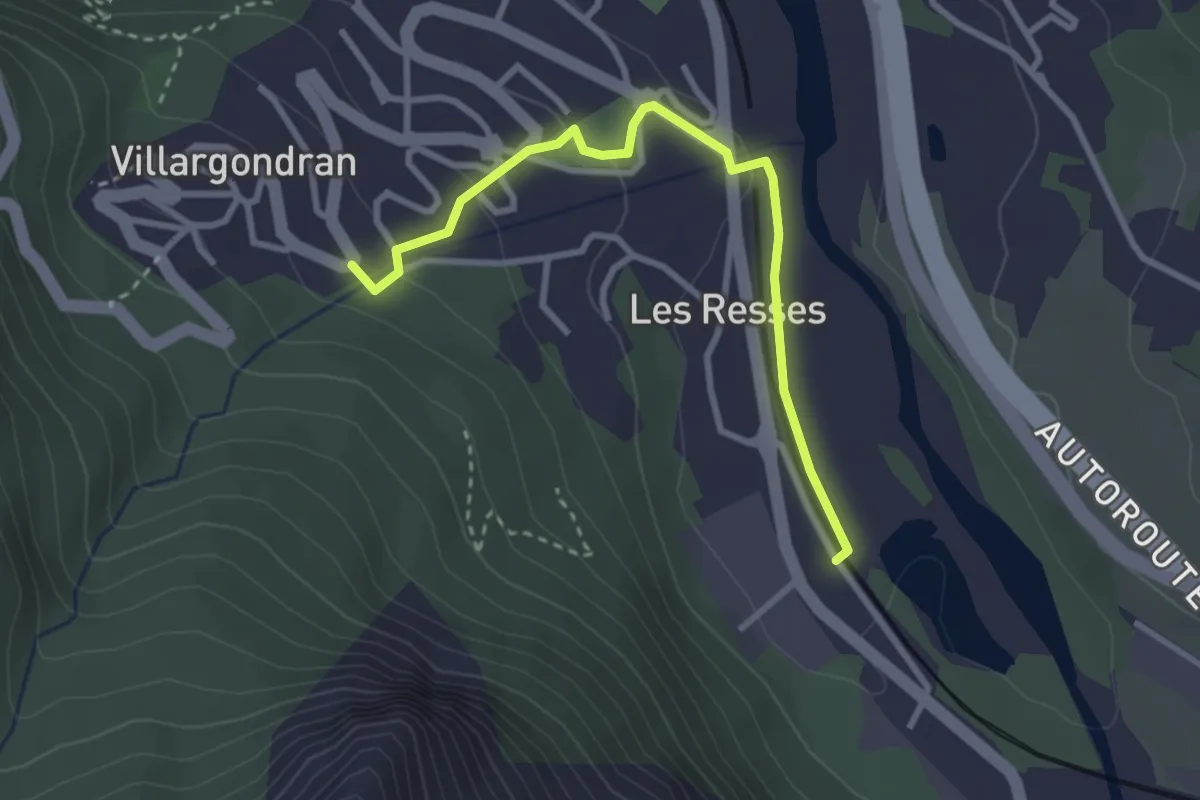
EN05 - Les Resses d'en bas
1.6 km · ↑ 0 m · 26 min · 3 km away
Easy · Trail
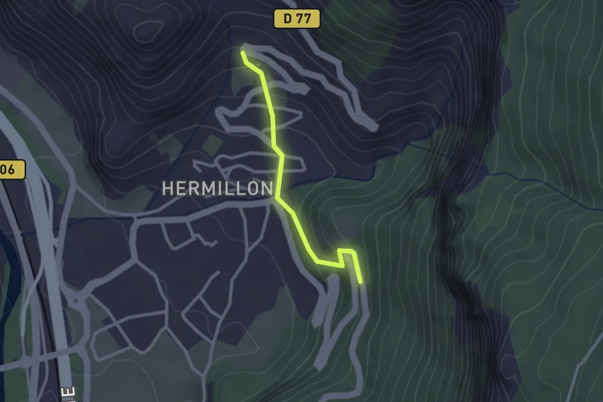
S05 - Traversée d'Hermillon
2.0 km · ↑ 143 m · 48 min · 3 km away
Easy · Trail
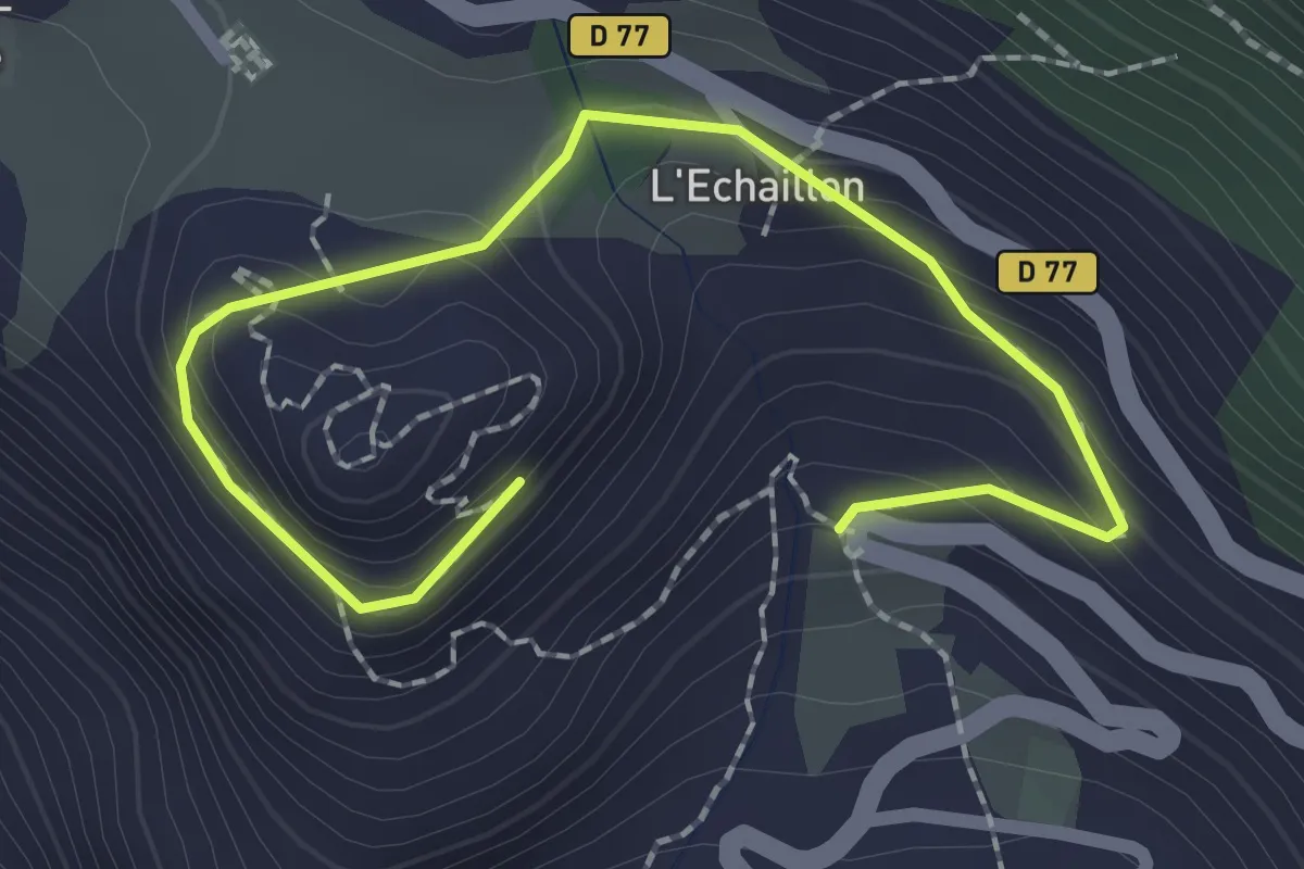
EN01 - Le berceau de la Maison de Savoie
1.3 km · ↑ 119 m · 32 min · 3 km away
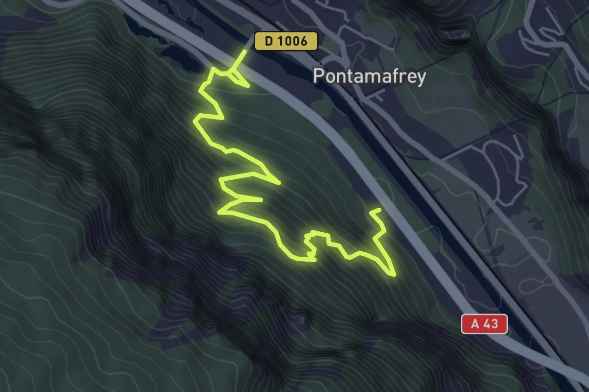
Easy · Trail
B06 - Le Balcon du Rocher aux Chamois
3.2 km · ↑ 294 m · 1 h 26 min · 3 km away
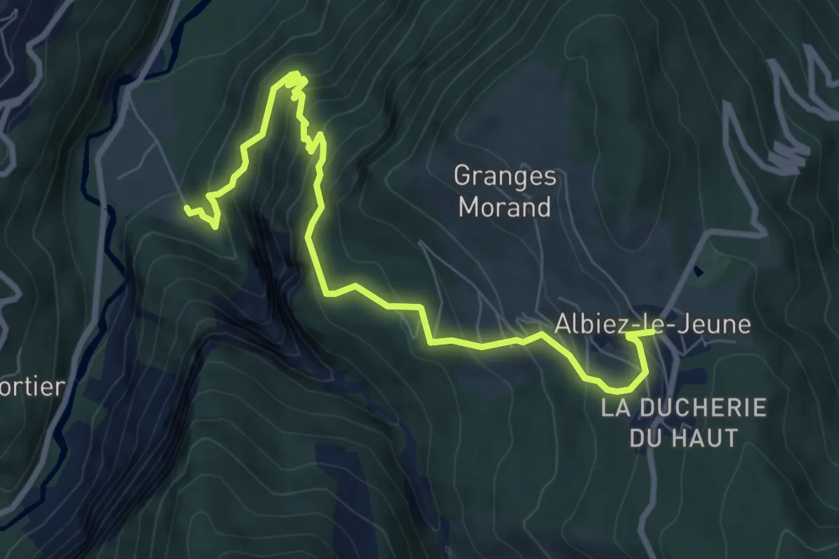
Medium · Trail
S18 - Boucle du Mont l'Évêque – De Saint-Jean-de-Maurienne vers Albiez-le-Jeune
8.5 km · ↑ 741 m · 3 h 37 min · 3 km away
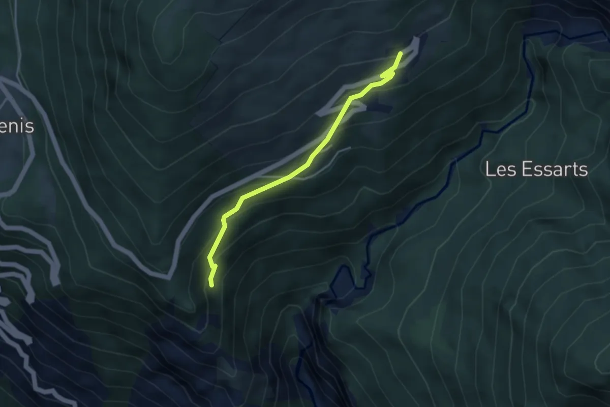
Easy · Trail
S13 - Chemin des Crêtes
3.5 km · ↑ 253 m · 1 h 22 min · 4 km away
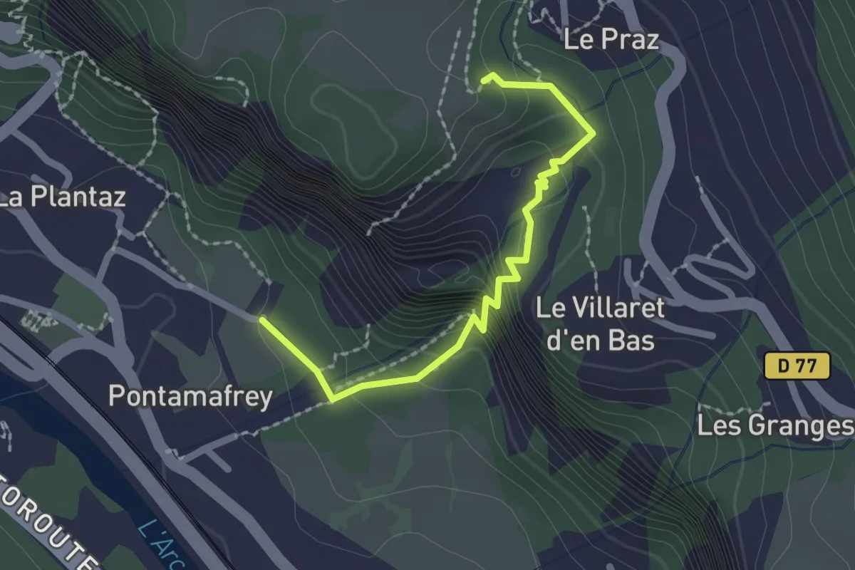
Easy · Trail
S03 - Les gorges du ruisseau de la Ravoire
2.0 km · ↑ 207 m · 55 min · 4 km away
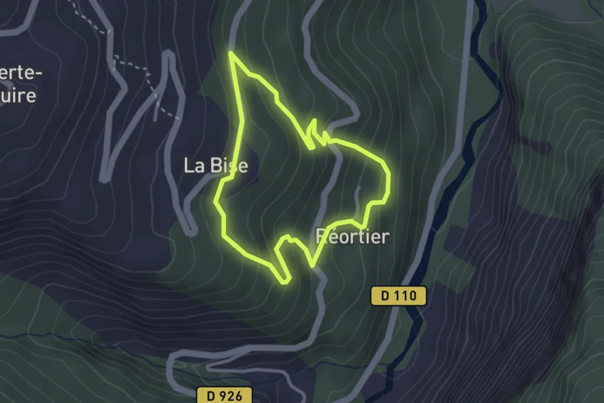
Easy · Trail
Circuit de promenade La Bise - Le Crêt
2.5 km · ↑ 194 m · 1 h 3 min · 4 km away
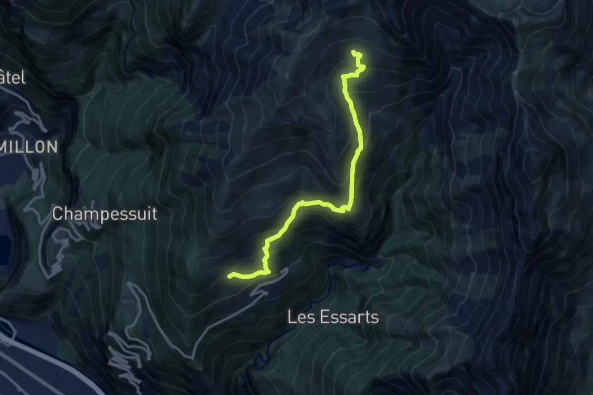
Medium · Trail
B09 - Le tour de Montdenis
4.9 km · ↑ 721 m · 2 h 28 min · 4 km away
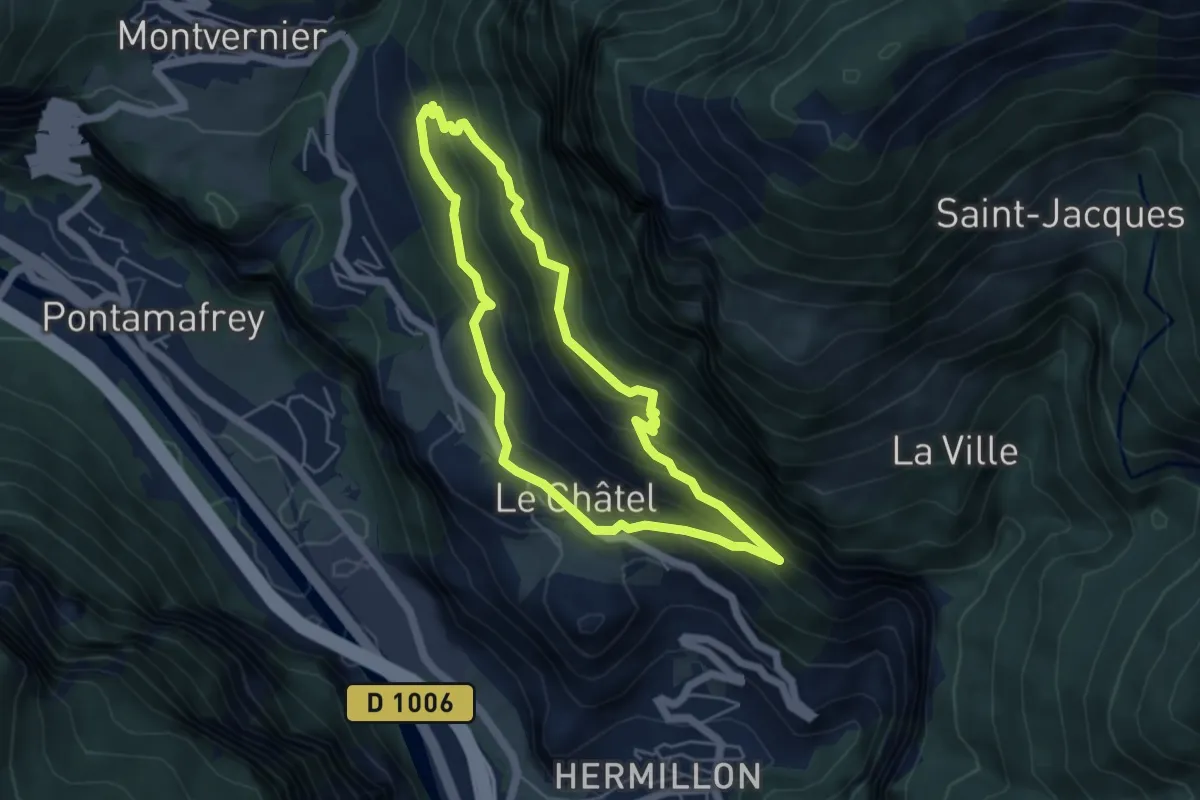
Medium · Trail
B05 - Le Balcon des Plagnes
4.6 km · ↑ 324 m · 1 h 51 min · 5 km away
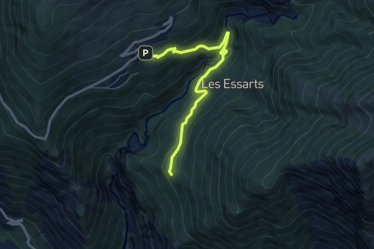
Medium · Trail
S14 - De Montdenis à Tourmentier
5.8 km · ↑ 384 m · 2 h 12 min · 5 km away
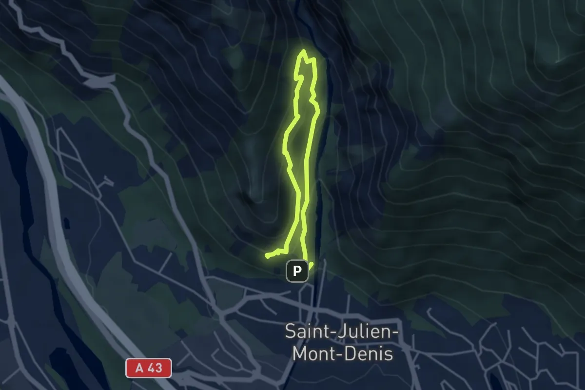
Demanding · Trail
B12 - Les Ardoisiers
2.4 km · ↑ 229 m · 1 h 5 min · 5 km away
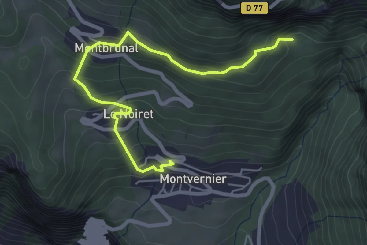
Easy · Trail
B04 - Le tour des villages de Montvernier
2.5 km · ↑ 254 m · 1 h 5 min · 5 km away
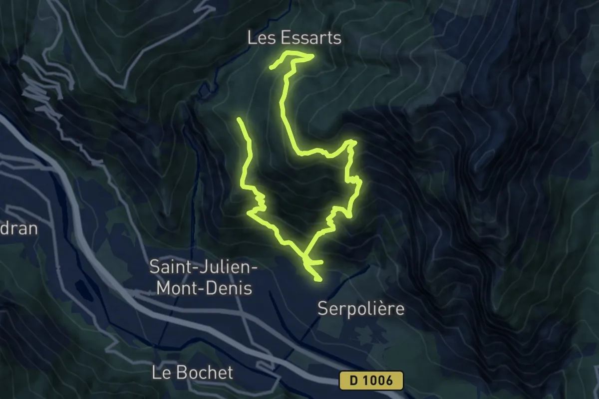
Demanding · Trail
B11 - Les Hauts de Tourmentier
8.0 km · ↑ 951 m · 4 h 1 min · 5 km away
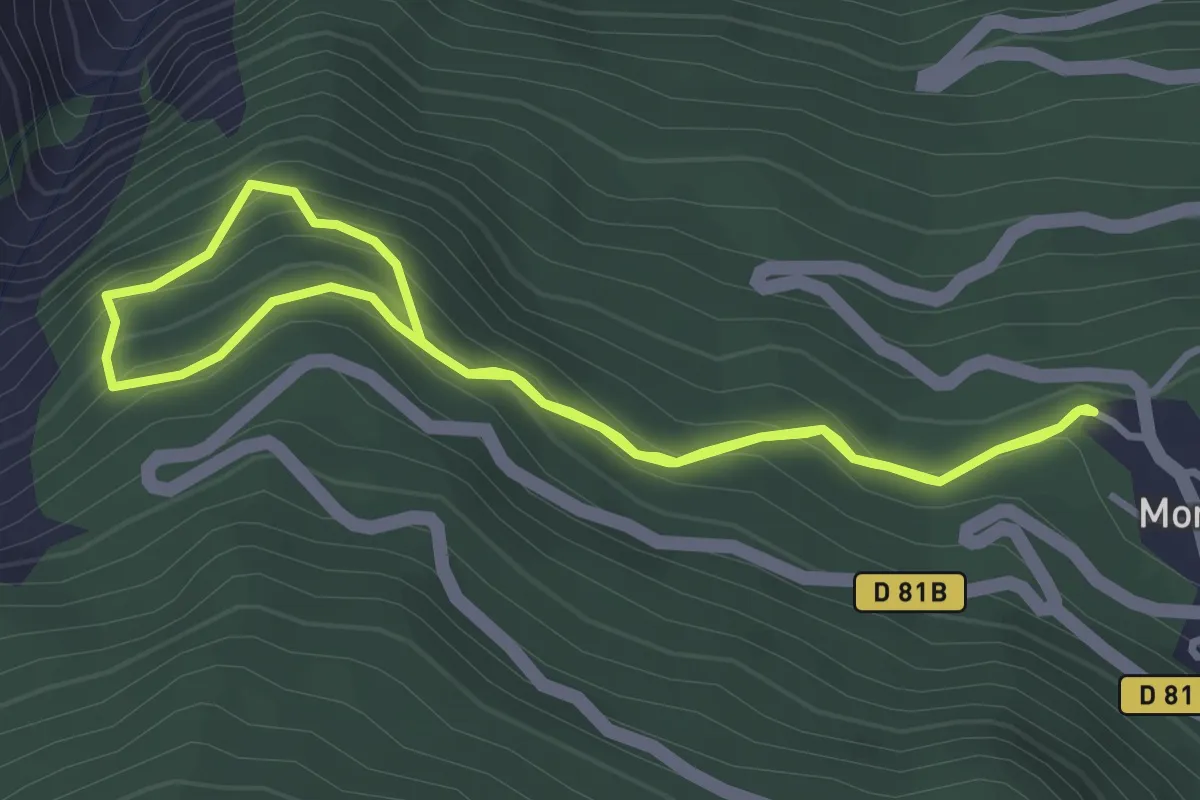
Easy · Trail
Combe de l'Oula
3.1 km · ↑ 241 m · 1 h 18 min · 6 km away
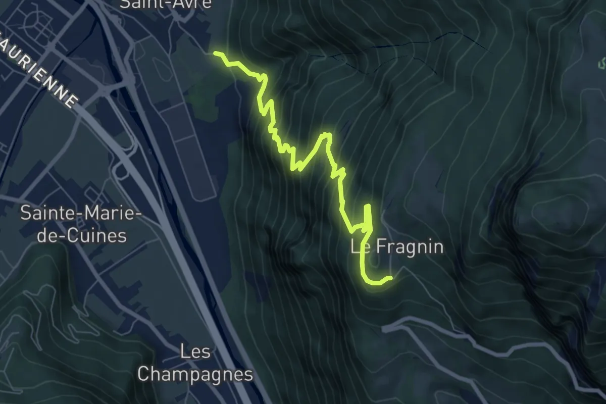
Medium · Trail
S01 - De Montvernier vers Saint-Avre
7.5 km · ↑ 769 m · 3 h 26 min · 7 km away
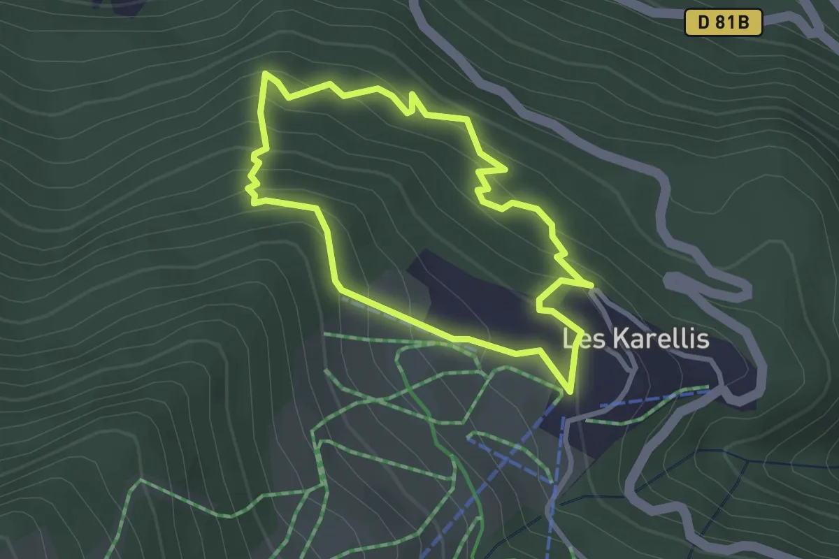
Easy · Trail
Gros Bois
2.5 km · ↑ 236 m · 1 h 9 min · 7 km away
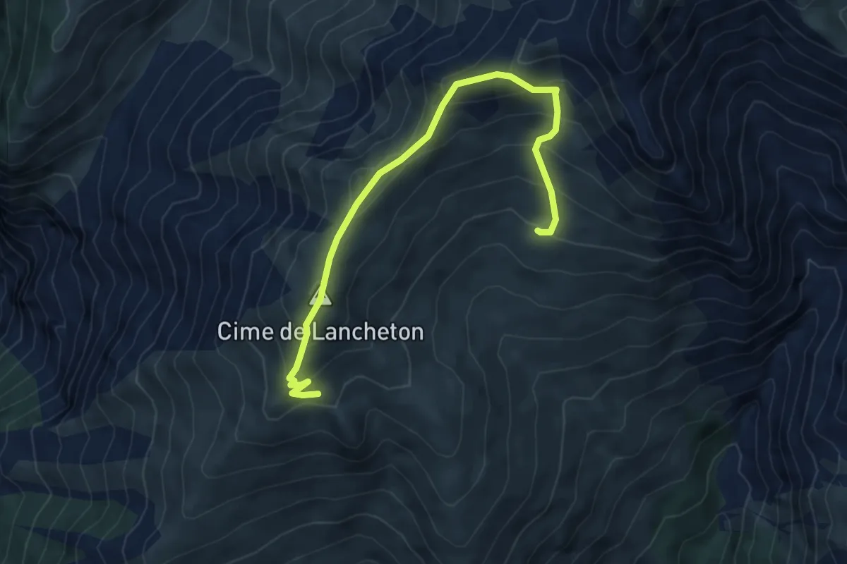
Demanding · Summit
B10 - Lancheton
3.1 km · ↑ 273 m · 1 h 20 min · 7 km away
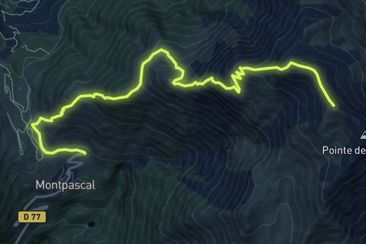
Demanding · Summit
B03 - Le Grand Coin
6.5 km · ↑ 1248 m · 3 h 44 min · 7 km away
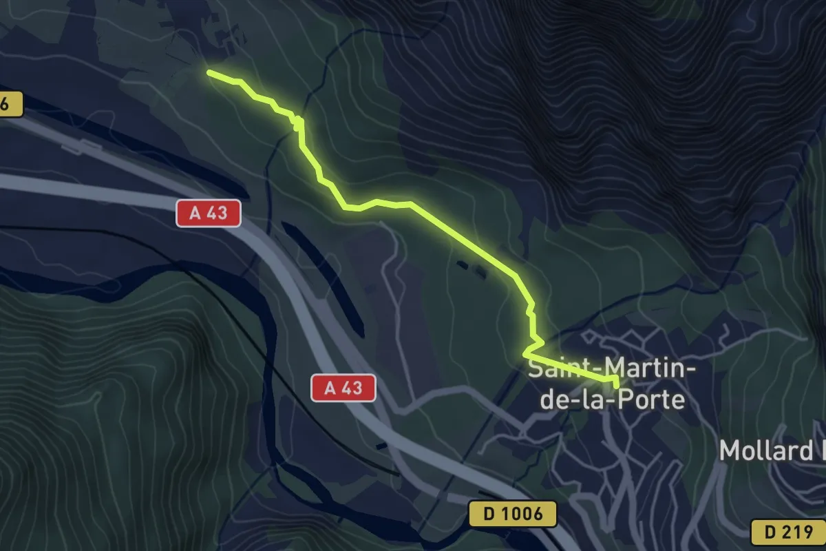
Easy · Trail
S15 - De Serpolière vers Saint-Martin-de-la-Porte
4.0 km · ↑ 123 m · 1 h 13 min · 7 km away
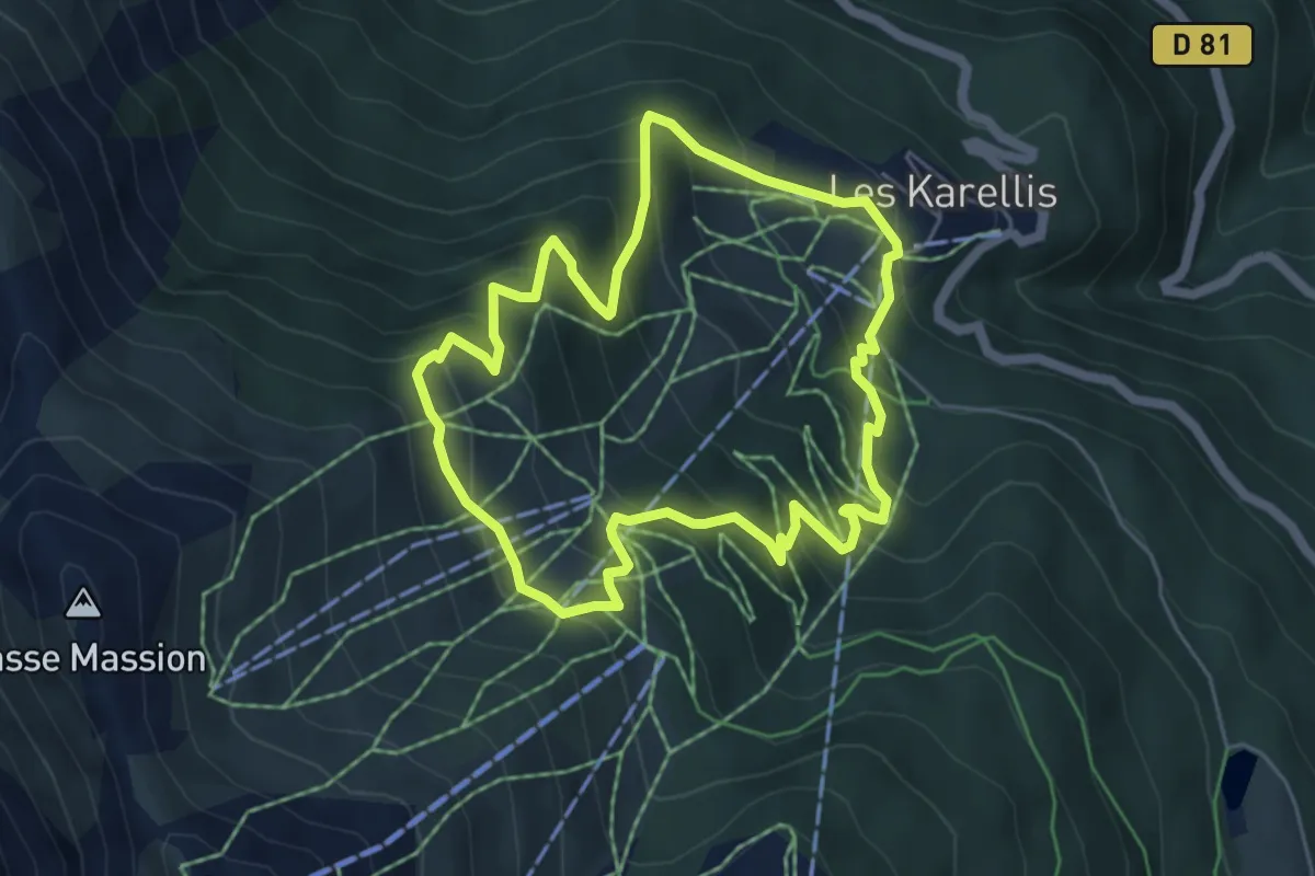
Medium · Trail
Plan du Four
5.2 km · ↑ 422 m · 2 h 13 min · 7 km away
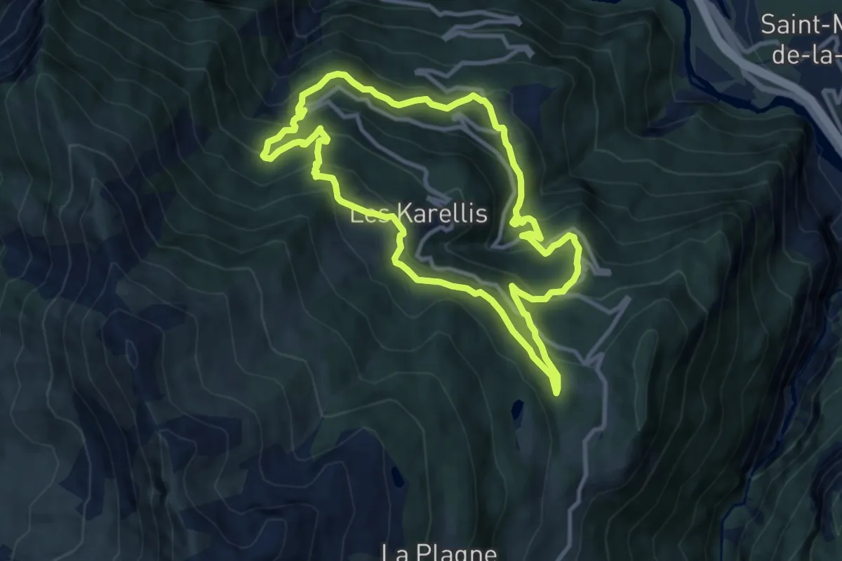
Medium · Trail
Montricher grande boucle
9.7 km · ↑ 660 m · 3 h 51 min · 7 km away
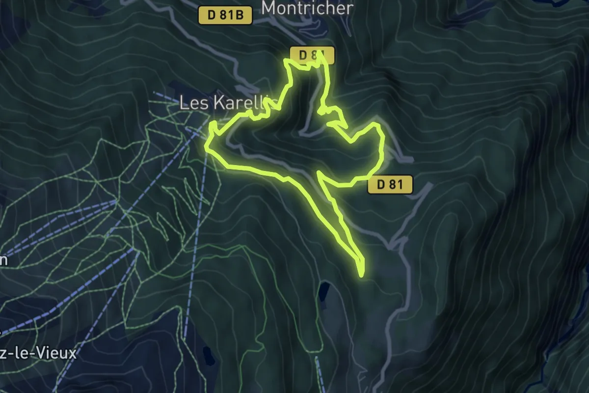
Medium · Trail
Montricher petite boucle
6.7 km · ↑ 452 m · 2 h 39 min · 7 km away
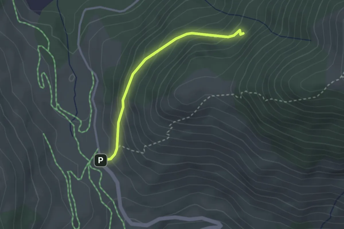
Easy · Trail
S02 - Du col du Chaussy vers Fontaine Froide
2.4 km · ↑ 186 m · 58 min · 7 km away
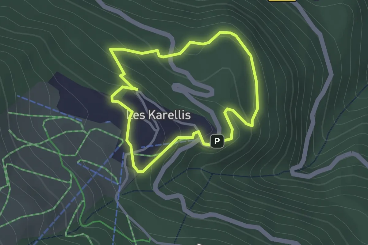
Easy · Trail
Plan Thimel
2.4 km · ↑ 147 m · 55 min · 7 km away
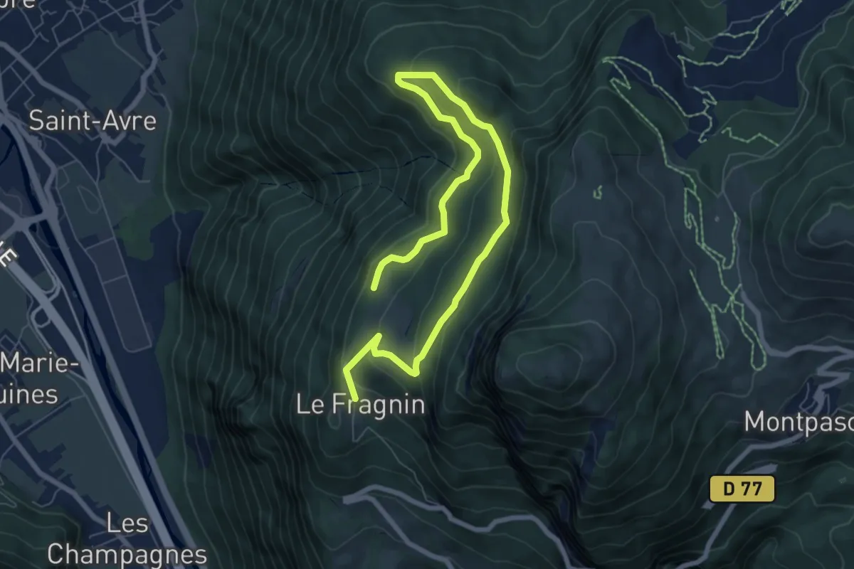
Easy · Trail
B01 - Le Plan de la Lie
4.8 km · ↑ 182 m · 1 h 37 min · 8 km away
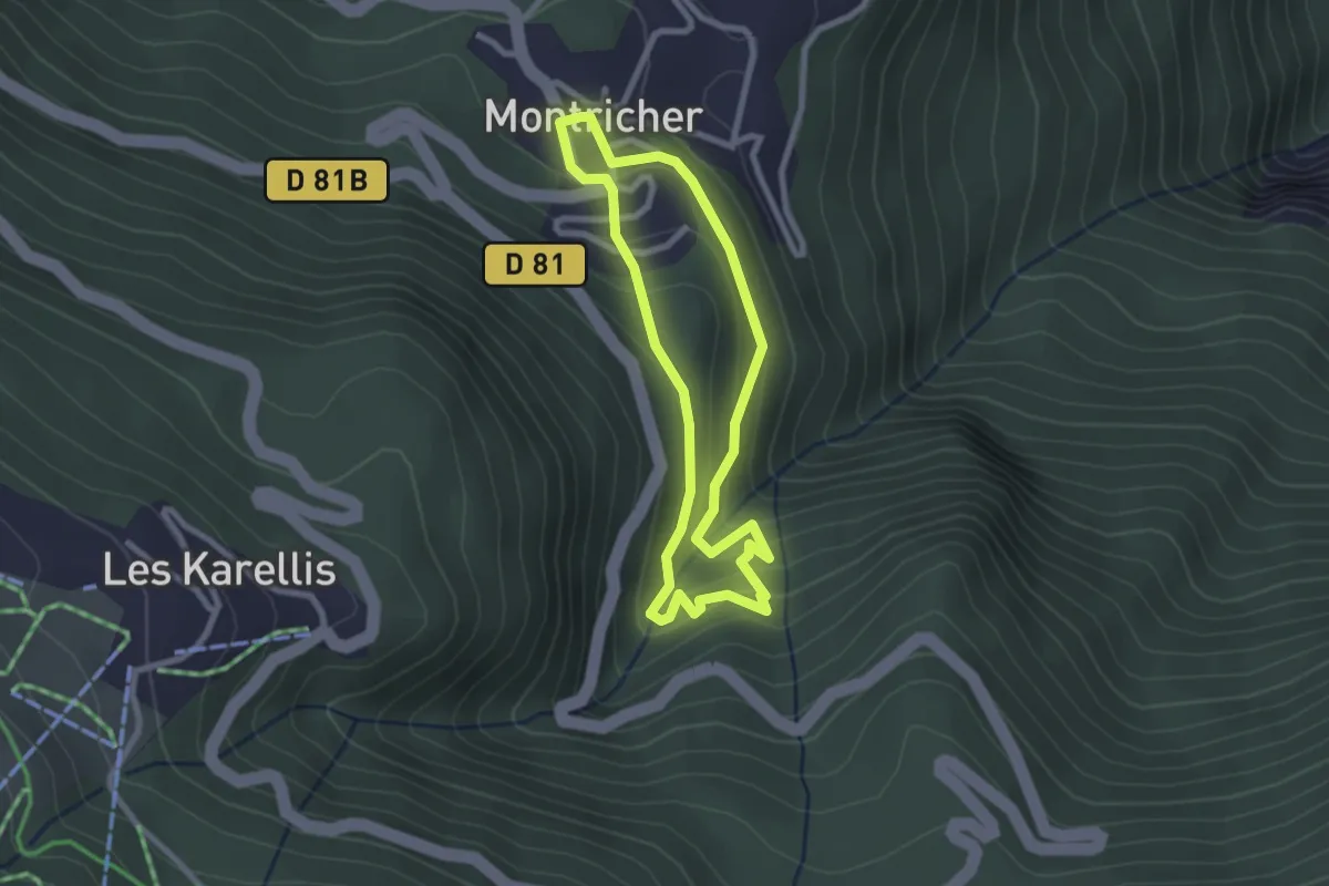
Easy · Trail
Montricher moulins & Sentier Botanique
2.4 km · ↑ 155 m · 56 min · 8 km away
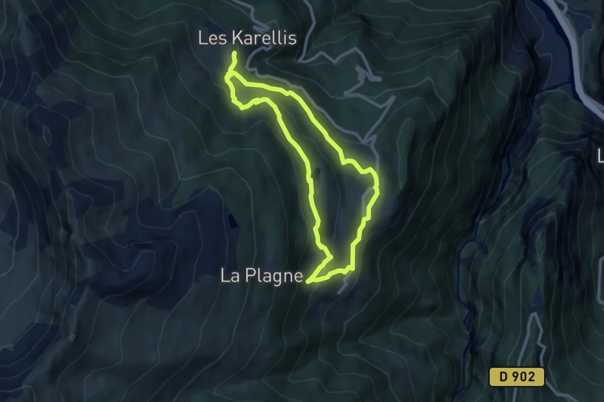
Medium · Trail
Albanne
7.2 km · ↑ 331 m · 2 h 31 min · 8 km away
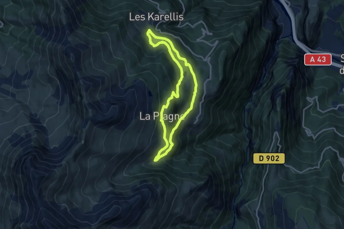
Medium · Trail
Pain de Sucre grande boucle
8.9 km · ↑ 416 m · 3 h 8 min · 8 km away
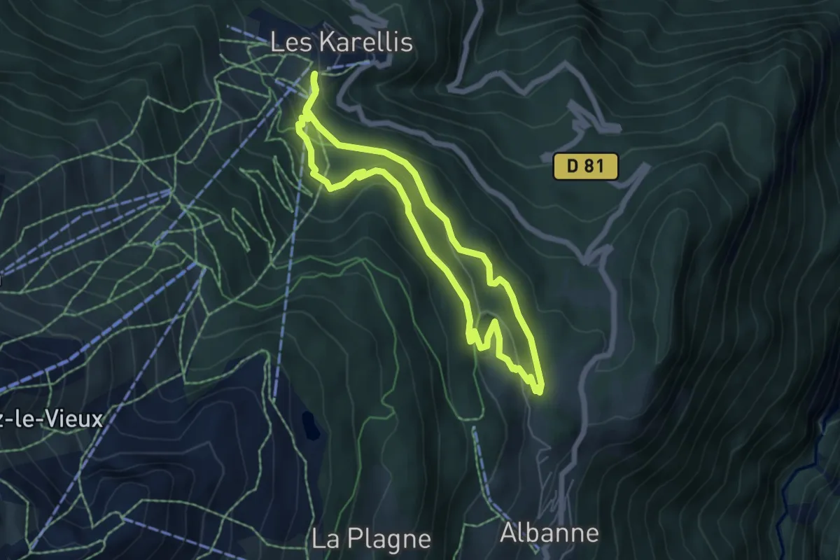
Easy · Trail
Lac de Pramol
5.1 km · ↑ 205 m · 1 h 44 min · 8 km away
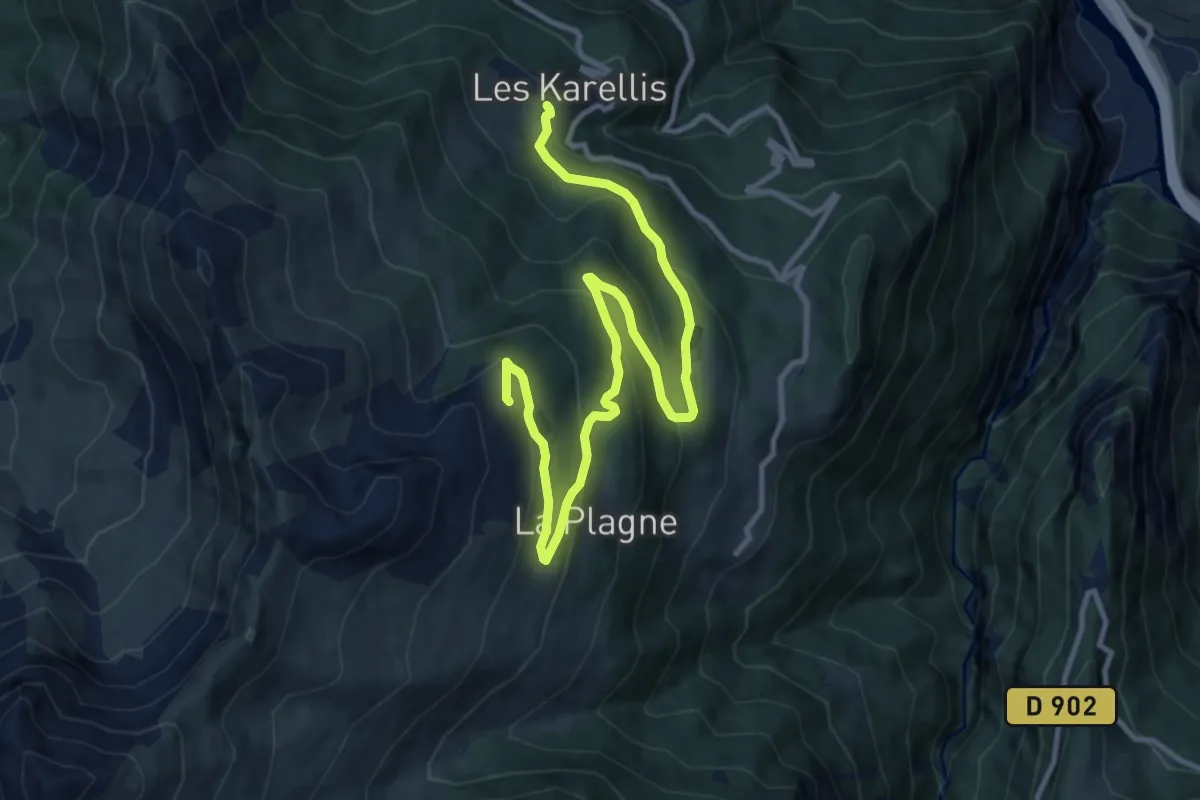
Medium · Trail
Descente Lac
13.4 km · ↑ 553 m · 4 h 22 min · 9 km away
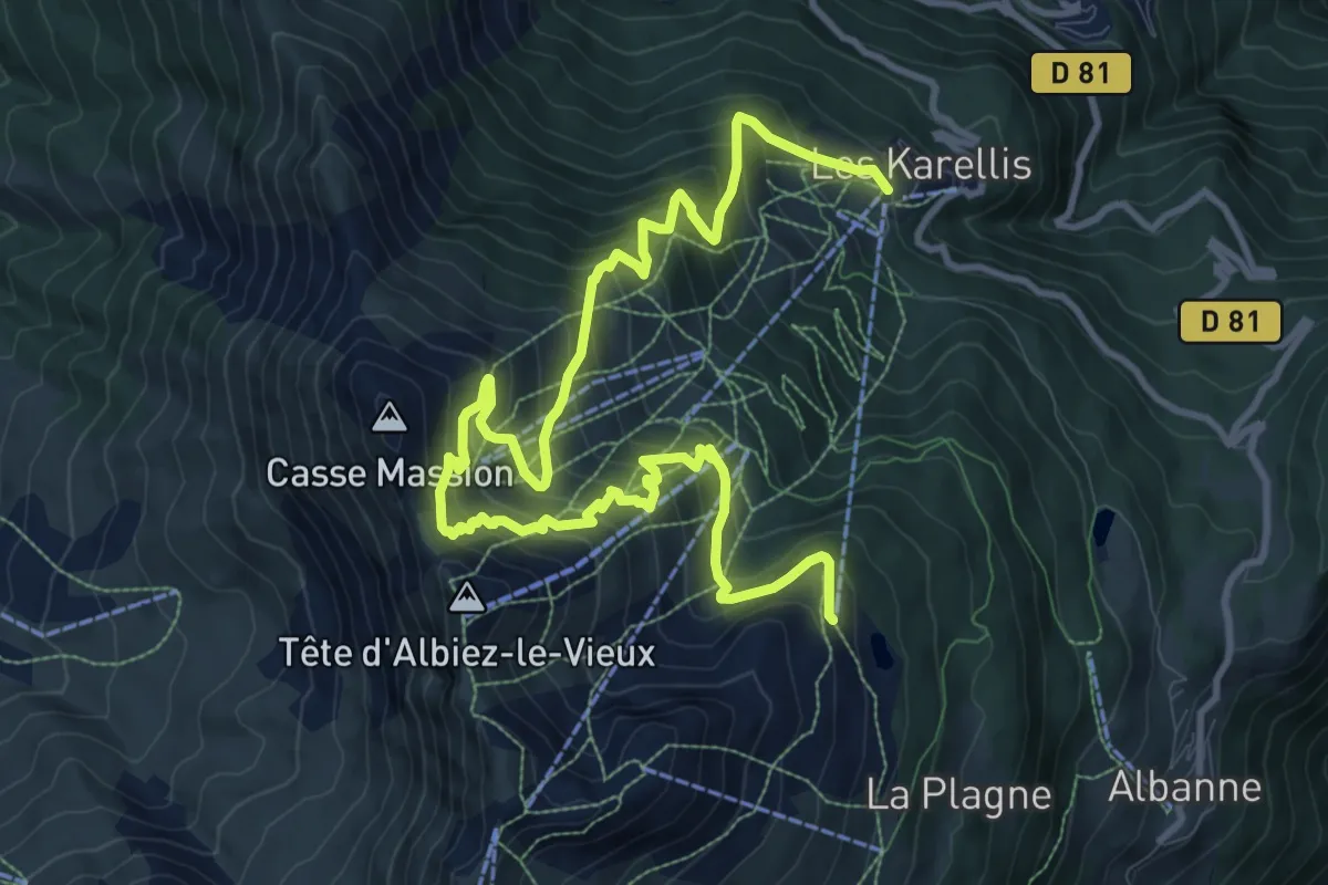
Demanding · Trail
Col des Têtes
15.0 km · ↑ 1301 m · 6 h 22 min · 9 km away
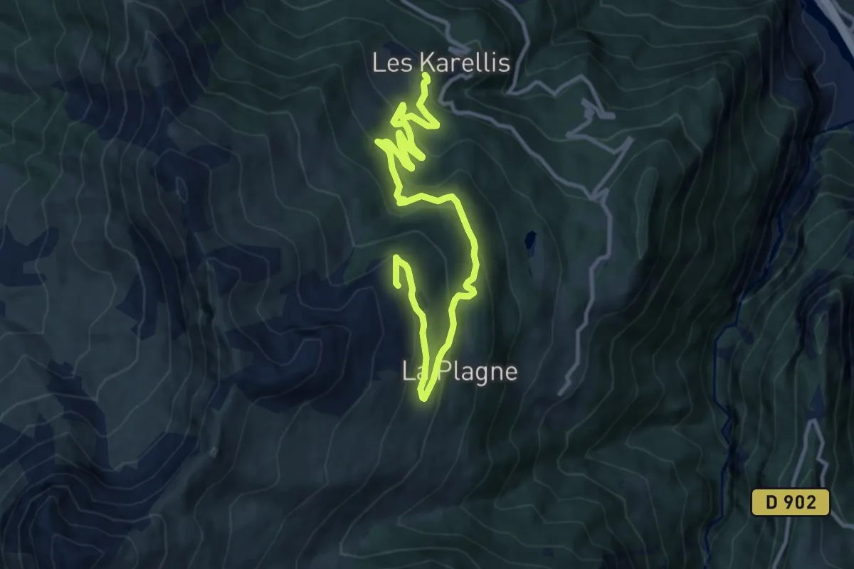
Medium · Trail
Descente station
13.8 km · ↑ 636 m · 4 h 37 min · 9 km away
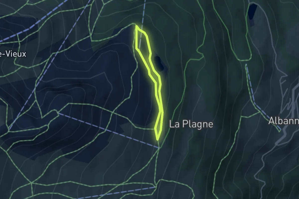
Easy · Trail
Marmottes
2.3 km · ↑ 75 m · 44 min · 9 km away
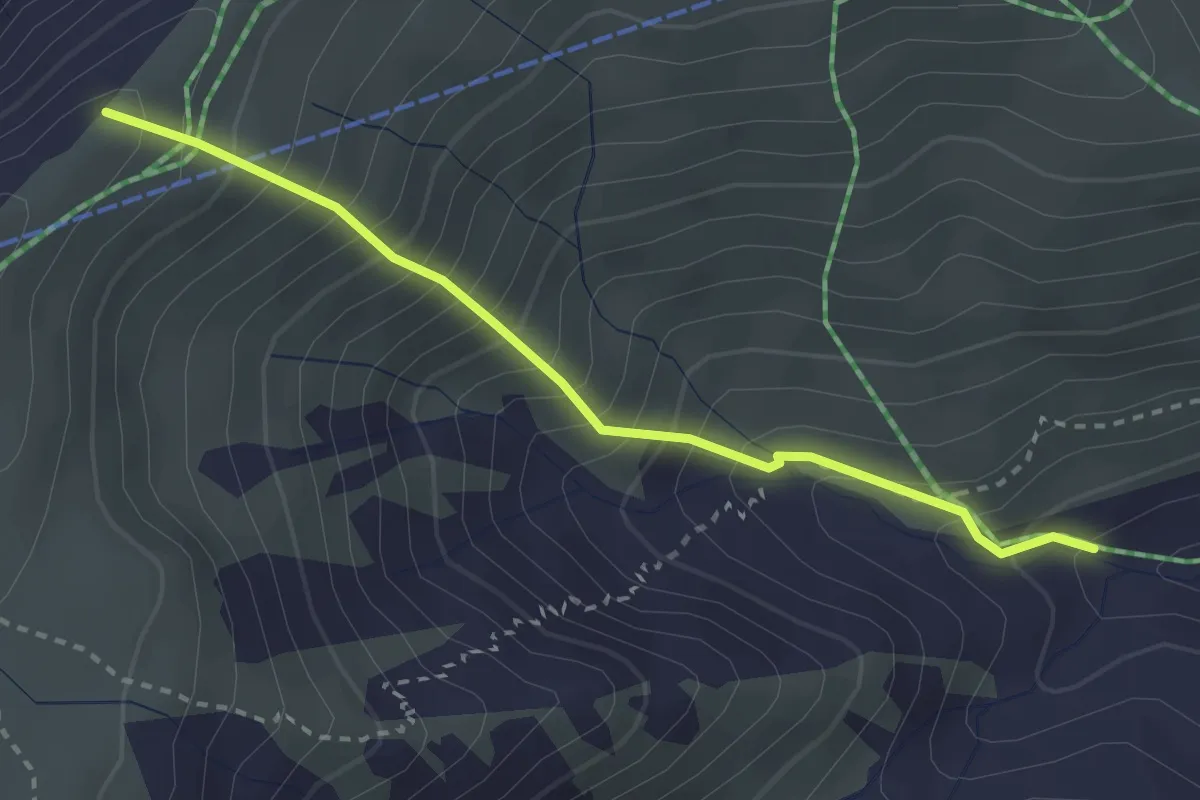
Medium · Trail
1/2 KV de la Toussuire
2.9 km · ↑ 464 m · 1 h 42 min · 9 km away