Trails near Saint-Jean-de-Maurienne
68 hikes starting within 15 km, nearest first.
Nearest first, page 2 of 2
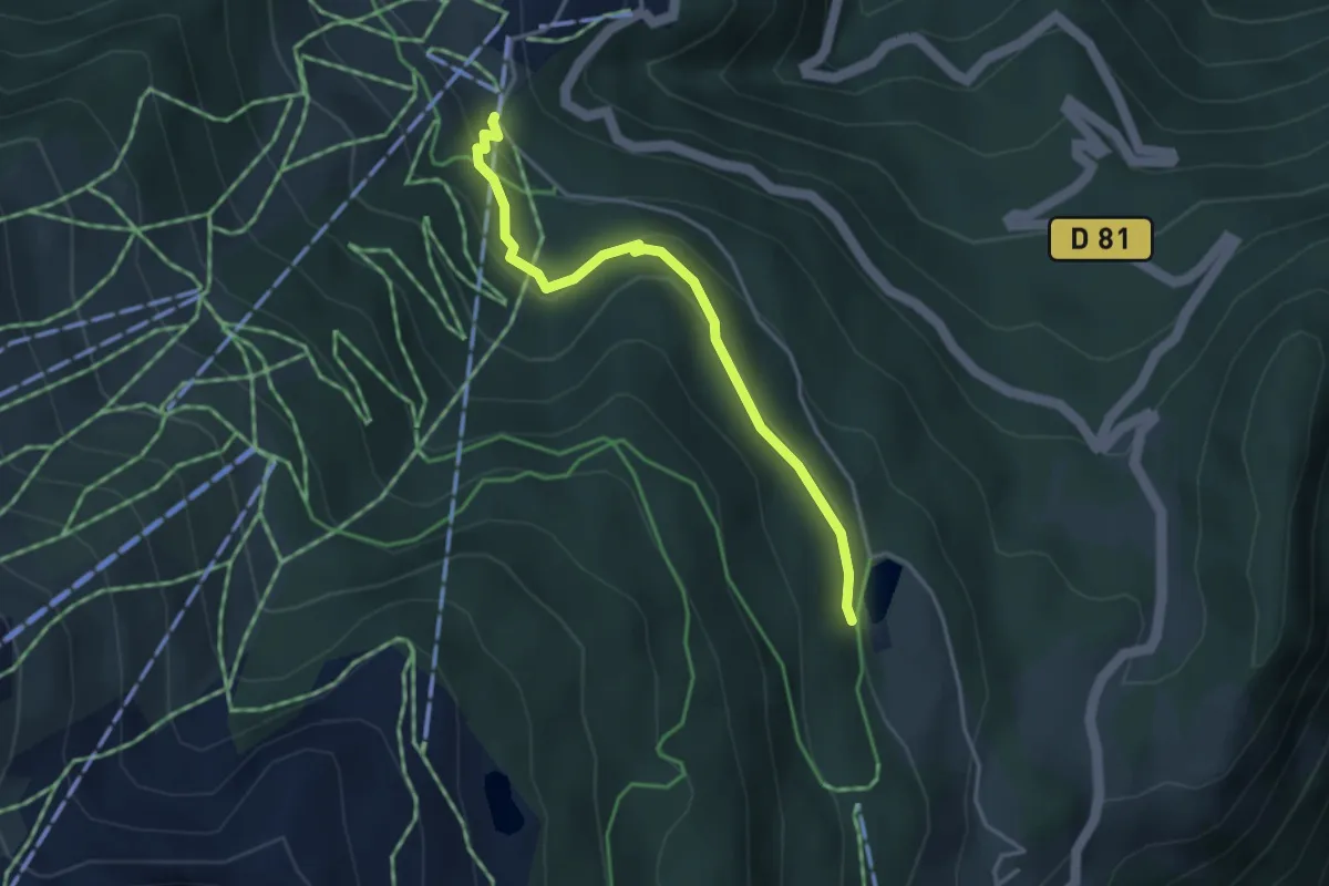
Easy · Trail
Sentier découverte du Blanchon
3.7 km · ↑ 153 m · 1 h 12 min · 9 km away
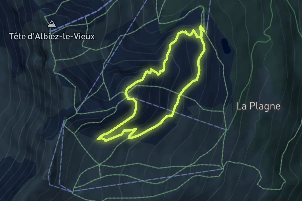
Easy · Trail
Crêt de Talière
4.0 km · ↑ 284 m · 1 h 37 min · 9 km away
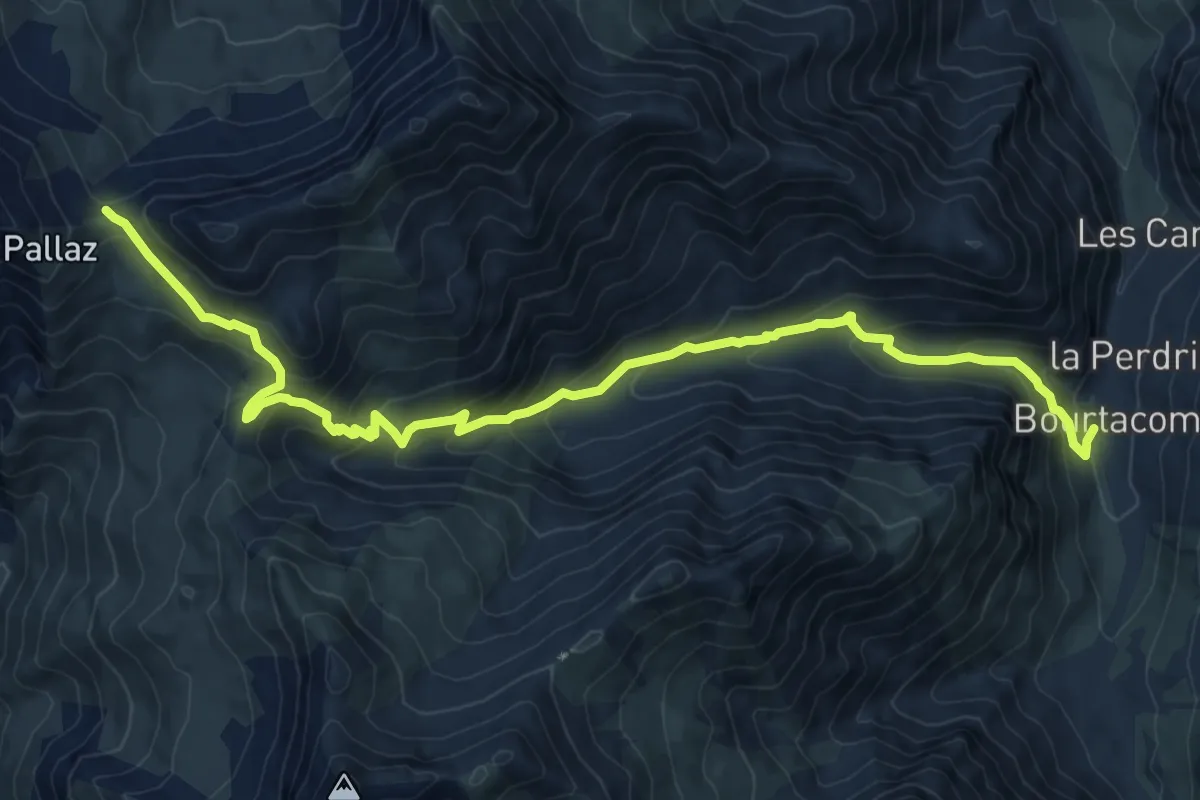
Medium · Trail
Sentier du col du Bonnet du Prêtre
11.7 km · ↑ 794 m · 4 h 29 min · 9 km away
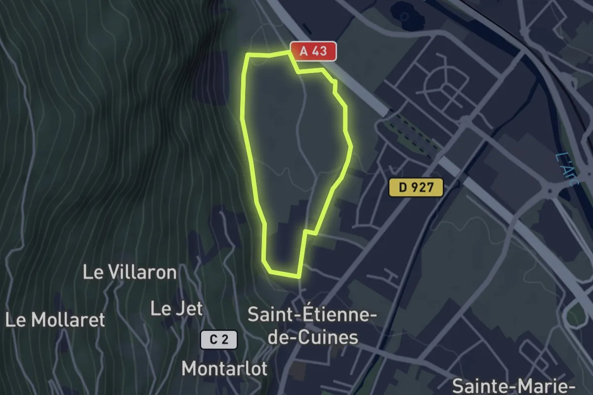
Easy · Trail
Circuit du Bial
2.4 km · ↑ 39 m · 42 min · 9 km away
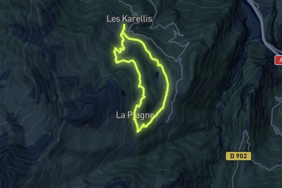
Medium · Trail
La Plagne
8.2 km · ↑ 448 m · 3 h 1 min · 9 km away
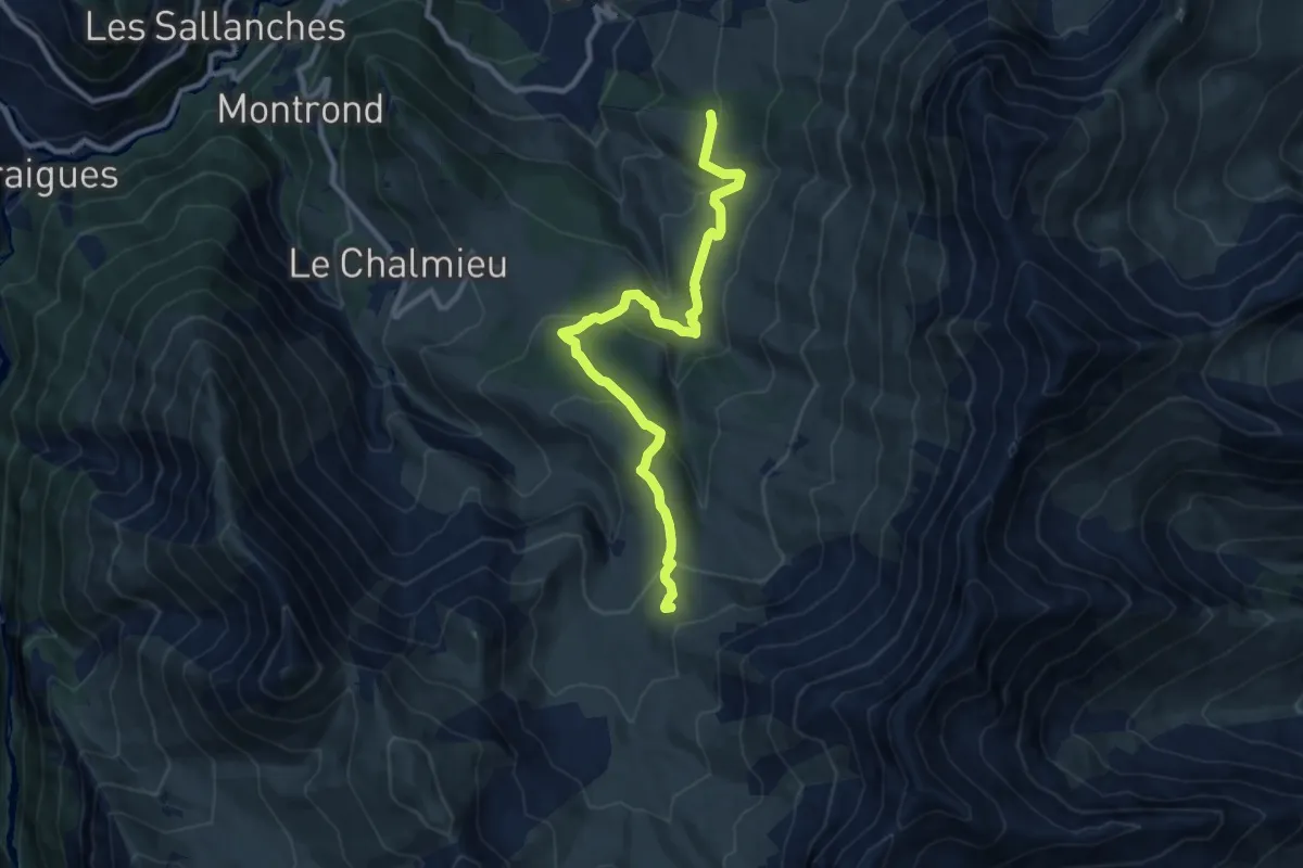
Medium · Trail
Tour des Aiguilles d'Arves (étape 1)
10.8 km · ↑ 537 m · 3 h 43 min · 9 km away
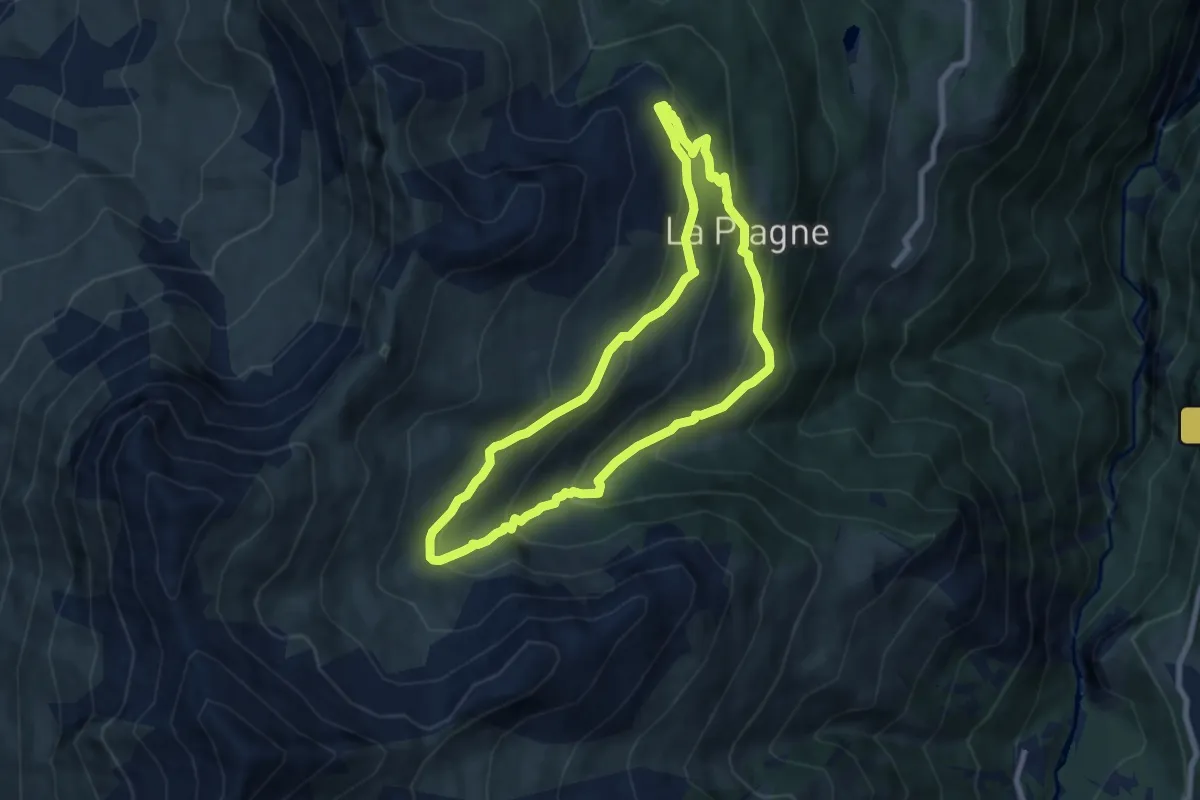
Medium · Trail
Château des Bergers
7.5 km · ↑ 463 m · 2 h 52 min · 10 km away
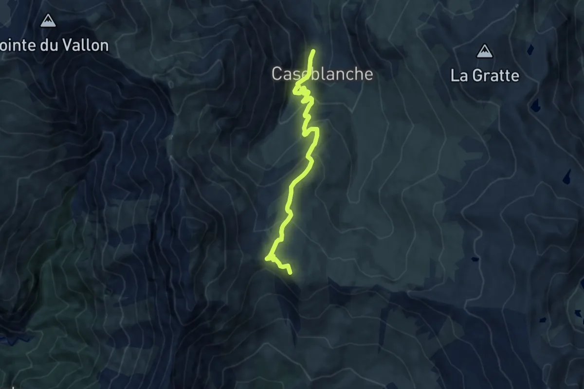
Medium · Summit
Lac de la Montagnette
8.5 km · ↑ 522 m · 3 h 8 min · 11 km away
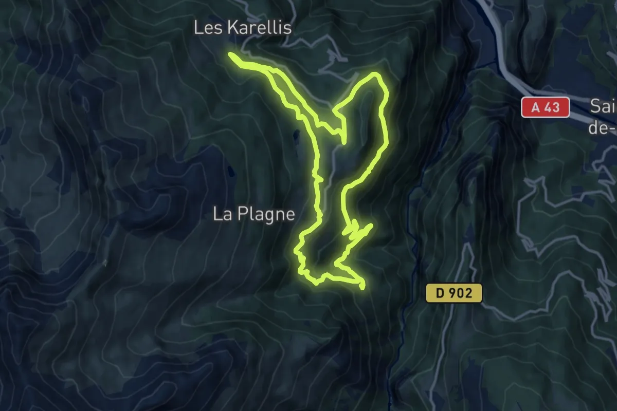
Medium · Trail
Albannette grande boucle
12.9 km · ↑ 695 m · 4 h 44 min · 11 km away
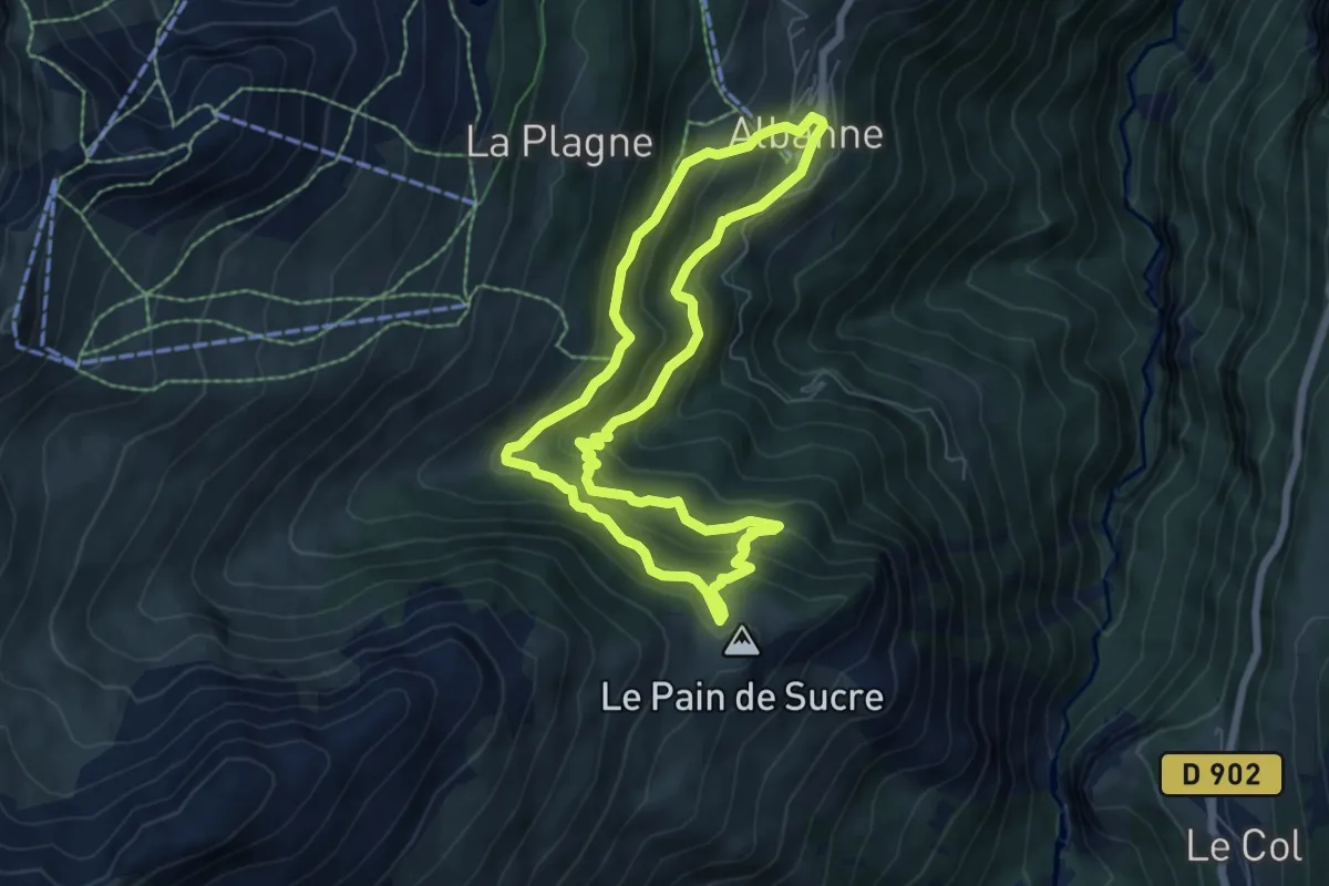
Medium · Summit
Pain de Sucre petite boucle
6.4 km · ↑ 437 m · 2 h 32 min · 11 km away
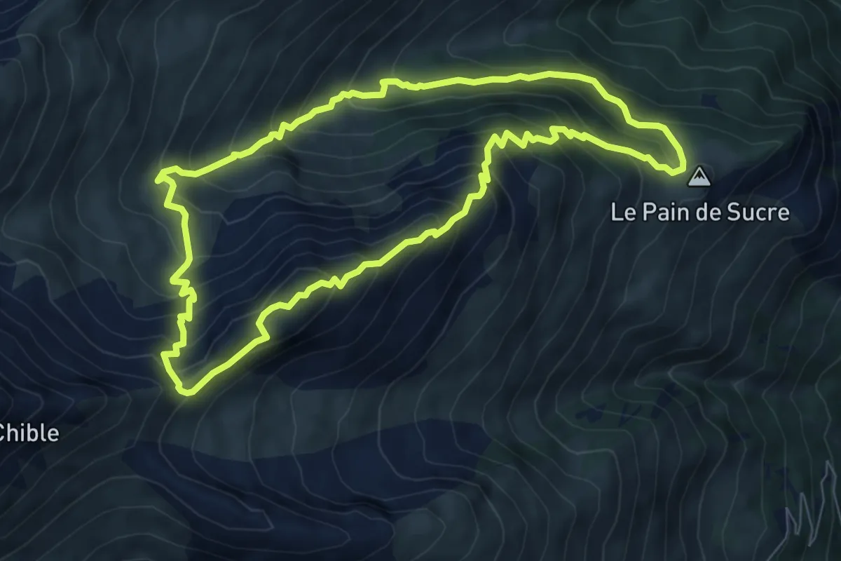
Medium · Summit
Circuit des Sallanches
7.8 km · ↑ 701 m · 3 h 28 min · 11 km away
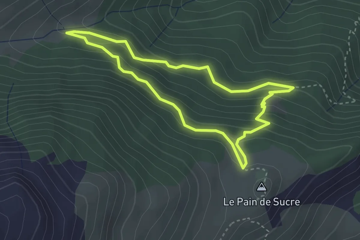
Easy · Summit
Le sentier du Gros Mélèze
2.8 km · ↑ 182 m · 1 h 5 min · 11 km away
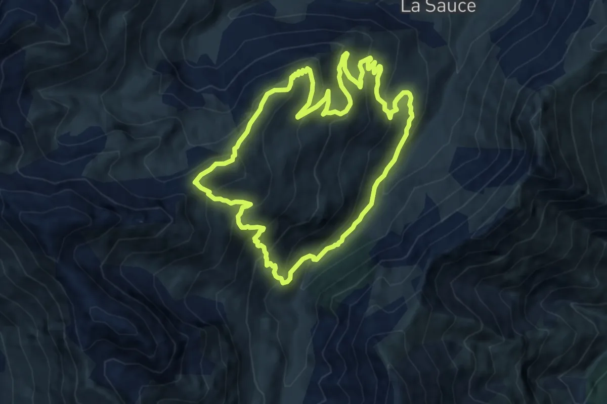
Medium · Trail
Sentier des Monts du Fût
10.3 km · ↑ 693 m · 4 h 4 min · 13 km away
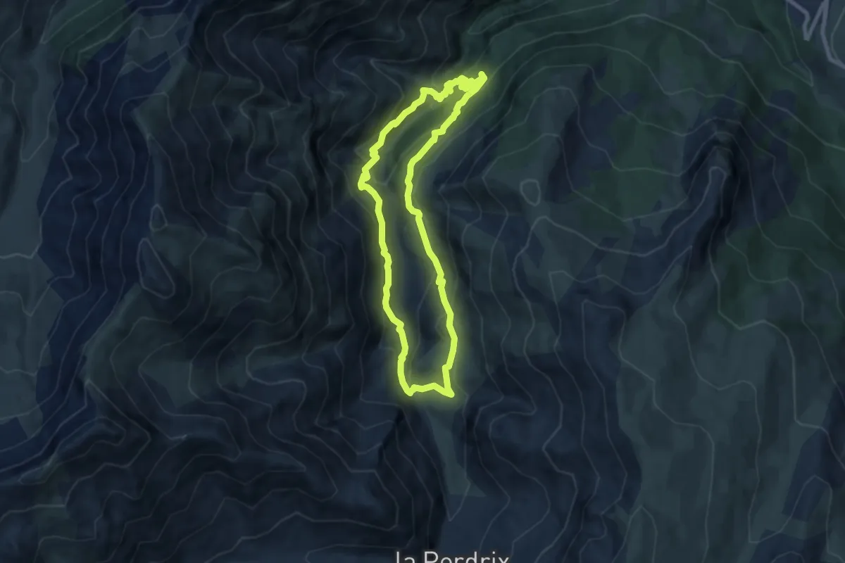
Medium · Trail
Circuit de Planlebon
7.3 km · ↑ 433 m · 2 h 46 min · 13 km away
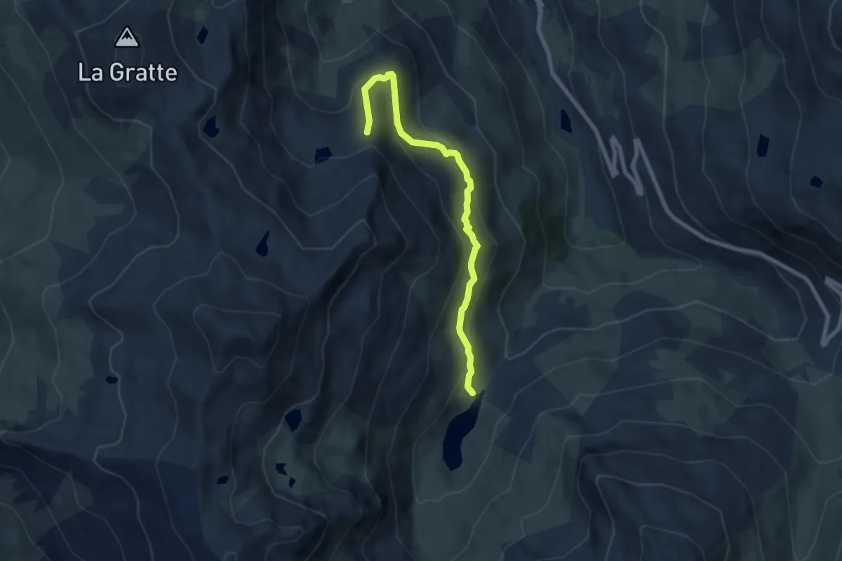
Medium · Cabin
Sentier Balcon de la Masse
7.0 km · ↑ 403 m · 2 h 32 min · 14 km away
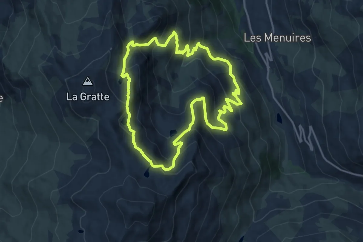
Medium · Trail
Circuit des Lacs des Menuires
10.7 km · ↑ 712 m · 4 h 13 min · 14 km away
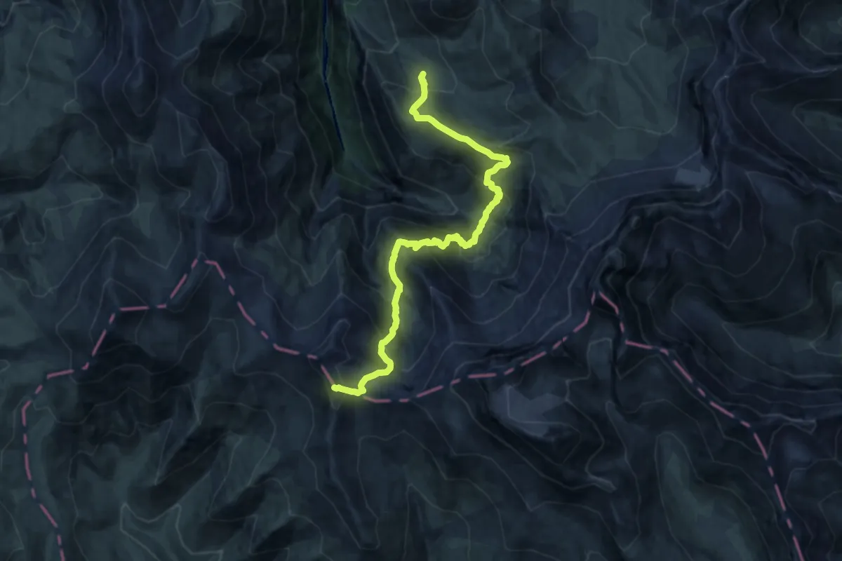
Expert · Summit
Tour des Aiguilles d'Arves (étape 3)
17.3 km · ↑ 1487 m · 7 h 18 min · 14 km away
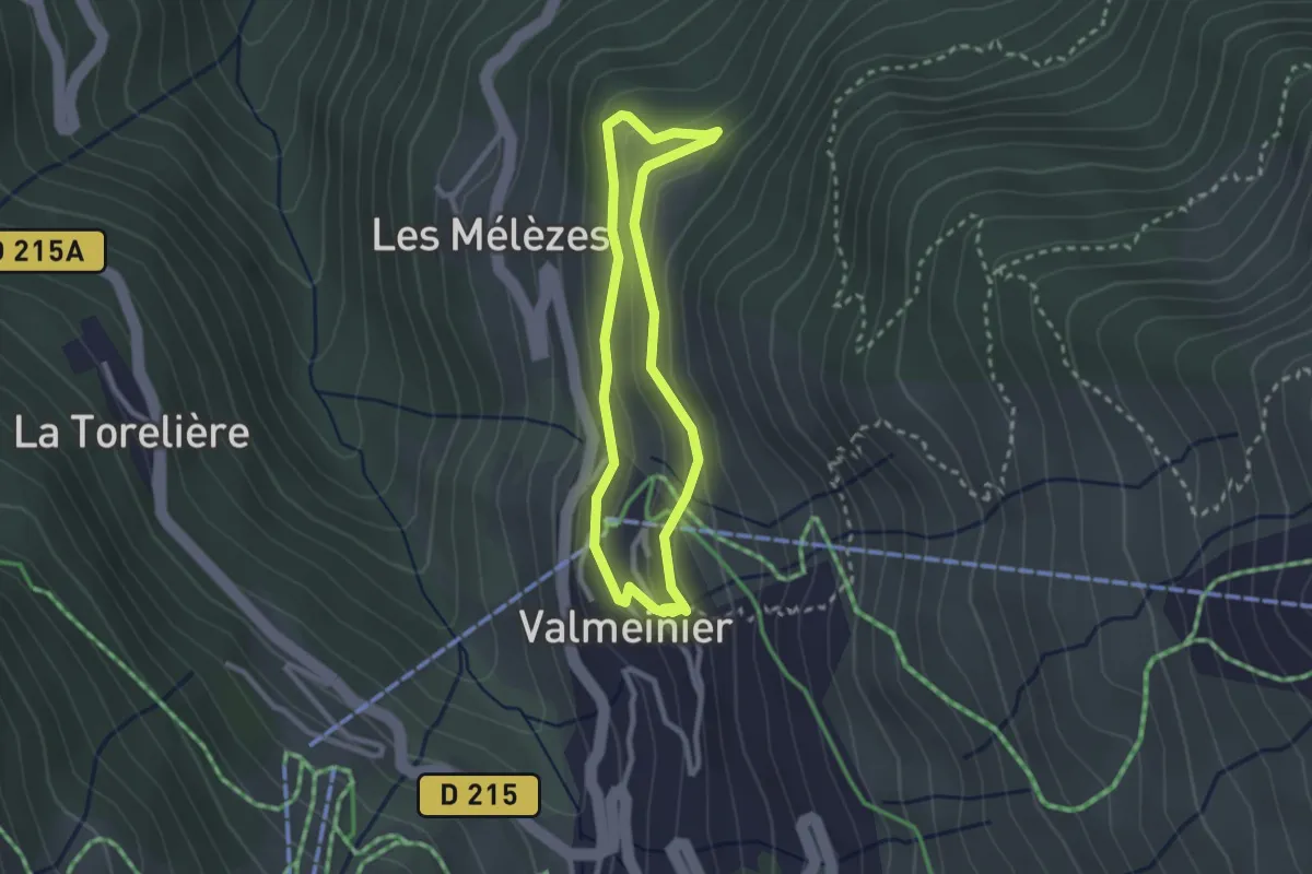
Medium · Trail
Boucle du Replat
2.3 km · ↑ 107 m · 48 min · 15 km away
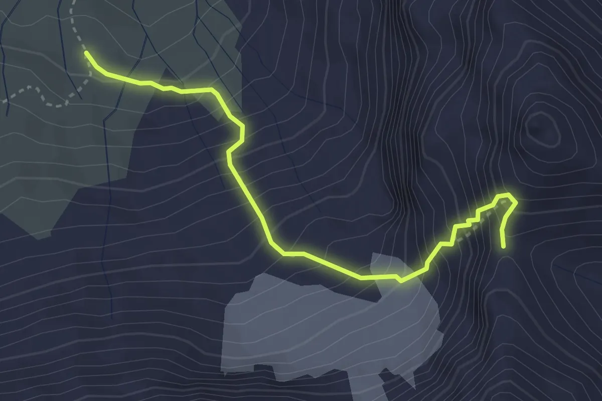
Expert · Trail
Tour du Pays des Aiguilles d'Arves (variante)
3.6 km · ↑ 582 m · 2 h 6 min · 15 km away
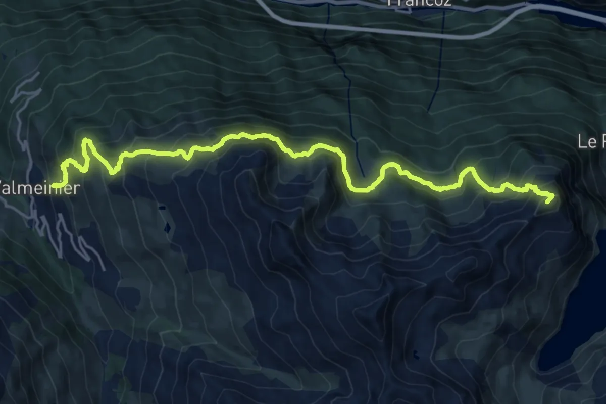
Demanding · Summit
Tour du Mont Thabor Variante
19.9 km · ↑ 1633 m · 8 h 14 min · 15 km away