Trails near Vergt
68 hikes starting within 15 km, nearest first.
Nearest first, page 1 of 2
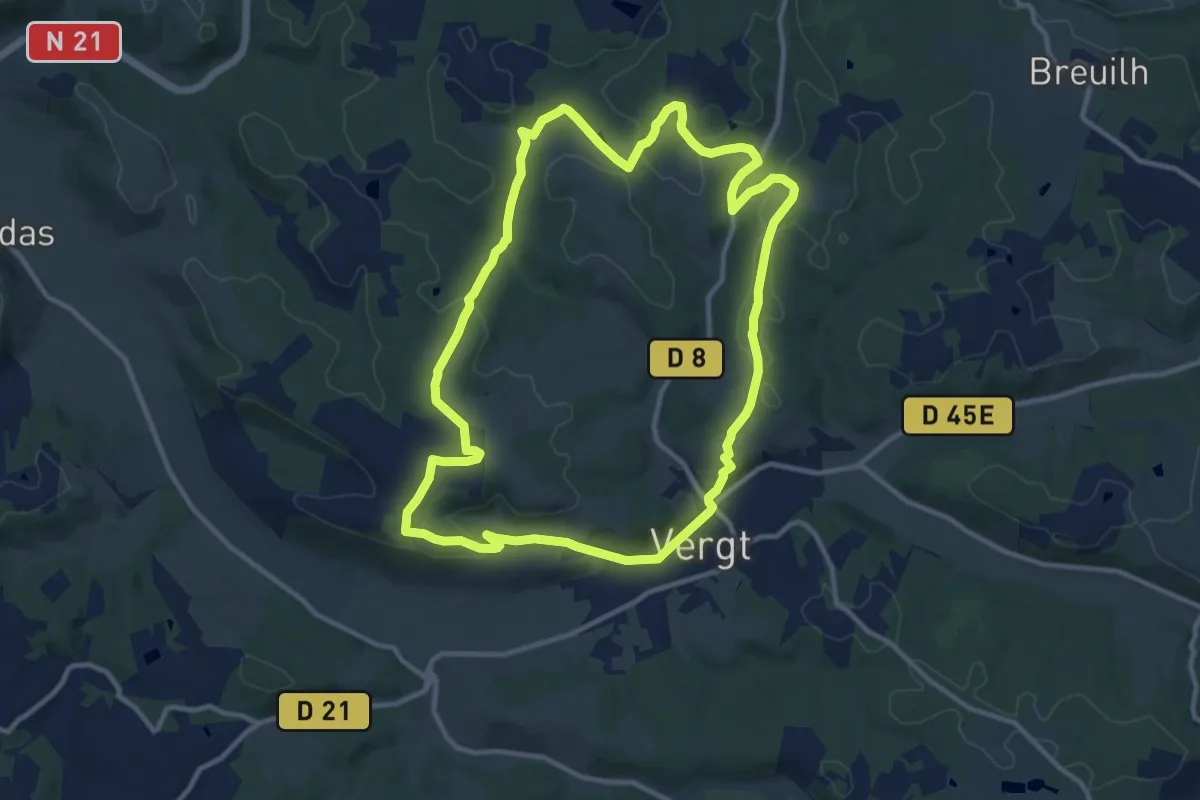
Medium · Trail
Boucle des crêtes (Variante 2)
12.0 km · ↑ 208 m · 3 h 28 min · under 1 km away
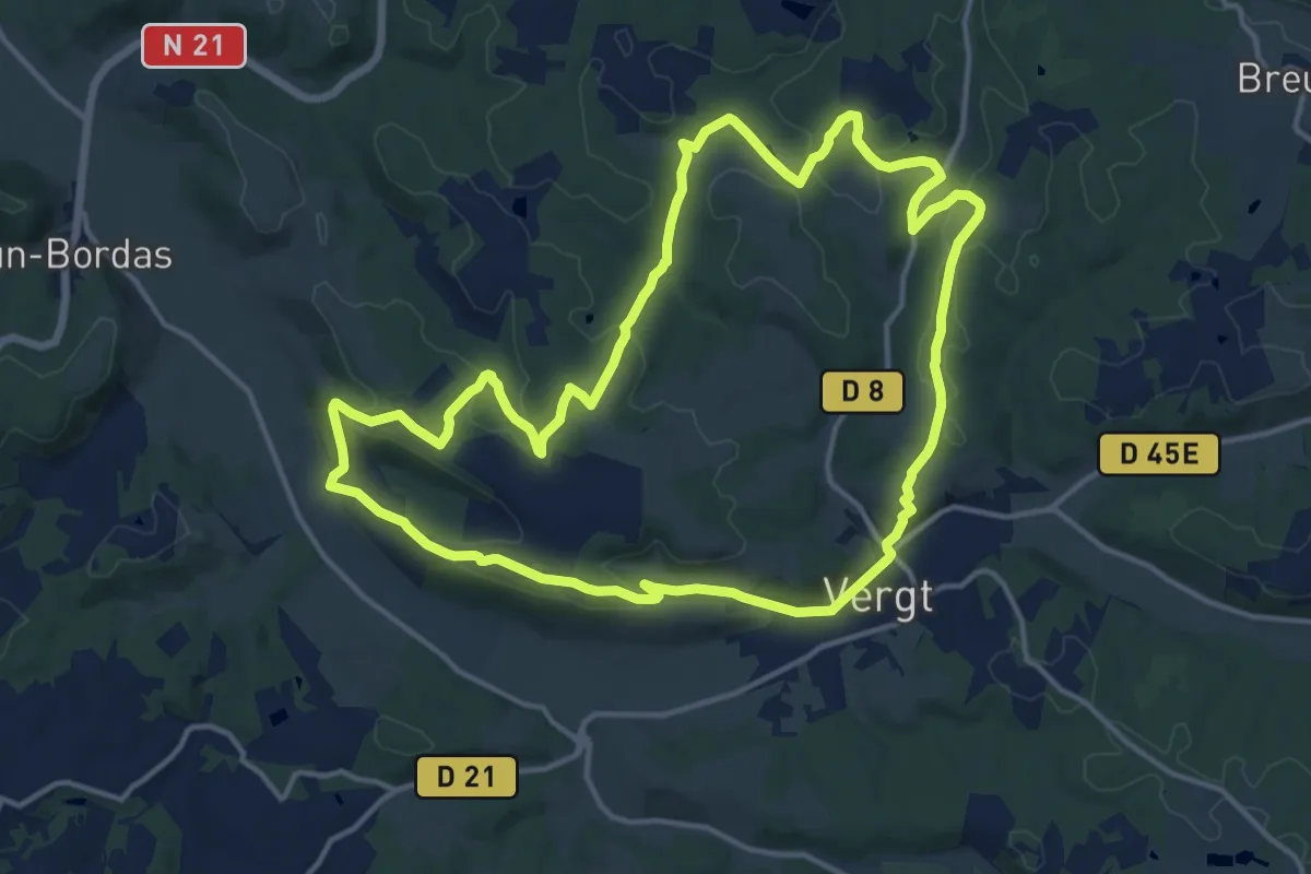
Medium · Trail
Boucle des Crêtes
15.3 km · ↑ 329 m · 4 h 32 min · under 1 km away
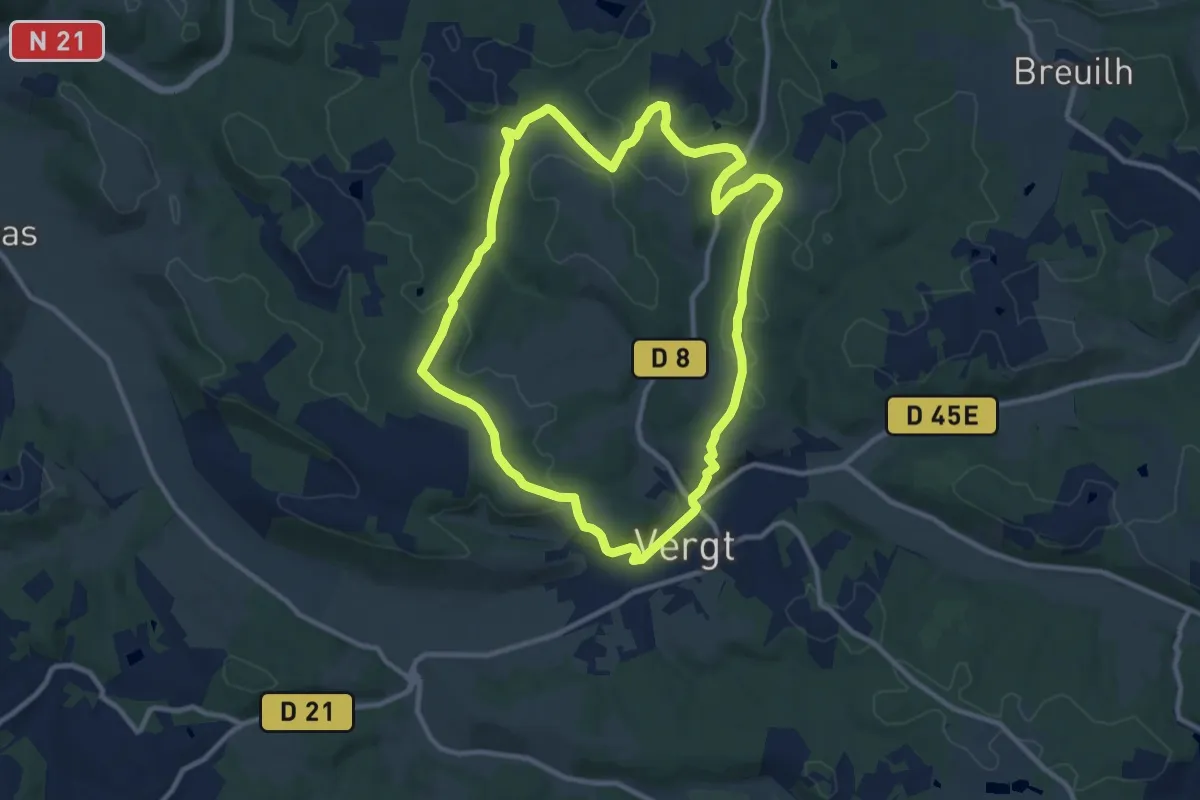
Medium · Trail
Boucle des crêtes (Variante 1)
10.6 km · ↑ 199 m · 3 h 6 min · under 1 km away
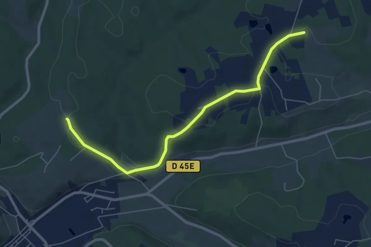
Easy · Trail
Liaison Vergt - Breuilh
5.9 km · ↑ 118 m · 1 h 39 min · 3 km away
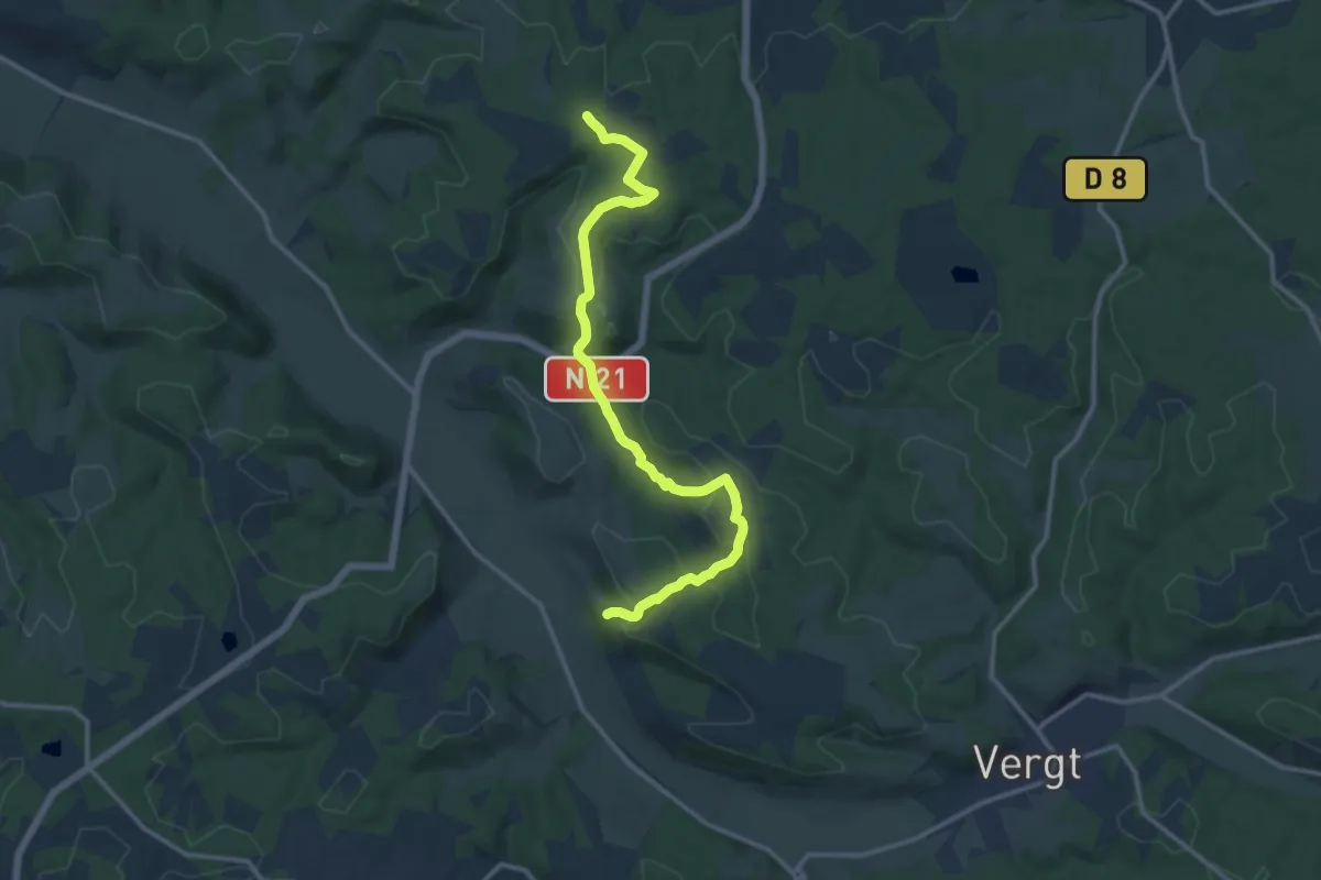
Medium · Trail
Liaison Vergt - Creyssenssac et Pissot
13.8 km · ↑ 336 m · 3 h 59 min · 4 km away
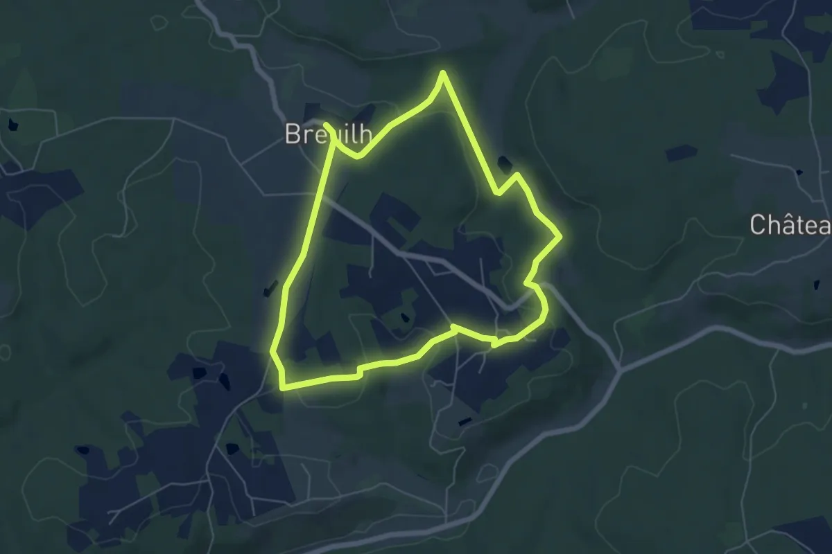
Easy · Trail
Boucle du Breuilh
5.7 km · ↑ 95 m · 1 h 38 min · 4 km away
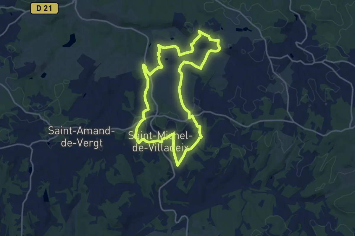
Medium · Trail
Boucle des Vallons
12.2 km · ↑ 212 m · 3 h 31 min · 4 km away
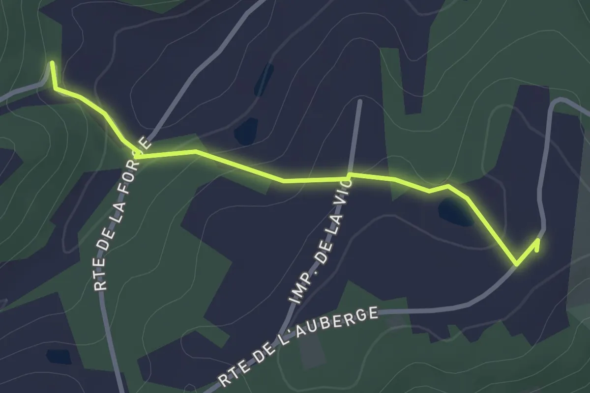
Easy · Trail
Liaison St-Maime-de-Péreyrol - Grun-Bordas
2.4 km · ↑ 76 m · 44 min · 5 km away
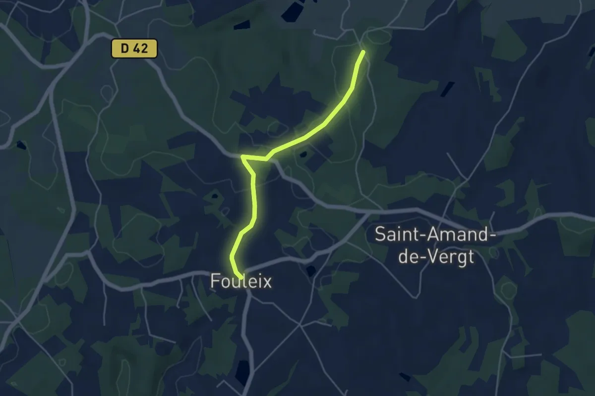
Easy · Trail
Liaison St-Amand-de-Vergt - Fouleix
4.1 km · ↑ 31 m · 1 h 2 min · 6 km away
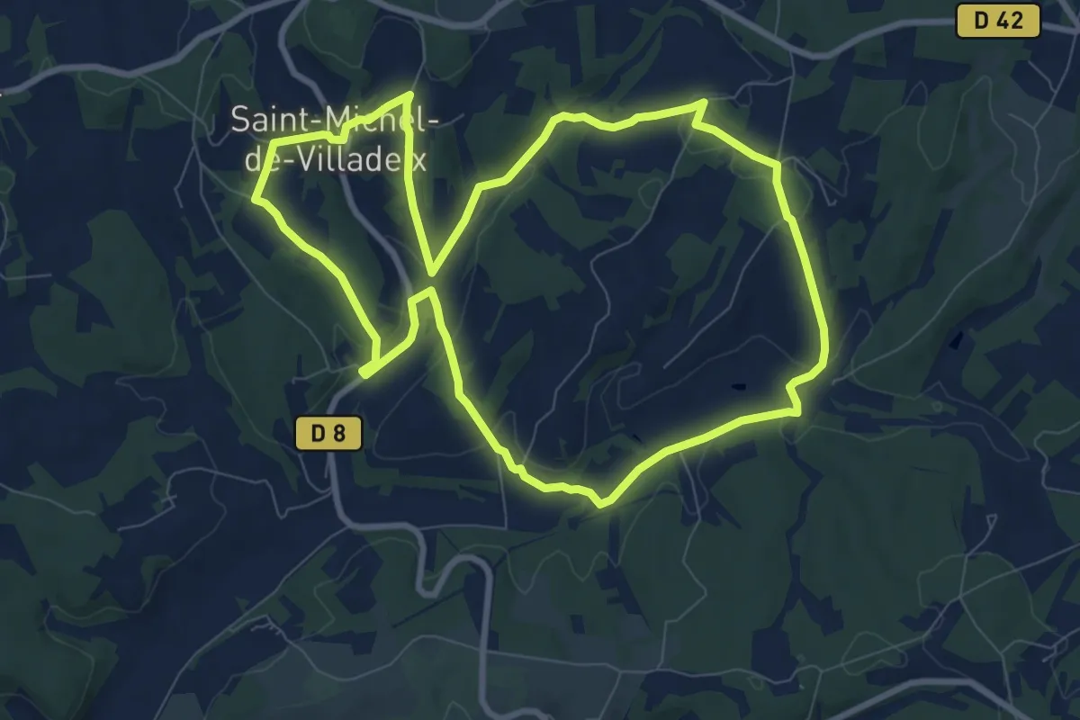
Medium · Trail
Boucle du Caudeau
9.1 km · ↑ 204 m · 2 h 43 min · 6 km away
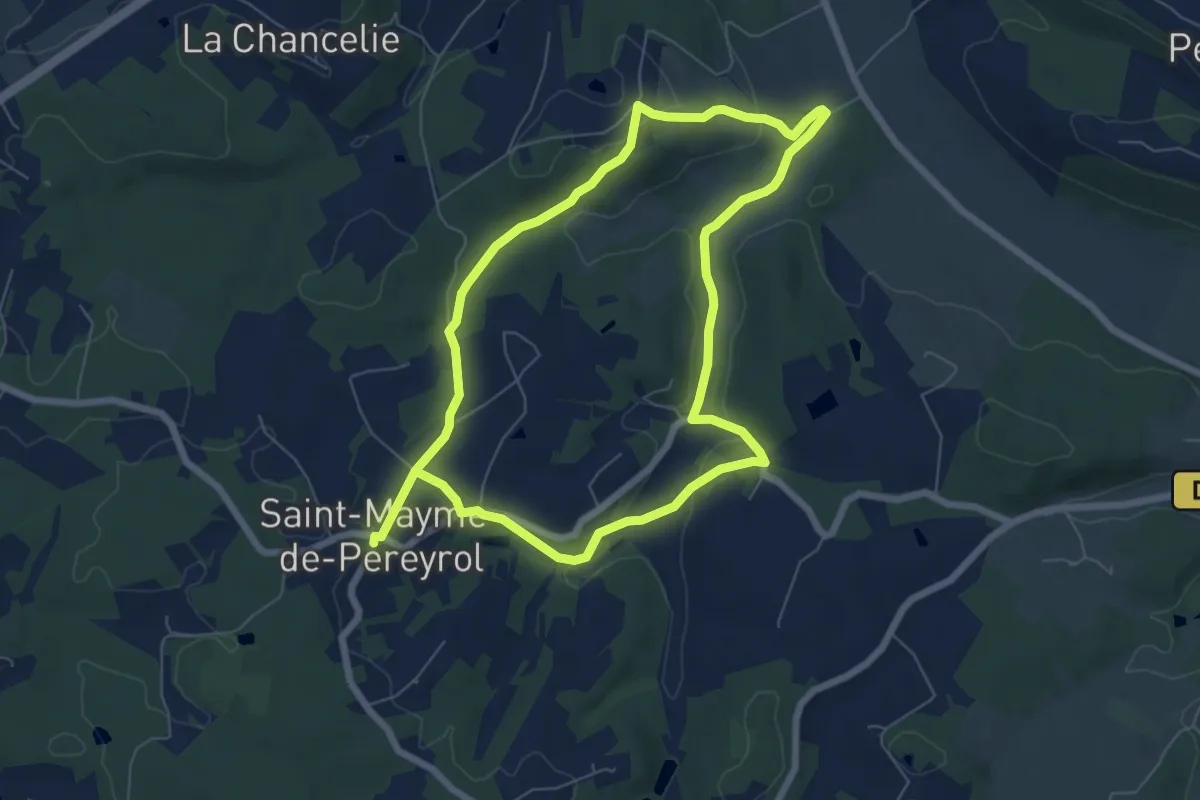
Medium · Trail
Boucle la Saint-Meymoise
13.1 km · ↑ 256 m · 3 h 39 min · 6 km away
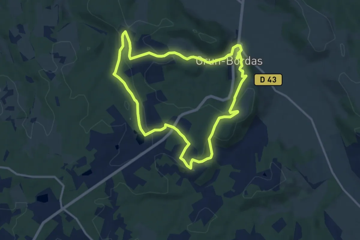
Medium · Trail
Boucle de Bordas
8.2 km · ↑ 186 m · 2 h 28 min · 6 km away
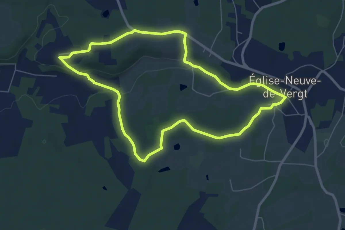
Easy · Trail
Boucle de la Pichardie
6.2 km · ↑ 95 m · 1 h 45 min · 6 km away
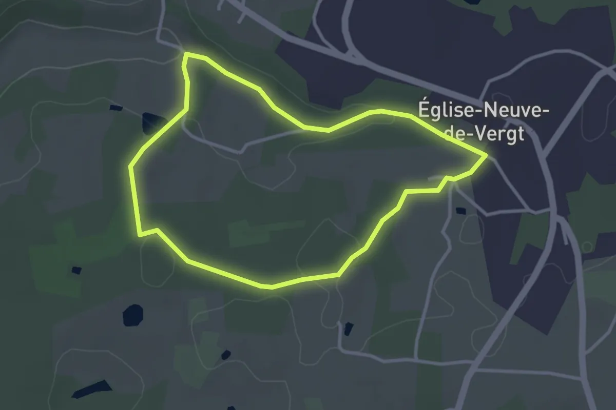
Easy · Trail
Boucle de la Pichardie (variante)
3.0 km · ↑ 44 m · 51 min · 6 km away
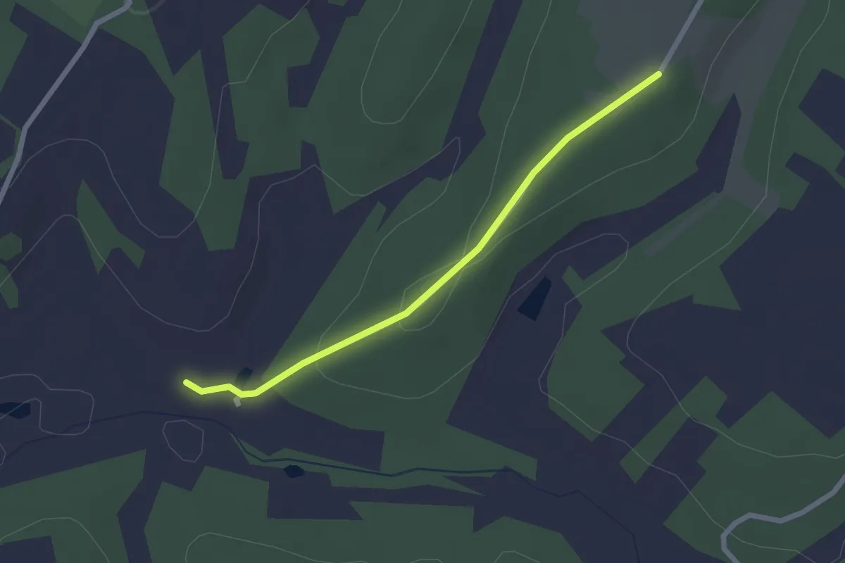
Easy · Trail
Liaison St-Michel-de-Villadeix - Veyrines de Vergt
2.2 km · ↑ 56 m · 39 min · 6 km away
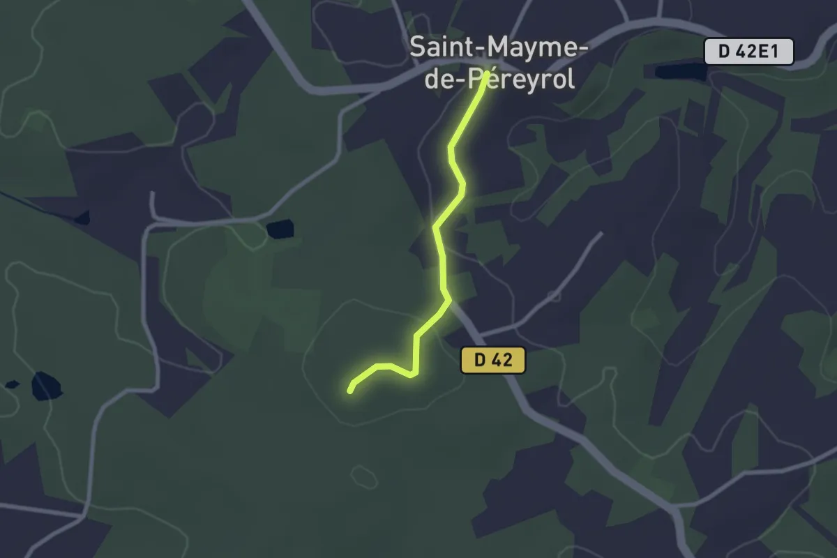
Easy · Trail
Liaison Beauregard-et-Bassac - St-Maime-de-Péreyrol
2.0 km · ↑ 37 m · 34 min · 6 km away
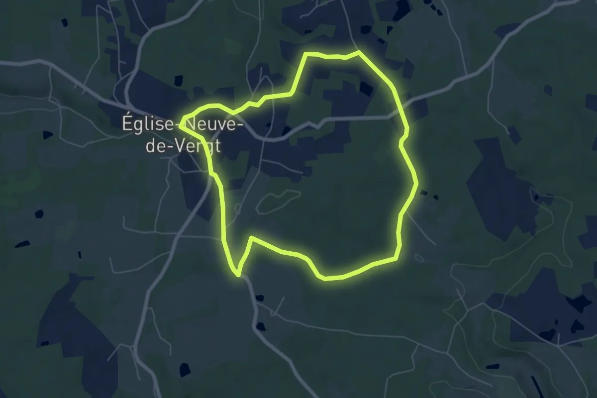
Easy · Trail
Boucle du Vallon
6.3 km · ↑ 70 m · 1 h 43 min · 6 km away
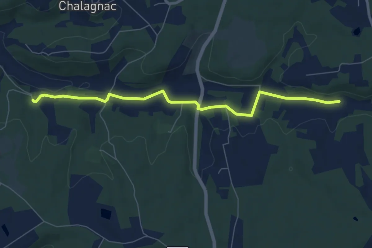
Easy · Trail
Liaison Creyssenssac et Pissot - Eglise Neuve de Vergt
6.6 km · ↑ 88 m · 1 h 44 min · 6 km away
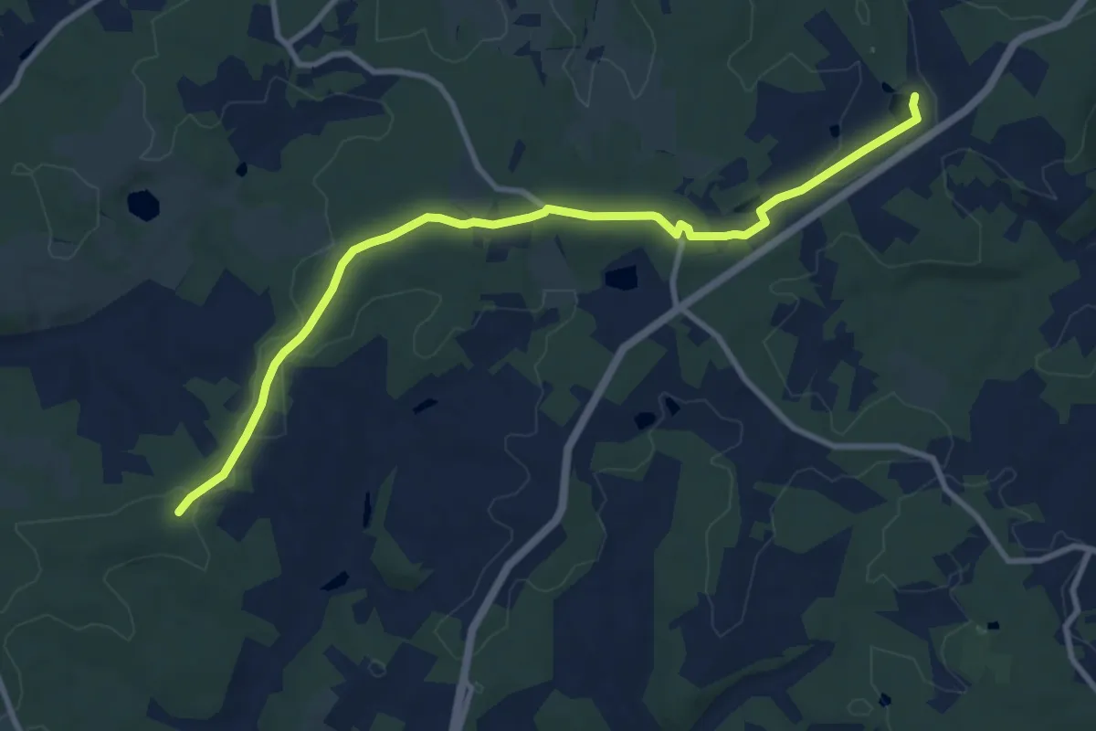
Medium · Trail
Liaison Grun-Bordas - Douville
10.5 km · ↑ 86 m · 2 h 40 min · 7 km away
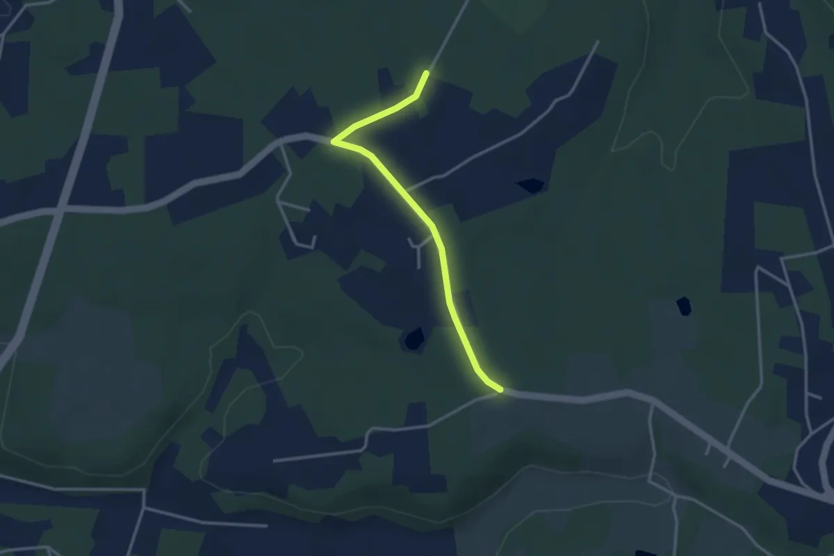
Easy · Trail
Liaison Eglise Neuve de Vergt - Notre Dame de Sanilhac
2.9 km · ↑ 14 m · 43 min · 7 km away
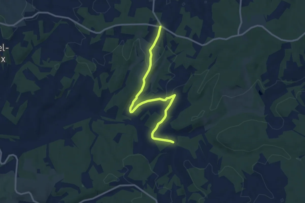
Easy · Trail
Boucle du 45ème Parallèle
7.9 km · ↑ 155 m · 2 h 12 min · 7 km away
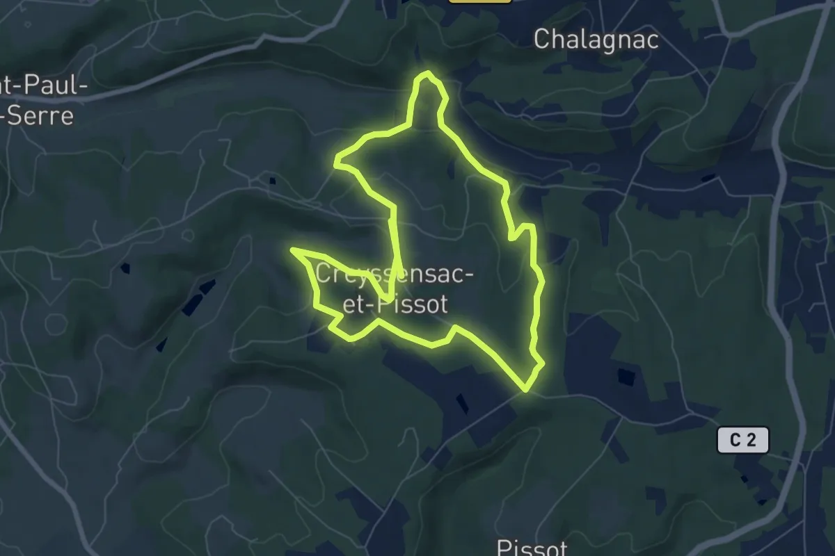
Medium · Trail
Boucle des écureuils
14.3 km · ↑ 312 m · 4 h 3 min · 7 km away
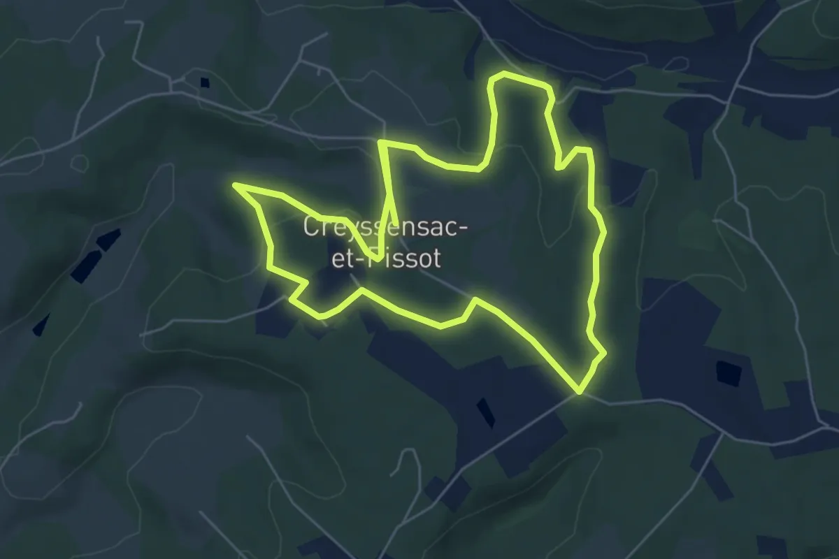
Medium · Trail
Boucle des écureuils (Variante)
11.9 km · ↑ 247 m · 3 h 20 min · 7 km away
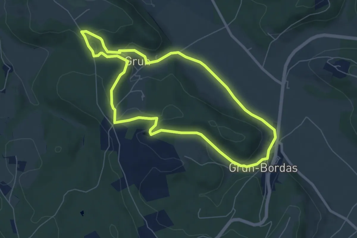
Easy · Trail
Boucle de Grun
6.3 km · ↑ 146 m · 1 h 53 min · 8 km away
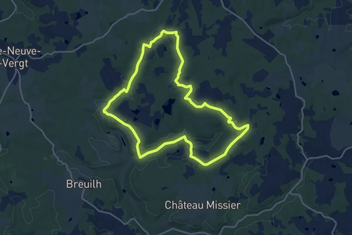
Medium · Trail
Boucle de Marsaneix
11.8 km · ↑ 142 m · 3 h 16 min · 8 km away
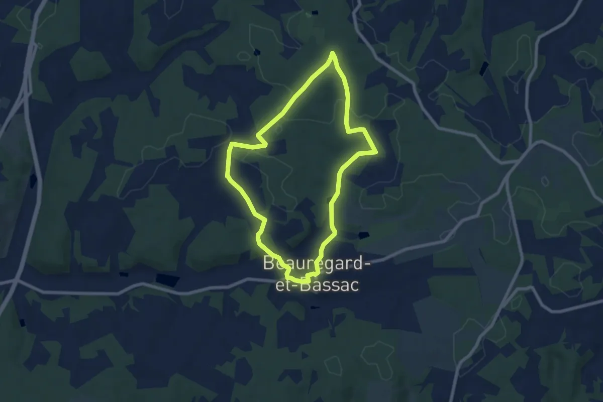
Easy · Trail
Boucle de Peyrima
6.4 km · ↑ 106 m · 1 h 49 min · 8 km away
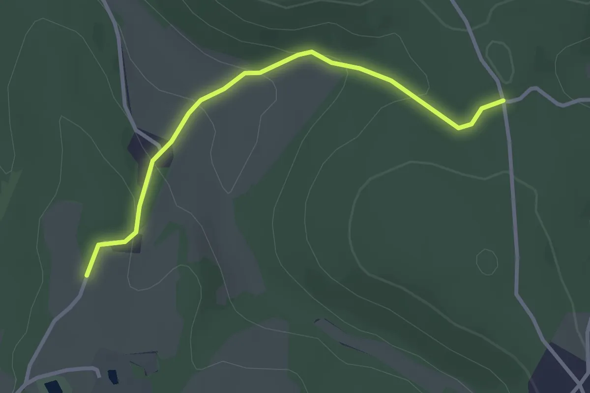
Easy · Trail
Liaison
2.9 km · ↑ 105 m · 55 min · 8 km away
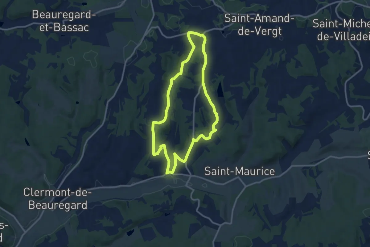
Medium · Trail
Boucle des Moulins
9.1 km · ↑ 173 m · 2 h 39 min · 9 km away
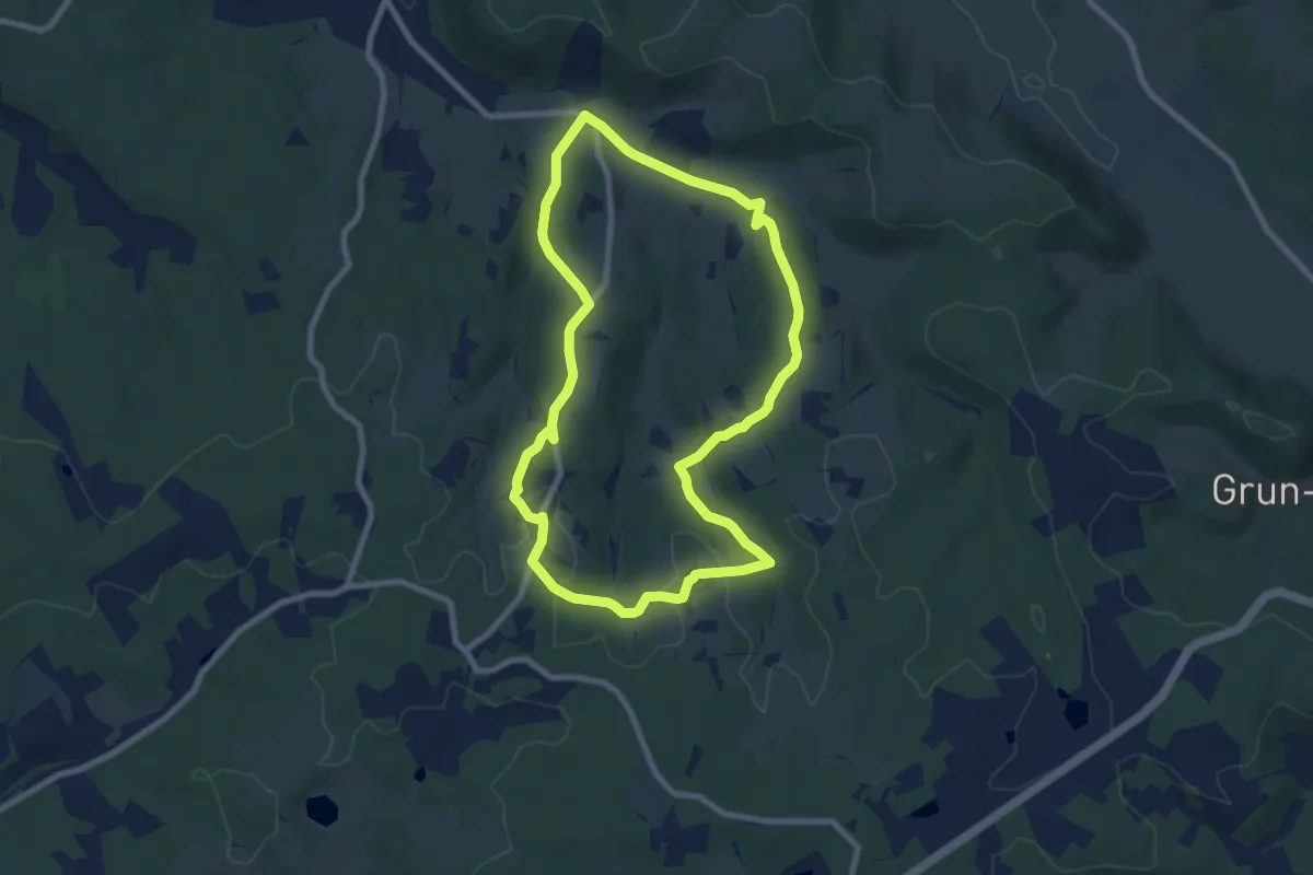
Medium · Trail
Boucle de Chante Coucou
8.0 km · ↑ 170 m · 2 h 22 min · 9 km away
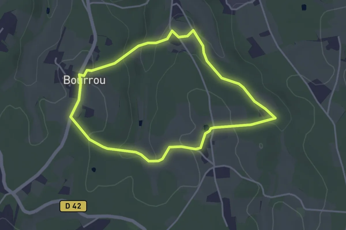
Easy · Trail
Boucle du Land'Art
3.4 km · ↑ 83 m · 1 h 2 min · 9 km away
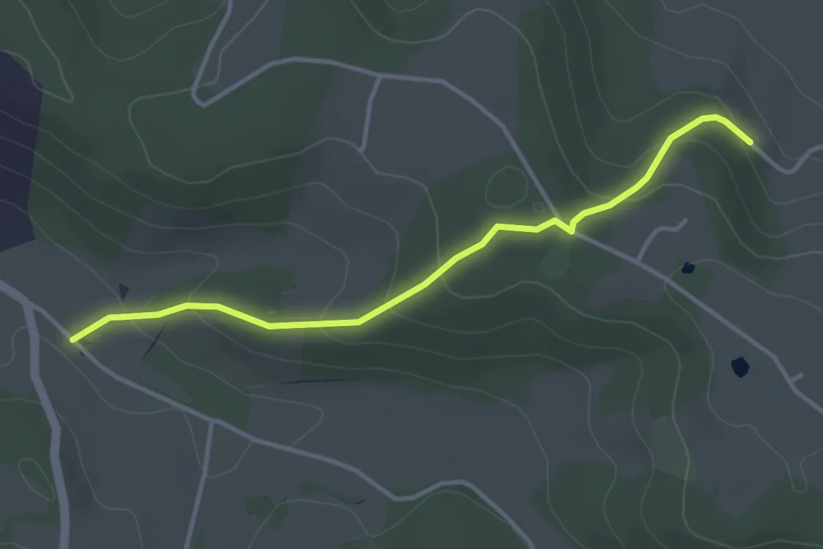
Easy · Trail
Liaison St-Paul-de-Serre - Bourrou
3.5 km · ↑ 164 m · 1 h 11 min · 9 km away
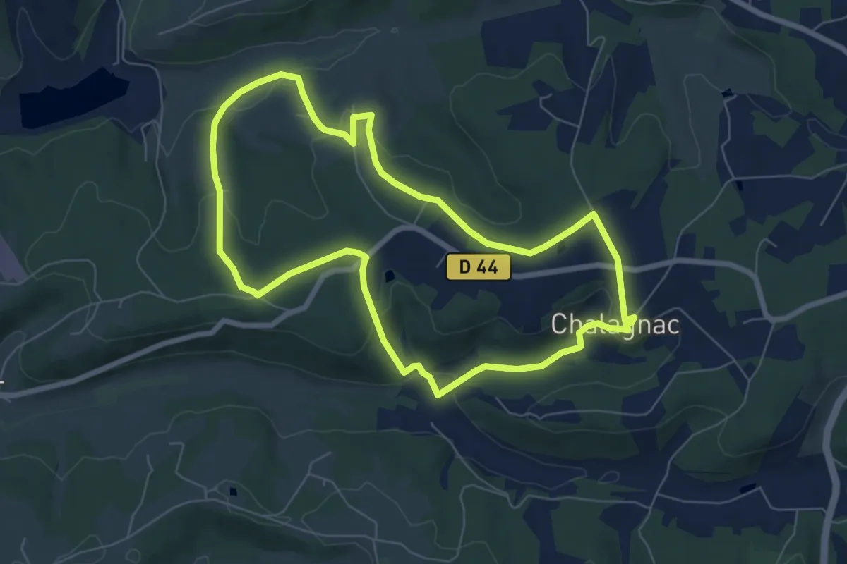
Easy · Trail
Boucle du Bas-Combin
6.8 km · ↑ 168 m · 2 h 4 min · 9 km away
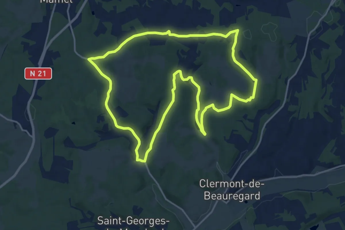
Medium · Trail
Sentier des Combes de Saint-Martin
13.1 km · ↑ 198 m · 3 h 43 min · 9 km away
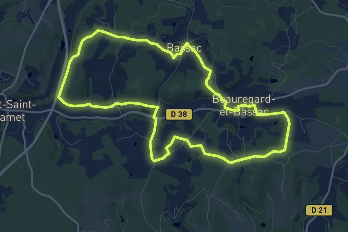
Medium · Trail
Boucle des Fontaines
11.0 km · ↑ 164 m · 3 h 7 min · 9 km away
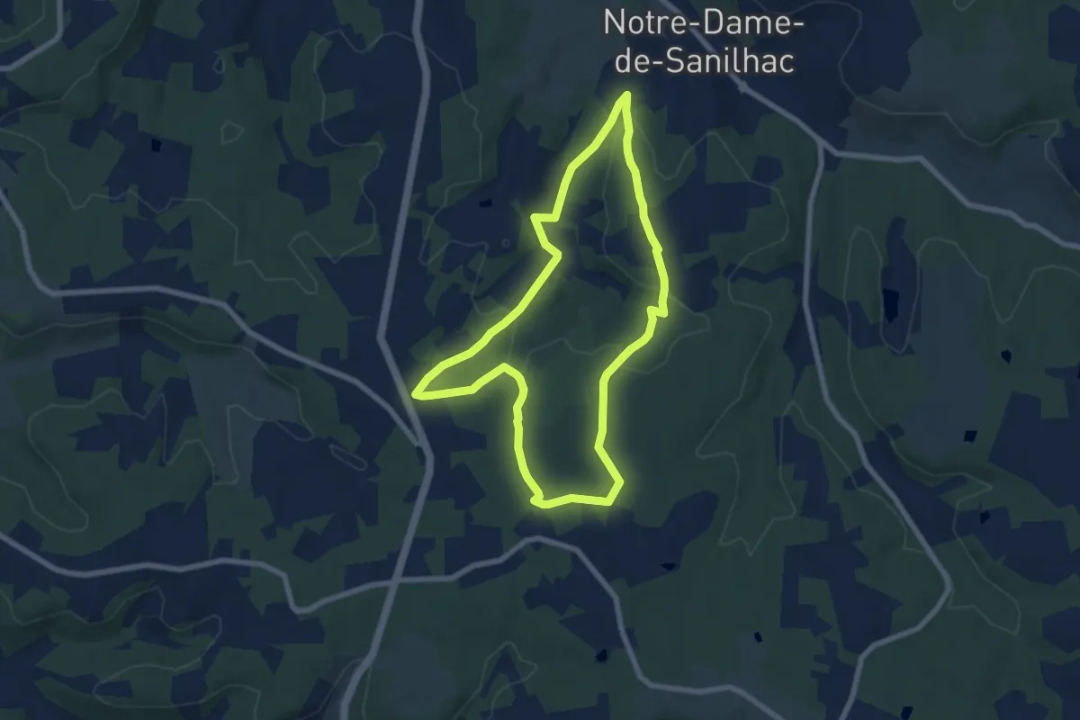
Easy · Trail
Circuit des Mottes
7.0 km · ↑ 137 m · 2 h 2 min · 9 km away
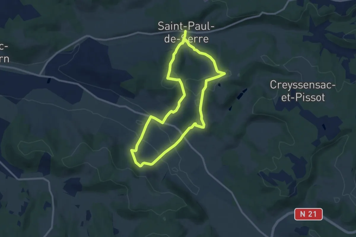
Medium · Trail
Boucle des Mangours
14.8 km · ↑ 484 m · 4 h 32 min · 10 km away
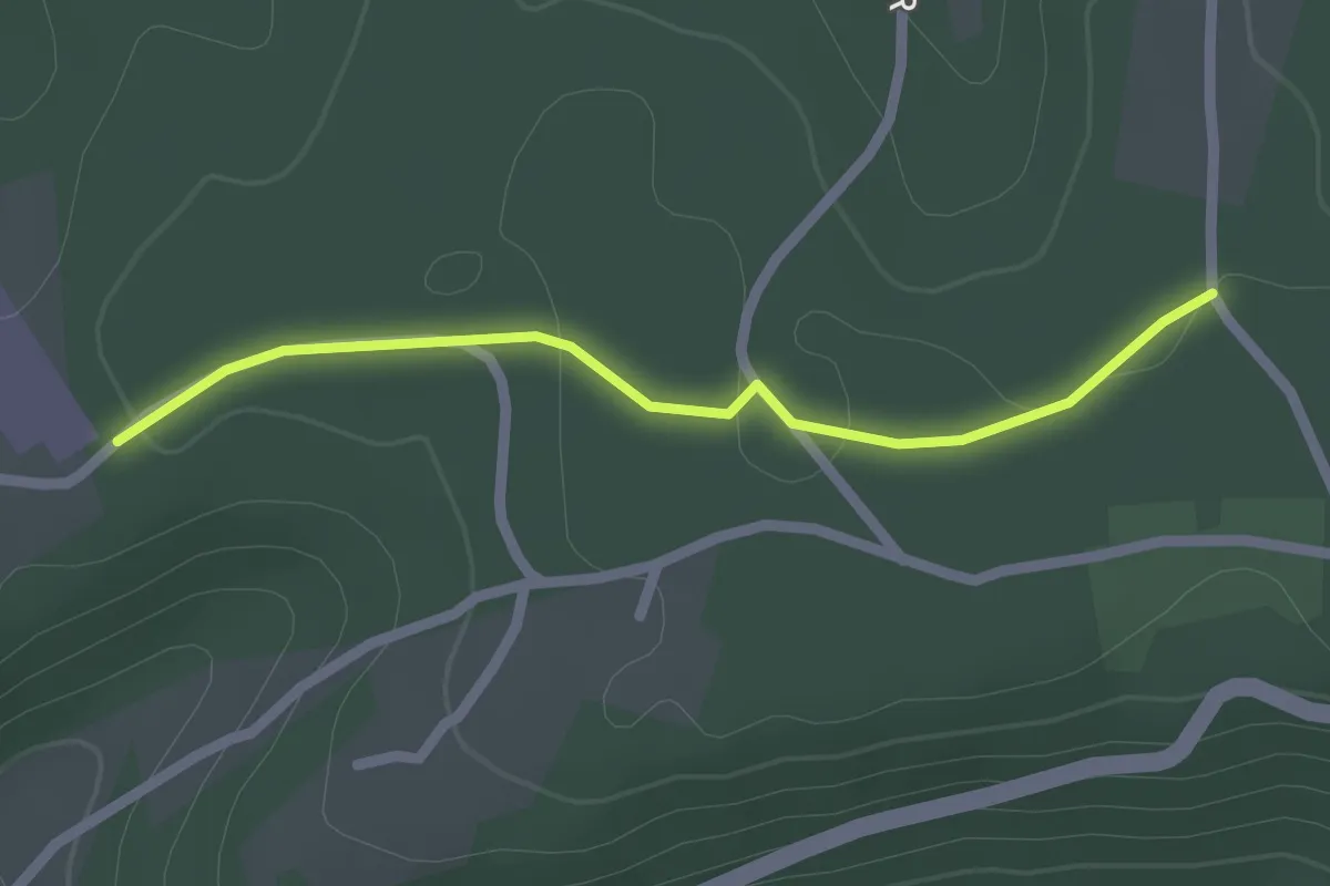
Easy · Trail
Liaison St-Paul-de-Serre - Chalagnac
2.1 km · ↑ 17 m · 32 min · 10 km away
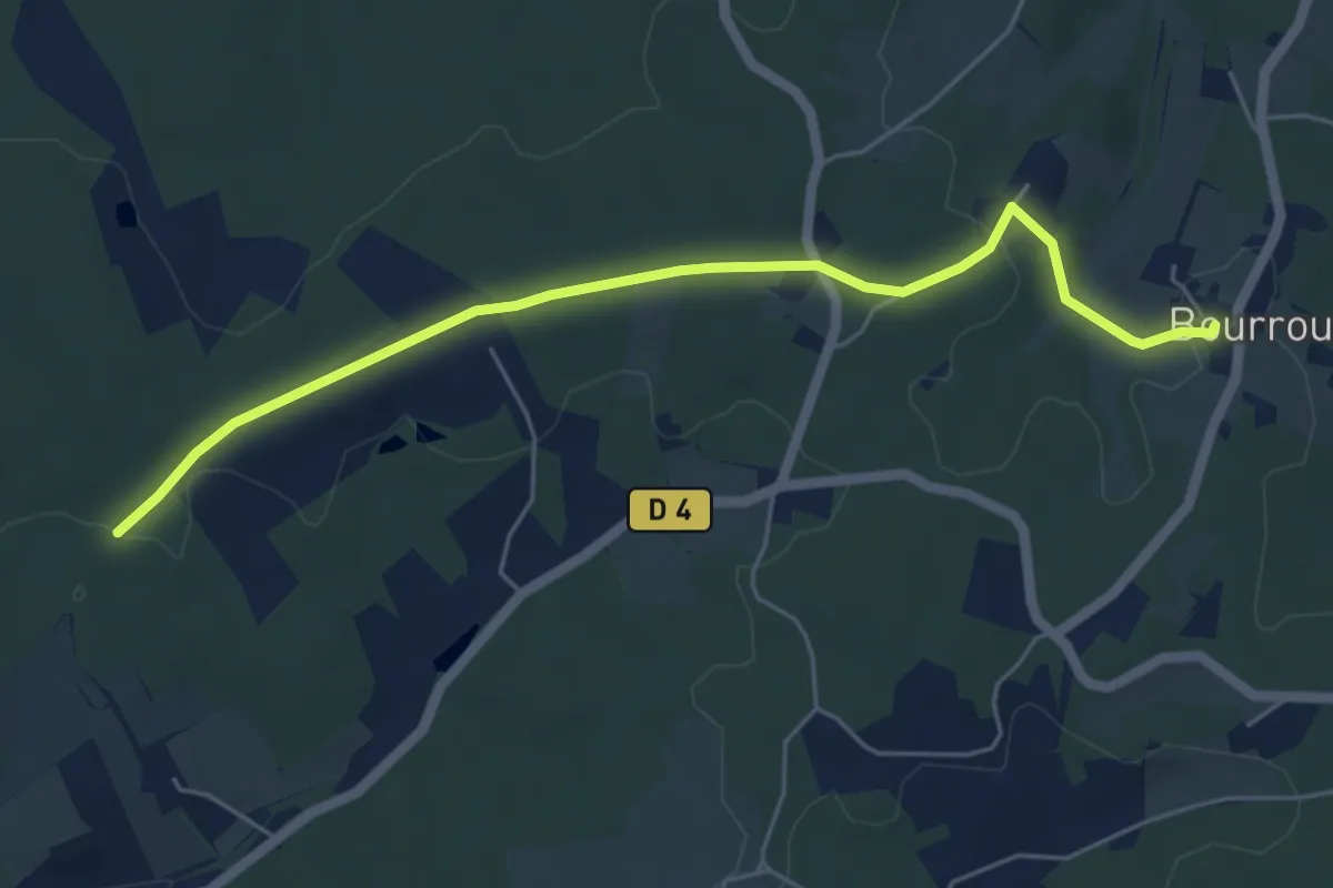
Easy · Trail
Liaison Villamblard - Bourrou
5.9 km · ↑ 79 m · 1 h 33 min · 10 km away
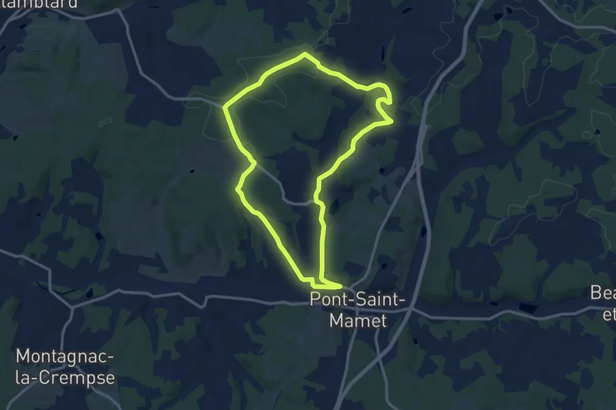
Medium · Trail
Boucle de Douville
9.2 km · ↑ 173 m · 2 h 41 min · 10 km away
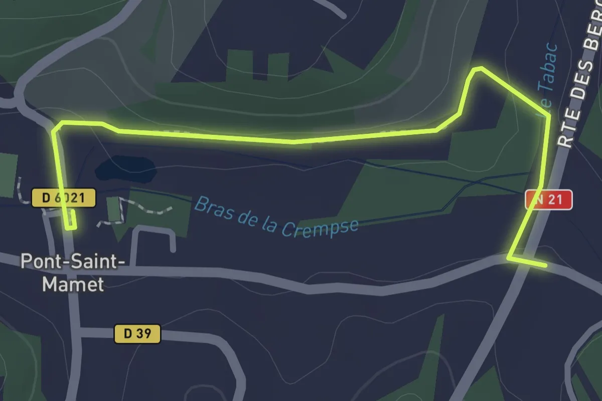
Easy · Trail
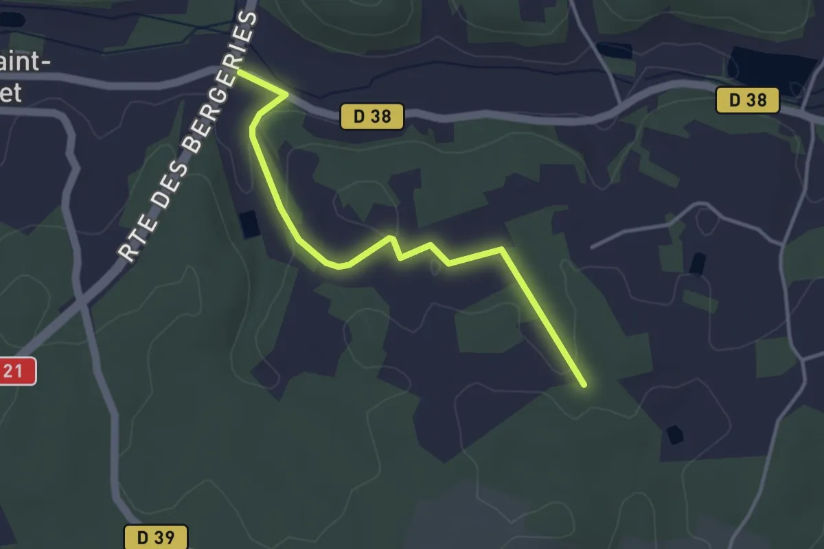
Liaison Pont-St-Mamet - Beauregard-et-Bassac - St-Martin-des-Combres
2.6 km · ↑ 18 m · 40 min · 10 km away
Easy · Trail
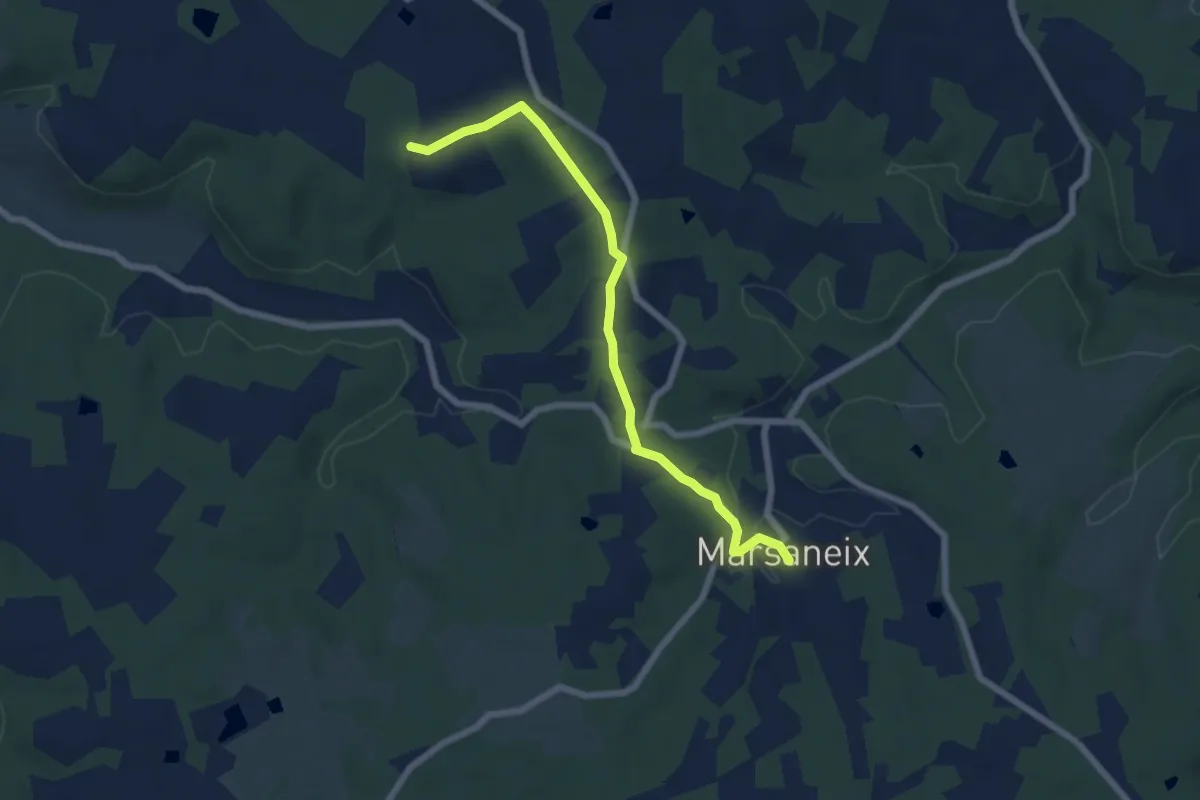
Liaison Pont-St-Mamet - Beauregard-et-Bassac - St-Martin-des-Combres
3.4 km · ↑ 60 m · 57 min · 10 km away
Easy · Trail
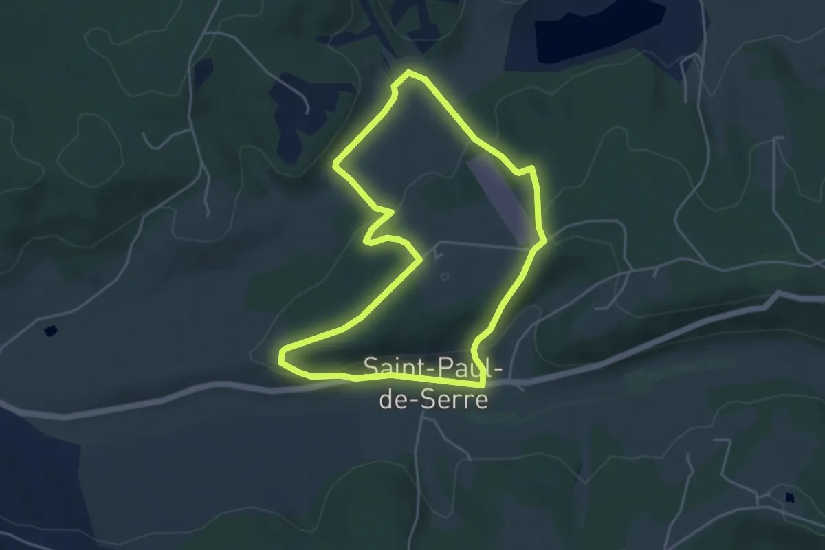
Liaison Atur-Marsaneix
6.7 km · ↑ 70 m · 1 h 43 min · 10 km away
Easy · Trail
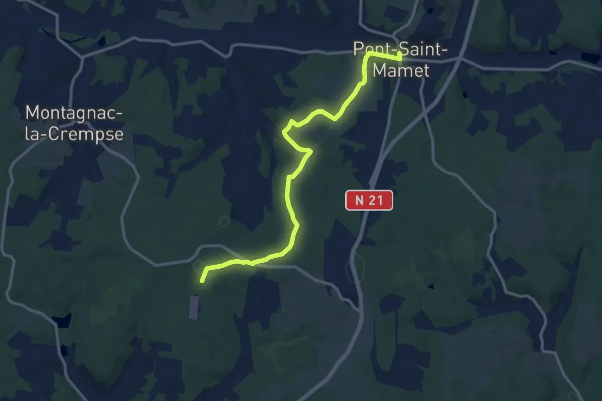
Boucle de Moncouche
4.5 km · ↑ 162 m · 1 h 28 min · 10 km away
Medium · Trail
Liaison Pont-St-Mamet - Campsegret
9.8 km · ↑ 177 m · 2 h 42 min · 11 km away
Easy · Trail
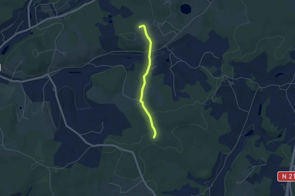
Liaison Douville - Villamblard
4.0 km · ↑ 97 m · 1 h 9 min · 11 km away
Demanding · Trail
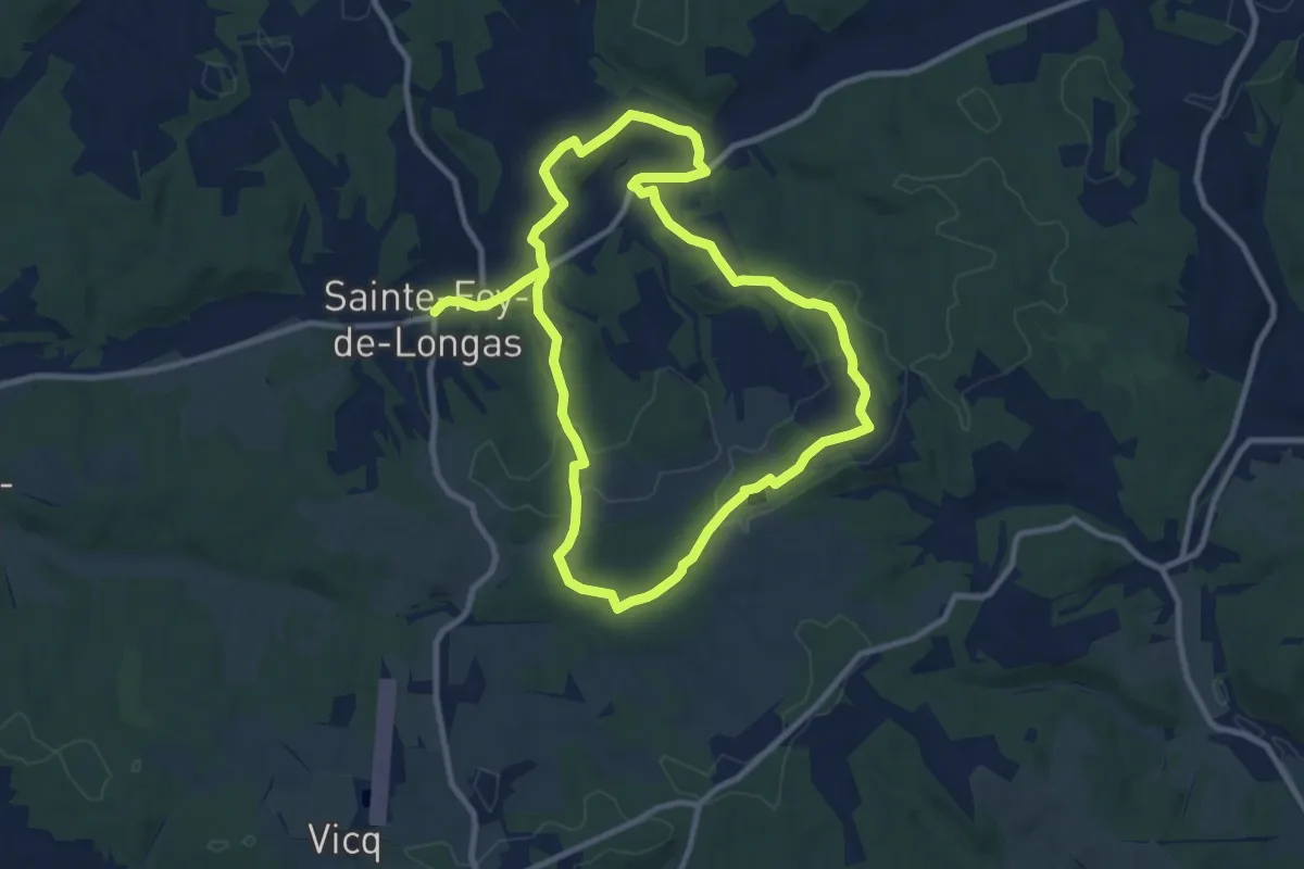
Château de Longas
19.1 km · ↑ 361 m · 5 h 18 min · 11 km away
Medium · Trail
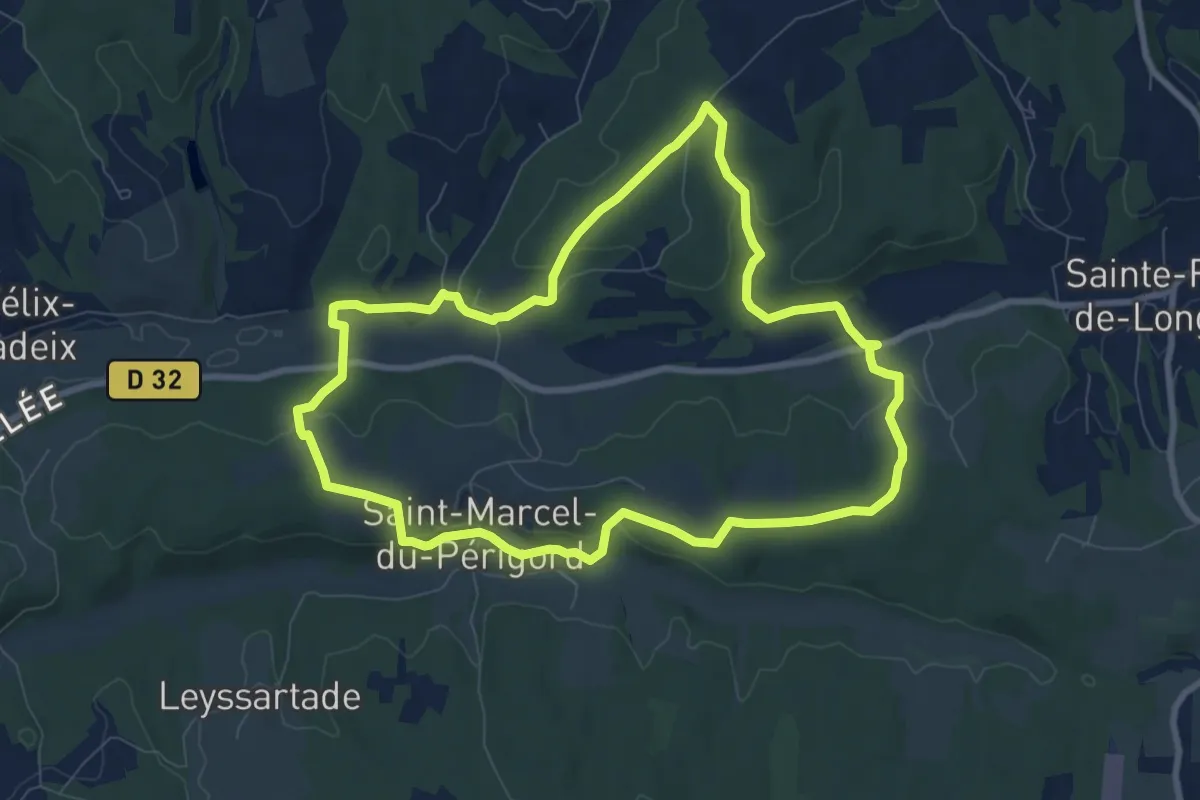
Tiregrand
8.8 km · ↑ 203 m · 2 h 38 min · 11 km away
Medium · Trail
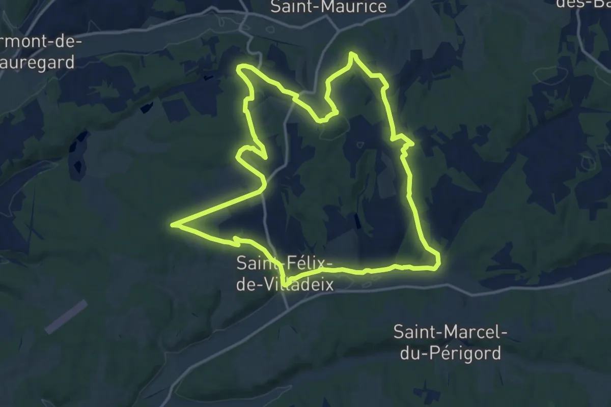
La Peyrouse
14.6 km · ↑ 284 m · 4 h 17 min · 12 km away