Trails near Vergt
68 hikes starting within 15 km, nearest first.
Nearest first, page 2 of 2
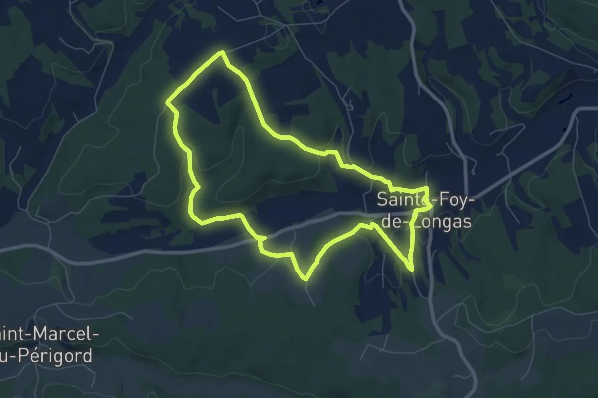
Easy · Trail
Moulin Pommier
7.1 km · ↑ 149 m · 2 h 6 min · 12 km away
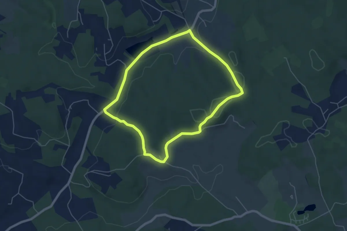
Easy · Trail
Boucle du Maquis
4.9 km · ↑ 91 m · 1 h 25 min · 12 km away
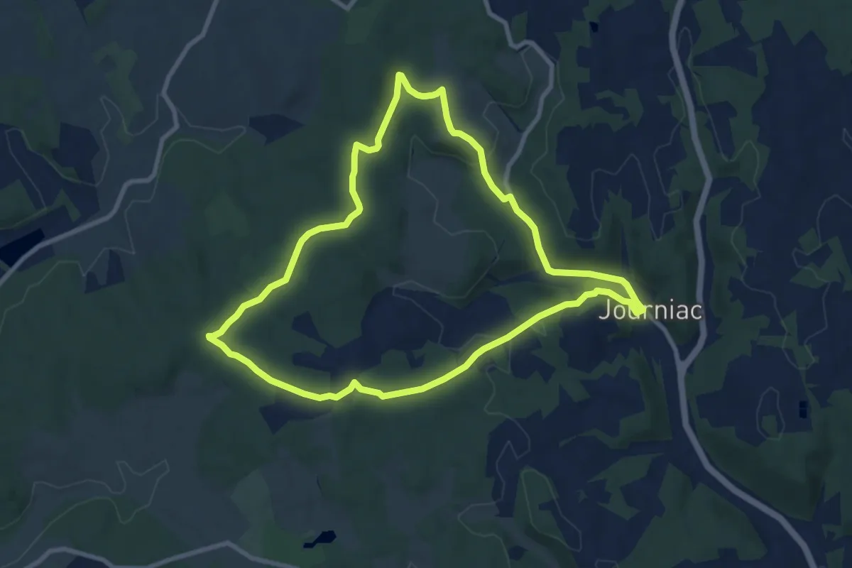
Medium · Trail
Boucle de Péchorel
8.4 km · ↑ 160 m · 2 h 27 min · 12 km away
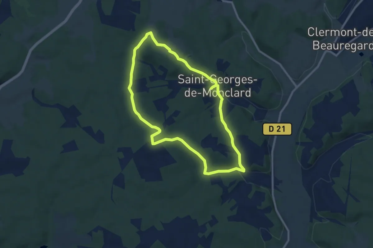
Easy · Trail
Boucle de Saint-Georges-de-Monclard
6.9 km · ↑ 142 m · 2 h 3 min · 12 km away
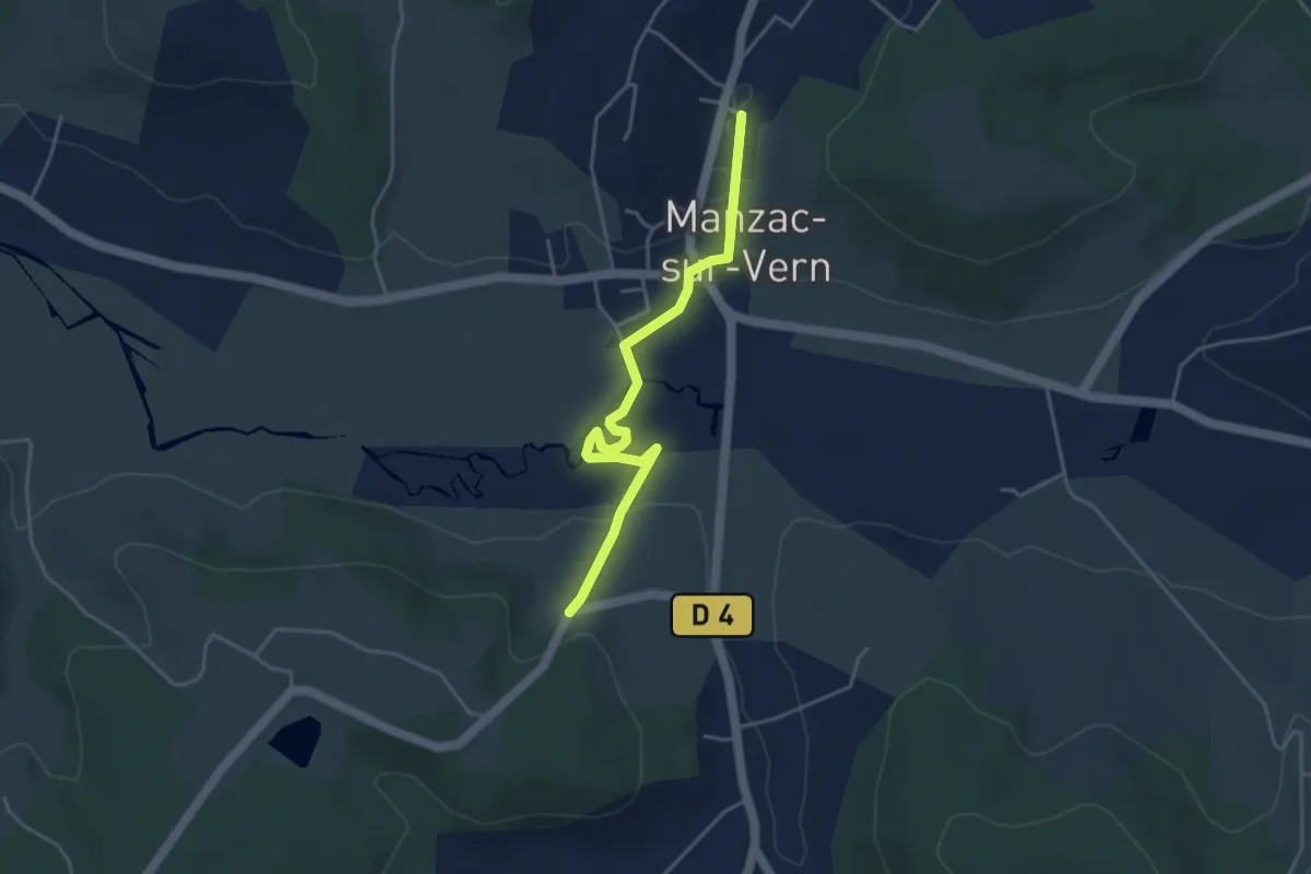
Easy · Trail
Liaison Manzac-sur-Vern - Tour du Freyrat
4.3 km · ↑ 51 m · 1 h 7 min · 12 km away
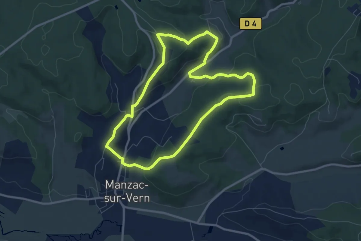
Easy · Trail
Boucle de Chabannes
7.2 km · ↑ 216 m · 2 h 16 min · 13 km away
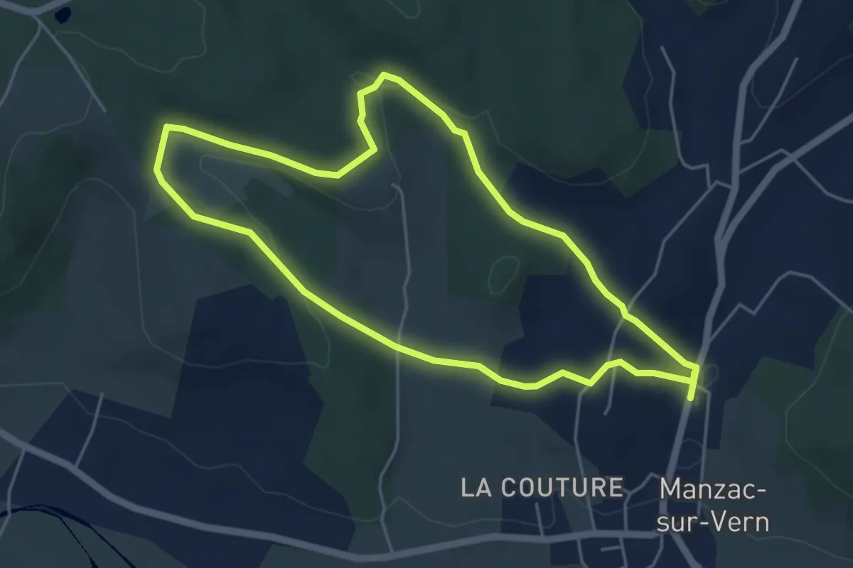
Easy · Trail
Boucle de Negrefont
4.7 km · ↑ 144 m · 1 h 30 min · 13 km away
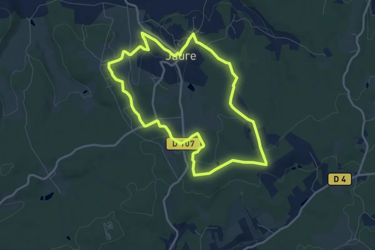
Easy · Trail
Tour de Jaure (Variante courte)
8.0 km · ↑ 99 m · 2 h 12 min · 13 km away
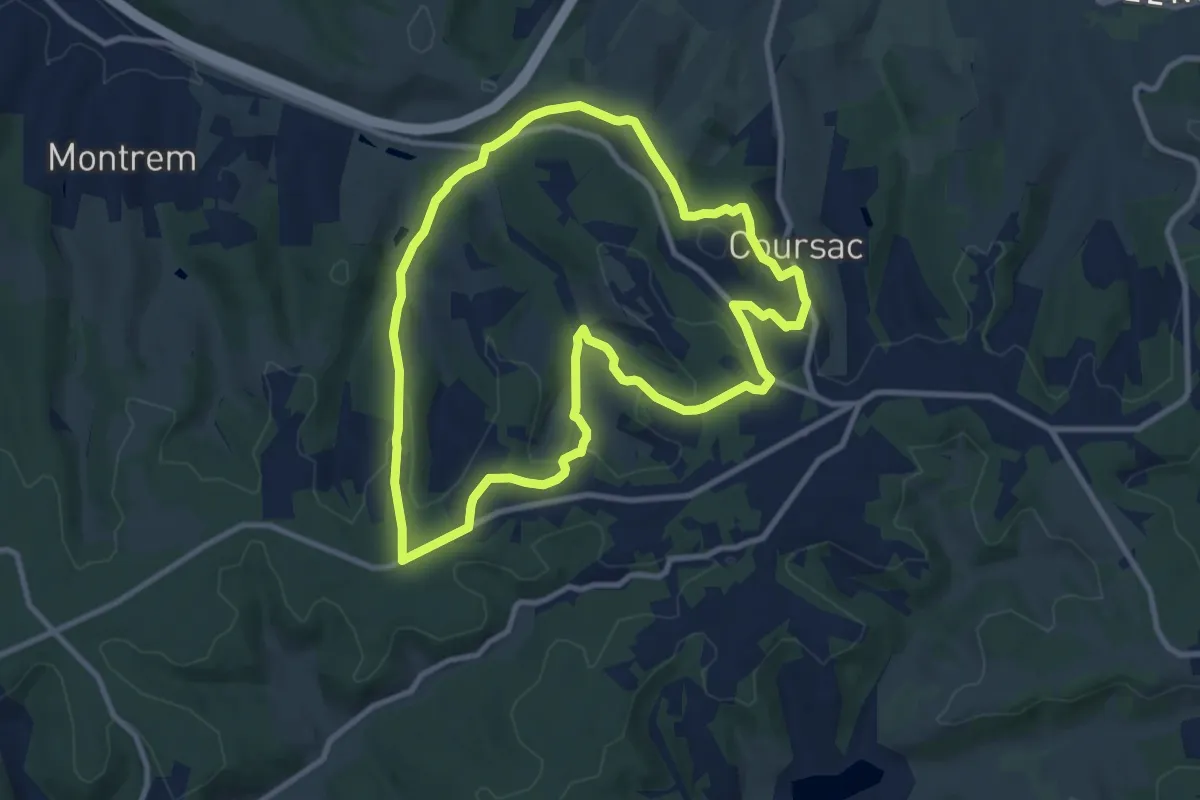
Medium · Trail
Boucle des Bordes d’Antan
9.9 km · ↑ 223 m · 2 h 57 min · 13 km away
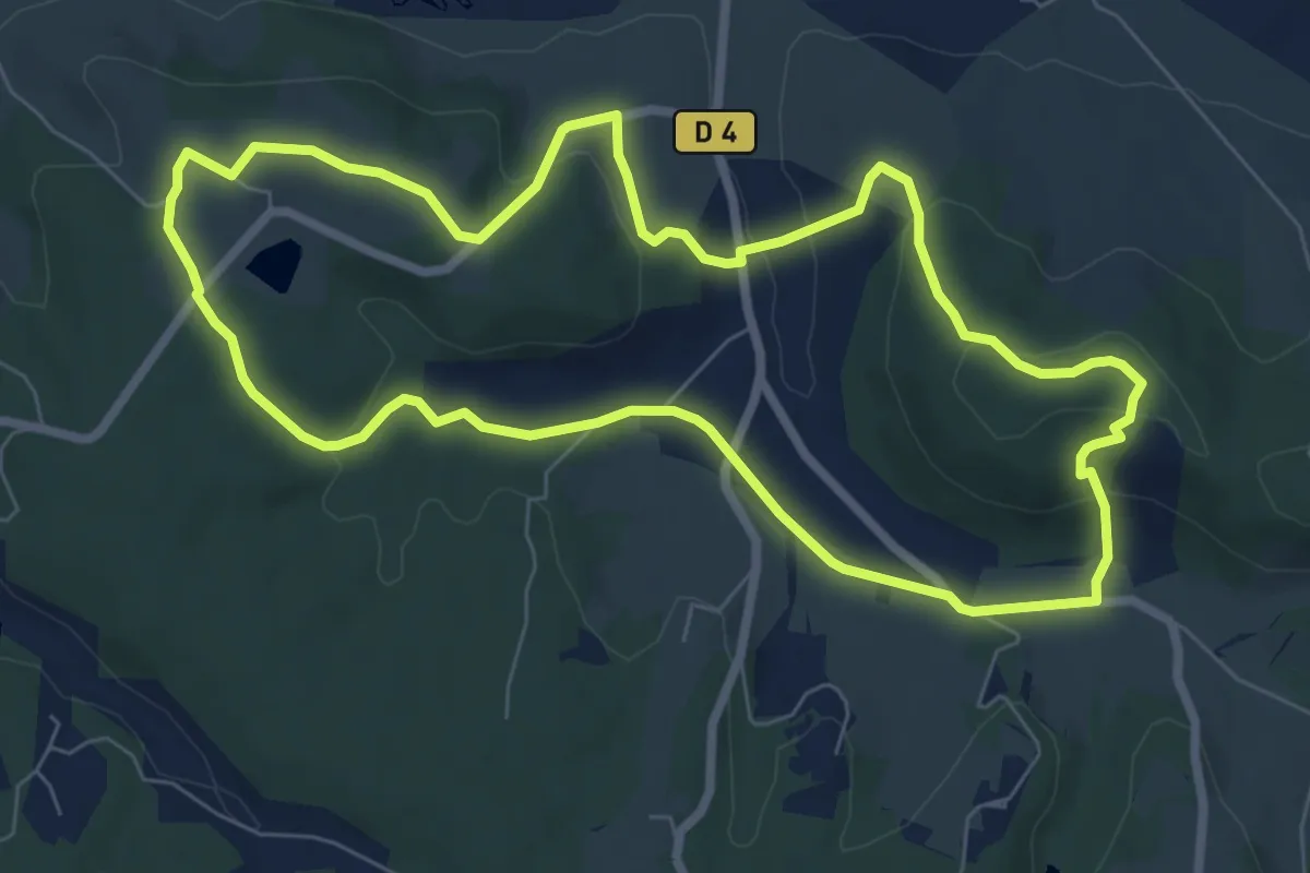
Easy · Trail
Tour du Freyrat
7.8 km · ↑ 204 m · 2 h 24 min · 13 km away
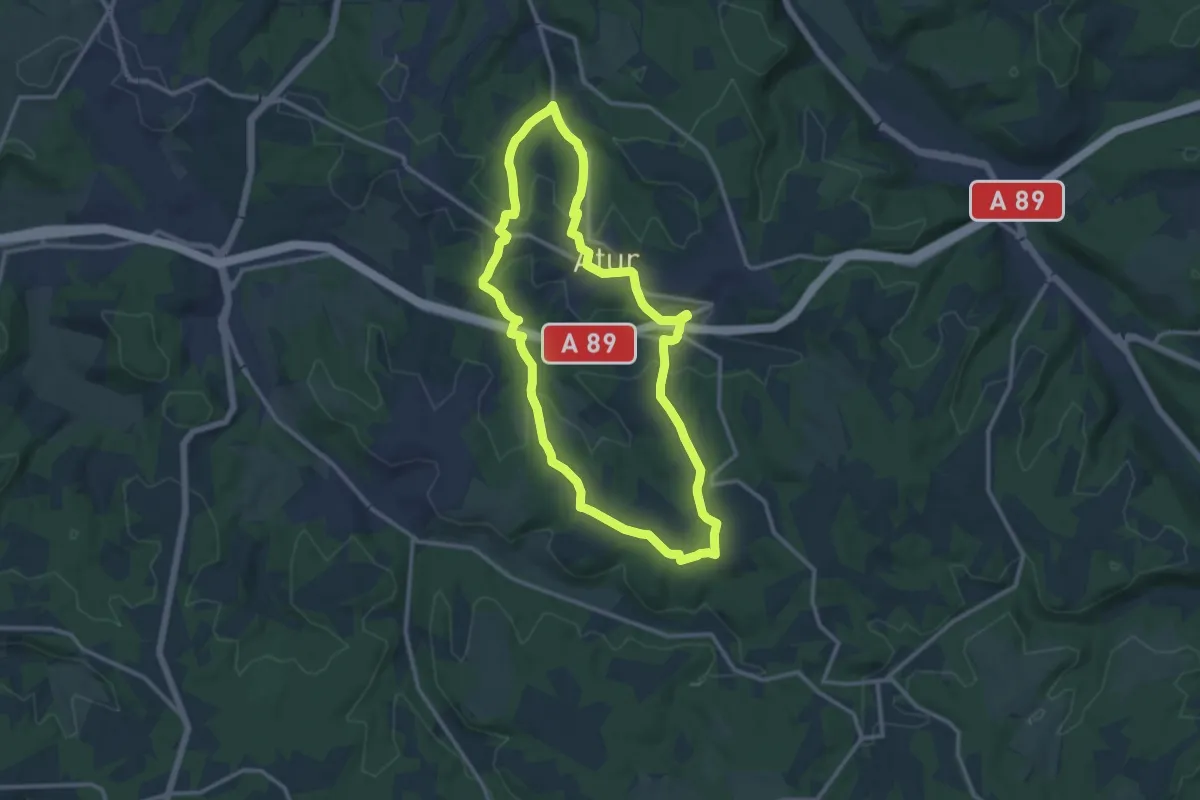
Medium · Trail
Boucle Aturienne
12.4 km · ↑ 214 m · 3 h 34 min · 13 km away
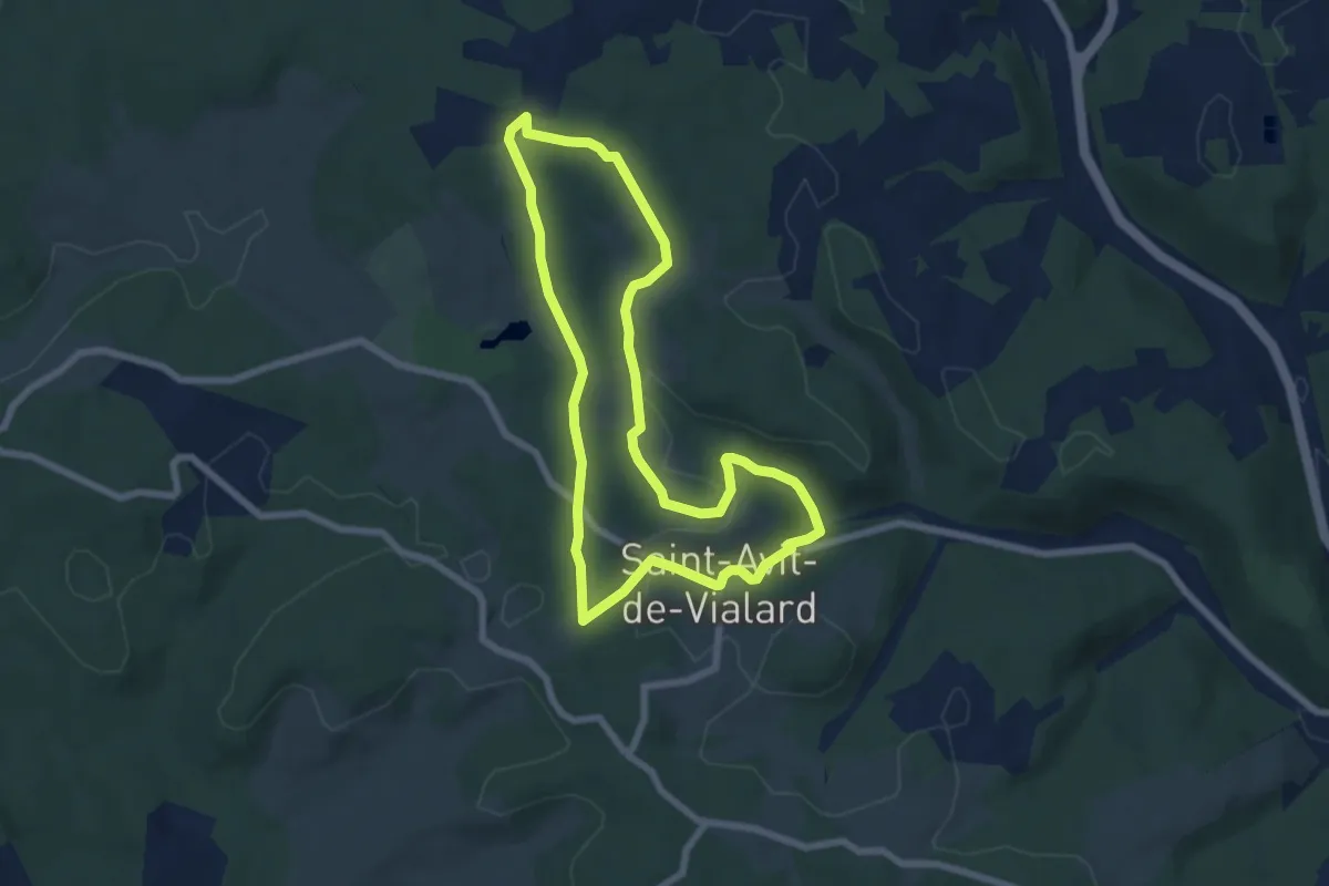
Easy · Trail
Boucle la Font du But
6.6 km · ↑ 100 m · 1 h 52 min · 13 km away
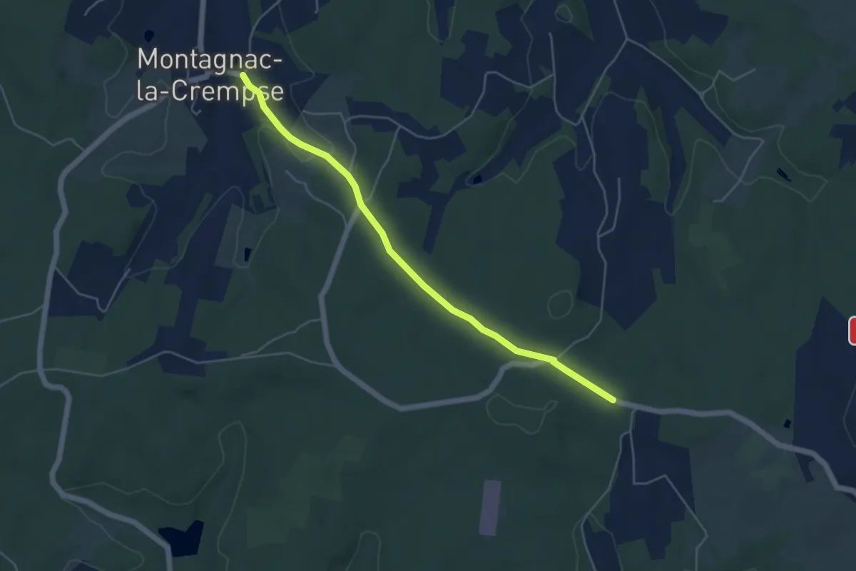
Easy · Trail
Liaison Pont-St-Mamet - Campsegret - Montagnac-la-Crempse
5.0 km · ↑ 82 m · 1 h 21 min · 13 km away
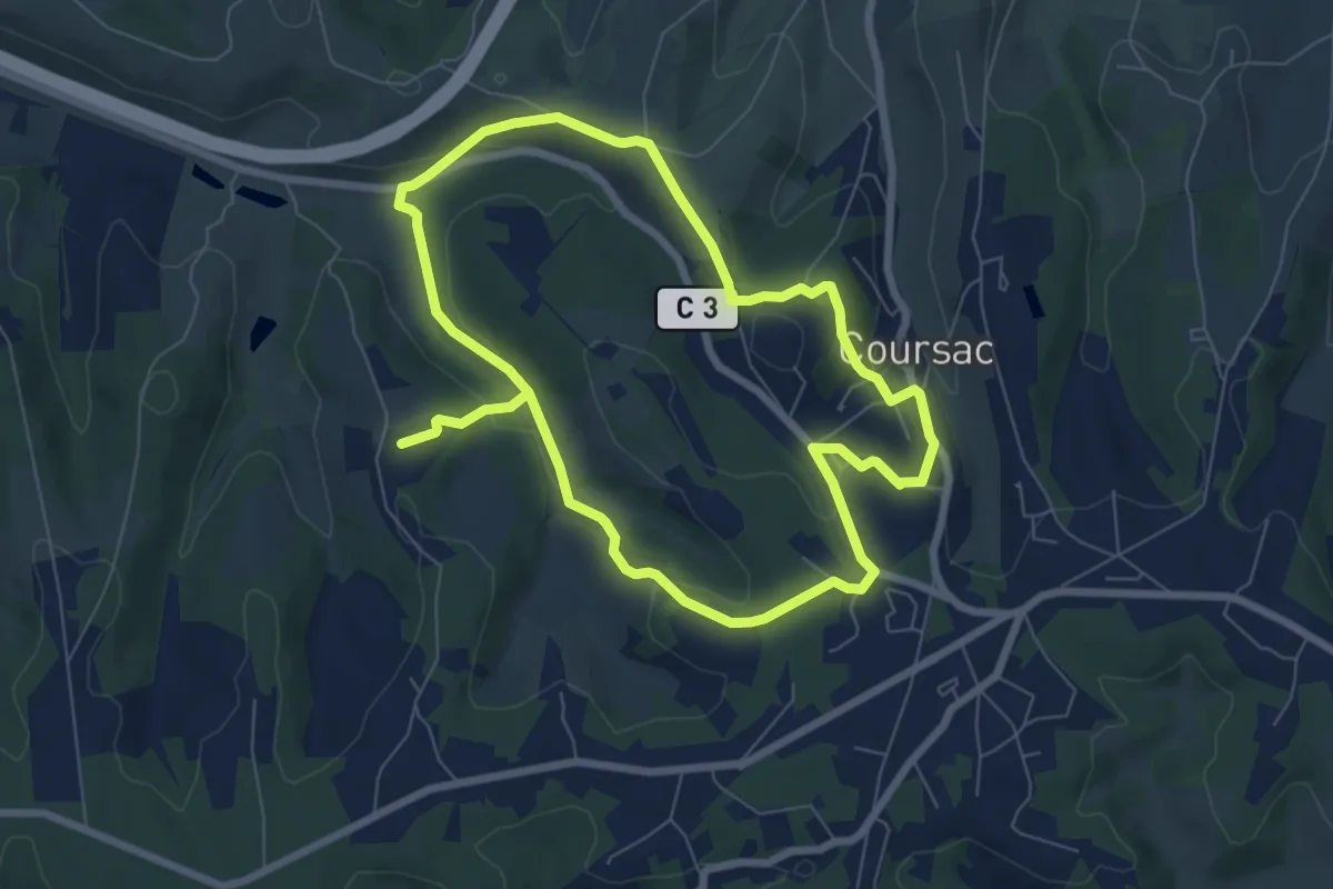
Medium · Trail
Ronde des Lavandières
13.9 km · ↑ 332 m · 4 h · 14 km away
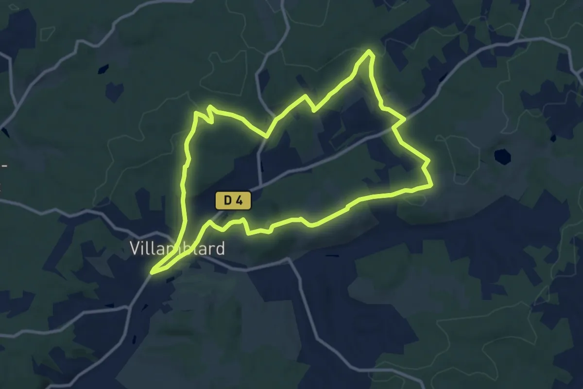
Medium · Trail
Boucle des crètes
9.7 km · ↑ 190 m · 2 h 50 min · 14 km away
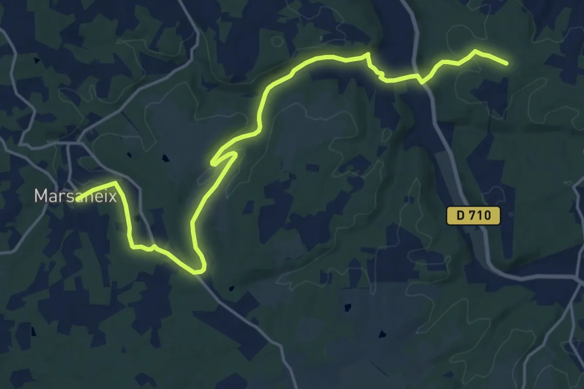
Medium · Trail
Liaison Marsaneix-Saint-Pierre-de-Chiniac
16.6 km · ↑ 323 m · 4 h 38 min · 14 km away
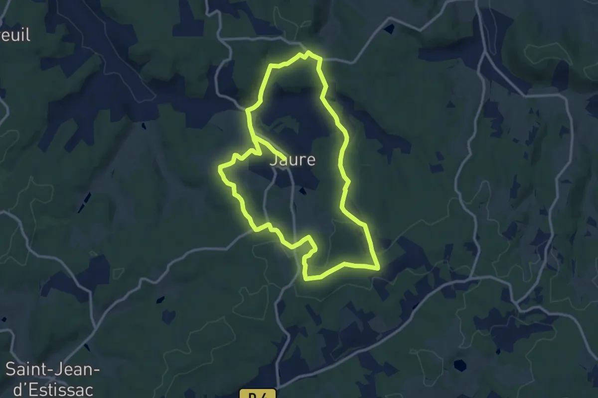
Demanding · Trail
Tour de Jaure
20.7 km · ↑ 313 m · 5 h 34 min · 14 km away
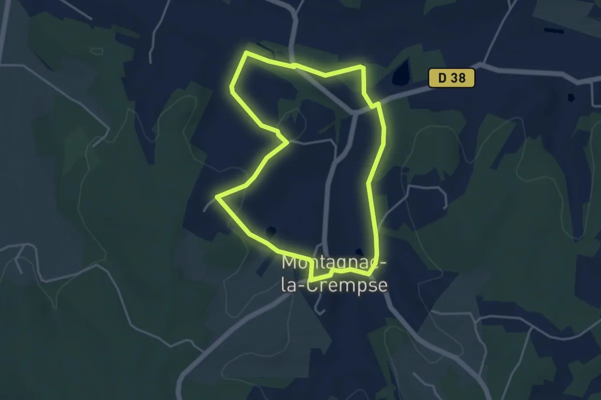
Easy · Trail
Boucle de Picatao
3.6 km · ↑ 61 m · 1 h 1 min · 14 km away
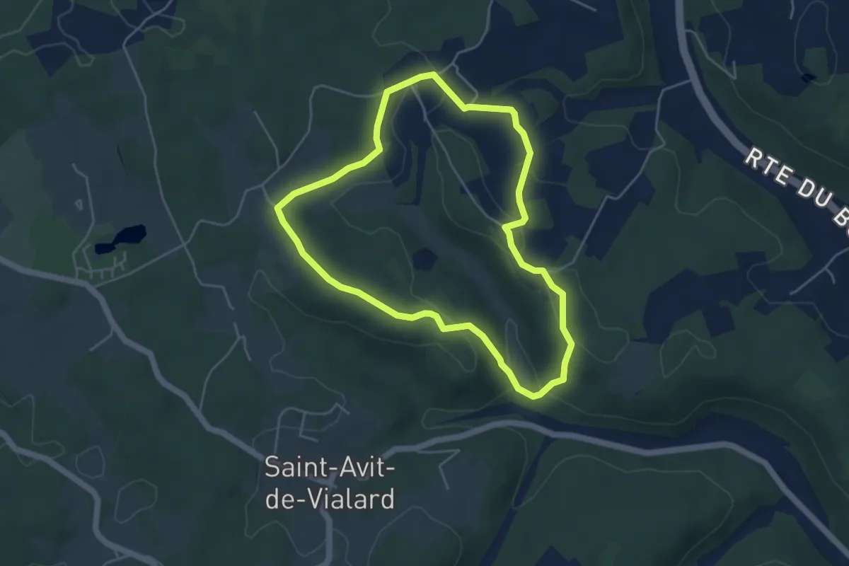
Easy · Trail
Boucle de Saint-Mont
4.4 km · ↑ 106 m · 1 h 20 min · 14 km away
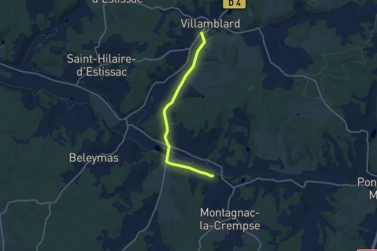
Medium · Trail
Liaison Beleymas - Montagnac-la-Crempse - Villamblard
9.2 km · ↑ 98 m · 2 h 23 min · 15 km away