Trails in France
15,926 hiking trails, each with its route, climb, walking time and grade.
All trails, page 111 of 332
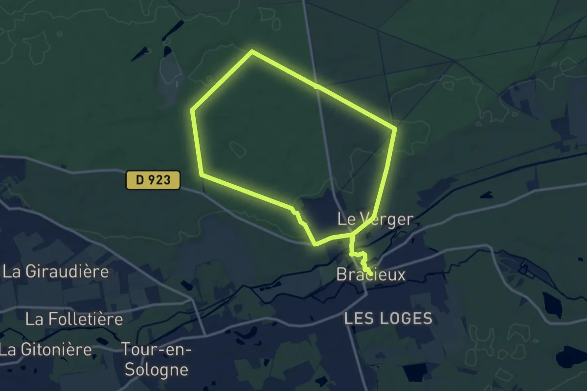
Medium · Trail
En forêt domaniale
9.7 km · ↑ 64 m · 2 h 34 min
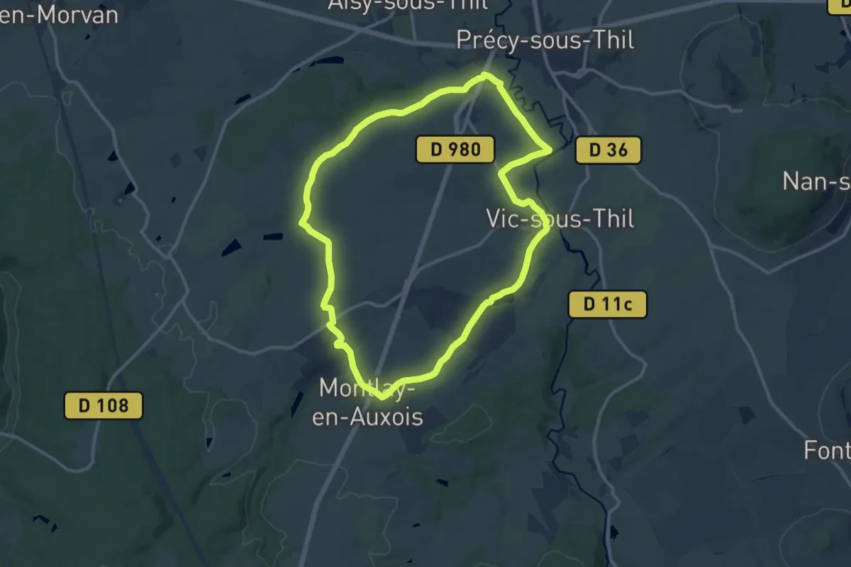
Medium · Trail
En Galafre
11.4 km · ↑ 120 m · 3 h 7 min
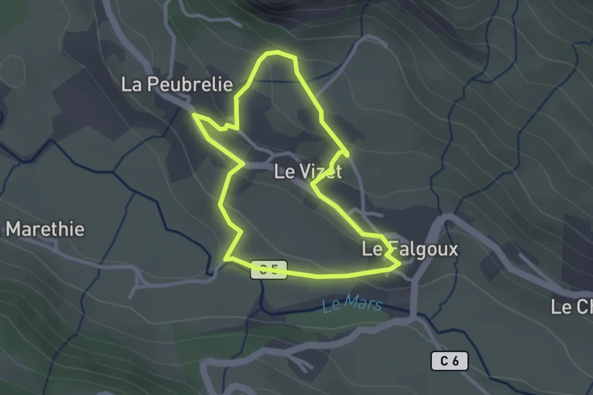
Easy · Trail
Engouran
2.3 km · ↑ 89 m · 47 min
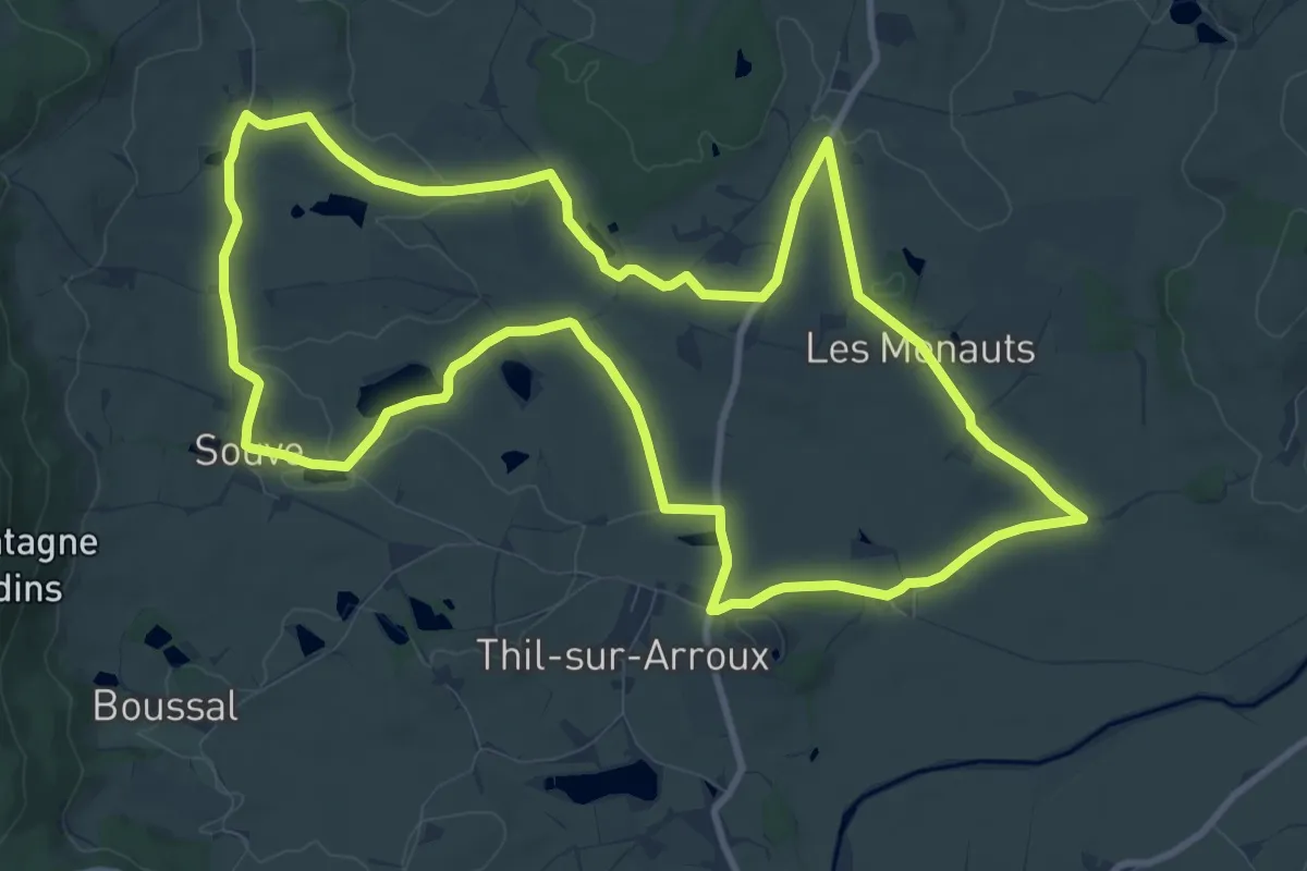
Medium · Trail
En montant à Dône
11.1 km · ↑ 104 m · 3 h
Medium · Trail
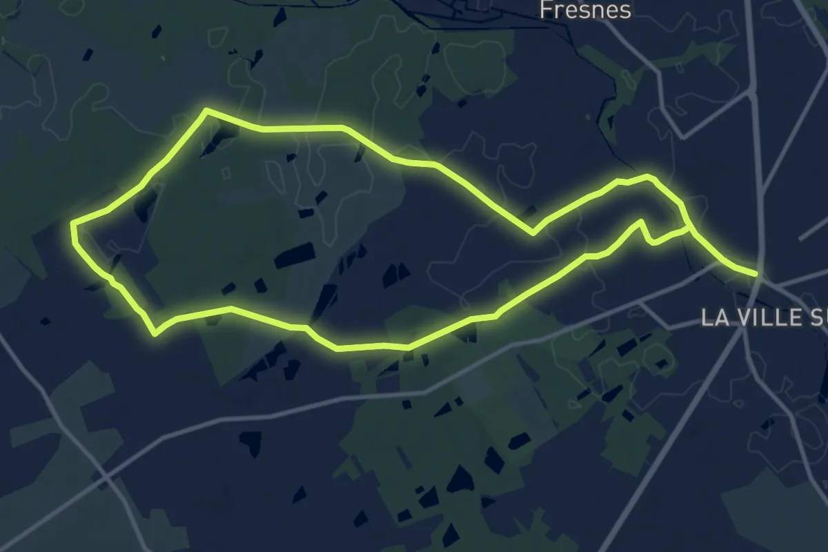
En passant par la Boudinière
10.8 km · ↑ 26 m · 2 h 45 min
Medium · Trail
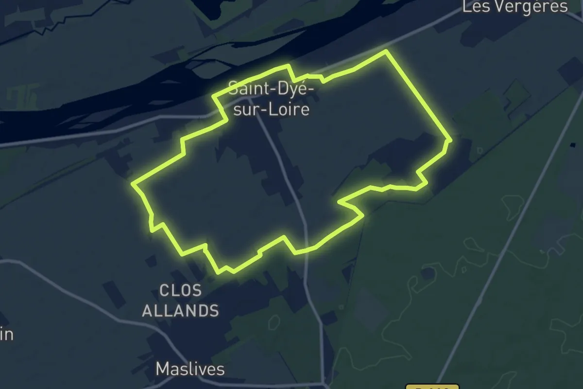
En passant par la Maladrerie
9.8 km · ↑ 17 m · 2 h 30 min
Easy · Trail
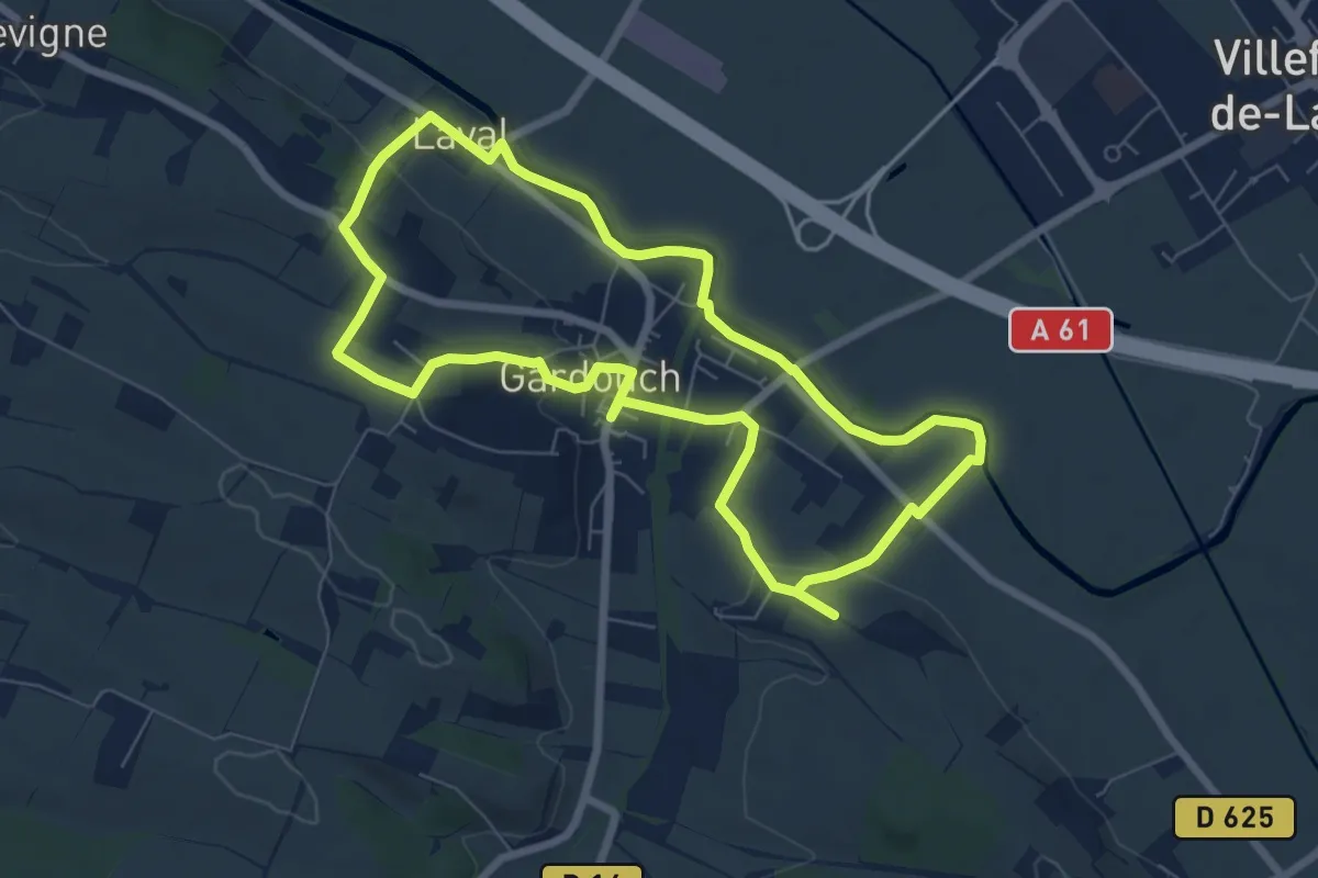
En passant par les Agals
7.3 km · ↑ 98 m · 2 h 2 min
Medium · Trail
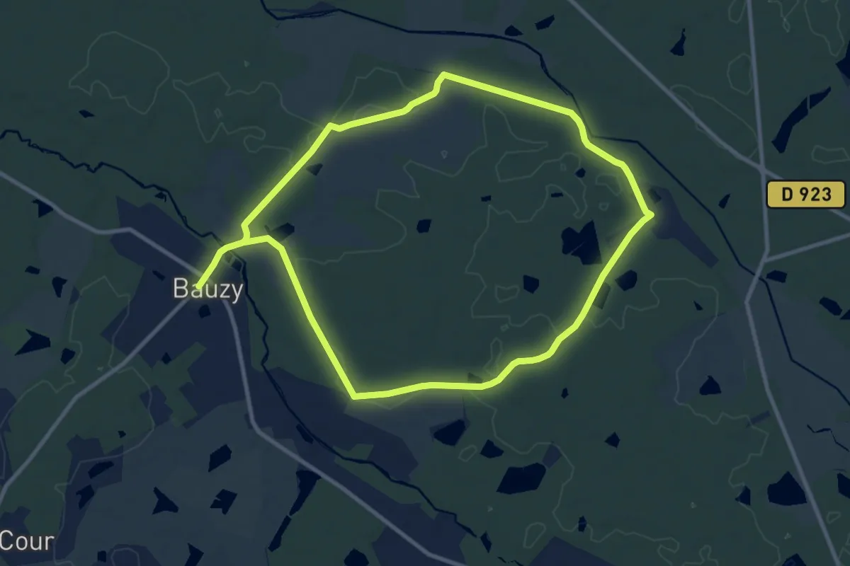
En passant par les bois
9.1 km · ↑ 57 m · 2 h 23 min
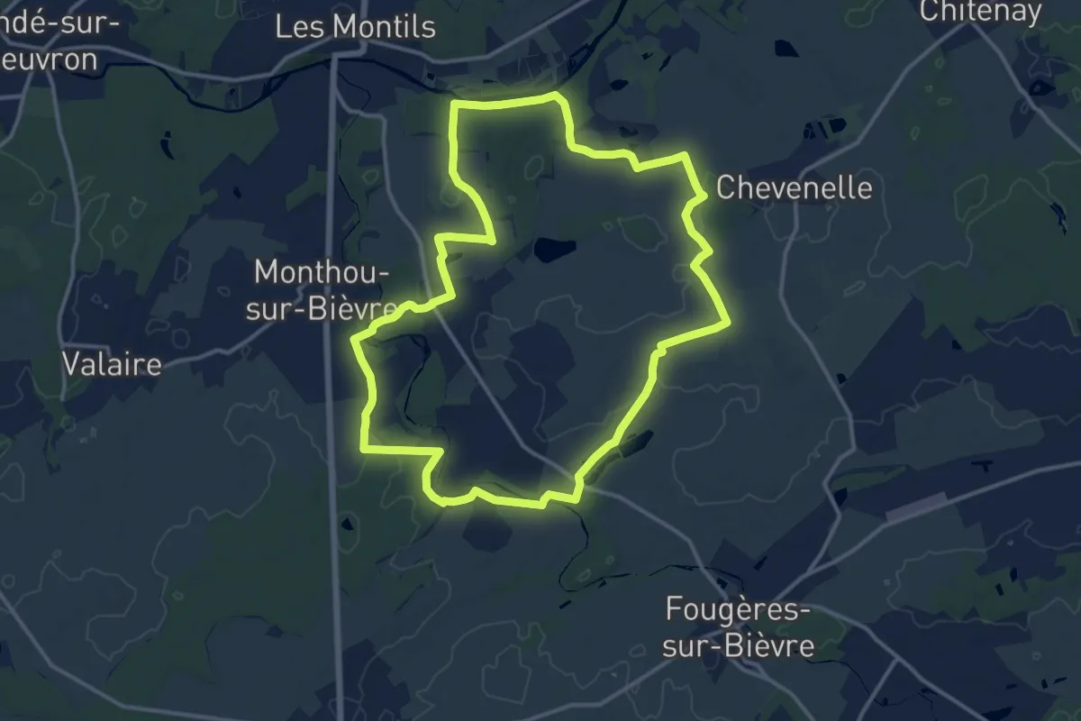
Medium · Trail
En passant par les bois
13.6 km · ↑ 70 m · 3 h 33 min
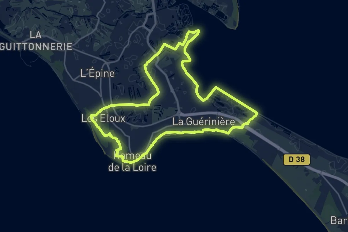
Medium · Trail
En Passant par les Moulins
15.2 km · ↑ 16 m · 3 h 50 min
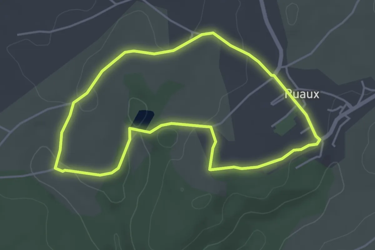
Easy · Trail
En passant par Ruaux
3.7 km · ↑ 60 m · 1 h 3 min
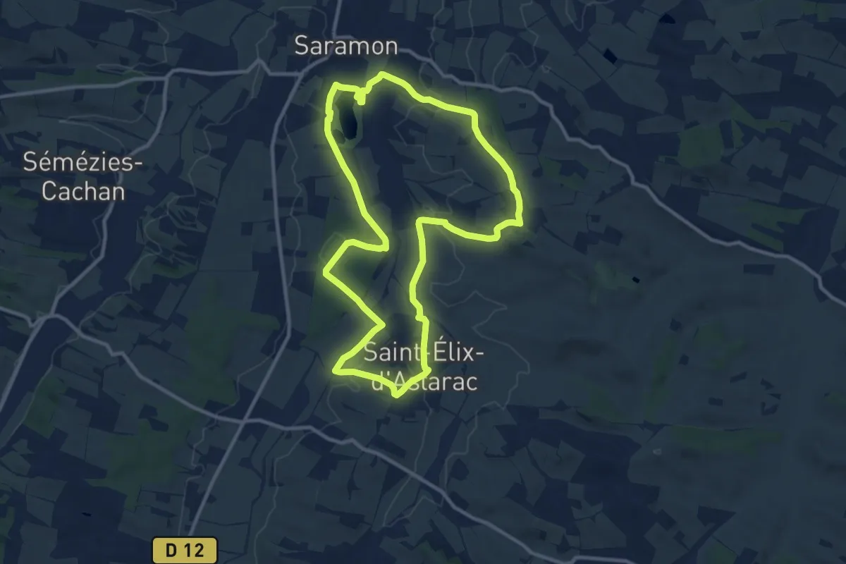
Medium · Trail
EN PASSANT PAR SAINT-ELIX
11.1 km · ↑ 144 m · 3 h 5 min
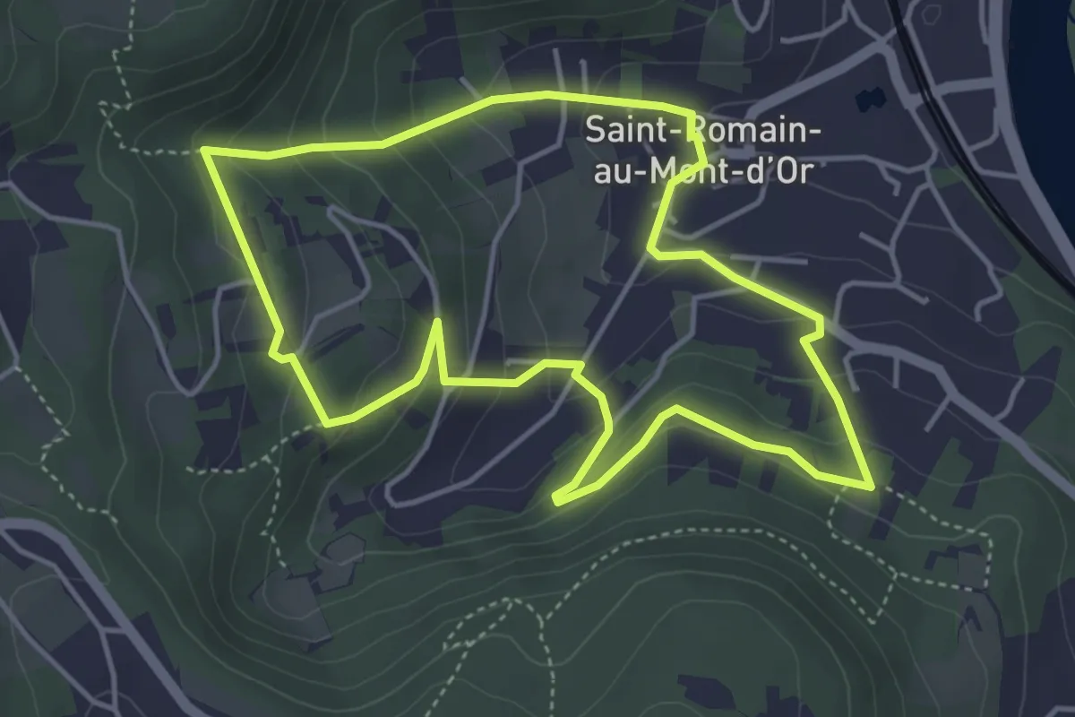
Easy · Trail
En suivant l'Aqueduc
4.3 km · ↑ 214 m · 1 h 32 min
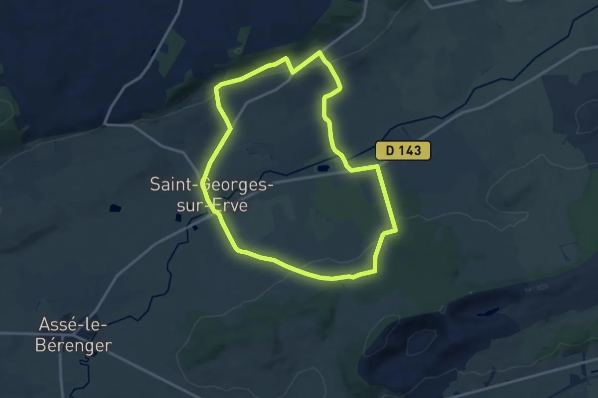
Medium · Trail
En Surplomb de l'Erve
8.9 km · ↑ 219 m · 2 h 42 min
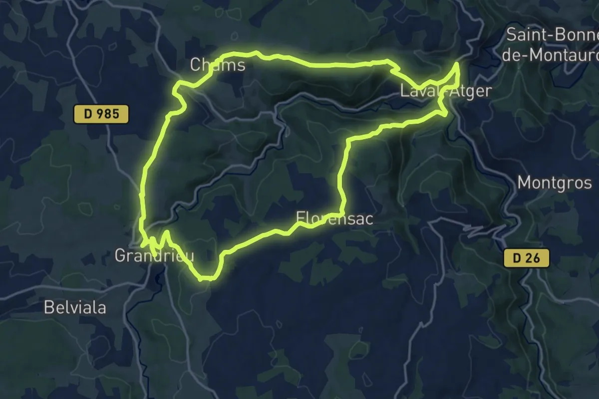
Demanding · Trail
Entraygues
18.1 km · ↑ 556 m · 5 h 44 min
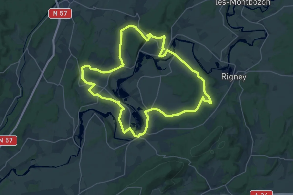
Demanding · Trail
Entre Abbaye et Châteaux
22.1 km · ↑ 324 m · 6 h 14 min
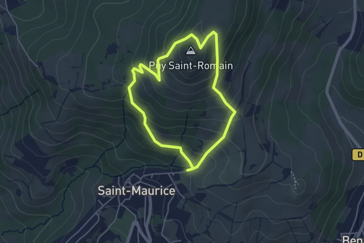
Medium · Summit
Entre Allier et Puy Saint-Romain
10.6 km · ↑ 473 m · 3 h 39 min
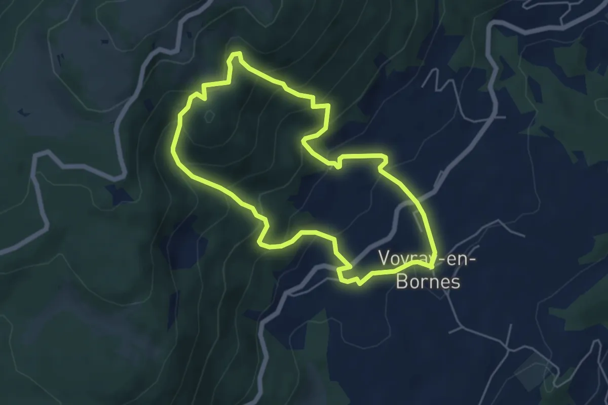
Medium · Trail
Entre alpages et forêts
4.6 km · ↑ 354 m · 1 h 55 min
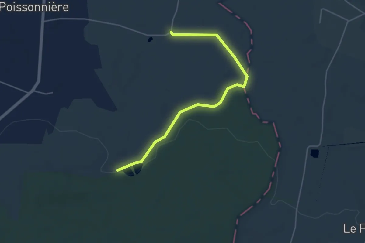
Easy · Trail
Entre Araize et Semnon
4.1 km · ↑ 27 m · 1 h 1 min
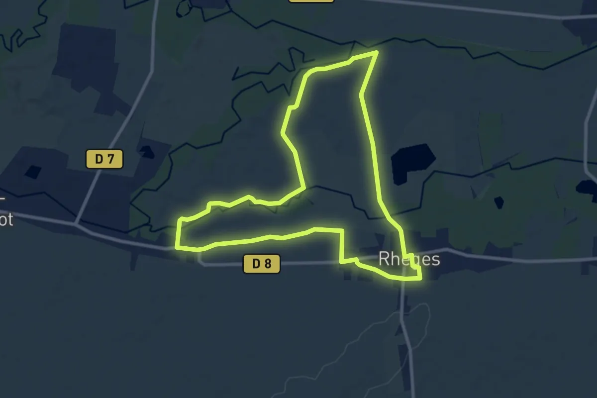
Easy · Trail
Entre Aube et Barbuise
7.8 km · ↑ 9 m · 1 h 59 min
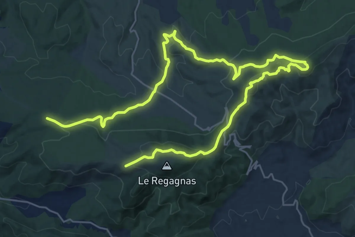
Medium · Trail
Entre Aurélien et Regagnas
13.3 km · ↑ 428 m · 4 h 17 min
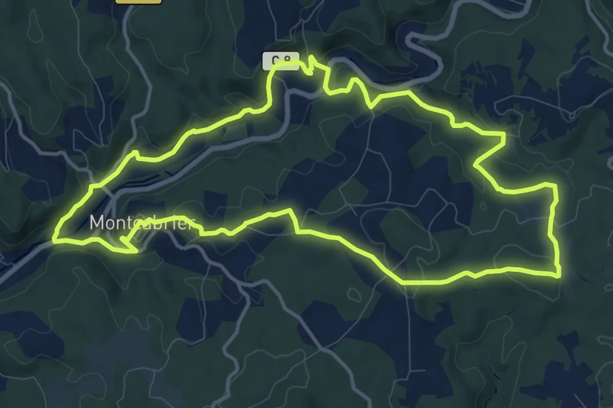
Medium · Trail
Entre Bastide et vallée de la Thèze
11.5 km · ↑ 295 m · 3 h 31 min
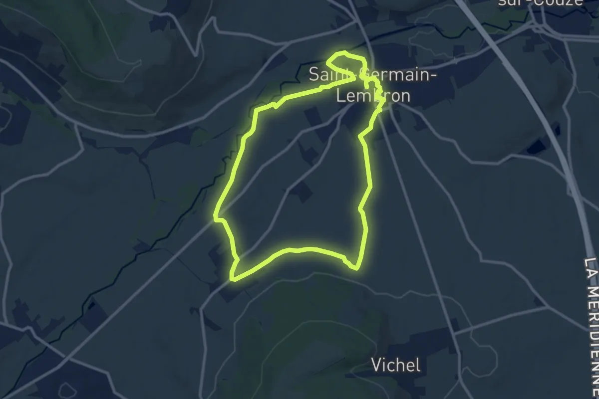
Medium · Trail
Entre Beal et Pigeonniers
9.0 km · ↑ 79 m · 2 h 26 min
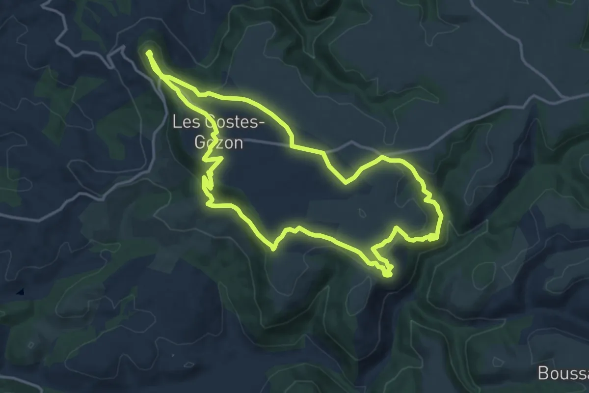
Medium · Trail
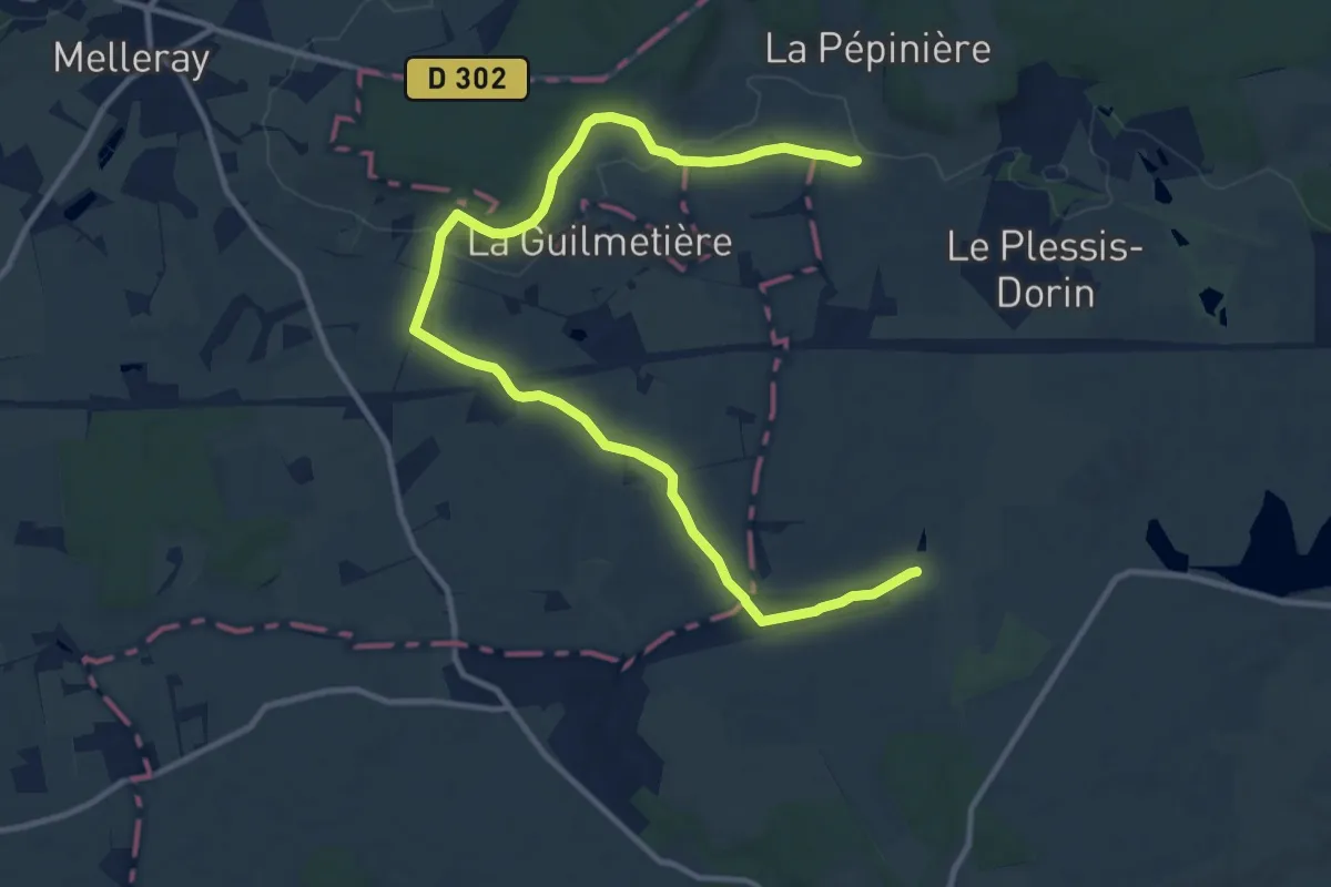
Entre beaux paysage et histoire ancienne
12.9 km · ↑ 353 m · 4 h 1 min
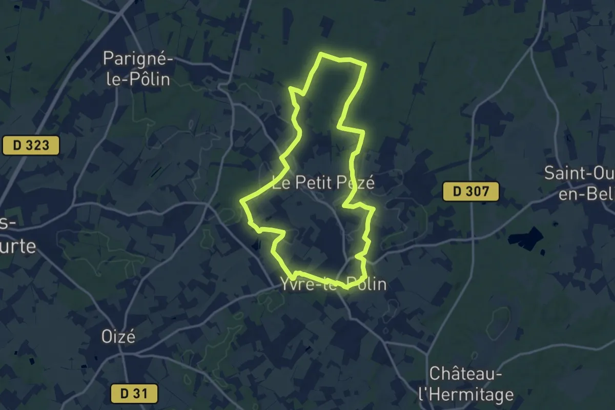
Medium · Trail
Entre bocage et forêt
13.9 km · ↑ 176 m · 3 h 40 min
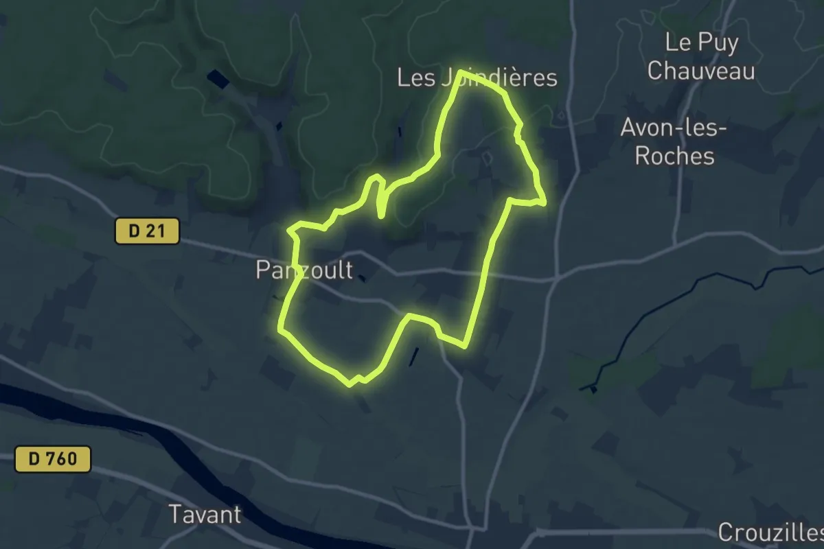
Medium · Trail
Entre bois, bocages et chemins creux
12.3 km · ↑ 131 m · 3 h 22 min
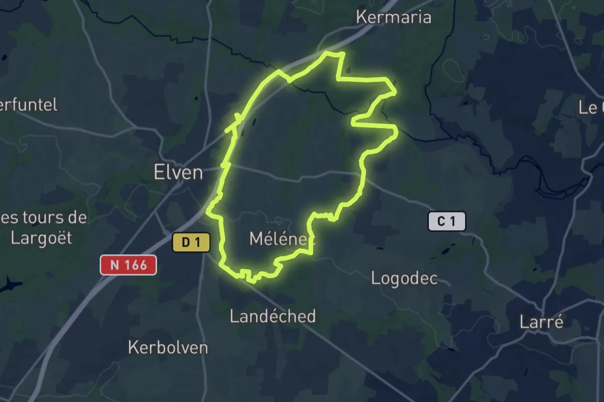
Medium · Trail
Entre Bois de Juche-Pie et Vignobles des Folies - Panzoult
9.9 km · ↑ 116 m · 2 h 44 min
Medium · Trail
Entre bois et cours d’eau
13.4 km · ↑ 181 m · 3 h 45 min
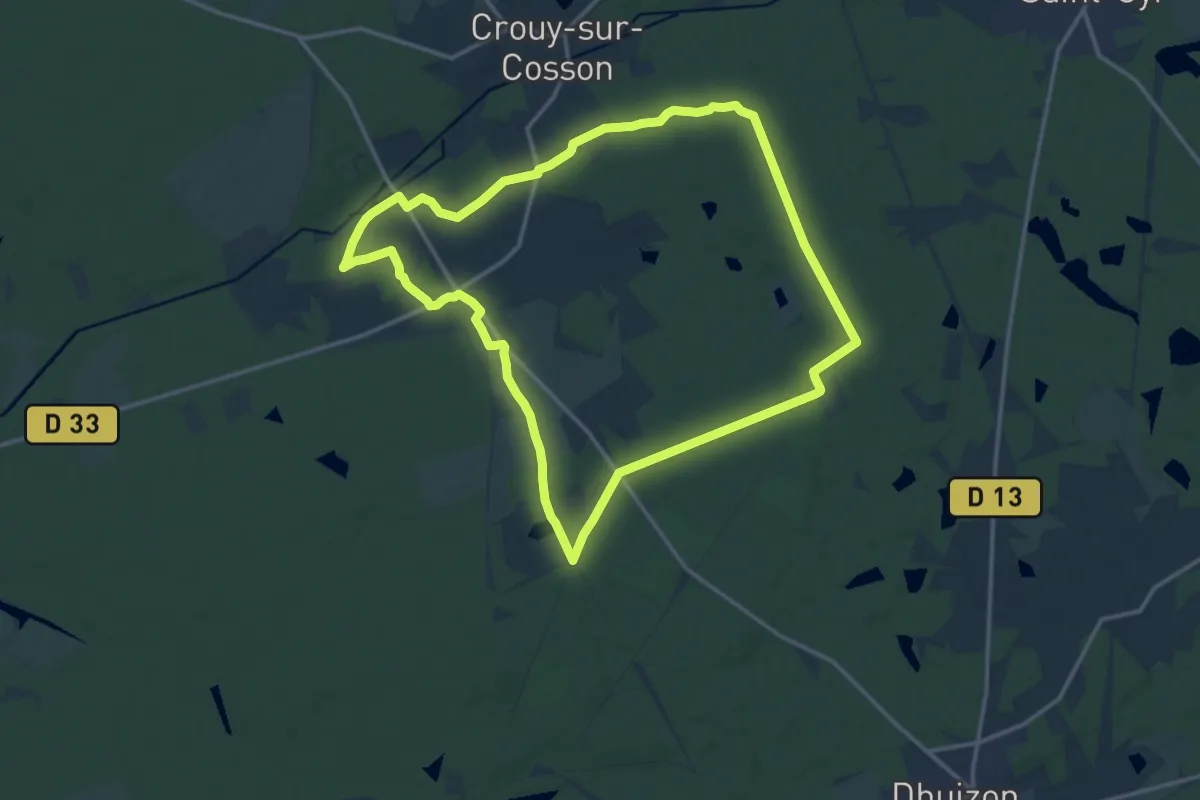
Medium · Trail
Entre bois et étangs
14.6 km · ↑ 73 m · 3 h 48 min
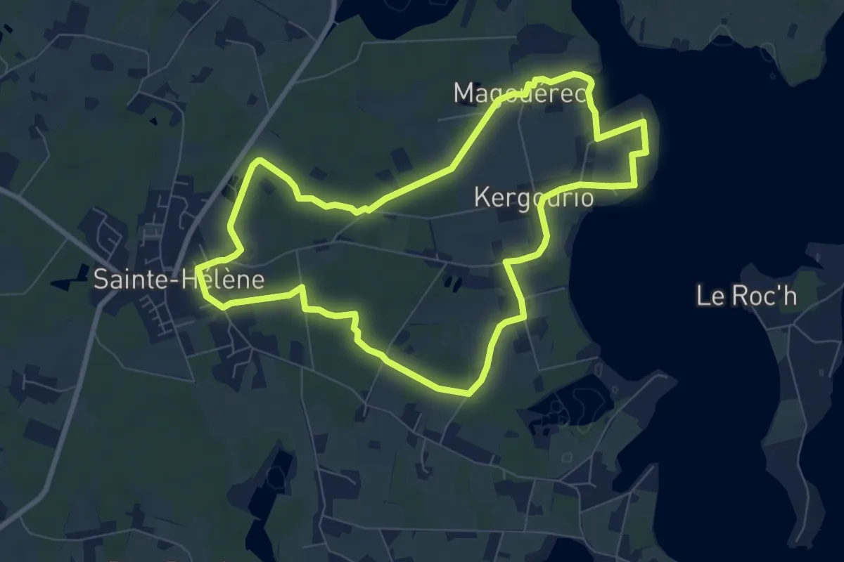
Easy · Trail
Entre bois et landes
7.8 km · ↑ 32 m · 2 h 1 min
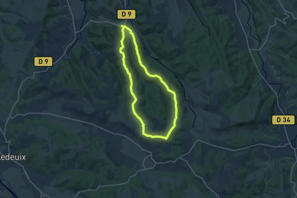
Medium · Trail
Entre bois et panoramas
11.9 km · ↑ 255 m · 3 h 31 min
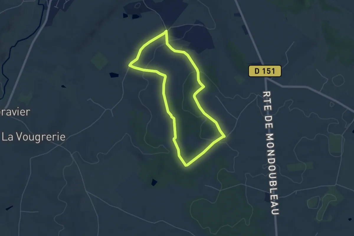
Easy · Trail
Entre bois et pâtures
5.1 km · ↑ 89 m · 1 h 28 min
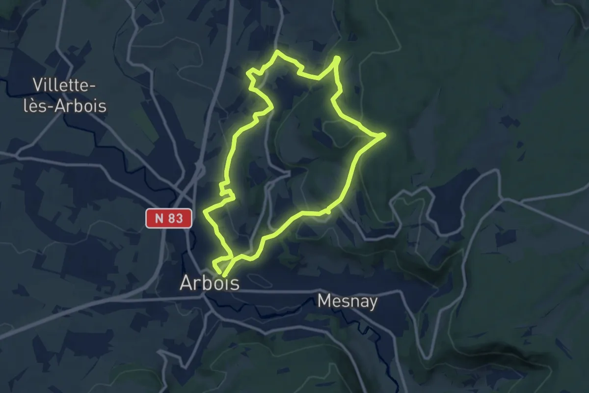
Medium · Trail
Entre Bois et Vignes
9.2 km · ↑ 308 m · 2 h 57 min
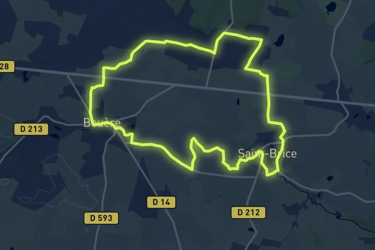
Medium · Trail
Entre Bouère et Saint-Brice
12.5 km · ↑ 81 m · 3 h 18 min
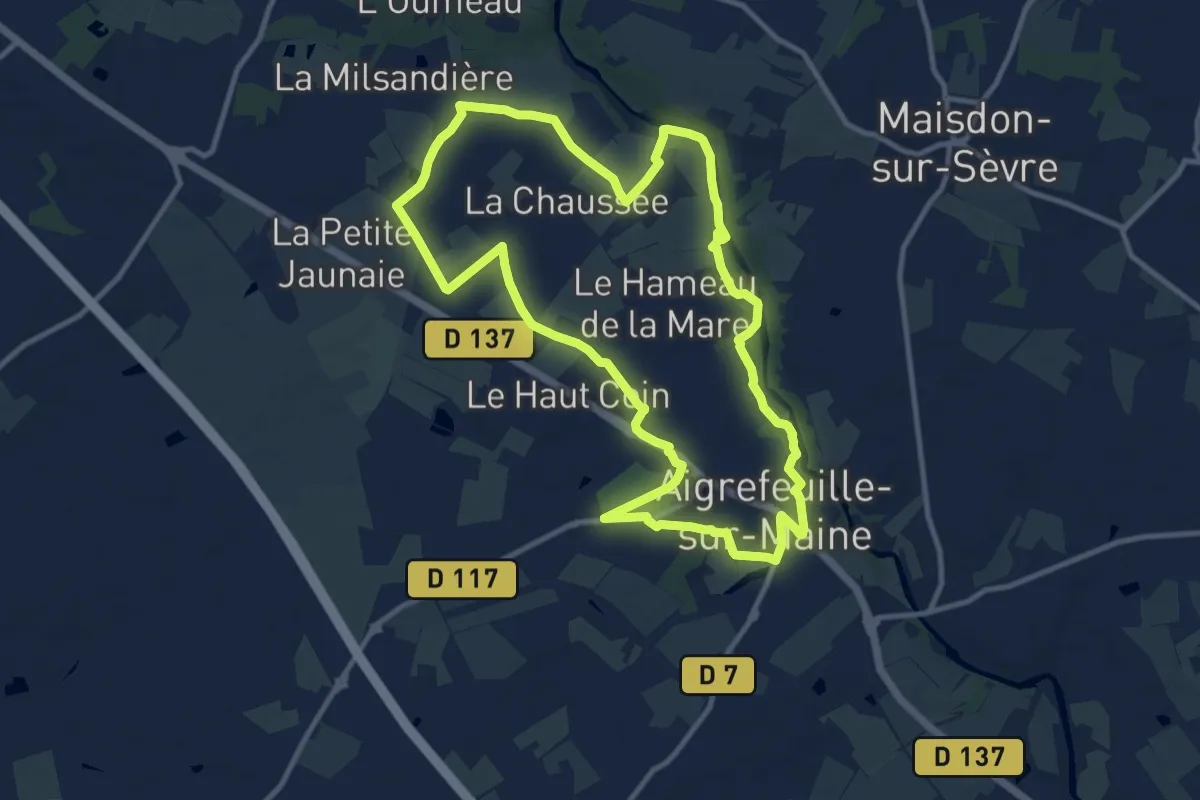
Medium · Trail
Entre Bourg et Maine
11.3 km · ↑ 73 m · 2 h 59 min
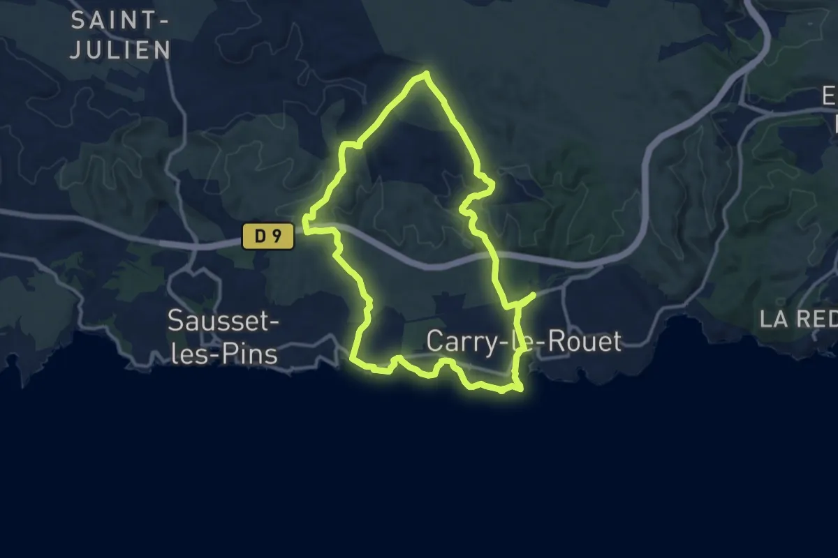
Medium · Trail
Entre calanques et collines
12.2 km · ↑ 195 m · 3 h 28 min
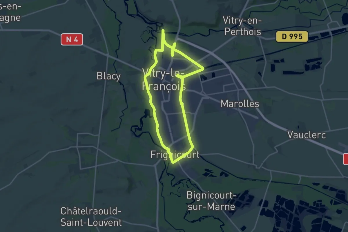
Medium · Trail
Entre Canaux et bords de Marne
14.3 km · ↑ 9 m · 3 h 36 min
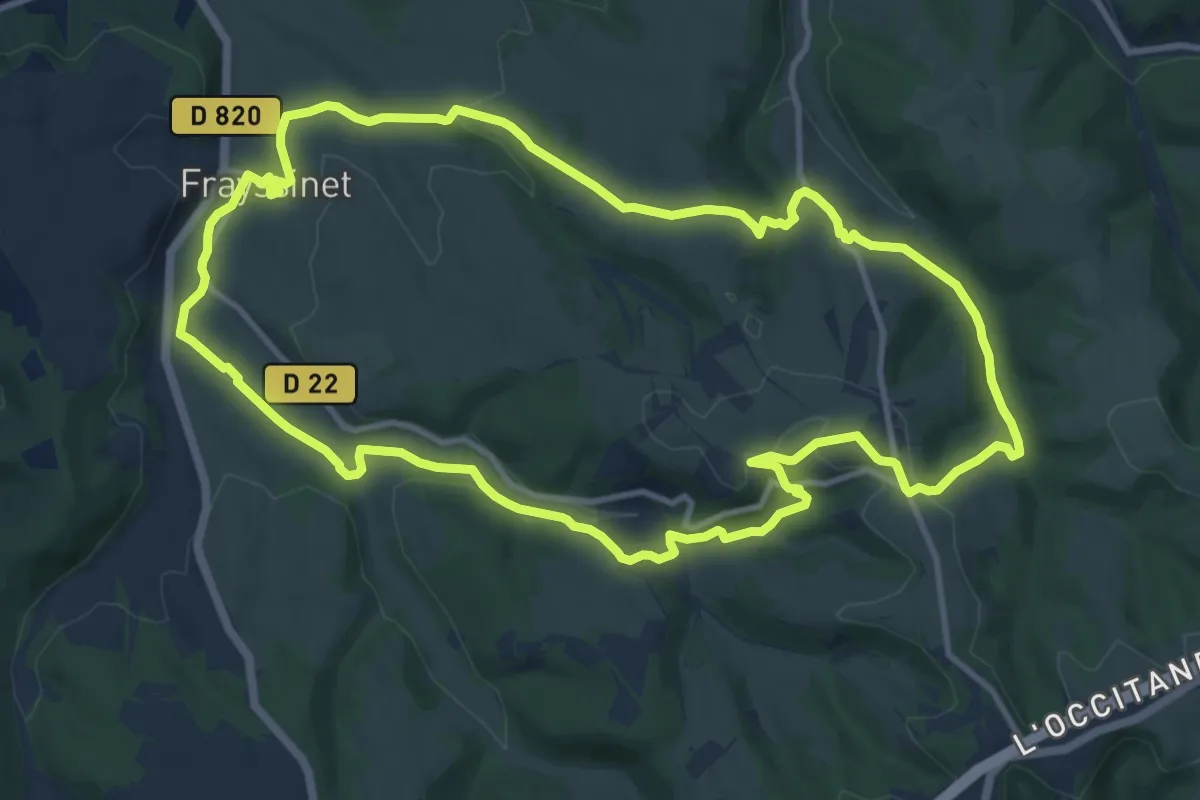
Medium · Trail
Entre Causse et Bouriane
12.5 km · ↑ 292 m · 3 h 45 min
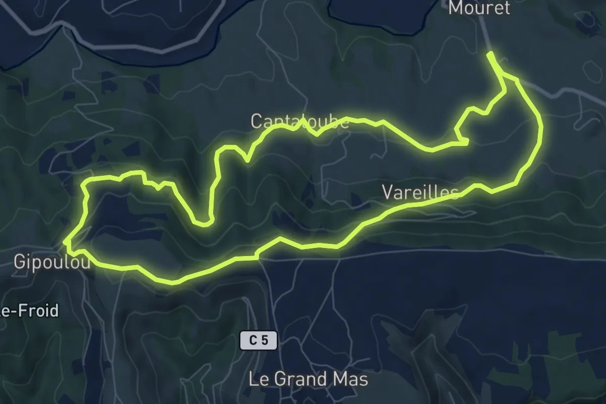
Medium · Trail
Entre Causse et Rougier
9.5 km · ↑ 328 m · 3 h 5 min
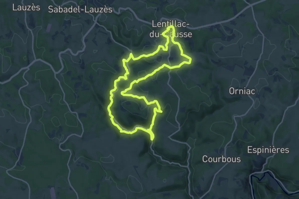
Medium · Trail
Entre Causse et sagne
14.2 km · ↑ 290 m · 4 h 11 min
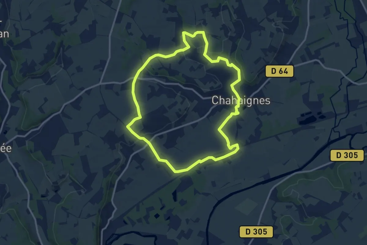
Medium · Trail
Entre caves et côteaux
9.3 km · ↑ 136 m · 2 h 37 min
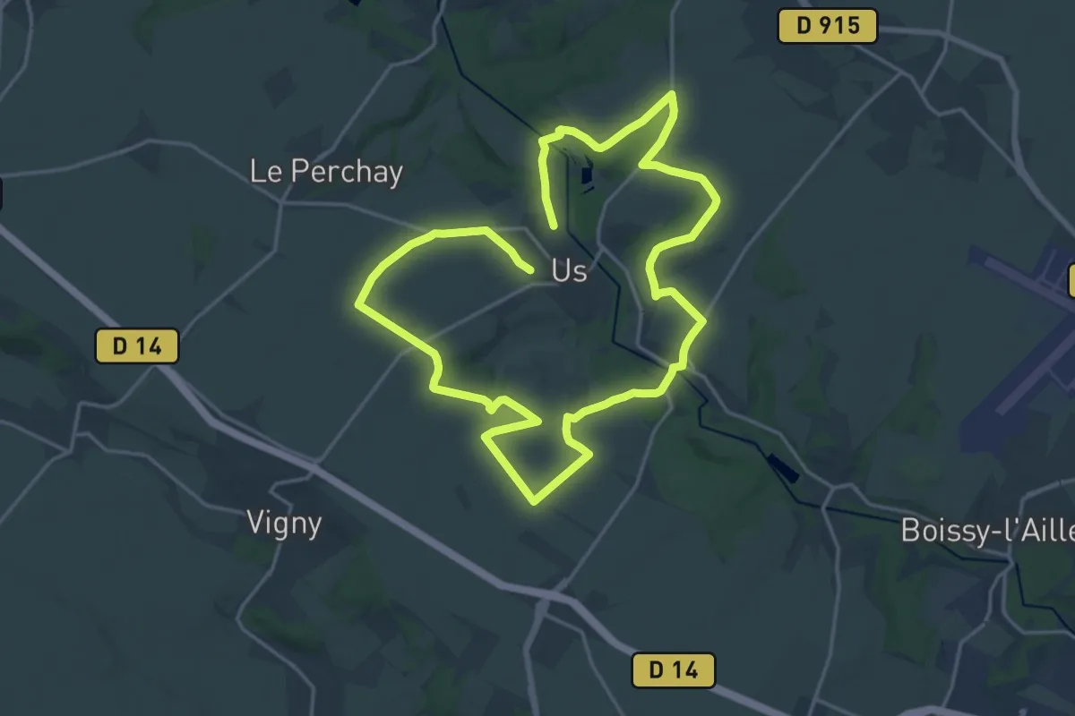
Medium · Trail
Entre César et Brunehaut
15.5 km · ↑ 148 m · 4 h 13 min
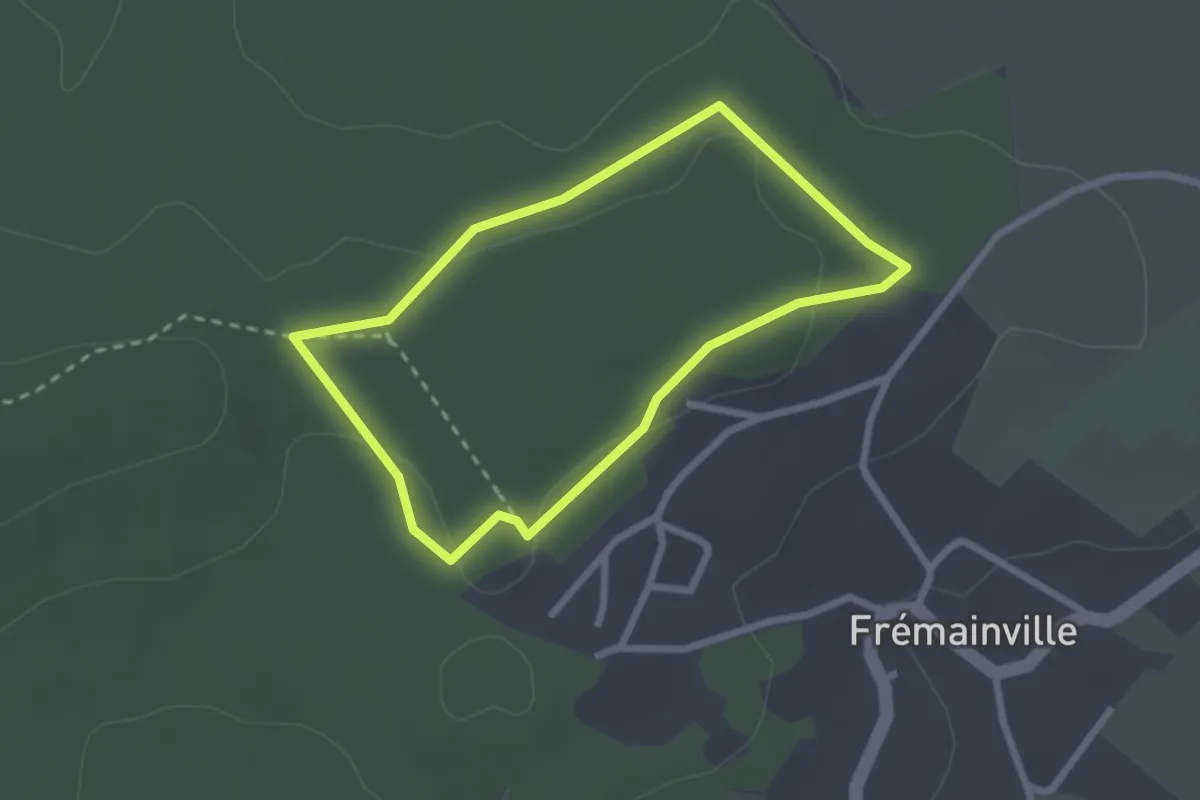
Easy · Trail
Entre Châtaigniers et Douglas
2.1 km · ↑ 31 m · 36 min
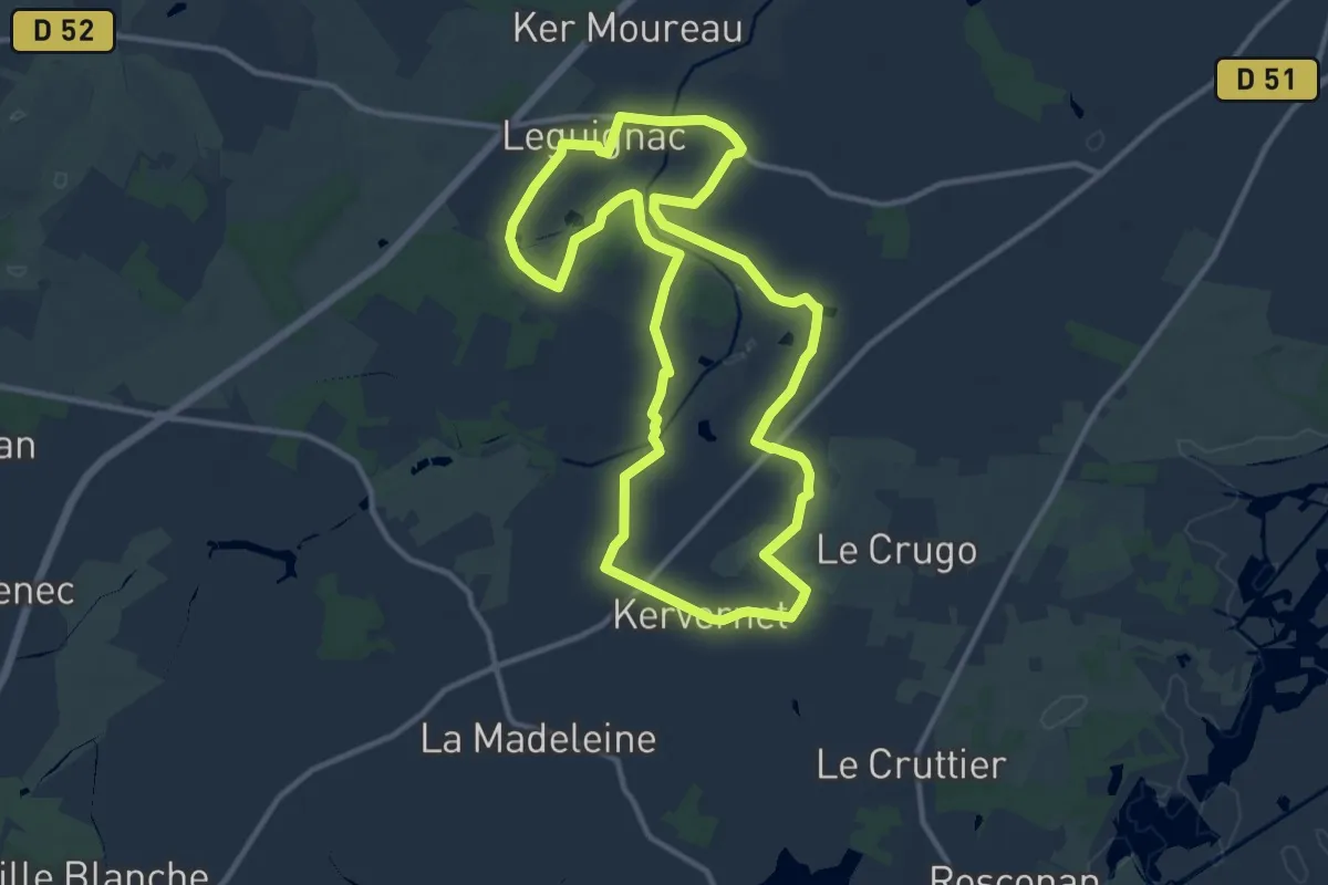
Medium · Trail
Entre chaumières et marais
11.6 km · ↑ 33 m · 2 h 59 min
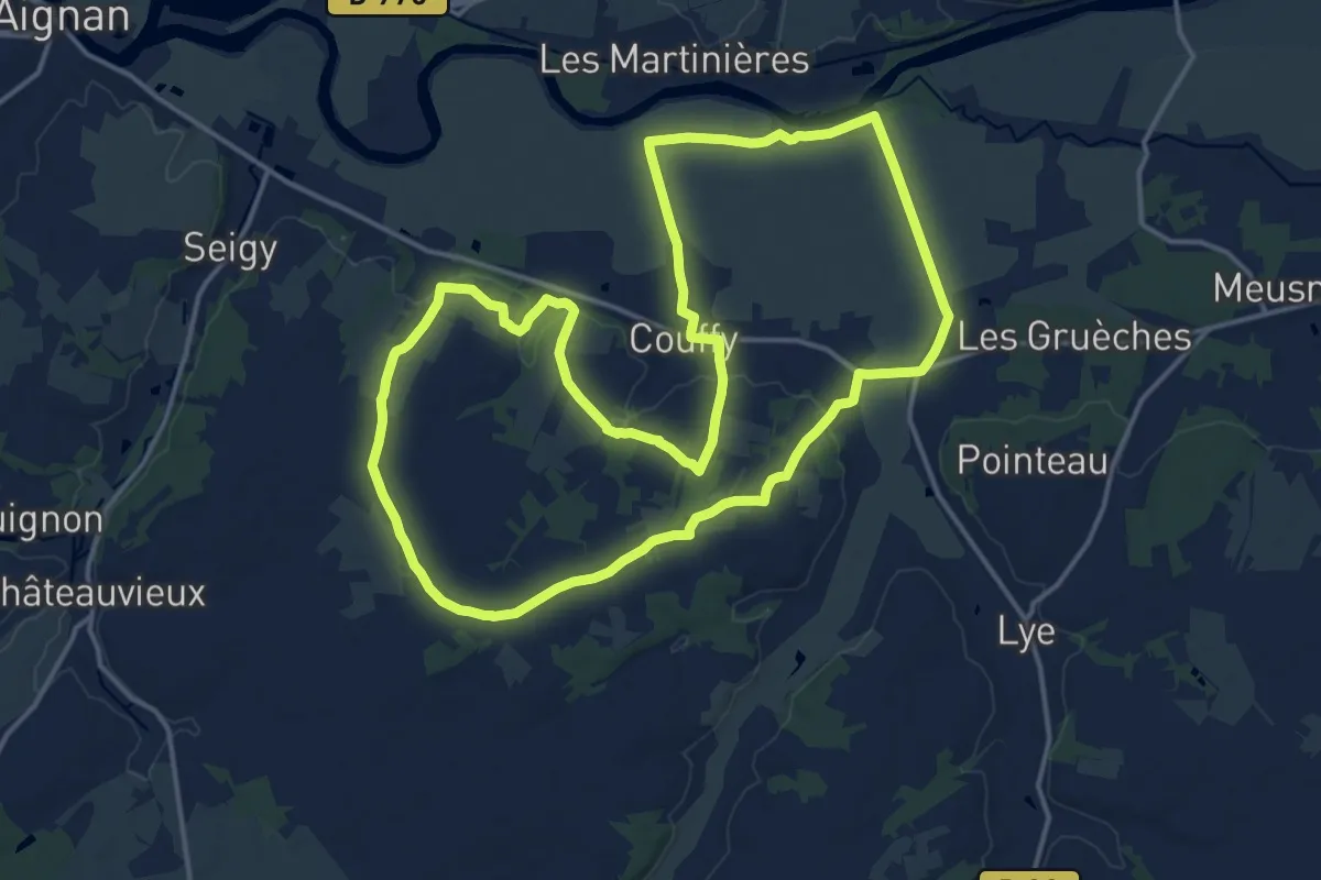
Medium · Trail
Entre Cher et Côteaux
16.5 km · ↑ 111 m · 4 h 22 min
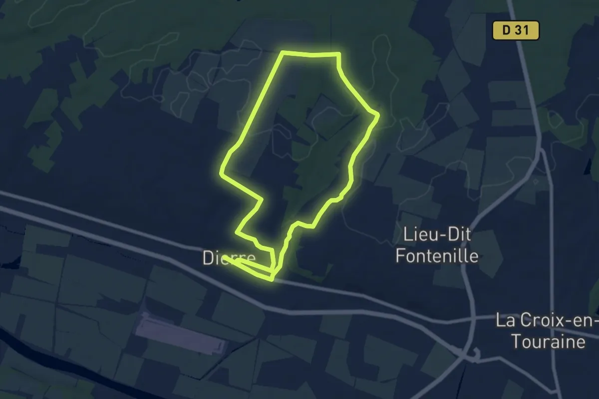
Easy · Trail
Entre Ciel et Terre - Dierre
6.7 km · ↑ 54 m · 1 h 48 min
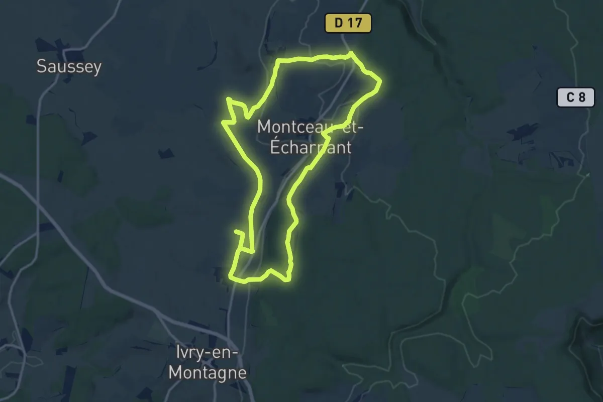
Medium · Trail
Entre Colonne et Moulin
12.1 km · ↑ 167 m · 3 h 23 min
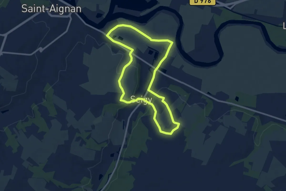
Easy · Trail
Entre coteaux et vallée
6.6 km · ↑ 88 m · 1 h 51 min