Trails in France
15,926 hiking trails, each with its route, climb, walking time and grade.
All trails, page 110 of 332
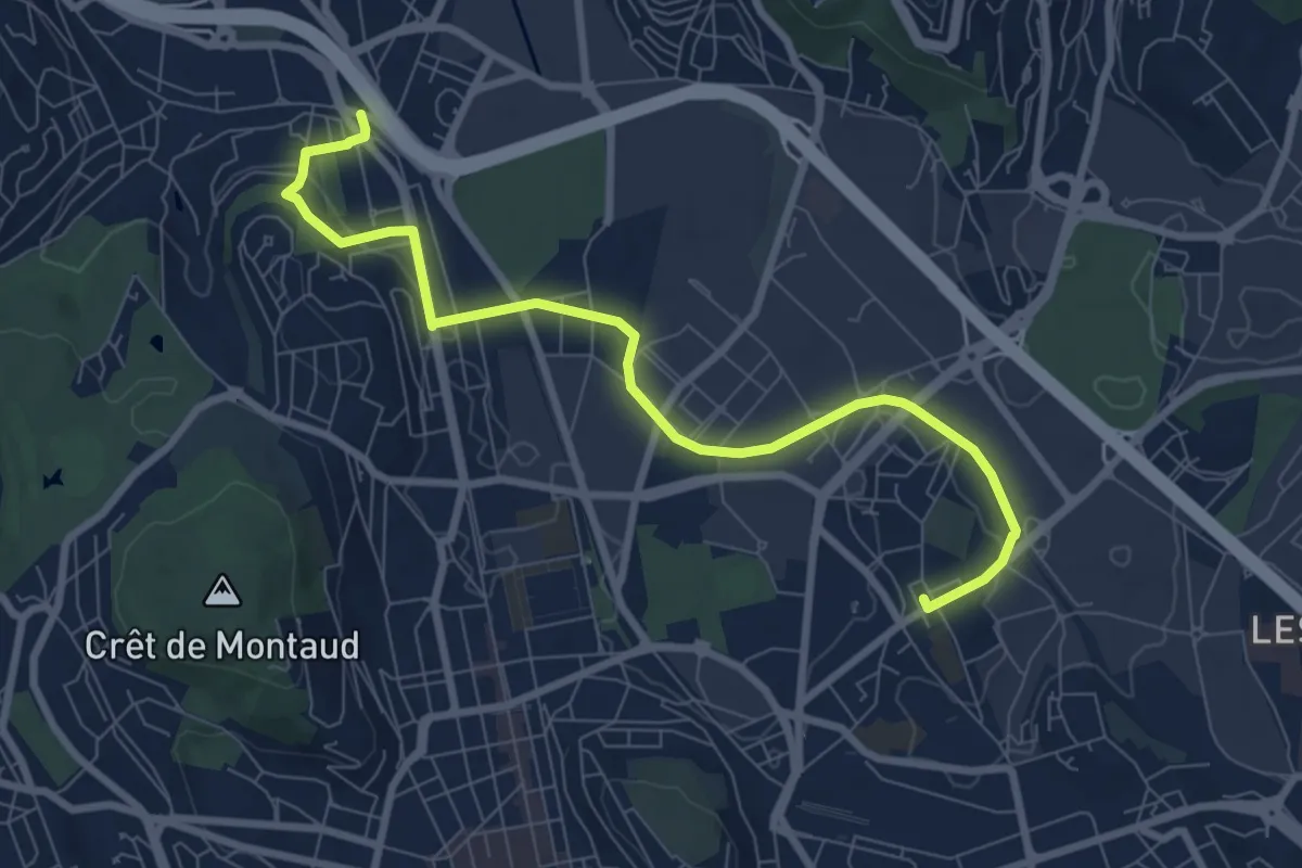
Medium · Trail
Du Soleil à La Terrasse
8.8 km · ↑ 120 m · 2 h 21 min
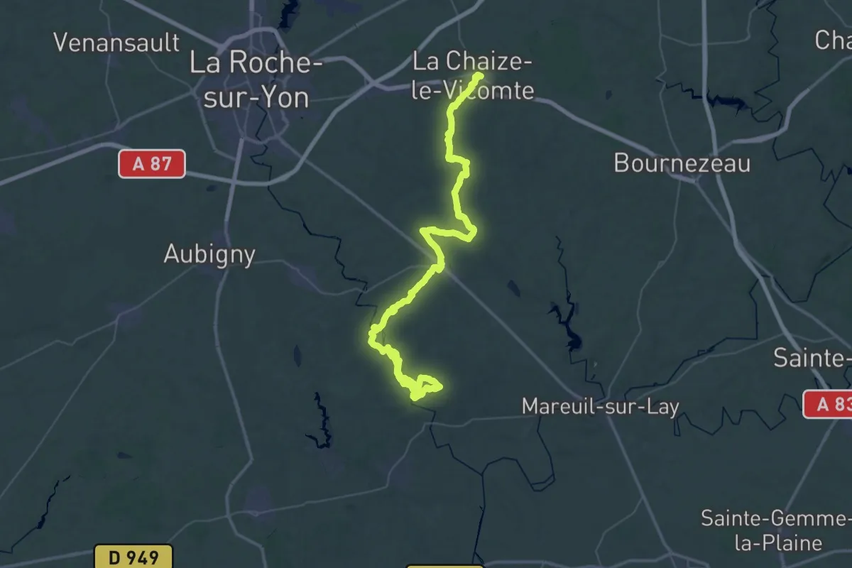
Demanding · Trail
Du Tablier à La Chaize
30.7 km · ↑ 214 m · 8 h 10 min
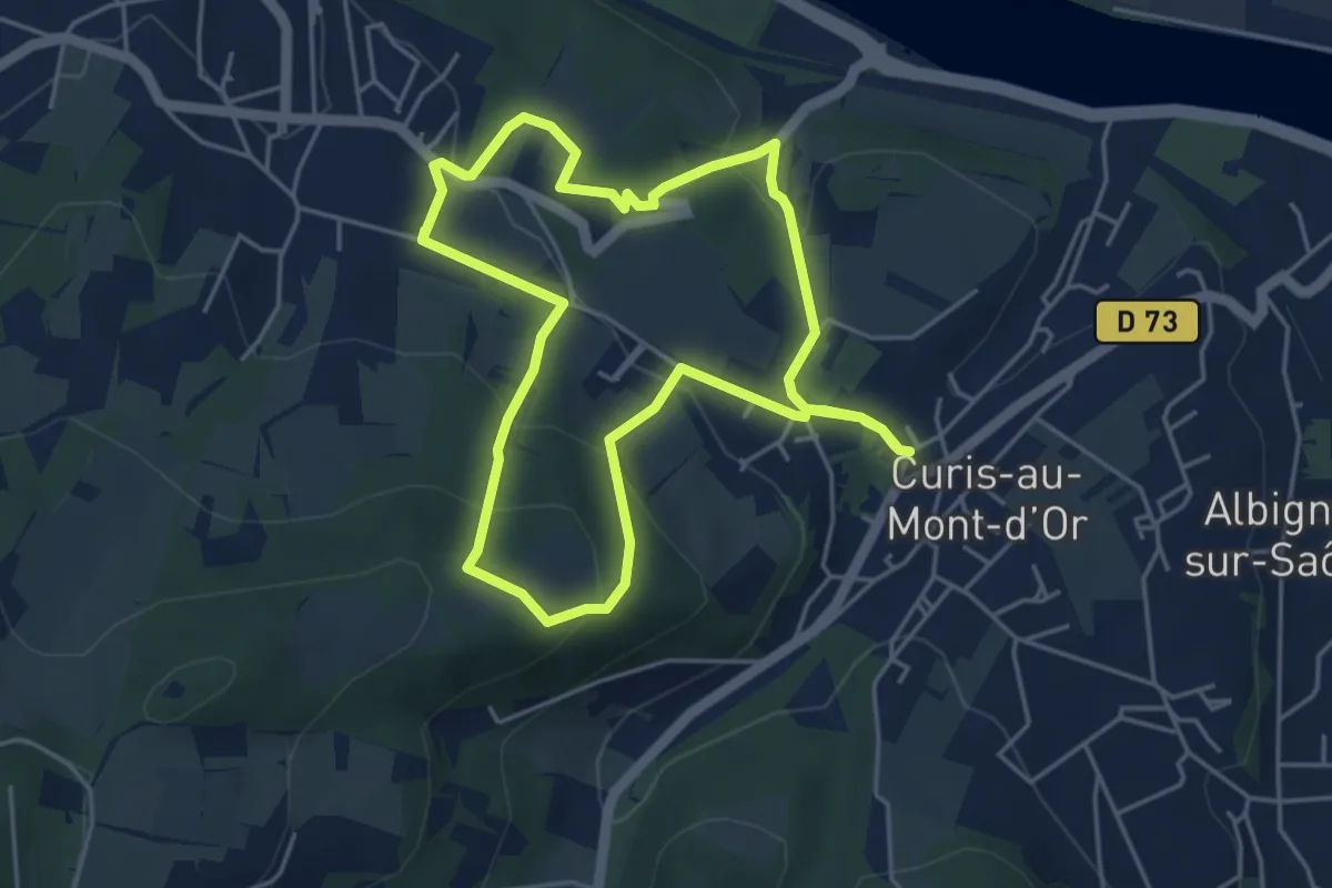
Easy · Trail
Du Thou aux Gorges d’Enfer
4.6 km · ↑ 223 m · 1 h 37 min
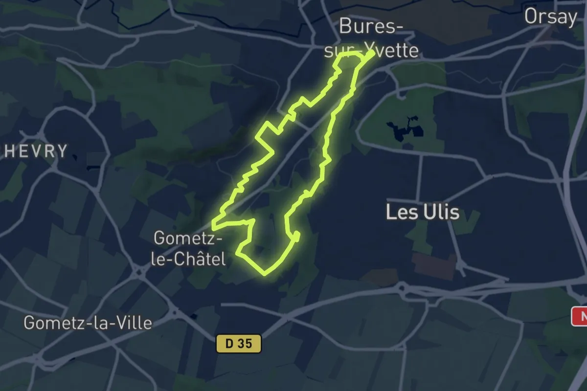
Easy · Trail
Du Vaularon aux Fauvettes
7.6 km · ↑ 134 m · 2 h 11 min
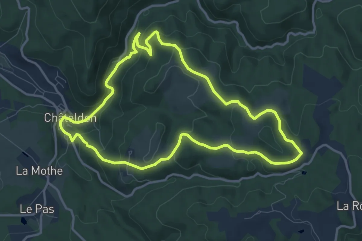
Medium · Trail
Du Vauziron à la Chasserelle
8.4 km · ↑ 307 m · 2 h 47 min
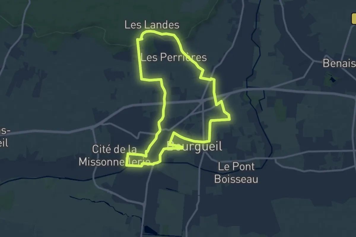
Medium · Trail
Du Village à la Forêt - Bourgeuil
9.4 km · ↑ 93 m · 2 h 33 min
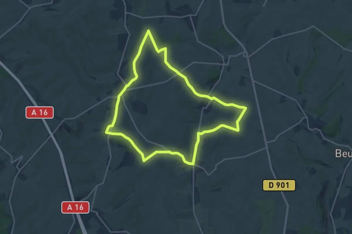
Medium · Trail
Du Witrepin à la Dordonne
13.1 km · ↑ 240 m · 3 h 48 min
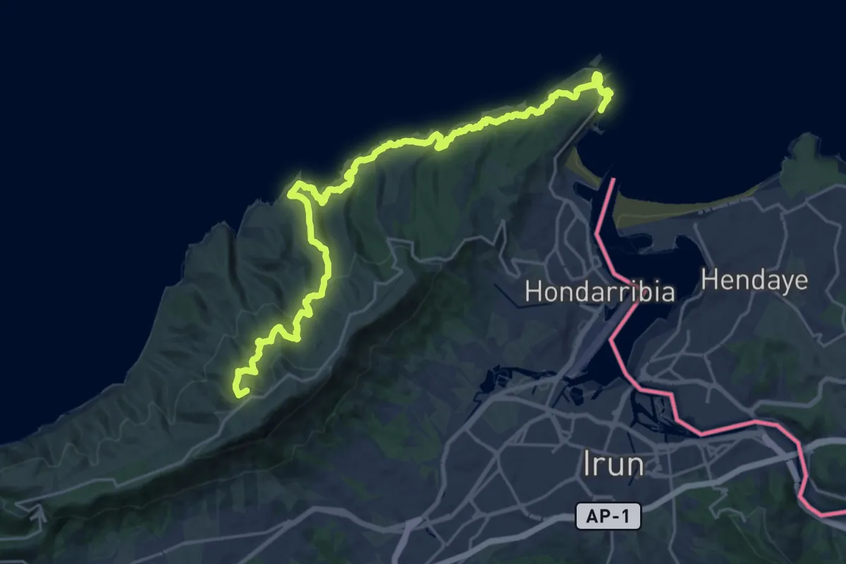
Demanding · Summit
E01 Talaia ibilbidea: Hondarribia - Pasai Donibane
26.3 km · ↑ 1259 m · 8 h 57 min
Medium · Summit
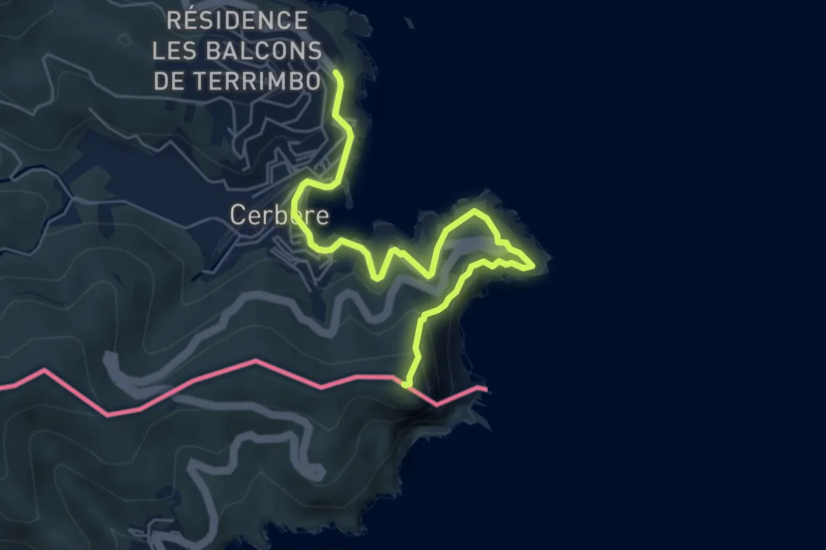
E12 France, Col des Belitres - Cerbère
6.2 km · ↑ 471 m · 2 h 29 min
Demanding · Trail
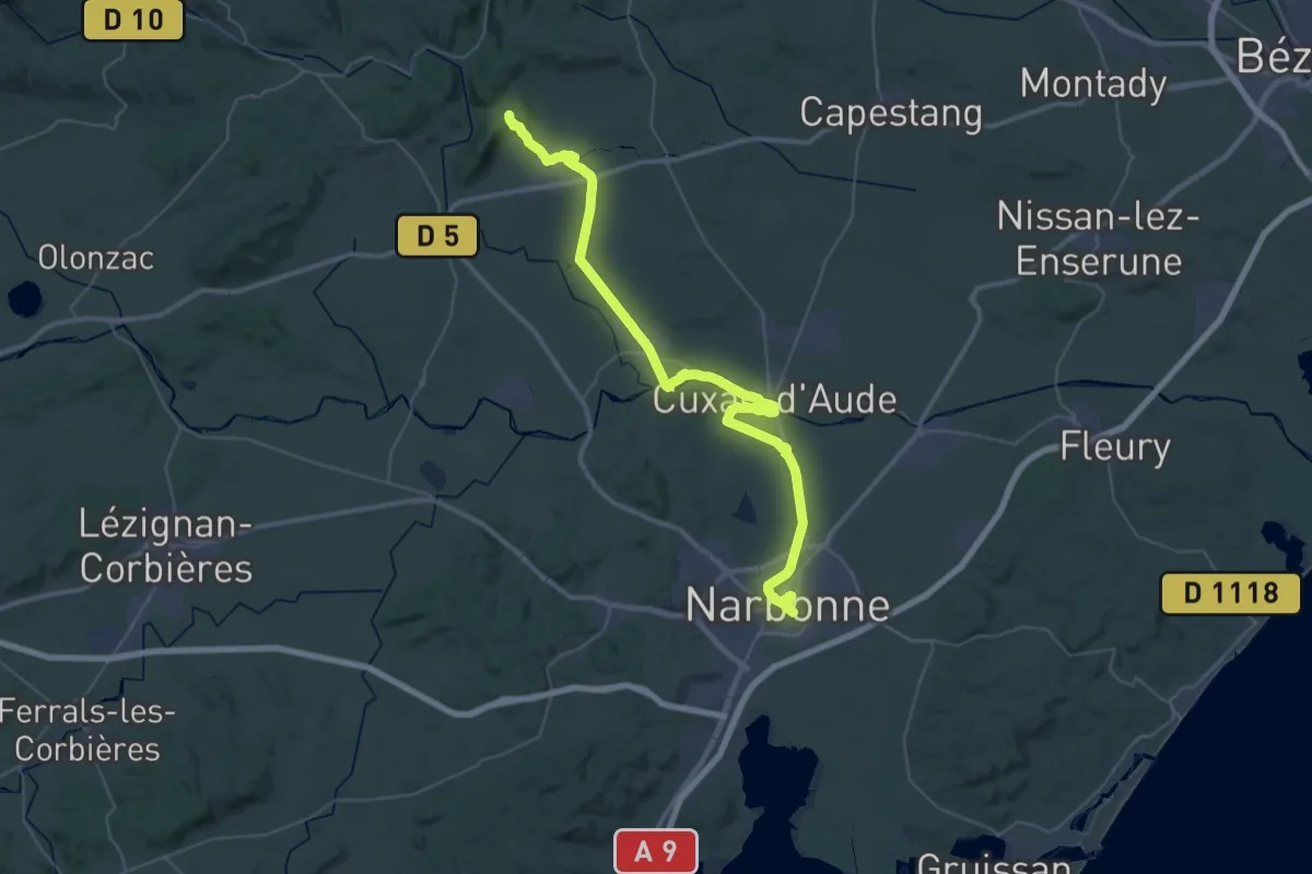
E12 France, Narbonne - Mont Caramel
27.2 km · ↑ 179 m · 7 h 6 min
Medium · Trail
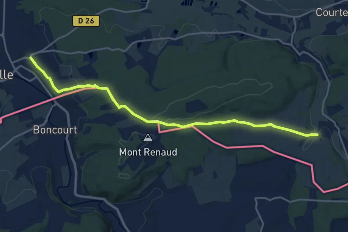
E5, Ballon d'Alsace - Réchésy via Belfort
11.3 km · ↑ 244 m · 3 h 12 min
Medium · Trail
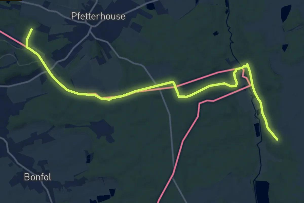
E5 Réchésy - Liebsdorf
13.6 km · ↑ 207 m · 3 h 40 min
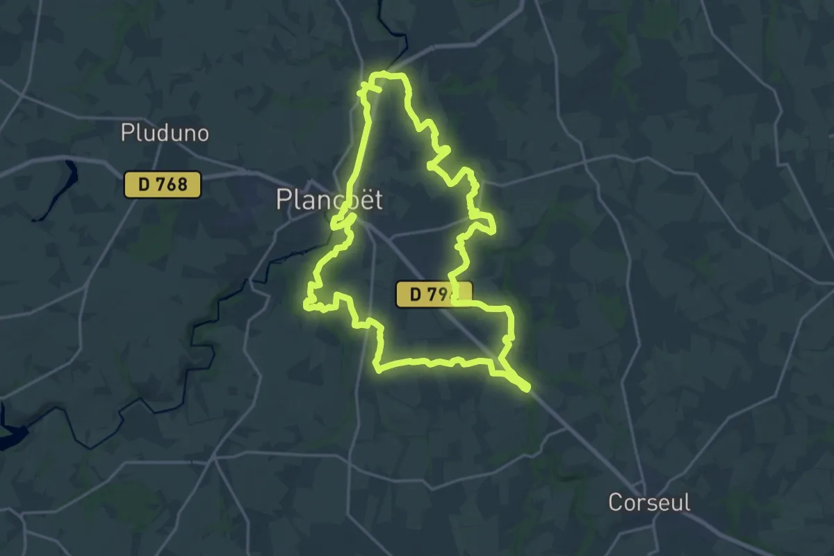
Demanding · Trail
Eau et Nature
19.7 km · ↑ 205 m · 5 h 23 min
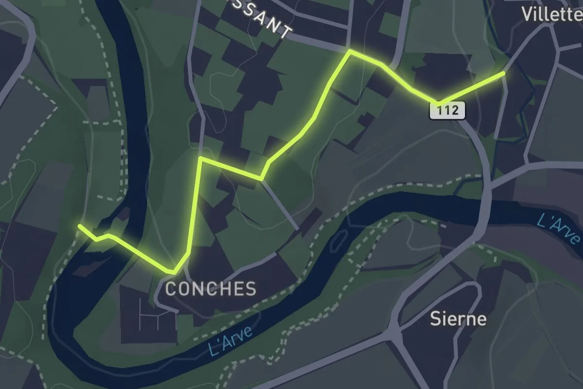
Easy · Trail
Eaux d'Arve - Villette
3.1 km · ↑ 68 m · 53 min
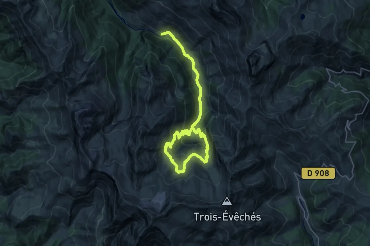
Medium · Cabin
Eaux Tortes du Laverq
13.4 km · ↑ 516 m · 4 h 36 min
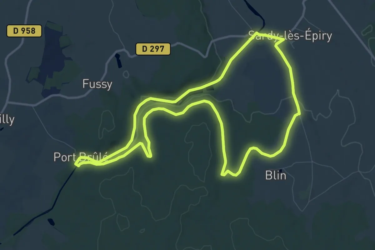
Medium · Trail
Echelle des 16 écluses
10.5 km · ↑ 123 m · 2 h 54 min
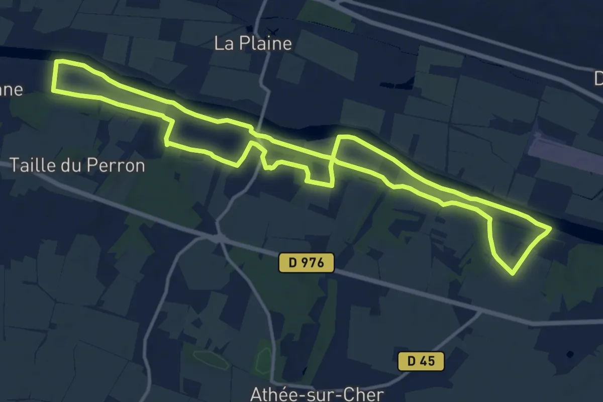
Medium · Trail
Écluse, Vignes et Château - Athée-sur-Cher
11.4 km · ↑ 84 m · 3 h 2 min
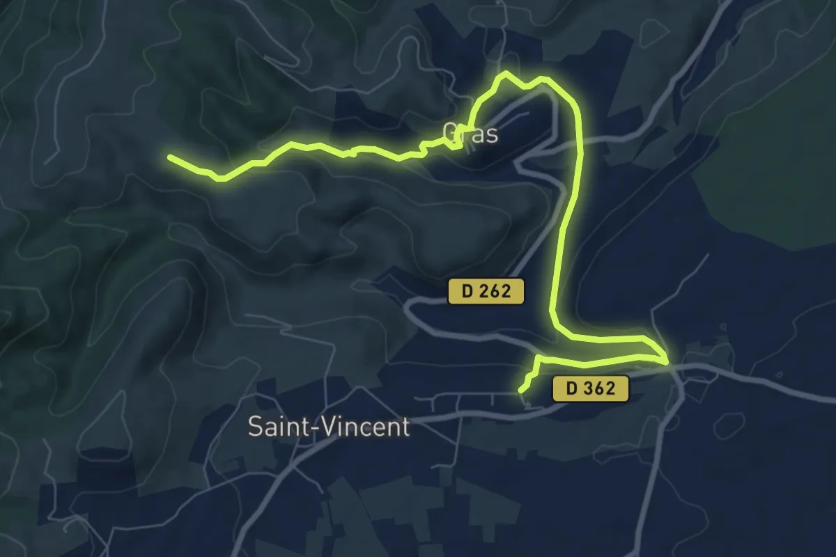
Medium · Trail
École - Serrelia
10.1 km · ↑ 398 m · 3 h 15 min
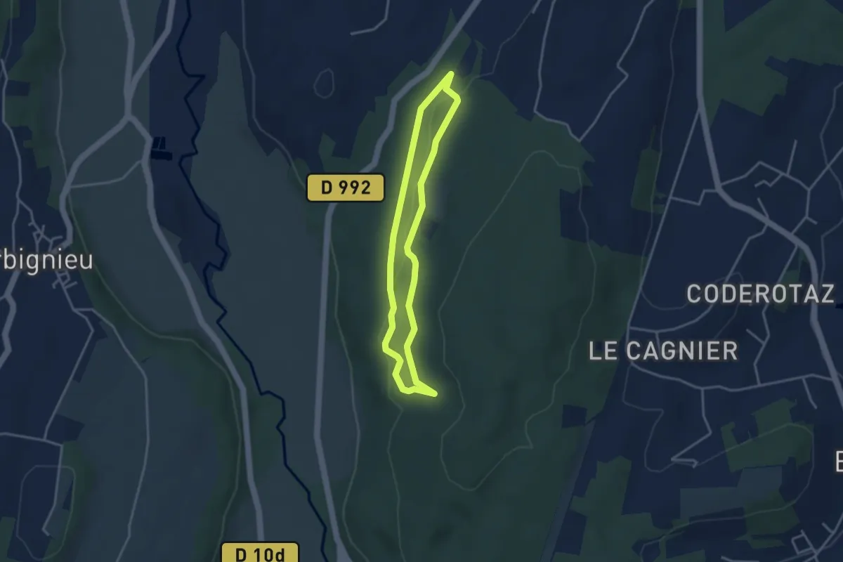
Easy · Trail
Écureuil
3.1 km · ↑ 55 m · 53 min
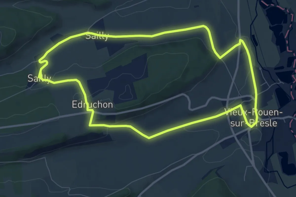
Medium · Trail
Edruchon
8.0 km · ↑ 149 m · 2 h 20 min
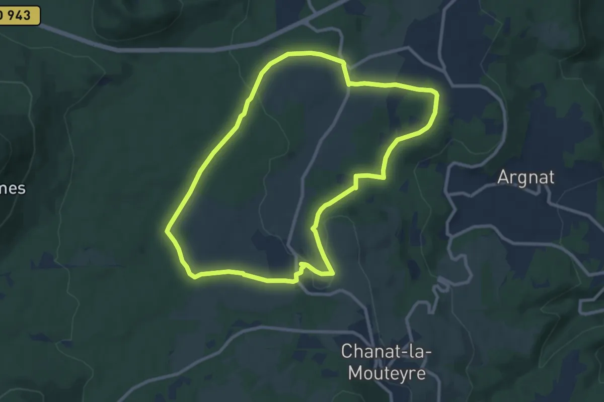
Easy · Trail
Egaules
8.0 km · ↑ 134 m · 2 h 17 min
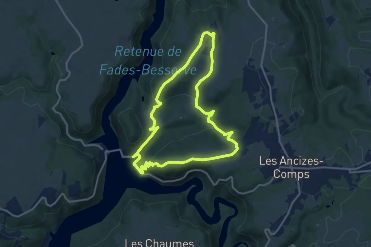
Medium · Trail
Église de Comps
8.3 km · ↑ 291 m · 2 h 42 min
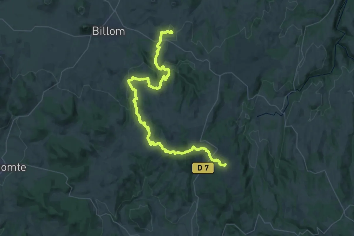
Demanding · Trail
Egliseneuve-près-Billom - Saint-Jean-des-Ollières
21.1 km · ↑ 672 m · 6 h 38 min
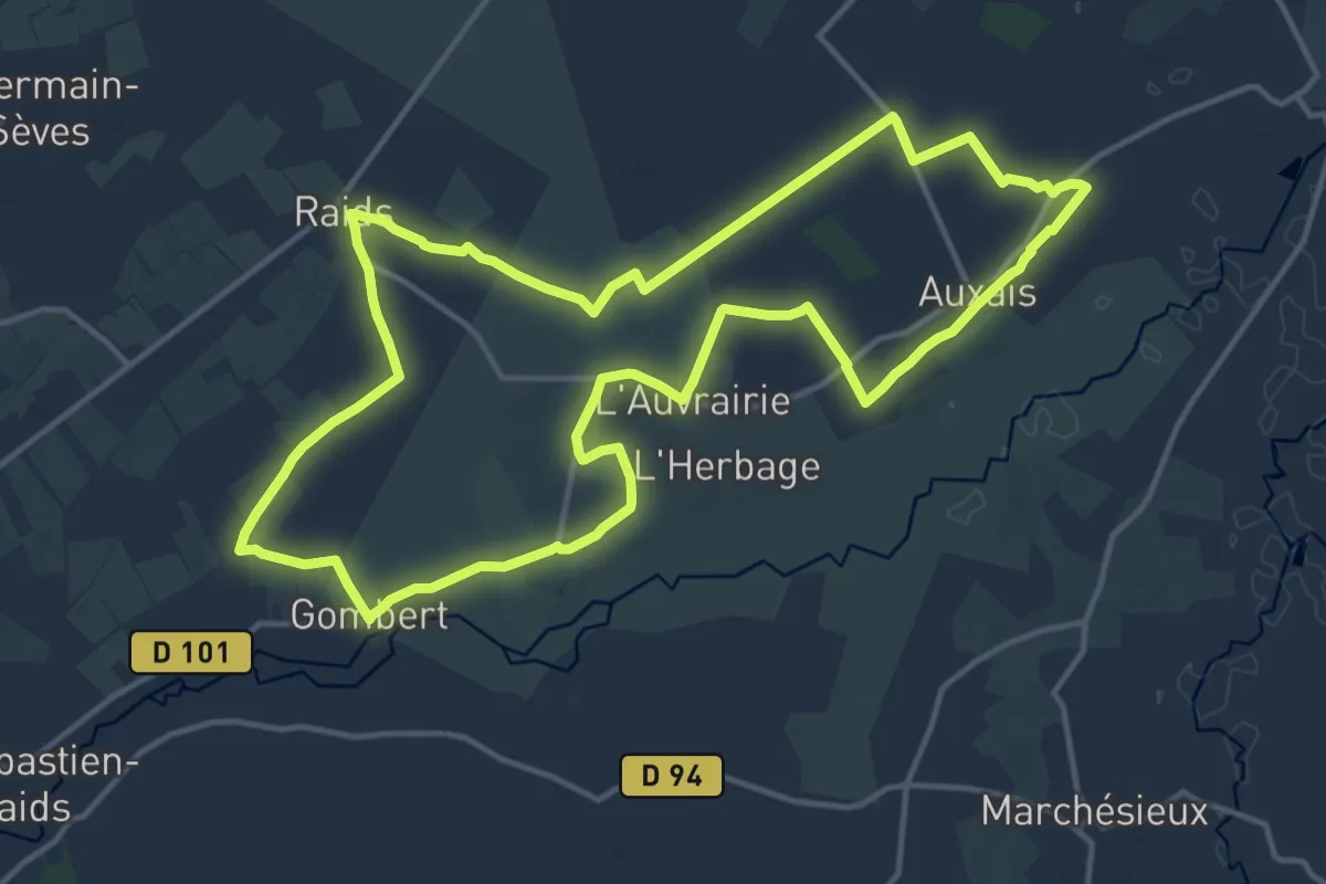
Medium · Trail
Eglises et Marais de la Taute
14.3 km · ↑ 13 m · 3 h 37 min
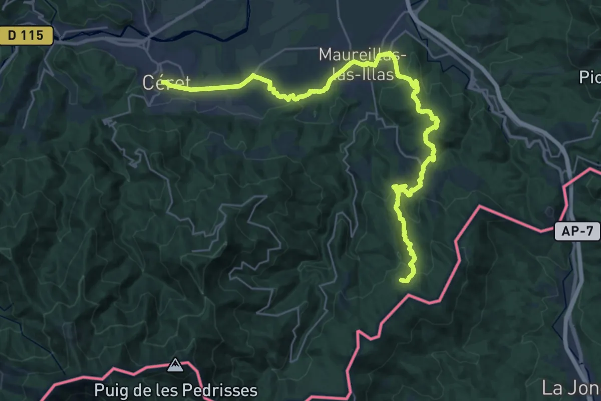
Demanding · Summit
El Camí IT1TR2 El Camí Capçaler: de Salzes a Balaguer
30.7 km · ↑ 899 m · 9 h 12 min
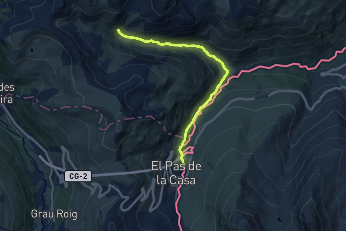
Medium · Trail
El Camí IT1TR5 El Camí Capçaler: de Salzes a Balaguer
10.0 km · ↑ 659 m · 3 h 47 min
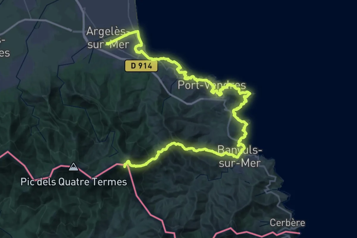
Demanding · Summit
El Camí IT7TR5 El Camí de Llevant: de Montserrat a Salses
64.8 km · ↑ 2431 m · 20 h 35 min
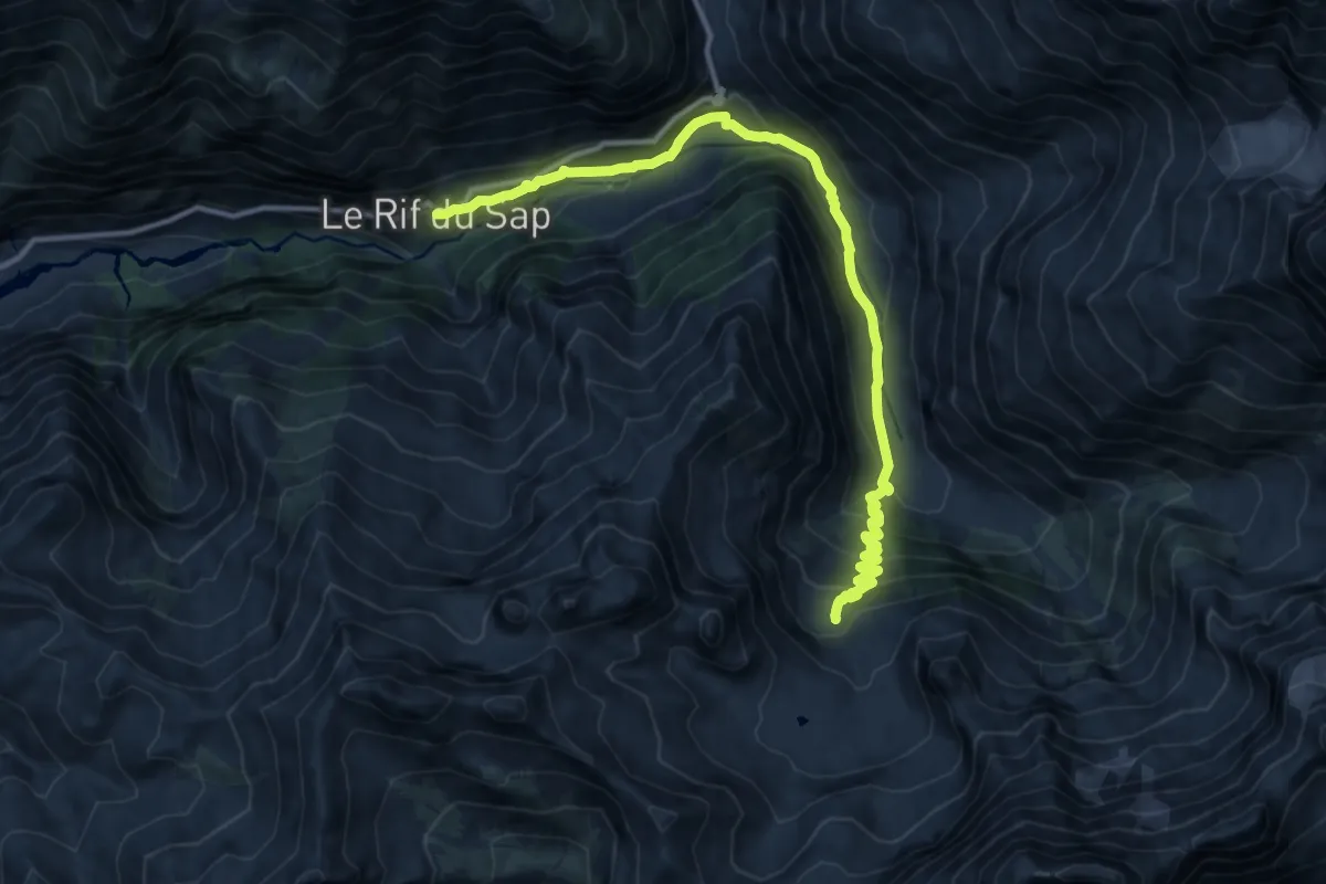
Demanding · Trail
Eldorado ! Le col de Vallonpierre
17.7 km · ↑ 1215 m · 6 h 48 min
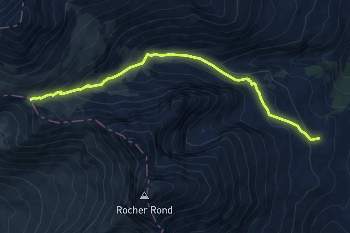
Medium · Trail
Eldorado ! Le col du Charnier
7.1 km · ↑ 478 m · 2 h 43 min
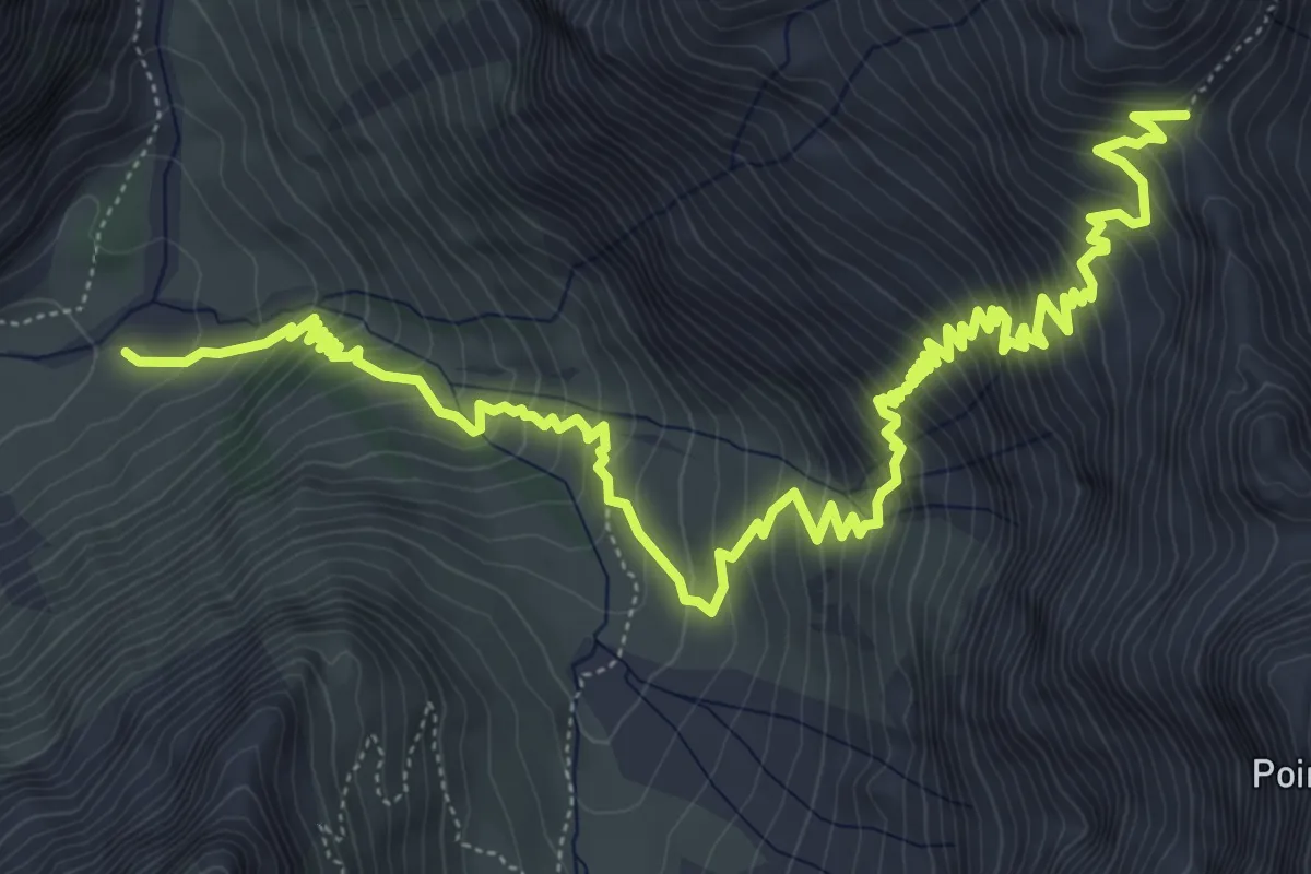
Demanding · Cabin
Eldorado ! Le Pas de la Cavale par Champoléon
9.8 km · ↑ 947 m · 4 h 22 min
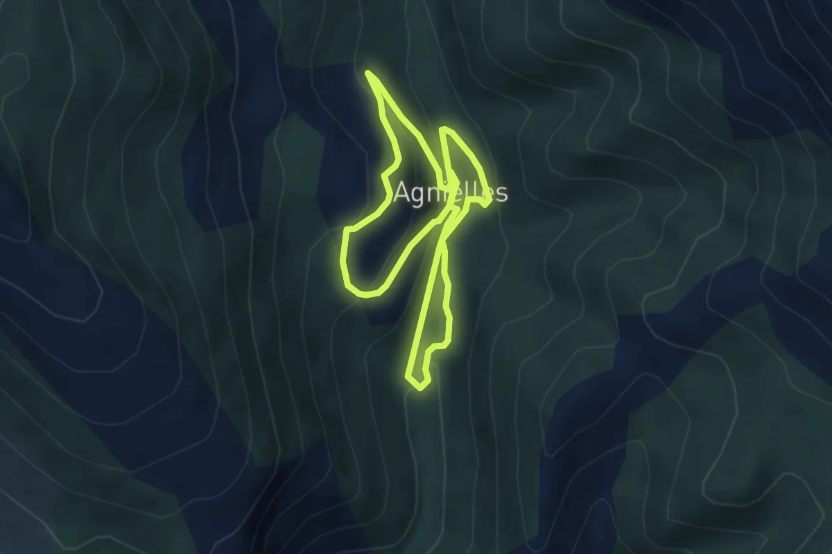
Easy · Trail
ELdorado ! Les Agniellards
4.1 km · ↑ 169 m · 1 h 24 min
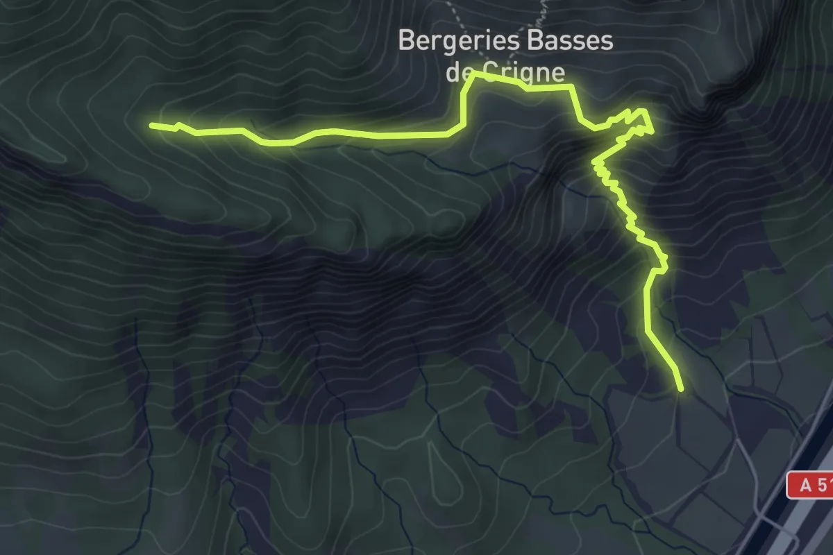
Medium · Trail
Eldorado ! Sous le Pic de Crigne
5.9 km · ↑ 593 m · 2 h 41 min
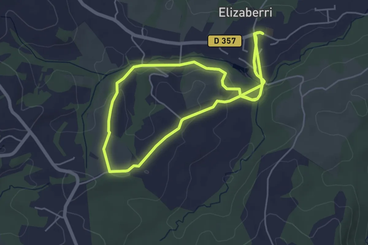
Easy · Trail
Elizaberri
4.6 km · ↑ 97 m · 1 h 22 min
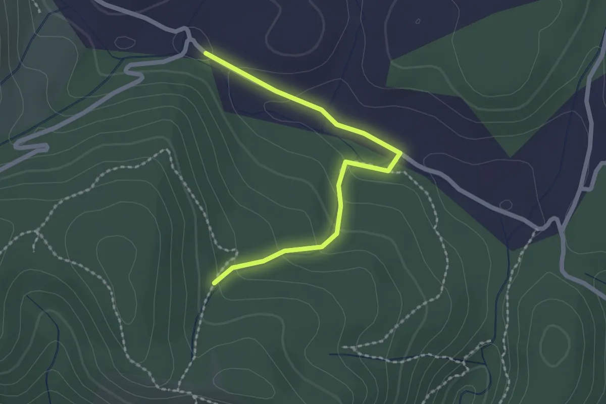
Easy · Trail
Ellieux - Bois de Deniéret
2.2 km · ↑ 85 m · 42 min
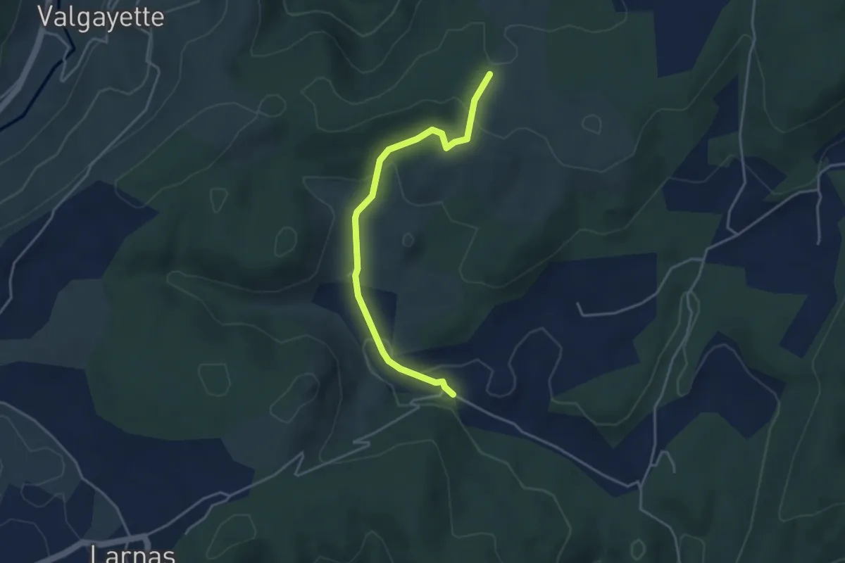
Easy · Trail
Ellieux - Gandaubert
3.9 km · ↑ 109 m · 1 h 10 min
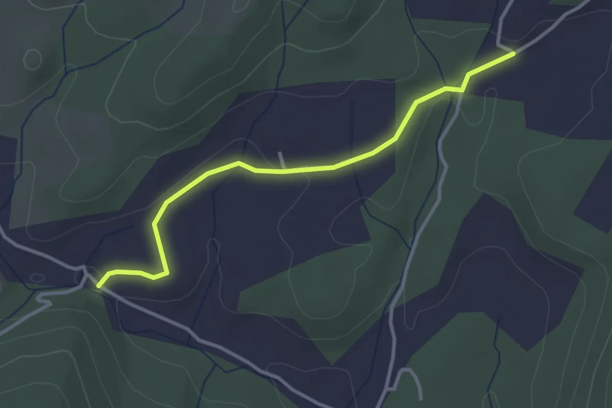
Easy · Trail
Ellieux - Le Moure
3.2 km · ↑ 38 m · 50 min
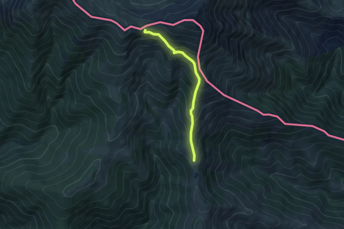
Medium · Trail
El Meridià Verd
5.1 km · ↑ 415 m · 2 h 6 min
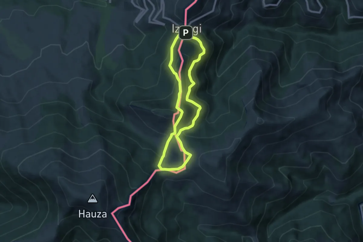
Medium · Summit
Elorrieta
5.8 km · ↑ 378 m · 2 h 15 min
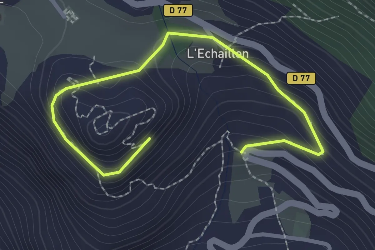
Easy · Trail
EN01 - Le berceau de la Maison de Savoie
1.3 km · ↑ 119 m · 32 min
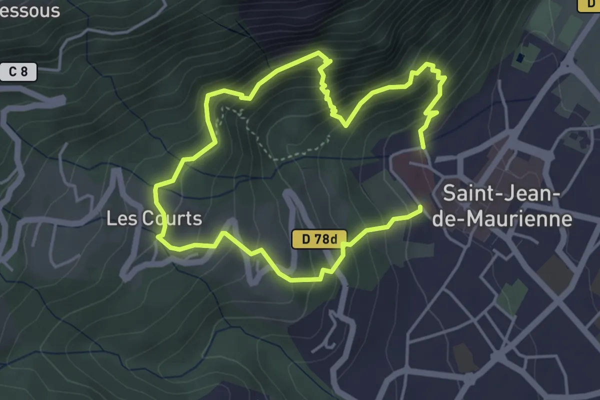
Demanding · Trail
EN03 - Les hauts de Saint-Jean-de-Maurienne
3.5 km · ↑ 345 m · 1 h 36 min
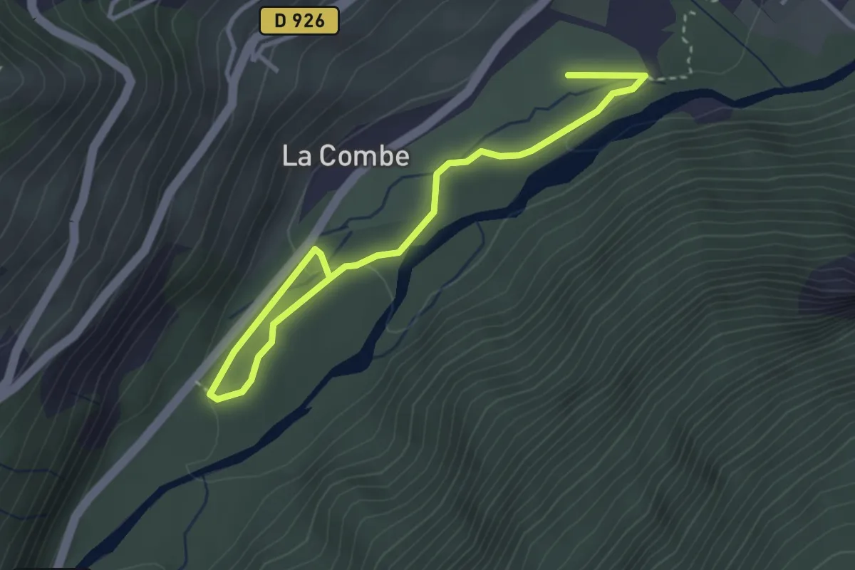
Easy · Trail
EN04 - Au fil de l'Arvan
2.0 km · ↑ 36 m · 34 min
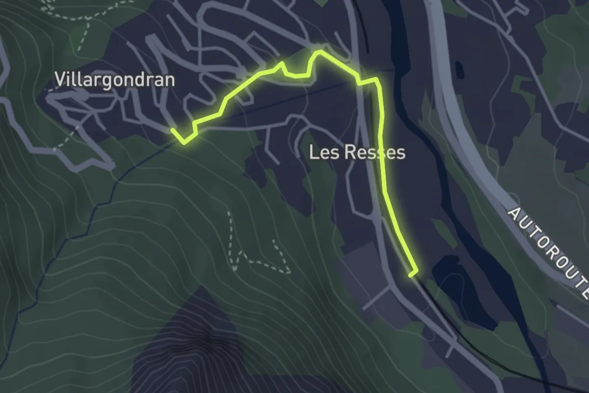
Easy · Trail
EN05 - Les Resses d'en bas
1.6 km · ↑ 0 m · 26 min
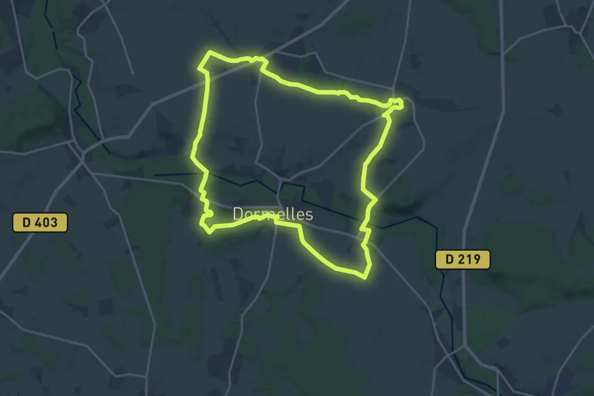
Medium · Trail
En basse vallée de l'Orvanne
16.3 km · ↑ 174 m · 4 h 27 min
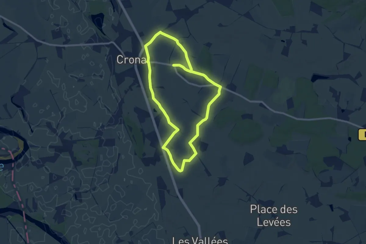
Easy · Trail
En chemin par le village de Brain
7.7 km · ↑ 106 m · 2 h 8 min
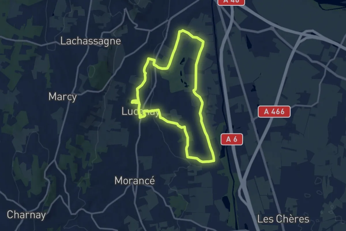
Medium · Trail
En direction du Golf et des cultures maraichères
9.5 km · ↑ 96 m · 2 h 35 min
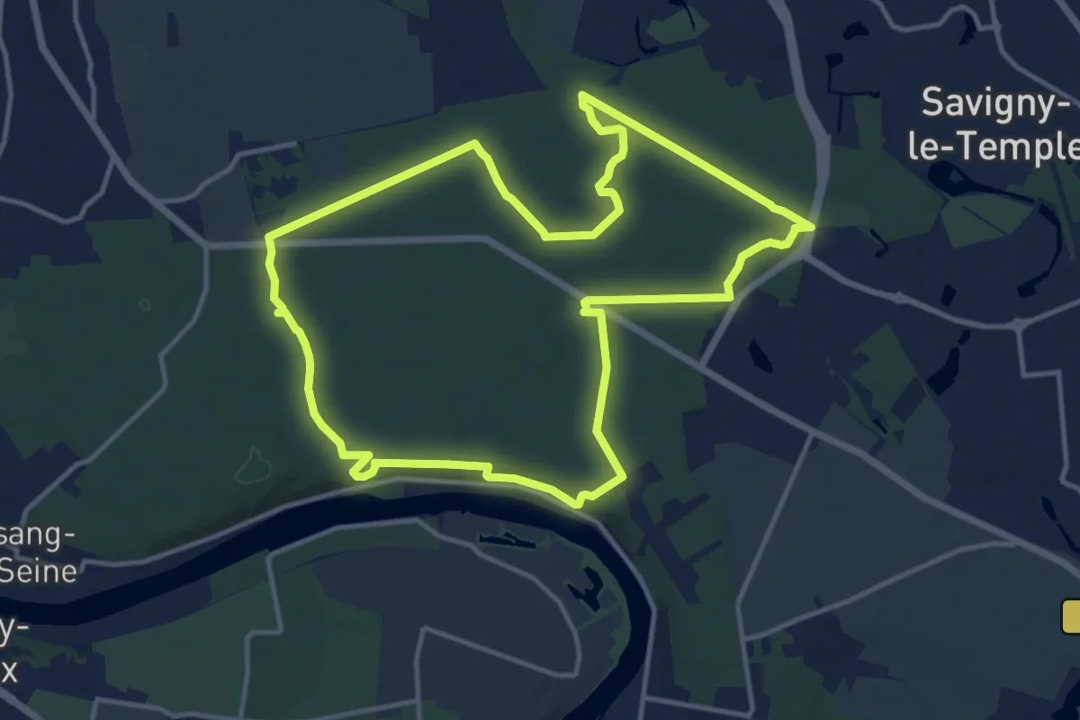
Medium · Trail
En forêt de Rougeau
12.6 km · ↑ 78 m · 3 h 20 min
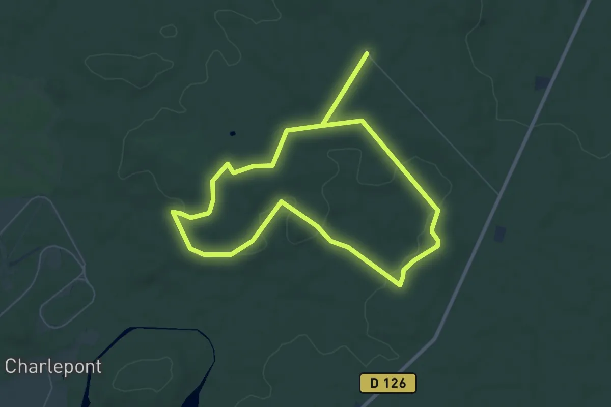
Easy · Trail
En Forêt des Abbayes
6.9 km · ↑ 78 m · 1 h 53 min
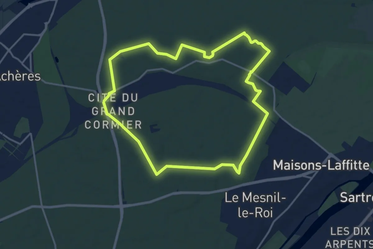
Medium · Trail
En forêt de Saint-Germain
10.7 km · ↑ 50 m · 2 h 47 min