Trails in France
15,926 hiking trails, each with its route, climb, walking time and grade.
All trails, page 109 of 332
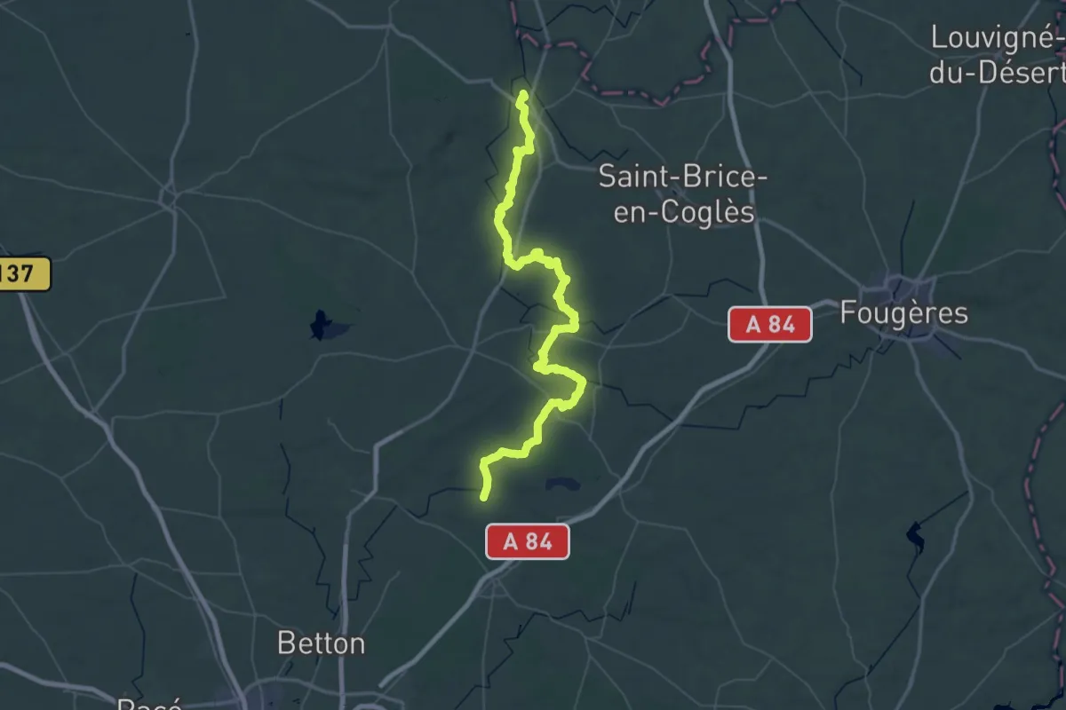
Demanding · Trail
Du Mont-Saint-Michel à La Grande Brière - partie 2
39.5 km · ↑ 446 m · 10 h 52 min
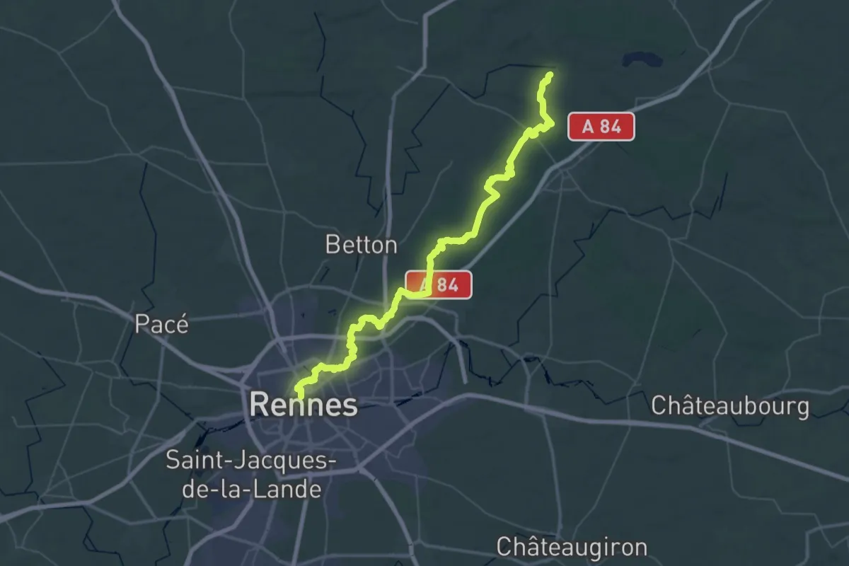
Demanding · Trail
Du Mont-Saint-Michel à La Grande Brière - partie 3
29.6 km · ↑ 215 m · 7 h 51 min
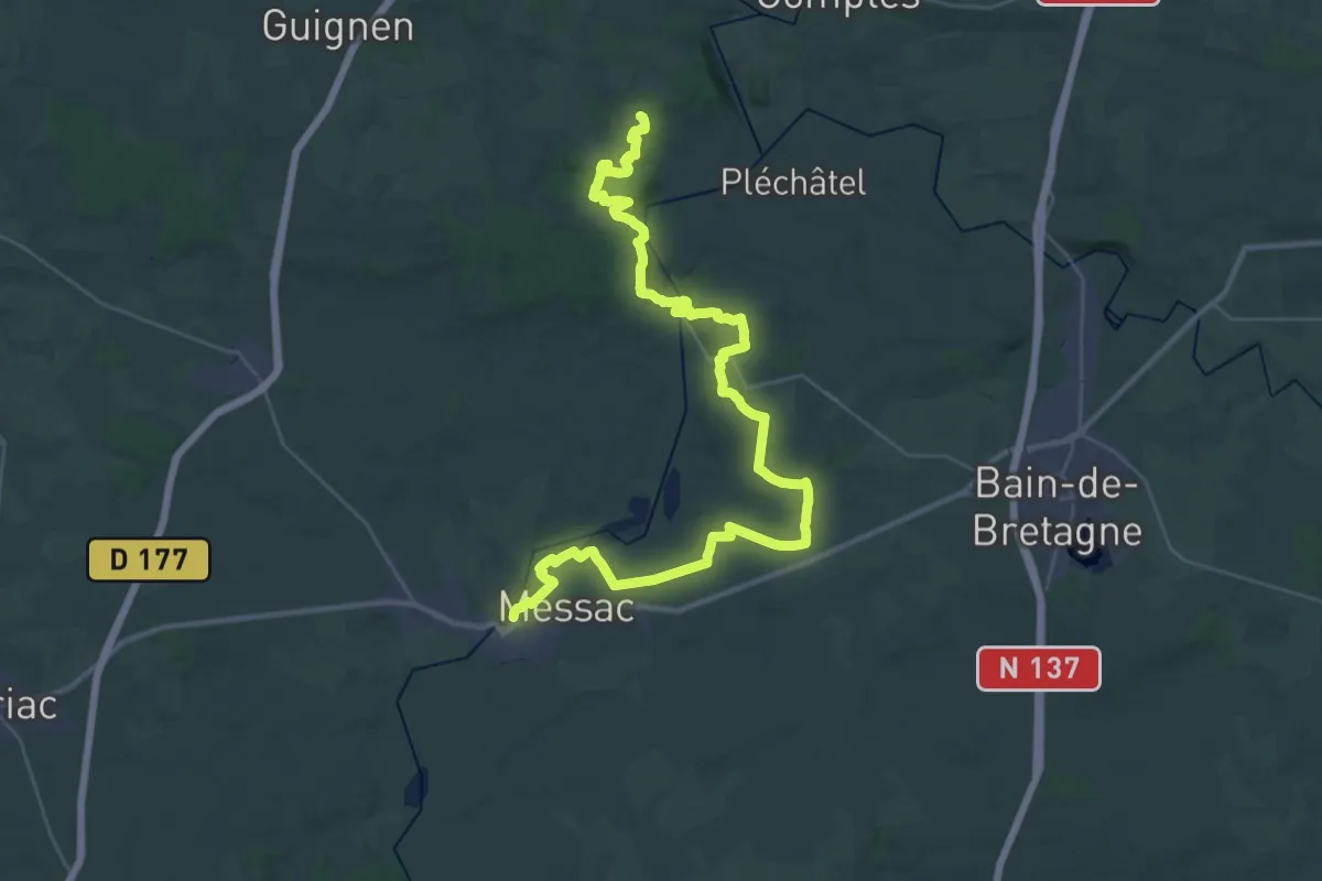
Demanding · Trail
Du Mont-Saint-Michel à La Grande Brière - partie 5
21.9 km · ↑ 440 m · 6 h 25 min
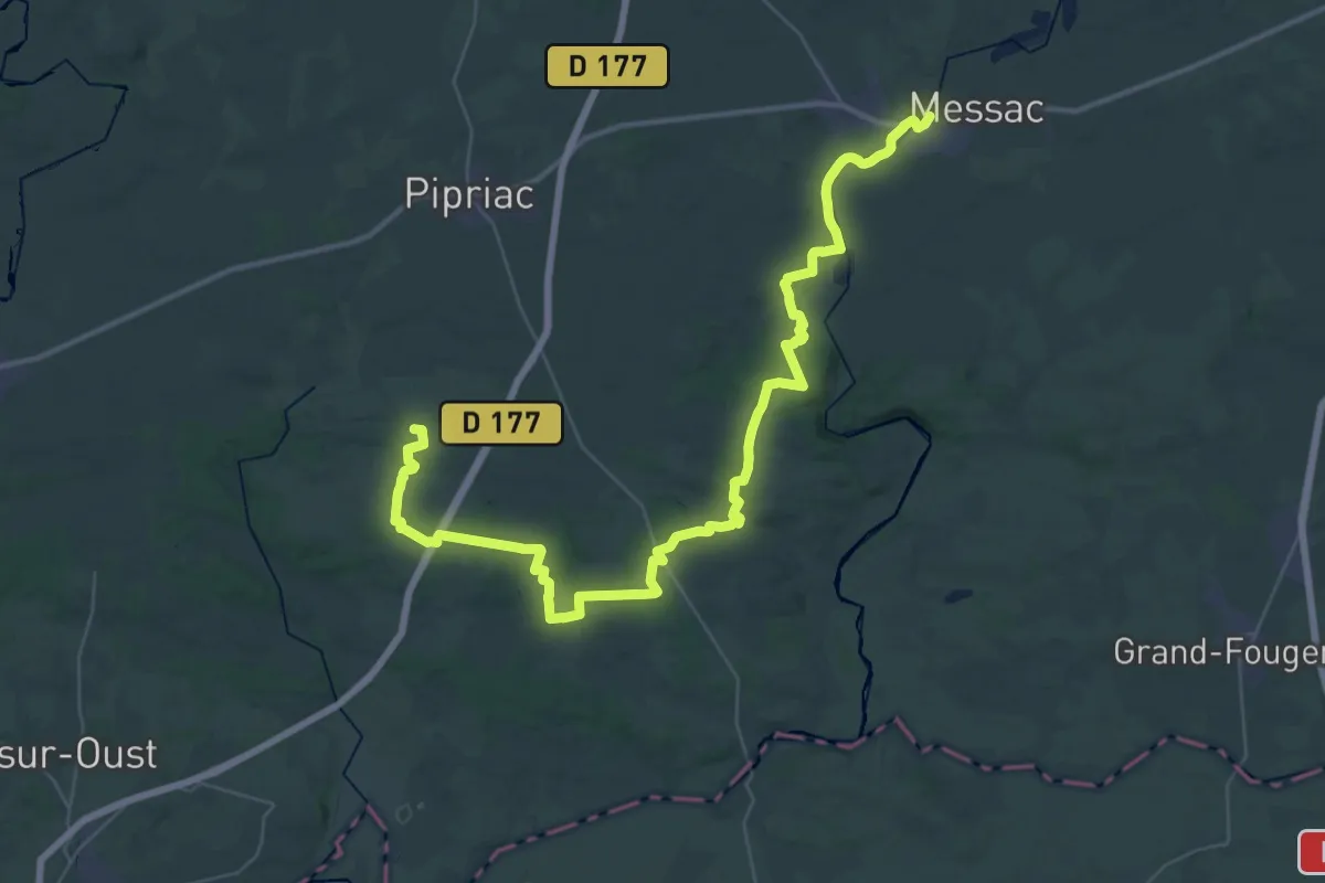
Demanding · Trail
Du Mont-Saint-Michel à La Grande Brière - partie 6
26.5 km · ↑ 250 m · 7 h 11 min
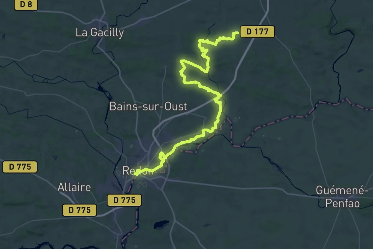
Demanding · Trail
Du Mont-Saint-Michel à La Grande Brière - partie 7
34.6 km · ↑ 460 m · 9 h 37 min
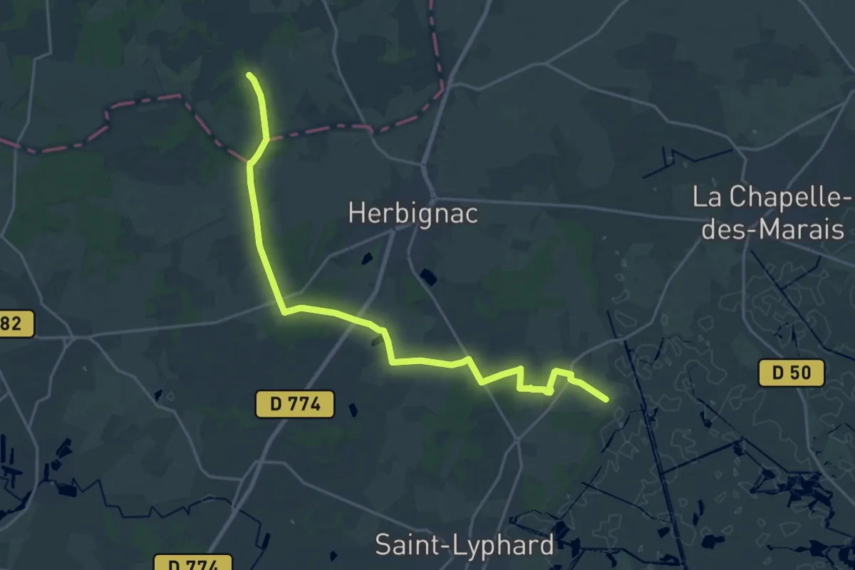
Demanding · Trail
Du Mont-Saint-Michel à La Grande Brière - partie 9
21.6 km · ↑ 115 m · 5 h 22 min
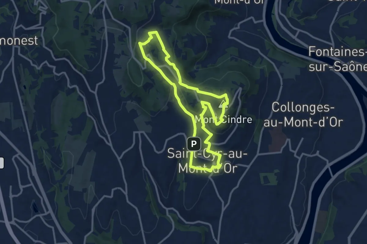
Medium · Summit
Du mont Thou au mont Cindre
8.8 km · ↑ 246 m · 2 h 44 min
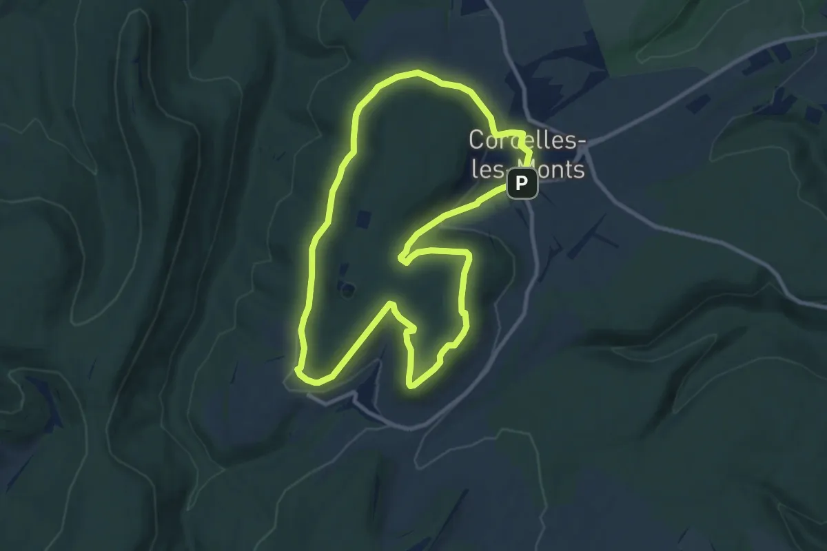
Medium · Trail
Du Naizou au Mont Afrique
8.9 km · ↑ 190 m · 2 h 38 min
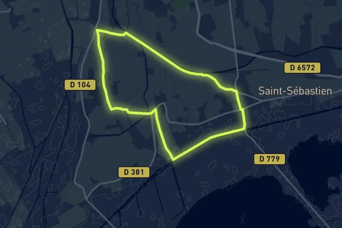
Medium · Trail
D'un canal à l'autre
10.5 km · ↑ 52 m · 2 h 44 min
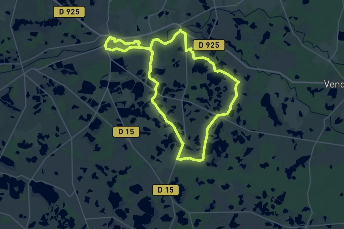
Demanding · Trail
D'un étang à l'autre
22.9 km · ↑ 39 m · 5 h 48 min
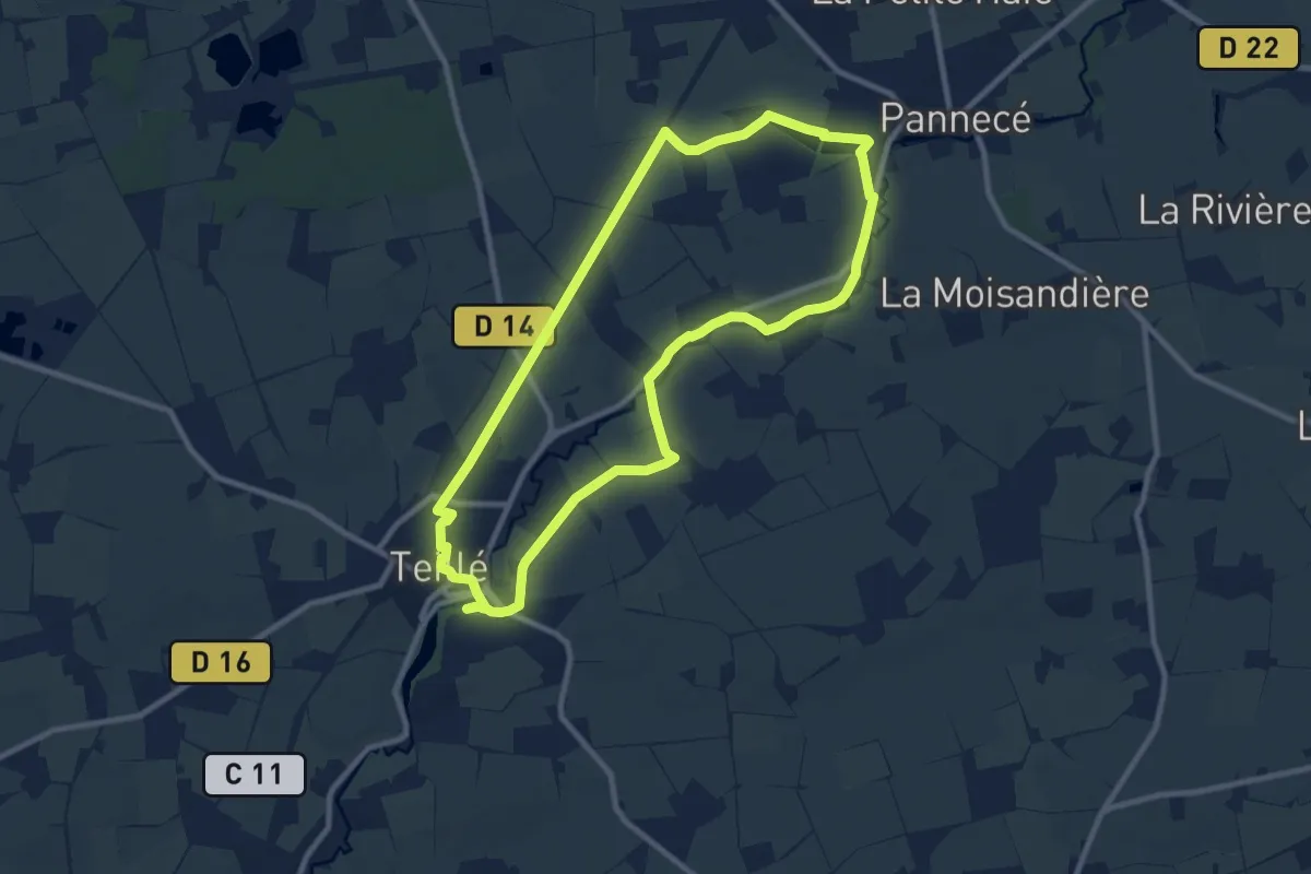
Medium · Trail
D'un Étang à l'Autre
9.3 km · ↑ 39 m · 2 h 25 min
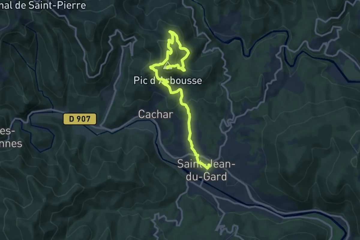
Medium · Summit
D'un Gardon à l'autre
5.5 km · ↑ 539 m · 2 h 23 min
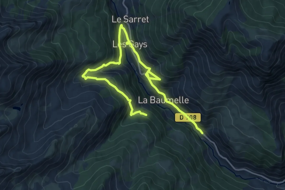
Medium · Trail
D'un hameau à l'autre
6.9 km · ↑ 500 m · 2 h 44 min
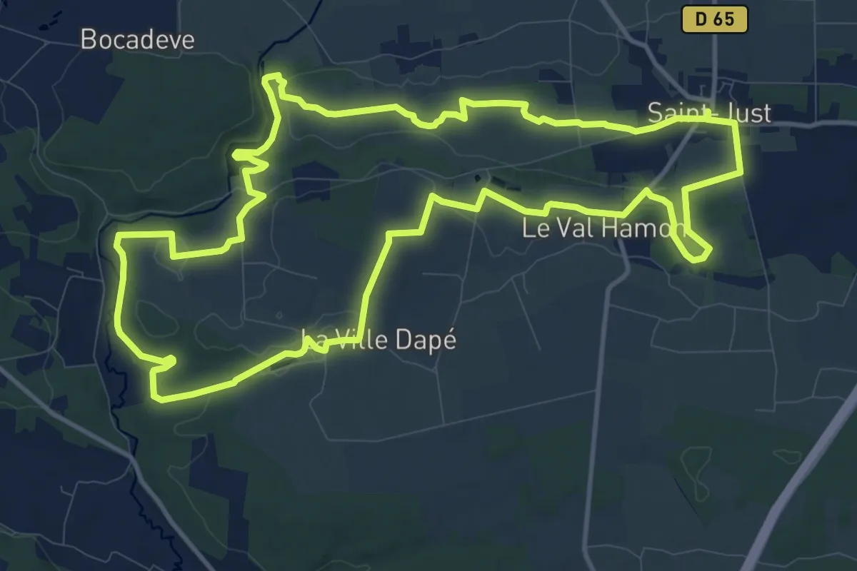
Medium · Trail
Du nouveau vers le Vieux Bourg
12.8 km · ↑ 147 m · 3 h 31 min
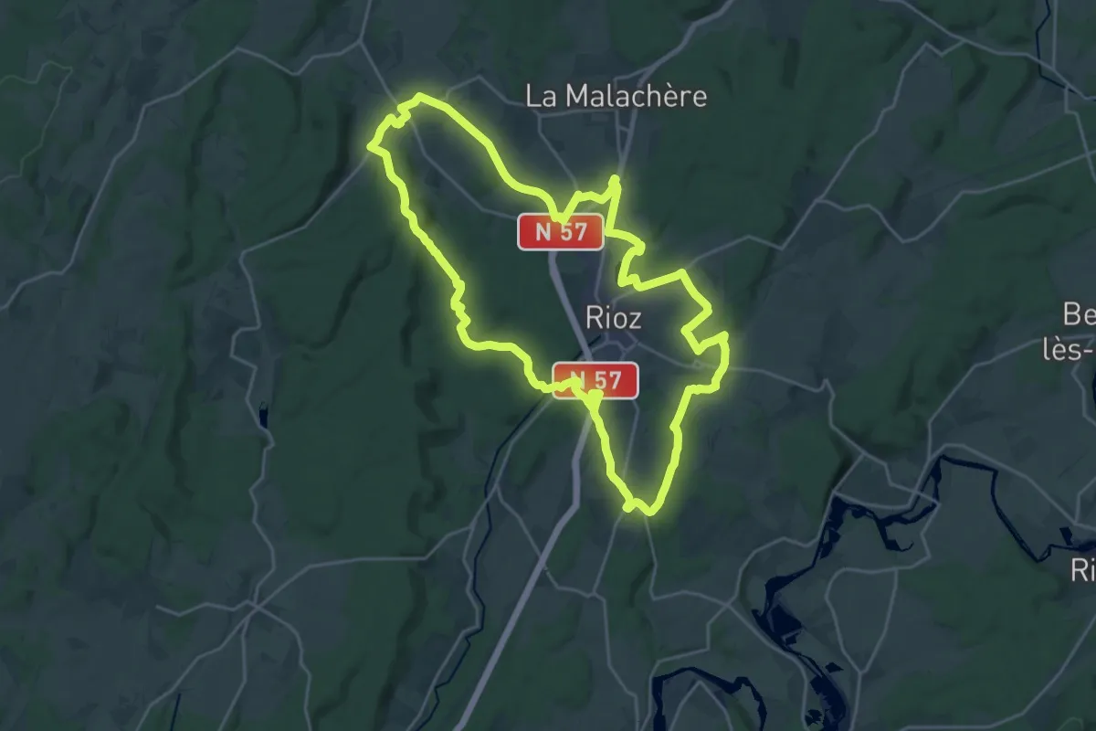
Demanding · Trail
D'un Rail à l'Autre
23.4 km · ↑ 323 m · 6 h 34 min
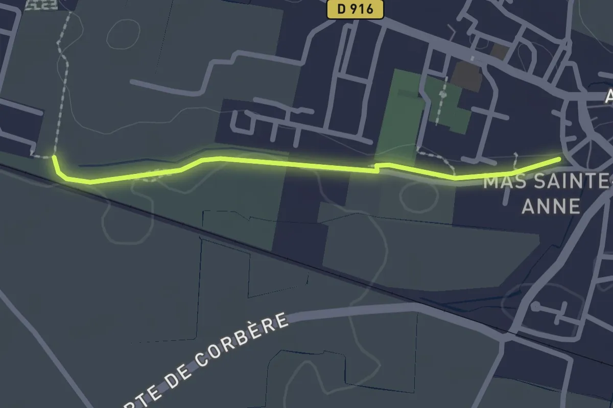
Easy · Trail
D’un Saint-Feliu à l’autre
2.0 km · ↑ 5 m · 30 min
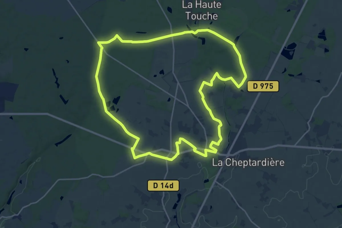
Medium · Trail
Du parc à la forêt
17.1 km · ↑ 87 m · 4 h 27 min
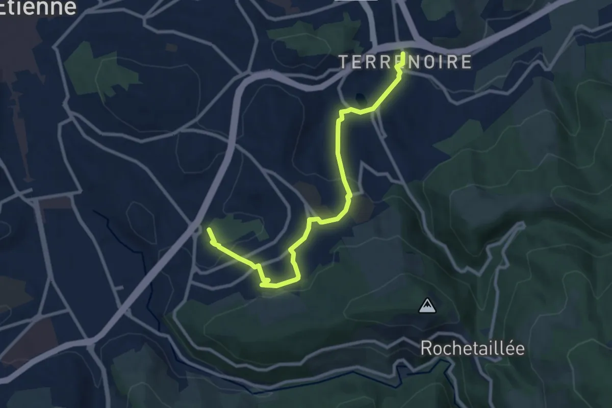
Medium · Trail
Du Parc de l'Europe à Terrenoire
8.8 km · ↑ 282 m · 2 h 41 min
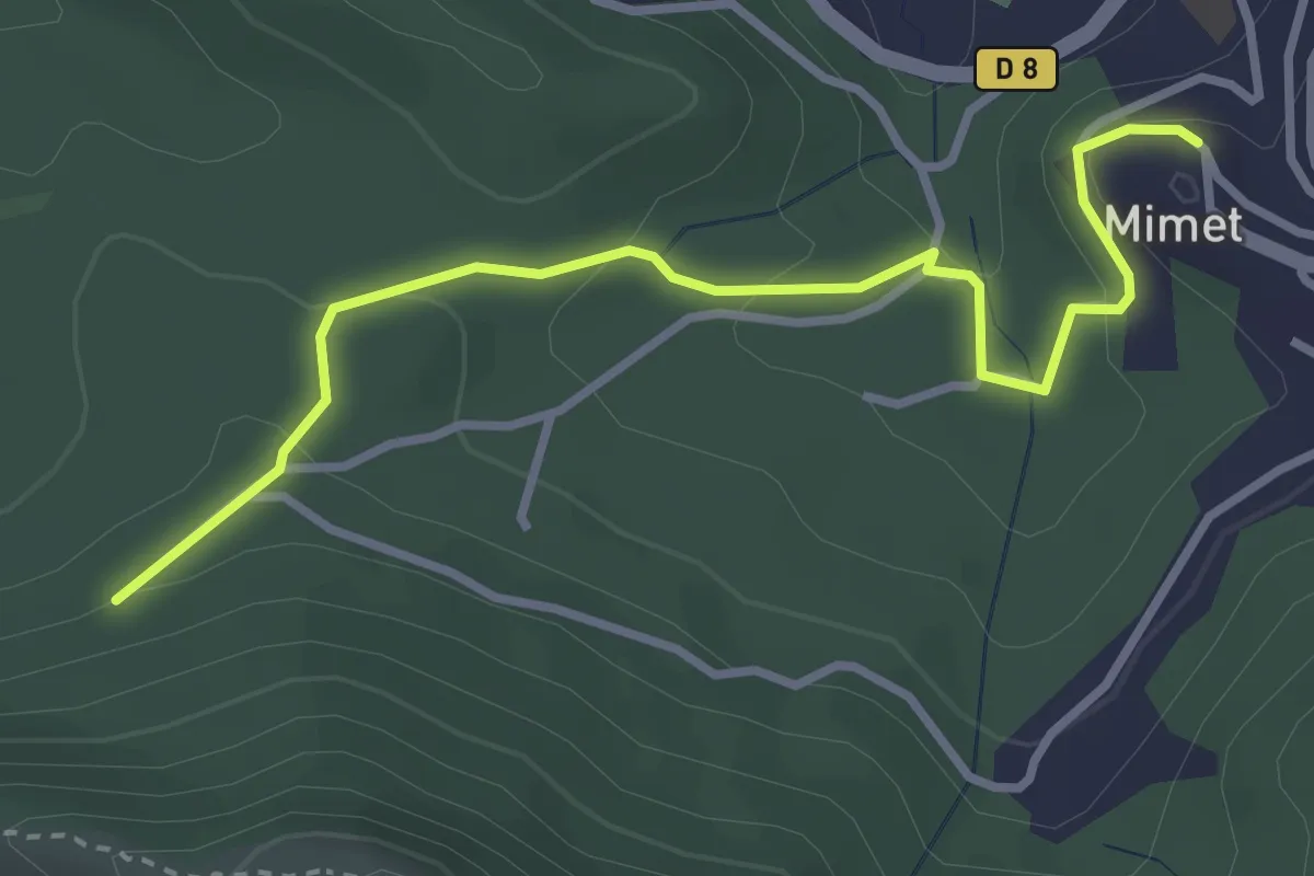
Easy · Trail
Du parking du Col Saint-Anne à Mimet
3.6 km · ↑ 146 m · 1 h 10 min
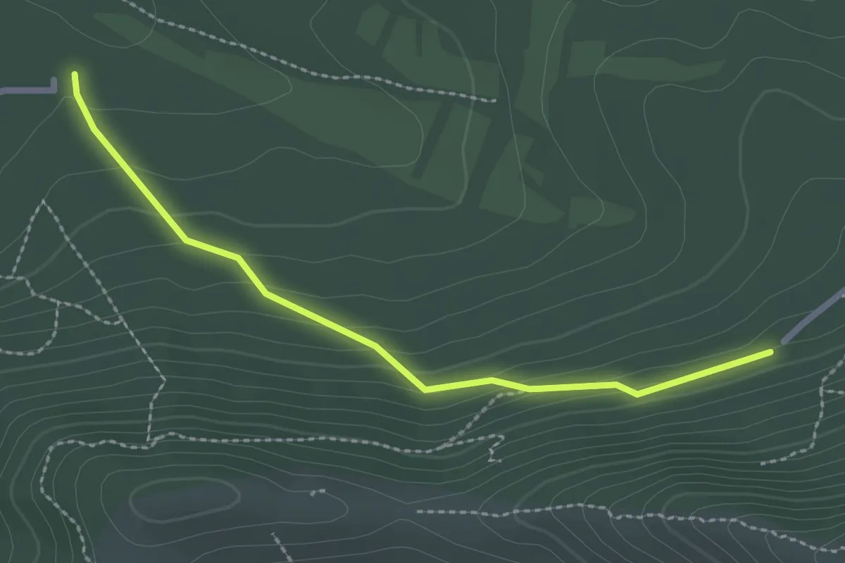
Easy · Trail
Du Parking du col Sainte-Anne aux Marres
2.5 km · ↑ 124 m · 52 min
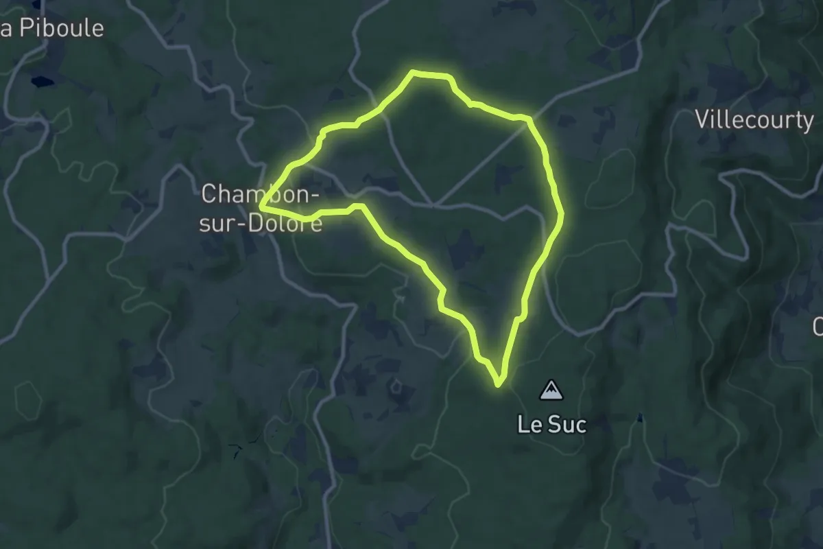
Medium · Trail
Du pas de Gargantua aux 3 gouttes de sang
8.5 km · ↑ 186 m · 2 h 32 min
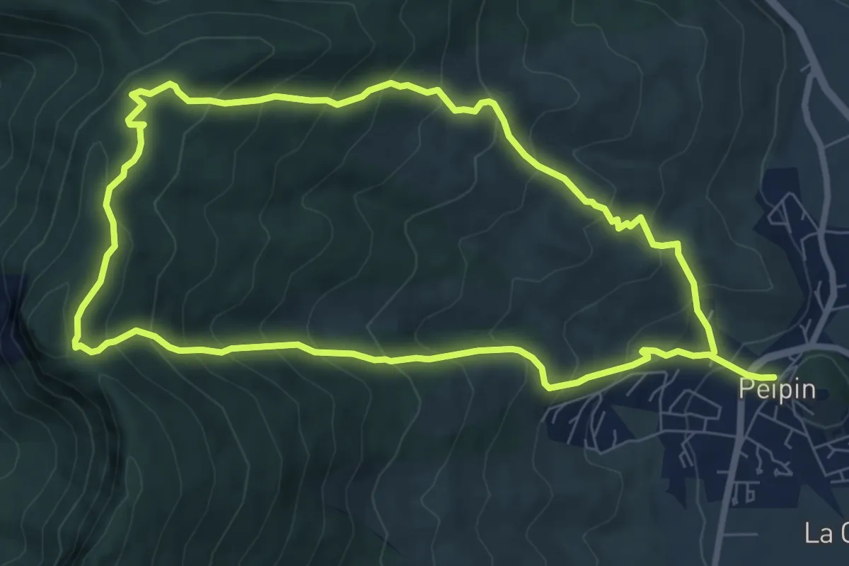
Medium · Trail
Du Pas de Peipin au Trou du Loup
7.9 km · ↑ 589 m · 3 h 15 min
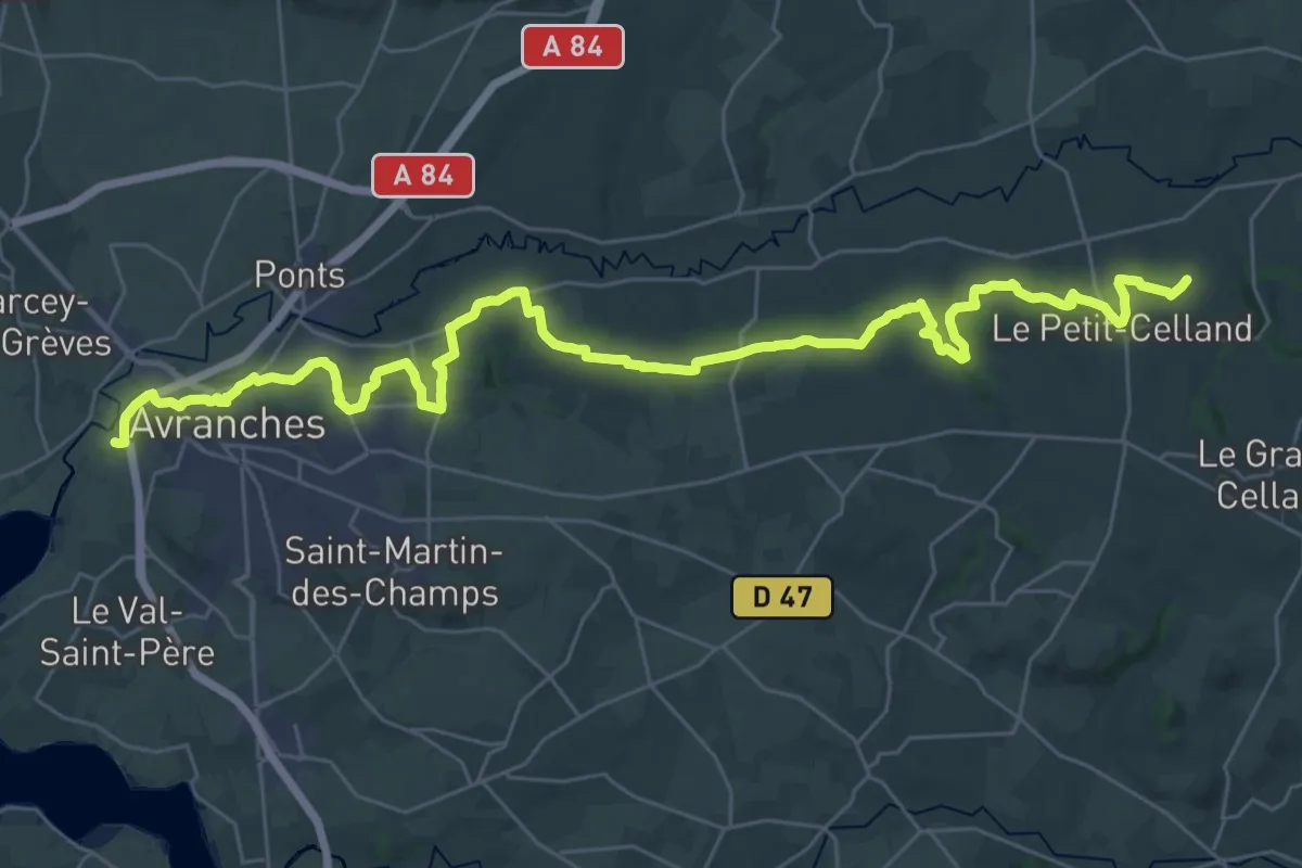
Demanding · Trail
du Petit-Celland à Avranches
19.9 km · ↑ 416 m · 5 h 56 min
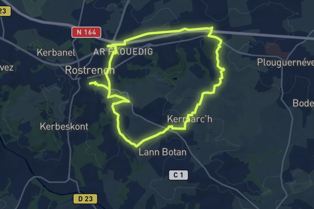
Medium · Summit
Du Petit train à la vallée du Doré
12.1 km · ↑ 133 m · 3 h 19 min
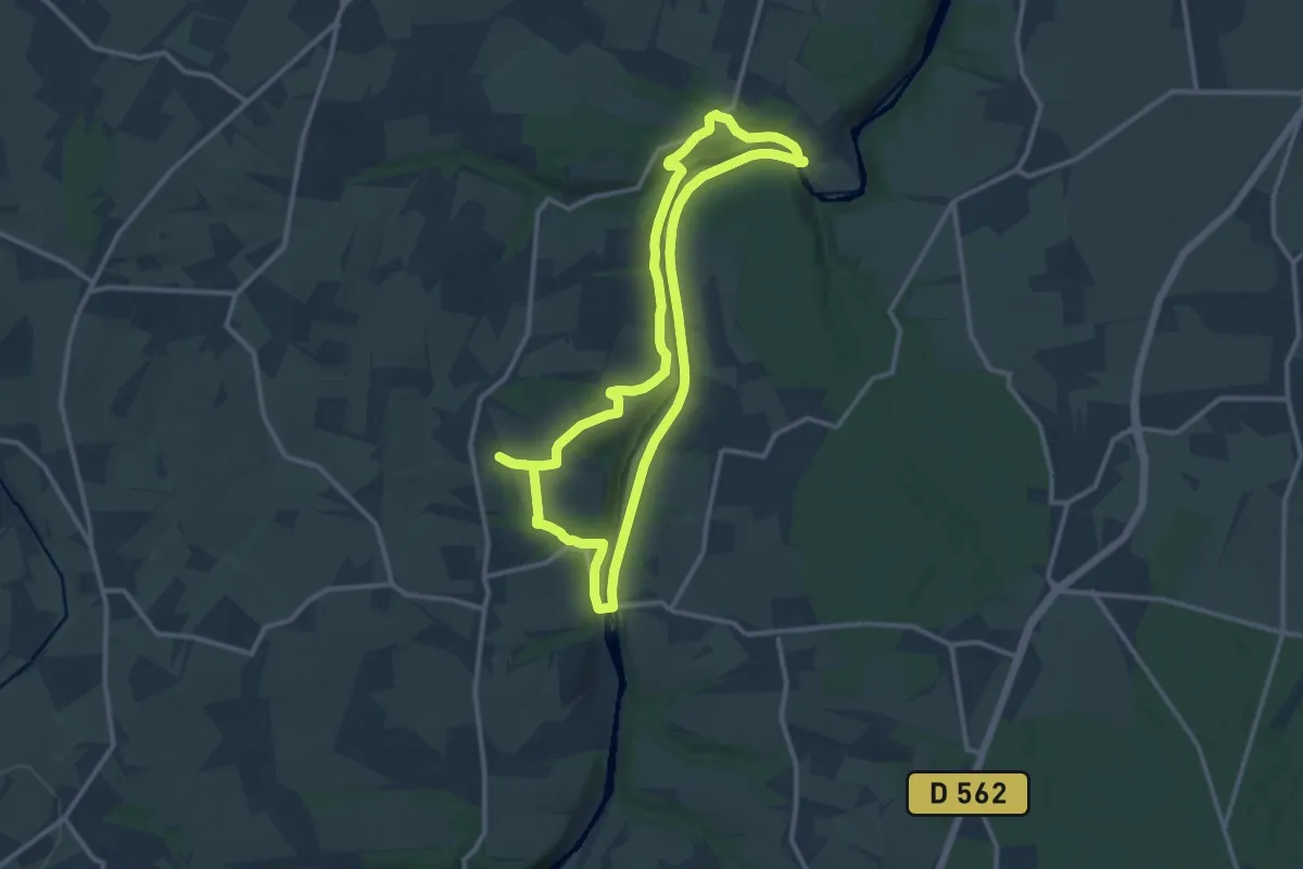
Medium · Trail
Du Pont de Brie au Grand Mesnil
11.4 km · ↑ 172 m · 3 h 13 min
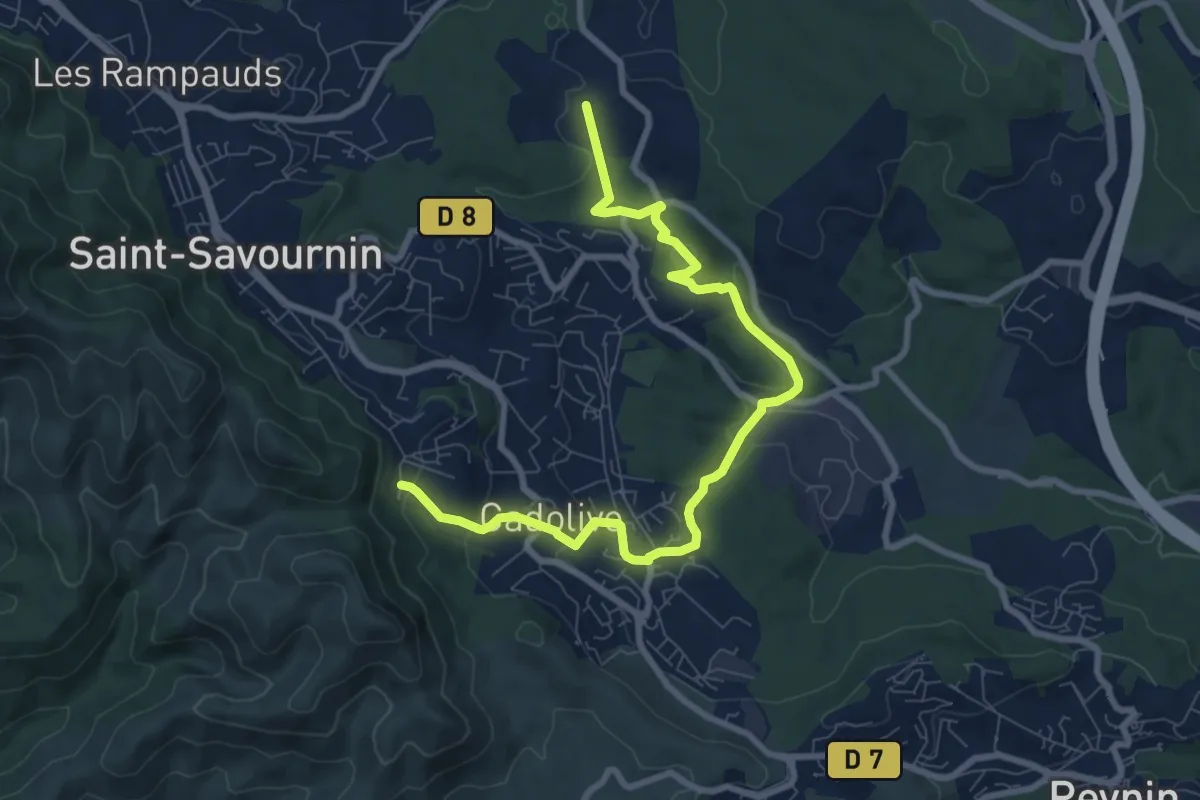
Medium · Trail
Du poteau ET 02 au poteau ET 30
9.9 km · ↑ 281 m · 2 h 56 min
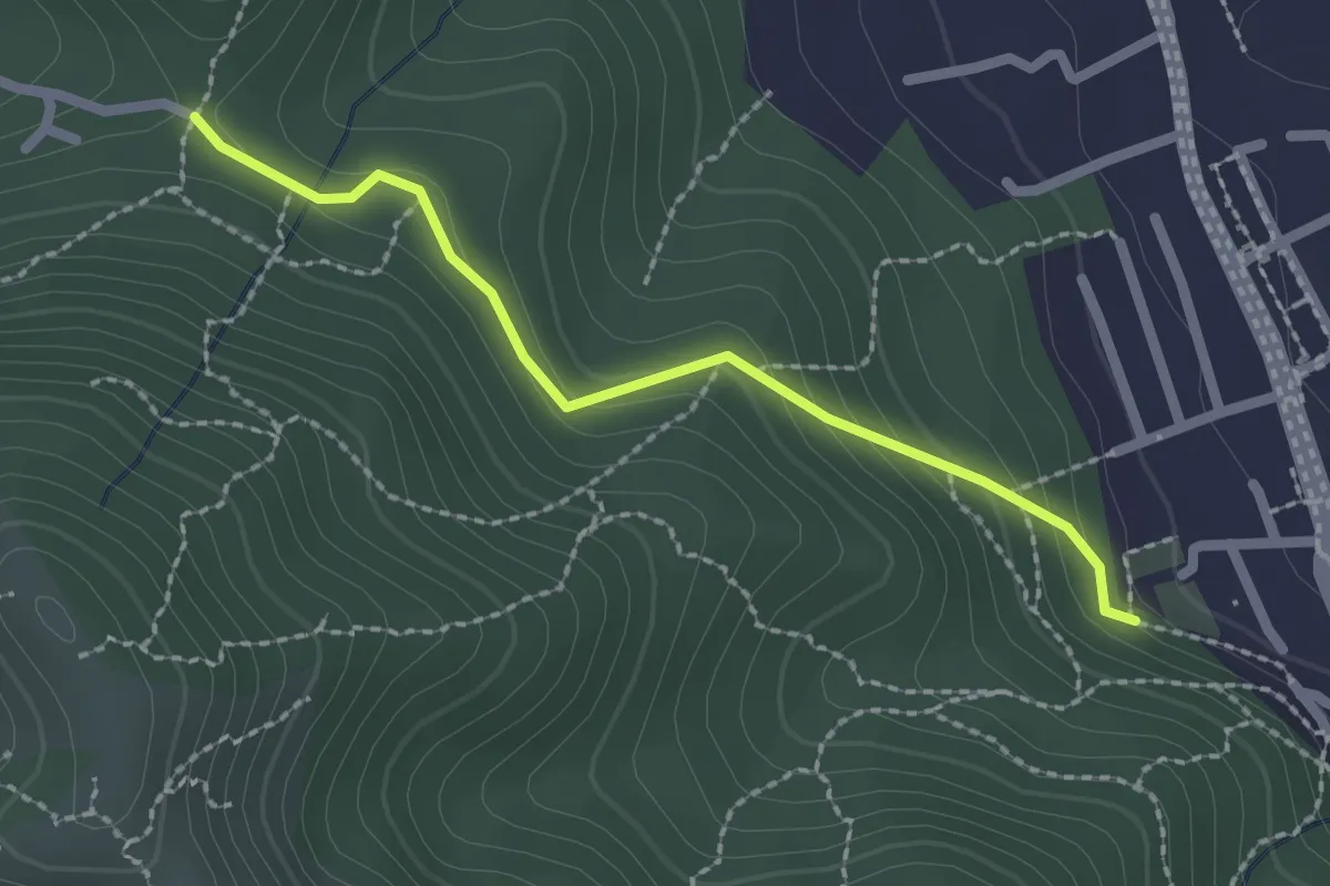
Easy · Trail
Du Poteau ET 07 au poteau ET 08
2.2 km · ↑ 130 m · 48 min
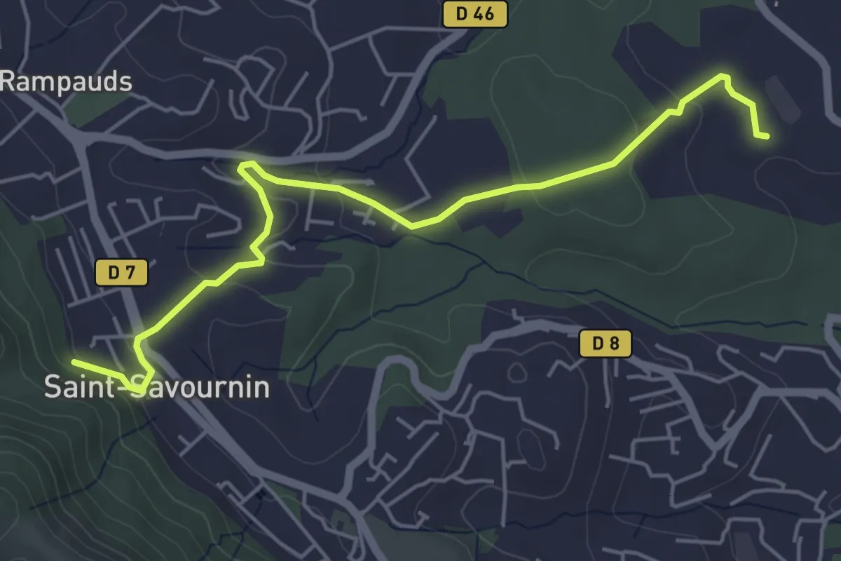
Easy · Trail
Du poteau ET 07 au poteau ET 30
5.6 km · ↑ 139 m · 1 h 38 min
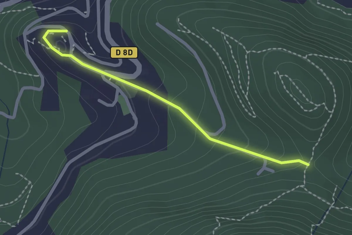
Easy · Trail
Du poteau ET 08 à Mimet
2.0 km · ↑ 102 m · 42 min
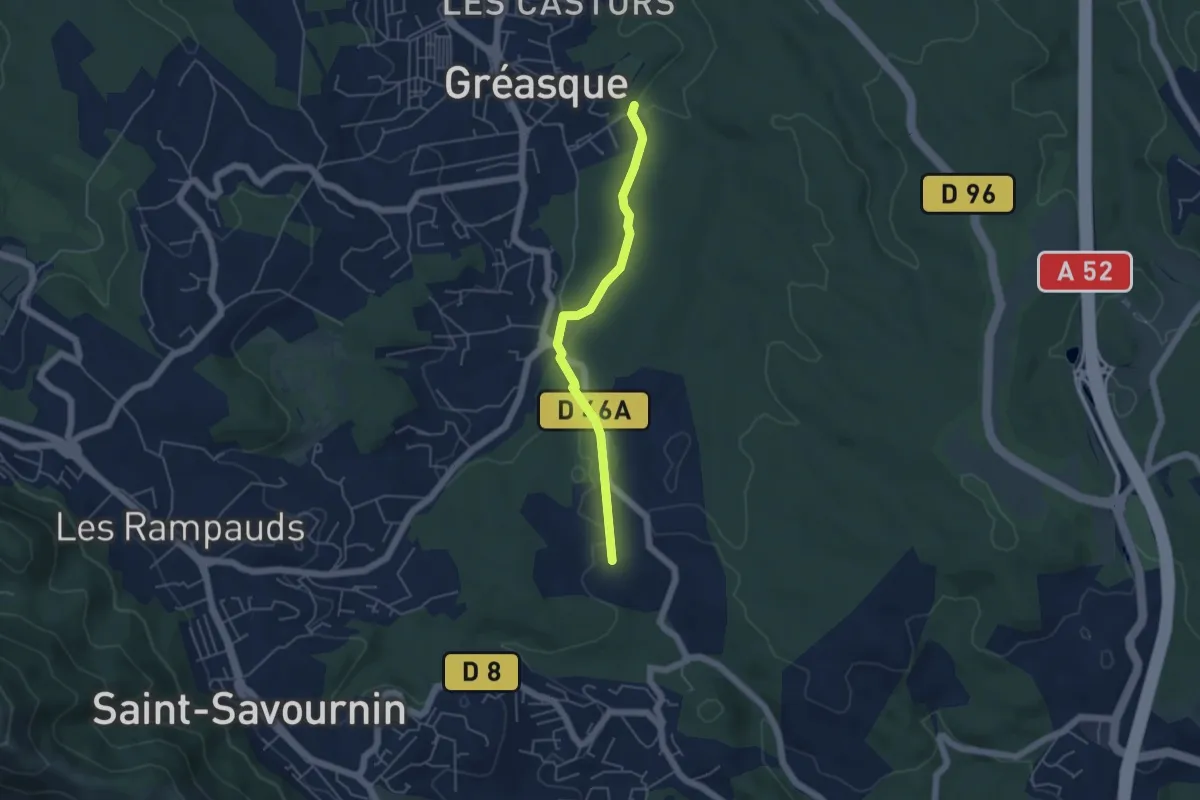
Easy · Trail
Du poteau ET 30 au poteau ET 31
4.7 km · ↑ 39 m · 1 h 12 min
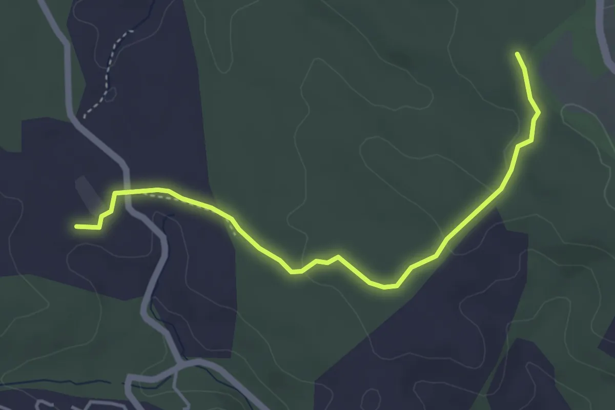
Easy · Trail
Du poteau ET 30 au poteau ET 33
4.5 km · ↑ 56 m · 1 h 11 min
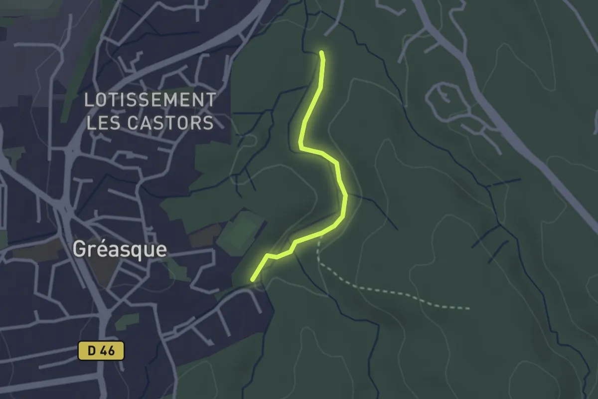
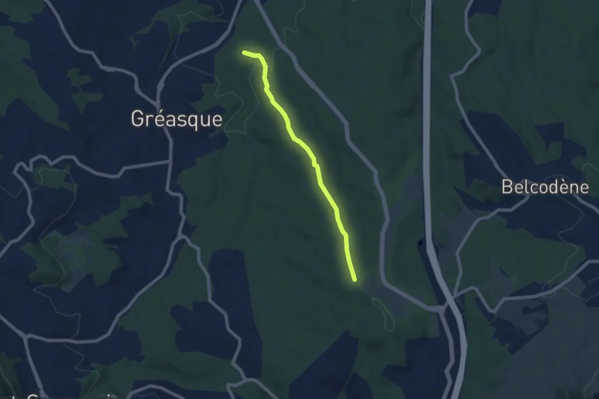
Easy · Trail
Du poteau ET 31 au poteau ET 32
2.1 km · ↑ 22 m · 33 min
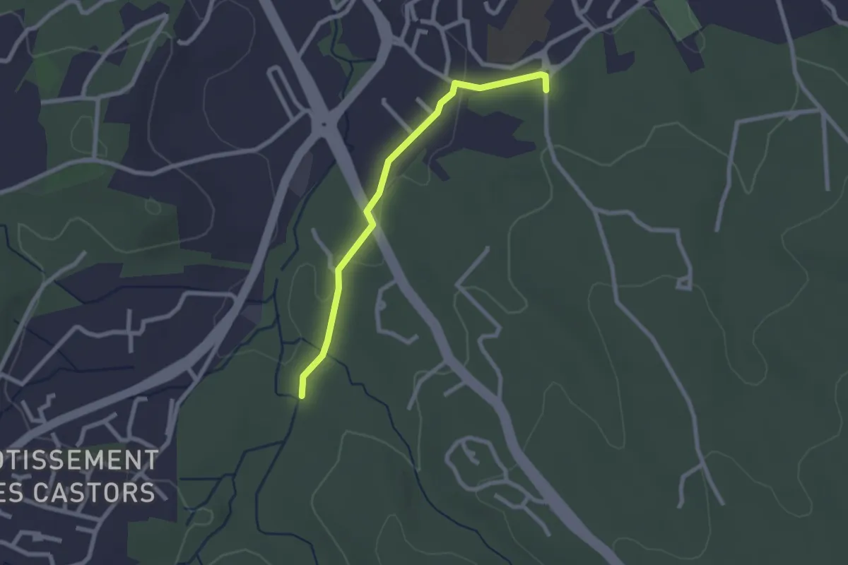
Easy · Trail
Du poteau ET 32 au poteau ET 33
5.4 km · ↑ 117 m · 1 h 32 min
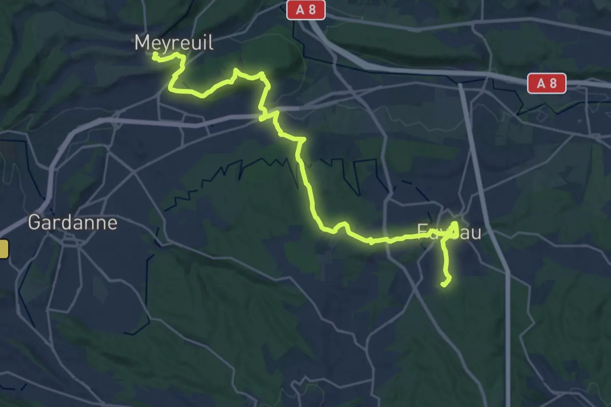
Easy · Trail
Du poteau ET 32 au poteau ET-36
2.3 km · ↑ 27 m · 36 min
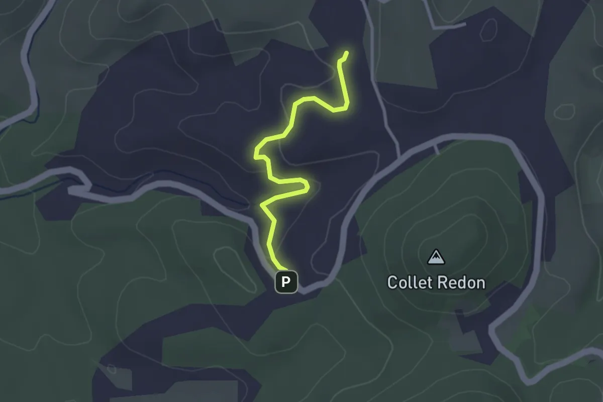
Demanding · Trail
Du poteau ET 36 à Meyreuil
25.1 km · ↑ 504 m · 7 h 1 min
Easy · Trail
Du poteau GB 71 au poteau GB 72
2.7 km · ↑ 69 m · 47 min
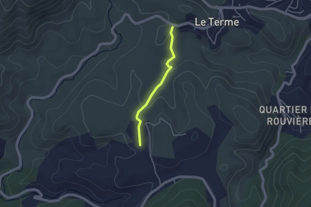
Easy · Trail
Du poteau GB 72 au poteau GB 73
2.4 km · ↑ 48 m · 41 min
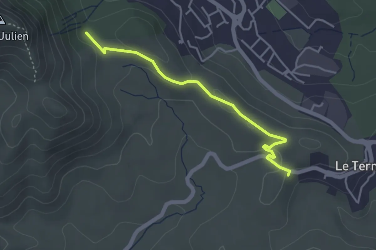
Easy · Trail
Du poteau GB-73 au Poteau ET 03
3.4 km · ↑ 40 m · 54 min
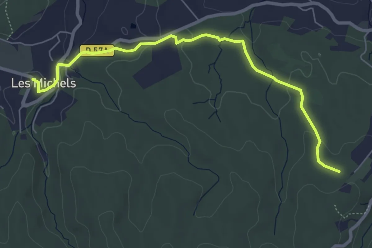
Easy · Trail
Du poteau RE 02 aux Michels
6.0 km · ↑ 96 m · 1 h 38 min
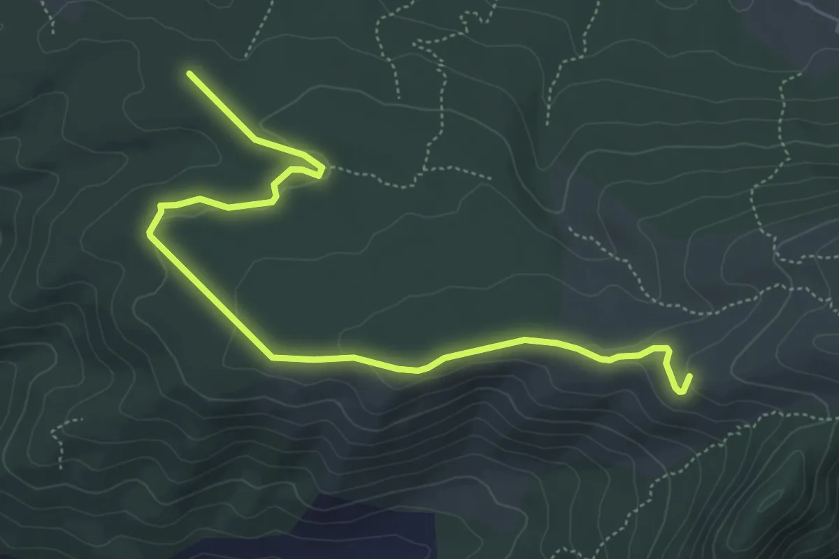
Easy · Trail
Du poteau RE 09 au poteau RE 10
6.5 km · ↑ 101 m · 1 h 46 min
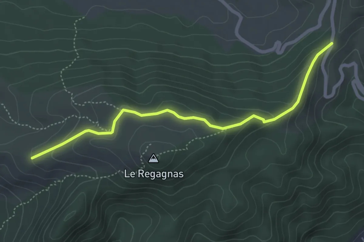
Easy · Trail
Du poteau RE 10 au poteau RE 12
5.1 km · ↑ 176 m · 1 h 35 min
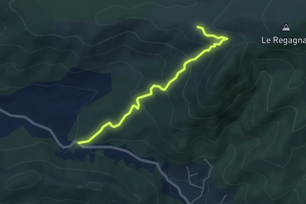
Easy · Trail
Du poteau RE 10 au poteau RE 24
4.6 km · ↑ 236 m · 1 h 36 min
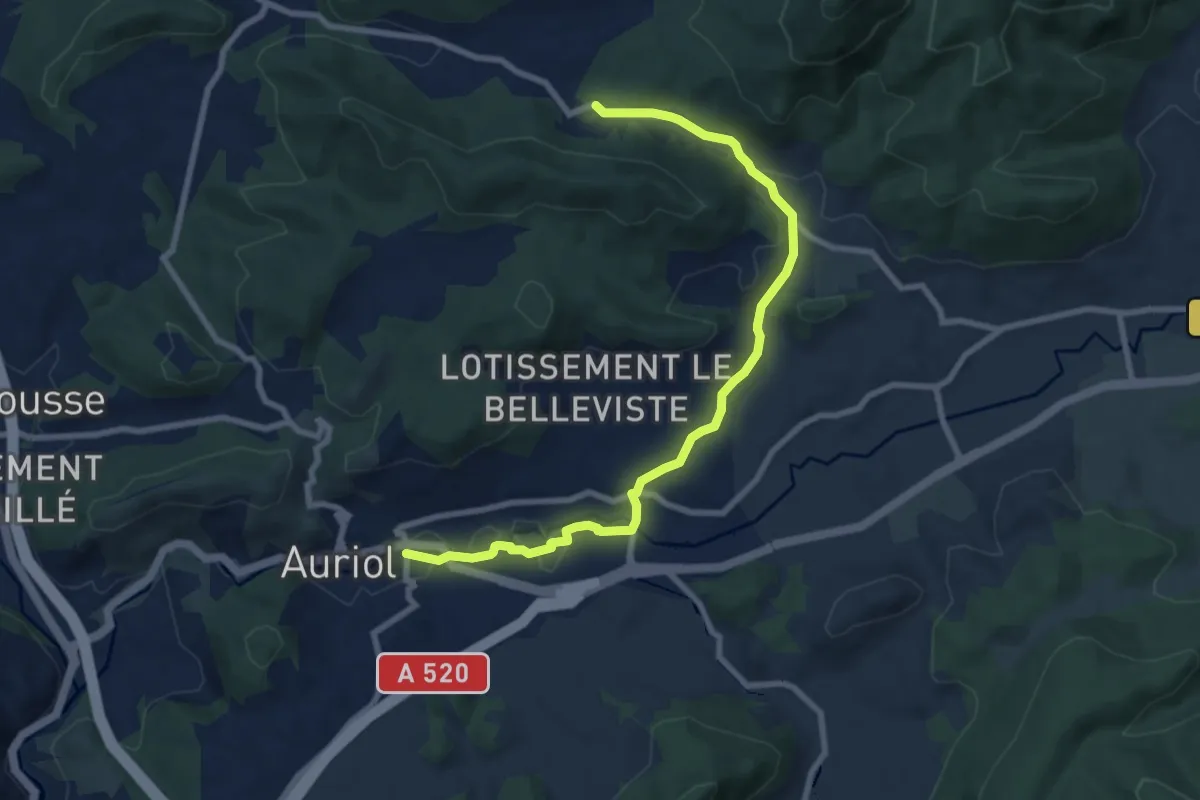
Medium · Trail
Du poteau RE 24 à Auriol
9.4 km · ↑ 152 m · 2 h 32 min
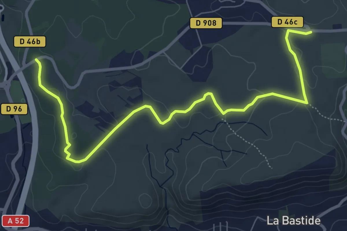
Medium · Trail
Du poteau RE ?? à Belcodéne
8.2 km · ↑ 93 m · 2 h 8 min
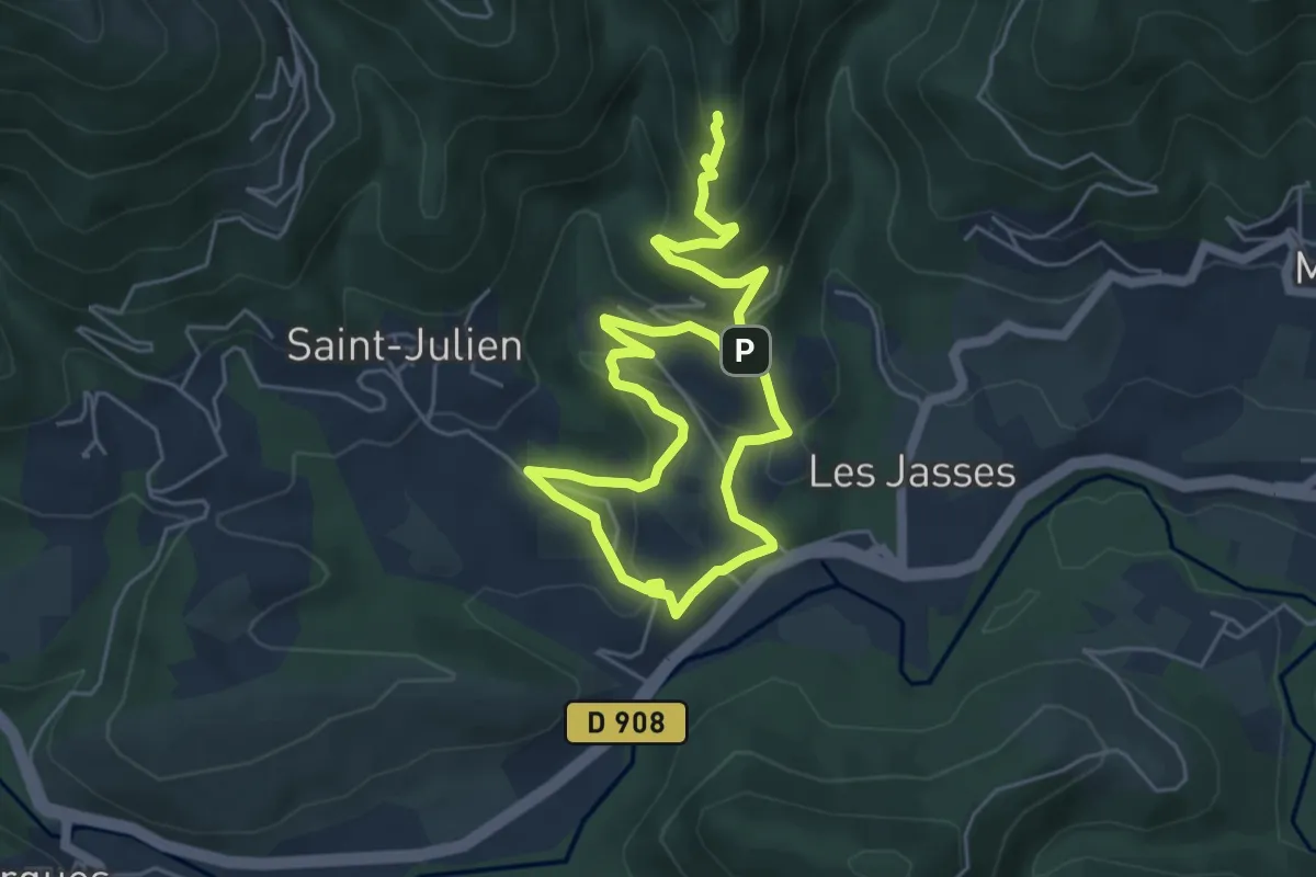
Medium · Trail
Du Prieuré au Castellas d’Olargues le Vieux
8.7 km · ↑ 401 m · 2 h 55 min
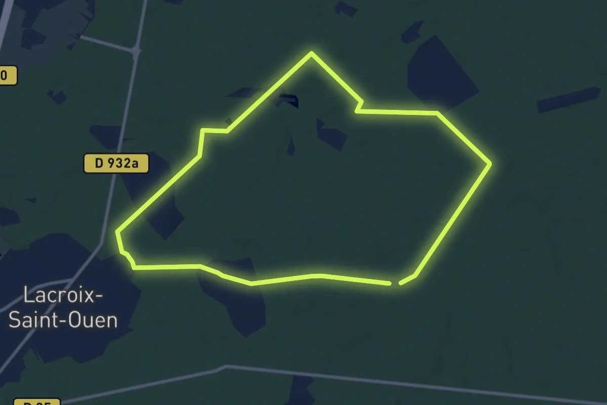
Medium · Trail
Du Puits du Roi au Vivier Corax
8.4 km · ↑ 43 m · 2 h 12 min
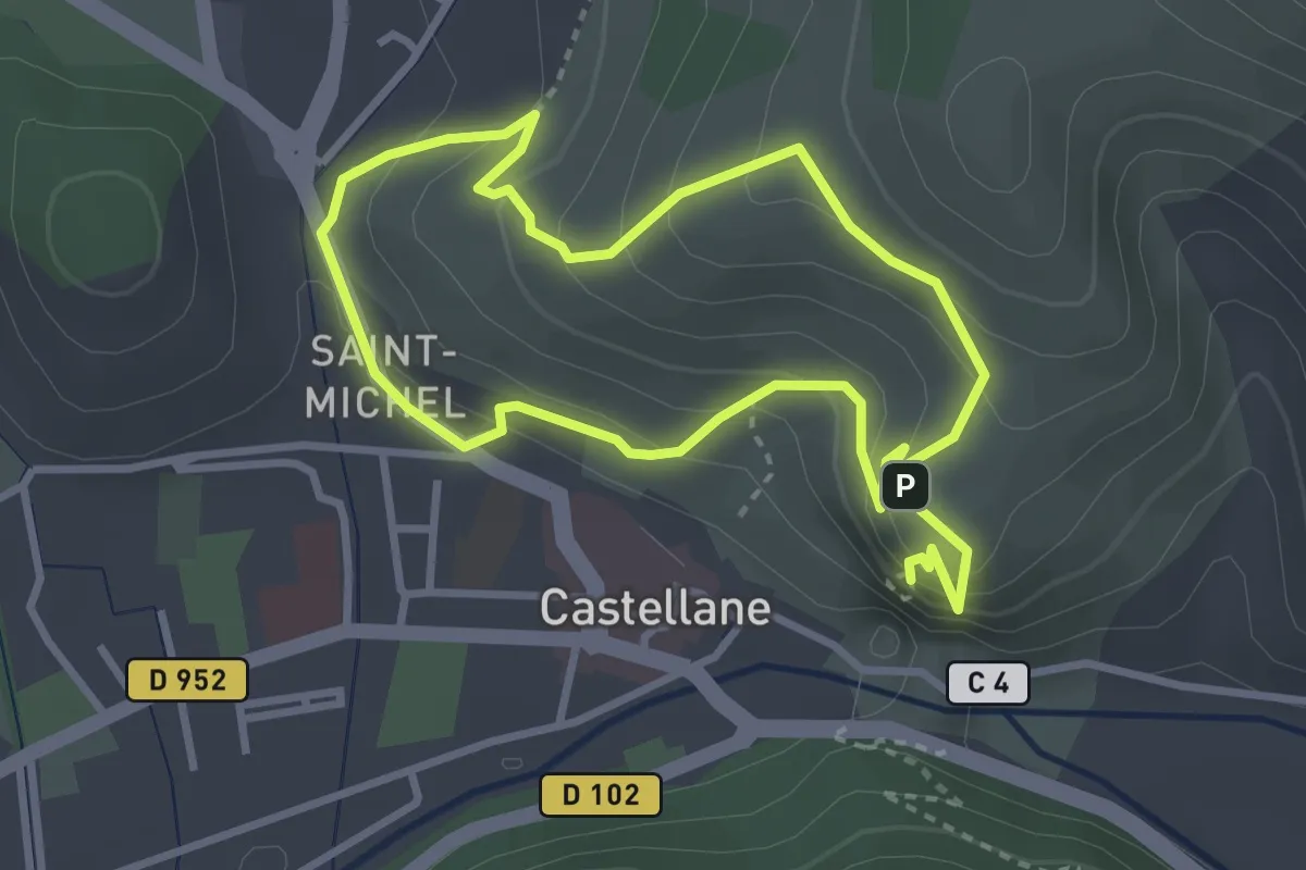
Medium · Summit
Du Roc au Serre
3.0 km · ↑ 183 m · 1 h 10 min
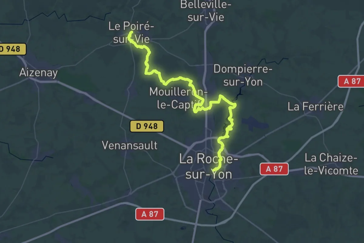
Demanding · Trail
Du Roche s/Yon au Poiré s/Vie
27.0 km · ↑ 145 m · 7 h 3 min